Road Trip to the Yukon – Gear, Life on the Road, and Some Stats

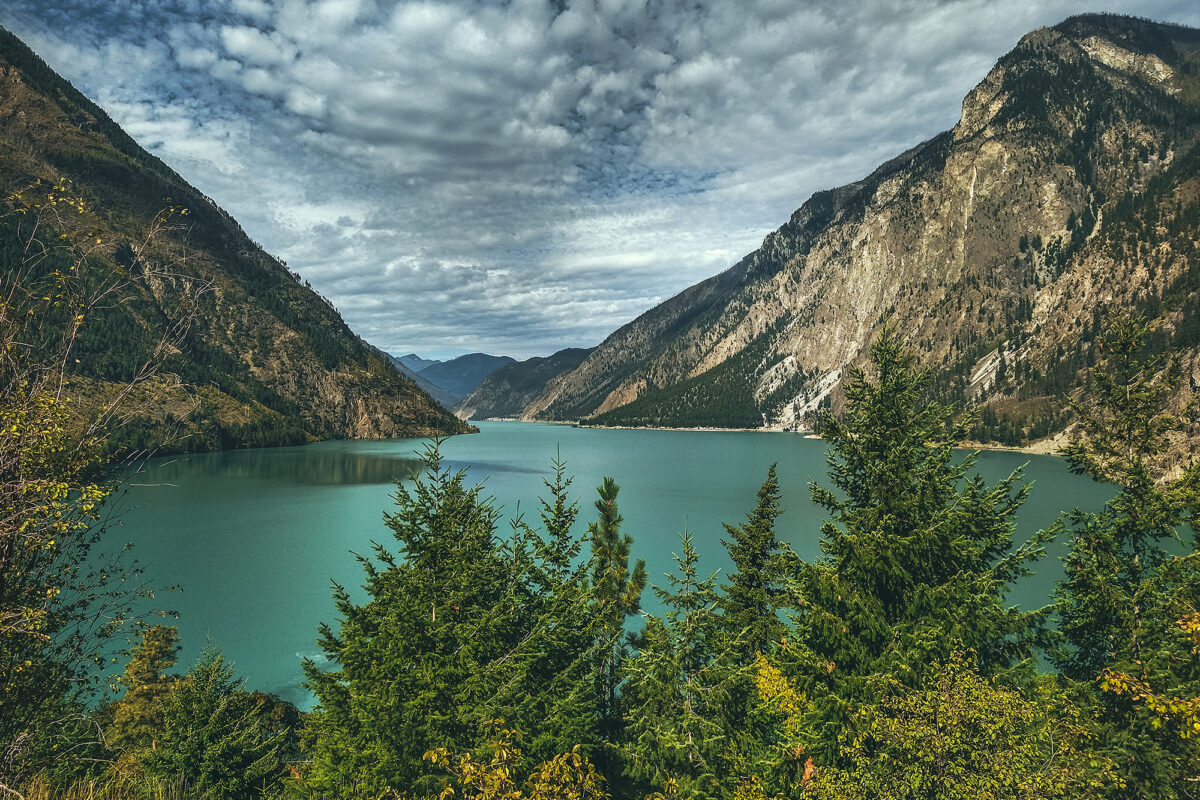
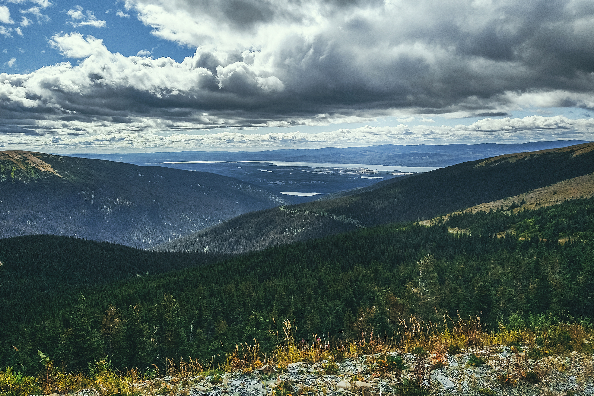
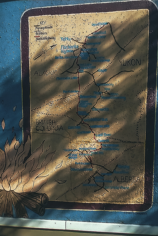
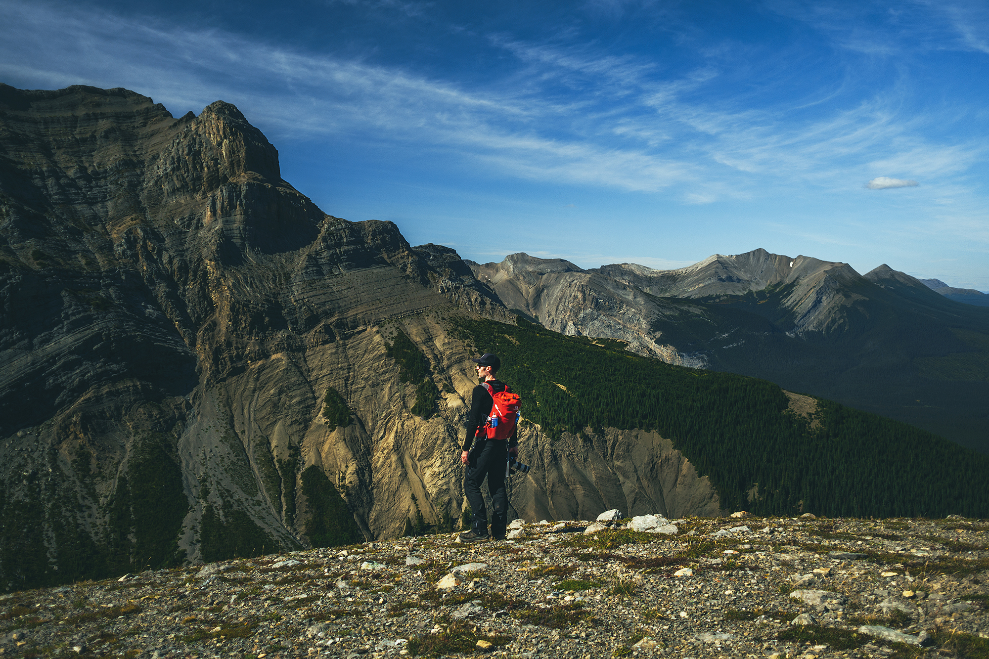
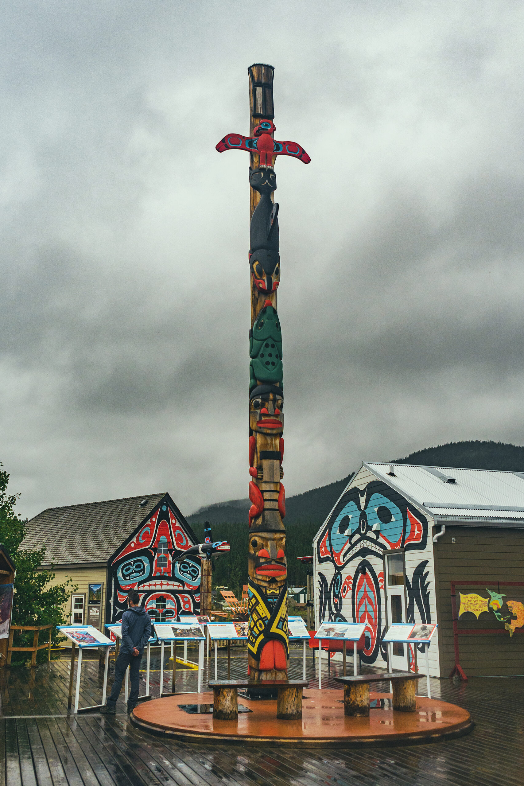
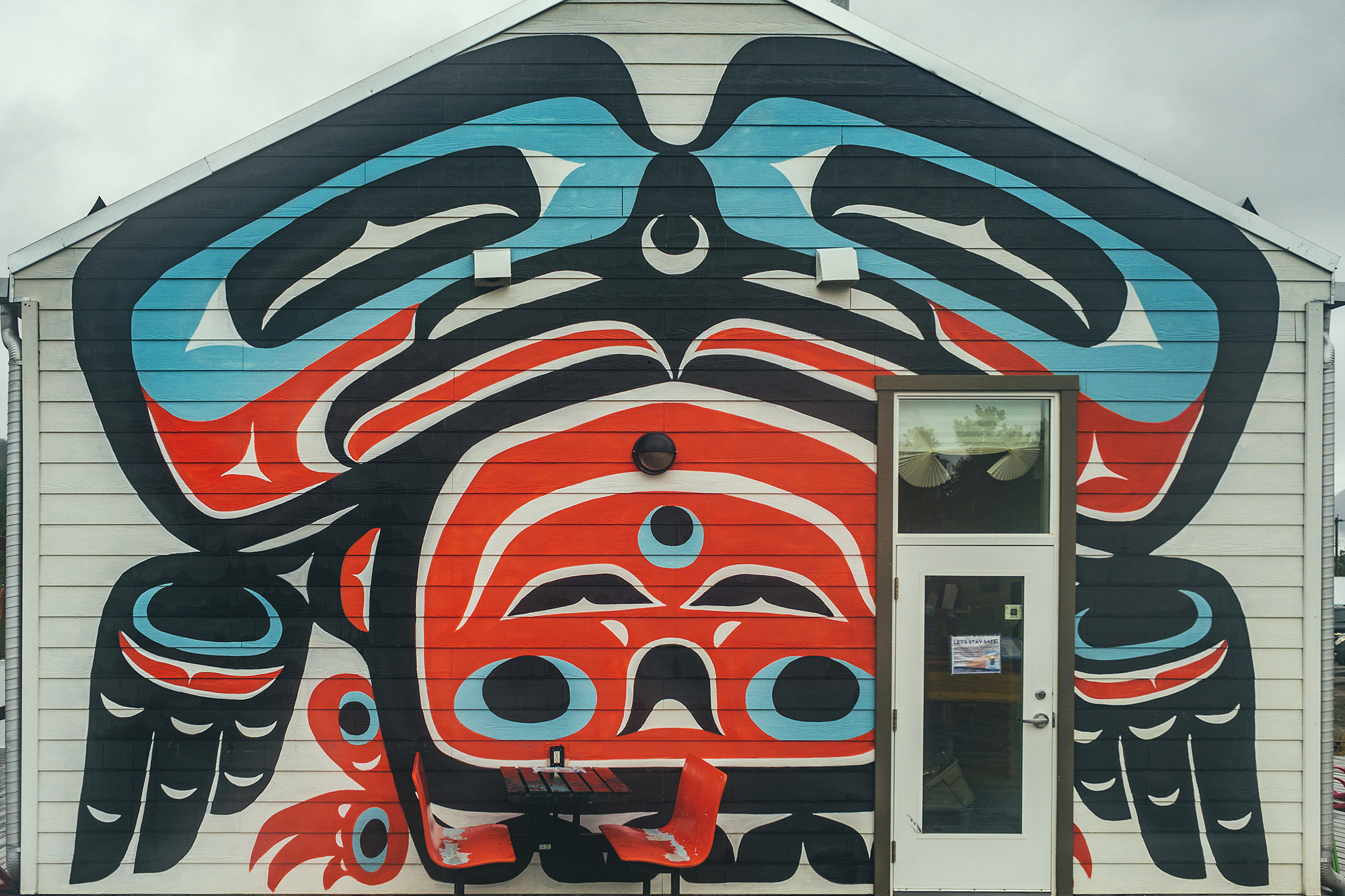
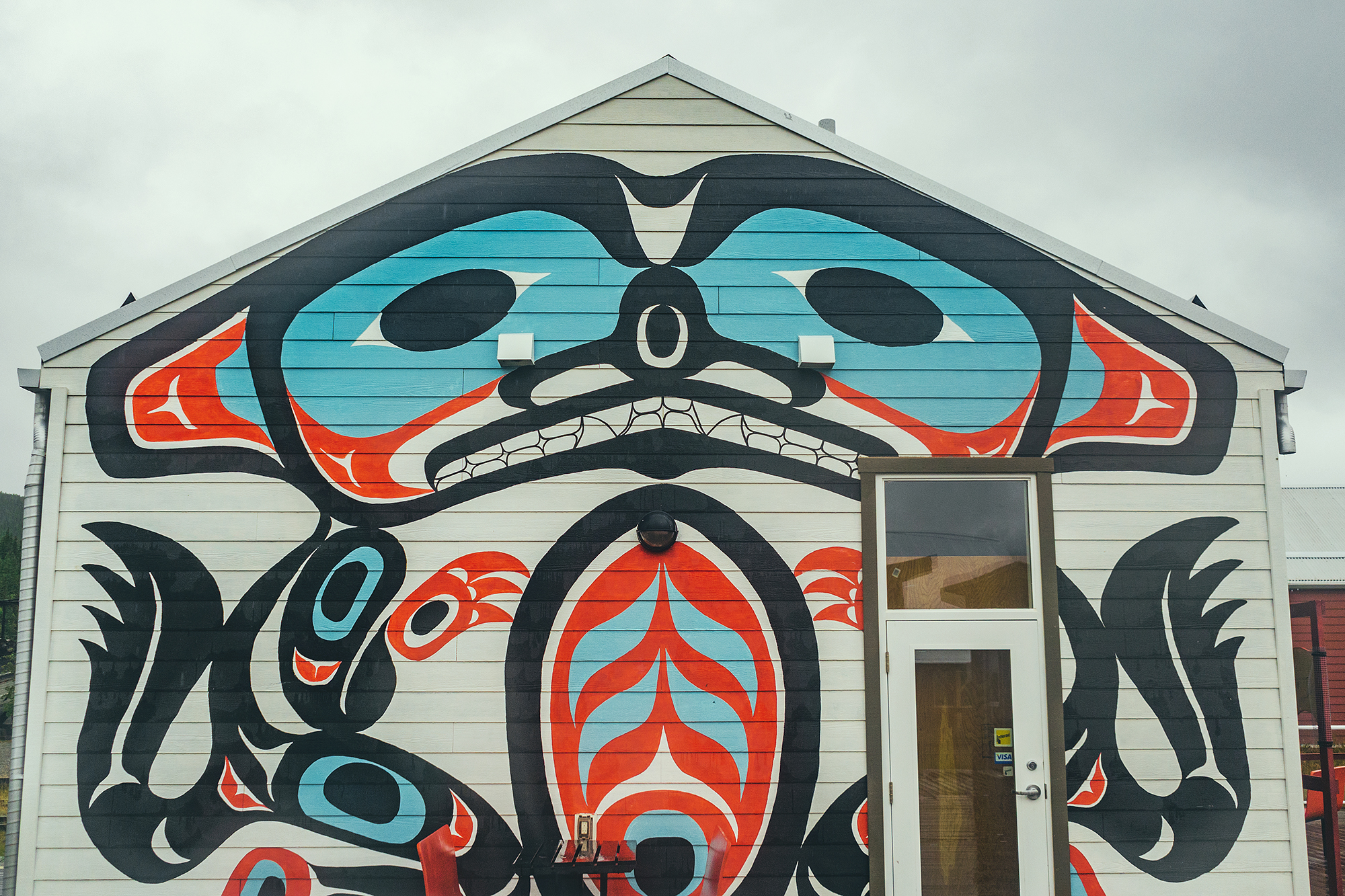
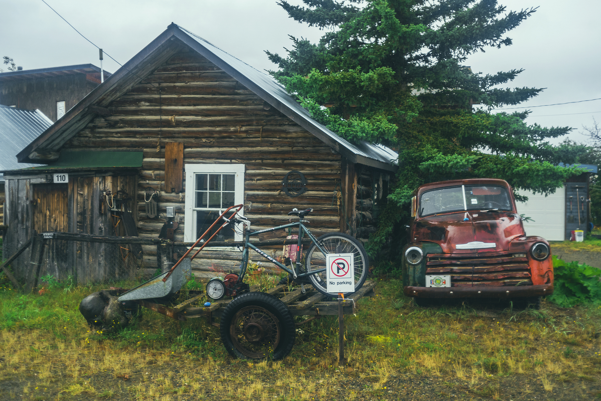
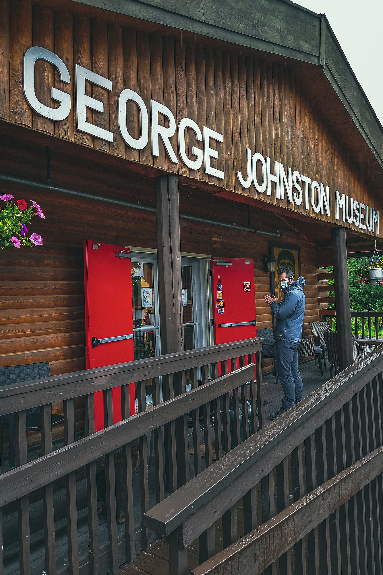
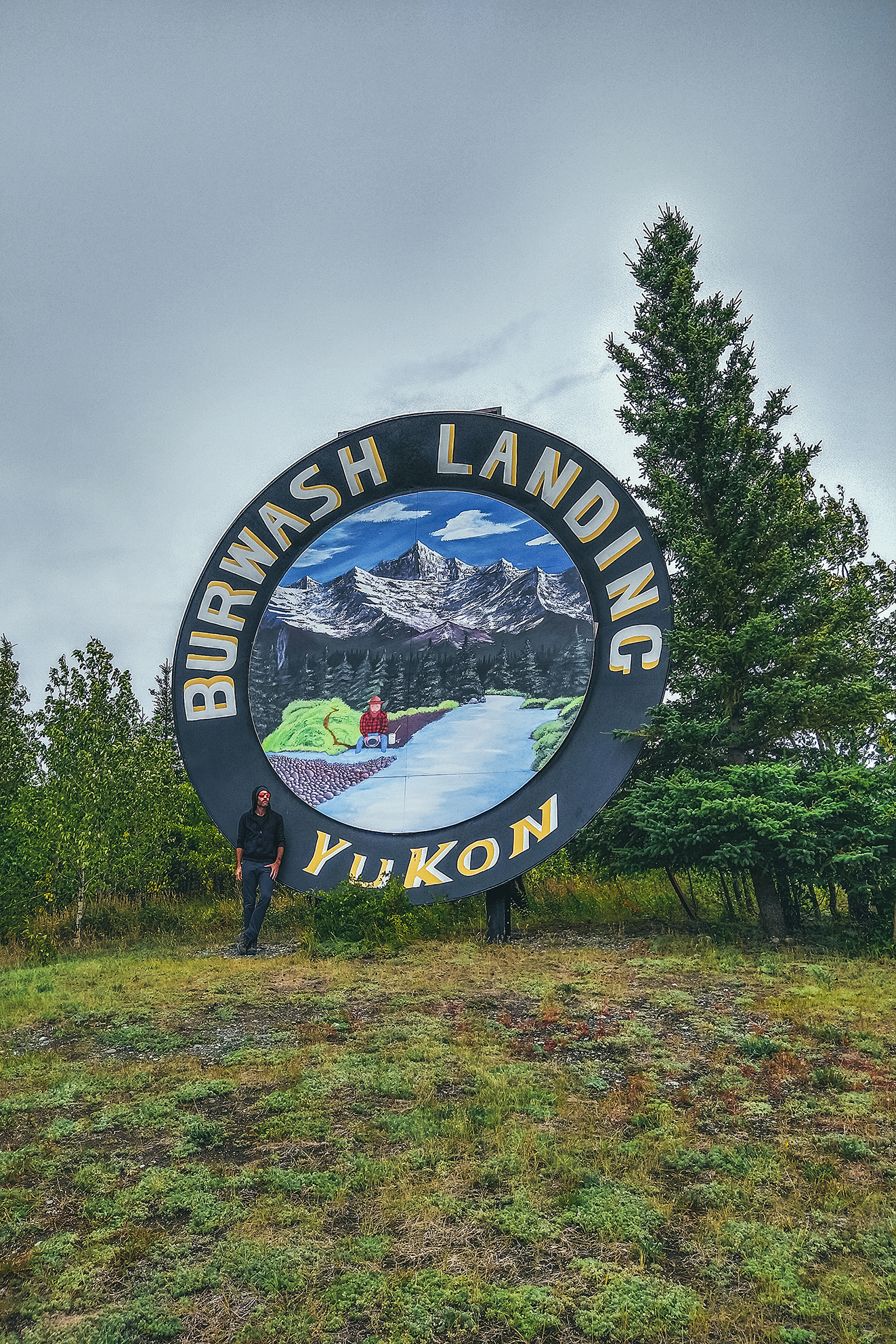
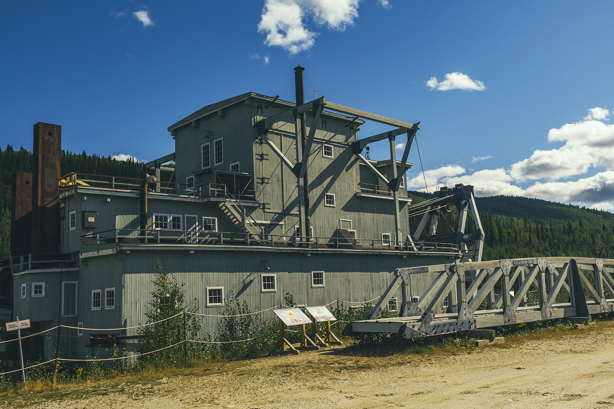
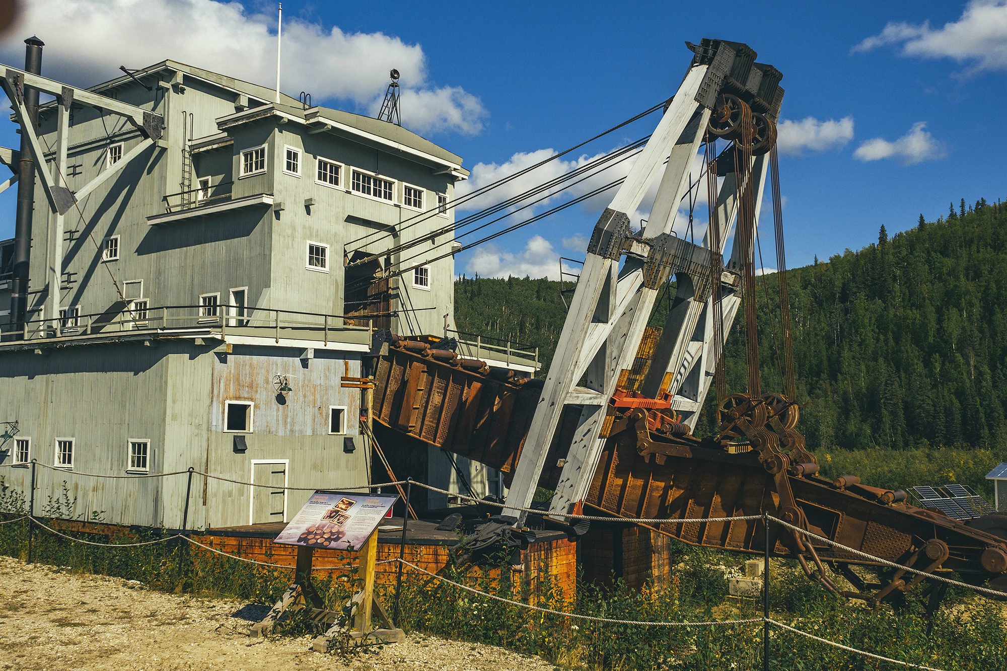
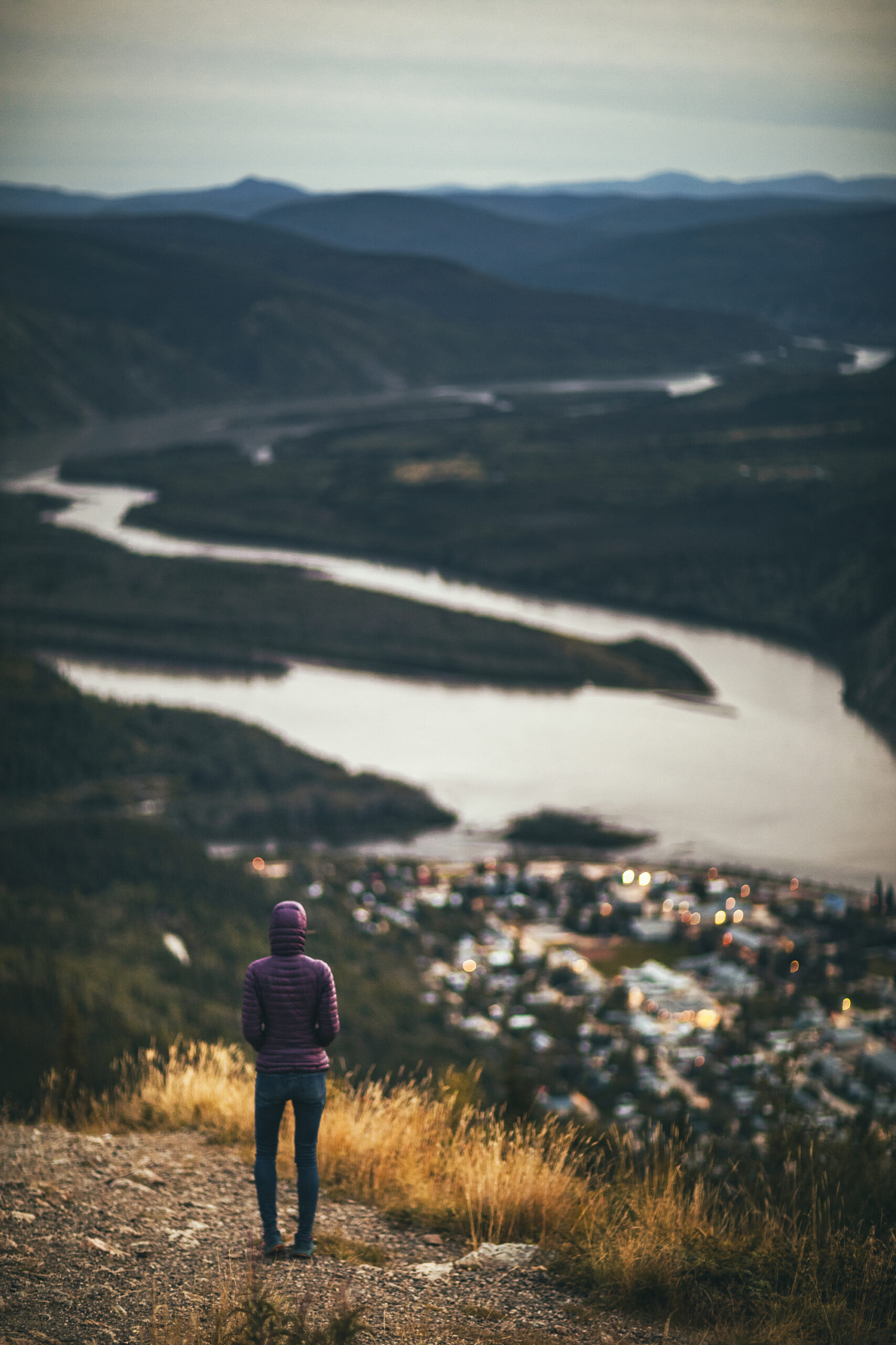
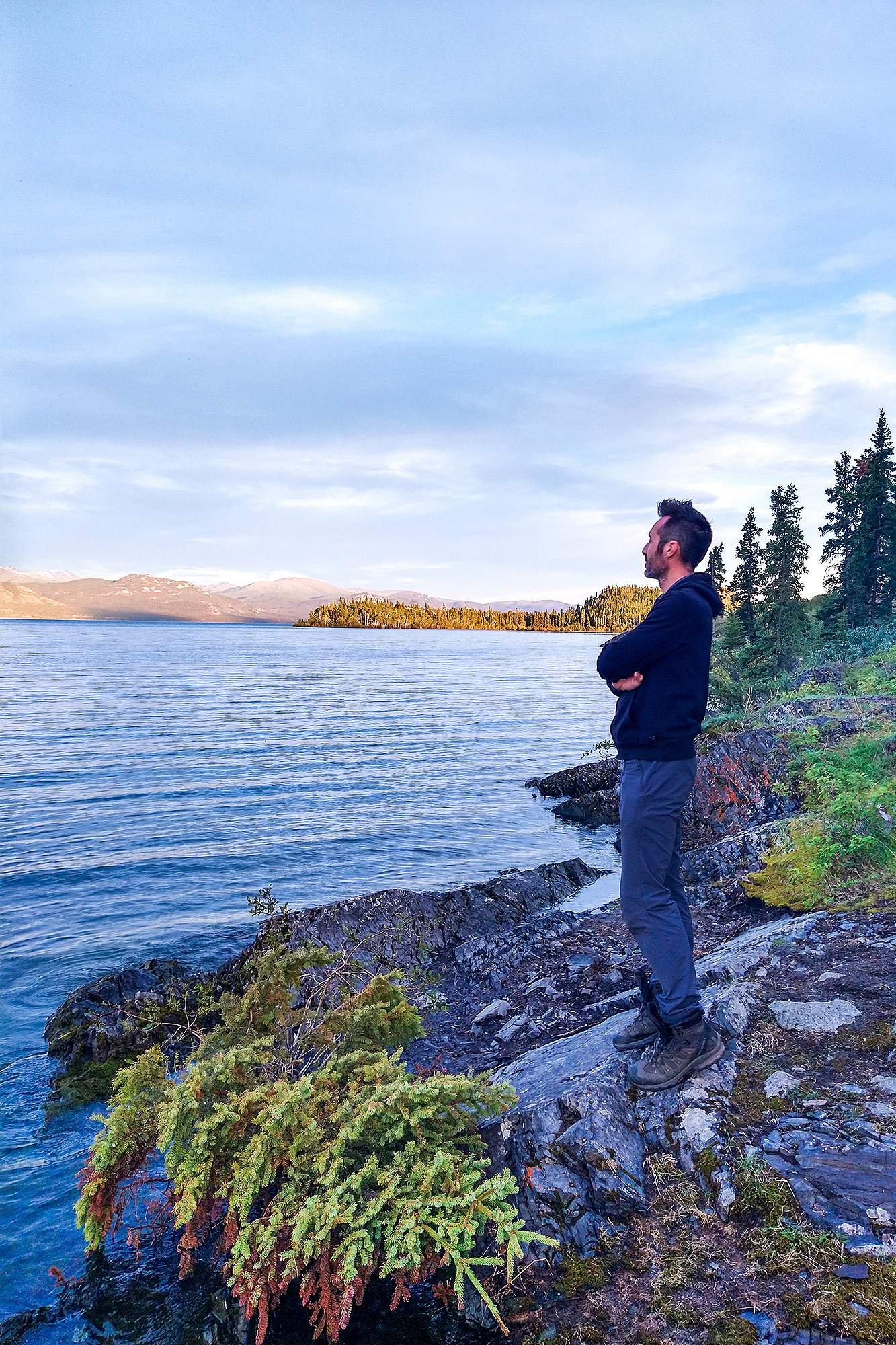
Yukon had been on our list of places to travel to for a bit, and after a year of pandemic, and continued international restrictions, it seemed like the obvious time to take this trip.

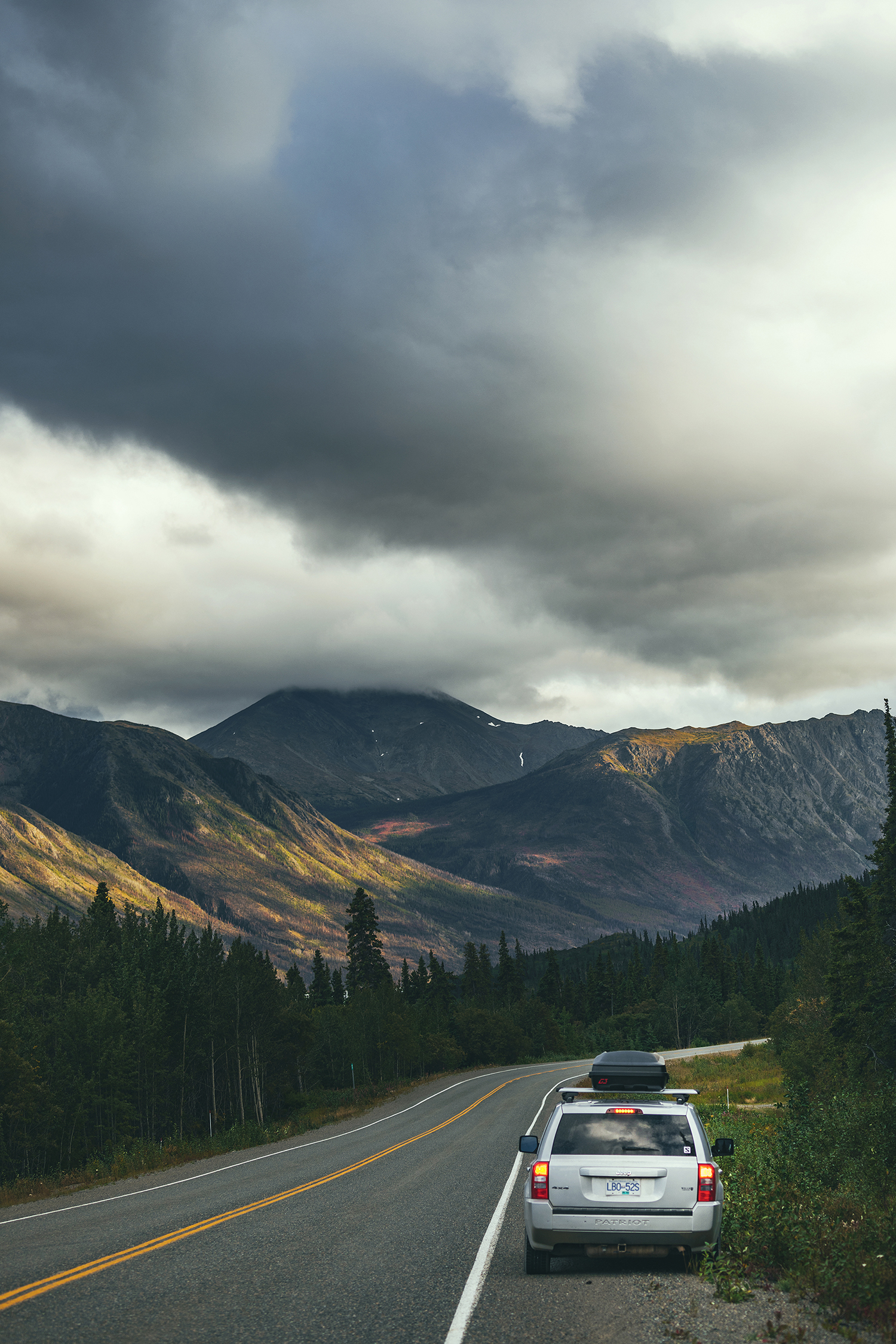
At first, we researched campervan rental options, but looking to rent for over a month, it ended up being quite expensive. Since we were already equipped with all the appropriate camping gear, and had a solid vehicle to undertake this trip, we figured we could just car-camp our way through it, with a few airbnb/hotels here and there to reset.

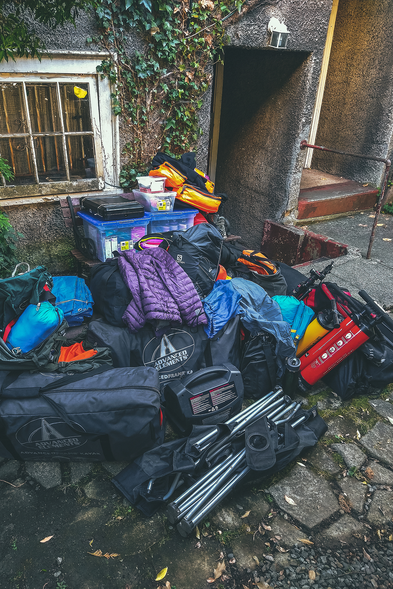
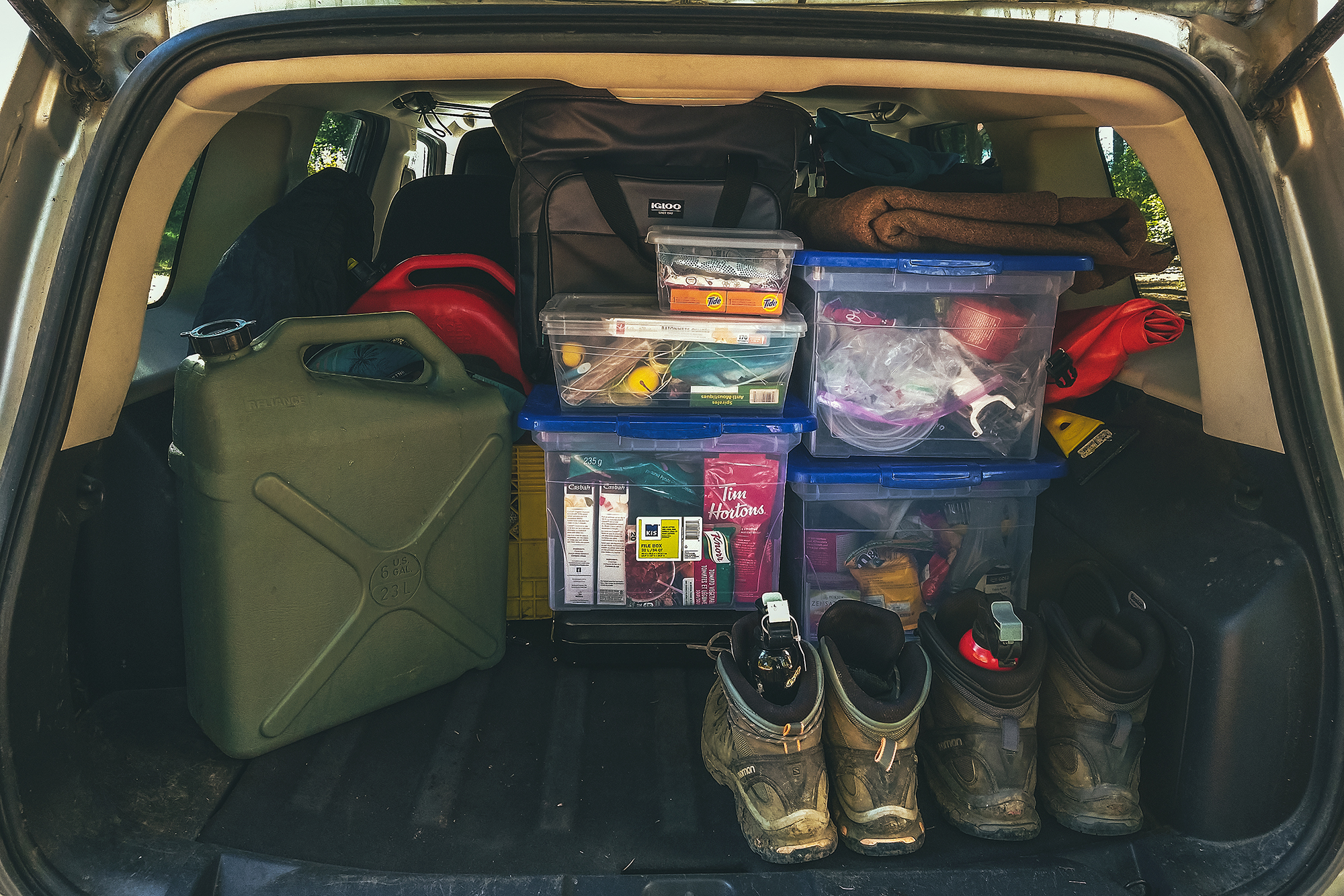
As we had never gone on a road trip that long, we did take a look at our gear and made a couple of key additions.

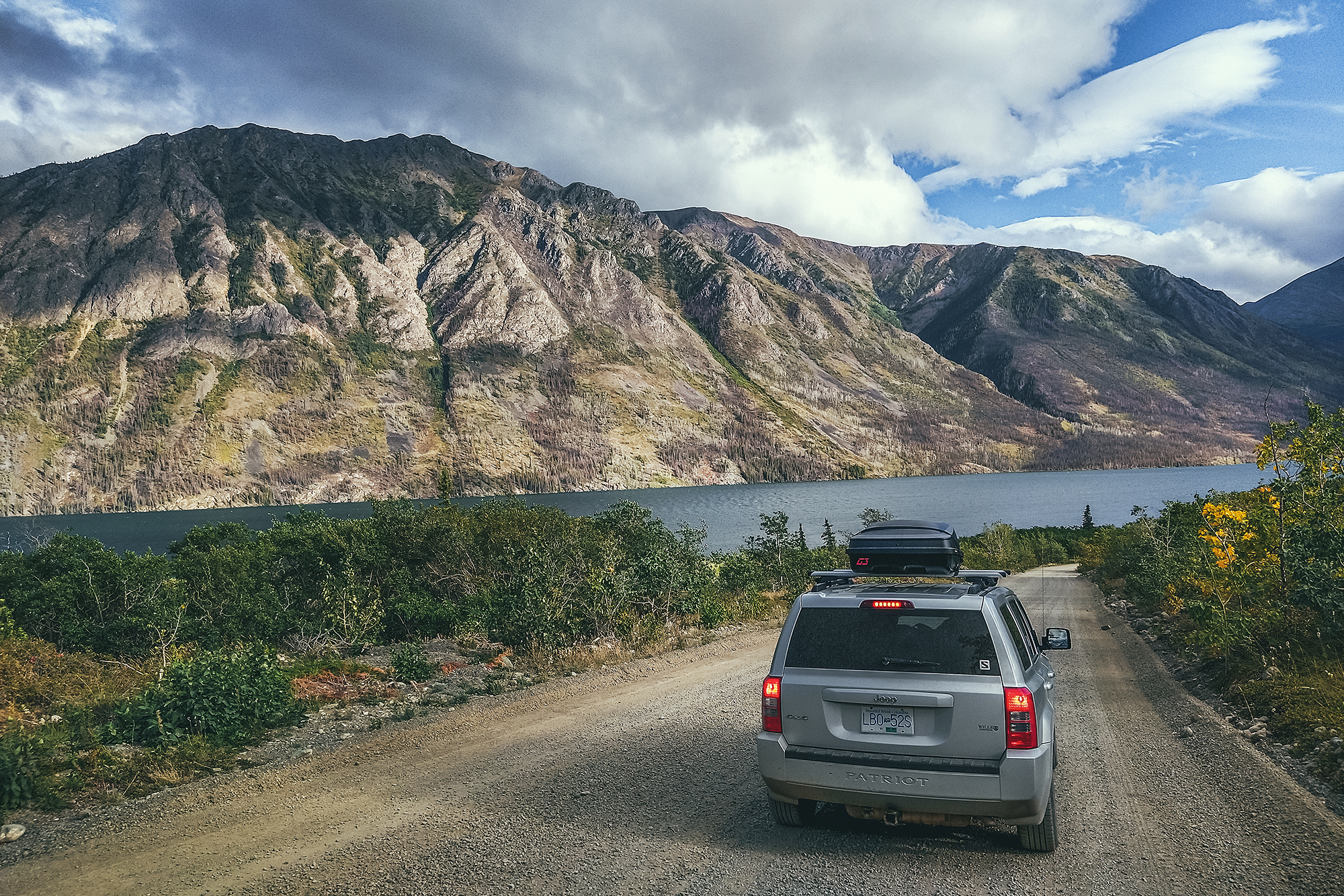
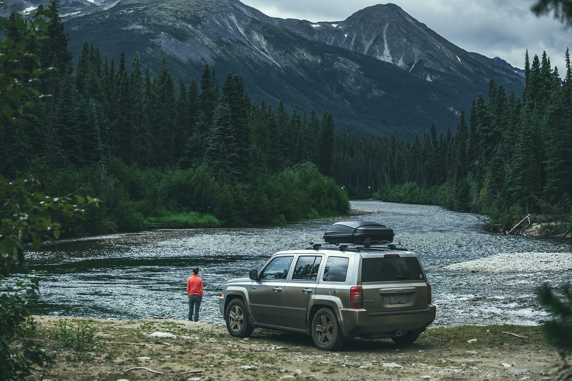
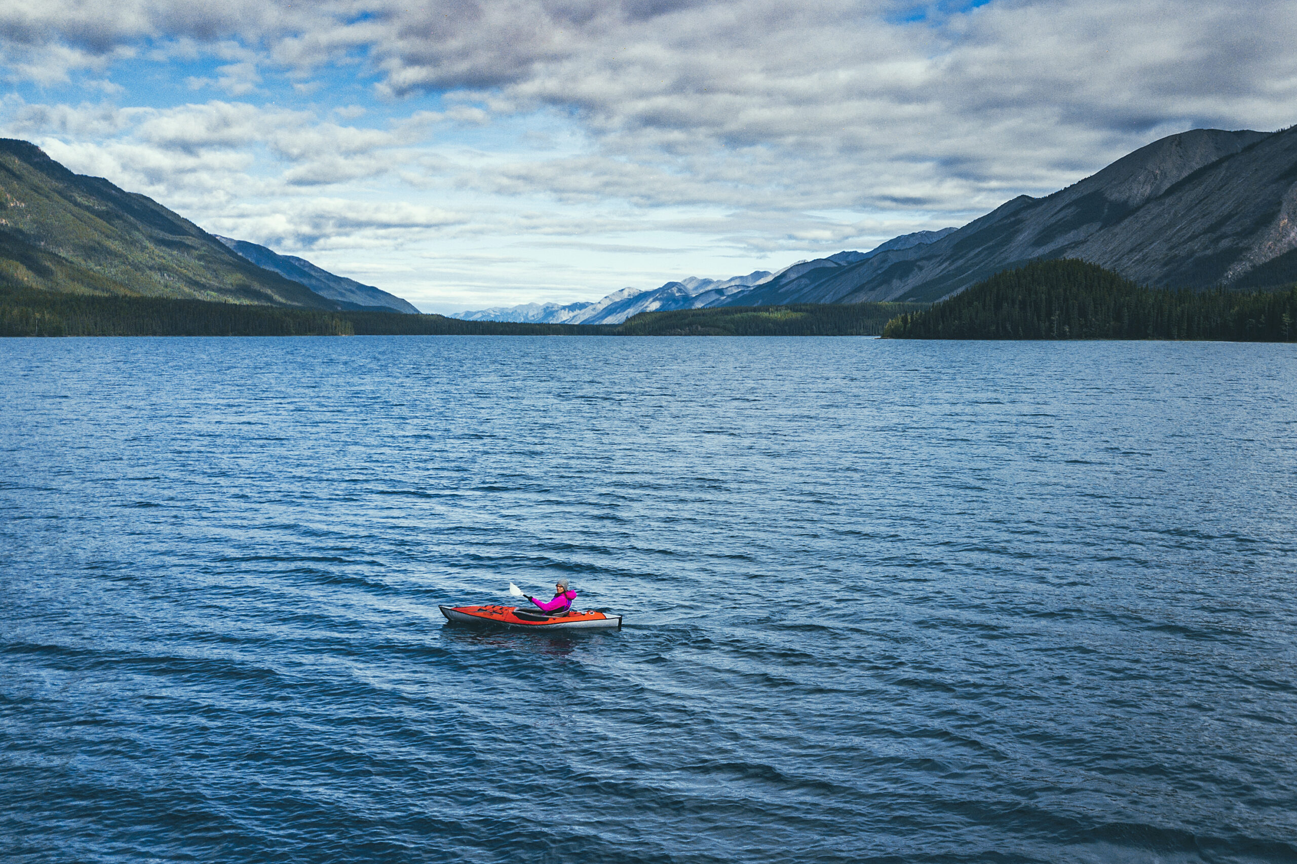
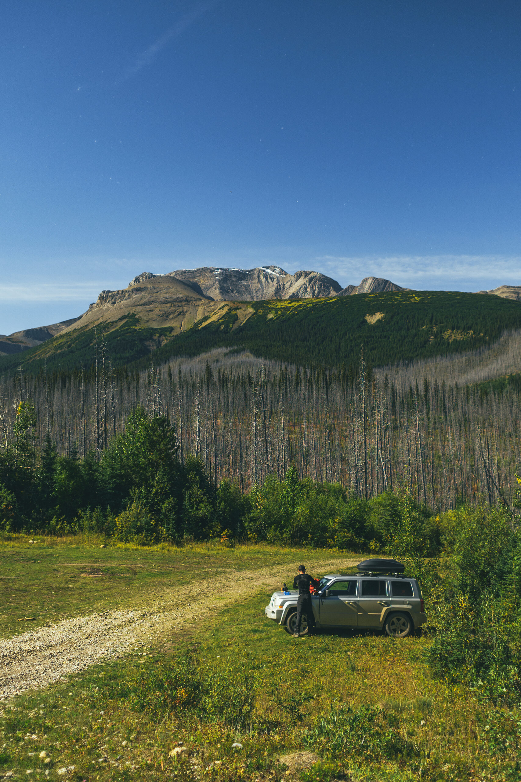
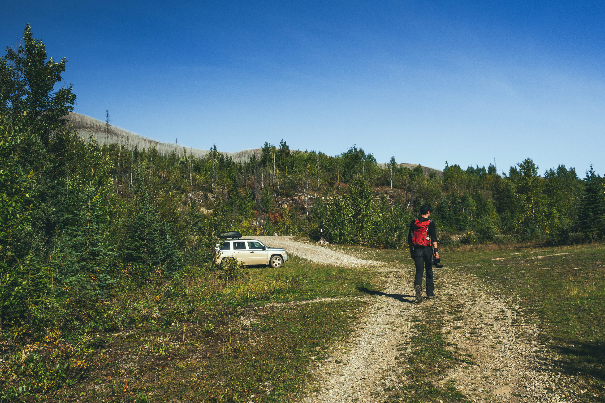
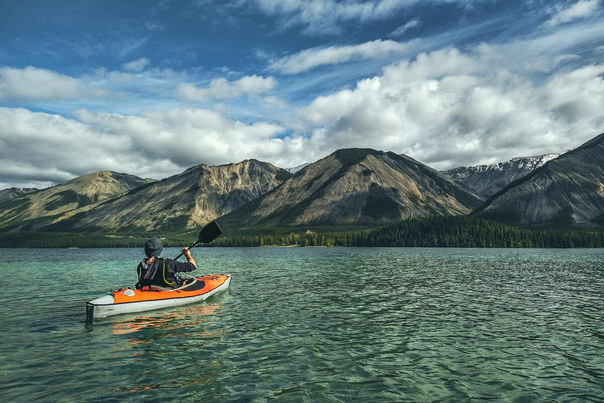
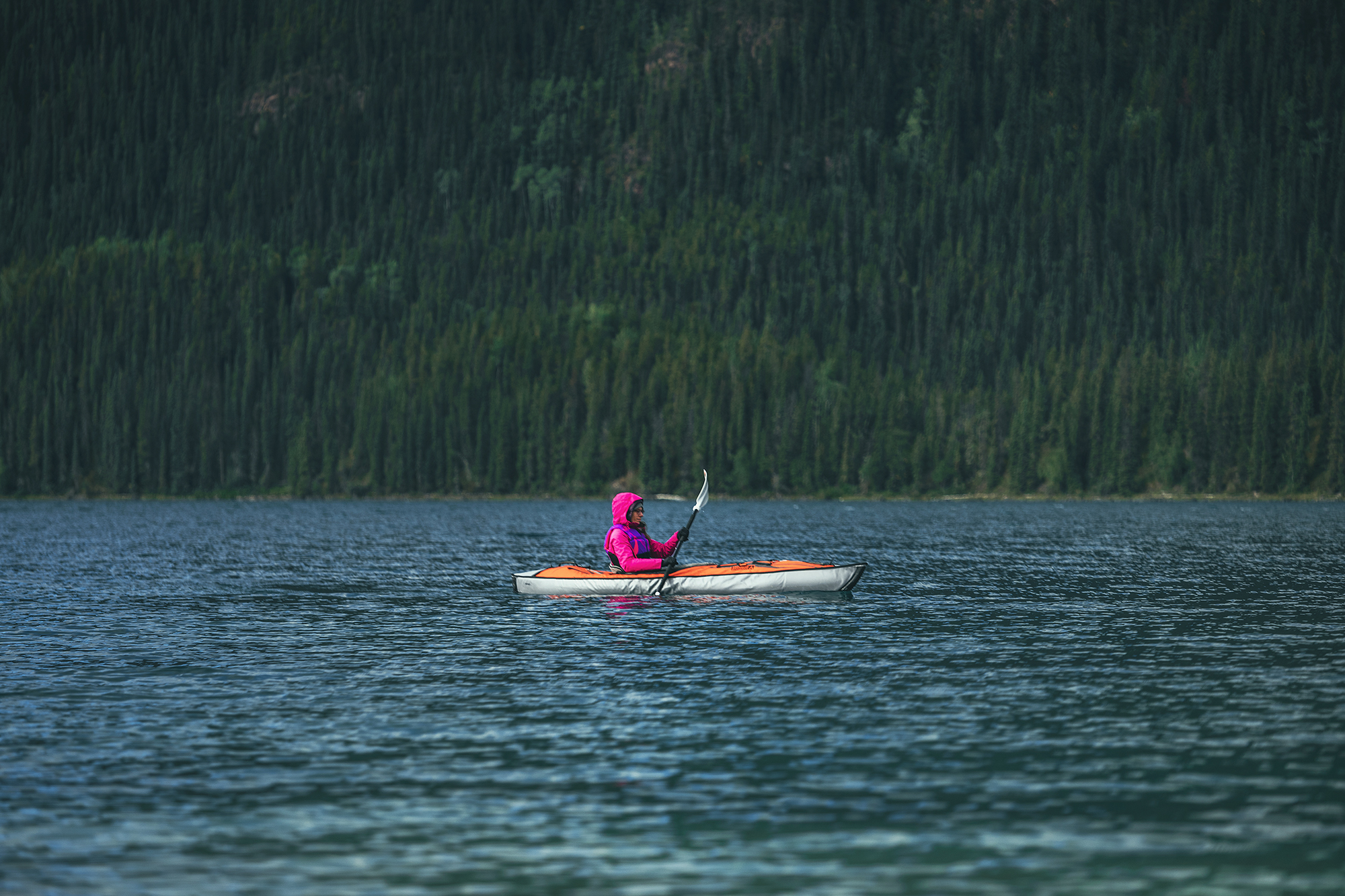
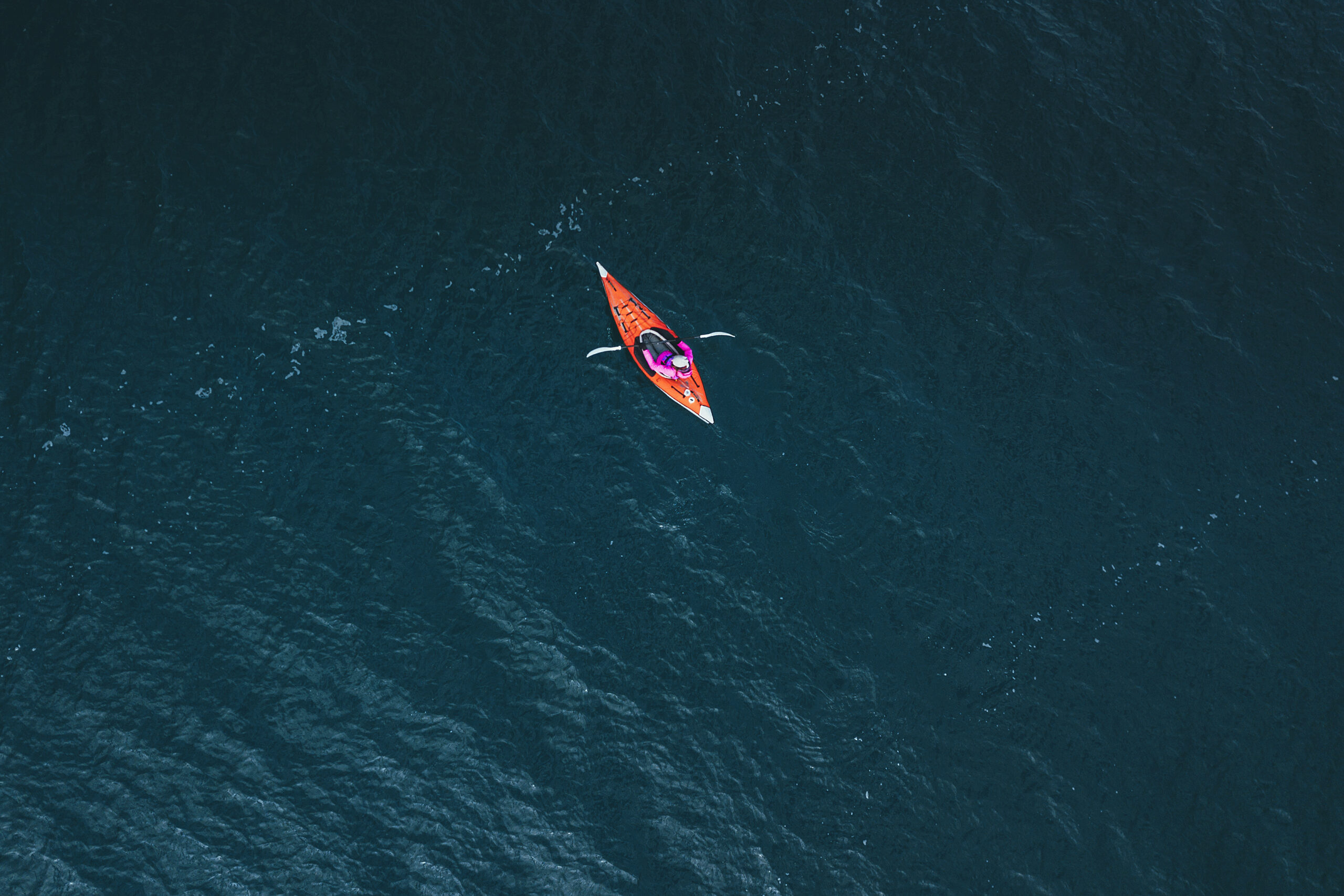
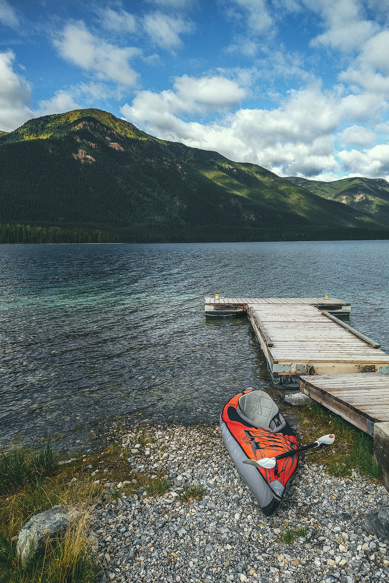
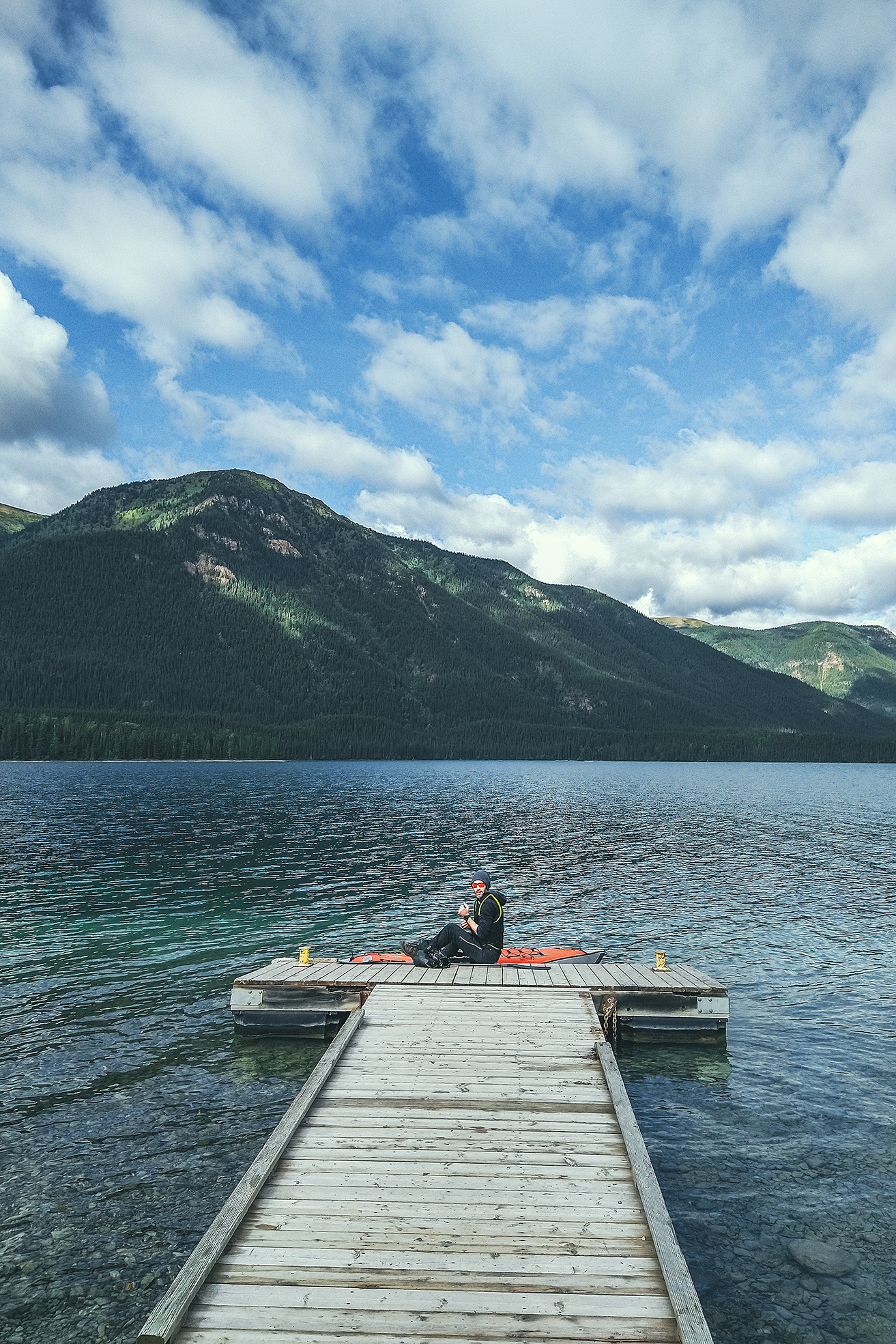
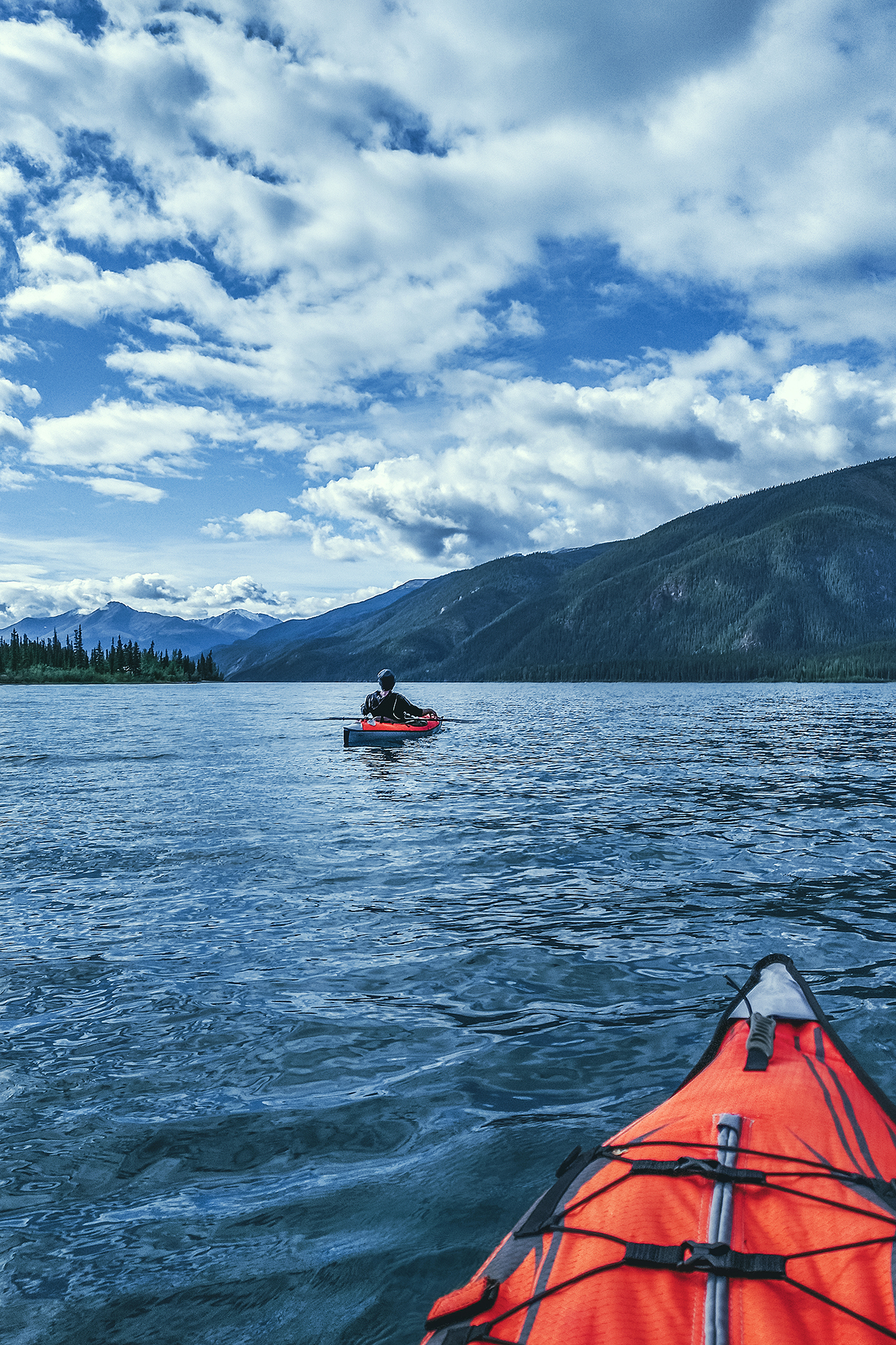
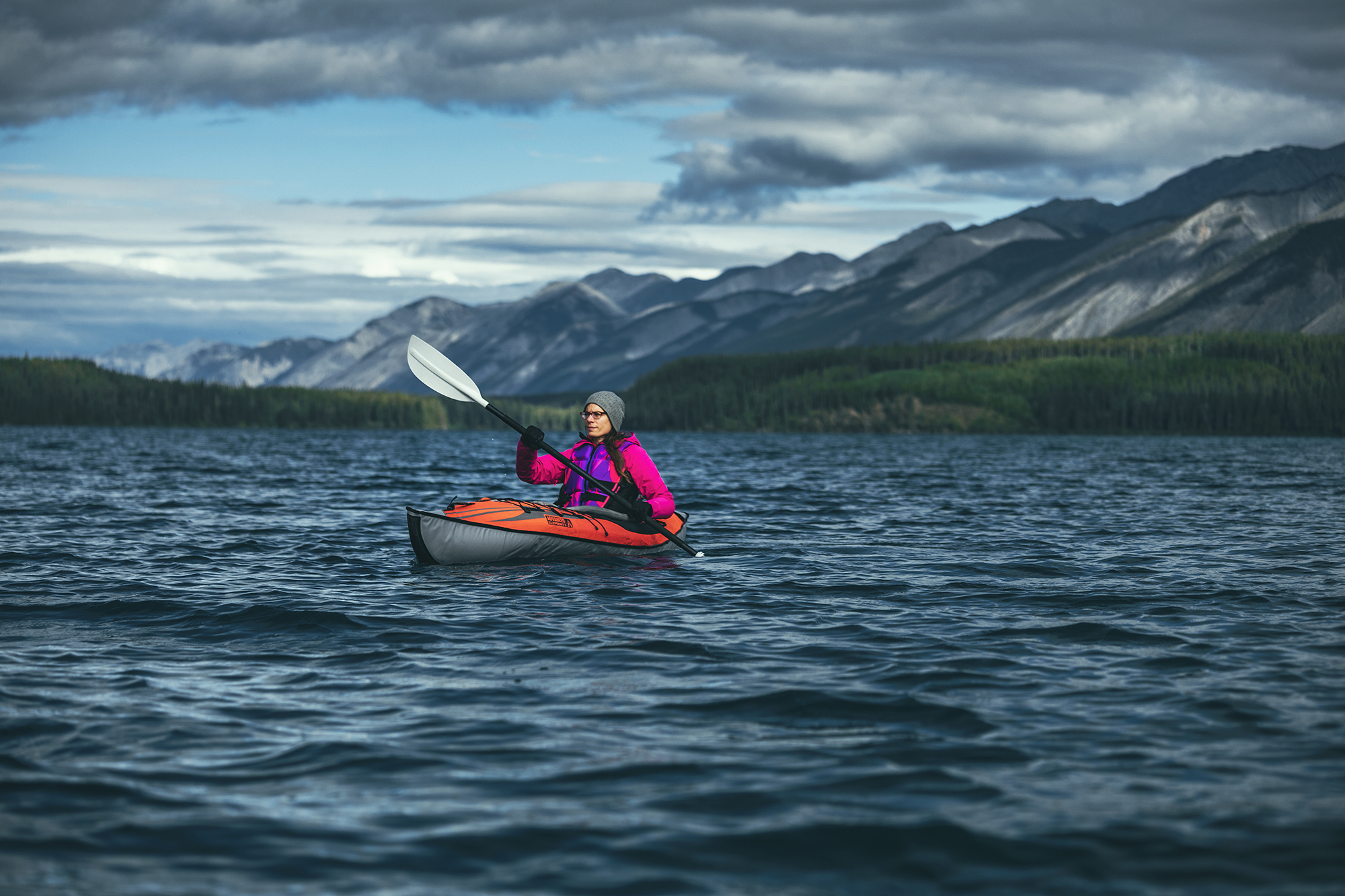
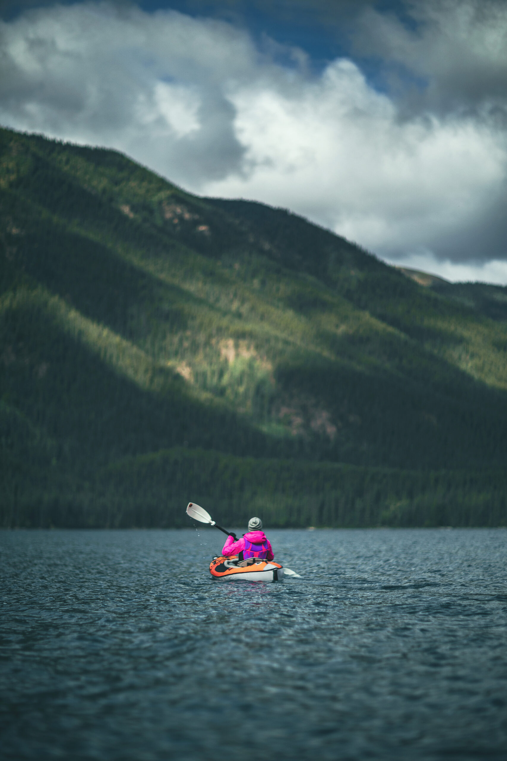
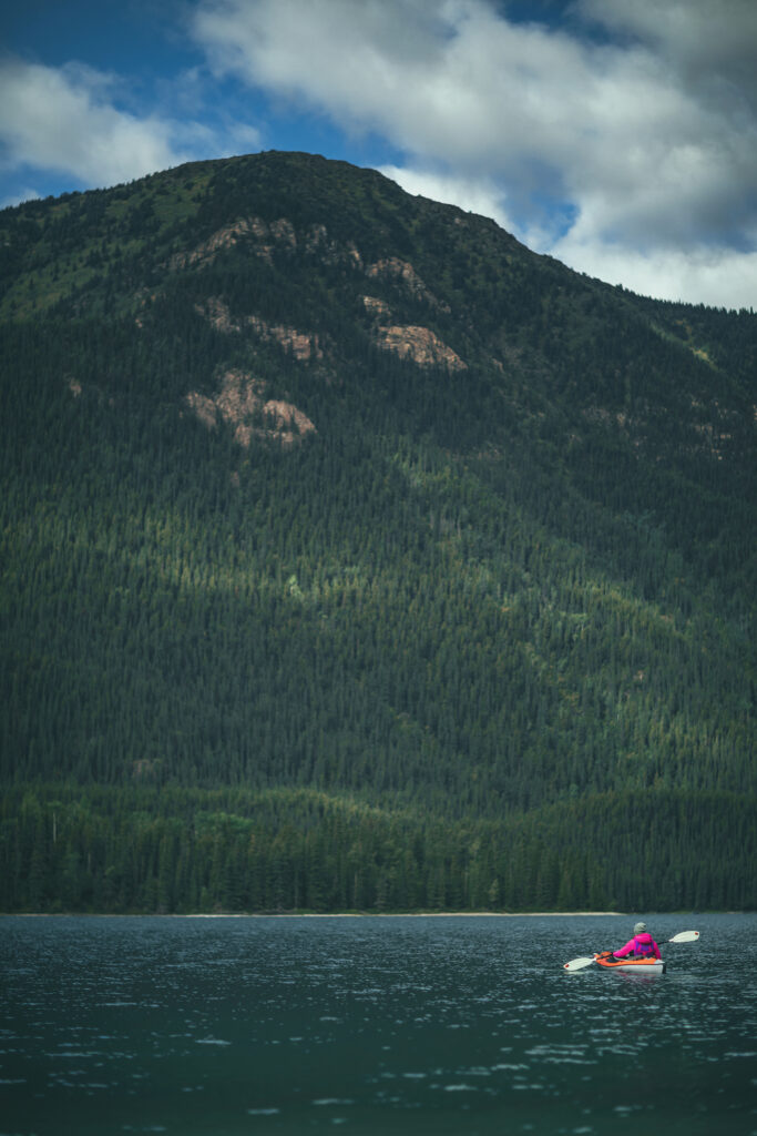
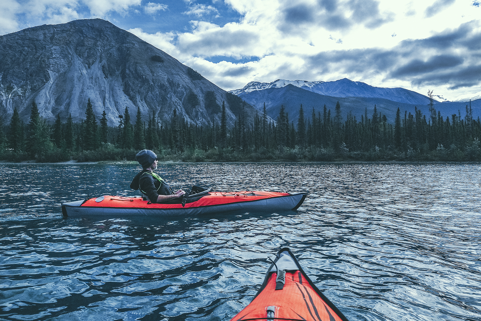
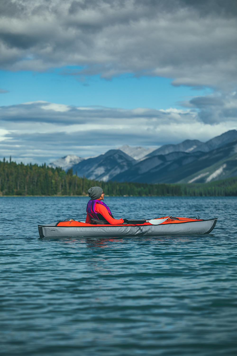
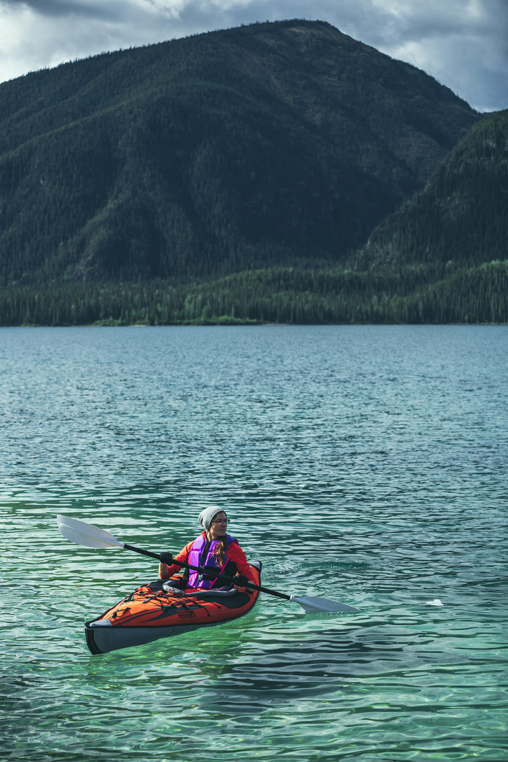
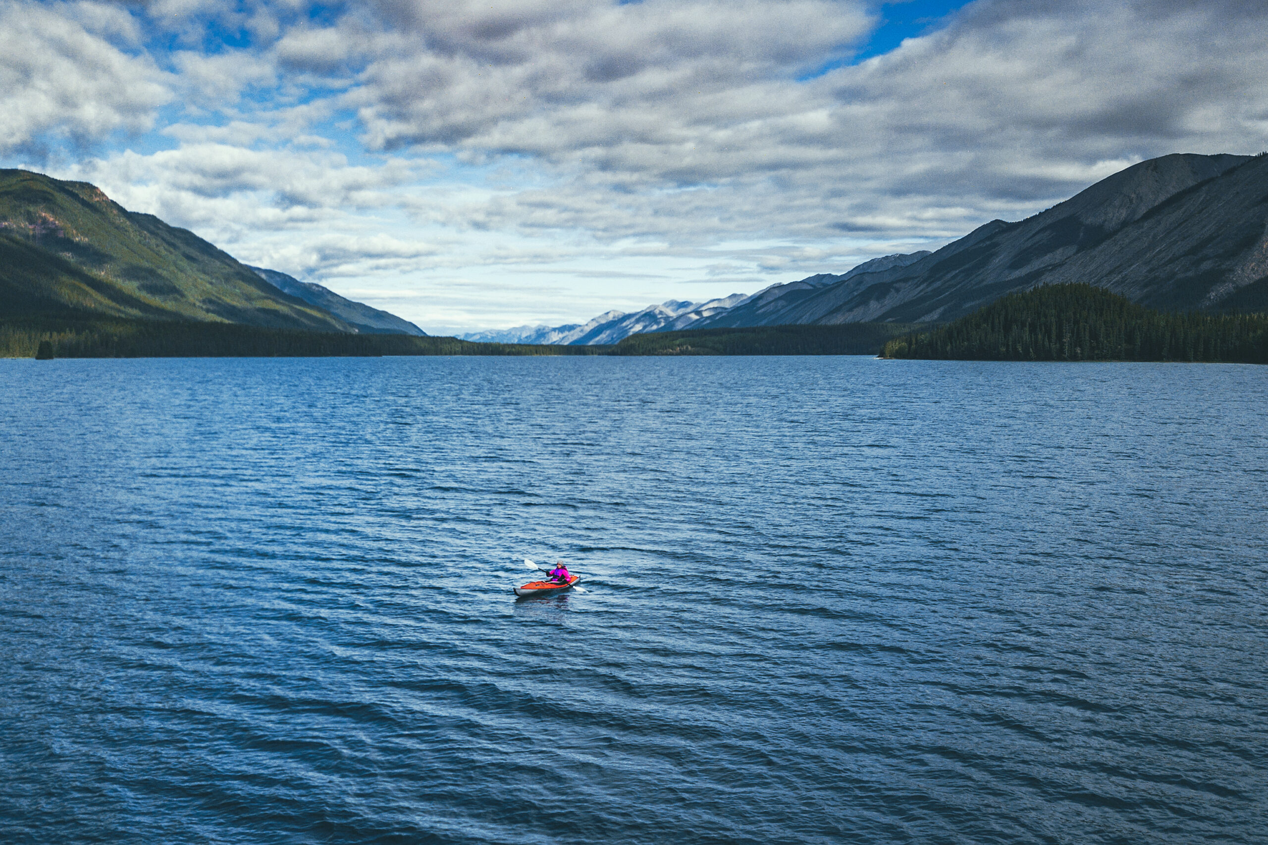
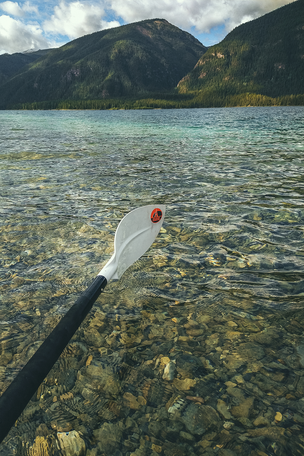
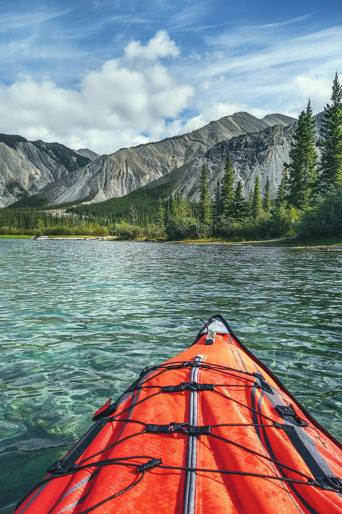
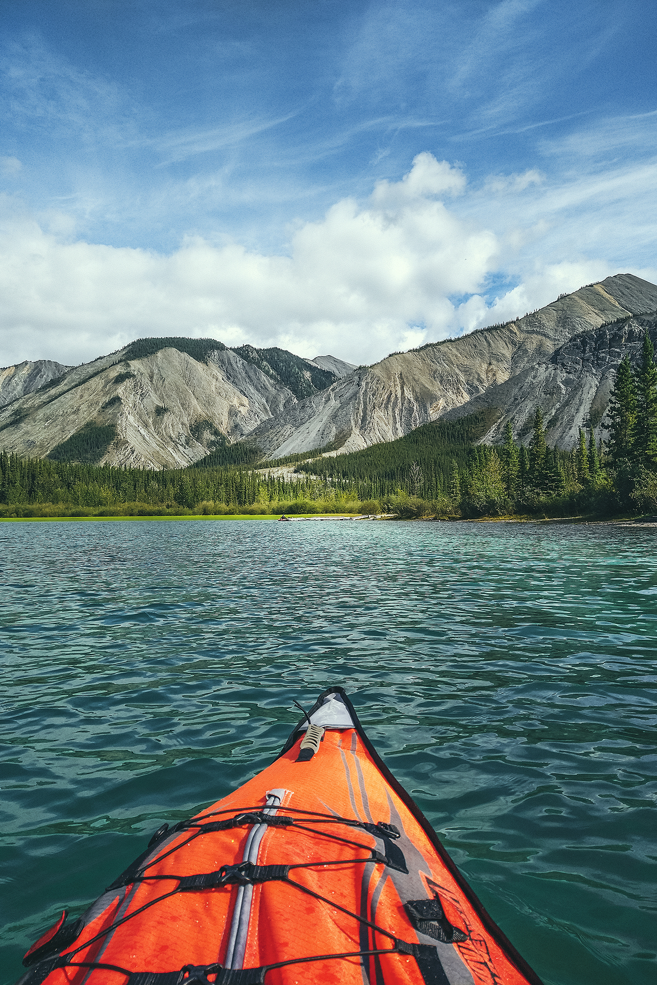
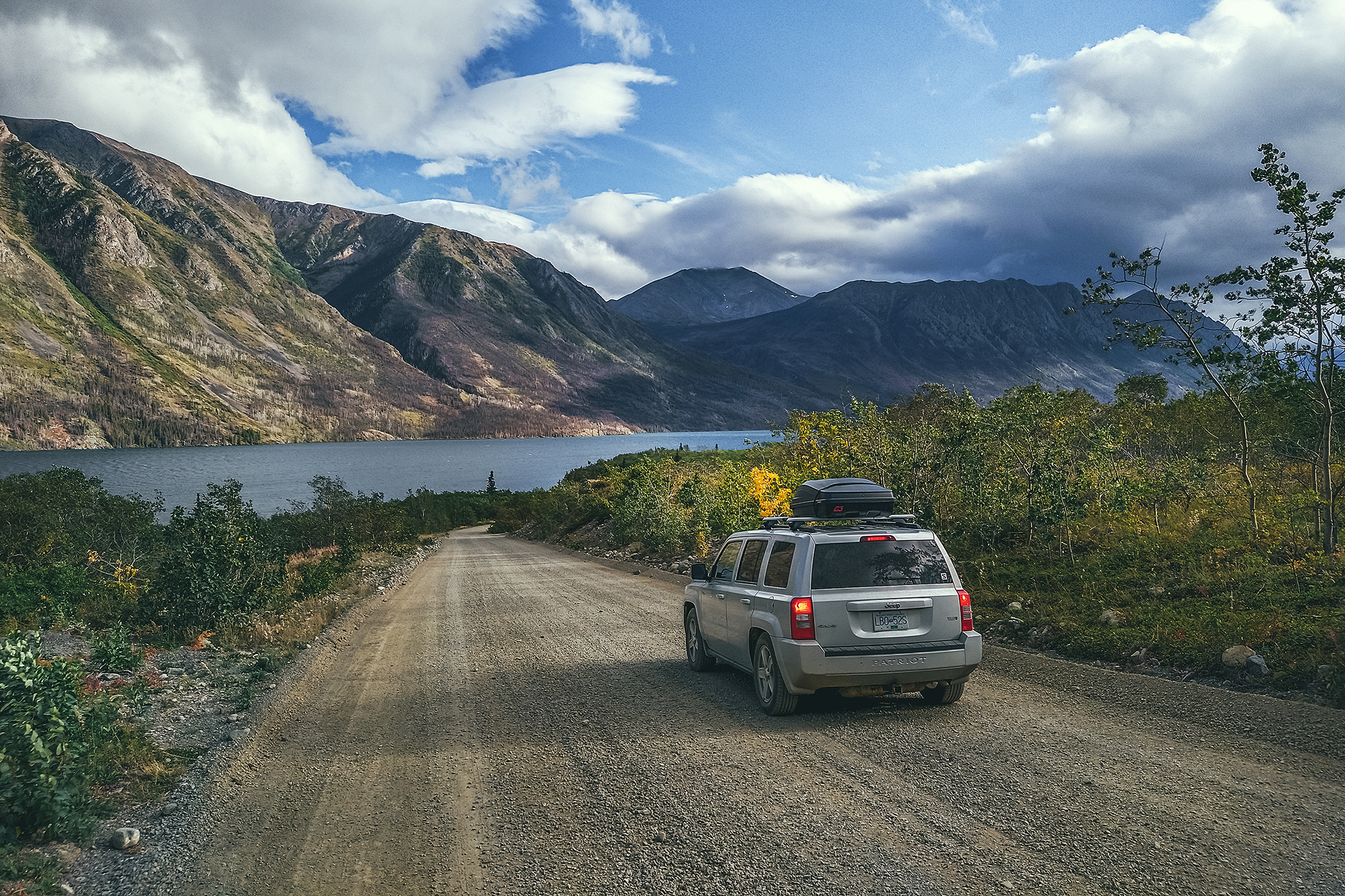
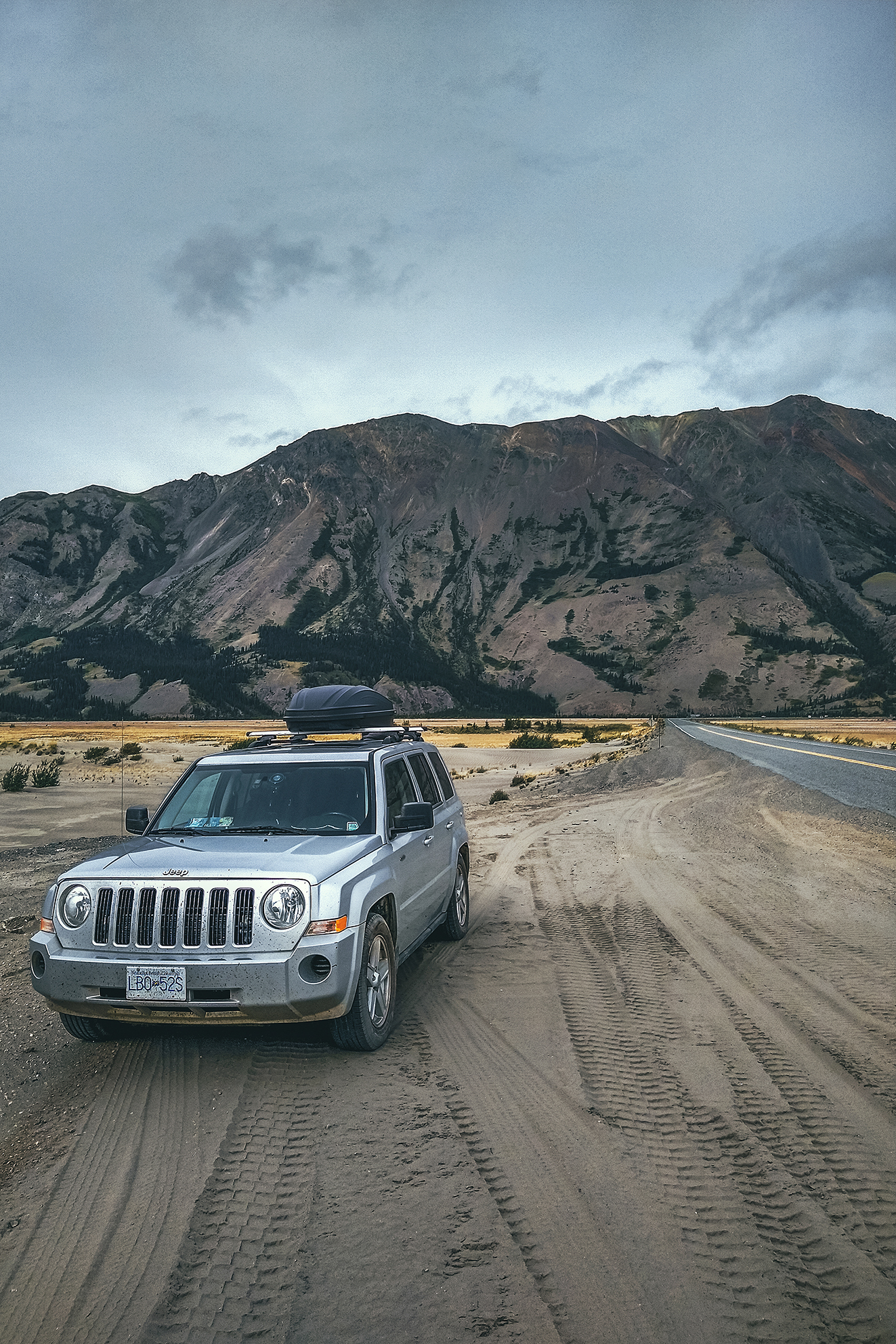
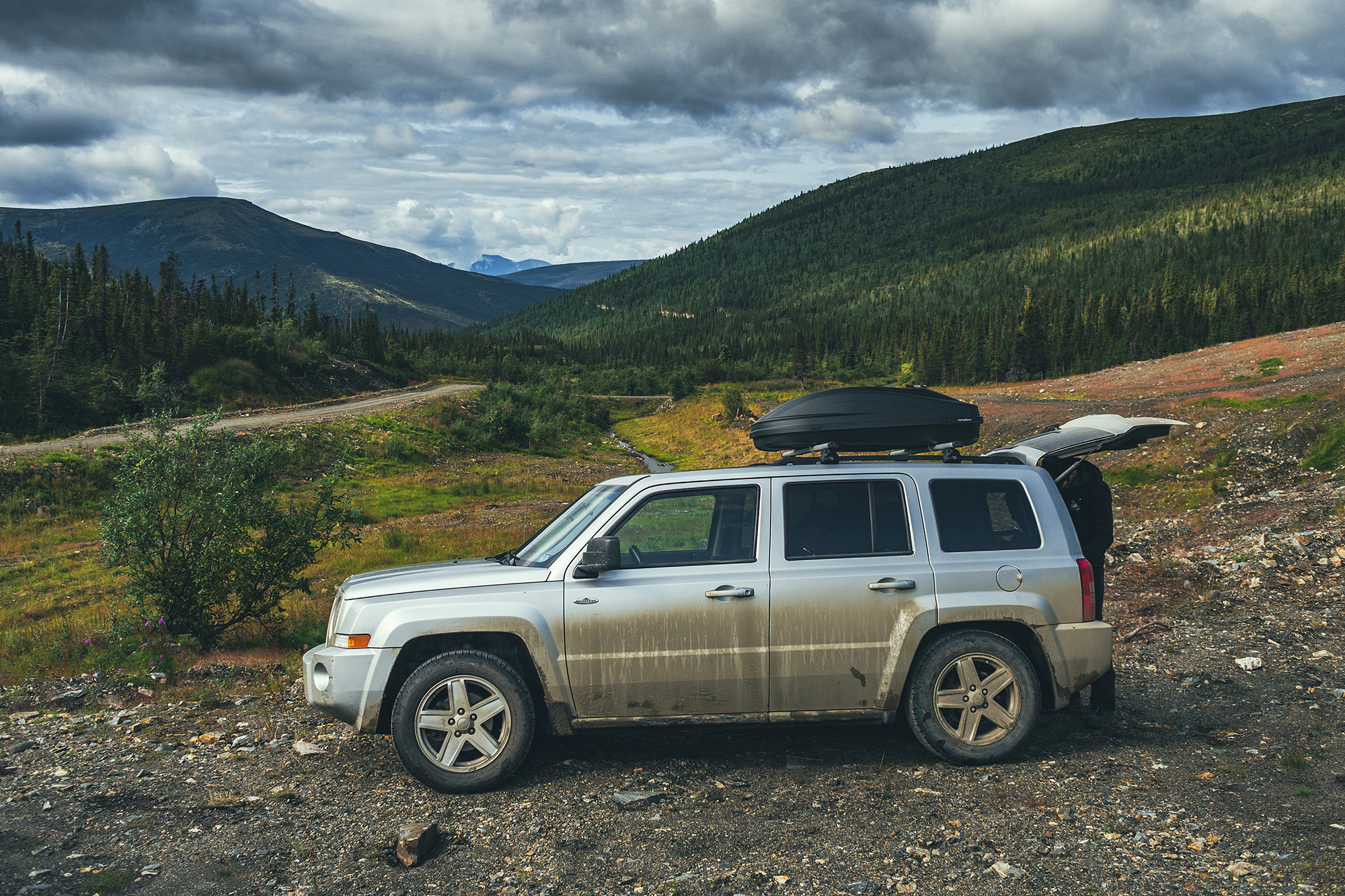
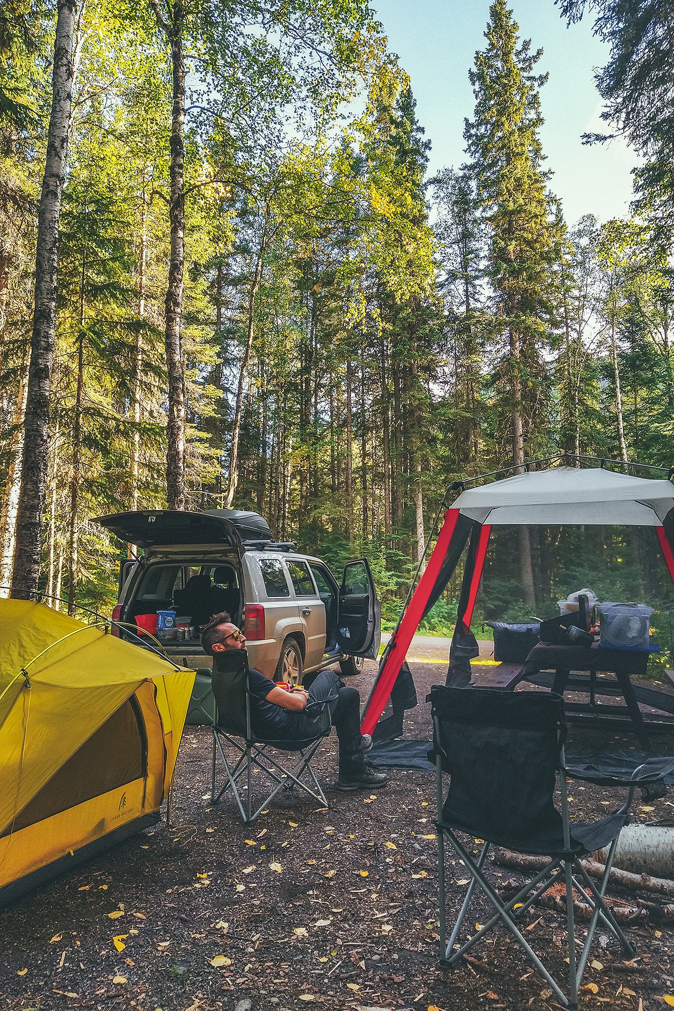
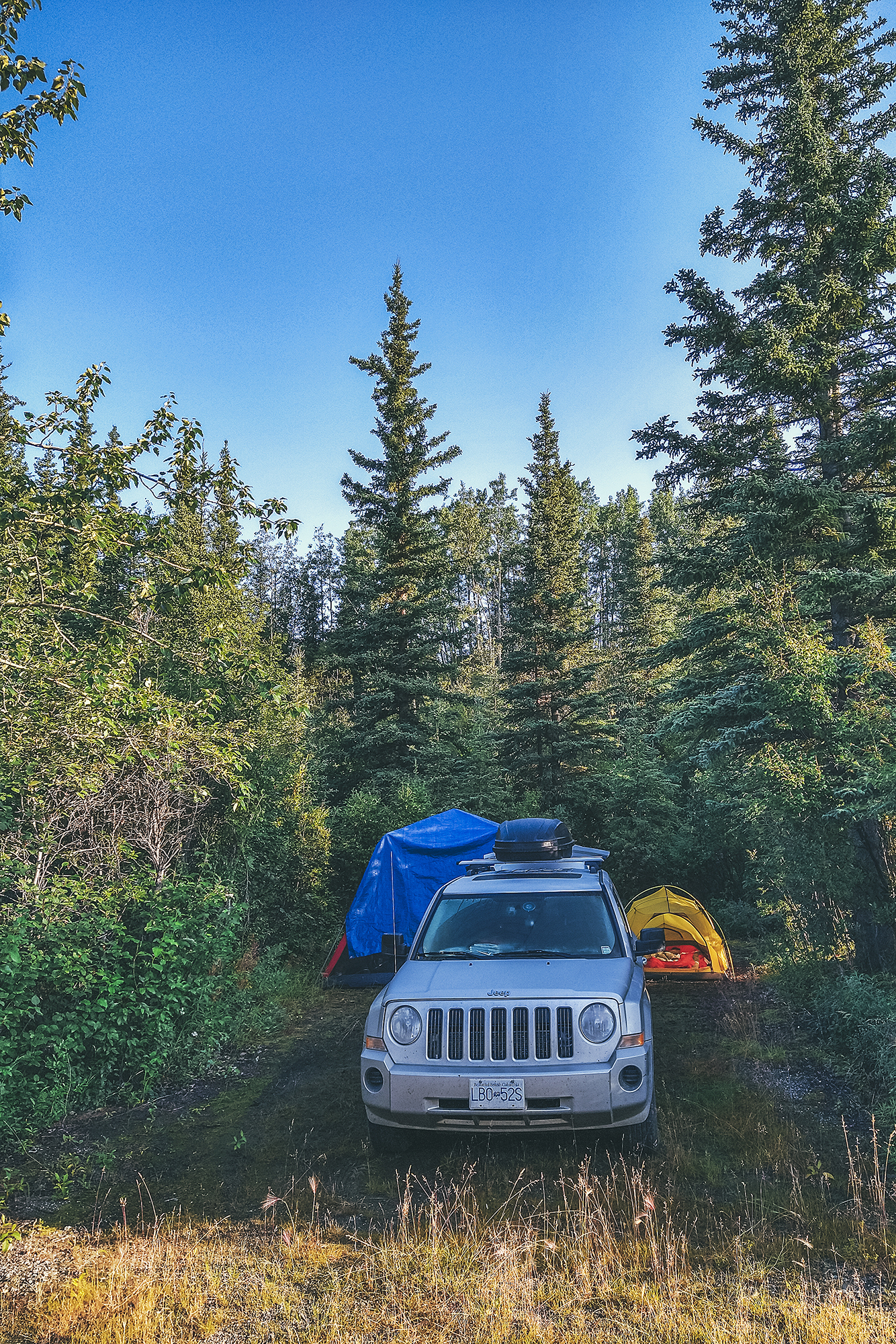
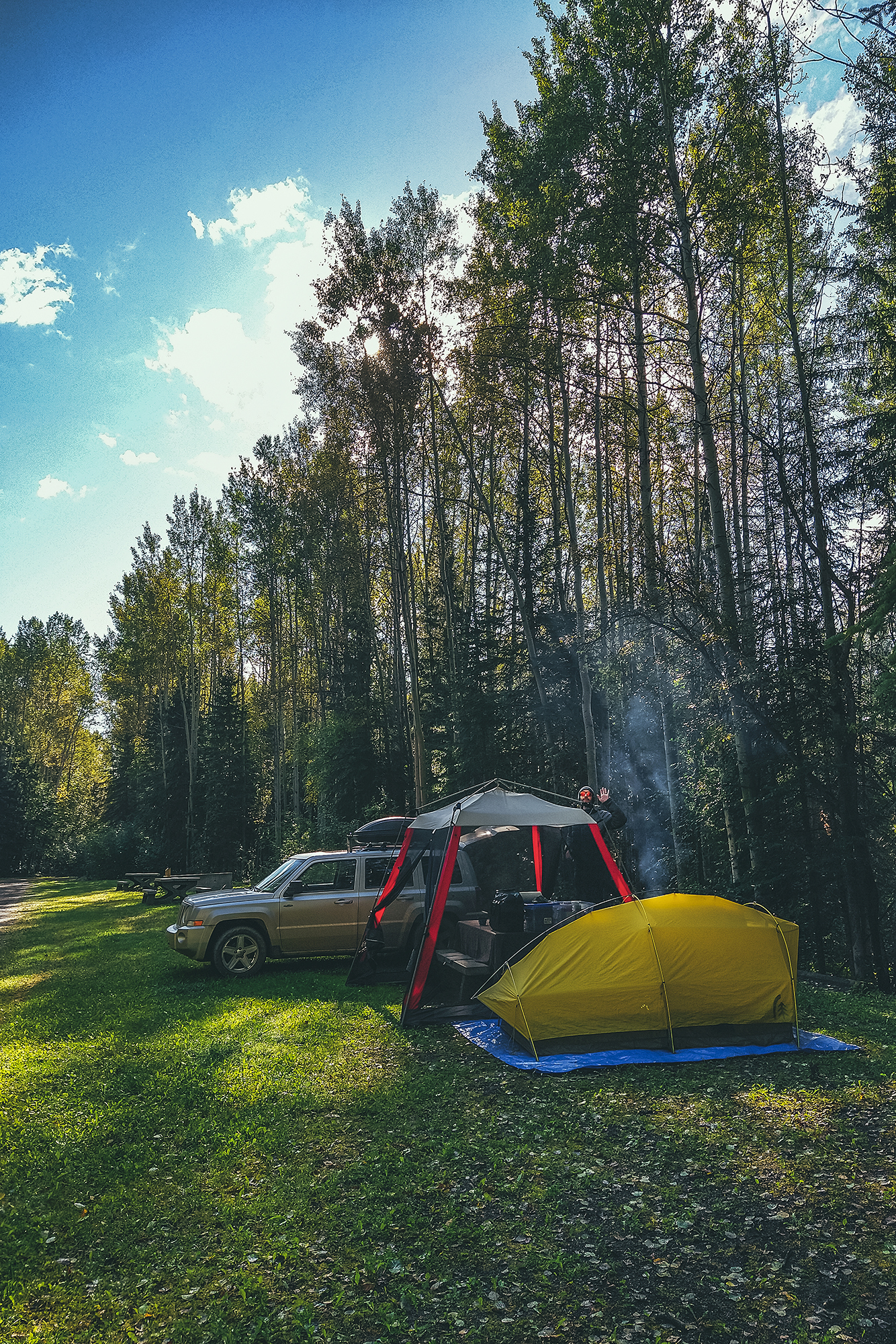
Rooftop box – seemed like an obvious one, so we could pack everything comfortably in the car, especially since we wanted to take our two inflatable kayaks along. They didn’t fit in the box, but we kept them both behind the passenger seat and almost forgot they were there the whole time.

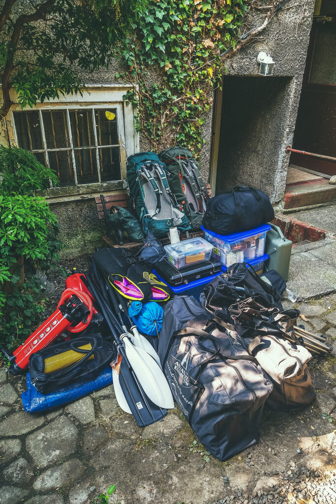
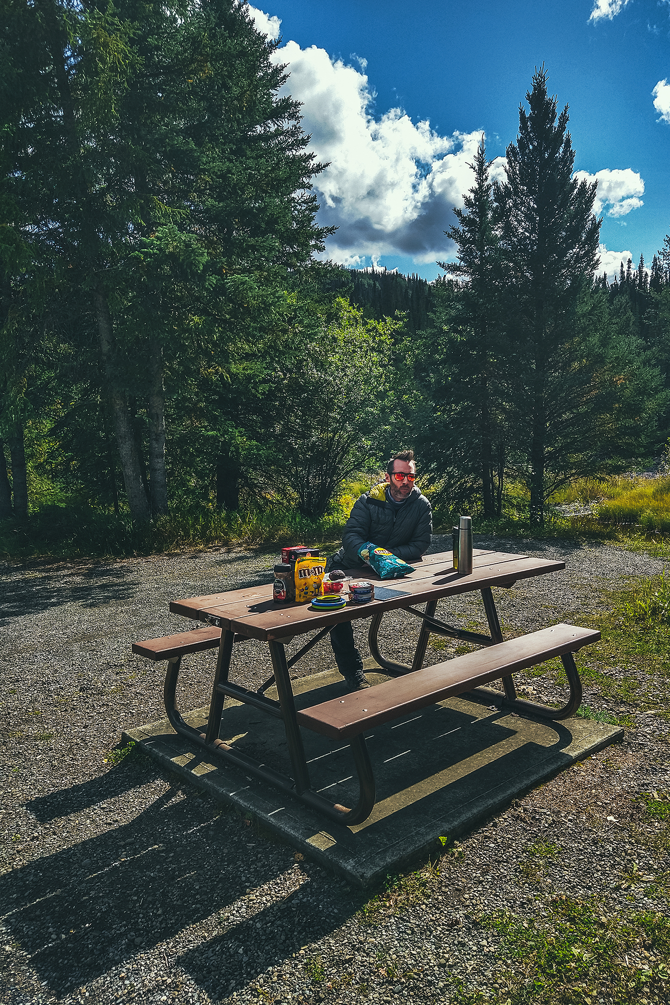
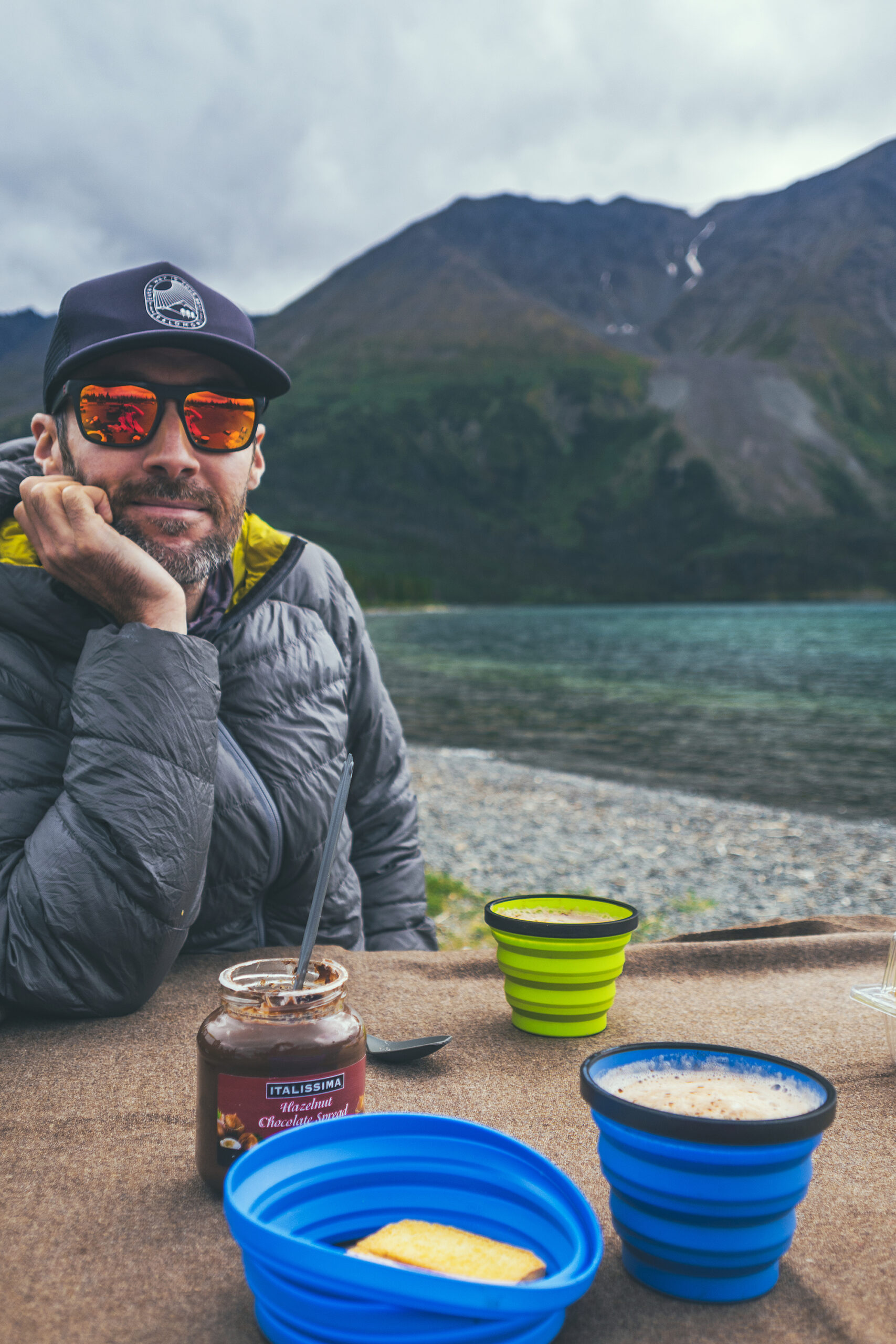
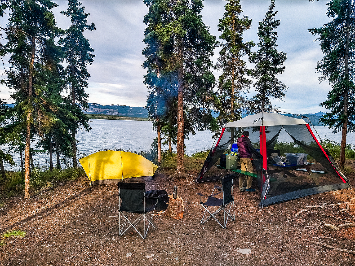
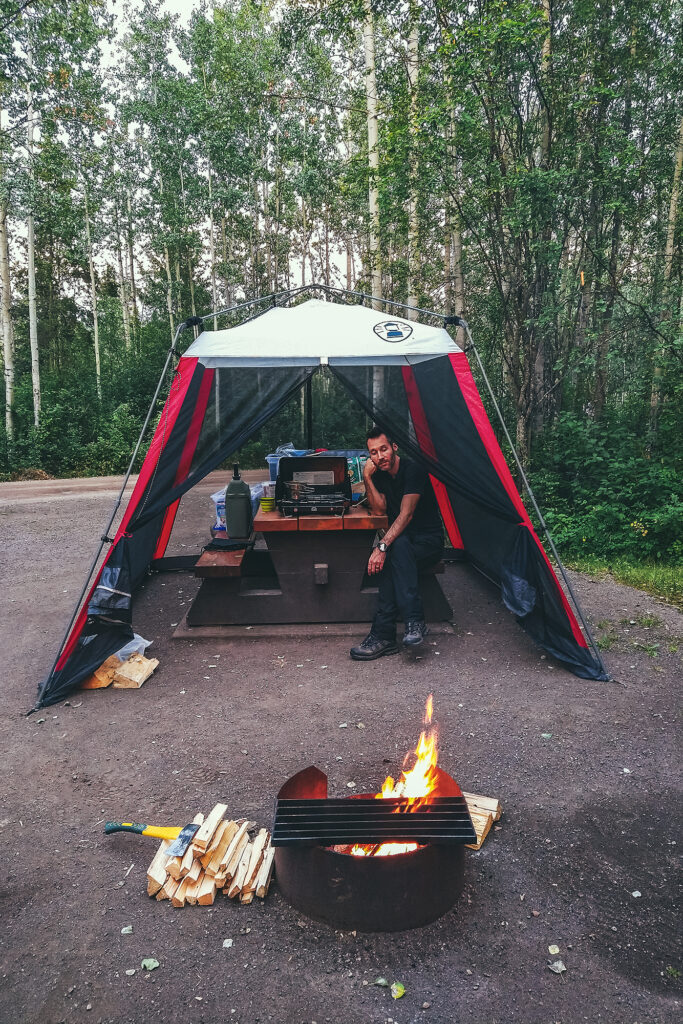
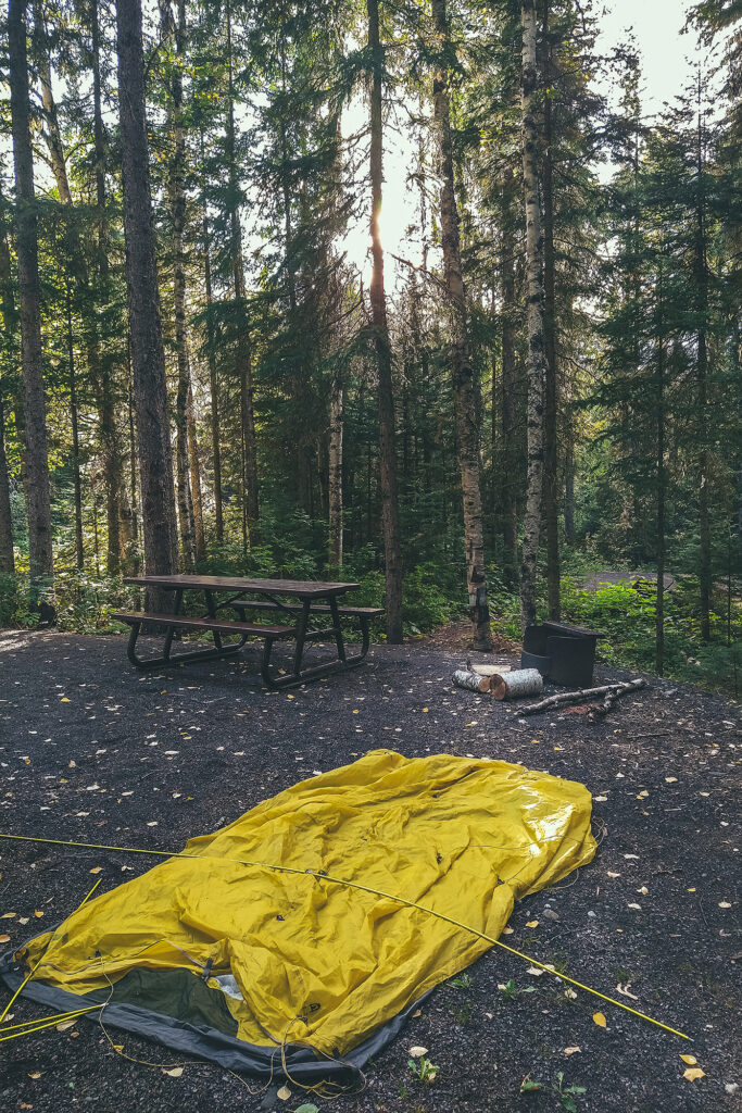
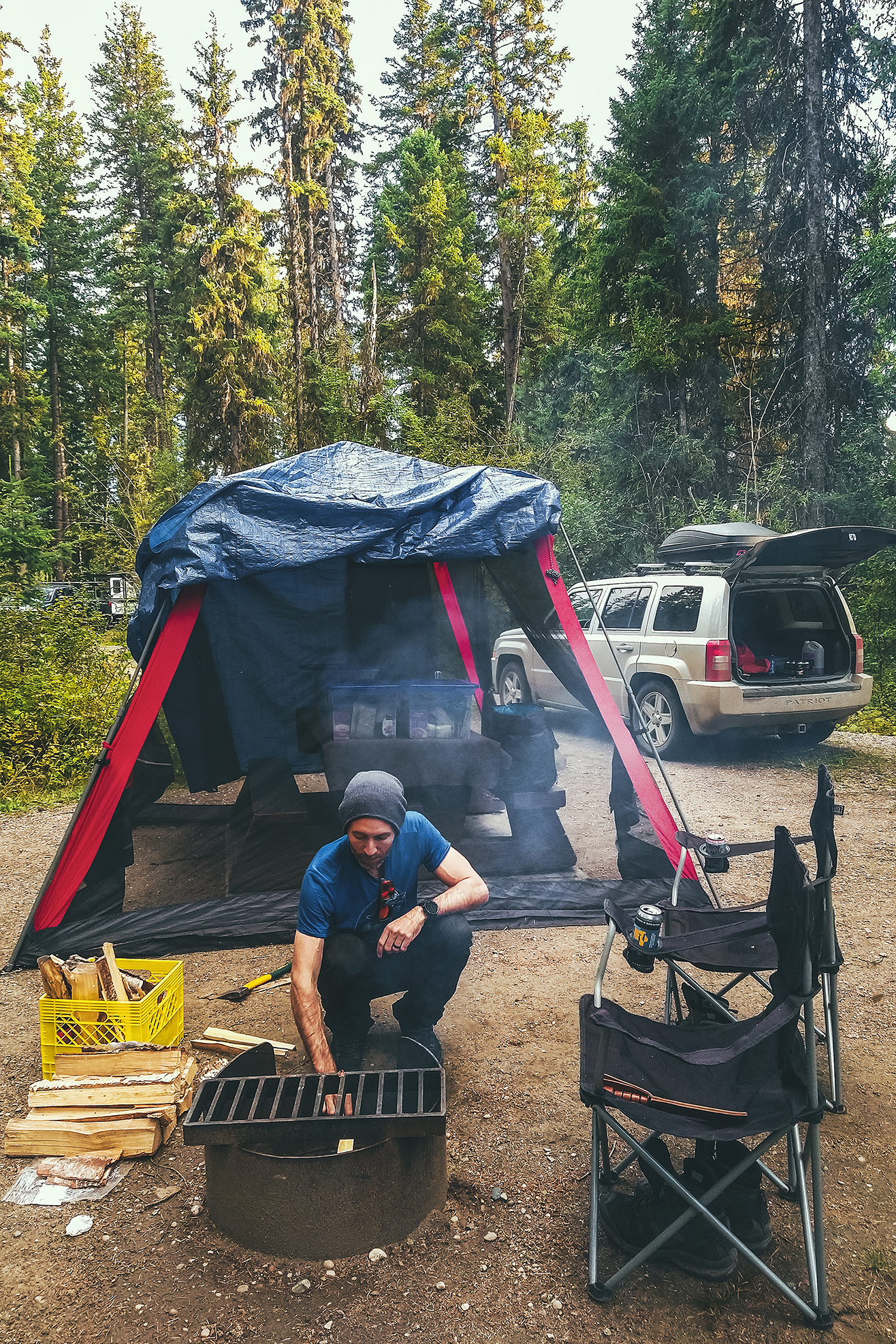
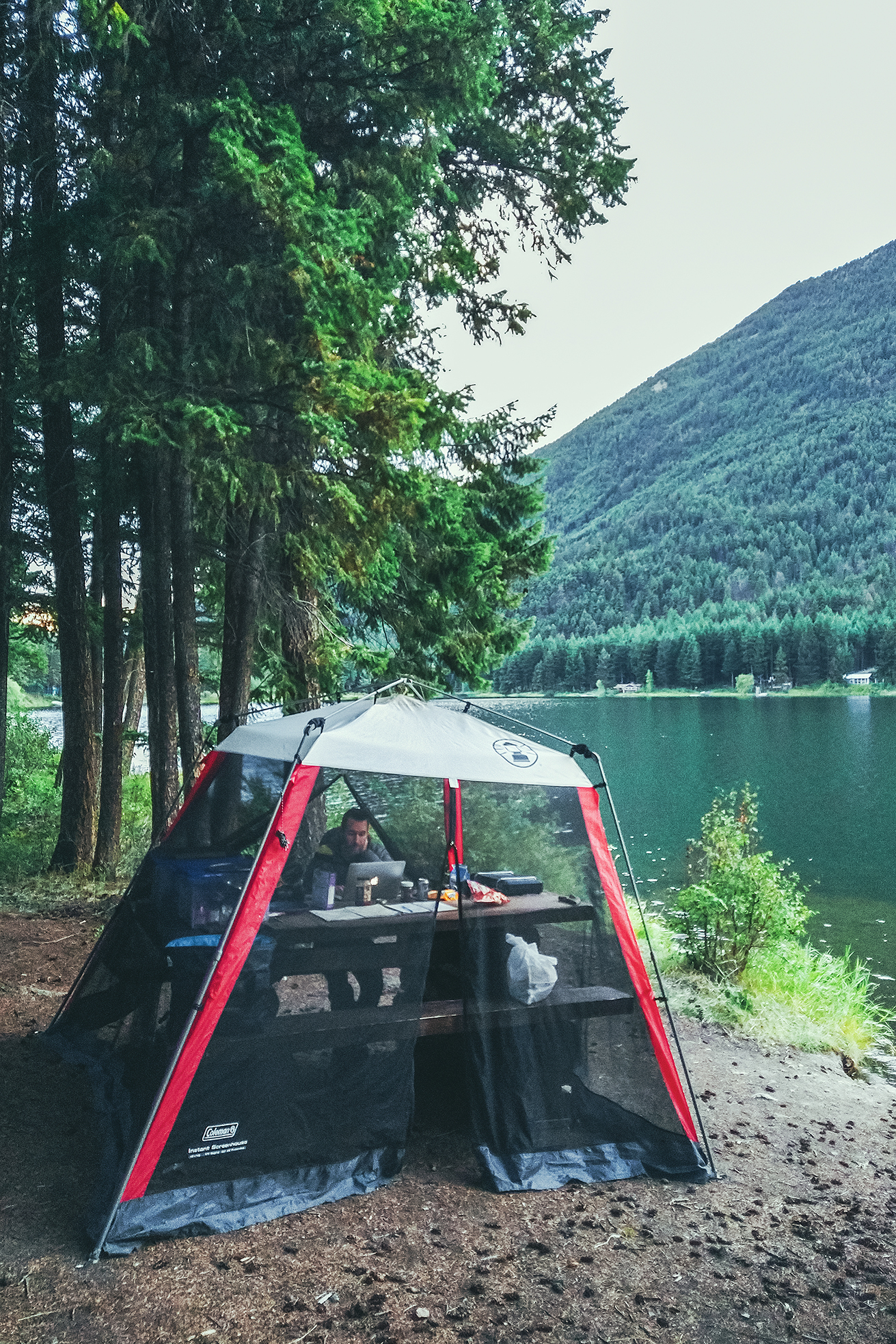
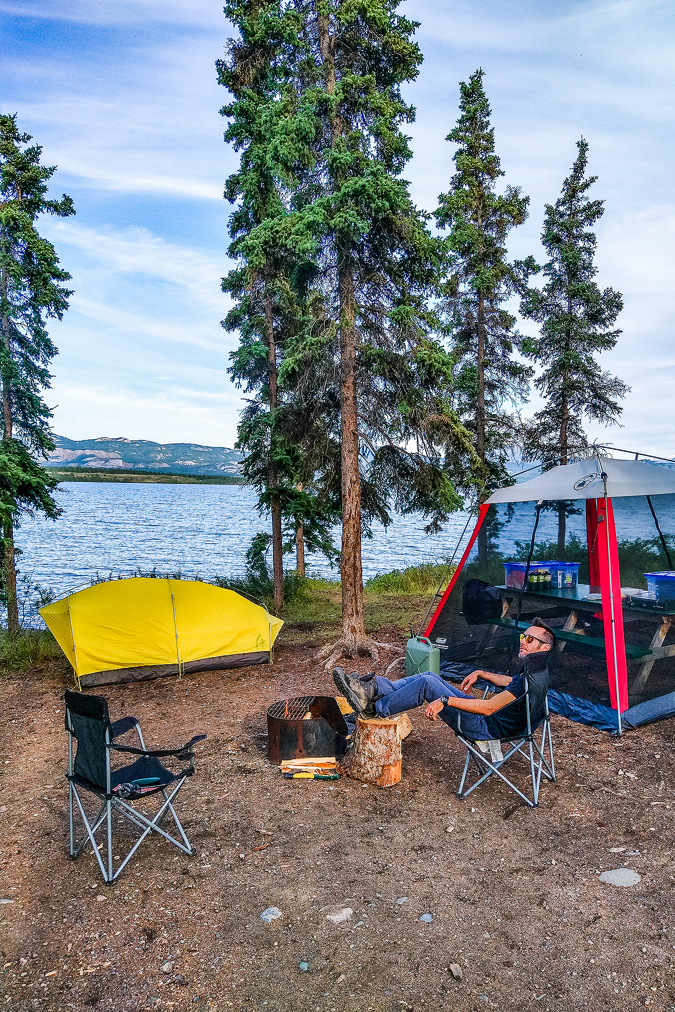
Screen House/Sun & Bug shelter – If we were going to be camping most nights, we figured we might still want to have some sort of roof over our heads as protection against the elements – namely bugs and rain. We found a Coleman Instant Screen house 10×10 on Facebook Marketplace for $100 and it turned out to be the best addition to our gear we could make. Very effective against bugs, a bit less so against rain due to its tapered shape, but we threw a tarp on top and we had a very decent (albeit not glamorous) rain shelter.


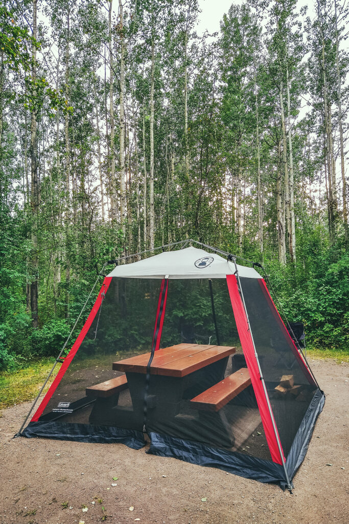
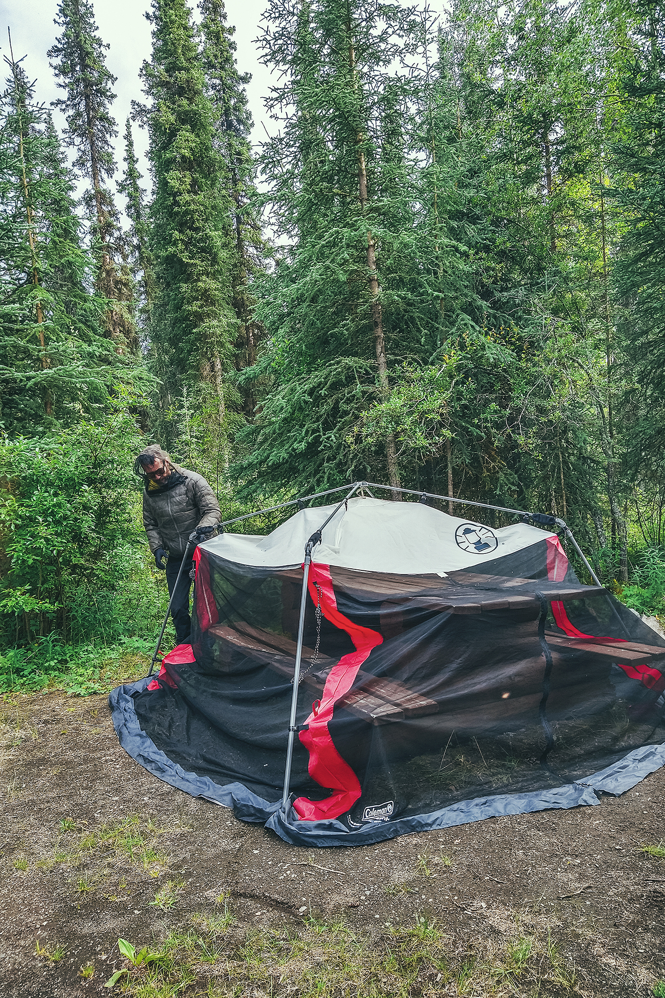
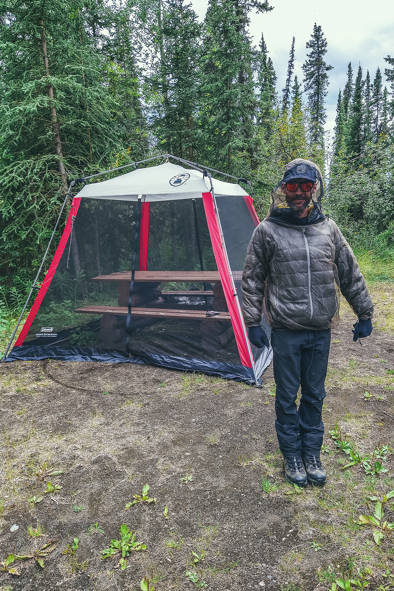
It was super quick to set up and take down, and fit over all the campground picnic tables. Once we got into our groove, it only took us a few minutes to take all the gear out and set things on and around the table, and regardless of where we were, we felt at home.
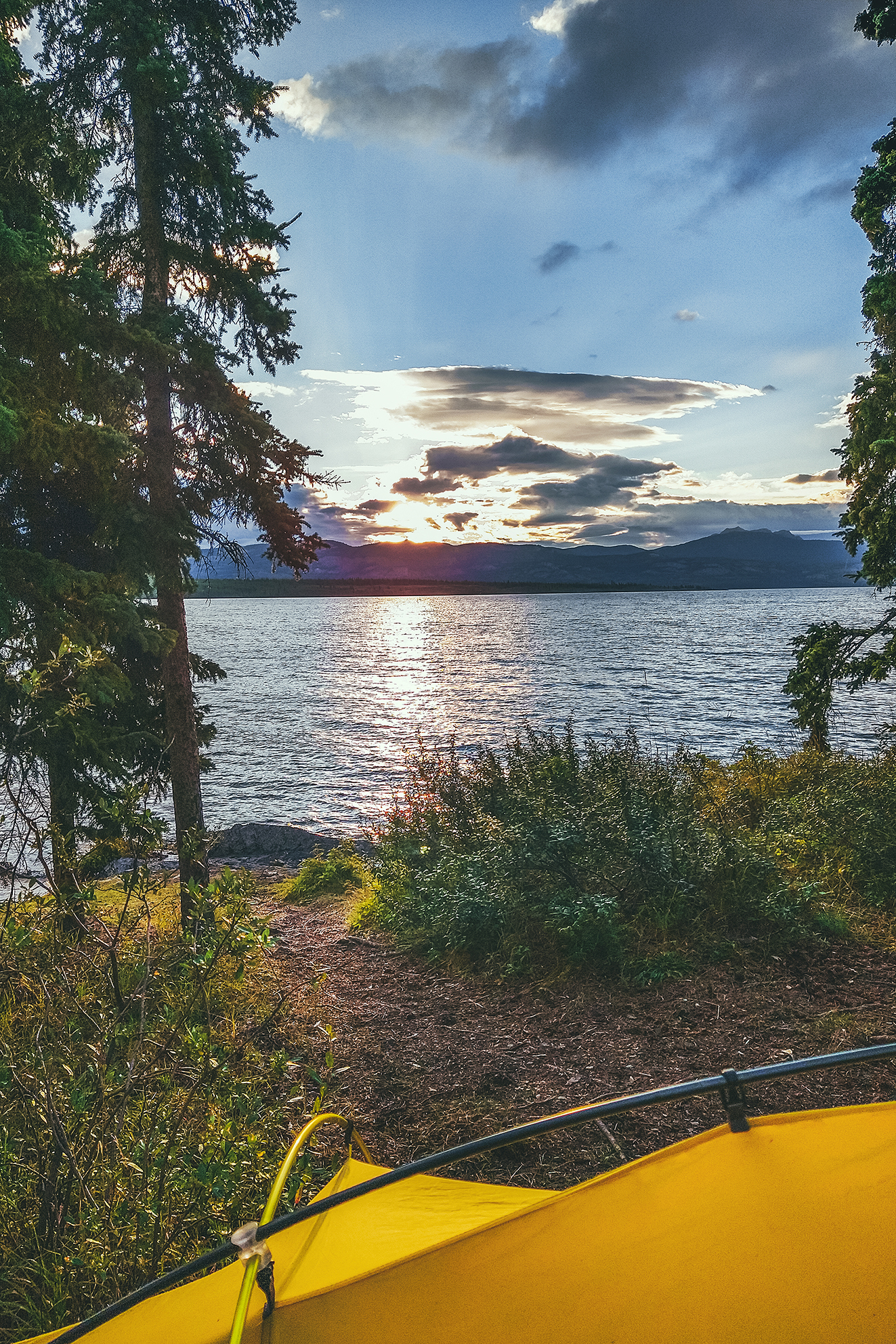
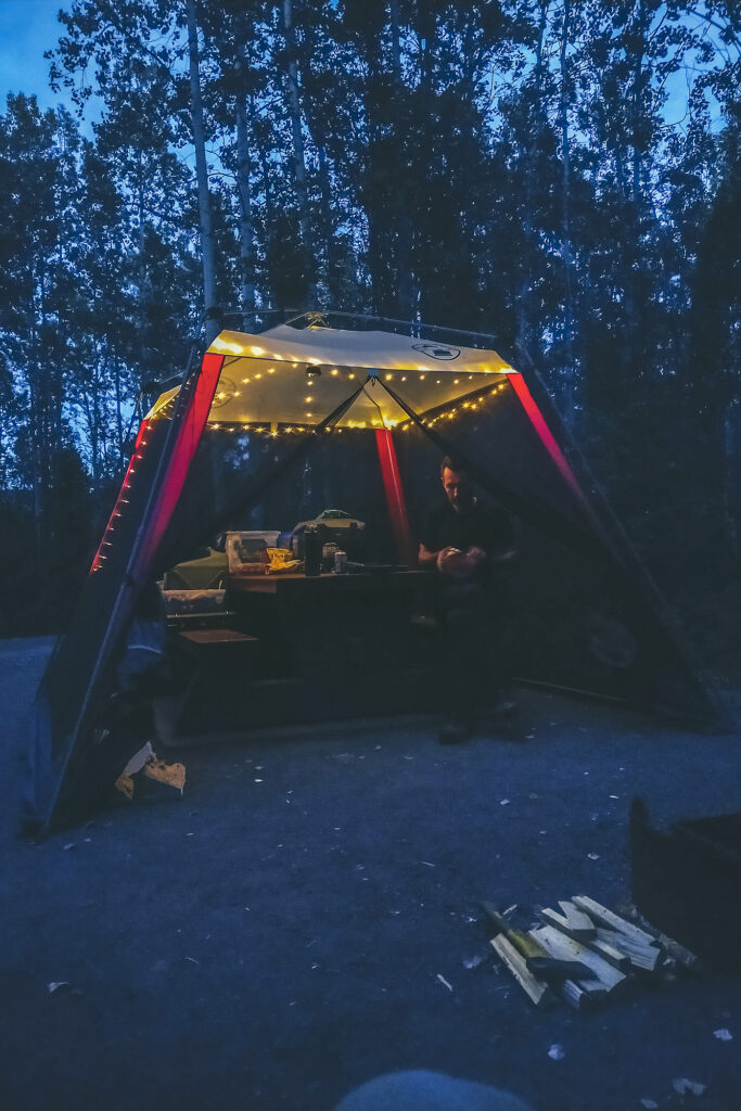
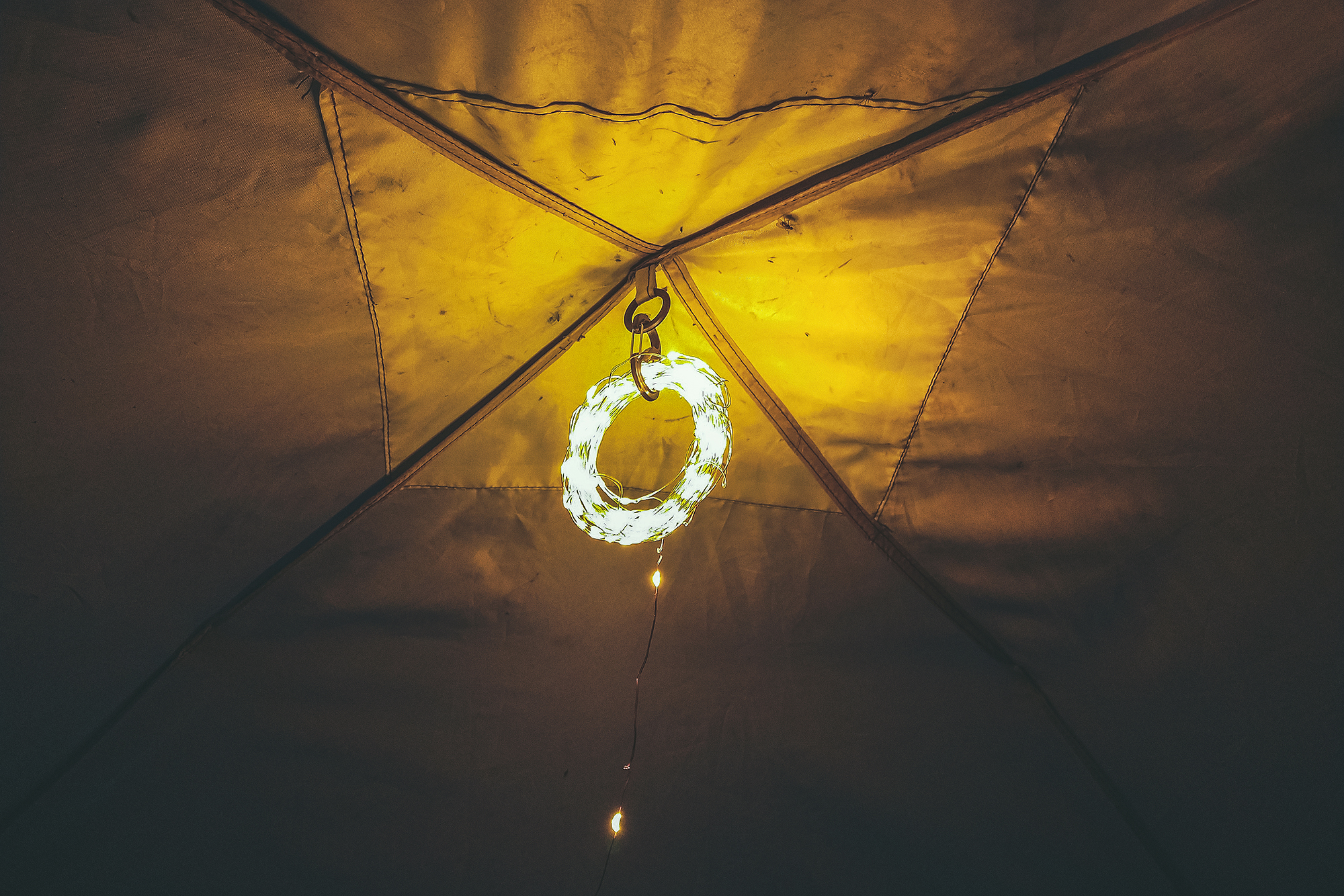
Brice had purchased a string of small usb-powered fairy lights (the kind you see in any “vanlife”/”camplife” popular IG account), which turned out to be very good for overhead lighting (we kept it rolled up and attached it to the roof of the tent, as stringing it around the sides just wasn’t something we cared to do every time we set up).

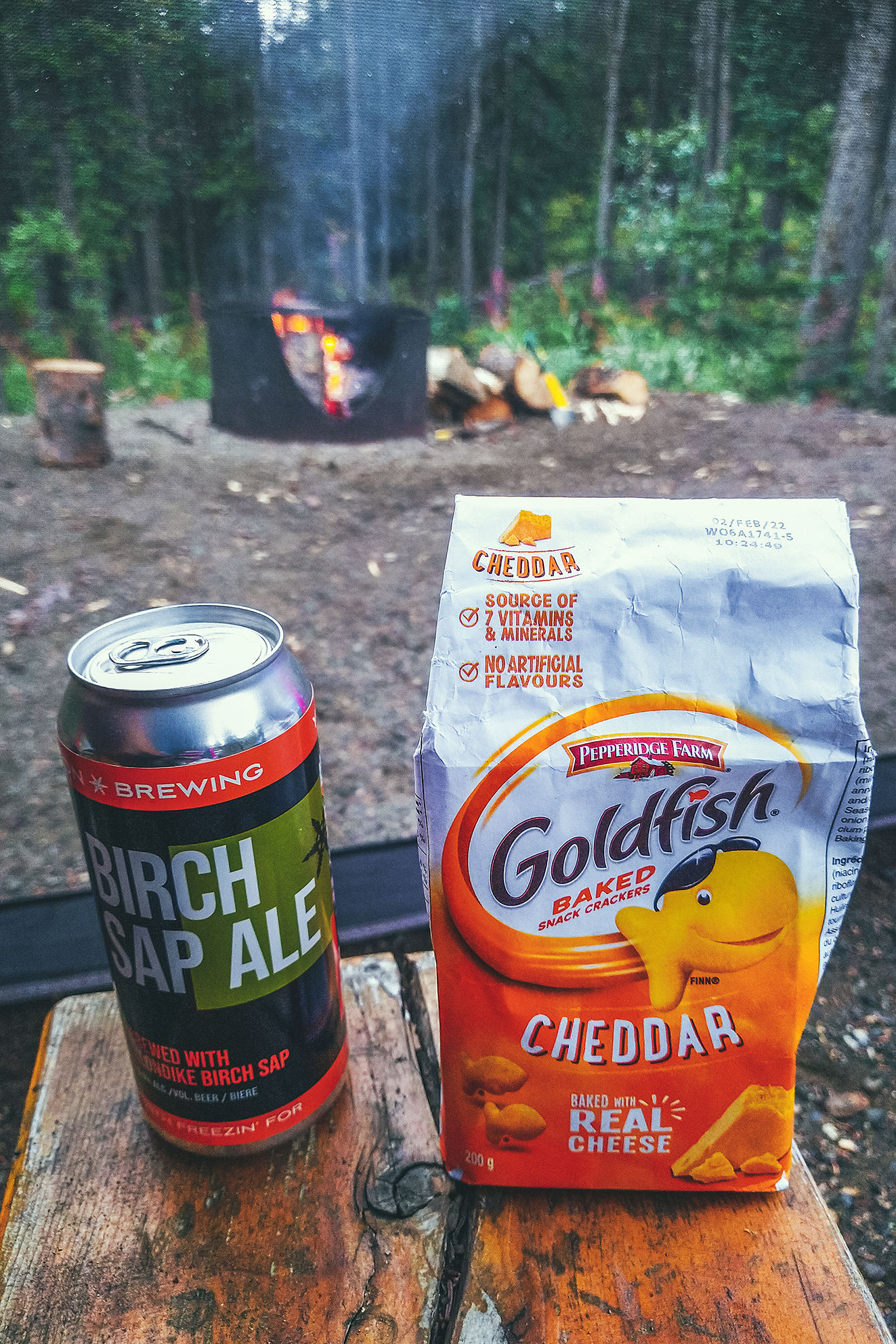
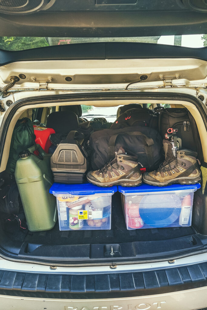
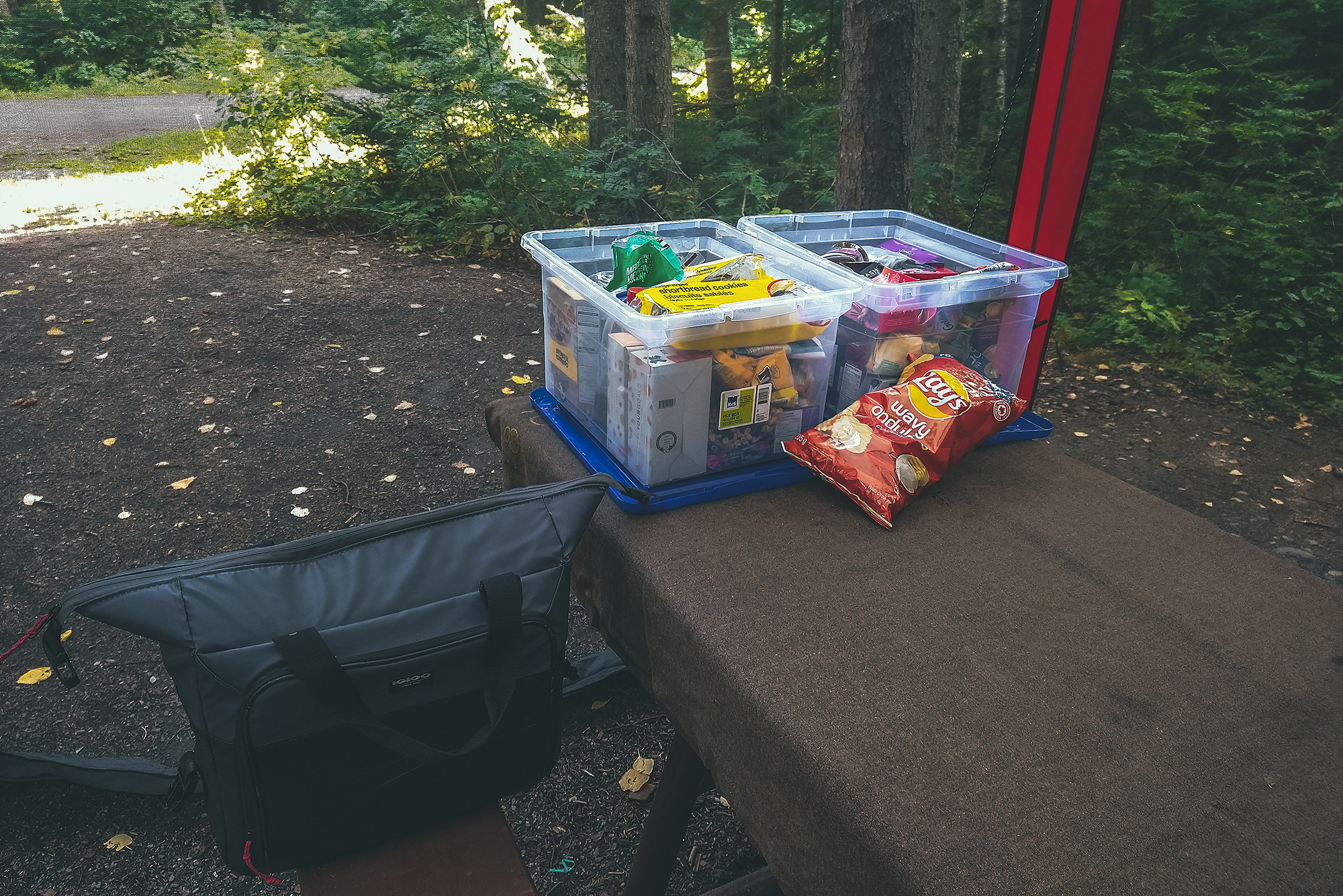
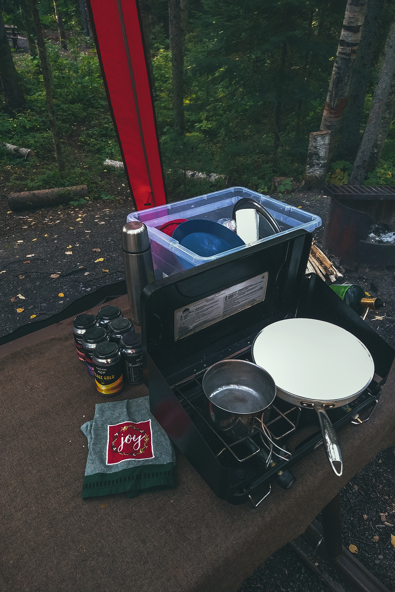
Food storing – we put all of our dry food in plastic filing boxes, easily stackable in the car. We had two boxes for food and one for cooking equipment. We also brought a cooler bag with us, but to be honest we didn’t need much cooling for most of the trip and ended up using it without any cooling packs or ice. It still kept things like milk and cheese a bit fresher if we consumed them quickly.

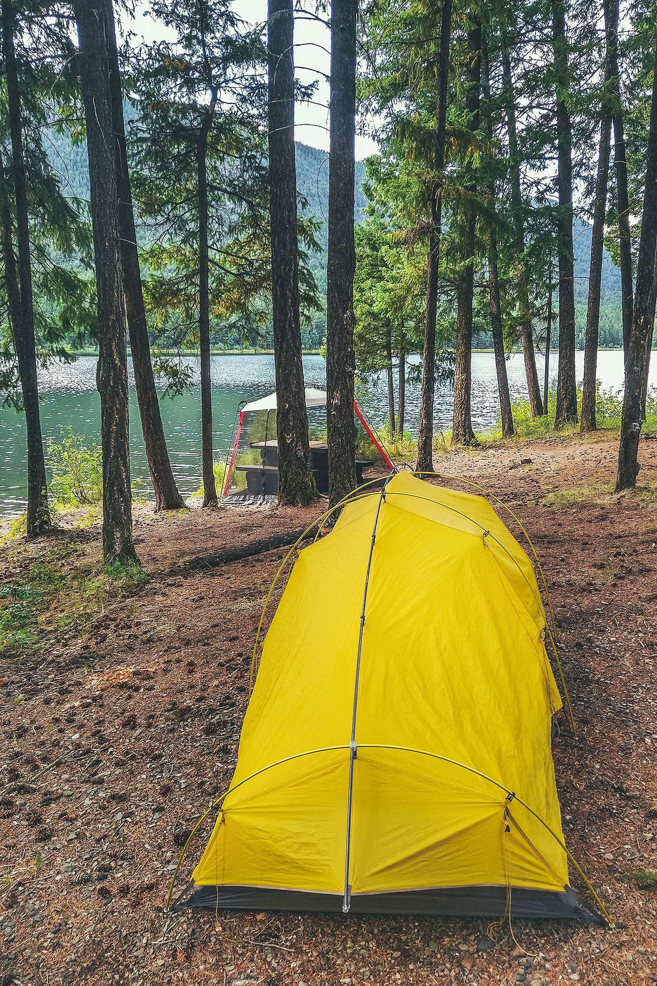
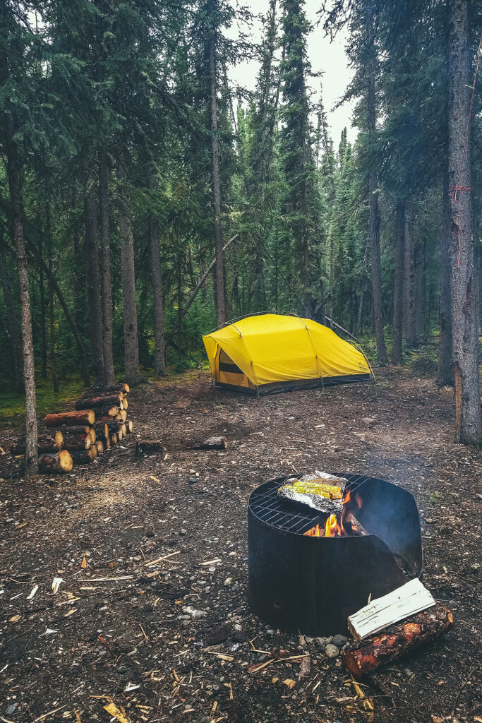
Sleeping Gear – we used more or less the same gear as when we took our trip through Patagonia. We’ve had our Sierra Designs tent for 5 years now and still love it. It’s easy to set up and a good size for two people without being too big. We had brought a second tent along which we ended up not using as it was a bit bigger and nights tended to be on the colder side. But since we had the room it was good to have a spare, in case anything happened to the first one. We were happy to see that our yellow tent was still very capable of handling rain and wind, although the elastic cordage that connects the poles together started to show sign of stretching. It didn’t prevent the use of the tent but made the setting up/take down a bit slower. (We’ve since sent the tent back to the company, and they replaced the cordage as well as the main zipper at no cost).


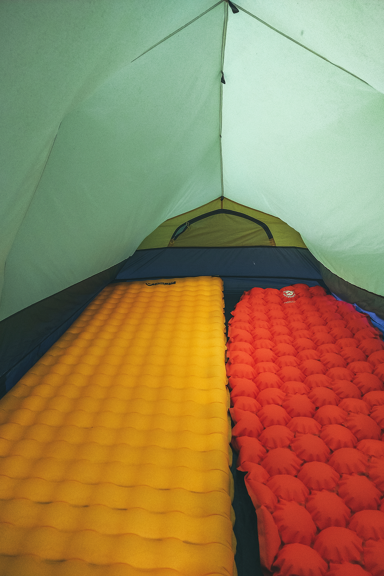
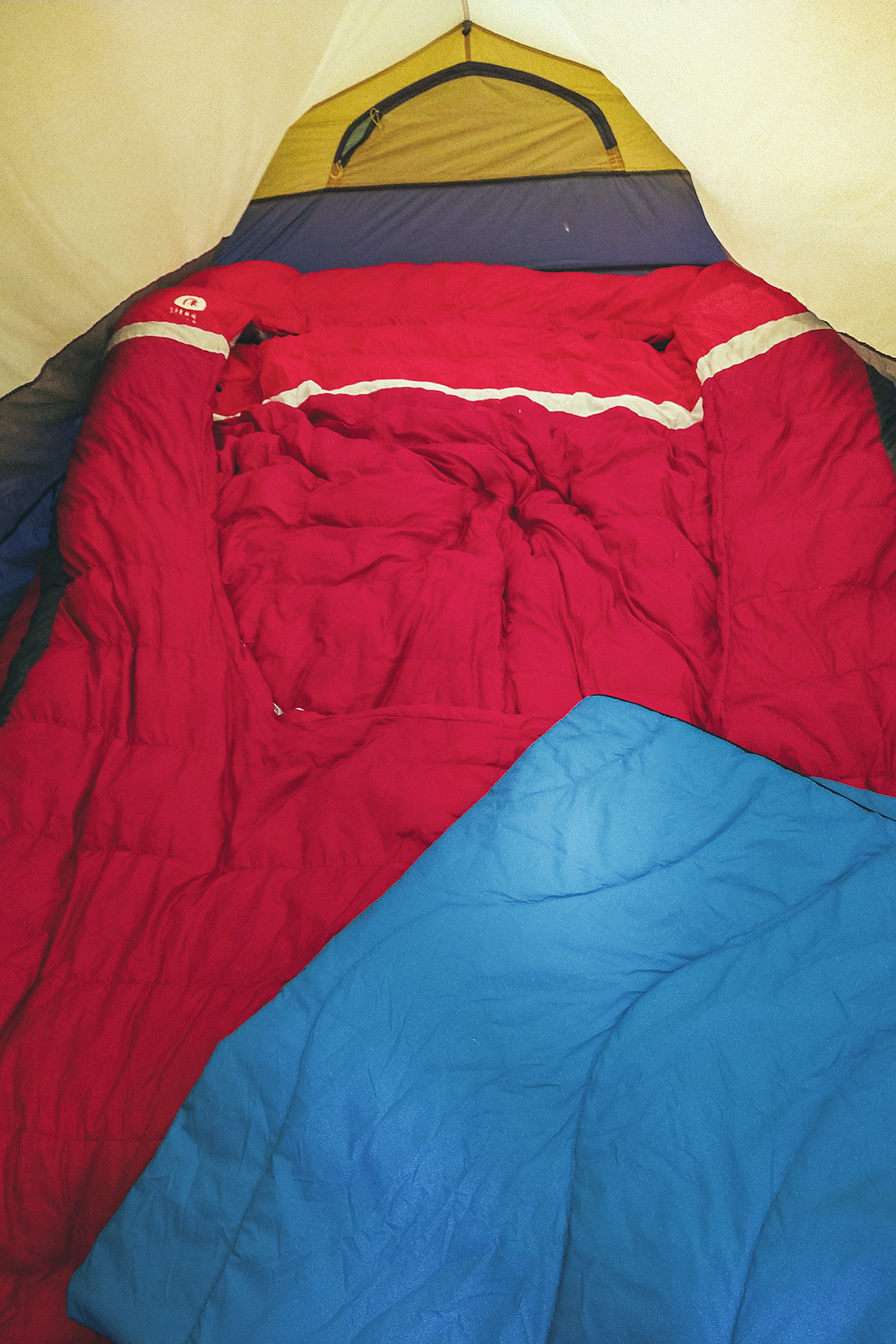
For mattresses, we initially had our two Tensor Insulated Nemo Pads – Brice has the wider/longer model. Mine unfortunately got a puncture along the way, but we had a spare mattress that I was able to use for the last 2 weeks of the trip. We also brought our Sierra Design Backcountry Bed 20 Duo, a double sleeping bag with pockets to fit both mattresses in, so you basically end up with a double bed while still using lightweight gear. I have to say I love this double sleeping bag, as it allows me to take advantage of all the body heat Brice generates (he’s like a human radiator), while I often have a hard time staying warm.

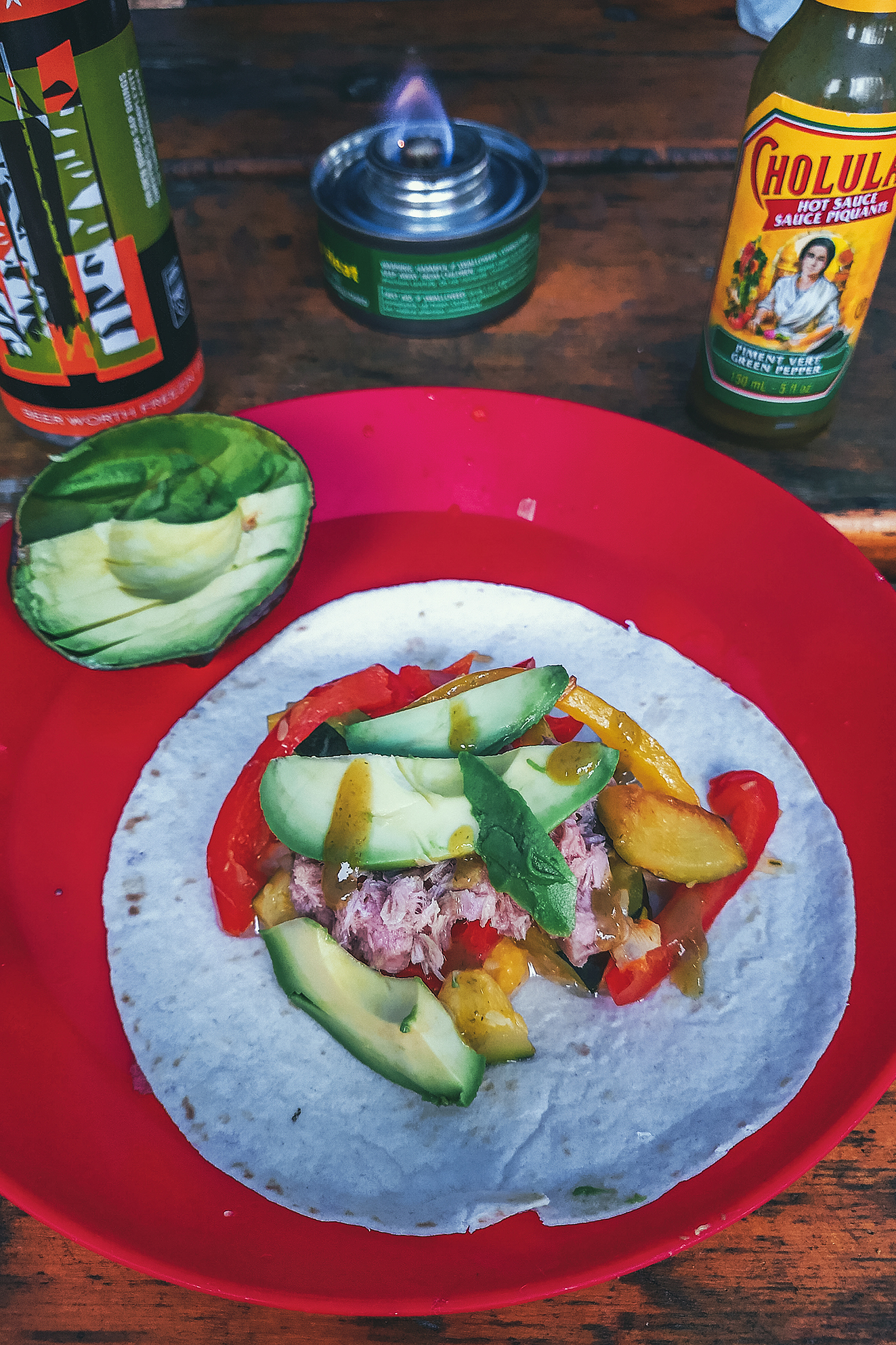
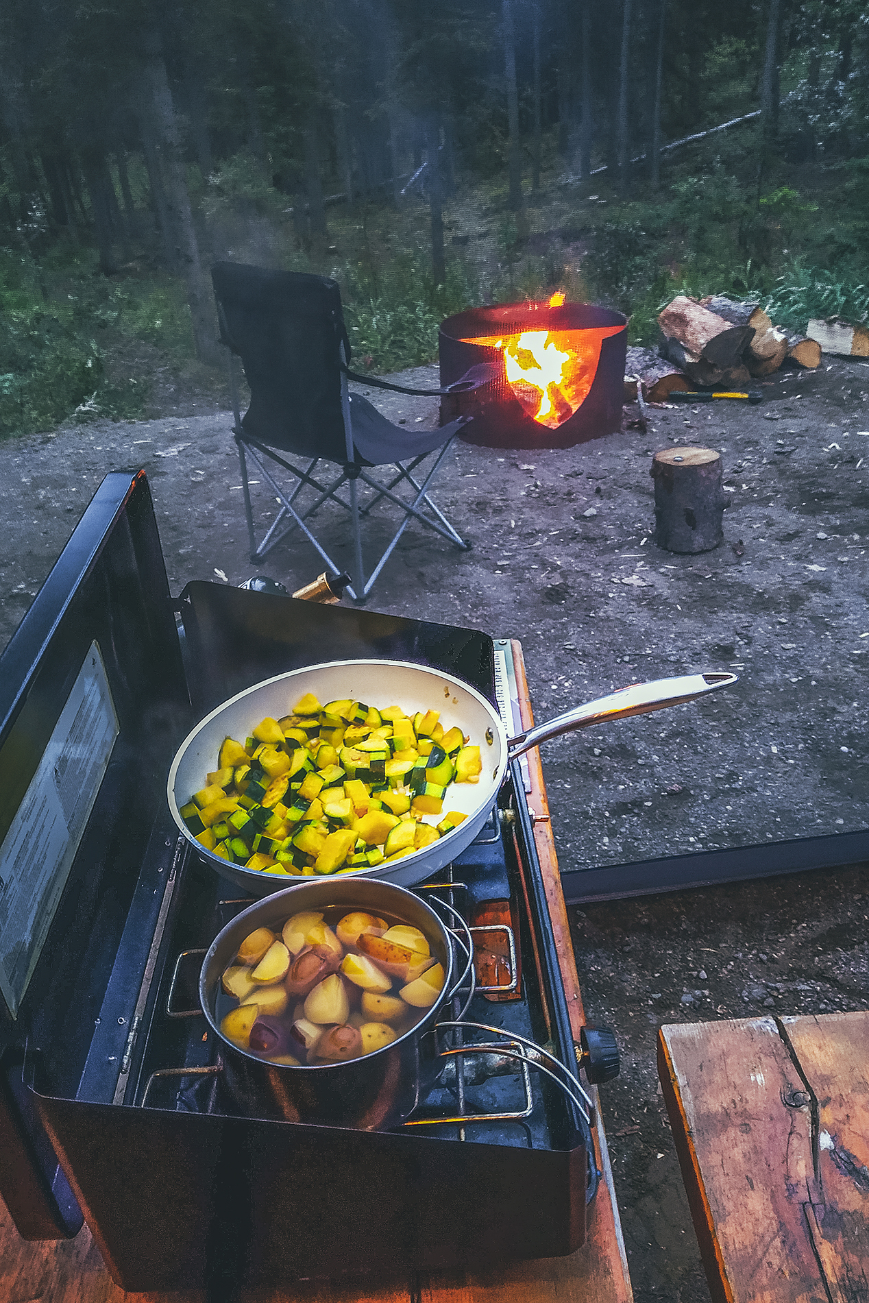
Cooking gear – Nothing fancy here, we used a basic two burner Coleman stove and our backcountry camping pots, but made the brilliant addition of a large non-stick ceramic pan, easy to cook with and clean. Keep in mind that doing dishes with cold water is kind of a nightmare, so an easy-to-wipe-down pan was the best thing we could bring along.
Speaking of doing dishes, we also had a collapsible bucket, something we’d gotten into a swag box a while back and hadn’t really used, but it proved to be very helpful for dishes or any sort of hand washing. For water we had a big 20-liter F-style jug, and drank all our water out of our Lifestraw Go water bottle, since those meant we could basically drink any water anywhere without boiling it first (many of the campsites advised to do so).

As much as we tried to keep our car tidy, and we did for the most part, there are always random bits and bobs that end up shoved in corners or in between boxes (like shoes especially, or bags of chips), but once we got the right set up for the boxes, we managed to keep things relatively in order.

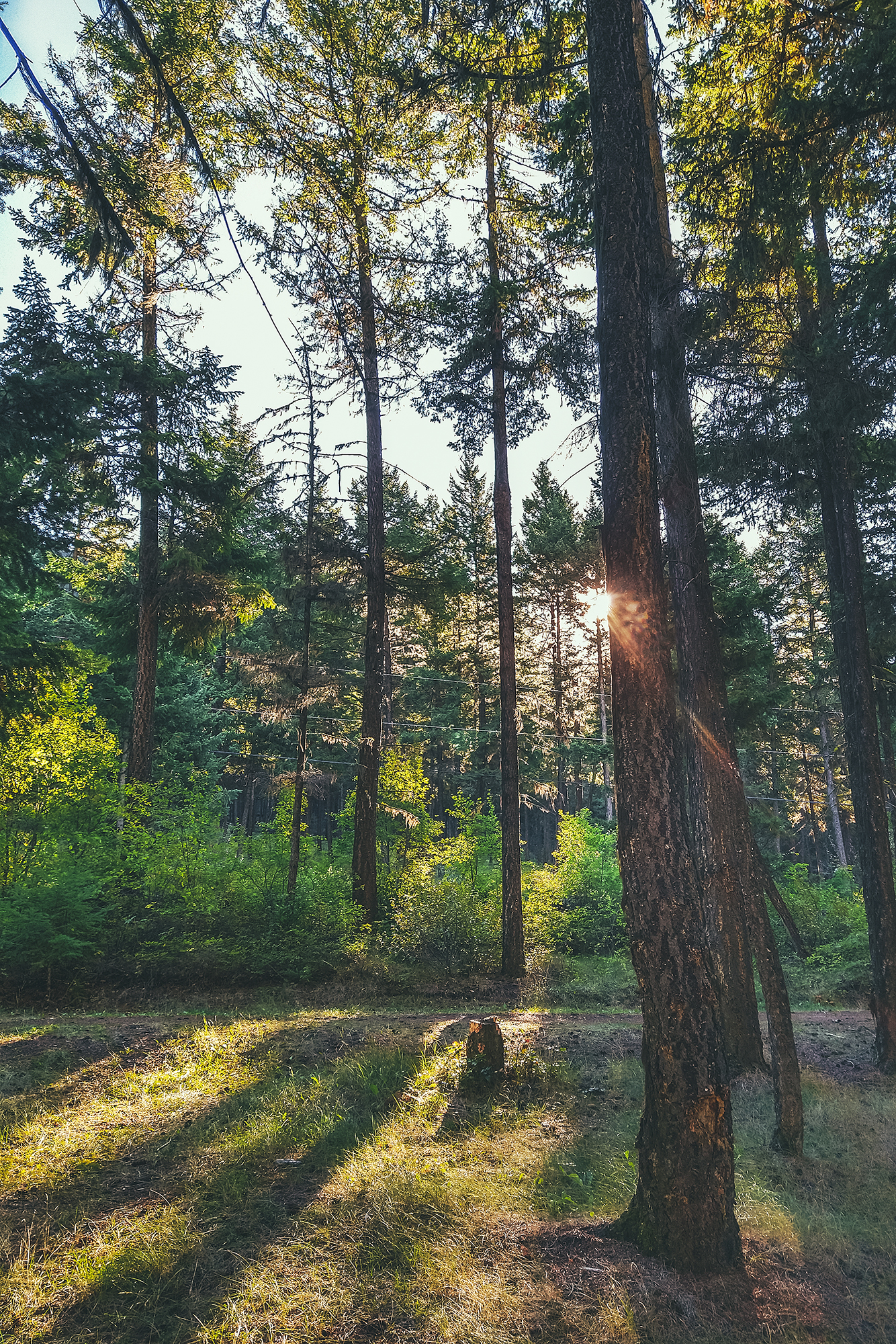
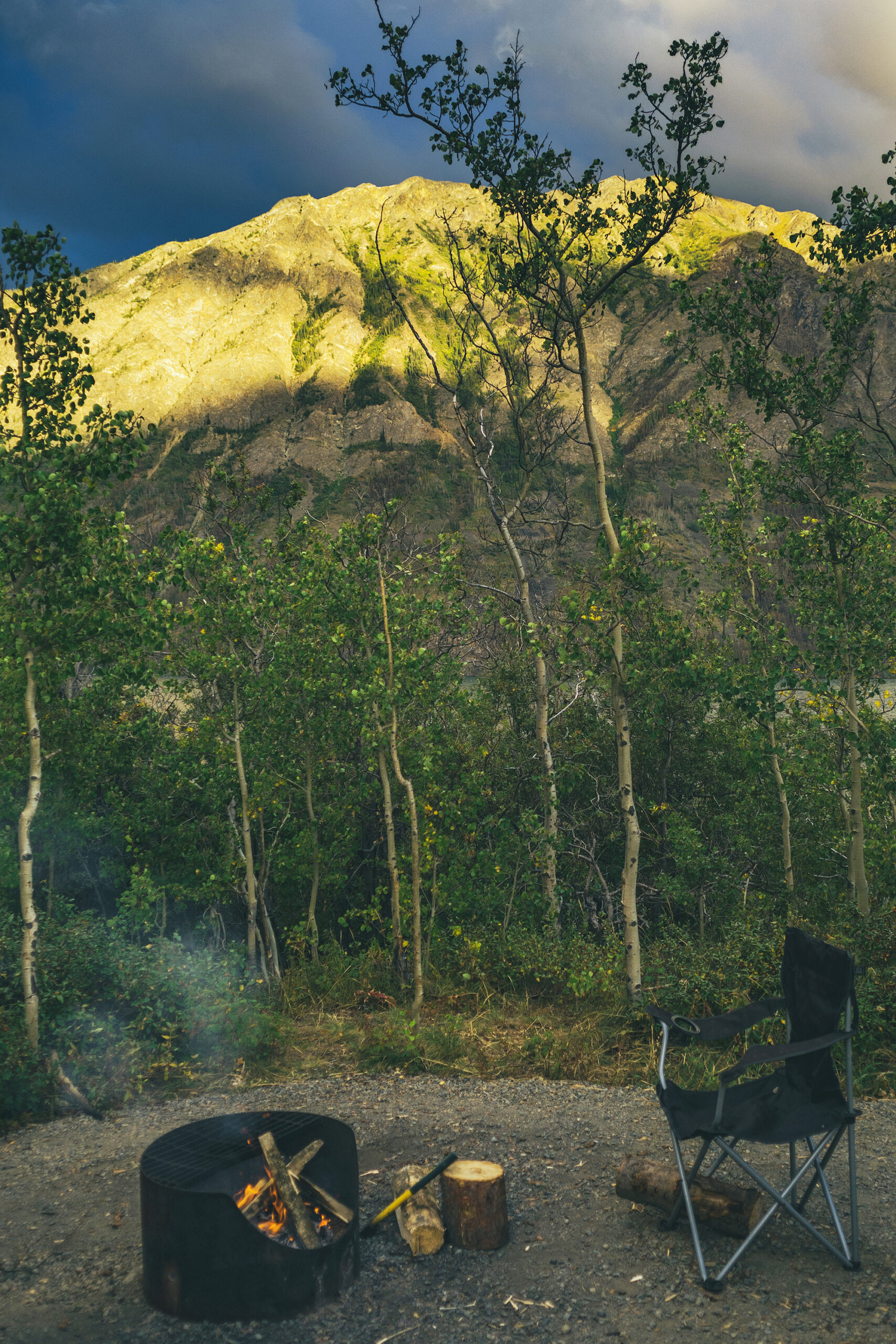
Tent-camping in a different place every night still required a bit of work, even though we got pretty quick at it. We had to set up both tents, blow up the mats and fit them into the sleeping bag. Boxes of food and cooking gear needed to be taken in and out of the car multiple times between snacks, diner and breakfast, since you shouldn’t leave any food outside for wildlife to find. Brice would get a fire going every night and that’s always a bit of work to start and maintain.

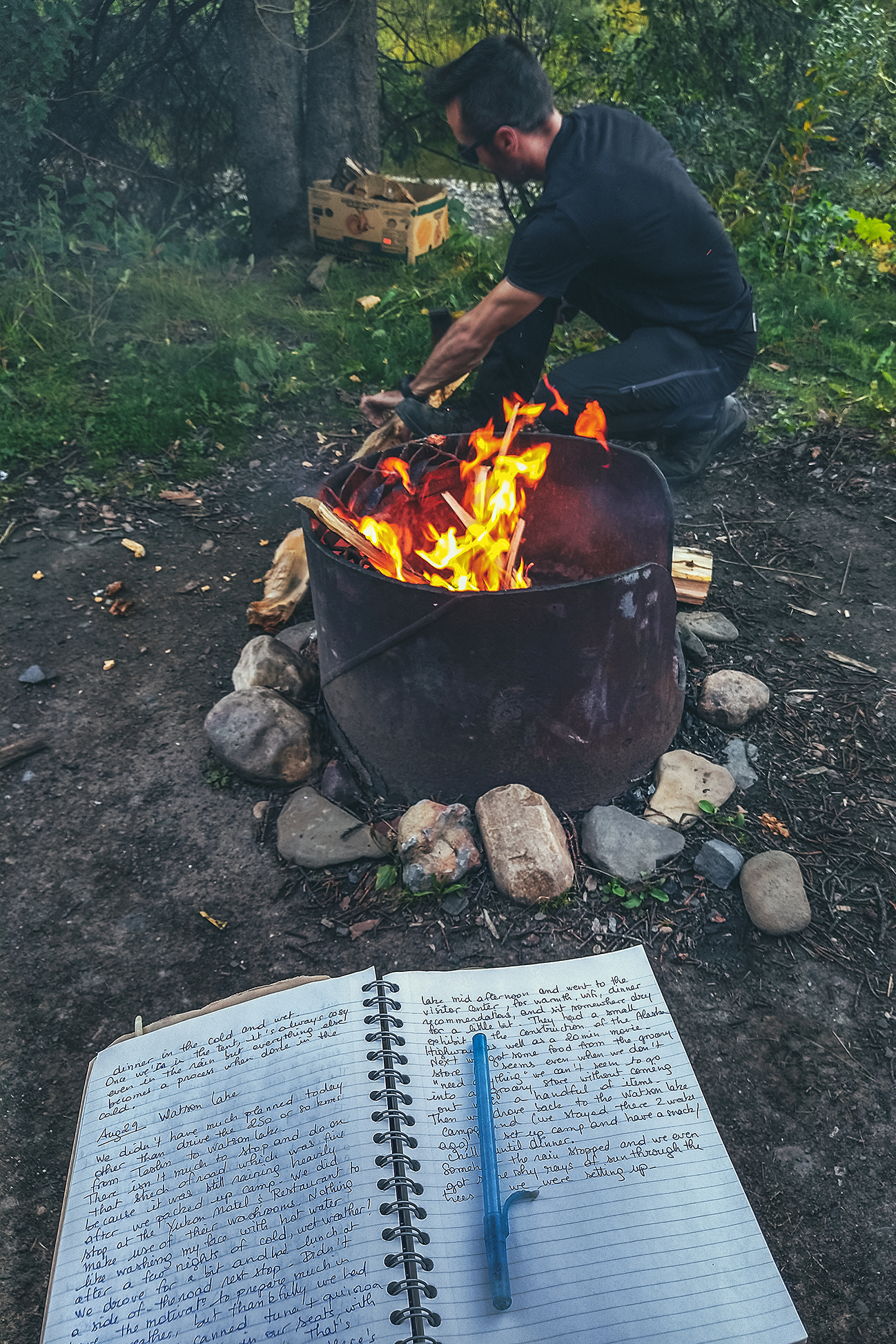
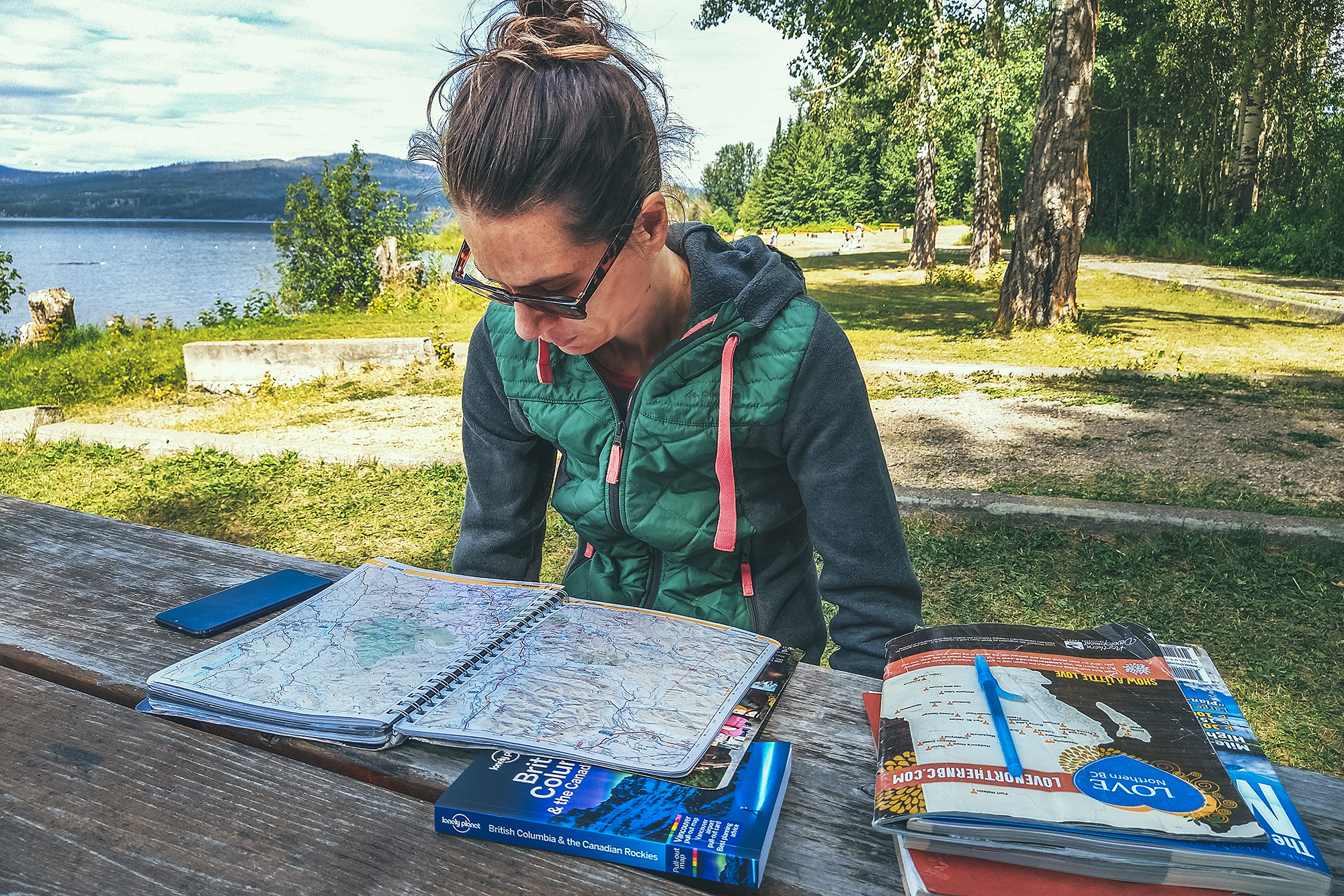
And then there was the travel recording aspect. We took a lot of photos every day, and Brice would spend some time in the evening backing-up SD cards and footage and sometimes working on a few photos. I would write in a travel journal what we had done and places we’d been (crazy how fast you forget where you were a couple of days earlier when you’re traveling everyday), and spend a bit of time organizing photos for IG Stories. Don’t get me wrong, it was a vacation, but we didn’t actually spend a huge amount of time just chilling, there was always something to do.


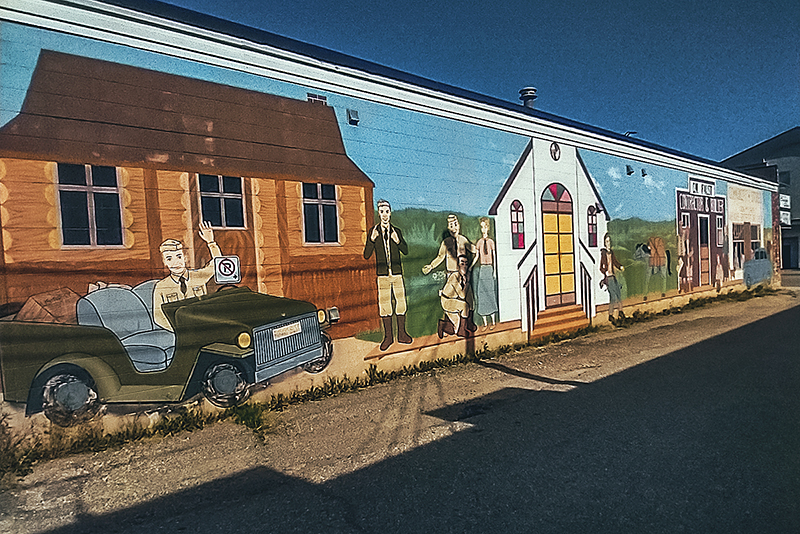
Campgrounds & accommodation

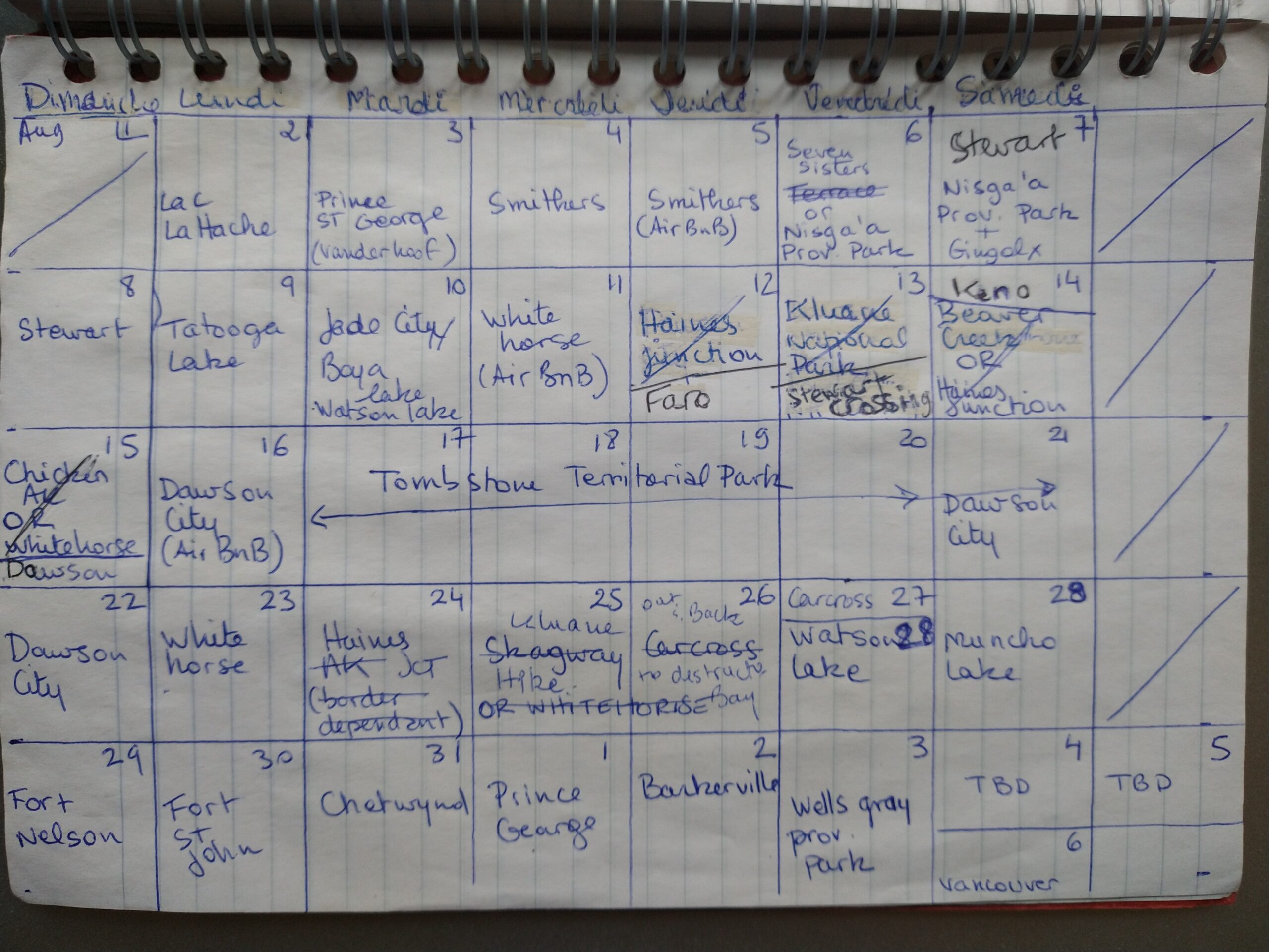
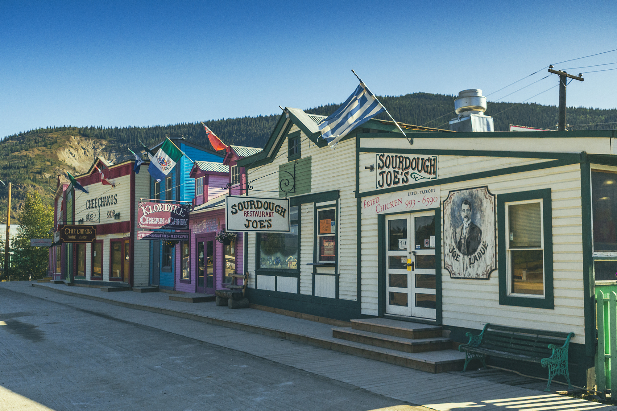
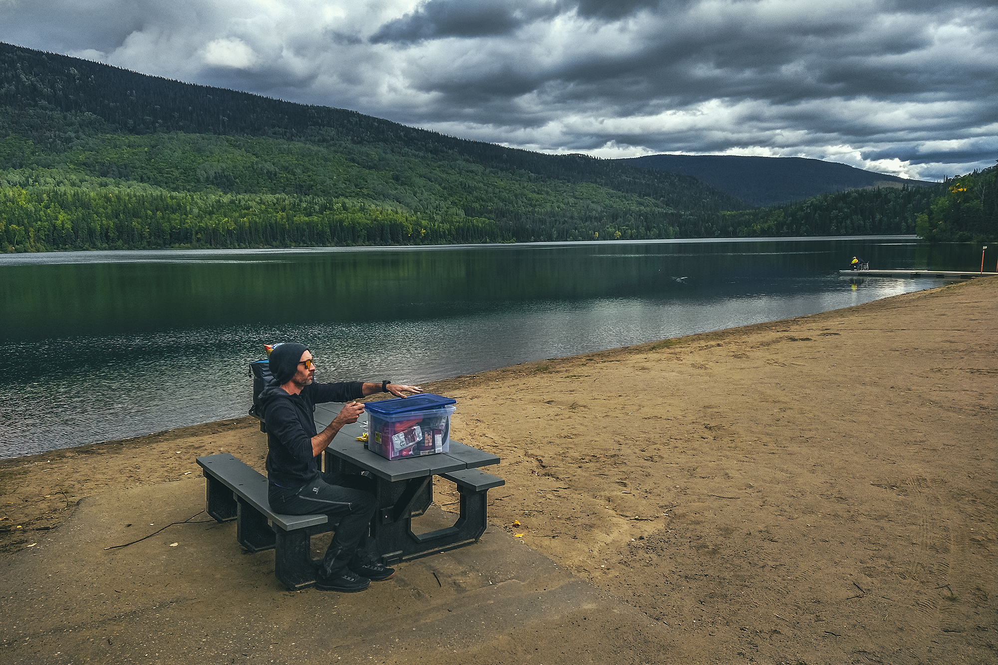
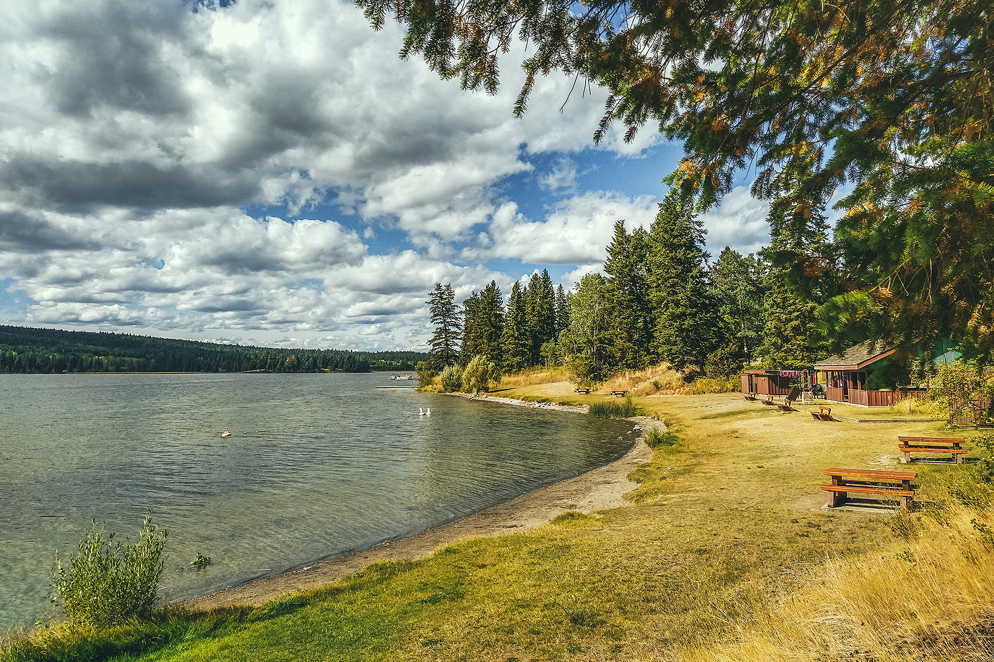
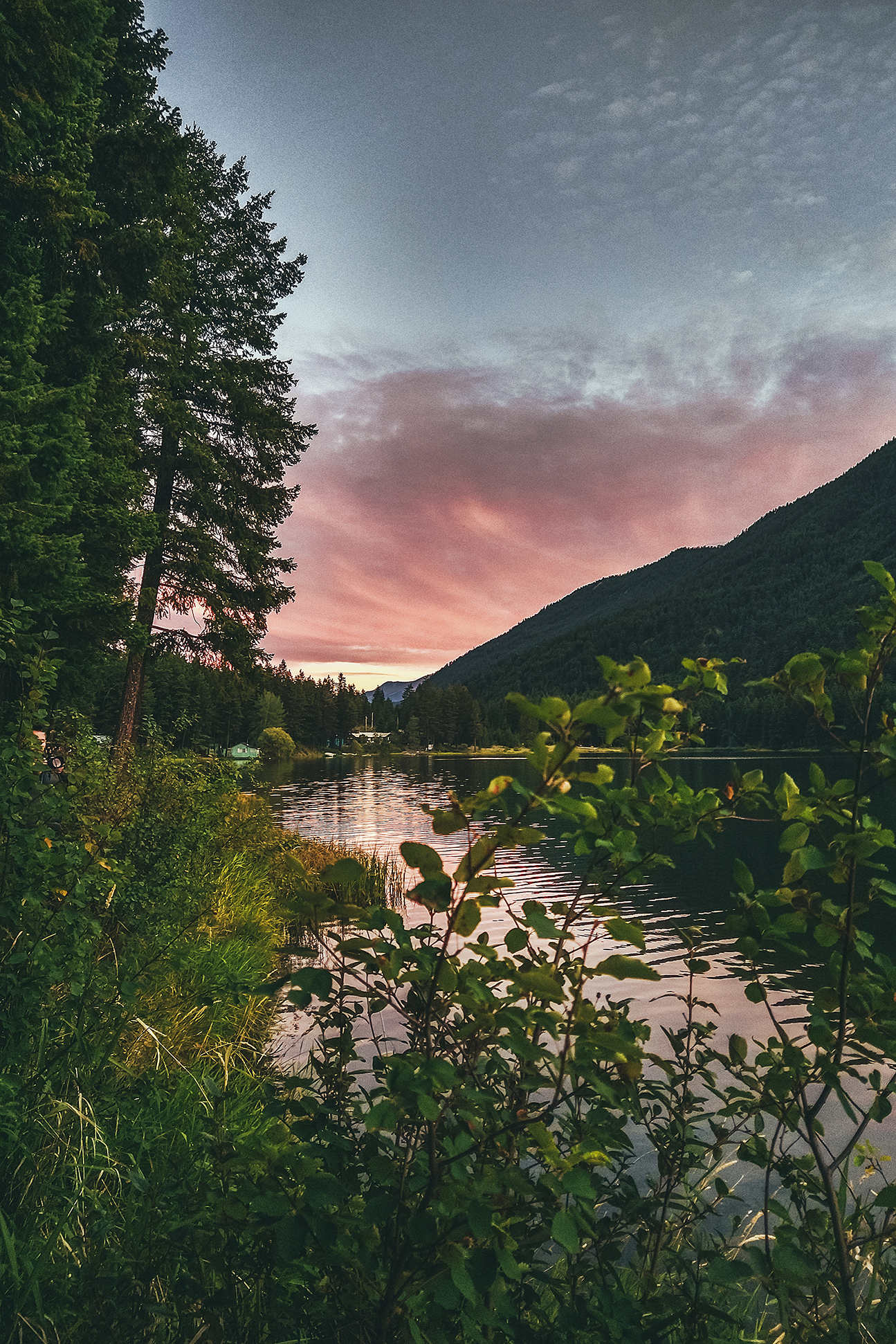
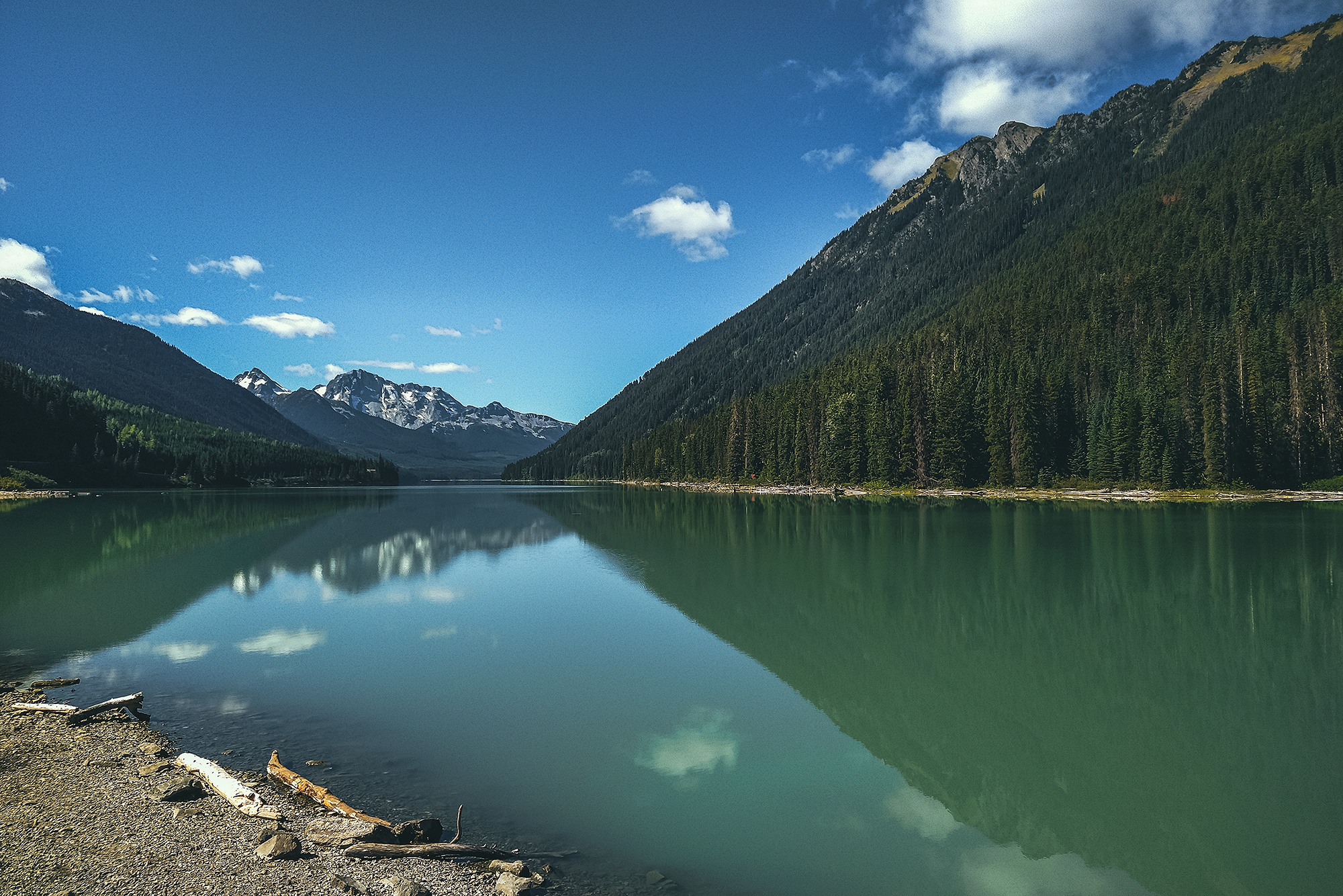
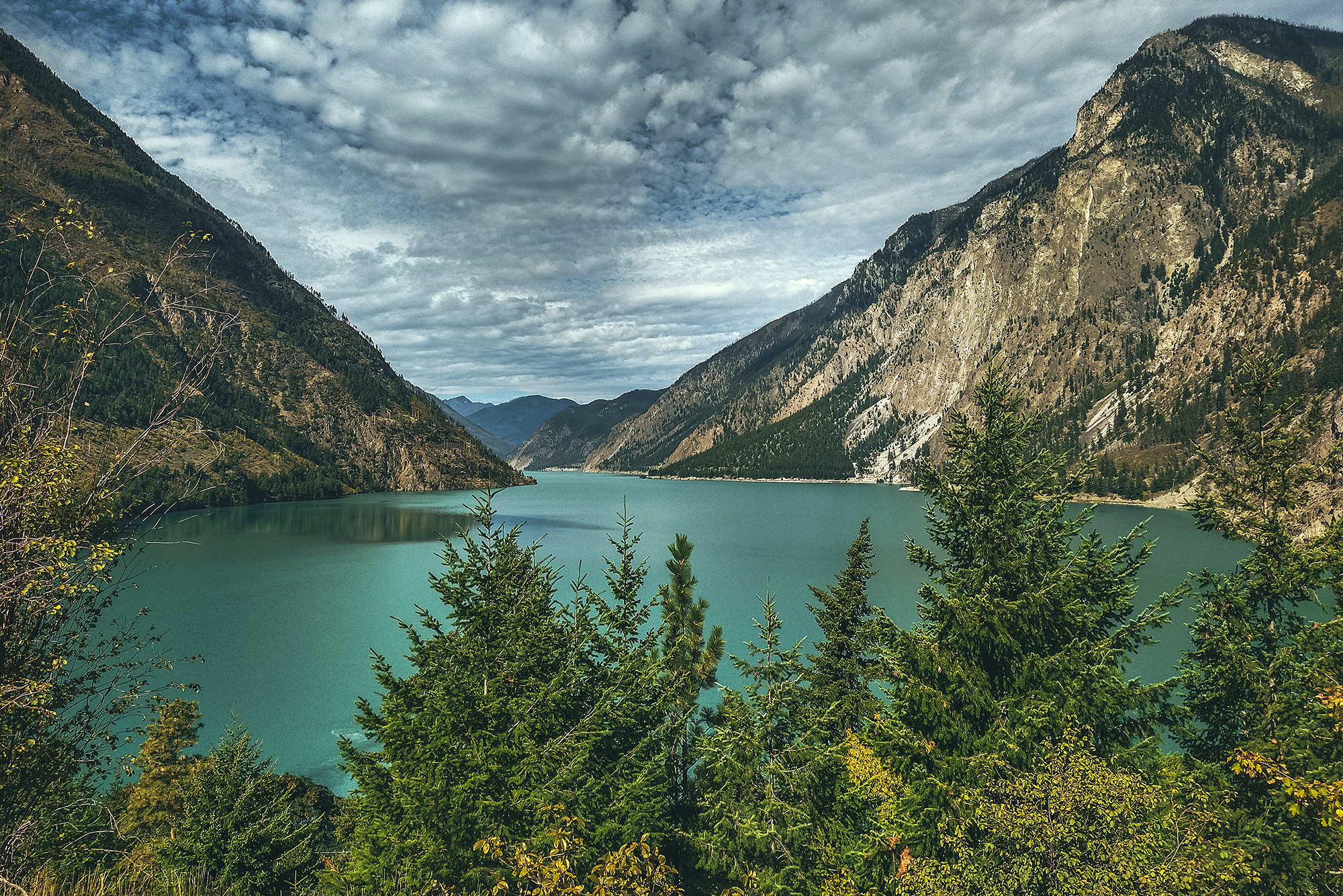
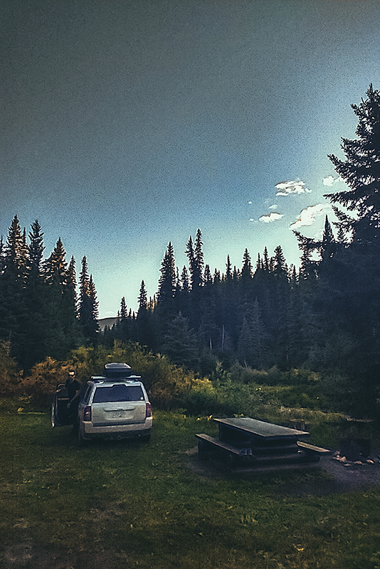
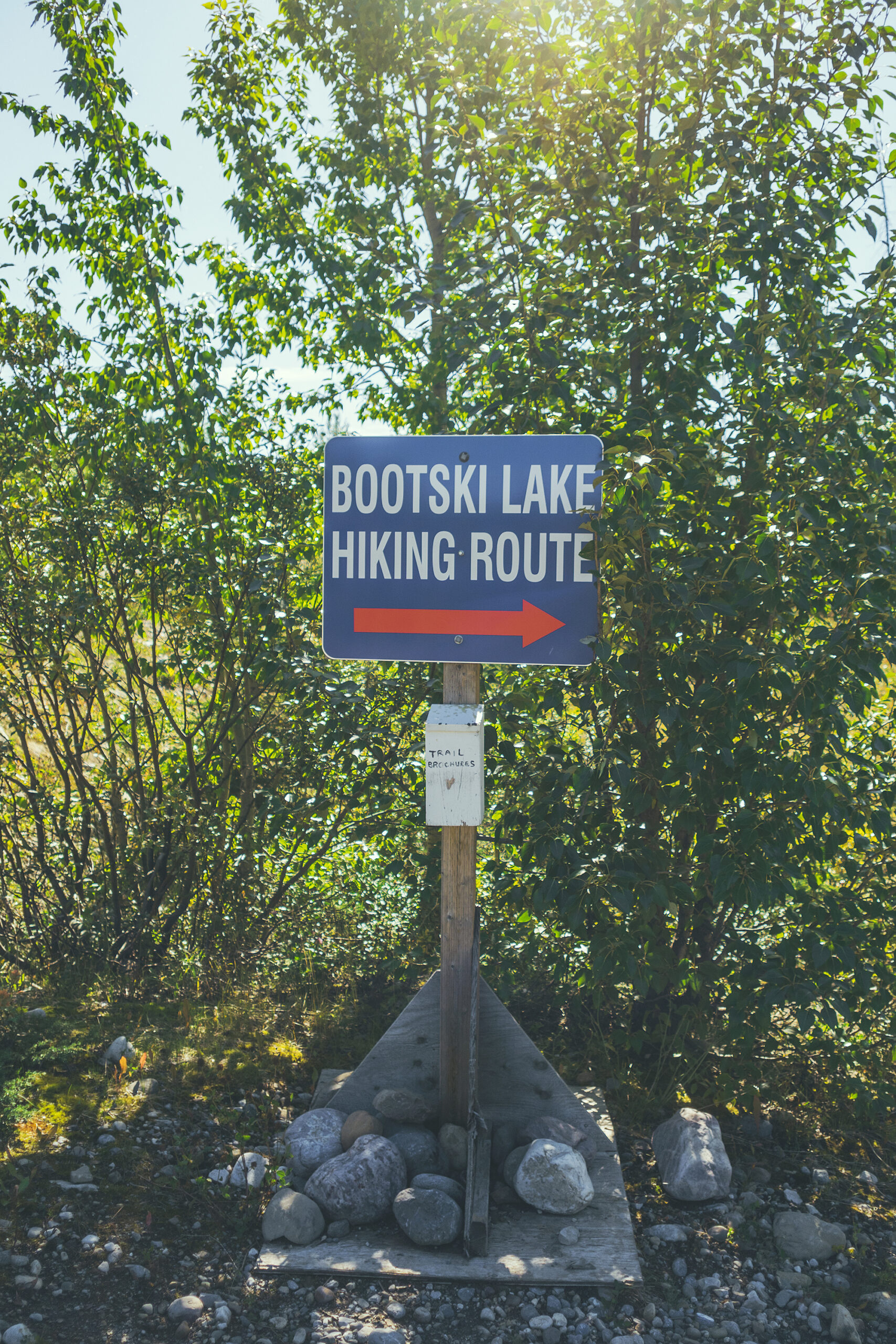
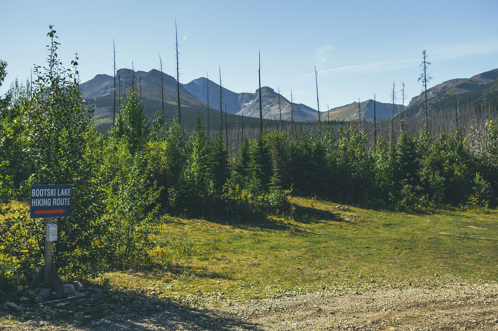
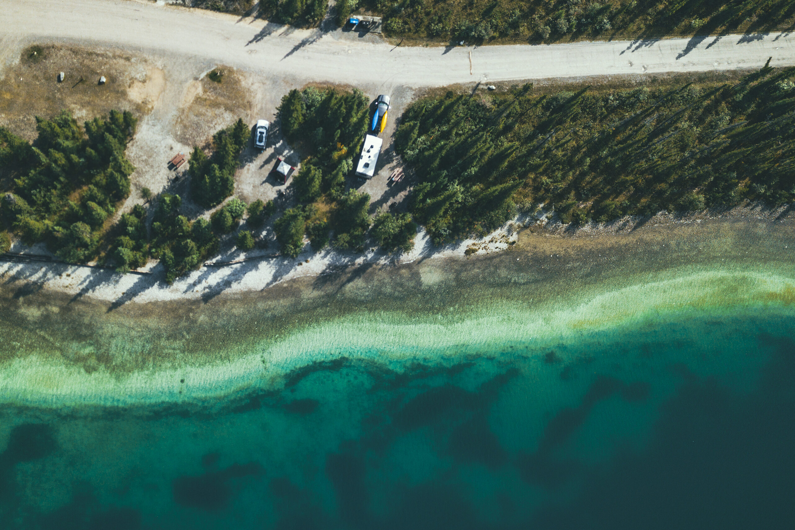
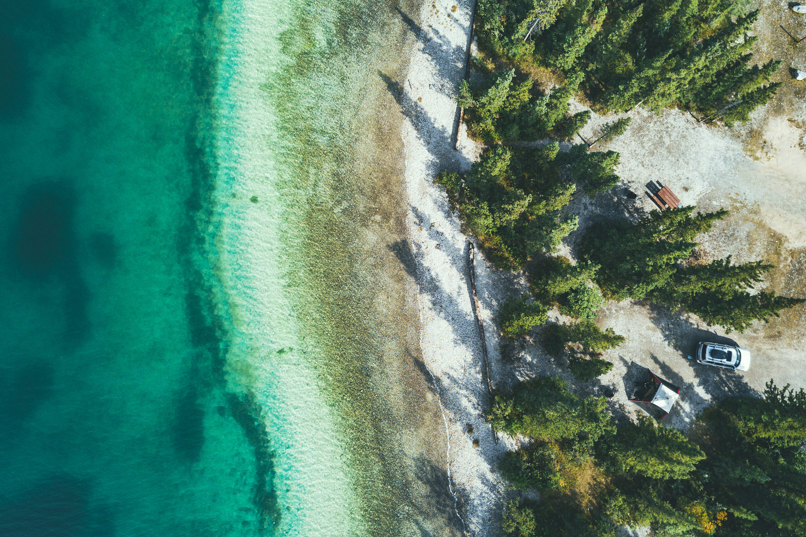
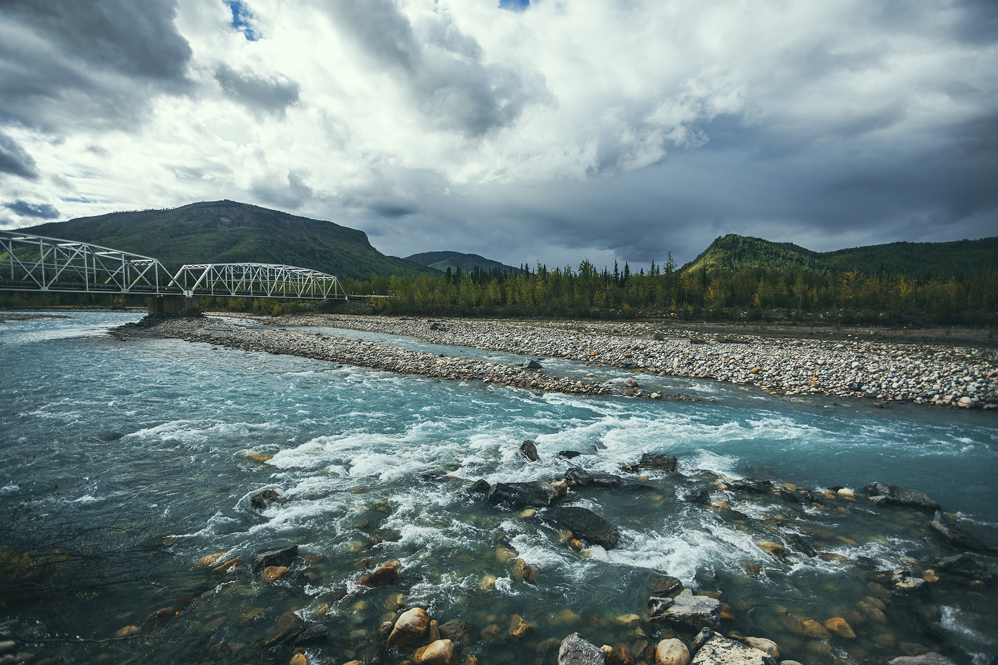
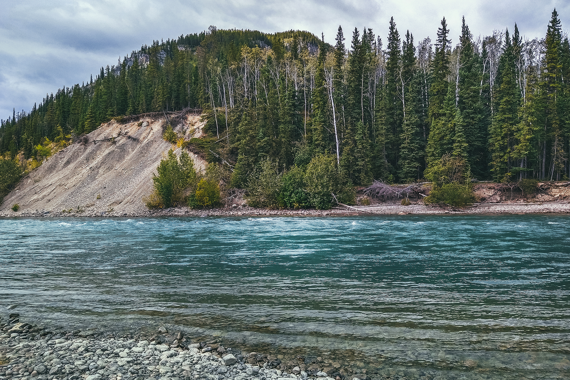
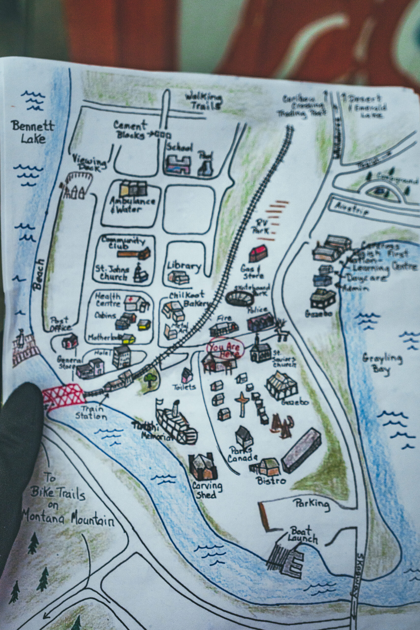
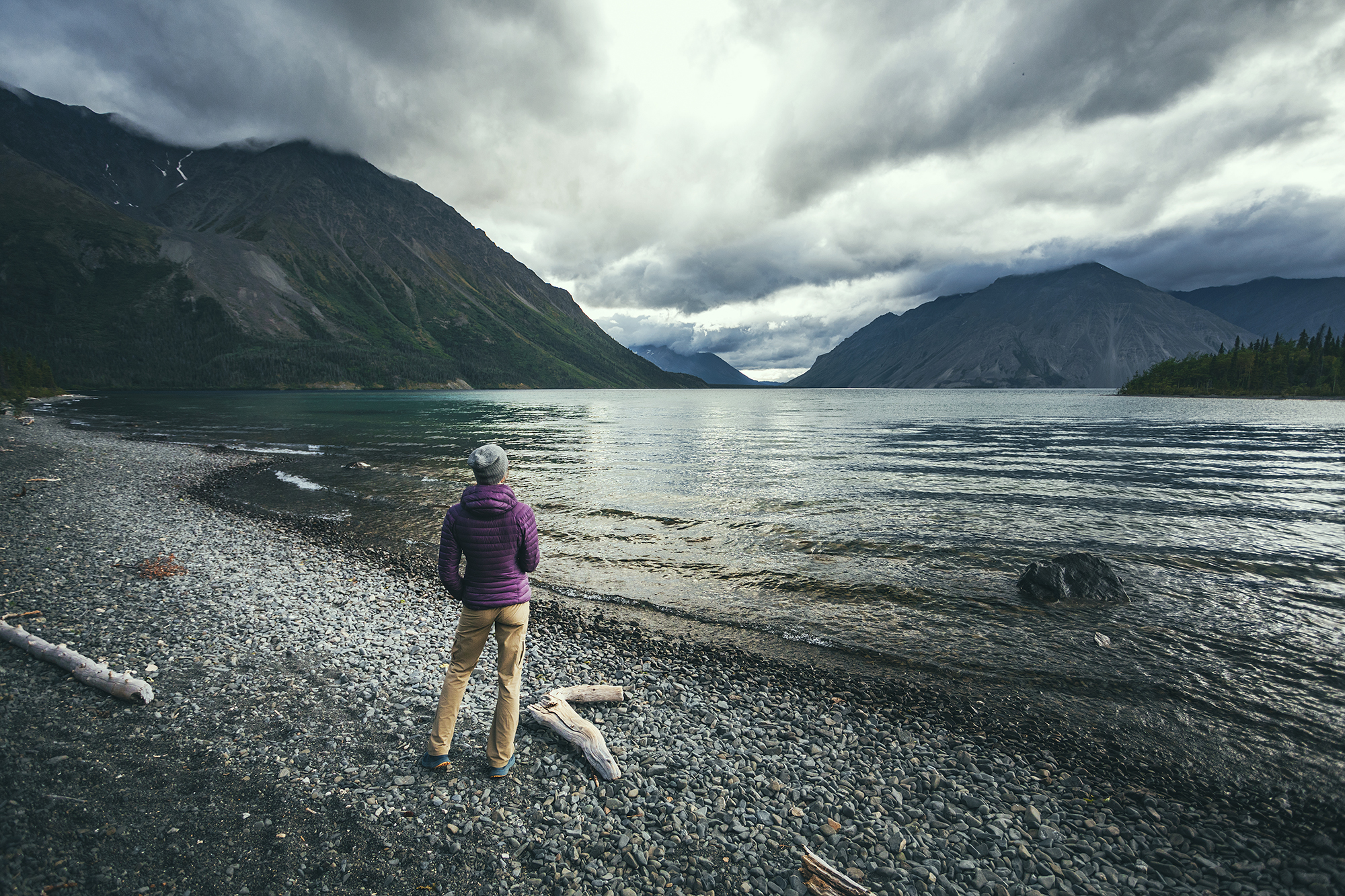
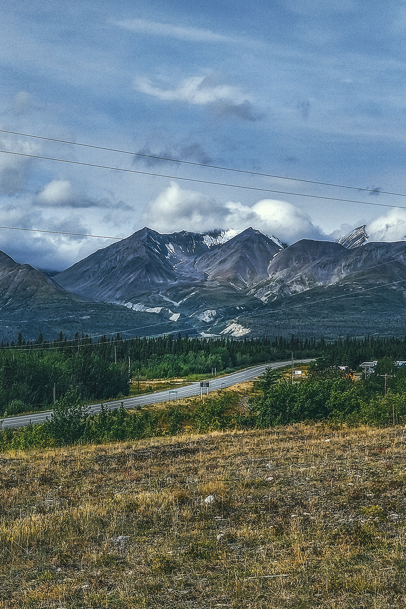
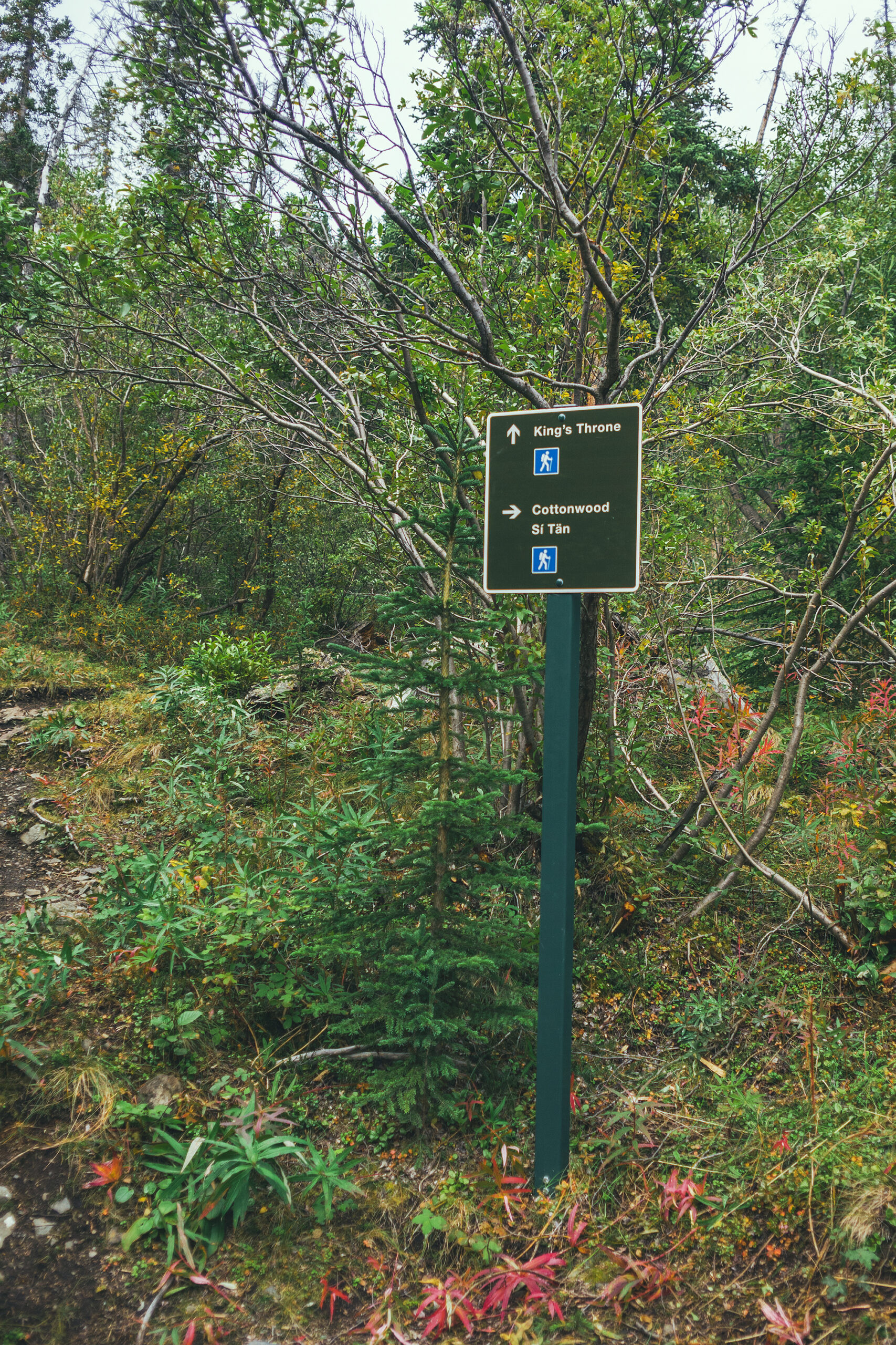
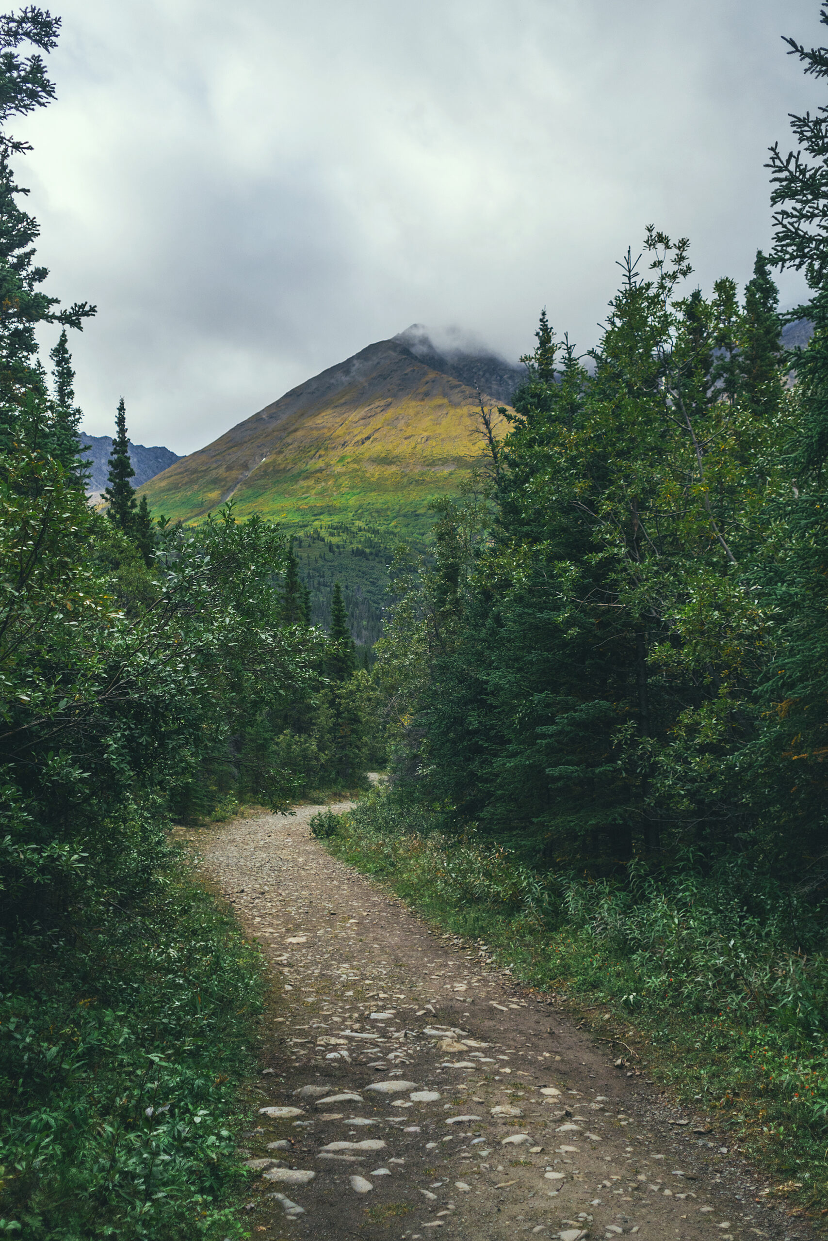
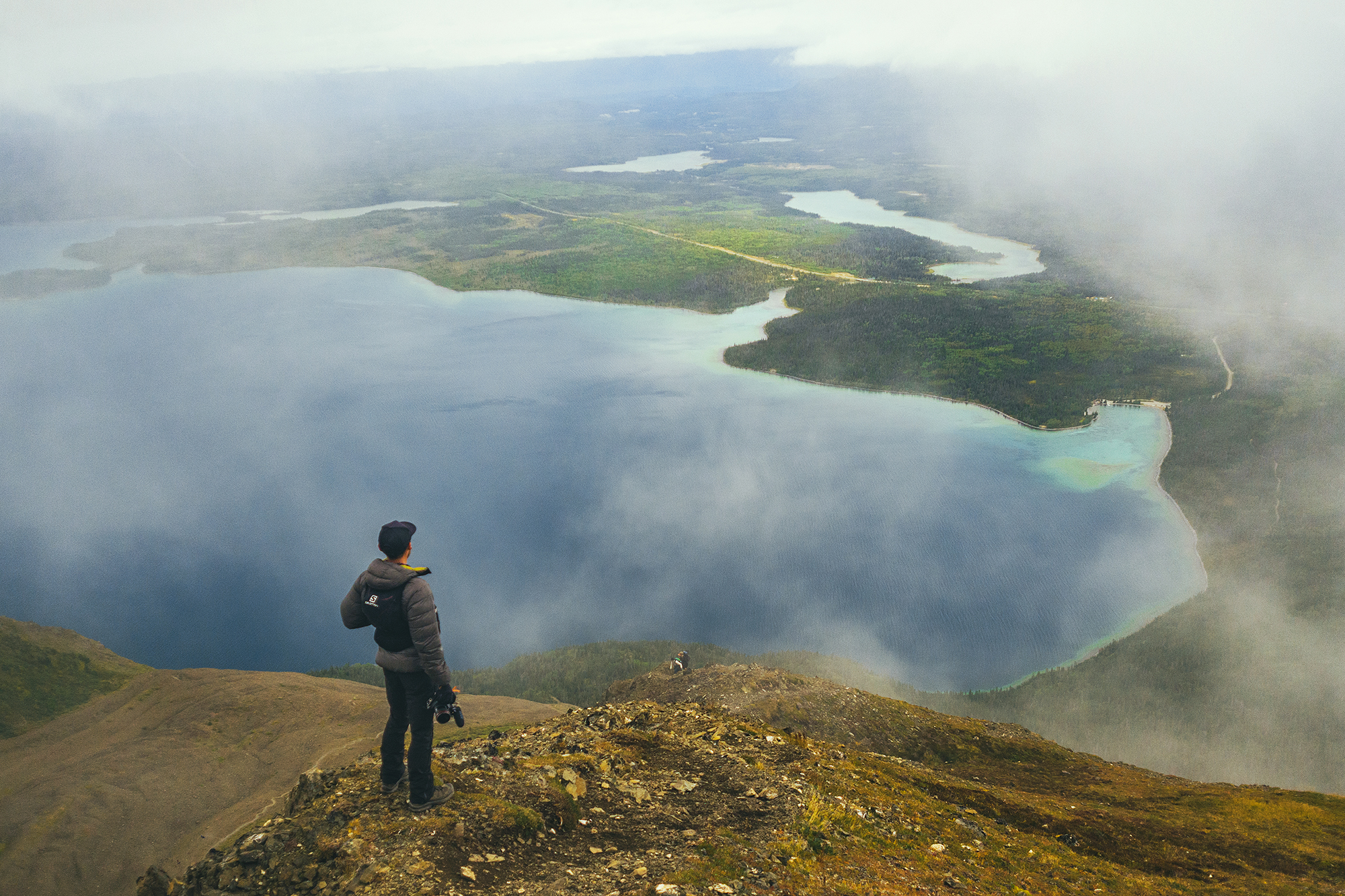
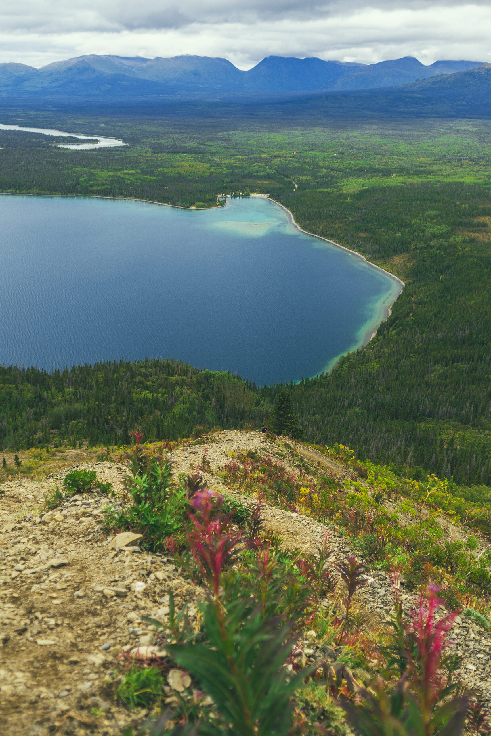
As I mentioned in our itinerary post, there were loads of campgrounds along the way, and we were able to just drive into one and find a spot pretty much every night. I think traveling into the end of August certainly helped, as some spots might have been busier if we’d been there in July for example.

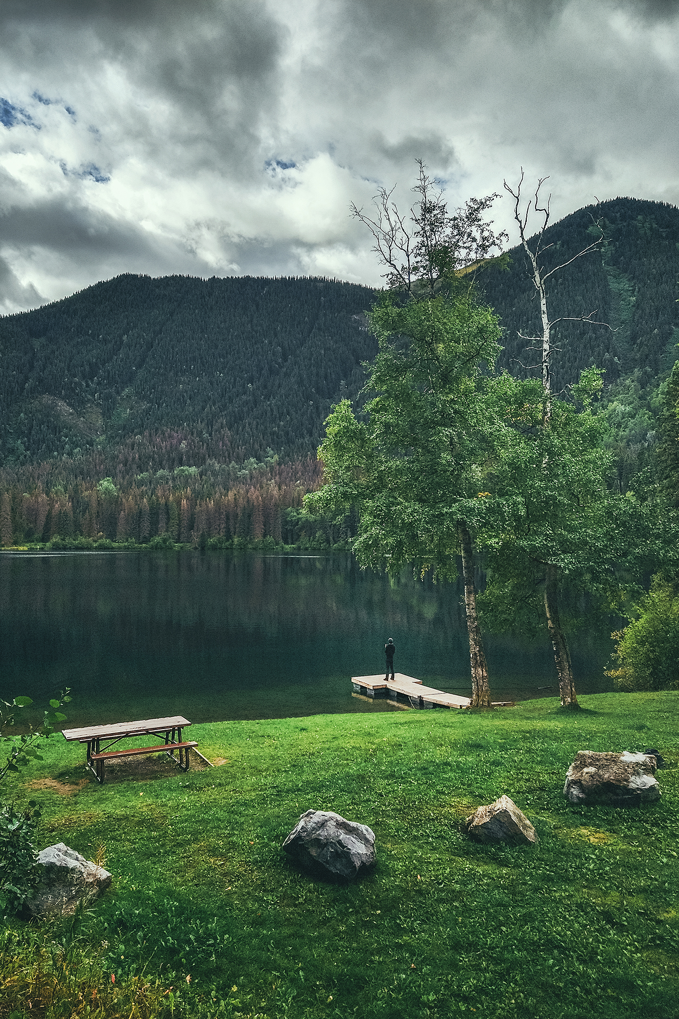
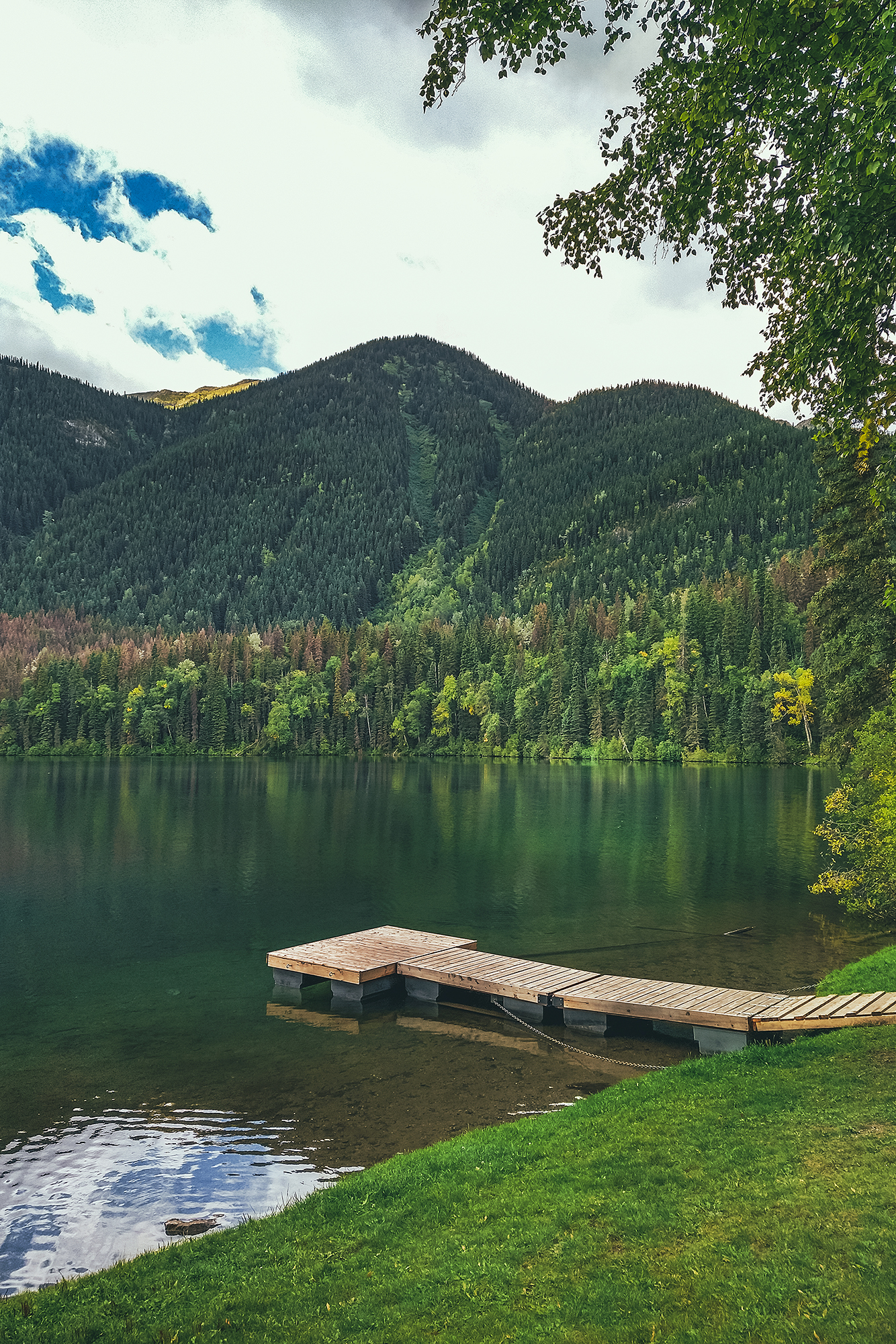
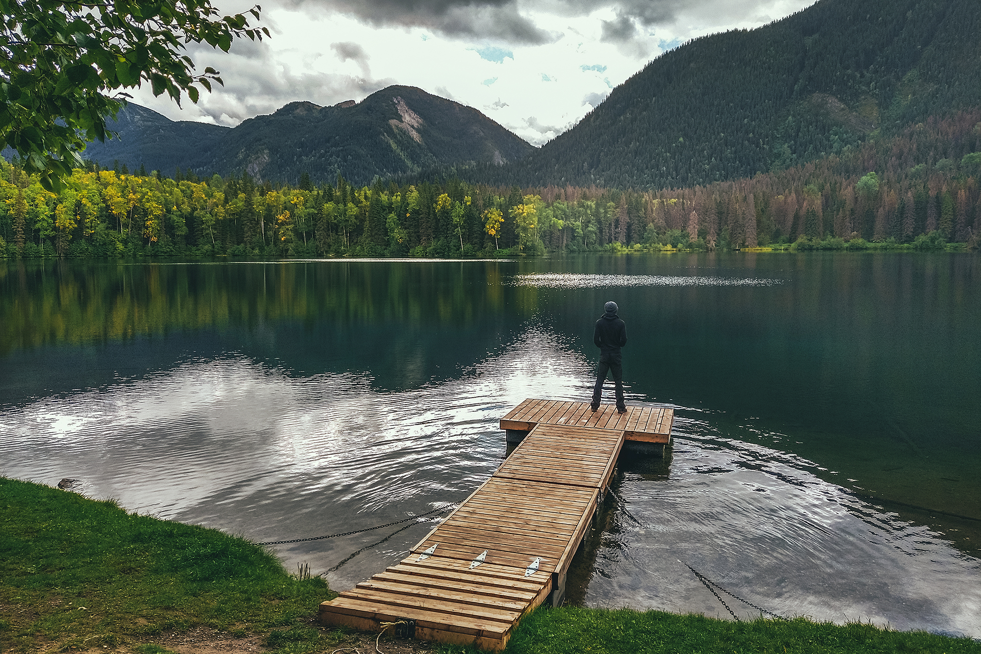
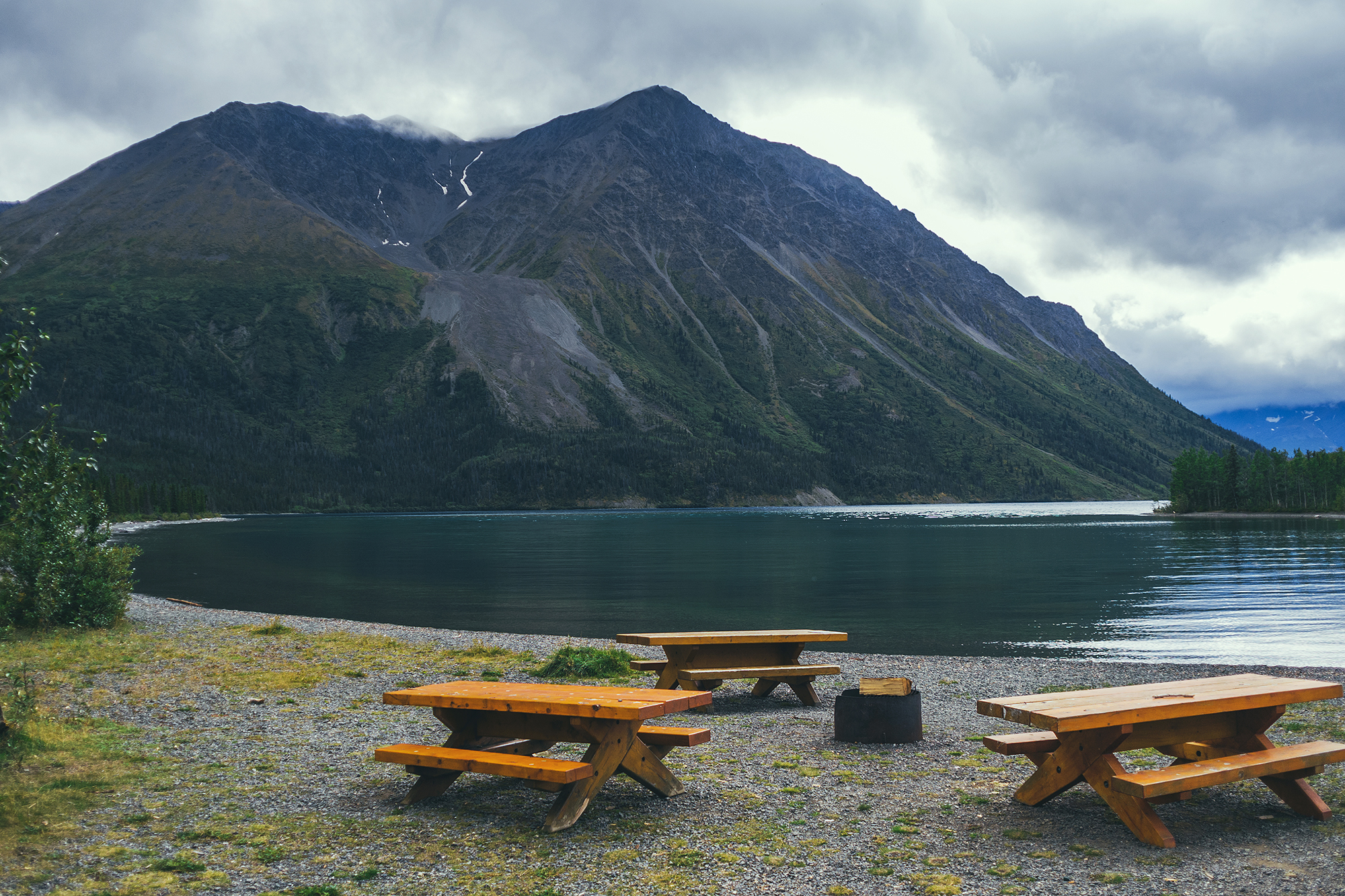
We were generally very impressed with the campgrounds. We found showers at a good number of them (usually the private ones, with prices per night around $26). All had a table and fire pit and the out-houses were always spotless and stocked with toilet paper (even at the most rudimentary rec sites). In the Yukon, Government campgrounds, which are peppered throughout the Territory, were only $12 a night, including firewood!

Since we stayed almost exclusively in official campgrounds, we had other people around us most nights, but only on a couple of occasions did we have loud neighbors. A big majority of the people staying in campgrounds were travelers in big RVs, a lot of them retirees enjoying the life on the road.


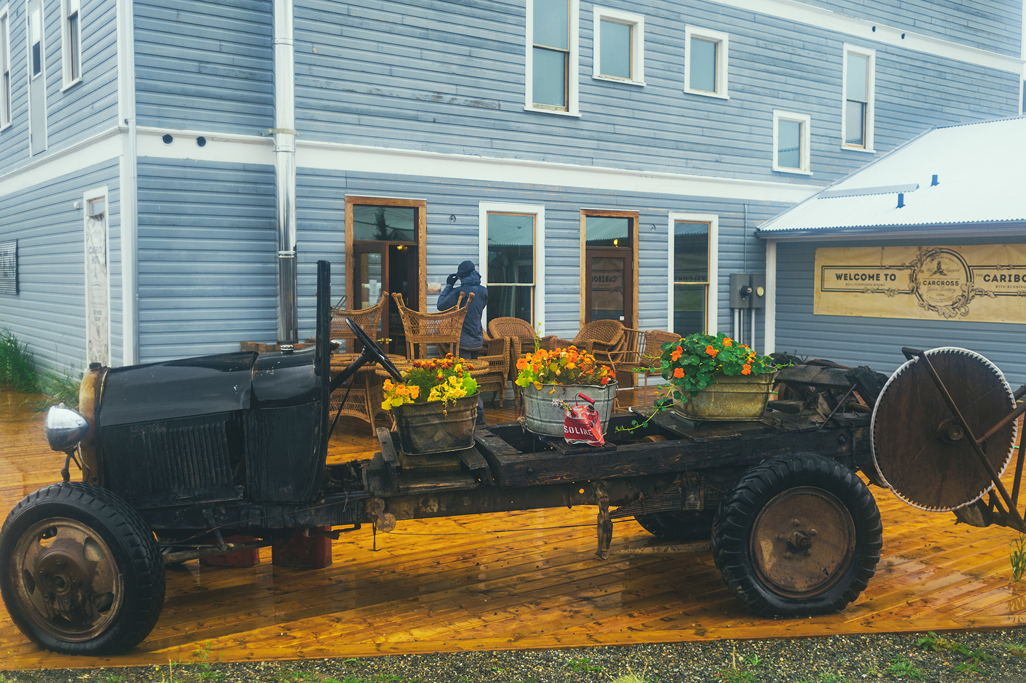
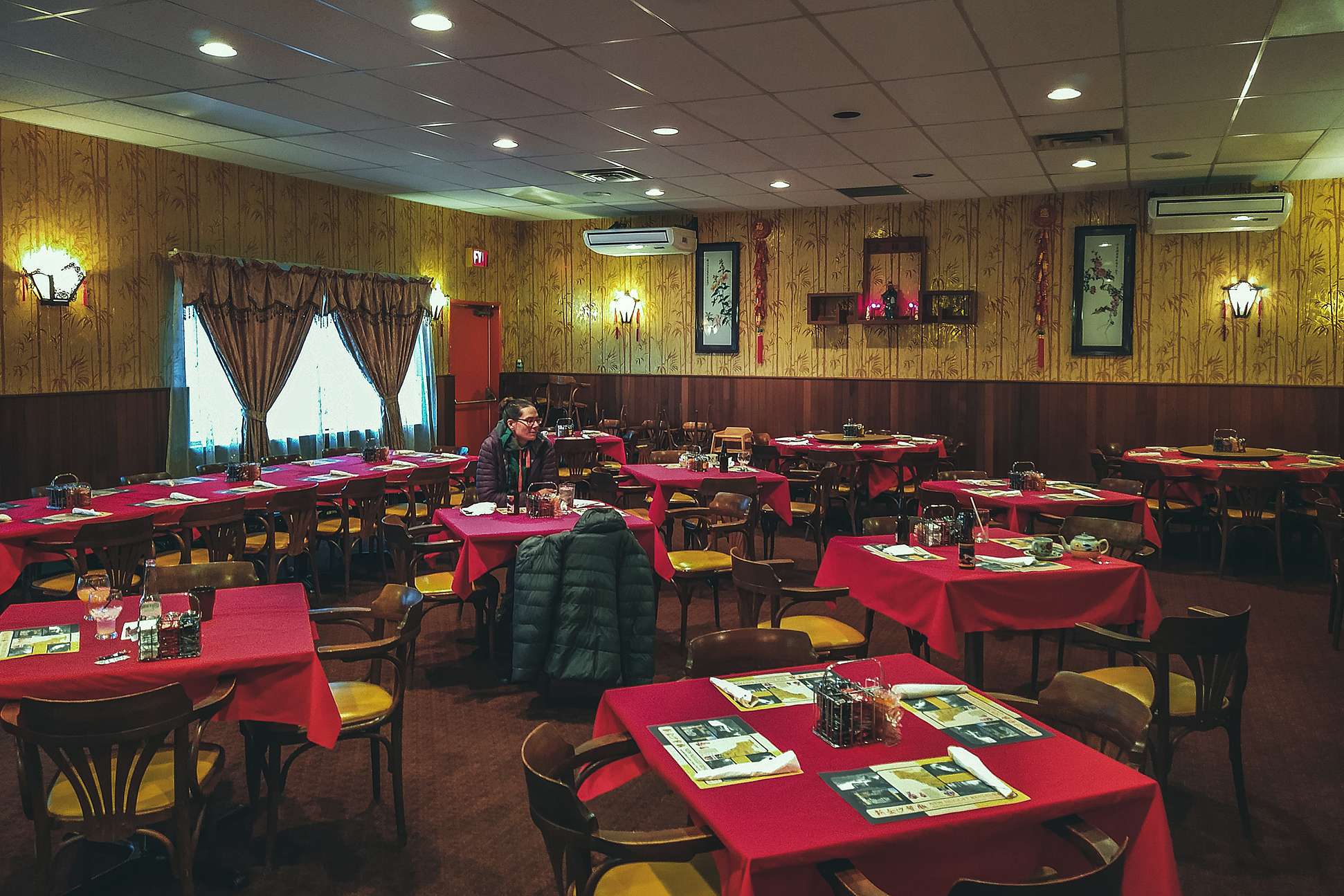
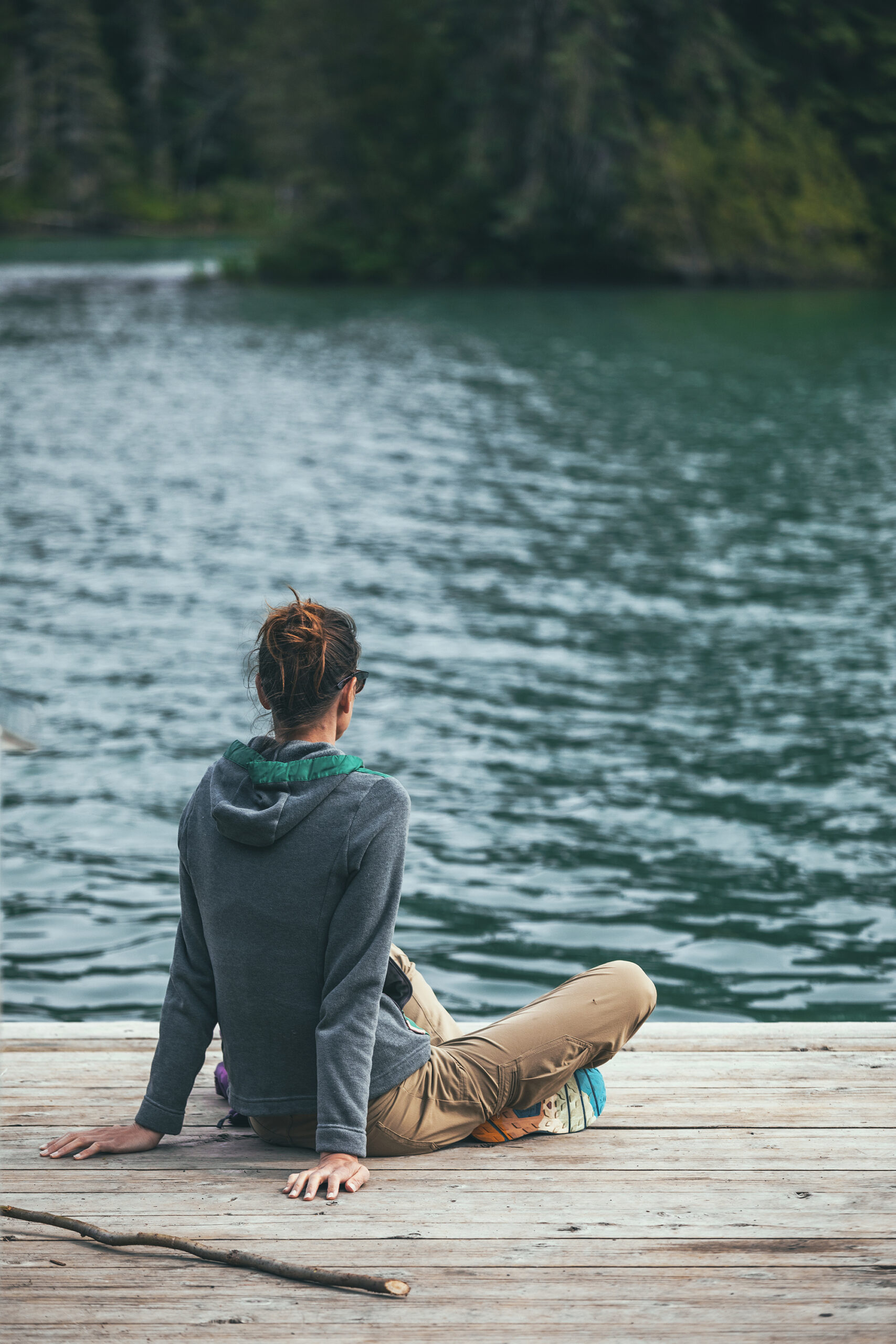
On the other hand, finding other types of accommodation proved to be a bit harder. We had booked three Airbnbs ahead of starting our trip, based on our initial itinerary – about 1 indoor stay per week, so we could take a break from the camping life and do things like laundry and sleep in a real bed.

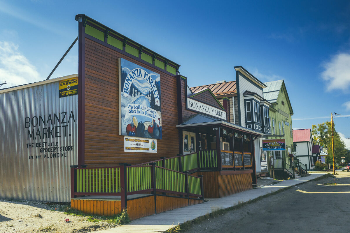
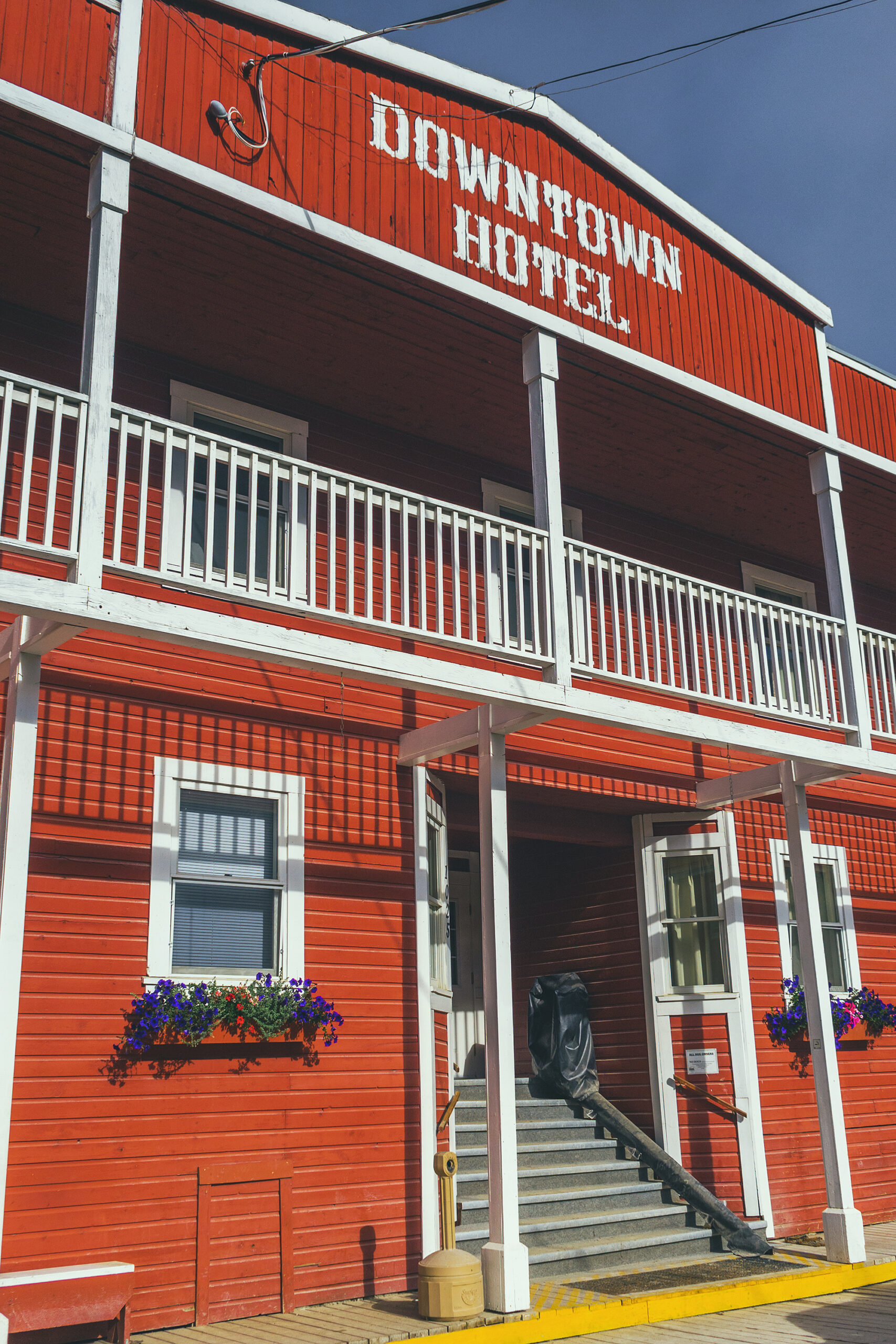
When we tried to book a hotel room in Dawson City after our Tombstone trek, we found no availability anywhere (it was a Saturday night). And when I looked for a last minute Airbnb between Watson lake and Dawson Creek, the closest I only found were a couple of options in Fort St John – there were a couple of motel options but we ended up skipping those and splurging on a house stay instead. So the last-minute indoor options were a bit more limited and I was glad we booked the first three stays in advance, especially the night just before Tombstone.

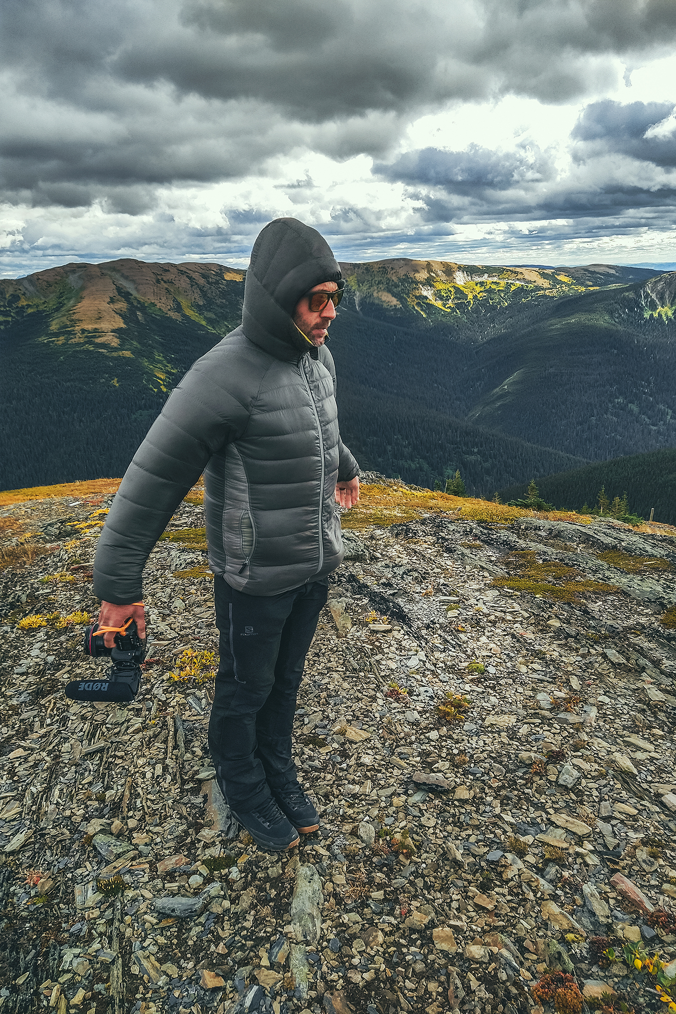
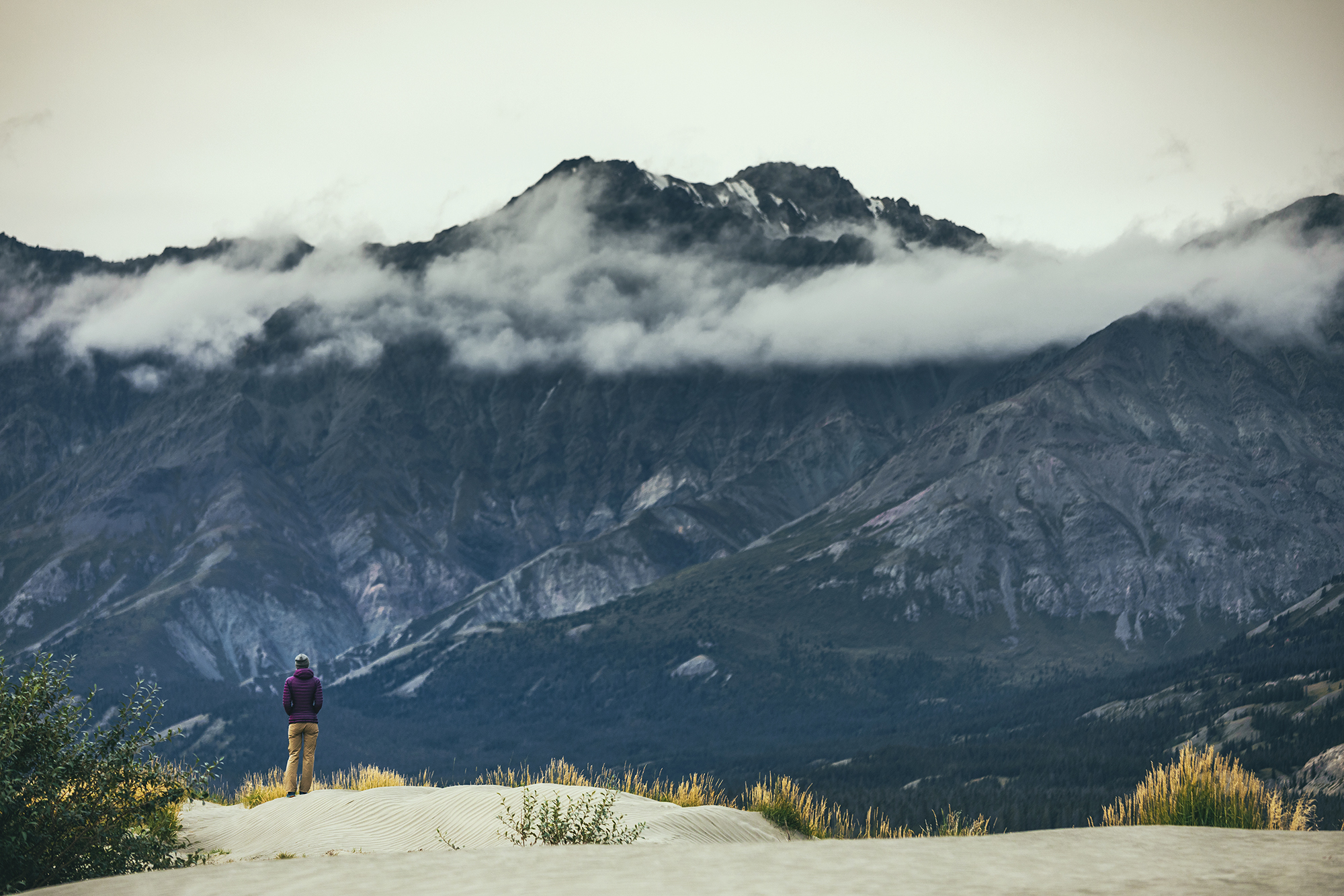
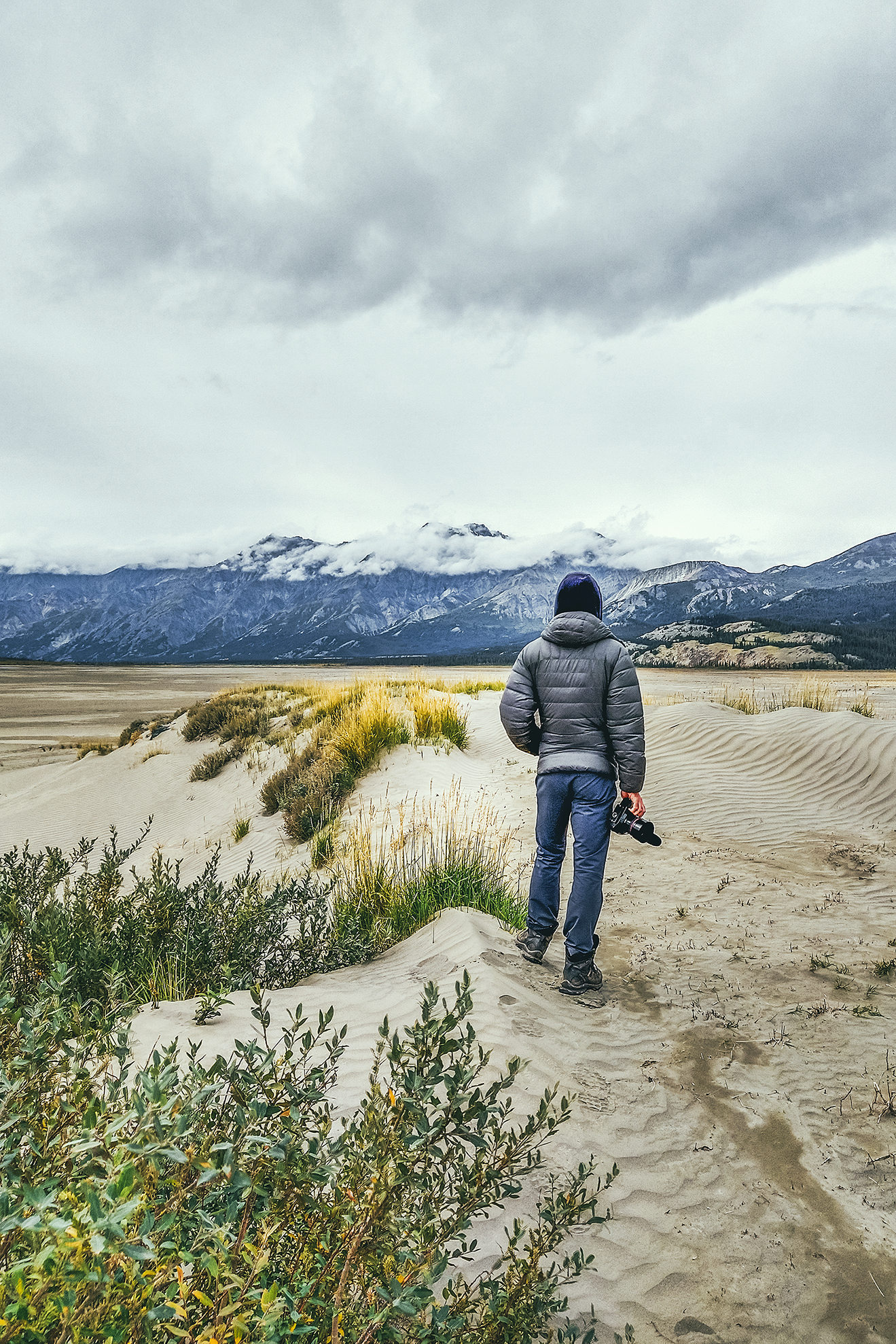
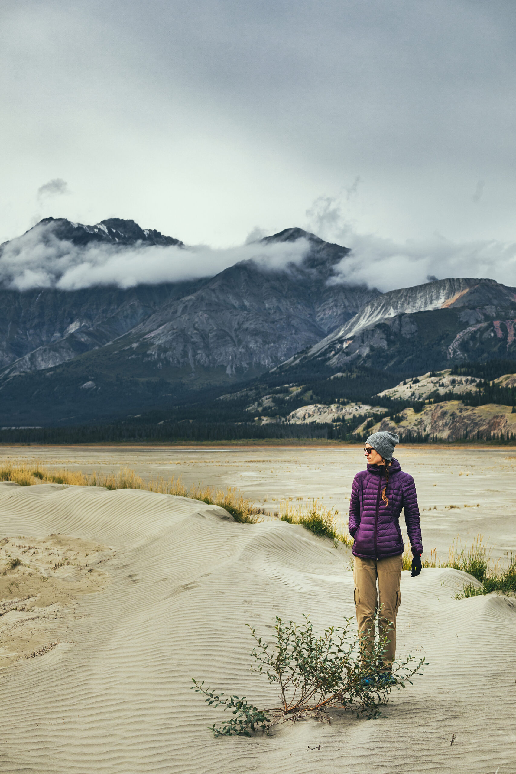
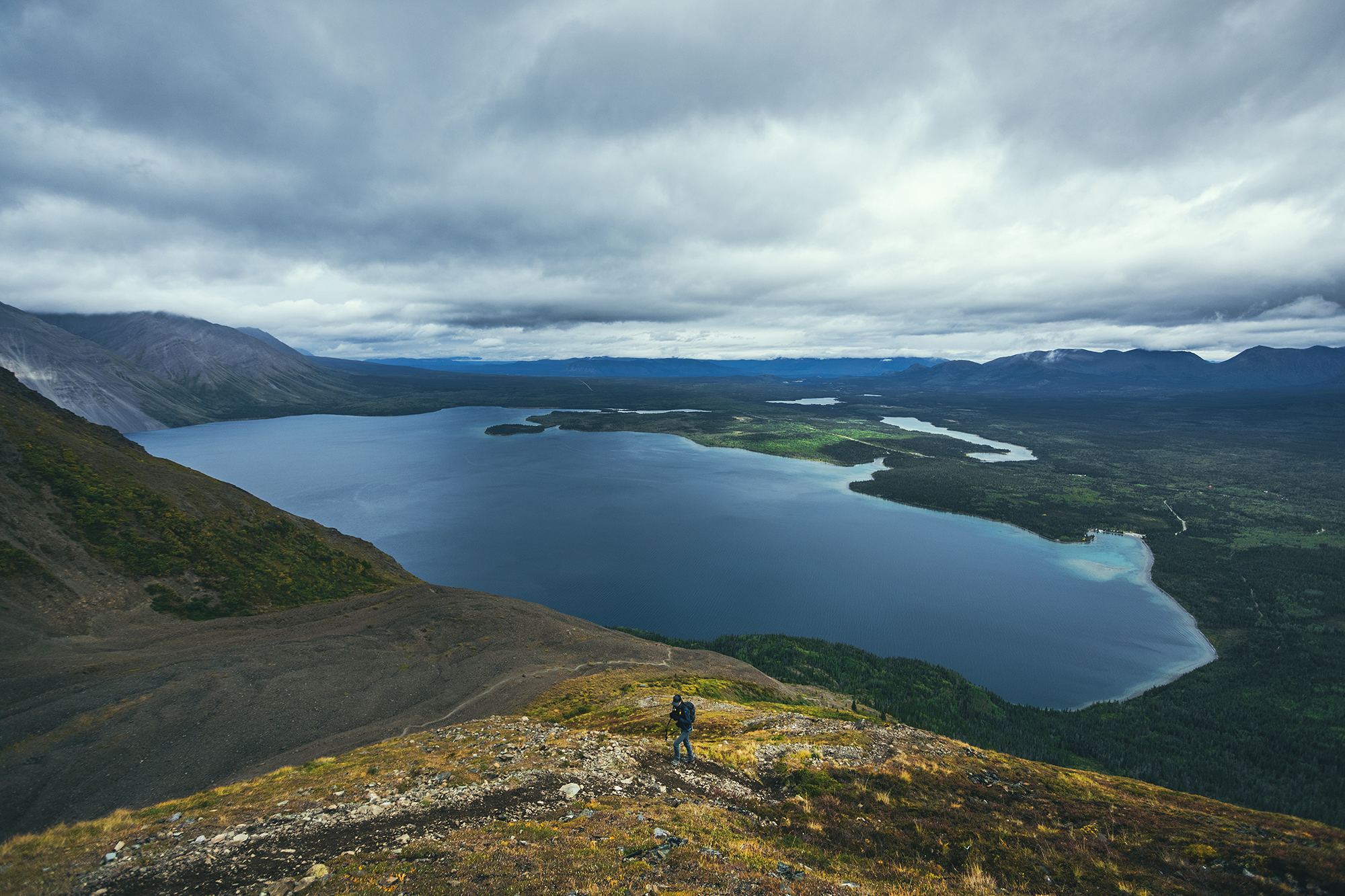
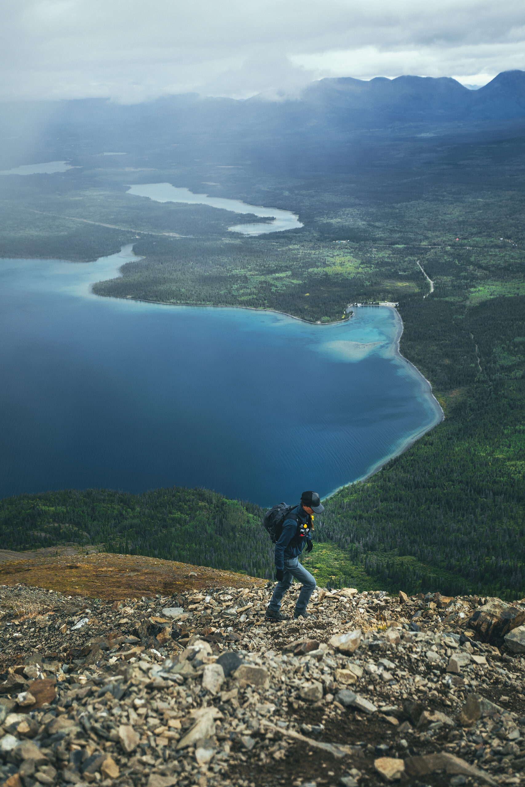
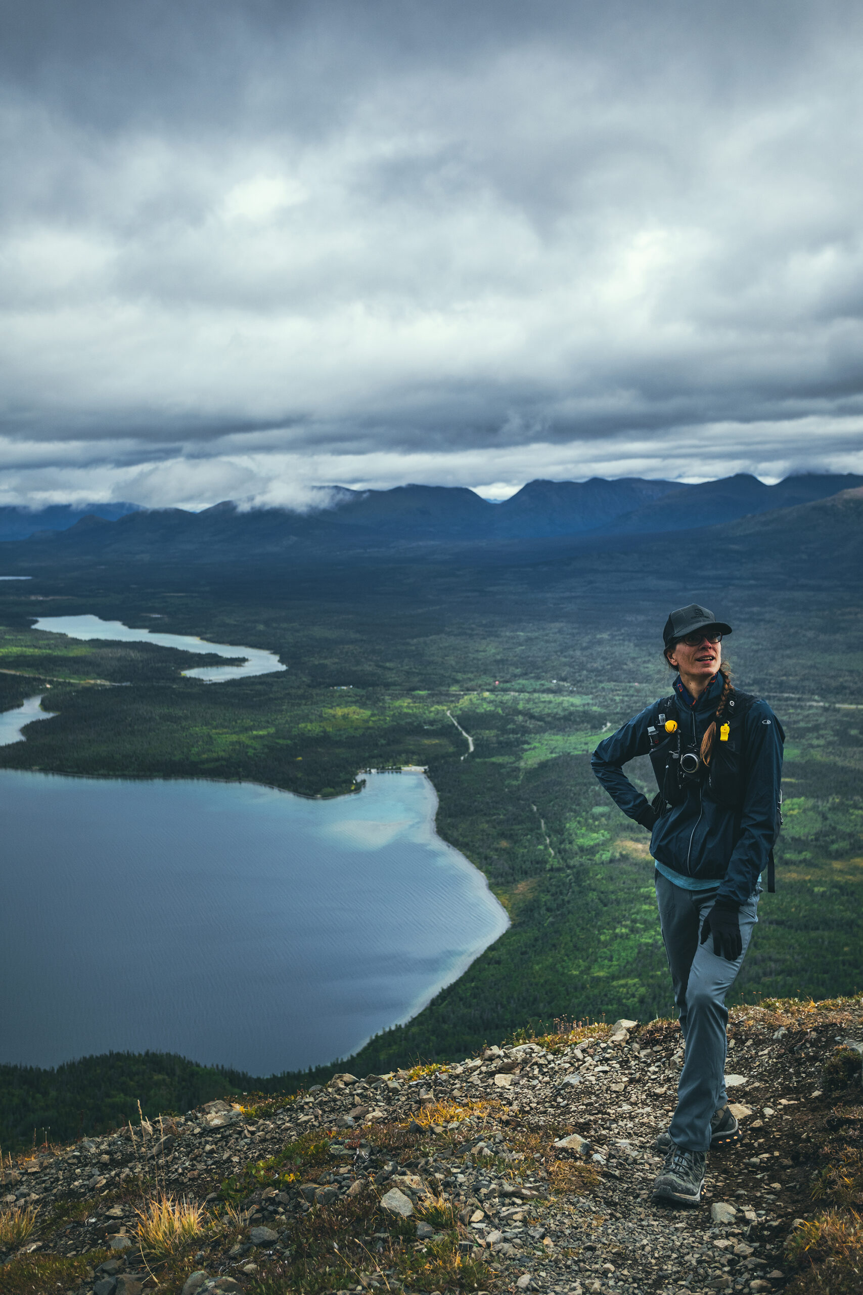
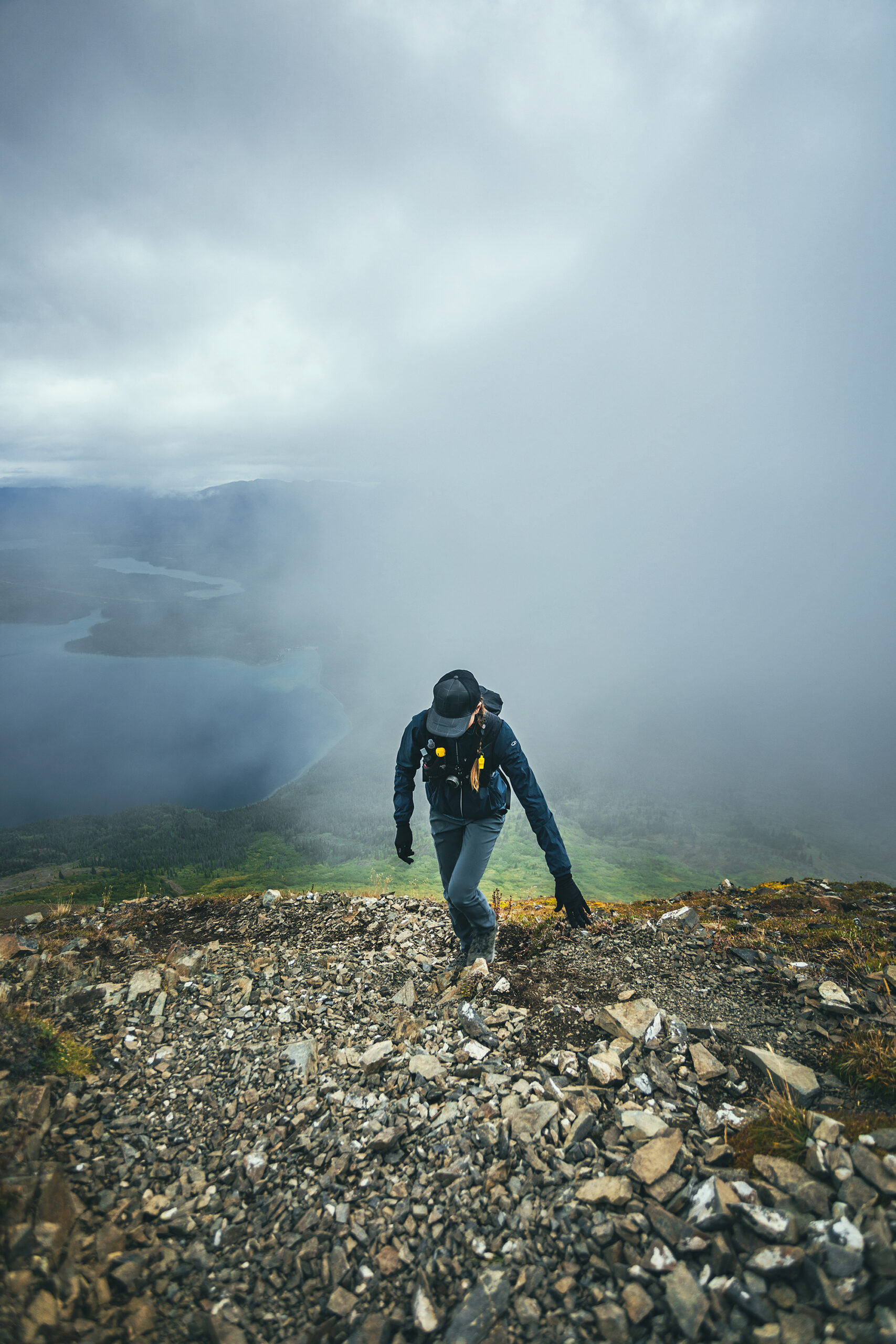
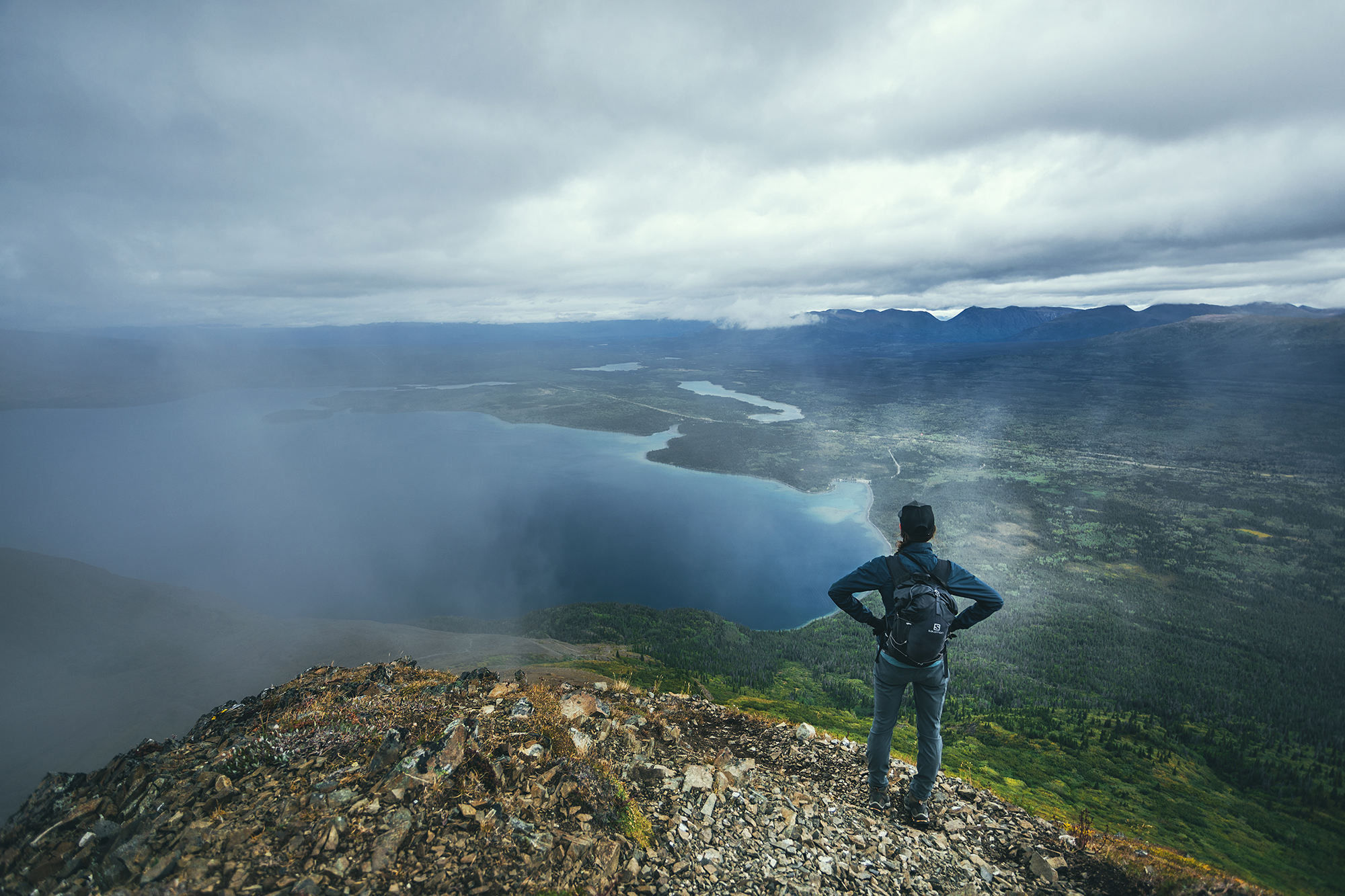
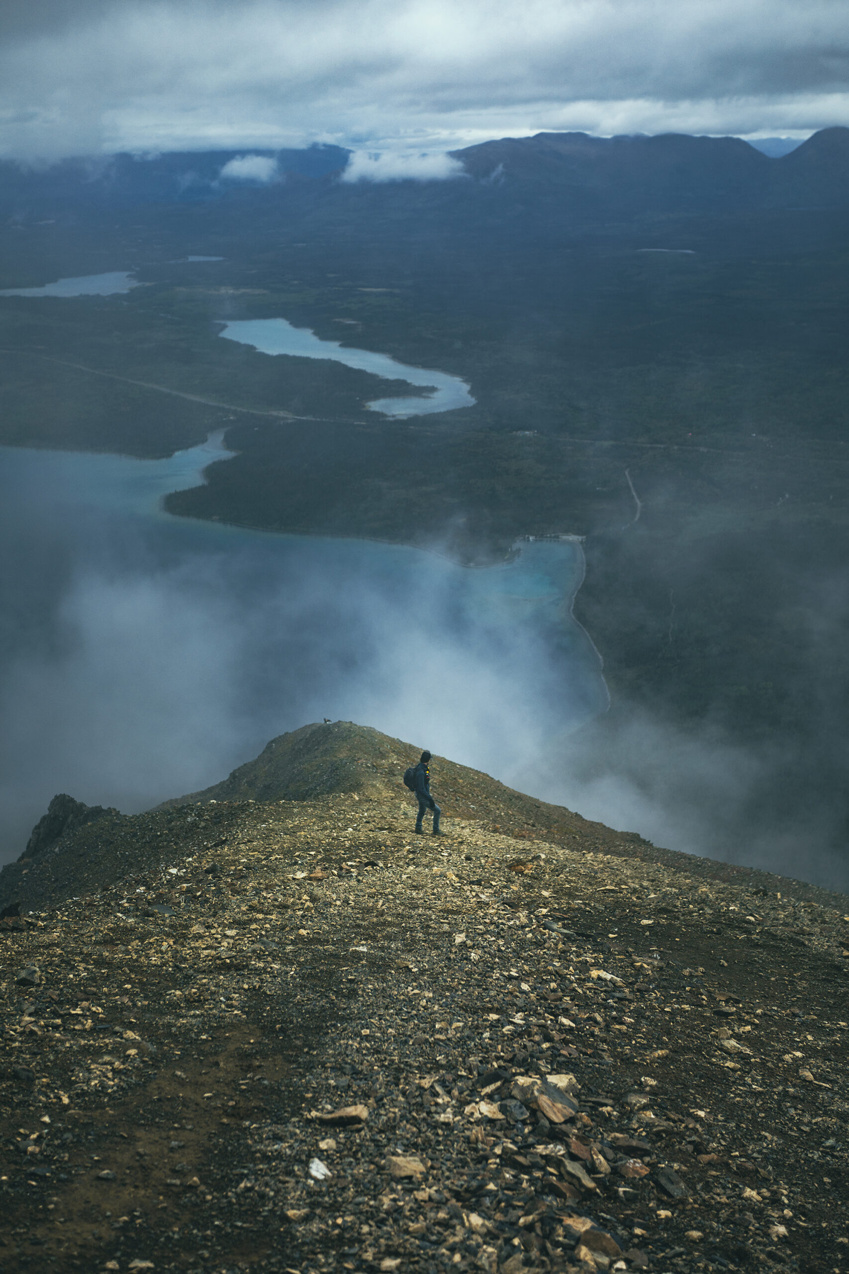
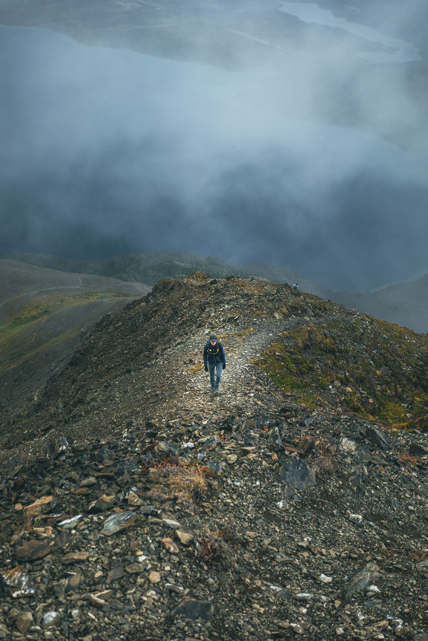
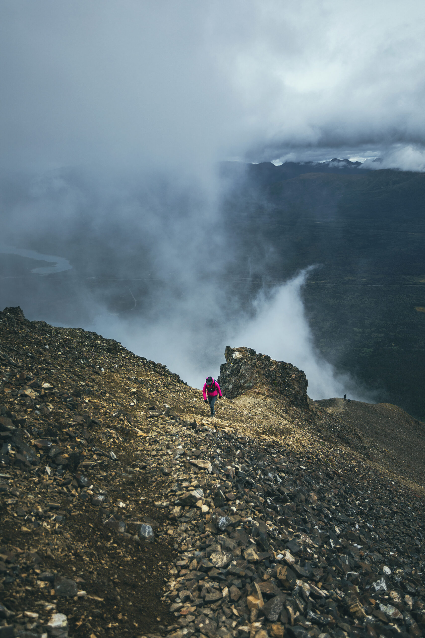
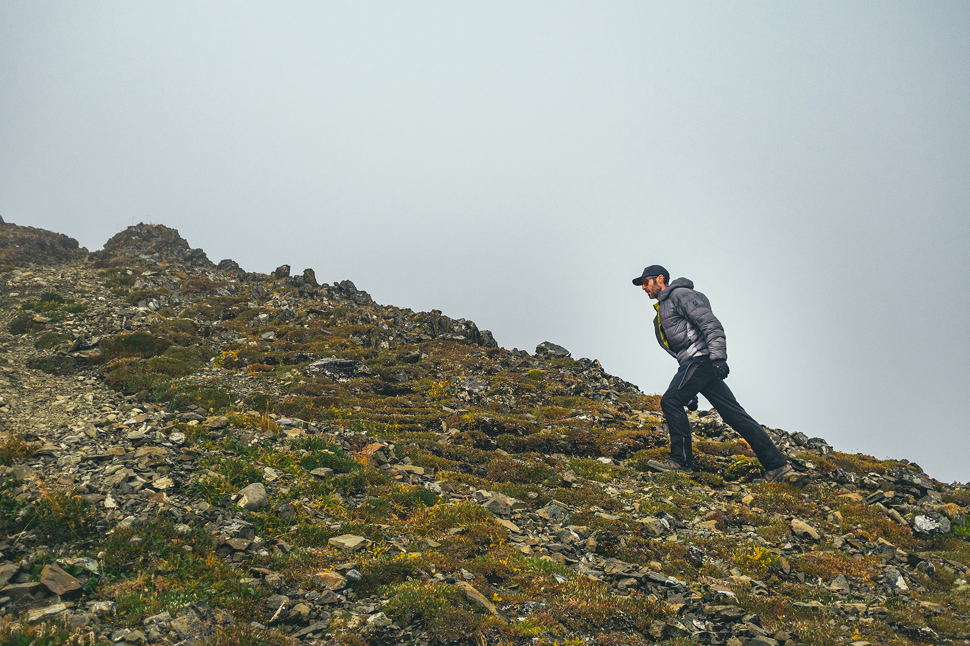
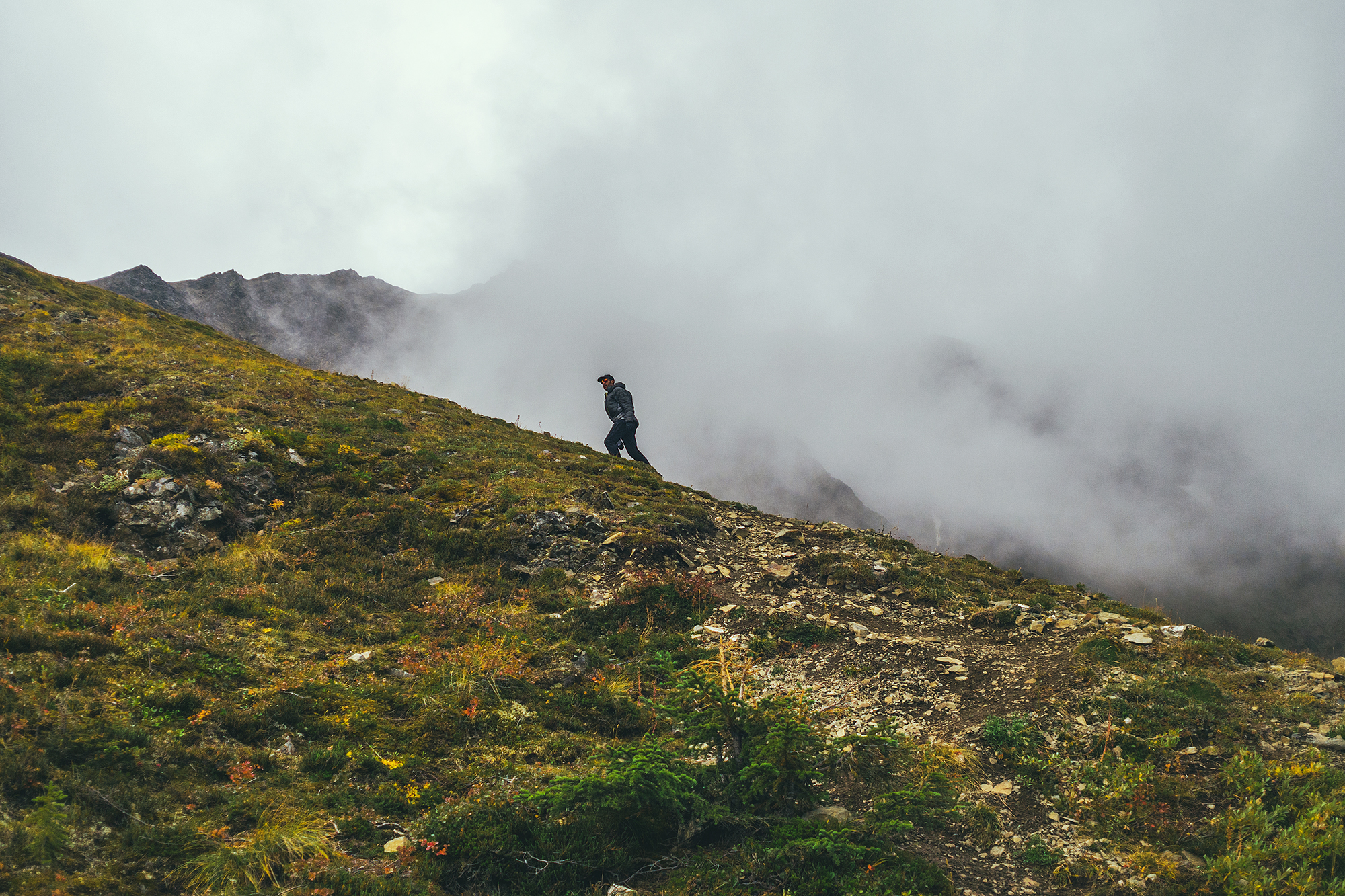
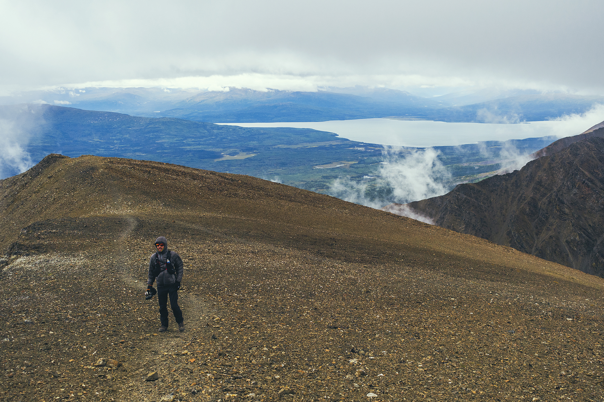
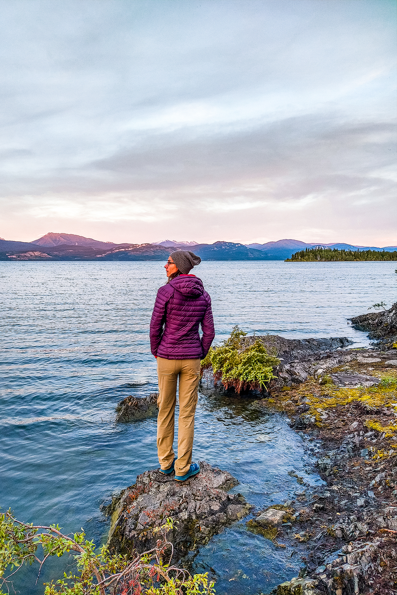
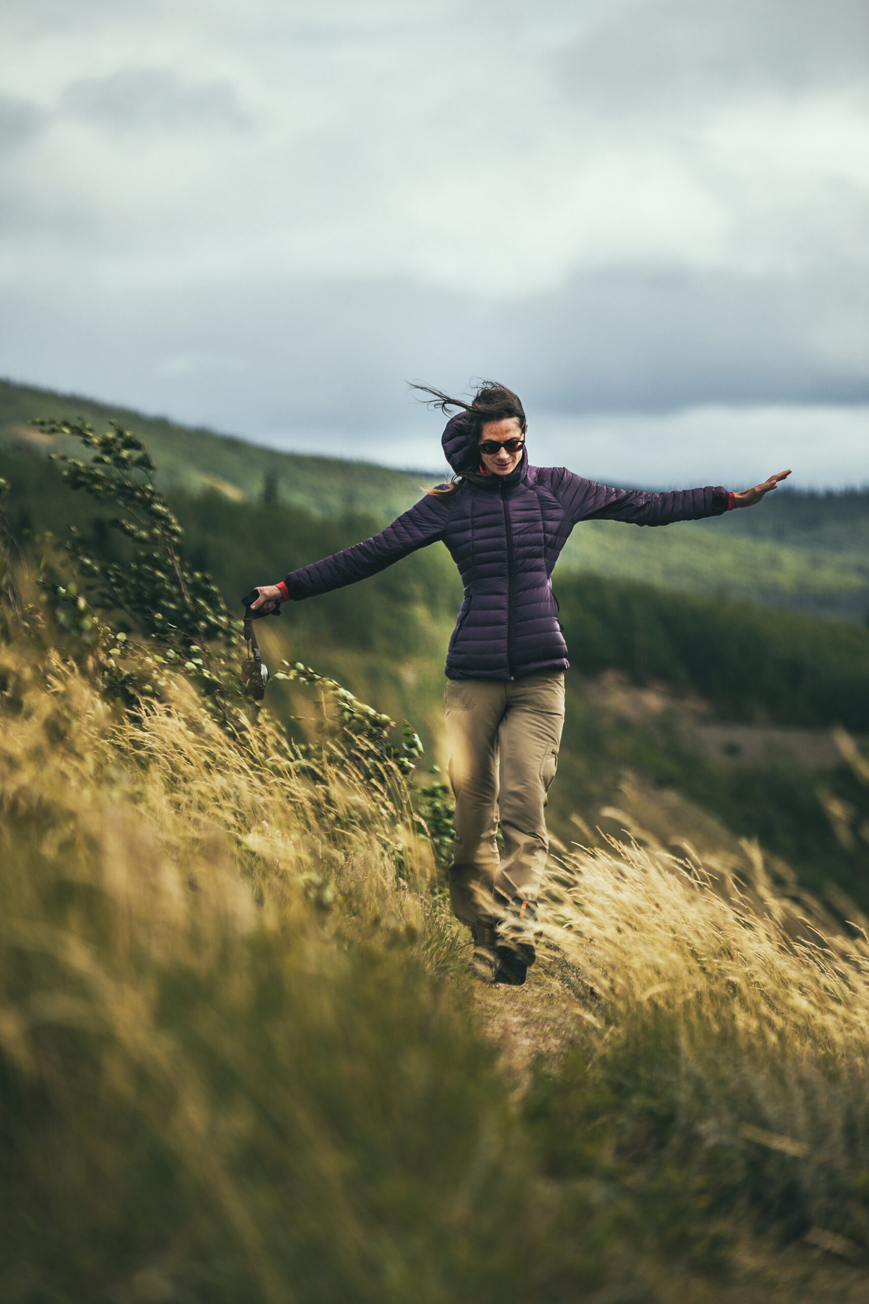
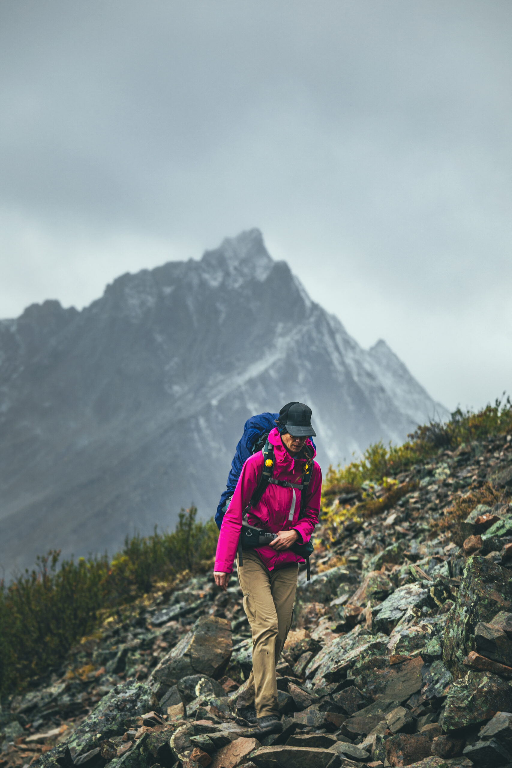
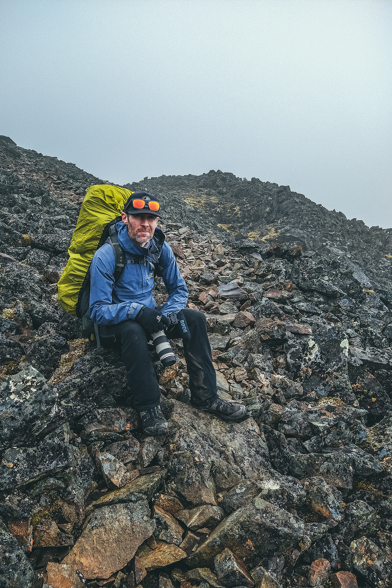
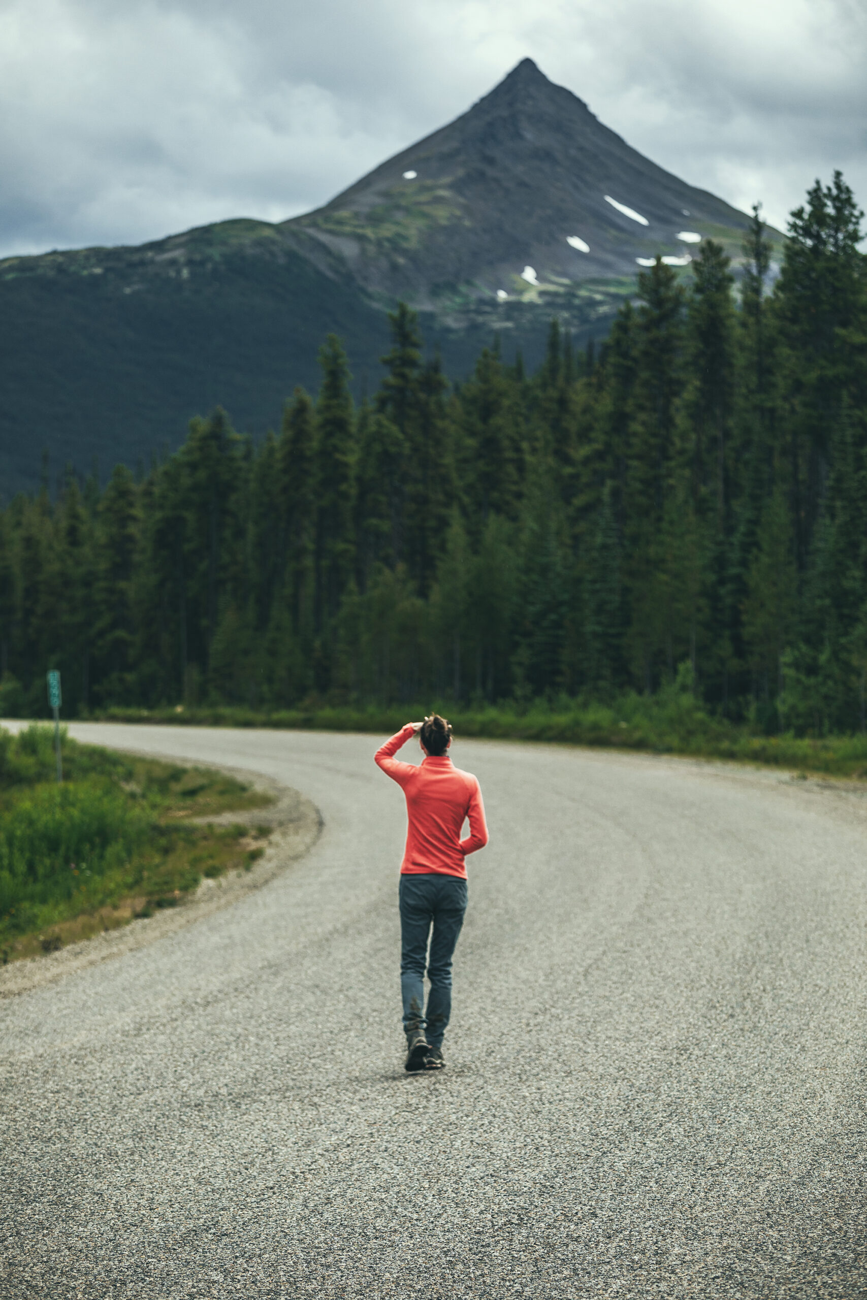
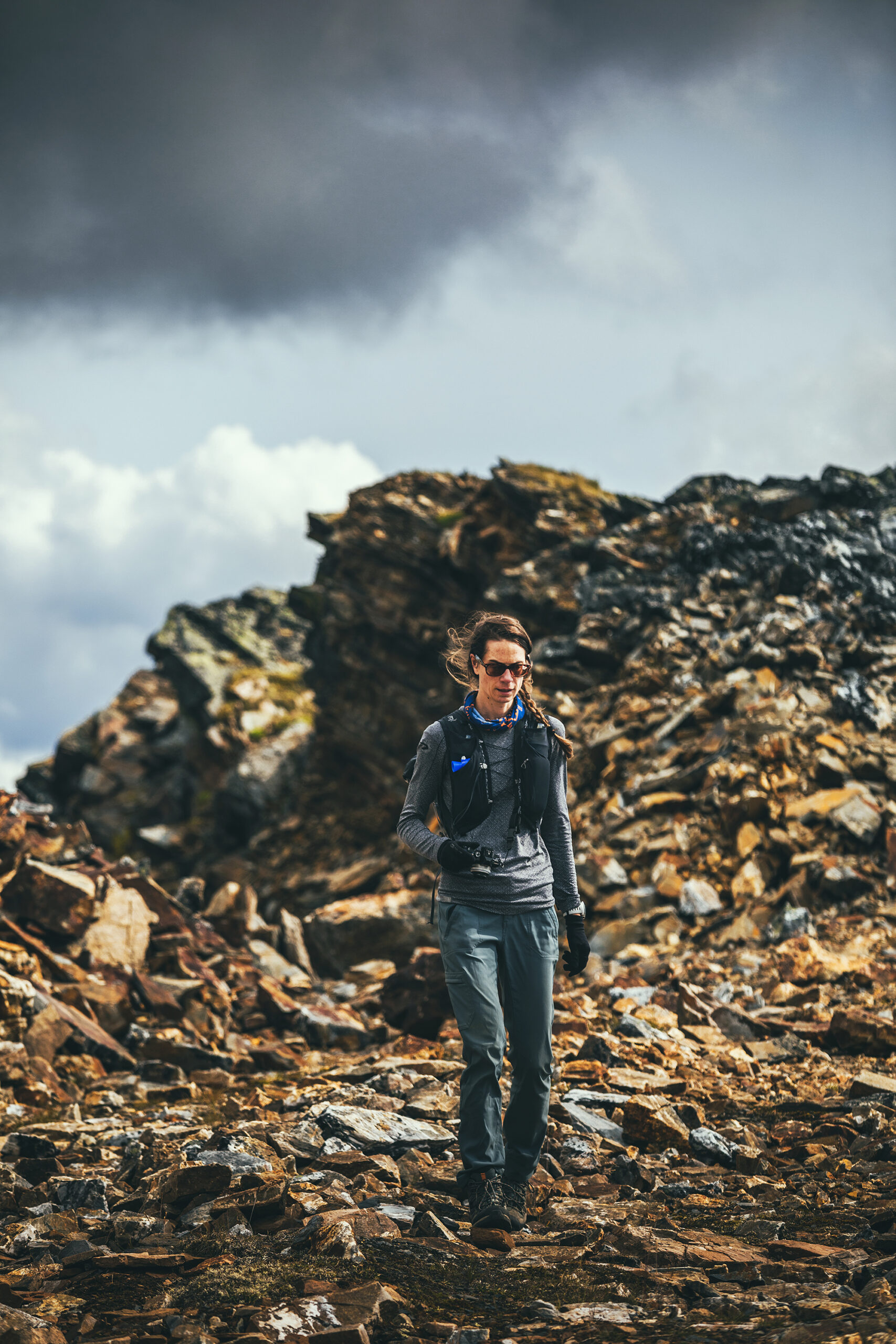
Dressing for the Weather

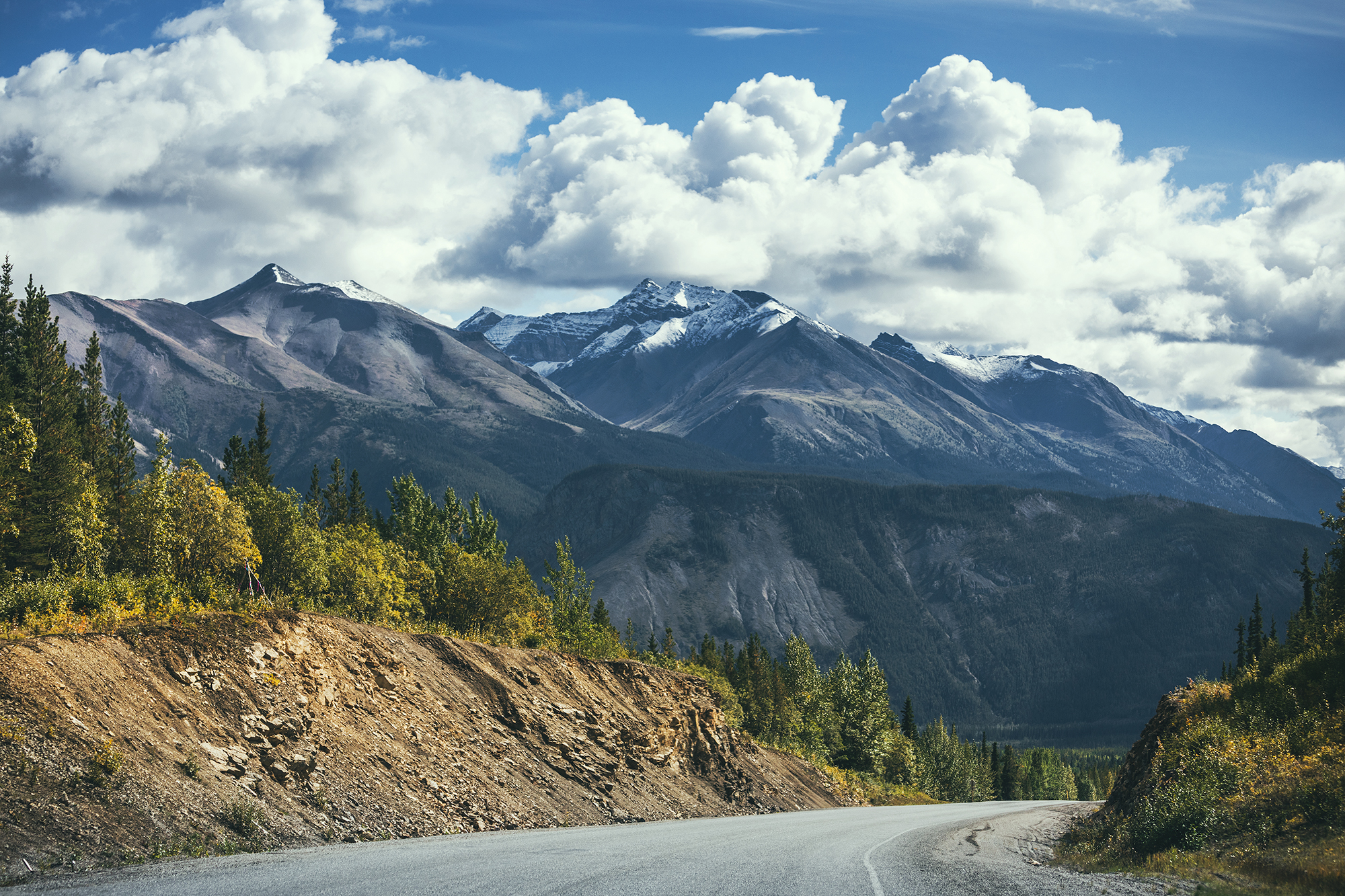
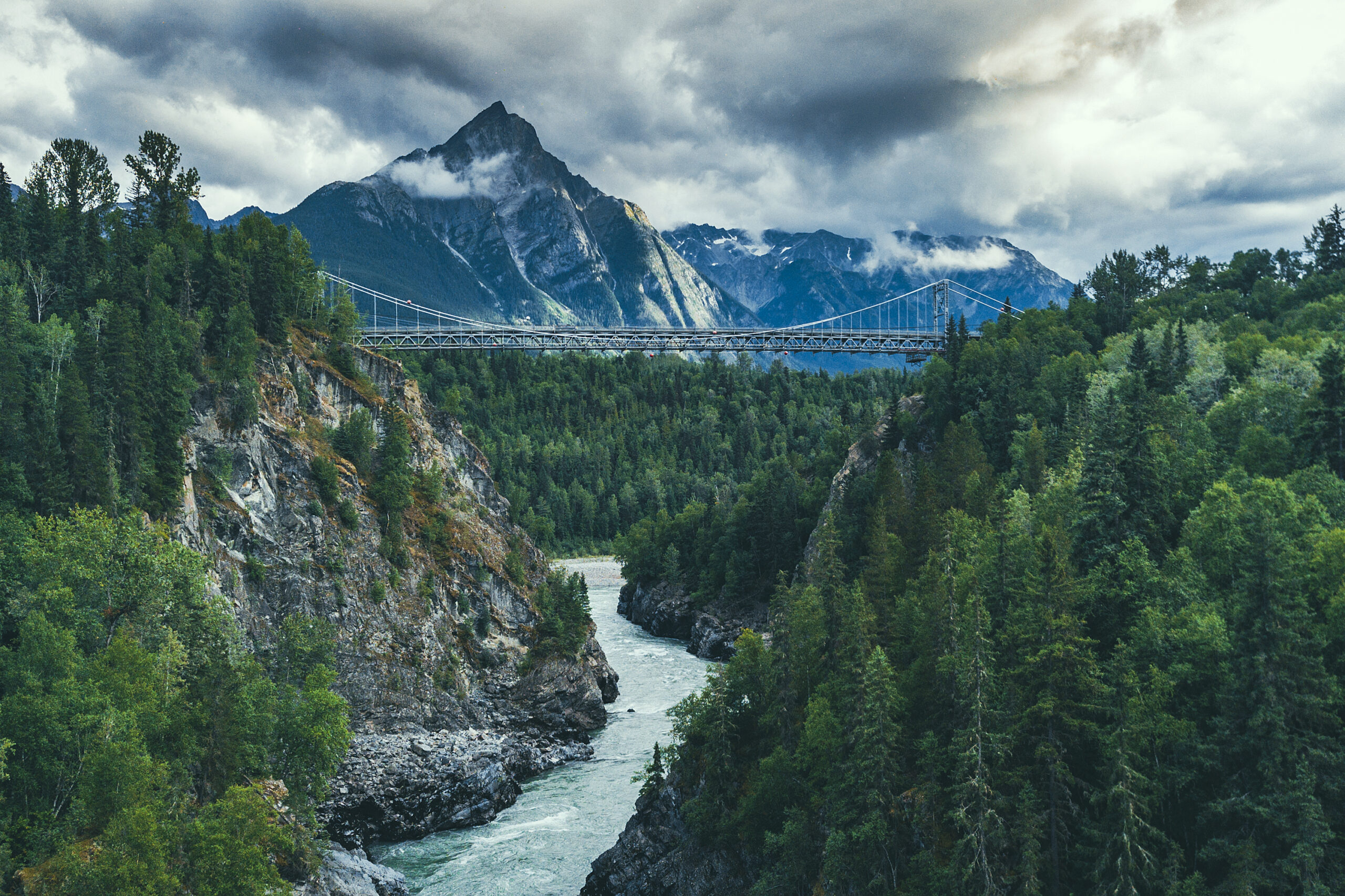
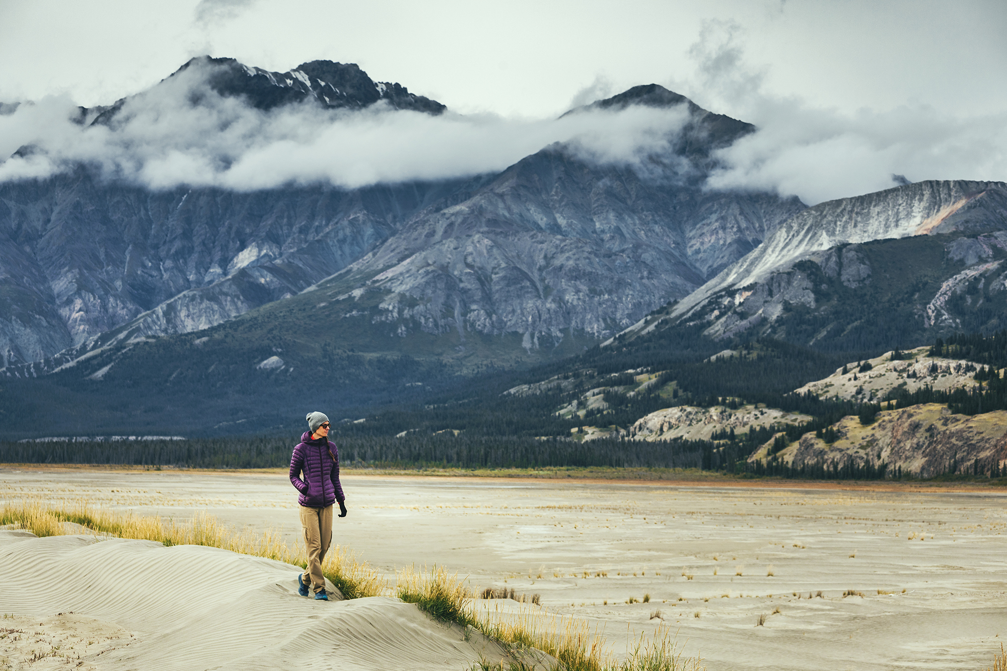
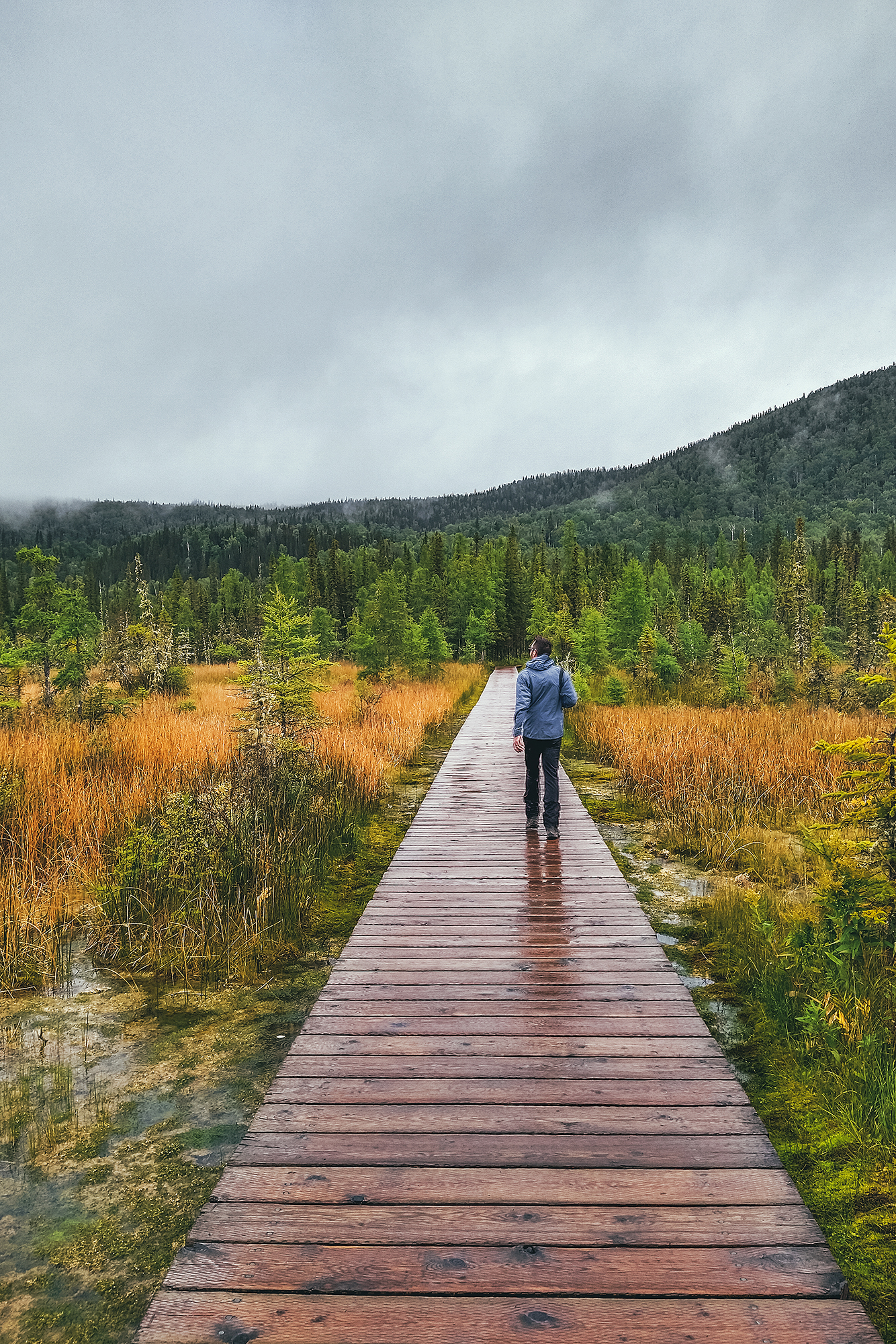
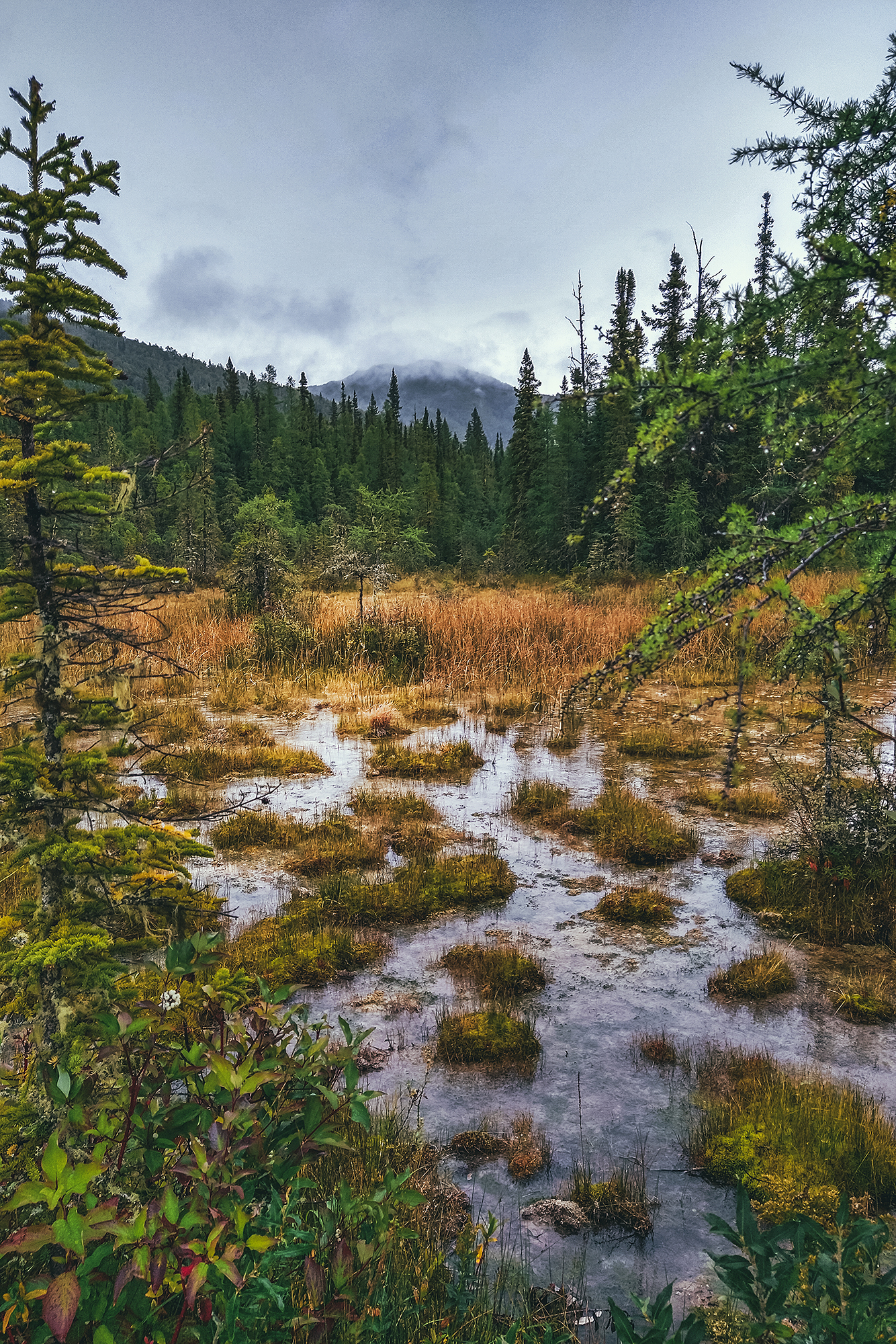
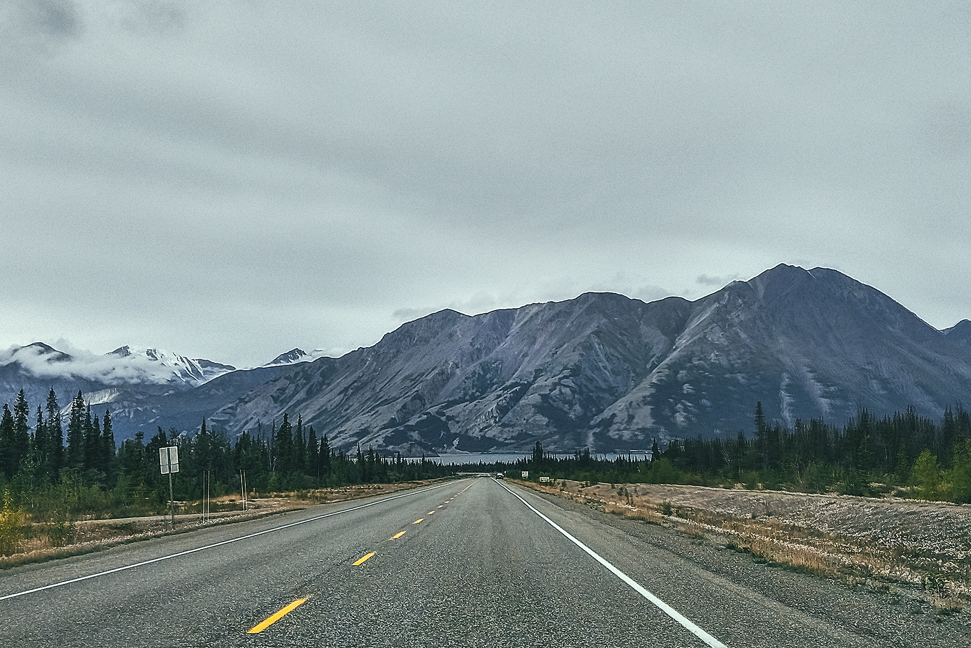
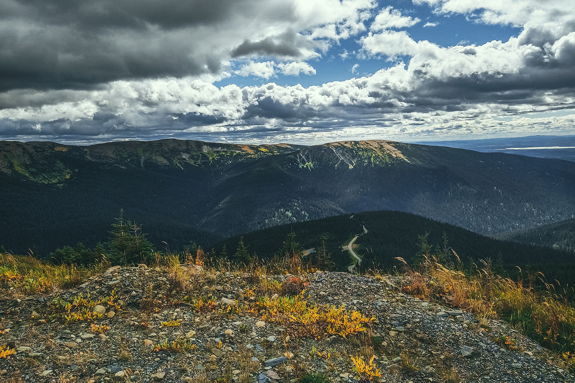
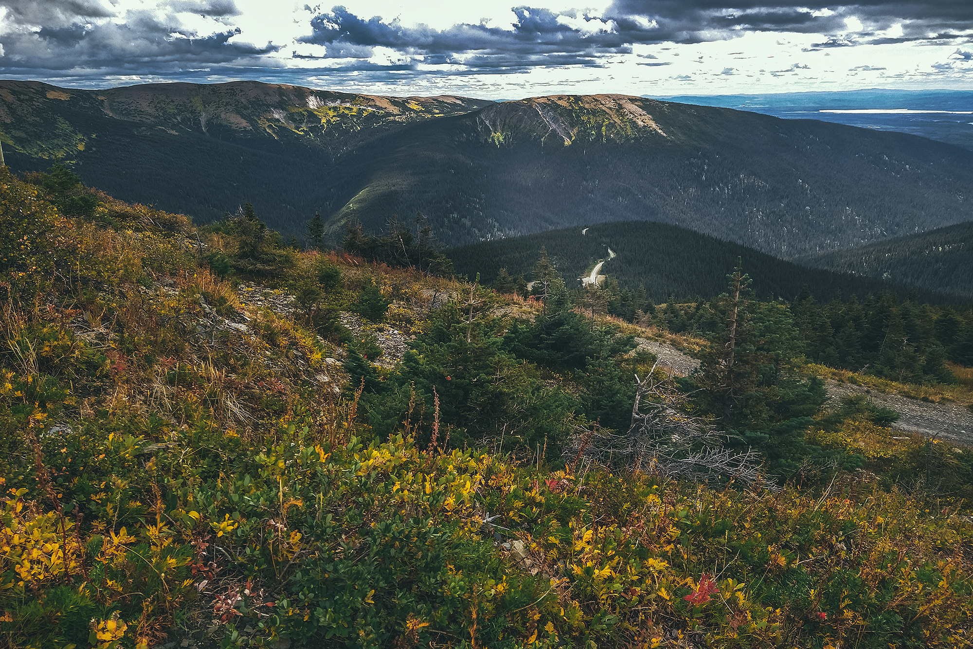
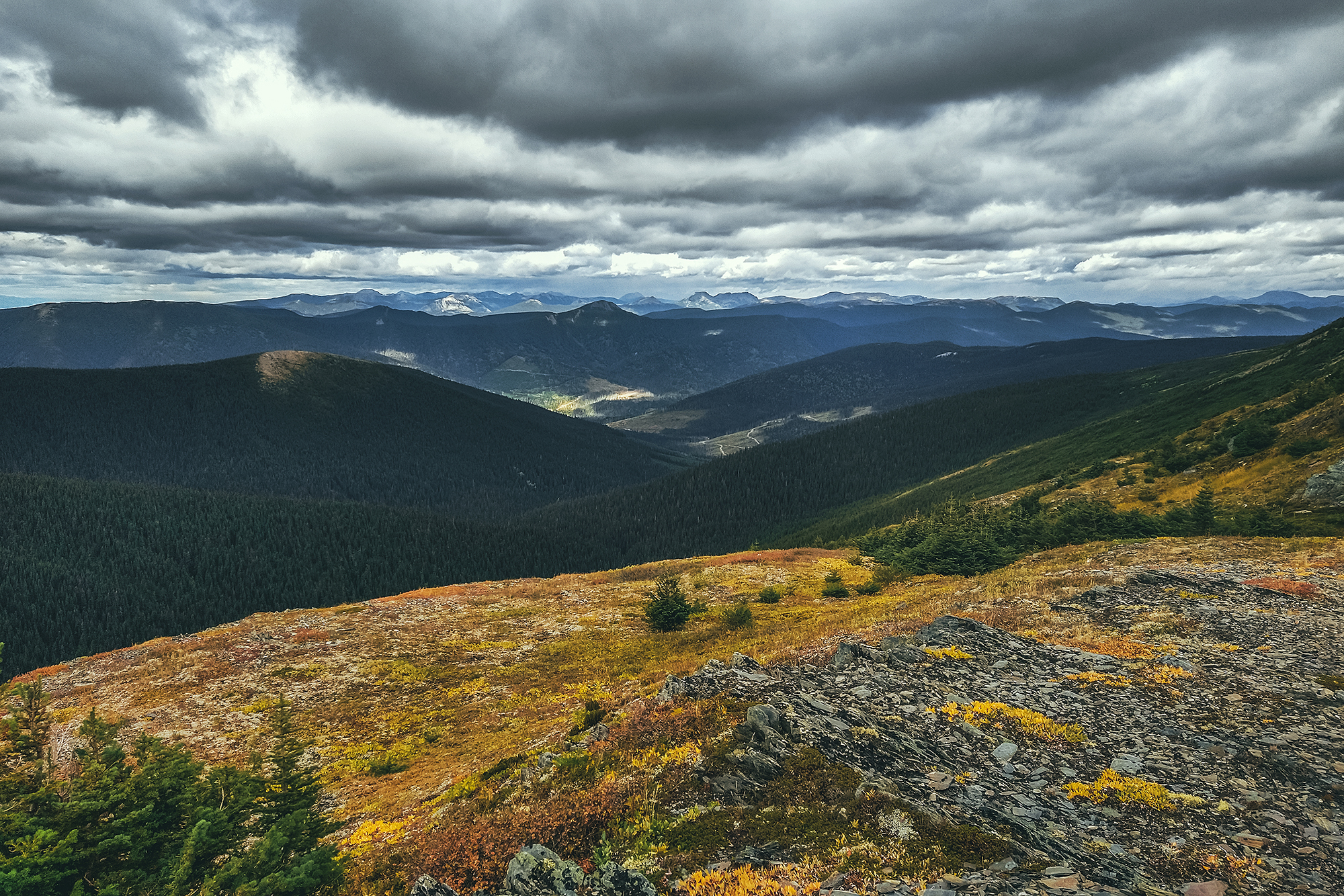
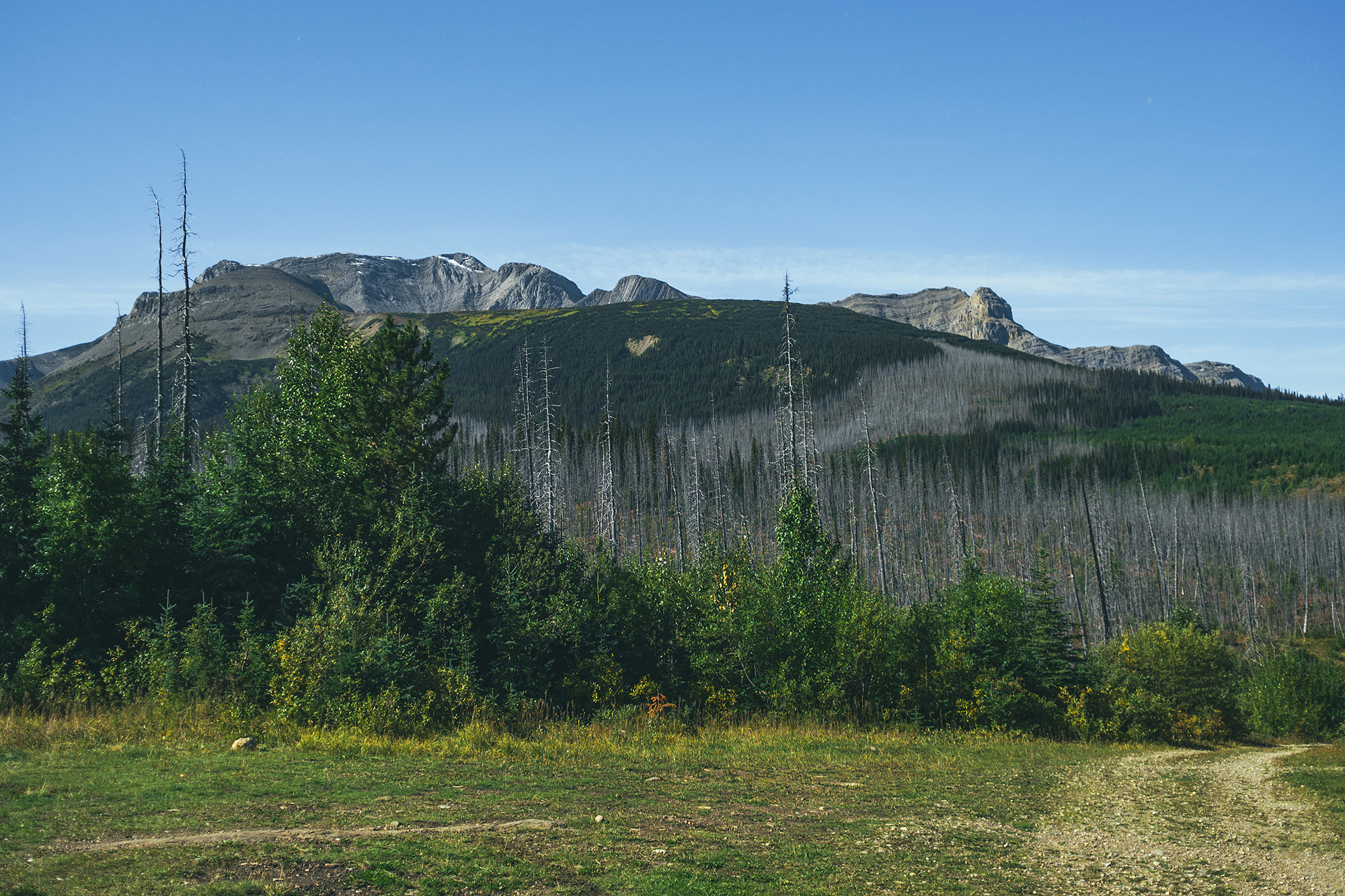
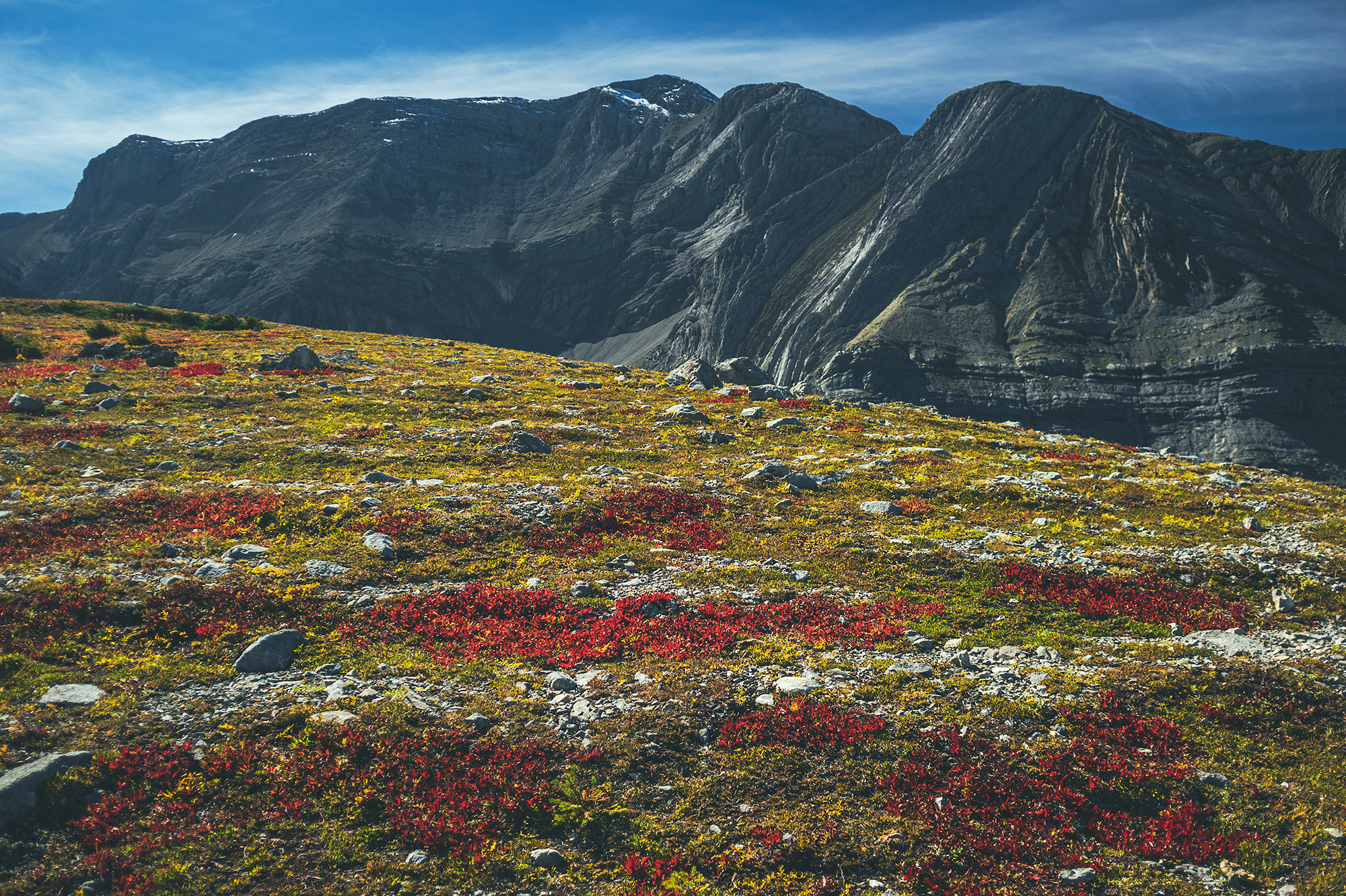
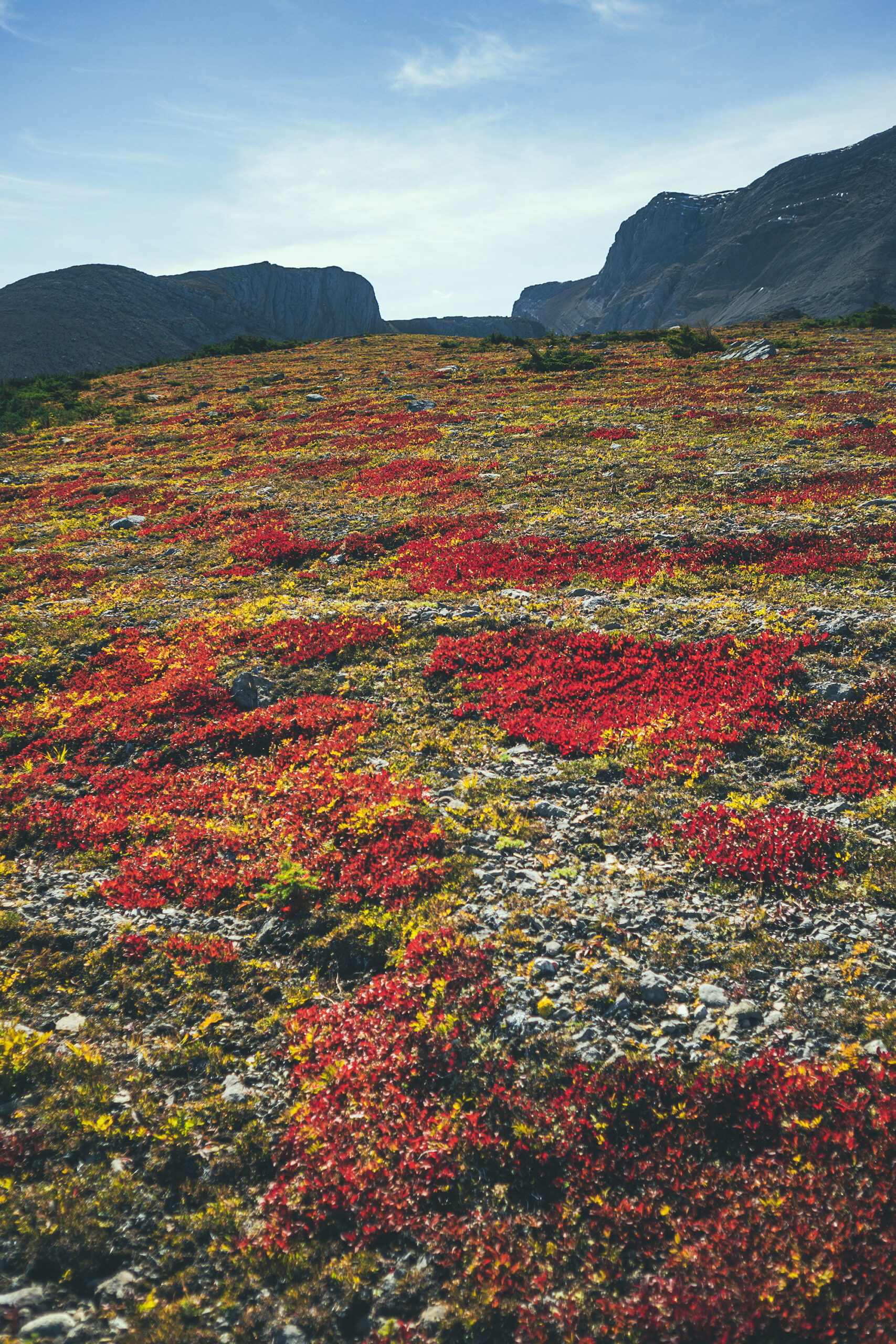
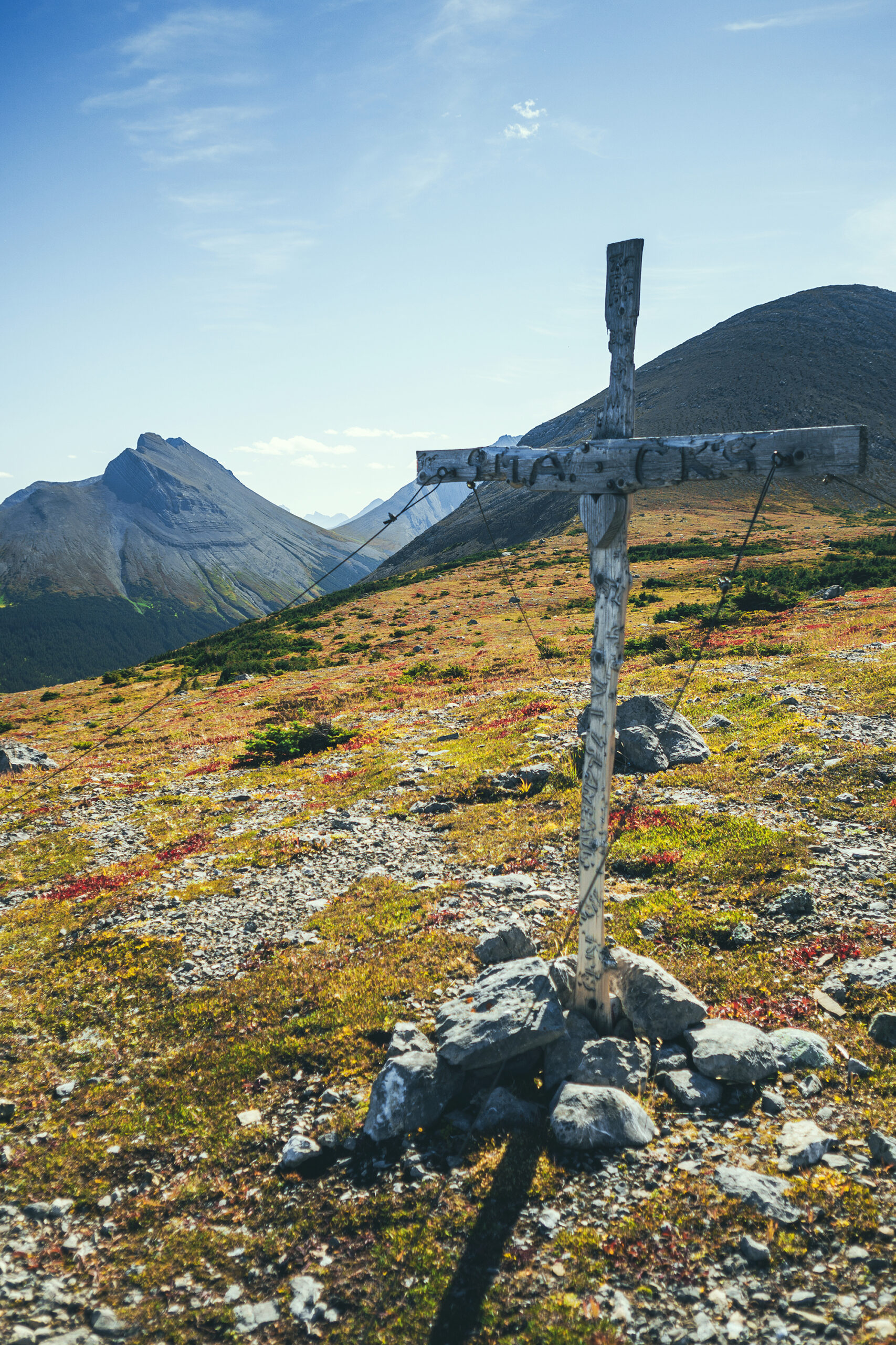
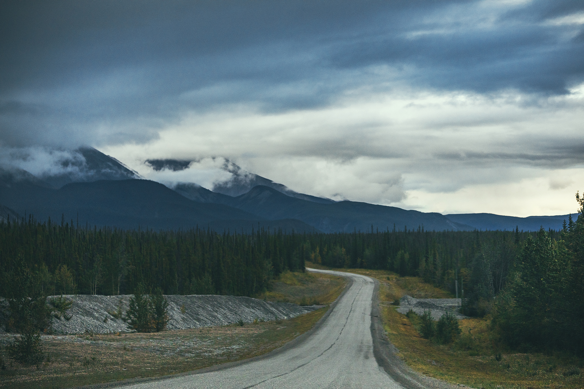
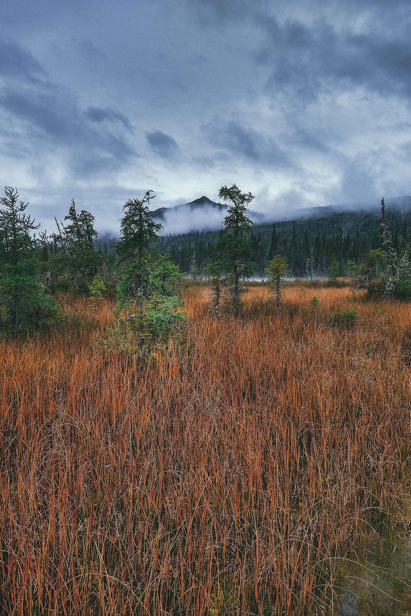
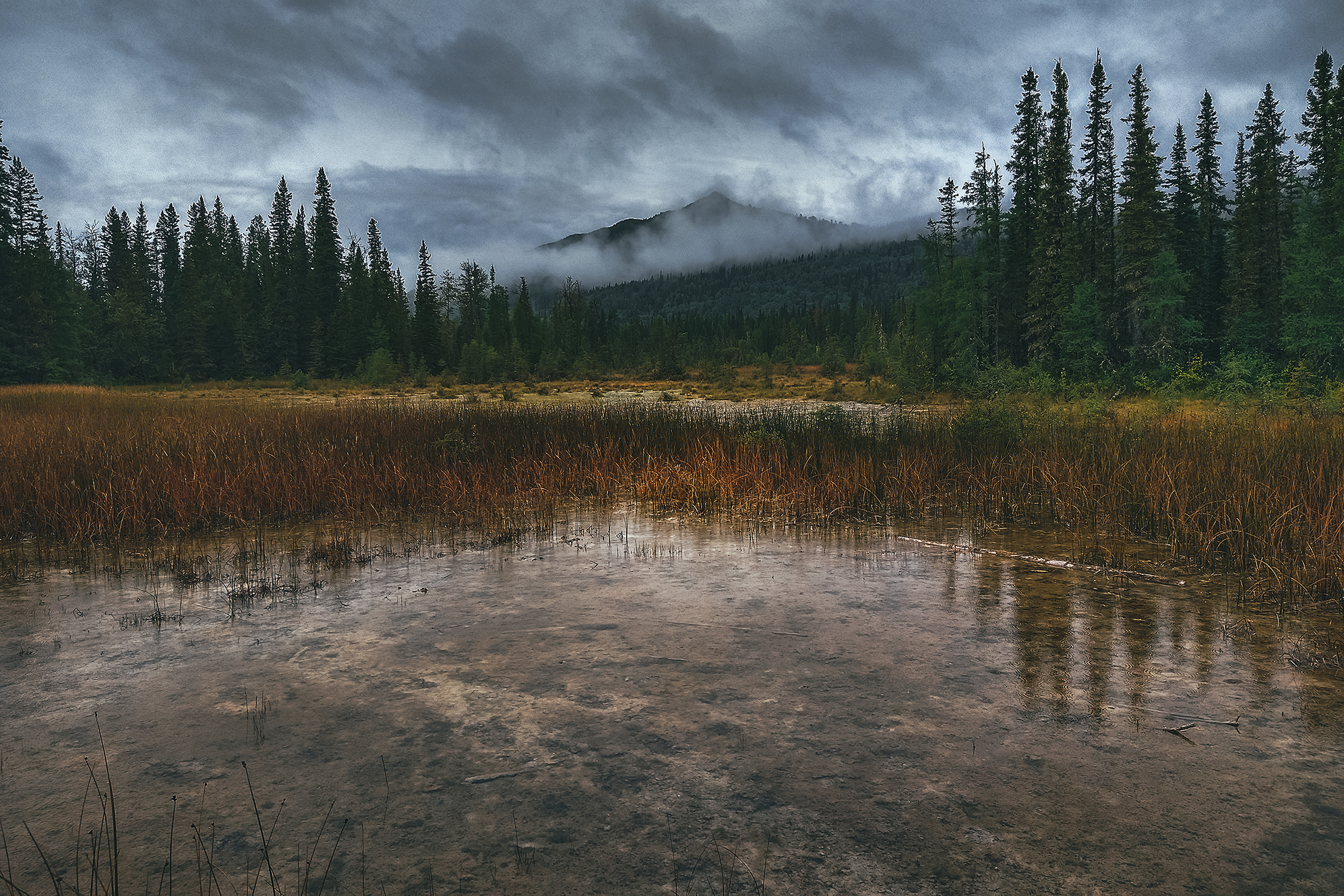
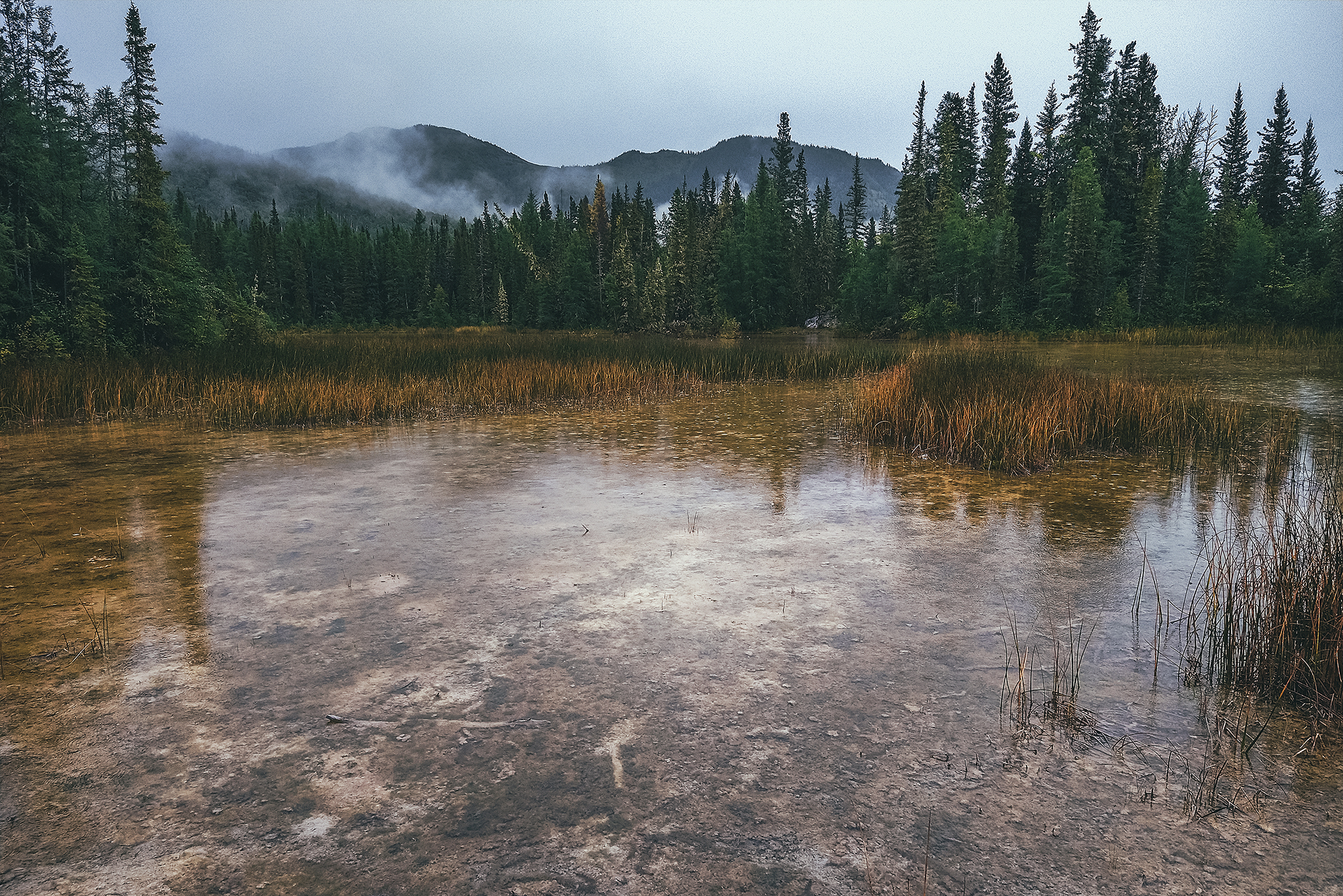
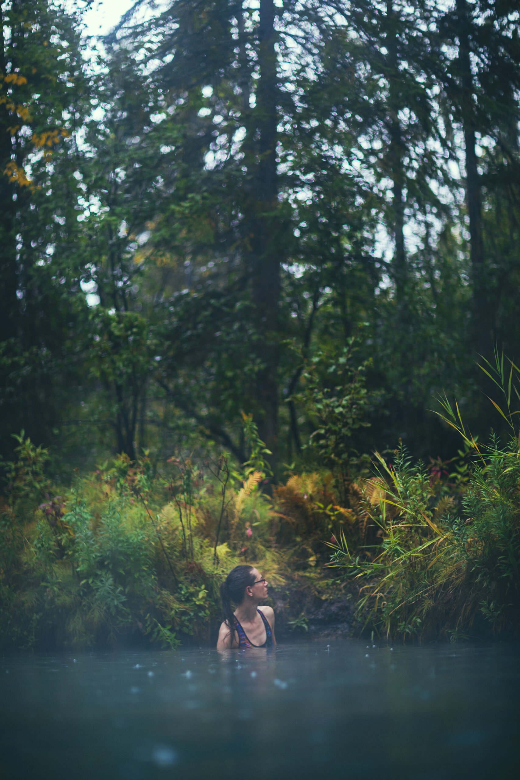
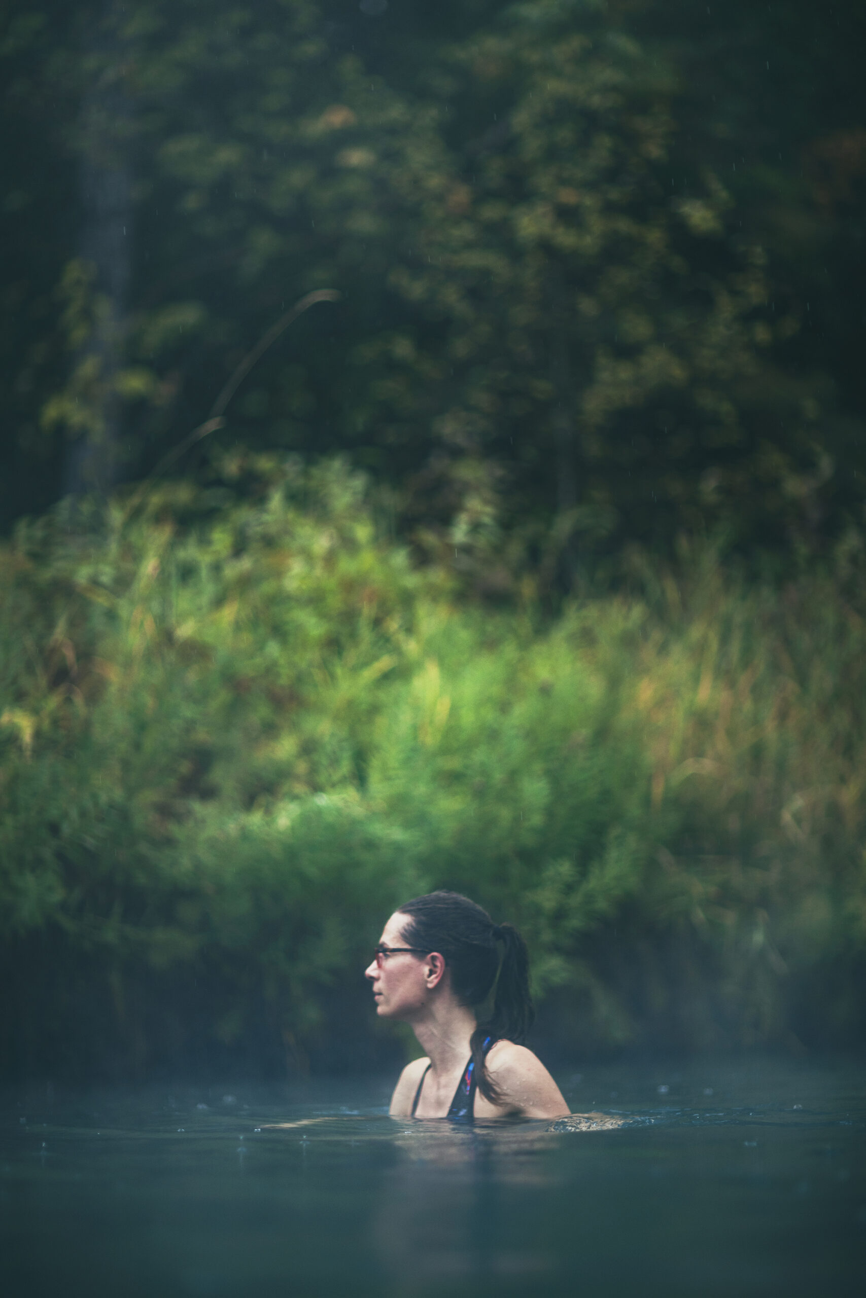
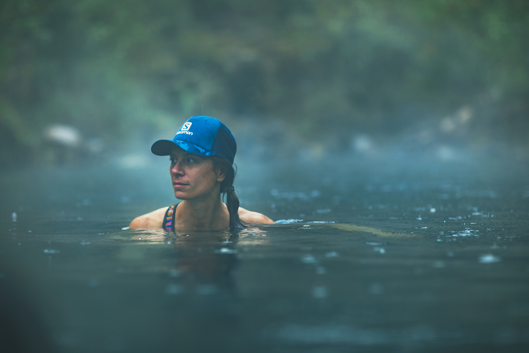
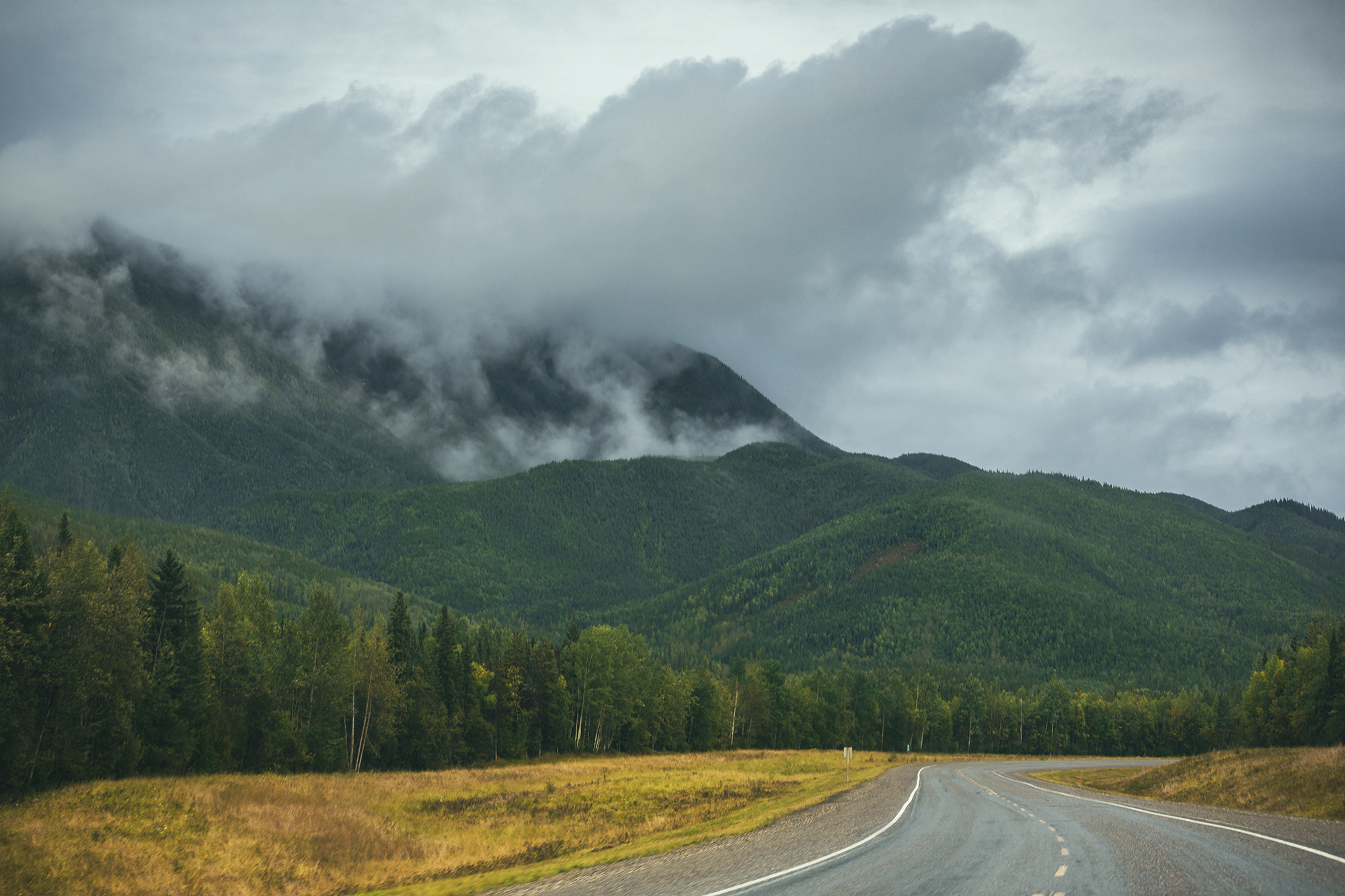
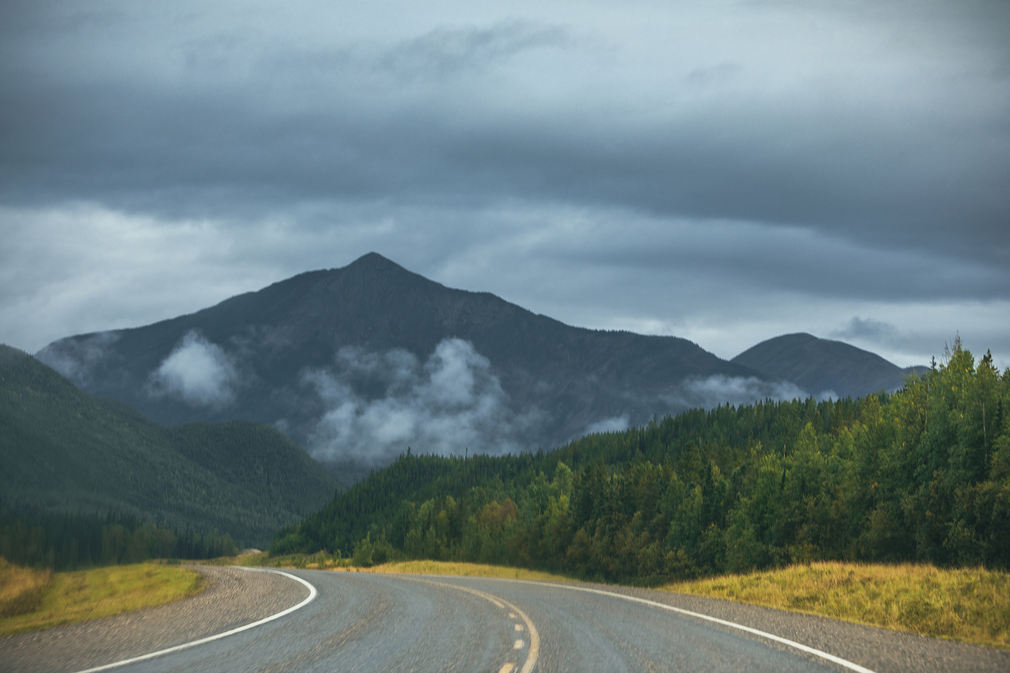
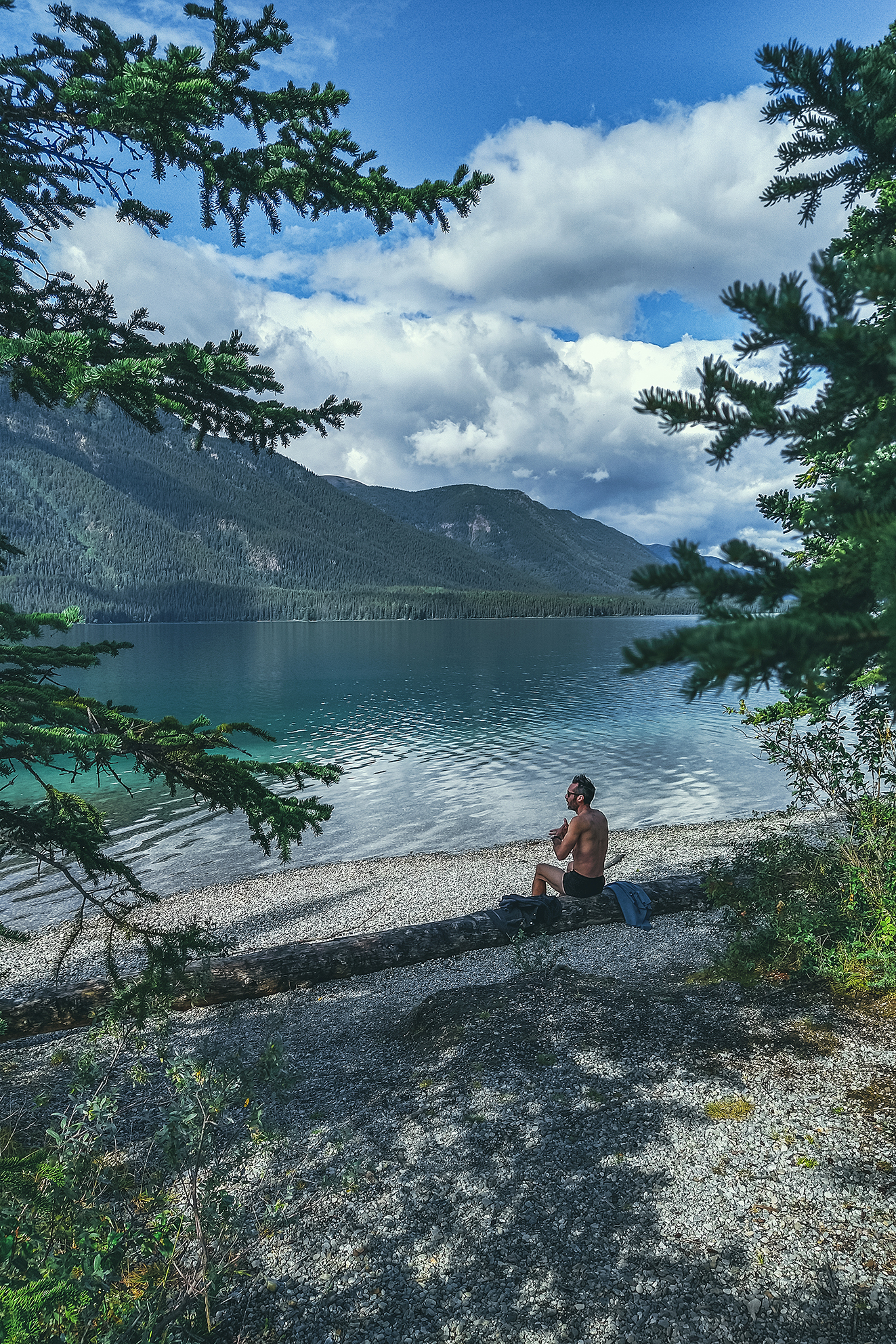
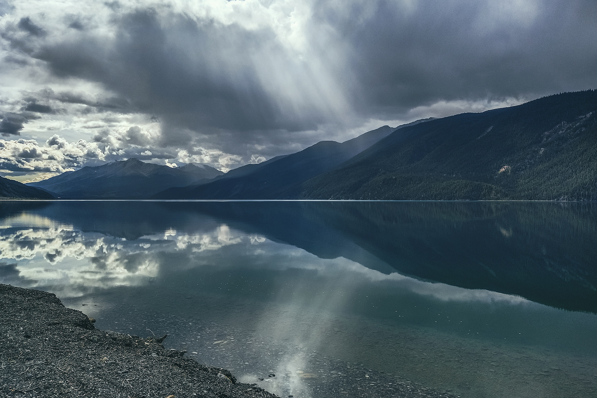
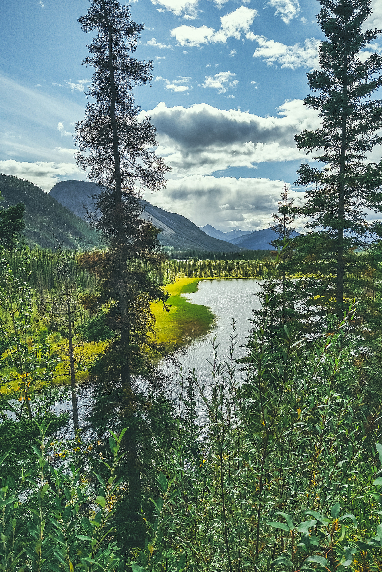
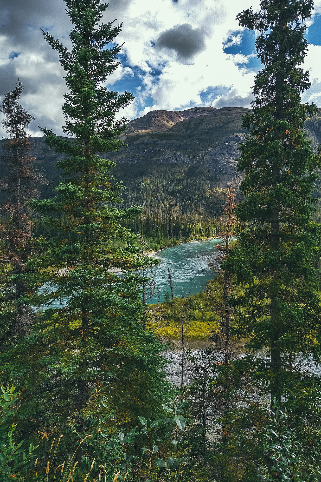
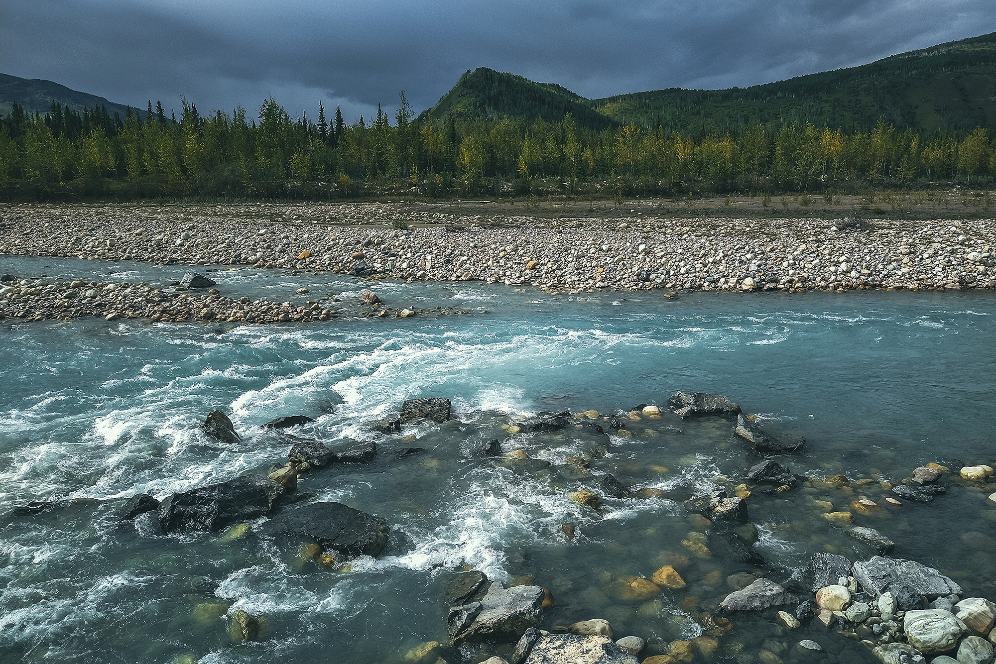
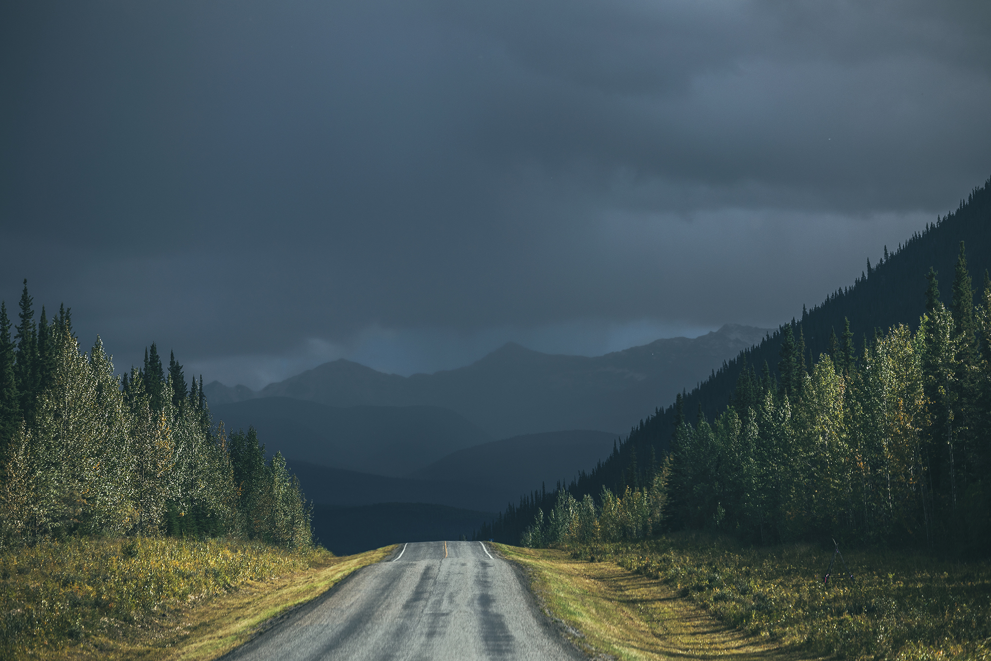
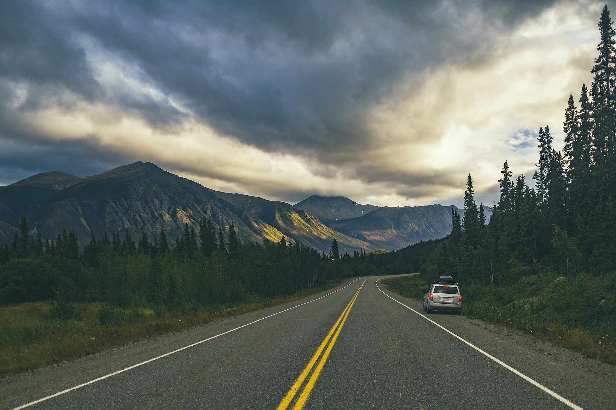
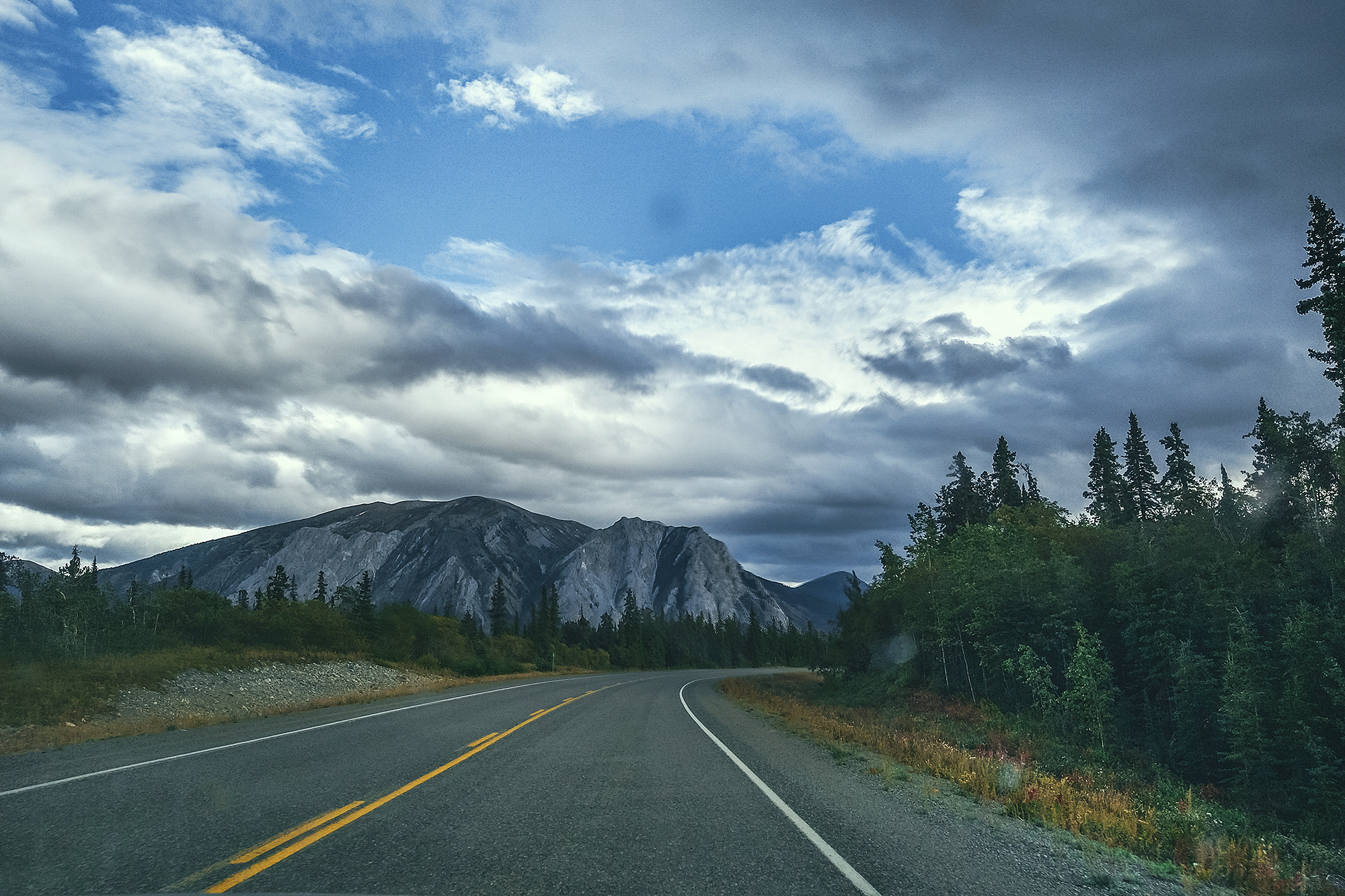
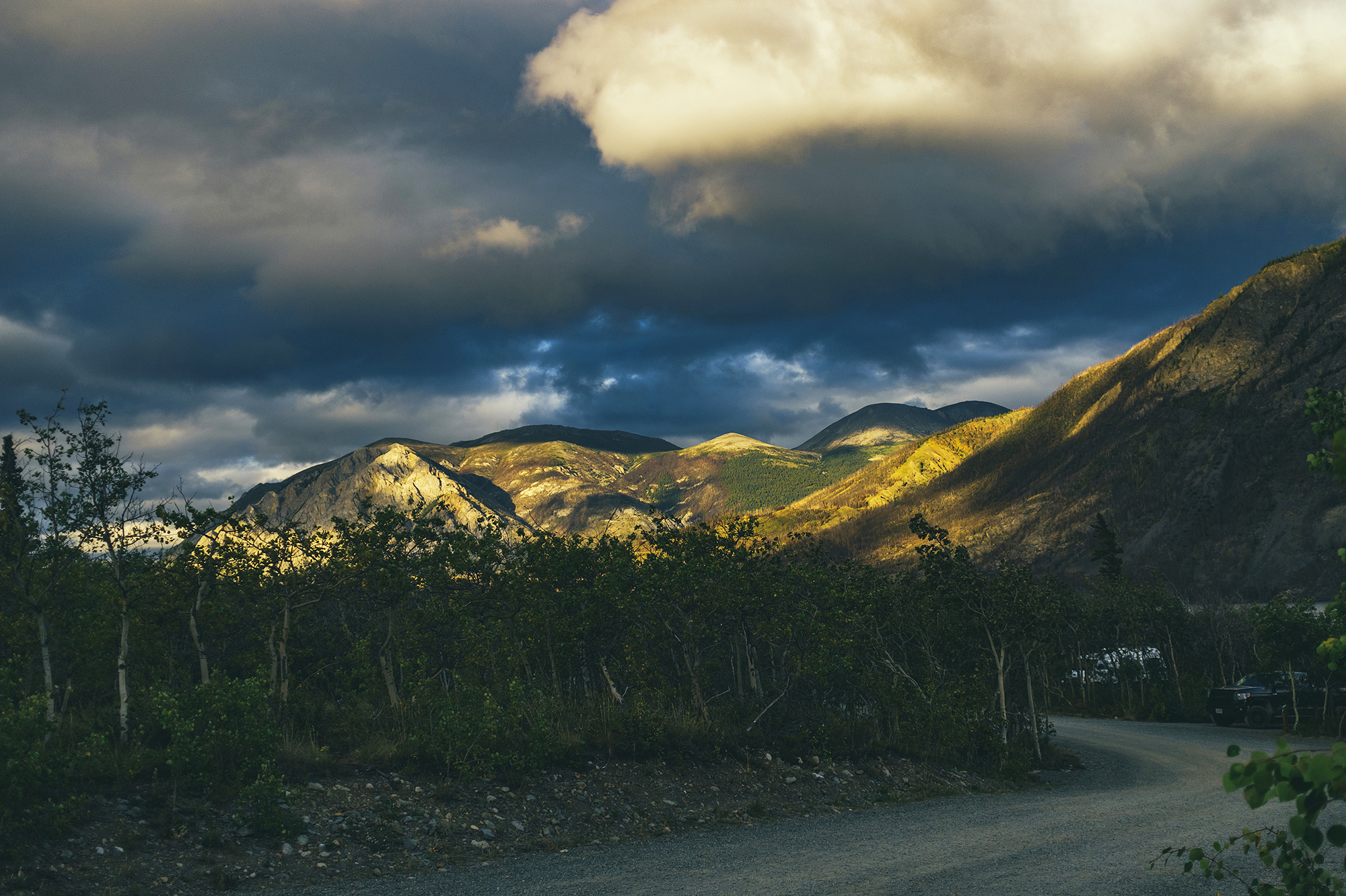
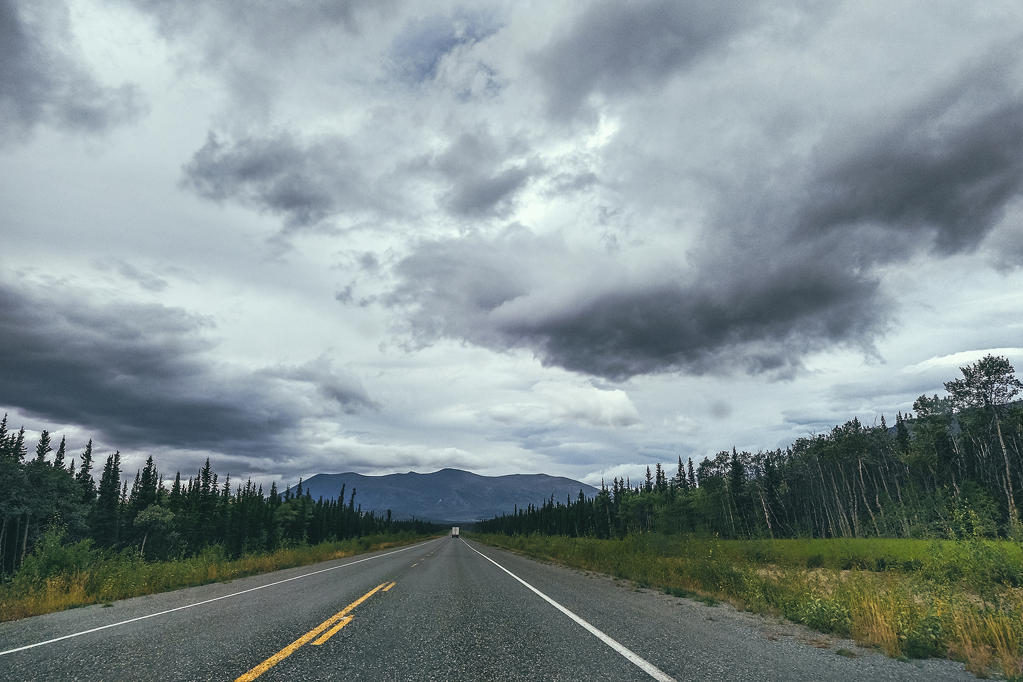
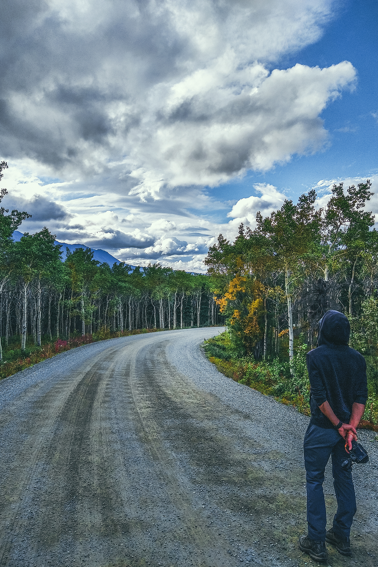
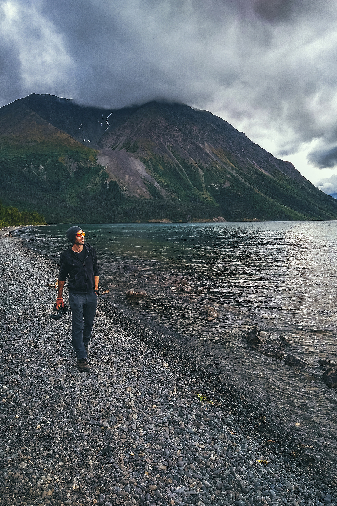
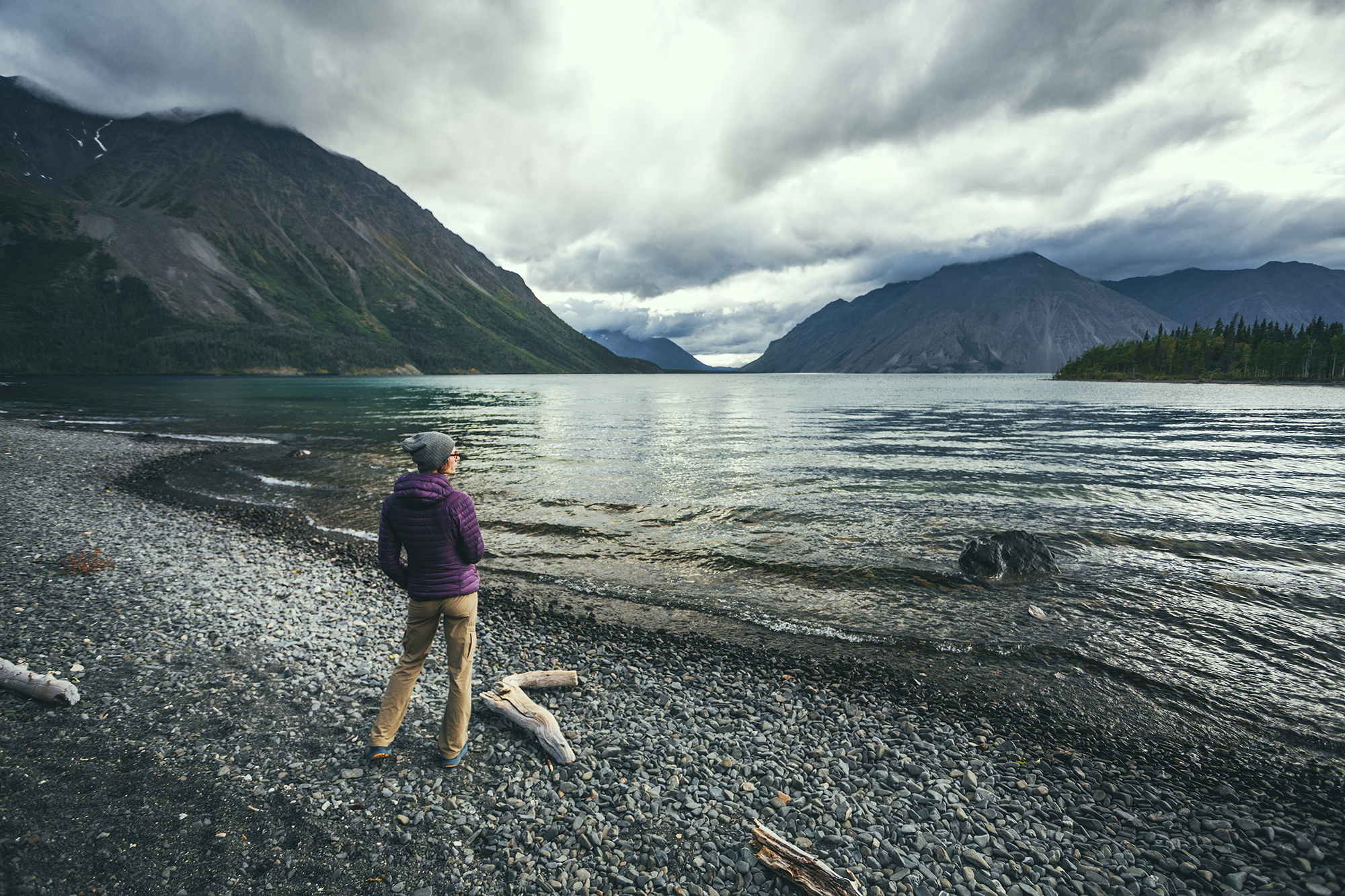
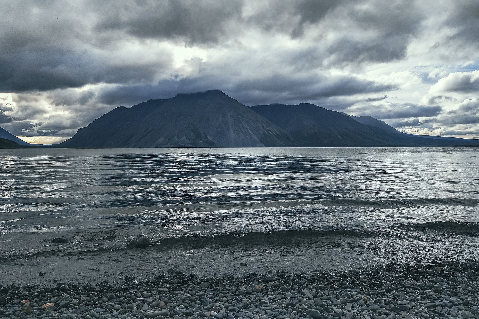
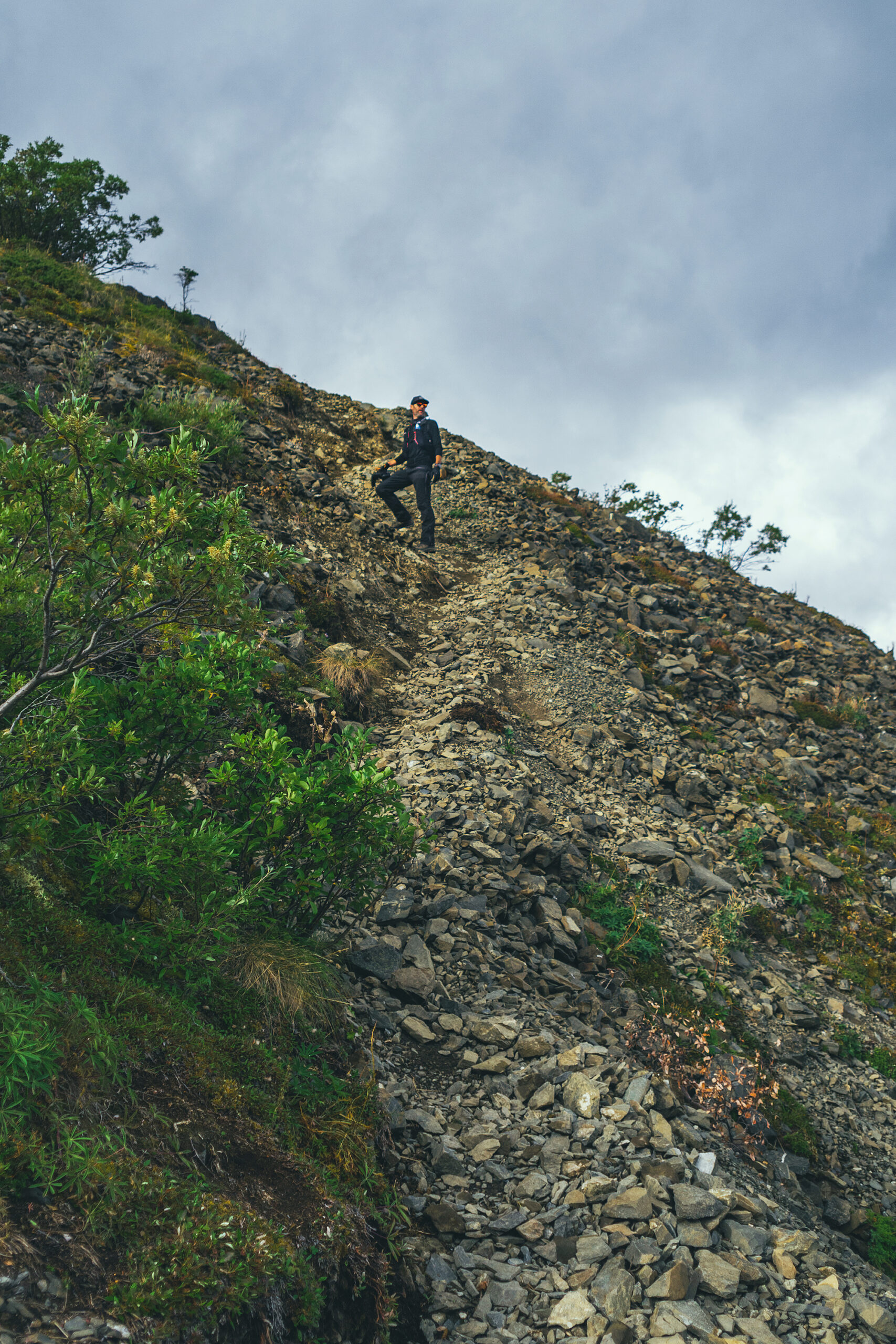
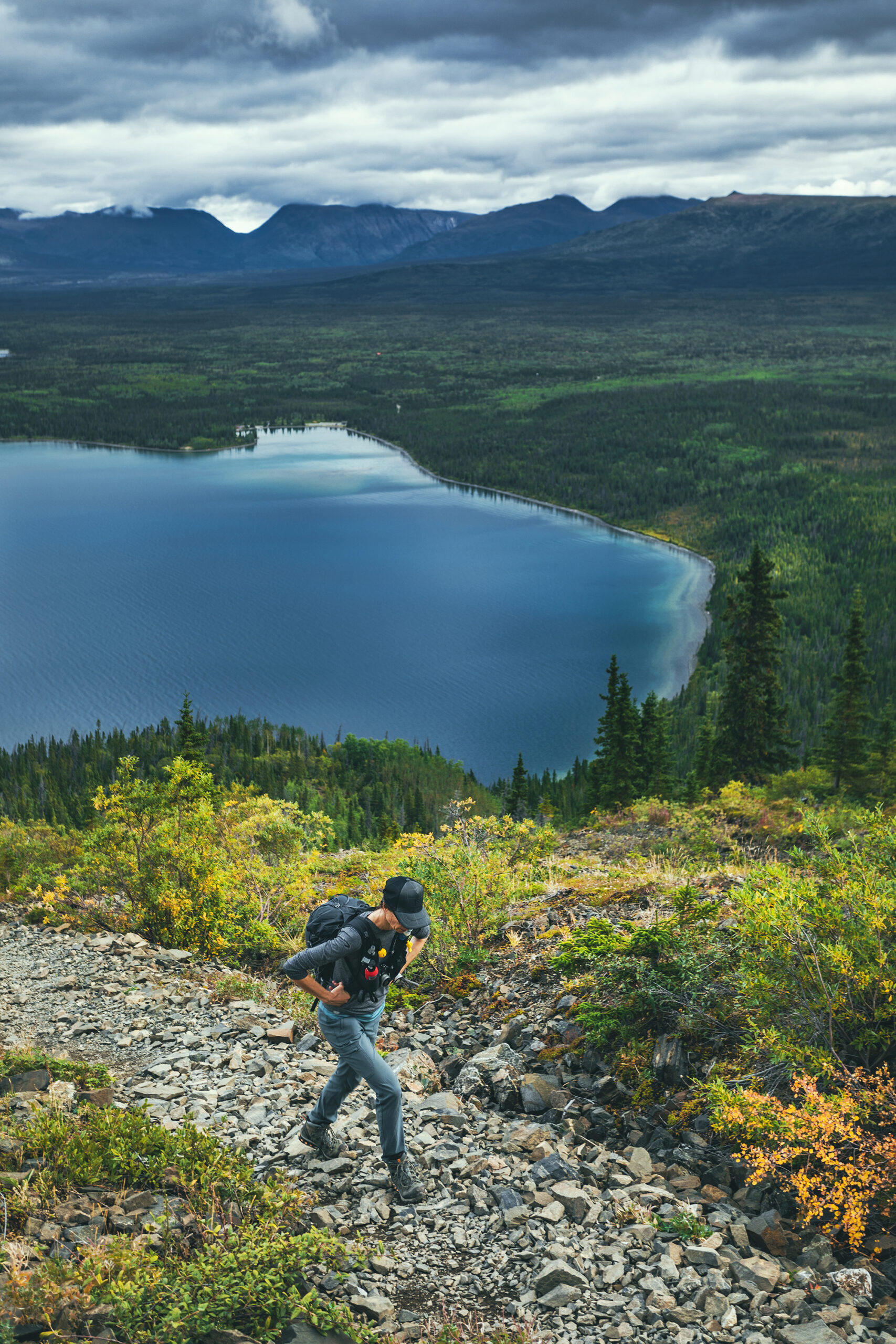
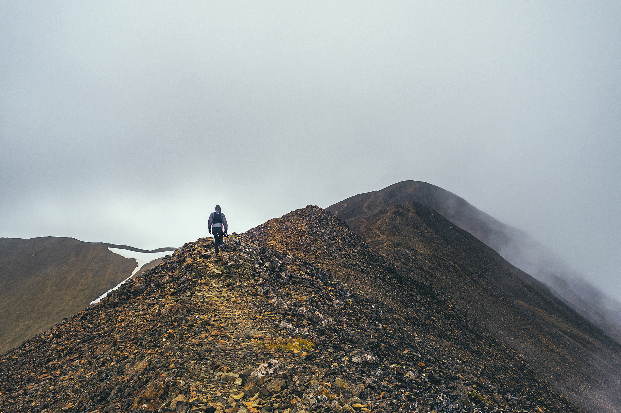
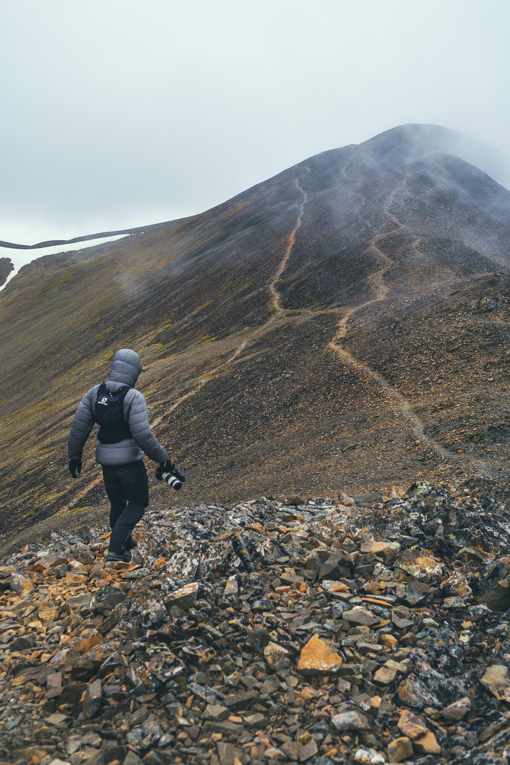
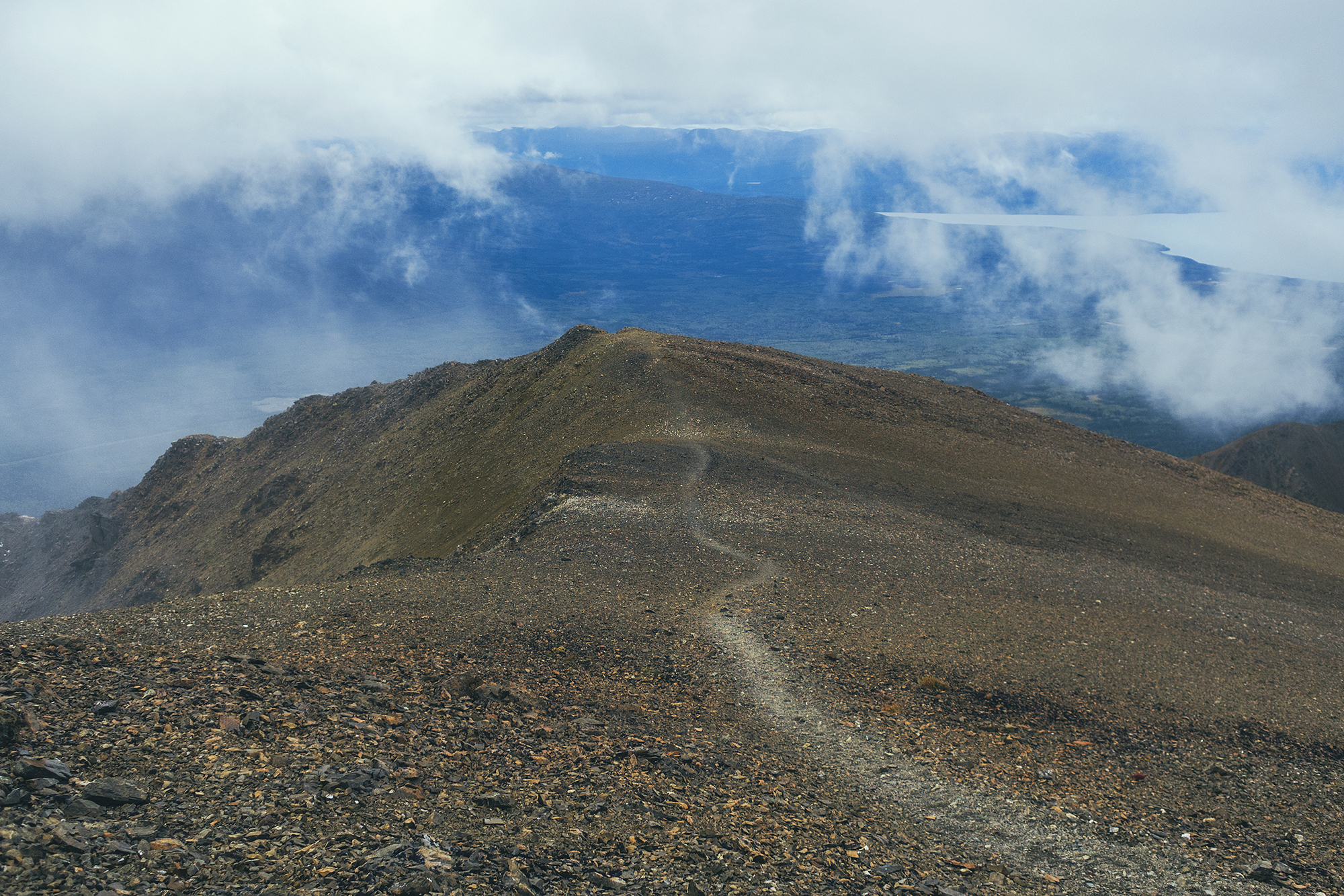
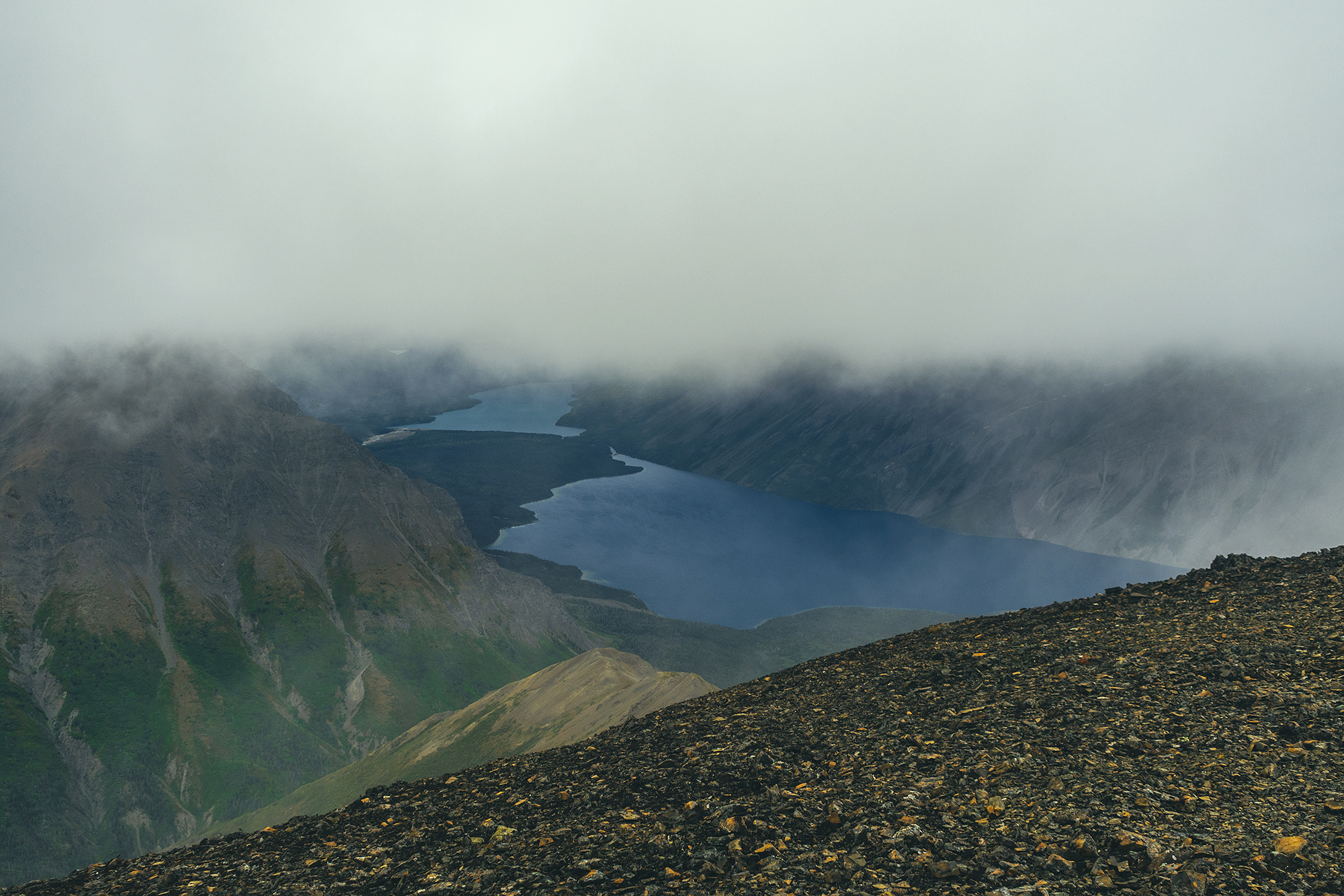
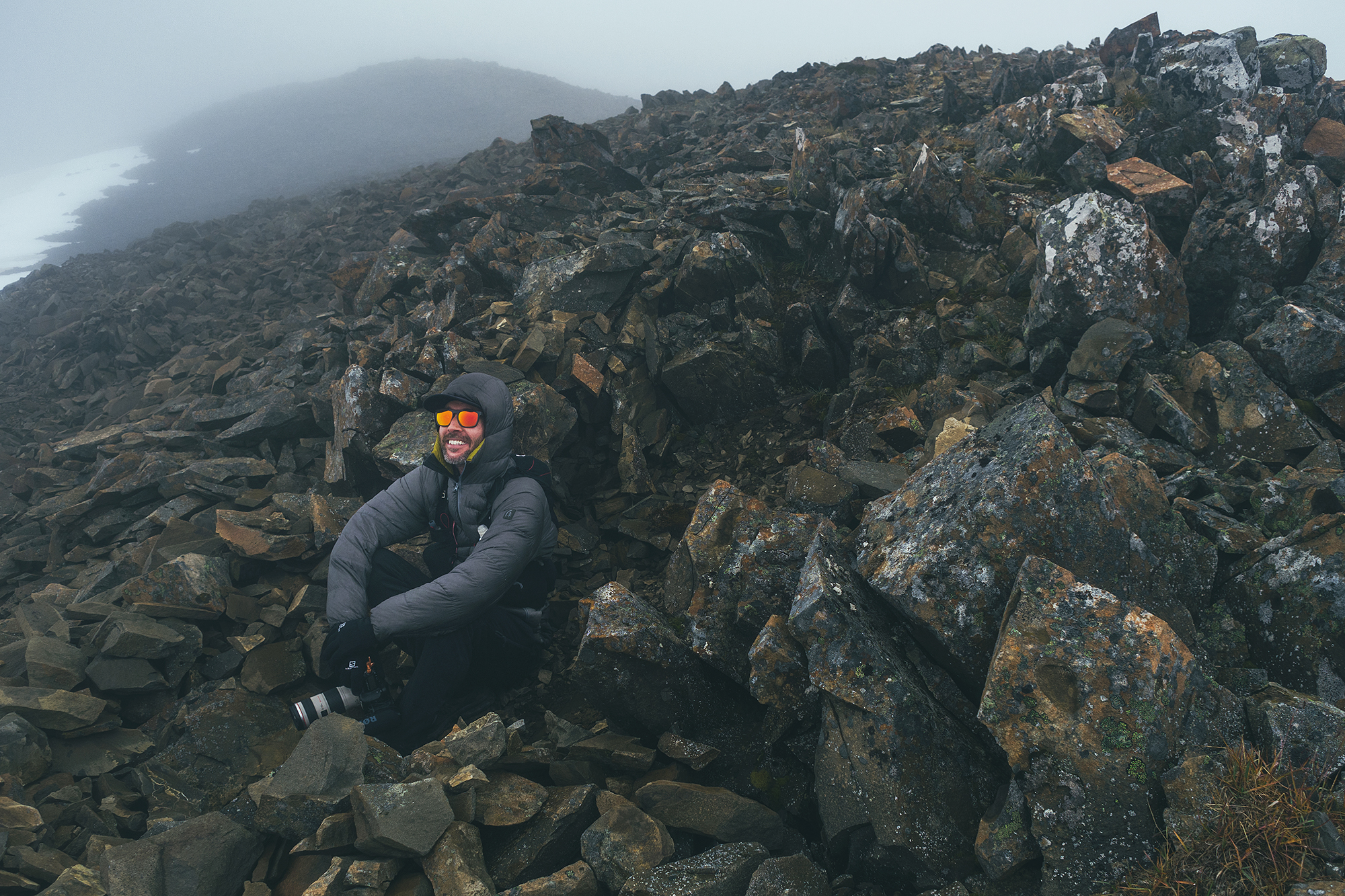
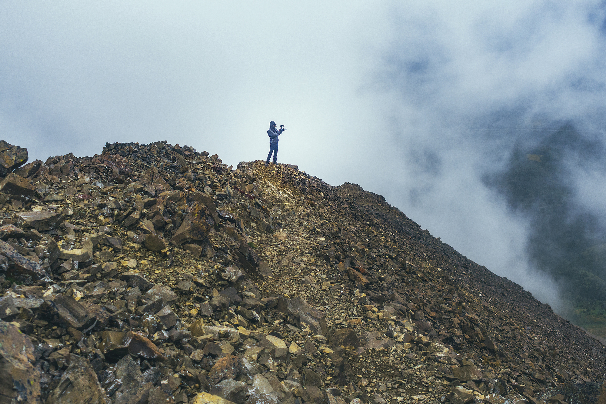
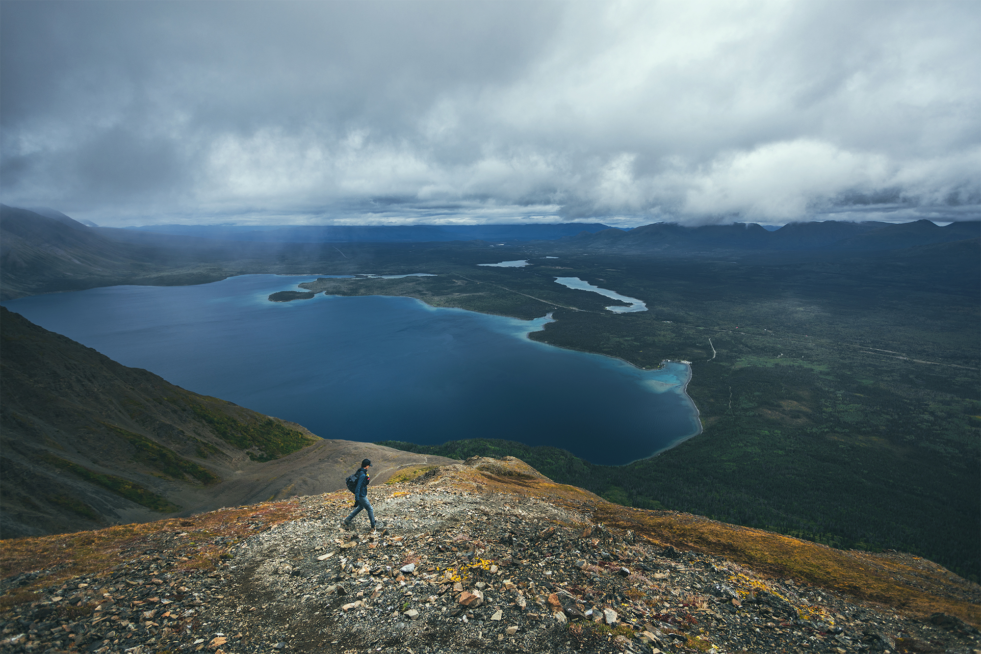
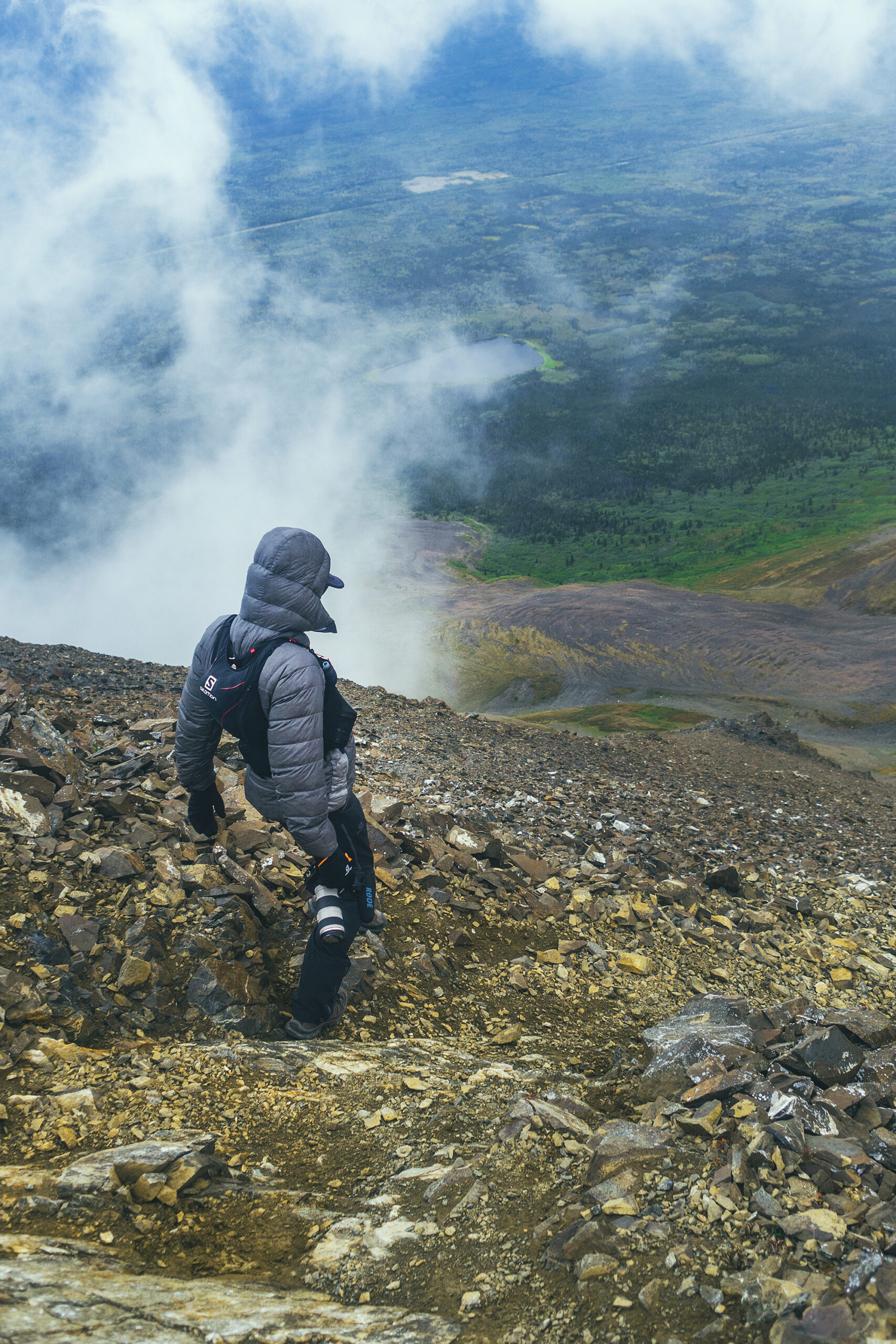
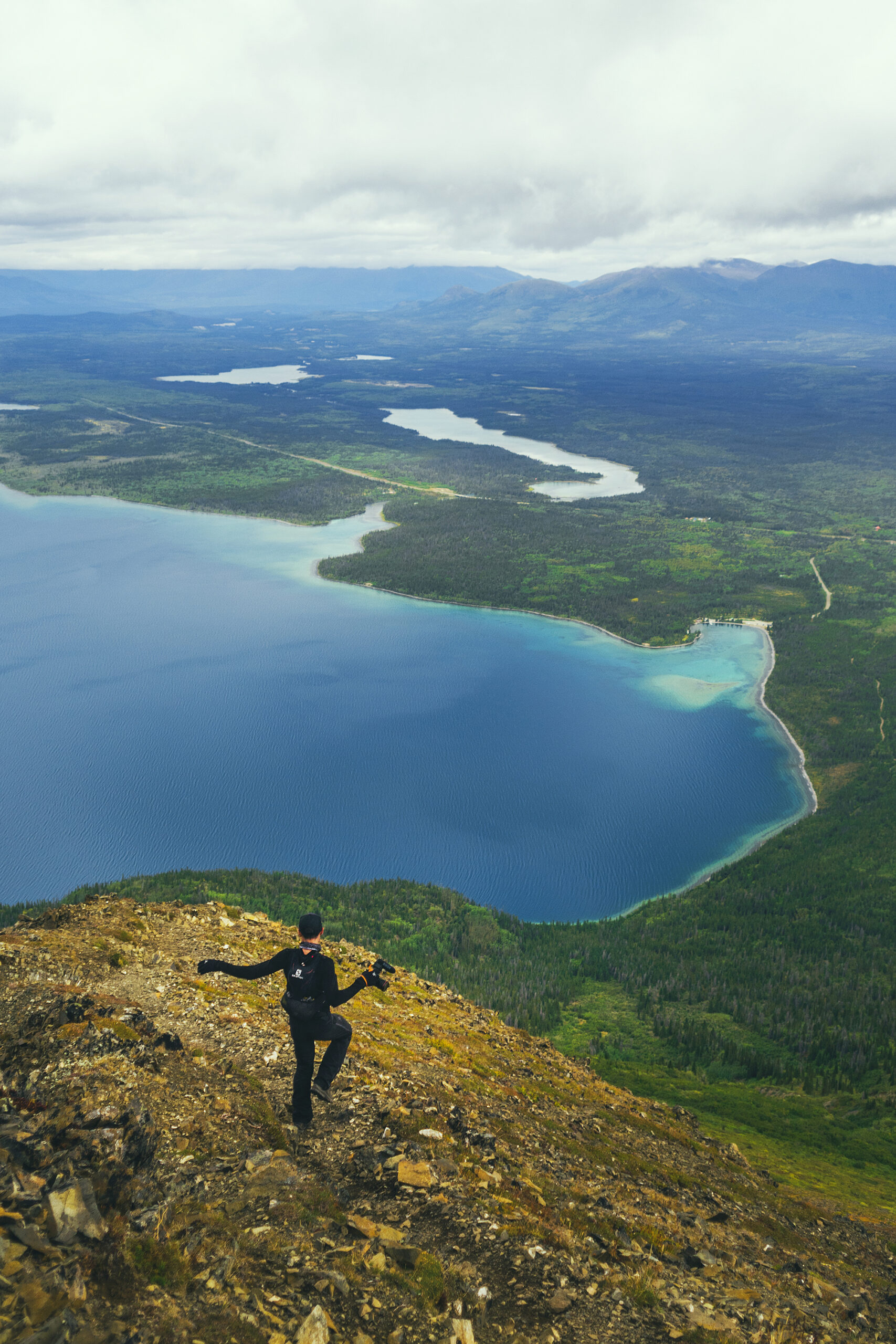
Our friends Adele & Thierry, who had taken a similar trip a few years back, had warned us that they had gotten a lot of rain during their trip. It was a good thing to know about. Traveling in August, I was still expecting to experience a bit of summer, and packed a bunch of shorts and t-shirts – which I ended up not wearing. We had nice weather the first couple of days, but after Smithers, we got some  pretty much 3 out of 4 days, and when it didn’t rain, it was often very overcast. Temperatures hovered around 14-16 degrees Celsius at the highest, and we had some drops into the single digits as we drove north into the Yukon. We even had light snow on our last day in Tombstone, on Aug 21st. The weather only got a bit better once we started driving back south, after Fort St John.

Needless to say, I was glad I brought all the layers along, puffy jacket and hat for warmth, goretex jacket and shoes for the rain, fleece layers, down to long johns for the night. And all the merino socks.

Some Trip Stats

37 days on the road

9,729km

1,082 liters of gas

31 nights under the stars ( 5 indoors)

24 campgrounds

9.5 propane/butane bottles

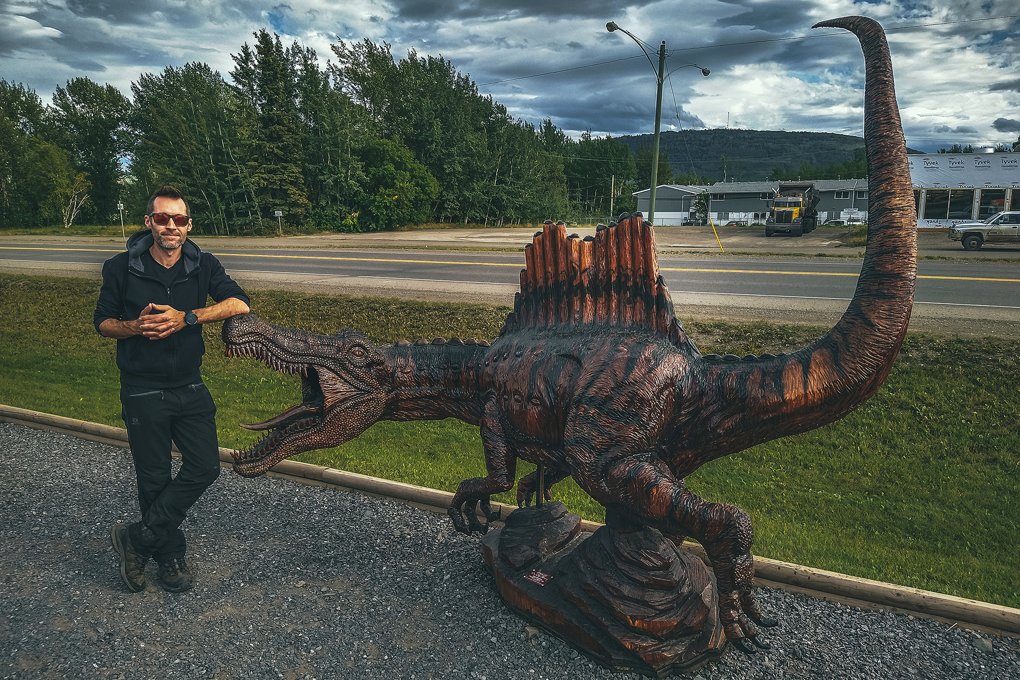
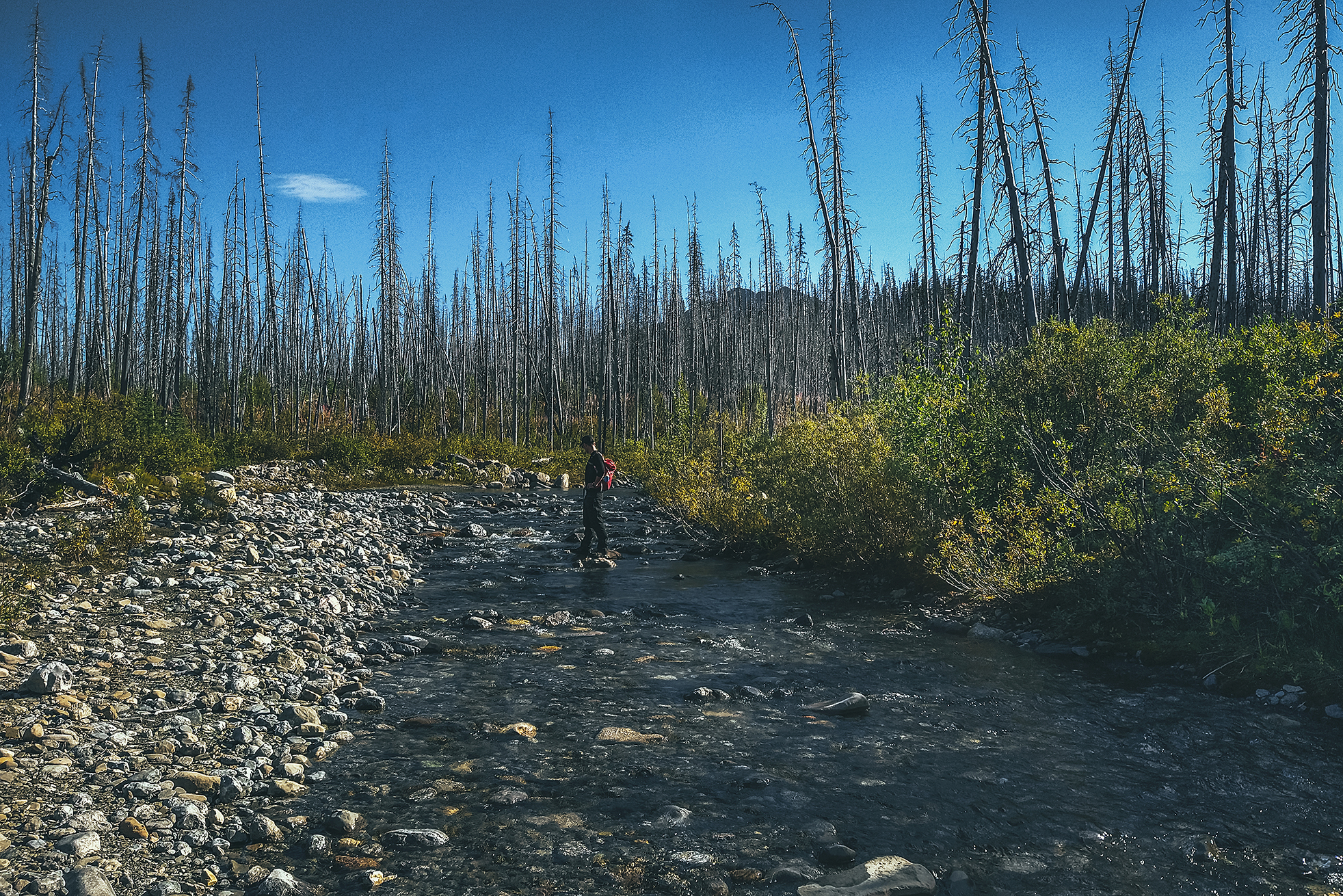
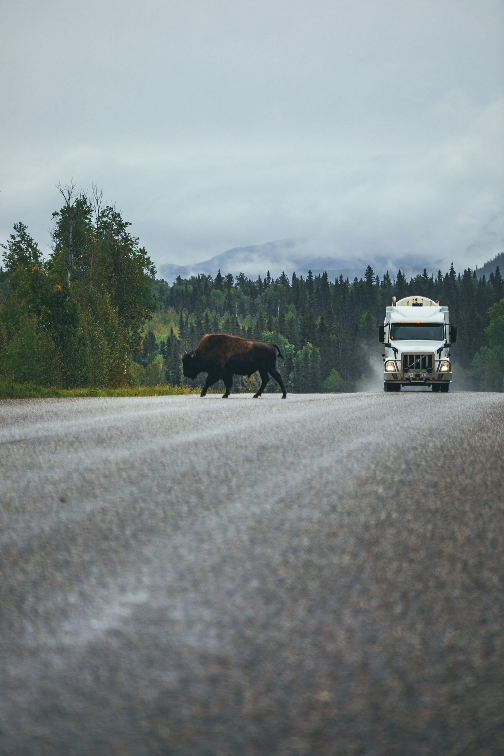
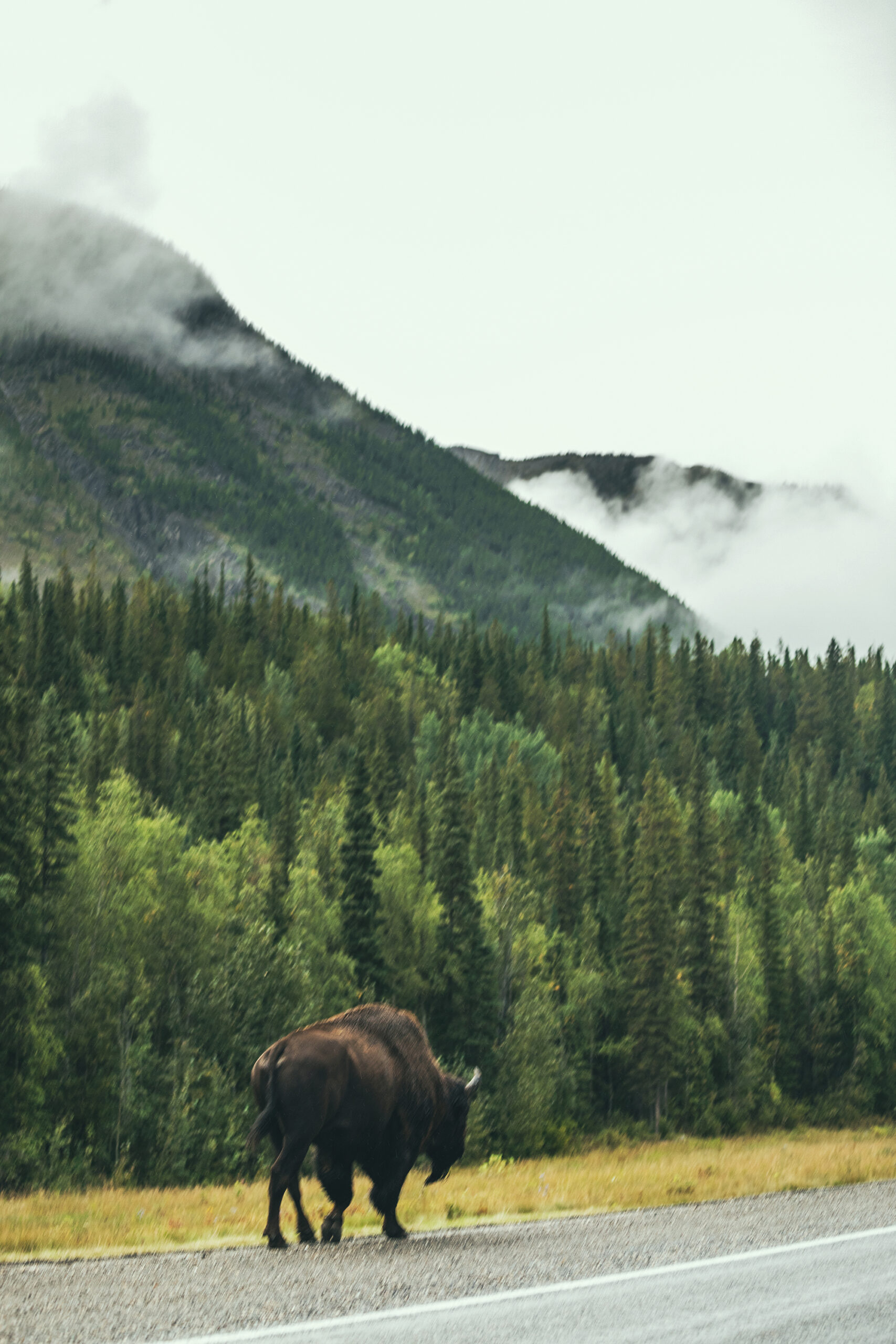
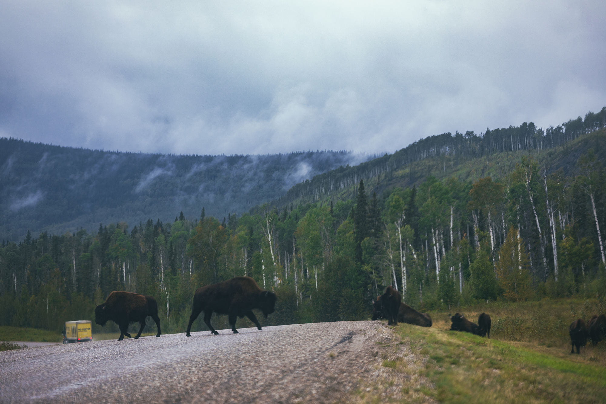
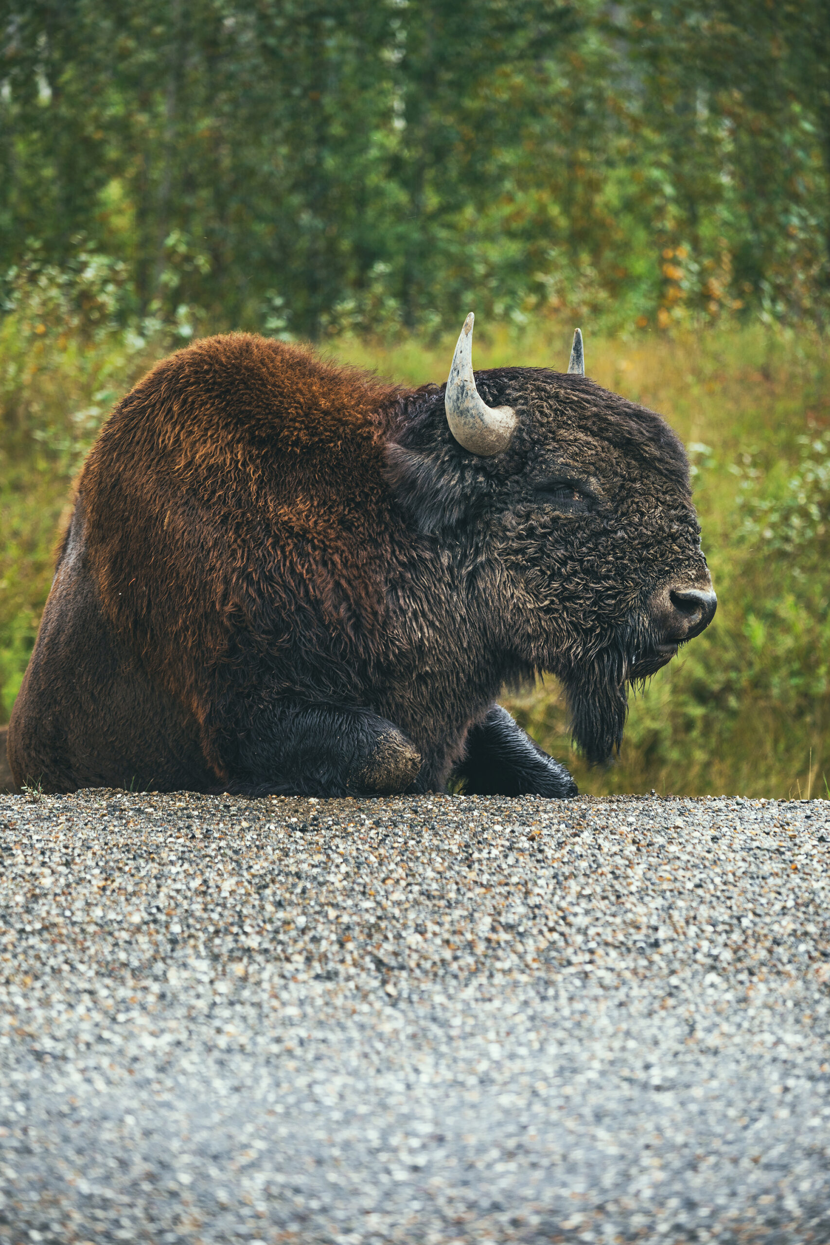
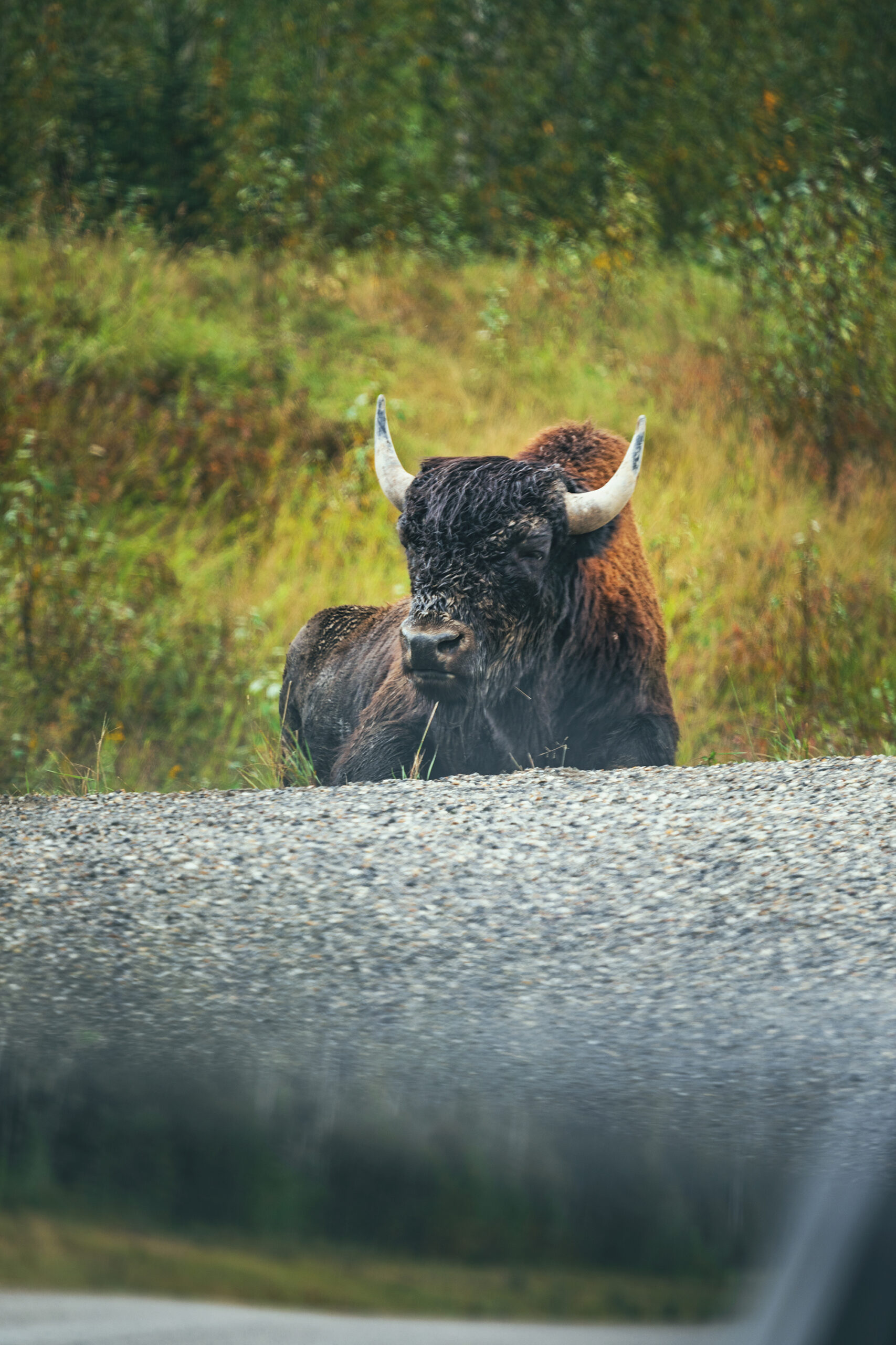
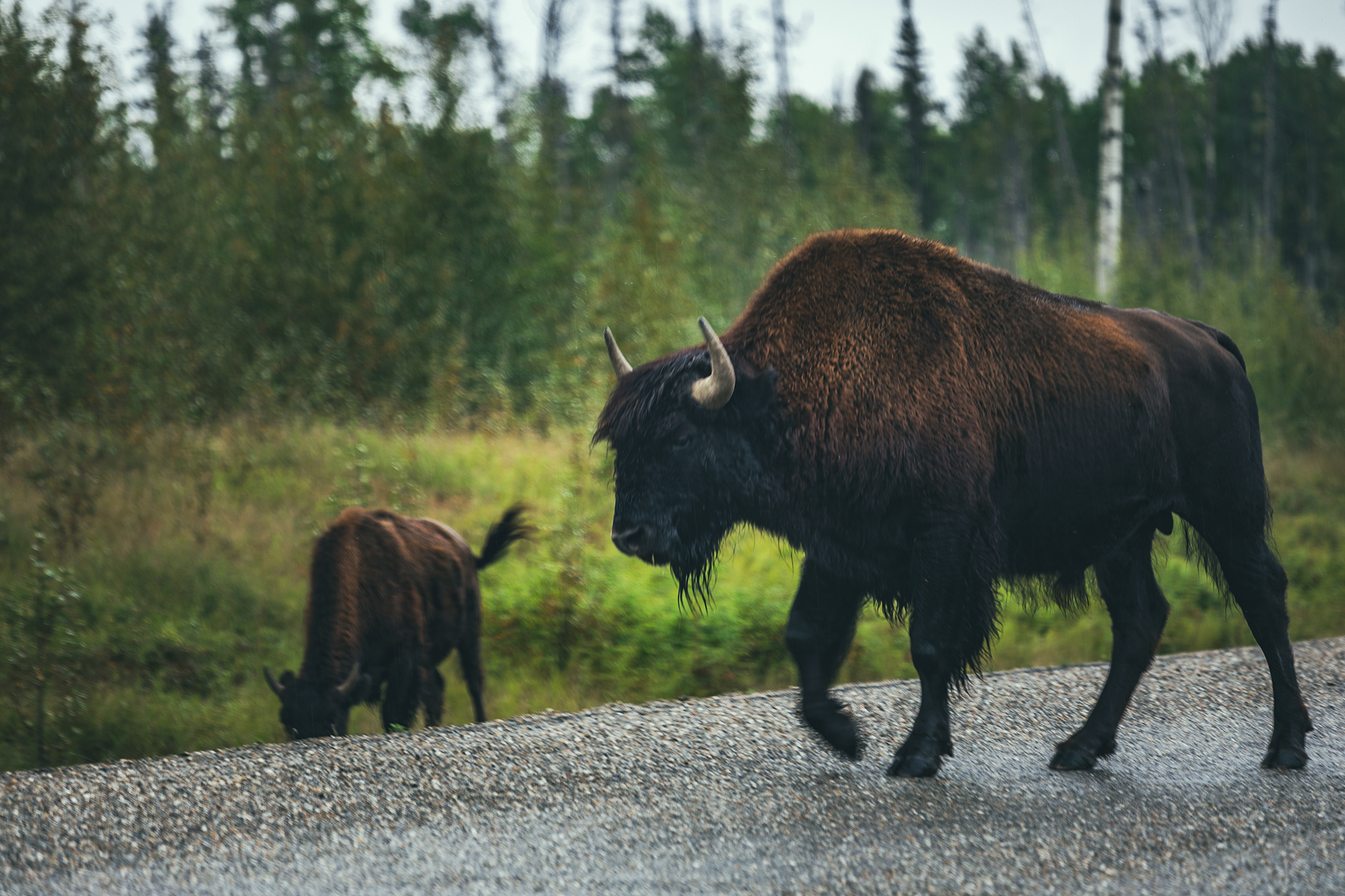
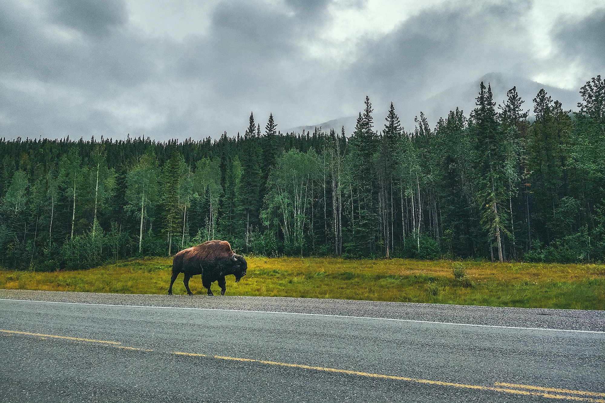
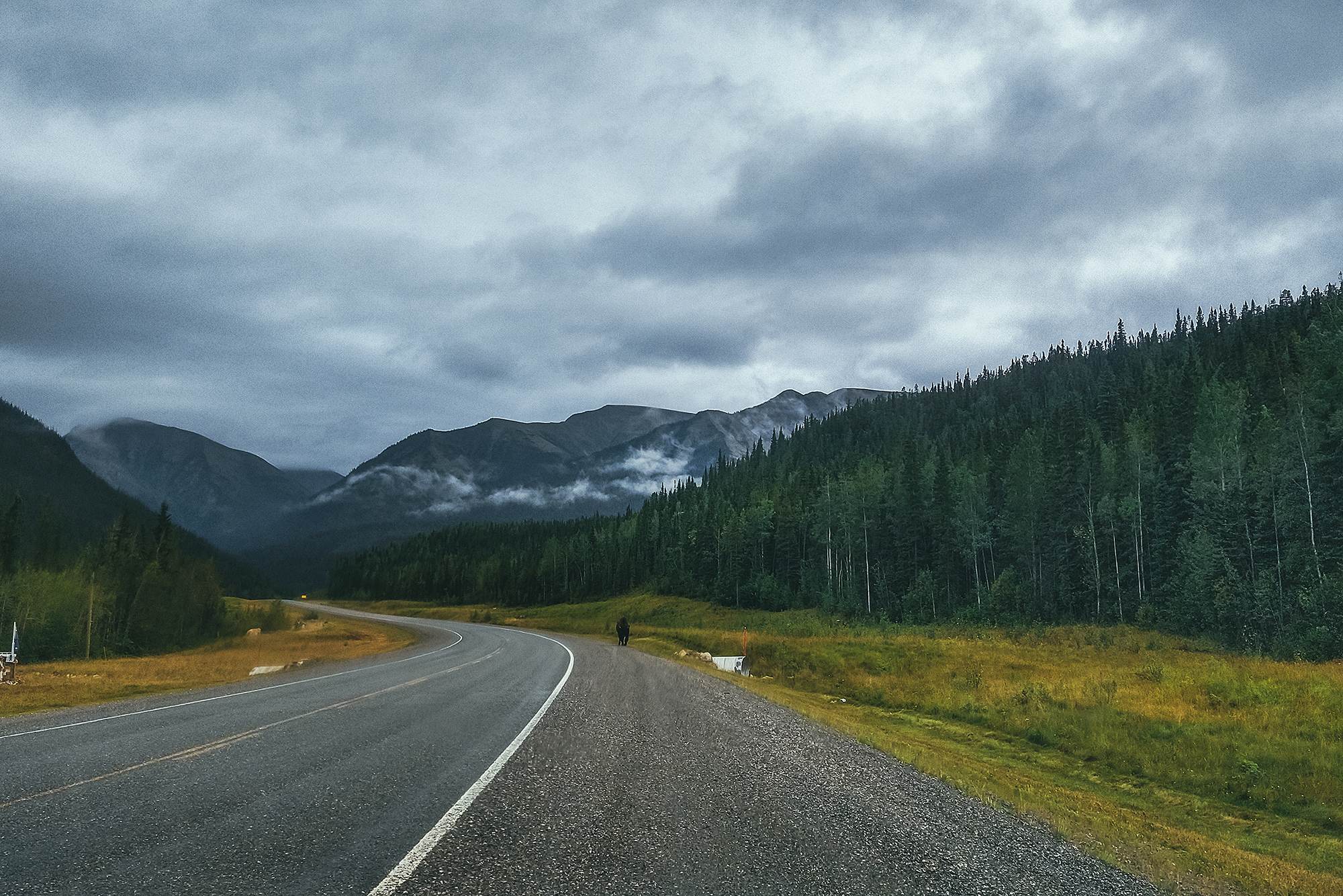
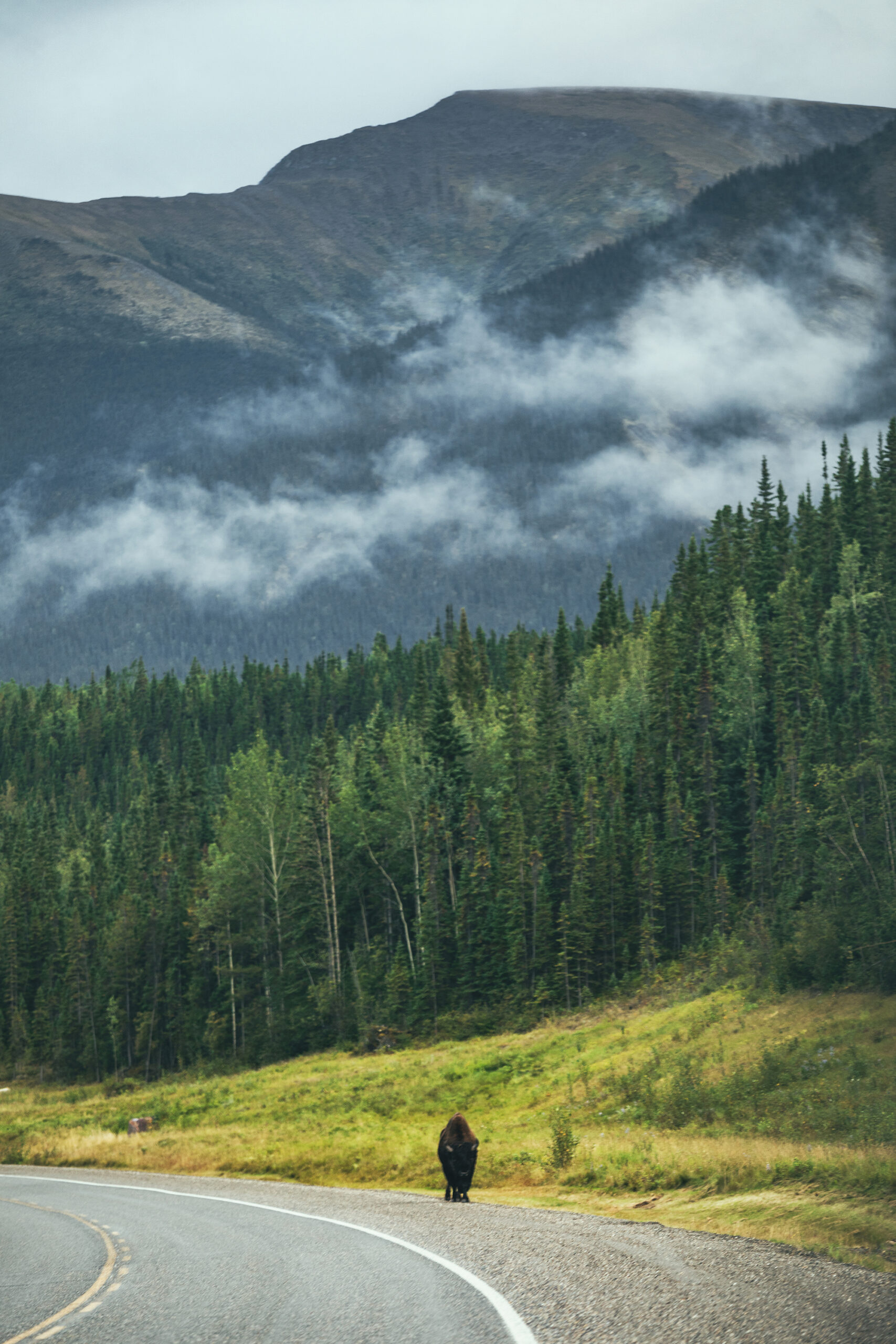
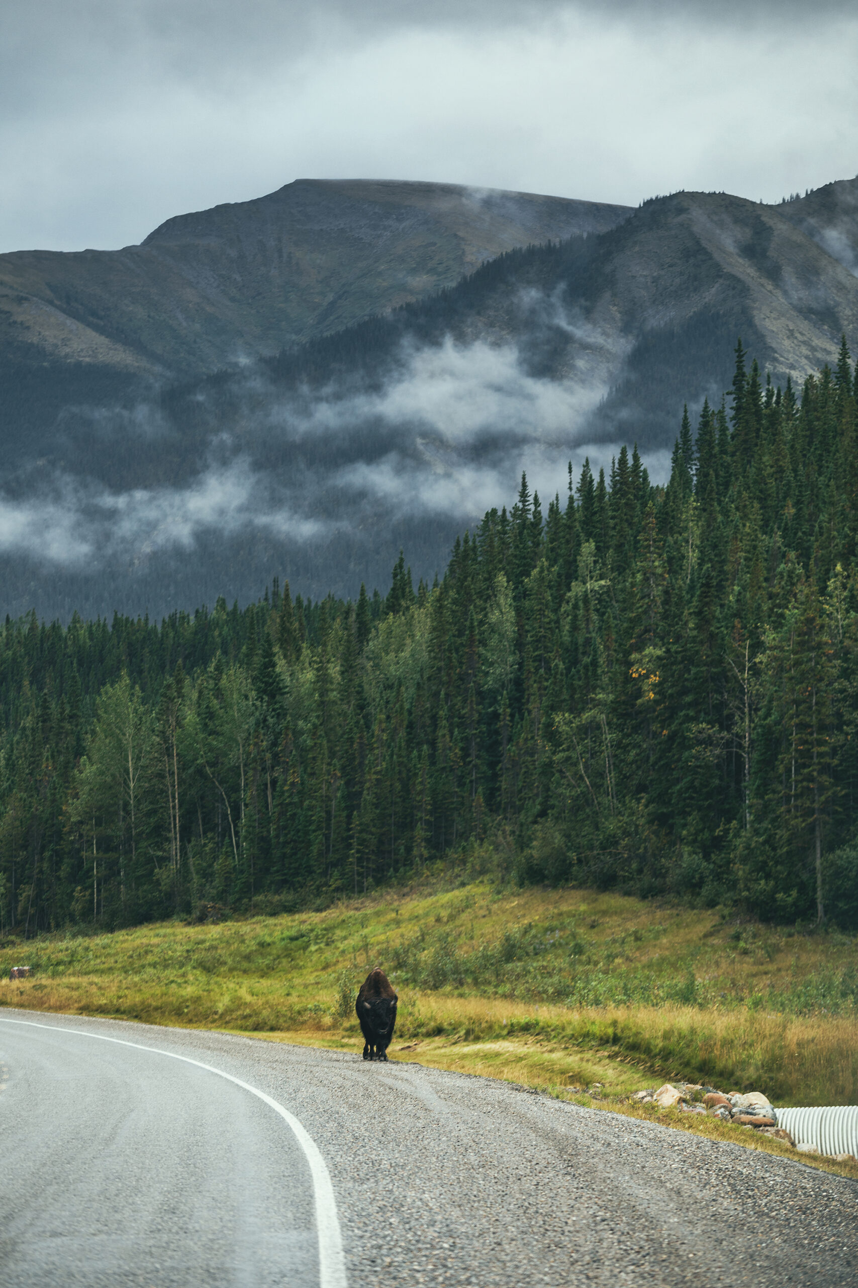
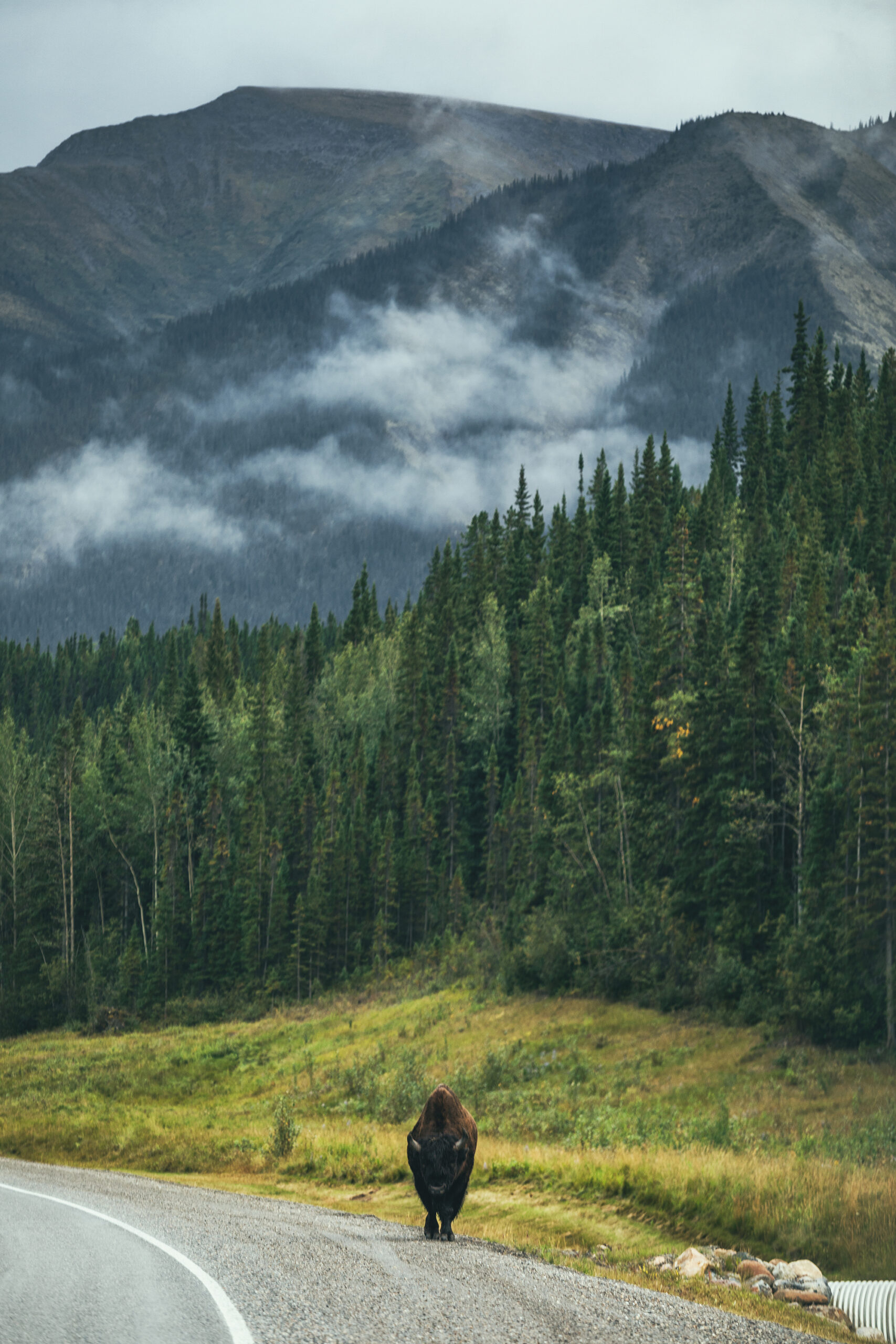
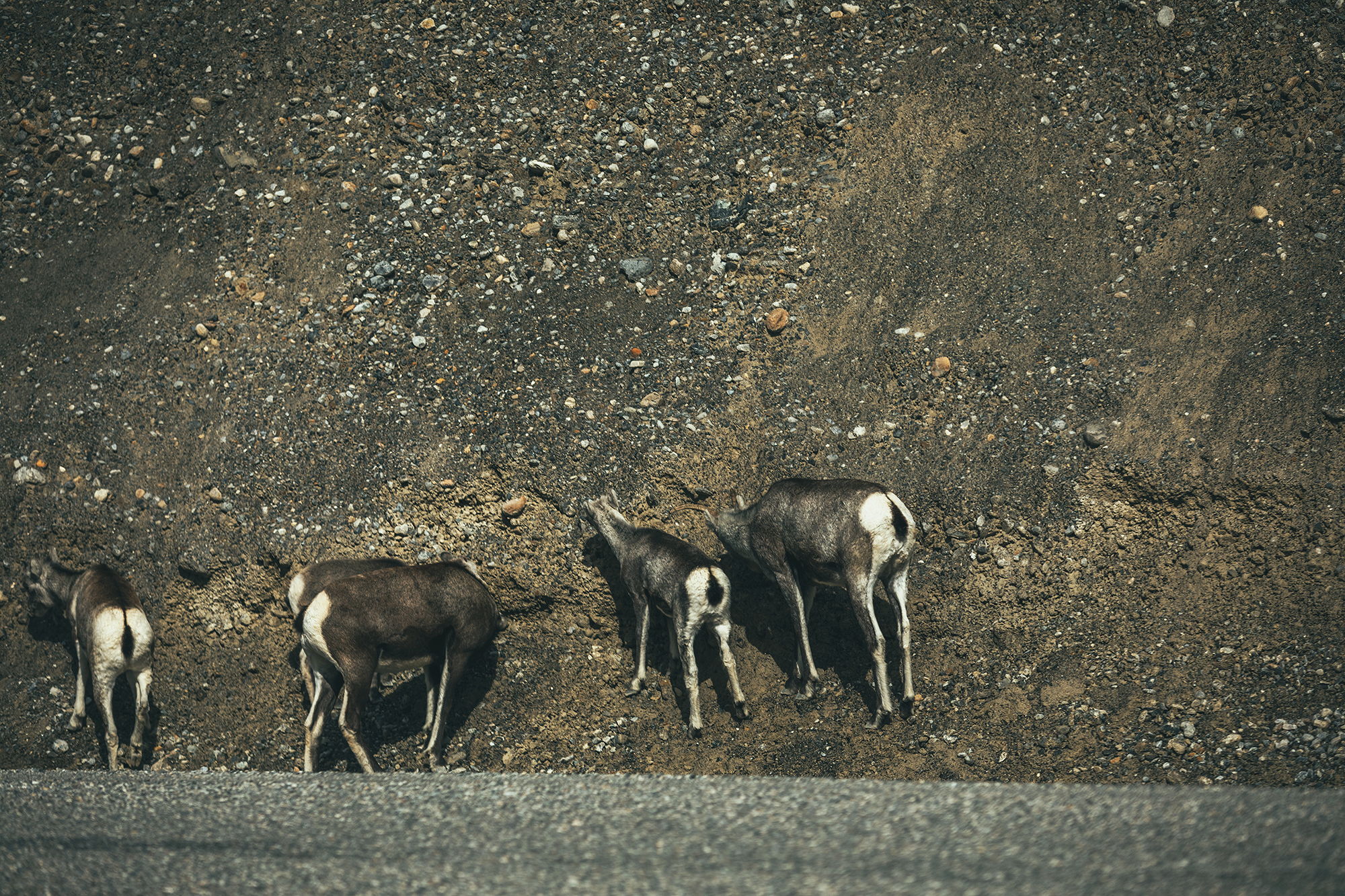
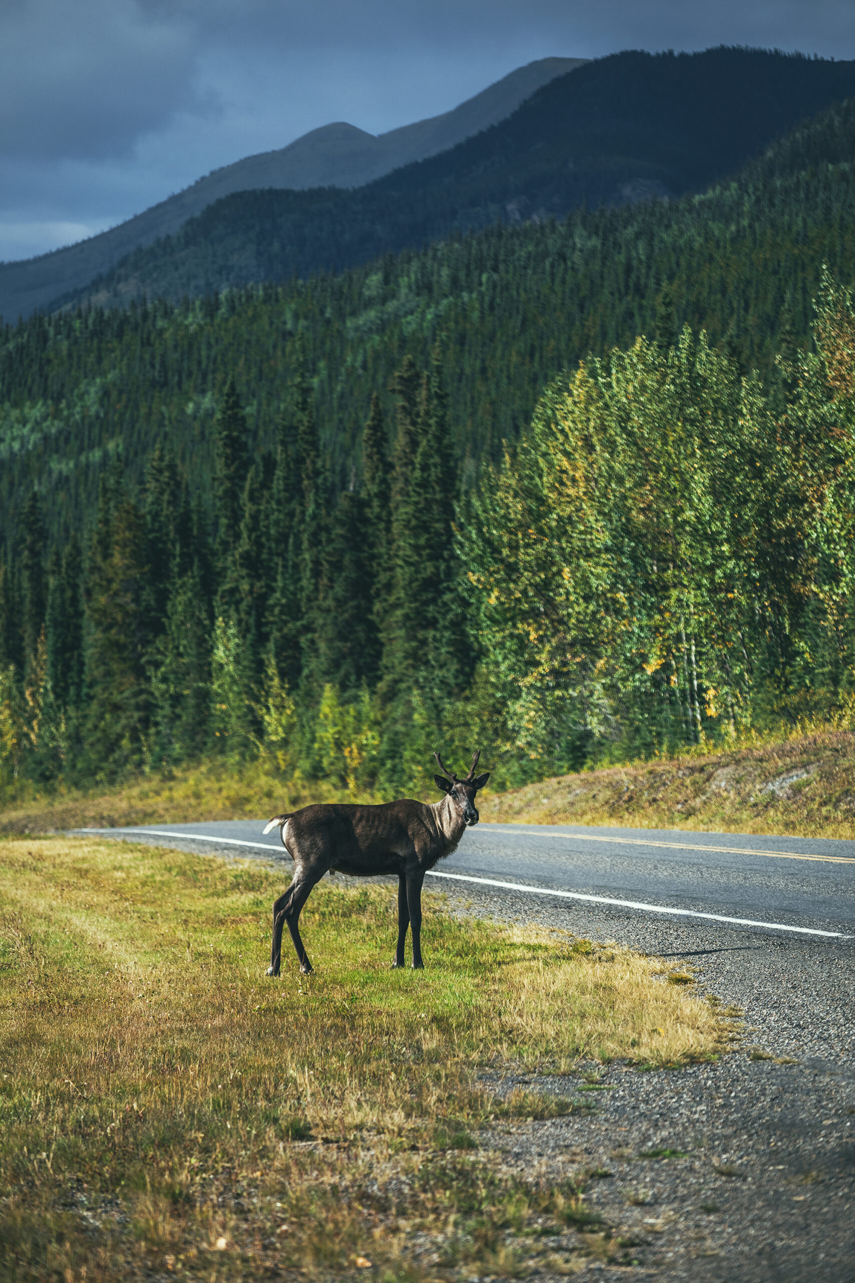
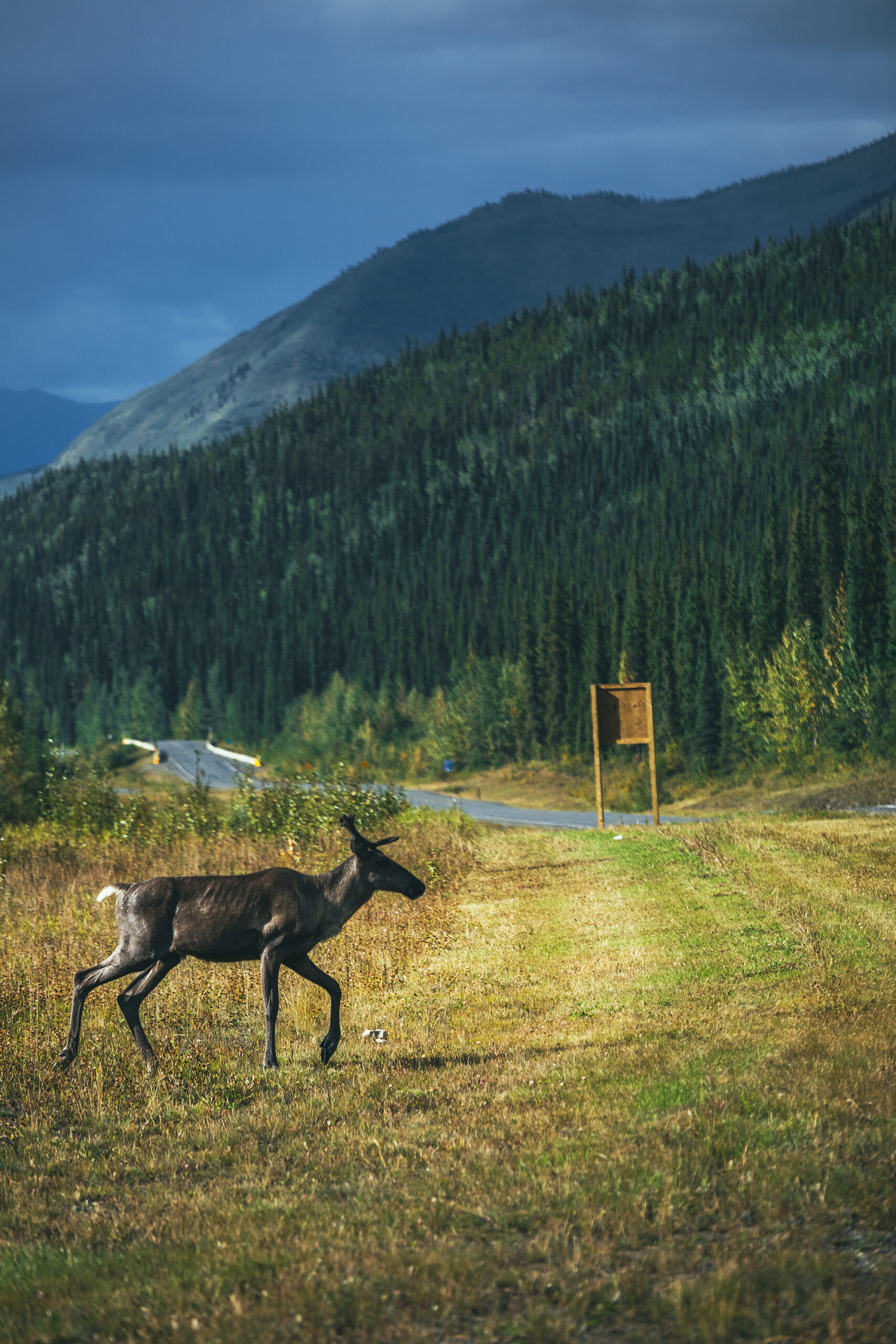
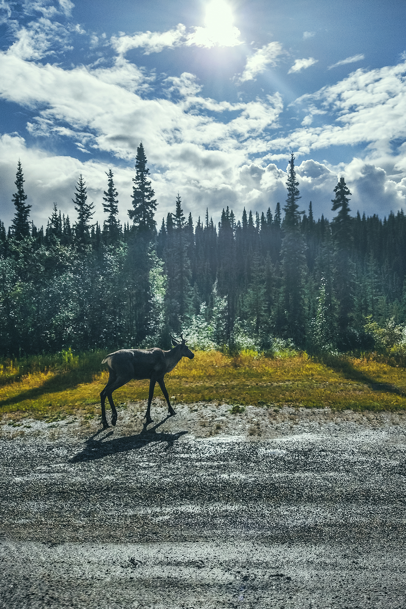
15 different animal sighting

1 cracked windshield
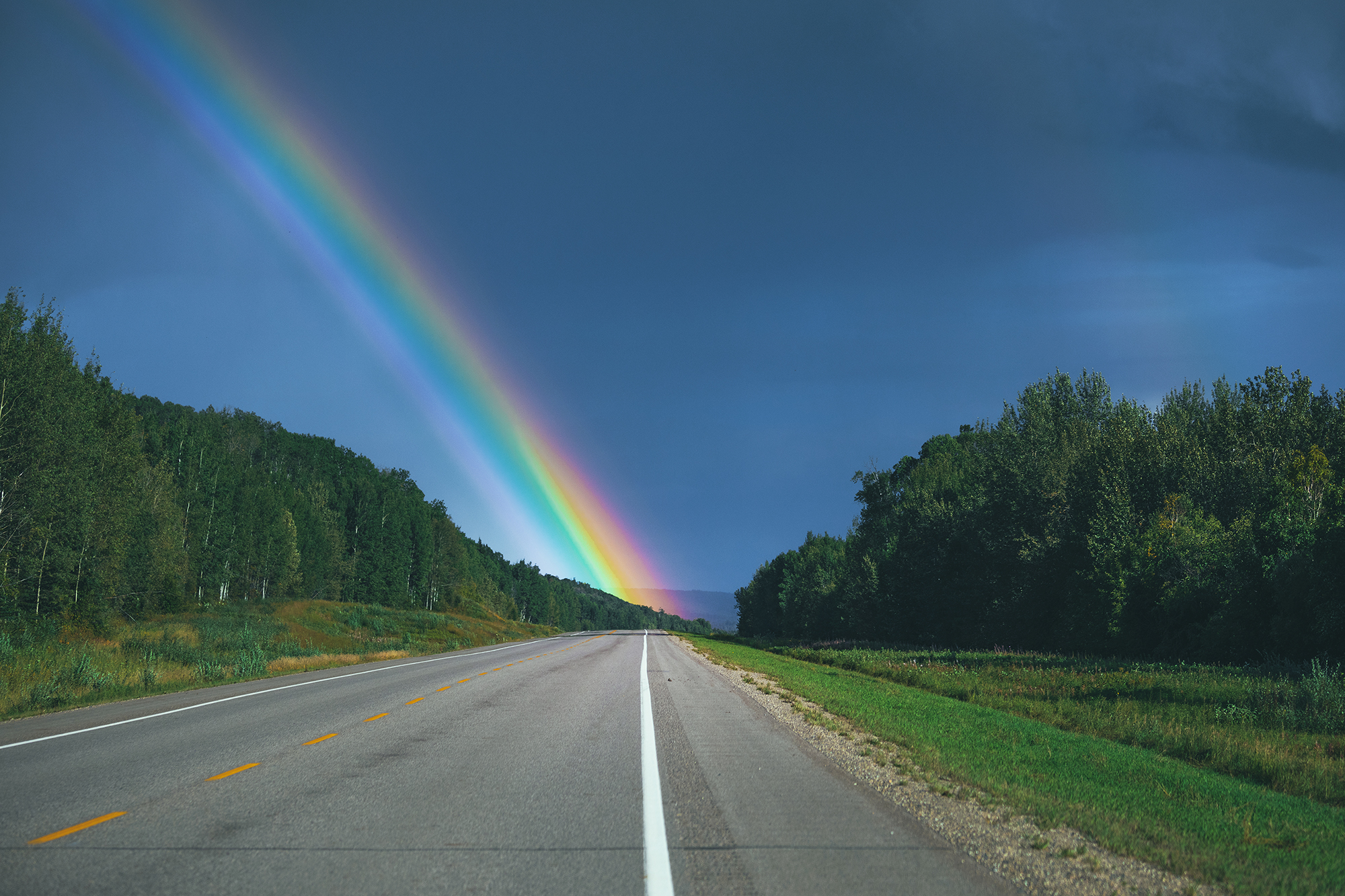
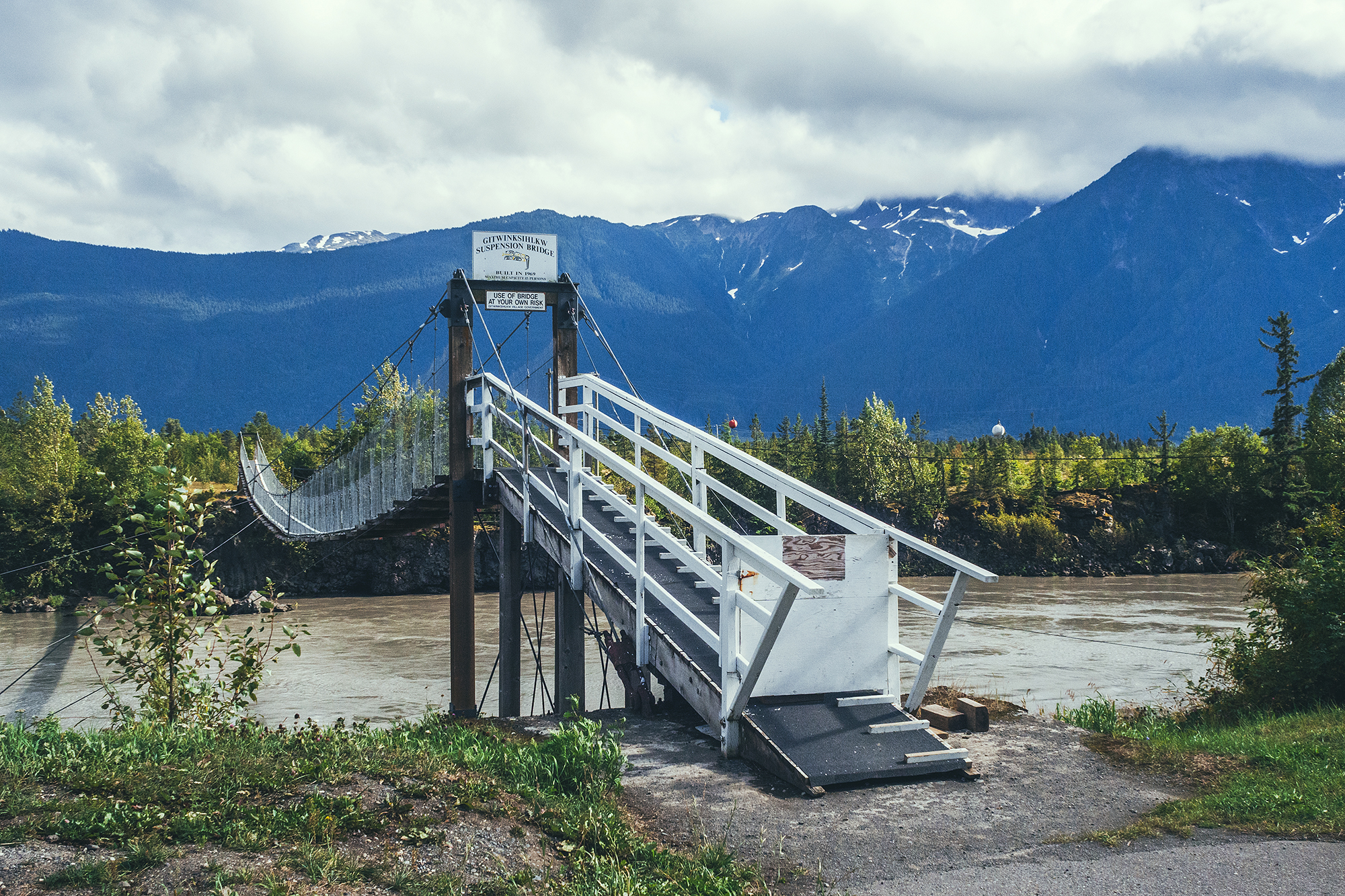
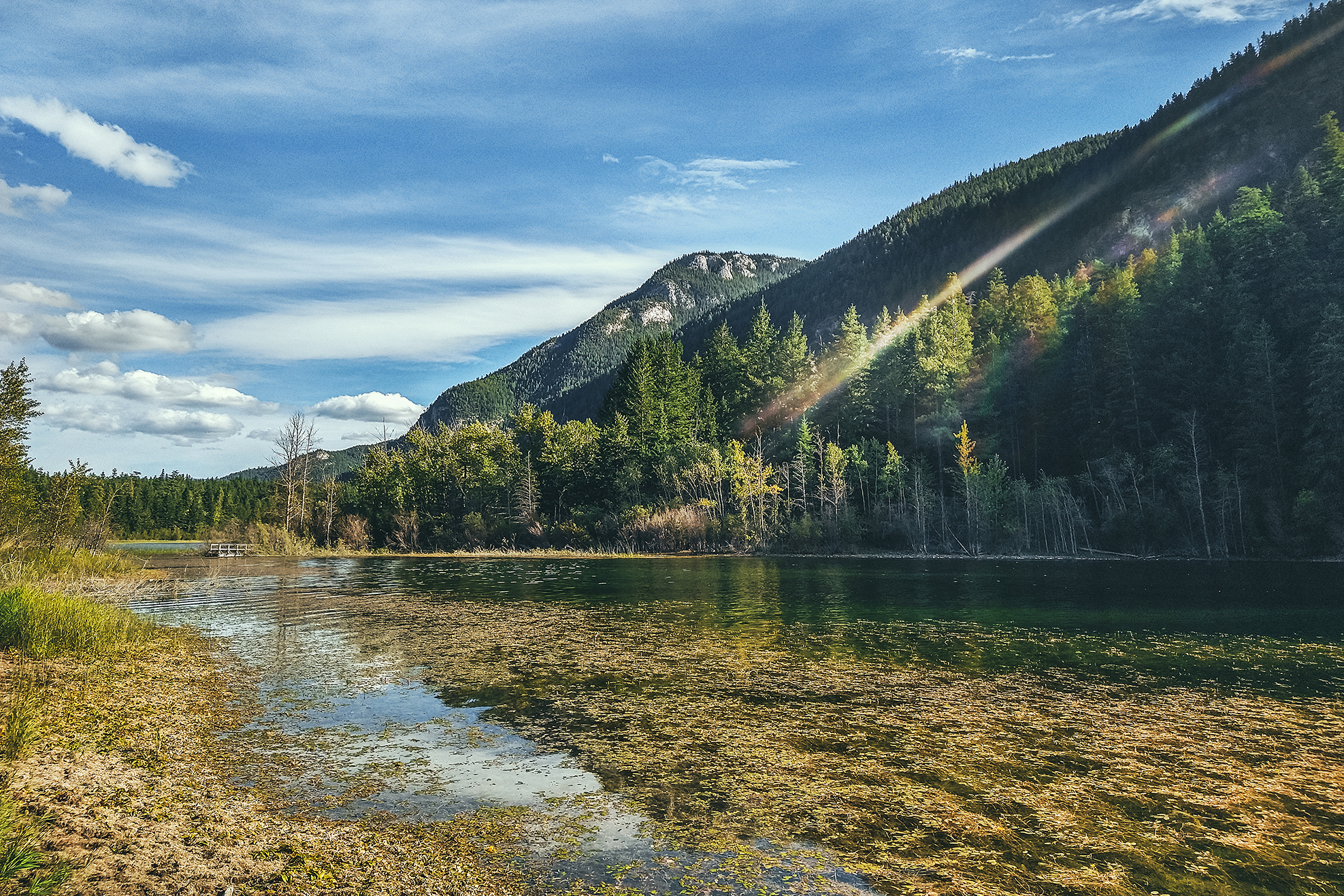
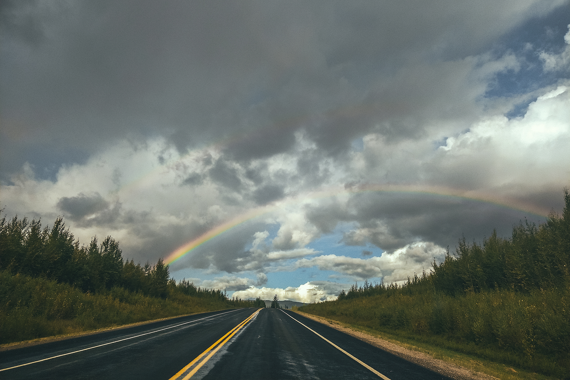
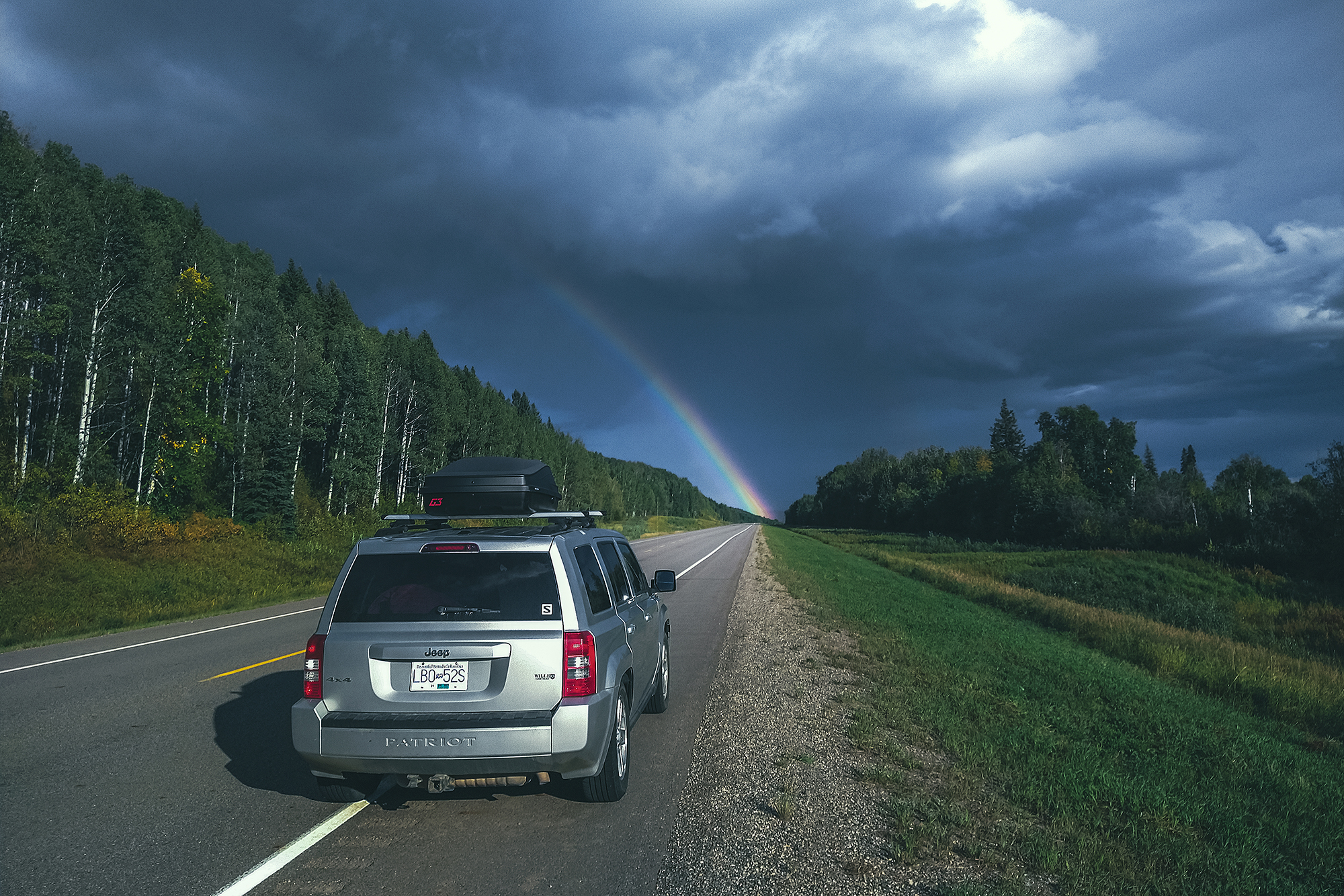
1 rainbow crossing

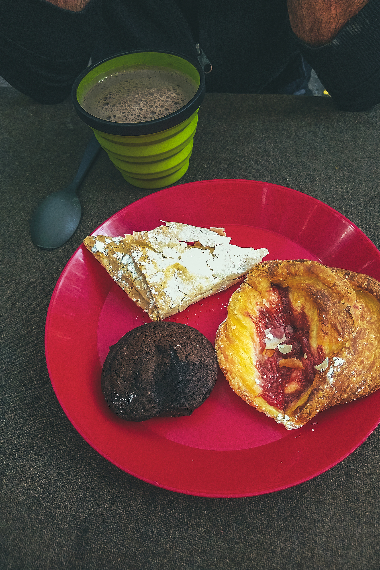
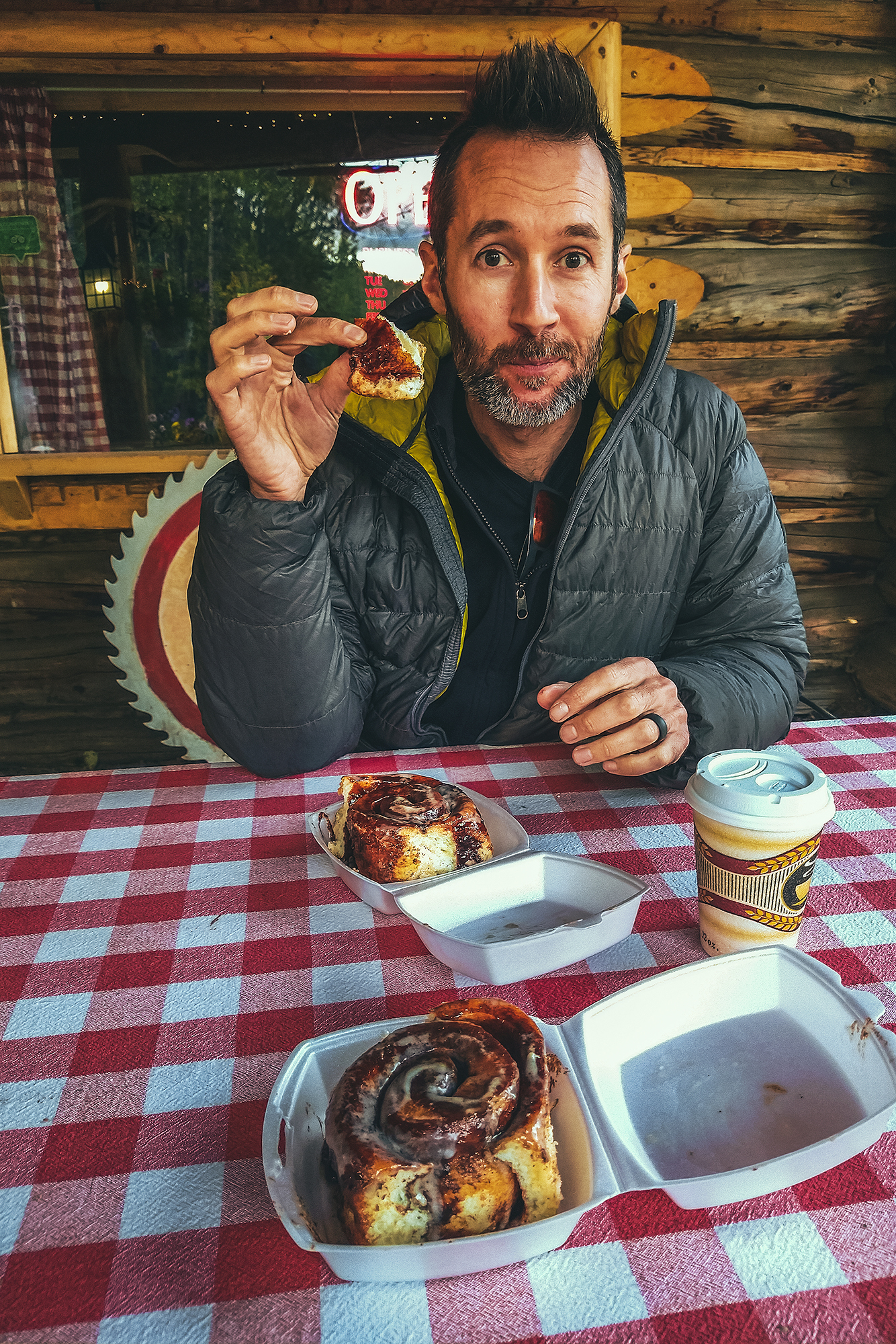
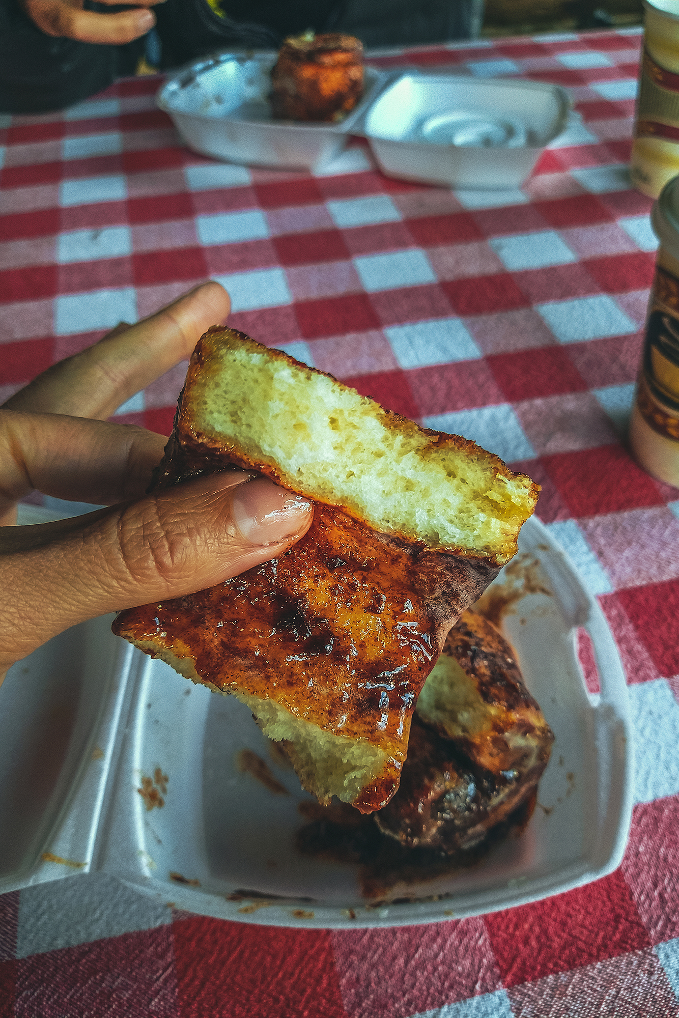
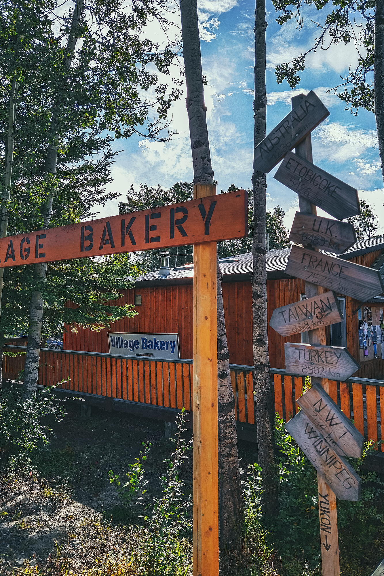
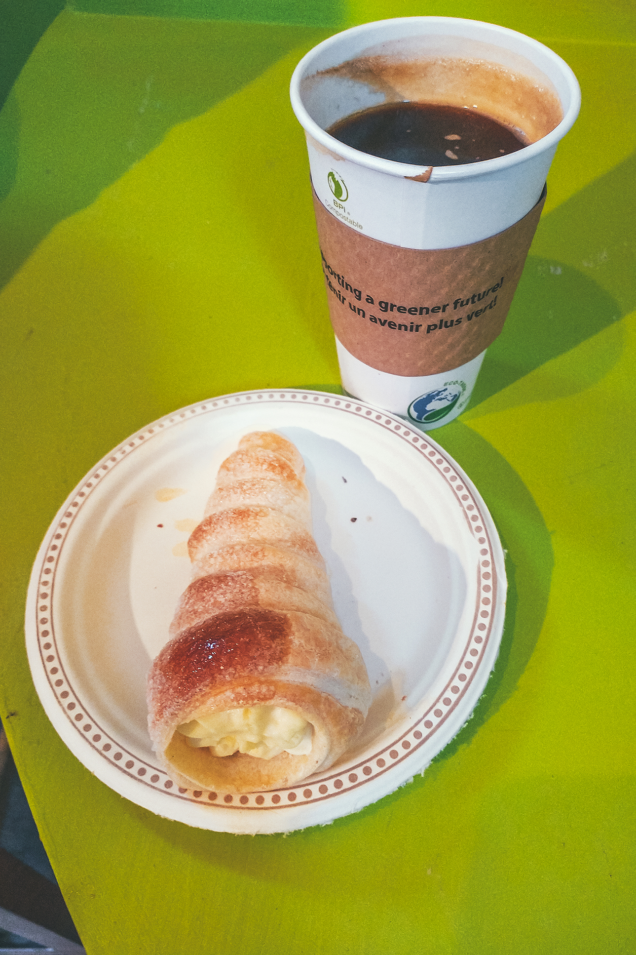
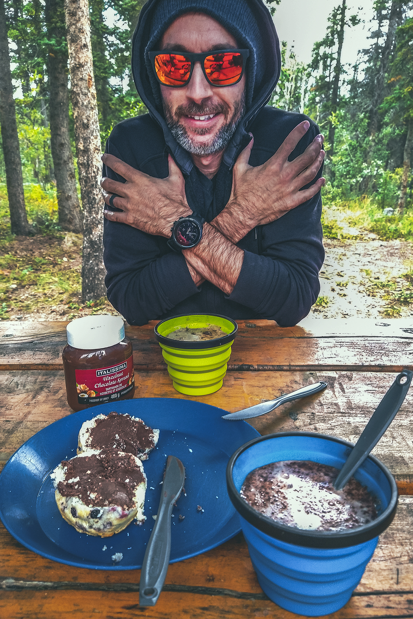
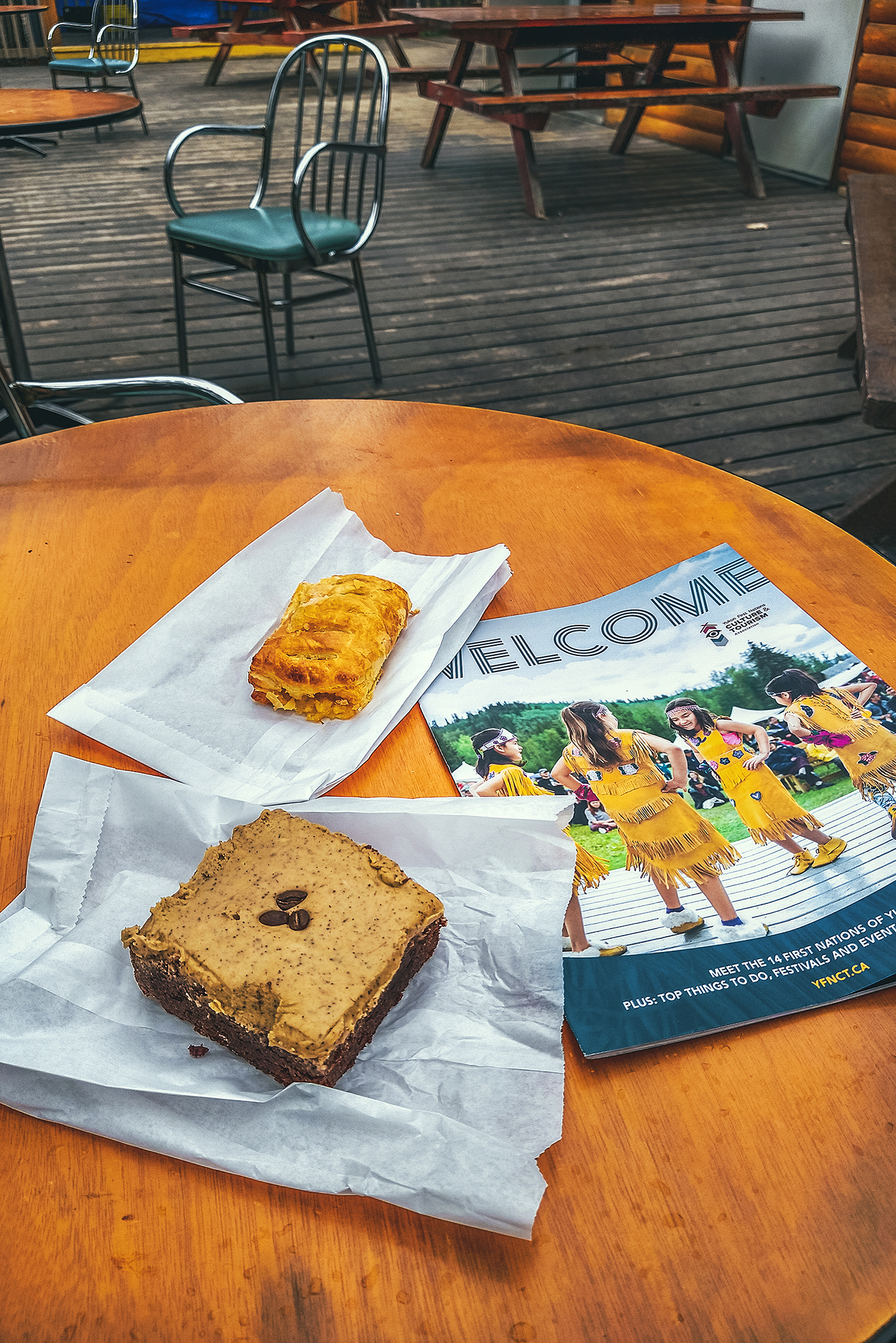
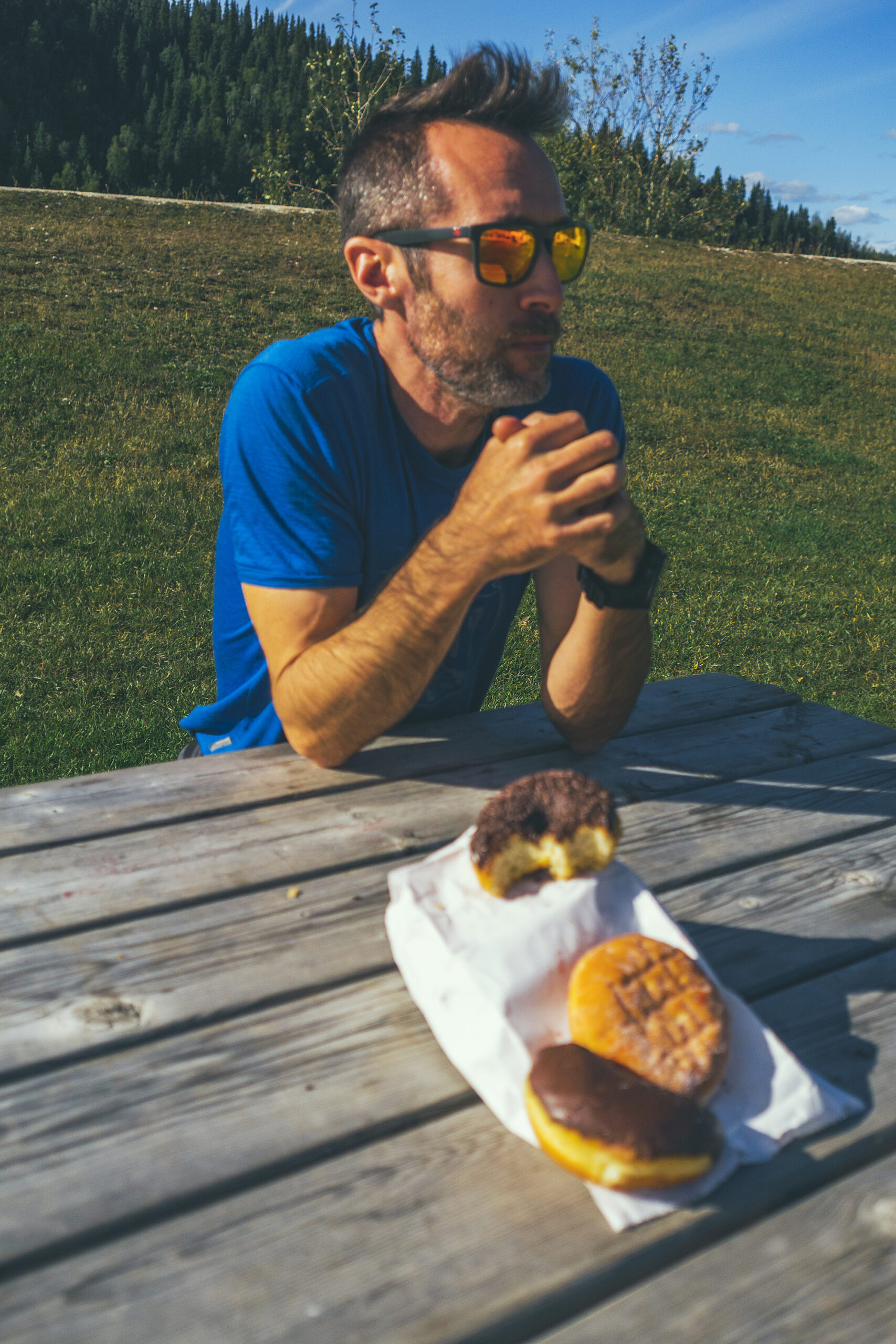
71 locally baked goods


Road Trip to the Yukon – Itinerary Recap

I first established our itinerary based on researching areas of interest on the internet, and finding posts about specific road trip itinerary, or suggestions from friends.
I always end up mapping out an itinerary on paper, in calendar-like view, indicating the place to visit/stay every day. I looked at distance/time to travel between places and where we may want to stay for more than one night. It’s easy to pack too much into a trip and I often have a bit more on paper than what I know we will realistically do.

As I mentioned in other trip journals, we’re not very good at getting up early (unless there’s a specific reason we need to) and cram a lot into one day. And especially when camping, getting ready in the morning tends to take a bit more time, just because things have to be set up or taken down. So any time we wanted to do a day hike, I knew to plan for 2 nights in that place, as it was unlikely we would travel far and do a hike on the same day.

The nice thing about this trip was that we had a bit of flexibility with our return date, and we ended up adding 2-3 more days to the trip than initially planned, just through shifting some things around or adding a side trip here and there.
I had planned some of the itinerary with the hope that we could cross the border into the US (a couple of scenic loops in the Yukon take you through Alaska). But as we quickly realized, even if we could cross, the whole ordeal of getting tested (if even possible, at the time antigen tests weren’t yet a thing!) before coming back just wasn’t practical. So I re-adjusted some of the route accordingly, and it didn’t feel like we missed out on anything. The only set item on the schedule was the trip through Tombstone, as we had booked the campsites in advance and it would have been tricky to move those dates around. But we were able to work other adjustments around these dates. For example, we re-evaluated our itinerary based on weather – moving the time we went to Kluane to later, after seeing the forecast for our initial-planned time.
In the end, having a planned but flexible itinerary worked out great, allowing us to have clear directions but still with room to adjust as needed.

I used a bunch of different reading material on a daily basis to guide us.

The Milepost was my go-to for anything to see along the road, as it has a detailed log of everything and anything worth stopping for on the Alaska highway but also all the other circuits connected to it. I used the official visitor guides for Northern BC and Yukon for a bit more details on hikes, camping and local attractions. We’ve used for many years apps like Navmii to determine distances and locations to drive to, and Ultimate Campgrounds or IOverlander to find places to camp. That said there was no shortage of campgrounds both in BC and the Yukon, and you would rarely drive more than 100km without coming across a recreation site or a provincial park/Govt campground. Beyond that, visitor centres were a great place to pick up further info on local attractions. I relied heavily on paper guides as service was very spotty, if not non-existent, in a lot of areas along the way, and I maxed out of phone data a few days before we got back.
Outside of border crossing, Covid certainly had an impact on some of our itinerary, due to a number of places being closed – mainly cultural centres or any other places run by First Nation communities. As a result we spent a bit less time in some places that we otherwise might have.

Main Hiking areas

I always enjoy building an itinerary, and becoming familiar with the map of a place I’ve never been. I’m a visual person and I start getting a better understanding of where things are and visualize what our trip might look like. Taking on the journey always feels like uncovering the areas of a video game map (for those that might have played Zelda or any other game of this type). After the trip, we’ve now unveiled areas of the map and can go back to it later for any unfinished business.
Despite covering a lot of ground, I feel like we still have only skimmed the surface of some of the most notable areas we’ve visited. These are some of the places I could go back to and spend more time exploring:

Smithers – There are a few mountain ranges around Smithers that seem to offer a nice variety of hiking, between the Babine Mountains, the Seven Sisters Provincial Park, and the nearby Brian Boru Peak or Mount Thomlison. Plus Smithers is an appealing small town with a strong outdoorsy vibe, so it’d be easy to spend a week hiking by day and brewery-ing by night.

Kluane National Park– This is one of the largest wilderness areas in the country and we mostly saw it from the road! There are a number of multi-day hikes or guided adventures that could be done, and I would love to come back for an extended stay.

Tombstone Territorial Park – Although we covered the official backcountry circuit, there are a number of other day hikes that could be done, as well as more backcountry exploring. Definitely enough to spend another few days there.

Northern Canadian Rockies – this area between Muncho Lake and Fort Nelson was spectacular to drive through. Looking at Alltrails and other hiking sites, there is no shortage of beautiful hikes in the area.

Tumbler Ridge Global Geopark – this one was an unexpected discovery. Not initially on our radar, we added it as a destination for one last day hike before heading home. Their visitor guide was super comprehensive and listed a good number of hikes – including multi day ones – that would be worth another visit.

Faro – another last minute addition to the route, we only explored the local trails around the campground, but there seems to be some good alpine hiking around Faro that could be worth another side-trip for, if we found ourselves that way again. The trail network is also meant to be suited for witer activities like cross-country skiing.

Other stops along the way:

The Hazeltons – For its spectacular setting, and the rich history of the Gitksan and Wet’suwet’en people

Nass Valley – A beautiful drive along the Nass river, Volcanic landscape shaped by drowning forests and lava flow, and discovery of four communities of the Nisga’a Nation.

Stewart, BC – a quirky settlers town at the end of the road, located at the mouth of a fjord on the border with Alaska

Boya Lake Provincial Park – turquoise blue water just begging to be paddled

Keno City – A tiny hamlet at the heart of the silver trail, remnant of a booming mining era

Dawson City – the quintessential Gold Rush town, and north-most town in the Yukon.

Haynes Junction – the getaway to Kluane National Park, and the western section of the Alaskan Highway

Carcross – Home of the Carcross/Tagish nation, the carcross Common showcases a great variety of indigenous arts and culture.

Liard Hotsprings – a tourist stop but well worth it, to enjoy the warm waters surrounded by lush vegetation, and potential moose sightings.


Muncho Lake – Incredibly scenic lake in the spectacular setting of the Northern Canadian Rockies

Dawson Creek – Mile 0 of the Alaska Highway

Tumbler Ridge – To find out about Dinosaur activity in BC

Chetwynd – Incredible display of chainsaw wood-carvings


Discovering the local History

Both Northern BC and the Yukon have a remarkable history, born of the determination of its earlier visitors to fight against the harshest of conditions (terrain, weather conditions, wildlife) to – sadly – claim territory and land that wasn’t theirs to begin with. But traces are everywhere of the grit and persistence necessary to build the roads that tourists such as ourselves are now able to leisurely travel on. A trip through the Yukon cannot be completed without learning about the construction of the Alaska highway, or the Klondike Gold Rush.

Along the road, we encountered remnants of the Gold Rush of the late 1800’s. As we traveled North, we were slowly piecing together the facts and history of that era, collecting fragments of how men and woman traveled to the North, settled and lived up there.

Eventually when got to the Silver trail and later to Dawson City, we could see the bigger picture. The steam wheelers, the claims, the machines engineered to replace human labor, the towns built to house all those populations, having migrated to these extremely harsh regions in search of different, better life. But also the Indigenous Peoples who helped settlers survive the conditions, who joined in the trades and the workforce on the road or the river, who ultimately were displaced, and their forever altered, nearly lost culture and way of life.

While the Gold Rush and the Alaska Highway are the main historical attractions highlighted for tourists to see, the history and culture of the 14 Yukon First Nations is very much present, with cultural centers in most every town, and opportunities to learn about the different communities’ origin and traditions, their ties and relationship to each other and some of the notable figures that have had an integral role in the history of the Territory. A trip to the Yukon would not be complete without learning about the Indigenous Peoples who have lived on this land since time immemorial.

Road Trip to to the Yukon – Part 12 – Tumbler Ridge, Chetwyn and driving home

September 4 – Dinosaurs and Carvings

After a restful night, we packed up camp and went for a quick exploration of what initially put Tumbler Ridge on the tourist map: Dinosaurs.

The town is fairly young, as it was built in the early 1980s as part of a huge coal mining project in the area. The mining went on for a little less than 20 years, and with the activity reducing and people moving away, Tumbler Ridge was at risk of becoming a ghost town. If it weren’t for two kids going tubing down the river one day. After falling off their tubes, they climbed on the shore and found what they thought looked like dinosaur footprints. After some nagging, they convinced their dad to send photos to a paleontologist, who indeed confirmed they were right. Turns out there were multiple tracks on the river shore, and in other areas nearby. Scientists came to explore further, ultimately discovering actual bones and other fossils. Thanks to those discoveries, and the natural wealth of the area, Tumbler Ridge is now a recognized UNESCO Geopark. We visited the Dinosaur gallery, which features replicas of the species that would have left the tracks, as well as molds of the actual footprints, and the (partial) skeleton of the first dinosaur found in BC.

After that we decided to go see the tracks on-site. We walked the 3km (round trip) trail to Flatbed creek, where the tracks were found. There are two very distinct foot prints just as the trail meets the creek, which were easy to spot.

We crossed the creek to see the tracks on the other side (those that were first spotted by the kids), but those are quite faint and hard to see in daylight. In the summer, the visitor center offers guided tours in the evening hours, to see them under electric light (easier to see them with cast shadow). However,  tours were finished for the season, plus we were leaving that day, so we didn’t get to experience that.

Even then, it was pretty incredible to see these two foot steps, neither of us had seen real life dinosaur traces on-site before, kind of blows your mind to think they stood there 100 million years ago, and their mark is still imprinted in the rock, even after the position of tectonic plates have changed, entire mountain ranges have formed around them, and they’re not even at the same longitude they were back then!

It was 2 o’clock once we were done with all the dinosaur attractions, so we got some lunch at the grocery store and headed out. We stopped at Gwilliam lake to eat, a lovely little picnic spot, then drove to Chetwynd.

Chetwynd would likely be another small town on the highway if it weren’t for the very impressive display of chainsaw wood carvings visible along the road. Started in 2005, there is a carving competition every year in June and the result has become the town’s main reason for tourists to stop.

The sculptures were all really remarkable, especially knowing they were all done want by chainsaw – makes me want to look up videos on youtube to find out how they get that much detail with such a big tool.

After Chetwynd, we set off to find a campsite for the night, and had no trouble finding a spot at the first provincial park we came across, Heart Lake, in Pine Le Morray provincial park.
We were back to the more standard camping experience that we’d been having along the way – relatively private site in the trees with a lake nearby, and friendly but distant neighbors (and remarkably clean and toilet-paper-stocked out houses).

That night though I had a mild panic attack upon waking up in the dark to the sounds of storm, wind, rain, cracking trees, and some loud metallic ruckus that my brain couldn’t quite make sense of, while trying to determine which of these noises might be caused by wildlife (spoiler alert: none of them were). But in my half-asleep state I experienced some kind of sensory overload, until Brice pointed out that the metallic sounds were construction machinery (“you can tell by the bip-bip sound of a truck backing up”), and not by a bear aggressively knocking over garbage cans, which my groggy-self was convinced of. In fact, there was excavation work being done across the road, along with a 1:30am train coming by. Thankfully it seemed to quiet down (and so did my brain) after the train passed and we could sleep the rest of the night undisturbed.

September 5  – Prince George to Lillooet.

In the morning, we both felt a bit of camping fatigue, and wondered if we could make it home in one day. But with at least 12 hours to drive, and add 2-3 hours between lunch and other stops, that seemed like a rather brutal travel day.


We could also try to drive as far as possible passed Prince George, and try to get home the next day, but then we might hit the end of long week-end traffic congestion, and no one wants to get stuck in Lions Gate Bridge traffic after driving over 9000km up and down the country – that’s no way to end an epic road trip. So we agreed that spending a couple more nights camping would be fine, and decided to even take another short side-trip, might a well since we were only a couple hundred kilometers from Prince George, and didn’t particularly need or want to spend time in the town itself.

So we drove to Mackenzie, BC,  after I had read that you could pretty much drive most of the way up Morfee Mountain, for easy views. And so we did. The dirt road took us almost to the summit and we then hiked 5min up the hill to get a slightly higher vantage point on a scenic view of the valley around, the town and lake in the distance.

Then we drove down to Morfee Lake to have a pleasant lunch by the water. The rest of the day was spent driving. The only stop I wanted to make in Prince George was at Terry’s Fresh Hot Bannock, a place that made donut-like bannock. But like many places along the that way we reached on a weekend, it was closed on Sundays. With that, we picked the first provincial park within the next 150 km and landed at Ten-Mile Lake, near Quesnel, to spend the second to last night on the road.

September 6 – Lillooet to Vancouver

We left the campsite around 11 am, after taking our time for breakfast. We decided to go home through Lillooet and the Sea to sky Higway, rather than Merritt / Hope like we did a month prior.  Some of it was to avoid the fire areas, especially since there was now a large fire zone on the Coquihalla highway, and also it was good way to have one last night near home but still in a remote area.

We pretty much drove from 11am to 5pm, with a quick stop in Williams Lake pick up some lunch, which we then ate at Lac La Hache . We made a quick stop at Marble Canyon Rec Site, to stretch our legs, then drove to Kwotlenemo (Fountain) lake, a familiar campsite where we had stayed twice before. We were easing back into everyday life by camping into a familiar spot.


The next day we drove through Lillooet and Pemberton aka the scenic route home. We stopped quickly in Squamish to say hi to our friends Adele and Thierry, and drop off copies of the provincial/territorial tourism guides we’d picked up along the way.

Adele and Thierry had done a similar trip a few years back and lent us their guides, and now Adele was very motivated to go back the next summer, so it only made sense to pass the documentation back to them, and continue the cycle. Finally we made it back to Vancouver after 37 days and 9729 km on the road.

Road Trip to to the Yukon – Part 11 – Dawson Creek and Bootski Lake

September 2nd – Driving to Dawson Creek

We took care of a few things in the morning while still at the house (namely, book some plane tickets to fly to Montreal literally 2 days after we’re back in Vancouver), then we headed to the Visitor center to grab a couple booklets on Dawson Creek and Tumbler Ridge. These two stops weren’t on the original itinerary, but we decided to add them as we had a bit of buffer with our return-home date.

Before leaving Fort St John, we also stopped at the indigenous Artist Market, a small shop that sells handmade crafts from local artists. They had soaps, salves, shoes, artwork, jewelry etc… I didn’t see anything that I wanted to bring back but it was a nice selection of locally-made items.

Then we left Fort St John and headed to Dawson Creek, about 1 hour away.

Dawson Creek is the historical place of the “Mile 0″, which is where the Alaska Highway officially starts. Not surprisingly, most of the town’s historical sites have to do with the highway construction in the early 1940’s. It was a beautiful sunny day, so we didn’t feel like going into the museum. Instead we took the small walking tour around the town center, which passes by a number of murals depicting some of the town’s history.

It was 4 o’clock when we headed out and we got to the Tumbler Ridge visitor Center at 5pm, right as it closed.
Thankfully, I’d picked up a full booklet about the area in Fort St John, so we were able to easily pick a hike to do the next day. We drove about 25 km out of town towards the trail head and set up camp at the Flatbed Creek Rec Site – a small site off the side of the road but right near a small creek, a pretty nice spot once again.

The next day we were planning on doing a hike called Bootski lake down a rough forest road at the edge of the park boundaries, then we thought we’d come back to this spot to camp another night.

This was the only time of this trip when we spent the night with absolutely no one around, in a fairly remote spot. If wildlife was ever going to come out, that would be it. I did a bit of a check to see if there were any traces of animals (like bear scats). We didn’t know when the last people that camped there were there, and whether they were responsible, leave-no-trace campers, or the type to leave remnants of food out after they’ve gone, attracting wildlife to the spot. Thankfully we didn’t see any traces of such behavior, or recent animal activity. We did get a visitor at night, probably a small-ish rodent type, although it sounded a bit bigger as it ran around on the tarp we’d placed underneath our tent.

The rest of the night was quiet and uneventful but we got a really nice starry sky, being pretty far from any light pollution. We hadn’t seen many stars at all throughout our trips, partly due to weather but also to the fact that the days were still quite long up in the Yukon and we rarely got a full dark night when we were there. Going back down south we could feel the days getting shorter as we got closer to Vancouver.

September 3 – Hiking to Bootski lake

It took us a bit of time in the morning to get ready (if you haven’t clued in by now, it usually does, we’re not really the get-up-and-go type). Contrary to what we first had thought, we decided to pack everything up and spend the following night at a campsite back in Tumbler Ridge, partly because we didn’t want to leave our gear for any random party to find, as people would likely come to this spot to spend the week-end, and also because an in-town campsite came with the promise of showers, which we were sure to appreciate after our hike.
We drove about 13km south on highway 52.E, then 37 km down Okay Main Service Road to the trail head. There was phone service right at the FSR turn off so we made sure to let a friend know where we where going and when to expect us back, a precaution we always take when hiking in remote locations.

It was pretty sunny that day, but weary of changing conditions, and after spending the last few weeks bundled up against the elements, I still wore leggings and long sleeves – a choice I regretted as soon as we warmed up on the trail. Brice wore all black pants and long sleeve, also a questionable choice for him who generally runs hot.

The hike starts with 3.5km along an ATV track. At first we thought we could have driven some of it but it got pretty rough, probably more so than our jeep could handle. There was one creek crossing where I thought it wiser to go through barefoot, rather than risk another leg dunking. Brice as per usual skipped over those slippery rocks like it was nothing.

After 3.5km, the trail veers off into the trees and becomes a steep single track, similar to a lot of those we have around Vancouver. It was only about 1 km, but quite steep. Shortly after the start of the climb, the trail goes through a burn area, still dense with tall, charred trees. Then it’s back into intact forest again, until it reaches an open meadow with 360 views of the mountains and valley around. That view alone was quite stunning, and although some distance back, the impressive wall of Mount Waptki in the backdrop was an imposing sight.

Once we were on the meadow, the trail disappeared and we were a bit taken back, conditioned as we were to always stick to marked trails and avoid stomping on vegetation.
So we went in the general direction of the main summit and bowl (where we assumed the lake was) trying to stay mainly on rocky surface where possible.

We passed a couple with a puppy returning from the lake. They had driven their car all the way up the ATV track to the start of the single track trail, but theirs had higher clearance and a metal plate to absorb shock on the bottom, ours would definitely not have made it that far……

Eventually we reached the bowl and the view of the lake, which was really a small tarn resulting from snow melt, and visibly at its lowest after a summer of evaporating.

From there, we followed a trail going up to the lowest part of the ridge, overlooking the lake. The slope we climbed was quite steep, and all lose gravel, which I didn’t love, but i still managed to make it to the saddle.
While at the top, I marveled at the fact that this mountain was basically made of layers and layers of slate, compacted together nearly vertically, and somewhat loose as I could pull out pieces without much effort. Geology is quite something, and I know nothing about any of it, but still it makes my head spin to think about how these mountains came to be millions of years ago, and the fact that we’re ultimately sitting on a pile of rocks held together by gravity-defying friction….

After some photos and drone-flying, we made our way down in a different spot, along a “spine” of bigger rocks jutting out from the gravel and which we could grab on to while bum-sliding down.

We went down to the tarn and Brice considered going for a dip for a hot second, but to sun was rapidly disappearing behind the top of the ridge and the water was soon completely in shade, so he decided against it. We started heading back across the meadow. It took us a bit less time as we managed to connect the faint sections of trail more directly. The way down was quick and I looked forward to that barefoot creek crossing. My feet got quite hot in my hiking boot and merino socks. Looking back this would have been a great trail to do in running gear, but having never done it before, we erred on the side of steadier footwear – and more layers than we eventually needed, but that’s always what I do anyway. Even if I end up carrying four jackets in my bag, I’d rather that then get caught in the cold and have a very unpleasant experience.

We got back to the car pretty much 5 hours after we left, having spent the exact time suggested on All trails. The drive from the main road took us about 45 min each way, mainly because the 13k nearest the trailhead were very pot-hole-y and slow, whereas the first 24 kms where very smooth.

Then we drove the 35km or so back to town. According to the brochure there are 3 campgrounds in Tumbler Ridge. We went to the Lions Campground, but soon realized all the sites were reserved – it was the start of Labor day long week-end and I hadn’t thought about people going for one last camping trip before back to school. We eventually came across one site that didn’t have a reserved sign and snatched it up. Turns out it was technically reserved as we found out from the campground manager, but he admitted to having a couple of spots saved up for this exact case, so we were able to stay. It was a totally opposite experience from the night before, when we camped in complete isolation, whereas we were now surrounded by big RVs and campers, kids running everywhere and big groups of people sharing they campfire. It wasn’t unpleasant though – especially the part about not having to worry about running into wildlife at night (even though we actually never did), and the sites were pretty quiet from 9pm on, until 7.30 am the next morning.

We thoroughly enjoyed the showers, and had a lovely sleep at the campground.

Road Trip to to the Yukon – Part 10 – Liard Hot Springs and Muncho Lake

August 30 – Liard Hotsprings and Muncho lake

That morning we headed to the Watson Lake rec center to use the showers, for about $6 each. What a treat to have a hot shower after a week of sponge bath/wipes! Then we got on the road and left Watson Lake, and shortly after, the Yukon, as we started the last leg of our trip driving back down into East Northern BC.

While we hadn’t seen a huge amount of wildlife so far, we got to make up for it with quite a few bison sightings along the way. We first saw an isolated male, and later a couple of herds, just grazing on the side of the road.

One of the stops I was most excited about was the Liard Hot springs.

The hot springs are the second largest in Canada, and as of a couple of years ago, it was the first provincial park with a completely fenced out campground, in order to prevent human/wildlife interaction. That said the fence only protects the campgrounds, and you have to leave the enclosed area to go to the springs.

The main pool is accessible via a short boardwalk across warm swamps, where Moose sighting are apparently frequent (we didn’t see any ourselves). The warmth of the springs has allowed a lush and diverse vegetation around them.


The hot springs admission is $5 per person, or included in the $26 if you register for a campsite for one night.
The setting is quite nice, there’s a boardwalk with changing rooms on the side of the pool, which is otherwise surrounded by boreal forest and lush greenery. Although man-made, the infrastructure is well integrated in the natural setting and it does feel like you’re in the middle of tropical forest.

The hot water source is on the right when looking at the pool from the main deck, and water in that area gets quite hot, but is cooled down by multiple streams of cold water trickling from the mossy edges of the pool on the forested side.

It was a rainy day and the pool wasn’t too busy, 20- ish people maybe, but it didn’t feel crowded. I can only imagine how busy it might get in the height of summer. We stayed in for a bit, enjoying a dip in hot water for a change. Then it was time to head out.

We contemplated staying at the campground, but it only had 1 spot left and it felt a bit too crowded for us. So instead we drove to the first campground on Muncho Lake. I had read that it was very popular and you had to be there early in the summer to get a spot but on the last Monday of August, and a rather rainy one at that, our odds were pretty good! And in fact it wasn’t very busy at all.

There are 3 sections of 5 campsites pretty much on the water and a few of the spots in the second and third sections were taken, but there was no one in the first section, nearest the entrance, so we set up at one of those spots. When looking at the forecast, I had seen that rain would continue for the next couple of days. But that night the sky cleared out and we didn’t have any rain- although it got a bit cold at night. Driving out to Muncho Lake rather than staying at Liard hot springs was definitely the right decision.

August 31 – Muncho Lake to Fort Nelson

The next morning we woke up to sun and pretty clear sky. Despite visiting at least two dozen lakes along the way, we hadn’t yet used the kayaks. But today was the day, especially looking at the turquoise colour of the water.


We paddled around for a couple of hours, enjoying the calm water and crossing to the other side to admire the emerald green patches of water above sandy ground. With the mountains in the background it couldn’t have been a more perfect place to take the kayaks out, even if it was the only time.

We continued to enjoy the waterfront while having lunch and then it was time to head out.

Leaving Muncho Lake we came across another wildlife family we hadn’t encountered before: Stone sheep

The drive to Fort Nelson, which cuts through the Northern Canadian Rockies, was quite spectacular. We went through several narrow valleys, where the road winds between turquoise-coloured streams or rivers and mountains slopes on one side, and on the other, low peaks that seem to rise from the very edge of the road, snow-capped mountains dramatically layered in the distance.

With a lot of my travel planning focused on the Yukon, I hadn’t really done much research into this part of the trip, and I realized as we got there that all the good hiking near Fort Nelson was behind us, on that stretch of road we had just past. The next day we had a 4 hour drive to Fort St John, on a much less remarkable stretch of the Alaska Highway, with an AirBnB booked for the night. We didn’t really have the option to go back for a day hike – so instead I looked at hikes options passed Fort St John, and added a side trip through Tumbler Ridge a few days later.

Along the way, we relied once again on our trusty Milepost to find us a local spot to have a snack. That day we stopped at Tetsa River Lodge, to enjoy some delicious cinnamon buns on their quaint porch.

We also saw our first caribou on the road, young ones without fully formed antlers yet, as well as stone sheep right as we left Muncho Lake. No moose sighting though, it might be the only wild life that we won’t be checking off the list.

We drove through Fort Nelson and decided to continue on to a campground 30 km further to spend the night. We pitched our tent at the Andy Baily Regional Park, where we were seemingly the only ones that night.

September 1st – Driving to Fort St John

We drove the 4-ish hours between Fort Nelson and Fort St John. The road was quite different from the previous days section through the Northern Canadian Rockies. All around was now flat land, with maybe some rolling hills from time to time, and not really anything stop-worthy along the way.

We did get to witness one of the most spectacular rainbows we’d seen on the road, and we even drove through one of its legs (spoiler alert: there was no pot of gold).

We had rented an airbnb for the night, and it was a nice break from having to set up camp and trying to stay warm outside (as it turned out, the weather had started improving though, but we still enjoyed a night in). The place was quite large and equipped with washer/dryer, which we made use of as soon as we arrived. We reset and reorganized the car and I did a good clean-up of our cooking gear. Then we headed out to the store, for some dinner ingredients, as well as to pick up some beer from a local brewery.

It was quite nice to have a night in and cook dinner in a real kitchen – it’s funny how the most mundane things become exciting when you’ve been living without them even for a very short period of time. Not to mention the nice hot shower of course, and putting on some clean clothes!

Road Trip to to the Yukon – Part 9 – From Haines Junction to Watson Lake

August 27 – Drive to Conrad lake

It was pretty cloudy when we got up. We had entertained the idea of trying to paddle on Kathleen lake, but seeing how overcast and windy it was, we decided against it.

We drove back to Whitehorse and grabbed lunch at the Alpine Bakery – which we found out later claims to be German, despite all the French people working there and frequenting it?
We hadn’t really spent anytime in Whitehorse the previous couple of times we drove through, so we decided to give it a go. The downtown area wasn’t all that appealing – not a whole lot of stores, or maybe we didn’t spend enough time ?

There was one massive outdoor outfitter store, and then we found a block that had a gallery with a few things – “artisan” souvenirs, a bakery, a couple of home decoration shops, a yarn store.

We walked a few blocks along the small downtown strip, then North along the river. We visited the Cultural center for some insight on the local Kwanlin Dün First Nation.

We left Whitehorse mid-afternoon and drove south towards Carcross. Someone had recommended Tutchi Lake as a place to spend the night. We first drove into Conrad Lake Gvt Campground and seeing how busy it was (it was after 5pm on a friday night), I worried we would drive to Tutchi, 20 min away, to find no available spot (our campground apps indicated only 5 spots there) then drive back to Conrad and find a full campground.

So we set up camp in a spot that was actually quite nice, with view of the lake and a short trail leading to the shore. The light was really nice, hitting the mountains across the lake. It was quite windy when we first arrived but the wind died down in the evening so we had a rather pleasant camping experience that night.

August 28 – Visiting Carcross and Teslin

It rained pretty heavily at night and didn’t stop in the morning. I didn’t feel like rushing so I indulged in some morning reading before getting up. We kept breakfast simple (cereals) to avoid having to do dishes in the cold and rain, and packed everything all wet. Our first stop of the day was in Carcross – formerly named Caribou Crossing.

The town has developed as a popular tourist stop thanks to a mix of preserved old-timey cabins, the remnant of a sternwheeler boat, the SS Tutshi, and the fairly recent addition of the Carcross Commons, a space of 20 artisan shops, with interpretive signs of the different clans from the Carcross/Tagish First Nation, who have lived in the area since time immemorial.
Sadly because of Covid, all but one shop were closed, but the space was still neat to see, if only to learn about the history of the town and the structure and names of the clans that live there.

Daklaweidi (Killer Whale)
Kookhittaan clan (Crow)
The Deisheetaan clan (Beaver)

The Carcross/Tagish First Nation is comprised of six Clans, separated into the Crow and the Wolf Moiety, or social groups. The Crow Moiety includes Deisheetaan, Ganaxtedi, Kookhittaan, Ishkahittaan and the Wolf Moiety includes the Daklaweidi and the Yan Yedi. Each of these clans plays a vital role in the governance of the Carcross/Tagish First Nation.

The original inhabitants of this area are the Tagish people who belong to the Tagish linguistic grouping of the Athapaskan language family. The area also became the home of Tlingit traders from Southeast Alaska who were venturing into the interior of the Yukon for trade purposes, perhaps for 200 to 300 years prior to contact in the Yukon. Today many of the Carcross/Tagish First Nation people are descendants of both Tagish and Tlingit. As of January 2006, the Carcross/Tagish First Nation is a Self-Governing First Nation

(Taken from the Council of Yukon First Nation)

We took a rainy stroll around the historic cabins and to the boat remnants. The sternwheeler had been under renovation for close to 15 years, and nearly finished, when it tragically burnt down. Only the Stern wheel and the very charred bow remain, and in-between are just 2 open floors with no walls to indicate its former size.

The town is located on the shores of Nares Lake, and features a swing bridge built in 1990.

[gallery link="file" columns="2" size="large" ids="4424,4423"]

Ironically, Carcross has one of the lowest amounts of precipitation days in Canada, so i guess the fact we had a rainy day made it somewhat special?

The local coffee shop was open so we gladly grabbed a hot sandwich, coffee and pastries before heading back on the road.

Next we drove to Teslin to visit the George Johnston museum (we had tried to stop by on our way in a couple of weeks prior but it was closed that particular day).

The museum was very well done, with information on the Inland Tingit peoples of Teslin, as captured by George Johnston. He was a self-taught photographer, who also became famous for being the first person to bring a car to this area, at a time when there wasn’t even a road to drive on.
He used the car for hunting and as a taxi service, after he cleared out about 5 km of track to travel on. That track later became part of the Alaska Highway.

The museum offered screenings of the movie Picturing a People: George Johnston, Tlingit Photographer, which we started watching but had to leave unfinished as the museum was closing (the film is available to watch online on the NFB website). The museum also had an area about local wildlife and how it was traditionally perceived and used as resource by the Inland Tlingit community.

It was still raining when we left the museum. We debated checking into a motel, but the options were limited so we eventually decided against it and settled on the nearby campground. It pretty much rained all night, with temps around 5-6°C  (admittedly my mood wasn’t the greatest, especially after I’d seen that there was rain on the forecast for the following 3 days). We did book an Airbnb for 3 days later, splurging on a house near Fort St John (the closest available airbnb we could find along our itinerary). It was something to look forward to if the rain persisted. We also decided we would have dinner at a restaurant in Watson lake the next day, so we could have some dry time then and not have to worry about making dinner in the cold and wet.

Once we’re under the tent and into our sleeping bag, it’s always cosy even in the rain, but everything else becomes a bit of a process when dealing with wet gear and cold.

August 29 – Watson lake

We didn’t have much planned on that day, other than drive the 250 or so kilometers from Teslin to Watson lake. There isn’t much to stop and do on that stretch of road, which was fine because it was still raining heavily after we packed up. We did stop at the Yukon Motel & Restaurant to make use of their washrooms. Nothing like washing my face with hot water after a few nights of cold, wet weather!

We drove for a bit and had lunch at a side-of-the-road rest stop. I didn’t have the motivation to prepare much in that weather, but thankfully we had two cans of tuna + quinoa salads, which we ate in our seats, with a side of chips and m&ms. That’s also the reality of road trips, there’s not always a scenic, sunny spot to stop at and that’s fine. As long as we can fill our bellies with food, the mood usually stays high.

We arrived in Watson Lake mid-afternoon and went to the Visitor Center, for warmth, wifi, dinner recommendations, and somewhere dry to sit for a little bit.

They had a small exhibit on the construction of the Alaska Highway as well as a 20 min movie. The 1600-mile long Alaska highway was constructed by military effort in 1942, as a way to connect Alaska to the rest of the US. Prompted by the attack on Pearl Harbour, it was completed between March and October of that year, in roughly 8 months. About 11,000 soldiers worked on the project, in very harsh conditions and across incredibly challenging terrain. While putting this post together I came across two interesting articles on the construction of the road, so if you’re so inclined, below is a bit more information on the mammoth task that its construction was, and the men who made it happen.

Why Building of the Alaska Highway is Still an Epic Feat 75 Years Later

The Construction of the Alaska Highway, 1942: The Role of Race in the Far North

Next we got some food from the grocery store – it seems even when we don’t “need anything” we can’t seem to go into a grocery store without coming out with a handful of items. Then we drove back to the Watson Lake Campground, the same we had stayed at  2 weeks earlier, and after setting up camp, we chilled for a bit until dinner.

Somehow the rain stopped and we even got some shy rays of sun through the trees as we were setting up.
To escape the weather that night, we decided to go to a restaurant since there were a few options in Watson Lake. We chose the New Nugget, a very Westerner-tailored Chinese restaurant (they didn’t even bother offering chopsticks). Their wonton soup and vegetable fried rice were really tasty and we left with a full belly.

Although this stretch of road wasn’t the most scenic of the trip, we still learned a lot about the area, the people that live there, and how the road came to be. This trip overall definitely had a good mix of scenery, outdoor activities as well as history and culture to discover.

Road Trip to to the Yukon – Part 8 – Kluane National Park and Reserve

August 24 – Drive To Haines Junction

We got up and drove to Whitehorse, where we found a much-needed carwash and re-stocked our food supplies. On the way out, looking for a liquor store we stumbled upon the Yukon Beer store, so we bought a few to try out.
Then we headed towards Haines Junction, a couple of hours west on the Alaska Highway.

When we got there we stopped at the Visitor Center and went through the exhibit about the Kluane National Park and Reserve, which is a designated UNESCO World Heritage. The Park is home to 17 of the 20 highest mountains in Canada, including the tallest, Mount Logan, at 5959 meters. The park also features the largest non-polar icefield in the world.
We watched a short movie also covering the topic, the land diversity, fauna, and work being done in collaboration between the Kluane First Nation, Champagne and Aishihik First Nations and the Park Staff/Parks Canada administration.
Next to the visitor Center is the Da Kų Cultural center which showcases First Nation Art and Culture, but it was closed due to Covid.

Next we drove to Kathleen lake, where we’d planned on spending the next few nights, while we explored the Kluane Area.

August 25 – Drive Out and back to Burwash Landing

The forecast suggested rain that day, and nicer conditions the next, so we decided to take the drive to Burwash Landing and wait for the nice day to do a hike.

The drive along the Alaska Highway offers great view points on the Kluane mountains and Kluane lake. We stopped near the southern end of the lake, to take a stroll on a sandy area right off the road. The desert-like landscape is due to the retreat of the Kaskawulsh Glacier. As a result, its meltwater which previously fed two rivers, the Kaskawulsh River and ‘Ä’äy Chù’ (Slims River), now only flows into one. This phenomenon has apparently happened several times in the past, but current state of global warming suggest it is unlikely that the Glacier will re-advance, and that both rivers will run again. It was quite unexpected to see such a landscape surrounded by mountains. 

We then stopped at the Thachäl Dhäl Visitor Centre and had lunch. The park ranger there was very friendly and pointed out to us a couple of herds of Dall Sheep that could be seen (through binoculars) on the slopes of the nearby mountain. They were pretty far, so even through binoculars they looked like tiny little white specs. Would this qualify as wildlife sighting?

We continued on the drive to Destruction Bay and Burwash landing, where we once again, we found the museum closed due to Covid. The drive was still worth it though, for the scenery along Kluane Lake and the mountains around.

There are a number of hikes you can do into Kluane along that stretch of highway, some of them multi-day treks. I would definitely be interested in coming back for a multi-day adventure, as some of the trails reach the edge of the icefield, and promise a pretty spectacular sight.

There are also various guided adventures to be taken, from flying over the glaciers to white river rafting up close to them. Too much to do and see in just a couple of days! But it was great to get a glimpse at the area and know what to come back for.

On the way back we stopped at Village Bakery in Haines Junction for some pastries and free wifi, then headed back to camp.

That night we changed things up a bit by making tacos – zucchini, bell peppers, avocado & tuna, with a dash of green pepper hot sauce. That was a nice variation from our other camping meals so far, and one we might even repeat at home.

August 26 –  Hiking the King’s Throne trail

We set off for King’s Throne, a hike that was recommended to us by our friend Adele, as well as 2 or 3 other random people we saw on other hikes. The trailhead is actually at Kathleen Lake so it was conveniently near our campsite. Alltrails had it recorded at 12.7km, while I had seen it at 15km in some Yukon guide, with an estimated time of 8 hours.

We started relatively late at 10am. The trail is pretty wide and flat for the first 2 kms in the trees, then it starts climbing steeply up the mountain side. We got to the alpine within 3km from the start and had great views of Kathleen lake from there on. One option I’d found was to hike 5km to King’s “seat”, basically the bottom of the cirque at the base of the ridge. My watch only read about 3.6k though when we got to that point after only about 1 hour of climbing (maybe a bit more), so we continued straight on to climb the ridge.


That portion was probably the most challenging (both up and down) as you climb very steeply on loose gravel. It was slow going up and a bit slippery on the down.
Looking up we could see that the higher section of the ridge was completely covered in clouds but we figured we’d keep going until we felt like it didn’t make sense anymore.

There were some pretty windy spots on the way but alternating with some sheltered ones. We had a snack part-way up and we were debating whether to continue.

Another couple was following us from not far behind so we let them go by, to see if the next portion was strenuous or not, based on their progress. Turns out we were pretty much at the top of the steeper climb, and from there the trail followed the ridge relatively smoothly.

The trail split at each “bump” with option to go up or circumvent at the base. The ground was made up of larger rocks and traveling on that section was actually quick and easy. We went over 3 or 4 prominences, every time wondering if that was the summit, and every time it wasn’t, another bump showing up silhouetted further in the clouds.

The official summit is technically the far end of the ridge, opposite to where we climbed, and we debated how far to keep going as we were basically traveling in a cloud, with little to no view. We did get a peek at the far section of Kathleen lake, as clouds parted on the other side of the ridge. Eventually we made it to a section where someone had built a small shelter out of stacked rocks.


The wind was pretty brutal on the ridge but completely absent in the shelter. We decided this was a good point to turn around. Based on distance, we were at least 1km away from the official summit, maybe more. And at that point, the lack of views didn’t really make it seem worth continuing. A few people passed us, heads down, trudging to the summit, but we decided to turn around without any regrets.

Two hours later when we were back down, sitting by the lake for a snack, and it looked like the summit had cleared but there were still dark menacing clouds above the whole ridge. In any case, we were pretty happy with the hike and the views we got over Kathleen Lake.

It took us 3h20min to go up, with a couple of breaks, and about 2h 20 to come down. I would assume continuing to the summit would have added 1-2 more hours to this. The way down was actually more challenging I found, due to the slippery terrain – And I swear the last 2kmm on flat were way longer than when we started ! (Brice thought so too!). In the end we clocked 13km with 1324m of elevation gain, so a decent day out!

We had snacks at the day use area by the lake, then headed back to camp for the evening.
We had been pretty fortunate with showers so far, finding accessible ones in a lot of campsites or nearby, but nothing of the sort at Kathleen Lake, so sponge bath it was, to rinse off the hike (the lake itself was way too cold and windy for me to go in).

Road Trip to the Yukon – Part 7 – Dawson City

August 22 – In and Around Dawson City

We packed up the tent and went for breakfast in town. We first tried the Riverwest Bistro, but it had more of a coffee shop vibe and was a bit crowded so instead we sat at the Jack London Grill, inside the Downtown hotel, for a proper eggs benny and waffles type of deal.


The plan for the morning was strolling through Dawson City, and go to the Dänojà Zho Cultural Centre – but it ended up being closed on Sunday unfortunately. We went back to the Trading Post, now our favorite store, with its mix of outdoor supplies and miscellaneous antique items. It’s one of those stores that makes you want to buy all the things for your outdoor needs, but we only got propane bottles and an extra tarp, so we could keep both out bug shelter and sleeping tents dry from the rain.

Dawson City is located on the land  of the Tr’ondëk Hwëch’in first nation, descendant of the of the Hän-speaking people who lived along the Yukon River for millenia. The Tr’ondëk Hwëch’in people traveled extensively over roughly 10,000 square kilometers of land, therefore designated as their traditional territory. Salmon, Caribou and Moose were some of their main source of food and the the land procured a wealth of other supplies, used in trades with neighboring nations. Contact with European settlers presented opportunities for trading of new goods, but also challenges due to the impact and influence on the Han culture, and of course the loss of land.

The discovery of gold and stampede resulted in the displacement of the Han people, and significant impact on their food sources by driving away the game. A highly regarded and respected member of the clan during the Gold Rush, Chief Isaac witnessed the impact of the European culture on his people and entrusted their traditional songs and dances with a neighboring nation in Alaska, to keep them alive until a time the Han could receive them back.

In the 1970’s, Yukon First Nations started the process of reclaiming their lands through negotiations with the Canadian government. Trʼondëk Hwëchʼin’s individual Land Claim and Self Government Agreement was first negotiated in 1991 but the Final Agreement wasn’t signed and put into effect until 1998. Today the Trʼondëk Hwëchʼin are actively working towards restoring their cultural heritage and traditions, while being active participants in the preservation and protection of the land we had the privilege to explore during our time there.

As for the founding of Dawson City and what remains today, its history is tightly woven with that of the Klondike Gold Rush. While settlers were stampeding up the Yukon river to stake claims on land that would hopefully yield them wealth, one business-savvy man, Joseph Ladue, decided to claim an area of boggy marsh land, at the mouth of the river. He figured all these people would need a place to live and expand as a community and sure enough, the town grew to roughly 5000 people within 6 months of Ladue first naming Dawson City. Today the town population is roughly 1600 people, the 2nd most populated town in the Yukon, after Whitehorse, and subsists mainly thanks to tourism.

The day turned out to be quite sunny, which was a nice change, and we had lunch on one of the wooden platforms near the river. In the afternoon we headed down Bonanza Creek road, to visit a few different sites related to the Gold rush.

Dredge n°4 is a huge piece of machinery (the biggest of its kind) which was used to basically turn the river bed upside down to extract gold from it. At the time it was used (from the early 1910’s to the late 1950’s), it was the epitome of placer gold extraction engineering, and the most advanced it got from the original human labor of swishing dirt in a pan, at the start of the gold rush in the late 1890’s.

The design was, in itself, pretty straight forward: a series of huge cast-iron buckets on a chain, similar to a treadmill, would dig through the creek bed and pull the dirt out. As it traveled through the machine and a trommel screen mechanism, the heavier gold would fall down into a container while the rest of the rocks and dirt would get spit out the other end, creating a new mound of dirt where the creek used to be. This method was definitely more aggressive on the environment than manual gold panning, but certainly more efficient as Dredge 4 collected approximately nine tons of gold during its time of operation.

Our next stop was at Claim #6, a section of the Bonanza Creek owned by the Klondike Visitors Association and inviting visitors to do their own gold panning. It felt like a bit of a gimmicky tourist attraction, but since it was free we went along. Turns out there were a couple of groups there already, that seemed to take the task quite seriously, sitting in chairs with rubber-booted feet in the river and pans a-swishing.
If I’m being honest, it kind of reminded me of people walking on beaches with metal detectors, but gratuitous judgement aside, it definitely helped put into perspective the grit and determination of the people who originally came to the area, working for hours in harsh conditions, hoping to luck out on some flakes of gold

Lastly we went to the Discovery claim, a short interpretive trail along the creek in the location where gold was first found, which resulted in the Dawson City stampede and gold rush. The trail provided detailed information about the men who first claimed the area (George Carmack, Dawson Charlie, and Skookum Jim), as well as various tools that were used for mining.

After this deep-dive into the Gold Rush era, we headed back to the motel to check into our room for the night, then had snacks from the coffee shop, and finally went back to the room to rest for a bit and do a load of laundry.

For dinner we first tried Sourdough Joe, whose menu offered more fish and chowder options but when we got there at 8:30pm, it was completely empty. Looking for something a bit more alive, we tried going back to the Sourdough Saloon, where we had dinner the night before, but that was closed. So as last result we went back to the Greek place, the Drunken Goat, which, just like the night before Tombstone, was making “Pizza Only” (which makes me wonder if they actually ever do any actual Greek food?). At least the place was busier, including with the one guy who seemed to show up everywhere we had been each night – confirming I guess that there weren’t many other options for nightlife. The patron in question was actually a very jovial- albeit loud, regular local, acquainted with the staff and ultimately very friendly.

We ordered 2 pizzas and they came much quicker than the first time, except they got Brice’s order wrong and added Pepperoni to his vegetarian pizza. He’s not usually one to send food back, but he’s been voluntarily off meat since the start of the year and that wasn’t something he was willing to let slide, so they made a new pizza.
Finally we went and enjoyed a nice indoor sleep. After the disappointment of not finding a room for the night after we came back from our hiking trek, I had found one for the following night. It was a nice reset to be in a real bed with a real bathroom for a night.

August 23  – Drive back to Whitehorse

We picked up some breakfast pastries from the General Store, then we were on our way.
We pretty much just drove for about 6 hours. The nearest campsite to Whitehorse, without going into town, was Lake Laberge, so that’s where we stopped for the night. It turned out to be one of the best camping night we’d had on the trip.

We found a spot right on the water. The weather was quite nice, not cold, and we didn’t have any bugs. This one gets 5 stars on all criteria. We watched the sunset on the lake, and even though the sun actually set behind the trees, out of sight, we could see the light on the mountains across the lake changing colour as the sun went down, from gold to purple and pink. It was pretty special.
We had our how customary car-camping dinner of Couscous, beans, sardines. and enjoyed a lovely night with the sound of waves in the background.


The only thing that spoiled the night a bit was that my air mattress appeared to have a leak and kept deflating overtime. I had to blow it back up it at least 4 or 5 times throughout the night. Thankfully we’d brought a spare mattress for this very reason, so the following night I switched to the spare. It was lucky that it didn’t happen while we were hiking in Tombstone.