September 2nd – Driving to Dawson Creek
We took care of a few things in the morning while still at the house (namely, book some plane tickets to fly to Montreal literally 2 days after we’re back in Vancouver), then we headed to the Visitor center to grab a couple booklets on Dawson Creek and Tumbler Ridge. These two stops weren’t on the original itinerary, but we decided to add them as we had a bit of buffer with our return-home date.
Before leaving Fort St John, we also stopped at the indigenous Artist Market, a small shop that sells handmade crafts from local artists. They had soaps, salves, shoes, artwork, jewelry etc… I didn’t see anything that I wanted to bring back but it was a nice selection of locally-made items.
Then we left Fort St John and headed to Dawson Creek, about 1 hour away.
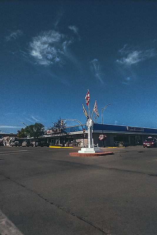
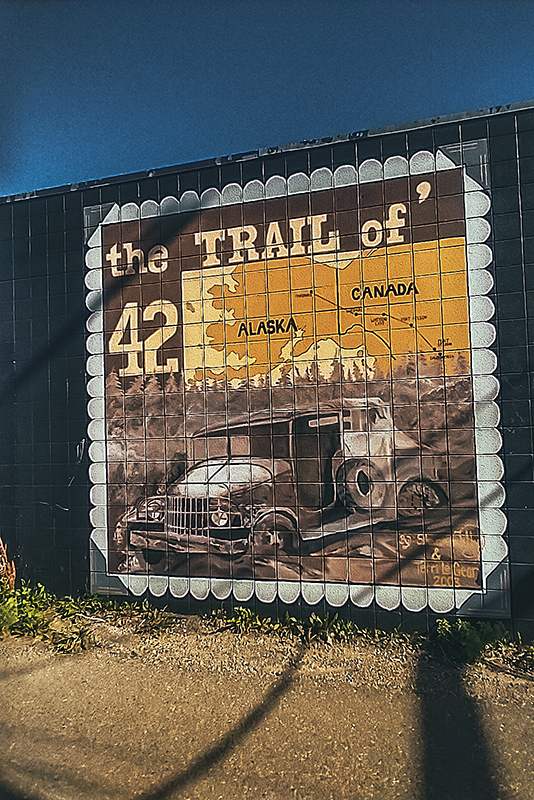
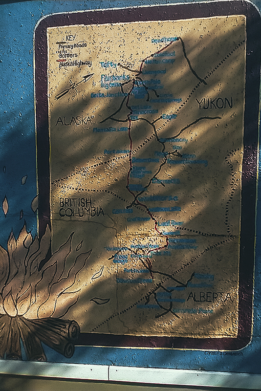
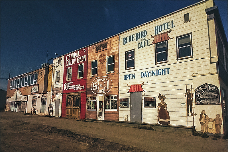
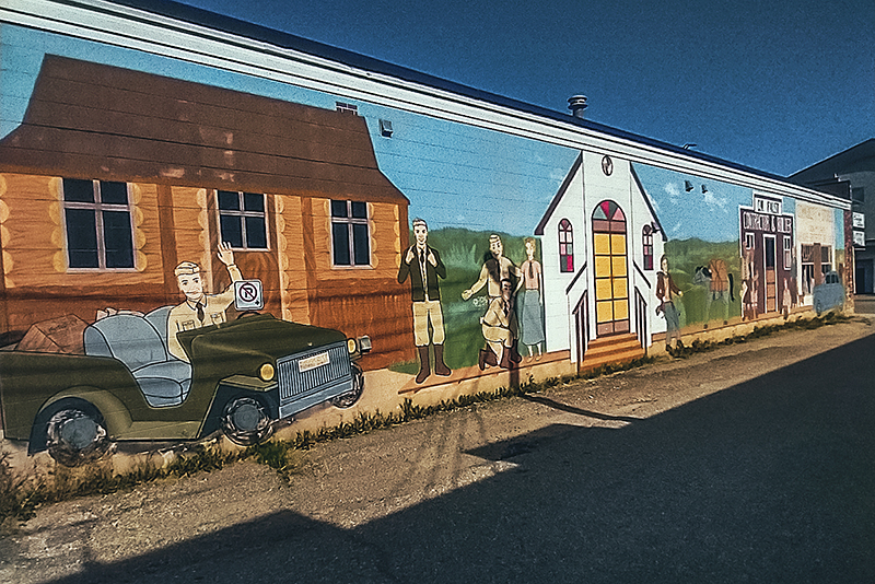
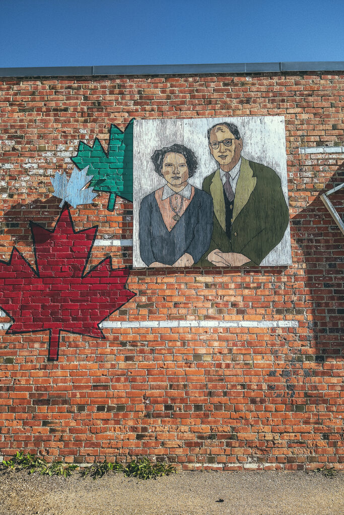
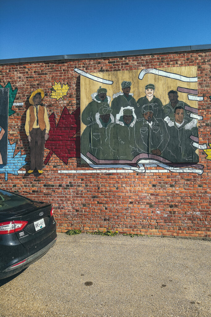
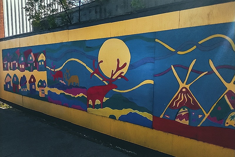
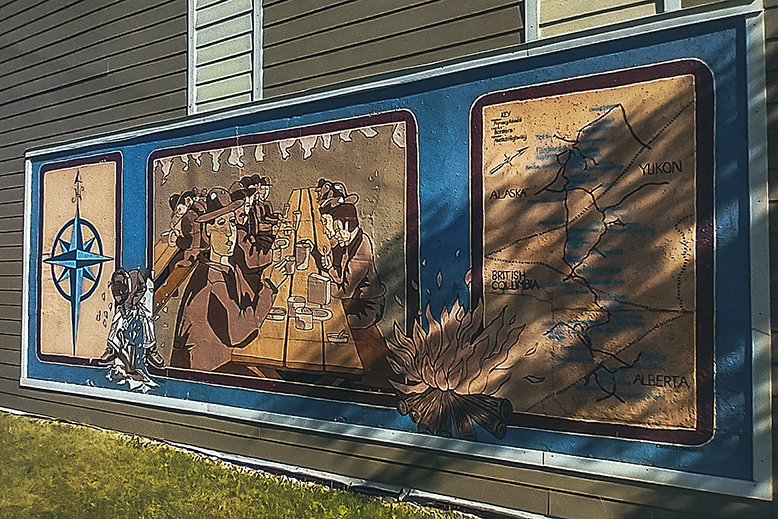
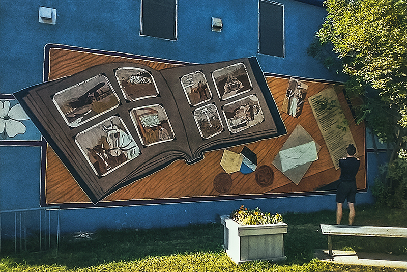
Dawson Creek is the historical place of the “Mile 0″, which is where the Alaska Highway officially starts. Not surprisingly, most of the town’s historical sites have to do with the highway construction in the early 1940’s. It was a beautiful sunny day, so we didn’t feel like going into the museum. Instead we took the small walking tour around the town center, which passes by a number of murals depicting some of the town’s history.
It was 4 o’clock when we headed out and we got to the Tumbler Ridge visitor Center at 5pm, right as it closed.
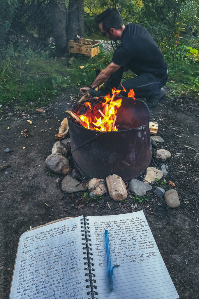
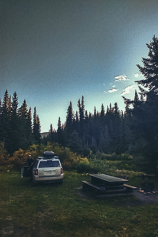
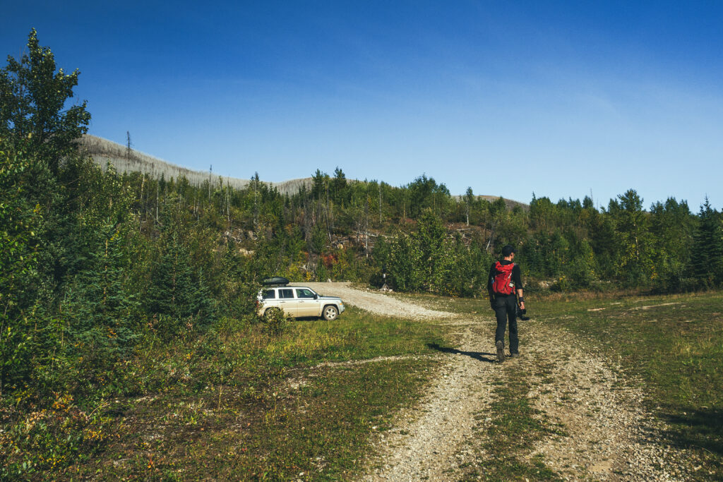
Thankfully, I’d picked up a full booklet about the area in Fort St John, so we were able to easily pick a hike to do the next day. We drove about 25 km out of town towards the trail head and set up camp at the Flatbed Creek Rec Site – a small site off the side of the road but right near a small creek, a pretty nice spot once again.
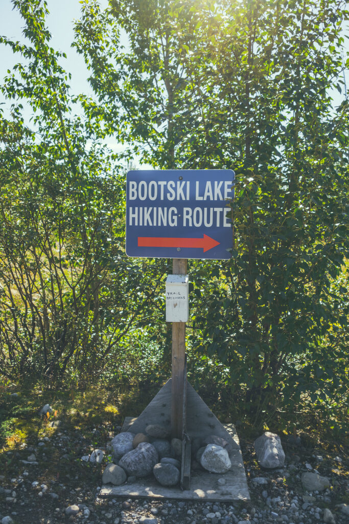
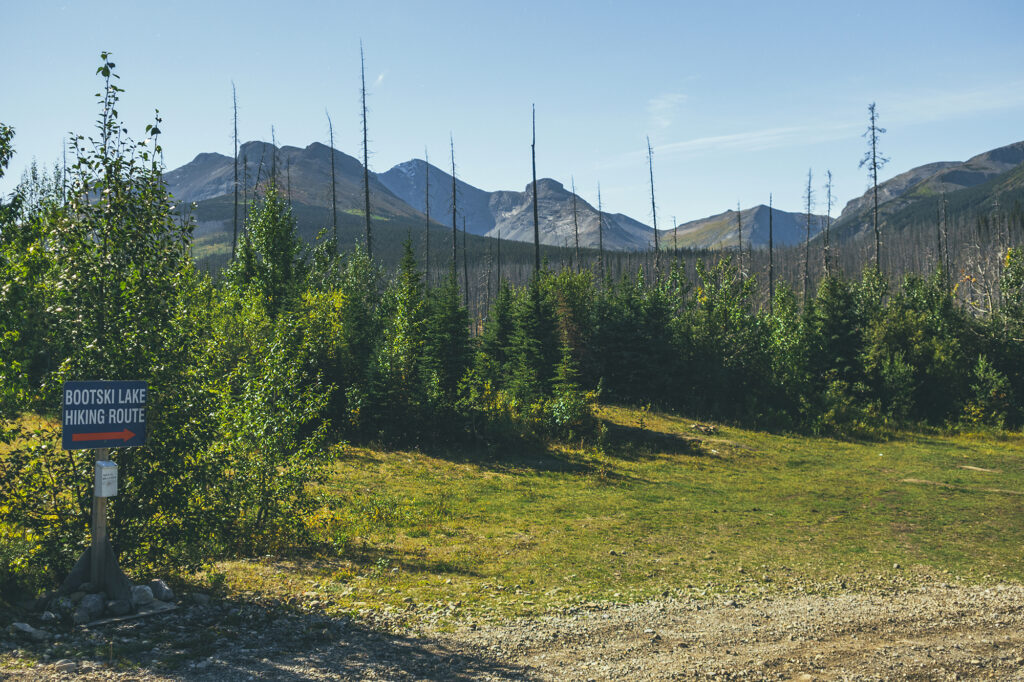
The next day we were planning on doing a hike called Bootski lake down a rough forest road at the edge of the park boundaries, then we thought we’d come back to this spot to camp another night.
This was the only time of this trip when we spent the night with absolutely no one around, in a fairly remote spot. If wildlife was ever going to come out, that would be it. I did a bit of a check to see if there were any traces of animals (like bear scats). We didn’t know when the last people that camped there were there, and whether they were responsible, leave-no-trace campers, or the type to leave remnants of food out after they’ve gone, attracting wildlife to the spot. Thankfully we didn’t see any traces of such behavior, or recent animal activity. We did get a visitor at night, probably a small-ish rodent type, although it sounded a bit bigger as it ran around on the tarp we’d placed underneath our tent.
The rest of the night was quiet and uneventful but we got a really nice starry sky, being pretty far from any light pollution. We hadn’t seen many stars at all throughout our trips, partly due to weather but also to the fact that the days were still quite long up in the Yukon and we rarely got a full dark night when we were there. Going back down south we could feel the days getting shorter as we got closer to Vancouver.
September 3 – Hiking to Bootski lake
It took us a bit of time in the morning to get ready (if you haven’t clued in by now, it usually does, we’re not really the get-up-and-go type). Contrary to what we first had thought, we decided to pack everything up and spend the following night at a campsite back in Tumbler Ridge, partly because we didn’t want to leave our gear for any random party to find, as people would likely come to this spot to spend the week-end, and also because an in-town campsite came with the promise of showers, which we were sure to appreciate after our hike.
We drove about 13km south on highway 52.E, then 37 km down Okay Main Service Road to the trail head. There was phone service right at the FSR turn off so we made sure to let a friend know where we where going and when to expect us back, a precaution we always take when hiking in remote locations.
It was pretty sunny that day, but weary of changing conditions, and after spending the last few weeks bundled up against the elements, I still wore leggings and long sleeves – a choice I regretted as soon as we warmed up on the trail. Brice wore all black pants and long sleeve, also a questionable choice for him who generally runs hot.
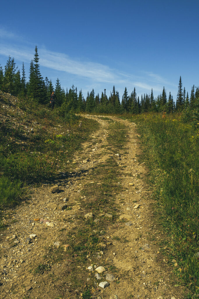
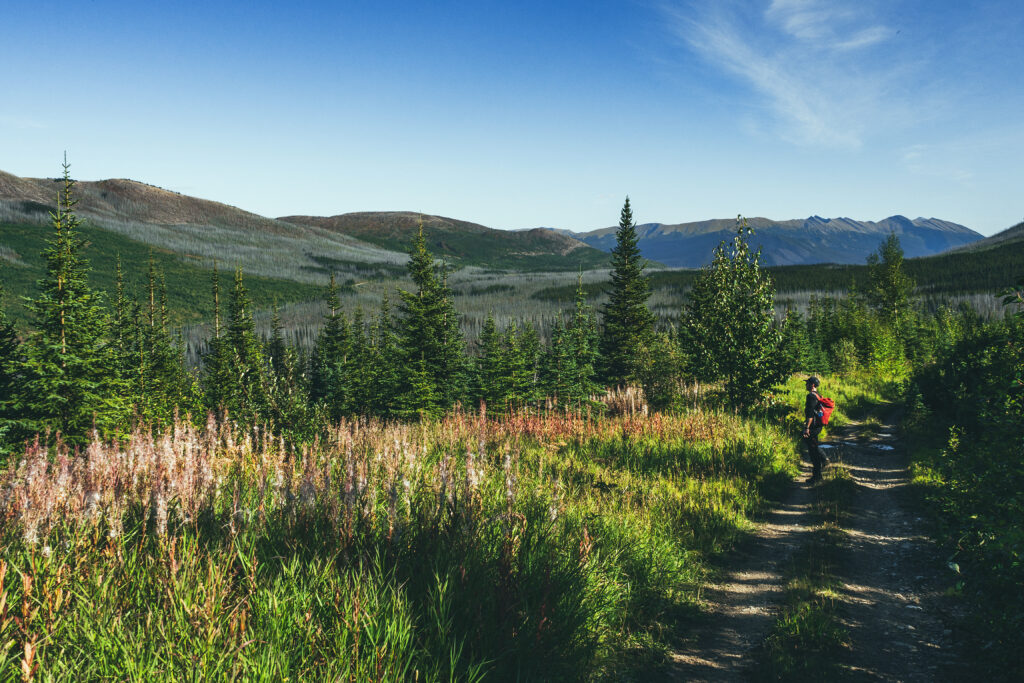
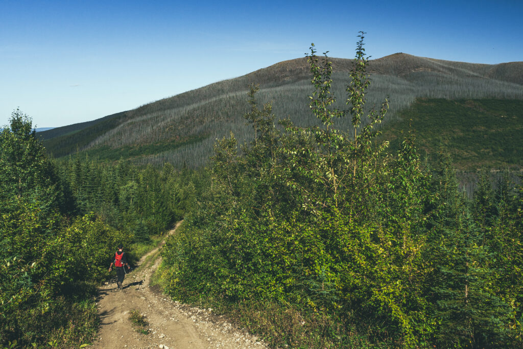
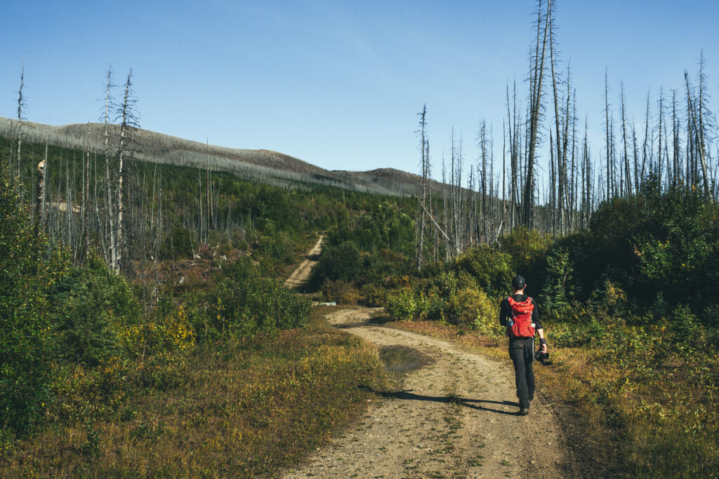
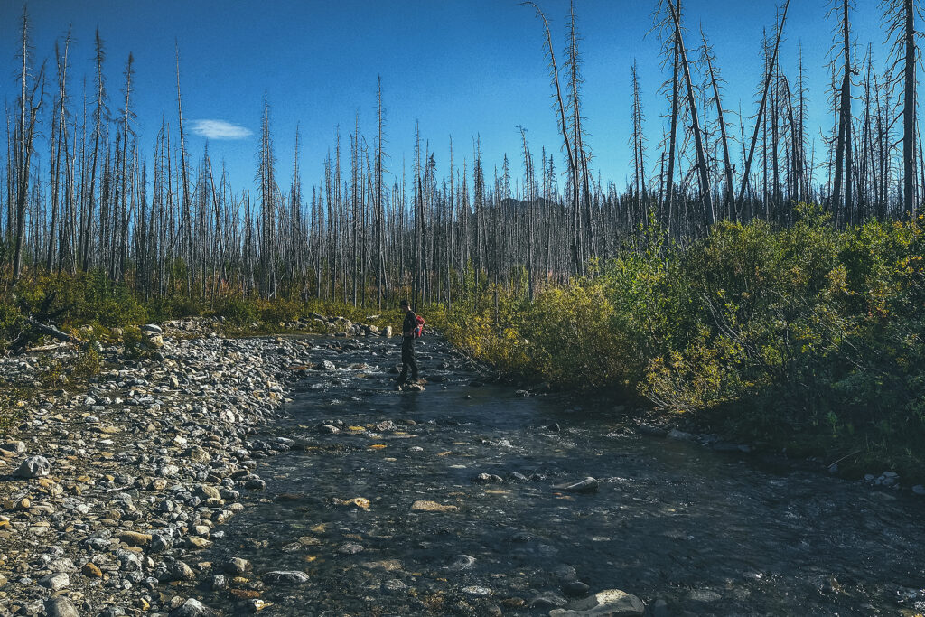
The hike starts with 3.5km along an ATV track. At first we thought we could have driven some of it but it got pretty rough, probably more so than our jeep could handle. There was one creek crossing where I thought it wiser to go through barefoot, rather than risk another leg dunking. Brice as per usual skipped over those slippery rocks like it was nothing.
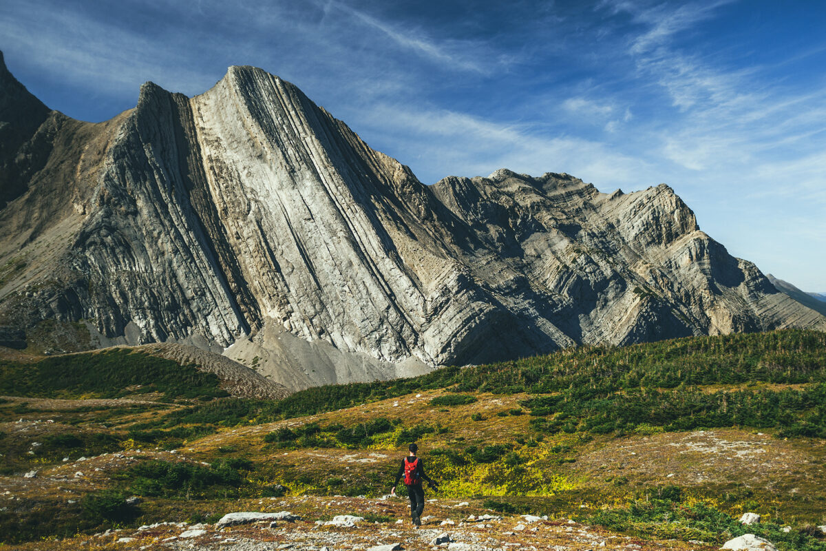
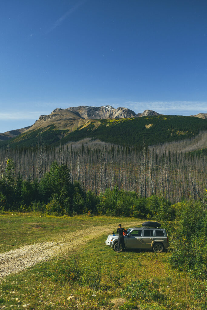
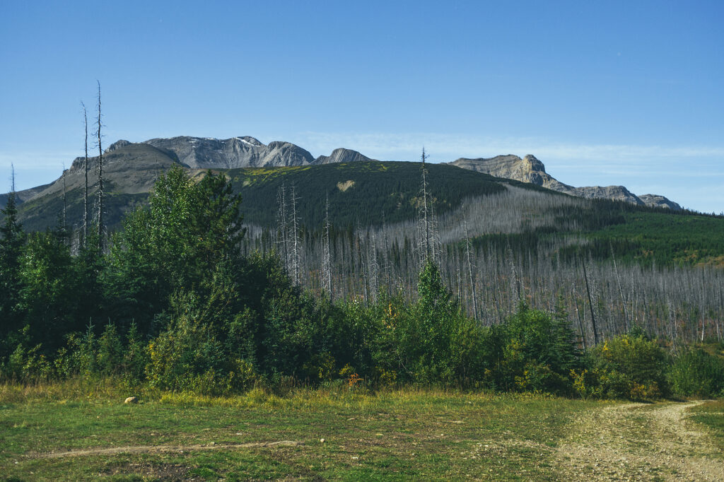
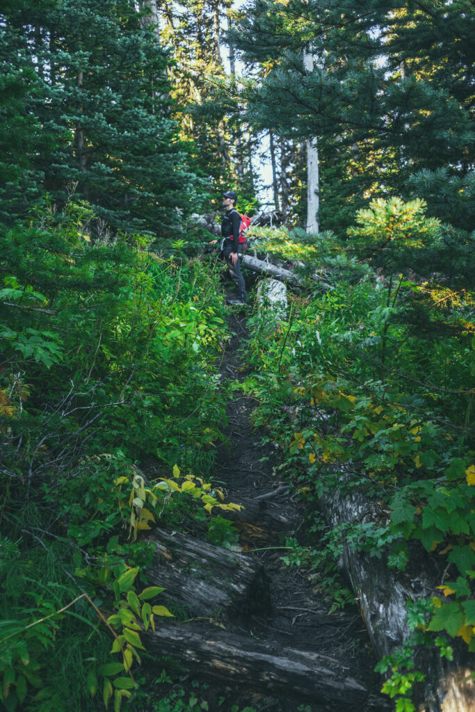
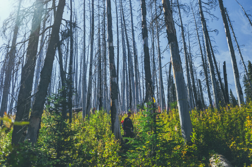
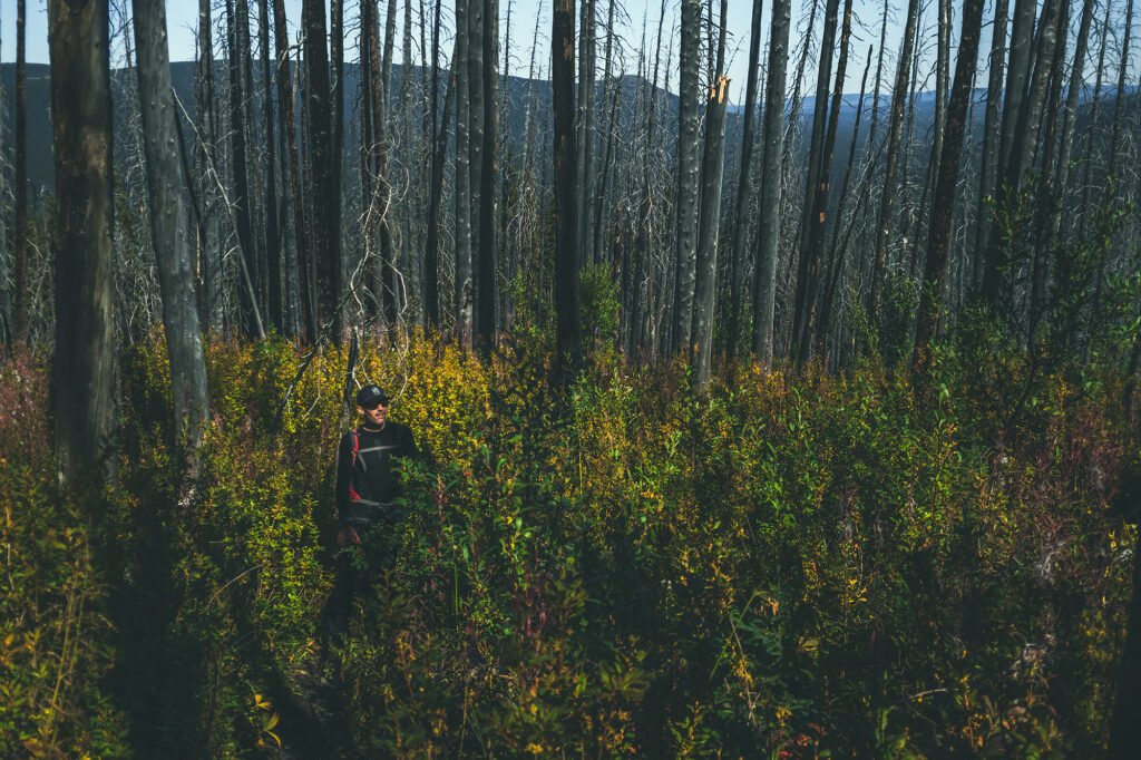
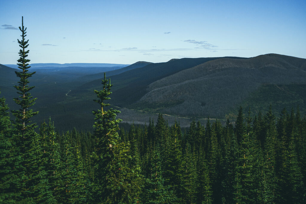
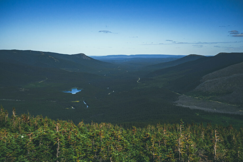
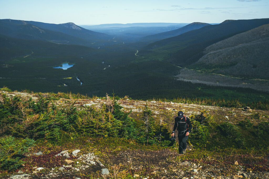
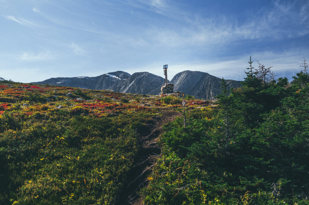
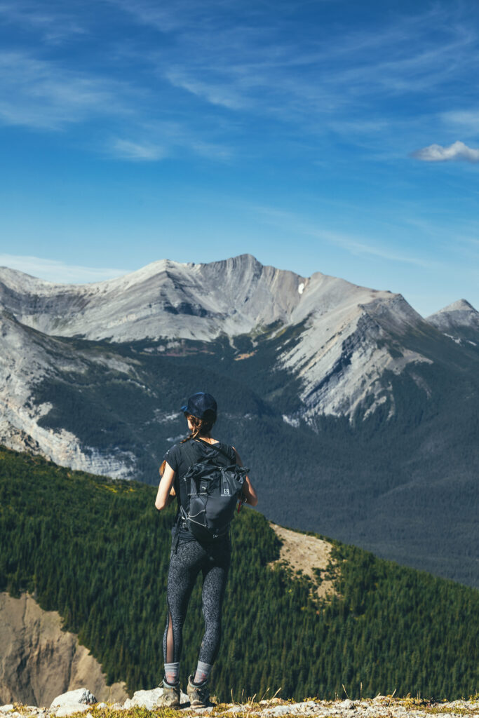
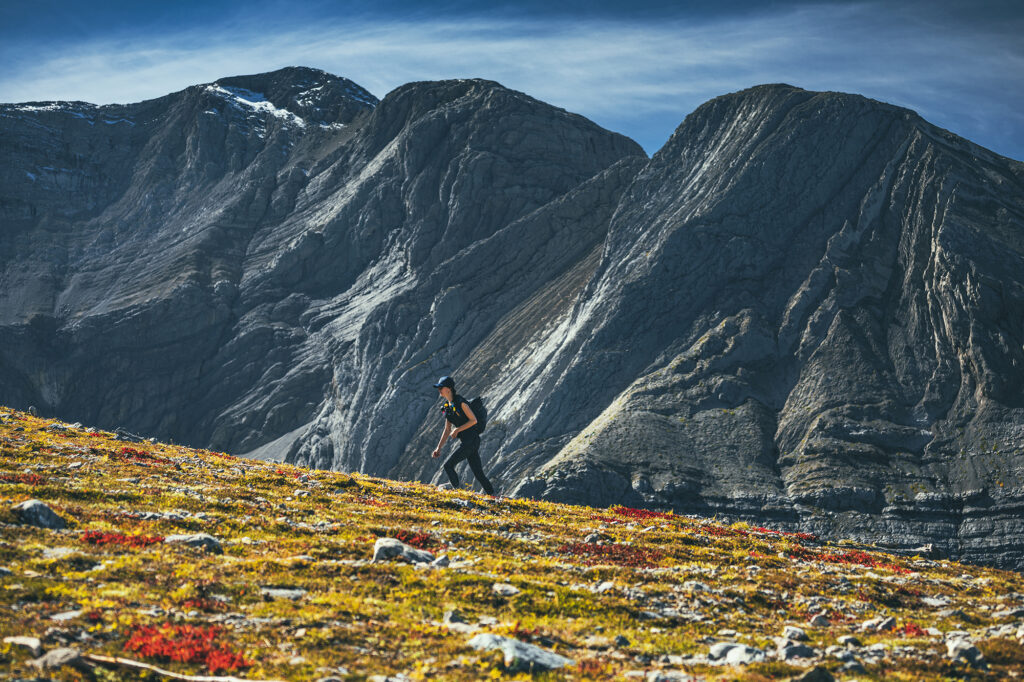
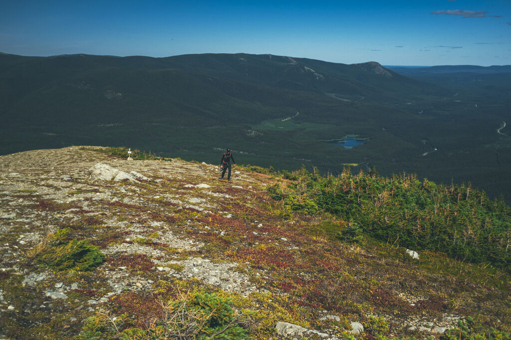
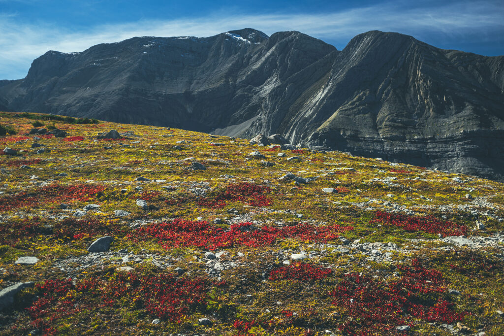
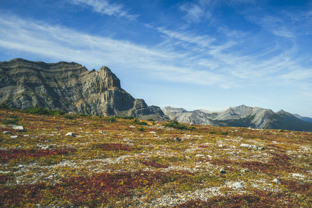
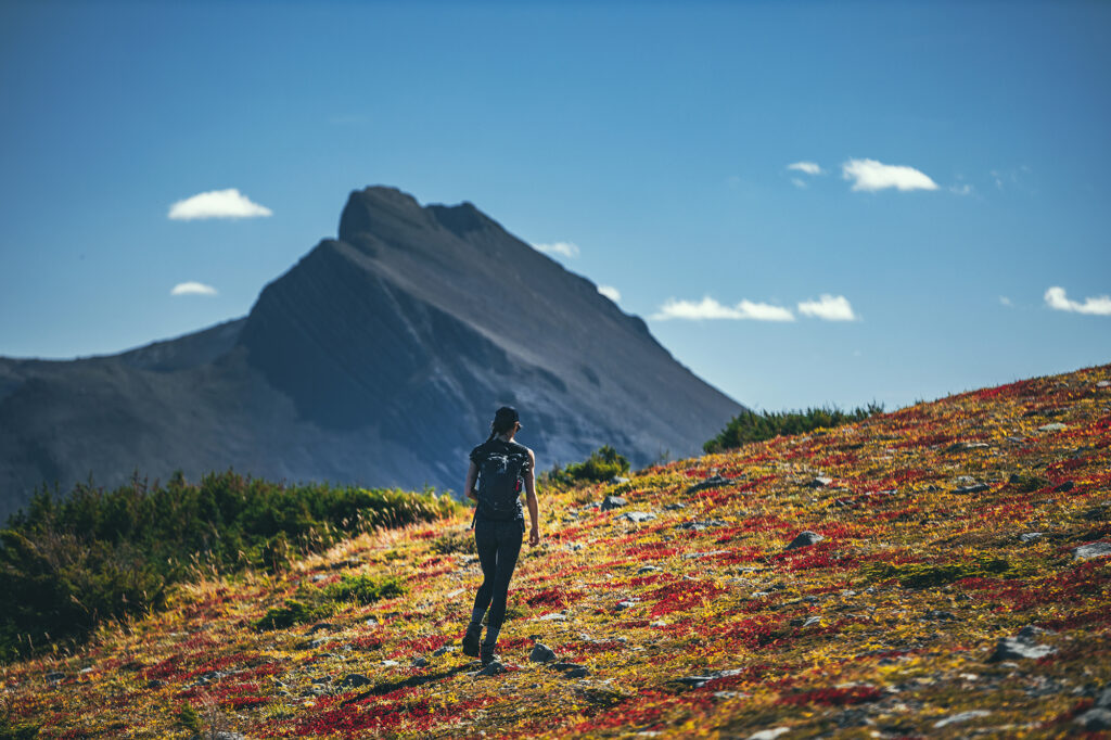
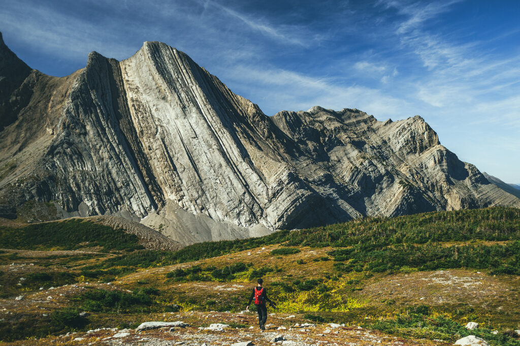
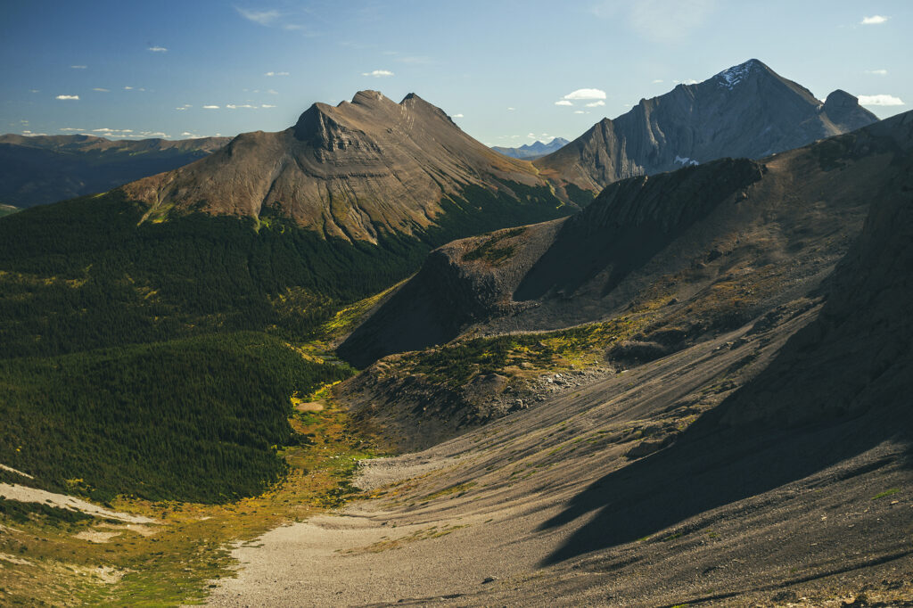
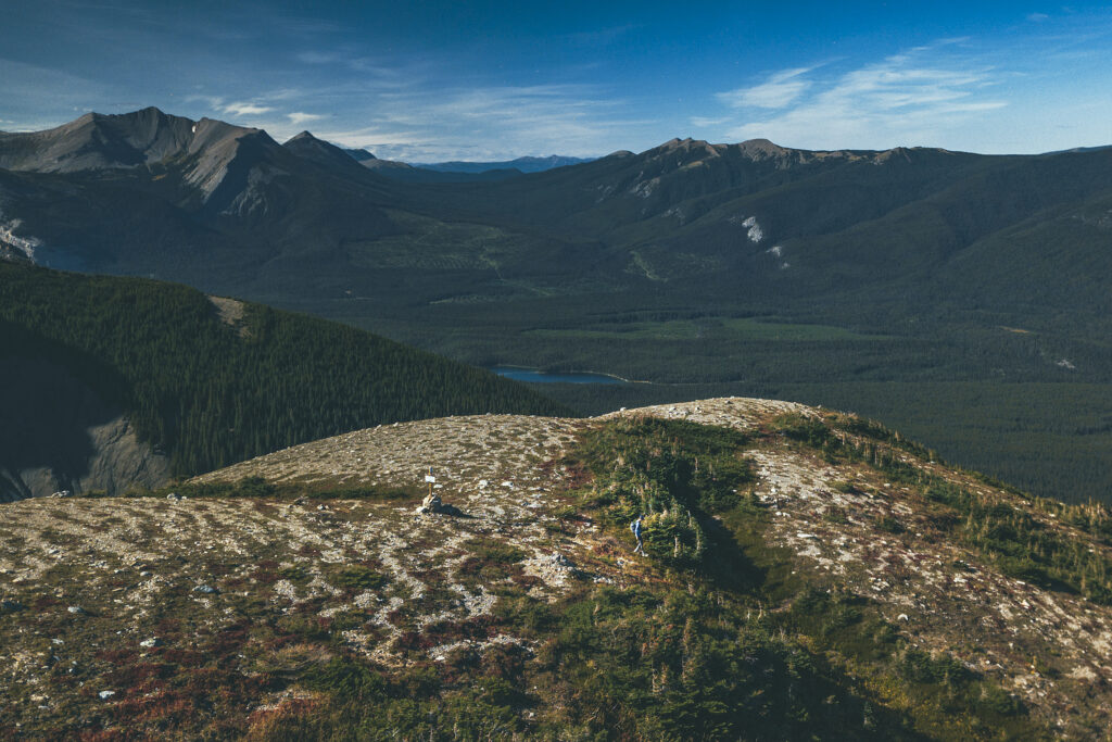
After 3.5km, the trail veers off into the trees and becomes a steep single track, similar to a lot of those we have around Vancouver. It was only about 1 km, but quite steep. Shortly after the start of the climb, the trail goes through a burn area, still dense with tall, charred trees. Then it’s back into intact forest again, until it reaches an open meadow with 360 views of the mountains and valley around. That view alone was quite stunning, and although some distance back, the impressive wall of Mount Waptki in the backdrop was an imposing sight.
Once we were on the meadow, the trail disappeared and we were a bit taken back, conditioned as we were to always stick to marked trails and avoid stomping on vegetation.
So we went in the general direction of the main summit and bowl (where we assumed the lake was) trying to stay mainly on rocky surface where possible.
We passed a couple with a puppy returning from the lake. They had driven their car all the way up the ATV track to the start of the single track trail, but theirs had higher clearance and a metal plate to absorb shock on the bottom, ours would definitely not have made it that far……
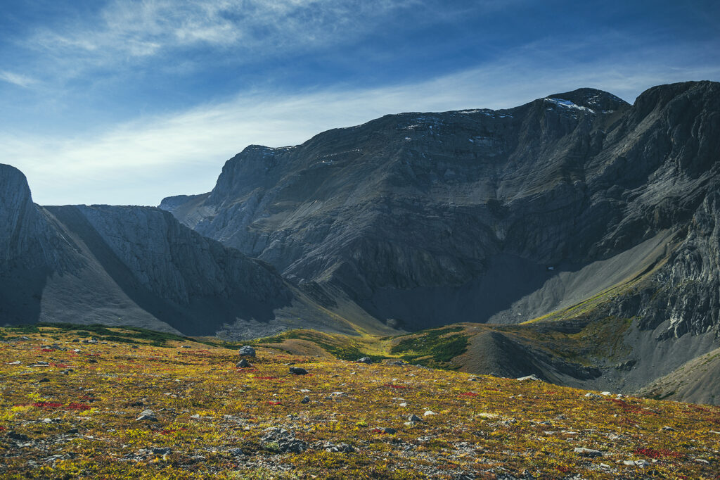
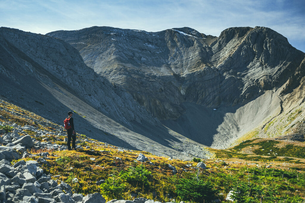
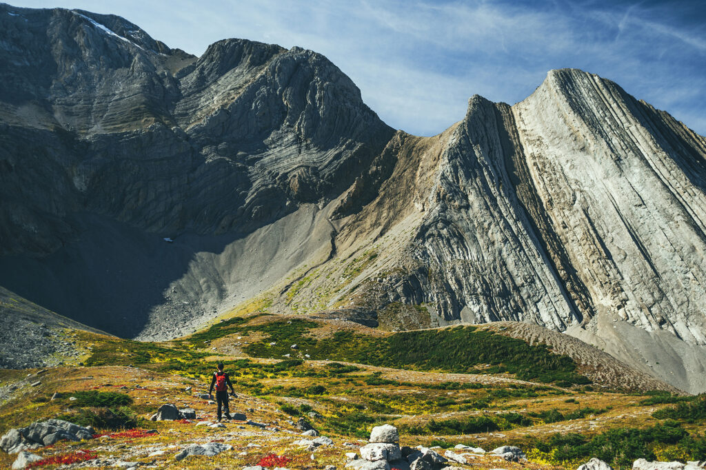
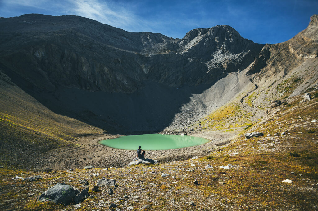
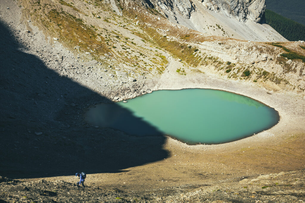
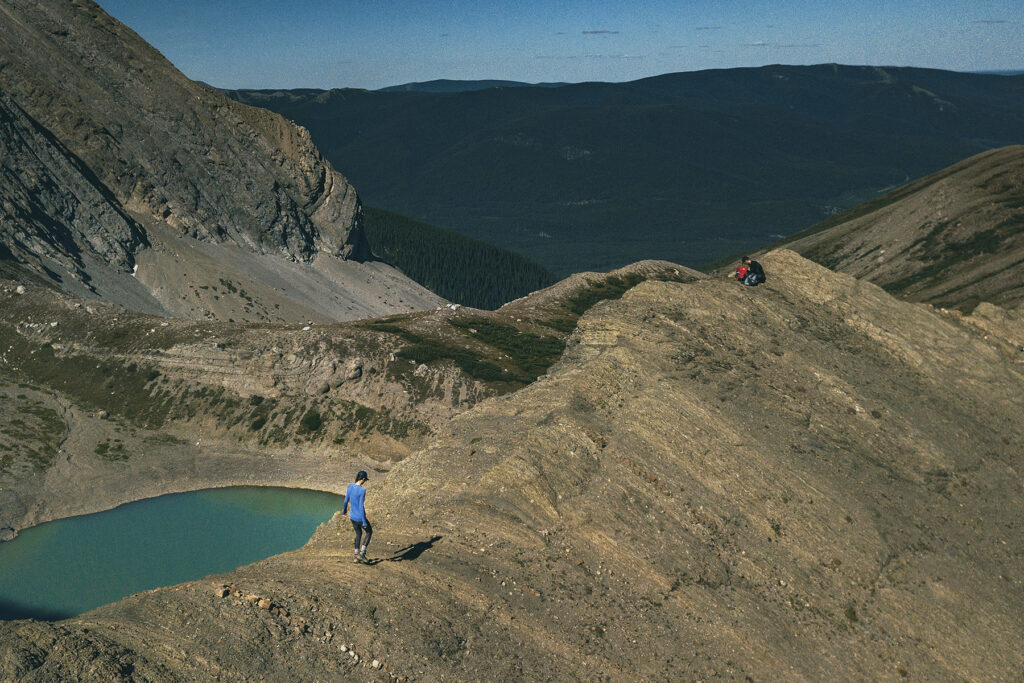
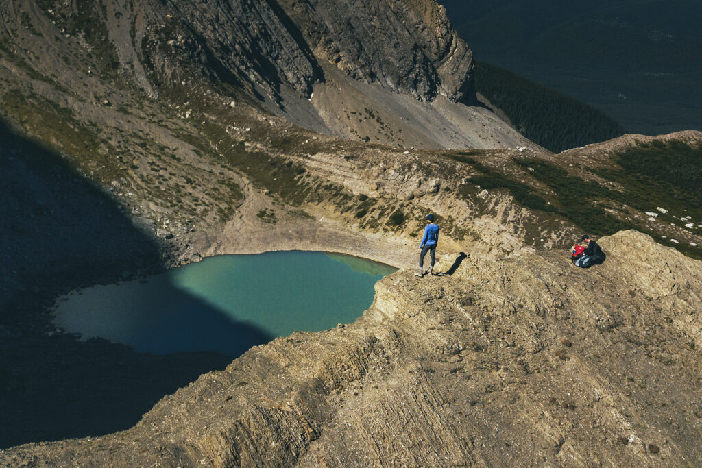
Eventually we reached the bowl and the view of the lake, which was really a small tarn resulting from snow melt, and visibly at its lowest after a summer of evaporating.
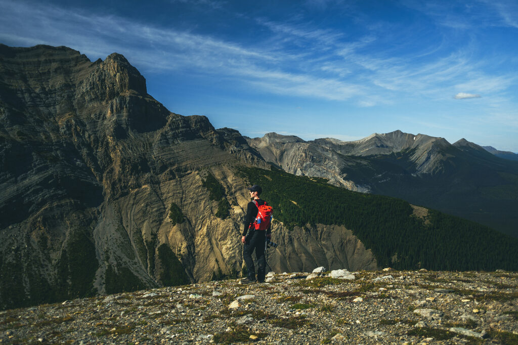
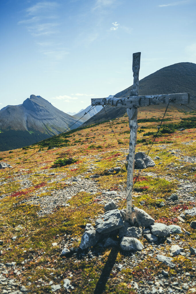
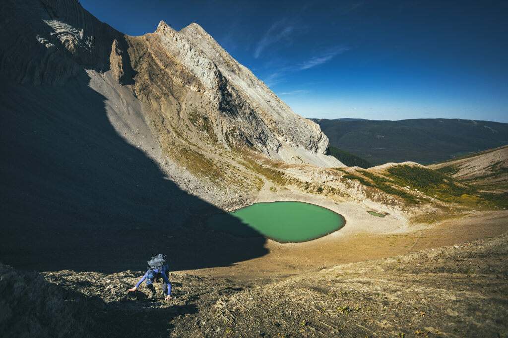
From there, we followed a trail going up to the lowest part of the ridge, overlooking the lake. The slope we climbed was quite steep, and all lose gravel, which I didn’t love, but i still managed to make it to the saddle.
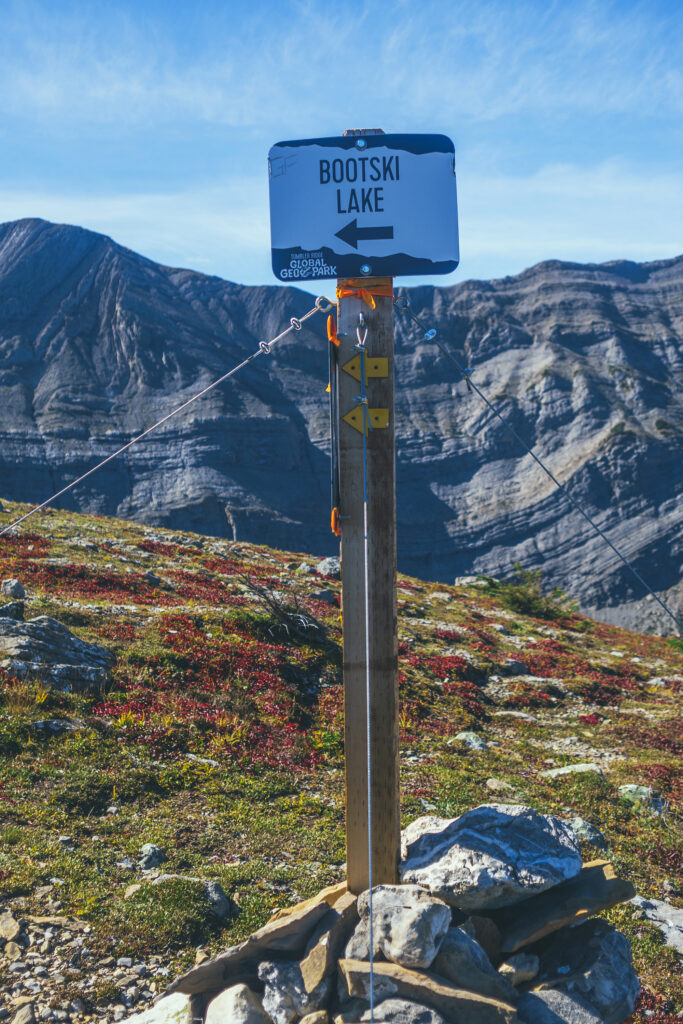
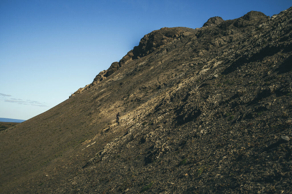
While at the top, I marveled at the fact that this mountain was basically made of layers and layers of slate, compacted together nearly vertically, and somewhat loose as I could pull out pieces without much effort. Geology is quite something, and I know nothing about any of it, but still it makes my head spin to think about how these mountains came to be millions of years ago, and the fact that we’re ultimately sitting on a pile of rocks held together by gravity-defying friction….
After some photos and drone-flying, we made our way down in a different spot, along a “spine” of bigger rocks jutting out from the gravel and which we could grab on to while bum-sliding down.
We went down to the tarn and Brice considered going for a dip for a hot second, but to sun was rapidly disappearing behind the top of the ridge and the water was soon completely in shade, so he decided against it. We started heading back across the meadow. It took us a bit less time as we managed to connect the faint sections of trail more directly. The way down was quick and I looked forward to that barefoot creek crossing. My feet got quite hot in my hiking boot and merino socks. Looking back this would have been a great trail to do in running gear, but having never done it before, we erred on the side of steadier footwear – and more layers than we eventually needed, but that’s always what I do anyway. Even if I end up carrying four jackets in my bag, I’d rather that then get caught in the cold and have a very unpleasant experience.
We got back to the car pretty much 5 hours after we left, having spent the exact time suggested on All trails. The drive from the main road took us about 45 min each way, mainly because the 13k nearest the trailhead were very pot-hole-y and slow, whereas the first 24 kms where very smooth.
Then we drove the 35km or so back to town. According to the brochure there are 3 campgrounds in Tumbler Ridge. We went to the Lions Campground, but soon realized all the sites were reserved – it was the start of Labor day long week-end and I hadn’t thought about people going for one last camping trip before back to school. We eventually came across one site that didn’t have a reserved sign and snatched it up. Turns out it was technically reserved as we found out from the campground manager, but he admitted to having a couple of spots saved up for this exact case, so we were able to stay. It was a totally opposite experience from the night before, when we camped in complete isolation, whereas we were now surrounded by big RVs and campers, kids running everywhere and big groups of people sharing they campfire. It wasn’t unpleasant though – especially the part about not having to worry about running into wildlife at night (even though we actually never did), and the sites were pretty quiet from 9pm on, until 7.30 am the next morning.
We thoroughly enjoyed the showers, and had a lovely sleep at the campground.
