Hiking to Miller Lake in Mount Revelstoke National Park

Last September, Brice and I took a short road trip to the Canadian Rockies. Brice had driven through on a couple of occasions, but I had never been East of the Okanagan (on the road anyways). A week break between two jobs turned out to be the perfect occasion to load the car with our camping gear and head to the Rocky Mountains.

Despite our best efforts, we rarely manage to get up and going early – except if we’ve made a commitment to meet with other people. On the first day of our trip, we hit the road around 9am, a pretty late start by adventurer’s standards, but we’ve long ago decided that rather than worry about getting an early start and rushing through the door, we would take the time we needed – the road and everything on it would still be there.

We drove for almost 8 hours on that first day and reached Mount Revelstoke National Park in the late afternoon. We still had a few hours of daylight, enough to go for a 14k return run up to Miller lake.

It was September 13, and already the air was pretty crisp at sunset, but still comfortable enough to run in shorts and t-shirt.

We got to the lake just in time to see the last rays of sunshine hit the base of the mountains around it, and ran back down as dusk settled.

It was dark when we got back to the car, but we were pretty happy to have been able to fit a good shake out run after spending 8 hours in the car. 

We had diner in Revelstoke then decided to drive and extra hour east, to camp in Glacier National Park.


Pacific Northwest Adventures: Trail running and exploring on Orcas Island, WA

One cool aspect of trail running/trail racing, is that it helps put new places on our radar. It was the case for Orcas Island. We first heard the name in the context of a Rainshadow trail race (the same peeps that put on The Gorge 100/50k). Knowing the type of races they put on, we made a pretty fair assumption that Orcas would be a very scenic place to run.
We kind of decided on a whim to go for a week-end. On the Tuesday of that week, I checked online for available campsites. There was only 1 spot left in Moran Park, out of the 150 sites, so after looking at the forecast to make sure we would get good weather, I snatched it. Then I secured our return spot on the ferry, and texted Brice ” We’re going to Orcas Island this week-end!”

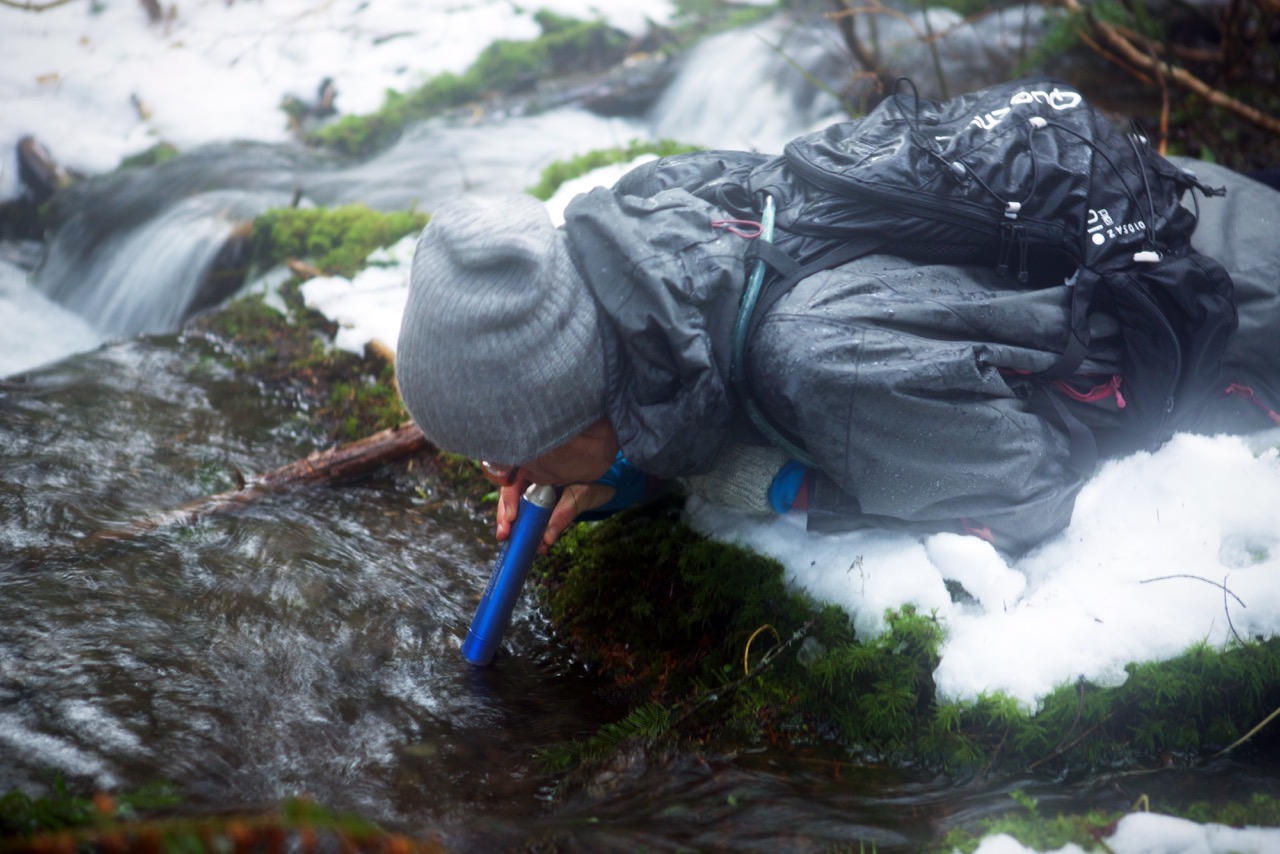
This trip was also an excuse to make use of our brand new Nexus Cards. The lines at the border where not bad when we arrived on Friday night (around 5:45ish), but with Nexus, we didn’t have to wait at all. Border was crossed in less than 2 minutes.

The drive to Anacortes is about 2 hours from Vancouver, but we made a few stops along the way, including one to REI, to pick up a couple of supplies.

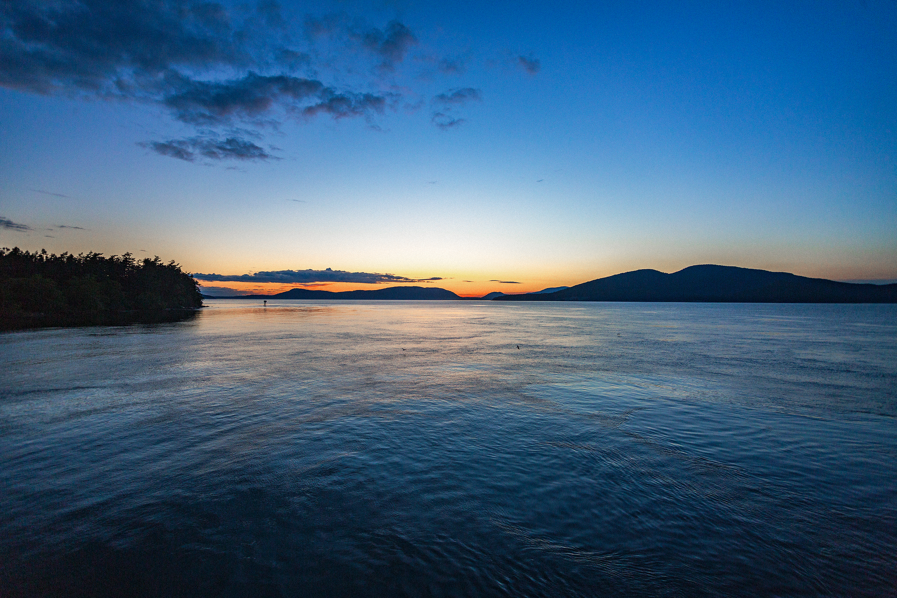
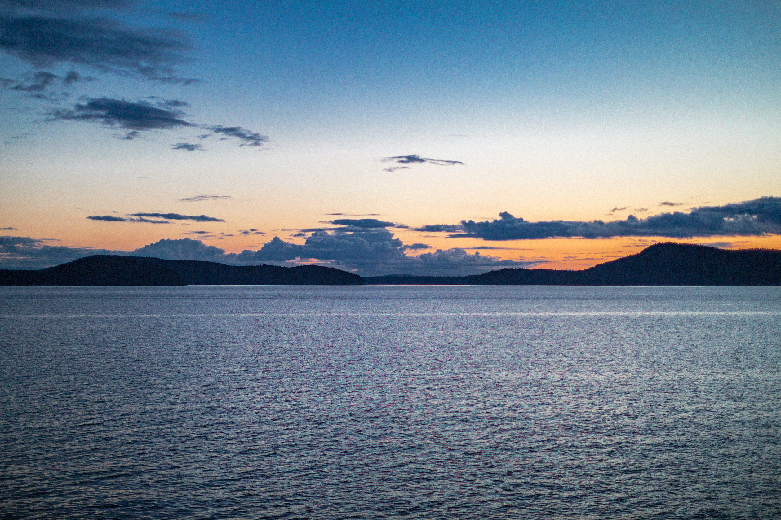
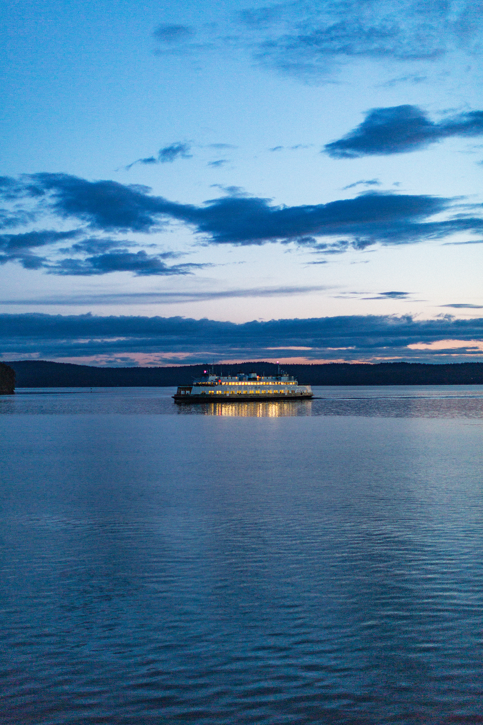
The ferry crossing at sunset was really beautiful, with similar scenery than when going to Vancouver Island (which is really only about 25-30km west of Orcas).
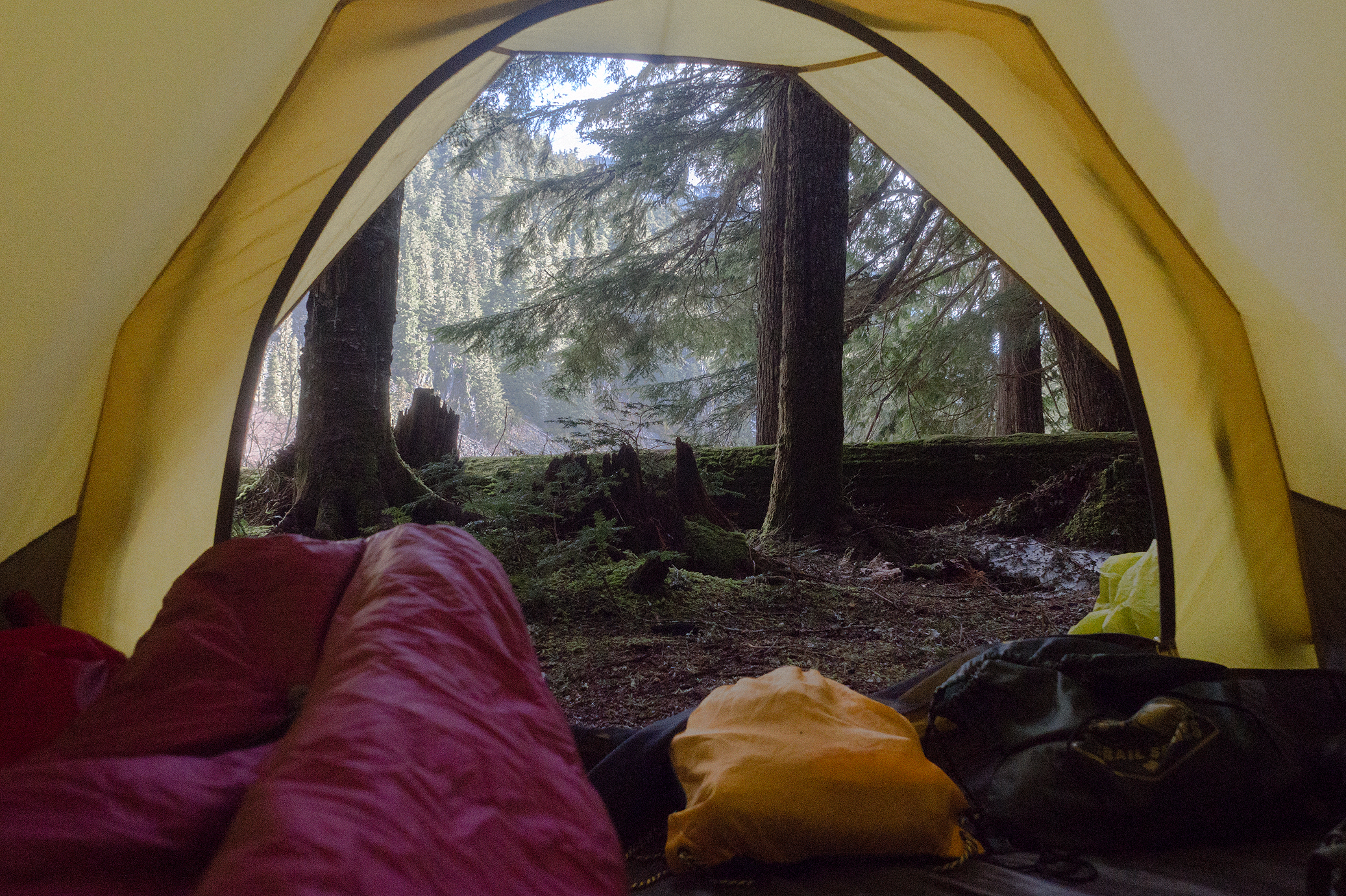
We landed in Orcas village at around 10:15pm, then drove the 14 miles (20k) across the island to the eastern side and the entrance of Moran State Park. Our campsite was located in the Midway campground. Halfway along Cascade lake. As soon as we got there, we figured out why this campsite was left un-booked (spot 54B). Where most other sites where nestled in the trees, this one was basically an open area right next to the bathrooms and showers. It wasn’t a huge deal, the most annoying part being mainly the bright obnoxious light shining from the bathroom windows throughout the night. No need for headlamps while setting up the tent!

Although there was a specific spot to park the car, we decided to park it between the building and our tent. It worked great to cut out most of the light and vent noise from the bathroom building vents. I was slightly disappointed that the spot wasn’t as private as we could have hoped, but we weren’t planning on spending our days there anyways, so in the end we didn’t care that much. All considered, it turned out to be a surprisingly enjoyable spot. Because it was open and not in the cover of trees like most other spots, it got a bit more sunshine than the other sites. Other spots were smaller, and generally very close together, which made them feel more crowded. Ours was in comparison relatively large and roomy.

Given the amount of people there, it was surprisingly quiet at night (in our area of the campgrounds anyways), and everyone was very respectful of each other’s privacy. Turns out there wasn’t a huge amount of foot traffic to use that particular bathroom and everyone walking by was super respectful of our space.

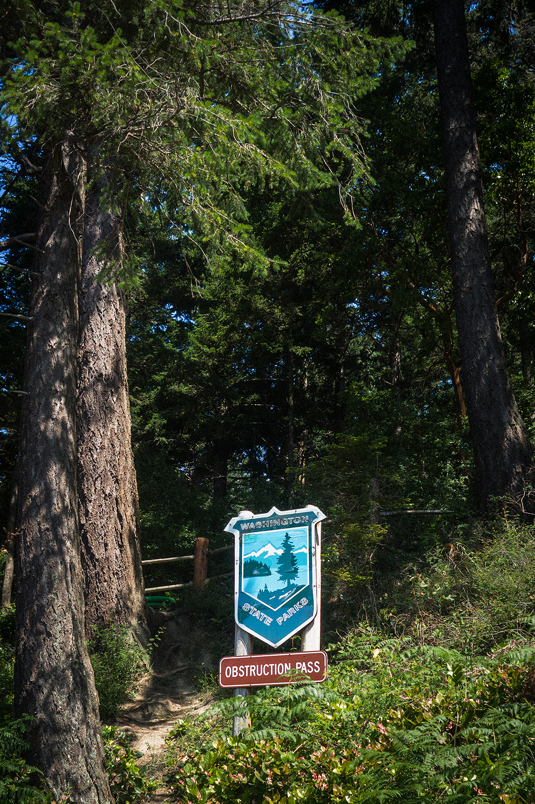
There are other campsites on the island, but from what I understand one is only accessible by water, and the other, in Obstruction Pass State Park, is a hike-in, first-come first-serve type of deal. With our ferry schedule, we weren’t going to arrive until 10:30pm on Friday, so I didn’t want to risk not having a spot at all. The hike-in site actually had a few spots available, as we found out on Sunday morning, so if we were to come back, it might be a good, more private option.

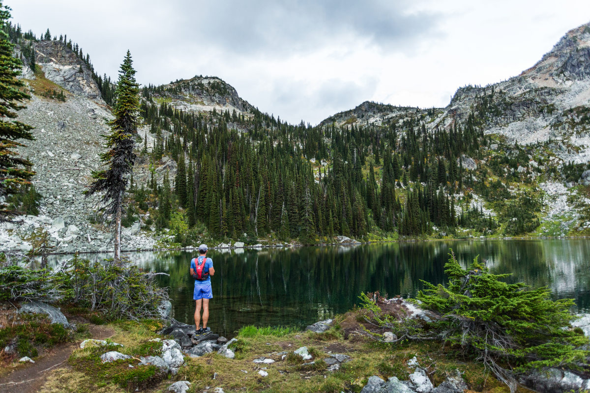
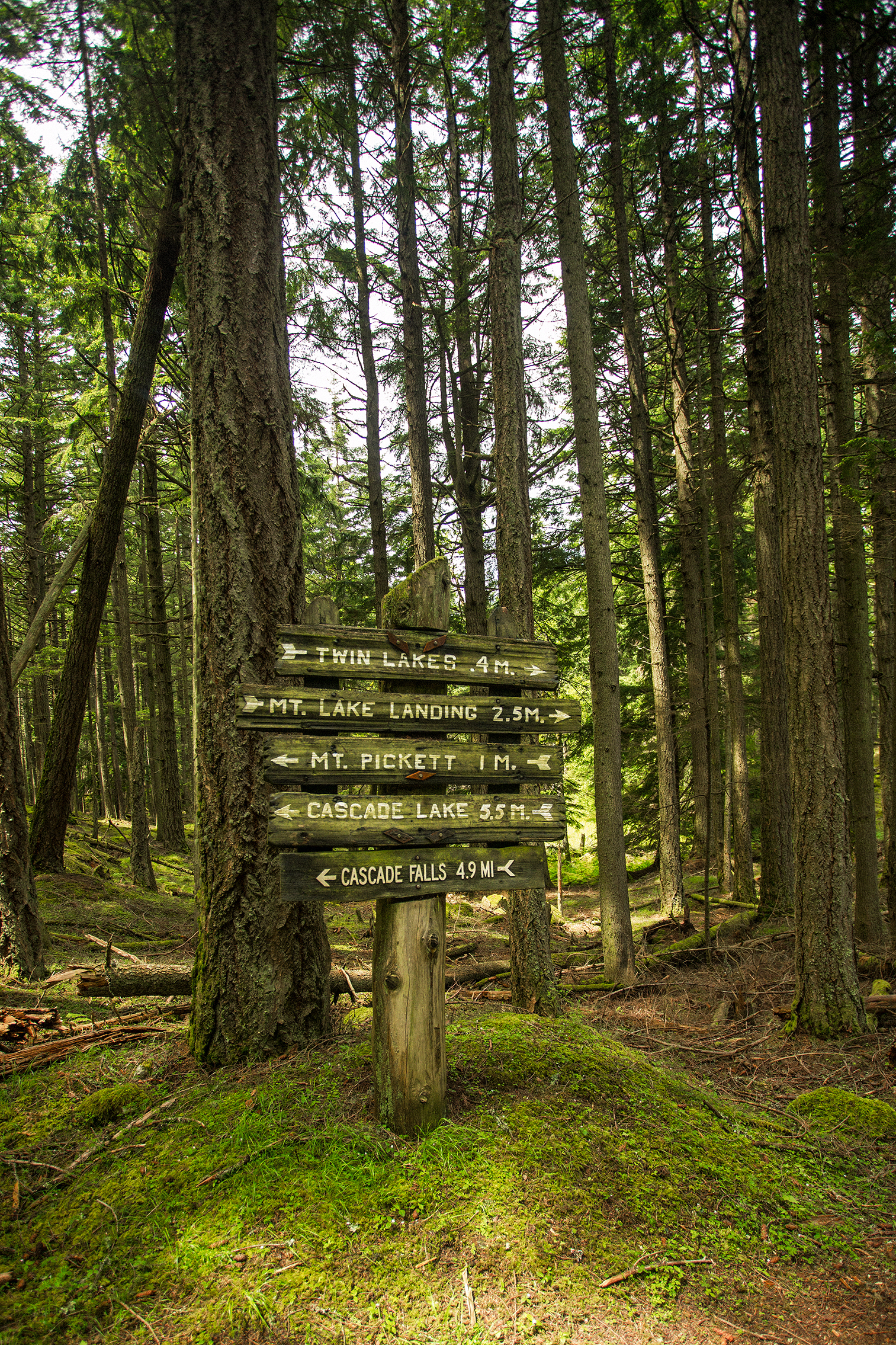
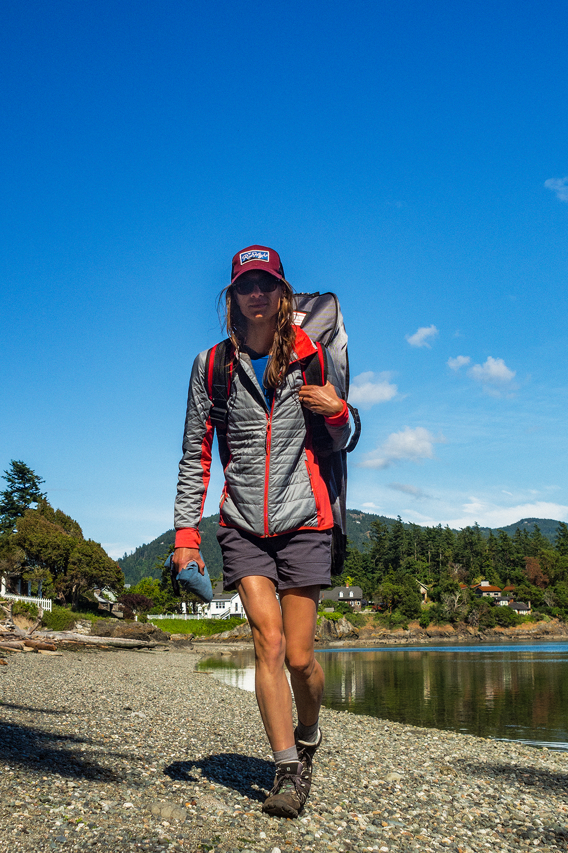
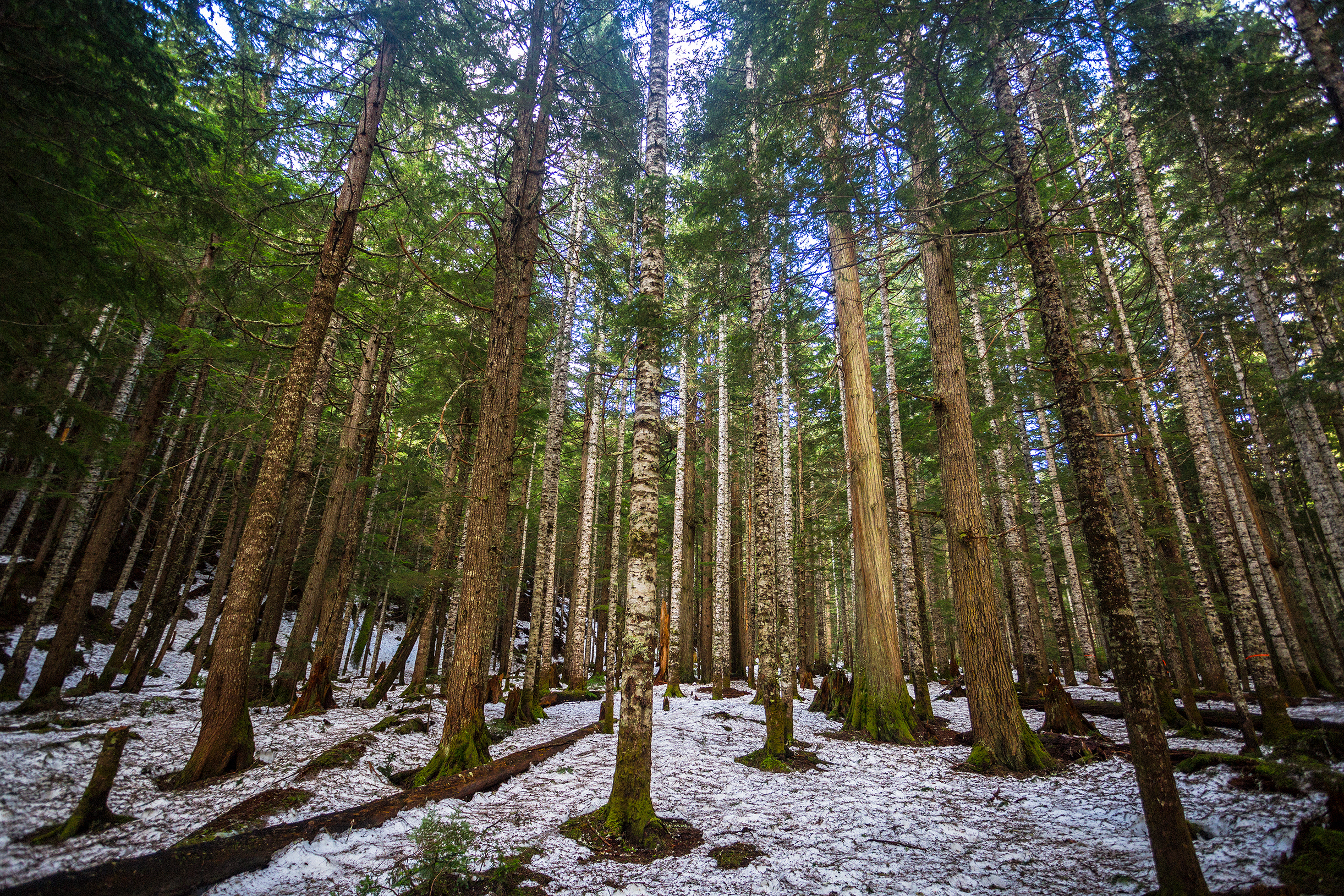
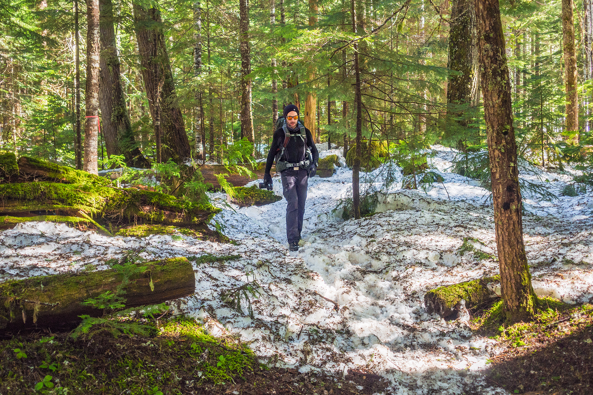
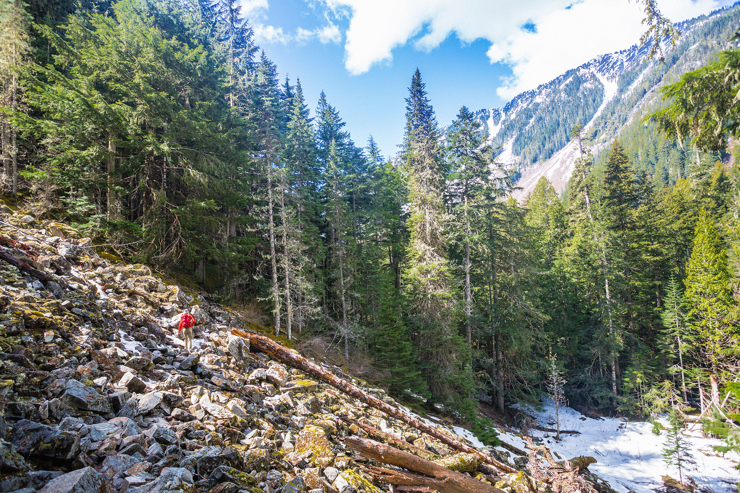
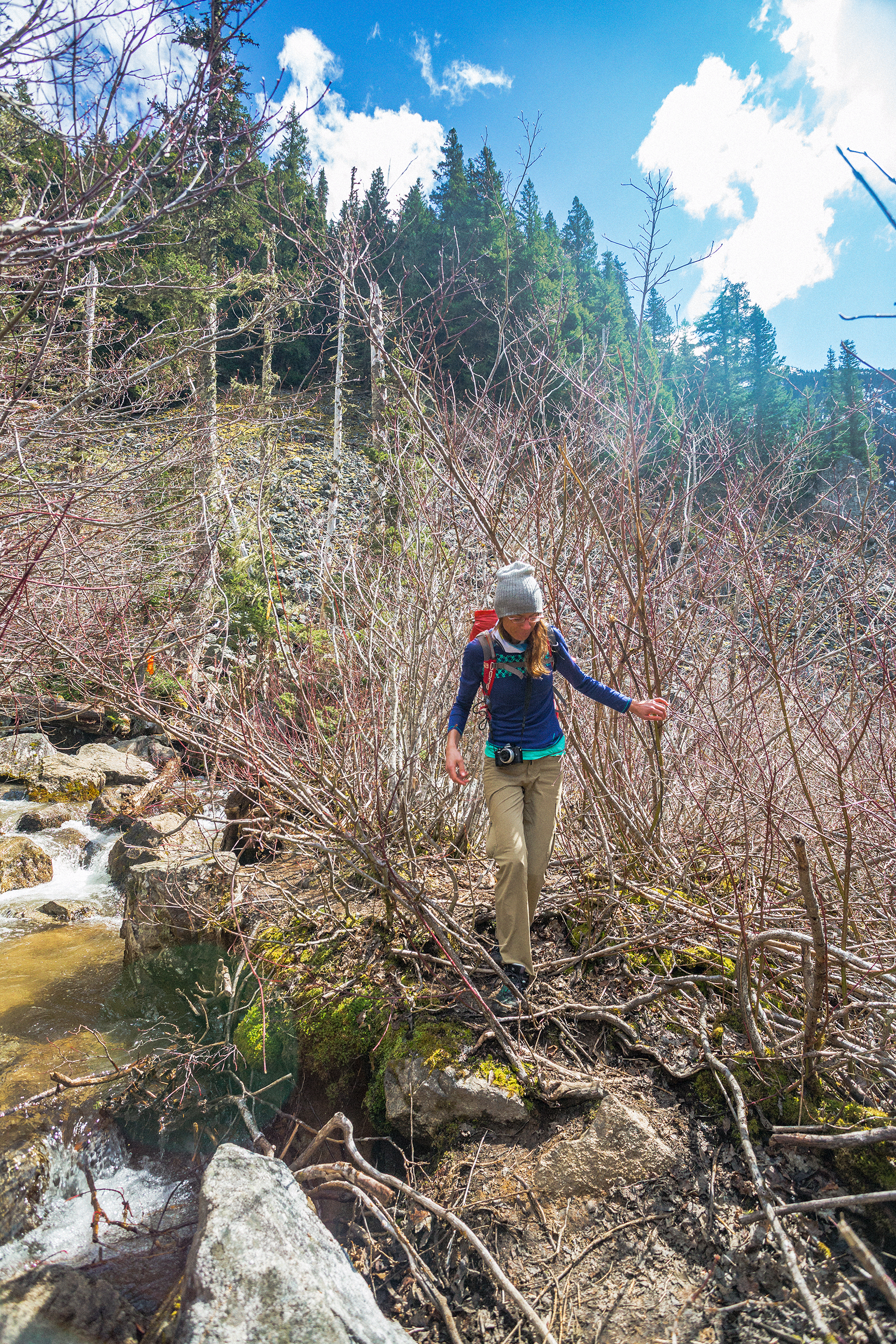
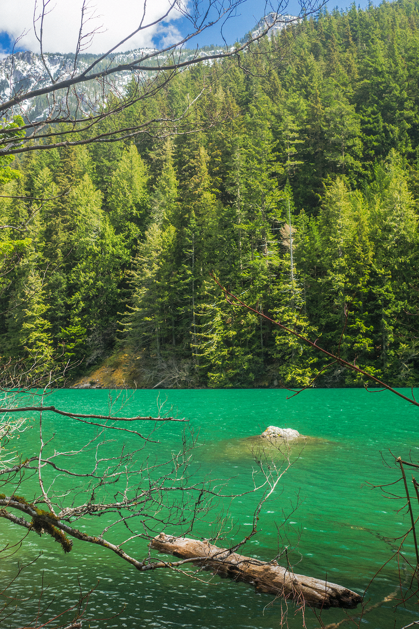
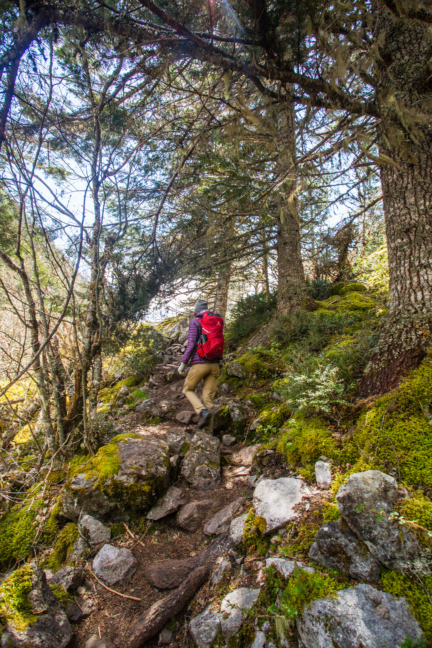
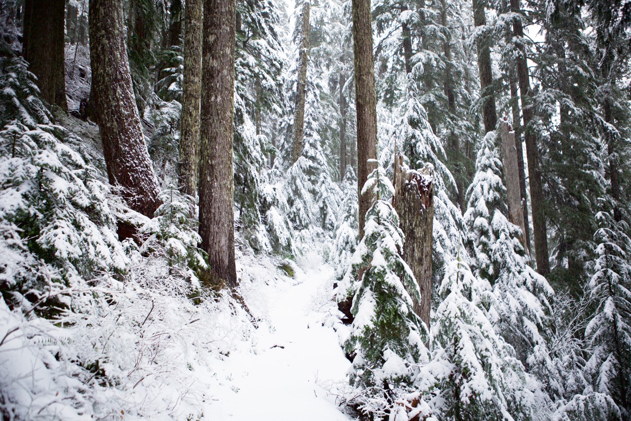
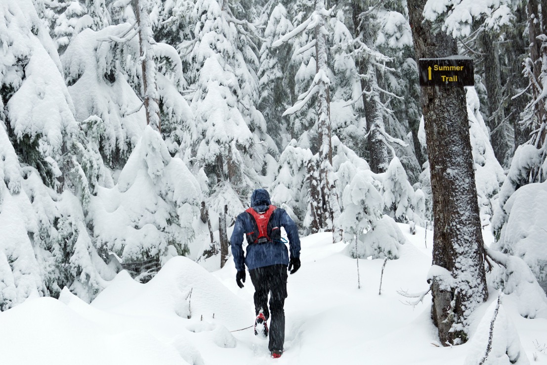
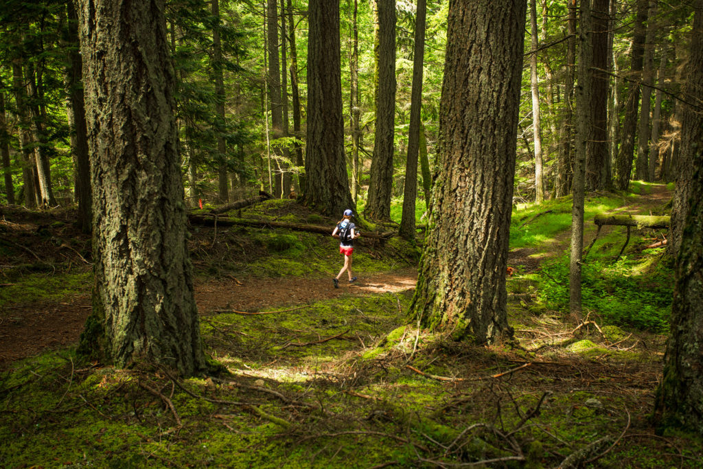
On our first day, we had planned on going for a run around Moran State Park. The park offers about 38 miles of trail, with the highest summit at 2400 feet (800 m), so all very run-able. I had looked at the course map for the Orcas Island 50 and 25k races, and highlighted a loop that would take us to various points of interest throughout the park. I hadn’t calculated the route exactly but I figured it would be somewhere between 20k-25k.

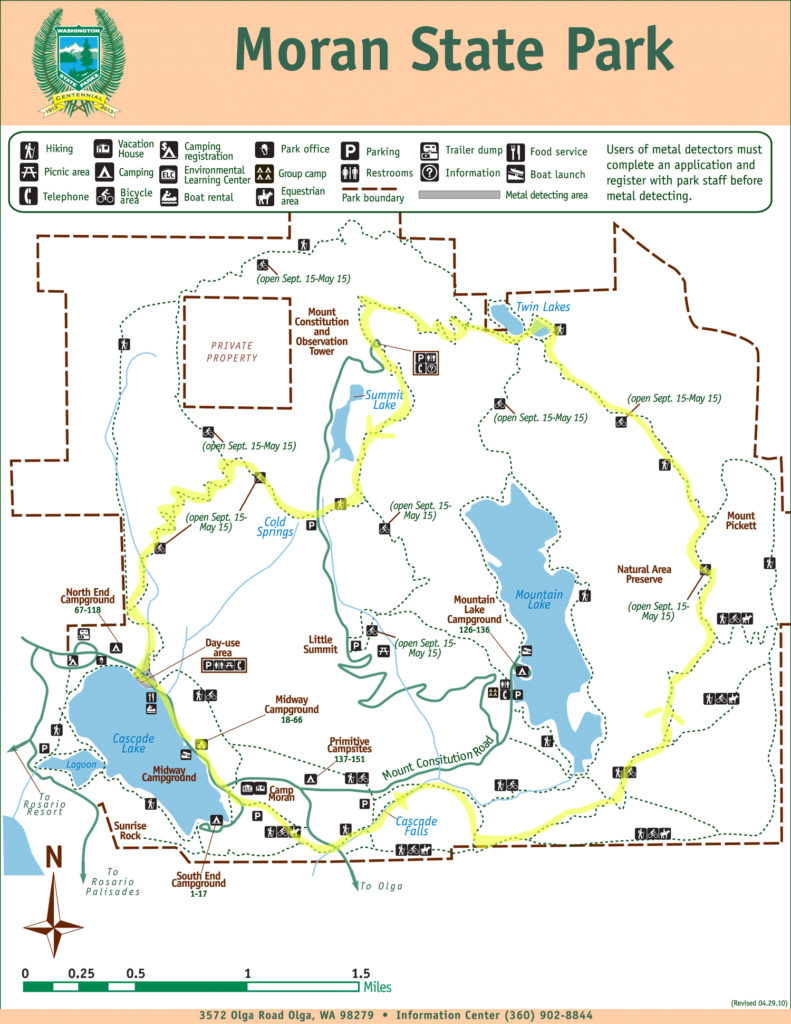
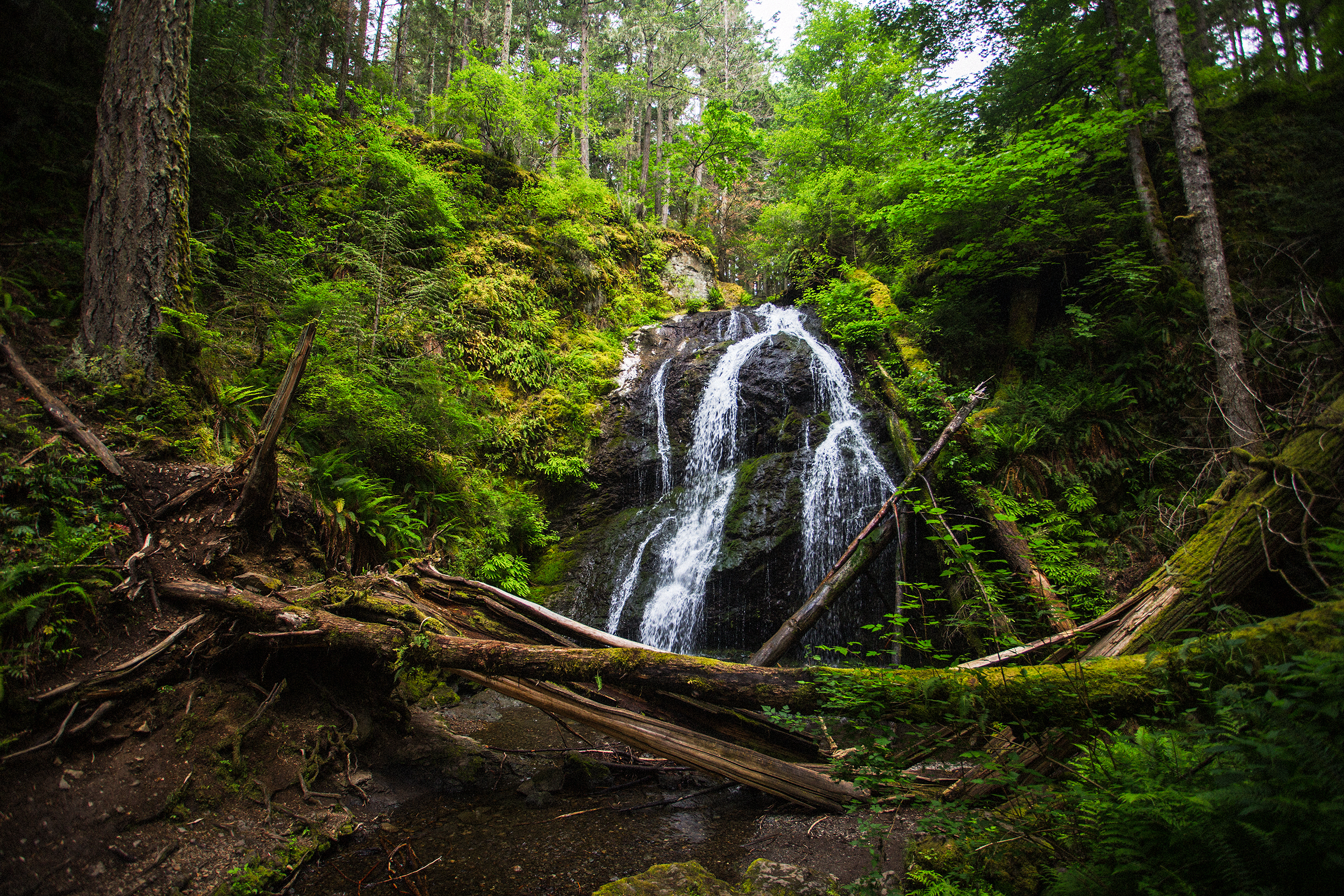
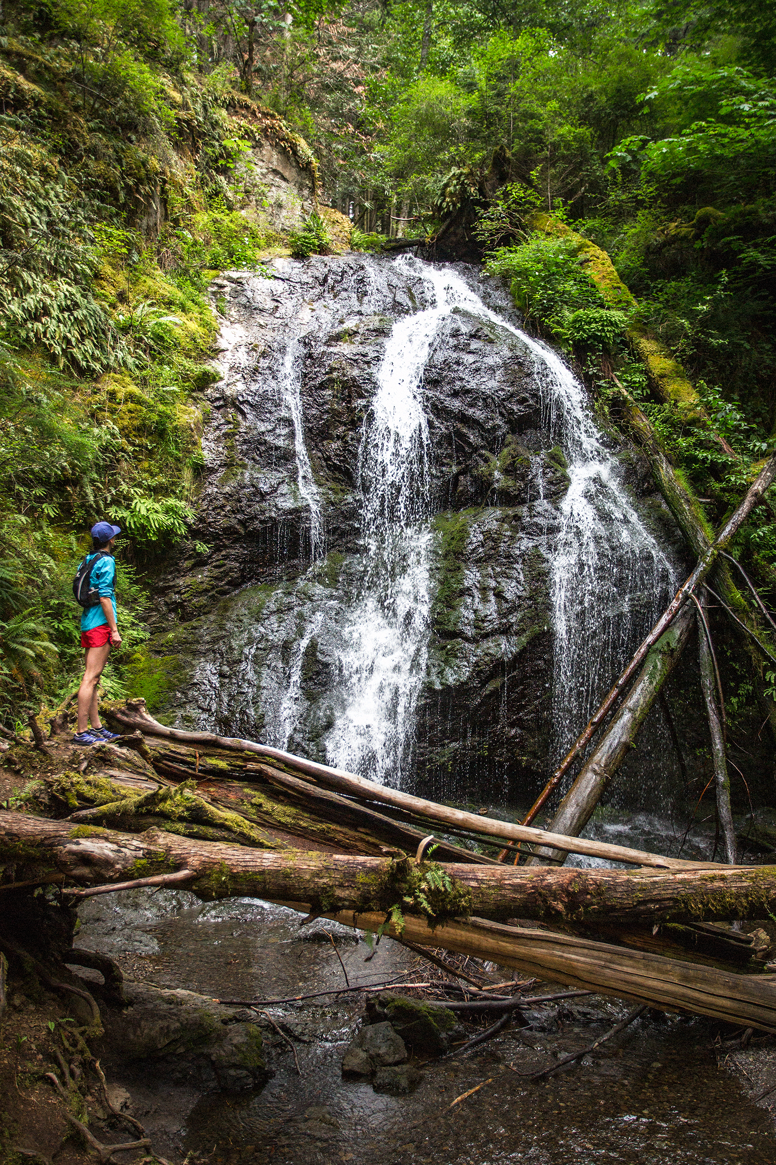
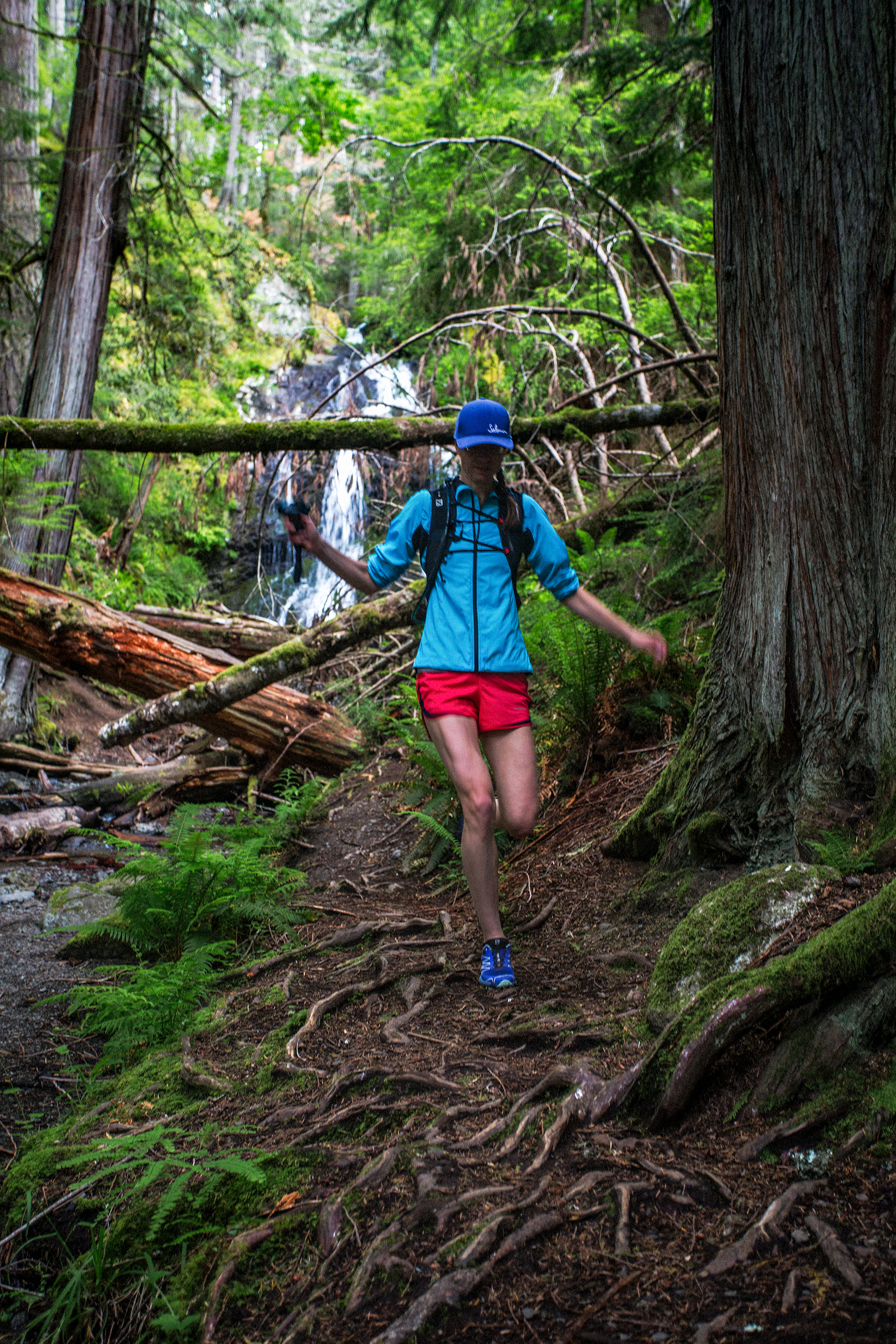
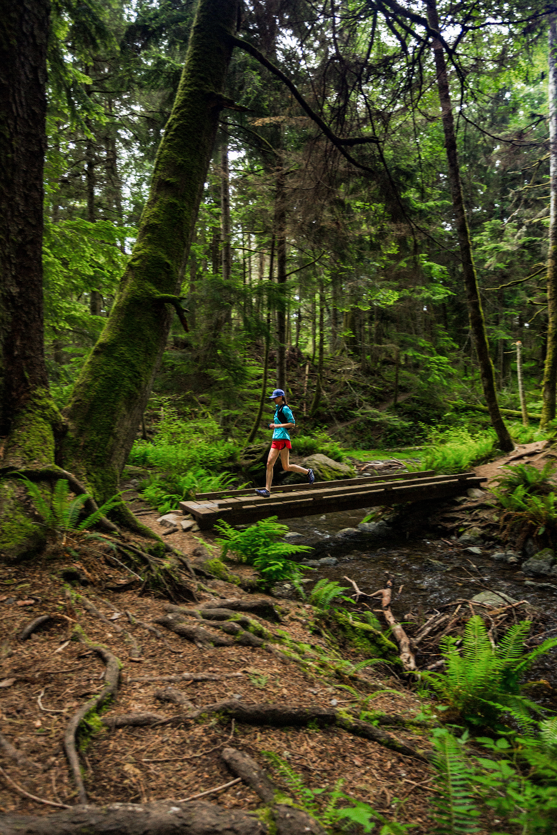
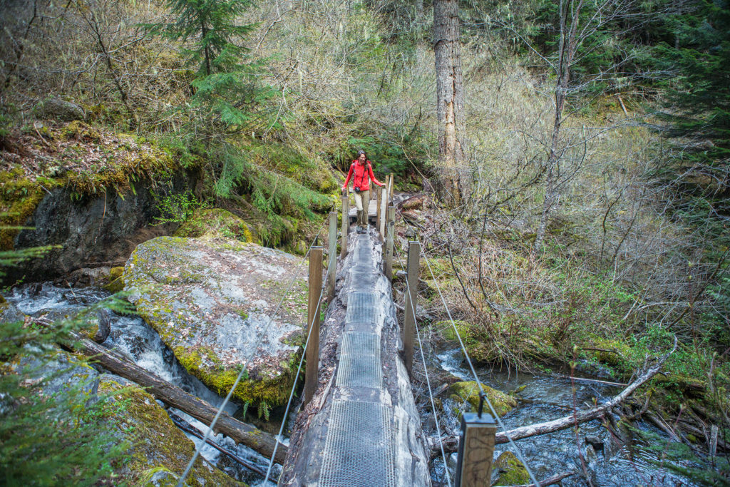
We left our campsite around 11am and headed east along Cascade Lake. after about 0.5 mile we reached the South End Campground and the start of the Cascade Falls trail.

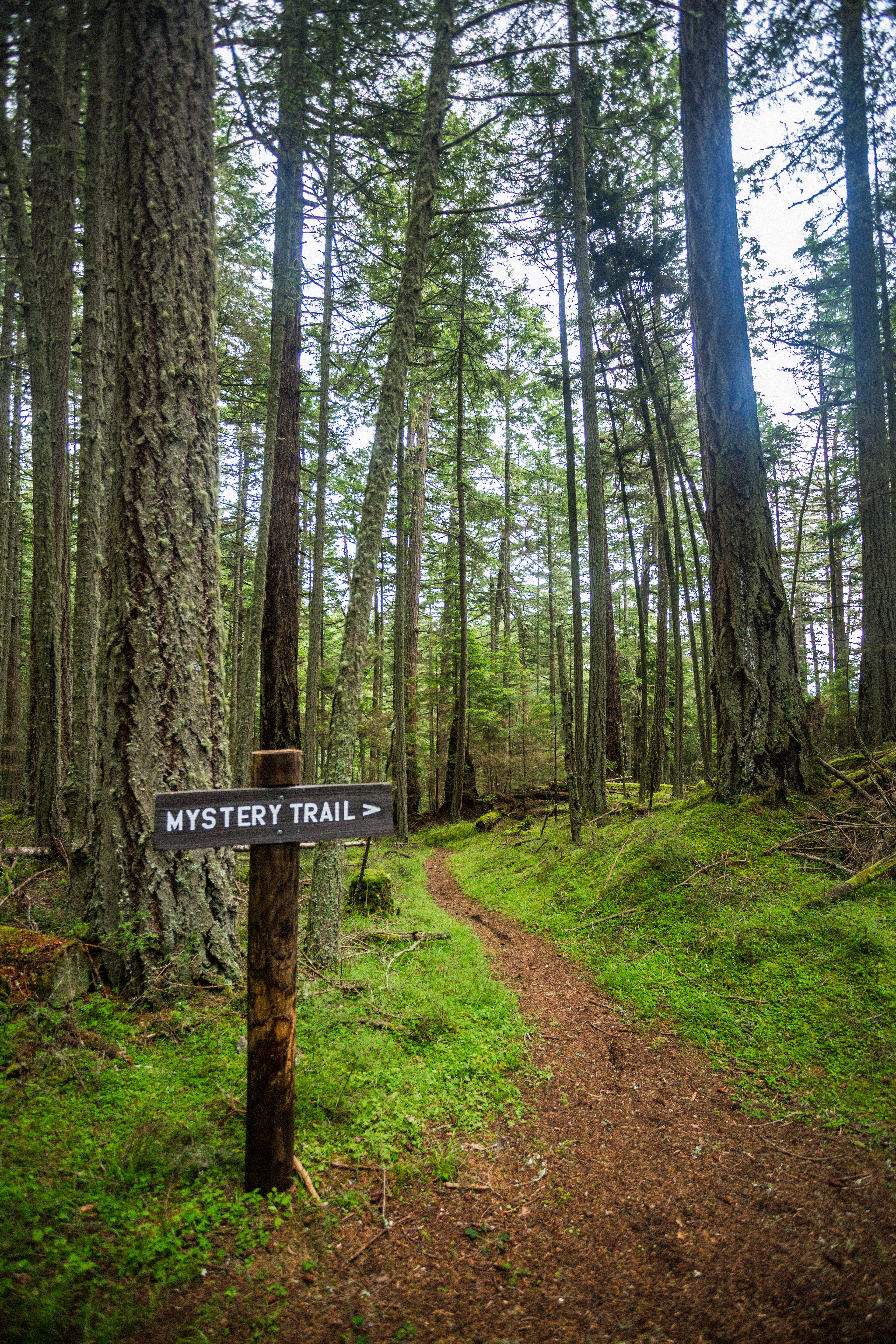
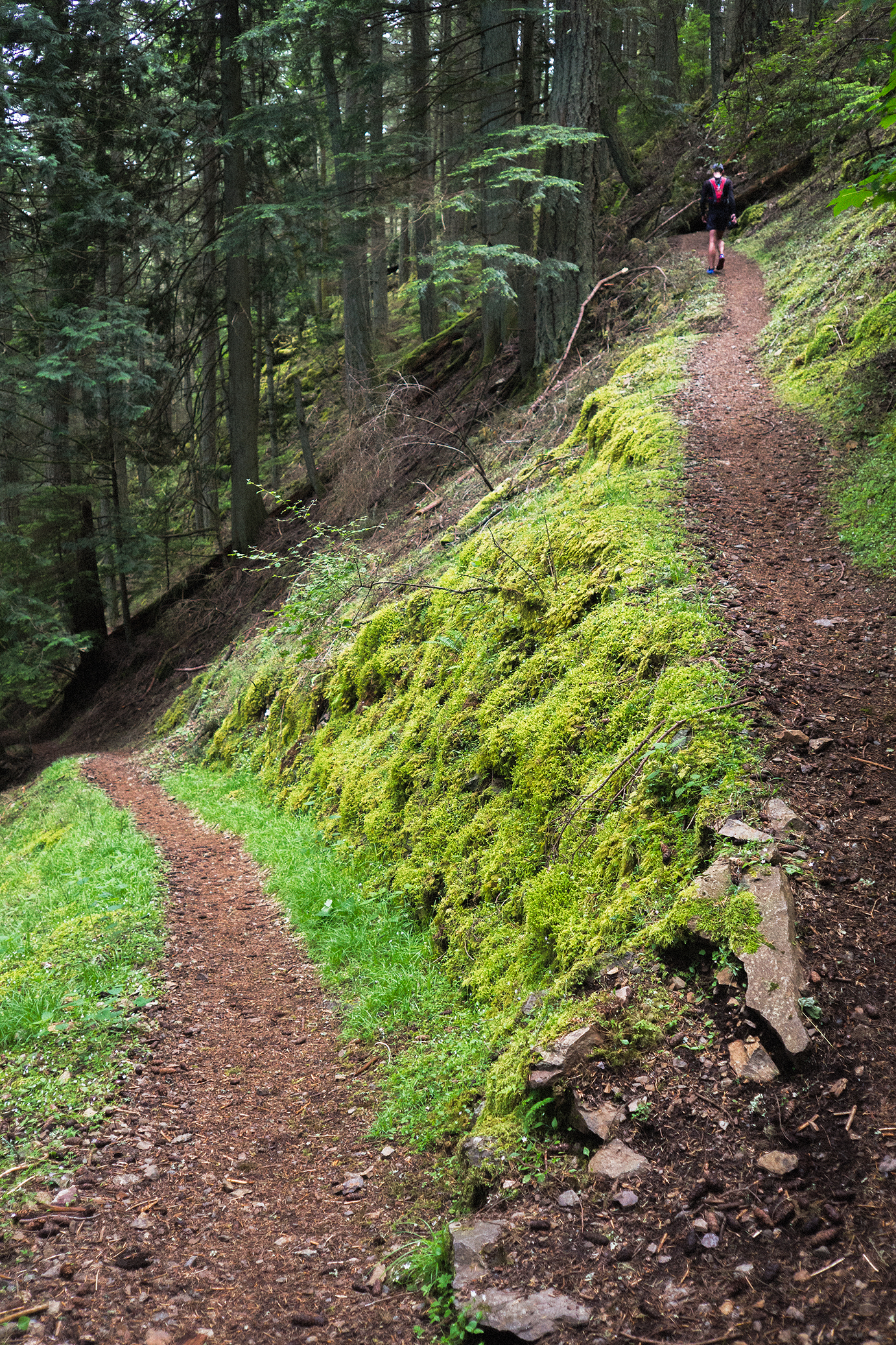
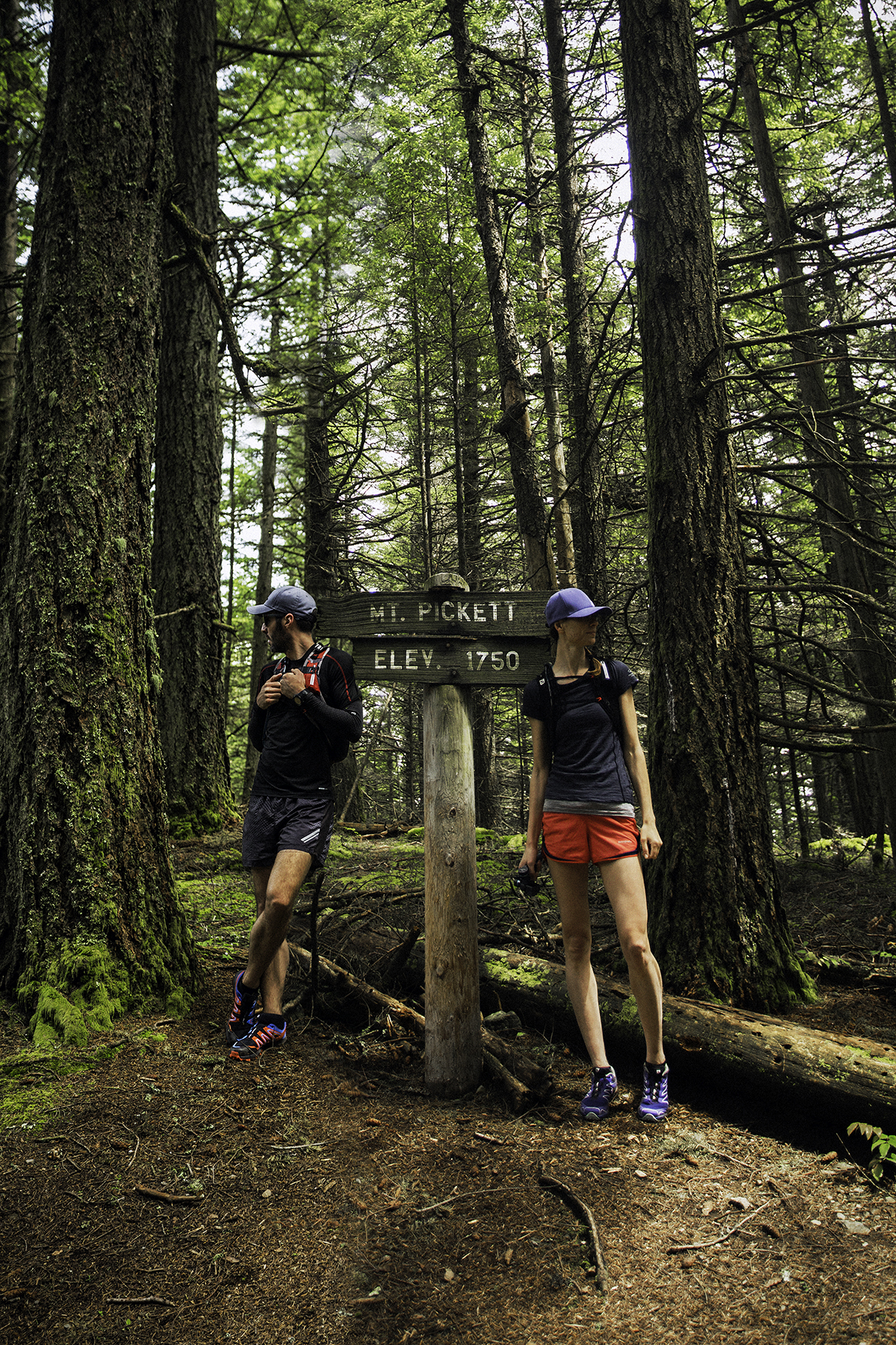
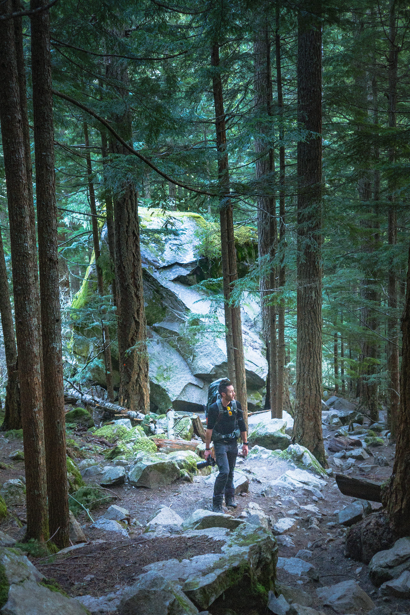
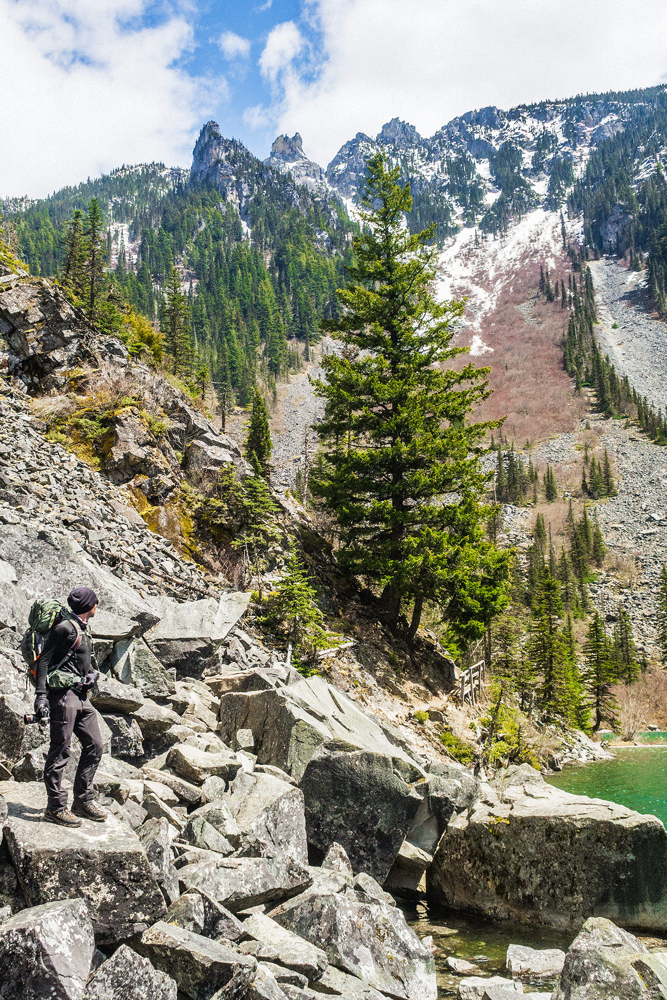
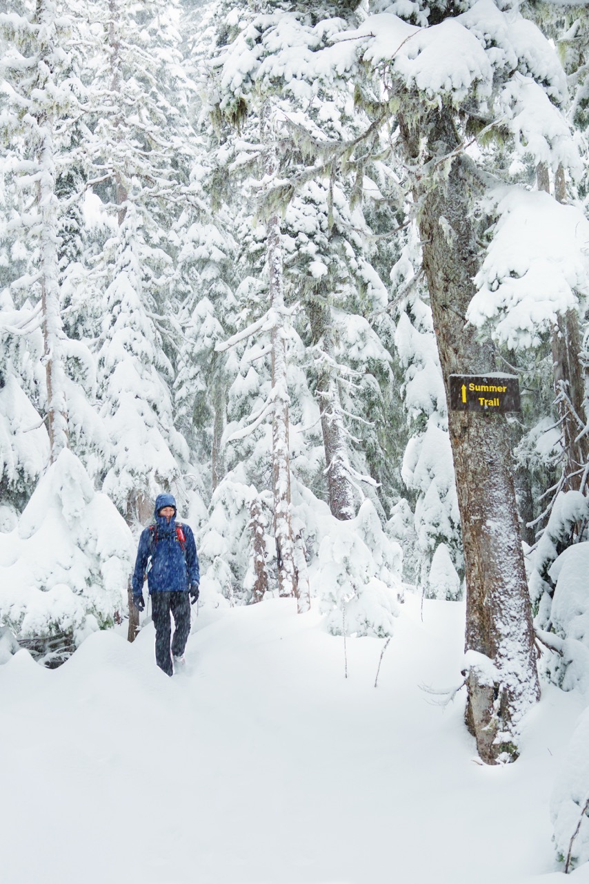
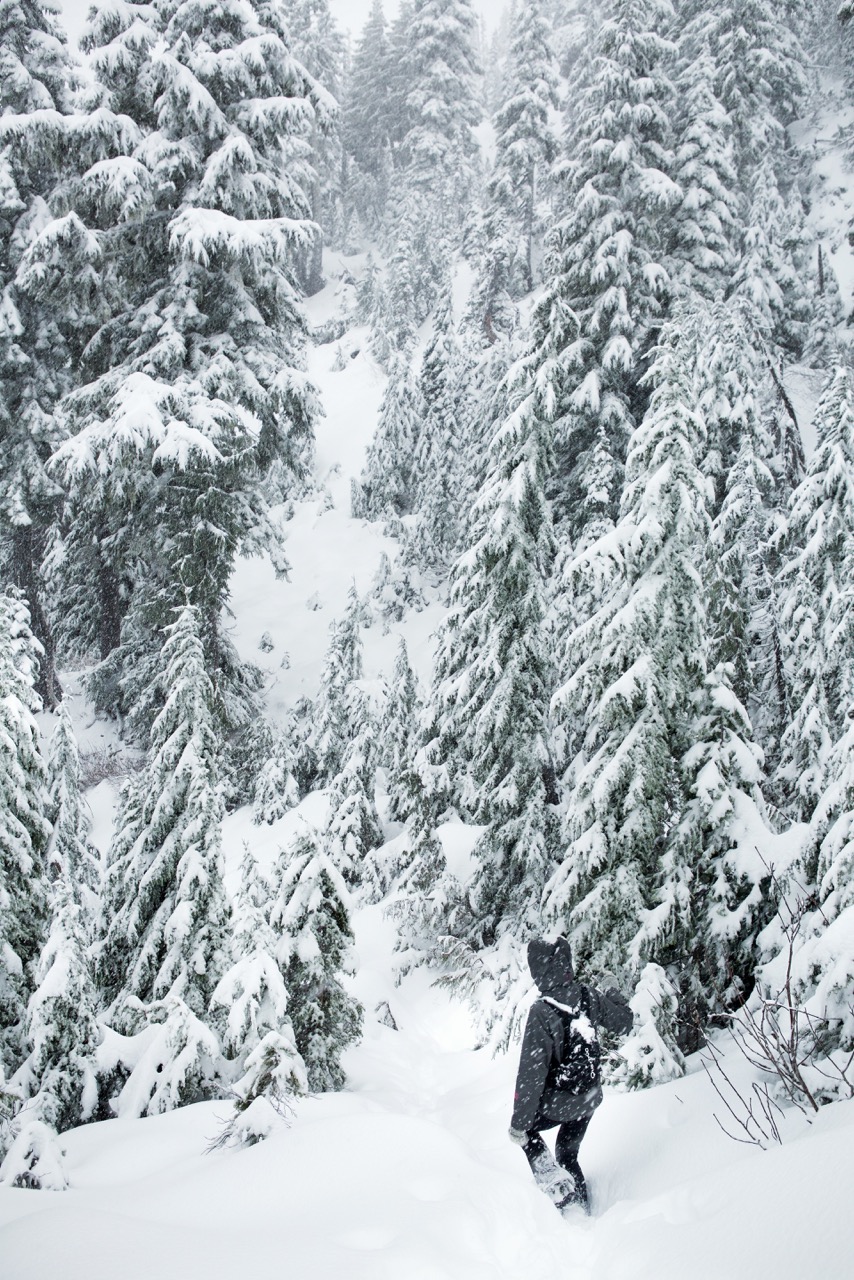
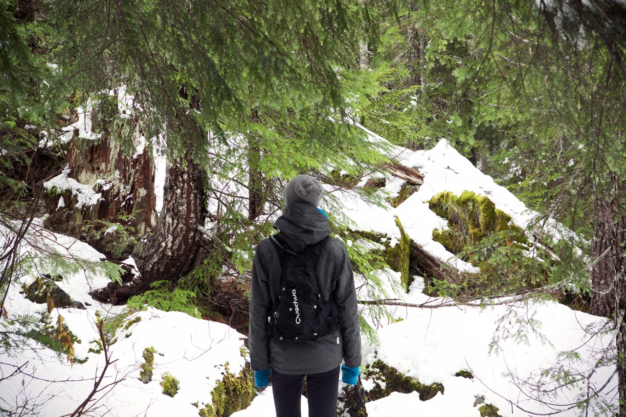
After the waterfall, we continued East then North towards Mount Pickett. I (of course) had found a couple of maps online for Moran Park, with detail of trails, distances (in miles) and elevation. The area was pretty easy to navigate, as there was a limited number of trail intersections and lots of signage at each of them, but it was still helpful to have the maps, and not have to rely on electronic devices to find out way around.

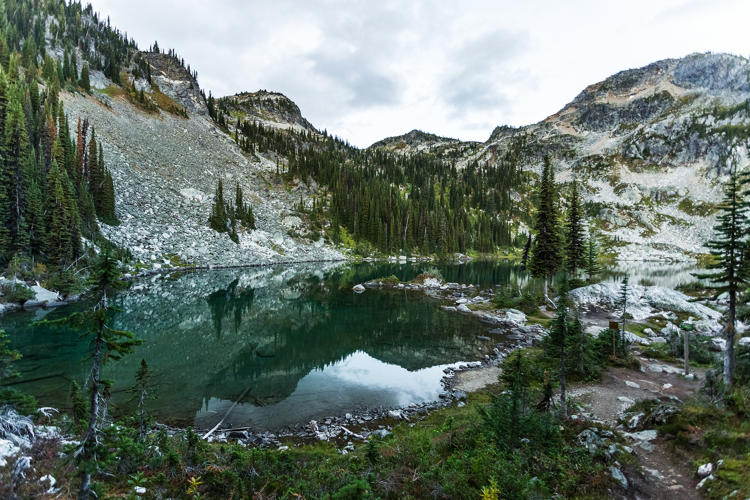
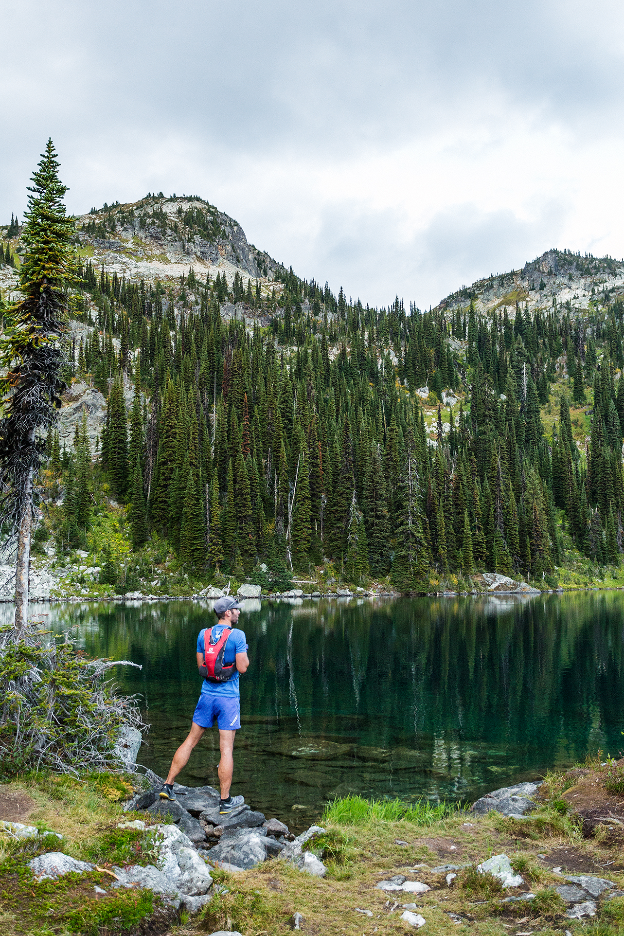
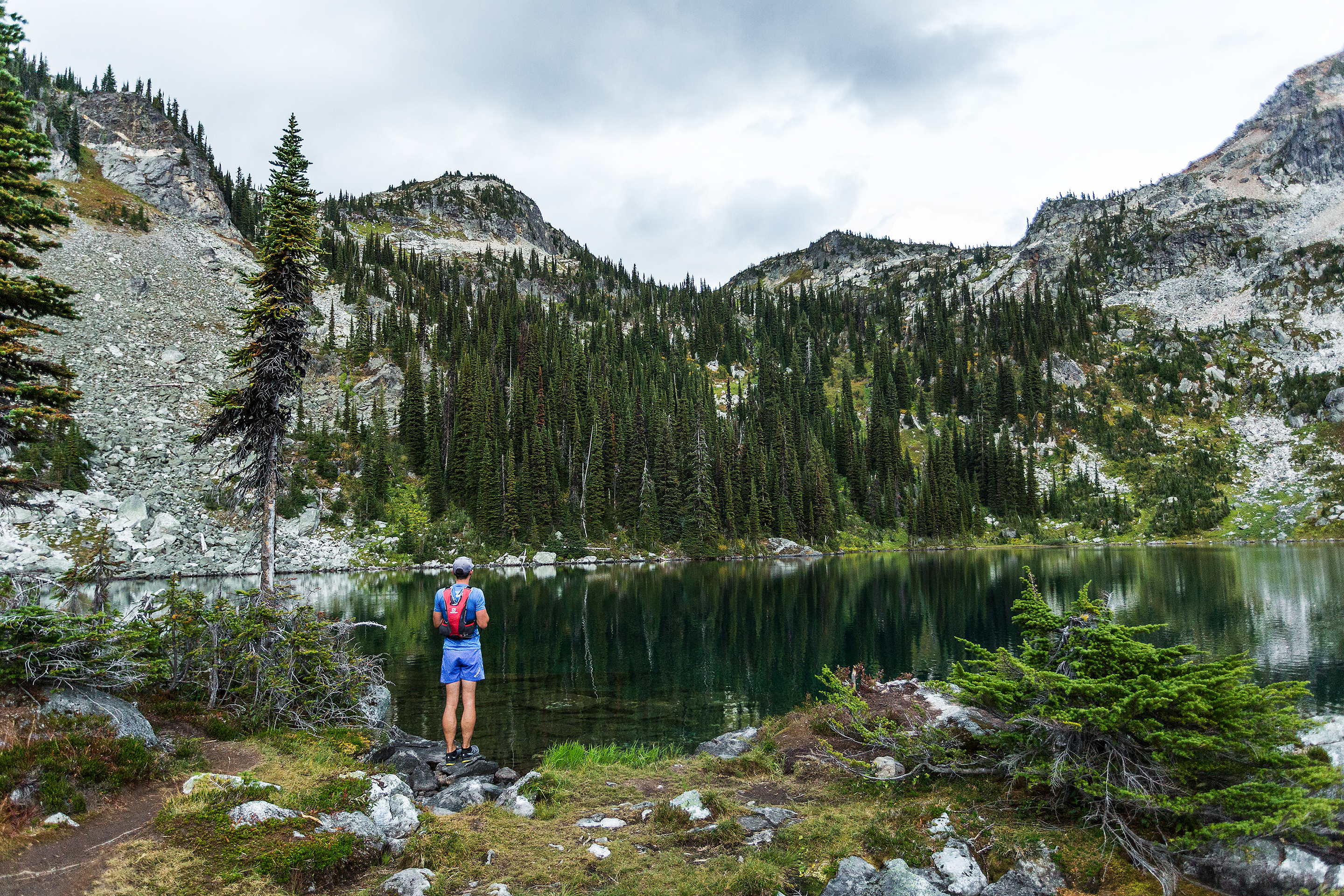
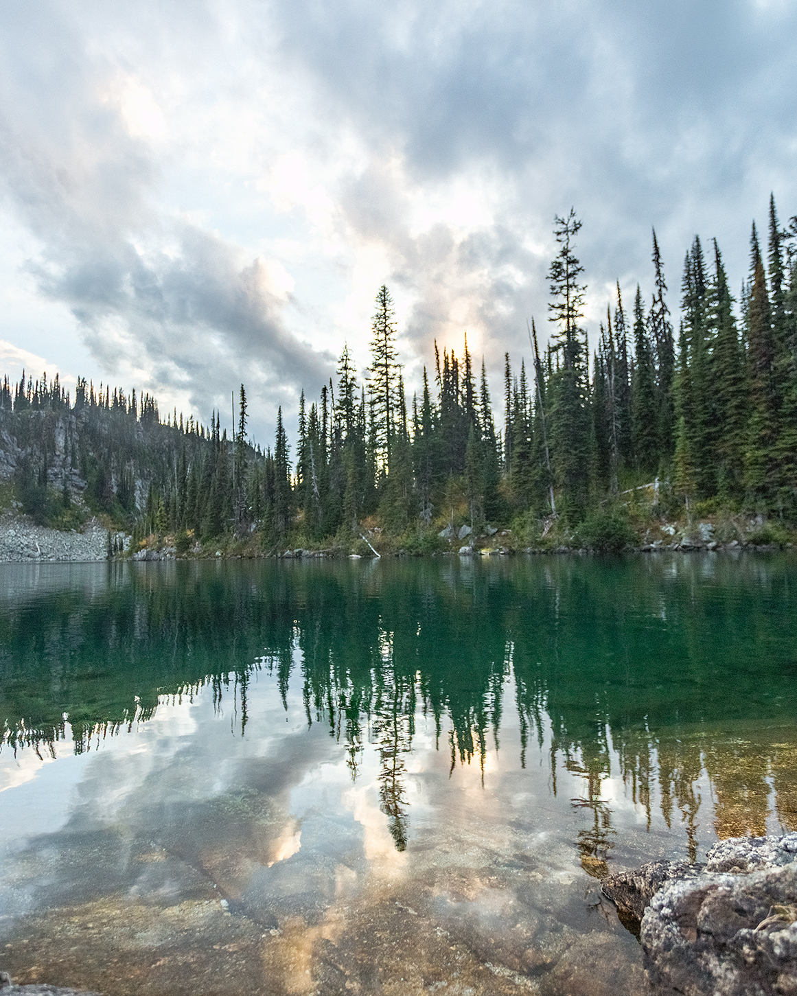
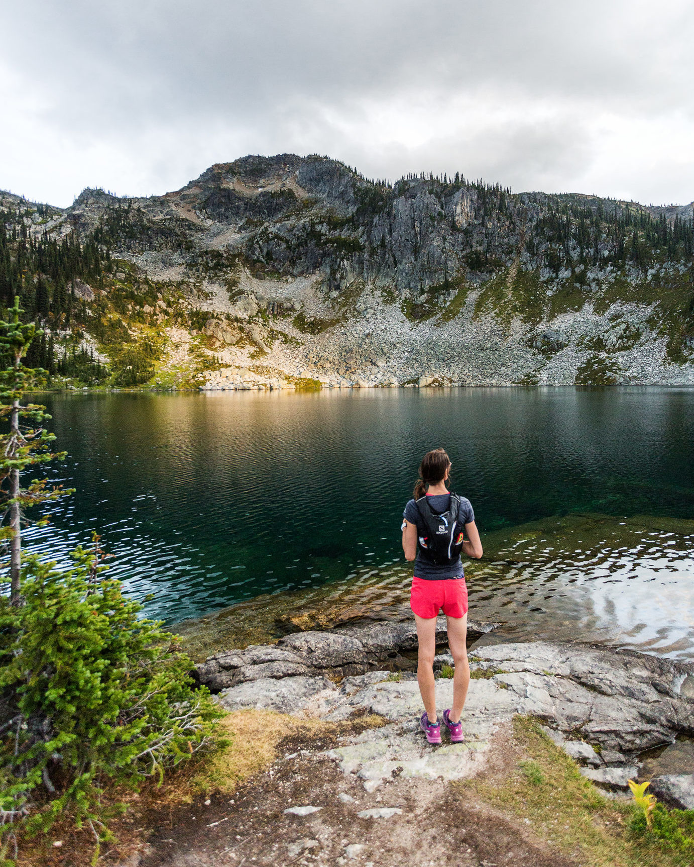
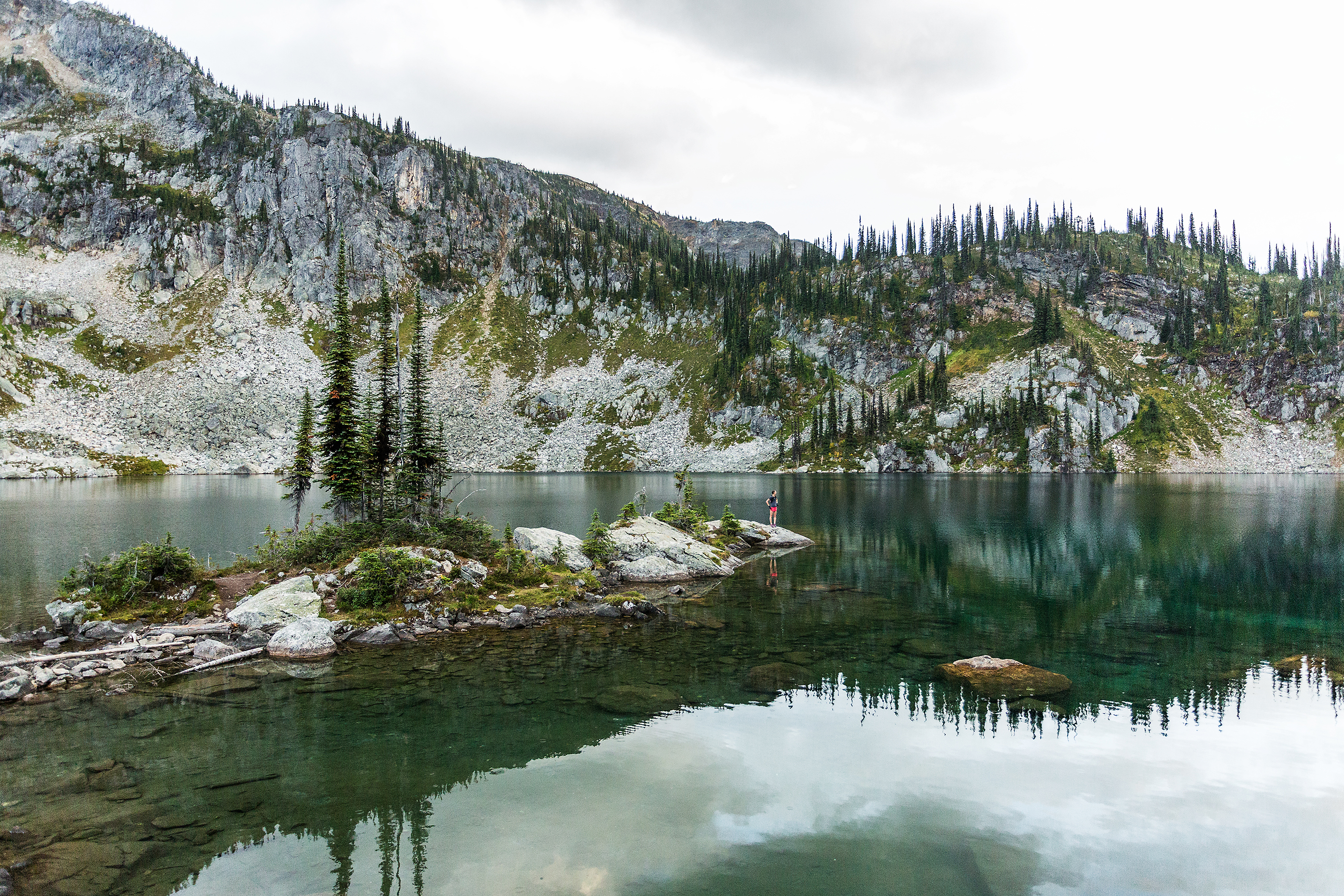
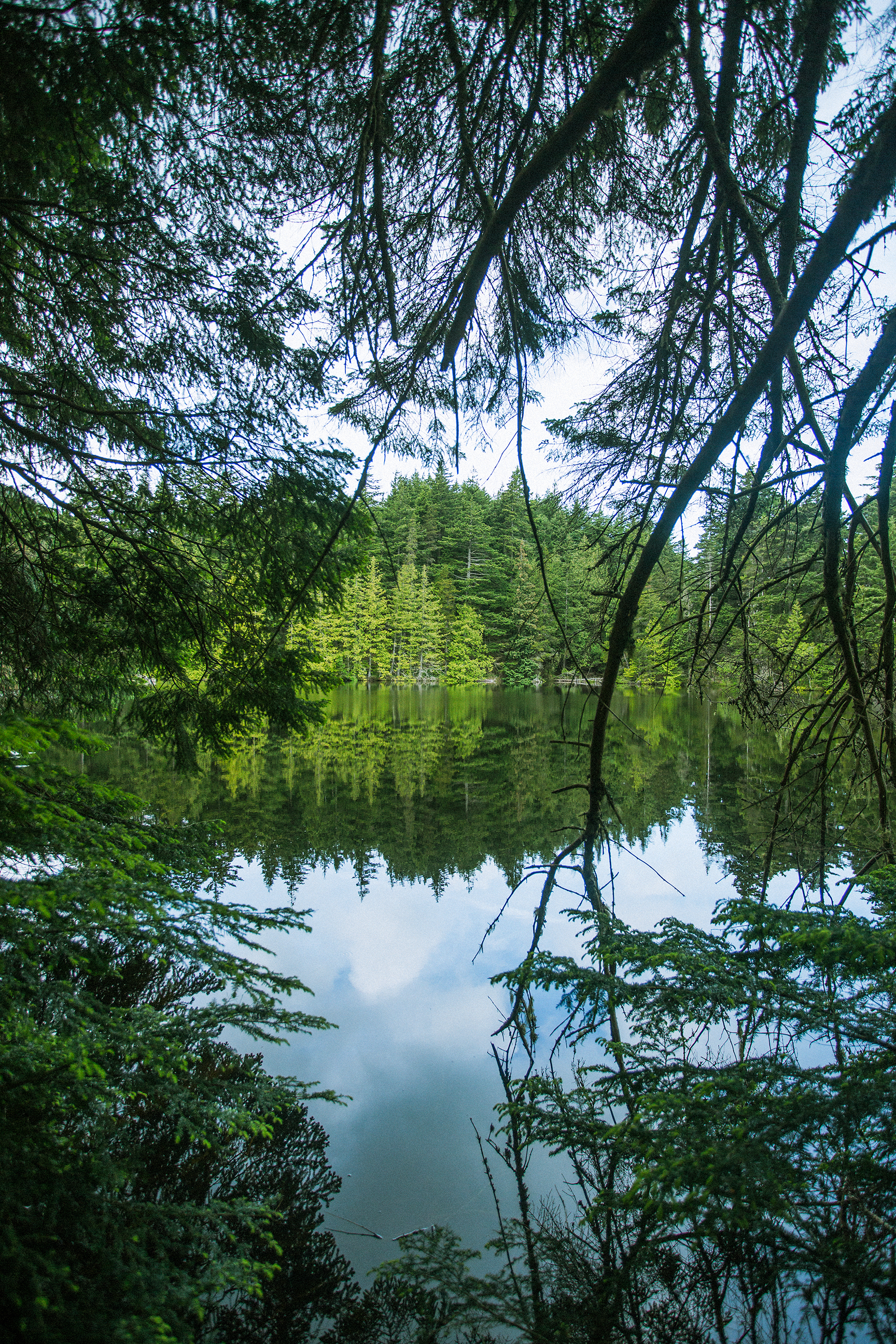
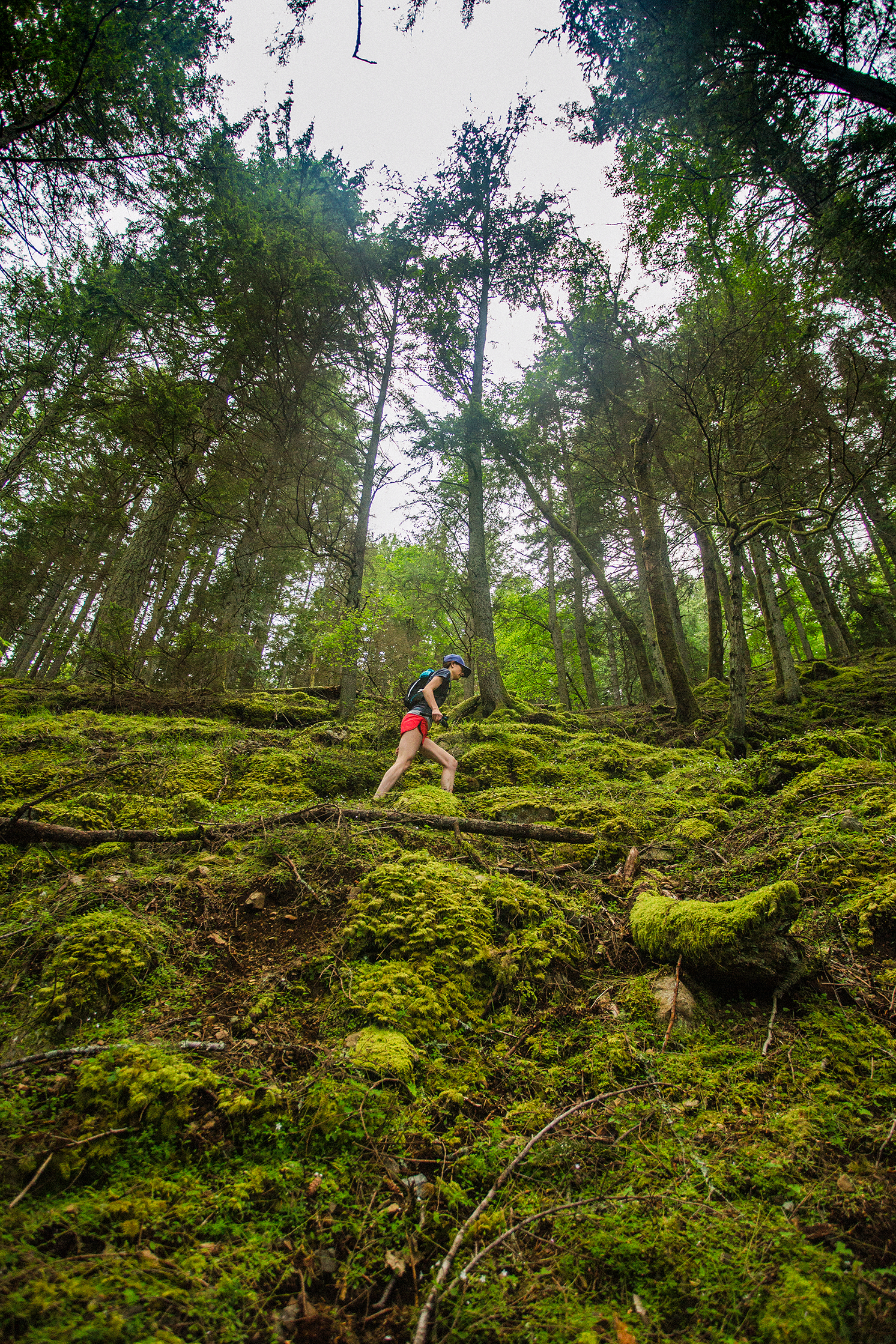
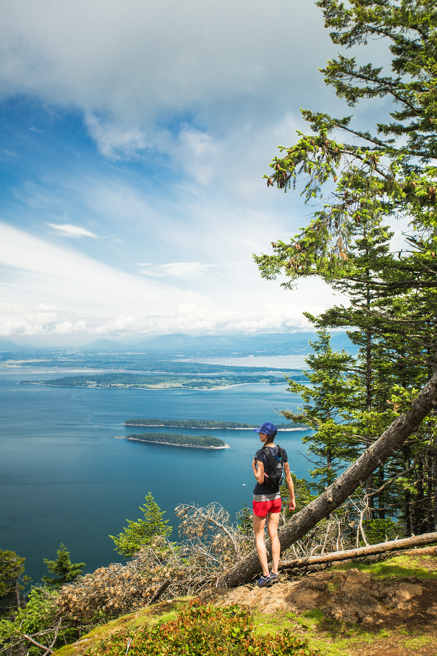
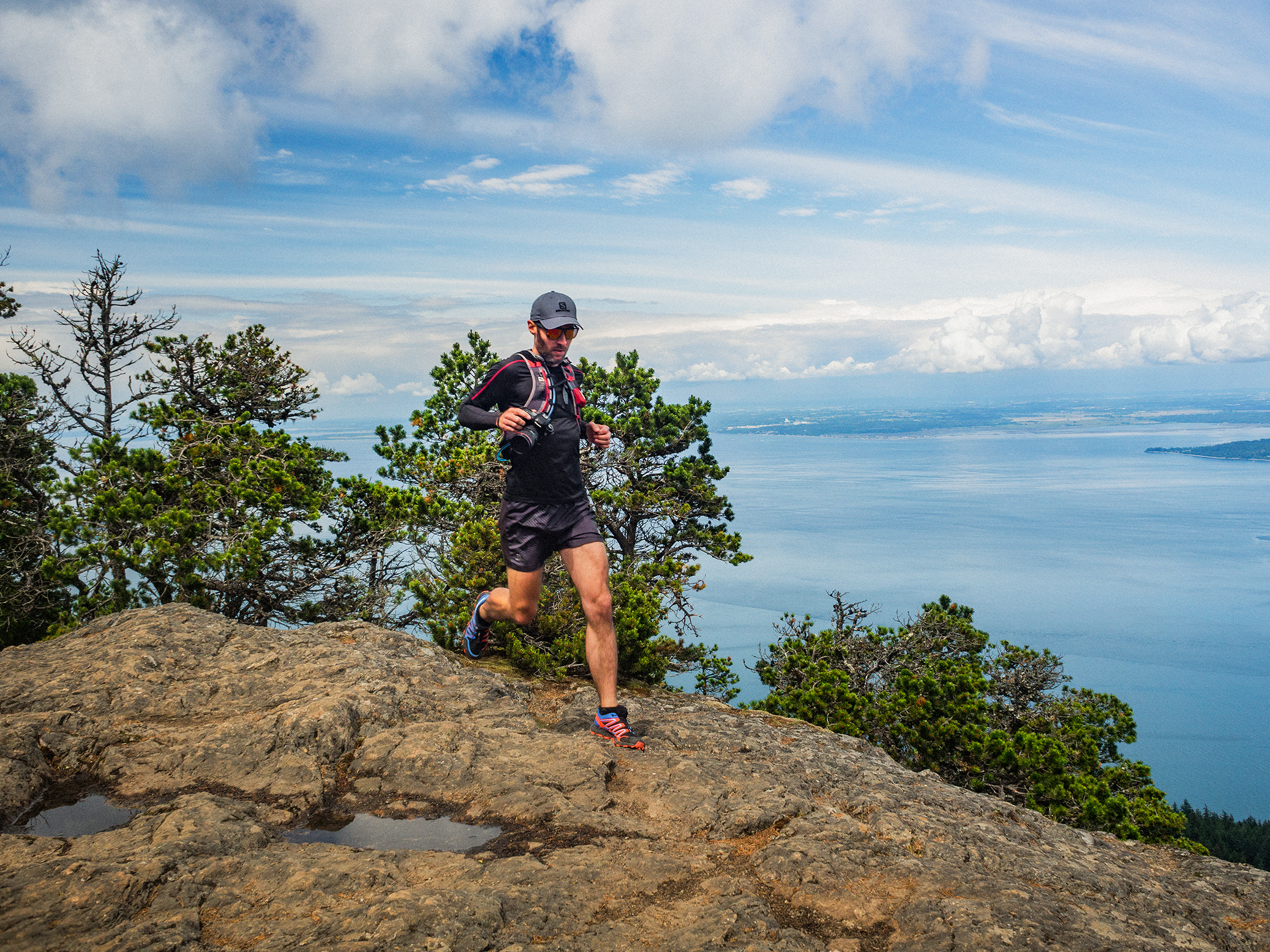
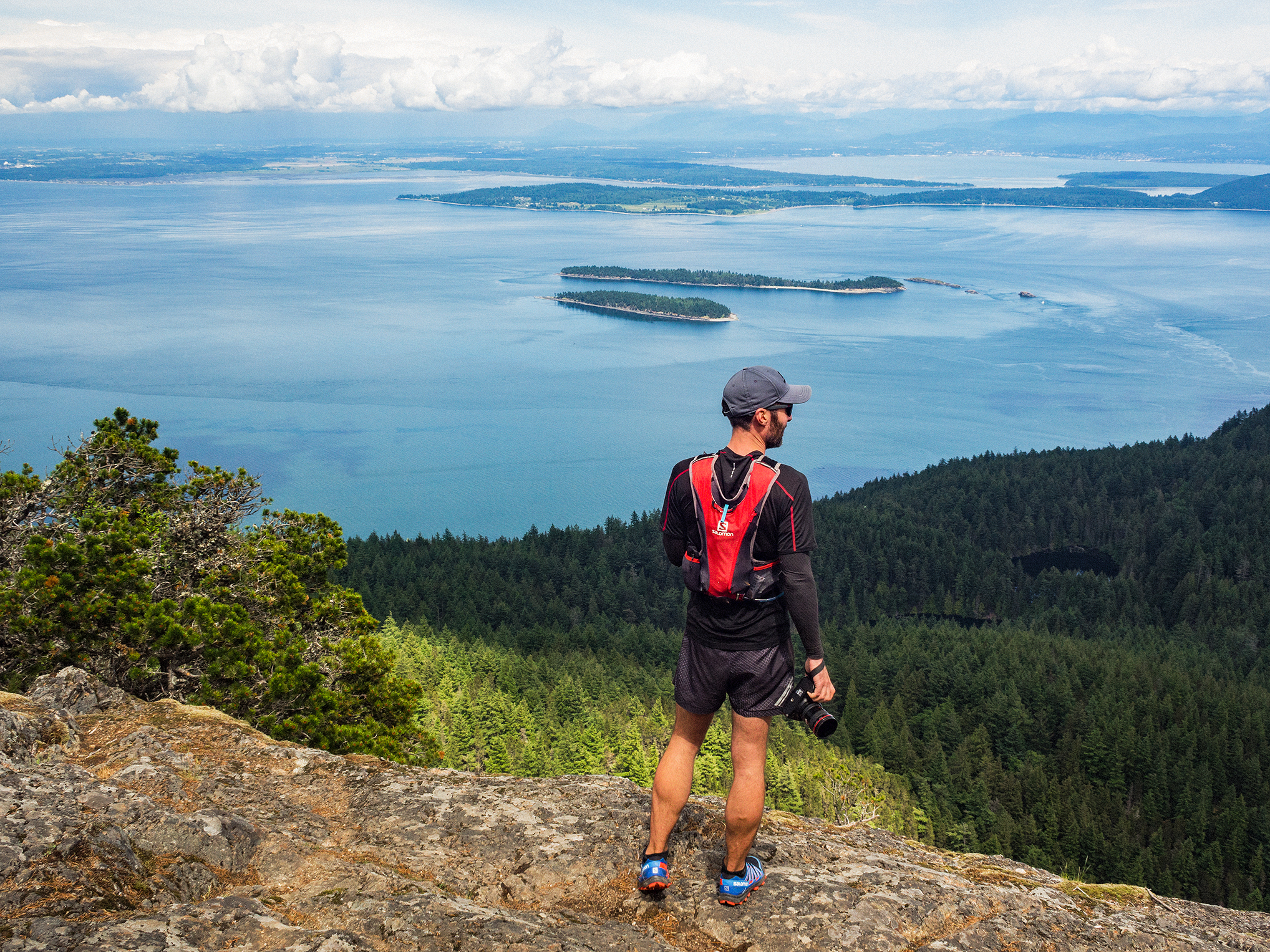
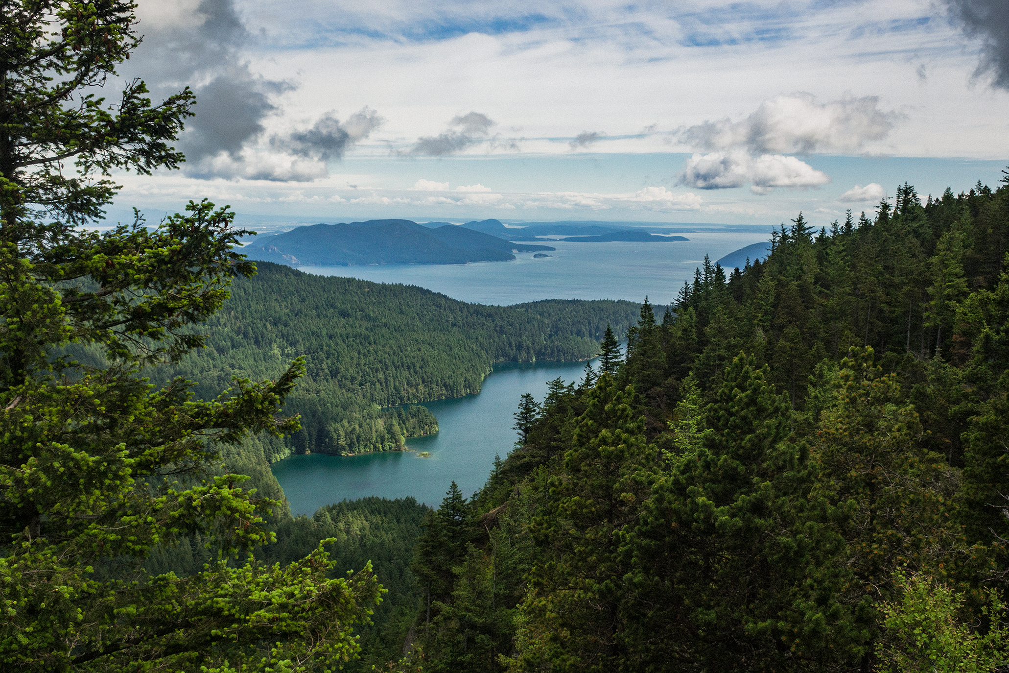
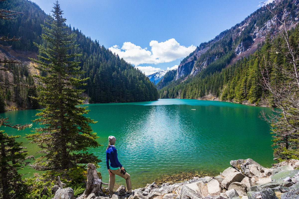
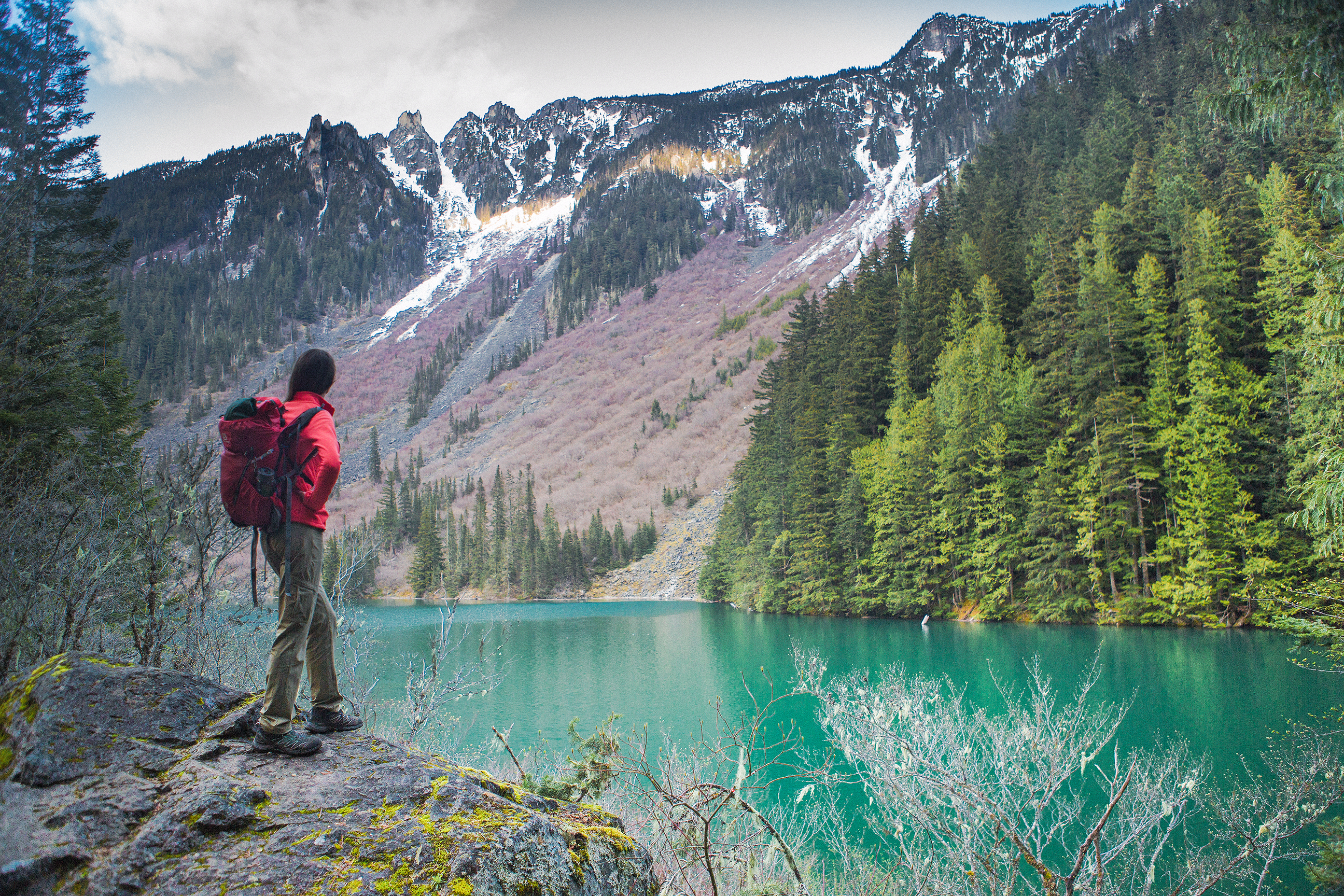
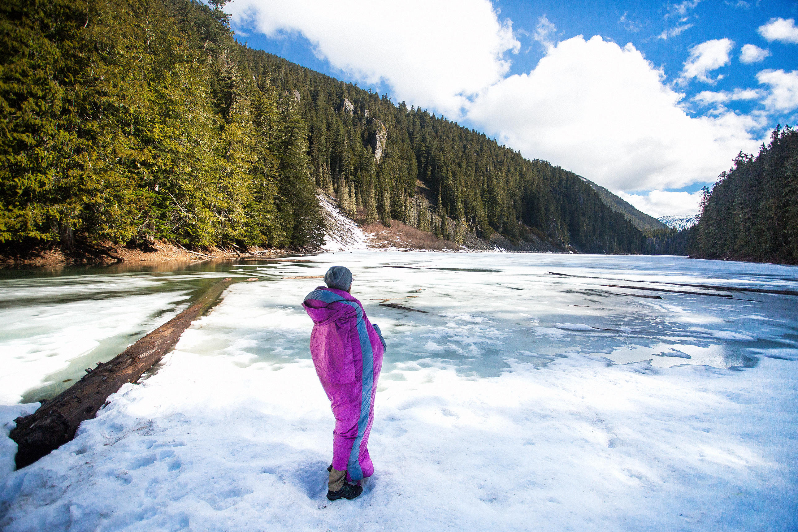
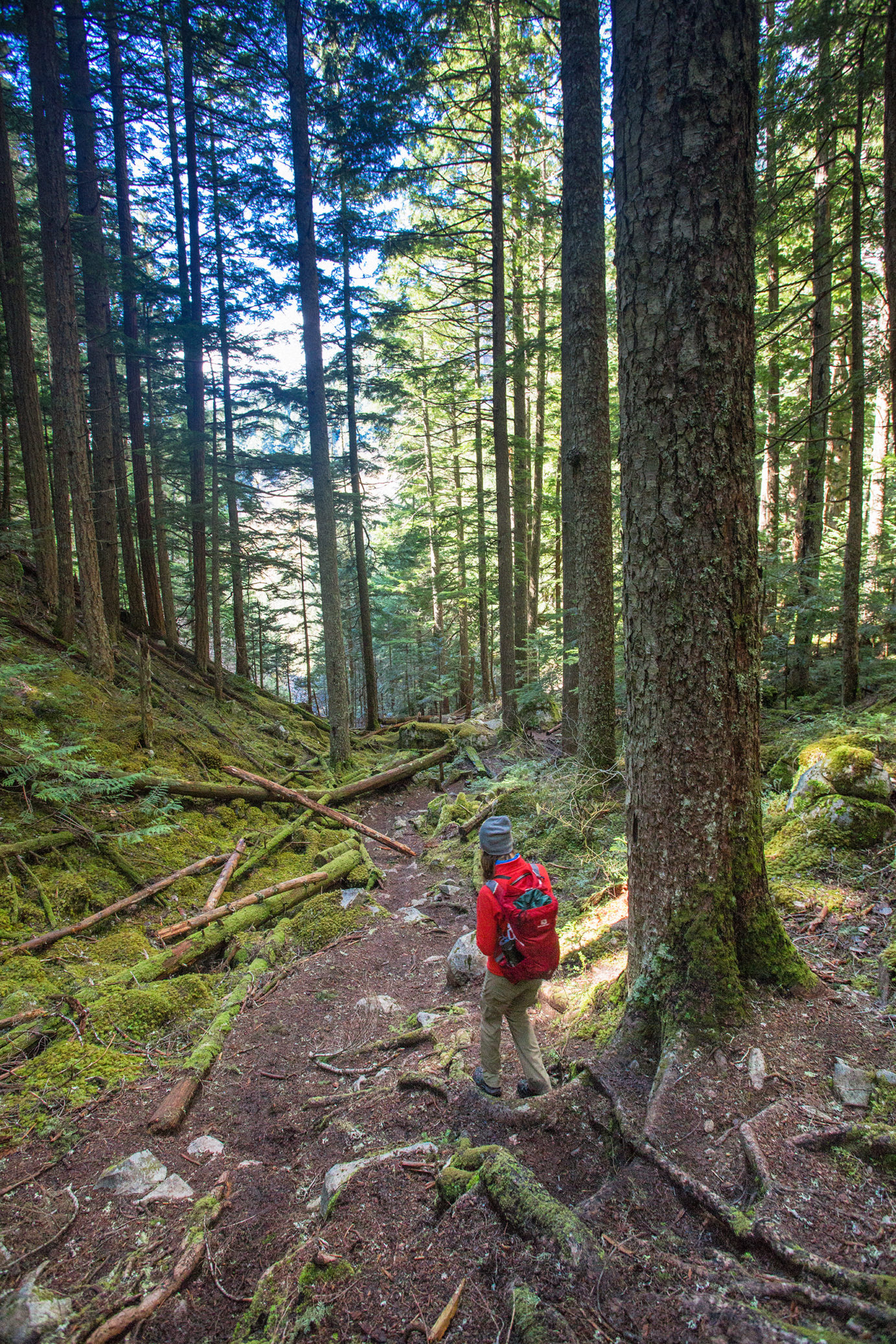
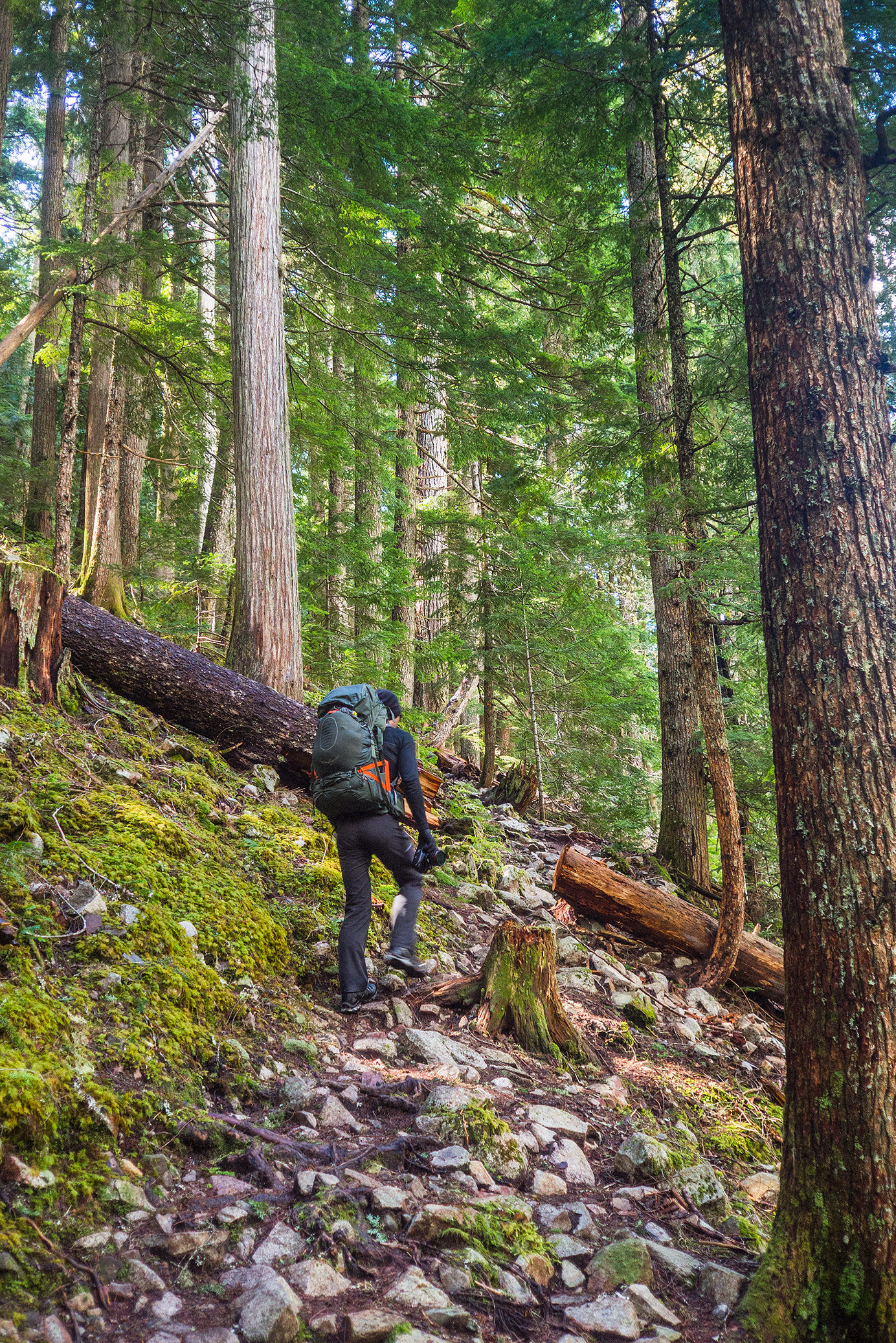
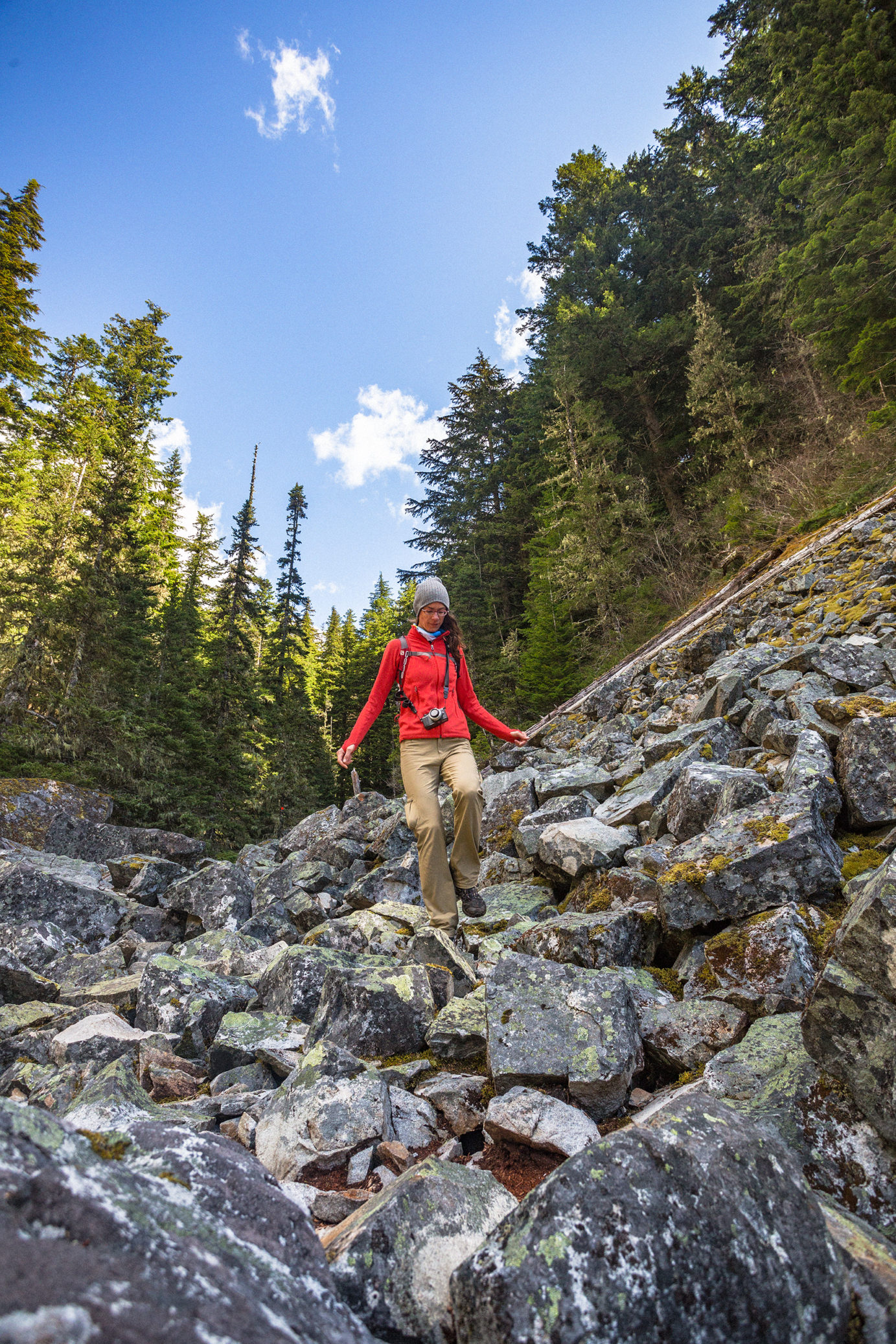
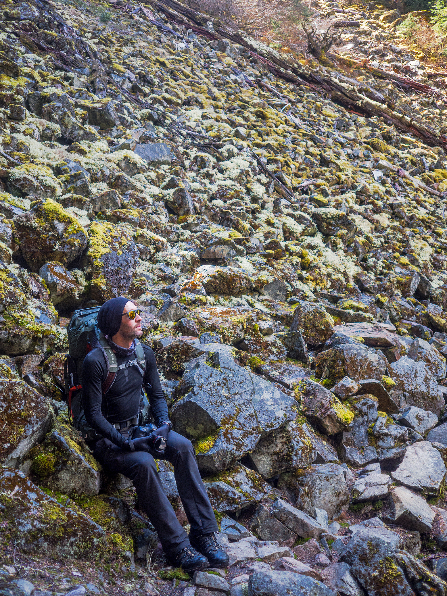
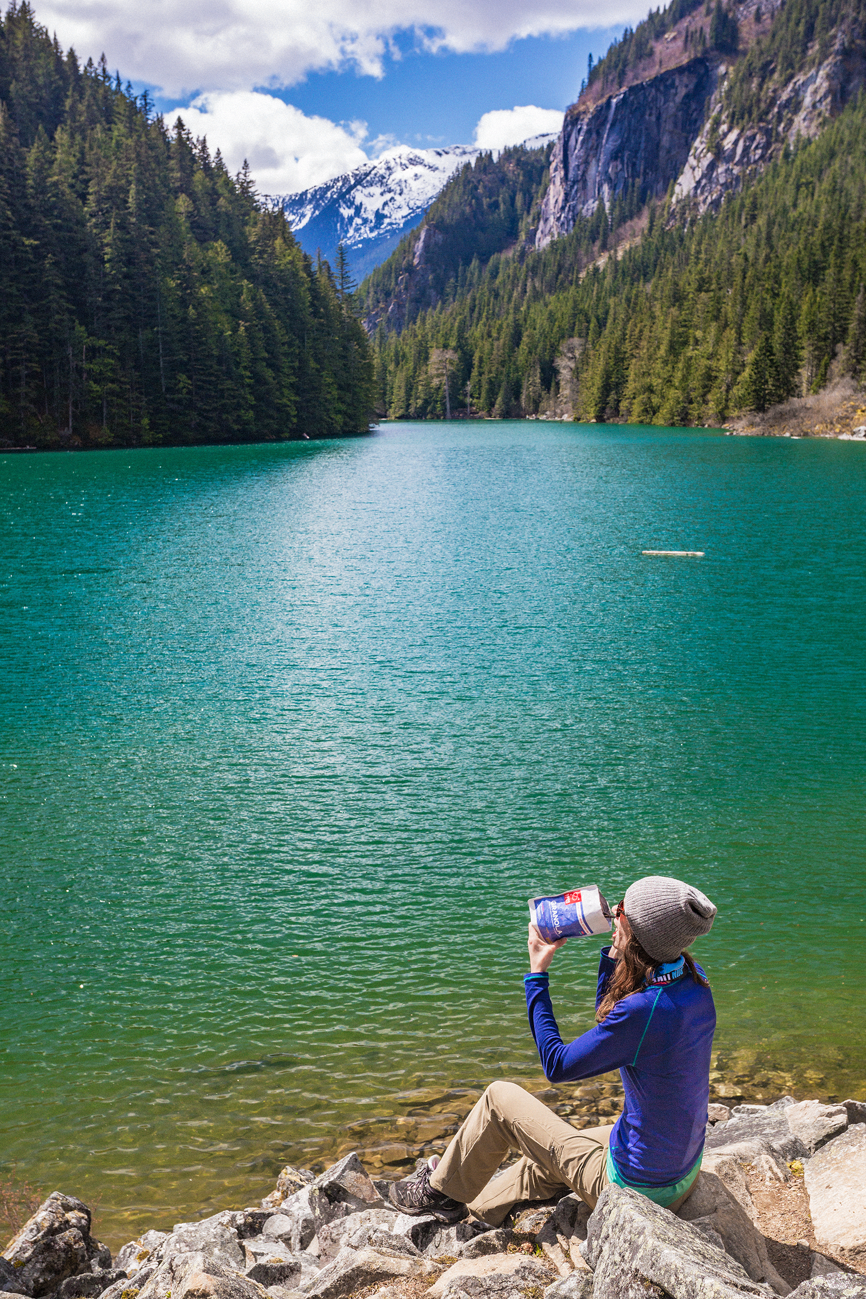
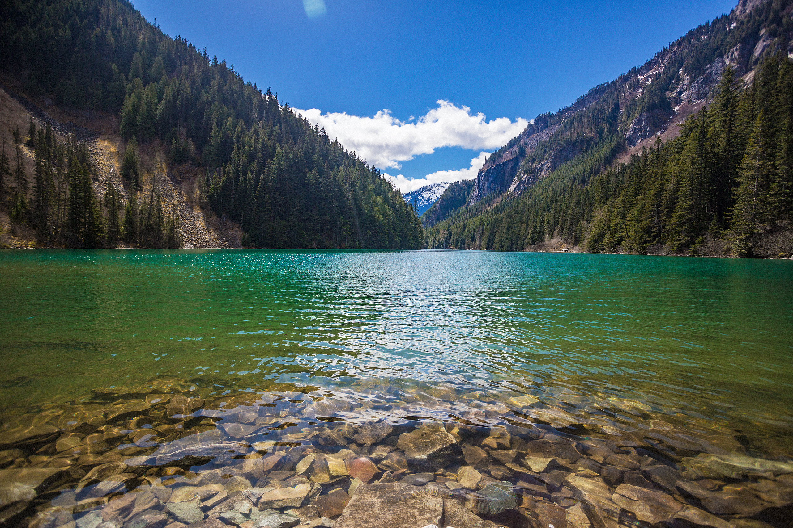
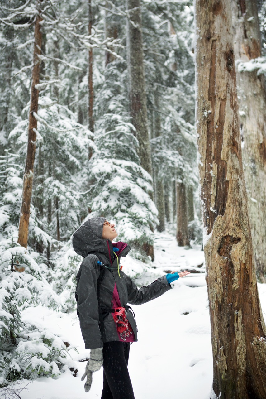
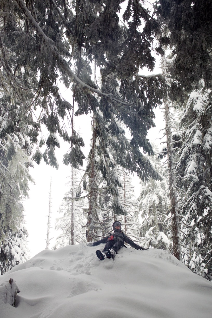
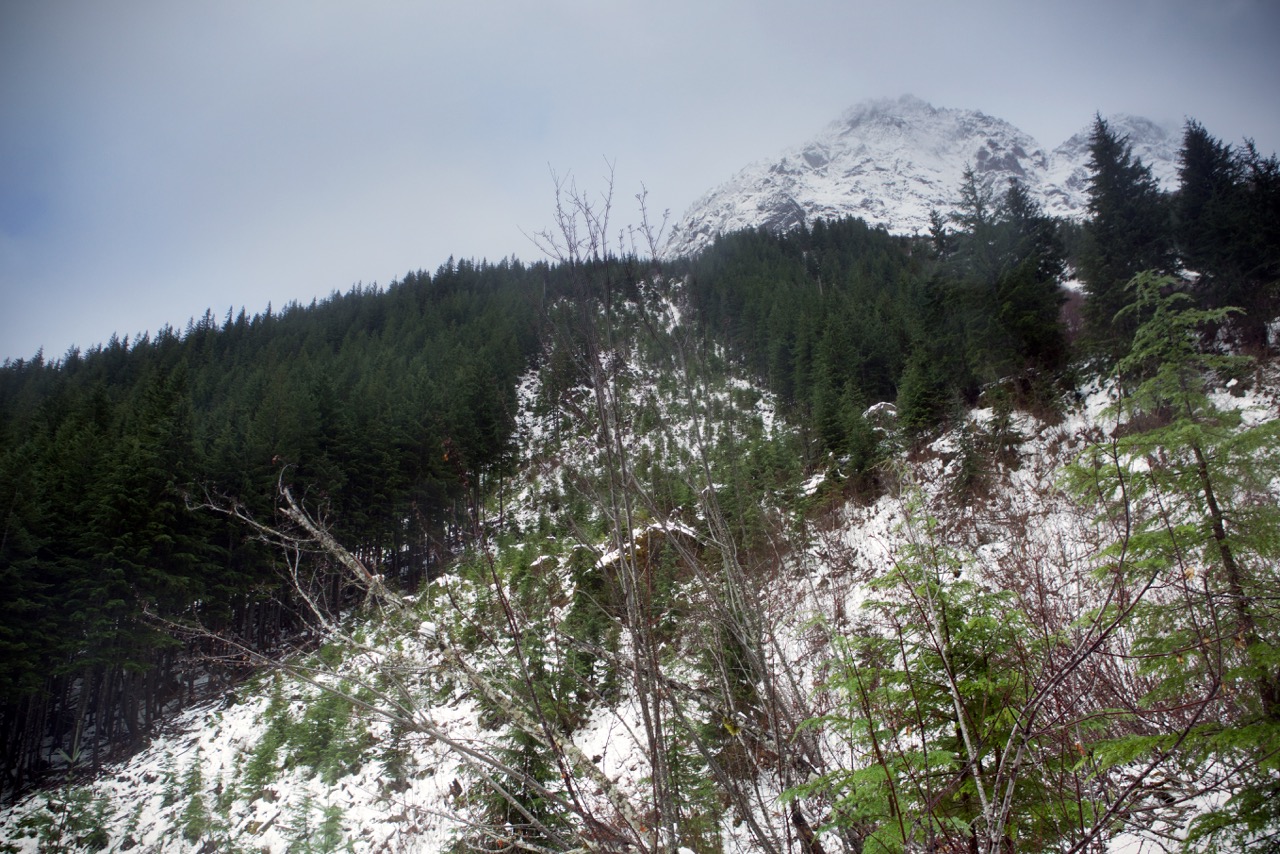
We took our time going up, taking lots of breaks for photos. Mount Pickett didn’t have a view, but we continued on to Twin Lakes, then hiked up the steep switchbacks to Mount Constitution, the highest point in the island (2400 feet / about 800m).

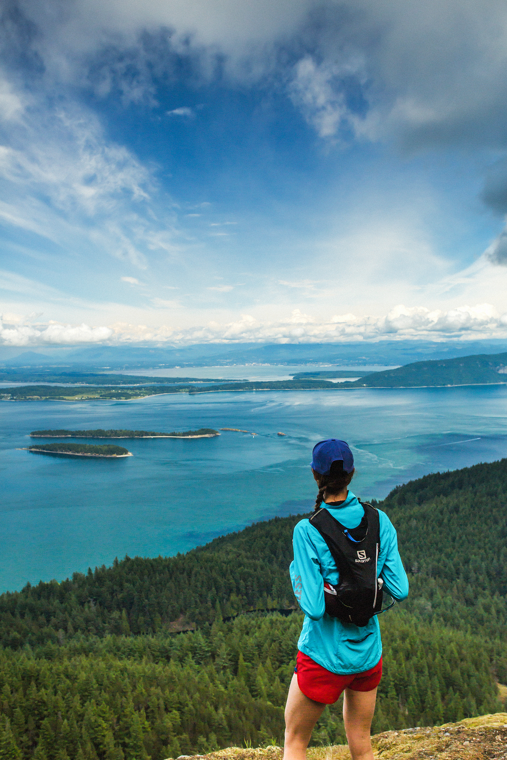
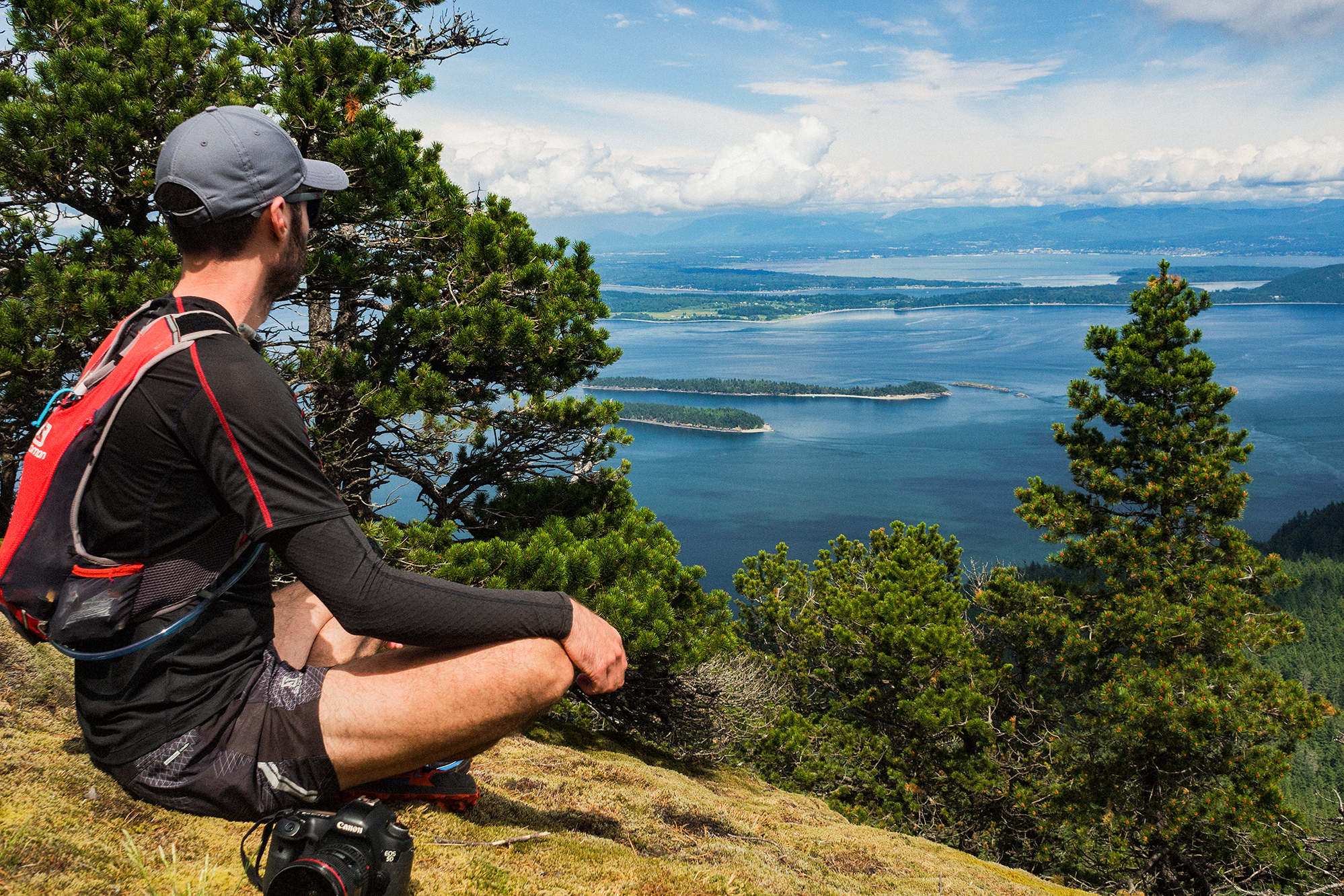
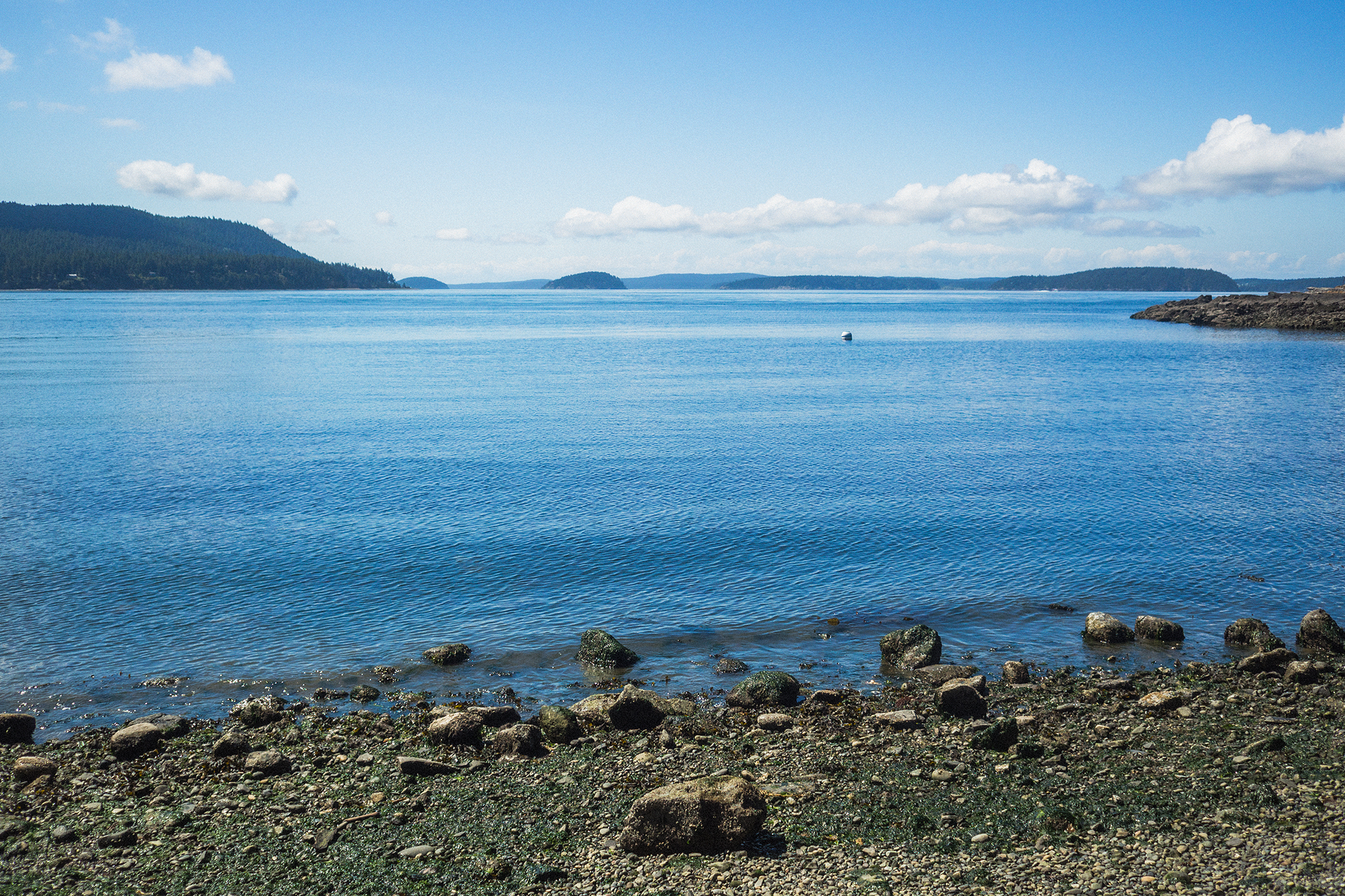
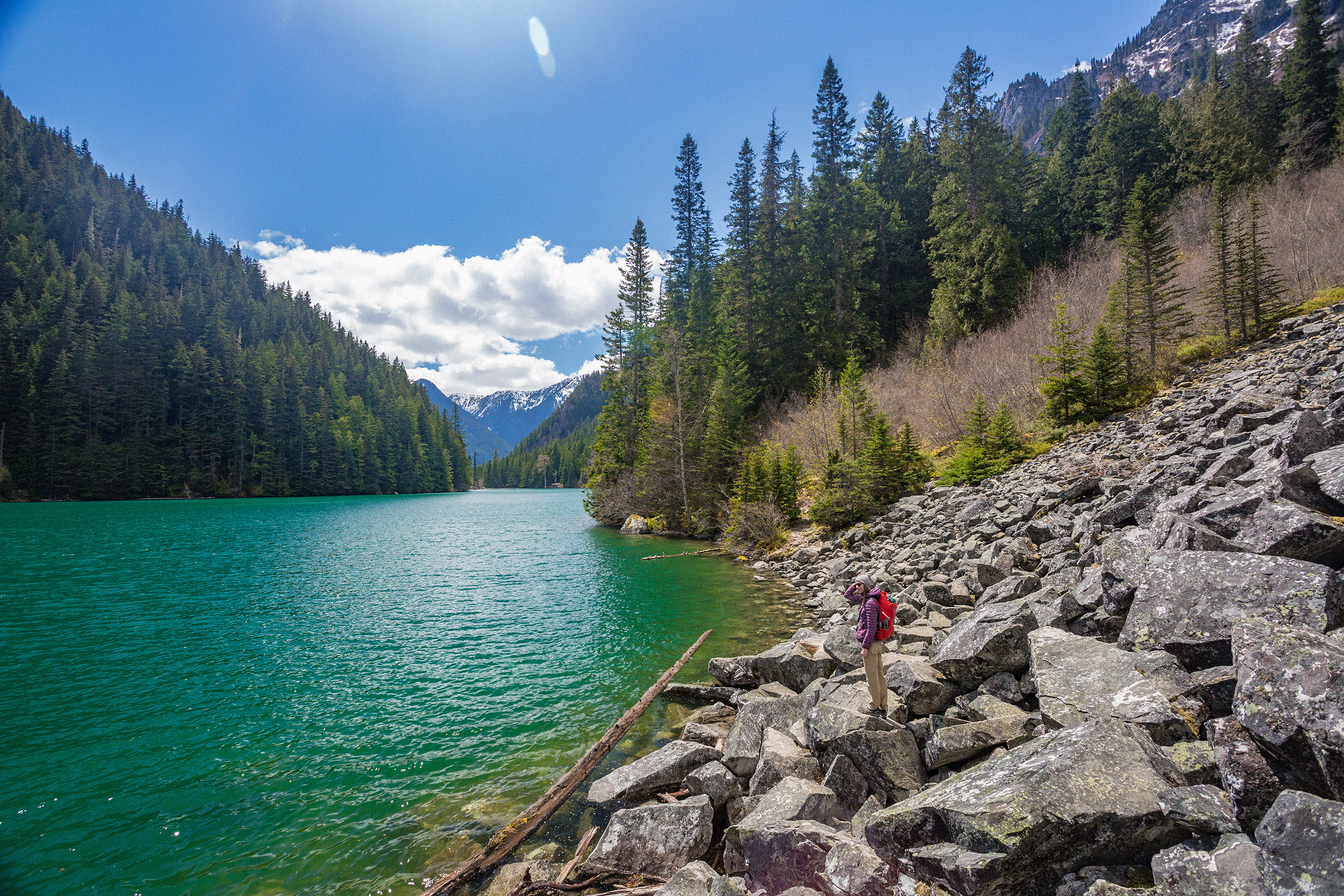
The vista from Mt Constitution was pretty sweet, looking out onto the bay in the east, with views of Bellingham and Vancouver Island in the distance.

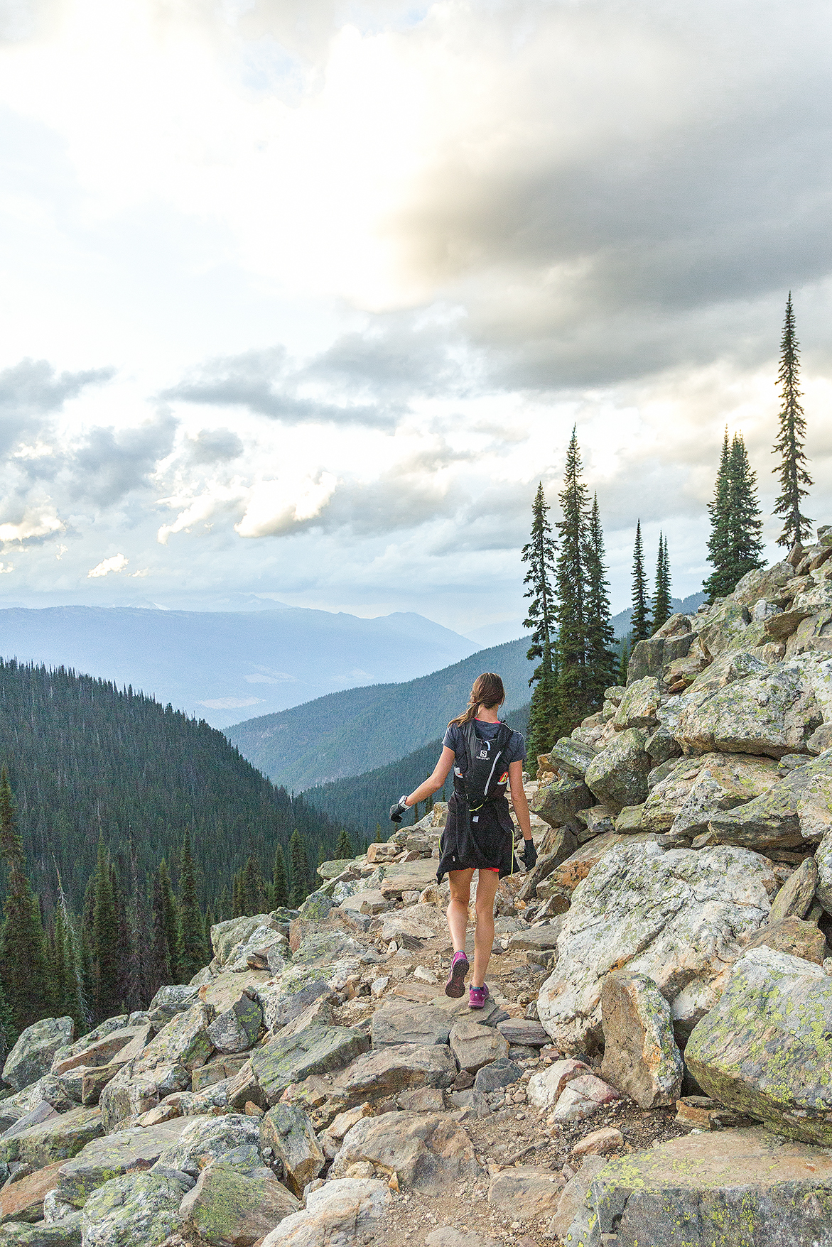
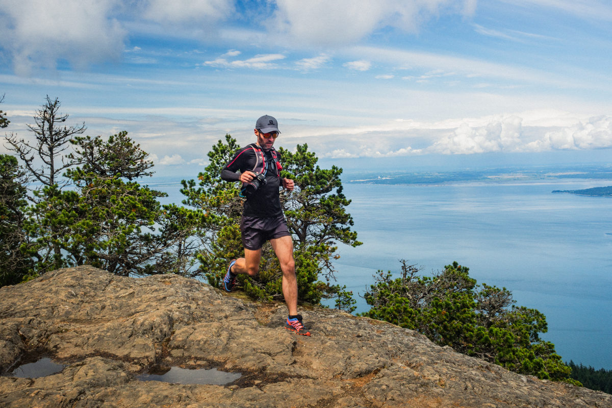
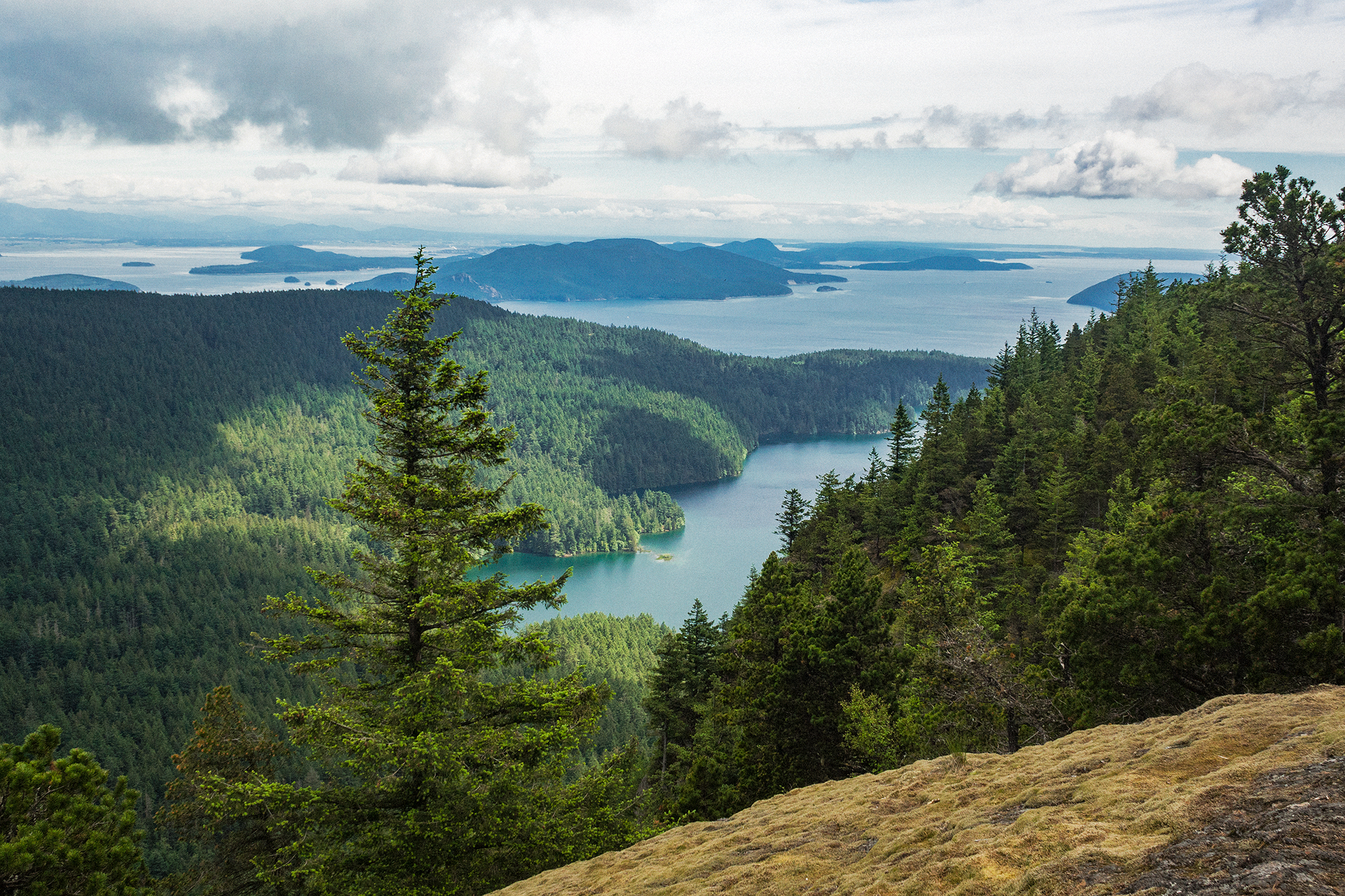
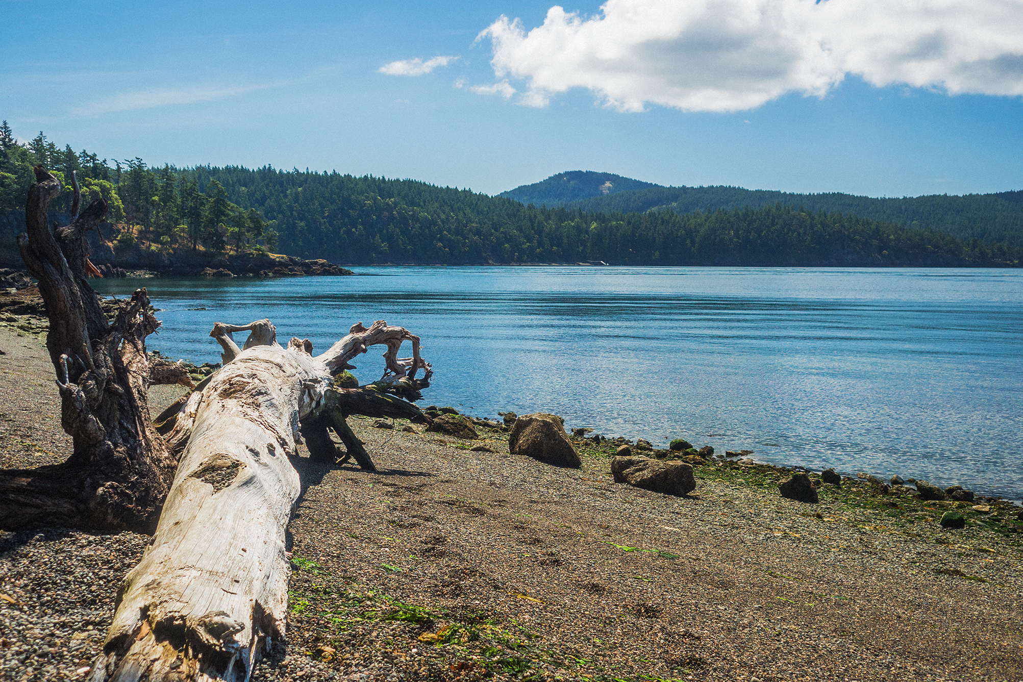
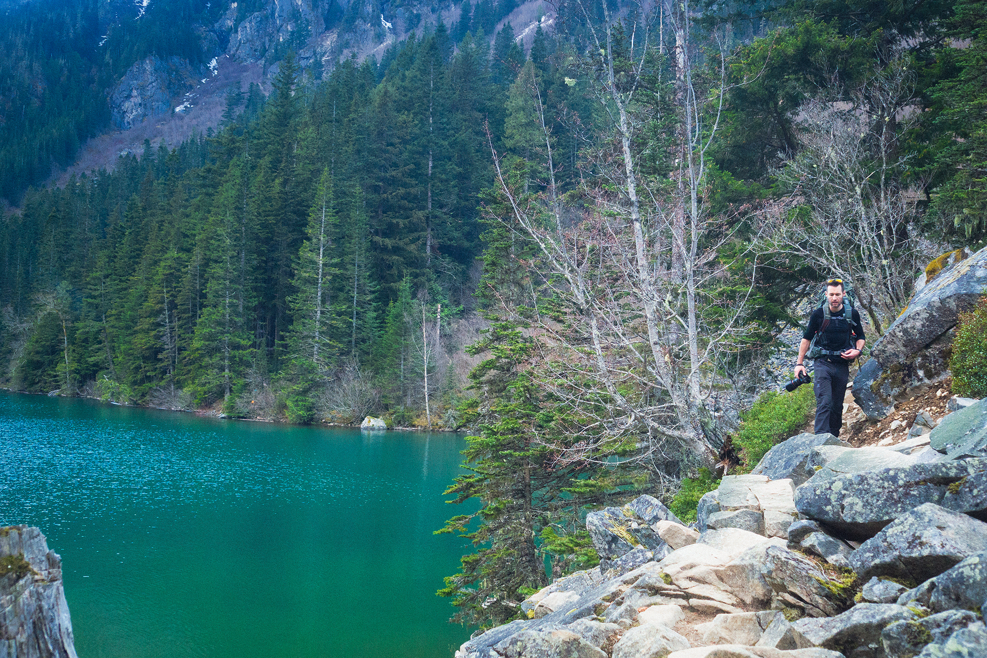
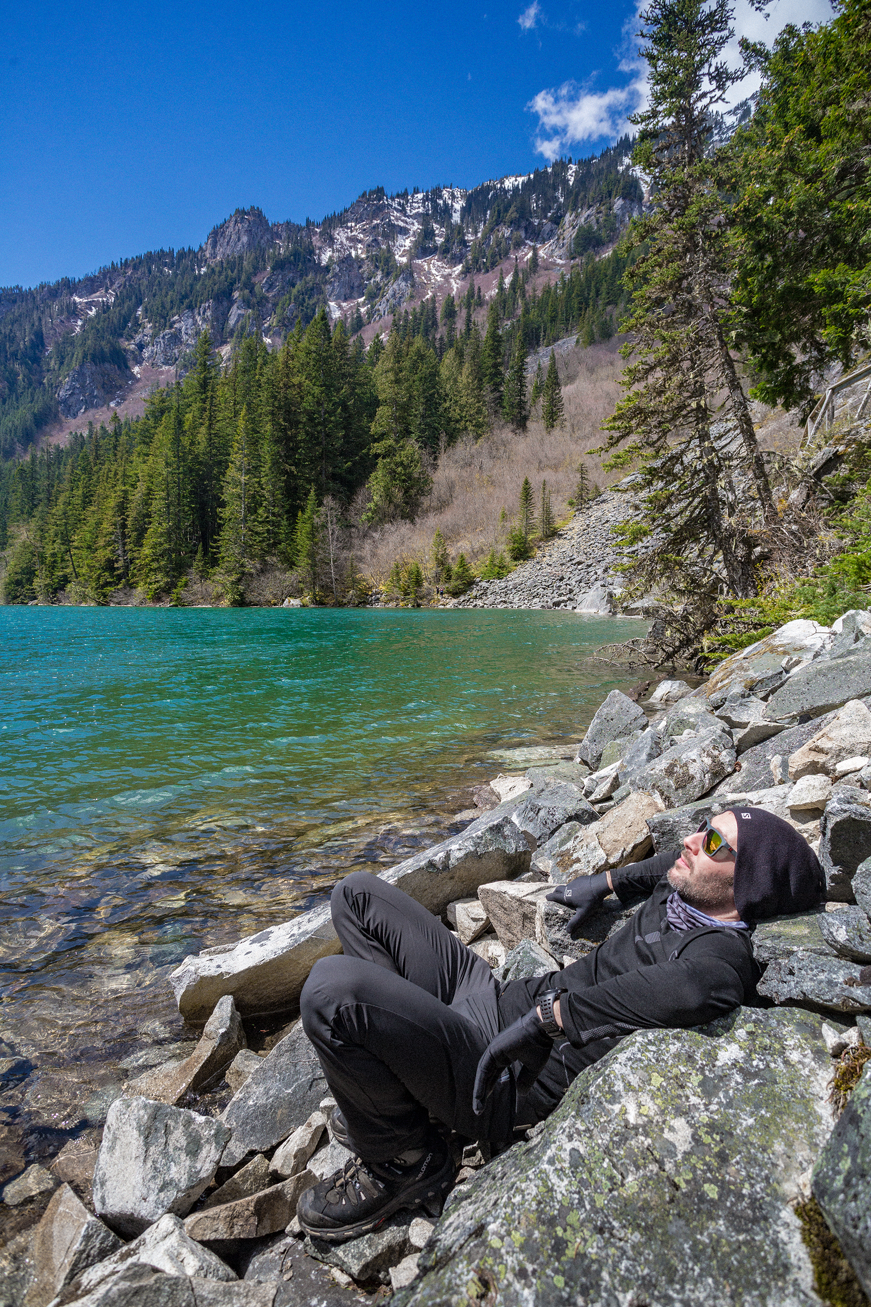
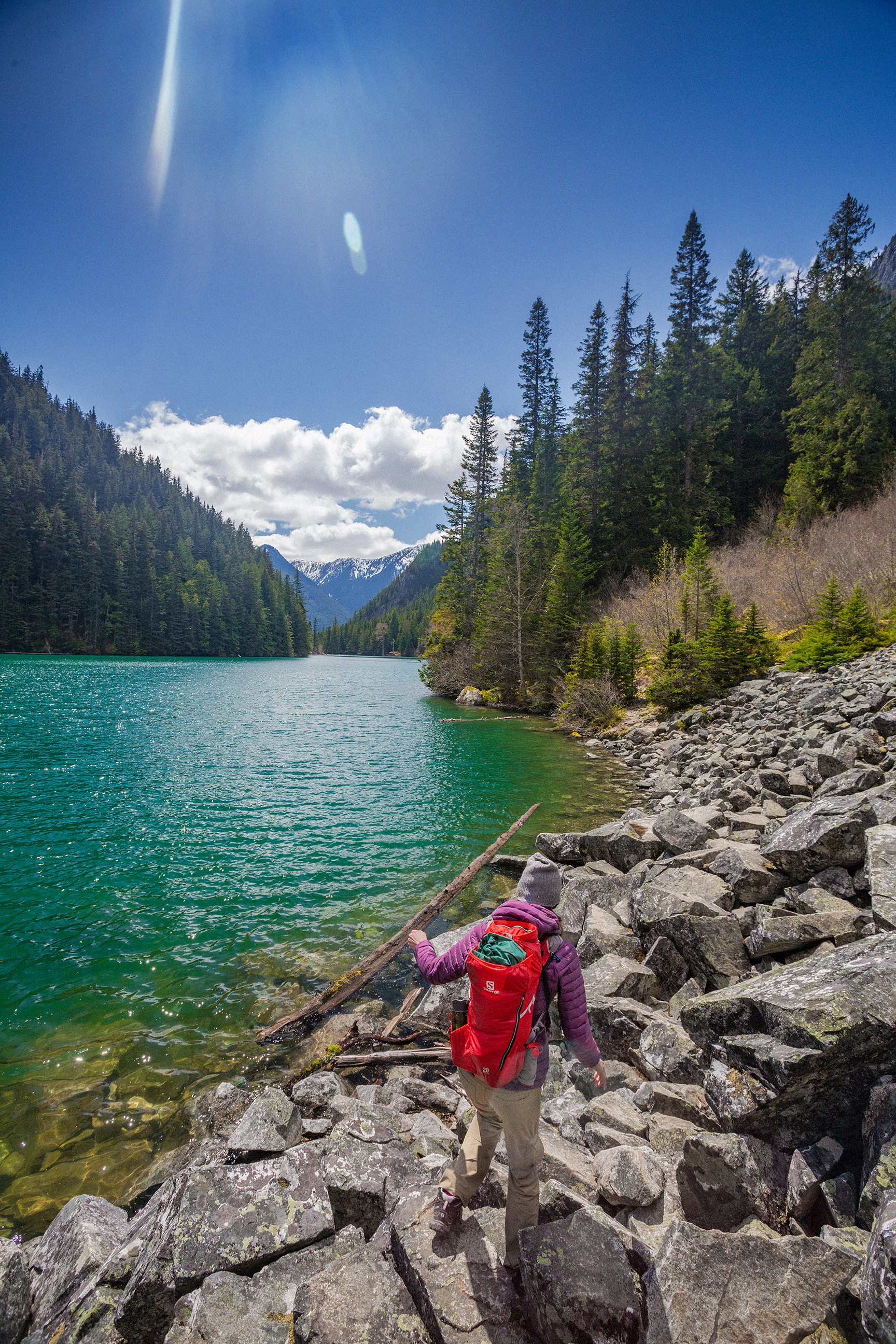
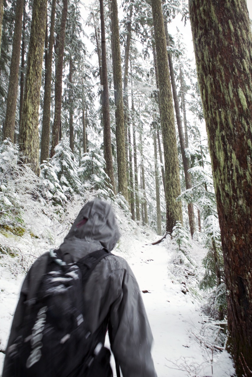
After the summit we continued on a really scenic ridge trail bordered by Pacific Madrone trees, with views of the water. We stopped on a couple of rocky areas just off the trail to take in the view.

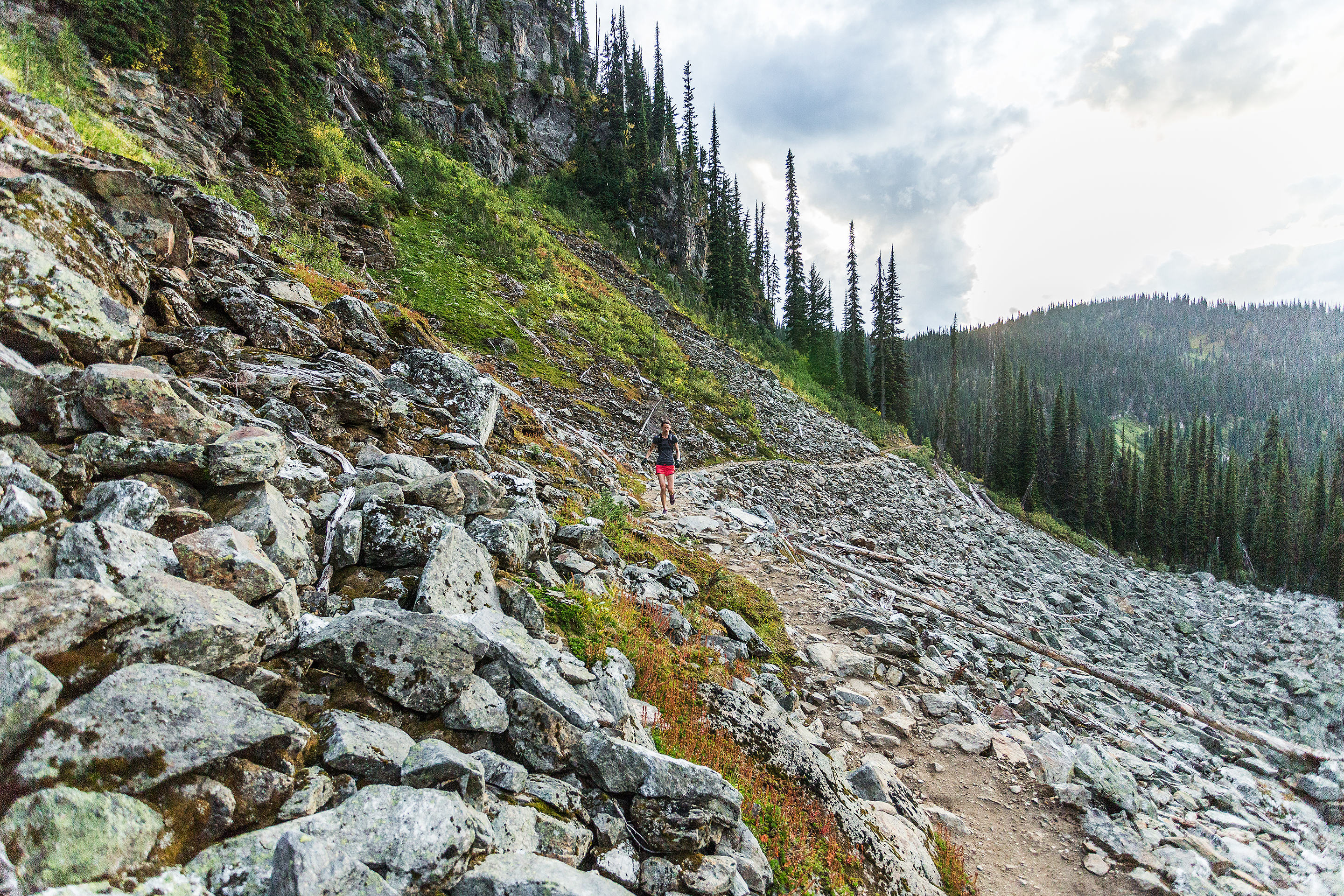
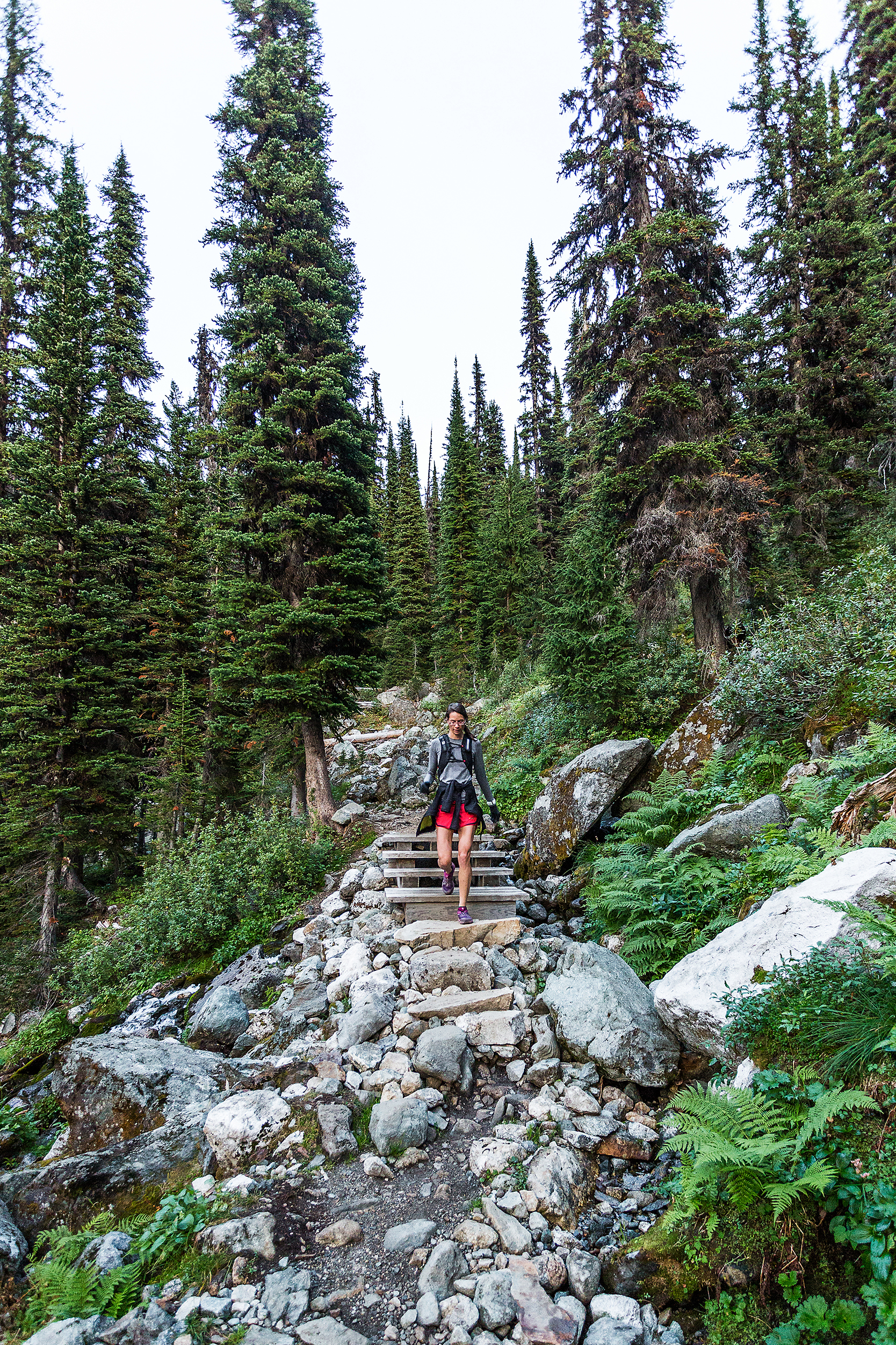
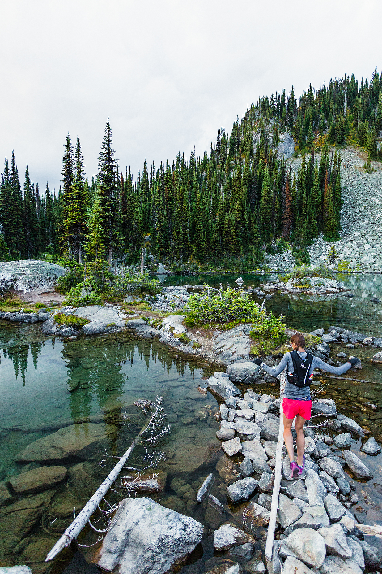
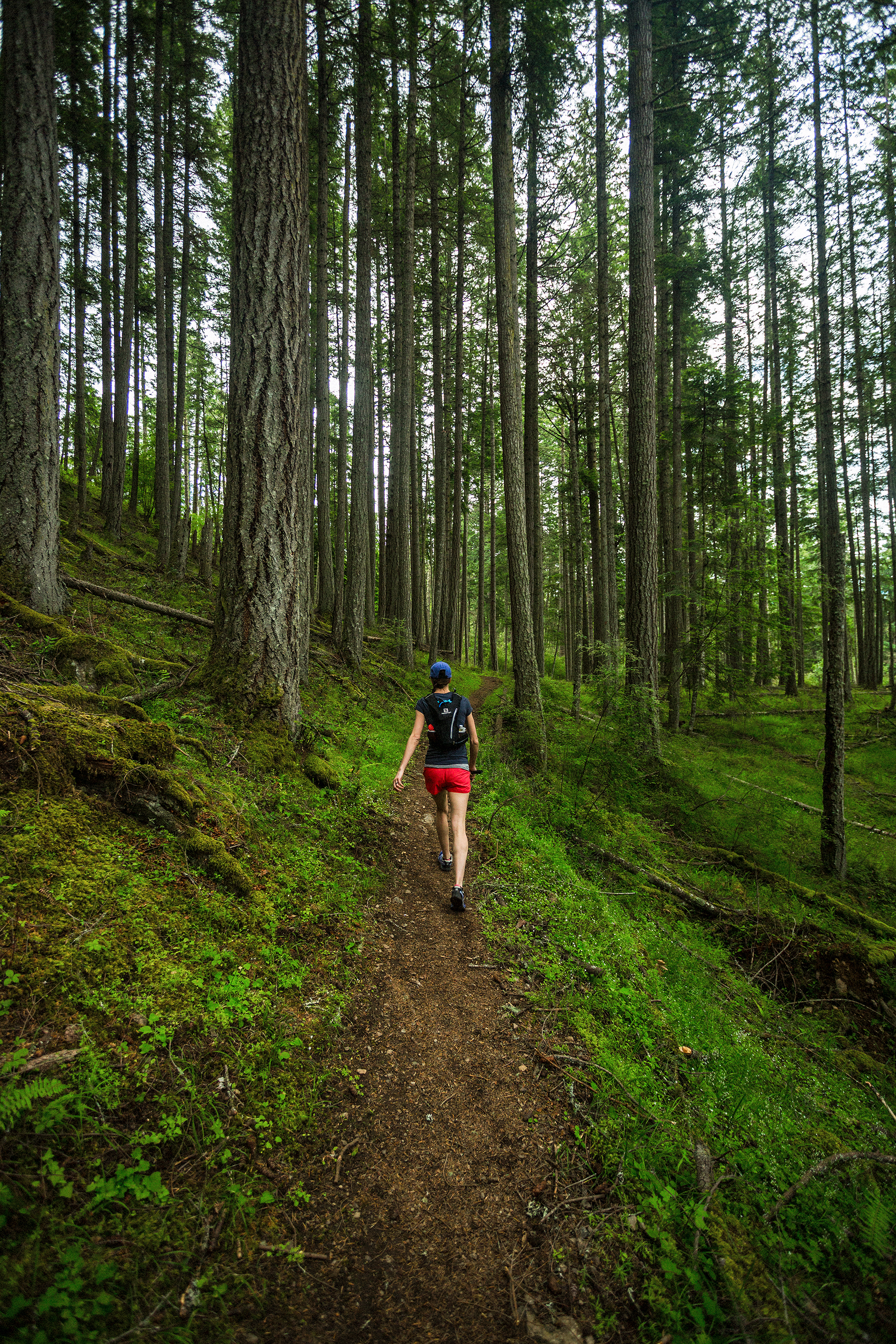
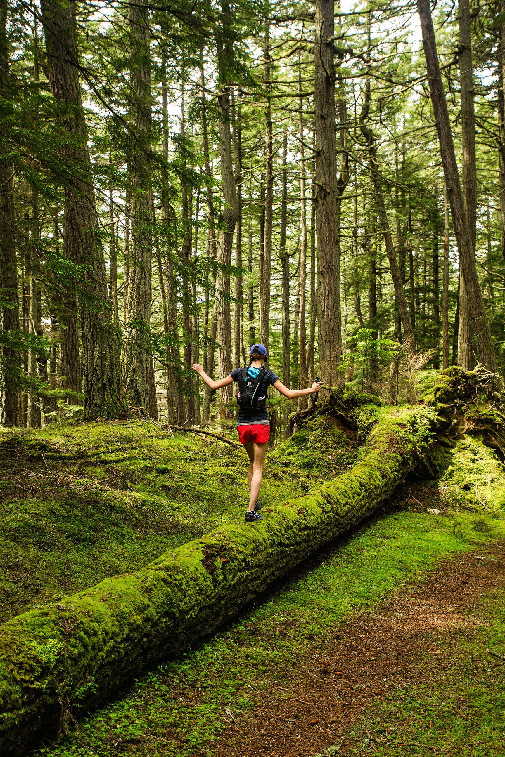
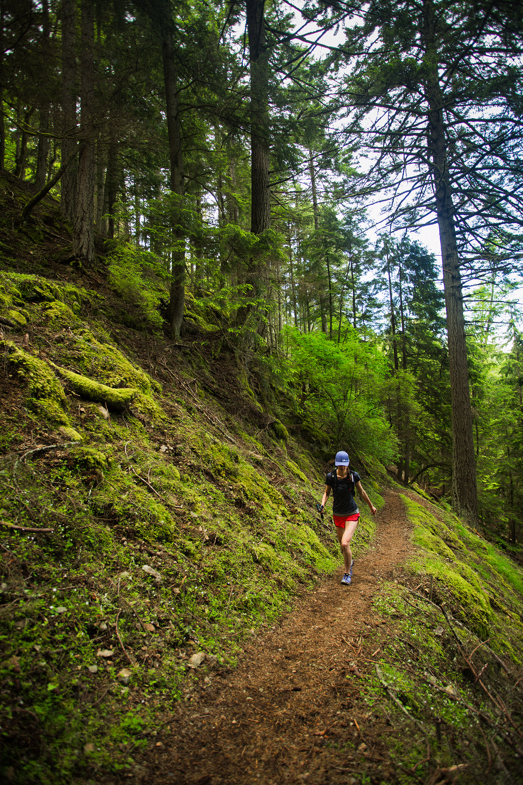
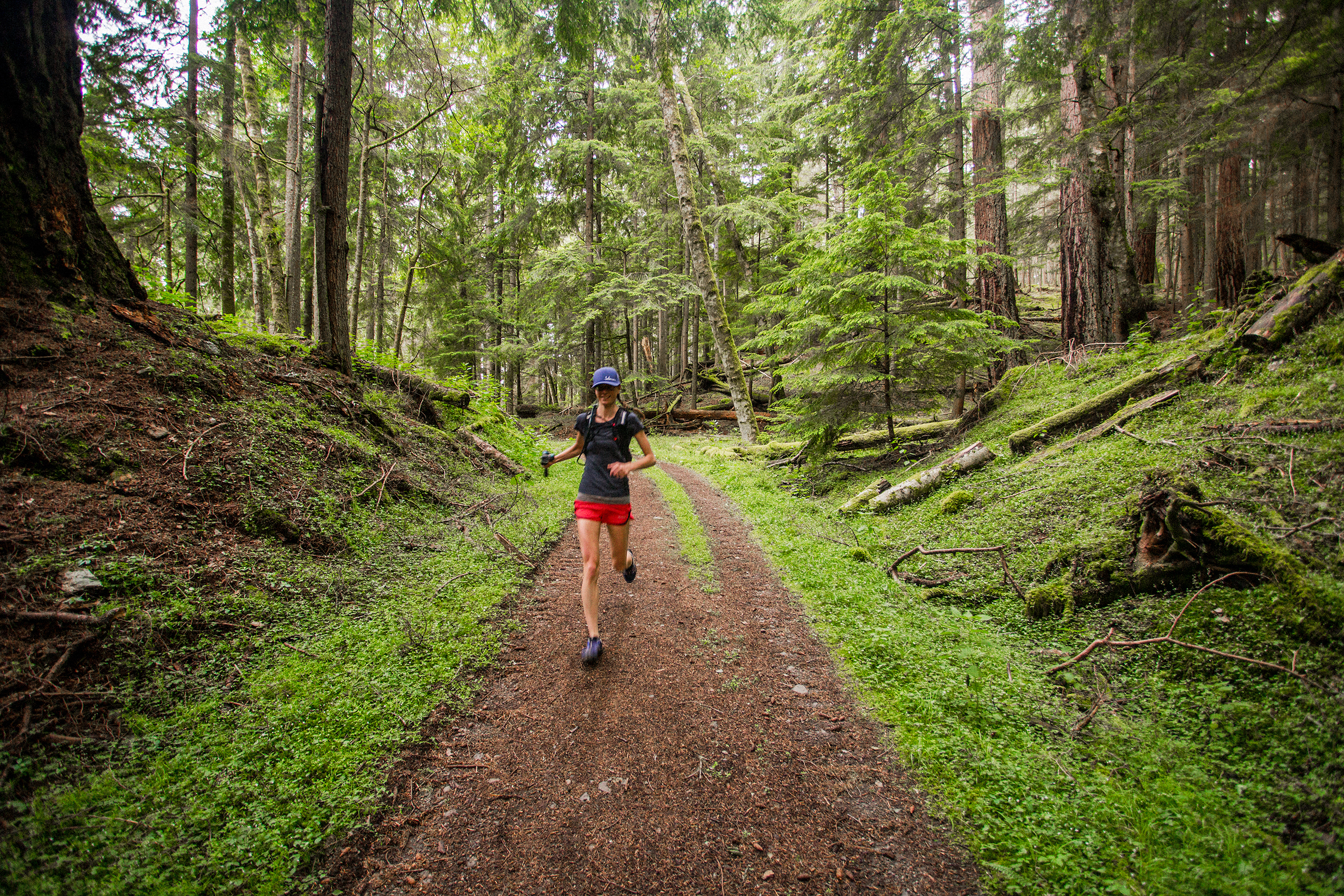
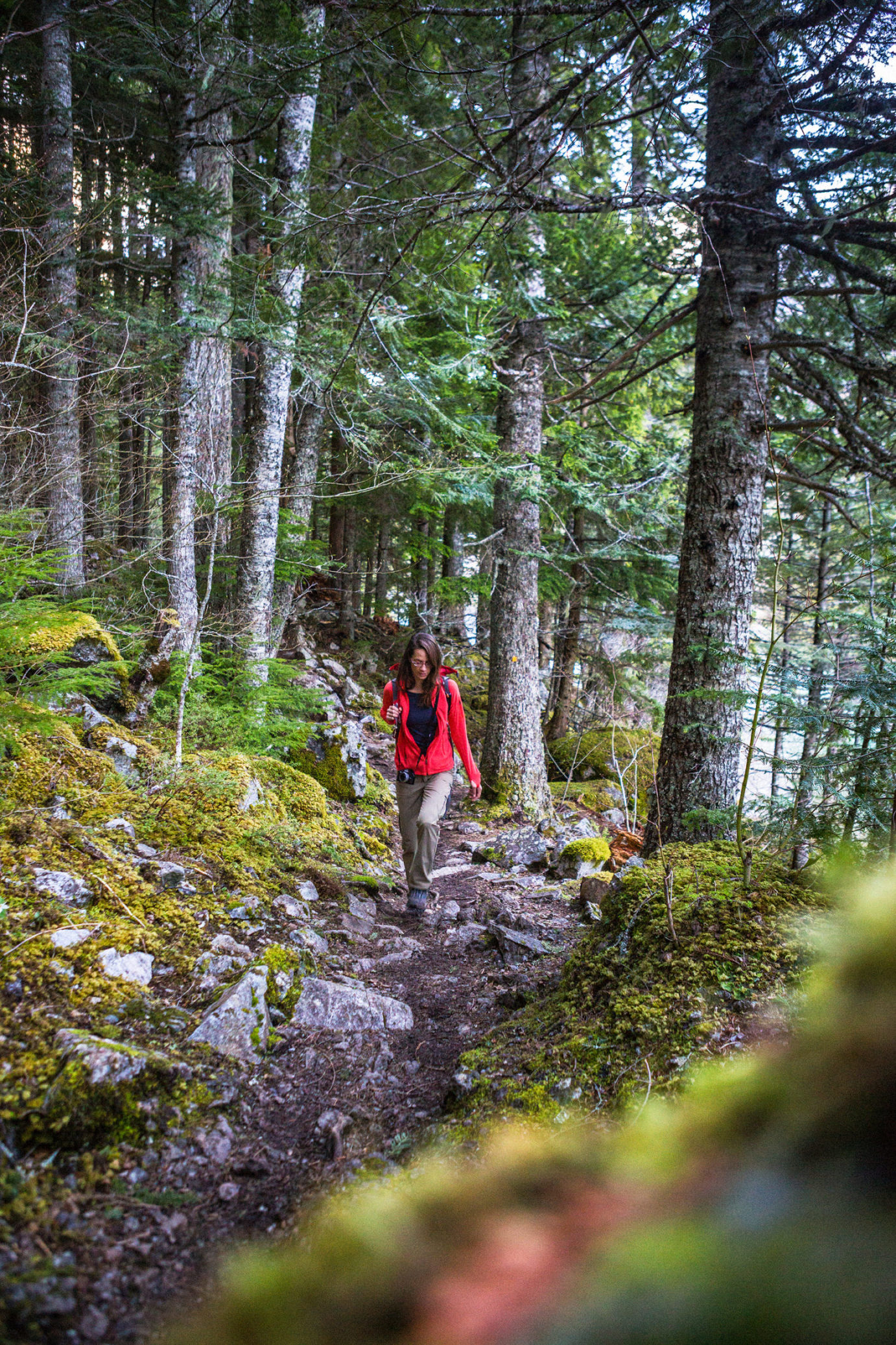
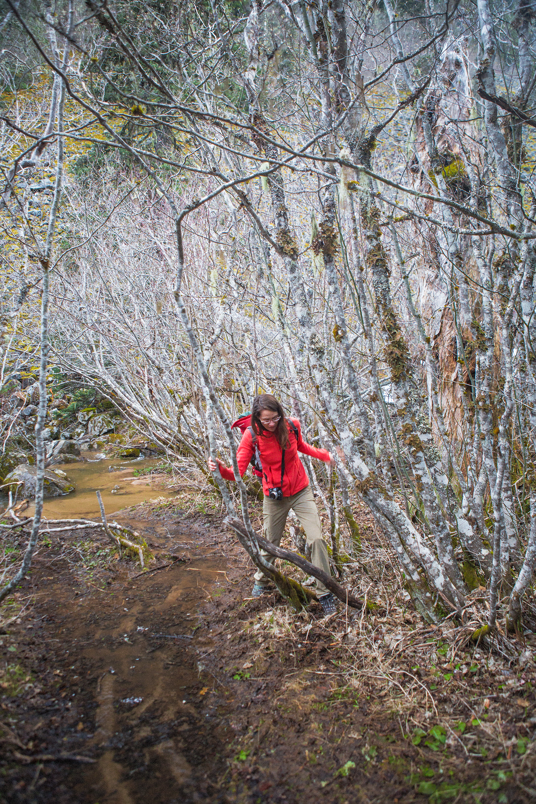
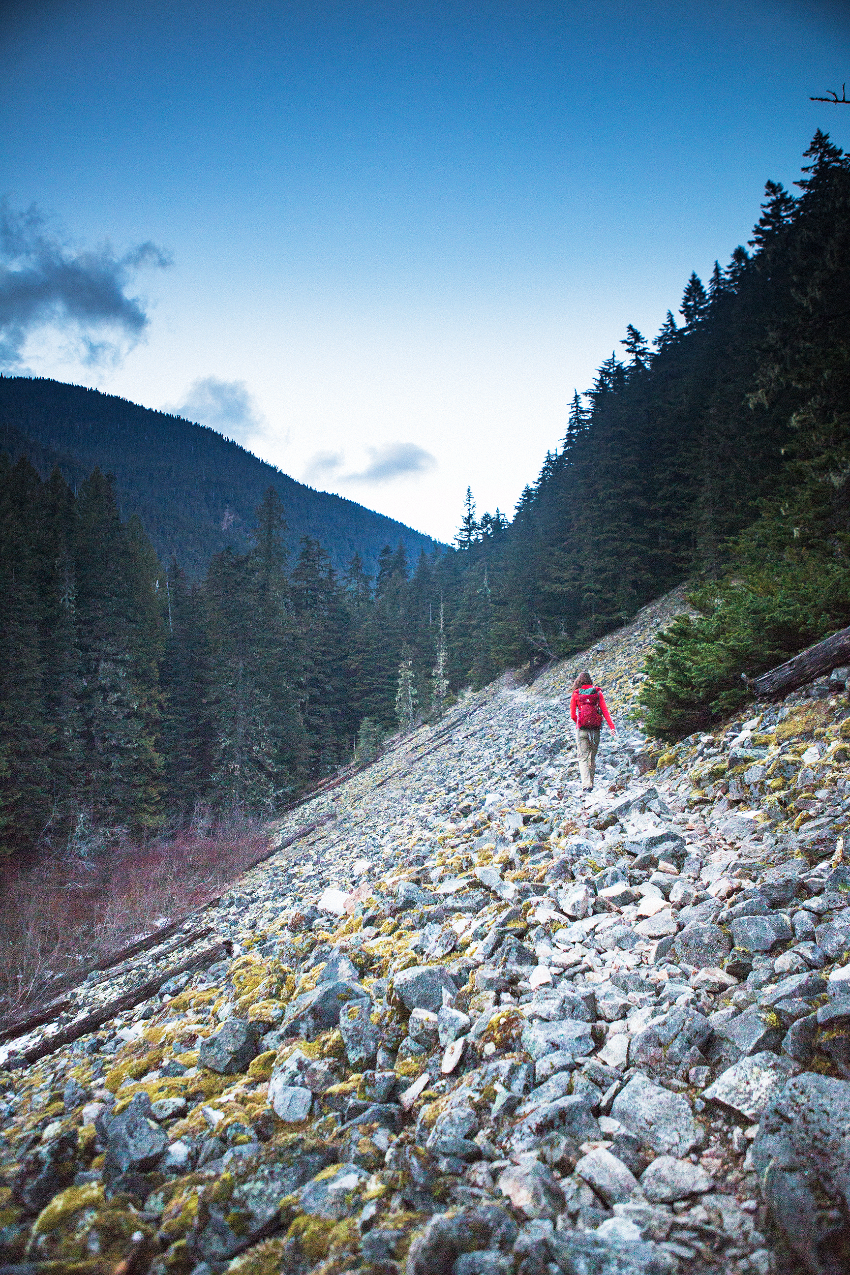
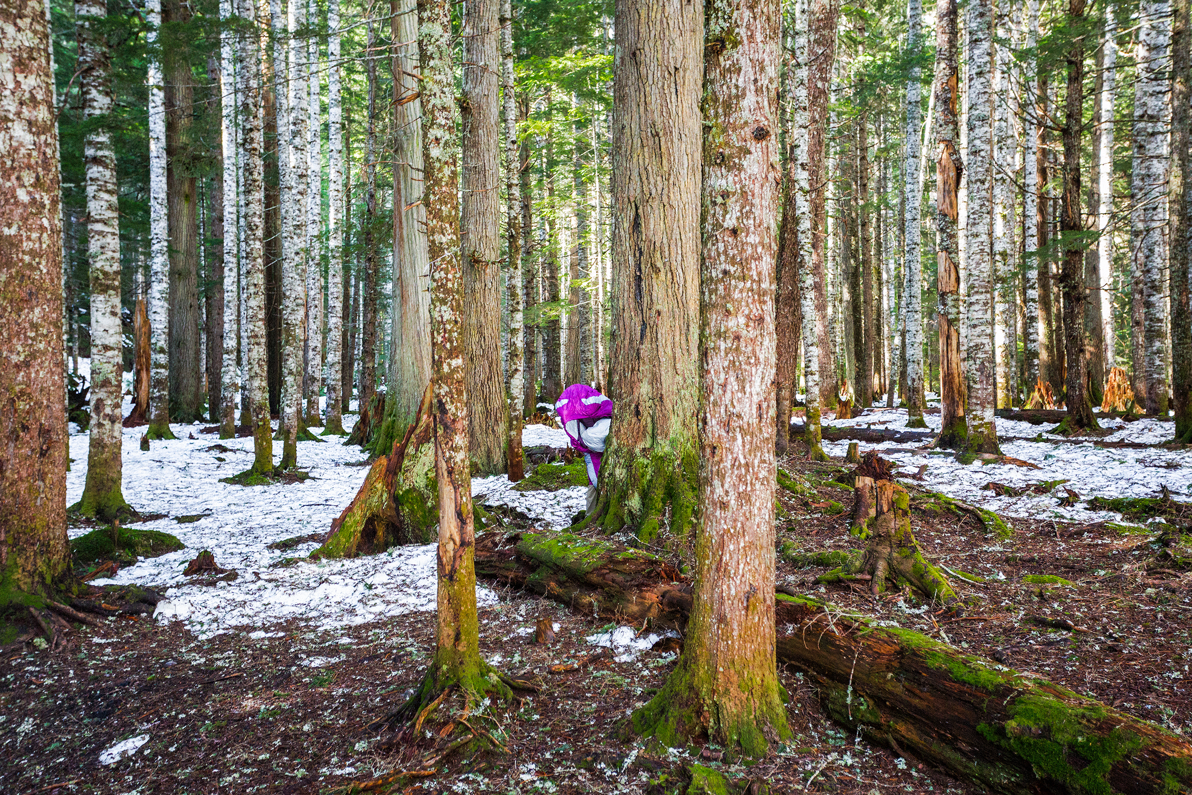
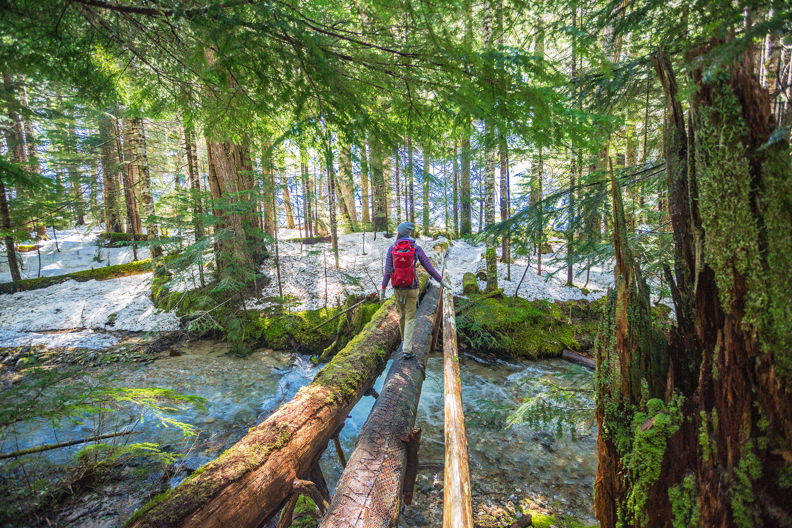
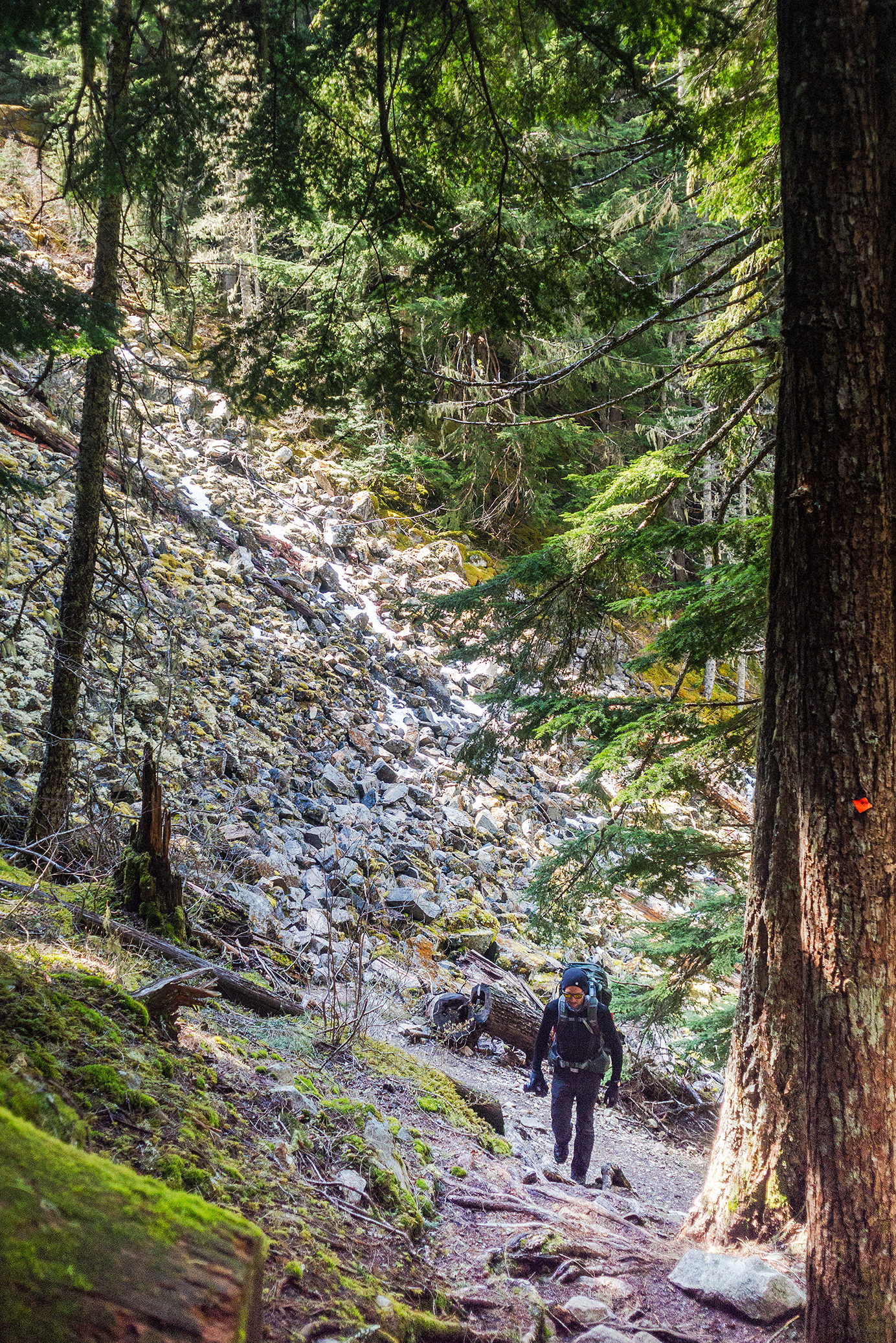
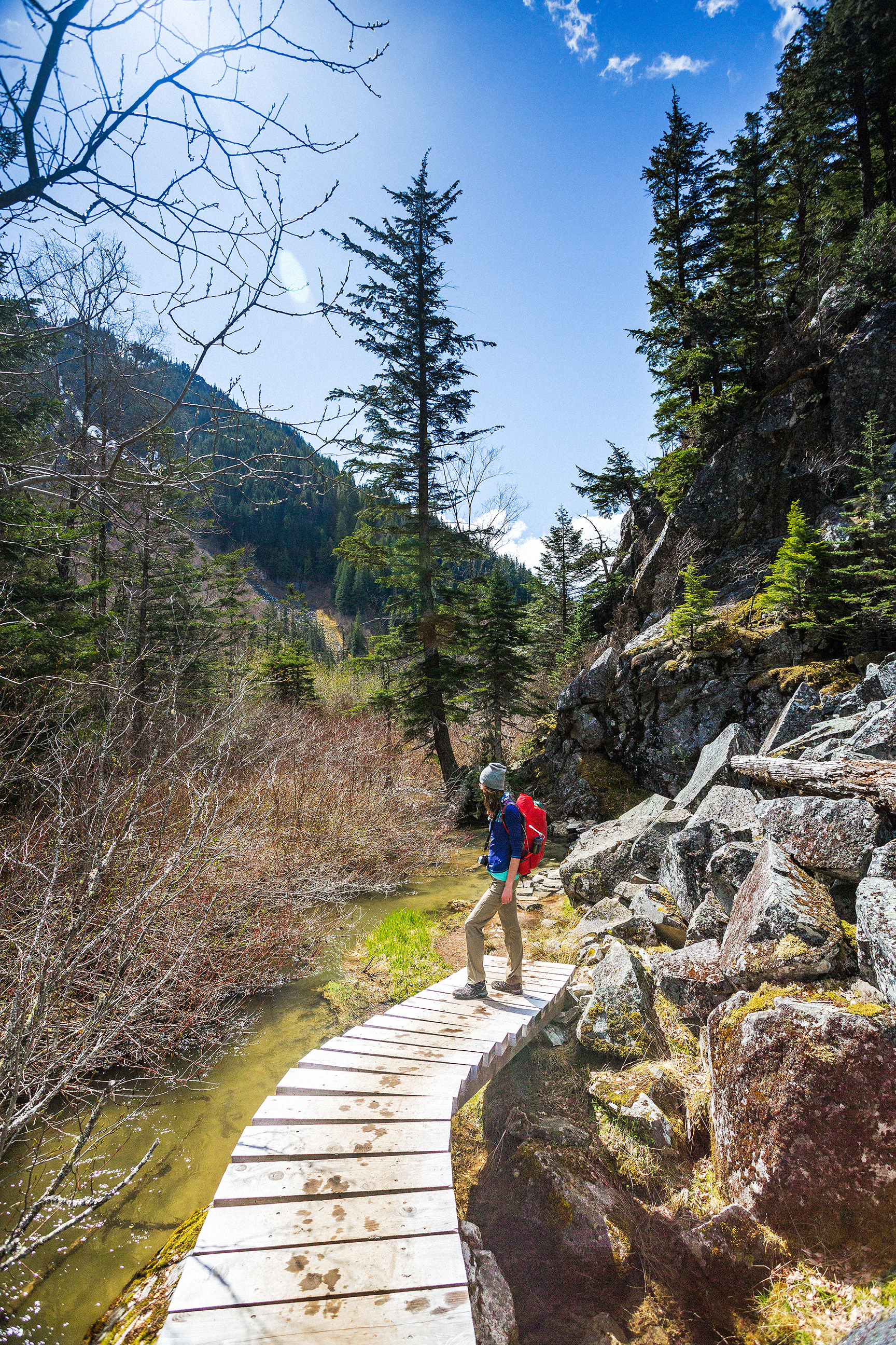
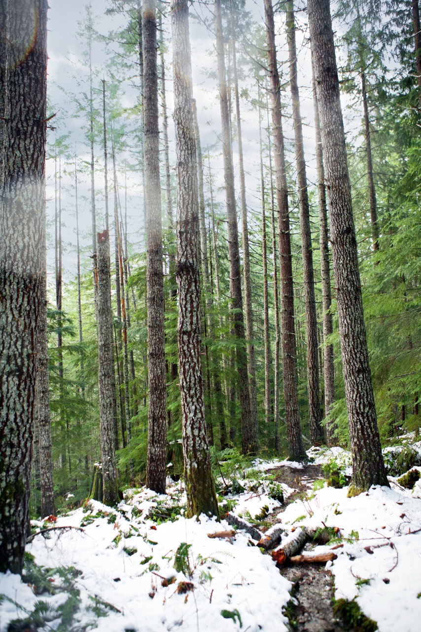
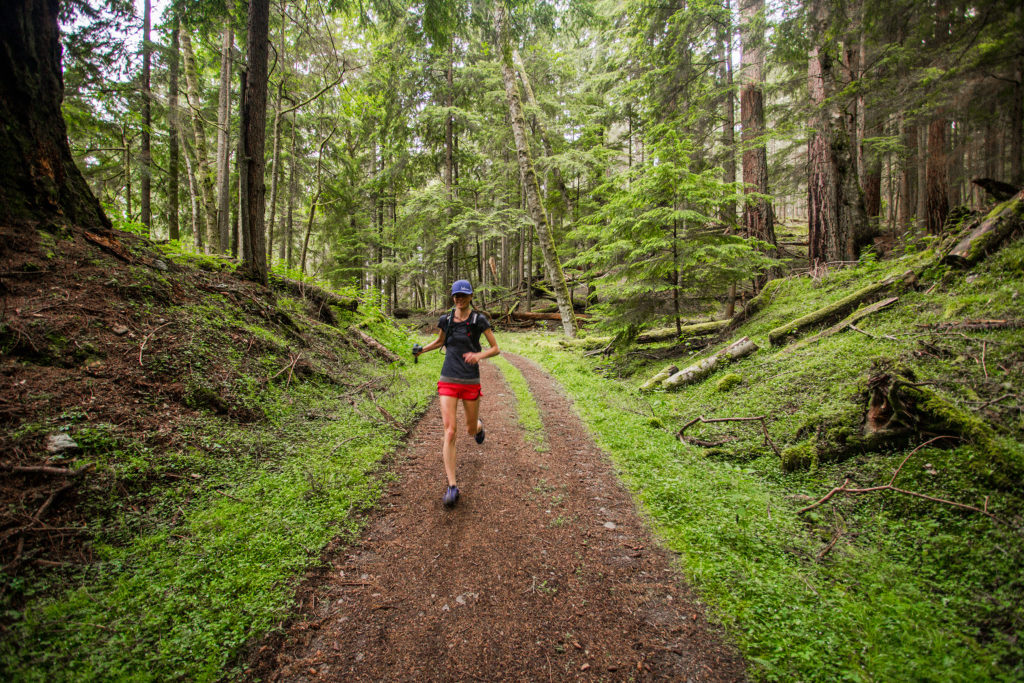
Then it was all downhill from there, and some really fun one too! The trail was really smooth, soft, packed dirt covered with dried pine needles, super easy to run on. We stopped briefly at Cold Springs, to admire the old-fashion stone well and oven, then continued down the trail, which had lots of fun switch-backs (the trail is used in the winter for mountain biking, but is reserved to hikers in the summer, likely to avoid dangerous collisions).

With the campsites being full, I was expecting to see at least a few people on the lower portions of the trail, but we saw no one all day, except for the parking lot at the top of Mount Constitution, and a few people coming down the trail to Twin Lakes, and basically turning back when realizing how steep of a climb back up to their car it would be…

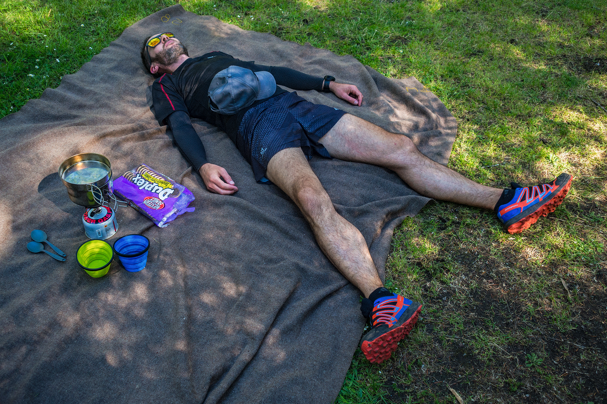
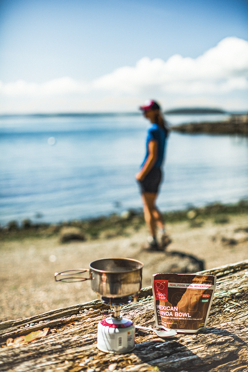
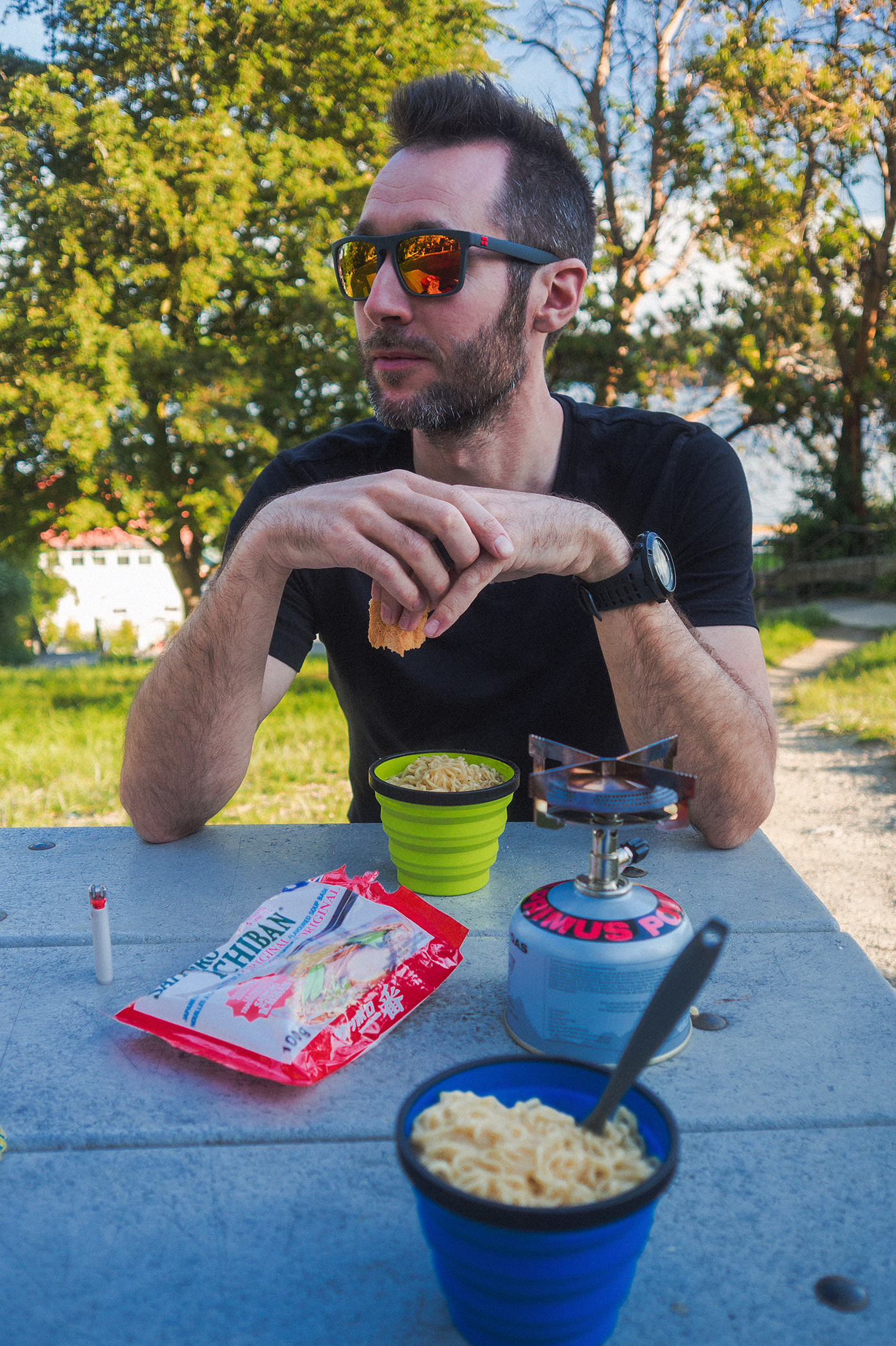
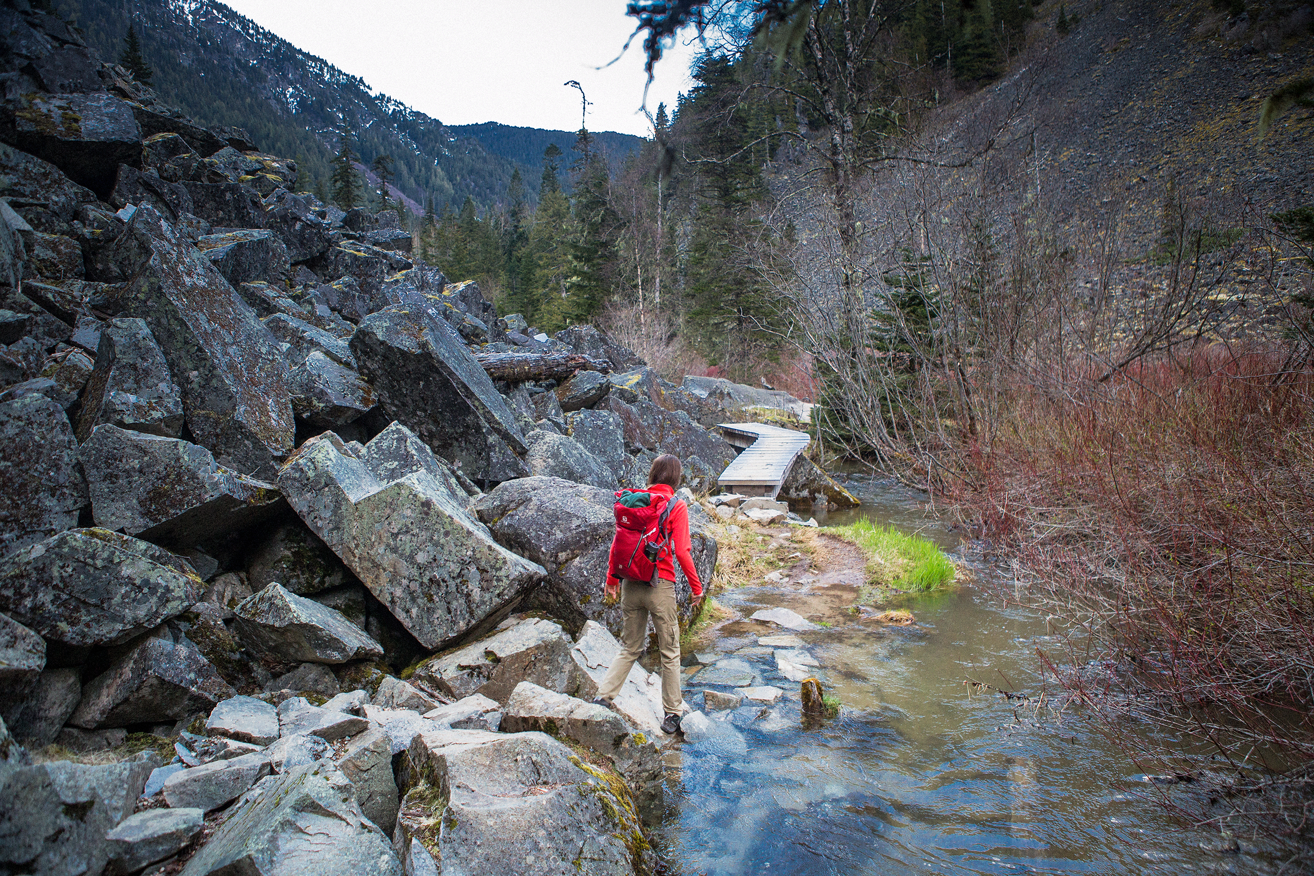
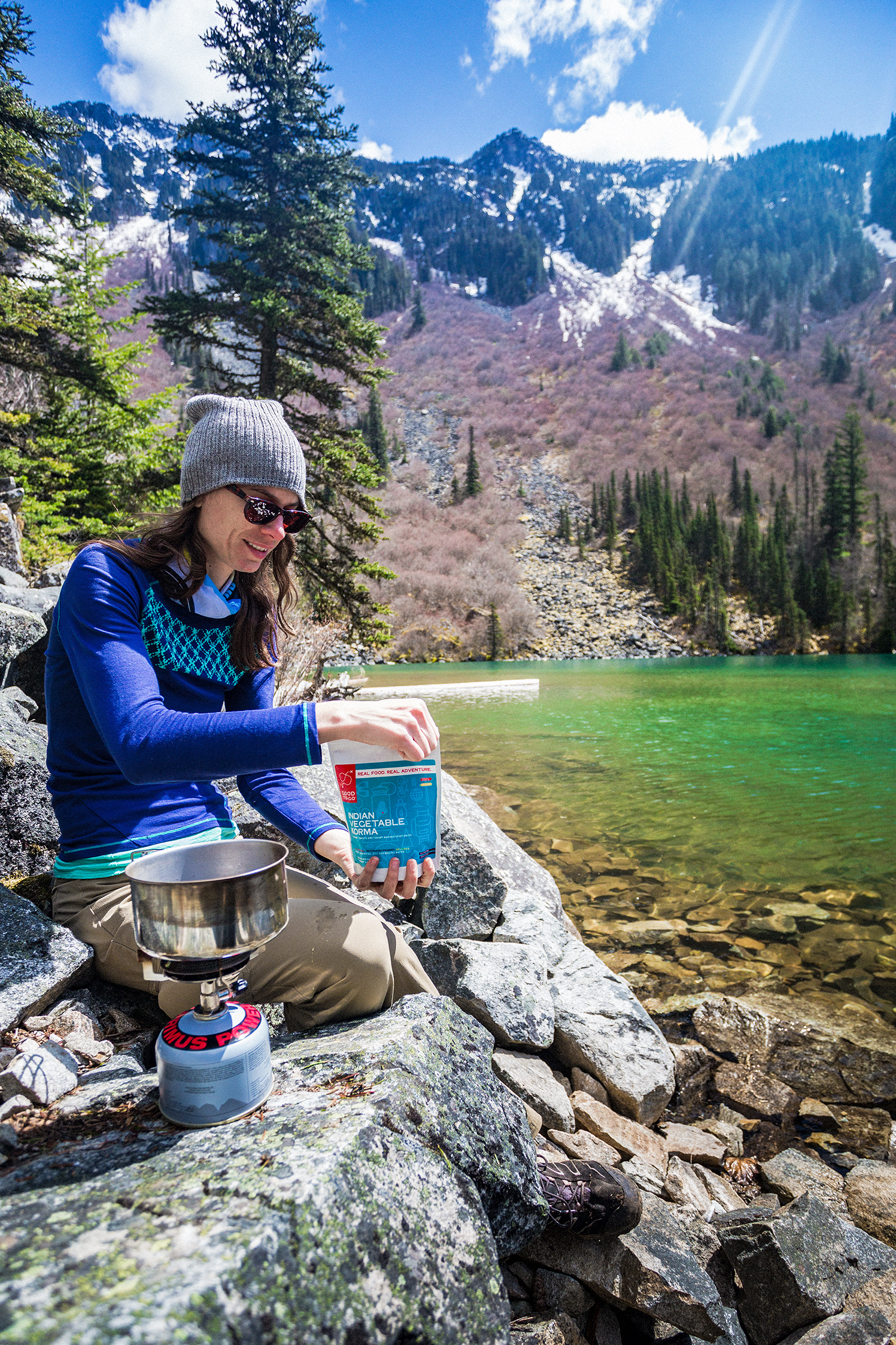
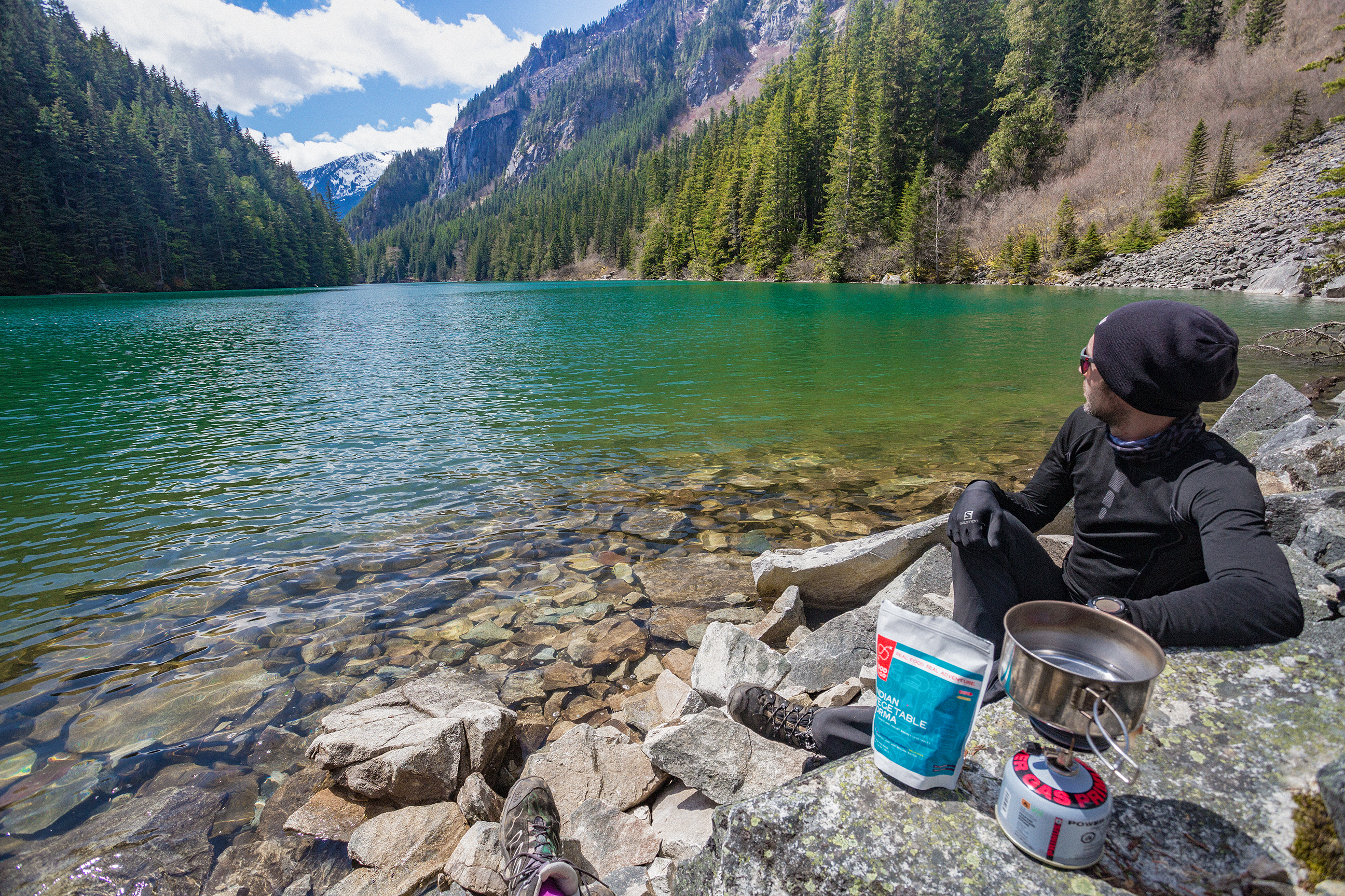
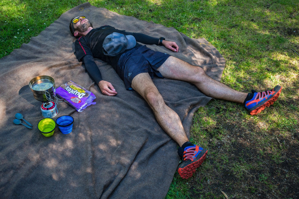
We eventually came out of the forest onto Olga road (the main road that crosses the park) at the parking lot of the Day-use area. Brice’s watch read 15 miles at that point, 22.7km, so a pretty bang on estimation. After a quick look at the beach there, we jogged the last half a mile back to our campsite. It took us about 4 hours to do the loop, with running at a pretty casual pace, power-hiking (for me) most of the up-hill and taking a bunch of breaks for photos and lunch.

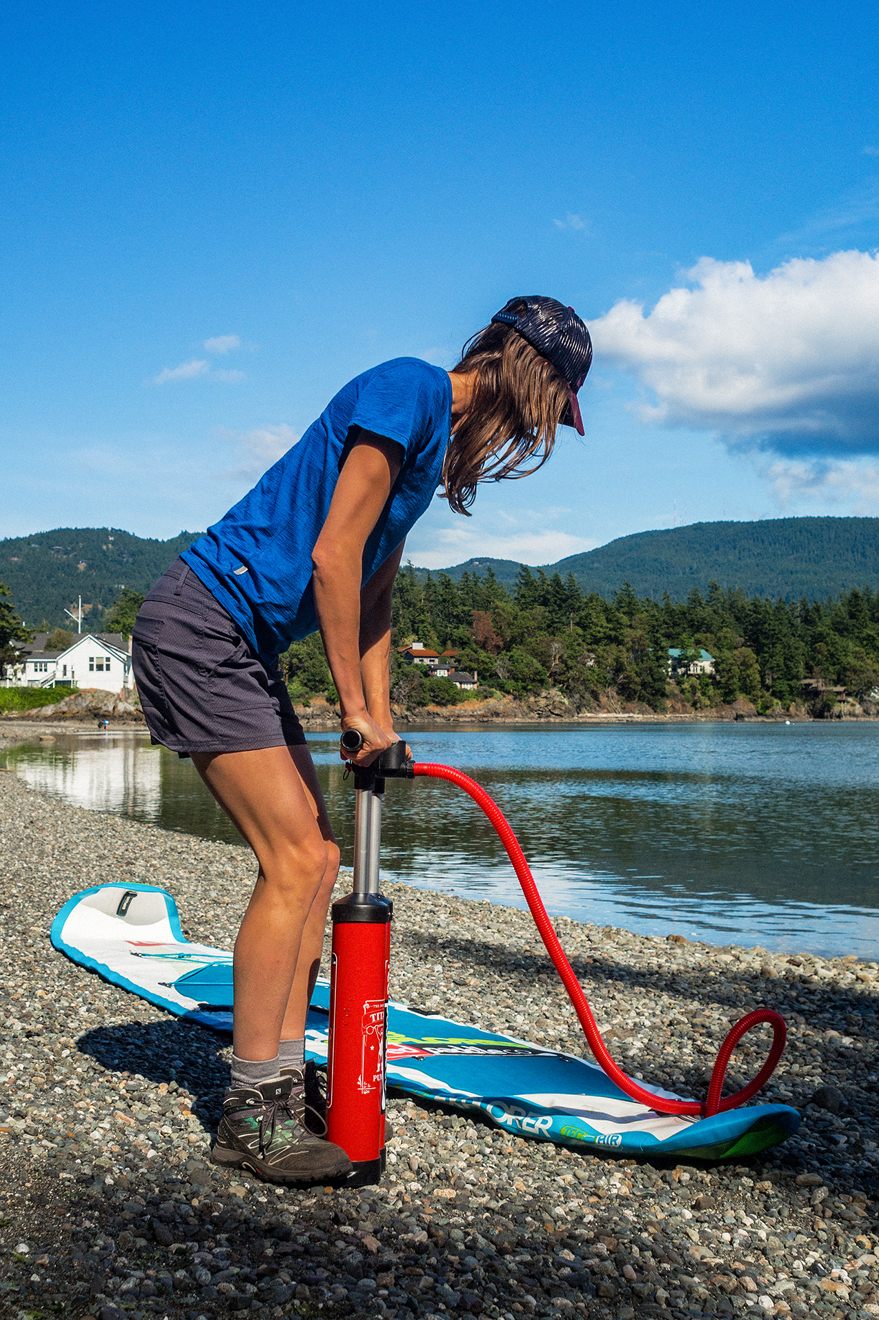
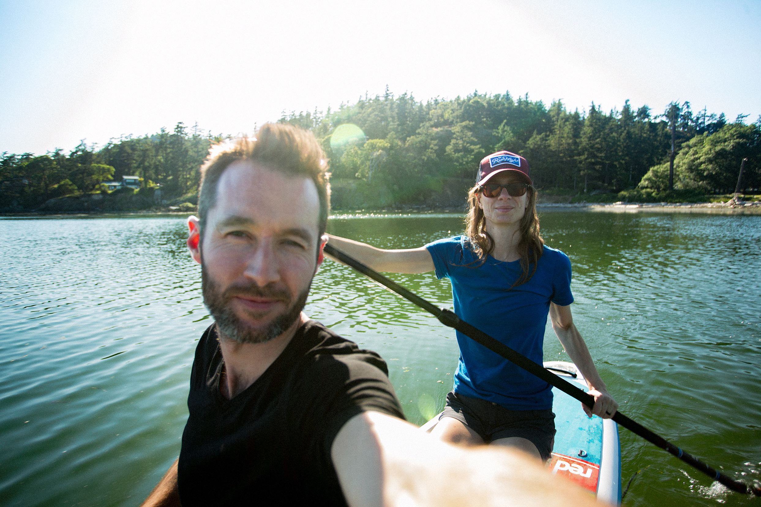
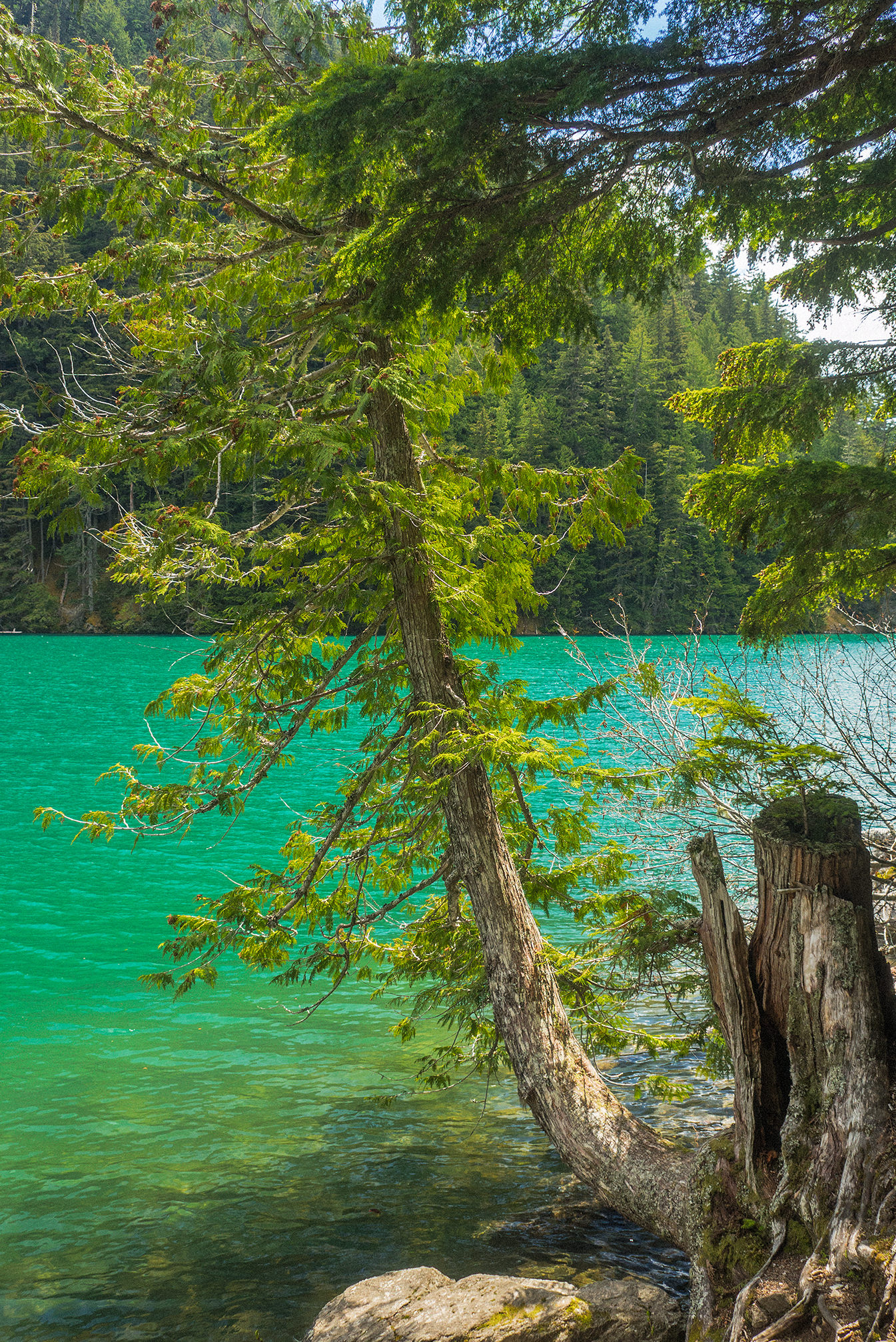
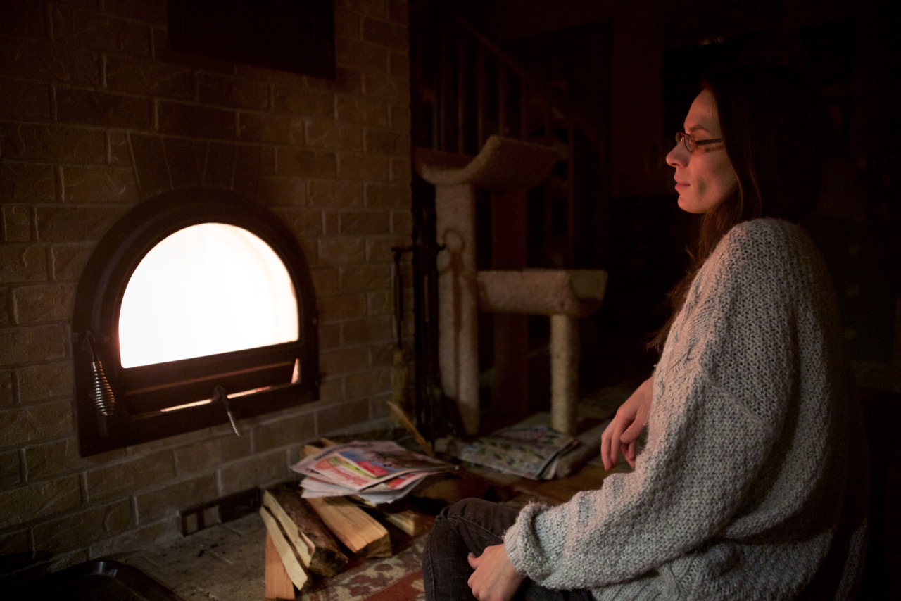
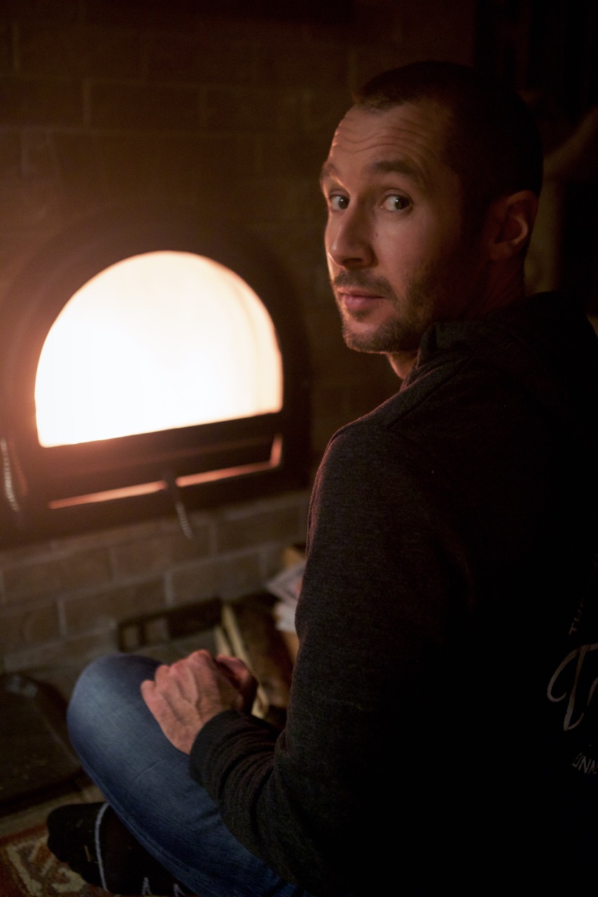
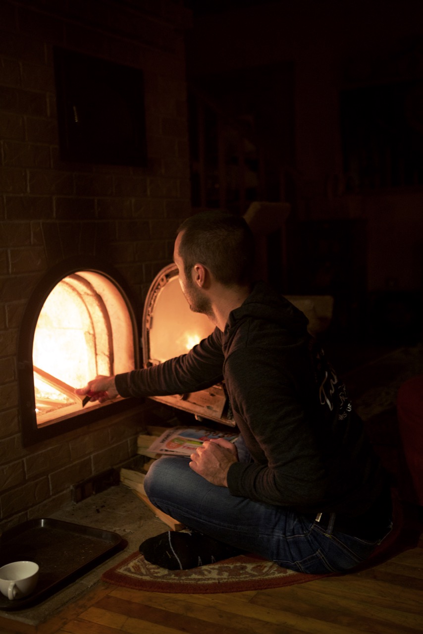
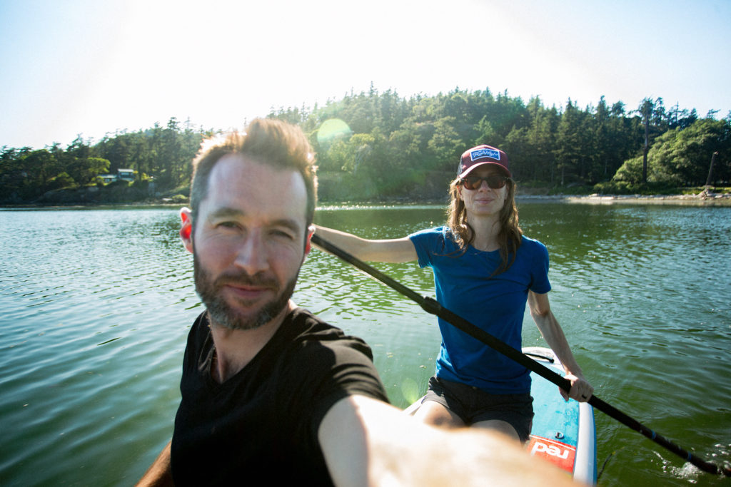
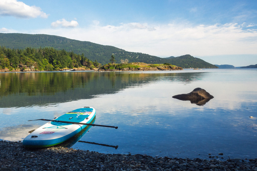
Back at camp, we grabbed a snack and since Cascade lake was right on the other side of the road, we took the paddle board out for a relaxing float on the water. We had dinner by the fire and were in bed by 10pm,

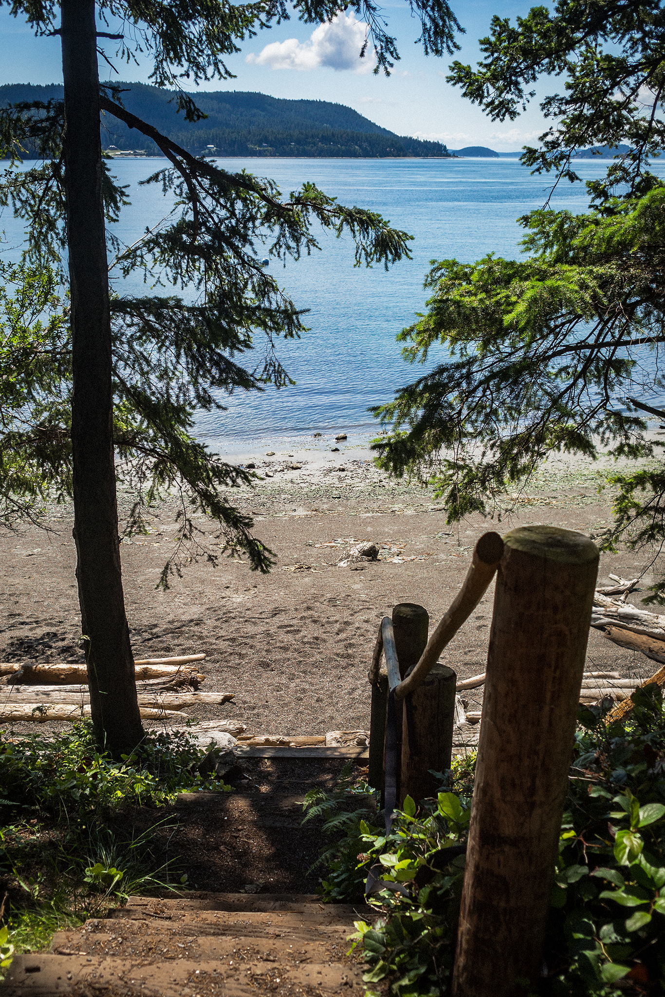
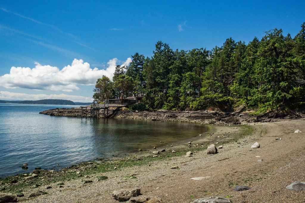
The next day, we had booked the 7:55pm ferry back to Anacortes, which left us with ample time to do some more exploring. We decided to keep things at a nice island pace, by driving around to explore other areas. We got up and packed up camp, then headed south to Obstruction Pass State Park. The much smaller park offers free hike-in campsites and a 400′ beach. We hiked the .6 miles to the beach, had breakfast by the ocean and hung out for a while.

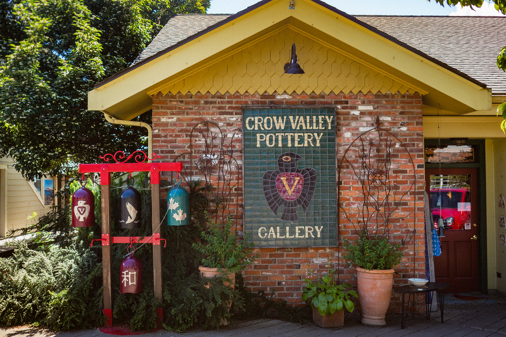
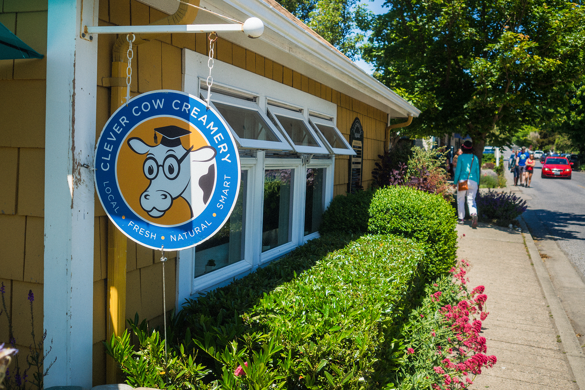
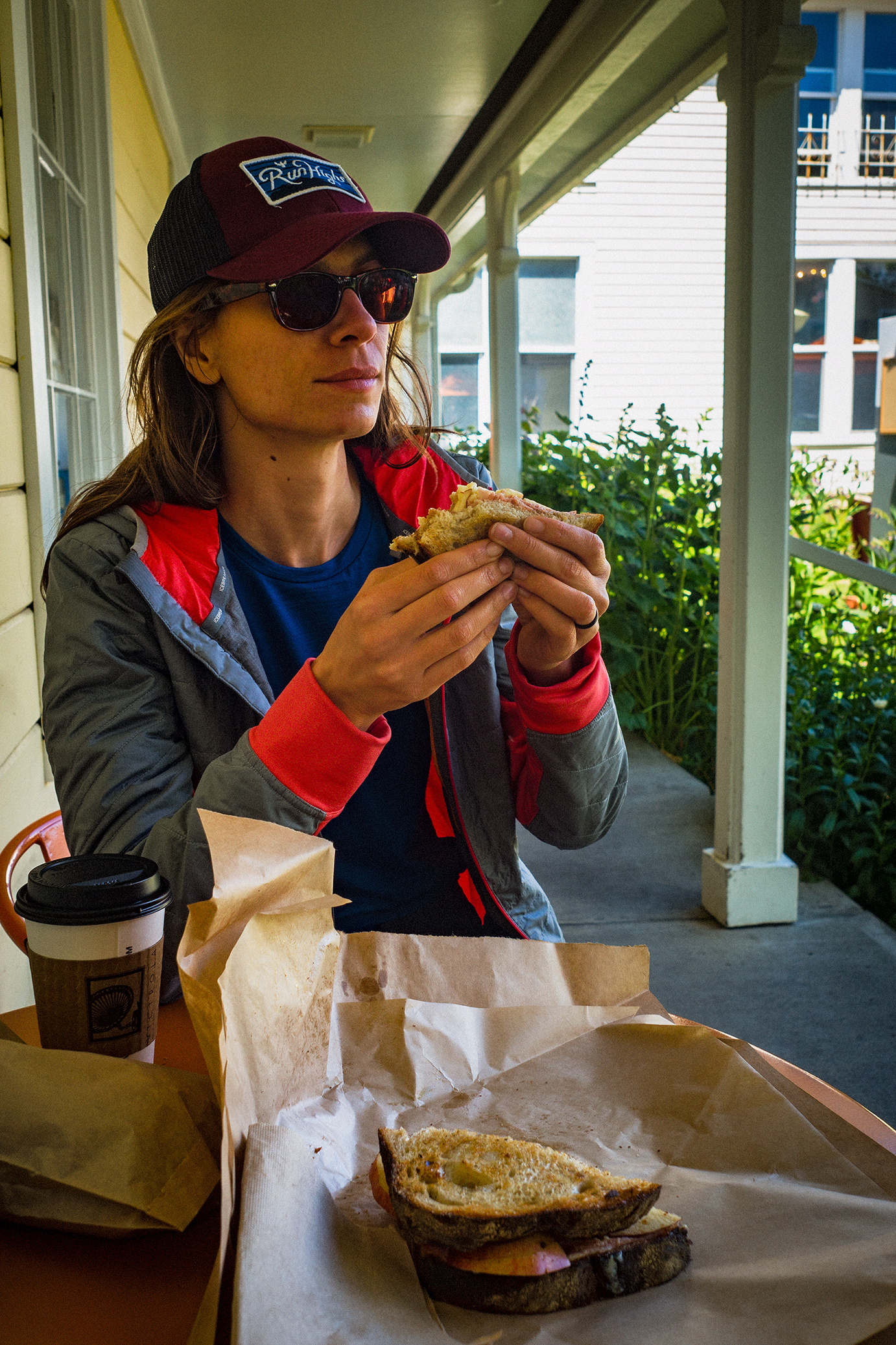
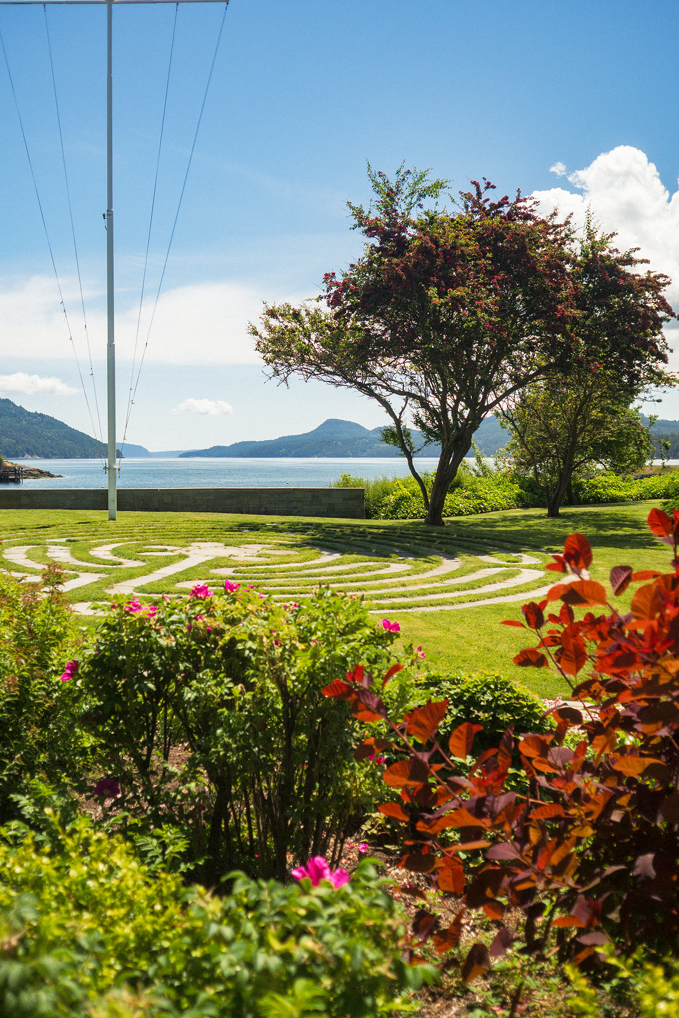
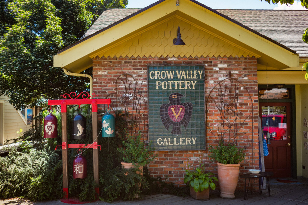
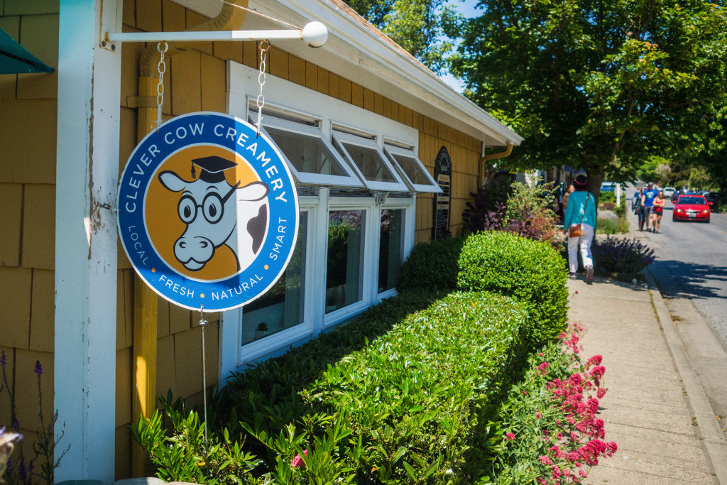
Then we headed to the main town of the island, Eastsound. The town is small, shops and restaurant spreading over just a couple of blocks, but really pretty, with trellis of roses in full bloom lining the sidewalks, and views of the ocean just off the main street.

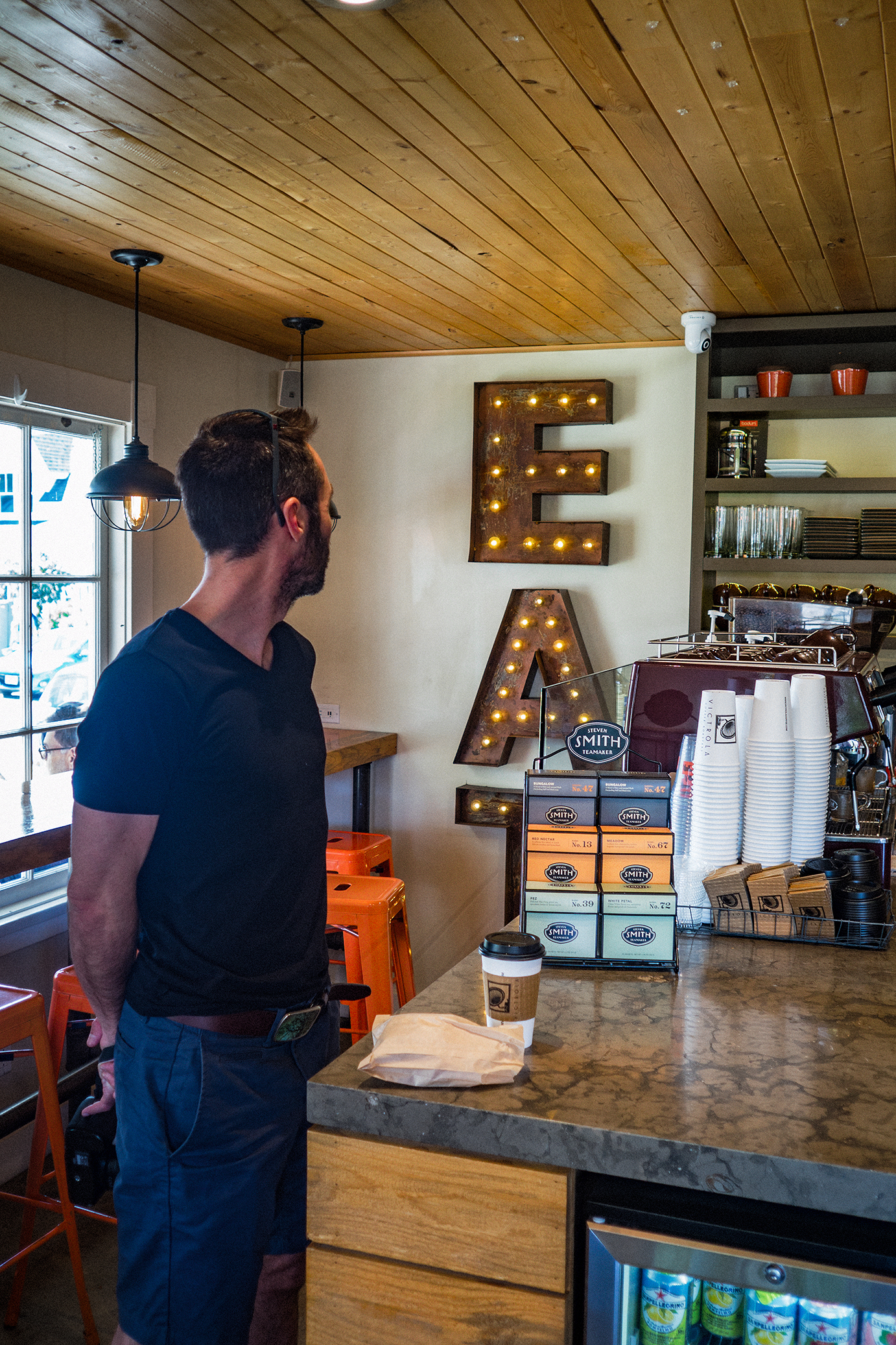
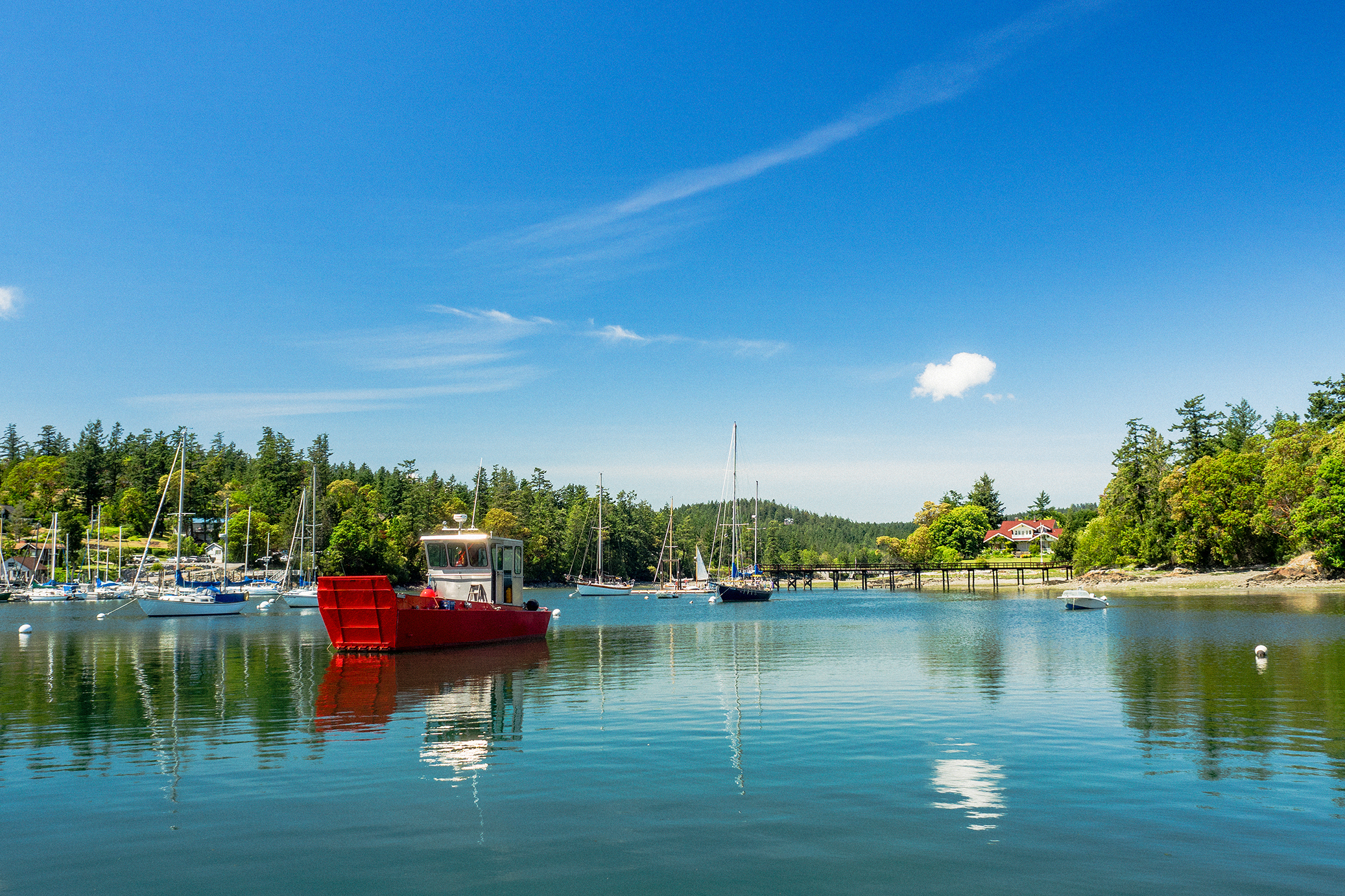
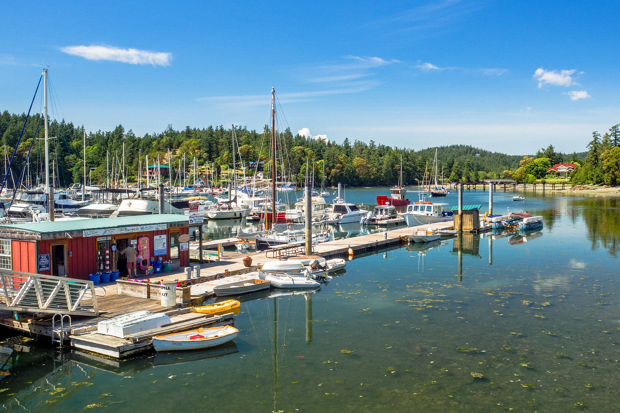
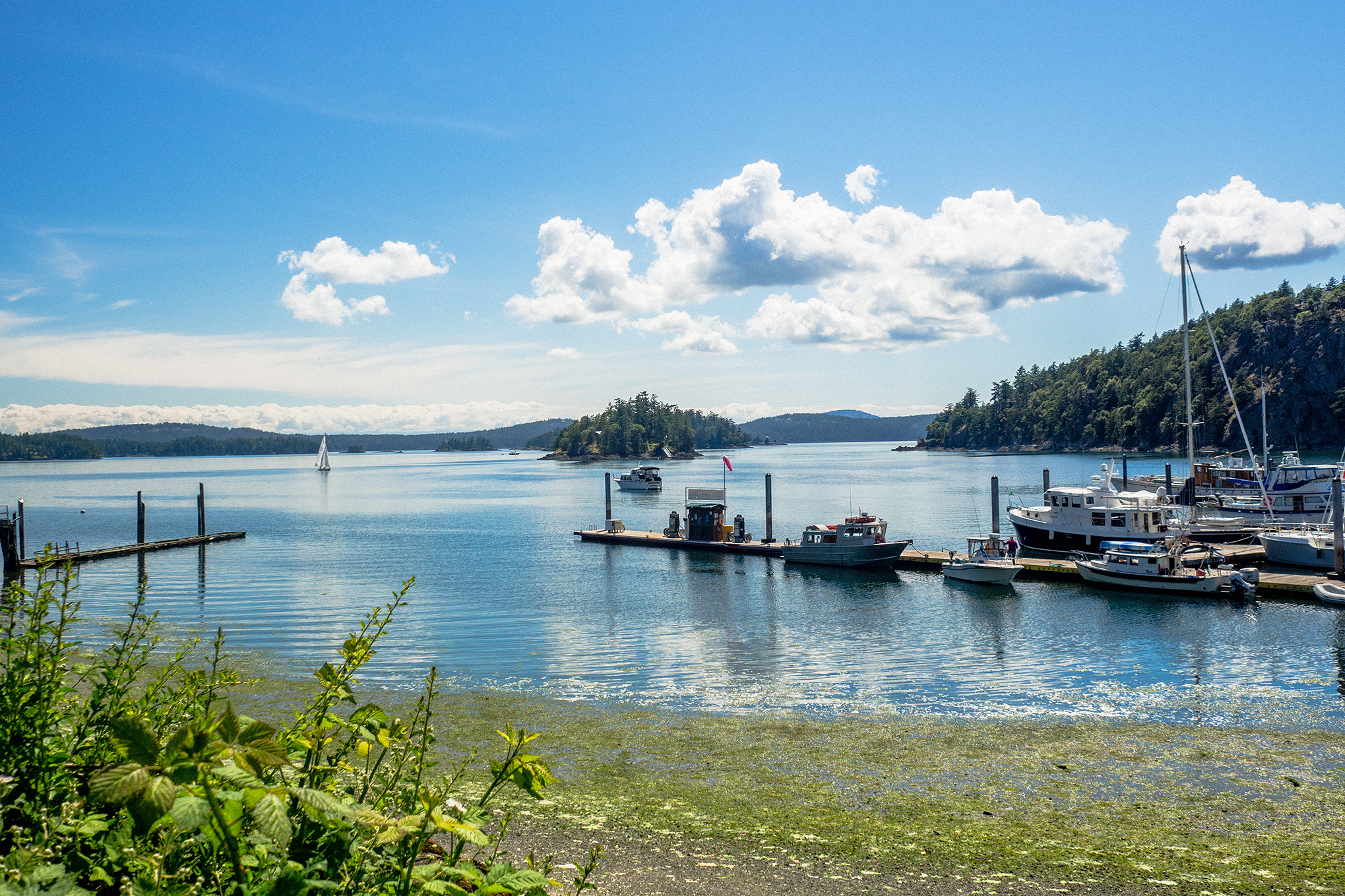
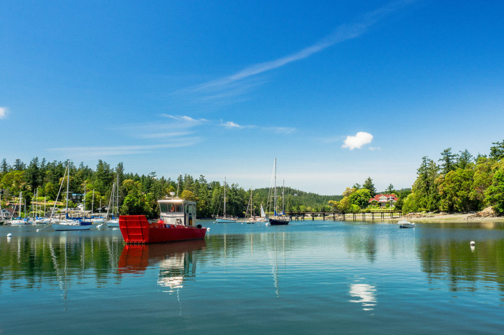
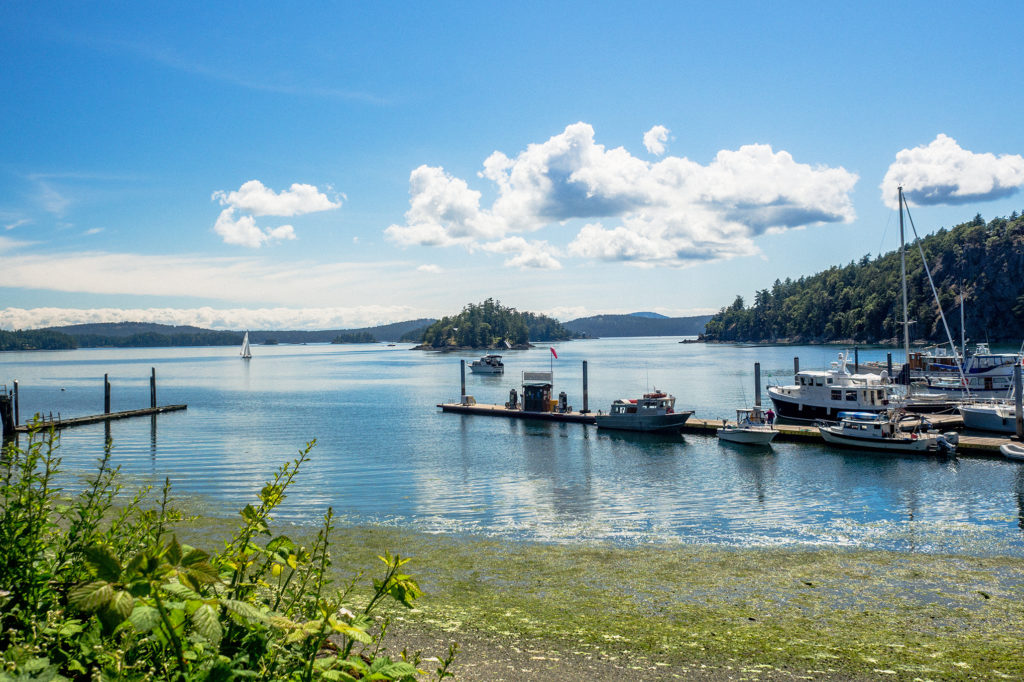
After grabbing a sandwich at the local bakery, we left Eastsound and drove west on Crow Valley road, first towards West Beach (a resort on the west coast of the island, with beach access reserved to guests), then to Deer Harbour, a charming marina and a good place to come for kayaking, fishing, whale watching…

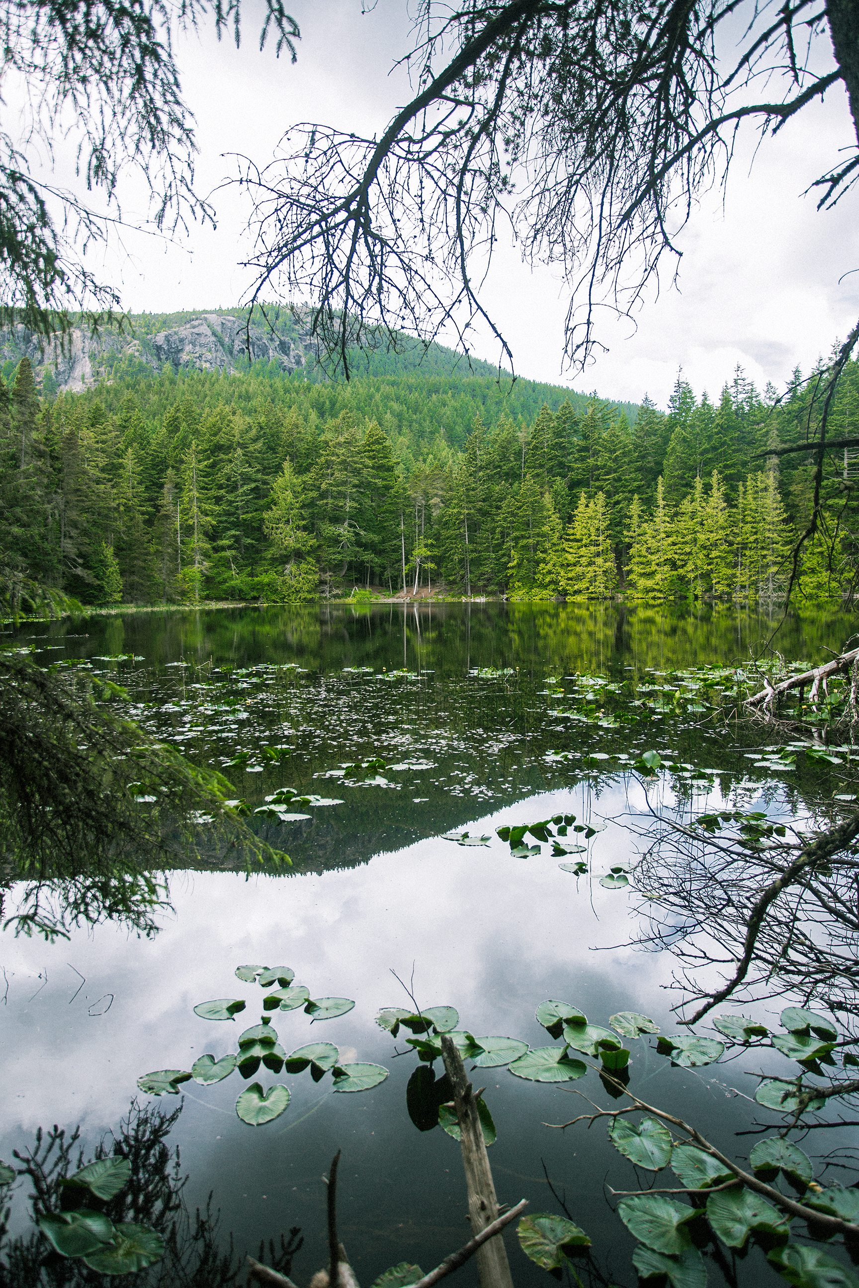
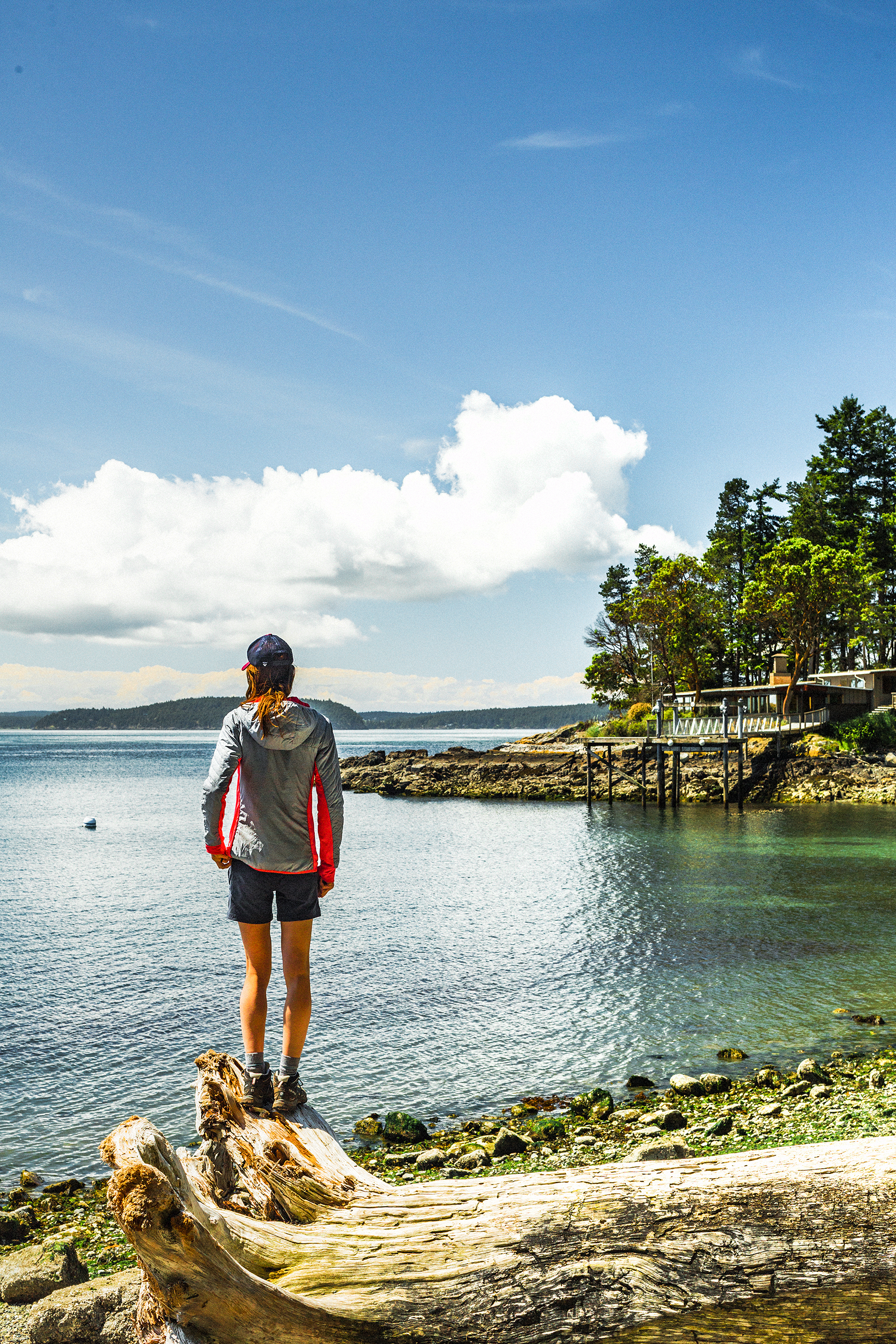
Next we drove trough Orcas Village (where the ferry terminal is located) to try and go explore the area just east of it. The map indicated places like Diamond Lake and White Beach, which sounded like good spots to hang out for the rest of the afternoon. Unfortunately, we quickly realized that this whole portion of the island was mainly comprised of private roads and lands, with no public access to the beach (or the lake). The one lake that was accessible, Killebrew Lake, was right off the side of the road and didn’t seem to have a beach-y shore that we could enjoy.

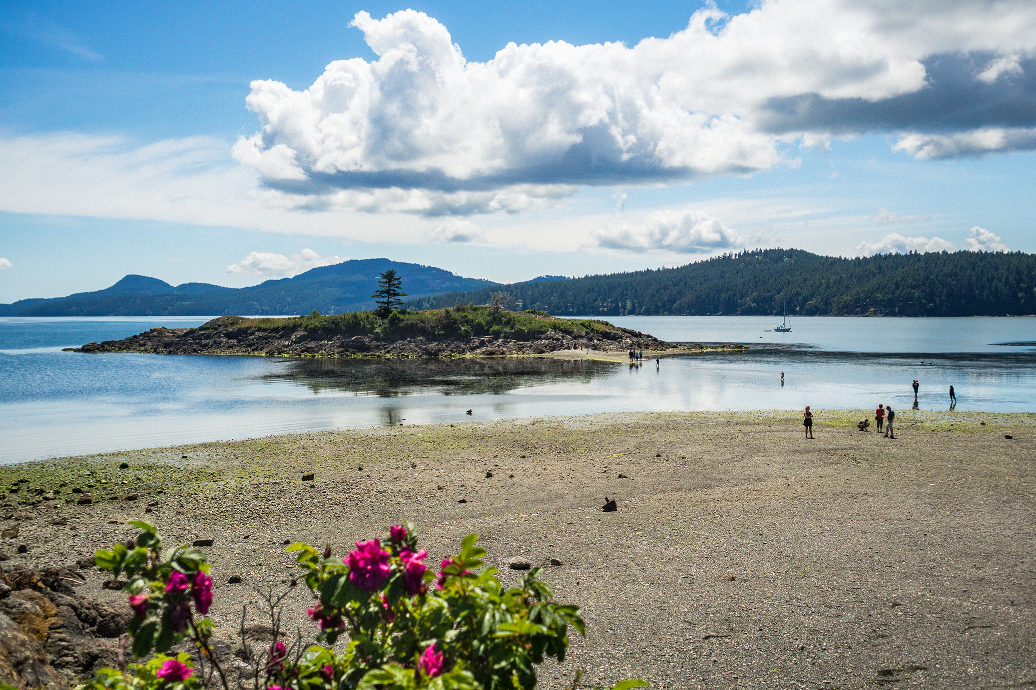
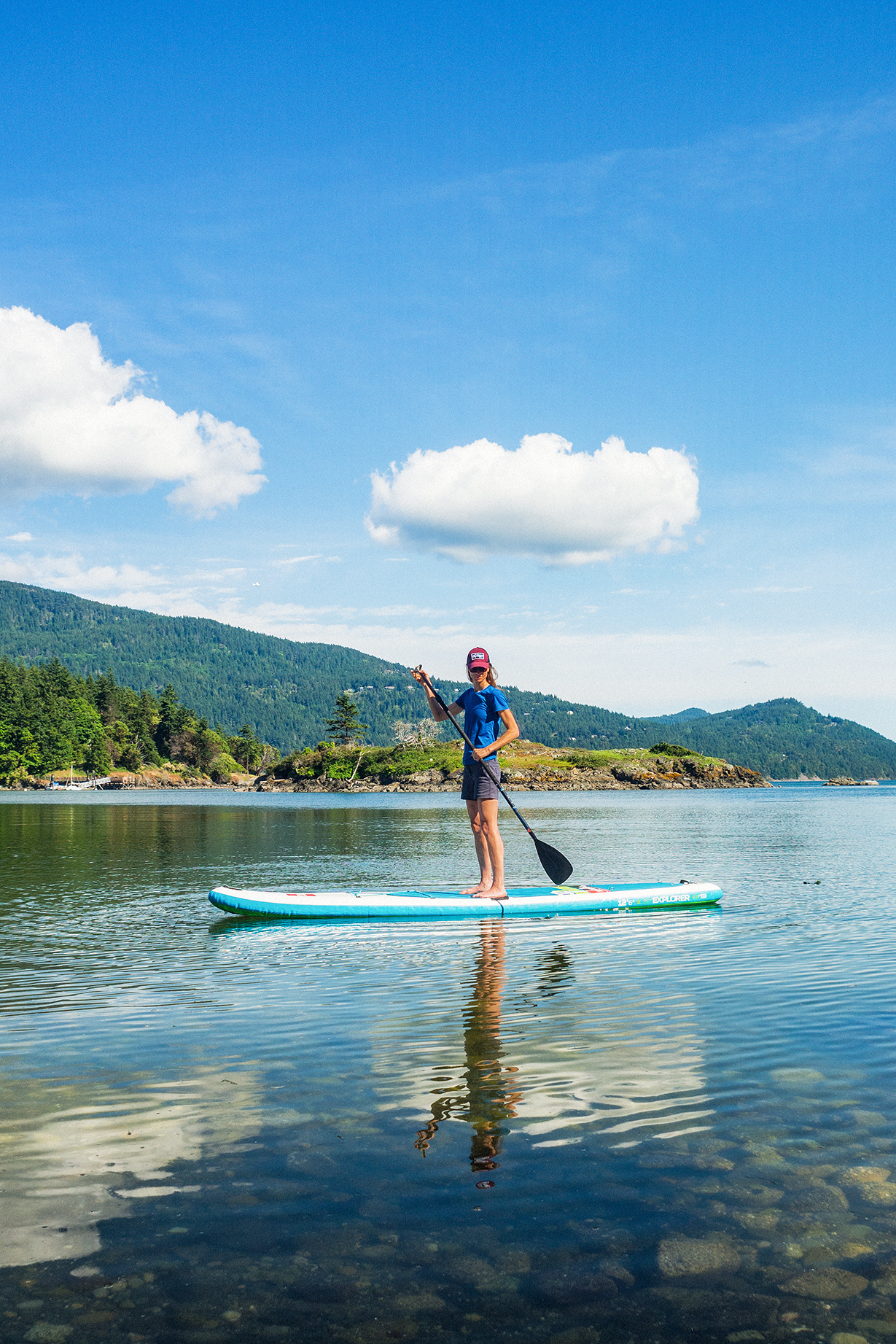
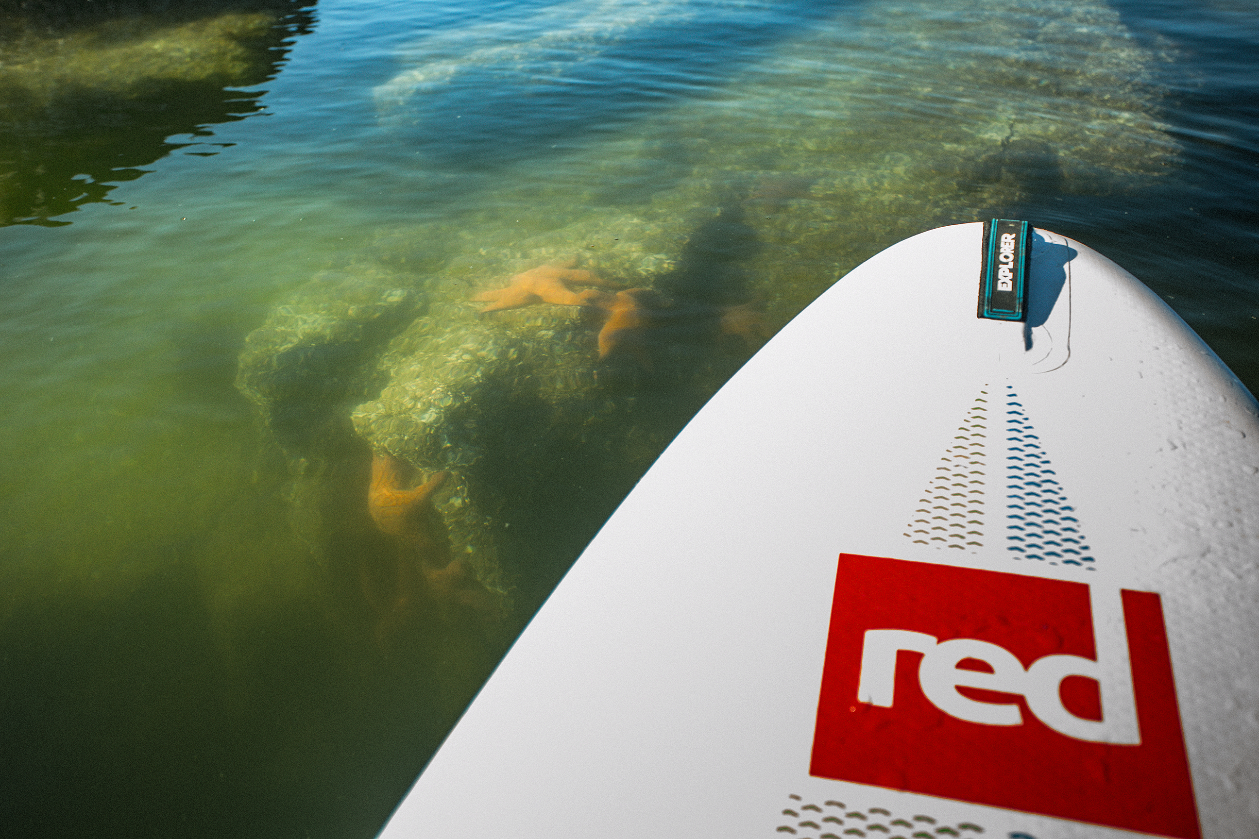
So we drove back to Eastsound, which is really only about 15 min drive from Orcas village, to go spend the last couple of hours before we had to be at the ferry. Once again we took out the paddle board and enjoyed some water-roaming, especially around the little island (Indian Island) just a couple hundred meters off the beach (accessible by foot at low tide). The island is actually labeled as a Marine Health Observatory as it hosts a large variety of birds and small marine species. Circling around it on the board, I was able to spot a grey heron taking flight, and some big starfish, hanging out in the sun on shallow rocks, just below the surface.

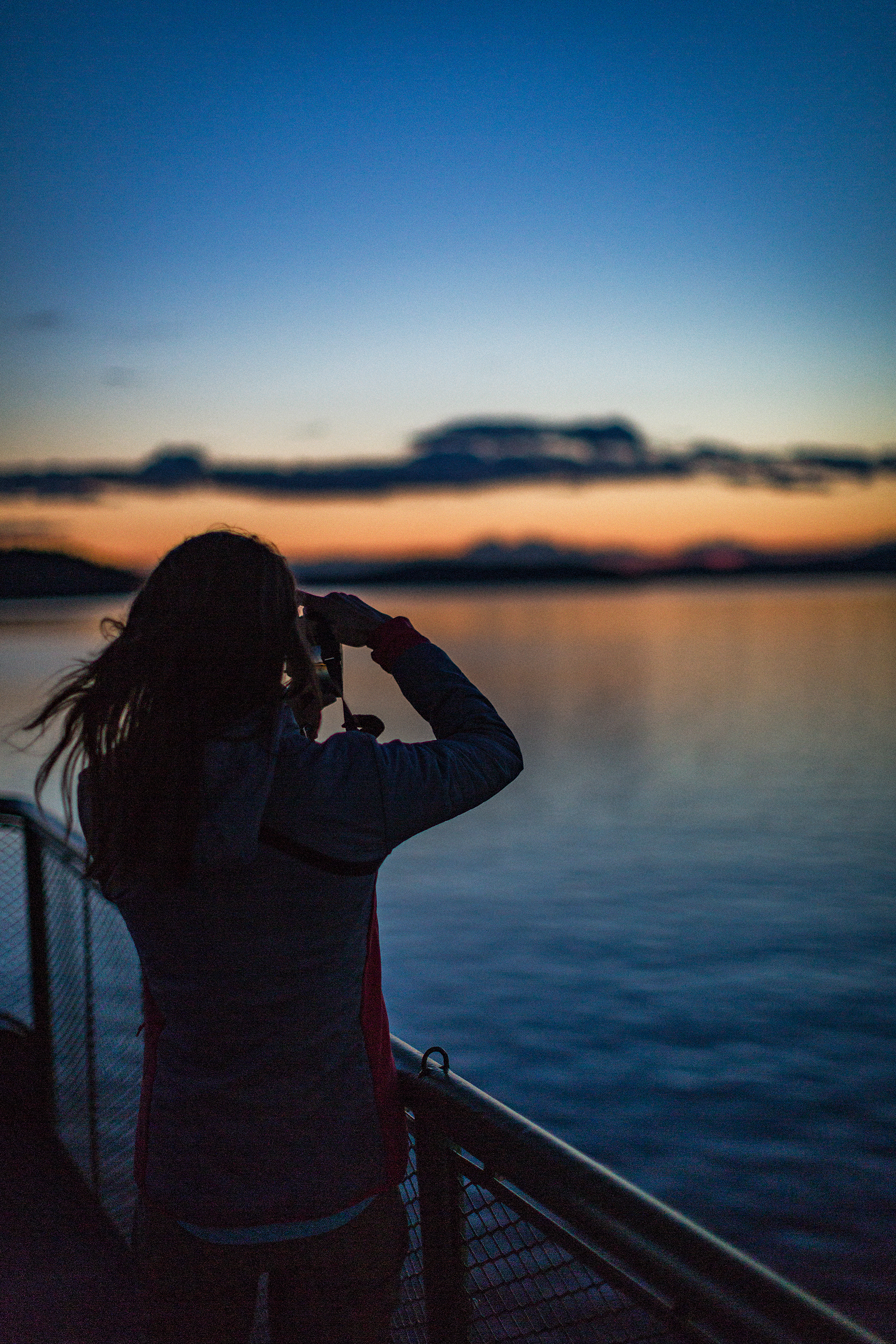
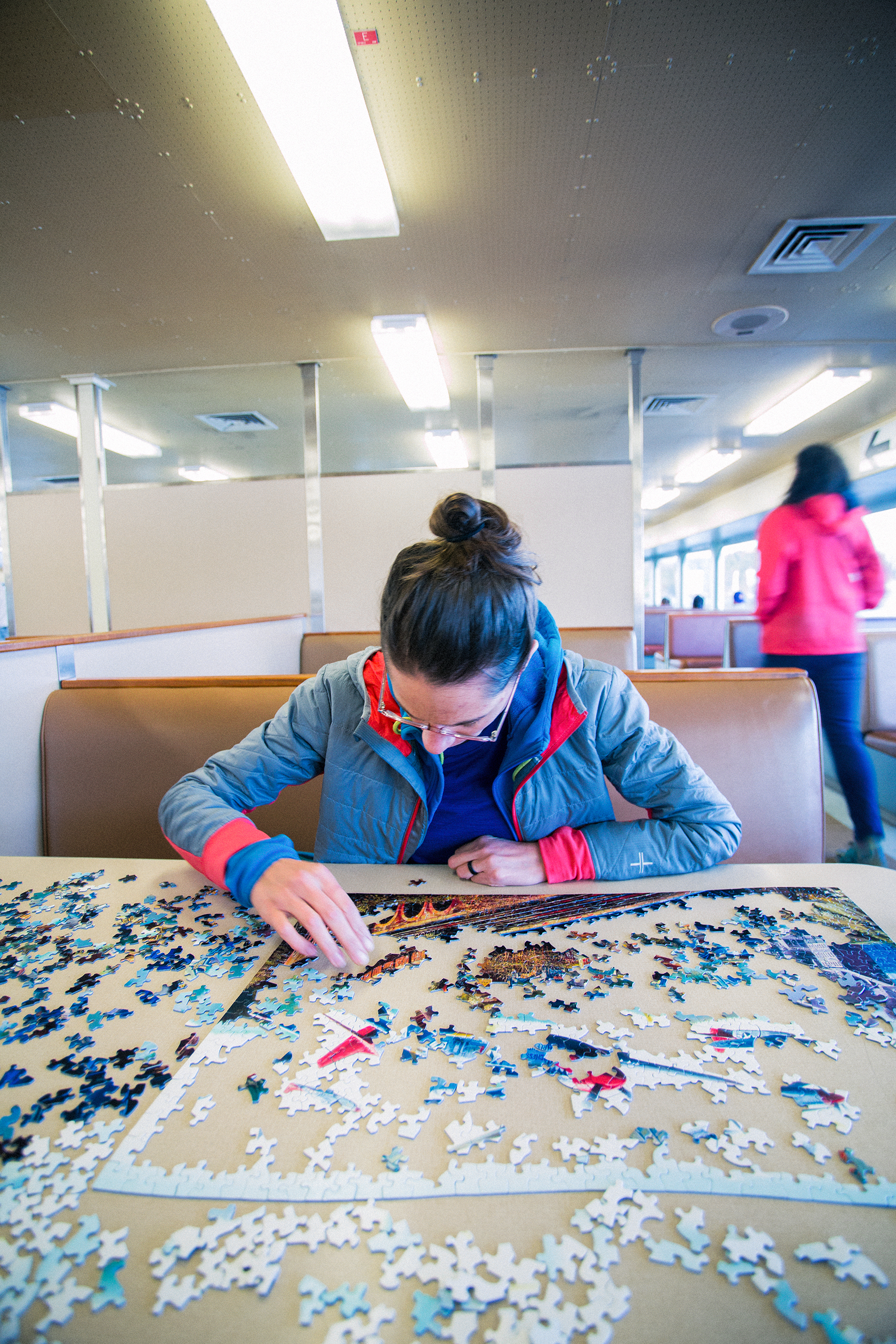
Eventually we drove back to Orcas village and waited for the ferry. We had noticed on the way there that jigsaw puzzles were left on tables, to entertain passengers while traveling. So on the way back we sat at a table with a puzzle, and before we knew it we were back in Anacortes.

We got to the border at around 11:00pm, and were surprised to see an impressive line-up of cars.The sign read 85 min wait to cross (turns out there was a Major League baseball game between Seattle and Toronto that week-end). Brice, who hates waiting in line, was pretty ecstatic when we flew down the nexus lane and through the border, passing a few hundred cars in just a few seconds…

Our little week-end in Orcas was a great way to get out of town and explore a nearby (ish) place we didn’t know, and live at a super easy pace for a couple of days…


Exploring BC – Camping at Greendrop Lake

A few week-ends ago, Brice and I went camping at Greendrop lake, near Chiliwack.
Originally, I had my eyes set on Elk Mountain. I had hiked to the top of Elk mountains last summer with my friend Kaitie, and since then had wanted to come back with Brice. A few weeks ago, a photo popped in my instagram feed, of a camping scene located on Elk mountain. I thought this would indeed be a great camping spot. The hike up is only 3,5k and the next day we could hike the additional 7km return to Thurston Mountain before coming back down.

We didn’t leave the city until 3:30pm on Saturday – first we had to go stand in line for two and half hours to go vote for the french elections. It took us a couple of hours to drive to the Elk Mountain trail head, and when we got there, we were welcomed by a nice big sign indicating (amongst other rules) “No Camping”. I was so excited about the idea of camping up there, with the potential of catching a pretty epic sunset and/or sunrise over the valley, I hadn’t thought to check whether it was actually ok or not.

Now, following the rules might make us look a bit square, but if our trip to Patagonia has taught us anything, it is the importance of such rules in the preservation and conservation of the land. And in this case, the sign clearly indicated that the mountain was home to sensitive and fragile eco-systems, which camping (and building fire, etc) would contribute to damaging. Not to mention that leaving our car un-attended over night could potentially create concerns of lost or injured hikers if a forest ranger happened to be driving by…(We’ve hiked up to the mountain since, just for the day, and it seems to be a pretty popular camping spot despite it all, so that second concern might not be a huge deal, but still…)

So with that we improvised a plan B. Reaching for our Backroad mapbook, we decided to head further east to the Lindeman Lake trail head. We had gone to Lindeman last summer, just for an afternoon, but continuing along the same trail past the lake would take us to Greendrop Lake, another more remote camping option.

It was already 6:30pm when we arrived at the trail head, but we figured we had a good two hours of daylight still, so we got going. The hike to Lindeman is only 1,7km, with some steep and technical sections, but overall fairly easy. Once we arrived at Lindeman, we walked along the lake through the camping area. Being the first sunny week-end in quite a while, the grounds were pretty busy with campers. The trail took us along the shore, and through a boulder field at the northern end of the lake, then we left Linderman behind and continued hiking deeper into the back country. We had another 4,2km to cover to get to Greendrop, which ended up taking about 2 hours. The trail was pretty technical, alternating between densely forested area, and rock-covered single track along boulder slopes, with the addition of a few stream crossings, made likely bigger at this time of year by the snow melting.

The last 1.4 km were all in trees, but there was a good foot of snow left still in that portion, which slowed us down a bit. About 700 meters from the campground, we had to take the head lamps out to finish. Thankfully the trail was very well marked with bright orange markers and ribbons every 25 meters.

We made it to the campground around 9:30pm. It was completely dark by then. There were two groups of campers already set up, with nice fires going (they had likely logged their own firewood all the way up, as everything around was way too wet to burn). We hadn’t planned on making any fire, but even with the slightly  below zero temperature of the night, we managed to stay cozy in our puffies and sleeping bags.

Dinner was quick to make – the folks at Good to Go  had sent us a selection of their dehydrated meals to try, and it turned out to be quite tasty (we had the thai curry that night, and their granola and oatmeal for breakfast the next day).

The next morning we took our time having breakfast and checking out the lake in daylight – it was still mainly covered in snow and ice. Then we headed back down to Lindeman. With the sun out, the trail was really beautiful, shafts of light coming through the trees and creating bright rims around the moss-covered boulders – all in classic PNW fashion.

While we had seen no one on the way up, we passed quite a few people taking the day hike to Greendrop. It took us much less time to arrive back to Lindeman, and we decided to take a break on the northern end of the lake, rather than join the crowds along the western shore. After a quick bite, we walked the remaining few kilometres back along the lake and down to the parking lot. Lindeman is a very popular destination – as we had found out last summer, and no wonder. The turquoise colour of its water, surrounded by snow-capped mountains make it probably one of the most accessible, scenic places in the area. 

We reached the parking lot at 2pm, perfect timing to dodge the growing crowds of afternoon hikers. Before heading back to Vancouver, we couldn’t leave Chilliwack without stopping by I Fly for Pie, the diner-style restaurant located at the Chilliwack airport, famous for its decadent pies… 

A Weekend Gateway: The Olympic National Park

Last year around Christmas, we decided to go explore the Olympic Peninsula, which is the North West portion of Washington State, surrounded by water on three sides, between the pacific Ocean, the Juan de Fuca Straight and the Puget Sound.

The previous year we had done a road trip from Vancouver to Olympia through Seattle, then had driven North then West on the 101, to catch the ferry from Post Angeles to Victoria. On our way, we had stopped for a couple of days in Shelton (about 1h20m drive North of Olympia on the 101) and had stayed at Rob and Andrea’s Airbnb house.

Located in the middle of the countryside, their large log house is incredibly cosy and warm. The main living area includes an open concept kitchen, a large living room with several comfortable couches, a wood burning stove and large bay windows opening up into the countryside, and a view of Lake Isabella in the distance. In other words, the perfect place to spend a few winter evenings drinking wine and reading by the fireplace, after a days spent hiking in the snowy forest. 

The place had made quite an impression on us (in case it wasn’t clear) so early in December, in an attempt to fight off the winter blues, we decided to head back to Shelton for a week-end gateway.

 We drove out of Vancouver on Friday night – our first official “road trip” since we acquired our little jeep in the spring! With American Thanksgiving just behind us, I figured traffic at the border would be pretty decent, and I wasn’t wrong. We only waited about 10mins on the way down (not bad for a 5pm crossing on a Friday night!), and possibly even less time on the way back (around the same time on the Monday night)


The Olympic National Park & Forest extends over more than 2500 km², and its highest peak (Mount Olympus) reaches 2428 meters, surrounded by glaciers. It’s a pretty incredible place to explore, from rain forest to sub-alpine.

Last year we had hiked along the Upper Lena Lake trail, but were forced to head back before reaching the end, due to the amount of snow on trails This year we explored the Mount Ellinor trail on the first day, then the  Mildred Lakes trail on the second day. Once again the trails were covered in snow, to the point here they eventually disappeared before we reached the ends, but we still enjoyed the hikes tremendously.


There are plenty of trails, but the marking is pretty rudimentary. In Vancouver we found that trails were often very well marked, every 100meters or so. In Olympia, we were lucky if we could spot a tiny piece of pink tape on a branch every half an hour. On well groomed trails, we didn’t have any problems, but in some areas we were unable to make out the trail – especially covered in snow, from the rest of the forest.


On the Mont Ellinor trail, the path was clearly visible, but shortly after passing the “summer trail”, sign, it became impossible to follow. We did try the other direction (presumably the winter trail), but it was equally impossible to make out any sort of pathway to follow.

On the Mildred Lakes trail, we pretty much guessed the direction the whole way through, based on where the ground seemed most clear and following the rare markers.

Again, with a thick layer of snow covering the ground and most of everything else, our only somewhat reliable way to find our way back to the car was to follow our own foot steps back to the trail head.

Regardless of navigation uncertainties, we really enjoyed the hikes on both days.


 As a side note, somehow our car’s radiator ended up empty, which we found out about upon returning from our hike the first day. Initially we noticed something was wrong when the heater would not turn on and we couldn’t get the fog off the windshield. After wiping the windows off, we started making our way down the mountain, until the warning light for engine overheat turned on. Brice popped the hood open and inspected the radiator, revealing it was completely empty. Fortunately we still had some water in our hiking packs, so down the radiator it went and fixed the problem. Success! It really would have been a shame, after hiking in below 30F weather for several hours without being cold, to start freezing our butts off in a car with an overheating engine. We weren’t sure how the radiator could be empty, since Brice had brought the car in for a check up just a few days prior. But it’s possible they might not have put the radiator cap back on properly, causing the coolant to evaporate as we drove.


After experiencing the Olympic national Park in the snow two years in a row, we really want to come back in the summer, to take advantage of more daylight to do some longer hikes and camp.

 
PS: another reason we love driving down to the States is to stop at Trader Joe’s and load up on goodies such as affordable cheese & wine and chocolate covered potato chips…because obviously!