Kayaking on Emerald Lake – Yoho National Park

On the last day of our road trip trought the Rockies,we wanted to take advantage of our kayaks once again, so we drove to Emerald lake, another popular destination in Yoho.

It was -5 that morning but that didn’t deter us from getting on the water, and thankfully with the sun out, it turned out to be much warmer after a couple hours. It turned out to be a beautiful fall day, and we got to witness first hand why the true emerald colour of the lake.


We enjoyed floating around on the lake for a while, going across to the other side then coming back. There were a lot less rental canoes around than at Moraine, and we found ourselves happily isolated on the water.


It was already passed mid-day when we put the kayaks away, and we wanted to drive back to Revelstoke to spend the night, before heading back to Vancouver the next day. We opted for a chill hike, simply walking the 5k trail that goes all the way around the lake.

Exploring Moraine Lake – by foot and kayak

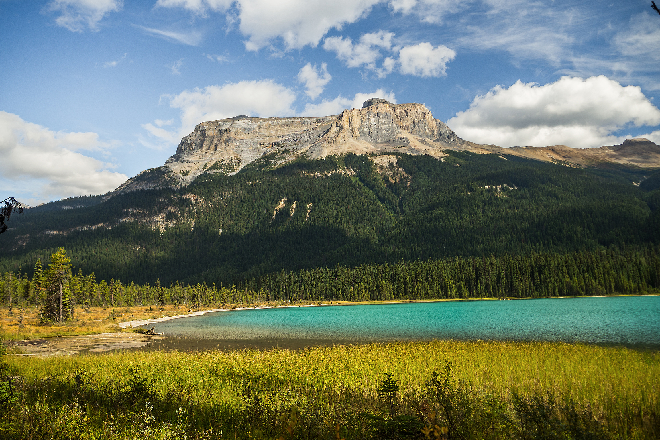
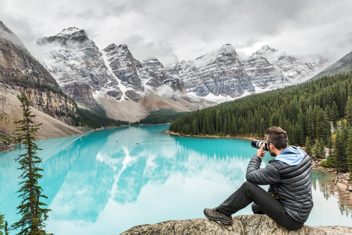
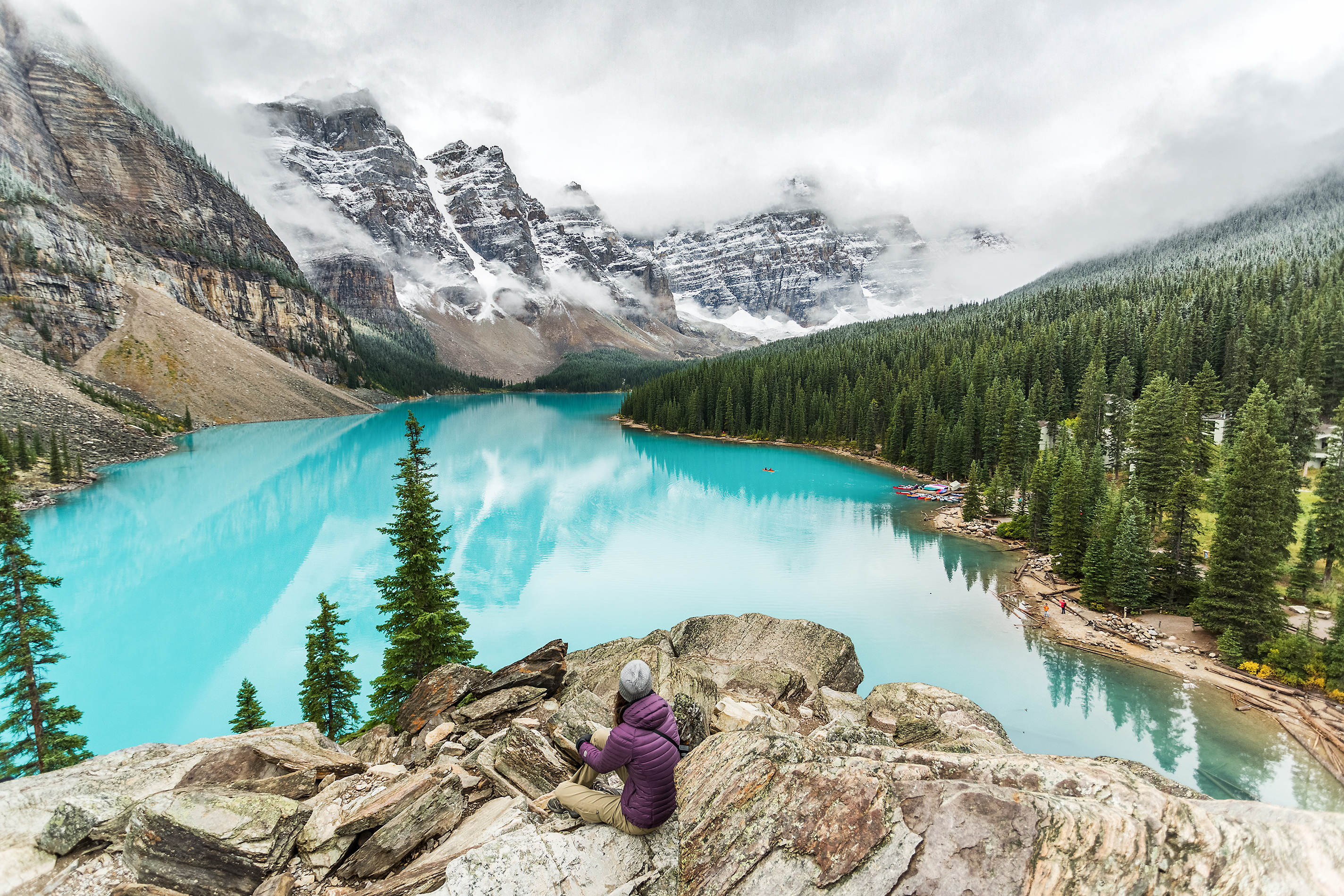
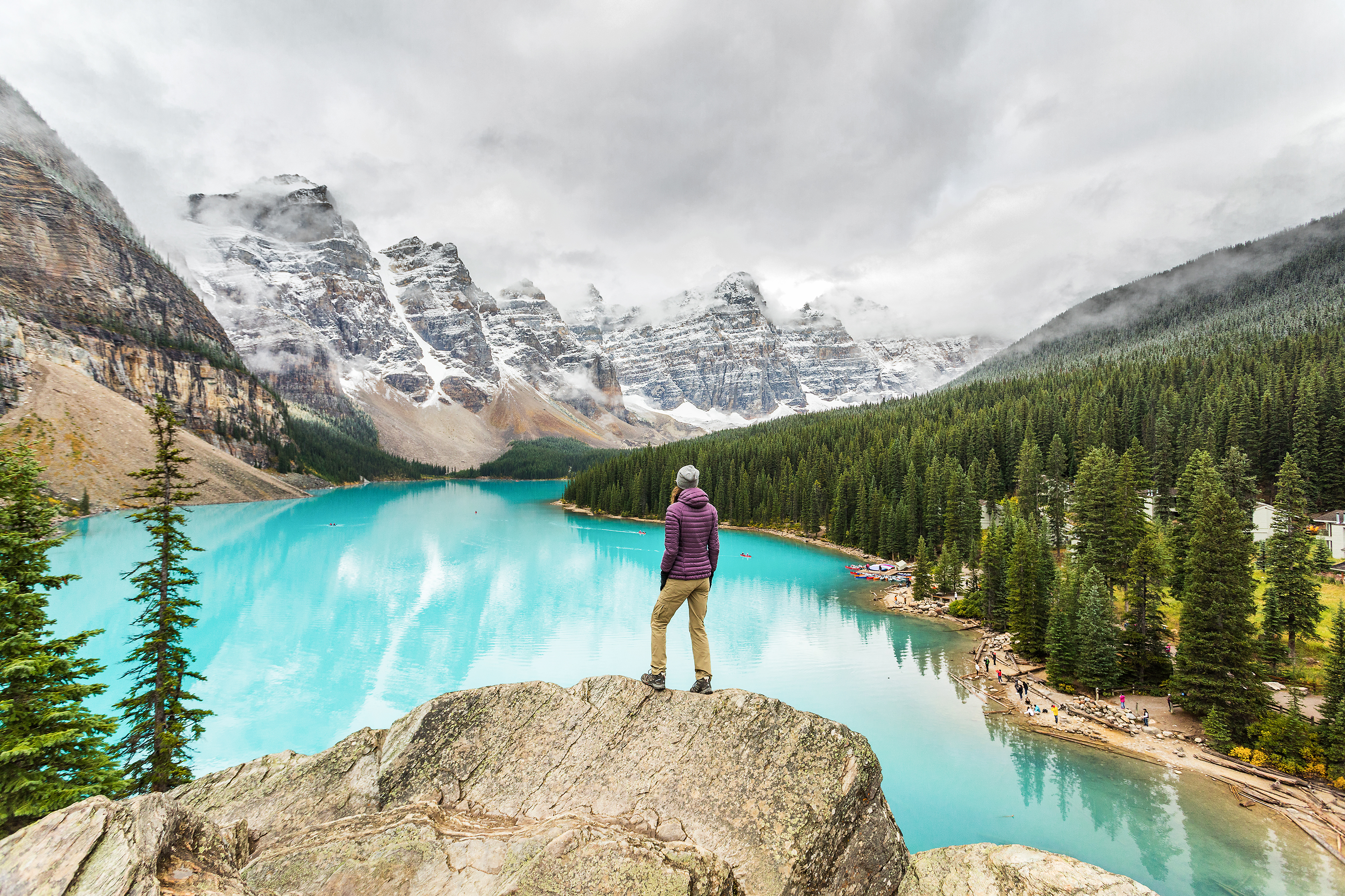
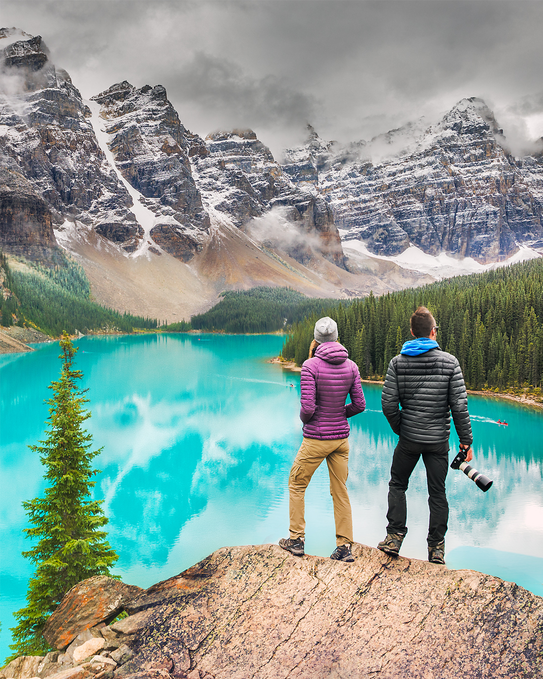
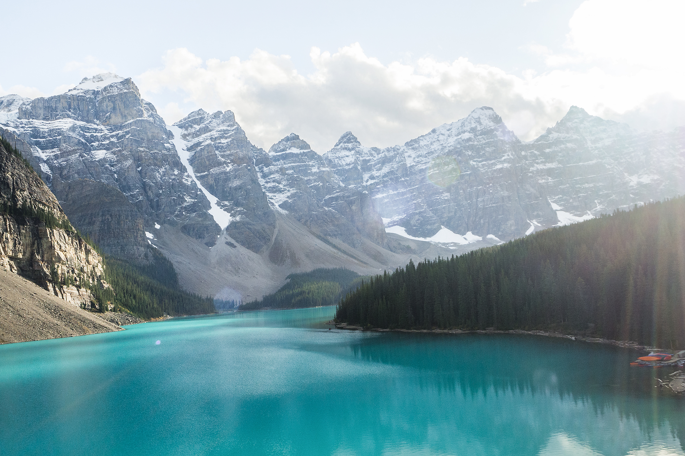
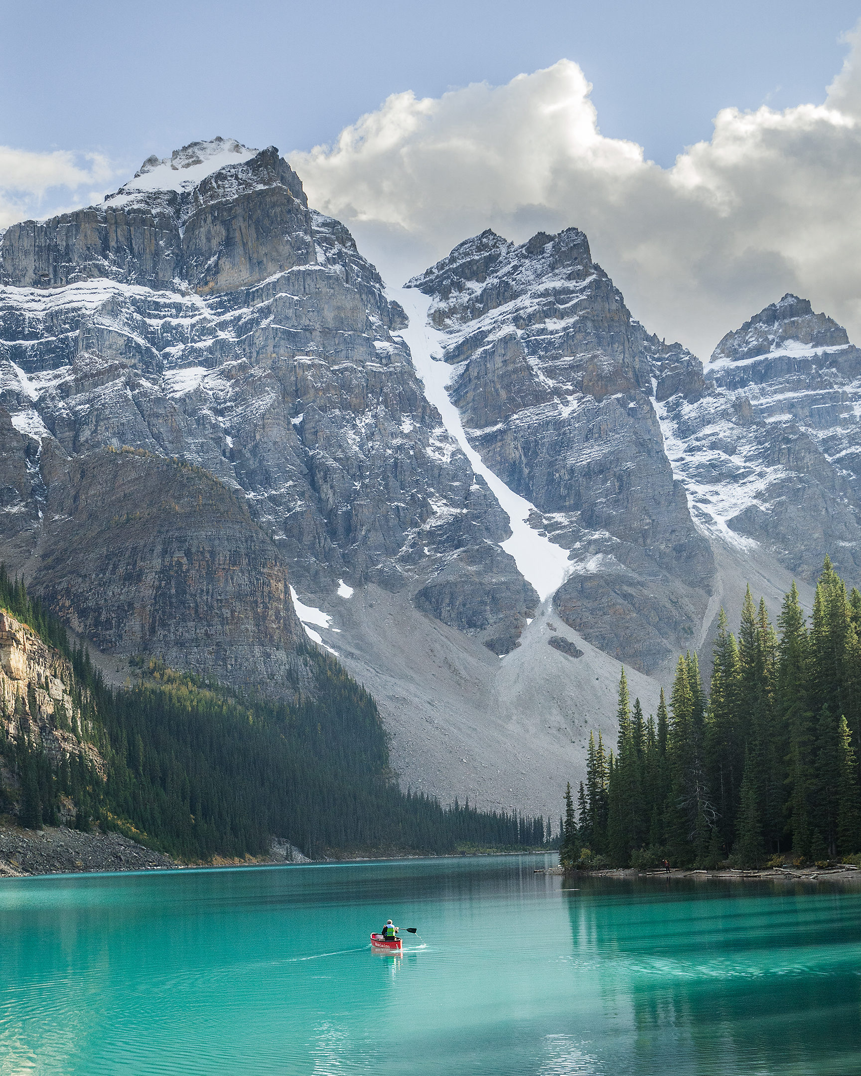
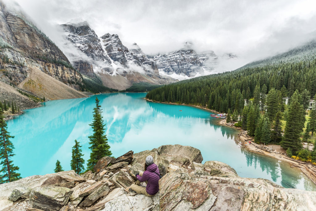
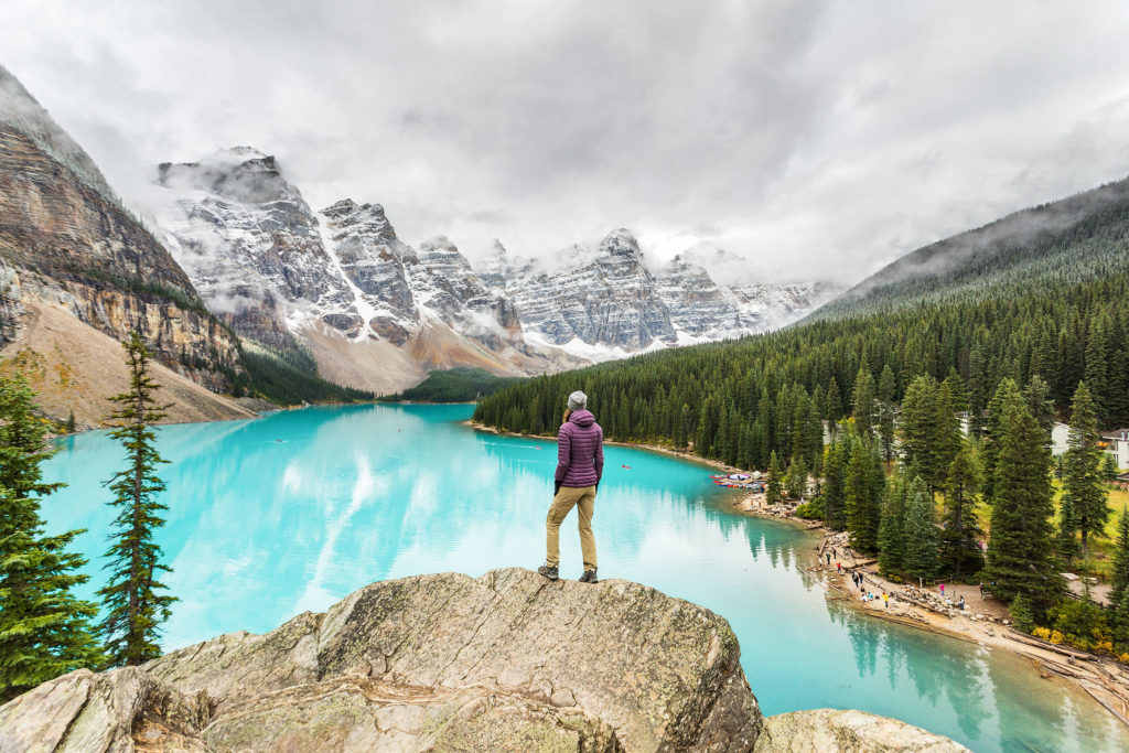
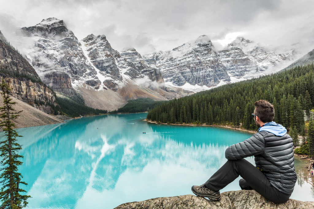
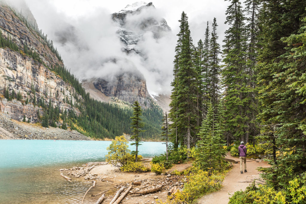
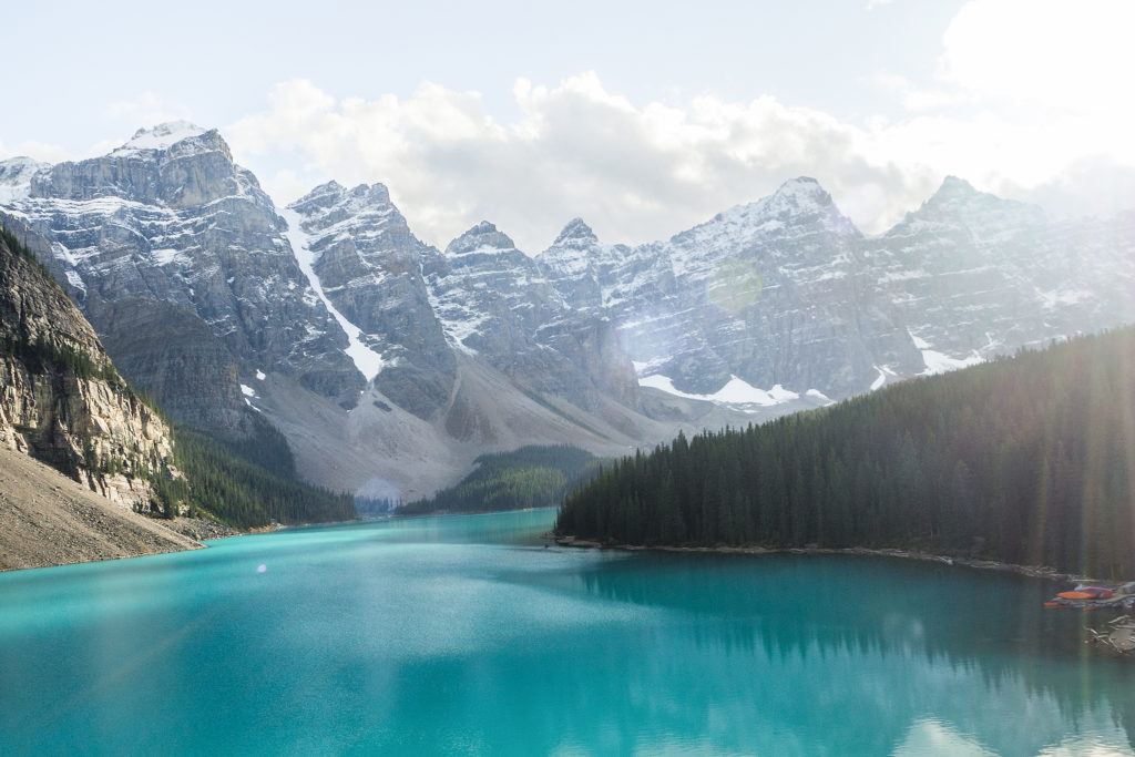
This lake is probably one of the most photographed in Canada (maybe even North America), and I had seen it pop up countless times on my Instagram feed. Similar to the Torres in Patagonia, experiencing it in real life was like stepping into a postcard….a very busy postcard. Every photo on social media shows a single individual sitting or standing peacefully across from 4 rocky giants, separated by turquoise blue water.


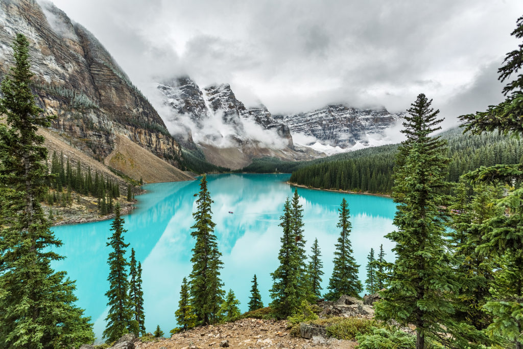
What photos don’t show, is the view the 4 giants would be staring at: a parking lot full to the brim with cars and tourist buses. A flow of the aforementioned tourists inundating the shore of the lake, specifically the boulder pile conveniently located at the one end of the lake, offering the perfect vantage point over the water. From the towering distance of those four peaks, that side of the lake would likely resemble an ant nest, little black spots crawling all over the mound and taking turn to pause (and pose) on that one outcrop, that one viewpoint, ready to record their own make-belief moment of piece, quiet, solitude and reflection.

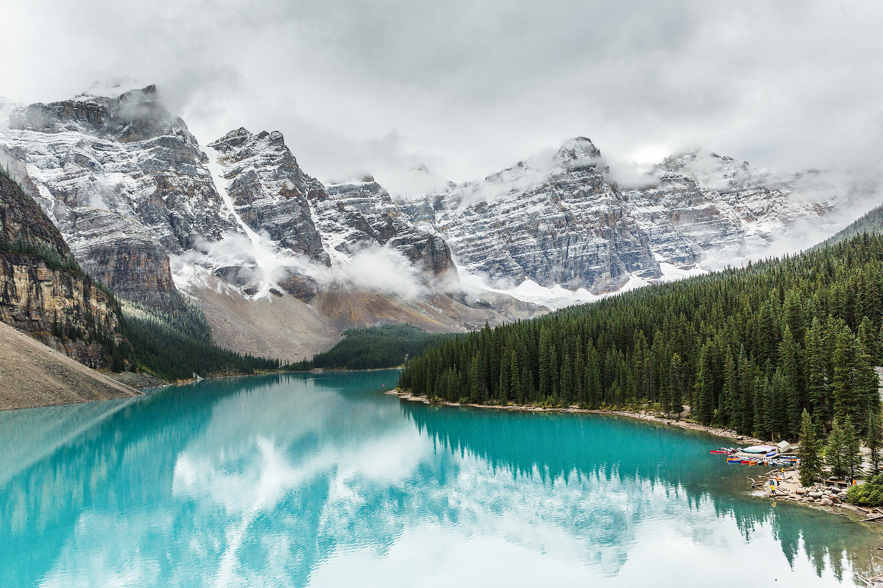
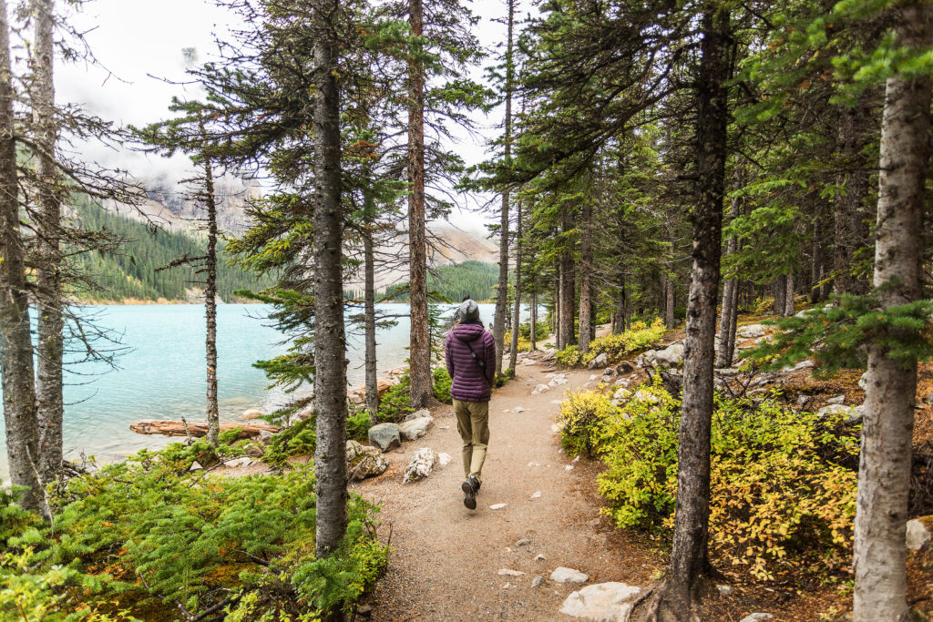
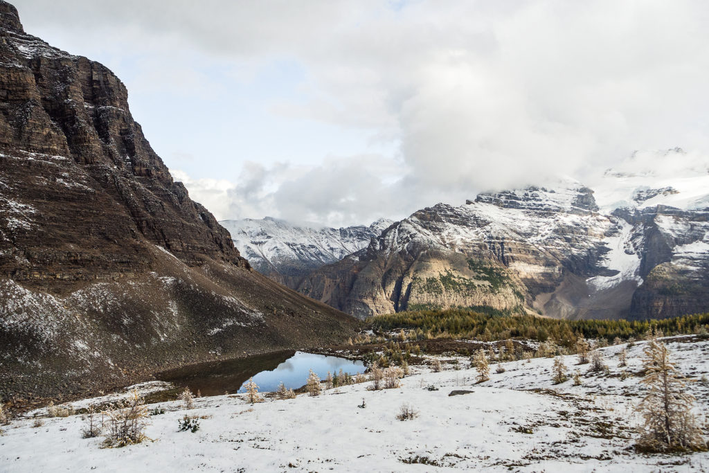
On this cold September morning, the trees were already sprinkled with frost and the temperature at lake level was below zero. It was shoulder season and the volume of visitors had already whittled down to a a somewhat manageable number (especially for us). We even managed to park less than 50 meters from the edge of the lake.

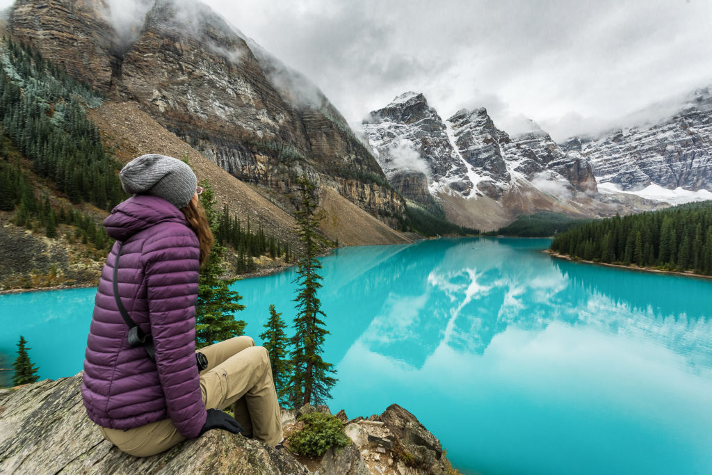
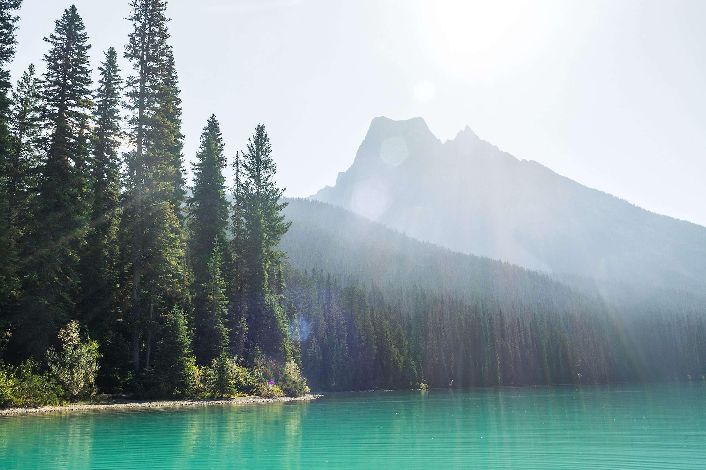
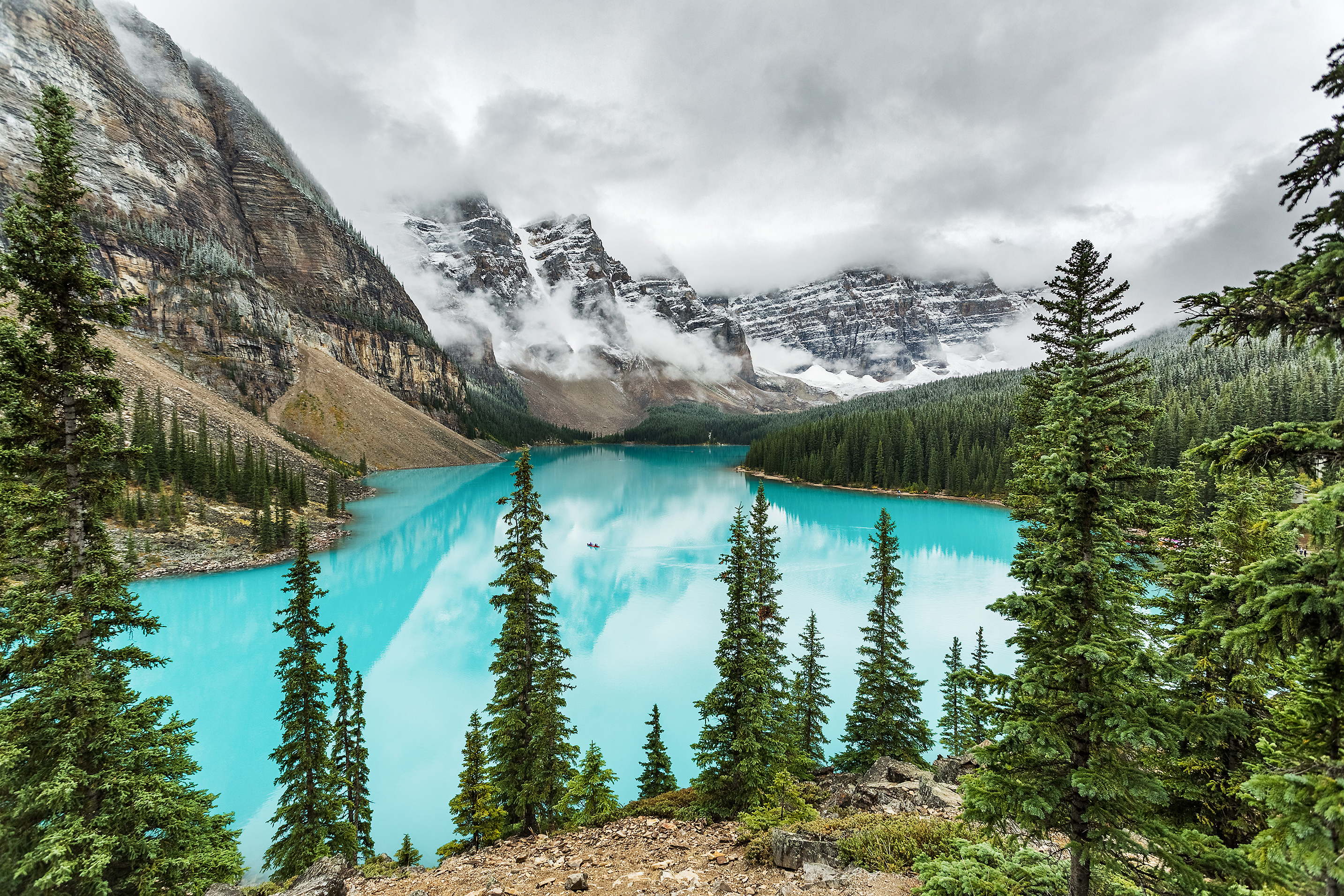
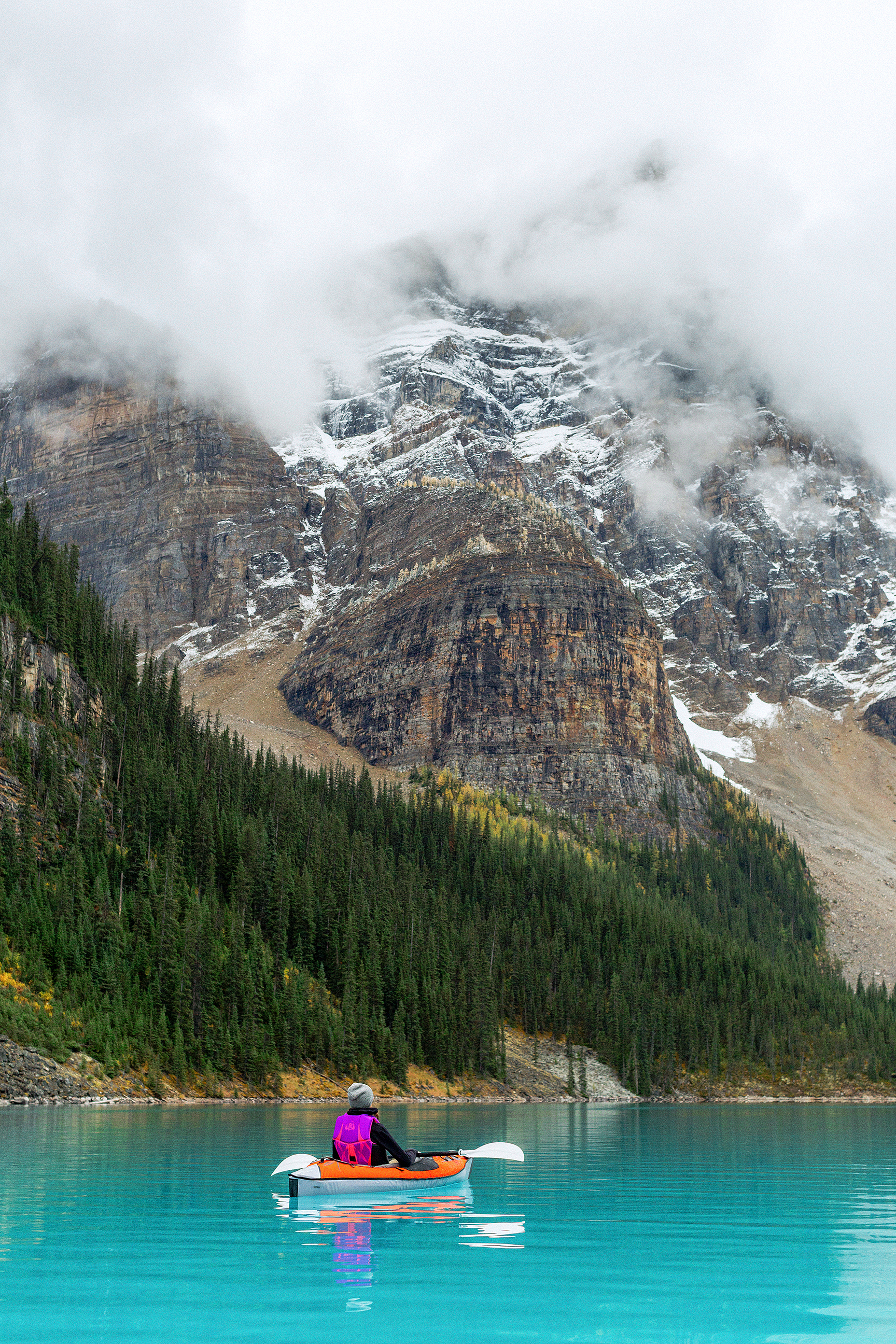
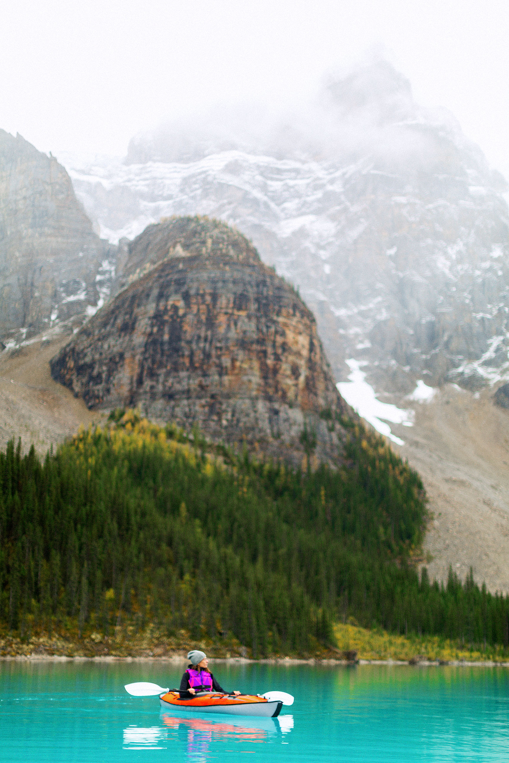
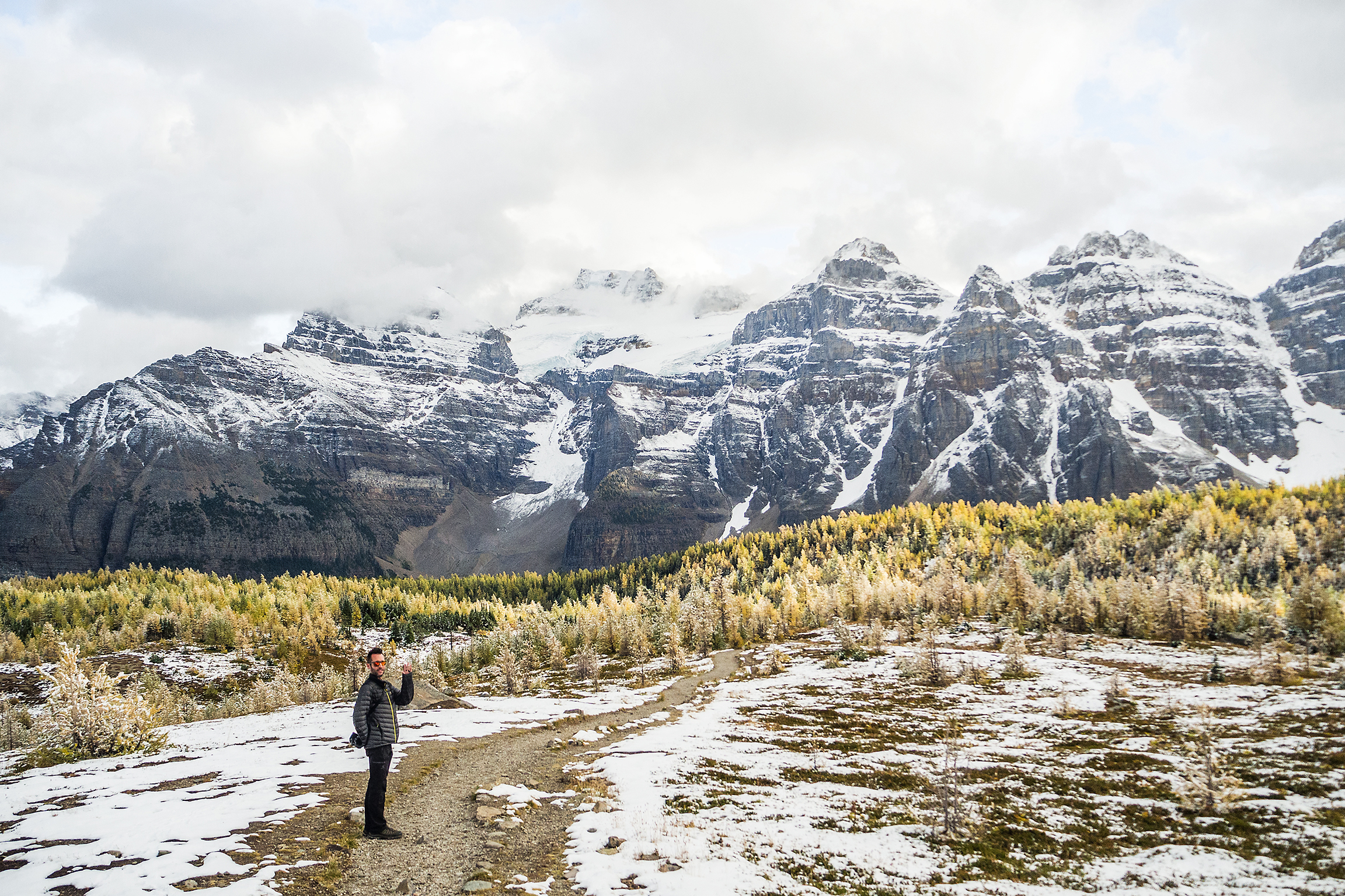
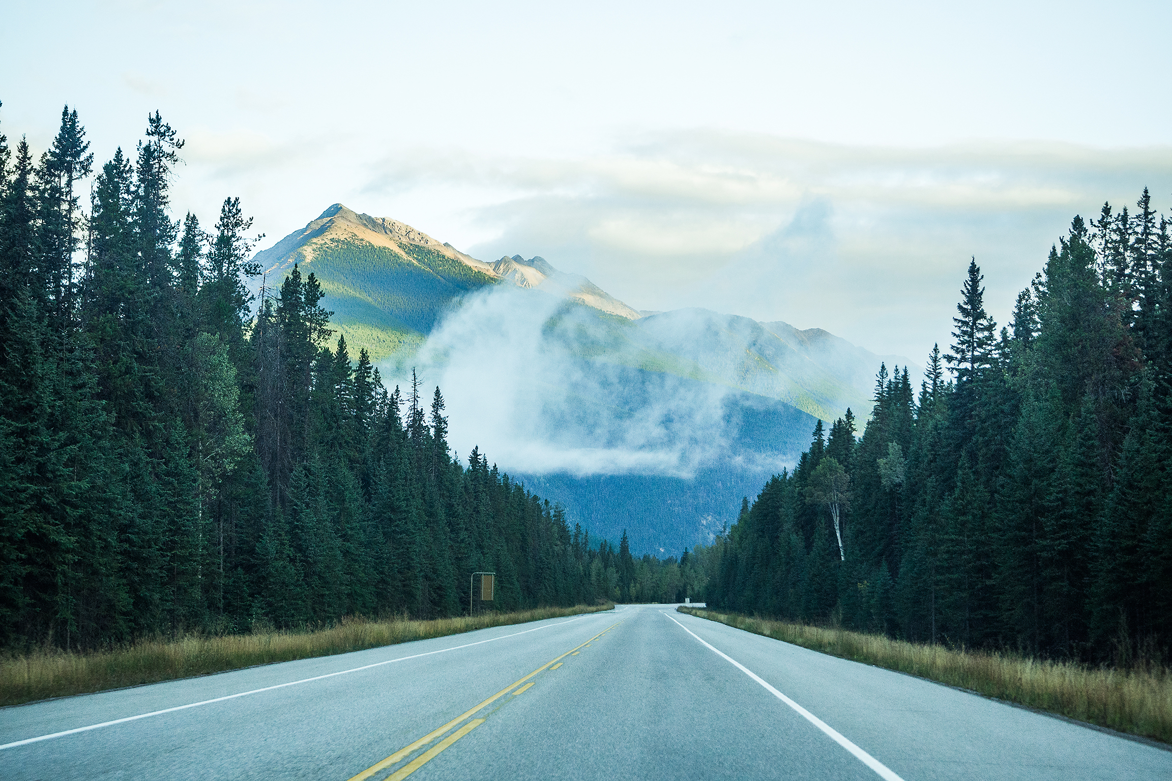
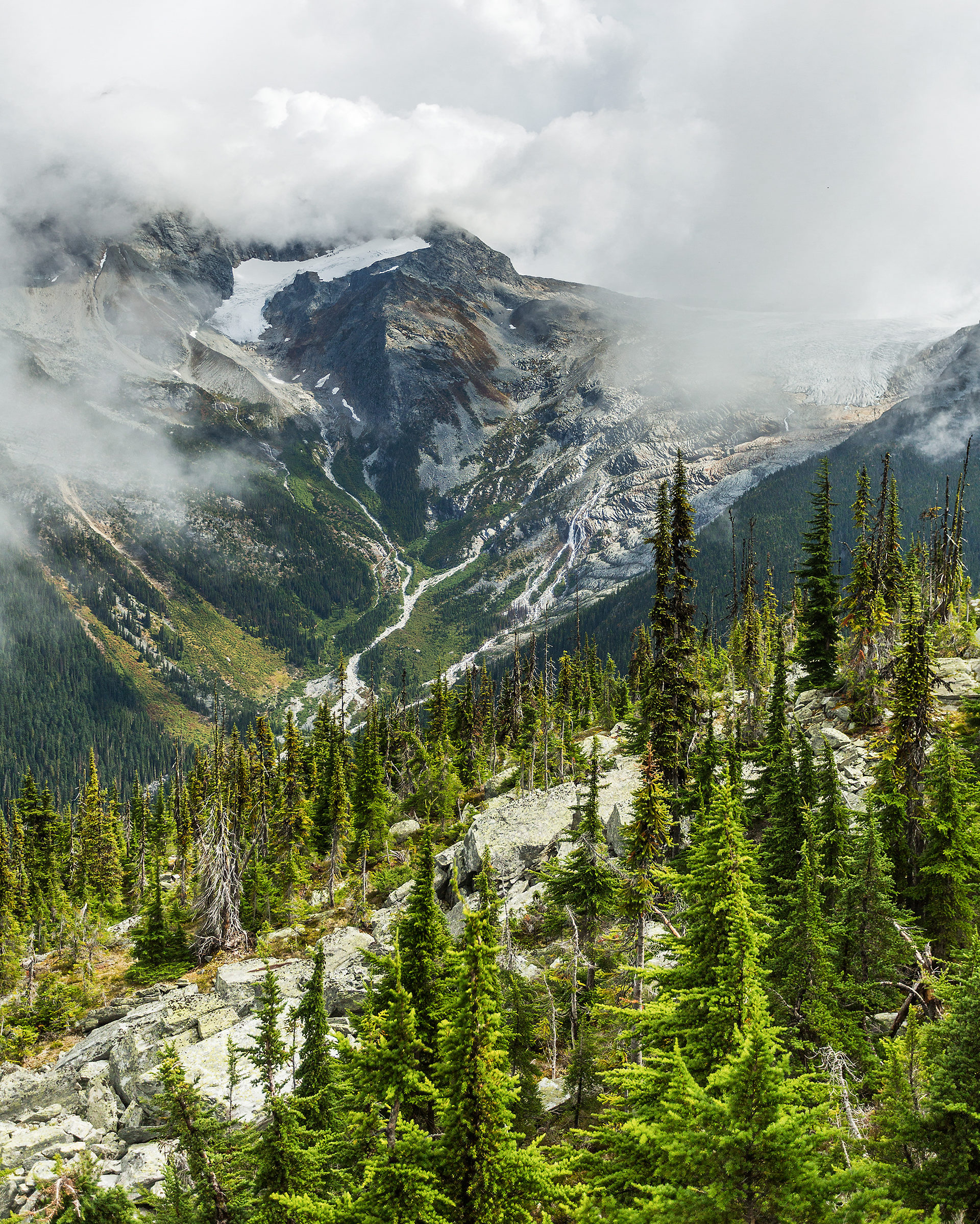
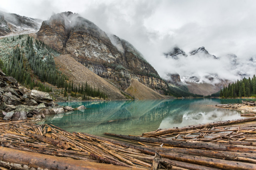
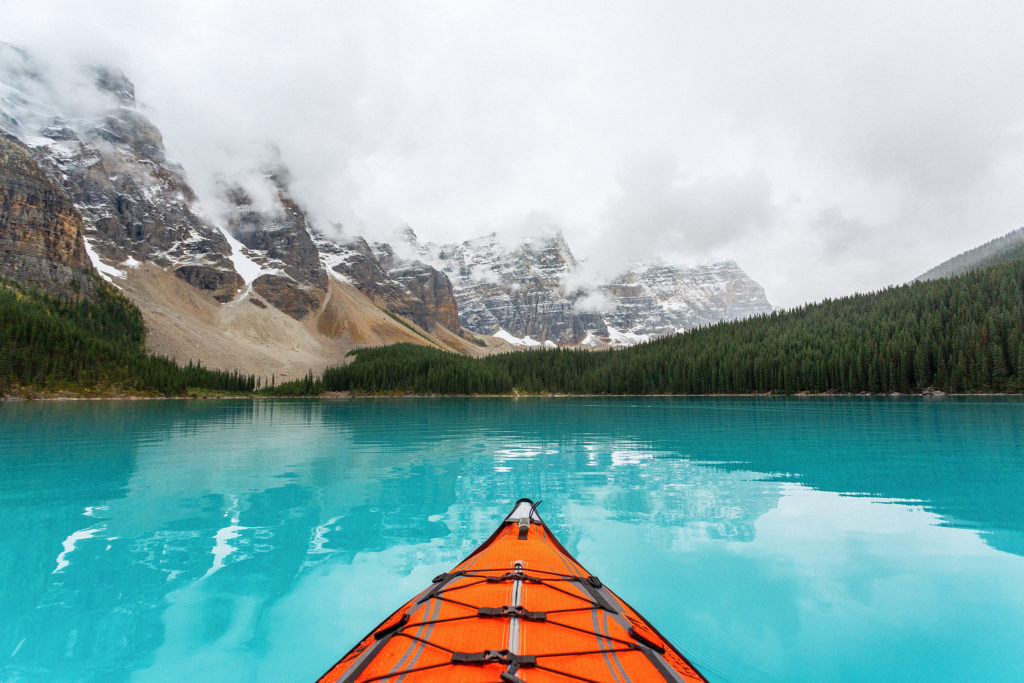
The iconic mountain range was partly obstructed by low clouds and fog when we first arrived, but it slowly cleared out as the morning went by. After joining the other ants on the boulder pile, and taking the inevitable solitary shots, we moved on to the next part of our exploration.

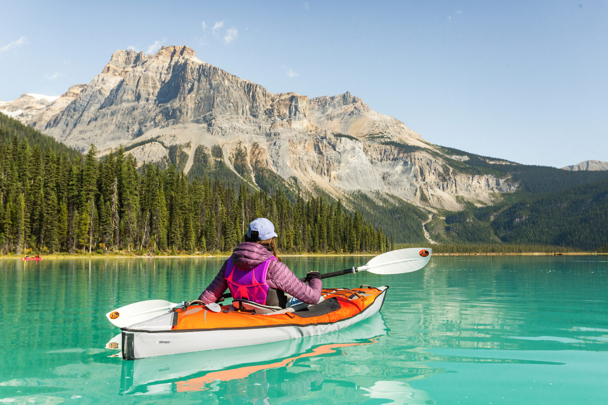
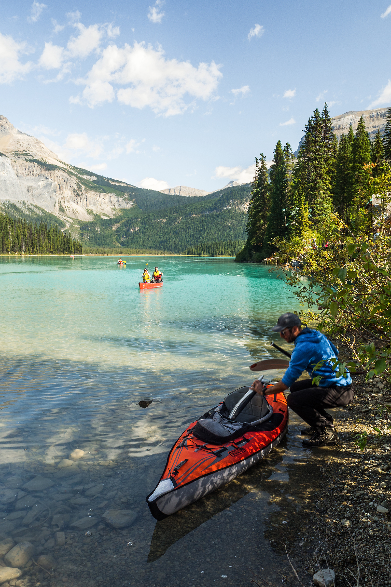
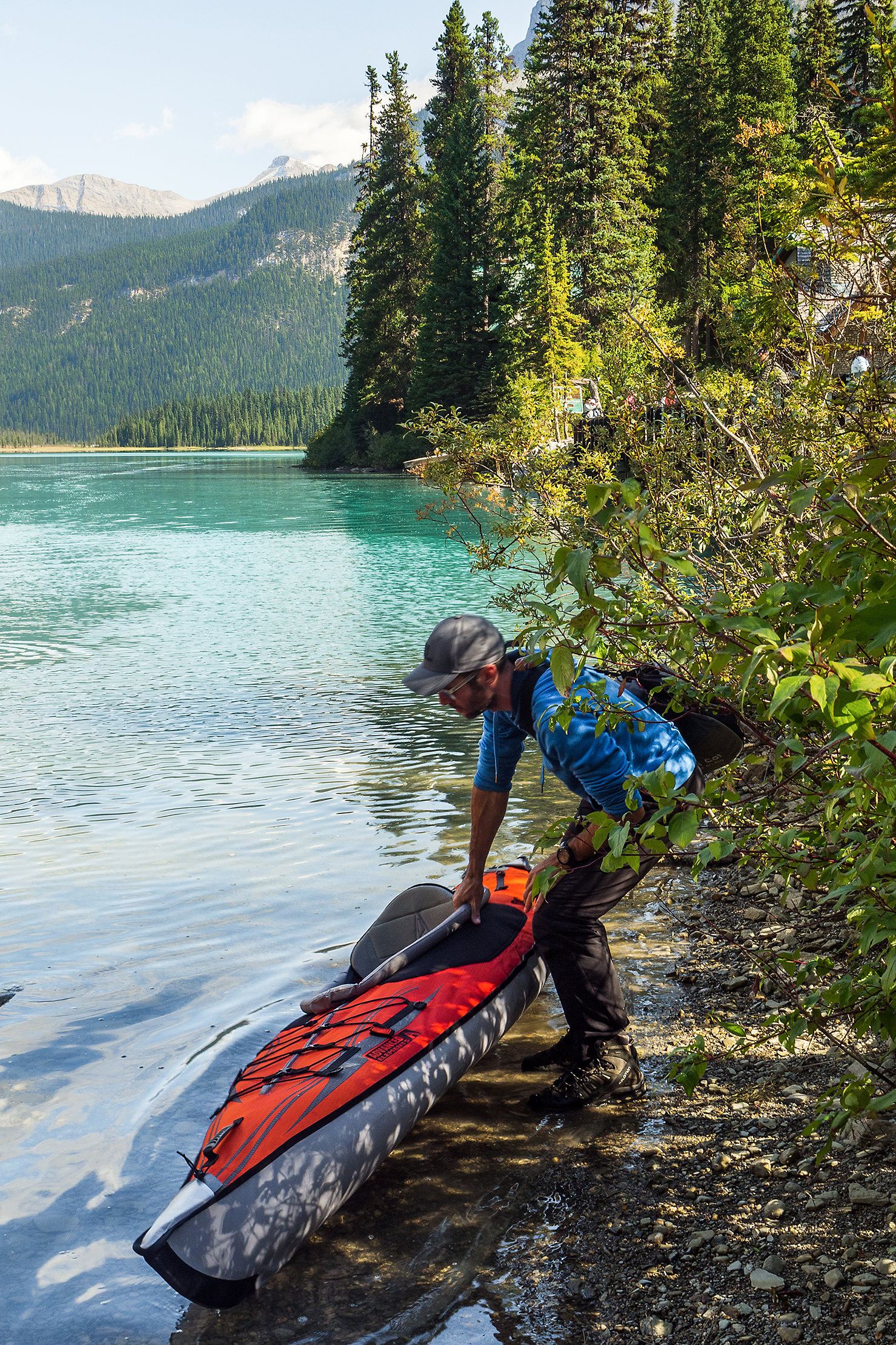
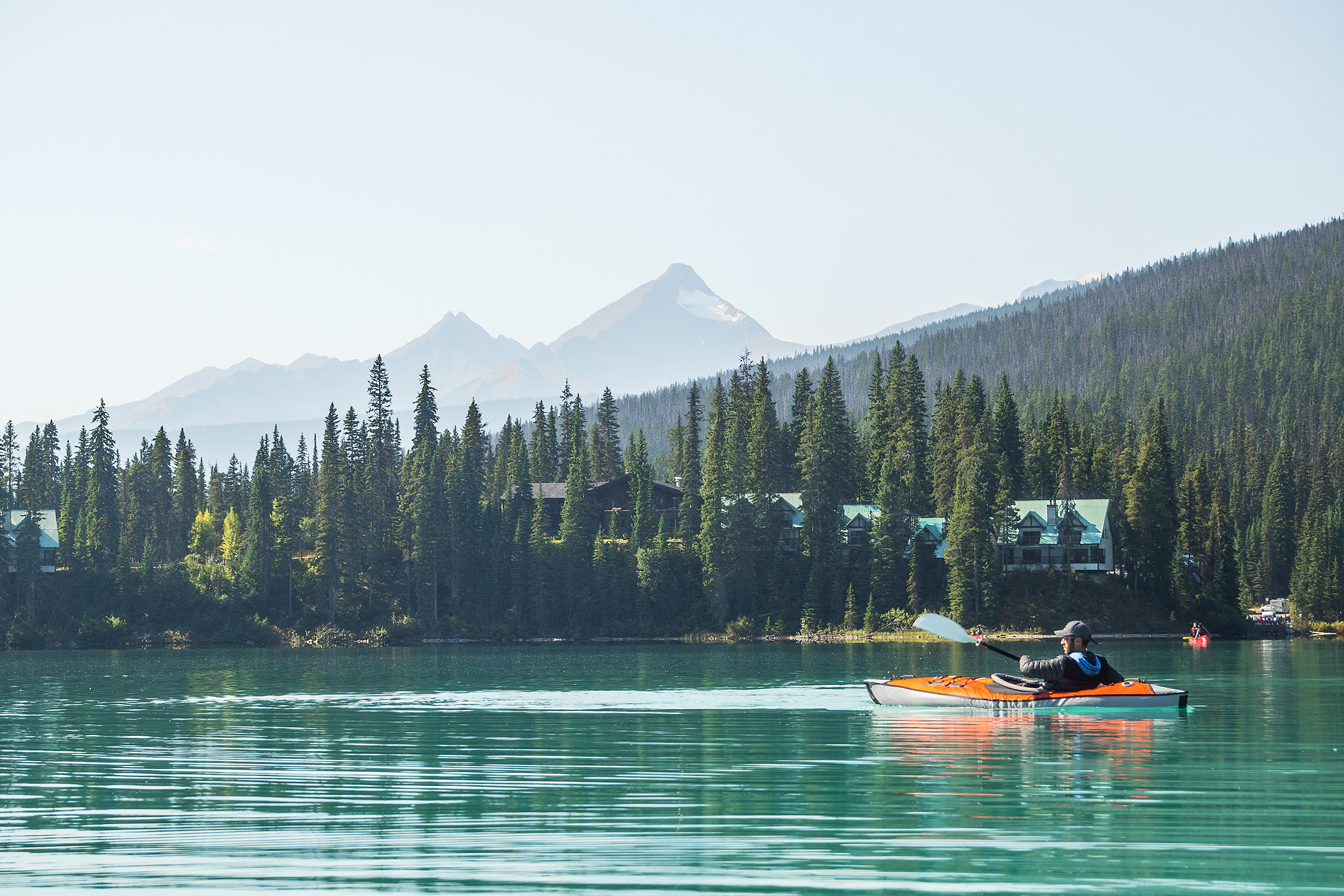
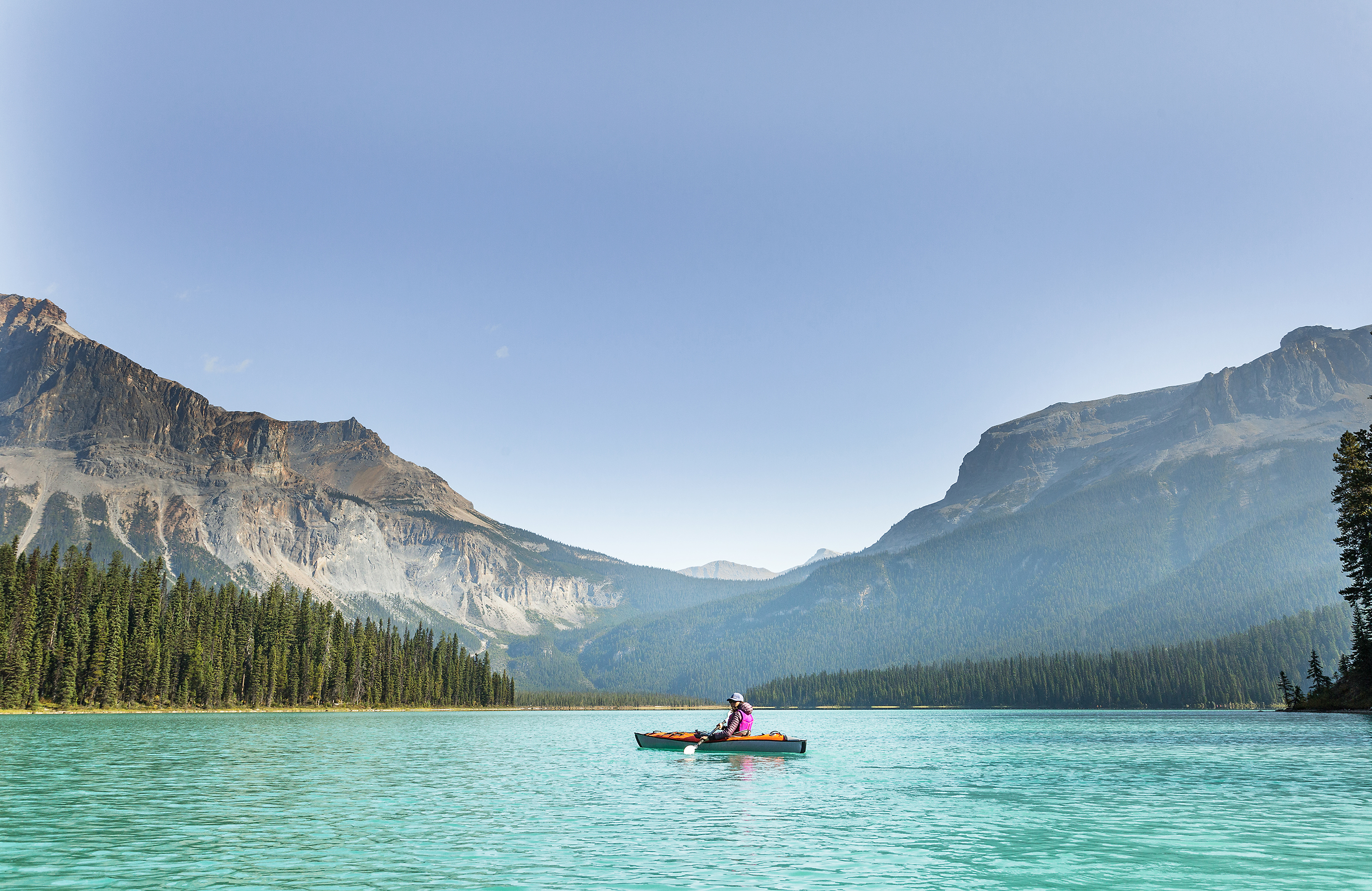
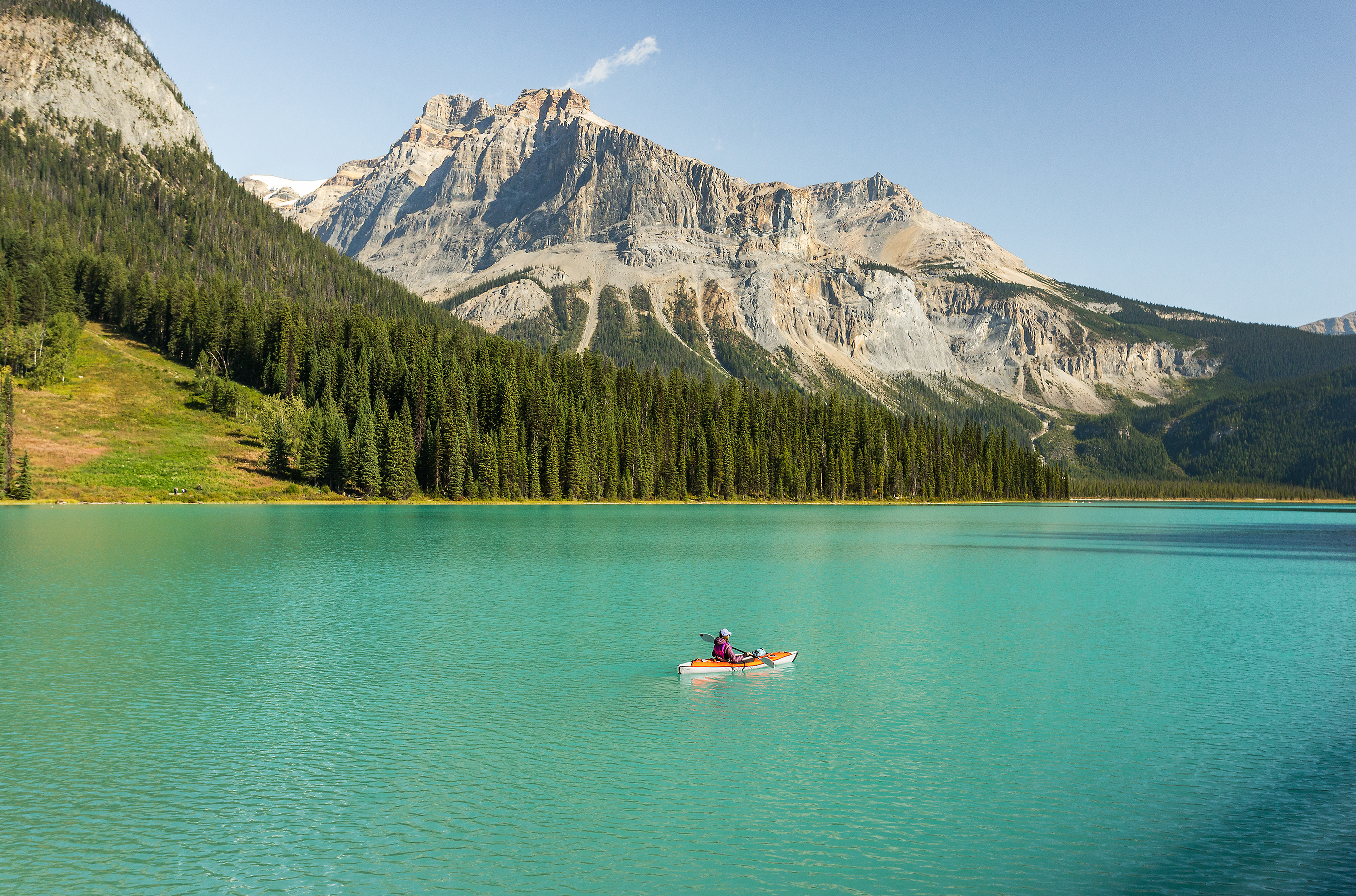
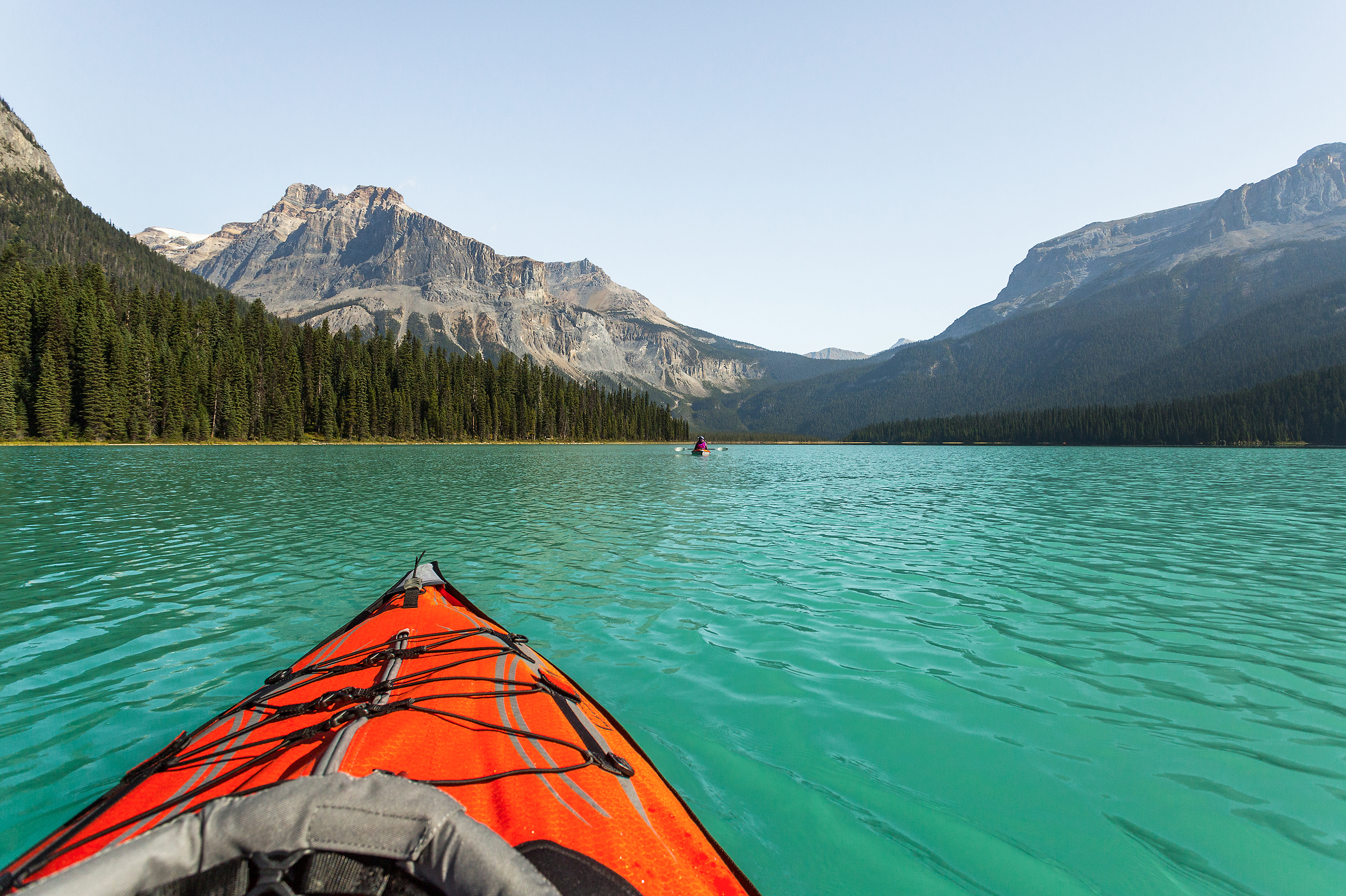
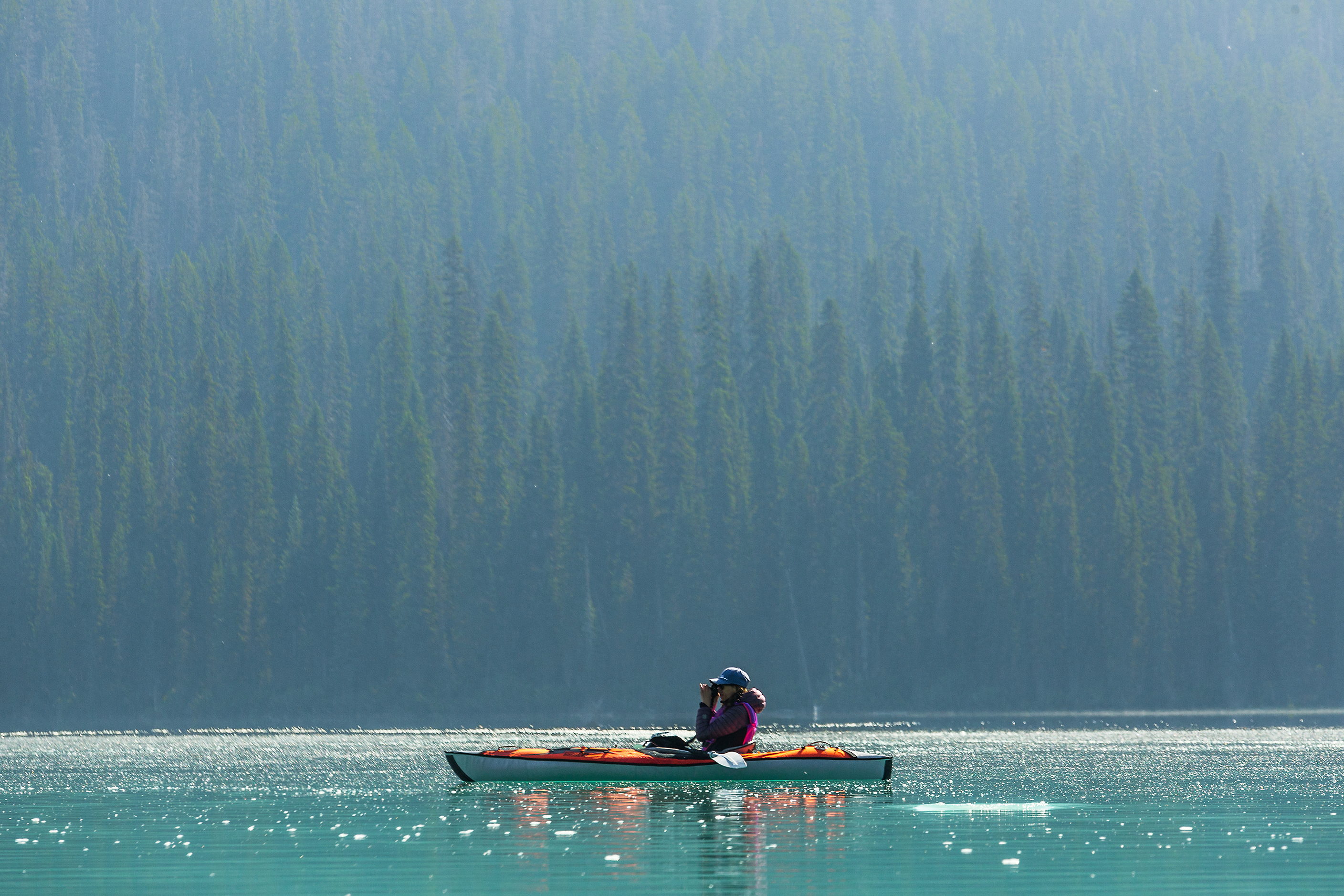
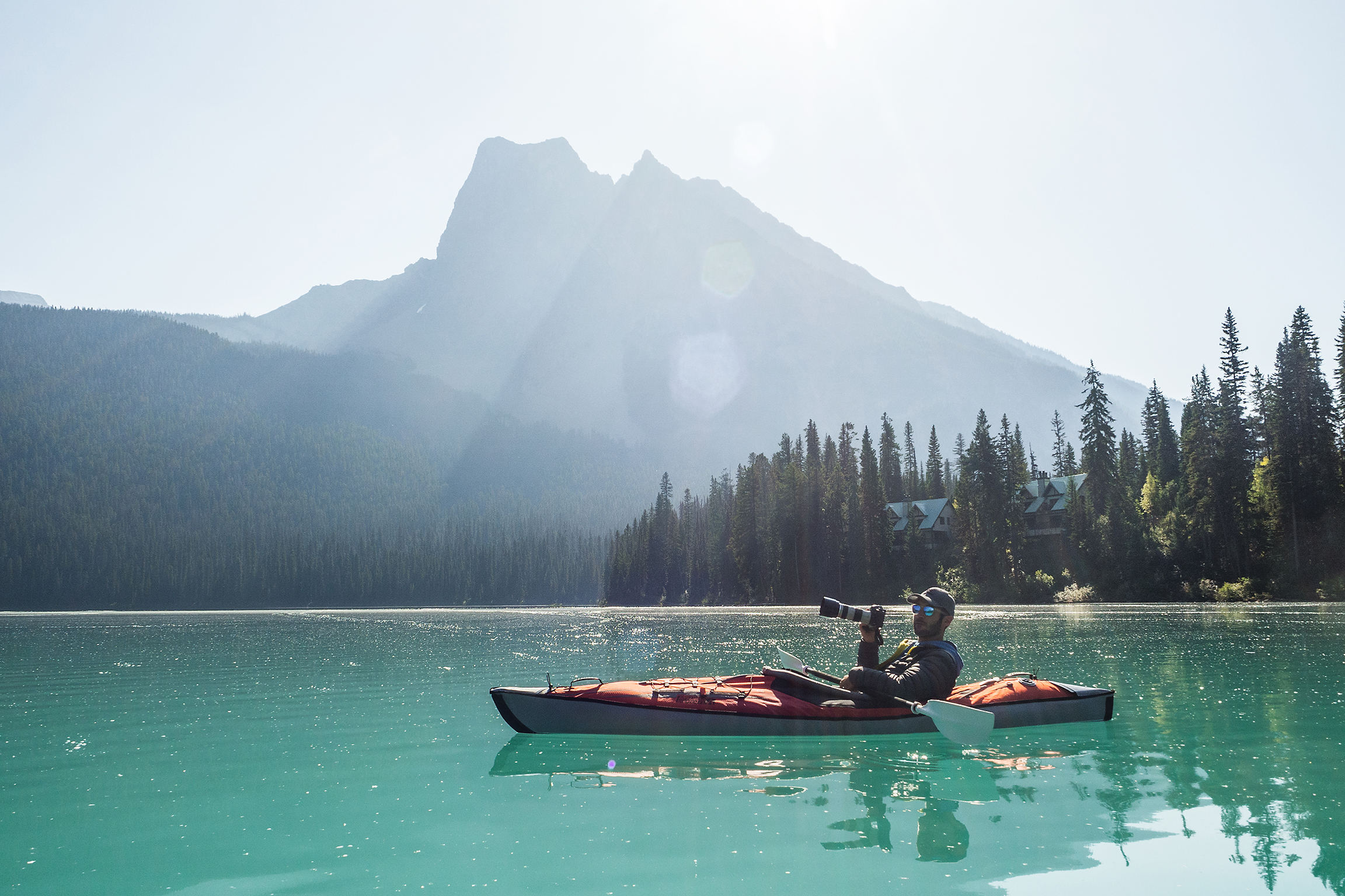
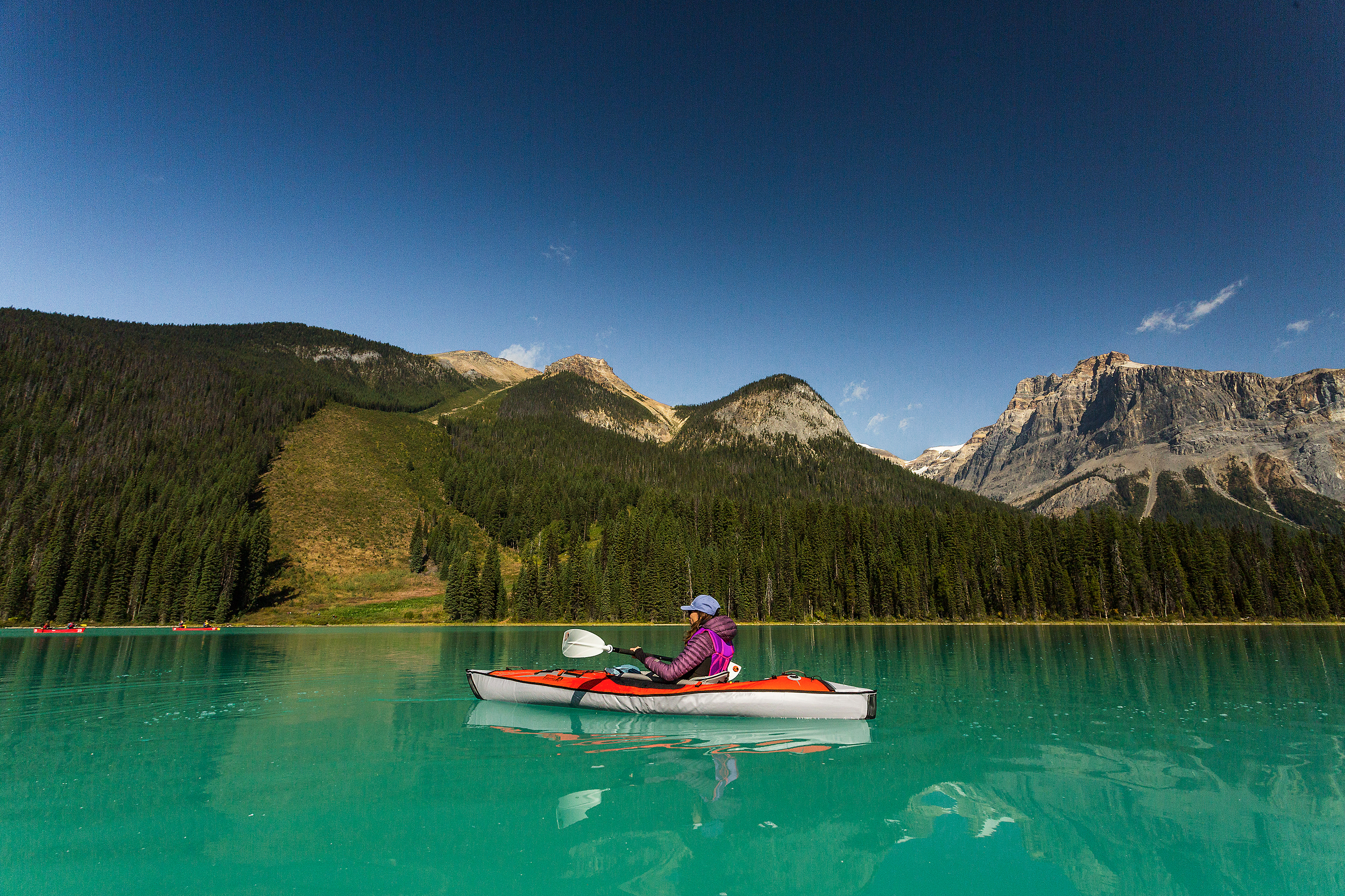
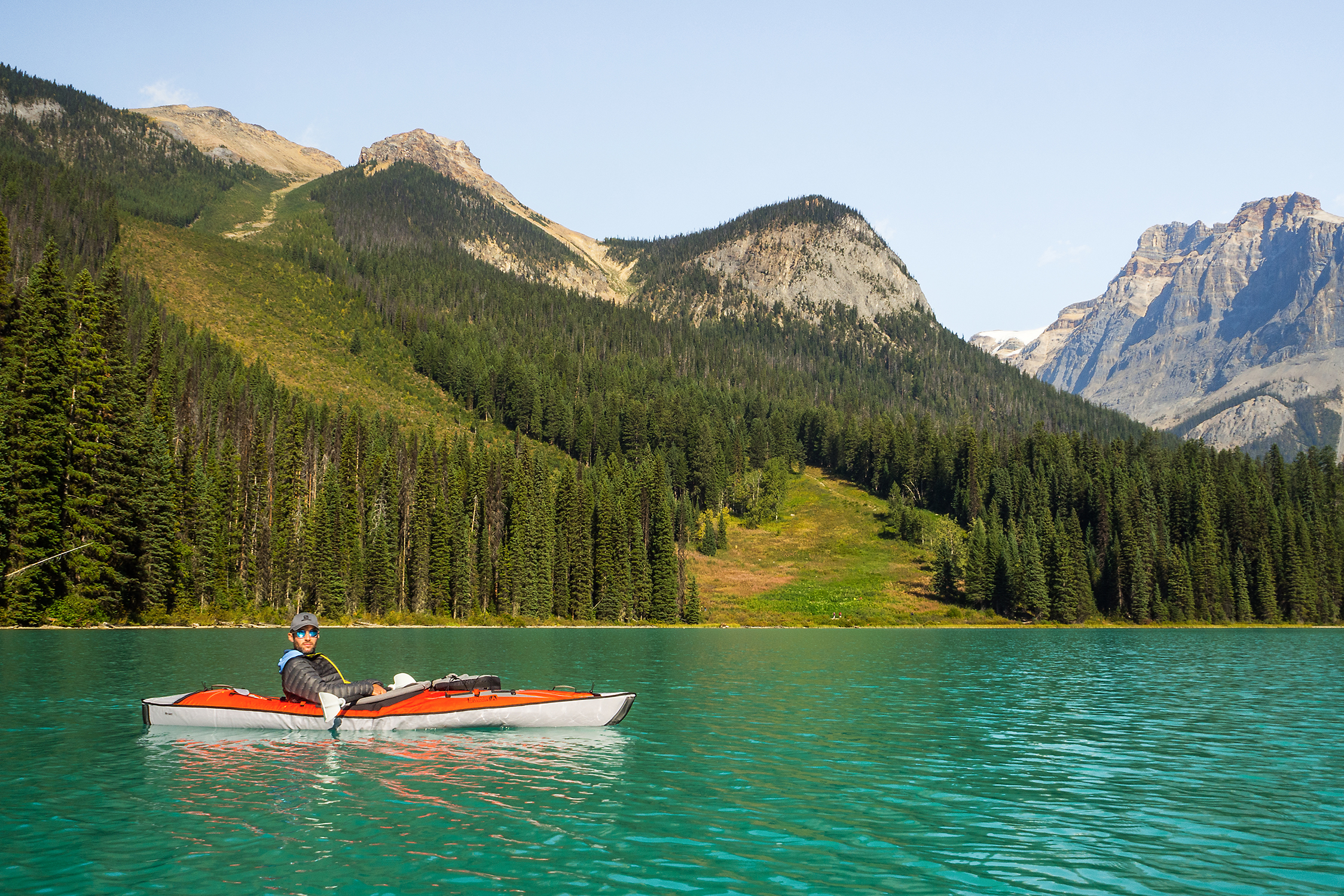
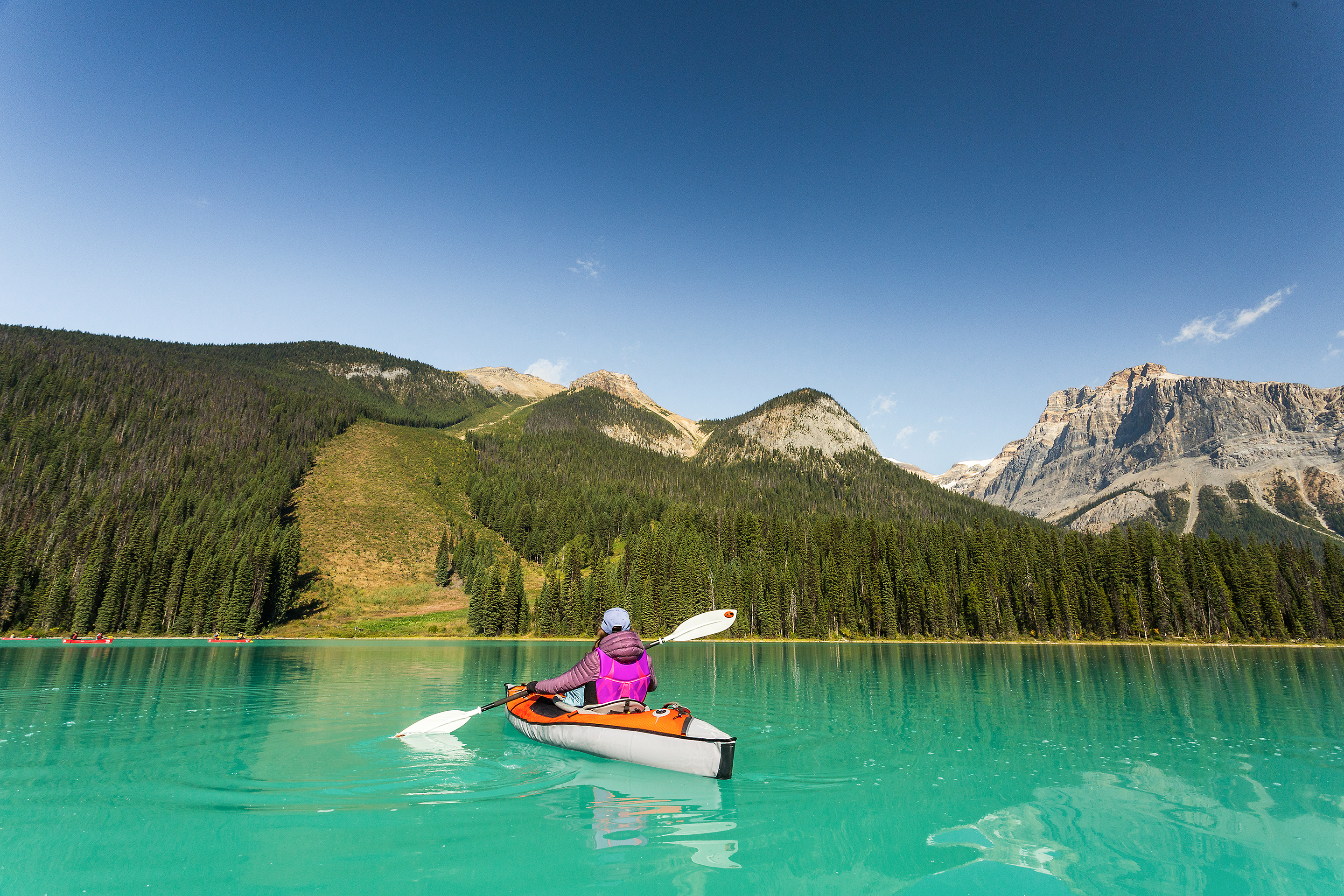
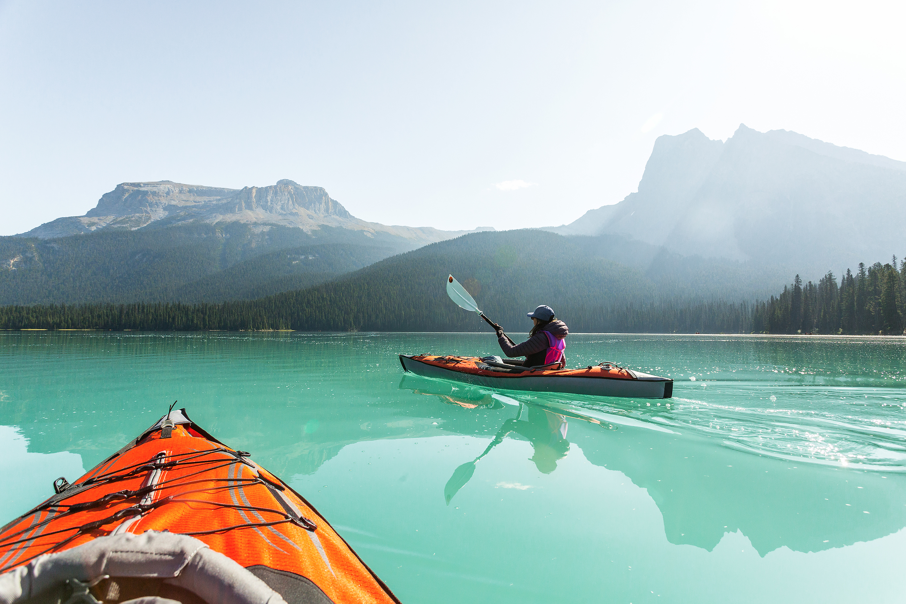
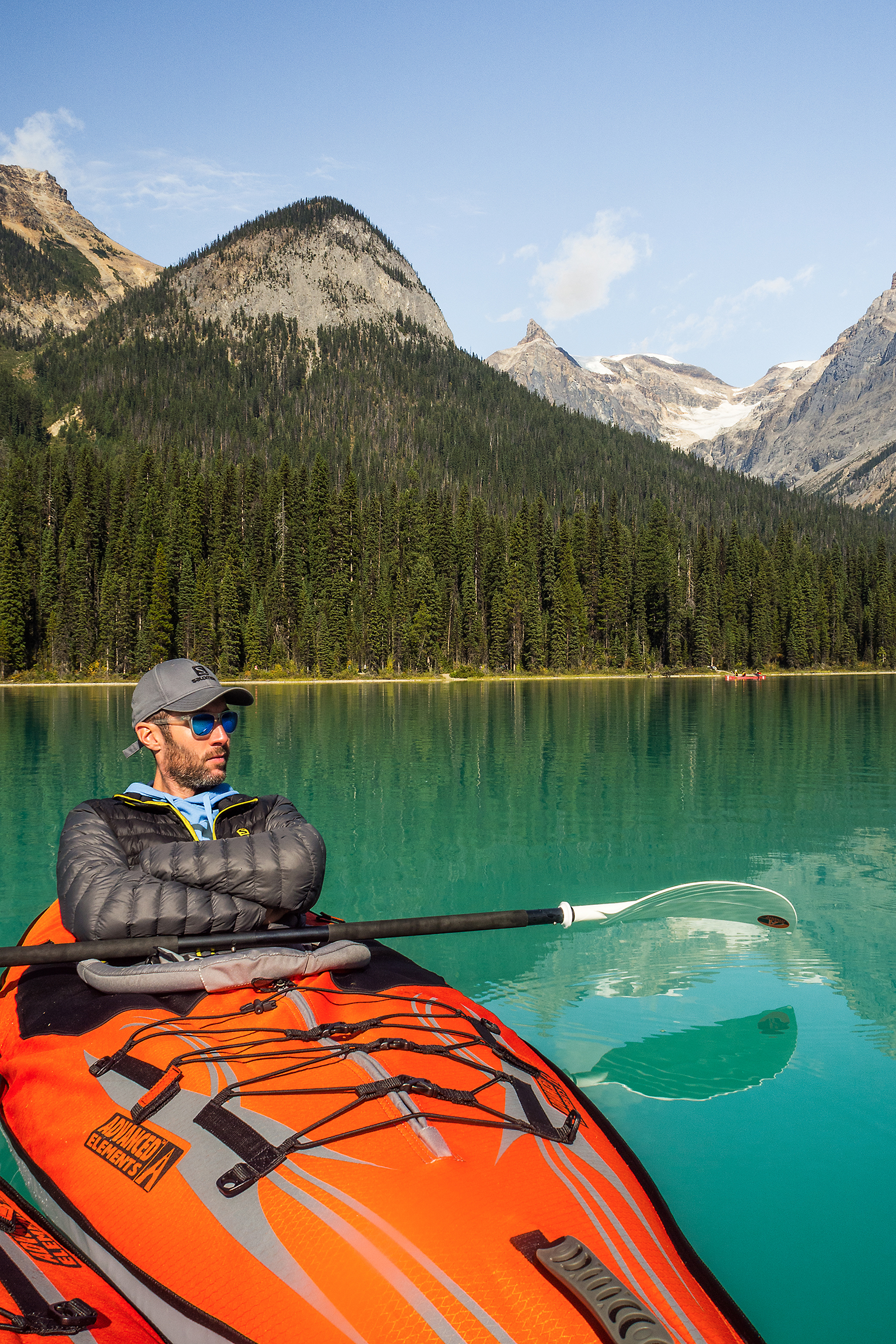
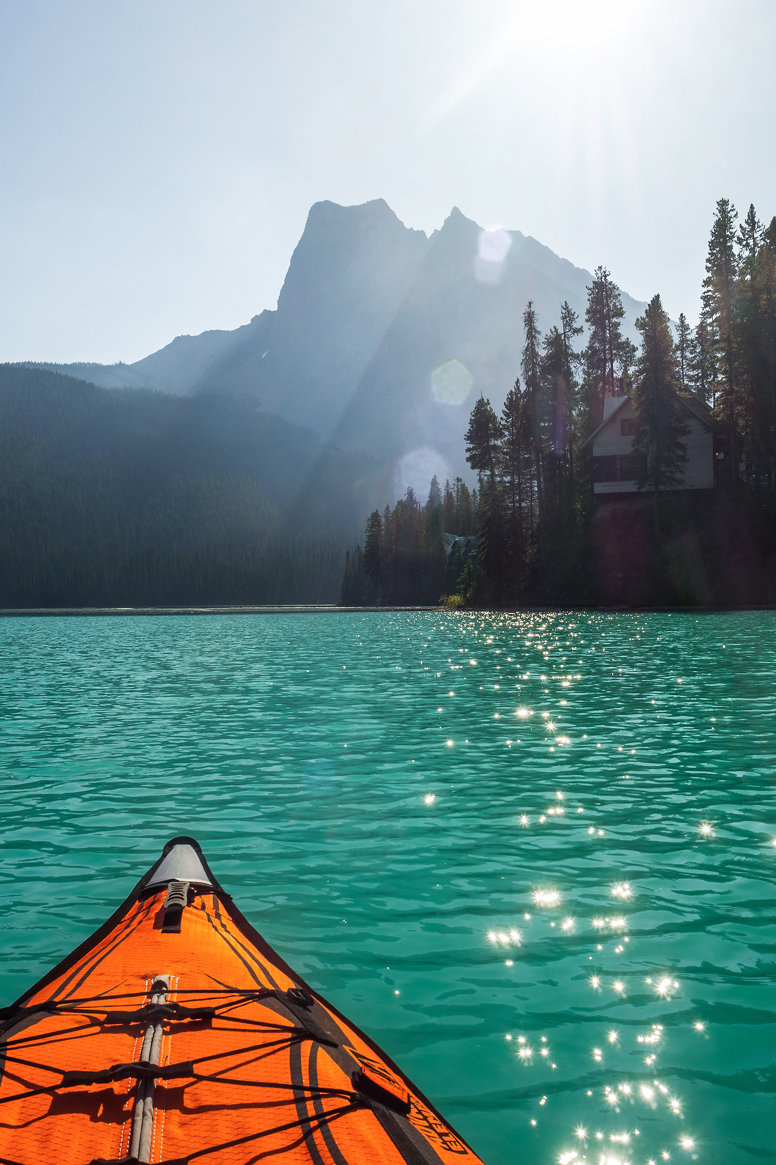
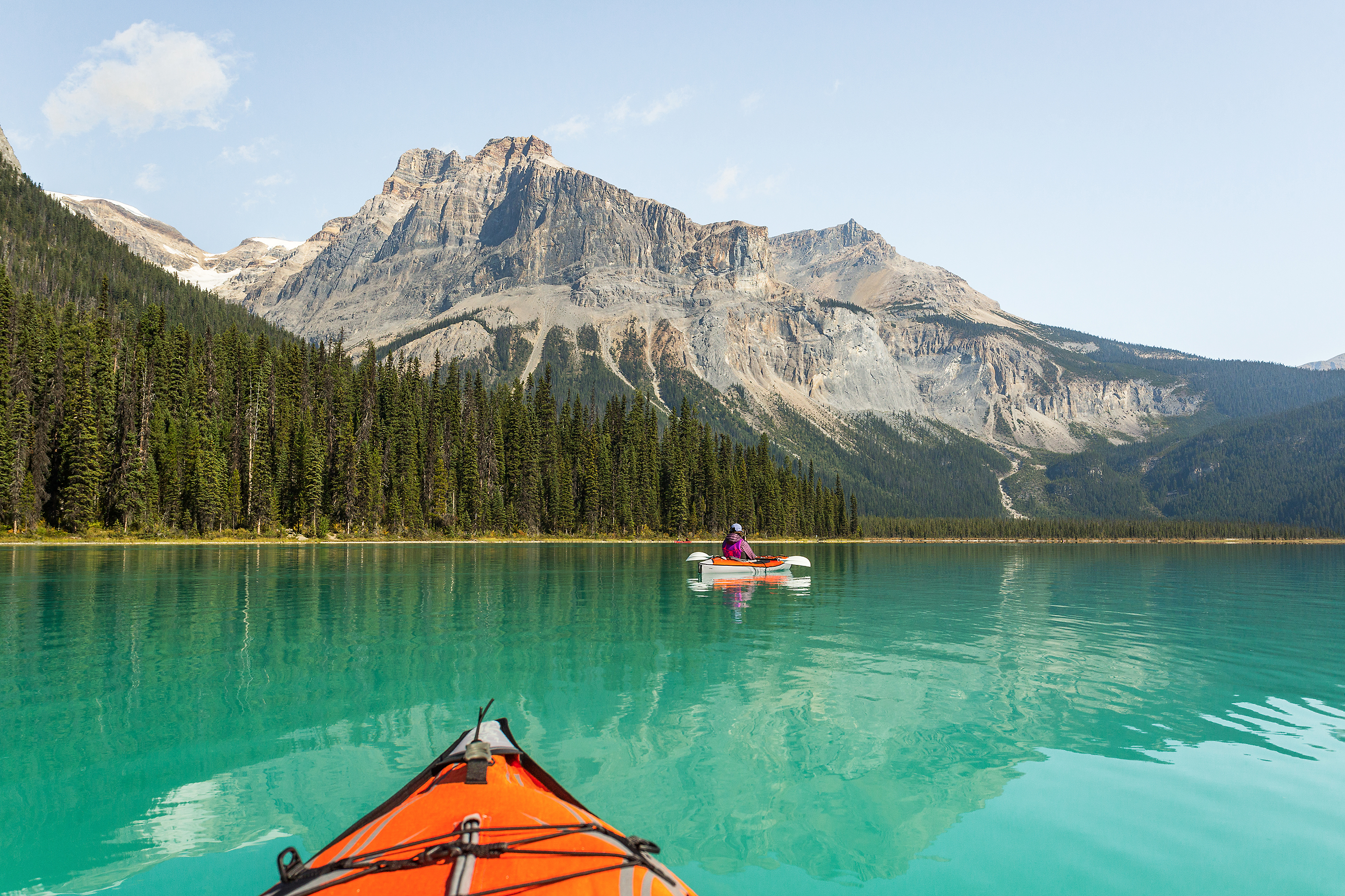
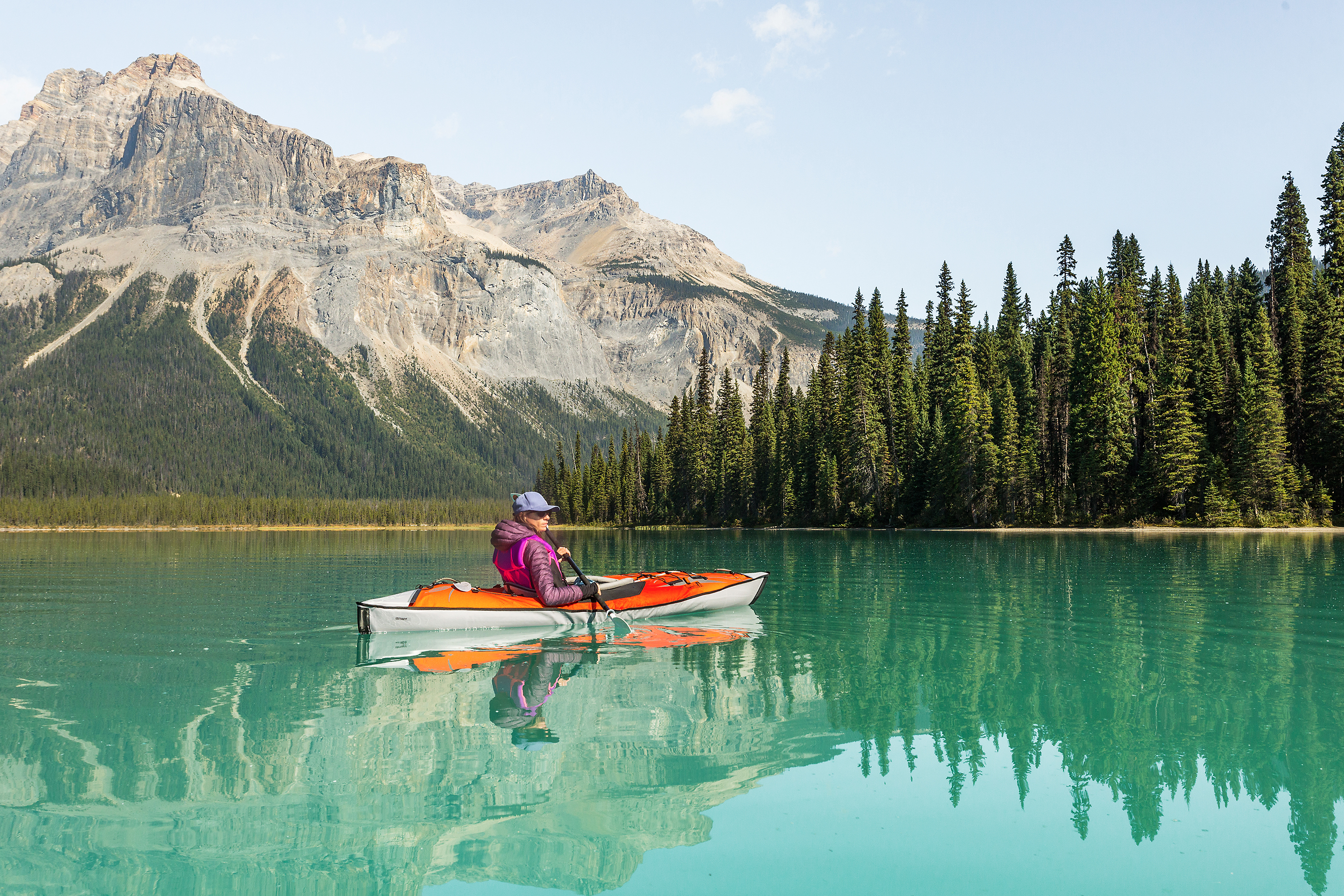
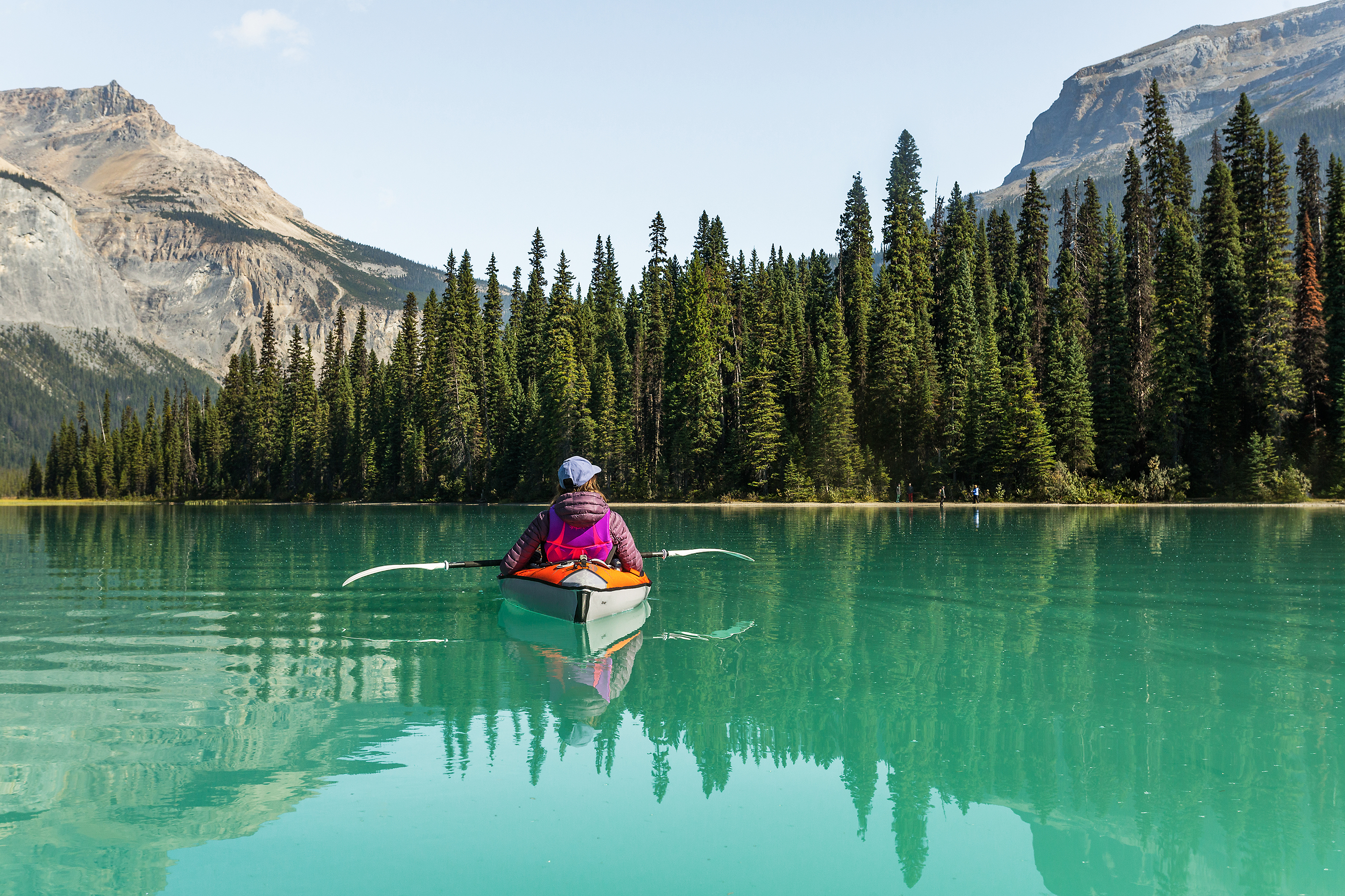
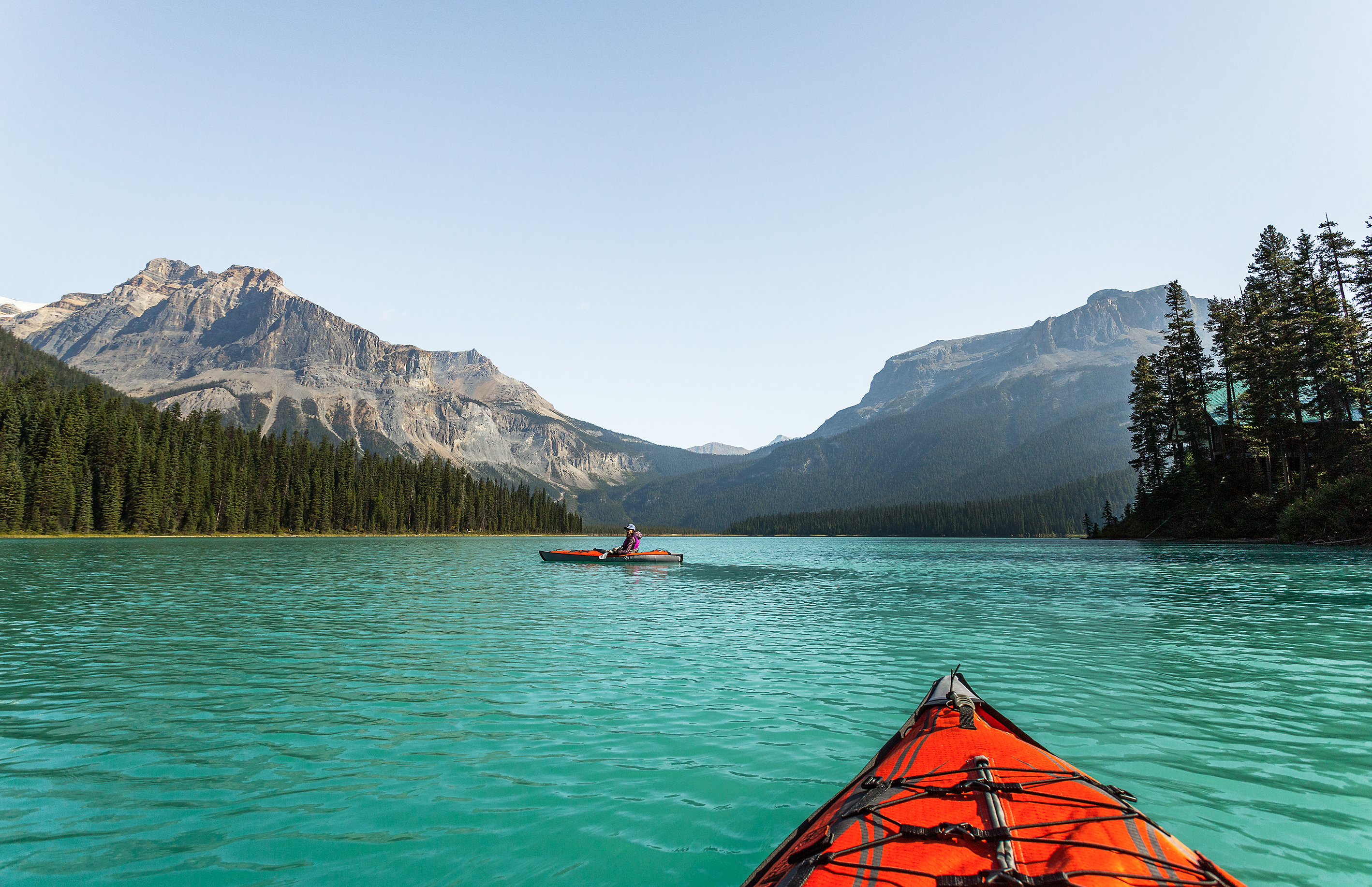
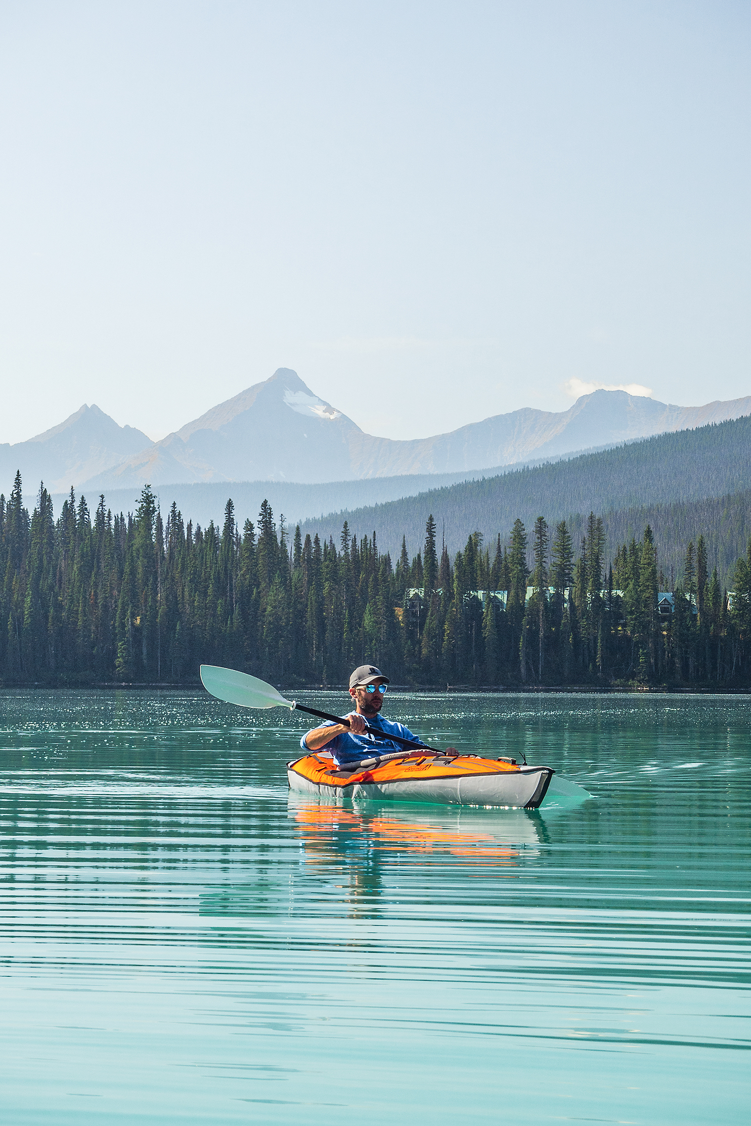
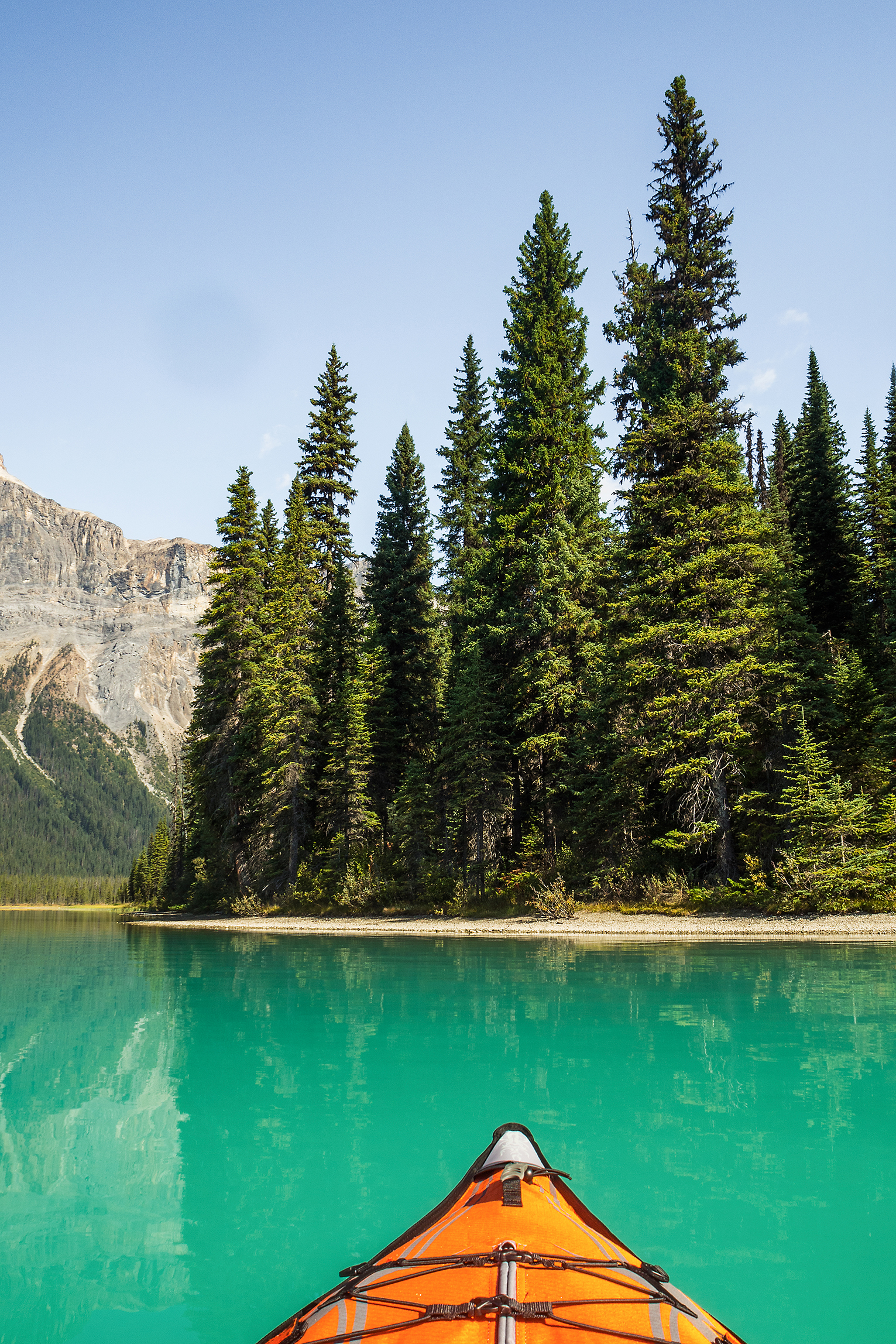
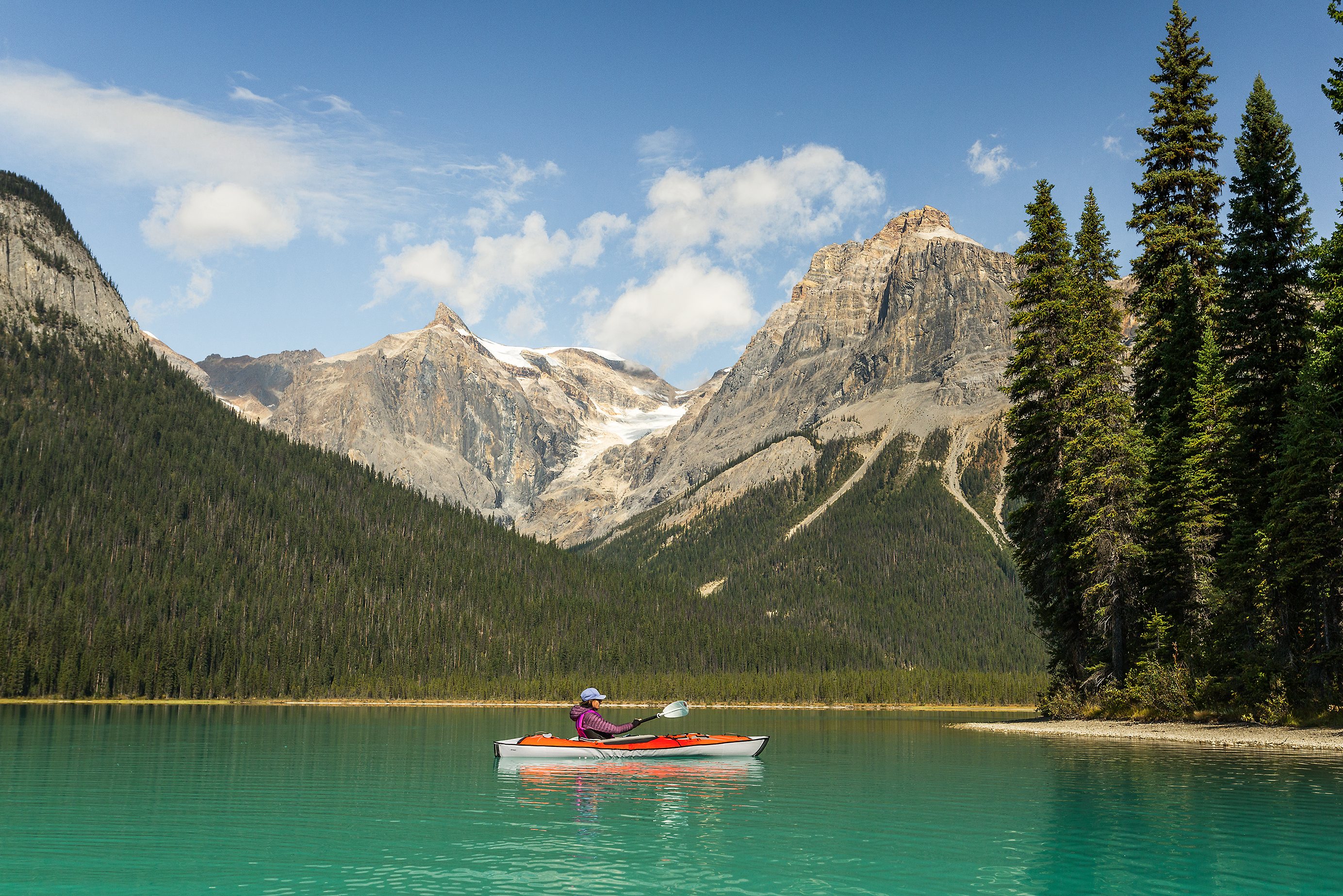
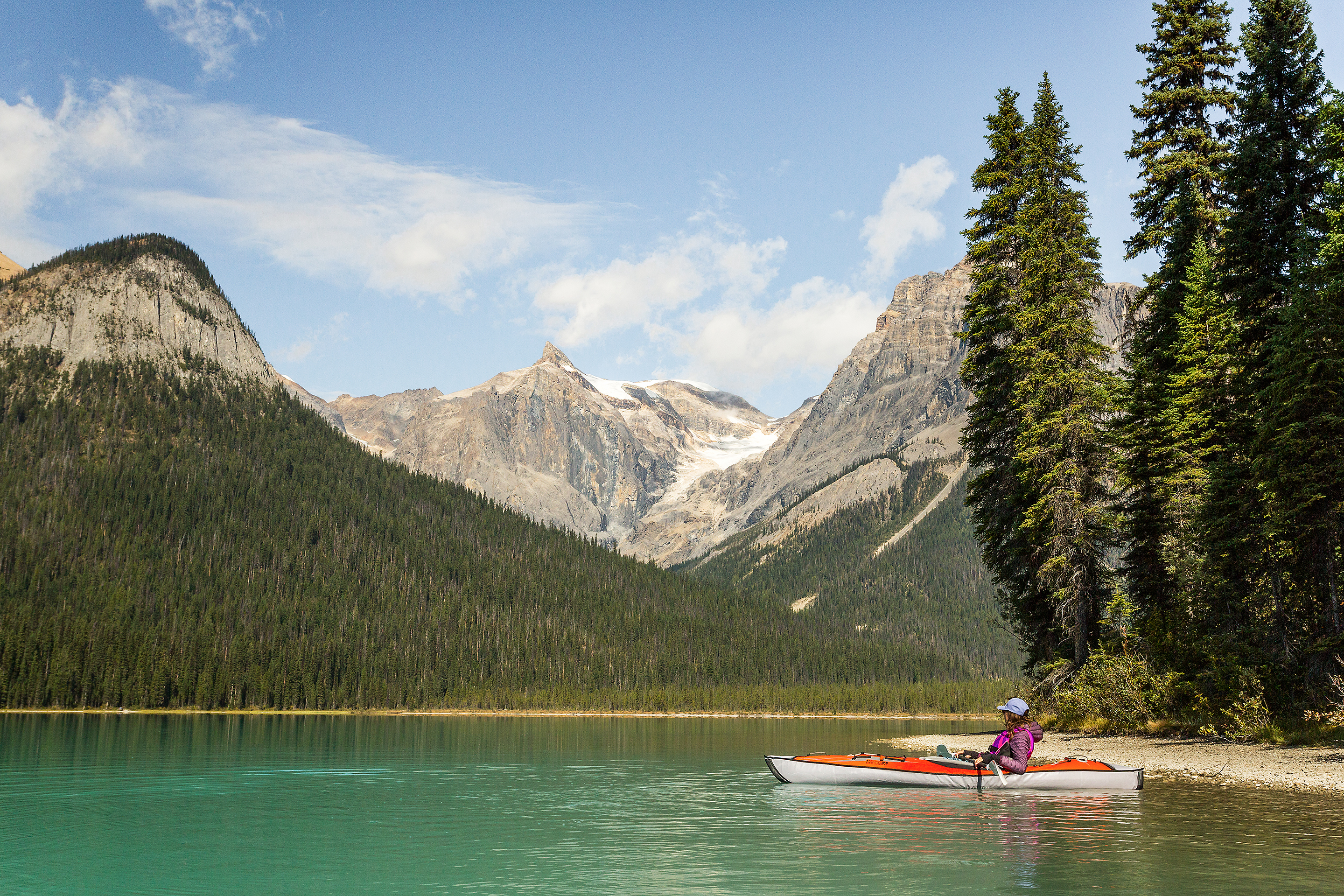
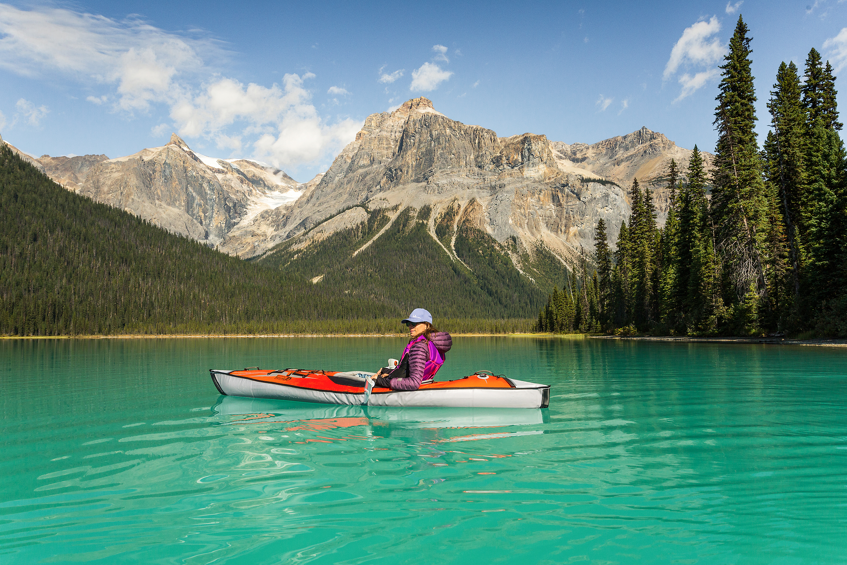
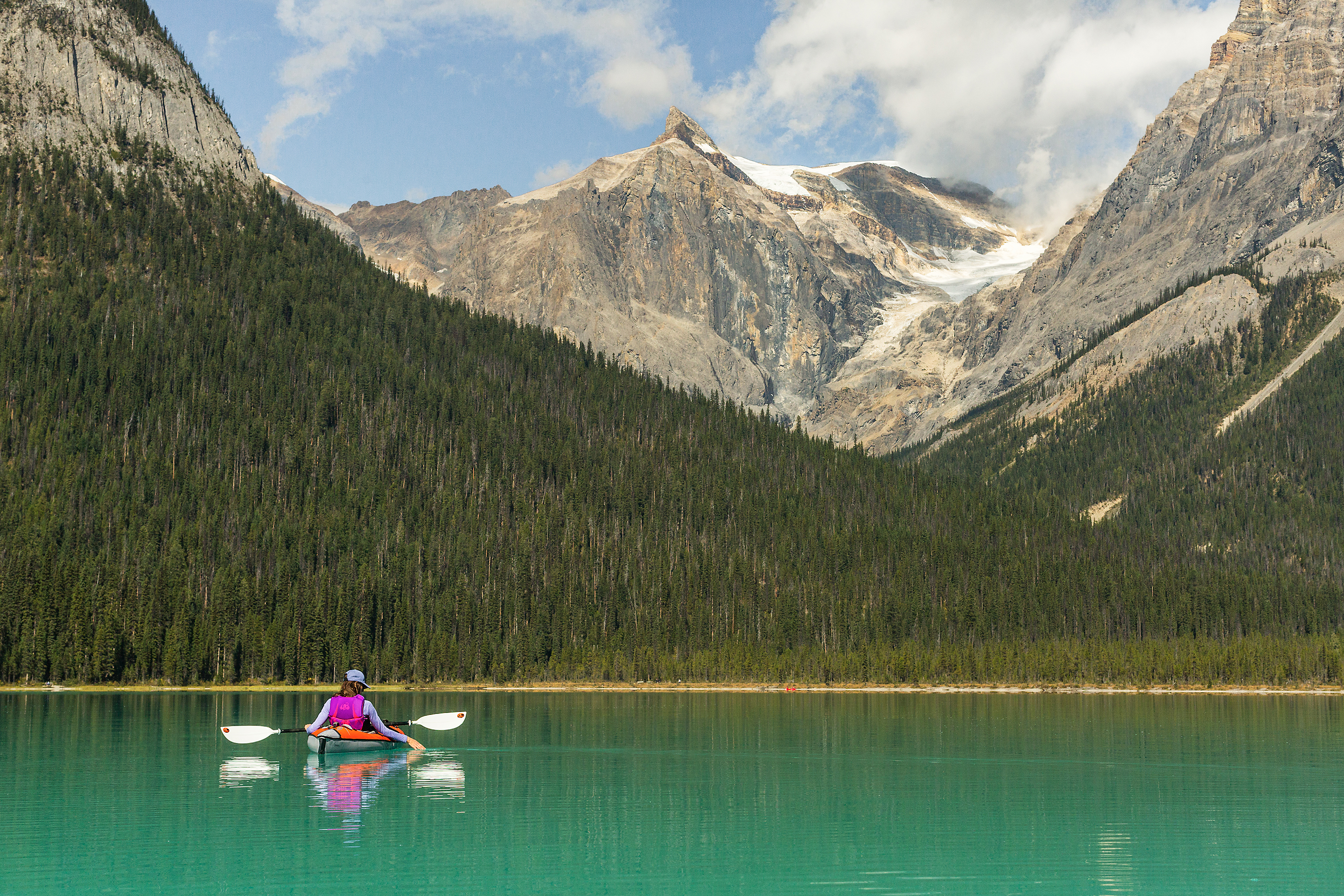
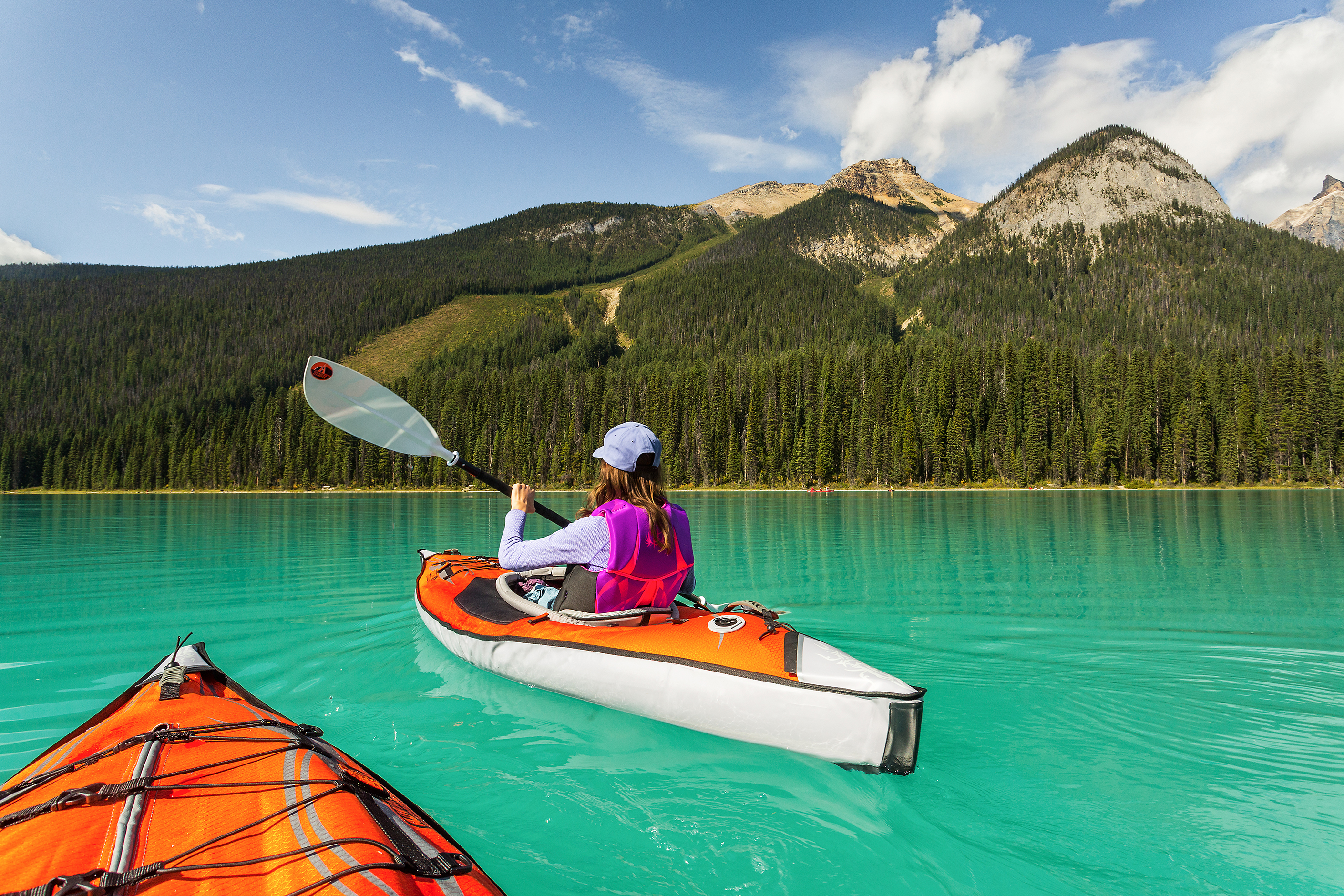
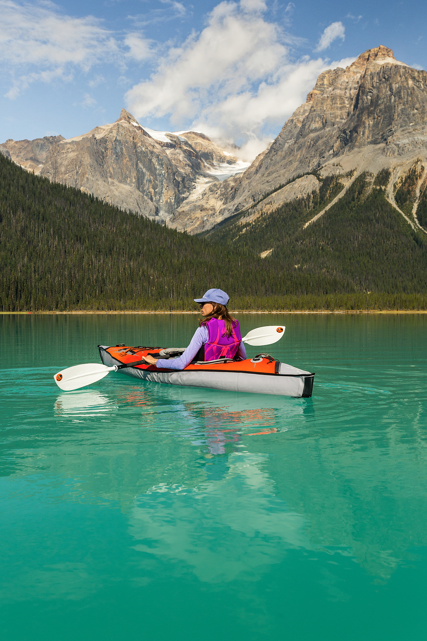
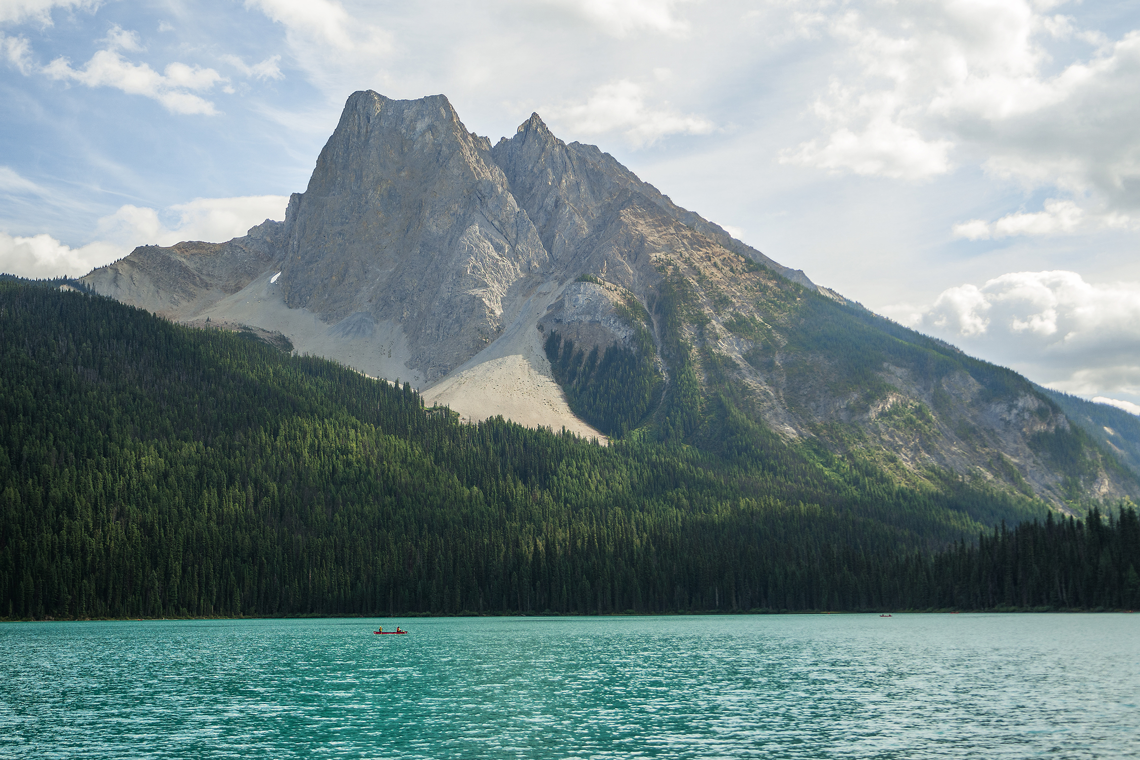
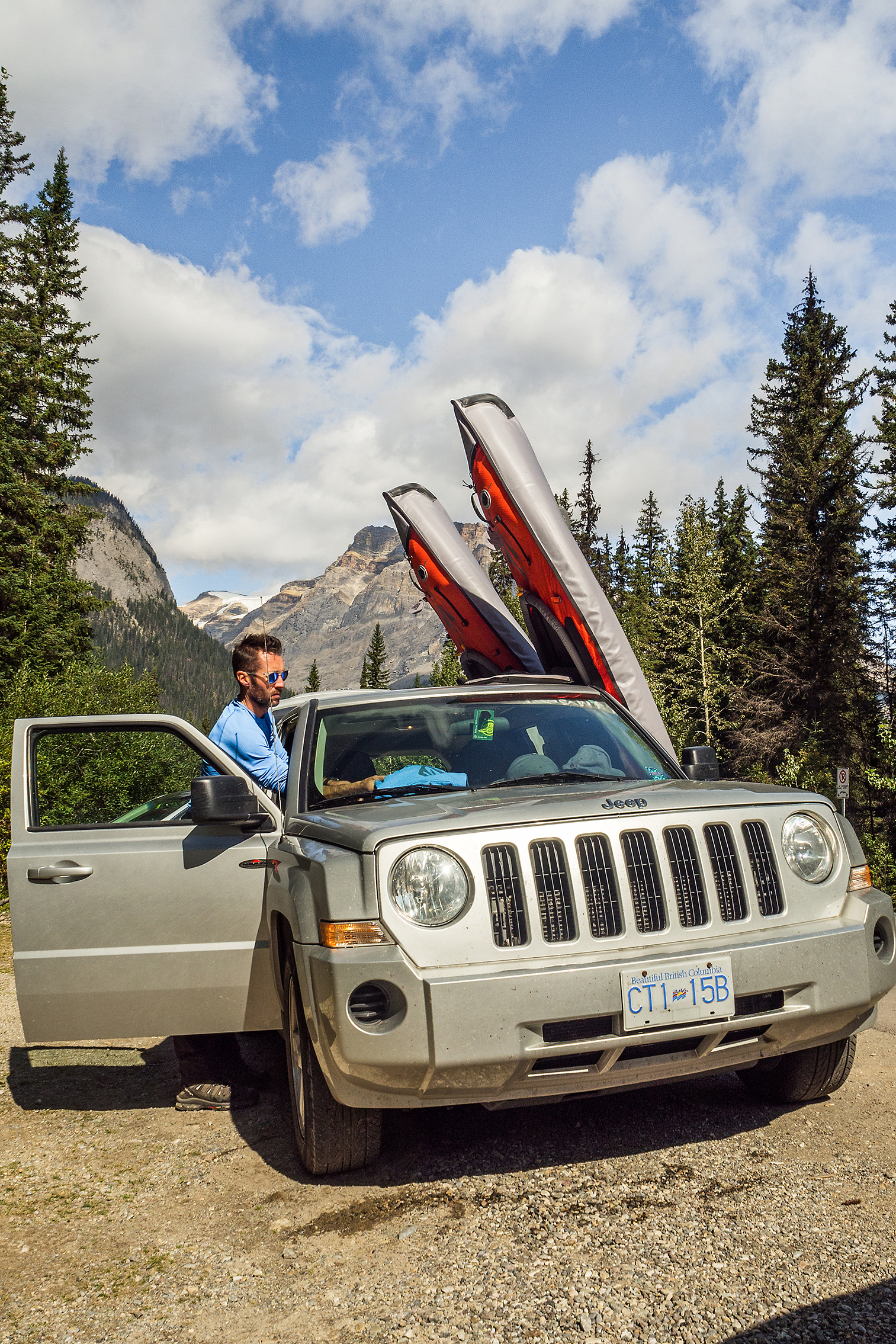
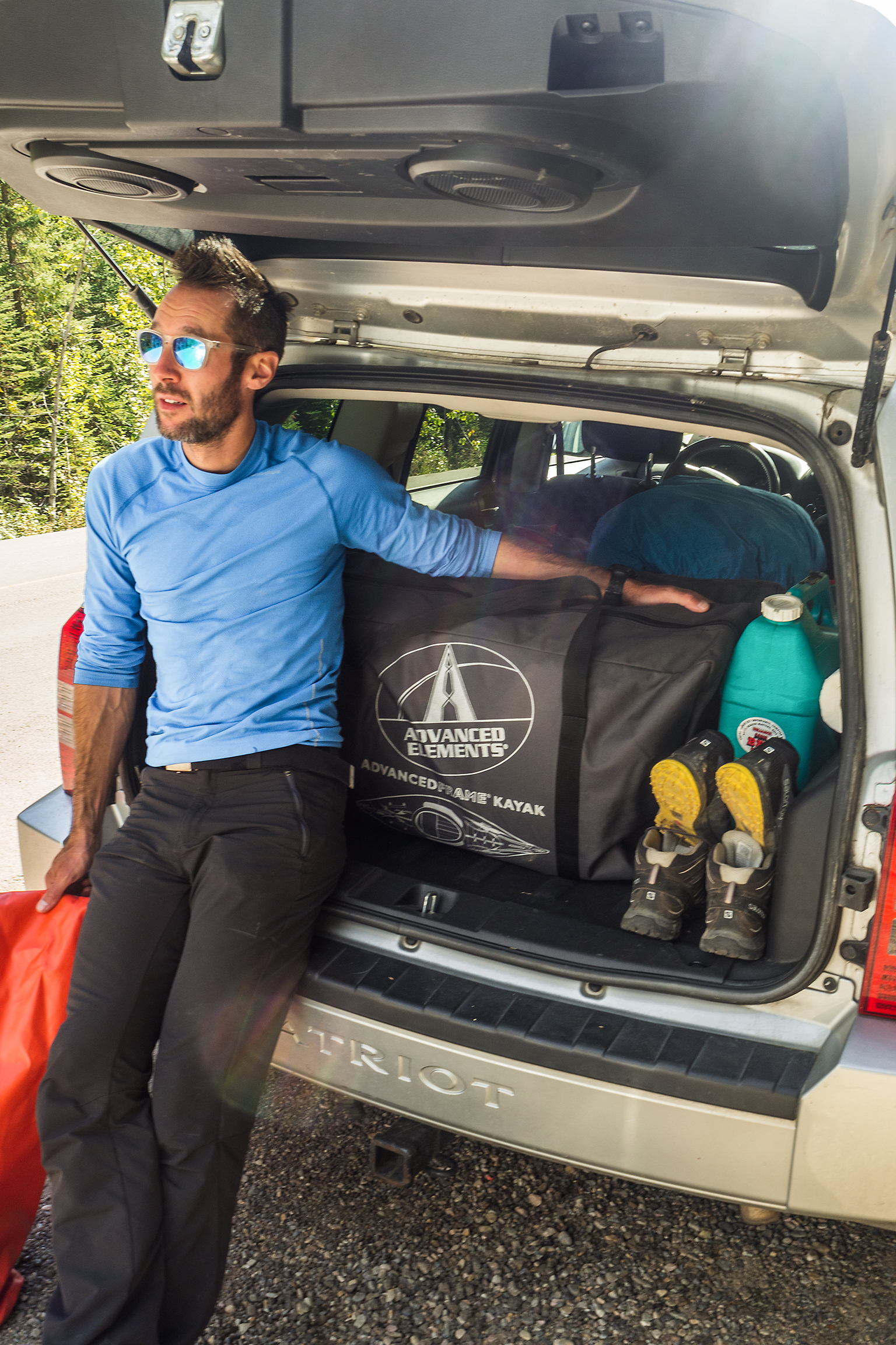
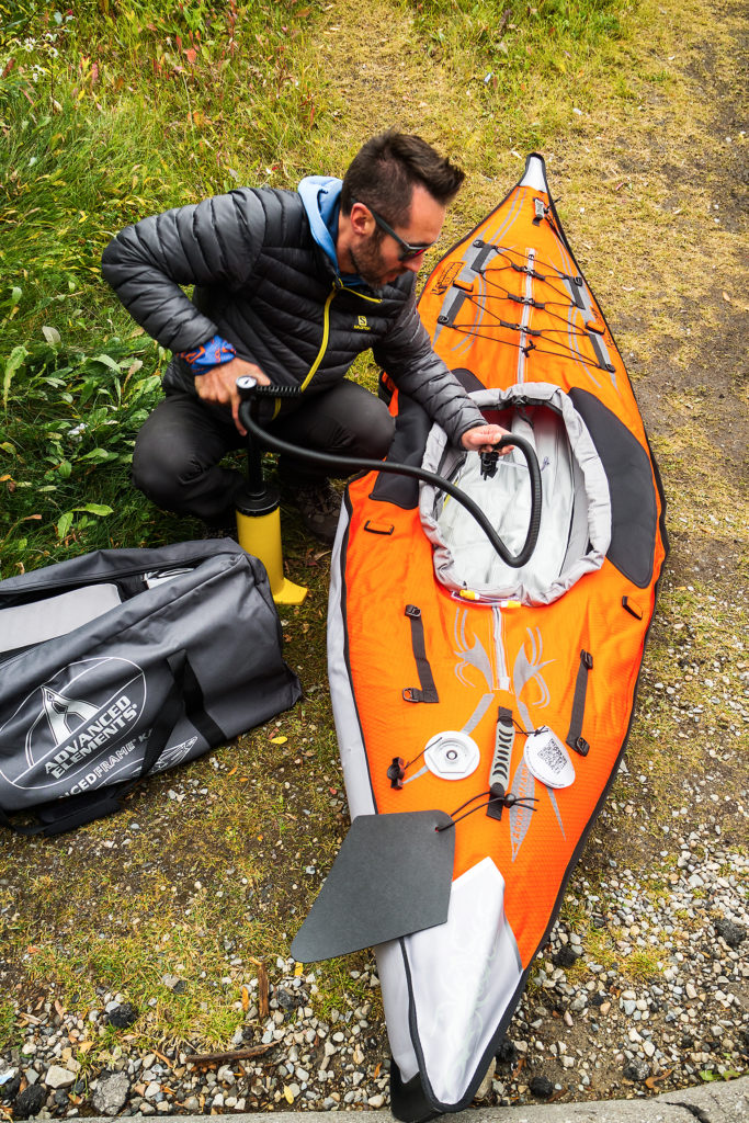
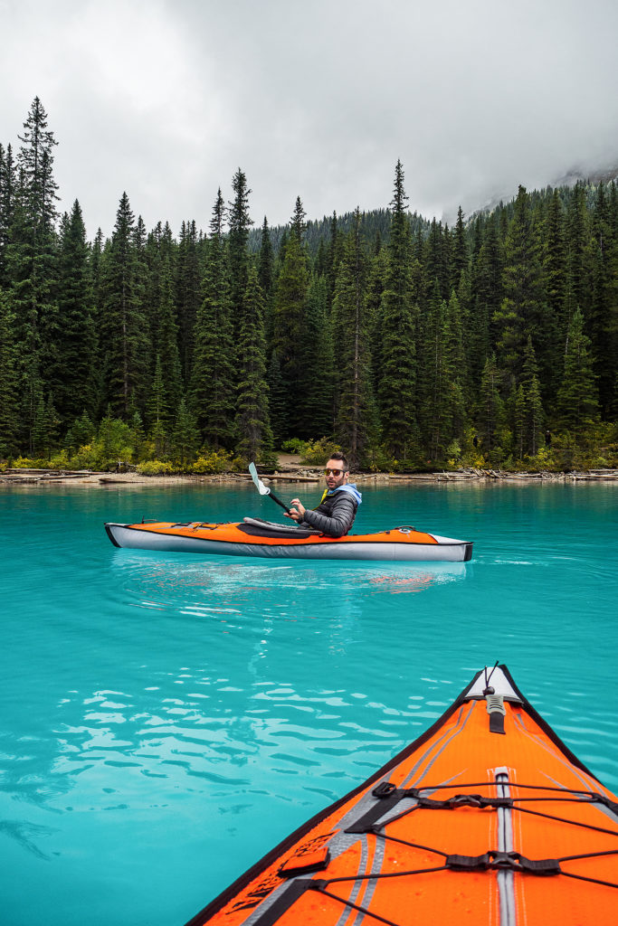
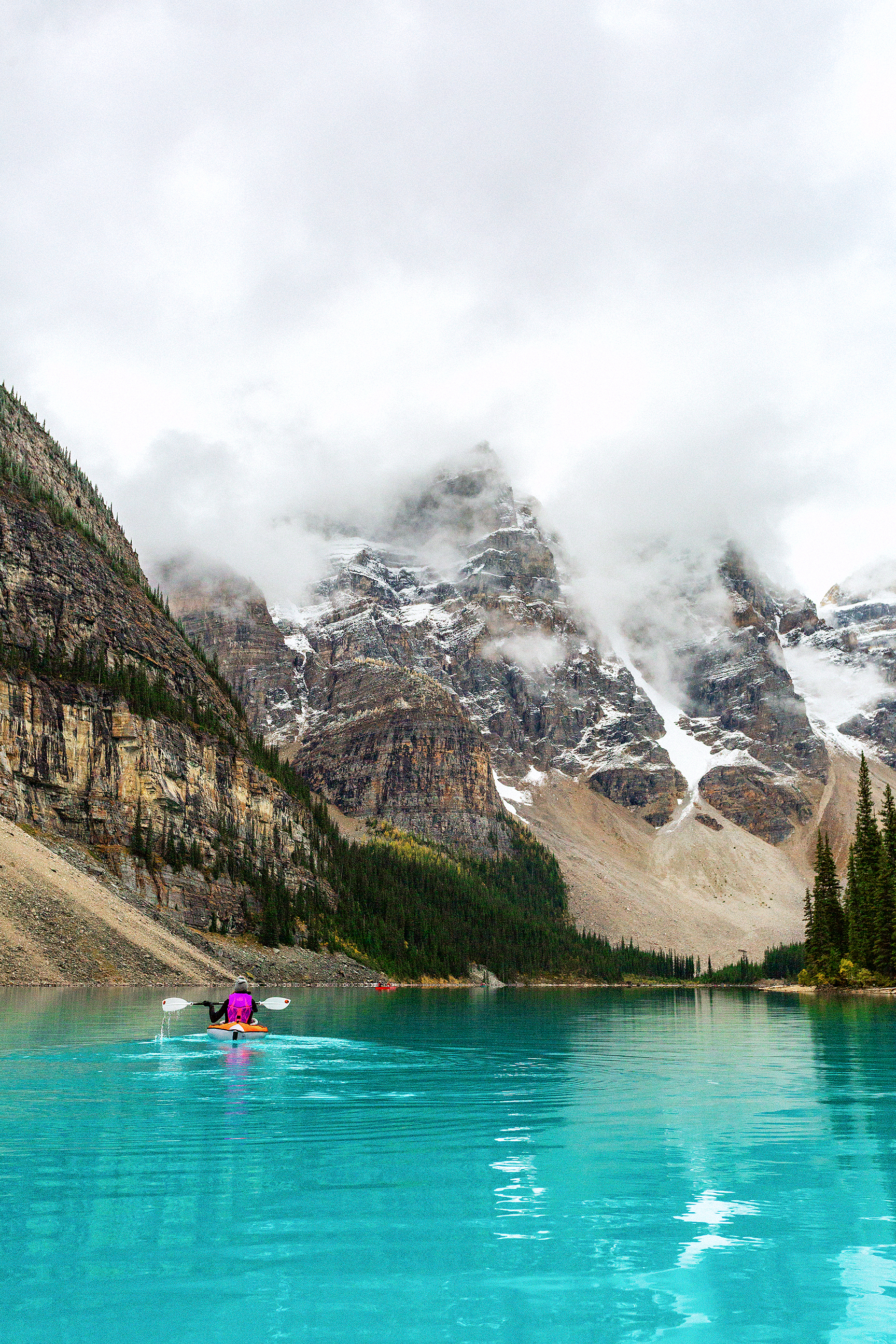
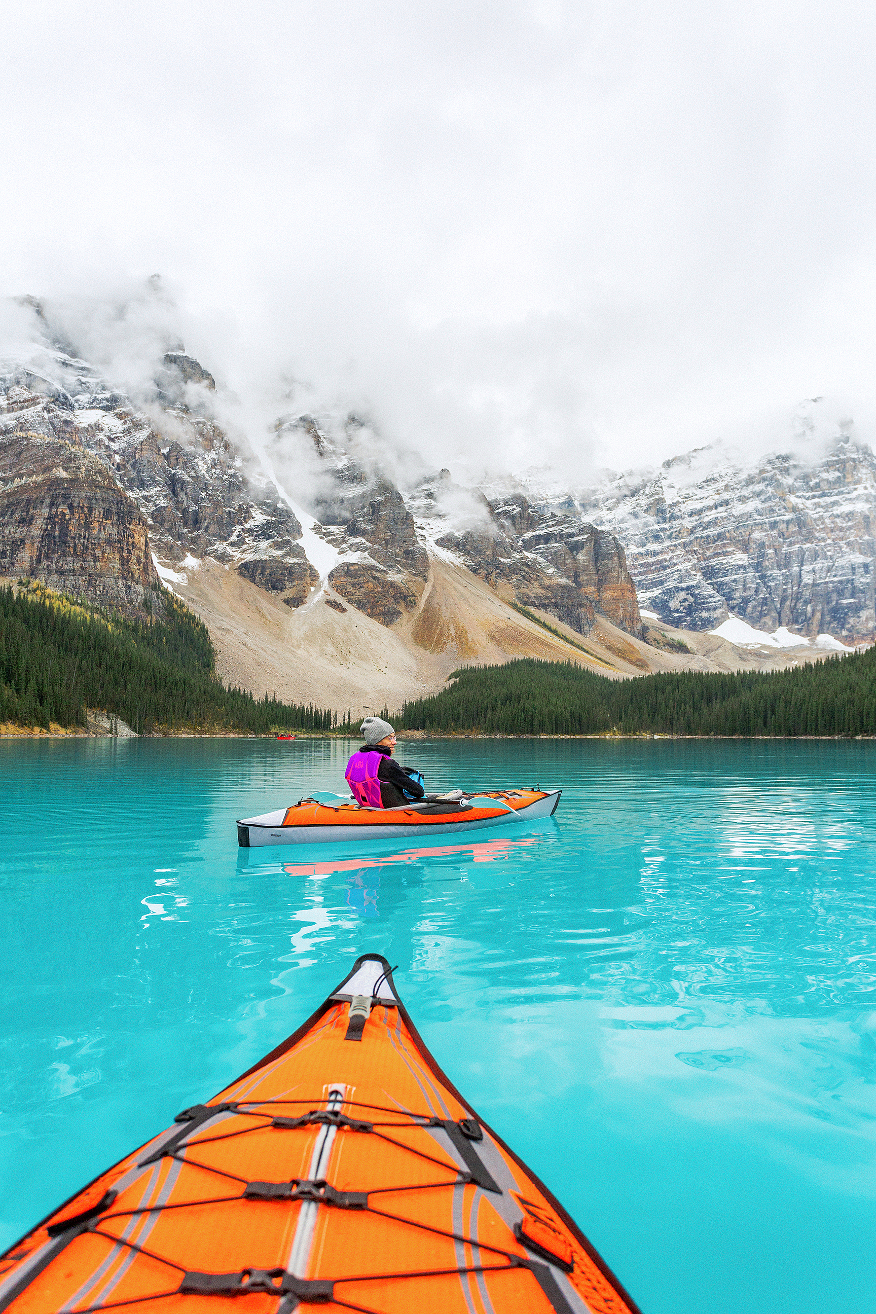
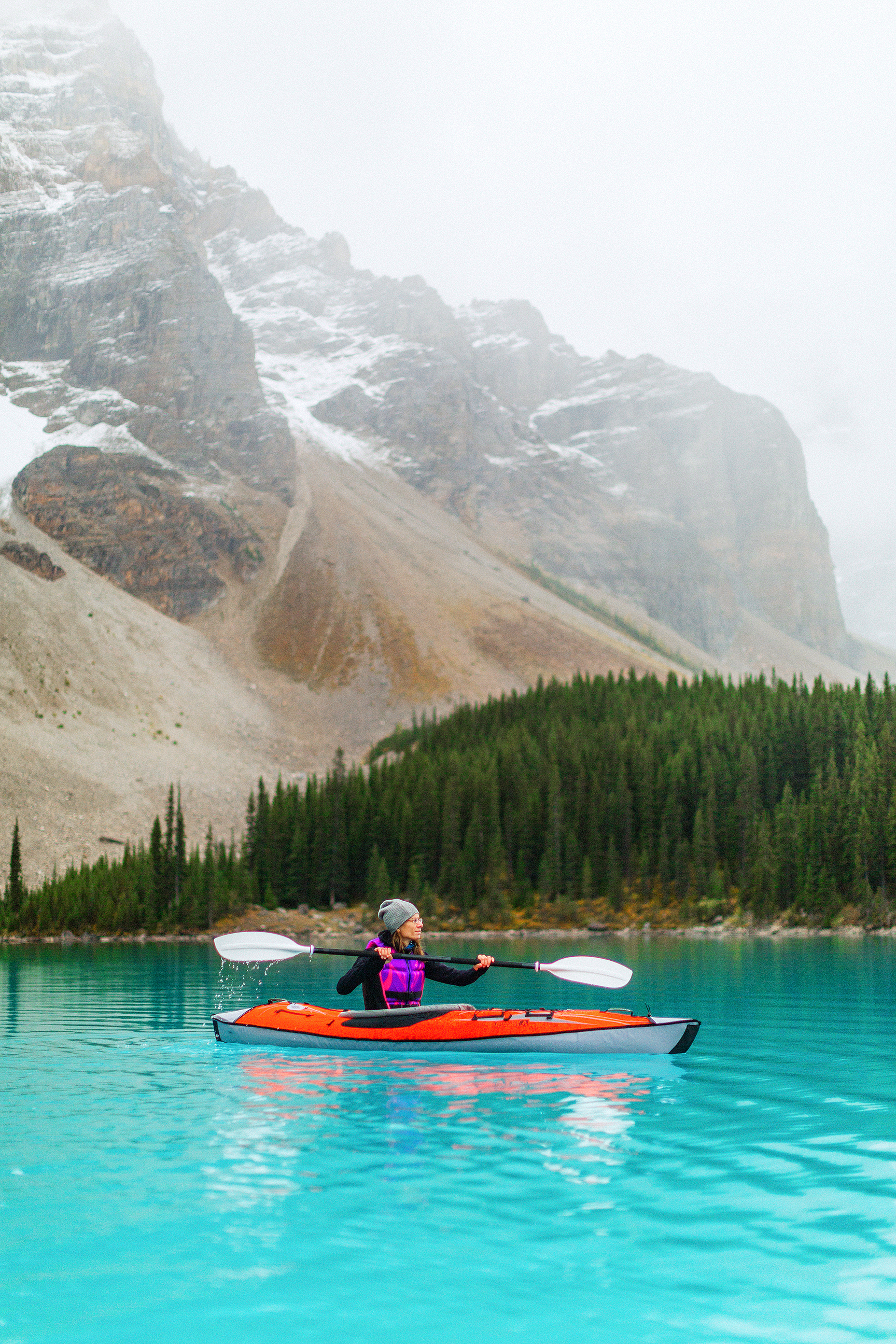
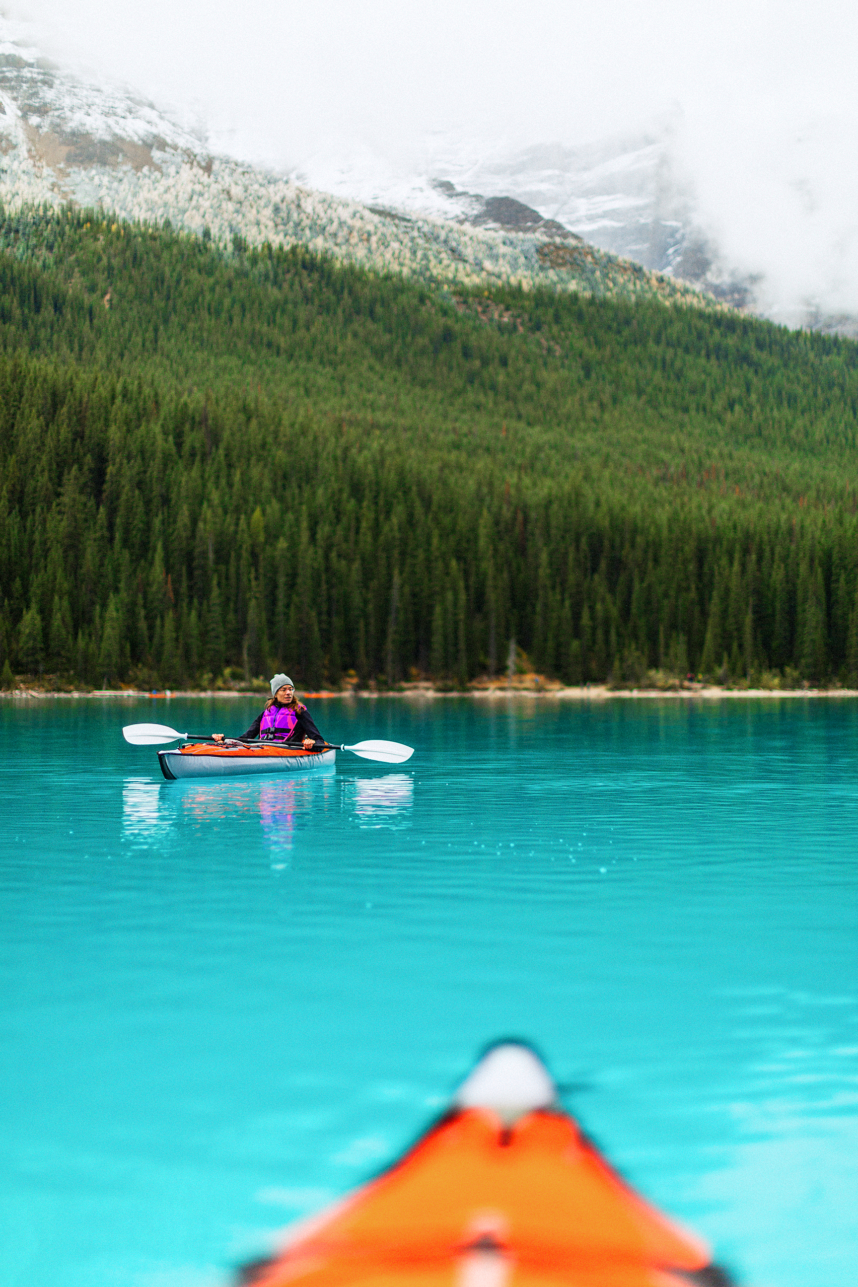
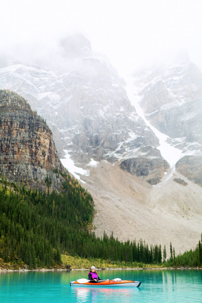
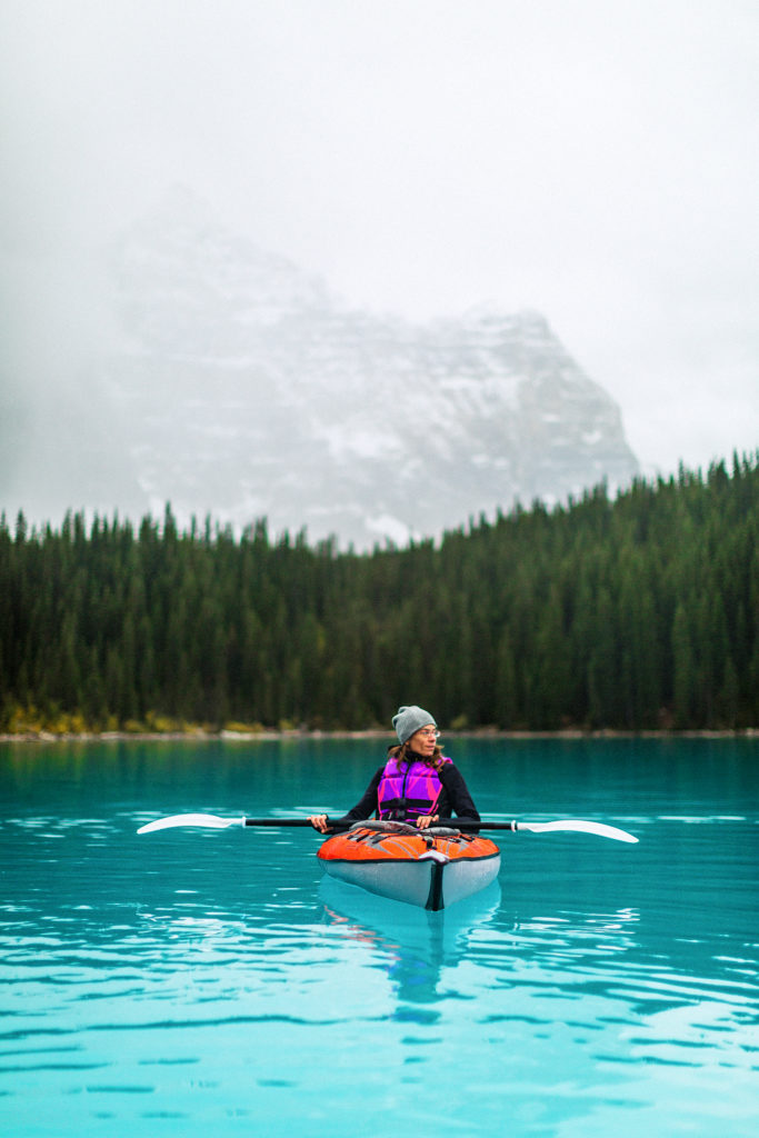
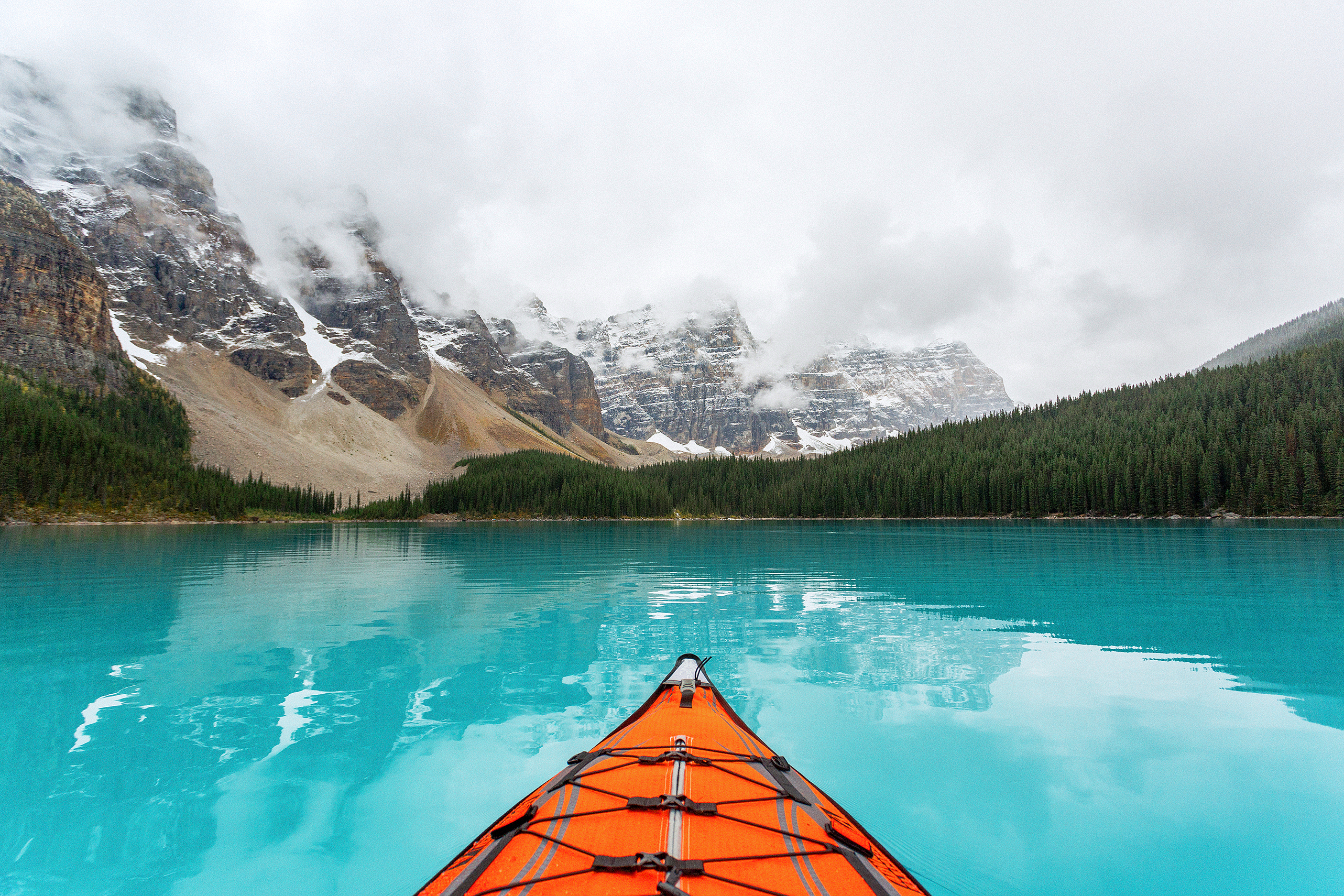
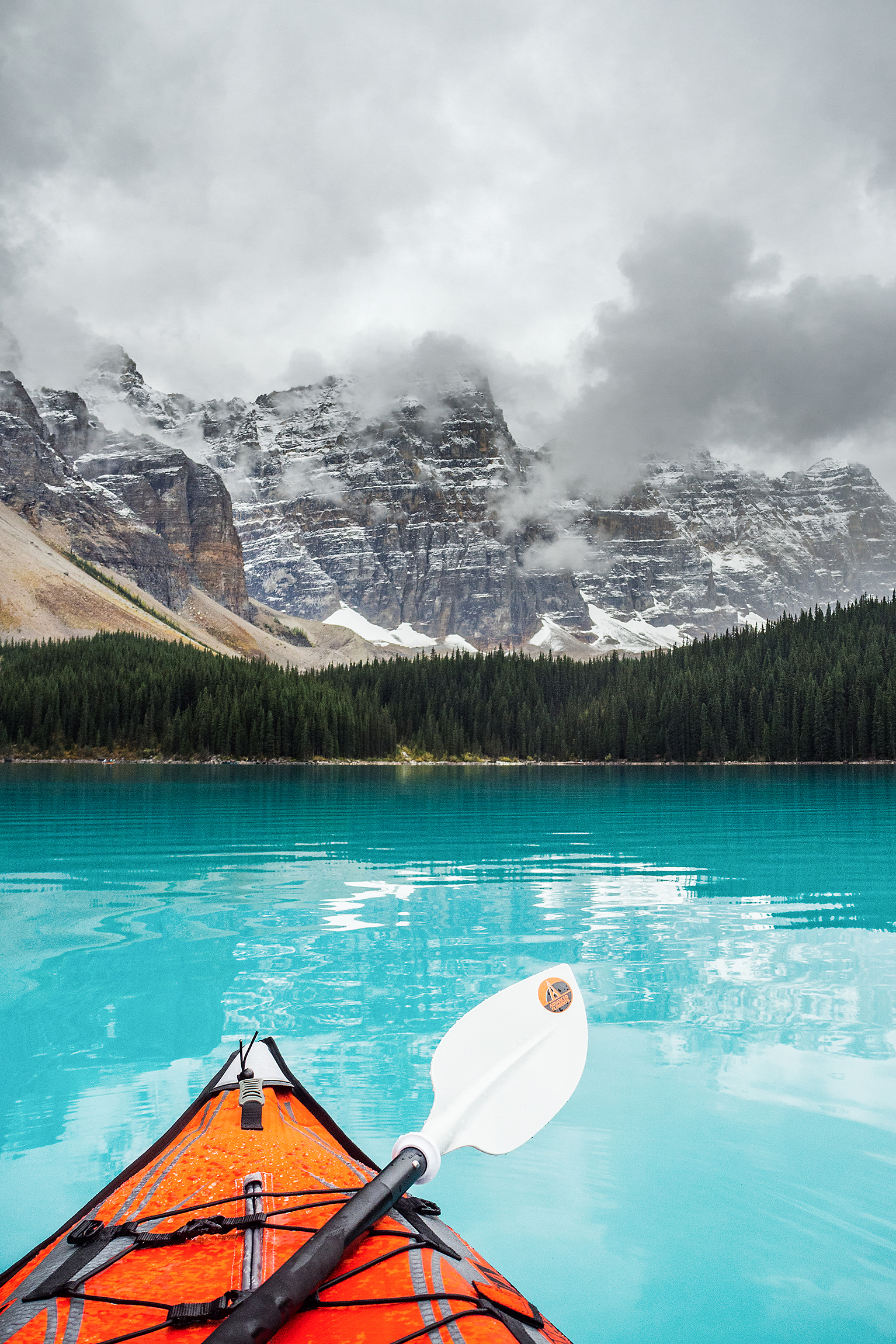
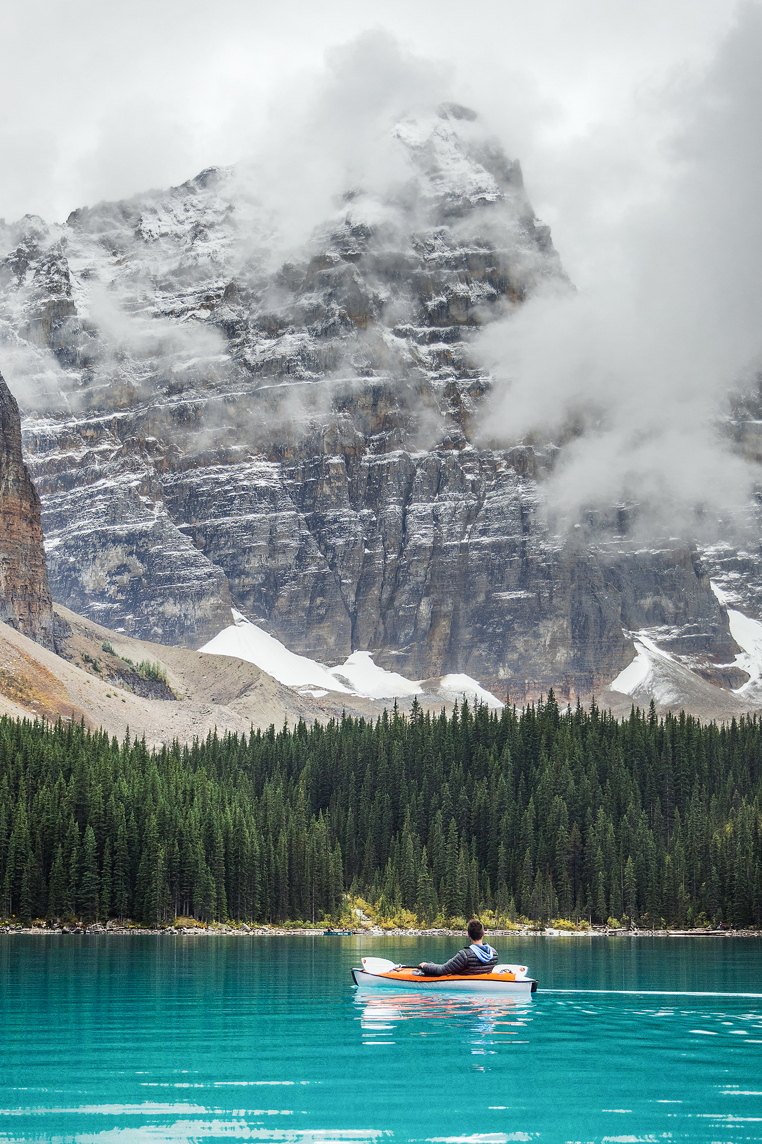
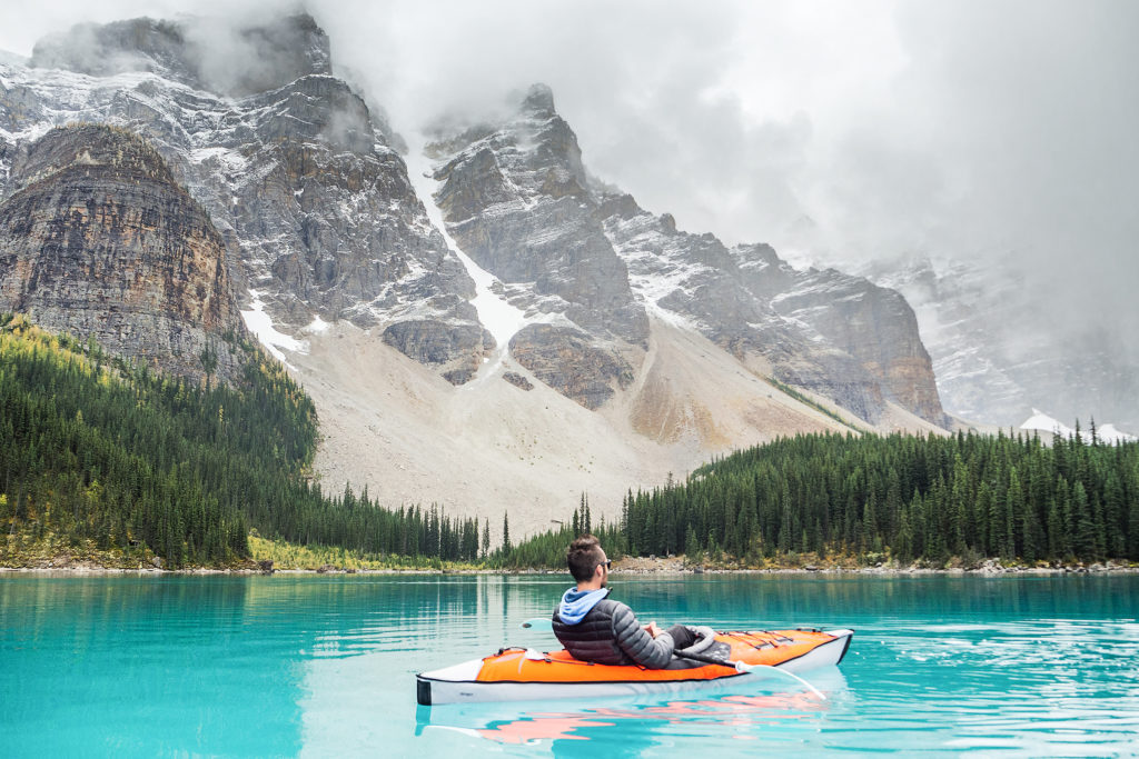
Thanks to the folks at Advanced Elements, we were able to bring 2 inflatable kayaks with us on the trip – an incredible addition to our usual get-up, allowing us to get slightly less mediatized perspective on the Canadian landmark.

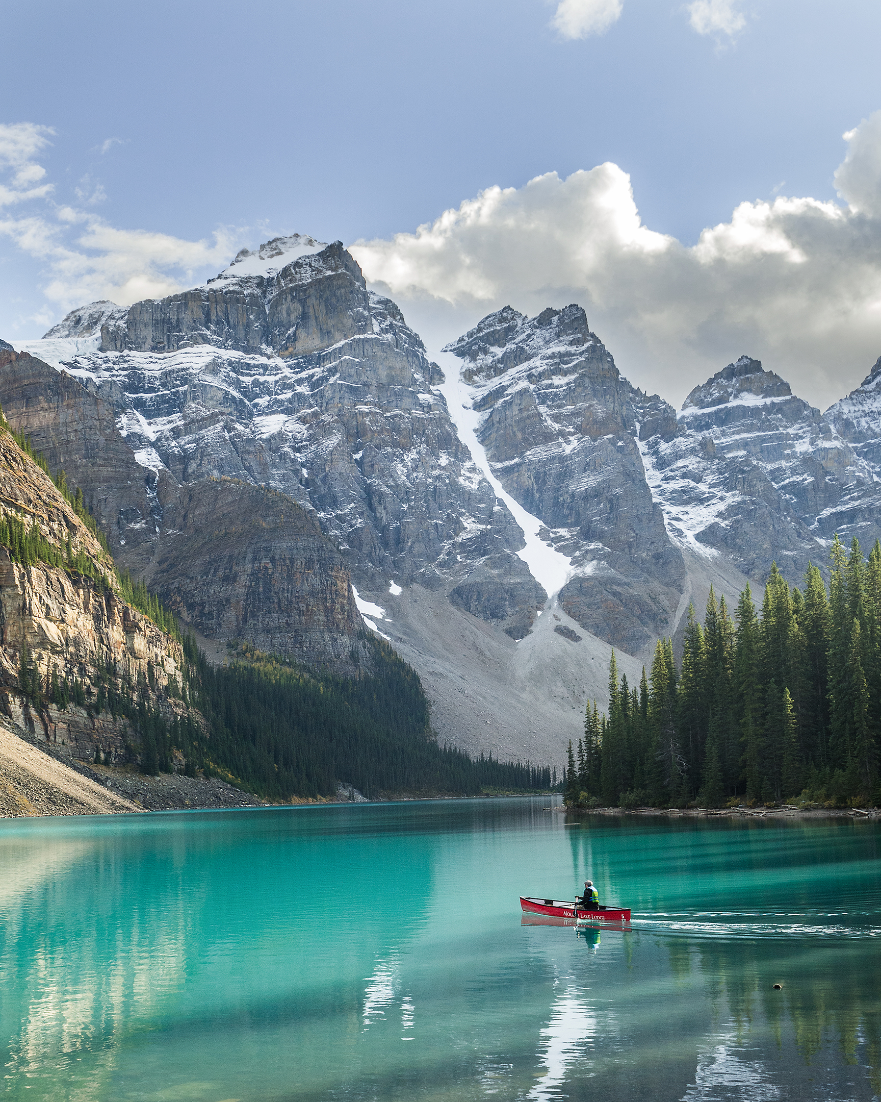
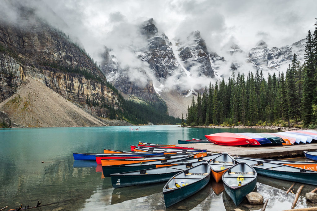
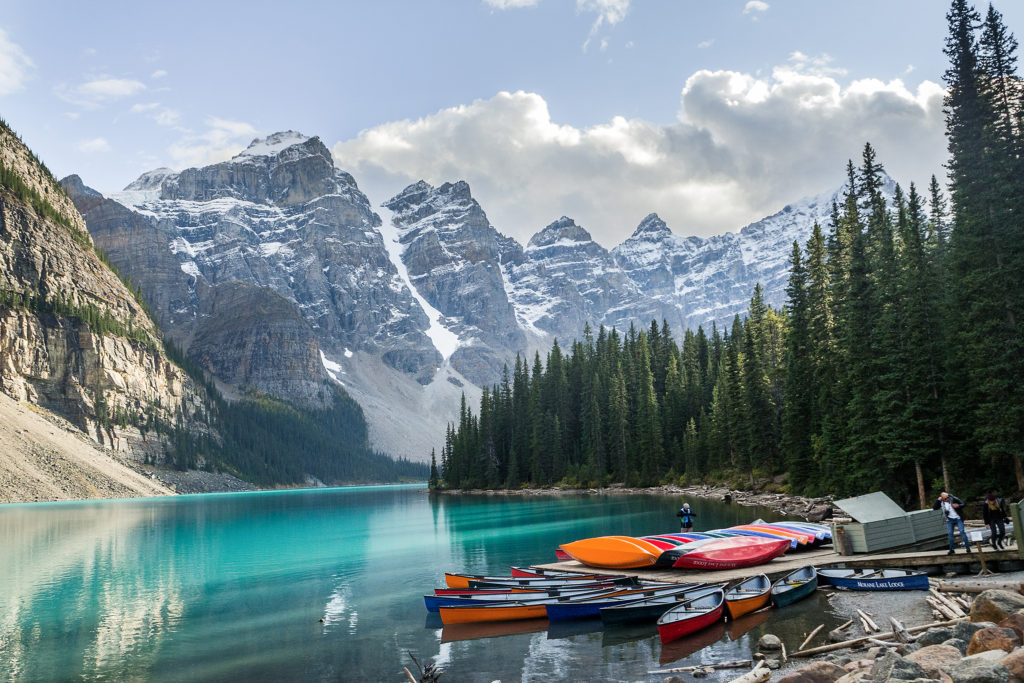
Of course, you can rent canoes at Moraine Lake – red and orange ones, contrasting little lady bugs on the teal water. For $90 an hour. Yikes. Steep is a bit of an understatement, but admittedly, leaving the busy shore behind to enjoy the much more authentic tranquility of the water is part of the full experience (there are a limited number of canoes to rent, which ensures that traffic from the shore doesn’t spill over to the lake – although I’d be curious to know how many other floatation devices are brought along on the summer months.)

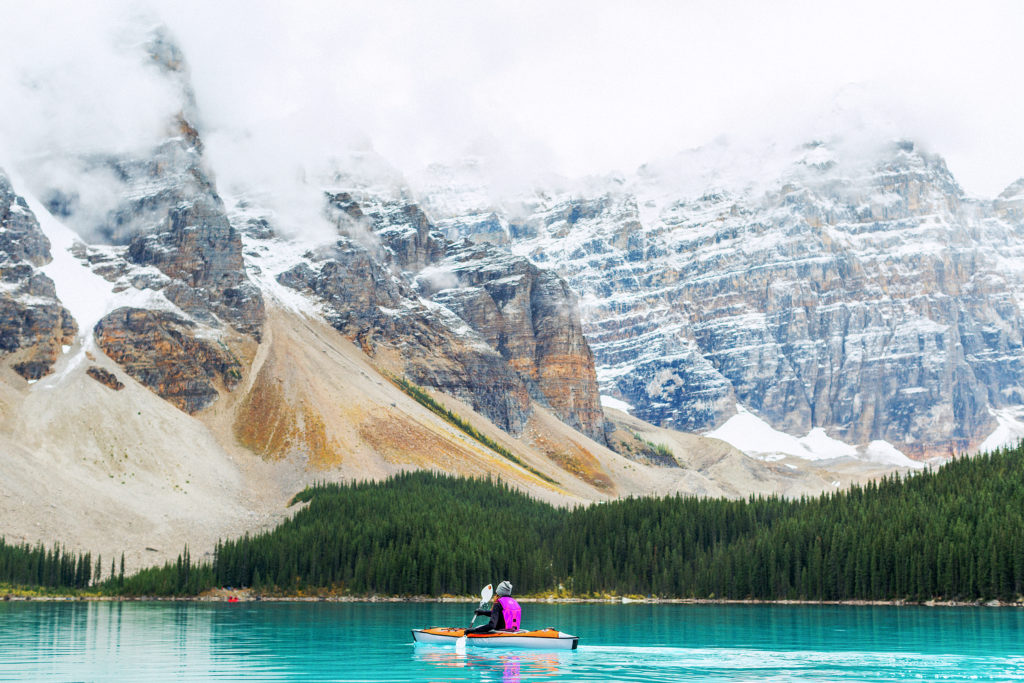
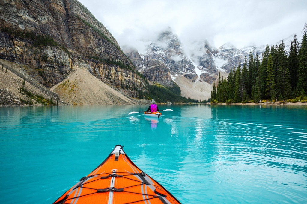
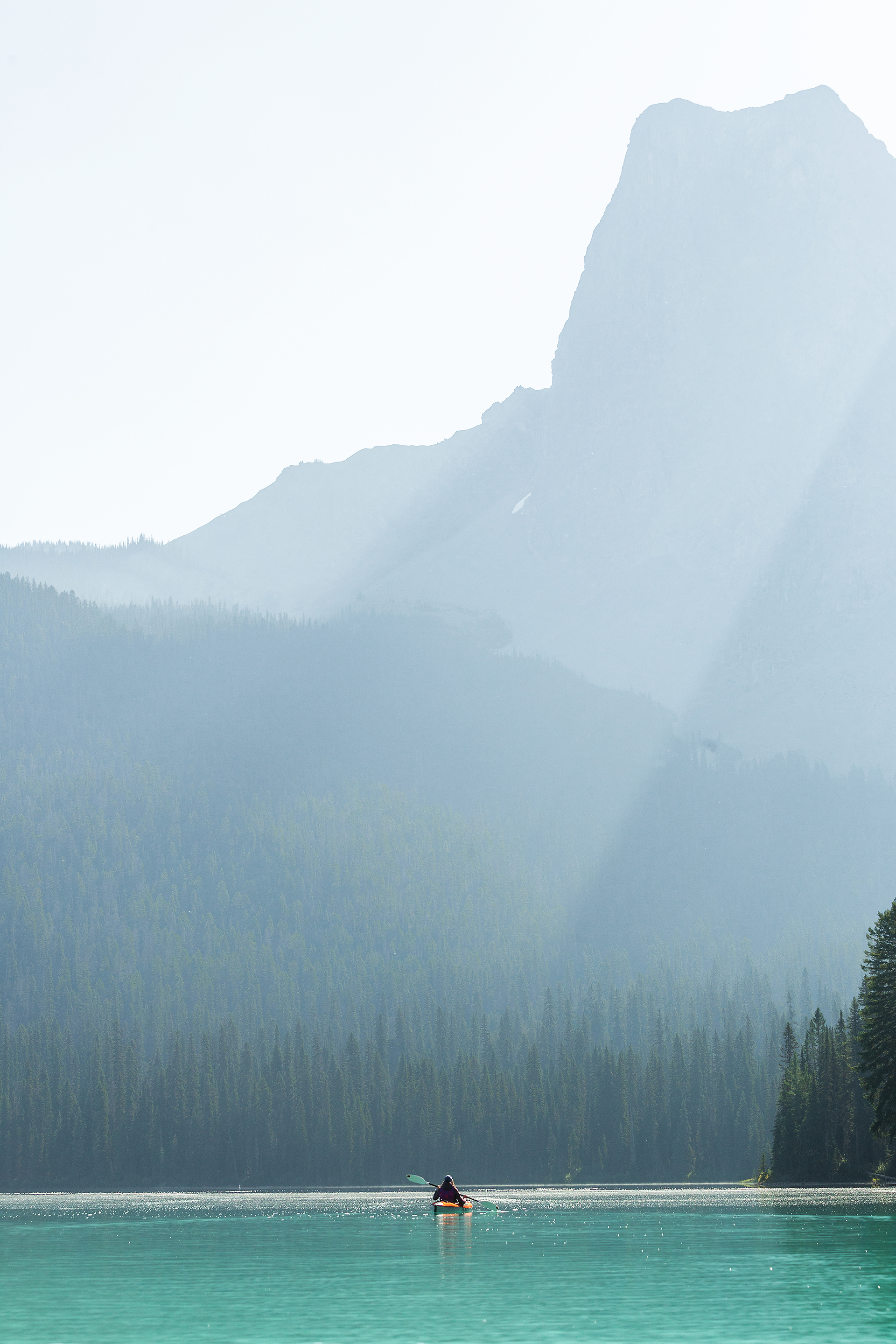
In just minutes, our bright orange kayaks were ready to go and a beat later, we were paddling away from the hustle. The lake has a surface of about 50 hectares, definitely big enough to put distance between us and the real world, and enjoy a truly serene moment. Floating on completely still lake water, surrounded by mighty mountains, slowly revealing themselves to us as time passes in slow motion. A true moment to stop and let go.

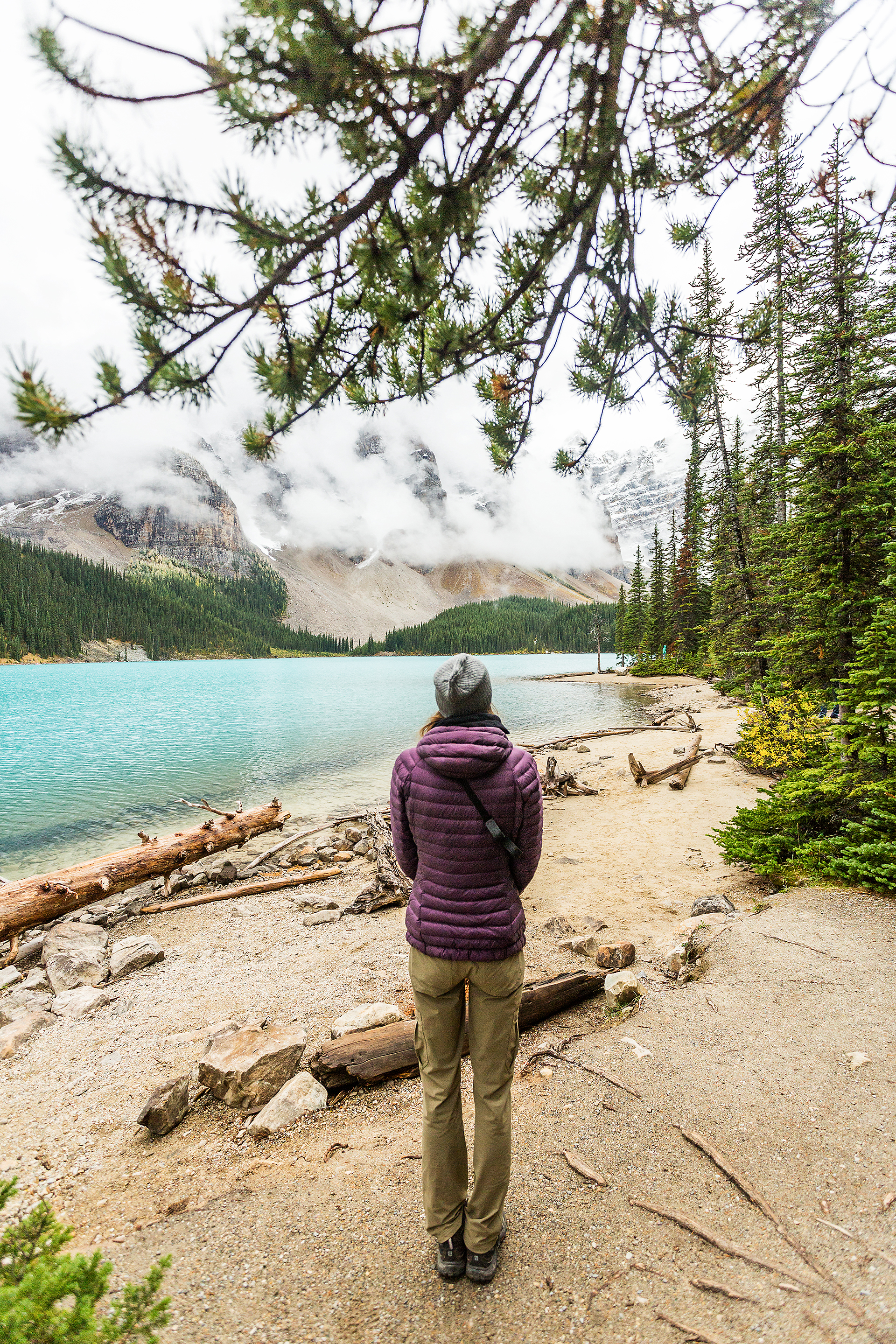
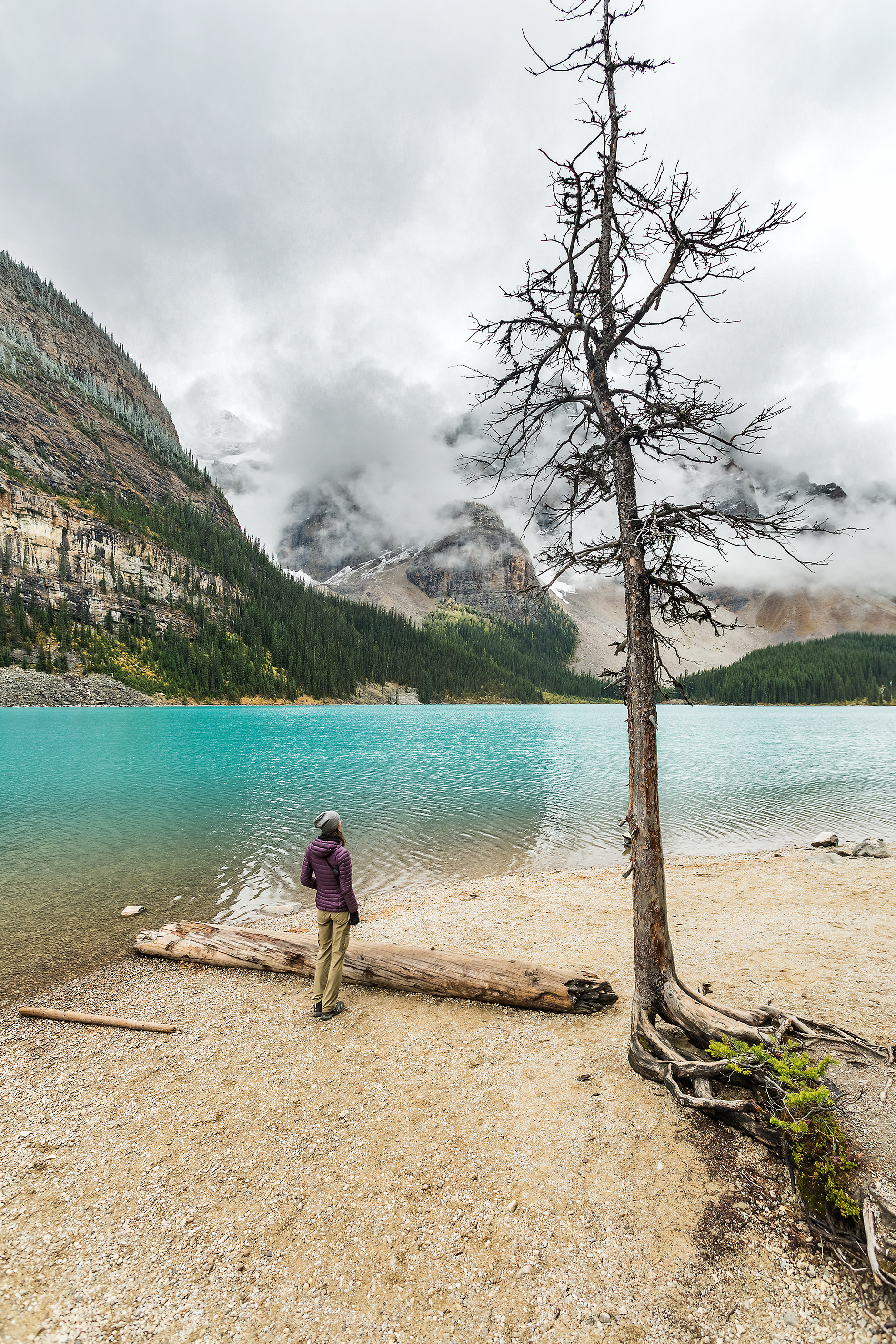
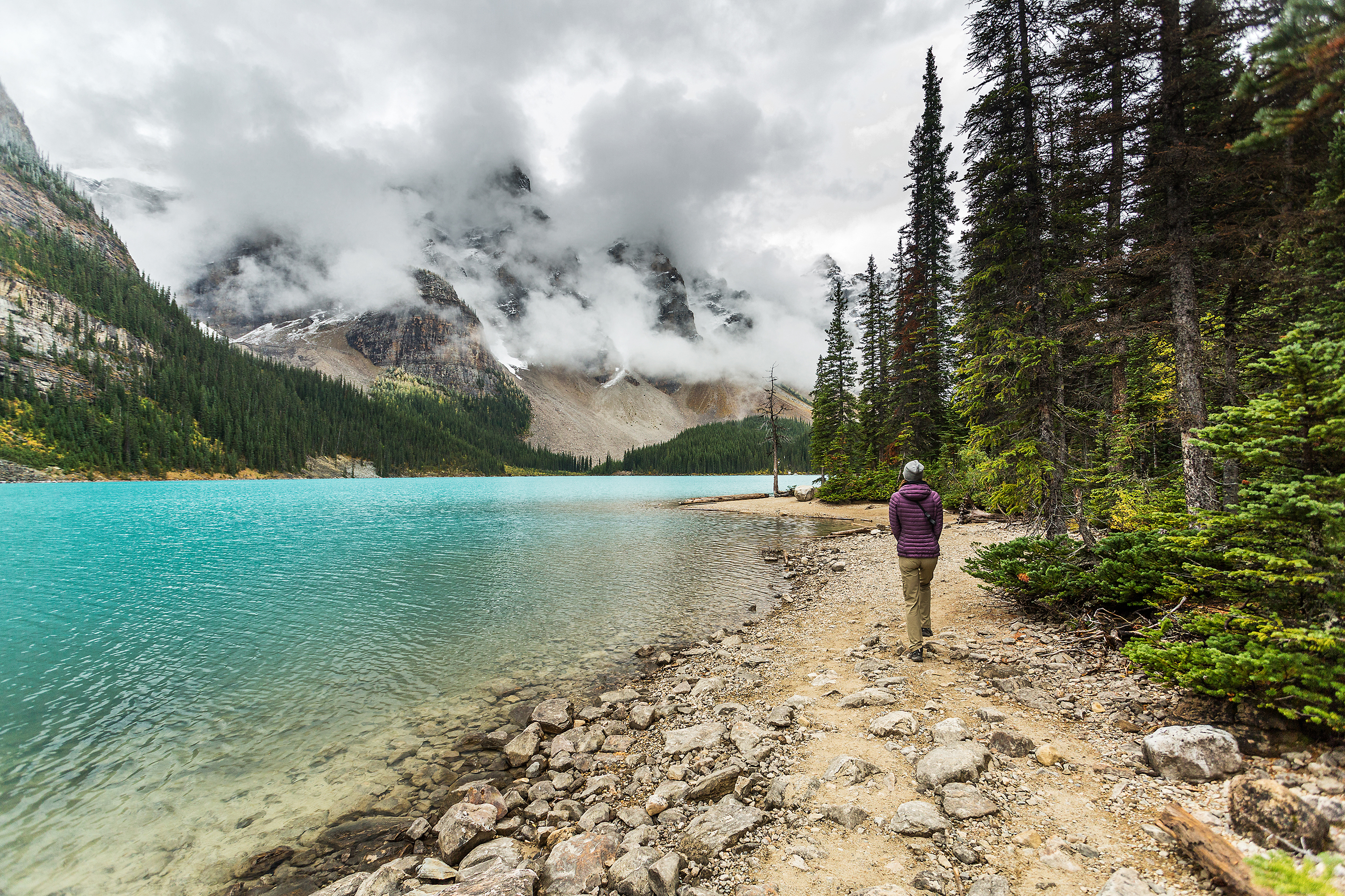
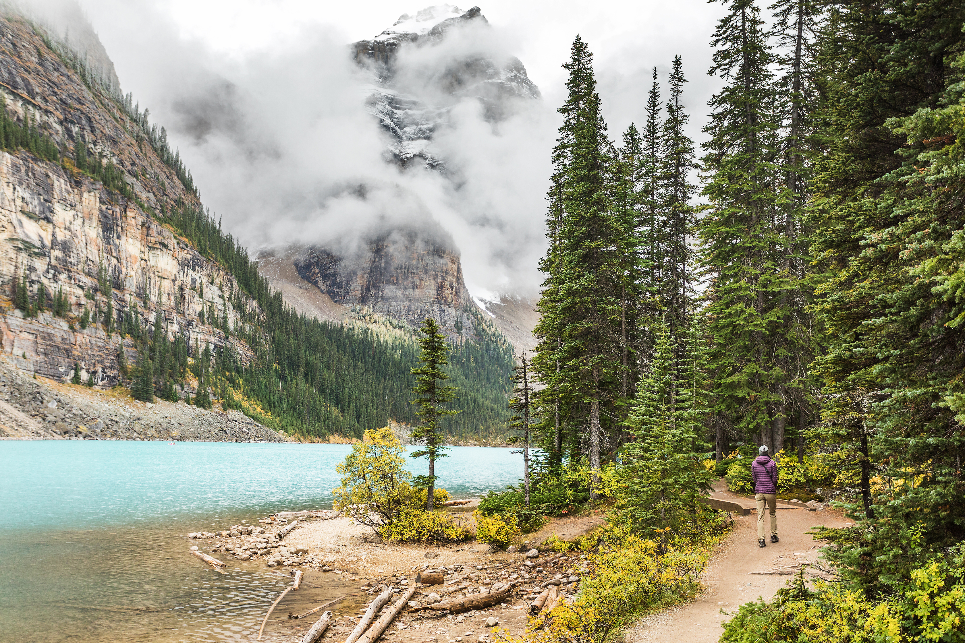
It was lunchtime when we came back to shore. After putting the kayaks away we grabbed a sandwich at the Lodge before heading up one of the many trails that start from the lake.


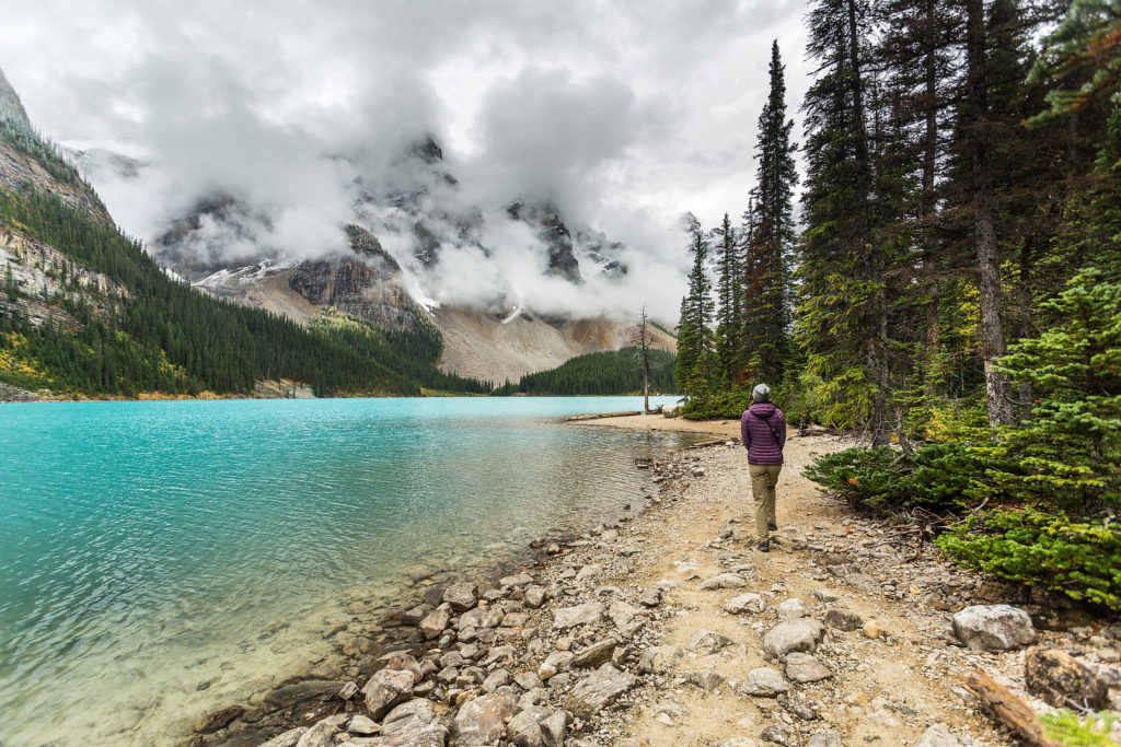
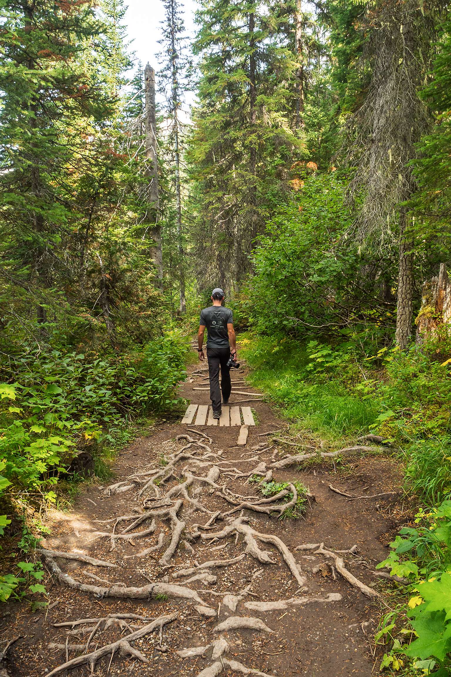
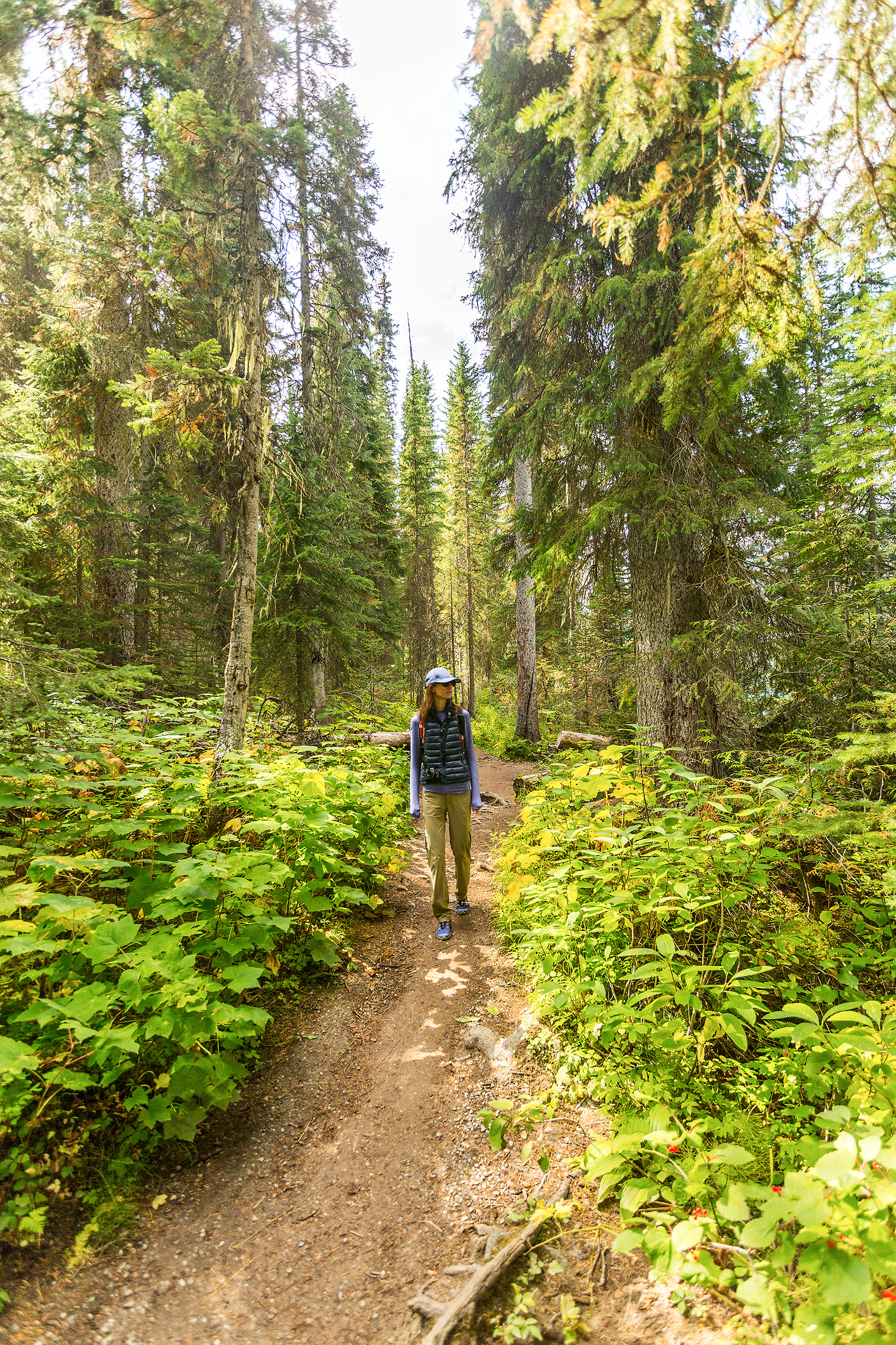
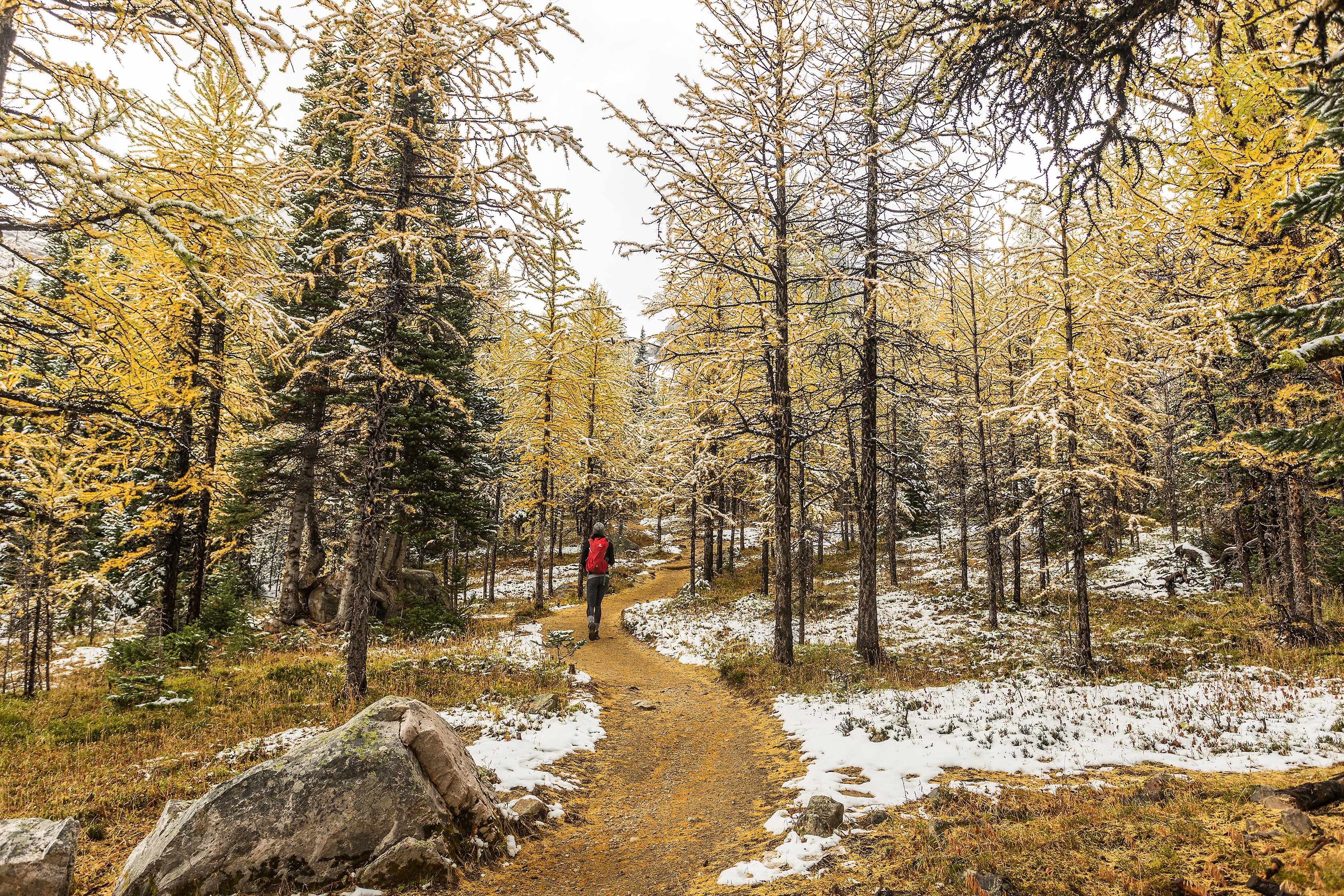
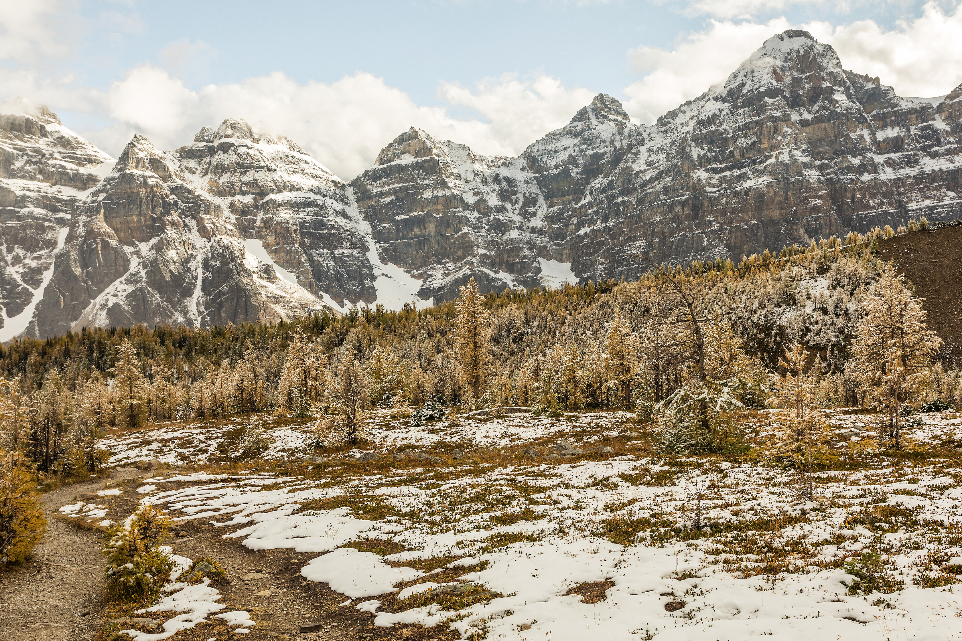
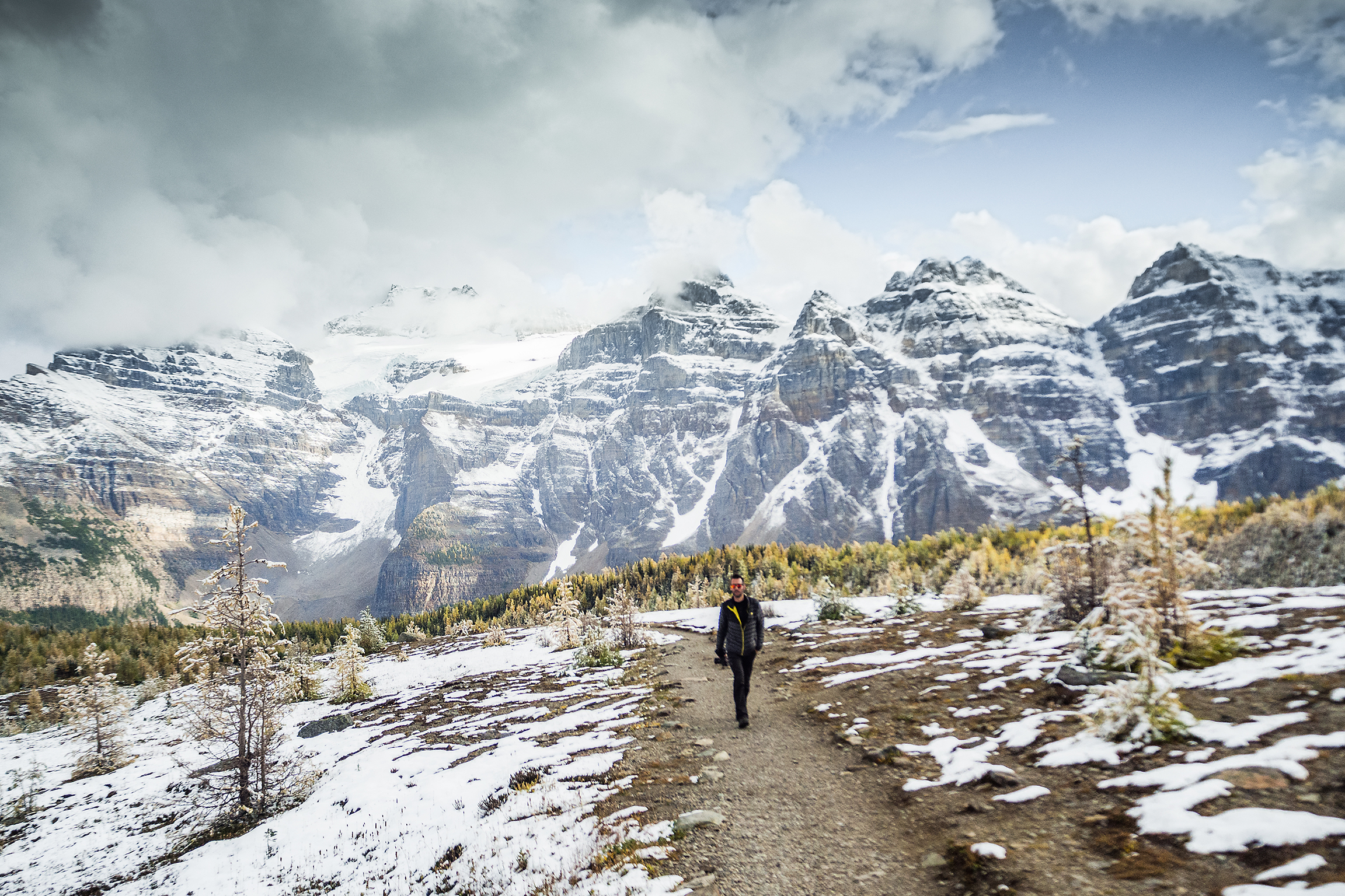
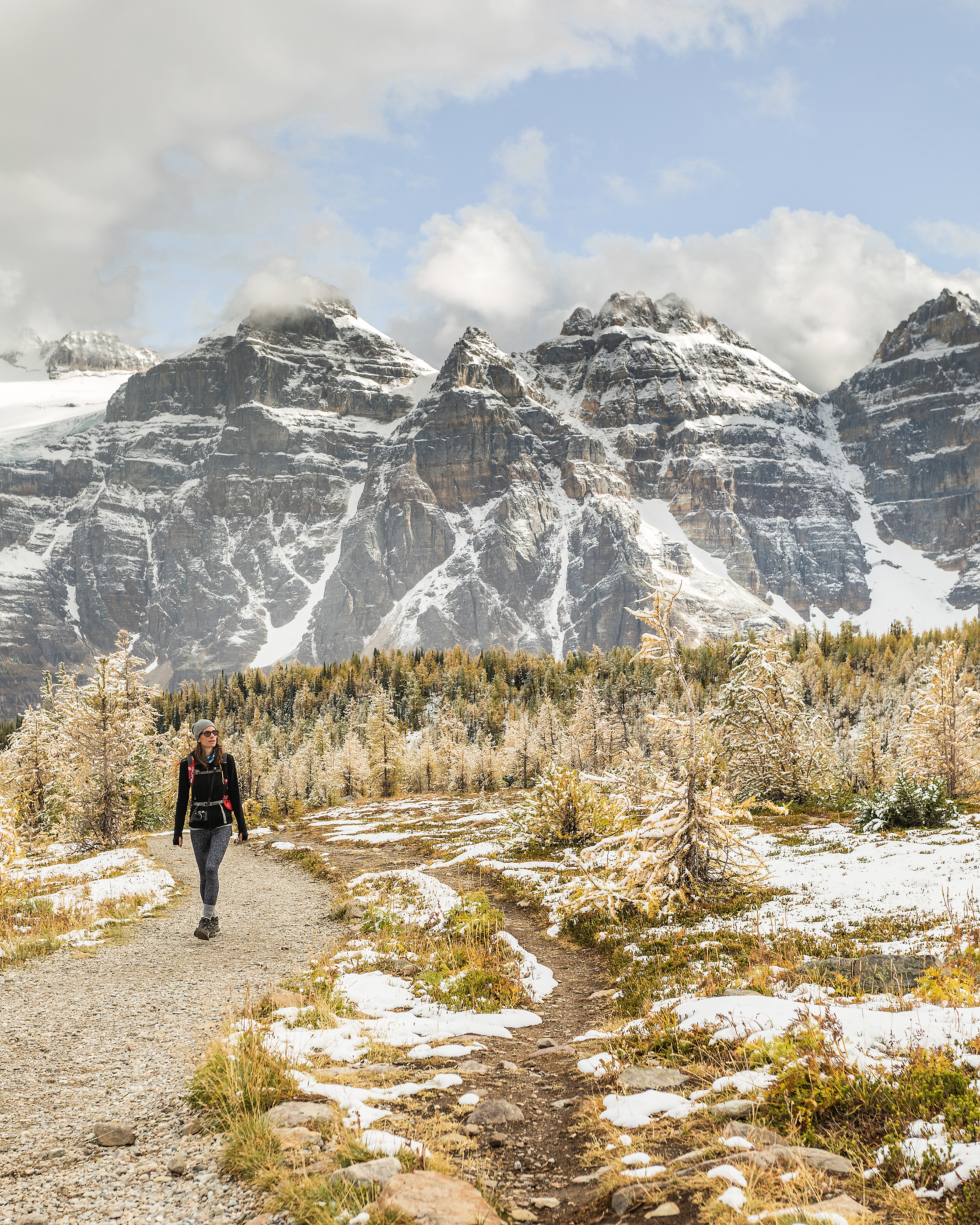
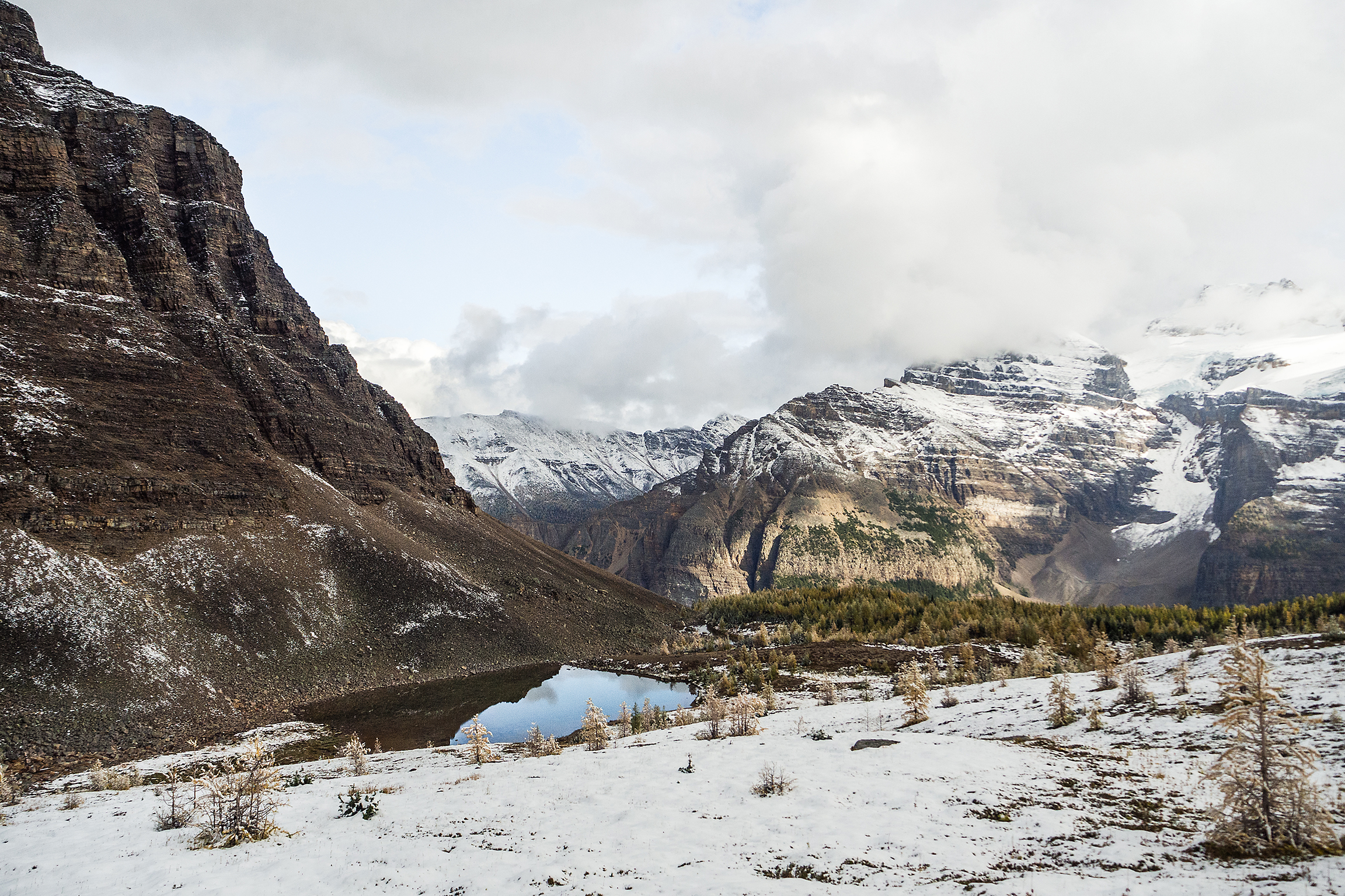
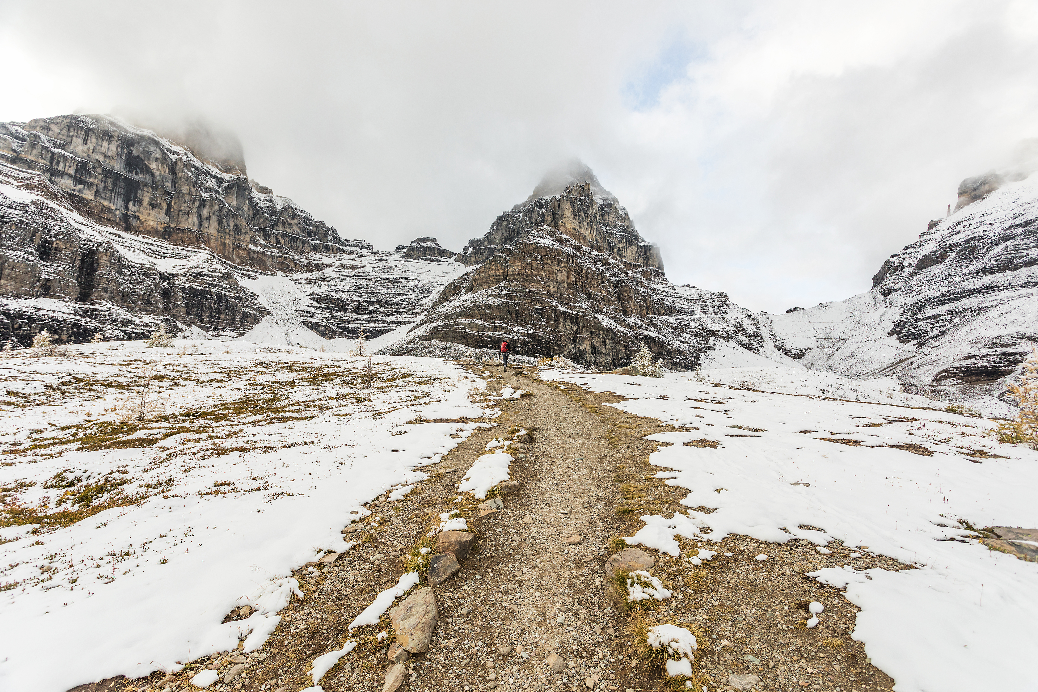
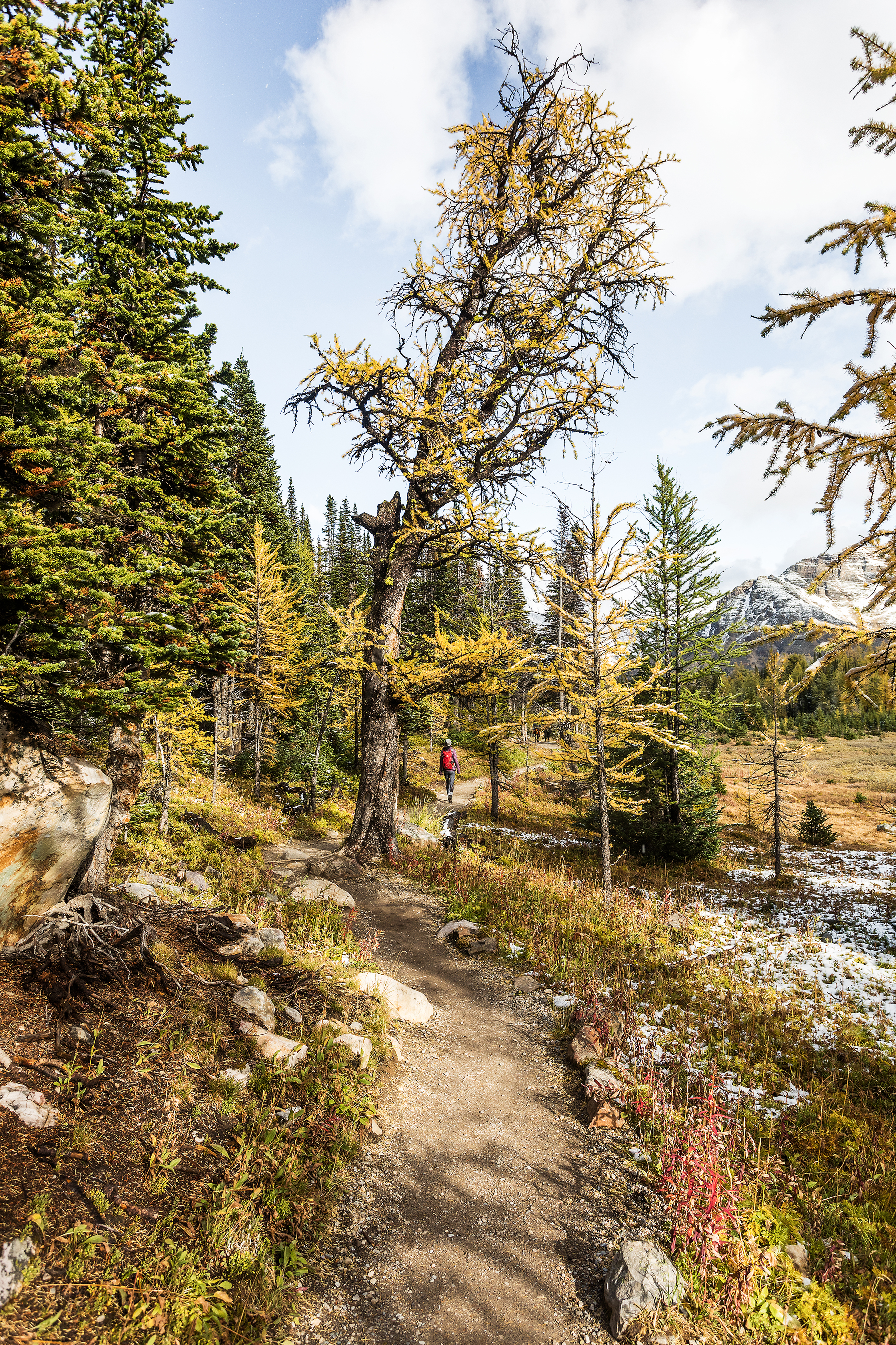
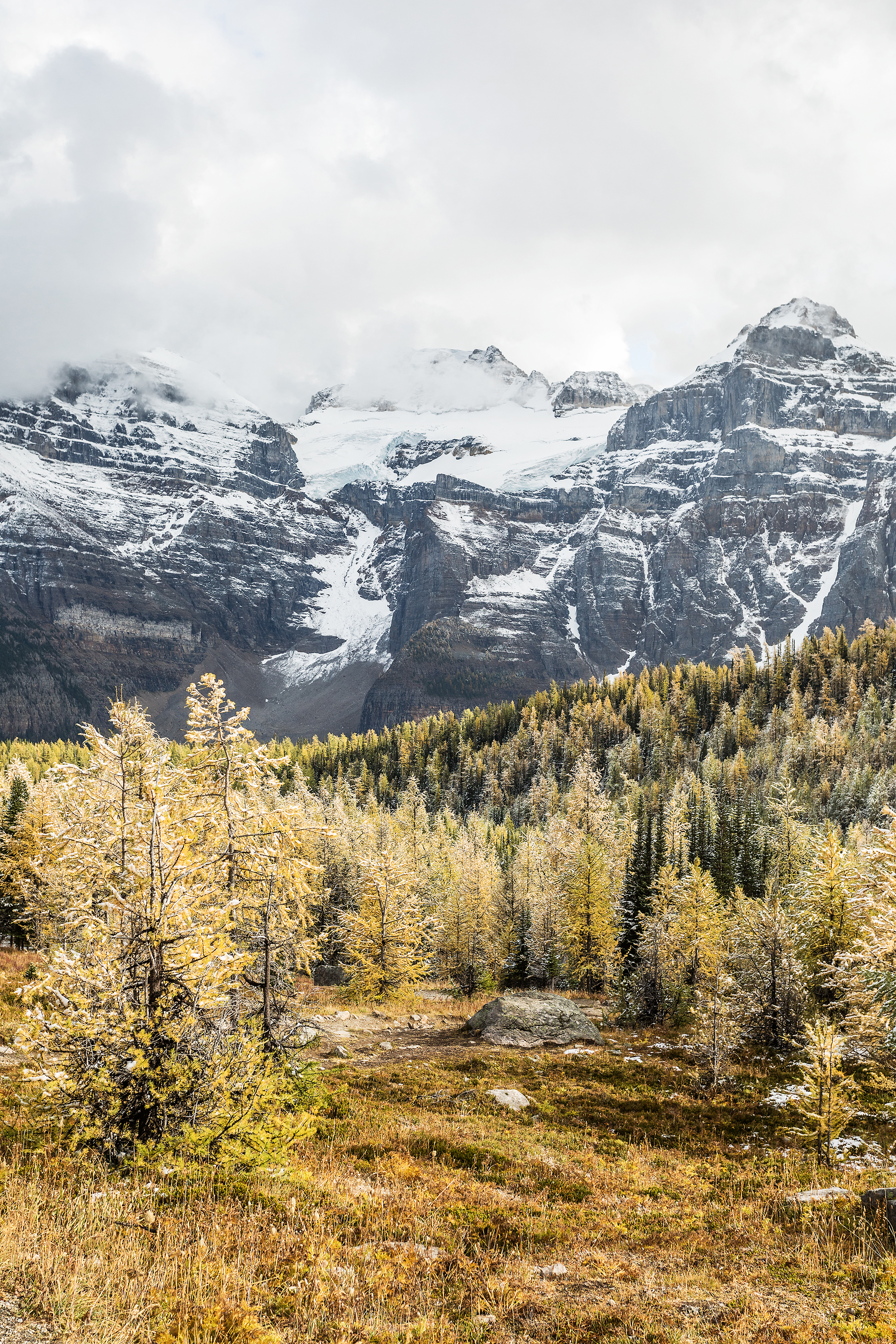
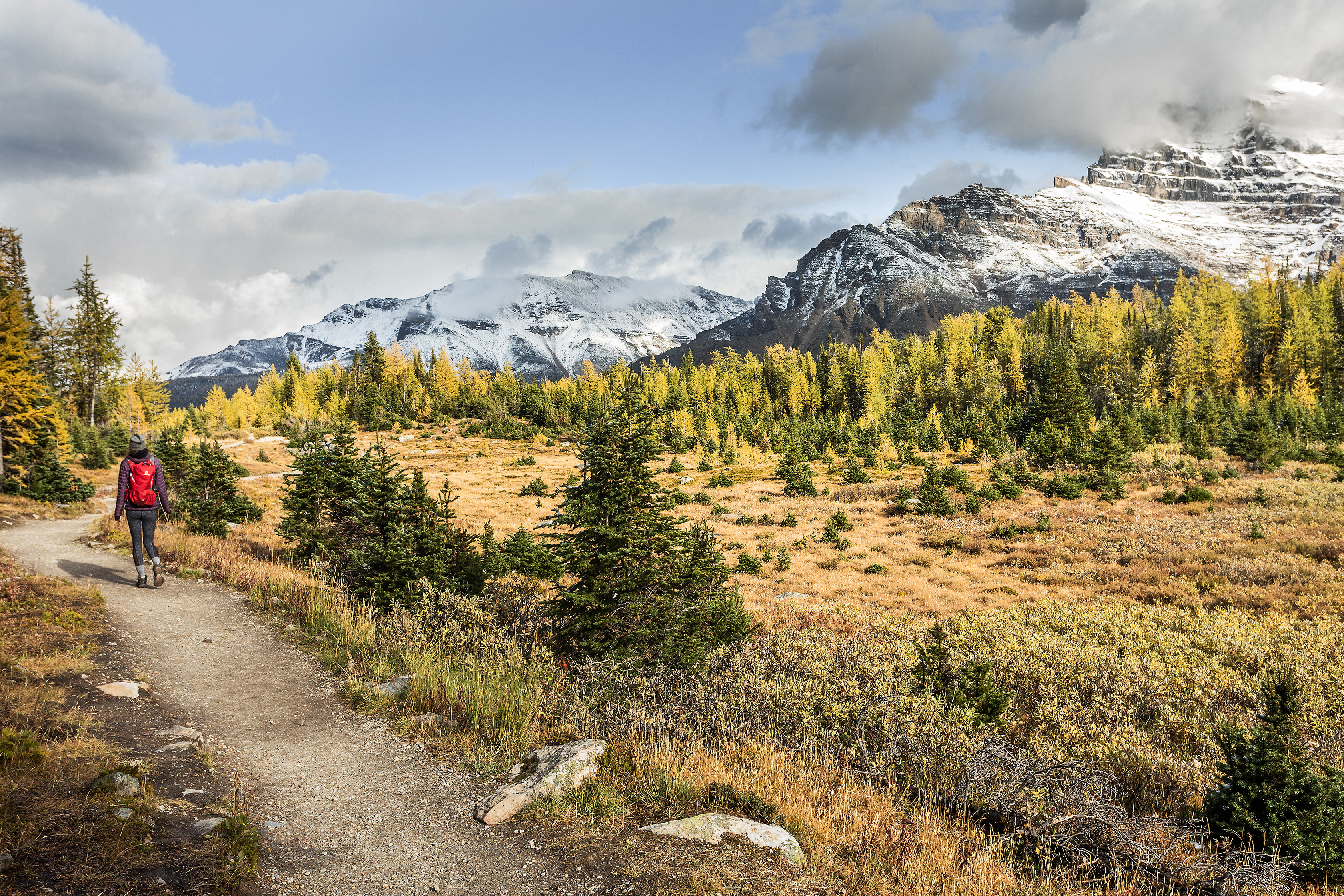
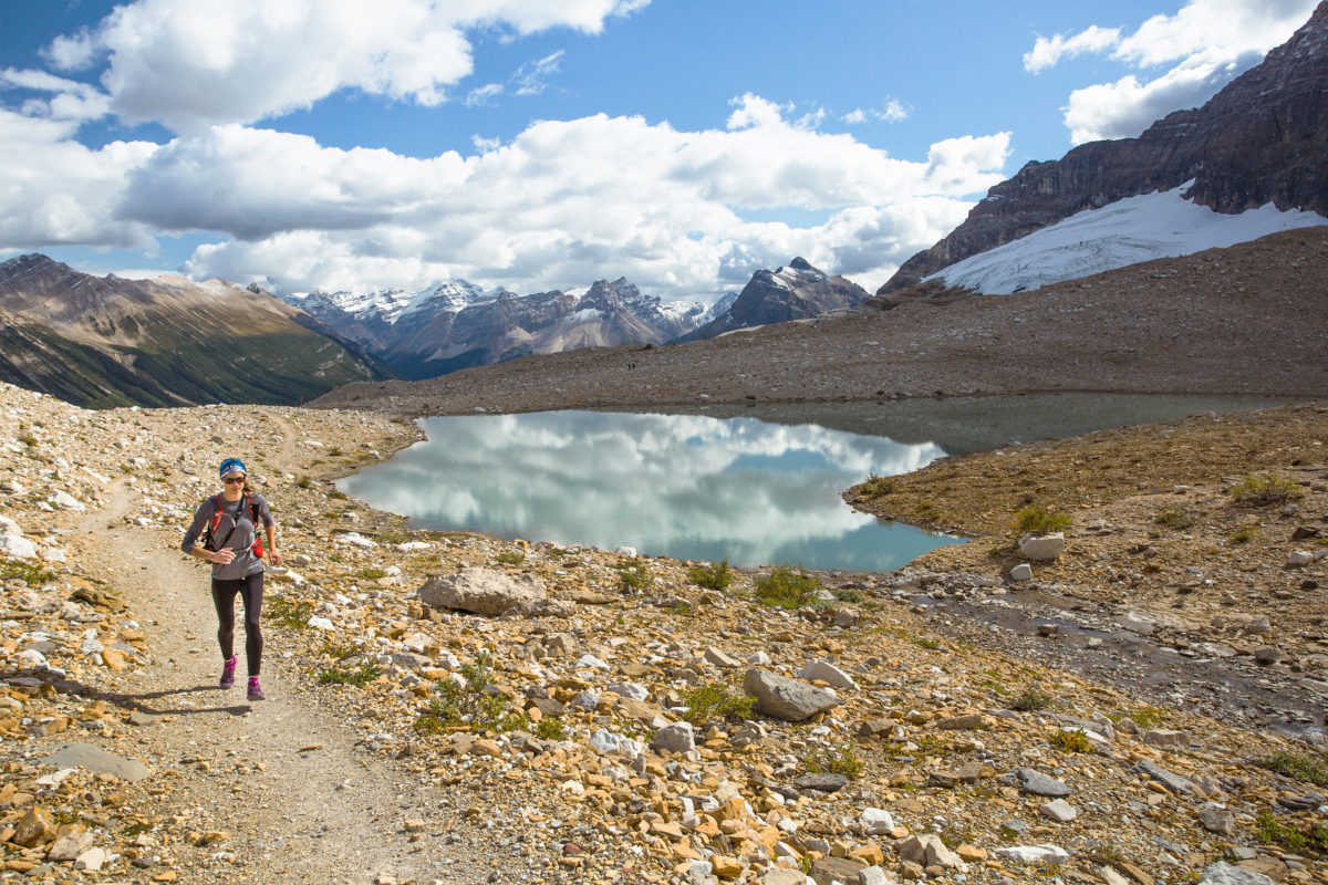
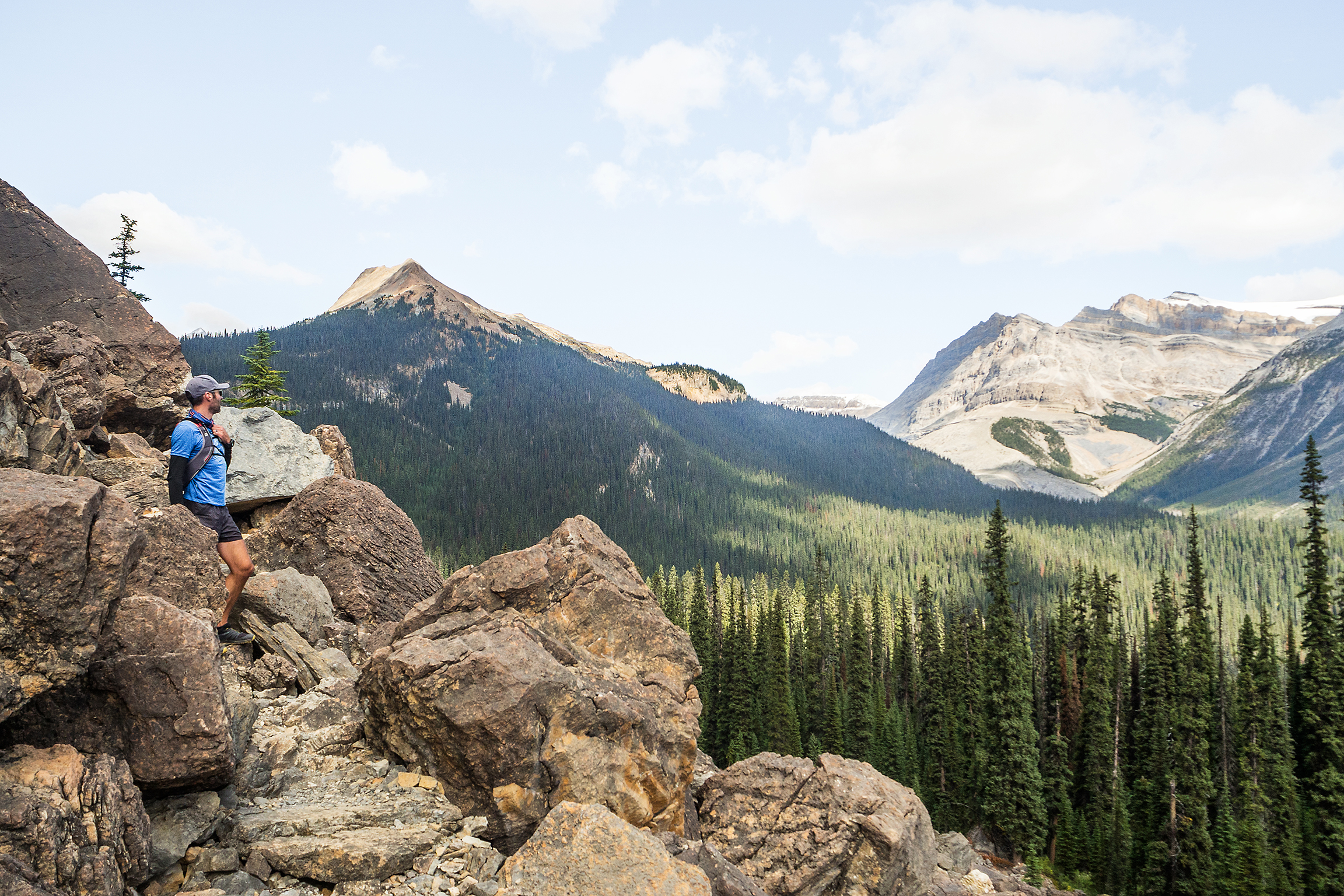
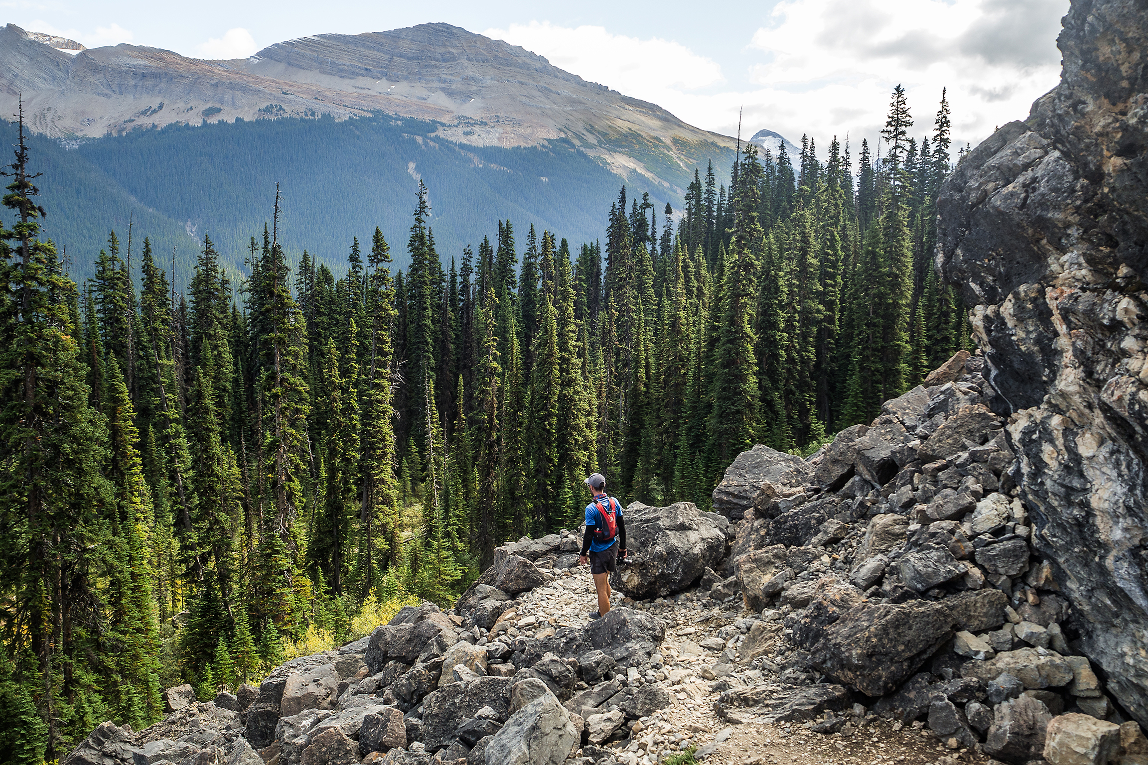
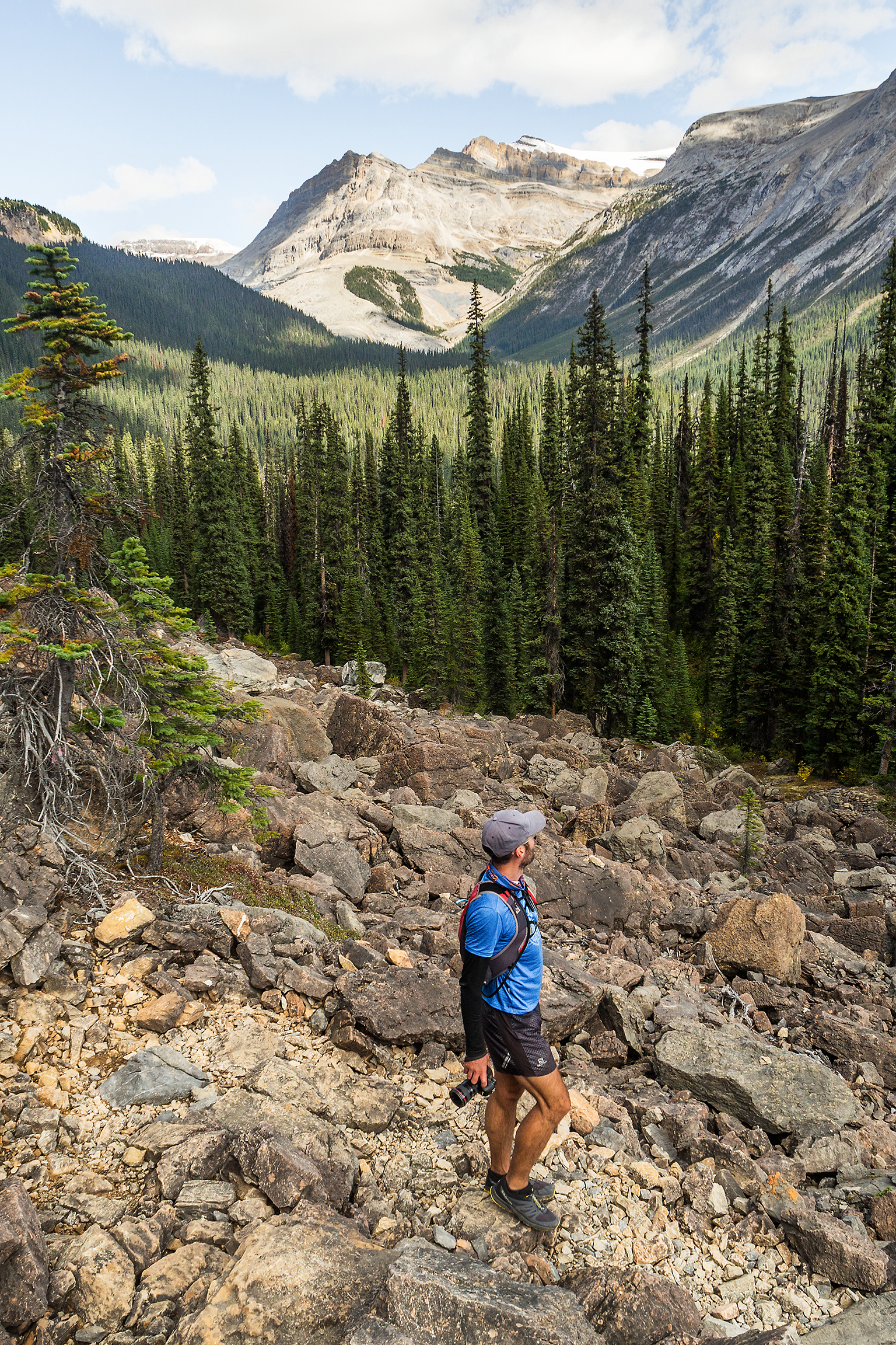
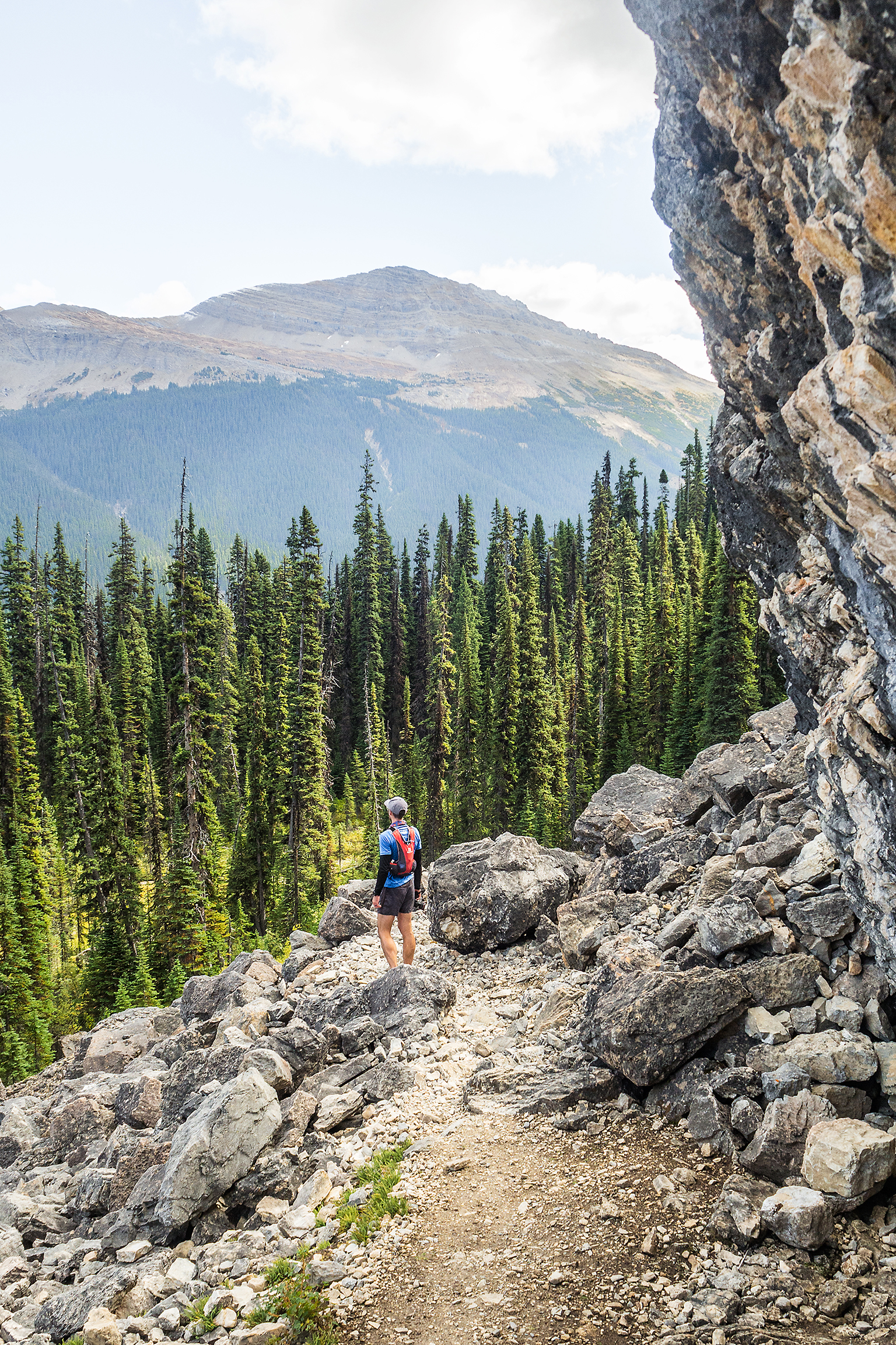
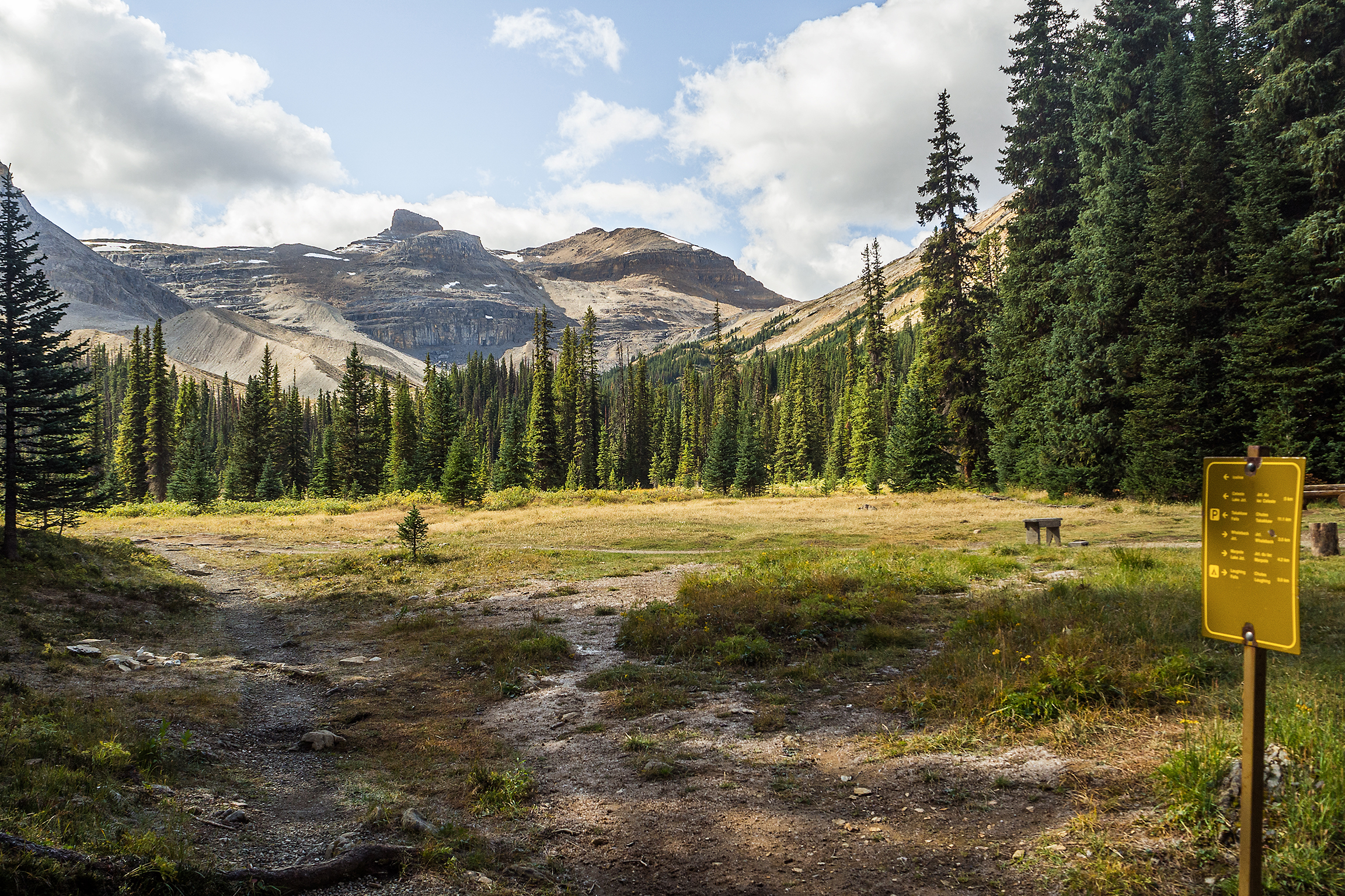
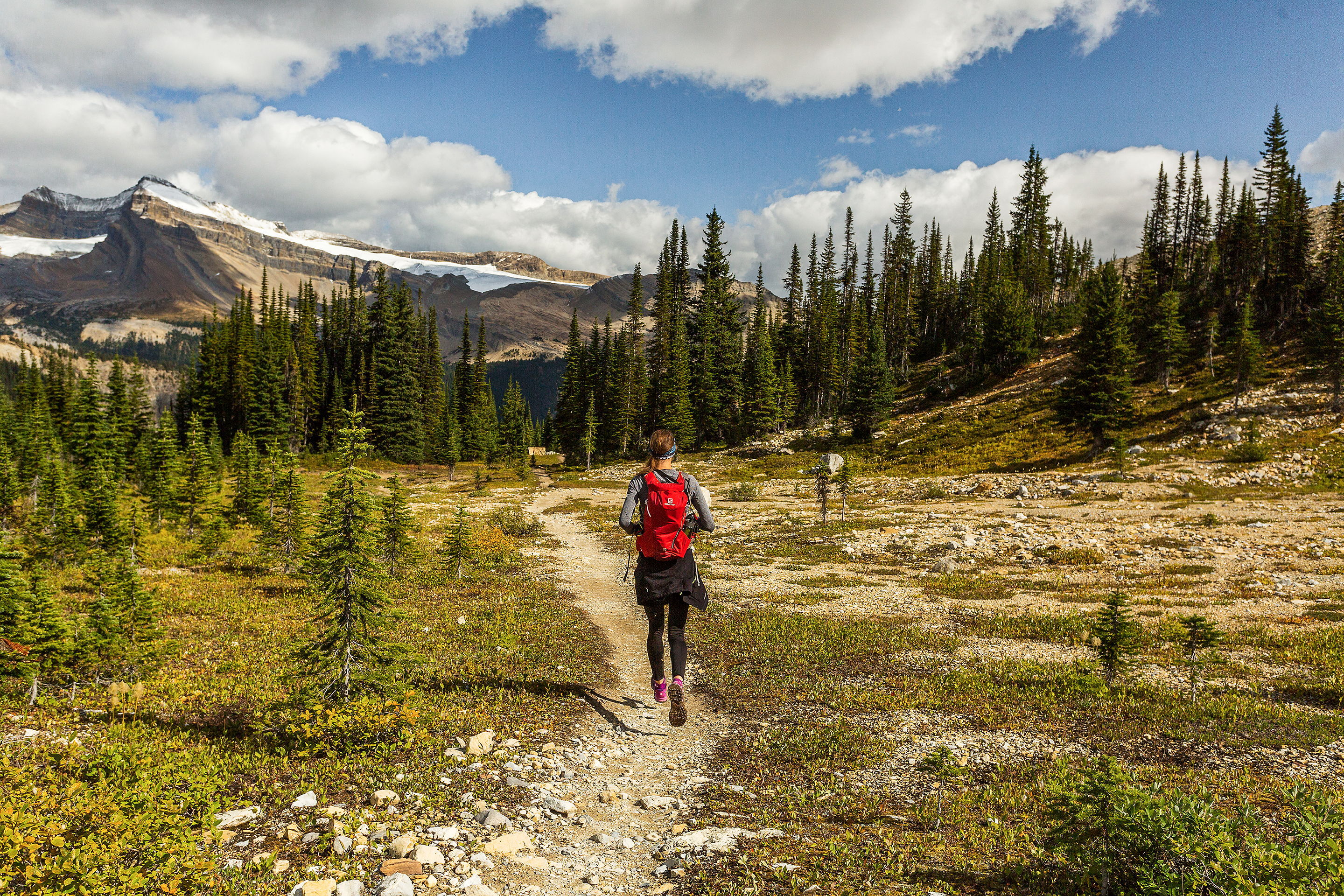
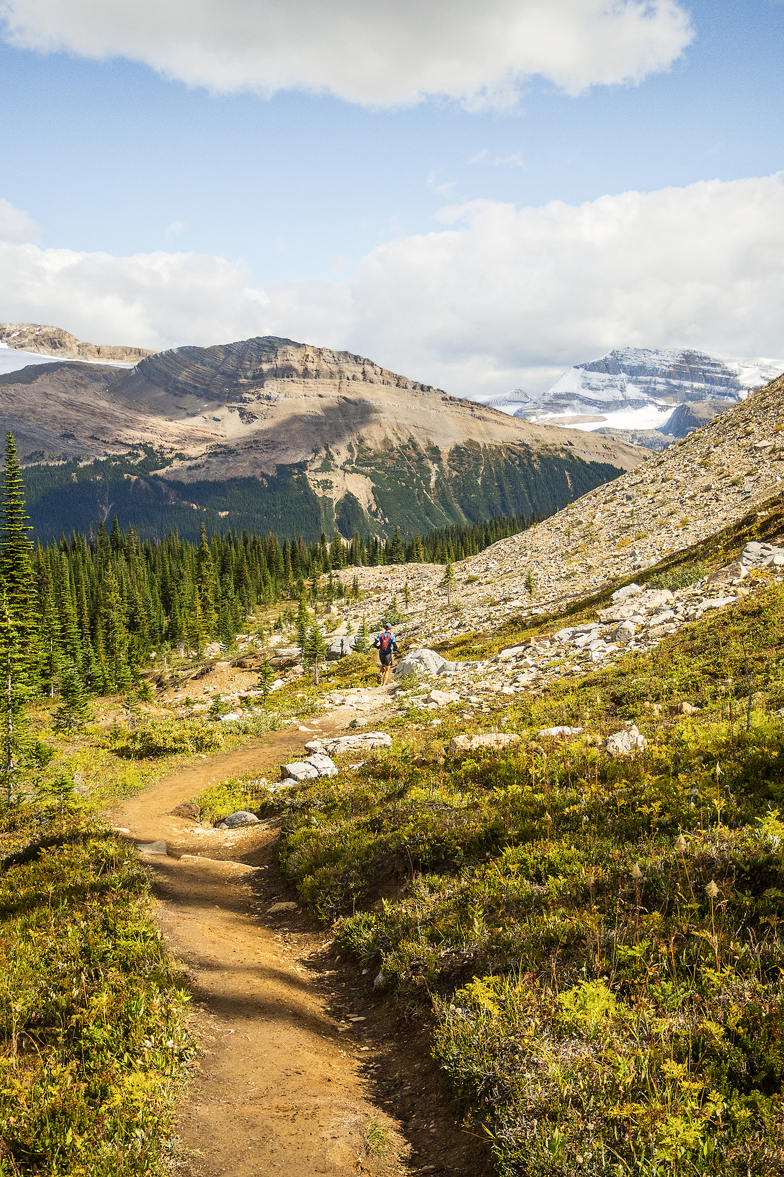
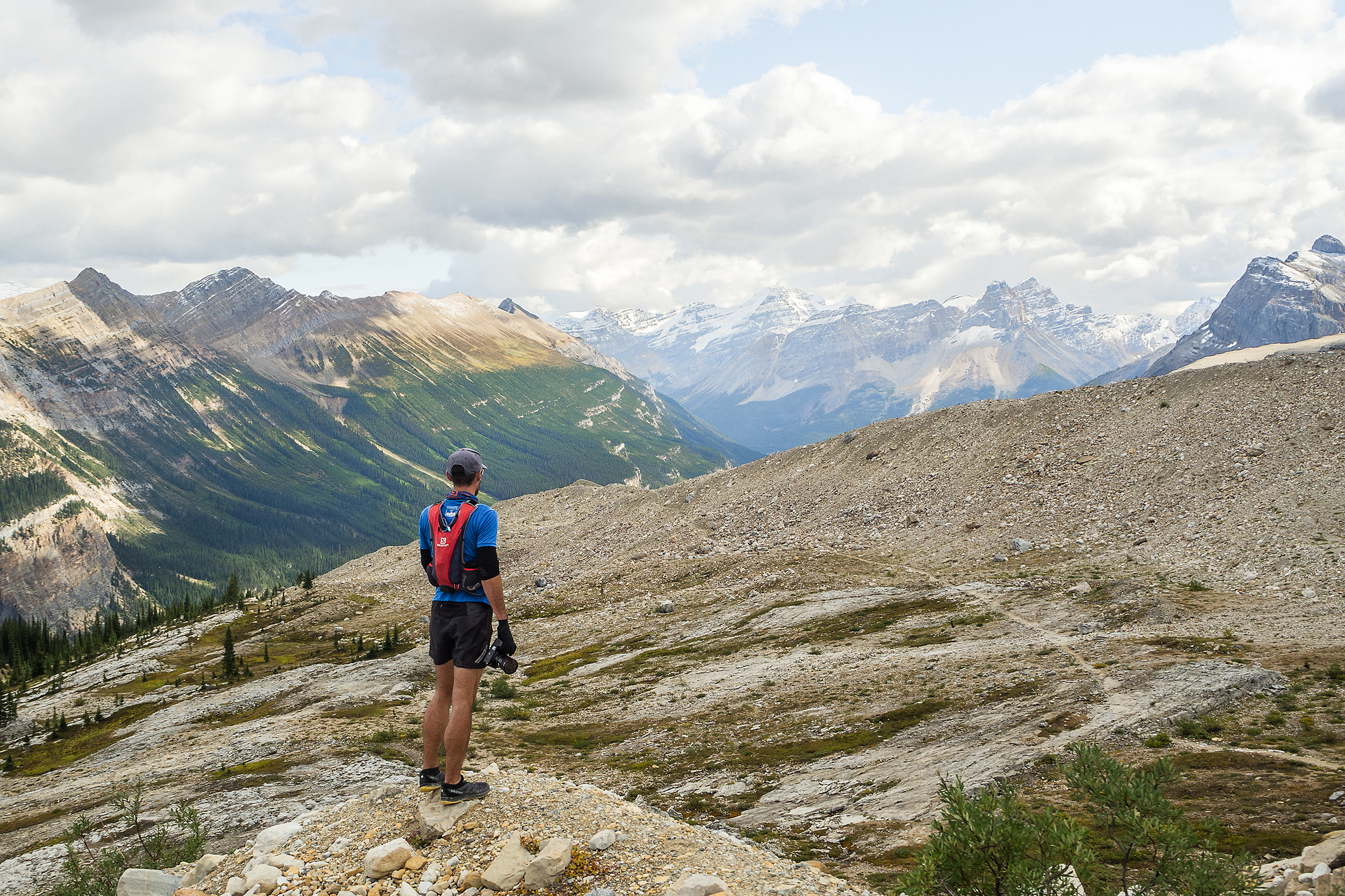
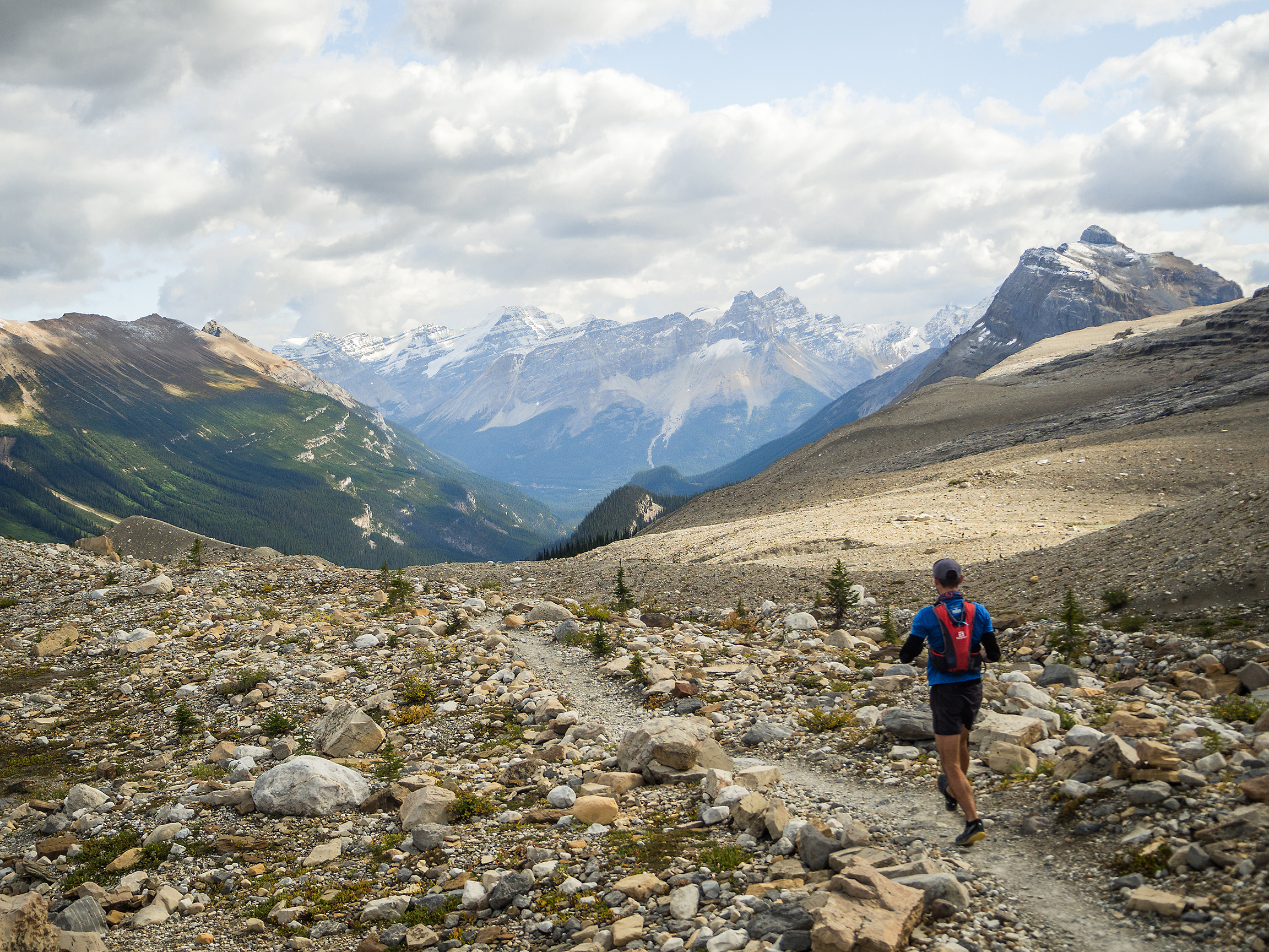
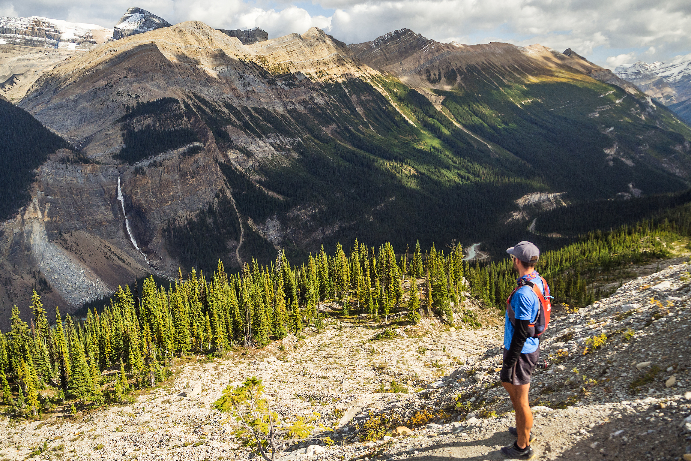
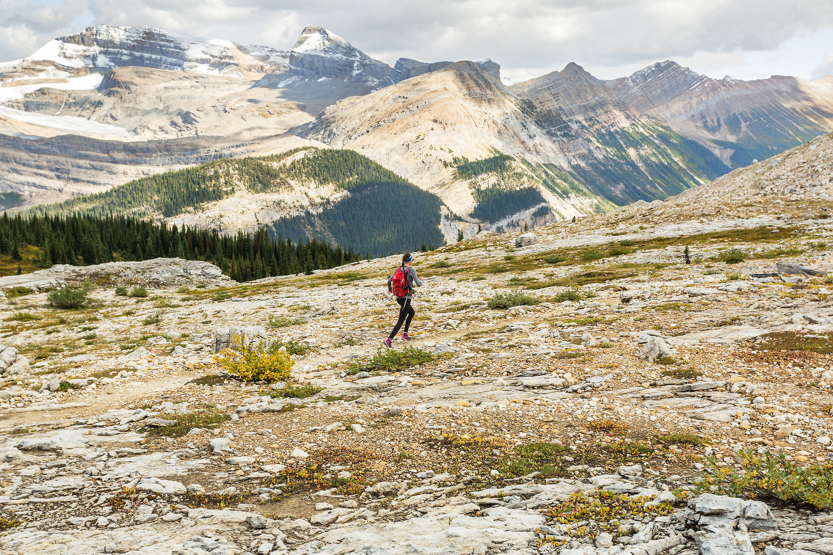
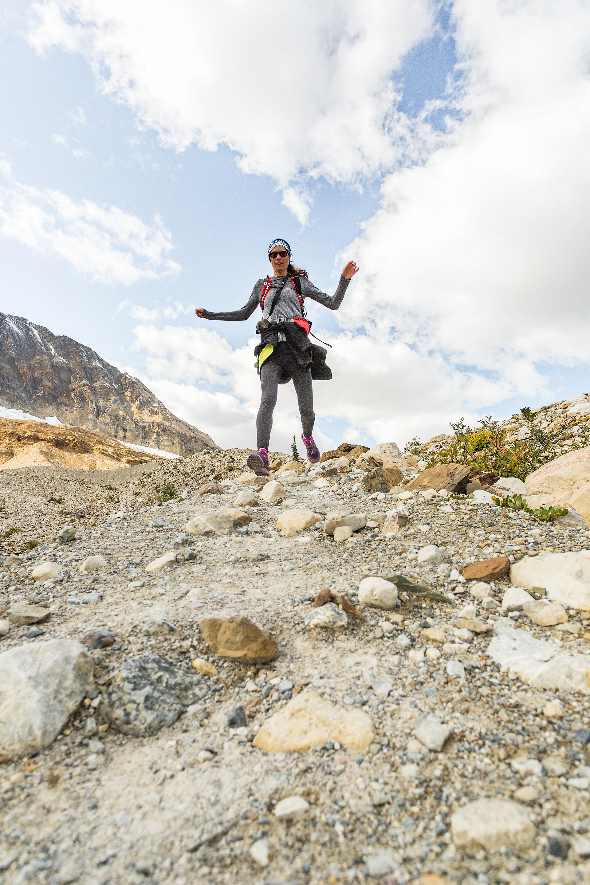
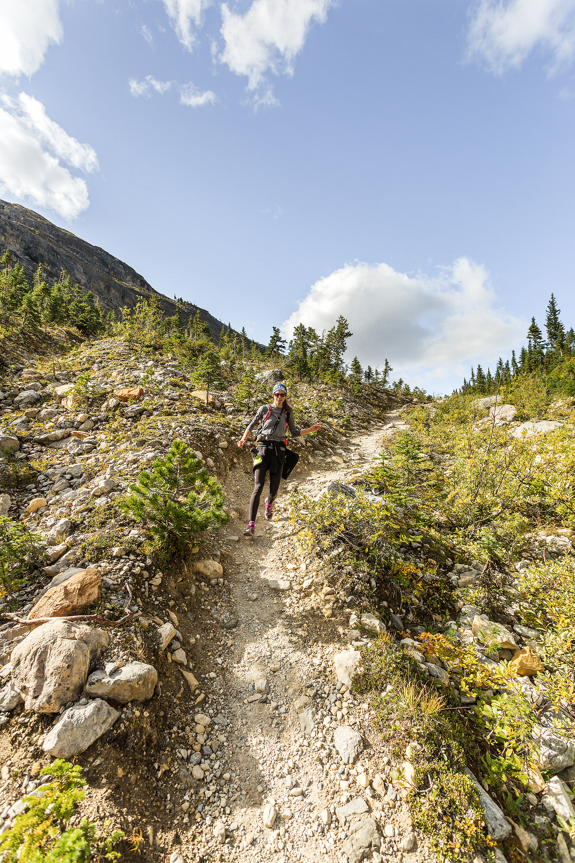
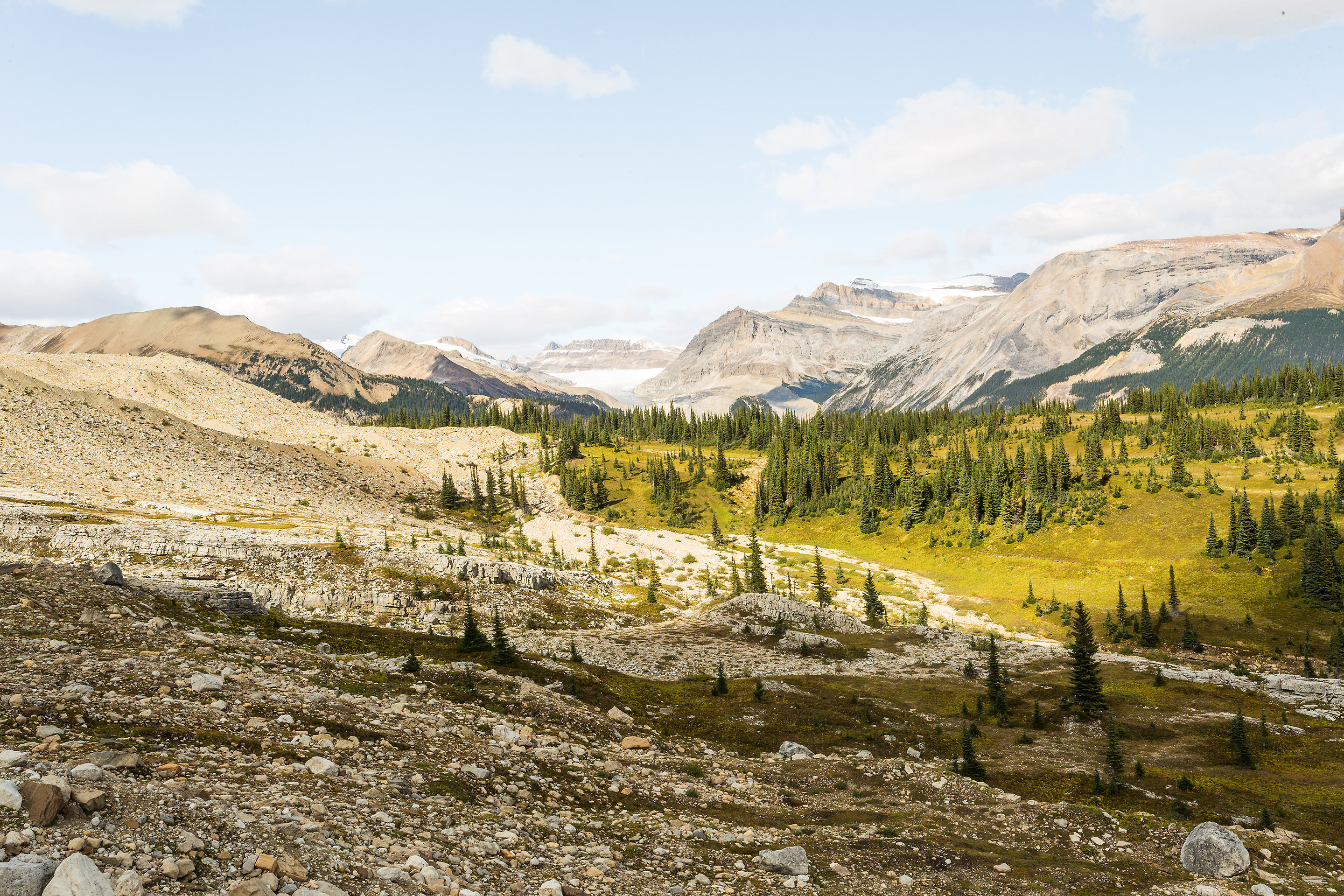
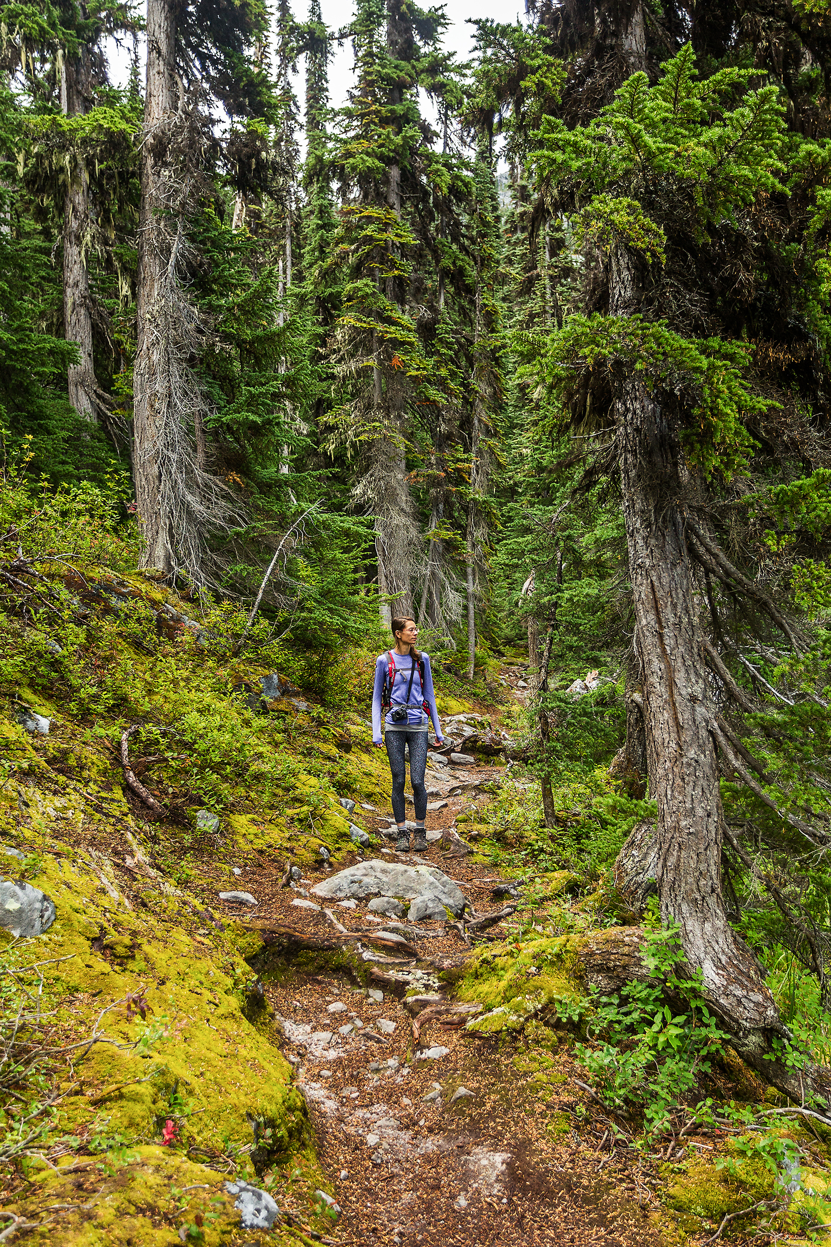
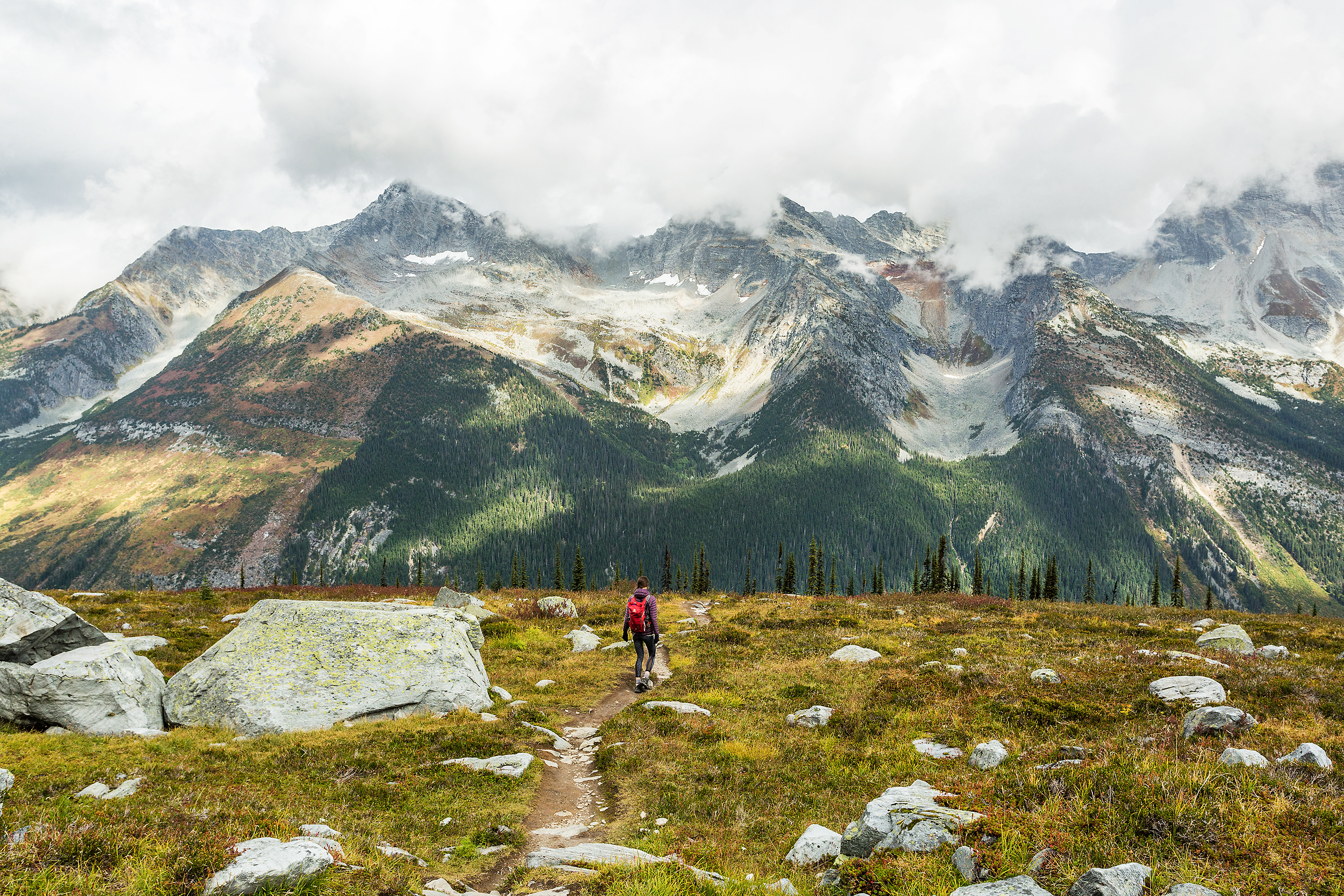
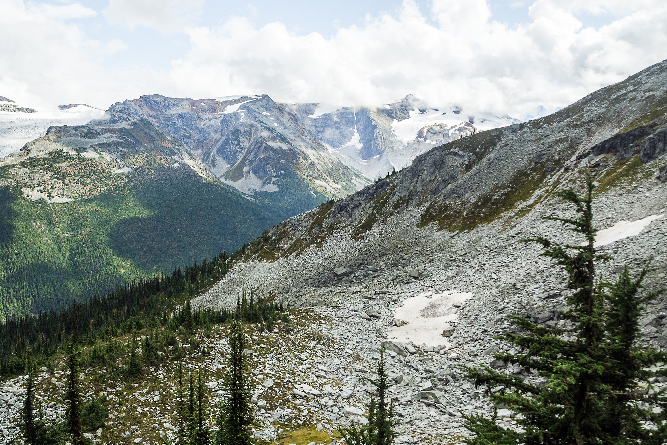
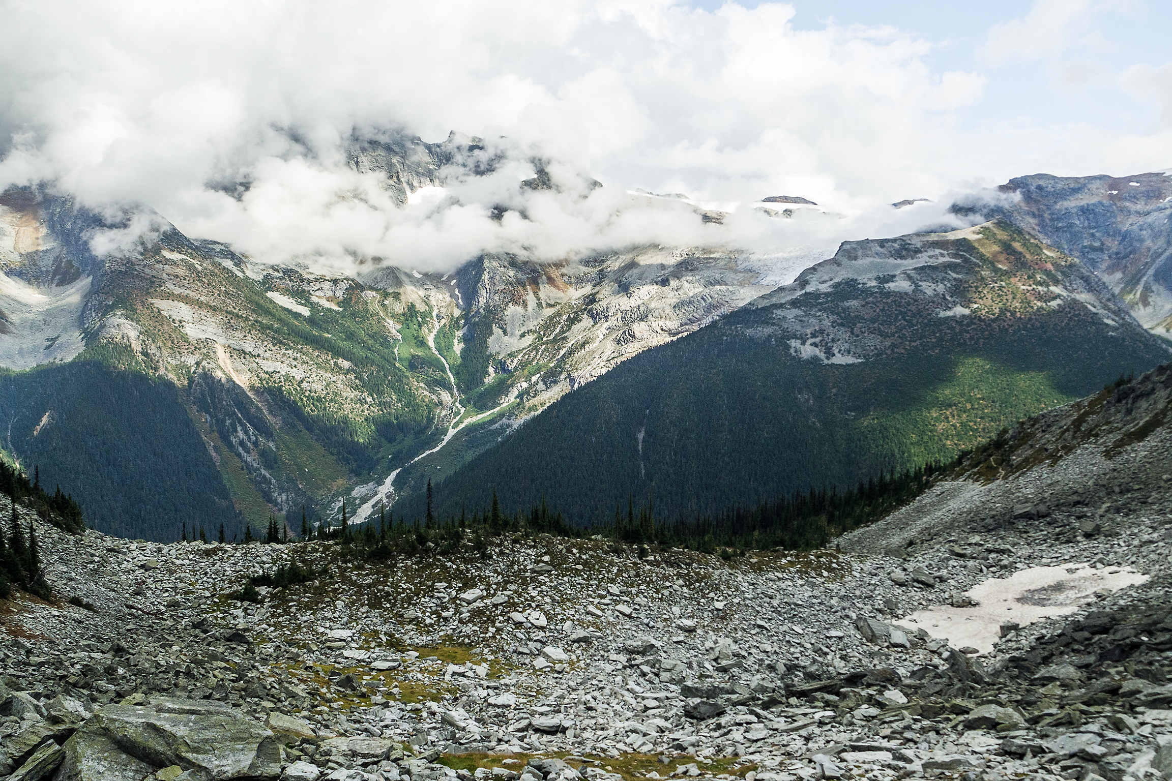
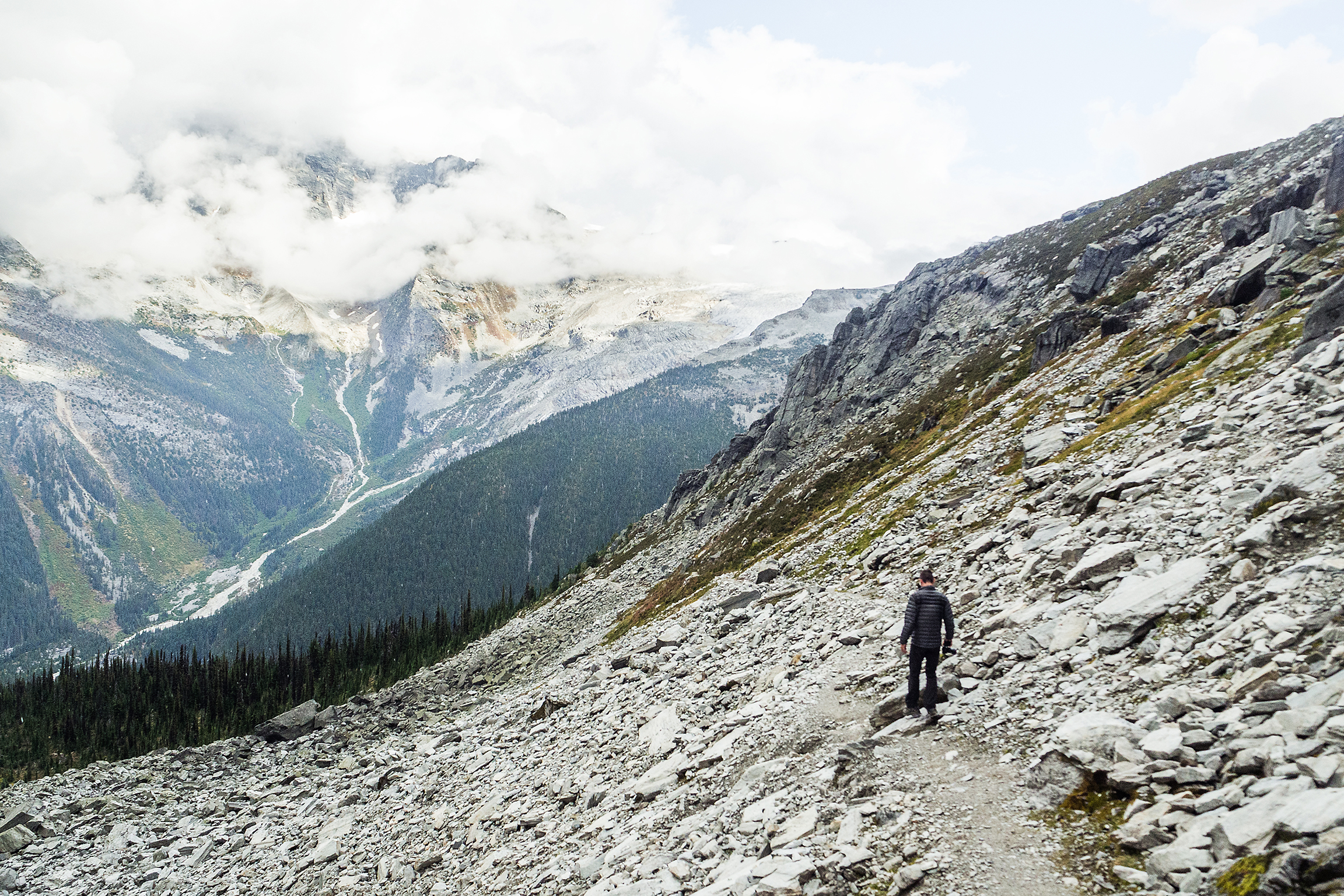
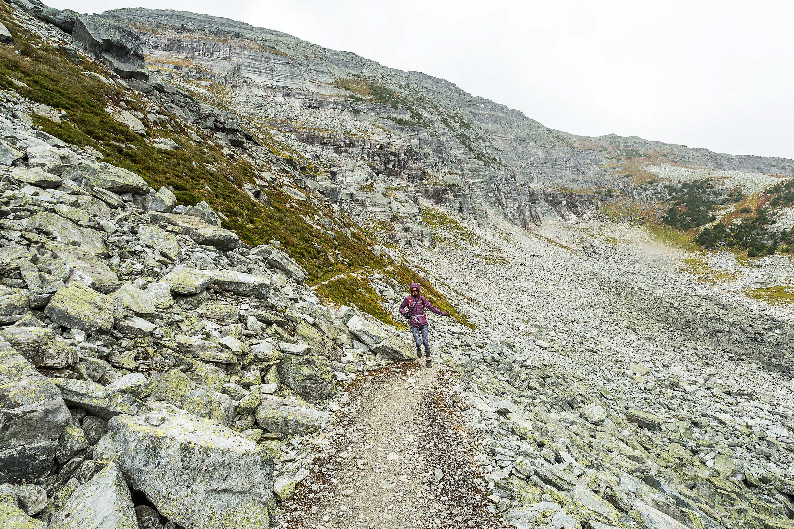
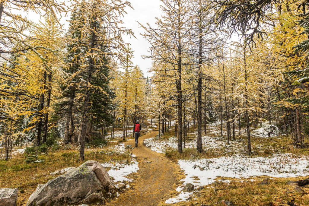
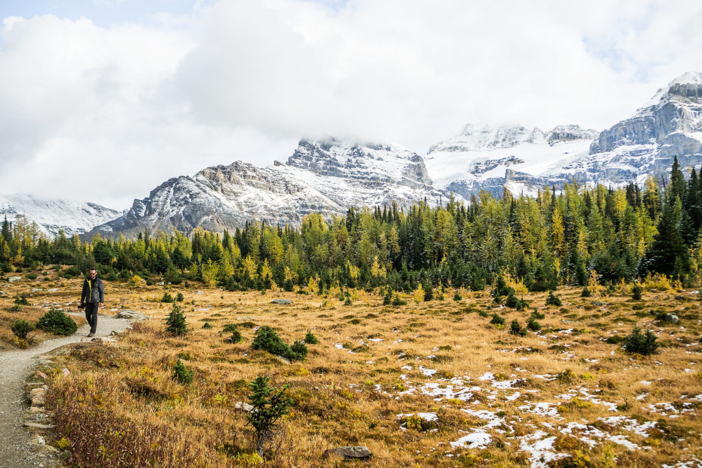
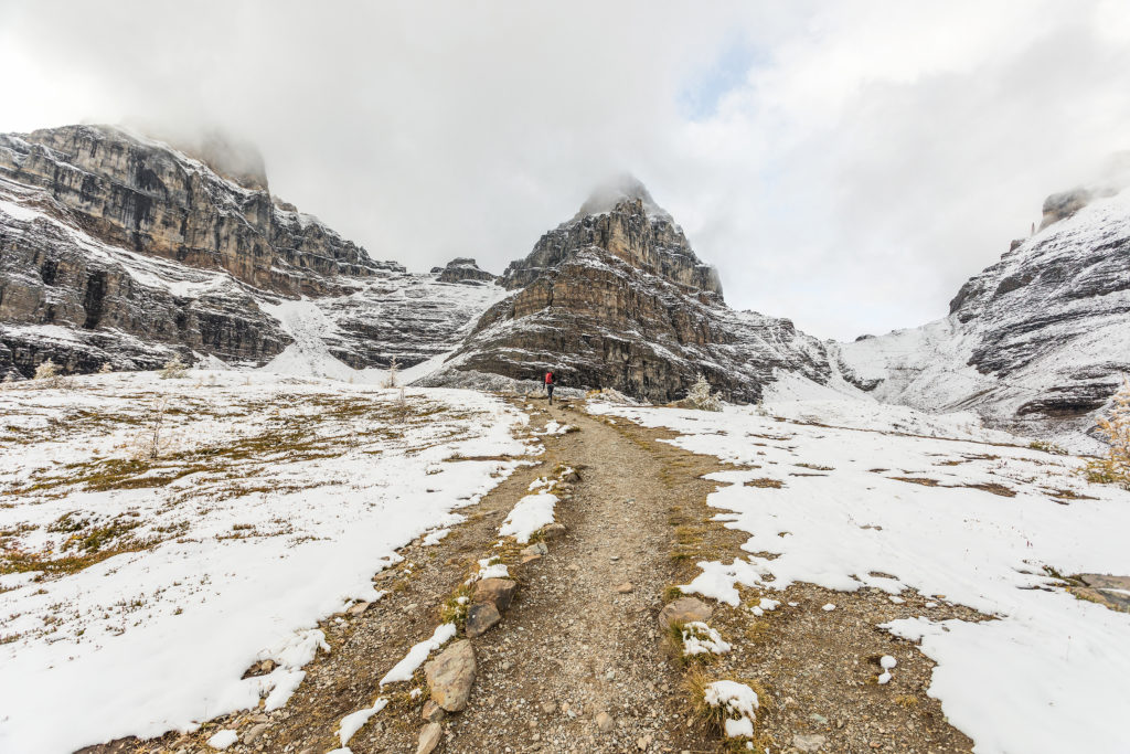
Another recurring fact learned from the few iconic places we visited. When you step away from the main, off-the-road attraction, 90% of the crowd vanishes. We made our way up the Larch/Paradise valley trail. We climbed the first 4k of switchbacks at a steady pace and arrived in the larch meadow less than an hour after starting.


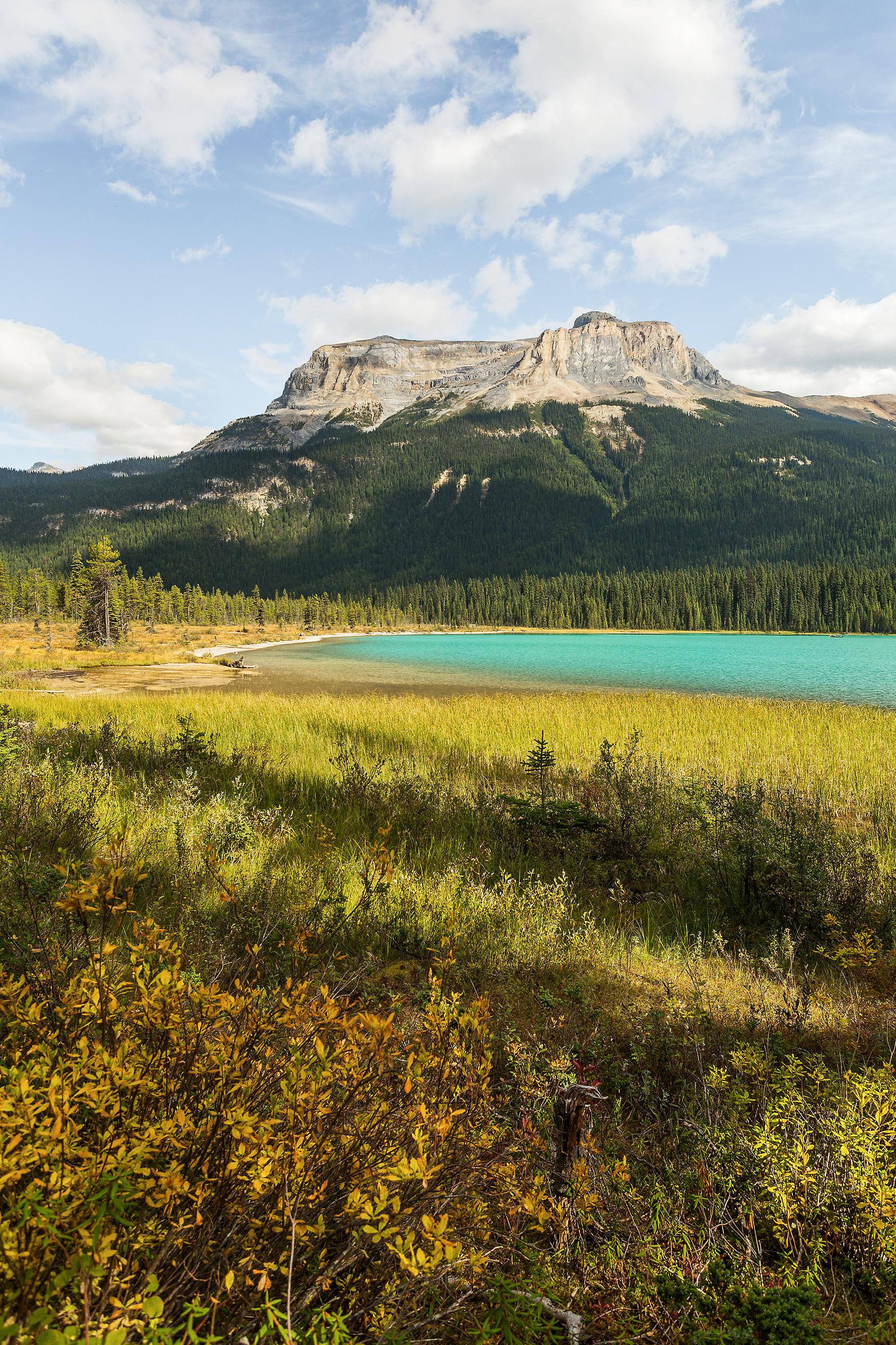
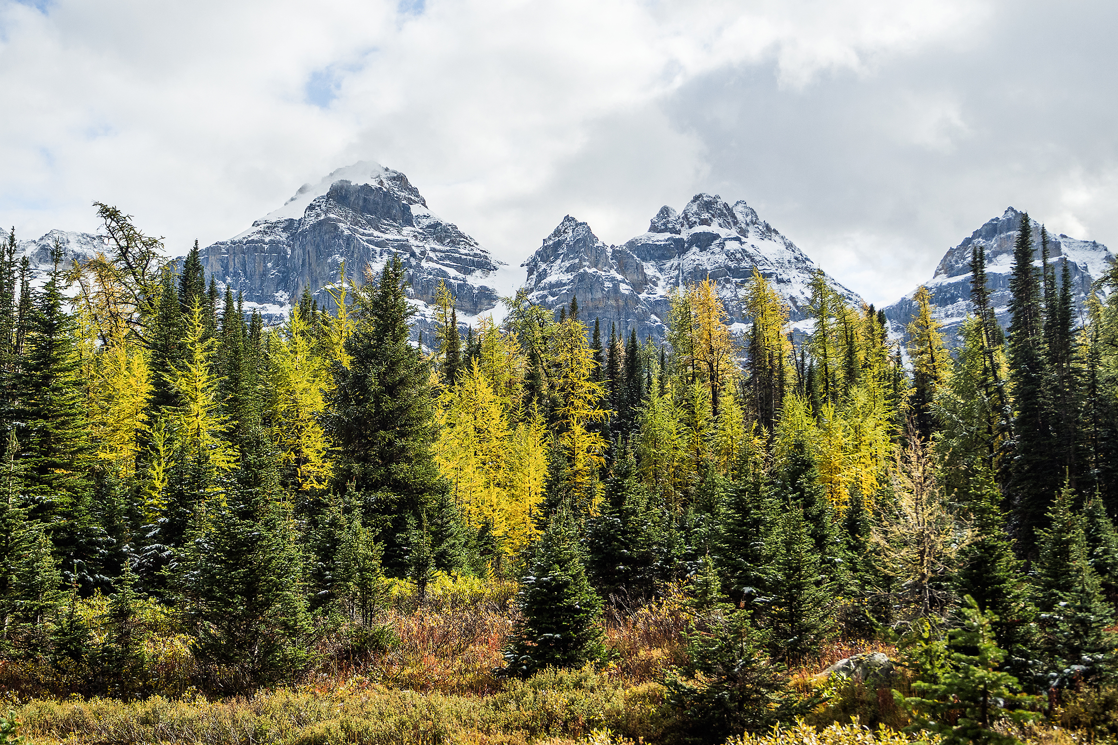
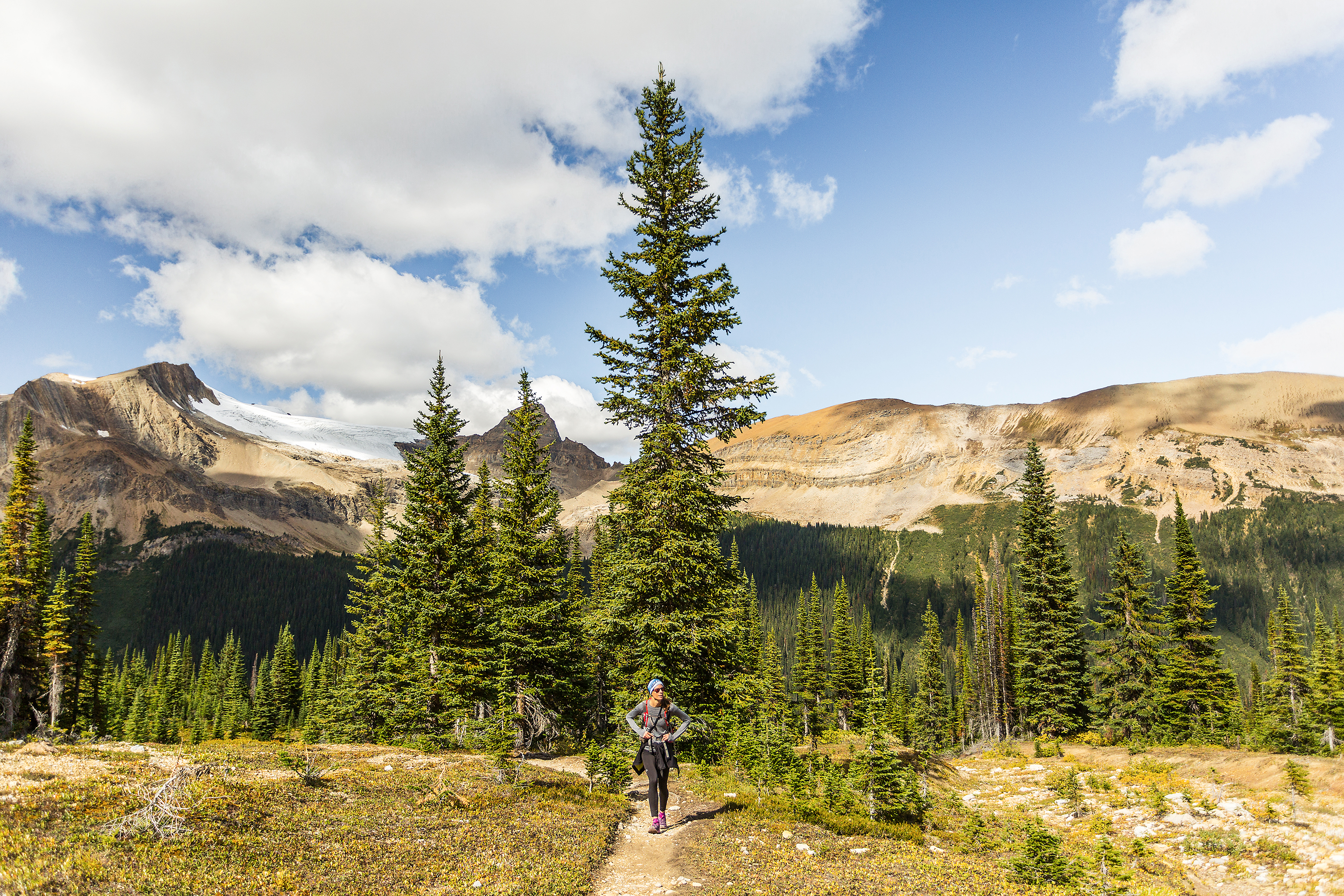
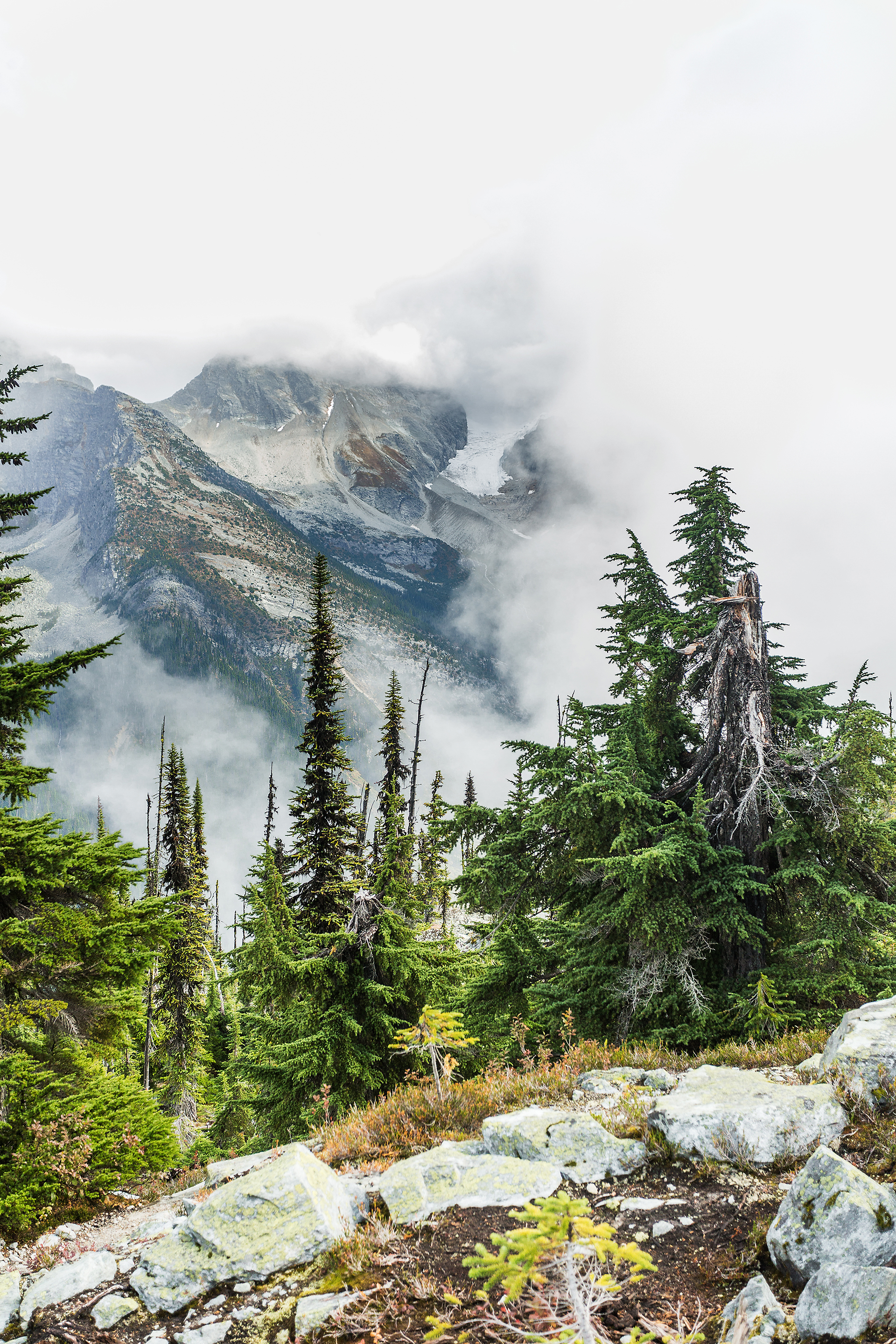
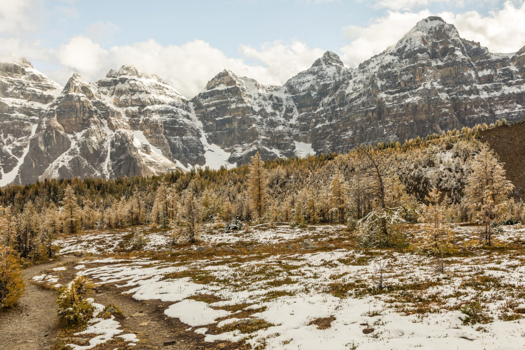
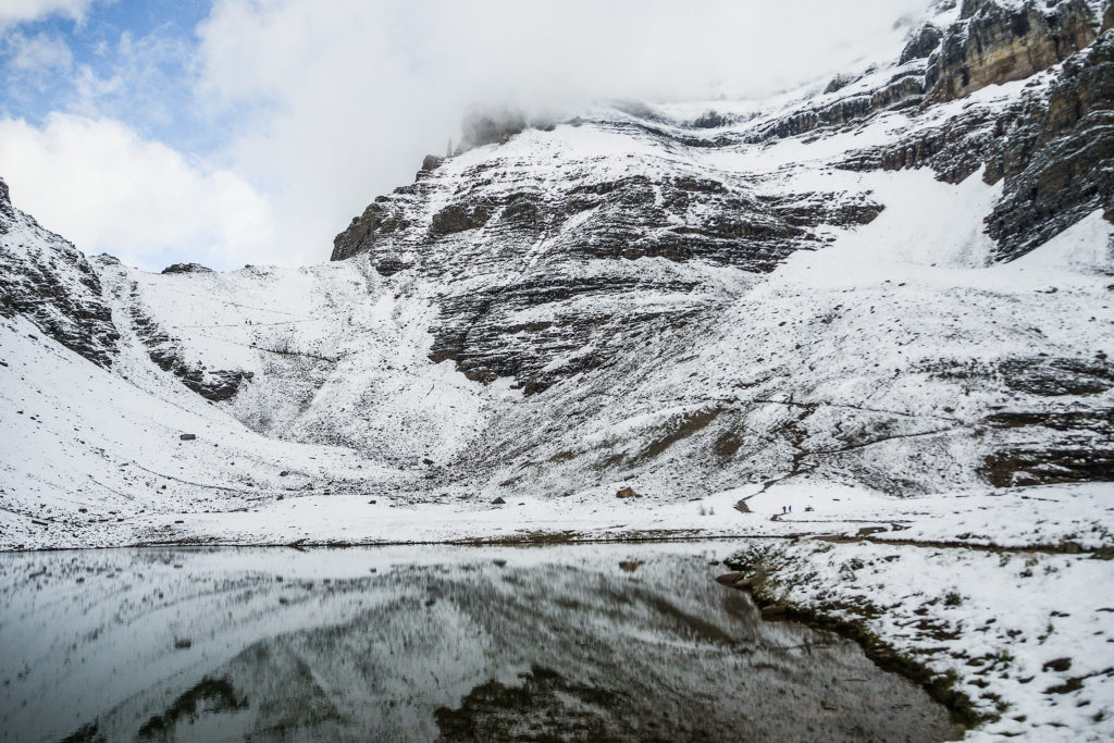
That mid-september week seemed to be the perfect timing for our trip, as the Larch tress had already started to turn gold, and although frost was already covering the ground, the first snow dump wouldn’t be happening until the following week as we found out later.


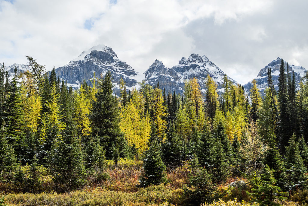
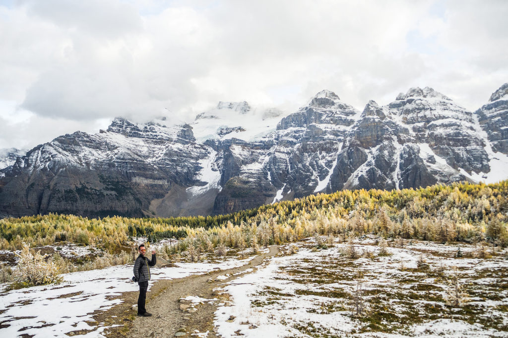
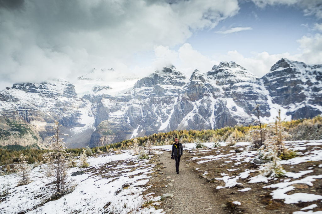
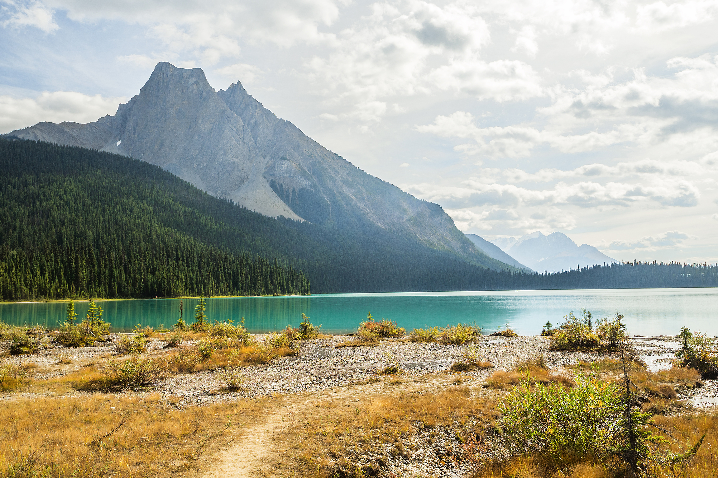
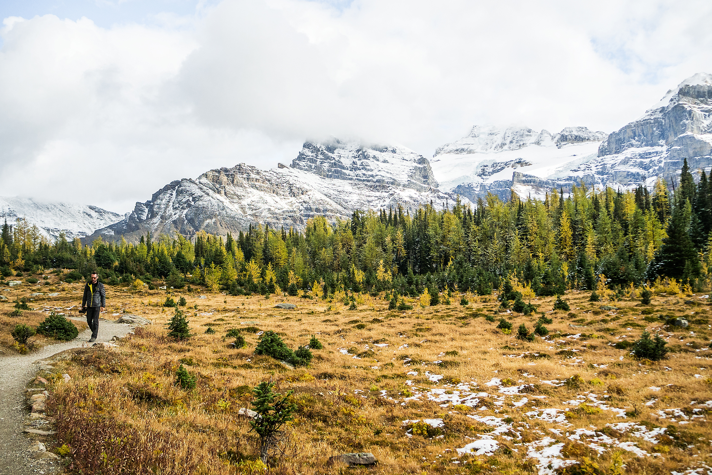
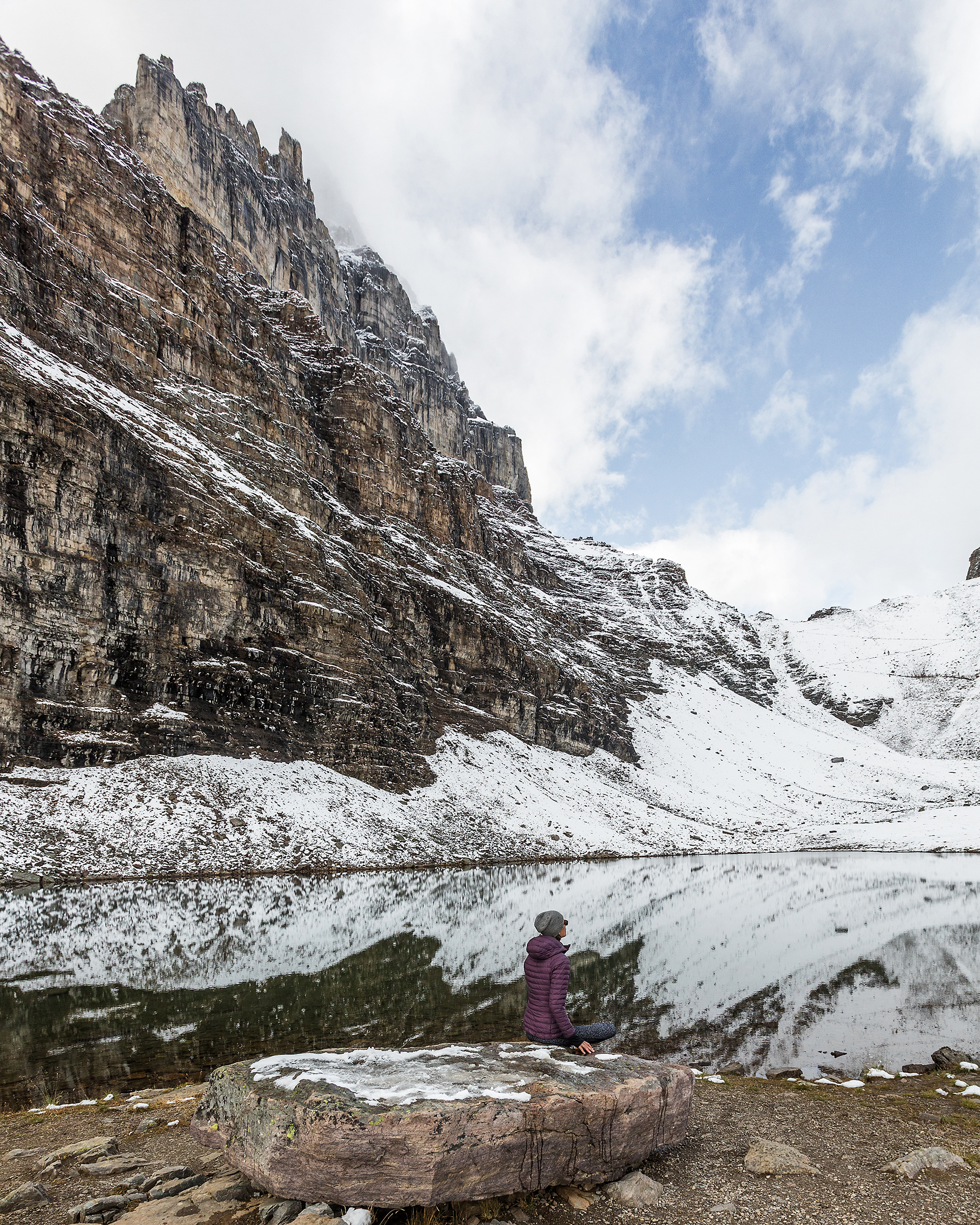
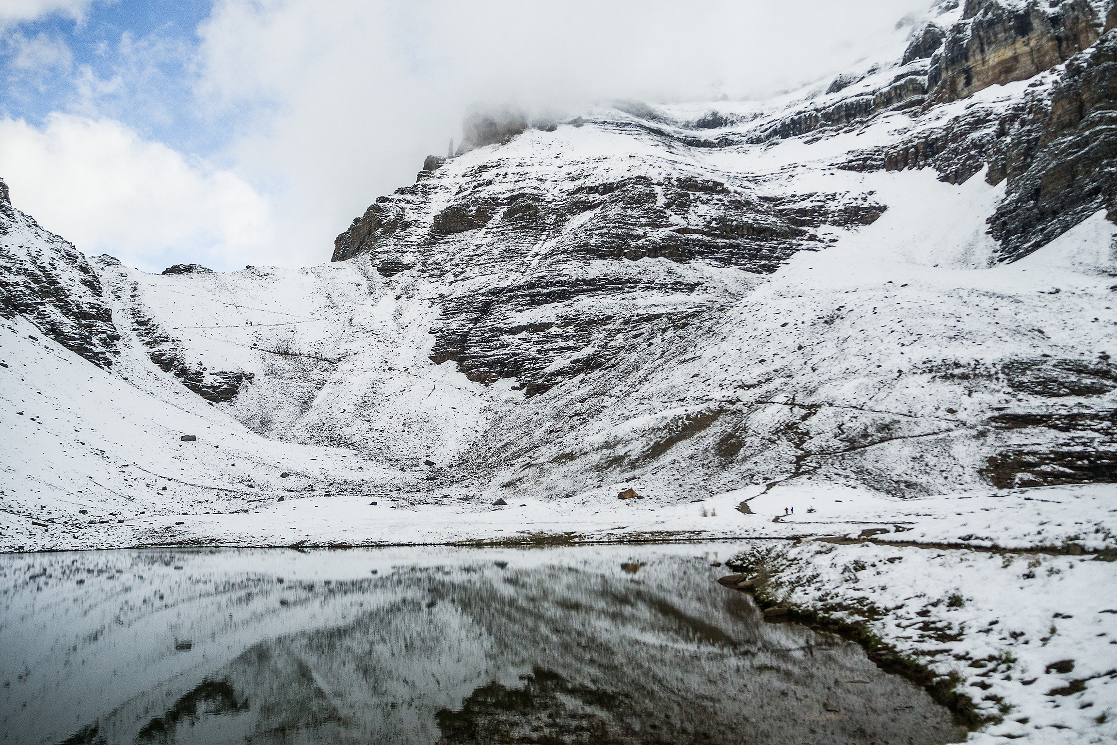
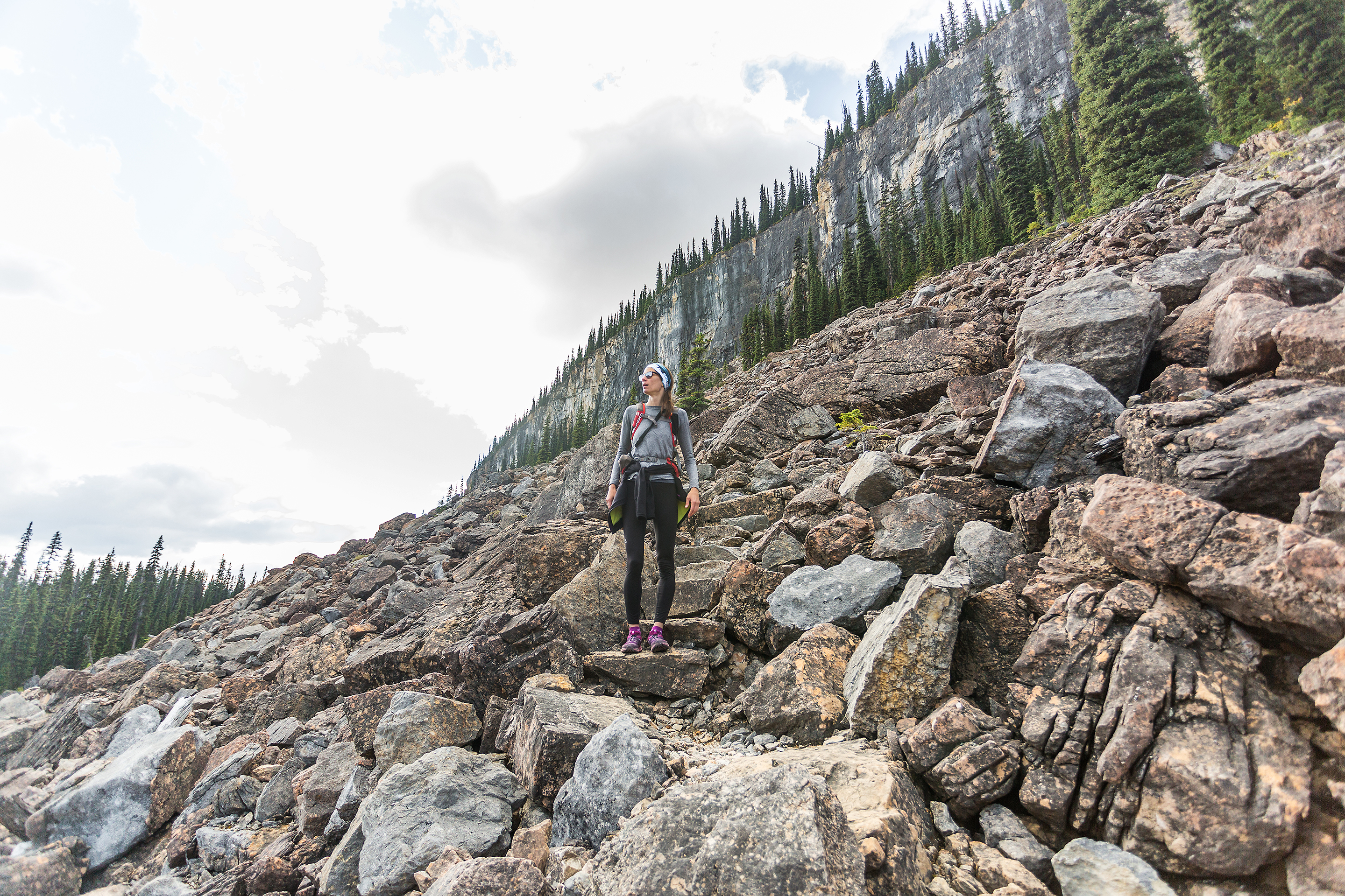
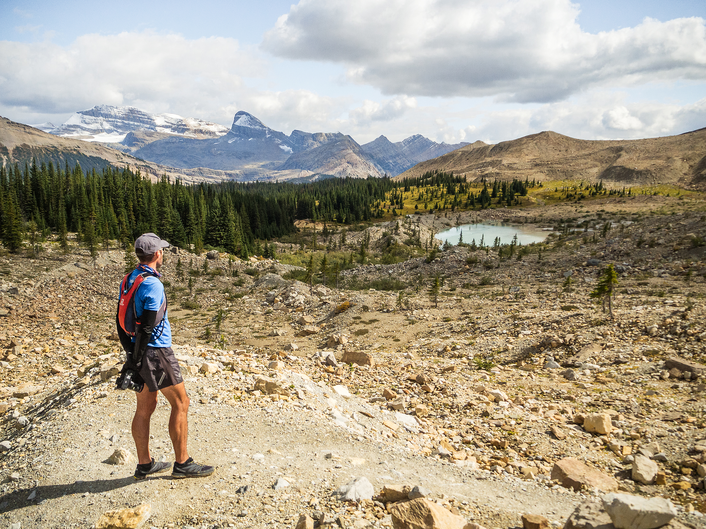
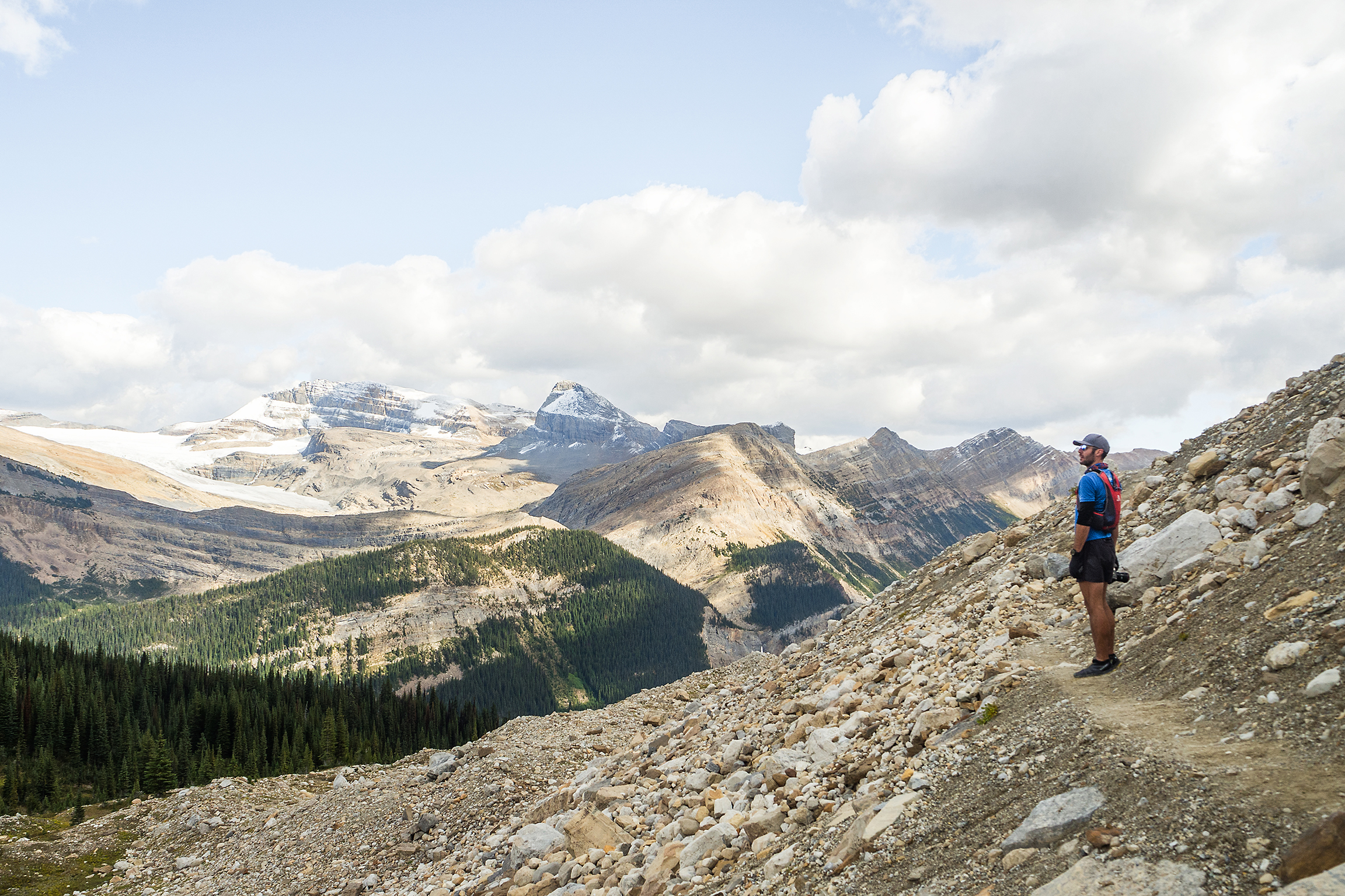
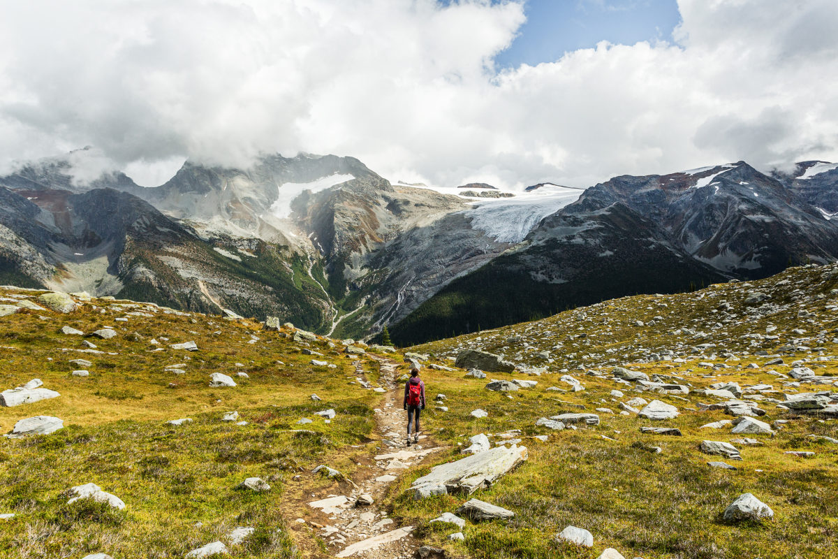
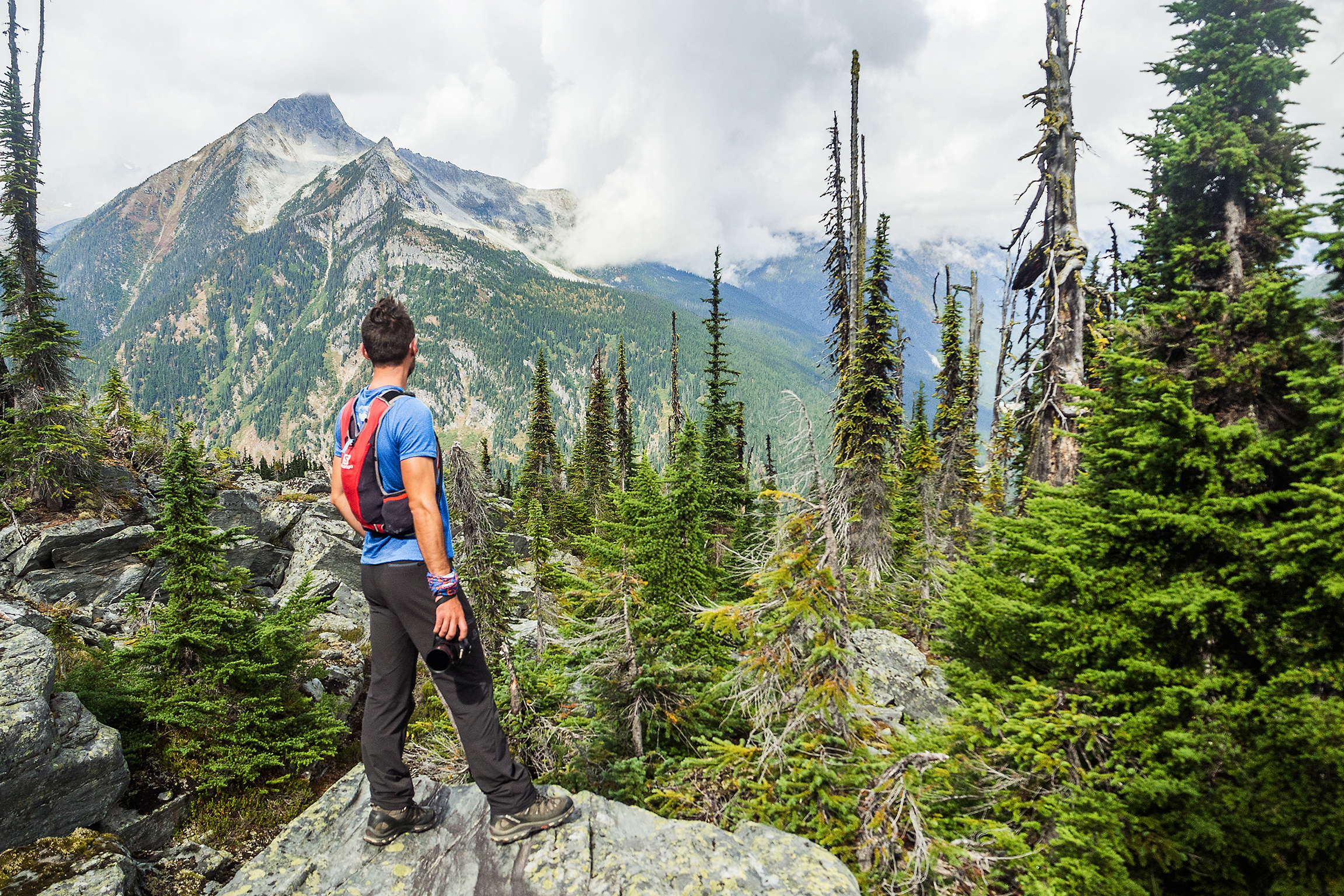
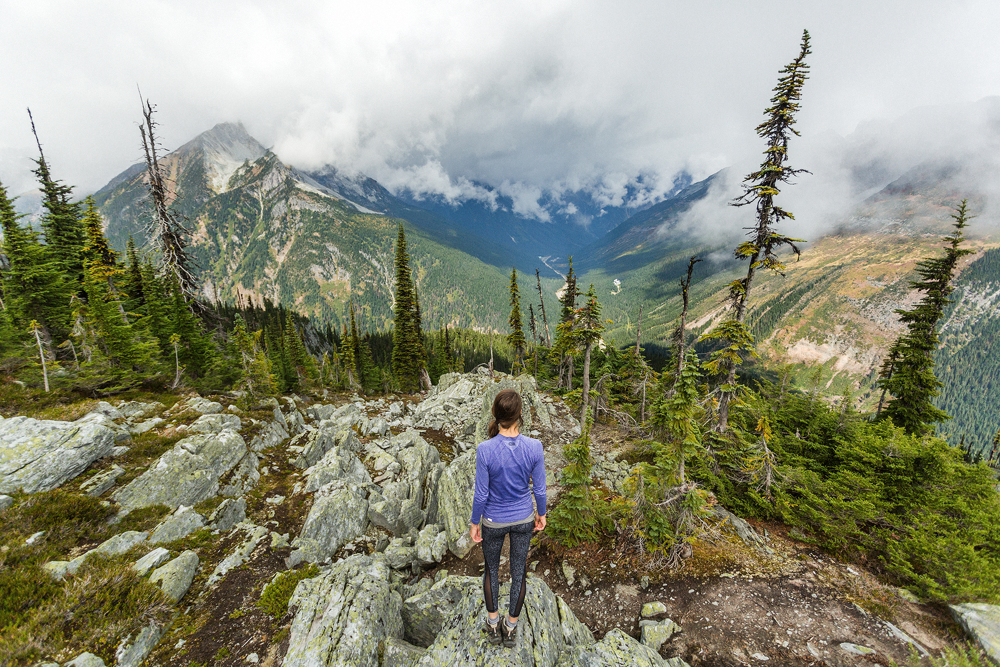
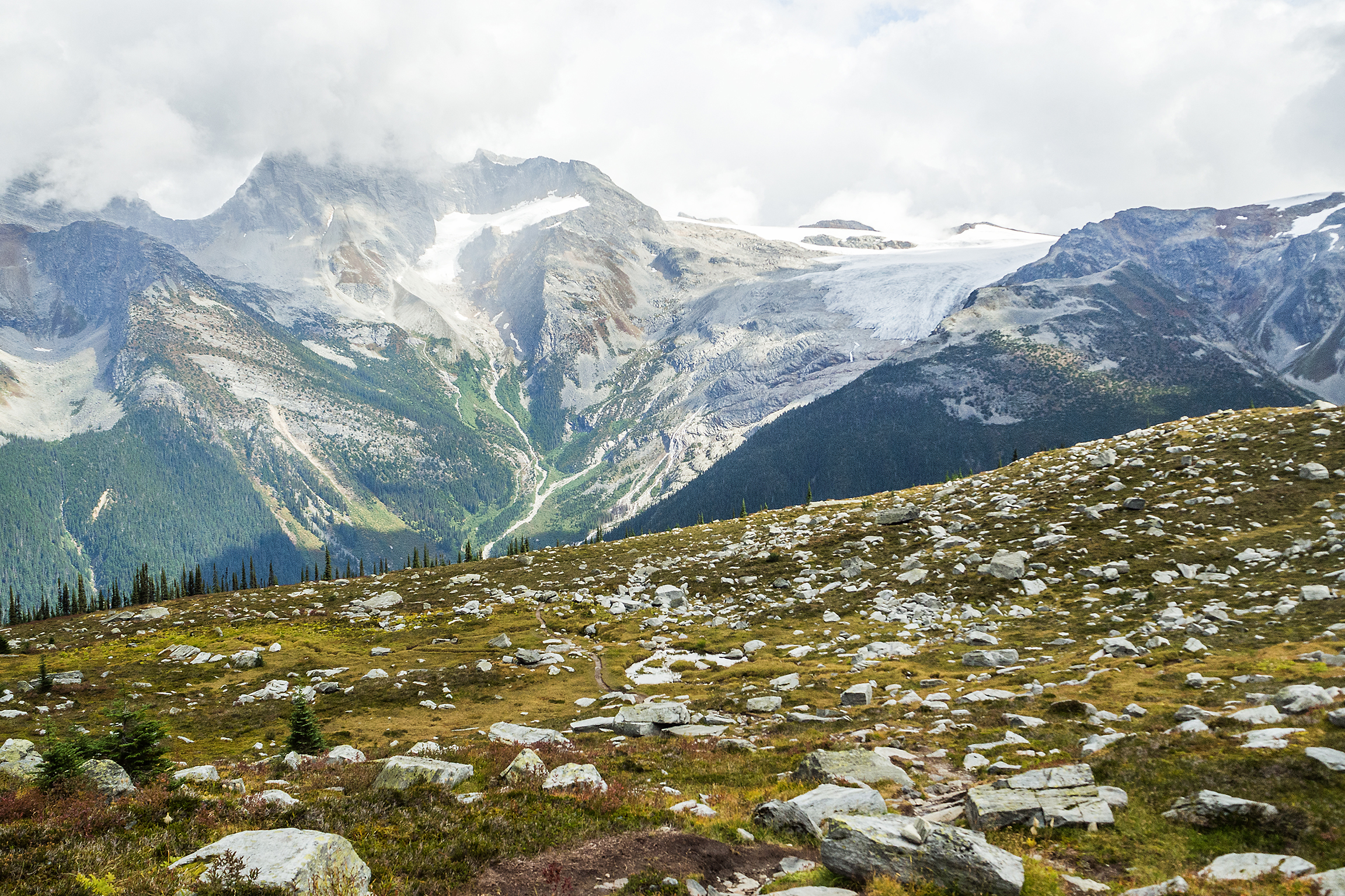
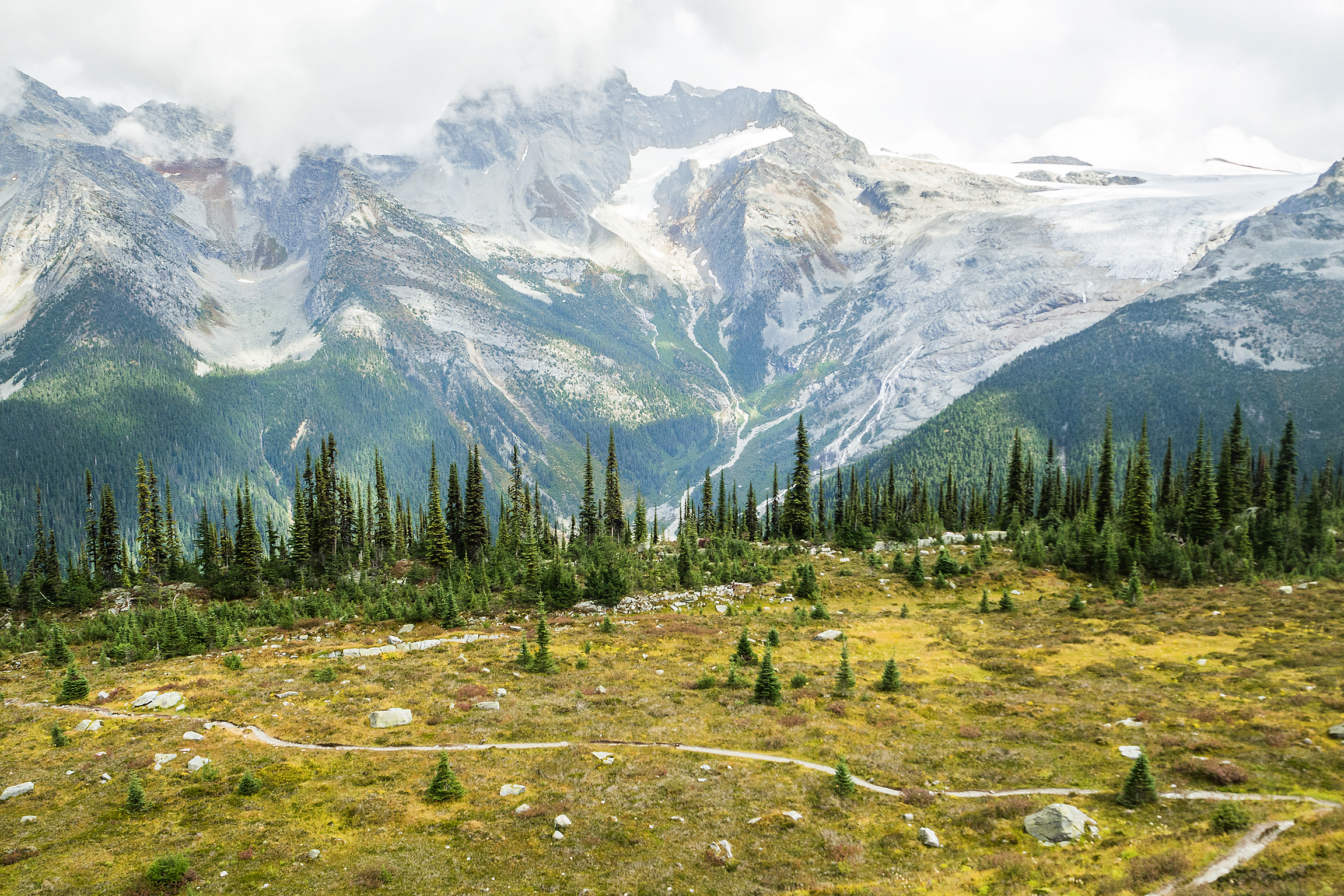
We didn’t make it up to Sentinel pass, but the snaking trail up the flank of the mountain was clearly visible from Minnestima Lake where we stopped before turning around. We could see the most adventurous of the little ants climbing up to the ridge and disappearing to the other side. We on the other hand made our way back down to the lake. The sun was starting to set and the clouds add cleared off the peaks and we climbed one more time to the top of the ant farm to capture yet another of the many faces of Moraine Lake – water mow glowing under the sun.

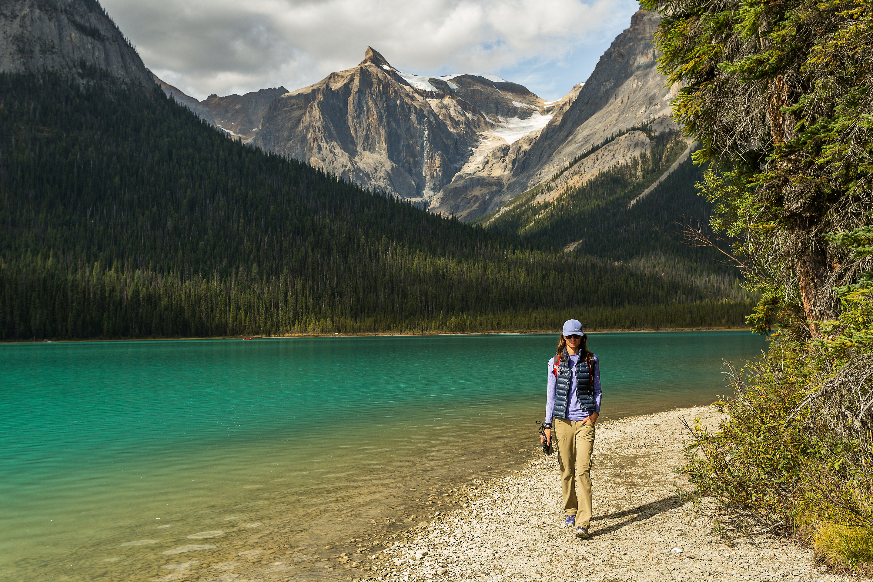
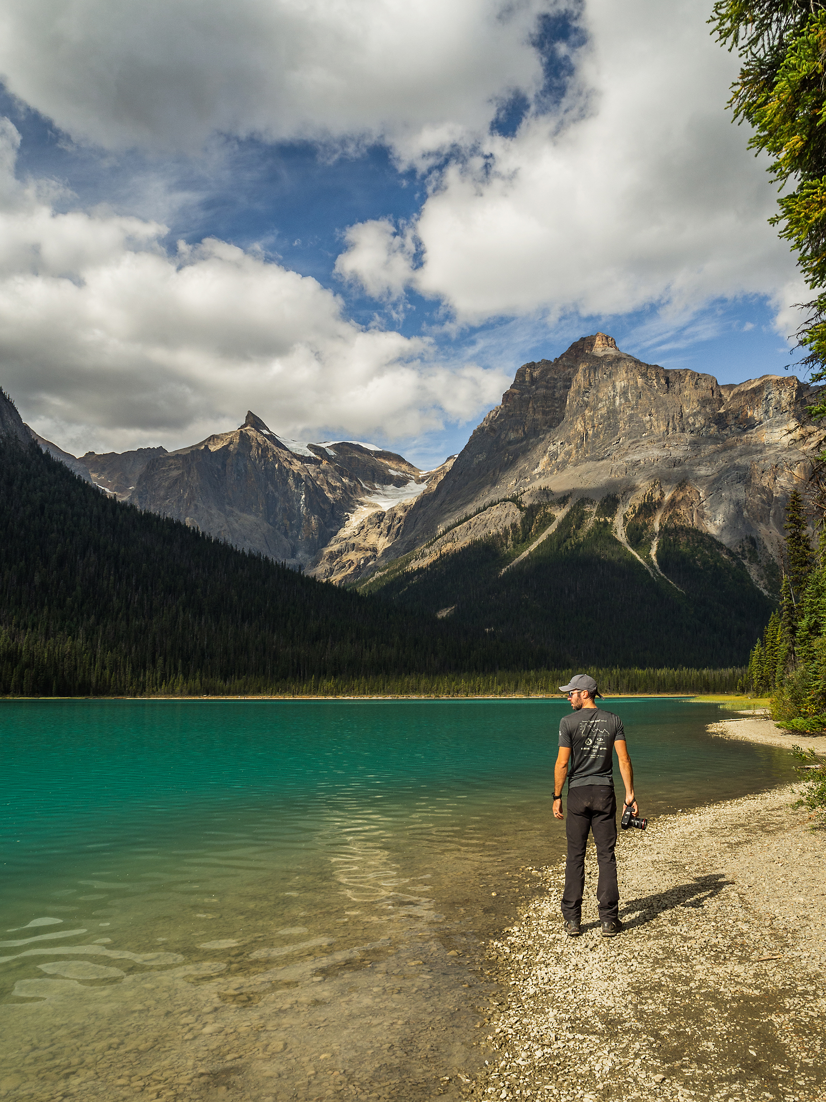
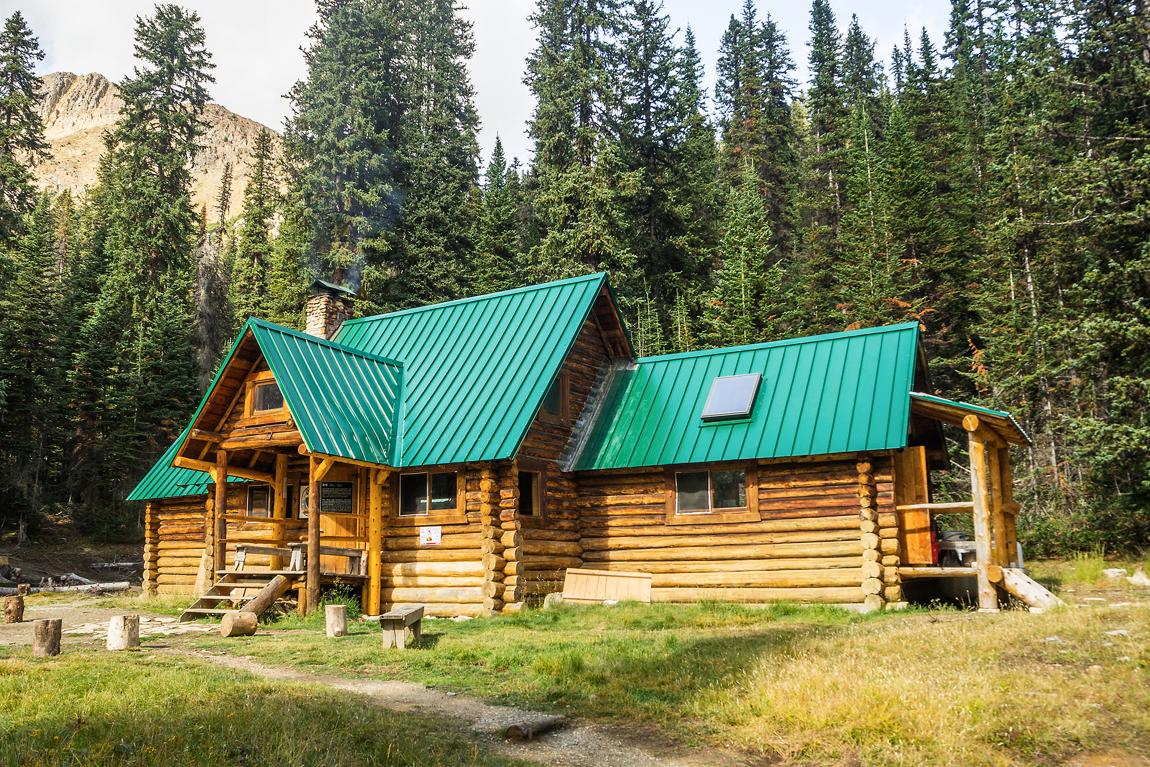
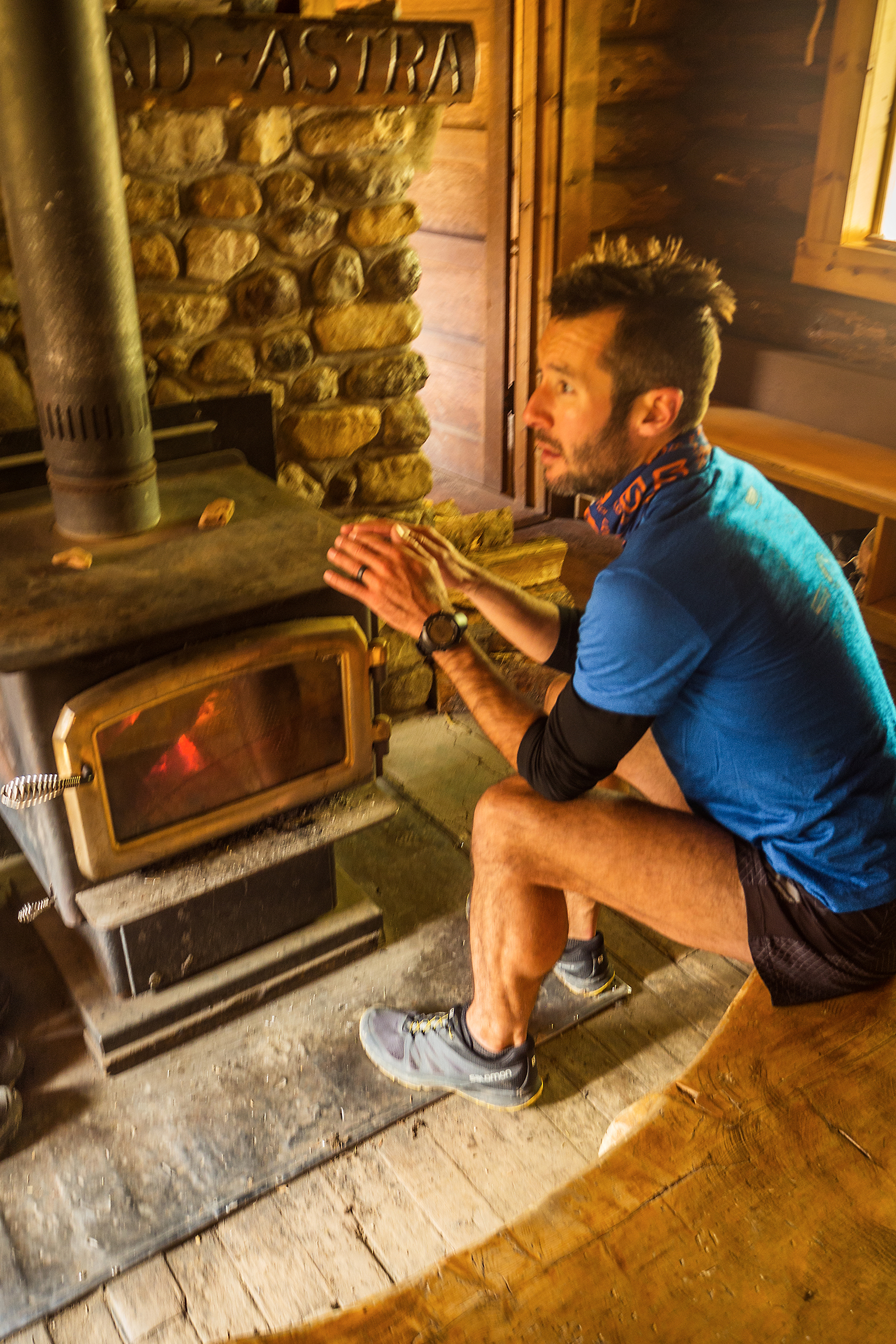
That evening we drove back west toward Yoho national park. We found an available camping site at the Kicking horse campground, the only one of the 4 in Yoho to offer hot showers – a pretty attractive feature when you’re camping by 0 degree weather.

Running the Iceline Trail in Yoho National Park

On day 4 of our Rockies road trip, we had decided to run the Iceline trail, one of the most scenic hikes in Yoho National Park. Our plan was to cover roughly 25km in a loop, starting in the forest along the river, then climbing up to the alpine to the Stanley Mitchell Hut, and finally taking the Iceline trail across the alpine and down back to the start of our loop.

We started at the base of the Takakkaw Falls, at the end of Yoho Valley Road, in a balmy -2 degres almost-fall morning. We had spent the night before at the Kicking Horse campground, located right off the highway, conveniently near the start of the road.

We first ran along the Laughing Falls trail, following the river passed a few waterfalls. We took a wrong turn and ended up further up the trail than planed, but made our way back on the Twin Falls trail. On the way we stumbled upon the Twin Falls Chalet, built in the early 1900’s by the Canadian Pacific Railway to serve as a Tea House, and later turned into a backcountry lodge. The Chalet has been operated by the same owner since the 1960’s, Fran Drummond, who still today in her eighties spends the summer season hosting guests wanting to enjoy a few days in the beautiful surroundings of the park and enjoying views of the Twin Falls from their room.

Once we were back on track we continued up Little Yoho Valley Trail to the Stanley Mitchell Hut. We crossed a boulder field for a while, then continued up the packed trail. The climb wasn’t very arduous, and with a full stomach we probably could have run it, but we were running low on fuel, and dragging our feet. Finally we reached the hut, which is actually really cozy and well stocked, with fireplace, kitchen and  sleeping quarters on the top level.

After lunch, we headed back out to continue towards the top of the Iceline trail. After a number of switchbacks, we arrived above the tree line and started running through the moon-like expense of dirt and rock, only broken up every so often by small patches of water.

We passed a few people hiking the opposite way, which seems to be the most popular way to approach the trail as a day hike. Brice and I both agreed that we preferred doing the loop in the direction we did it that day – starting with a more gradual incline through the forest and along the river, and coming down on the steep switchbacks that rapidly took us back to the parking lot.

Last one down buys the hot cocoa!

We were pretty happy about the hot shower available at the campground after a day of running, and were even able to enjoy a campfire as the ban was just lifted that night, after some rain fall had made the forest humid and less likely to catch on fire.

Hiking to Abbott Ridge in Glacier National Park (Canada)


On day 2 of our Canadian Rockies road trip, we headed to the Illecillewaet parking lot, the start of most trailheads in Glacier National Park. The Park is home to black bears and Grizzly, and parties smaller than 4 people are advised not to go on some of the trails that cross the most bear-populated areas.

We decided to hike the Abbott Ridge trail, a short but steep, intermediate-level hike . The first part is mainly single-track switch backs in the forest. 2,6km from the start, we passed Marion Lake, surrounded by dense forest and not very remarkable.

Soon after the lake, at the trail split, we took the shorter but steeper way. The switchbacks continued for a while, but trees slowly gave way to rocky formations, and eventually the trail opened up to a vast alpine meadow with quasi all-around views of the valley and surrounding glaciers. Looking up to the end of the trail, stood the straight rock face of the ridge.

The weather was pretty stable on the way up but we could see black clouds slowly making their way through the valley, and eventually aiming towards where we were. We had lunch at the weather hut then headed back down. It looked like the trail might continue further up, but we weren’t sure how much more, given the straight up wall that stood a few hundred meters from us (after checking online later on, I found out there was indeed a trail that climbed to the top of the ridge).

Still, the view from the meadown was not disappointing, and for a while we watched the clouds dramatically travel through the valley, from Bonner Glacier on the western side, towards the Illecillewaet Neve to the East. 

On the way back, we took the longer way down alongside a rocky slope. The two trails reunite about 500 meters before reaching Marion Lake again.

We made it back to the car just as the rain started to pour.