Patagonia Travel: Planning our itinerary and what we brought along with us

Making the most of a short(ish) trip

When Brice and I decided our next big trip would be in Patagonia, right away we agreed that we needed to check out what this whole Torres del Paine business was all about.  Since the park is in the southern portion of Patagonia, we soon figured we would end our journey there.

A quick internet research landed us on Alan’s blog, and soon I had ingested his extensive advice for doing the full “O” circuit, the trek that would take us all the way around and through the Torres del Paine mountain range. Based on his suggestion, we went ahead and booked all of our campsites in advance – and that was probably the smartest planning step we took, as just a few weeks later, the park announced that due to increasing popularity, only hikers with reserved campsites would be allowed to hike the multi-day trails.  

Once that part of the trip was locked down, we started to focus on the rest: how to get there and where to start from.

I did a lot of research for this trip – as I tend to do (I’m a planner, what can I say). At first, it was basically to learn more about Patagonia. We’d heard the name of course, and seen documentaries that got us day-dreaming about amazing wild landscapes, but we didn’t really have a clear idea of the geography, the climate, the overall environment we would be immersing ourselves into. 

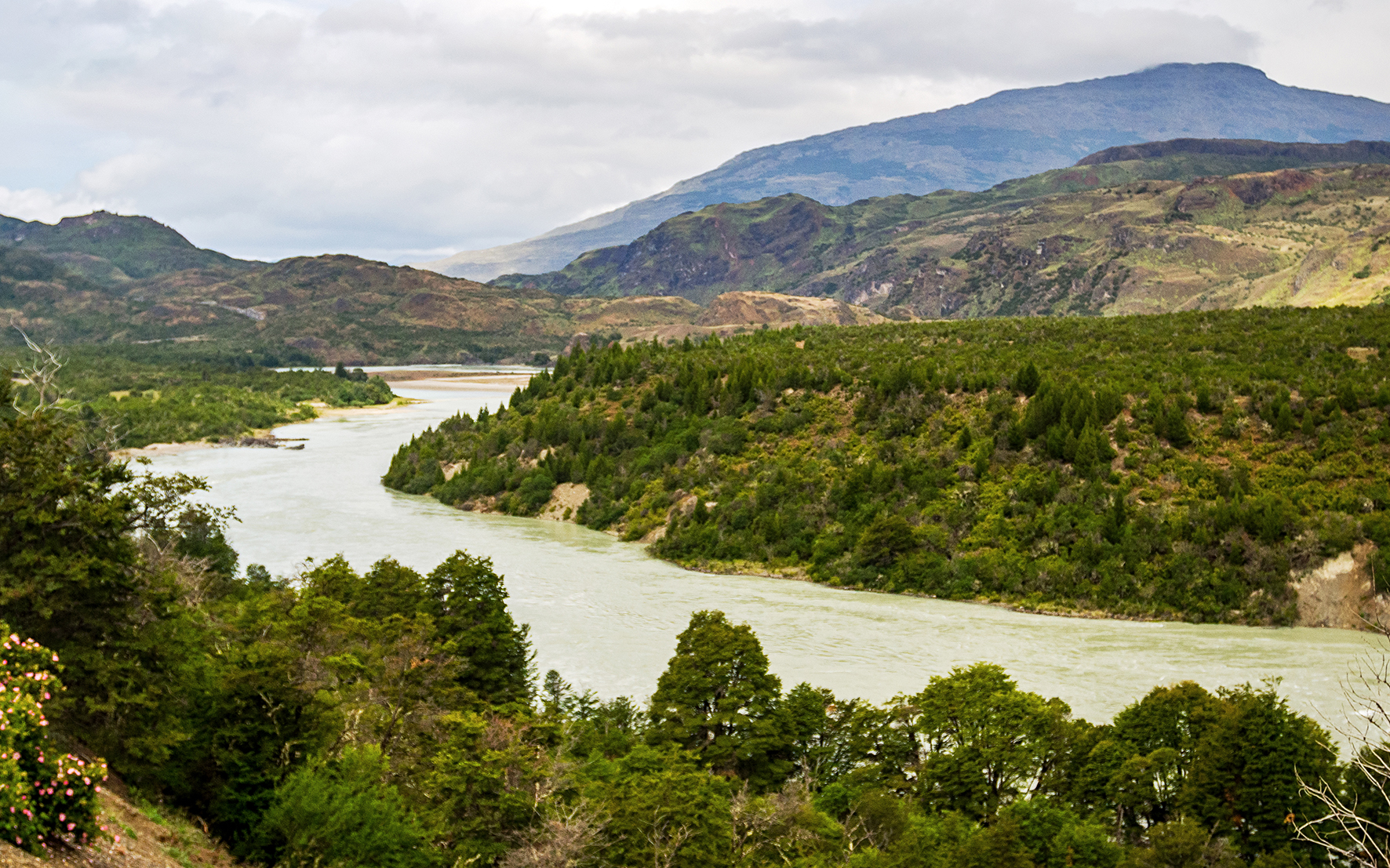
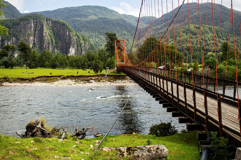
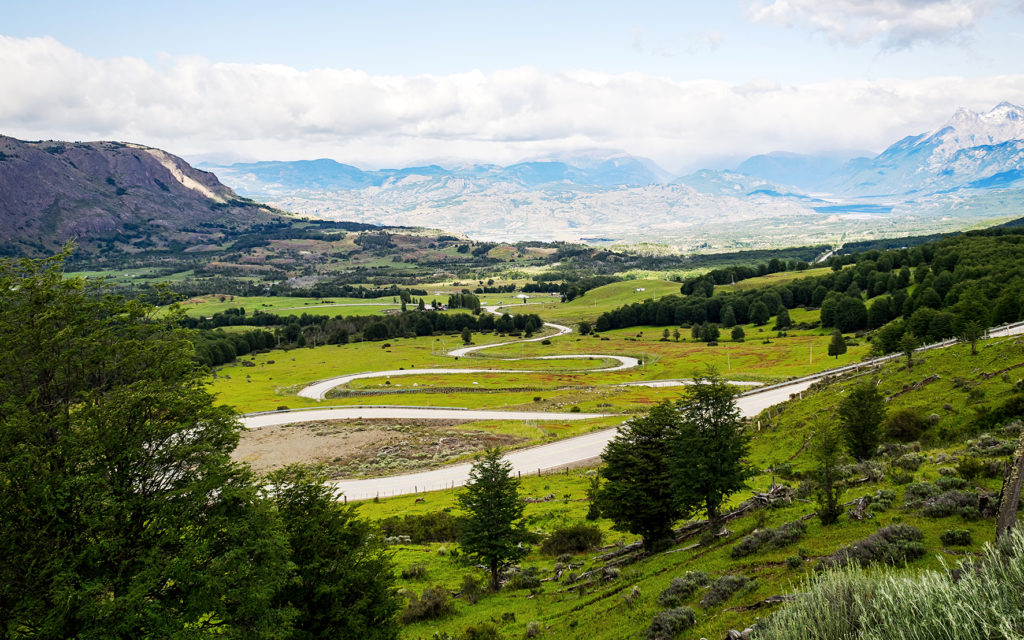
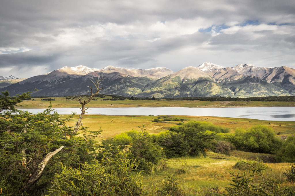
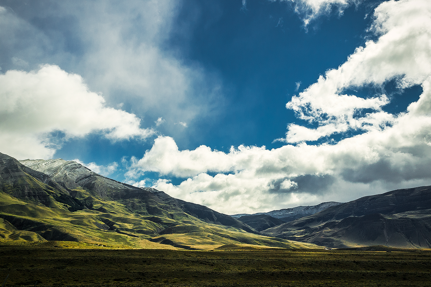
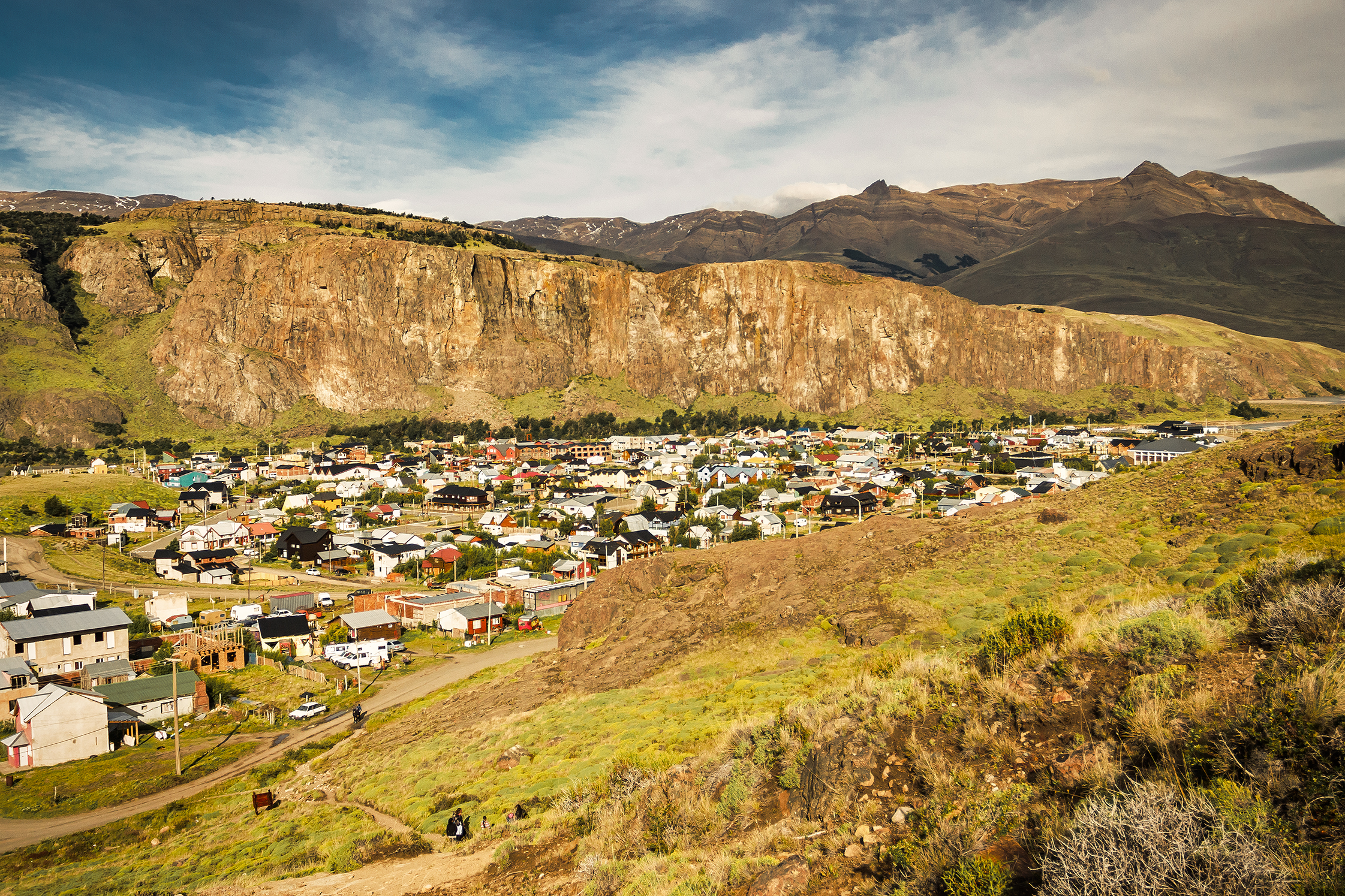
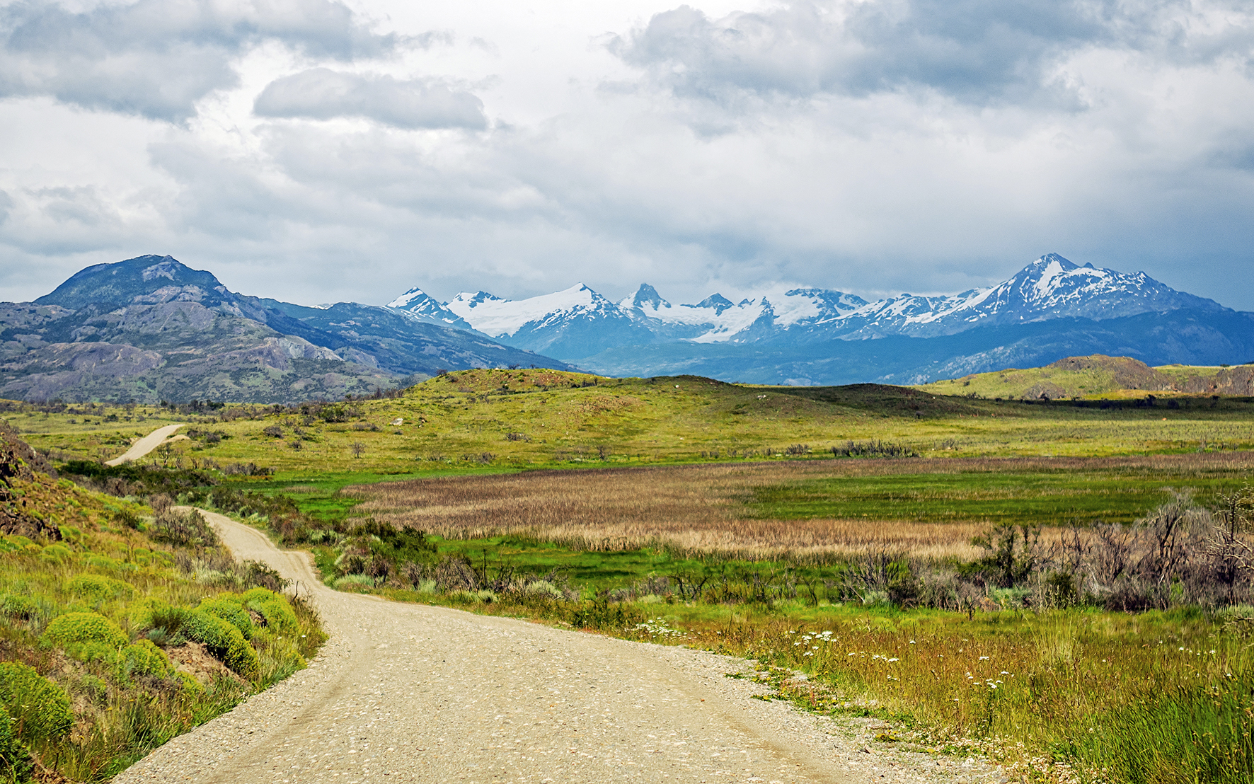
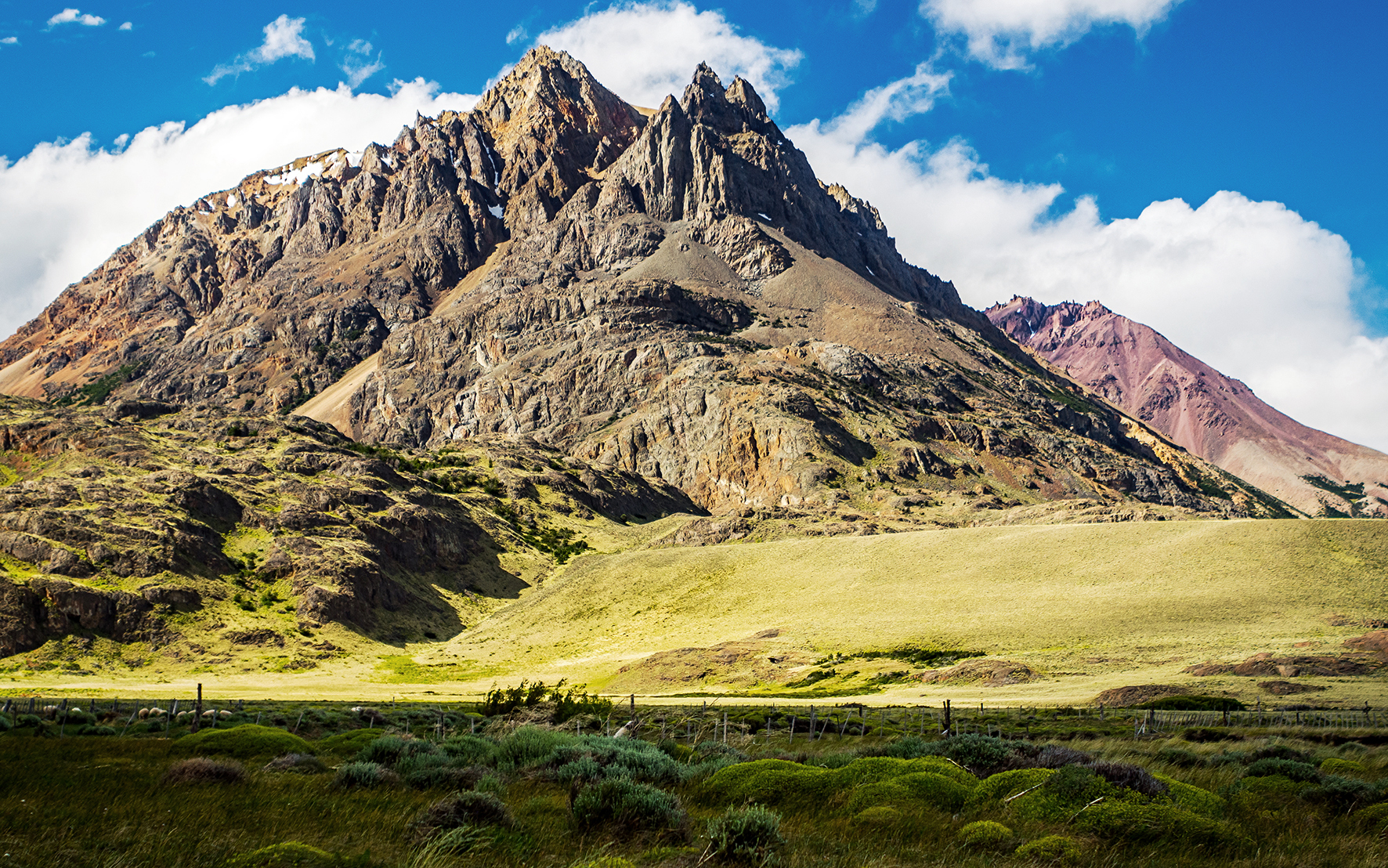
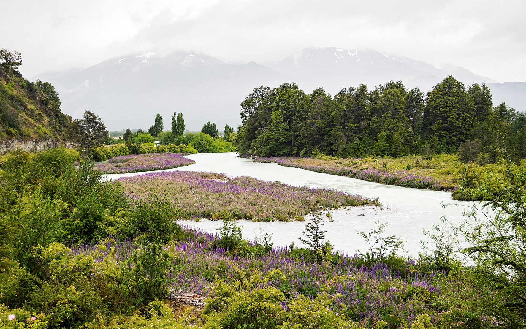
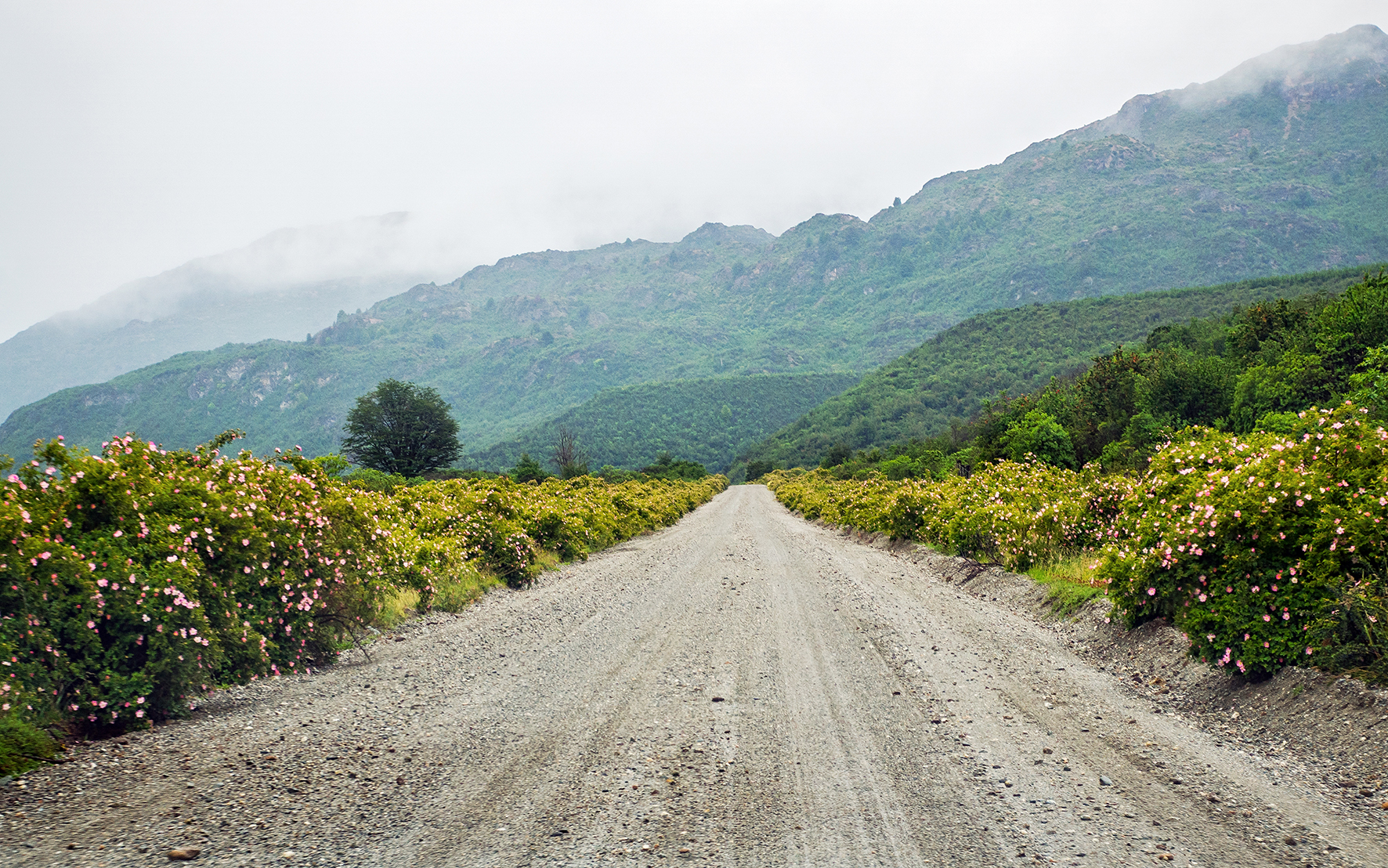
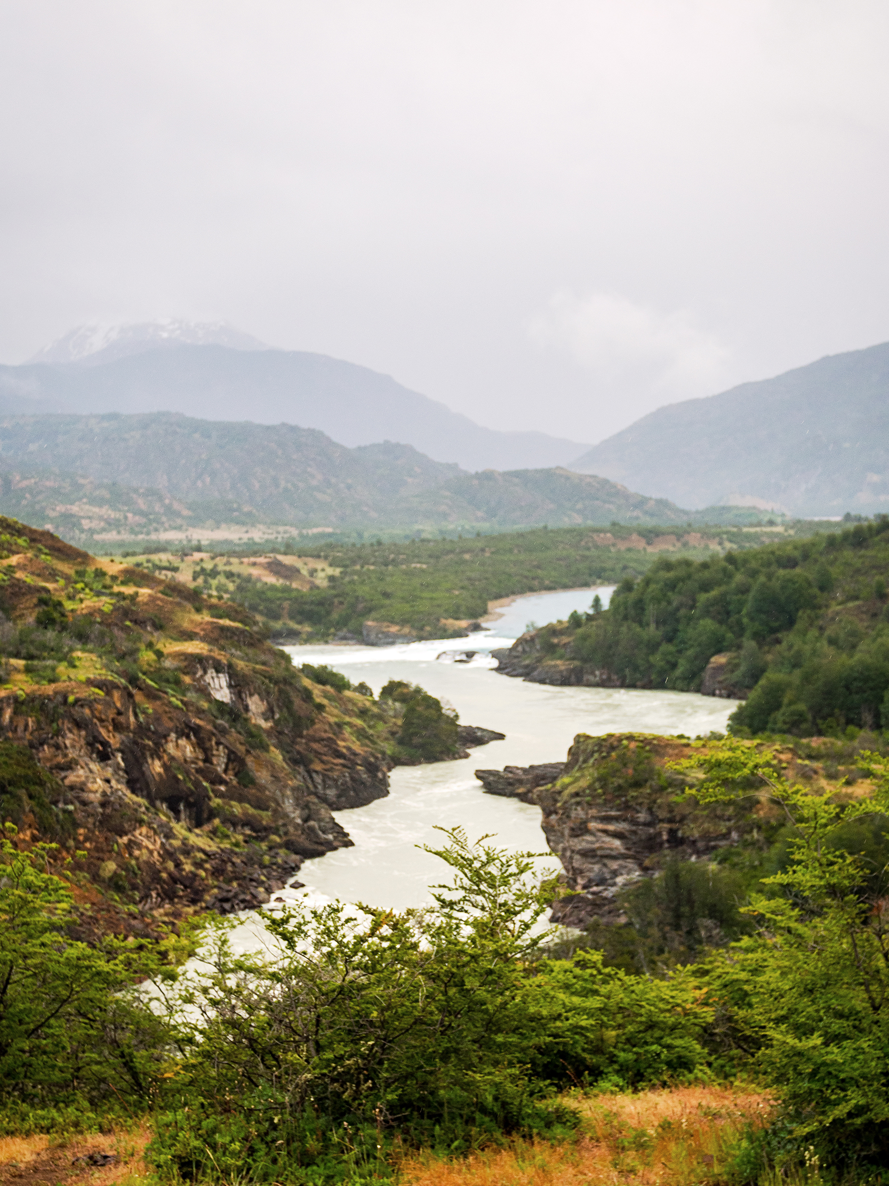
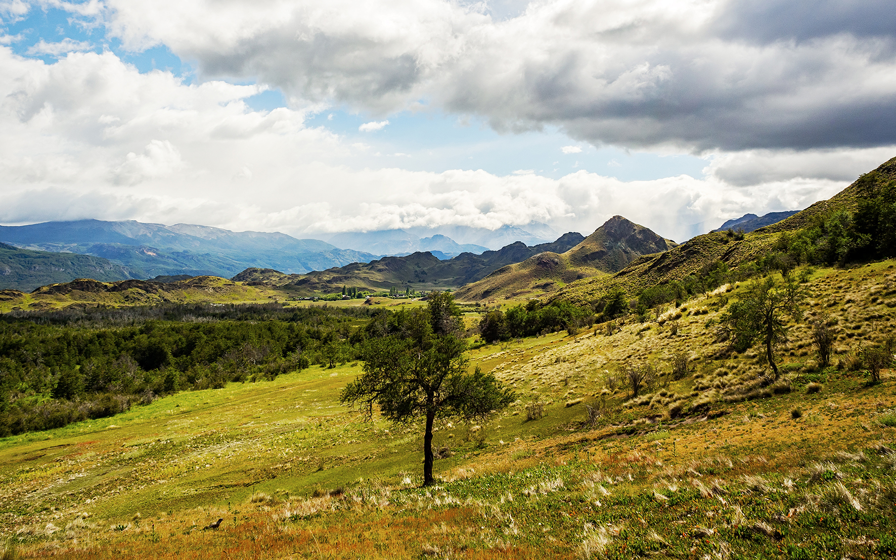
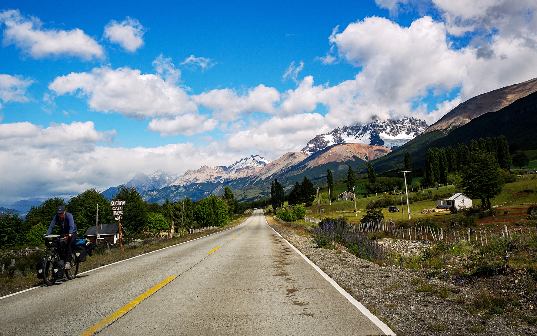
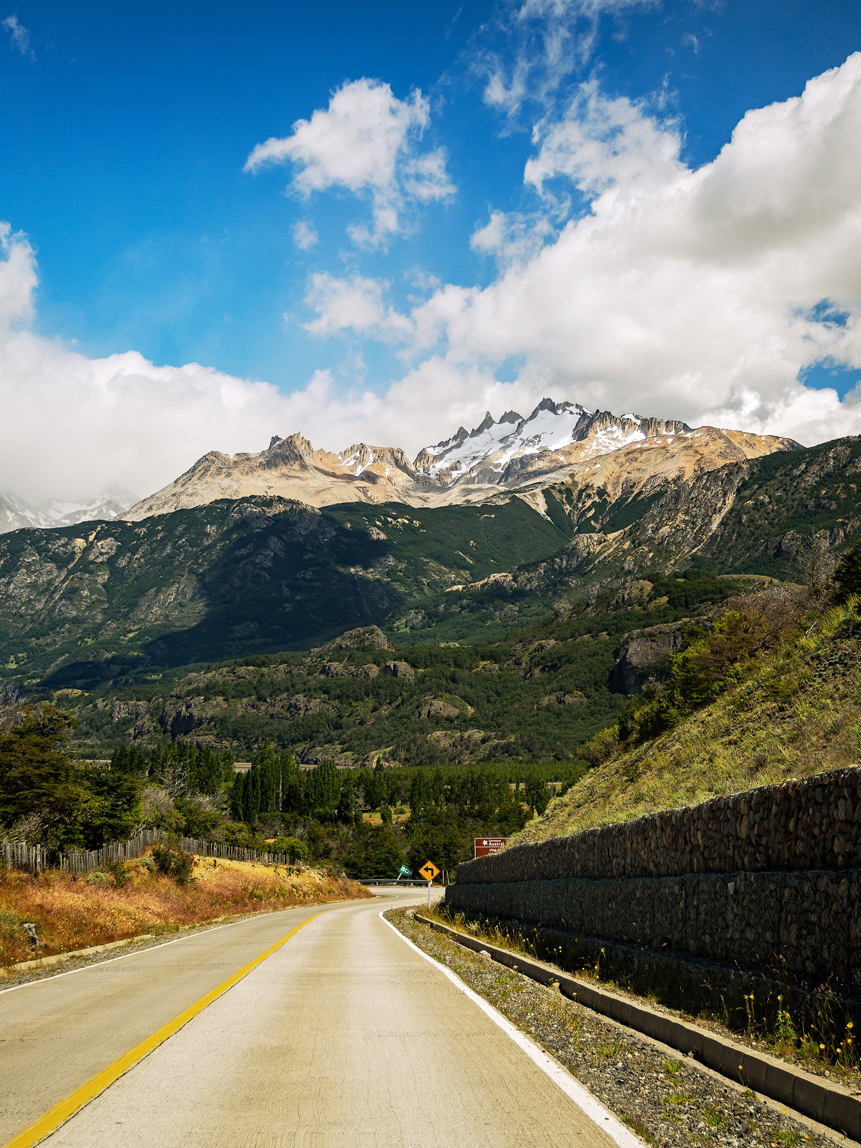
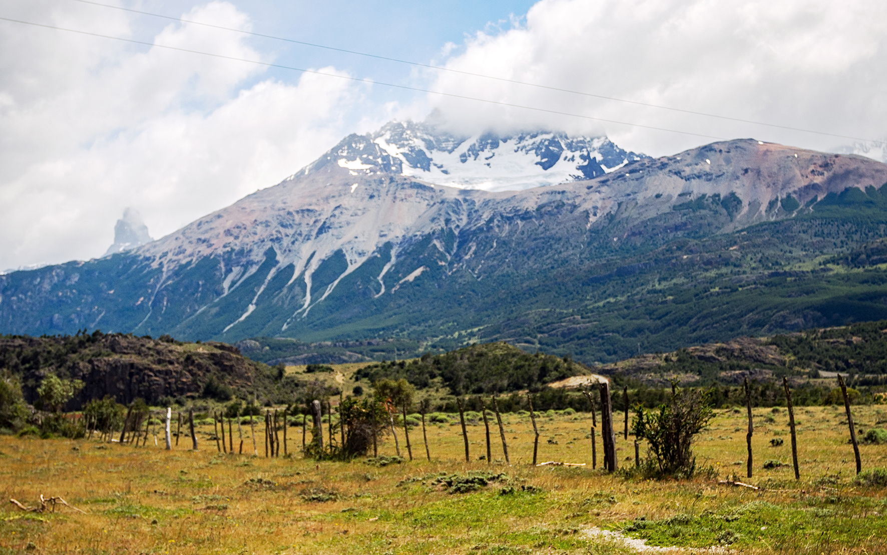
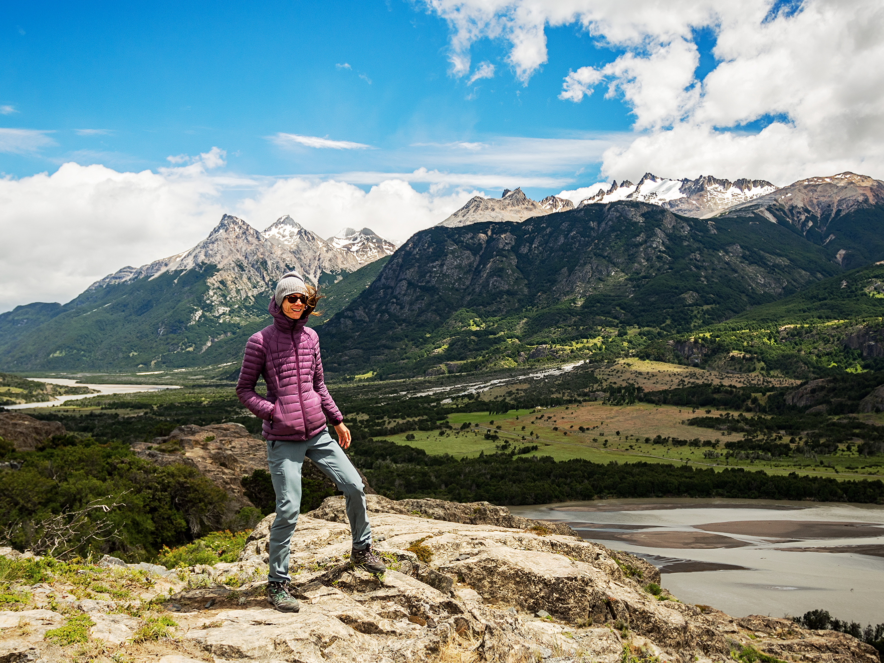
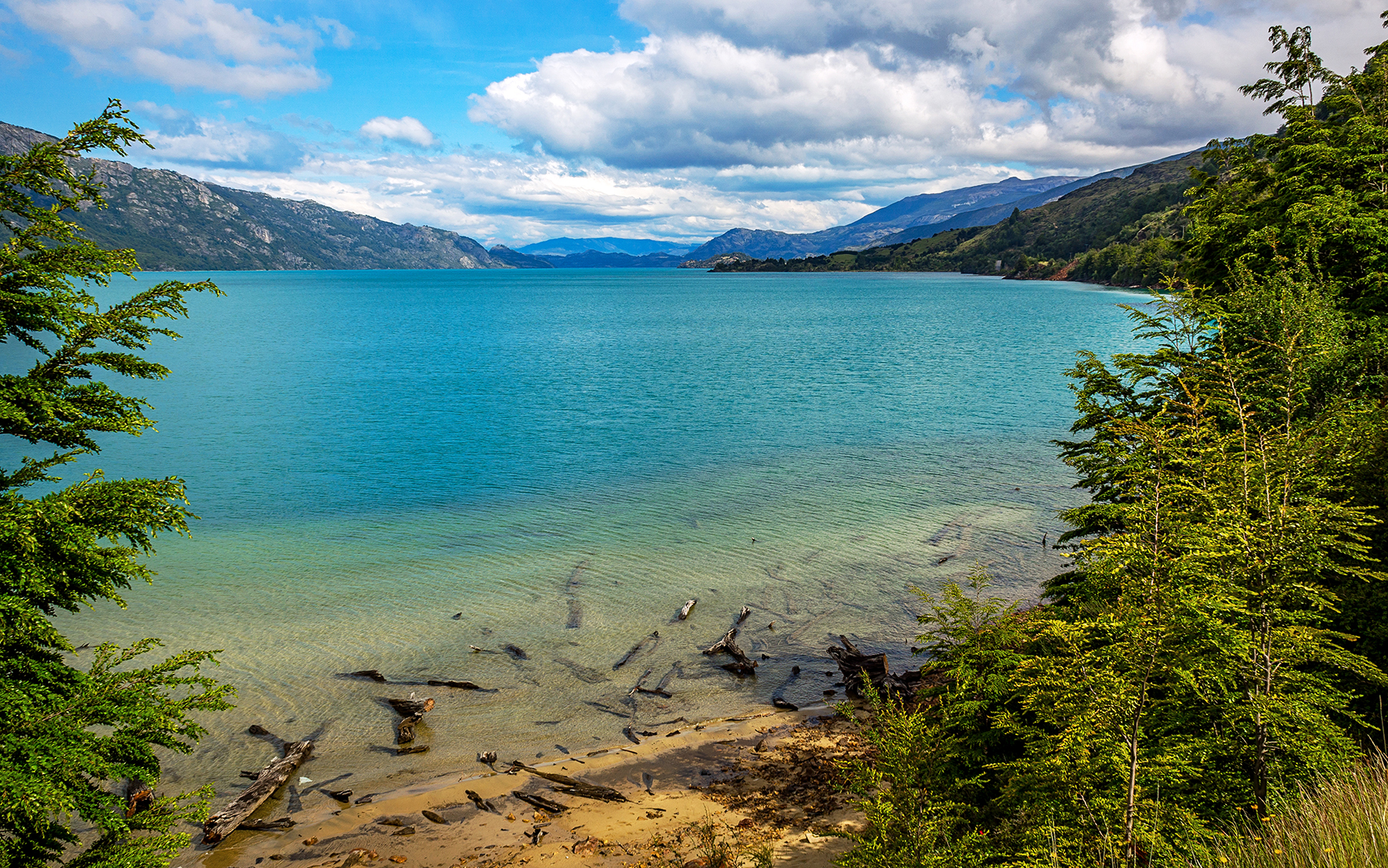
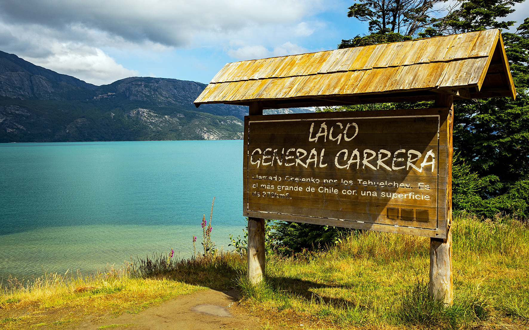
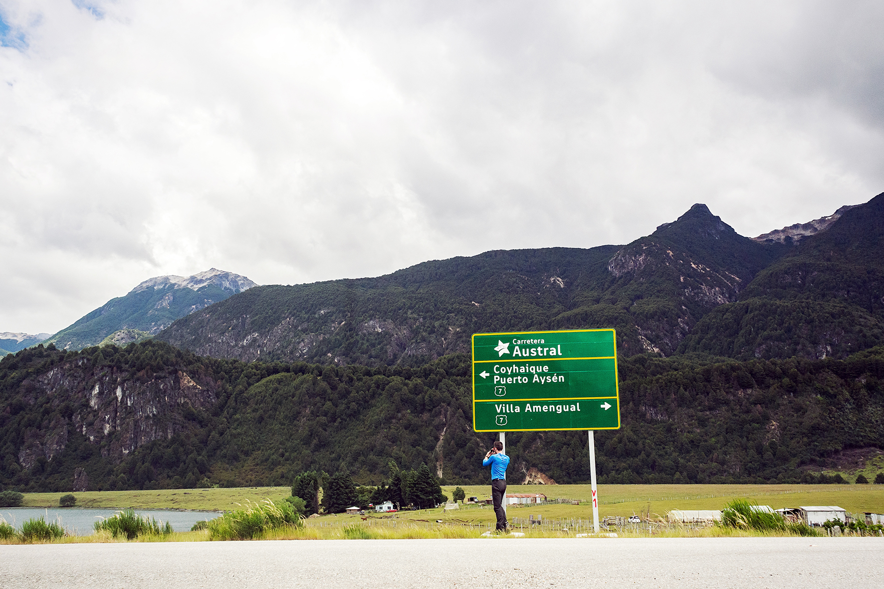
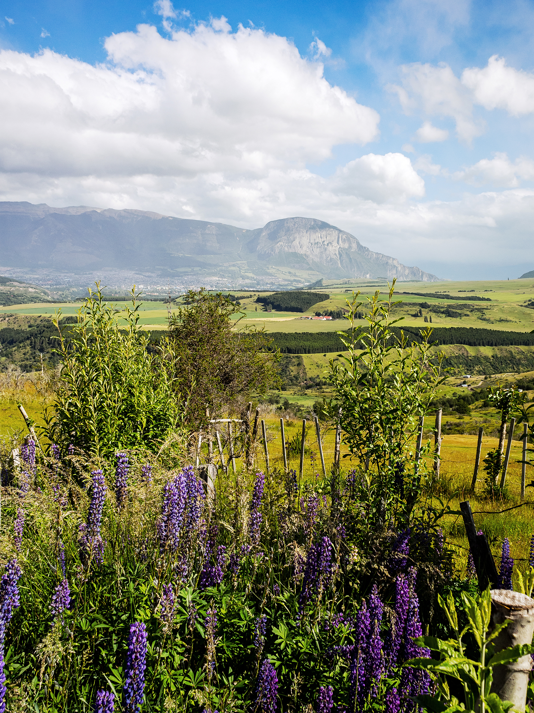
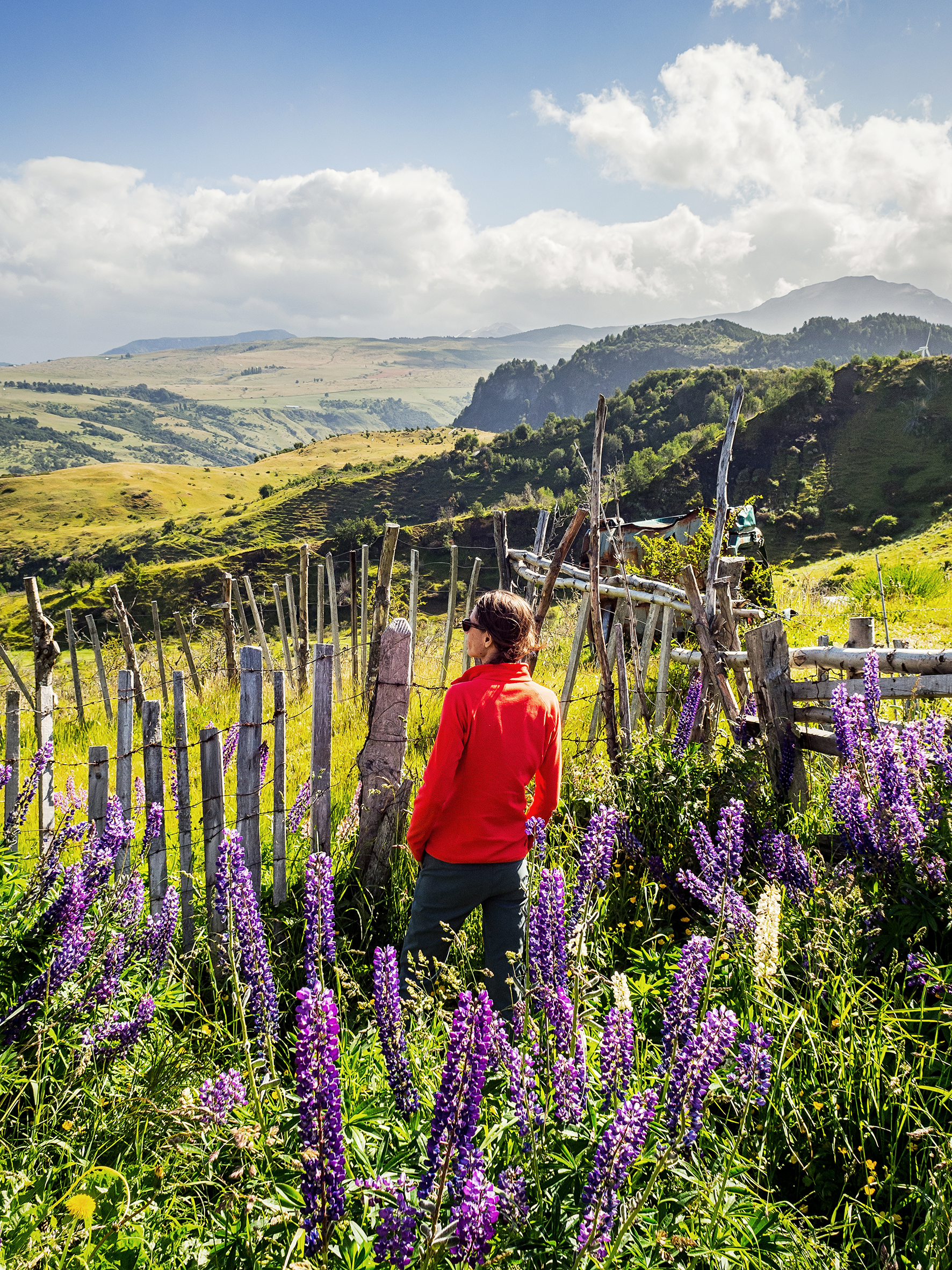
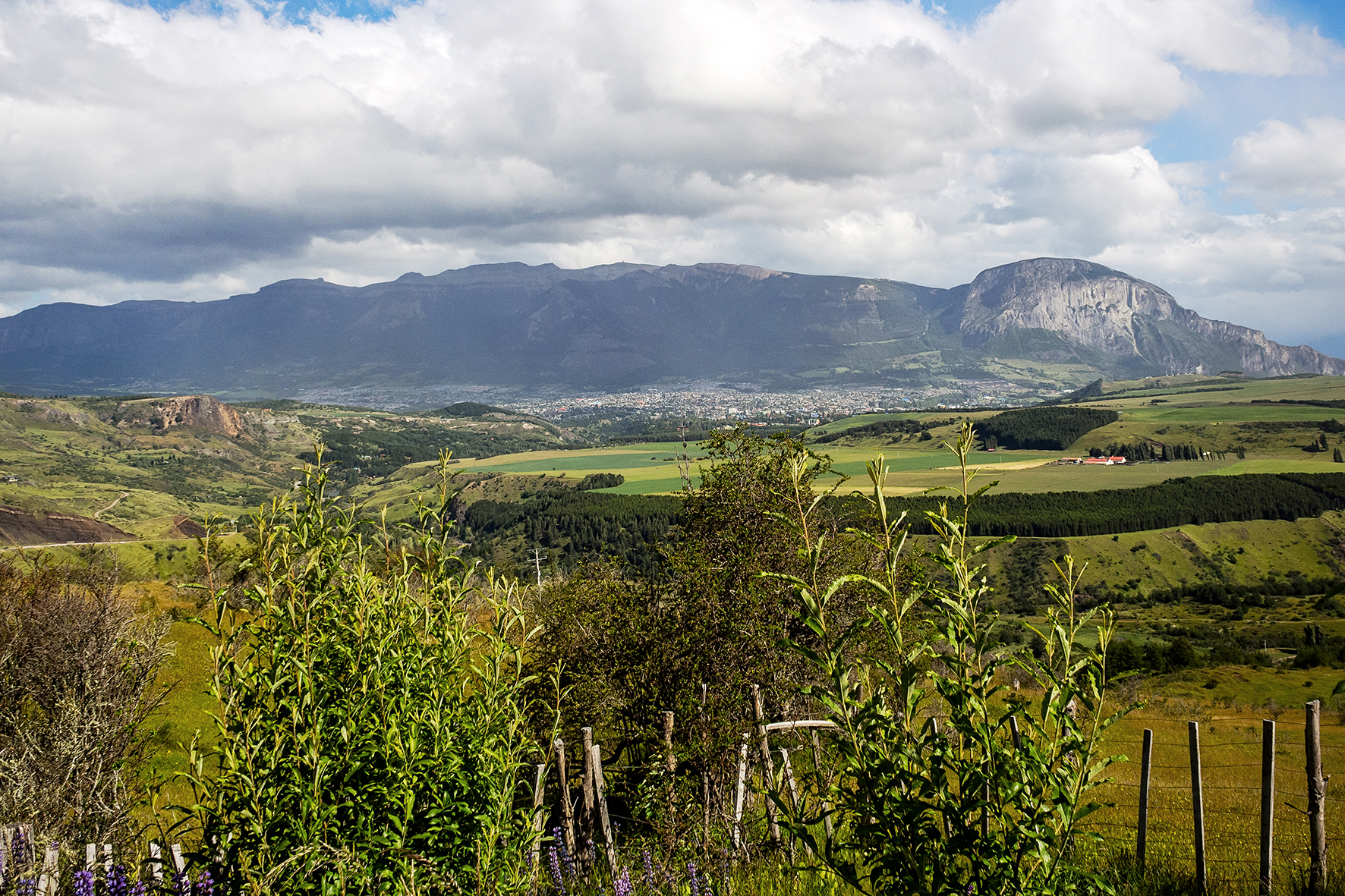
Then I started to read about the challenges it might present for travellers (remote areas, roads in very bad conditions), and how to best approach them. It seemed that there were various ways we could drive across Patagonia, all the way down to Torres del Paine. One way was through Argentina, the other through Chile. Ultimately the Chilean side felt more appealing to us. I can’t remember  where/when I first read the name “Carretera Austral” – the main road that spreads North-South through the narrow, southern portion of Chile, but at one point we decided that there was the path we would follow.

Patagonia is a huge land to explore. Most of the accounts I had read were by Overlanders, long-term travellers who had sometimes driven in vans all the way down from North America. They were on the road for months and had time to take every day as it came, and didn’t have a rigid plan to follow. 

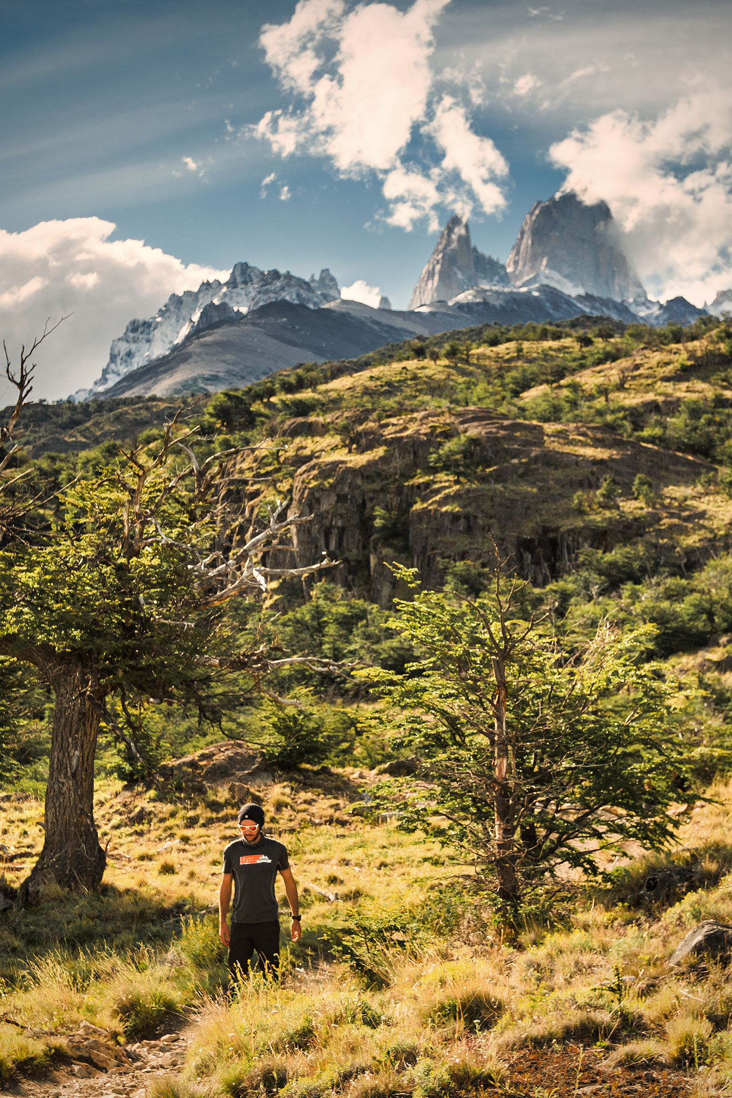
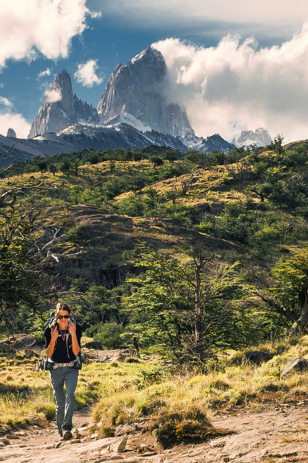
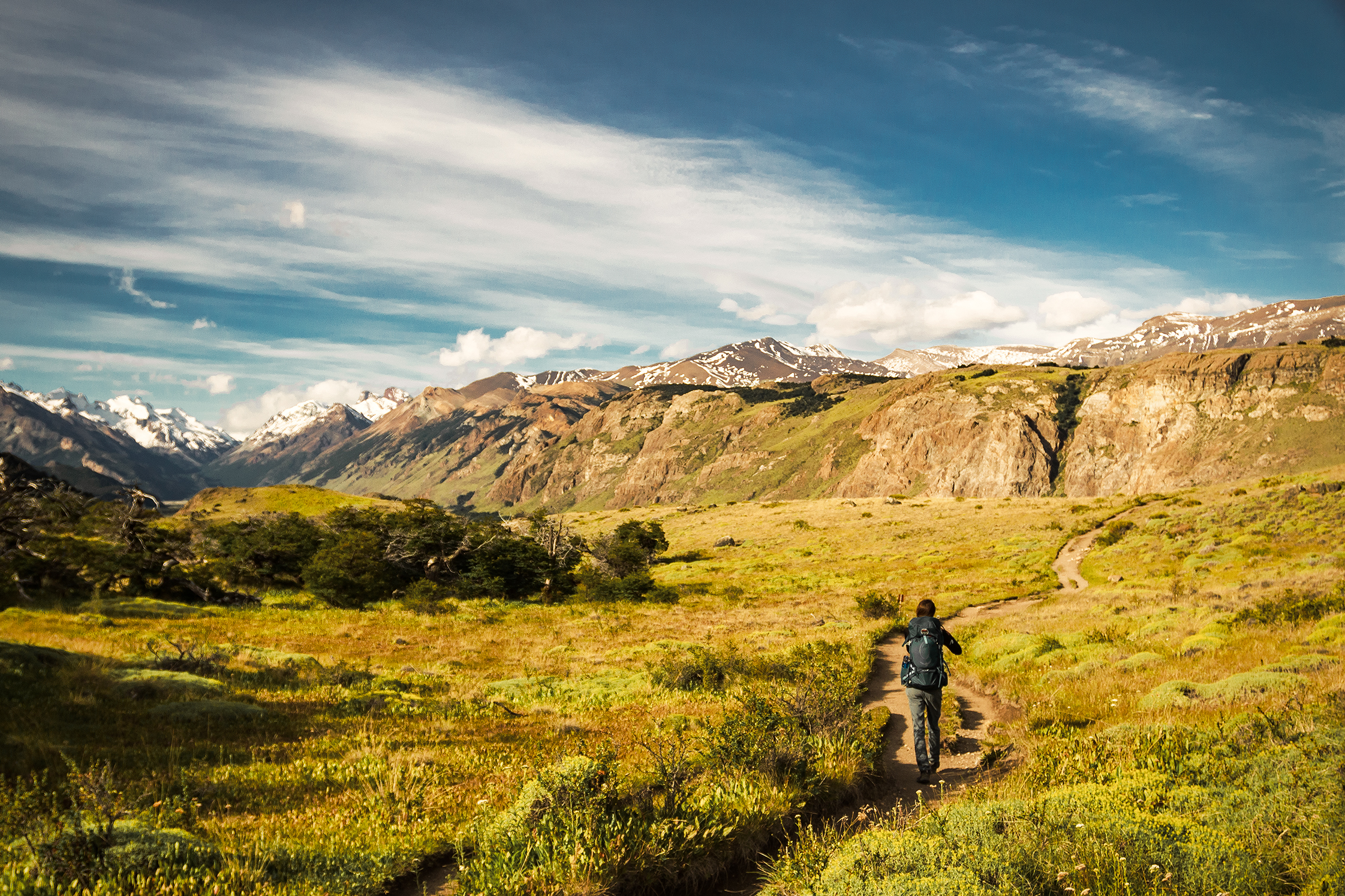
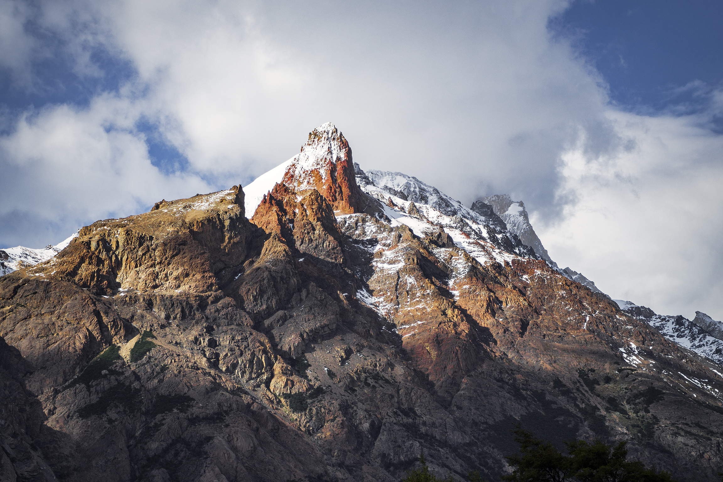
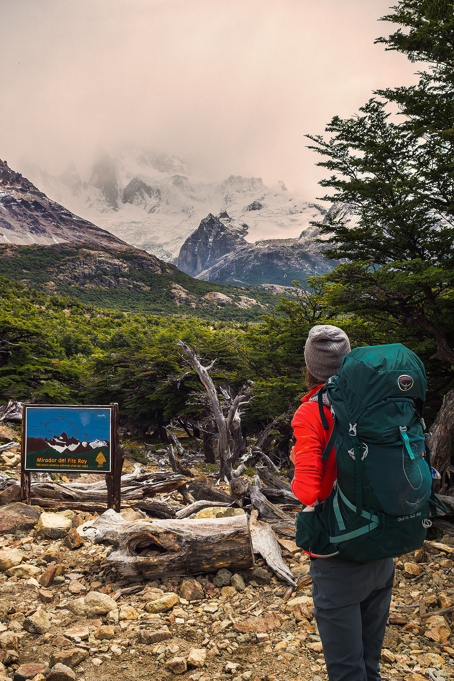
As much as I would have loved taking 2-3 months to wander the Carretera north to south and back, there was only so much time we could take off work – and we were fortunate to actually be able to take that much time. With the 6 days (+1 one for buffer) dedicated to the trek in Torres, and another 2-day trek in El Chalten, to get a glimpse of the iconic Fitzroy, we were left with about 12 days to drive along the Careterra.

I read a lot about this iconic road, how long it would take to drive, how bad certain portions of it were and how it affected travel times. And where to stop on the way, what “not to miss”. While planning that portion of the trip, I went back and force between thinking the time we had was way too short, and fearing we wouldn’t be able to “see enough” or we would just be grazing the top of what Patagonia has to offer…and maybe I was putting too much pressure on myself to have an amazing trip and maybe I was over-planning this whole thing. We actually had one car rental company advise us against taking such a trip, arguing it really wasn’t enough time to see a lot and that we would be driving too much. To ease my concerns, I got in contact with Rich and Ash from Desk to Glory, to get an idea of how long they had taken to drive down, and they replied that they only took about a week – not sure if that included the 2 days spent crossing the fjords in the beginning, but it made me feel better about the time we had, so thanks guys!

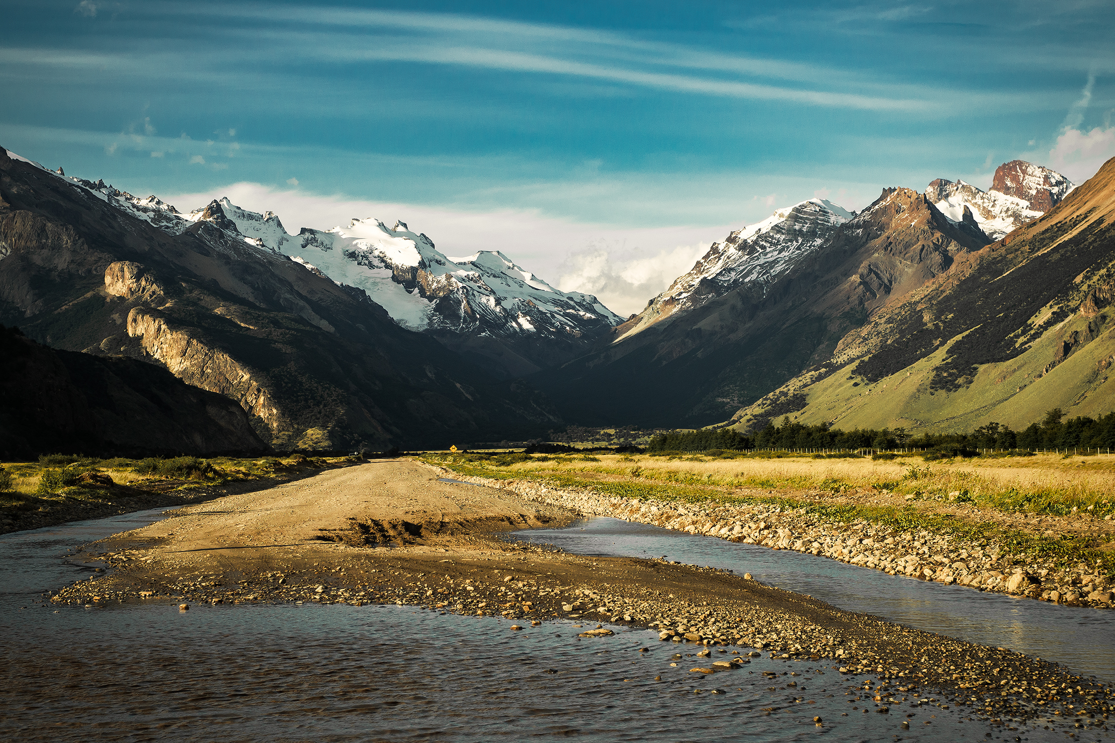
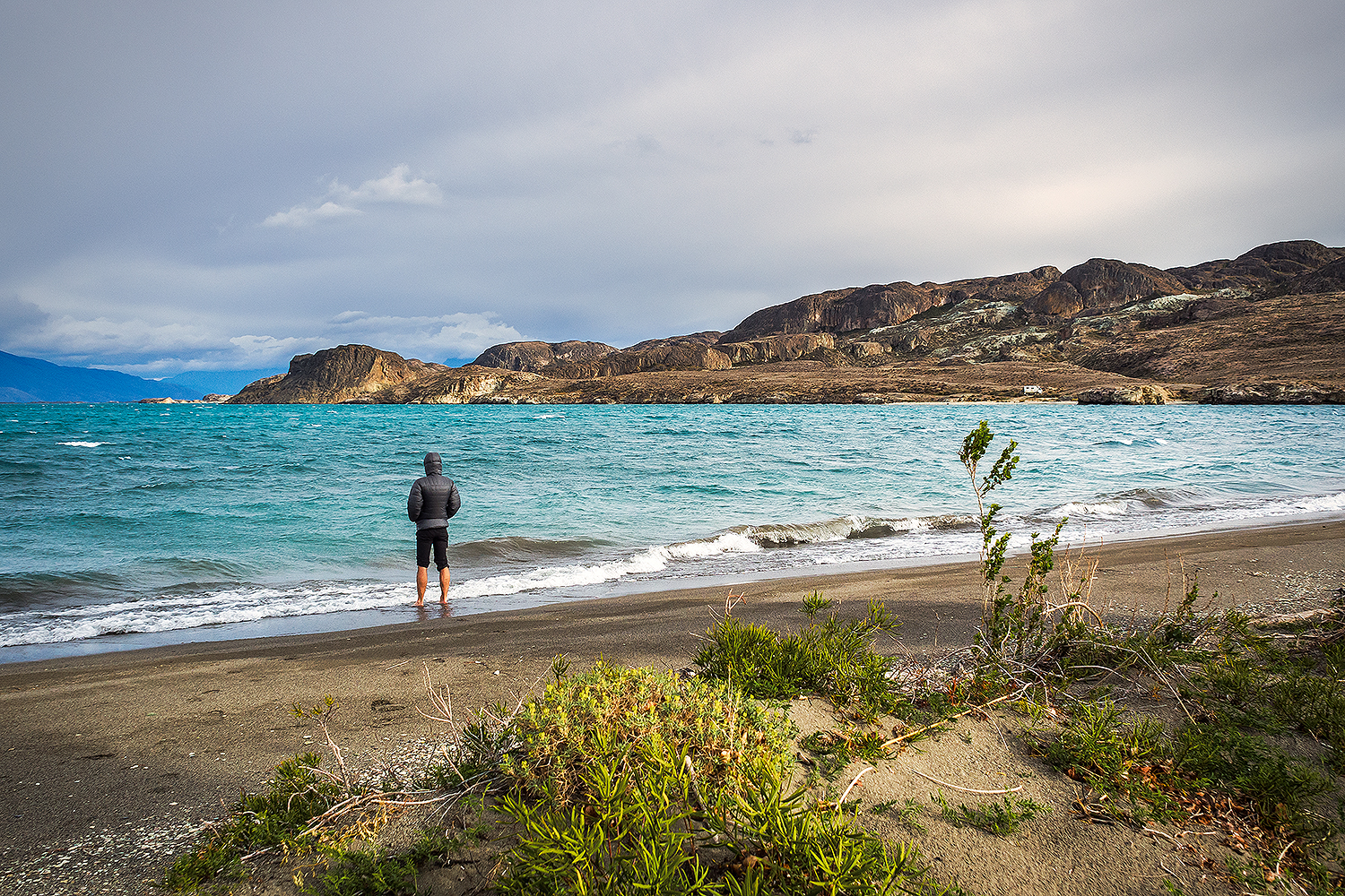
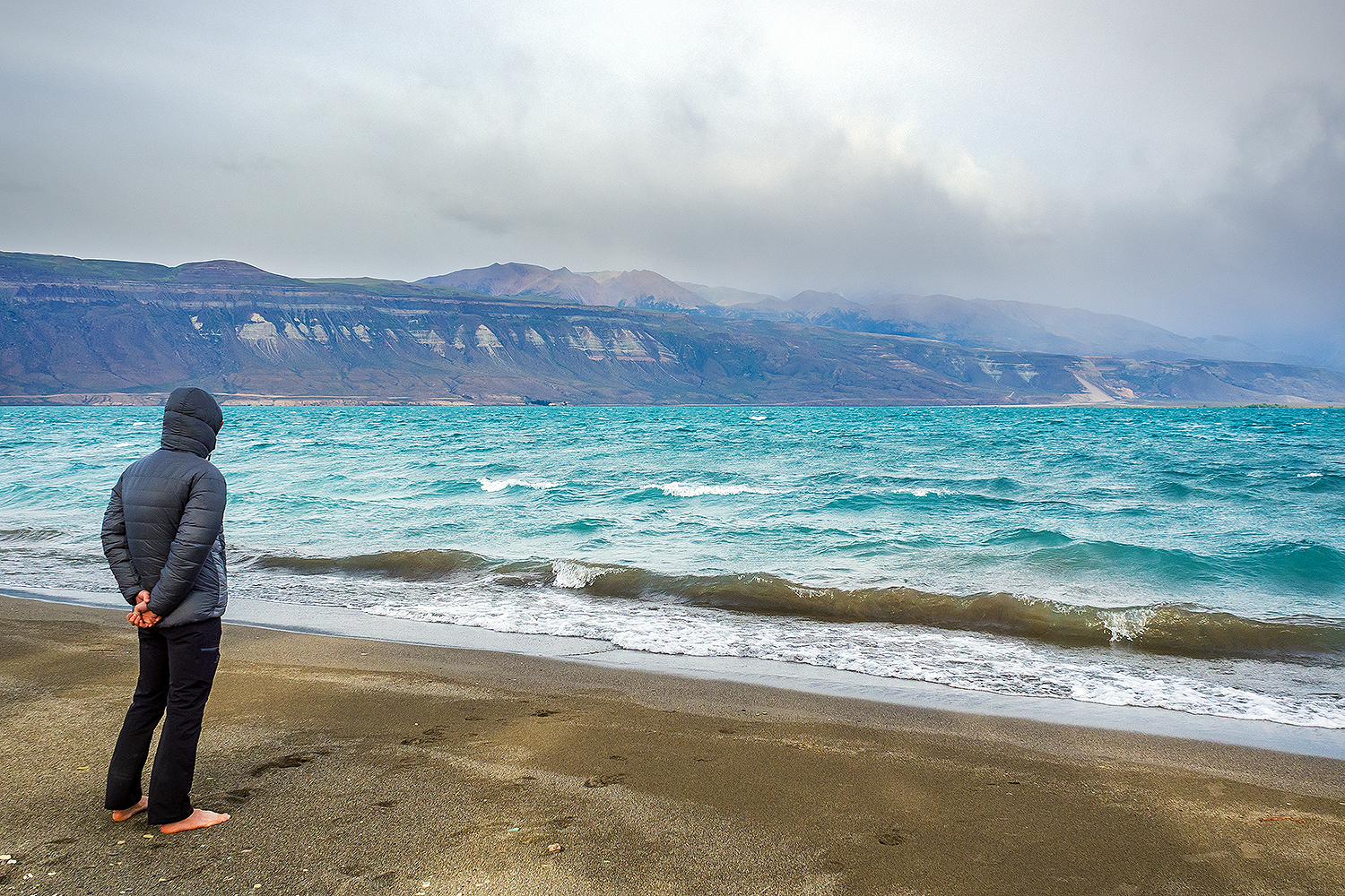
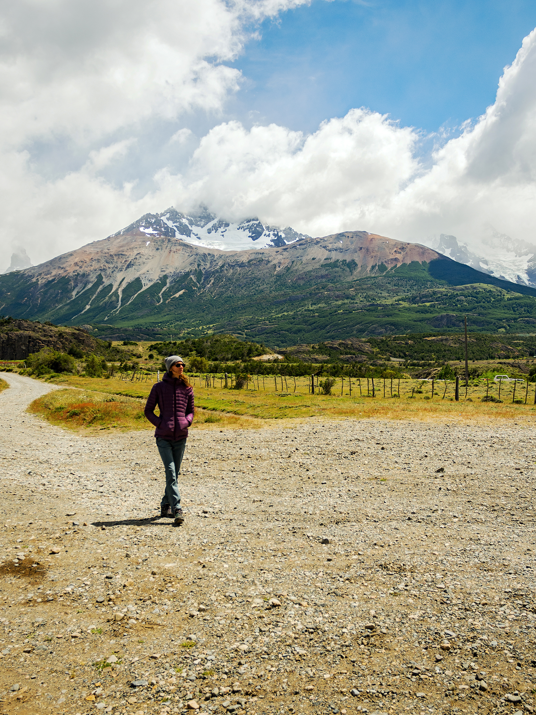
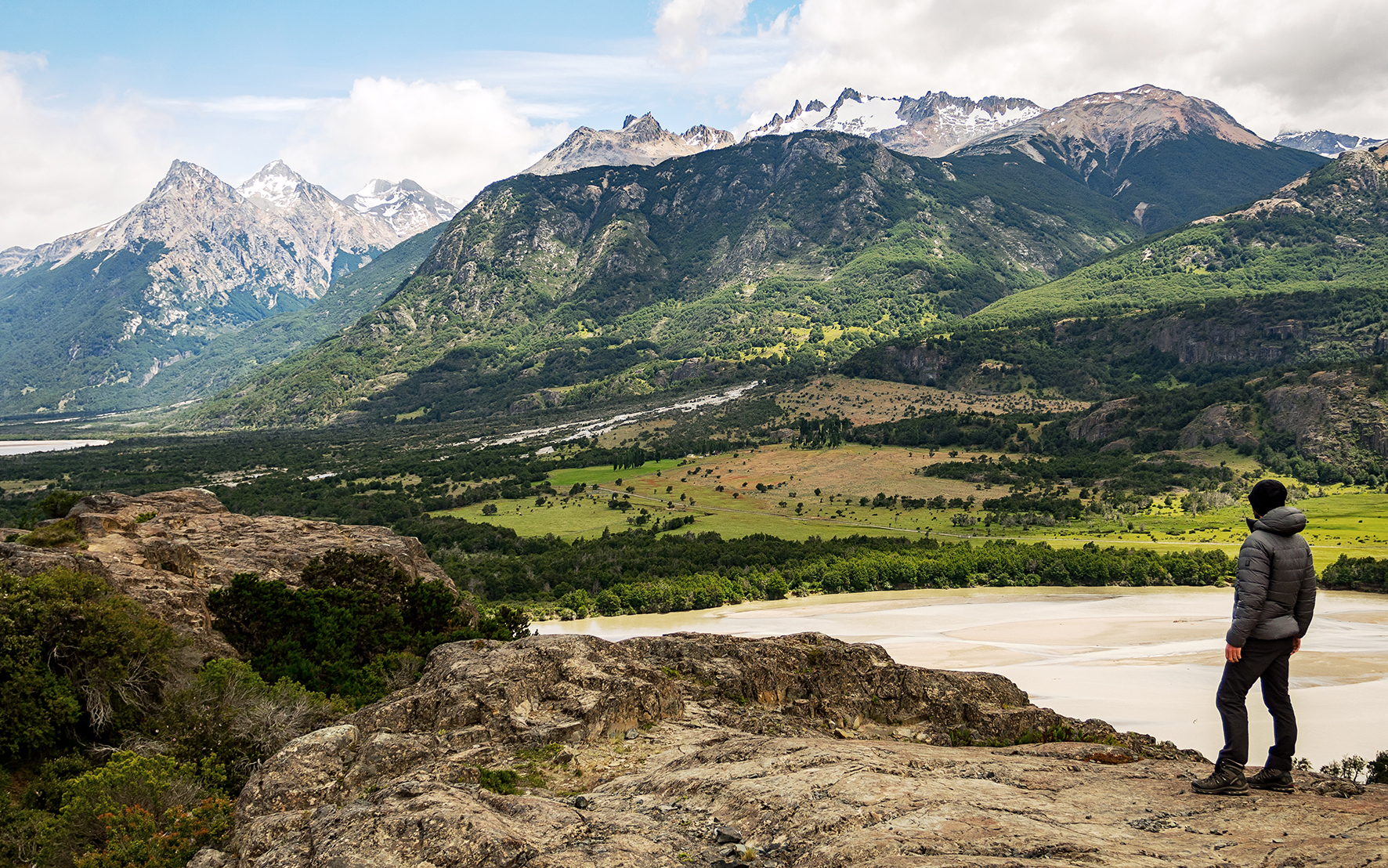
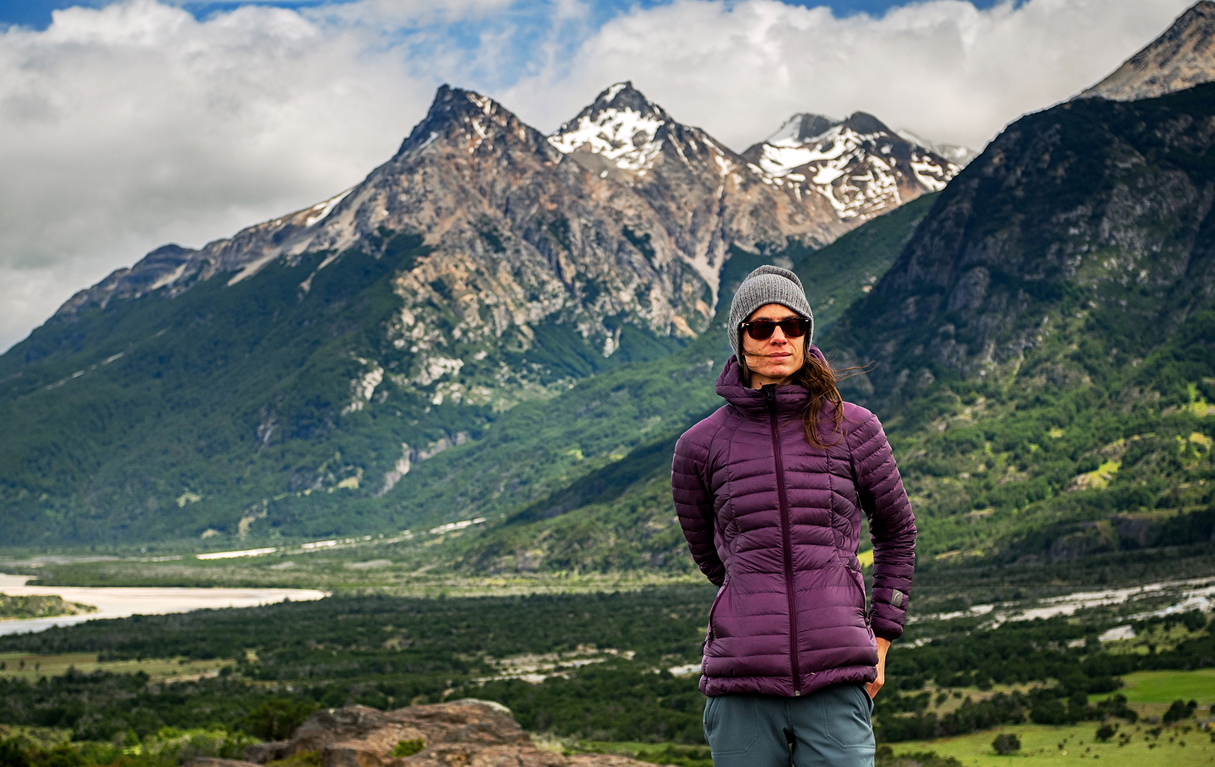
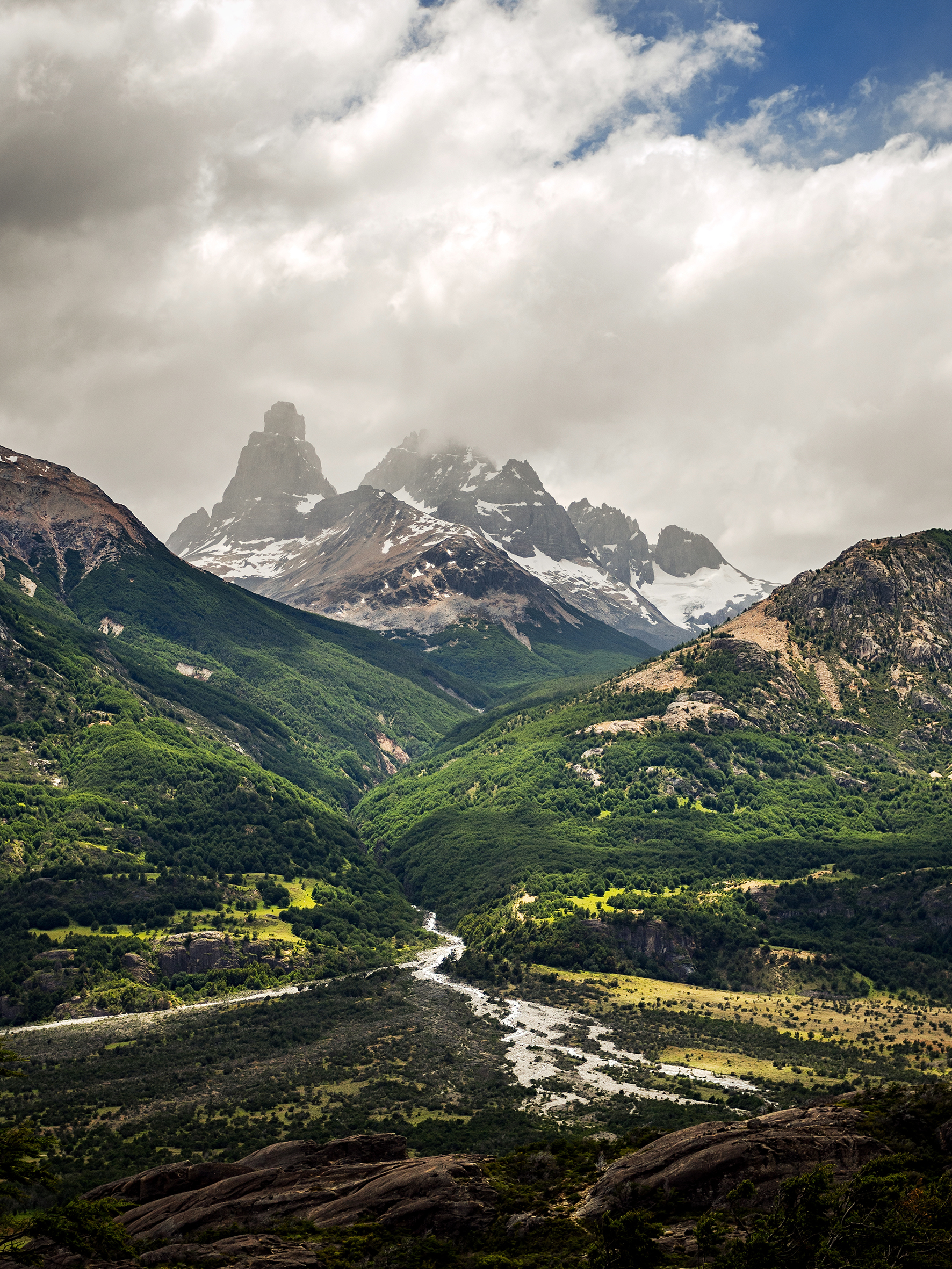
Well guess what. It was short, and it did involve a lot of driving, and we did only get a glimpse of Patagonia. But what a glimpse it was. Sure, there were a couple of stops that I was hoping we could make but weren’t able to, mainly due to weather (and we didn’t have time to wait for it to get better). But even just driving on that road and experiencing the landscape from the passenger seat or just walking out of the car for a few hundred meters, it was so worth it. If I had to choose between only having 12 days to drive 2500km through Patagonia, or not doing it at all, I would still do it the way we did and I wouldn’t change a thing.

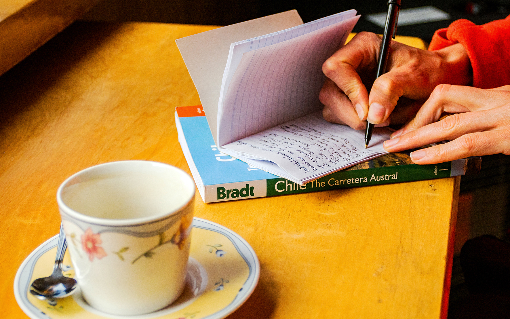
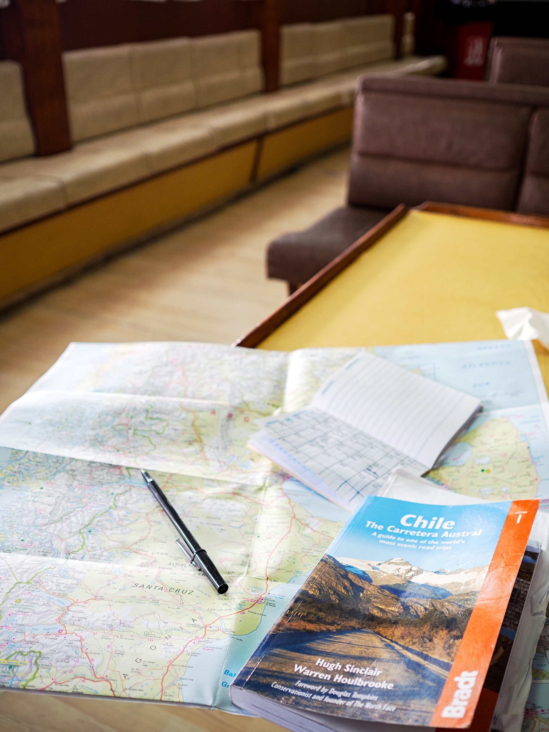
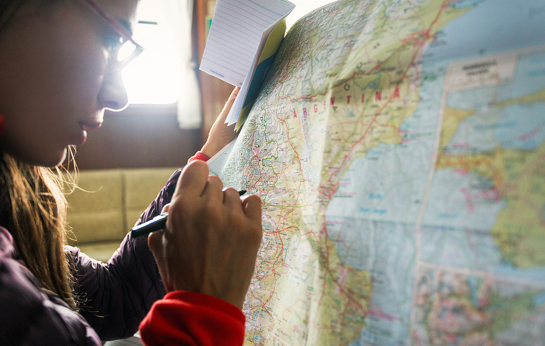
So I slowly gathered bits and pieces of information online and eventually started drawing out an itinerary. We acquired The guide book written about the Careterra, which I would definitely recommend – it was a great source of information including road condition, travel times, and full of little gems of places that could cater to any category of travelers – from people wanting to stay in more comfortable hotels to hitch-hikers willing to “rough it up” (I’d say we probably were somewhere in the middle as far as our traveling style goes).

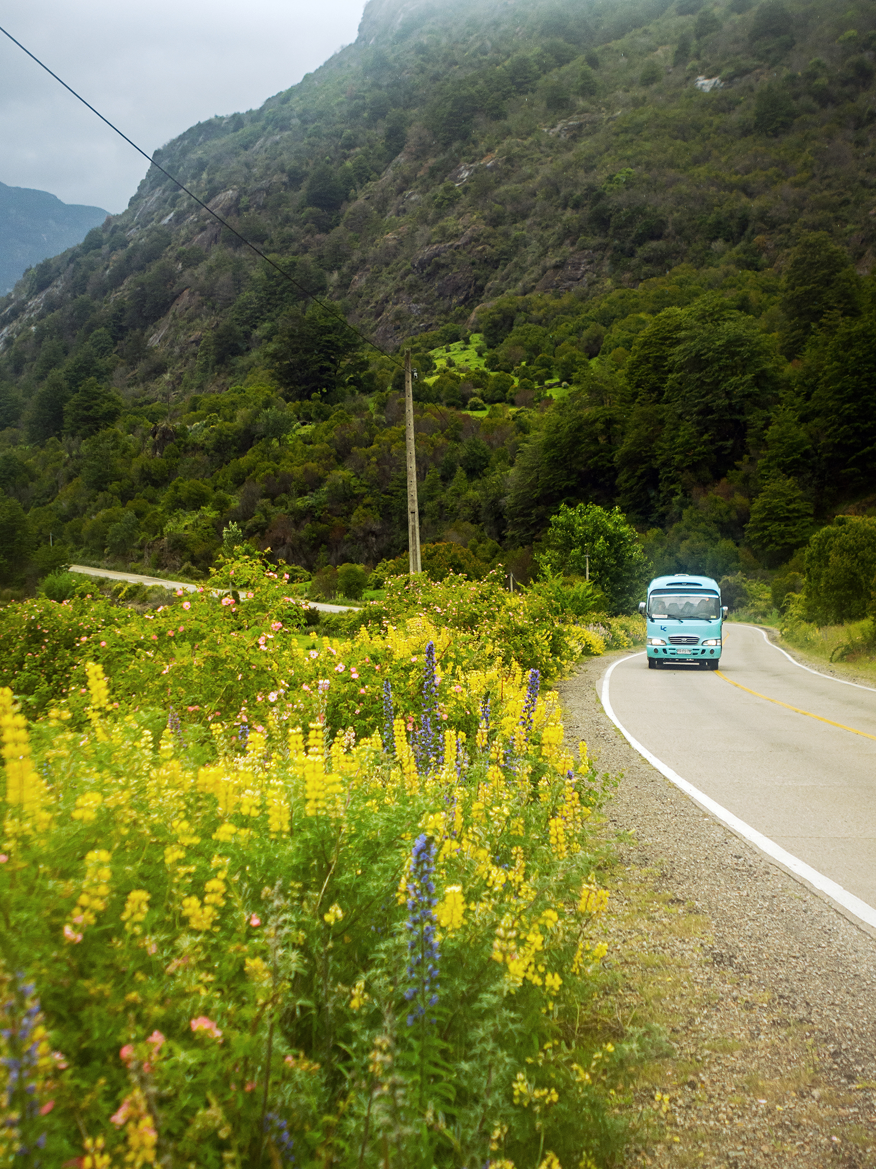
Getting a better sense of distances, we realized early on that driving all the way from Santiago (where we landed after our Cosat Rica adventure) wasn’t realistic. The Careterra “officially” starts in Puerto Montt, about 1200km south of the capital city. The bus system in Chile is actually very developed, being the main mode of long-distance transportation, and we easily found a bus company that offered overnight rides from Santiago to Puerto Montt (we’ve found in the past that traveling overnight is one of the best ways to cover long distance without wasting day time).

Aside from “how much are we ok to drive every day” (and by “we” I mean Brice, as he did all the driving), the other thing we also had to factor in was “how early are we willing to get up everyday”. Some people like to be up with the sun and it sounds like nowadays the trend is all about “chasing sunrise” and being up at dawn to make the most of the day. Well…let’s be honest here…we’re not those people. We’re not early risers. We’ll set our alarm for 7am, but most likely will hit snooze for at least 1/2 hour. And we like to take our time in the morning. We like to get up and make coffee and have breakfast and pack up the tent and make sure we’re not leaving anything behind. And rushing to get through this process to get an extra ½ hour on the road really doesn’t feel worth it to us. Neither does getting up with the sun, which in the southern-most portion of our journey was rising at 4:30am – but went down way after 10pm, giving us ample time to enjoy the daylight long into the evening.
So surely we could have packed a bit more into each day by being up at 5am and out by 6, but enjoying our mornings and taking our time in an otherwise short-ish timeline was part of what we loved so much about being on the road. 

Transportation
Now let me tell you a little about the car we rented. This was to some extent, the most involved part of planning this whole trip.
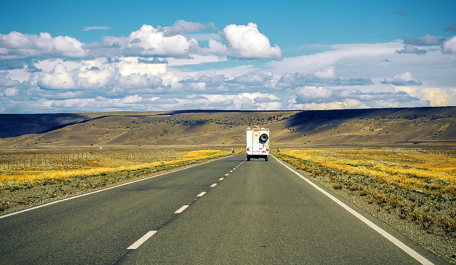
The challenge we ran into was that we intended to drive from Puerto Montt to Puerto Natales (about 2500km give or take, with detours) but one way only. Which meant we were facing a pretty significant drop-off fee attached to our rental cost.
When trying to book through big box rentals (Avis, Hetz), most companies didn’t even offer a one way option. And if they did, rentals for two weeks would cost nearly $3000 dollars (US). We thought about taking buses instead, but soon realized that we would be sacrificing flexibility for money. And being dependent on bus routes and schedules really wasn’t the way we wanted to travel, especially on such a short time frame.

I would say if you’re going for more than a month, with no definite itinerary and you want to travel on the cheap, then buses and hitch-hiking would certainly be the way to go. In our case, we only had about 12 days on the road and we wanted to be able to stop wherever we wanted, whenever we wanted.

So when it became clear that we needed to rent a car, I started looking for the cheapest option. I found a website called Interpatagonia, which listed pretty much every rental company, big and small, along the Carretera Austral. So one rainy Sunday afternoon, I emailed 30 or 40 of these companies, in 3 different cities in the northern portion of Patagonia, and then waited for replies.
I only received about 7 or 8 replies. Most of them gave me a pretty detailed breakdown of the cost, depending on the type of vehicle we wanted. All of them were still around $2800 minimum for a sedan, and more like $3500 for a 4-wheel drive.

One company however emailed back a short response, along the line of “for your rental of 10 days, I can rent you a Sedan (Samsung SM3 or similar) for $1900 dollars”. I thought “Ah, now we’re talking”. I emailed him a couple more questions, asking about other types of vehicles and a longer rental. He didn’t have trucks or SUVs so we settled on a sedan, $2100 for 12 days, including insurance, paperwork to take the car across the border to Argentina (very important!), and road-side assistance (whatever that meant). I had to have a few exchanges back and forth with him as he was mainly giving me one-liner answers, without really providing a full breakdown like other companies had. I did look up the name of his company and found a fairly legit website – mainly specializing in boat tours around Puerto Montt but also offering rental services. I even looked him up on Yelp, and while the tour reviews were pretty positive, the one negative review had to do with how this one customer’s credit card had been charged at the time of the booking for the whole amount – whereas most rental company will charge you upon pick-up of the vehicle.

I had a little gut feeling that this guy wasn’t quite as “by the book” as other rental companies, but his price was significantly lower than other places, and so we decided to go with him (in case you’re worried, I’ll say right now the story ends well, but this was definitely a case of culture difference and taking a bit of a leap of faith in terms of trusting that this barely-kosher transaction would turn out well).

Anyways, after multiple exchanges, he asked if he could bring the car to us on the day of the pick-up, to which I replied that we would be at the bus depot in Puerto Montt at 9am, arriving from Santiago, on December 13th. I mentioned the date to him at least twice, once by email and once on the form we filled out to confirm the car reservation.


Fast forward to Dec 13. We got off the bus and looked around for our contact, Enrique, but he was nowhere to be found. We had all his info in a conveniently packaged itinerary booklet that Brice put together (which, printed on 1/4 size paper, included all of our plane reservations, airbnbs, and even Torres campsites booking – I may be the planner, but Brice definitely has a strong organization fiber in him as well!). So I walked over to the ticket counter, and asked the lady behind it, in broken Spanish, if she would mind calling Enrique for us. She did and shortly after handed me the phone. I was able to converse with Enrique in English, and he apologized, saying he thought we were arriving the next day. He was very sorry and was on his way to pick us up immediately. I was a bit annoyed, understandably, but ok, we waited for him and he showed up 10 minutes later.

We got into a car with him and he said again that he was sorry, he had confused the date, and that he would have a car for us by 3pm. I replied that it wasn’t going to work for us as we had booked a ferry crossing in Hornopiren, which left at 3pm. Hornopiren was a 2.5 hour drive from Puerto Montt. Enrique stopped to think for a couple of minutes, and then said, “ok, I think I can have a car by 11am” (it was close to 10am at that point). He said he needed to drive back to his house to get another car, so we drove with him, then he got out of the car and said “meet me at the corner of … and… at 11am, there is a notary public there. I need to get some paperwork done for the car before you go but then it’s yours”.

At first we were pretty skeptical – this was definitely not your run of the mill car rental shop. But since he was basically leaving us the car he drove in with, without asking us to sign any sort of paperwork or anything, we figured we’d go with it.
So, car keys in hand, we drove back to the address he gave us and waited. A few minutes after 11, Enrique came around, holding papers, and handed them to us. He said the car was brand new, purchased the day before (the paperwork he handed us confirmed it). It was registered to a woman’s name but the address was the same as his company’s (so I’m assuming that the woman was his wife or partner and he really runs his business out of his house). The paperwork he needed from the notary was a signed authorization from said woman giving us permission to drive the car over to Argentina. He handed us a pile of papers including insurance, proof of purchase, etc.., and told us “when you cross the border, don’t say it’s a rental, tell them it’s a friend’s car”… Oook. Once again, not our usual rental transaction, but heck, we were in Chile, and we did get the car that we had paid for, so we shook his hand and went on our way. By the way, no paperwork was ever signed by us during all this.

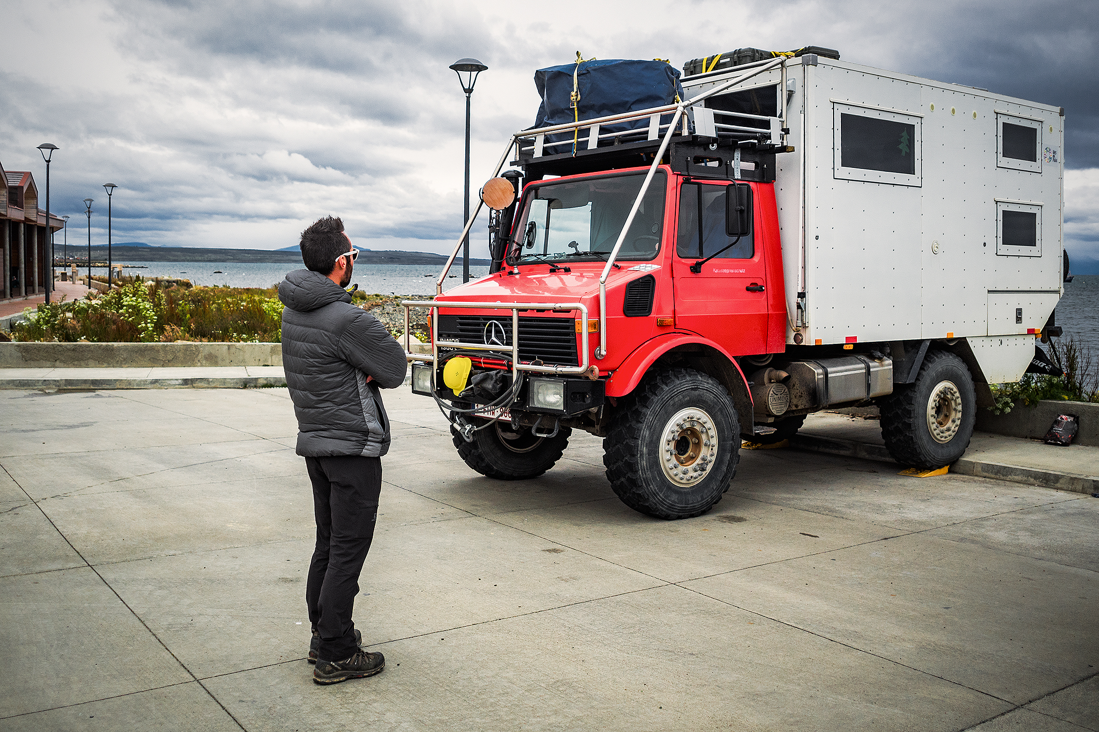
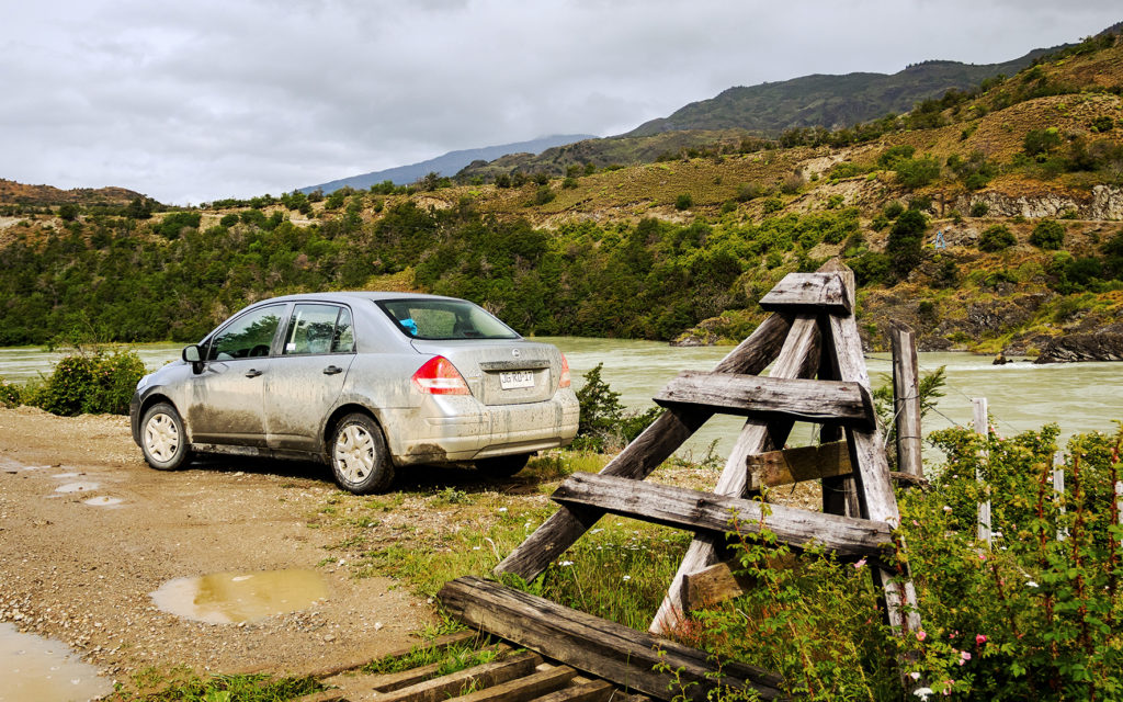
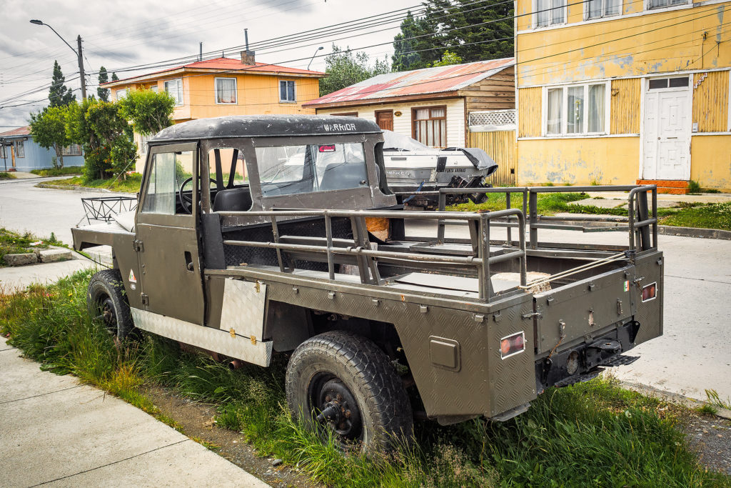
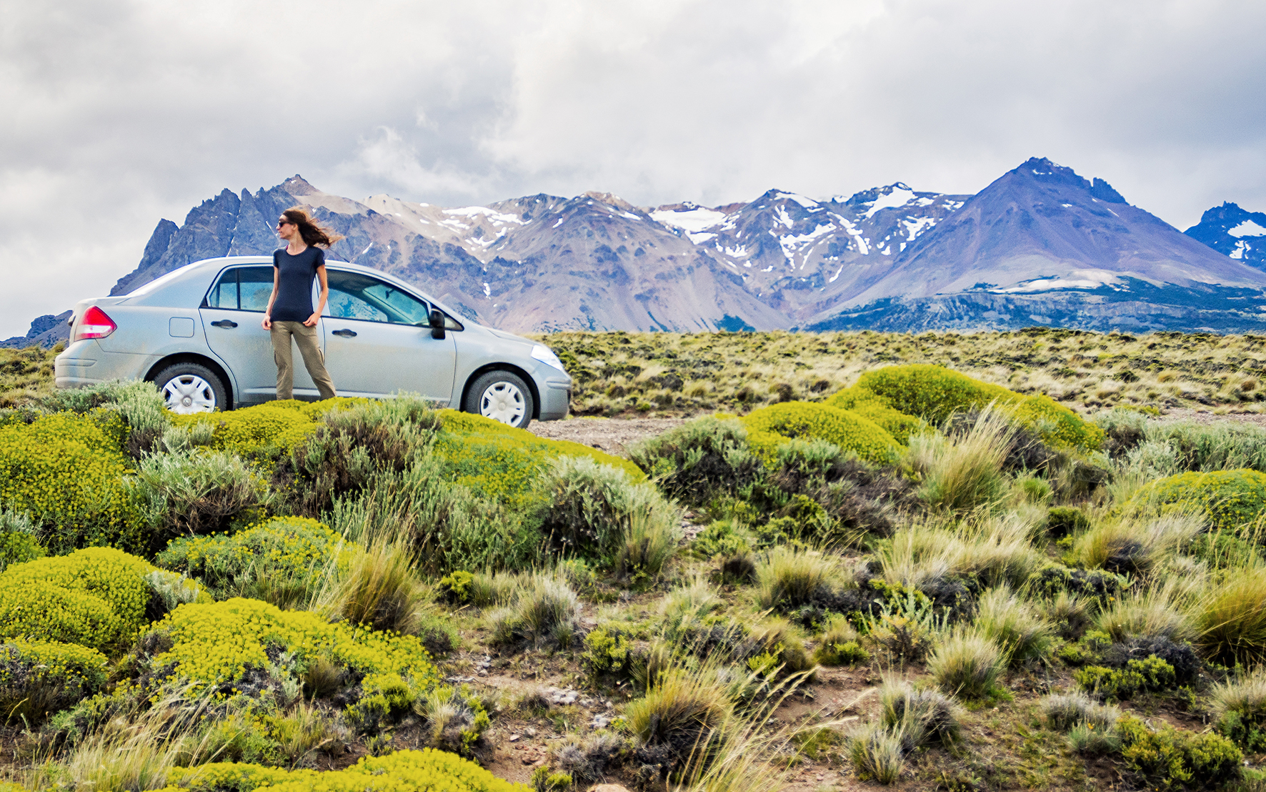
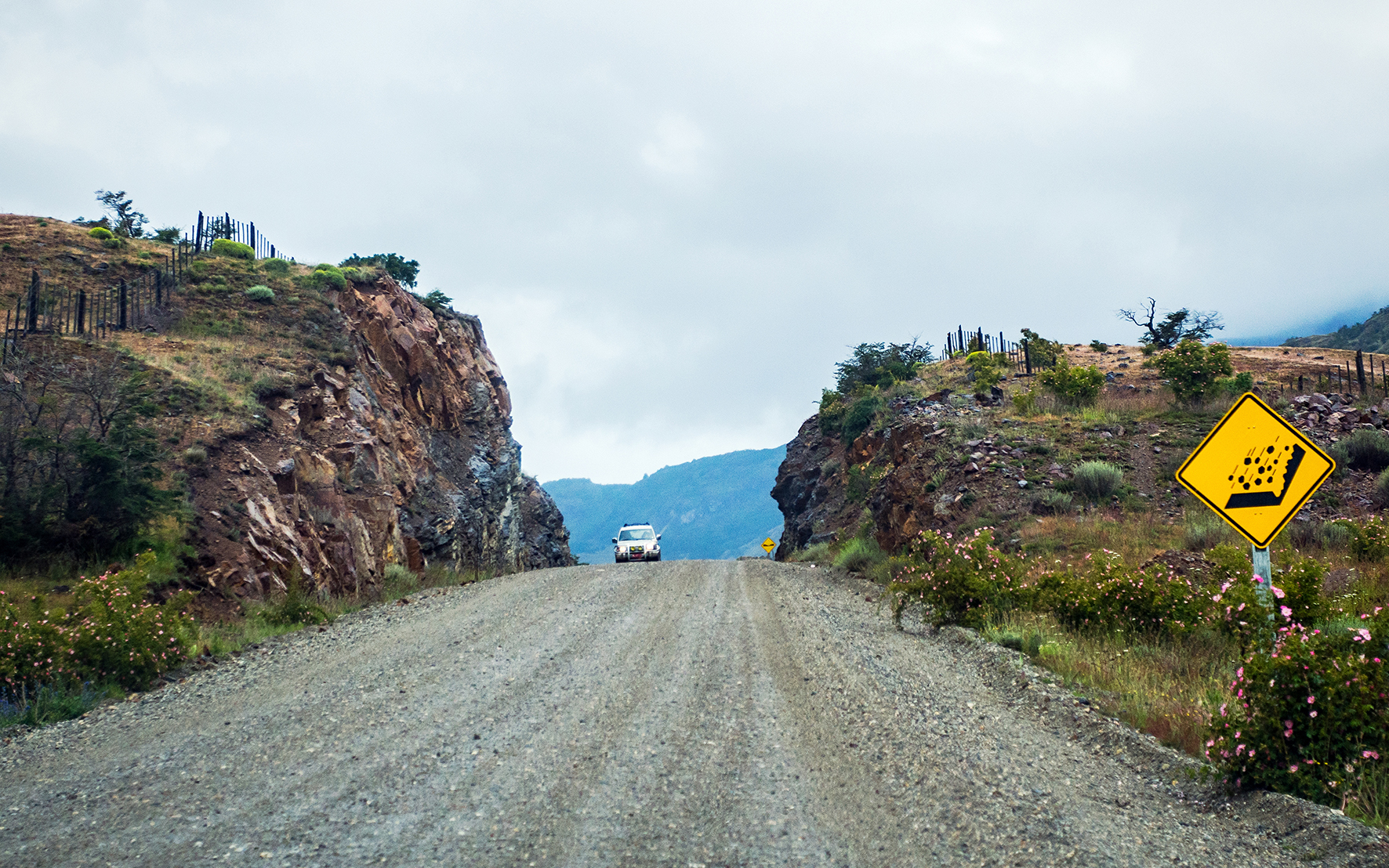
If you’ve read the previous posts on this blog, you know by now that although the car we rented was definitely not the most optimum choice for this type of road, it did take us from A to B without any issue. We actually came to be quite fond of our crappy little south-american Nissan Tilda, with manual windows and non-centralized door locking. 

 Navigation
Along with a road map (which was  helpful to get a rough idea of how much distance we should try to cover every day, and were we should try to be every night) and the guide book, there are two apps that we used that were extremely useful.
Our favorite navigation map to date is Navmii. We’ve used in New Zealand, Australia, every time we go to the States, and once again, here in Chile. The main advantage is that it provides an off-line map, which means you don’t need any data or roaming in order to access it. Your phone can be set to airplane mode, all you need is your GPS to be on. It sucks quite a bit of battery, so it’s especially useful when driving, where you can keep your phone charged. You download the apps for the specific country you’ll be using it in, and they have pretty frequent updates. I have found their maps to be quite detailed – the Canada one even shows hiking trails all around Vancouver that Google map doesn’t.

The second app that we used for the first time (but not the last!) was iOverlander. I got the tip once again from Desk to Glory, and it turned out to be the most useful app we could have had in terms of finding places to stay.
The way it works is that it gets populated by other travelers, who enter the Geo location of the places they’ve been to. It could be a  scenic wild camping spot, a gas station, a cute bakery, a hostel, etc…they’ll give a short description along with GPS coordinates. Again, the app can be used offline, and it will display a list of places that are nearest to you (note that distances displayed would be as the crow flies, and not driving distance). While the iOverlander map view requires wifi or data to load, you can also copy the coordinates from iOverlander and paste them into Navmii and it will get you there.
Basically, I used this app every day to find just about everything, Grocery store, gas stations, car mechanics and most importantly a place to sleep. We found 90% of our camping spots using this app. It was especially great at finding us little gems of places that where off the main road and that might not have been indicated anywhere else otherwise. I’m really grateful for all the users that took the time to enter all their travel finds, as we got to enjoy them as well.

On the Road 
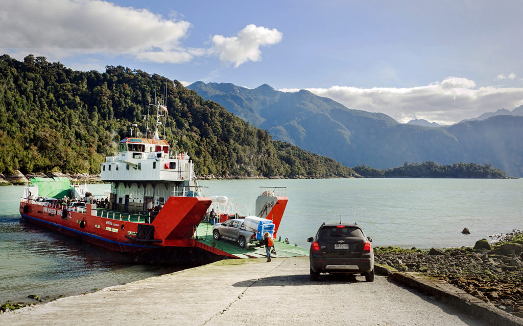
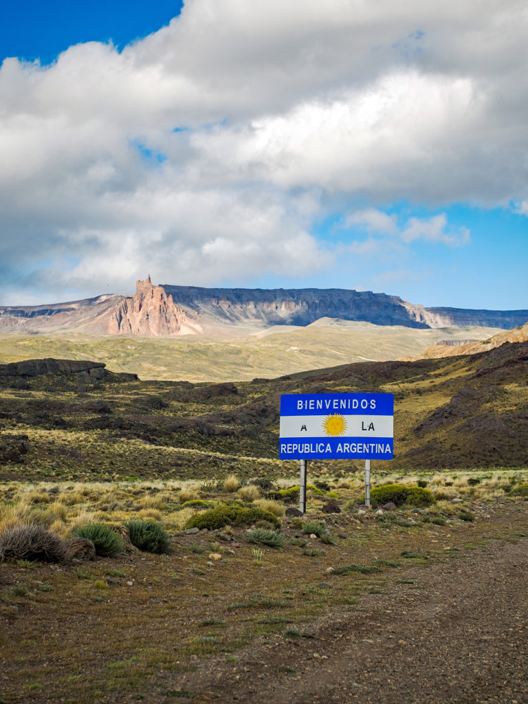
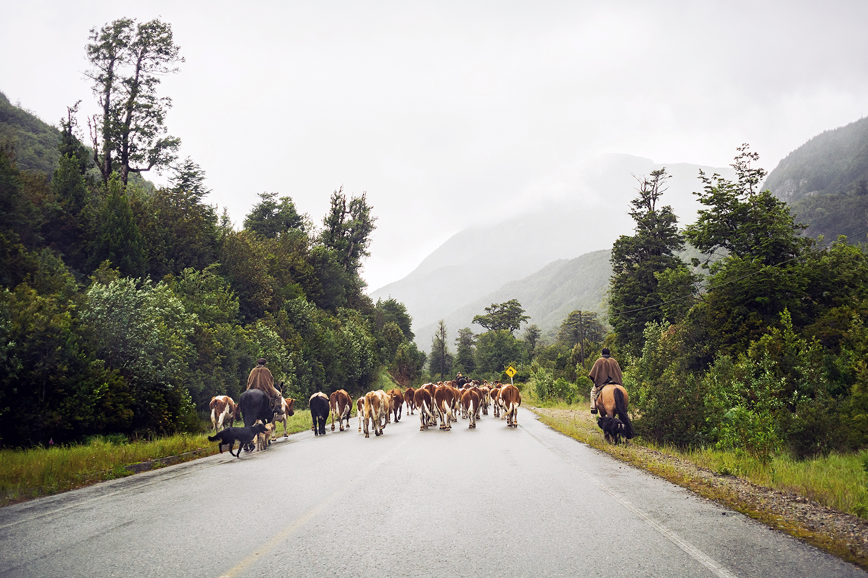
The guide book was very helpful in listing out the towns that did have a gas station, along with recommendations for car mechanics along the way. Along the Carretera, we didn’t have any issues finding gas. It’s once we crossed over to Argentina that we entered a much starker no-man’s land, in which we had to drive a lot longer to get to the nearest station. Also, none of the gas station took credit card, so on our first stop after crossing the Argentinian border, we had to figure out a way to change USD into pesos. Hotels and bigger shops would usually trade currency, with varying fees.

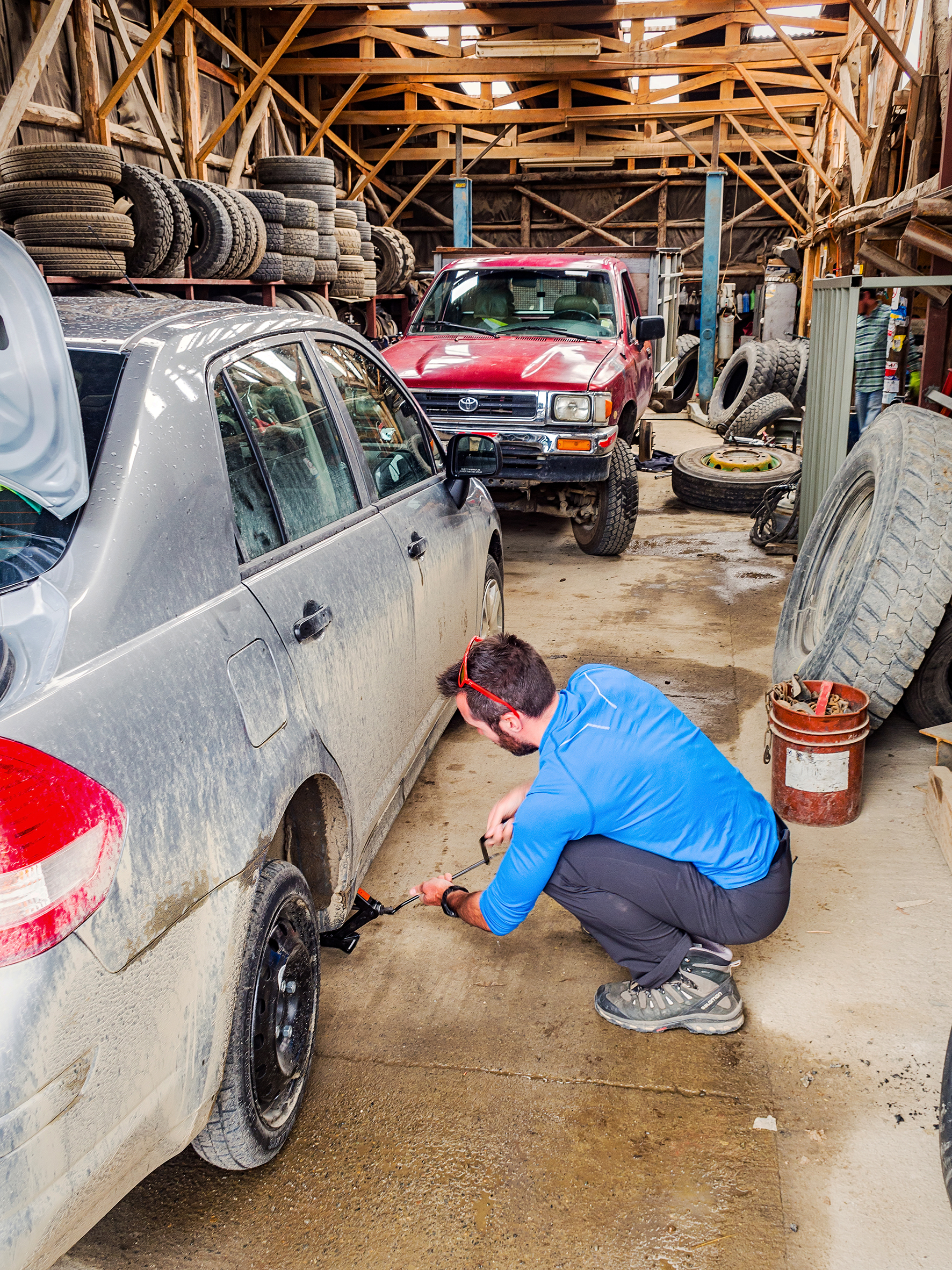
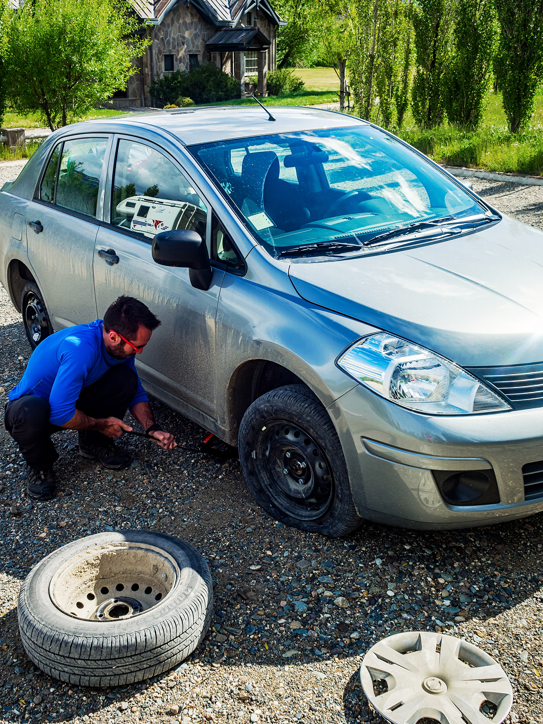
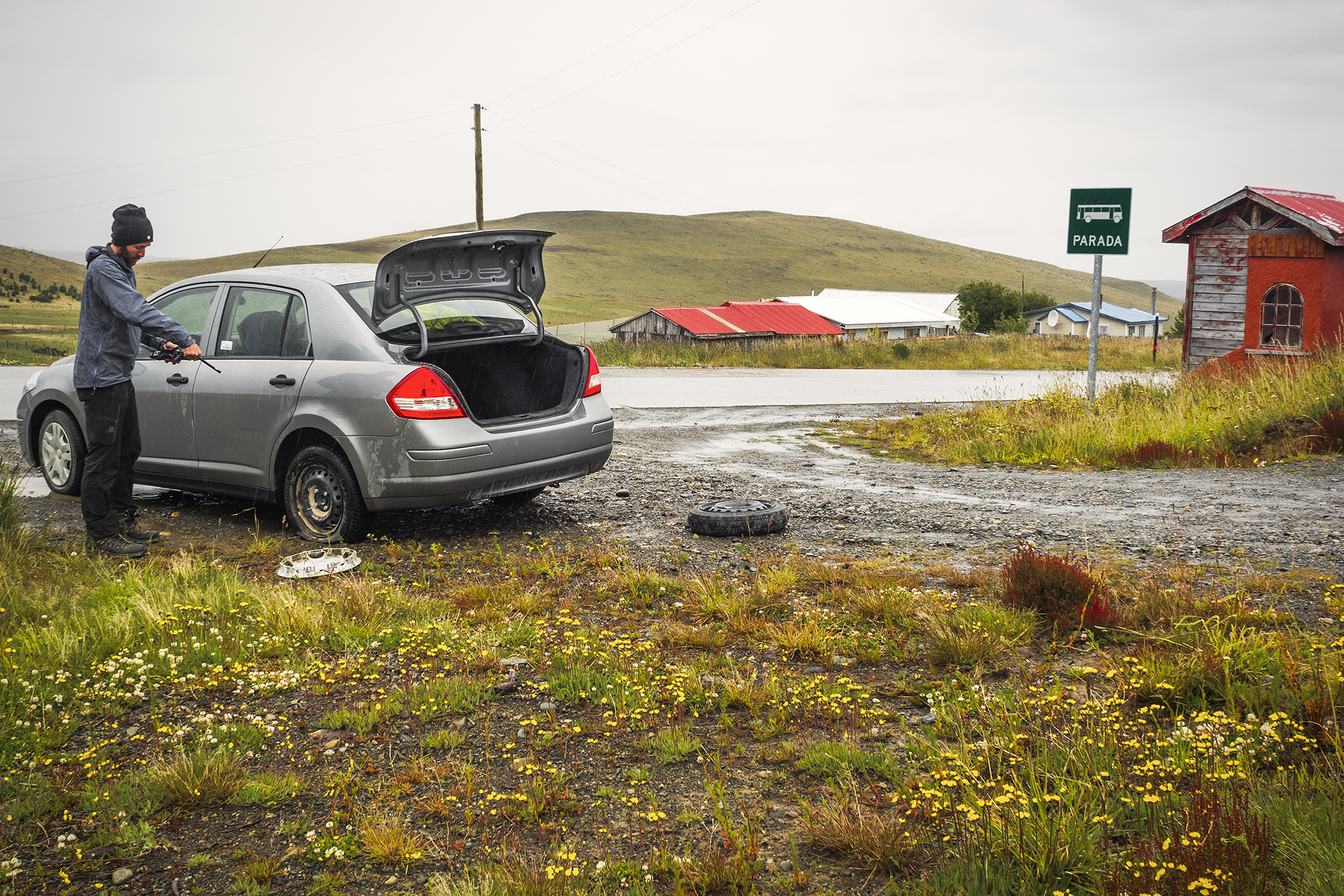
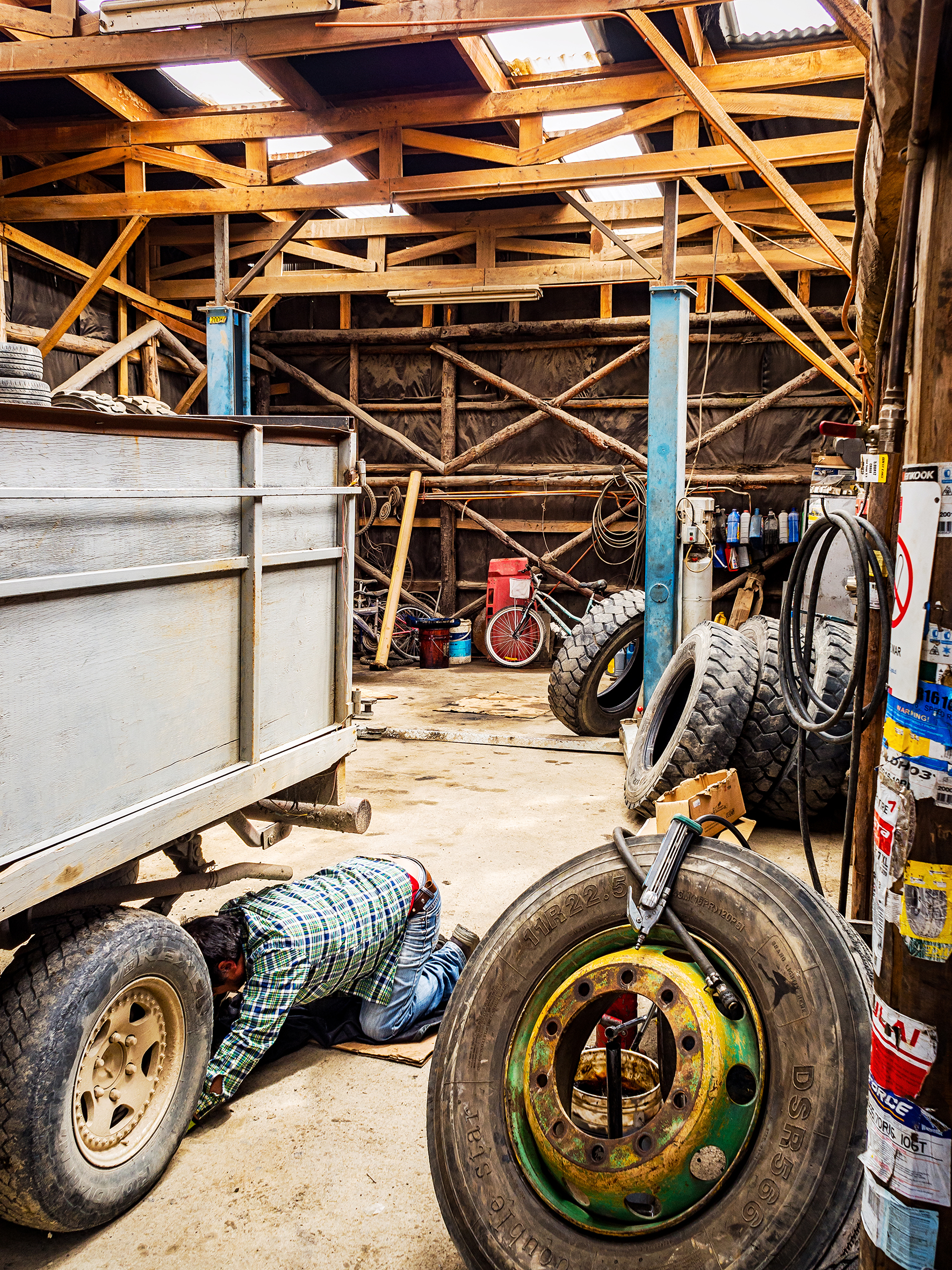
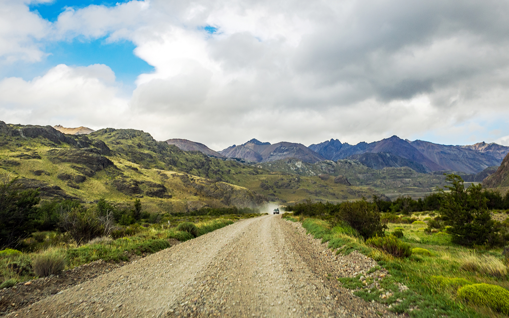
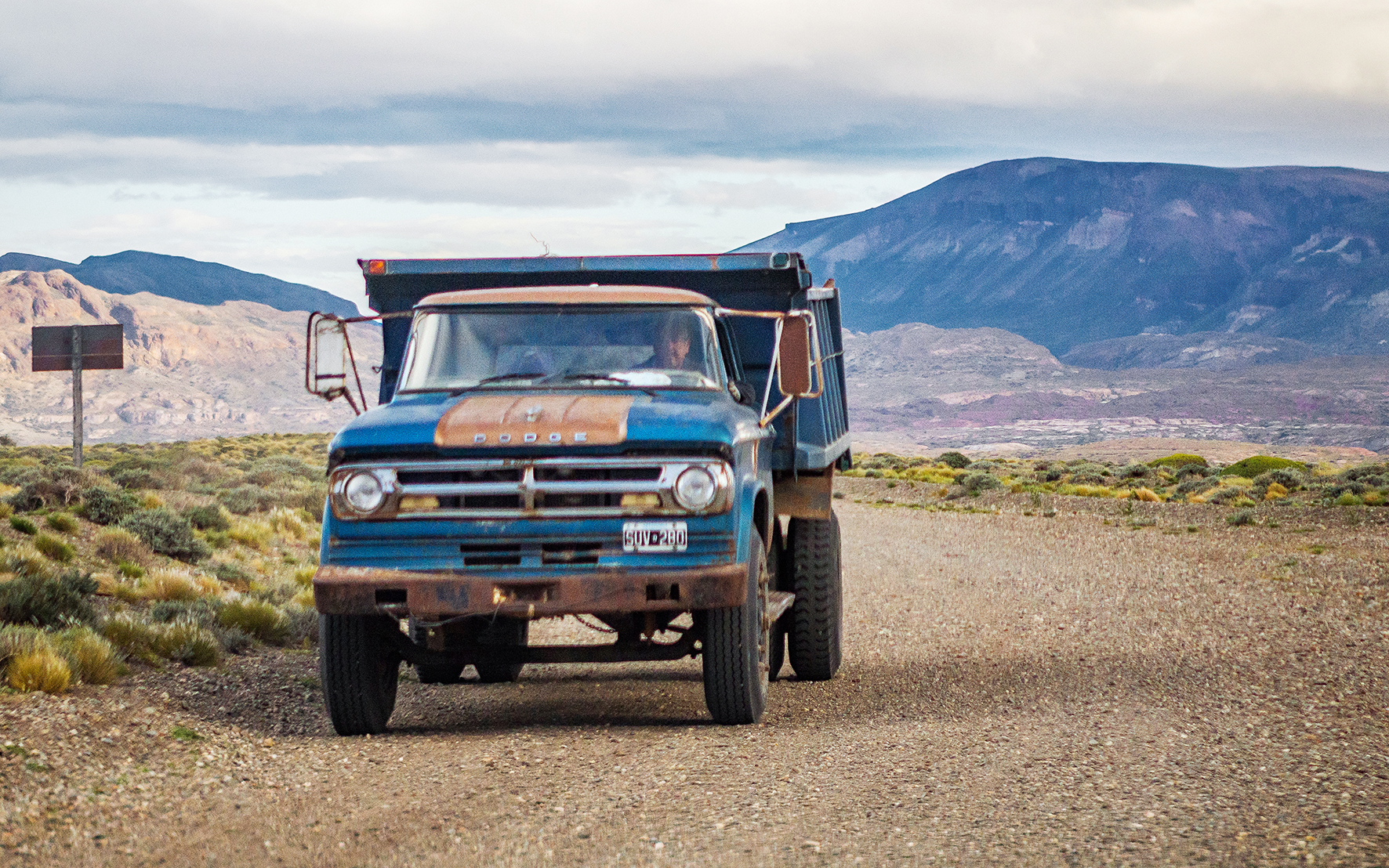
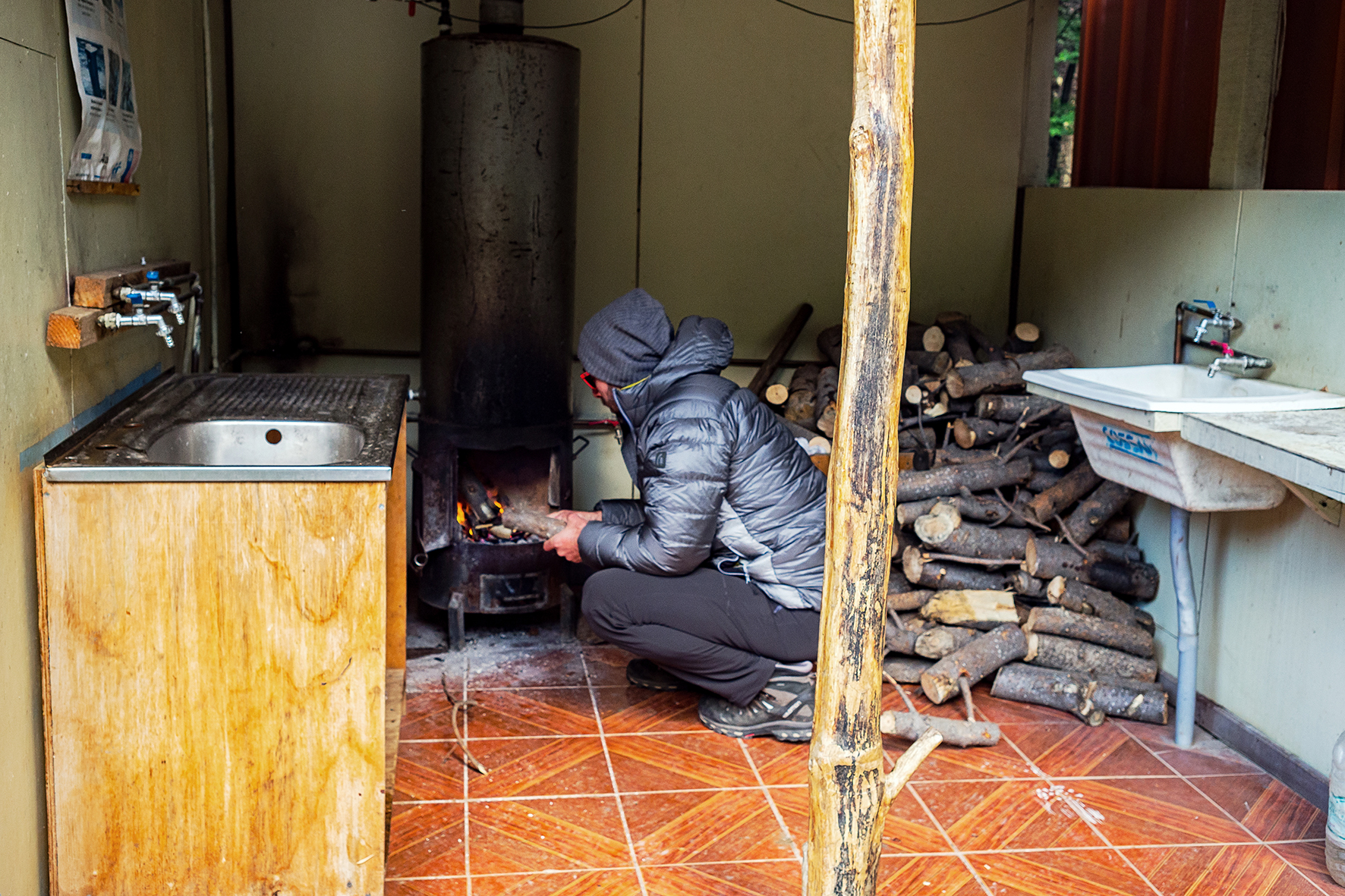
We didn’t have any car trouble, aside from two flat tires, which was to be expected. The first one occurred just before we crossed the border to Argentina. It happened overnight and in the morning we had to drive back about an hour to the nearest town to get it changed – ironically, this one was caused by a random screw that we probably picked up at the campground, and not even after all the rough pot-holed dirt road driving.
The second flat tire happened as we crossed the border back into Chile (it must be a border thing then). That last portion of road in Argentina was really rough for about 70km, so we’re not sure exactly what caused it. In both cases, we made use of the spare tire that came with the car and didn’t have too much trouble finding a mechanic to change the tire for us…

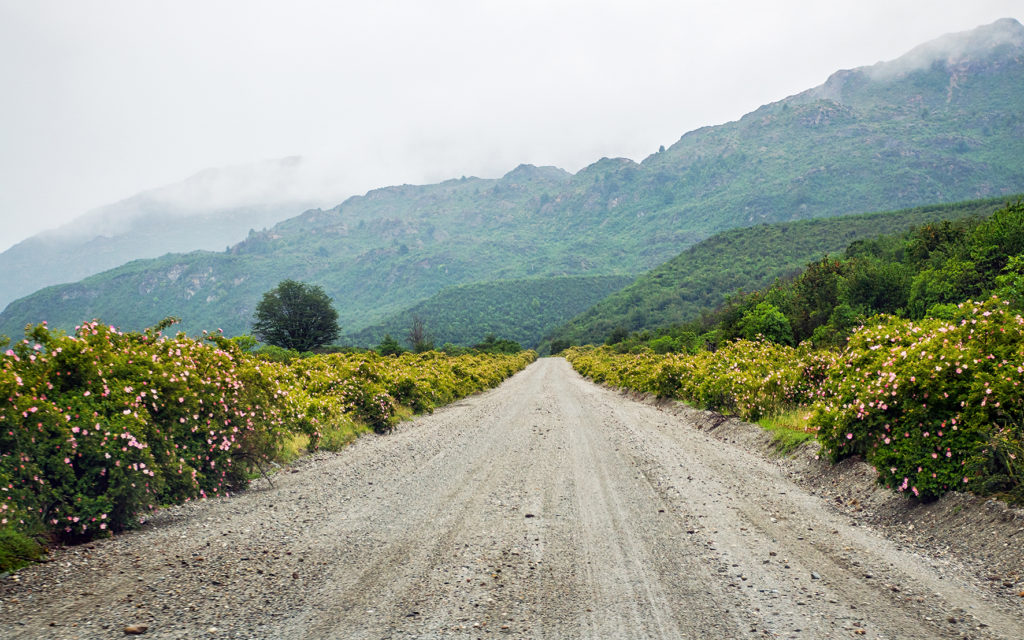
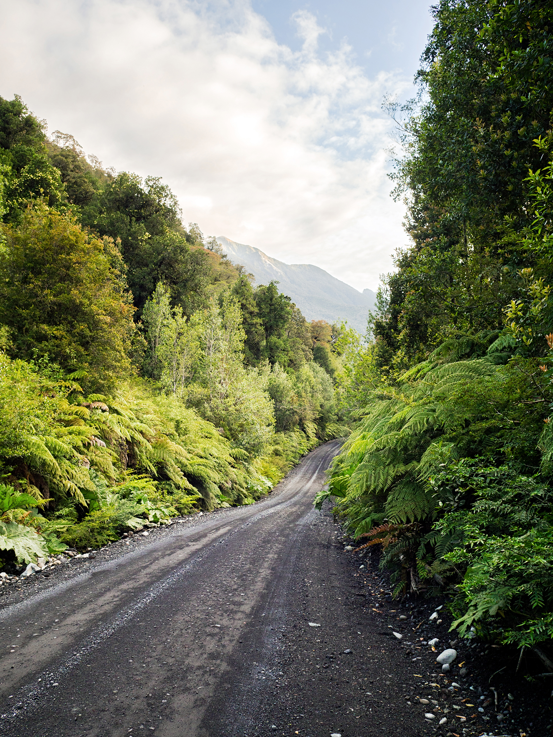
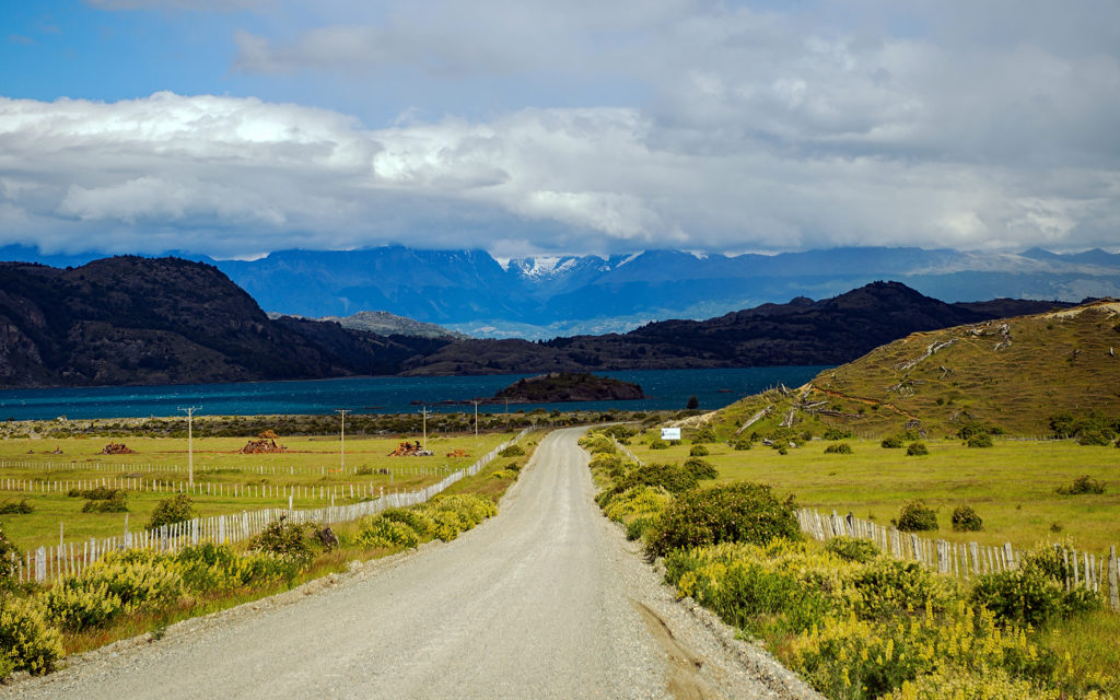
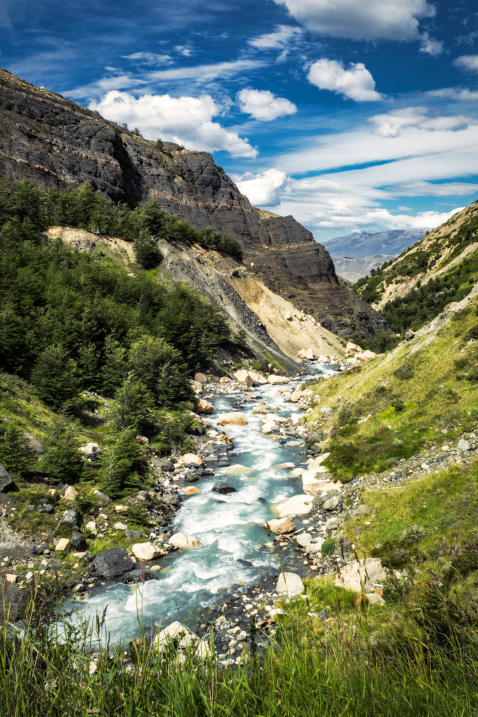
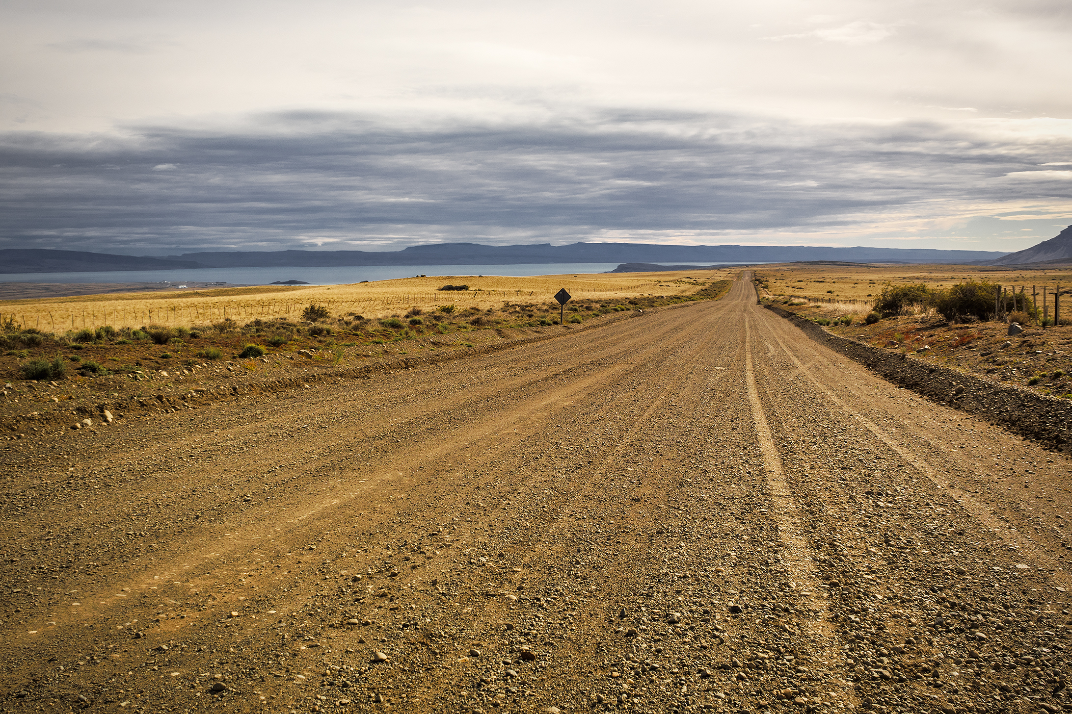
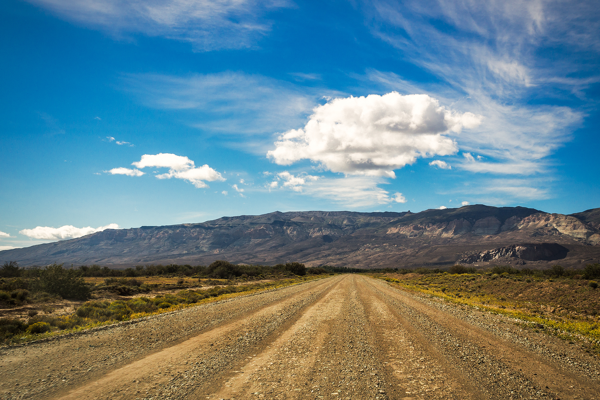
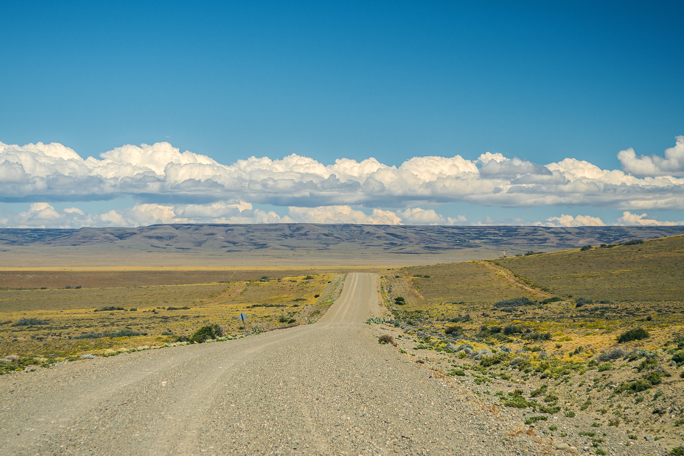
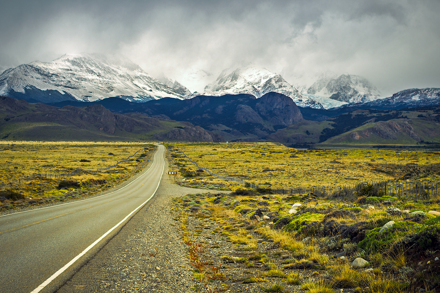
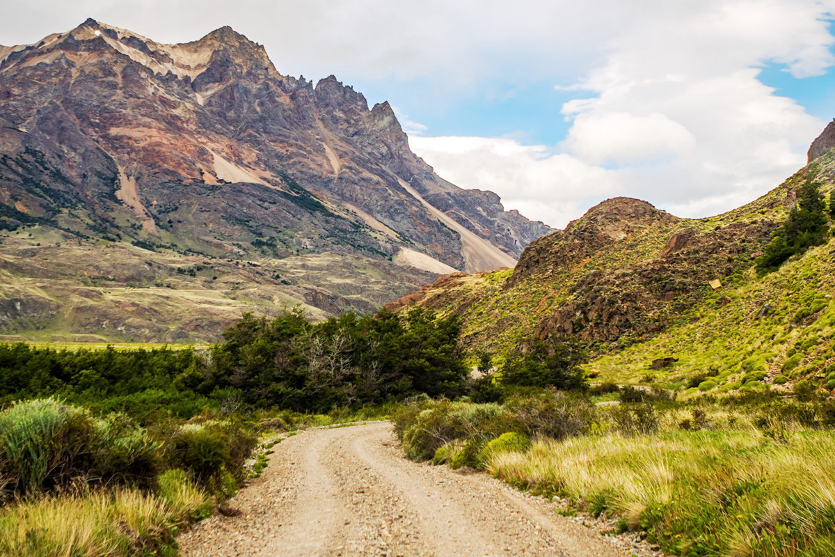
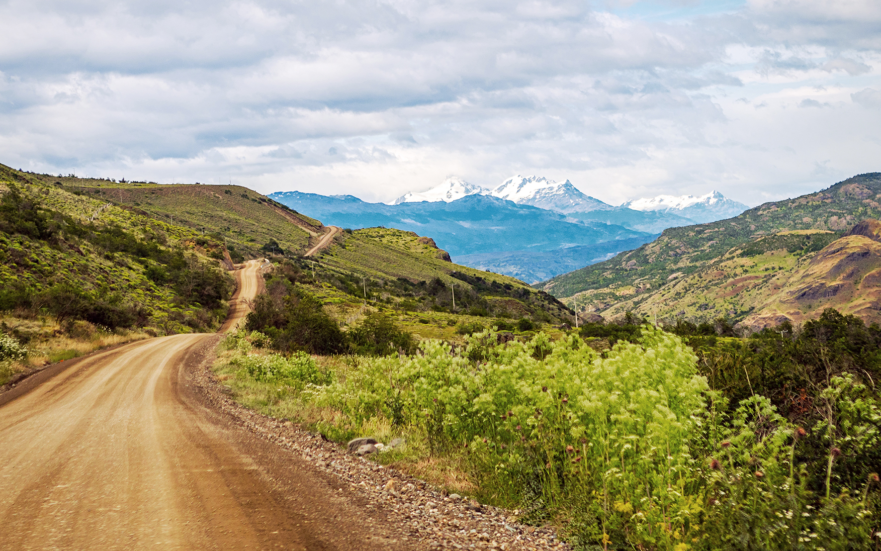
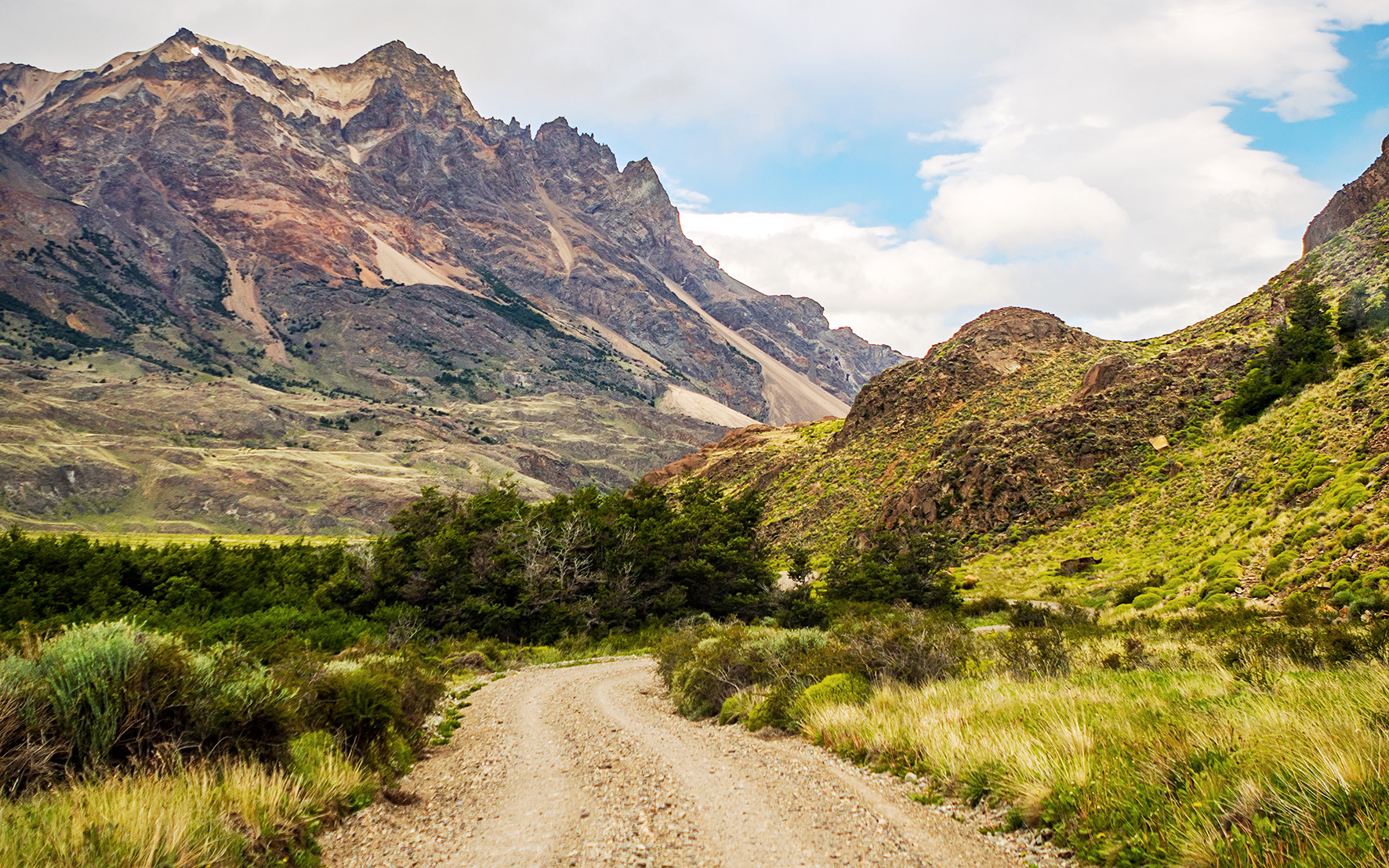
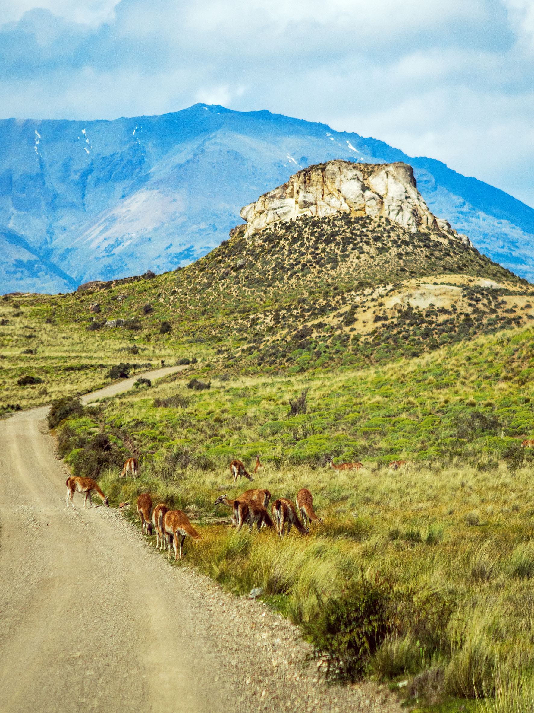
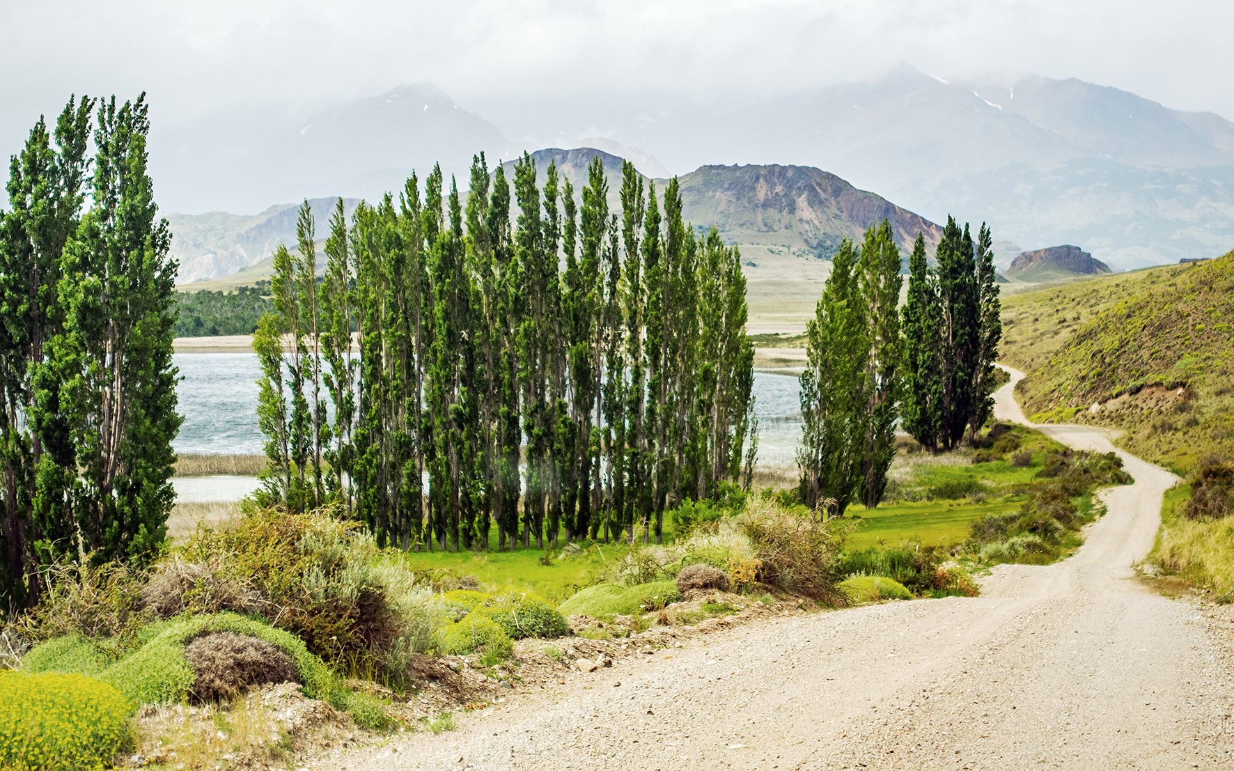
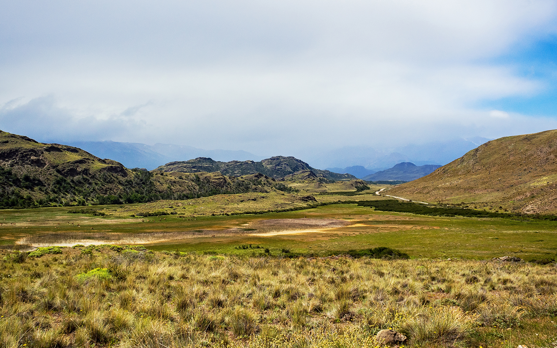
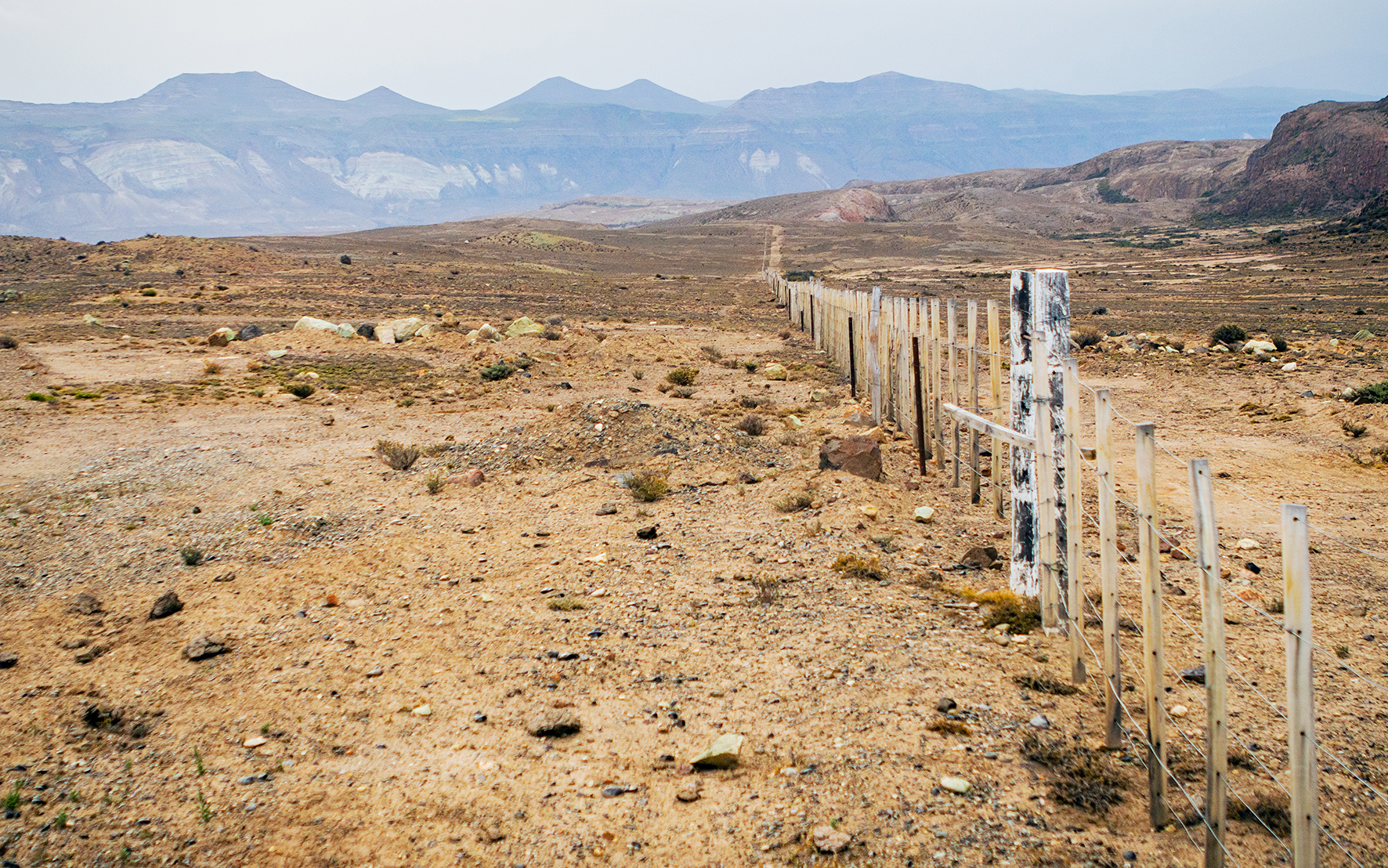
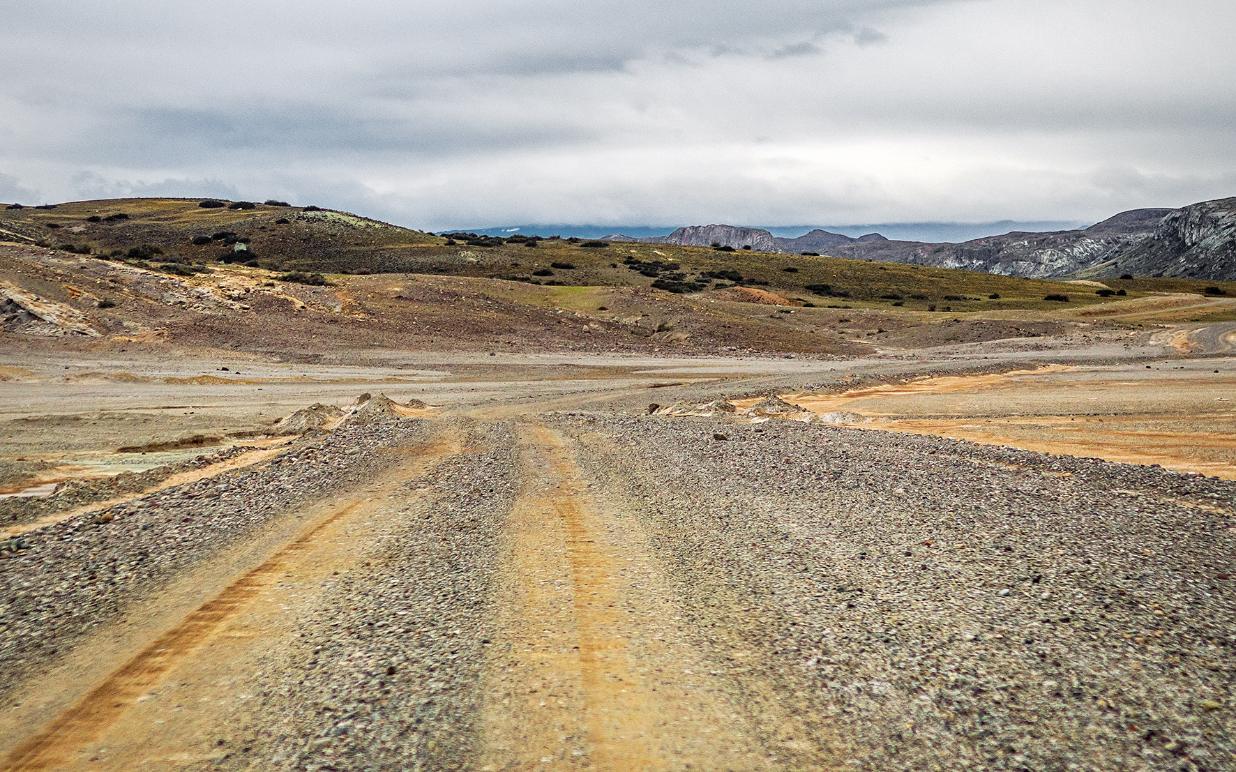
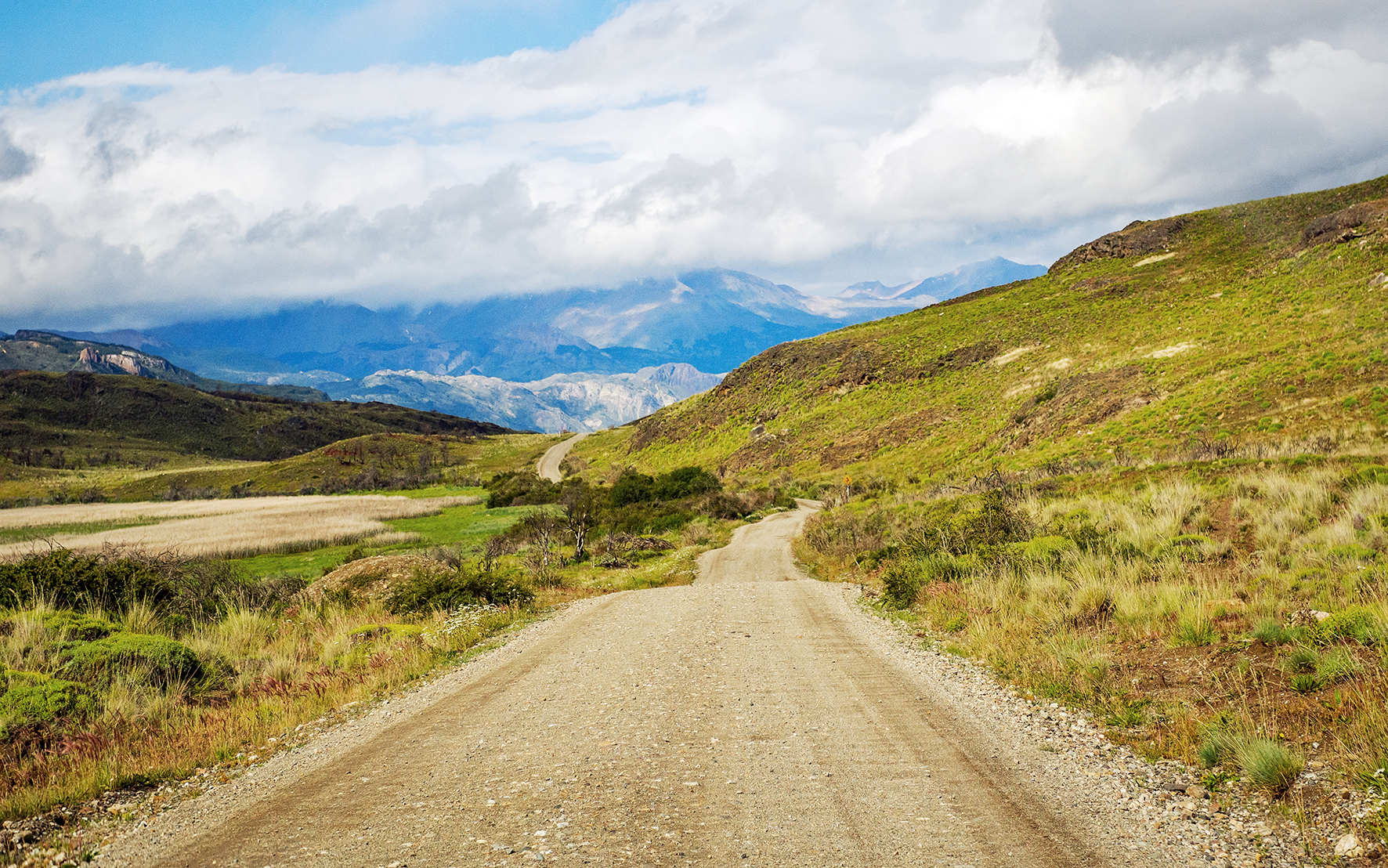
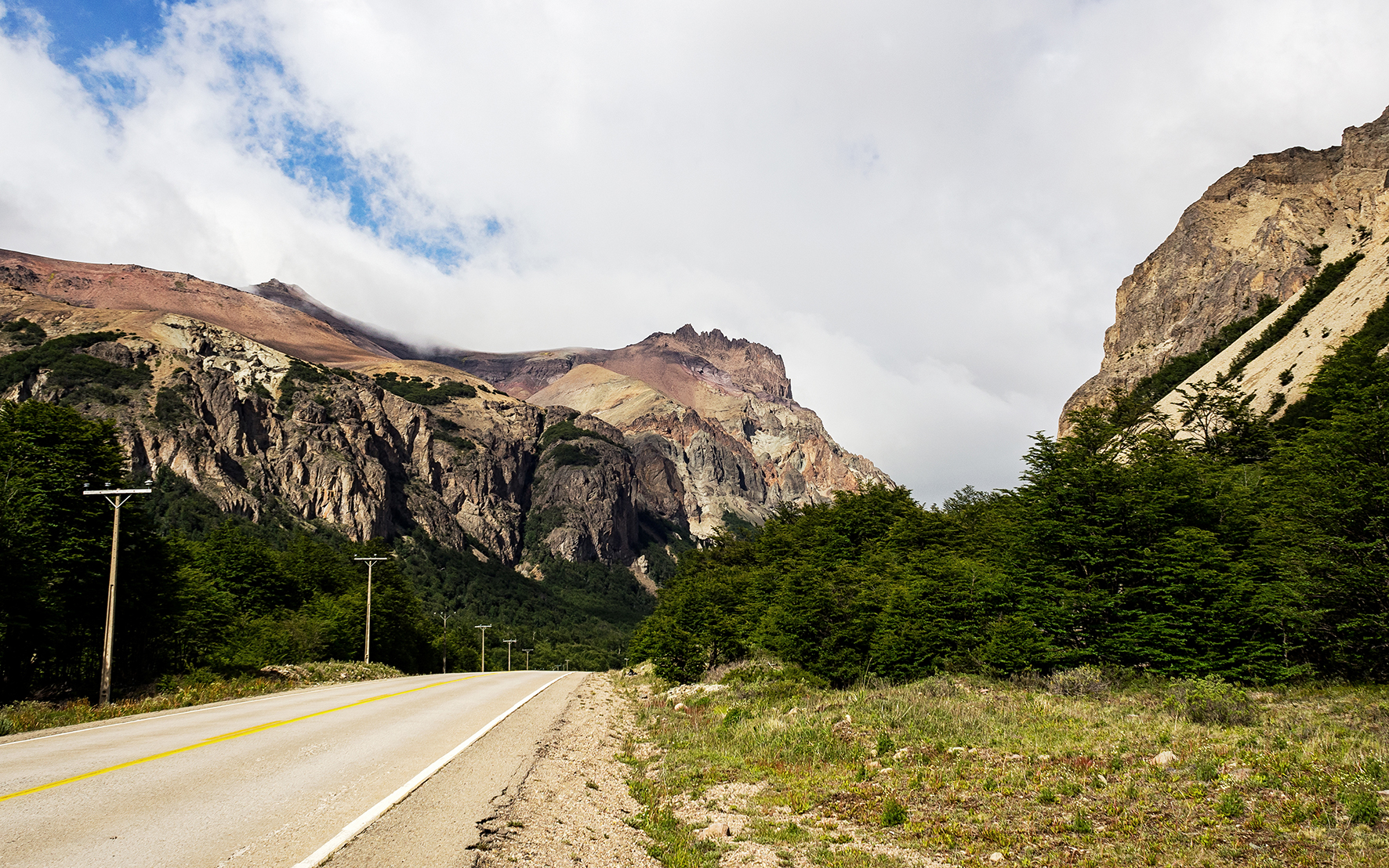
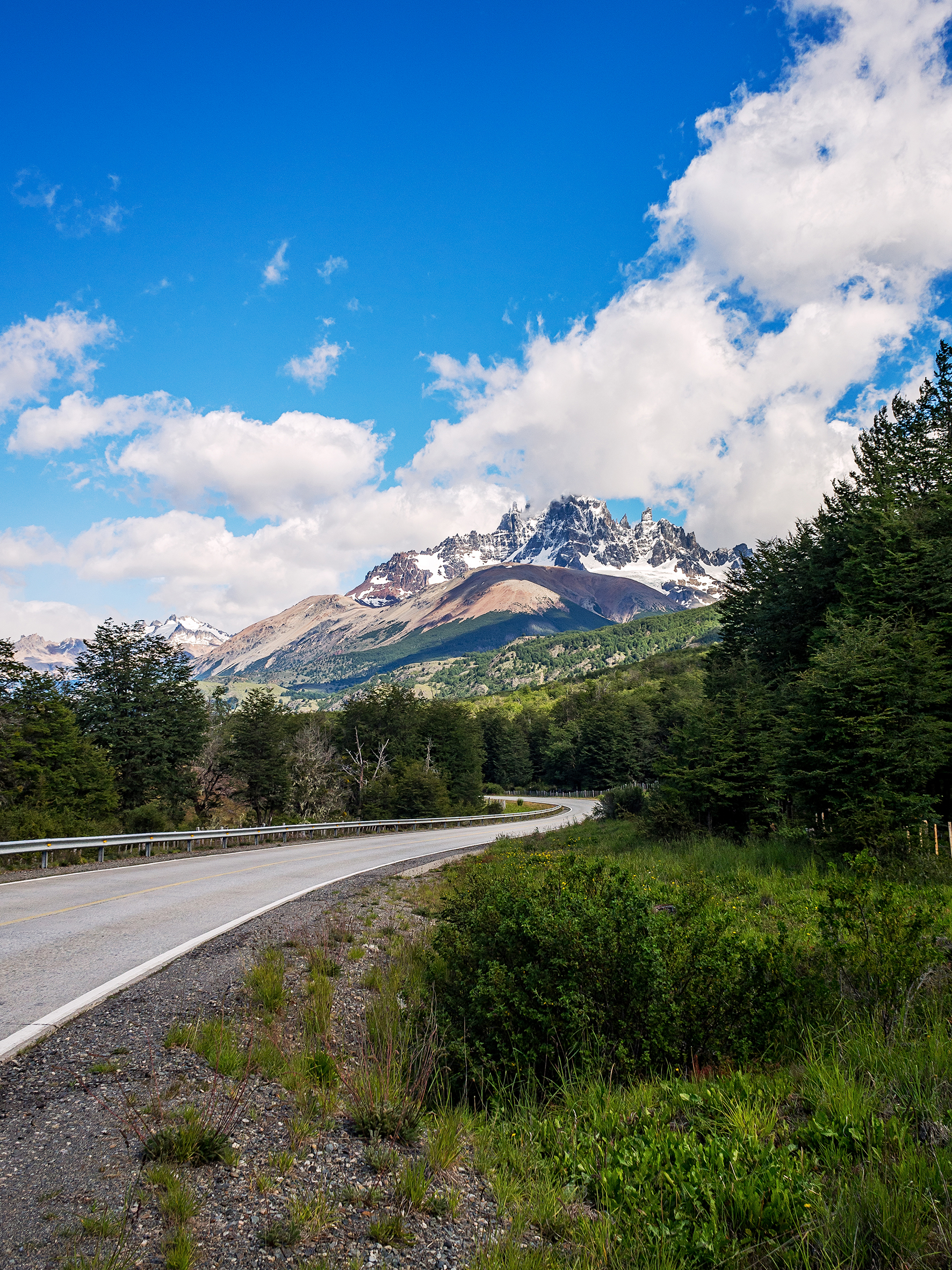
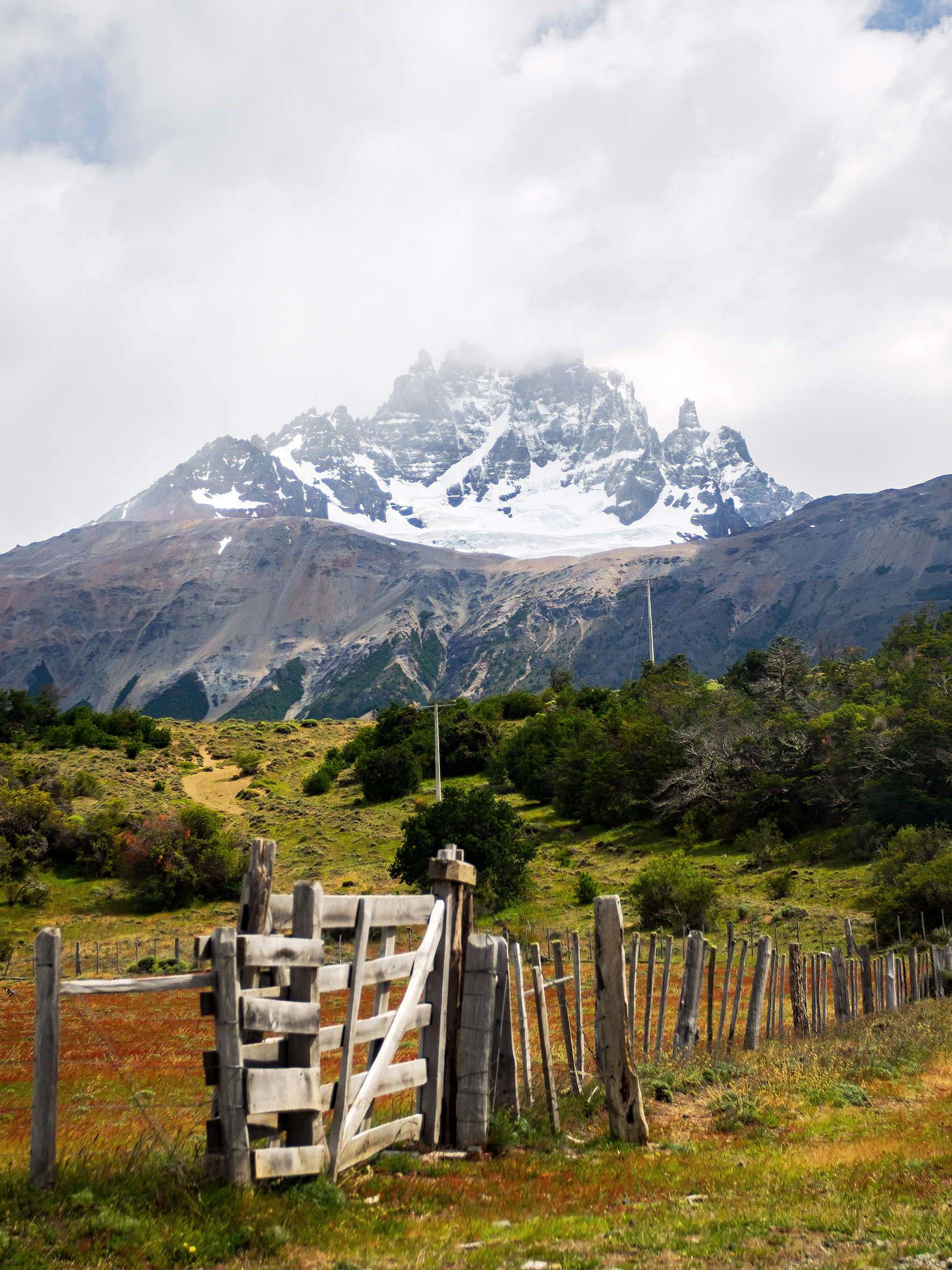
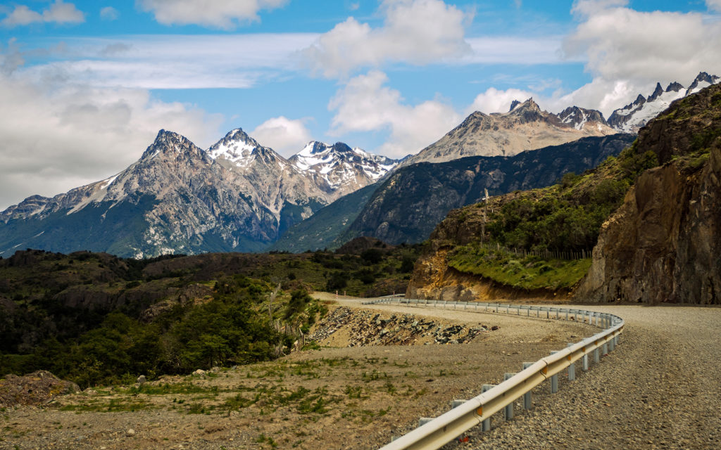
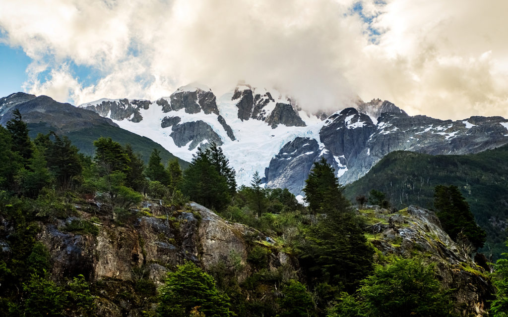
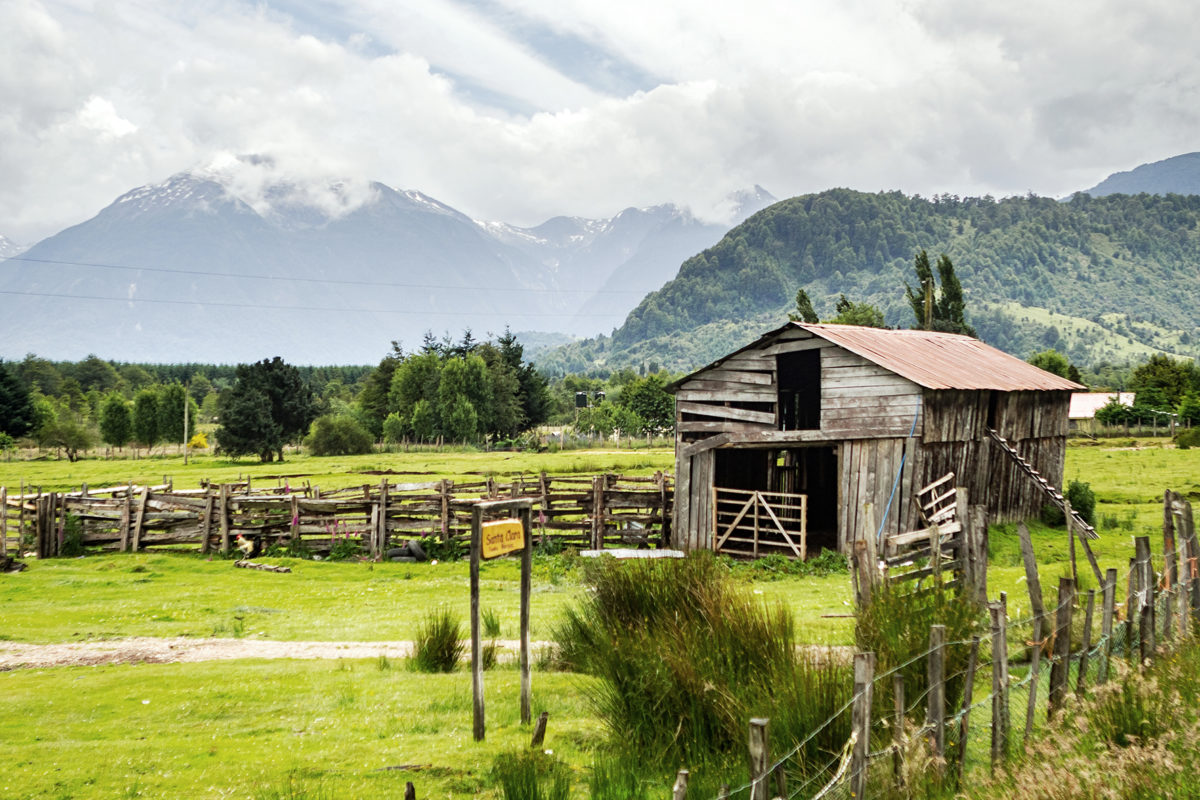
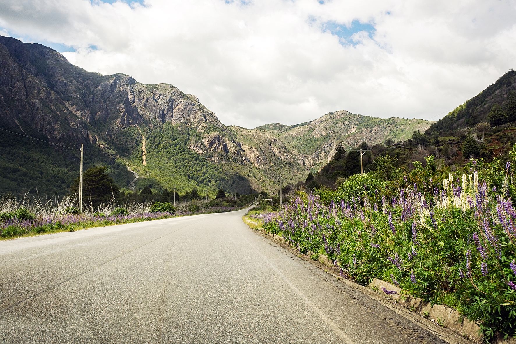
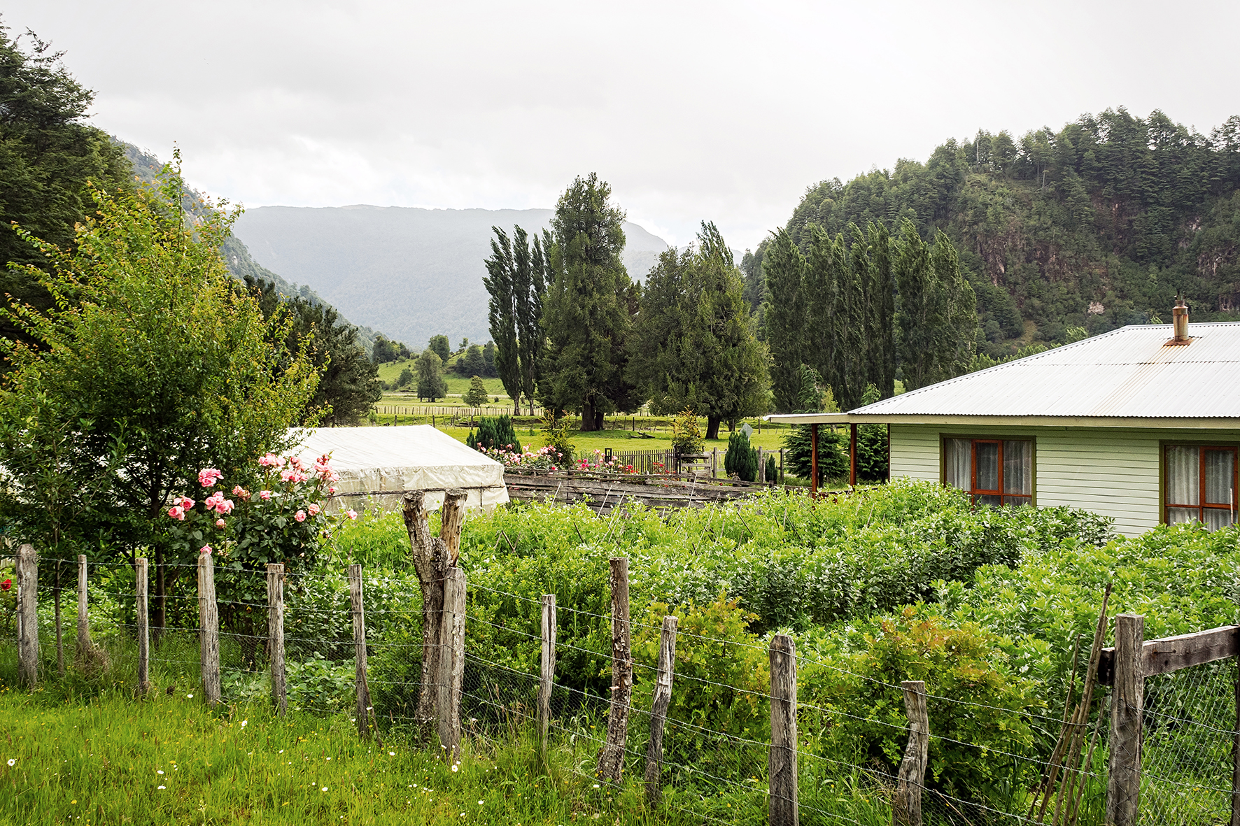
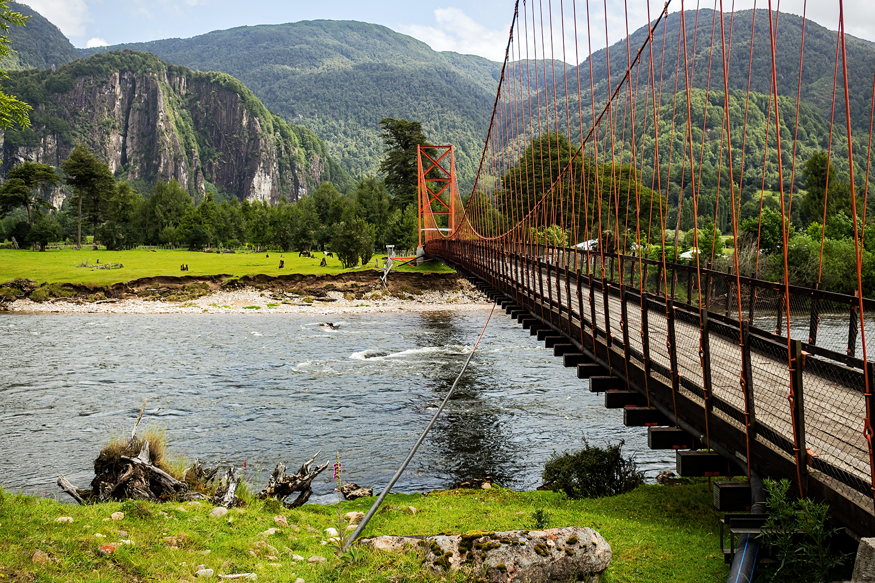
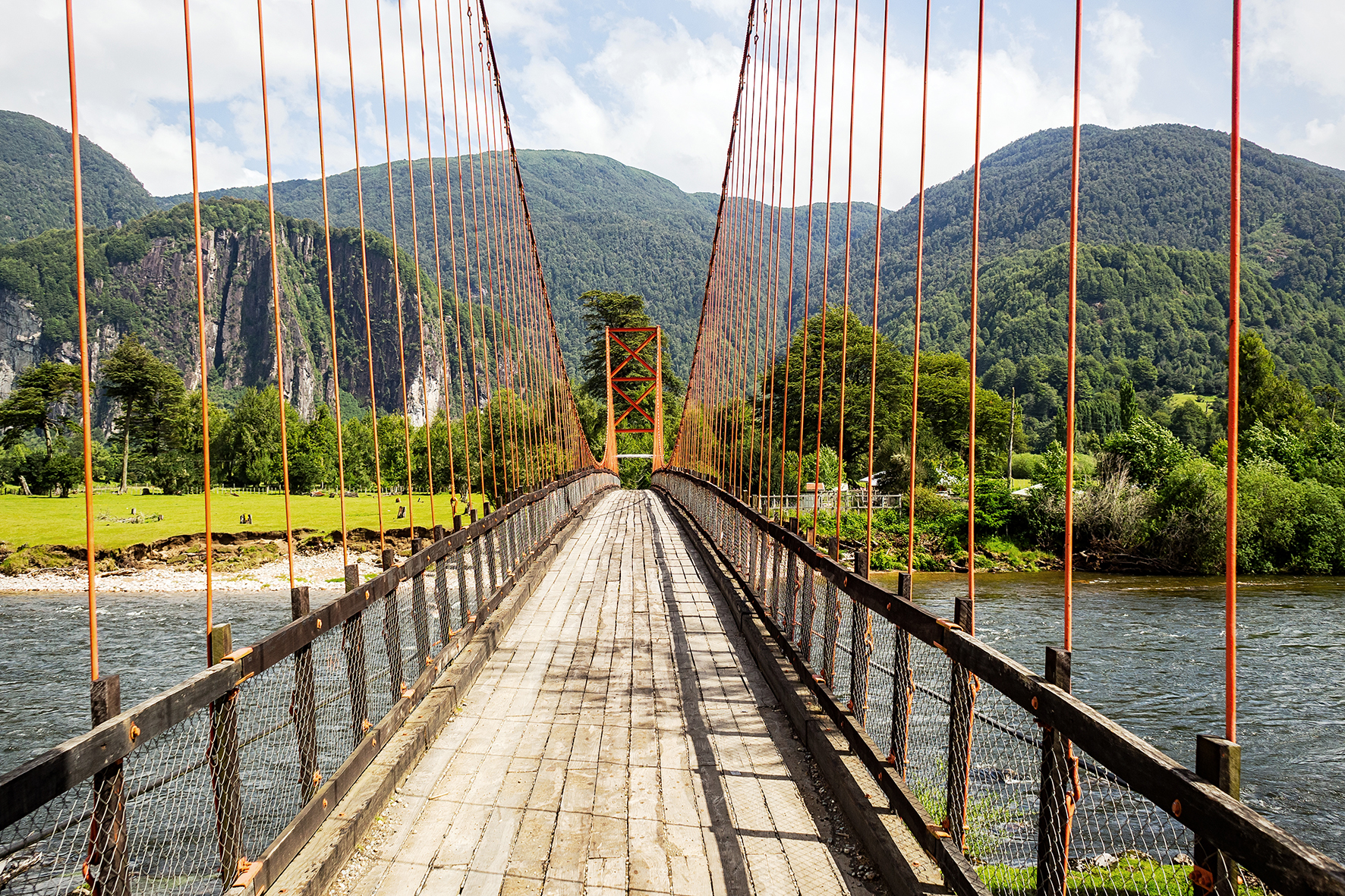
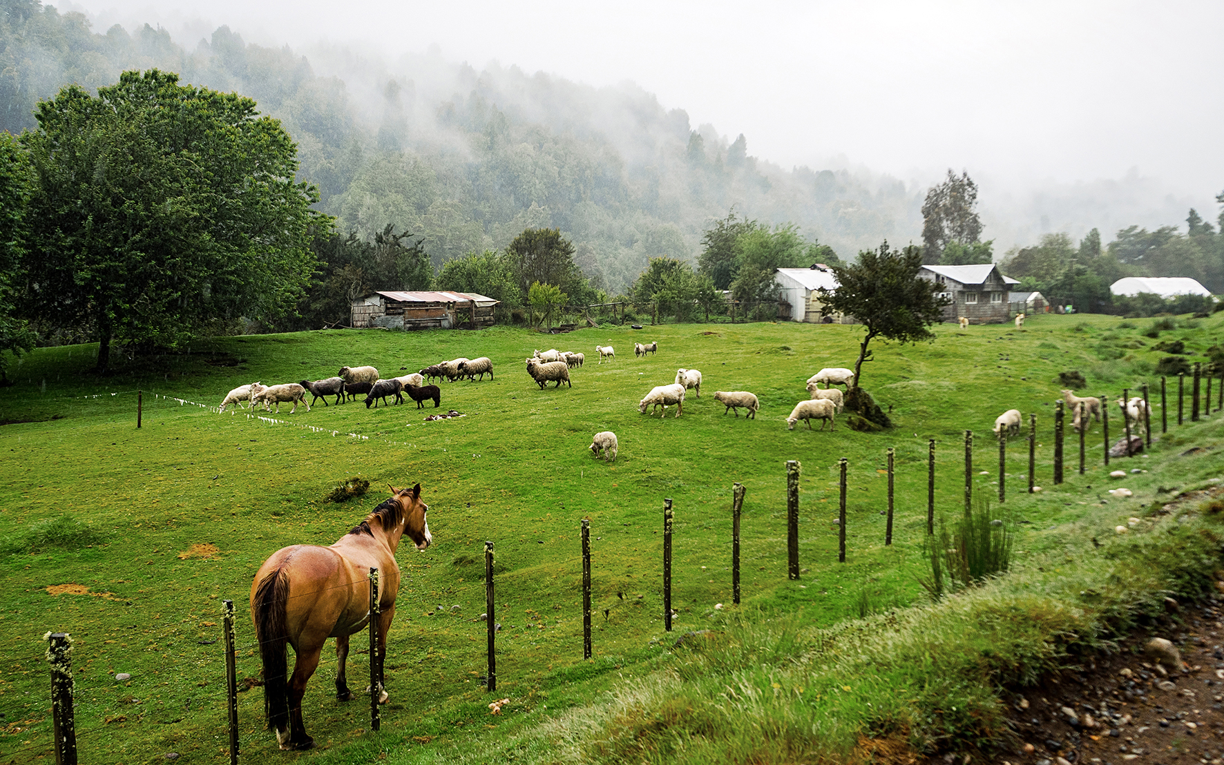
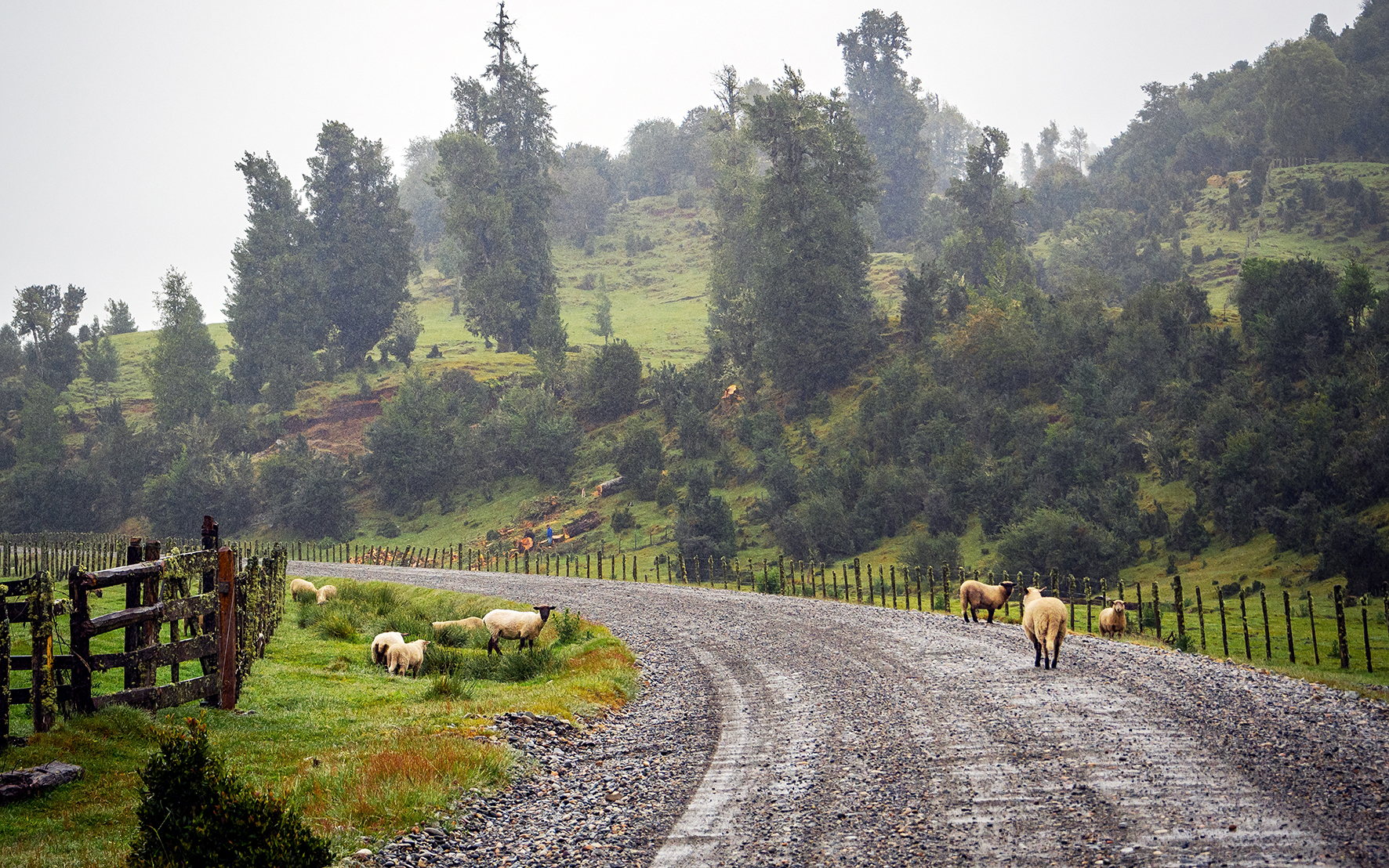
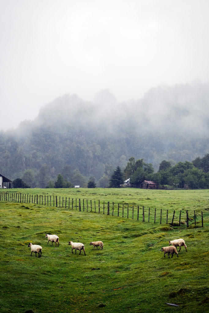
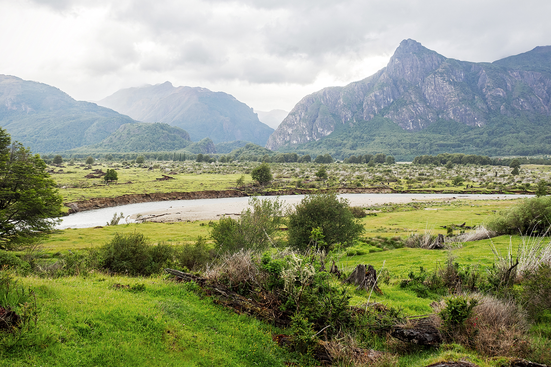
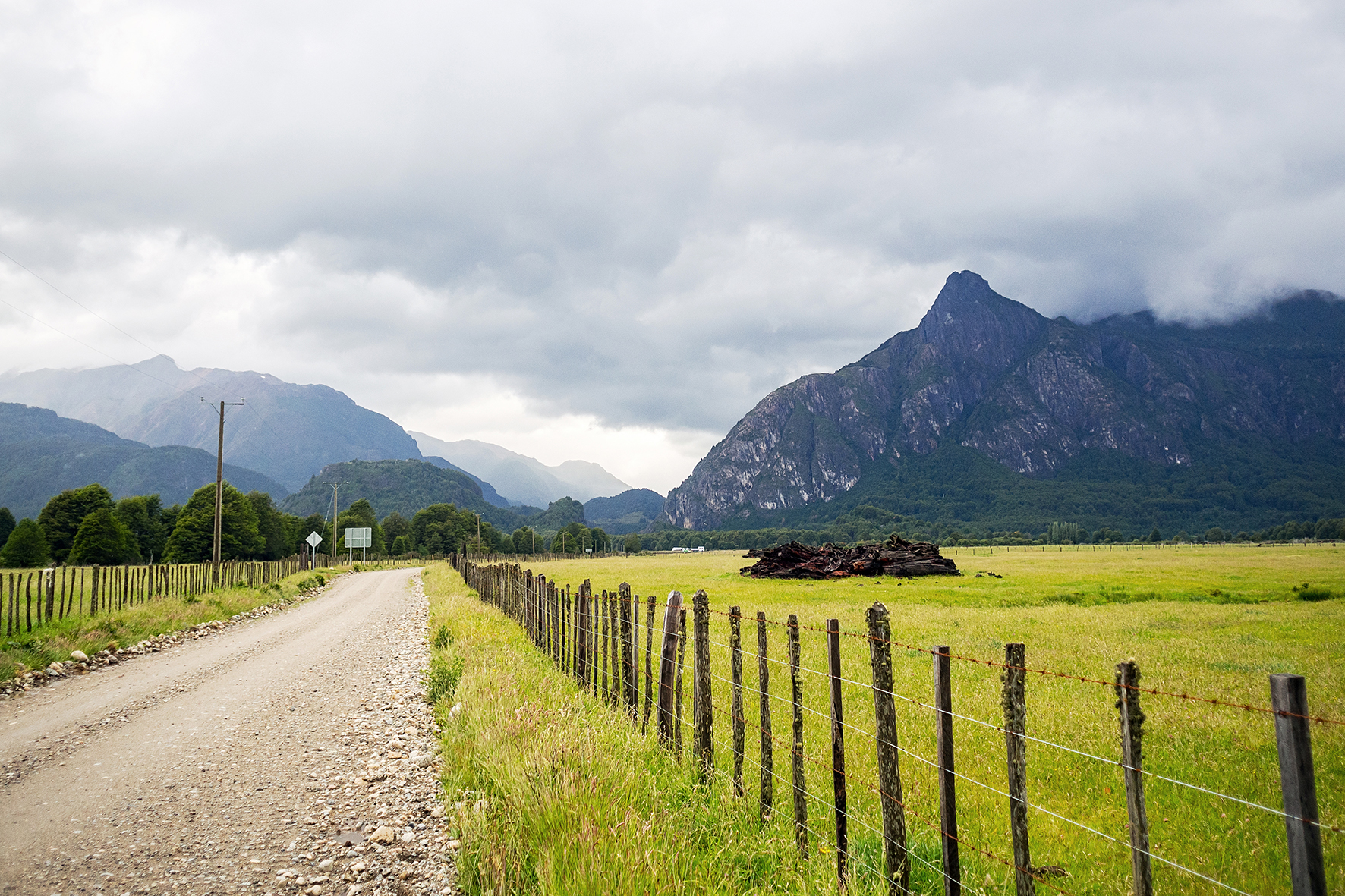
Regarding the condition of the road itself, it had improved in parts compared to what the guide book described, since it was published a couple of years ago but  I did notice some portions that the book had marked as paved but were still gravel when we drove on them. There were still a fair amount of road that was pretty rough – around Puyuhuapi and Puerto Cisnes for example. Nothing was paved past Villa Cerro Castillo, nor is there a plan for it to be at this point, according to the guide book. Once we crossed over to Argentina, the book became irrelevant, and we just had to take the road as it was – mostly in bad shape, except for a good portion of Ruta 40, the Argentinian equivalent of the Careterra. 

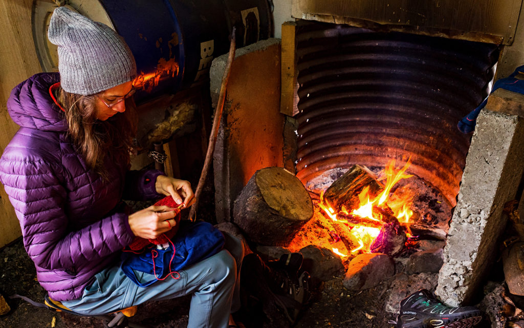
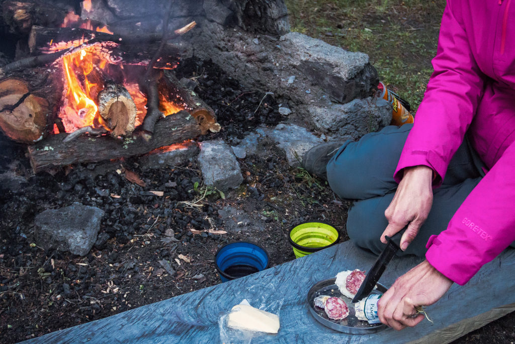
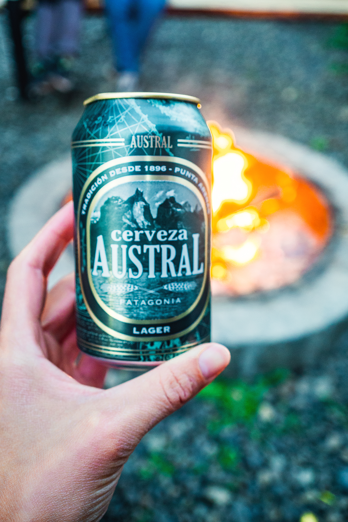
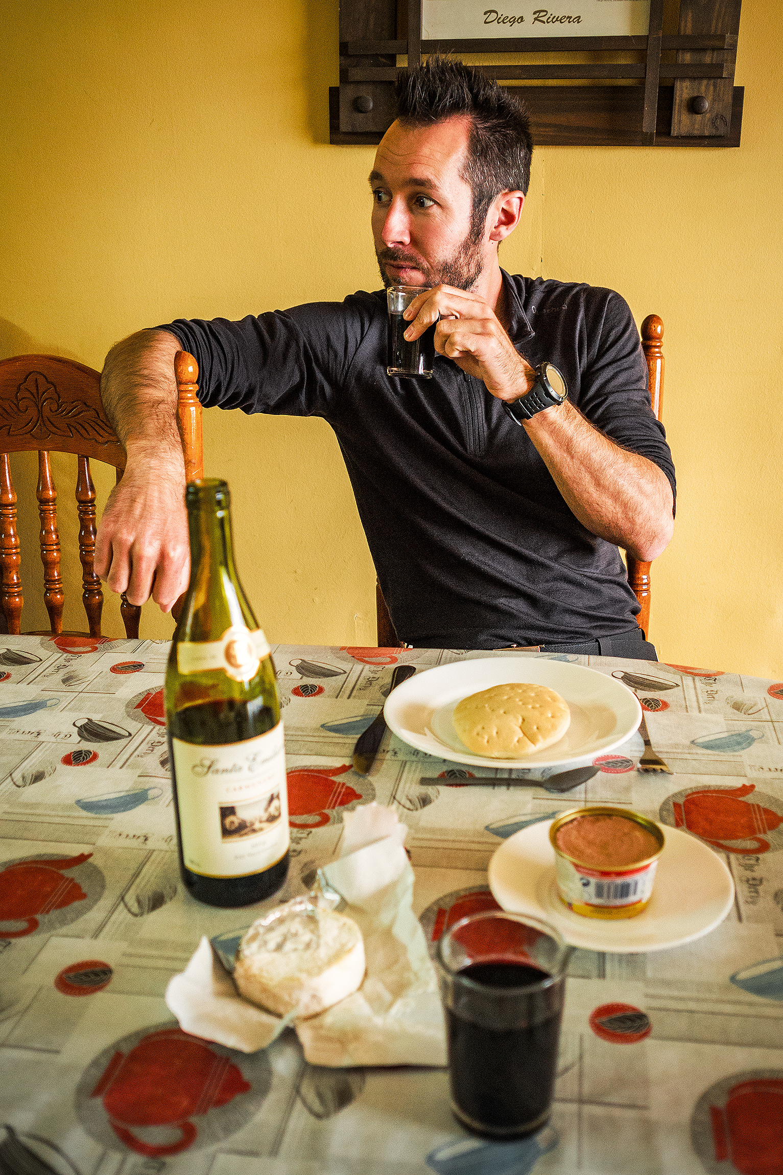
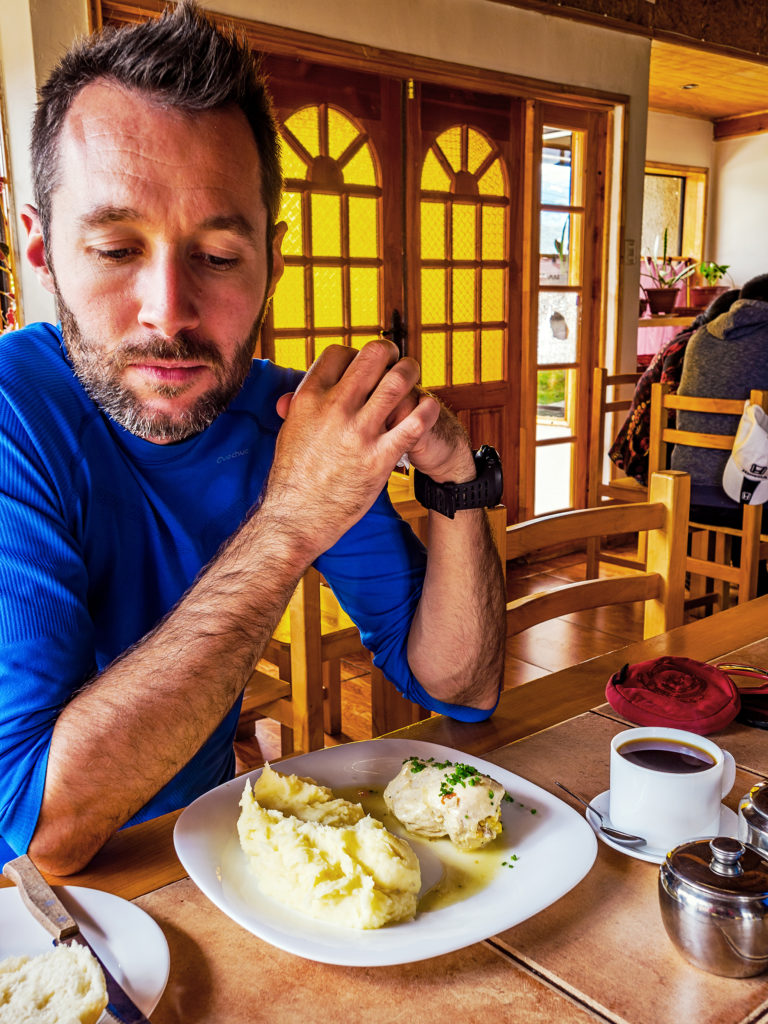
We didn’t eat “out” much, meaning in restaurants. But we did it outside a whole lot since we were on the road and camping every night. Avocado and ham sandwiches were a pretty good go-to for lunch, and for dinner we alternated between couscous, beans (we must have tried all of the options of the “Wasil” brand, various mixed beans packaged in small cartons) and canned fish, or pasta, or instant noodle…and lots of cookies, chips and snacks to keep the “hangriness” away while on the road – bonus tip for happy traveling: more often than not, things start to go downhill when one (or more) of the travelers’ blood sugar goes low. We know that well, and we both know to reach for a snack as soon as impatience or annoyance makes an appearance…sure enough after a few bites, whatever frustration started to rear its head is gone. 


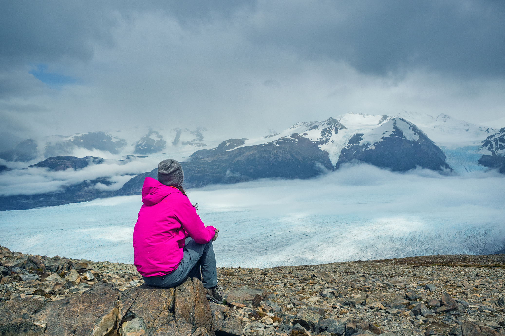
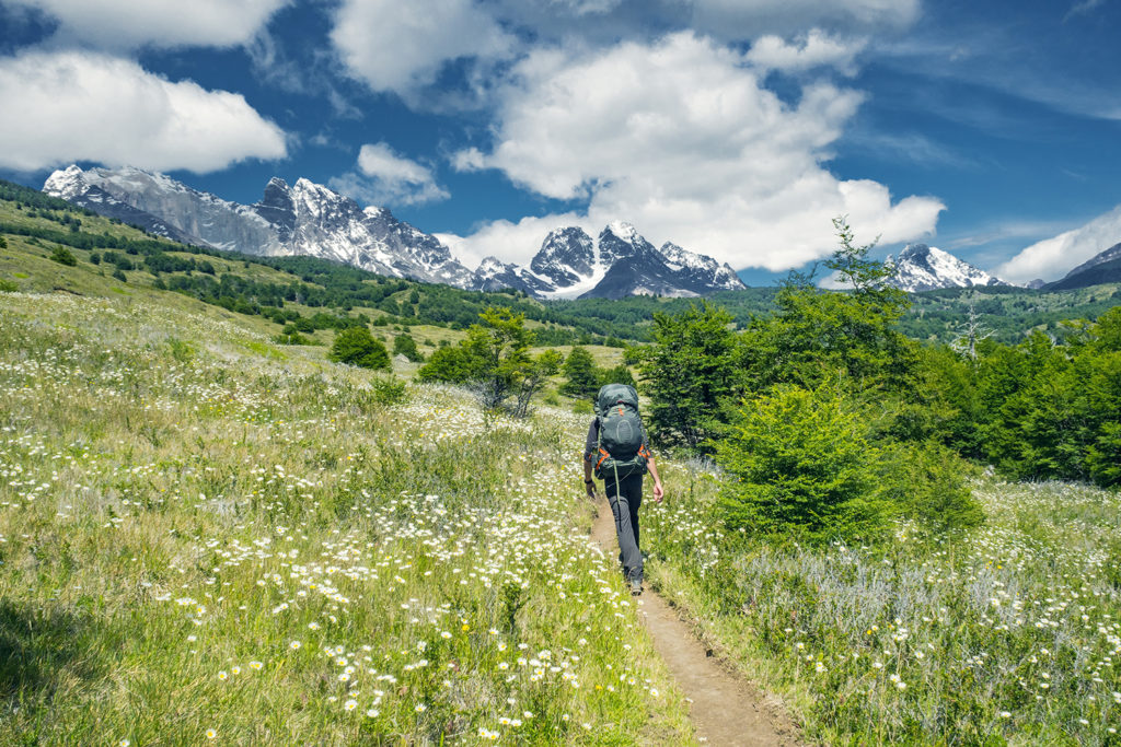
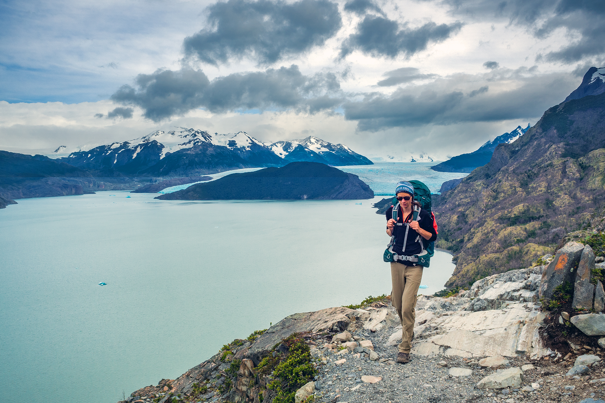
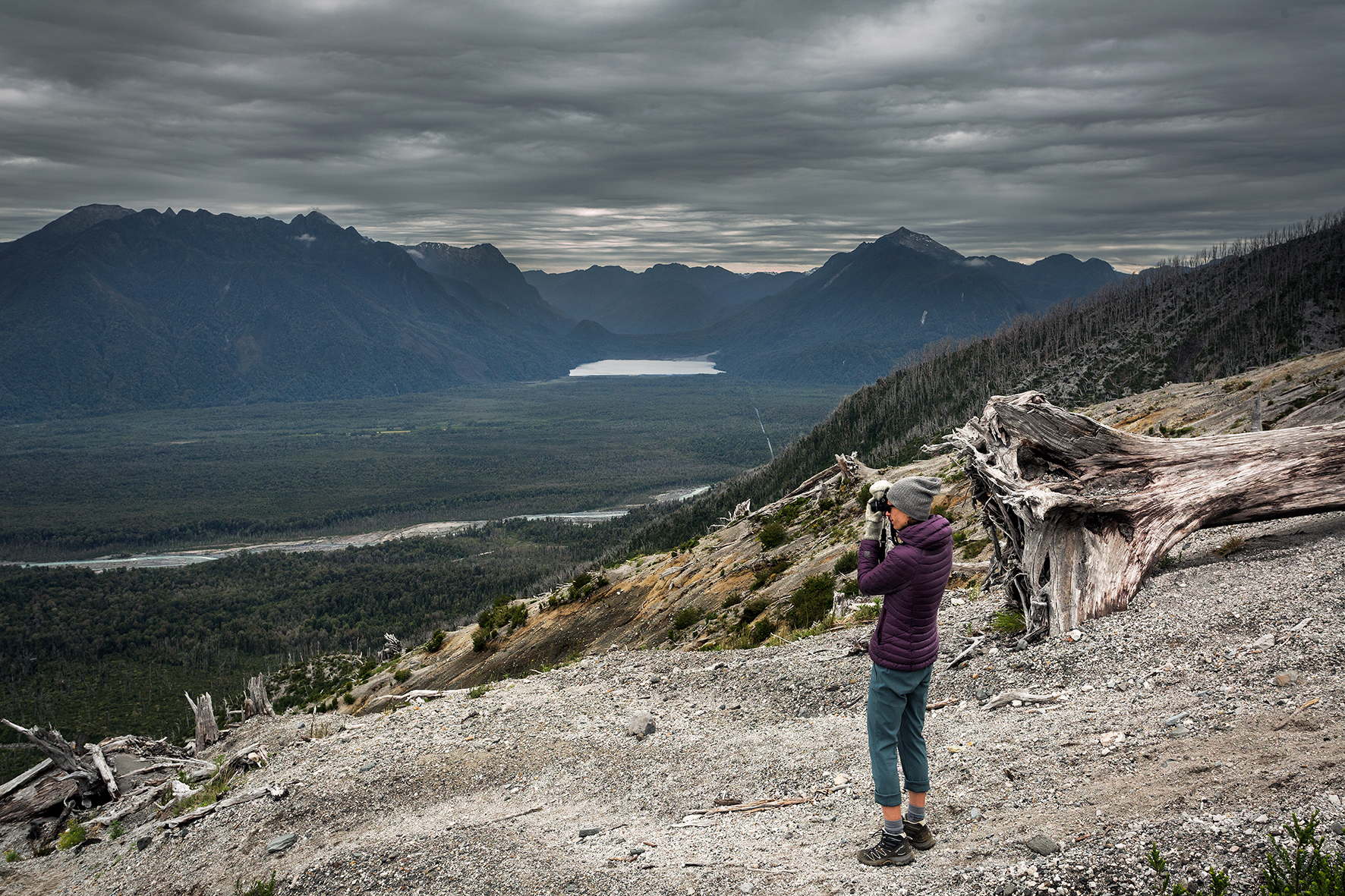
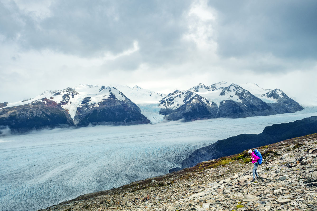
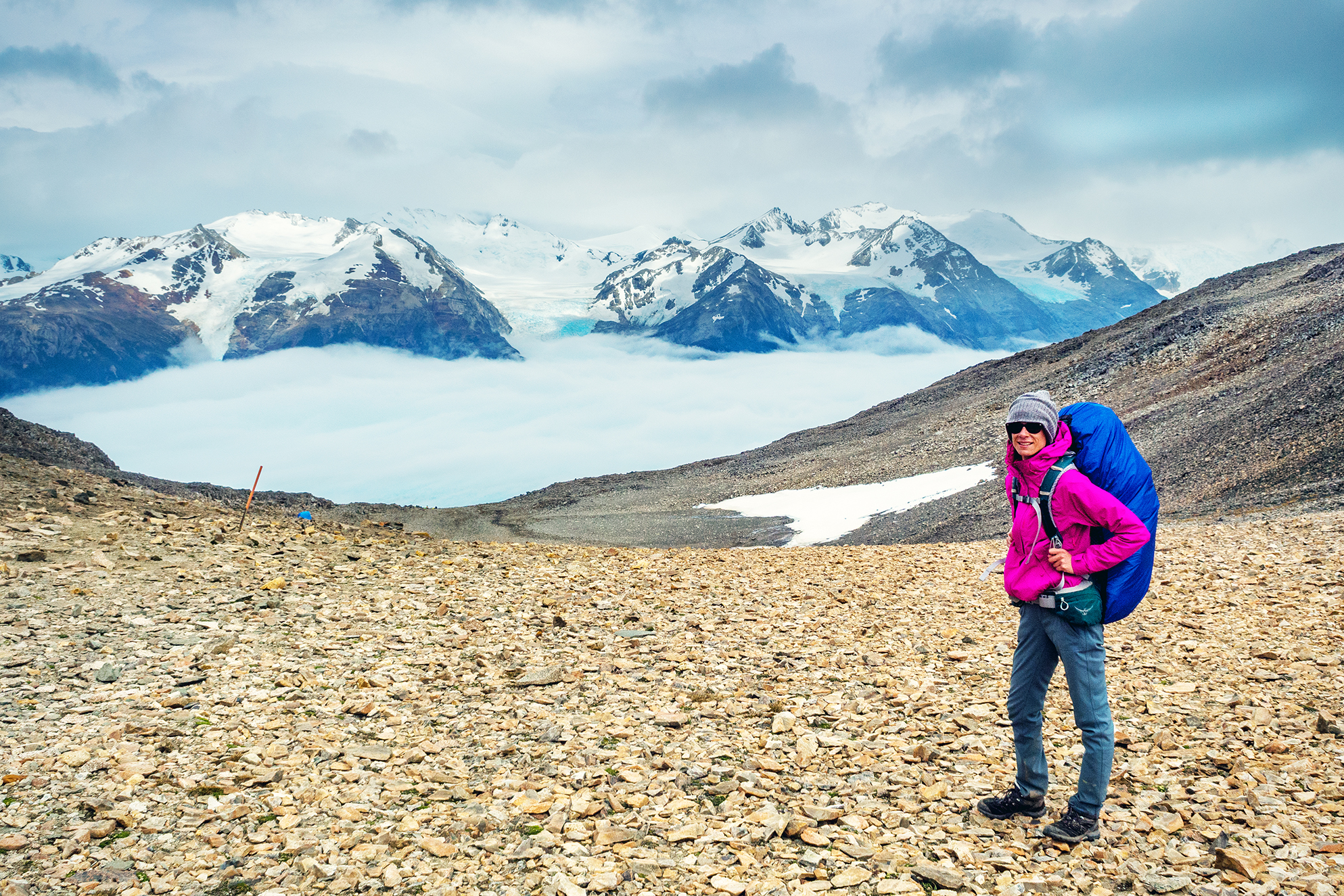
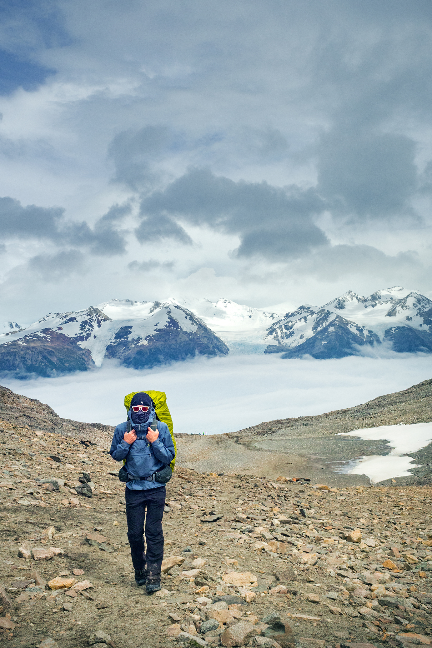
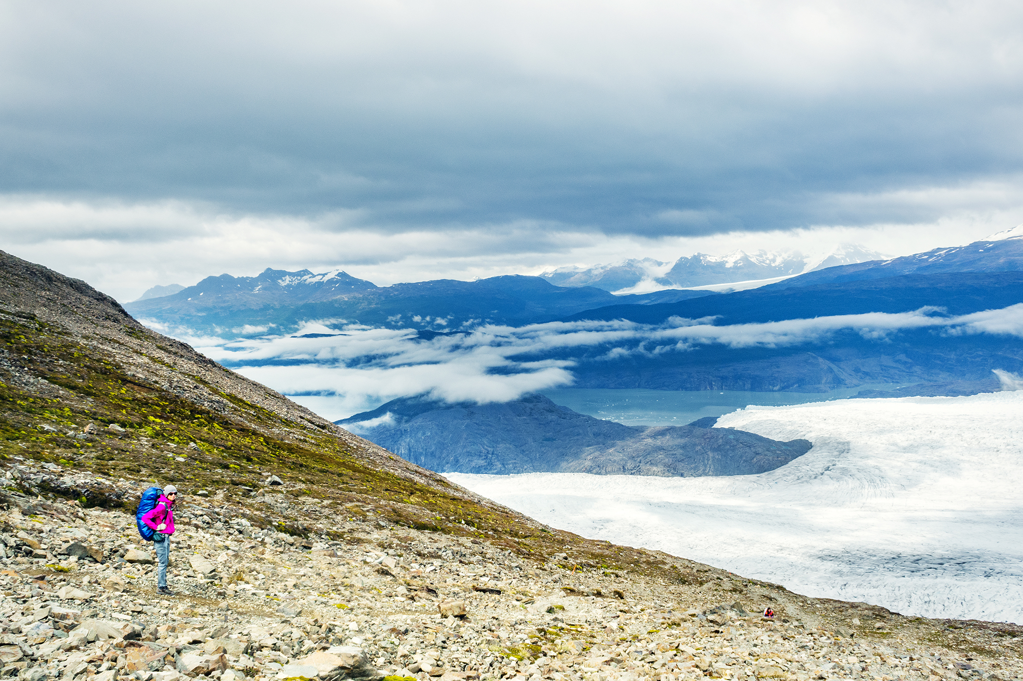
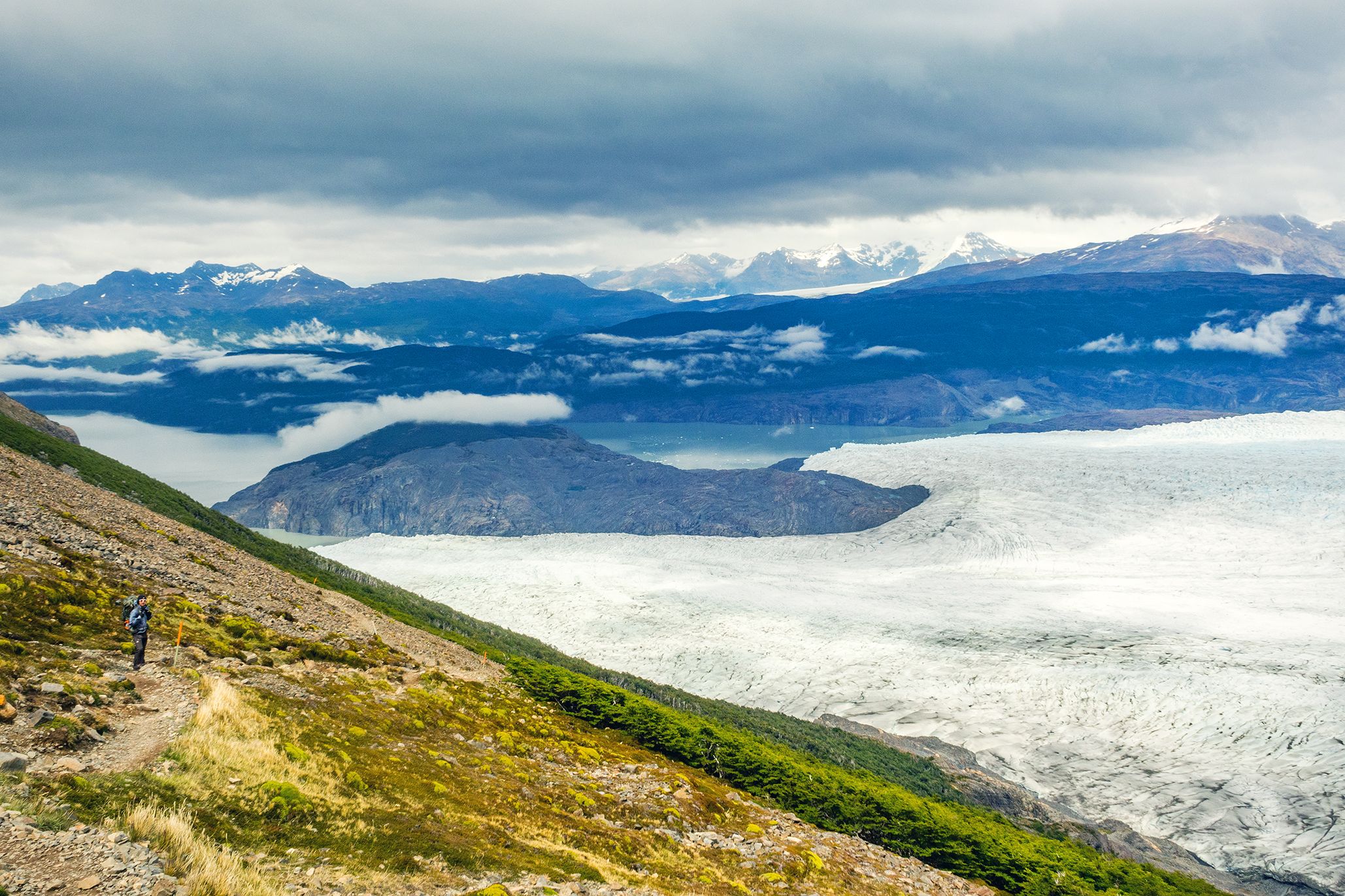
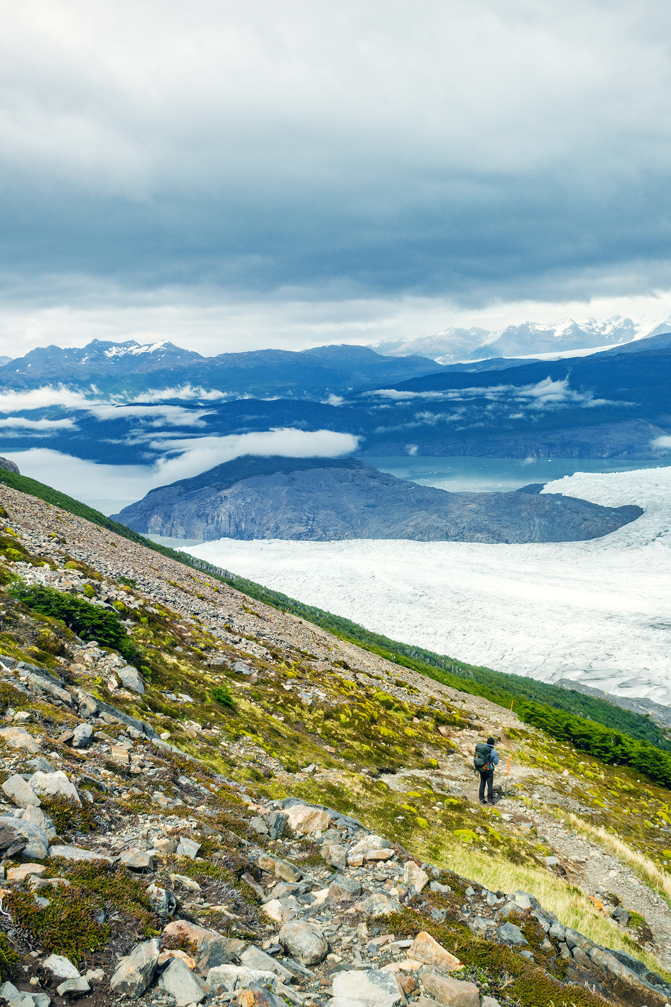
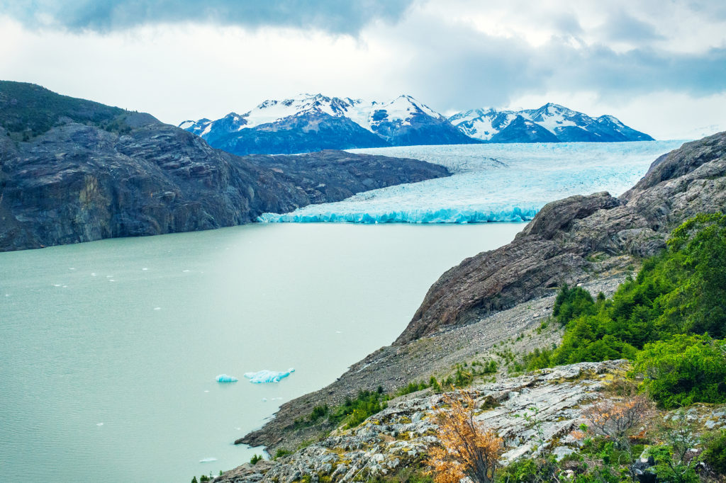
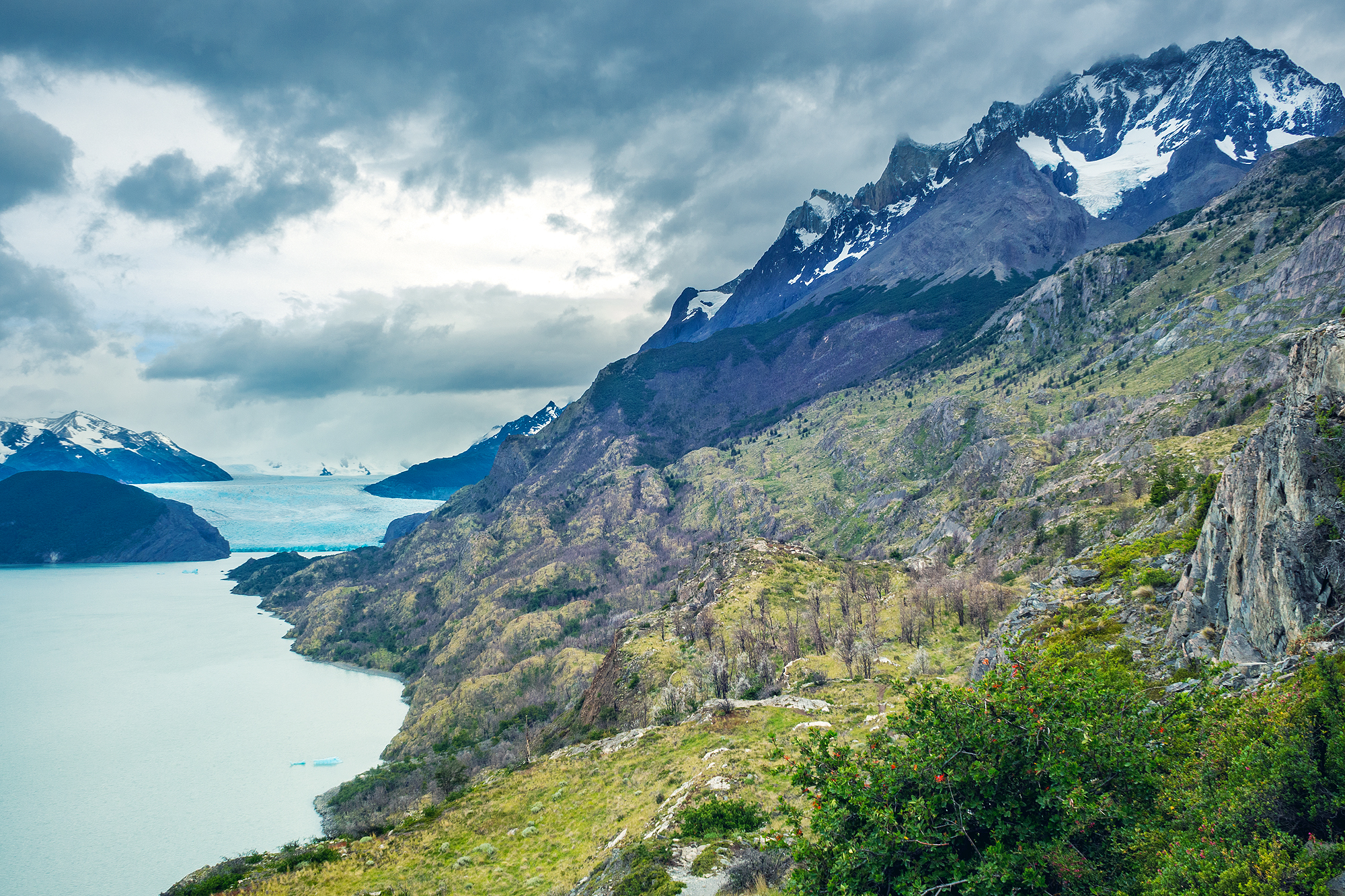
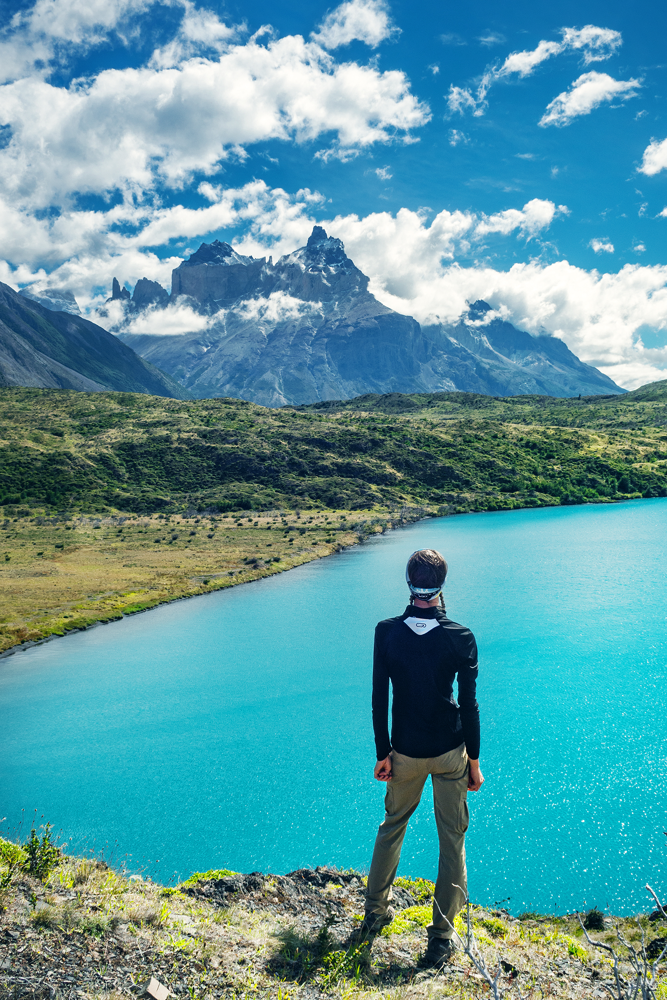
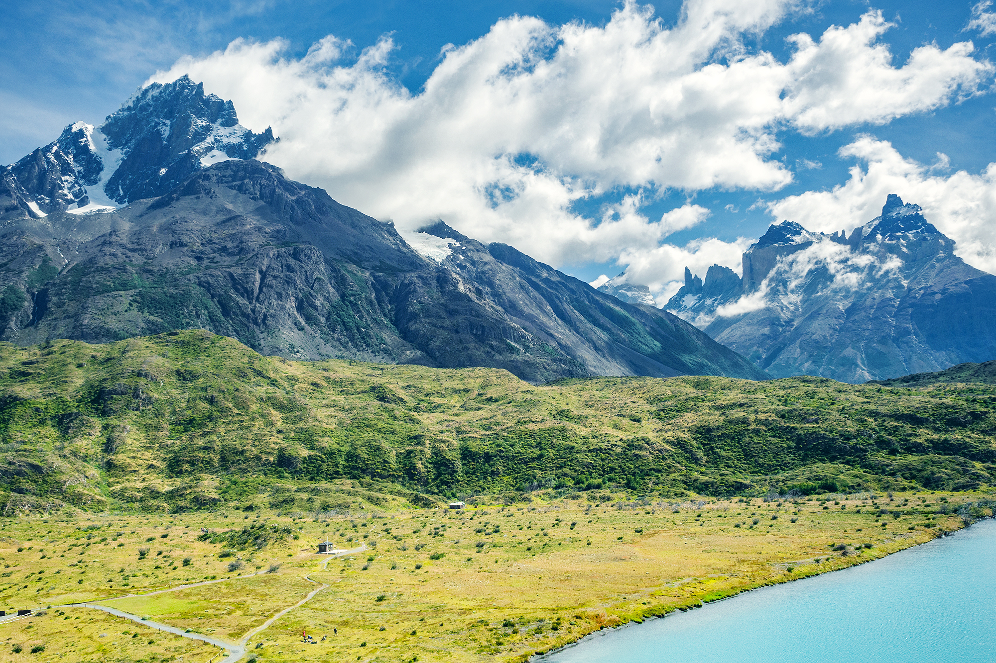
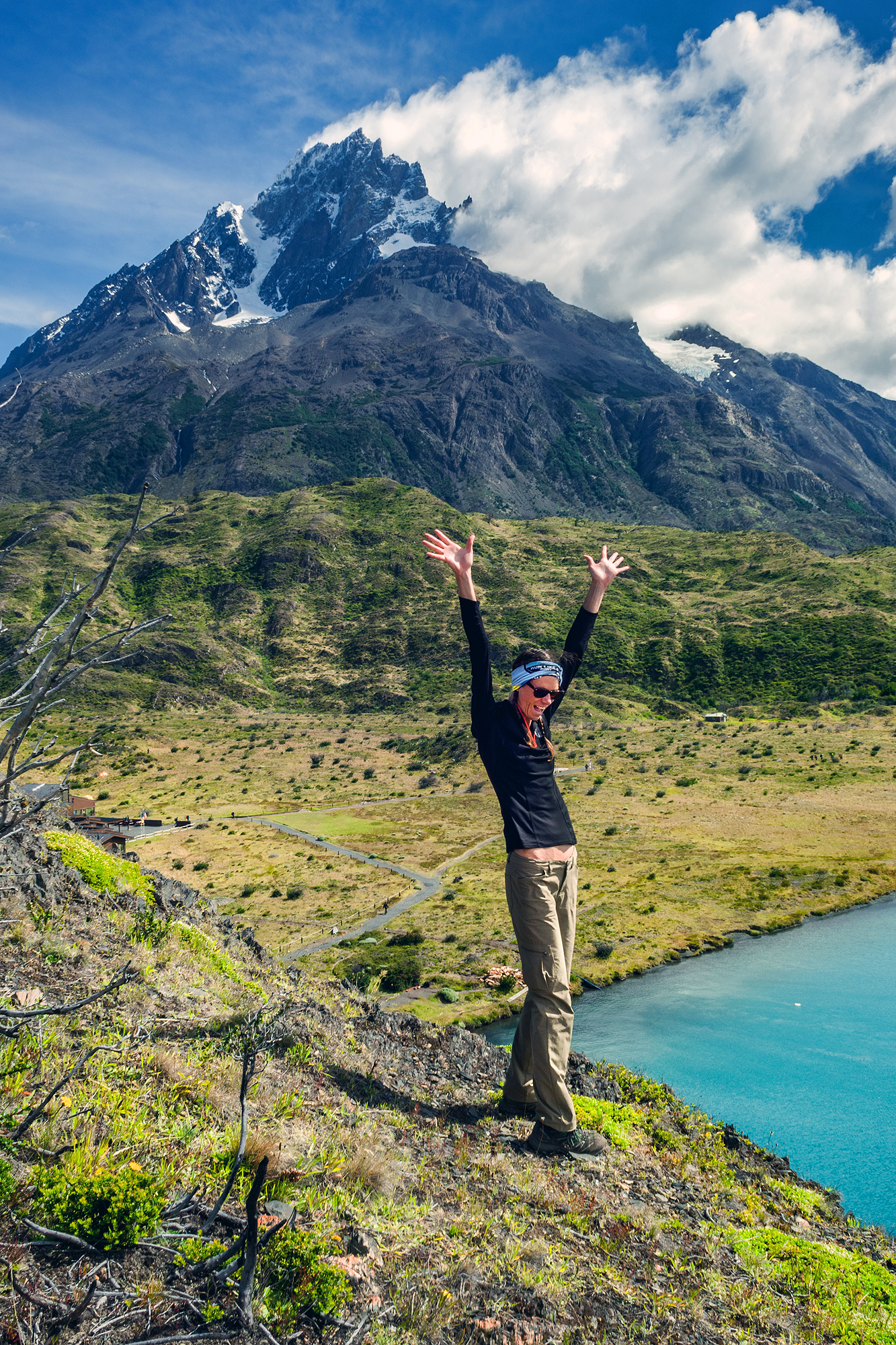
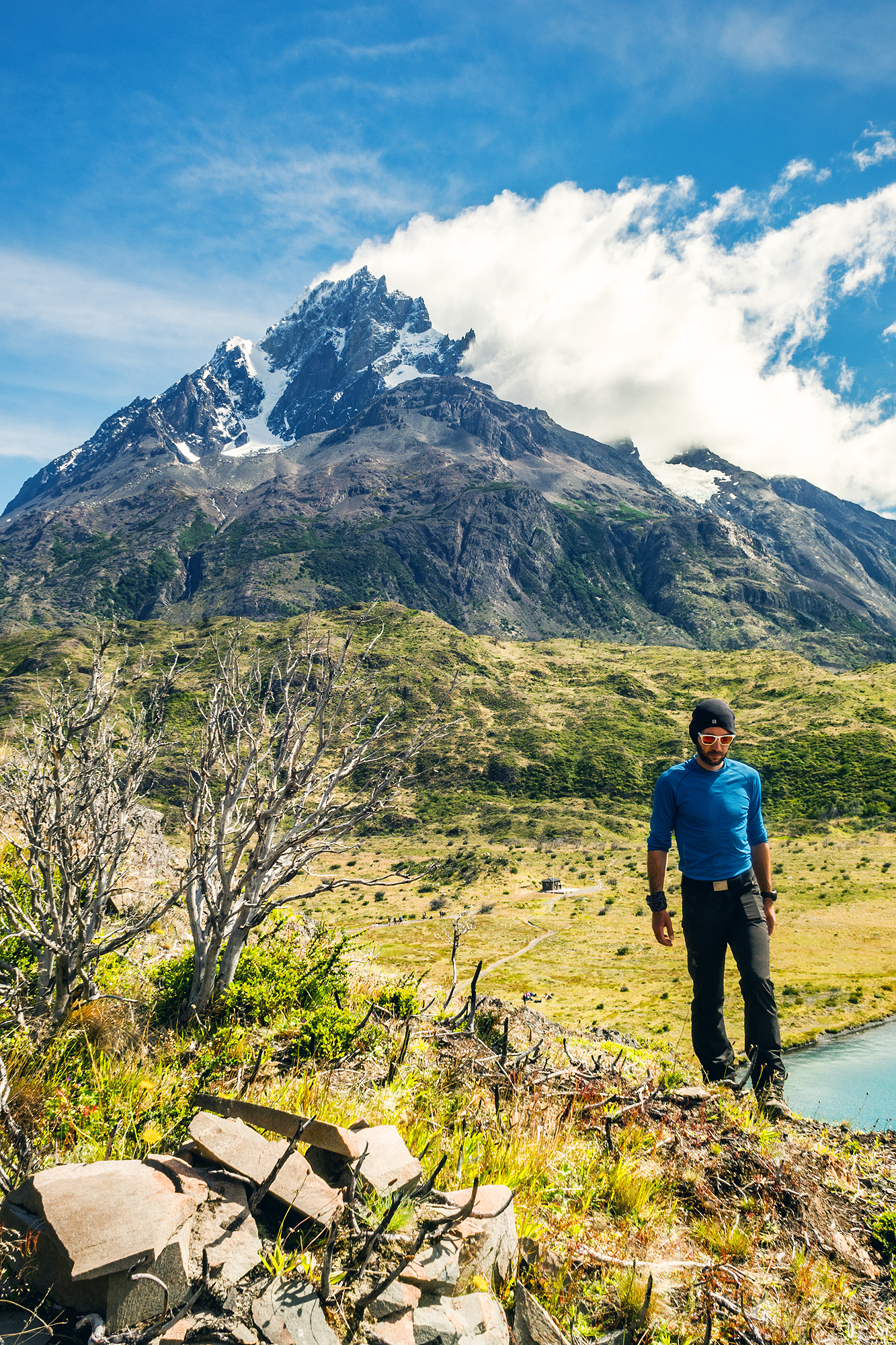
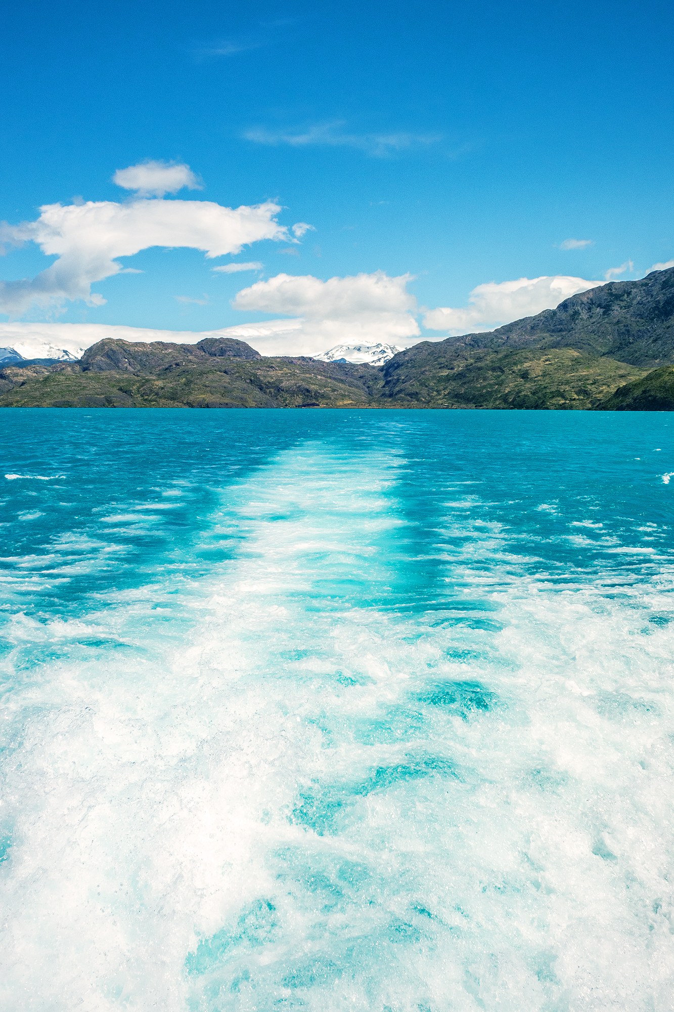
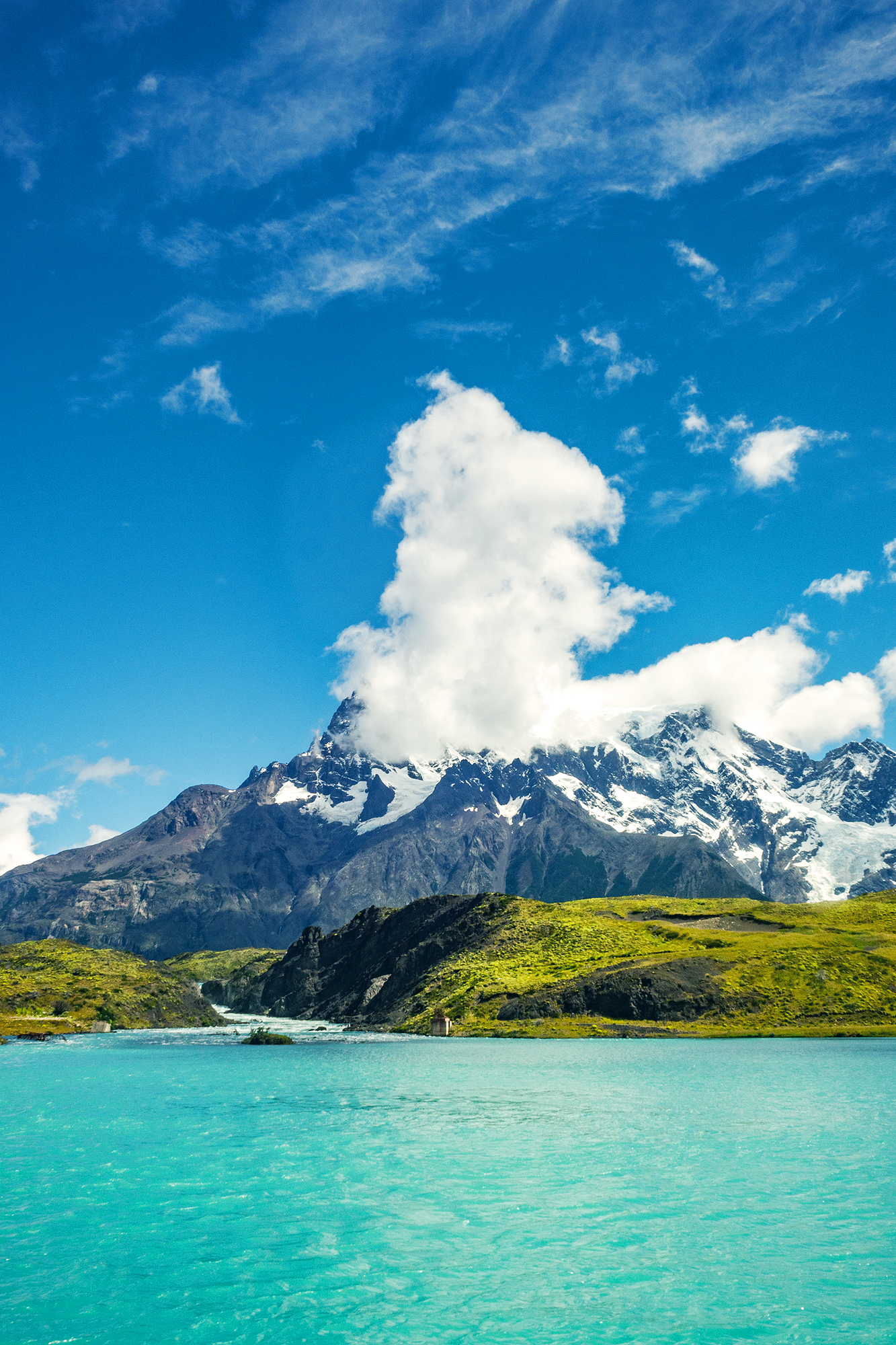
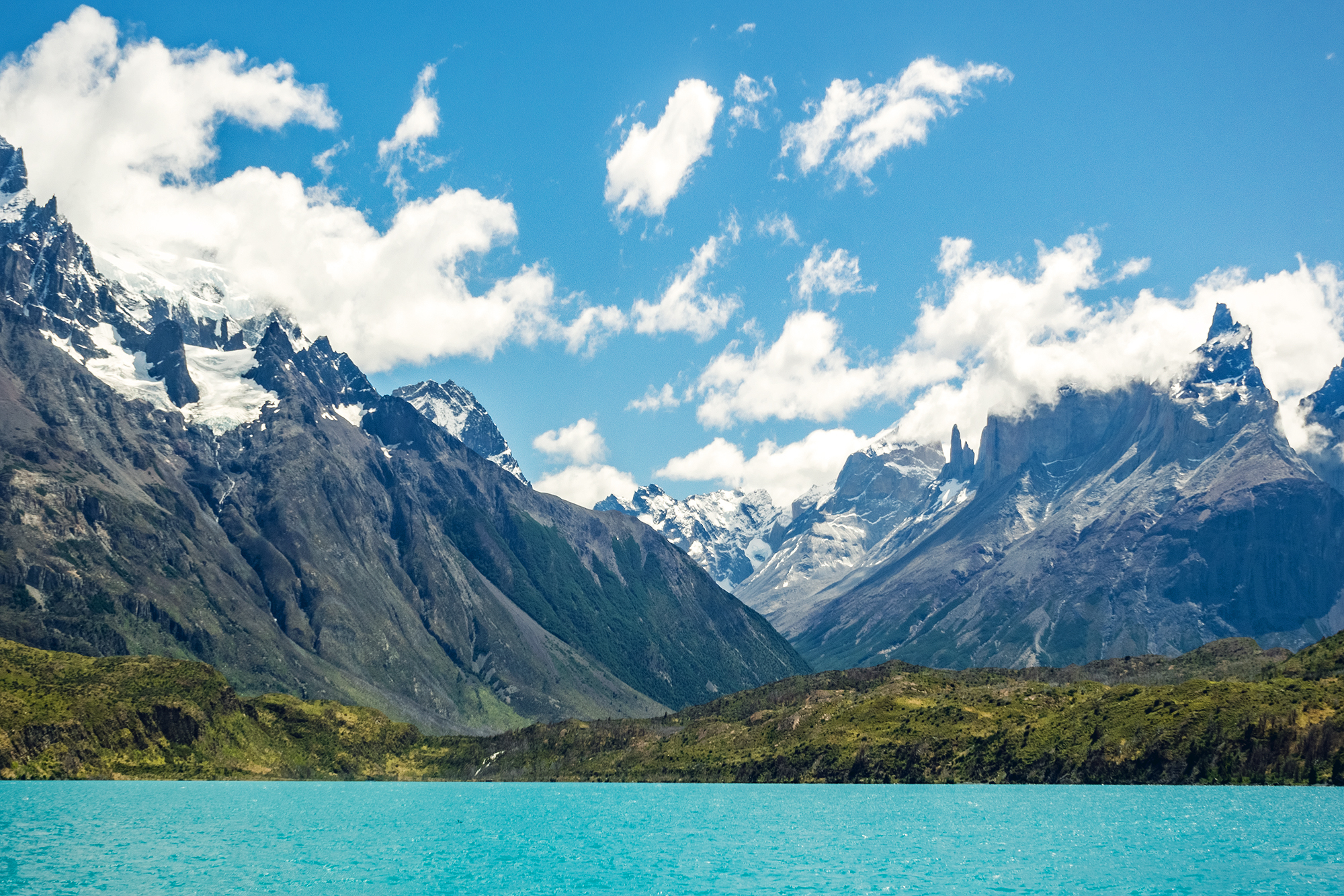
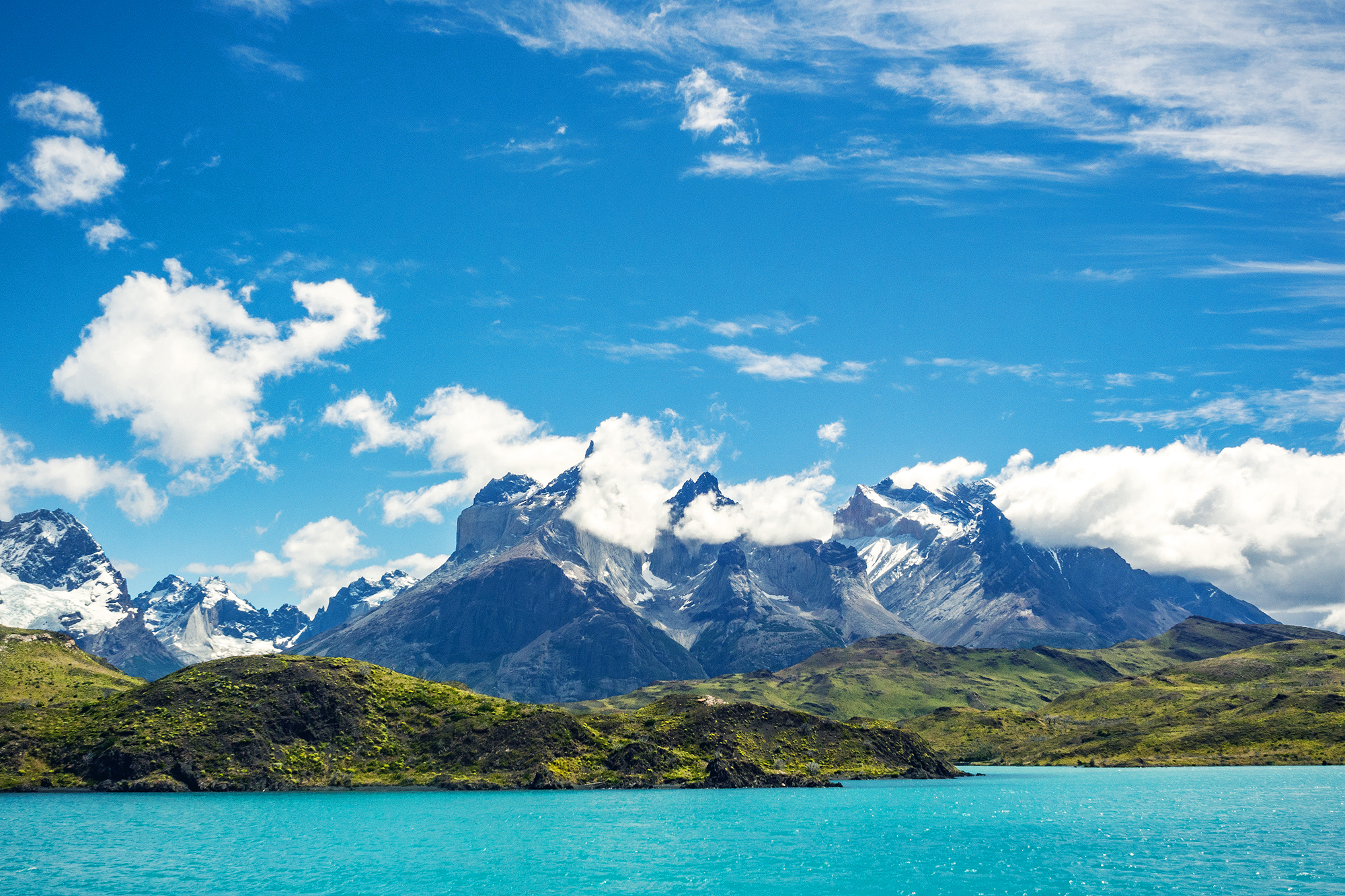
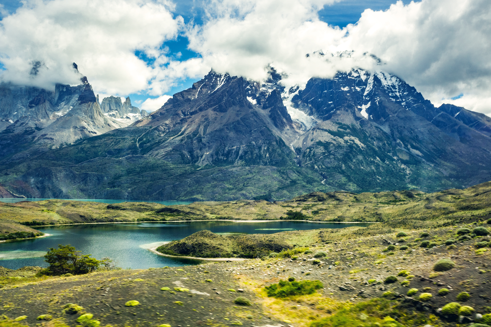
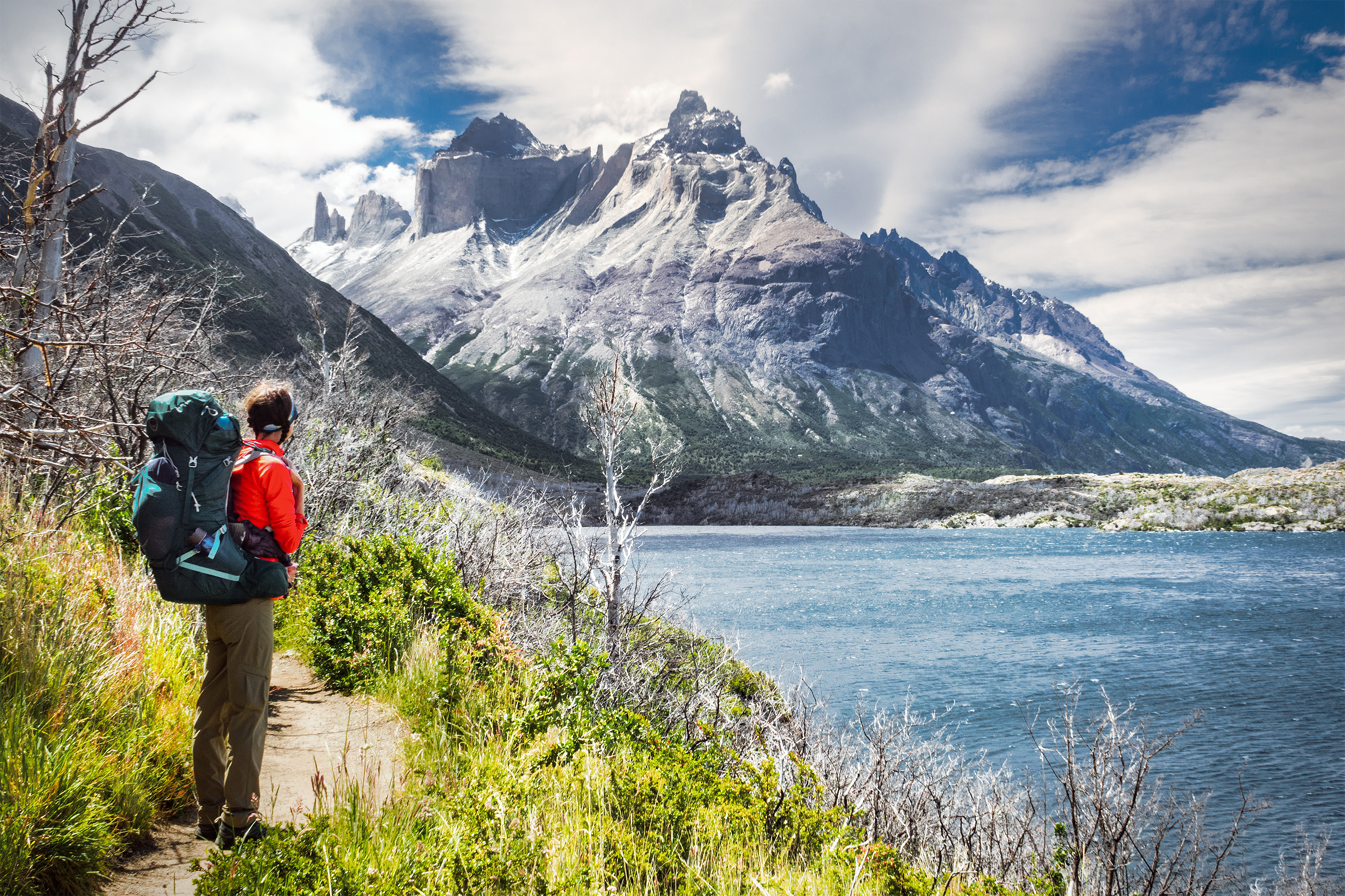
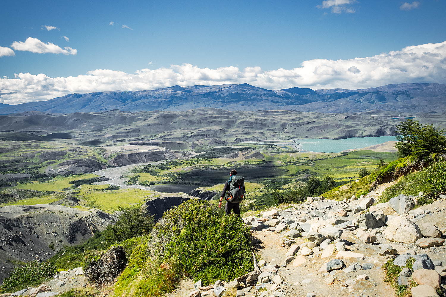
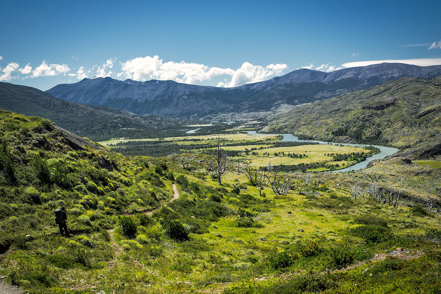
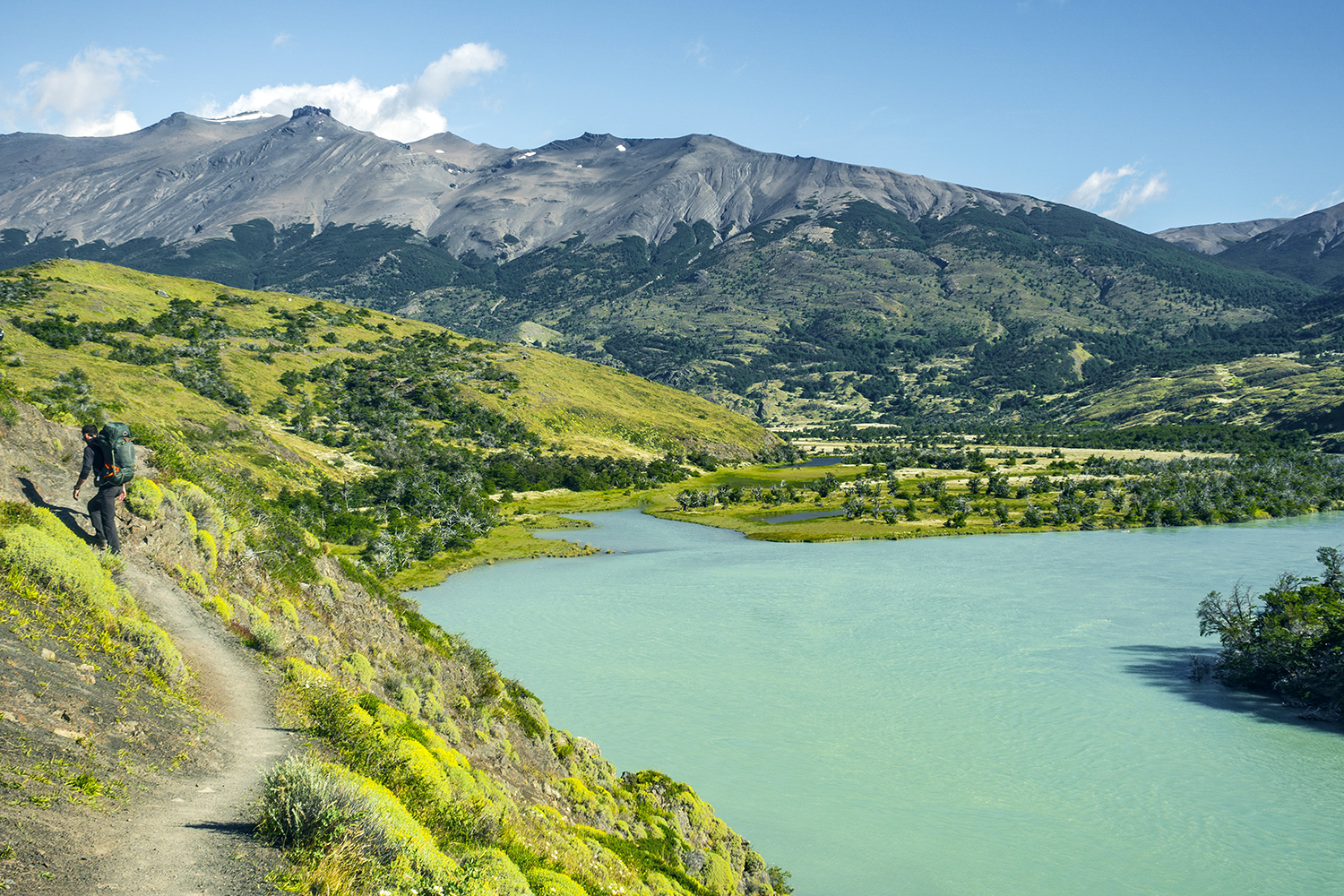
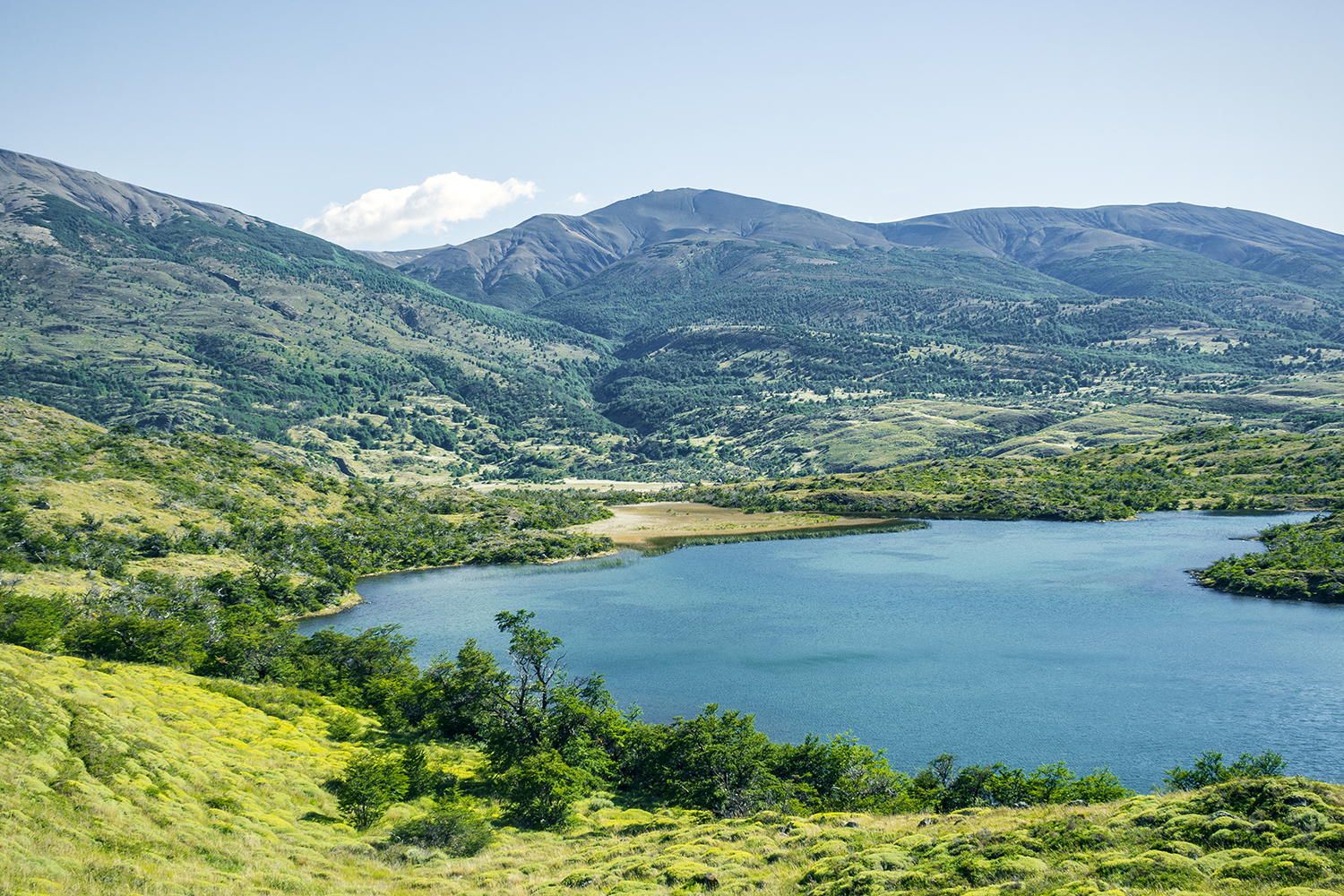
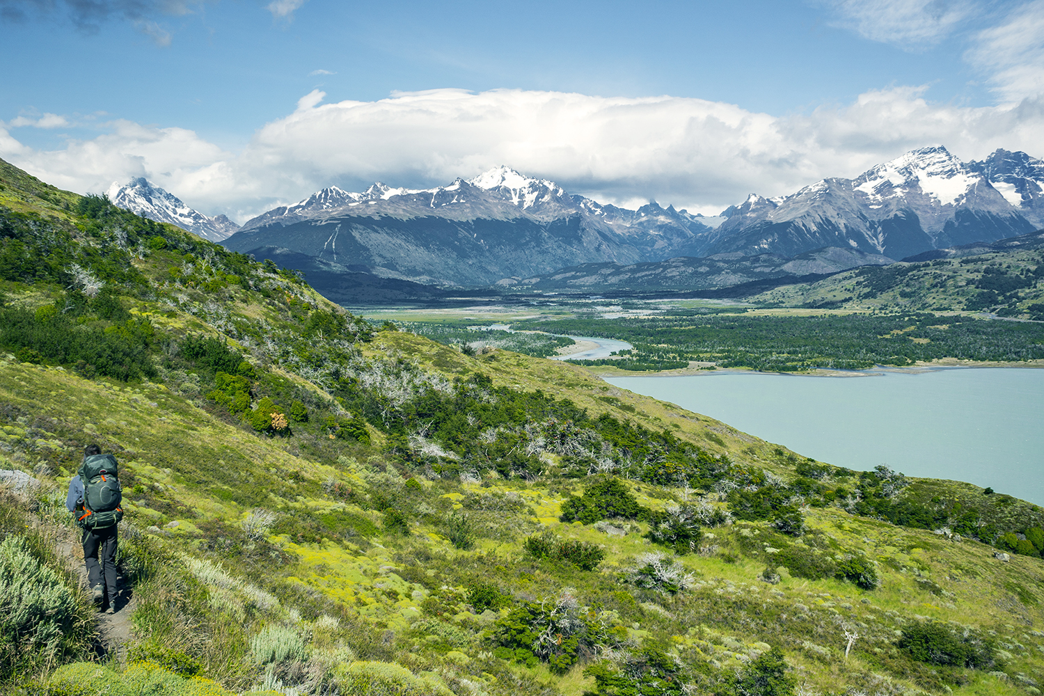
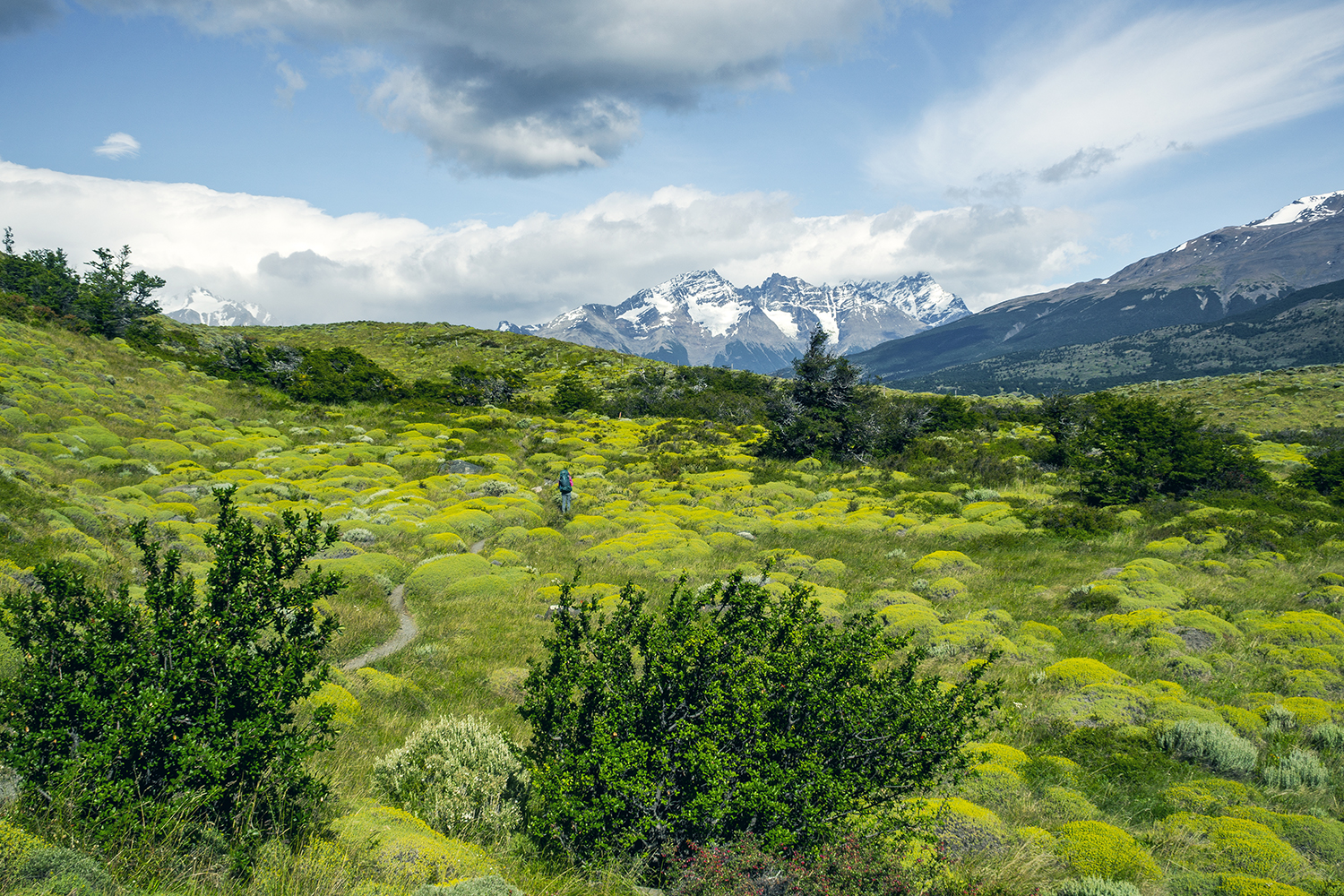
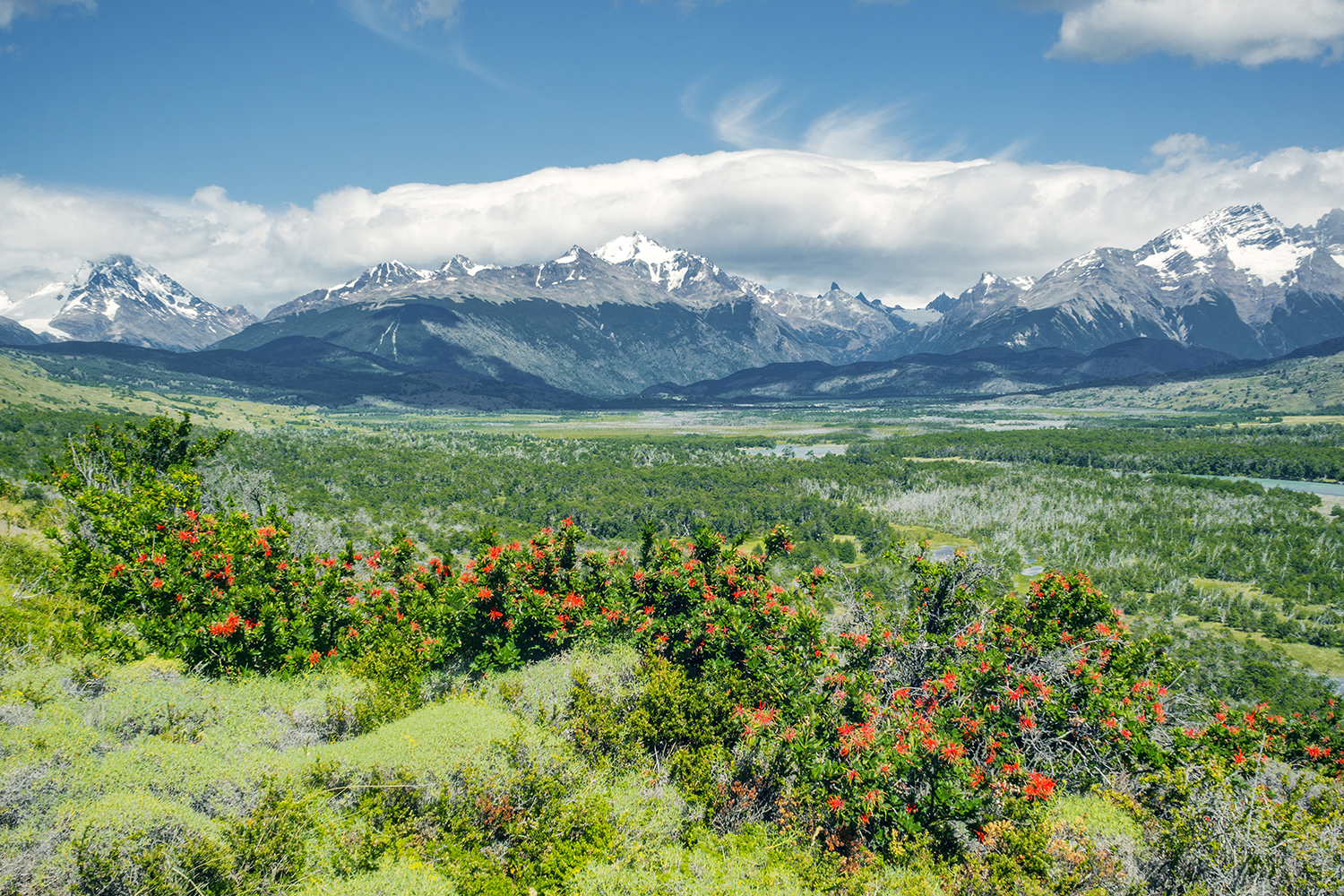
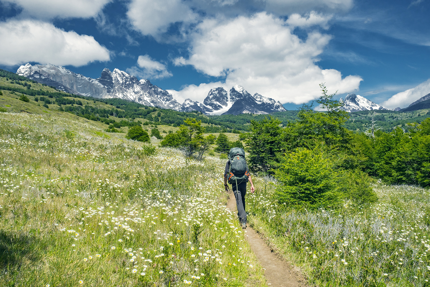
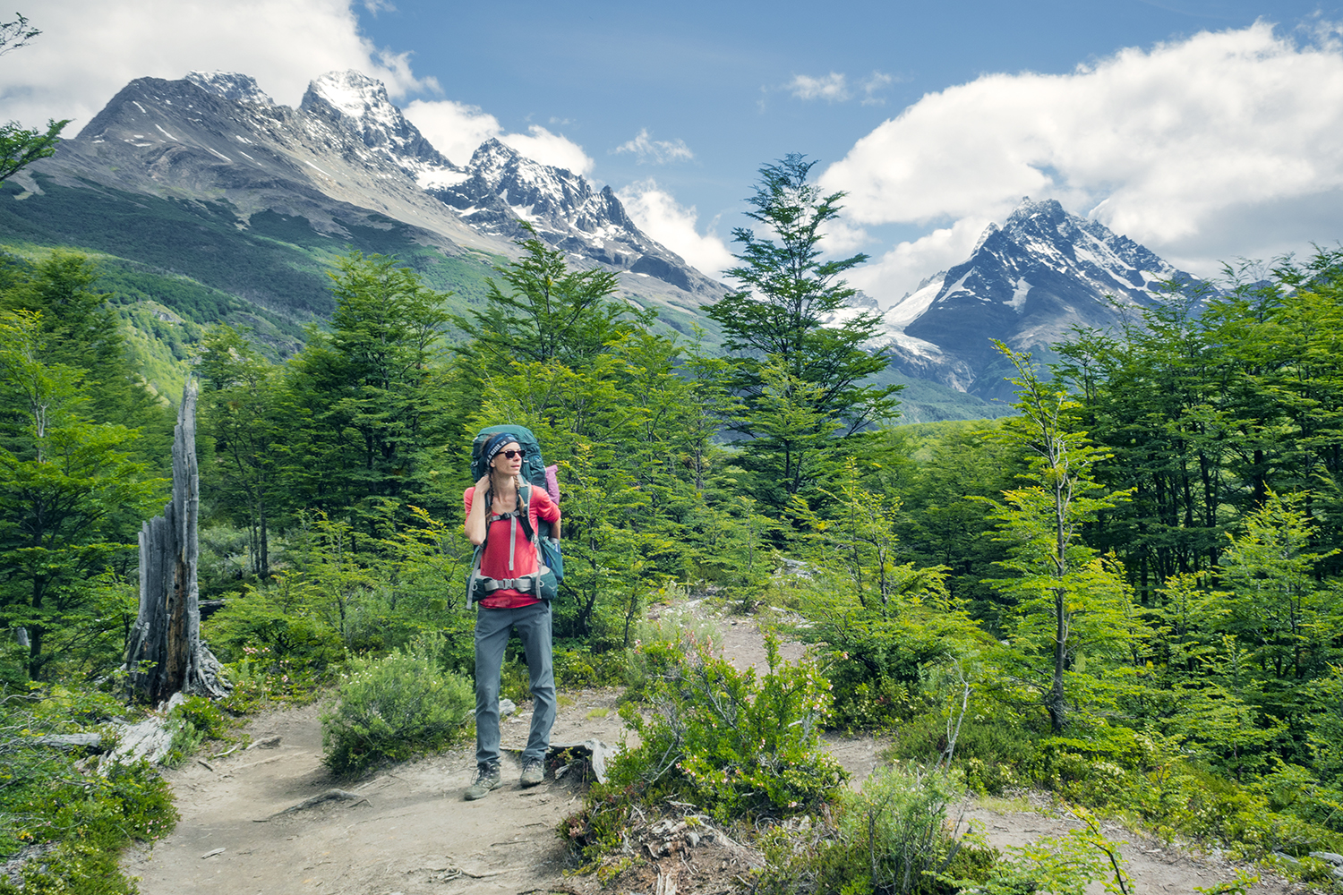
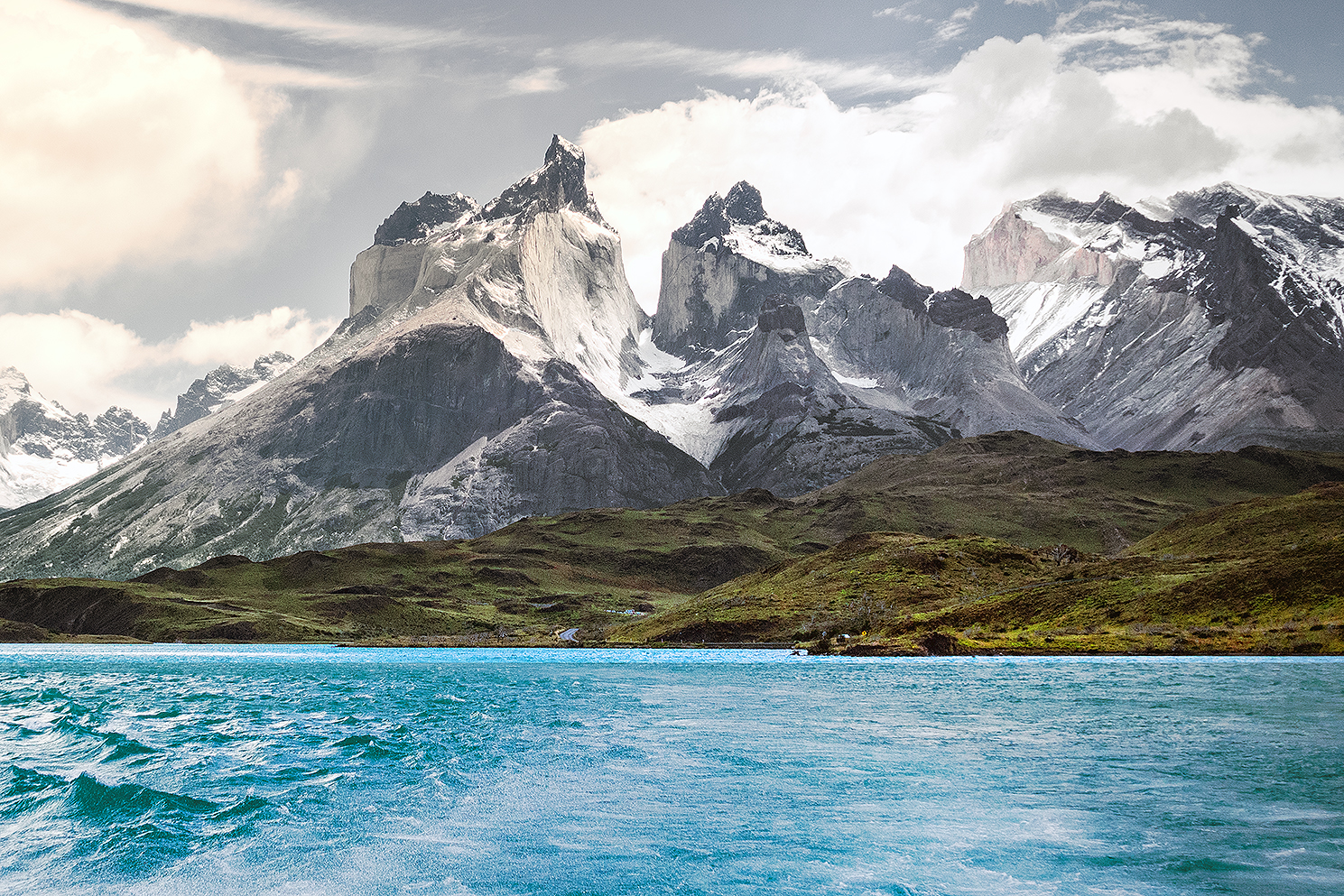
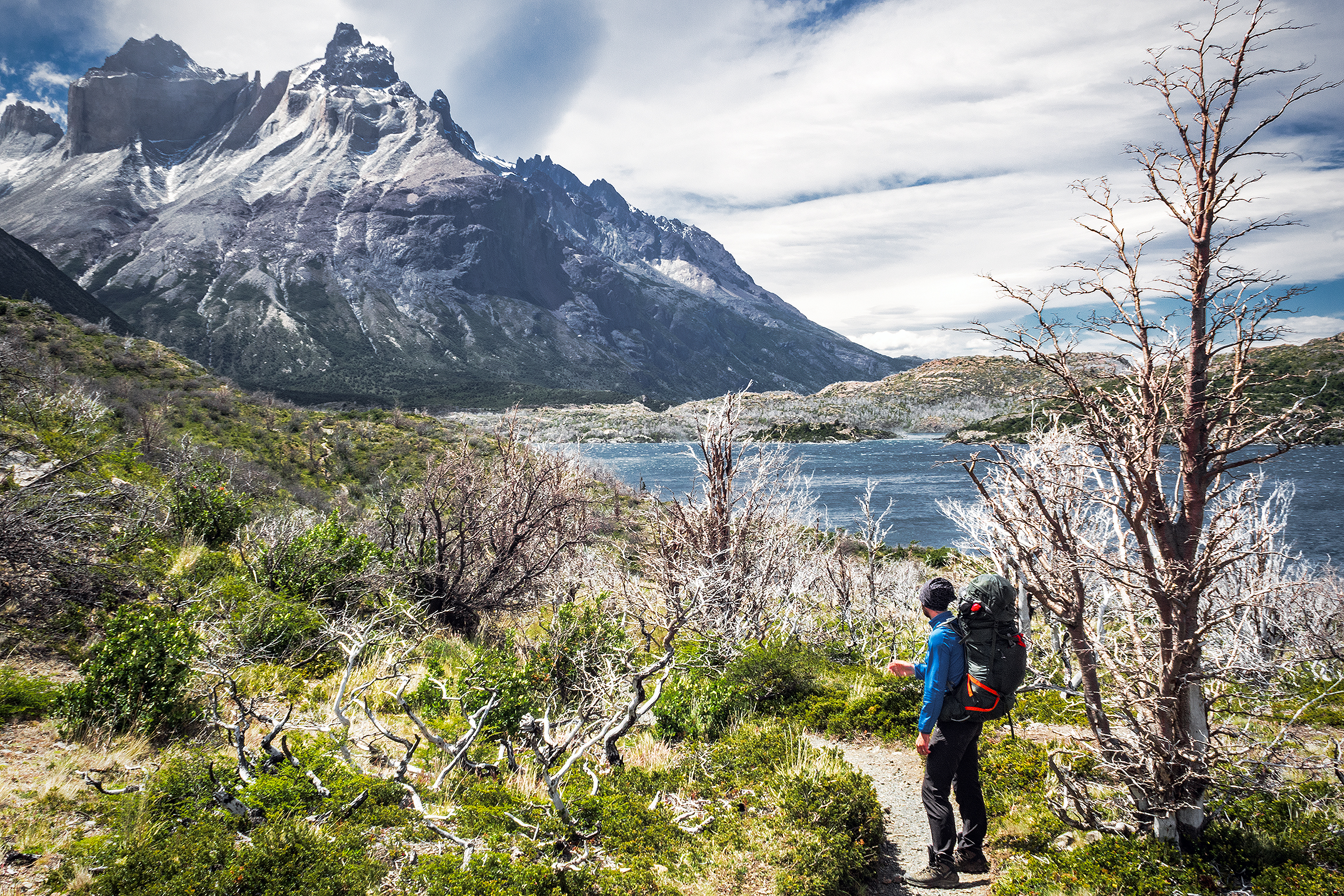
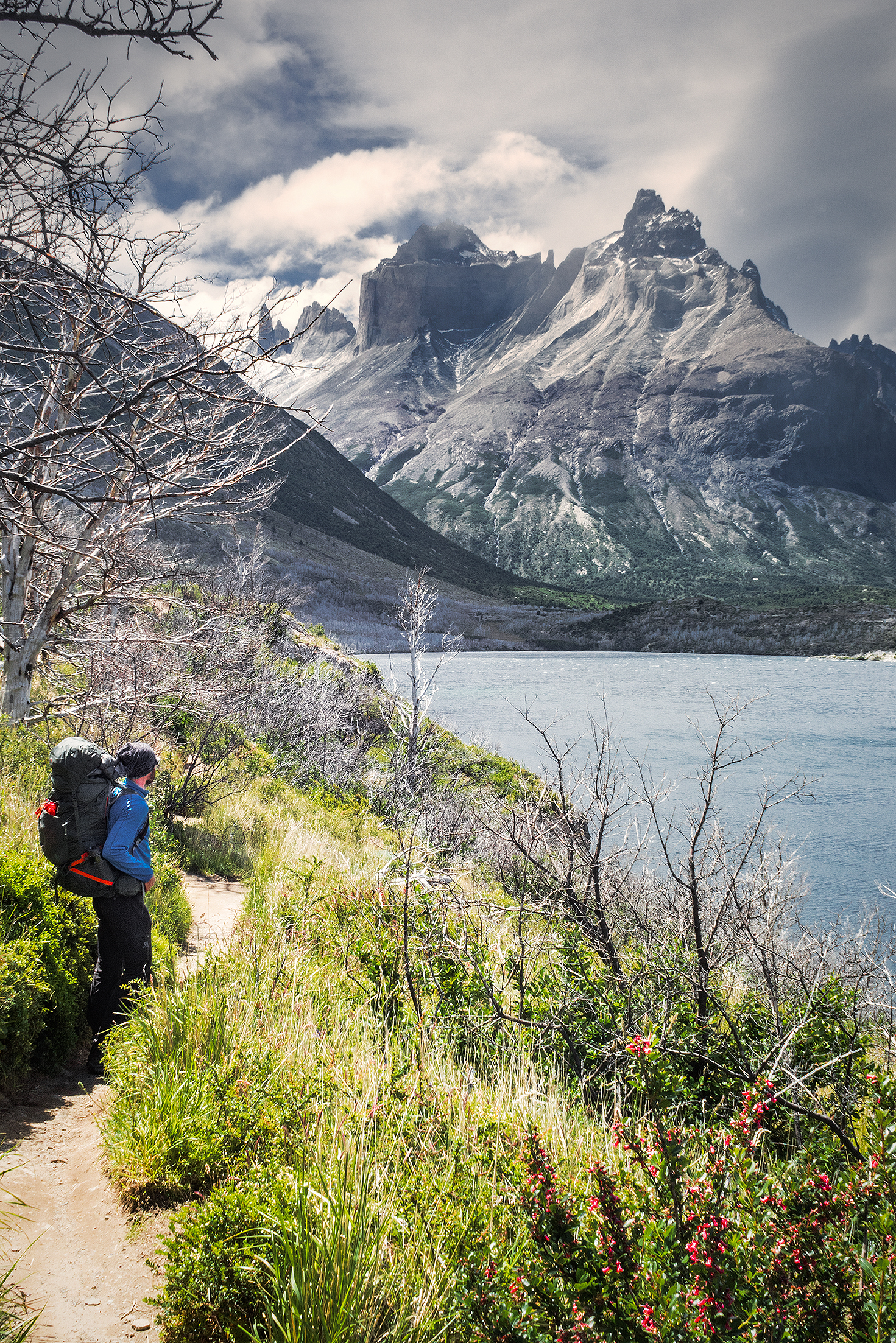
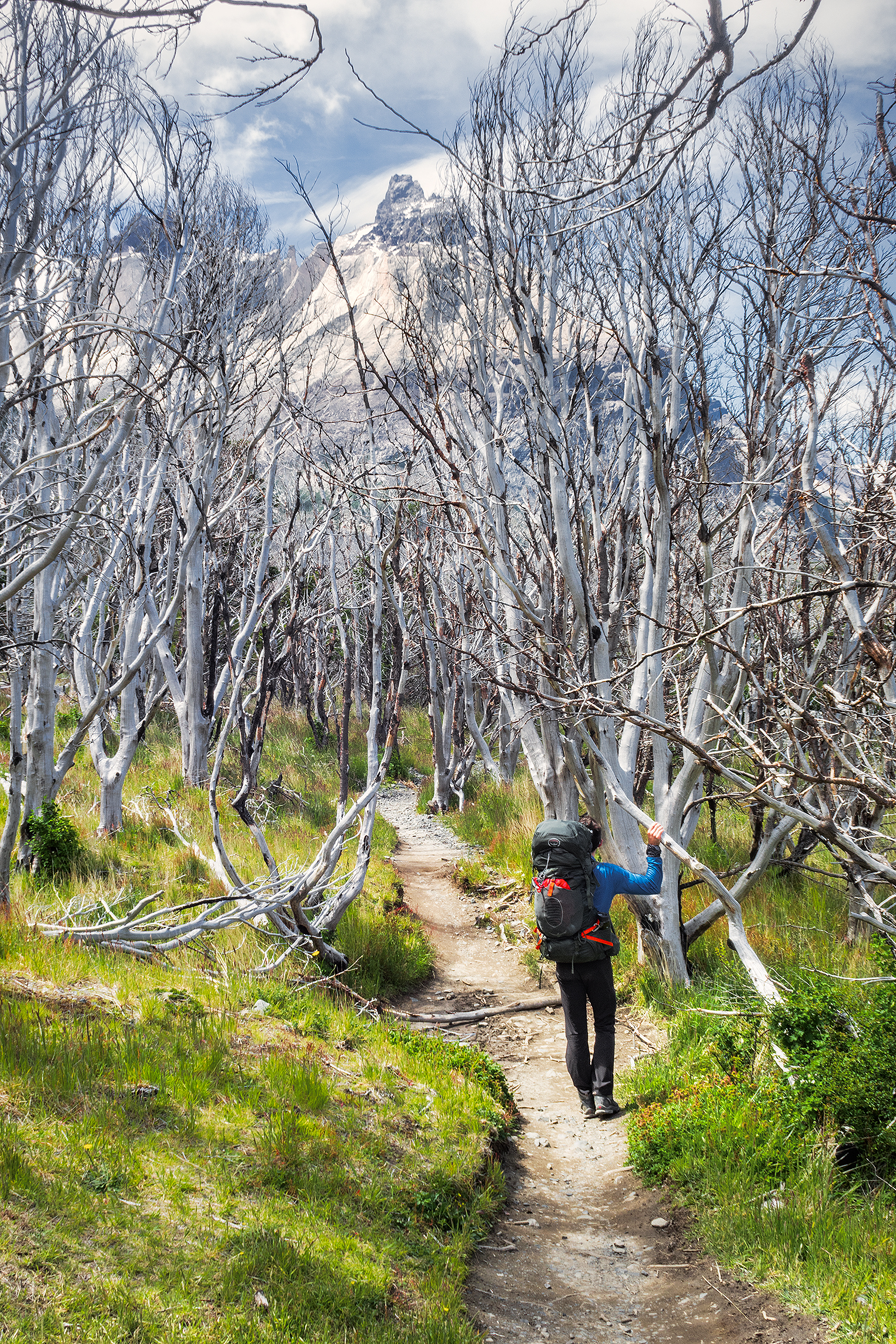
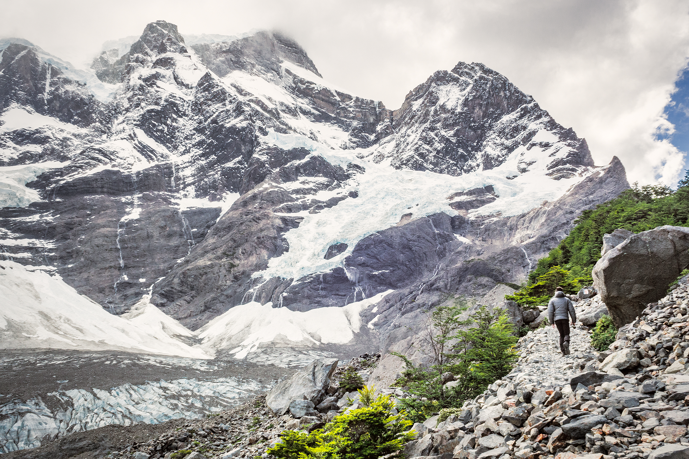
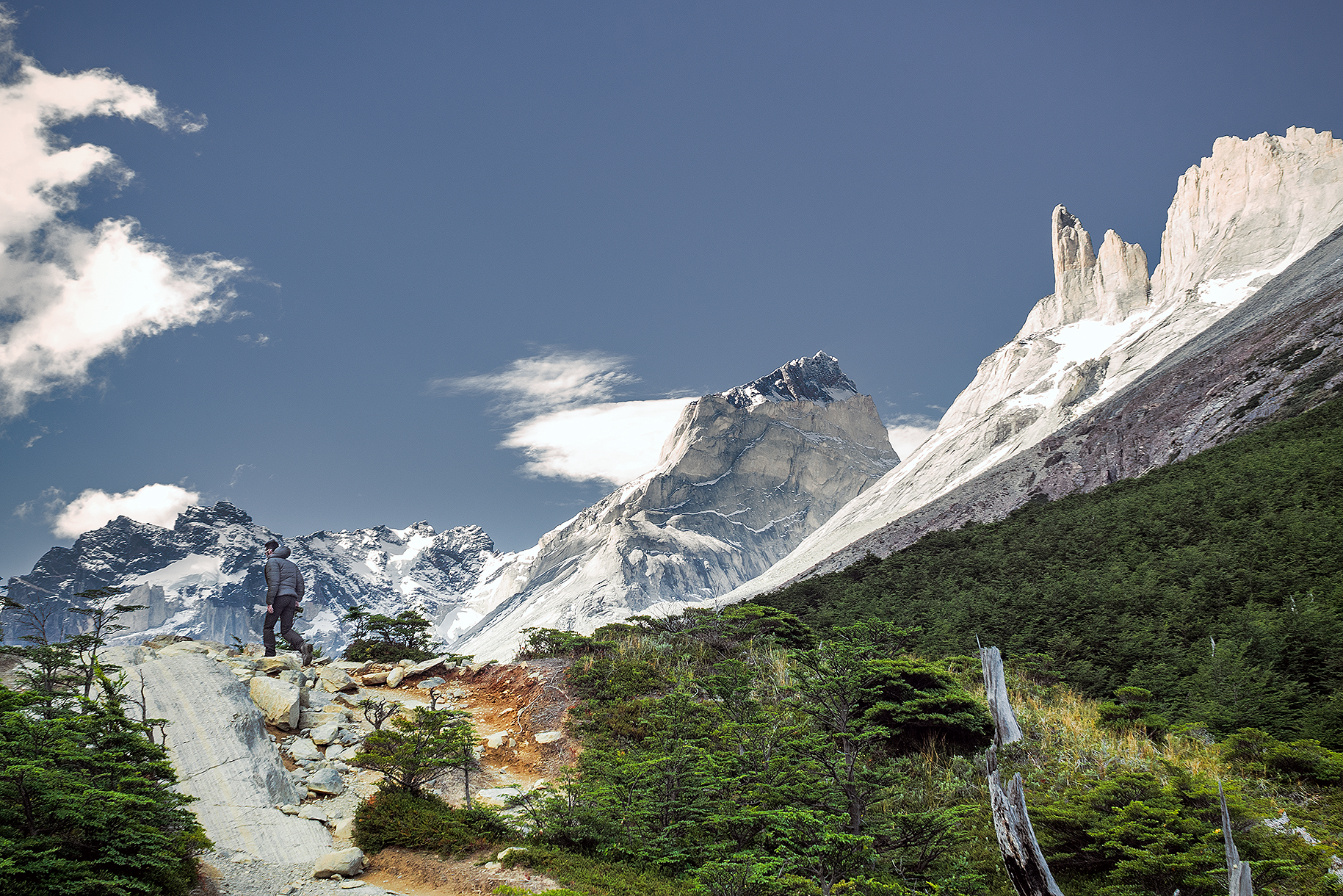
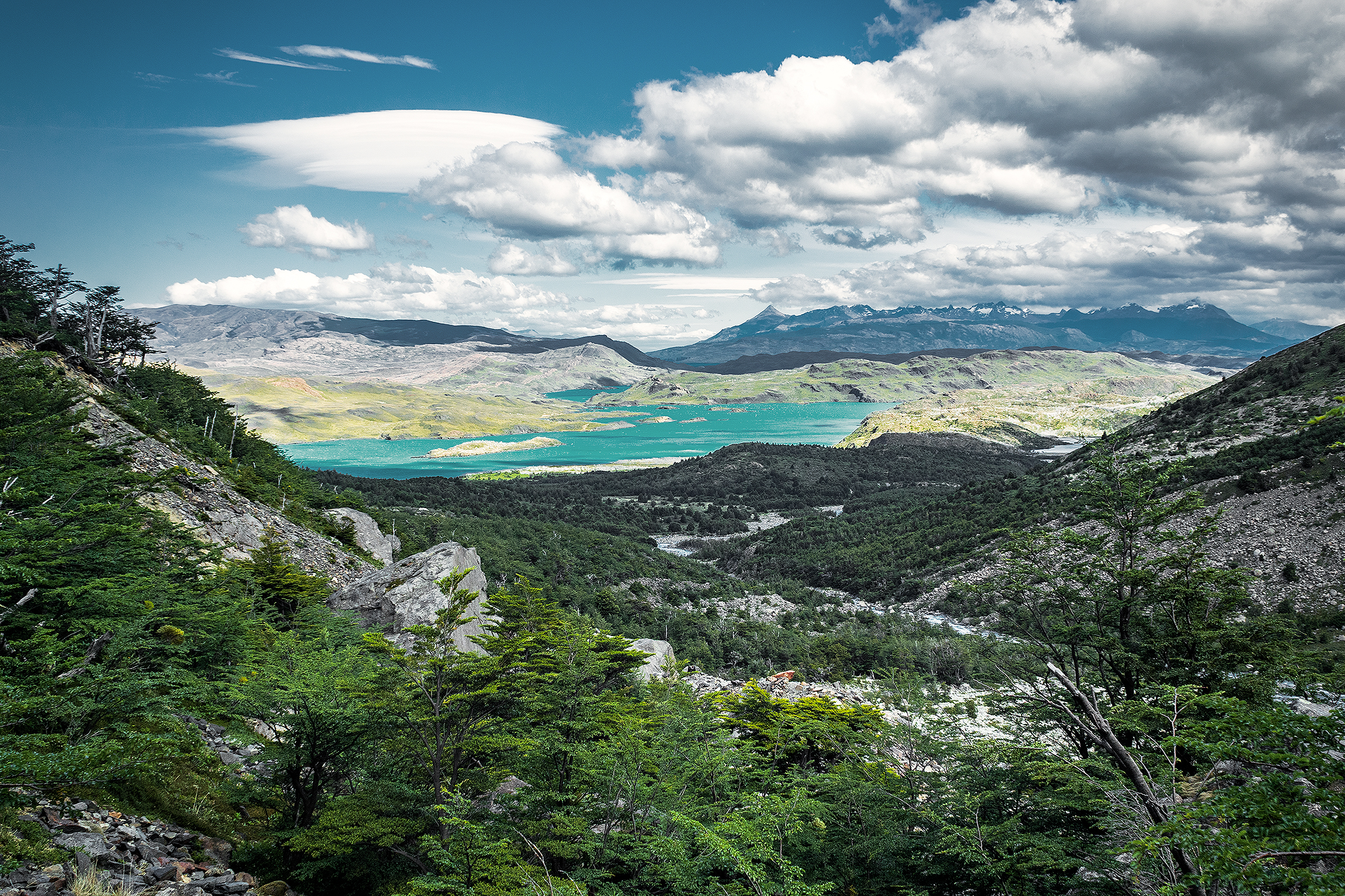
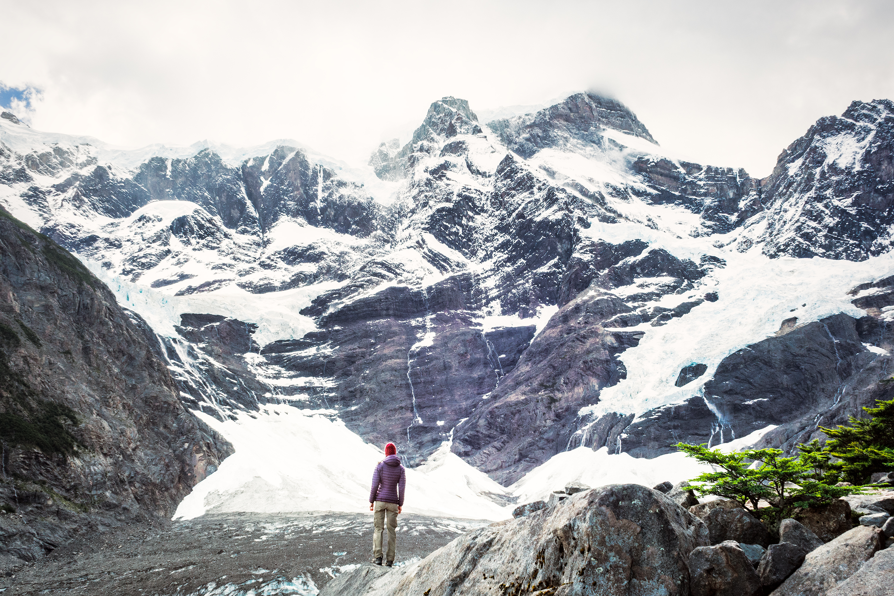
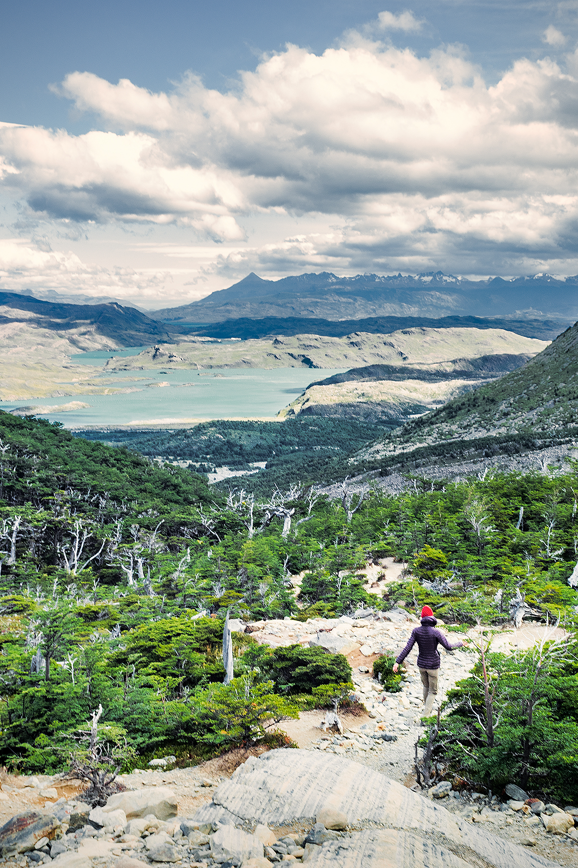
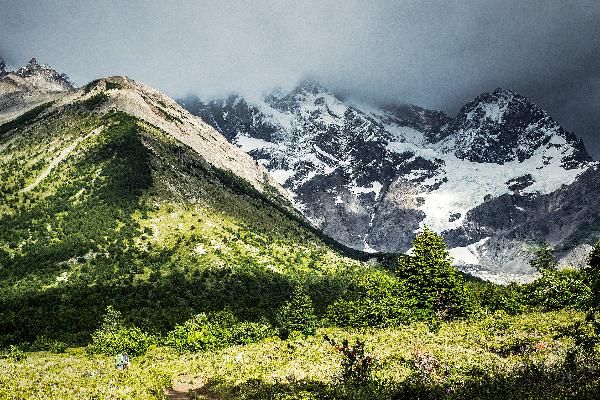
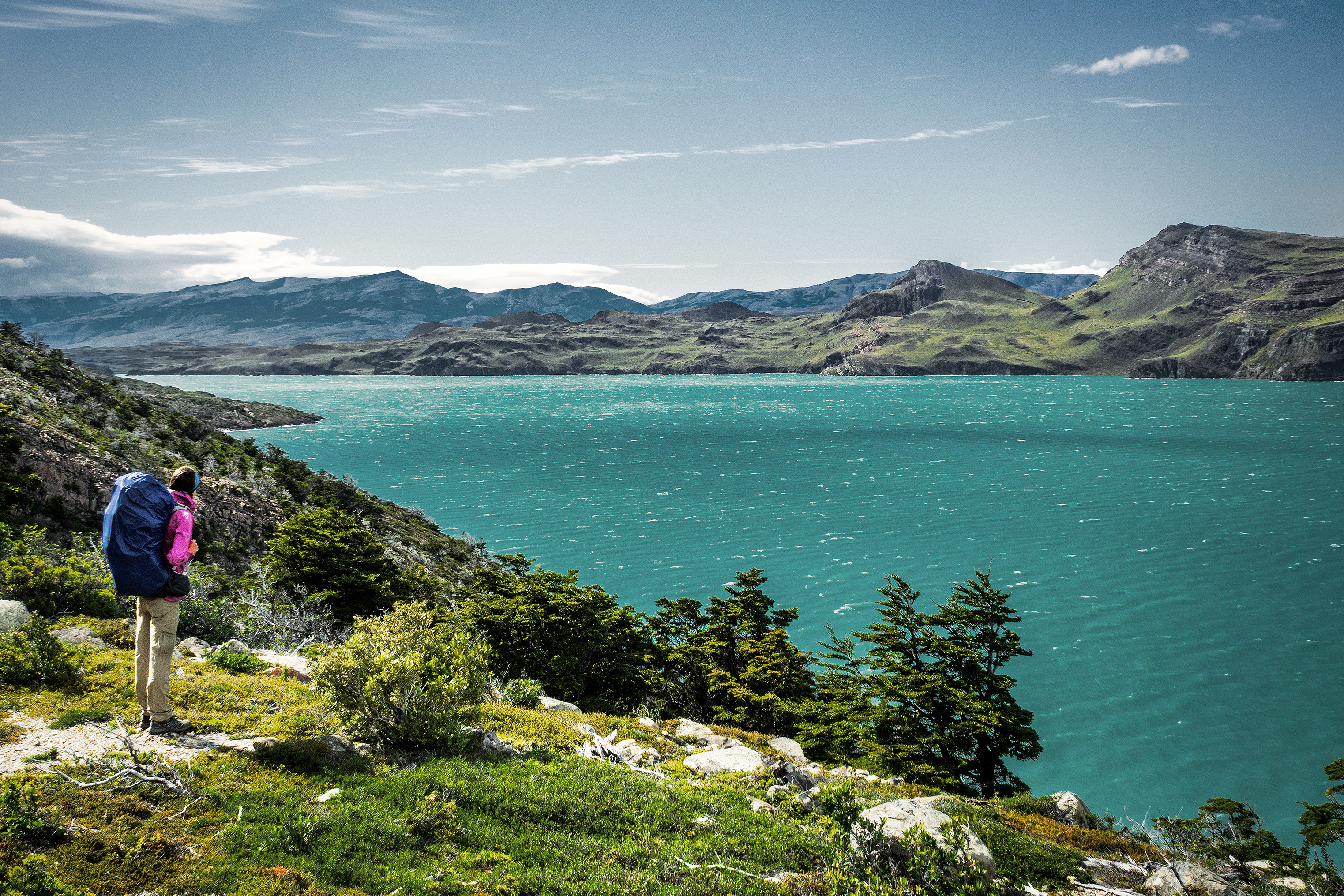
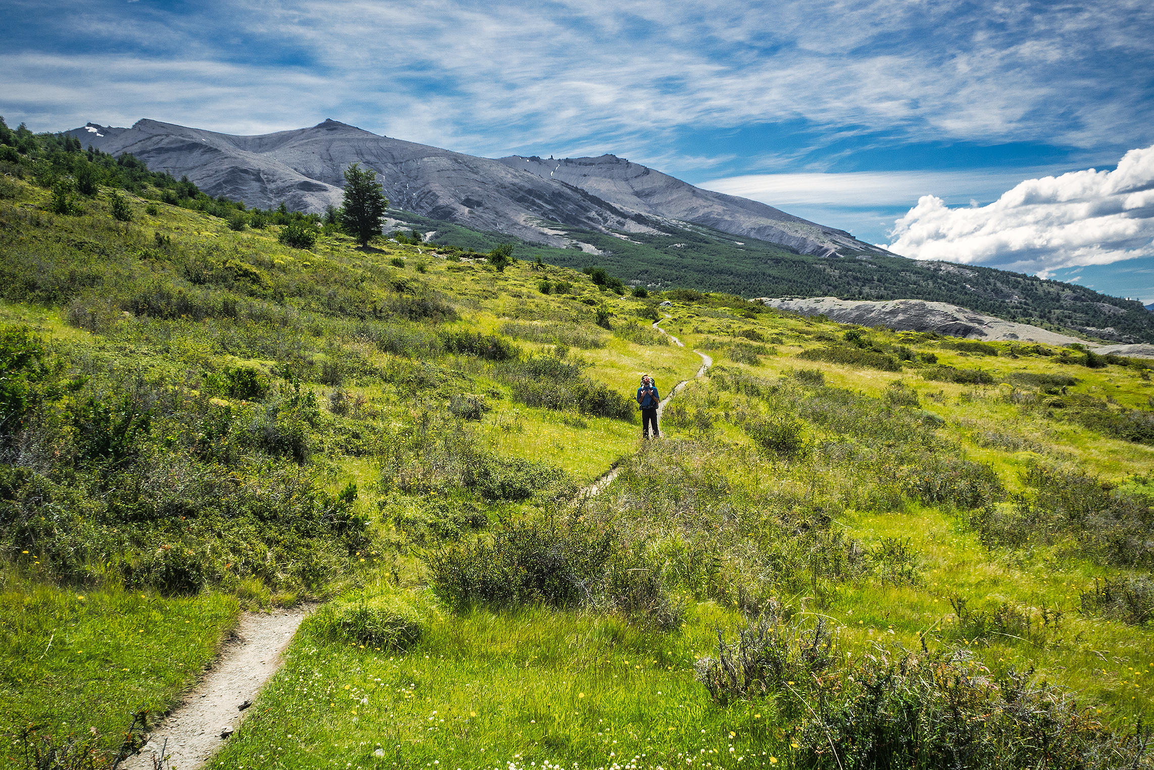
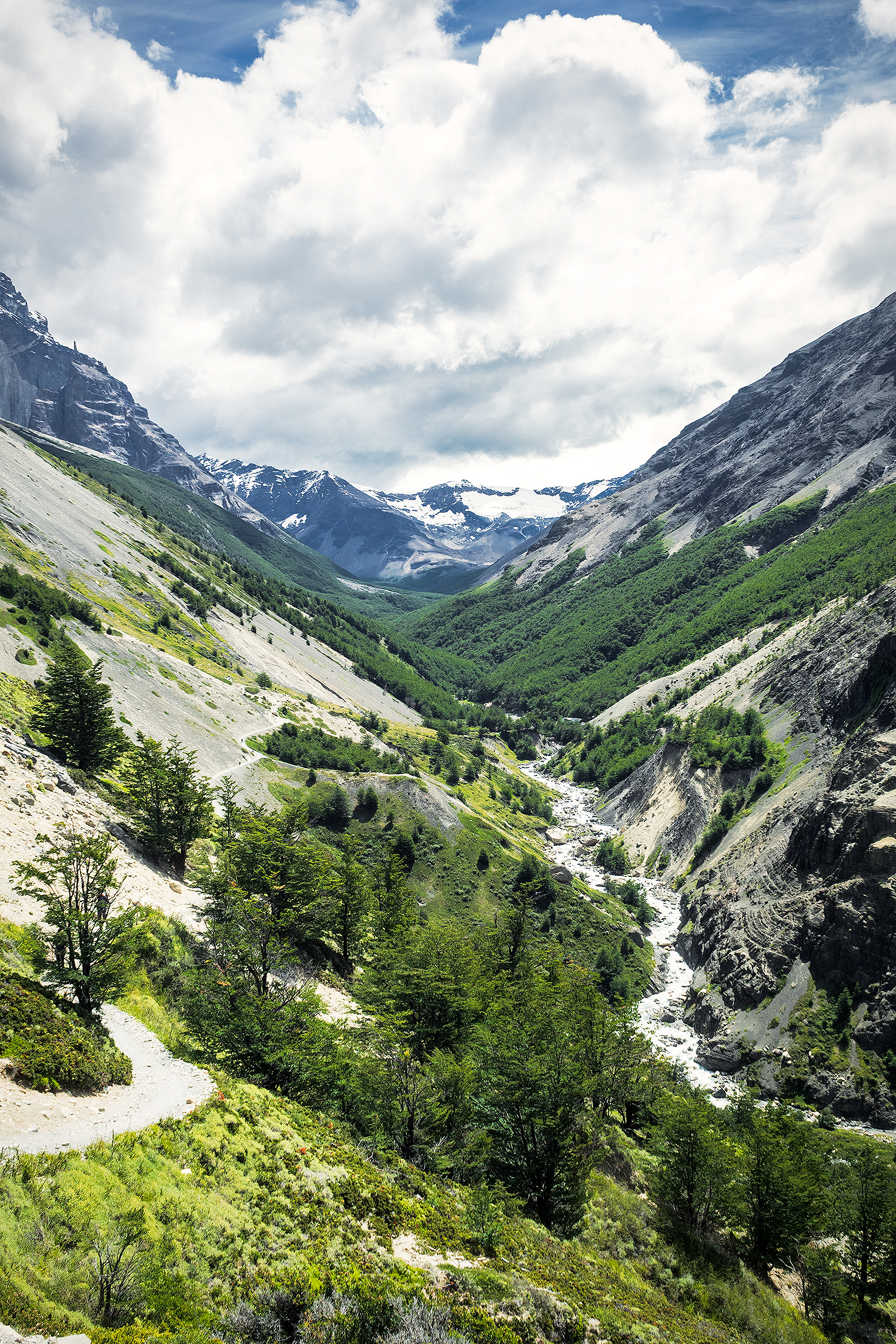
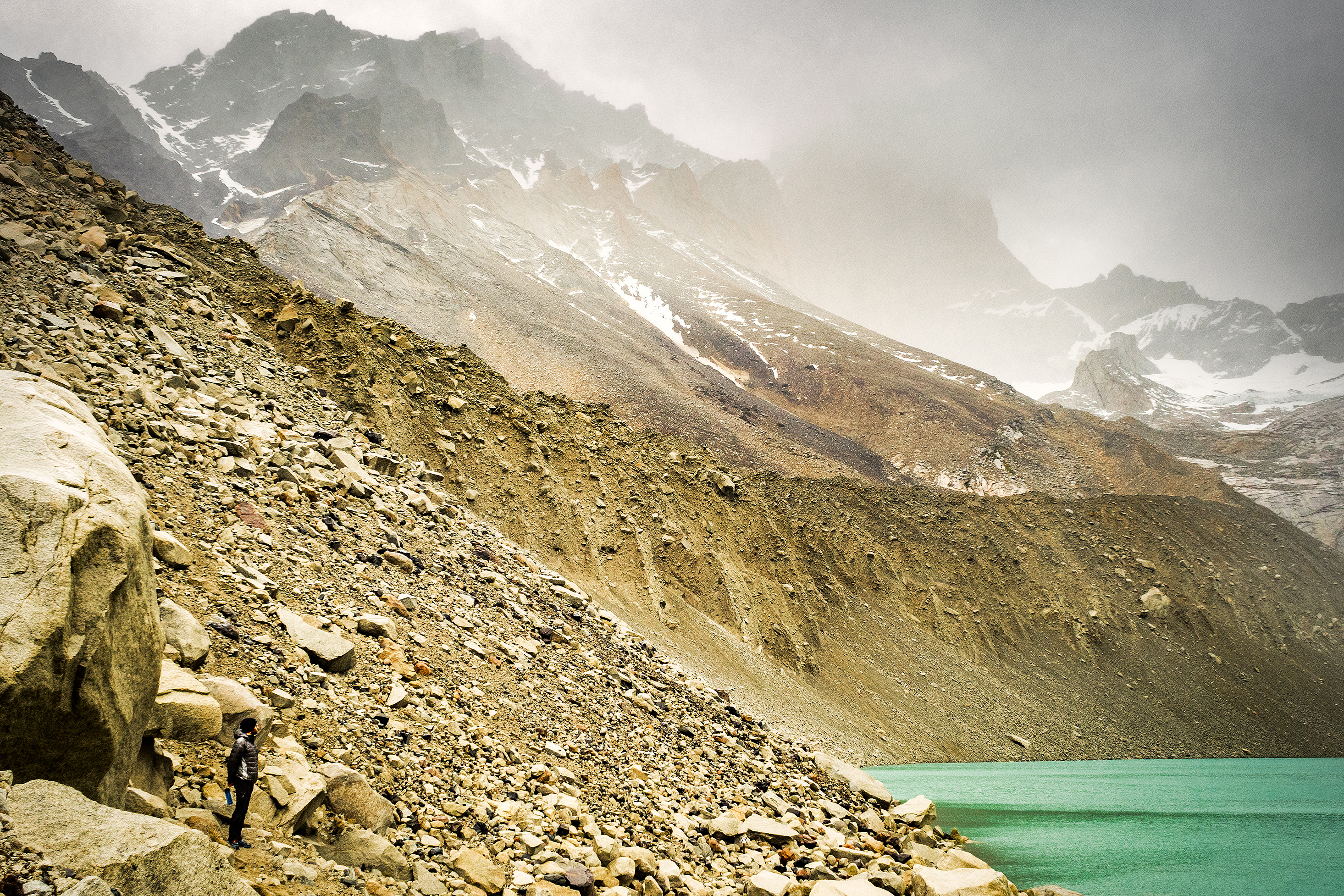
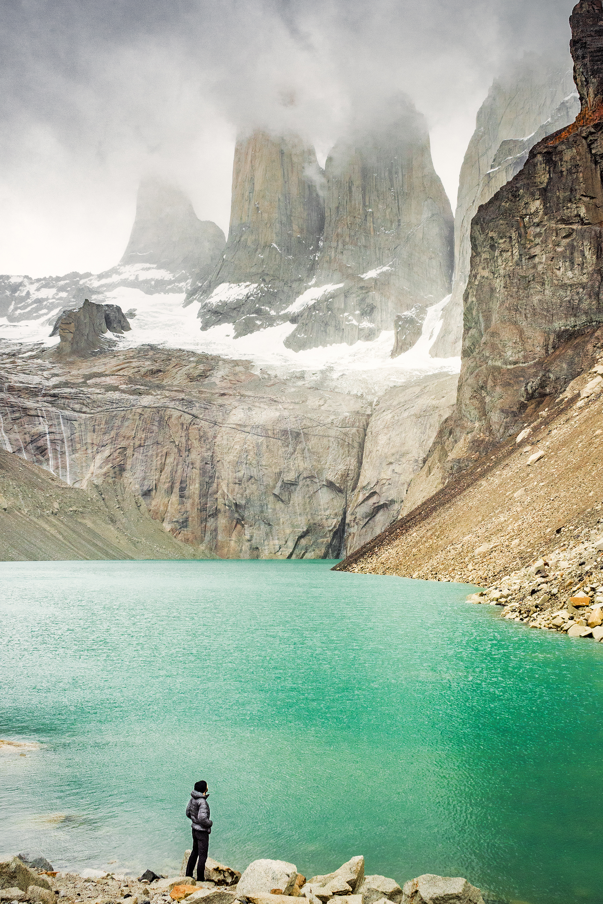
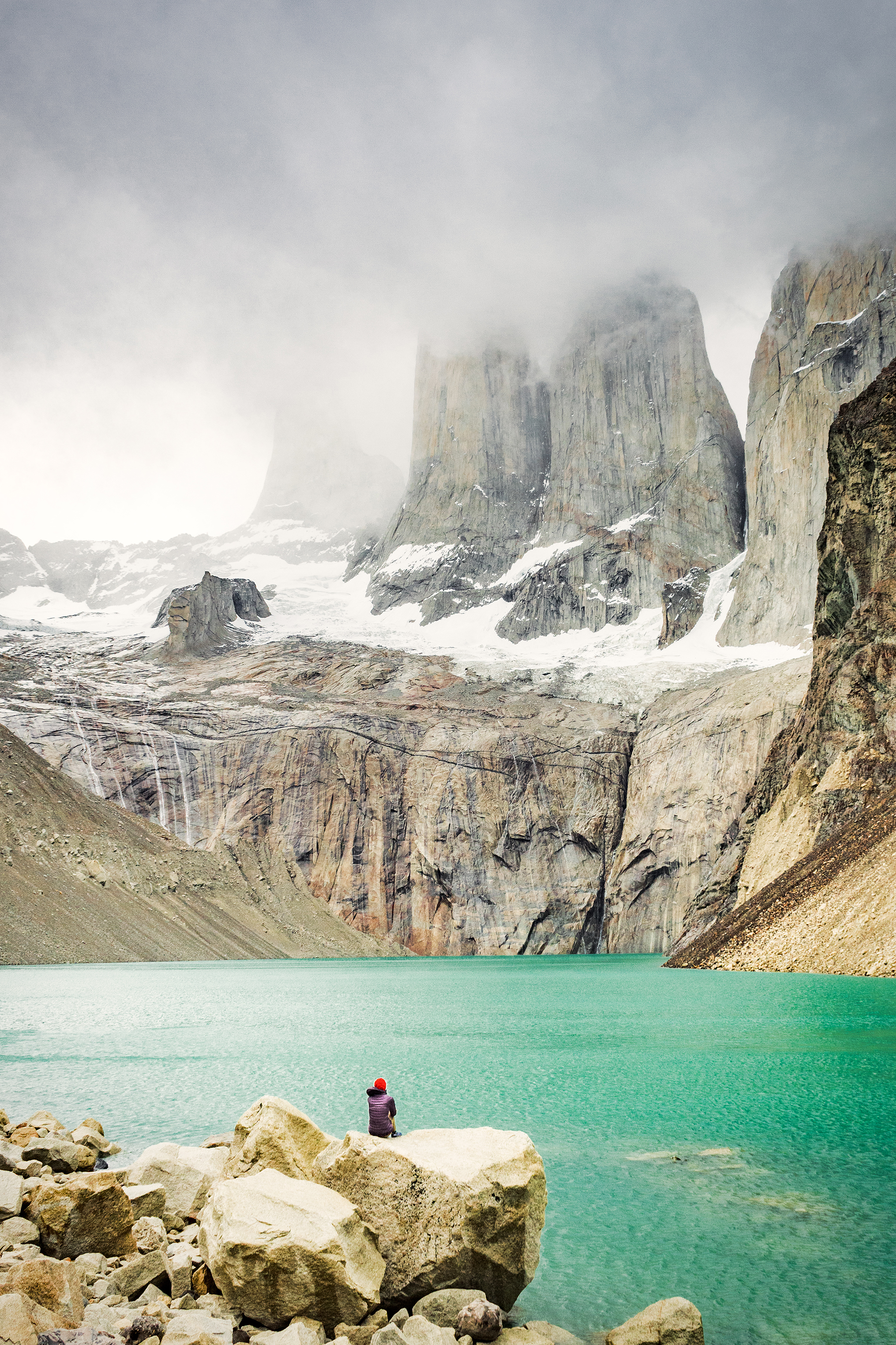
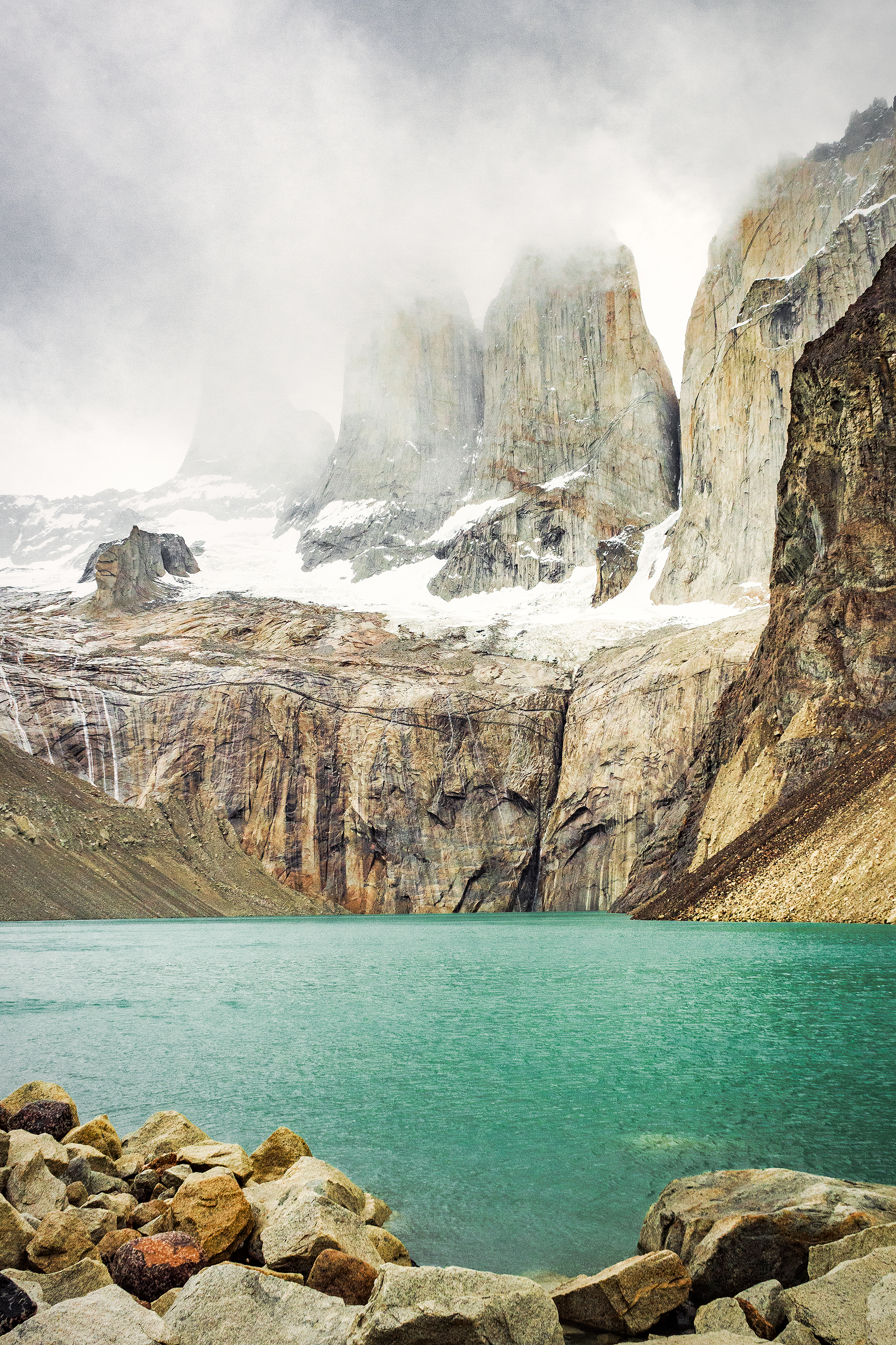
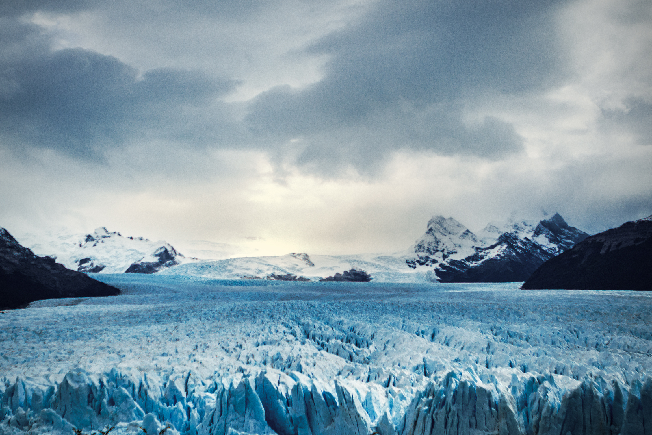
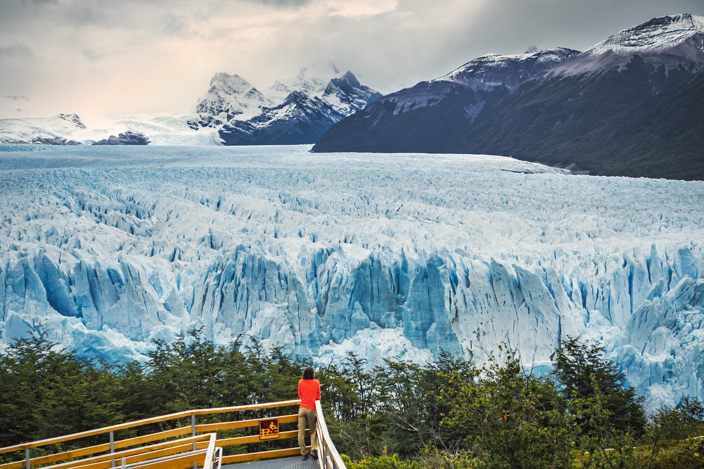
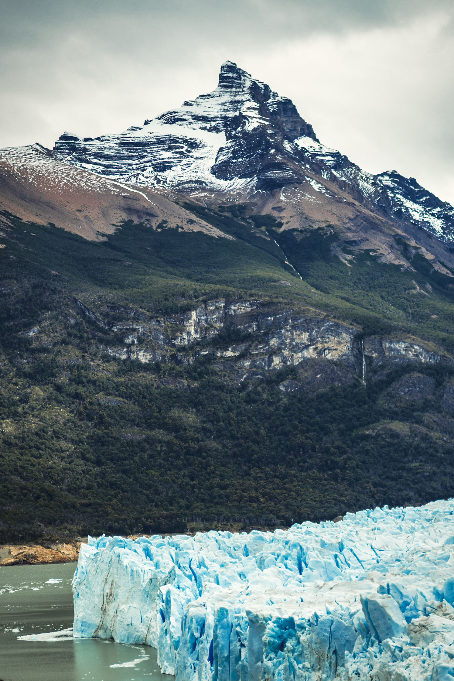
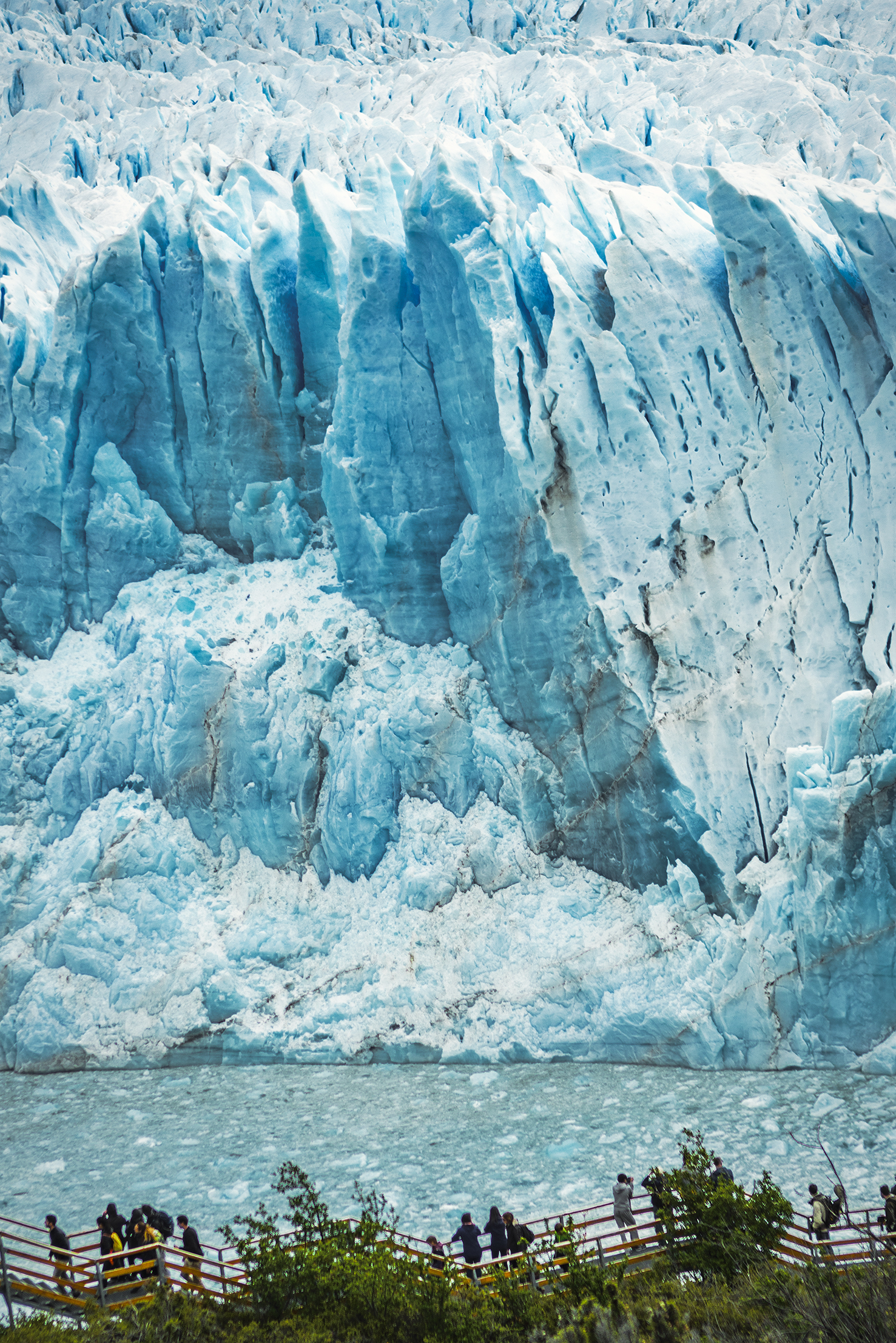
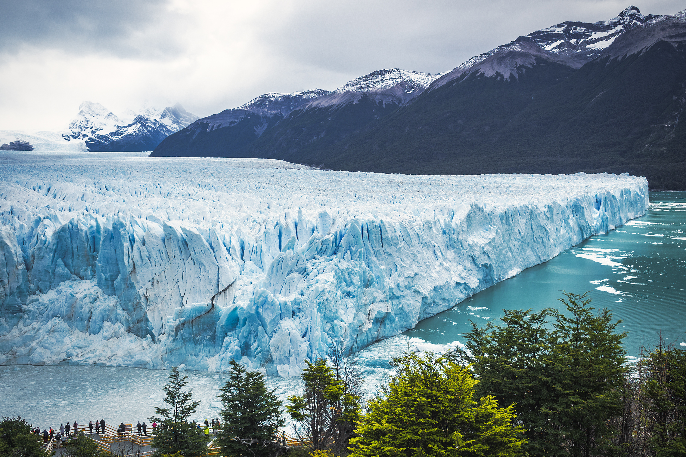
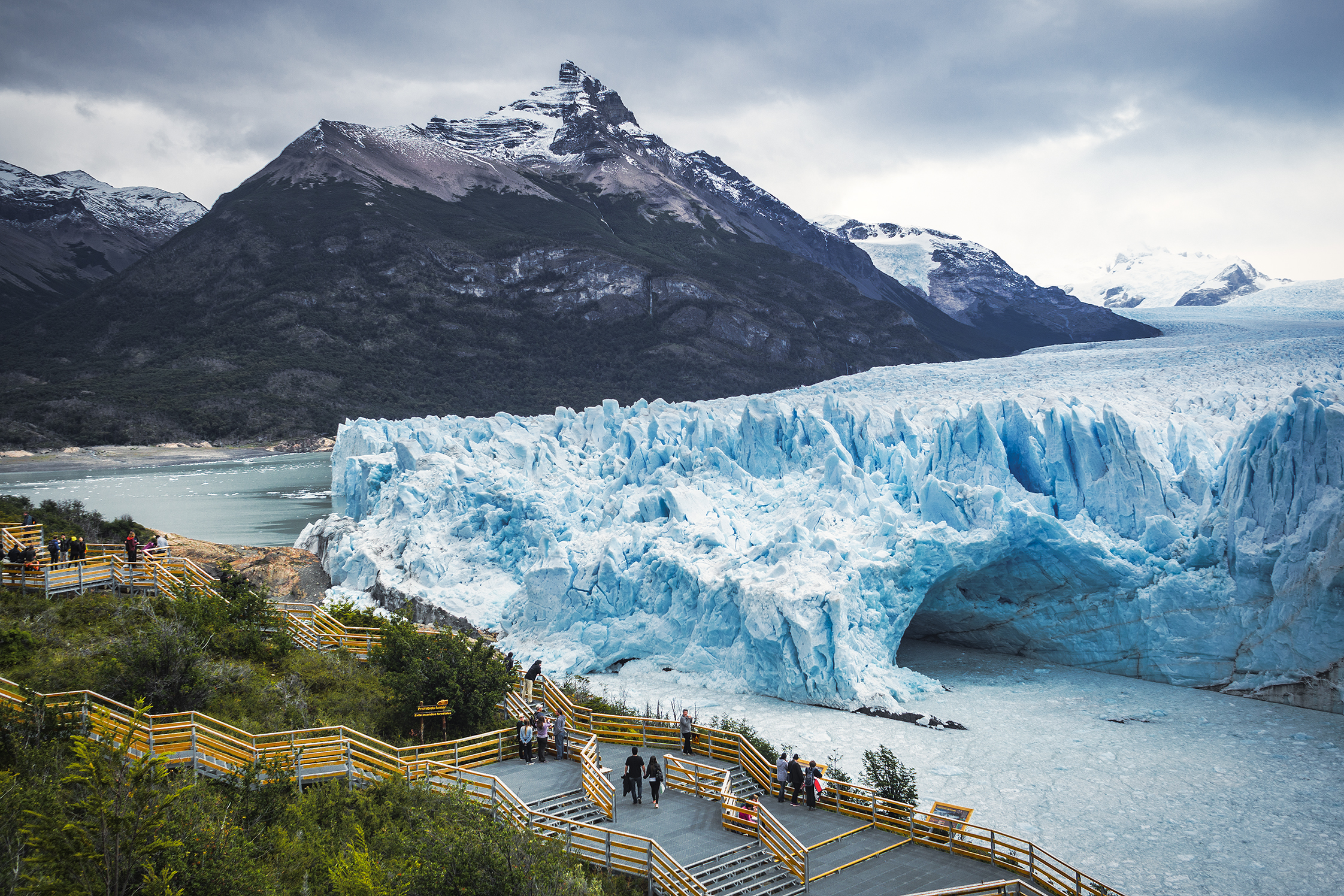
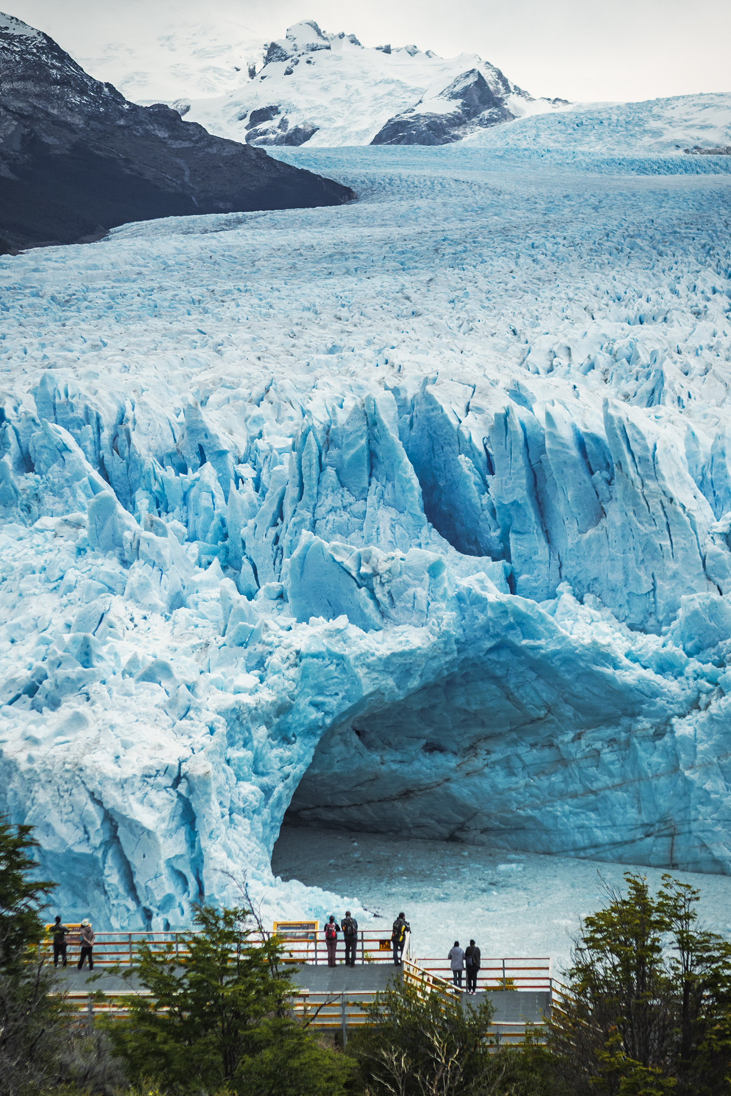
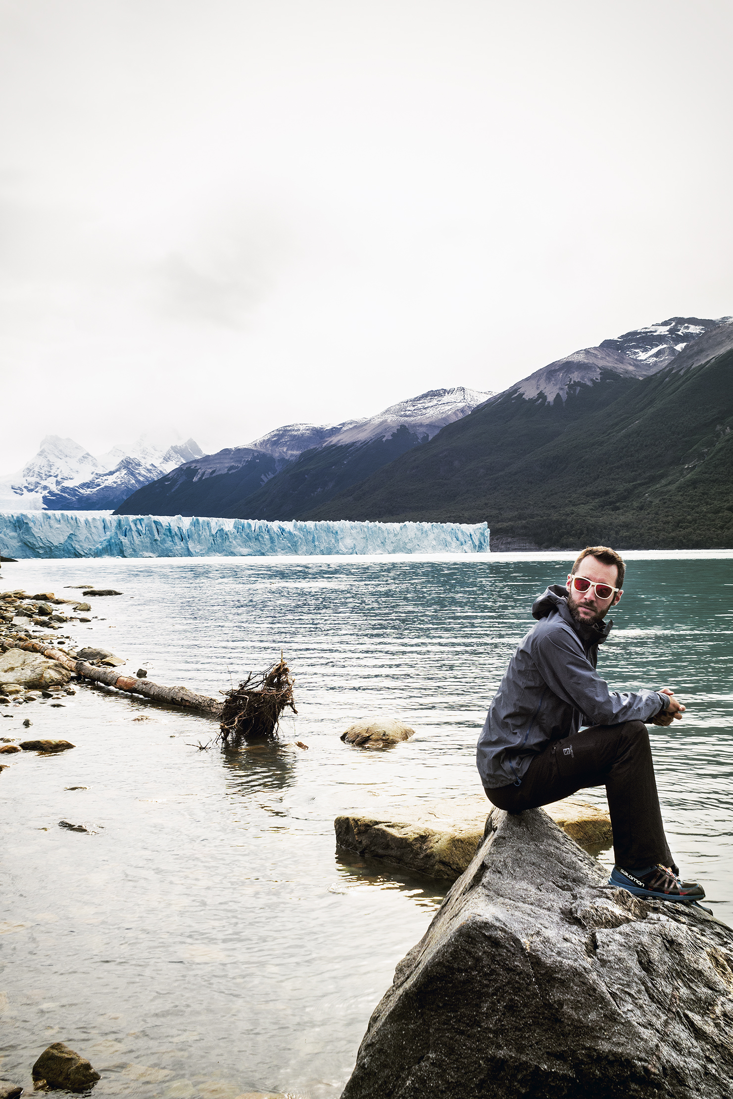
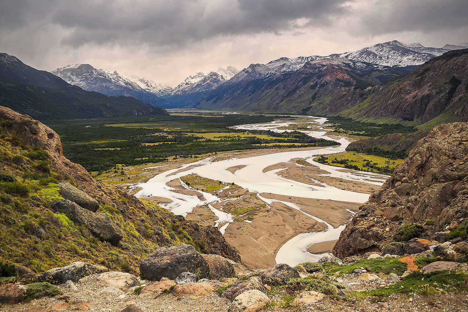
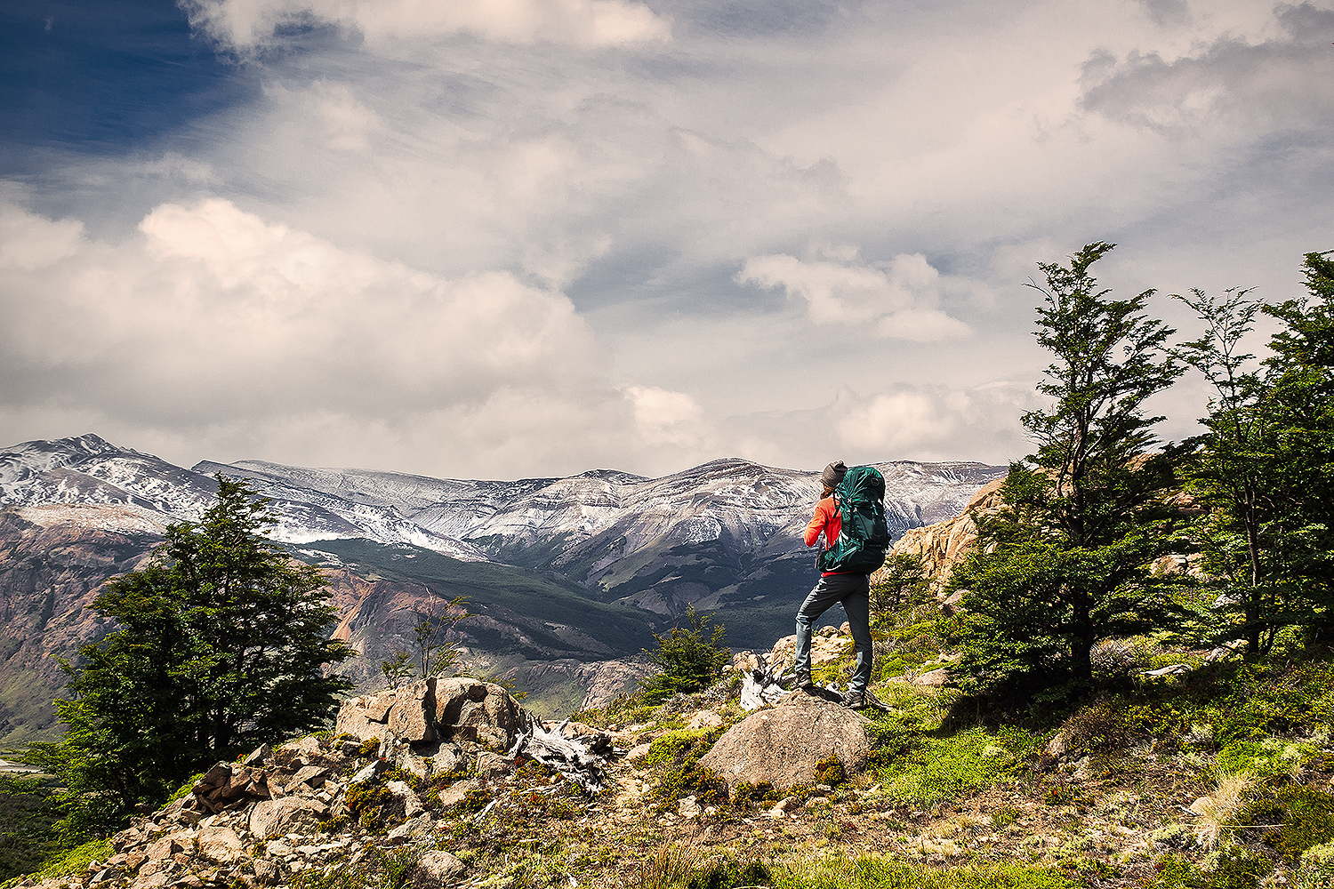
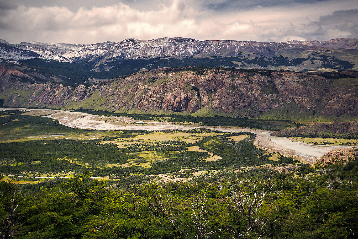
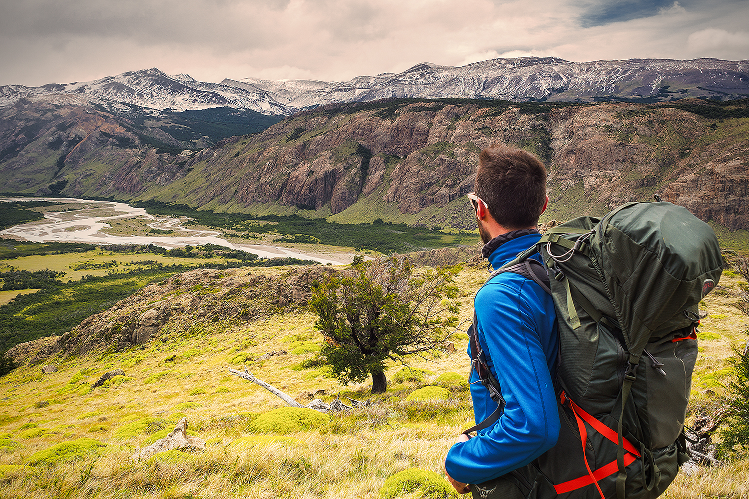
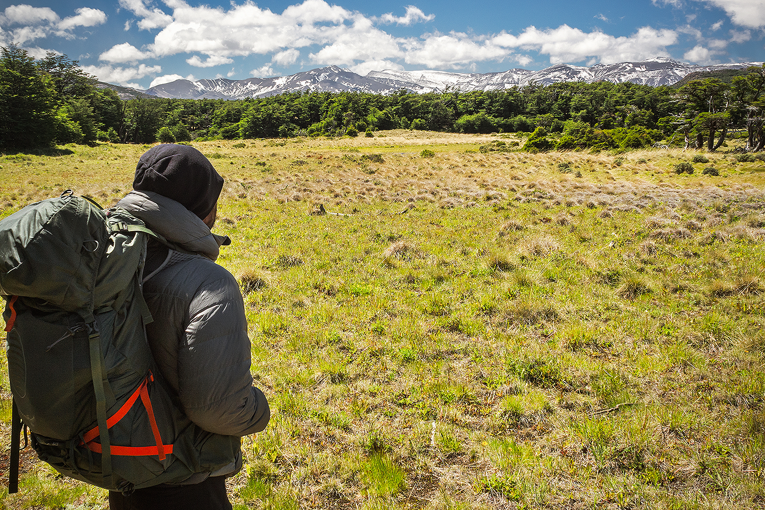
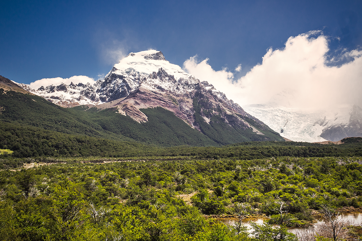
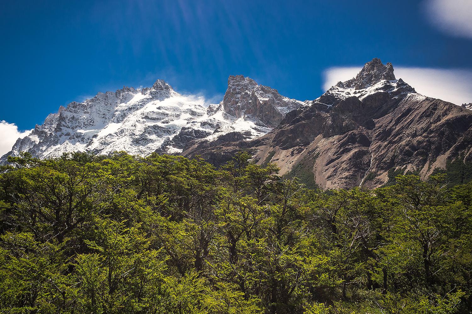
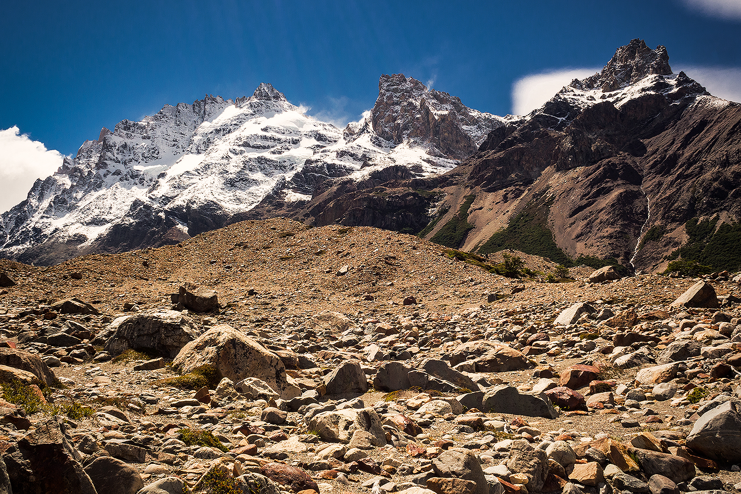
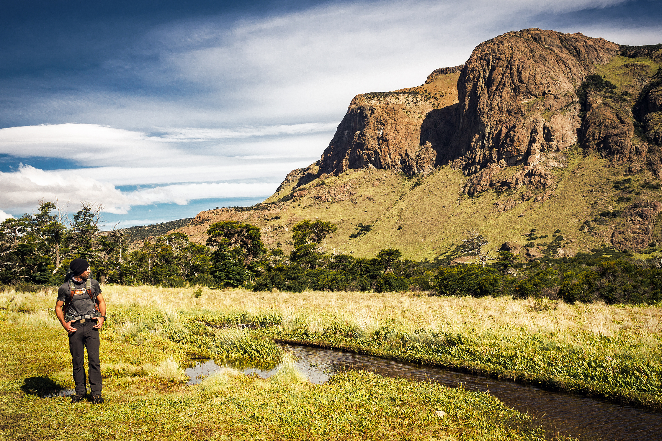
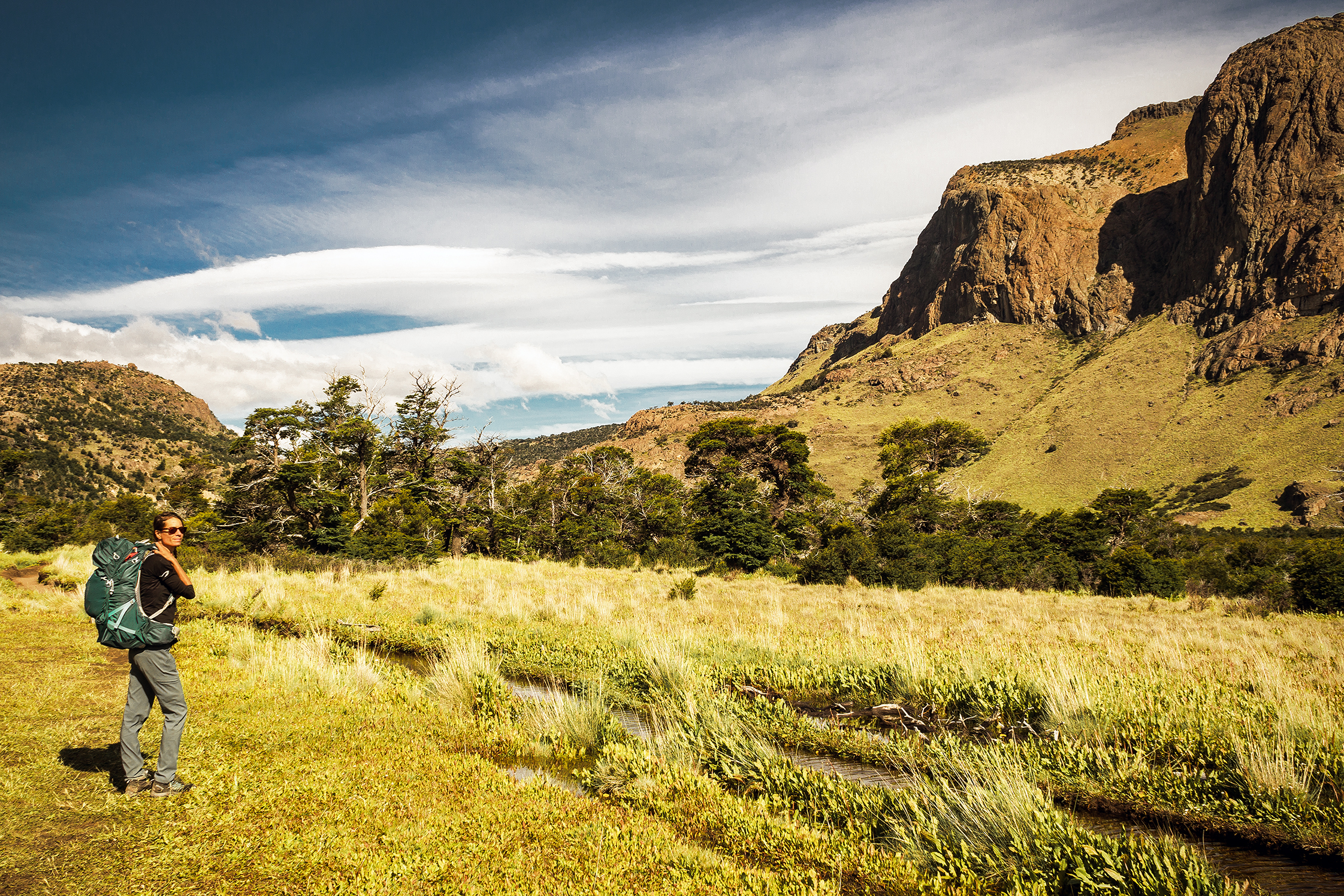
Planning  the Torres del Paine Trek
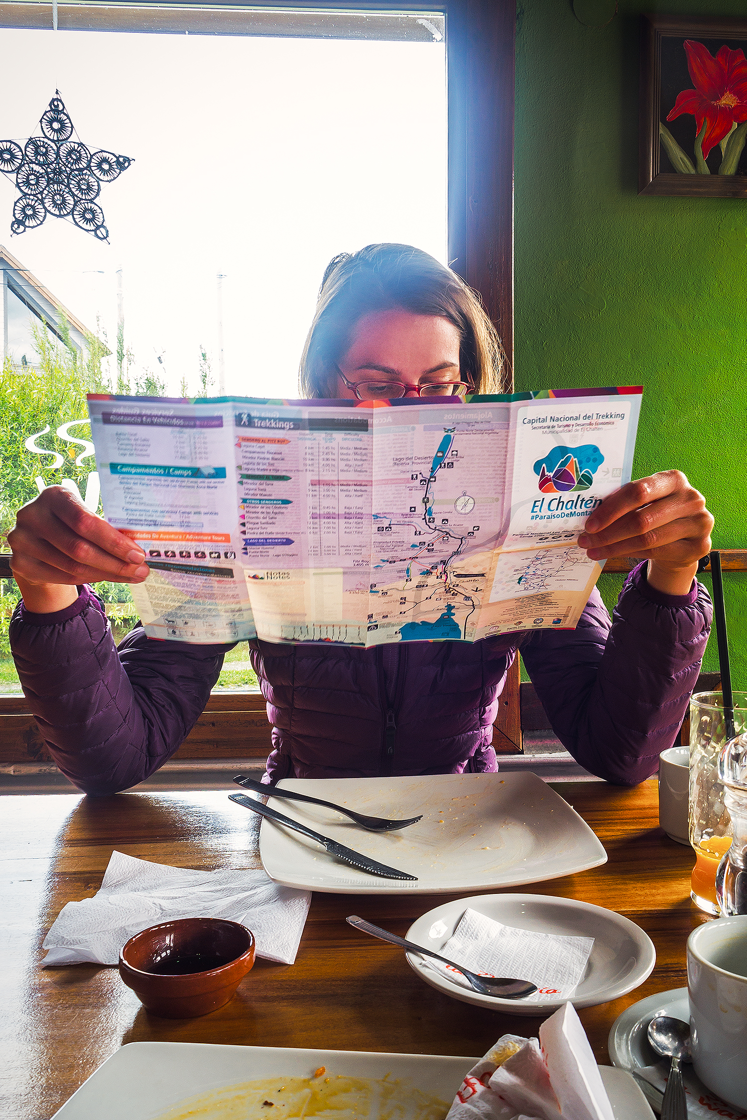
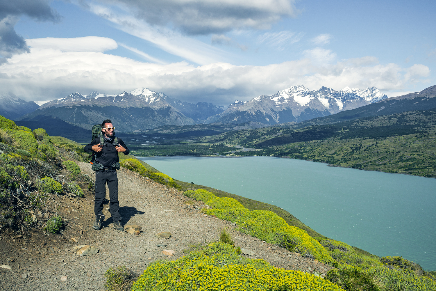
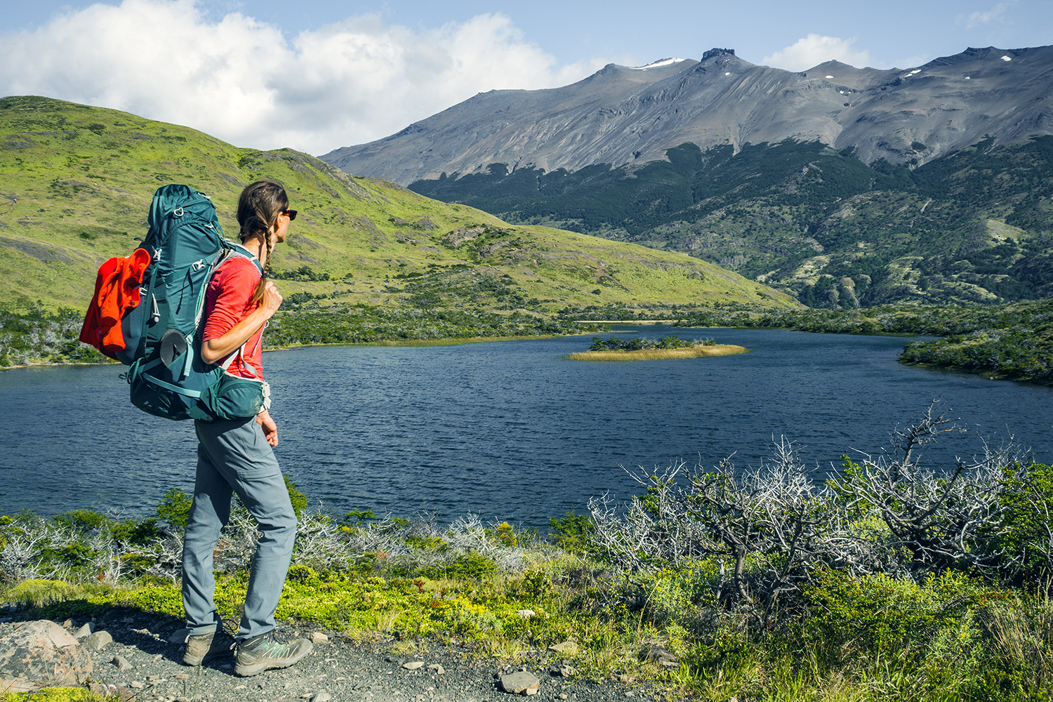
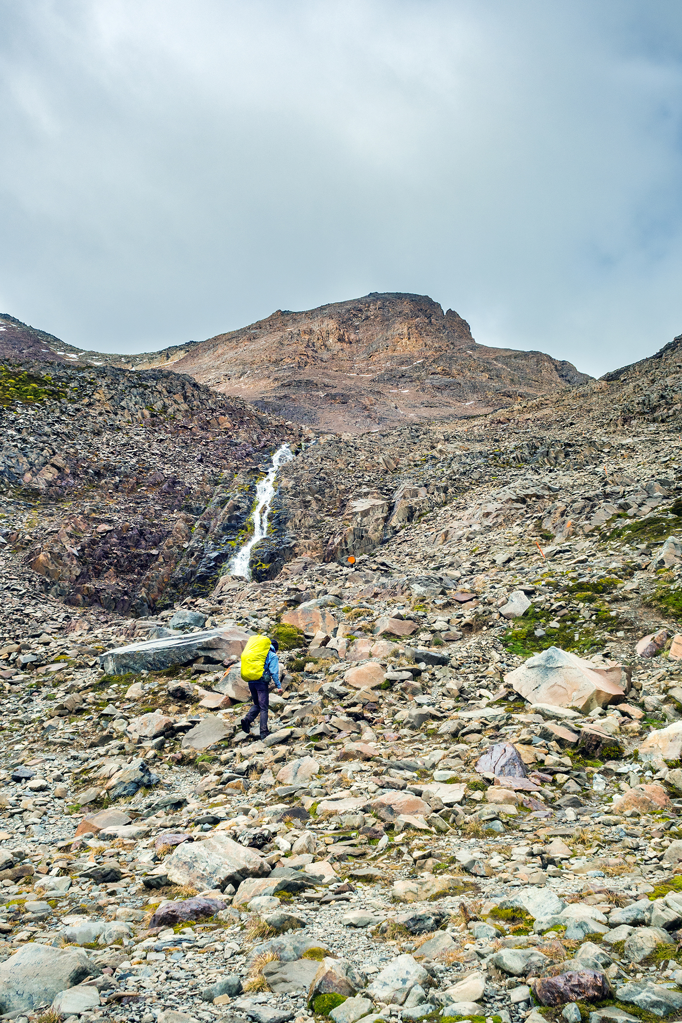
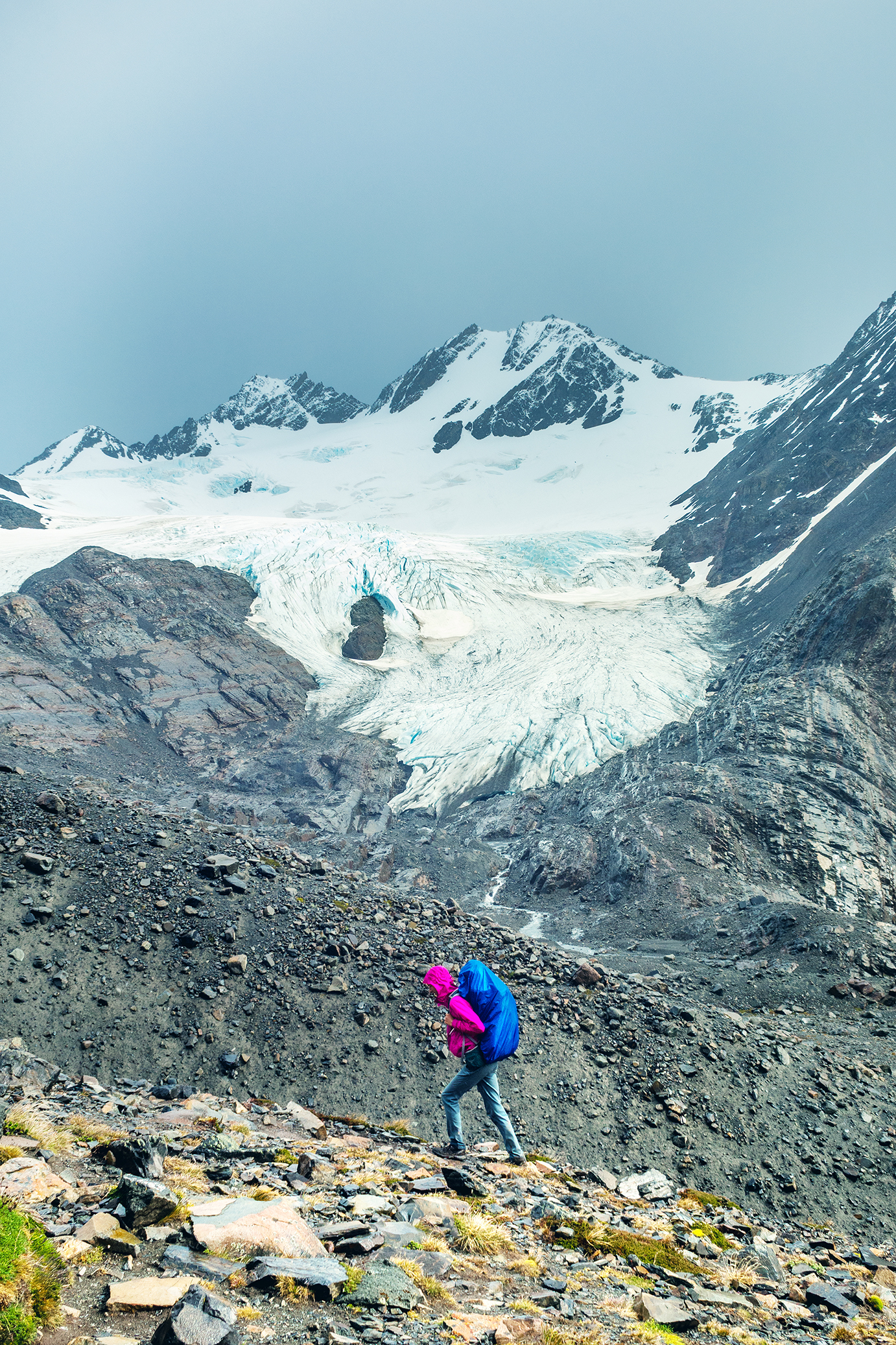
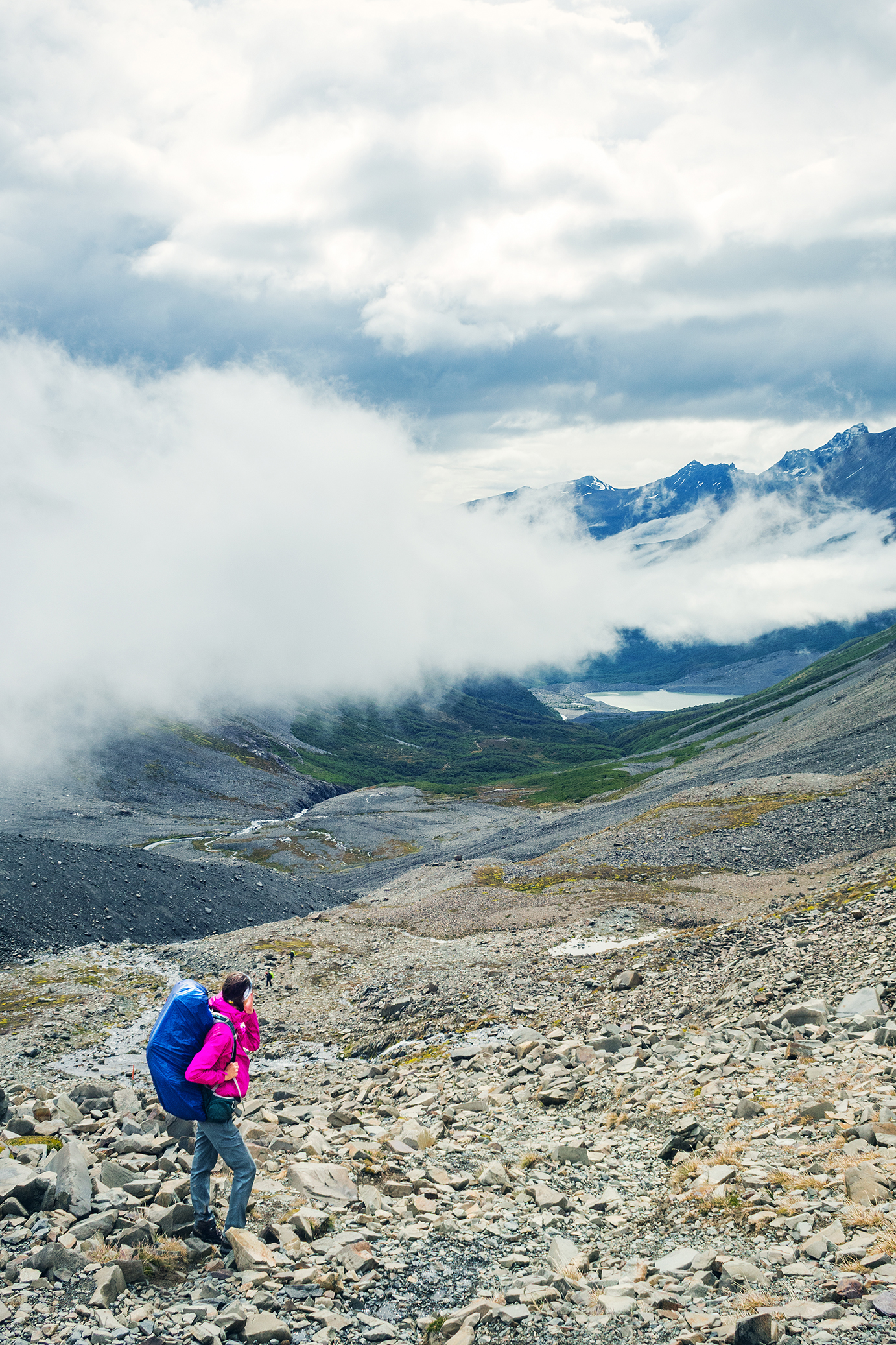
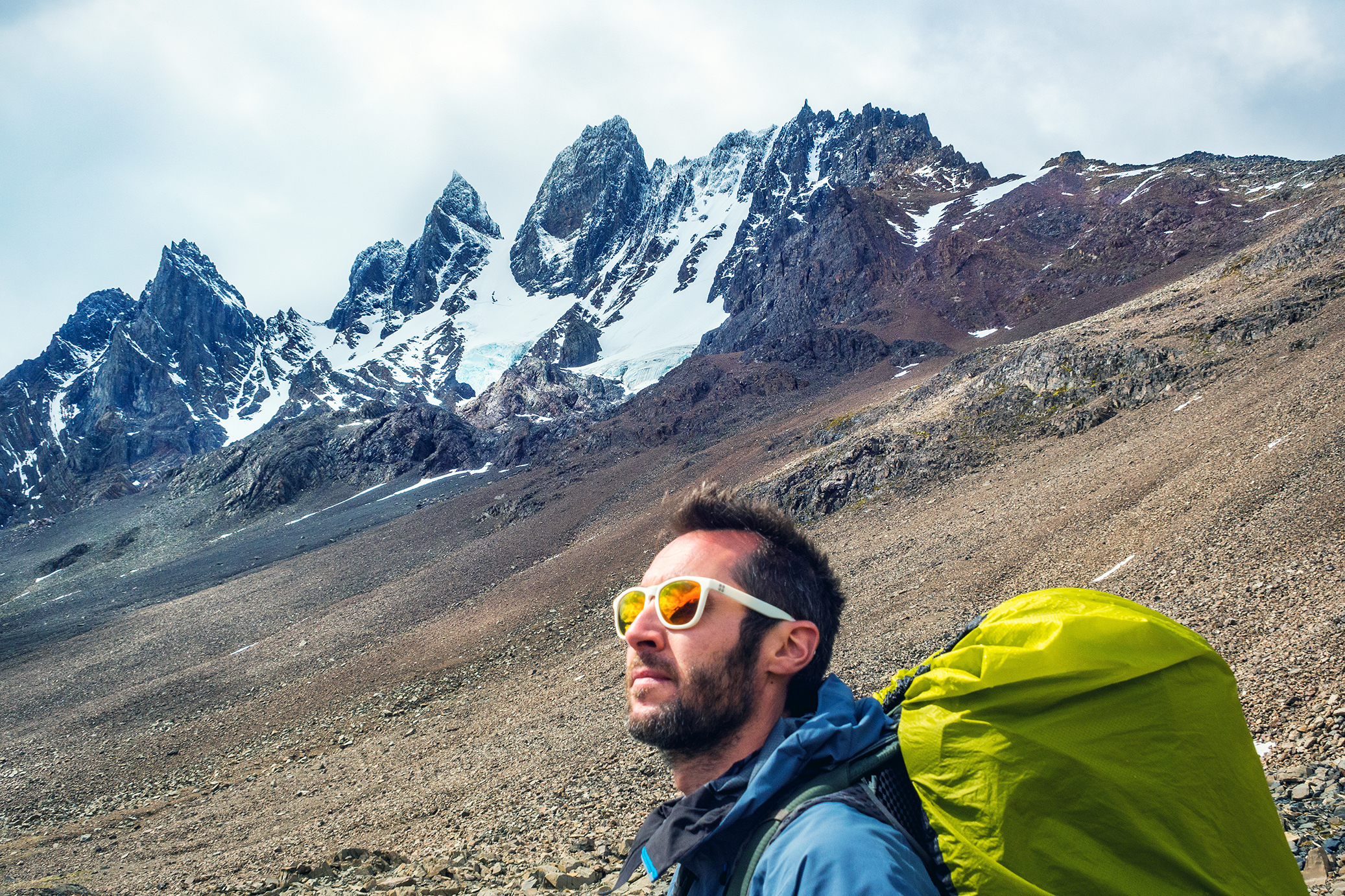
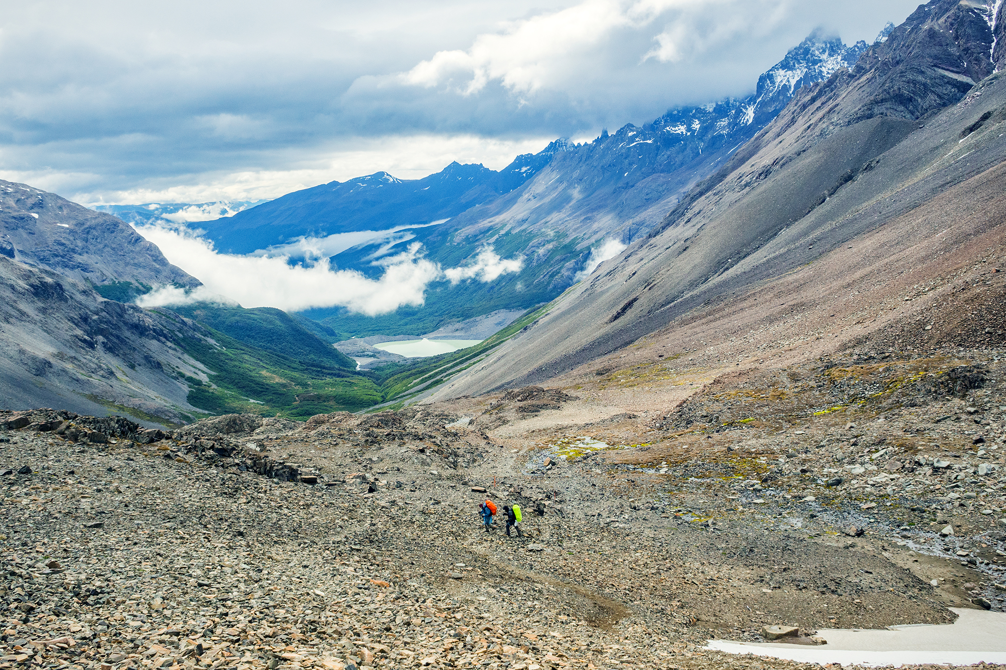
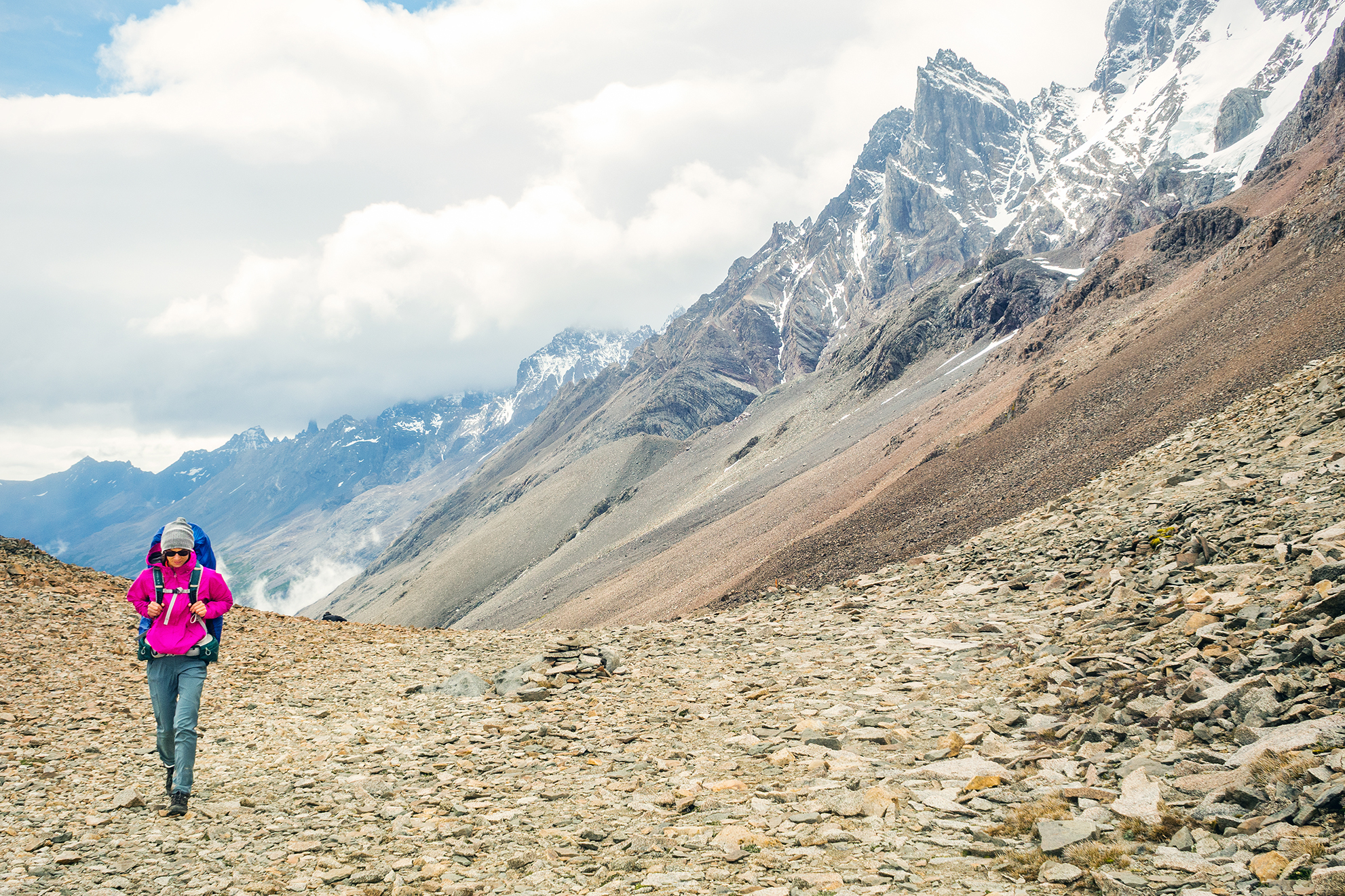
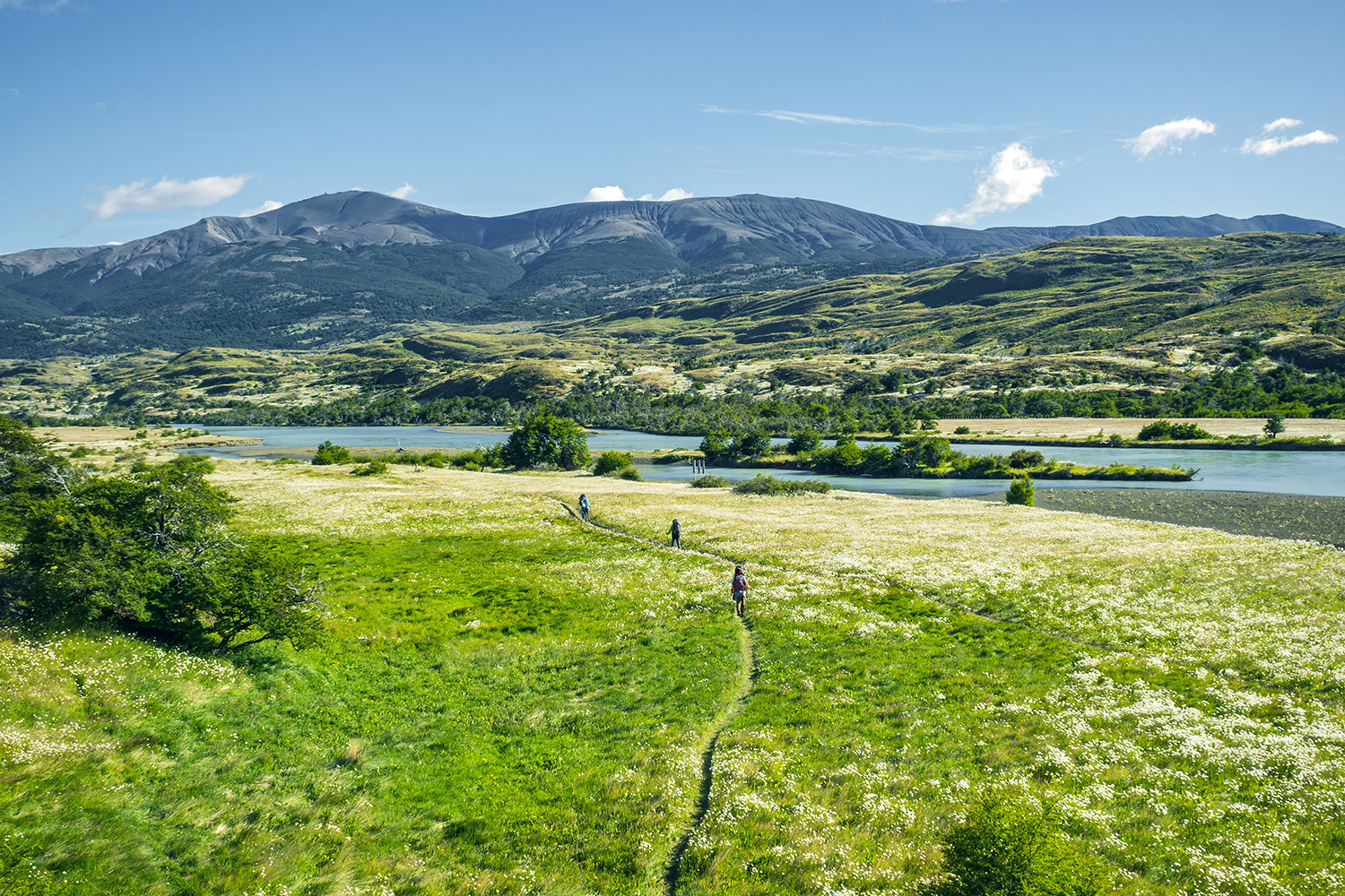
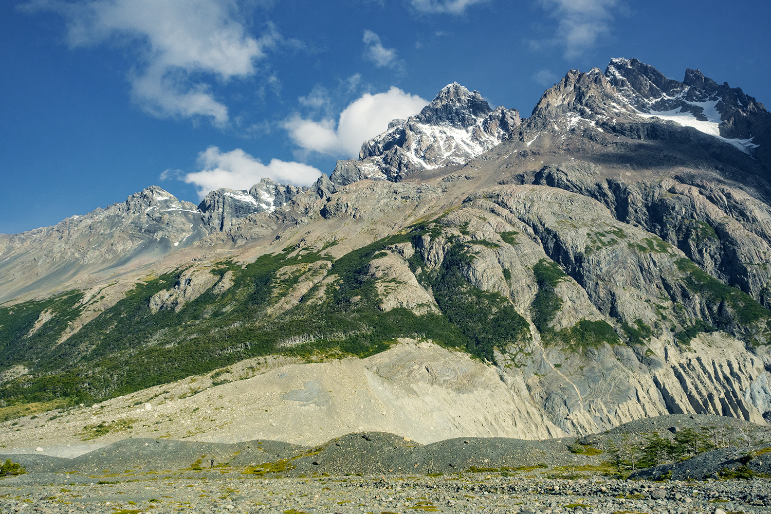
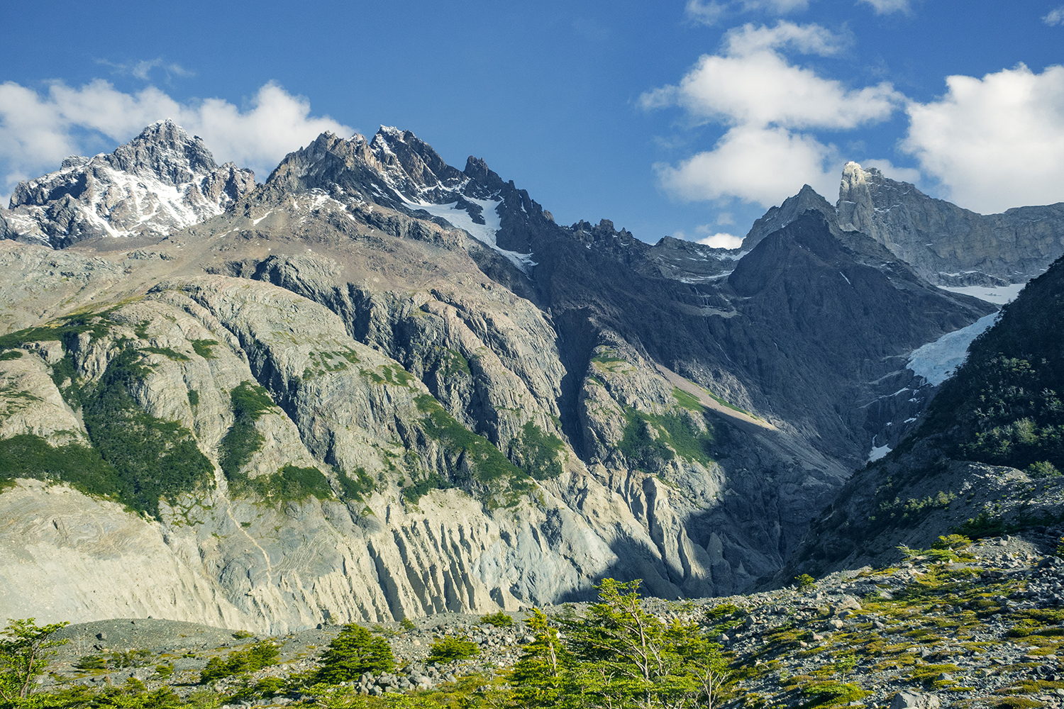
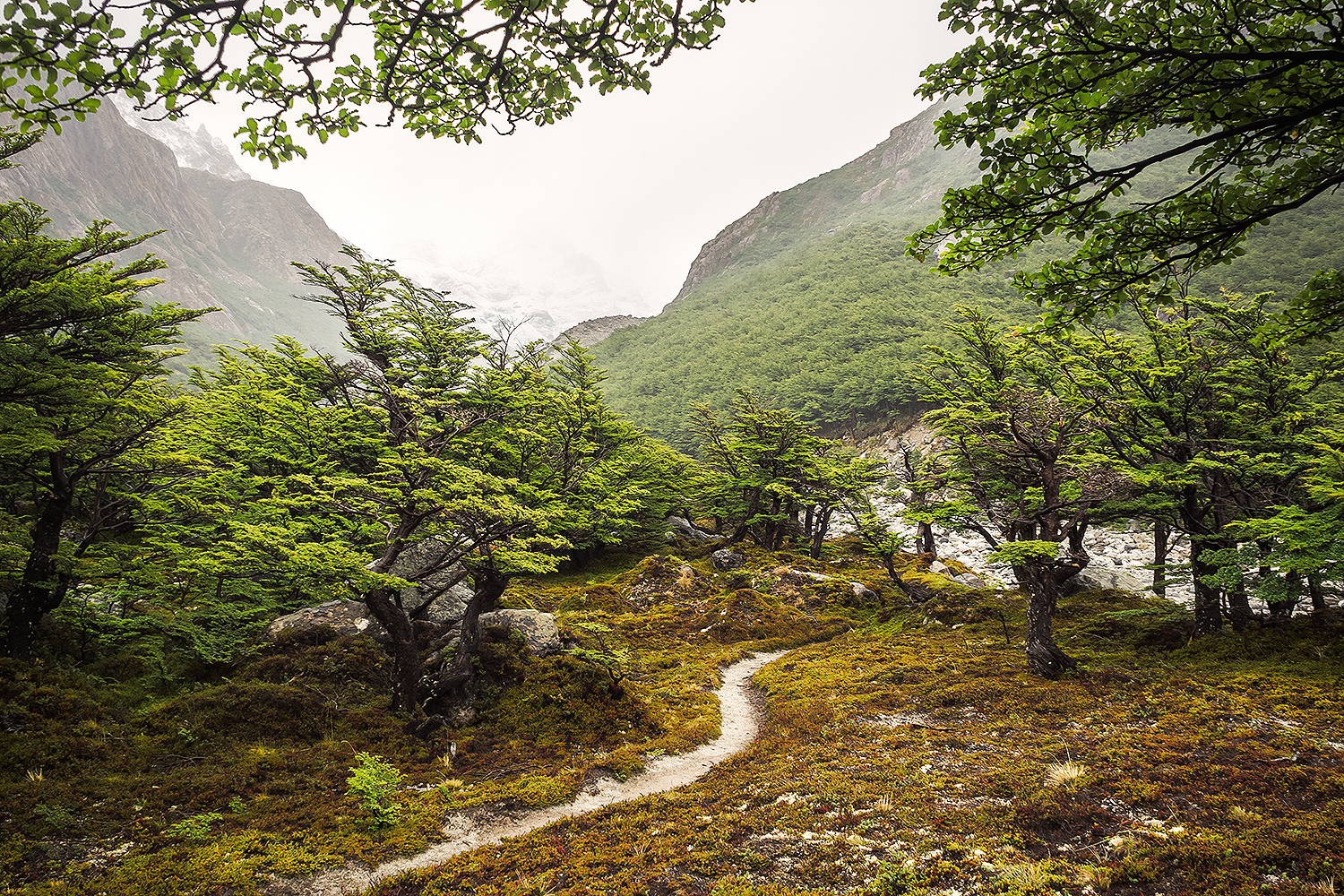
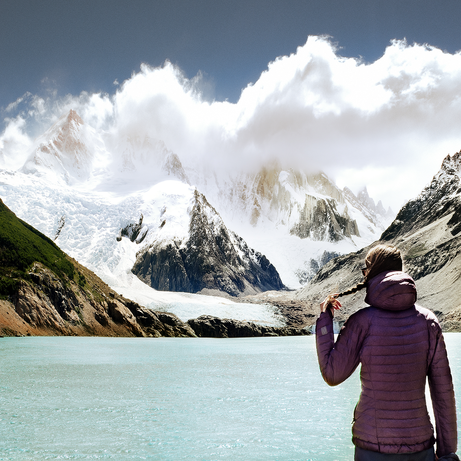
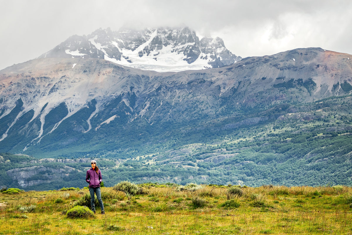
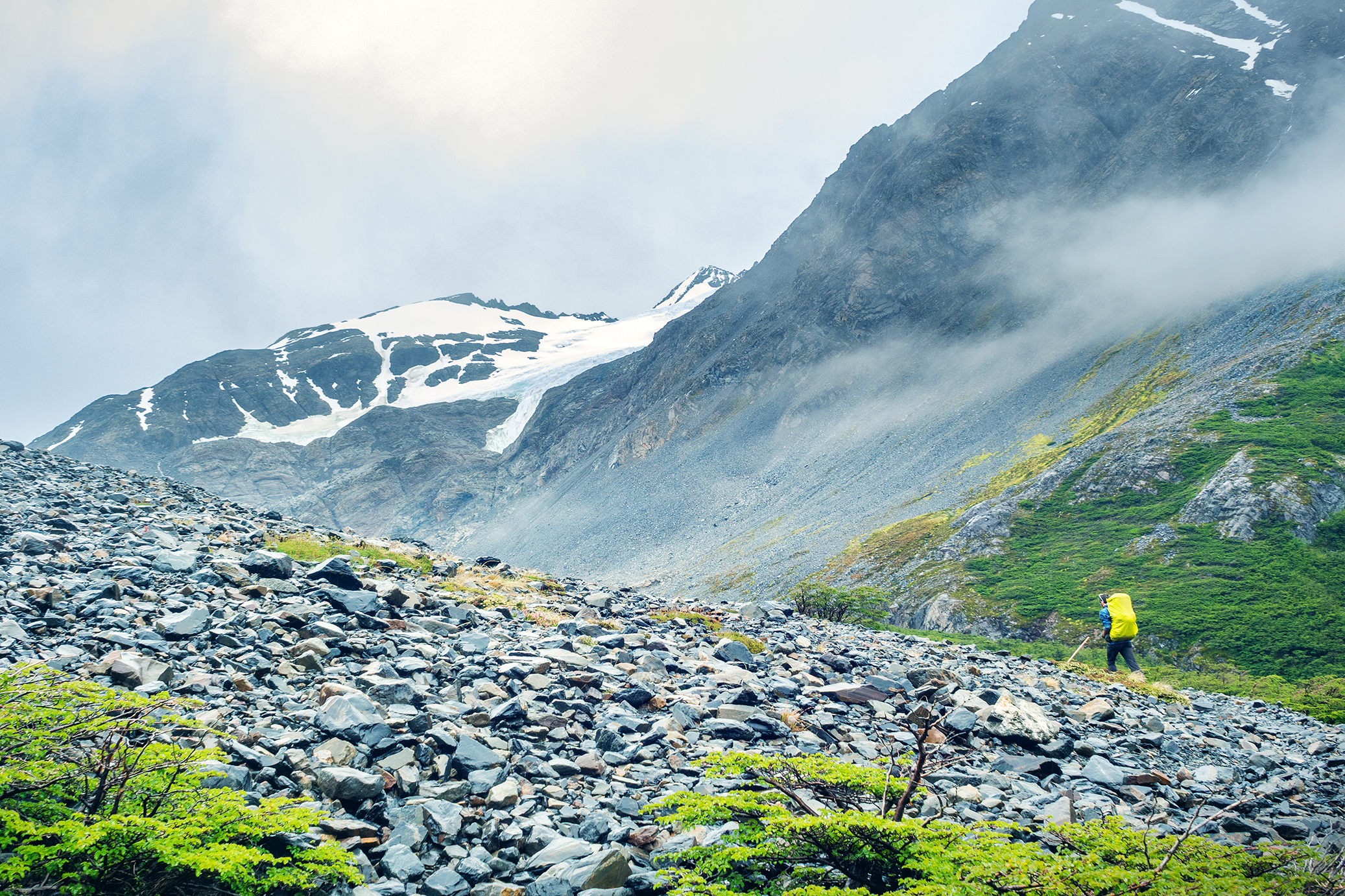
When we were planning our trip to Chile, this is the first thing we looked into. We had never done a hiking trek like that before, but after doing some research, it sounded like it was a pretty accessible, not overly challenging one given our fitness level.


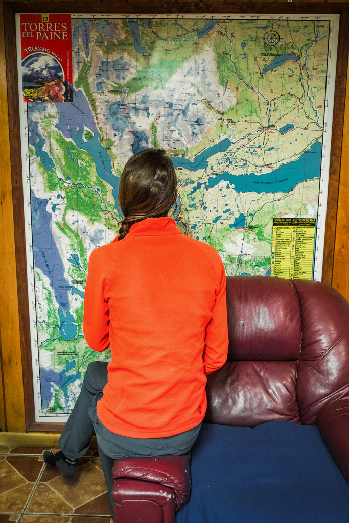
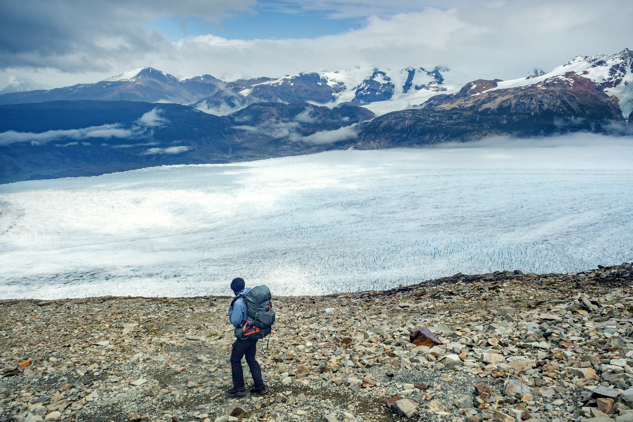
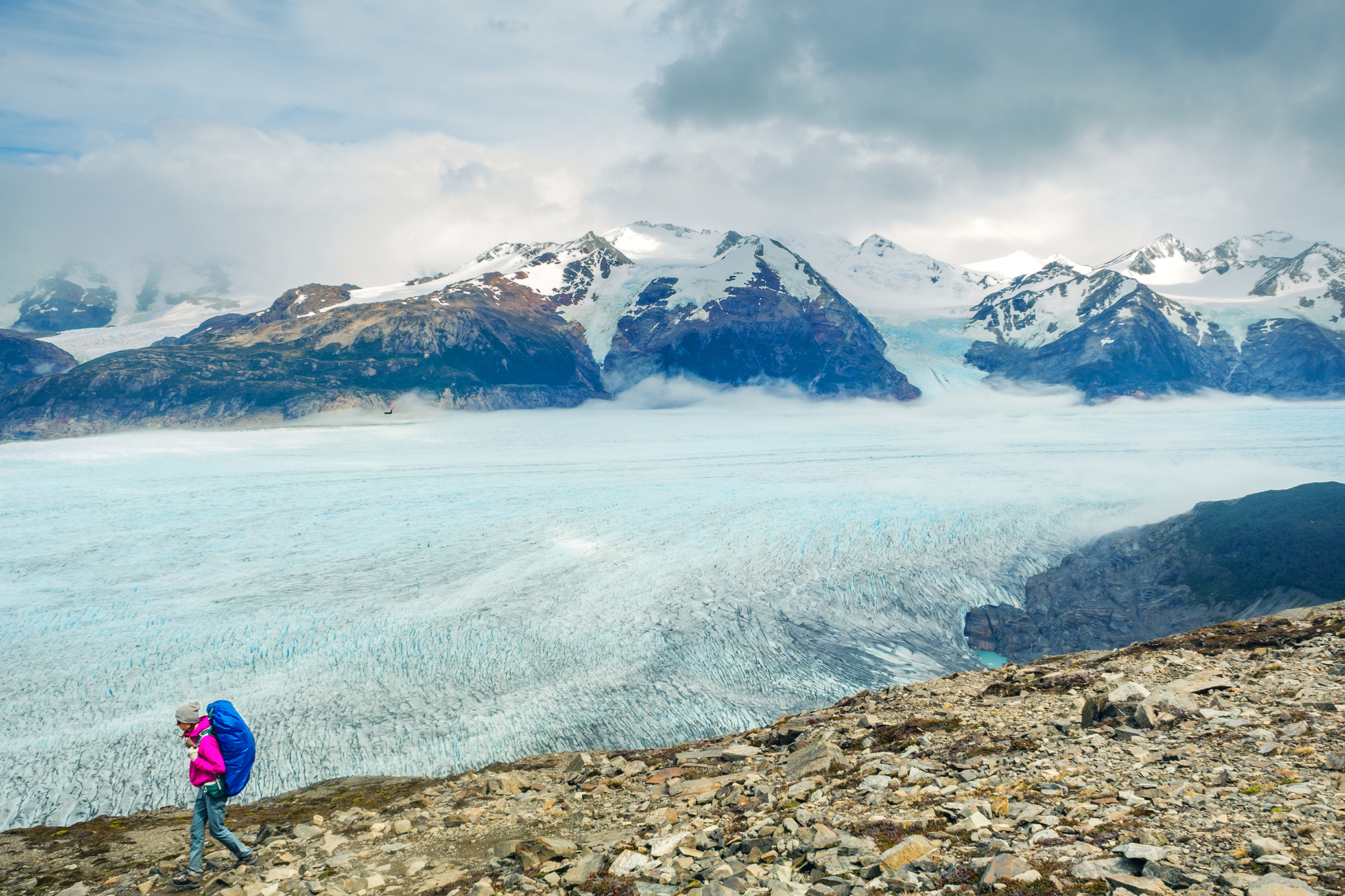
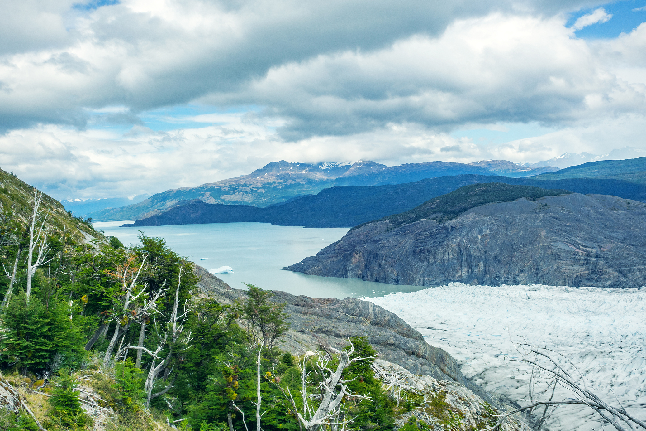
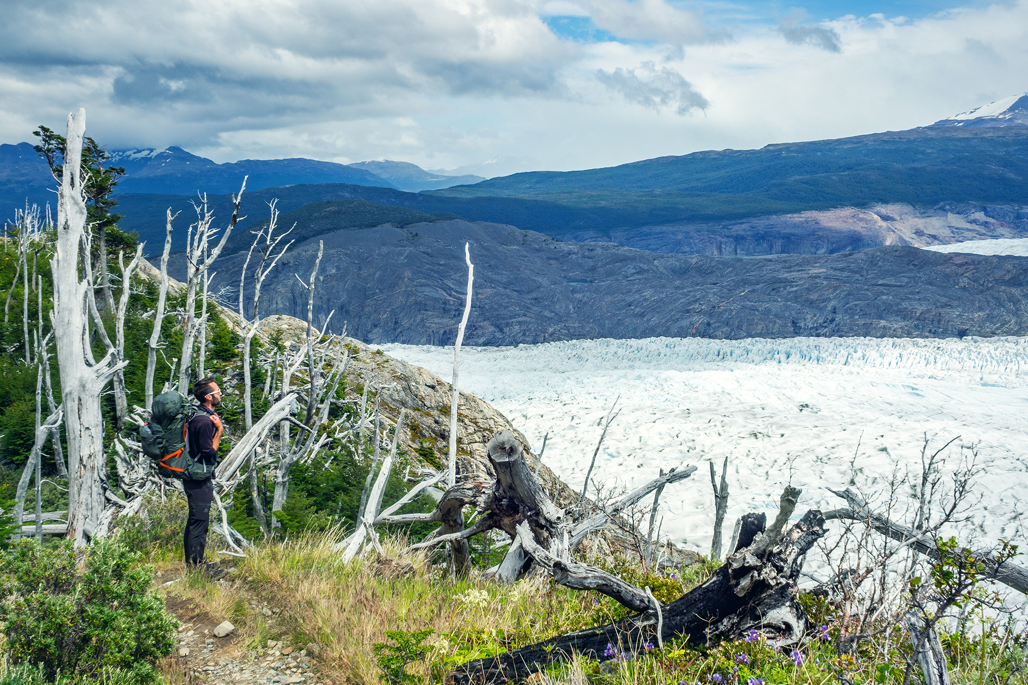
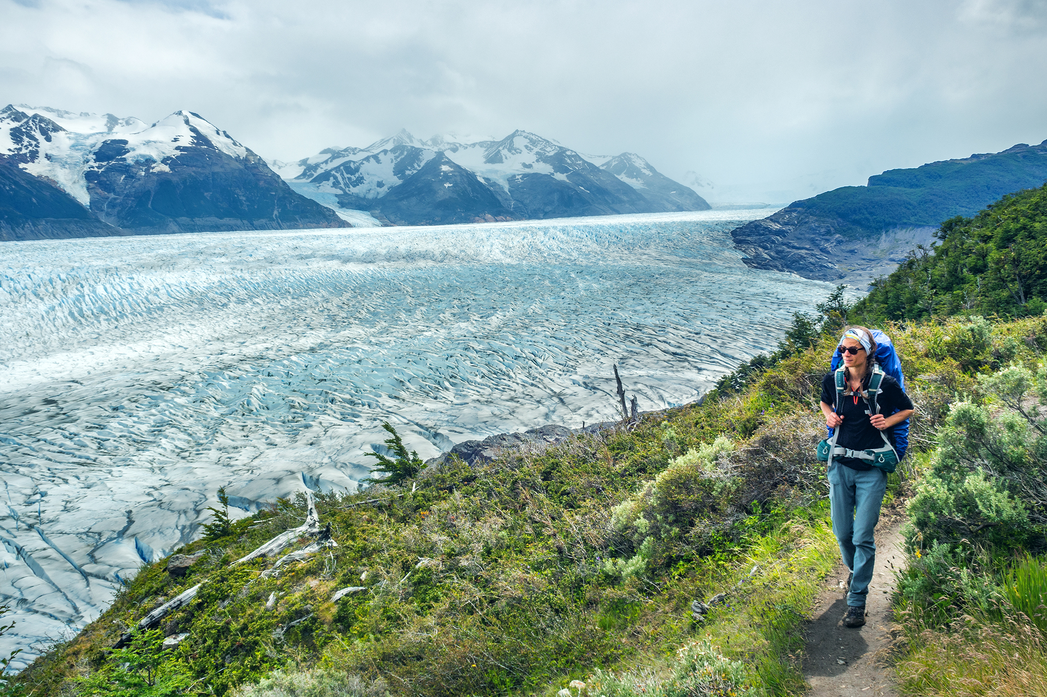
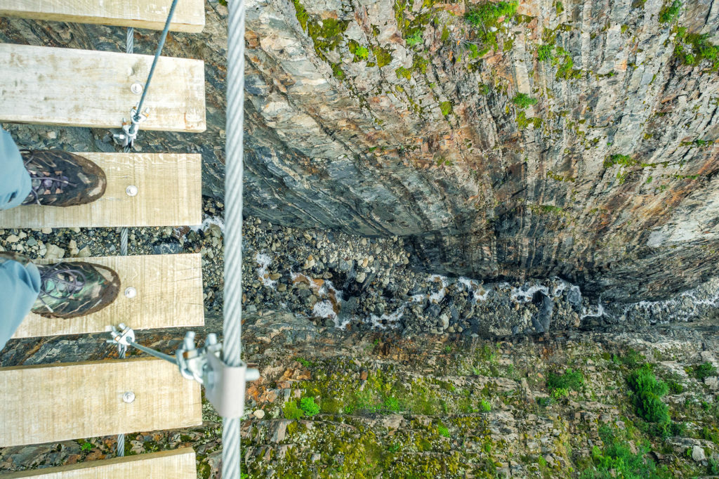
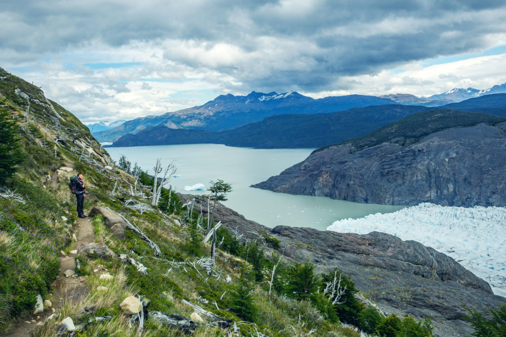
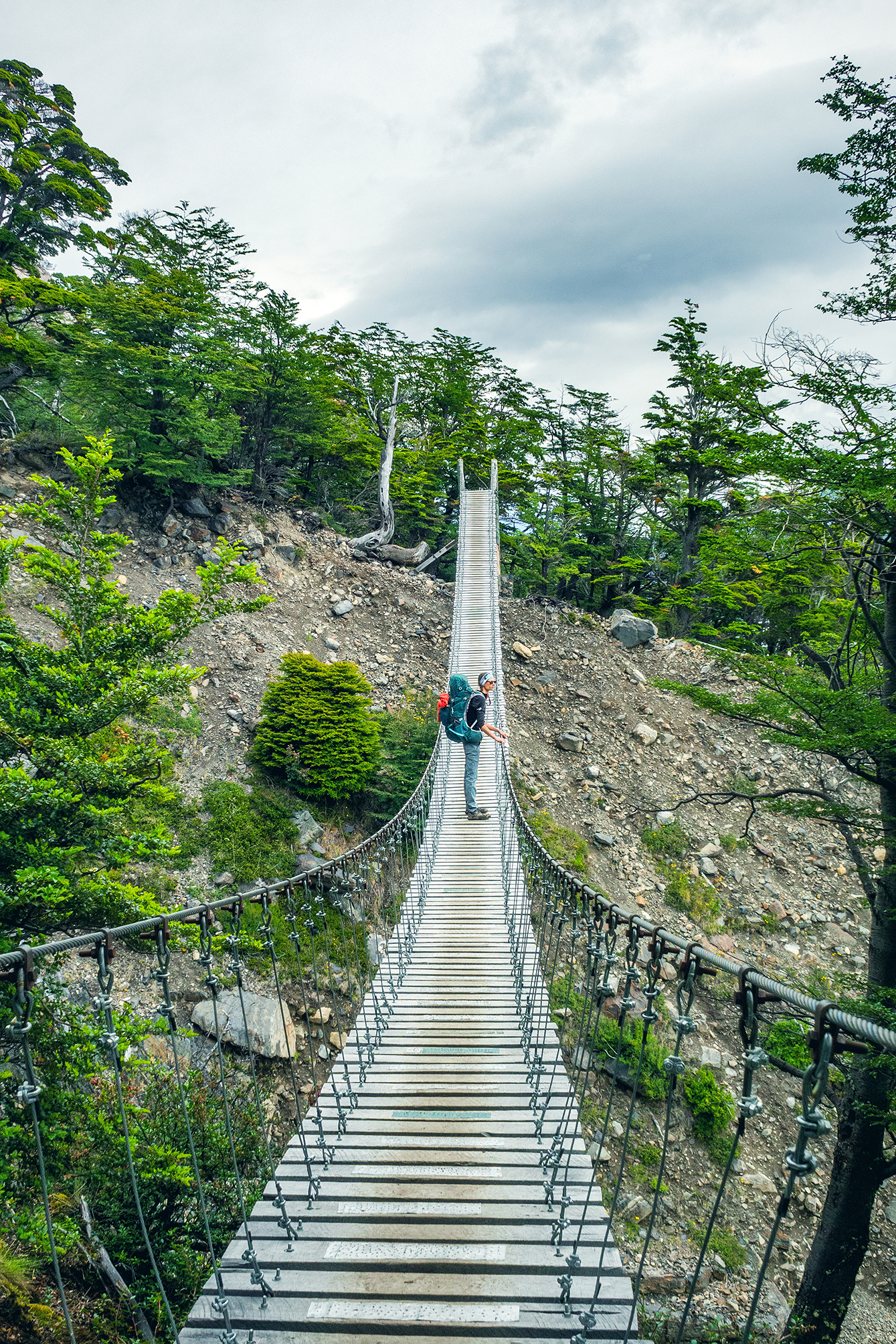
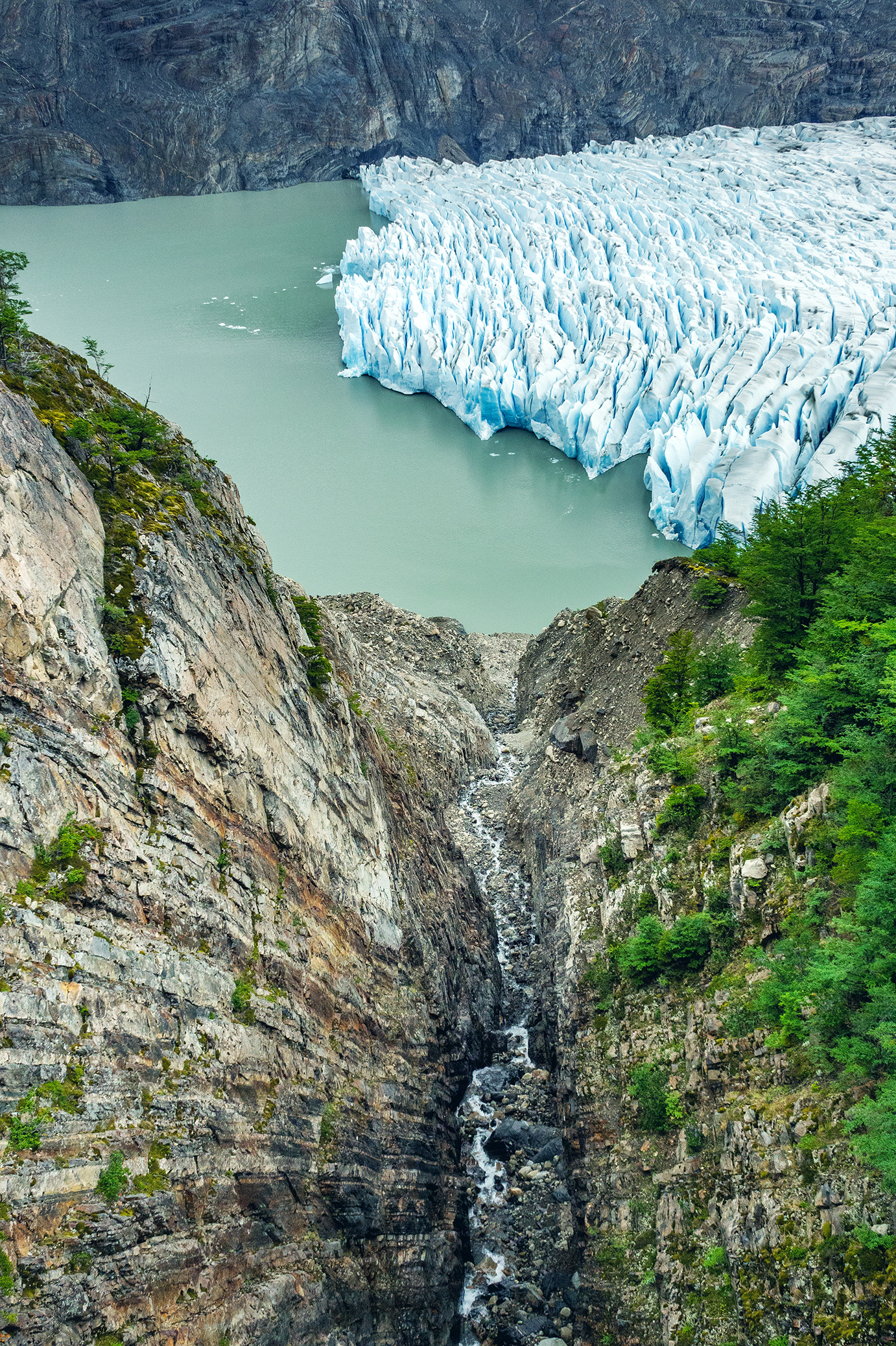
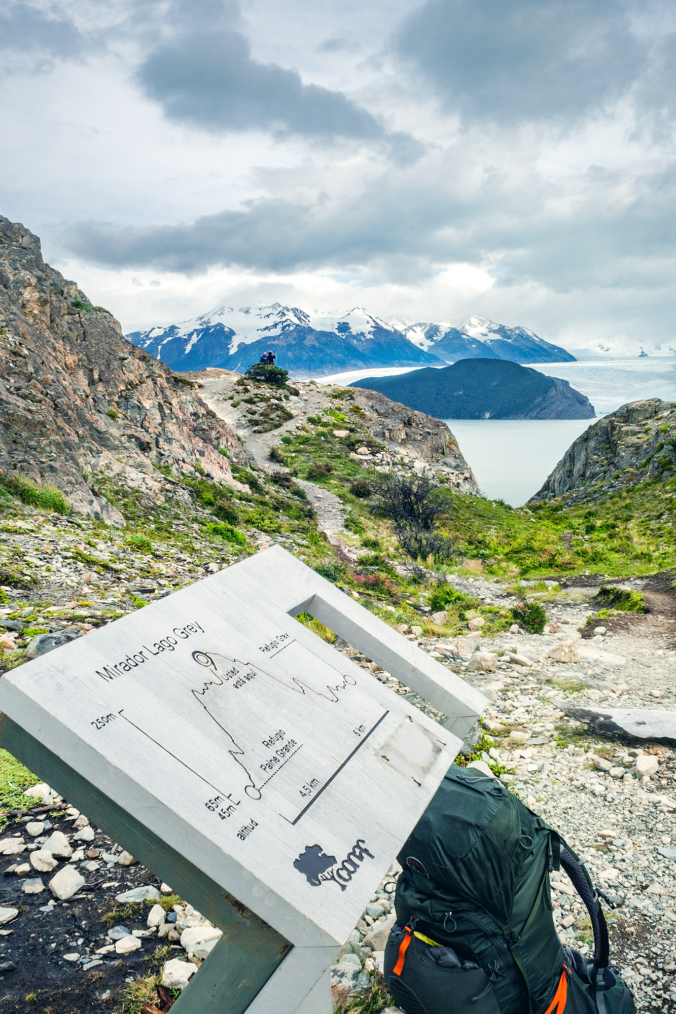
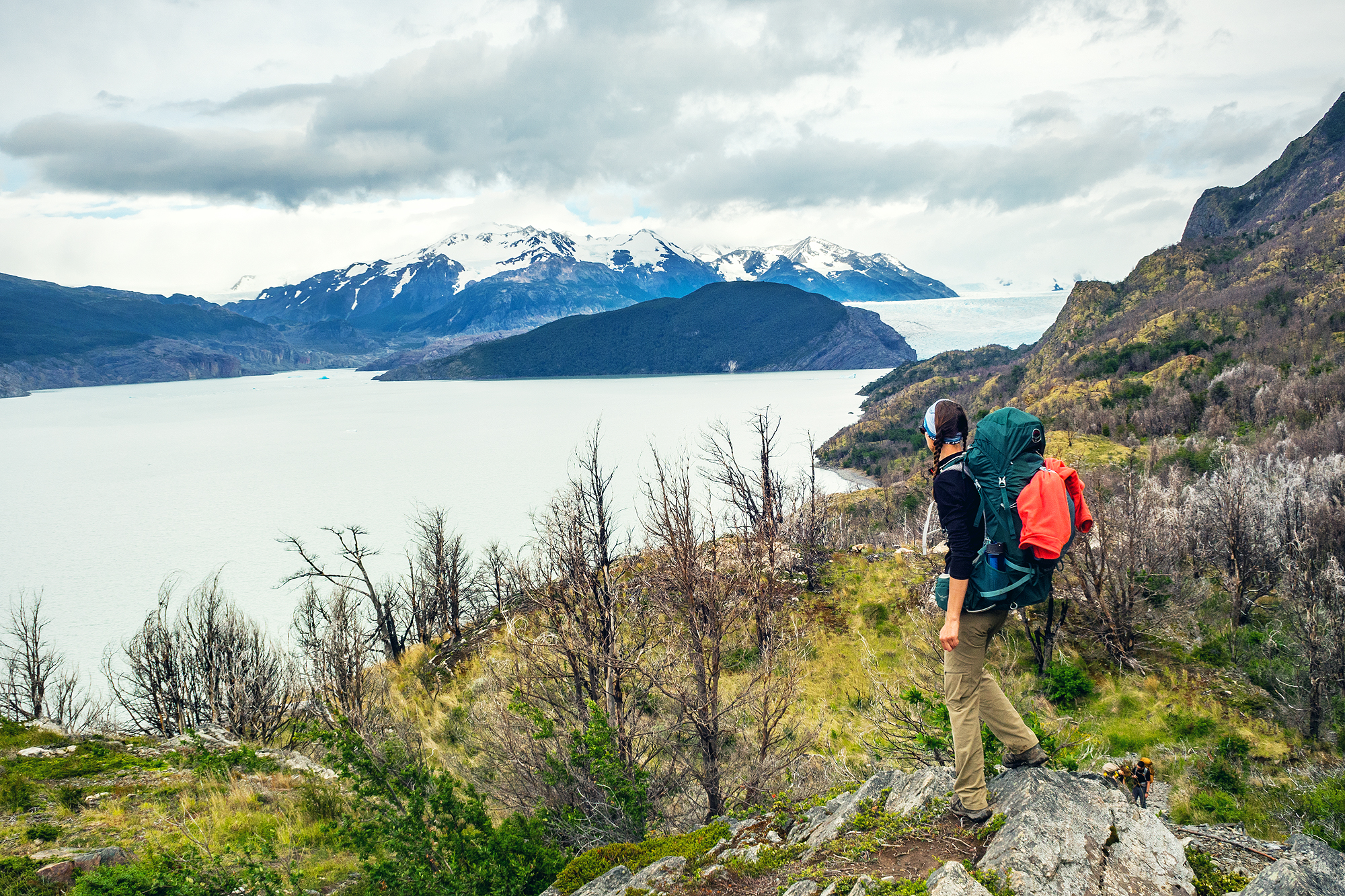
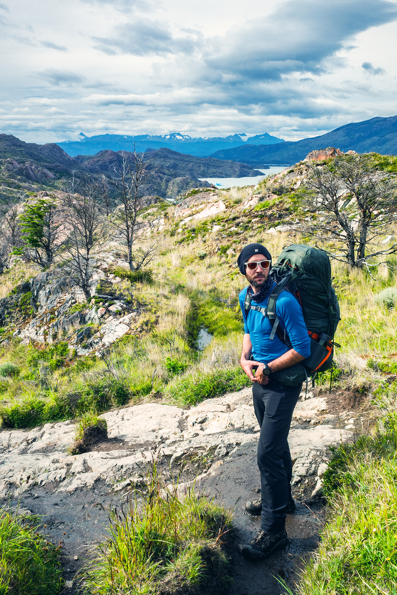
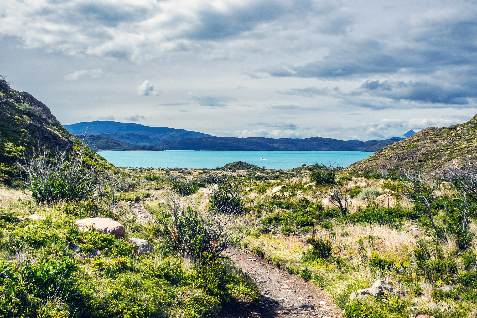
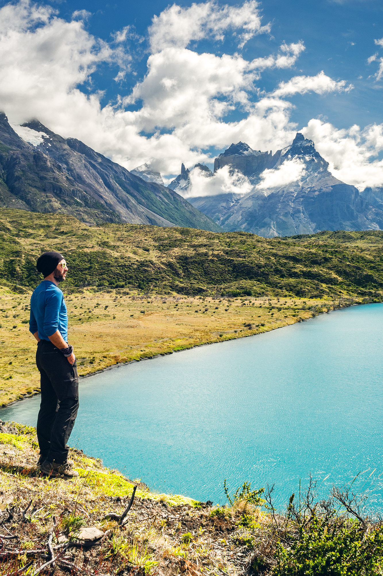
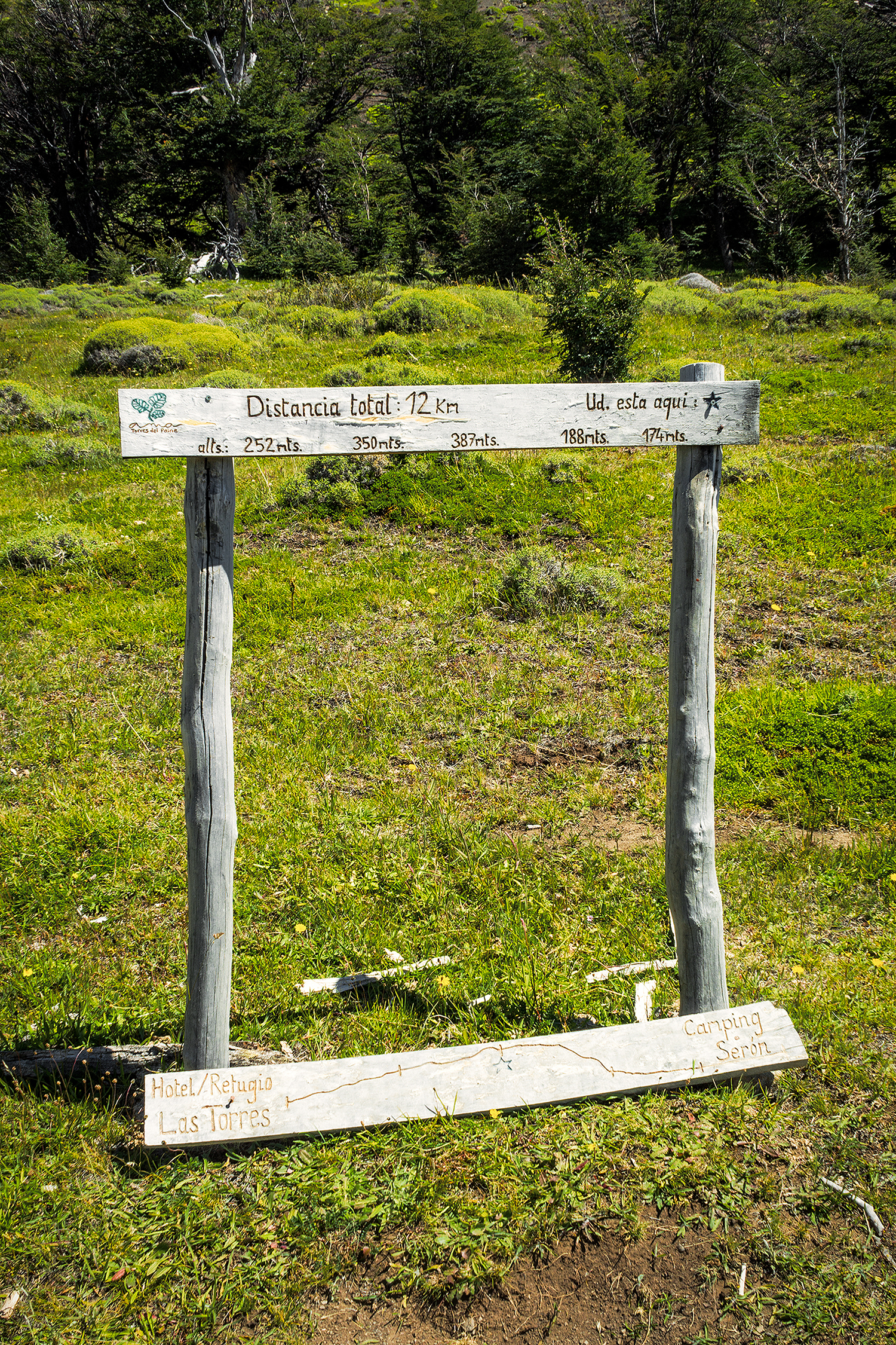
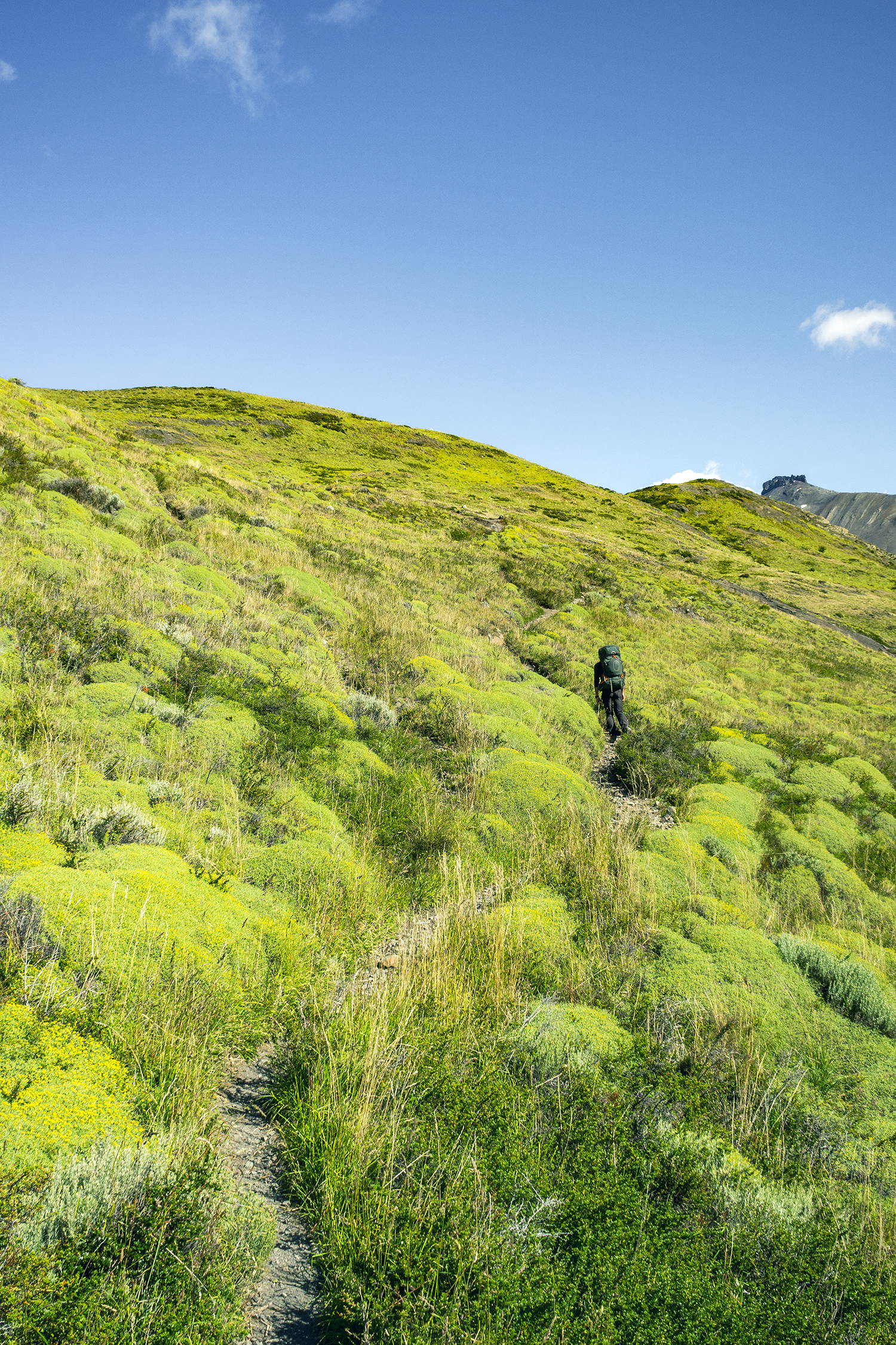
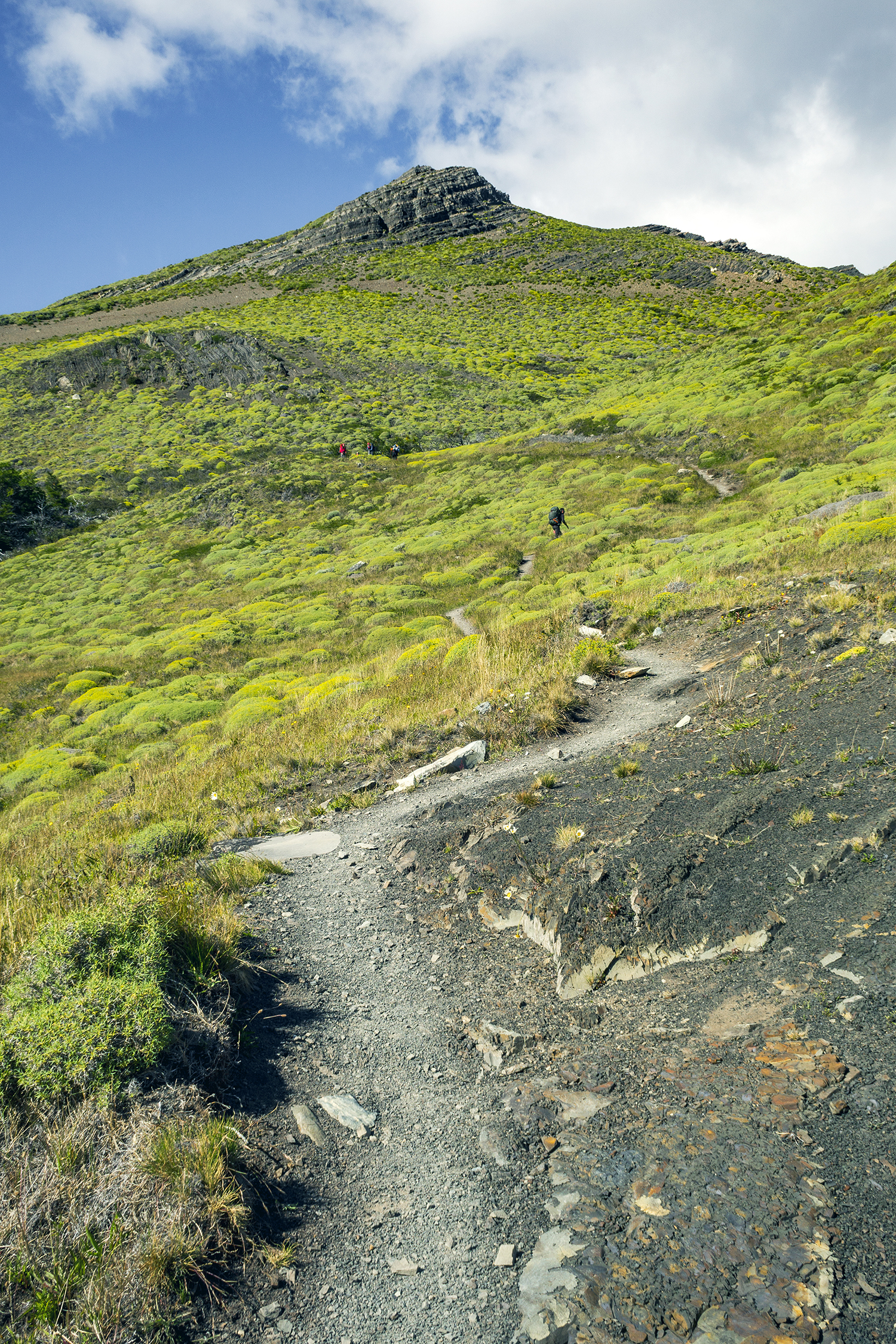
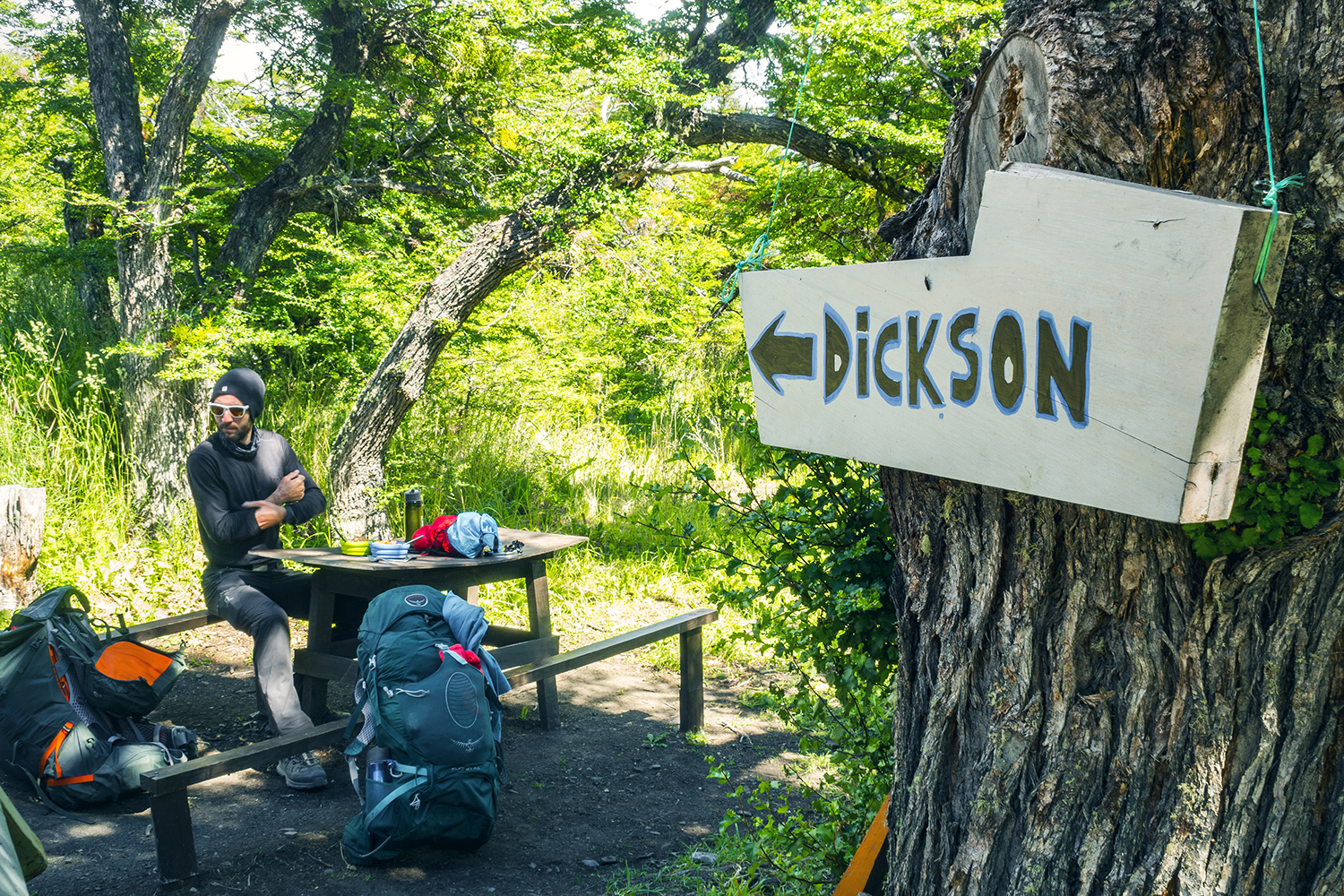
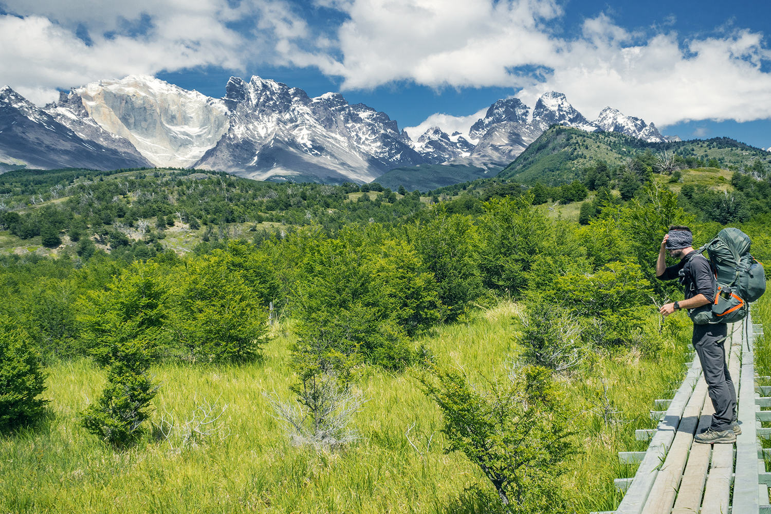
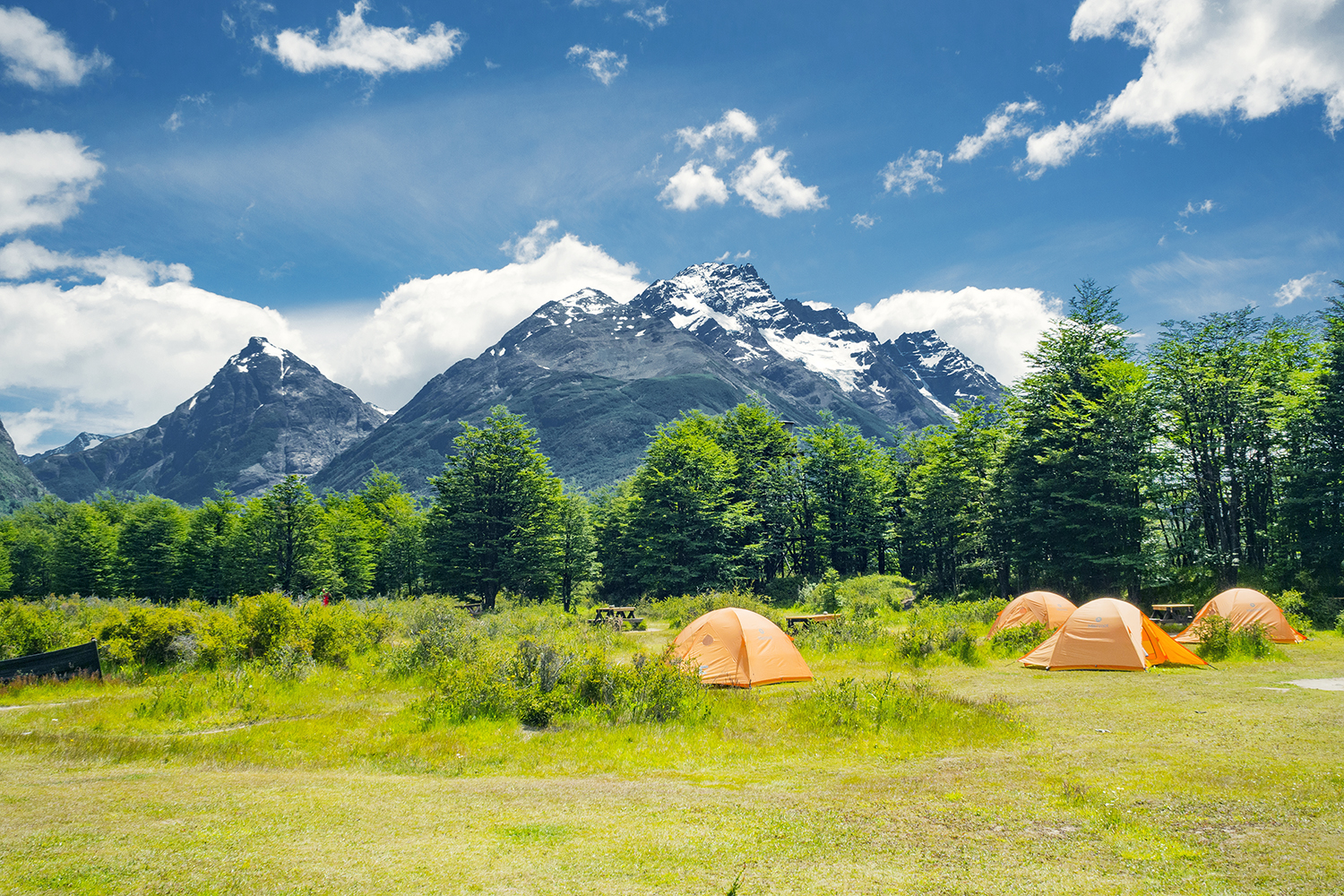
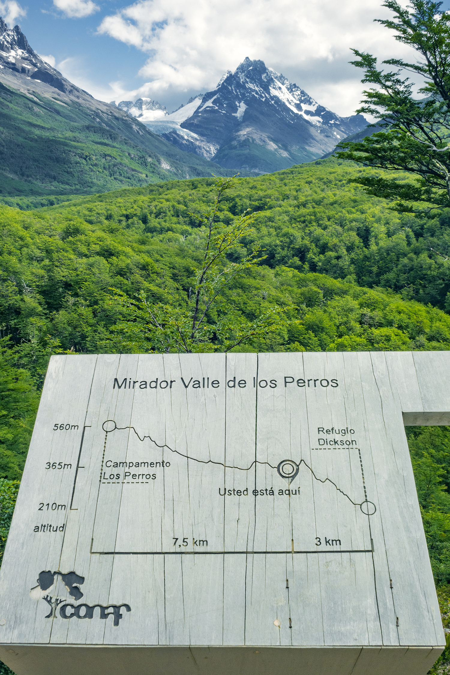
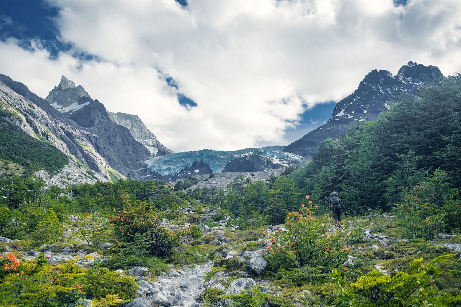
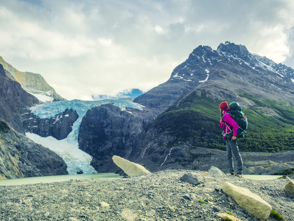
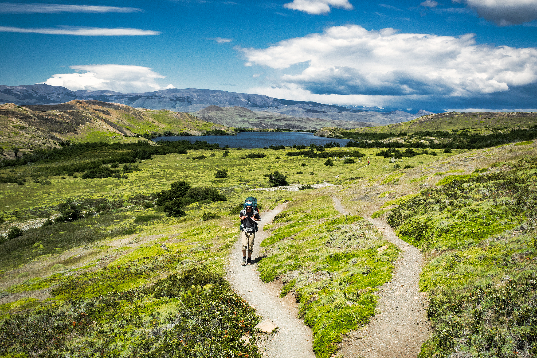
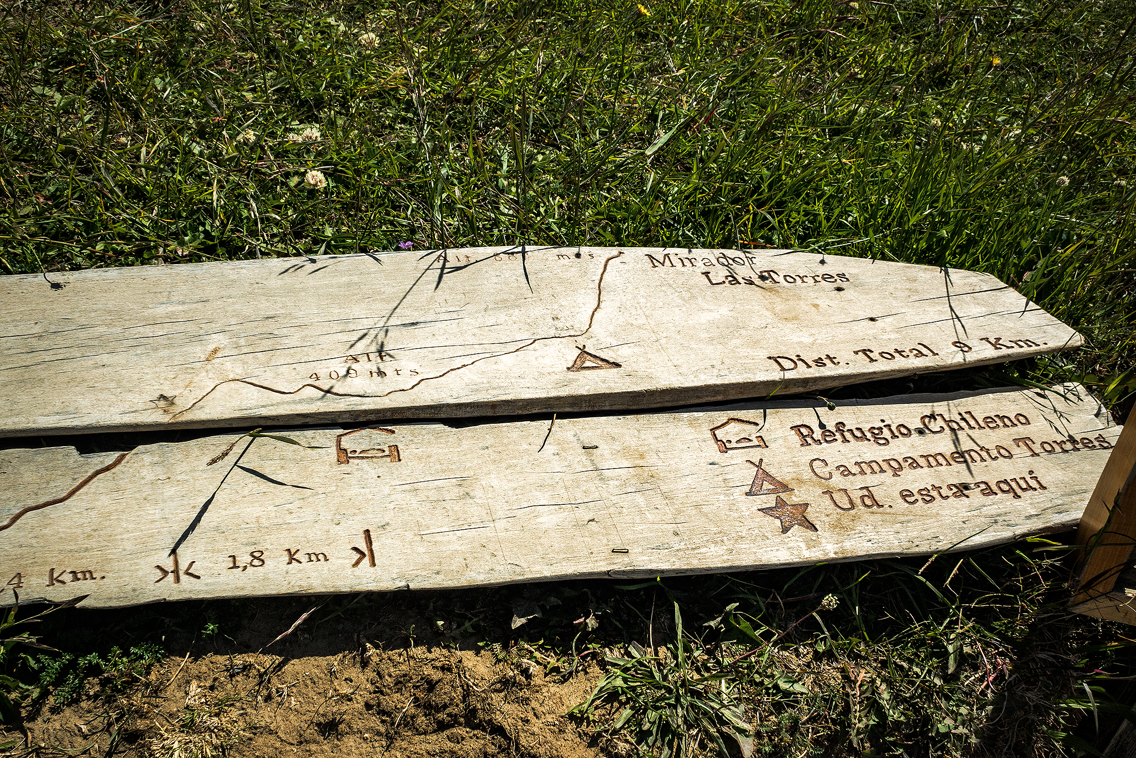
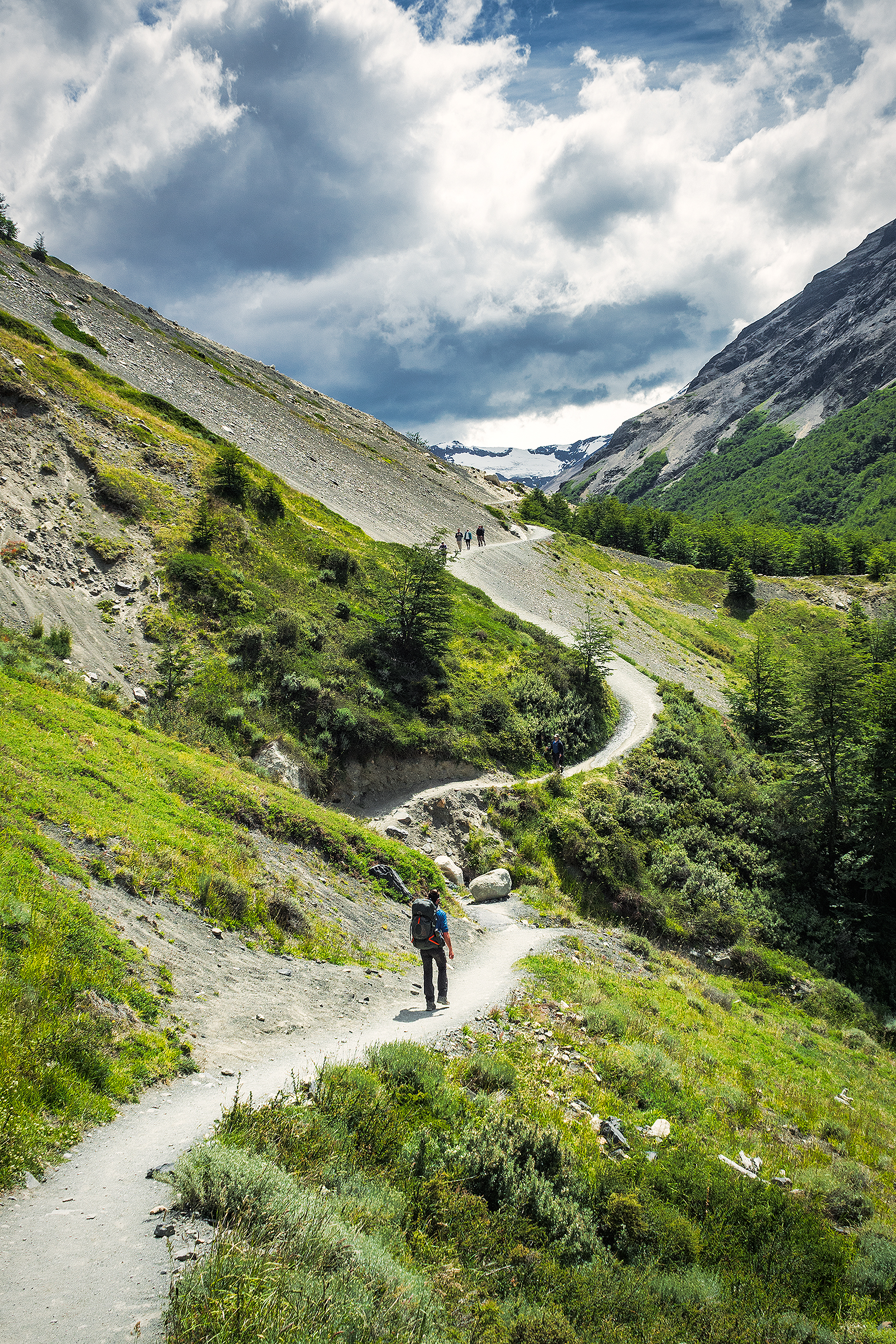
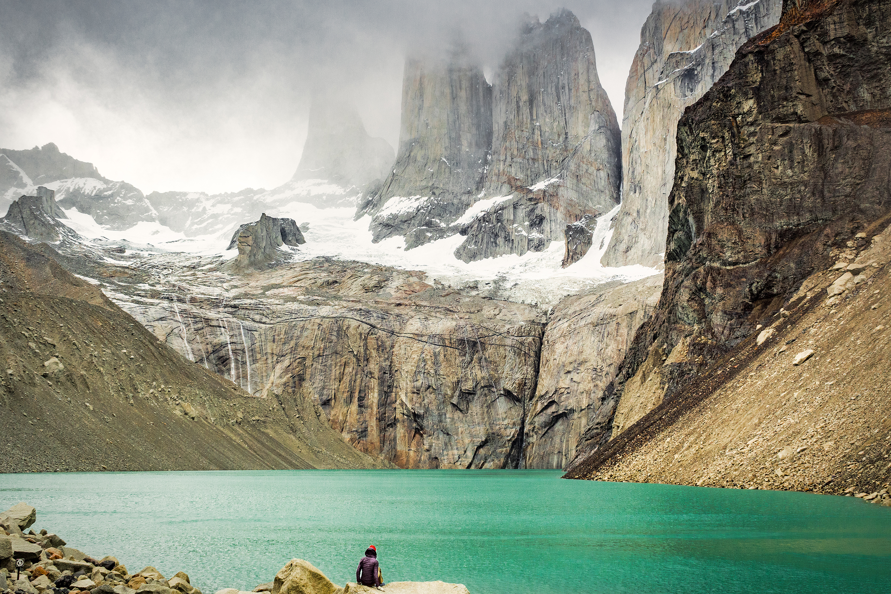
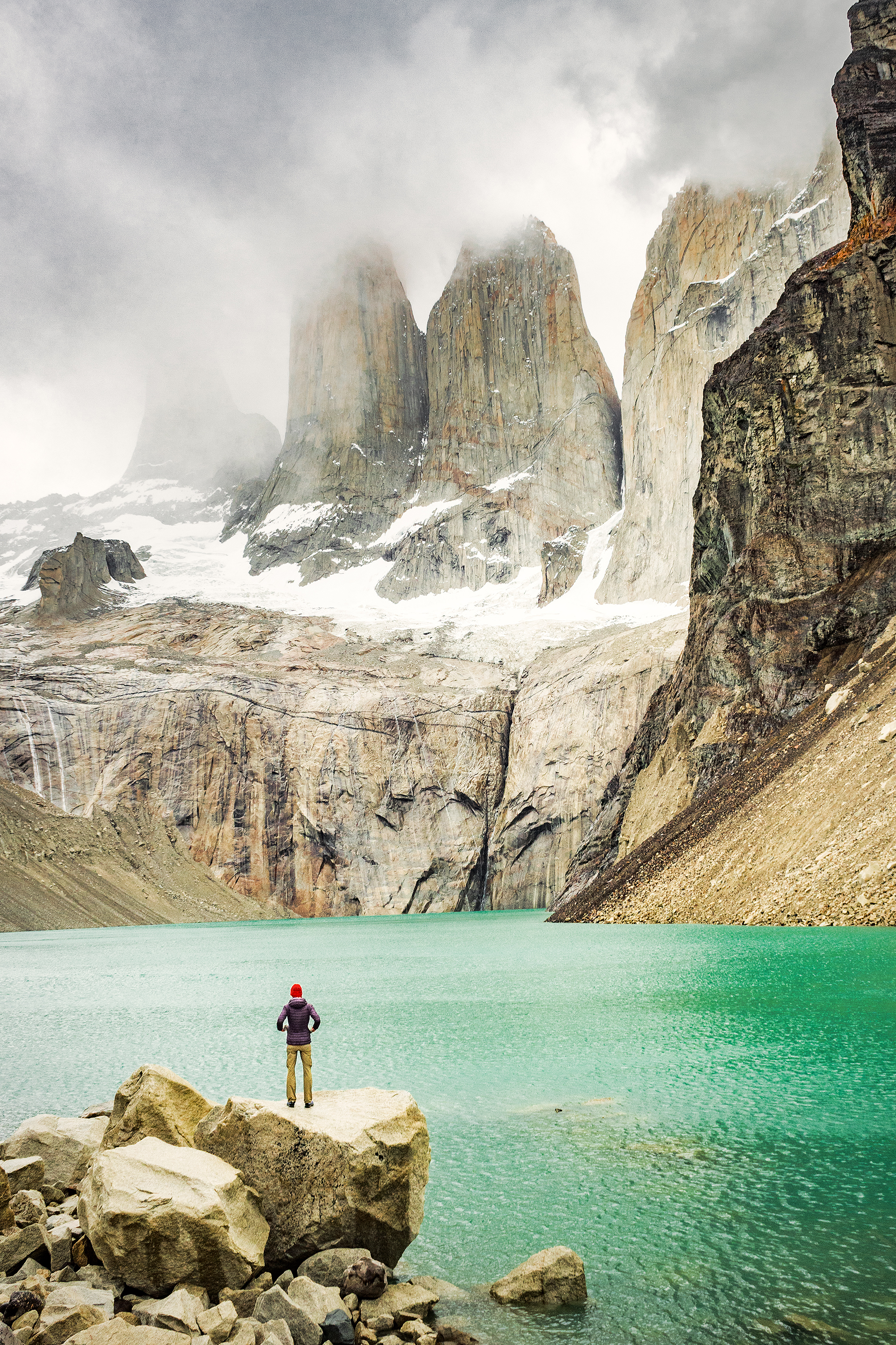
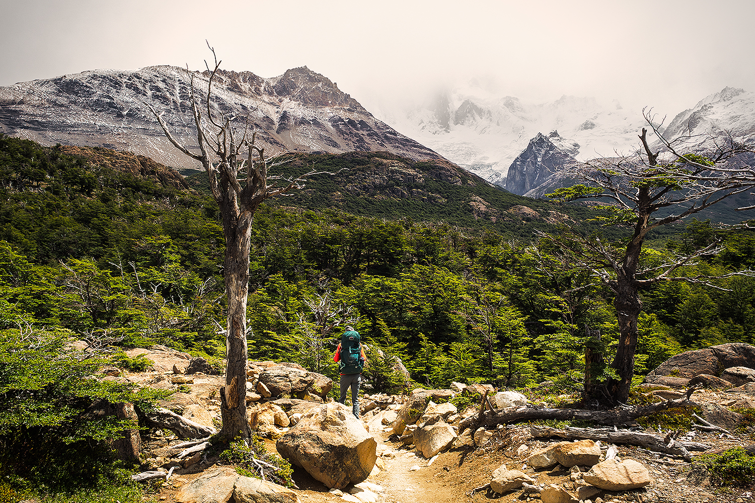
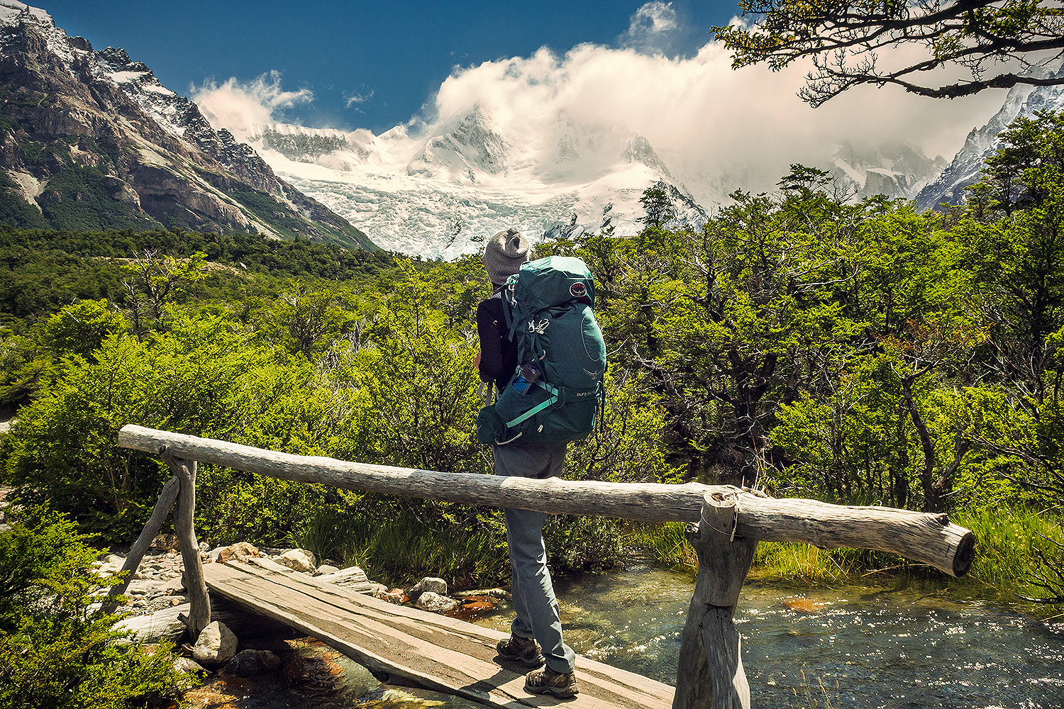
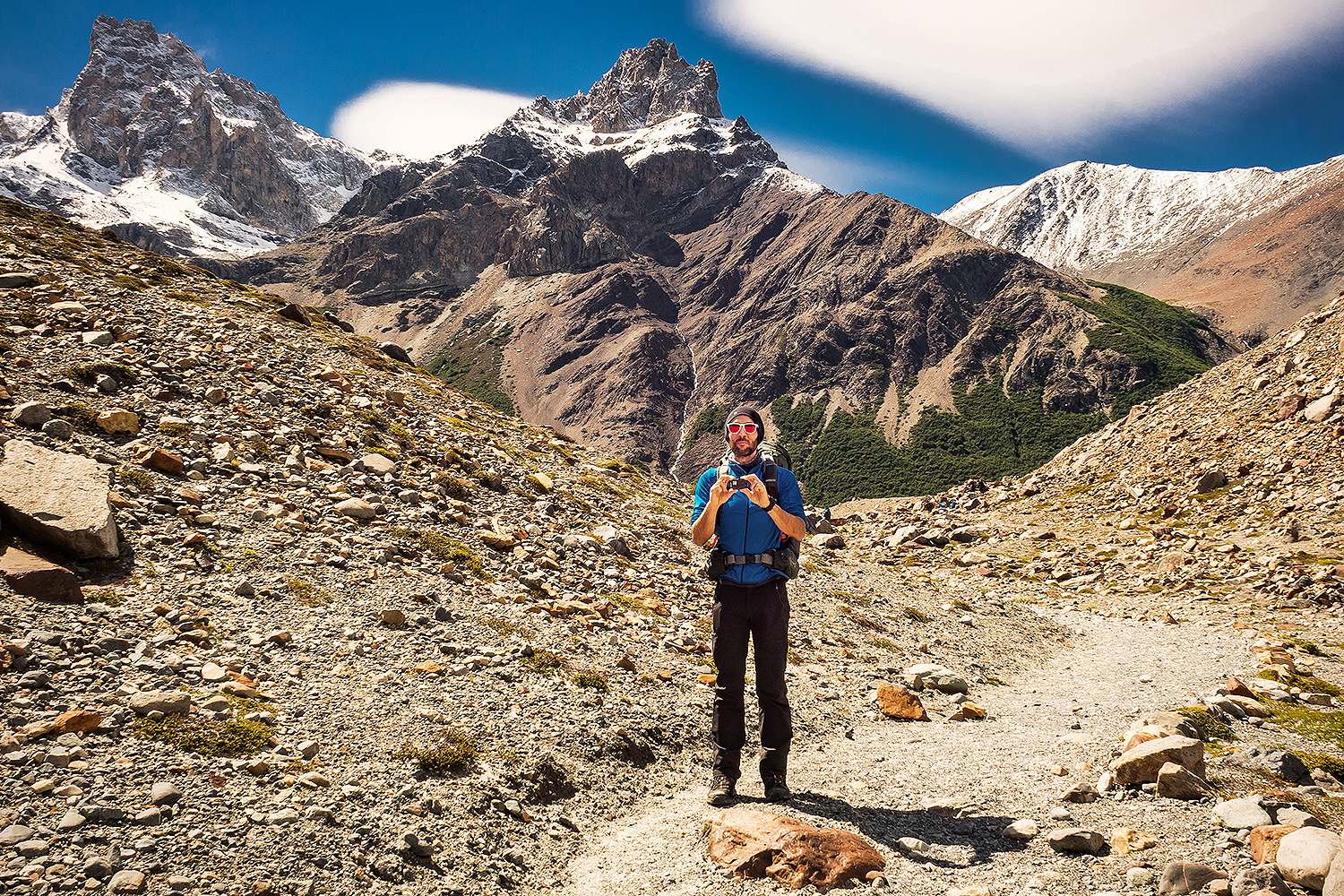
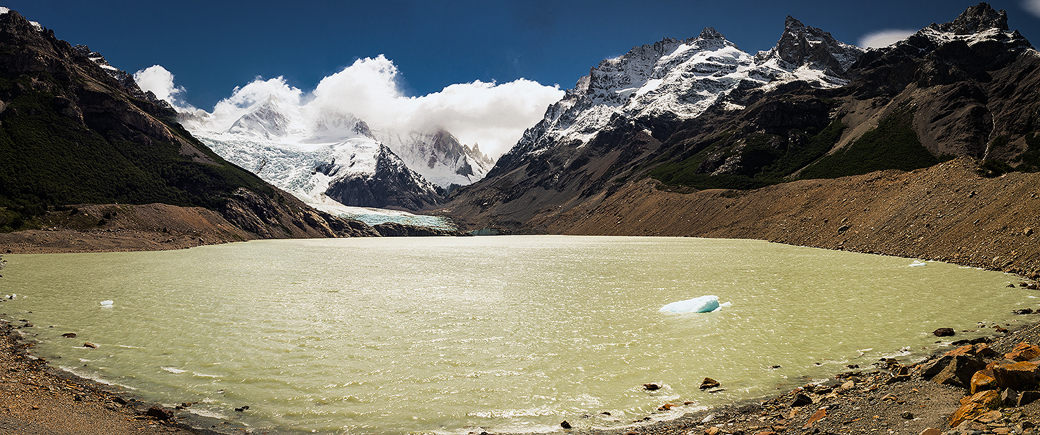
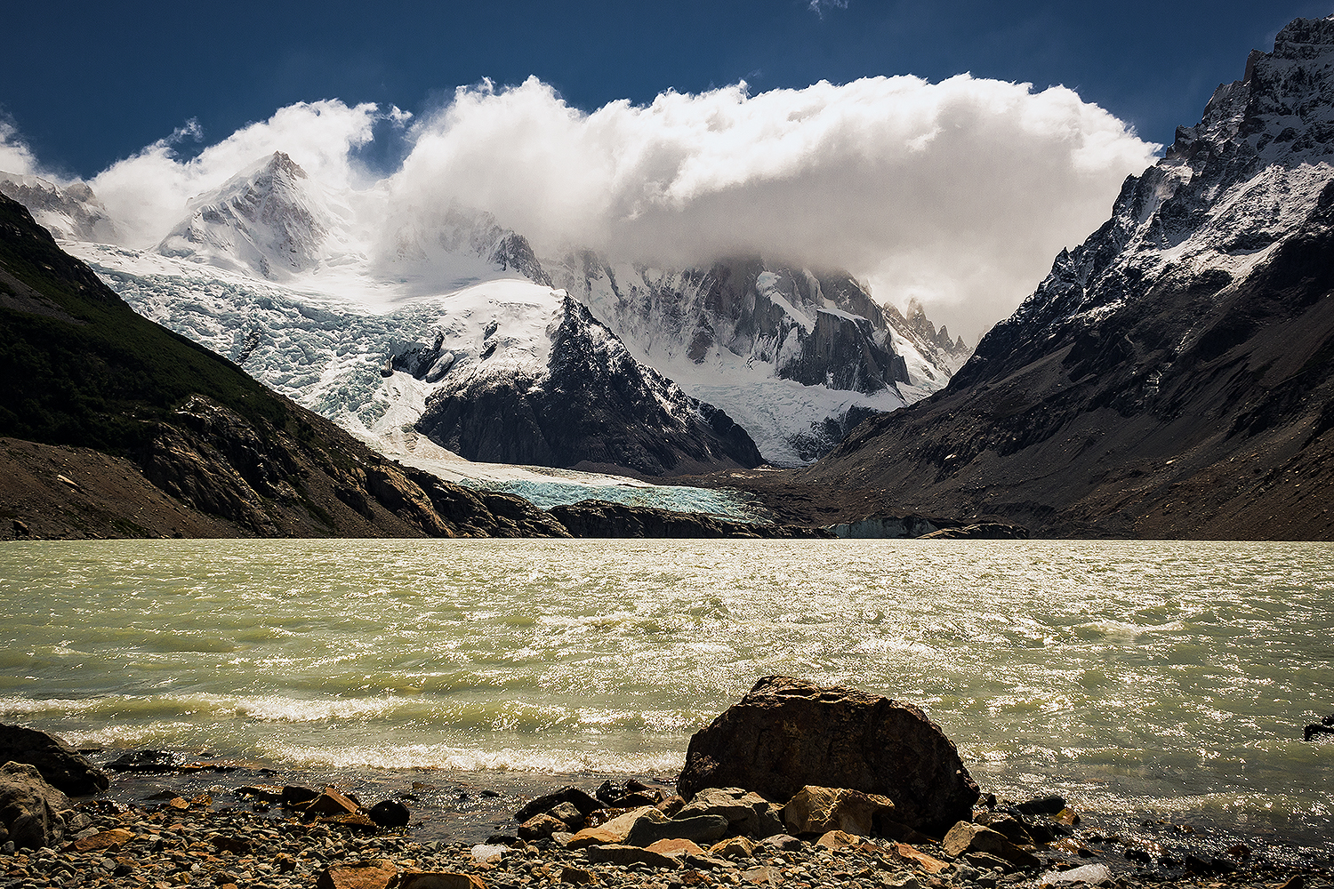
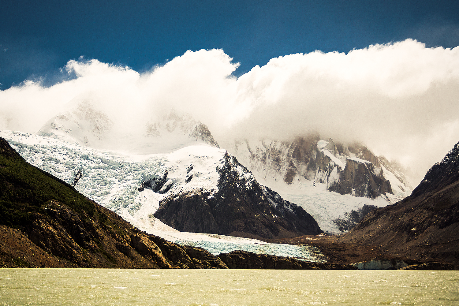
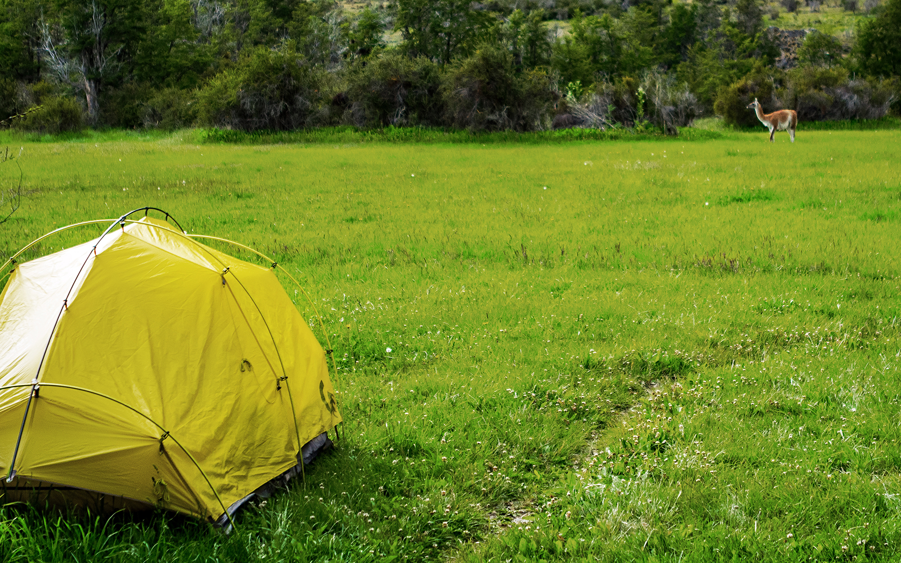
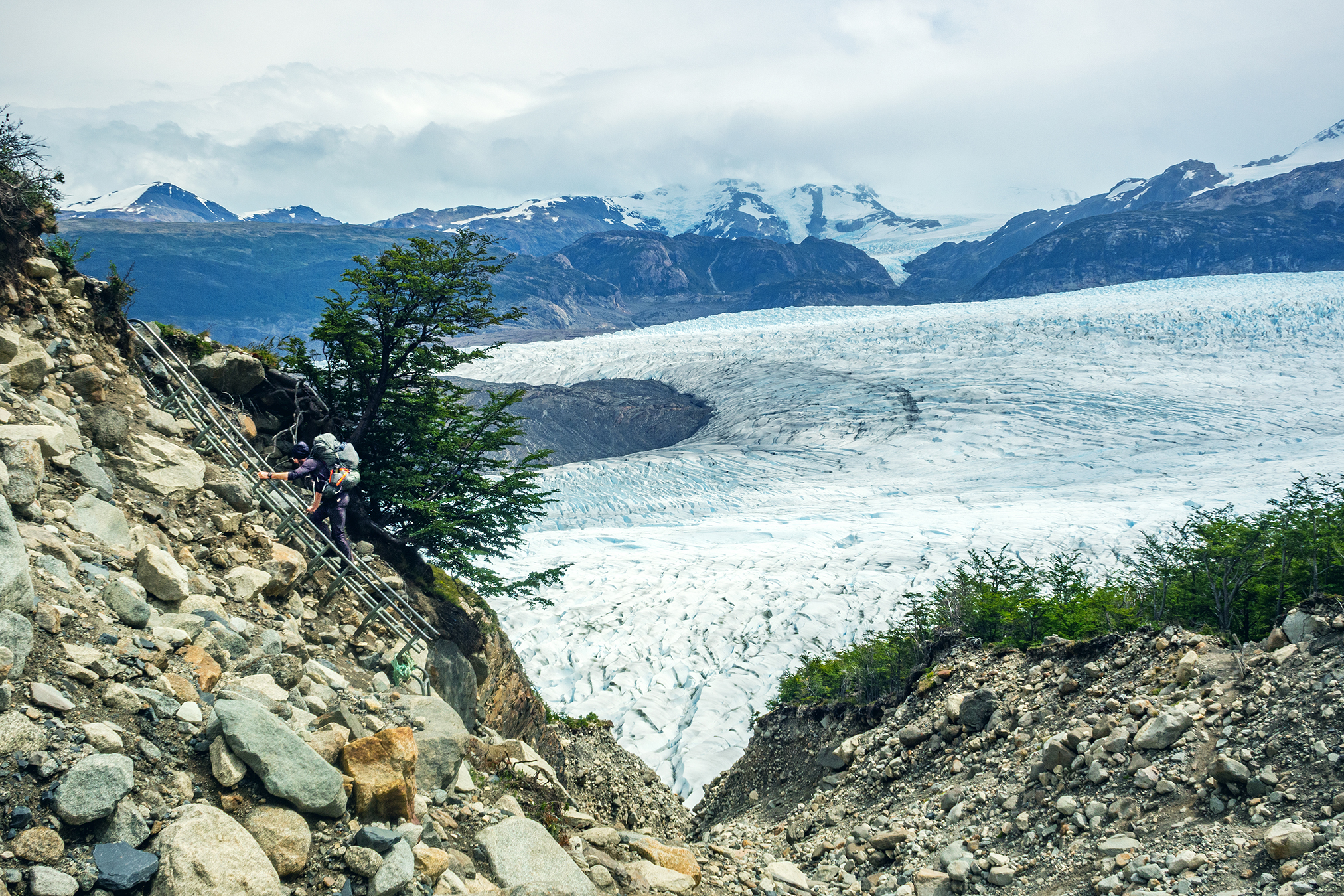
The main source of information I found was Alan’s blog: Adventure Alan. It’s probably the most detailed and accurate resource about Torres del Paine out there. It was incredibly useful in learning how to get to Torres, what to bring and what would be available there. He also shared the itinerary he and his wife followed, meaning basically what distance they covered each day and which campgrounds they stopped at. There are a number of campsites along the full circuit, so we had to decide which ones we would sleep at. After reading the itinerary in details, I figured Brice and I were in pretty good shape and could easily follow the same plan as Alan (the one detail I had overlooked was the weight of our packs compared to theirs, which did make a bit of a difference on our overall travel time, but we were still able to follow the itinerary just fine). He also recommended booking campsites in advance, as the park was getting more and more popular and sites were booking out fast.


Actually, from reading other blogs, it seemed that up until November of 2016, campsite management was a bit on the loose side, and there was sometimes a pretty big overflow of campers. This caused sanitary issues on a couple of occasions, which eventually led to the park having stronger rules about camping capacity. We were really glad we planned this ahead of time, as we met people along the way who just showed up at the park, hoping to be able to camp, but were turned away by rangers because they didn’t have a reservation.
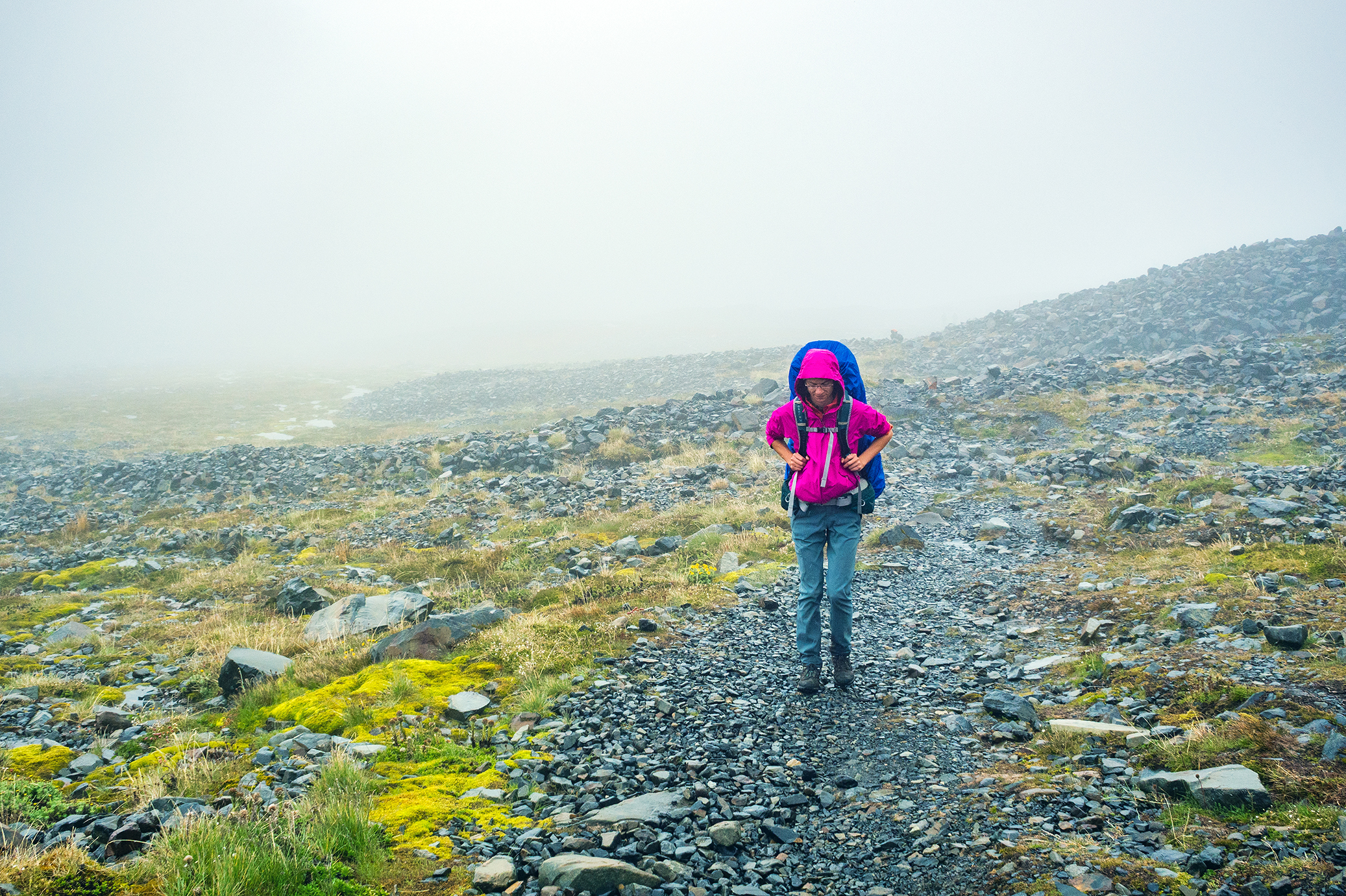
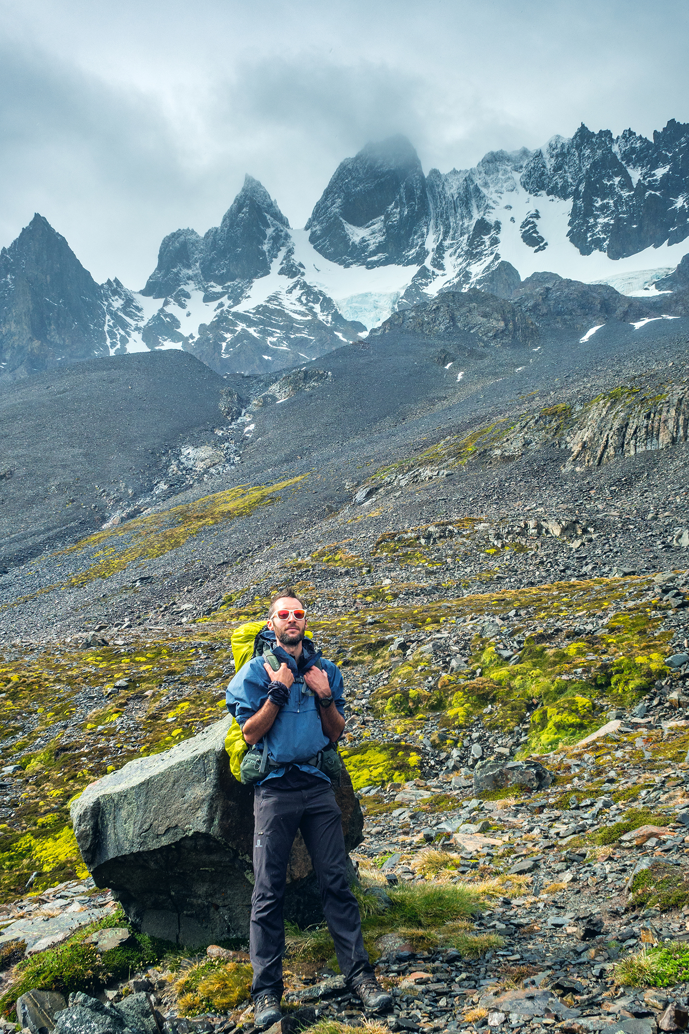
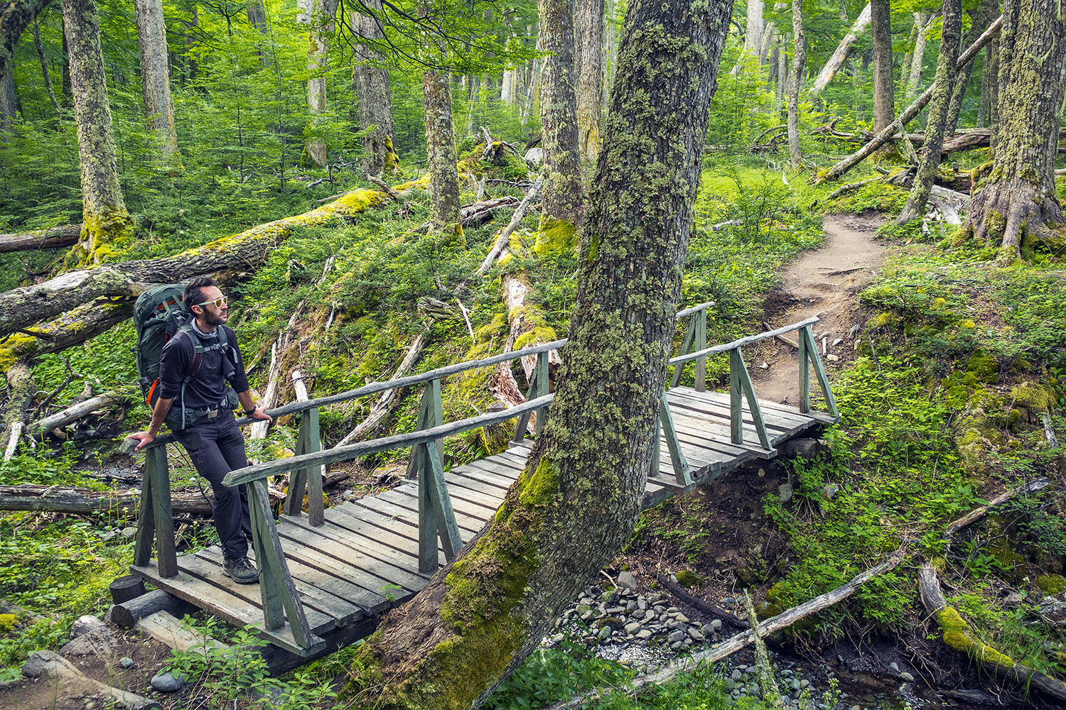
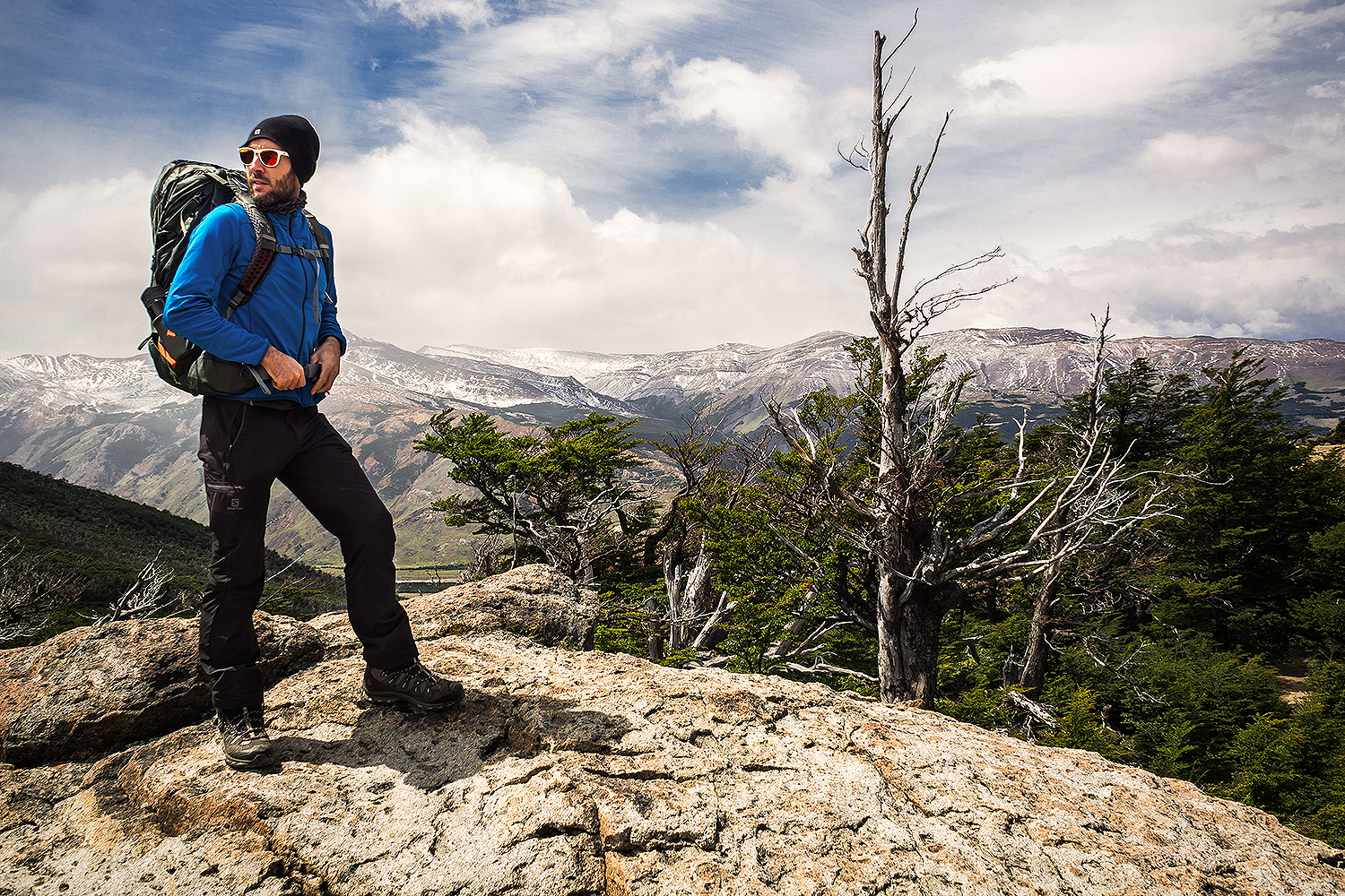
Gear

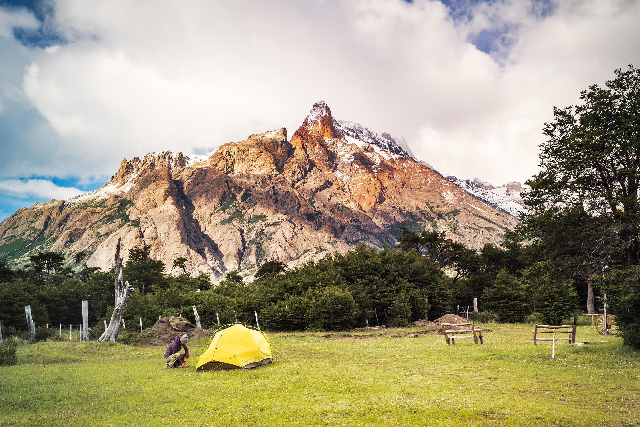
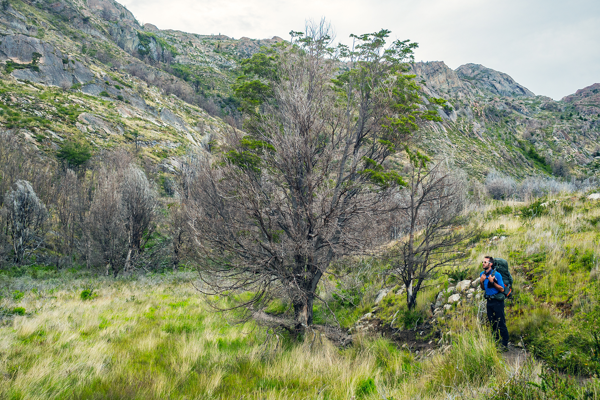
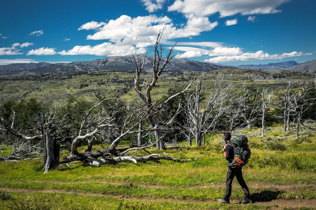
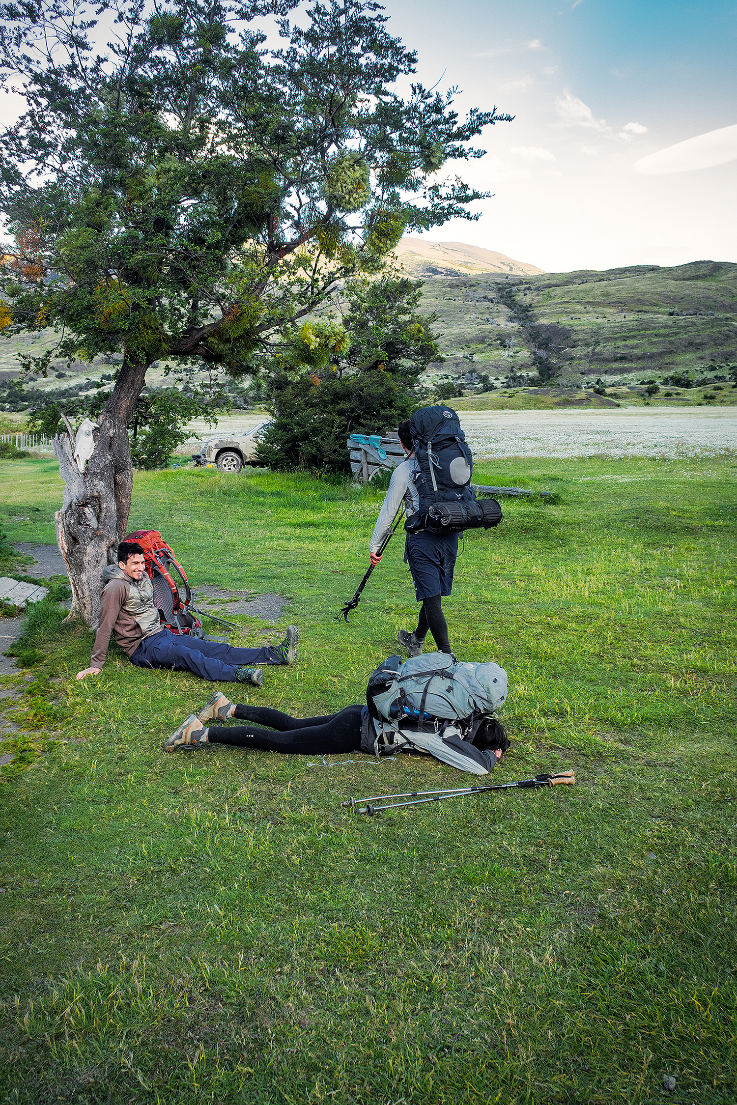
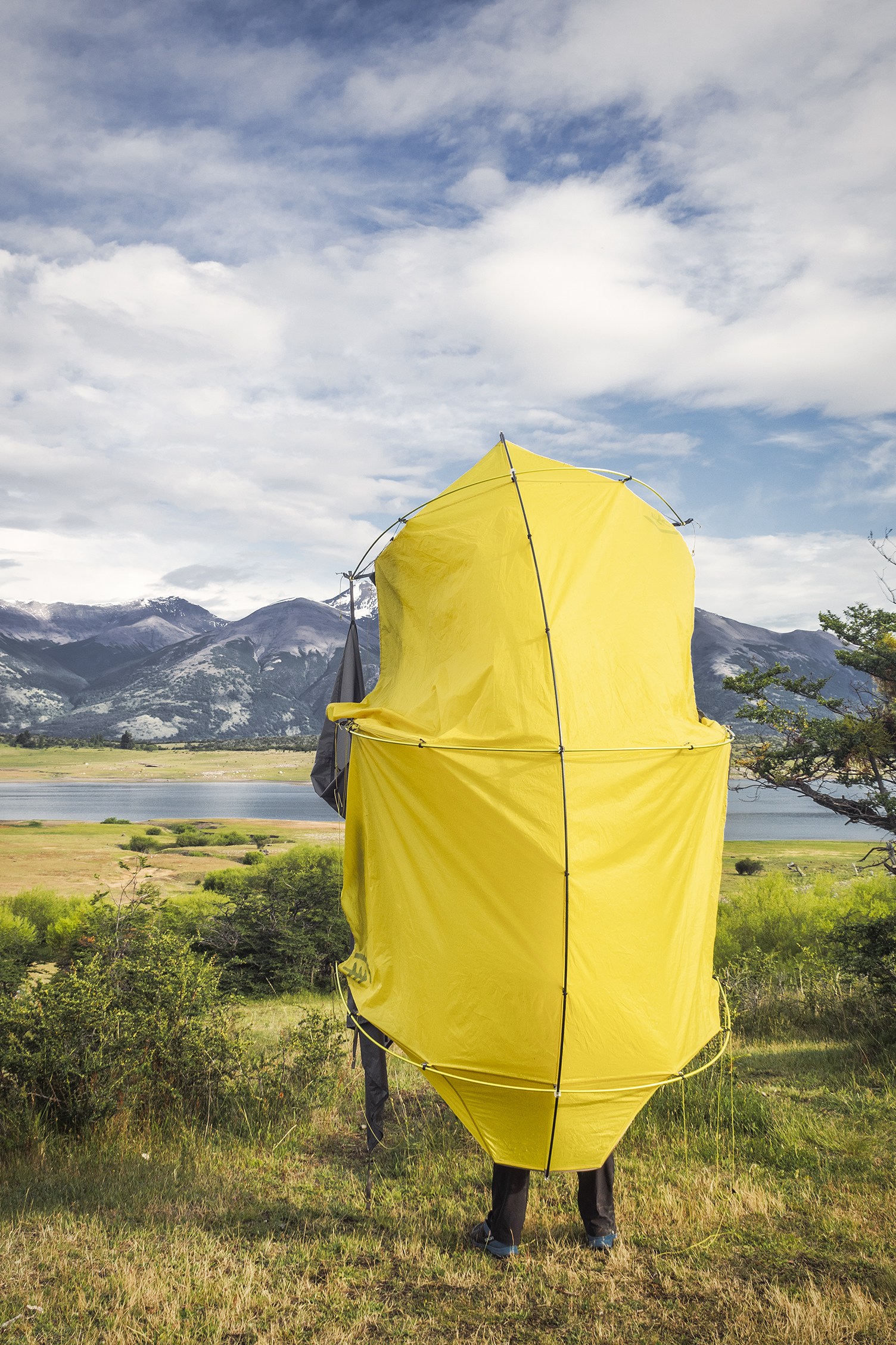
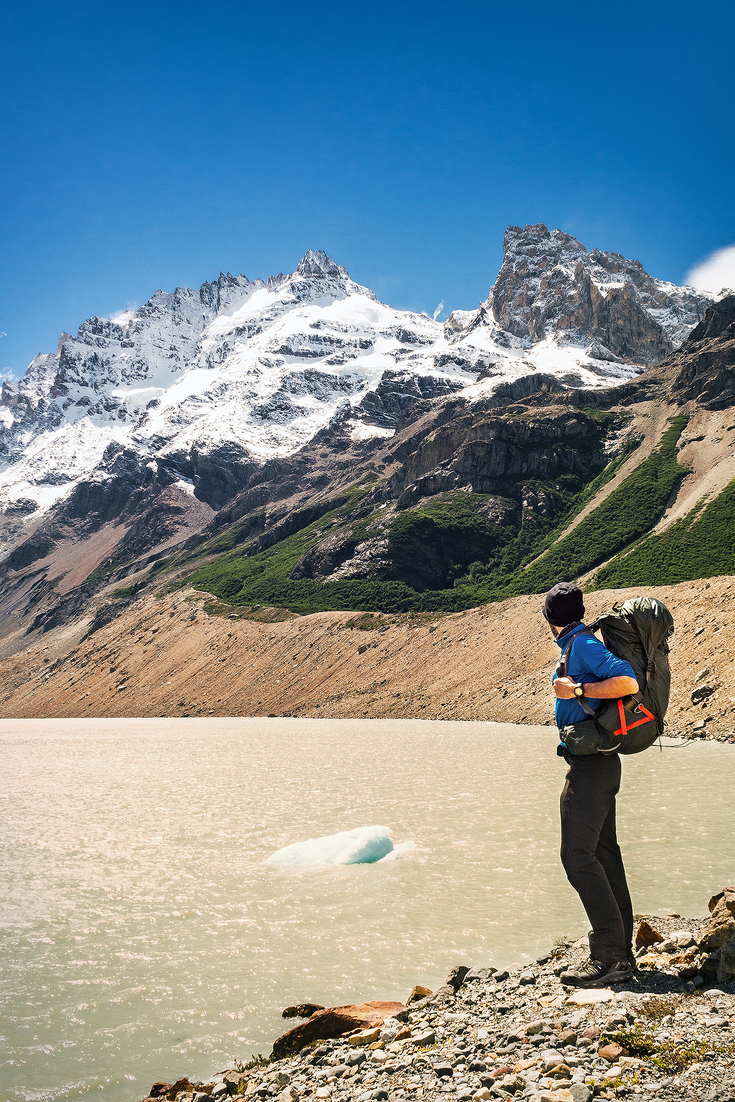
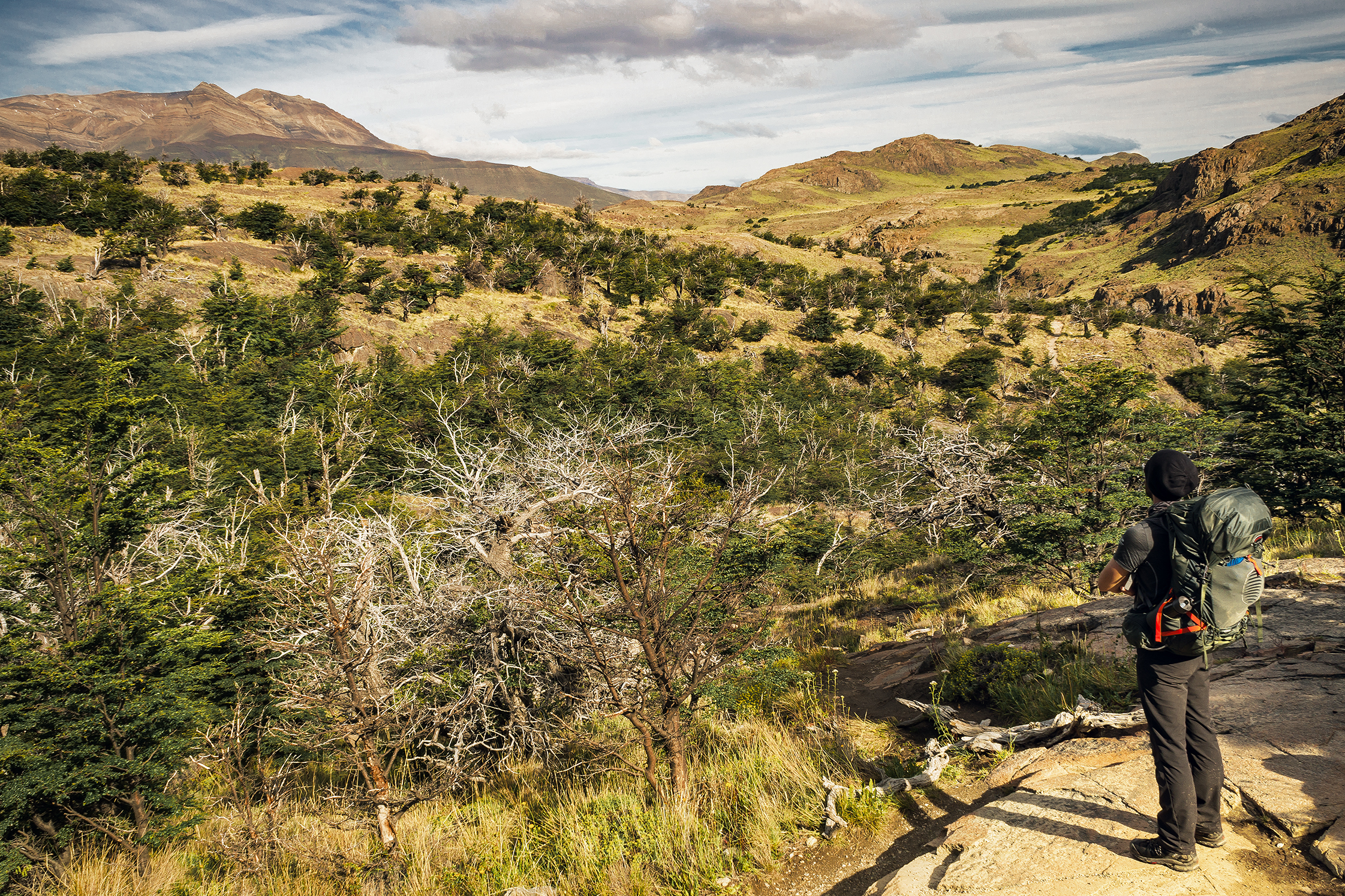
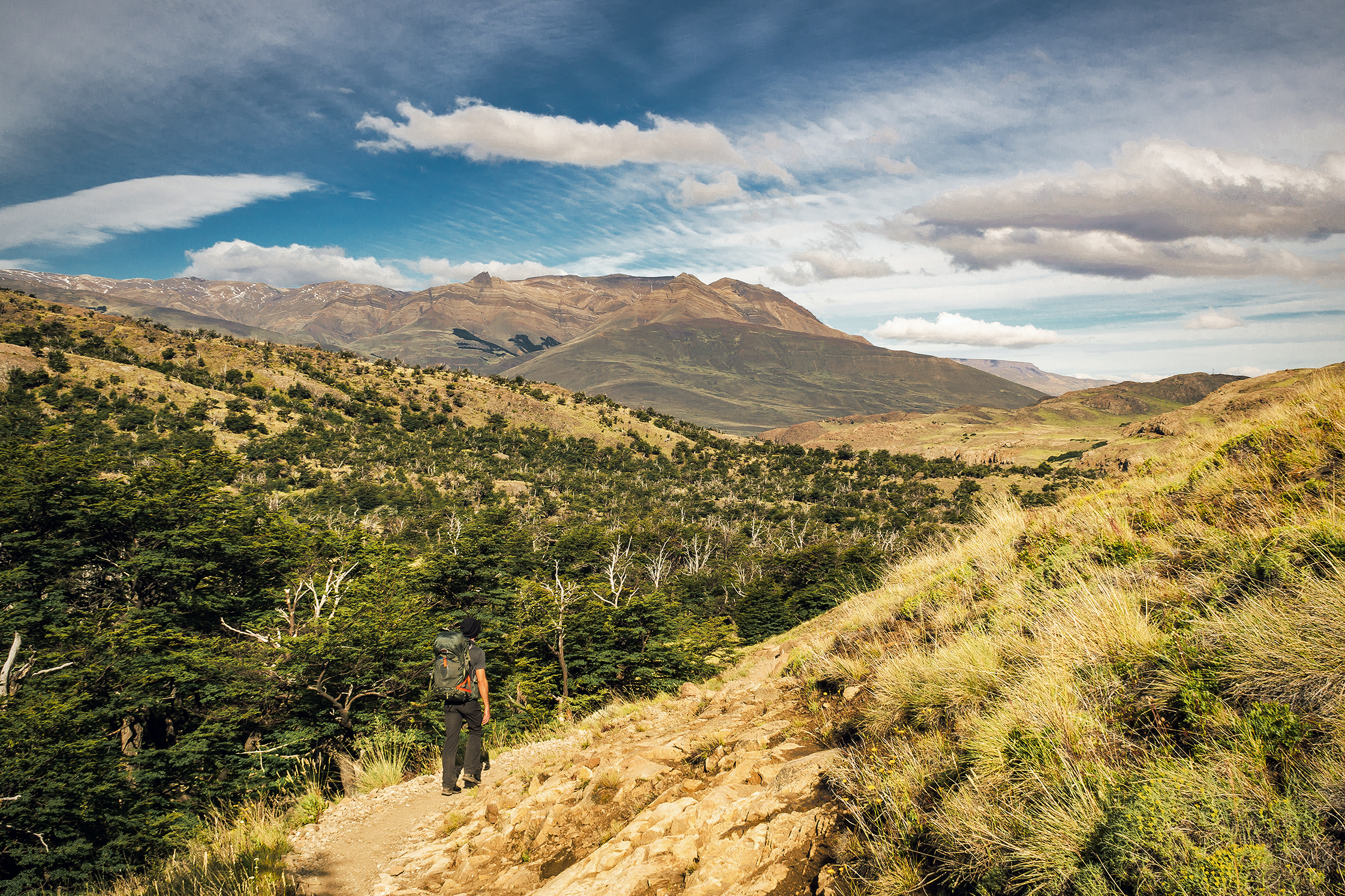
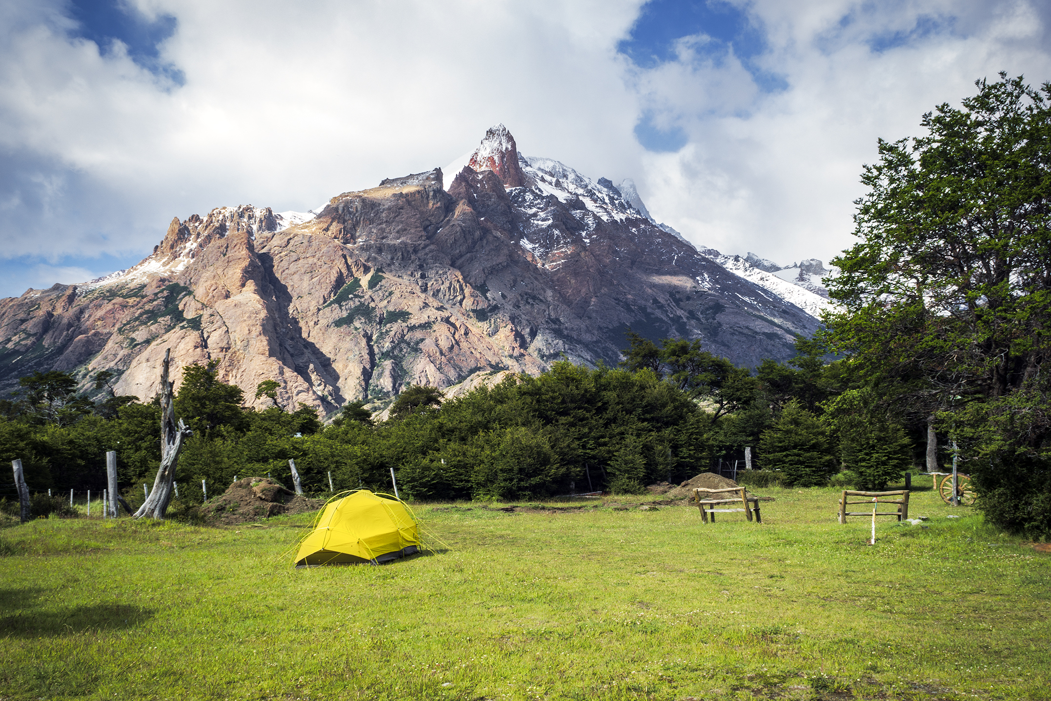
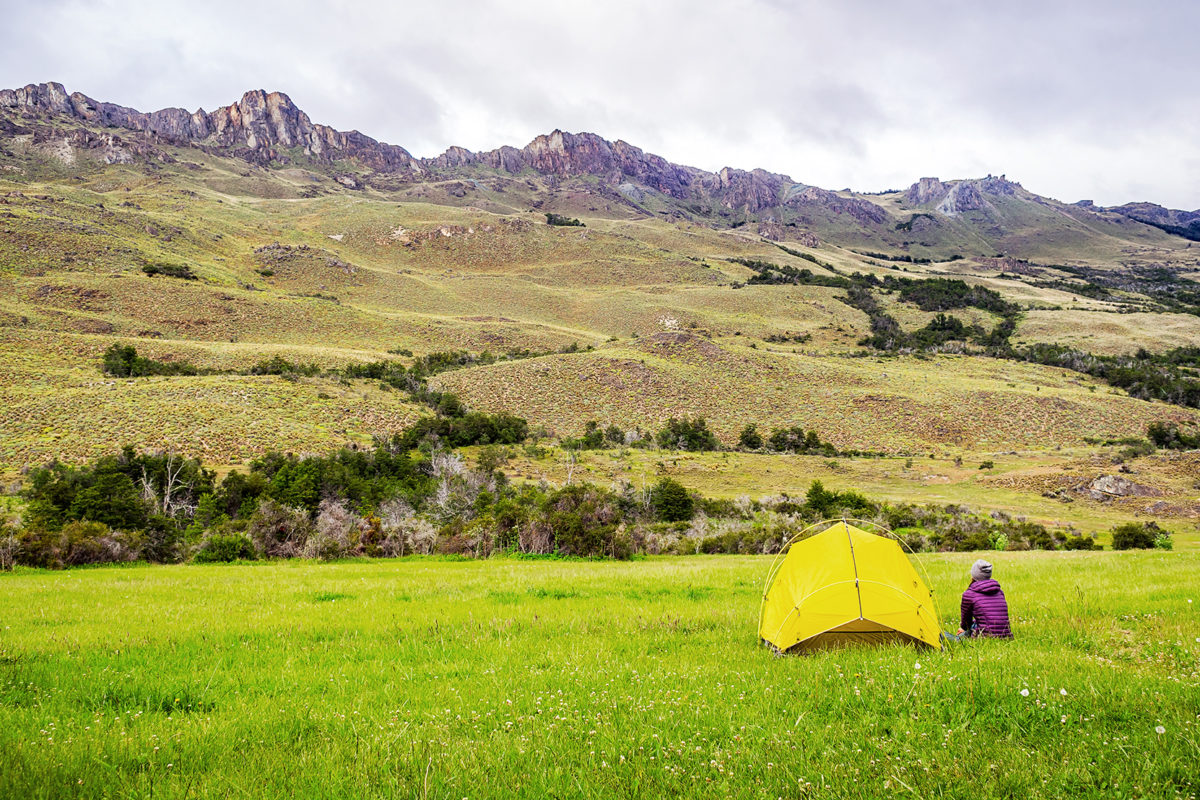
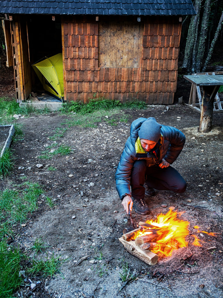
Seeing how the last 6 days of our trip involved us carrying all our belongings on our back, we tried to keep things as light as possible. The Costa Rica retreat in the beginning of our trip did add some weight that we otherwise wouldn’t have bothered with (mainly summer clothes).

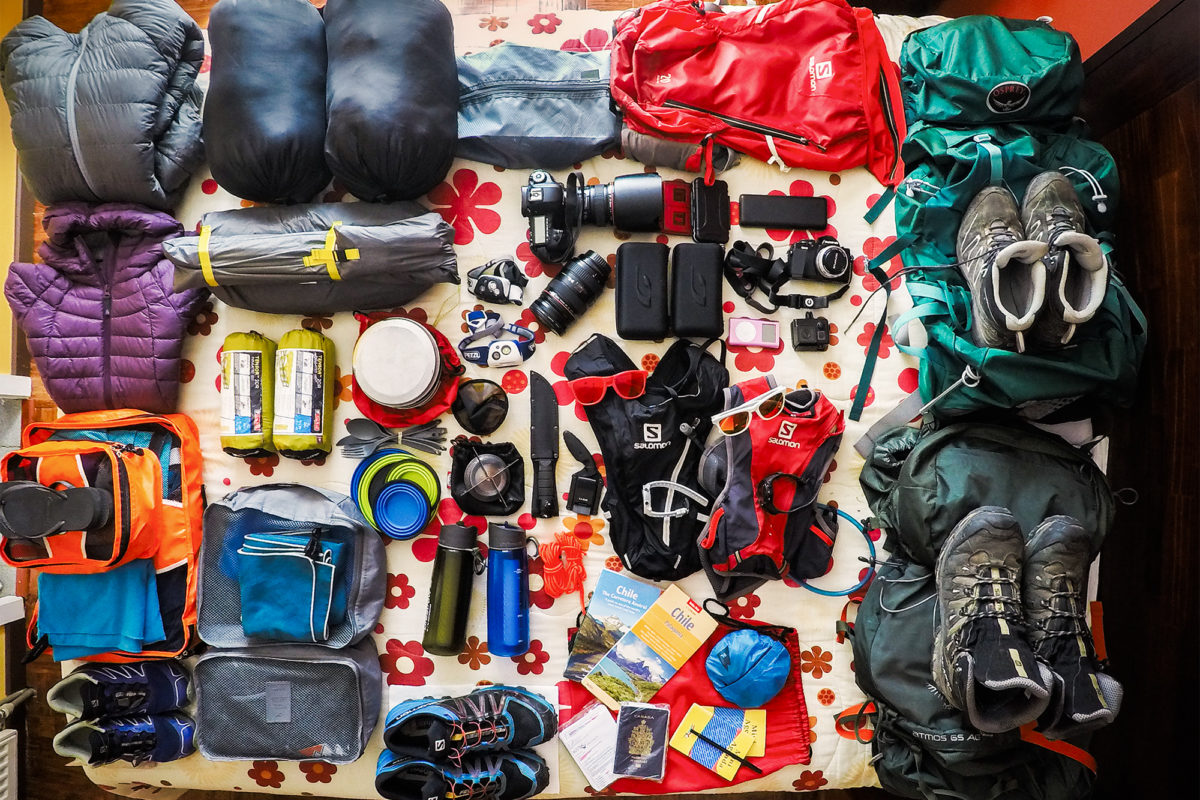
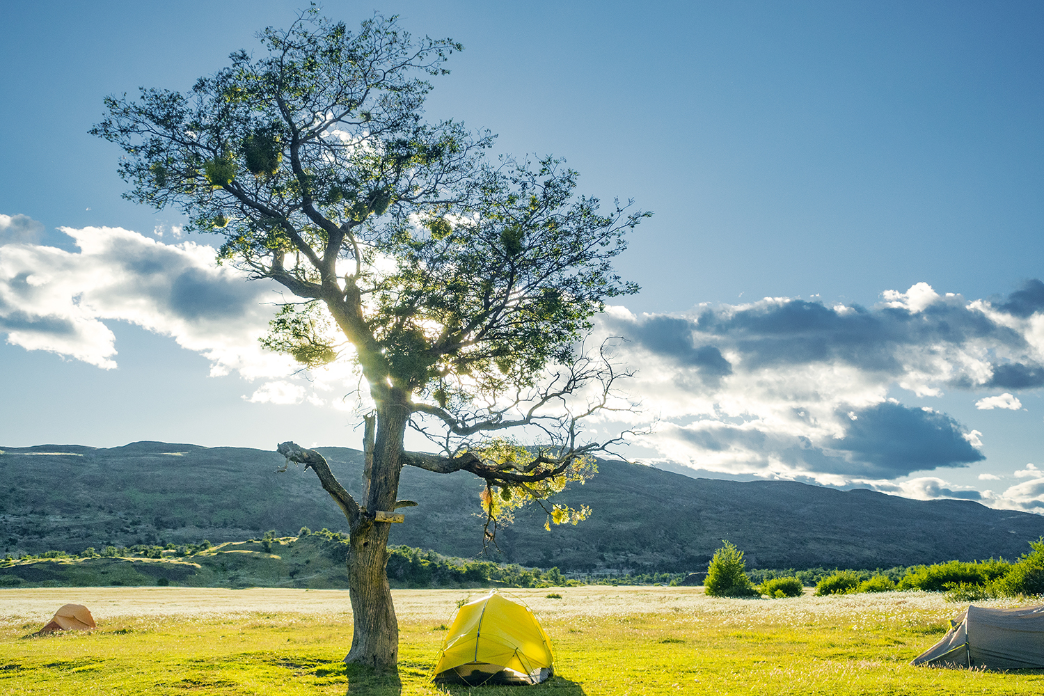
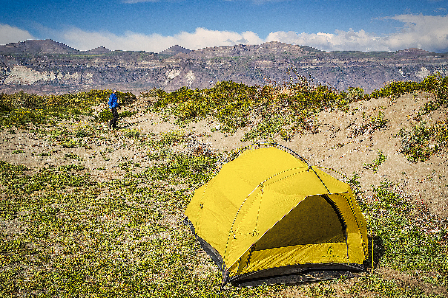
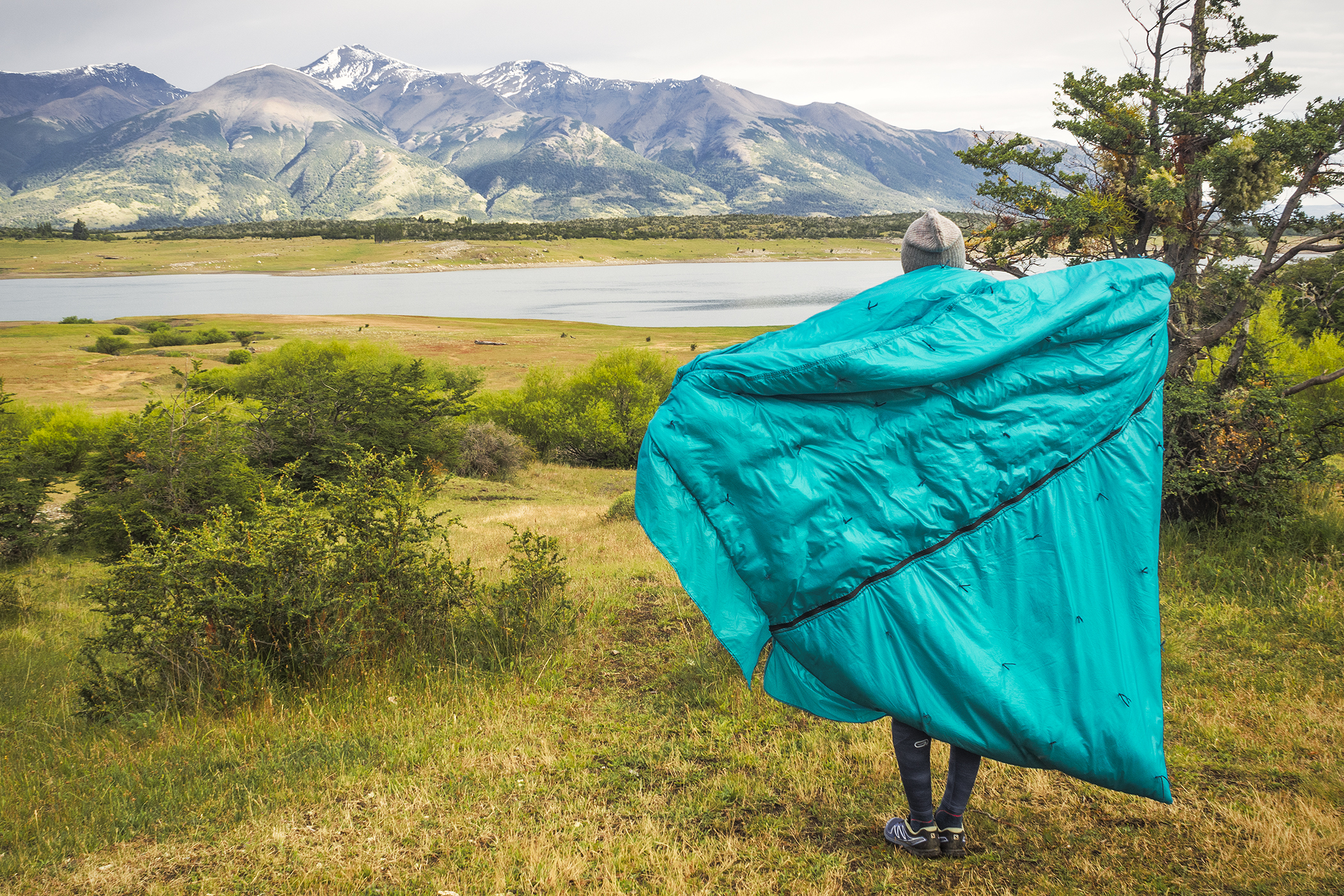
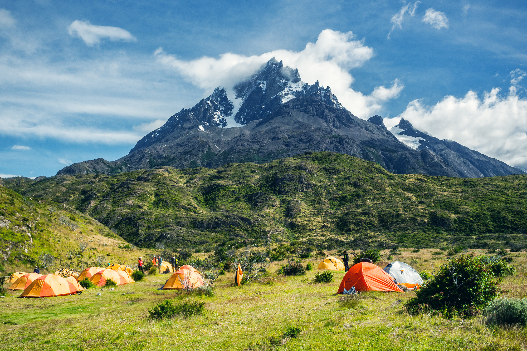
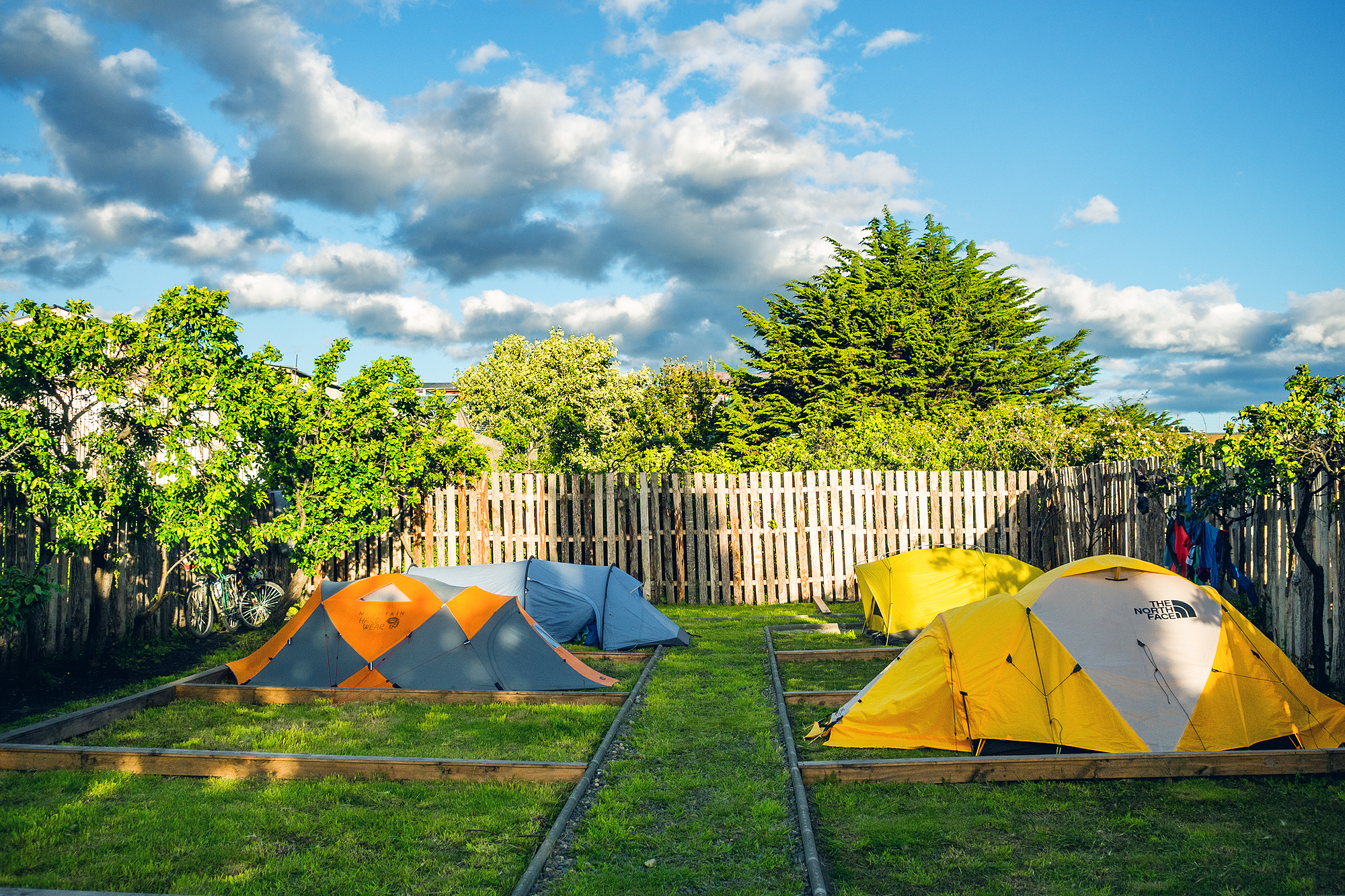
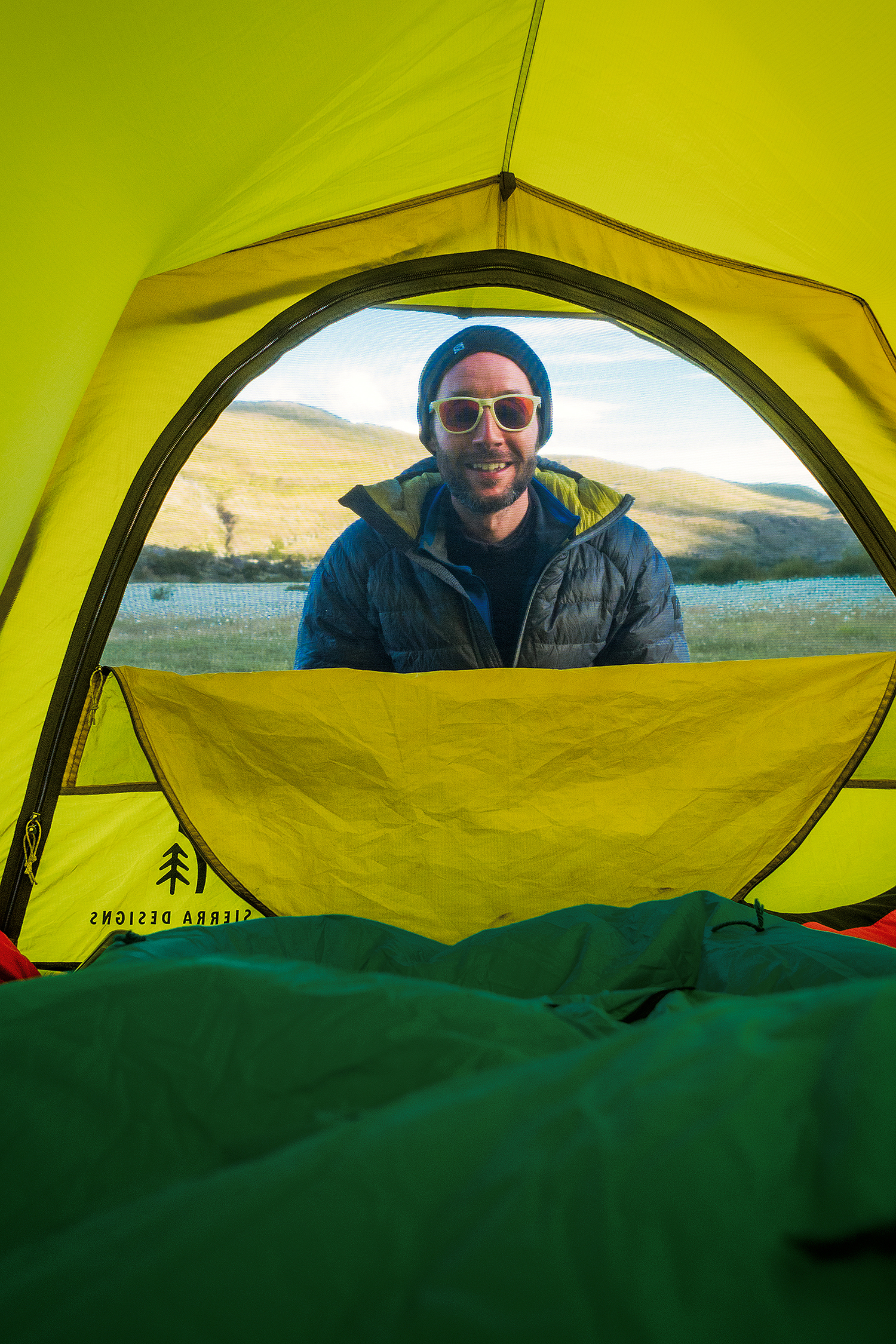
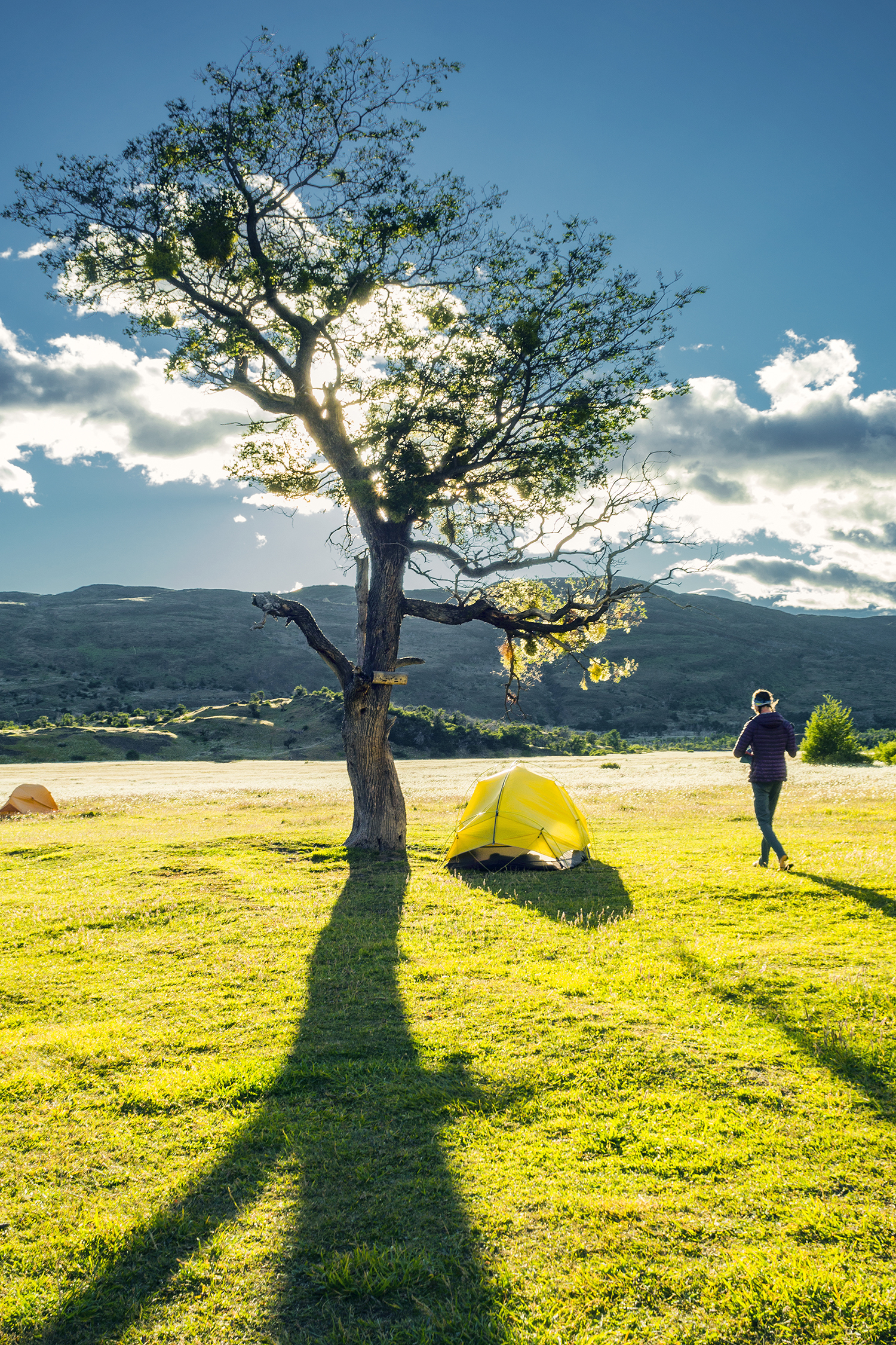
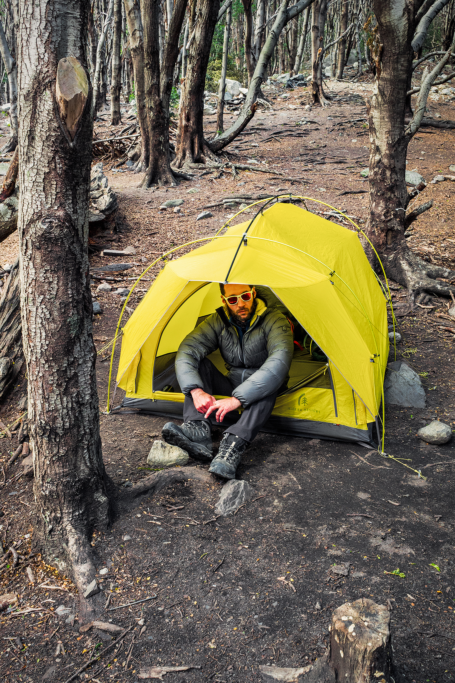
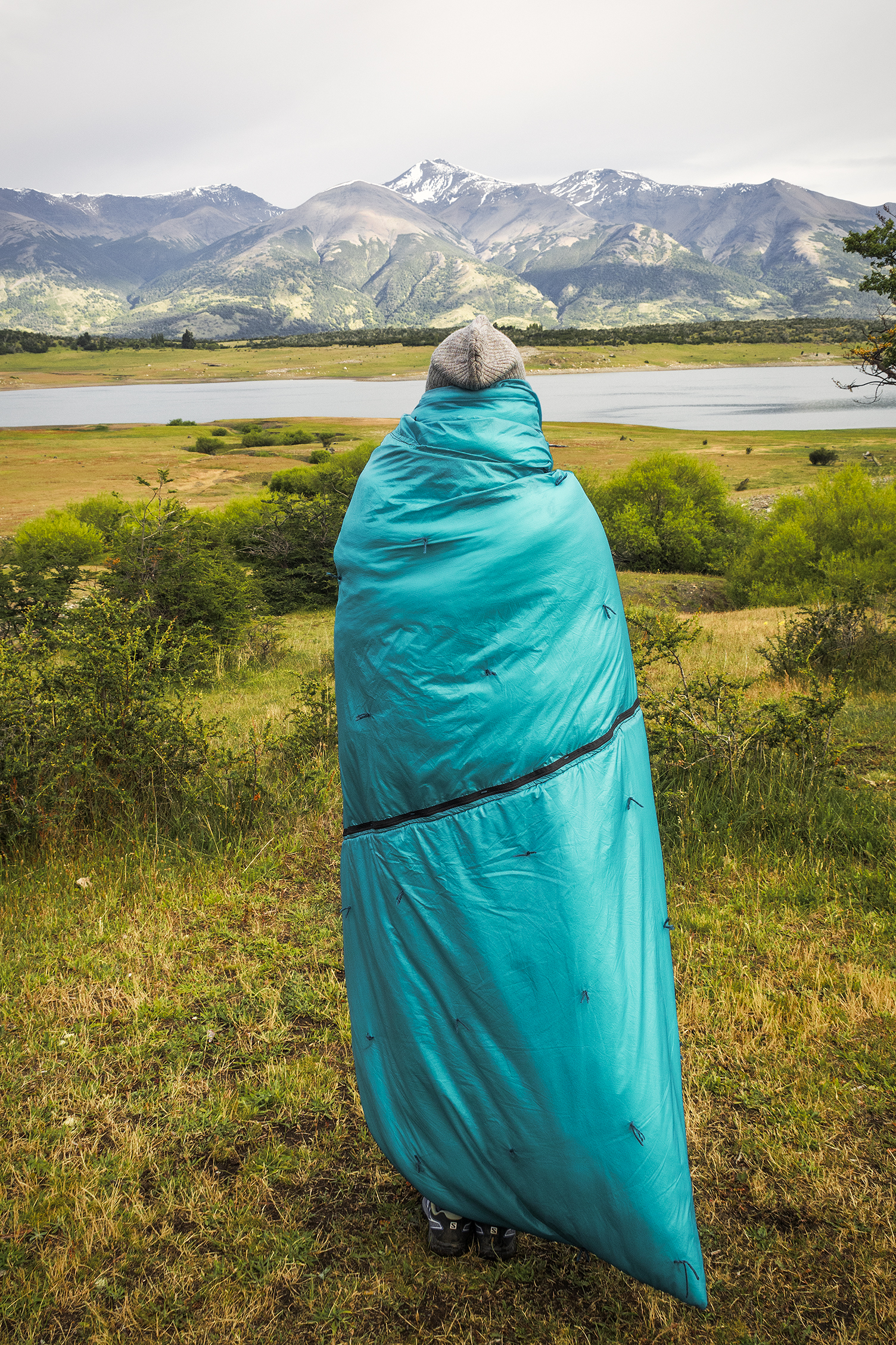
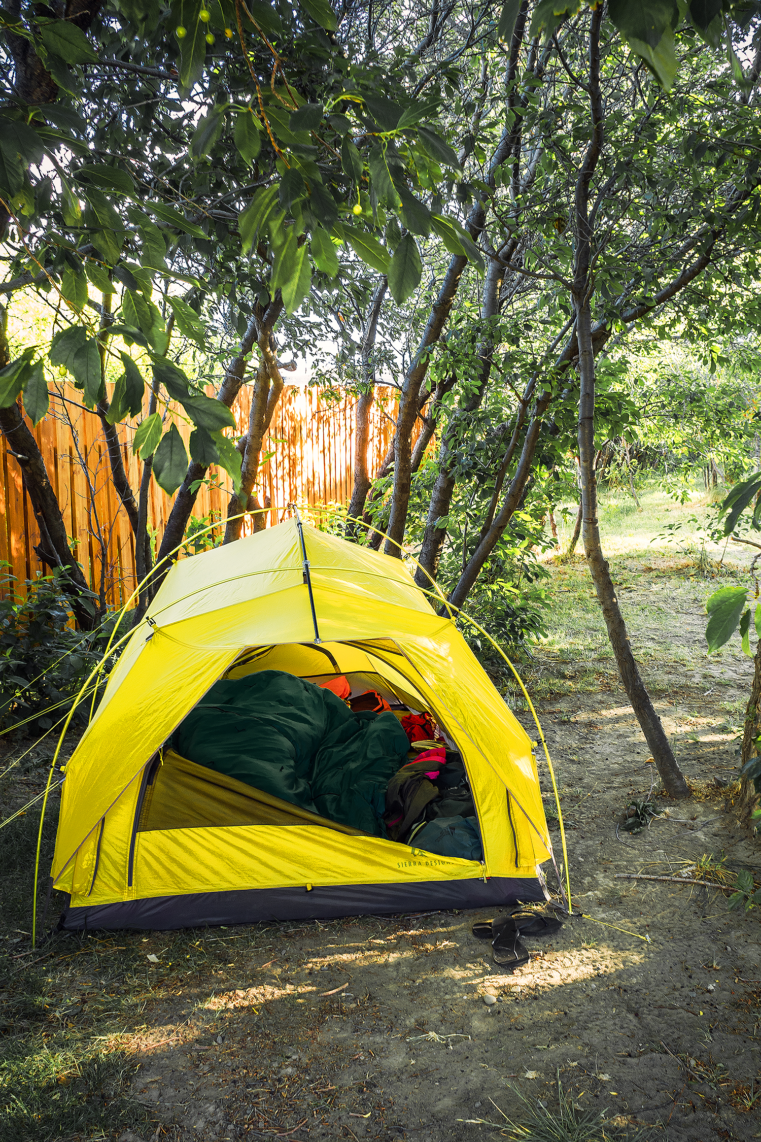
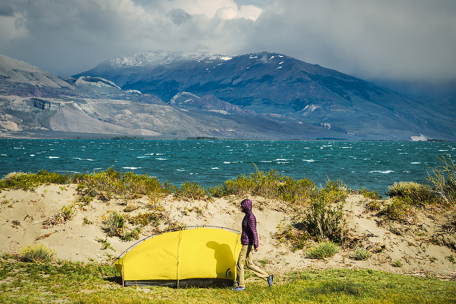
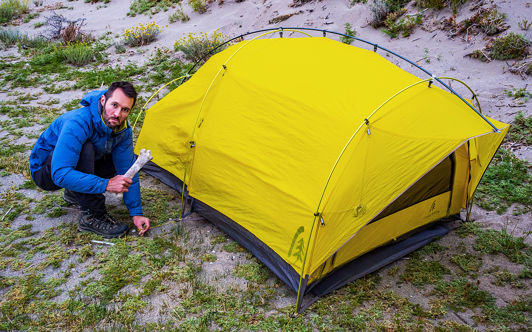
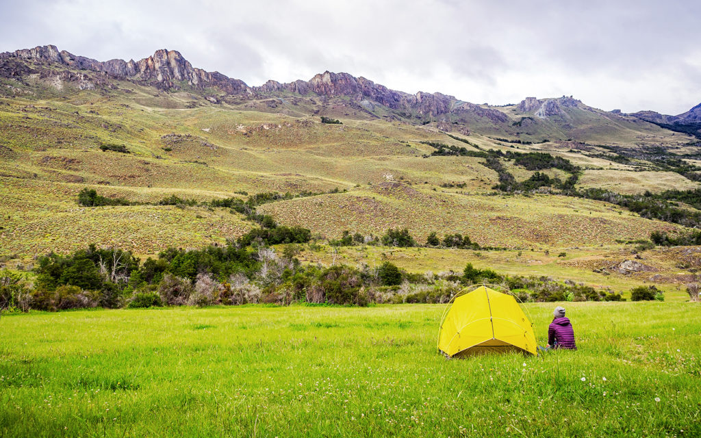
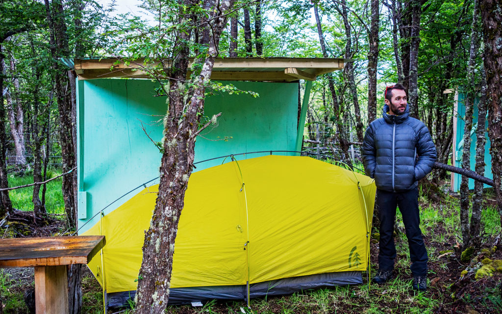
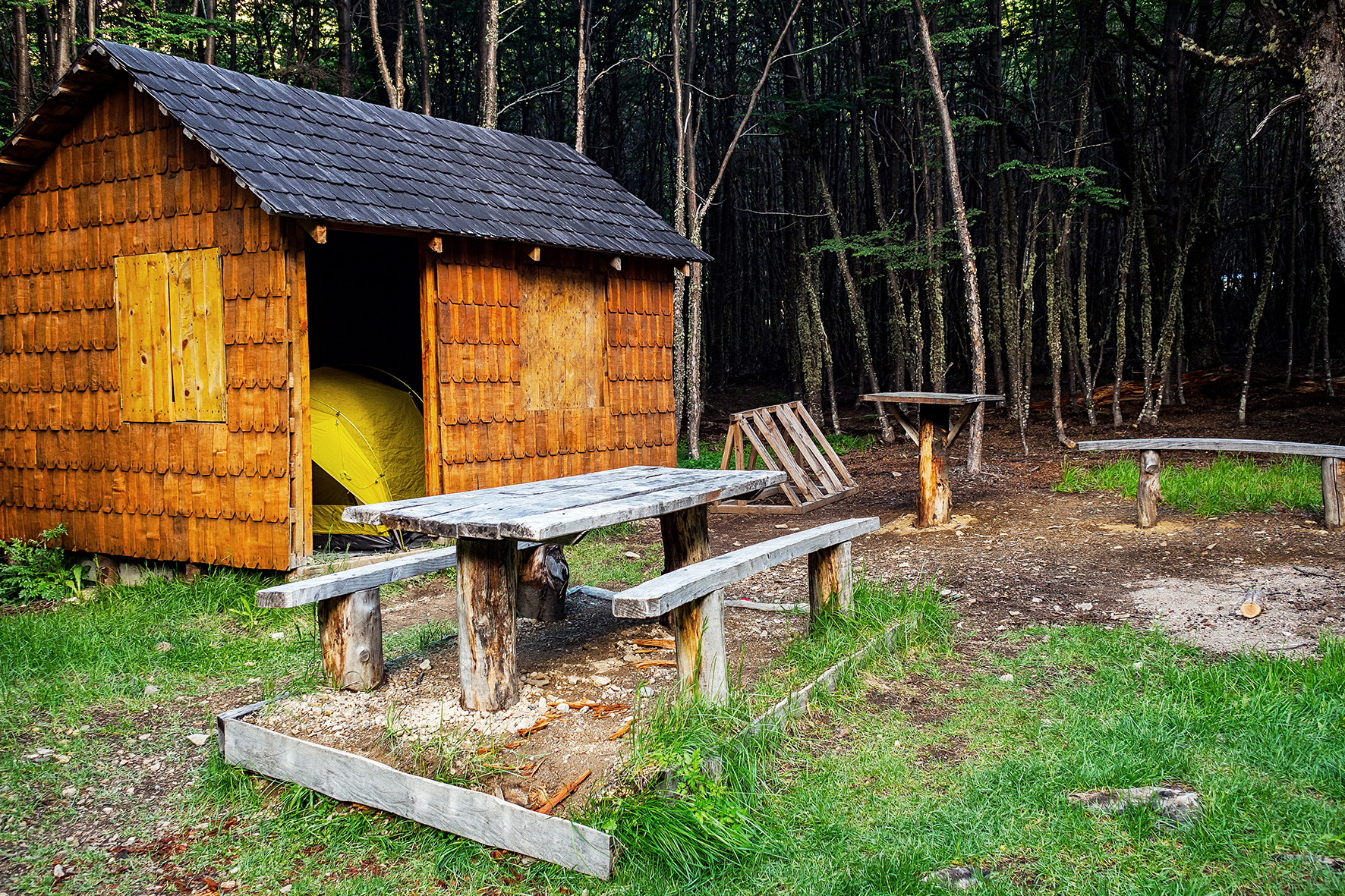
Our sleeping gear was comprised of our awesome Sierra Design Convert 2 tent, our two Nemo Astro insulated sleeping pads, and my DIY Ray-Way sleeping quilt (the making of which you can read all about on my sewing blog).


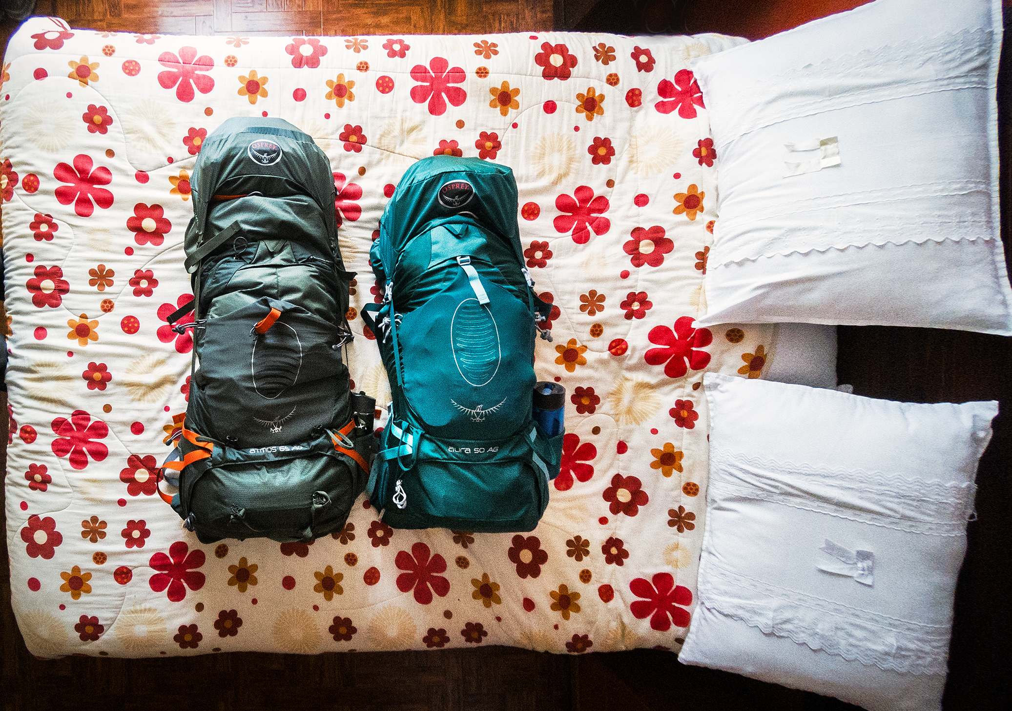
All these pieces worked out great for us throughout the trip. Our backpacks were Ospreys, also a pretty great tried-and-true piece of gear. My only problems with those (and it would probably be true with other brands) is that I have bony hips, and while we were hiking, I wished I had had a bit more padding on the hip belt as overtime I could feel pinching – which was of course accentuated by the weight. I did play around with weight distribution between shoulders and hips, but it never completely solved the problem. I might look into making a couple of little padding pieces to attach to the back of the hip pockets and see if that would make them more comfortable. Any advice from other bony-hipped backpackers are welcome!

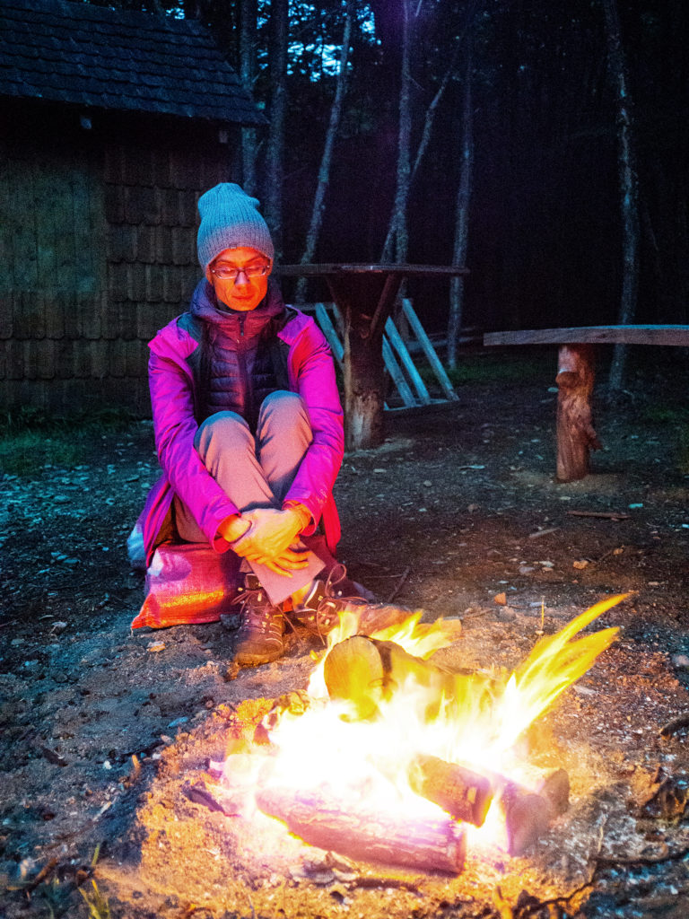
Clothing-wise, I pretty much went with everything merino (except for pants, but including socks and underwear). Merino is awesome as it breathes well, keeps you warm when needed, and more importantly, doesn’t smell – even socks! It’s super easy to wash and quick to dry.

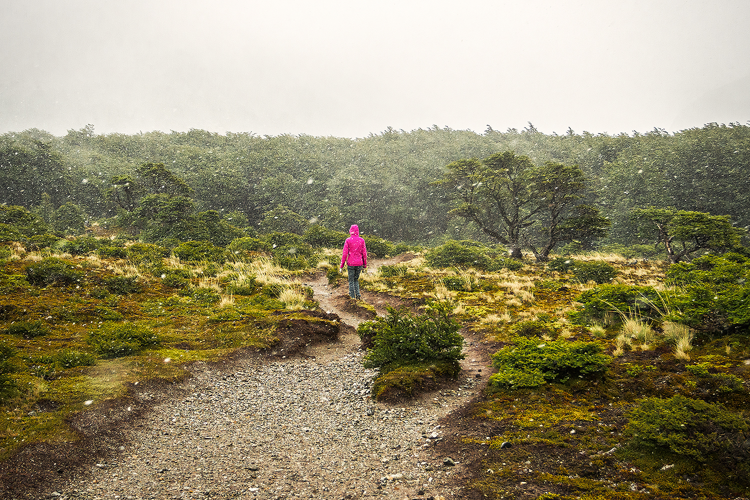
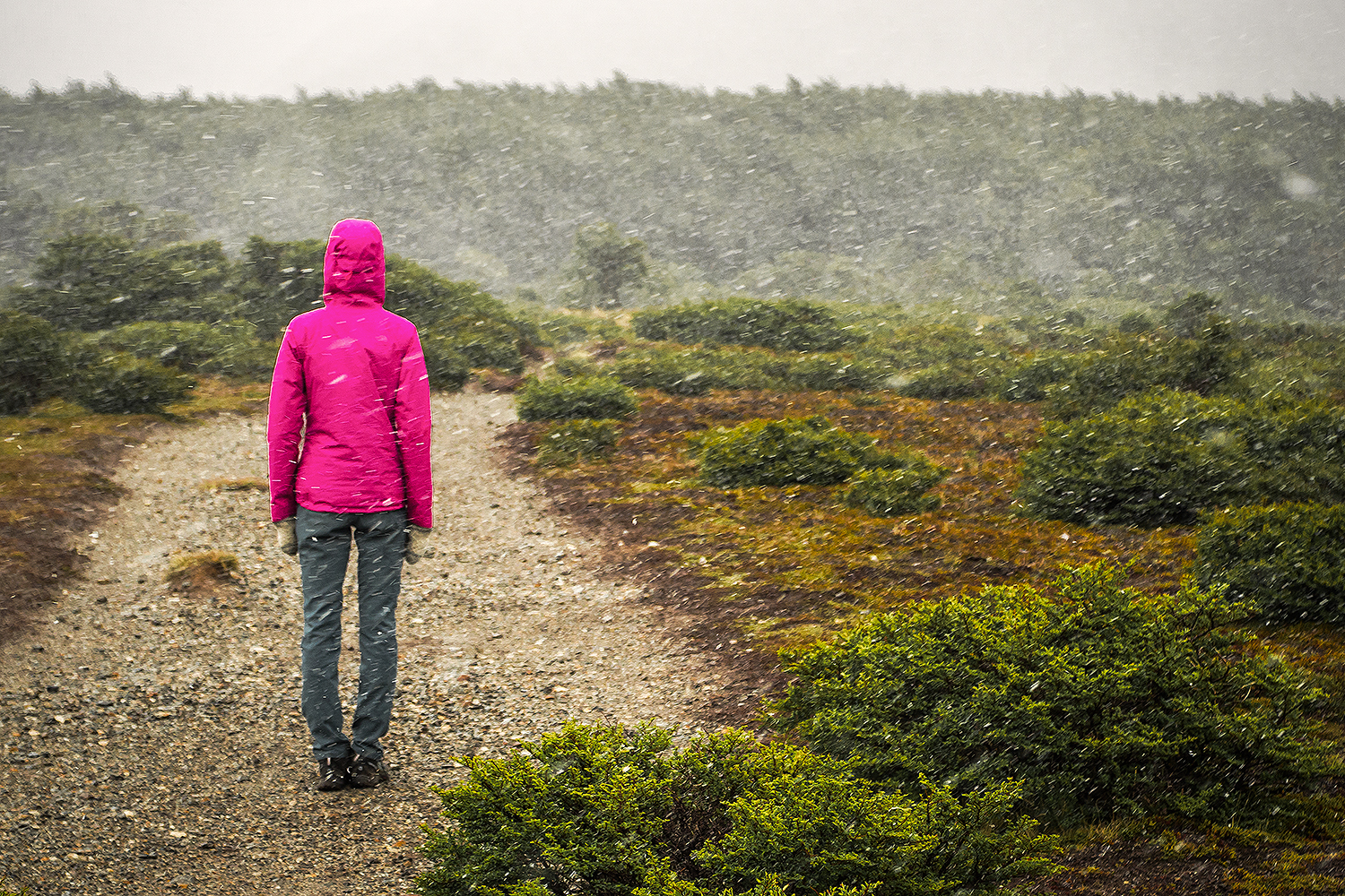
From tank tops to long sleeves, shorts to pants, I basically brought 2 of everything, layered multiple ways depending on weather. Upper layers included a fleece jacket (that I pretty much wore daily in Patagonia), a gore-tex rain shell to stay dry and a down jacket to stay warm. Even though we were in the Southern Hemisphere during summer, the unpredictable, ever changing weather in Patagonia definitely warranted hats and gloves and I also used a running buff – great for light head coverage during the day and sleeping mask at night.

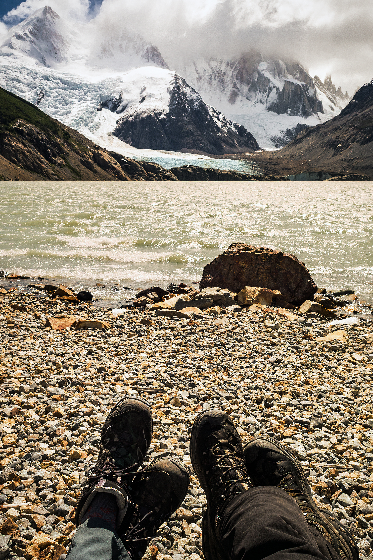
Footwear was comprised of 1 pair of  trail running shoes – mainly used in Costa Rica, 1 pair of hiking shoes and 1 pair of light weight flip flops.

If it wasn’t for Costa Rica, I probably wouldn’t have carried any summer running clothes or hiking shorts. As I mentioned above, the “summer” weather of Patagonia can go from bright warm sunshine to pouring rain and even snow in the span of a day. I wore mainly long pants and sleeves the whole time.

Brice was a bit more conservative than me with his packing (he tends to get much warmer much easier, so layering isn’t really his thing), but his bag included pretty much the same outwear essentials.

We purchased packing cubes to carry our clothes in, and that was probably one of the best investments we made for this trip. It wasn’t much, but having our clothes neatly put away into their own zip-able pouches meant we didn’t have to dig through the backpack to find them, they could be easily shoved in and out amongst the rest of our gear, and they also doubled as pillows.

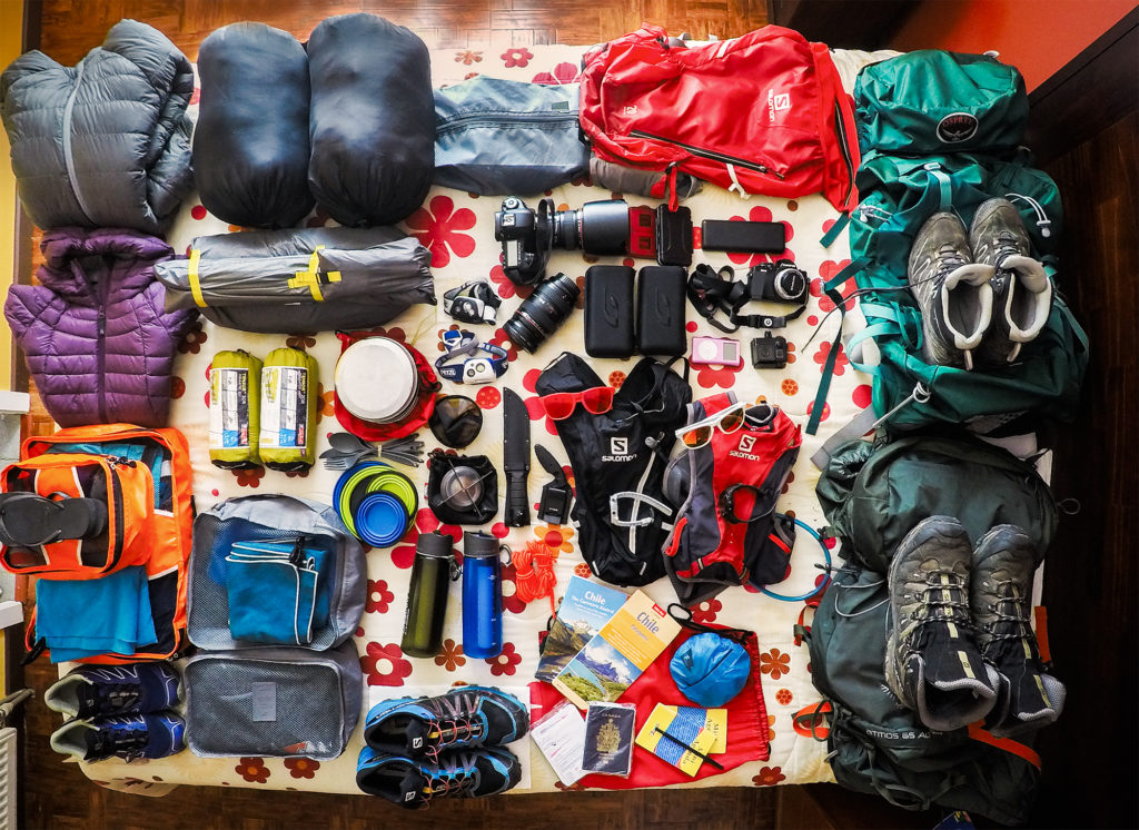
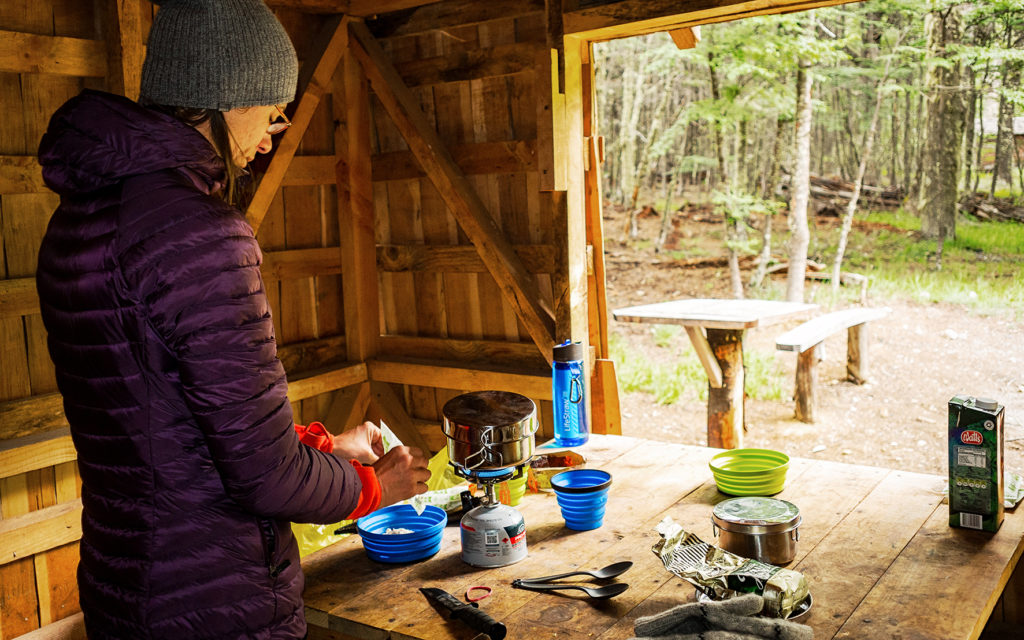
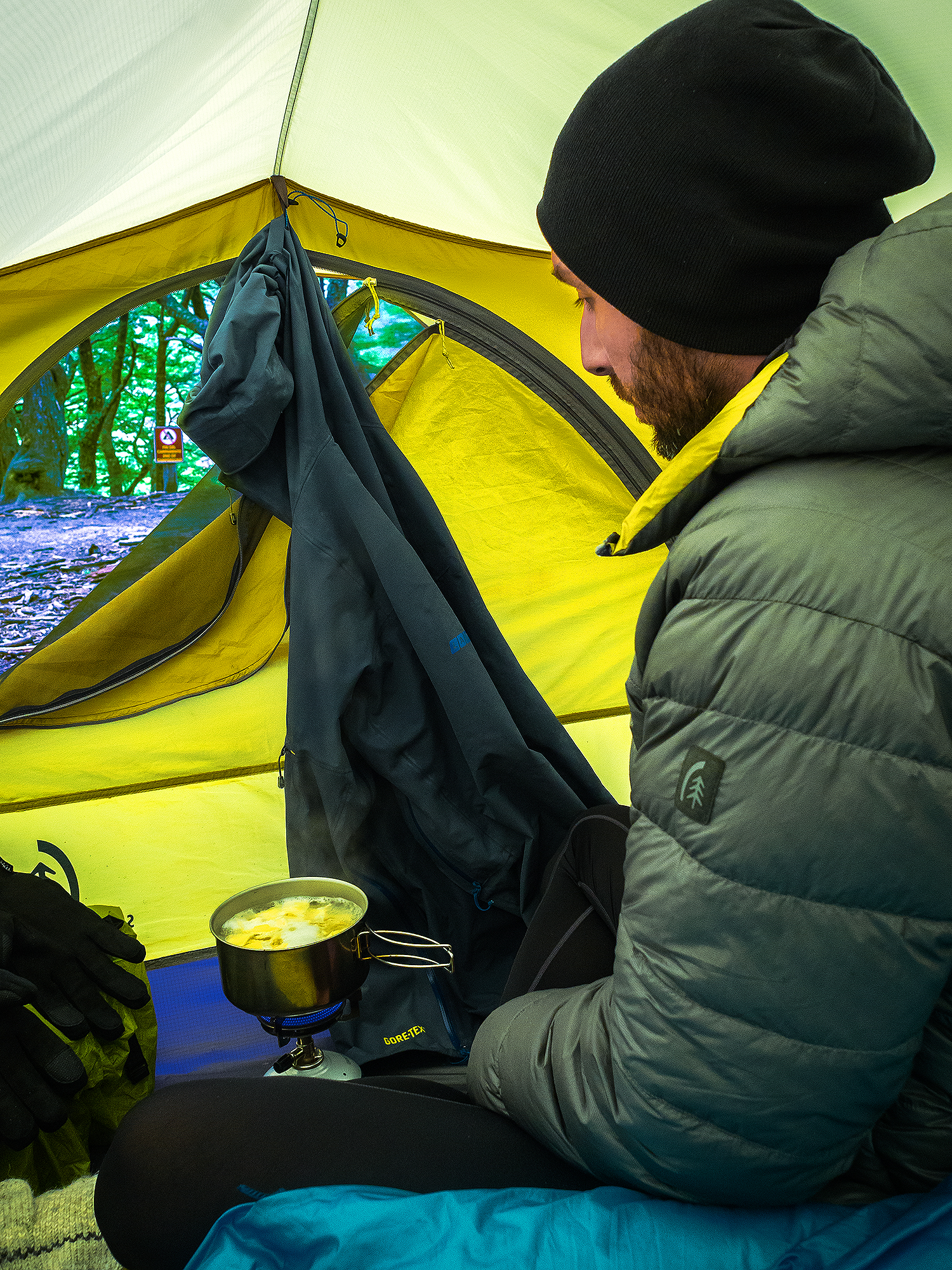
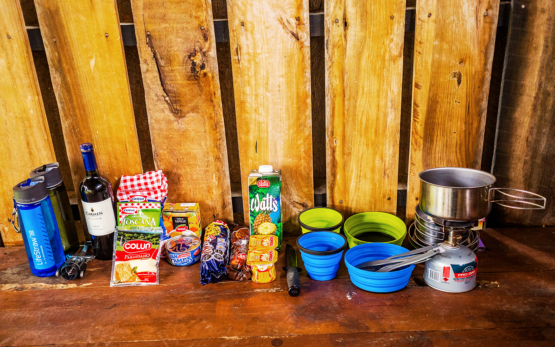
For cooking, we kept things as simple as possible with a simple screw-on stove piece, 2 collapsible plates and cups, plastic utensils and a set of small, lightweight camping pots.
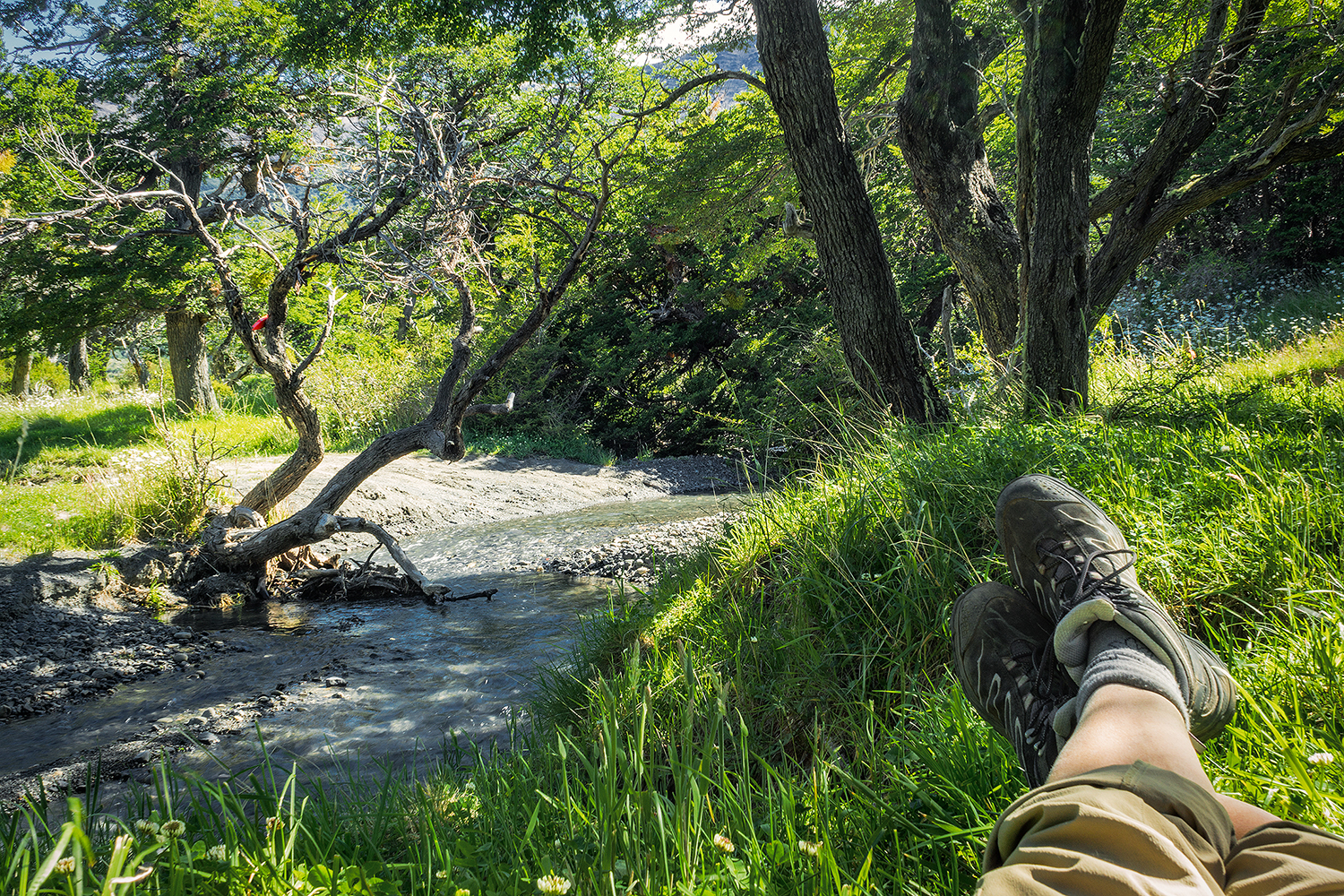
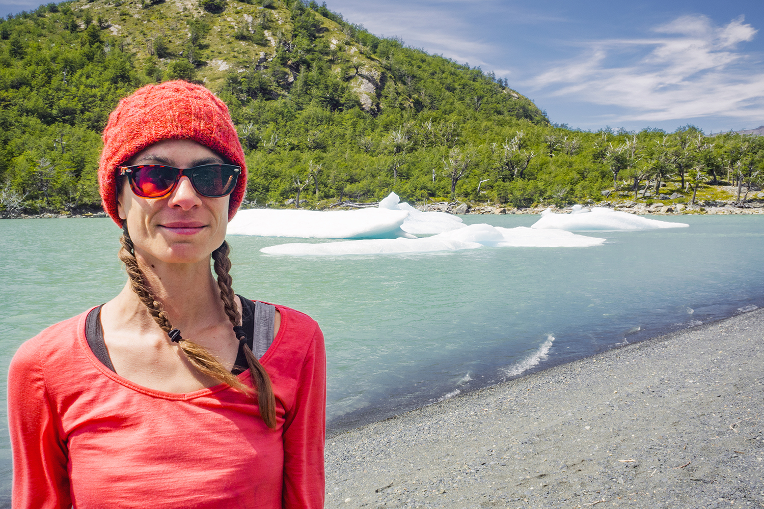
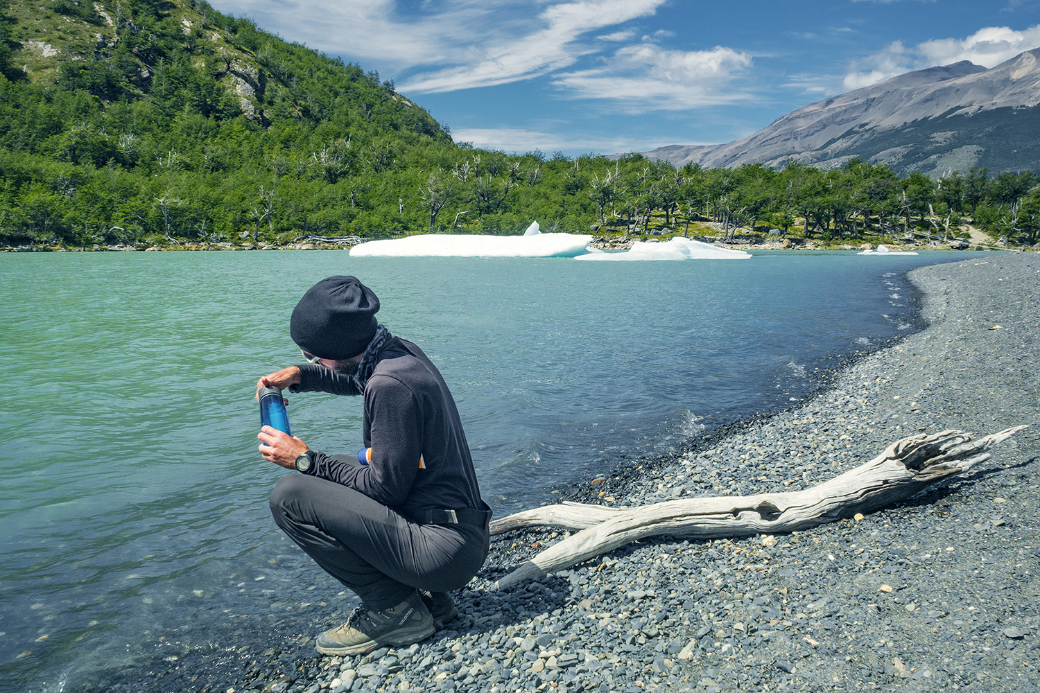
We also each had a “lifestraw go” bottle. These are great as they don’t require any “processing” of the water, you just fill them up and drink. Most water streams in Torres del Paine are potable, but these are just great for any sort of shady water (we used them everyday on our Mexico trip last year, to drink water straight out of the tap). And let’s not forget our tiny coffee filter, which worked great when we wanted some proper ground coffee, rather than the commonly-served instant powdered coffee that is widely distributed down there.

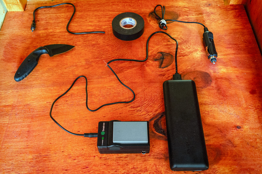
Brice also brought a KA-Bar military grade hunting knife, which served multiple purposes, from chopping wood to slicing saucisson. We brought two head lamps, which we used in Costa Rica but barely ever in Chile, as the days were so long (sun went down after 11pm and was up around 4am).

We also had a couple of extra small bags with us: one lightweight and easily squishable backpack – Brice used it as carry-on for his photo gear on the plane, and it also served as a day pack when hiking on the road. 
I used one of those super simple pouches with cords (specifically, Brice’s Squamish 50 swag/drop bag) as a carry on and when we were just walking around towns. We later used it to put food in in Torres. We also brought one small packable dry bag, because you always need some sort of a dry bag, and it was also used to put food in. It might sound like a lot of extra bags, but we found that keeping things compartmentalized this way made taking things in and out of our Osprey packs fast and easy.

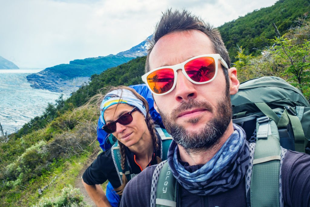
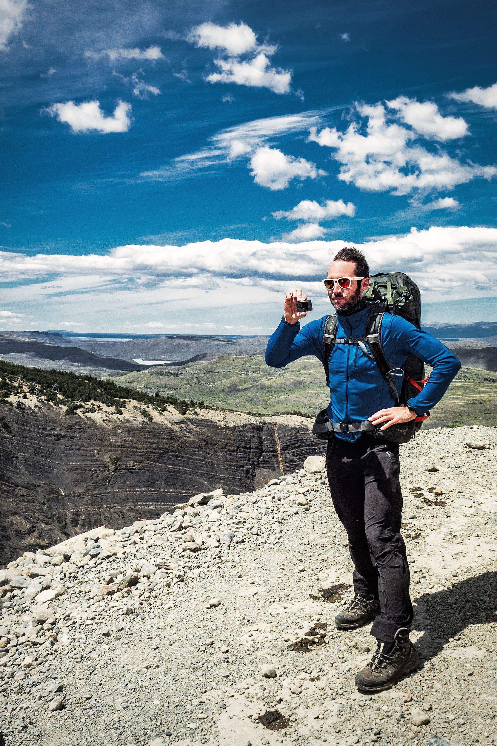
Brice of course brought his photo gear – probably the heaviest part of his pack, which included his Canon 5D mark III camera and 2 lenses (plus 6 batteries and tons of memory cards), along with a go-pro. He also carried a variety of cords and cables to be able to charge and connect all of our devices, as well as a small portable battery pack/charger. We were a bit worried about being able to re-charge my camera’s batteries on the Torres trek, but we actually took a lot less pictures then than we did on the rest of the road trip, and the battery lasted much longer. Just in case though, Brice ended up engineering a cable from two different ones, to be able to connect my battery charger to his portable battery pack via usb.

I brought my small Olympus mirror-less camera, a great size and weight for this kind of trip, with 17mm lens (equivalent to a 34mm in full frame DSLR world). It turned out to be a great little back-up camera, especially when Brice’s DSLR died on day 2 of our road trip. That’s right, every photo taken after that day was shot with my little Olympus camera.


I had my camera on a strap most of the way, which I didn’t love as it tended to dangle around too much. Fortunately, the camera was small enough that I could slip it into one of the stretchy nettings on the side of my pack, and it was easy to take it in and out for photos. I think in the future I would like to try one of those pieces that attaches to your backpack strap, on the front of your shoulder.

So that’s more or less for everything we packed with us for 4 weeks (not including food)! It was pretty cool to see it all laid out on the bed when we did our reset in Puerto Natales, and later see it all packed up into our backpacks. There would be improvements to be made for sure, for weight efficiency, but looking at weight vs variety of situations we needed things for, I think we did ok.

Refuelling

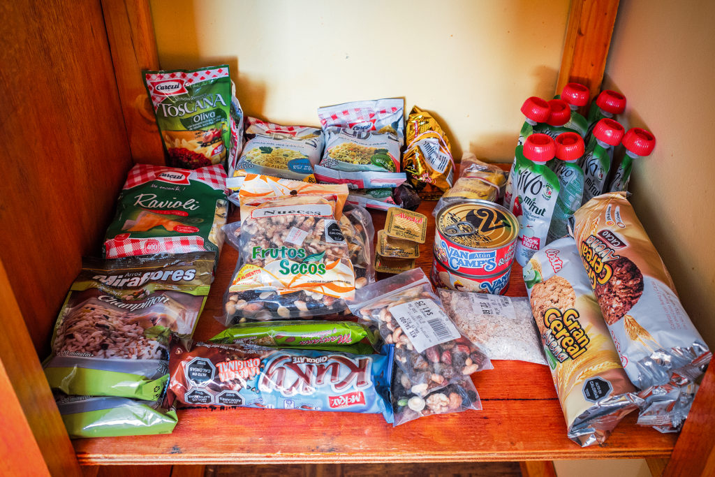
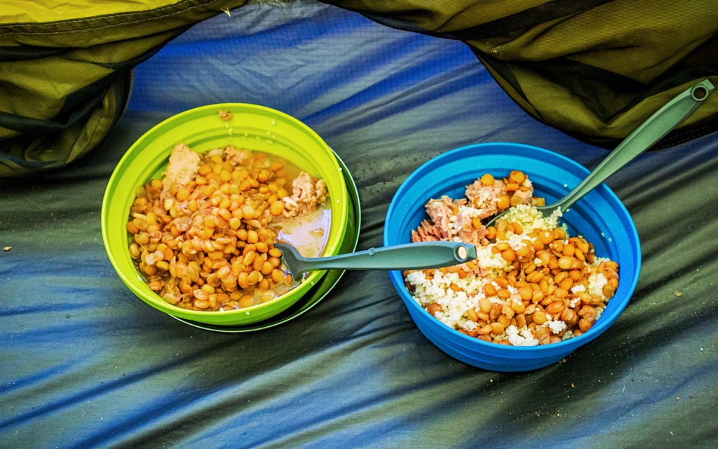
Foodwise, we didn’t have to worry about volume or weight on the road trip portion, so we bought canned fish, pasta and tomato sauce, chips and wine. The Chilean brand “Wasil” had a good selection of beans and vegetables in boxes (like juice boxes) as opposed to cans (lighter to carry and easier to pack away when empty), which we consumed a lot of, along with the single-portion packs of peach or apple sauce. On the trek we resorted to instant noodles and pre-seasoned rice, although the latter took 15-20 minutes to cook which wasn’t very efficient propane-wise. A lot of hikers had de-hydrated meals with them, purchased from more specialized hiking stores, but we couldn’t find any of those in the park.
We also ate a LOT of cookies and nut mix (walnuts especially were a good source of calories).


And pound cake. Pound cake was one of the most readily accessible sweet good in the Torres shops and it became our go-to snack while and after hiking. And there might have been one can of squid and mussels that I ate with great delight on one of our last days in Chile, while Brice looked at me with a half-disgusted, half-amused look. I can’t help it, I just love me some canned seafood…

For the trek, we had bought enough food in town to last us 3 or 4 days, as we knew we would be able to refuel in the park. Prices there were pretty outrageous though (understandably so since everything had to be lugged in and out on the trails). We did a re-supply at the Dickson campground, which had a tiny shop but with a good variety of options, then bought more food at the Grey campground (the last night of our trip), mainly because the day had been a pretty intense one and we just wanted to eat everything we could get our hands on….

On the road we rarely ate at restaurants, only on a few occasion, since we were trying to save on that front. That being said, buying food in Patagonia was NOT cheap, so our groceries were probably more expensive that we would normally pay. 

So there you have it, a little behind the scenes of the planning and logistics that went into this trip. This wasn’t the first month-long trip we took, but it was definitely one that involved a variety of situations, from road trip, to hiking trek to running & yoga retreat.

Speaking of, we have yet to post about the Costa Rica portion of our journey, but guess what, it’s coming up next!


A little recap of the sites we consulted when planning out trip:

Adventure Alan

Lindsay & Tom

Desk to Glory

Our Open Road

Old Saw Story

Websites we used to book things ahead:

Interpatagonia

Turbus

Torres Del Paine

Hornopiren Ferry

And apps used to get around:

Navmii

iOverlander


Patagonia Travel: Trekking in Torres del Paine – Crossing the John Gardner Pass and Making our Way Home

On the 5th day of our trek, our we woke-up to rain – we had been pretty lucky so far with the weather, so it wasn’t surprising that it eventually caught up with us. There was quite a bit of activity in the communal hut, with groups trying to pack their gear away from the rain and preparing themselves for a wet hike. We took our time having breakfast and let the majority of hikers leave ahead of us. There were only 2 more people left in the hut when we finally headed out.


The beginning of the trail what somewhat reminiscent of climbing the Grouse Grind or BCMC in North Vancouver, single track forest trail with roots and rocks and complete with copious amount of mud. The rain had actually almost stopped as soon as we left the camp, so at least we stayed dry.
Eventually we left the tree line and started going up a steep scree. Looking up we could see pretty far to the top of the hill, and I was so glad that we were climbing this on fresh legs and not after 10km, like we would have had to if we had stayed at the Dickson campground.

I actually very much enjoyed the climb. Although we started in the clouds, the sky was slowly clearing up and we could see pretty clearly the mountain range around us as well as below, the valley we had just come from.
We thought that Jen had gotten an early start from Los Perros but turns out she had left after us, and caught up with us on the way to the top, so we finished the climb more or less together.


We had been warned against bad weather and really strong winds when going through the John Gardner pass. If the weather is too bad, rangers will actually close the pass and you’ll have to wait until the next day to cross – there was indeed a ranger stationed on the way to the top who I guess would be there the whole day making sure crossing conditions were good and enforcing a cut off after a certain time of the day. But once again, we lucked-out. As we stepped through the pass, the view on the other side was pretty incredible.

We found ourselves looking down at a sea of clouds, with sun hitting the summits of the mountains marking the edge of the Hielo Sur (the great Southern Ice Shelf), from which Glacier Grey flows down. It was a breath-taking view, of a whole different scale than the iconic “Torres”. And to make it even more exceptional, there wasn’t any wind, not even a breeze. We stayed at the top for a bit, taking in the view and as we did, the clouds below were starting the dissipate, revealing the subtle shades and relief of the glacier.

We then started to descend on the other side. We still had a bit of a ways to go to the Grey campsite, where we were going to spend our last night in the park. After climbing down the scree and moraine, with incredible views of the Glacier all along, we were back in the forest for what turned out to be one of the most challenging sections of the trek, due to the very slippery and muddy trail, and the weight of our bags on a steep downhill. Once again we had planned lunch ahead and cooked noodles at camp that morning to take with us. So when we started to feel low on energy we were able to just stop on the side of the trail and eat.

There was one more campground after the pass and before Gray, Campamento Paso. We didn’t stop there long, as it was already a bit crowded with the hikers from Los Perros who had left before us, and instead just kept moving.  The sign at Paso indicated we had 10km to go to Grey campground, which the map said would take about 5 hours (it seemed a bit much on paper, but it did take us close to 4 hours).


The trail continued to be pretty steep all the way down to Refugio Grey (we were going from 1200 meters to more or less sea level). There were a few cool suspension bridges along the way, and a stream crossing that involved a somewhat sketchy steel ladder anchored to the side of the small canyon. 

Eventually, the ridge trail took us past the edge of the glacier and along the lake. We had left Los Perros around 8:50am and after 17km we reached Grey campsite just before 5pm. Grey is a pretty big campground, as it hosts hikers finishing the full circuit, as well as “W” hikers coming counter-clockwise from Refugio Paine Grande (where we had gotten off the ferry a few days earlier).

After checking in, we waited for the camp store to open and grabbed pretty much every flavor of our now favorite pound cake, as well as additional snacks to replenish our calories.

The campground advertised that showers would be heated between 7pm and 10pm. I was within the first ones in line at 7pm – which might have been a mistake, because the water was not heated yet when my turn came – unless, and I have a feeling that’s the real reason, “heated” meant warmed up from glacier temperature to room temperature…

The next day was our final day in the park. We had 11km to hike to Paine Grande to catch the ferry around 11:30am, and then the bus back to Puerto Natales. This final stretch offered more views of the lake, with the glacier becoming smaller and smaller behind us. 

We had already noticed that signs along the trail were approximate at best when it came to distances, but on that day we came across the most striking example of it. The first sign we reached that morning indicated that we had hiked 6km since Refugio Grey, and had 4 more kilometers to go until Paine Grande. At that point, Brice’s watch actually read 4.8km. 4km later, we reached another sign, which now indicated we had hiked 7.5 km since Grey, and had 3.5 more to go to Paine Grande. Yup, that first sign was pretty much off by about 7km, which is a bit much on a total distance of 11. So bottom line is, signs in Torres are not to be trusted.


We reached Paine Grande, on the shore of Lago Pehoe, at 10:45, with ample time to spare before the ferry arrived.

There is (or there was) an additional section of trail that you can tag onto the the rest of the circuit (which turns it into the “Q” circuit) and continues from Paine Grande to the Administration office. From there you can get on a bus back to Puerto Natales, without having to take the ferry. It seemed like in the past there might have been a campsite halfway along that section, but apparently it was closed between November and March. I had contemplated at some point staying an additional night in the park, and doing the full Q, but since the option of camping on the way to Administration wasn’t available at the time, we decided to stick to our initial plan and return to Puerto Natales that afternoon via the ferry. We did however put our bags down by the ferry dock and with that weight off, literally flew up the hill along that trail to get a higher vantage point on Lago Pehoe and all the Torres behind. The perfect vista to end our 6-day trek.

On the boat ride back, we were able to take in one last time the view of the iconic mountain range, highlighted by the turquoise water of the lake.

Back in Puerto Natales, we headed straight to Yellow Plum, a small campground near the center of town that we had noticed when we came through the first time around. We had been pretty impressed by the smart layout of the place and had decided to try and spend the night there rather than in a hostel, on our way back from Torres. There were 3 other tents in the small camping area. They belonged to an Italian couple, who was biking through Patagonia and had started in Ushuaia, an American who lived and taught English in Brazil and was traveling during the summer school break, and a Chilean family of four. We made each other’s acquaintance around the fire pit and later over diner, that we were able to prepare in the outdoor kitchen. The owner’s family also came for diner and to ring in the new year and at 12am, every one was outside celebrating and hugging each other. I asked Carlos (the owner) what were some of the Chilean traditions on New Year’s eve and he told me that one of them was to take a suitcase or a bag and go around the block, to bring more travel in the new year. That was easy enough for us to do and shortly after 12am, we took a stroll around the block with our (empty) backpacks on.

The next day we left Puerto Natales in the afternoon, and took a bus to Punta Arenas. When we originally booked our flights, Punta Arenas seemed to be the best option near Torres to fly back to Santiago (although it might be possible to fly out of Puerto Natales). When planning the trek in Torres, I had factored in an extra day so that we had a buffer in case we were forced to stay in the park longer, and to avoid the risk of missing our flight back to Santiago (and as a result, Vancouver). Since we didn’t need that extra day in the park, we spent it in Punta Arenas instead. We arrived in the evening on Jan 1st. Our Airbnb host, Miguel, came to pick us up at the airport, and took us on a quick drive around the center of the city. 


The next day our flight wasn’t until 5pm, so we spend part of the day walking around town and along the seaside, before heading to the airport. Punta Arenas is located on the straight of Magellan, which connects the Pacific and Atlantic ocean. It was the southern most place we had ever been. 

The flight from Punta Arenas to Santiago was about 4 hours. Between Santiago and Vancouver, we had a 12hour lay-over in Mexico city – but at that point we didn’t really feel like immersing ourselves in a city of 20 million people. So instead we headed to the Aero Mexico executive lounge, and for about $25 per person, we were able to spend the day enjoying comfortable couches and unlimited food and beverages, until it was time to board our flight…

And then just like that, it was time to go home…

Patagonia Travel: Trekking in Torres del Paine – the backside of the O circuit.

The Torre campsite is only about an hour away from Laguna Torres, so in his itinerary, Adventure Alan suggested to take a second trip up at dawn, in order to get that stunning sunrise view of the peaks. Well, that time of year, dawn was just before 4am. We did set up the alarm, but as it went off in the morning, we also heard the rain pounding on our tent, and decided it was a no-go. We could also hear quite a few campers around us getting up and walking around with their headlamps, ready to head up there. Factoring all of this, it was unlikely we would get a similar experience than the one we had the night before, so we went back to sleep for a couple of hours.

We first had to hike down along the eastern side of the “W” back through Chileno Lodge and down to Las Torres Hotel. At the Lodge, we actually made a quick stop to take advantage of the hot showers – most hikers who had stayed there overnight had already left, so we didn’t have to wait in line.

Then we hiked all the way down to the hotel, and had lunch outside of the eastern most refuge, which was near the trail head for the second half of the trip, the backside of the O circuit.

There were no other check points between the Hotel and the Serón campsite. The trail was different from the previous day, since we were now down closer to sea level. Leaving the mountains behind for a bit, we went through very pastur-esque sceneries, with open fields and flatter, wooded area, some of them still showing the signs of wild fires.

We also got some really stunning views of the valley along Rio Paine. There was a good amount of horses on the trail, which was wider and offered the ability to take horse-back riding tours. The wind hit us pretty hard in some of the more open areas while descending into the valley, and slowed us down a bit. Eventually though it calmed down as we got to fields after fields of wild flowers.

Once we got to the bottom of the valley and under the cover of the trees, we took a break for a snack. We knew we were getting pretty close to the campground at that point, but as I mentioned before, signs in the park were approximate at best, and distances indicated on them rarely accurate for some reason. I thought we only had another kilometer to go but as we kept moving along in those wide open fields, I still couldn’t see a campsite in the distance. We past a row of tree and at that point I was reaching the mental state of “ok we should have arrived by now”. When you get to that point in your mind, it doesn’t matter how much energy you still have in store, you’re just about done. So I was hoping the campsite was just behind the tree line, but then we were on the other side and it was another huge open field with no sight of man-made structures. We kept on walking for another 20 minutes and eventually, after a few more fields and tree lines, we arrived at the camp. I knew part of my feeling tired had a lot to do with having mentally decided a couple of km back that I had enough of walking for the day. I knew that I could have walked a lot longer if needed, but I had hit that mental block. It’s probably one of my biggest barriers when trying to challenge myself, to not go to that mental place of “this is too hard, I can’t”, and even though I did go there briefly that day, I was still mindful of not vocalizing it (meaning, not complaining out-loud like a 5 year old), as that really  would not have been conducive to any sort of positive atmosphere. 😛


So I just let Brice get ahead of me a bit and kept on walking, all the while cursing in my head about stupid walking with stupid heavy backpack and stupid signs that gave the stupid wrong distance and stupid wind…I know, it’s ugly… But I’ve set out to give a pretty accurate account of our trip, the good and the bad, and frankly, it was pretty much good all the time except for that day when I thought I would never stop walking and it was just the worse…
I have to give props to Brice, who on the other hand, is probably one of the strongest person I know when it comes to getting past (and even ignoring) that mental block – not that this was that challenging to him anyways, but having had the opportunity to watch him challenge himself on ultra races in the past year, and always keeping a smile on his face and never complaining, even when it hurt, that was definitely an inspiration I took with me on this trek and tried to channel that positive attitude throughout the journey…Hopefully I did ok – but that’s more for him to say.

So we got to camp and I put my bag down and decided I just needed a minute, so Brice went to check us in and came back carrying a bottle of wine he’d gotten from the small refugio store, which right there made everything better.
The campsite was an open field, much more exposed to the wind than the previous ones we had seen so far, but our tent stood up to the task once again and we slept really well – it was even a bit warmer since we were lower in elevation.

The following day was going to be our longest day in terms of distance, as we had to cover about 30 km from Serón to Los Perros (and I was mentally prepared for it :P). There was another campground on the way, Dickson, that we could have stayed at, but then it would have meant adding 10 more km and an extra 600m of gain on the day we were going over the John Gardner pass, which was the highest point in the whole trek (1200m). So instead we followed Alan’s suggestion and went all the way to Los Perros, the last campground before the pass.

At breakfast, we talked to two hikers who happened to be porters, hired by tourists to carry their backpacks for them. For some reason we hadn’t even imagined that it could be a thing,  not here anyway. But I guess it was, and it left us a bit perplexed about the sort of people who would set out to do a trip like this, but only embrace the enjoyable part and none of the challenges. When you know that you can buy every meal at the campsites, and you can rent all your camping equipment as well, to the point where your tent would be already set up  and waiting for you when you arrive, what is there still left to carry really, other than a few pieces of clothing and a camera….But maybe I’m passing a negative judgment here and there could be very good reasons for this service to exist…

The beginning of the trail took us through more fields of wild flowers, then we hit a pretty steep hill (that the porters at breakfast had warned us about ;P), which took us a good hour to climb, until we started walking along a ridge just above the river.

It was once again beautiful, and another, different view we hadn’t seen yet. After about 9km we arrived at the Coirón Rangers station and stopped for lunch. Since we weren’t allowed to cook in the park (other than in designated area), but most of our food involved some sort of heating, I had thought of pre-cooking some instant noodles in the morning. We drank the broth at breakfast to avoid any leaking in the bag, but then packed our noodles up so we can have them later. Add a can of tuna to this and it was a pretty delicious lunch, which required no additional cooking, therefore good time saving. This proved to be a good method to guarantee a sustainable lunch if we had to stop somewhere along the trail where we couldn’t use our stove.

When we arrived at the check point, the ranger asked us how far we were going that day. We said all the way to Los Perros. He looked at his watch and said “don’t take too much time, you need to get to Dickson by 3pm otherwise they won’t let you continue on”.
Dickson was another 10-11 km away, and it was almost 12:30pm. The map said that it would take about 3hours to get there, and although it had been pretty accurate in the last couple of days, we thought we could probably get there faster. That section of the trek was also the flattest of the whole circuit, which definitely played in hour favor. So at 1:00pm, with our belly full of noodles and our energy restored, we headed out at a pretty steady pace (while still taking a moment to snap a picture here and there). The approach of Dickson was quite stunning, as we walked along a ridge overlooking Dickson lake and the campground, and we could see little pieces of detached ice floating around in it.


We arrived at Dickson at 2:30, only 1h30 after leaving Coirón, on a section that was estimated to be about 3hours. Pretty good!
The rangers there told us that the cut off for leaving from Dickson was 4pm (and not 3pm), so we had plenty of time and decided to take a break and enjoy our surroundings a bit. But first we hit the little shop for additional food, as the stock we had purchased in Puerto Natales were pretty much gone. The shop was small but had quite a bit to chose from, including different kinds of soups and instant noodles. We grabbed a couple packs of cookies and as we were about to pay I also pointed to a “Buddin” (that’s the brand name) pound cake that seemed to be calling out to me. We made a “gouter” of pound cake and coffee and it became our new favorite snack for the rest of the trip (especially after we found out it actually came in different flavors such as chocolate or orange).

We hung out in Dickson a little bit, taking a walk on the lake shore and just enjoying not having a backpack on. But then we still had another 10ish km to go, with 400m of elevation, and our legs weren’t so fresh anymore, so just before 4pm we put the packs back on and continued on.

The next stretch took us into the forest for a fair bit, and eventually up to the base of the Los Perros Glacier. Once again we got a bit confused by the signs indication of kms and what our GPS watches where showing, and after looking around for a campground at the base of the glacier, we found it another 1km further, in the forest.

Los Perros was a bit more crowded than the previous campgrounds, but we did appreciate having a full hut (with four walls and a door) to have diner and breakfast in, rather than a small 3-wall shelter like in previous campgrounds.
At night, we chatted some more with Jen, who had made it to the campground just before us. We were all pretty beat after a long day and went to bed early. The next day would be another exciting one, with the crossing of the infamous John Gardner Pass.

Patagonia Travel: Trekking in Torres del Paine – the W circuit

On the morning of Dec 26, we got on the bus at 7am. From Puerto Natales, it took about 2 hours to get to the park entrance at Laguna Amalga. Everybody had to get out of the bus to go into the ticket office. We filled out a form with our info, and how many days we were going to spend in the park, then paid the entrance fee, and finally we had to watch a short video detailing all the rules and guidelines. Due to the growing popularity of the park, they had to enforce some pretty strict rules about where people can eat and sleep, in order to preserve the land and avoid major damages caused by human impact.

From the entrance, shuttles took people to the hotel on the eastern side of the park, the one closest to the iconic Torres. The rest of us got back on the bus and drove to the second stop, were we would board a ferry to cross Lago Pehoé and reach the western side of the “W” portion of the trek.
The ferry crossing was a pretty interesting experience. The boat was fairly small, and, as people in front of us boarded, we could tell that not everyone that was waiting on the dock would fit. In fact, we had to let the first boat go and wait for it to come back to get the rest of the hikers (which delayed us by over an hour). That’s right, there is only one boat that crosses back and forth. This was pretty telling of the incredibly growing popularity that the park has experienced in the last few years, and how the infrastructure hasn’t quite been upgraded to accommodate it – and nor do they necessarily want to. Once on the boat, all the backpacks were piled up near the front of the cabin. Then one of the crew stood behind a little counter in the back, and people lined up to pay for the crossing – in cash only of course. They only checked if you had paid for your ticket as you exited the ferry. Not the most efficient process, but probably one that worked fine back when boats weren’t filled up to capacity on every crossing. A few people who were going on day trips in the park got quite annoyed by the time they wasted having to wait for the boat to come back, but Brice and I were pretty unfazed by it, having now experienced a number of ways that, from our North American perspective, optimal efficiency was not a major concern in Chile – and it was totally ok.

After driving for days on isolated roads and barely seeing anyone, it was a bit jarring to find ourselves on a boat full of tourists. As soon as we got off the boat, we headed towards the start of the trail and got to walking. It was almost 2pm by then, and we only had about 8 km to cover until our first campground – so a pretty chill day to begin with.

The wind on the shores of the lake was pretty strong though, and together with getting used to hiking with a heavy pack, it made the first few kilometers a bit more challenging that I would have thought. The weather was otherwise on our side, with sunshine for most of the way.

The map we were given upon purchasing our ticket had loads of useful information, including elevation profile (I love looking at that stuff!) and estimated travel times. Hiking without a pack, we probably would have been a bit faster than the times on the map, but with extra weight, those ended up being pretty spot on – and a whole lot more reliable than all the signs put up in the park – but more on that later.

Once we arrived at the campsite, Campo Italiano, we first had to check in with the rangers. They checked that we indeed had a reservation for the campground, then we were able to chose a spot to set up our tent. After that, we left all our gear in the tent, changed from hiking to running shoes and hiked up the Frances Valley trail for a bit. We only went as far as the Frances Look-out (about 2 hours return) but the trail went on much longer for a possible 5 hour return trip from the campground. We had a whole lot more hiking ahead of us in the next few day, and we were in bed by 8pm.

The next day we hiked from Campo Italiano to Campo Torre, about ¾ up Valle Ascencio. The trail offered some beautiful views of the Nordenskjold Lake, then after the short cut to Chileno junction, we started going up the valley, along the ridge of a canyon. We again experienced some pretty insane wind. At the highest point of the ridge, just as it curved around the side of the mountain, the wind was so strong you had to really push through to move forward. Brice got blown 180 degrees on his feet while filming, and I’m pretty sure I swallowed some gravel that was being blown in my face.

We stopped every couple of hours for a quick snack, making sure to consume the proper amount of calories to keep us going. Around 3pm we reached the Chileno lodge and stopped for a longer coffee and cookie break. We also started chatting with Jen, a solo hiker who was doing the full circuit like us, and had arrived on the same day – although we didn’t hike at the same pace, we ended up seeing her quite a bit along the way, as she too was following Adventure Alan’s recommendation. It was nice actually to see a familiar face on a daily basis and be able to share our impressions of the journey with her.

After Chileno, we had another 1.5 hour of climbing before reaching Campo Torre – the sign outside of the lodge said we were 1,2km to the campground, but it ended up being much closer to 3km (that was our first hint that signage in the park was NOT to be trusted).

Once we arrived in Campo Torre, we repeated the previous night’s cycle of putting our tent up, then leaving our gear behind to hike higher up. This time we were hiking to the iconic Torres, the ones that you see in every photo of the park ever posted on social media. The weather had become overcast at that point, so we weren’t sure we were going to see much, but we decided to give it a go anyways. The hike up was pretty steep and we were glad we were able to leave our packs behind. After a section in the trees, the last few hundred meters were up and along a rocky scramble. And finally there we were, inside the postcard. The iconic towers themselves were somewhat obstructed by fog, but the view wasn’t any less impressive, especially with the turquoise blue water underneath. And best of all, we were the only ones there.

Where crowds of hundreds had likely been standing earlier in the day, taking turn to get their Instagram pic on a rock by the water, now there were only us. It was really special, and I’m so glad we went up that evening rather than the next morning, as we would have had a much different experience for sure. It was sprinkling a bit so we found cover against a large rock with a bit of overhang, and just hung out there for a bit, taking in the serenity and quiet of the place.

That view was in a sense – as probably for most of the people who now come this far to see it – the starting point of this whole trip. Images of Torres had started to pop up on my Instagram feed in the last few months and when Brice suggested Patagonia as the destination for our trip, I thought about these images right away. There’s no denying that in that sense, our trip was very much the product of the influence of social media, amongst many other things of course. But I would be lying if I didn’t admit that seeing all these beautiful images of incredible landscapes on Instagram is making me more and more want to go out there and see those landscapes in real life.

And I’m of course not the only one. There have been debates lately about the impact such images have on these places, bringing more and more attention to otherwise hidden gems that were in the past enjoyed by only a few in–the-know. What used to be desolated, wild places up until 5 or 10 years ago are now becoming tourist-central, of similar category as the Louvres or Disneyworld. We’ve experienced this even at home in BC, where crowds are now rushing to places like Joffre Lakes, and in turn posting about it online, perpetuating the cycle. To say that people only go there to get that “I was there” instashot may be a bit of an exaggeration or generalization (or at least I want to believe that it is). But the fact is, putting those places on the map, especially through beautiful photos, might be having an impact, and potentially not a good one on the environment.

But who’s to say that these natural wonders should remain a secret, that the majority of people should not be allowed to know about them or to see them with their own eyes if they want to and have the means? Then again, this is probably a very selfish way to look at it, and a “bigger picture” perspective might be to say that we should be here to serve the Earth and not the other way around, and that leaving those places untouched and their beauty un-tempered with – by not actually visiting them – should maybe be more important than our individual need to have seen and experienced them.
I won’t pretend to know the answer especially since I am no different than the rest of the crowds. The one thing I will say is that thankfully, it seemed that visitors diligently abided by the rules of the park and we never saw one piece of trash on the trail, which was a nice thing to notice.

Rain was picking up so eventually we made our way back to camp. I was glad that we saw this iconic view early on in the trek, as it meant there was more to our trip than just getting that one photo and it wasn’t going to be the grand finale (far from it actually). This way it was merely another perfect moment suspended in time, another gem among the rest of the ones we’d already collected along the way.


Patagonia Road Trip Day 11 & 12: Perito Moreno Glacier and Re-Setting in Puerto Natales

On December 23rd, we headed for El Calafate, and the Perito Moreno glacier. El Calafate was a much bigger town on the shore of Lago Argentino. After the 3-hour drive from El Chaltén, we stopped in town to have sandwiches by the lake, then continued on to the southern portion of Los Glacieres National Park. It was 660 pesos (55 CAD) to enter the park, which seemed a bit much at first but in the end totally worth it to admire the impressive glacier. With a surface of 250 square km and 30km of length, it is the third largest reserve of fresh water in the world.

 
A network of stairs and platforms were built in front of the lake, providing multiple vantage points of the glacier. As it is often the case when staring at an immensely large landscape, it was hard for our brains to grasp the scale of this giant, and realize how far we actually were even though the lowest platform made us feel like we could almost touch it. We were there later in the afternoon, which apparently was good timing as it was the best time of day to witness large shards of ice breaking off the vertical walls and falling into the lake.


The sound it made was incredibly loud, probably amplified by all the crevasses and cavities in the ice and reminding us of the real size of the beast. It’s pretty funny to think that with growing popularity, tourists flood the park every year to take a look at – ultimately – a huge chunk of cracking ice. But what a mesmerizing chunk it was.

We spent a couple of hours marveling at the natural phenomenon. Then we took a quick walk on the shore of the lake further away before leaving the glacier behind us, probably one of the most memorable sight of this trip.

Our favorite app led us to a free campsite on the southern side of the lake with firepit and mountain view. The perfect spot for our last night on the road before we reached Puerto Natales, our base camp before embarking on a 6-day trek around Torres del Paine.

The next morning we had to cross the border again to go back to Chile. The 60km of road prior to the border were some of the roughest we’d driven on, with once again not much to look at. Thankfully we had loaded up the ipod with podcasts, so that kept our minds entertained while driving on these long stretches of road for hours.


The border crossing near Rio Turbio was quite a lot bigger this time, with a good number of people going through. We went through the Argentinian side first, to exit, then drove 3km to the Chilean entry point. We had been warned that you couldn’t bring any food in Chile, but they let us go with what we had left – again it was mainly canned and dry food, no fresh produce, so it looked like it was fine. As we were crossing the border, we noticed we had another flat tire. So we had to pull over a bit further and replace it with the spare once again. We were only 25 km from Puerto Natales so we just kept going on the spare.


We arrived in Puerto Natales around 3pm. The first thing I wanted to do was buy food for the first few days of the trek (we had read that there were small shops in every campground so there was no need to buy for the whole week). Since it was Christmas eve, I thought stores might close earlier than usual, and they would most definitely be closed the next day. So as soon as we arrived we looked for a grocery store. We found one on the main street (Manuel Baquedano) in the center of town. The store was of decent size but not huge and we were able to get everything we needed, including a couple of nice freshly made empanadas for lunch. Turns out there was also a big Unimarc a couple of blocks away, but it’s a good thing we avoided it as apparently, the lines to the cash registers where insane that day. Once we had all our supplies, we started looking for accommodation.
Puerto Natales is the starting point for anyone going to Torres del Paine. As such, it is a pretty big tourist hub, and accommodation is everywhere. We walked around the center of town to check out hostels in the area, but then decided to drive just a few blocks away from the center, where it would be quieter.
There were “Hostal” signs pretty much every block, so we went into a few of them to check them out. Eventually we settled on Hostal Carlitos – the selling point was the big wood burning stove in the main room that gave the place just the amount of cozy we were looking for.
Hostal Carlitos was a family run business. There was a big Christmas tree in the main room, with presents underneath. The girl at front desk told us that the whole family was getting together that night and was having a traditional Christmas eve dinner, and that we were welcome to join. Dinner would be at 12am. Although we were honored that they invited us, the chances of us still being awake at midnight were pretty slim – and sure enough, we were out by 9:30pm.

The next day was December 25th, and everything in town was closed. We took this opportunity to take a “day off” from traveling, and reset. In the morning we took a walk around the town and along the water. We also found out that the bus station was only a few blocks away, so we first headed there to see if we could book our tickets to go to Torres del Paine the next day. At first it looked like everything was closed, but a couple of companies counters were open. We bought our tickets from Buses Fernandez, but there were about 8-10 different companies there offering trips to multiple places, including Ushuaia and Punta Arenas, the city we would be flying out from to return home.


Once we had our tickets, we took a walk around then headed back to the hostal. We were due to return the car that afternoon. Enrique (our car rental guy) had told us to just email him with our location and he would send his friend Raul to get the car. Sure enough, around 4pm Raul showed up and after handing him all the paperwork, we said goodbye to our ride.

Then we just hung out for the rest of the day. With no more car to throw our stuff in, we now had to make sure everything still fit into our backpacks, including food. It was impressive to see the amount of stuff we had, when all laid out on the bed, and that somehow everything fit into those two backpacks. Even though we had done our best to pack light originally, we admittedly had a bit too much for the treck, especially the summer clothes we wore in Costa Rica. We could have maybe looked for a place to store some of it, or even mailed some stuff to Canada, but at that point we figured it would be fine. My pack was about 12kg and Brice’s 18kg – before food. So yes, heavier than it could have been, but in the end we managed.
The hostal had a little kitchen that we could use and a couple of long dining tables, so we had breakfast lunch and dinner there and took the day to rest.

Patagonia Road Trip Day 8 to 10: Trekking in El Chalten

On our first morning waking up in Argentina, our fist goal was to put some gas in the tank. The only issue was that we didn’t have any Argentinian currency with us, so with most gas stations and shops accepting cash only, we had to figure out where to get some. On iOverlander someone had mentioned being able to exchange currency at a hotel. There was a small hotel in Lago Posadas, so I went in and indeed the lady behind the desk traded me USD60 worth of Argentinian pesos, without even any sort of exchange fee – I was pretty glad about it because Brice had already asked the guy at the gas station to start filling up the tank, and he was about to tell him we didn’t have any Argentinian money to pay… (ask for forgiveness, not permission, right?)

We had some pretty big distance to cover that day so we hit the road and didn’t stop very much throughout the day.
We did make one stop stop in Bajo Caracoles and found ourselves glad that we had detoured through Lago Posadas the night before. Bajo was no more than a re-fuelling stop, with one gas station, shop and small restaurant all in one place, and nothing else around it. Starting from there though, we were now on Ruta 40, and a nicely paved portion of it too. Which was a good thing because there really wasn’t much to look at on the way other than the flat endless road.

We drove about 440km that day until we reached Tres Lagos, another oasis in the desert. There was a nice campsite at the edge of town, a large fenced off yard with several “fogón” (fire pits) and enough trees to offer wind protection. Also, hot showers! And all for about 100 pesos (about 9 USD). After getting gas in the morning, and lunch, we were running low on pesos again. We tried to exchange more at the gas station this time but their rate was ridiculous. We went to the one small store in town but they didn’t have much in the way of food we needed, so instead we just got a cheap bottle of wine (which ended up being really cheap and really not good).

The next morning, we packed up camp and since we couldn’t find anything open for breakfast, we decided to drive directly to El Chaltén, the starting point for hikes in the Fitz Roy range.

El Chaltén was a bit bigger than the other towns we had driven through. It was clearly a tourist hub, but thanks to it being shoulder season, it didn’t feel that crowded to us. It felt very much like a ski resort, but people were walking around with hiking boots and big backpacks instead of skis and snowboards.
After stopping at the visitor center to get a map of the surrounding trails, we had lunch at the Waffleria. We then drove around town and must have hit all the grocery stores indicated on the map, in the search for food to take with us on our overnight trek. Eventually, we landed in THE store in town. Now, they understood what doing business in a hiking town was all about. They had a huge selection of snacks and dry goods, as well as everything “travel-sized”. From tooth paste to nuts to those little butter rectangles you get in restaurants, they had it all, in easy and light-to-carry format. They also had…cheese and saucisson (!) and at pretty decent price too, so that definitely needed to come up the mountain with us. We also found some really good bread at a panaderia just down the main street.

There were quite a few gear shops in town as well, so we also bought propane for our stove and a good pair of hiking socks for Brice, who until then had slowly but steadily been making holes in his running socks, one pair at a time since the beginning of the trip.


With our supplies in hand, we drove the car to the Laguna de los Tres trail head, on the northern part of town. The idea was to go up to the Laguna de los Tres sendero, then camp at Campo Poinceneau nearby. The next day we would head over to the other side of the valley and up to Laguna Torre, before heading back to town along the Laguna Torre Sendero, for a total of about 35km.

This was the perfect opportunity to do a test run with our packs and see how we would handle hiking with weight on for a day and a half. Since we still had the car, we were able to leave a lot of stuff in the trunk and only packed what we needed for the night.


The trail to Campo Poinceneau was really nice. It was sunny at first and the beginning of the trail, mainly on a ridge, offered really stunning views as we went up. On the other hand, we could see from the village that clouds were pretty thick higher up, covering up the view of Fitz Roy, and unfortunately it didn’t clear while we were going up. We arrived at Campo Poinceneau in about 2  hours, and after setting up the tent, we thought we might go take a look at the Rio Bianco Glacier, about 4km round trip from camp. But clouds were thicker still and rain started to pour so after 500 meters we retreated to our tent and decided to just hang out for the rest of the evening. The weather didn’t improve and we ended up cooking dinner inside. We had a bit of a break from pouring rain after dinner and got to see a very foggy glimpse of the “Tres” from the banks of the river just outside of the campground tree line.


The tent was definitely put to the test that night as the down-pour continued, accompanied by strong gusts of wind. This time there was no shelter to protect us but we were delighted to see that the tent held up incredibly well, with no moisture sneaking in and firmly held down by all the extra cords that we hadn’t bothered using in previous nights when wind wasn’t an issue.

The next morning it seemed the rain had slowed down so we decided to try and hike the 2km up to Laguna de los Tres. After about 1km we had to cross a river. The river was pretty swollen from the previous night’s rain, and it took us a while to figure out a crossing point. We finally noticed an area were rocks had been placed to help in crossing, but the river was quite big and it didn’t seem possible to cross without getting our feet wet – which in this climate, is usually a bad idea.

We could also see that the peaks were completely engulfed in clouds so instead of wasting time and energy getting wet for a very unlikely chance of getting the iconic view, we decided to pack up camp and head out to the other side of the valley, were sky appeared to be clear and blue. The trail connecting the Sendero de los Tres and the Sendero Cerro Torre was a nice 8km hike going from densely forested to some open areas near a couple of lakes. It didn’t actually take long for us to leave the clouds behind and be in the sun. We barely saw anyone on that trail, except for maybe 3 or 4 people going the opposite way.

Eventually we reached the intersection with the Sendero Cerro Torre, at which point we still had 3,5km to hike up to the Laguna. We were rewarded at the top by bright blue sky and a pretty clear view of the peaks behind the lake, with just the right amount of clouds hanging on to the summits to give them a dramatic effect. We hung out there for a little while, then it was time to hike the 9km back down to town.

All together, this was a 24km day, nothing we hadn’t done before, but this was our first time hiking that distance with packs on our back. It was a good test before our 6-day trek in Torres del Payne, and a great opportunity to identify one of the major keys to a successful day of hiking: nutrition. Taking a page from the long-distance trail running book, we realized pretty quick that having enough snacks and being able to refuel calories on a regular basis would be crucial in maintaining energy (and spirit) throughout long days of backpacking. It seemed pretty obvious of course, since in general, we always do take some food with us, no matter where or how long we go hiking for. But just realizing how much more calories we were using by carrying our packs, and how much food we really needed to avoid energy crashes, was a pretty big part of this overnight trek. We got back to town and I was indeed famished. Having gone through our reserve of nuts and bars, Brice saved the day when he found in one of his pockets a pack of Hammer chocolate and hazelnut energy gel. I’m not a huge fan of gels but I have to say this one was pretty tasty (almost like Nutella), and gave me a boost when I started dragging my feet, about 4k from the end.


Since we had gone down a different trail, we ended up on the other side of town, but got to enjoy some really nice panoramas of El Chaltén. We made our way back to the car then drove to our favorite store to stock up on more goodies for the night, including of course, cheese and saucisson and wine.

We then went on the search for a campground. Once again, we avoided any options directly in town, all of them packed and lacking the privacy we wanted. Instead we turned as always to iOverlander and headed about 15km outside of town to a more isolated and quiet campground, with views of the mountains. The road there turned out to be quite scenic as well, with finally some clearer, albeit backlit views of the elusive Fitz Roy peak…

See more photos of our camping spot by click on the gallery below

Patagonia Road Trip Day 7: Crossing over to Argentina and Ruta 40

On the morning of day 6, we woke up in Valle Chacabuco, to the sight of Guanacos grazing in the field.

When we got back to the car, we realized one of our tires was flat. Ironically, we found out after taking it off that it was caused by a screw, that we probably picked-up in the campground, as we drove on a path that was still under construction. So much for all that rough pot-holed and corrugated Carretera, it was a screw that gave us our first flat tire. In any case, we had to make use of the spare tire, and we also realized we were going to have to drive back about an hour to the town of Cochrane in order to get our tire changed, as it was the closest town to our current location (anything on the Argentinian side was more than 2 hours away).

So we drove back through the park and to the junction of X-83 and the Carretera, and from there headed south to reach Cochrane. Between iOverlander and the guide book, we were able to easily find a place that sold tires. Turns out the place didn’t actually install them, but they gave us direction to another shop that would change the tire for us.

Once that got taken care of, I suggested we found a place to have a proper meal rather than sandwiches. We decided to try the Centro de Comida Lago Brown. Aside from a regular restaurant menu, they offered a lunchtime “Plat du Jour” for 4000 CLP (about 6USD). That’s what we ordered and it turned out to be one of the best meals we’ve had during our trip (aside from all the amazing food prepared for us at Chakra Lodge in Costa Rica). The dish was really simple, mashed potatoes with chicken breast in a buttery herb sauce. But it tasted like our grandmas had made it. The potatoes were super flavorful and the chicken incredibly tender, as it would be after, we assumed, roaming around in one of the local backyards. Somehow the dish had, there again, a taste of childhood…

Since we were in a somewhat bigger town, with potential access to internet, there was one thing I wanted to check before crossing the border. I had read that Canadian residents had to pay a reciprocity fee upon entering Argentina. The fee had to be paid online and the receipt printed to be presented at the border. We hadn’t really worried about it until now, but since we already had to take a detour because of the flat tire, I didn’t want to drive all the way to the border, only to be turned away because of paperwork, and having to drive all the way back to Cochrane again.

So first we walked into a small hotel to see if they would let us use their internet. They say they didn’t have any, but there was an internet café just a couple of blocks away. There were two or three computers available, but the woman at the desk asked if she could be of any help, so we showed her all the paperwork we had for the car, and asked if she knew if we needed anything else. Aside from the reciprocity fee, she said we were missing an international insurance for the vehicle – the one we had was for Chile only. It was actually really easy to purchase, and she was able to get one online for us for about 15,000 CLP – the printing of the paper actually took forever as her computer was old and she wasn’t able to open the pdf file. There was a very frustrating period of about 20 minutes where I watched her try to repeatedly open the file and fail, download the latest version of Adobe Reader and try to install it and fail, then try to open the file again, then try to install reader again…that took place about 4 times until eventually she got on the phone with the insurance company and they emailed her the insurance certificate in some other format that she was able to print for us. Then we paid online for the reciprocity fee (78 USD), printed the receipts and finally were on our way.

We headed back to Chacabuco park and after driving through the reserve on some of the roughest stretch of road we had seen so far, we eventually made it to the Paso Roballos border crossing. We first had to go through the Chilean Exit office. Pretty much in the middle of nowhere, the border office was small, and the border officer welcomed us in by shaking both our hands – quite a different experience from our usual US/Canada crossing. We gave him all our paperwork, including the car’s. After taking a look at it, he pulled out a form, and placed it on top of a piece of carbon paper, with another copy of the form below it (did I mention that this whole country felt like the 80’s?) Then he handed us the stack and asked us to fill out the information. The documents that we had been provided with by our car rental guy worked perfectly, especially the notarized authorization to take the car outside of the country.

After taking care of all the paperwork, we drove about 13km in dry and windy no-man’s land.


Then we arrived at the Argentinian border. We thought the office on the Chilean side was small, but that was before we saw this one.
We entered a small wooden building and then it wasn’t even the 80’s anymore, it was the 50’s. The friendly border officer was wearing a military green uniform made of thick canvas fabric. A wooden chest of drawers in the back corner was bursting with notebooks and forms. He sat behind a small wooden desk right in the middle of the room, pulled out a pen from a pencil case and a large notebook with lined pages from a drawer, and then proceeded to write down our name and passport numbers into his register. There were more carbon-papered forms to sign but the whole process took less than 5 minutes.
The officer asked if we were carrying any food and when we showed him the content of our food bag, he didn’t ask us to remove anything (we had a bit of cheese left, but no fruit or vegetable, mainly canned food). Seeing that we had some firewood in the trunk, he did give us a warning about making camp fires, and being very careful about preventing wild fires. In this dry and windy area of Patagonia, human-caused wild fires were one of the highest threats to the bio-diversity. With that he wished us a good trip and sent us on our way.

And then we were in Argentina.

From the border, the nearest towns were Lago Posadas, about 70km south or Bajo Caracoles, 100km East. Lago Posadas was a detour as we had to drive through Bajo Caracoles anyway to get to Ruta 40, the main North/South road in this part of Argentina (the Argentinian equivalent of the Carretera Austral). But it was getting a bit late so we decided to go to the closest one, even if it meant adding more distance to our trip the next day.

When planning for this trip, I had done some pretty extensive research about the Carretera Austral. I knew to expect the rough roads and the remoteness. Once we got there, we quickly realized that even if the towns were small, and nature was everywhere, there was always some trace of human presence, familiar and inviting…On the other hand, I had paid little to no attention to the Argentinian portion of our trip, other than noticing on the map that Ruta 40 was a long stretch of road that seemed to spread in the middle of nothing.


The first 20 km after the border felt like we were driving on Mars. After the greens and blues of Chile’s vegetation and lakes, we found ourselves in a dry and dusty canyon, landscapes in shades of red and brown as far as the eye could see. And isolation here was of a whole different scale. Along the 70km of road to Lago Posadas, we saw a total of three vehicles (2 cars and one guy on a motorbike). All of them actually stopped to ask where we were headed, making sure we knew where we were going and that we weren’t just lost in the desert. Although that environment felt all of a sudden much harsher and a lot less inviting, it was also a nice surprise to be experiencing remoteness at a whole new level…

30 min after the border we came to the first intersection in the road, facing an imposing mountain range in front of us. We turned right on route 39, heading to our destination for the night.

Planted in the middle of the windy desert and surrounded by low, brown mountains, the town of Lago Posadas felt like a little oasis. The road leading up to the arched entrance was lined with tall poplar-like trees, providing both a nice pop of green along with some wind protection. Once again, following the directions from iOverlander, we drove through the town and all the way to the lake, and found a spot to set up camp for the night.

Battered by the wind, the lake felt almost out of place, with its incredible shades of blue popping out amongst sand dunes and grey mountains. We set our tent behind the cover of the sand dune. No fire for us tonight in those conditions, which we were fine with. At this point, it was 10pm before the sun showed any intention of hiding below the horizon. This was probably the most remote camping we had ever done – in Patagonia or anywhere else.

Patagonia Road Trip Day 6: Leaving the Carretera and entering Valle Chacabuco

The wind blew really strong that night, and then from steady light rain, it started to pour buckets. It was still pouring when we got up the next morning, which meant that most likely no boats were going out to the marble caves today, which Ricardo confirmed at breakfast. So we decided to forgo the caves. Instead we stayed at the campsite a bit longer in the morning, chilling by the fireplace and enjoying the company of the other travelers. It was nice to take a moment to just pause and hang out, after being on a constant move for the last 5 days. We drove down the road a bit further past Nutria, taking in the wet and foggy nature, then headed back towards Puerto Rio Tranquilo. After getting some more food, we hit the road to continue our journey.

The plan was to drive to Parque Patagonia to camp, then do a hike in the morning before crossing the border to Argentina. The road to Parque Patagonia was every bit as scenic as the previous days. We made many stops on the way to admire the stunning views of Lago Bertrand and its teal blue water, and the confluence of Rio Baker, and took a small detour to check out the cool pasarela crossing over Rio Cochrane at the bottom of La Peninsula.

The car we rented (a Nissan Tilda), was the most affordable option available but definitely not the most ideal choice for the type of road we were on, and it took quite a beating on the dusty, pot-holed, corrugated Patagonia road. But in the end it took us from point A to point B without failing and we came to really like our slightly awkward and inadequate little ride….

The landscape started to change as we left the Carretera to turn off onto X-83 road, taking us into Valle Chacabuco. Changes in the vegetation became more apparent as well, lush greens and colorful flowers disappeared off the hillsides, now instead speckled by tall wild grass and short round bushes in shades of yellows and browns. In this incredibly vast, more arid landscape, we no longer had to stop for cows on the road, but instead we made the acquaintance of guanacos. With herds grazing all around. they seemed rather indifferent to cars driving up to them.


There was only one campsite in Valle Chacabuco, on the road before the Paso Roballos border crossing (supposedly there is another one that was built more recently, but we didn’t know where it was located). We reached it at around 7pm. The price for the night (10,000 CLP per person) almost had us turn around and look for another option, but there was nothing within less than an hour of driving, and wild camping in the park is strictly forbidden, so we decided to stay. The campground came with bathrooms and showers, which were advertised as hot but were most definitely not. Still, the setting was pretty scenic, and the campsites once again very well laid out. We found a spot furthest to the entrance with a large 3-wall hut sheltering a large table and shelves. We had no wind or rain that night and woke up the next day to guanacos grazing around in the field.

Our food spread for the night…

Patagonia Road Trip Day 5: Through the Cerro Castillo Range to Puerto Rio Tranquilo

The road from Camp Laguna Chinguay to Villa Cerro Castillo was incredibly scenic. We had left the cow pastures behind and were now crossing the much more mountainous terrain of the Cerro Castillo National Reserve. The town of Villa Cerro Castillo was on the other side of the park, at lower elevation, so coming down we got to fill our eyes with the view of the mountain range. 

As we were driving down the hairpin bent road, I got to see, to the west in the distance, the spires of the “Castillo” summit  which gives its name to the park (Castillo means Castle as the spires are somewhat reminiscent of a medieval castle).

The reserve offers spectacular hiking, especially if you are able to do the full trek, which is about 43km long. I was hoping to just do the day-hike to the Laguna (about 8 hours return), for a closer look at the spires. When we arrived at the visitor’s office in the small town however, they informed us that the weather was pretty bad up there, with snow and strong winds, and they advised against going up that day. As a side note, the guide book did not mention the day hike, I had only read about it on Rich and Ash’s blog. Everything else I read only mentioned the 4-day trek, but there is in fact a day hike. 

Given the weather conditions and the prospect of climbing for 4 hours in the rain and snow, with likely no reward at the end, we decided to pass, and explore the area around instead. We didn’t have to go very far to find some really awesome viewpoints of the mountain range, which made up for not being able to go see it up-close.

After Cerro Castillo, the road was no longer paved. We hit some really rough sections along the way but eventually, the views of Lago Carrera distracted us from all the shaking – and the many stops we took to admire its stunning blue color gave us some breaks from the rough driving.

We arrived in Puerto Rio Tranquilo around 6pm. This little town definitely had a tourist hub feel to it. The main attraction there are the Marble Caves. Accessible only by boat (or kayak), these limestone caves display surreal shapes and colors, due to thousands of years of erosion from the lake’s glacier water. When the sun hits just right, the walls of the cave reflect a hundred different hues of blue from the lake water.

Booking a boat trip to see the caves isn’t very difficult. A dozens companies on the main street offer to take you. There’s actually no need to book ahead of time, they just try to get 6-8 people to fill the boat and then head out. It’s usually best to go in the early morning, before the wind starts to pick up and the waters become too rough.
We inquired about doing the tour in the morning from one of the tour operators, and they said to just come back at 8am, and pending good enough weather they would take us out.

So we went on to look for a camping spot. We checked out the in-town places, but found that they were already crowded with other travelers and didn’t have much charm to them. So once again we turned to iOverlander to tell us where to go. About 15 km to the east was Nutria, a campground with really good reviews, so we decided to head out there.

The place was indeed perfect. Lost in the middle of nowhere, the campground was built around a little restaurant that offered warm beverages as well as sandwiches and breakfast.
On the left of the land were 4 or 5 sites, lined up side by side, each protected from the wind by a wooden wall and small overhang – it didn’t seem like much after the comfortable 4-wall shelters we had enjoyed the last few days but it still turned out to be remarkably effective against the strong wind and rain that hit us during the night. There were 4 or 5 individual bathrooms with toilet and hot shower (each campsite was assigned its own bathroom), and on the other side was the traditional quincho, with a big fireplace to warm it up.

We first had coffee in the small restaurant, and got to meet Ricardo, the son of the couple who ran the campground. Ricardo had lived in Patagonia his whole life and had traveled through it extensively. He was a tour guide, taking people for glacier hikes and had also been to Torres del Paine a number of times. He gave us some really good advice for trekking in Torres, and also a little bit of a local’s perspective on how the Carretera had helped develop the area and create a connection between all the rural communities that otherwise lived secluded from the rest of the world.

We also met a couple from Belgium, with two kids (a 5 and a 3 year old). The man, who was in his early fifties, seemed to be a bit overwhelmed with his children, still it was inspiring to know they had been on the road with them for two months already. There was also another couple who was just coming back from trekking Torres del Paine, a Chilean man and a Swiss woman. After a few days of being mostly just the two of us, it was nice to spend the evening talking to other travellers and sharing their experience of the road.

Patagonia Road Trip Day 4: Puerto Cisnes to Cerro Castillo

On day 4 we had planned on doing a bit more driving than the previous days. Luckily, the road was in much better condition than the last two days, pretty much paved all the way.

We drove through Villa Amengual, then had lunch by the river at Manihuales. With its precarious-looking one-story houses made of wood and metal sheets, the town was charming in the same rugged and “stuck-in-time” way than all the other ones we had driven through.

Since we had time, we decided to make a detour through Puerto Aysen, rather than drive straight to Coyhaique. Located on the Rio Aysen near the estuary, Puerto Aysen is a port town of much bigger scale than the towns we had driven through so far. We took a stroll down its shops and restaurants-lined main street (there were even a couple of traffic lights!) and walked over to the Ibanez Bridge, famous for being the longest suspended bridge in Chile.

It seems that Chilean like to color their bridges orange, in cities as well as in the middle of the countryside, making them stand out where everything else otherwise man-made tends to nicely fit it with the surrounding nature – it was later pointed out to me that the orange paint could have something to do with rust-prevention?

We weren’t that impressed with Ibanez – it probably felt too modern and character-less to us, as we were getting used the charm of the more rustic small towns we had driven through. We enjoyed much more the sight of this smaller bridge, encountered on the side of the road after leaving Puerto Aysen.

We kept on driving for most of the day, which we didn’t mind as the green and lush pastoral landscape around us, even seen from the car, was just incredibly beautiful.

We got stuck behind a herd of cows, wrangled by three gauchos on horses and their dogs. Once again it felt like we were transported back into a different era, where time didn’t pass at the same speed. And it was incredibly refreshing to be in a place where still, in this world overwhelmed with technology, the most important way of communication was the one we were on: the road. If it wasn’t for this rough stretch of gravel, connecting towns together, most people who live in the area would be more or less completely detached from the rest of the country. Regardless of the political and military motivations behind it, the construction of the road made it possible for these communities to be connected to each other – and easier for outsiders to come visit. Whether it is ultimately a good thing or a bad thing is probably a matter of perspective, but in the meantime it was an incredible place to just be.


We arrived in Coyhaique later in the afternoon and after spending the last few days pretty much on our own on the road, it took us a moment to adjust to our surroundings in this city of 60,000 people.

We proceeded to replenish our food supply at the Unimart, the local supermarket chain. What we failed to realize until we hit the lines at the cashier, was that it was 5:30pm on a Friday. I guess no matter where you go, it seems to be the universal grocery-shopping rush hour. It was a bit of a “reverse culture-shock”, but we made it out in one piece, thanks to Brice having recently brushed up on his crowds-avoiding skills in France. After this short encounter with civilization, we couldn’t wait to get out and find ourselves isolated again in the middle of nowhere.

We stopped at the first campsite just before the entrance of the Cerro Castillo National Park. Camp Laguna Chinguay was completely empty, which delighted us. Once again, being somewhat shoulder season, there were no rangers at the park, so we camped for free (which is allowed as long as you clean up after yourselves). There was a small hut for each camp, so to continue our “indoor” streak, and also because the wind was picking up, we pitched the tent inside the hut. There was no fire pit this time, but signs indicated that fires could be built in appropriate areas. There was a large patch of dry dirt in front of the hut, where people had clearly made fire before, so we built ours in the same spot.

Another appeal of this campground was the possibility of a hot shower…which you had to heat yourself though, using a wood-burning stove. There was a stack of wood next to it so while I was setting up camp, Brice started up the fire in the stove. We took a walk on the shore of the Laguna before the sun went down, then retreated to the camp as the night was starting to fall.

As we were a bit higher up in elevation, temperature went down noticeably in the night, so we sat close to the fire and made noodle soup. The hot shower was pretty awesome and as we went to sleep I tried to focus my mind on how we had found the perfectly isolated spot for the night – and not so much about how we were alone in the woods, with strong wind blowing outside and the high potential for creepy scary dreams…I was pretty glad I never watched the Blair Witch project 😛