On the morning of Dec 26, we got on the bus at 7am. From Puerto Natales, it took about 2 hours to get to the park entrance at Laguna Amalga. Everybody had to get out of the bus to go into the ticket office. We filled out a form with our info, and how many days we were going to spend in the park, then paid the entrance fee, and finally we had to watch a short video detailing all the rules and guidelines. Due to the growing popularity of the park, they had to enforce some pretty strict rules about where people can eat and sleep, in order to preserve the land and avoid major damages caused by human impact.
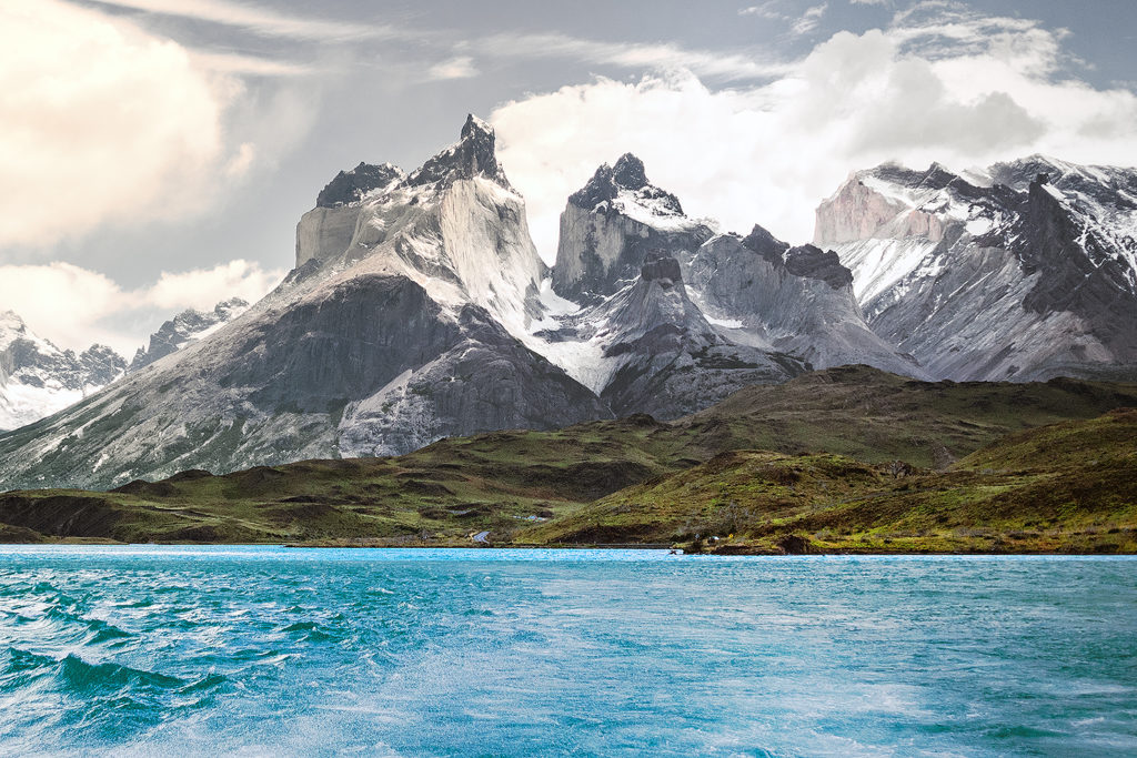
From the entrance, shuttles took people to the hotel on the eastern side of the park, the one closest to the iconic Torres. The rest of us got back on the bus and drove to the second stop, were we would board a ferry to cross Lago Pehoé and reach the western side of the “W” portion of the trek.
The ferry crossing was a pretty interesting experience. The boat was fairly small, and, as people in front of us boarded, we could tell that not everyone that was waiting on the dock would fit. In fact, we had to let the first boat go and wait for it to come back to get the rest of the hikers (which delayed us by over an hour). That’s right, there is only one boat that crosses back and forth. This was pretty telling of the incredibly growing popularity that the park has experienced in the last few years, and how the infrastructure hasn’t quite been upgraded to accommodate it – and nor do they necessarily want to. Once on the boat, all the backpacks were piled up near the front of the cabin. Then one of the crew stood behind a little counter in the back, and people lined up to pay for the crossing – in cash only of course. They only checked if you had paid for your ticket as you exited the ferry. Not the most efficient process, but probably one that worked fine back when boats weren’t filled up to capacity on every crossing. A few people who were going on day trips in the park got quite annoyed by the time they wasted having to wait for the boat to come back, but Brice and I were pretty unfazed by it, having now experienced a number of ways that, from our North American perspective, optimal efficiency was not a major concern in Chile – and it was totally ok.
After driving for days on isolated roads and barely seeing anyone, it was a bit jarring to find ourselves on a boat full of tourists. As soon as we got off the boat, we headed towards the start of the trail and got to walking. It was almost 2pm by then, and we only had about 8 km to cover until our first campground – so a pretty chill day to begin with.
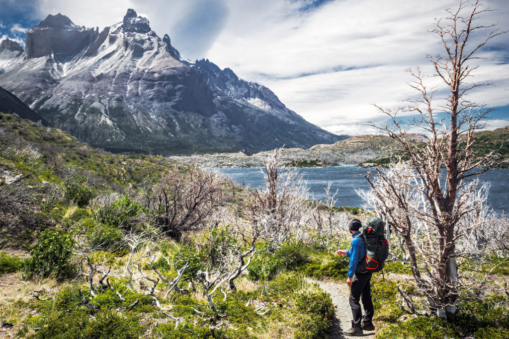
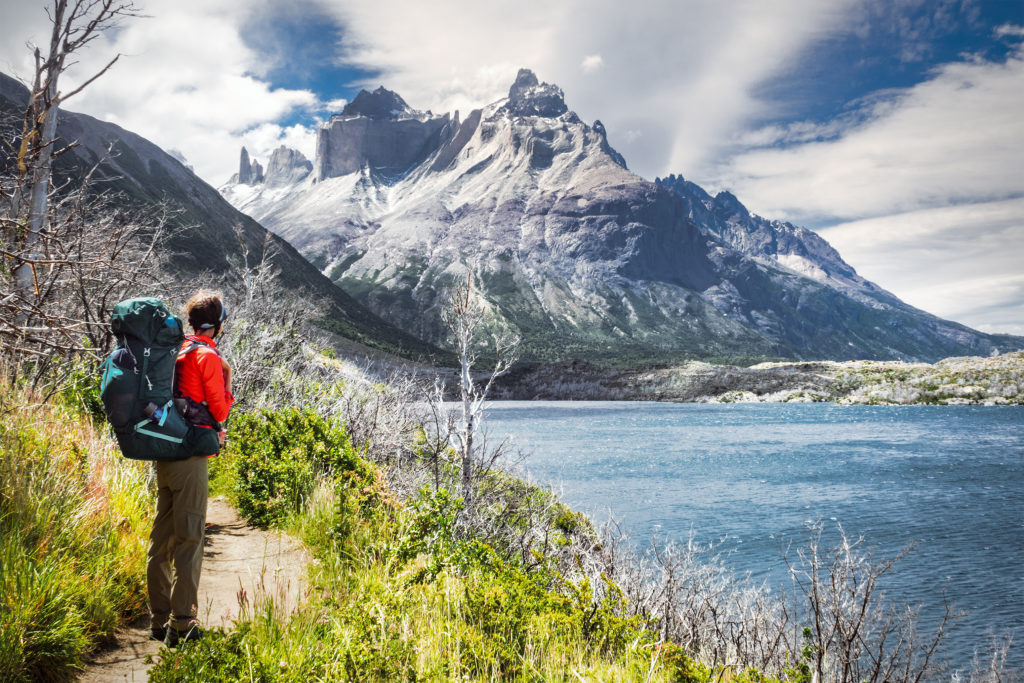
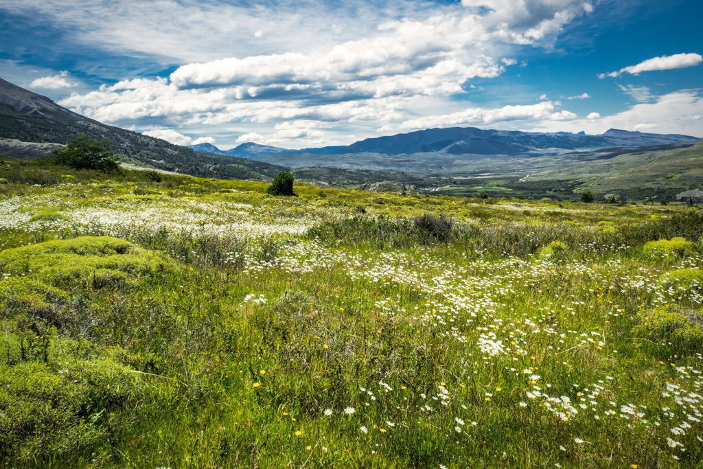
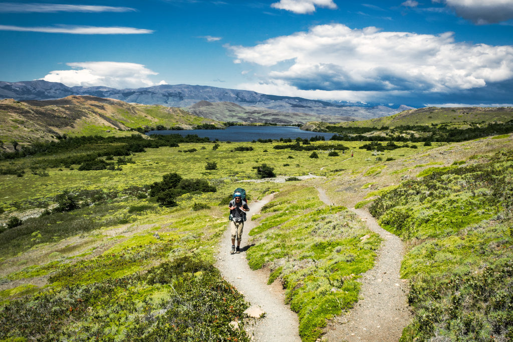
The wind on the shores of the lake was pretty strong though, and together with getting used to hiking with a heavy pack, it made the first few kilometers a bit more challenging that I would have thought. The weather was otherwise on our side, with sunshine for most of the way.
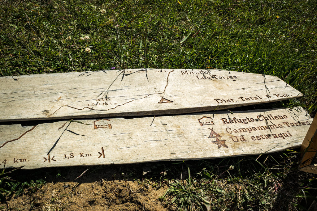
The map we were given upon purchasing our ticket had loads of useful information, including elevation profile (I love looking at that stuff!) and estimated travel times. Hiking without a pack, we probably would have been a bit faster than the times on the map, but with extra weight, those ended up being pretty spot on – and a whole lot more reliable than all the signs put up in the park – but more on that later.
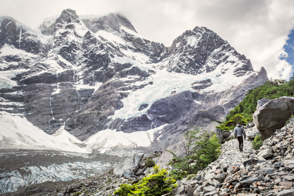
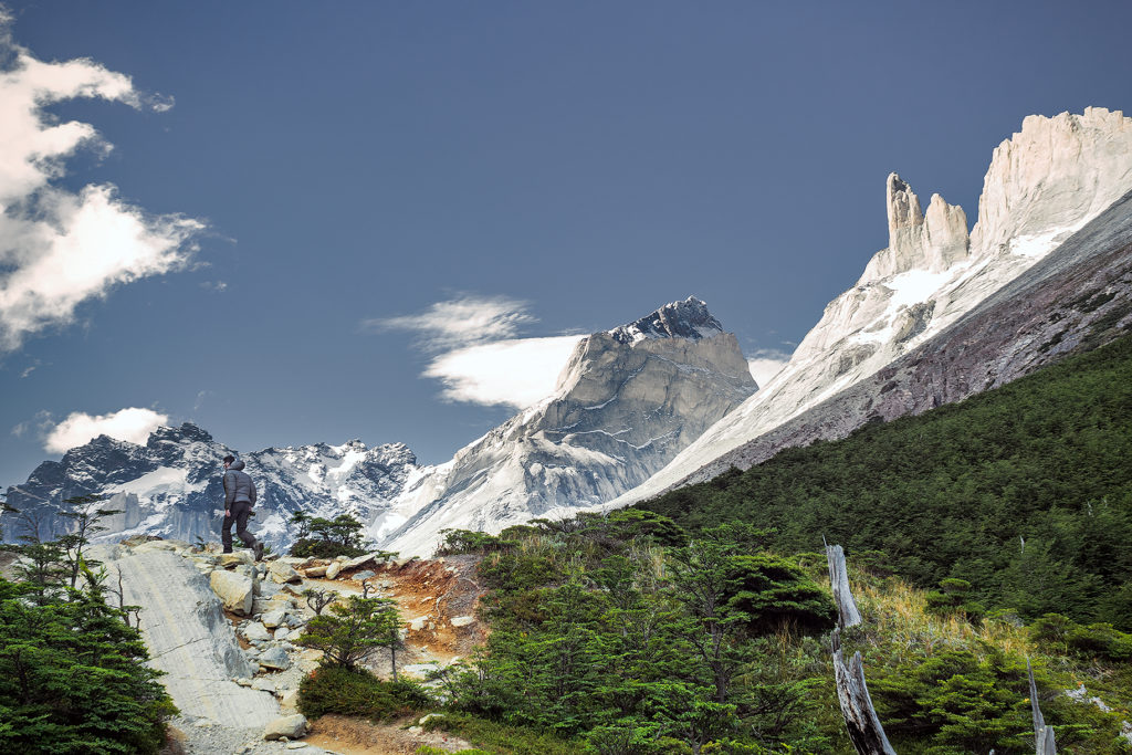
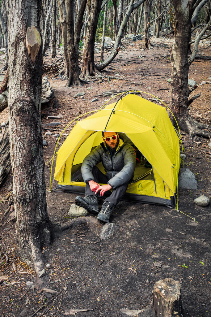
Once we arrived at the campsite, Campo Italiano, we first had to check in with the rangers. They checked that we indeed had a reservation for the campground, then we were able to chose a spot to set up our tent. After that, we left all our gear in the tent, changed from hiking to running shoes and hiked up the Frances Valley trail for a bit. We only went as far as the Frances Look-out (about 2 hours return) but the trail went on much longer for a possible 5 hour return trip from the campground. We had a whole lot more hiking ahead of us in the next few day, and we were in bed by 8pm.
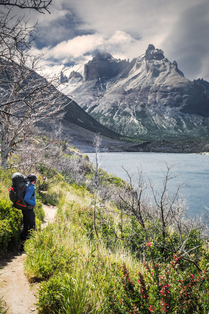
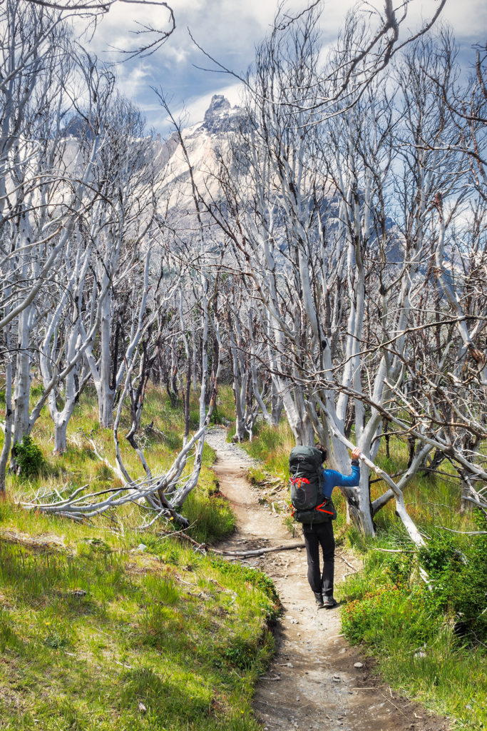
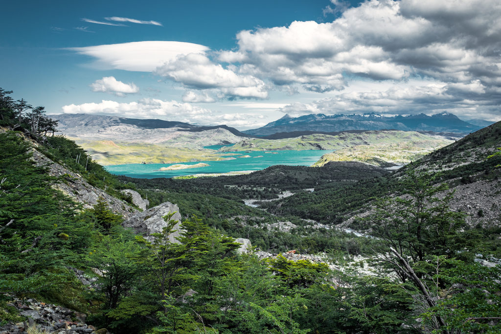
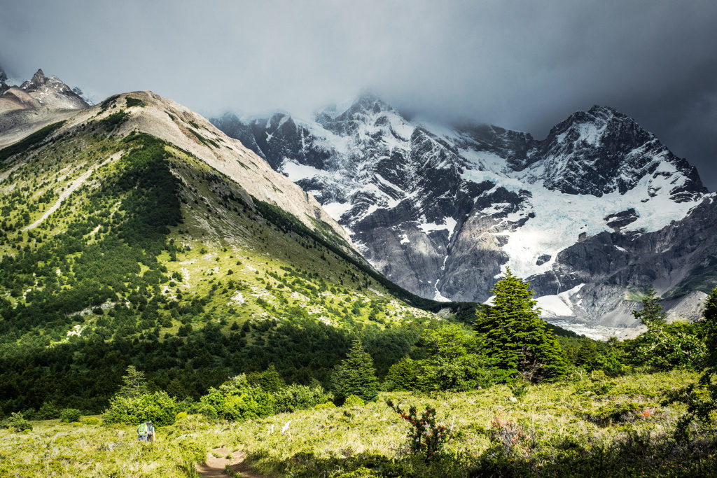
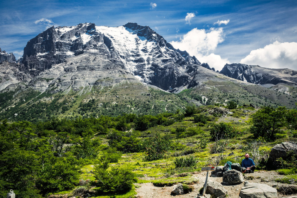
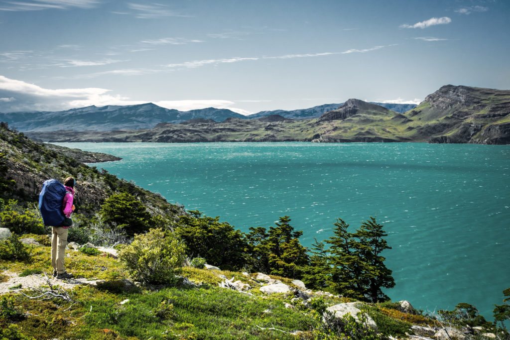
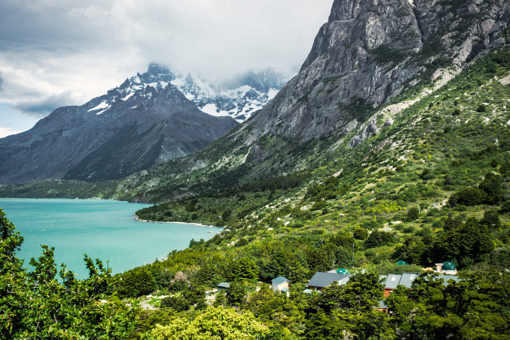
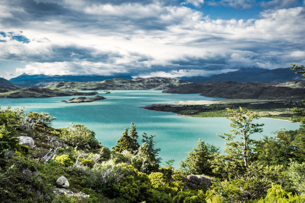
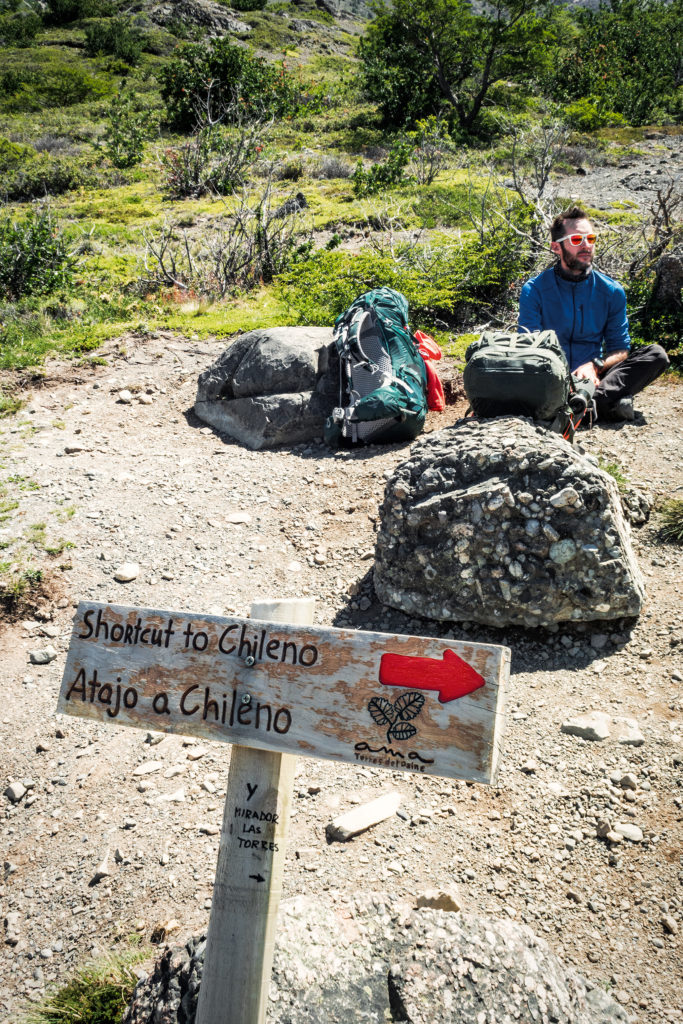
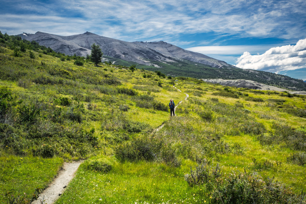
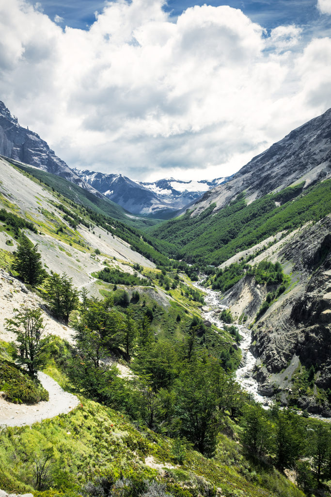
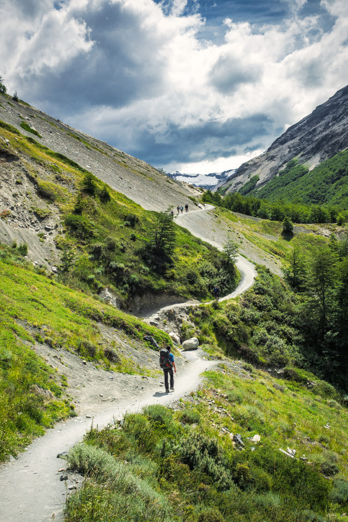
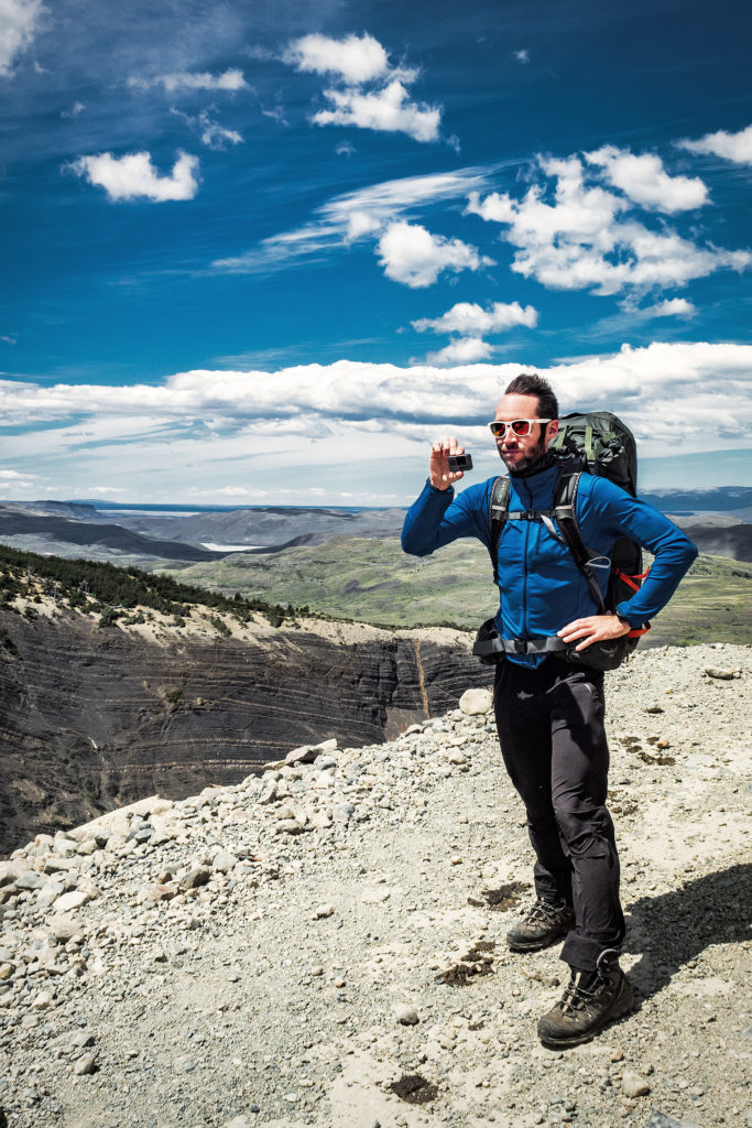
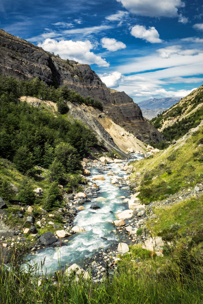
The next day we hiked from Campo Italiano to Campo Torre, about ¾ up Valle Ascencio. The trail offered some beautiful views of the Nordenskjold Lake, then after the short cut to Chileno junction, we started going up the valley, along the ridge of a canyon. We again experienced some pretty insane wind. At the highest point of the ridge, just as it curved around the side of the mountain, the wind was so strong you had to really push through to move forward. Brice got blown 180 degrees on his feet while filming, and I’m pretty sure I swallowed some gravel that was being blown in my face.
We stopped every couple of hours for a quick snack, making sure to consume the proper amount of calories to keep us going. Around 3pm we reached the Chileno lodge and stopped for a longer coffee and cookie break. We also started chatting with Jen, a solo hiker who was doing the full circuit like us, and had arrived on the same day – although we didn’t hike at the same pace, we ended up seeing her quite a bit along the way, as she too was following Adventure Alan’s recommendation. It was nice actually to see a familiar face on a daily basis and be able to share our impressions of the journey with her.
After Chileno, we had another 1.5 hour of climbing before reaching Campo Torre – the sign outside of the lodge said we were 1,2km to the campground, but it ended up being much closer to 3km (that was our first hint that signage in the park was NOT to be trusted).
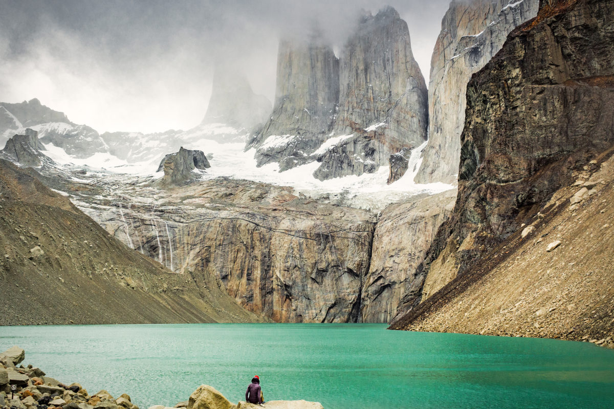
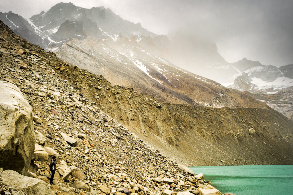
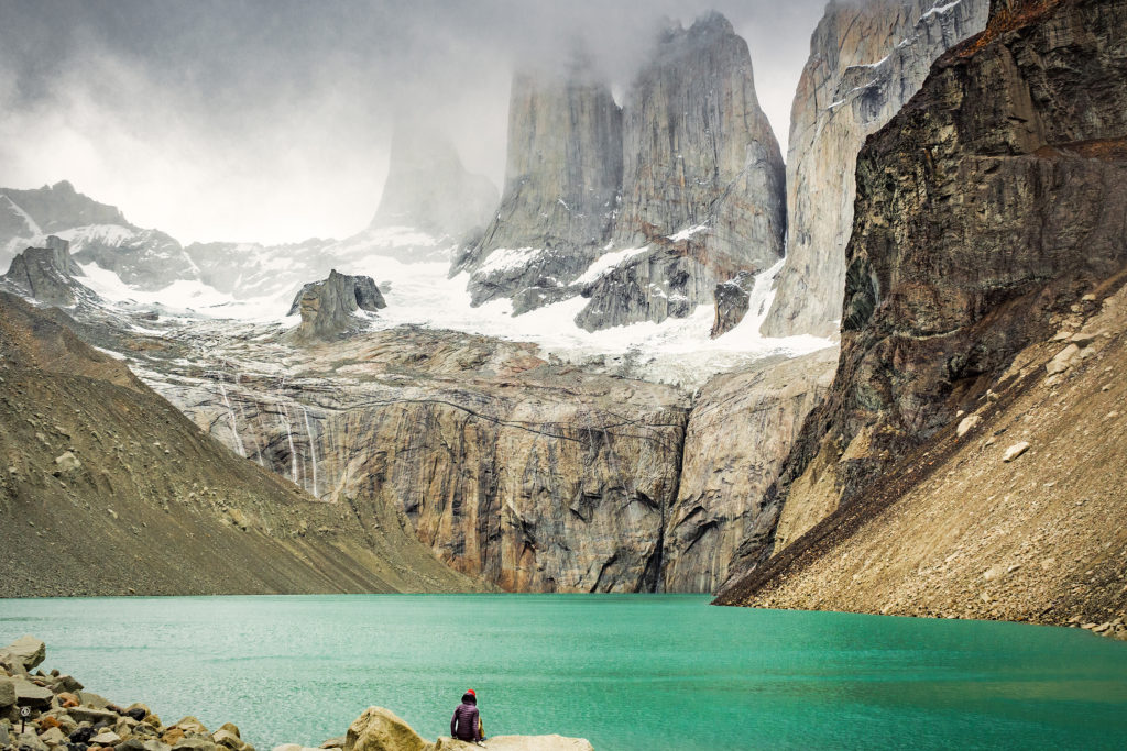
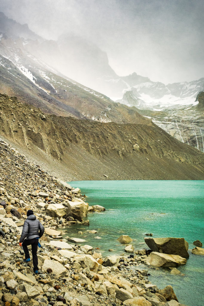
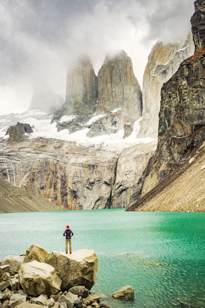
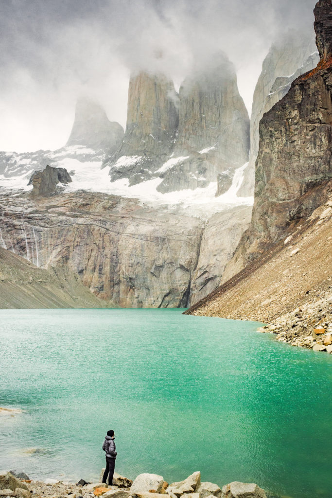
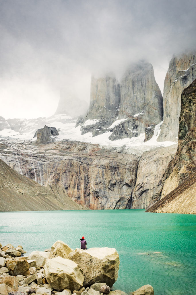
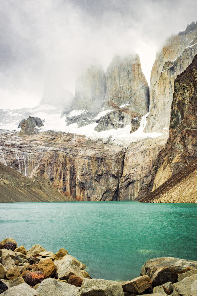
Once we arrived in Campo Torre, we repeated the previous night’s cycle of putting our tent up, then leaving our gear behind to hike higher up. This time we were hiking to the iconic Torres, the ones that you see in every photo of the park ever posted on social media. The weather had become overcast at that point, so we weren’t sure we were going to see much, but we decided to give it a go anyways. The hike up was pretty steep and we were glad we were able to leave our packs behind. After a section in the trees, the last few hundred meters were up and along a rocky scramble. And finally there we were, inside the postcard. The iconic towers themselves were somewhat obstructed by fog, but the view wasn’t any less impressive, especially with the turquoise blue water underneath. And best of all, we were the only ones there.
Where crowds of hundreds had likely been standing earlier in the day, taking turn to get their Instagram pic on a rock by the water, now there were only us. It was really special, and I’m so glad we went up that evening rather than the next morning, as we would have had a much different experience for sure. It was sprinkling a bit so we found cover against a large rock with a bit of overhang, and just hung out there for a bit, taking in the serenity and quiet of the place.
That view was in a sense – as probably for most of the people who now come this far to see it – the starting point of this whole trip. Images of Torres had started to pop up on my Instagram feed in the last few months and when Brice suggested Patagonia as the destination for our trip, I thought about these images right away. There’s no denying that in that sense, our trip was very much the product of the influence of social media, amongst many other things of course. But I would be lying if I didn’t admit that seeing all these beautiful images of incredible landscapes on Instagram is making me more and more want to go out there and see those landscapes in real life.
And I’m of course not the only one. There have been debates lately about the impact such images have on these places, bringing more and more attention to otherwise hidden gems that were in the past enjoyed by only a few in–the-know. What used to be desolated, wild places up until 5 or 10 years ago are now becoming tourist-central, of similar category as the Louvres or Disneyworld. We’ve experienced this even at home in BC, where crowds are now rushing to places like Joffre Lakes, and in turn posting about it online, perpetuating the cycle. To say that people only go there to get that “I was there” instashot may be a bit of an exaggeration or generalization (or at least I want to believe that it is). But the fact is, putting those places on the map, especially through beautiful photos, might be having an impact, and potentially not a good one on the environment.
But who’s to say that these natural wonders should remain a secret, that the majority of people should not be allowed to know about them or to see them with their own eyes if they want to and have the means? Then again, this is probably a very selfish way to look at it, and a “bigger picture” perspective might be to say that we should be here to serve the Earth and not the other way around, and that leaving those places untouched and their beauty un-tempered with – by not actually visiting them – should maybe be more important than our individual need to have seen and experienced them.
I won’t pretend to know the answer especially since I am no different than the rest of the crowds. The one thing I will say is that thankfully, it seemed that visitors diligently abided by the rules of the park and we never saw one piece of trash on the trail, which was a nice thing to notice.
Rain was picking up so eventually we made our way back to camp. I was glad that we saw this iconic view early on in the trek, as it meant there was more to our trip than just getting that one photo and it wasn’t going to be the grand finale (far from it actually). This way it was merely another perfect moment suspended in time, another gem among the rest of the ones we’d already collected along the way.
So inspired to visit! Beautiful pics x
Thank you so much Caroline!