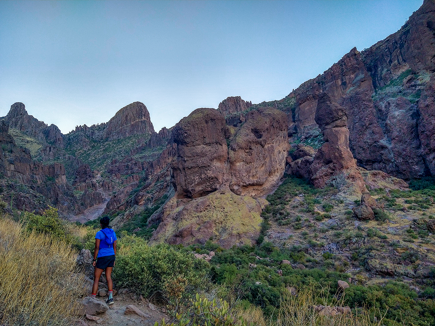
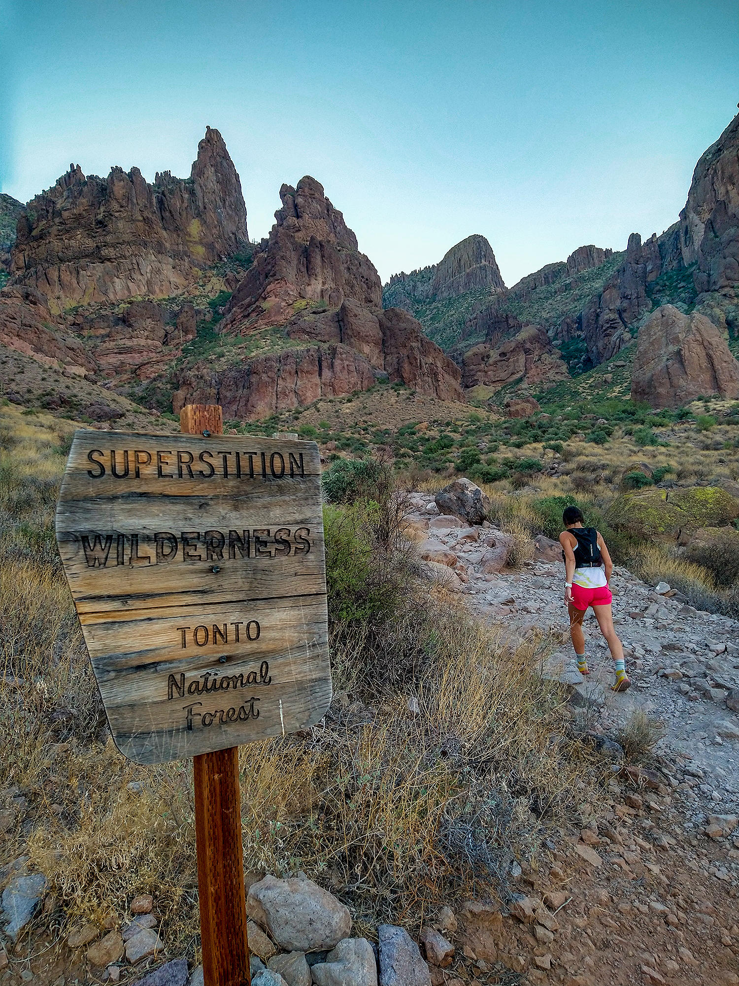
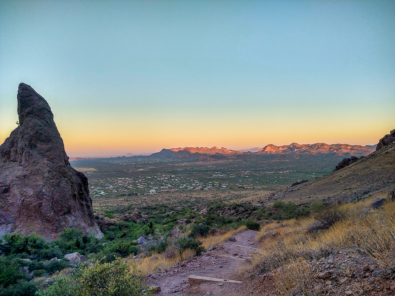
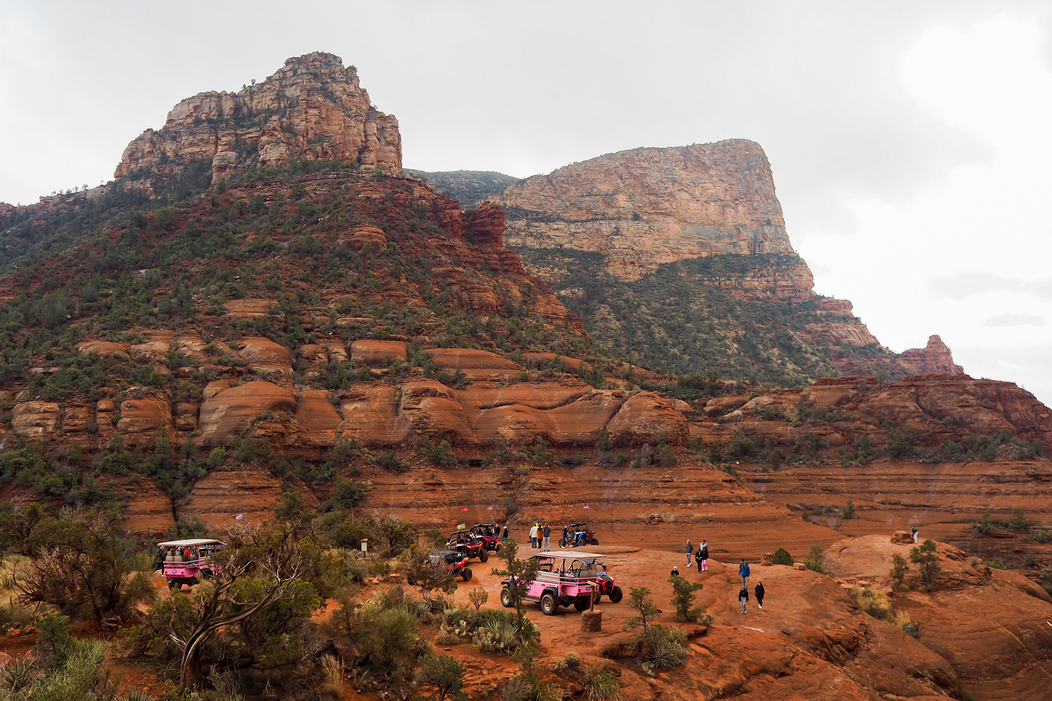
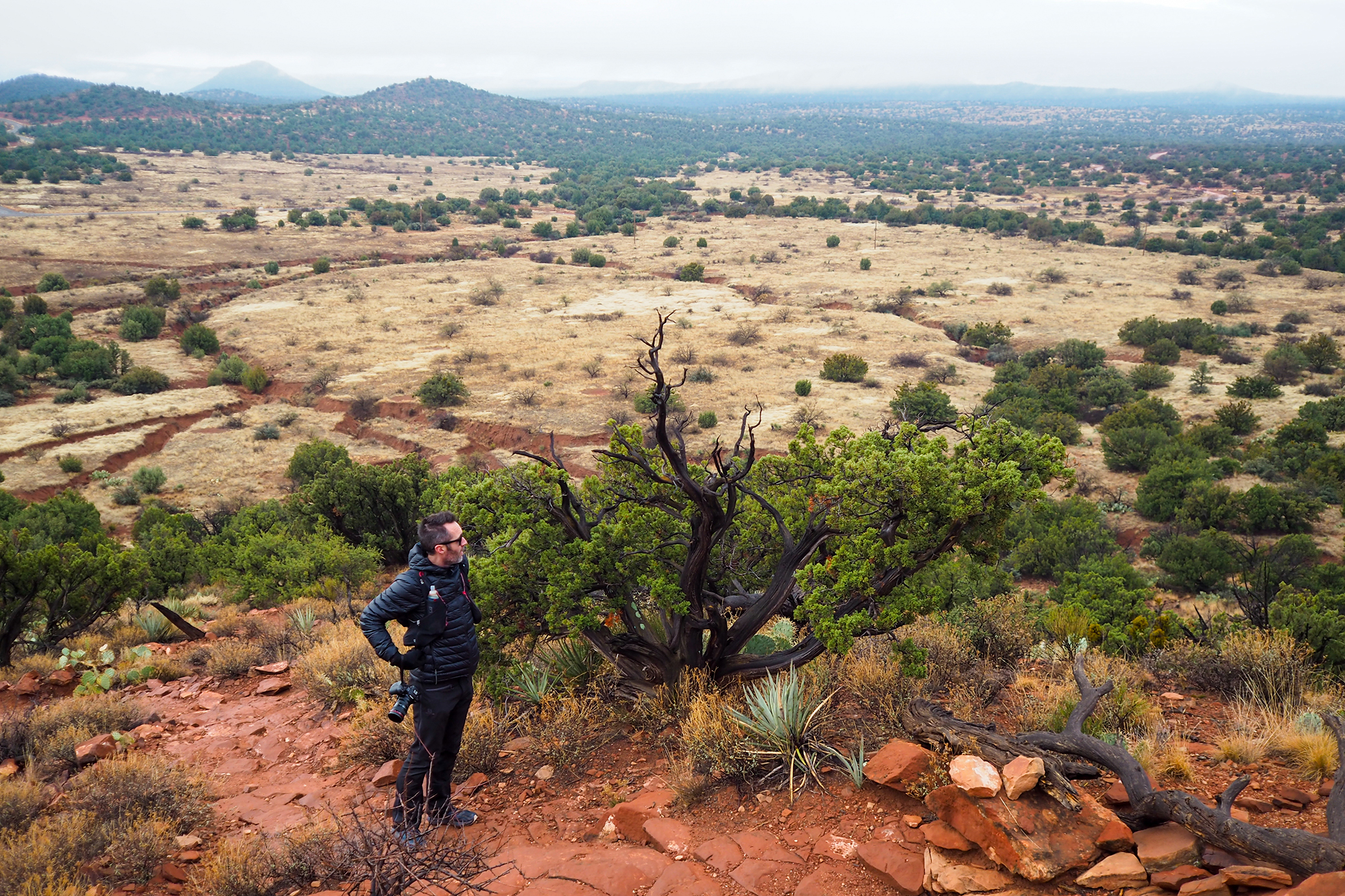
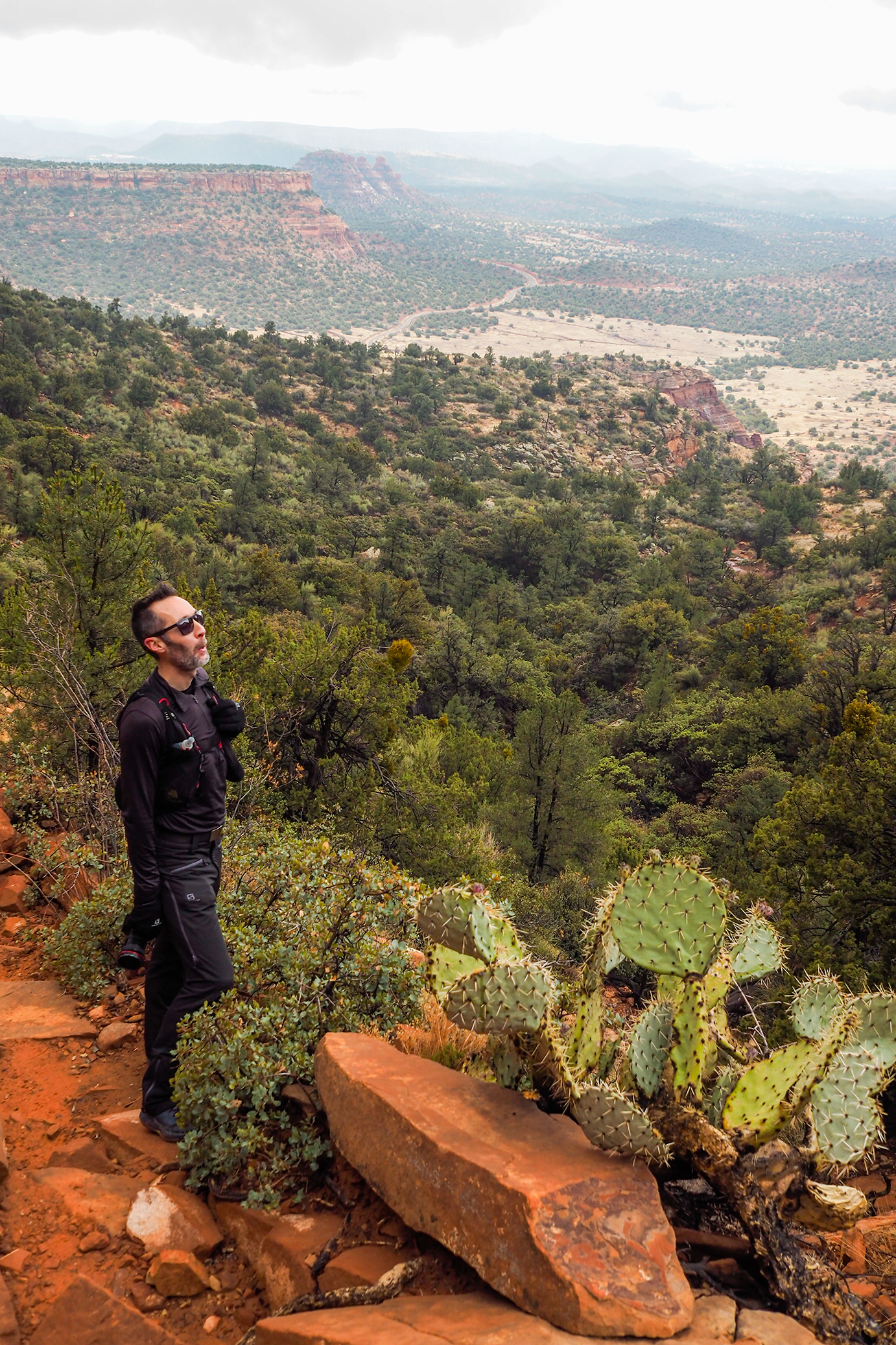
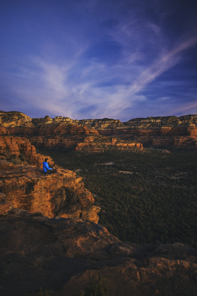
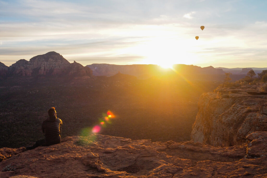
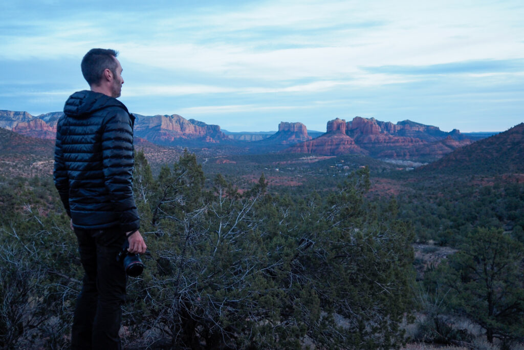
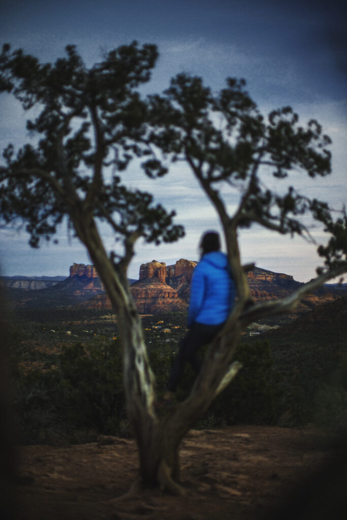
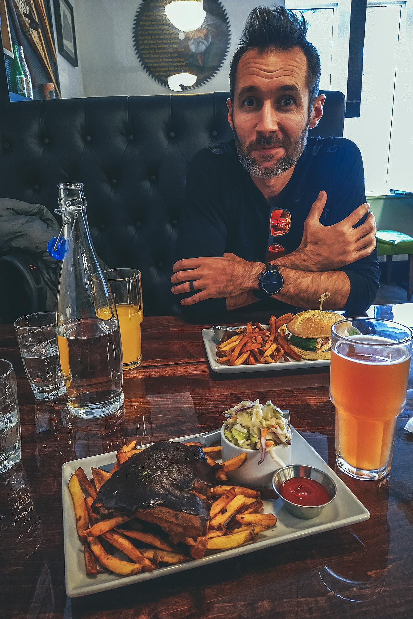
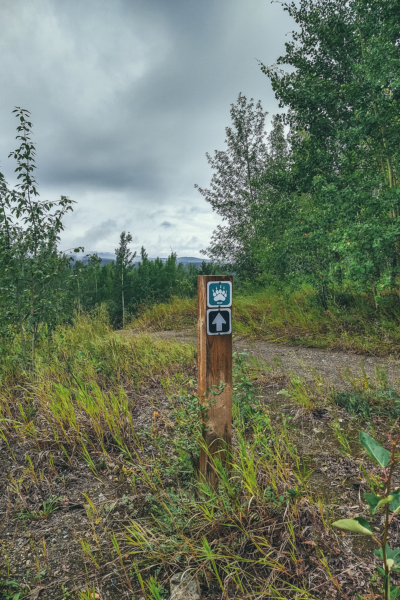
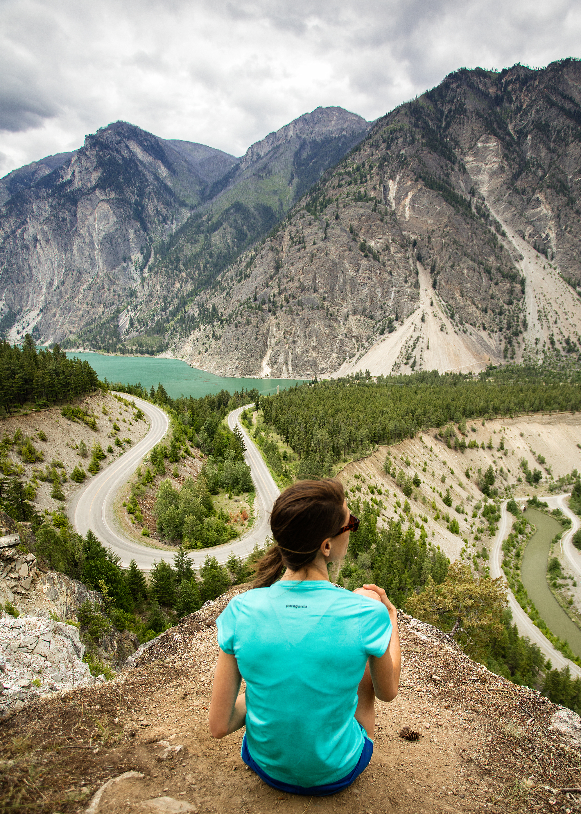
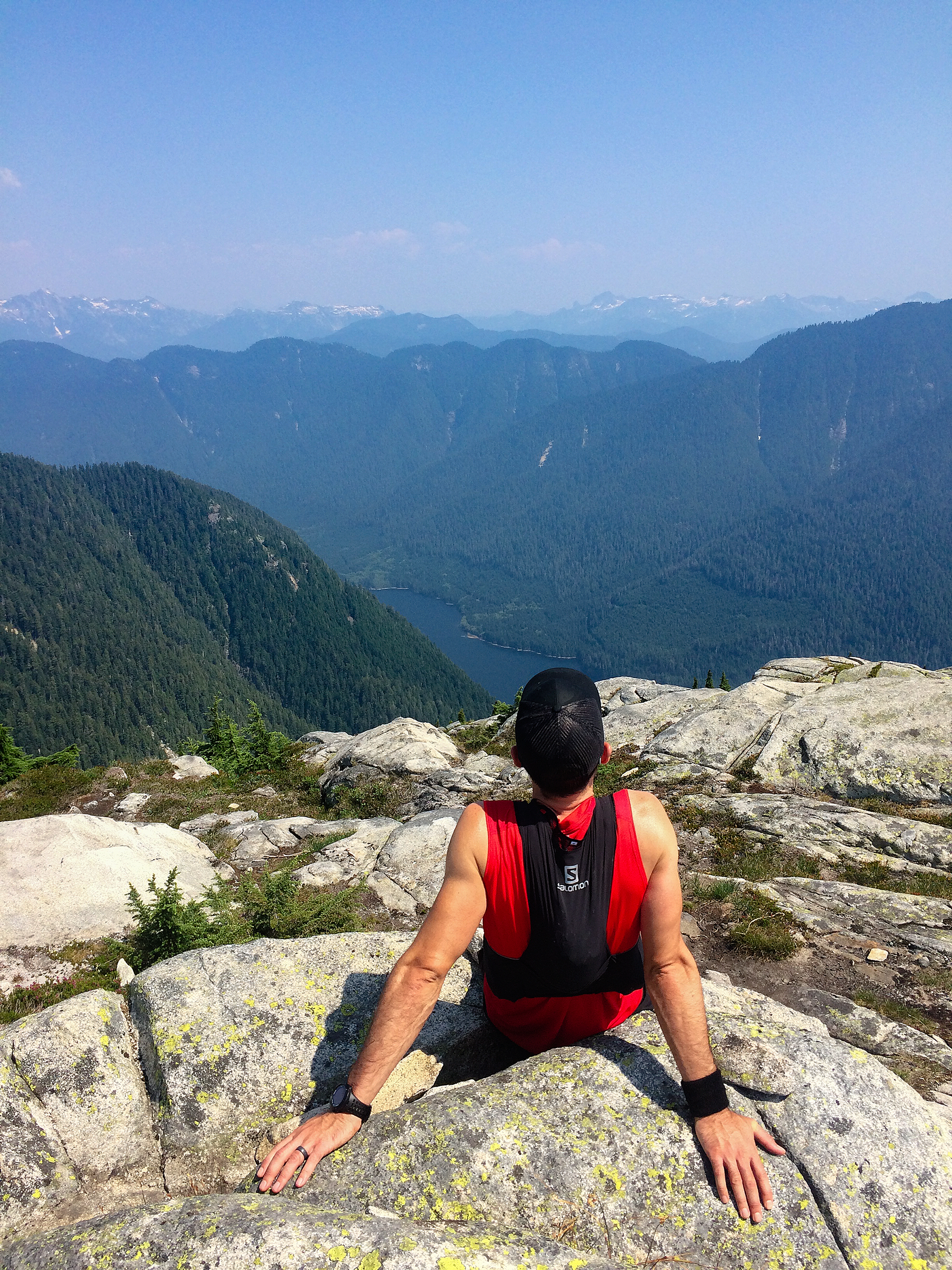
When Brice first ran Javelina 100 in 2022, our friend Deanne came to join the race crew for the week-end. She has just spent a few days in the Grand Canyon, hiking some of the trails. She had wanted to do the R2R2R crossing but hadn’t found anyone to do it with that year.
When she mentioned she wanted to go back the following year, the thought started creeping into my head that it would be a fun adventure to tag along.
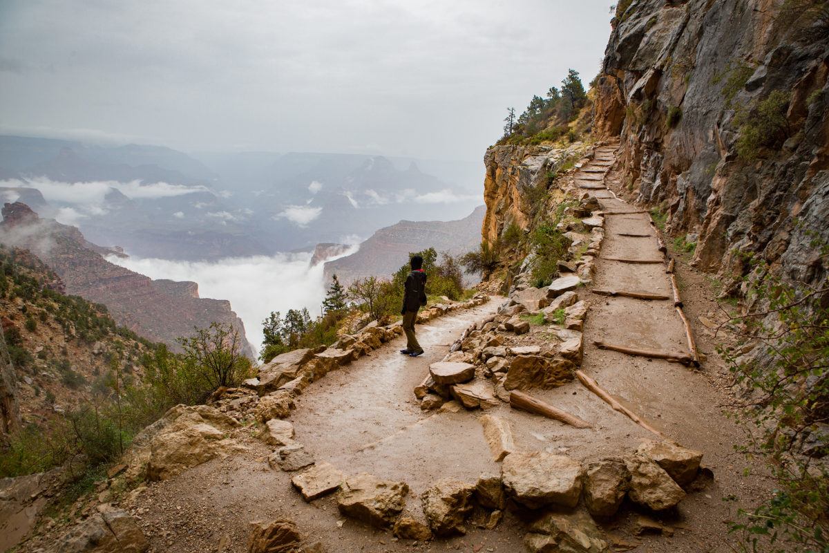
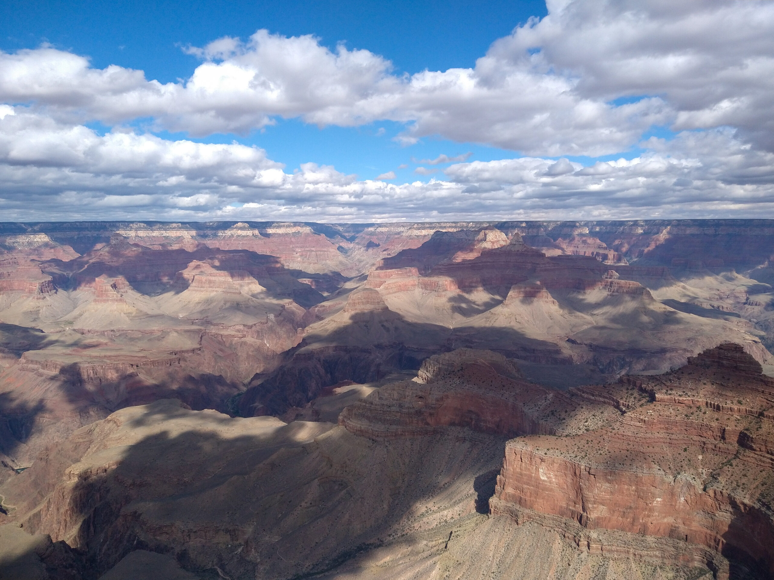
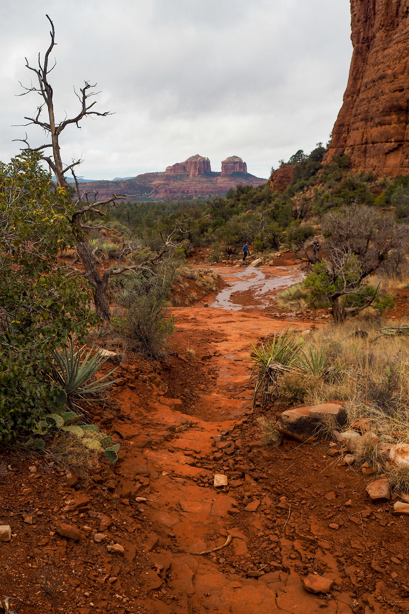
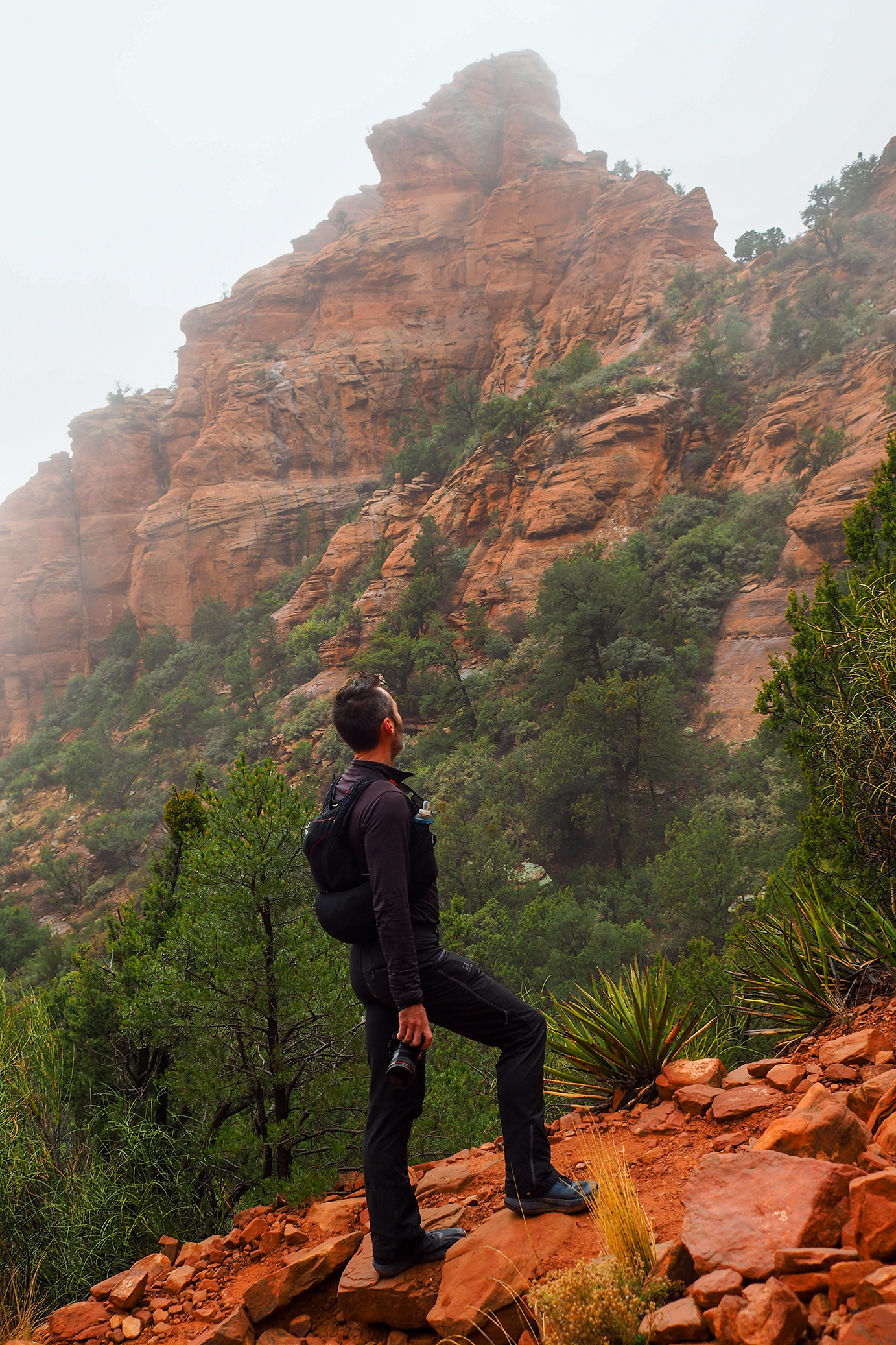
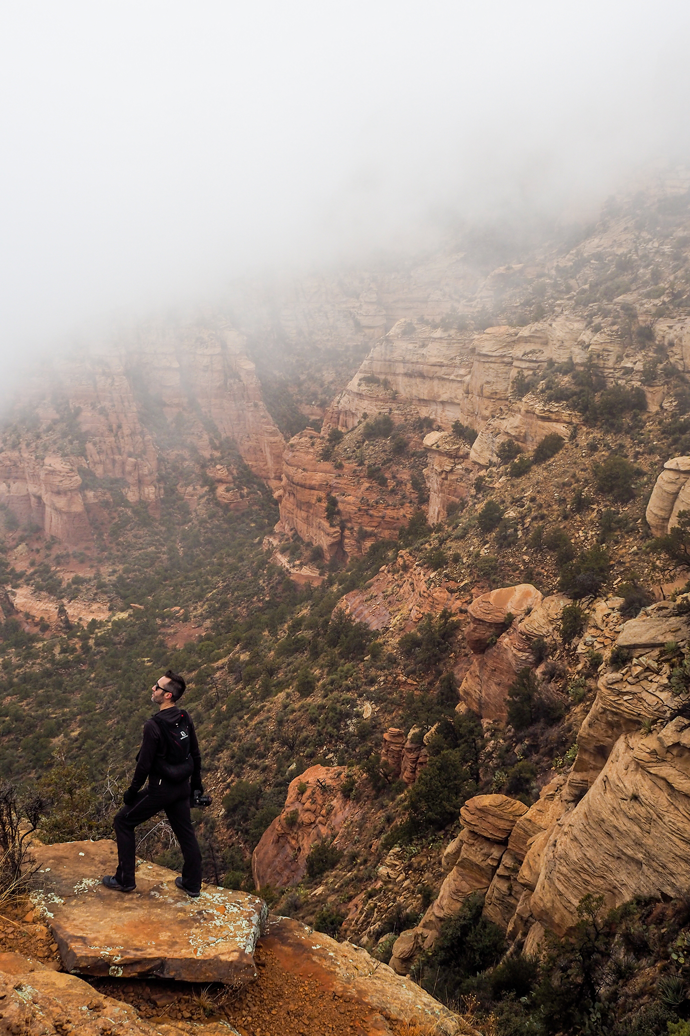
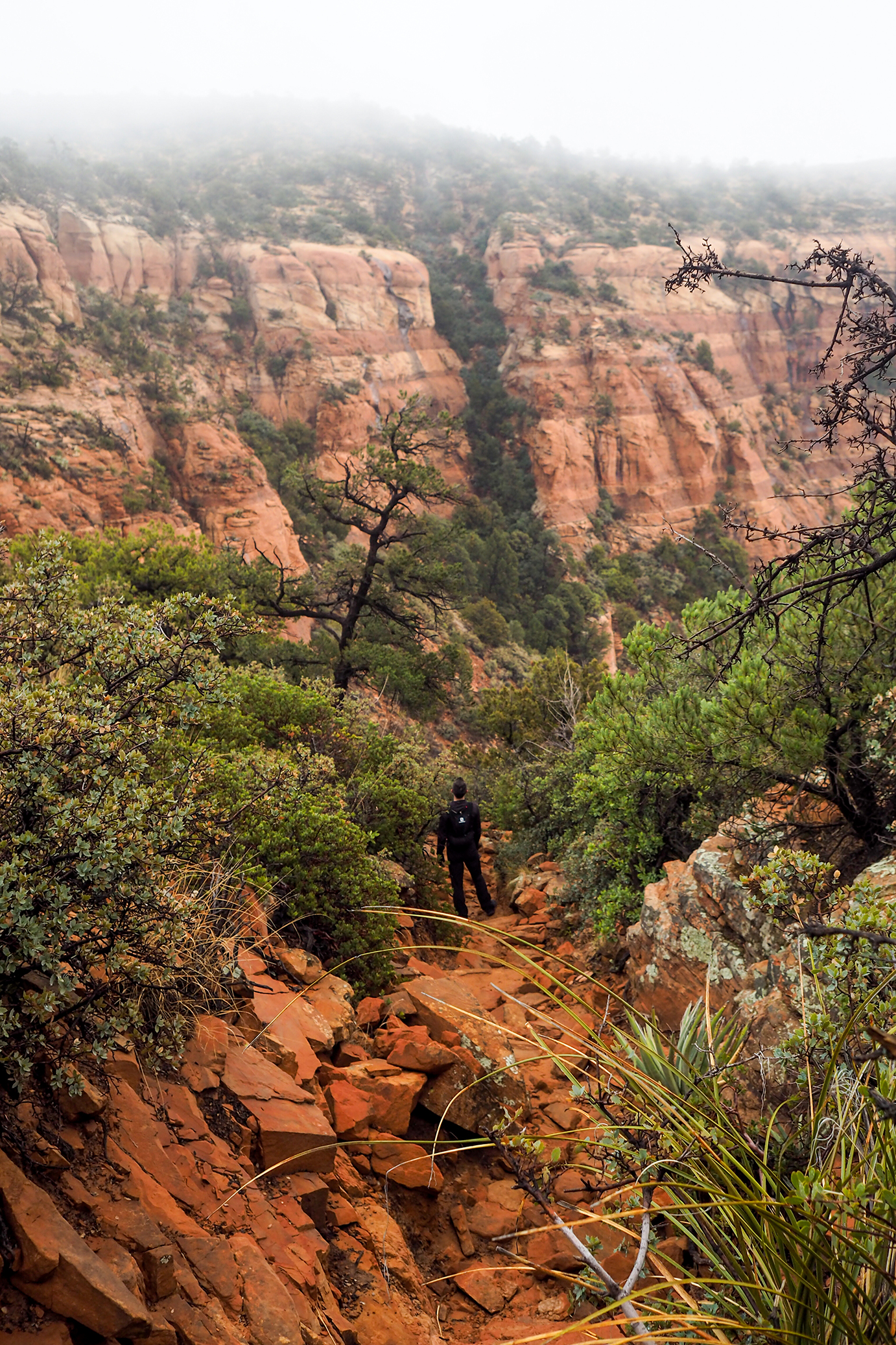
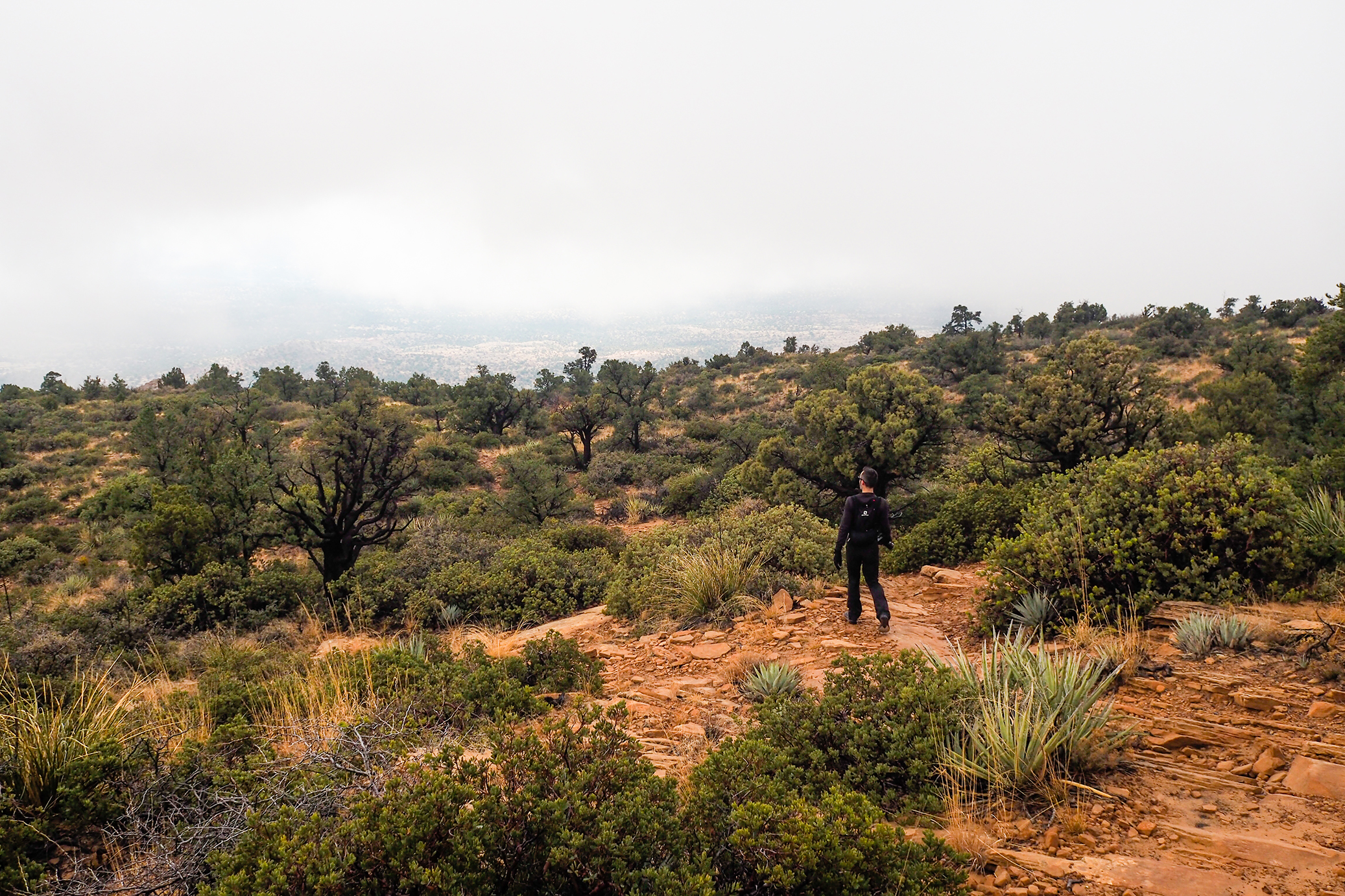
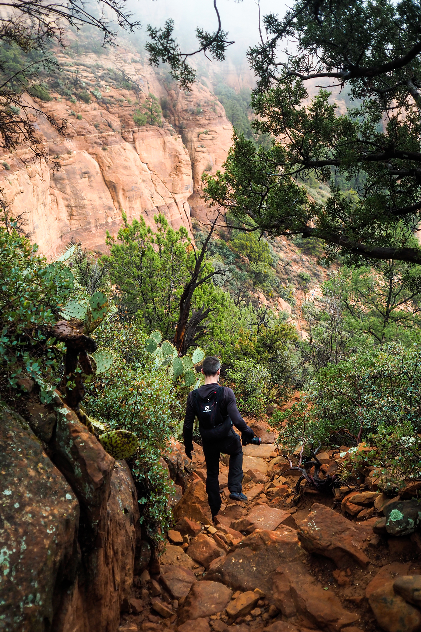
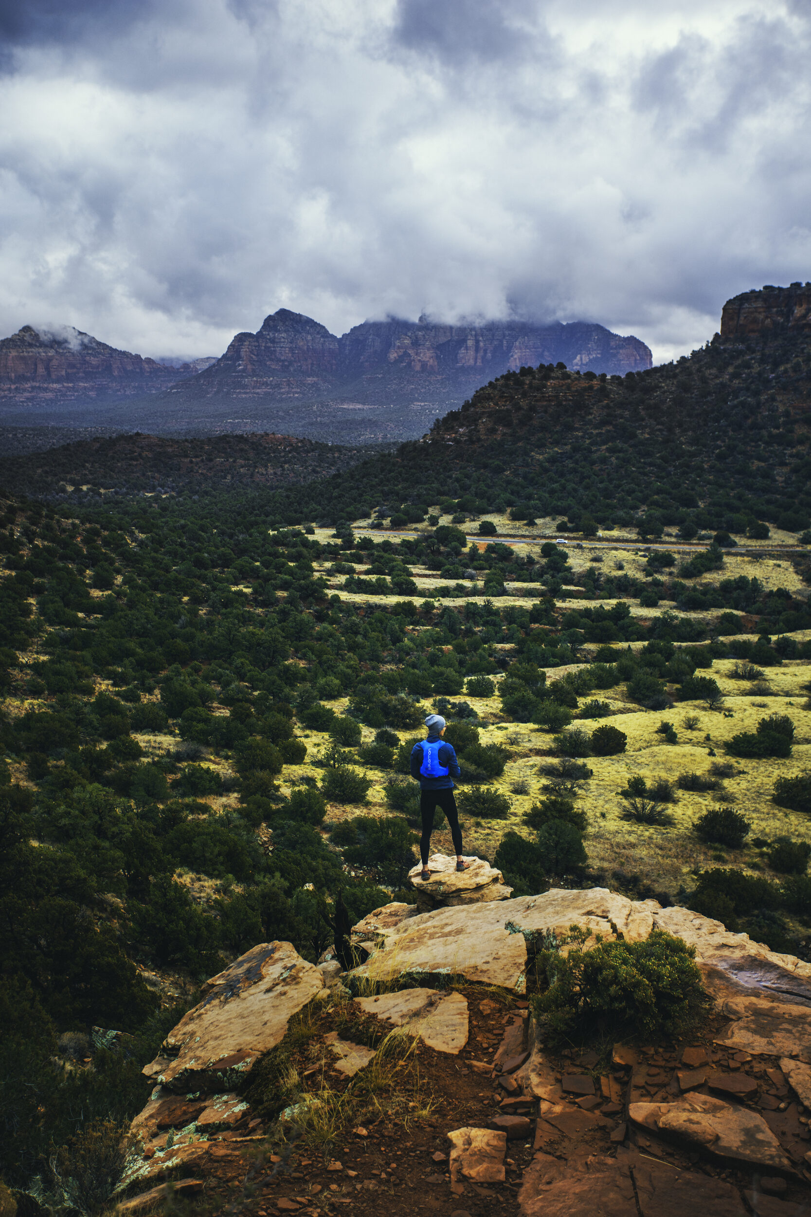
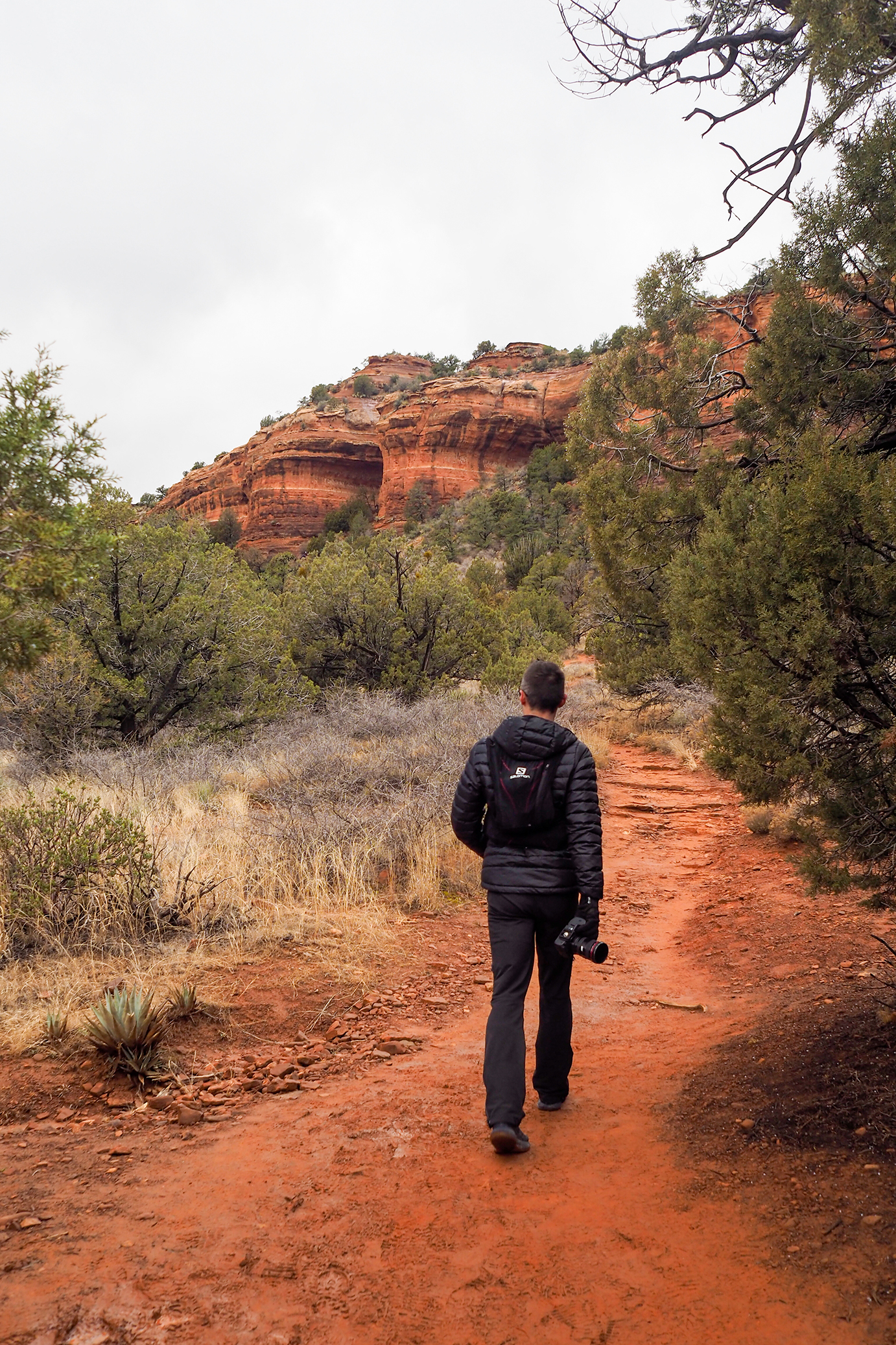
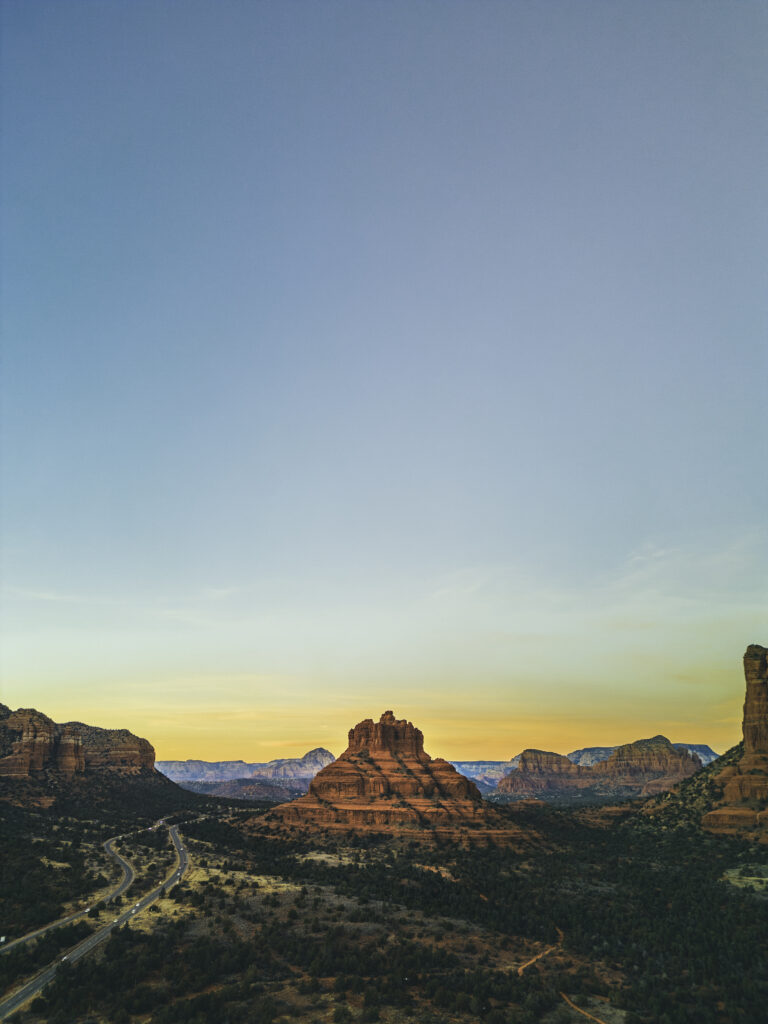
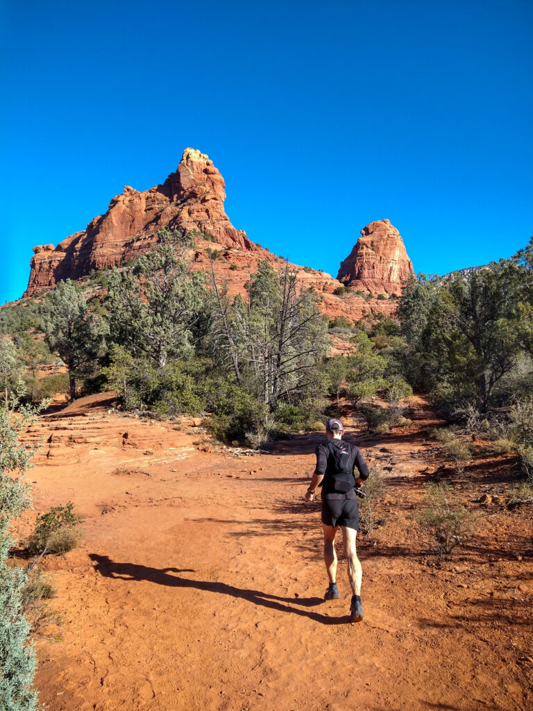
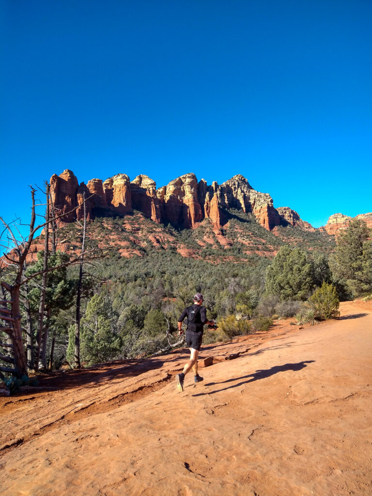
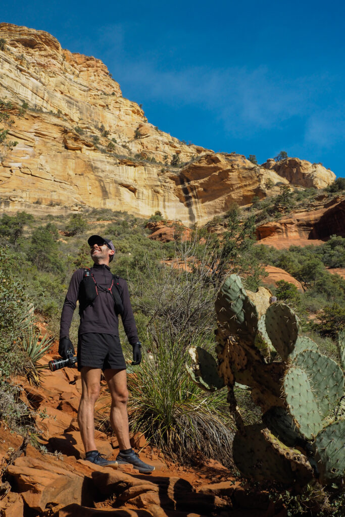
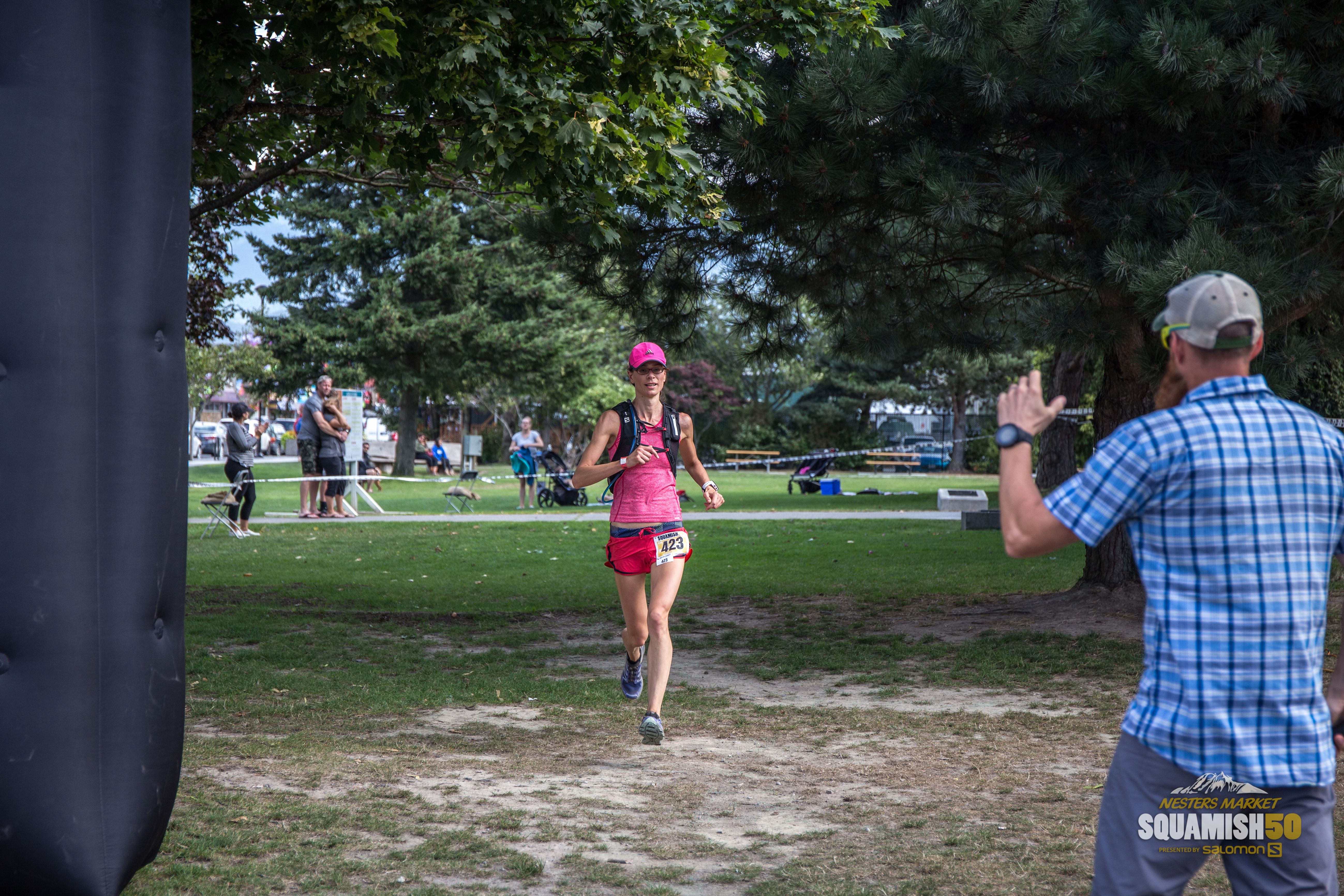
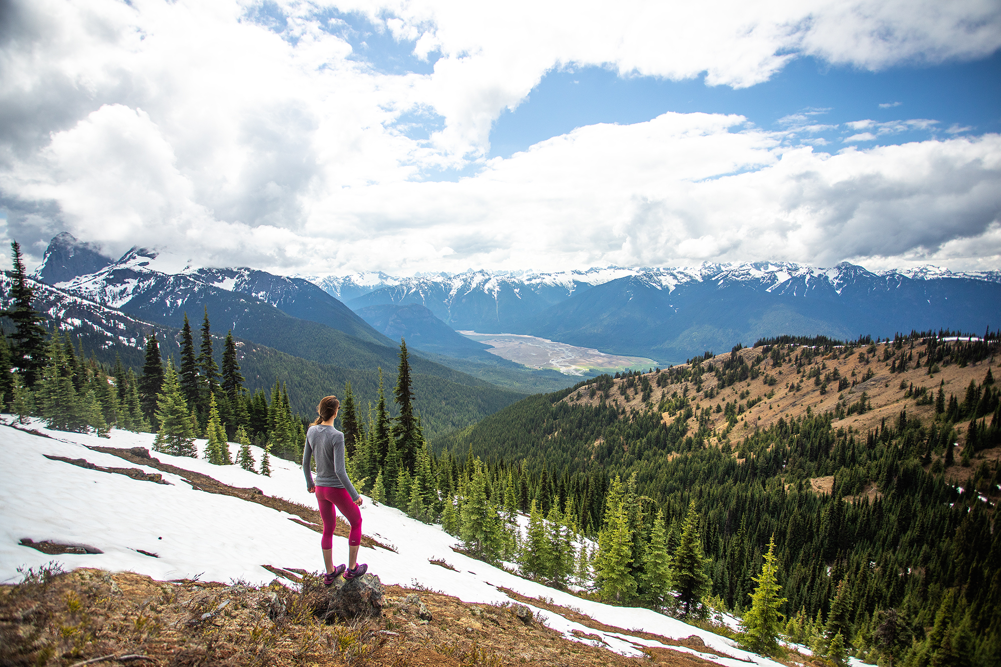
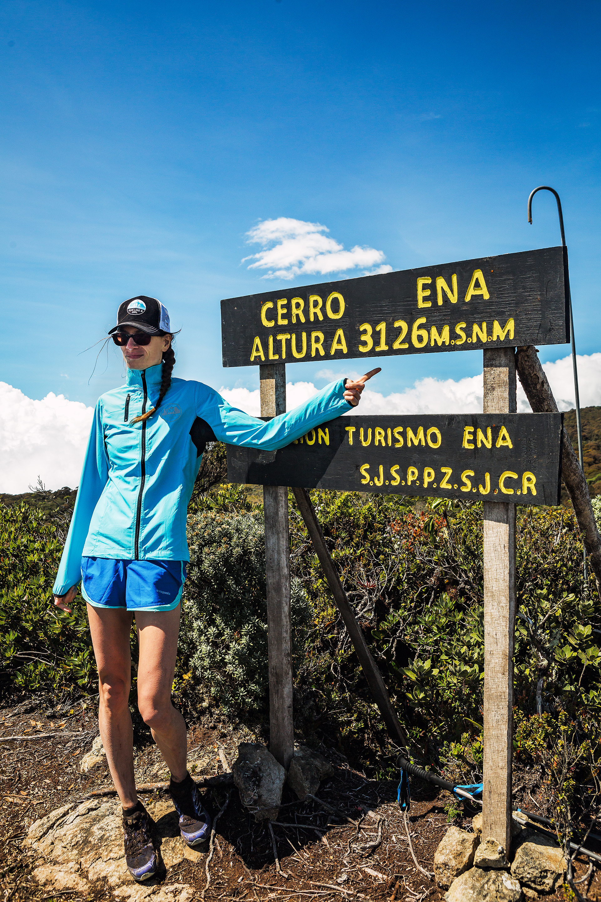
And since Brice pretty much said, on the day after running his first 100miler, that he wanted to do it again, it seemed like things would align nicely to have a repeat Arizona trip in 2023 – but this time, instead of pacing him for a 30k loop on his race, I would plan for my own distance goal – a roughly 48 mile/77km crossing of the Grand Canyon.


At that point I had never ran more than 53ish km. I have found that 50k’s races are a relatively easy distance to train for, without adding too much additional volume to my regular running routine. In the past, i’ve managed to get into race shape by running a couple of times a week on the road, and going on big day hike/run adventures on the week-end. I’m not competitive in any way, and I found that this volume of running was enough for me to have a comfortable, enjoyable day covering that distance.


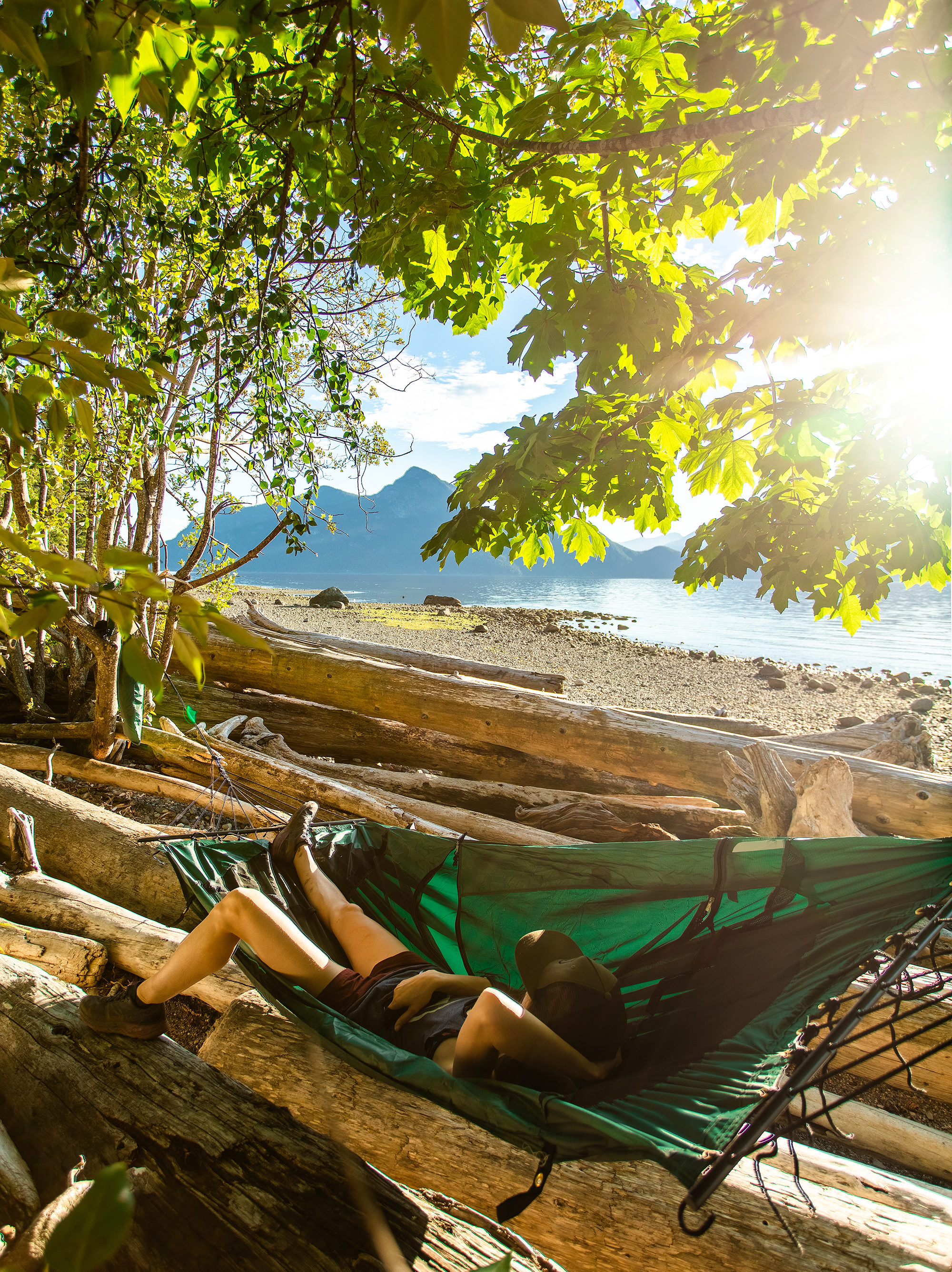
Training for 50 miles or more however requires a much bigger time commitment. It really becomes a lifestyle. And I was never interested in having that big of a focus on running just for the purpose of a racing event. But for a big adventure day, in such an iconic location, heck yeah I was willing to put in the time.
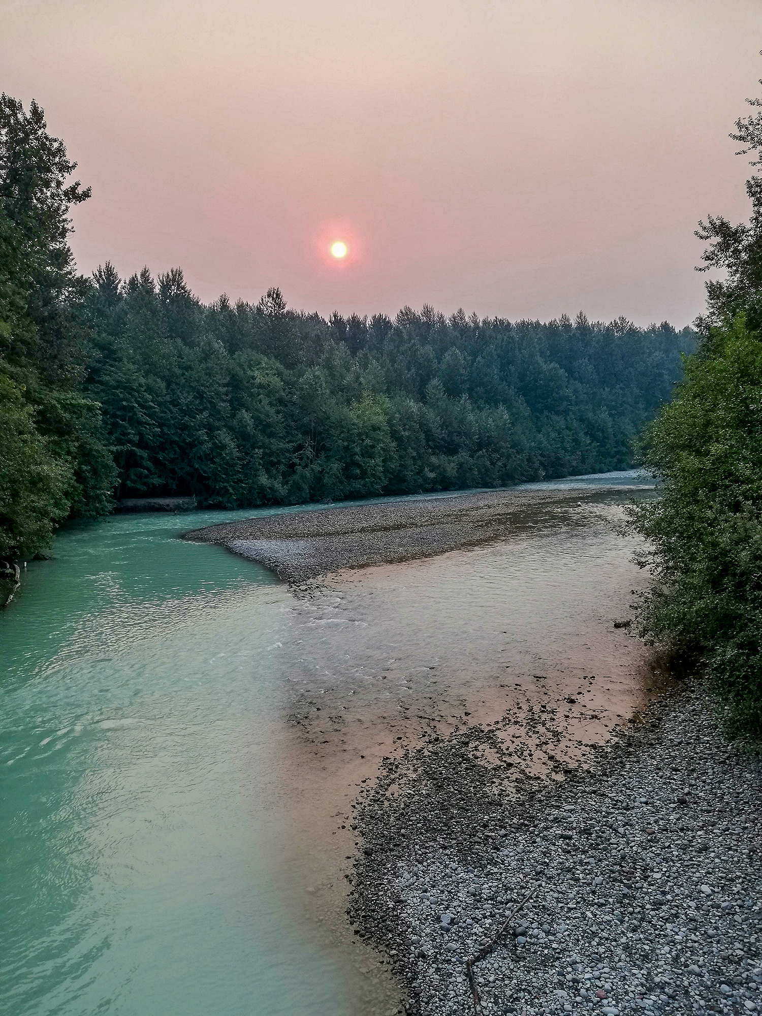
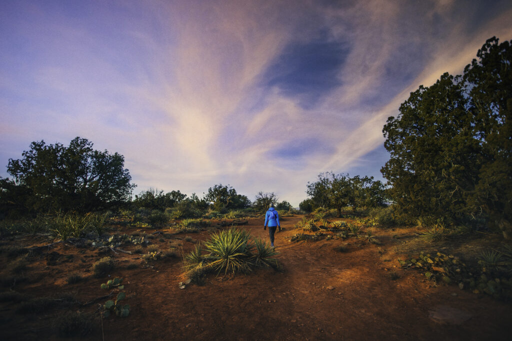
I also figured that it would be in early-mid fall, which meant I had all summer to get in shape, and I would be going out for week-end adventures anyways, so it would likely be easier to fit in the training than if it was in the spring, right on the tail of ski season.
All in all, the timing was going to work out great, and I was excited to make this my 2023 goal.
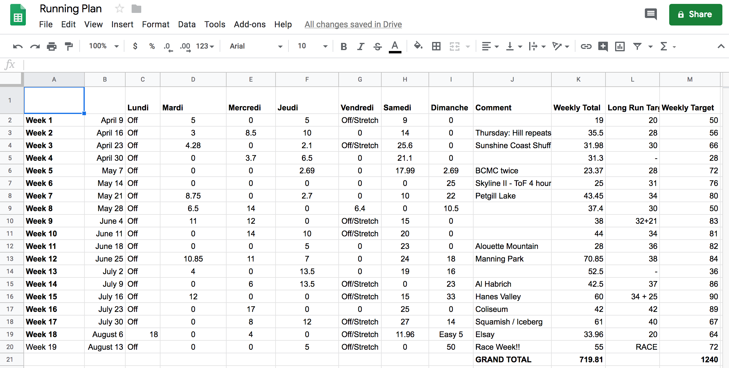
Training Plan
I’ve never used a training plan before. For my 50k races, i’ve mainly made it up as i go, “train -by-feel” style. I’ve kept training logs for most of my previous races, so I can go back and match/adjust what i’ve done prior. But for this longer distance, I knew I would need more structure.
There are plenty of 50miler training plans out there, so i decided to follow a more generic plan.
I have a subscription to Trail Running magazine, and it also comes with a variety of plans.
I ended up with a bit of a mixed bag and my plan evolved throughout the 30-ish weeks that I trained.


I started by loosely following a “base-building” plan from the magazine. I say loosely because i wasn’t super consistent with following day to day, but tried to get a few medium runs in while still prioritizing other life things (a fun camping week-end with friends, a couple more ski days, a race week-end for Brice…)
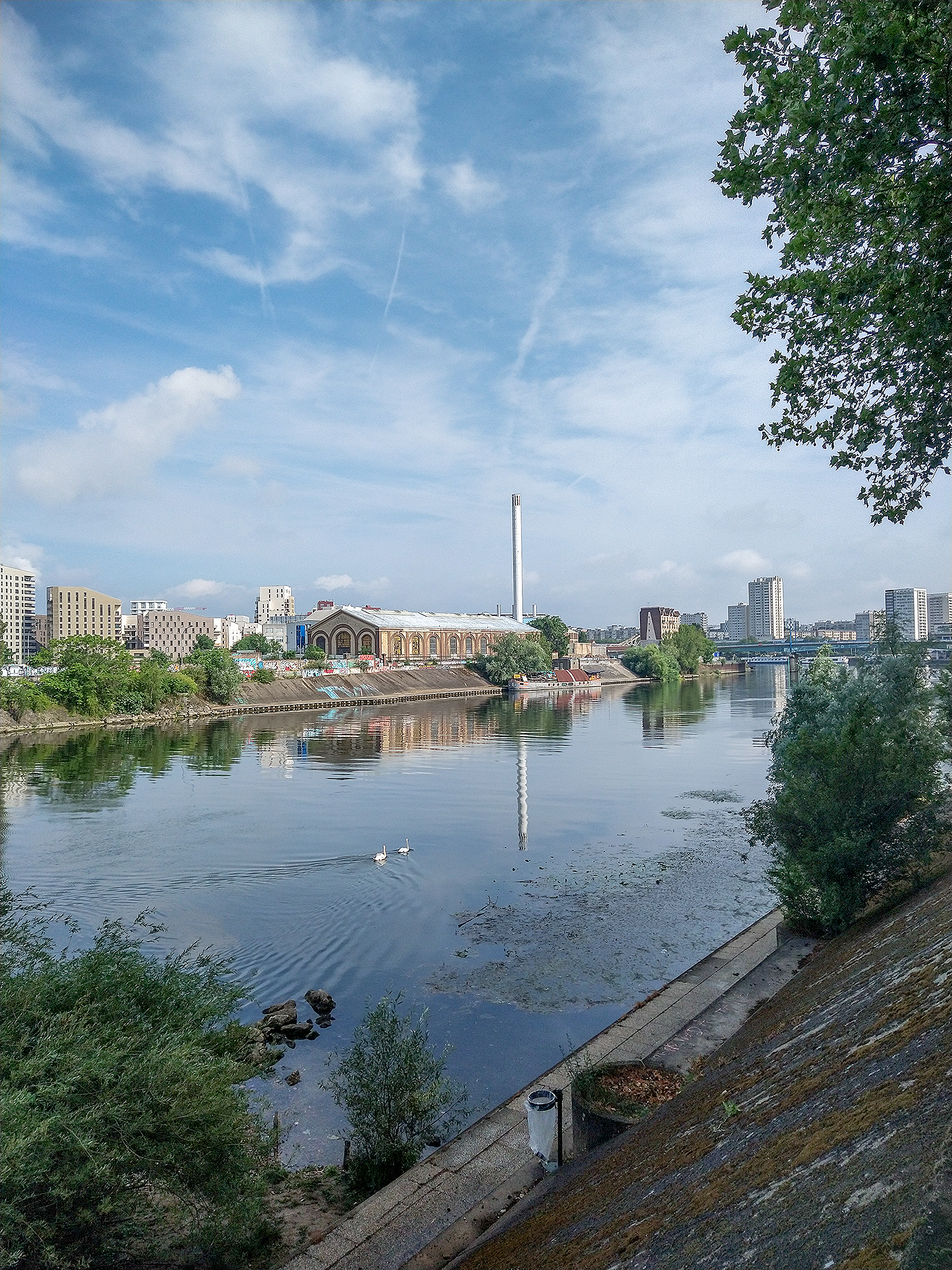
In the first 8 weeks of “training”, from end of March to end of June, I averaged 26km per week, maybe only 10-12 km more than what I would run off-season,
I had booked a 3-week trip to France in June, which meant that my running would continue to be worked around friend and family visits. I was able to fit in a decent amount of running, as well as a few 10k hikes with my mom (which definitely went on the log as time on feet!), averaging around 43km for weeks 9-12 of the plan.


After I got back to Vancouver, I started ramping up the mileage gradually.
I switched from the base plan to a 50mile training plan. My friend Melissa ran her first 50miler in late June, and she shared the plan that she’d used. Her plan was appealing in that it only had 4 days of running per week, which seemed easy enough to fit in. I made note of the long run distances on the week-end and tried to aim for that, while running 20-25km total on week days.


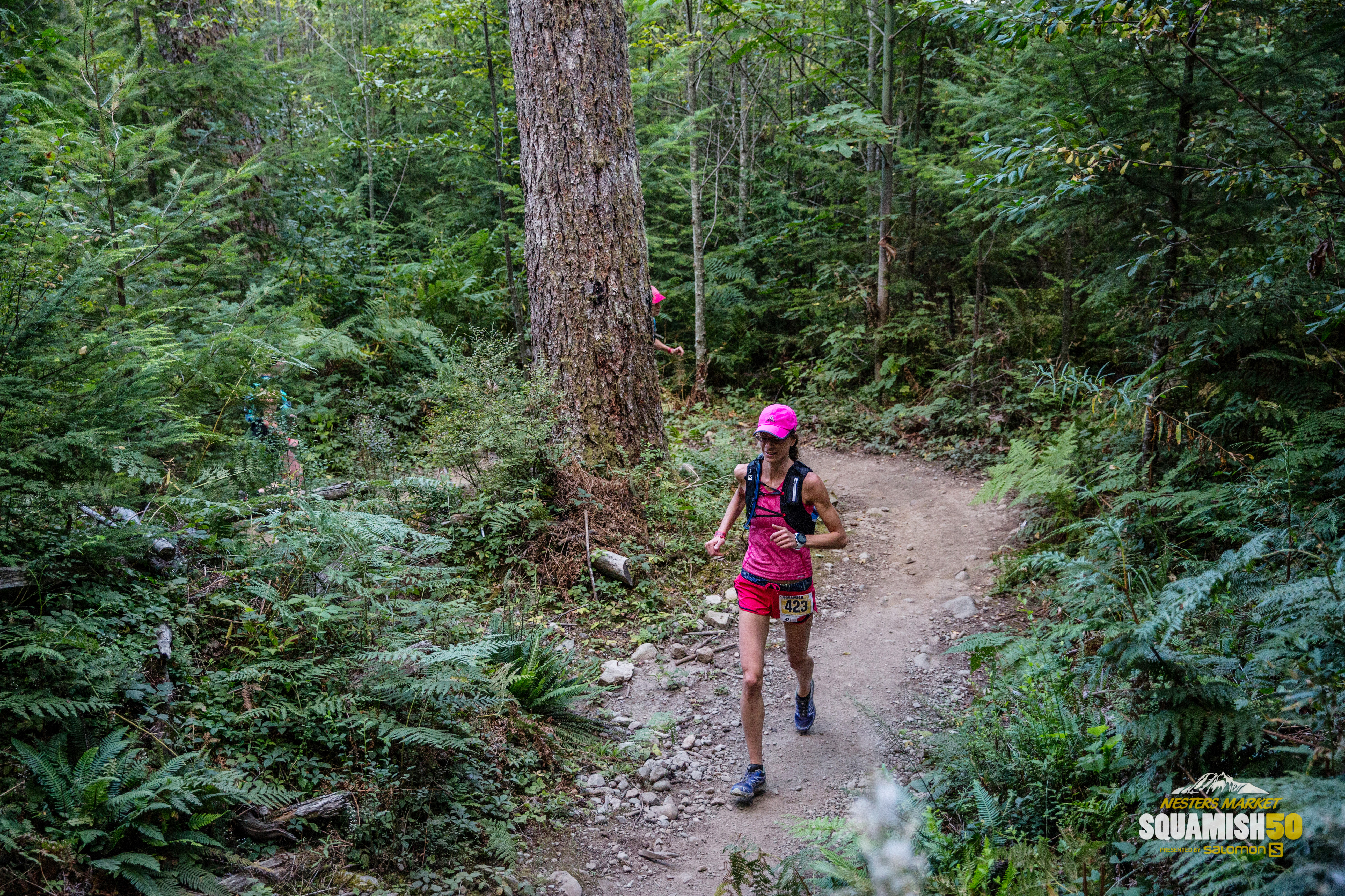
Week 13 to 23, my weekly distance went up from 50 to 70km, but still only averaging around 55km over that whole period.
Around week 23 though, I started to have doubts about the 4-day plan. The main reason was that the week-end distances were getting quite big, and i was concerned both about fitting the time in, but also having such big days in general. Brice, who was training for a 100miler, wasn’t running nearly as long on his long runs – he had more volume during the week and bigger second days. I started wondering whether more spread-out, back-to-back volume wouldn’t be a better option for me at this point.


I soon fell into a rabbit hole of training articles on the web and came across another 50miler training plan, by David Roche. It had a more standard 5-day week cycle, and the long runs increased more gradually. David Roche is a a pretty notorious coach, I’d listened to his and his wife/co-coach Megan’s podcast and i knew he coached a couple of local runners, so I felt like it was probably a good direction to take.
My approach to training so far was never about getting faster, but more about building strength and endurance. I always figured long days on feet and regular strength training should take care of that.
But i didn’t realize, until that rainy afternoon deep-dive into running theory, how speed was important, in the sense that the faster you can go, the more comfortable you would be while running slower – hence the longer you could run at a slower pace. CQFD (Duh)
“Speed matters most” is ultimately what Dave Roche was saying. And at that point, speed work-outs were looking less daunting to me than 45k+ runs on consecutive week-ends.


This time, I started following the plan religiously, from easy runs with strides to hill workouts to week-end long runs.
A 5-day family visit in Montreal forced me to shift long runs to be on a Friday and Monday, as week-end running just wasn’t going to be feasible, but aside from that, everything else was executed as planned. With 6 weeks to go, it felt good to finally have a more solid structure.
Training Fatigue
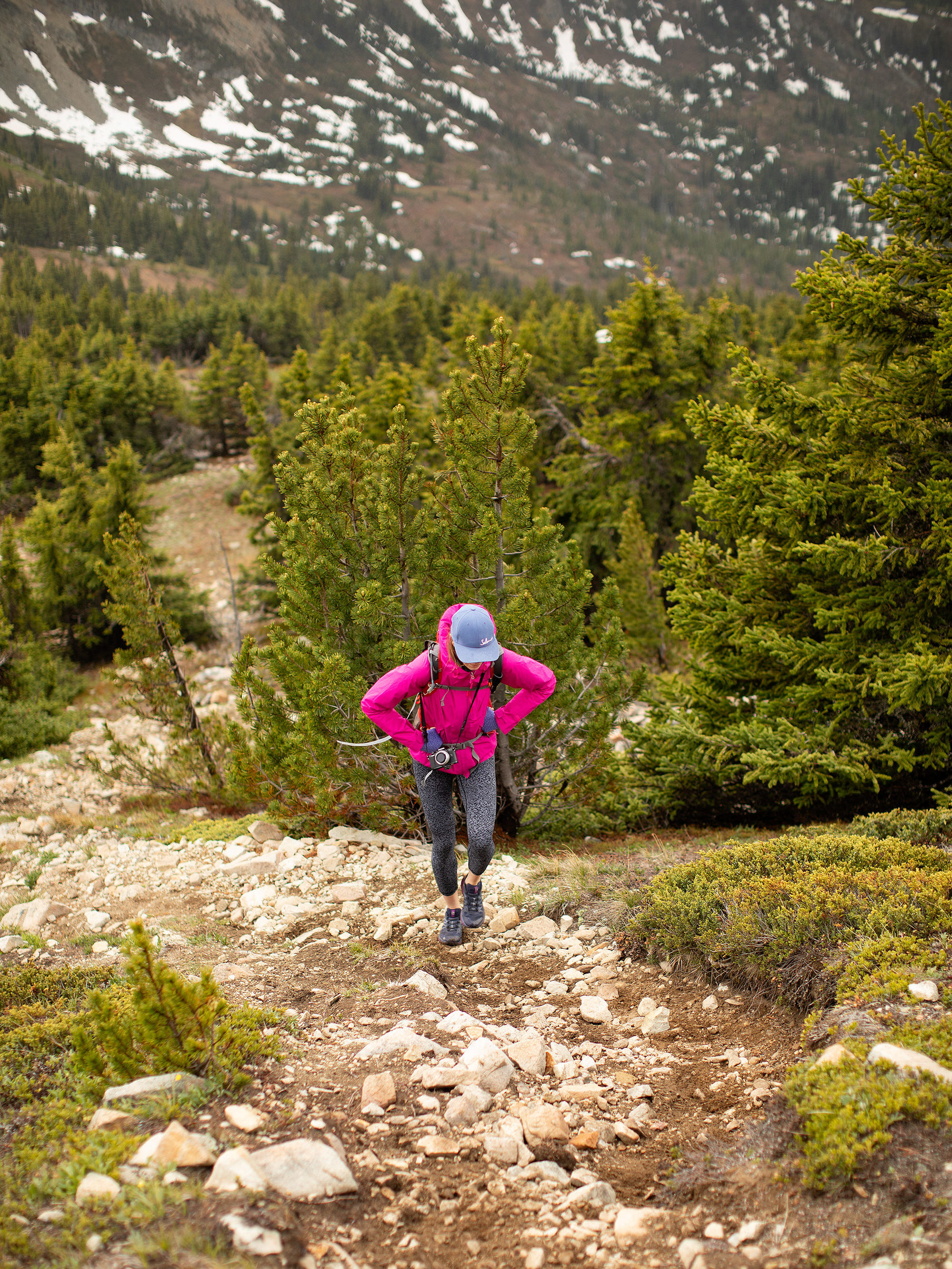
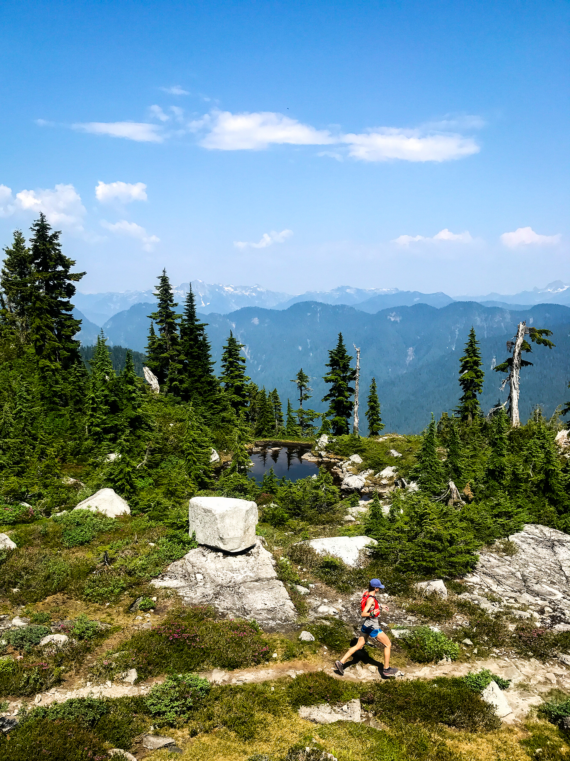
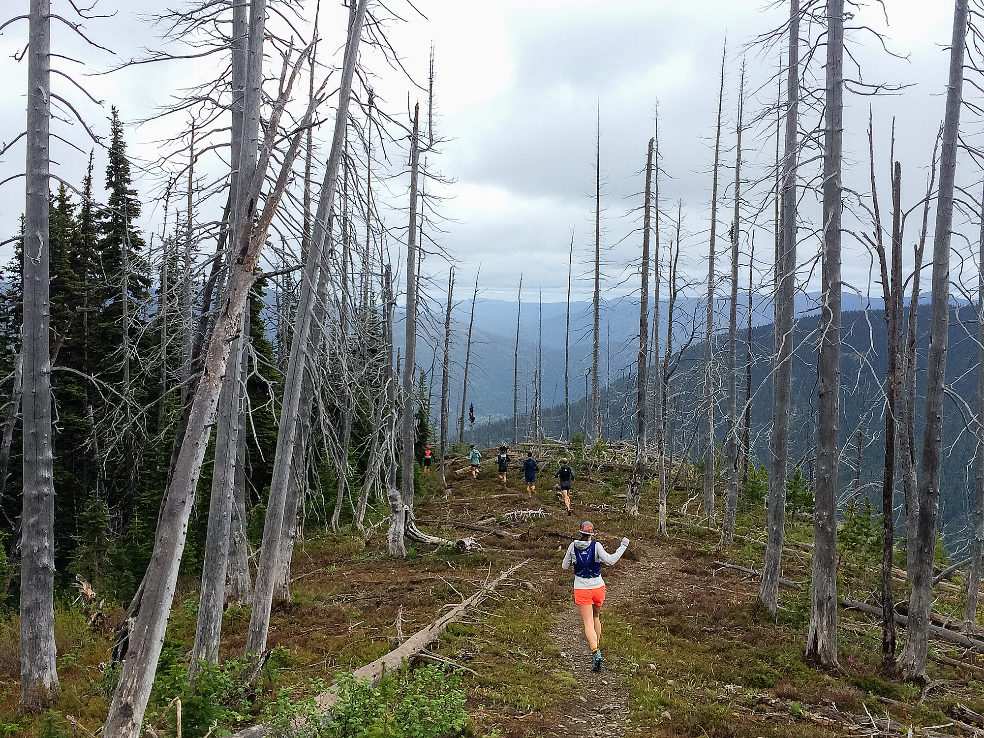
I’m not gonna lie, in September training fatigue started to creep in. July and August had been all about going on big summer adventures. But September became very training-centric. I woke up every day thinking of what my run needed to be, and went to bed each night preparing for the next day training session. Week-ends did get bigger of course. Even with spreading out the volume i still needed to get my weekly distance up into the 80km’s for a few weeks.

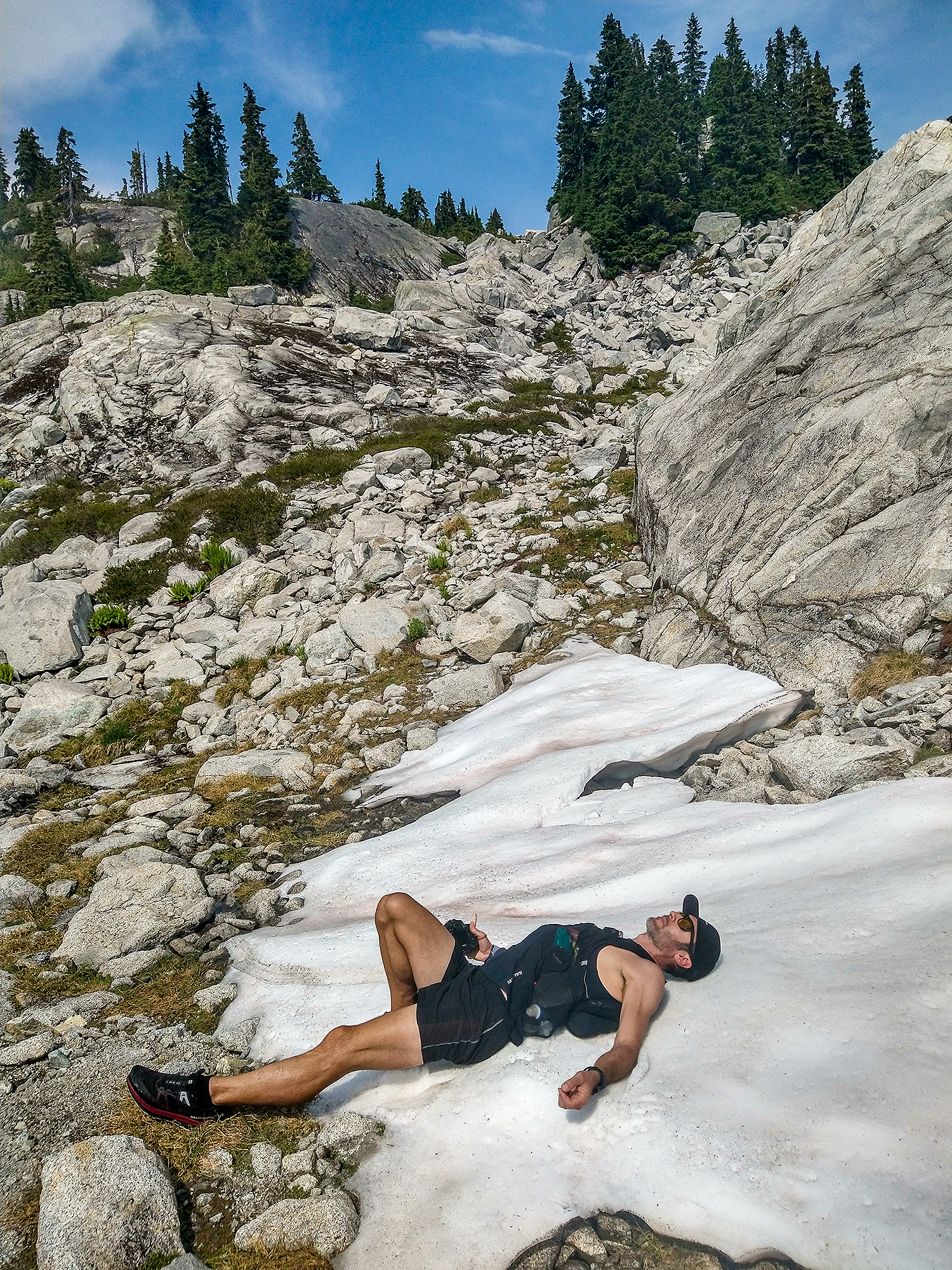


Somehow I managed to keep the motivation going. Being a bit uncomfortable during the last few weeks of training meant that hopefully i would be more comfortable on the big day and could enjoy the experience that much more. At least that was the goal.
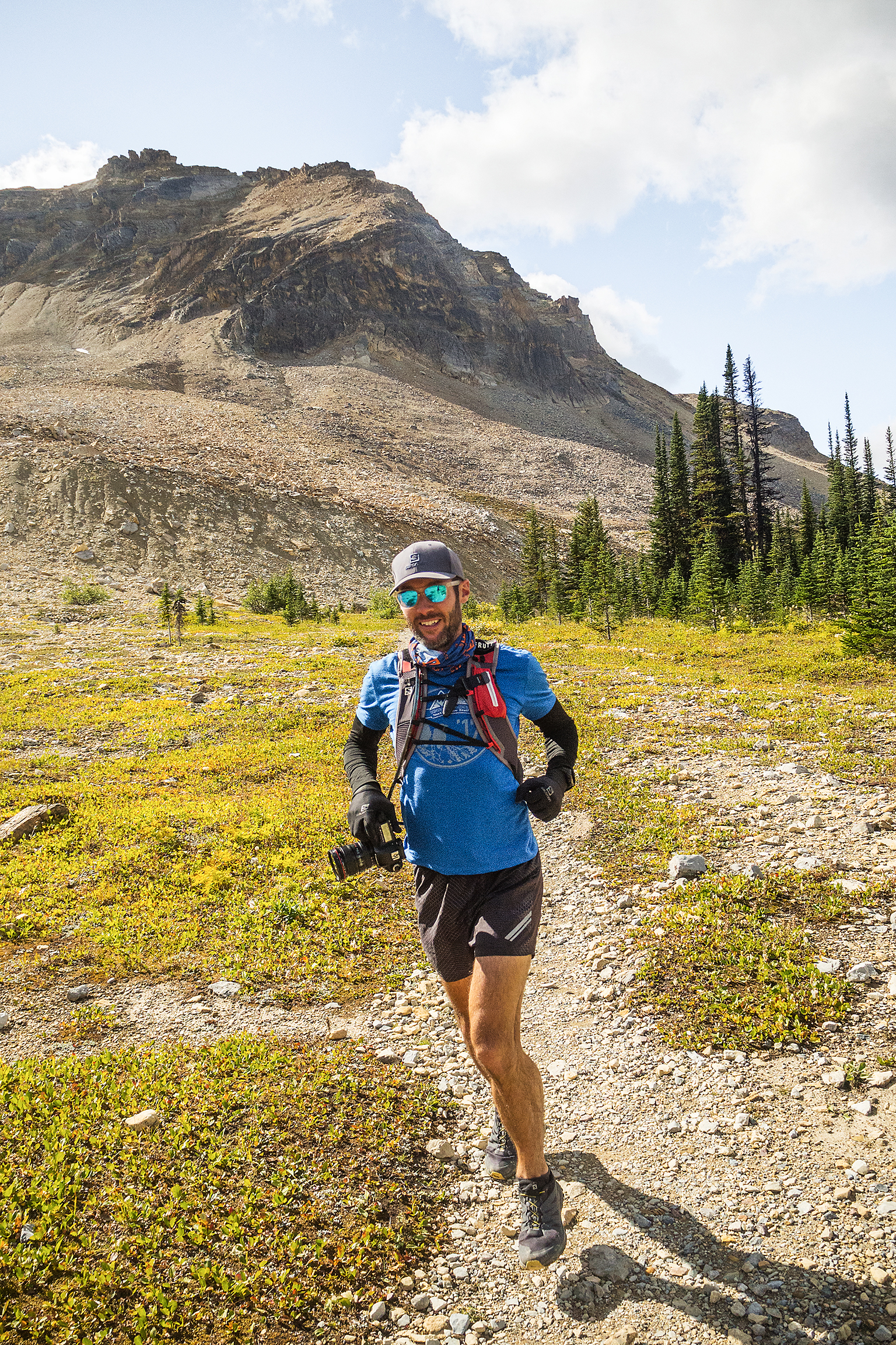
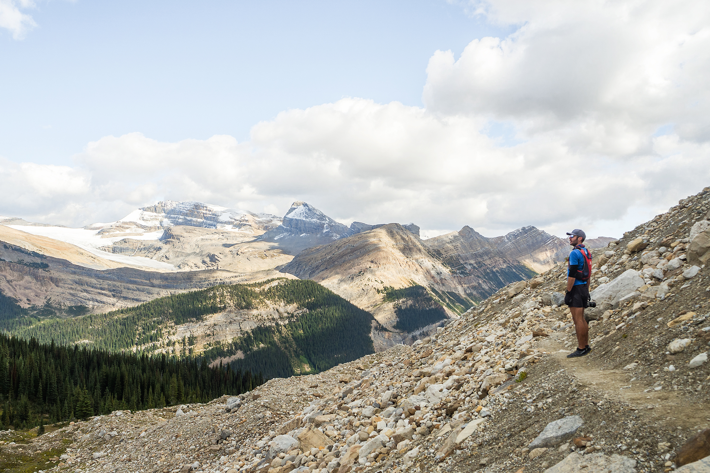
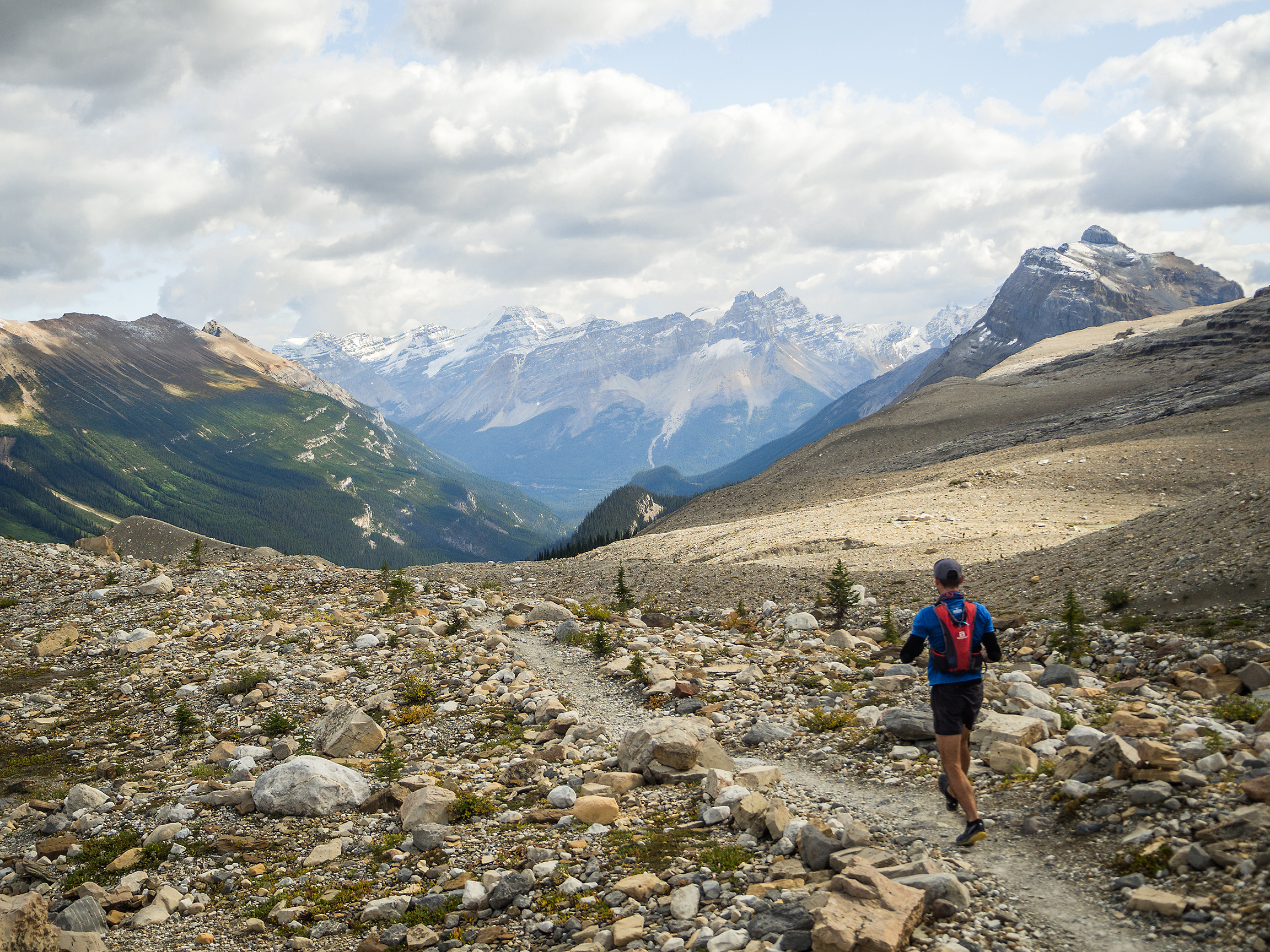
My last two big week-ends definitely helped me work on grit and perseverance. Brice and I were training for very different efforts. He did nearly all of his running on the road, while I needed to get at least 3000 meters of elevation per week. So we ended up running mostly separately, sometimes both by ourselves.

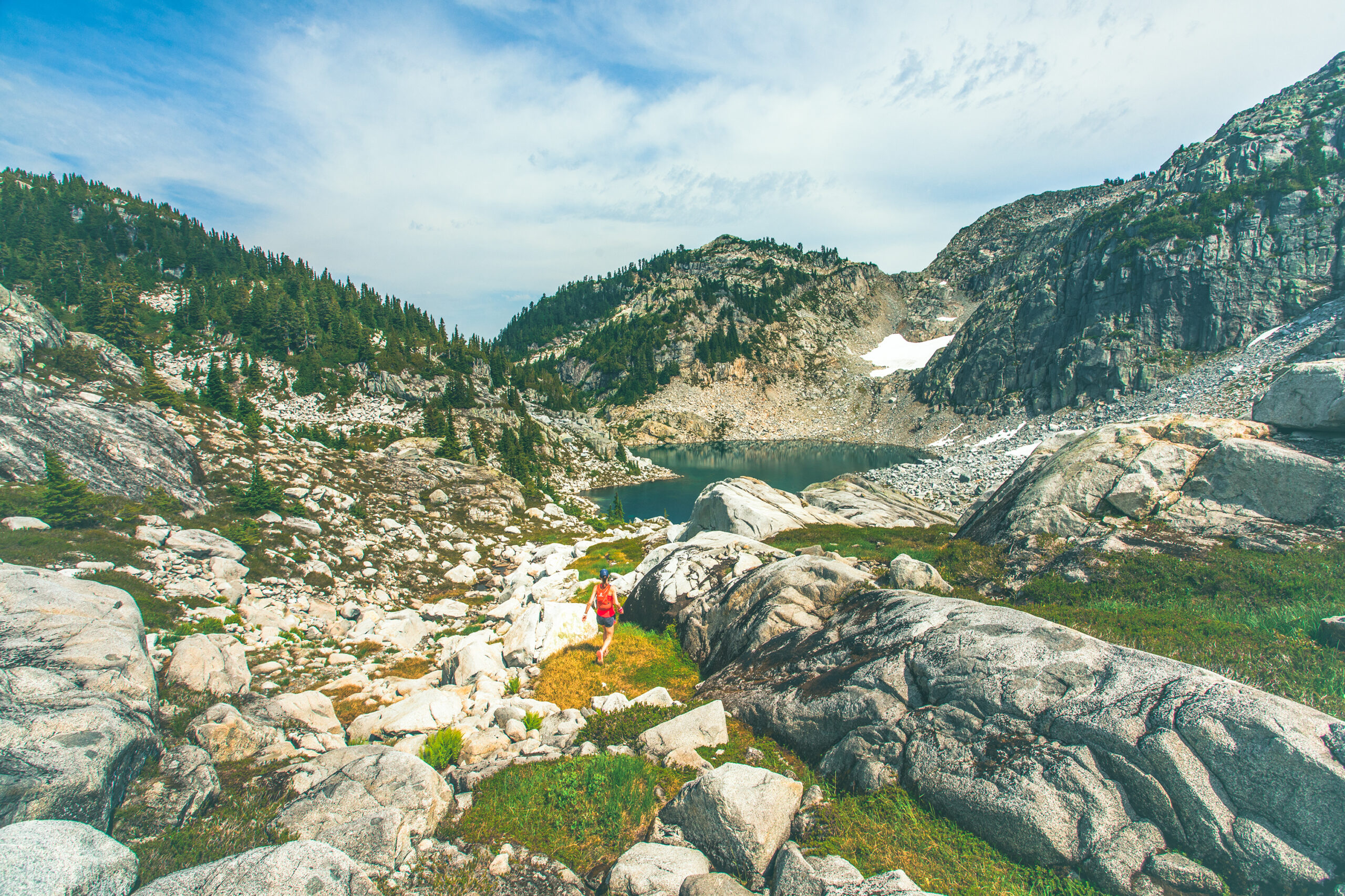
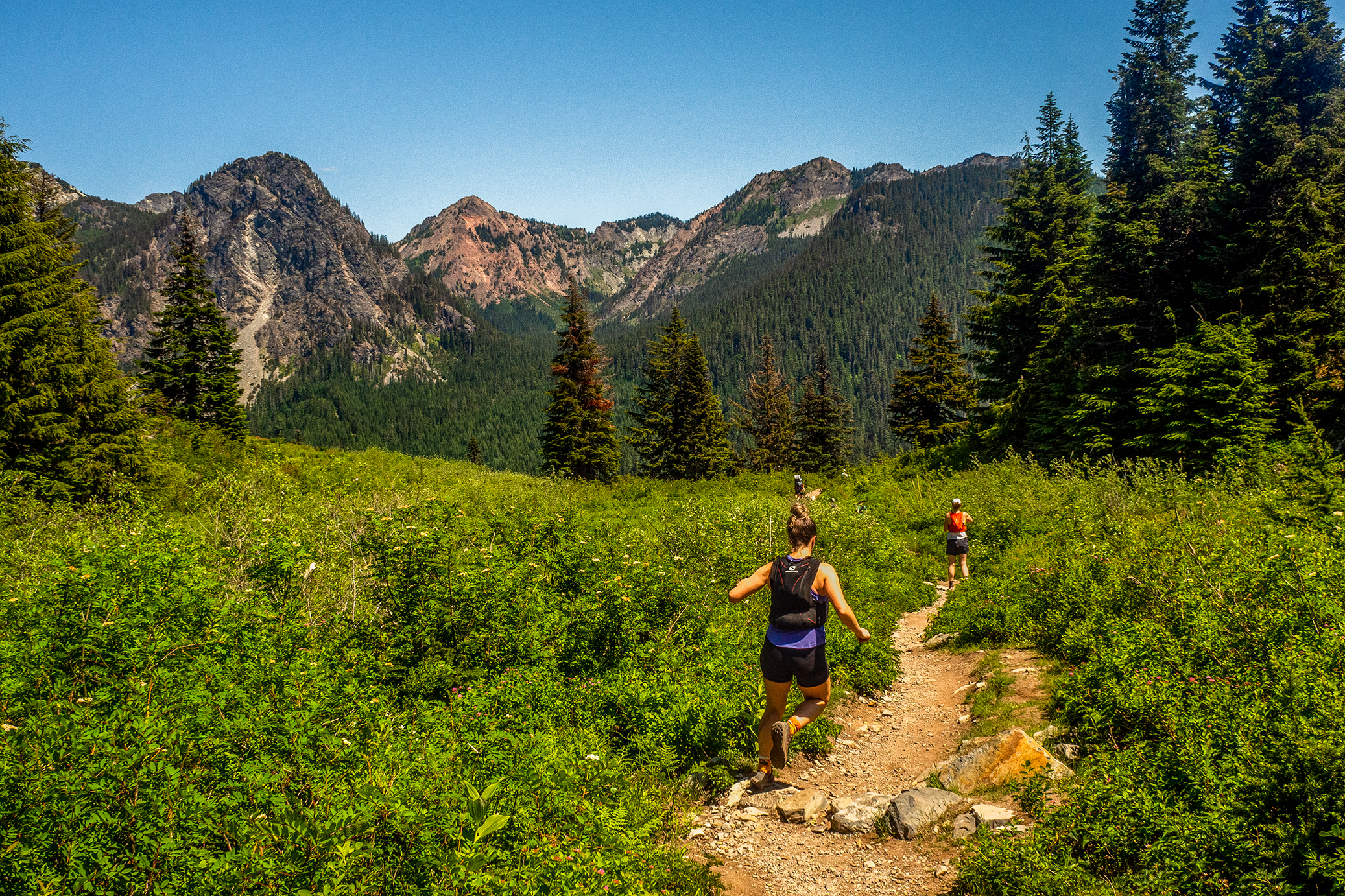
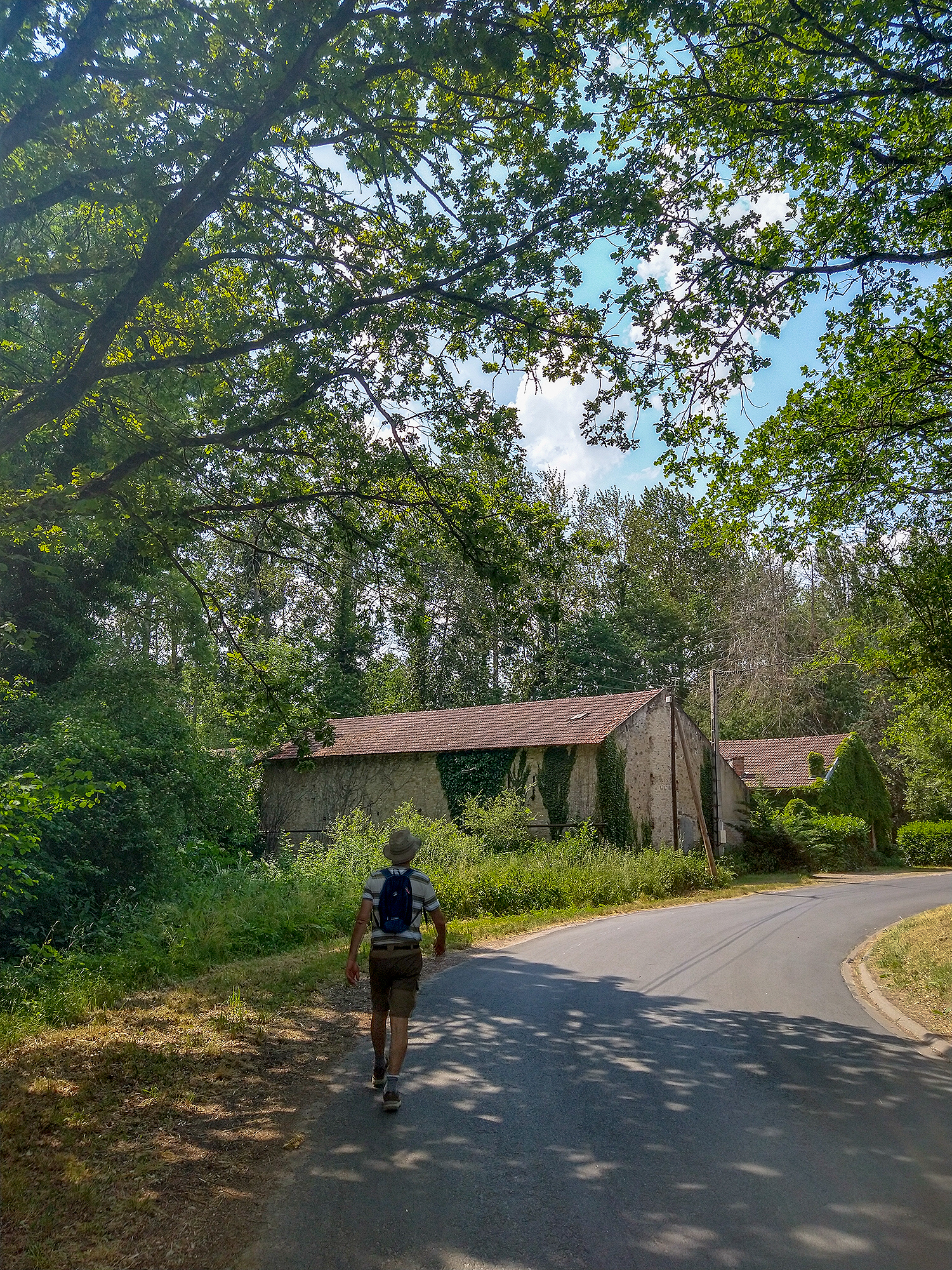
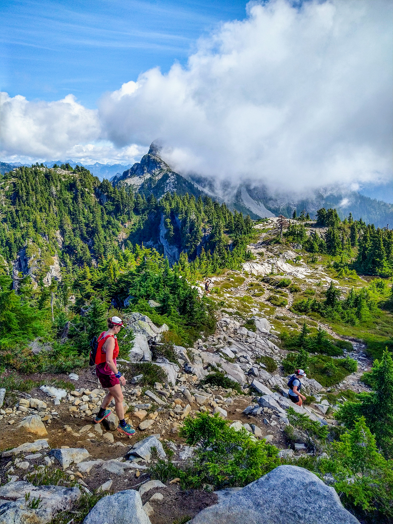
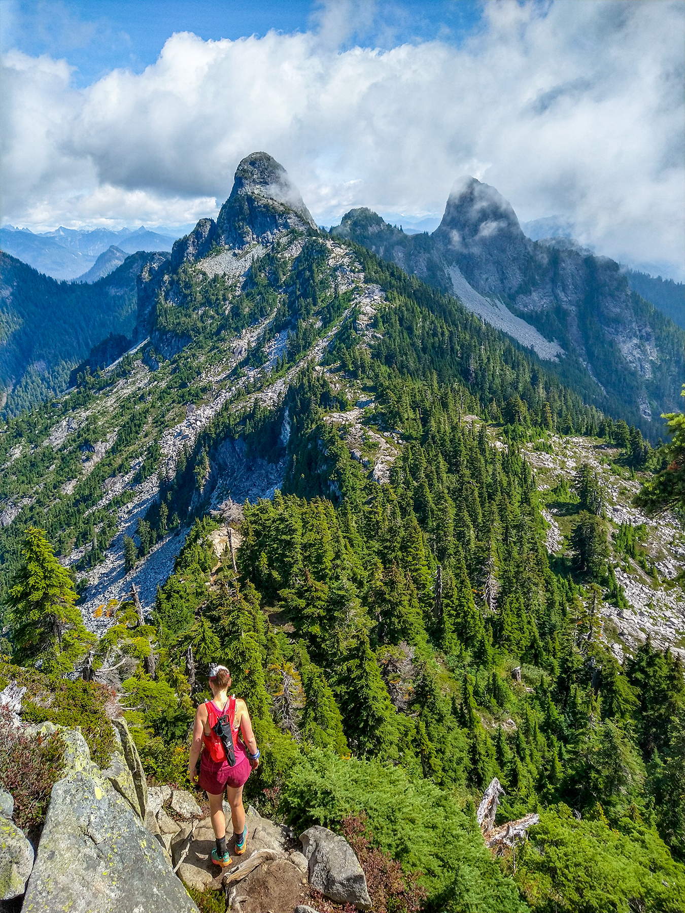
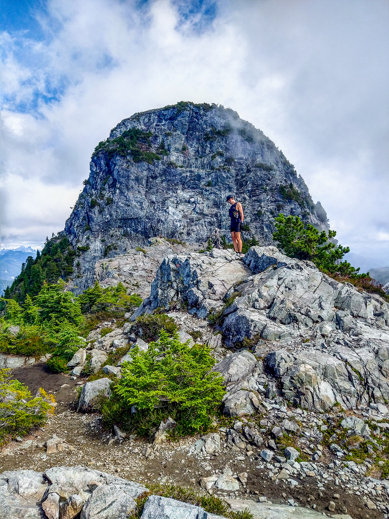
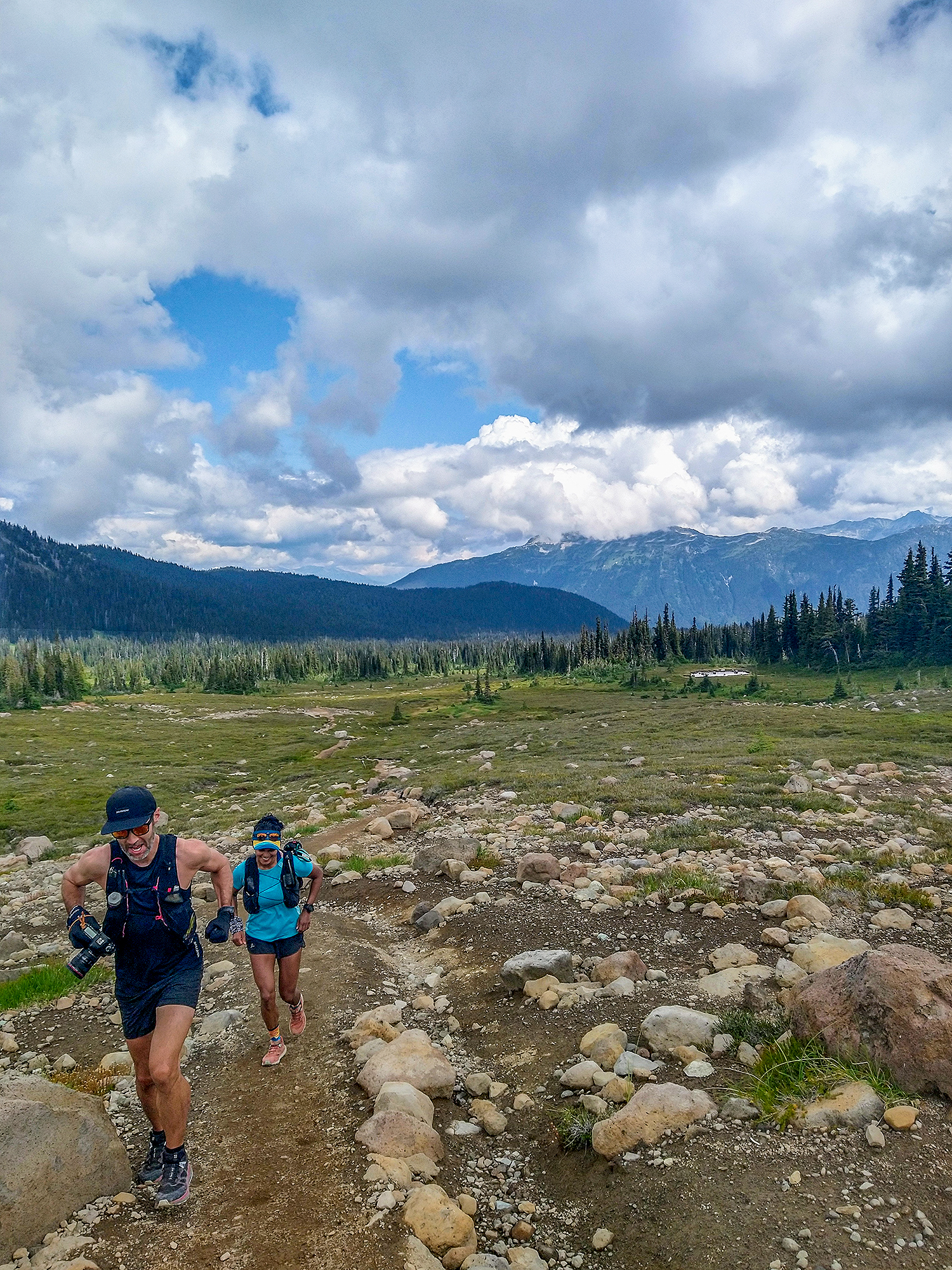
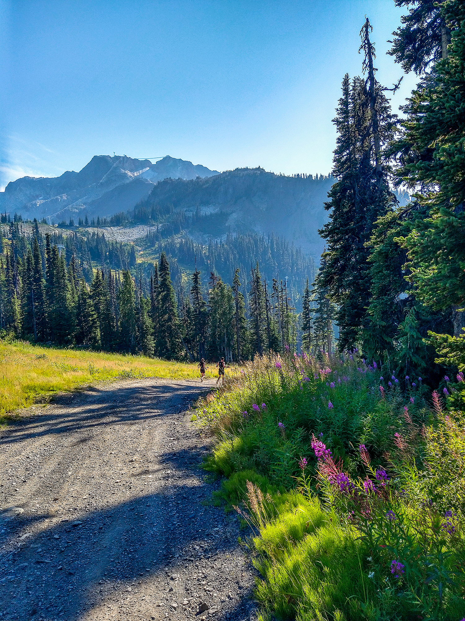
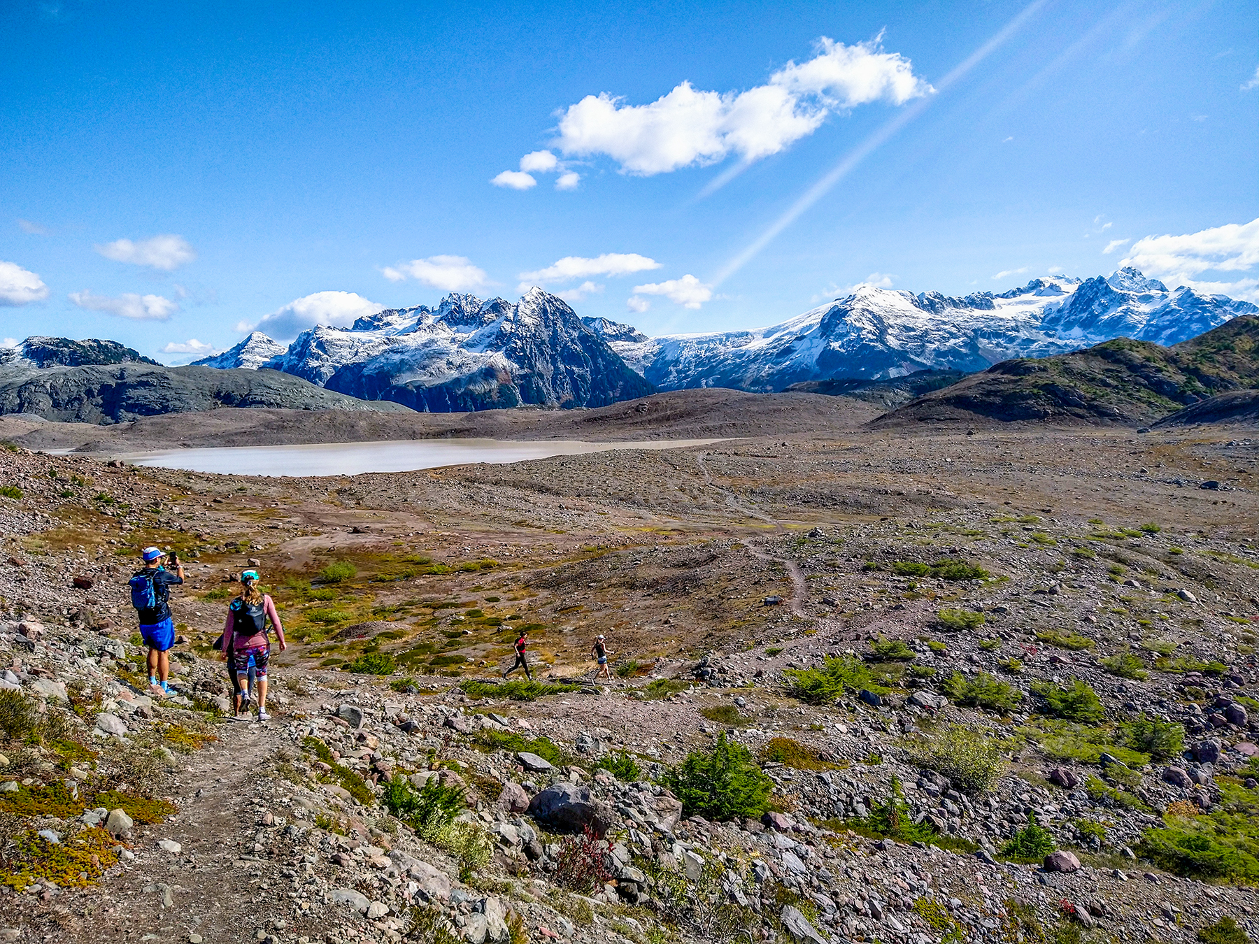
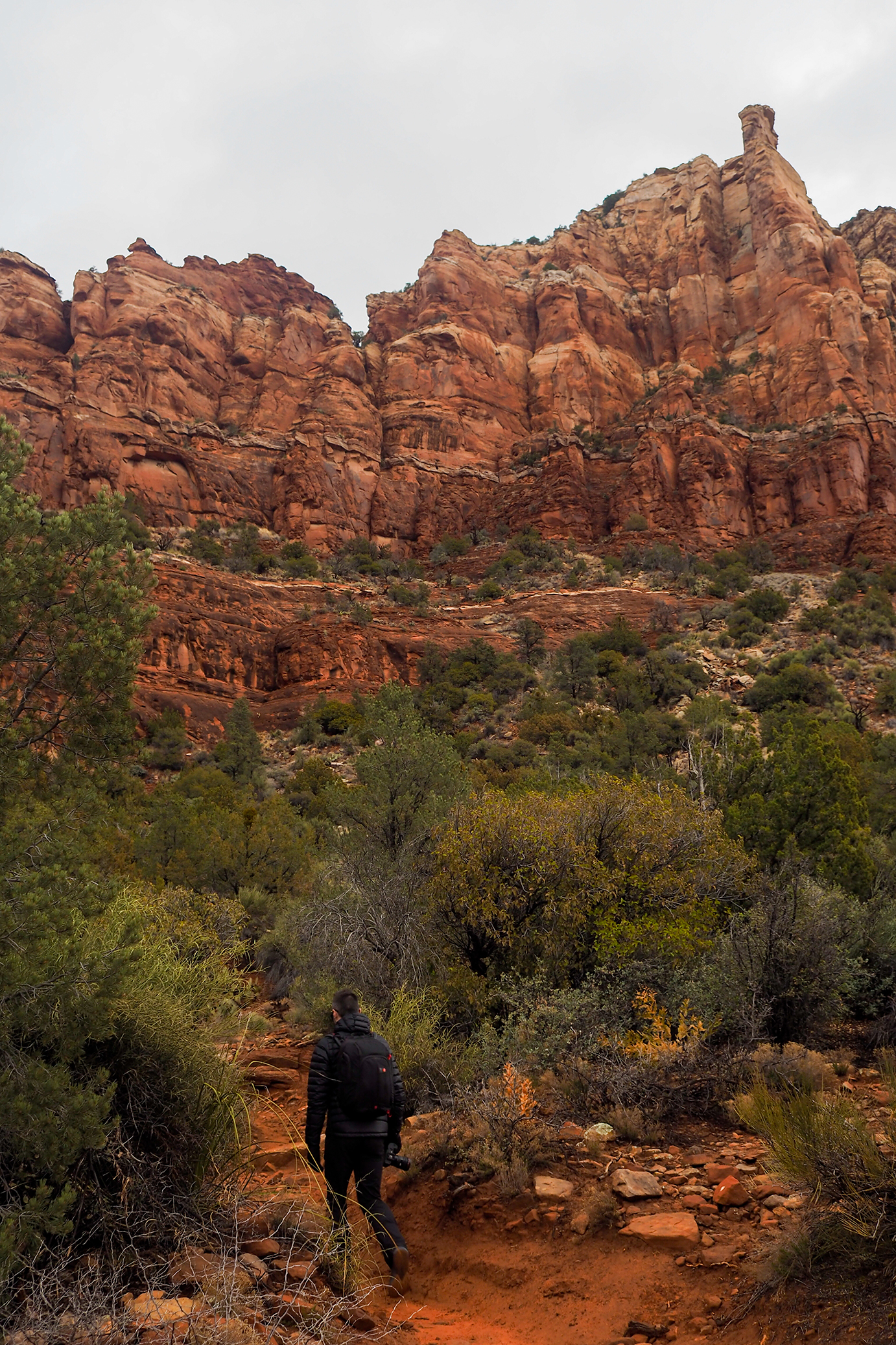
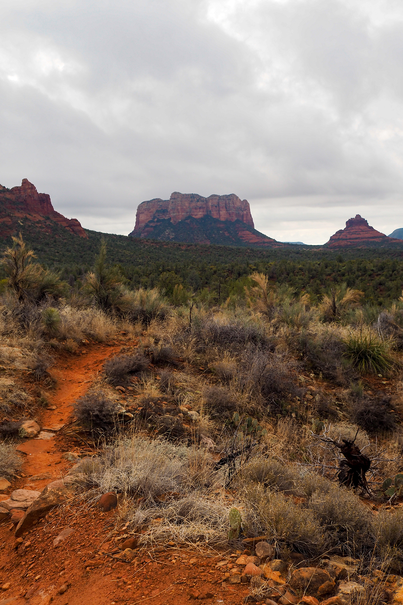
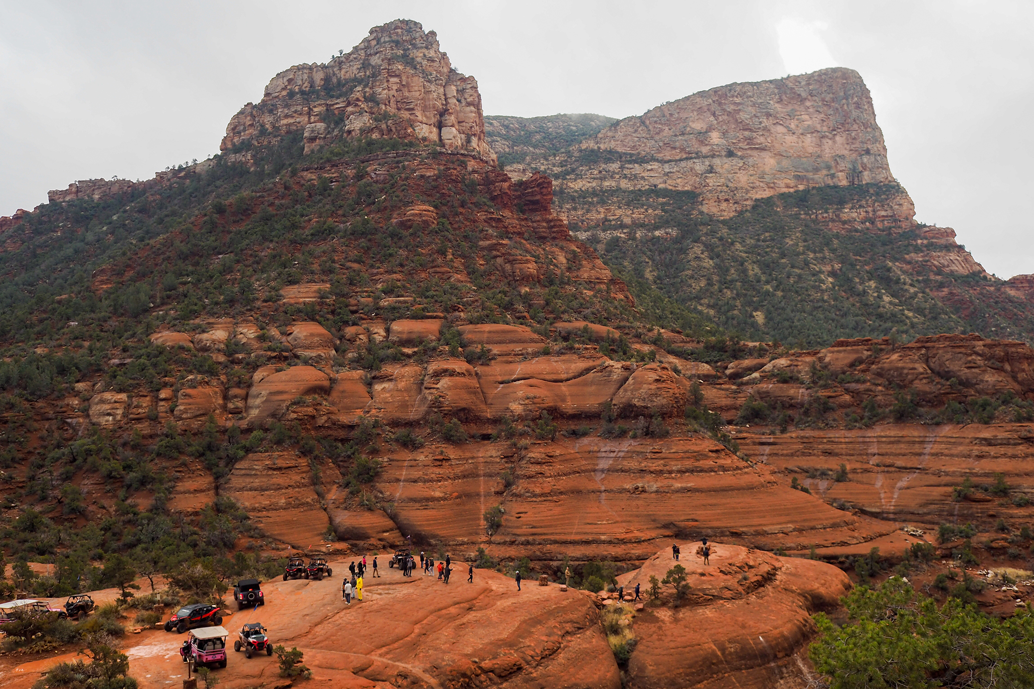
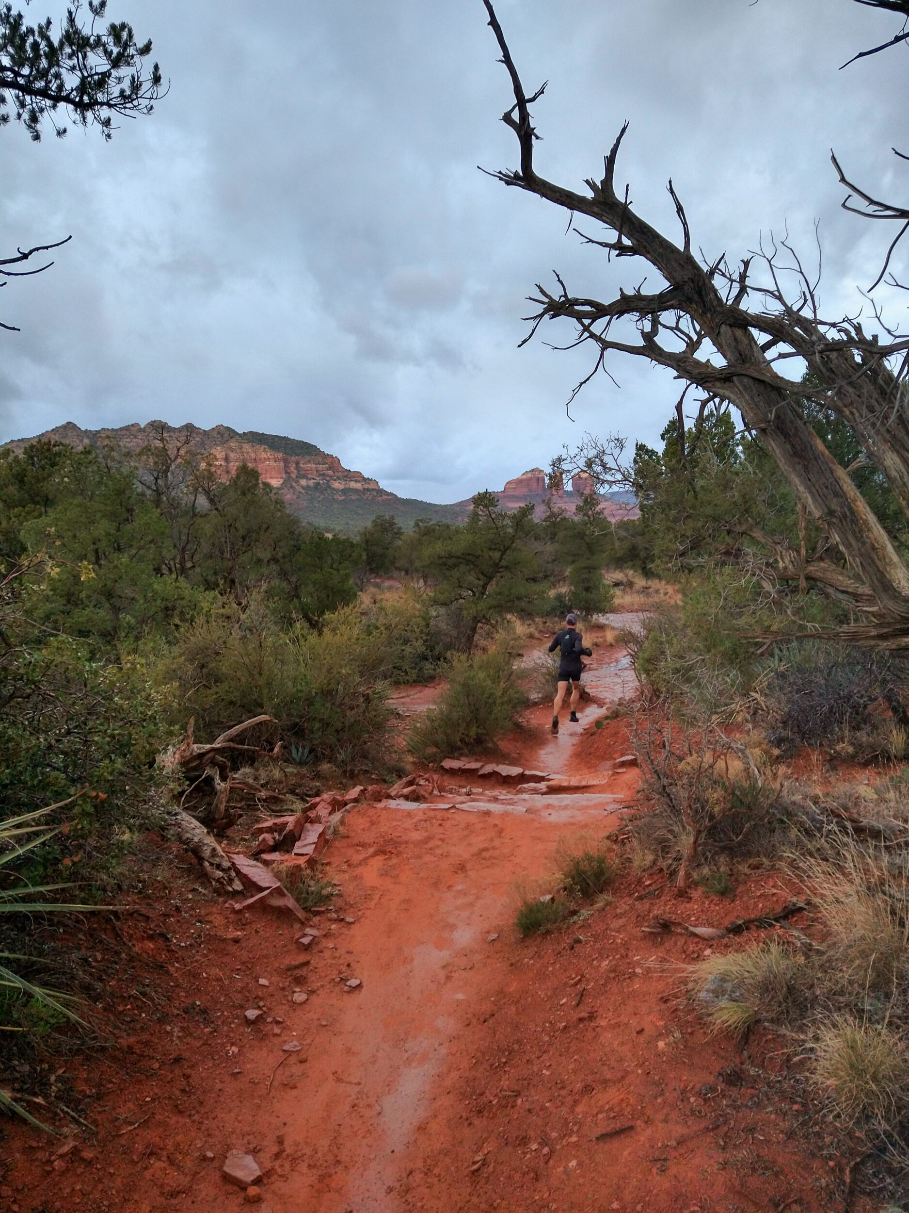
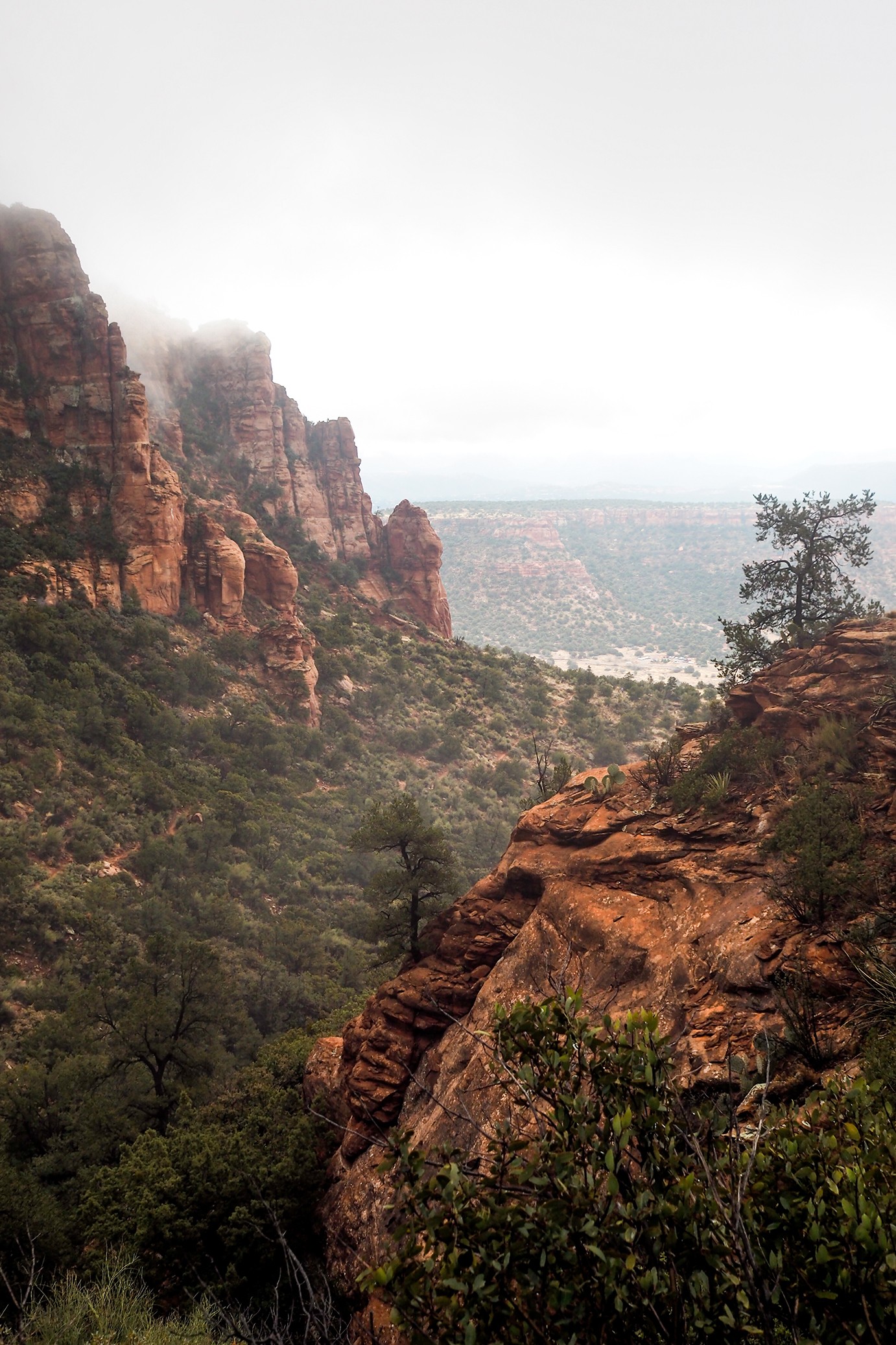
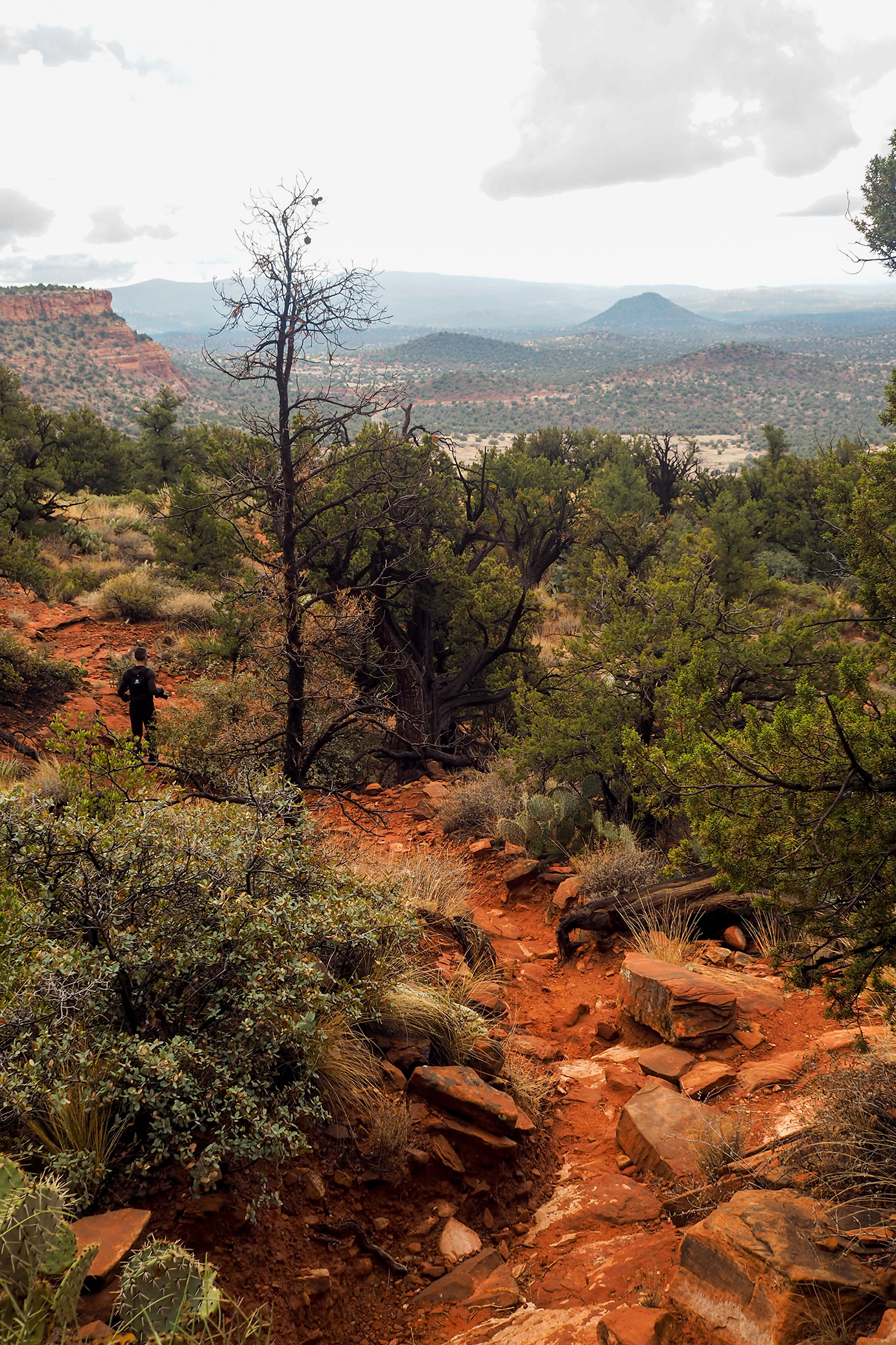
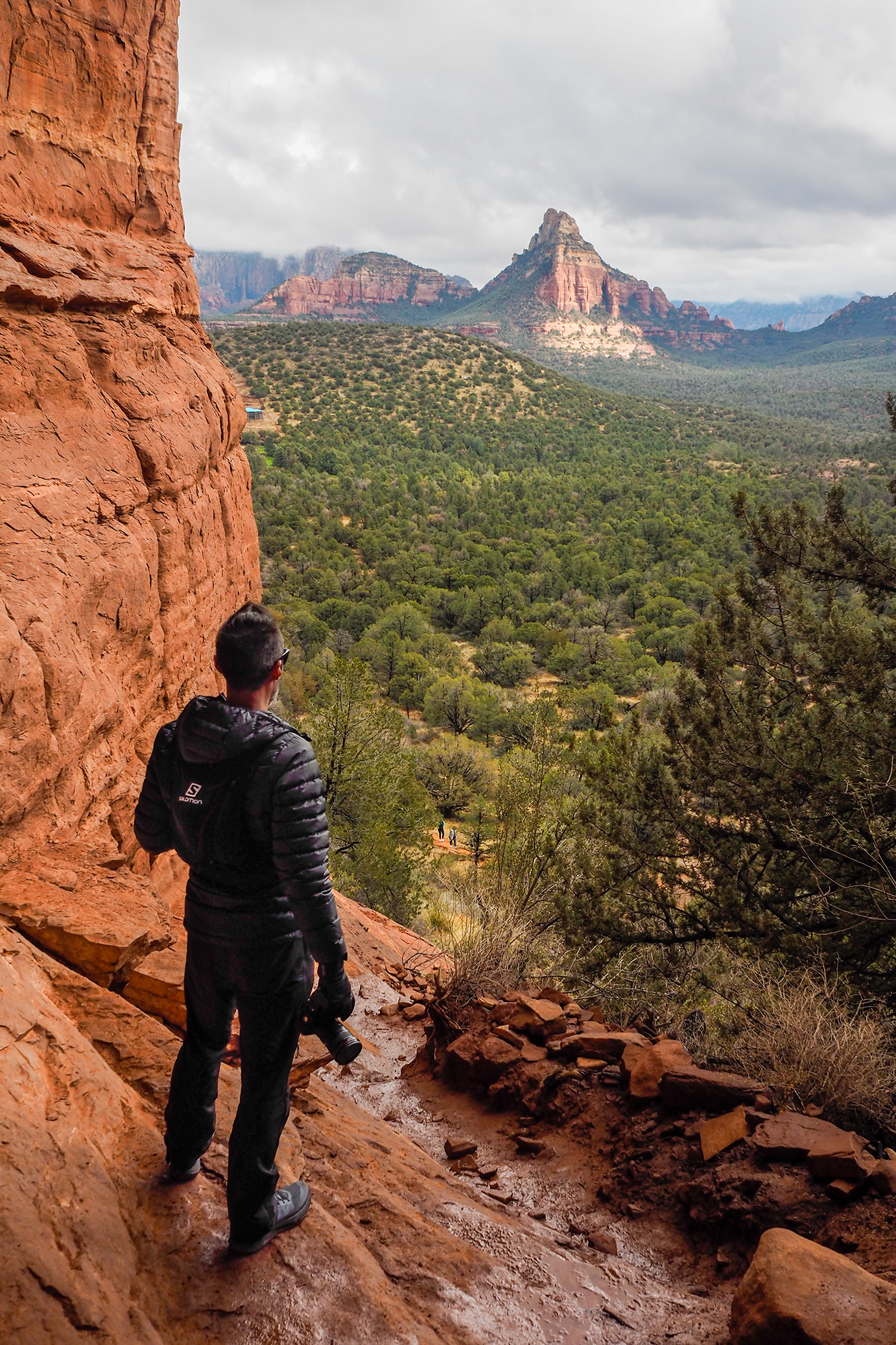
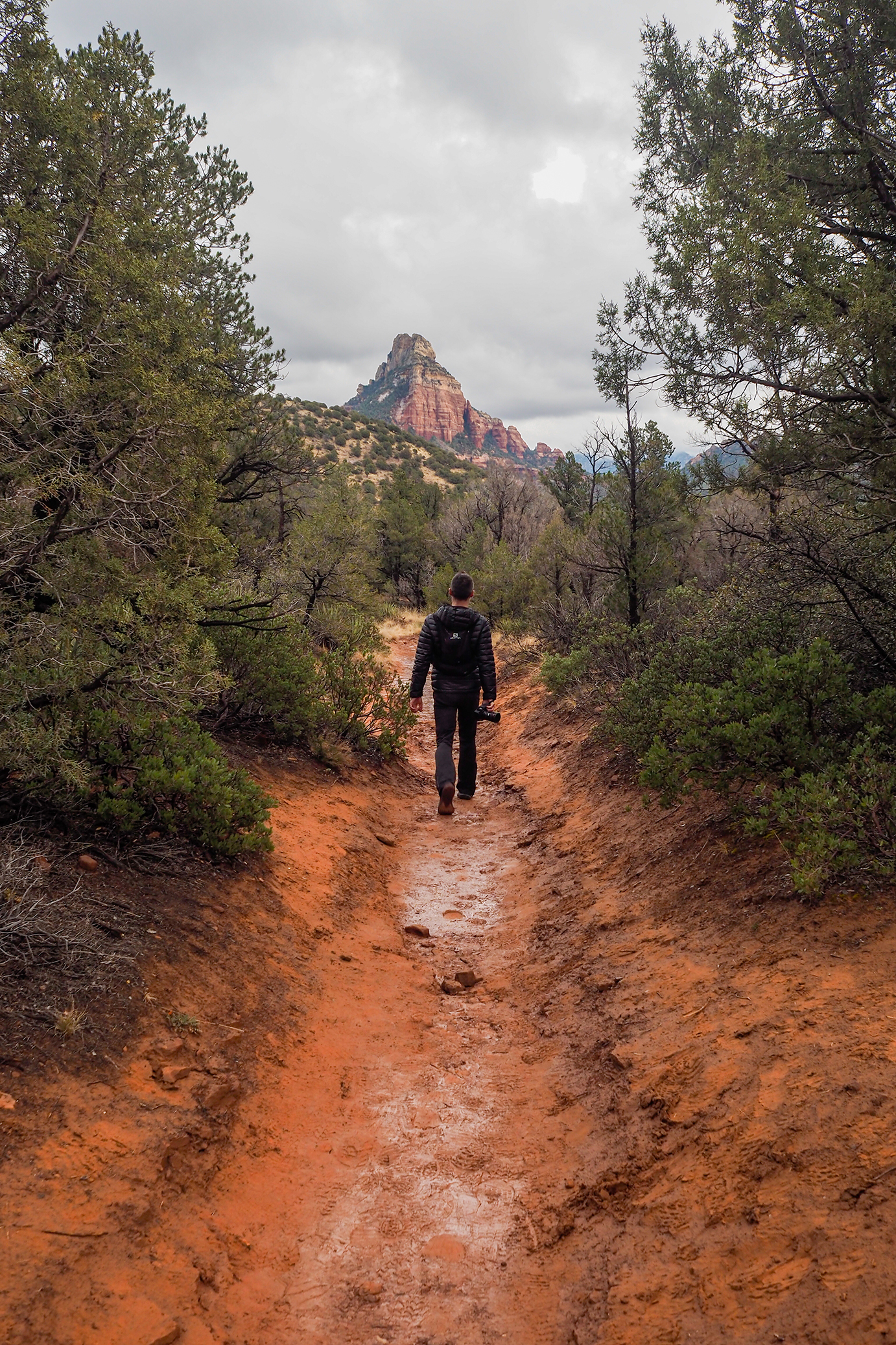
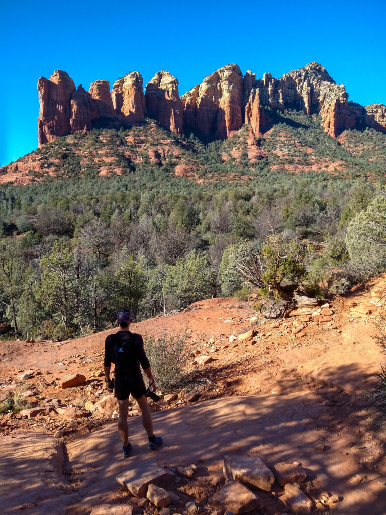
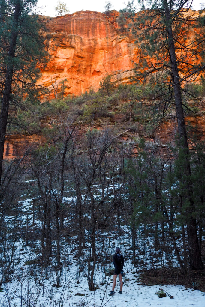
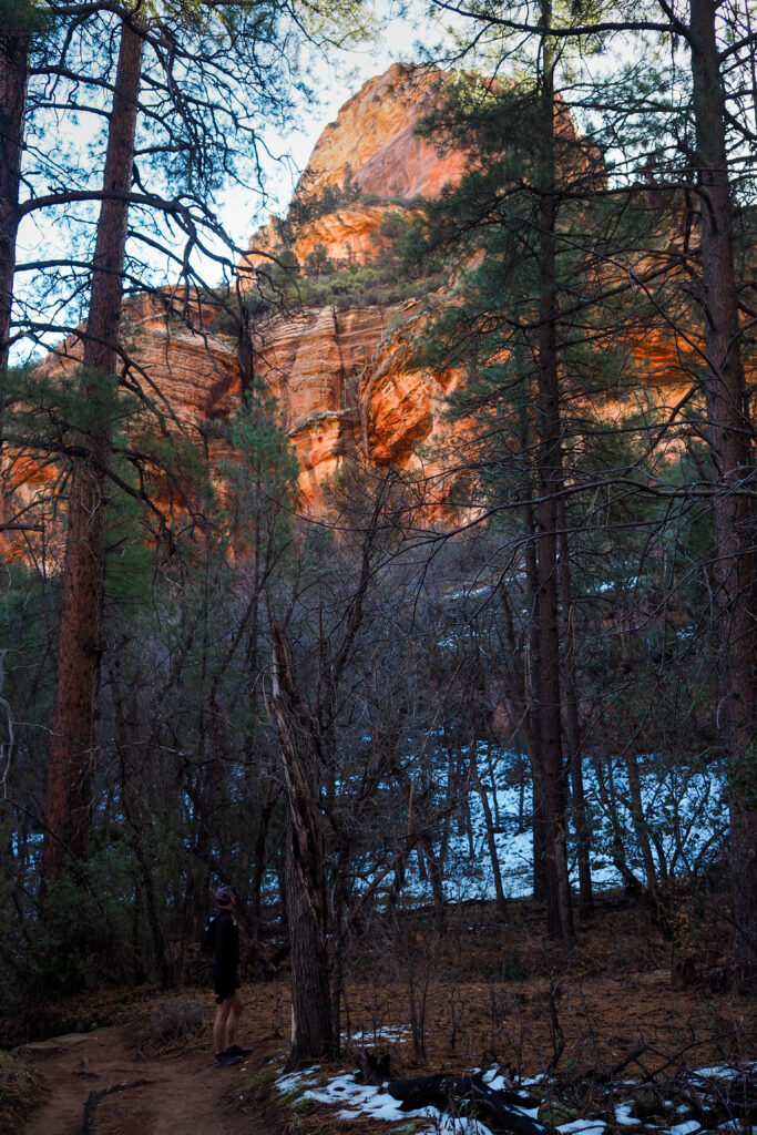
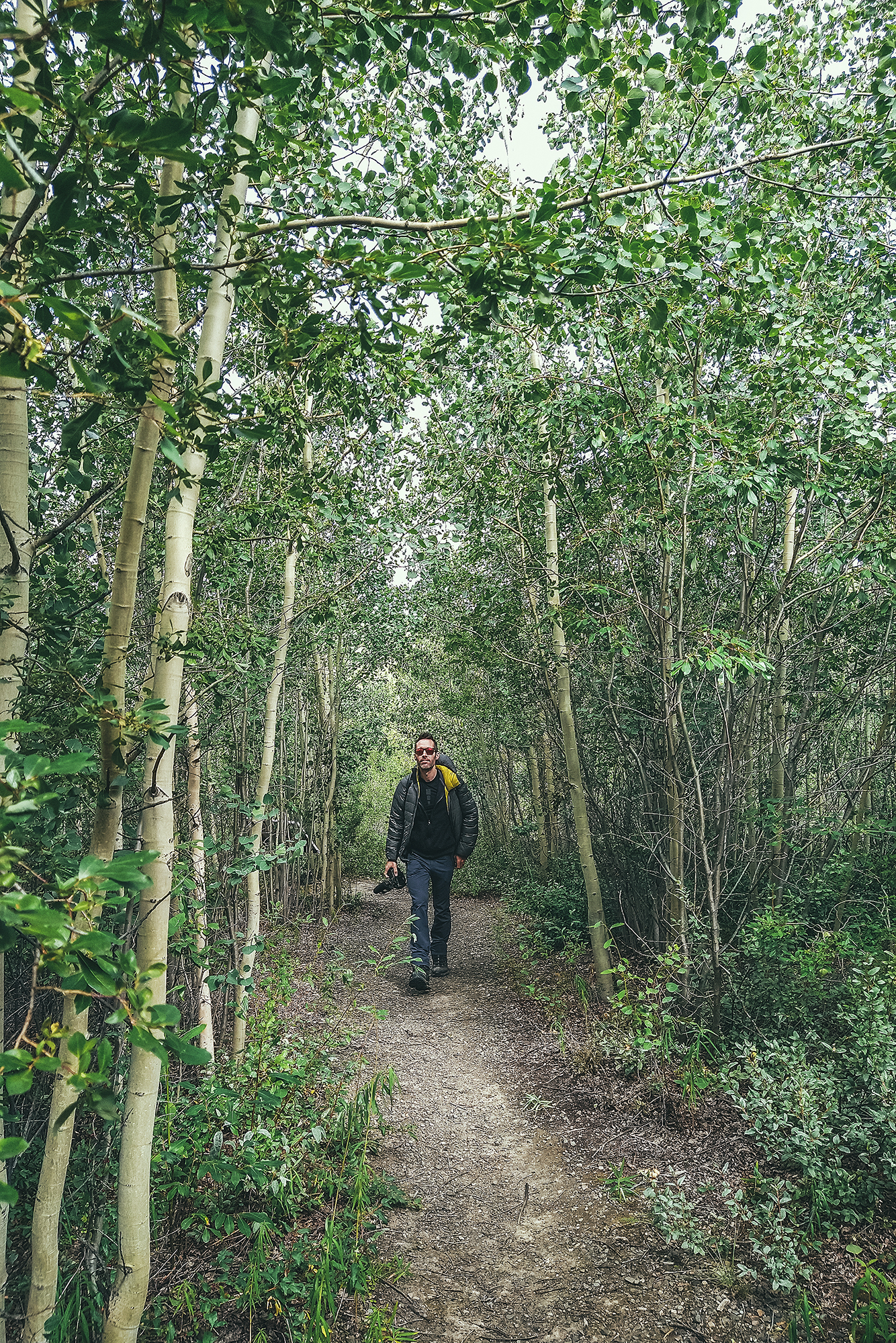
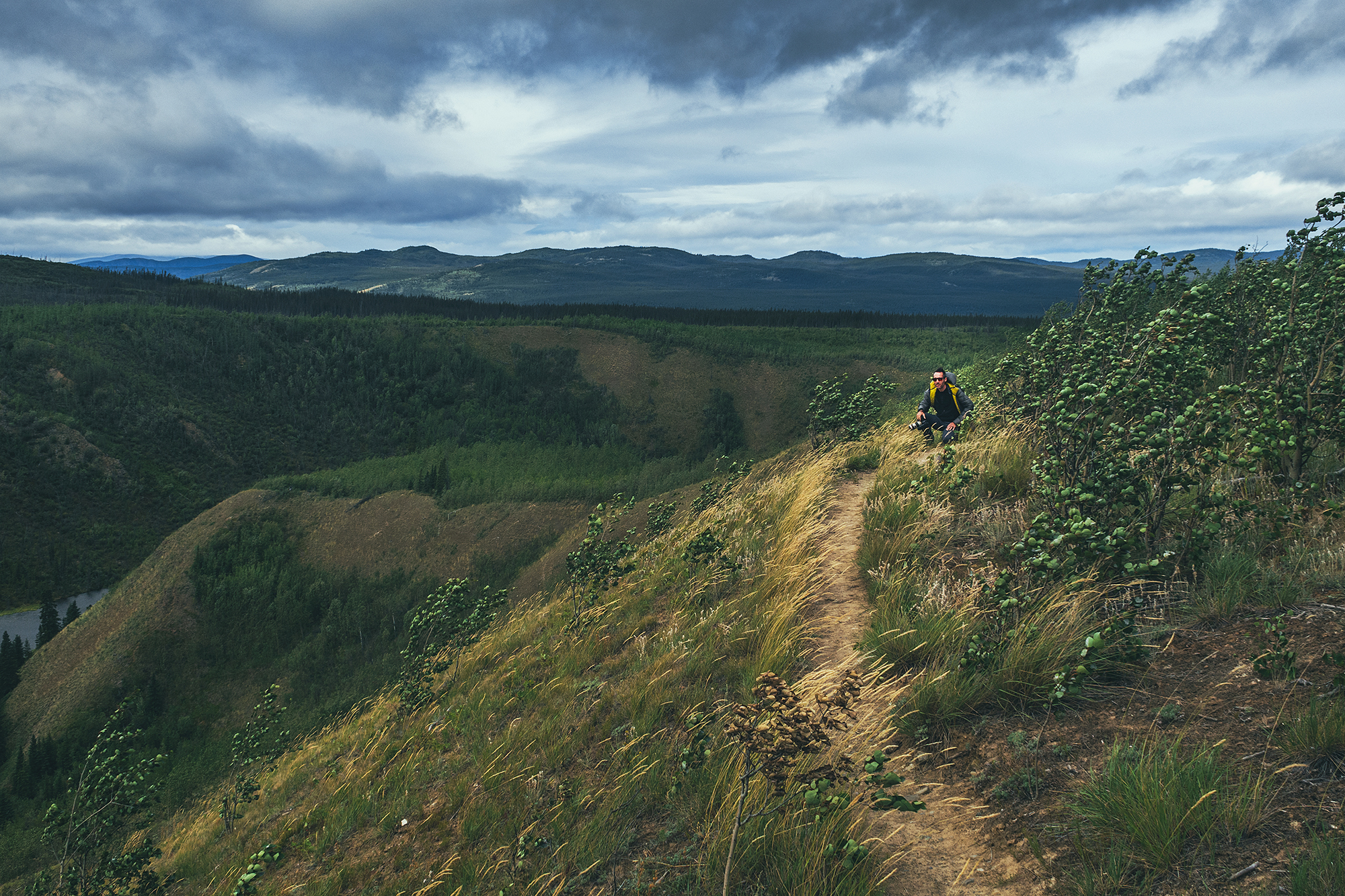
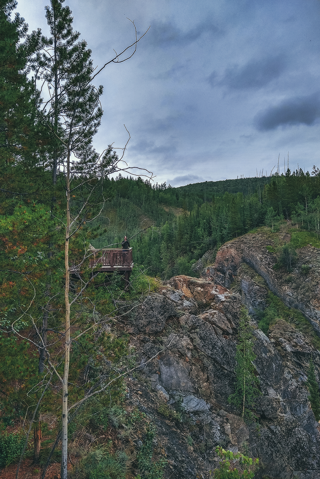
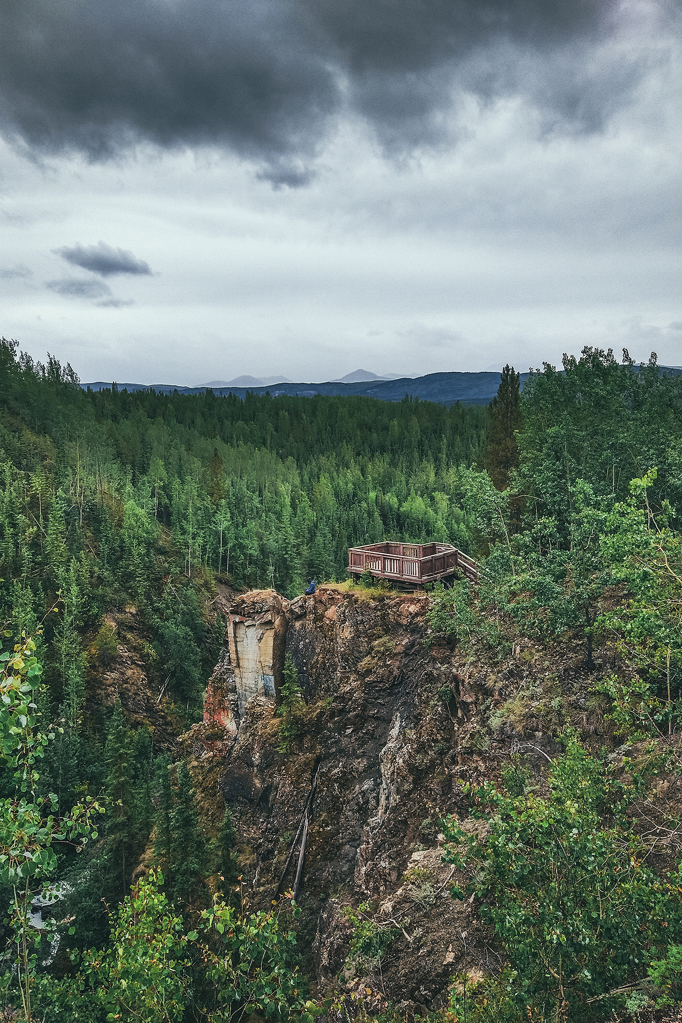
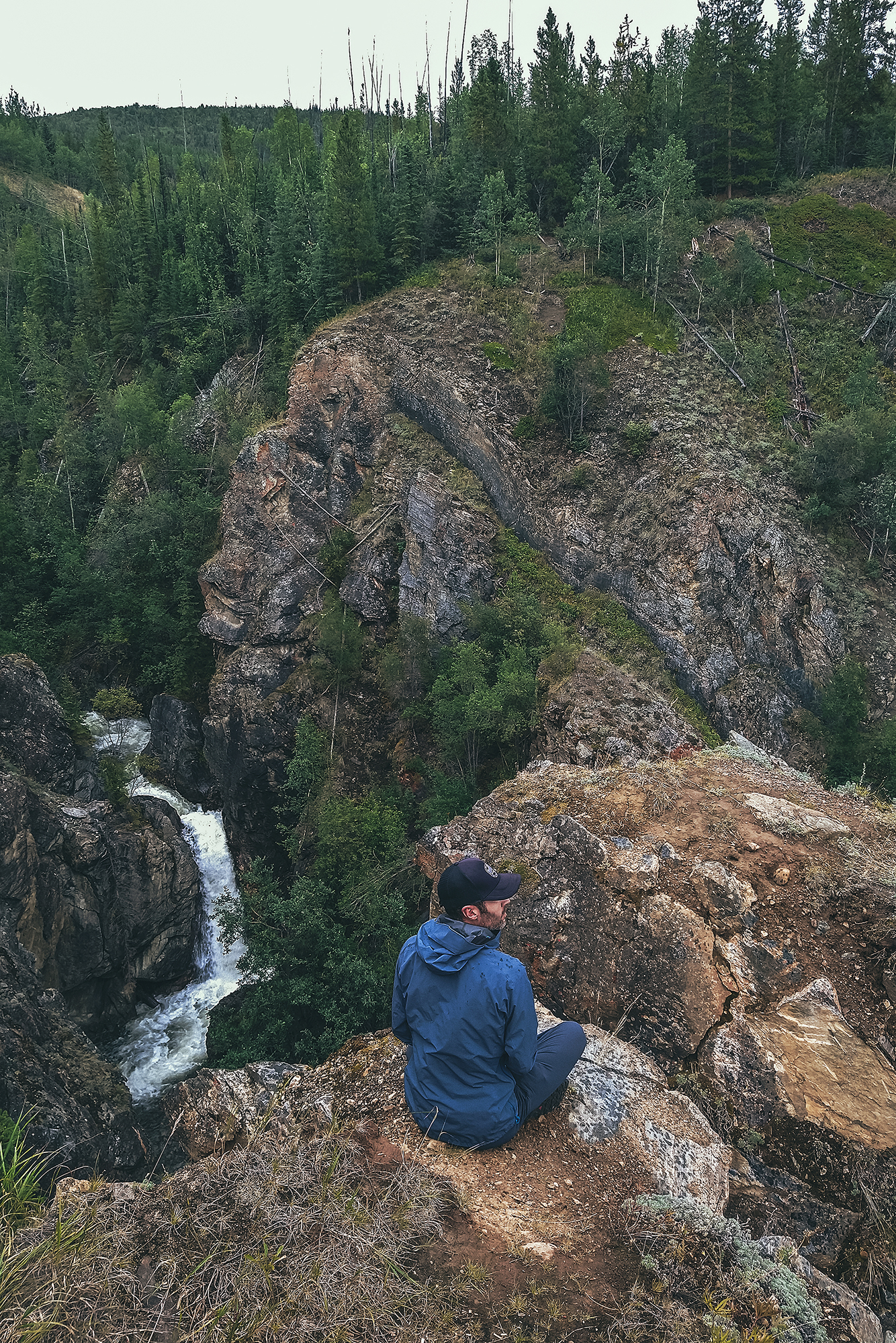
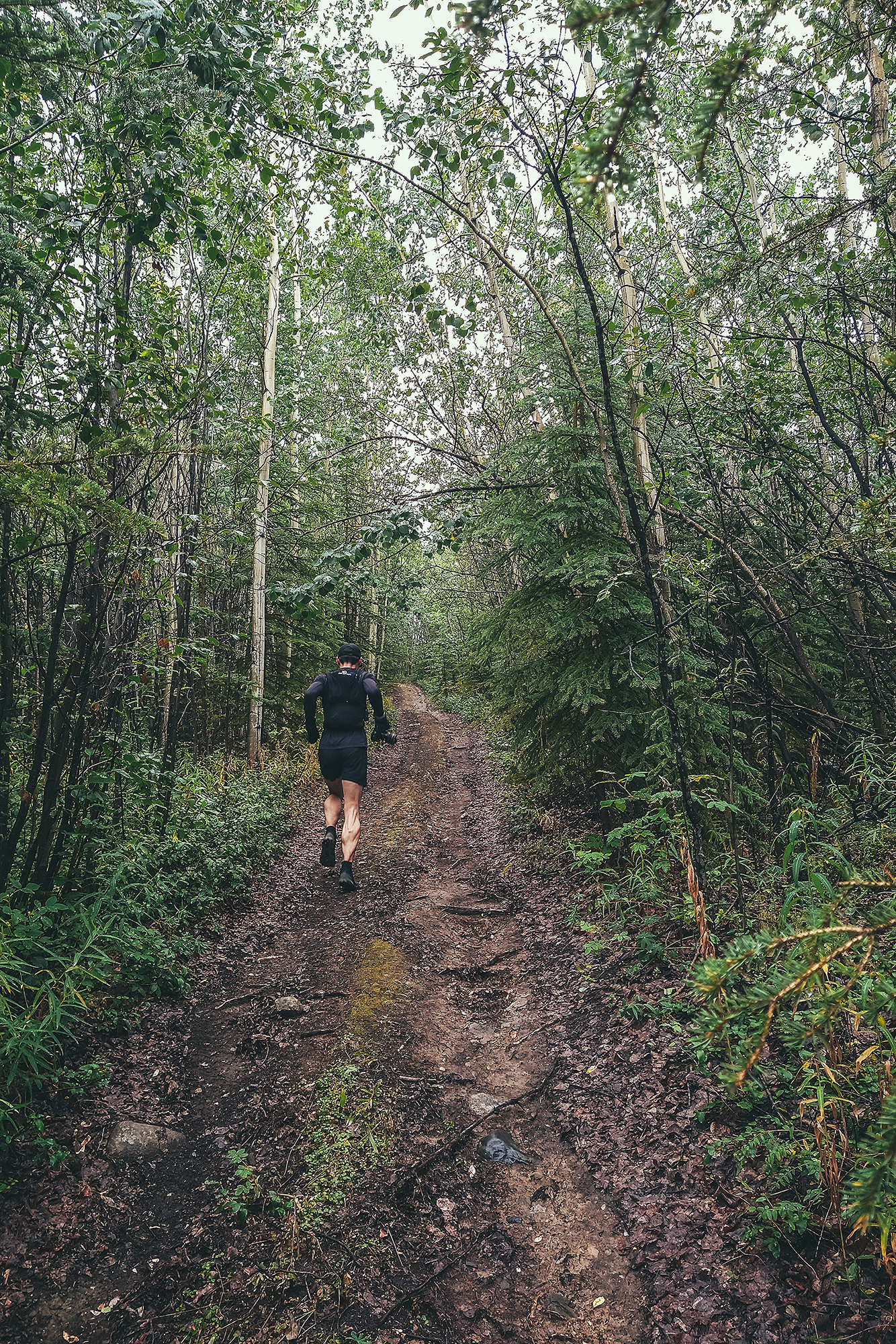
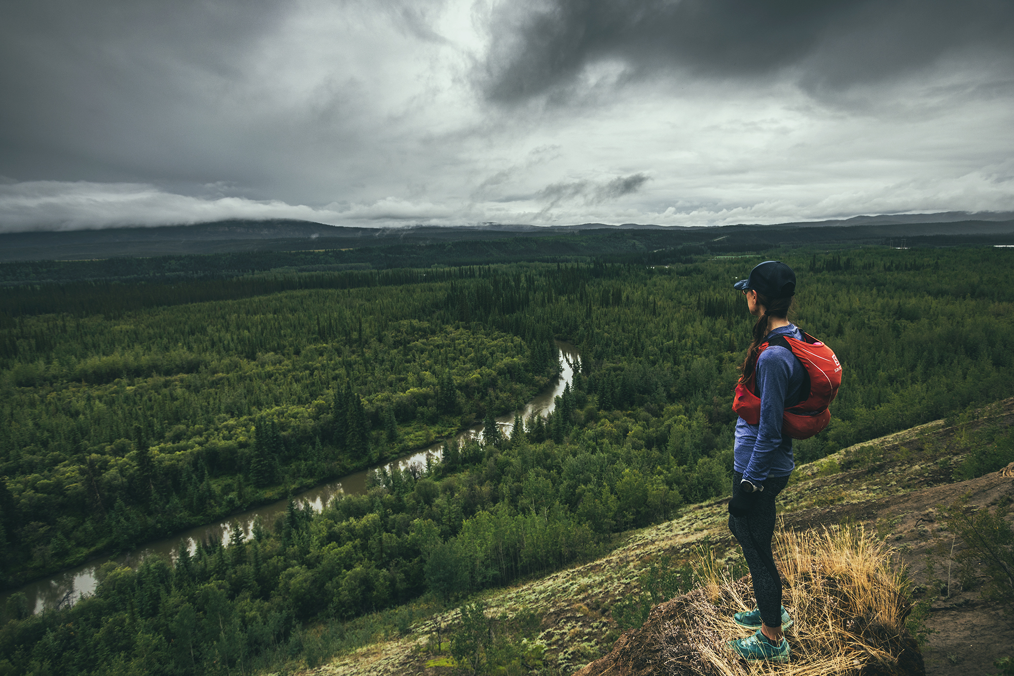
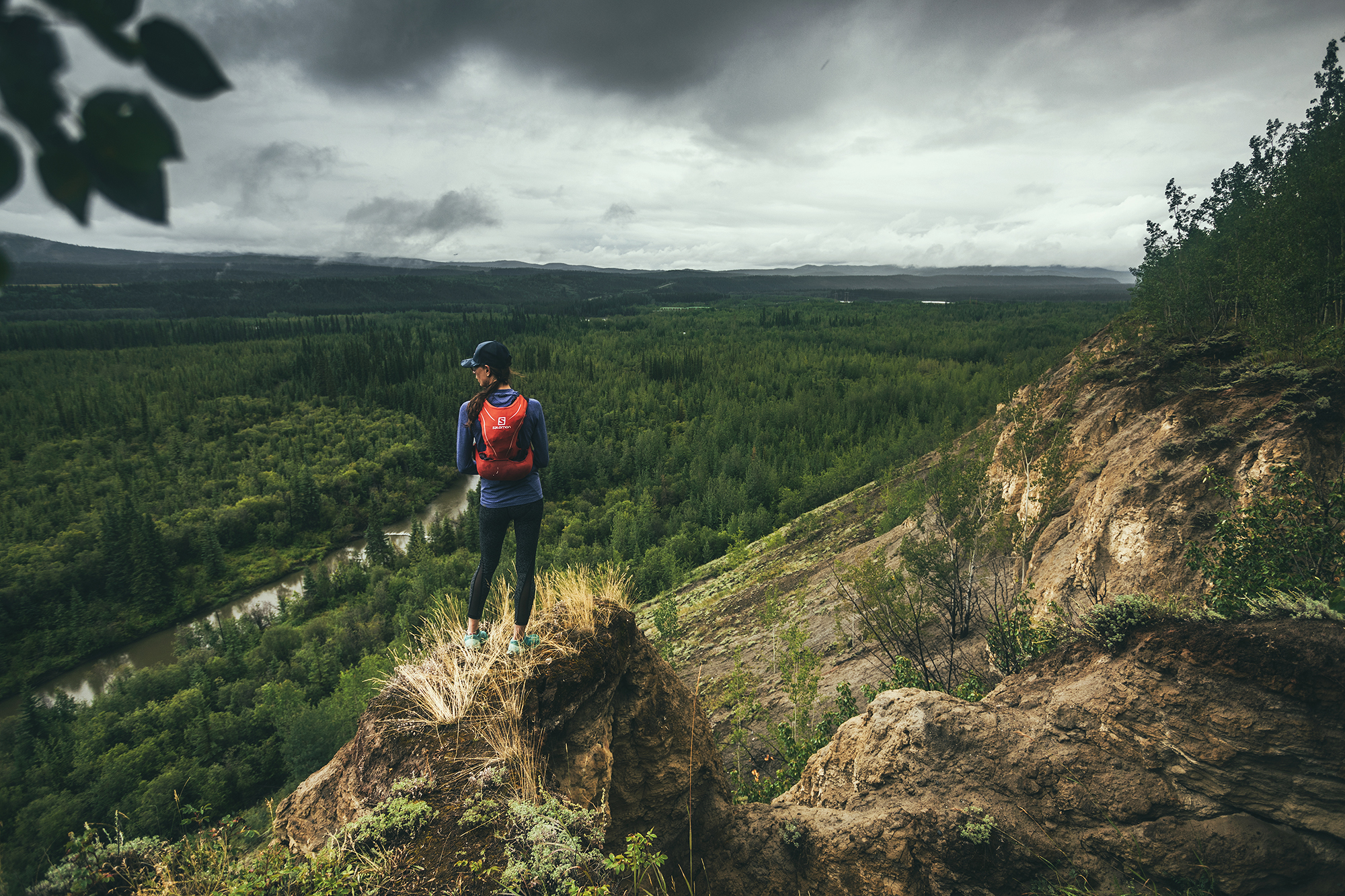
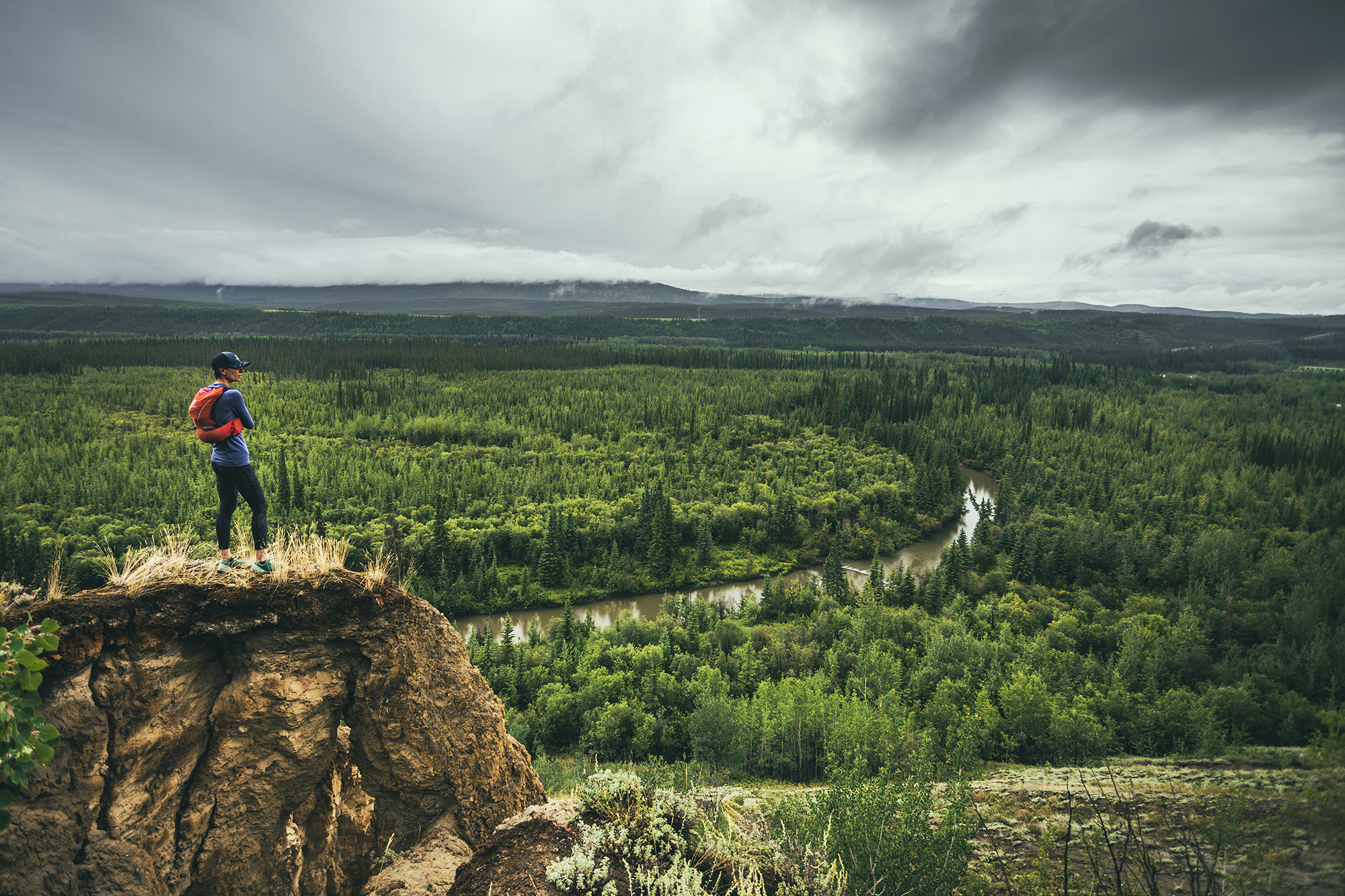
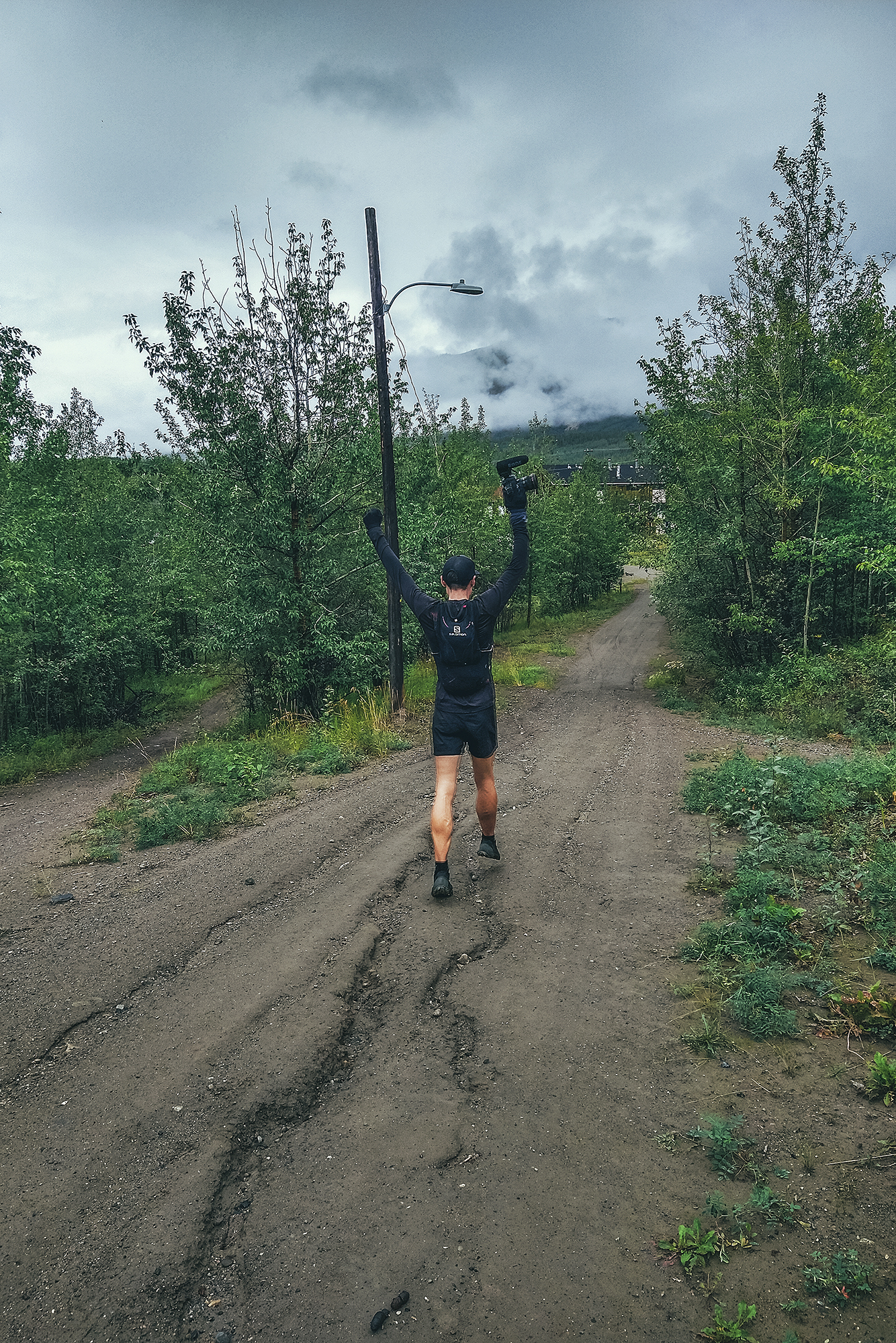
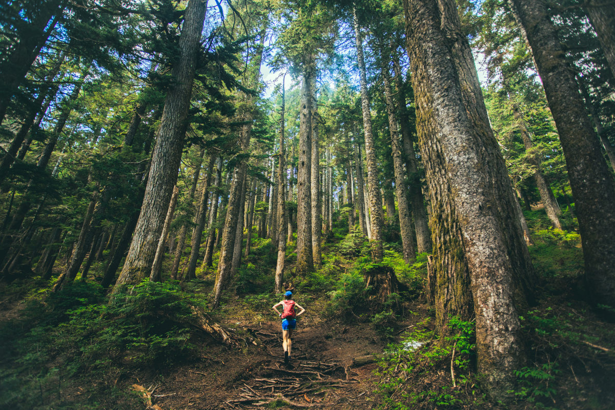
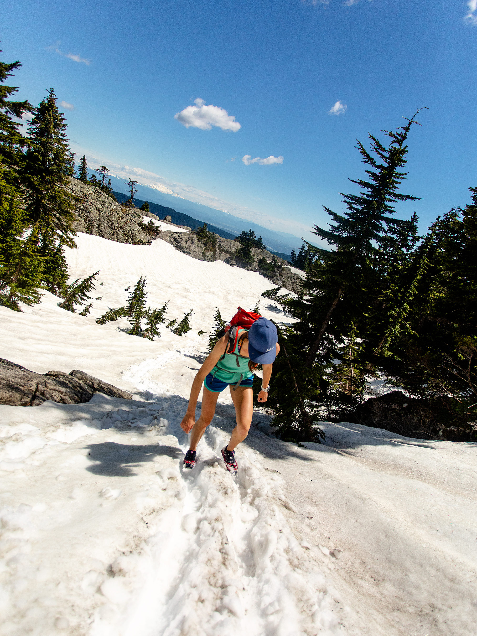
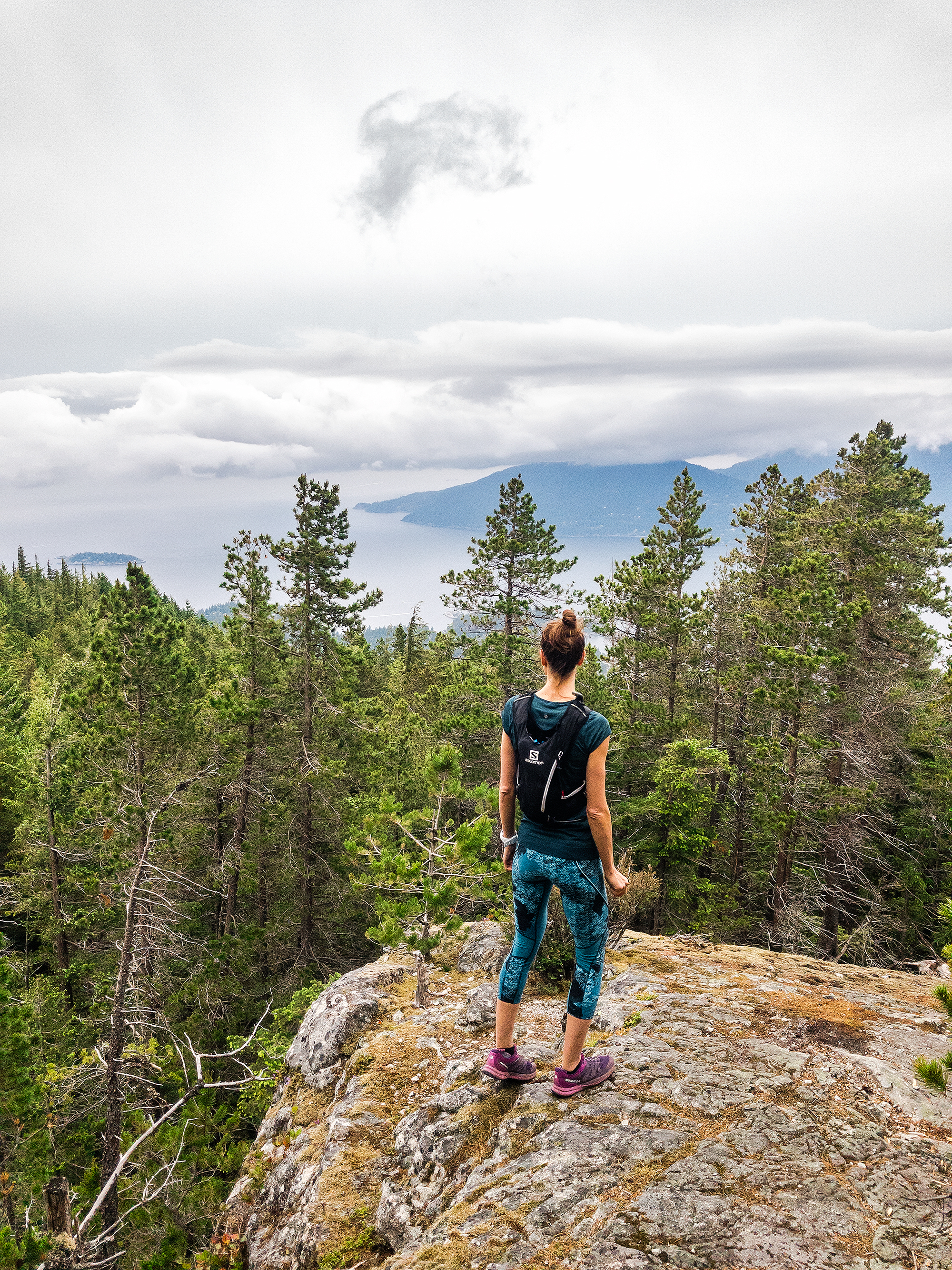
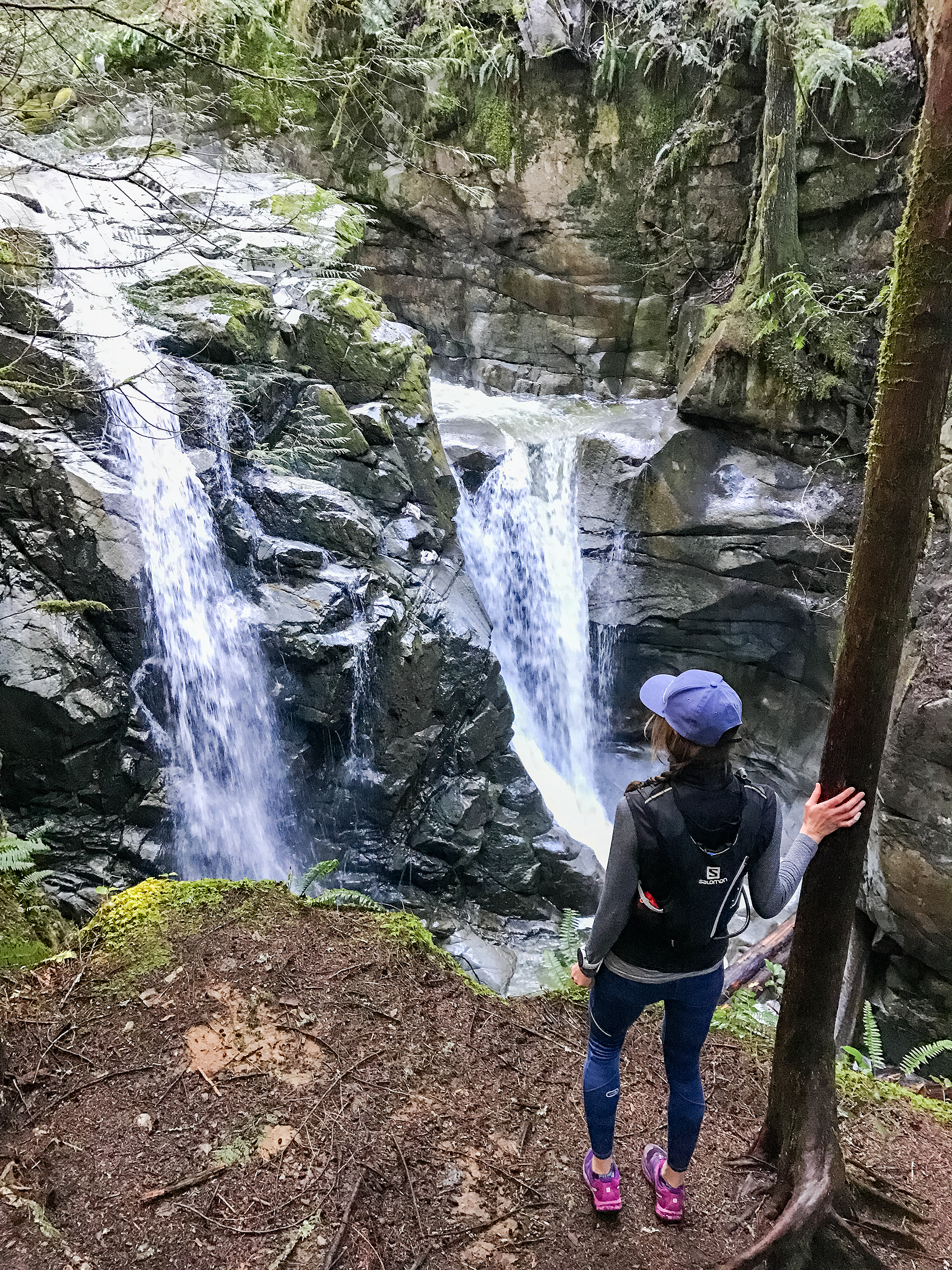
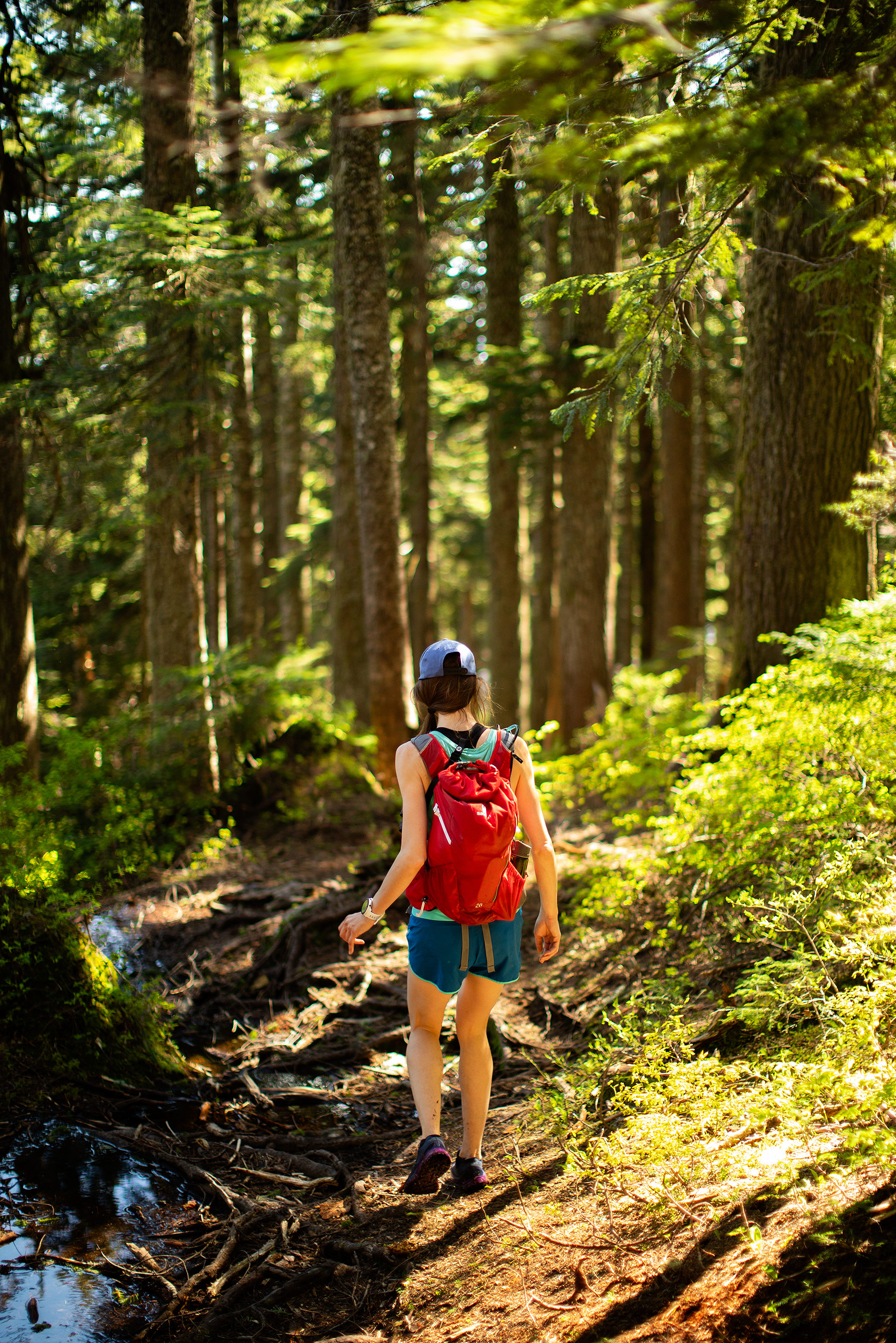
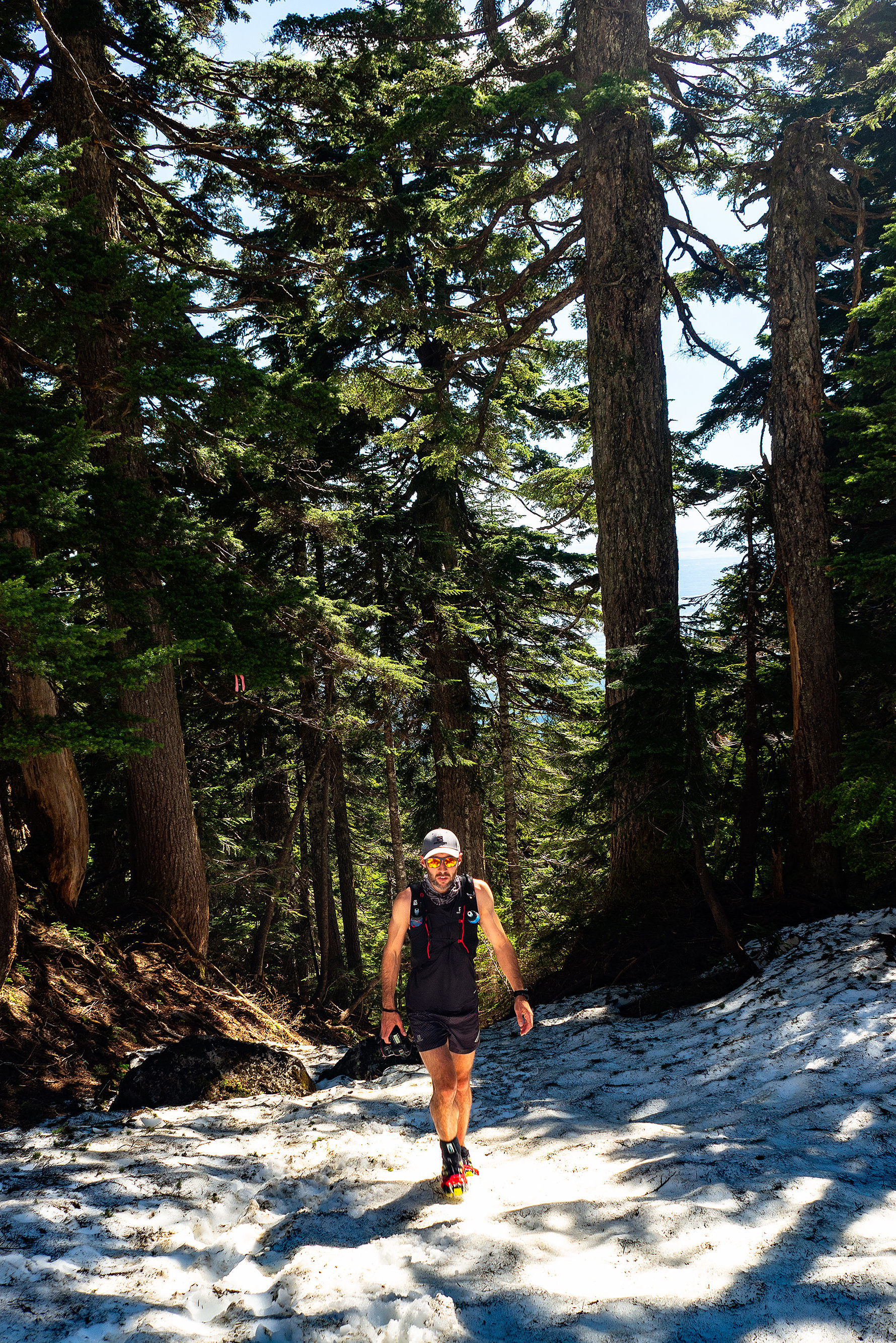
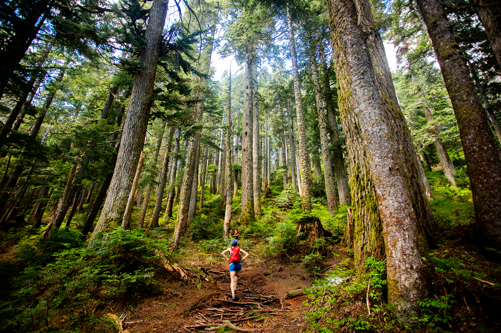
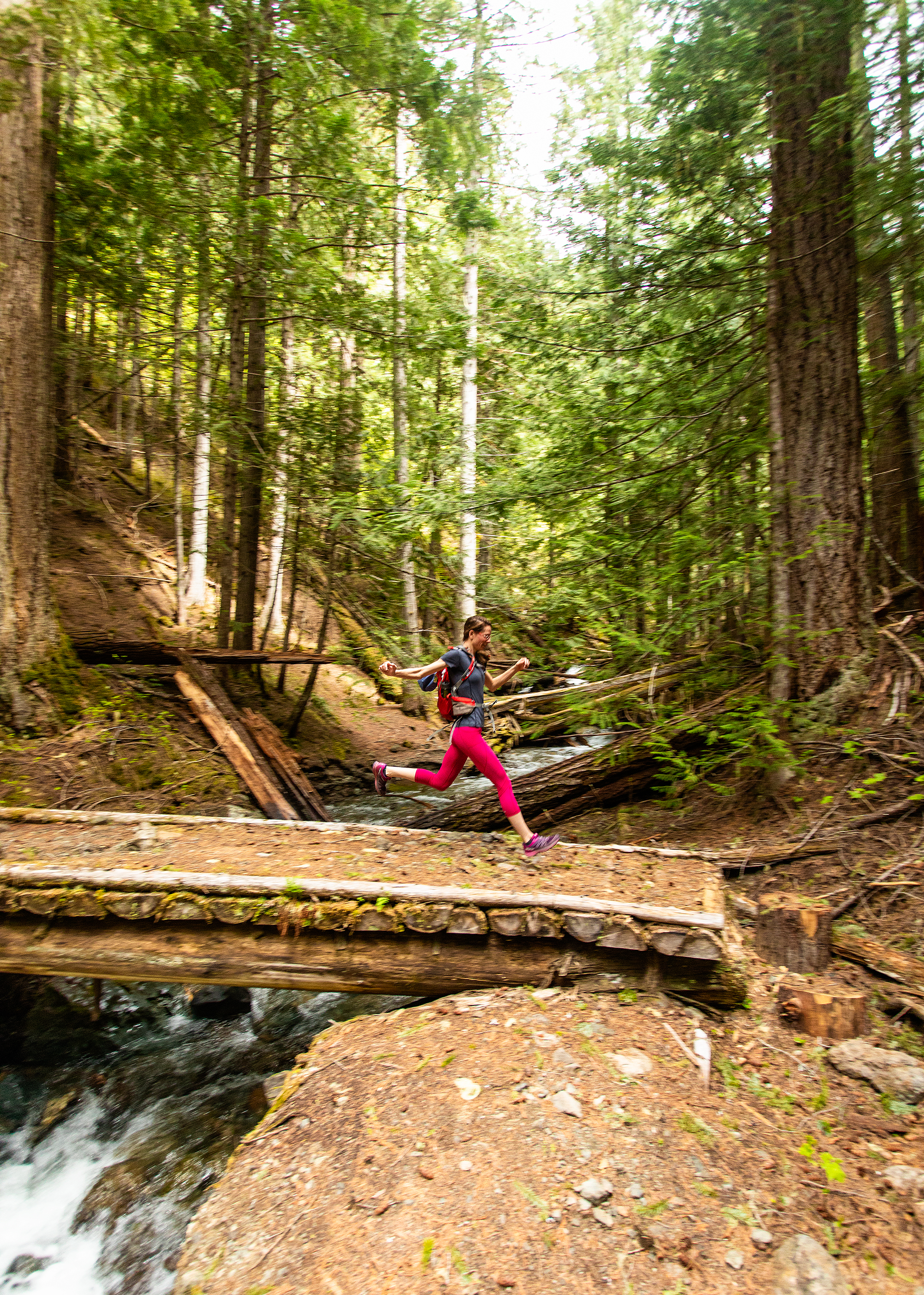
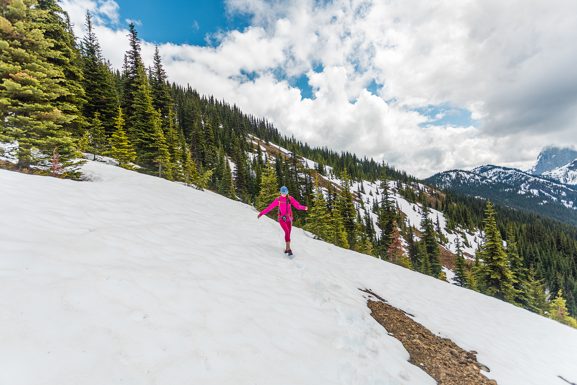
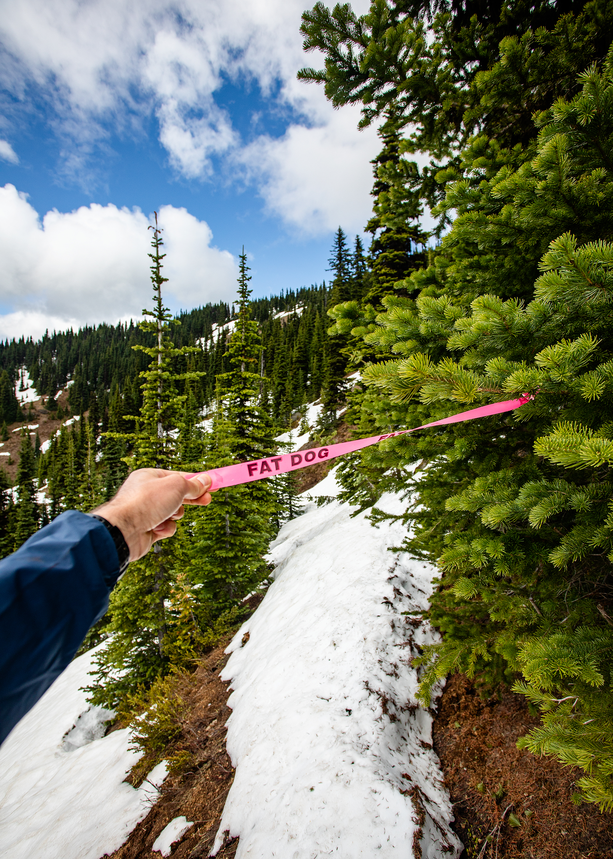
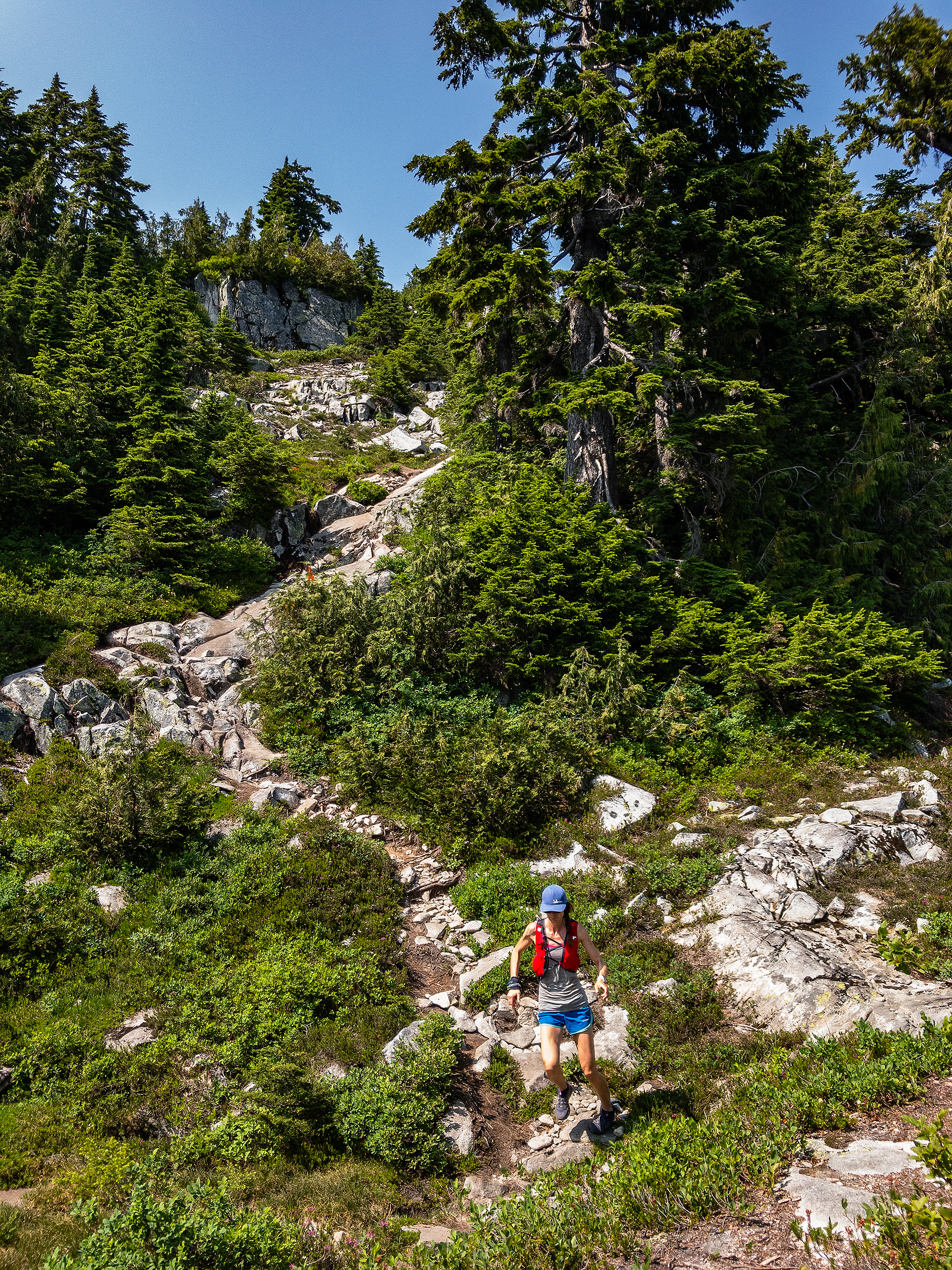
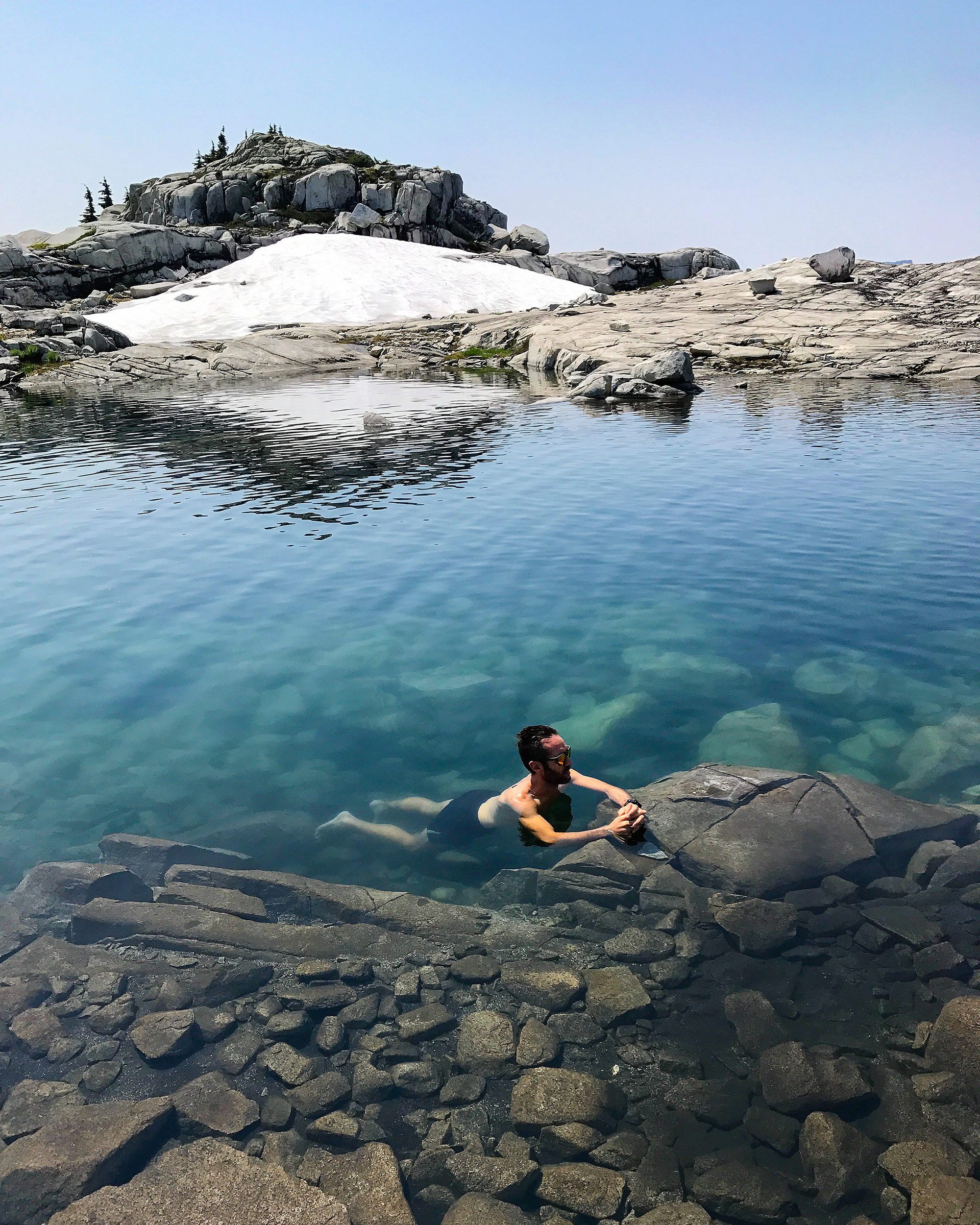
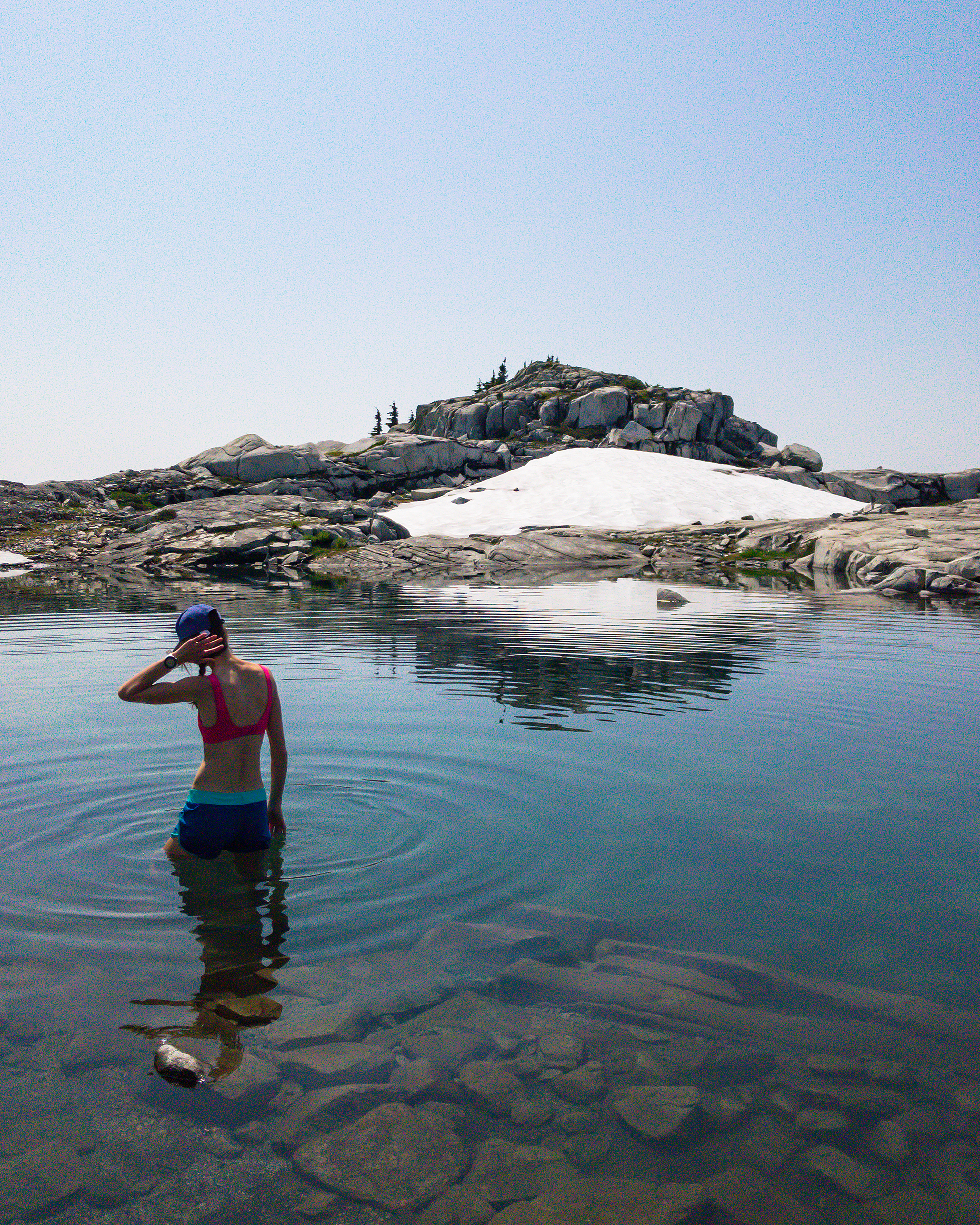
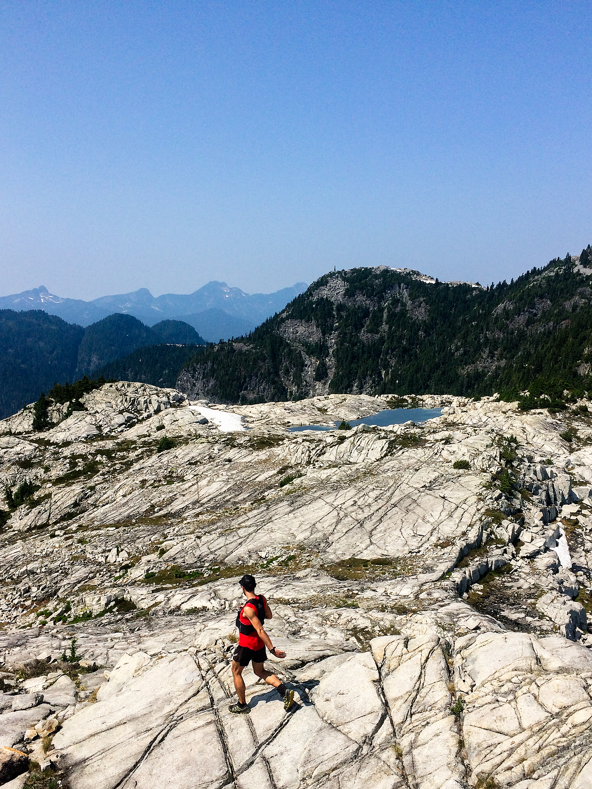
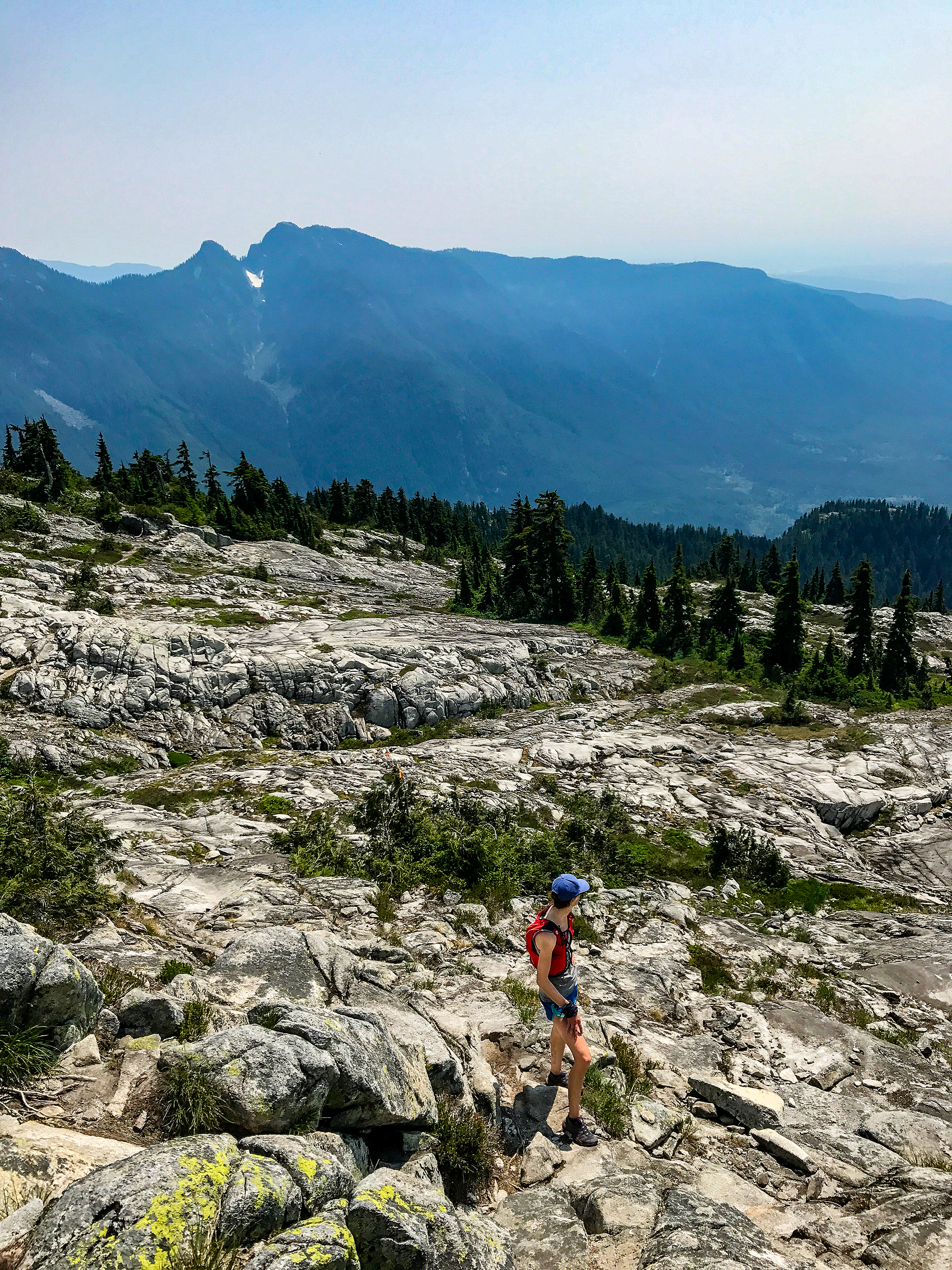
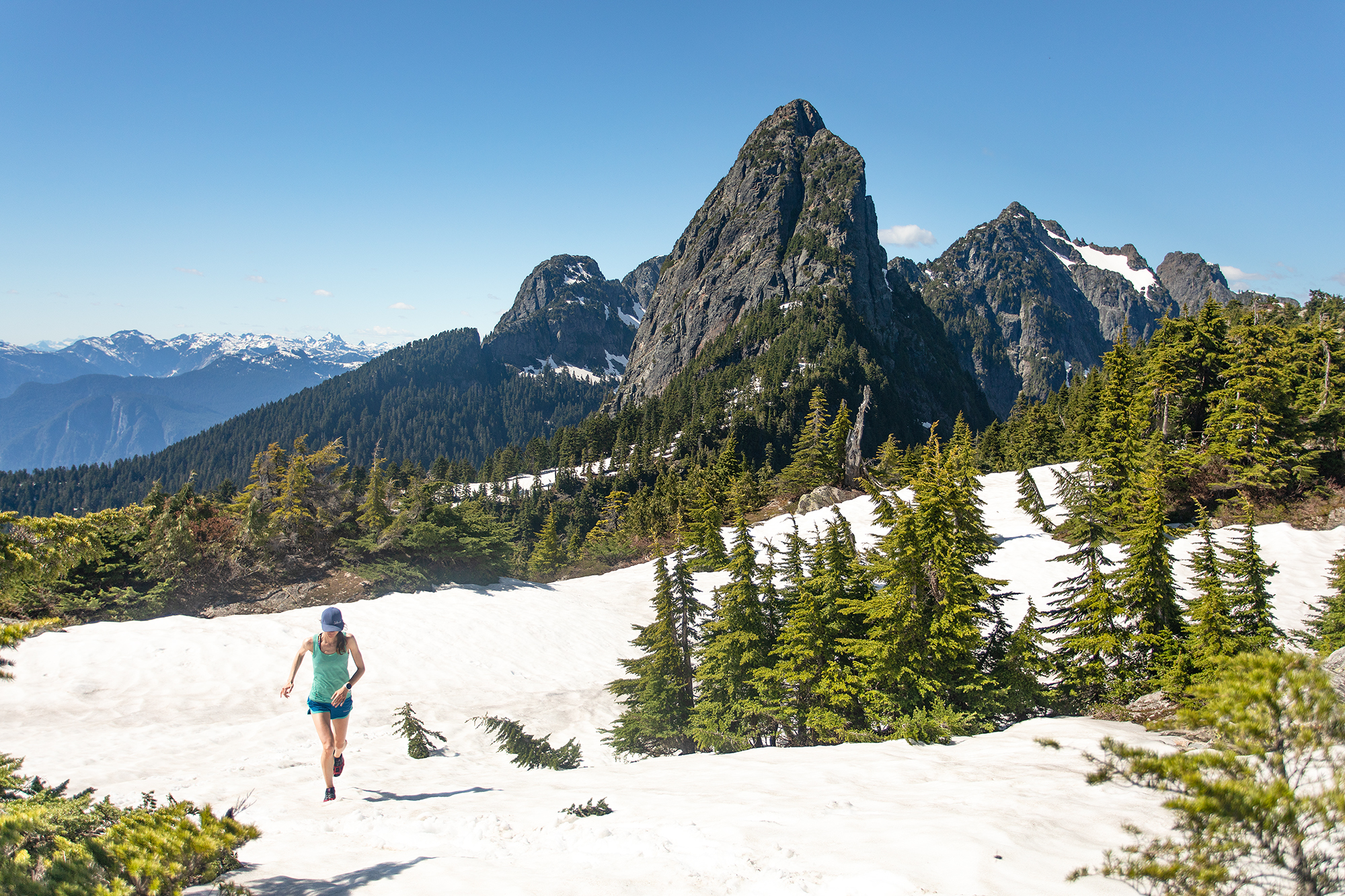
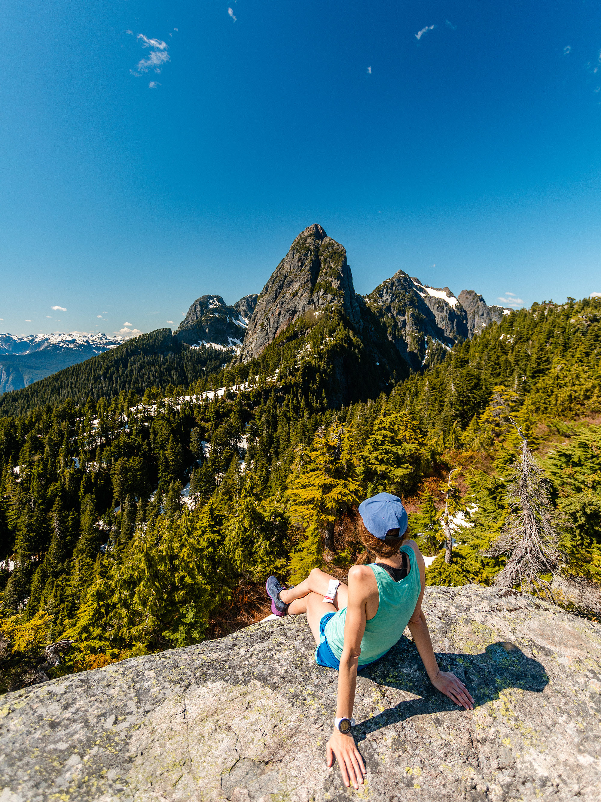
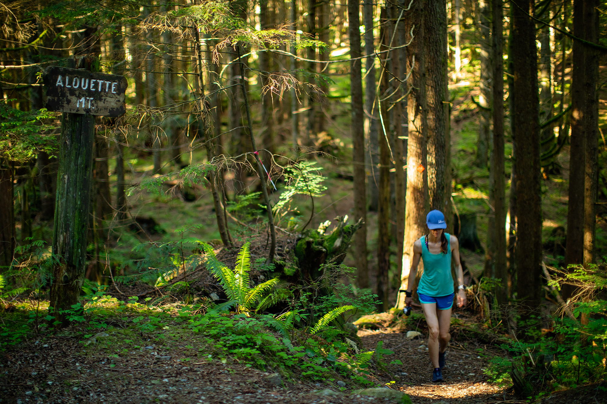
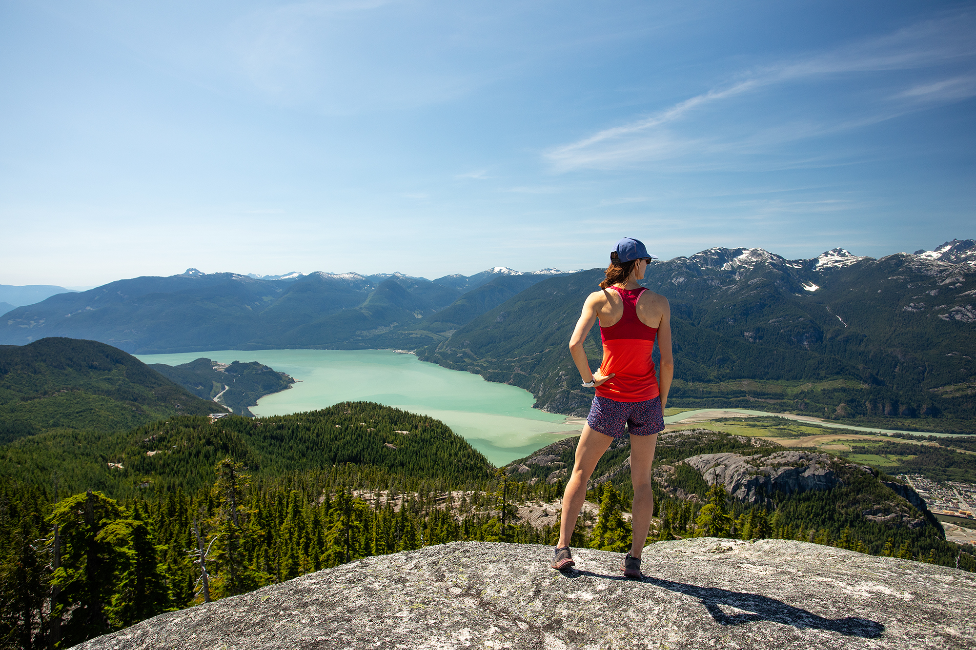
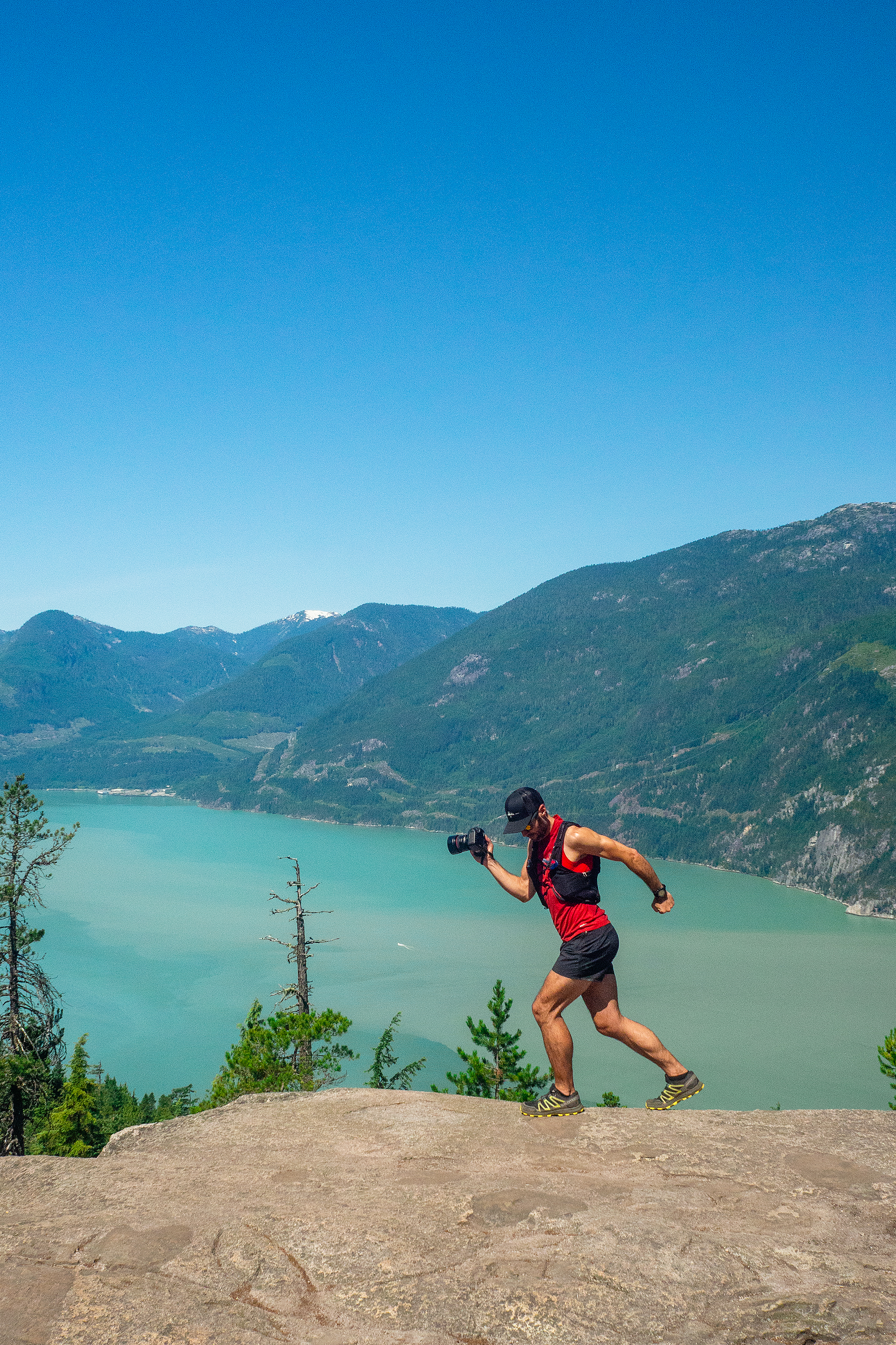
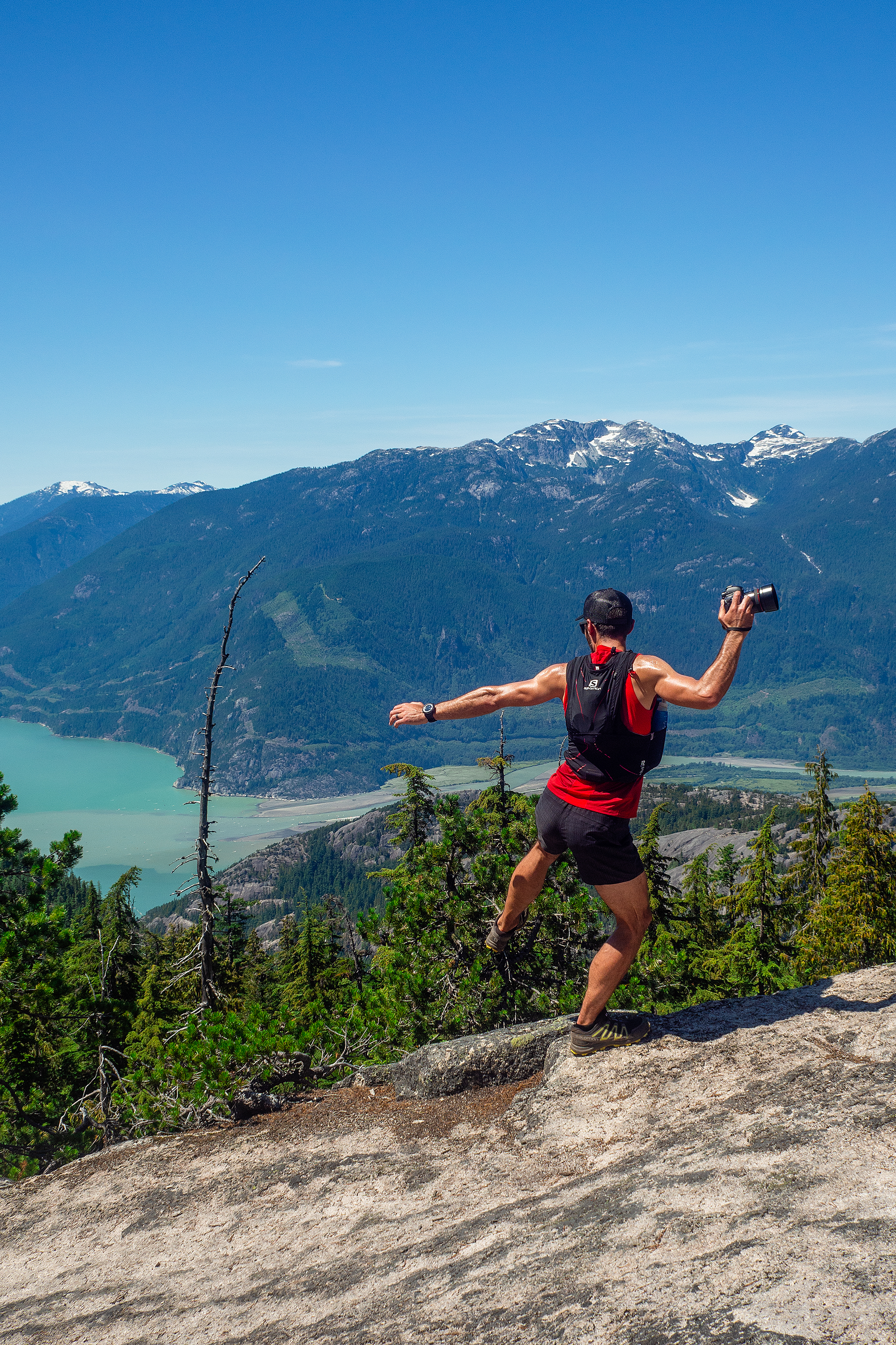
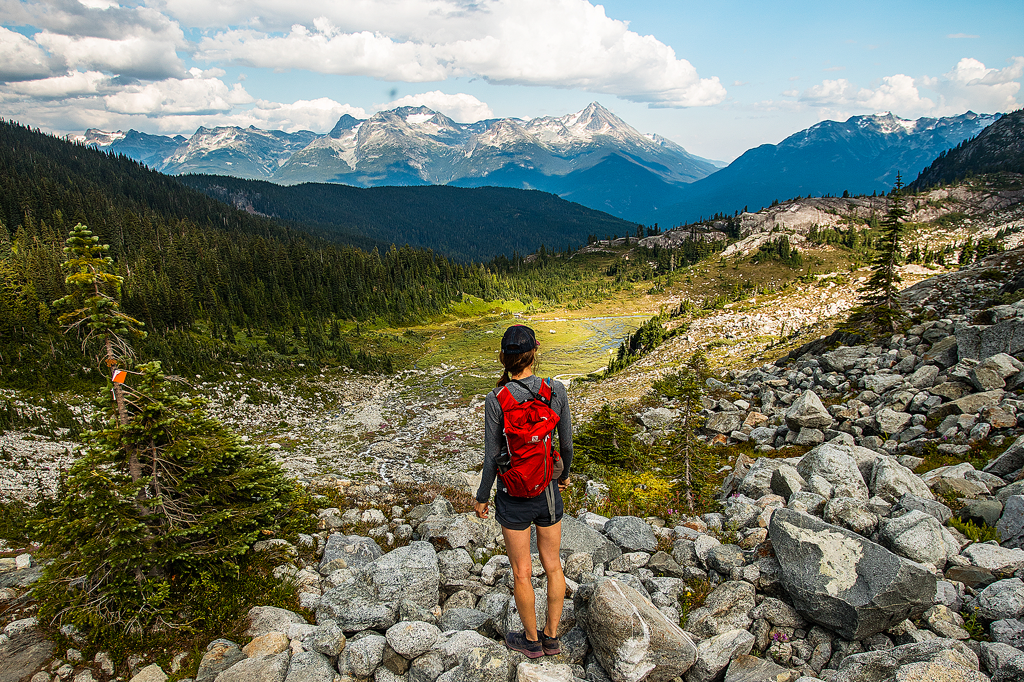
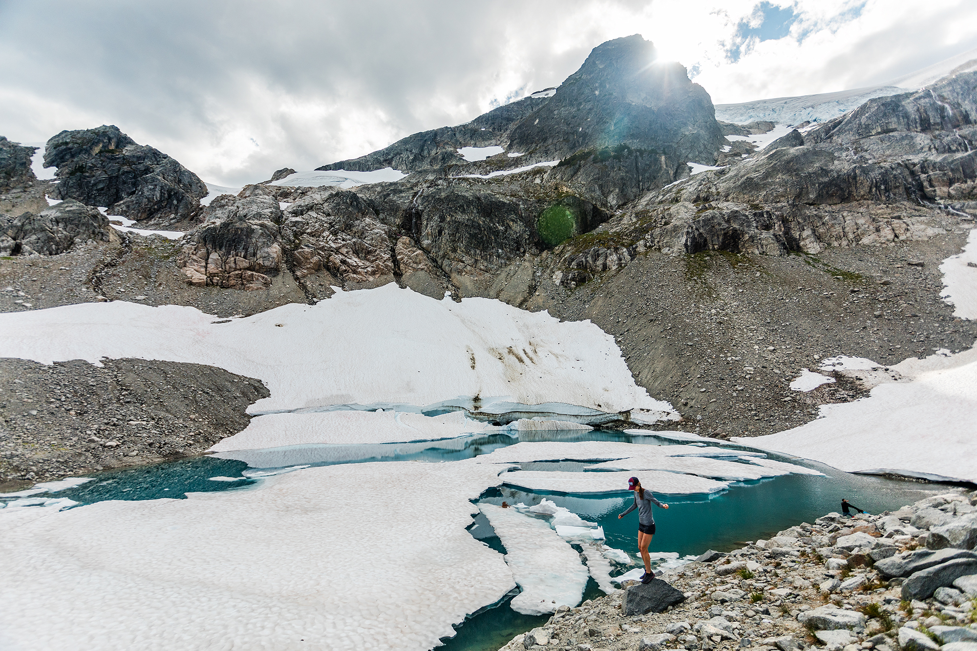
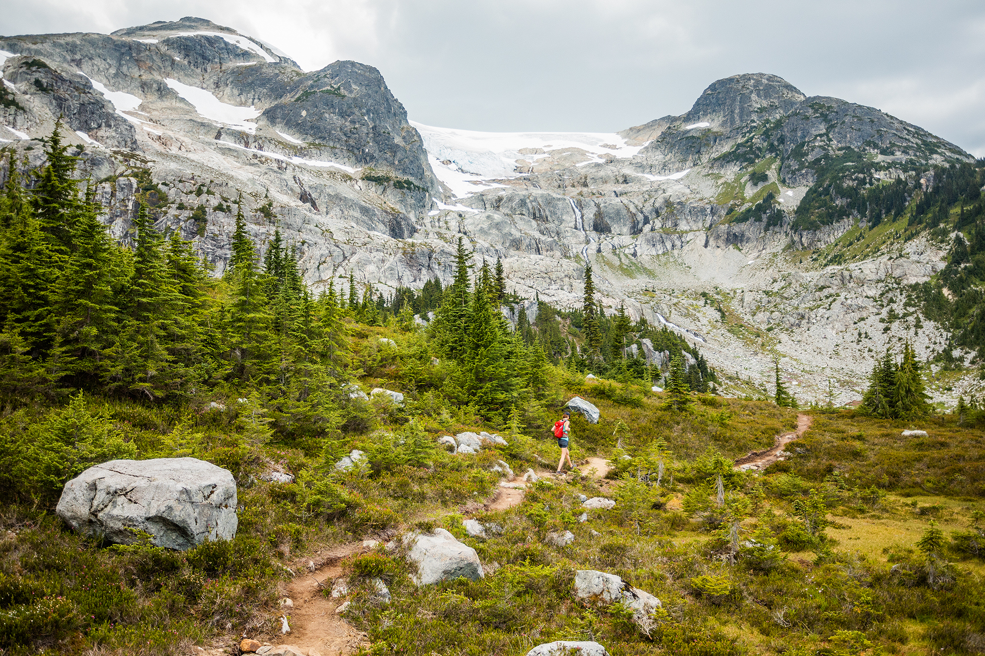
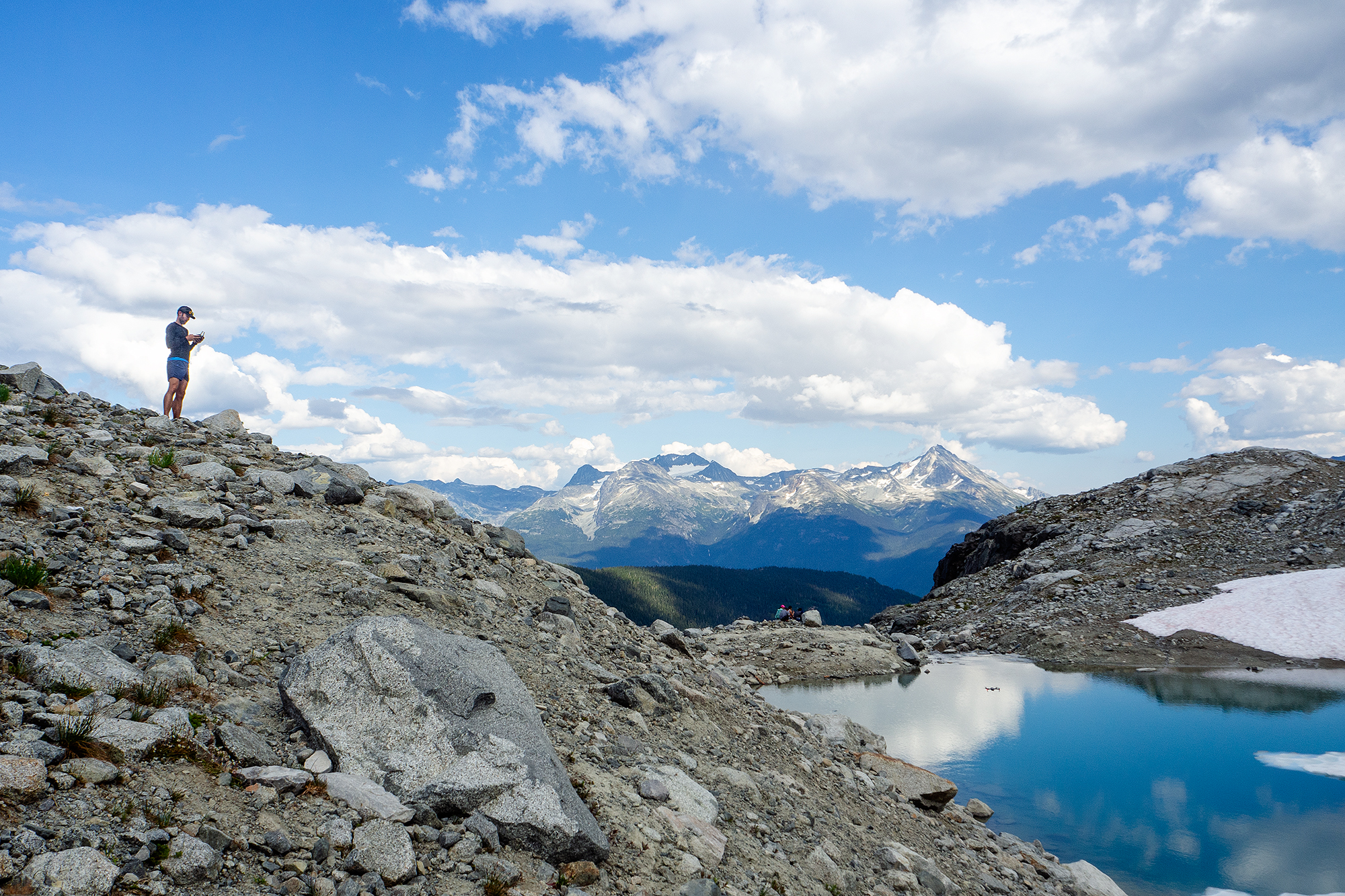
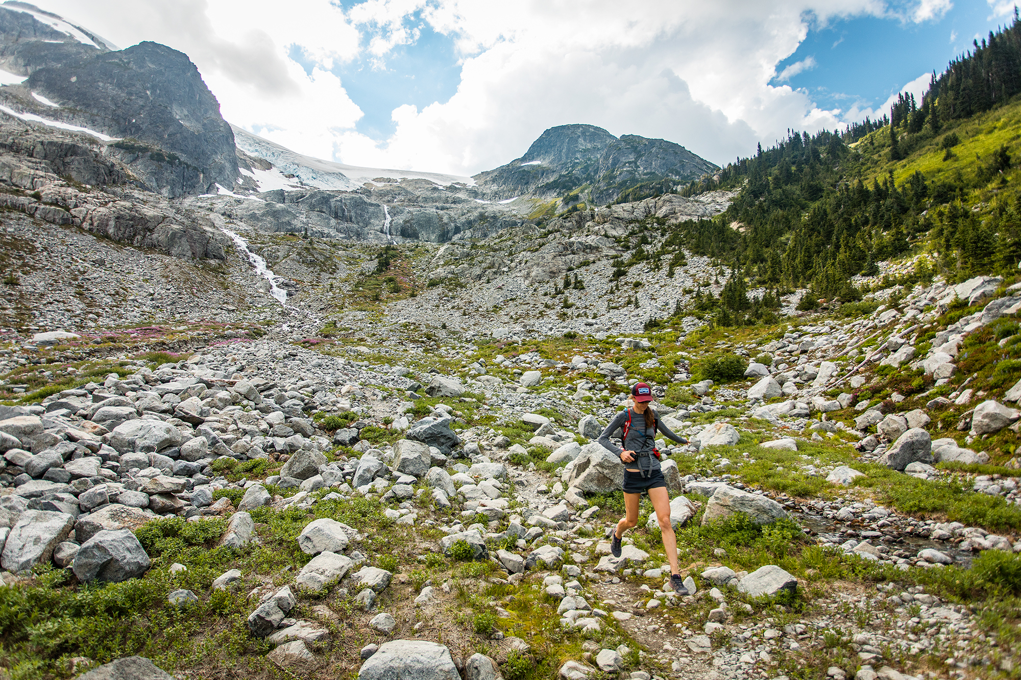
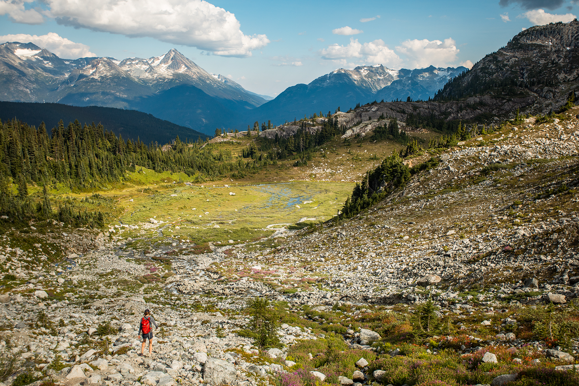
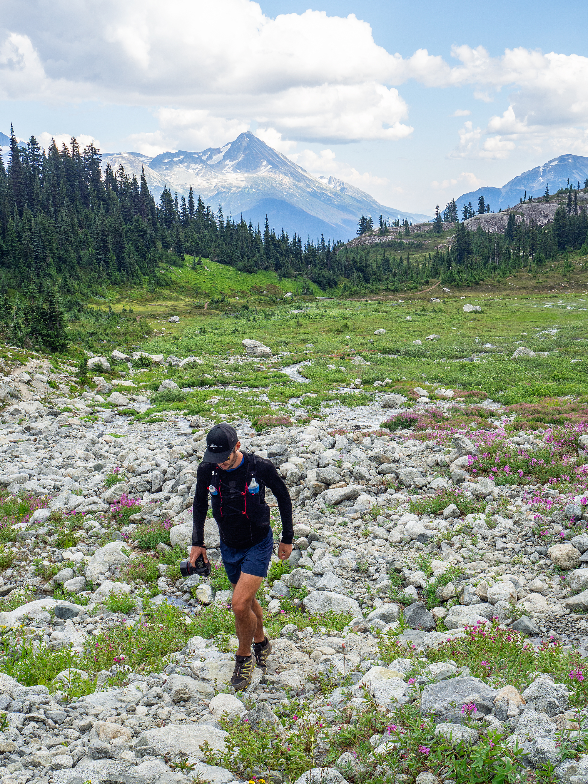
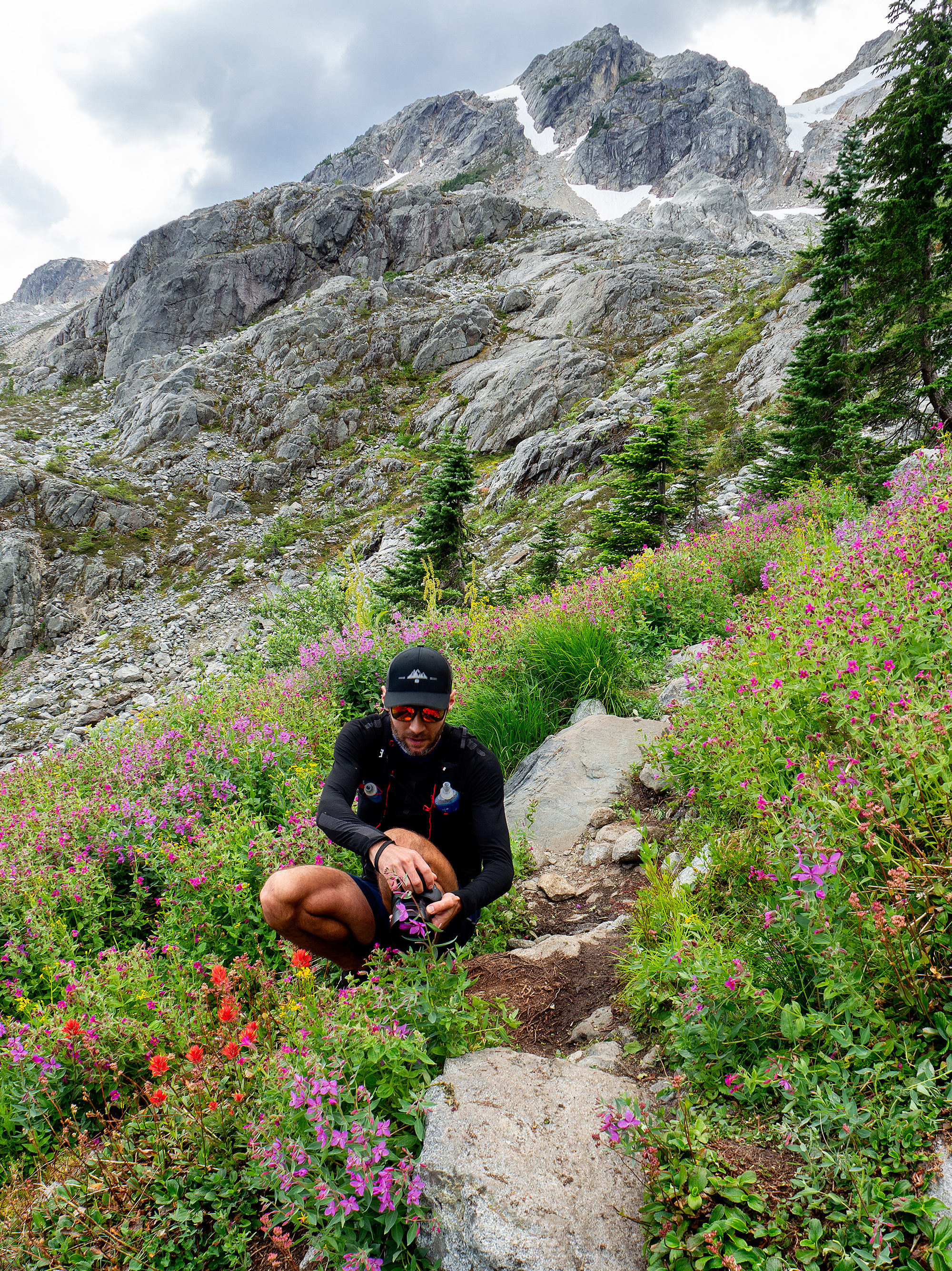
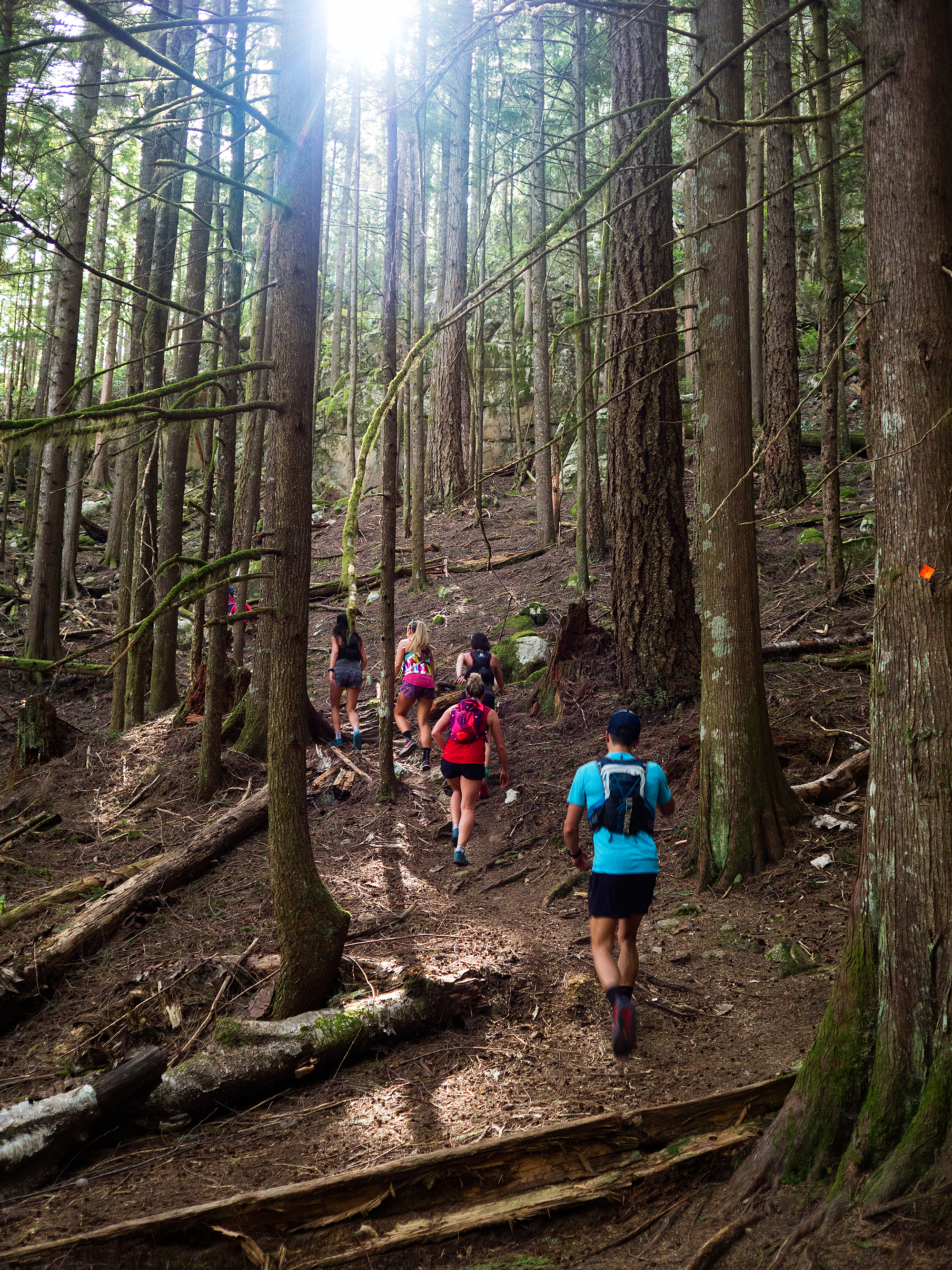
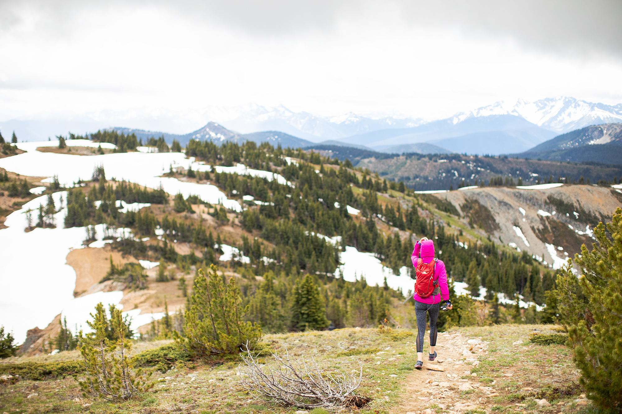
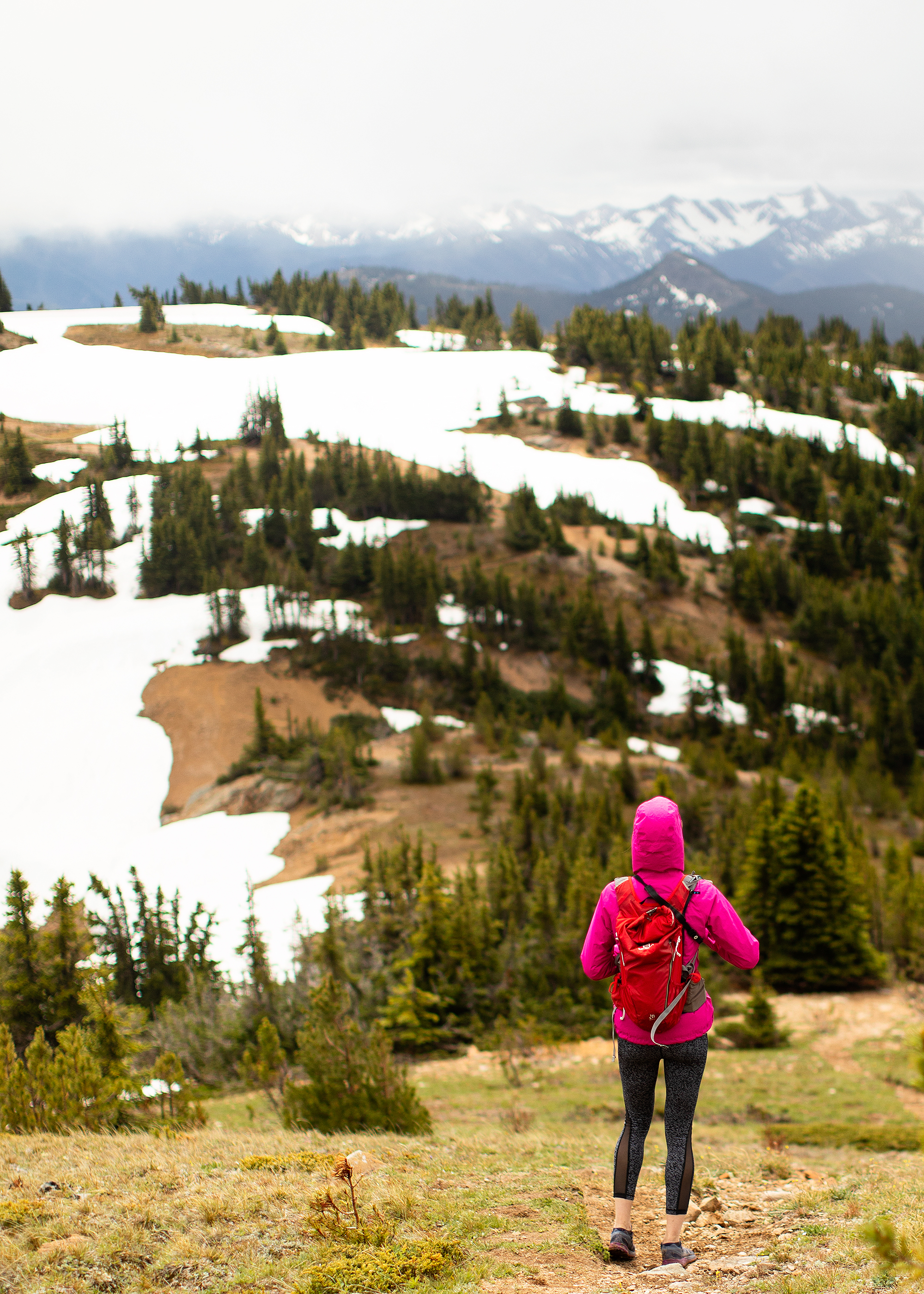
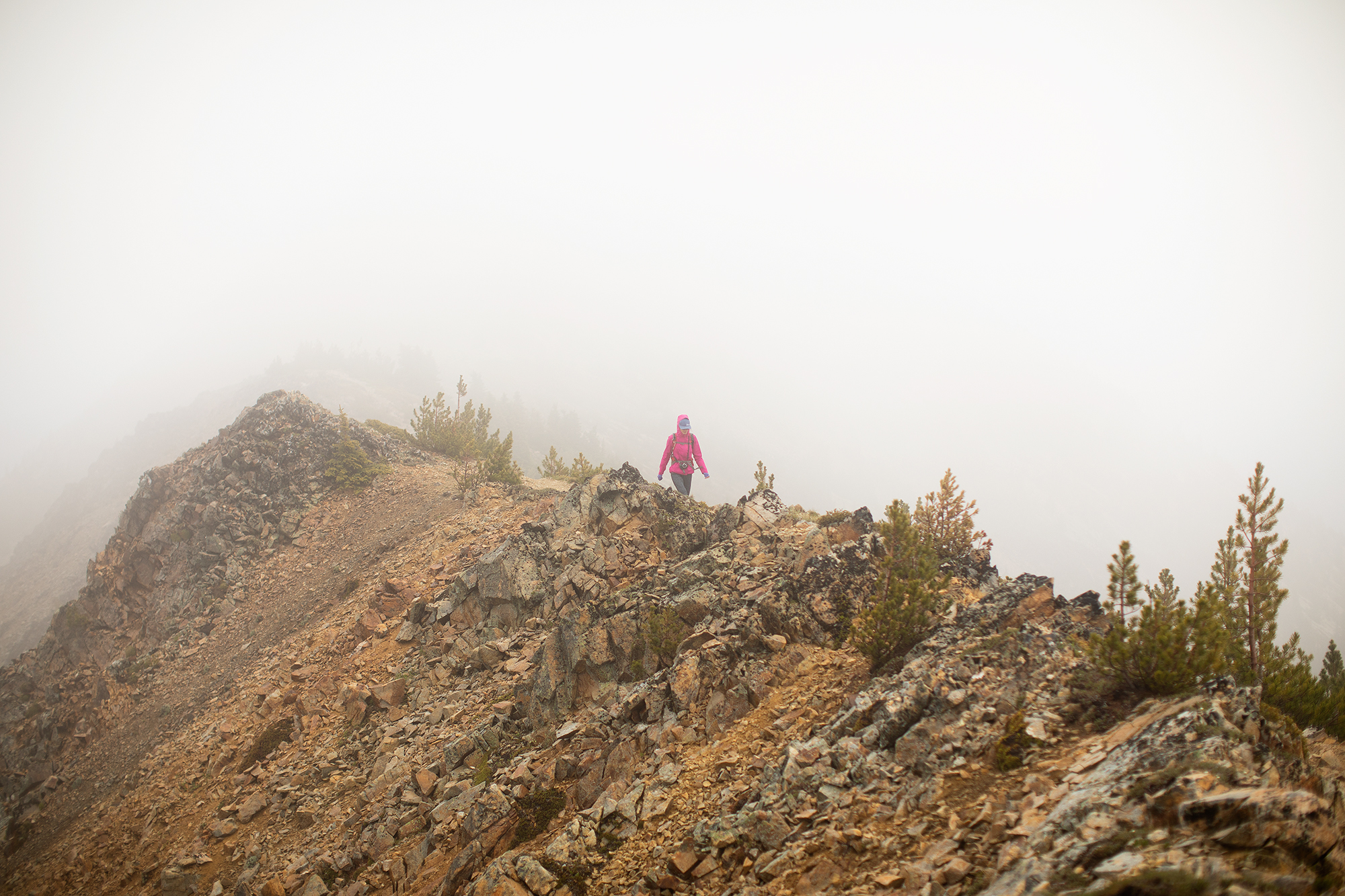
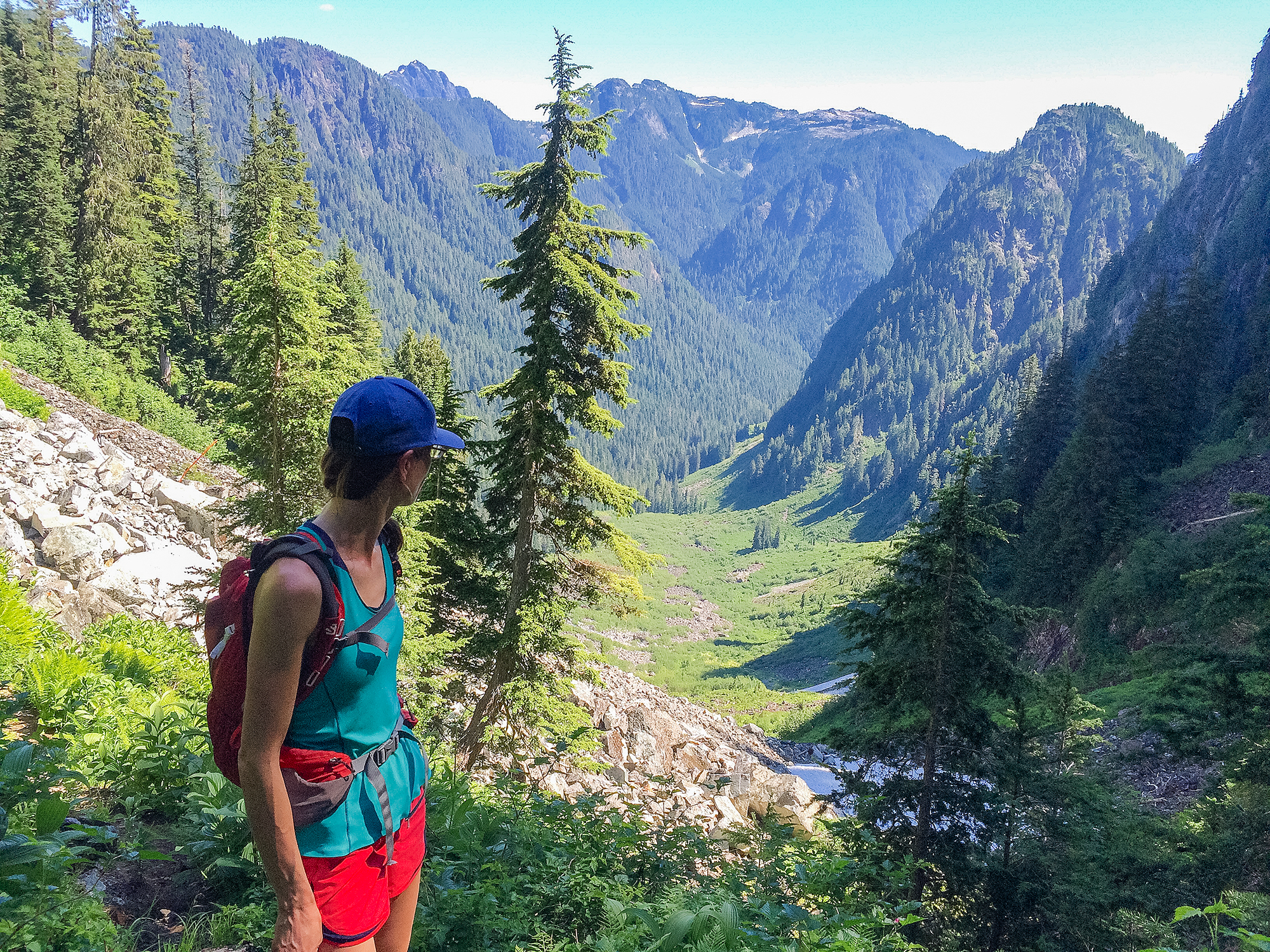
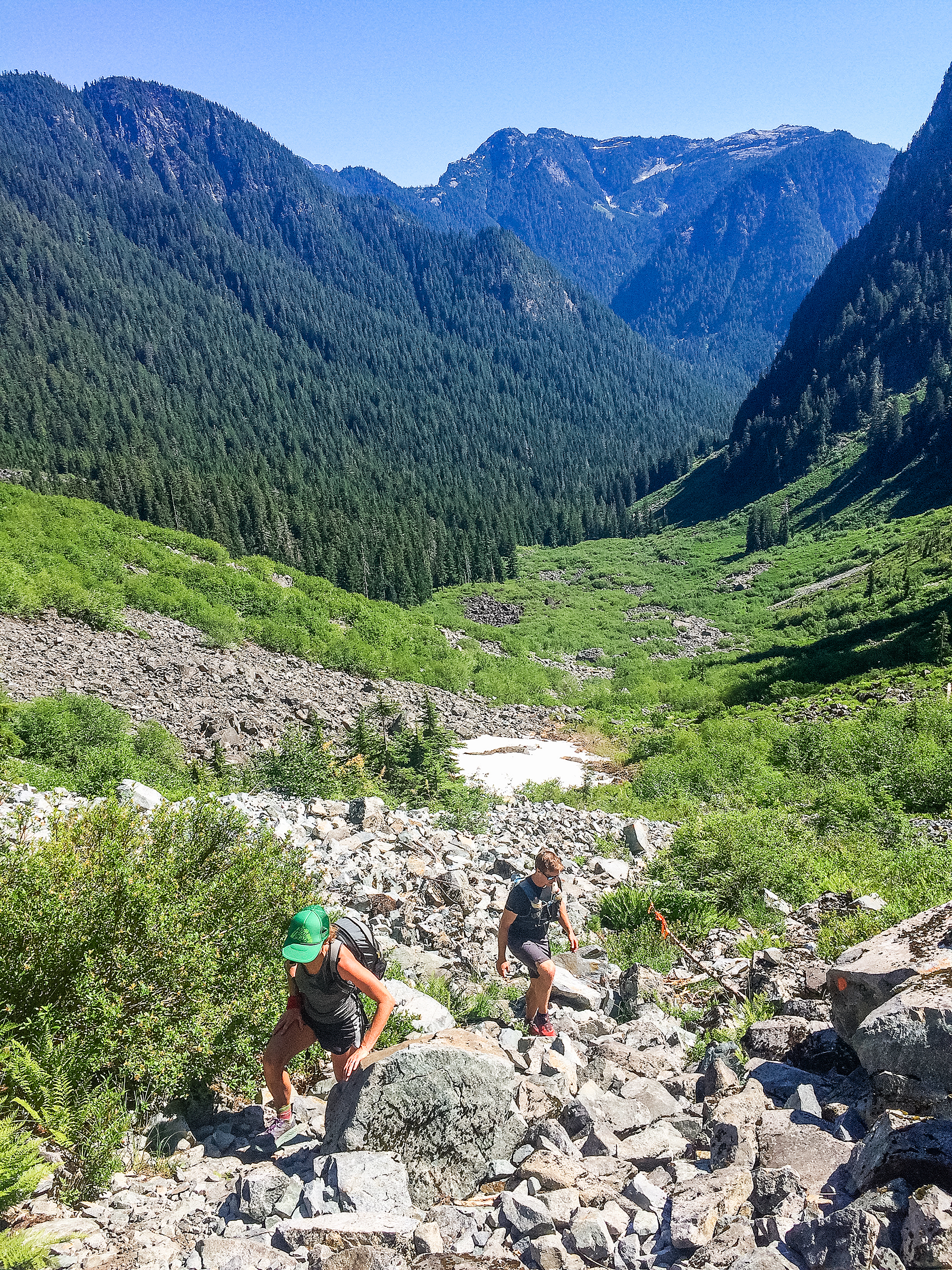
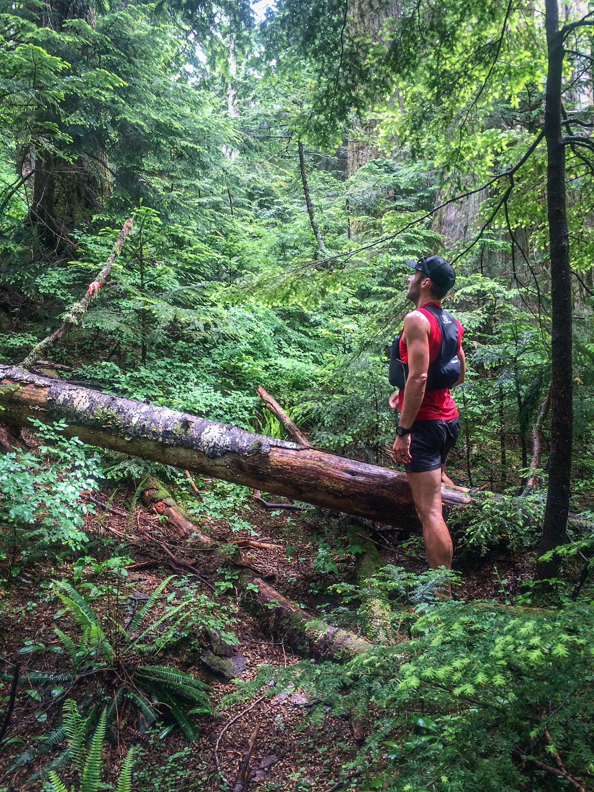
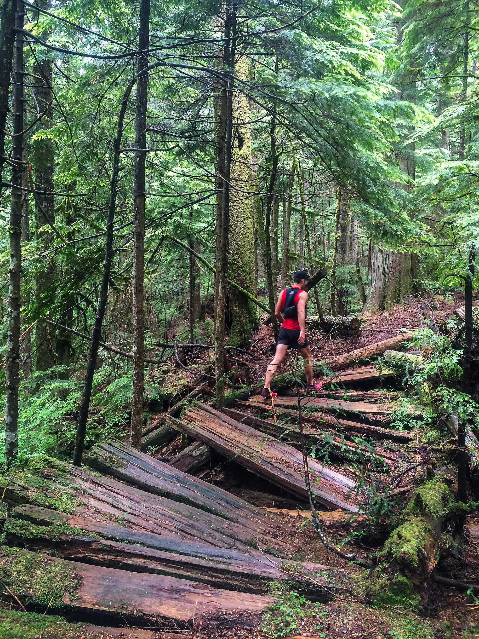
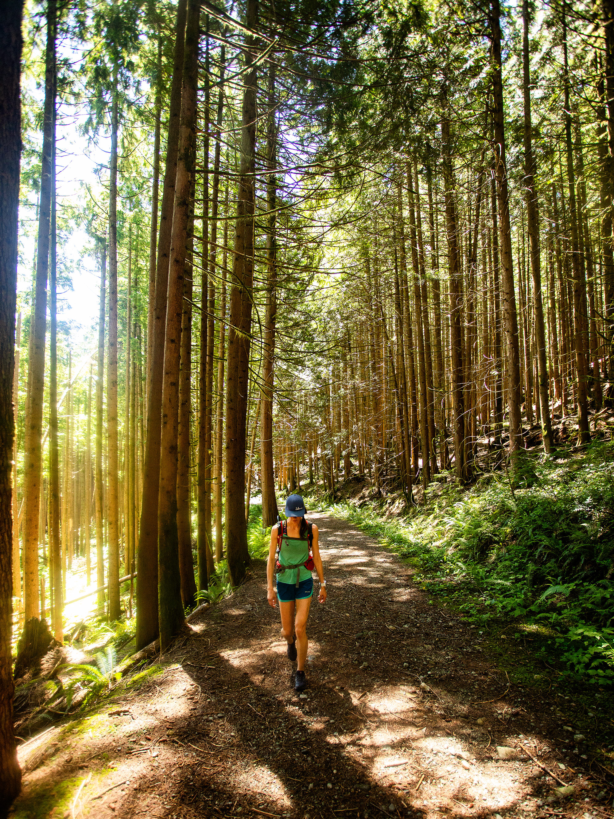
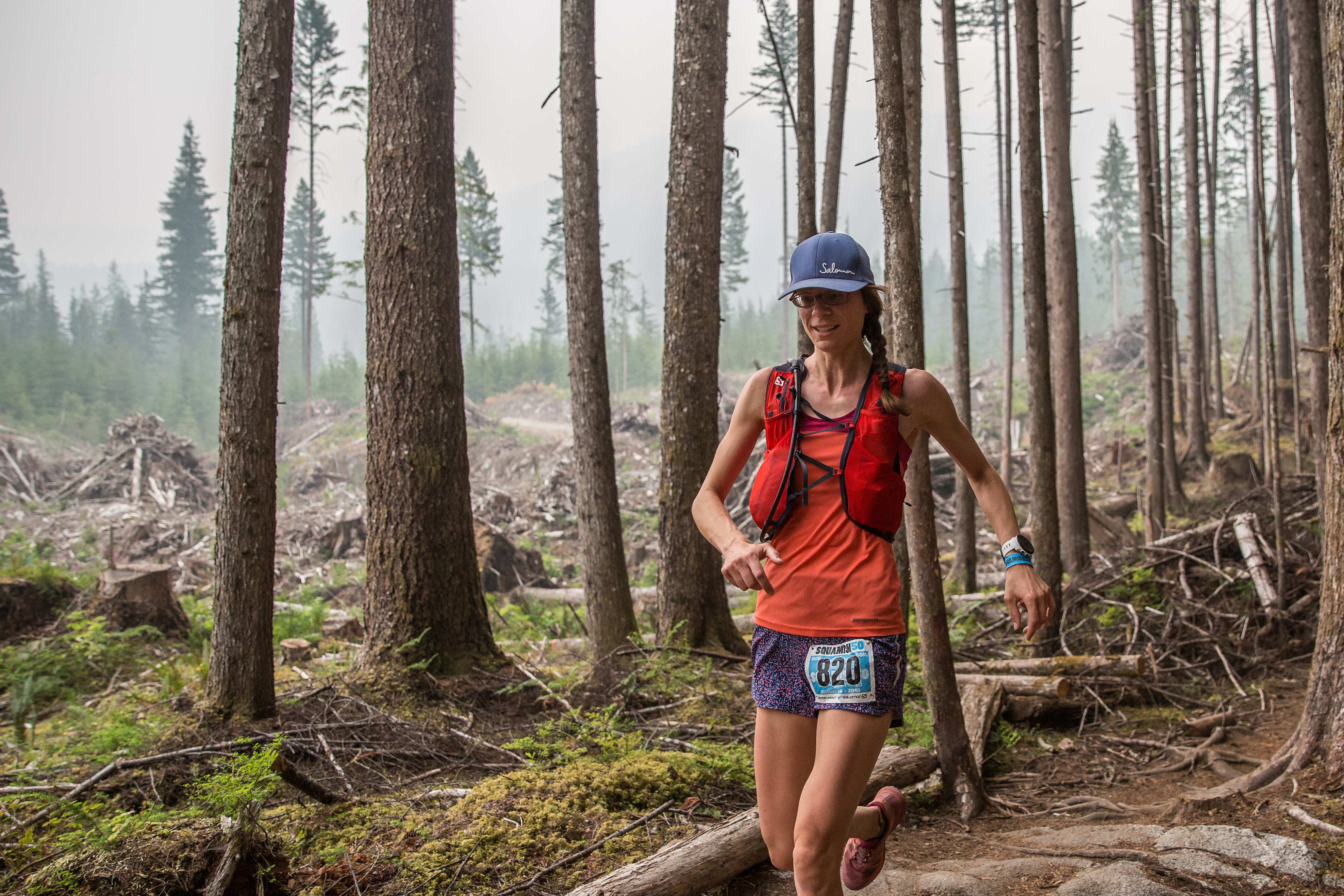
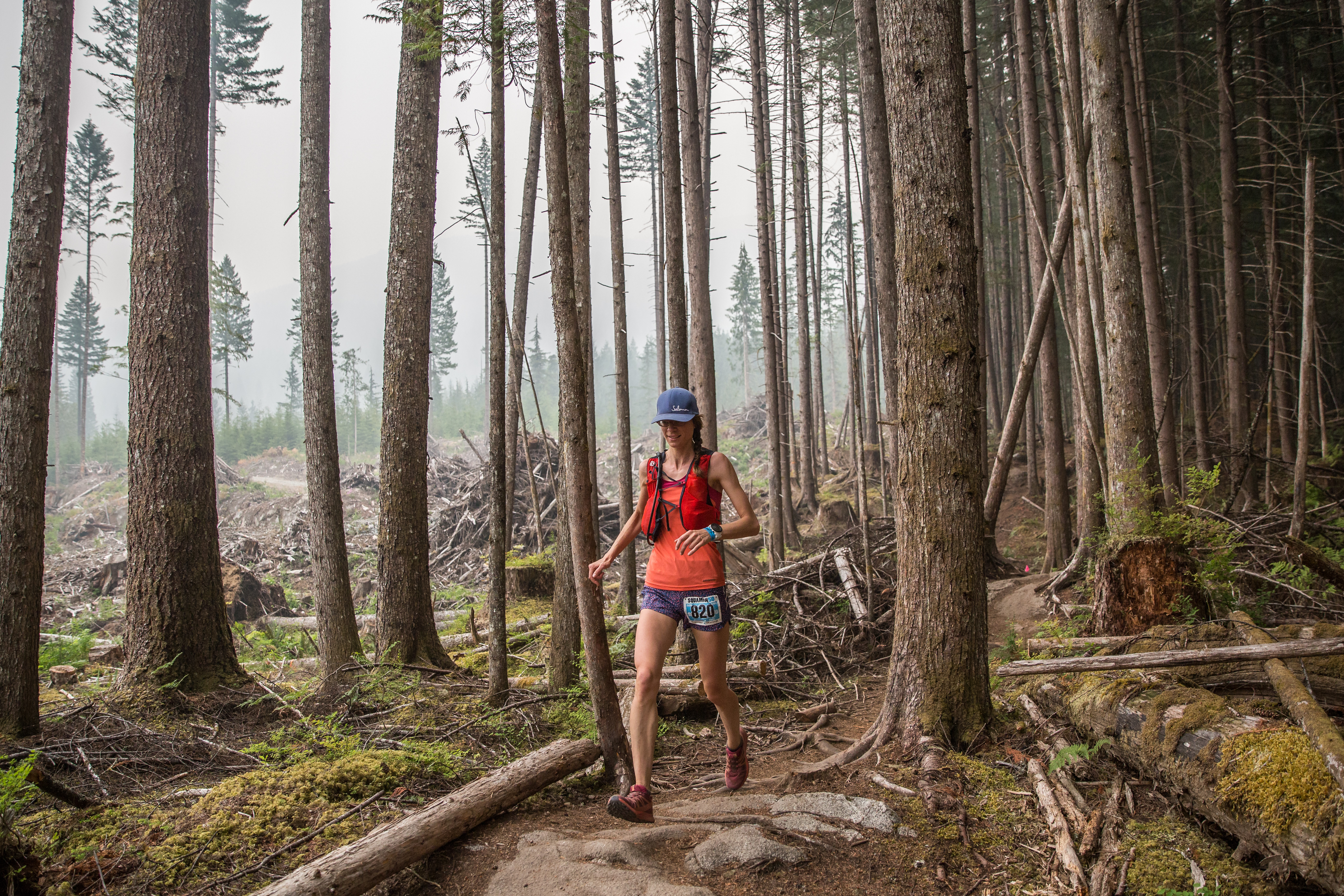
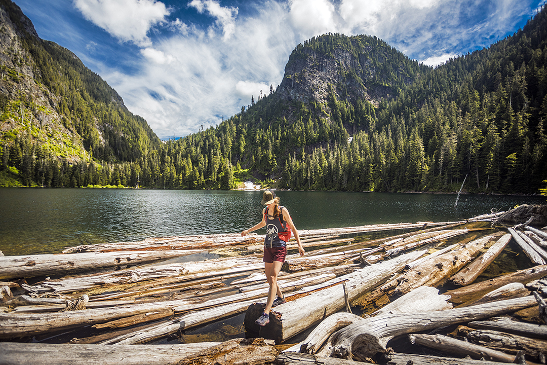
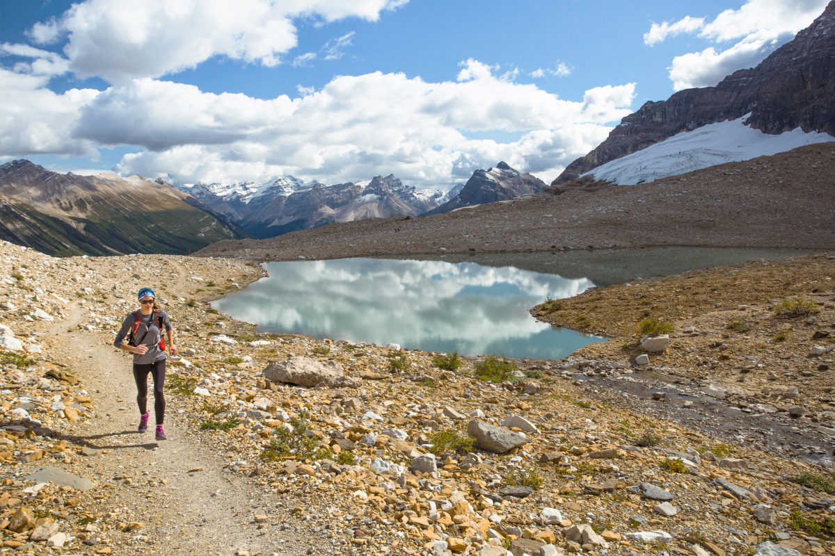
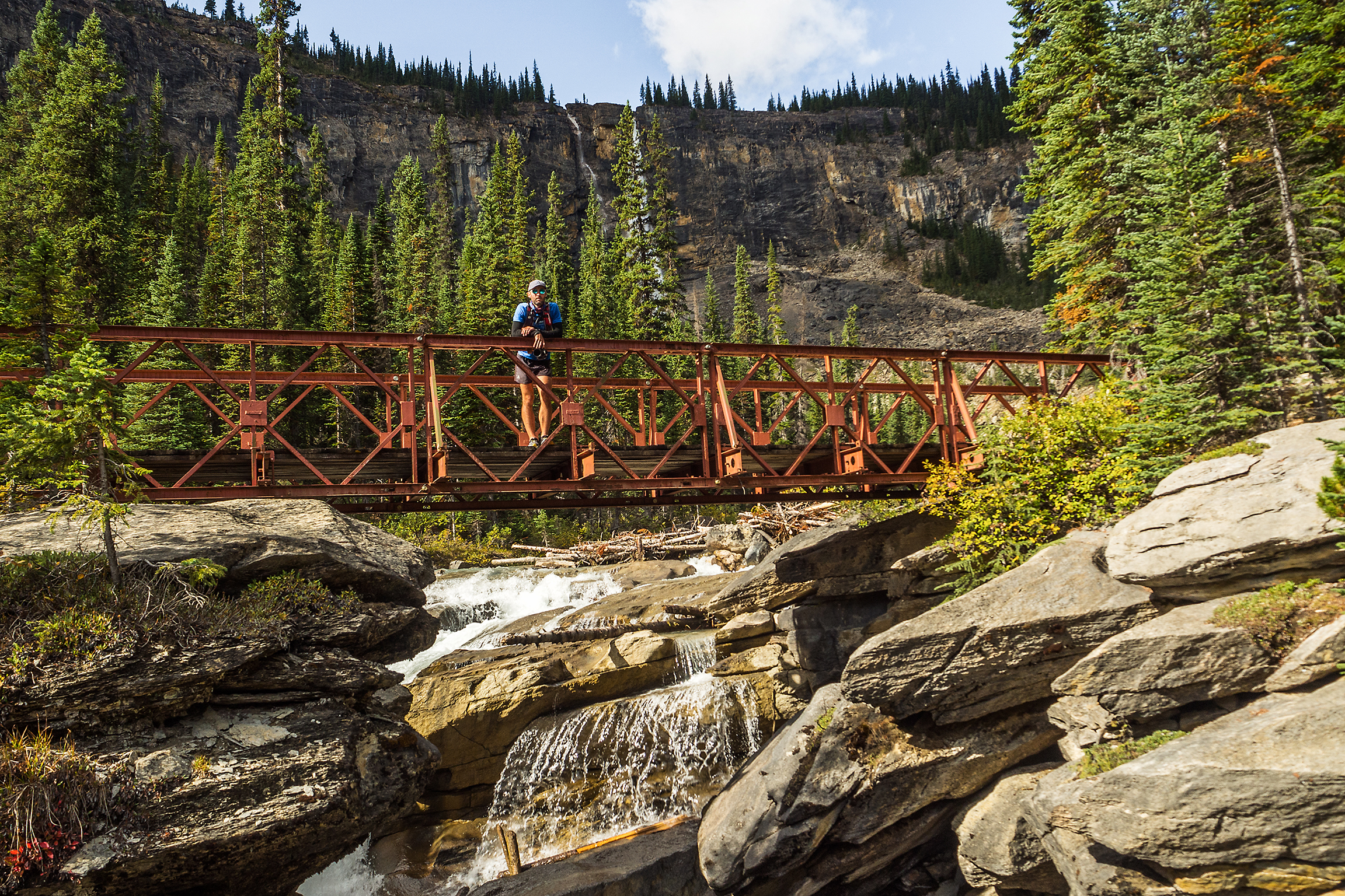
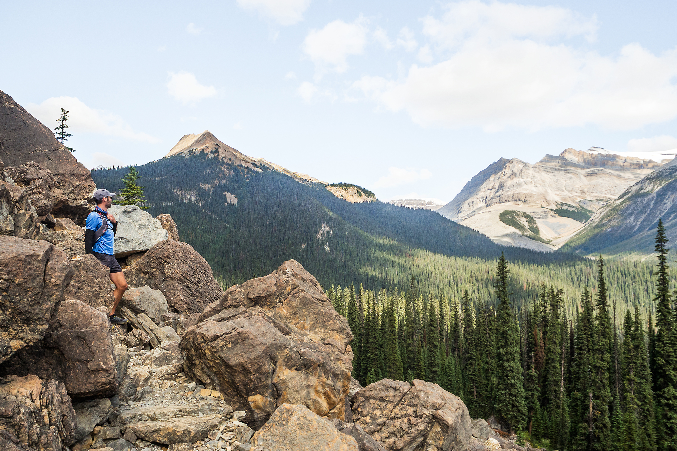
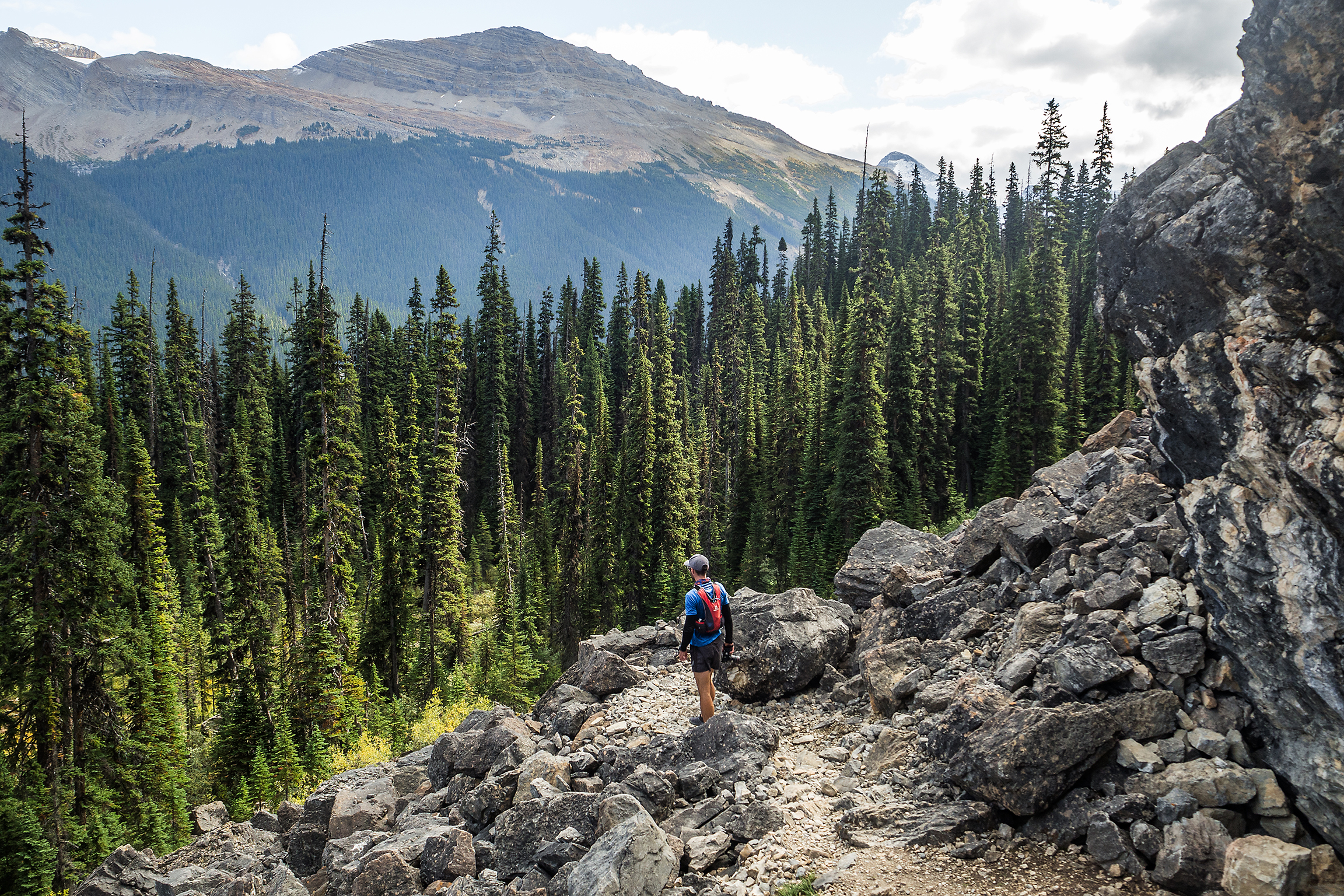
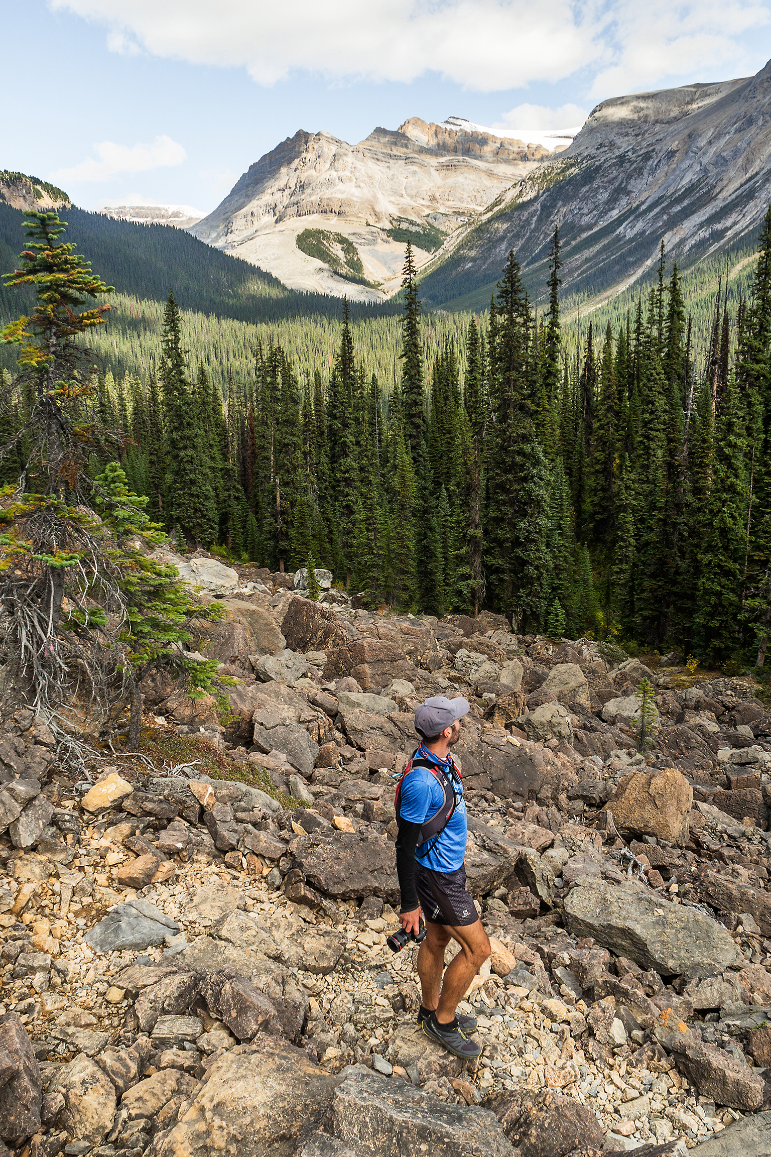
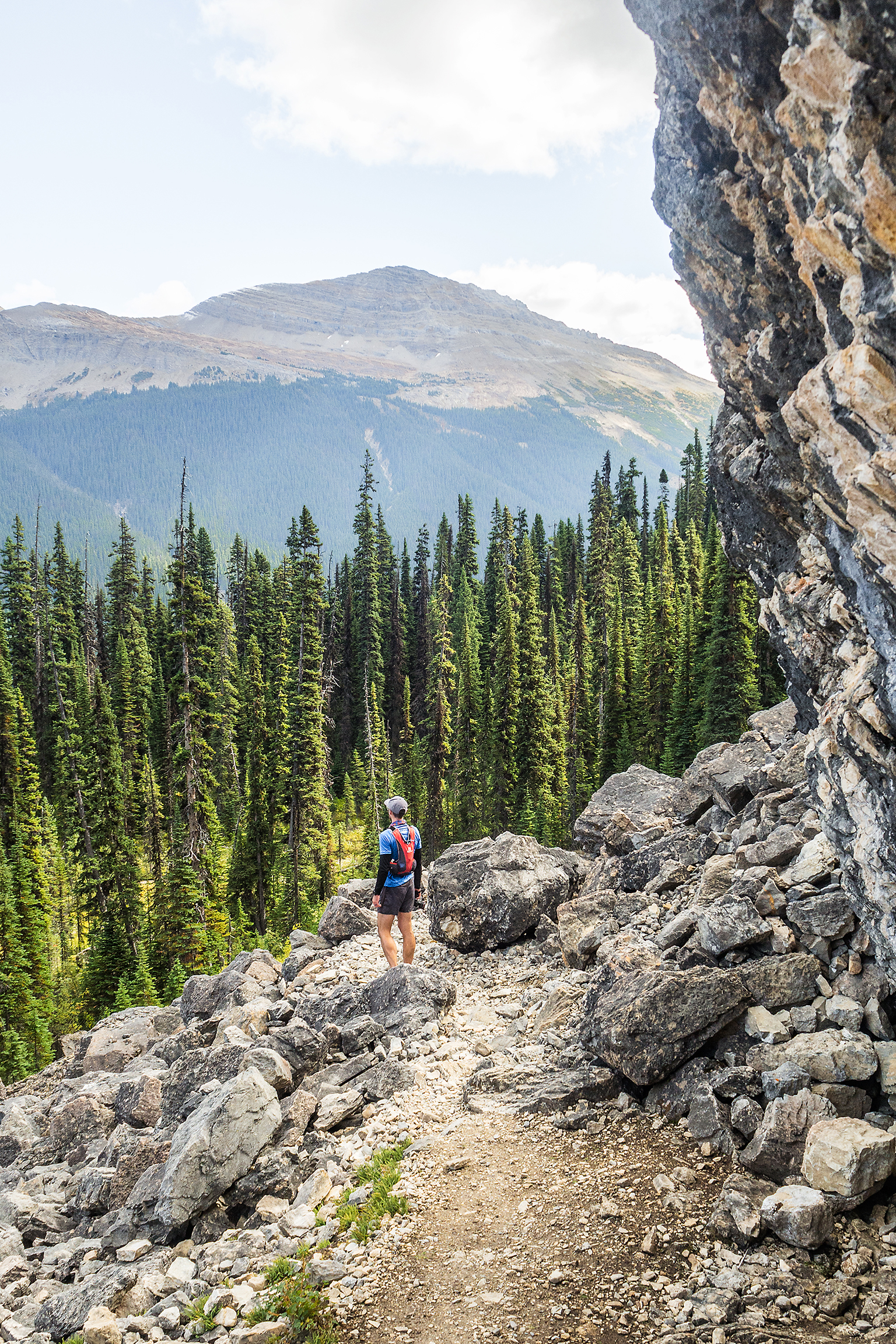
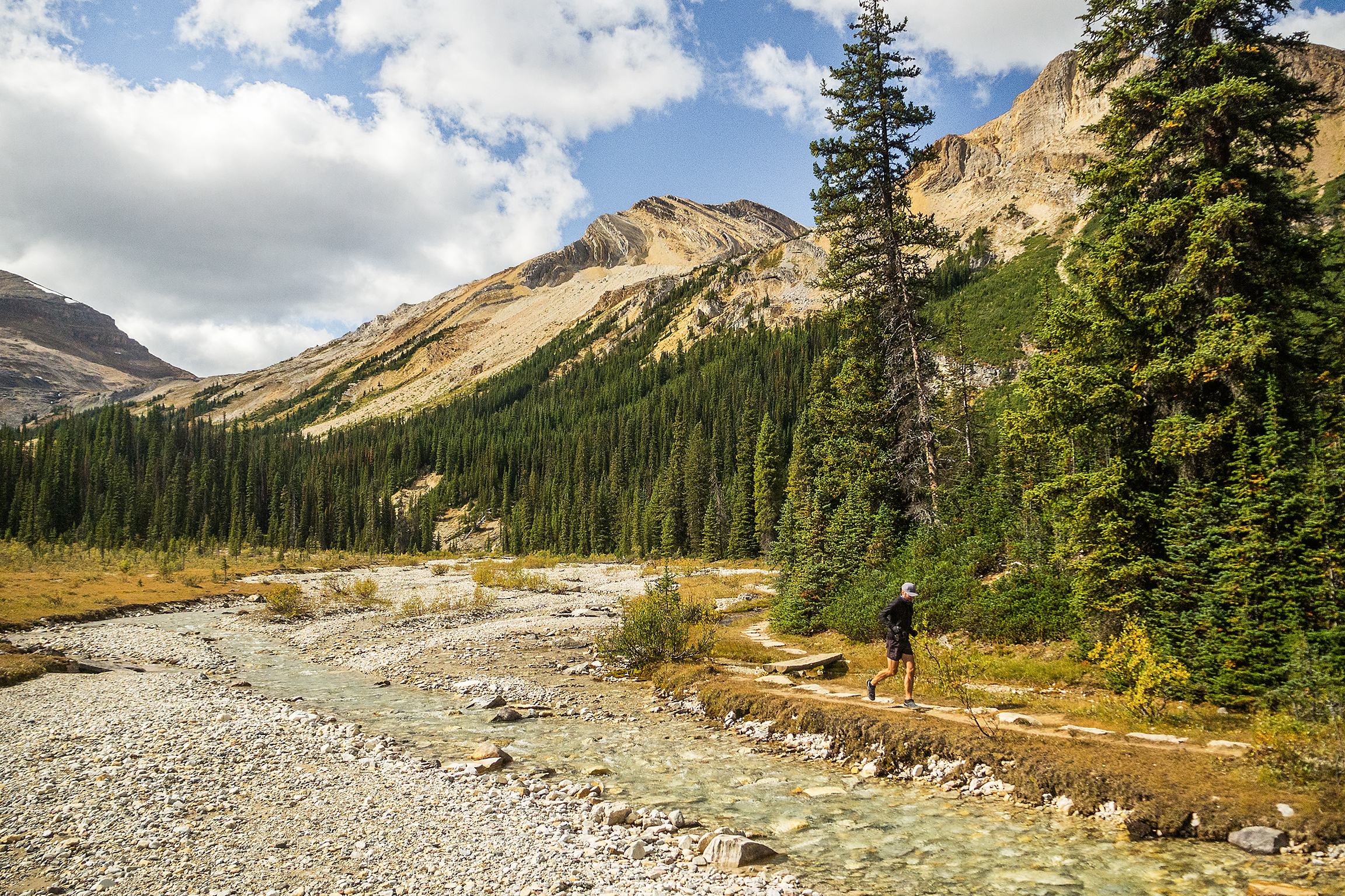
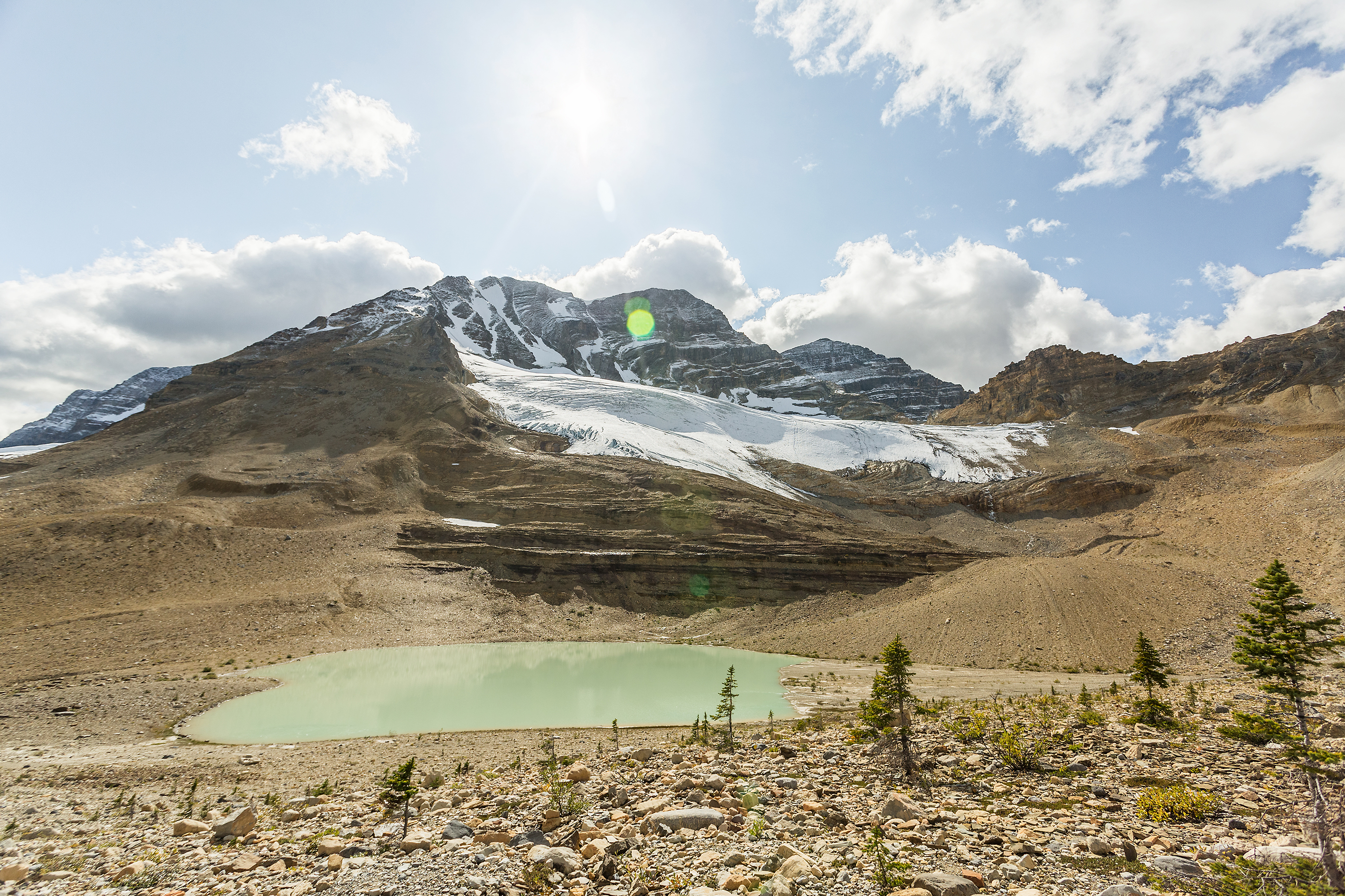
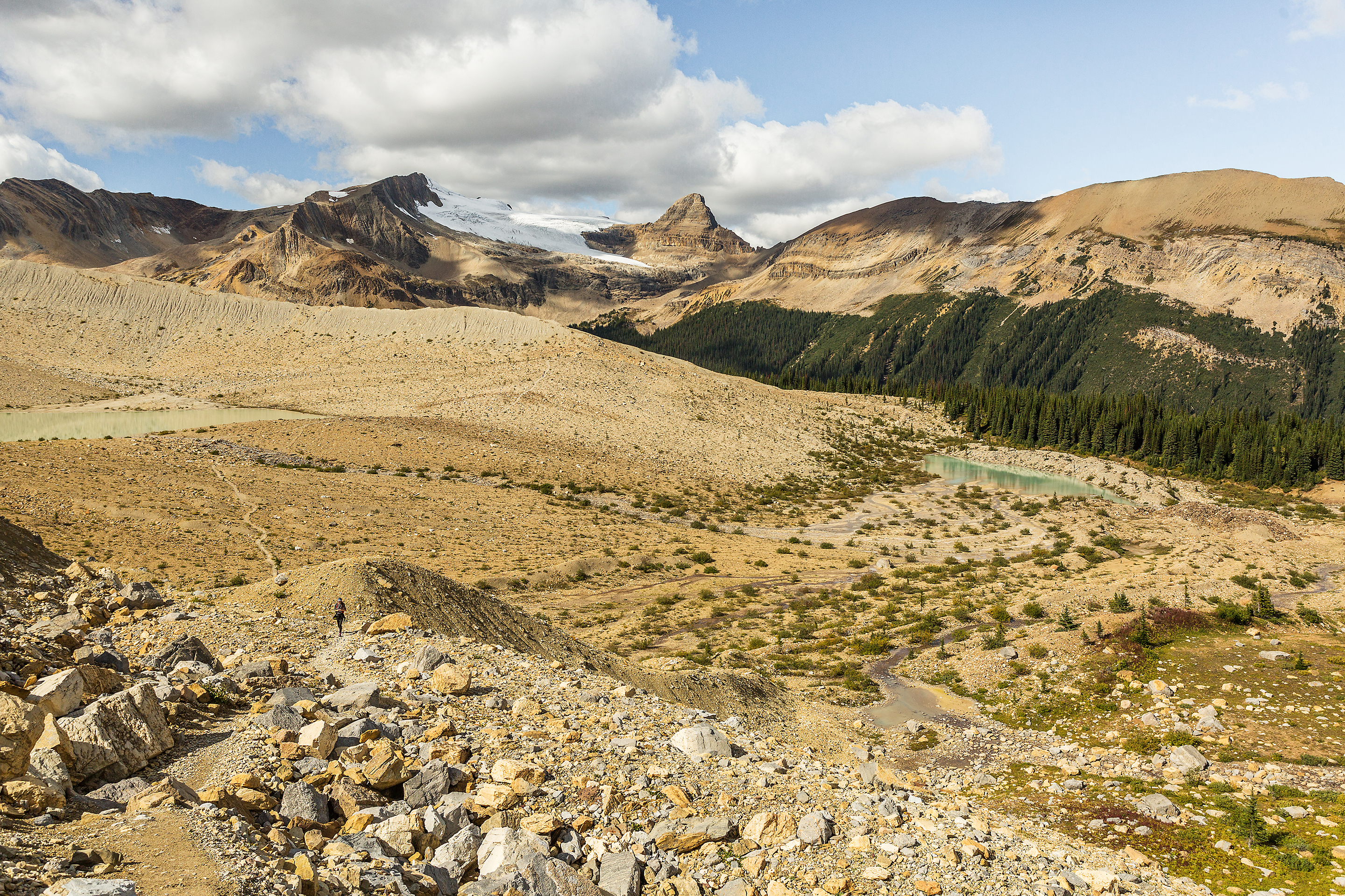
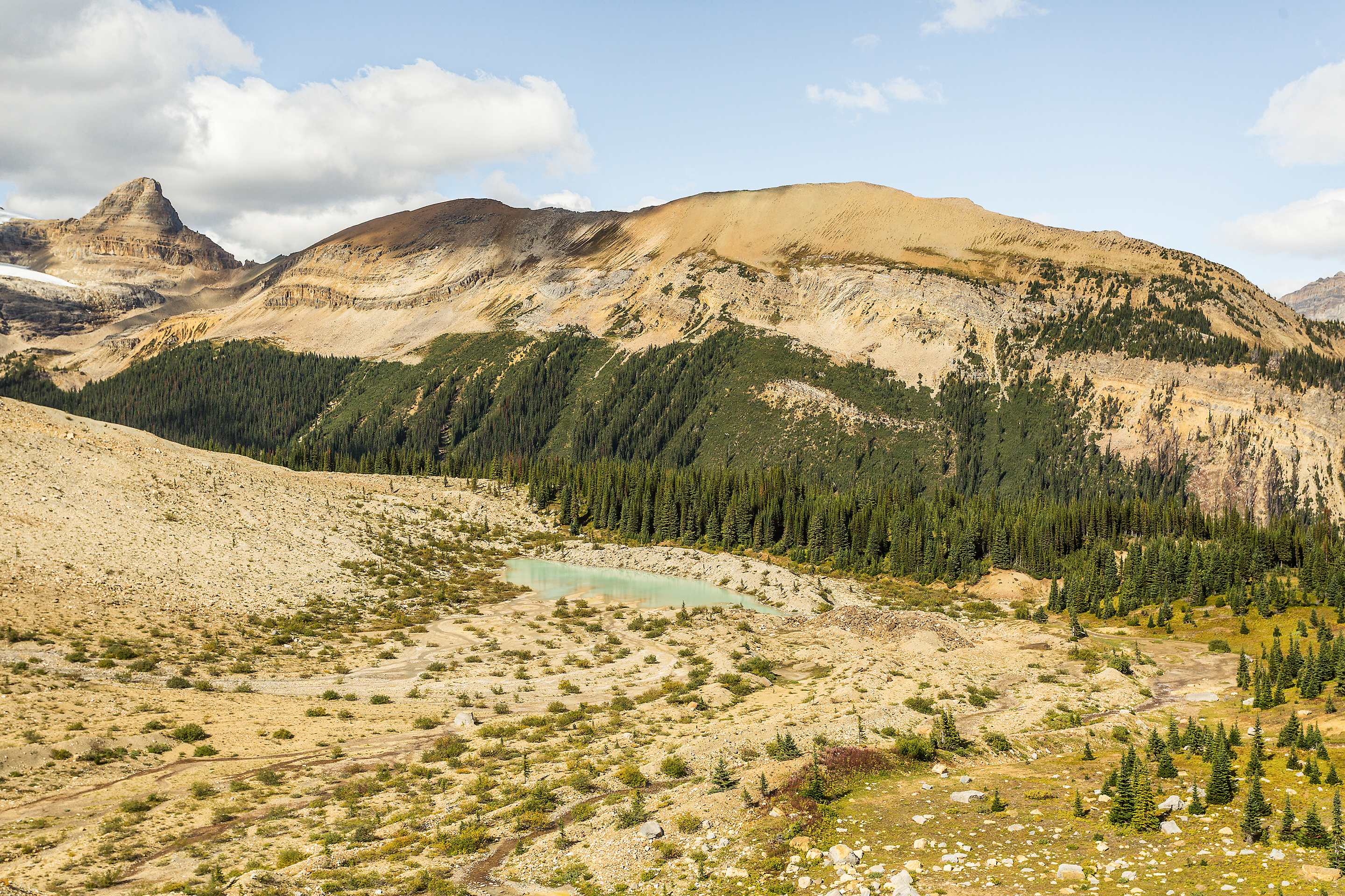
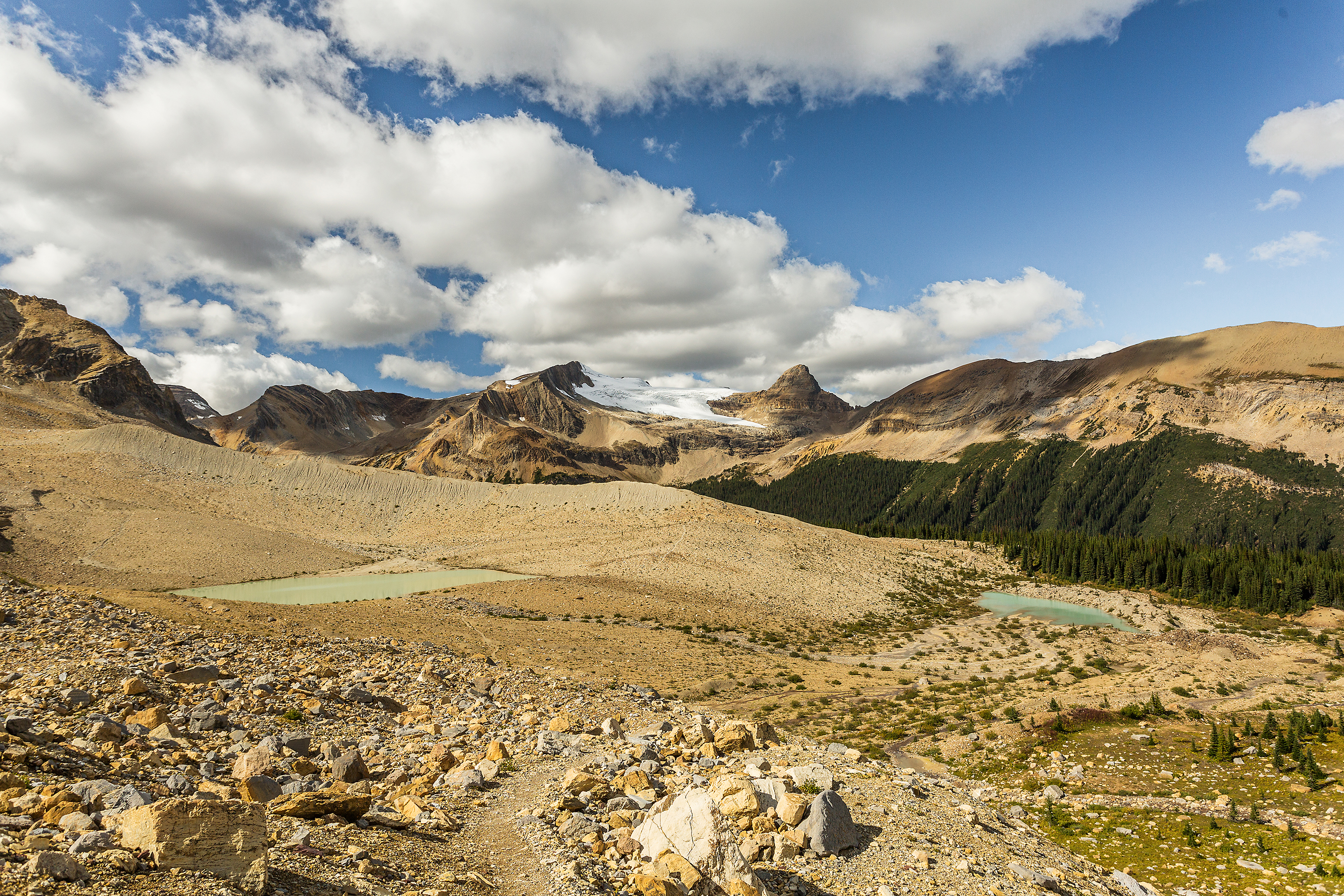
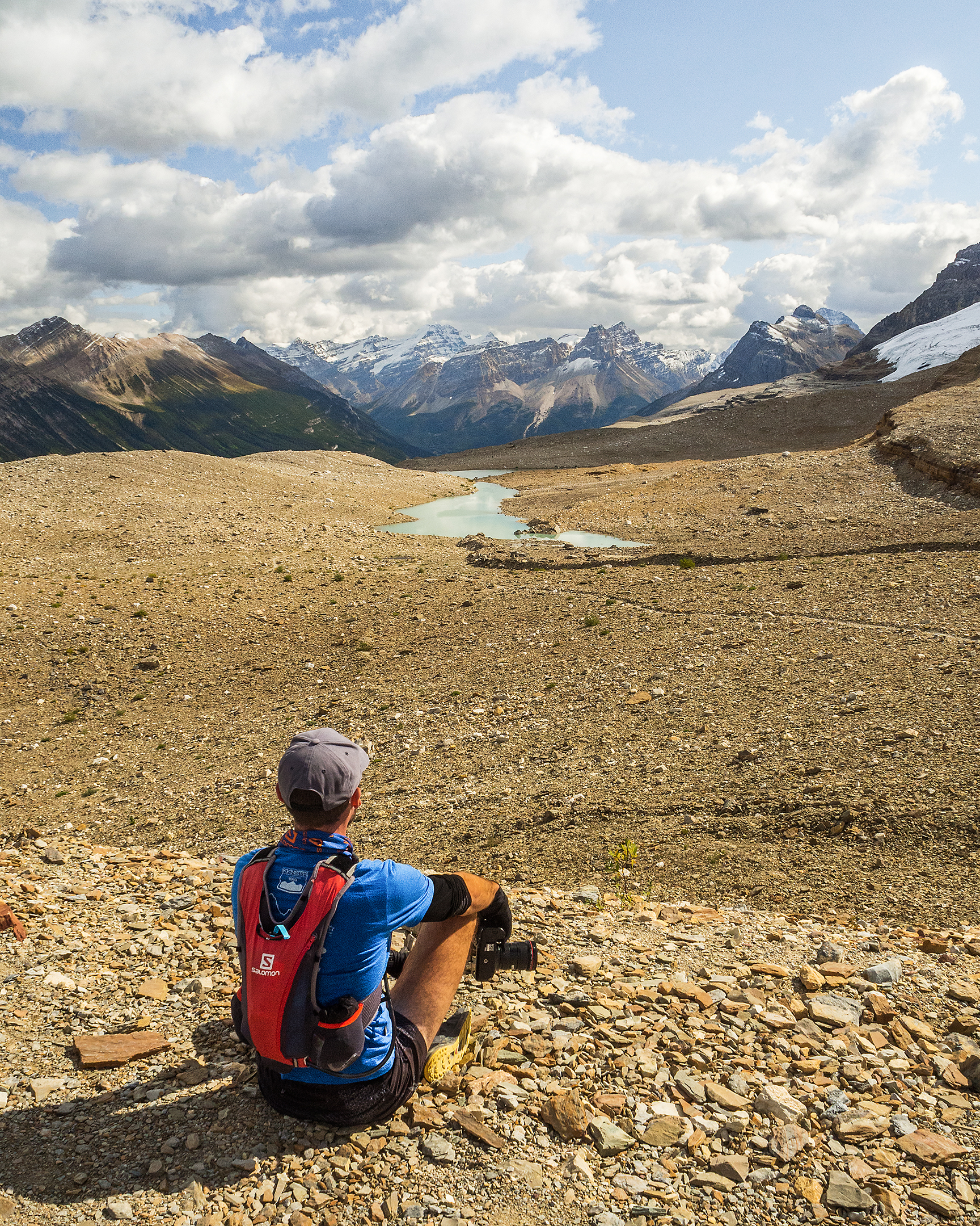
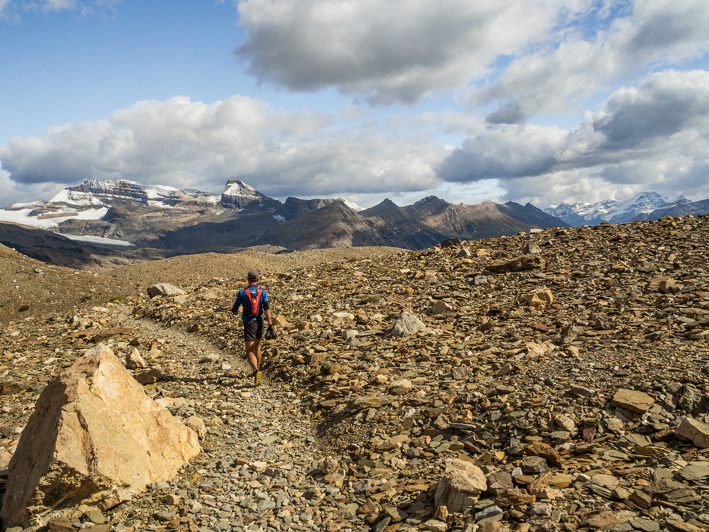
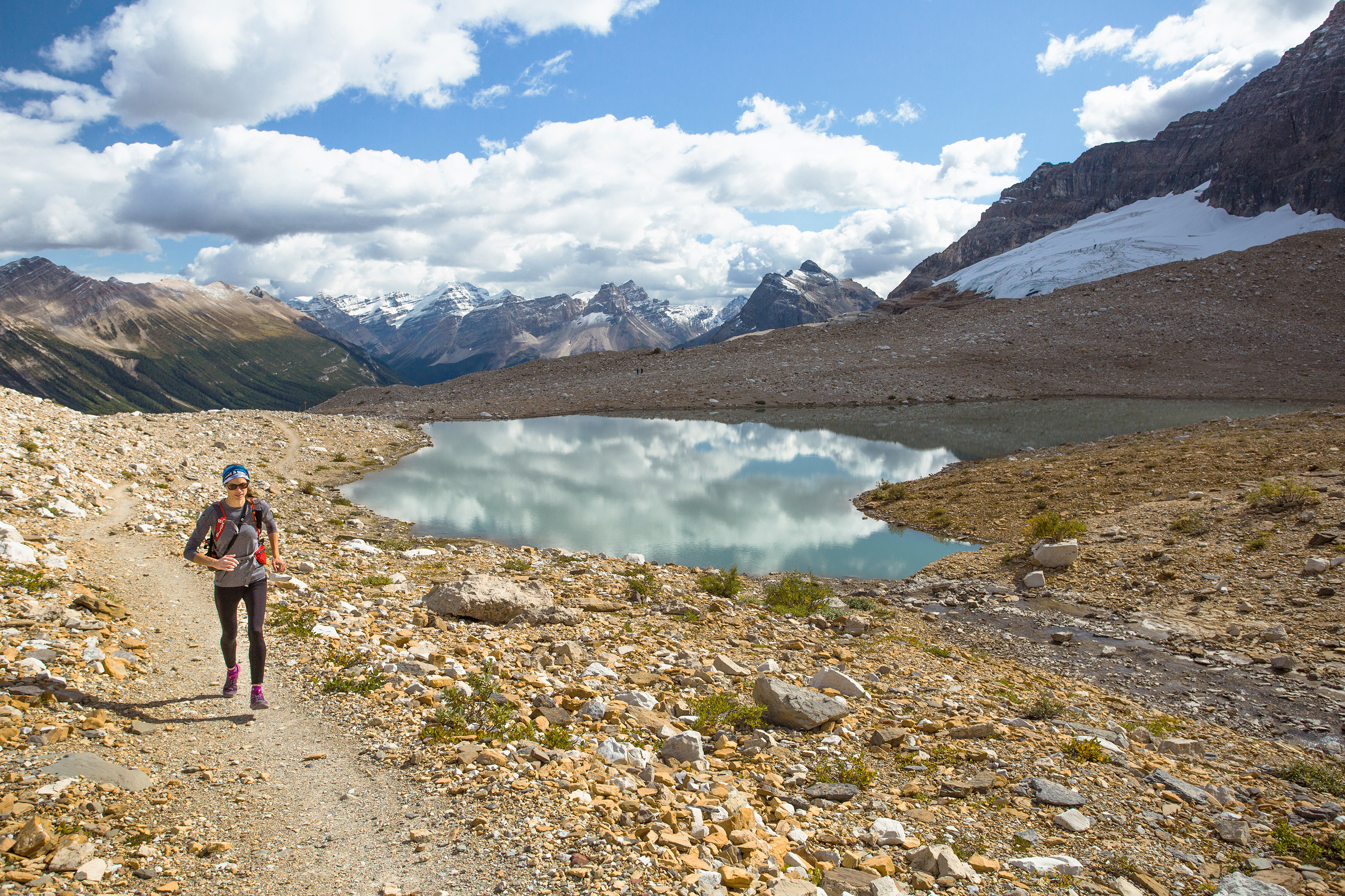
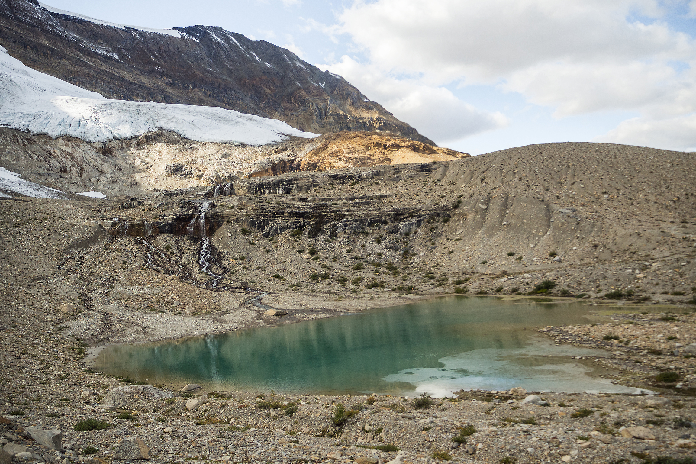
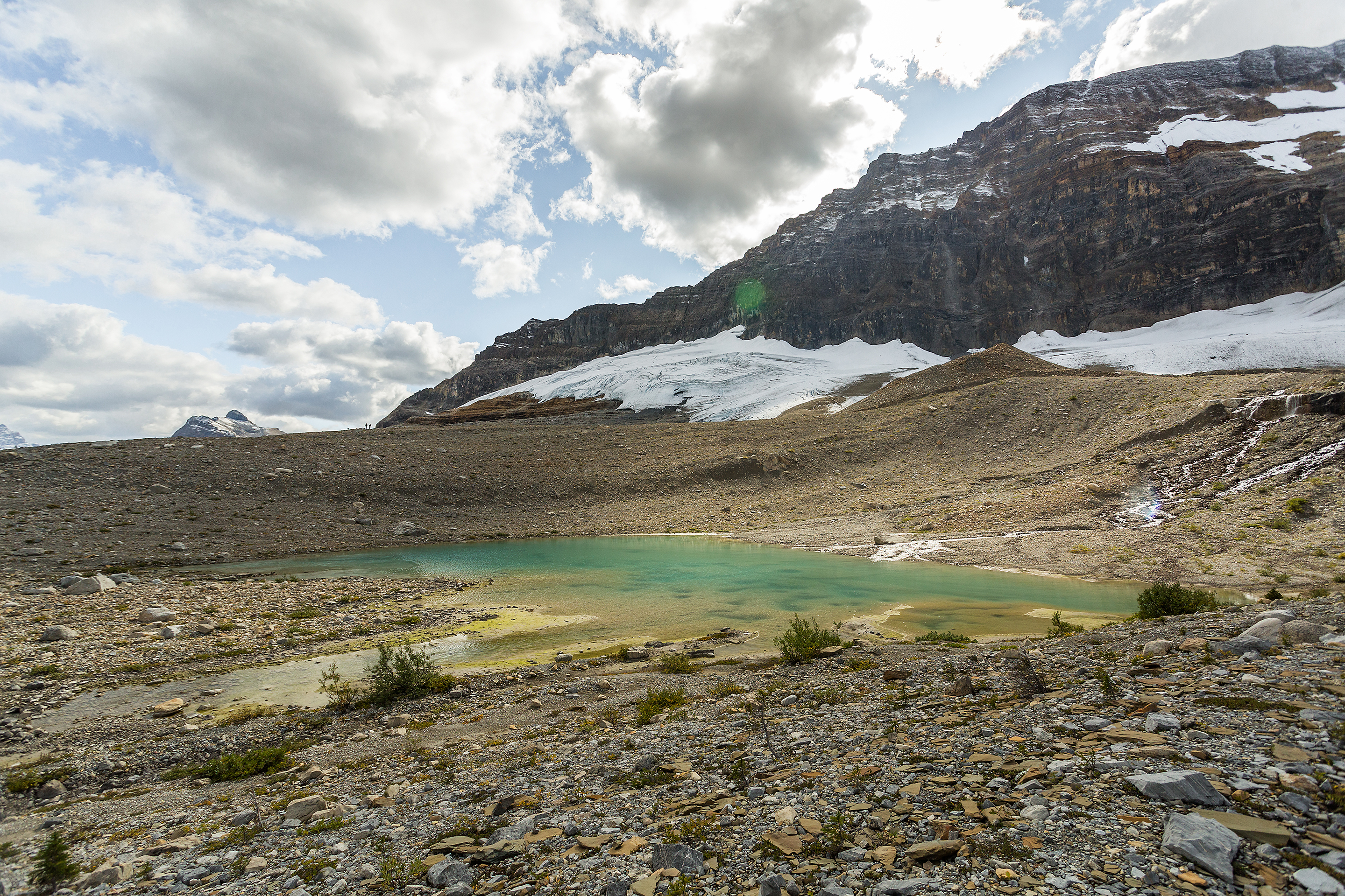
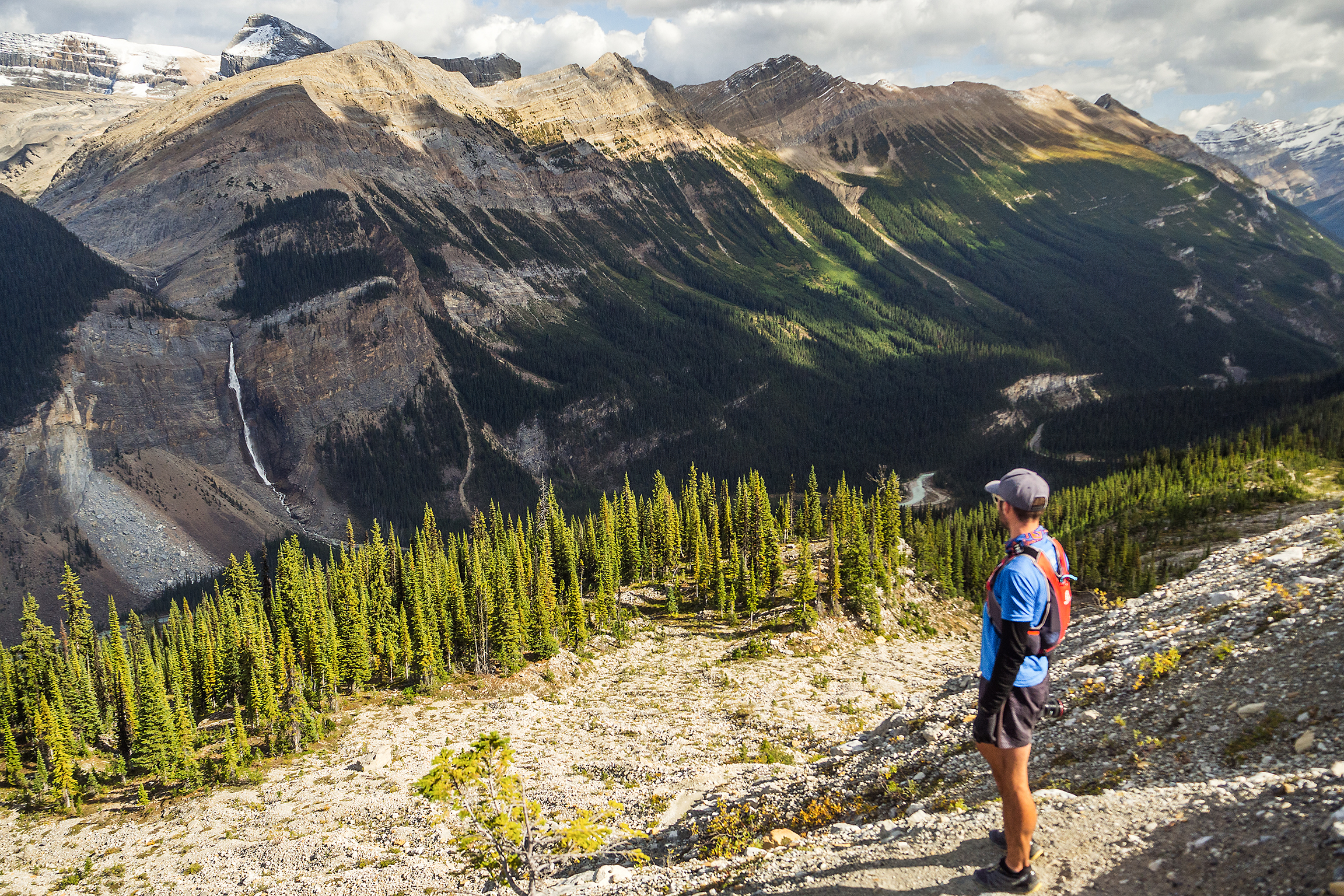
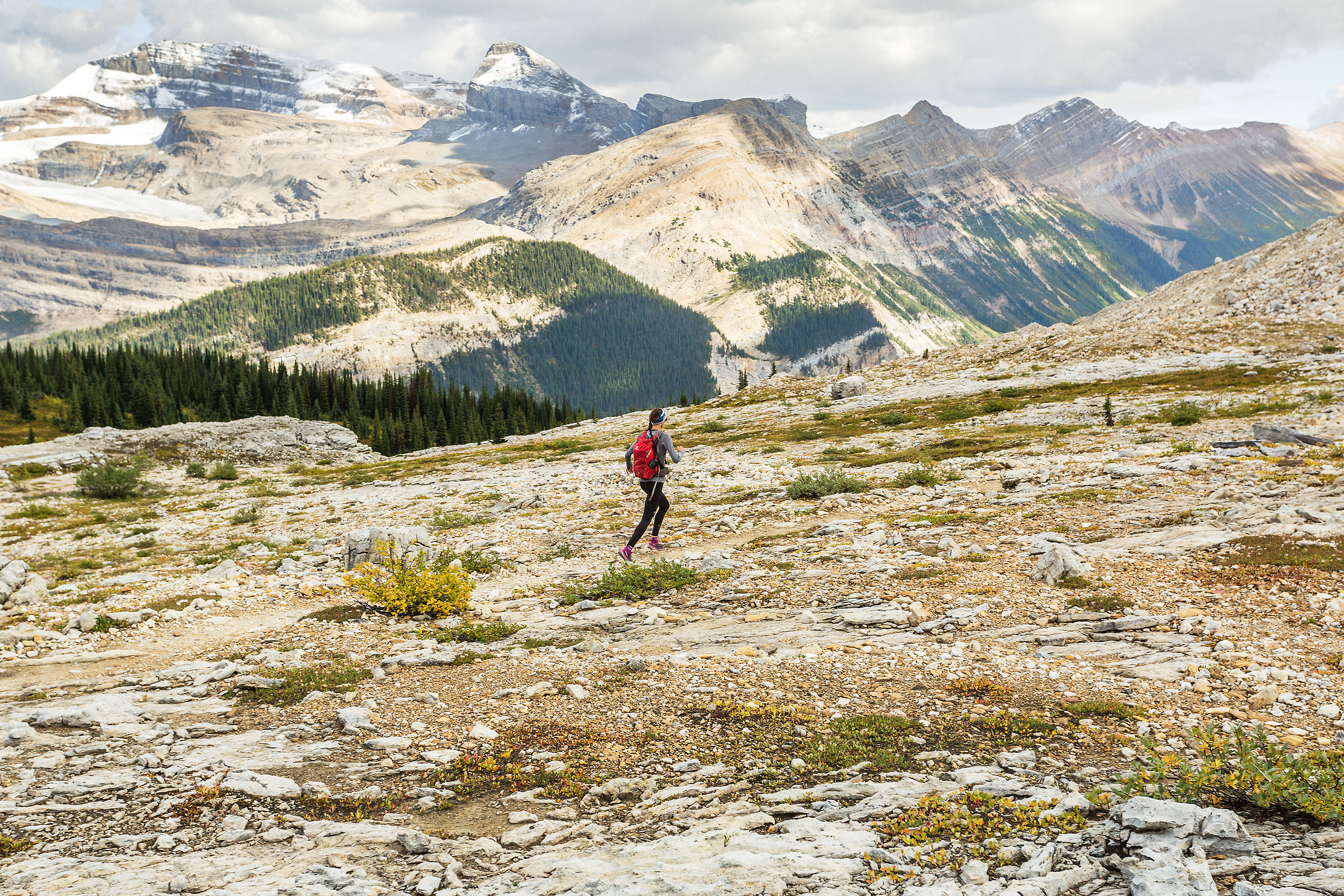
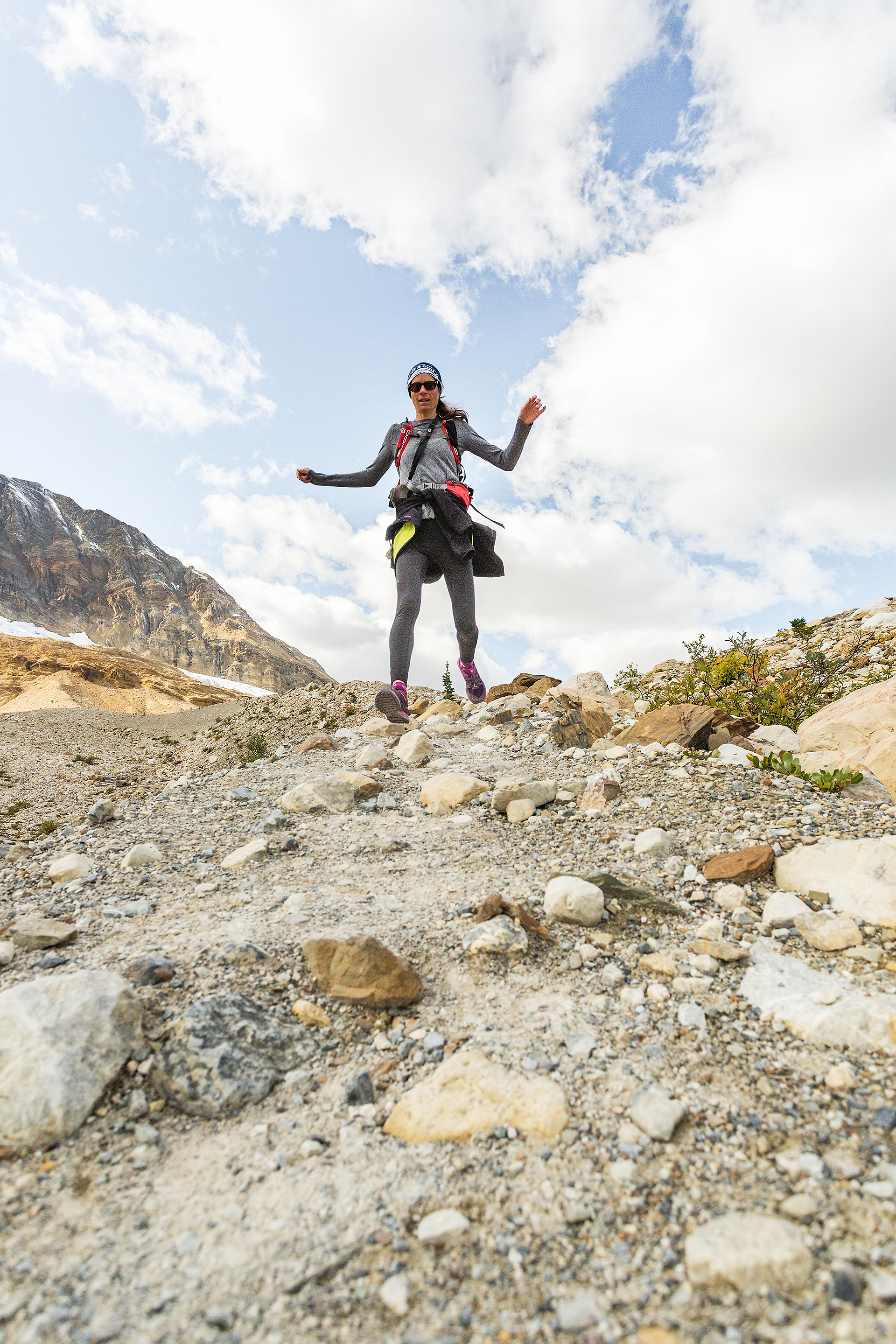
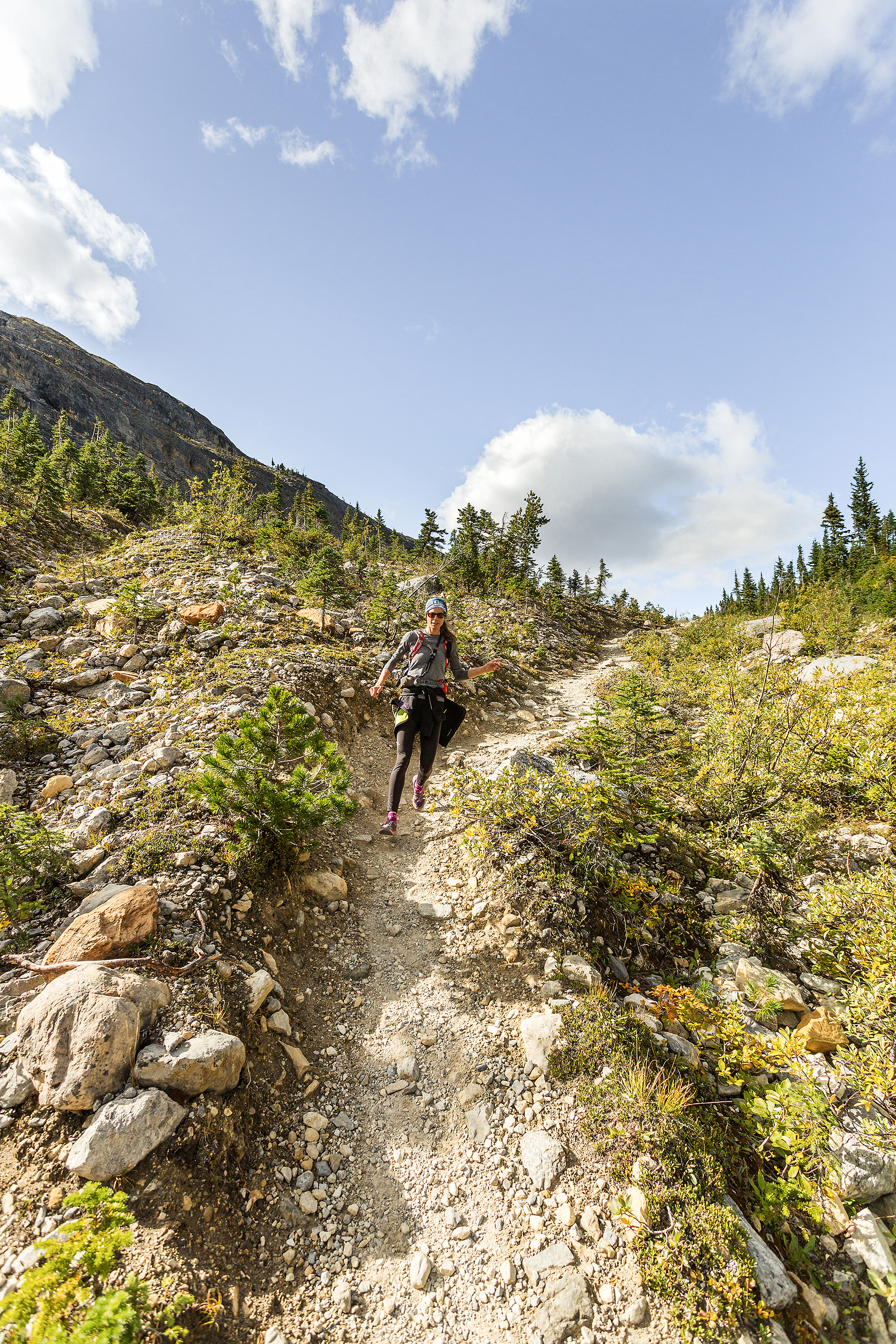
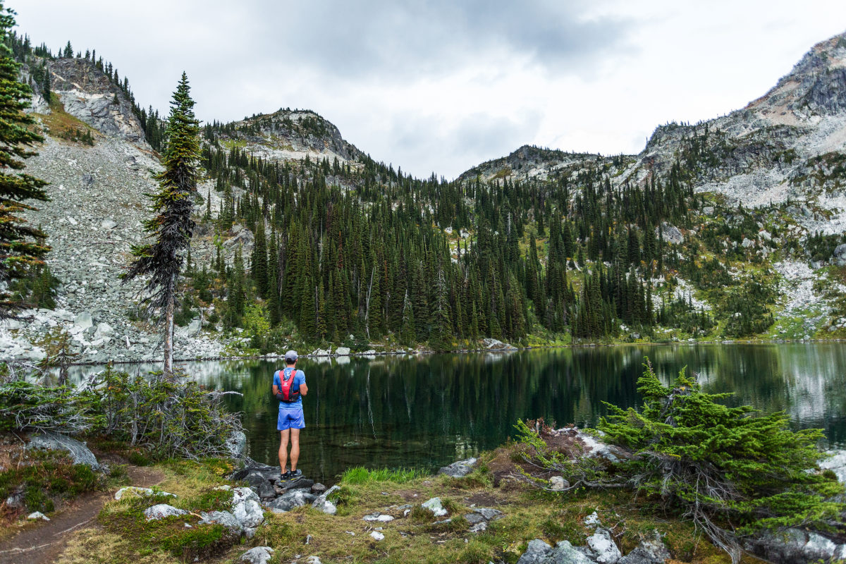
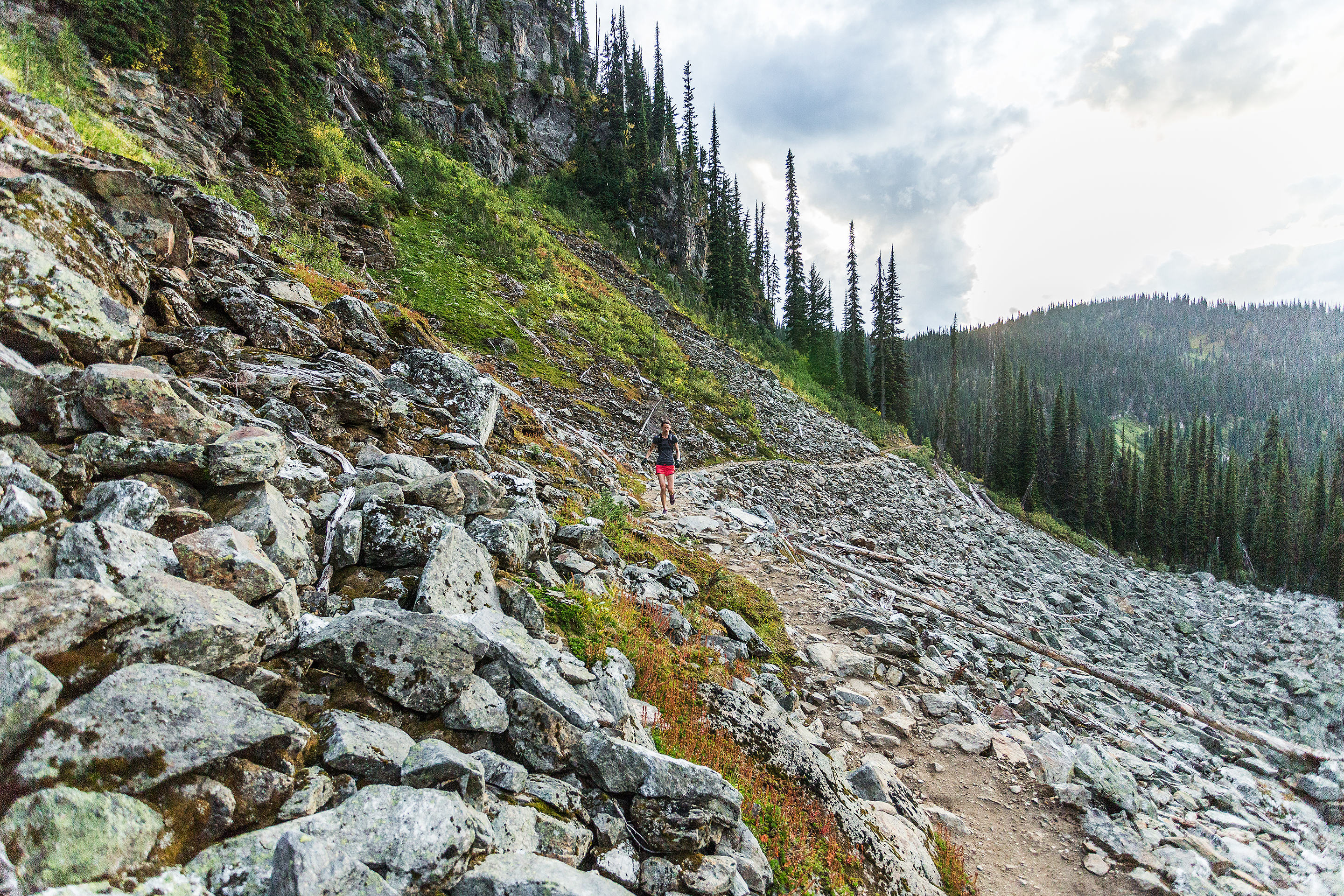
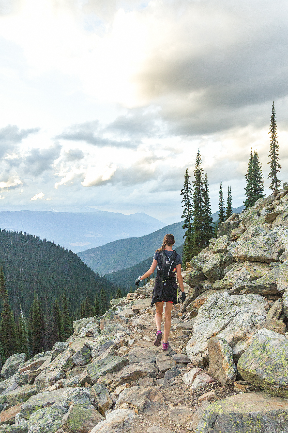
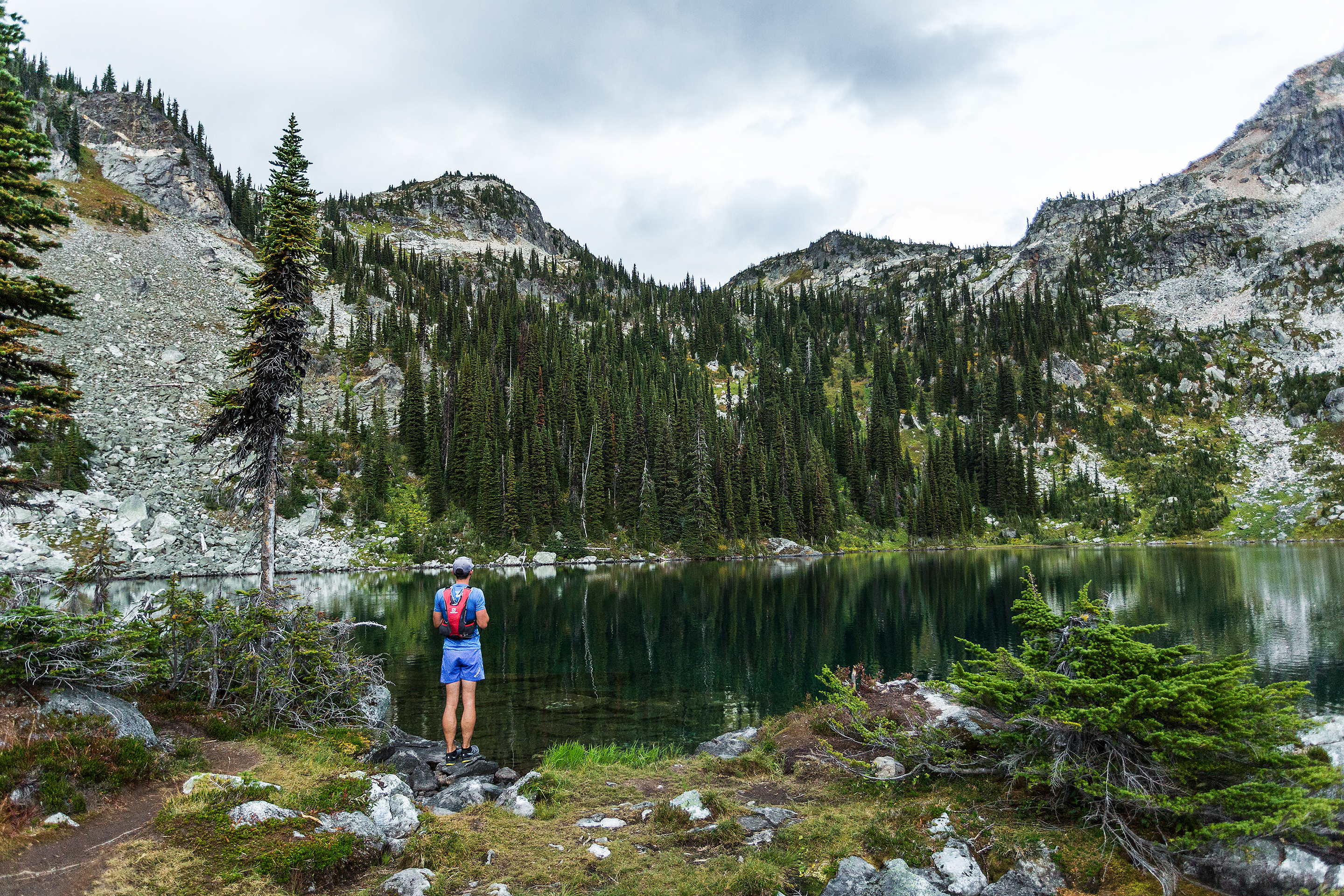
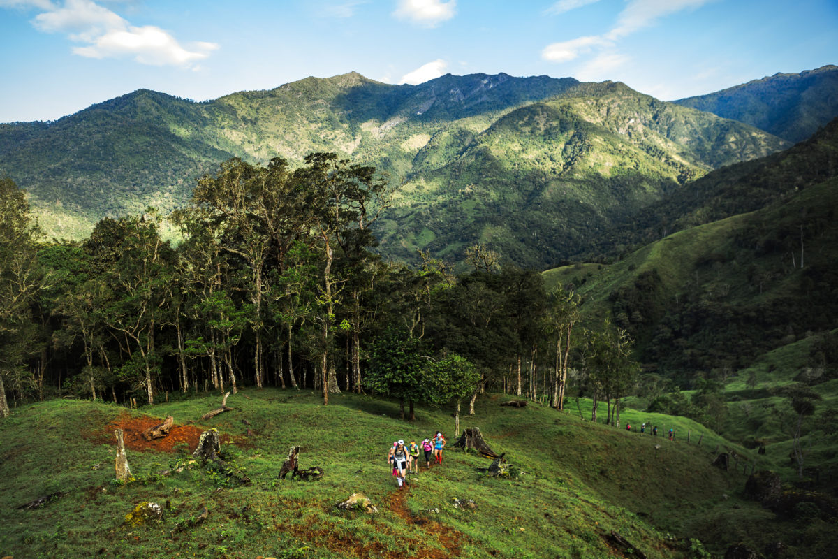
On my biggest back to back week end, i set off to do two BCMC loops – climb the BCMC trail on Grouse mountain, run down the first half of Mountain highway to a bike trail called Executioner, then take that trail down to the Baden Powell trail, which crosses the North Shore mountain from Deep Cove to Horseshoe bay, taking me back to the bottom of Grouse along the way. Then do it all again, for a total of 30km. The next day i ran on another of the the North Shore mountains, Mount Seymour, following bike trails out to Lynn valley and back, 26km total.
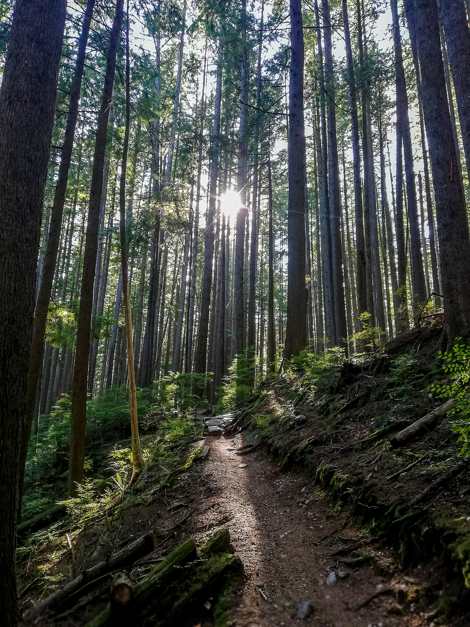


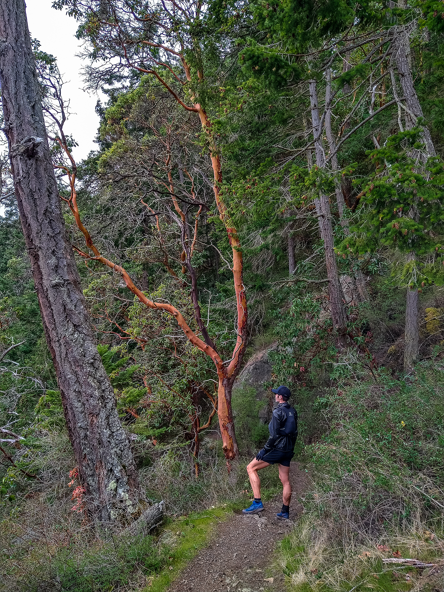
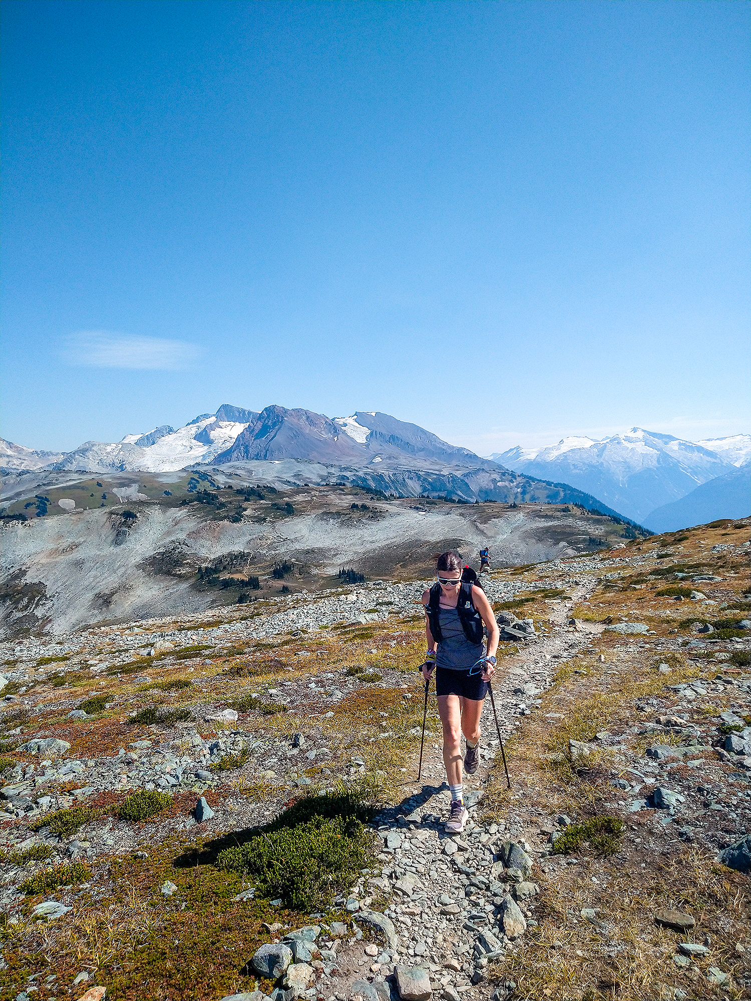
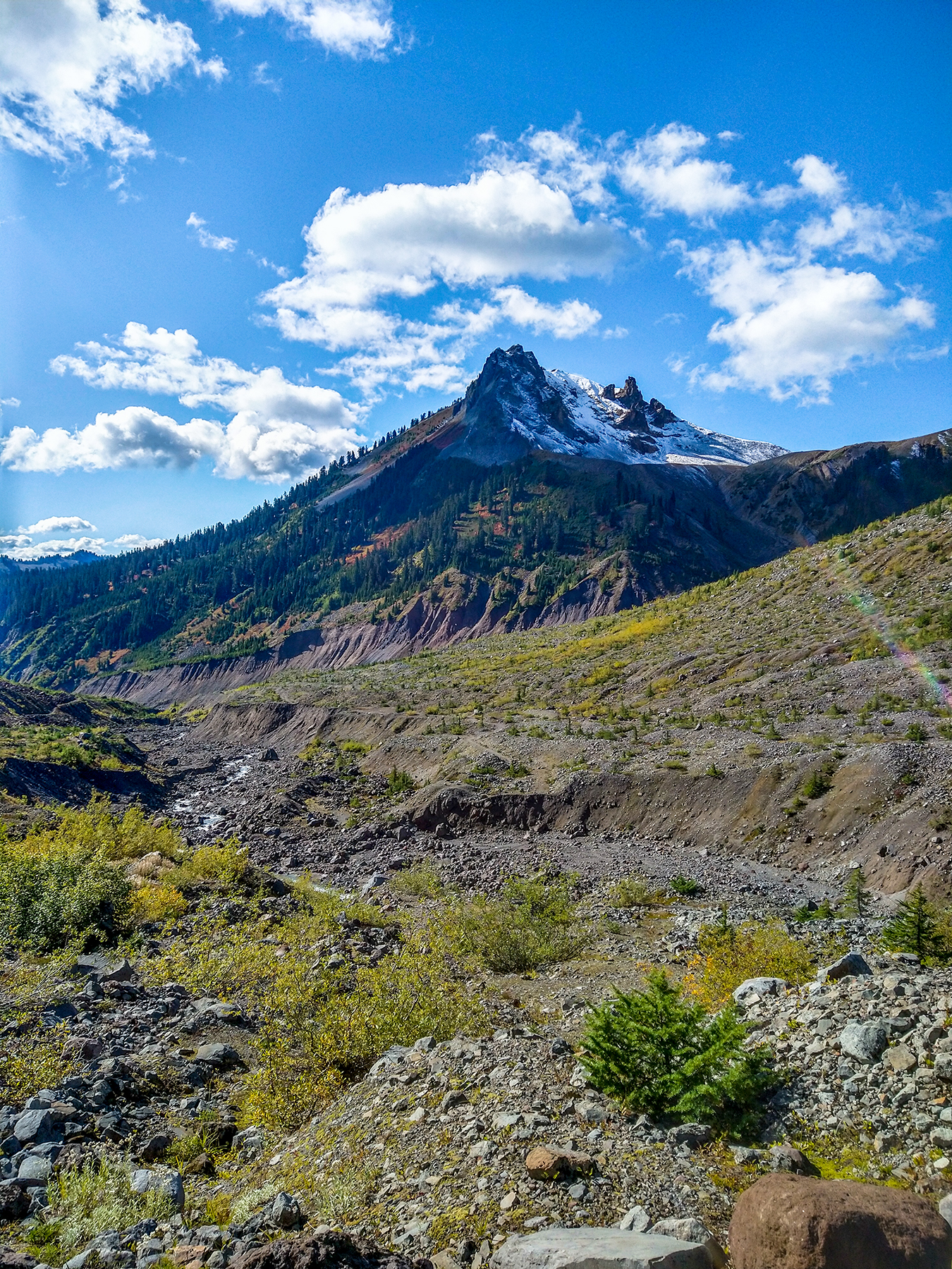
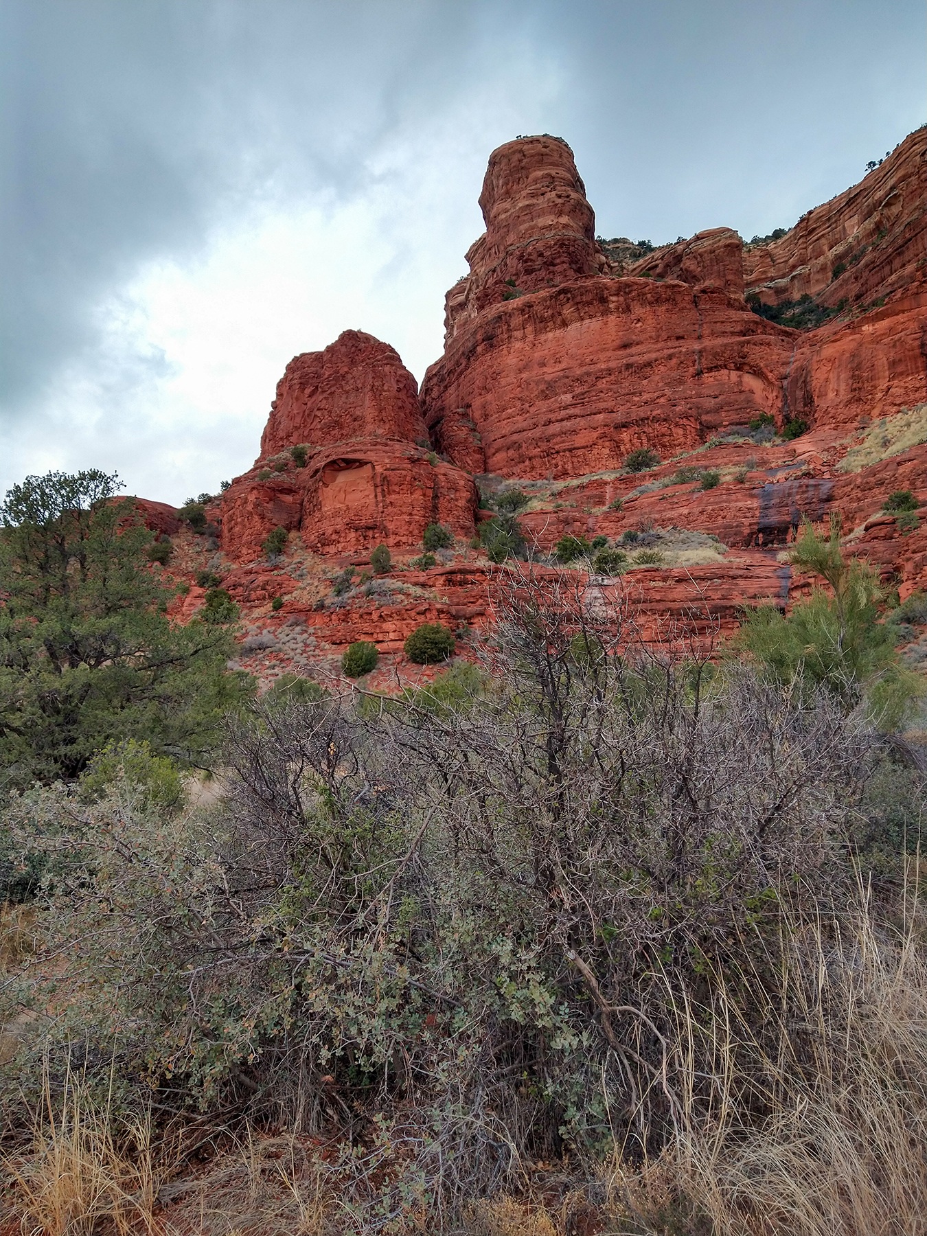
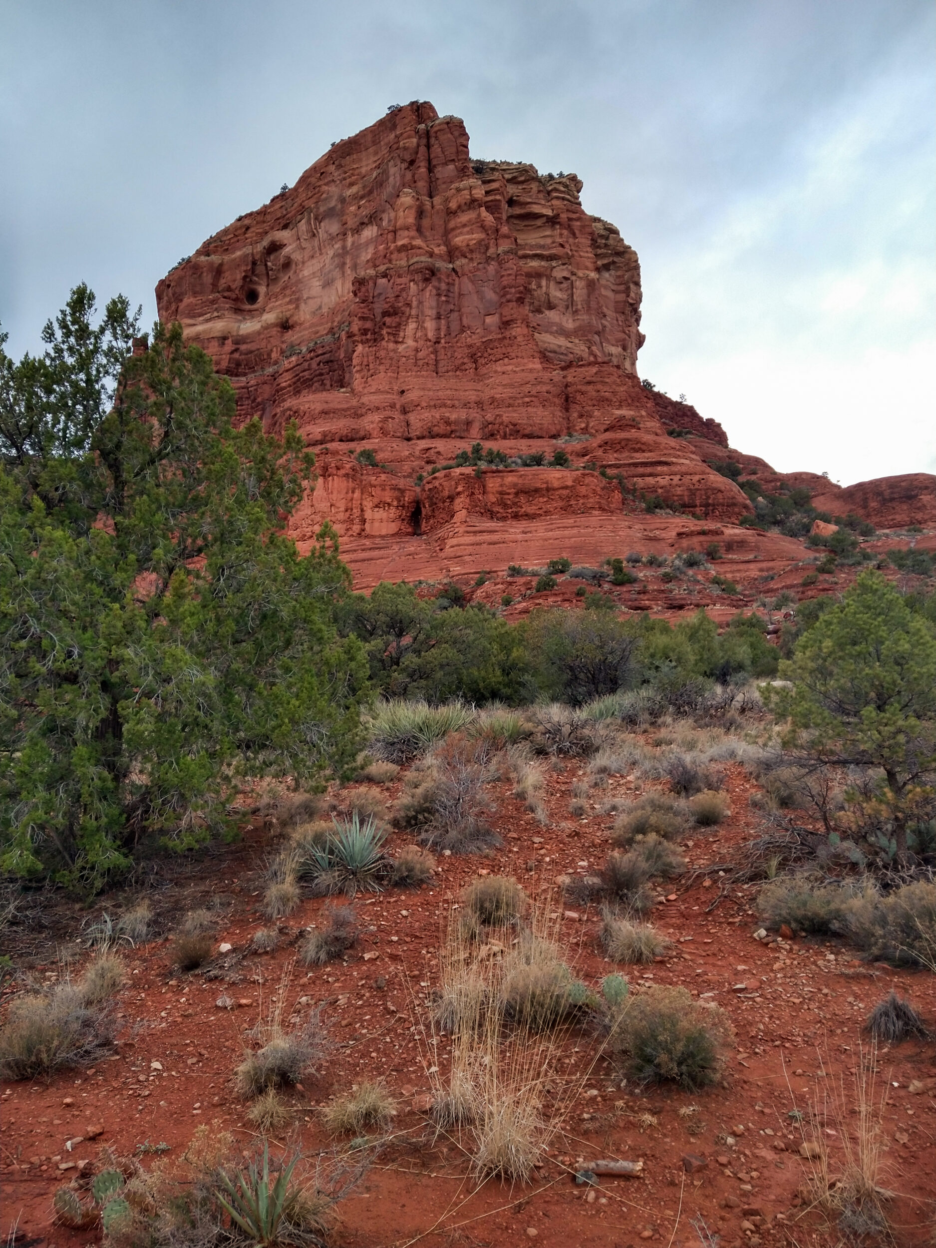
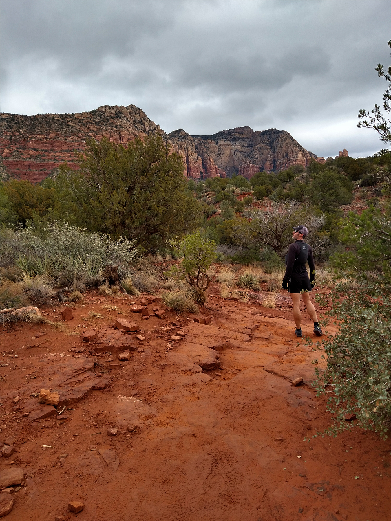
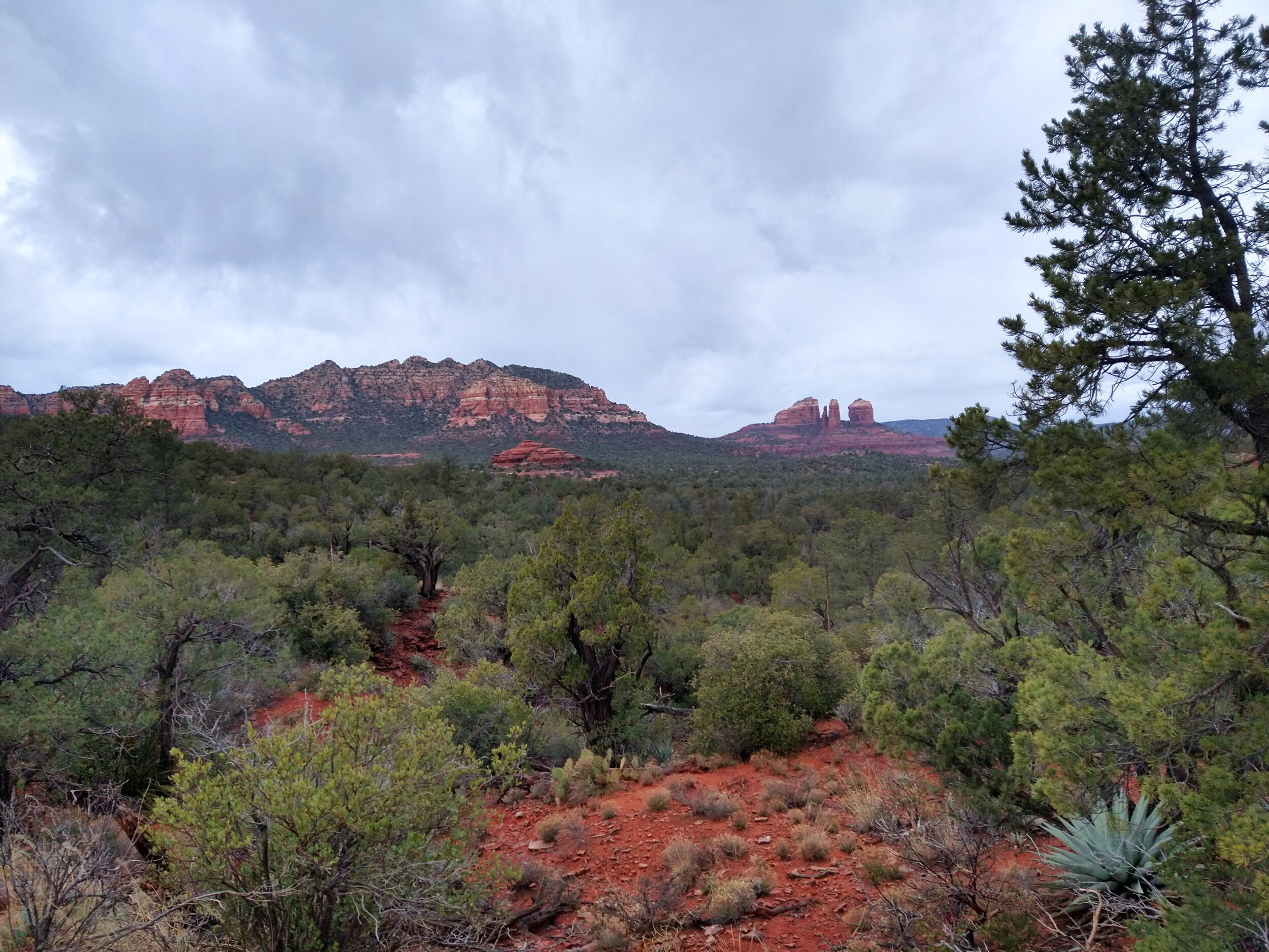
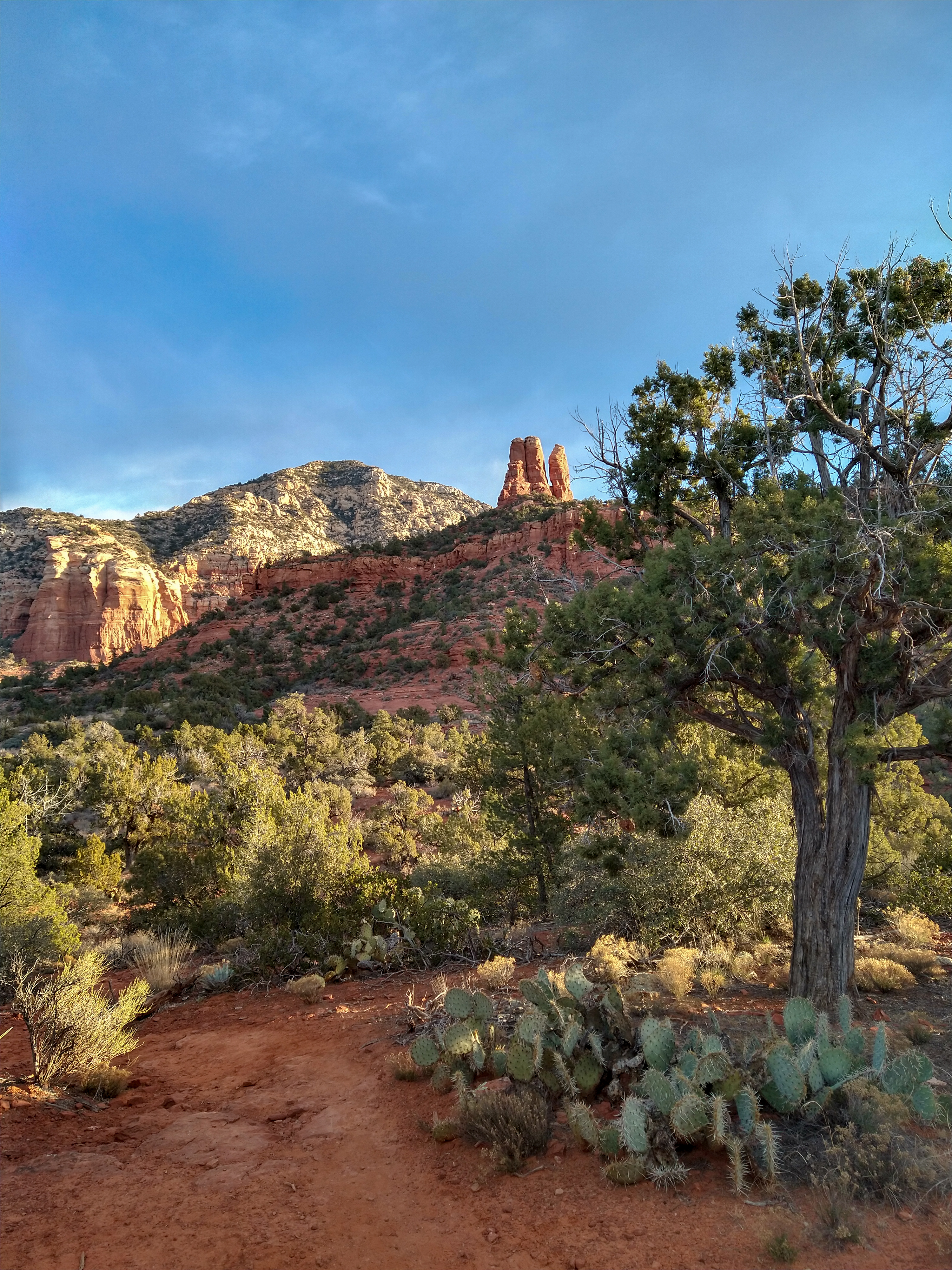
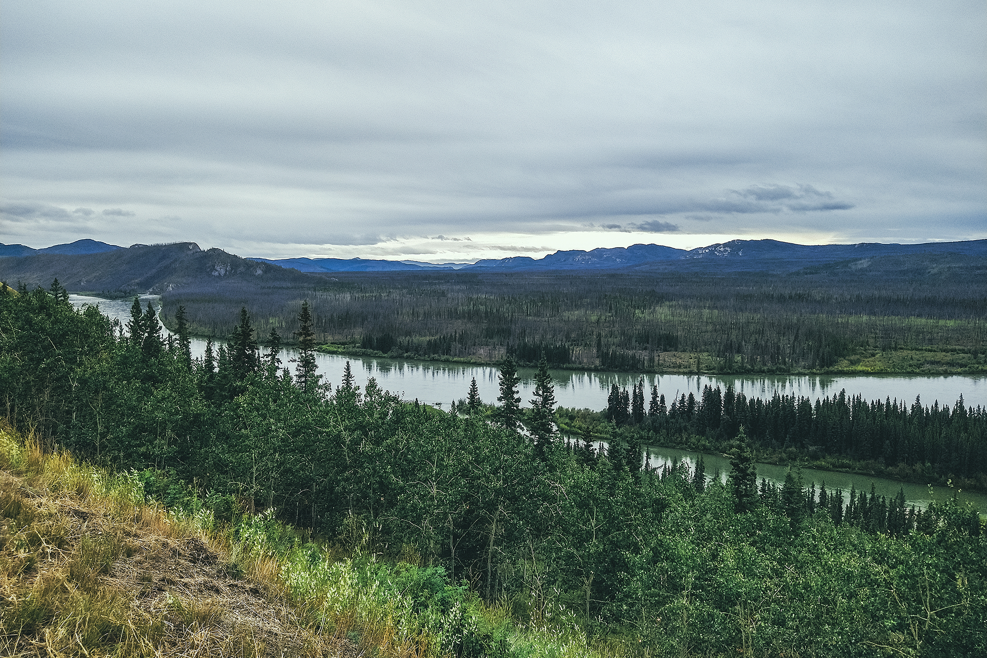
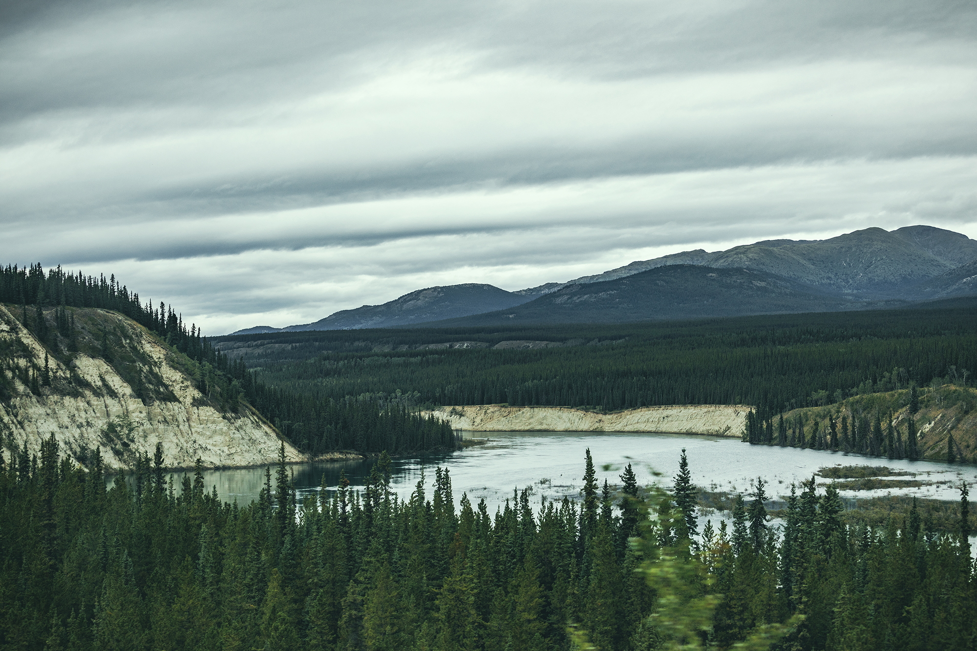
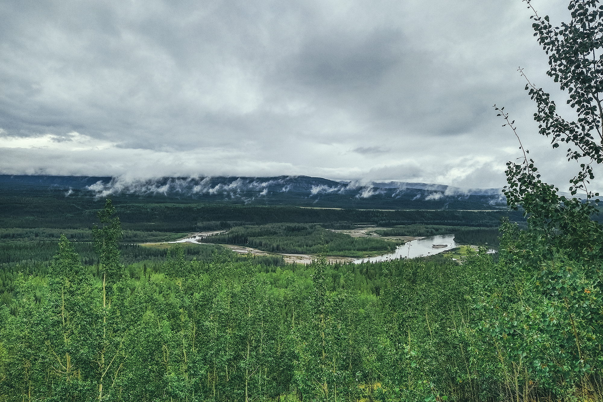
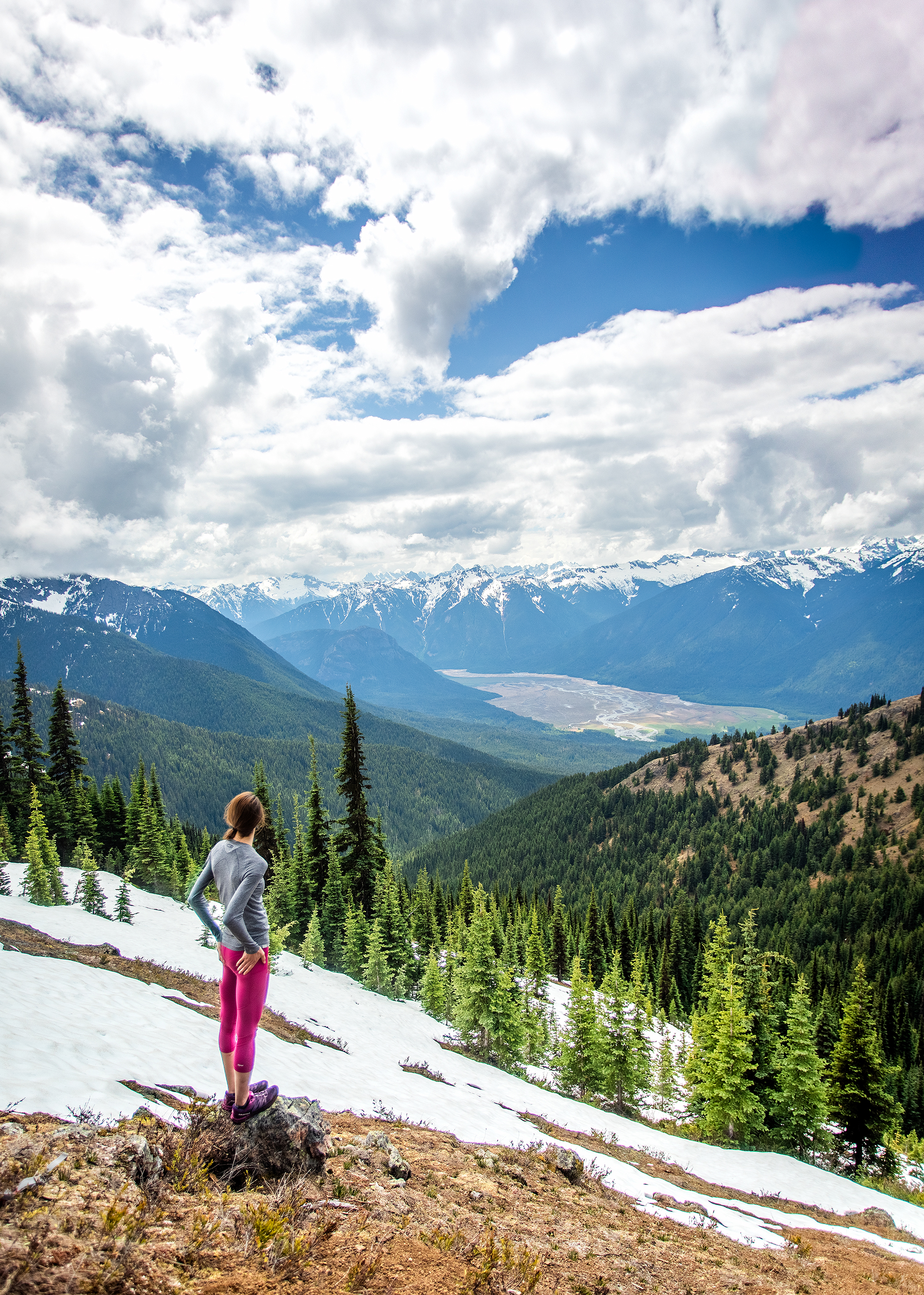
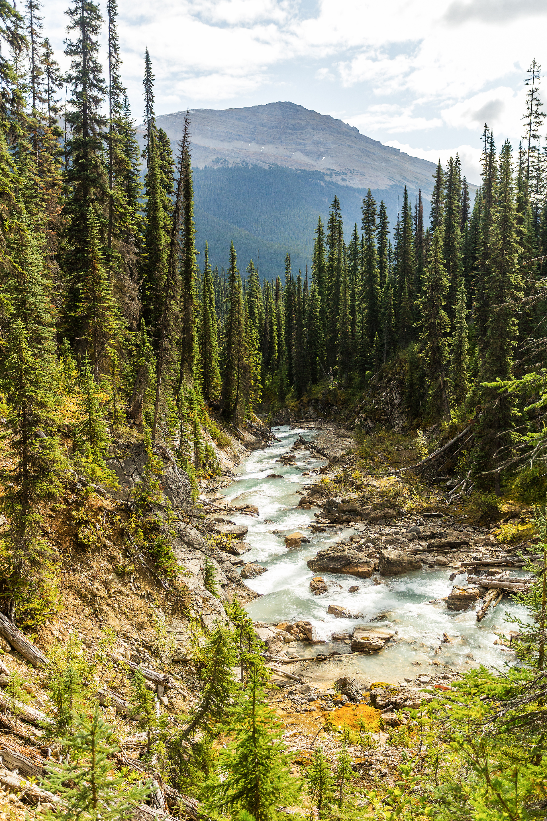
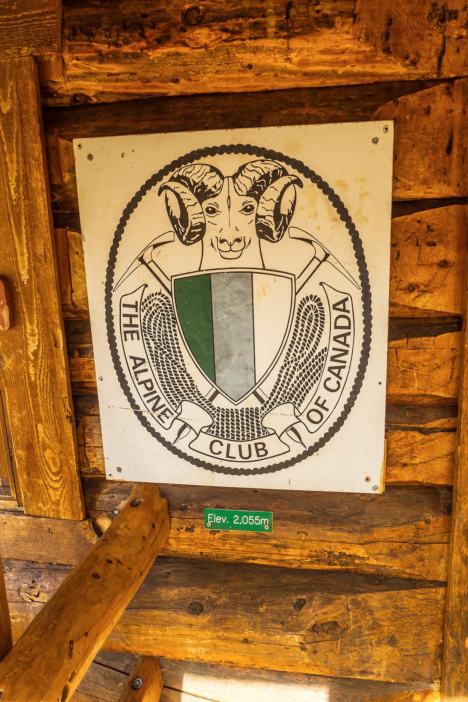
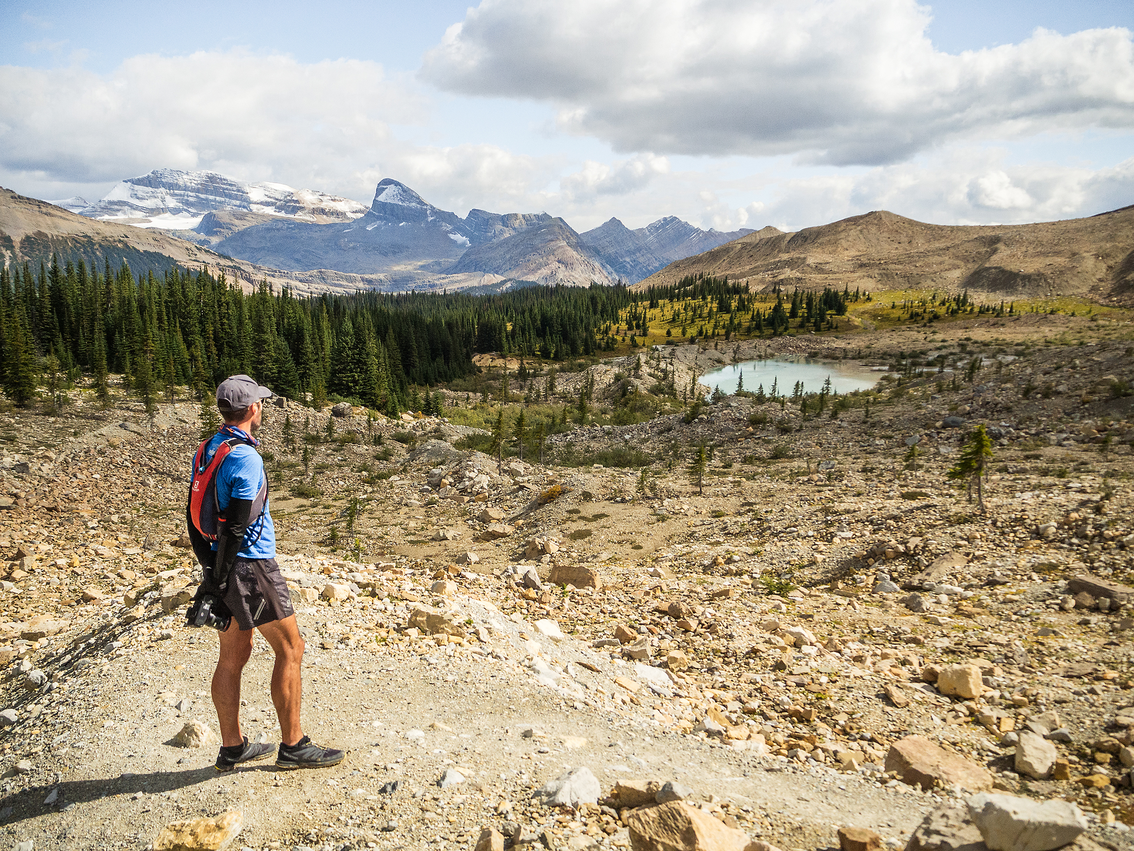
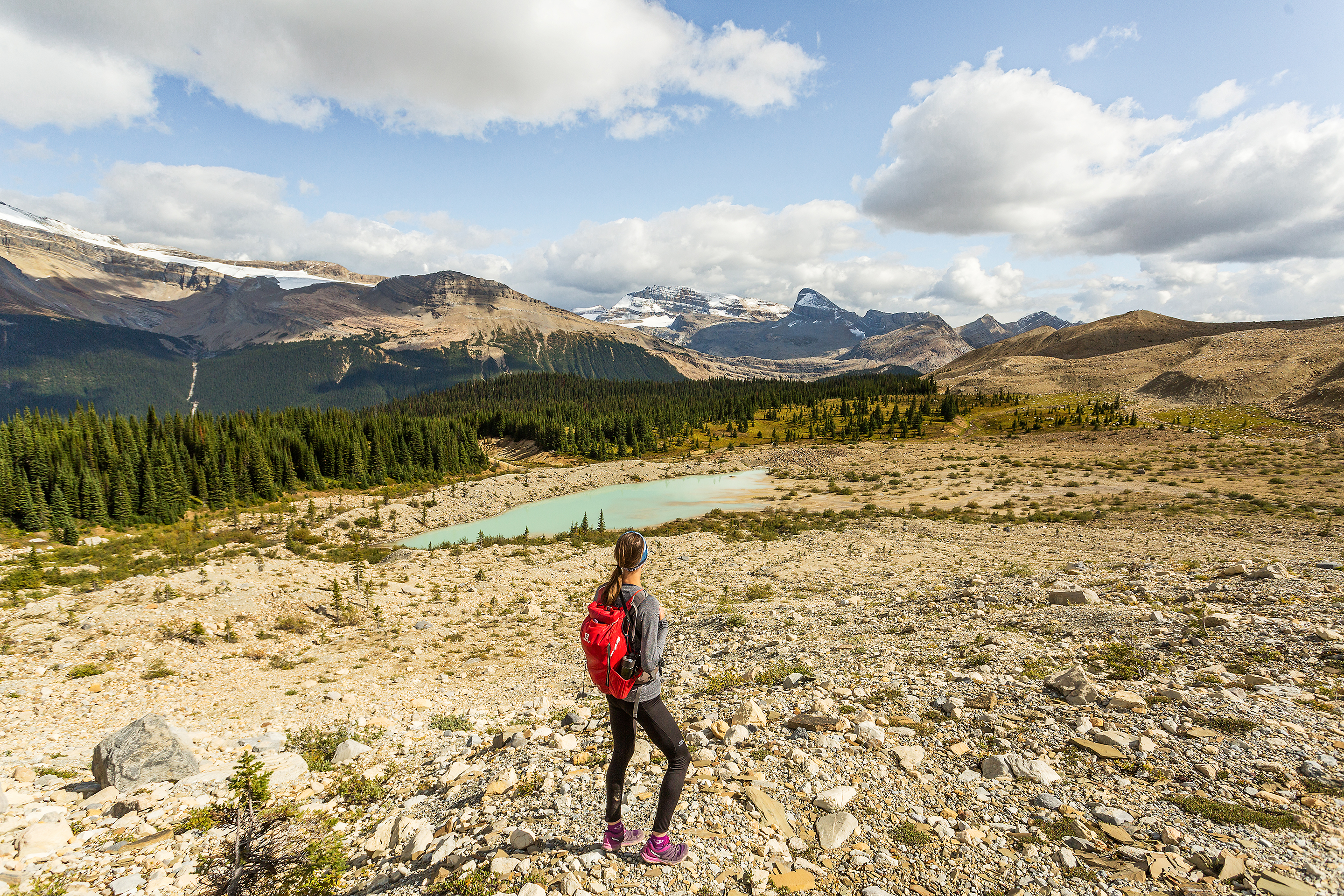
I have to say, i once again reflected on how fortunate I feel to live here, and have such an incredible playground to train on. The North Shore affords a wide variety of choices, whether technical, elevation or runable, and of course I could go to Squamish or Whistler for bigger training/adventure days in the Alpine.

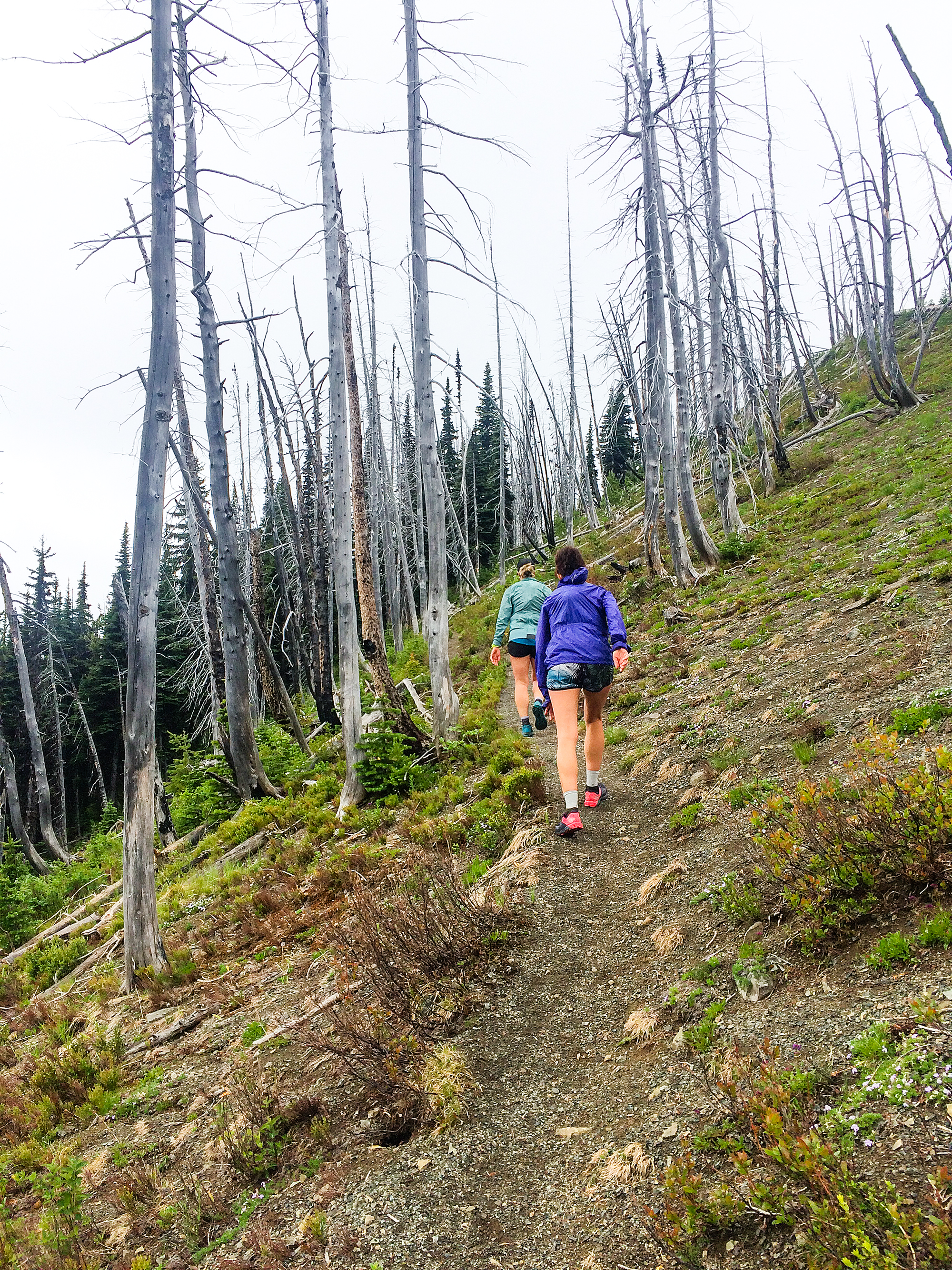
I did hit my limit though, two weeks before the trip. That week I really struggled with morning runs, and back pain that had been coming on and off over the last few months. I ran 12k with my friend Clare on the Saturday, then added on to a final 21km day. I was supposed to run another 14-16 the next day, according to the plan, but decided not to. One ankle was feeling a bit sensitive, and i could feel my body just needing to rest. 10 days out from my “goal” run, i decided that it was tapering time, and by tapering, i mean I wasn’t going to run anymore until I landed in Arizona. There really is no point in pushing in those last couple of weeks so why risk an injury or not allow enough time to fully recover.
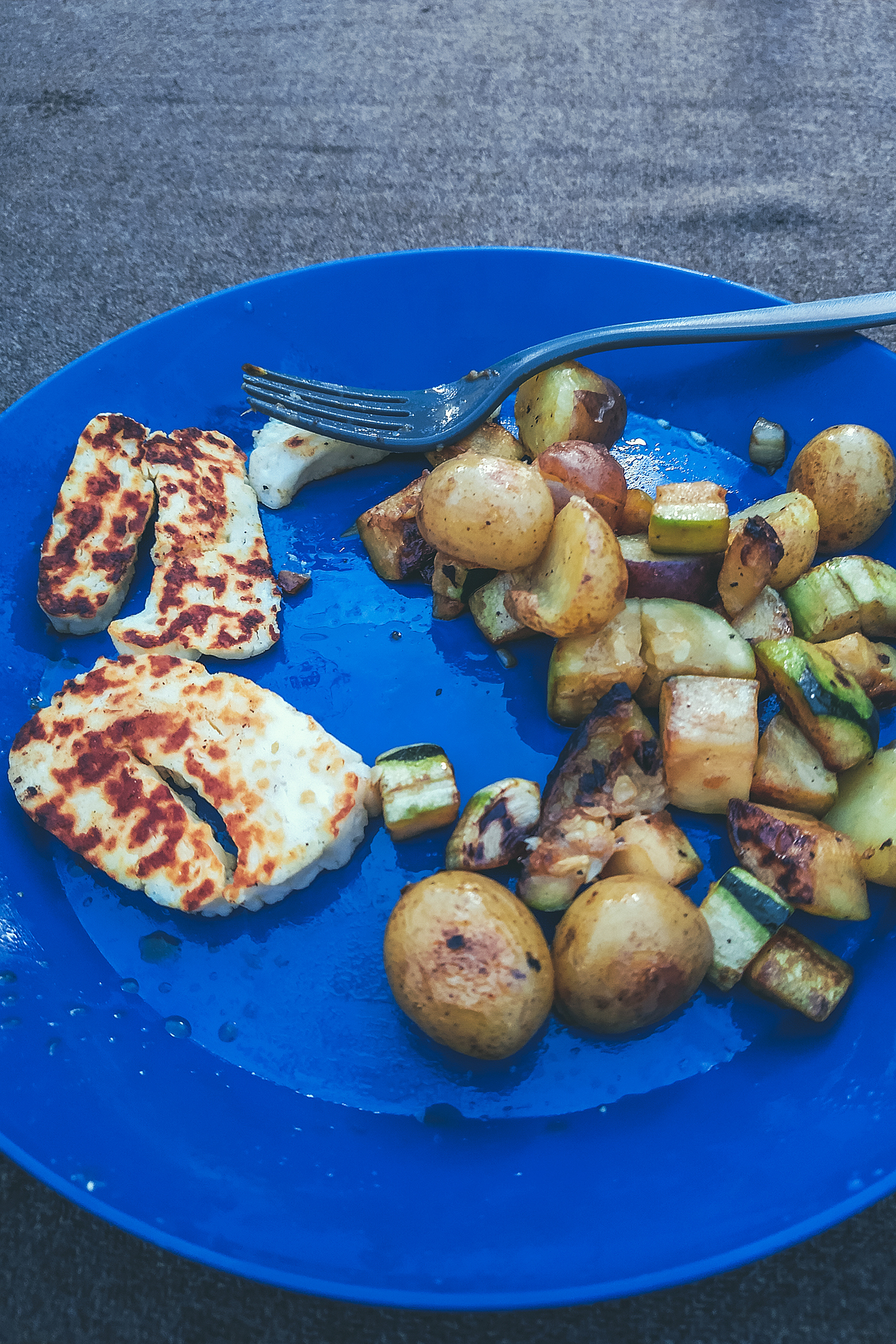
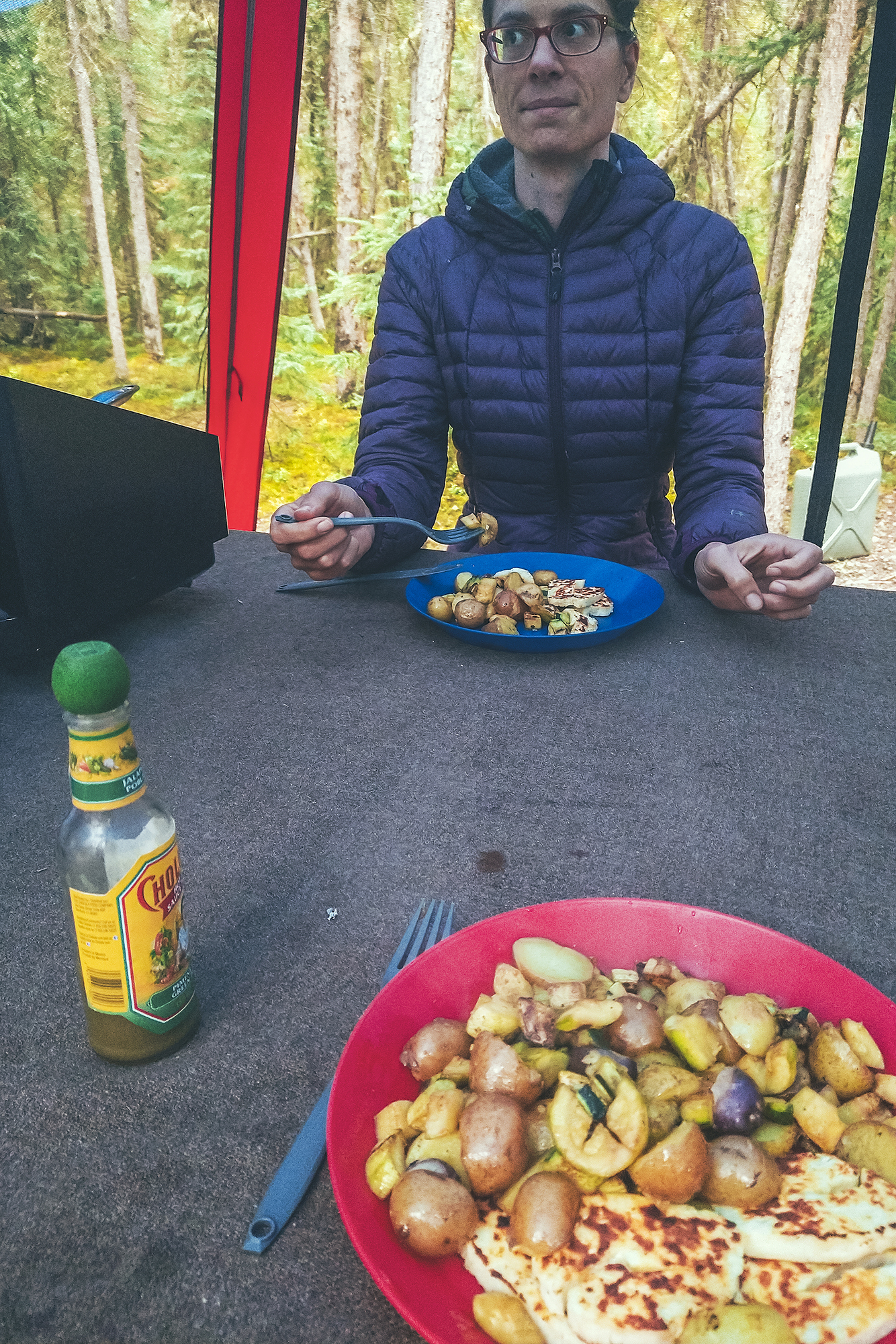
I’m glad I took the rest. By the time we arrived in Phoenix, my body felt strong and ready for the big day.
Gear
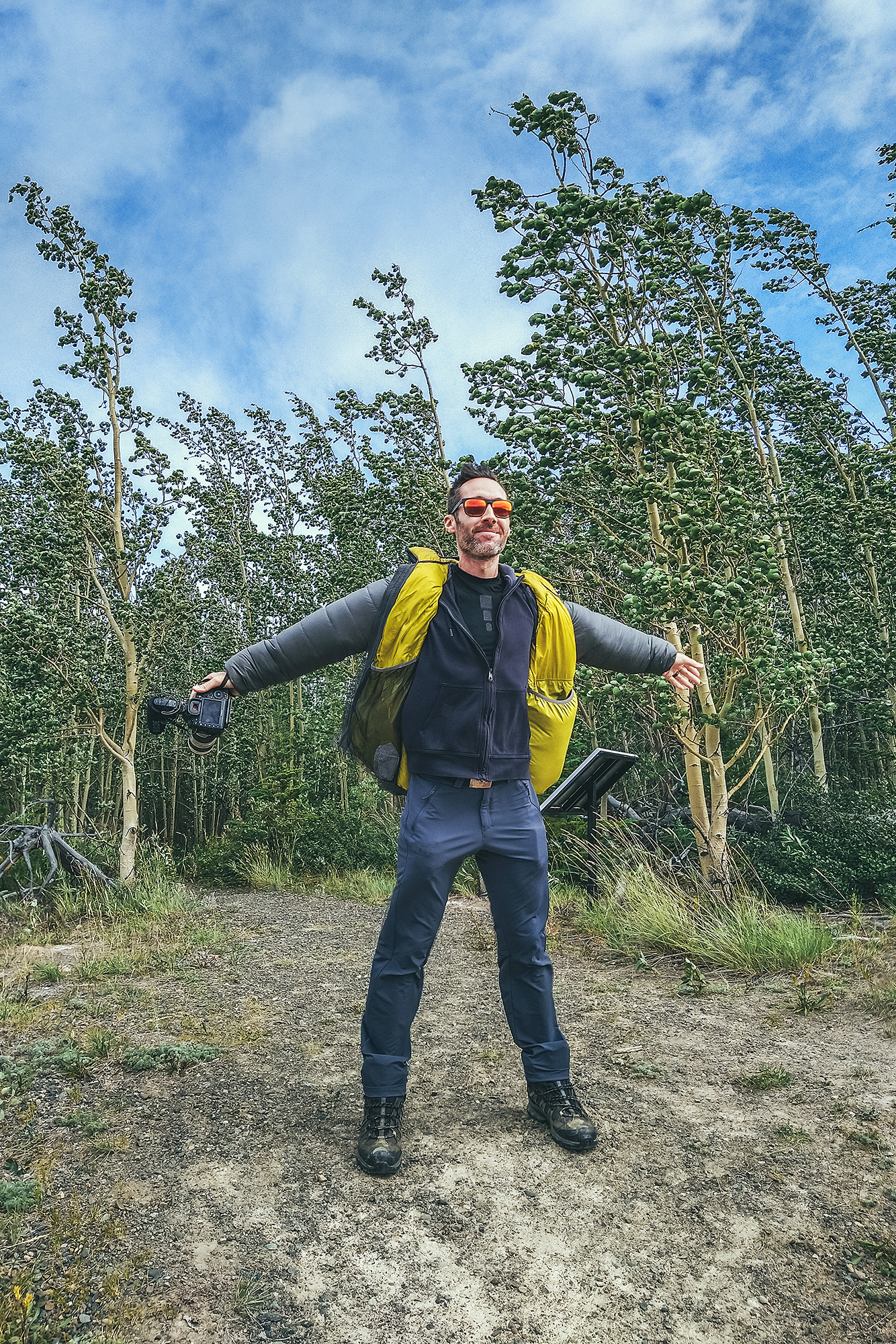
I did purchase a few bits of gear for this, wanting to make sure I had the right equipment on the day.
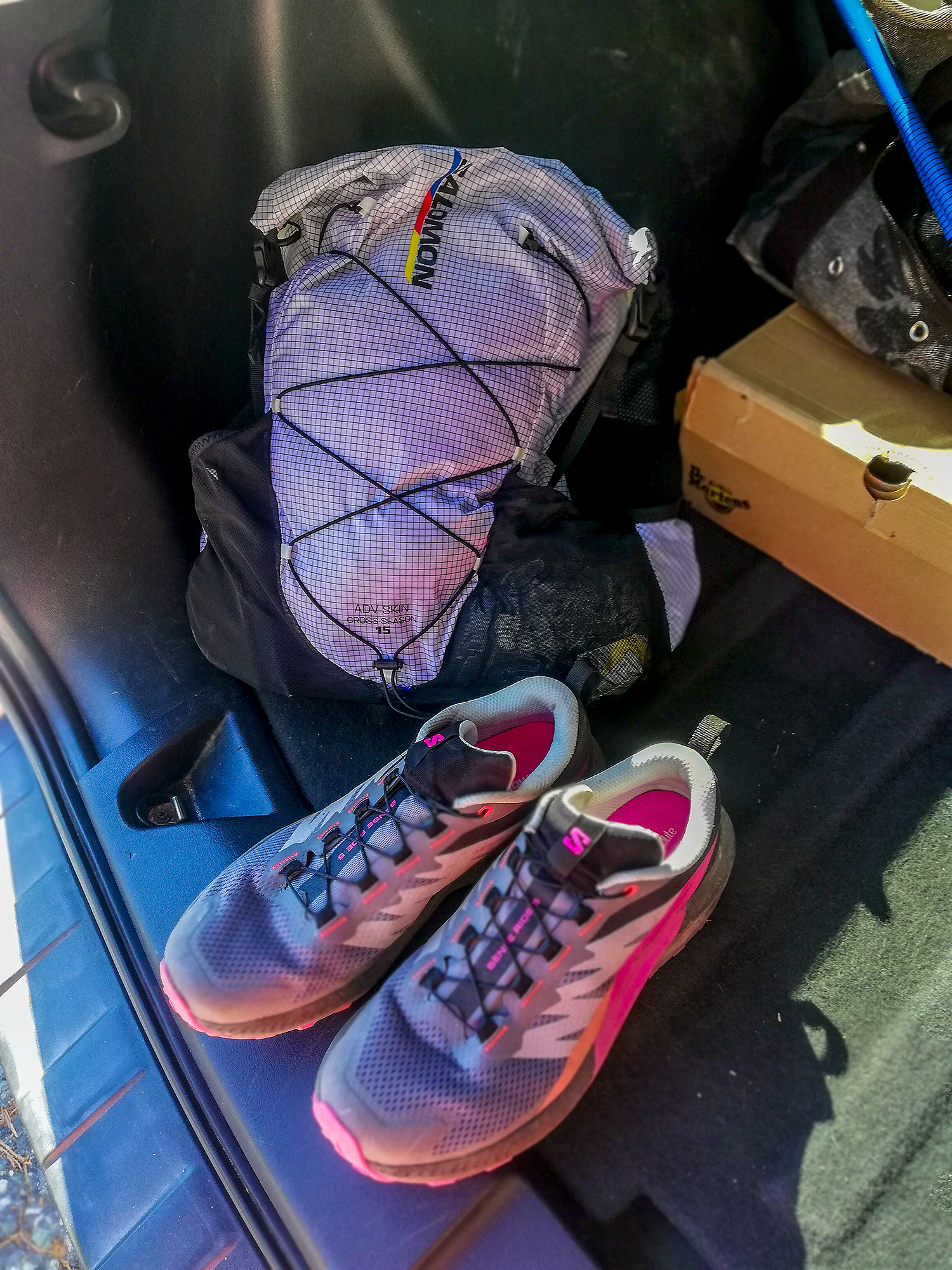
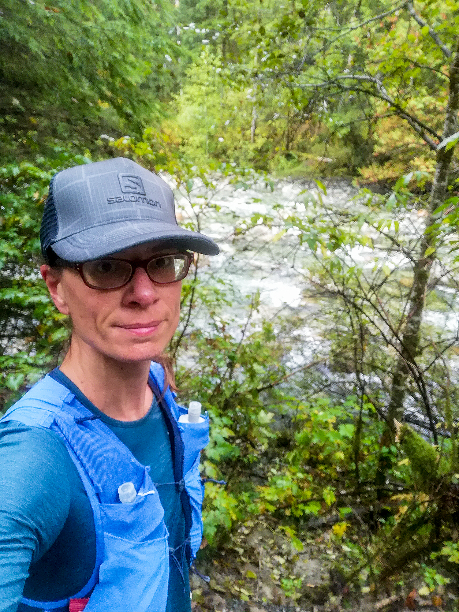
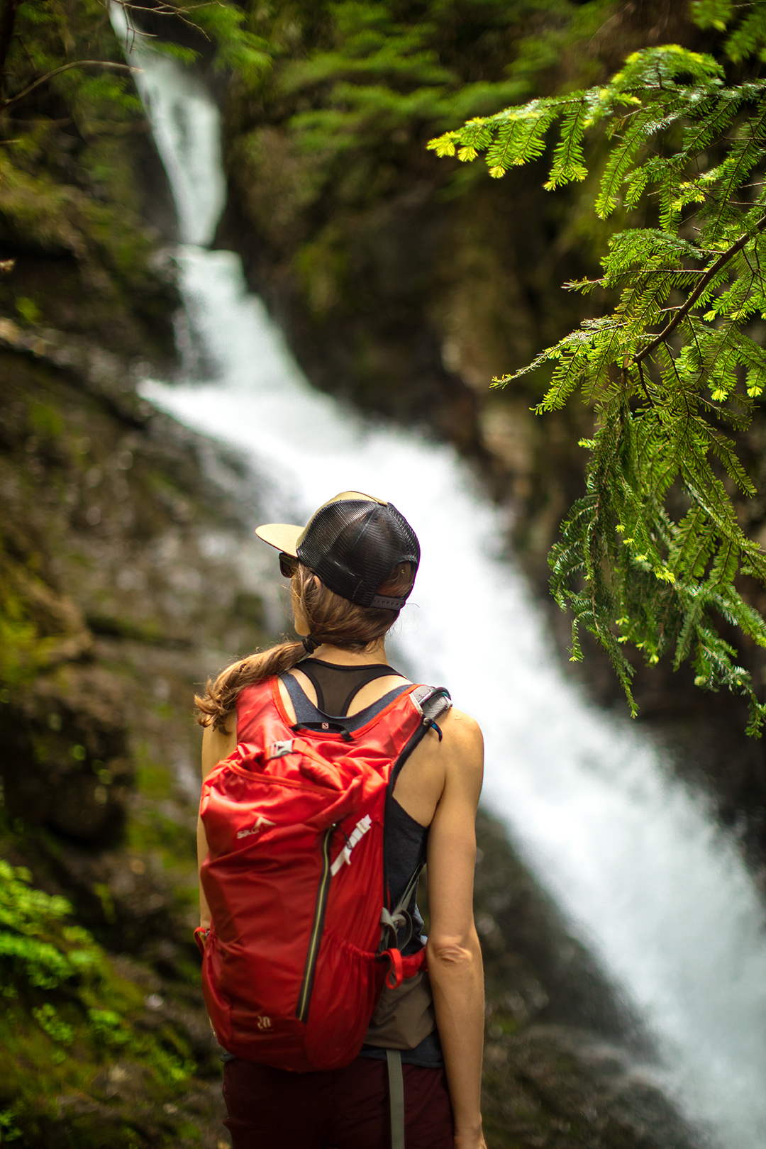
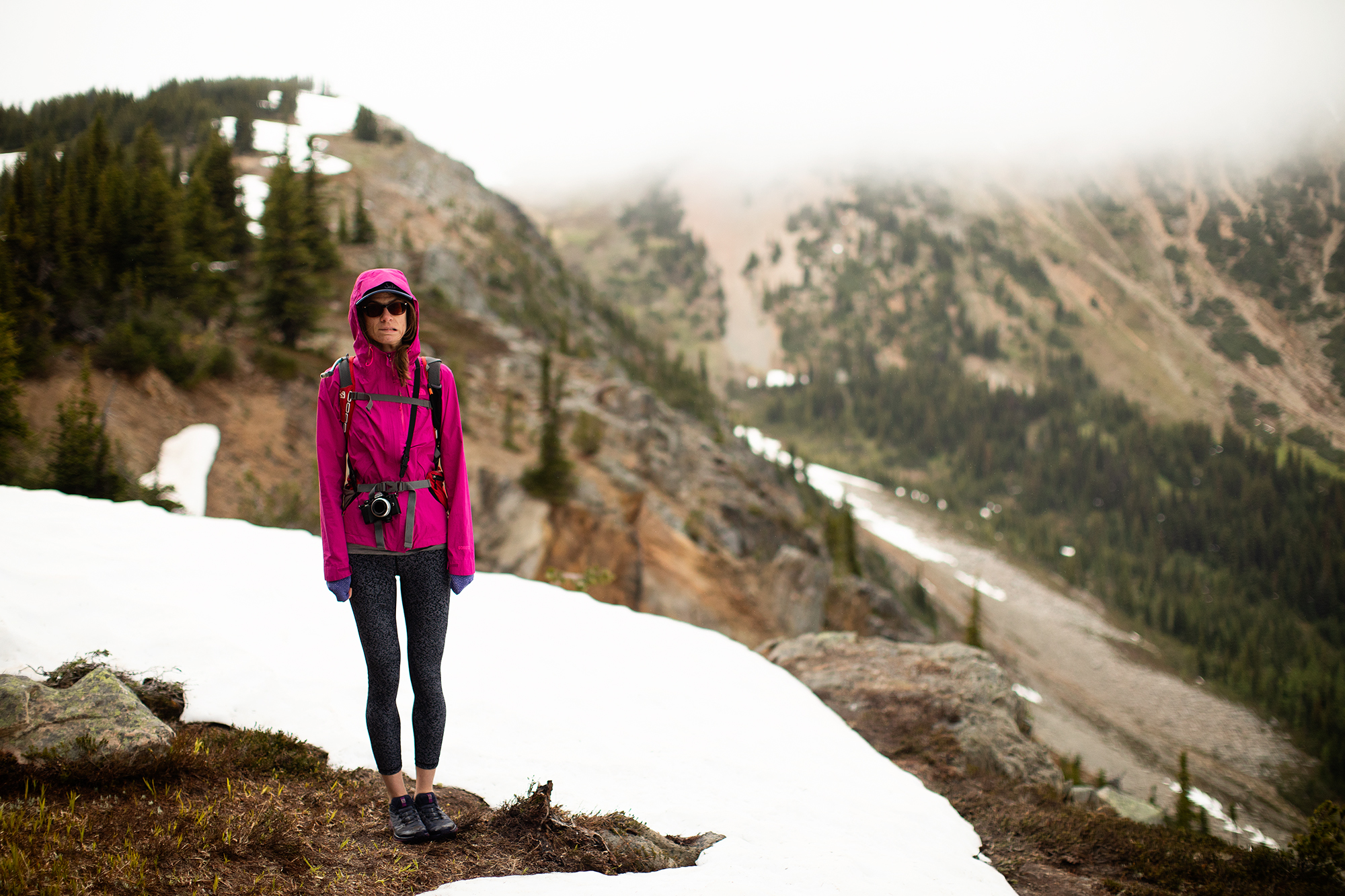
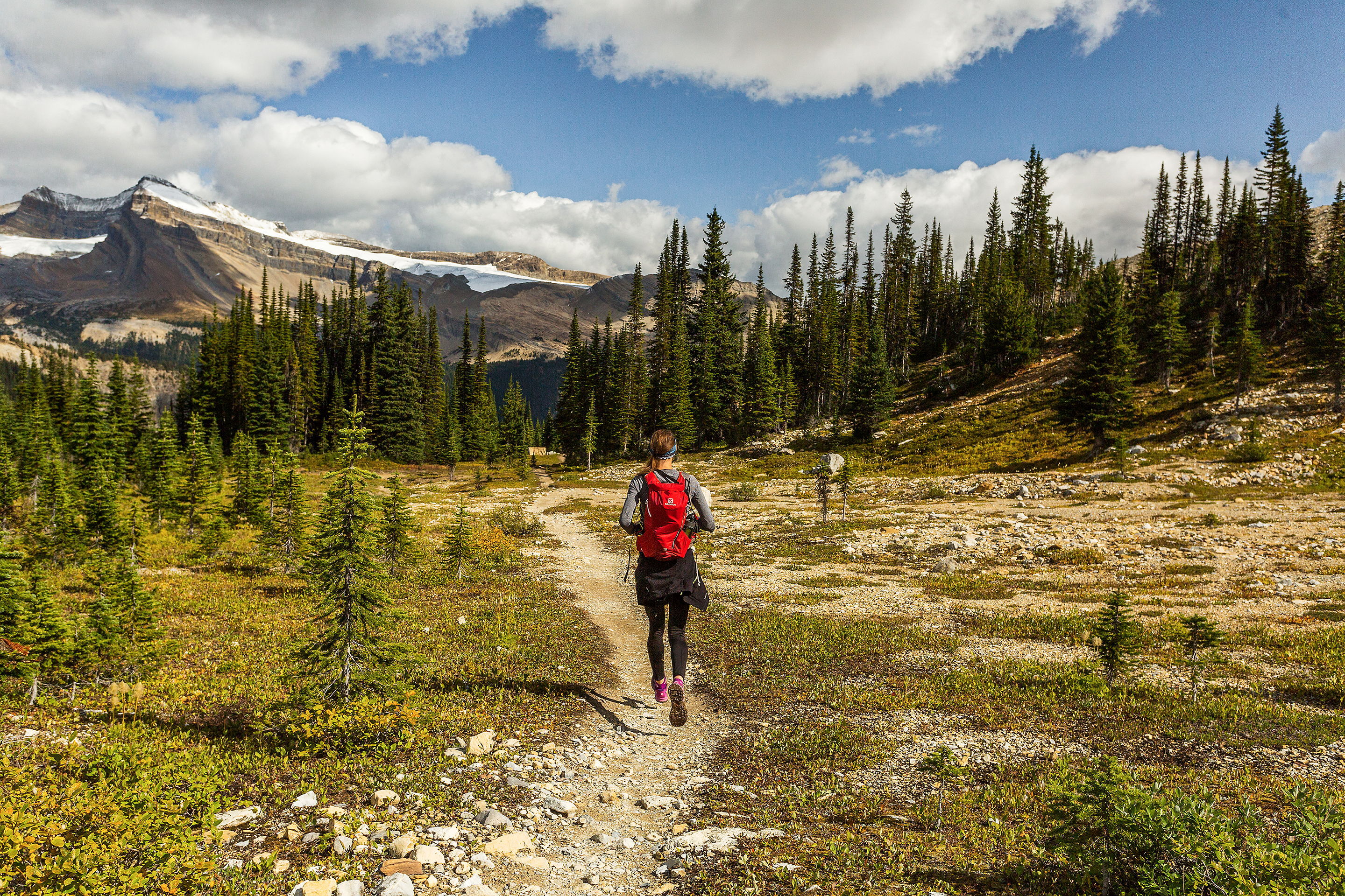
For this 18-hour day i purchased the Salomon Advanced Skin 15 liters. Dea had seen it at the Salomon tent at the Squamish 50k, and pointed it out to me, so when it became available on the website i immediately grabbed it. I’m very please with the pack and have used it not only for the Grand Canyon, but also through our recent New Zealand road trip in December, as a day pack for all the hikes and runs we went on.
When reading the reviews on the website, a few were a bit negative, and I have to say, they’re not completely wrong. Mainly, not all the pockets are easily accessible, and it takes a bit of fumbling to get to the stuff way at the bottom of the front pockets. But honestly, using this as a day pack, it’s not like I ever needed to get my fuel out quickly while running and trying to keep up with a pace.
The bag is mostly made of waterproof material, which is great for the rain, but also is not very breathable, so it does feel a bit “warmer” to wear on a hot day (there’s no mesh in the back like other packs have).
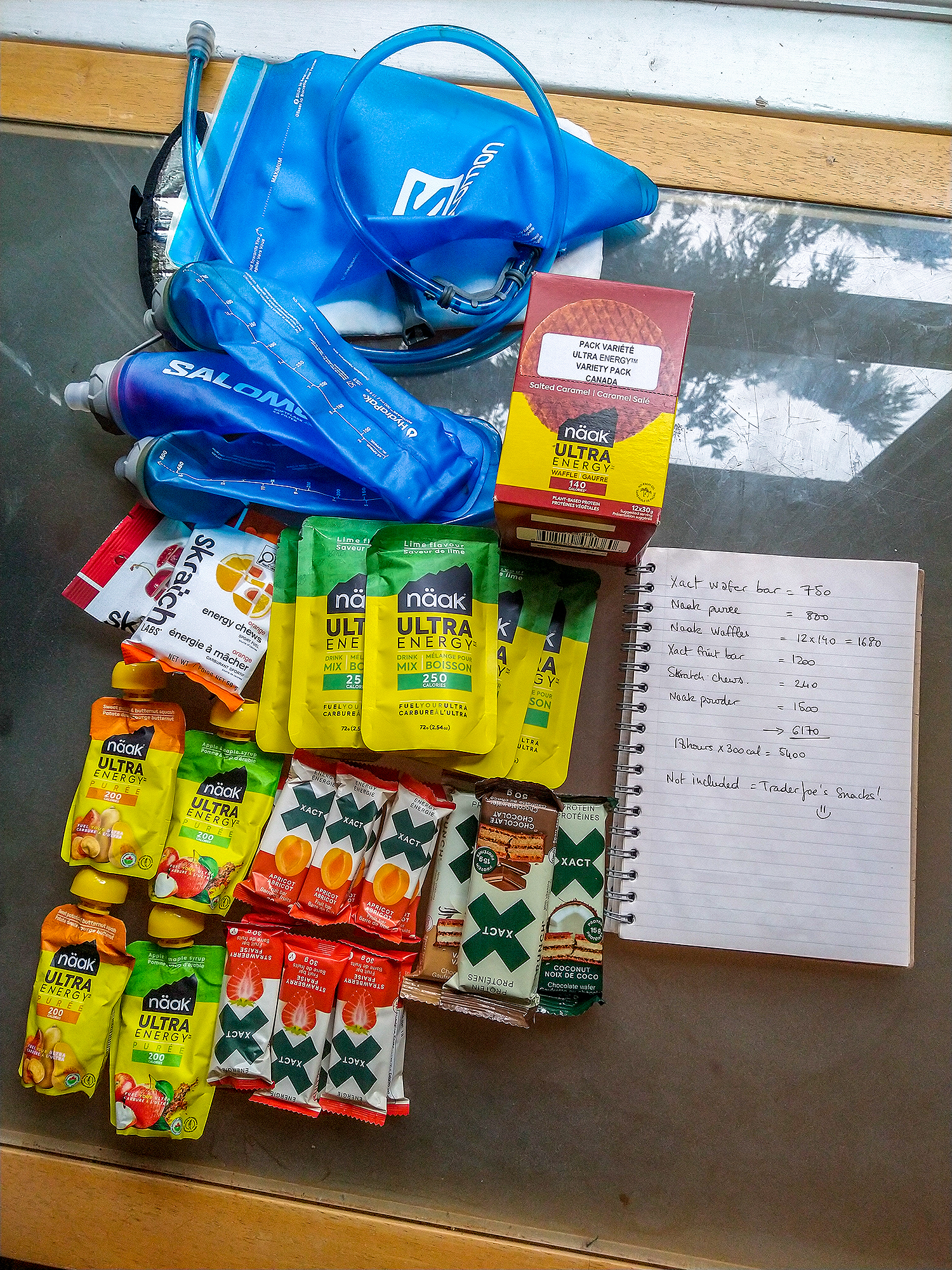
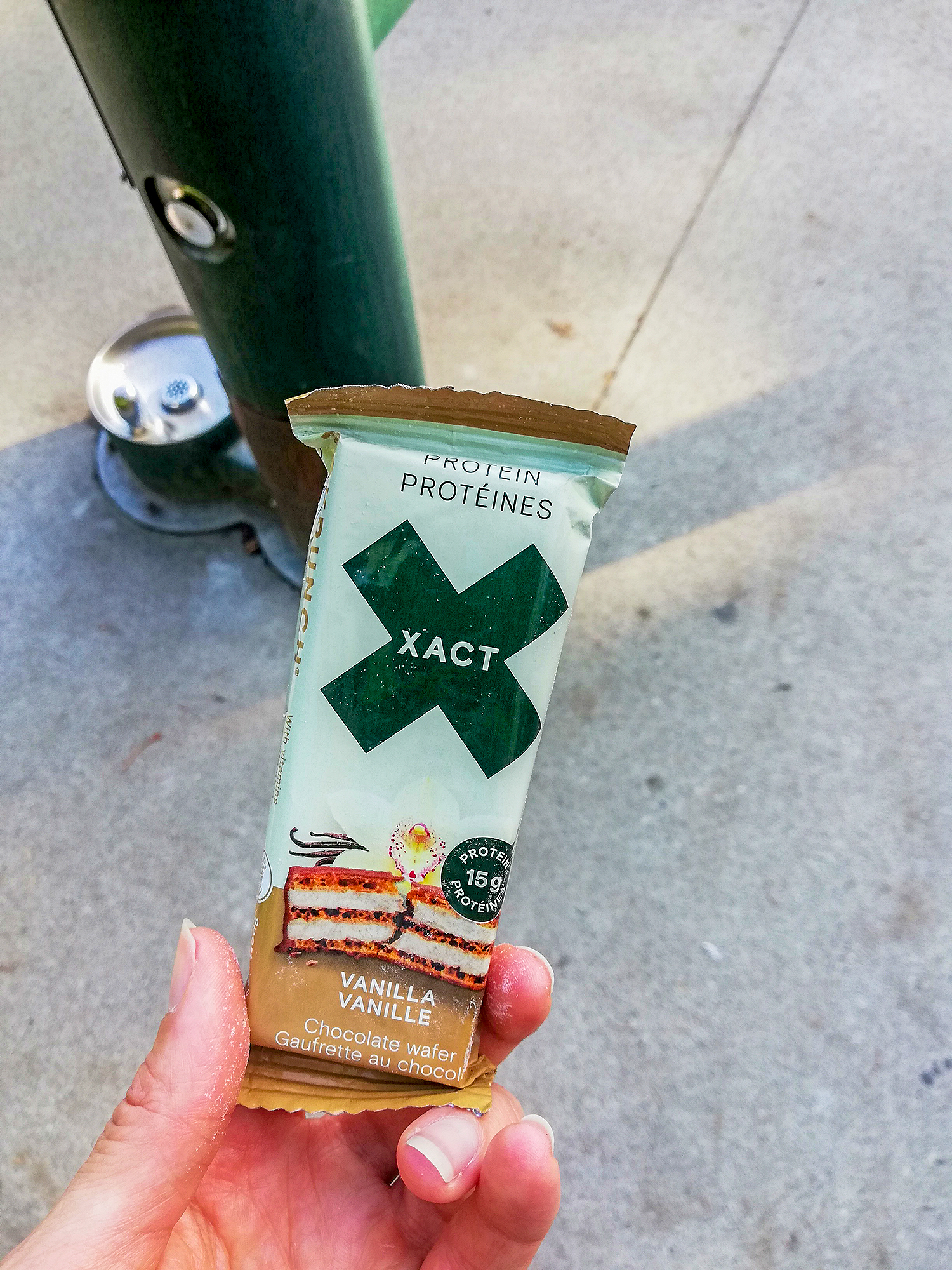
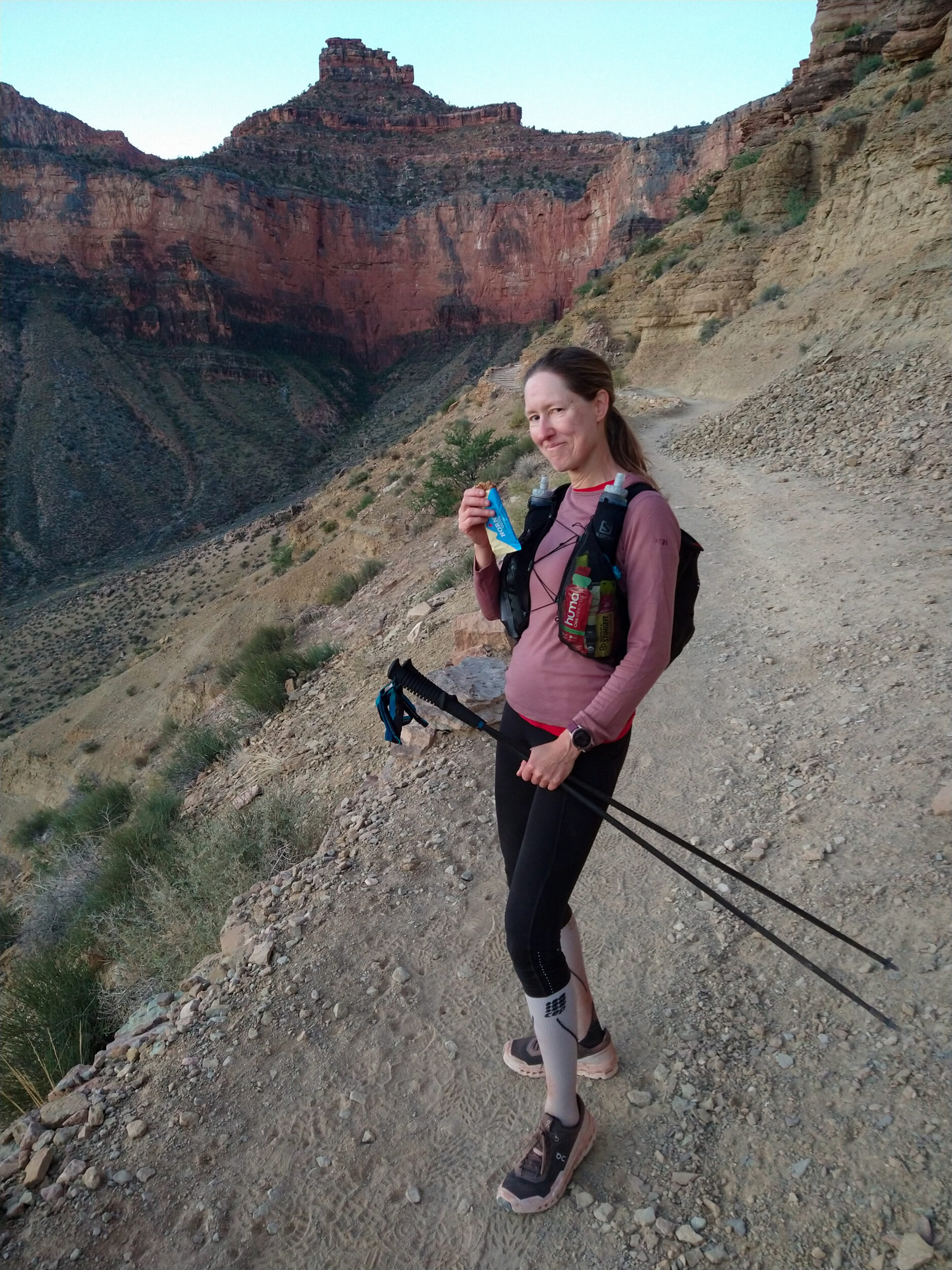
Other than that, it’s super comfortable, it fits like a vest and doesn’t shift around while running. It holds TONS – I was able to fit all the food I needed and more, a long sleeve shirt, a rain jacket, a puffy jacket, gloves, a change of socks, rain pants, a first aid kit, sunscreen, and even a water bladder 2/3 full, along with my flasks in the front.
You can’t attach a quiver to it with the usual fabric tabs on the shoulder (it wouldn’t work well when the bag is full anyways), but it has a whole array of straps that can be stretched multiple ways to attach your poles.

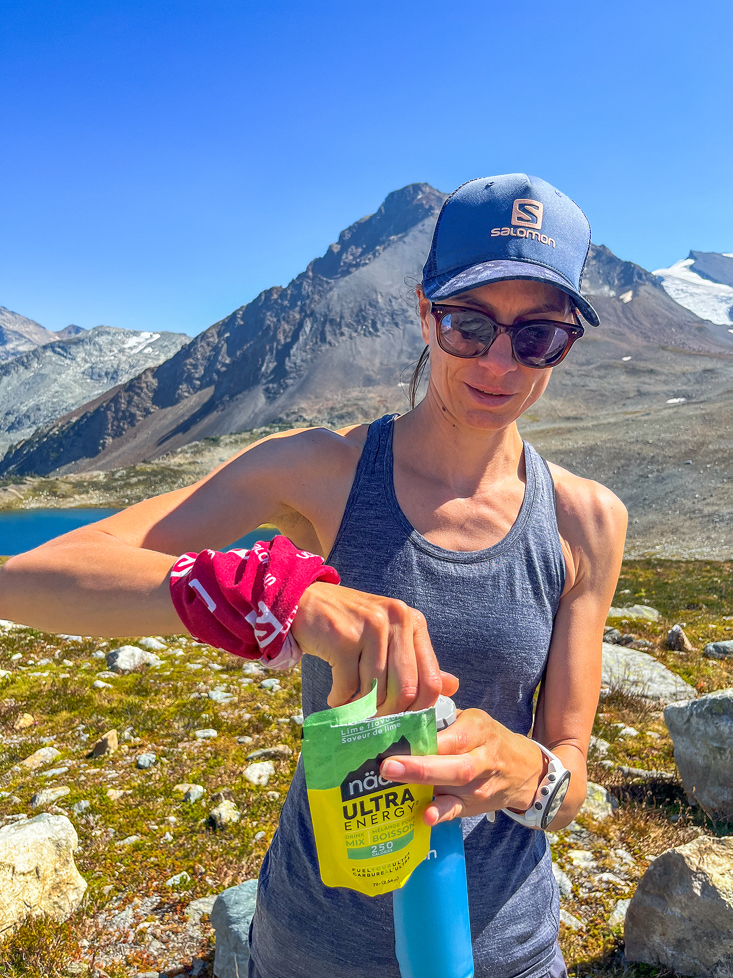
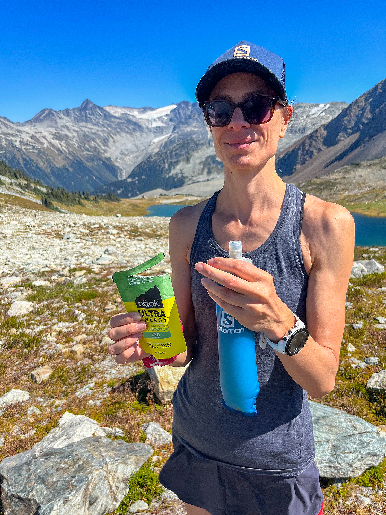
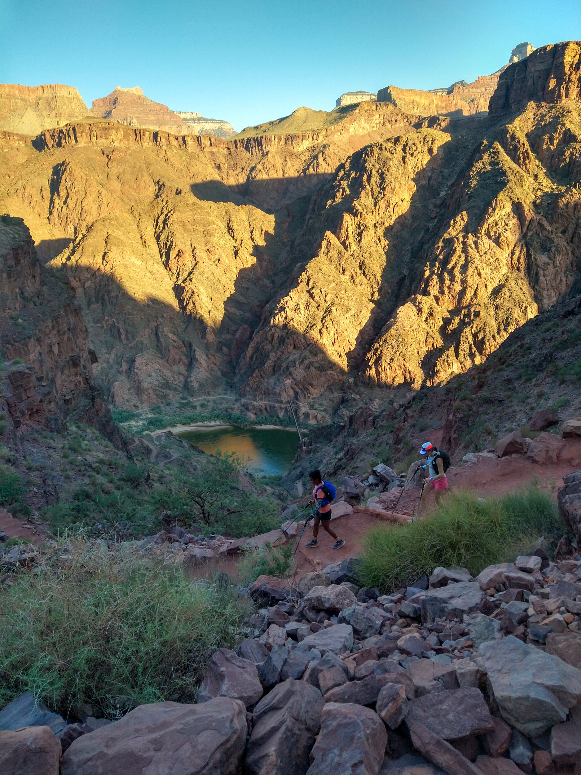
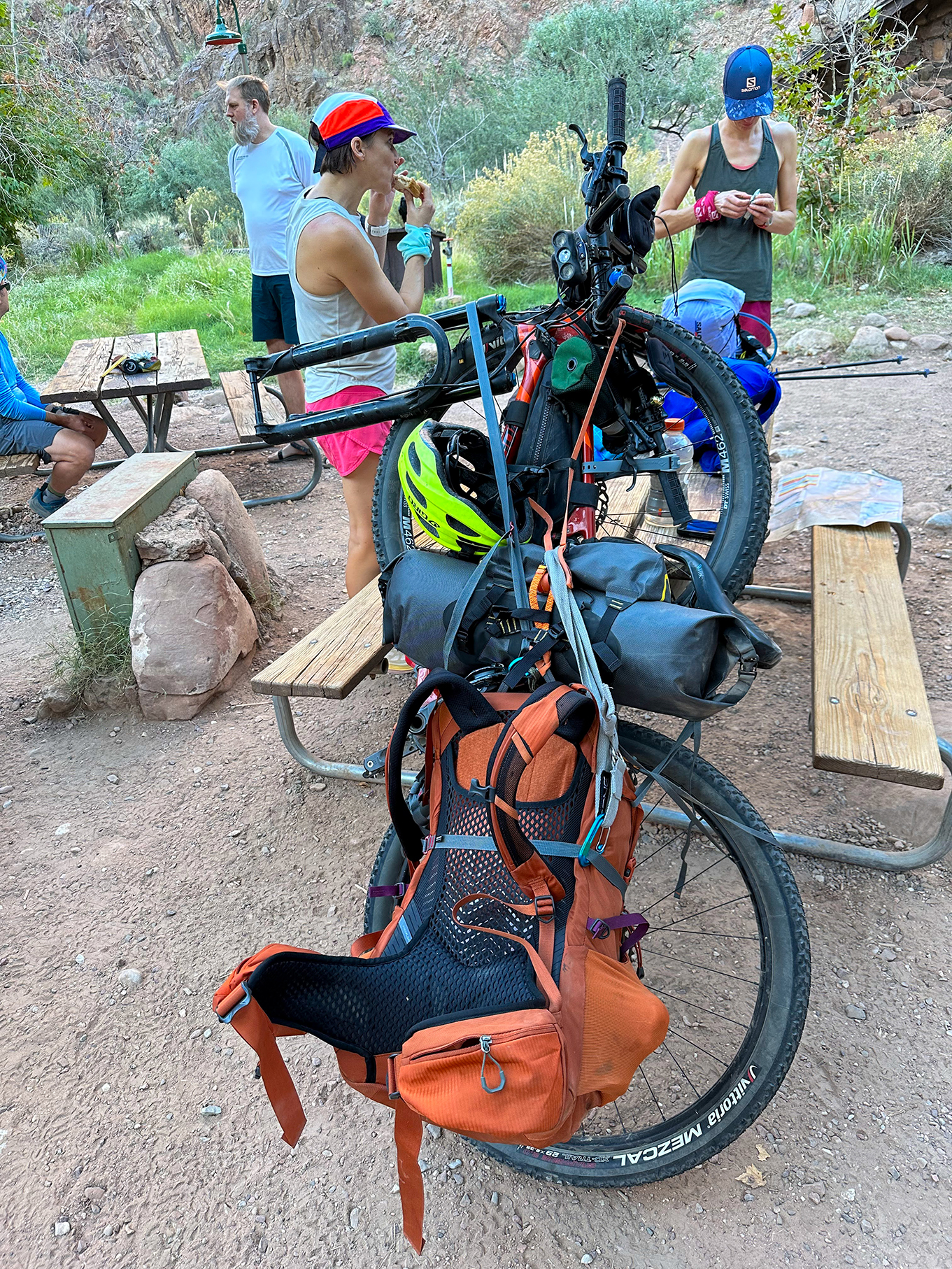
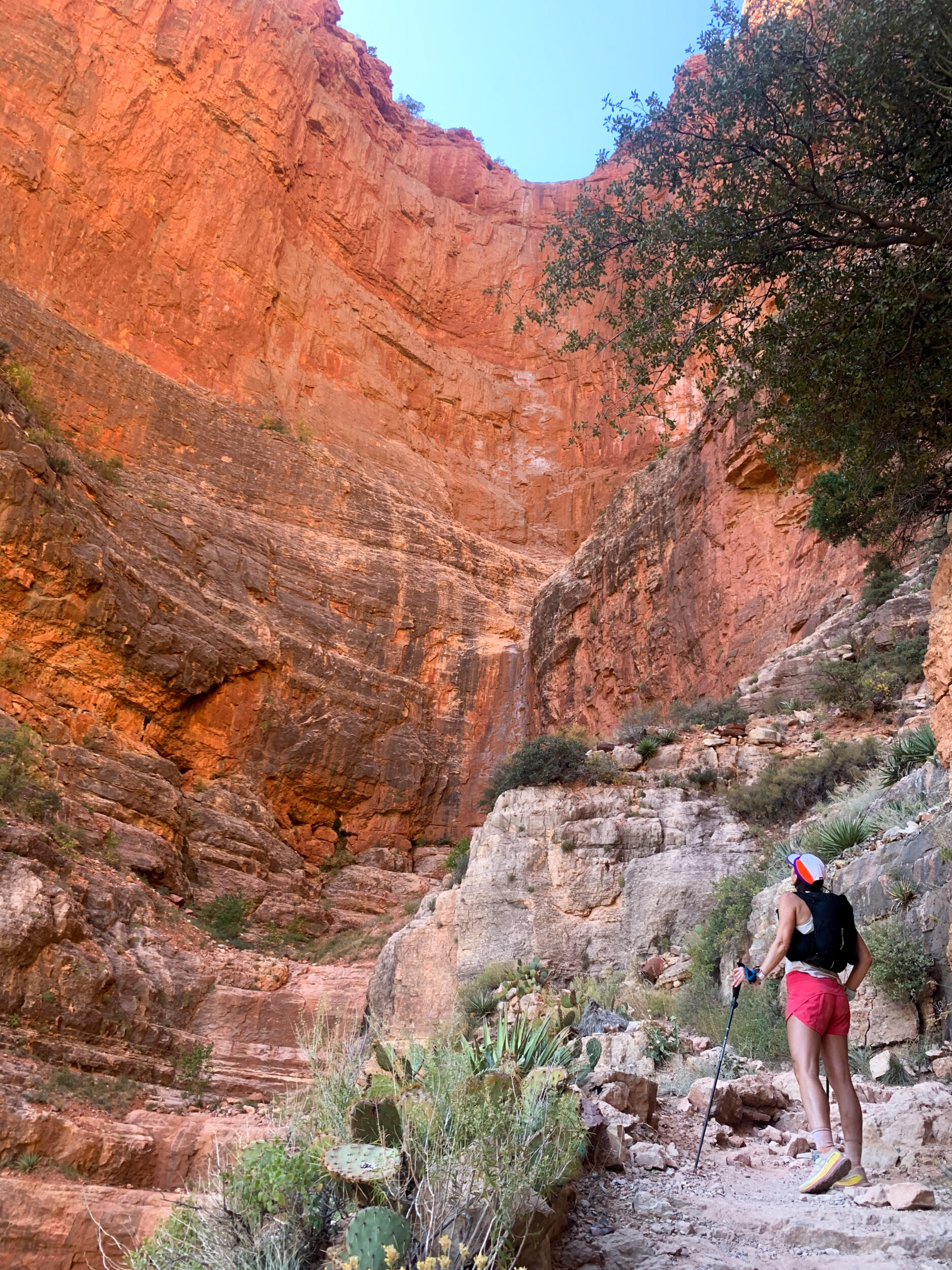
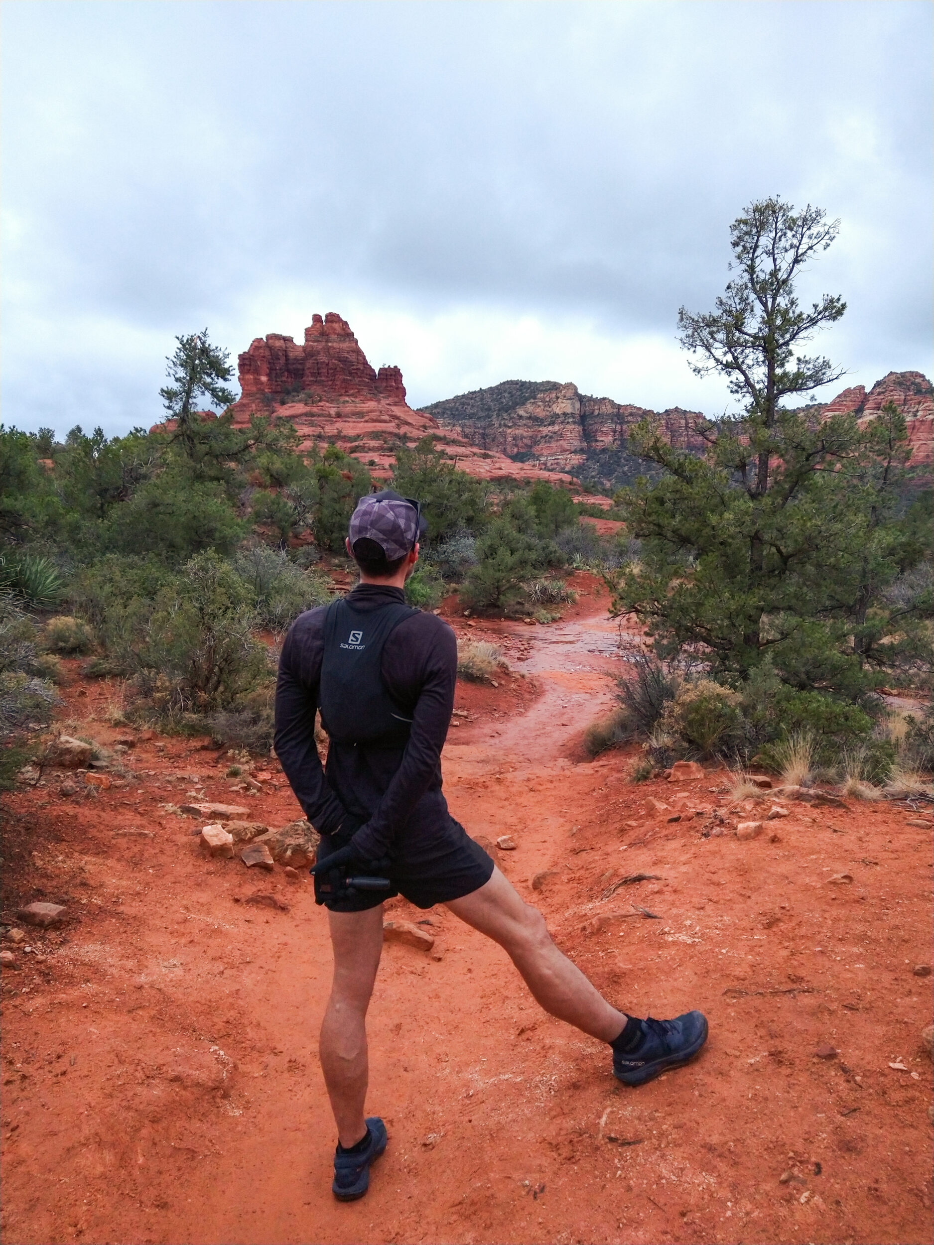
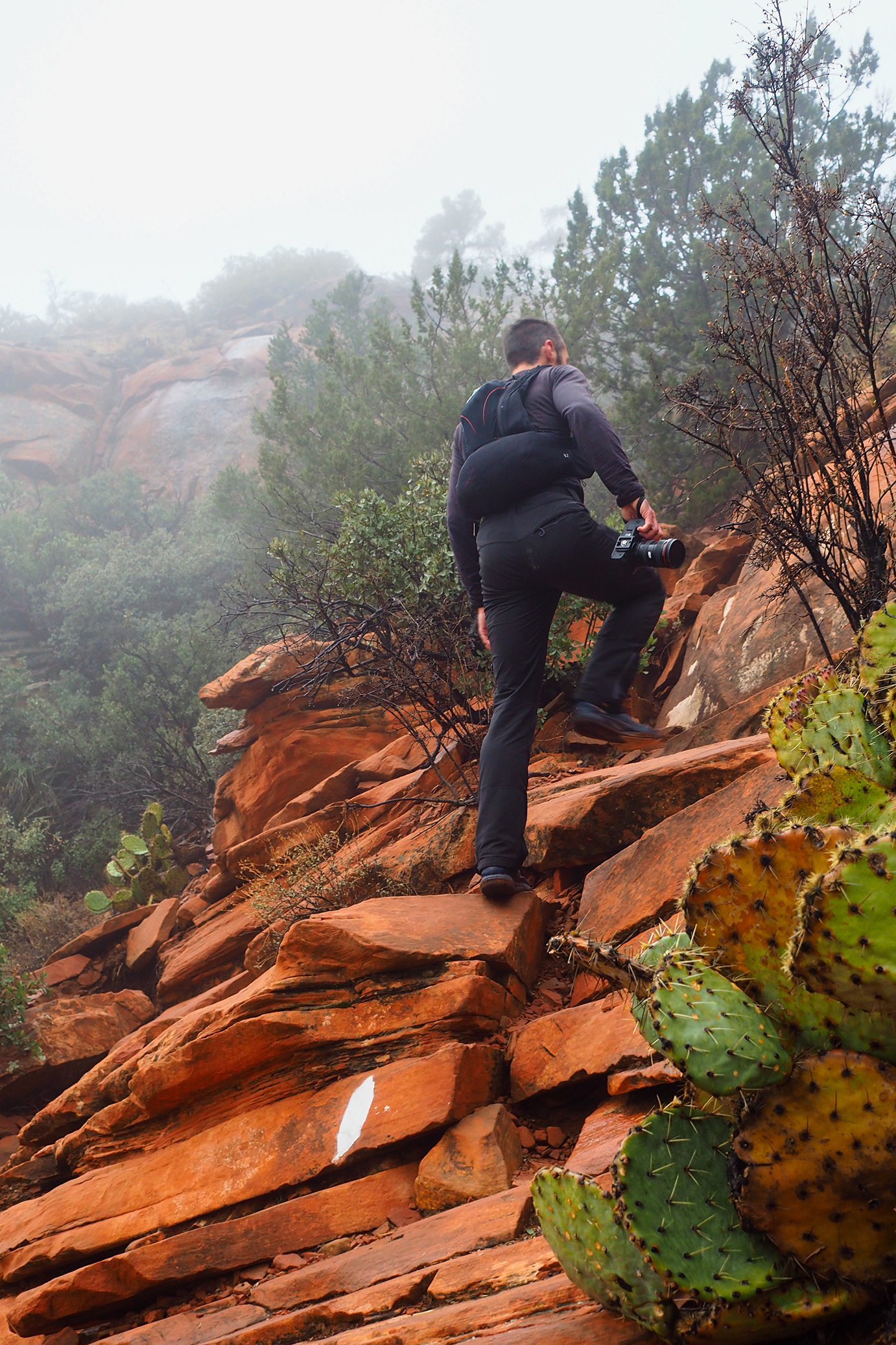
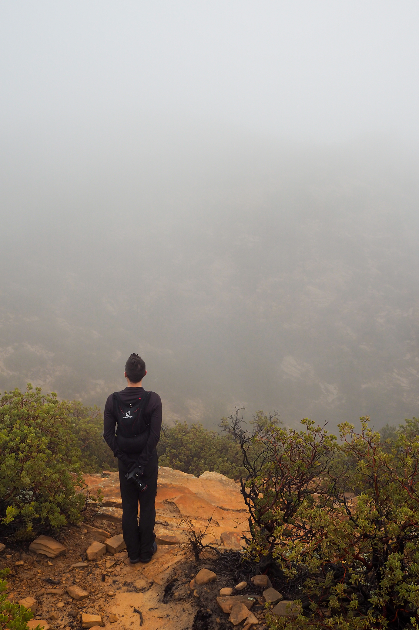
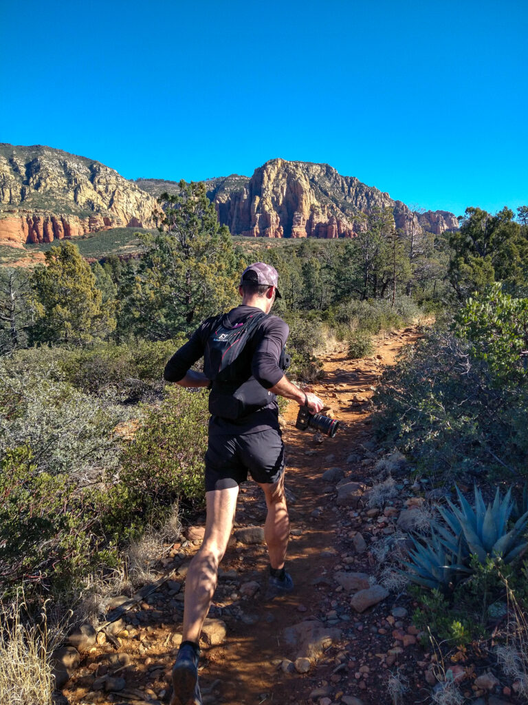
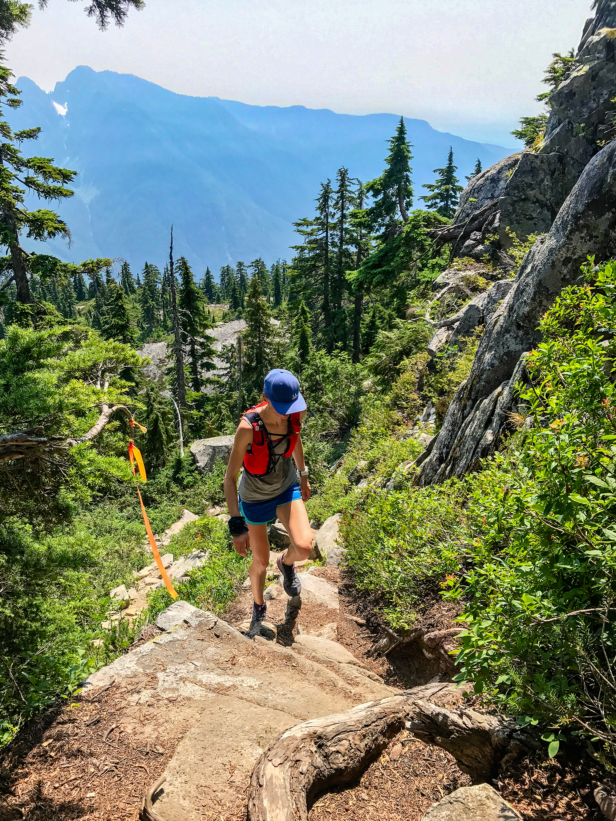
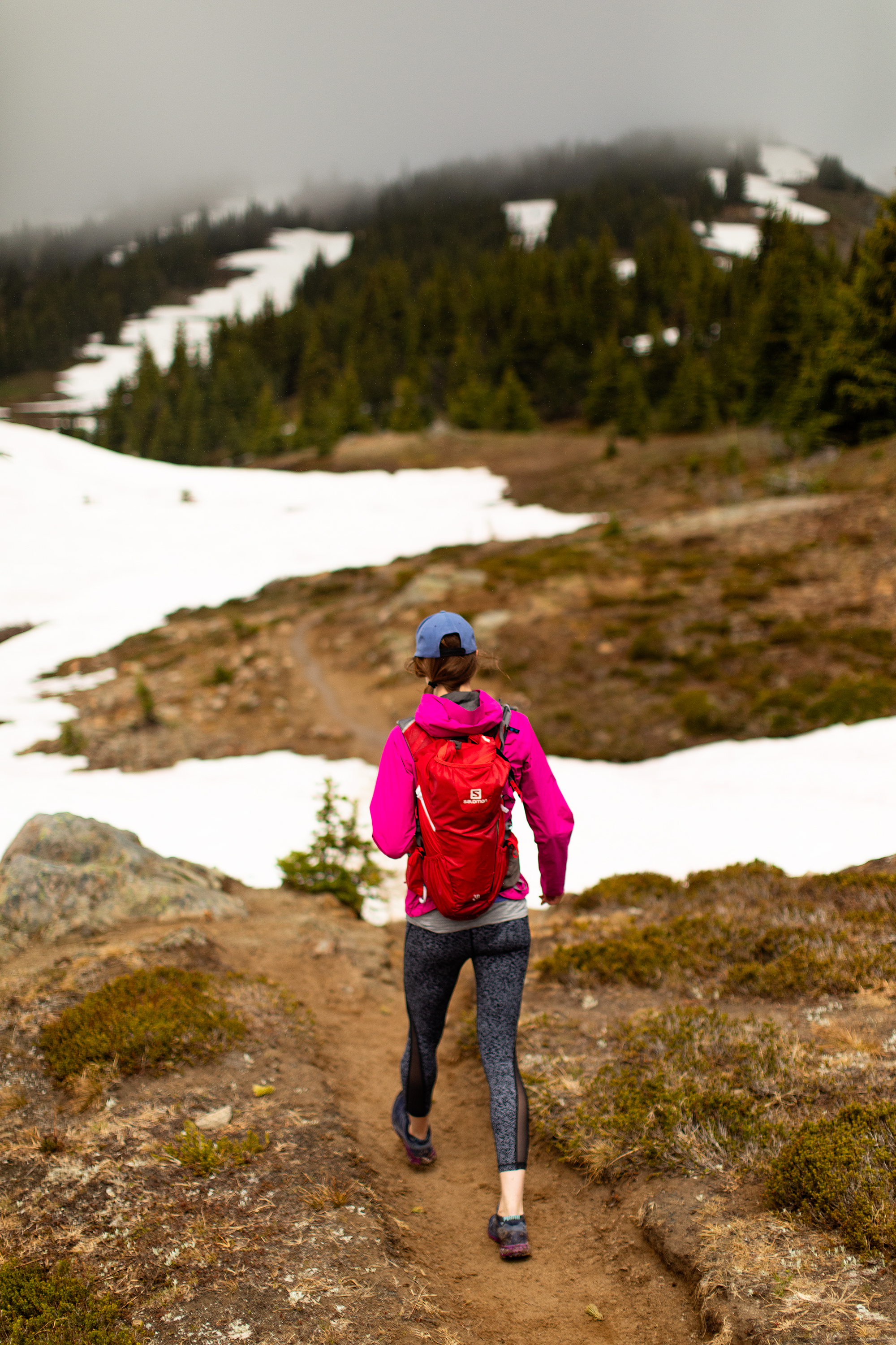
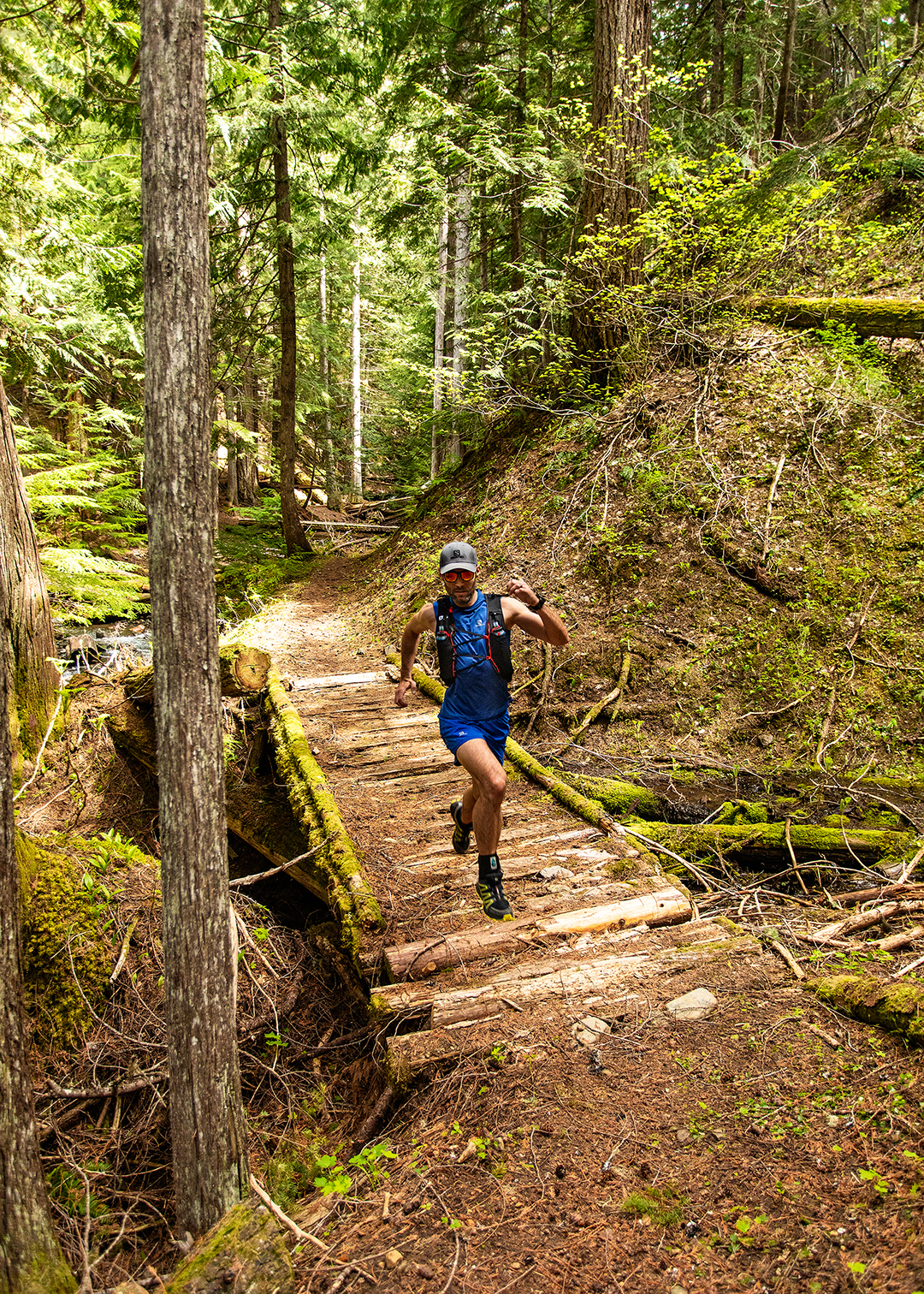
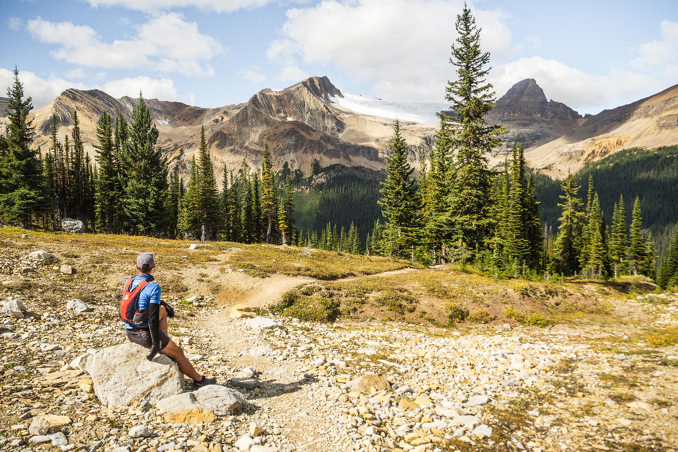
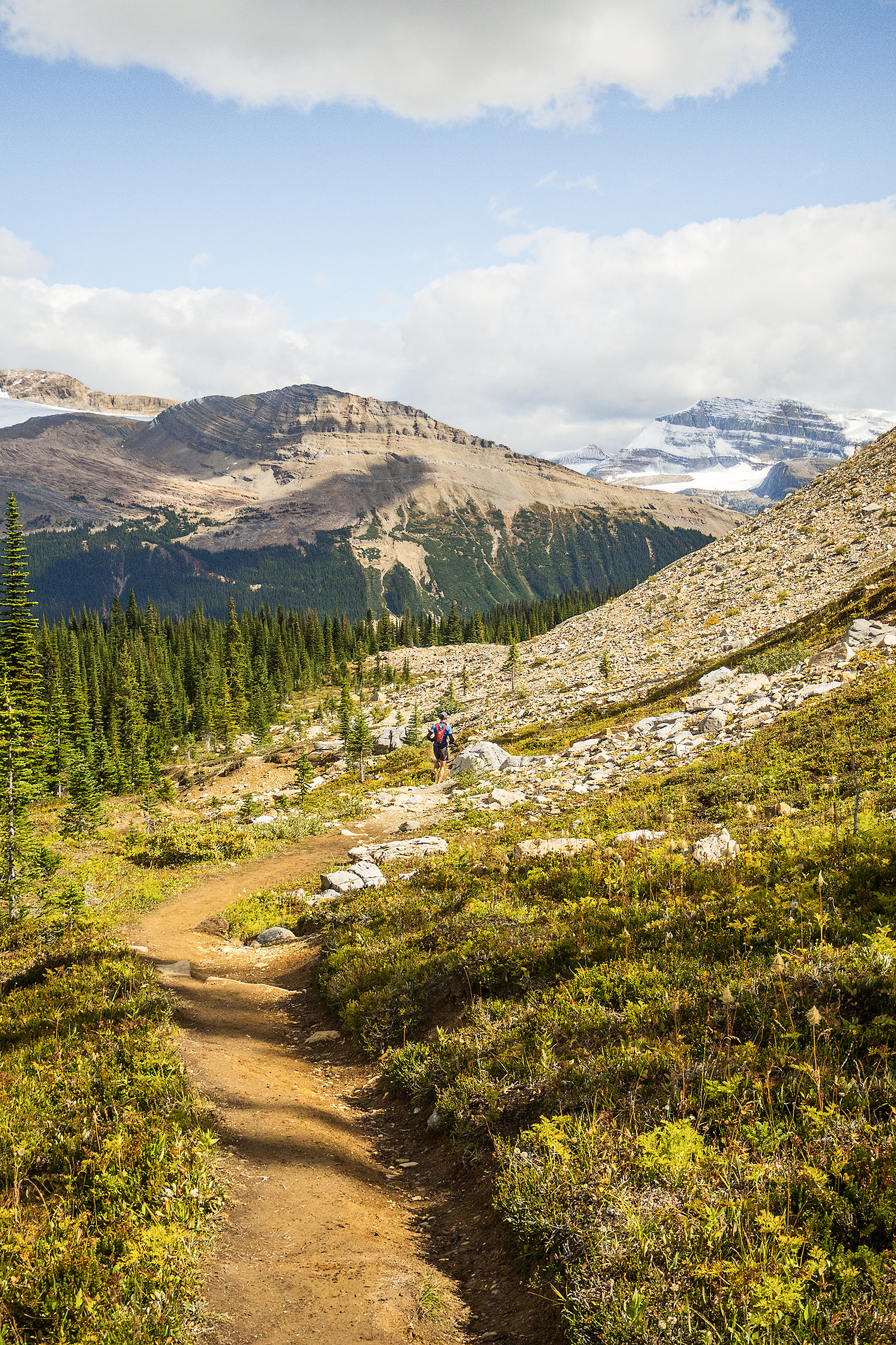
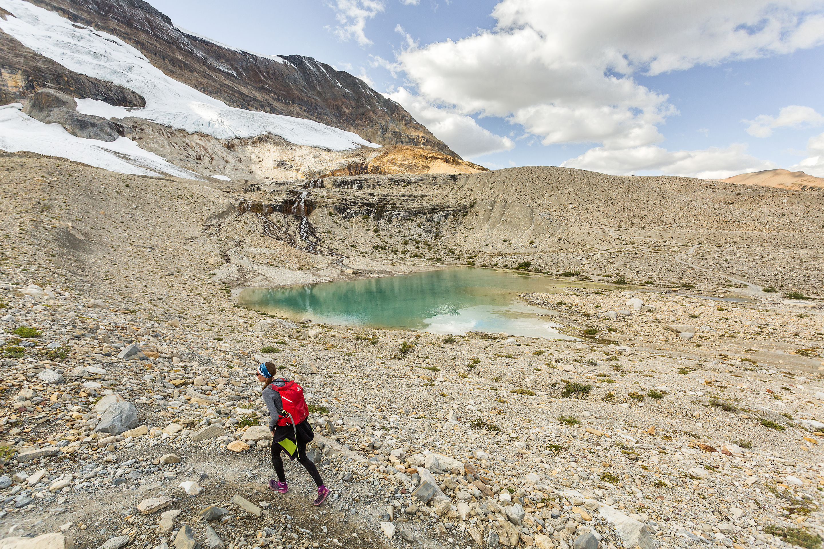
Speaking of poles, in the past i haven’t usually run with them, but for a long day with a lot of elevation, it seemed like it was a no-brainer. I went with a crowd favorite, the Black Diamond Carbon Z in 125cm. I trained with them for a few weeks ahead of the run, and found them really lightweight, so much so that I often carried them while running, instead of putting them in and out of the quiver. I basically never put them away during our R2R2R day.
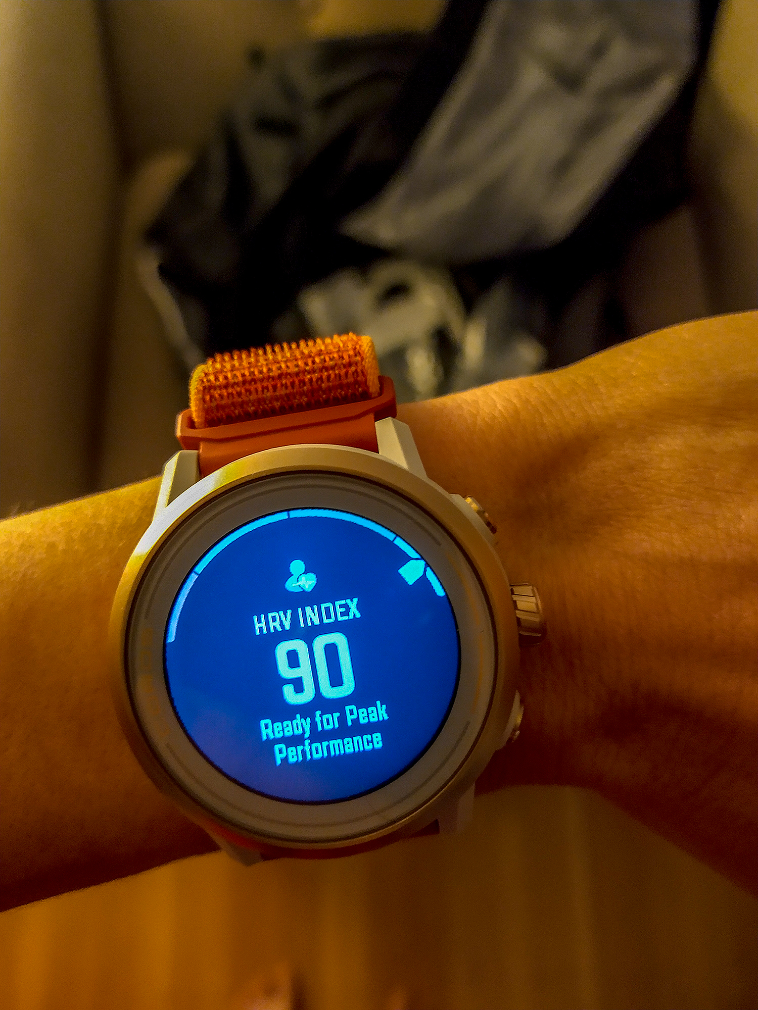
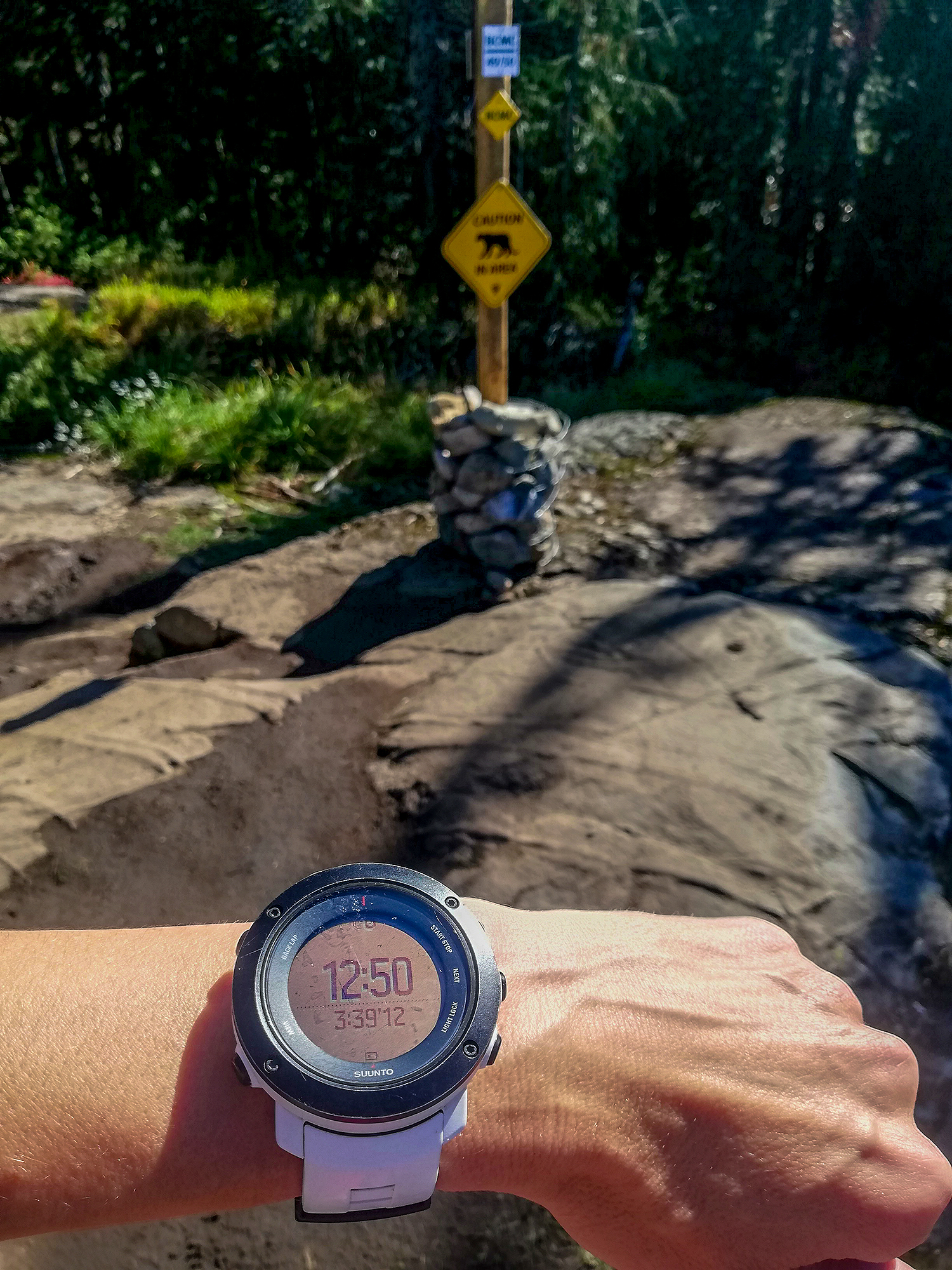
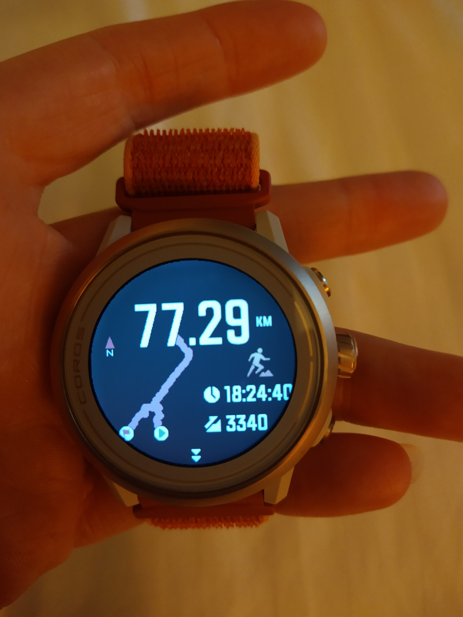
I had been using the same watch since 2016, a Suunto Ambit 3 Vertical. It was fine for most runs, except it now only had about 7 hours of battery life in tracking mode. Not great for a run that was going to take us more than double that. I did a bit of research and eventually landed on the Coros Apex 2, which seemed to be the best value for battery life.
It has quite a few more features than my old watch and I definitely spent the first week with it tracking my sleep and my HRV on the daily, just cause it was fun.
It takes a bit of getting used to all the dials and various menus, but in the end it’s a great watch.
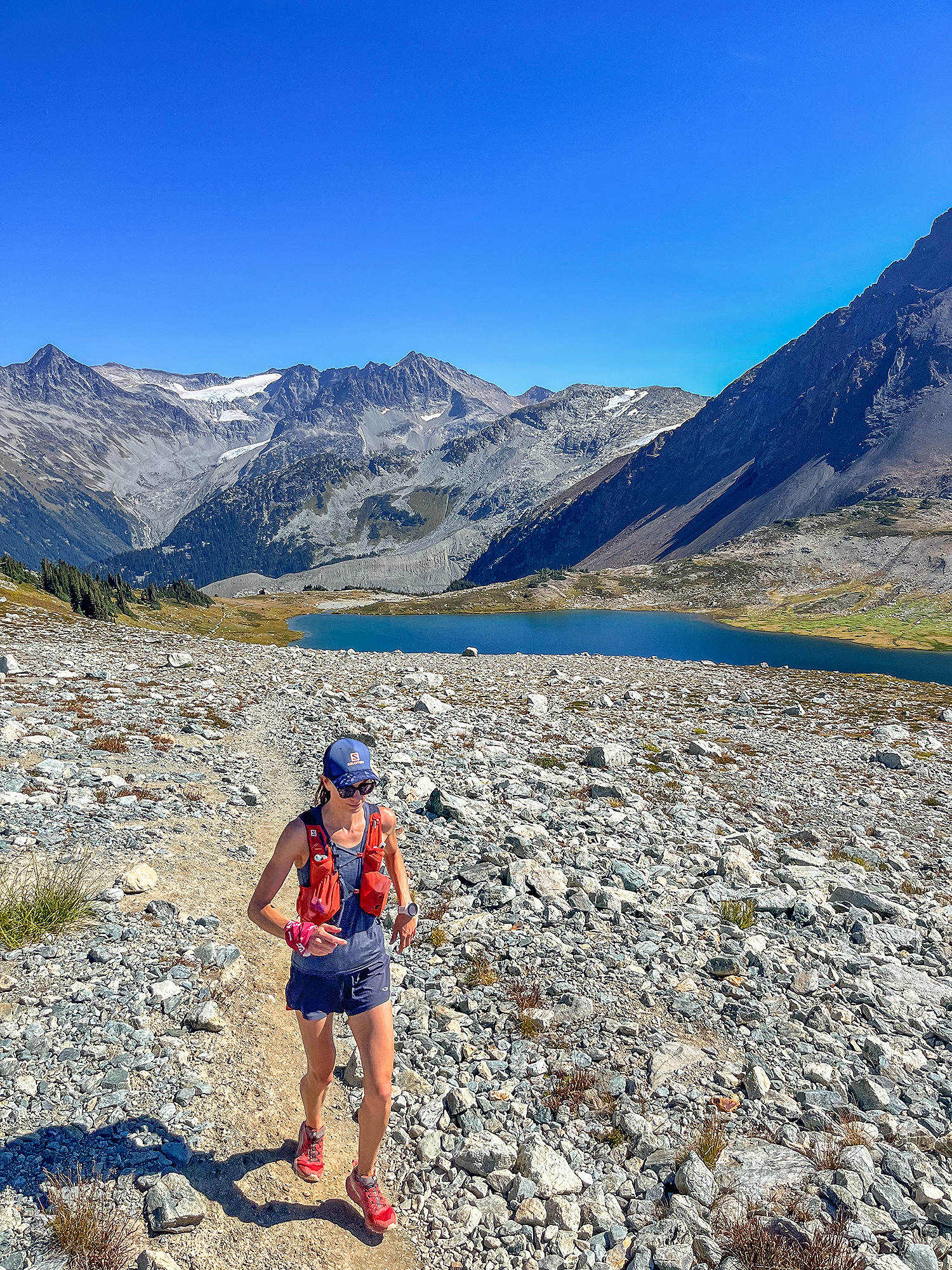
For shoes, I ran with the Salomon Sense Ride 5. I have been wearing Sense Rides for the last few years and I really like them. I had also purchased the Salomon Ultra Glide, as Dea had mentioned that she loved their cushioning and they would be great for a long day. I really wanted to love them as well, but they actually ended up being too wide in the toe box for me, and my foot just didn’t feel stable especially in the downhills (I have a long and narrow foot, so it can be tricky to find a shoe that isn’t too wide).
I loved the Salomon Sense Ride 3, they were pretty much perfect for me. The fit of the 4 was fine, but I found them to be much harder and my feet were sore after doing a couple of long-is days of training last year.
The Sense Ride 5 don’t have that problem, but with their now lower toe box, I had to go up half a size, and even then I can no longer fit my custom insoles into them – i tried on a long run up Whistler mountain in the summer, and my little toes were screaming at me by the time we got to the top. I had to remove the insoles altogether and was able to run down the mountain pain-free without any insoles. After that i figured I could probably just stick to the regular Salomon insoles and that’s what i did for R2R2R. I didn’t experience any rubbing or blister the entire day.

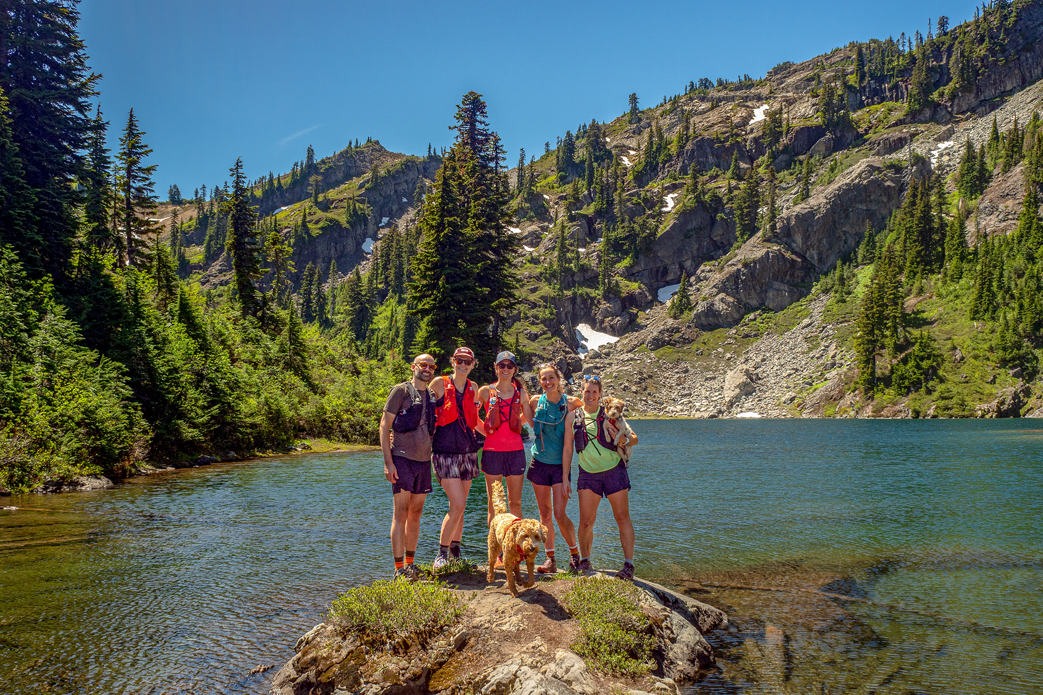
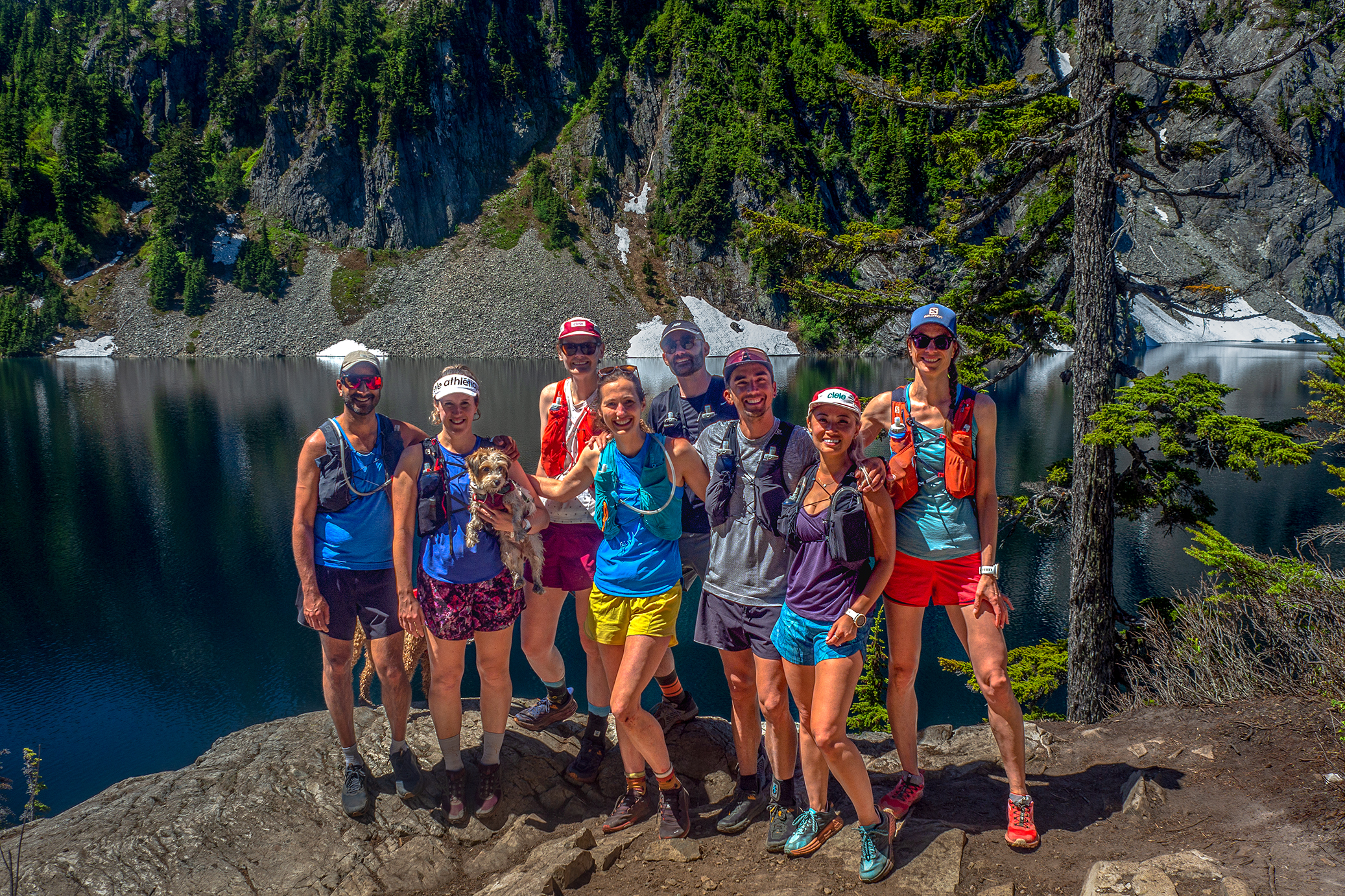
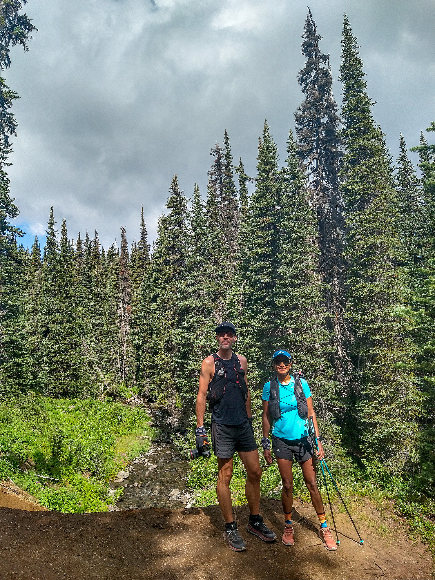
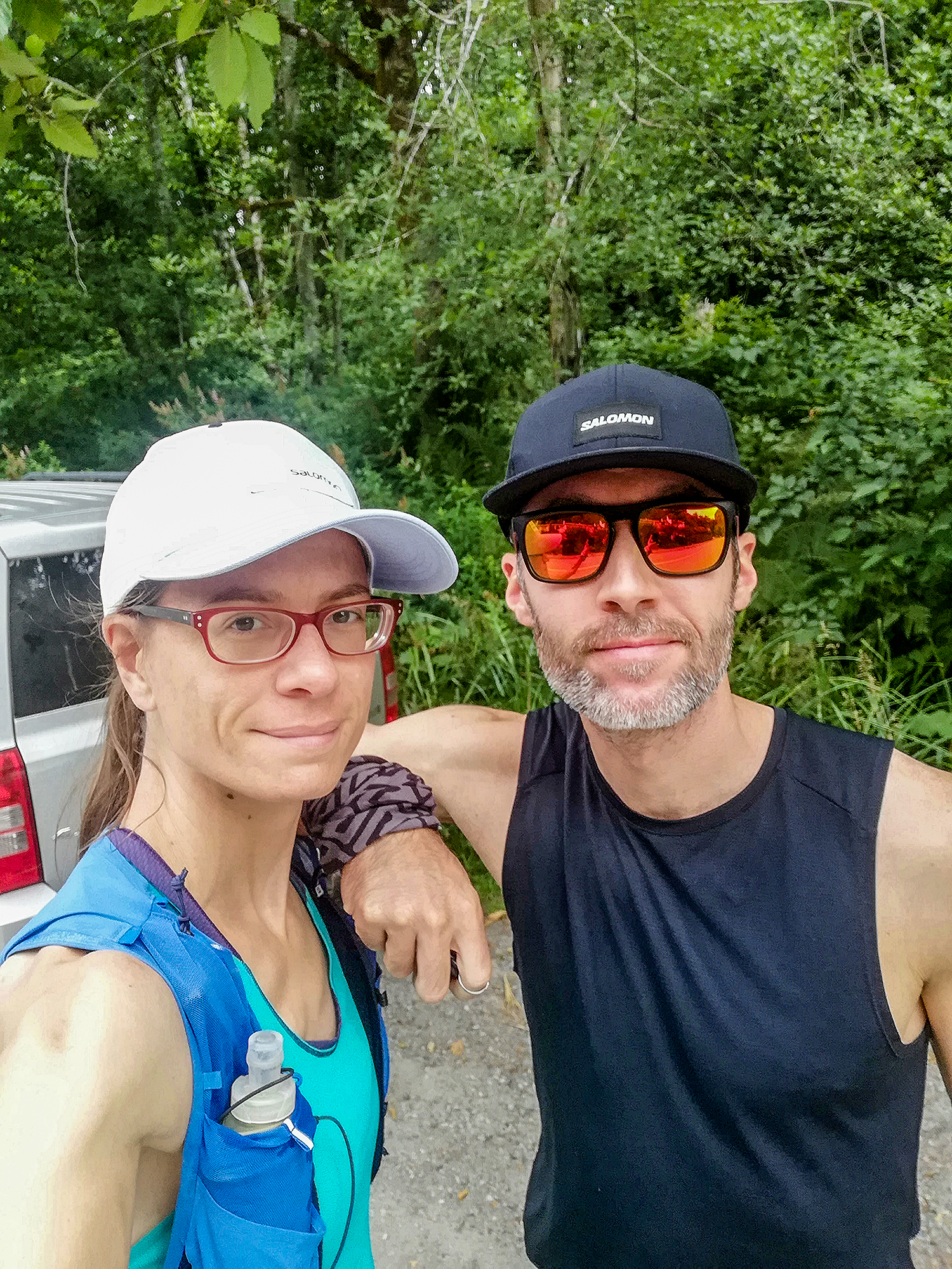
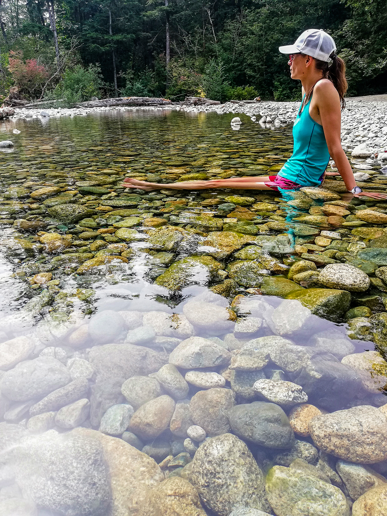
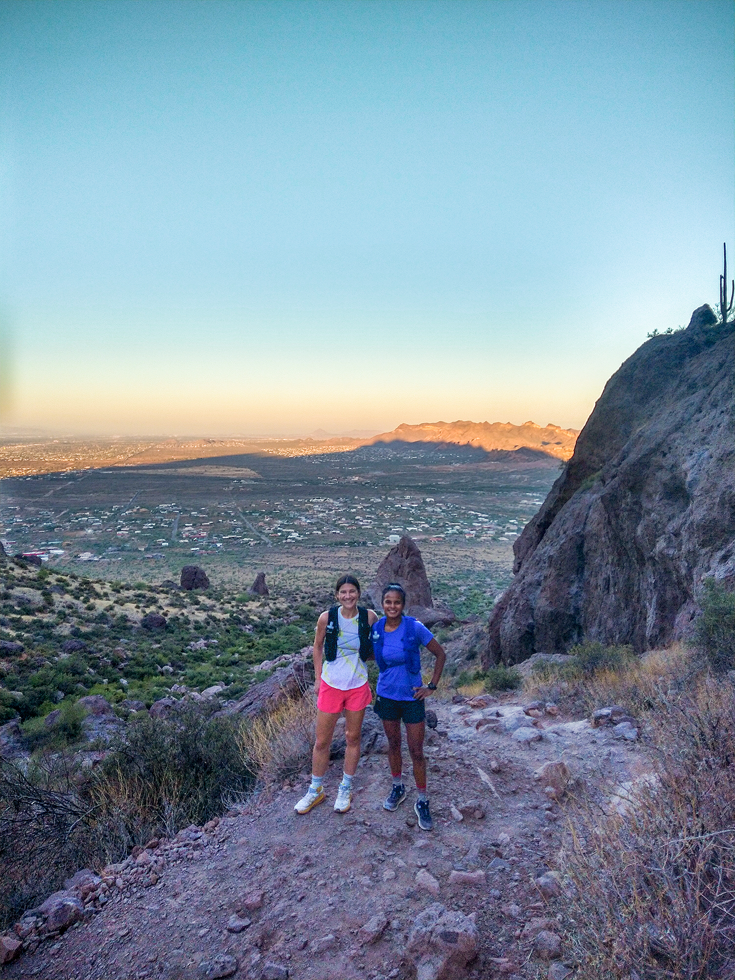
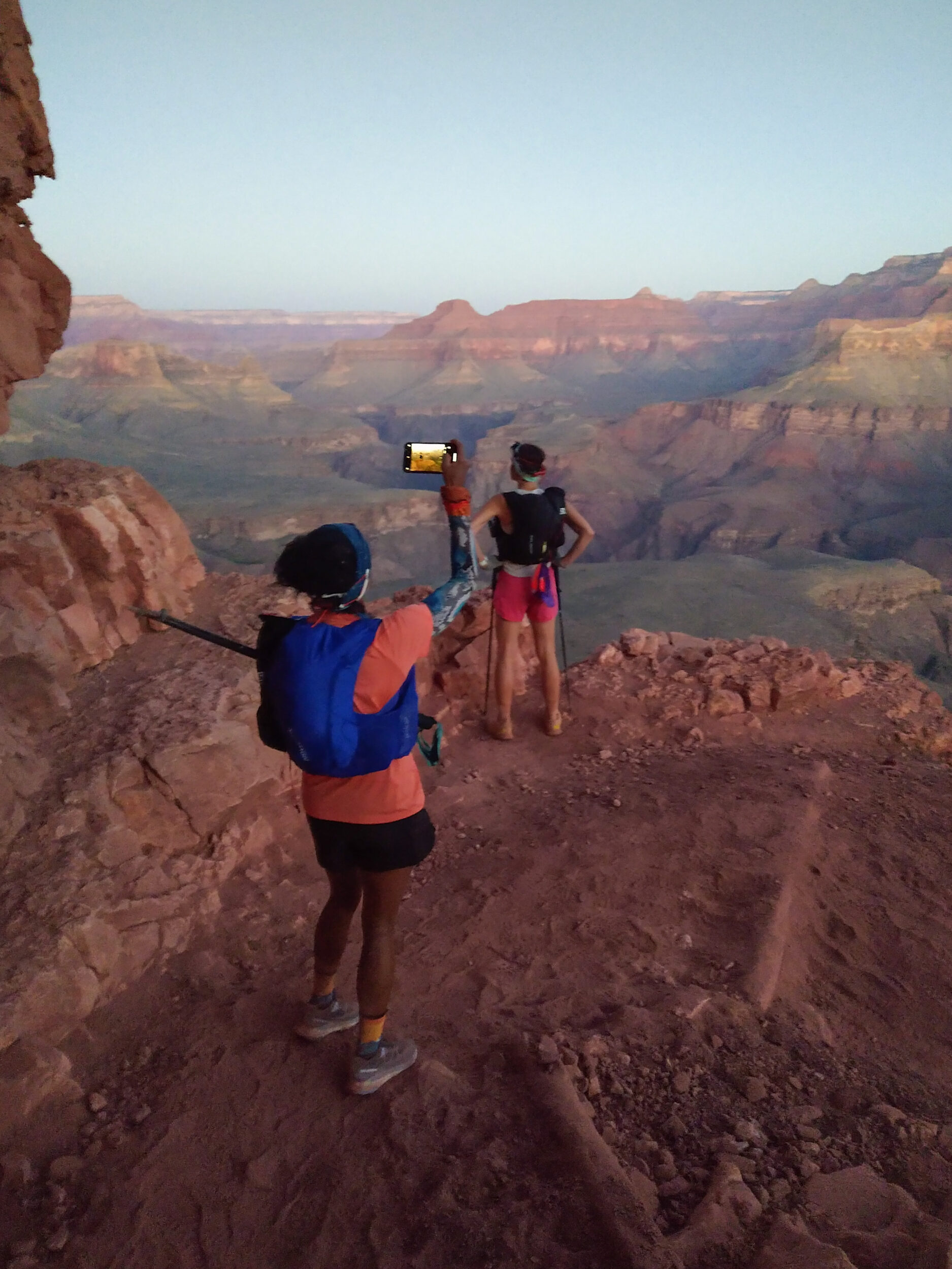
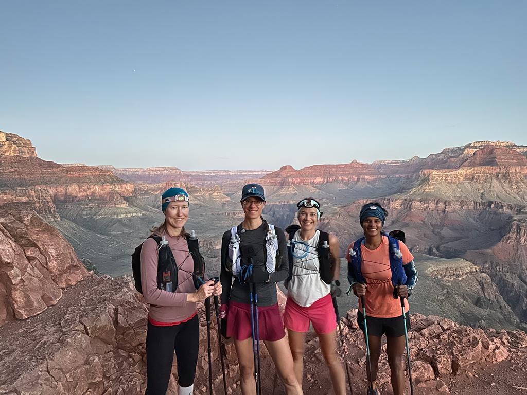
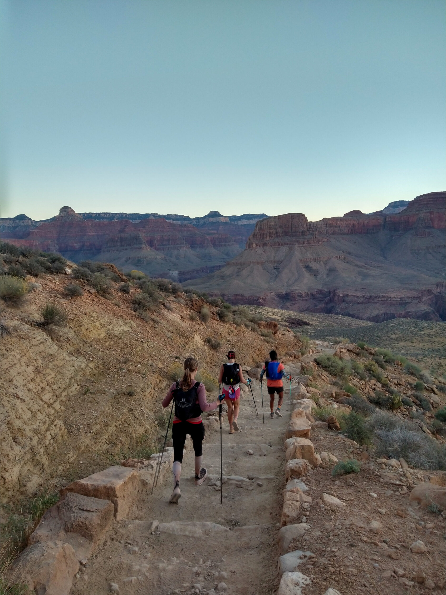
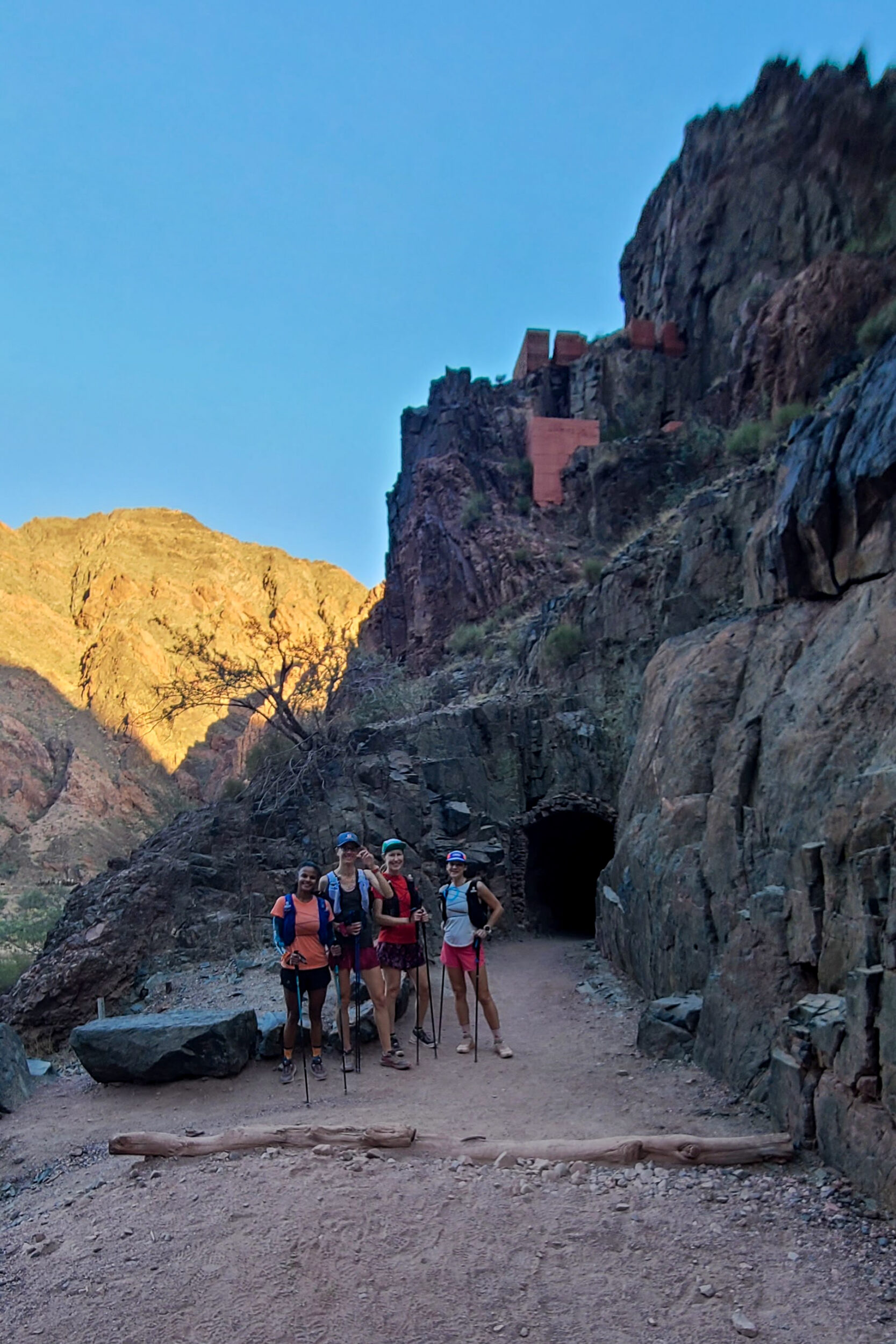
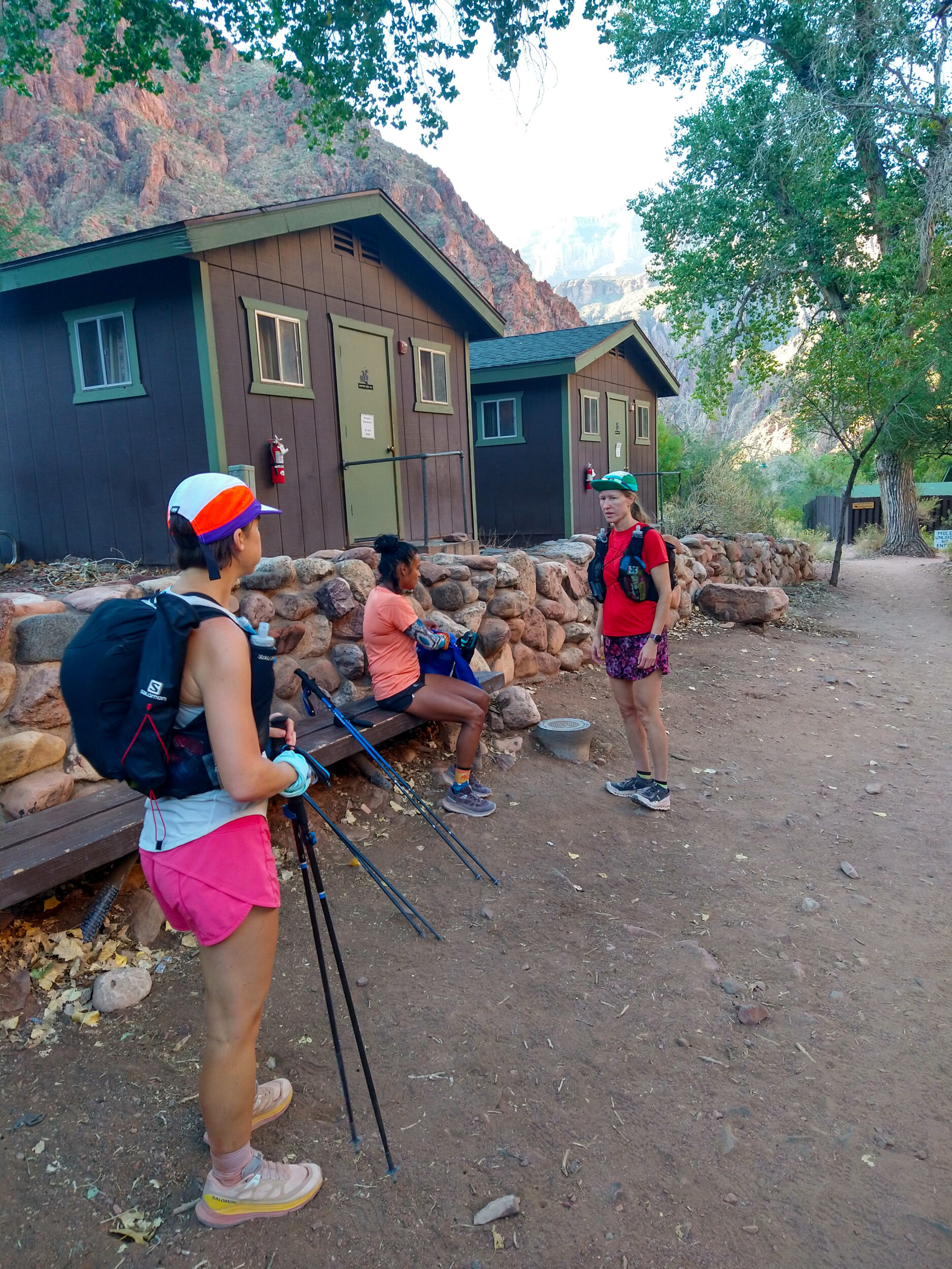
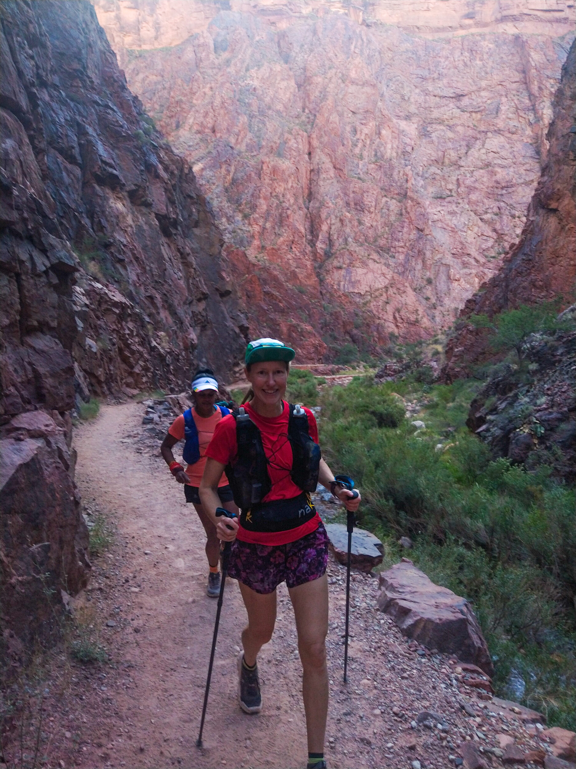
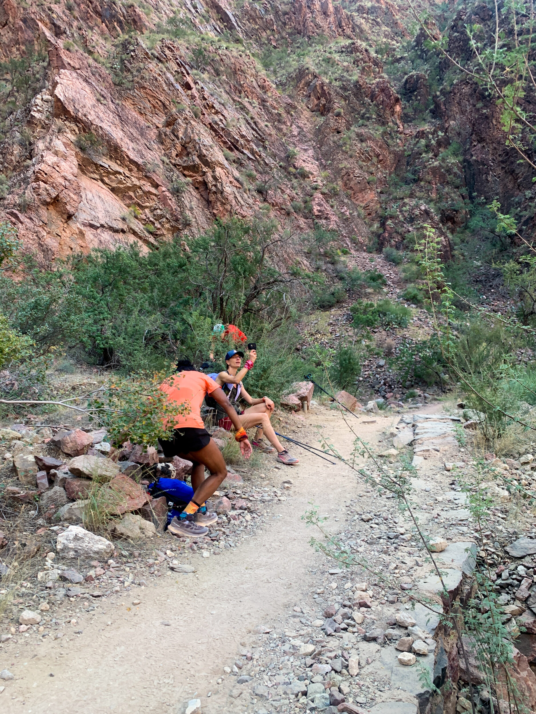
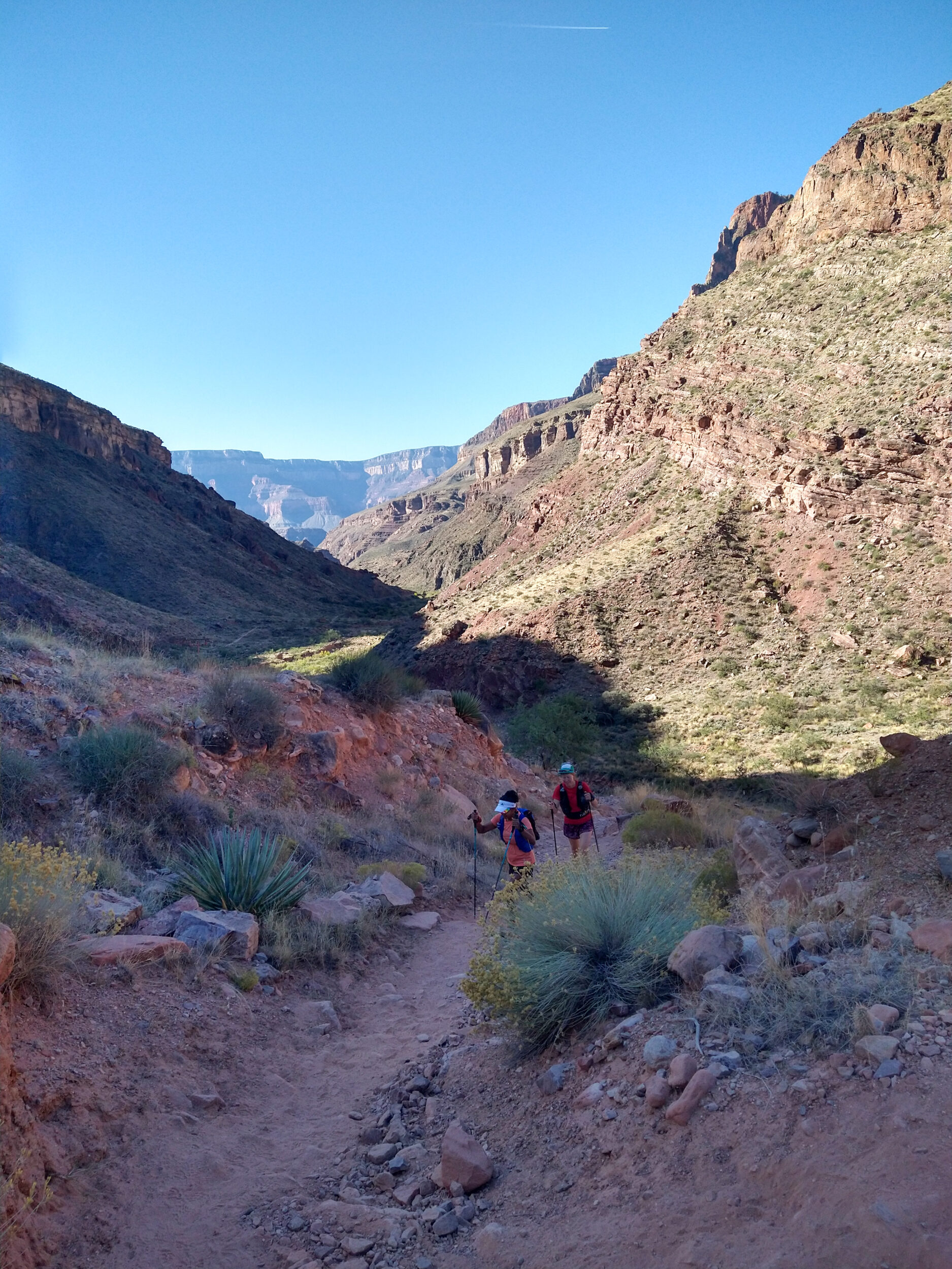
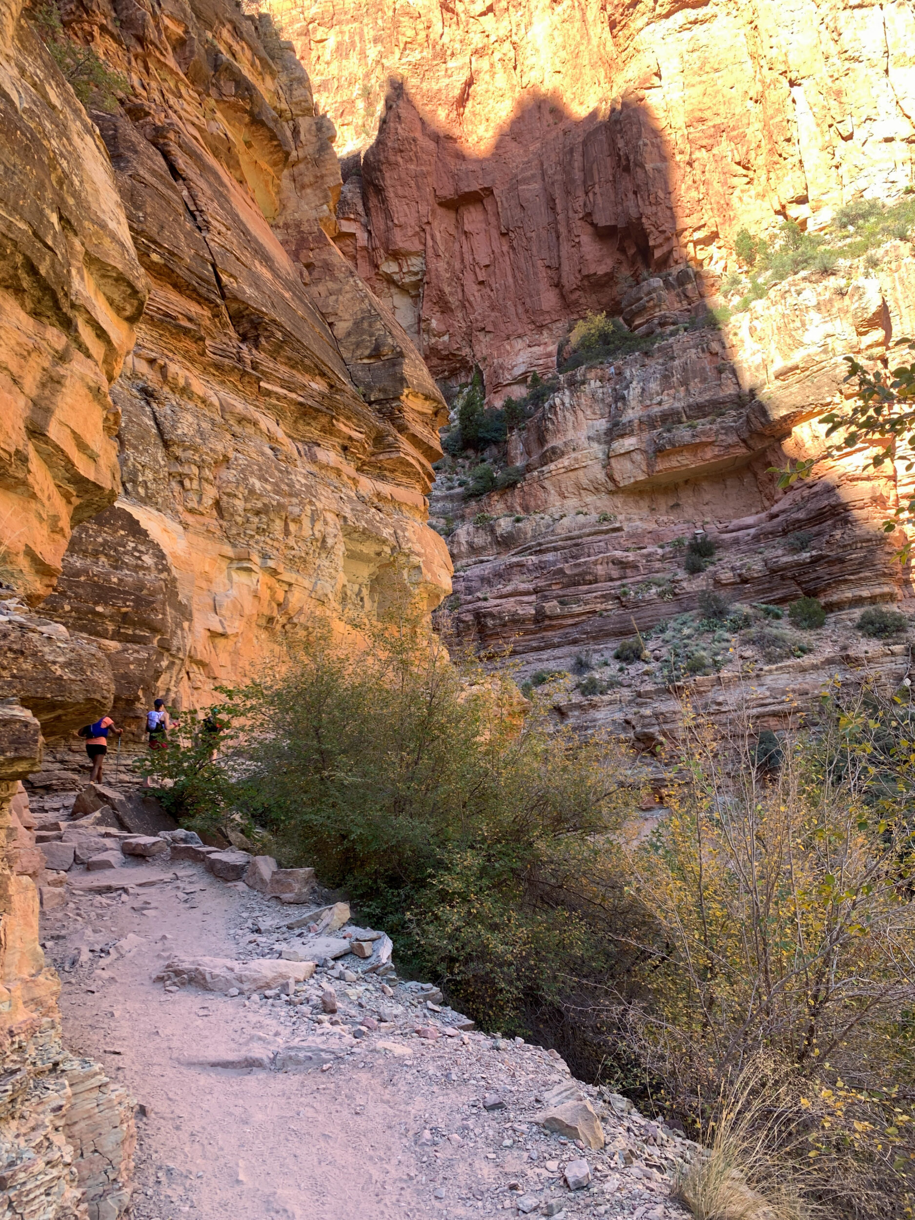
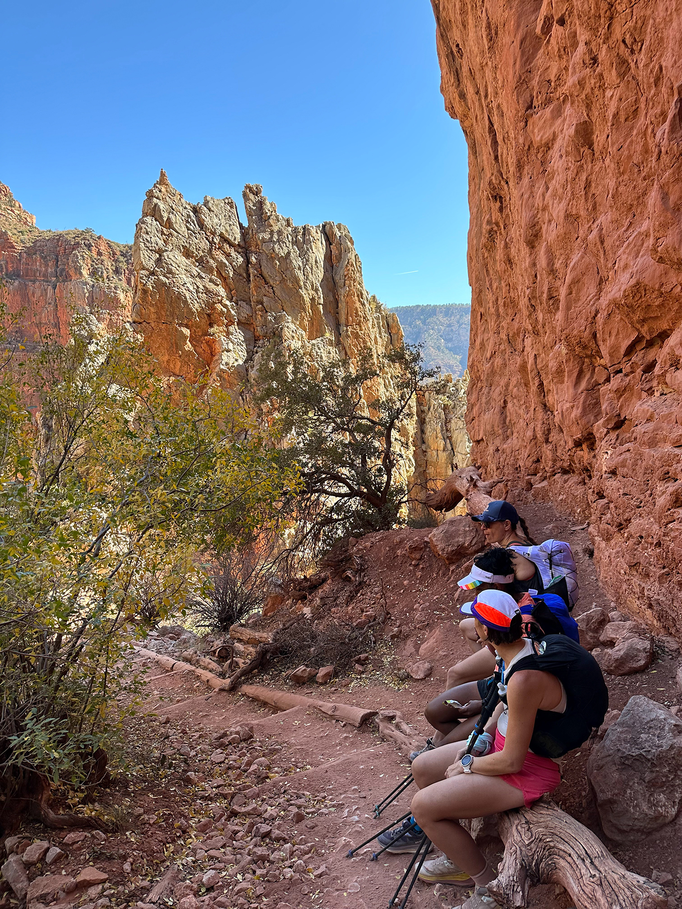
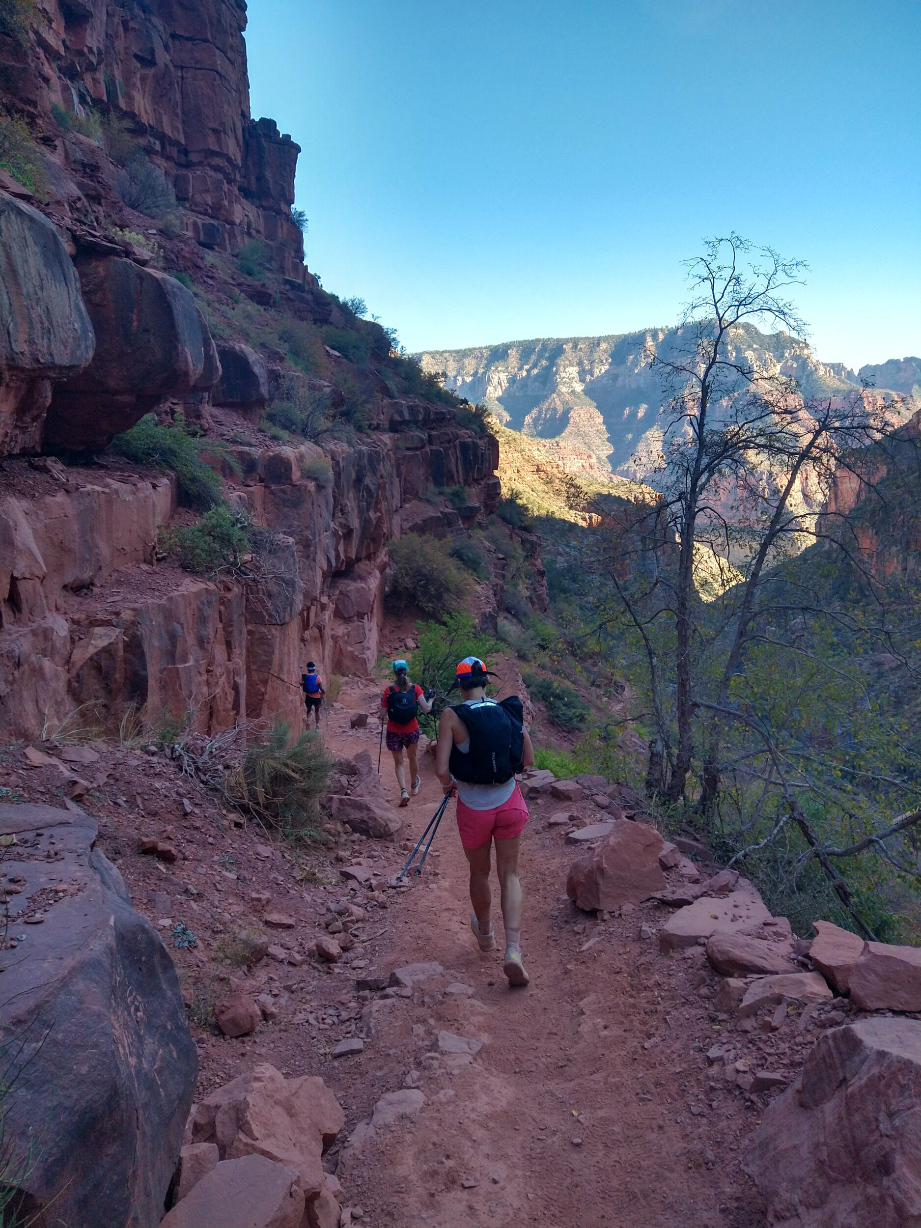
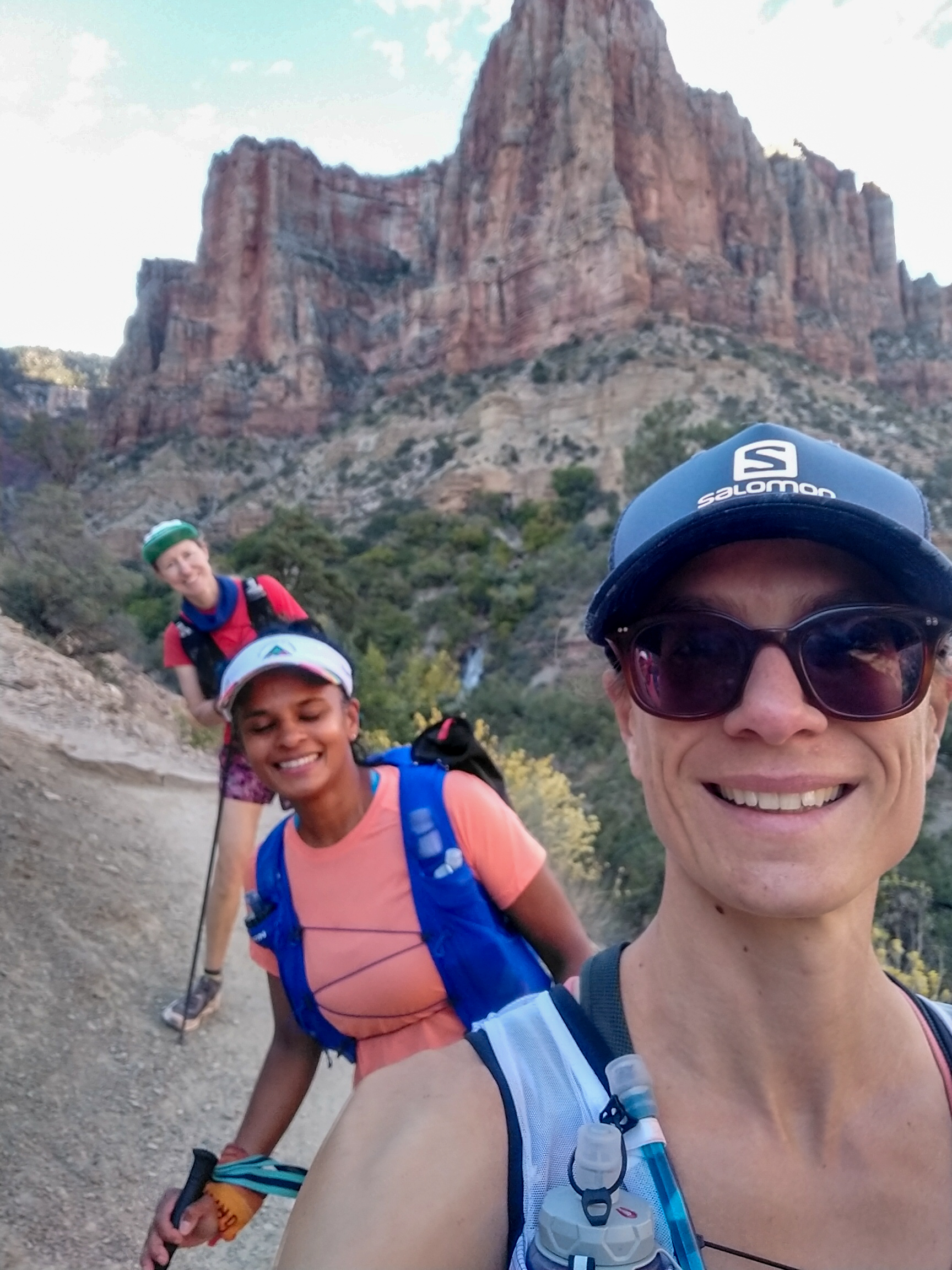
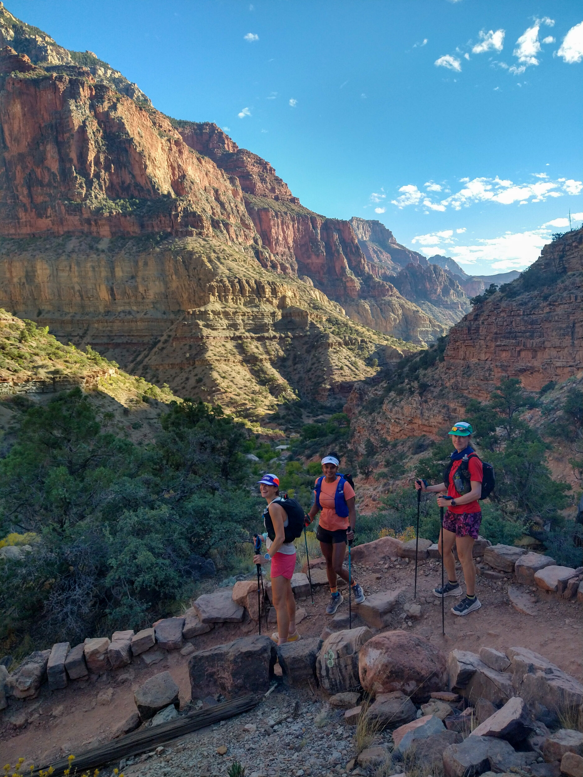
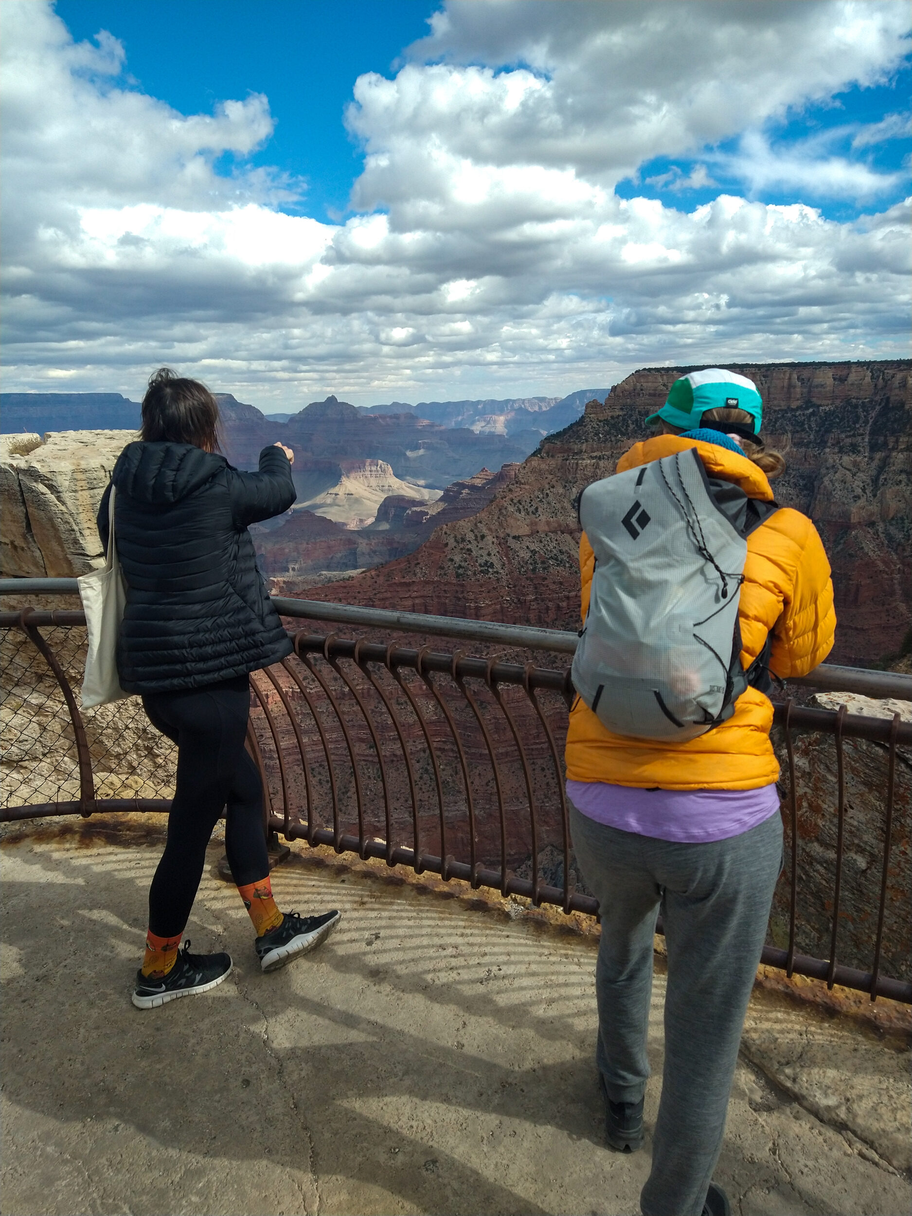
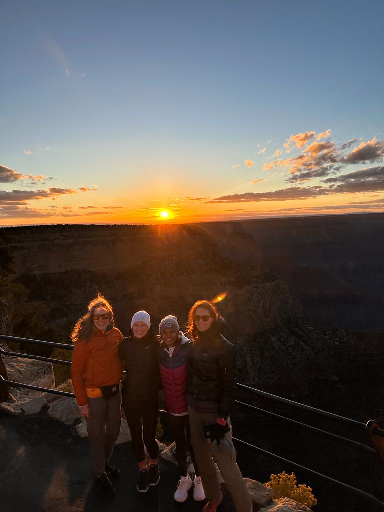
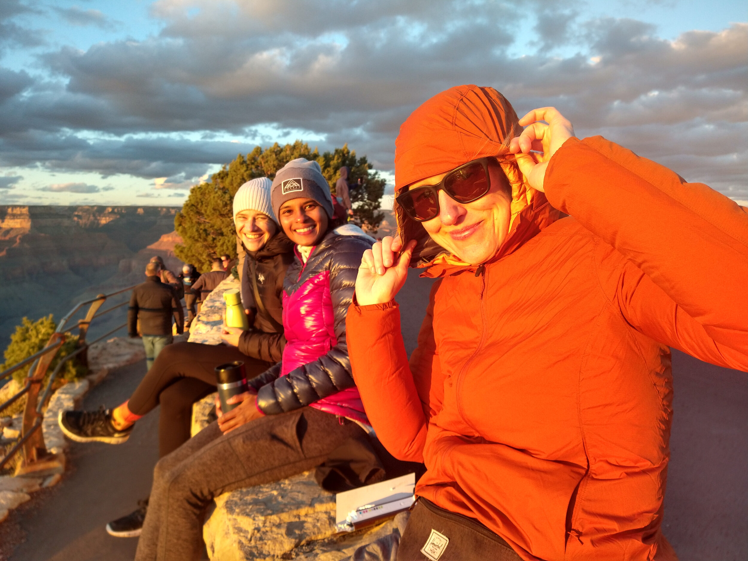
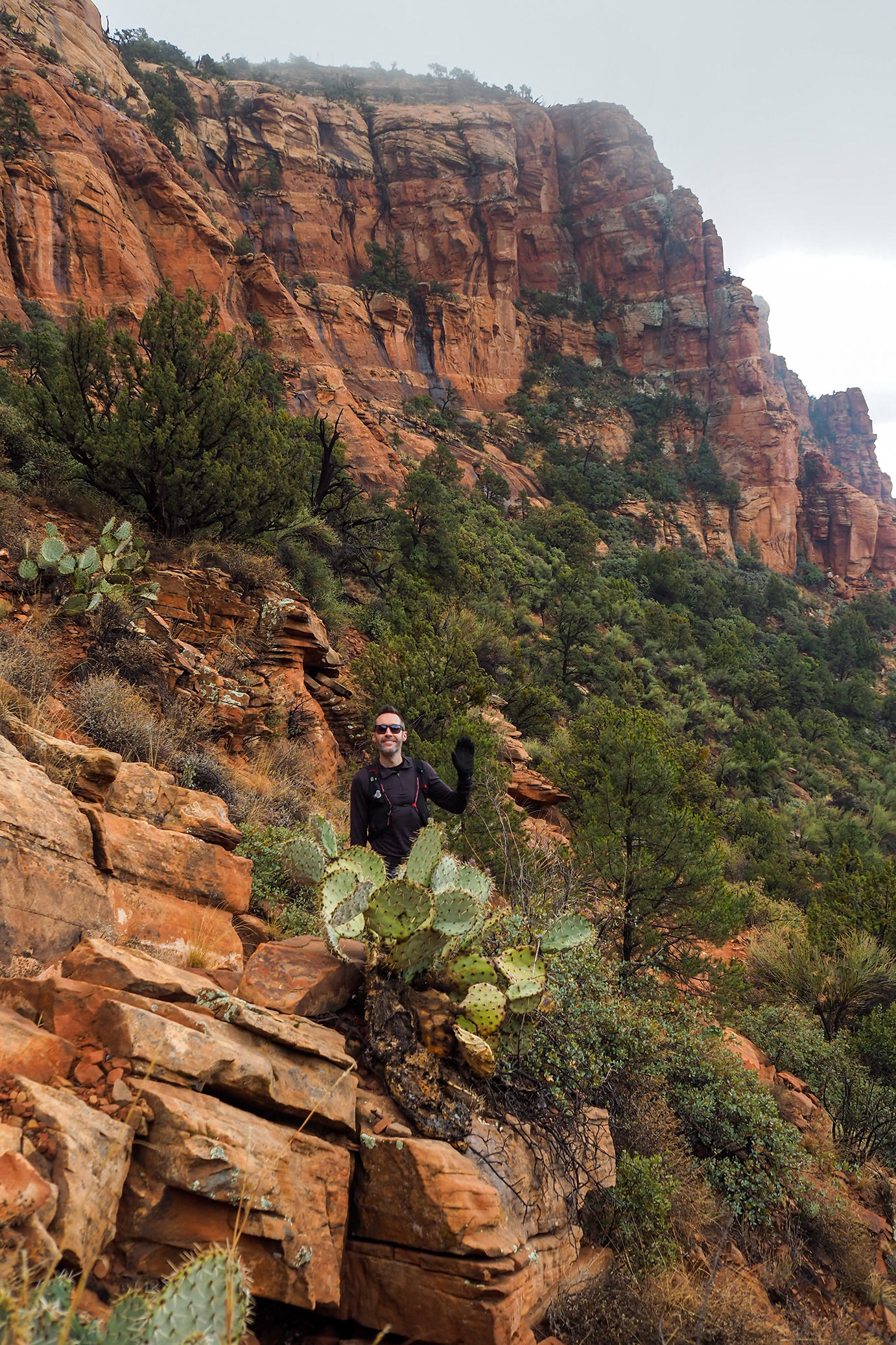
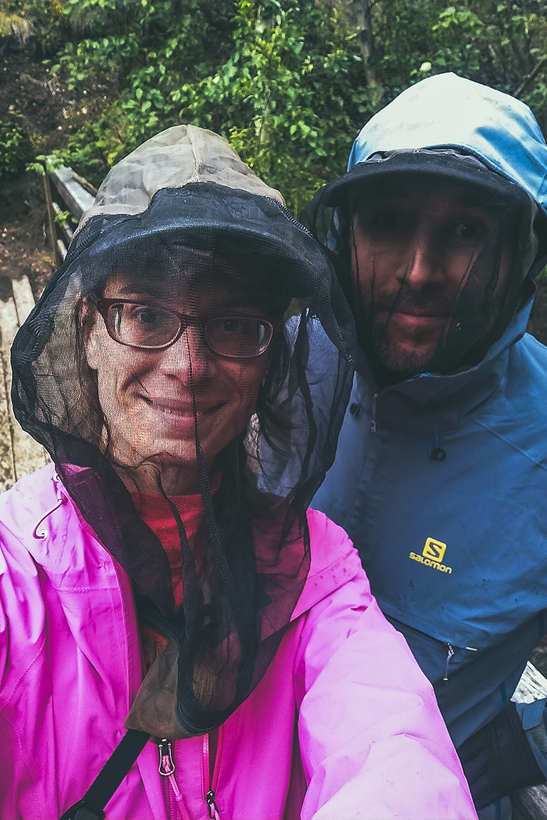
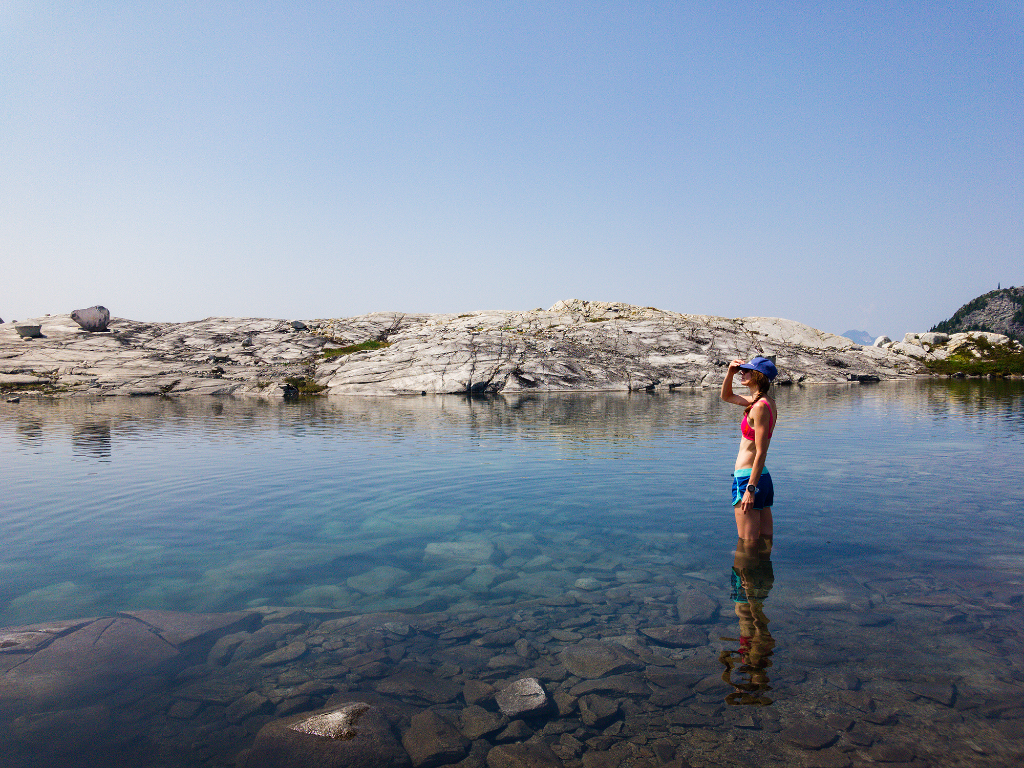
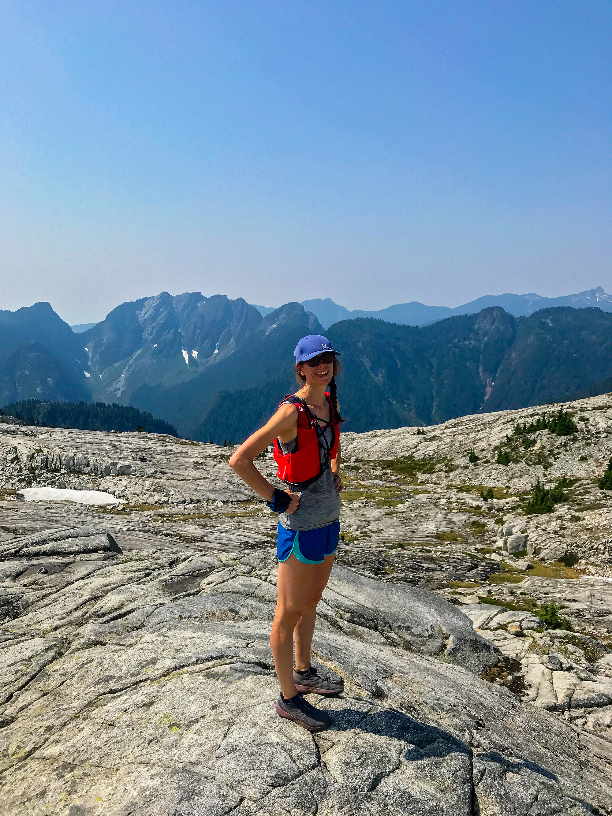
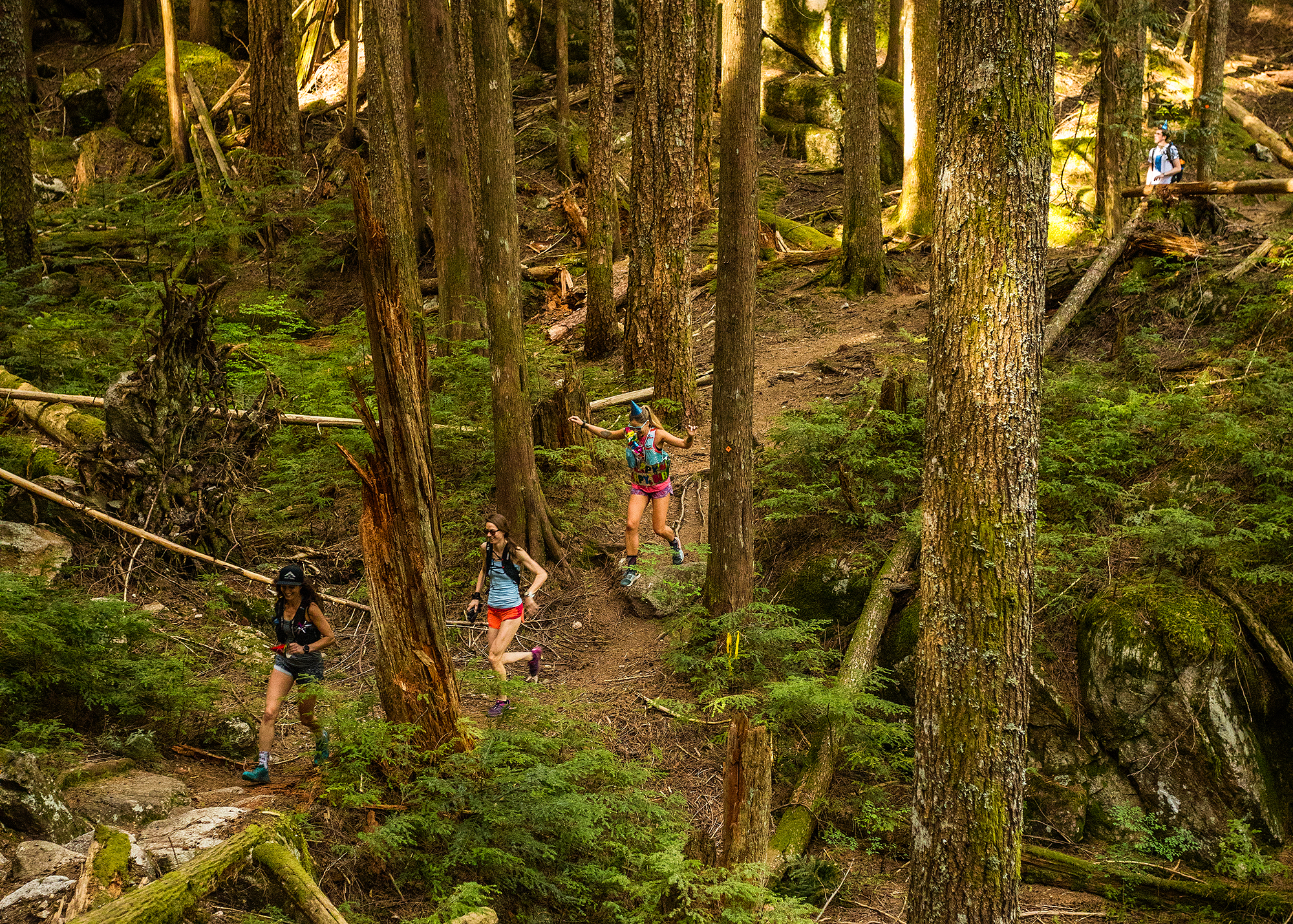
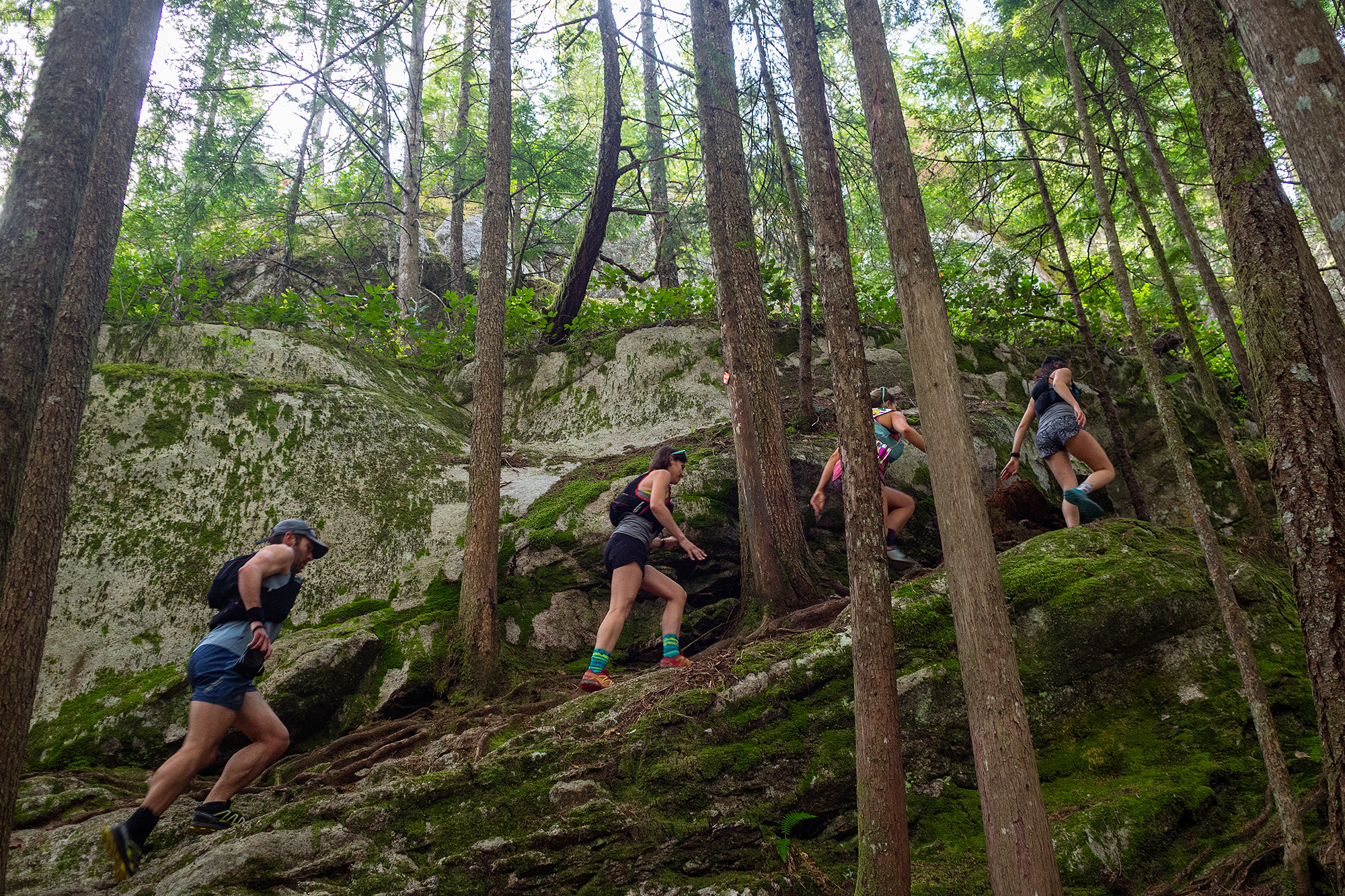
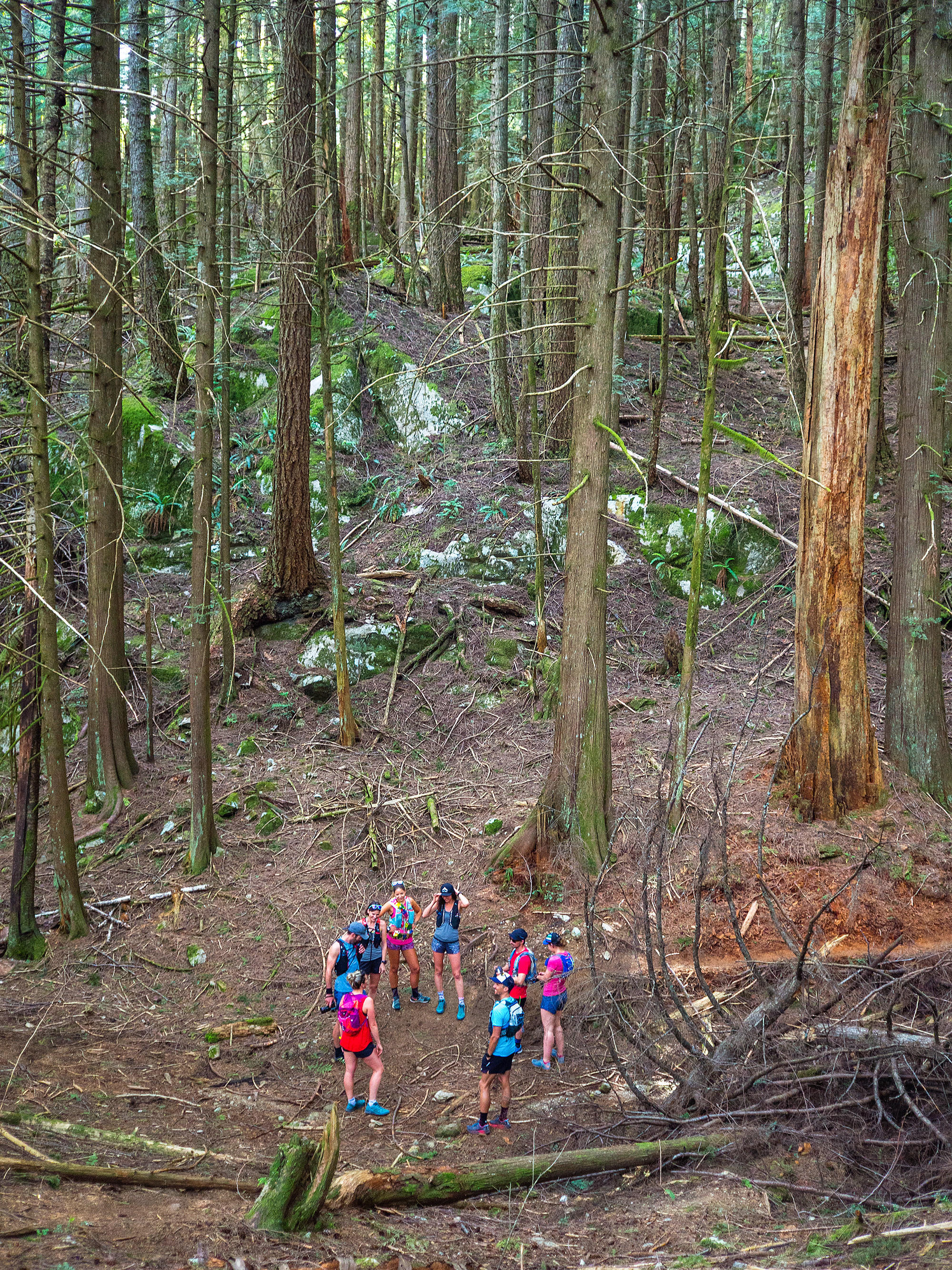
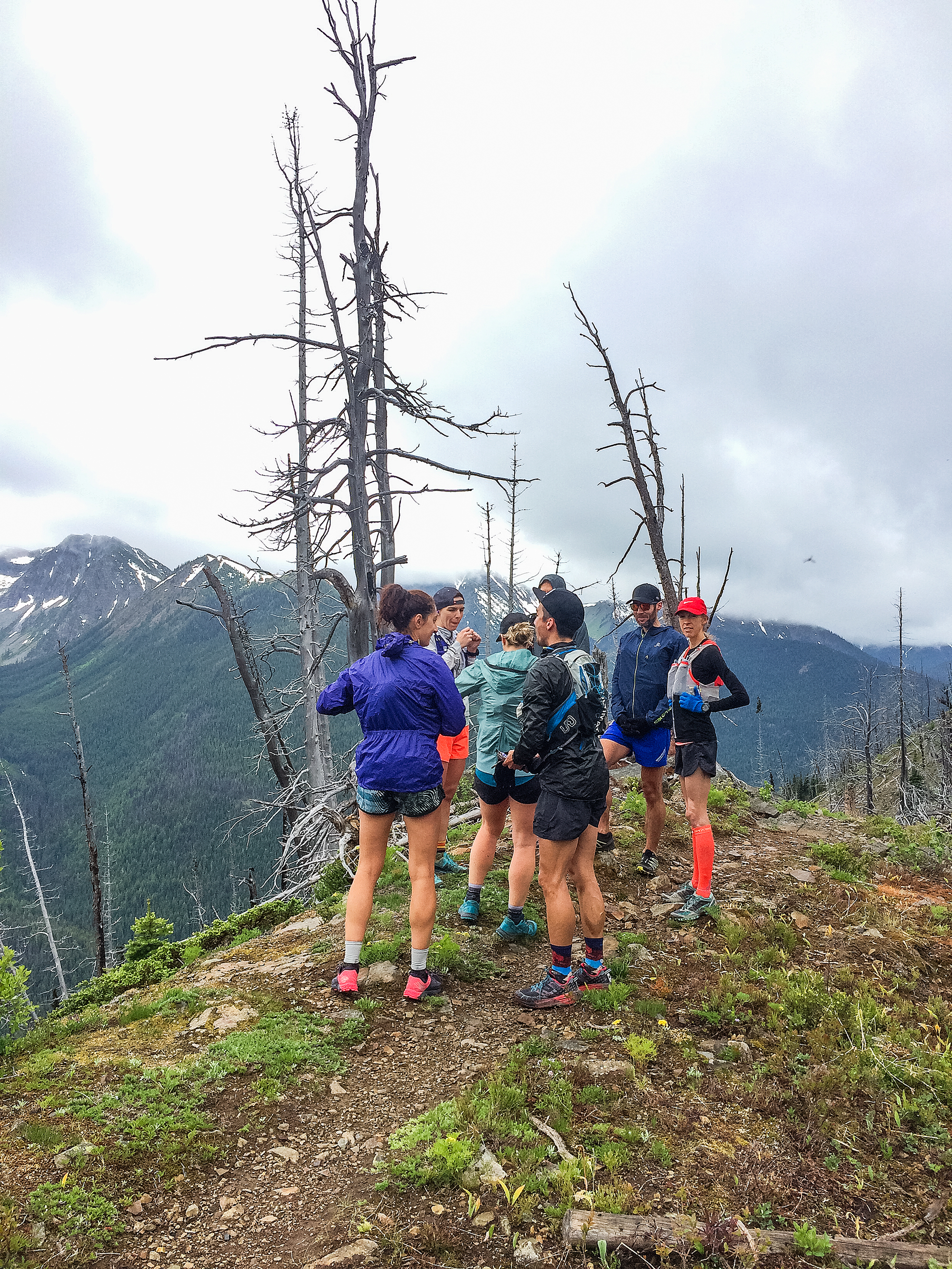
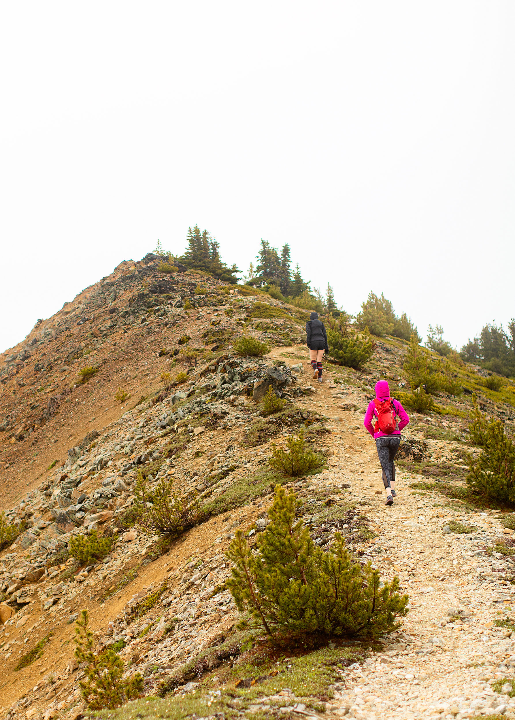
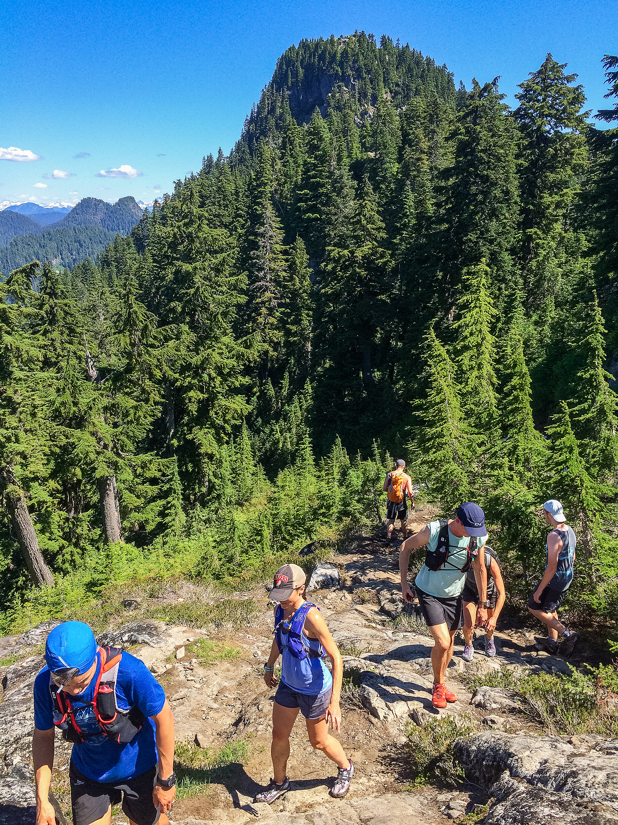
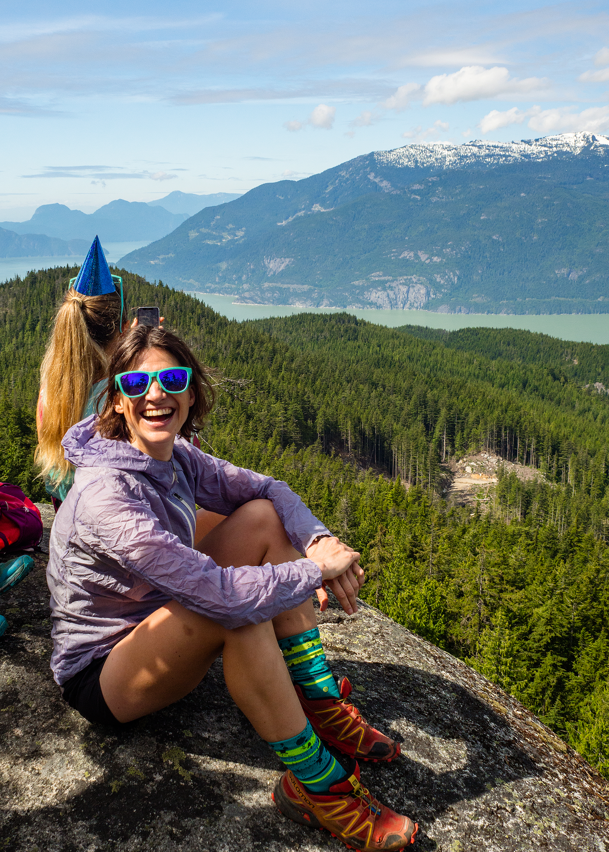
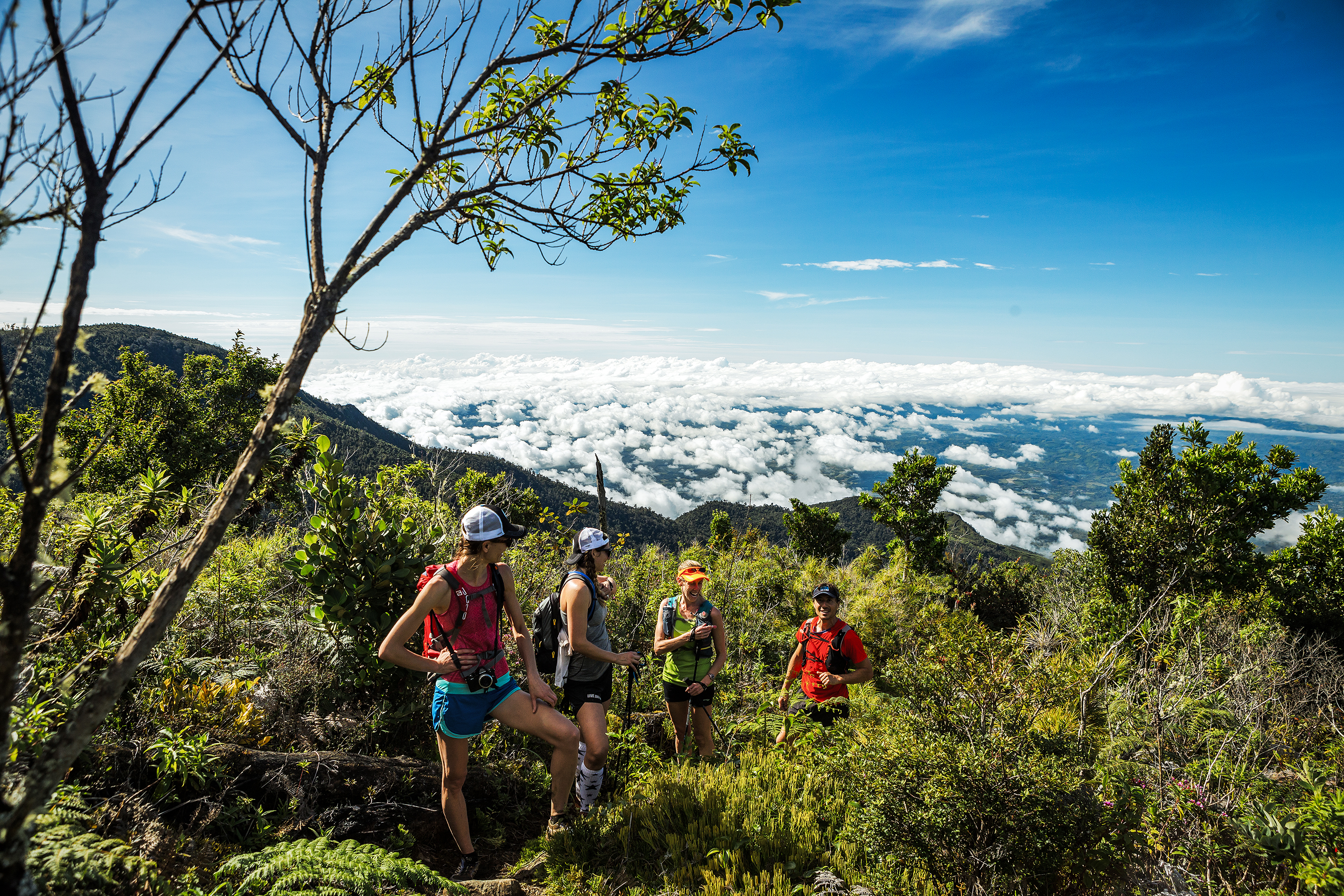
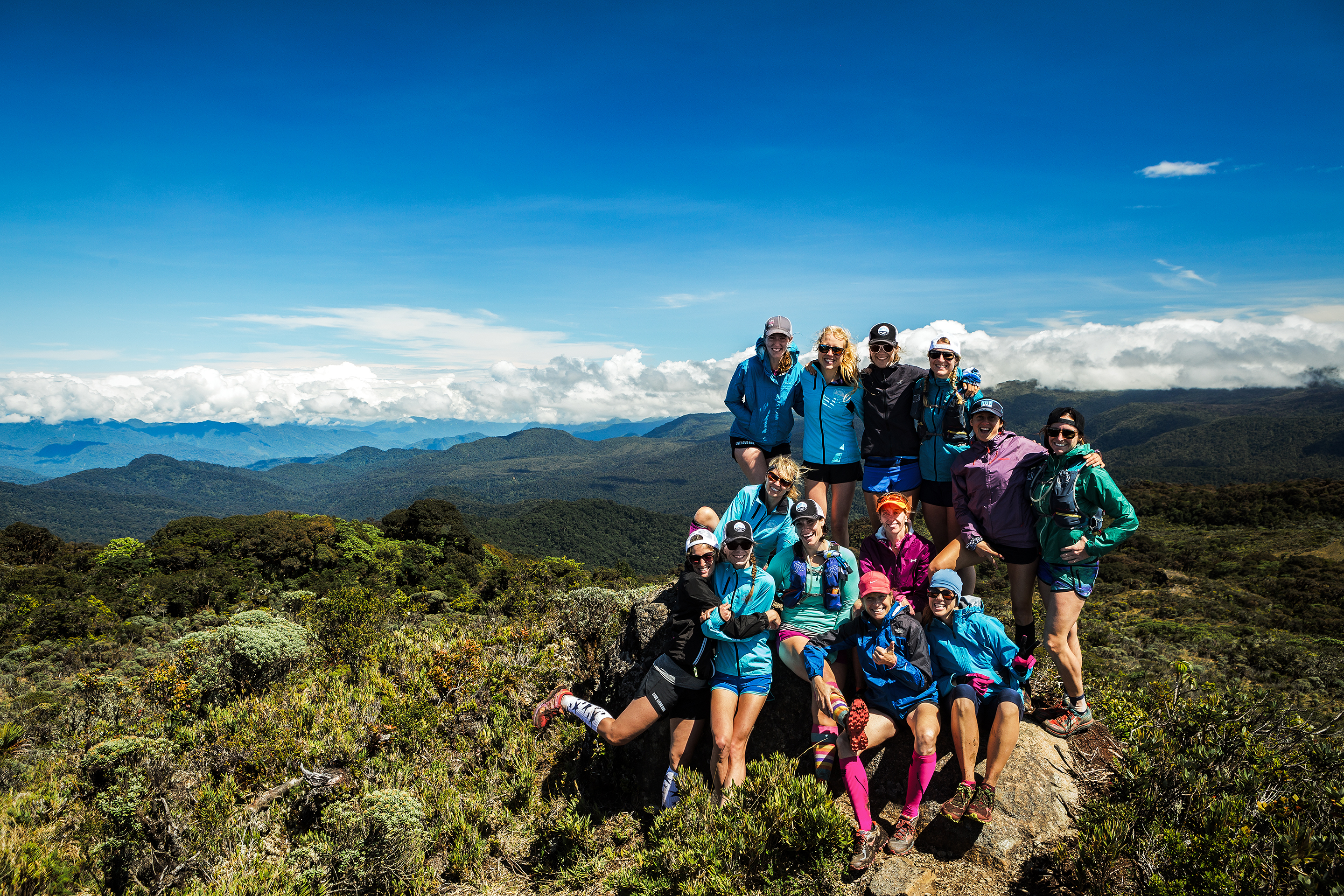
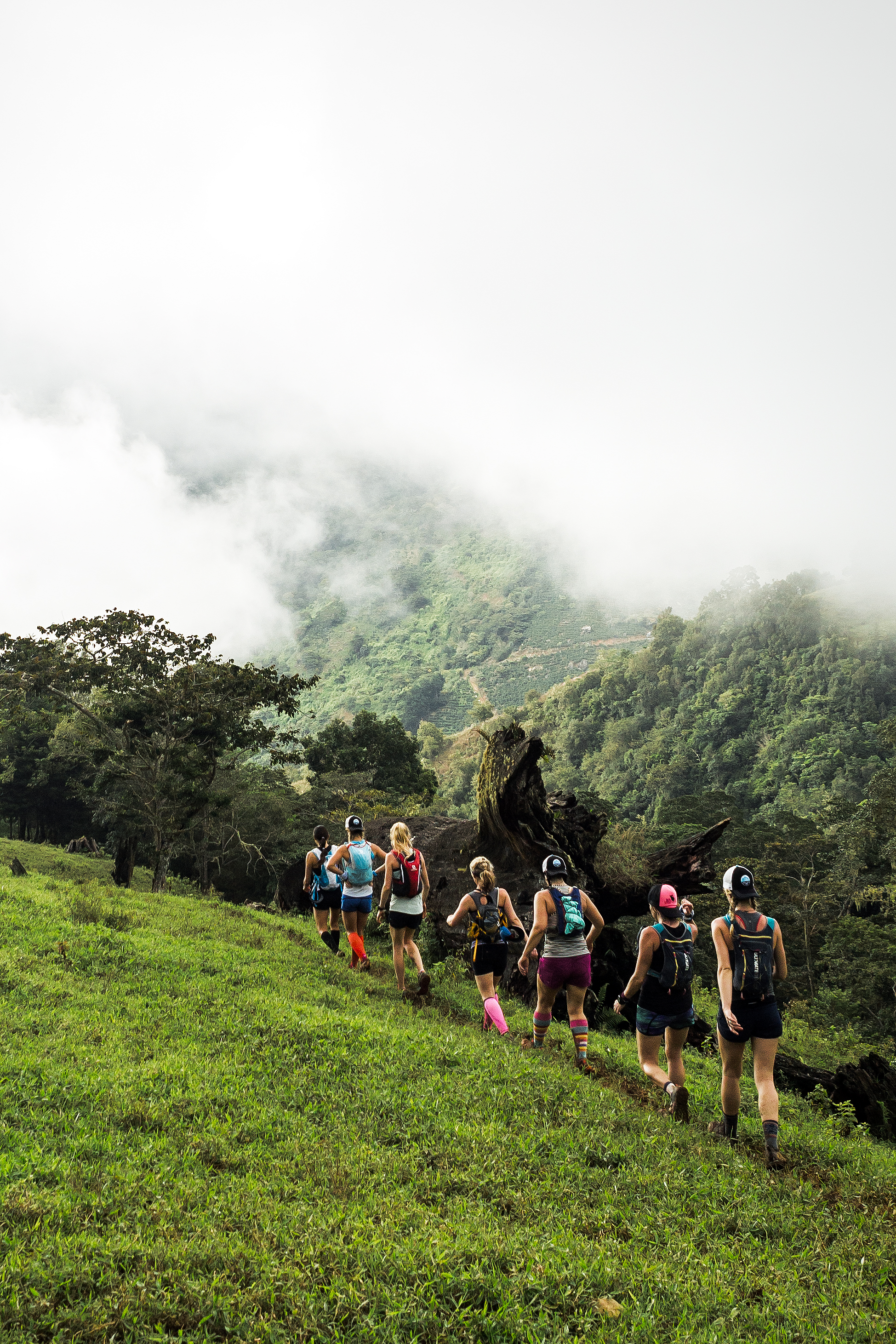
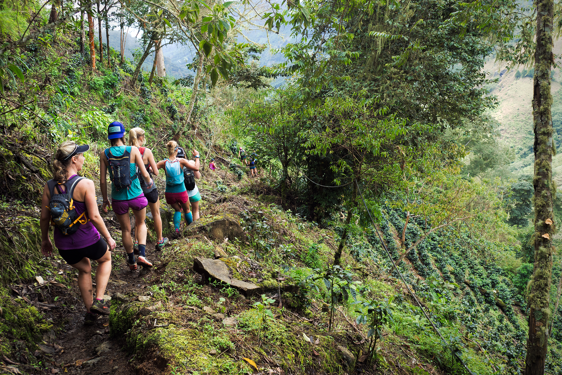
The Gang
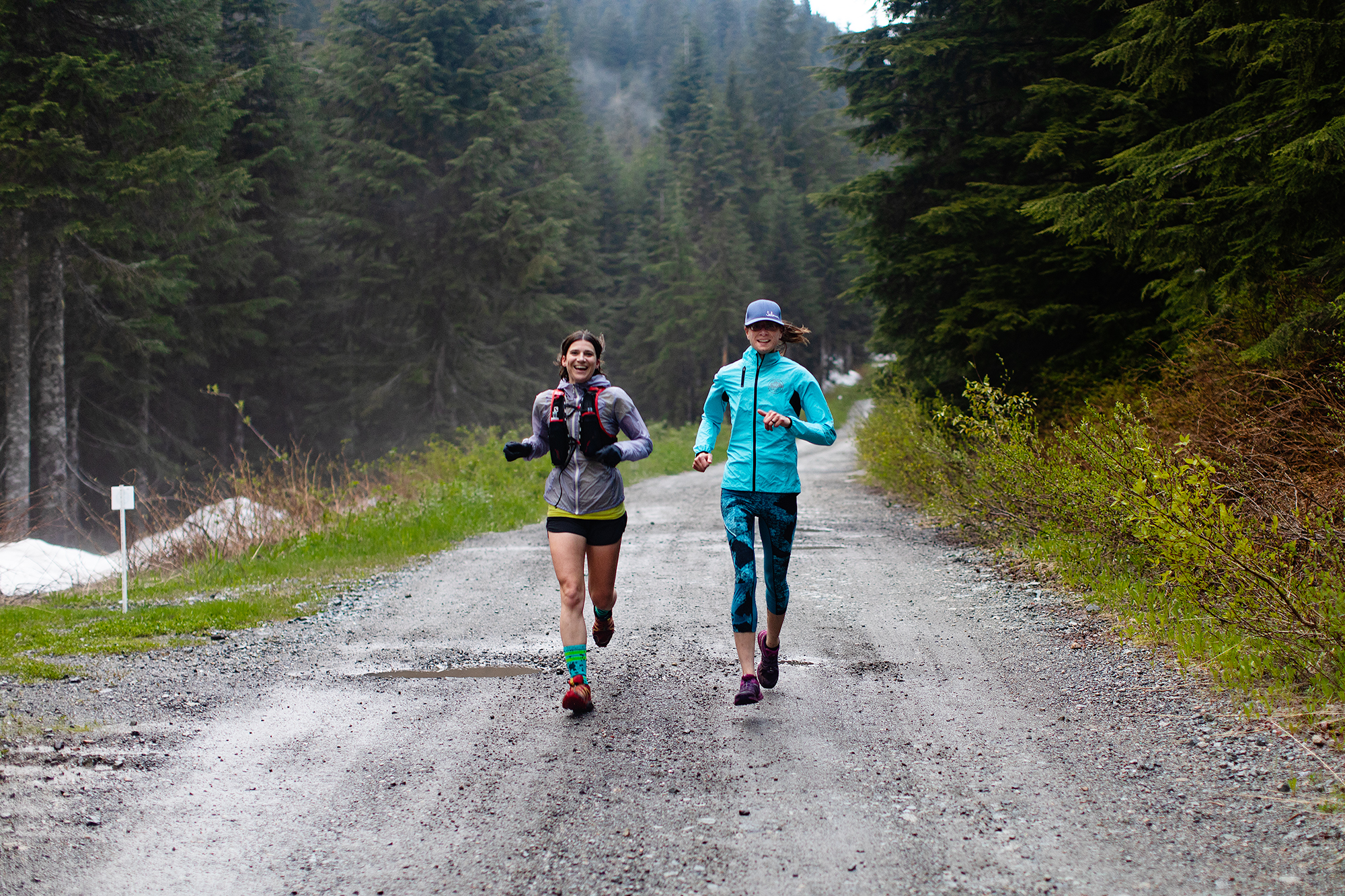
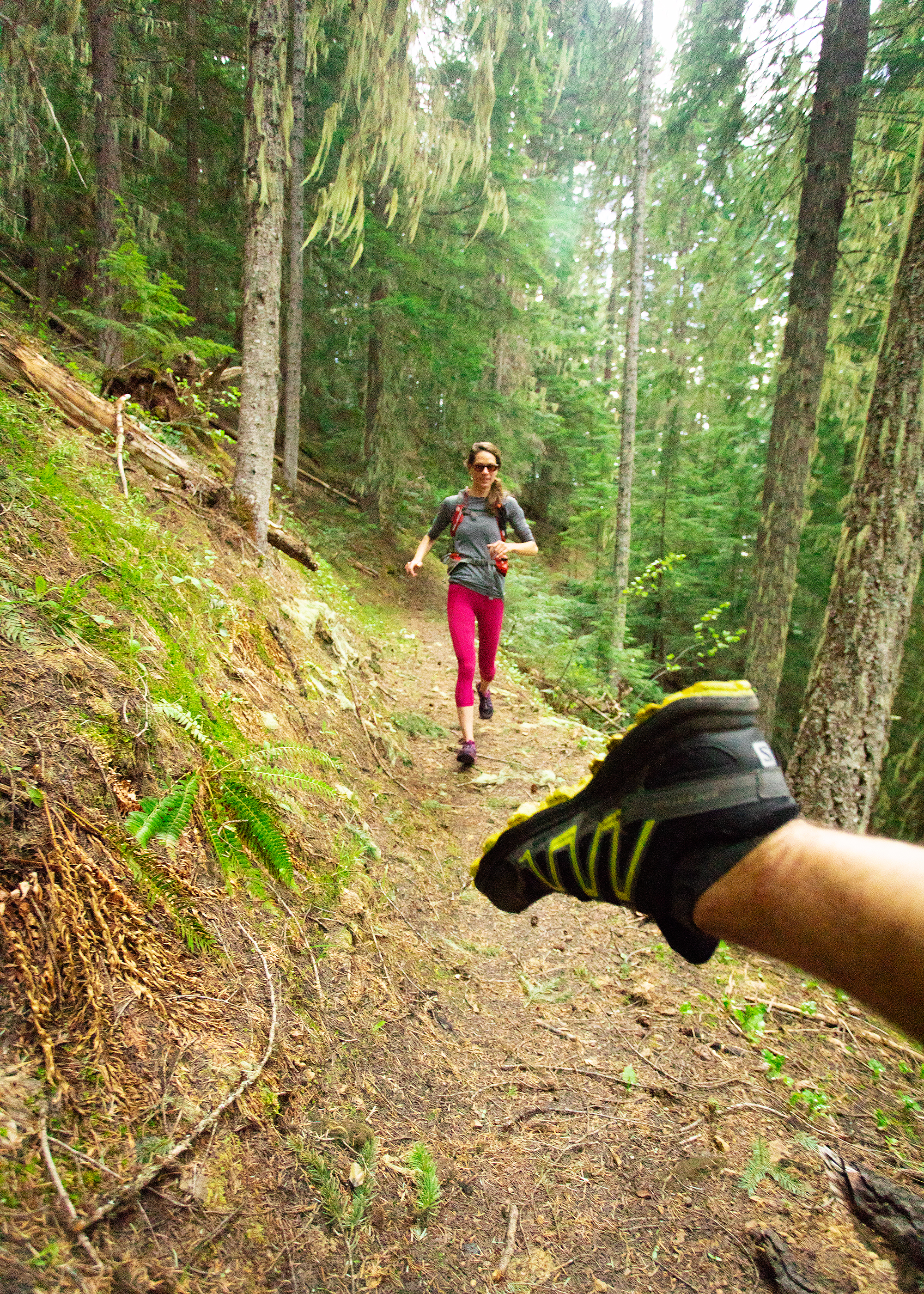
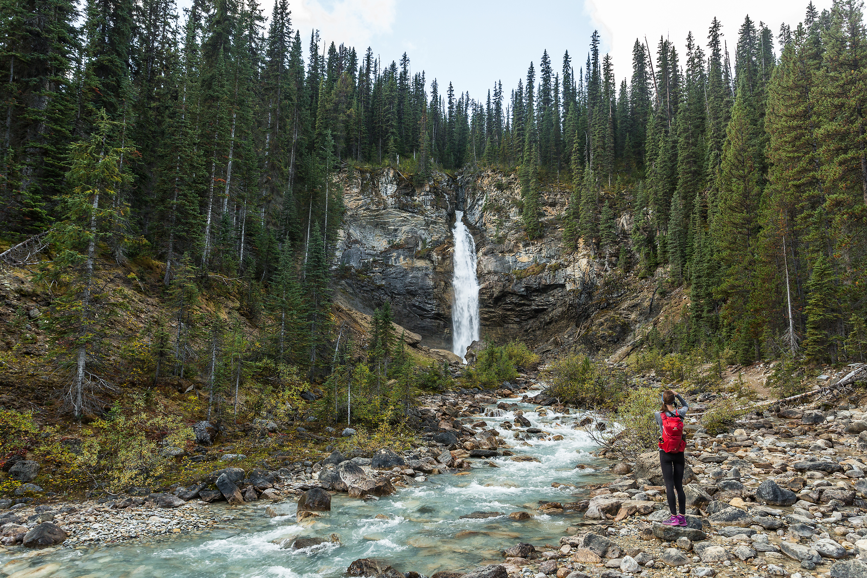
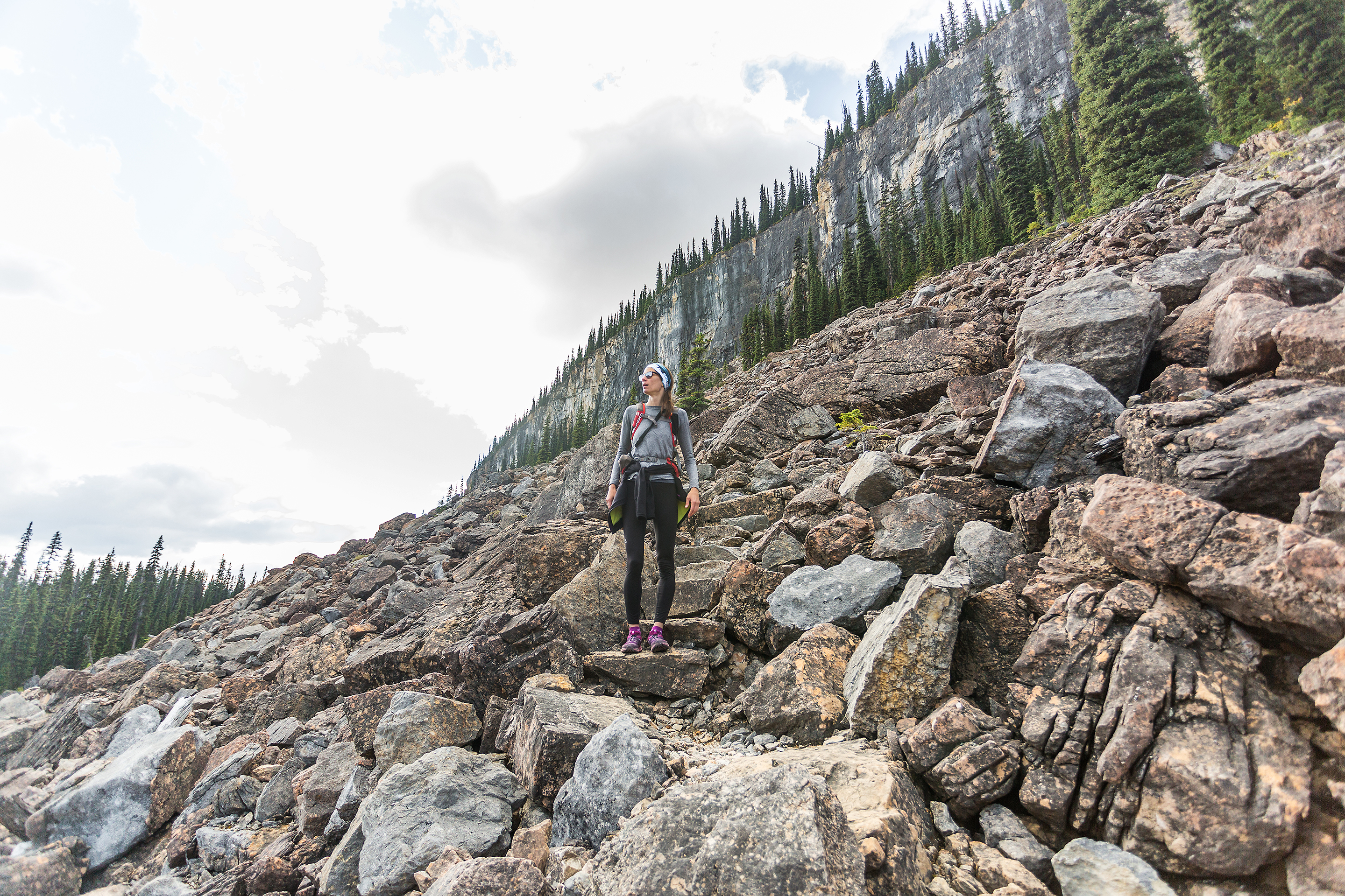
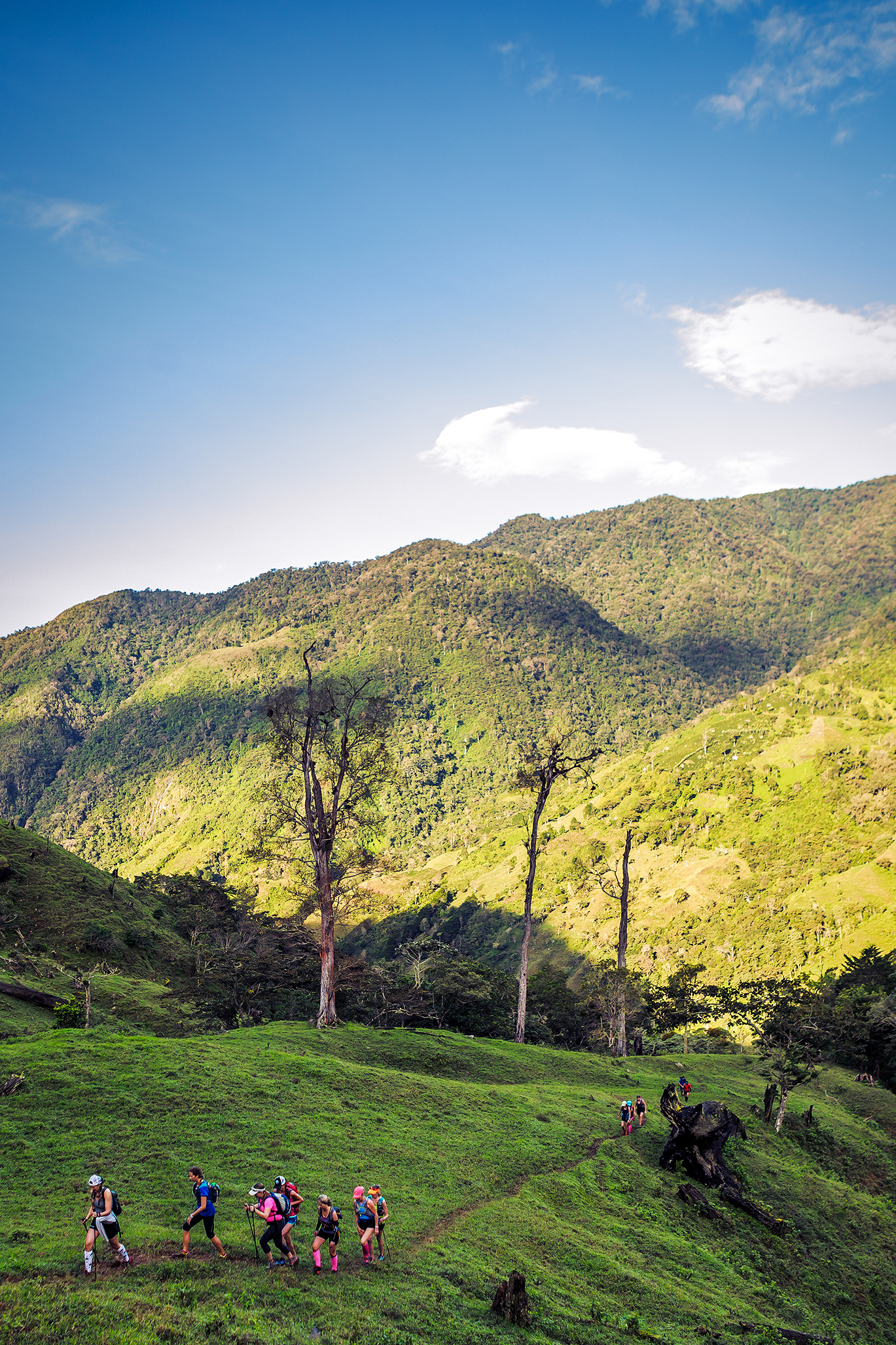
The four of us have all met through running over the last few years. While we originally met at the Thursday Night Van Run Co group runs, Deanne is one of the lead at our Saturday trail Lab so that’s where we’ve hung out most frequently. Wiebke (“Wiebs”) and I have gone on a lot of trail runs, and mountain adventures together, and crewed each other at races.


I knew Dasha from seeing her on trails and I remember her coming out to our friend Pargol’s Grouse grind challenge one year, and bringing a batch of home-made cookies, still warm from the oven (her partner owns Bad Dog Bakery in North Van). No doubt this made a lasting impression.
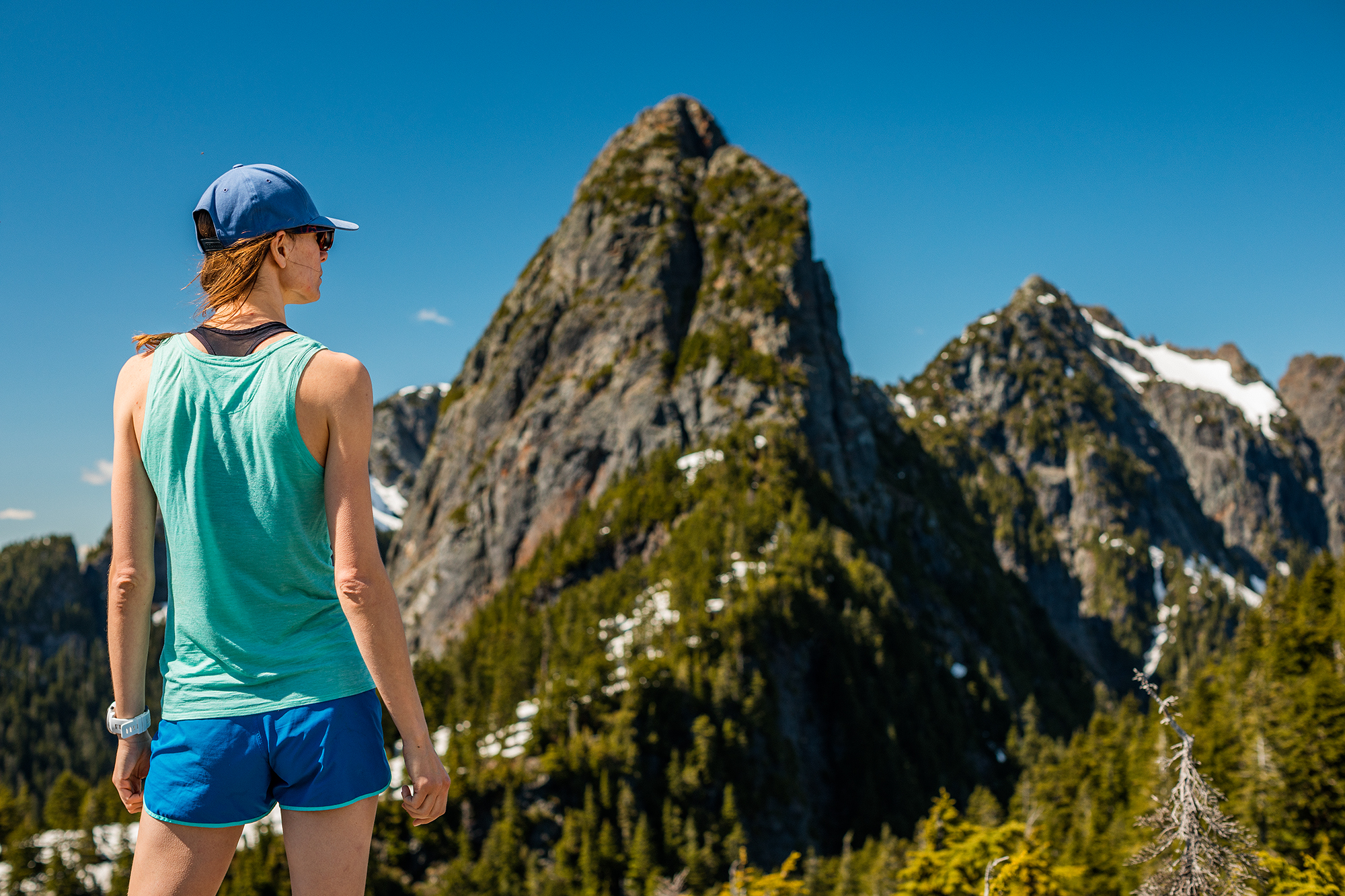
We crossed path on a trail one day this past spring and told each other “we should run together sometimes”, as people do, but don’t always follow through. But we actually did. I reached out to her for a run on the North Shore not too long after, and later we met up in Squamish for an impromptu climb of the Chief. I mentioned that I was doing R2R2R with Deanne in the fall. Right away Dasha said she would love to join, as Dea and her had actually talked about it the year prior. And as we got lost in the silliest way trying to get off Third peak and taking animal tracks back to the main trail, i thought to myself that it would in fact, be super fun if she joined the trip.

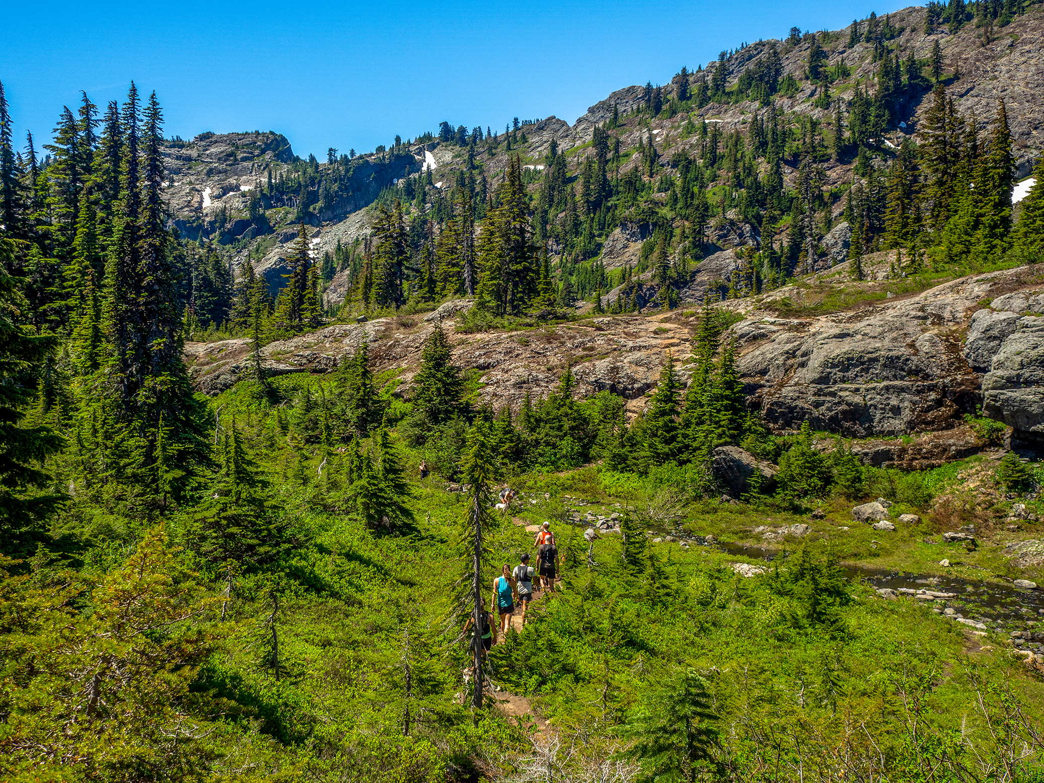
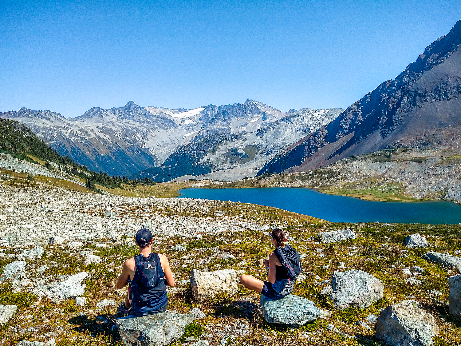
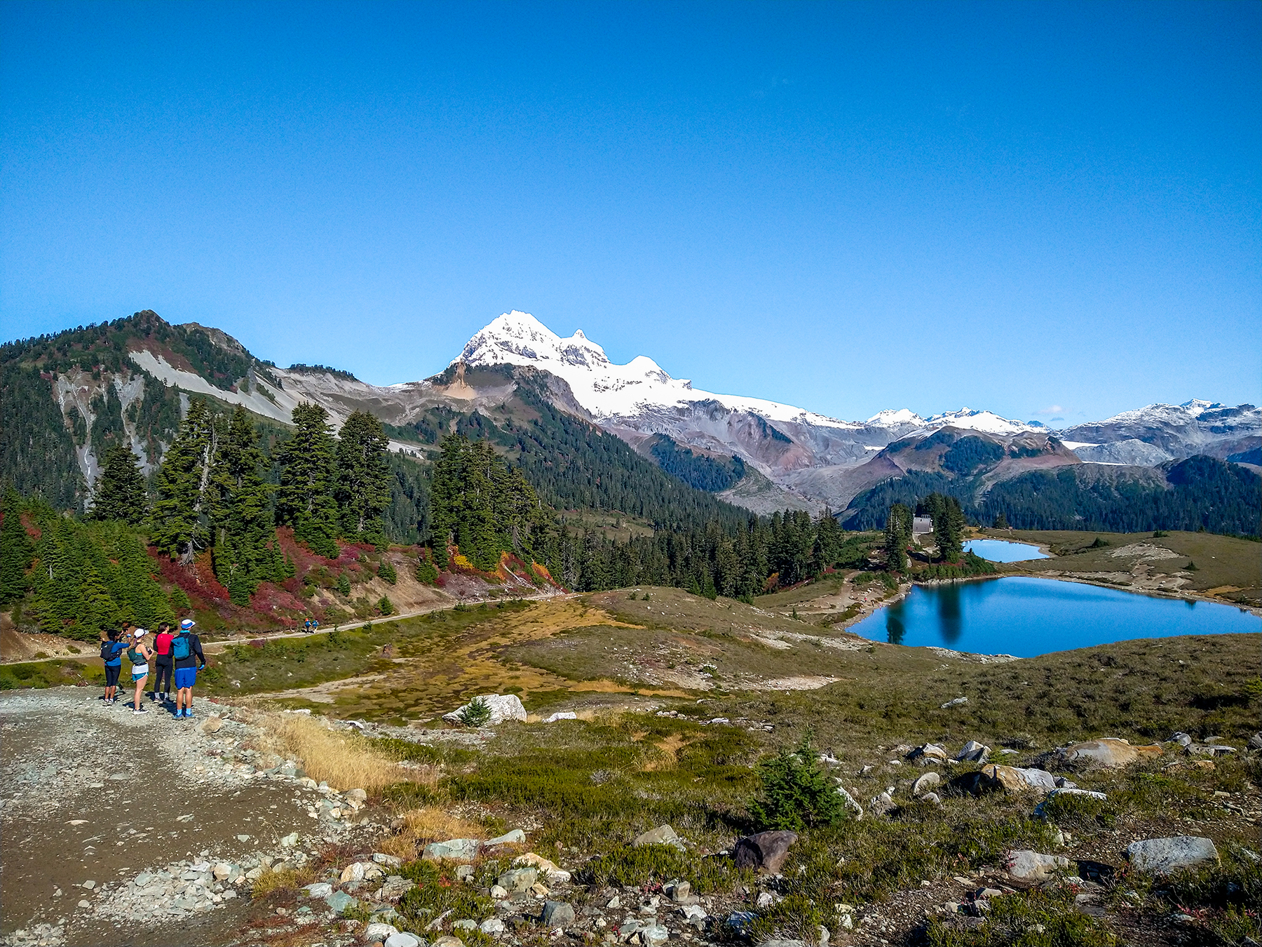
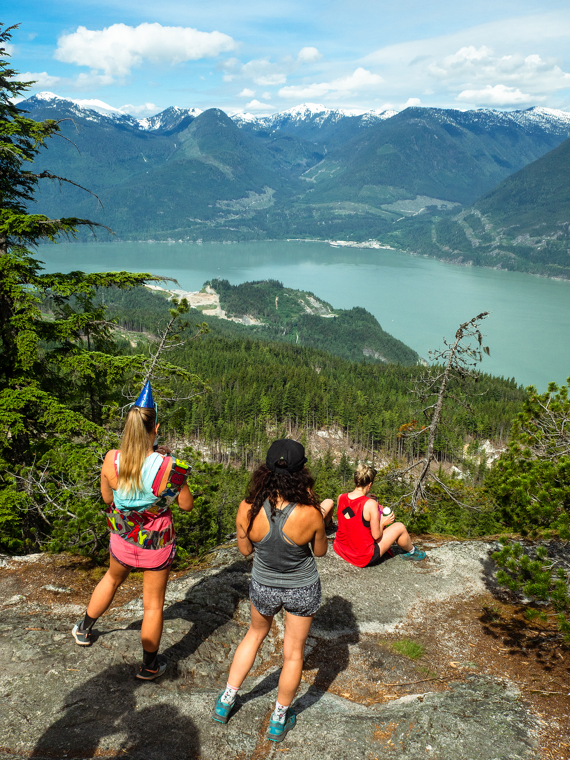
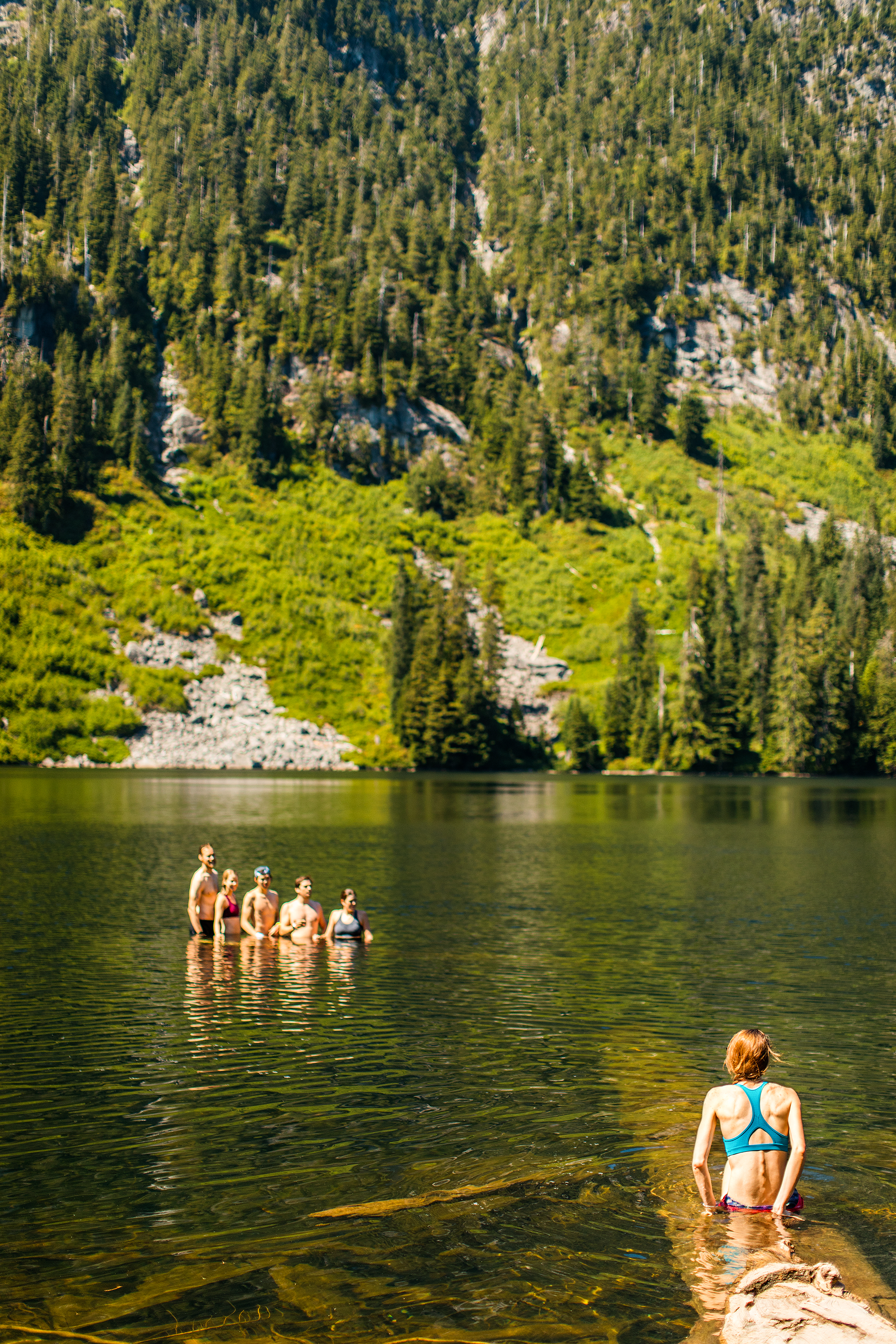
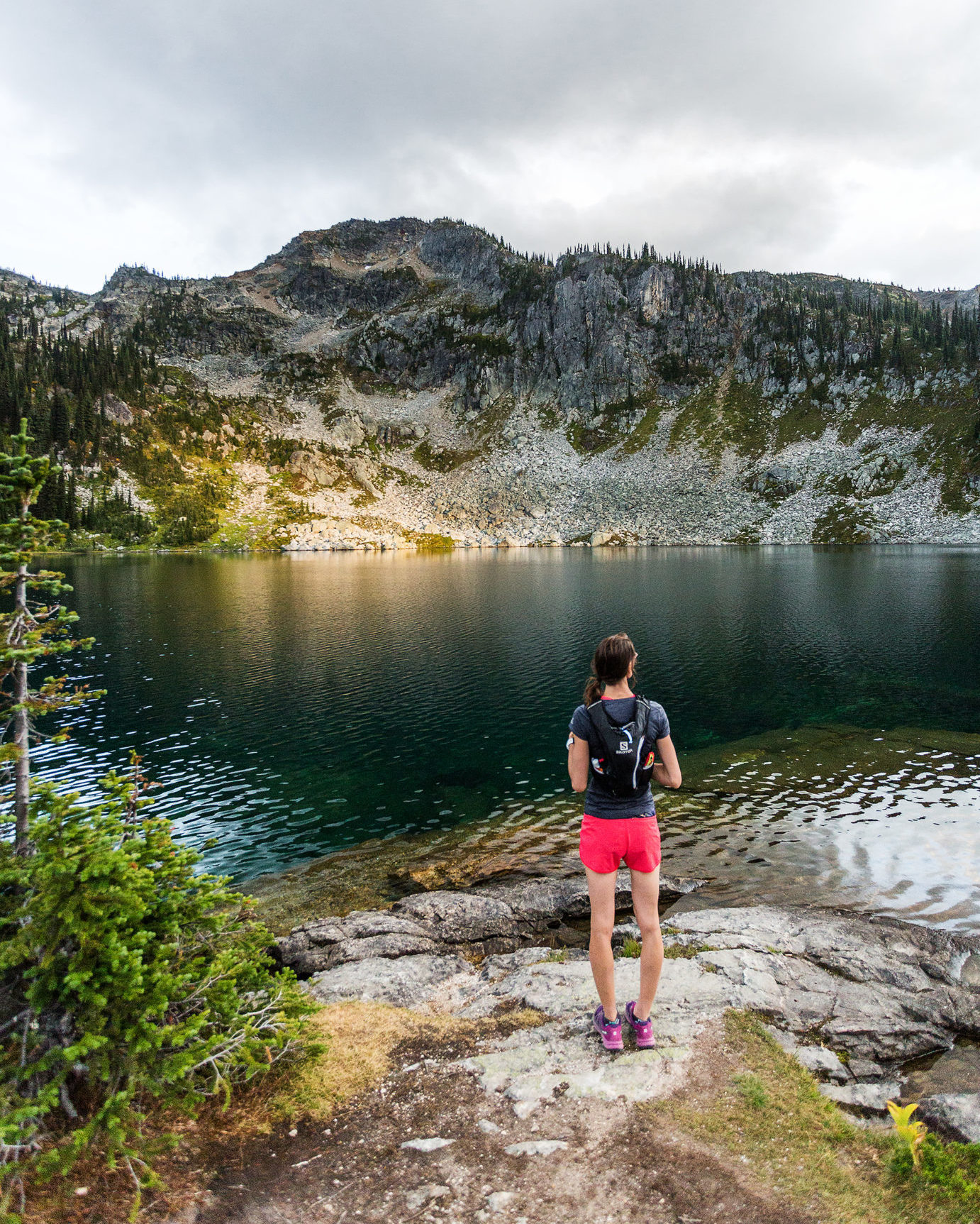
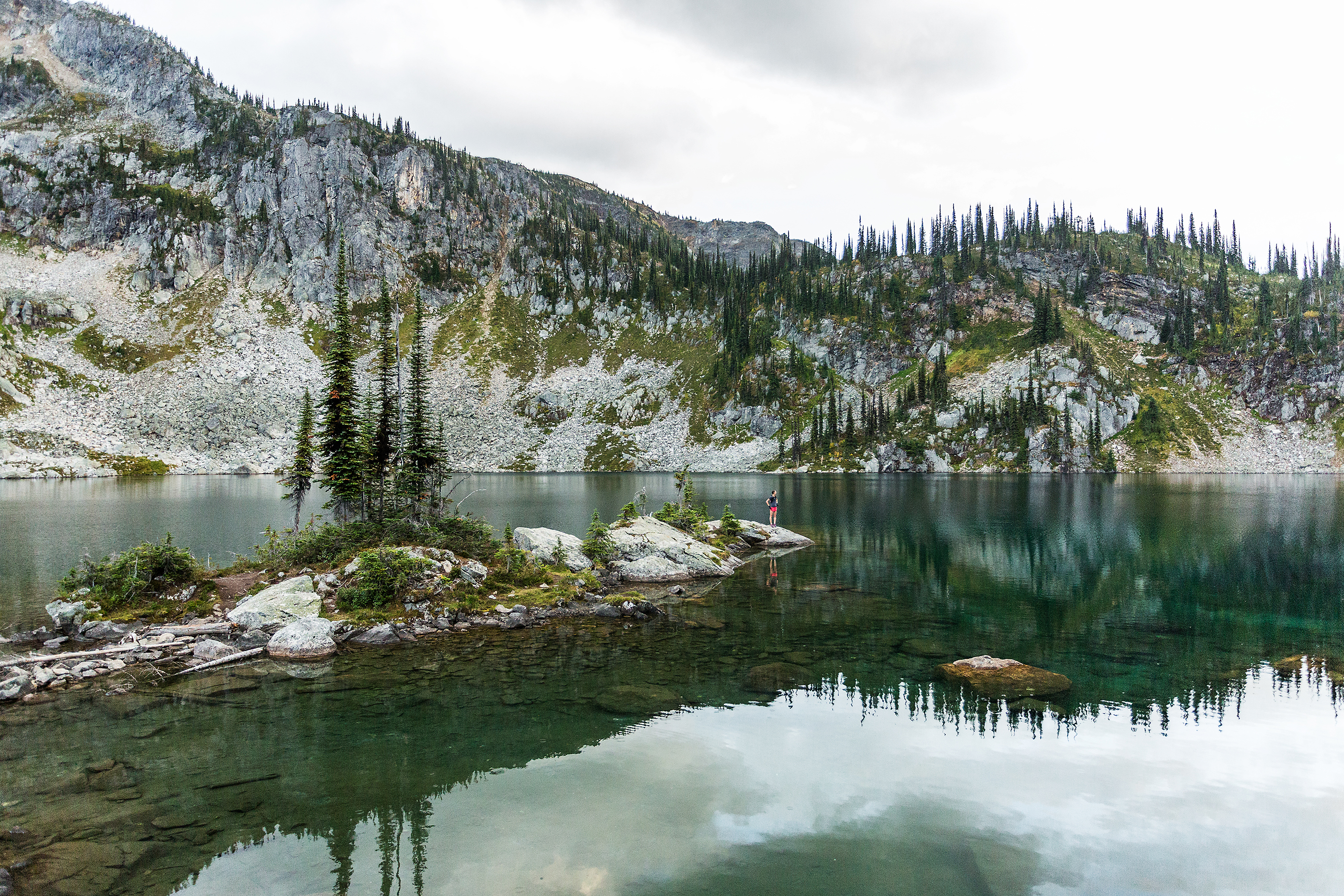
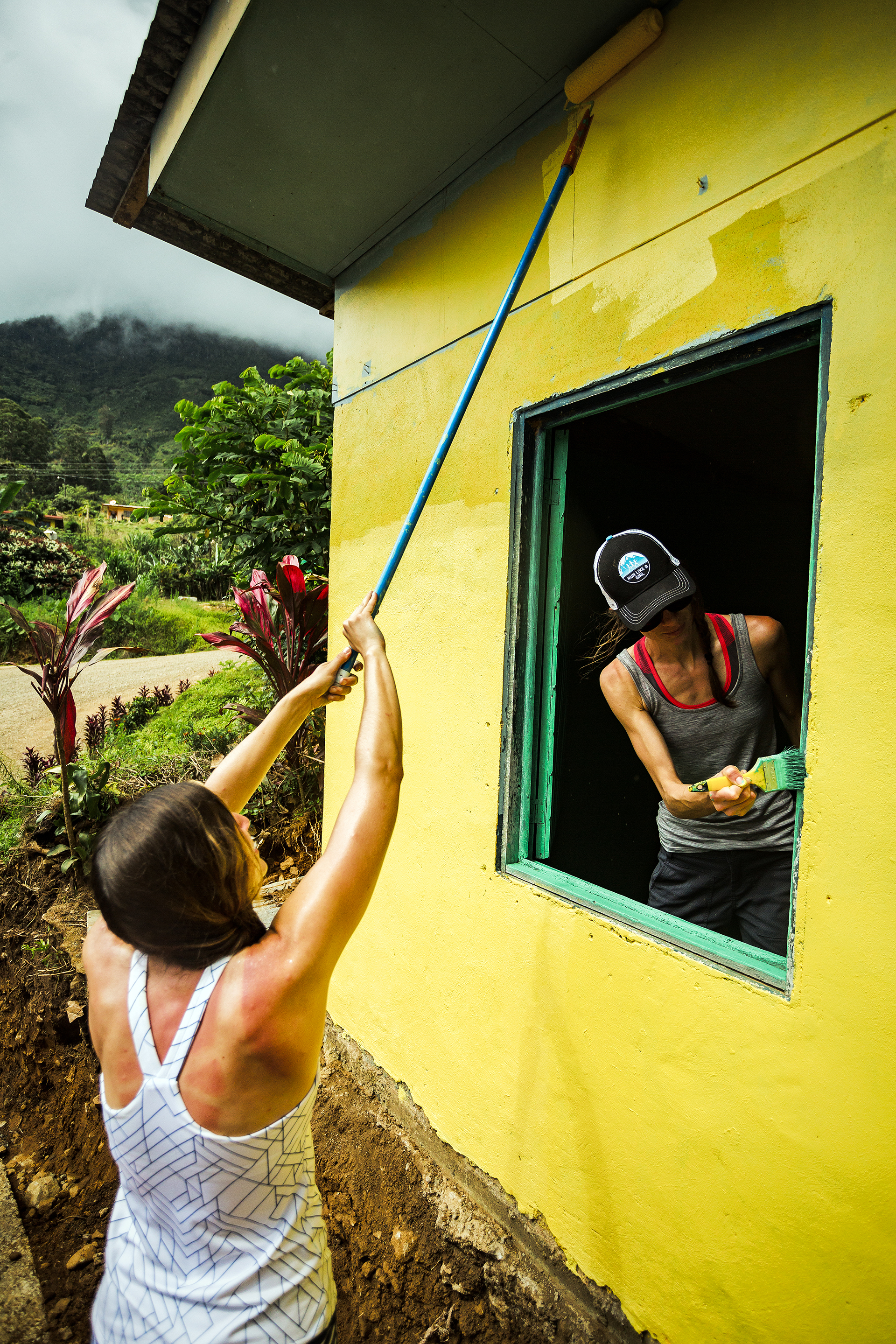
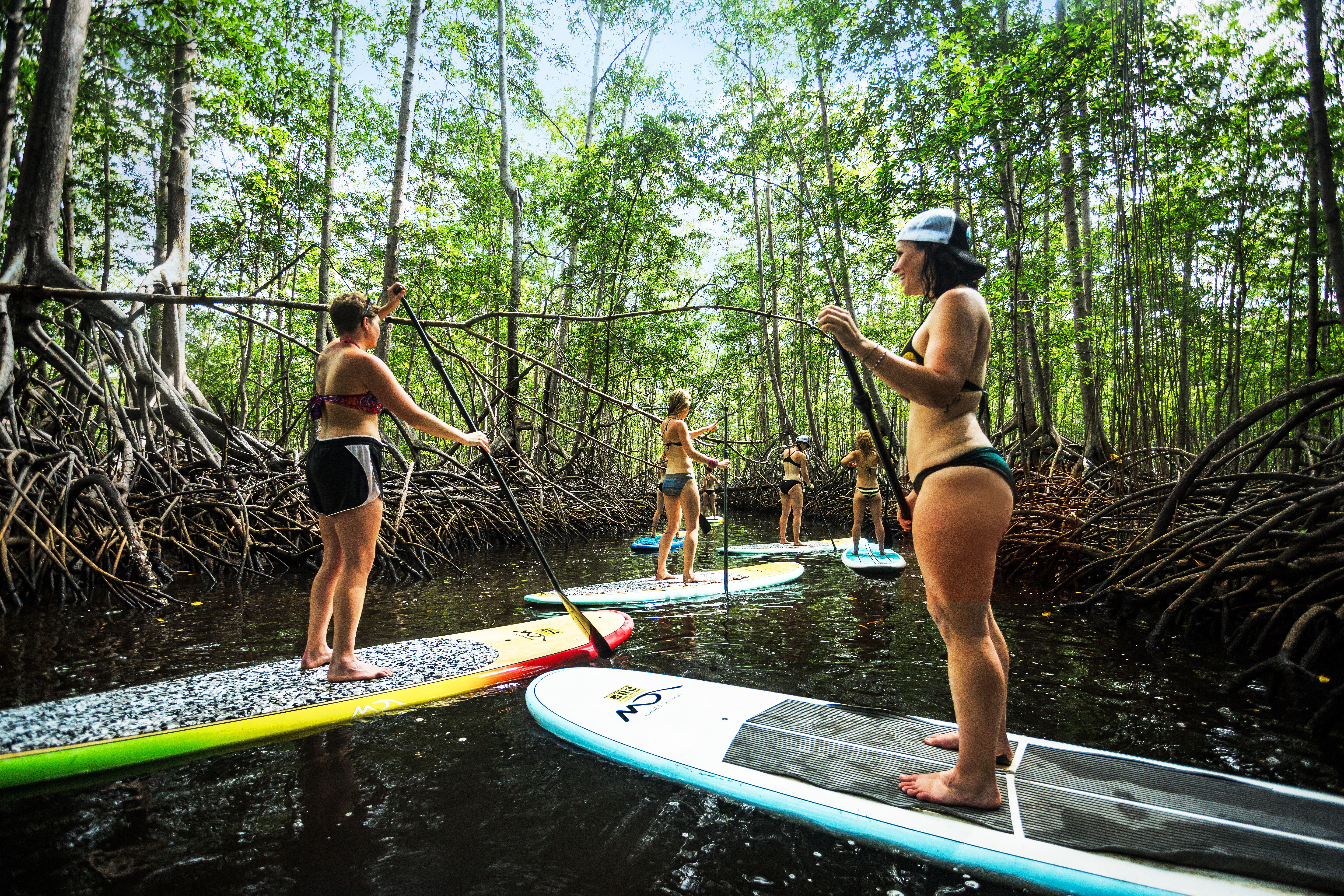
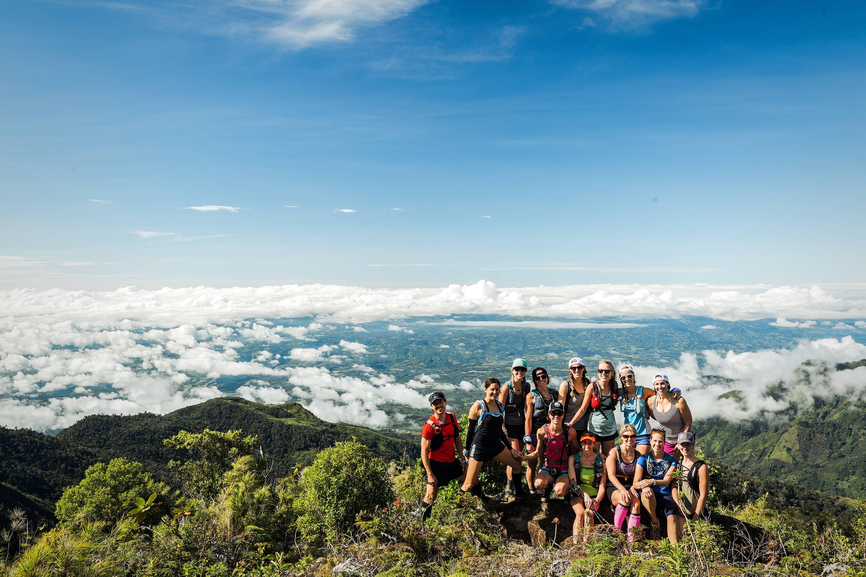
With that our group was formed and we started exchanging actively on Whats app, about gear, trip planning, training plans… I was able to plan various running days with each of them throughout the summer, and the stars even aligned for the four of us to have a big adventure day out to Mamquam lake in late September.

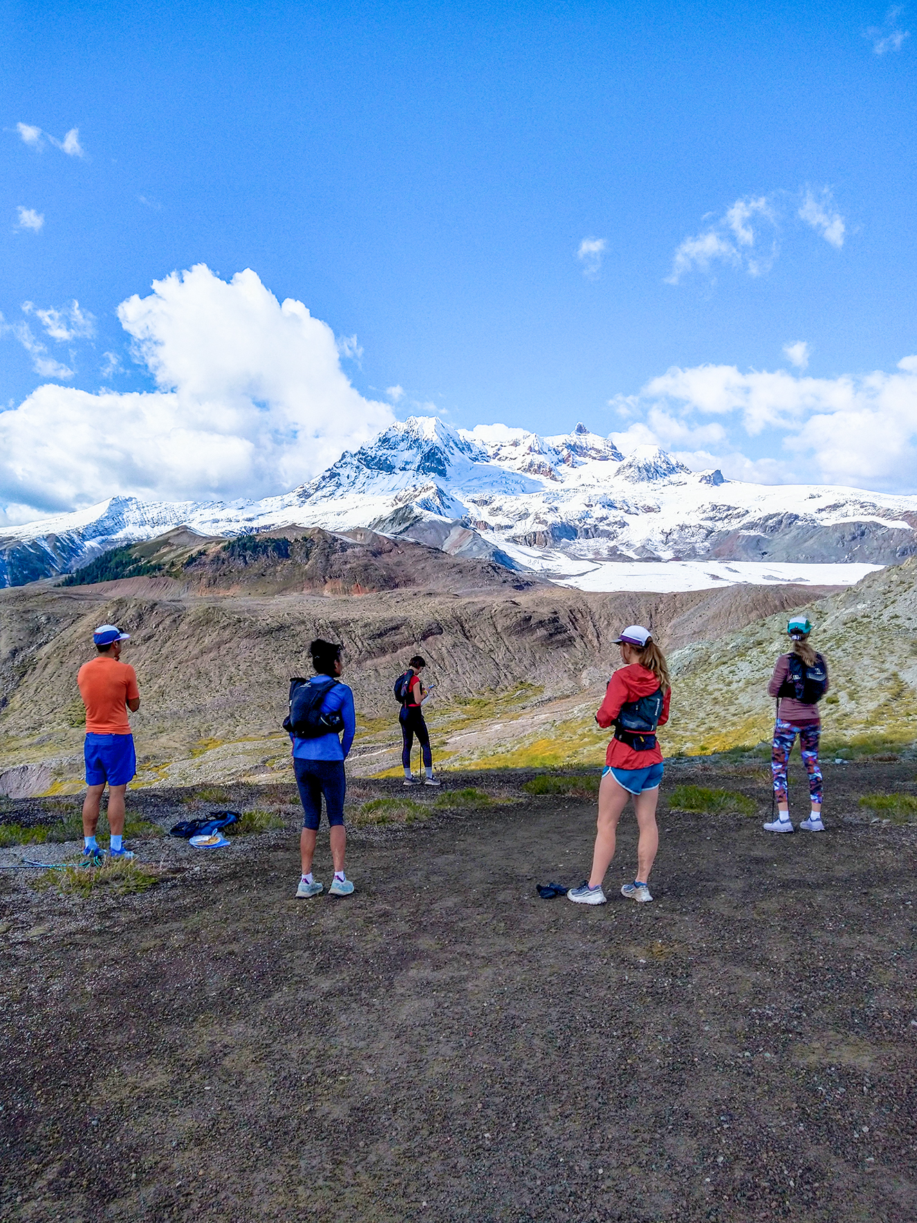
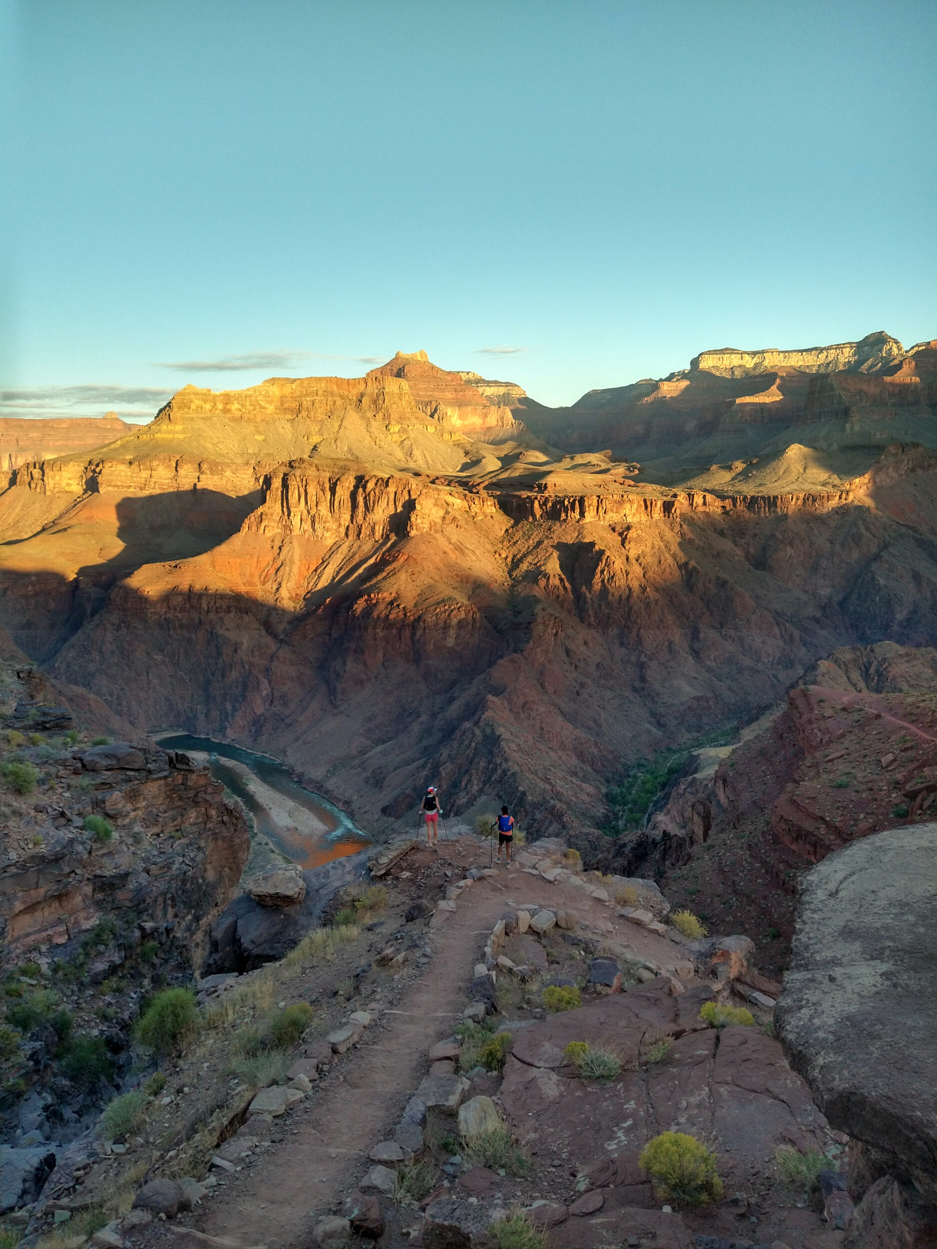
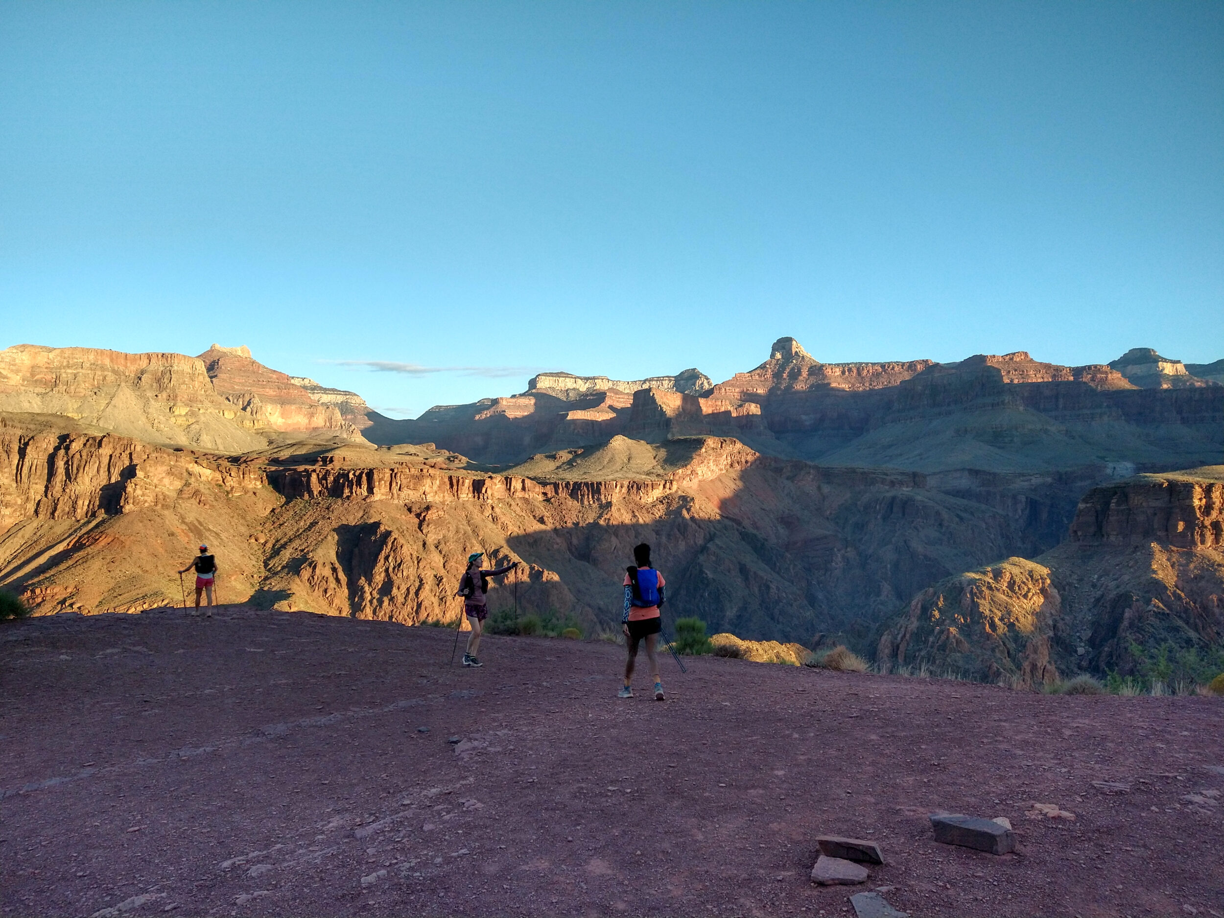
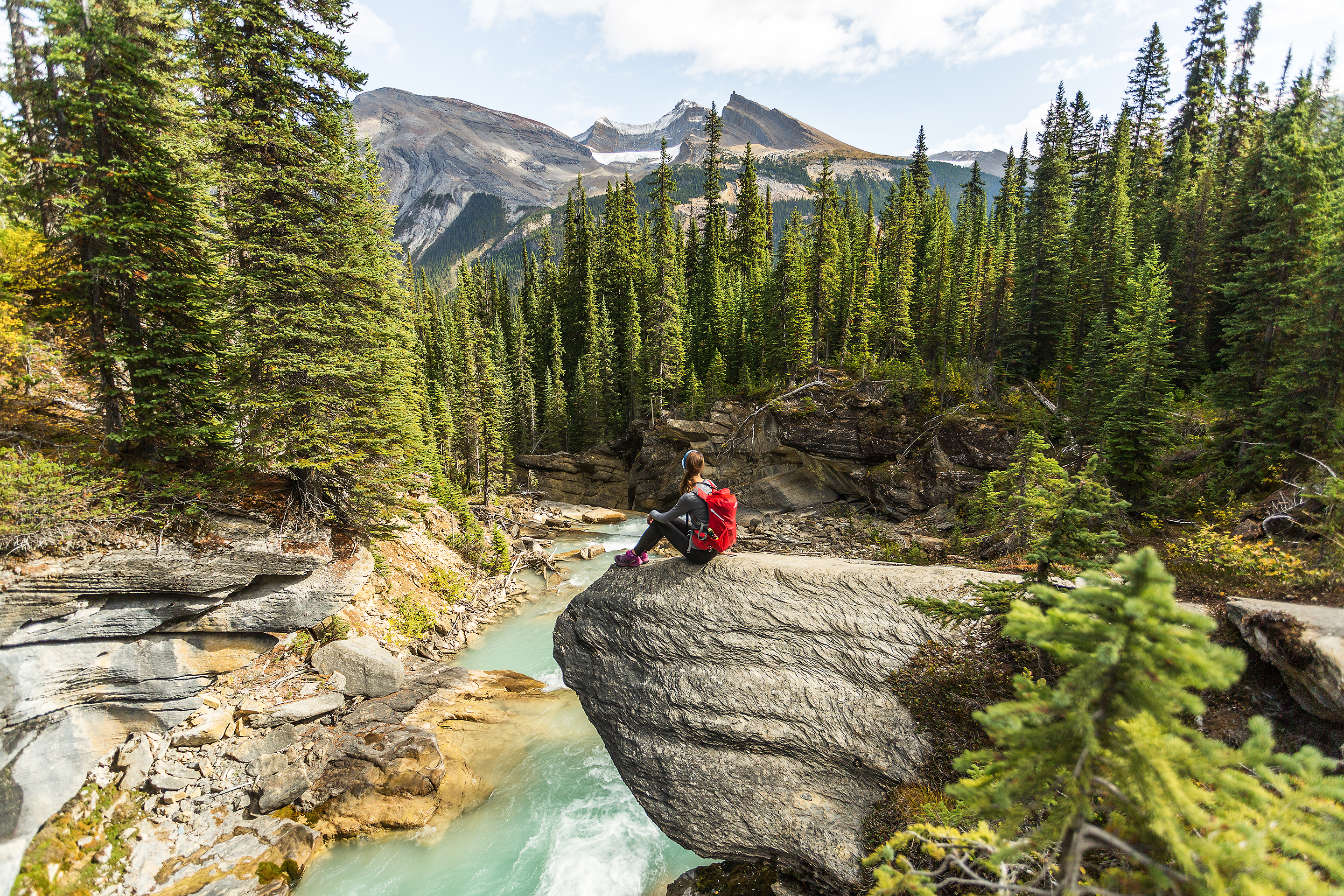
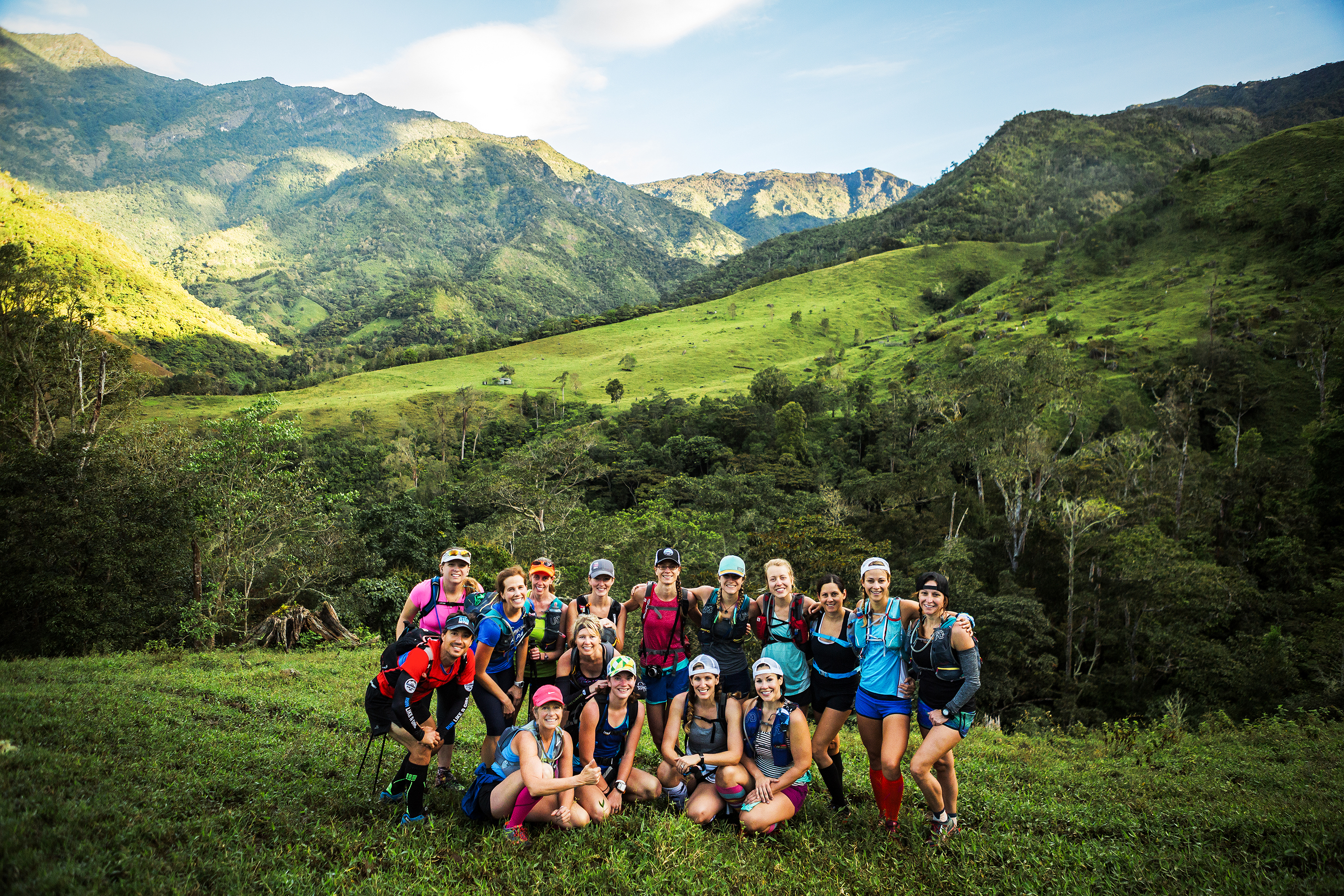
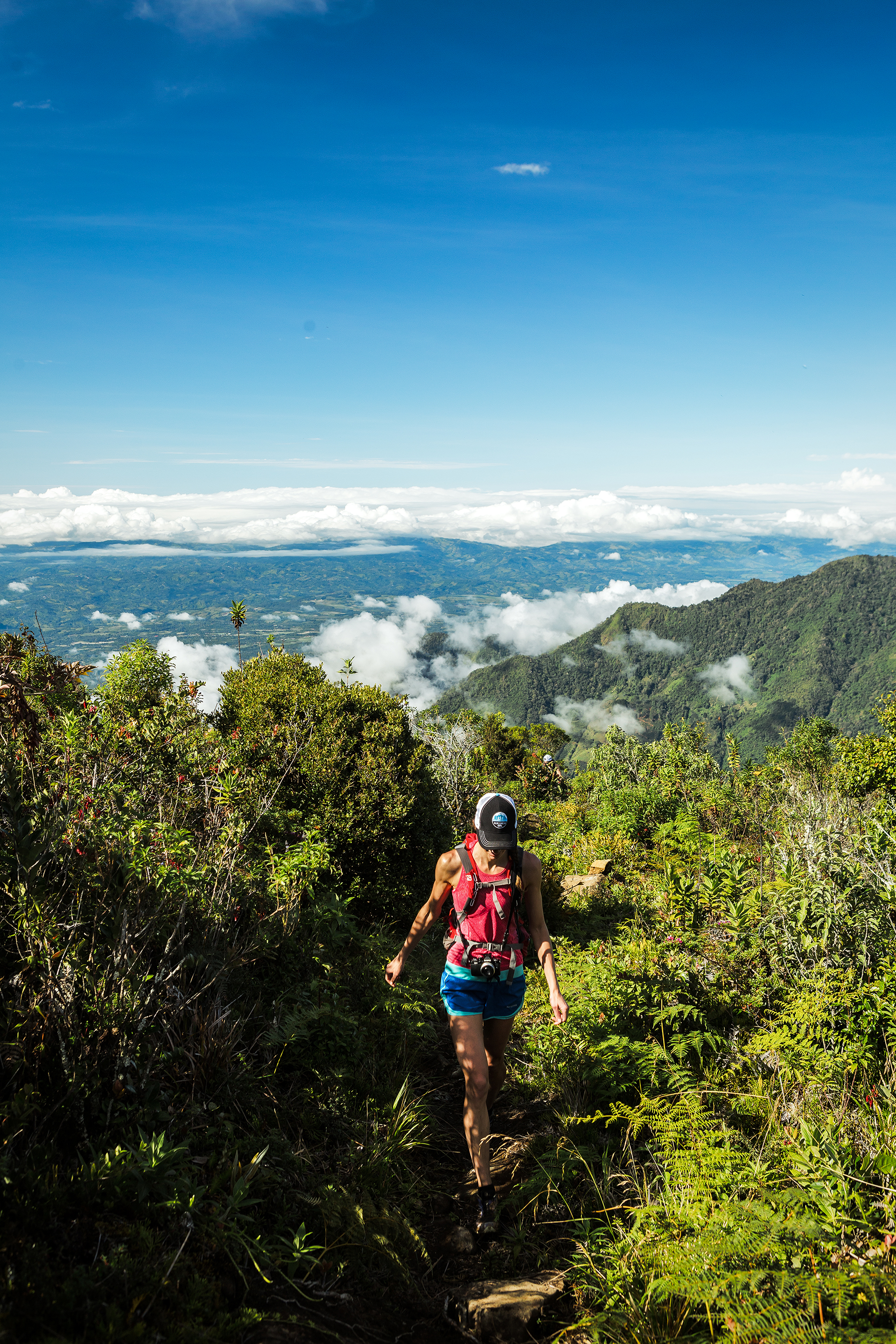
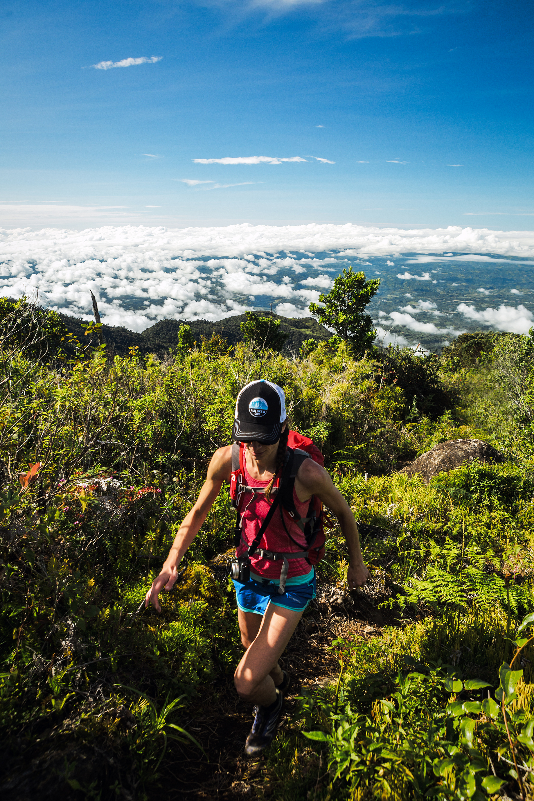
Doing these types of adventure with the “right” people is so important. And by right I mean people that I felt comfortable with. I knew we all had similar fitness level, I knew we all got along great and that none of use would feel “held back” or pressured to go quicker, or be left behind.
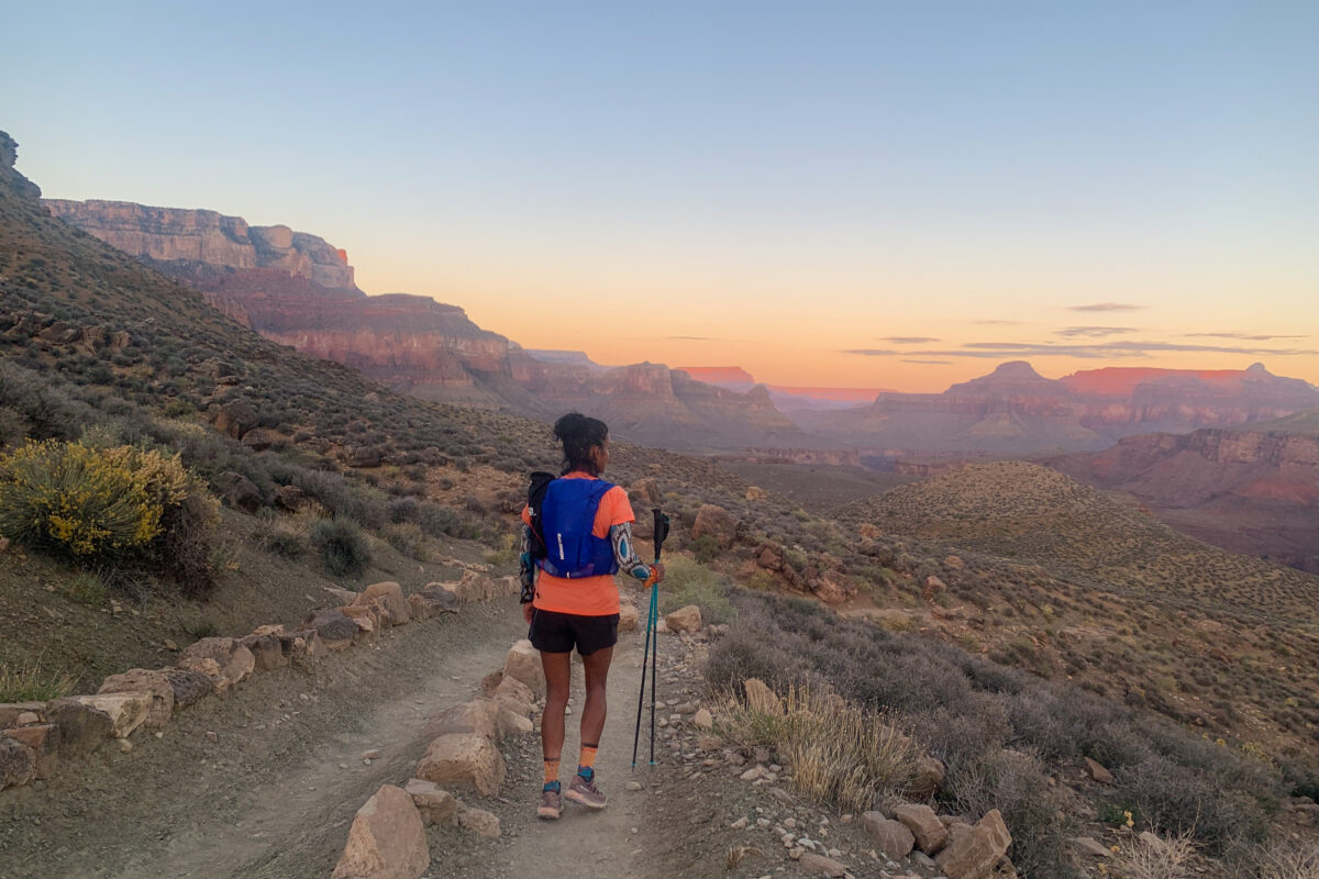
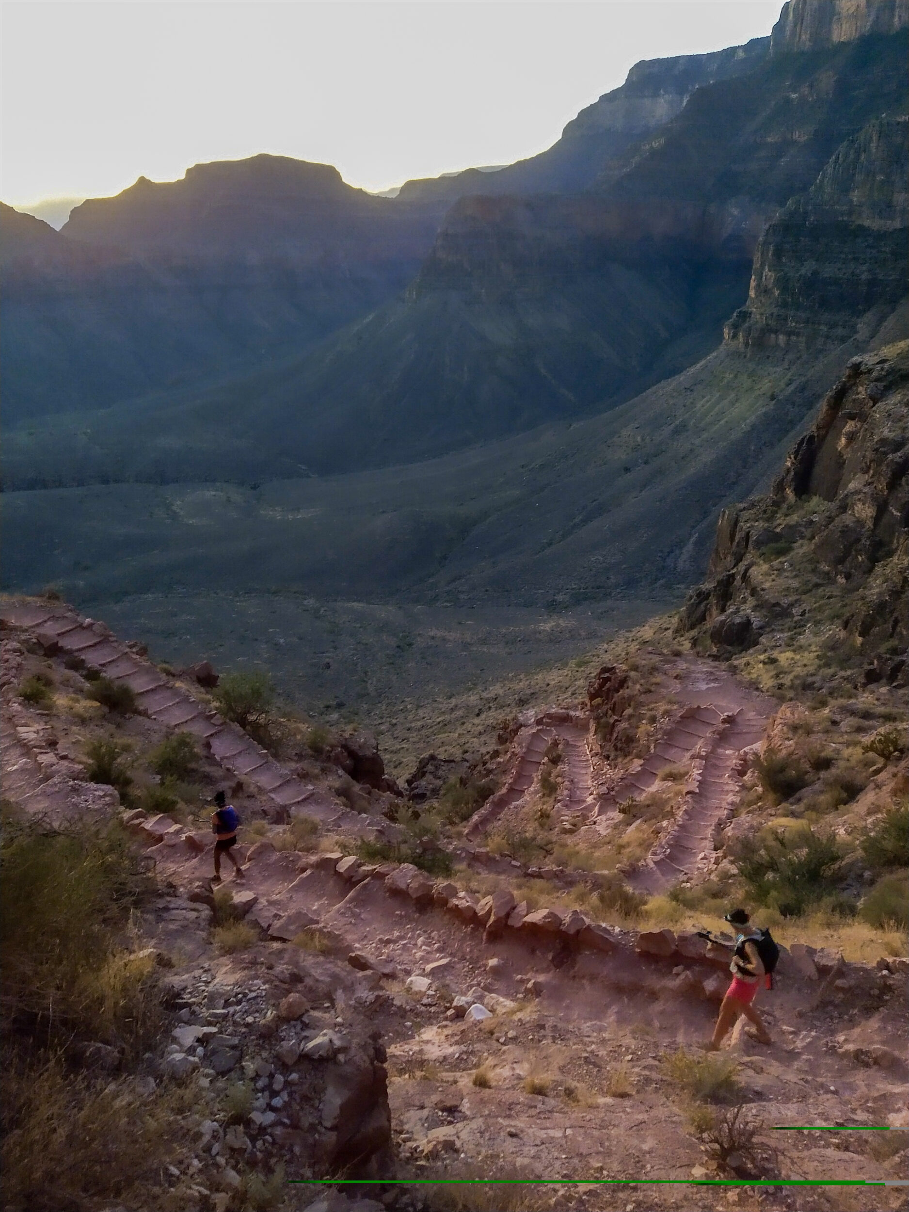
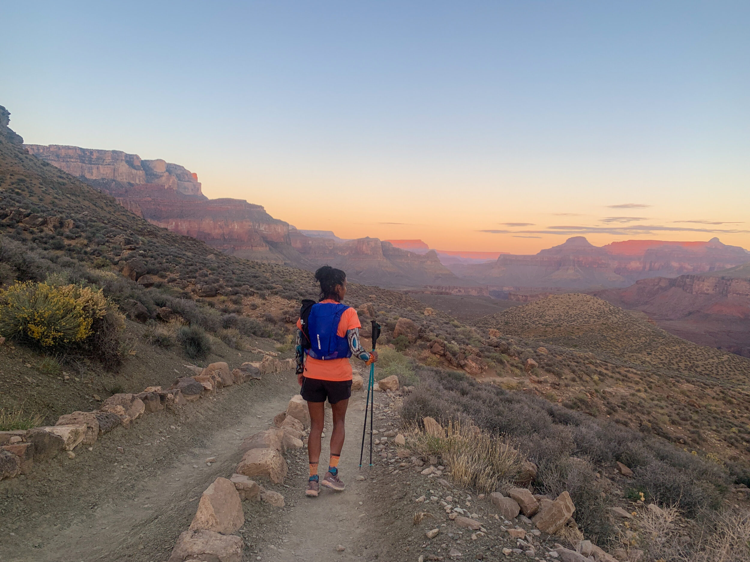
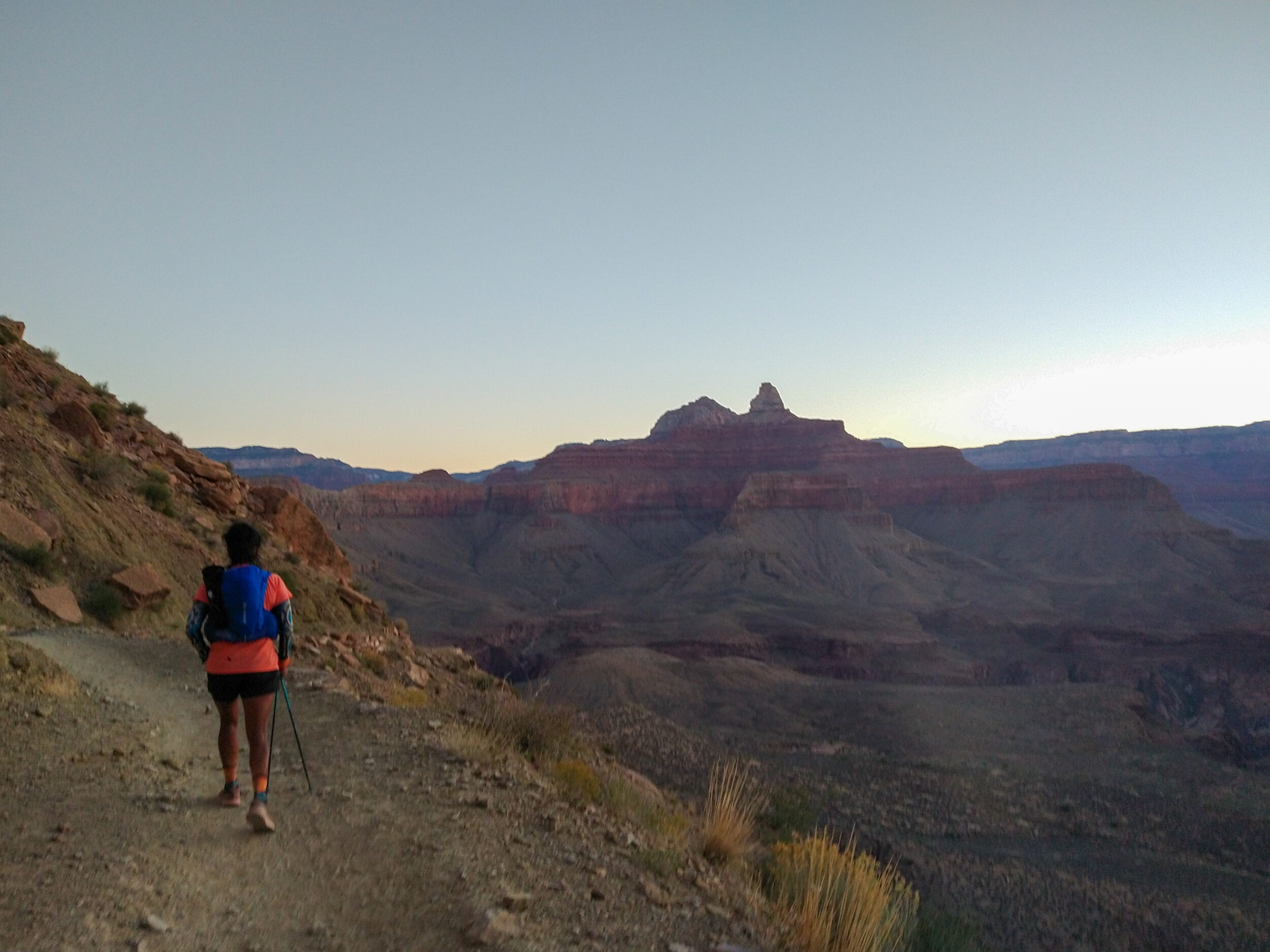
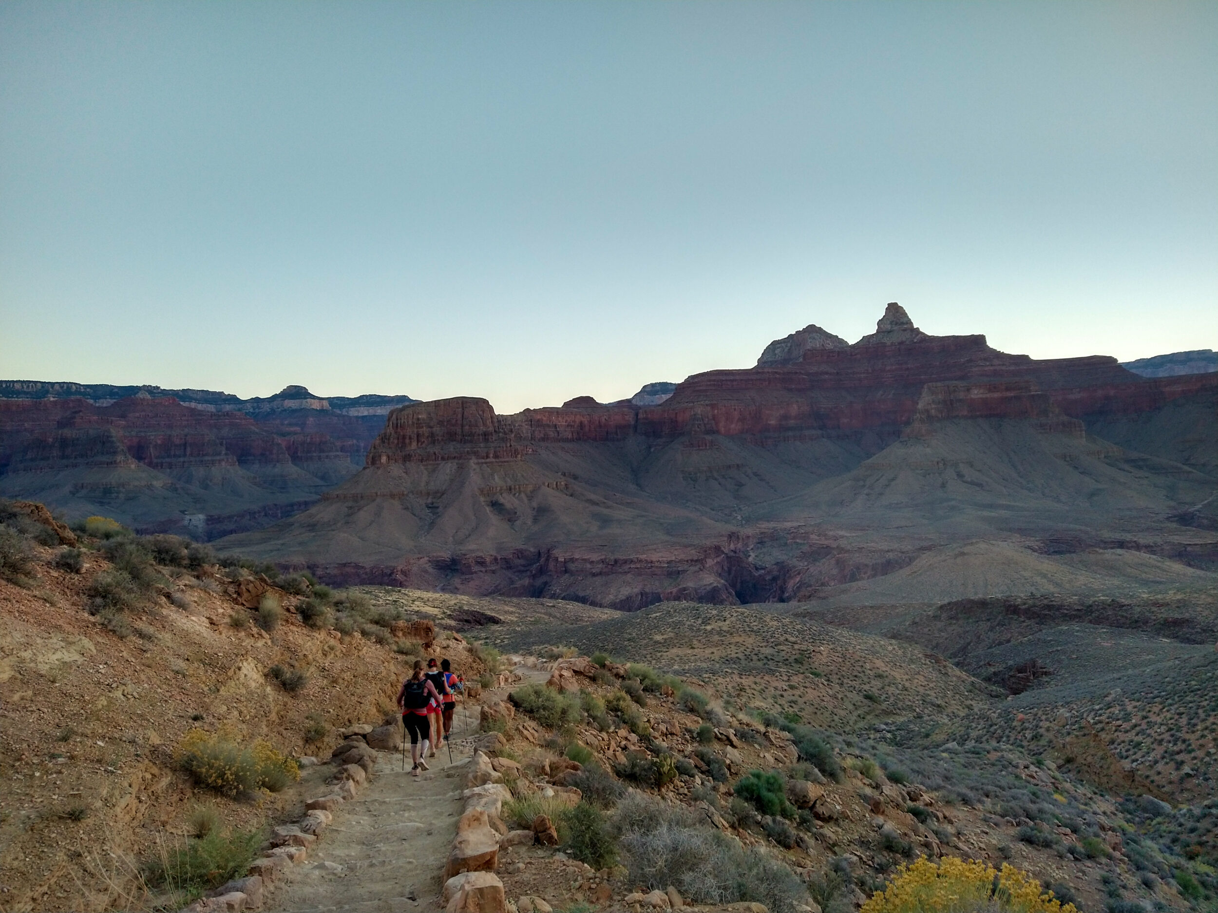
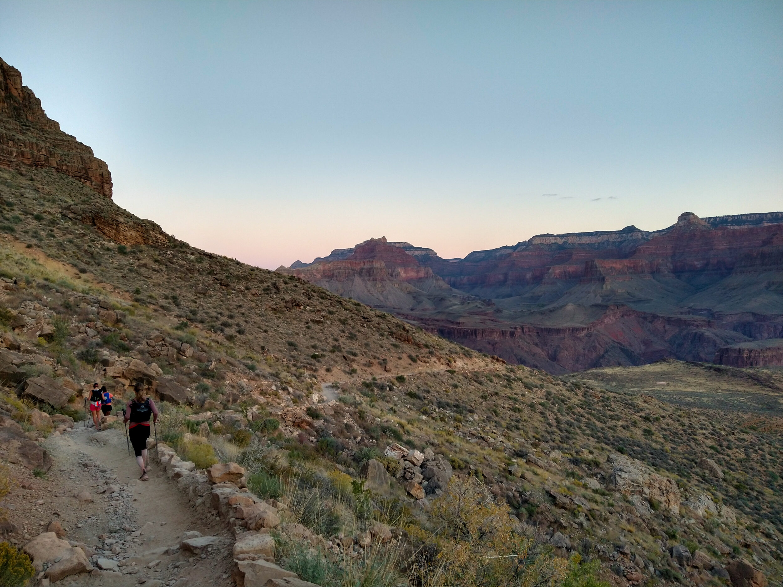
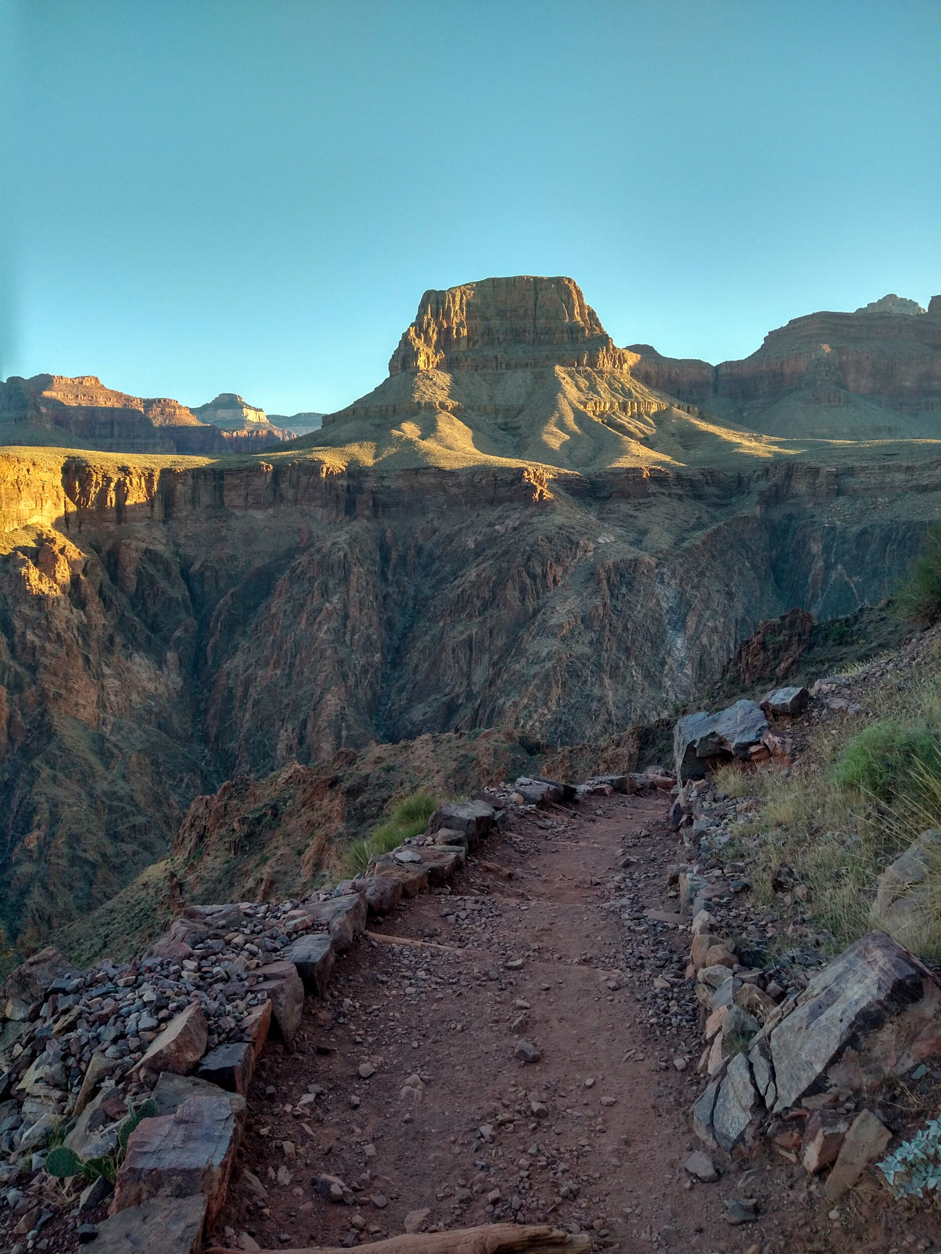
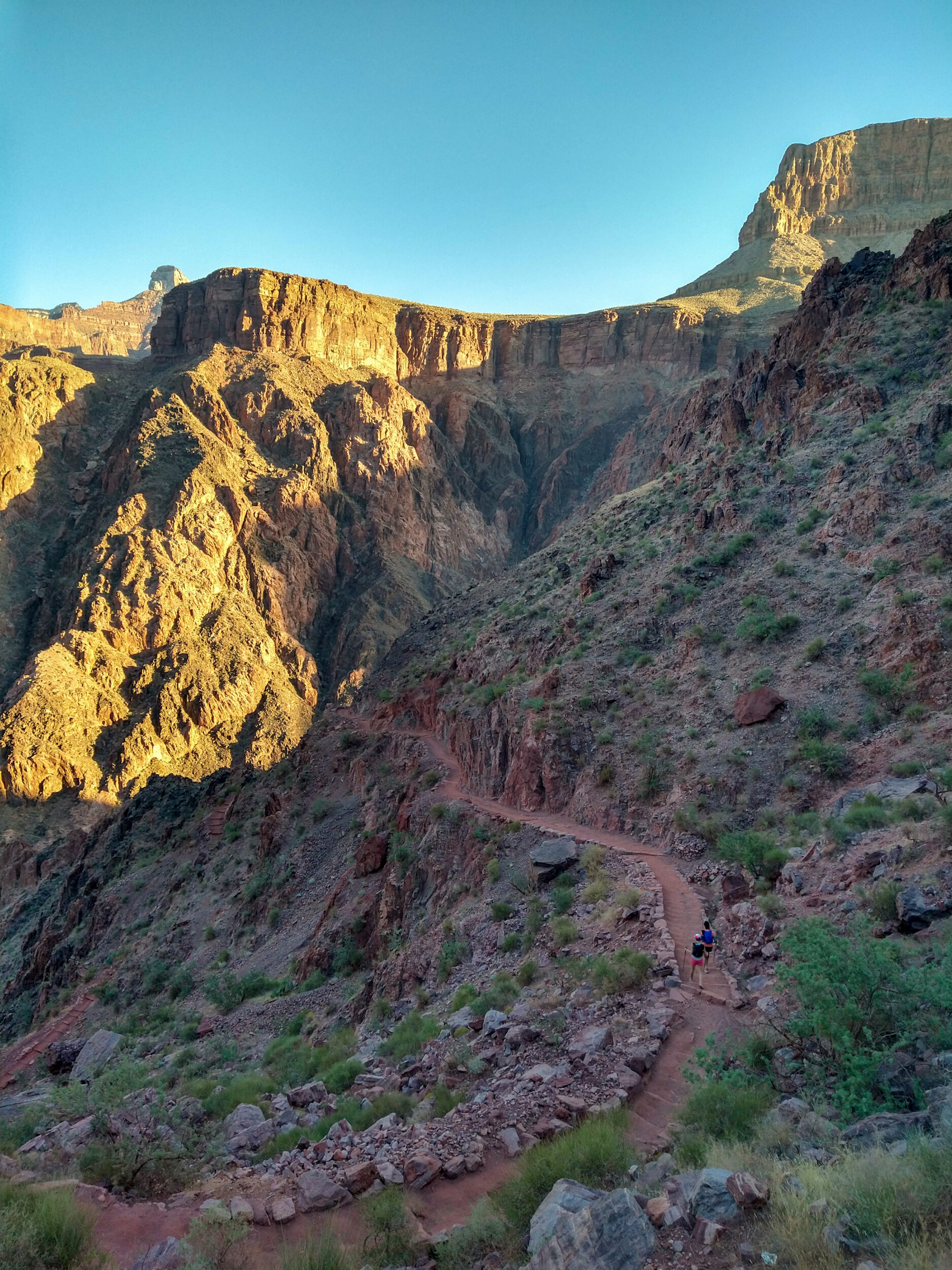
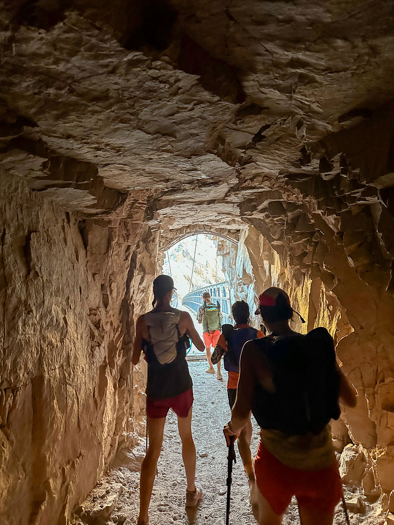
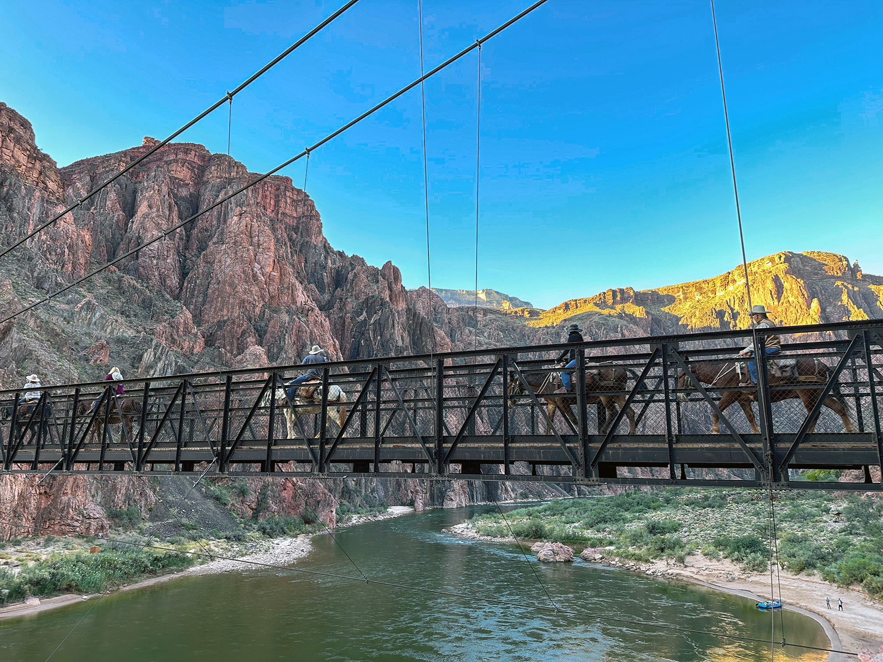
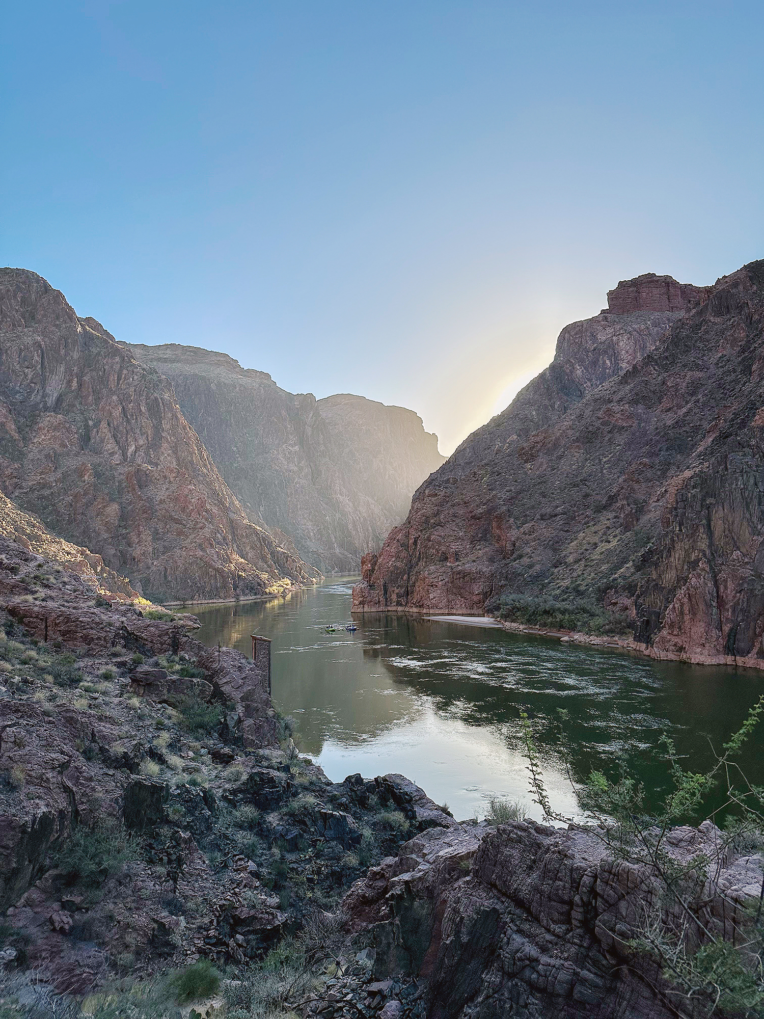
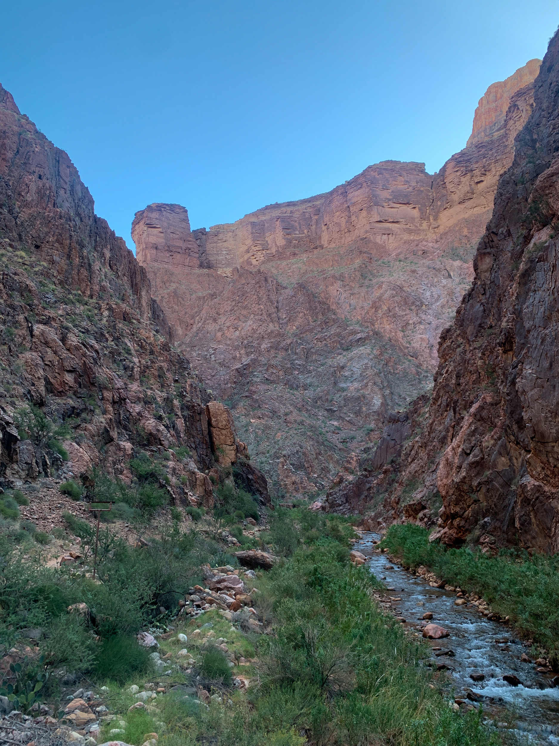
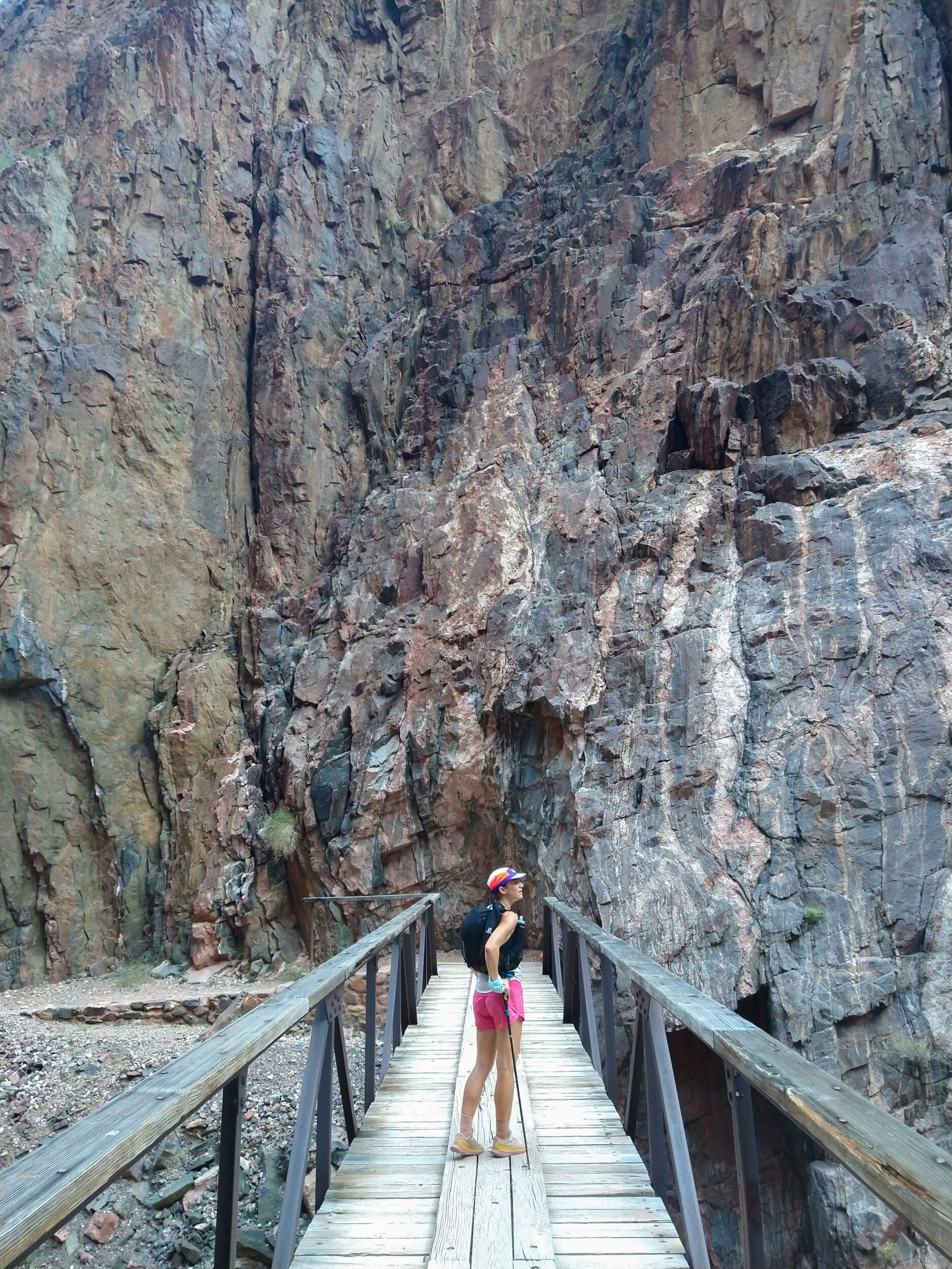
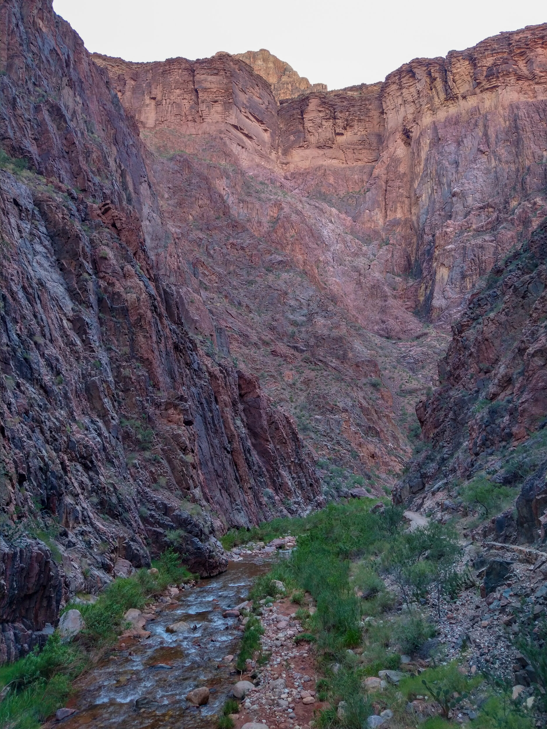
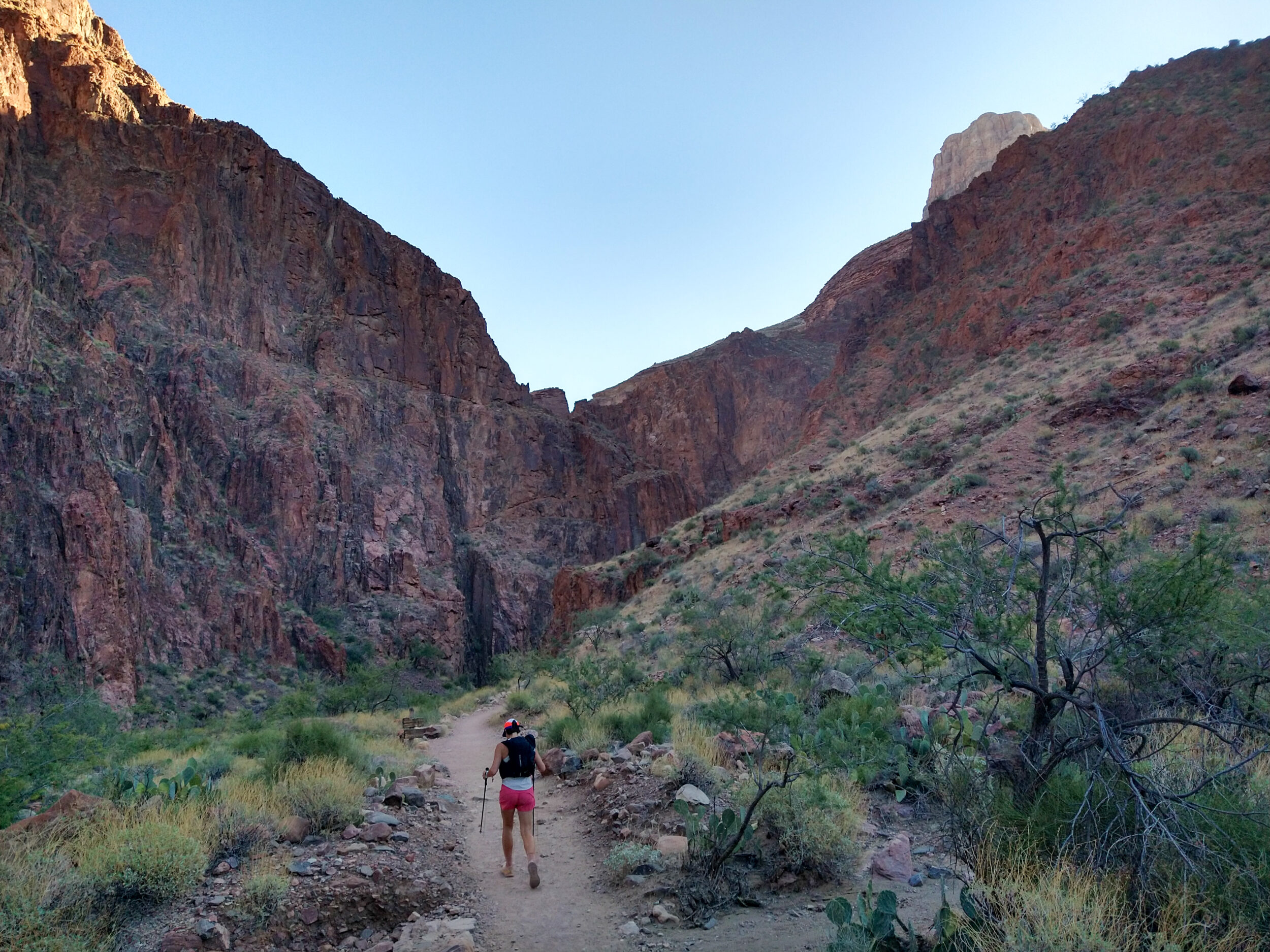
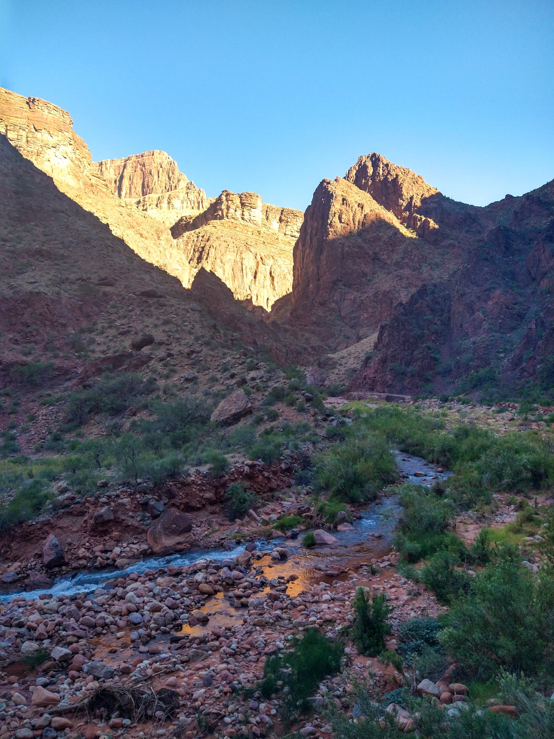
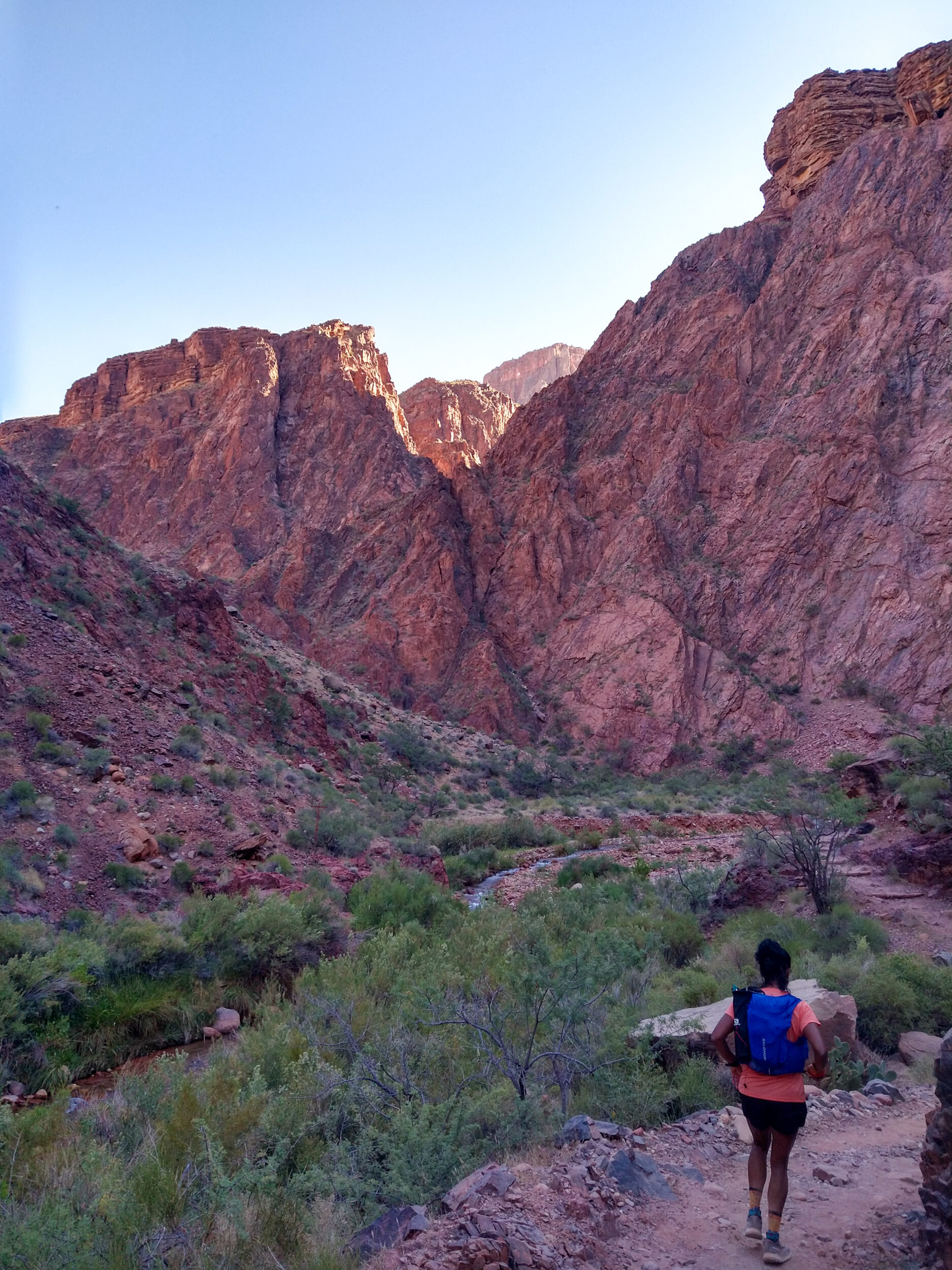
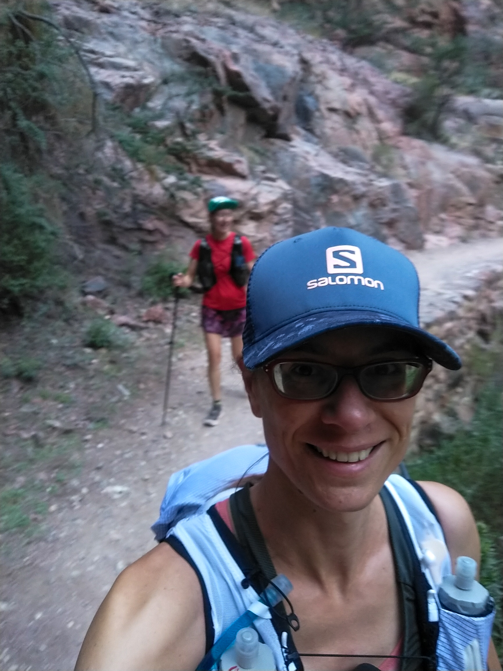
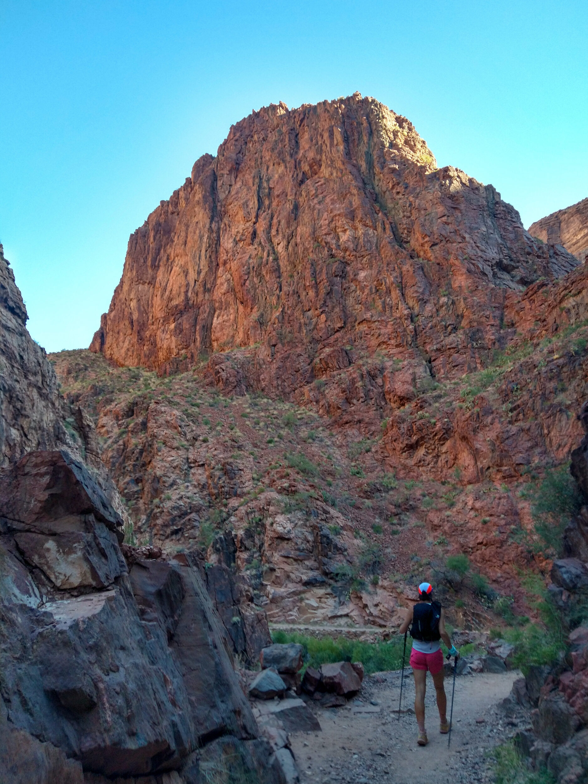
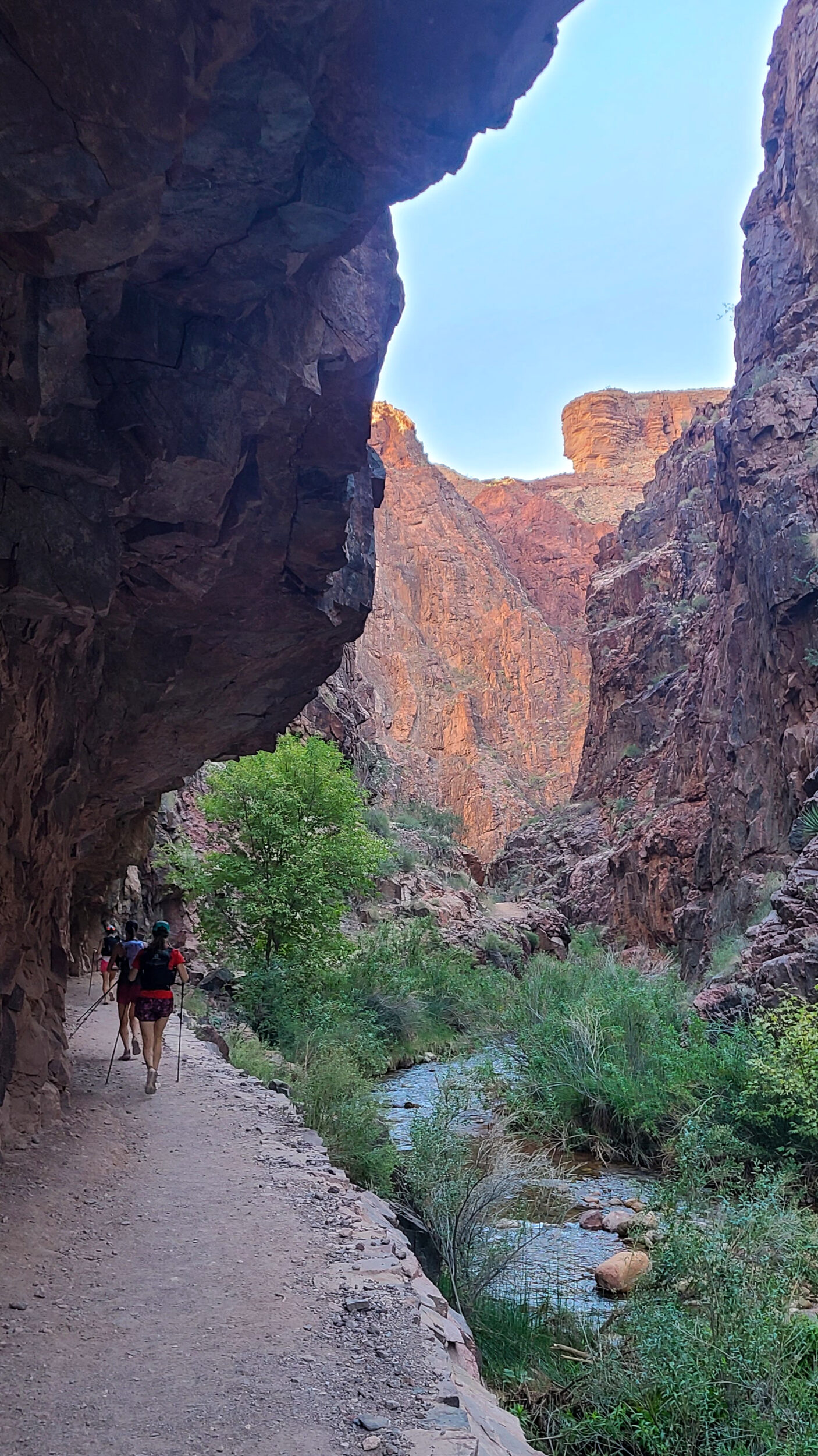
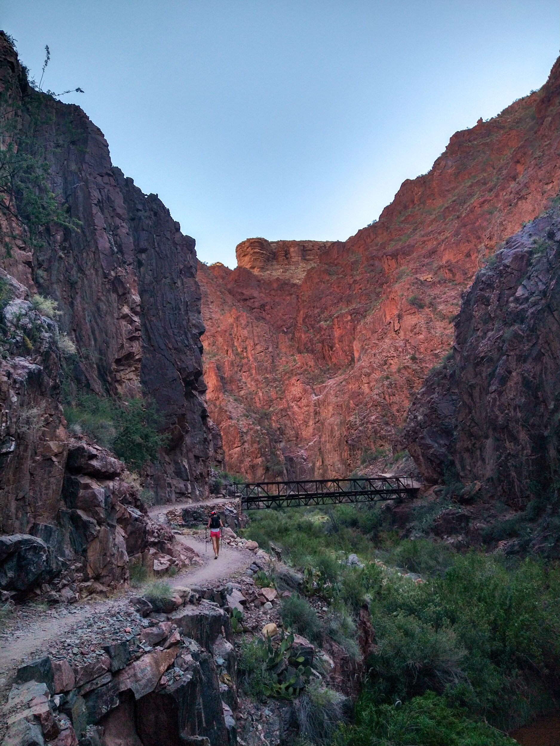
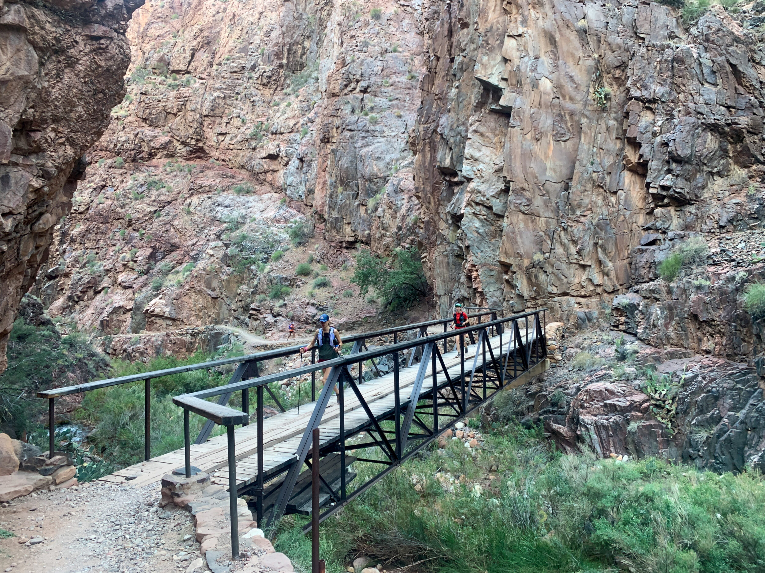
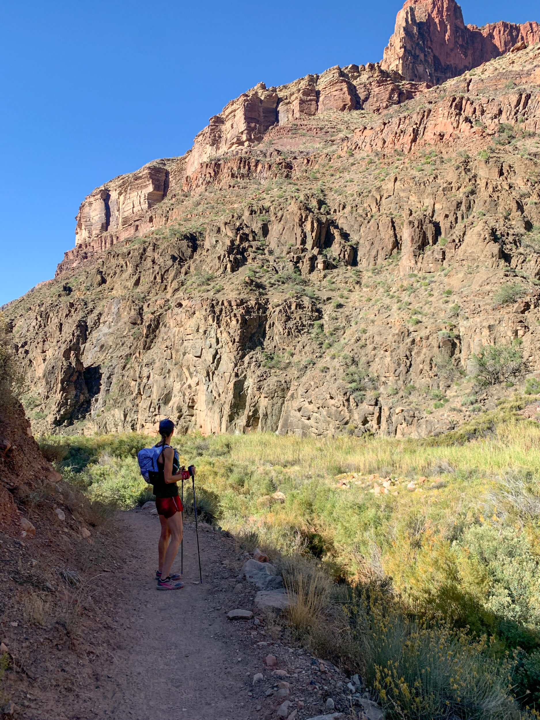
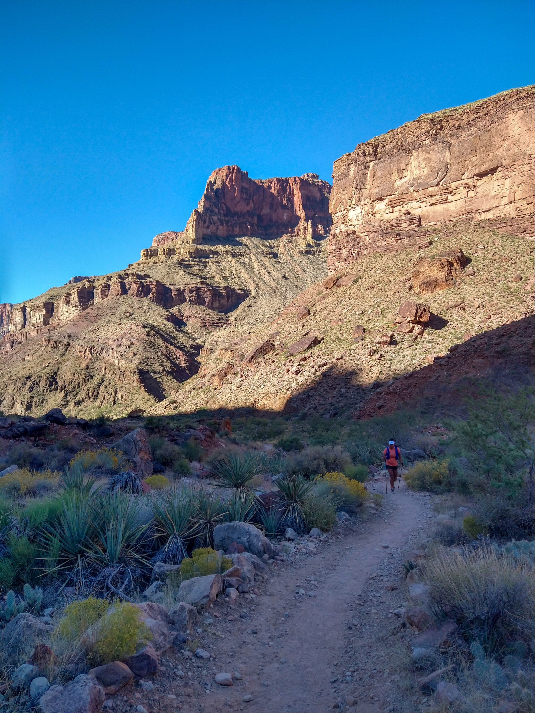
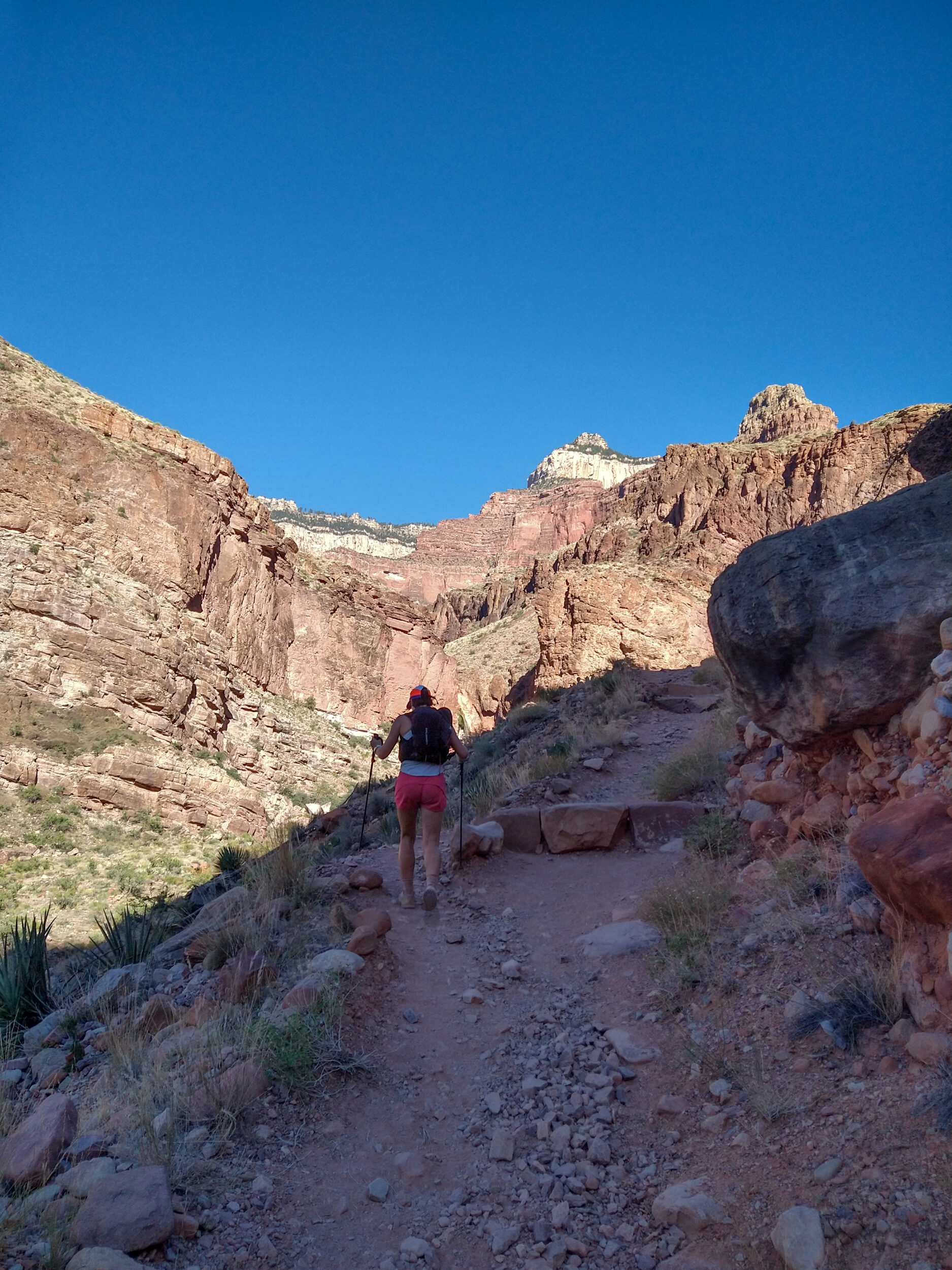
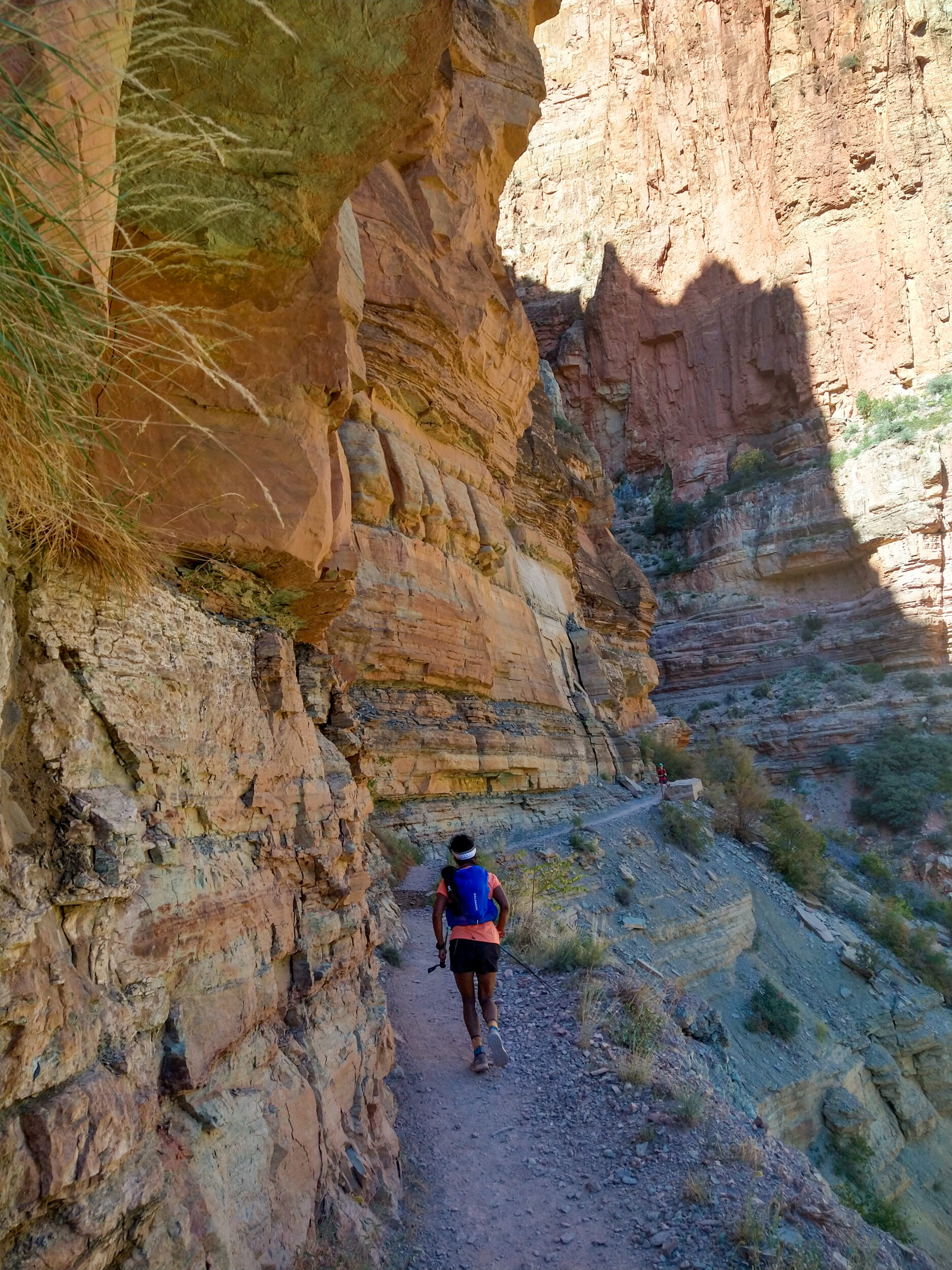
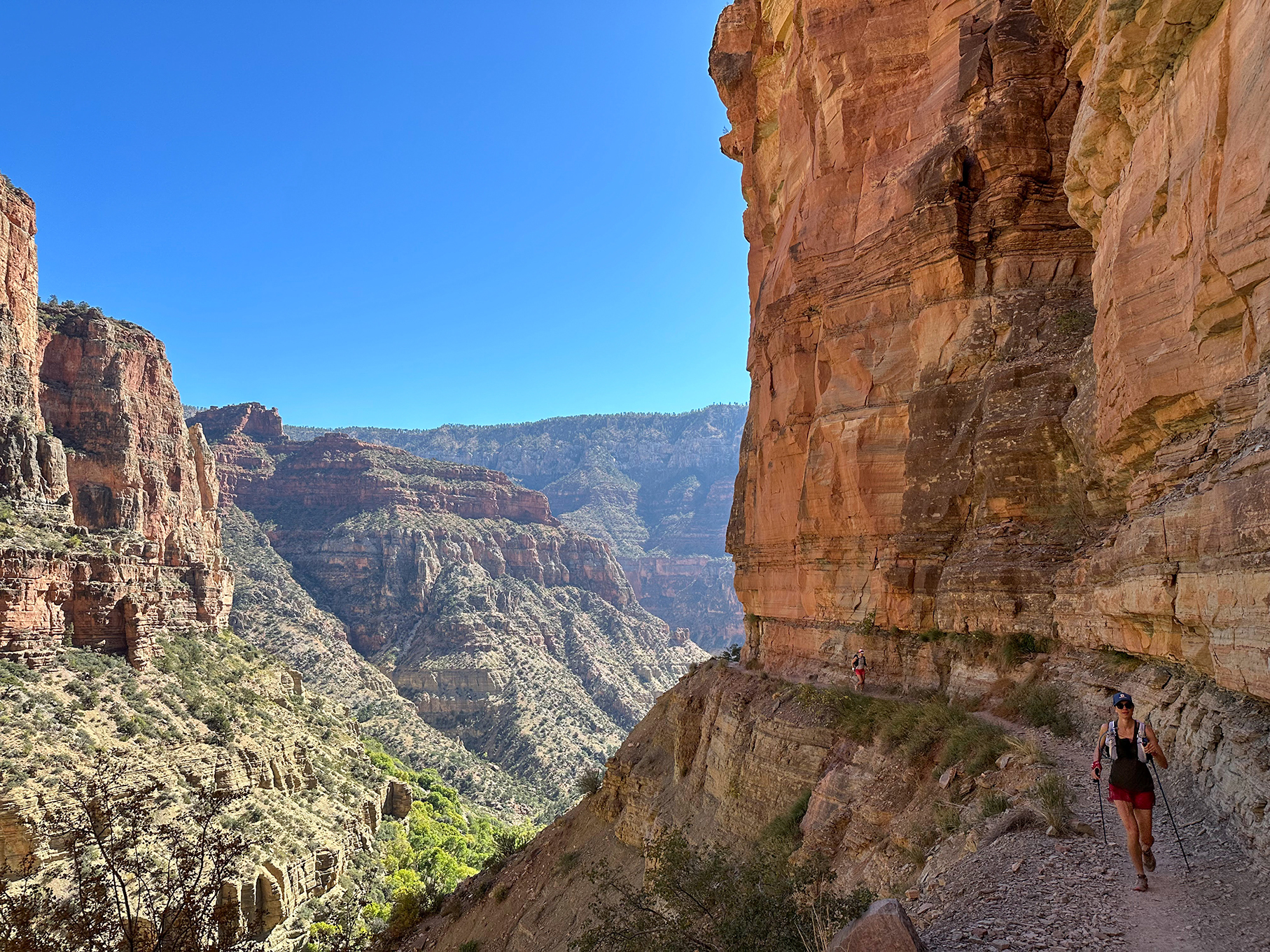
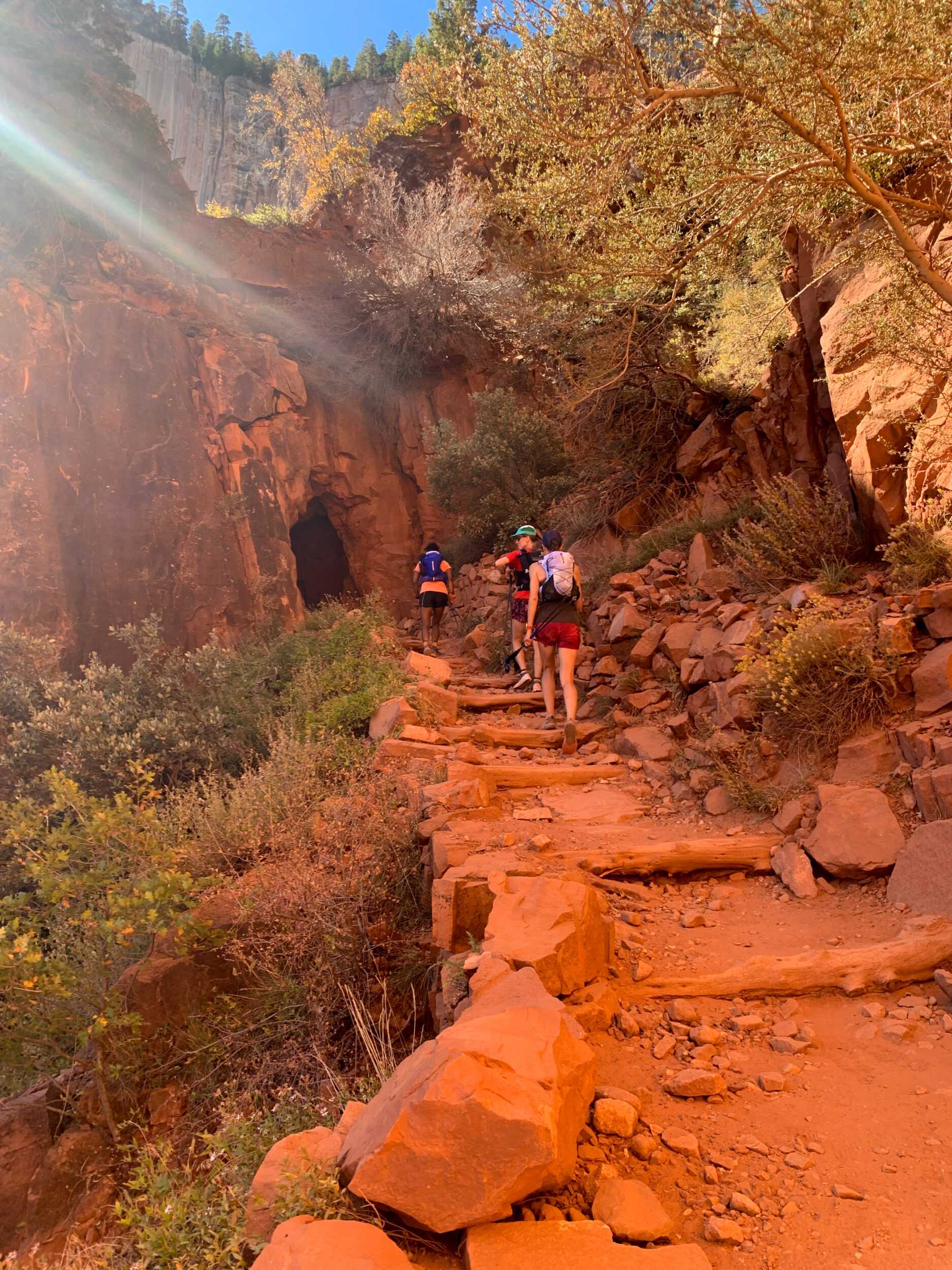
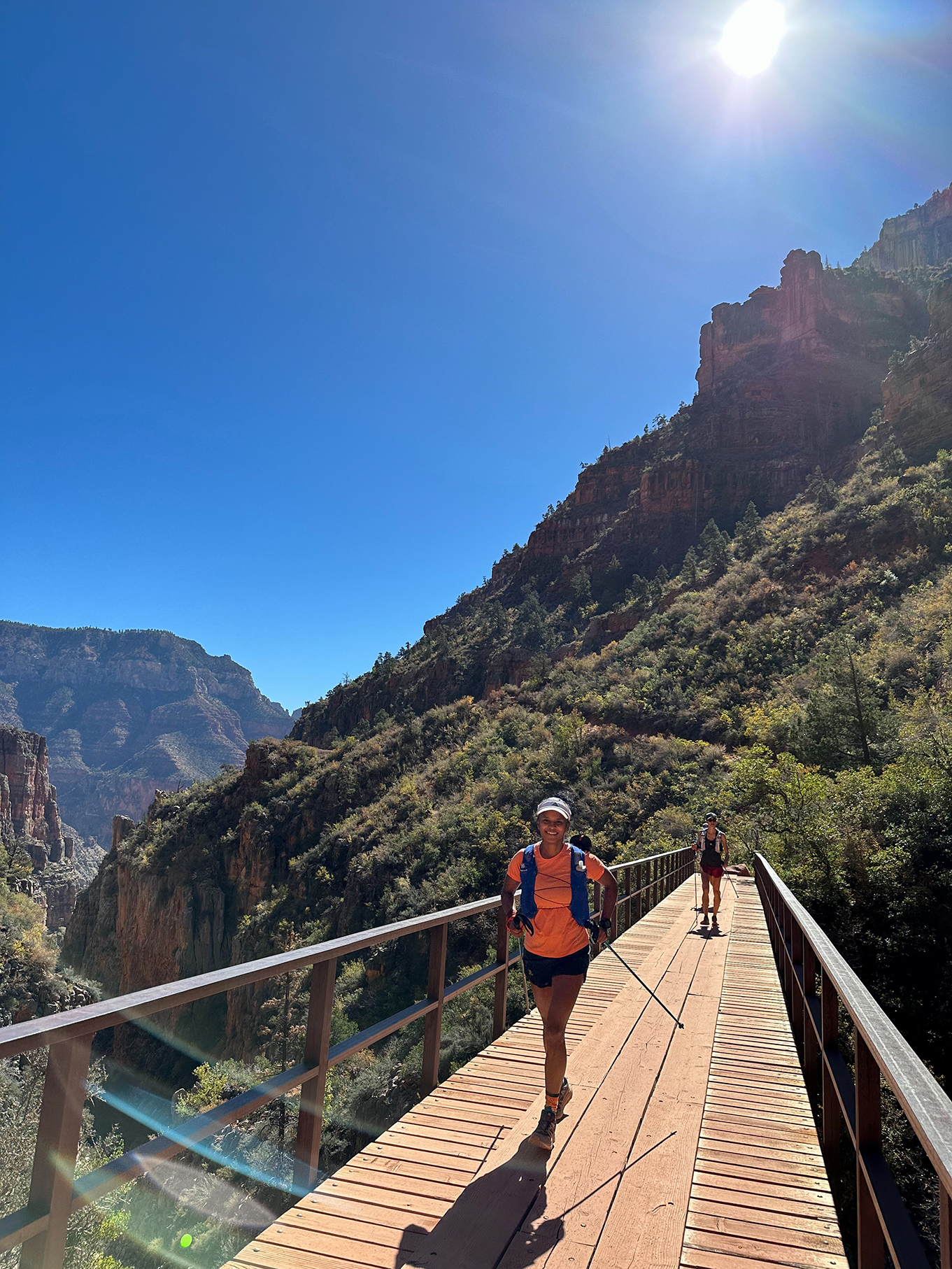
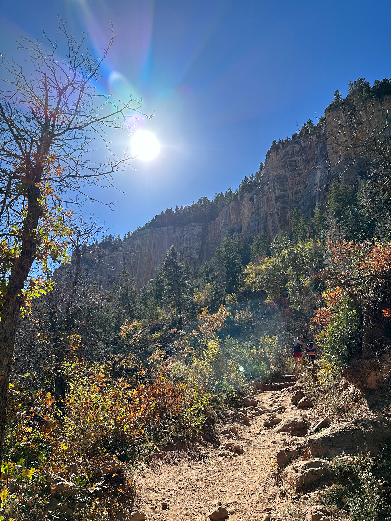
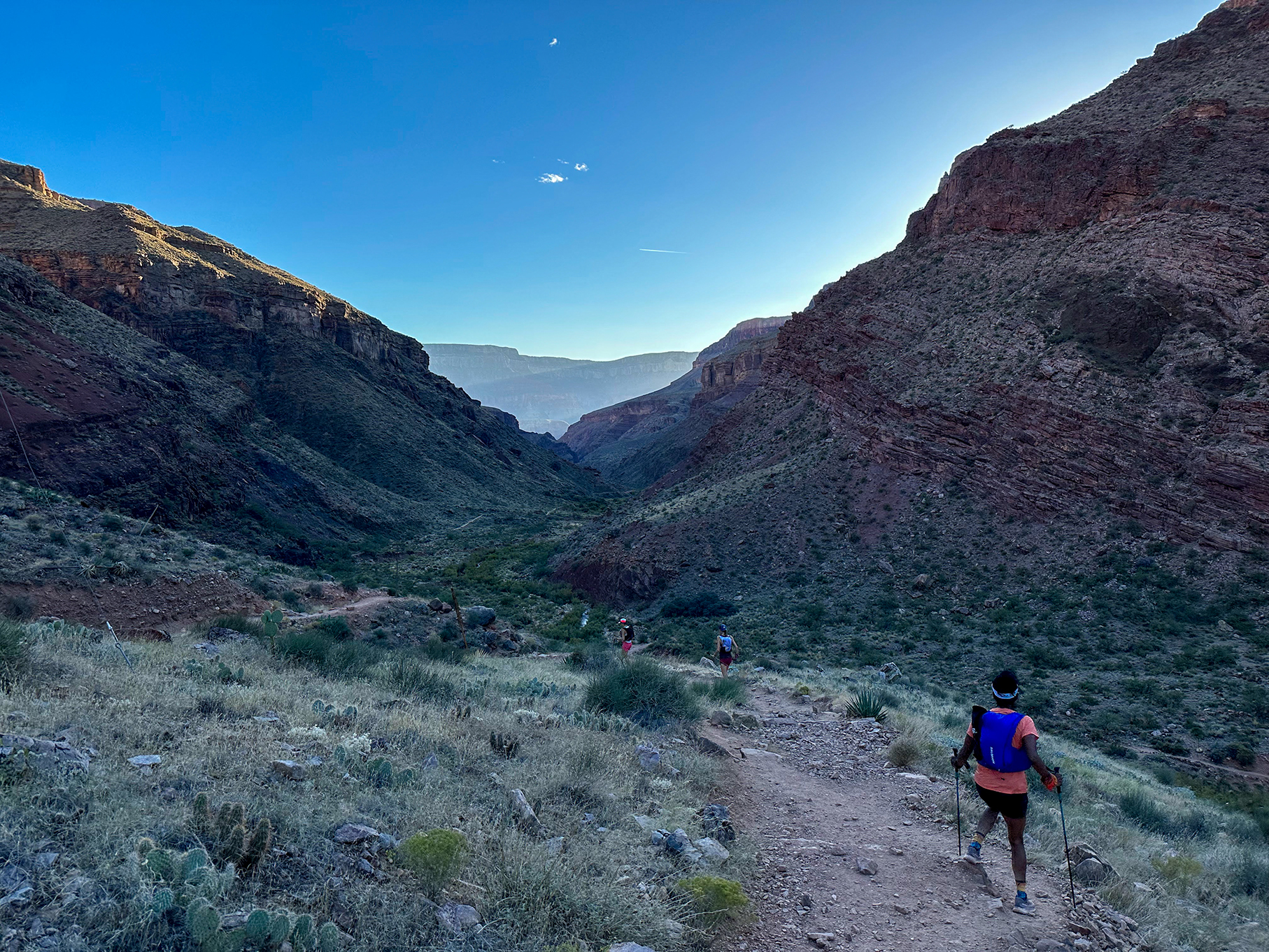
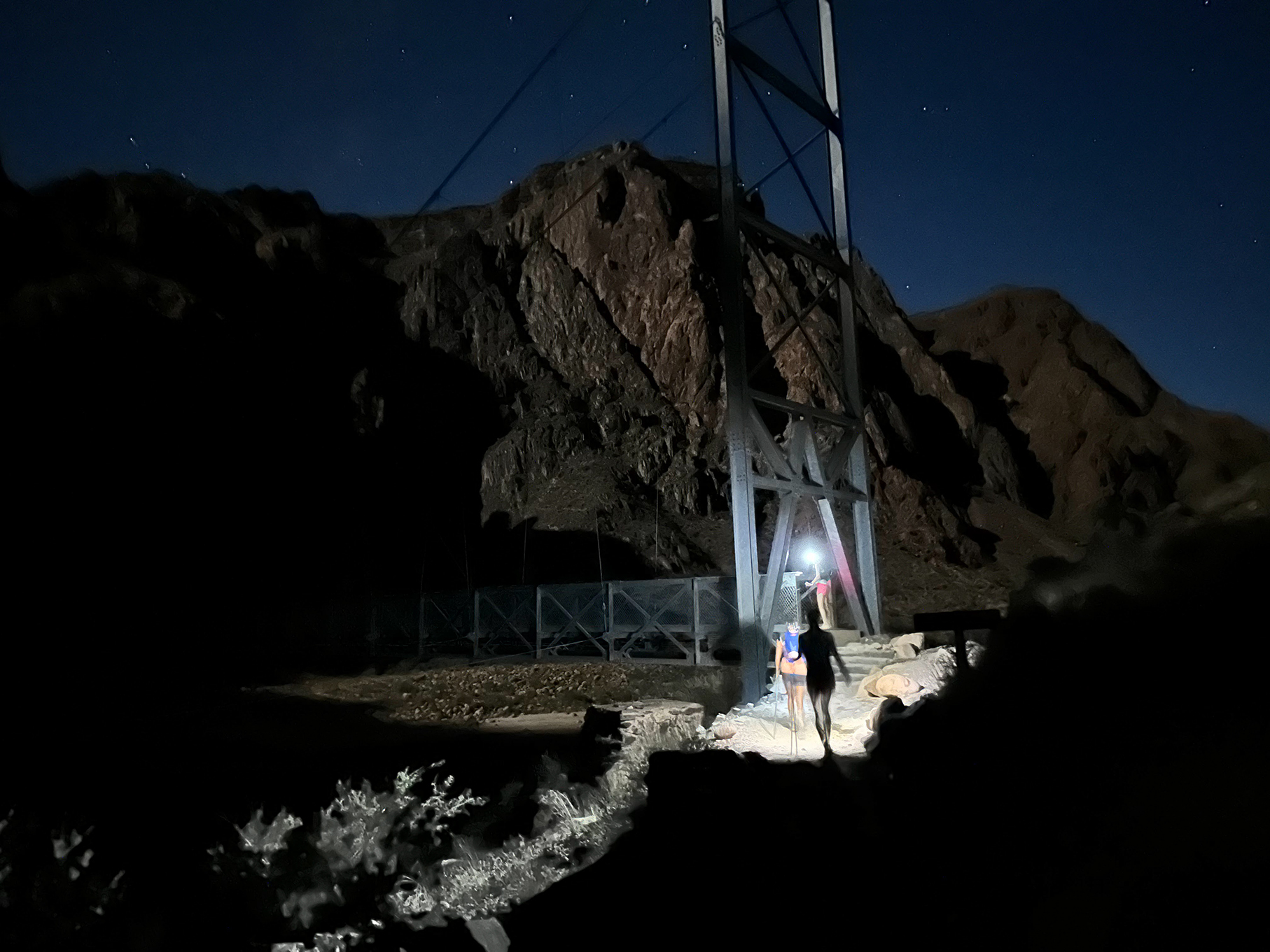
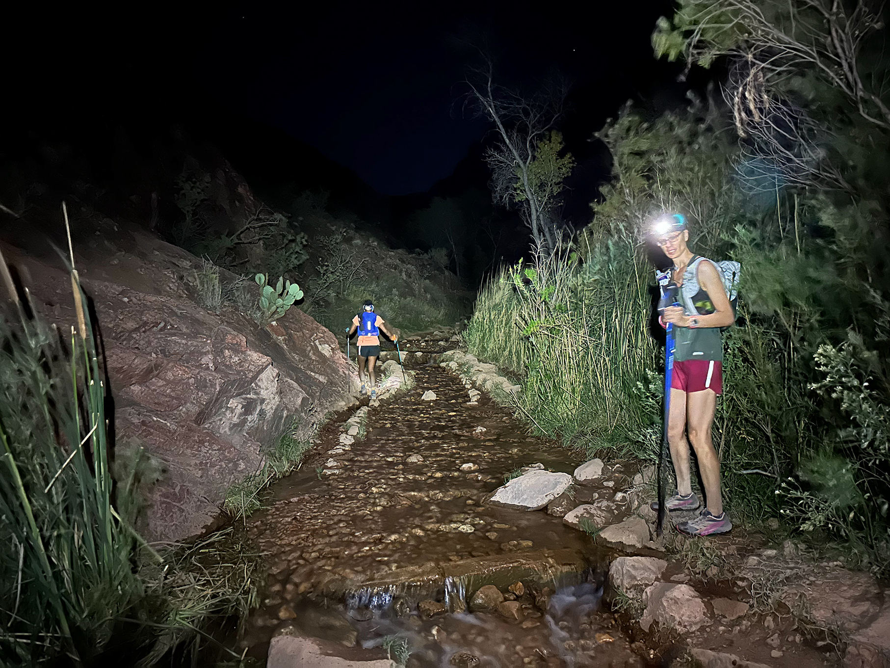
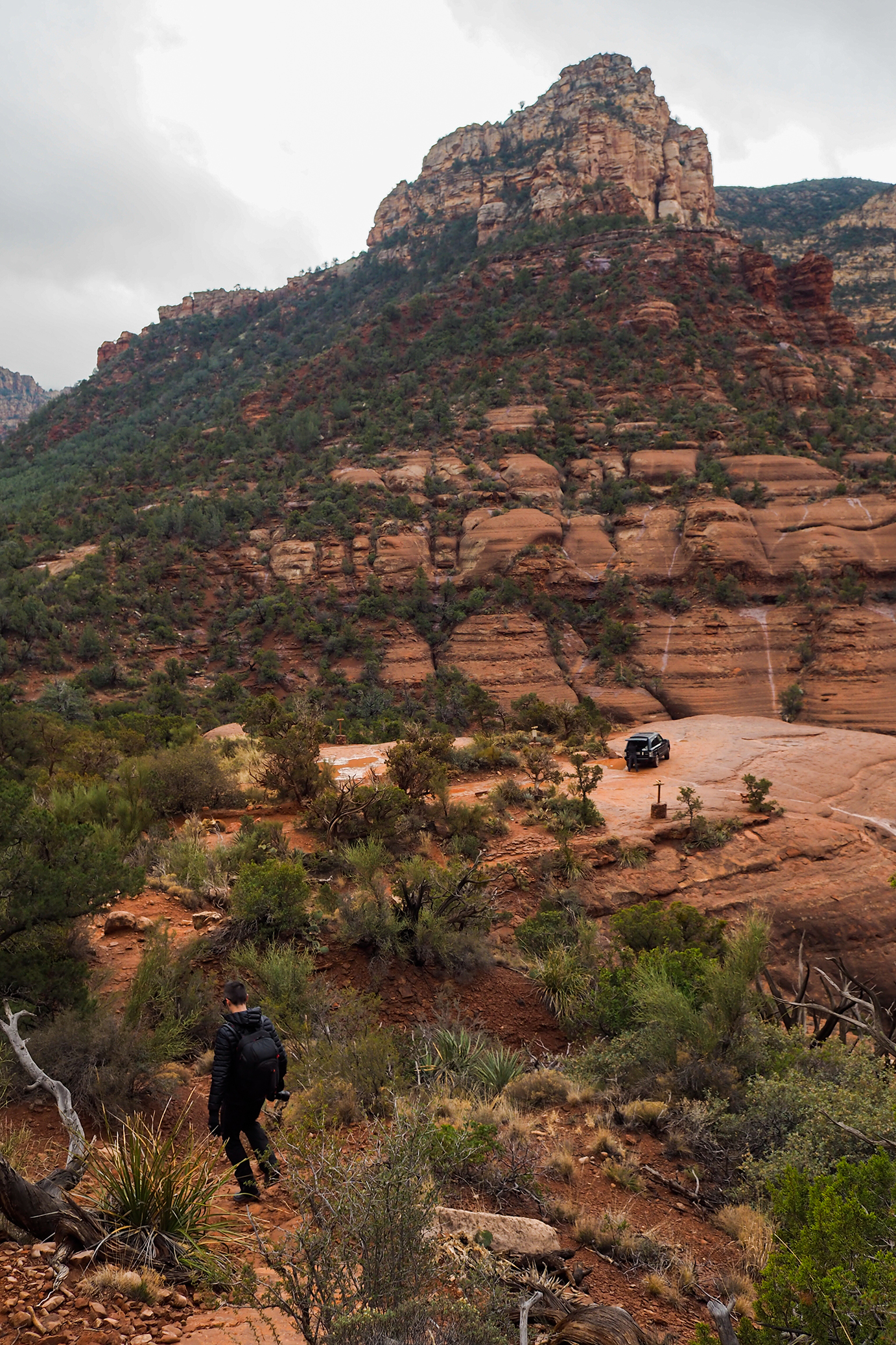
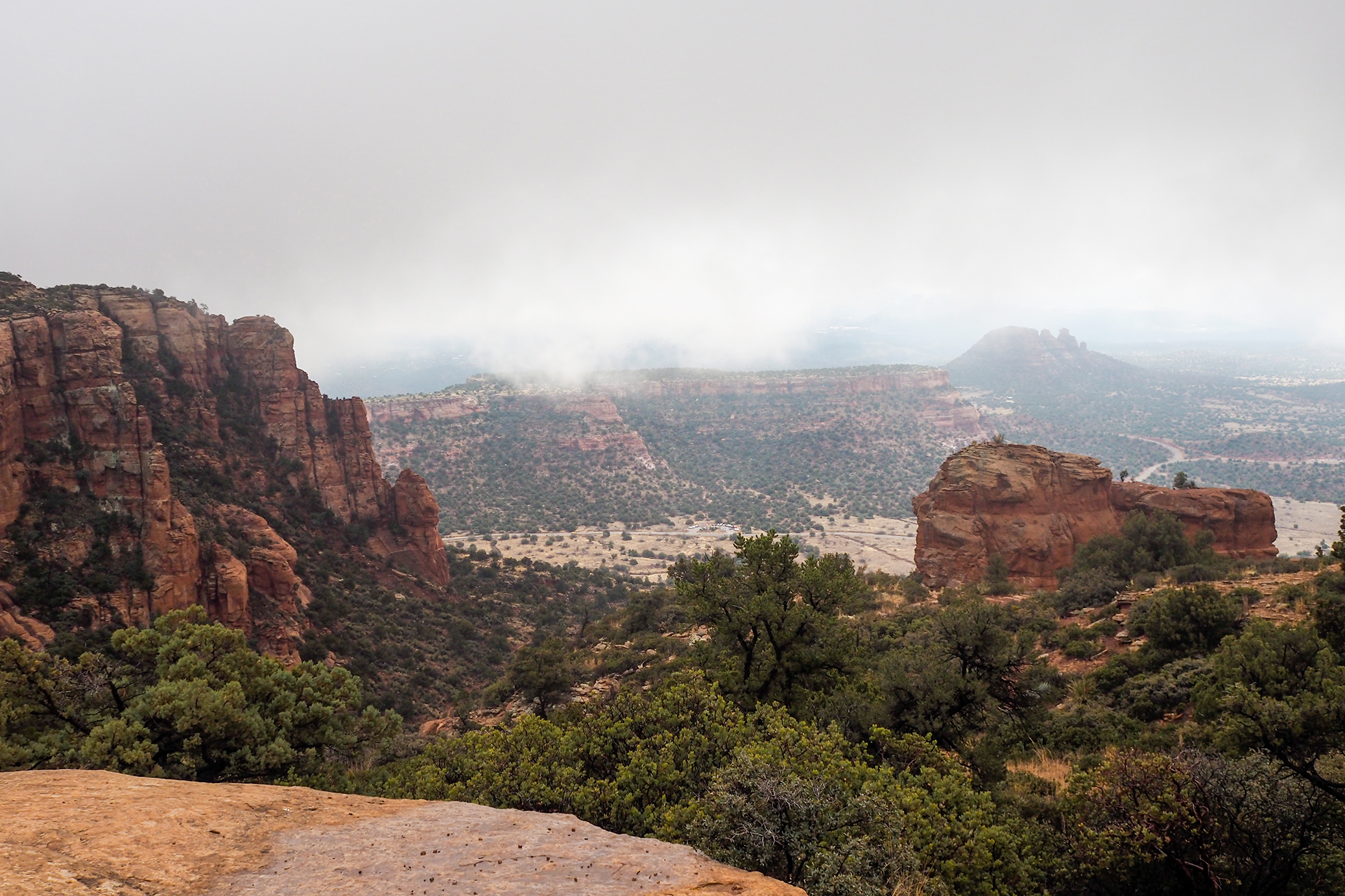
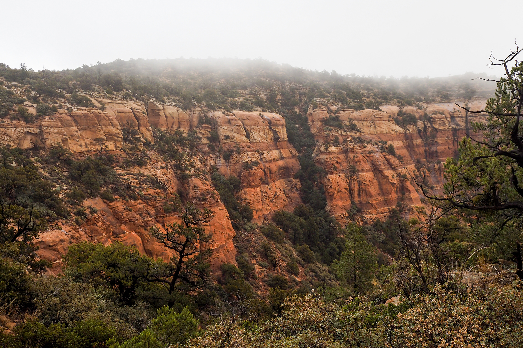
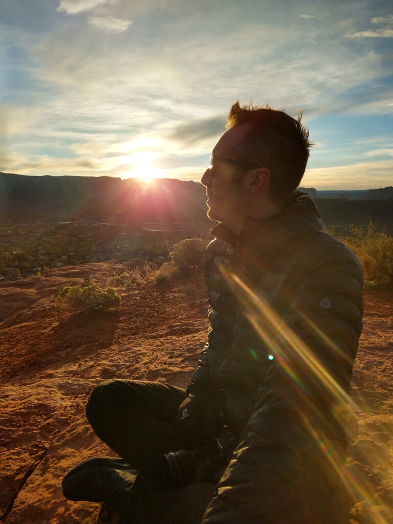
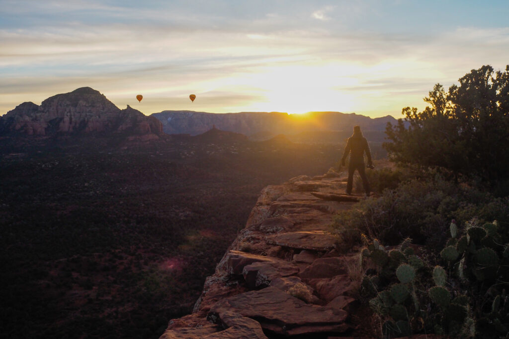
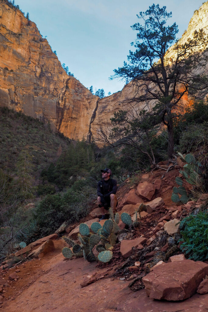
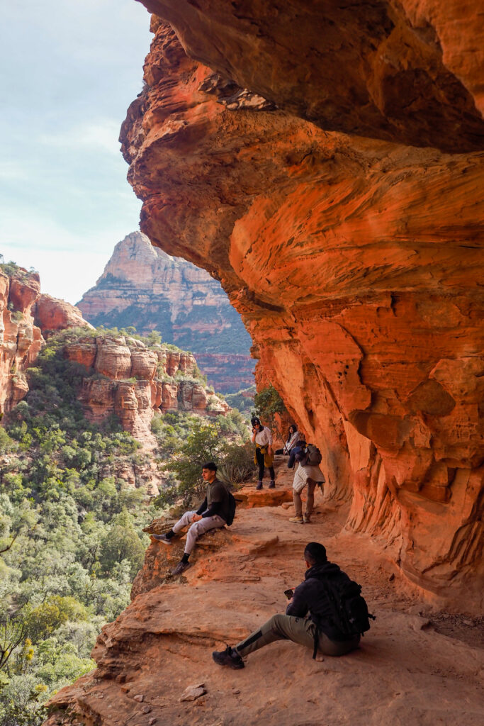
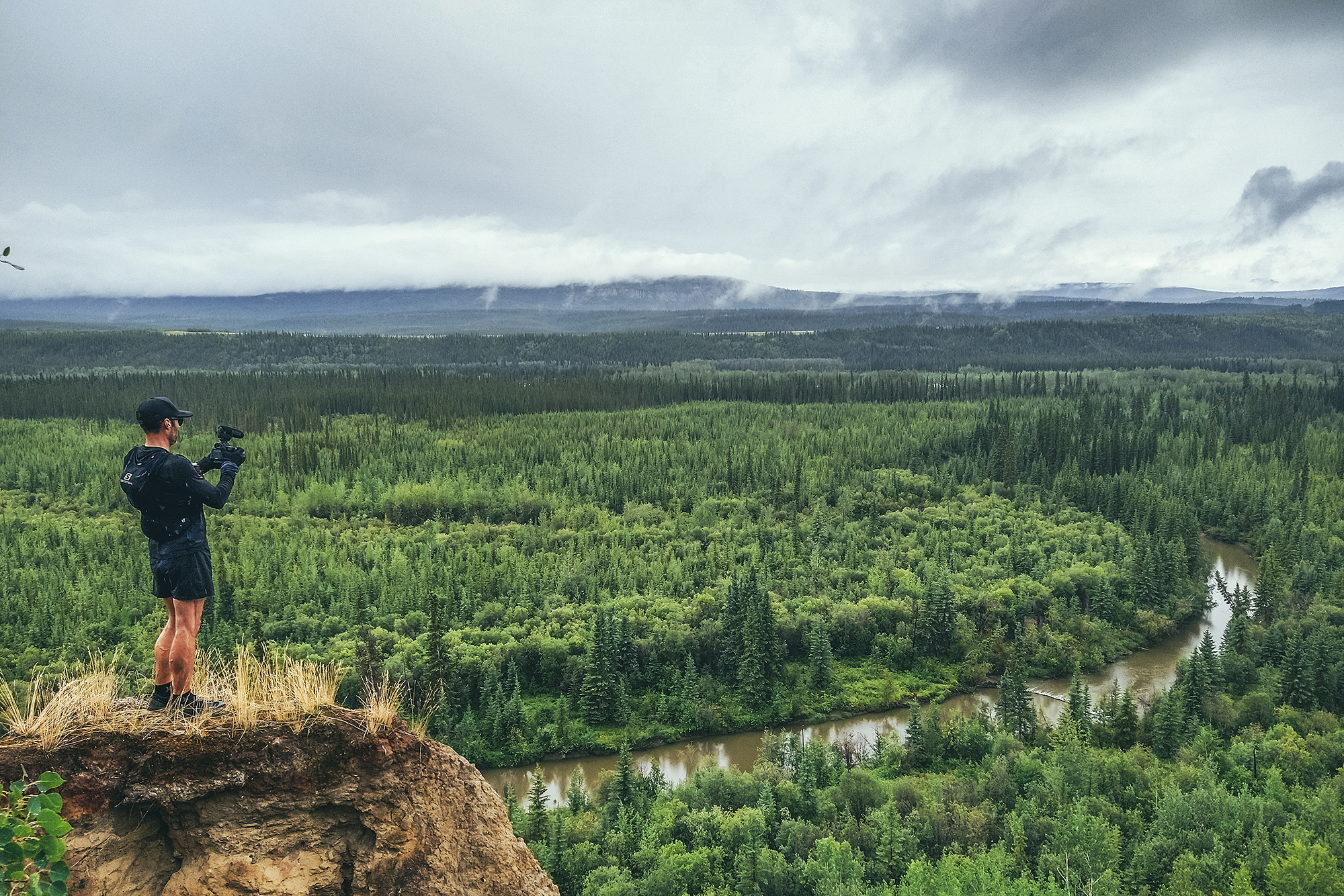
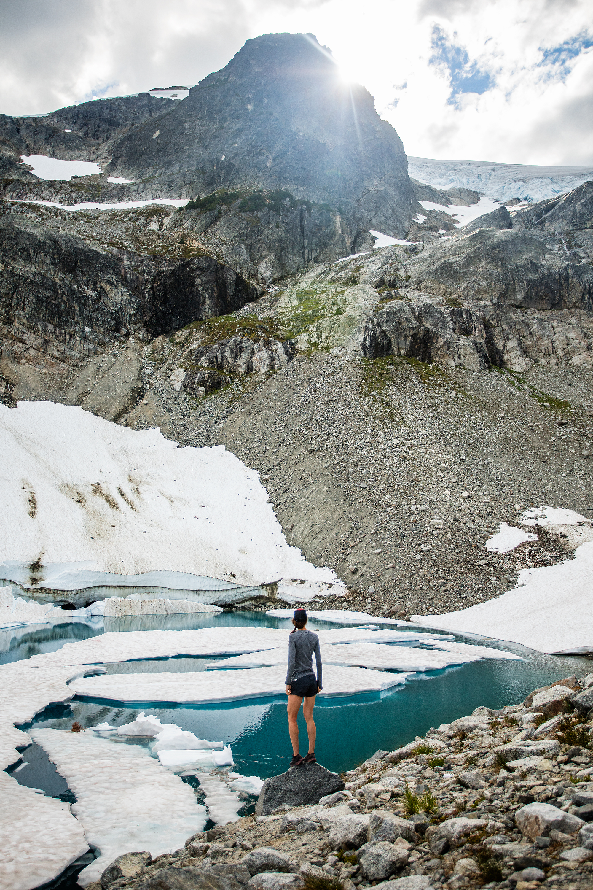
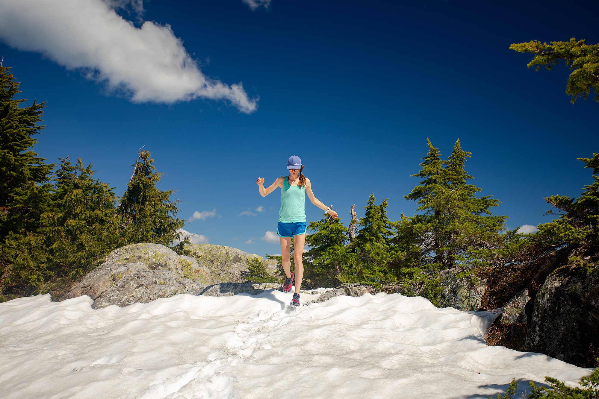
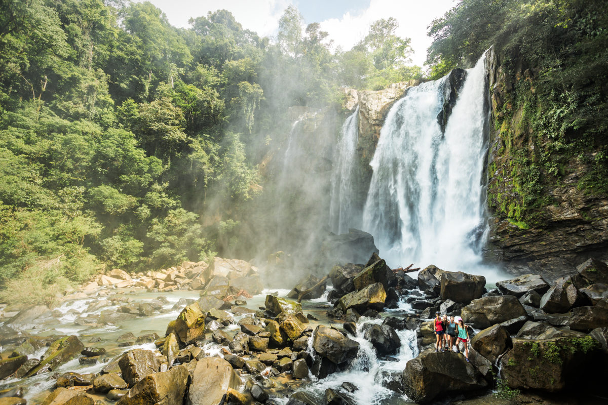
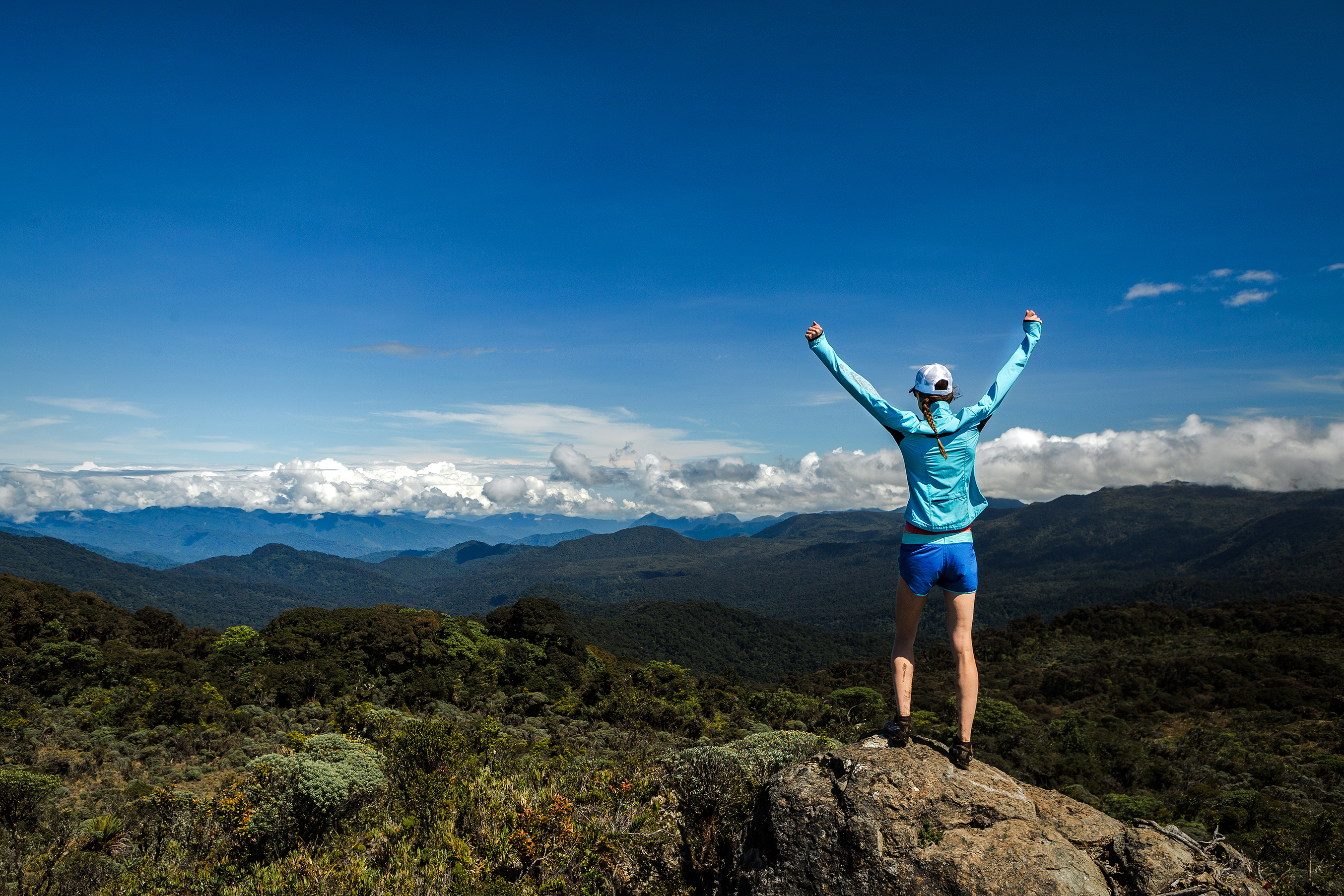
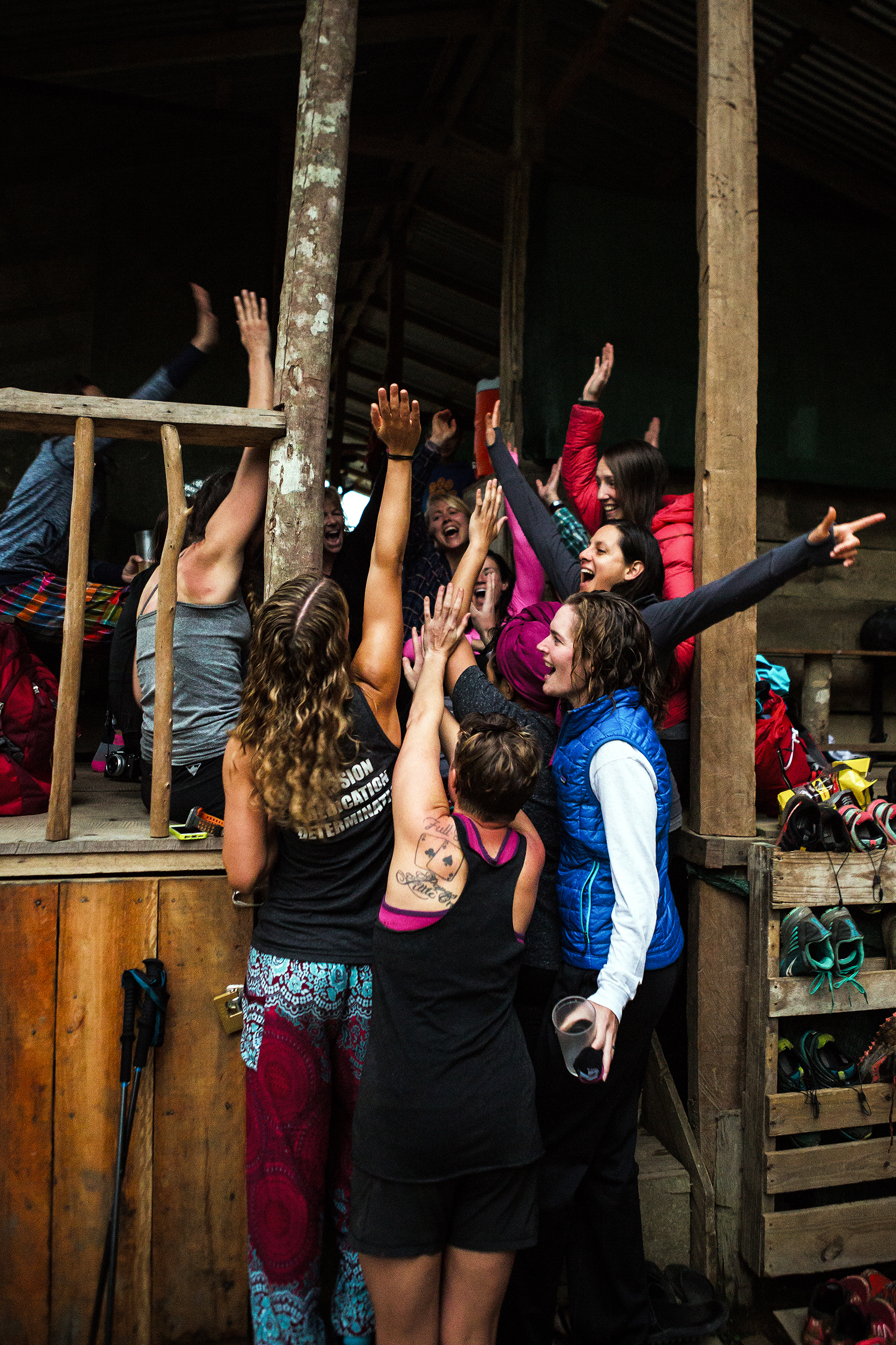
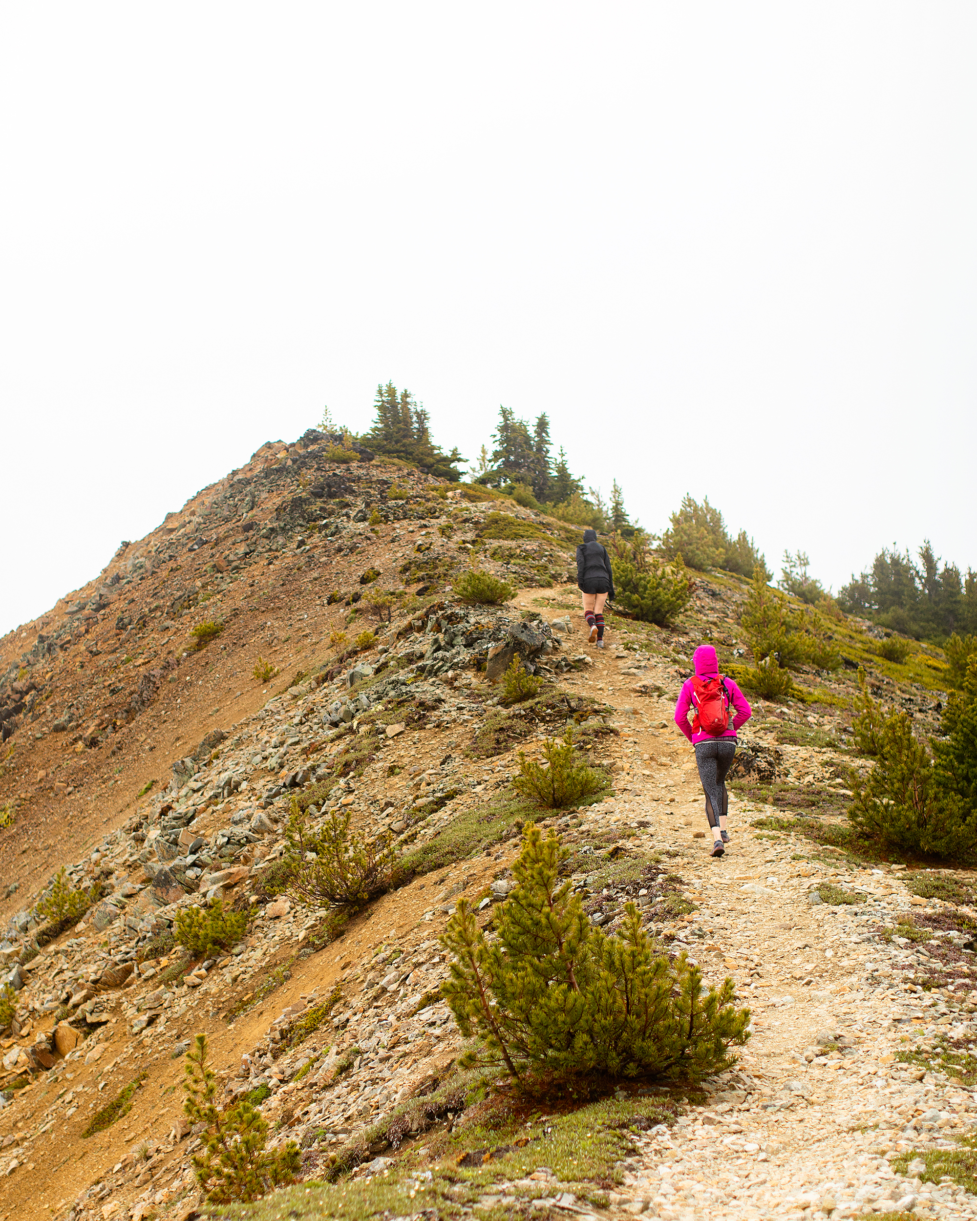
And I wasn’t wrong. We had a great time together on our R2R2R adventure, and I really felt like i went into it fully prepared. I had done all the training, I had all the proper gear, and I was with three supportive kick-ass women. While I was nervous in the couple of weeks leading up to it, and even though I slept horribly the night before, as soon as we started descending into the canyon, all of the nerves vanished and I never once during the day did I thought that I couldn’t do it.
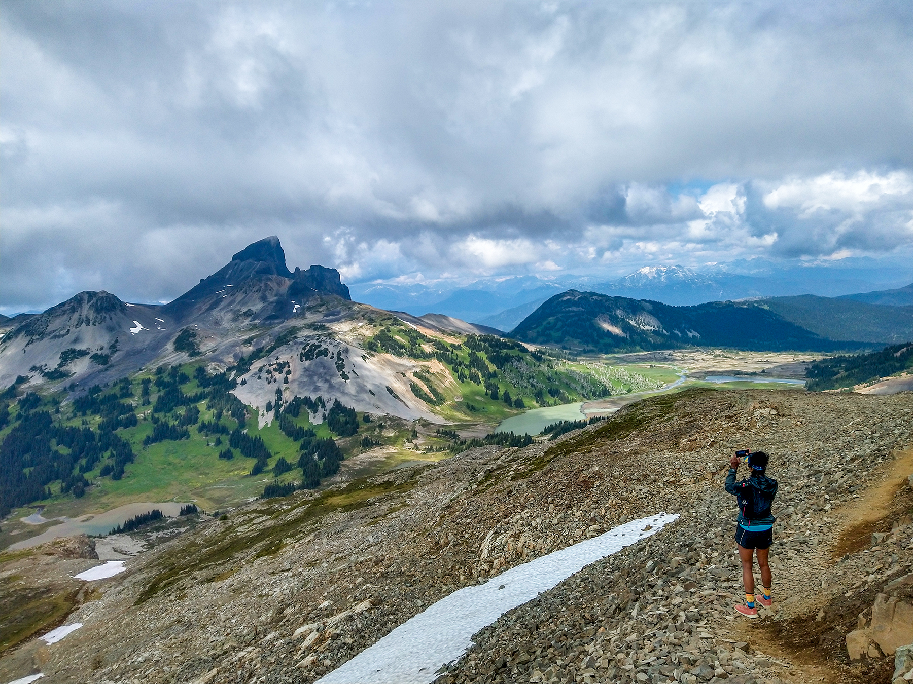
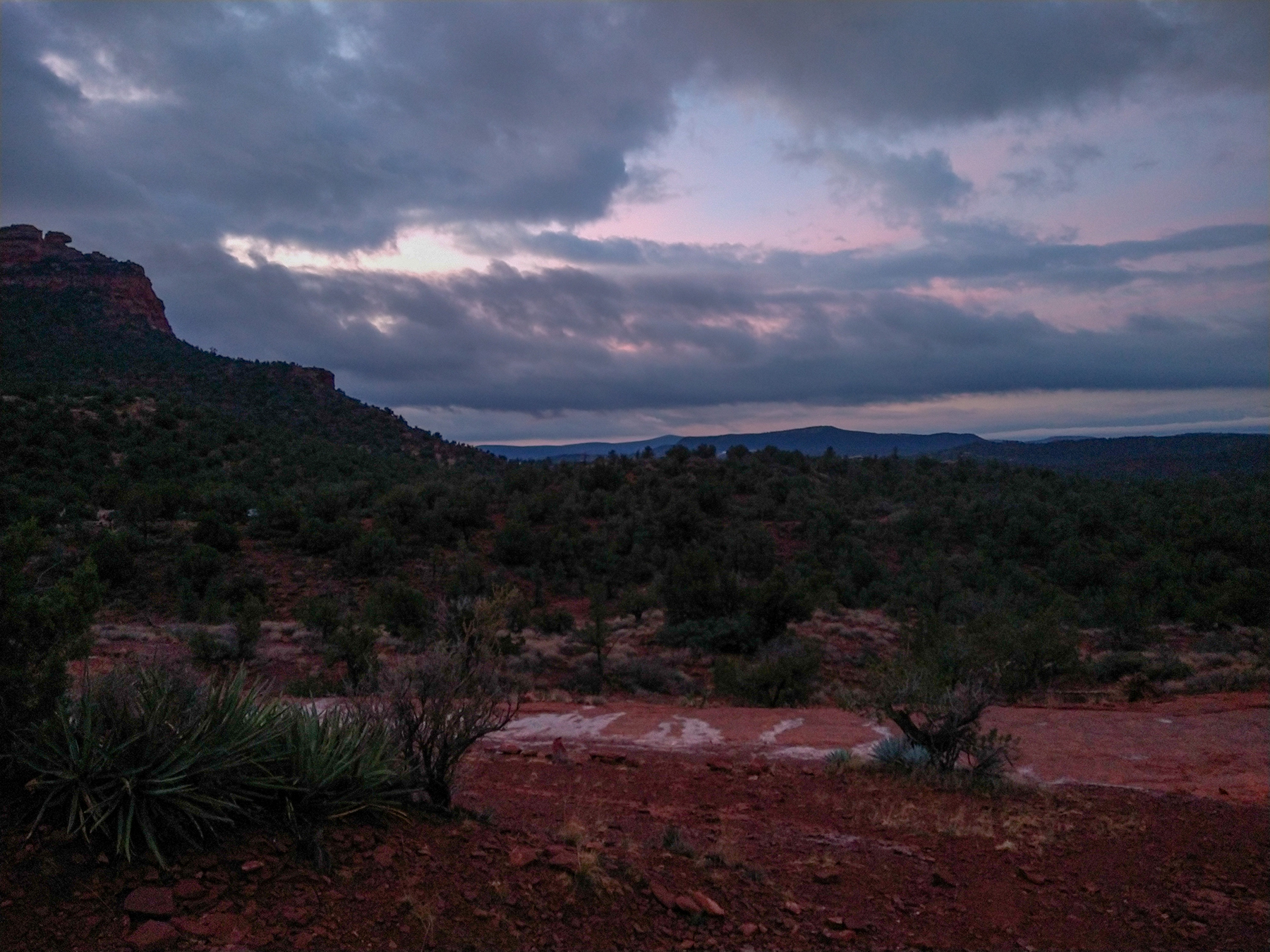
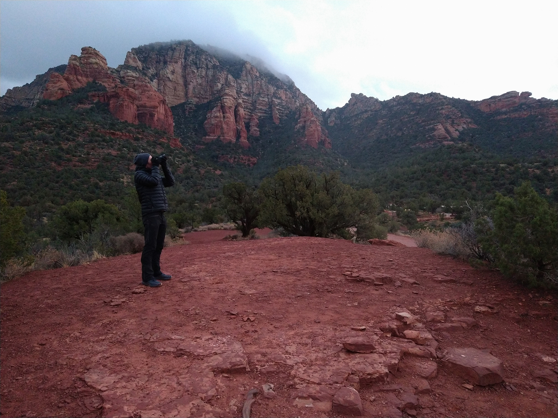
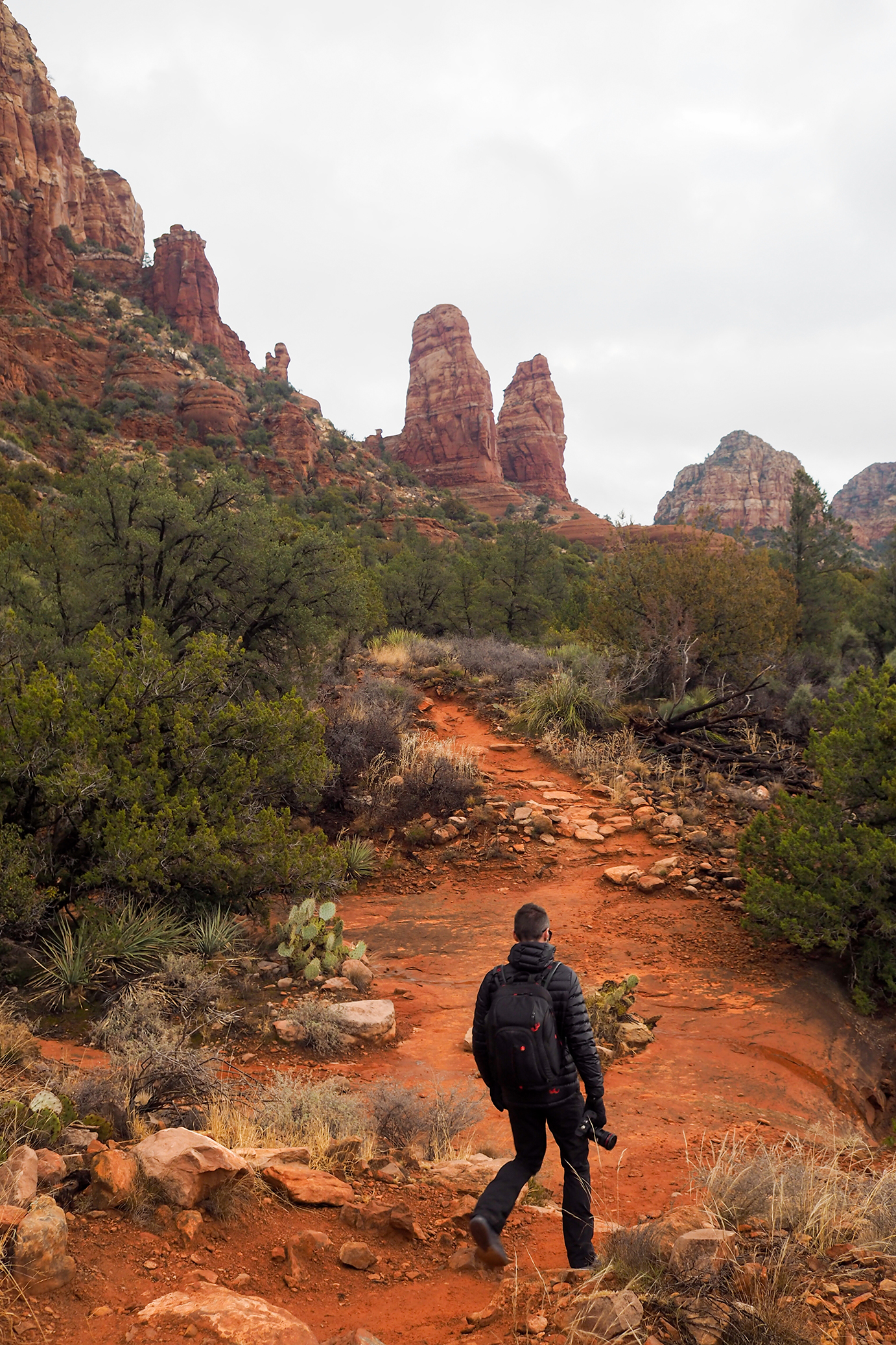
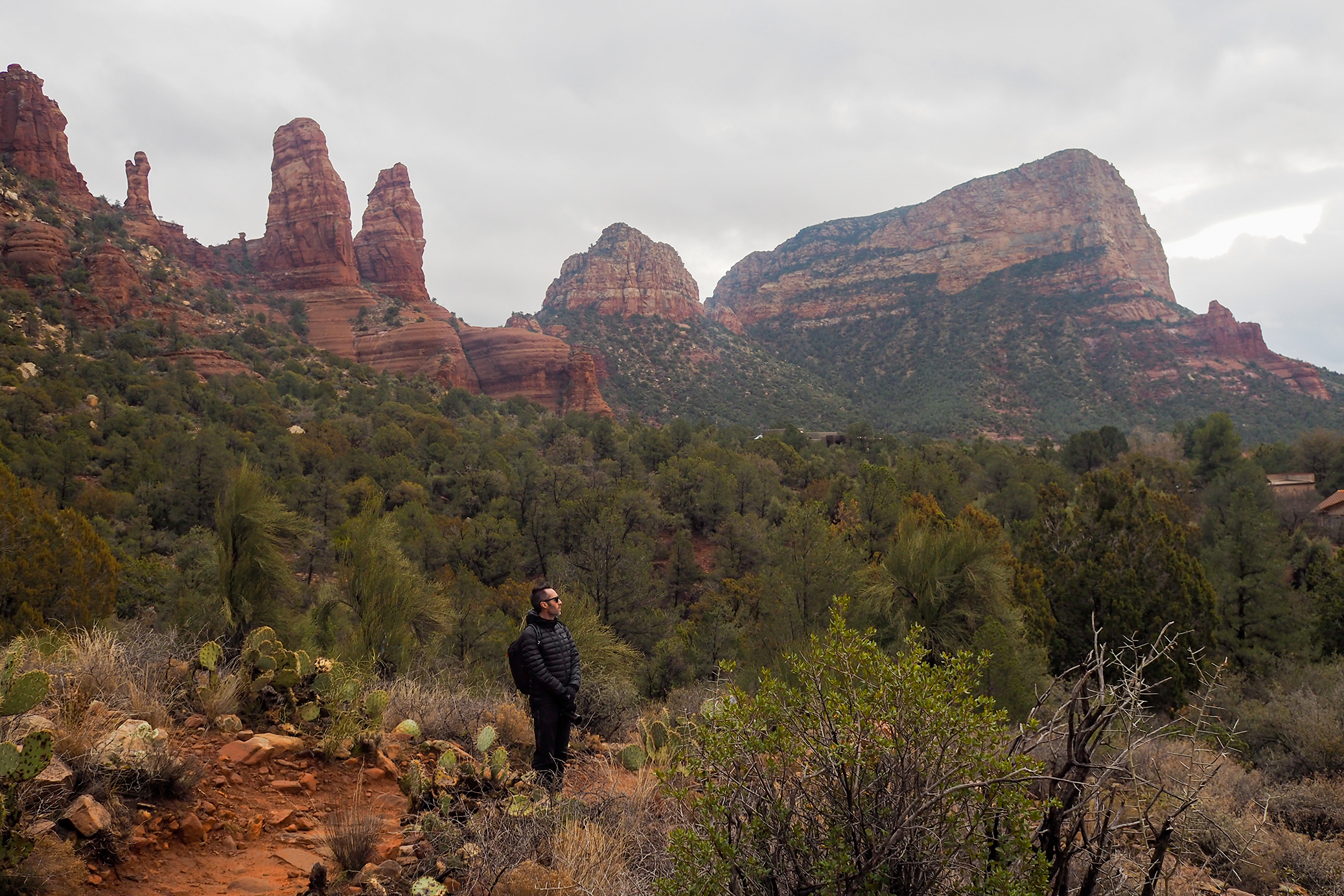
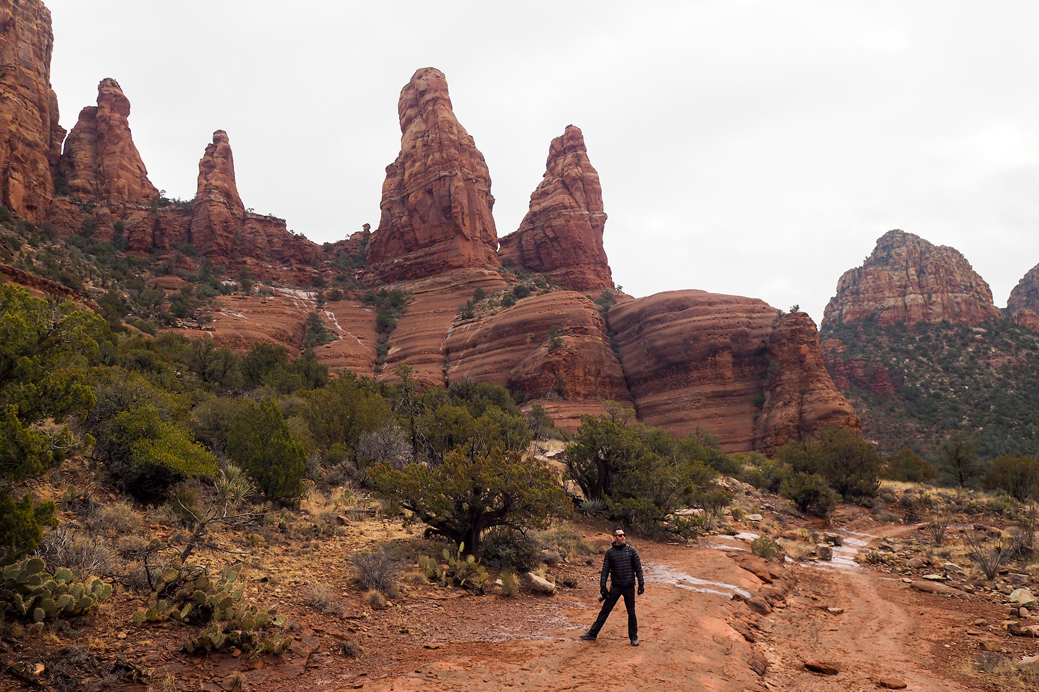
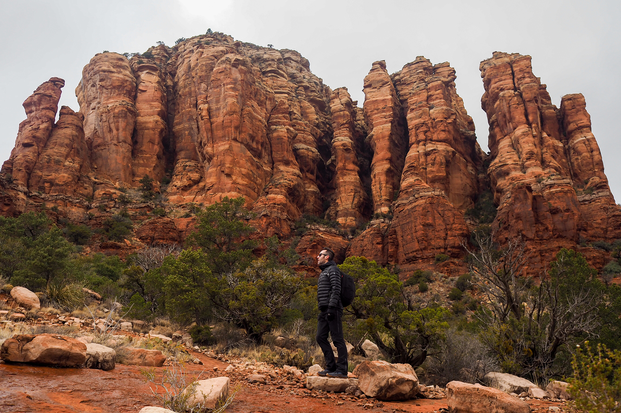
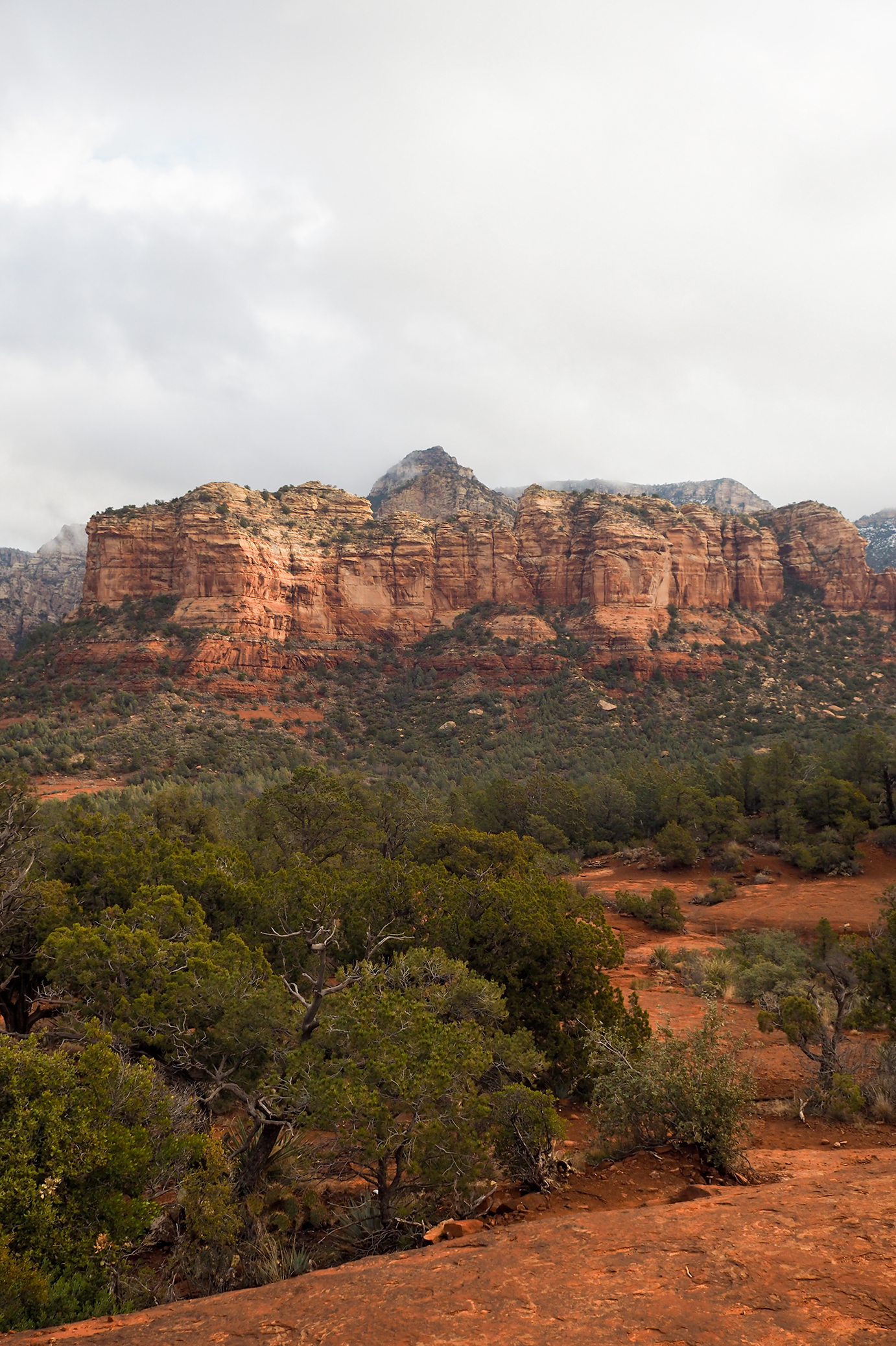
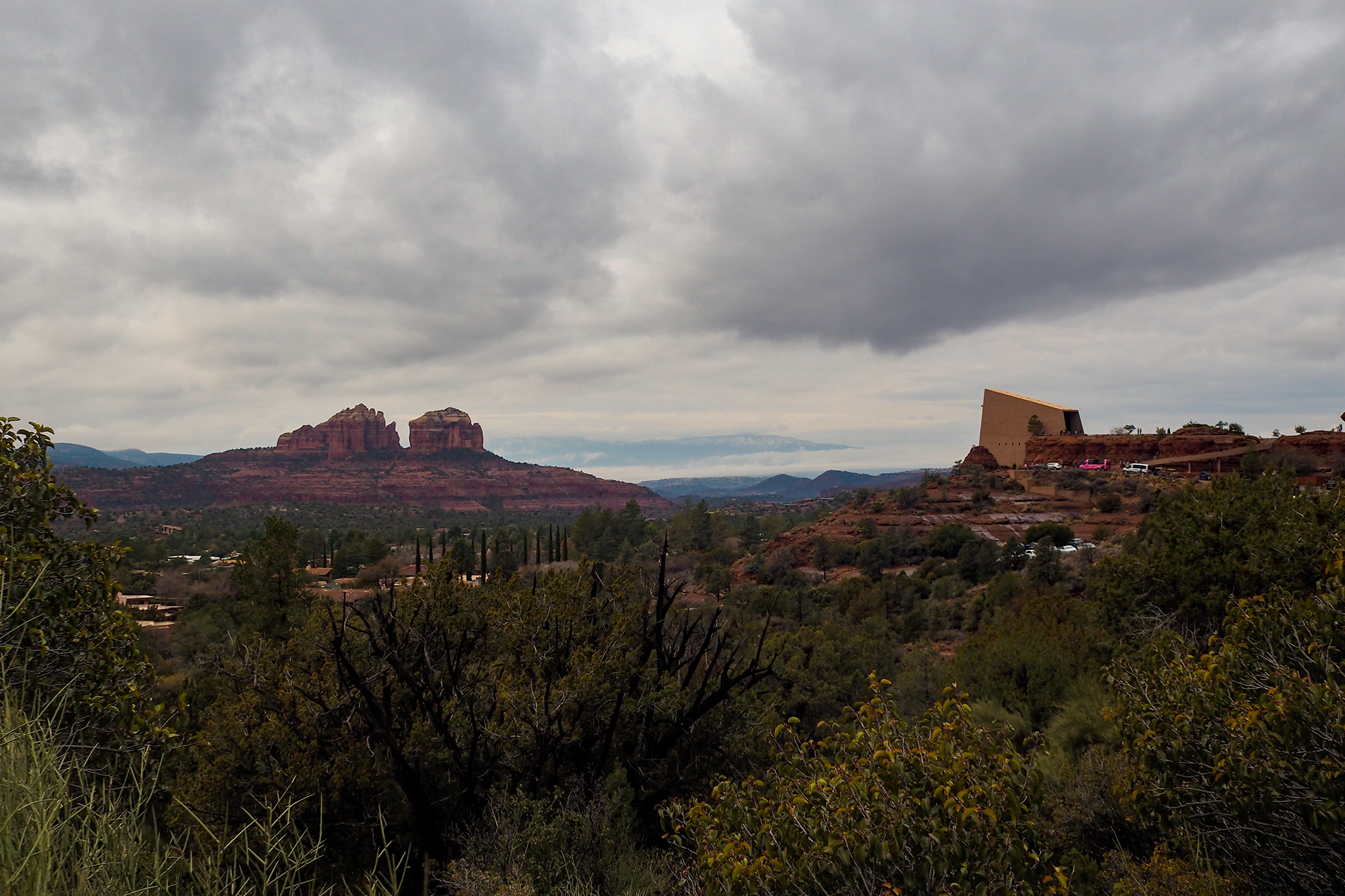
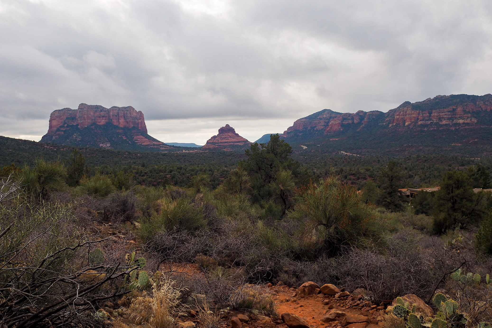
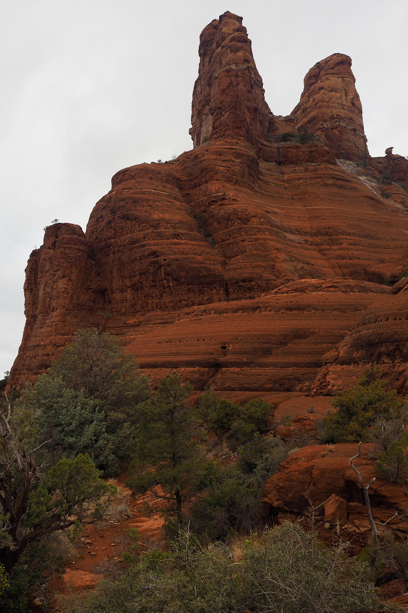
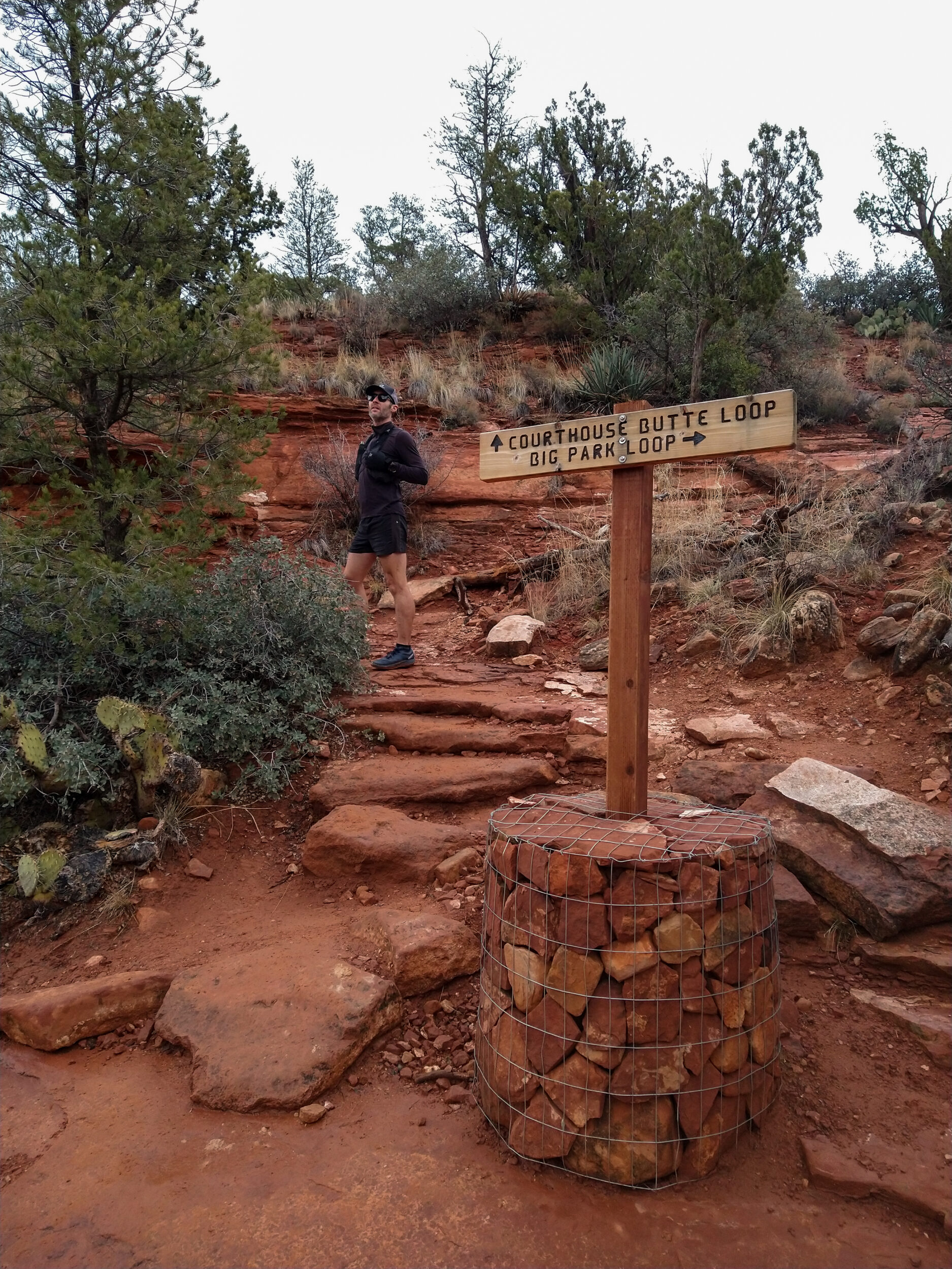
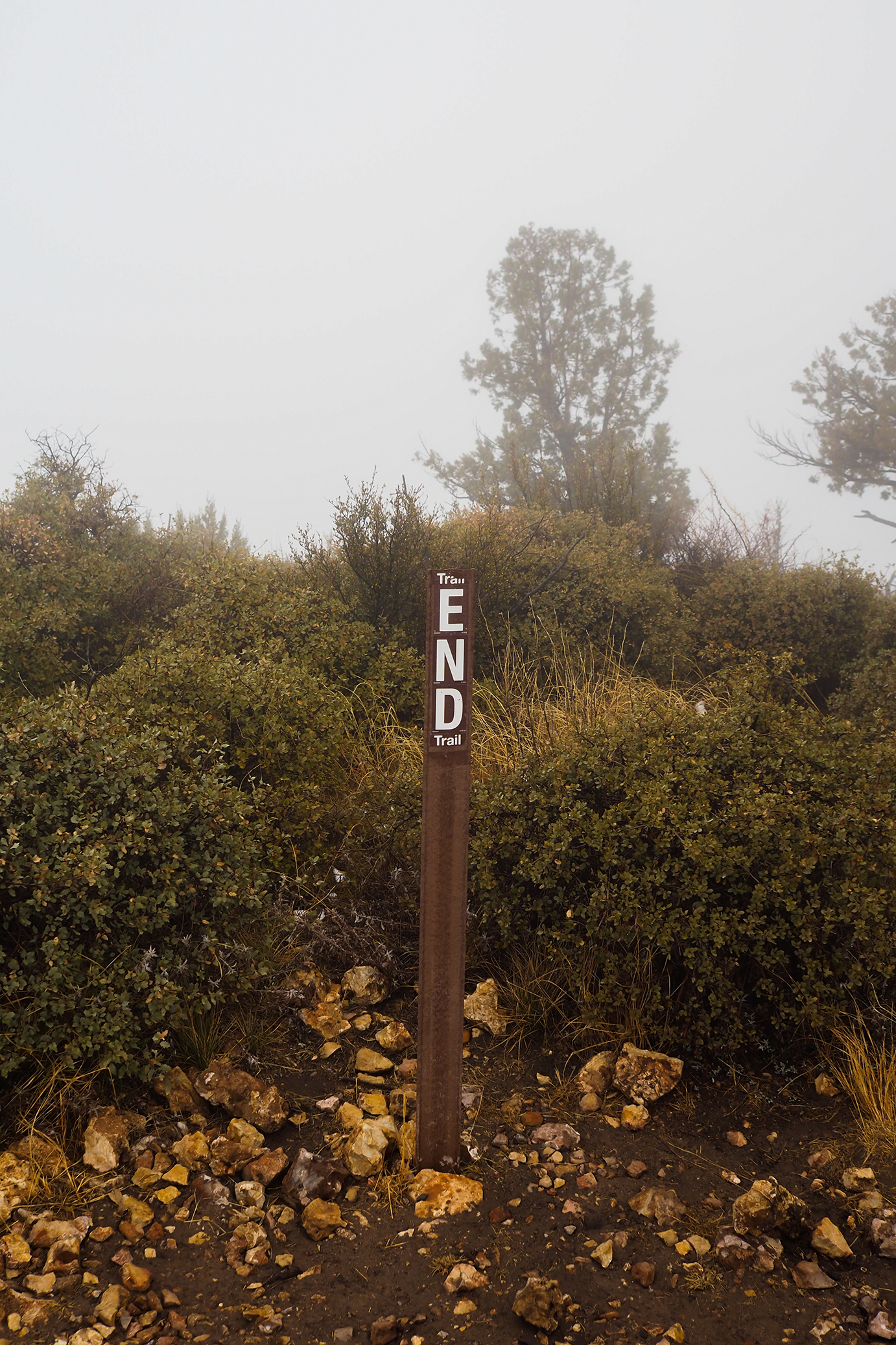
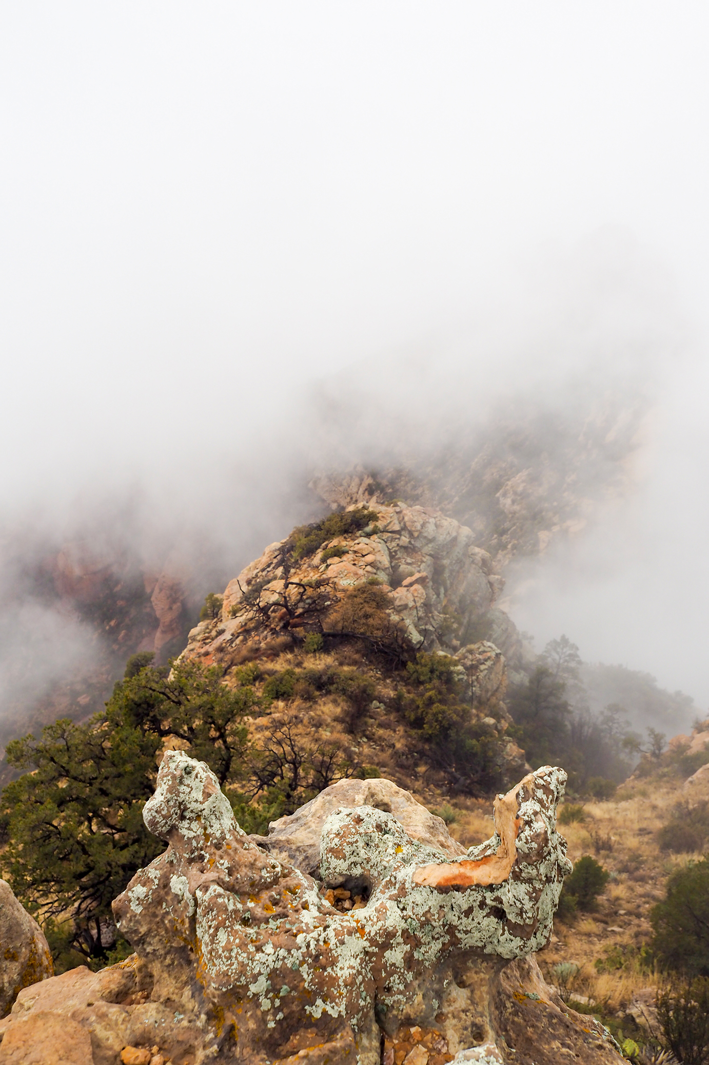
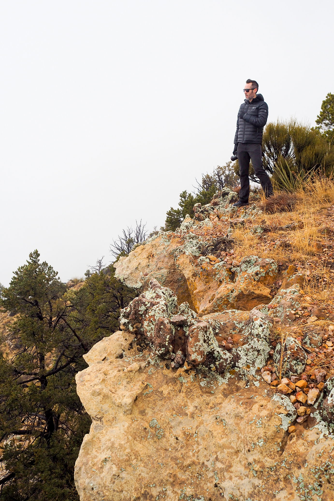
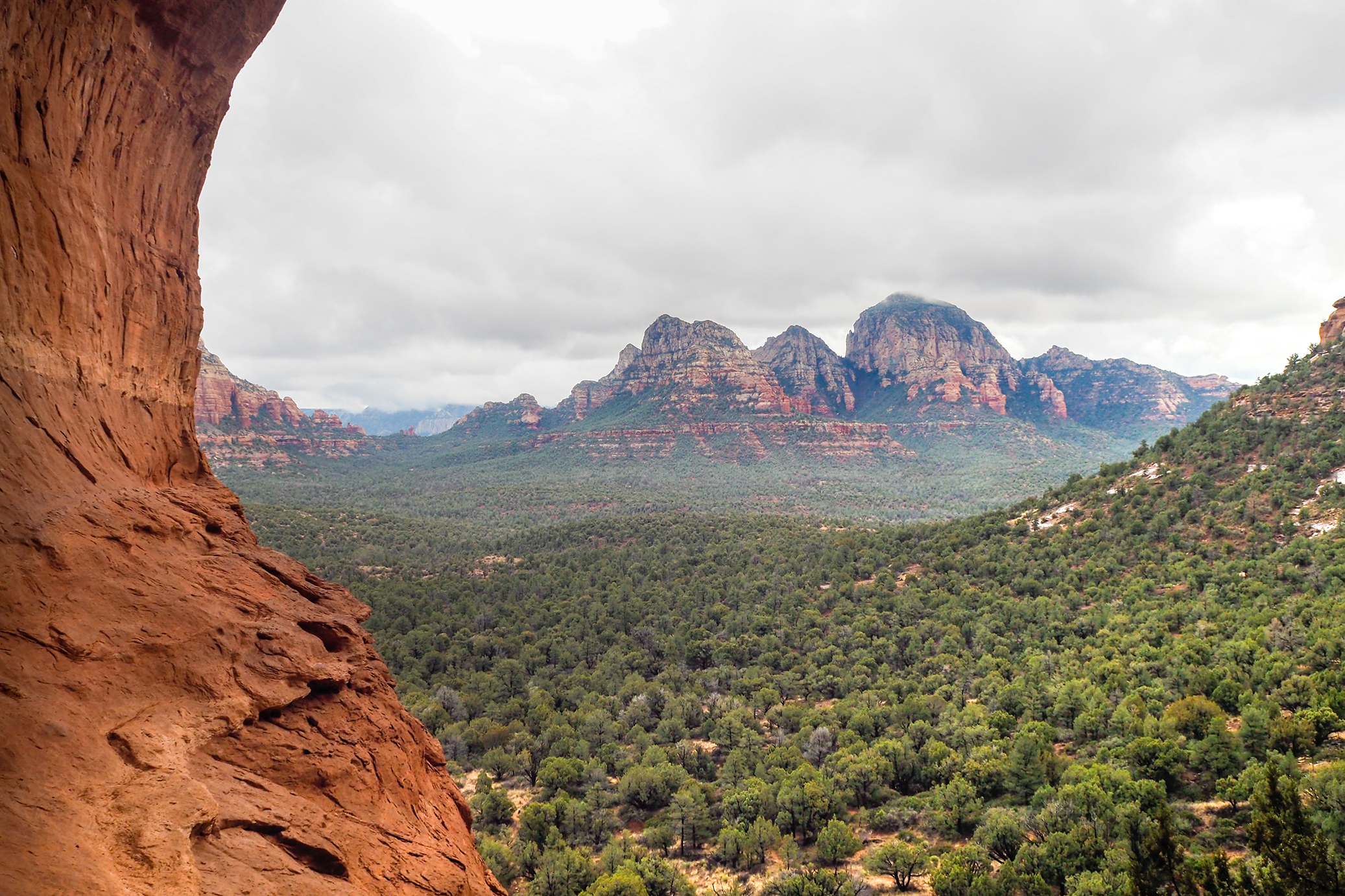
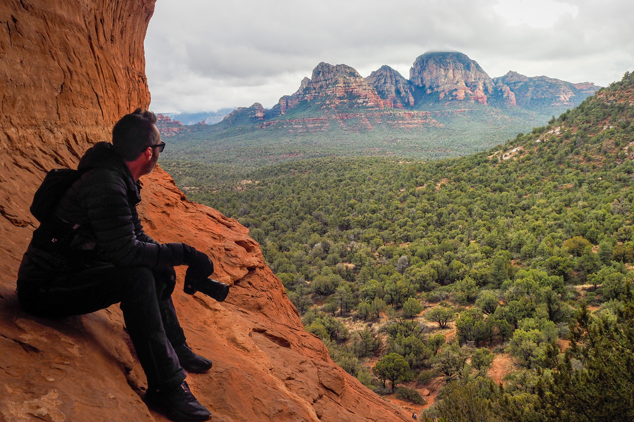
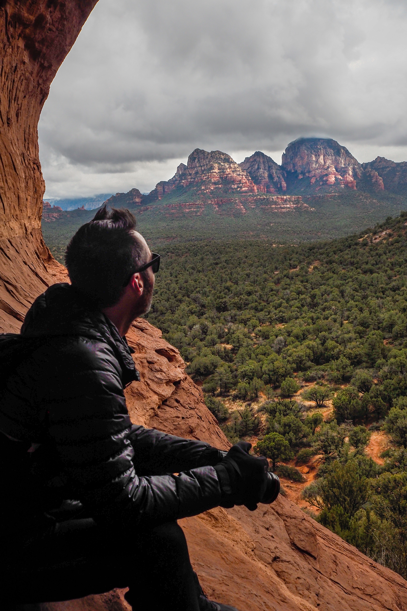
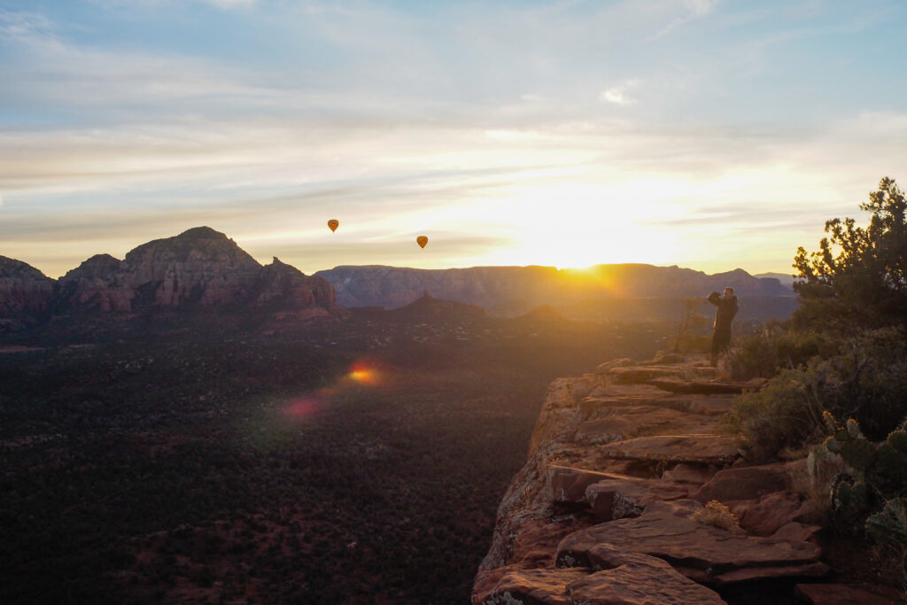
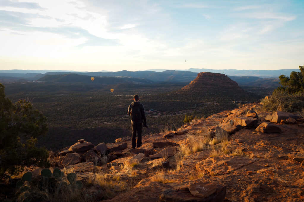
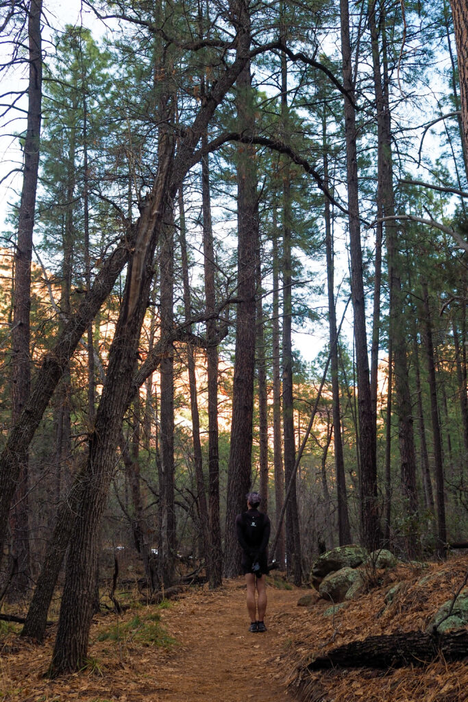
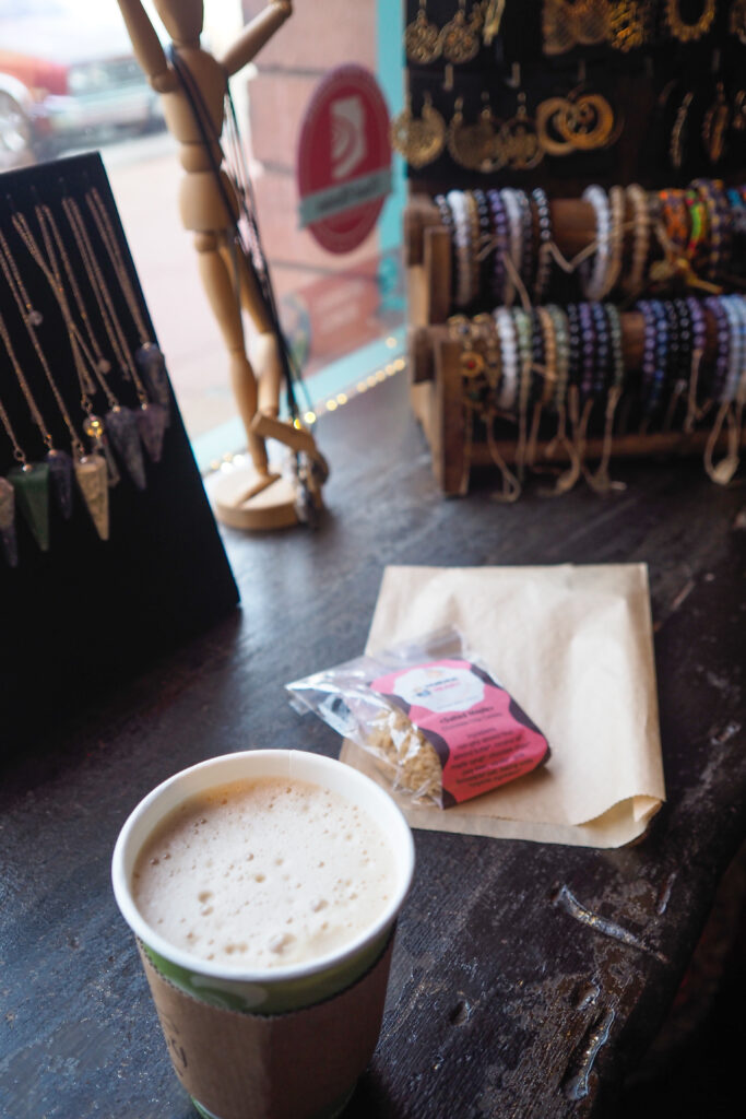
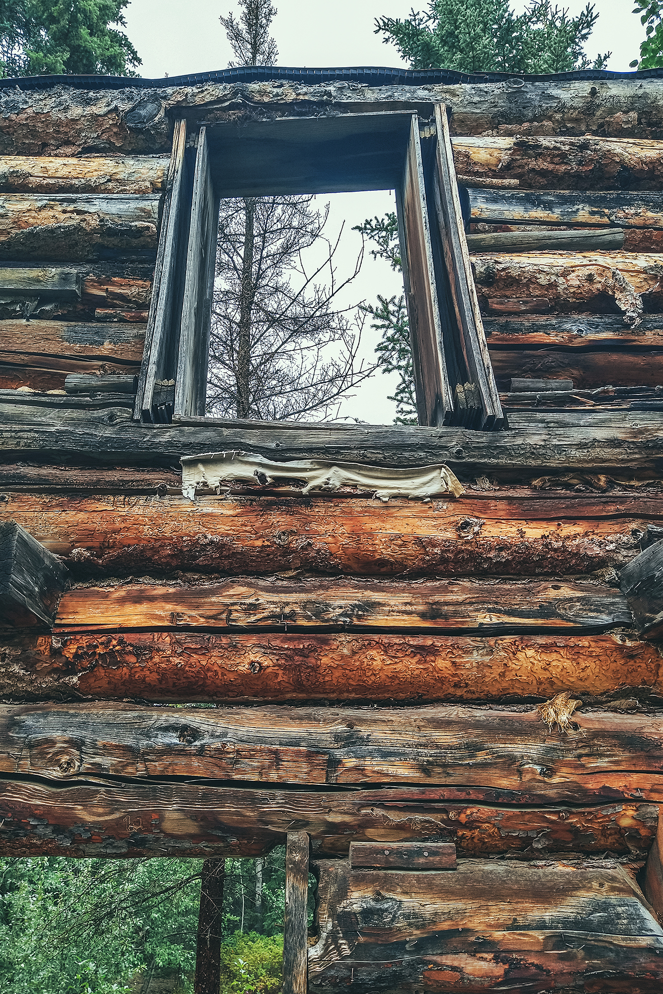
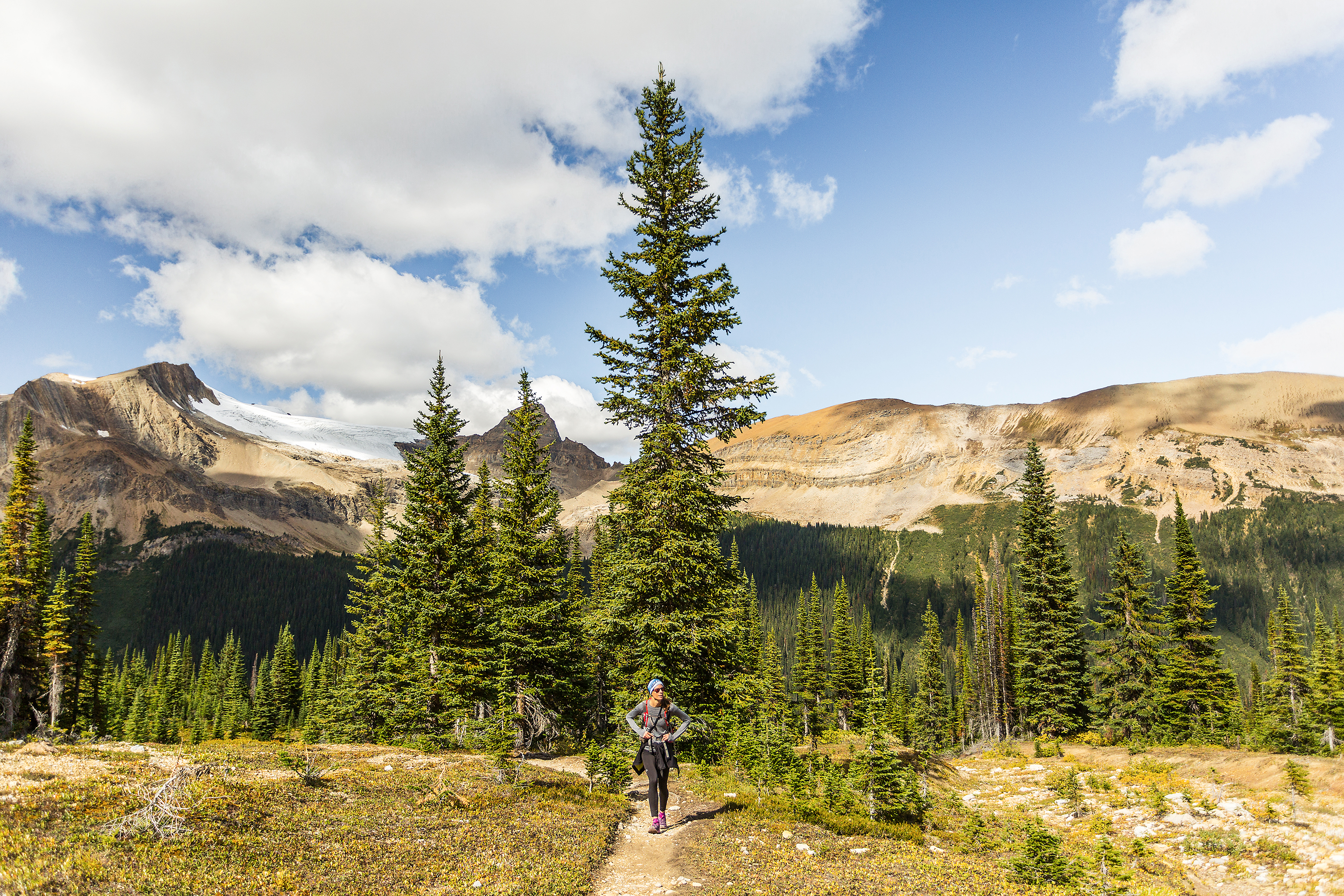
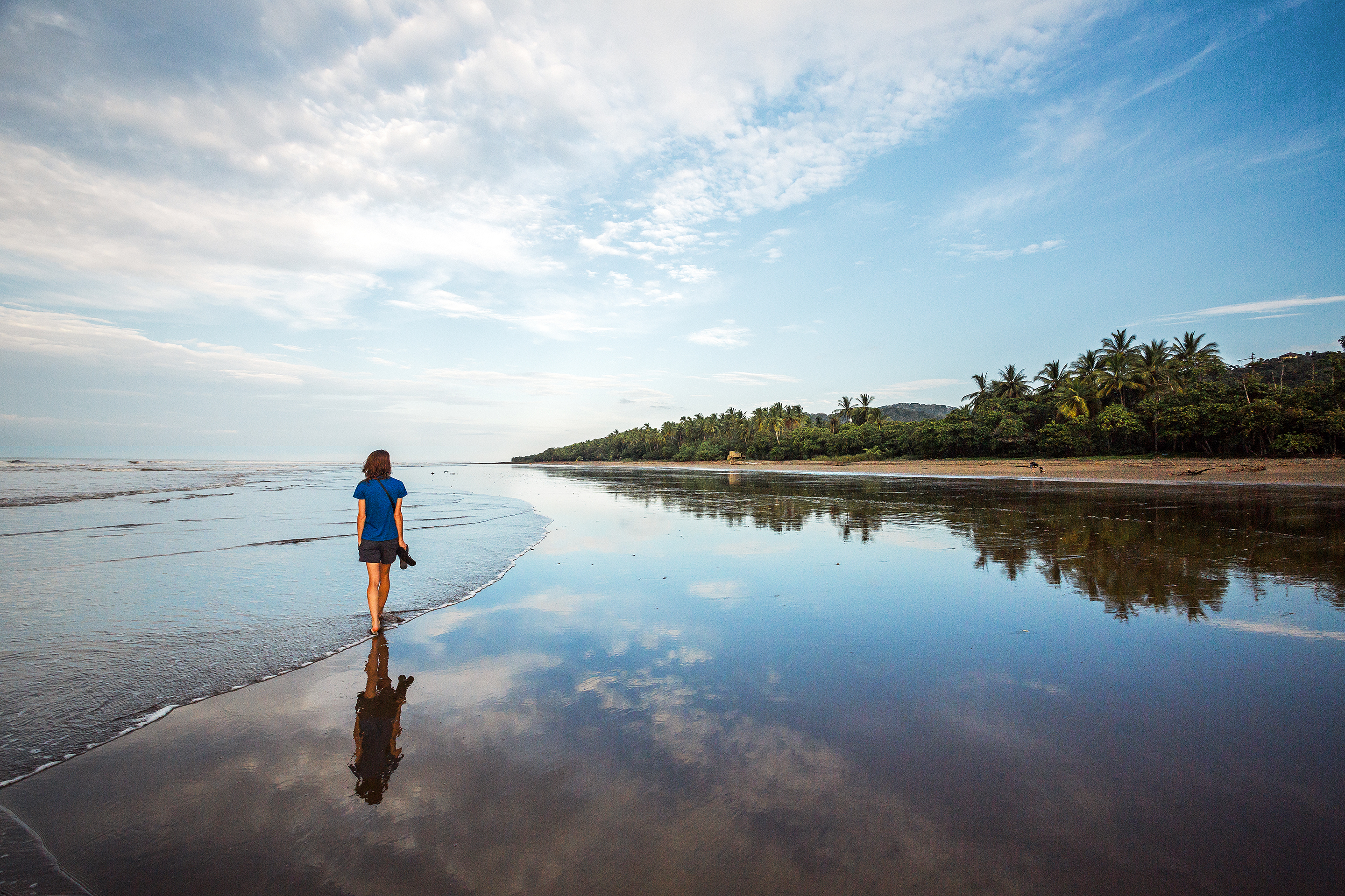
R2R2R was really such a memorable adventure for me, but i also feel grateful for all the memories created leading up to it – the big summer days with friends, training while traveling home, even the long solo runs in late summer, and the few days in Arizona before the Grand Canyon.


