Road Trip to the Yukon – Itinerary Recap

I first established our itinerary based on researching areas of interest on the internet, and finding posts about specific road trip itinerary, or suggestions from friends.
I always end up mapping out an itinerary on paper, in calendar-like view, indicating the place to visit/stay every day. I looked at distance/time to travel between places and where we may want to stay for more than one night. It’s easy to pack too much into a trip and I often have a bit more on paper than what I know we will realistically do.

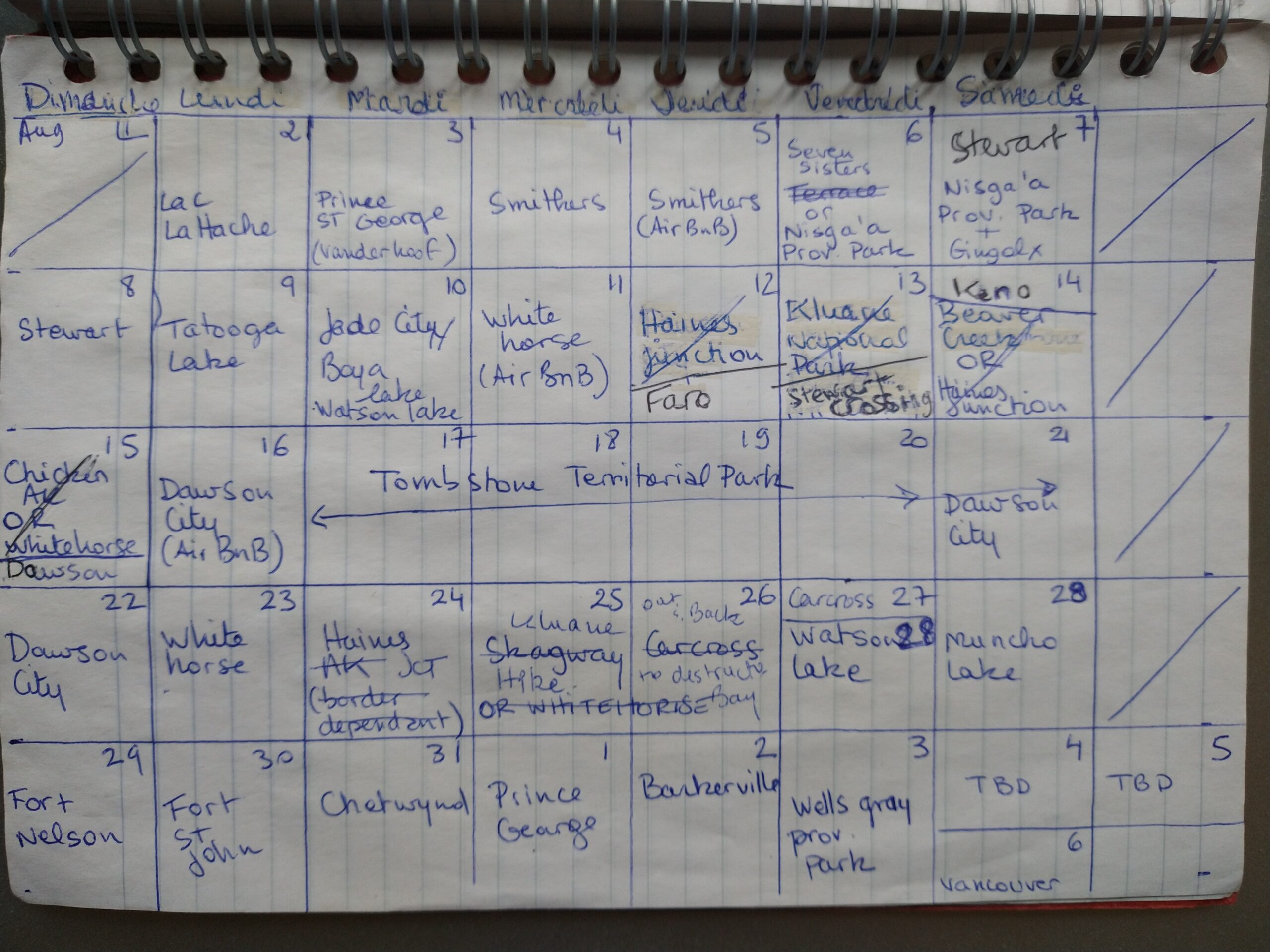
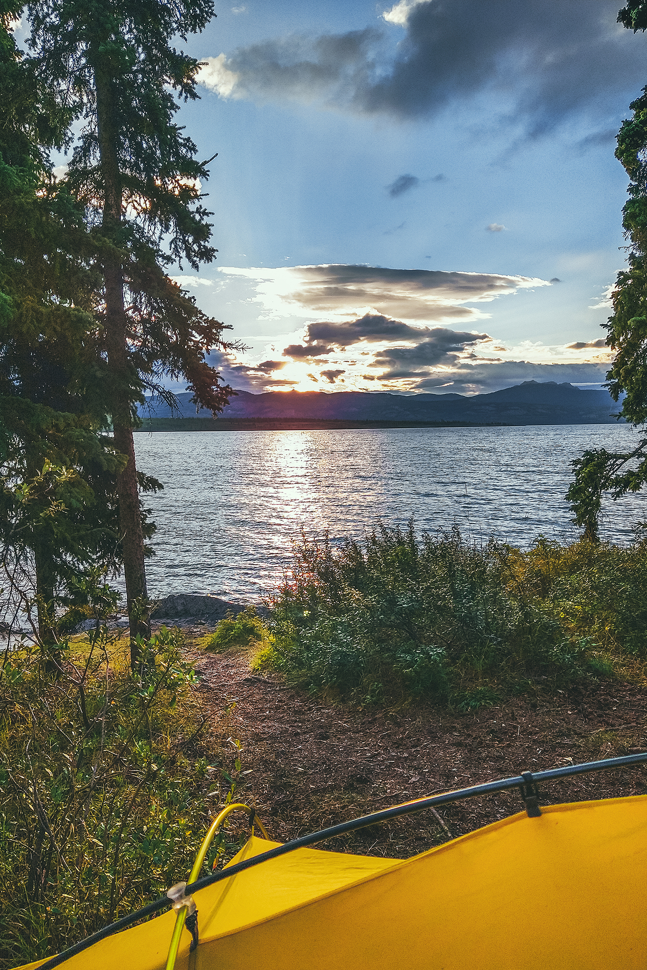
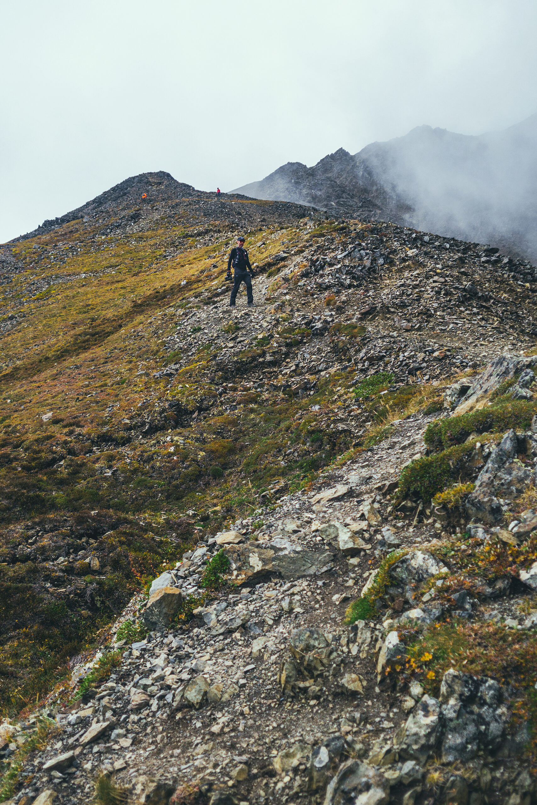
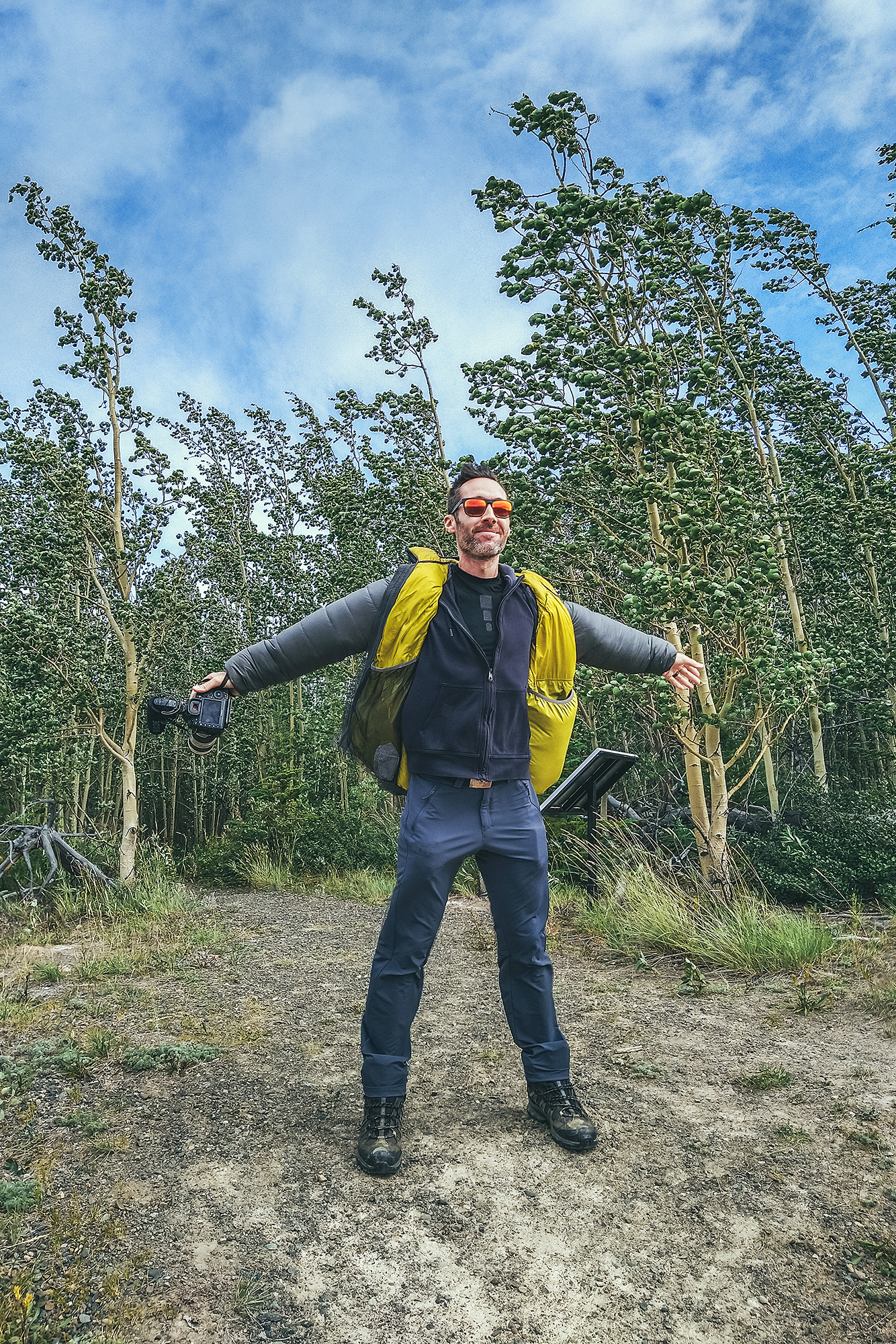
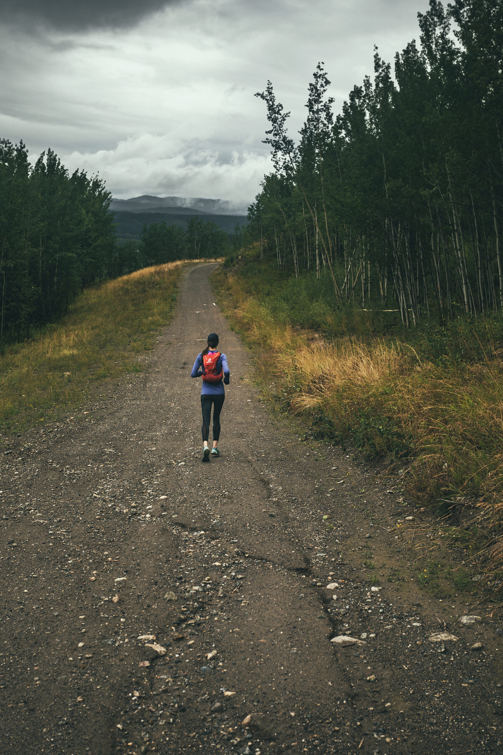
As I mentioned in other trip journals, we’re not very good at getting up early (unless there’s a specific reason we need to) and cram a lot into one day. And especially when camping, getting ready in the morning tends to take a bit more time, just because things have to be set up or taken down. So any time we wanted to do a day hike, I knew to plan for 2 nights in that place, as it was unlikely we would travel far and do a hike on the same day.

The nice thing about this trip was that we had a bit of flexibility with our return date, and we ended up adding 2-3 more days to the trip than initially planned, just through shifting some things around or adding a side trip here and there.
I had planned some of the itinerary with the hope that we could cross the border into the US (a couple of scenic loops in the Yukon take you through Alaska). But as we quickly realized, even if we could cross, the whole ordeal of getting tested (if even possible, at the time antigen tests weren’t yet a thing!) before coming back just wasn’t practical. So I re-adjusted some of the route accordingly, and it didn’t feel like we missed out on anything. The only set item on the schedule was the trip through Tombstone, as we had booked the campsites in advance and it would have been tricky to move those dates around. But we were able to work other adjustments around these dates. For example, we re-evaluated our itinerary based on weather – moving the time we went to Kluane to later, after seeing the forecast for our initial-planned time.
In the end, having a planned but flexible itinerary worked out great, allowing us to have clear directions but still with room to adjust as needed.

I used a bunch of different reading material on a daily basis to guide us.

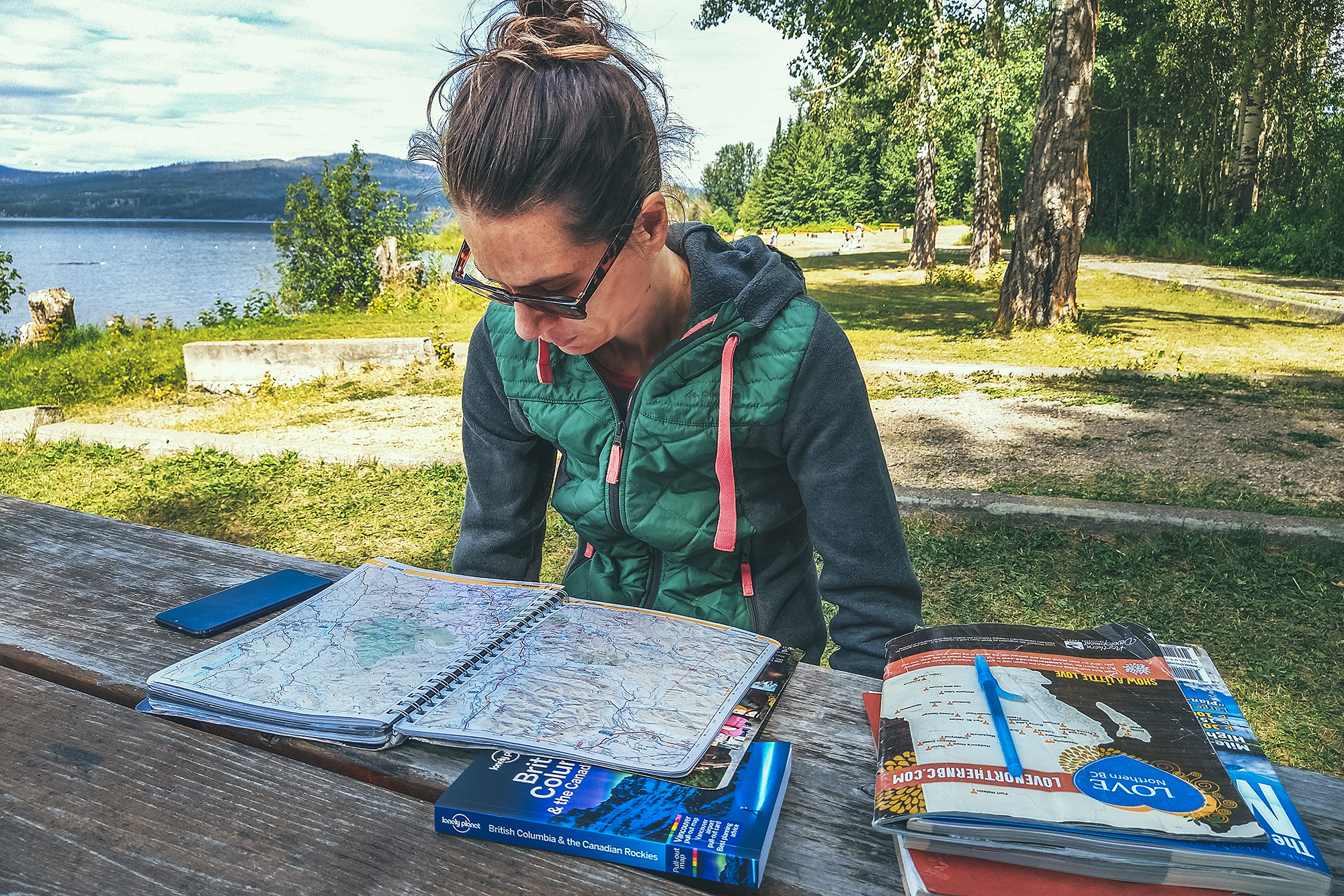
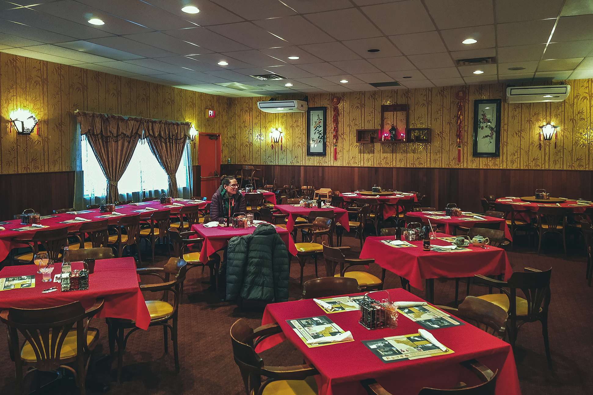
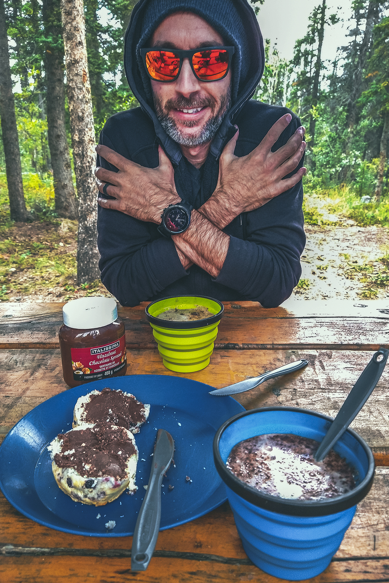
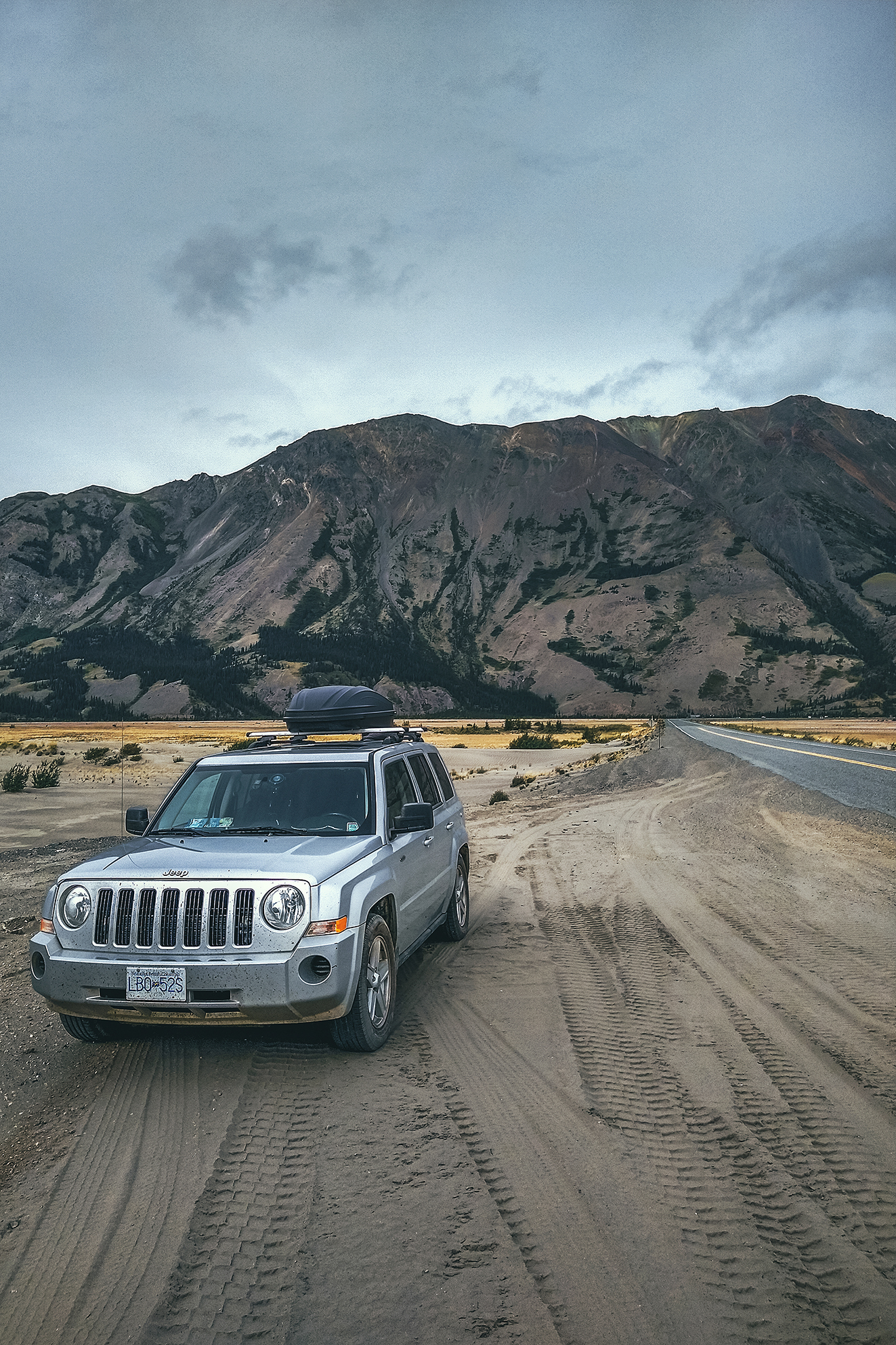
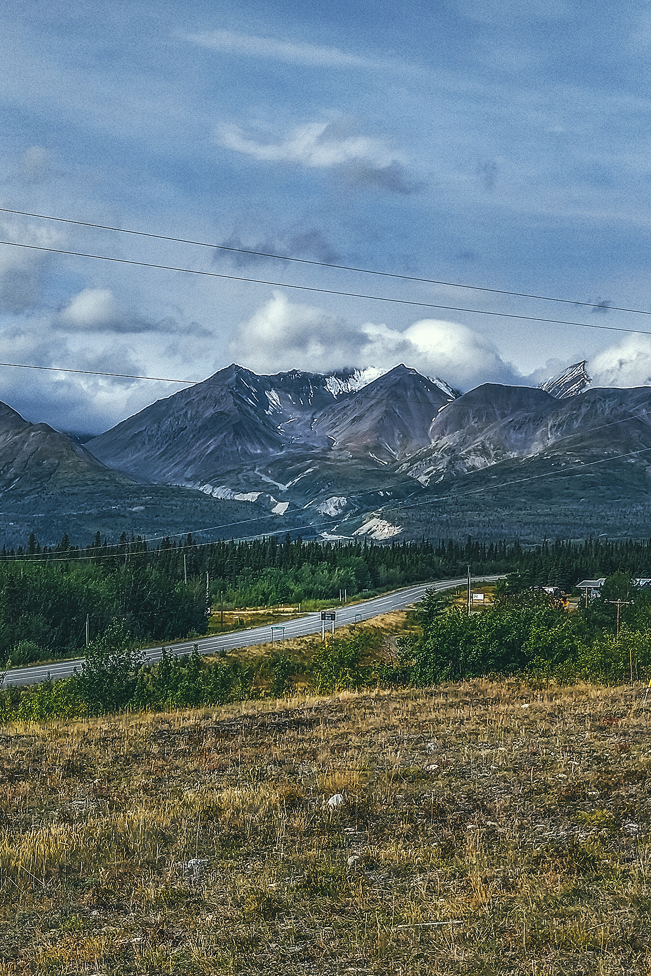
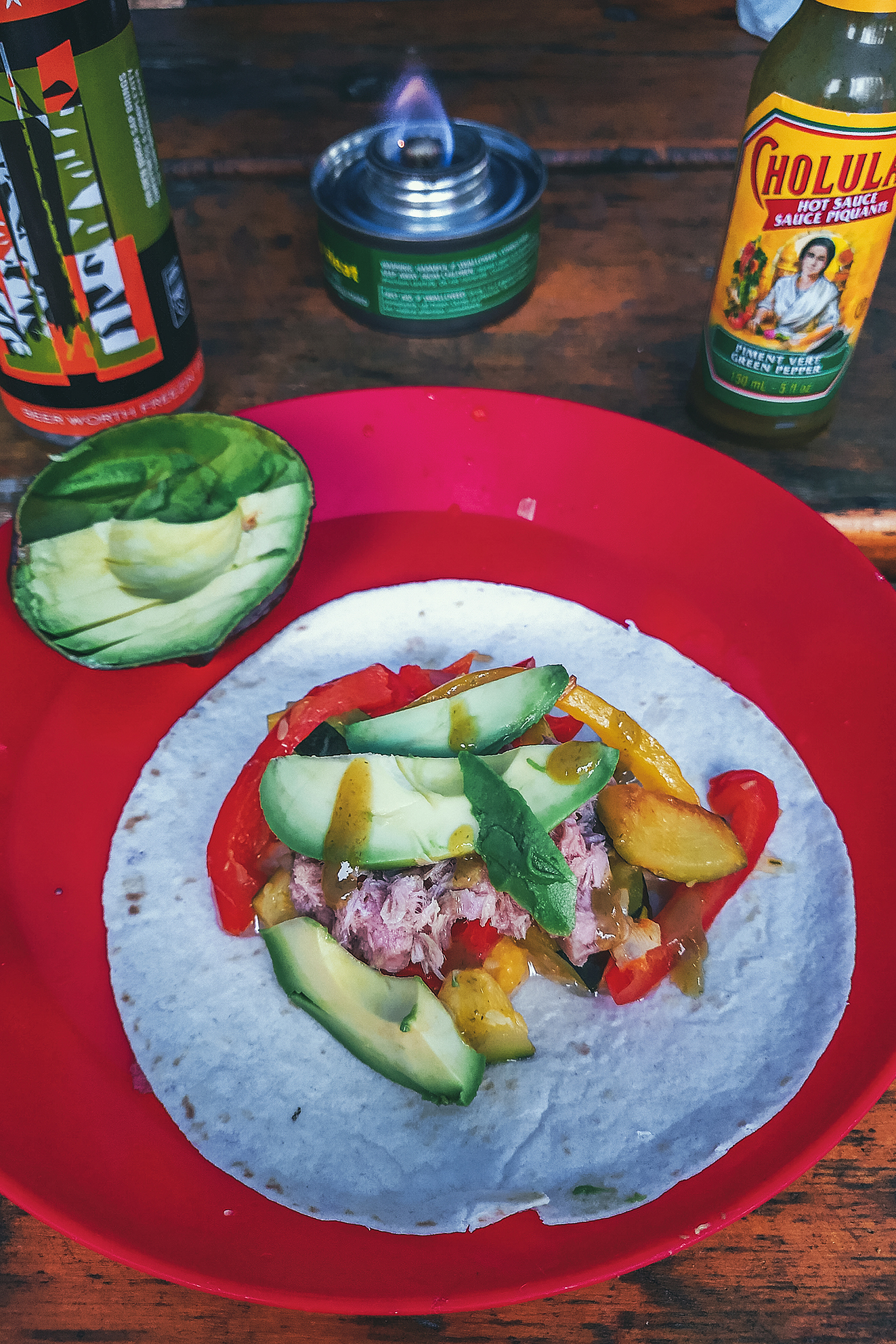
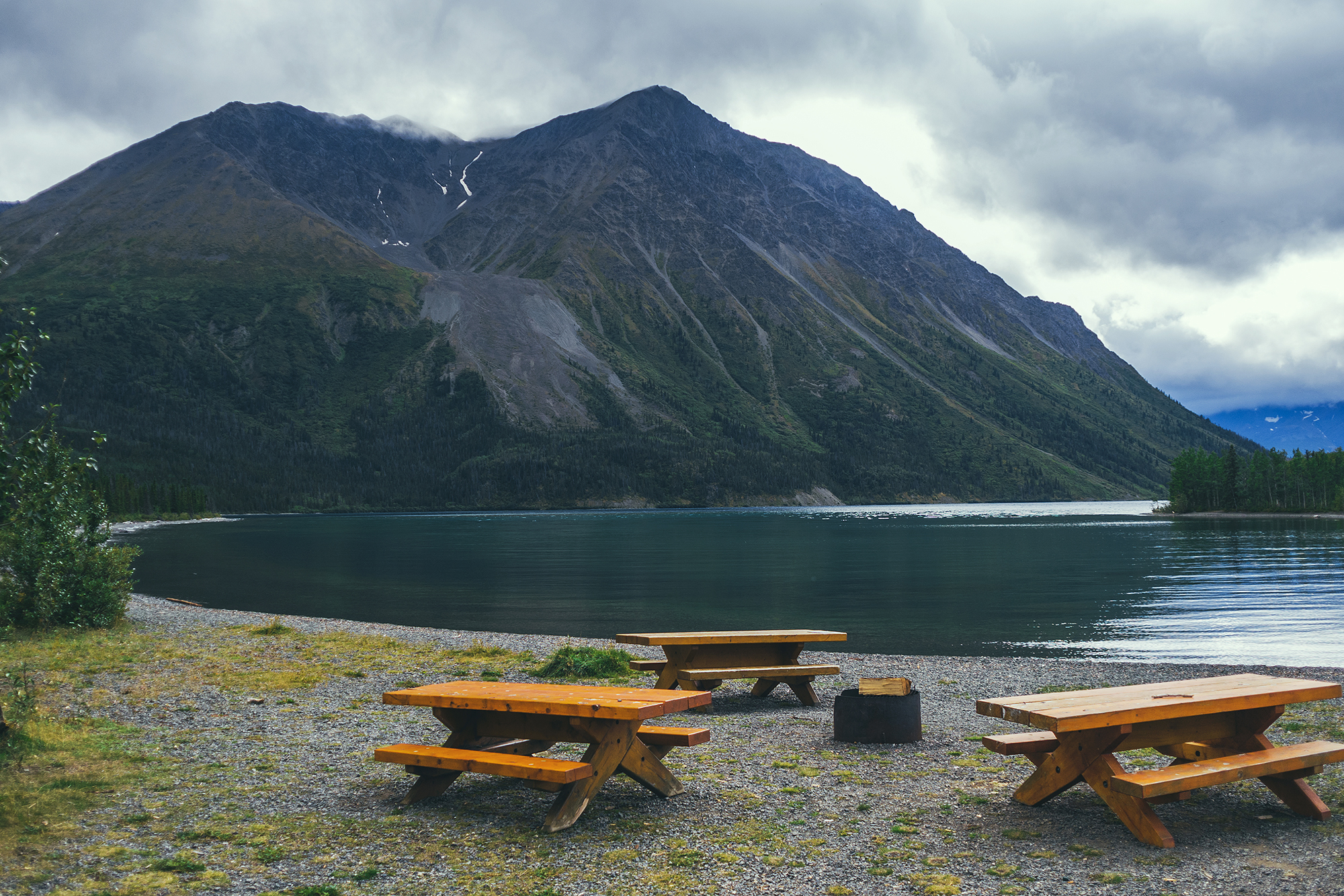
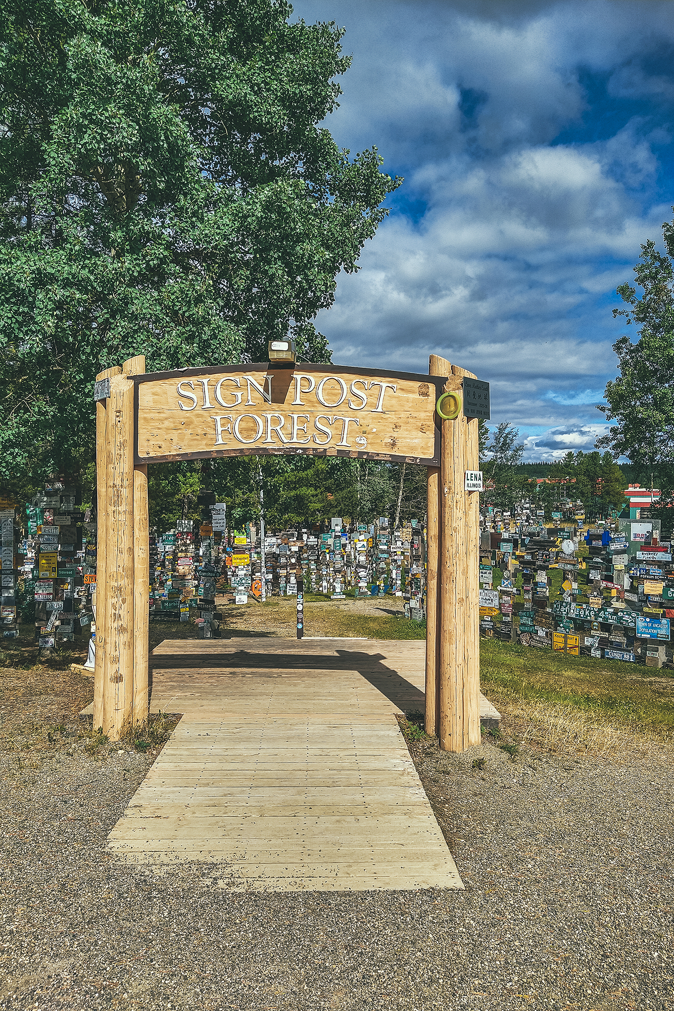
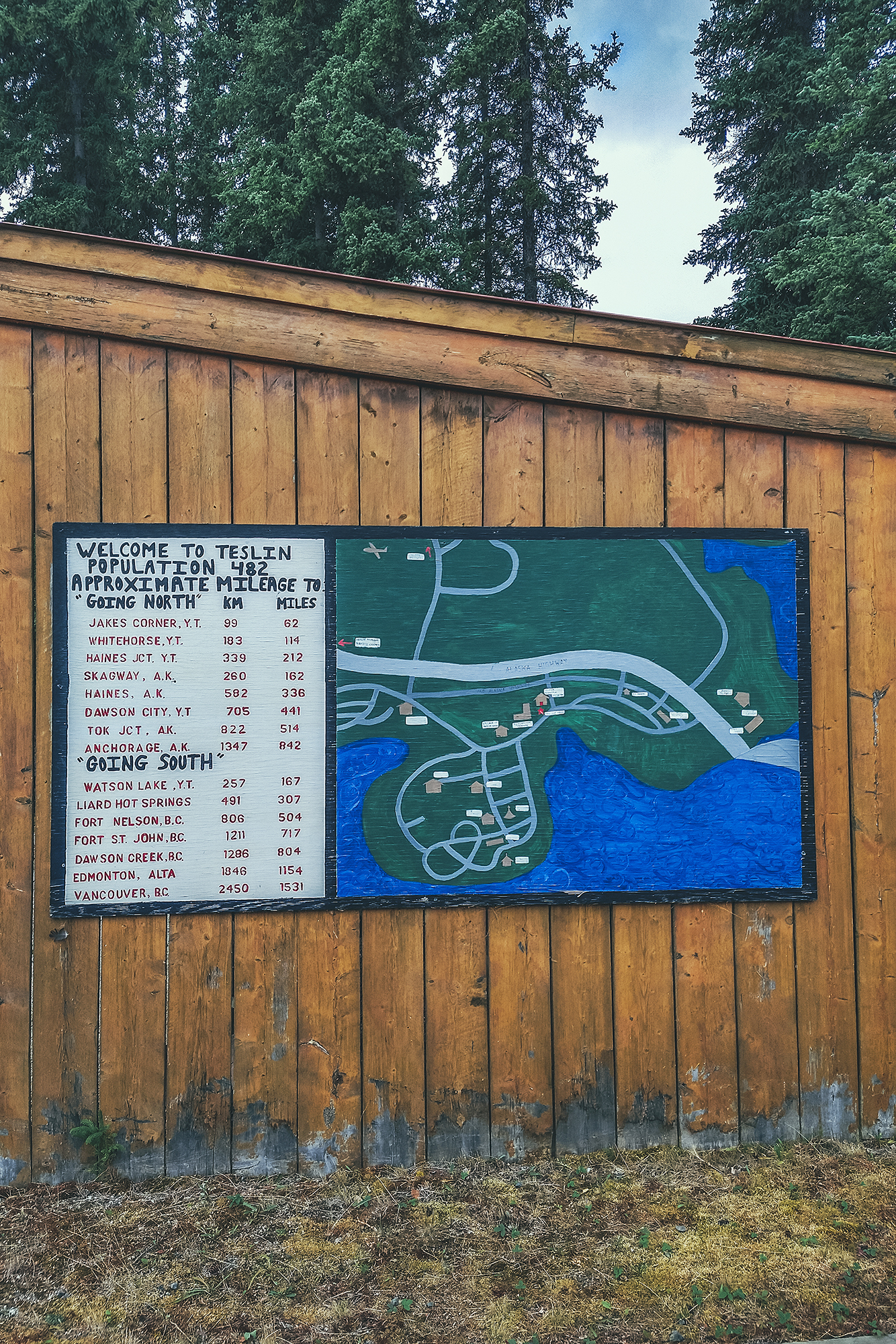
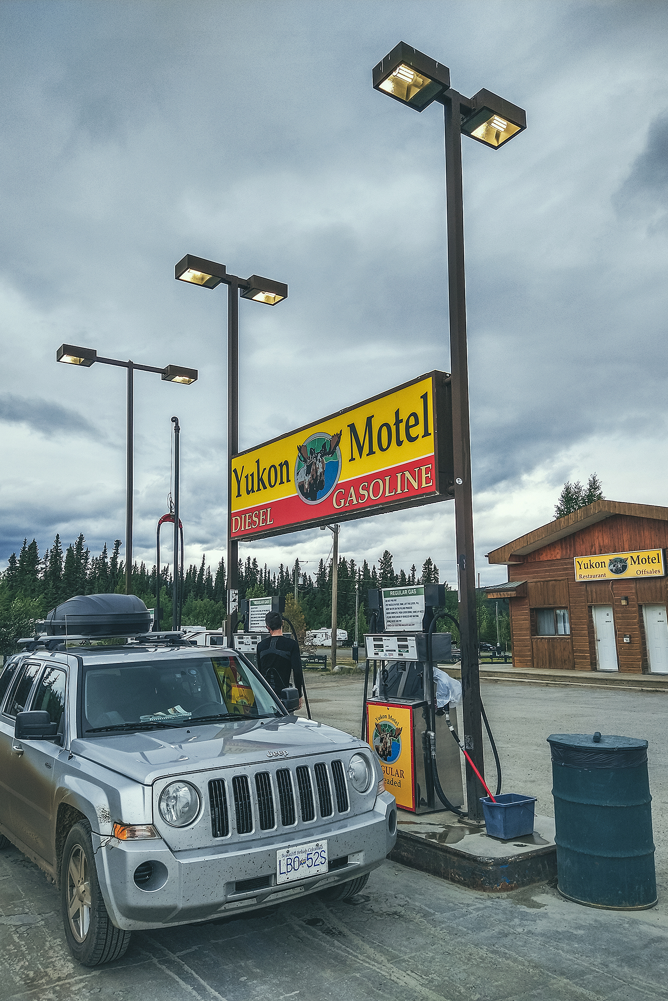
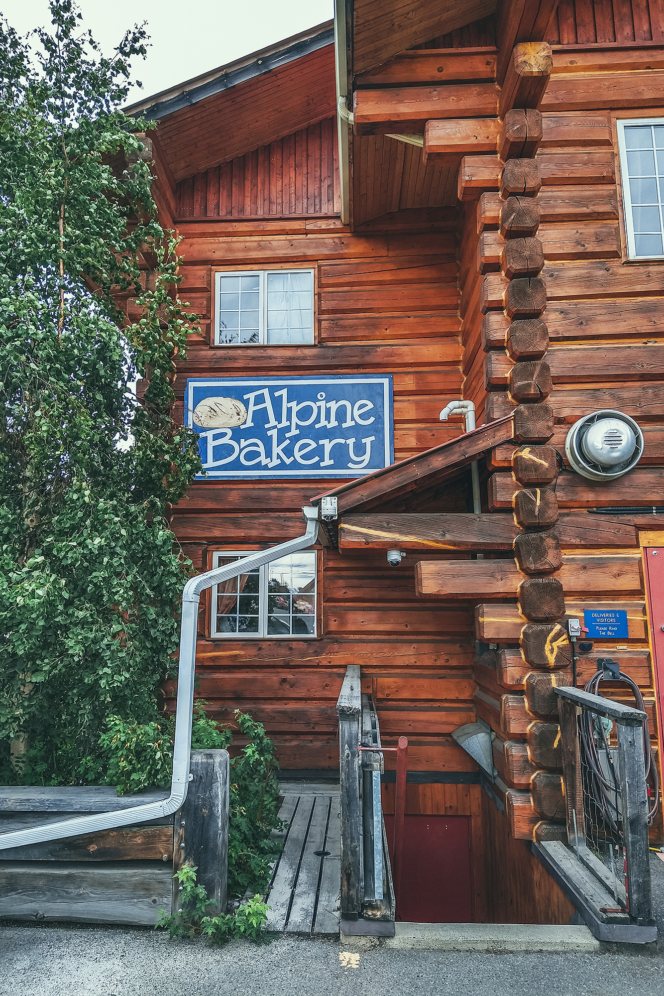
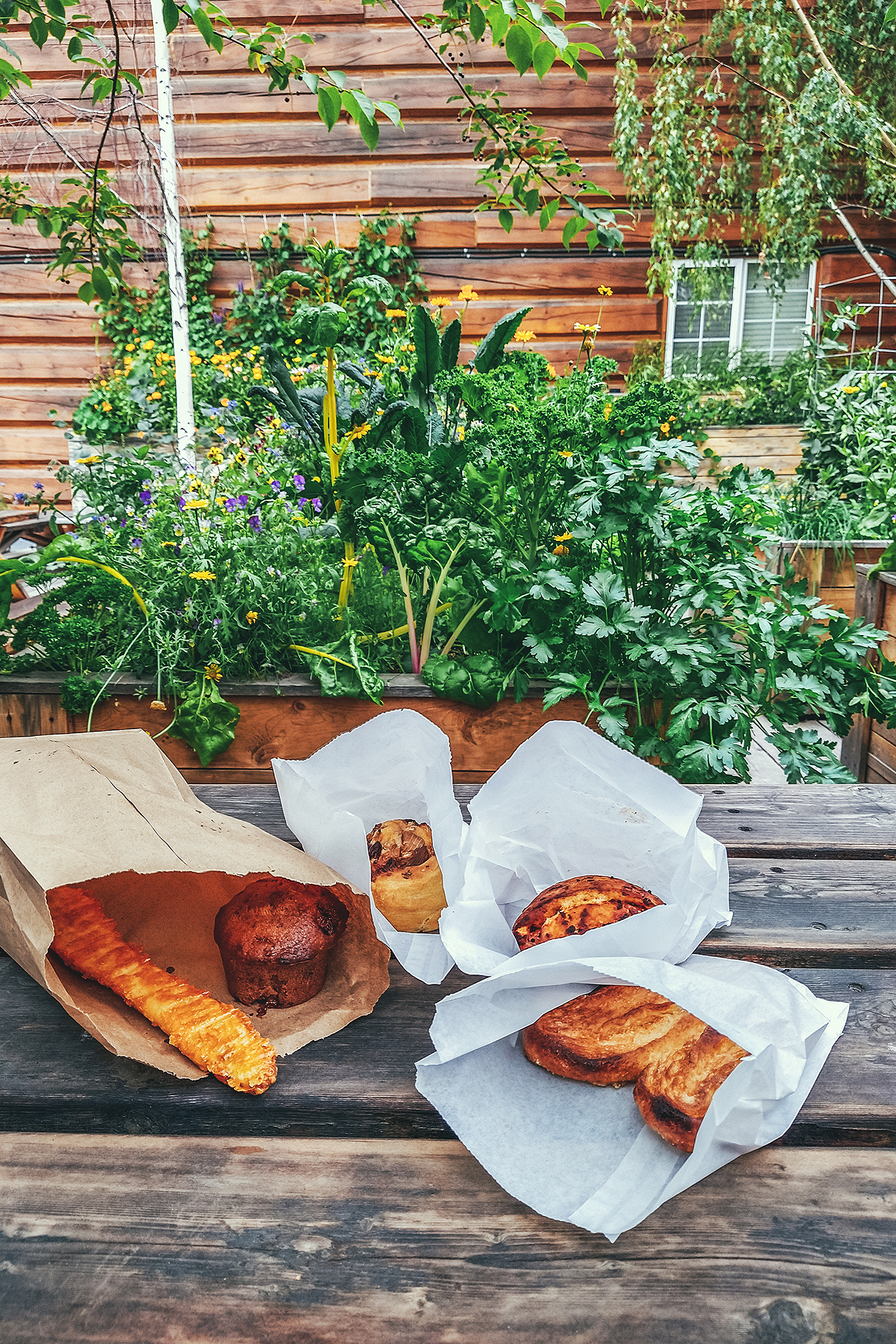
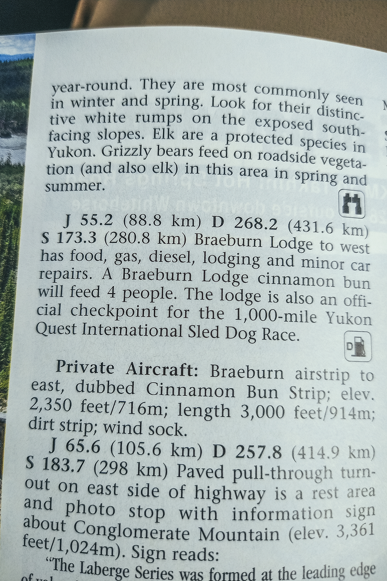
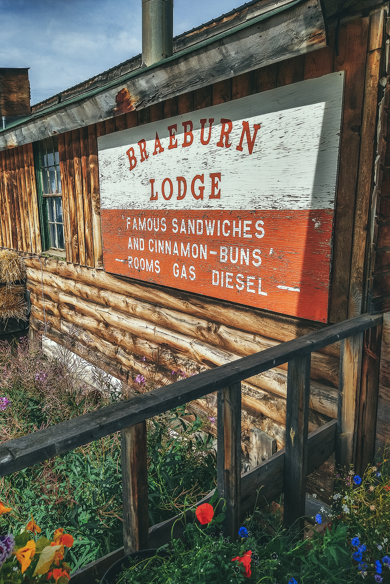
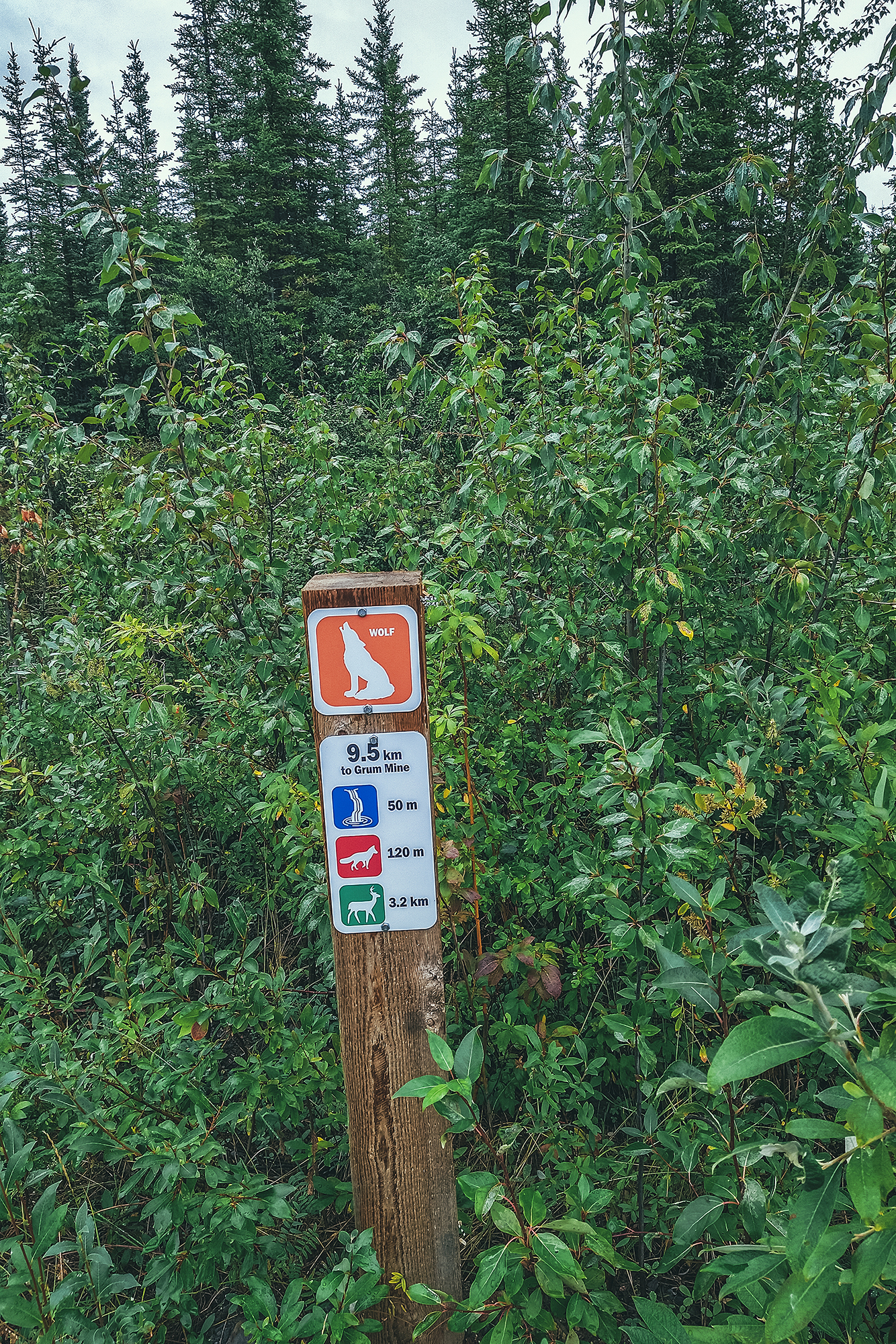
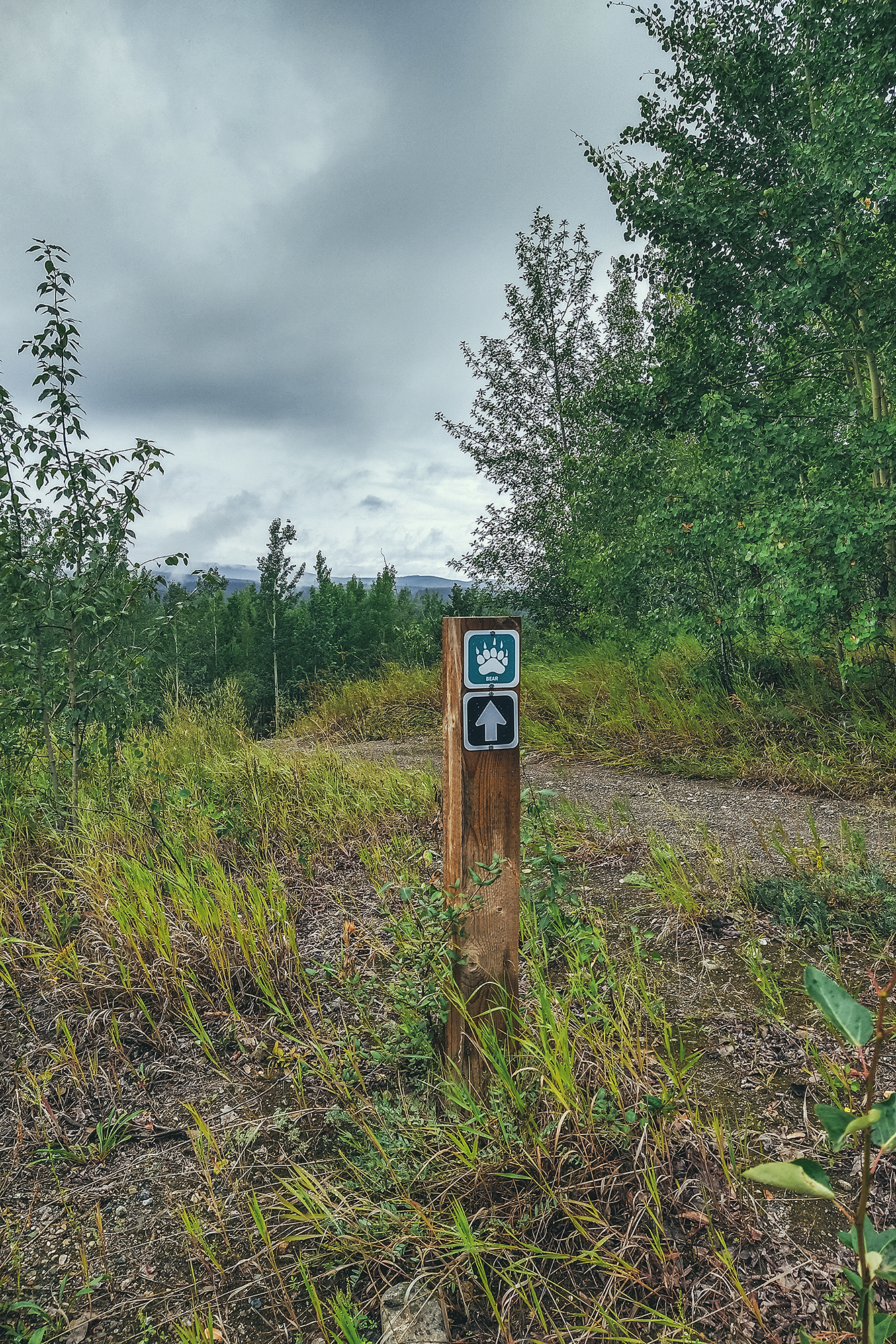
The Milepost was my go-to for anything to see along the road, as it has a detailed log of everything and anything worth stopping for on the Alaska highway but also all the other circuits connected to it. I used the official visitor guides for Northern BC and Yukon for a bit more details on hikes, camping and local attractions. We’ve used for many years apps like Navmii to determine distances and locations to drive to, and Ultimate Campgrounds or IOverlander to find places to camp. That said there was no shortage of campgrounds both in BC and the Yukon, and you would rarely drive more than 100km without coming across a recreation site or a provincial park/Govt campground. Beyond that, visitor centres were a great place to pick up further info on local attractions. I relied heavily on paper guides as service was very spotty, if not non-existent, in a lot of areas along the way, and I maxed out of phone data a few days before we got back.
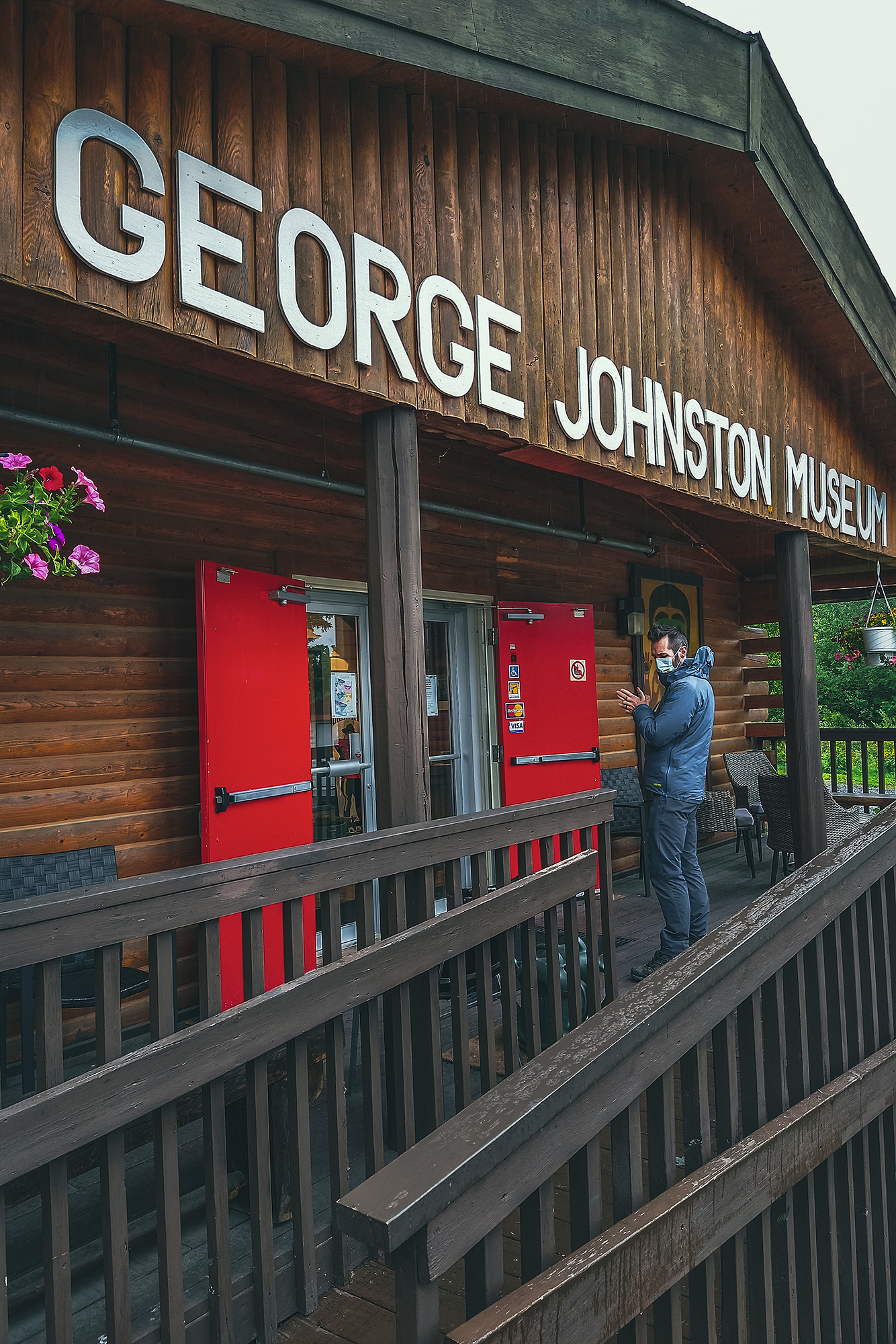
Outside of border crossing, Covid certainly had an impact on some of our itinerary, due to a number of places being closed – mainly cultural centres or any other places run by First Nation communities. As a result we spent a bit less time in some places that we otherwise might have.
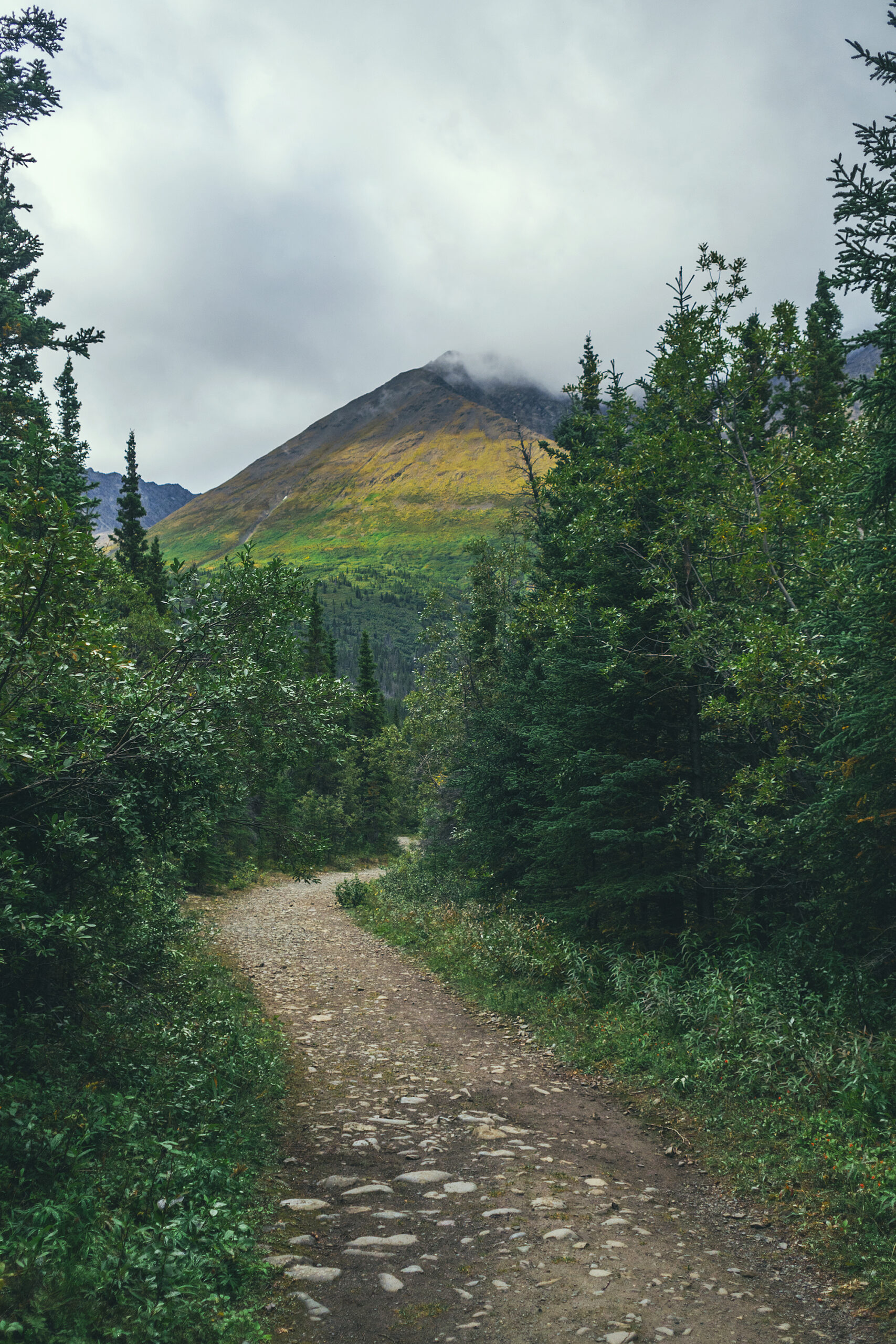
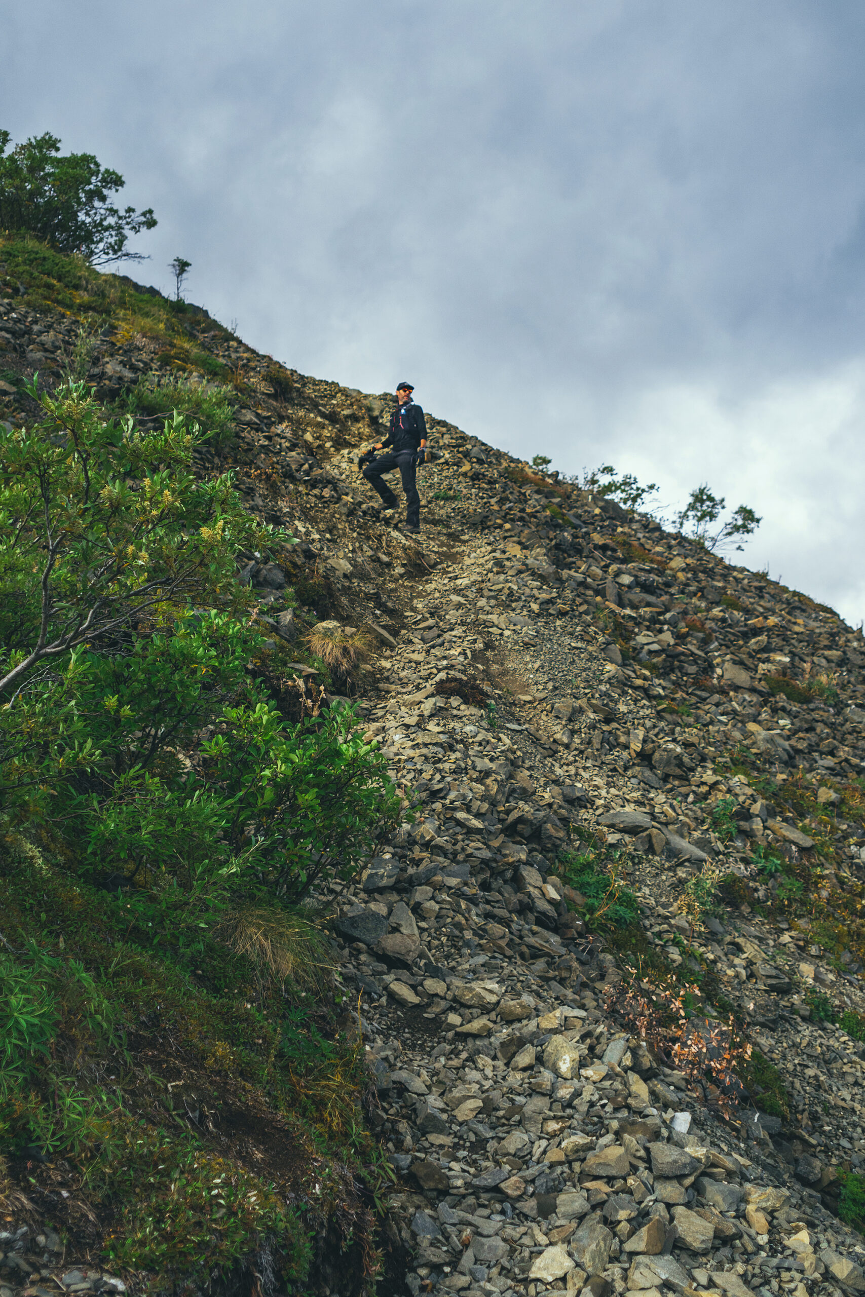
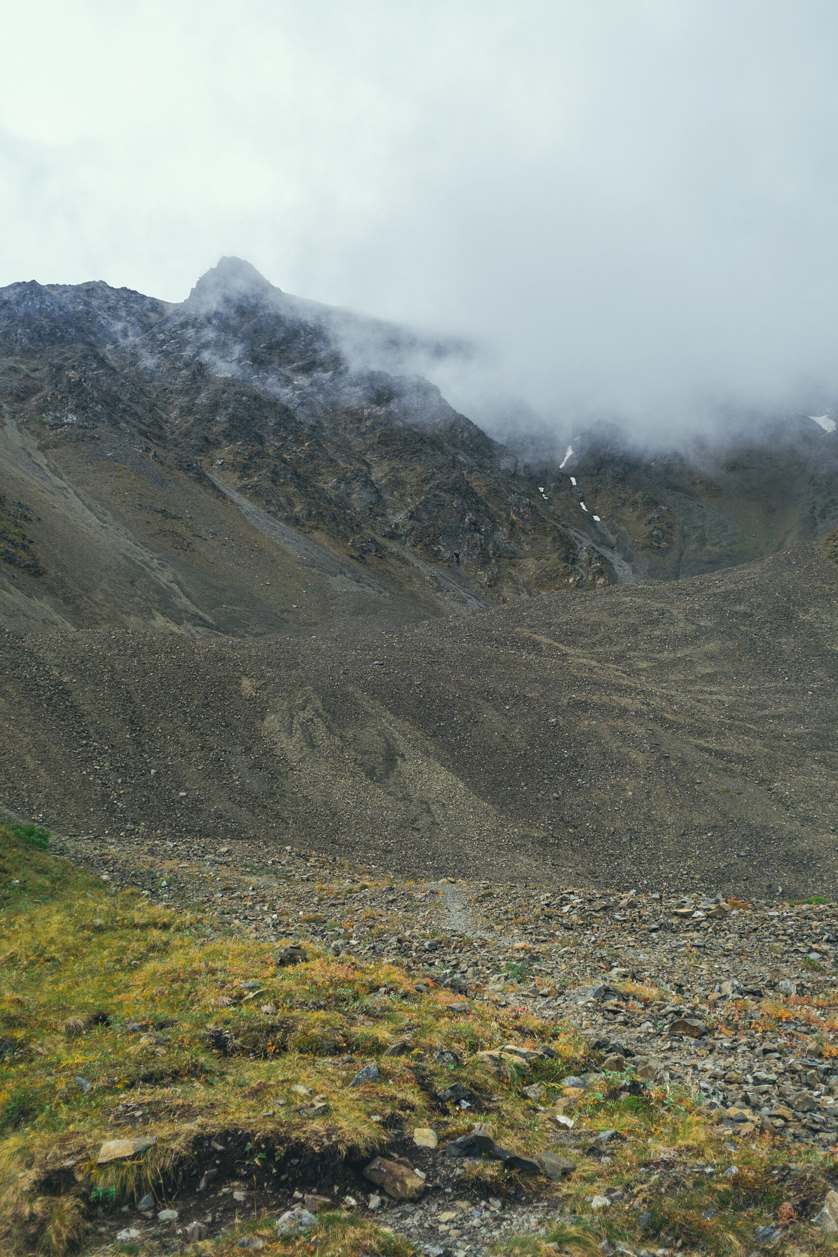
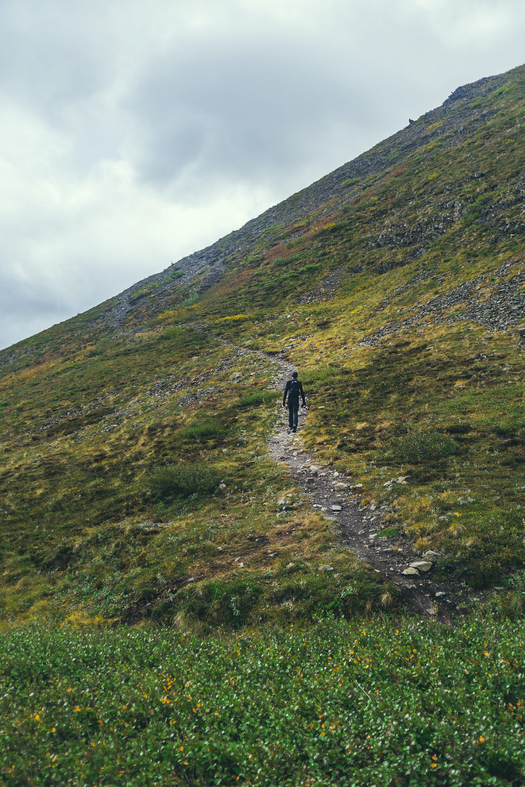
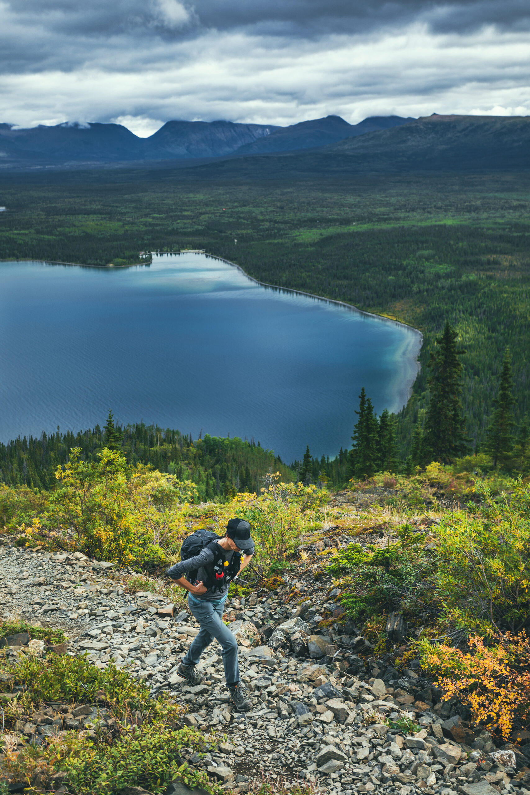
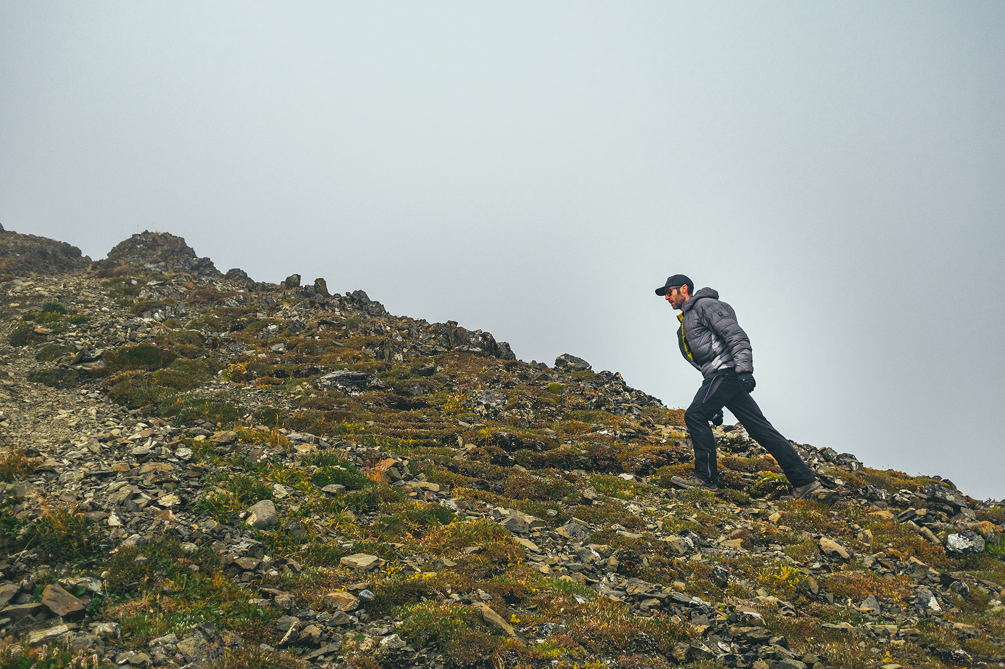
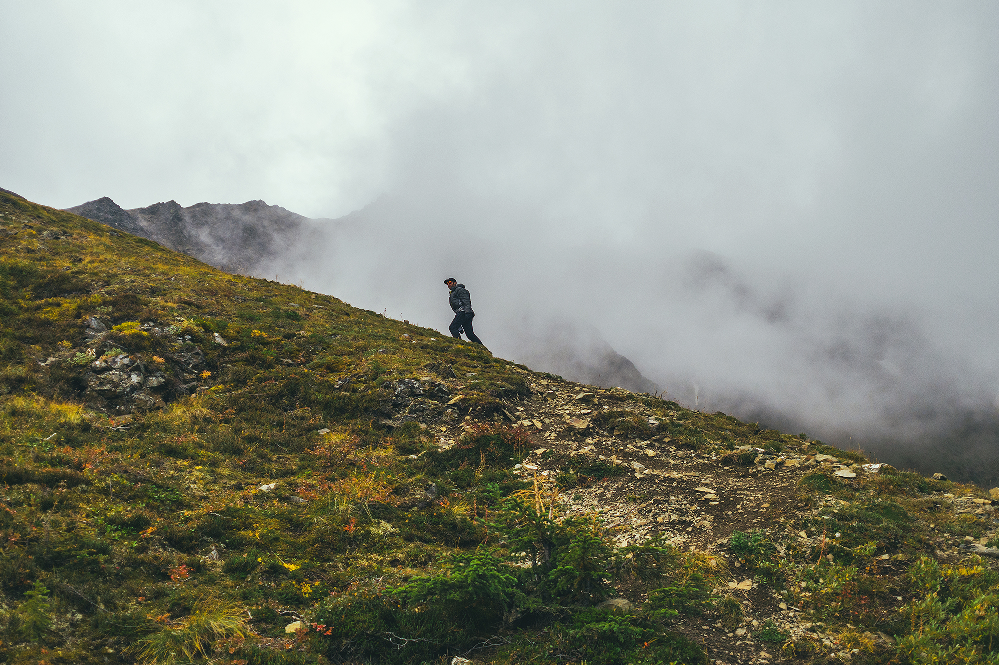
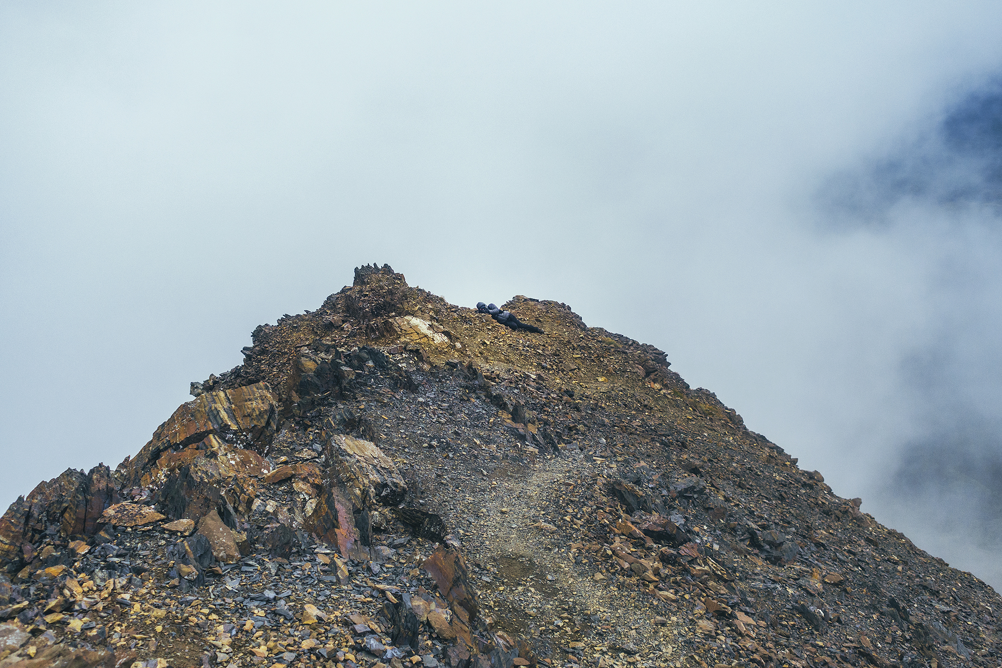
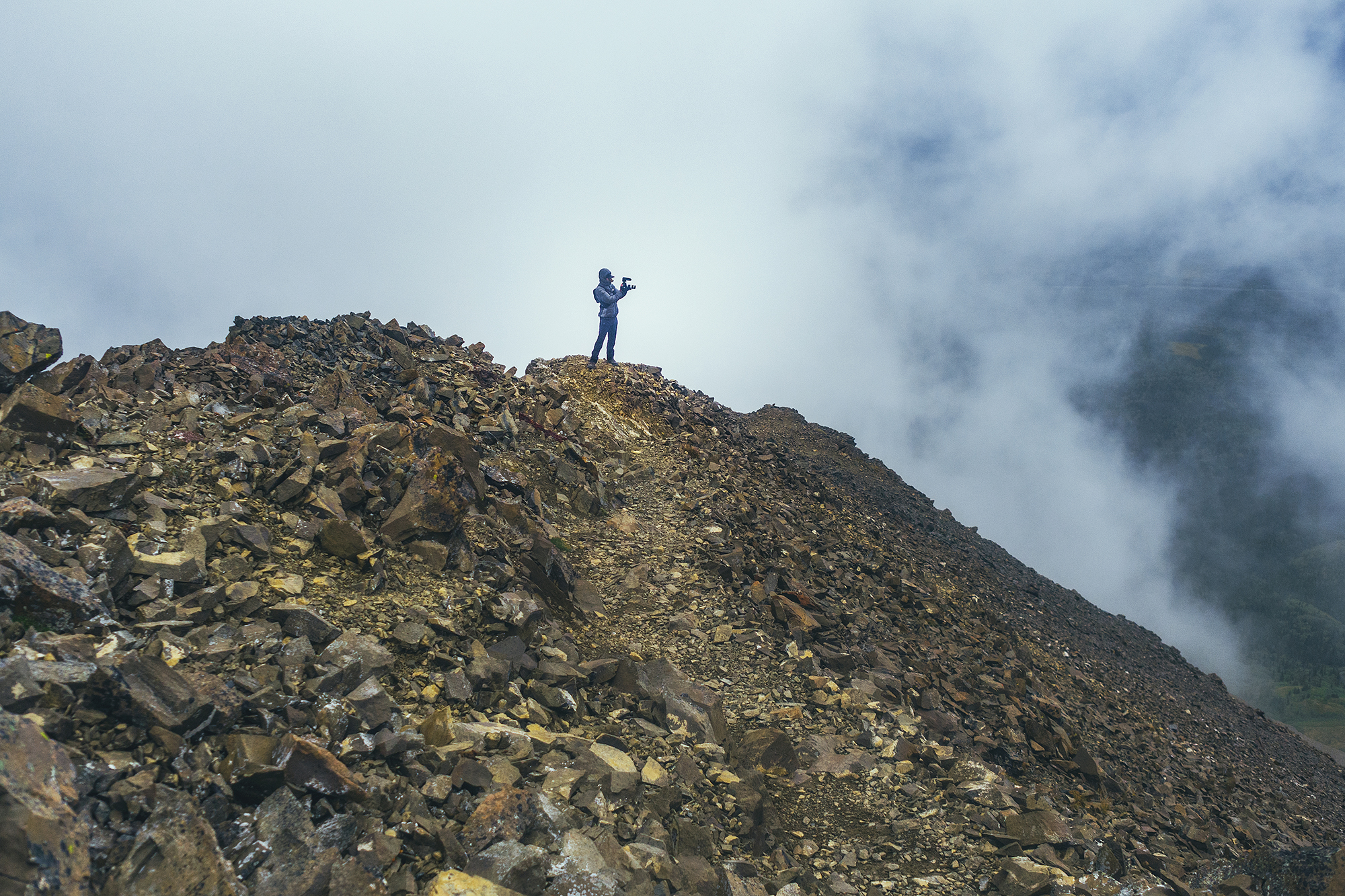
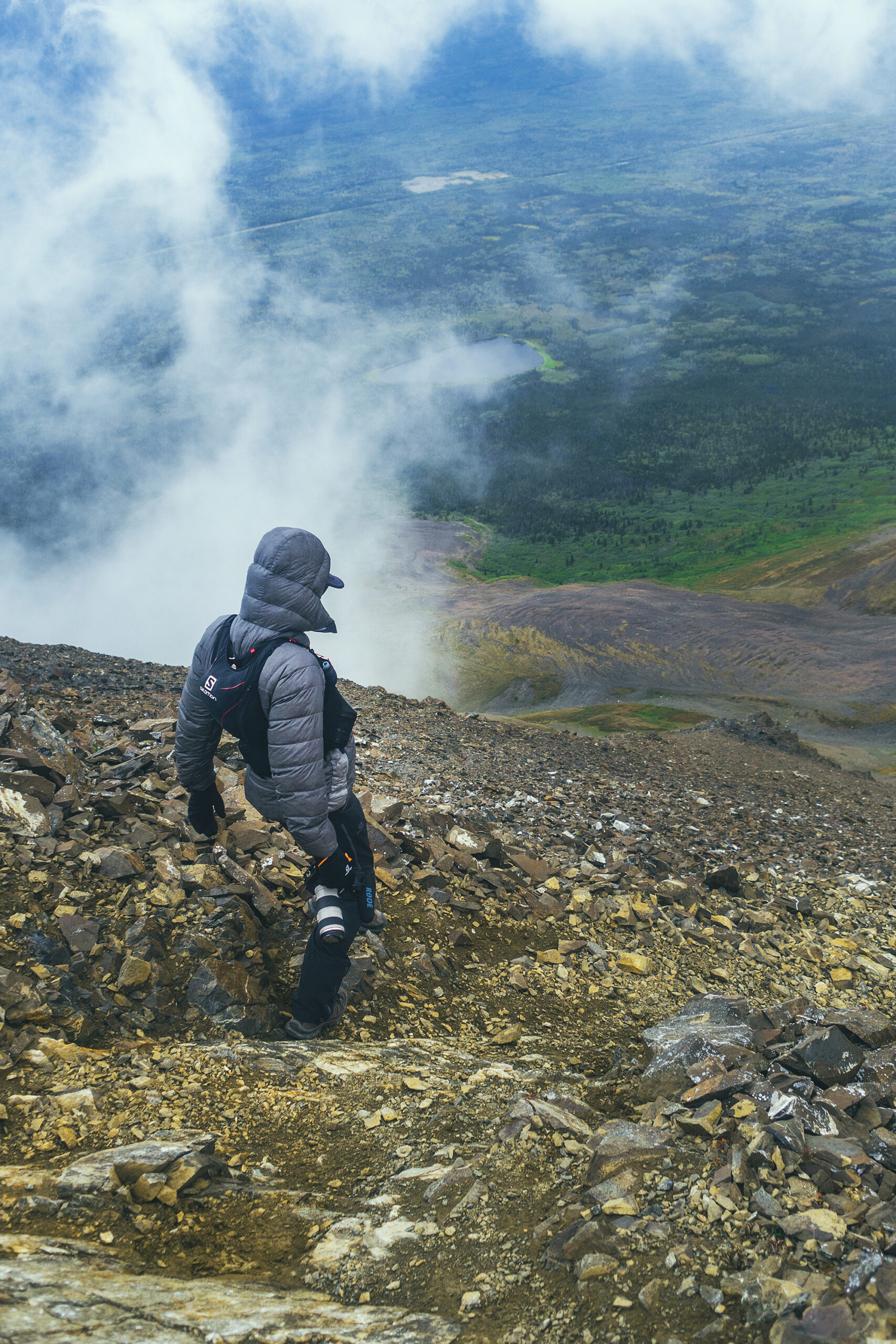
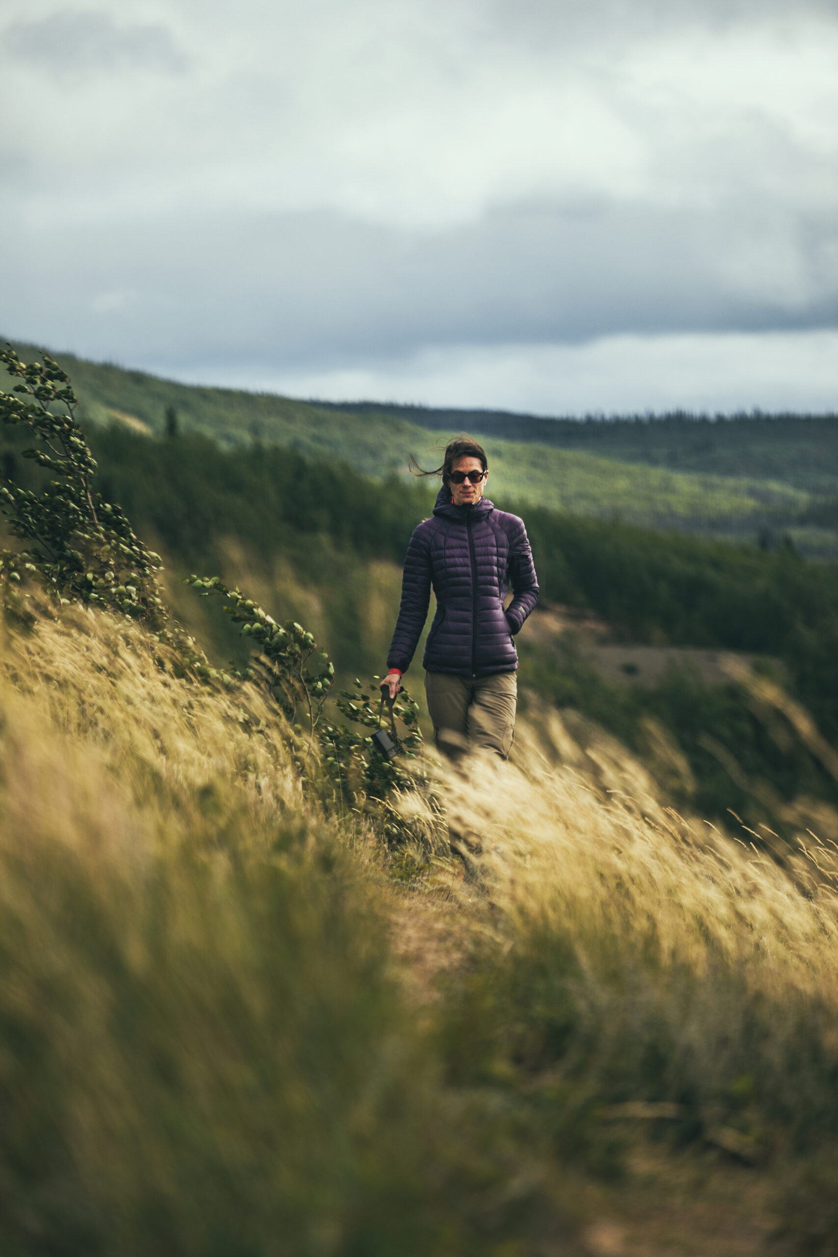
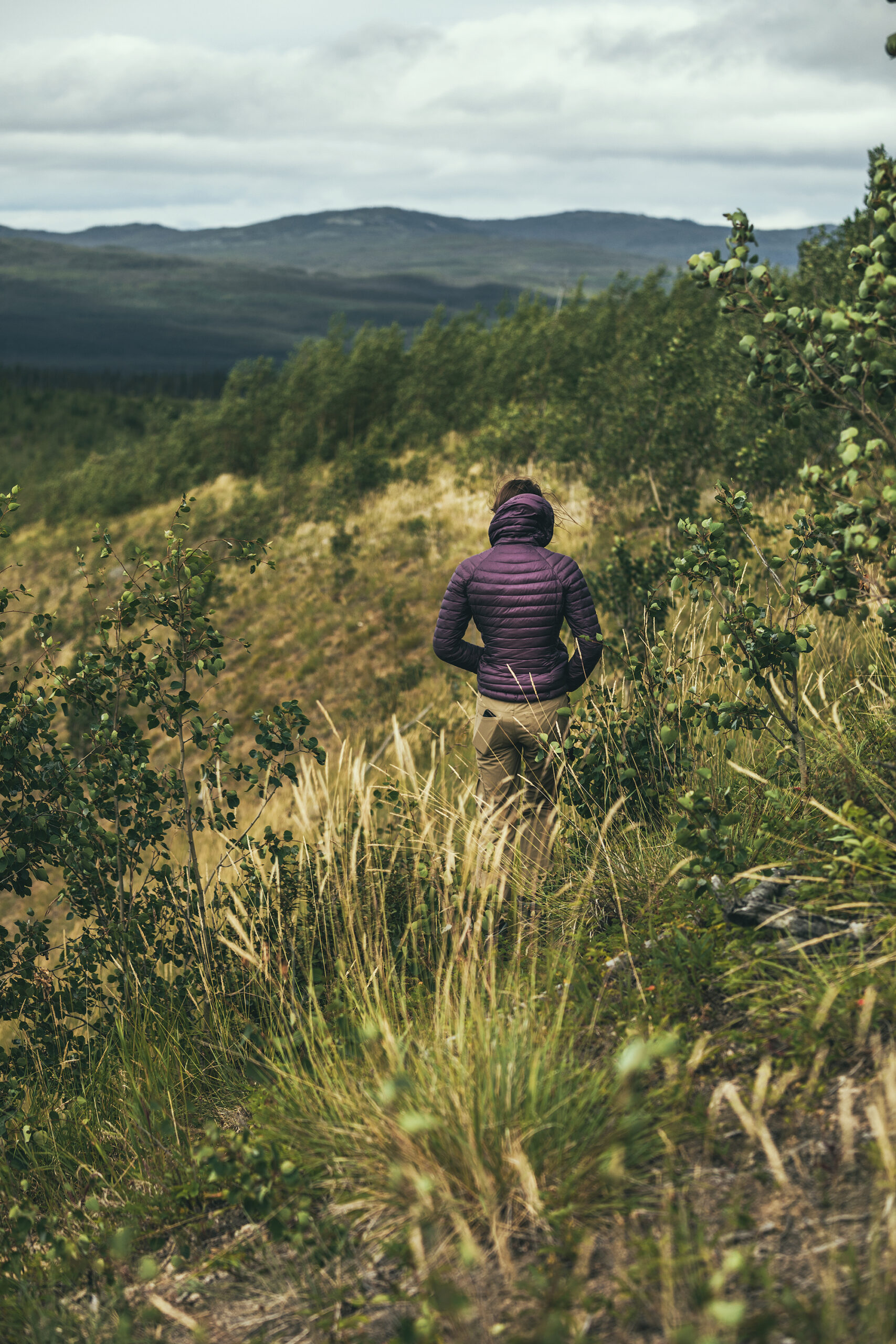
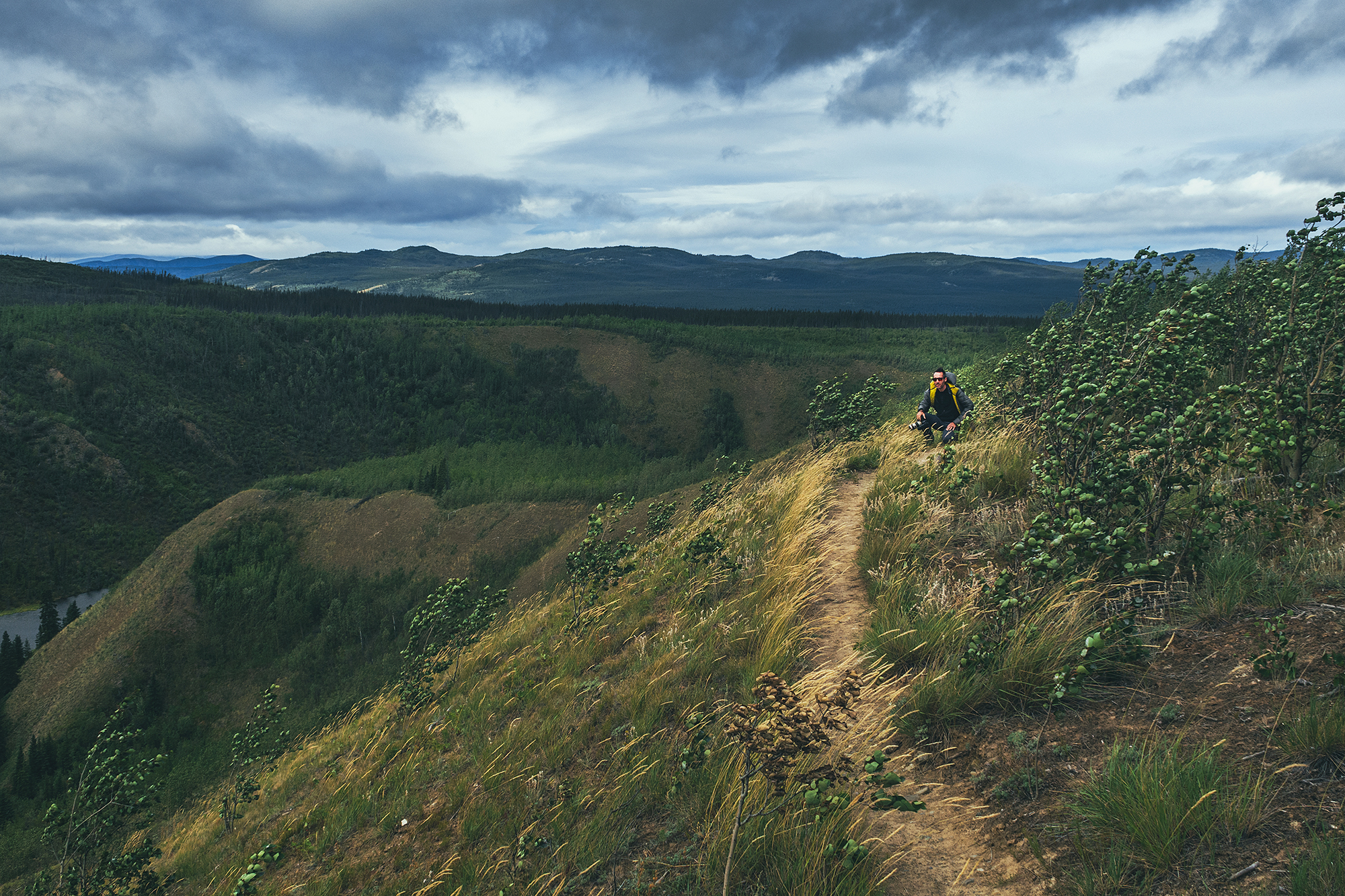
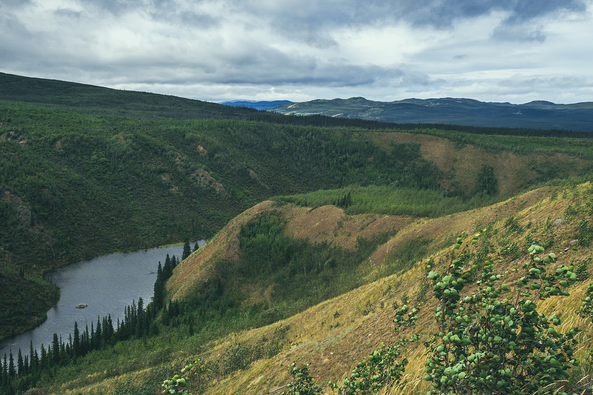
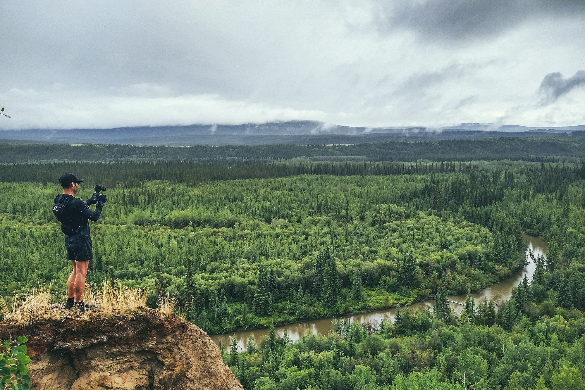
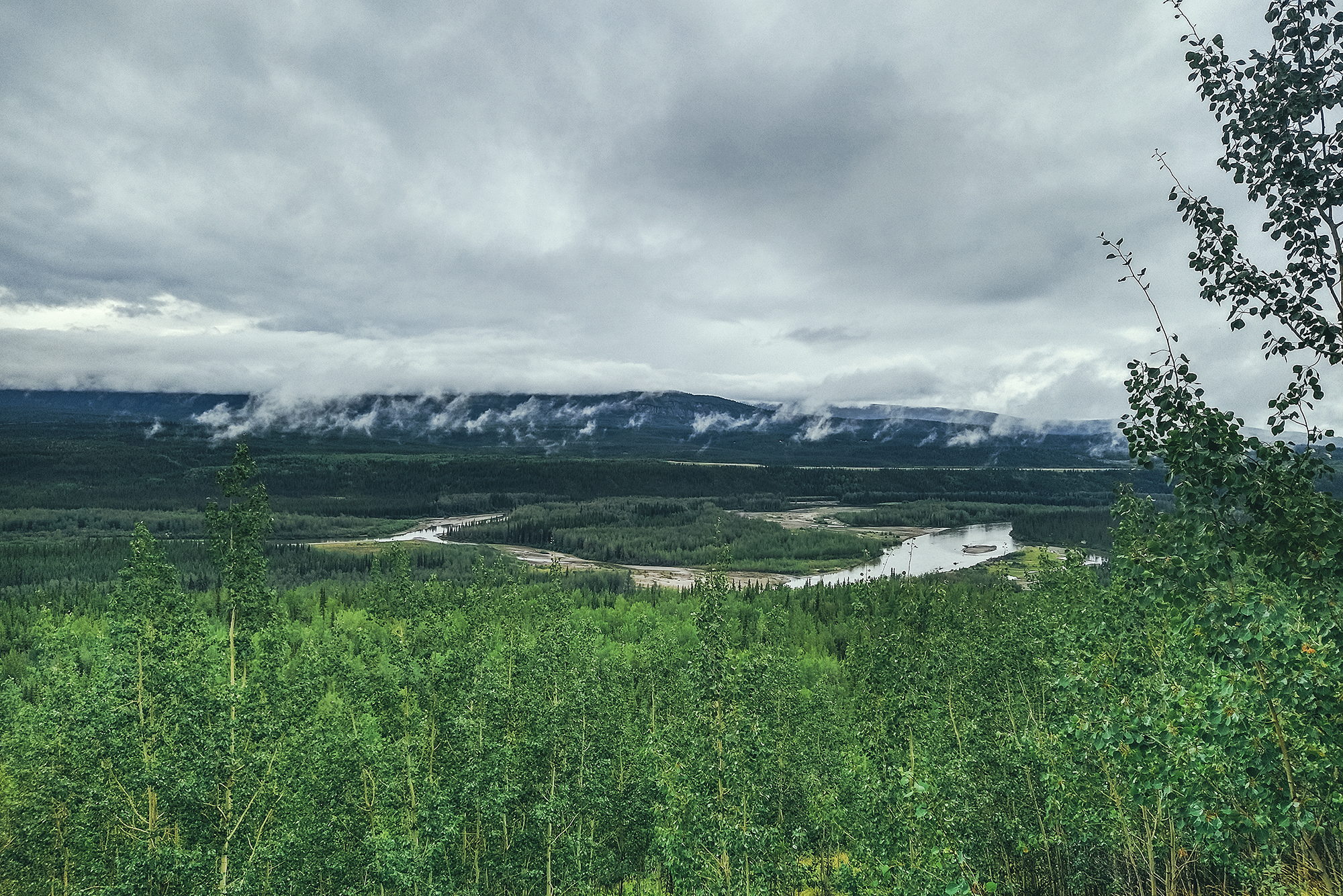
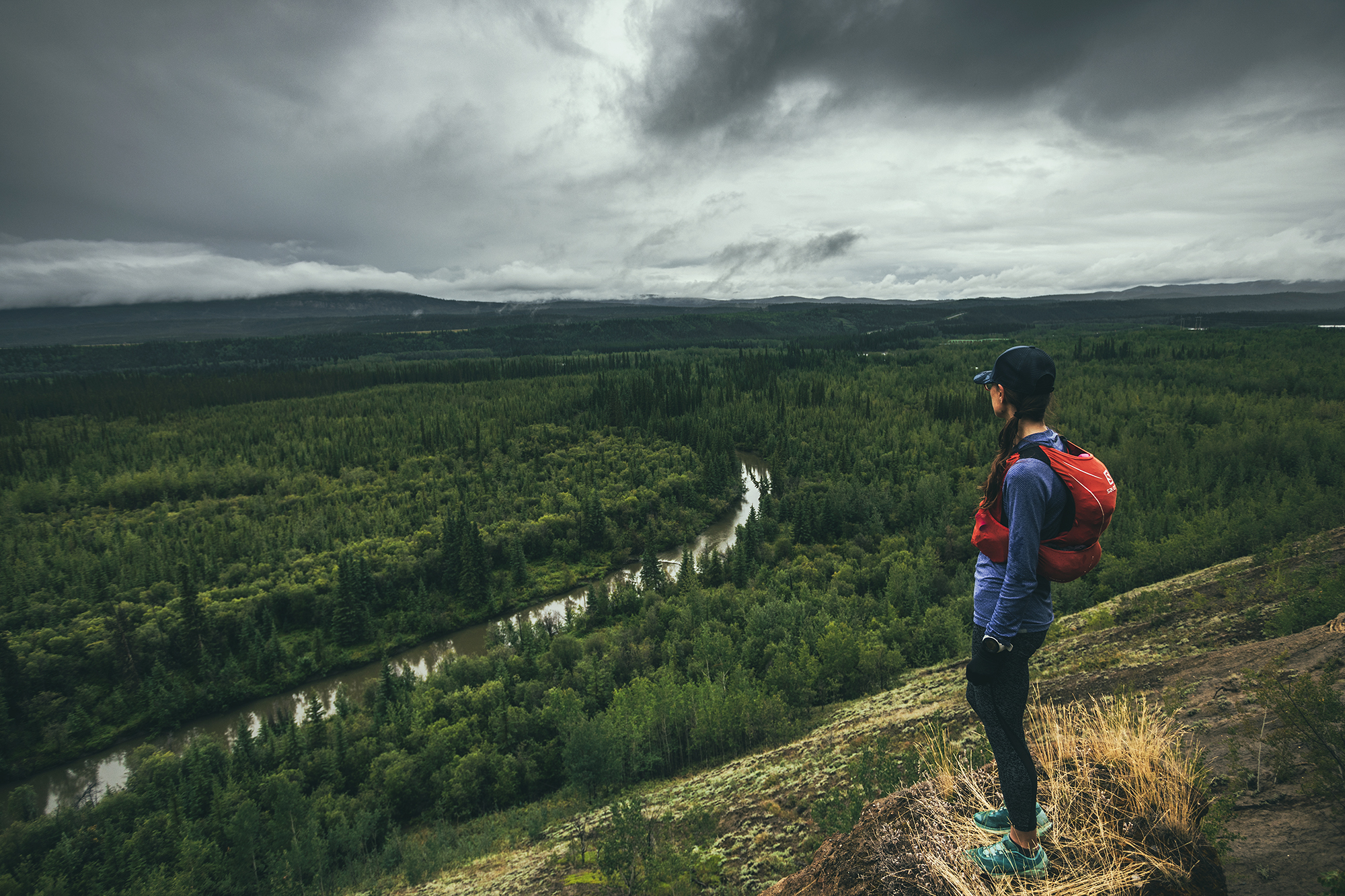
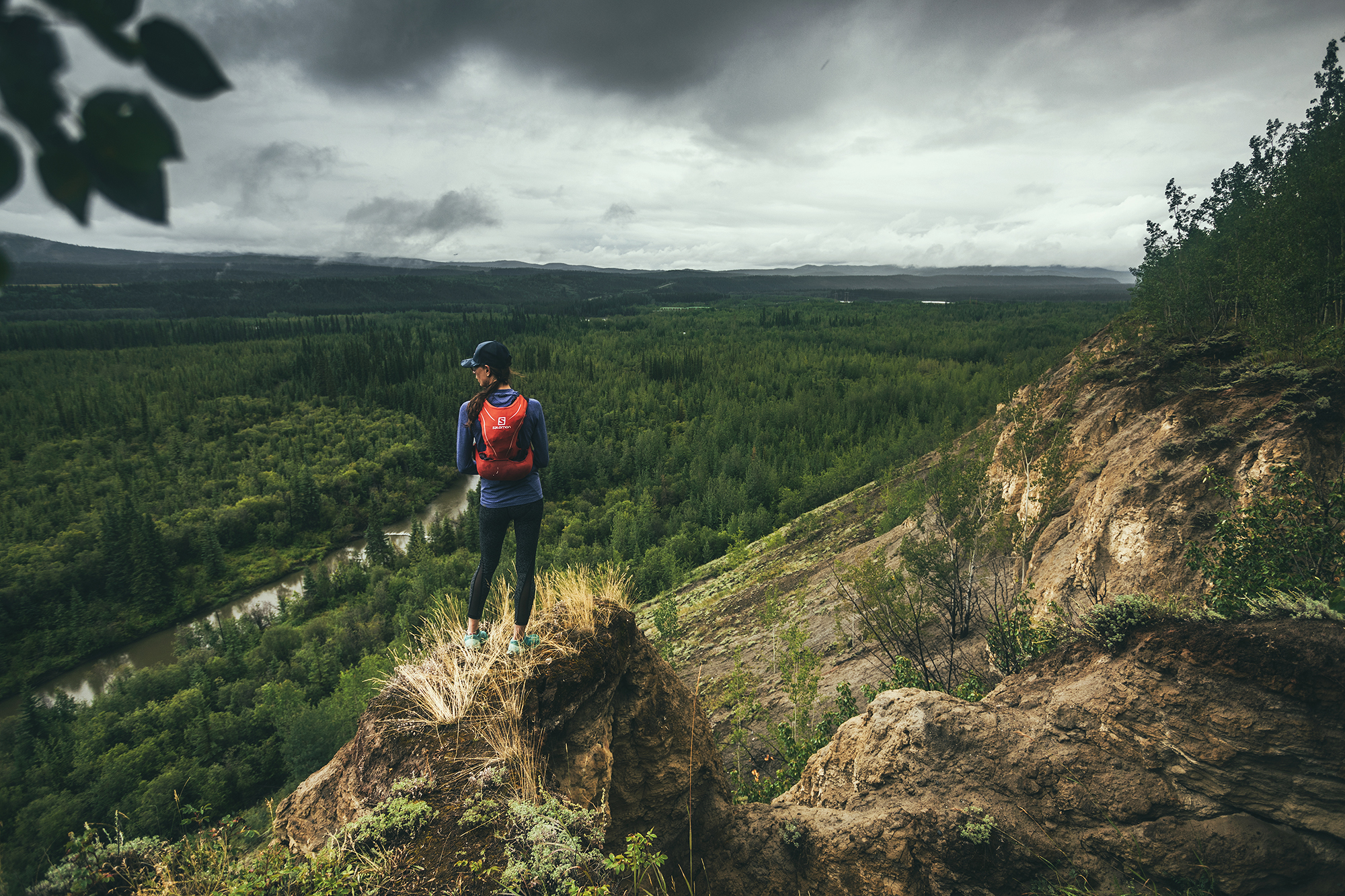
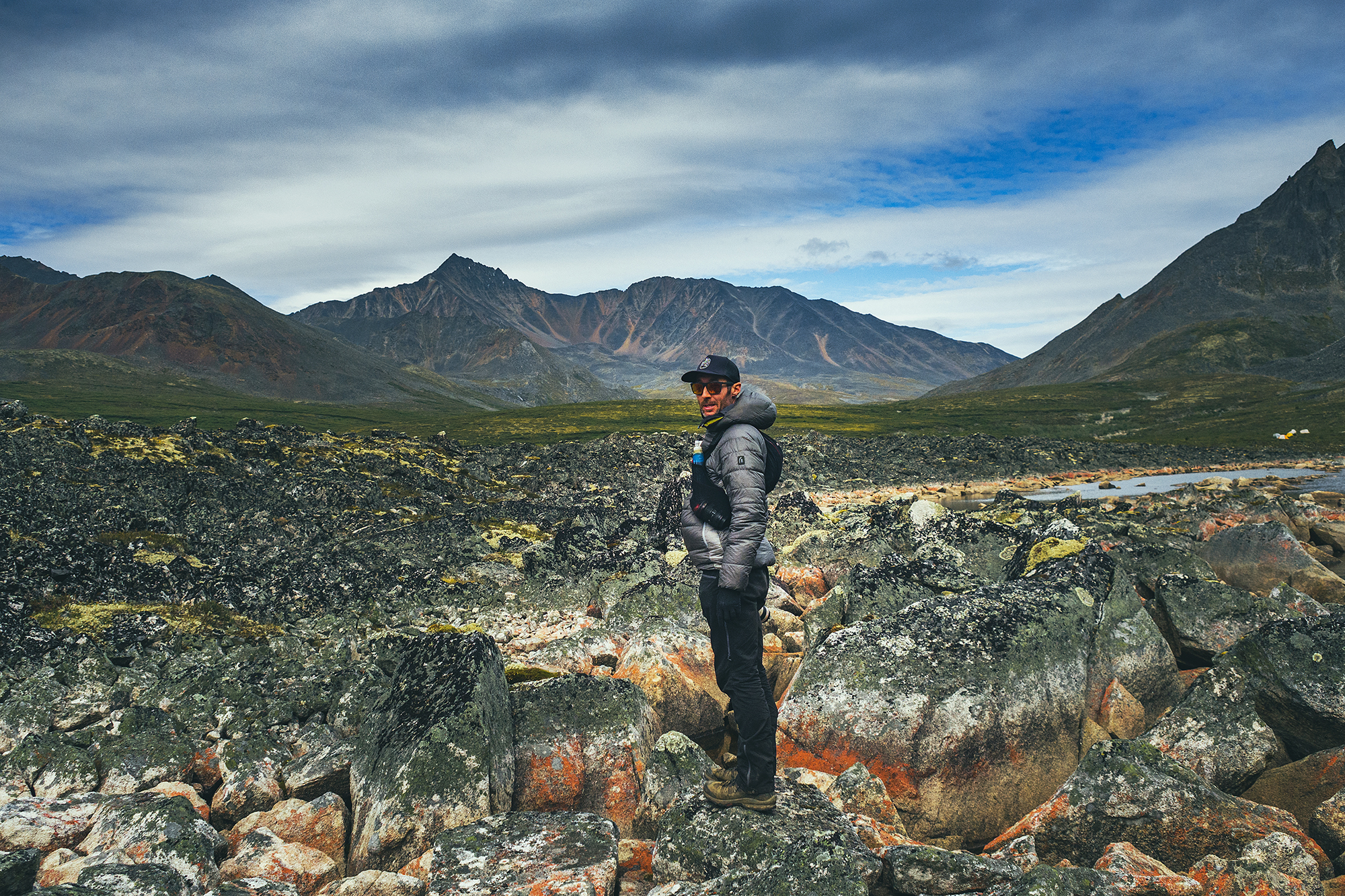
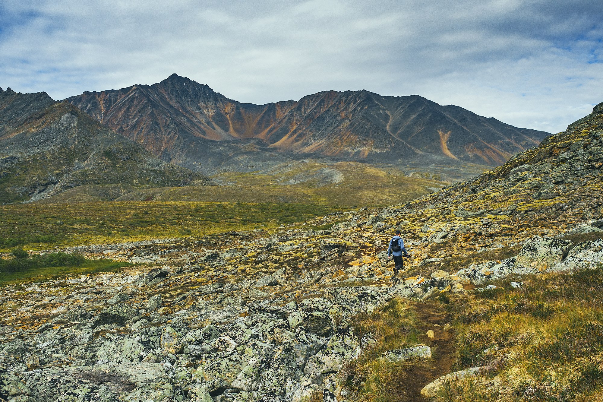
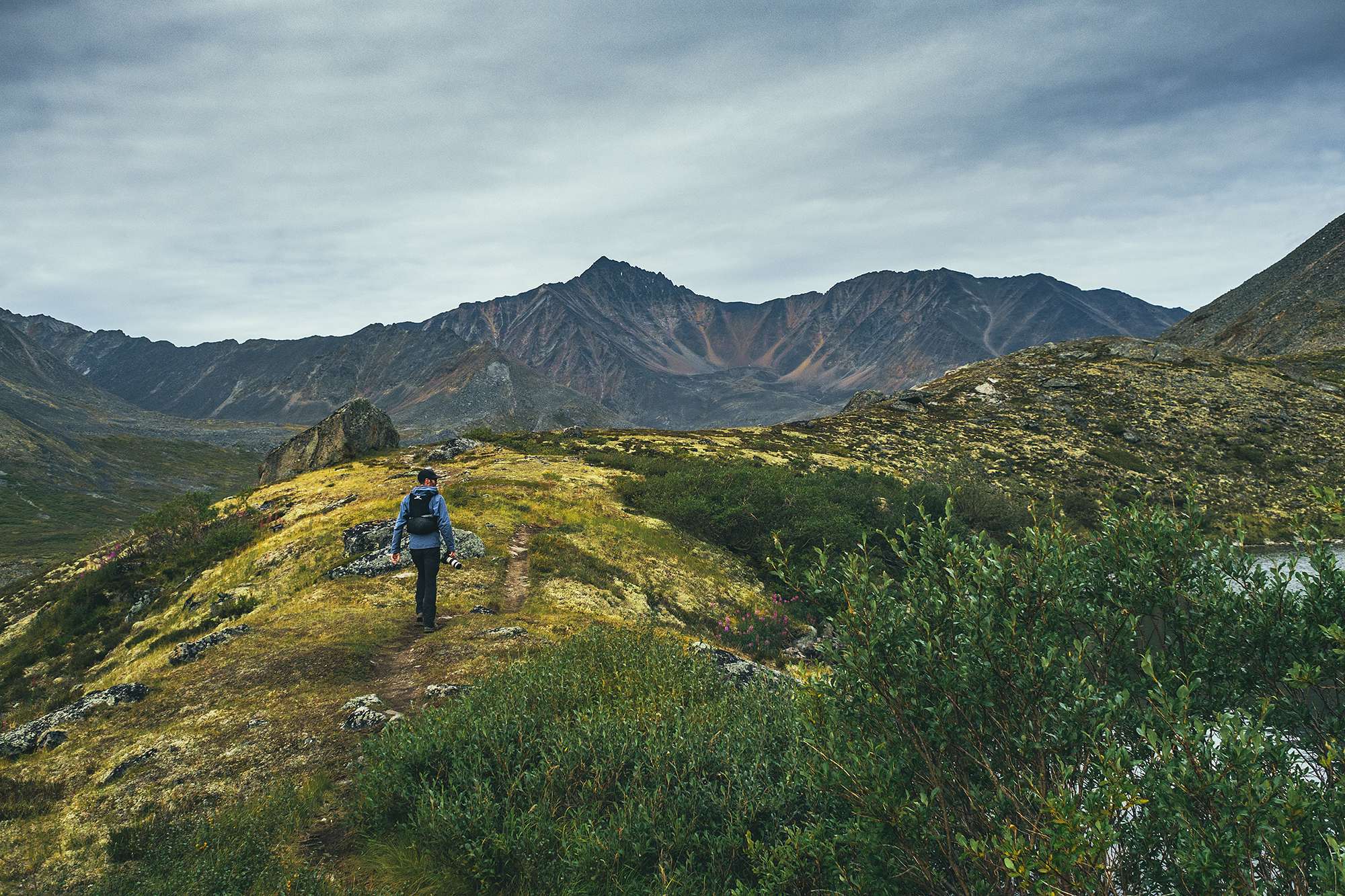
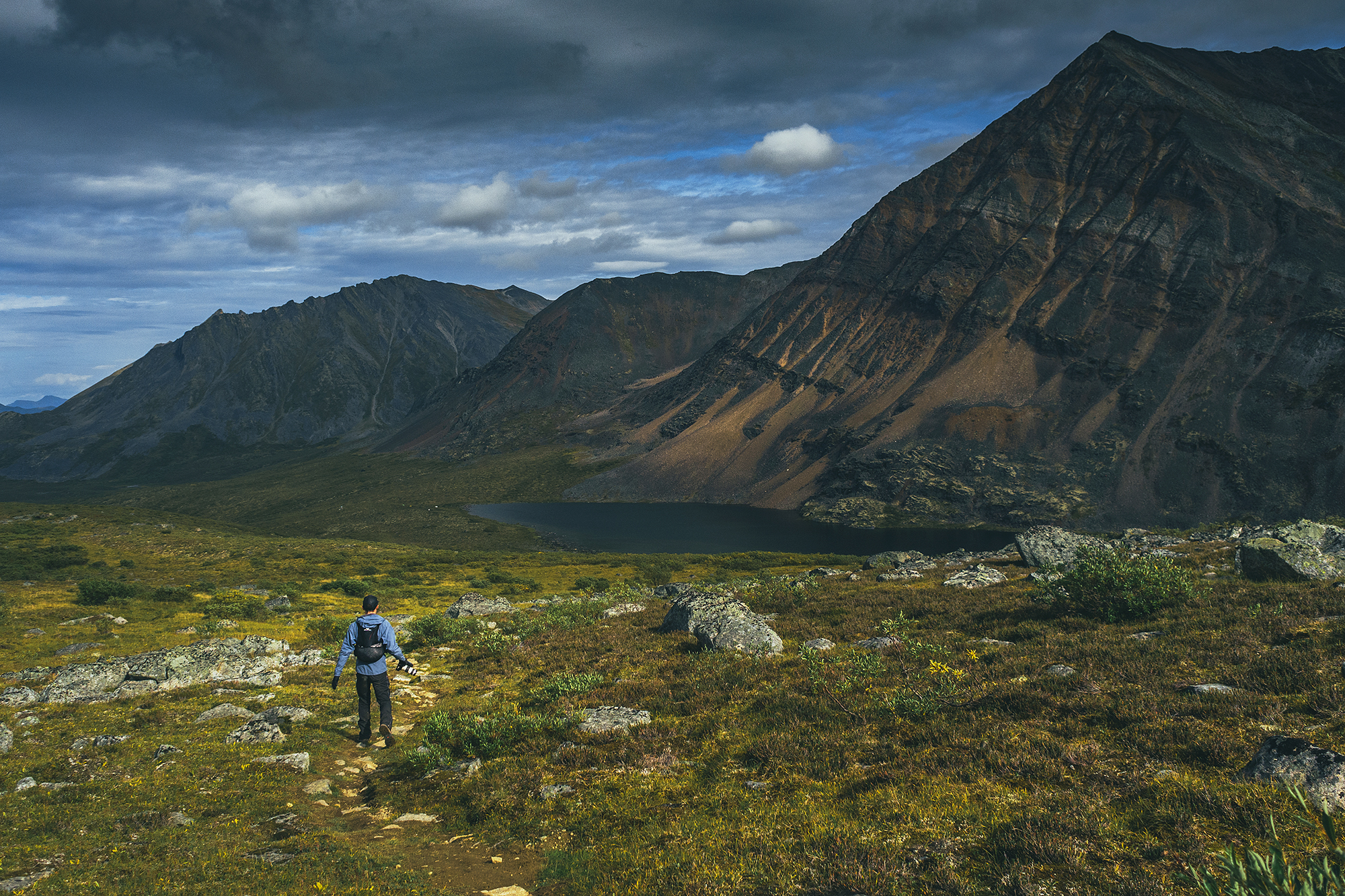
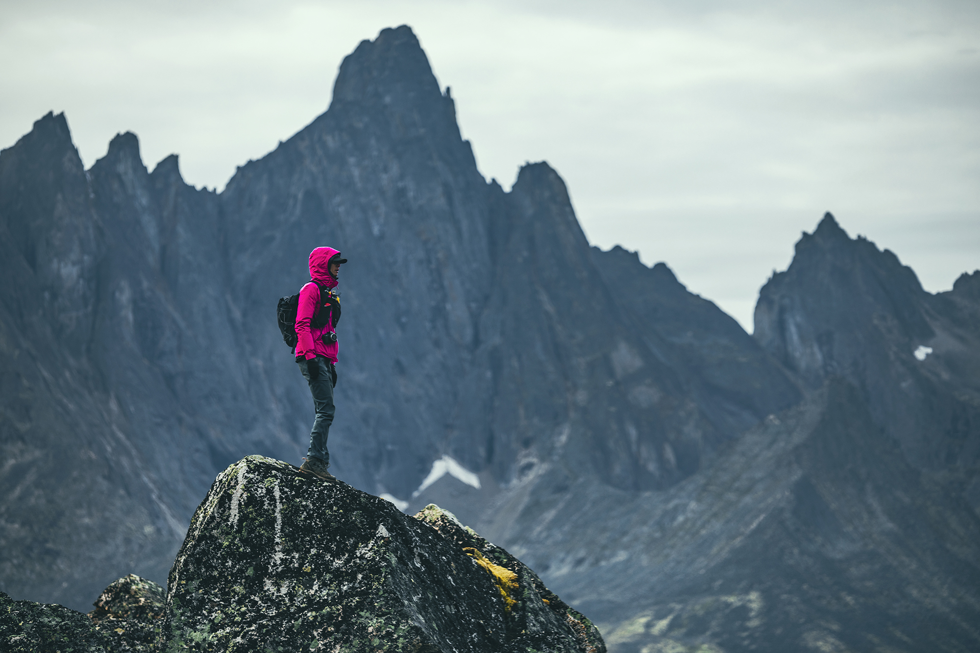
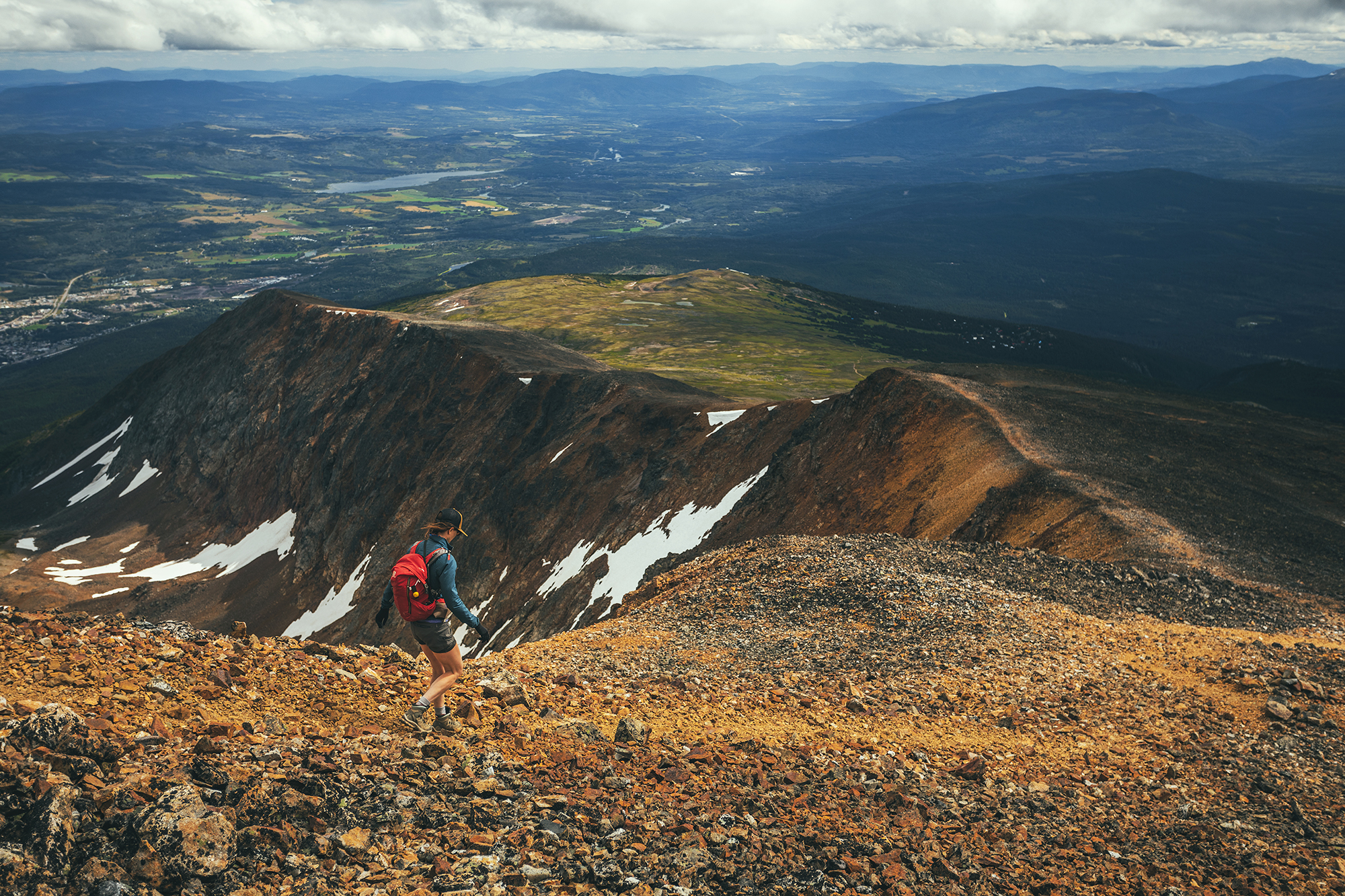
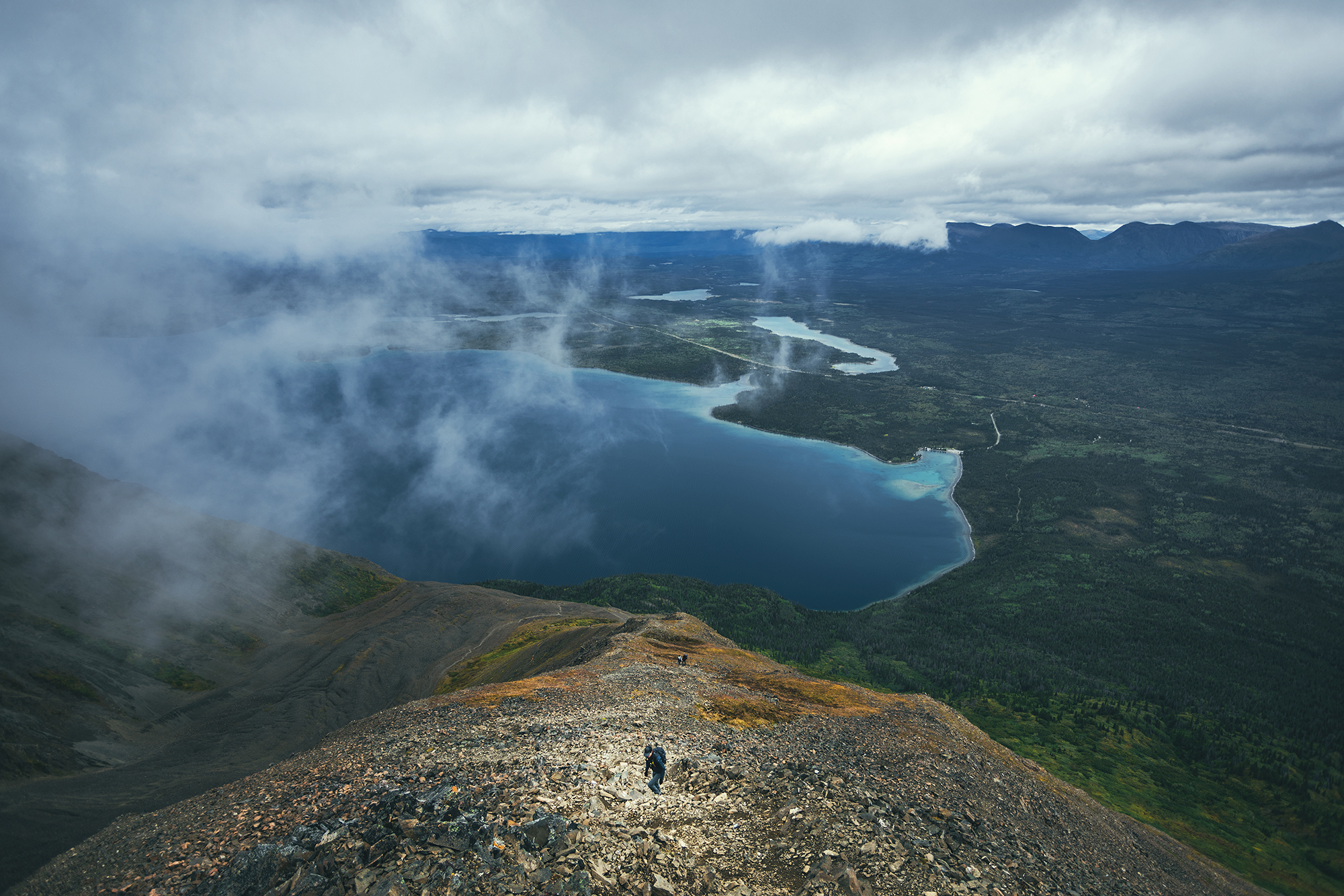
Main Hiking areas

I always enjoy building an itinerary, and becoming familiar with the map of a place I’ve never been. I’m a visual person and I start getting a better understanding of where things are and visualize what our trip might look like. Taking on the journey always feels like uncovering the areas of a video game map (for those that might have played Zelda or any other game of this type). After the trip, we’ve now unveiled areas of the map and can go back to it later for any unfinished business.
Despite covering a lot of ground, I feel like we still have only skimmed the surface of some of the most notable areas we’ve visited. These are some of the places I could go back to and spend more time exploring:

Smithers – There are a few mountain ranges around Smithers that seem to offer a nice variety of hiking, between the Babine Mountains, the Seven Sisters Provincial Park, and the nearby Brian Boru Peak or Mount Thomlison. Plus Smithers is an appealing small town with a strong outdoorsy vibe, so it’d be easy to spend a week hiking by day and brewery-ing by night.

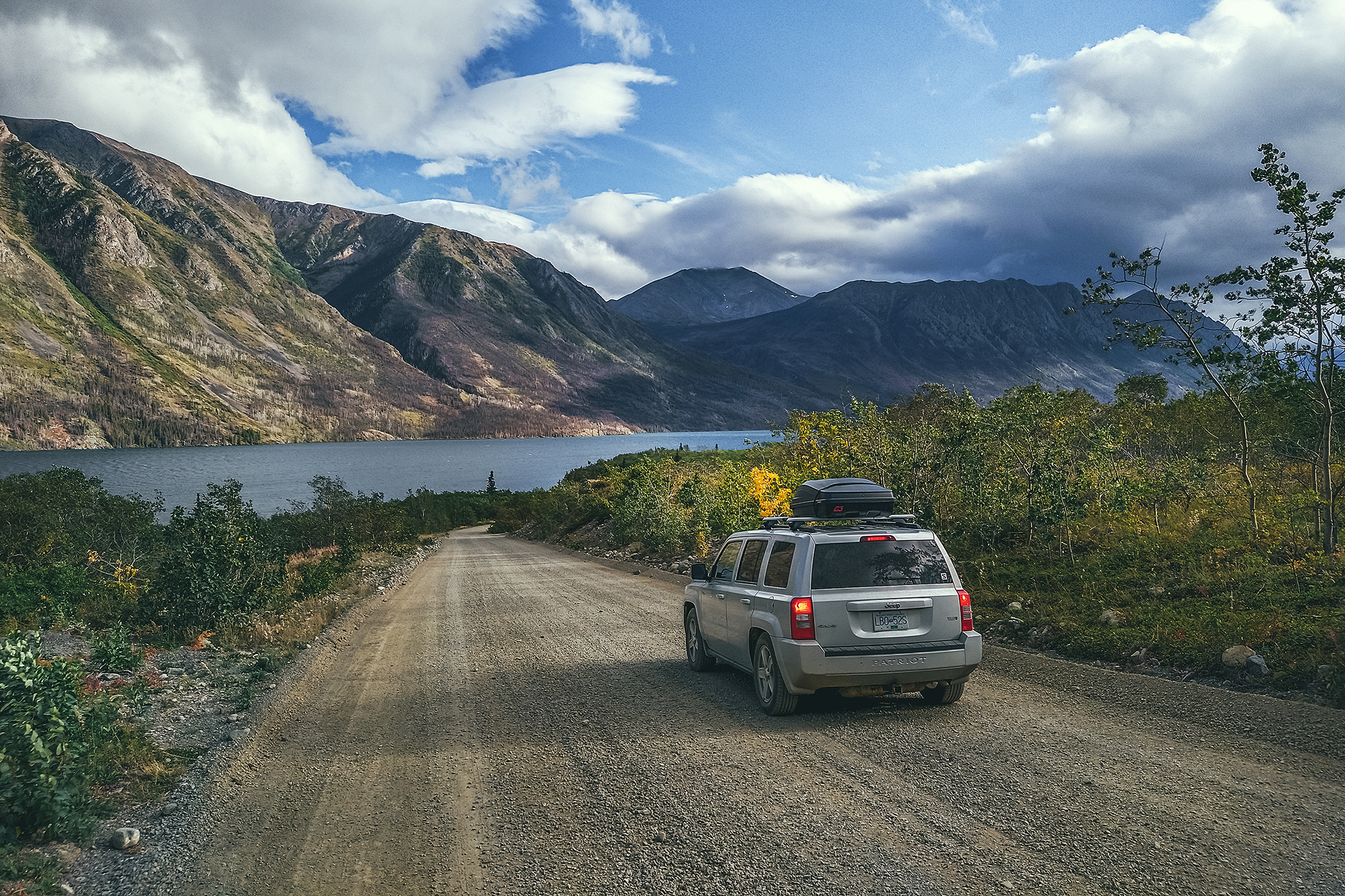
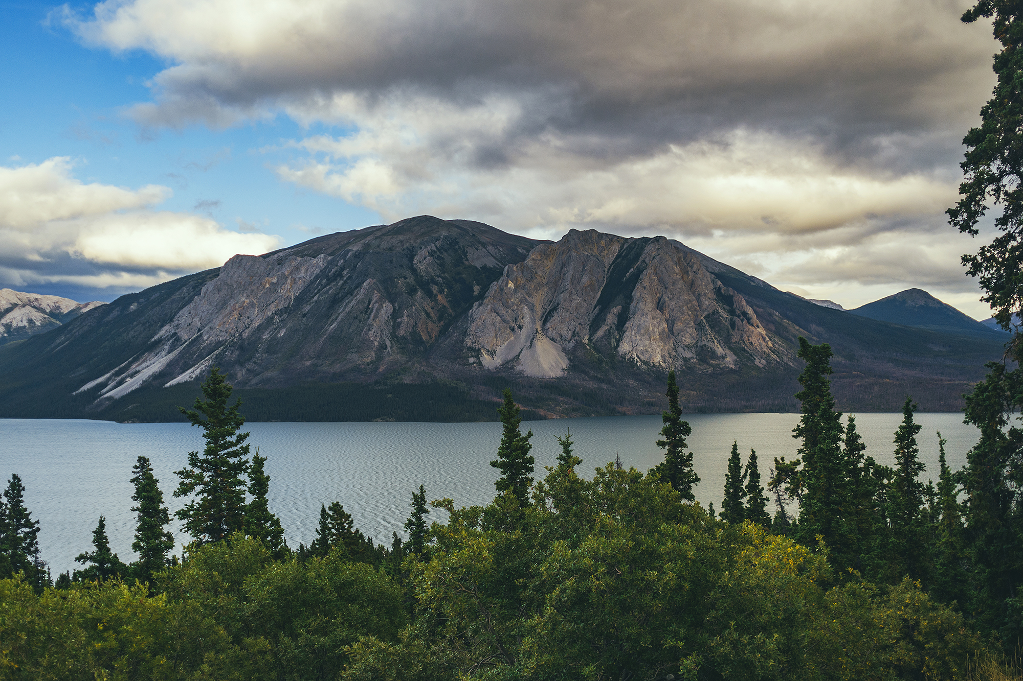
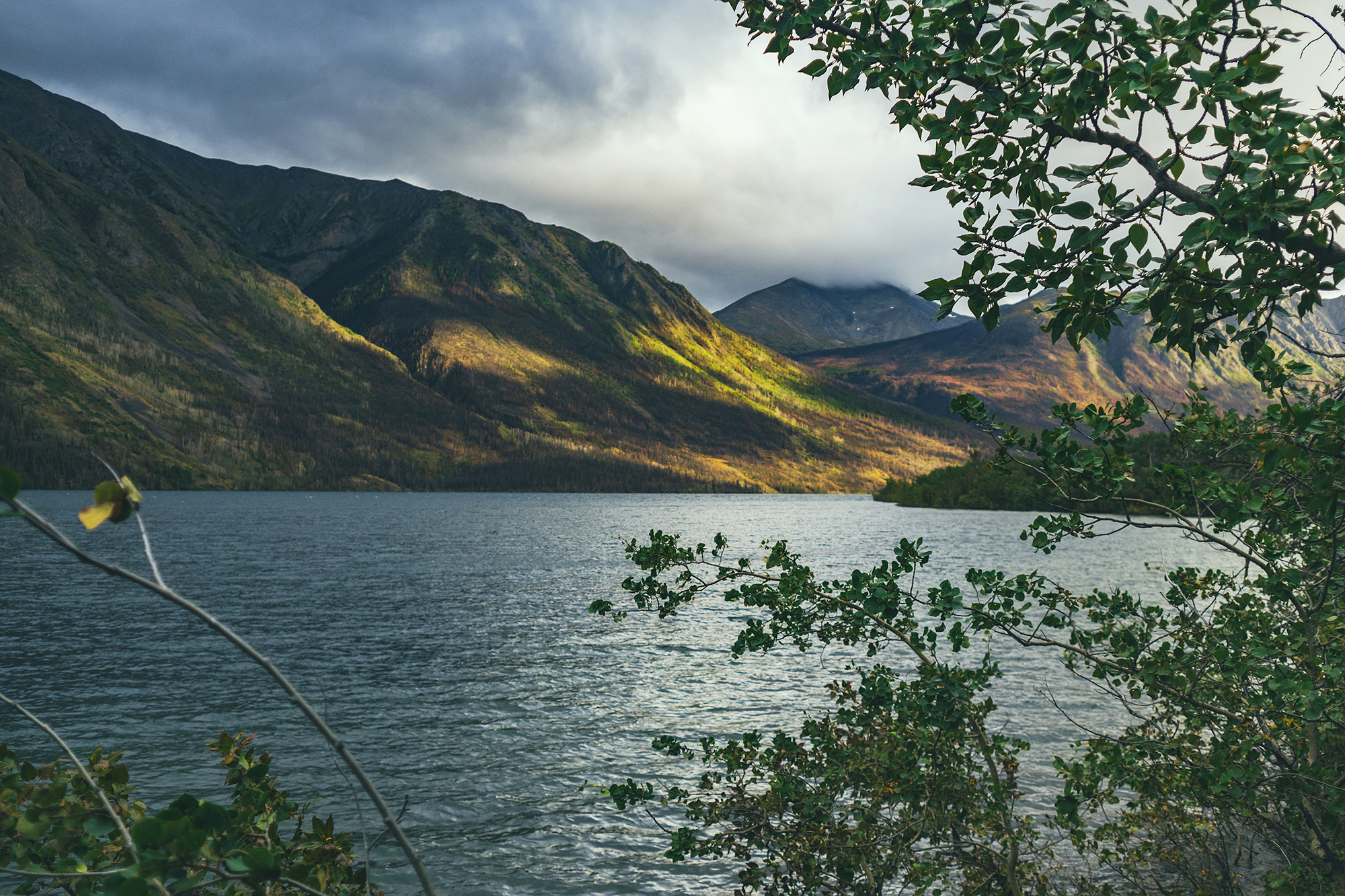
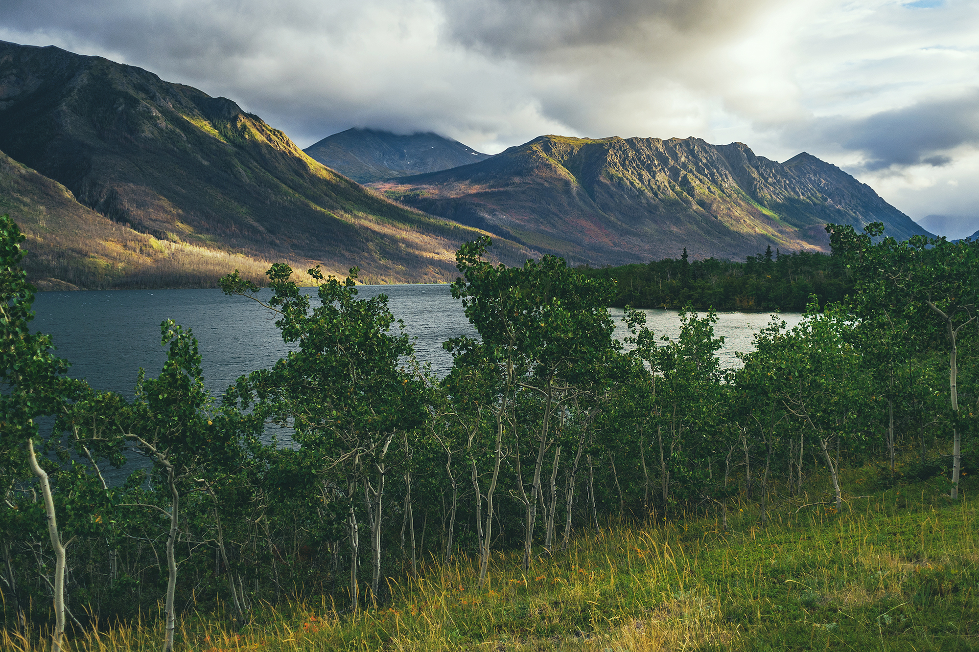
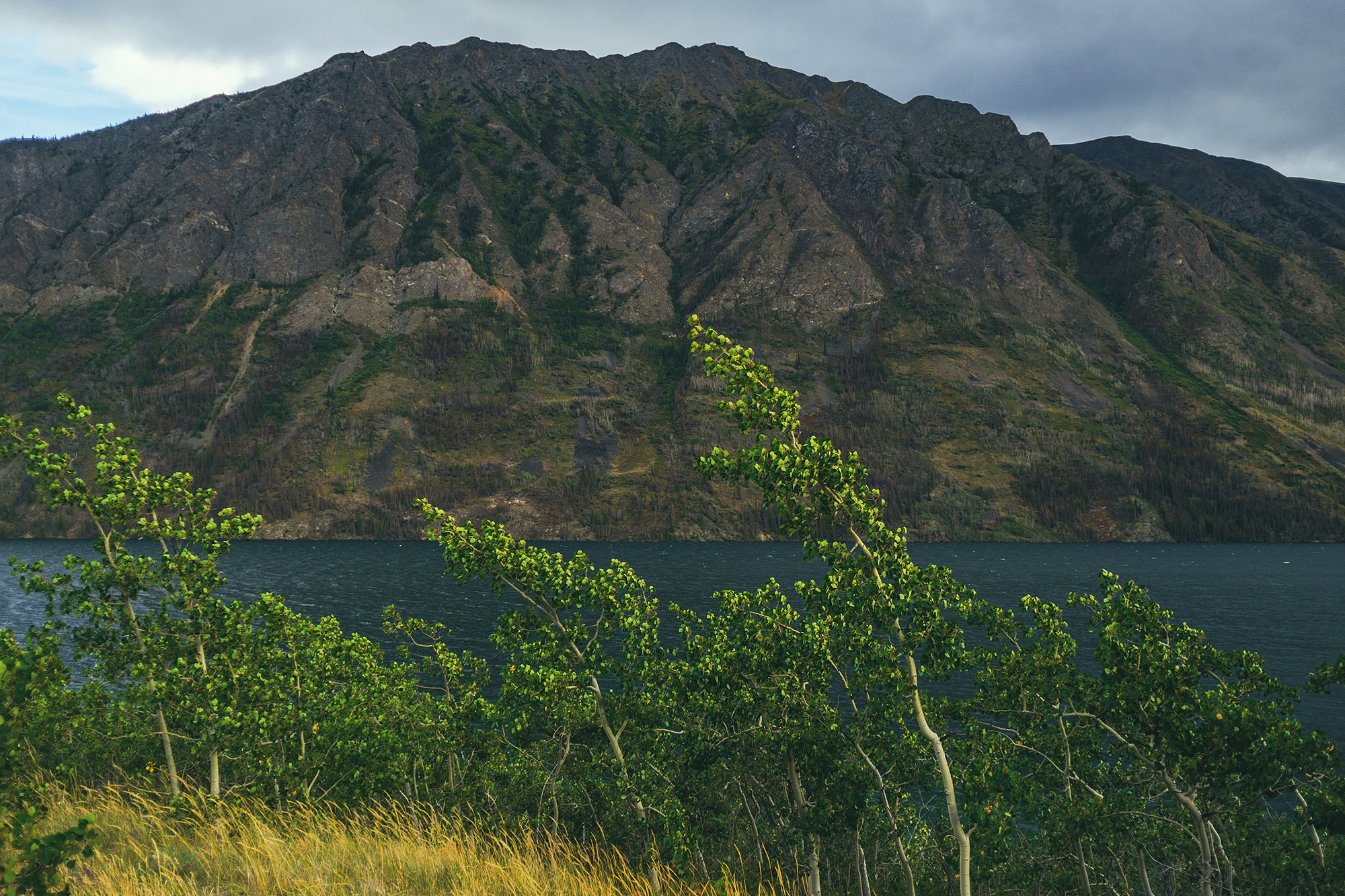
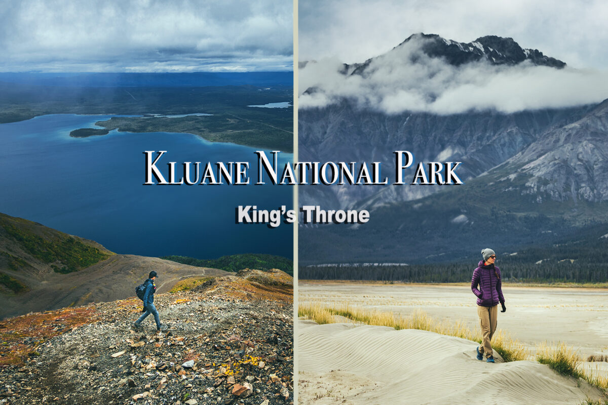
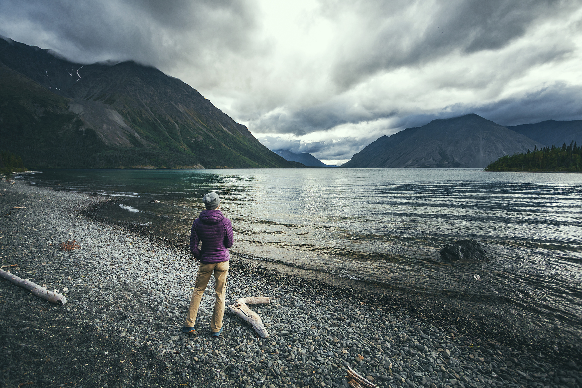
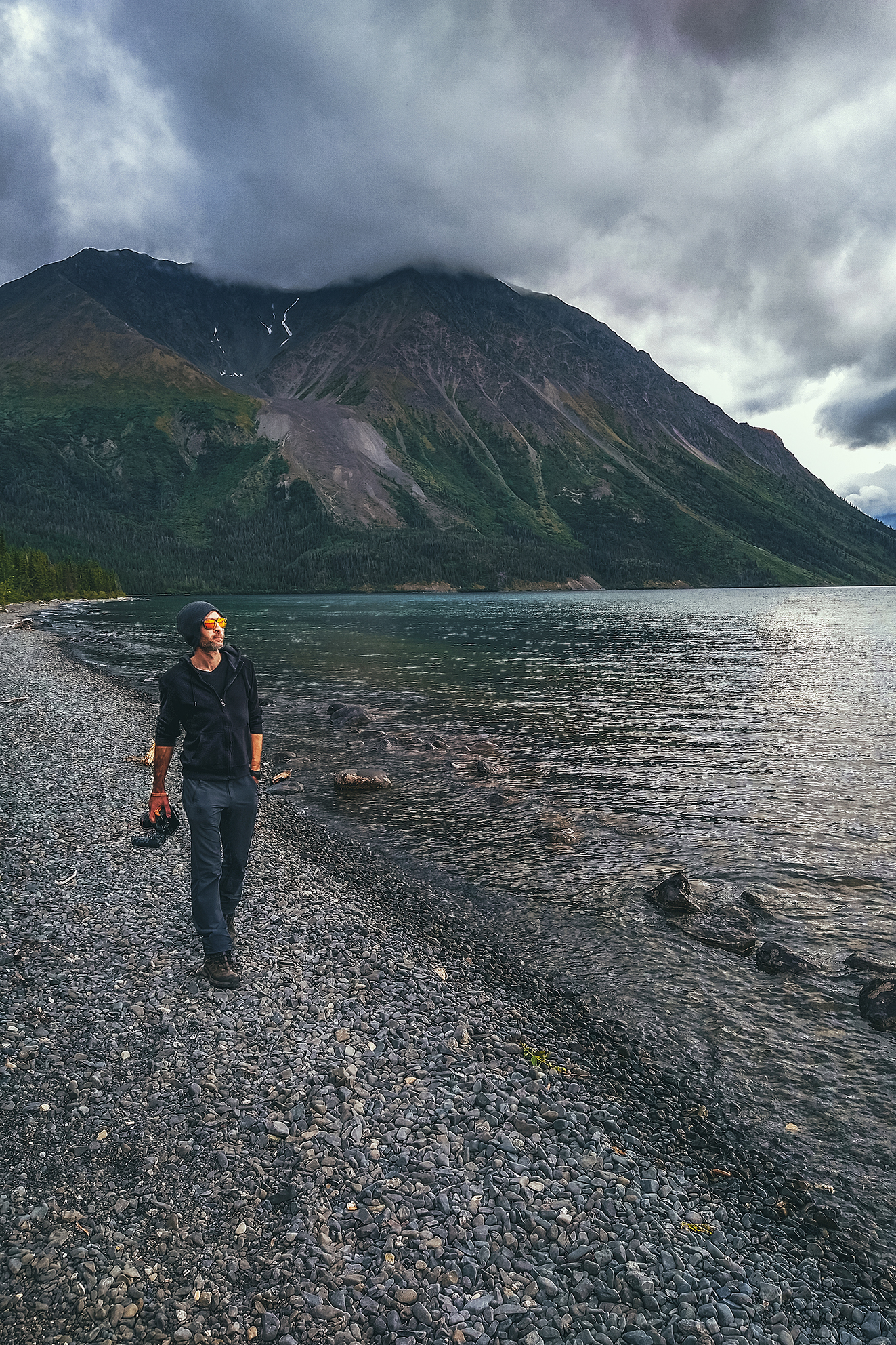
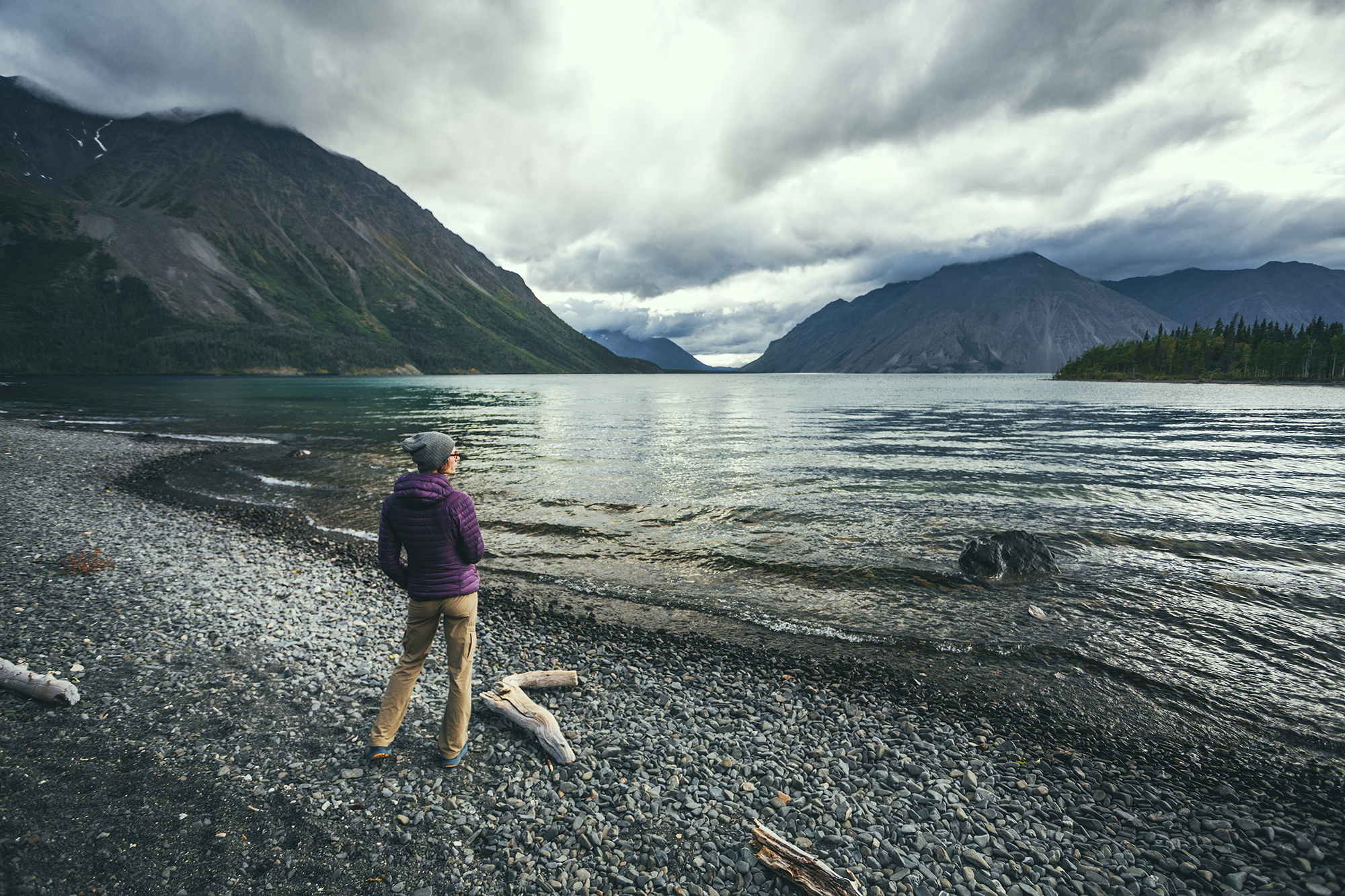
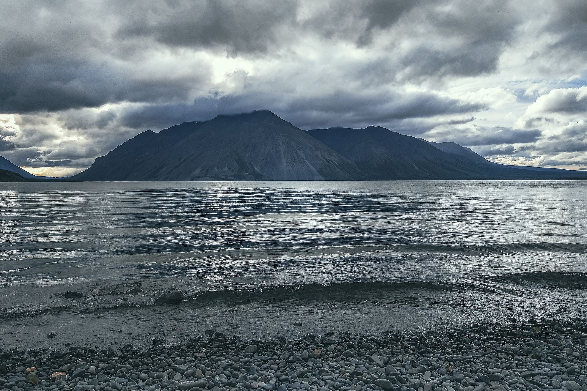
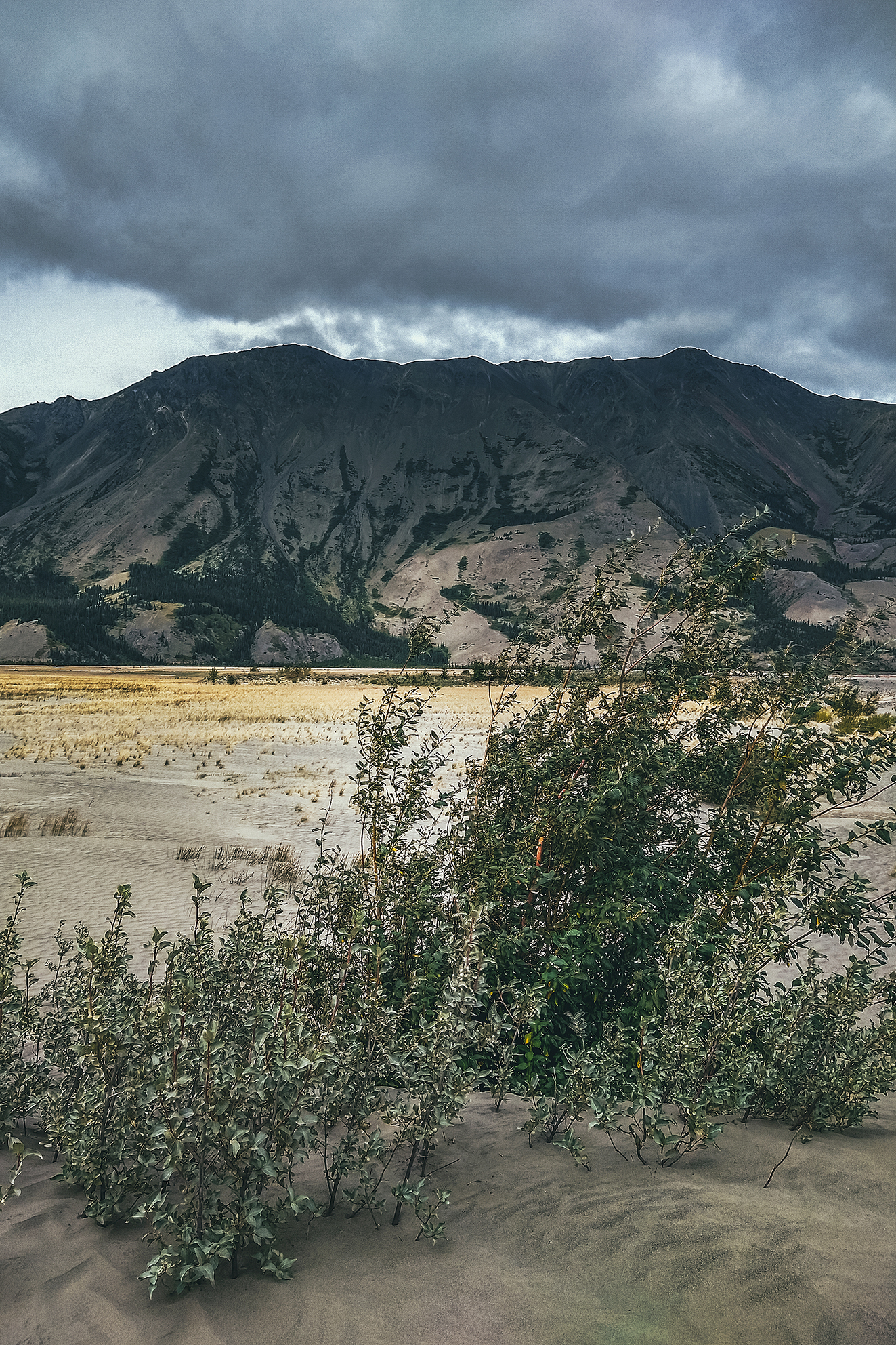
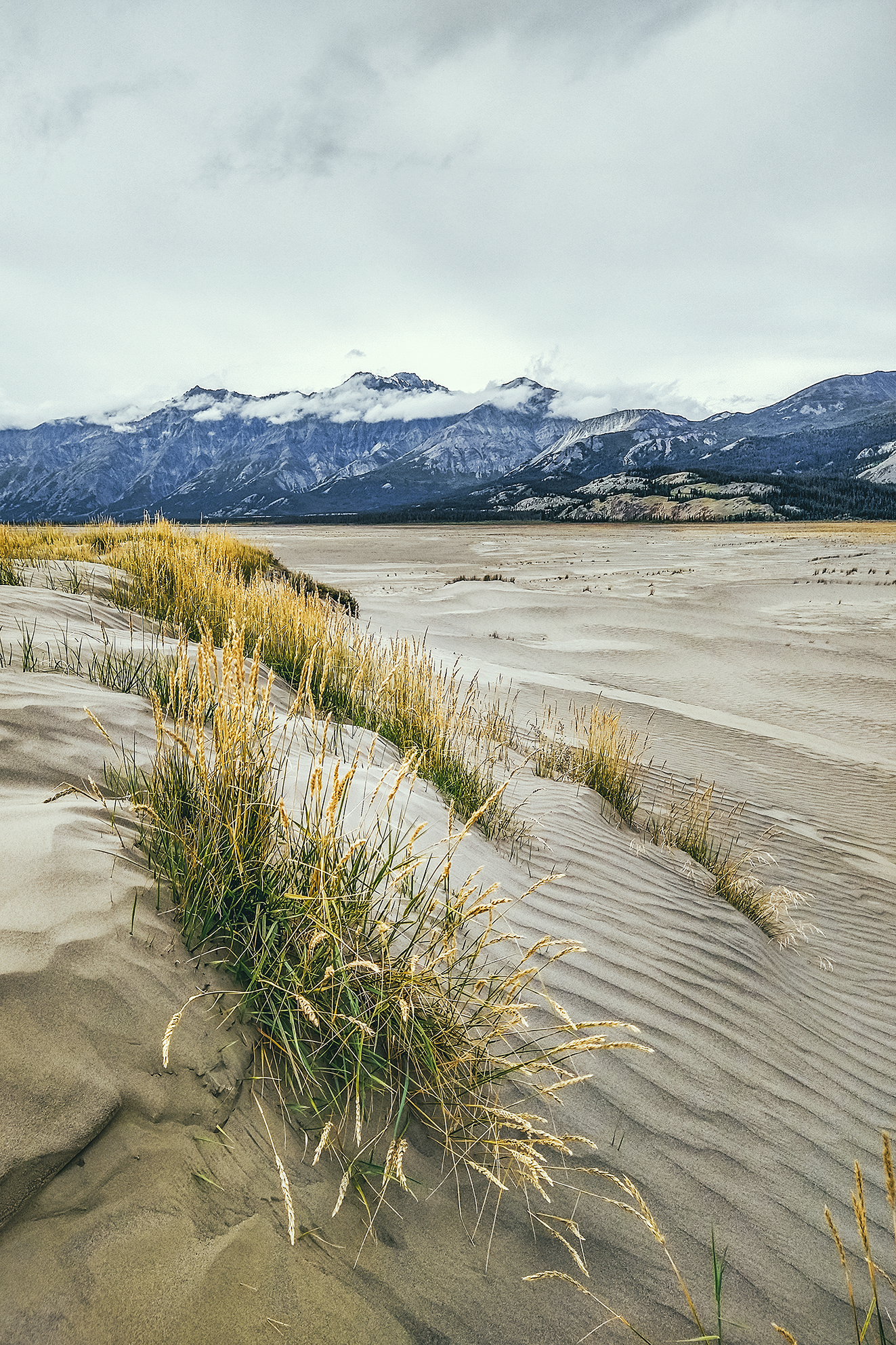
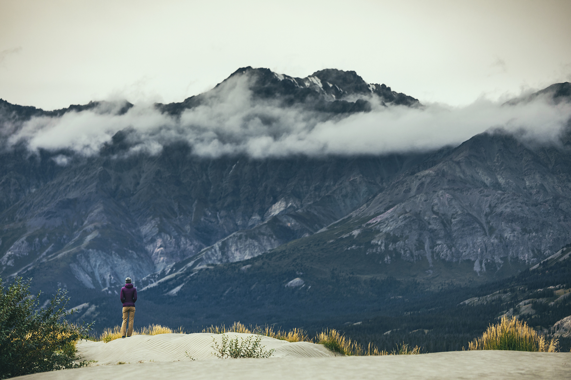
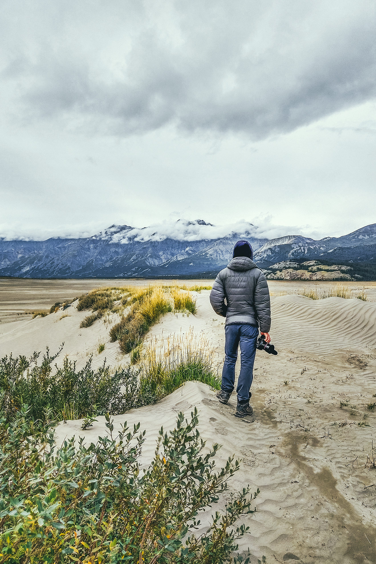
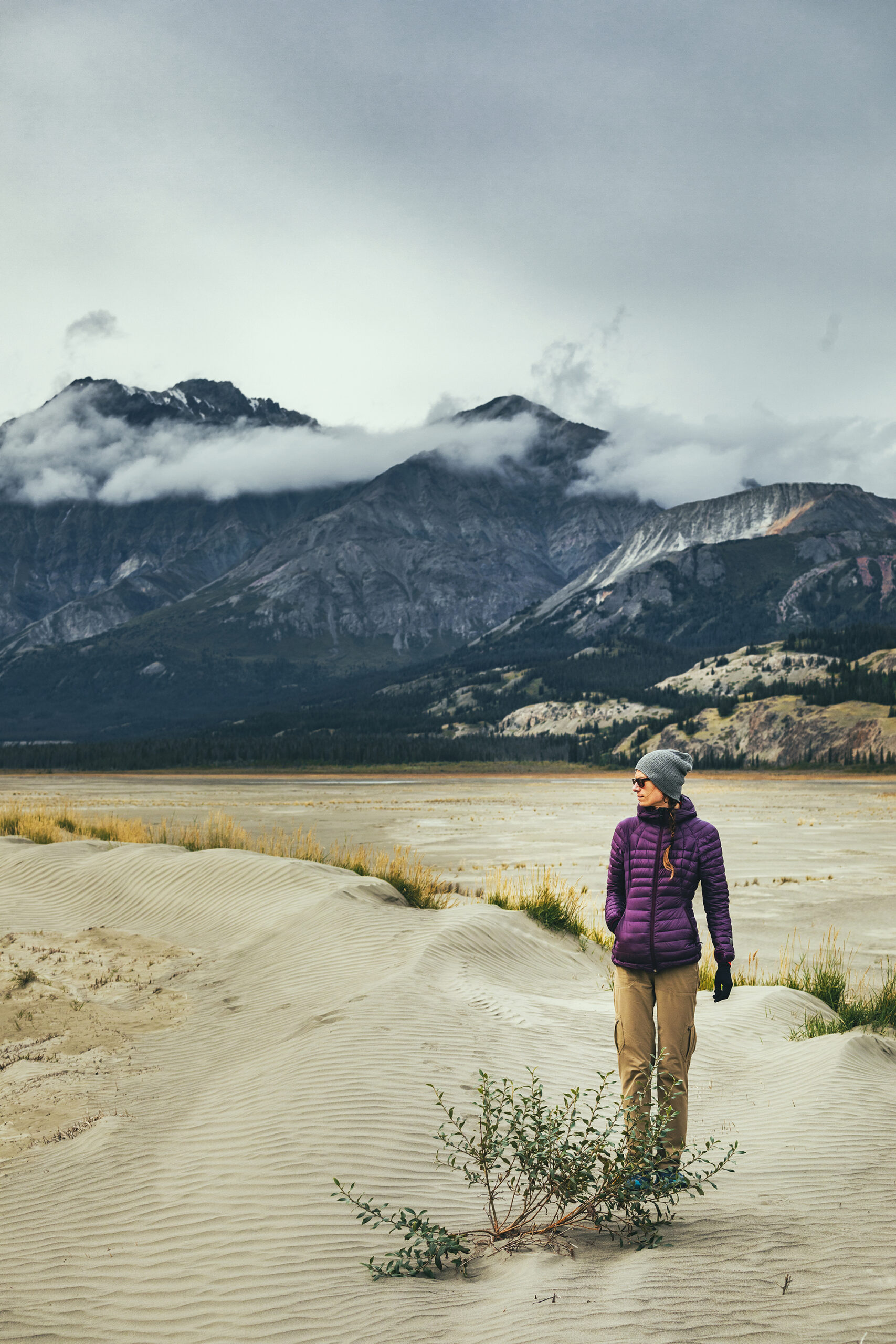
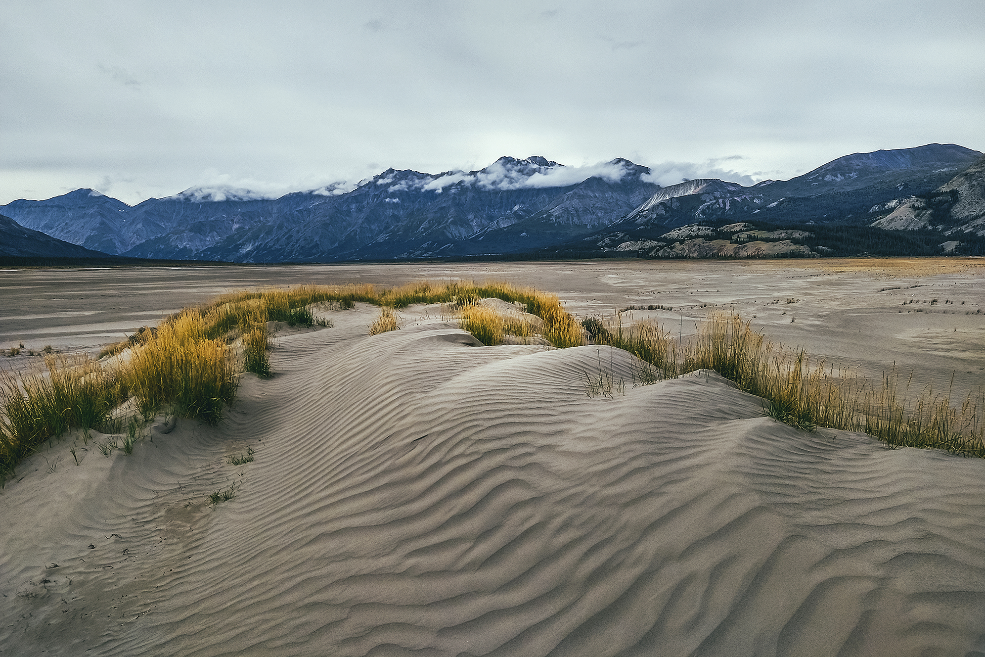
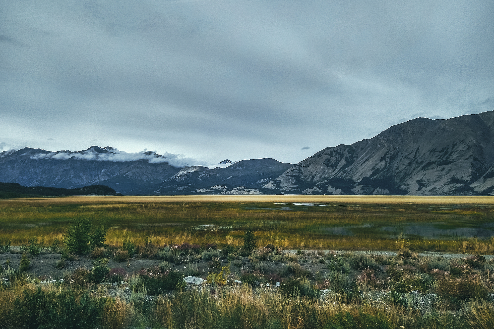
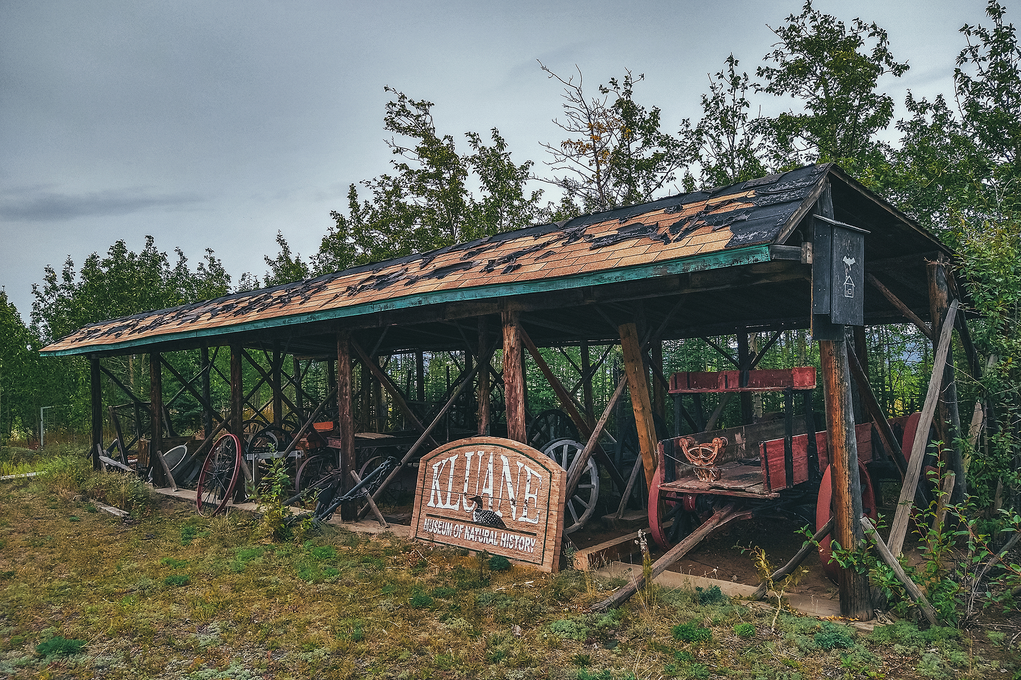
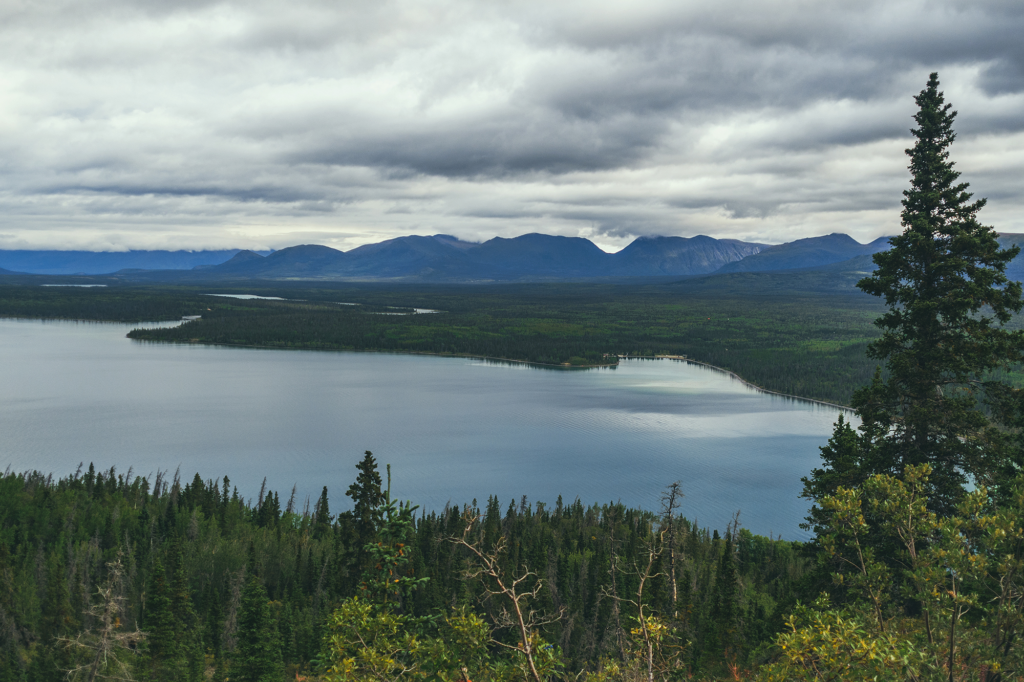
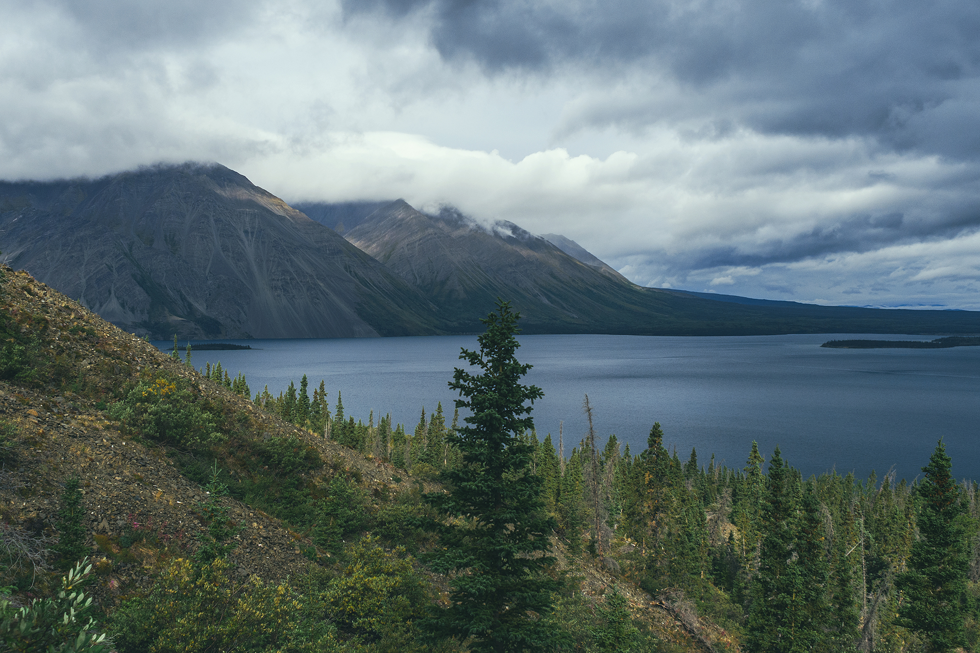
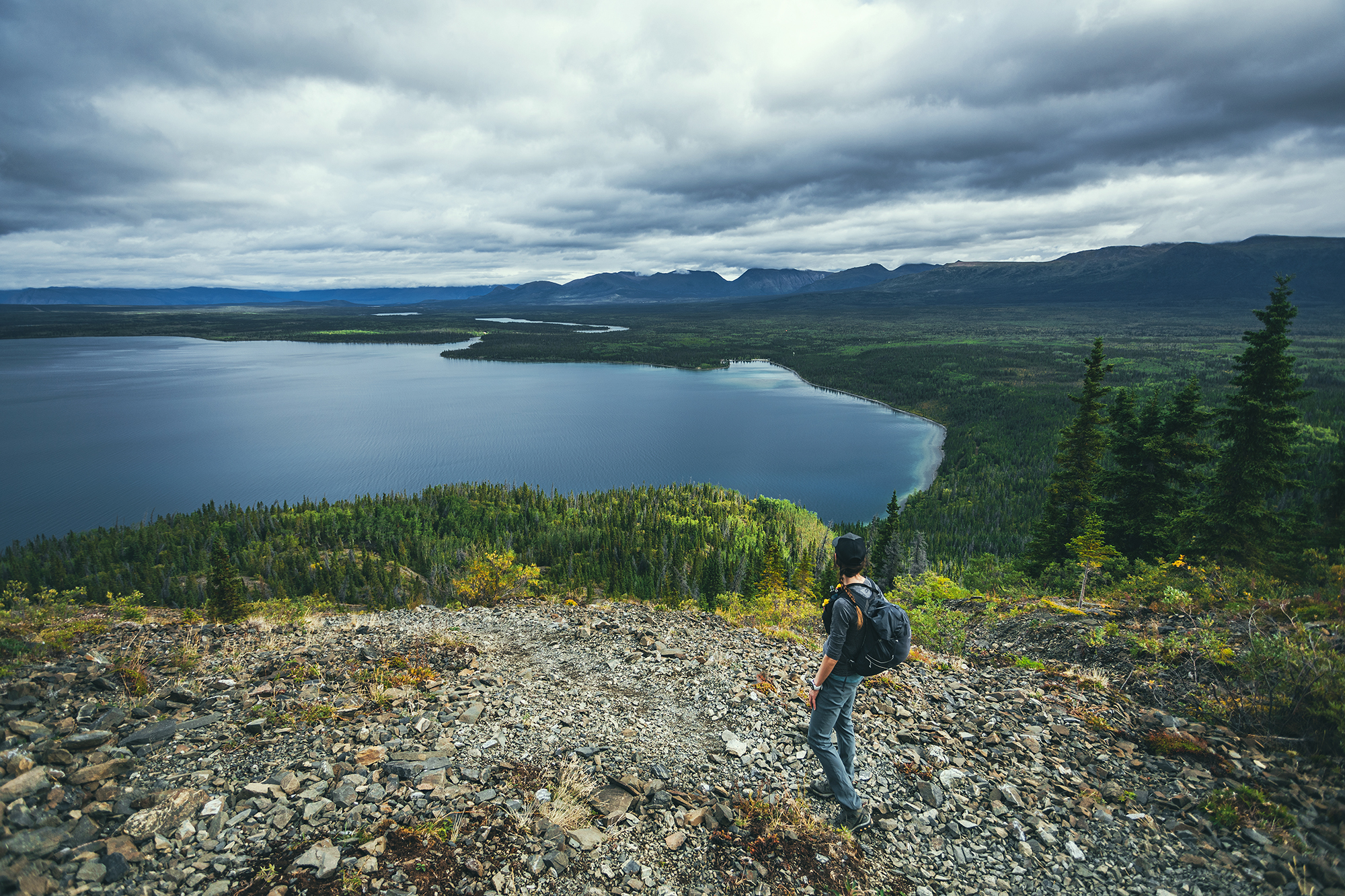
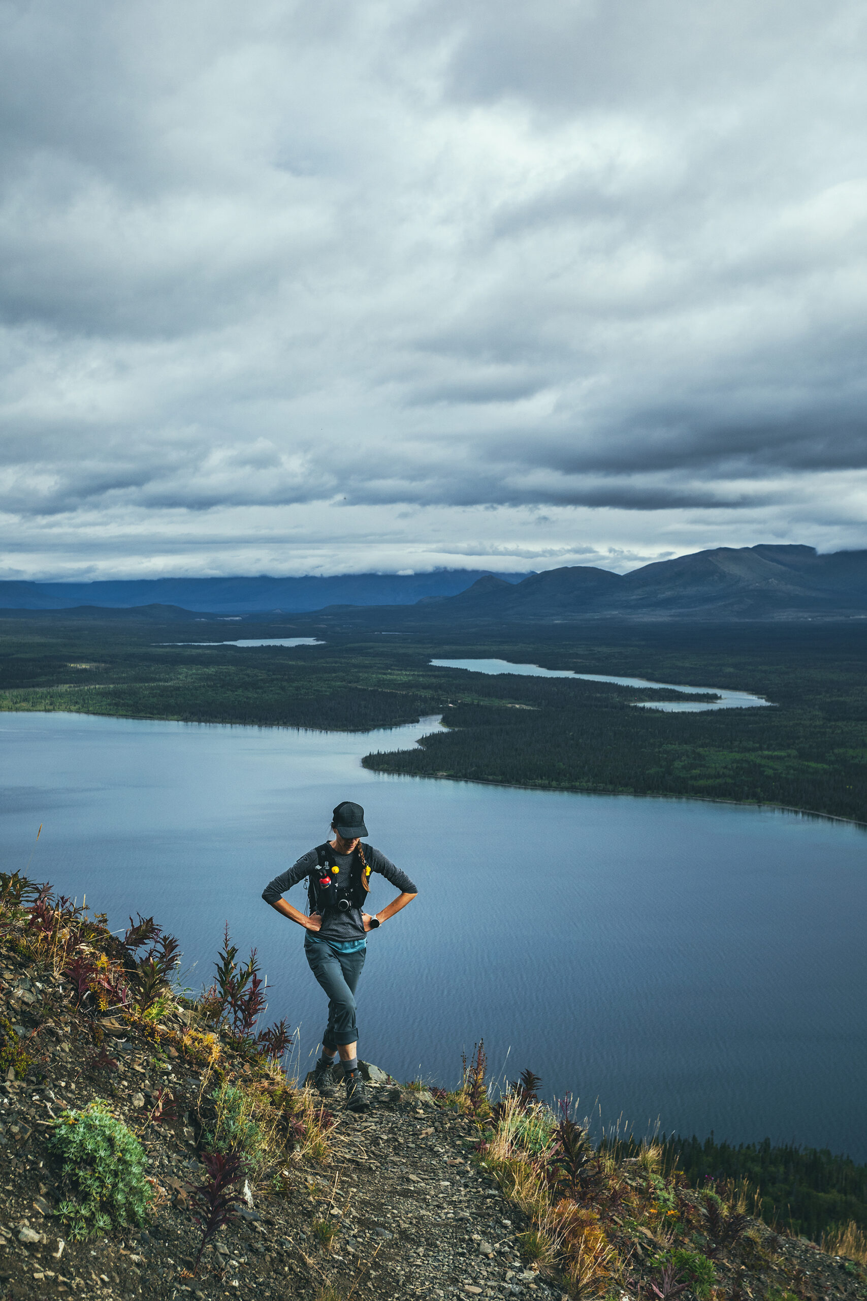
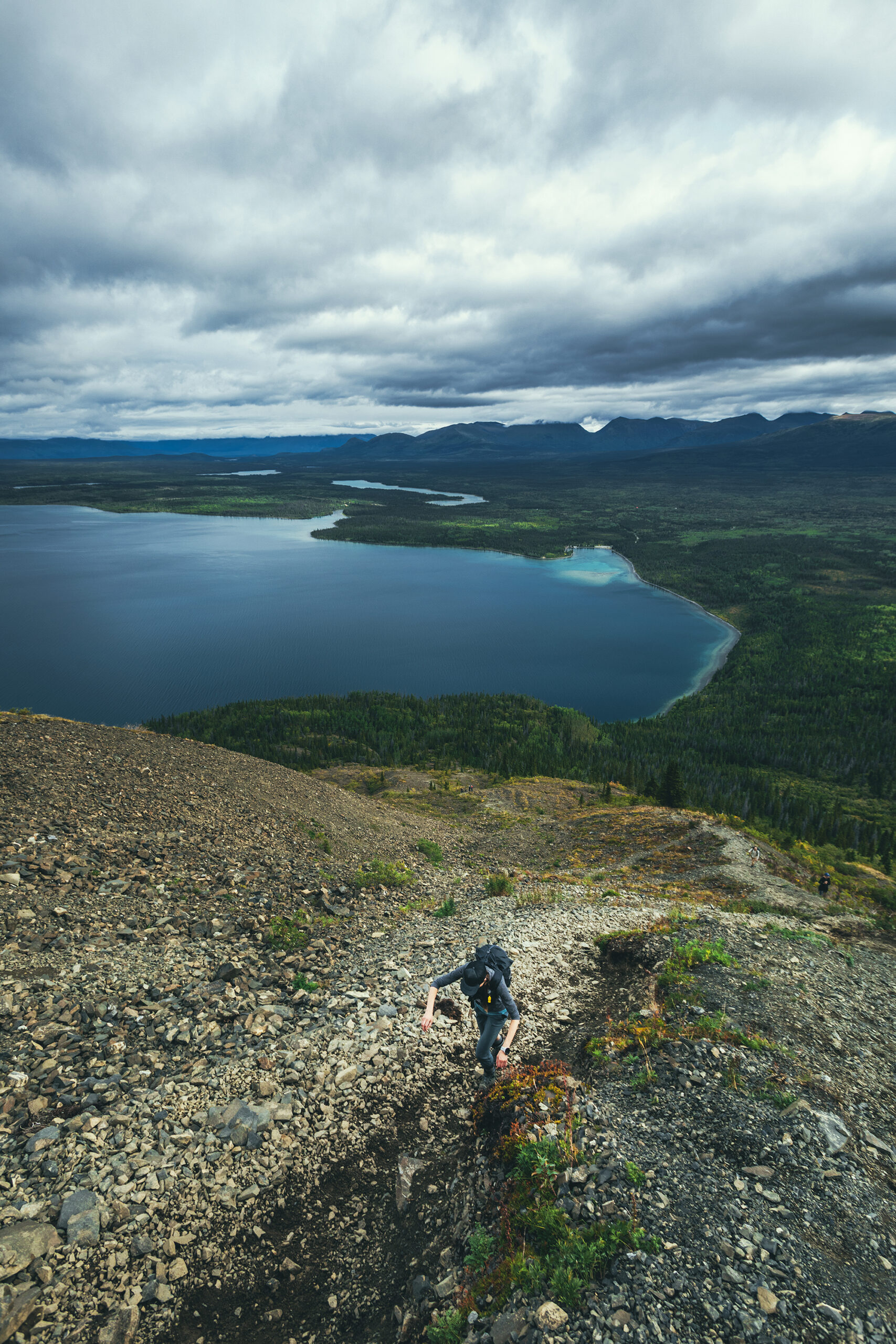
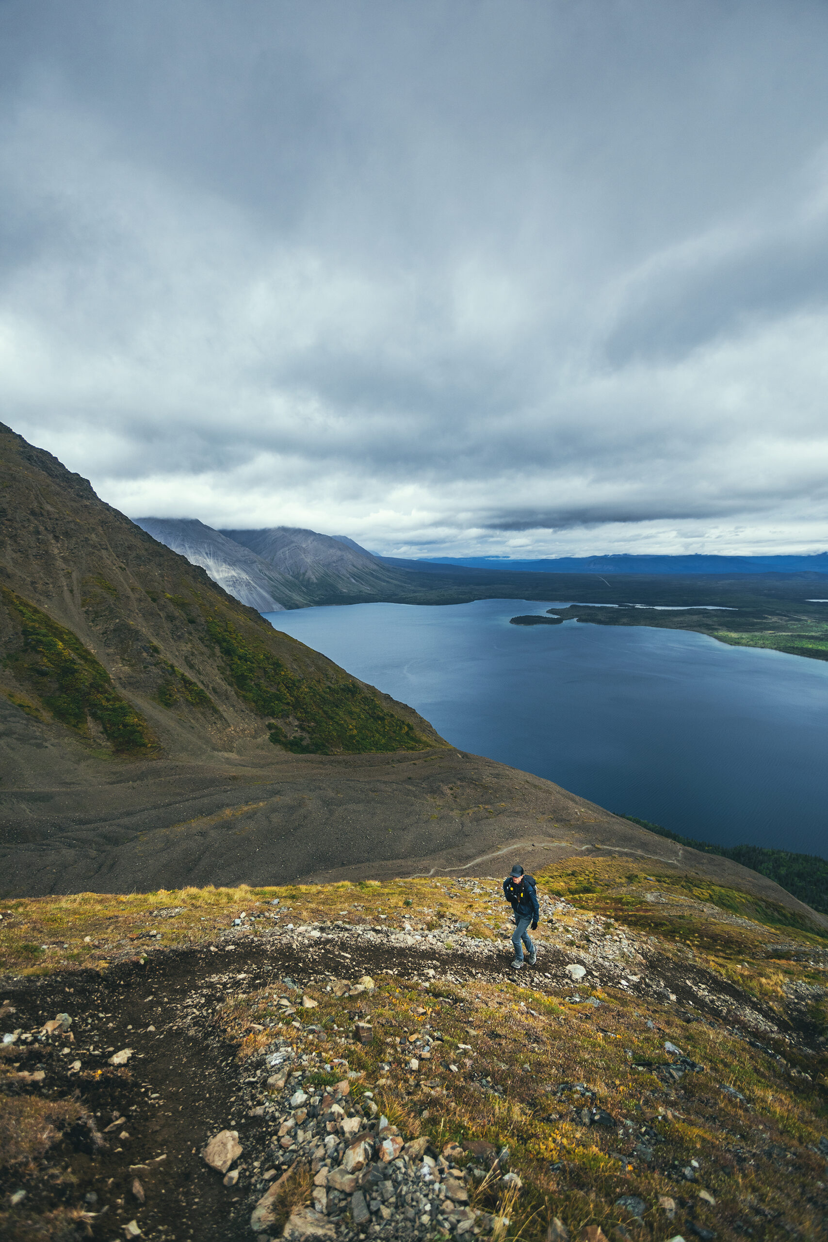
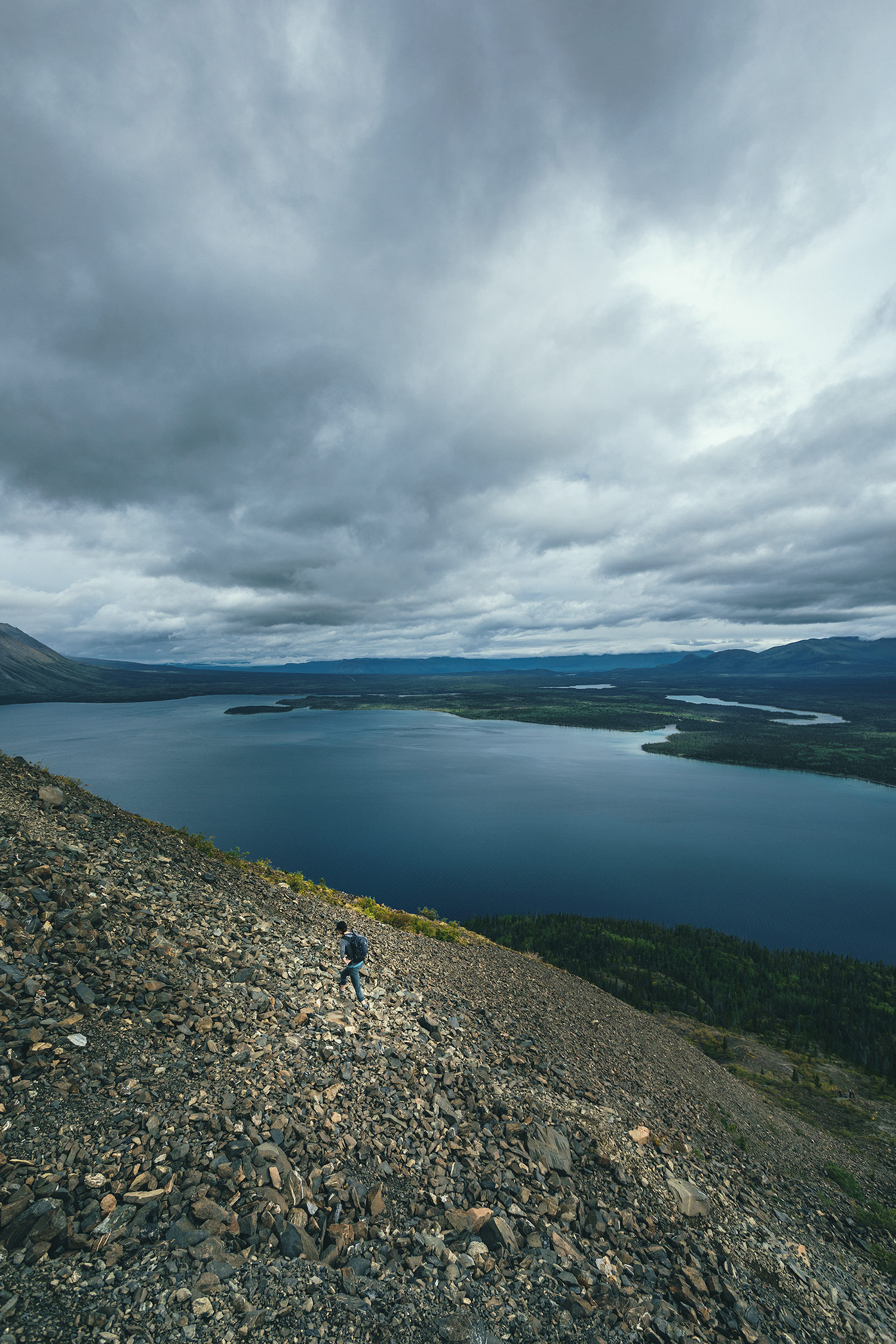
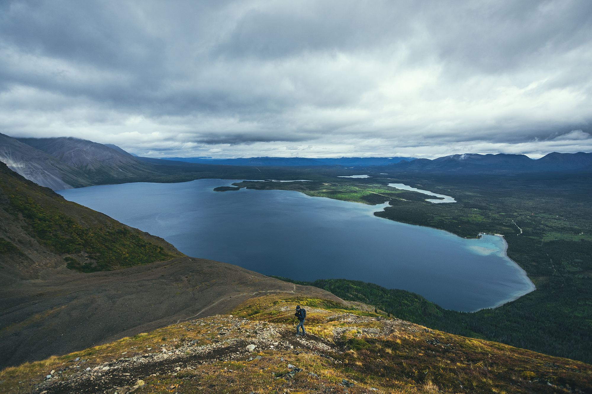
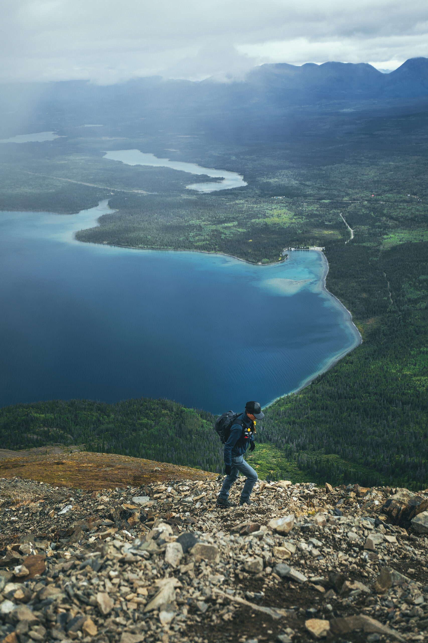
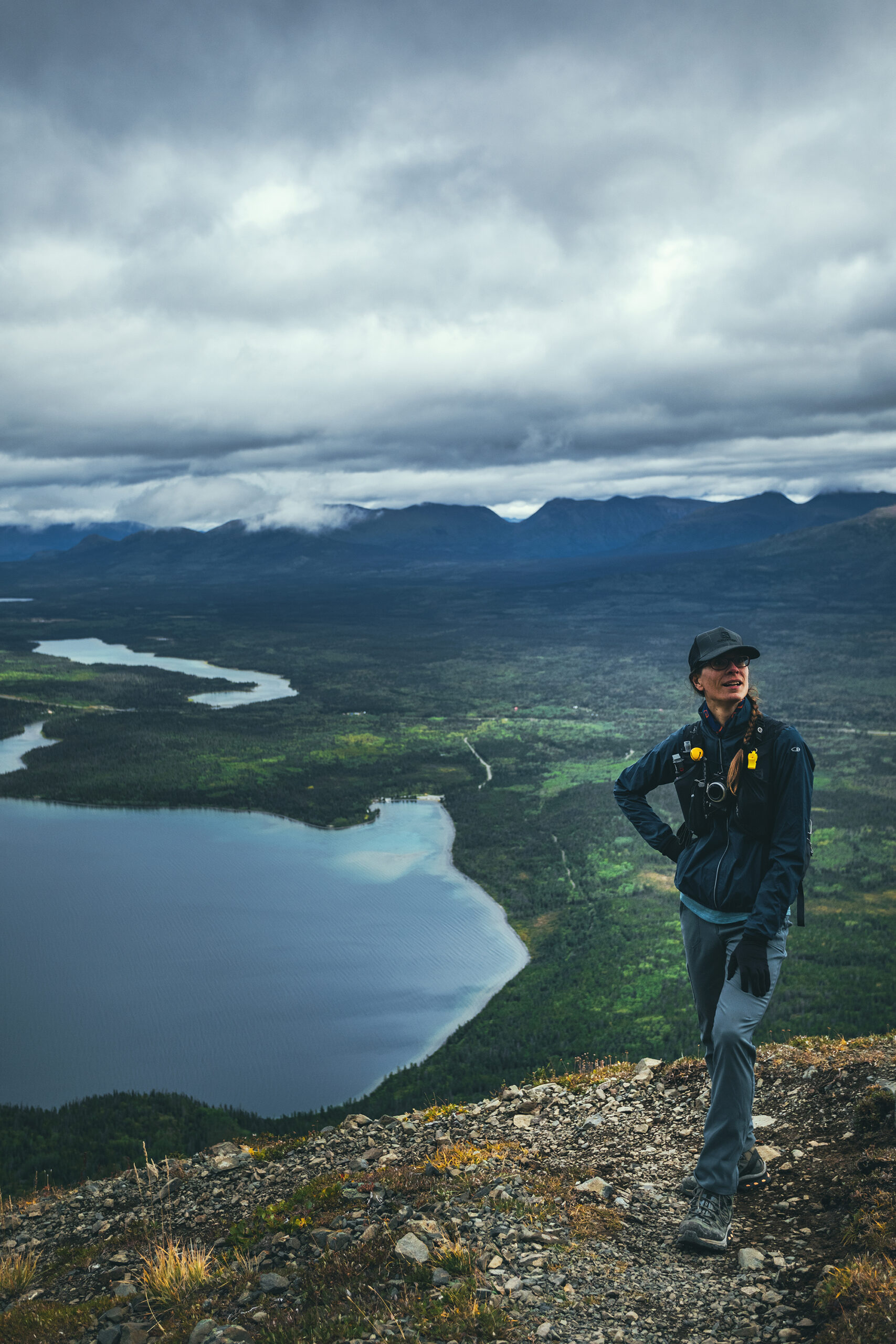
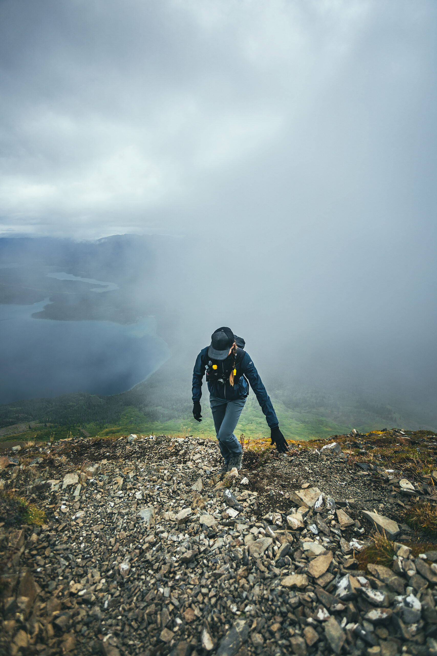
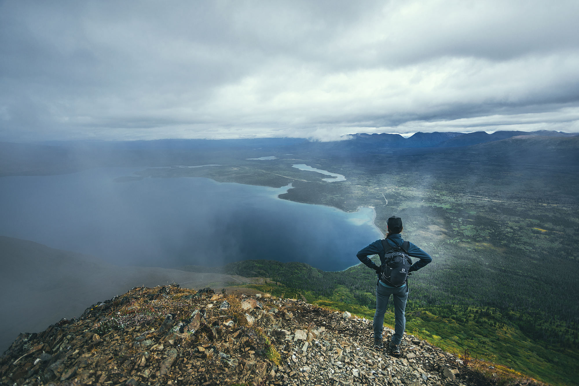
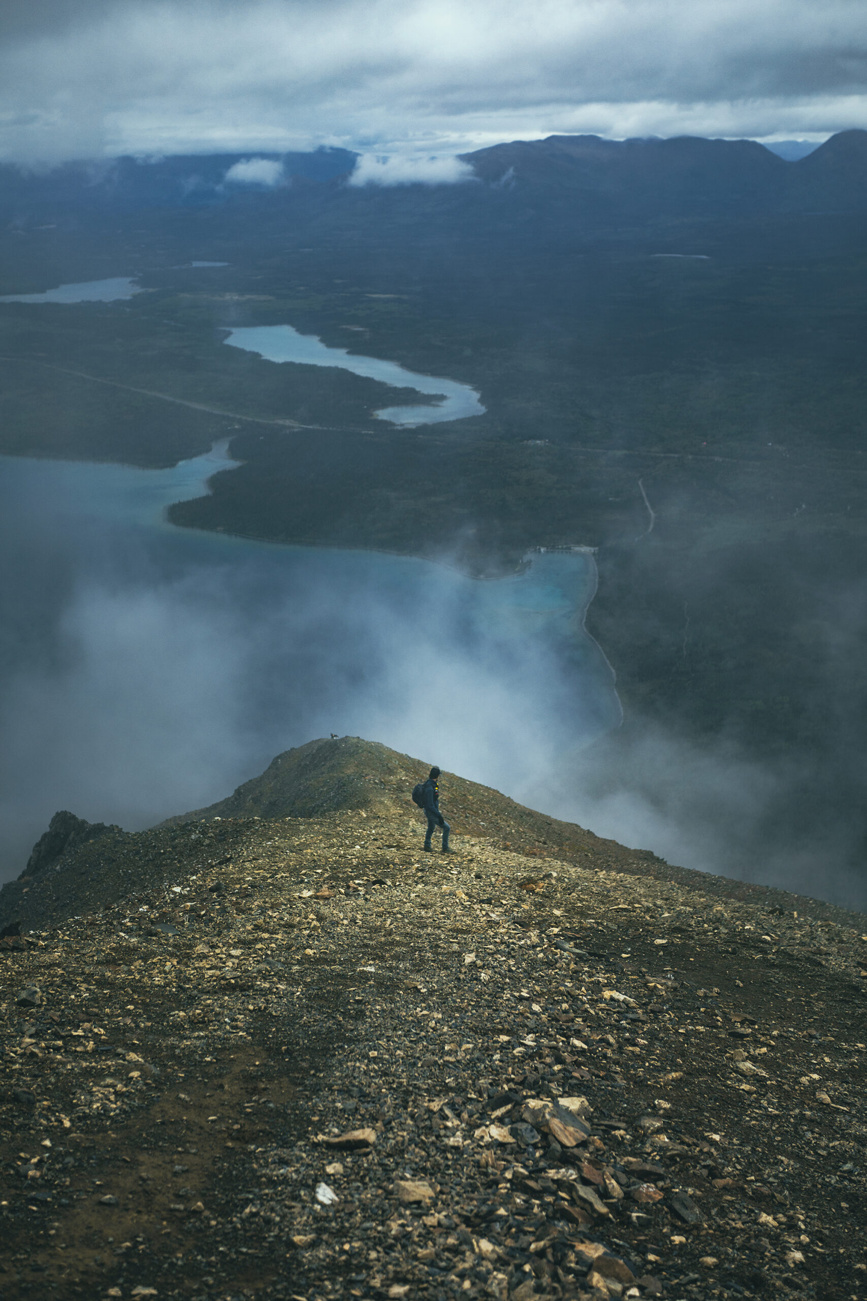
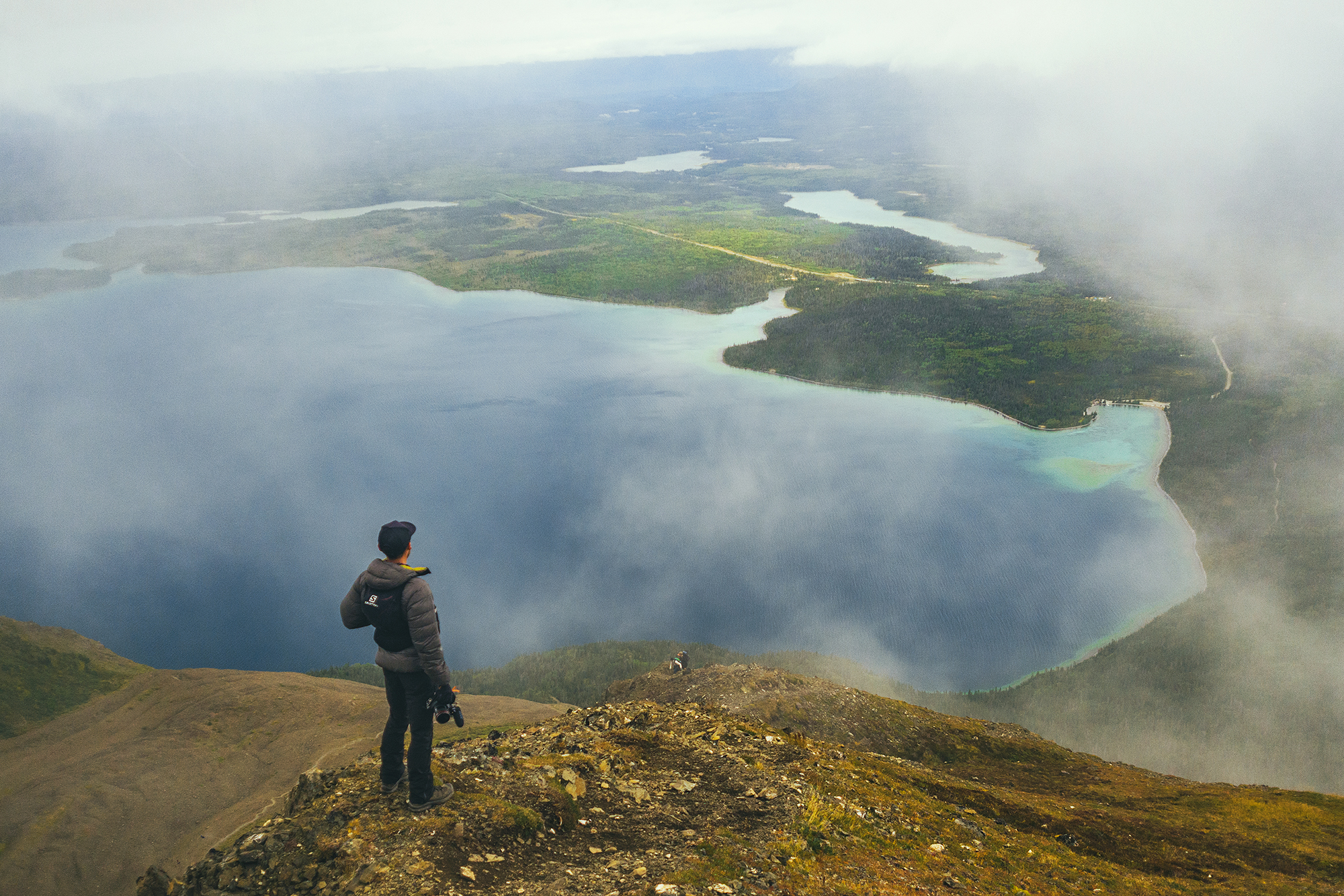
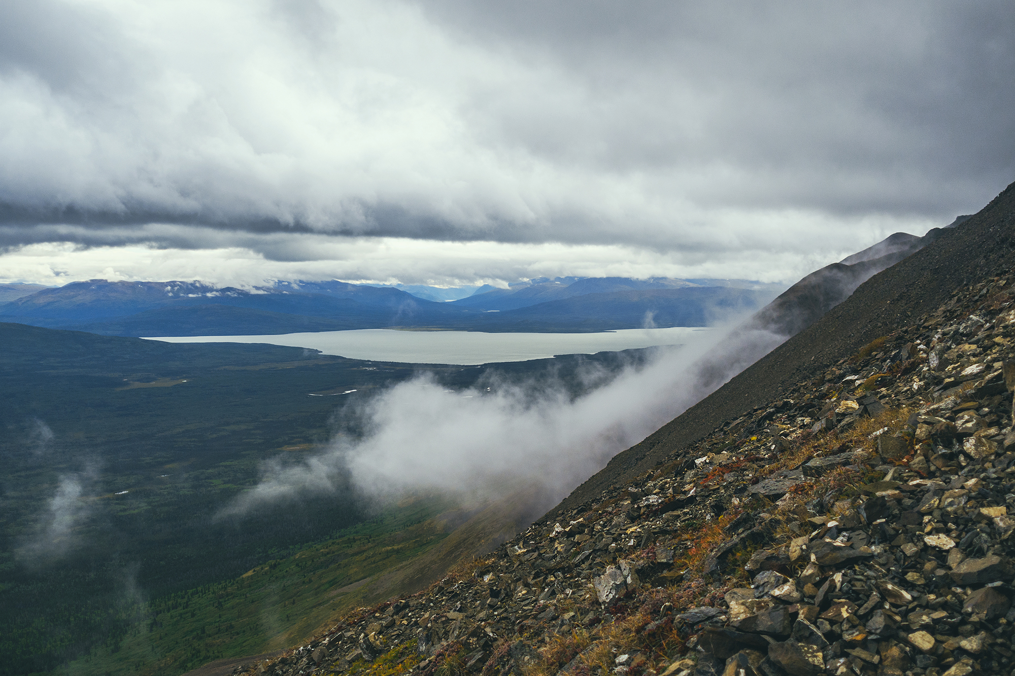
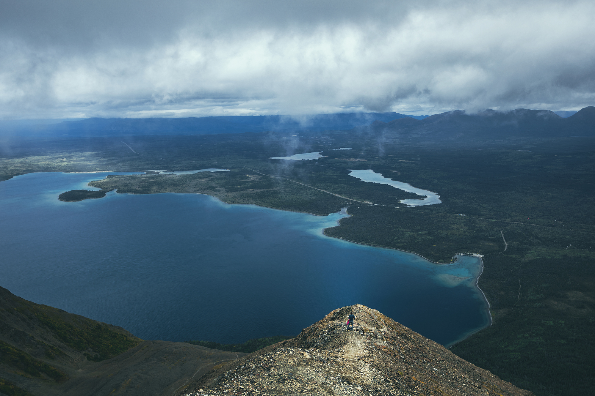
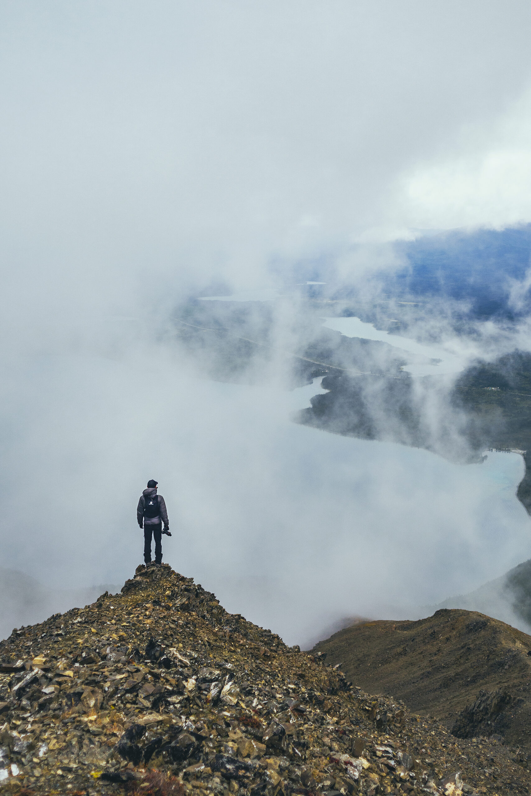
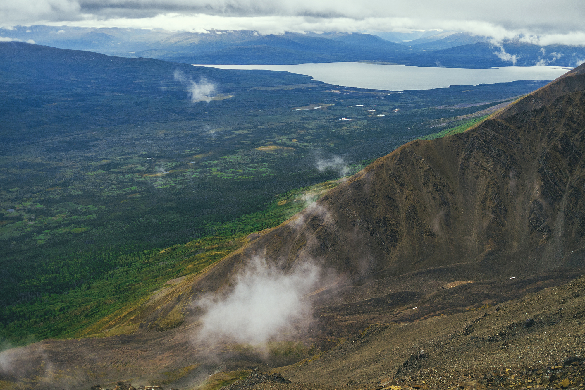
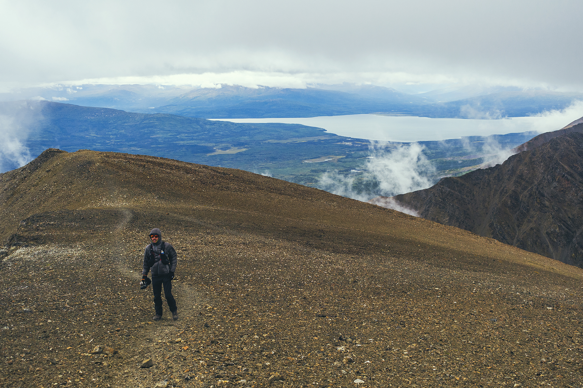
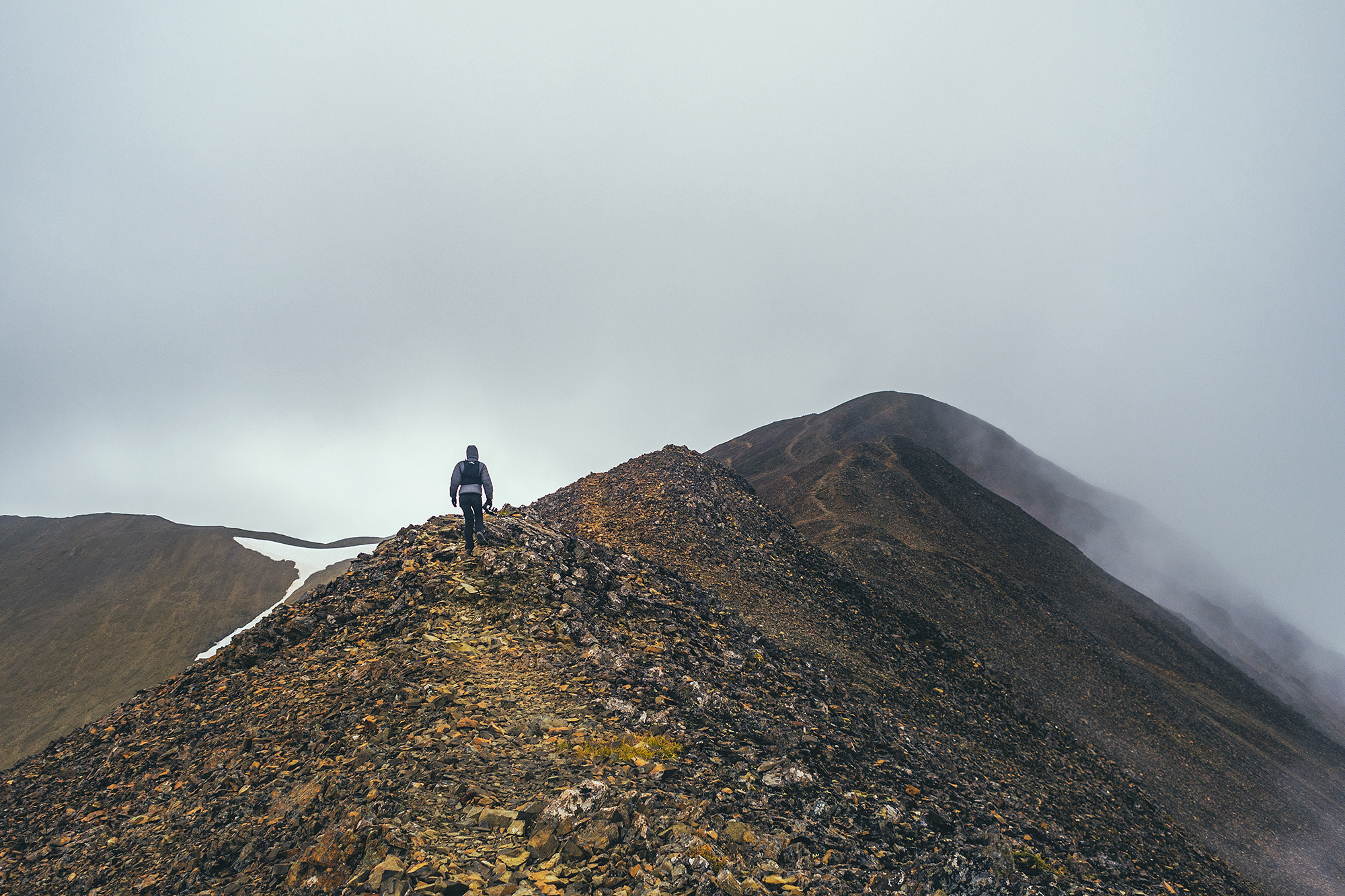
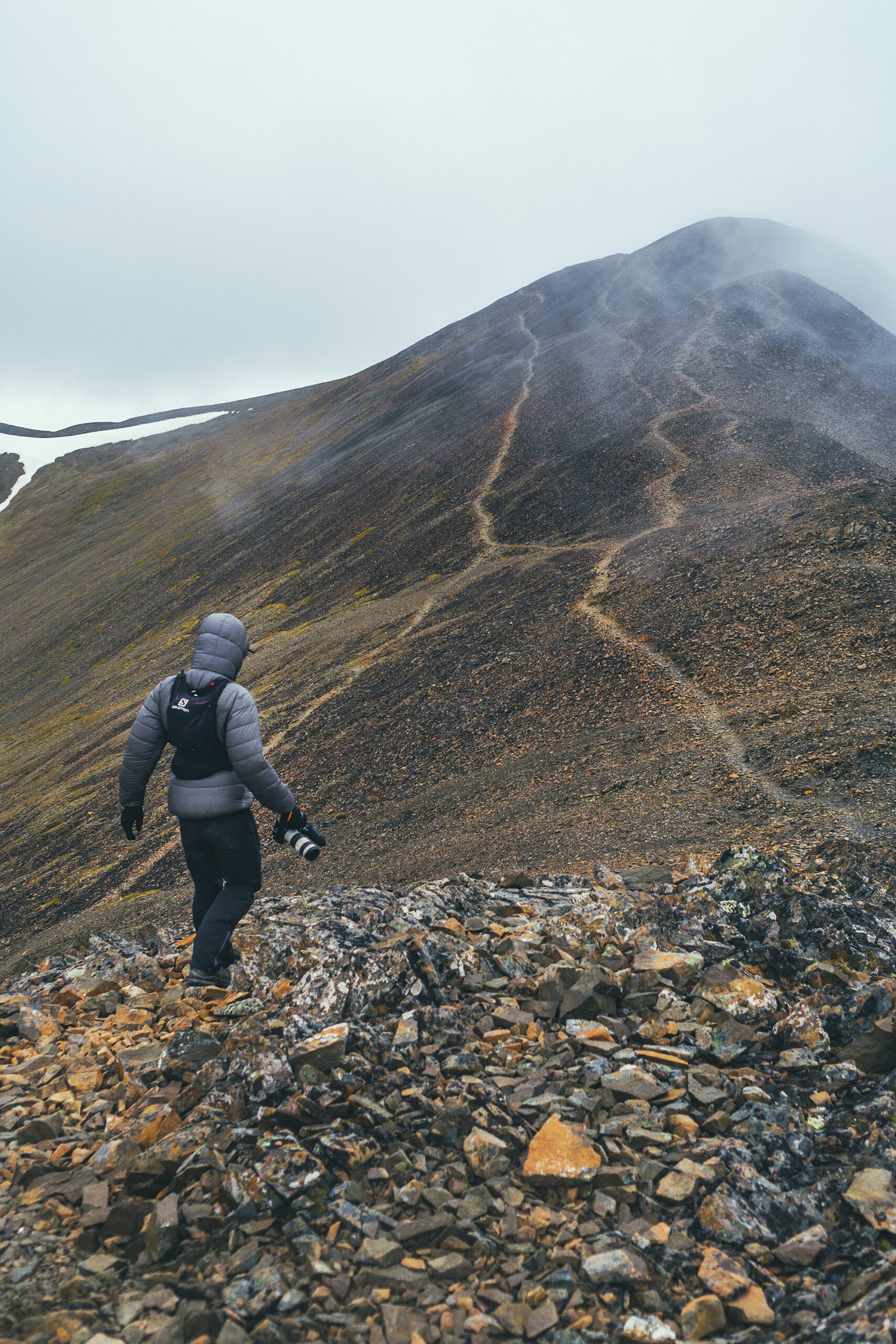
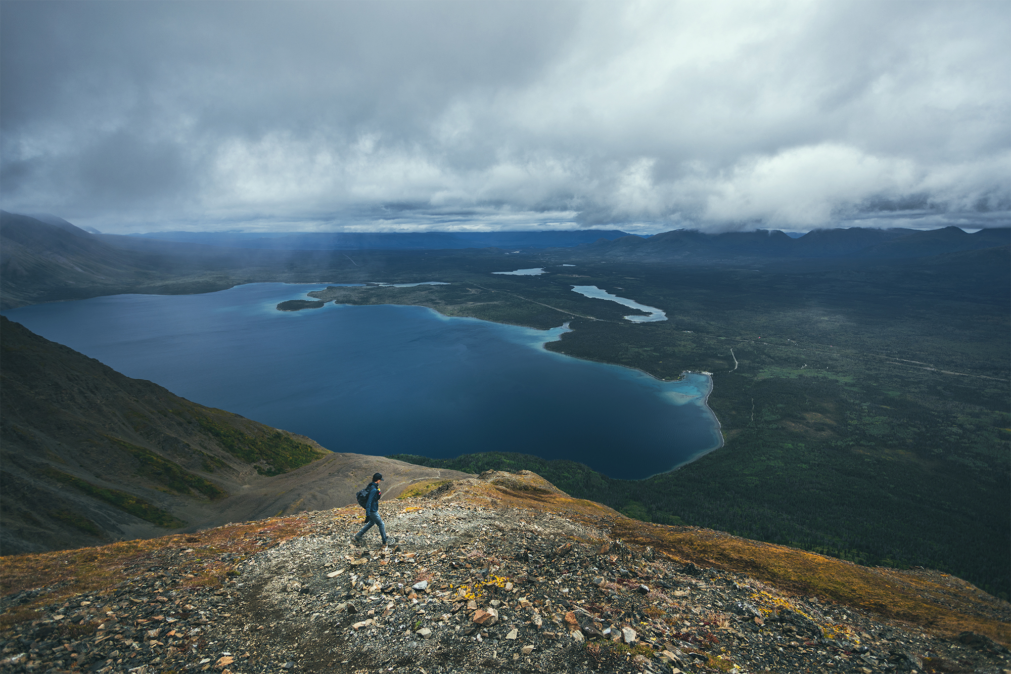
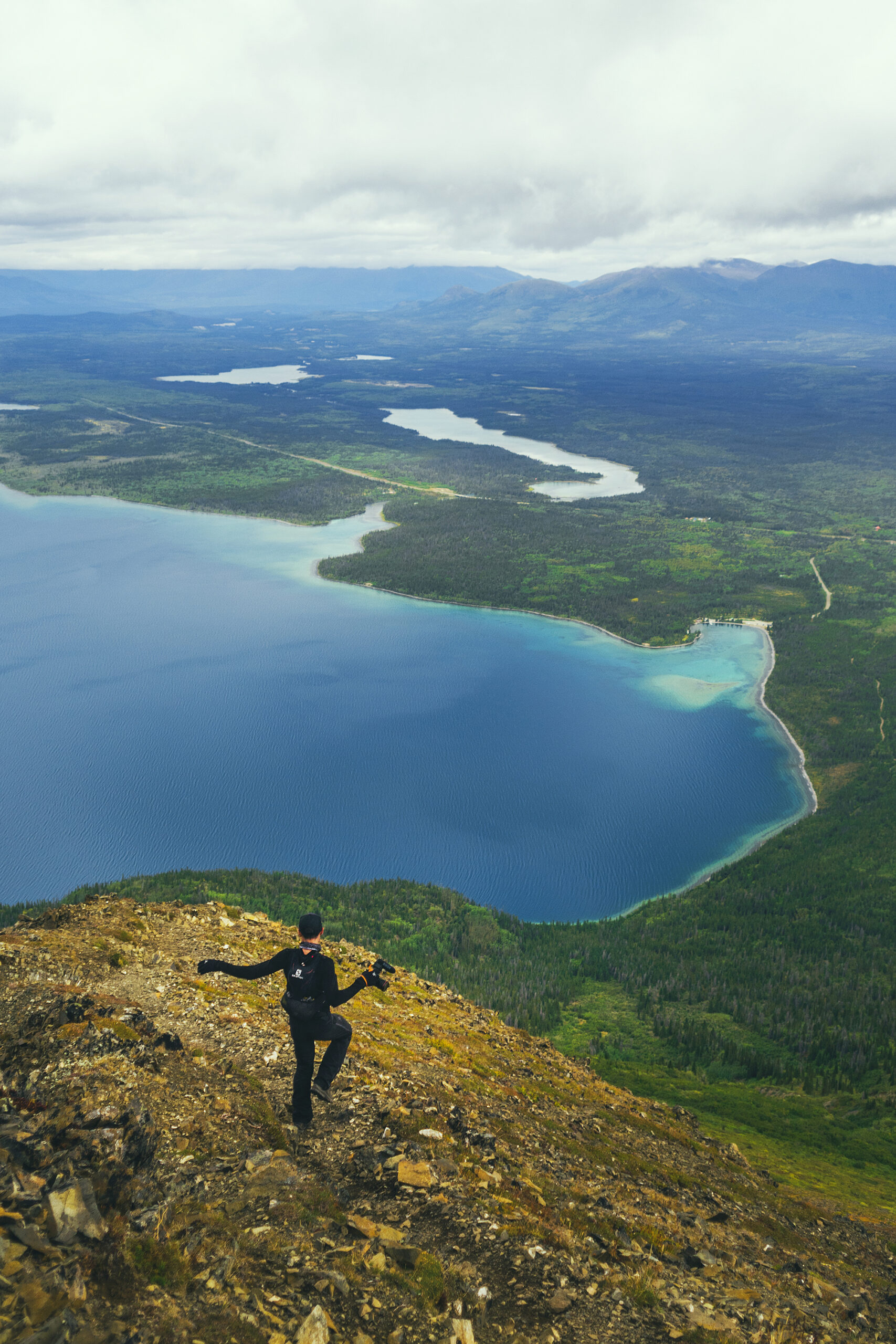
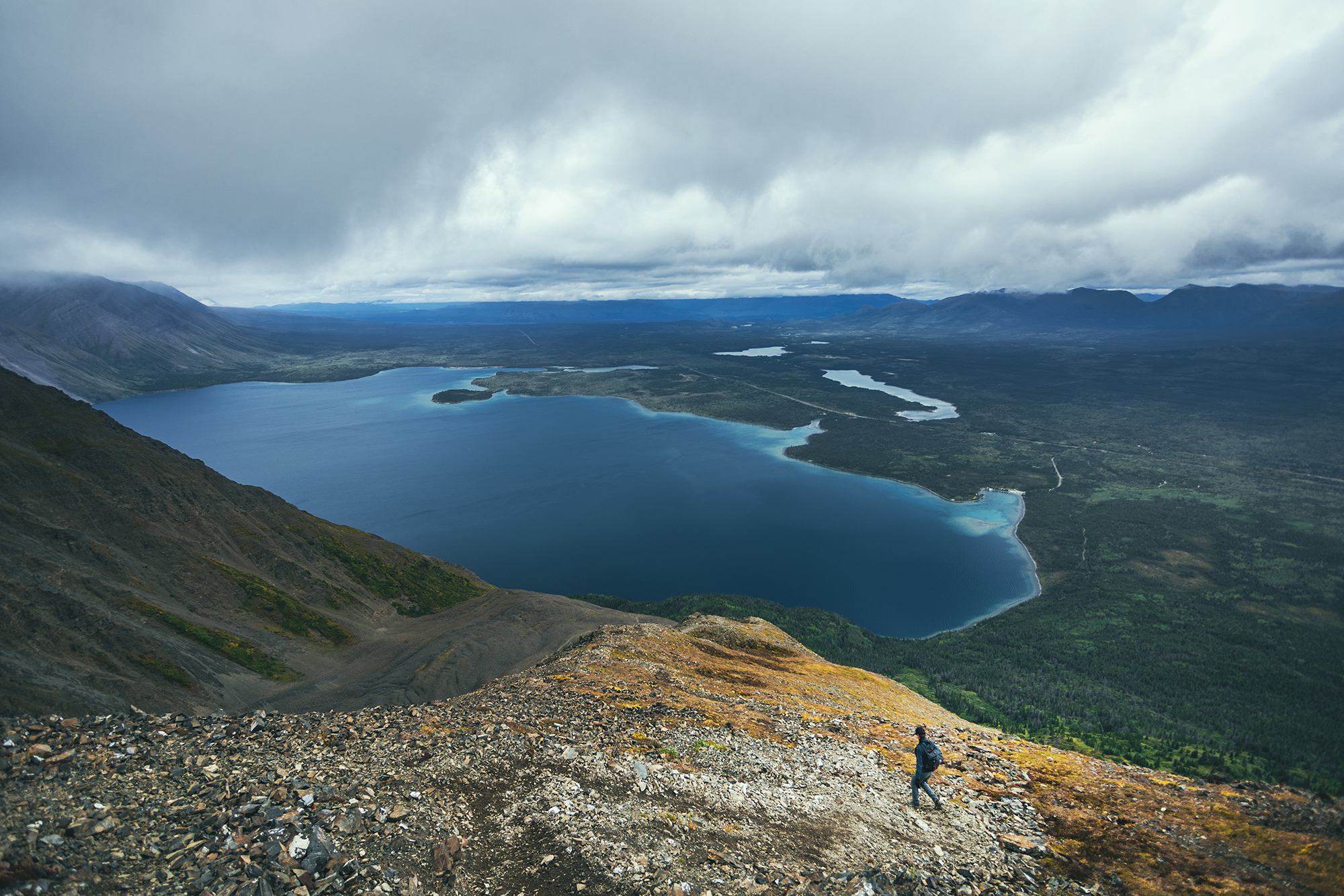
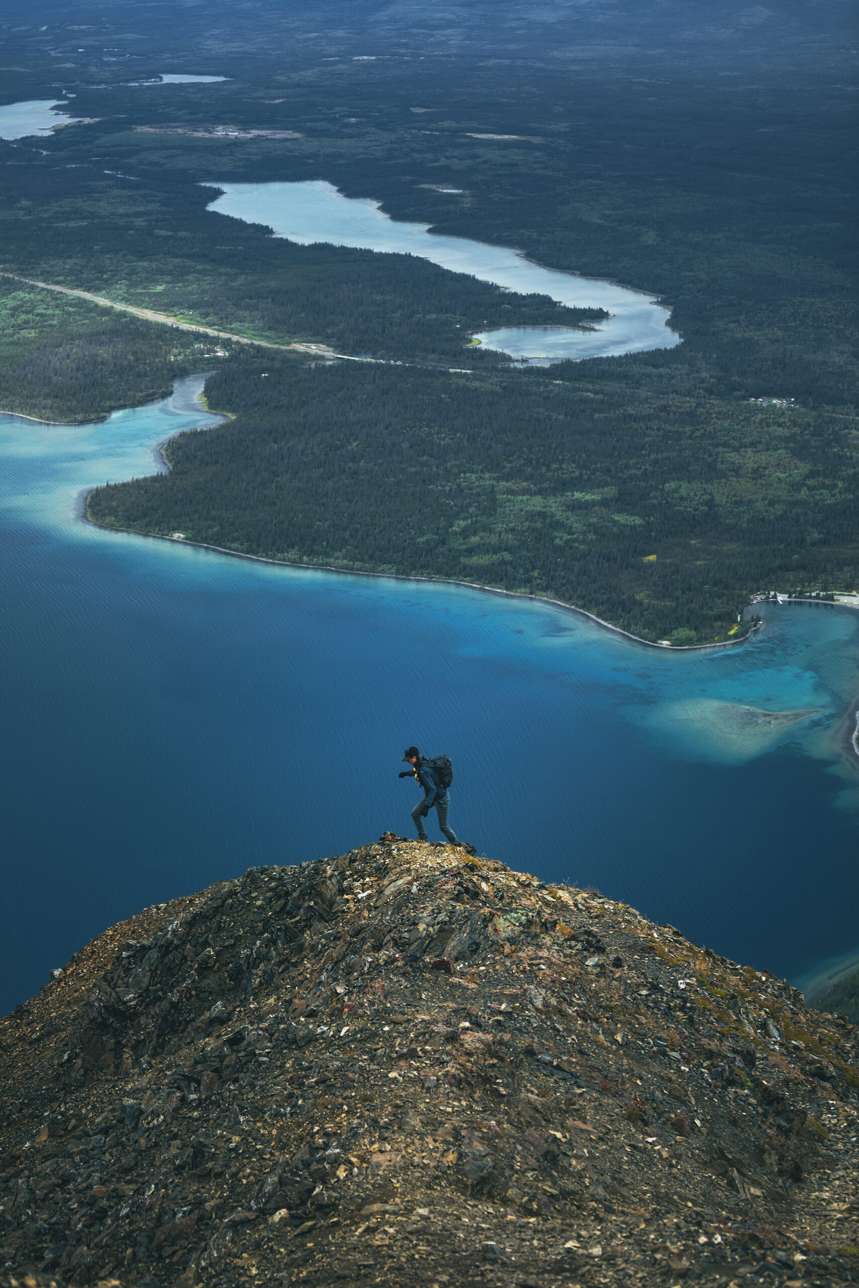
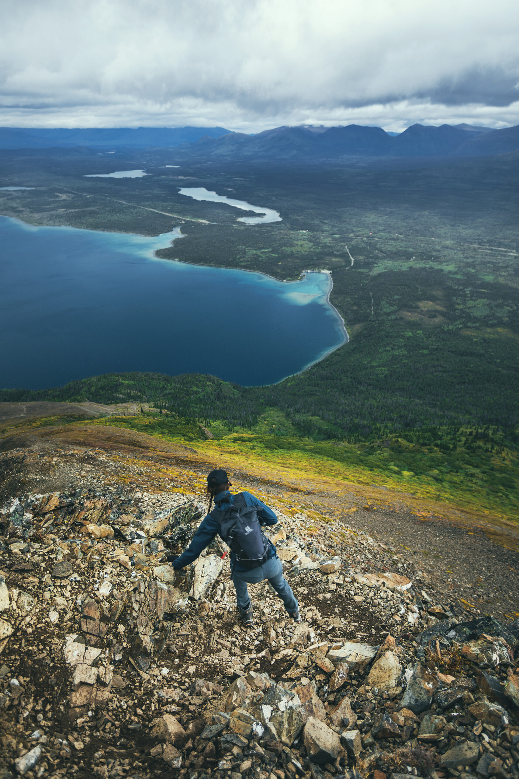
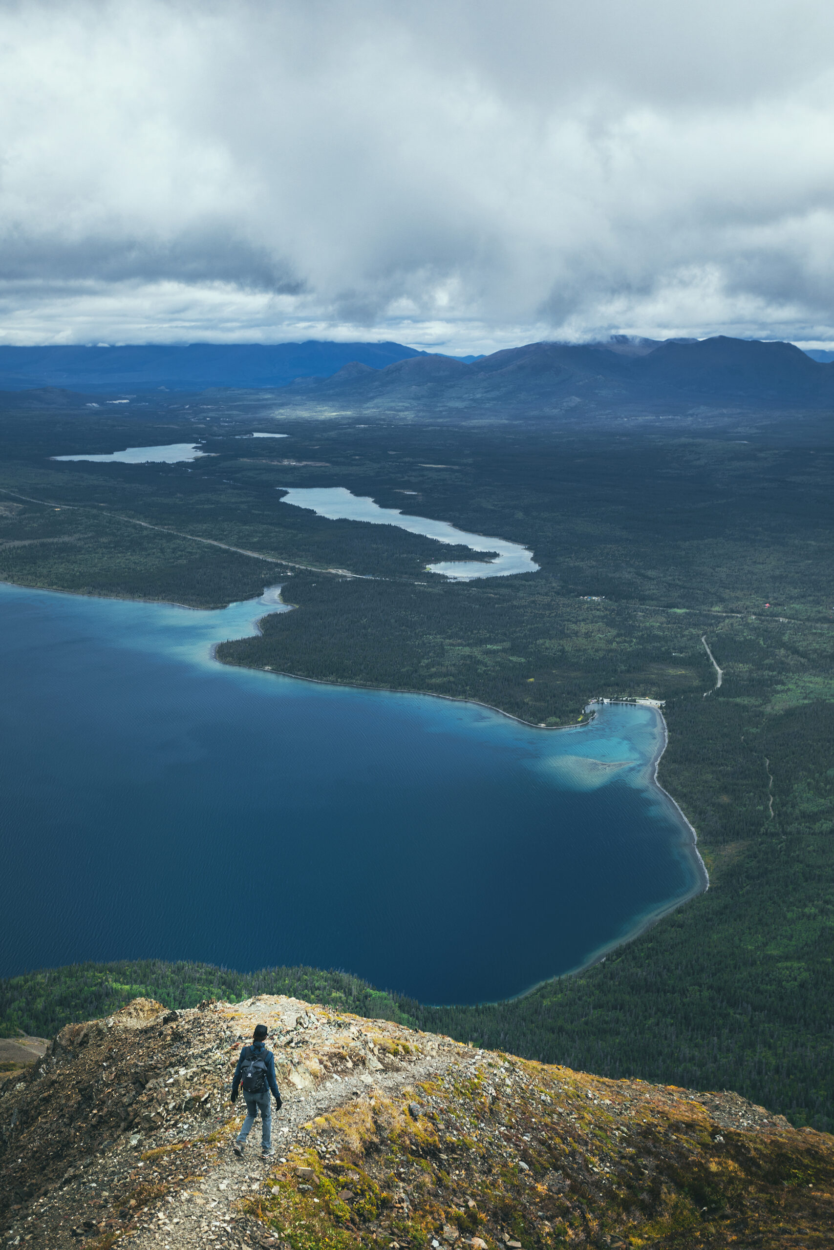
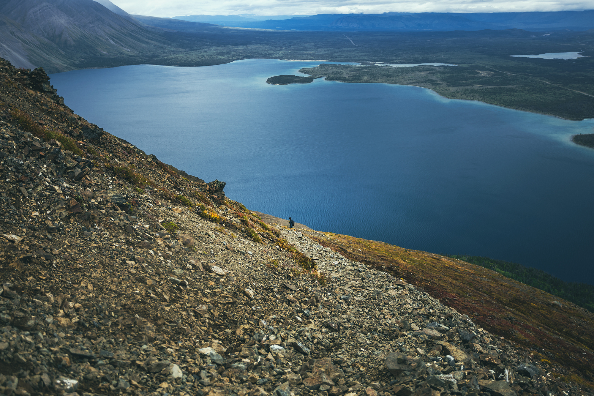
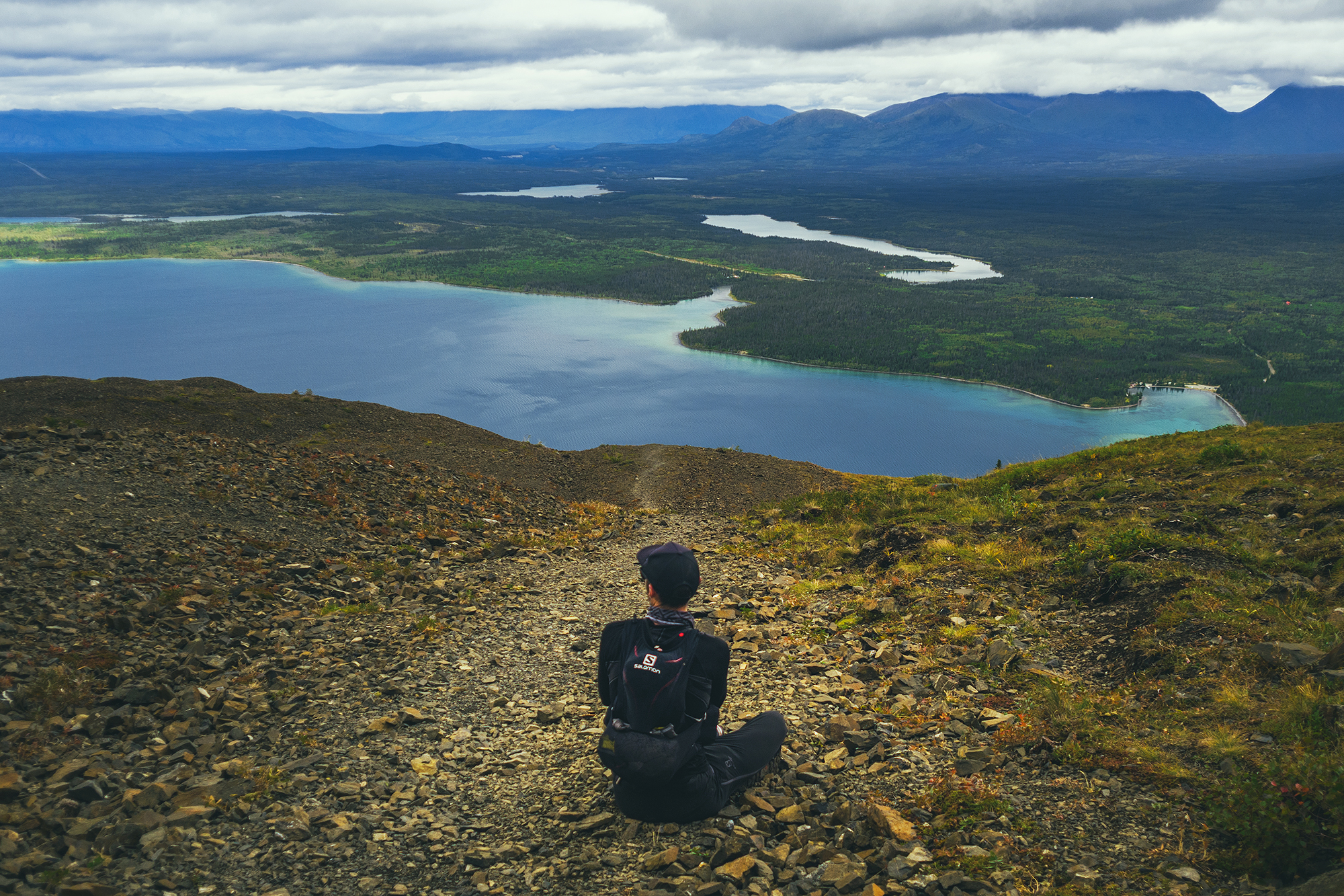
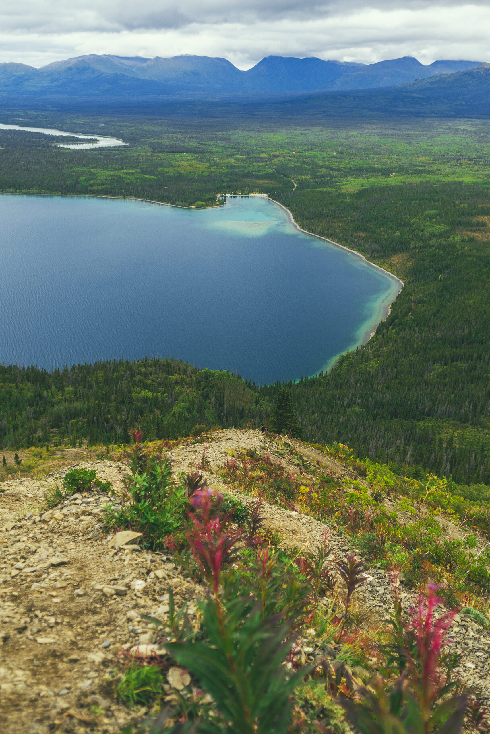
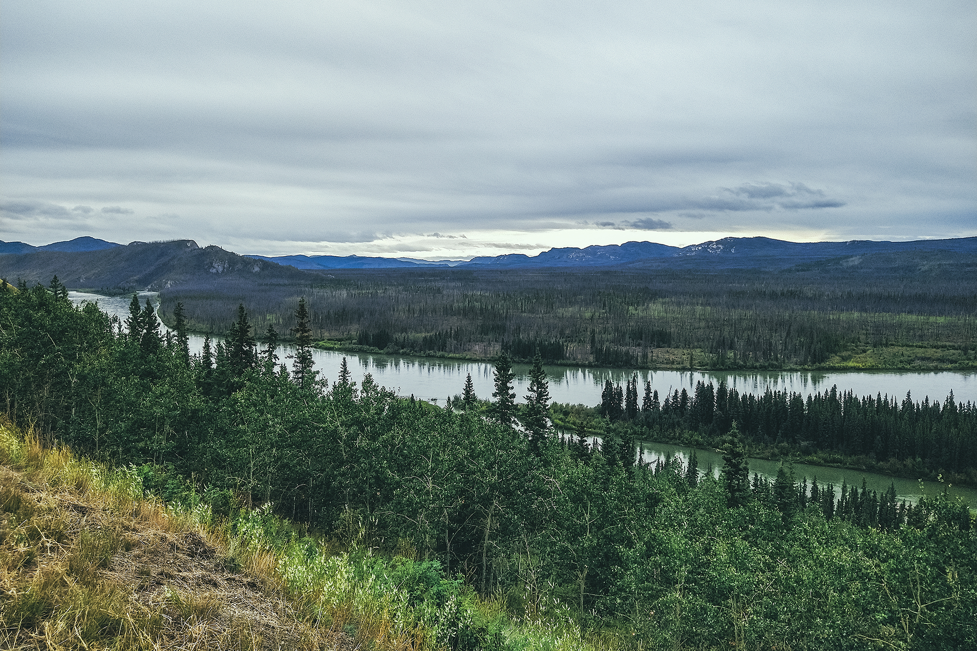
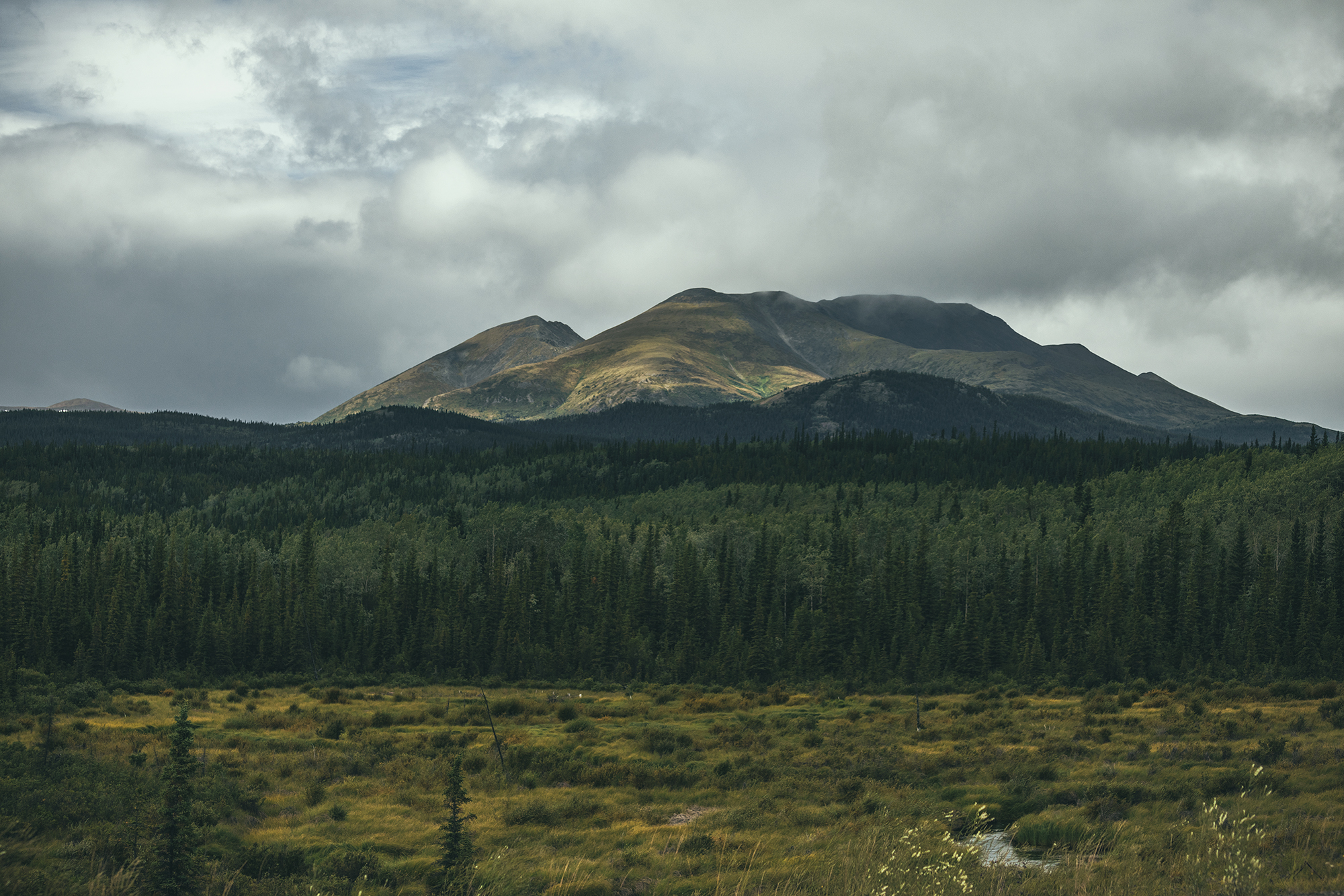
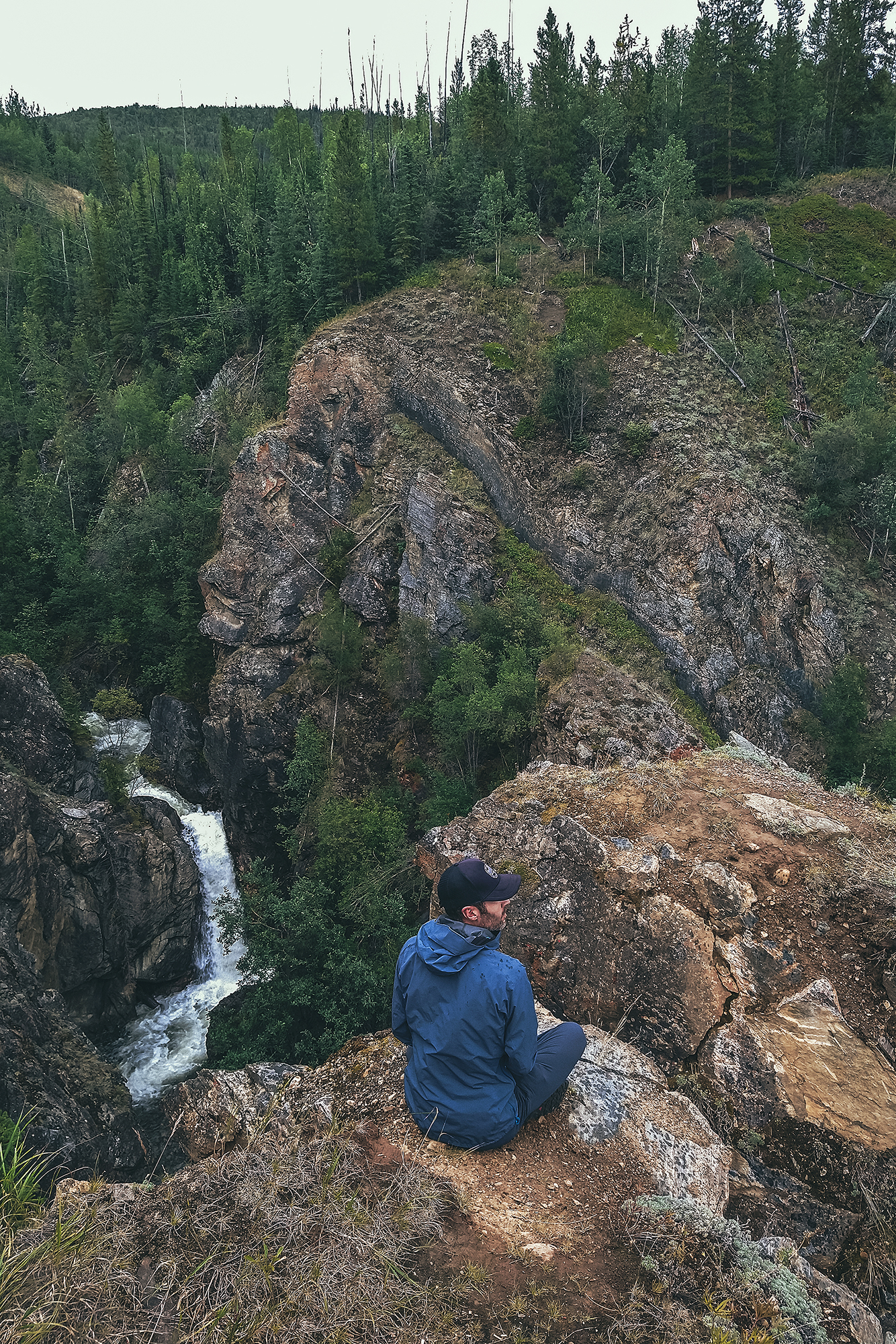
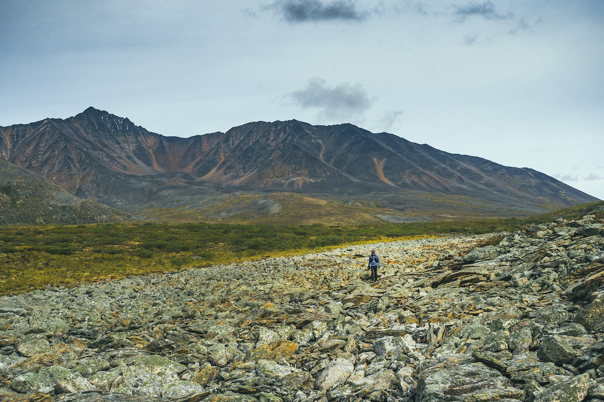
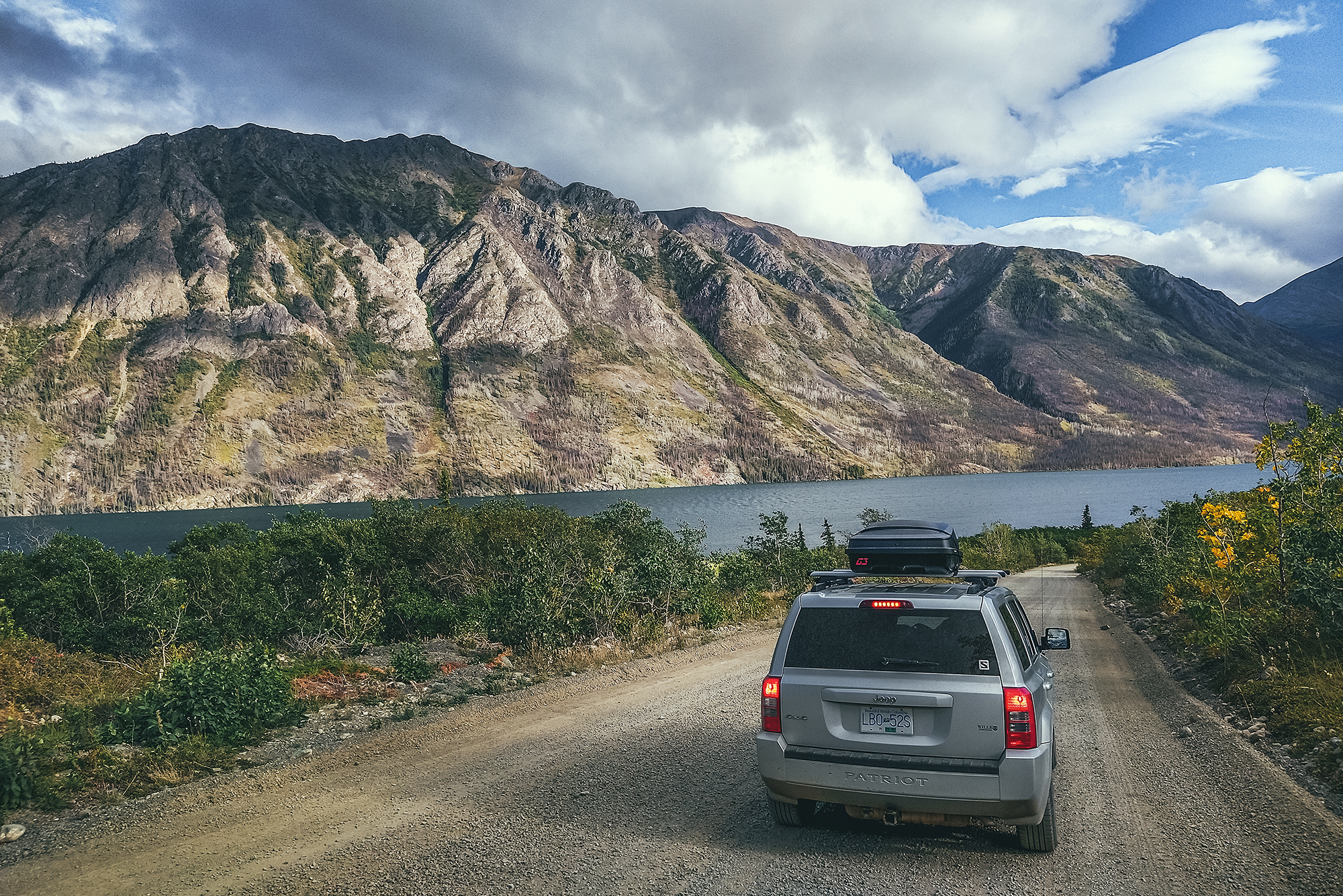
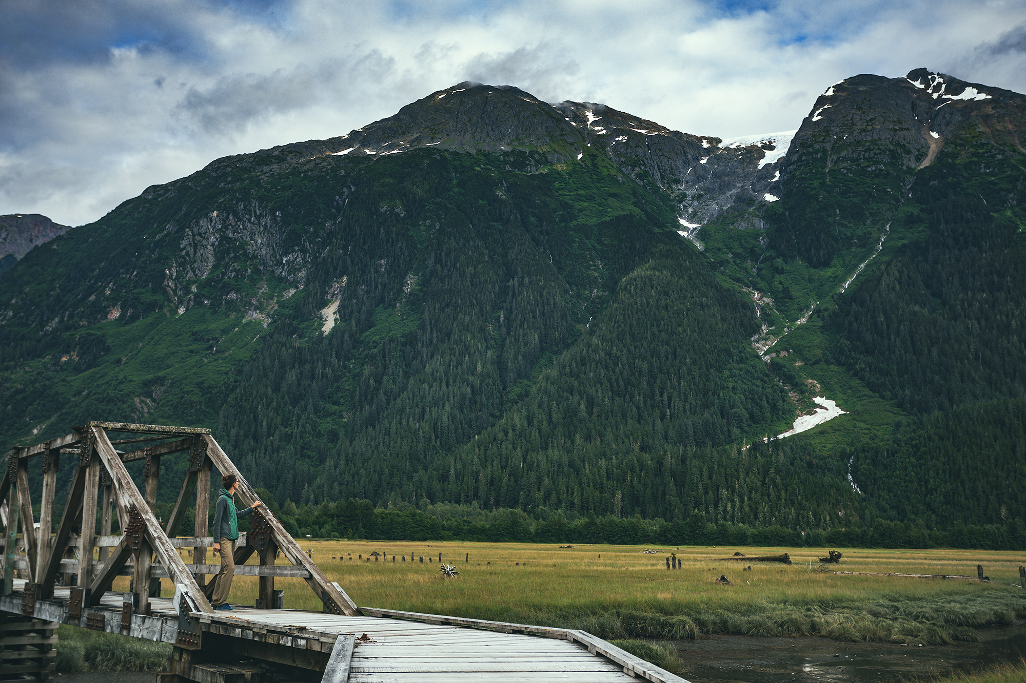
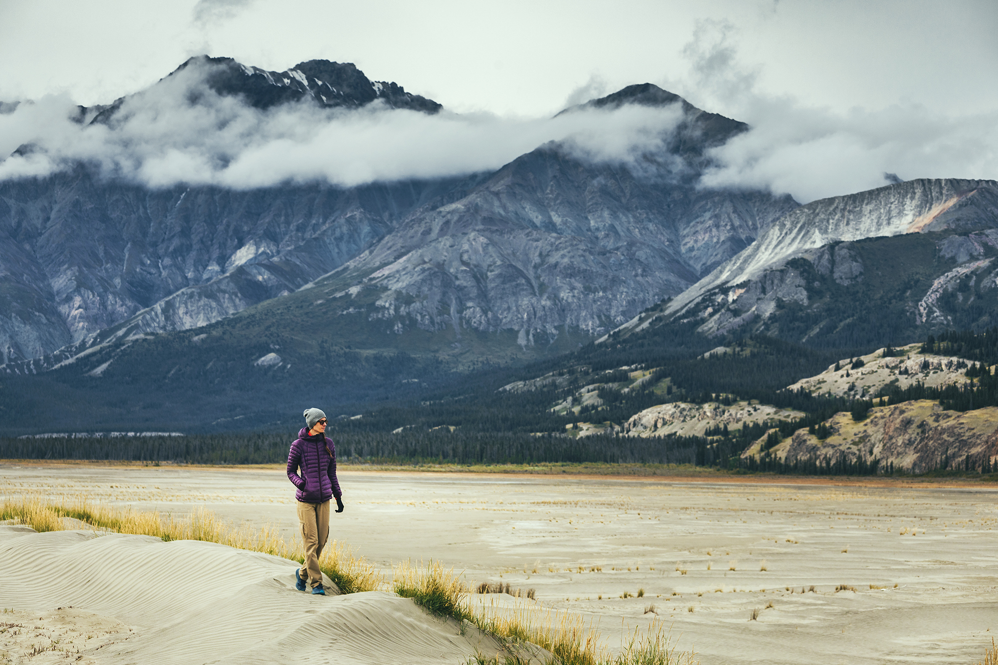
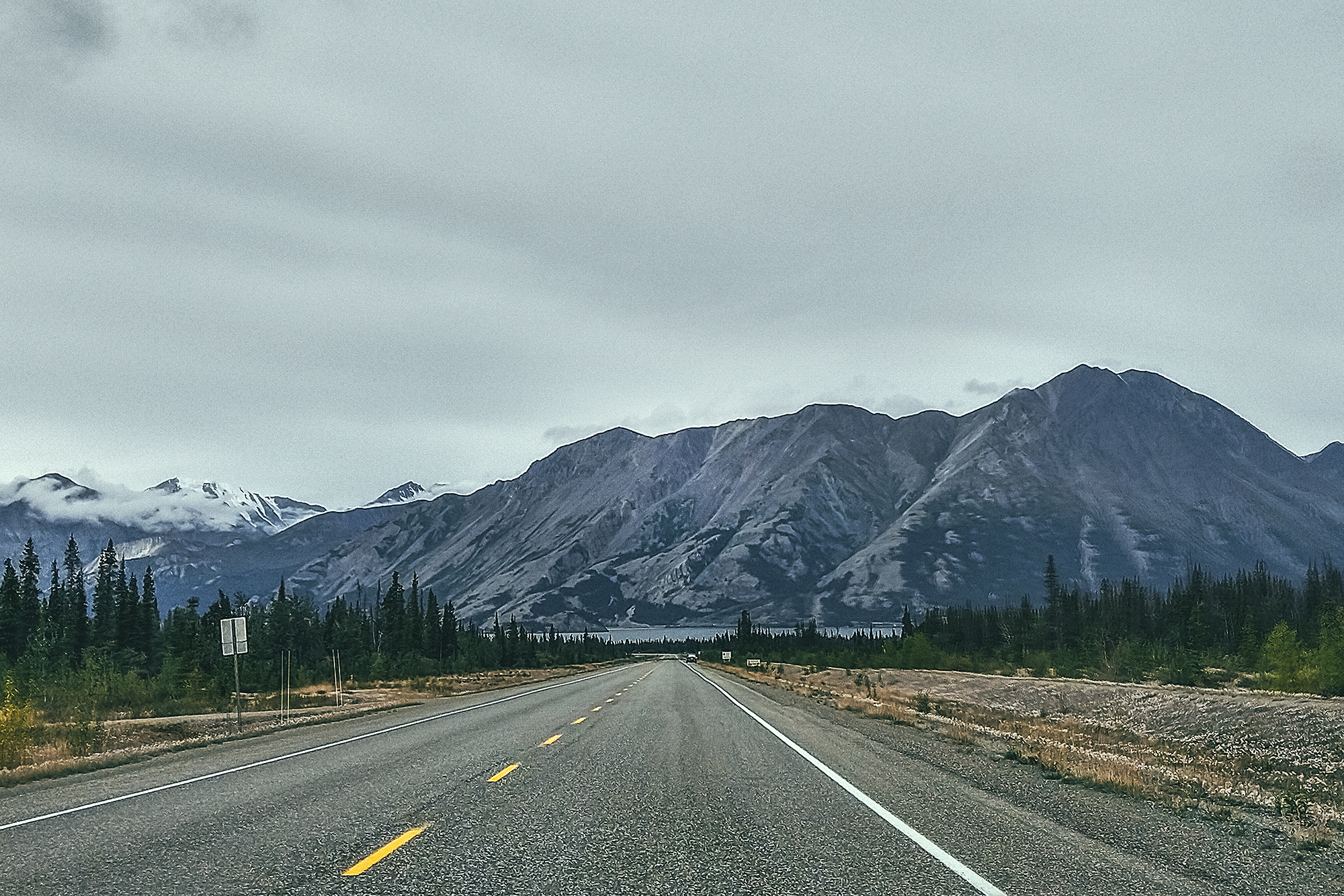
Kluane National Park– This is one of the largest wilderness areas in the country and we mostly saw it from the road! There are a number of multi-day hikes or guided adventures that could be done, and I would love to come back for an extended stay.

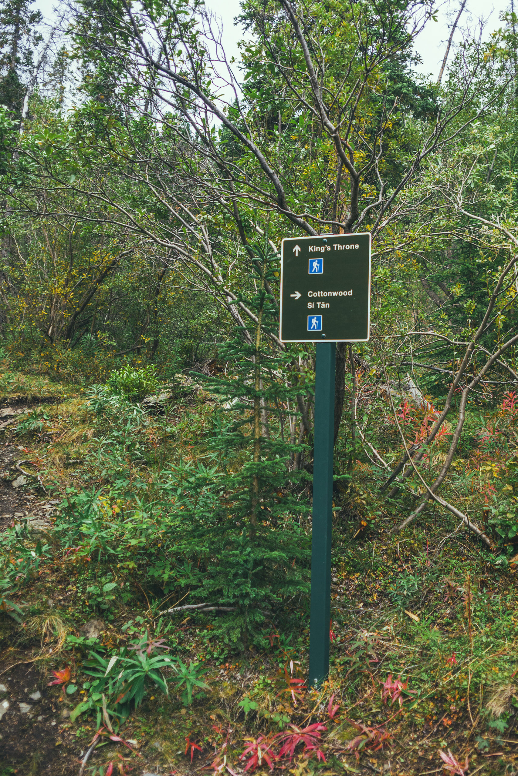
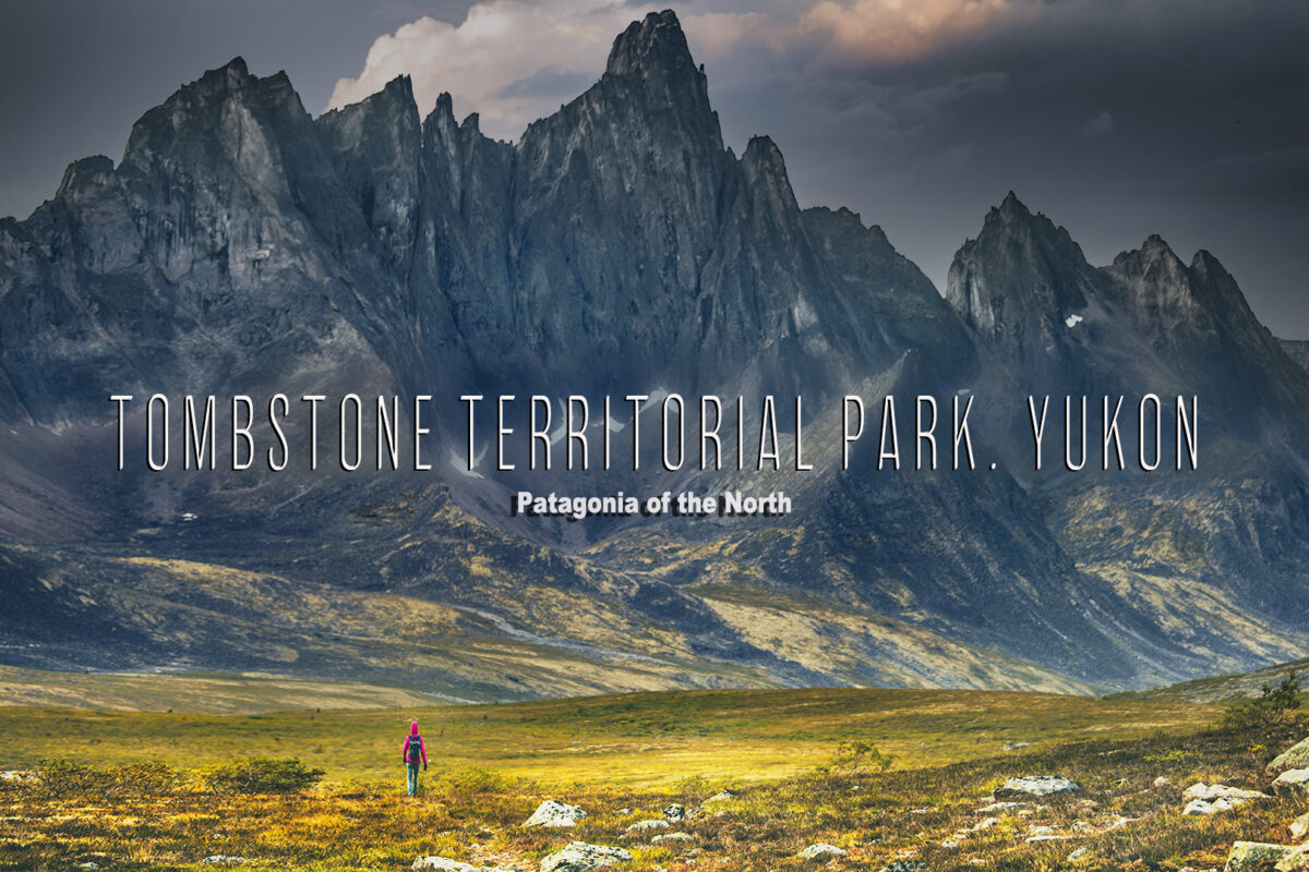
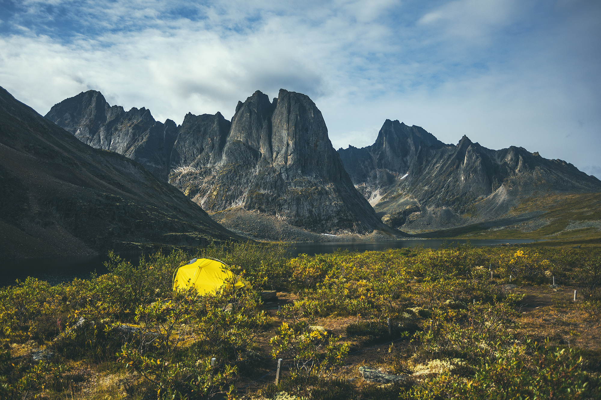
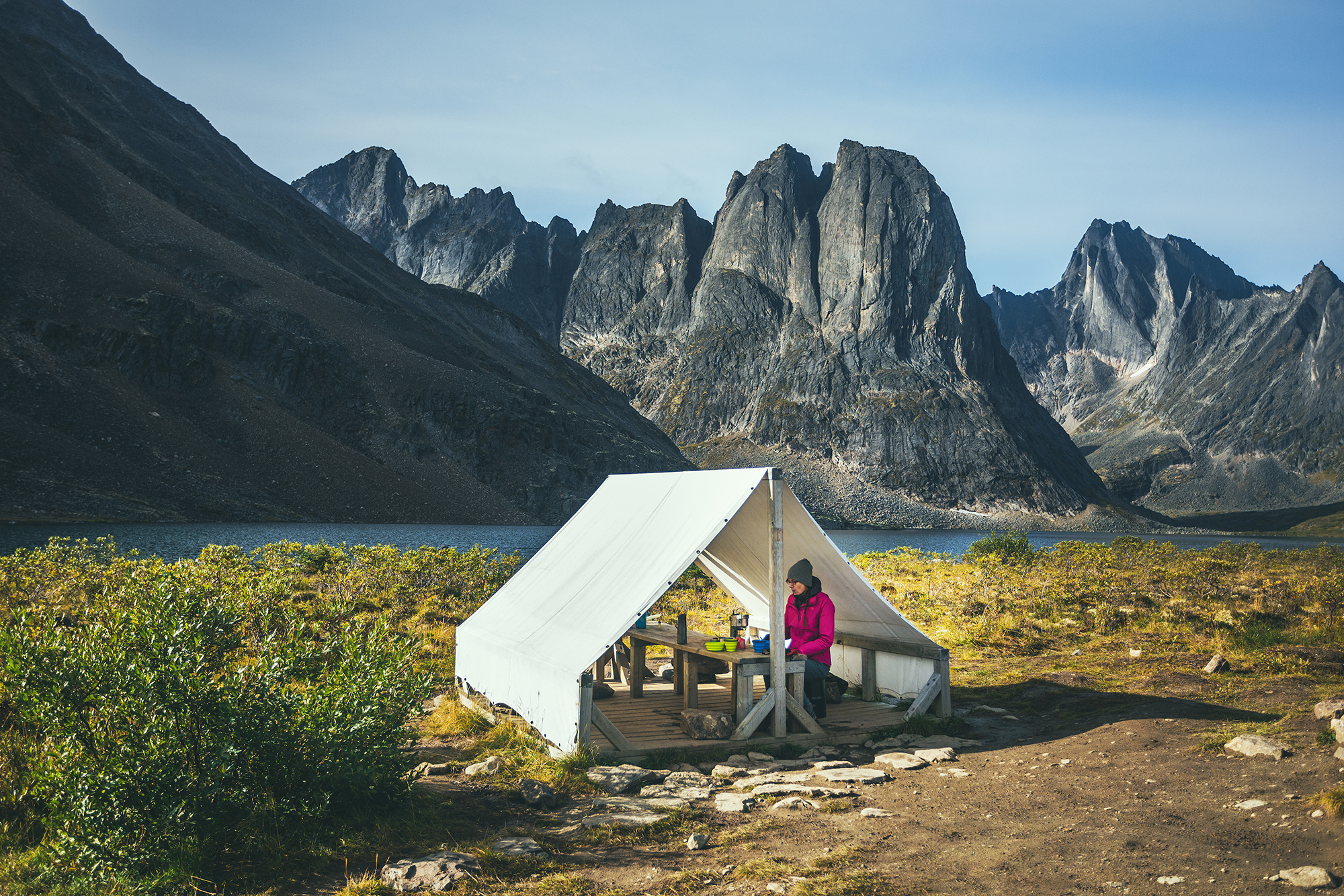
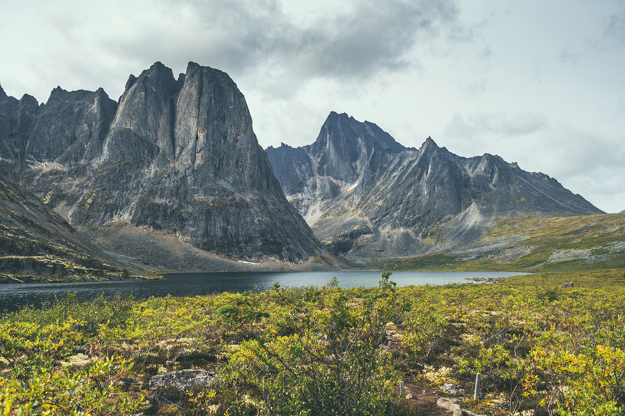
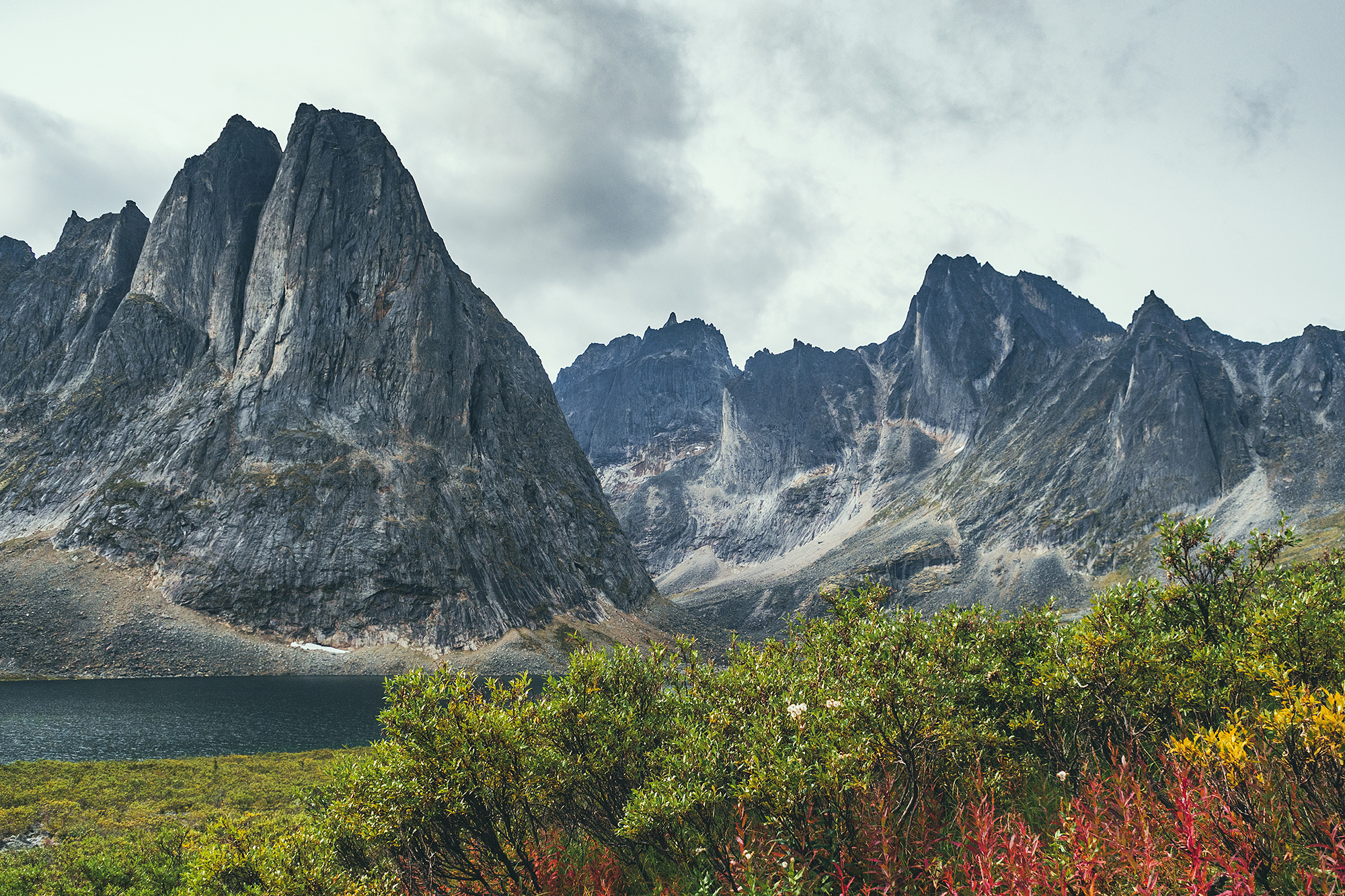
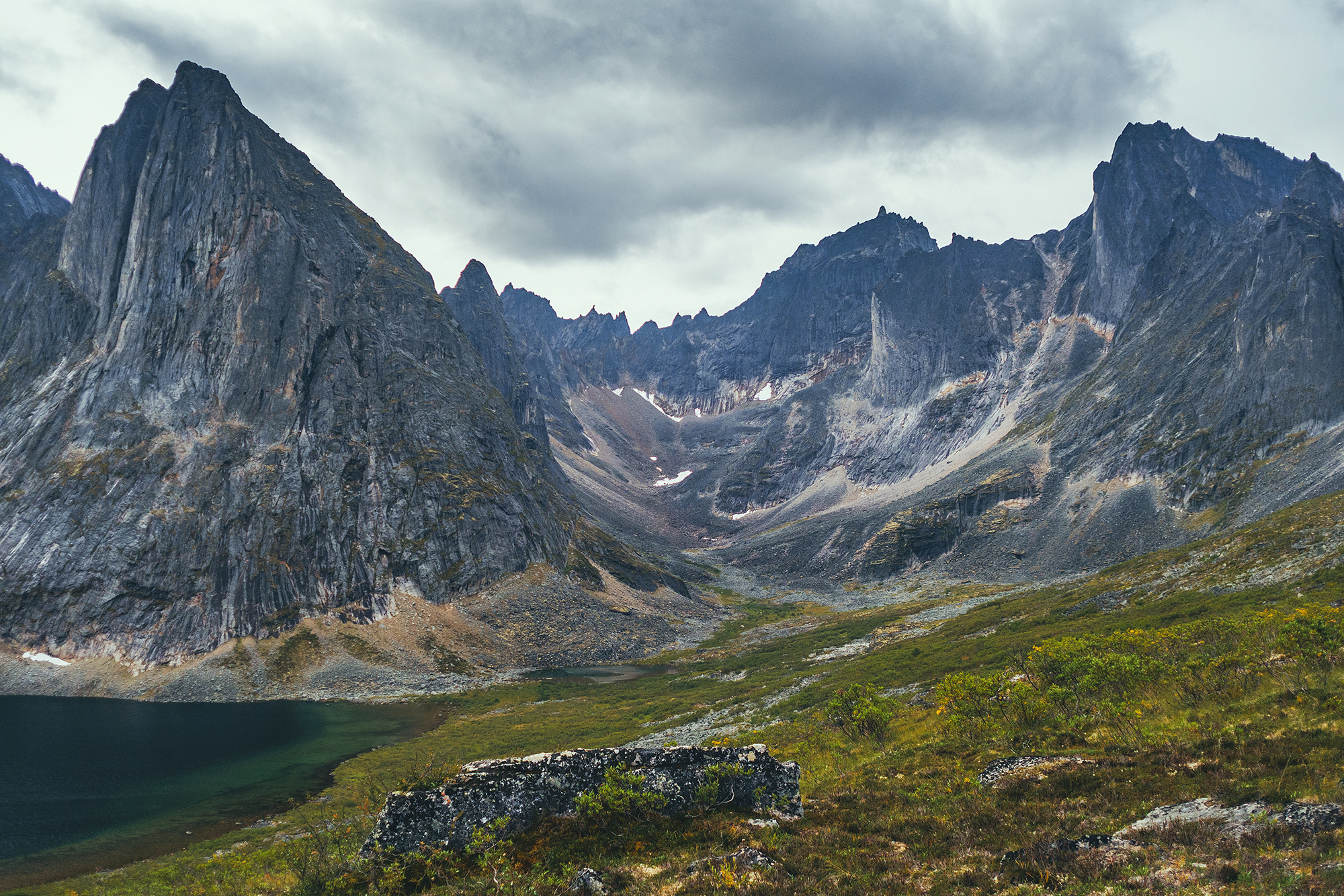
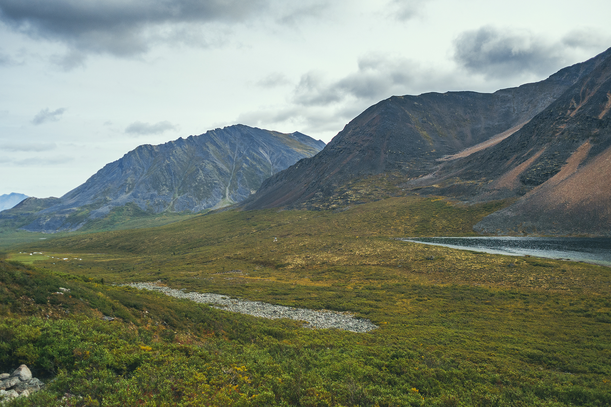
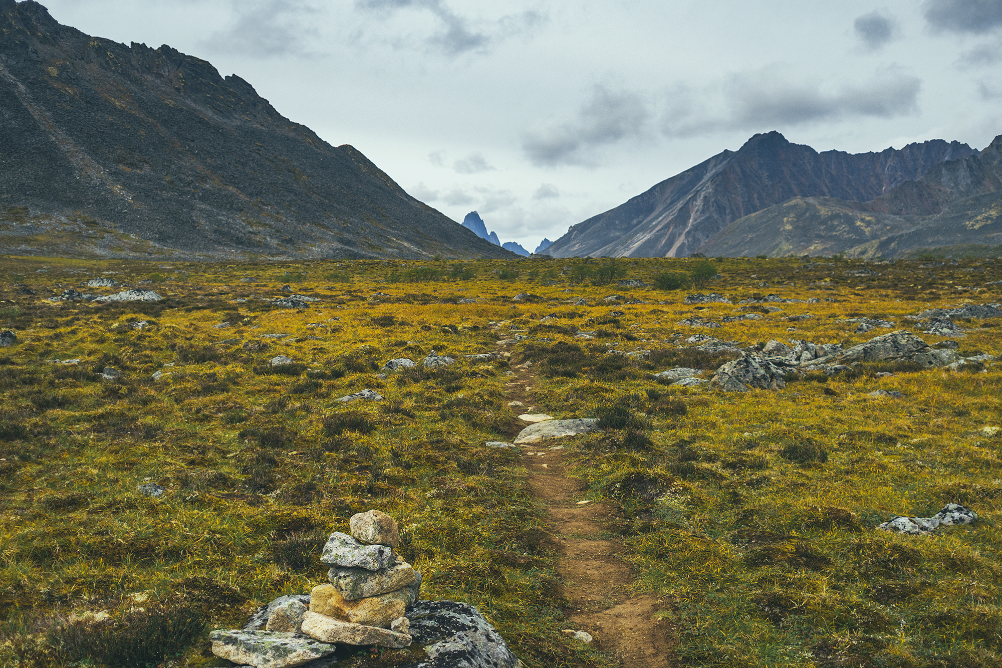
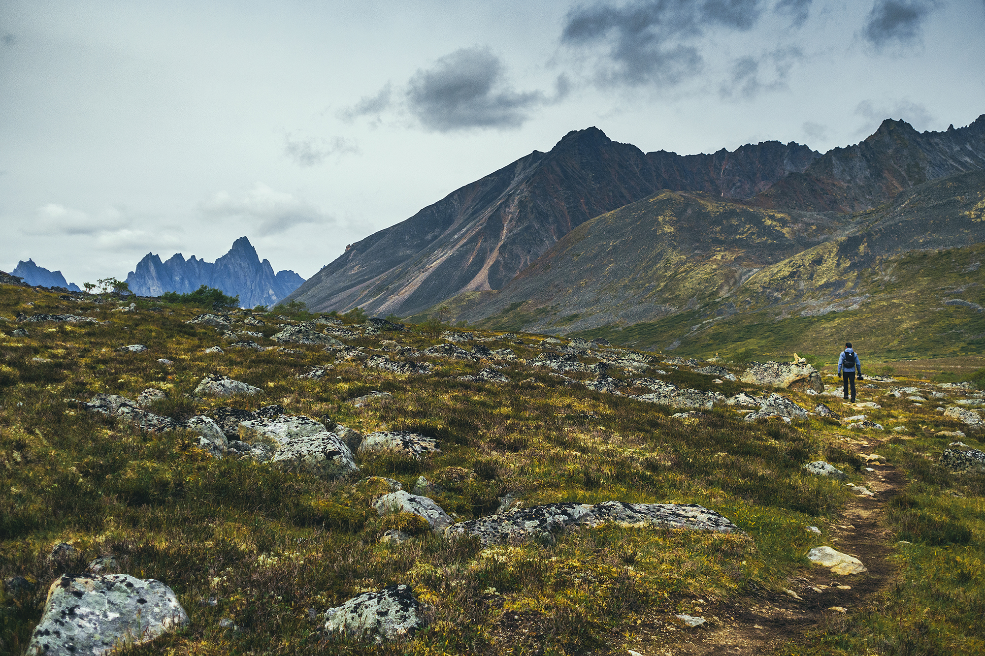
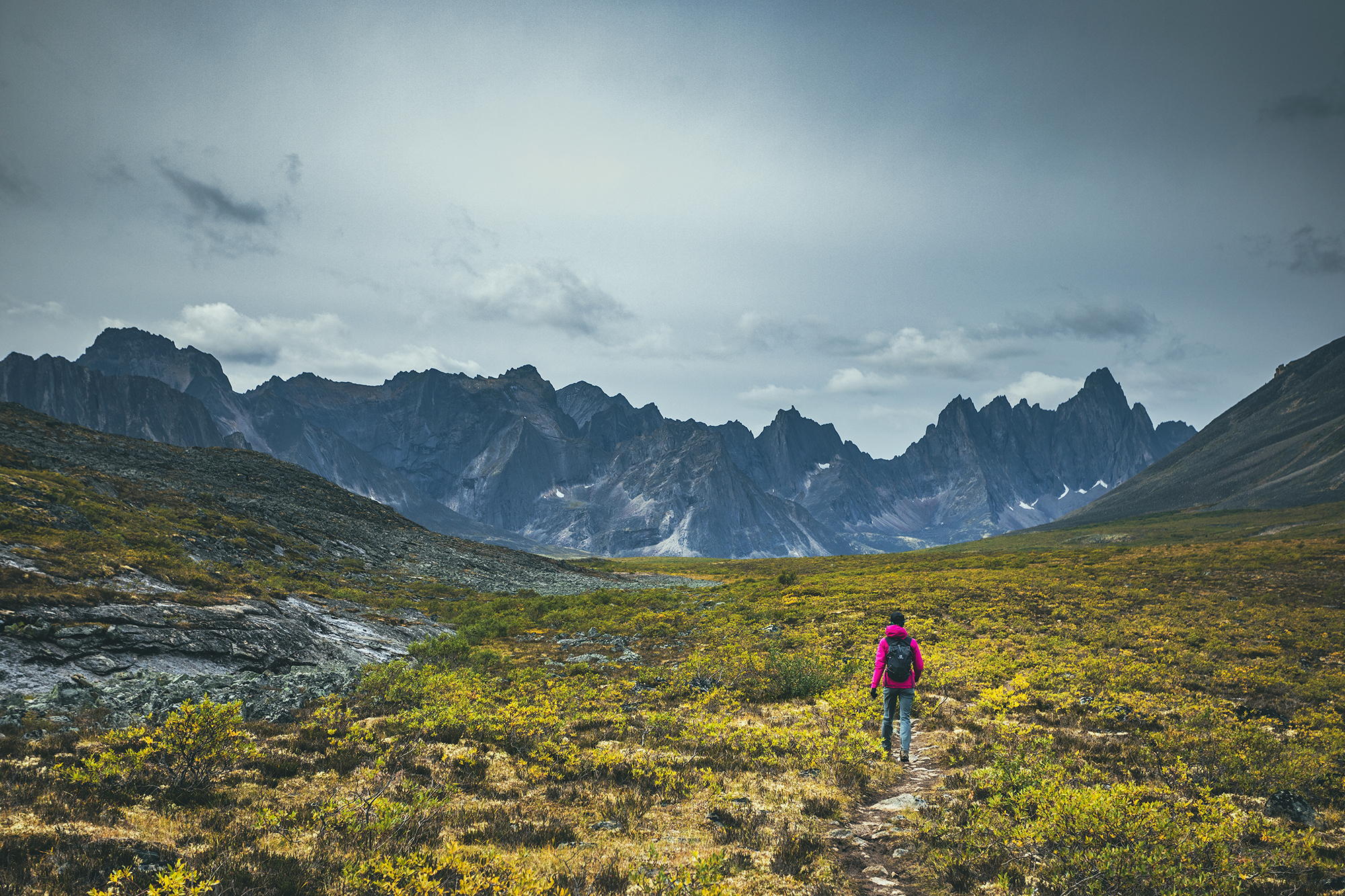
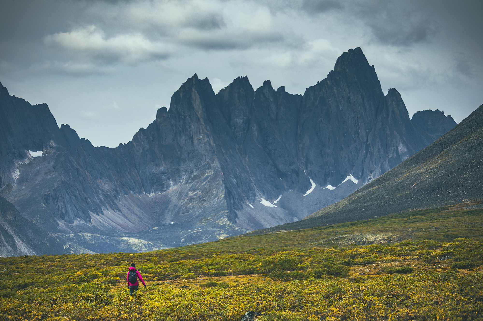
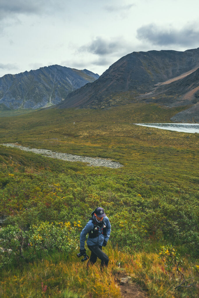
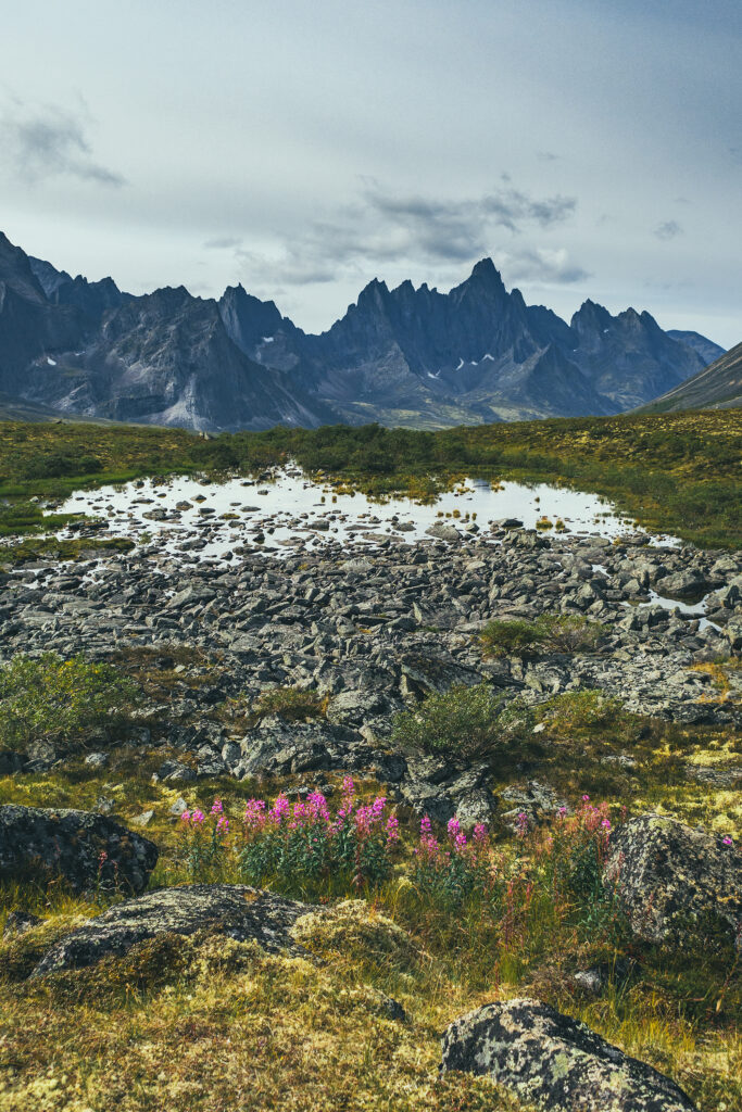
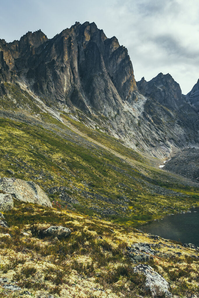
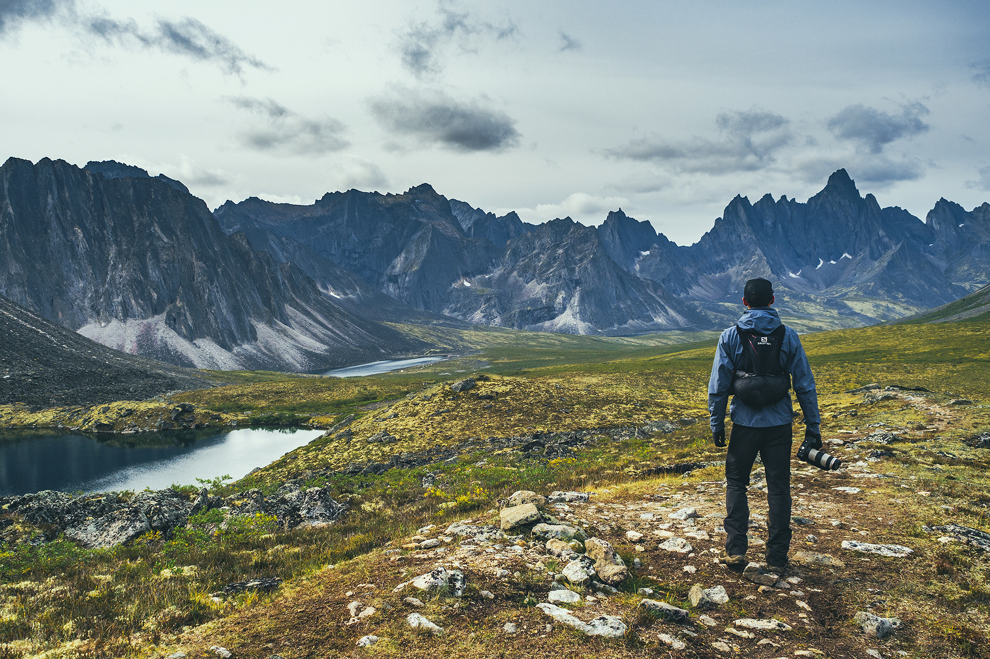
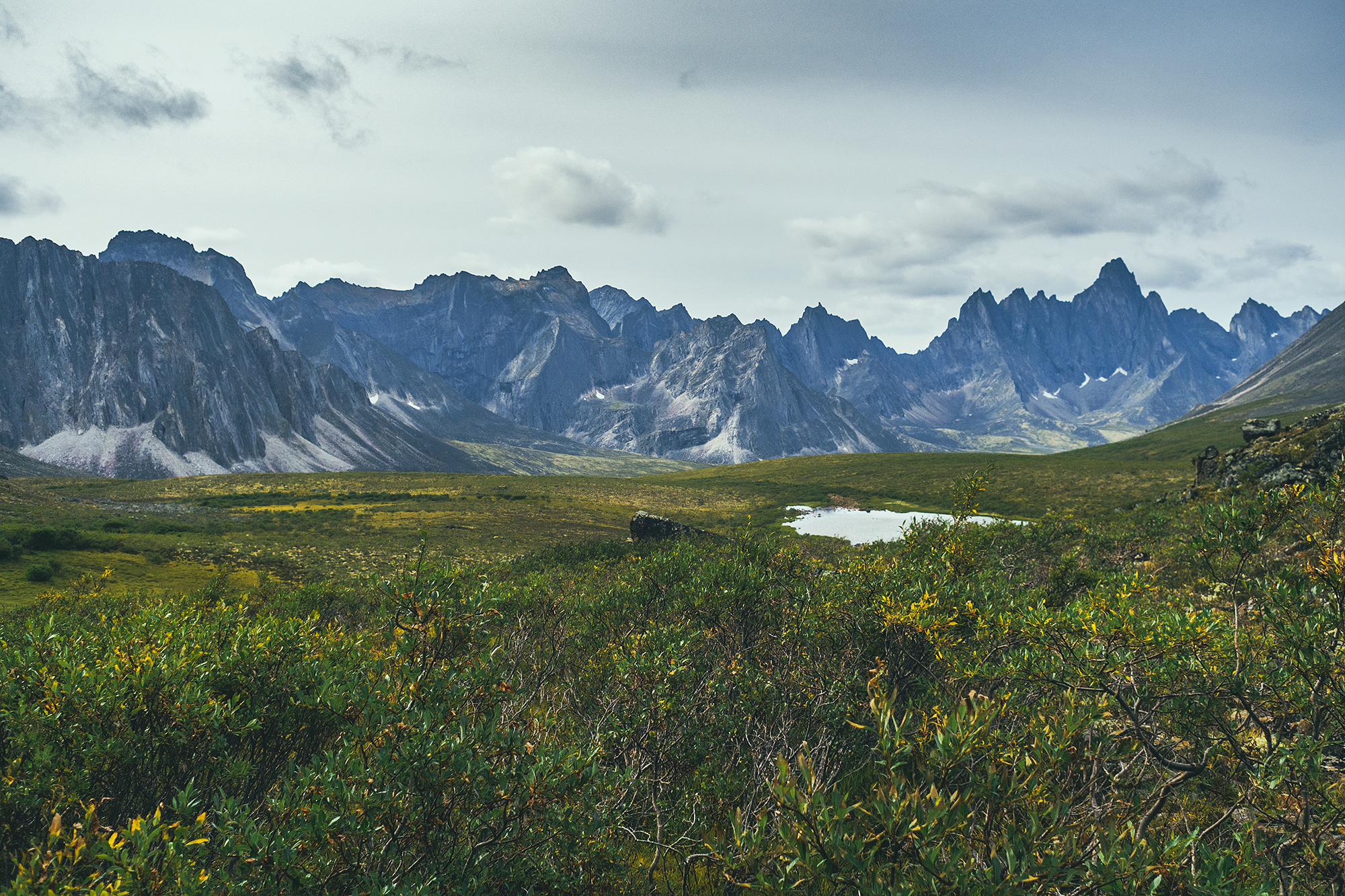
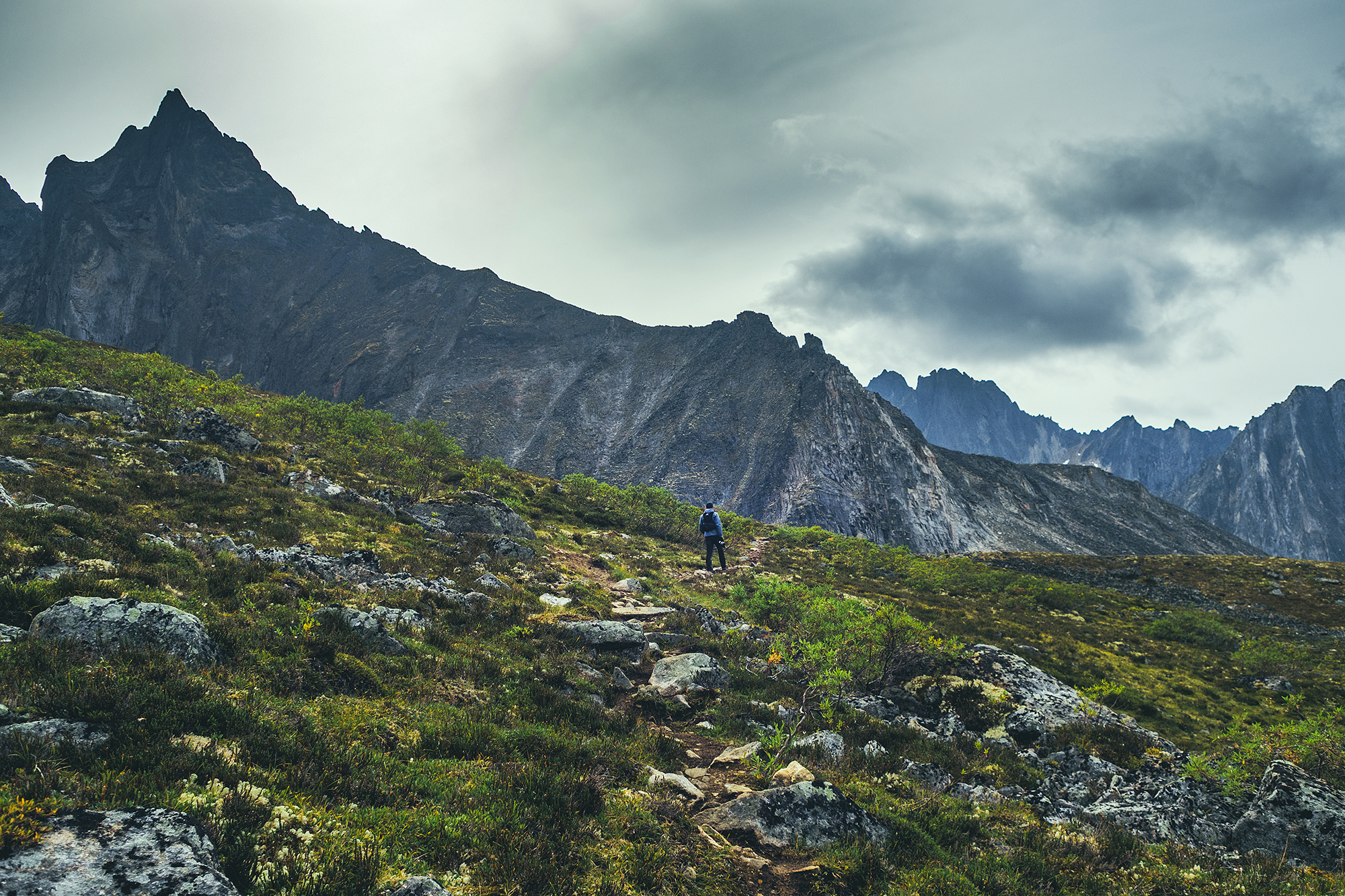
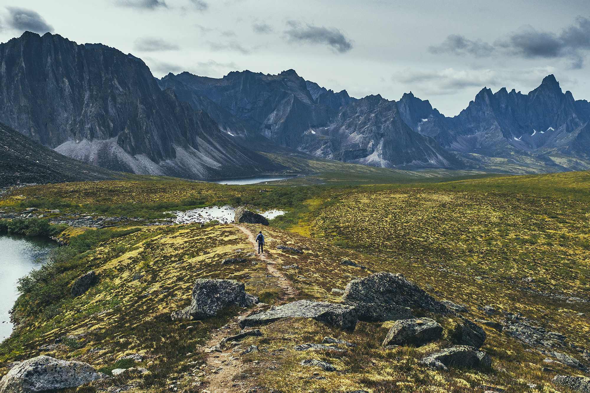
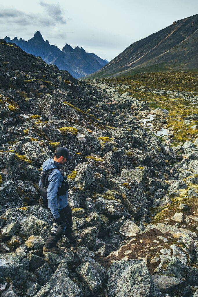
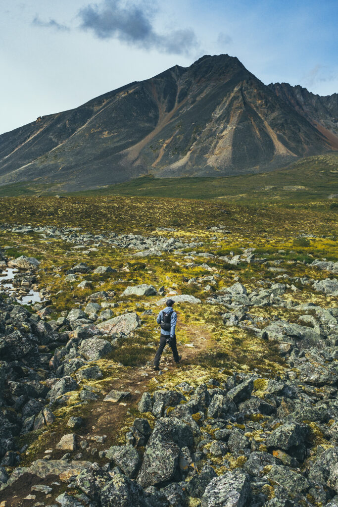
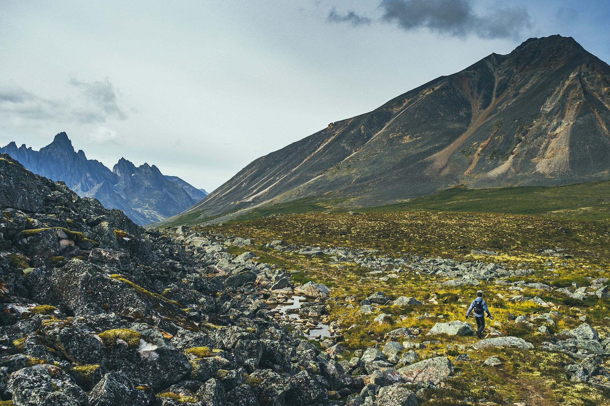
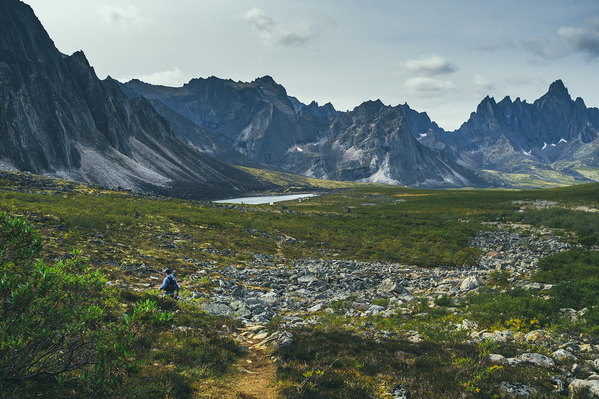
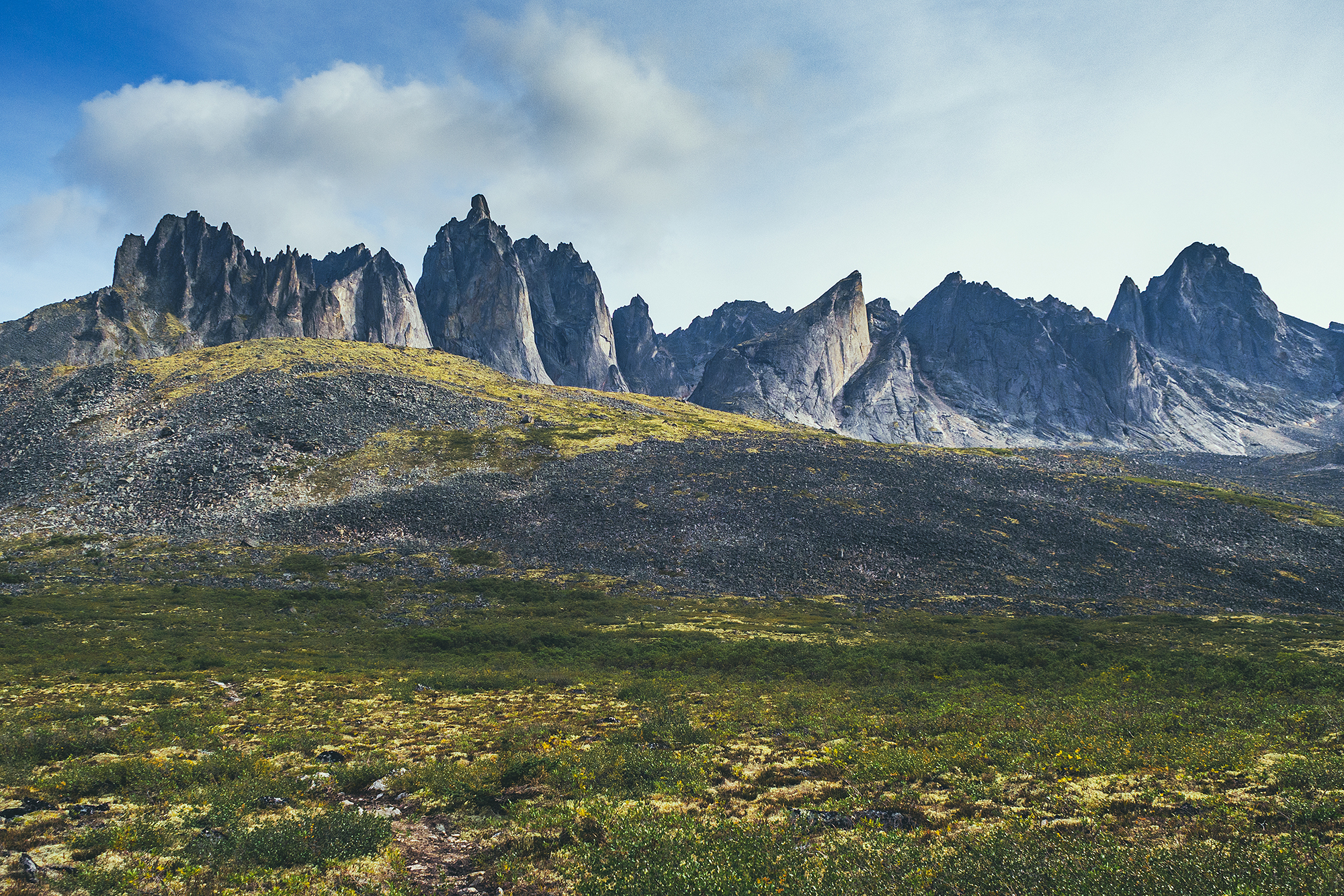
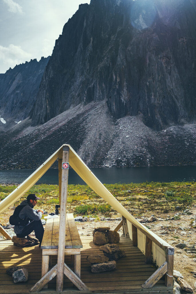
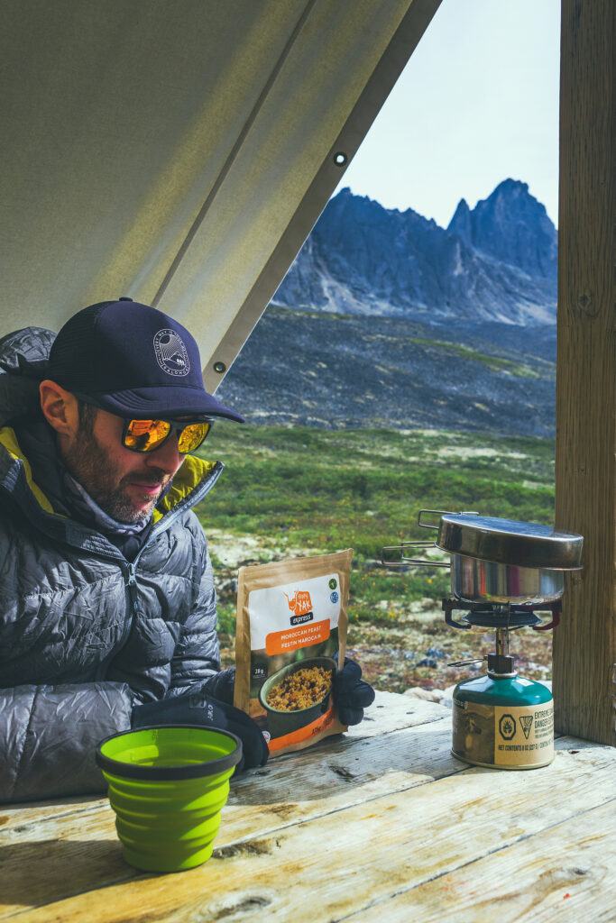
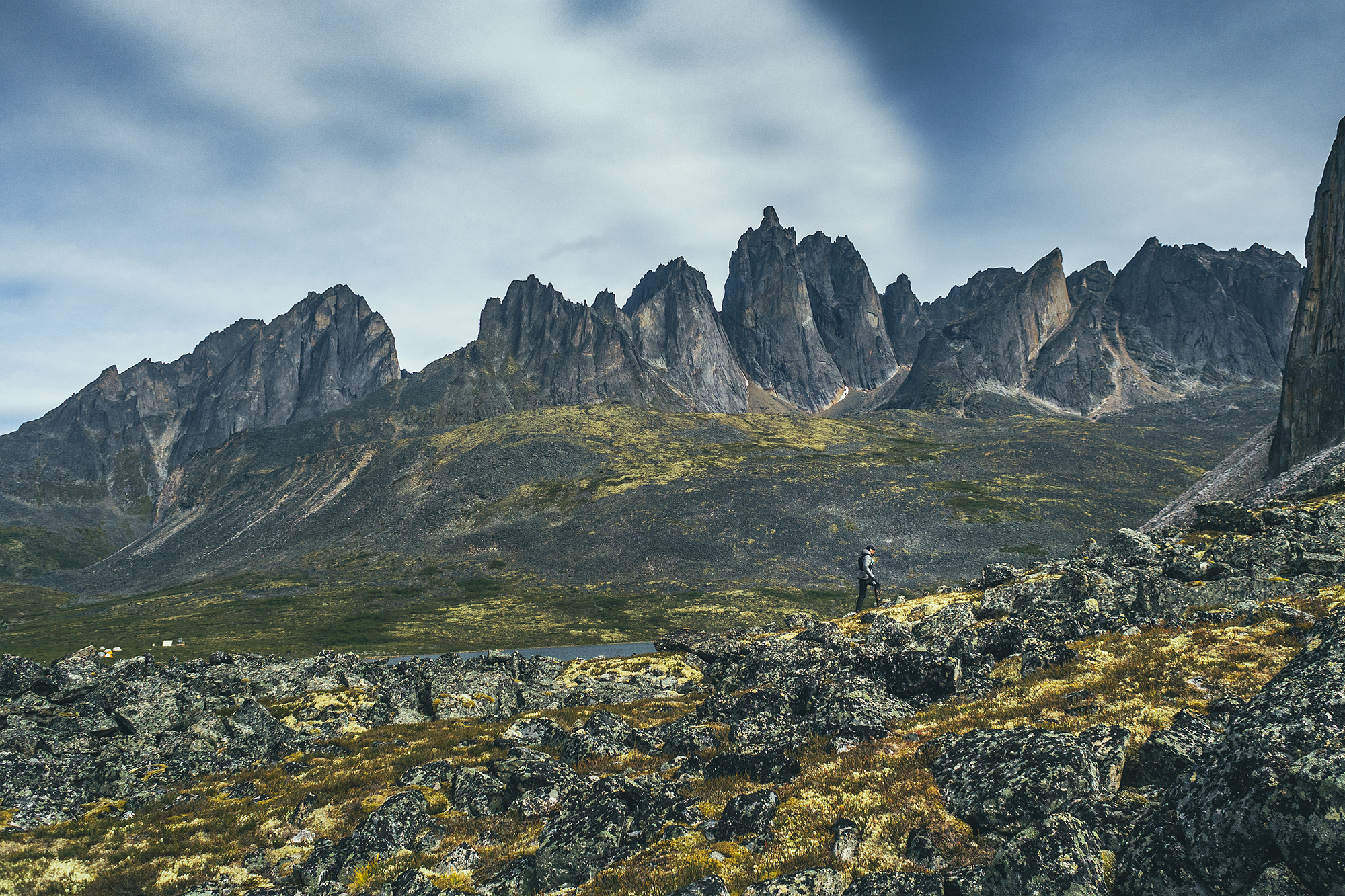
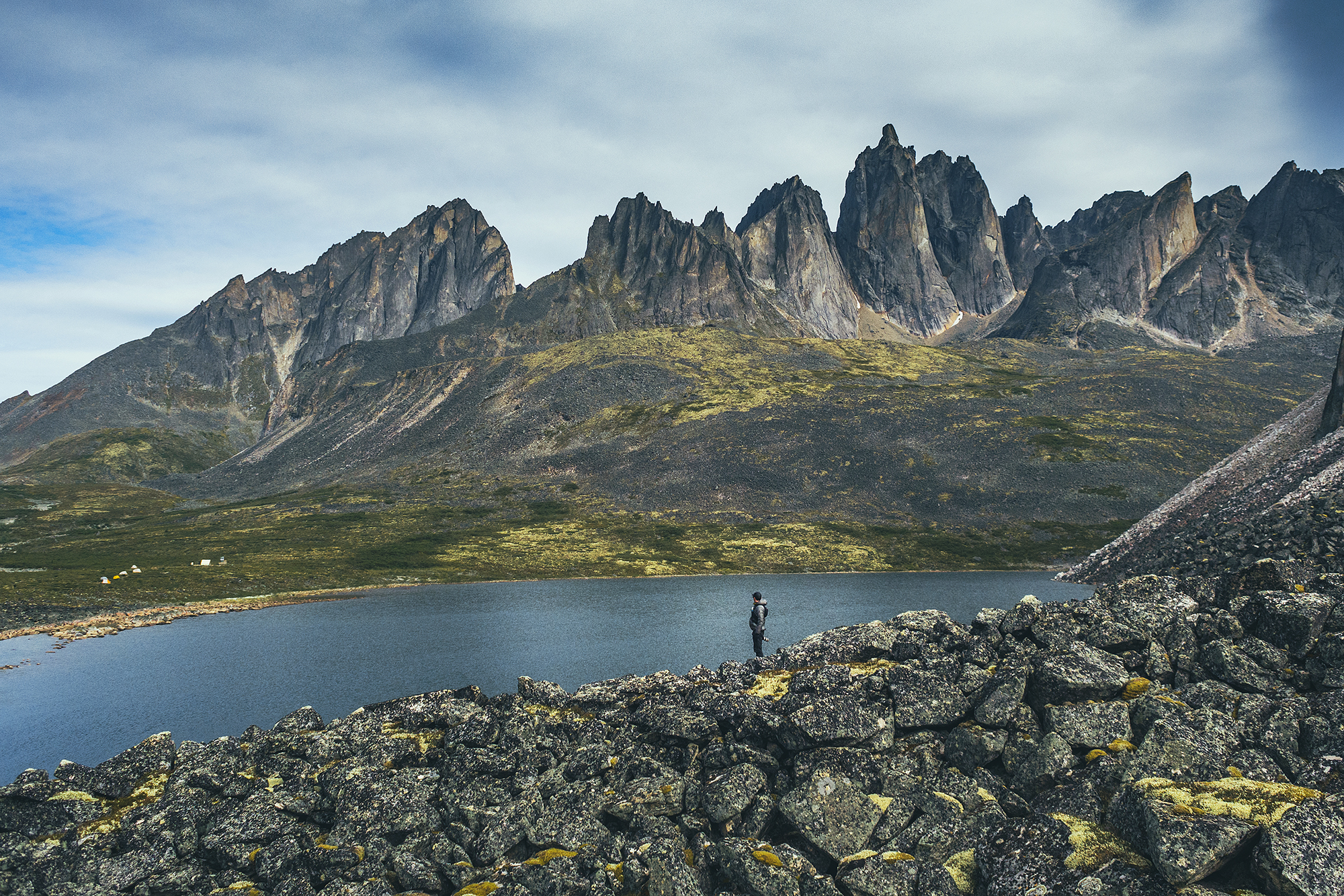
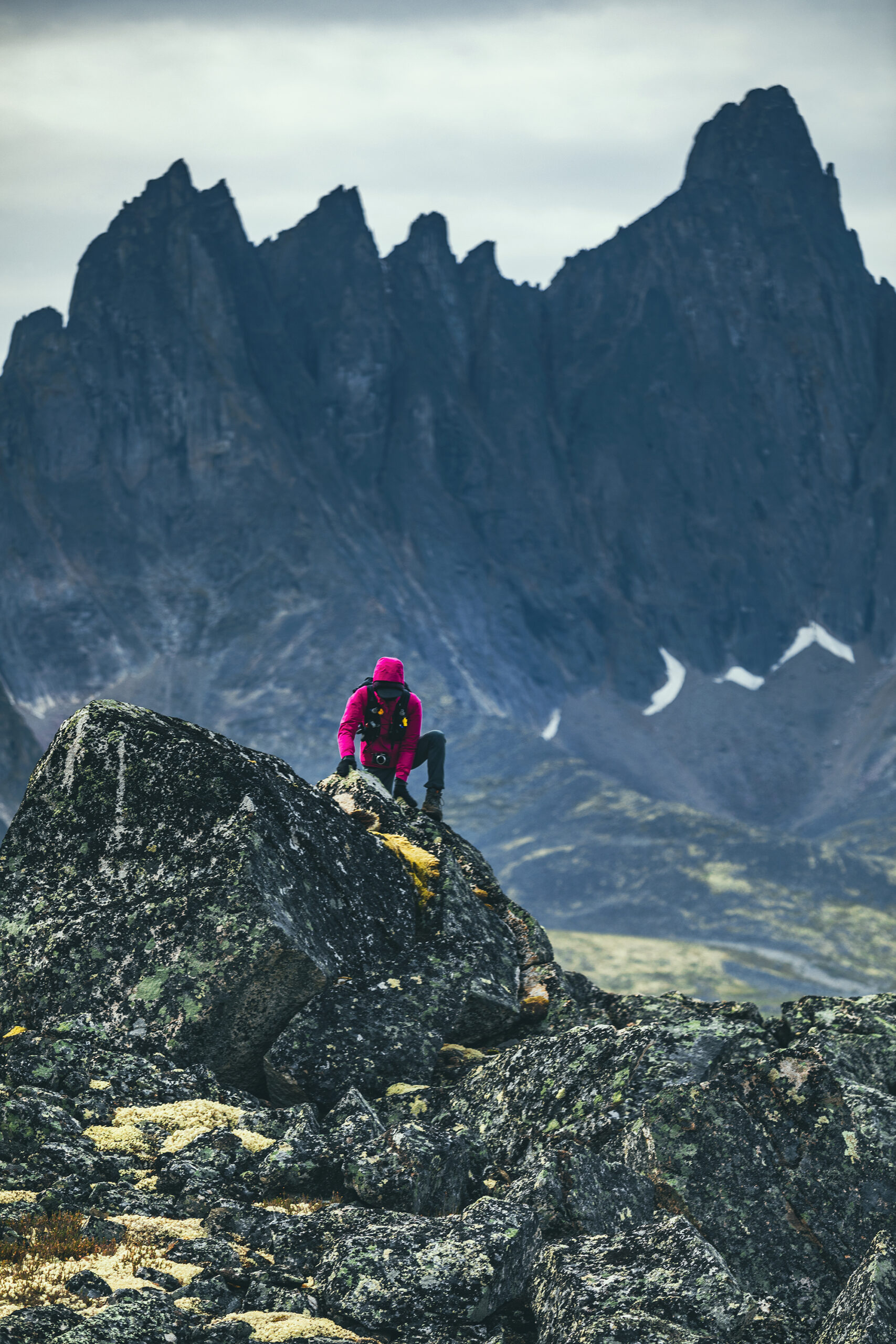
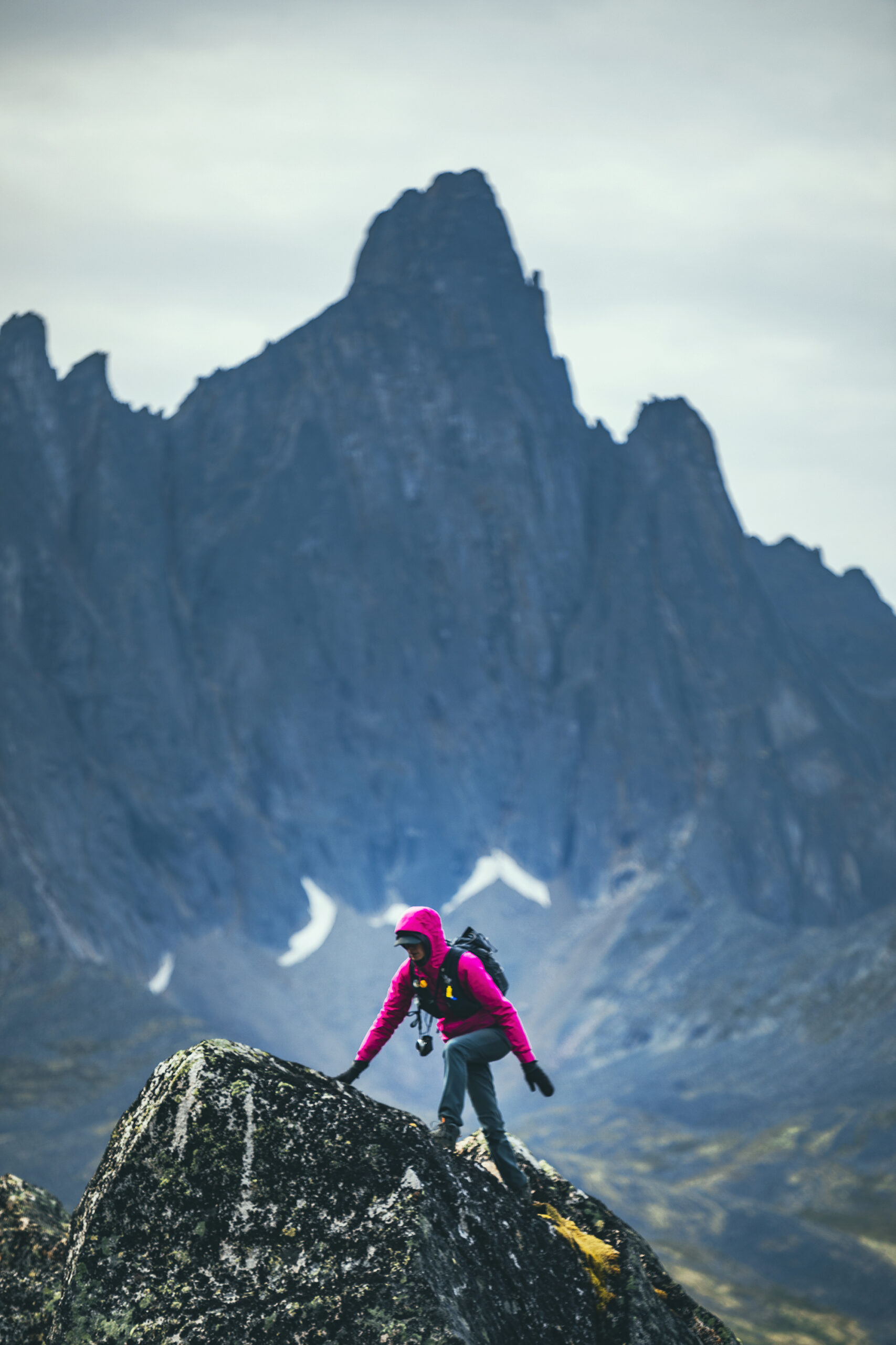
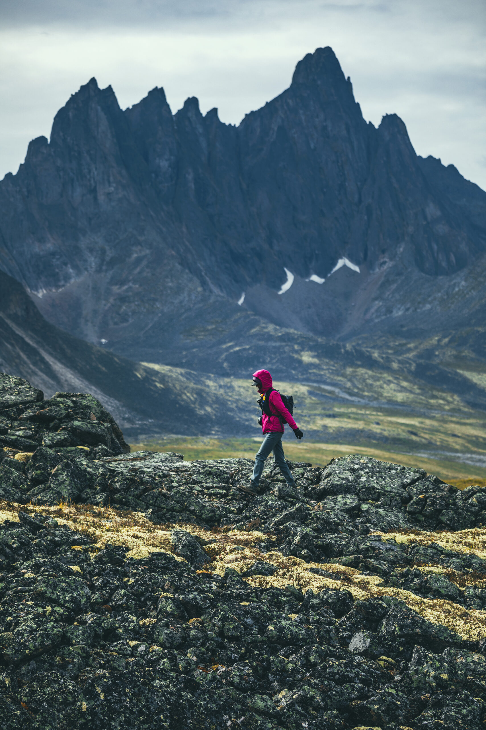
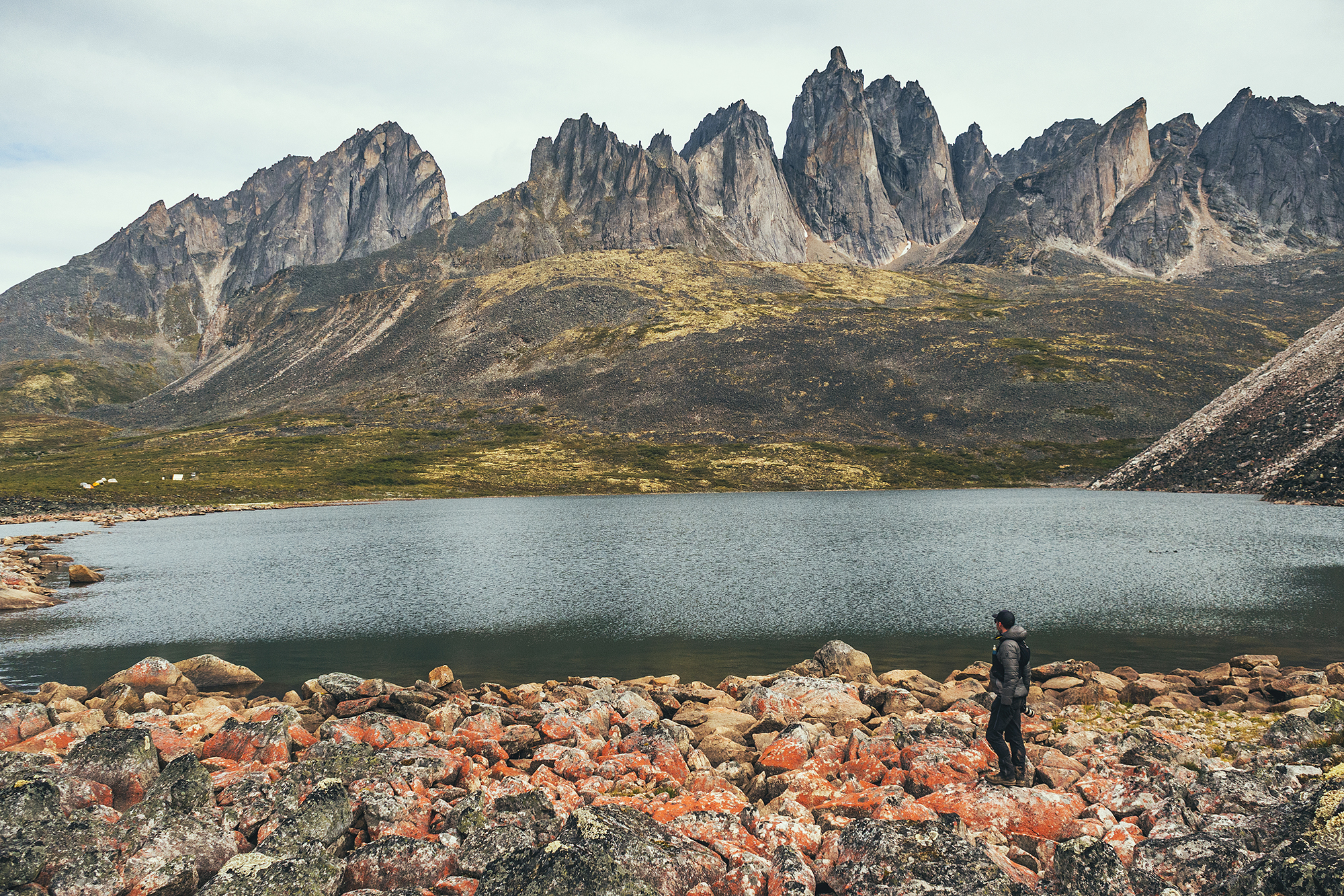
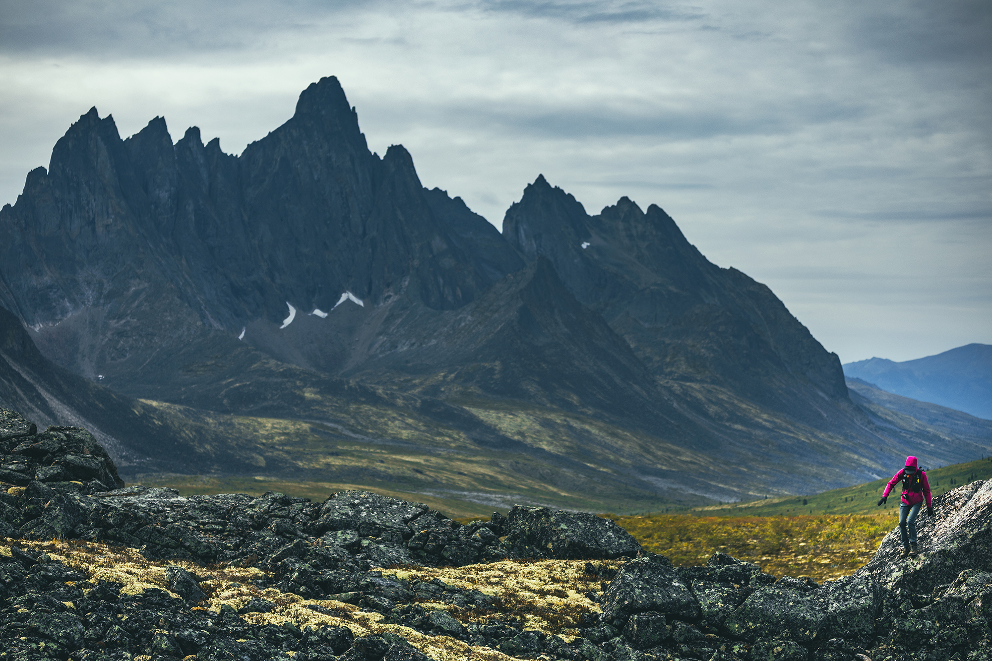
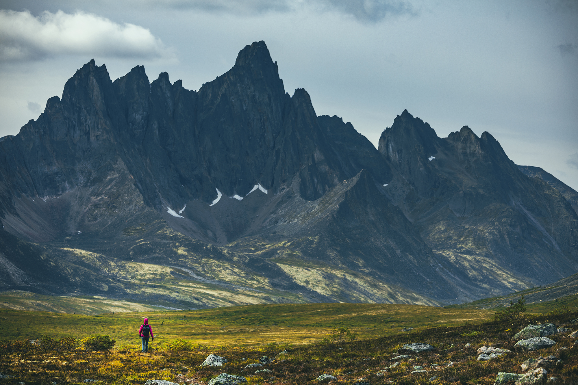
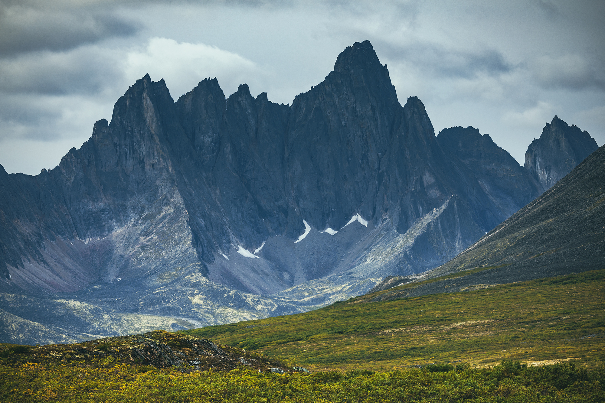
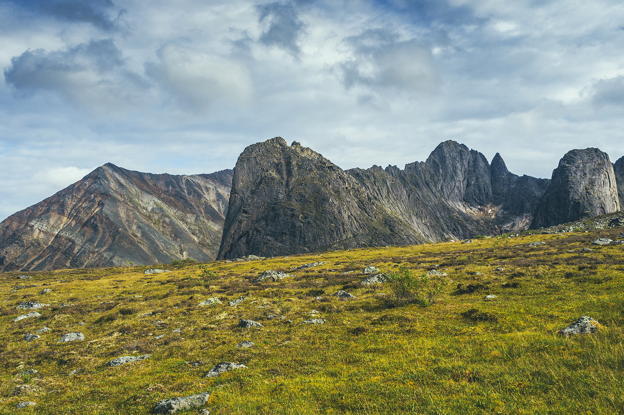
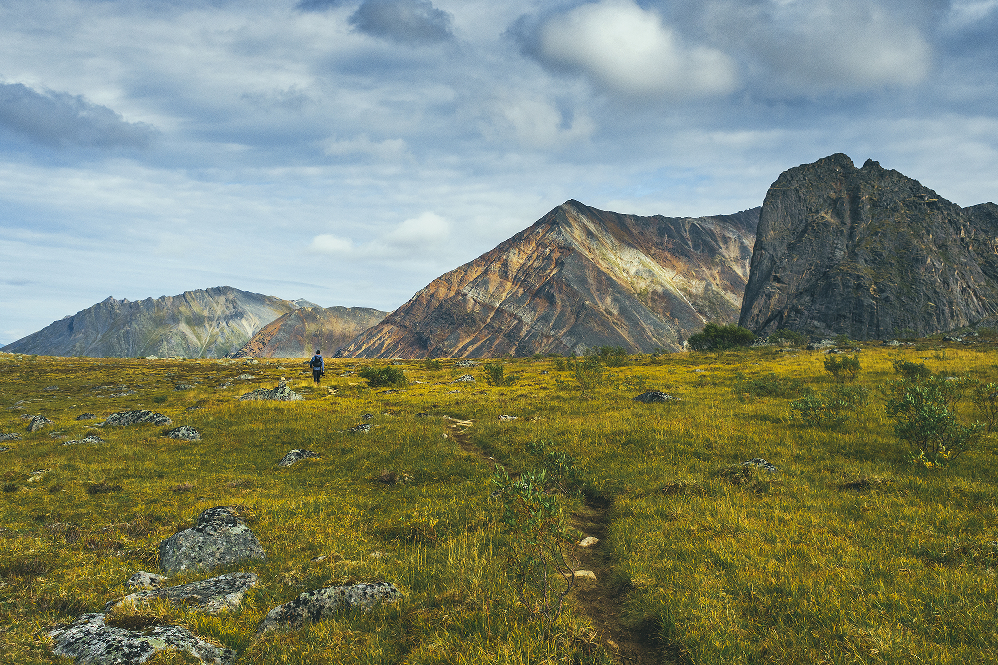
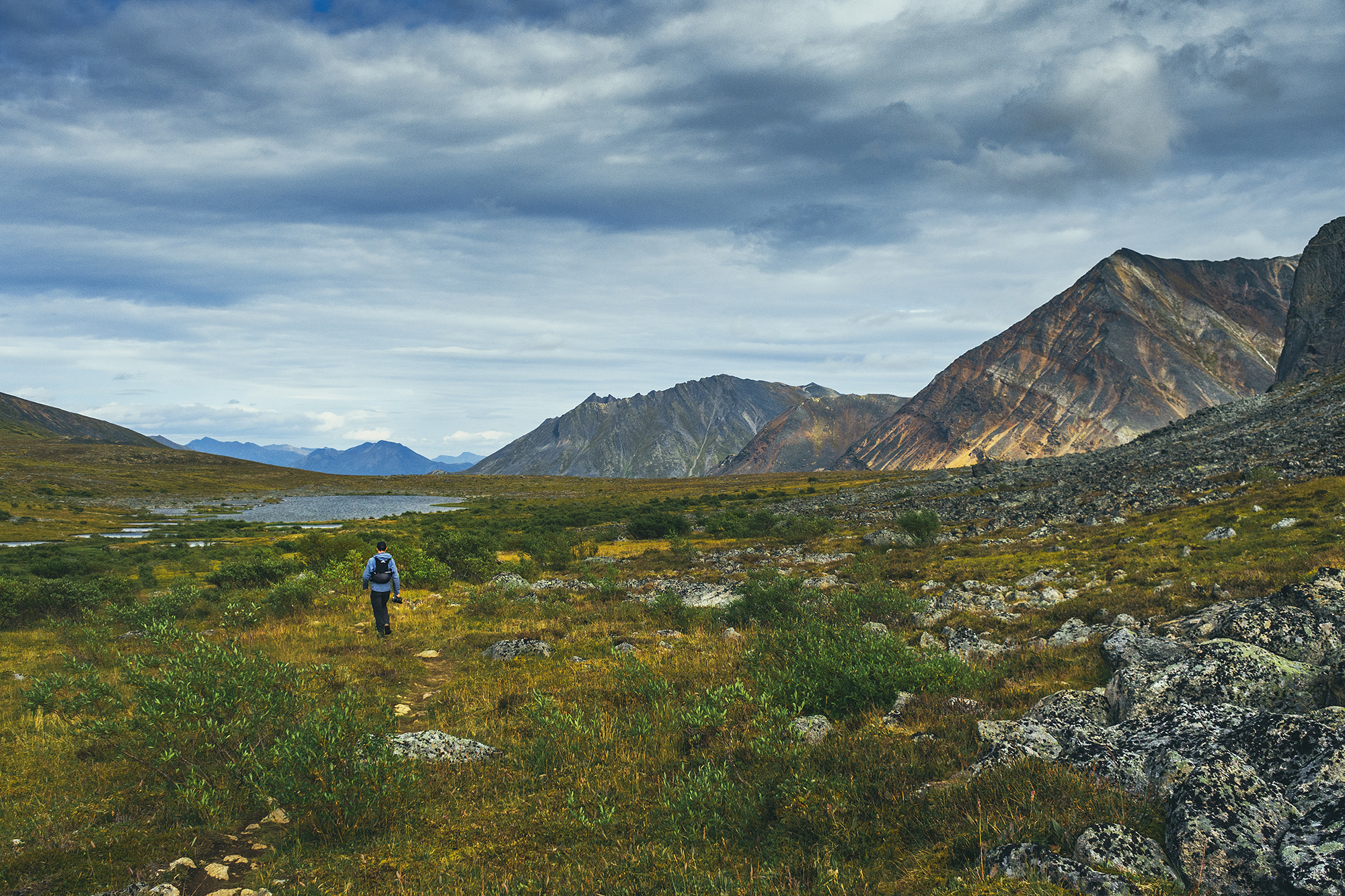
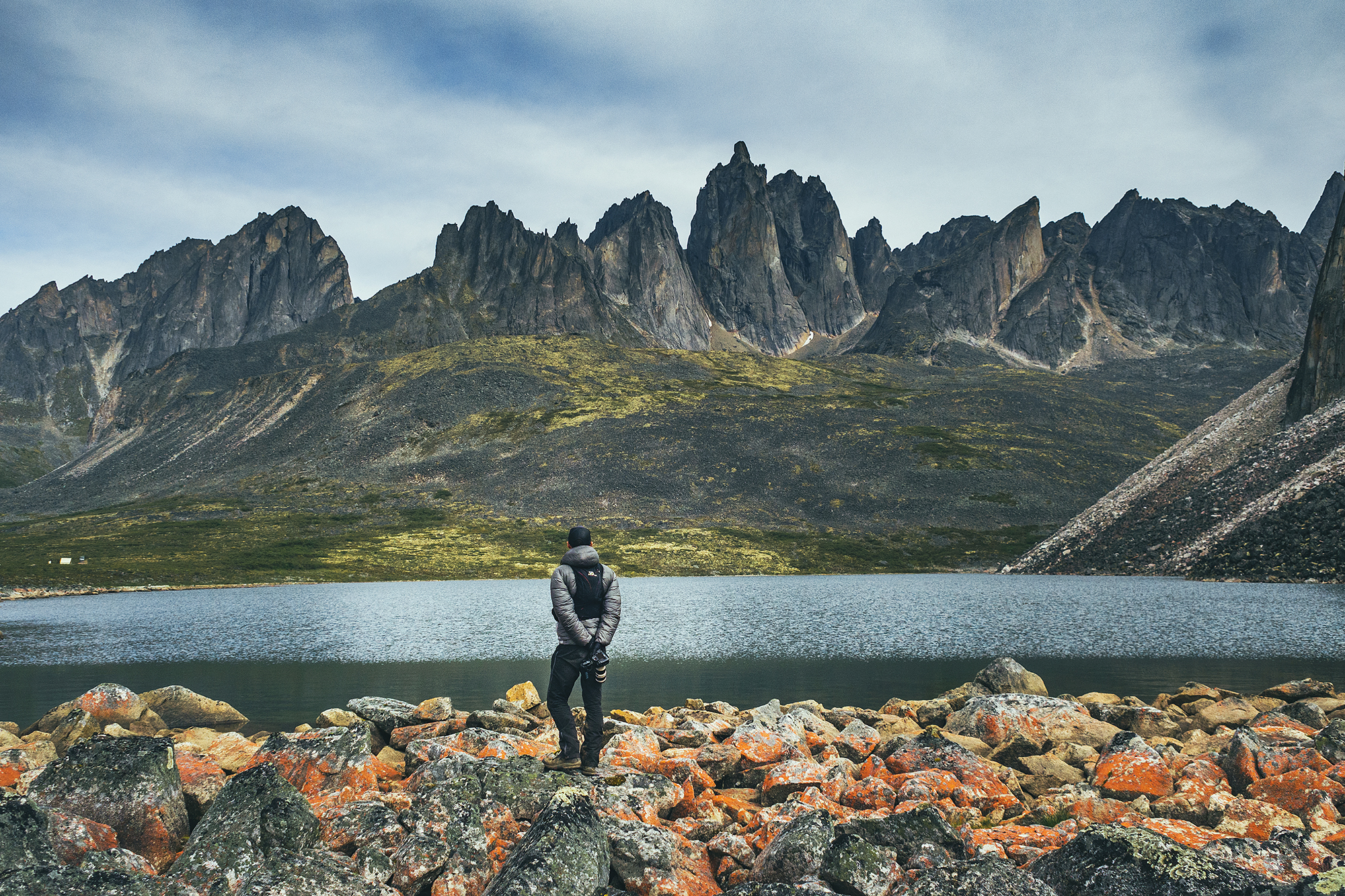
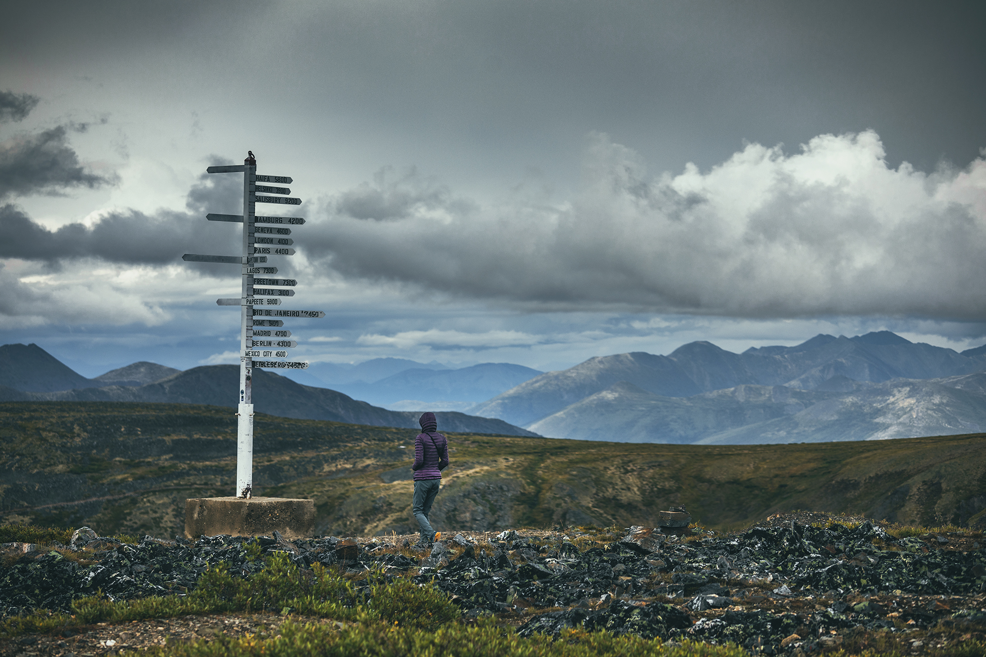
Tombstone Territorial Park – Although we covered the official backcountry circuit, there are a number of other day hikes that could be done, as well as more backcountry exploring. Definitely enough to spend another few days there.

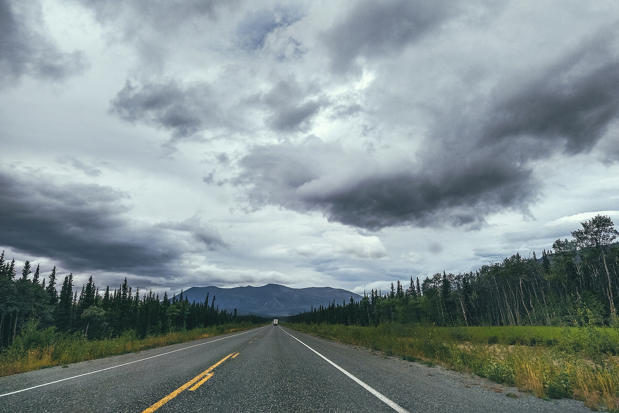
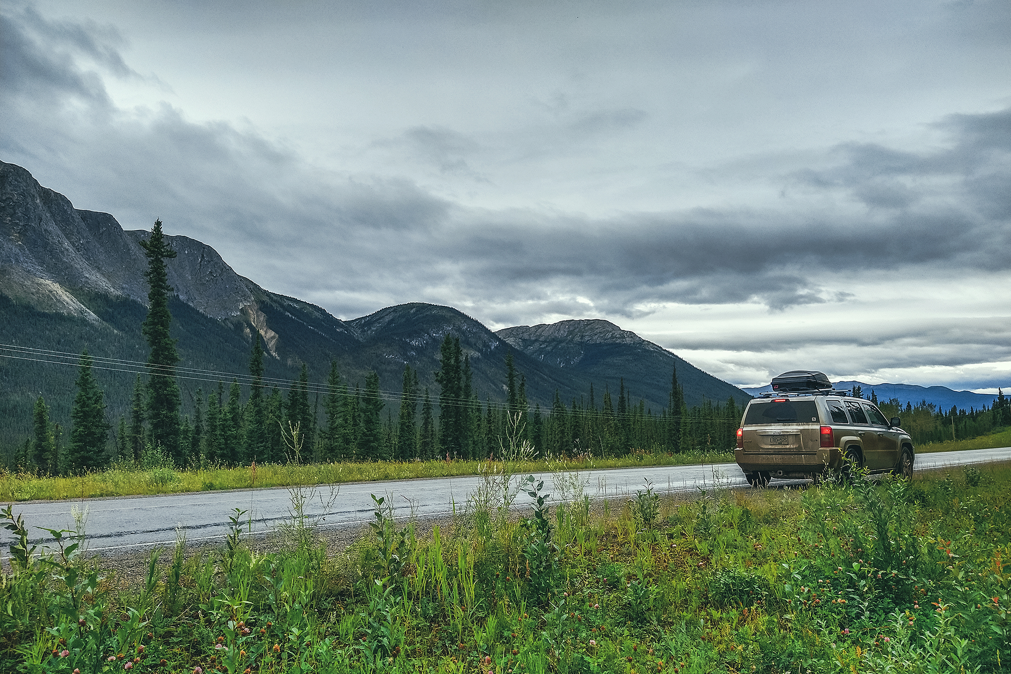
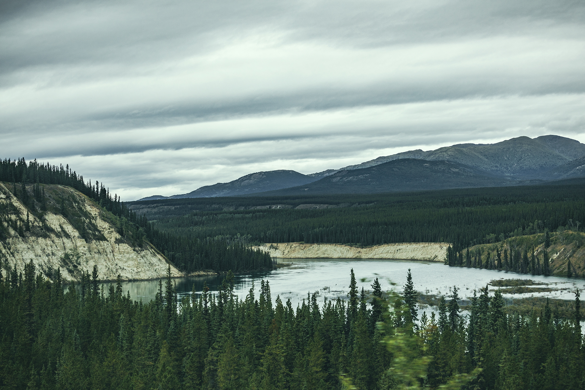
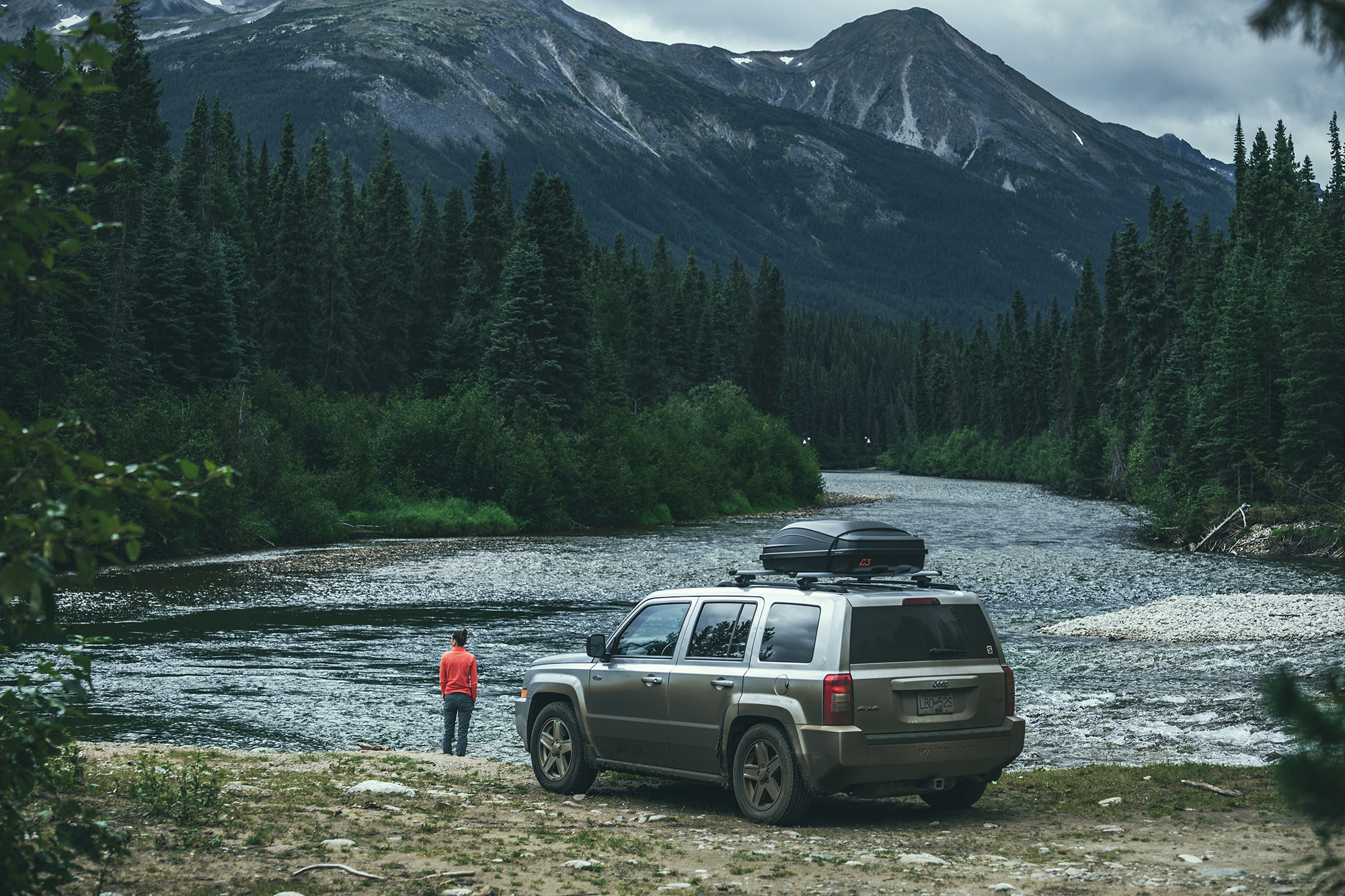
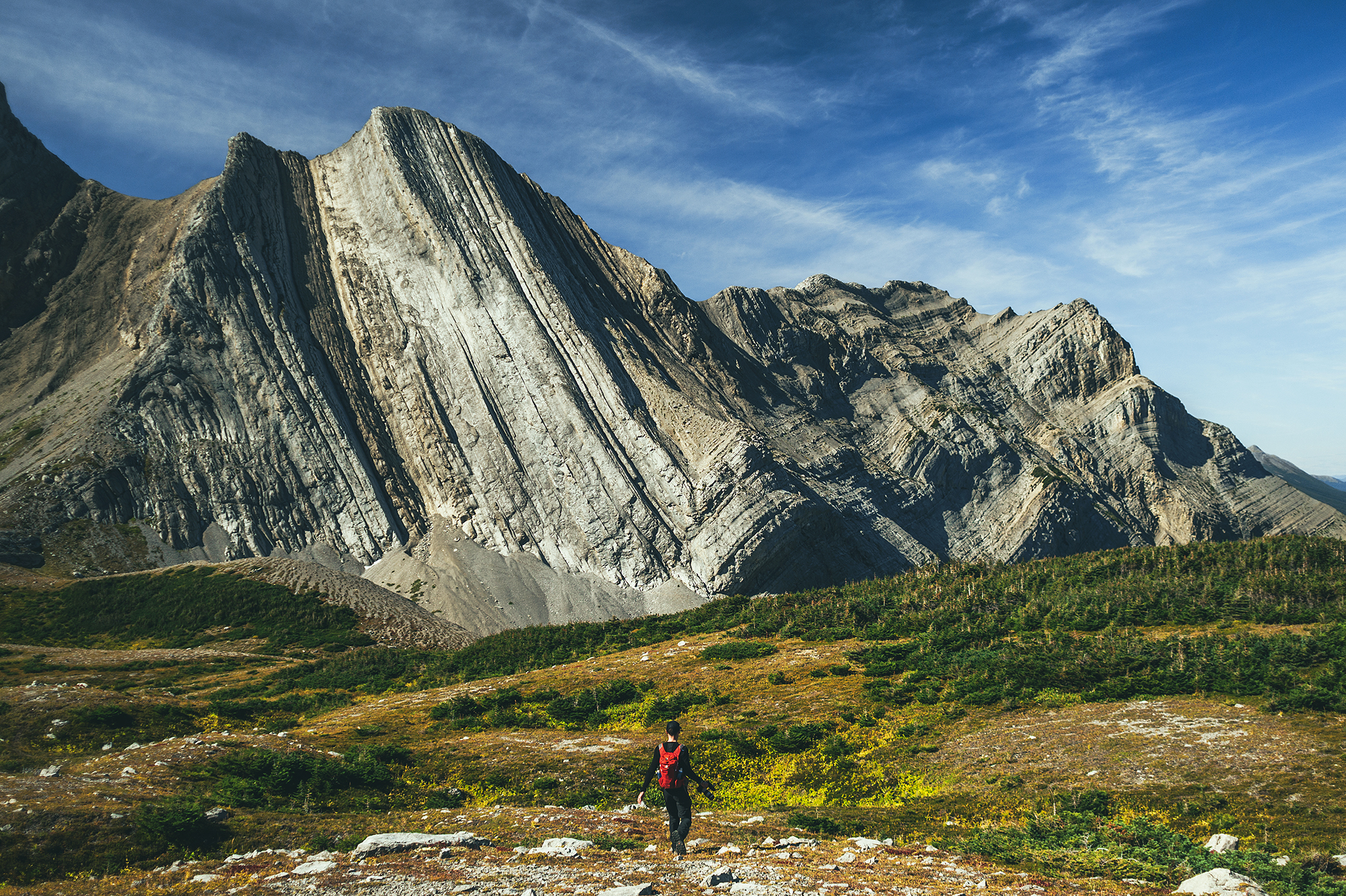
Northern Canadian Rockies – this area between Muncho Lake and Fort Nelson was spectacular to drive through. Looking at Alltrails and other hiking sites, there is no shortage of beautiful hikes in the area.

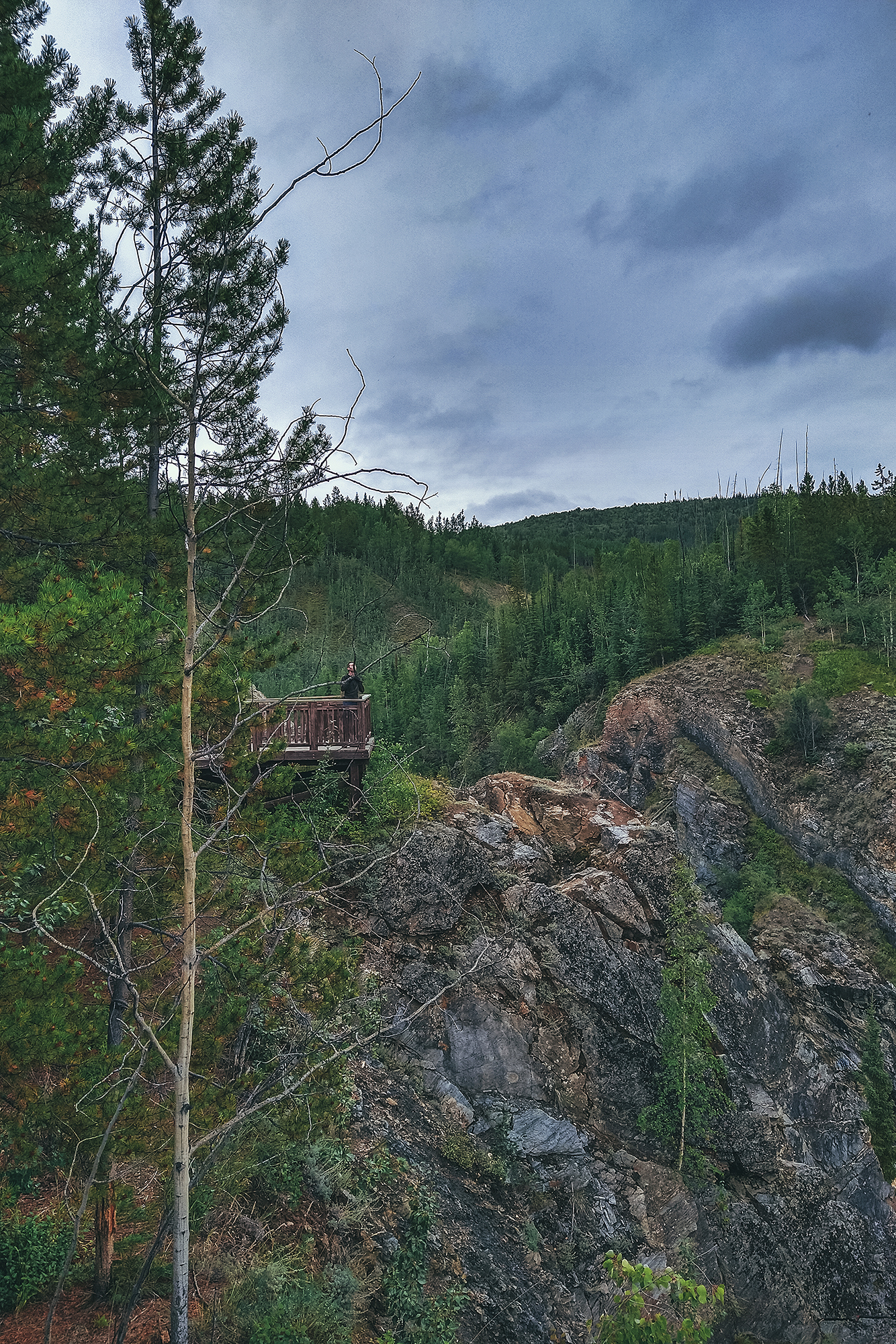
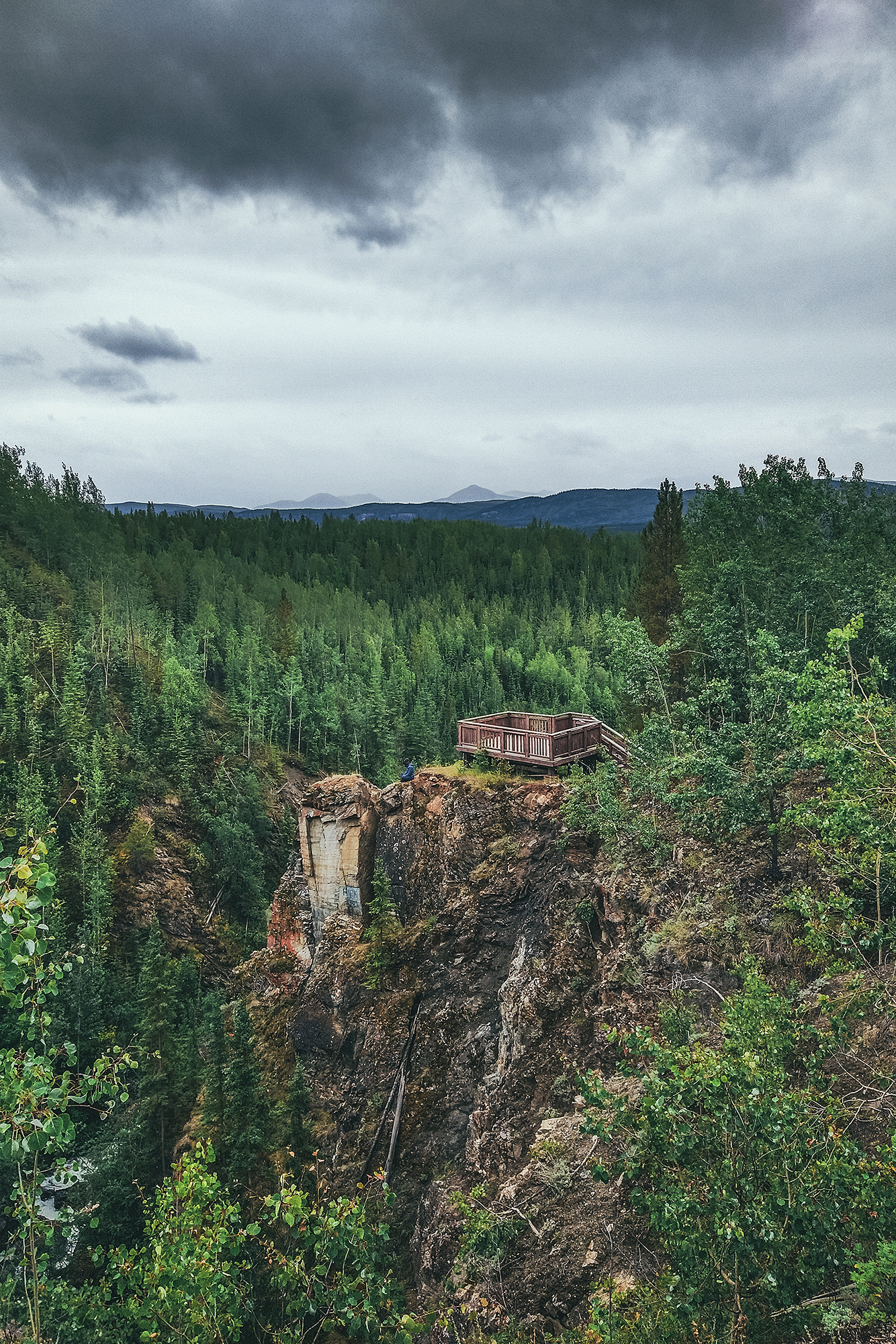
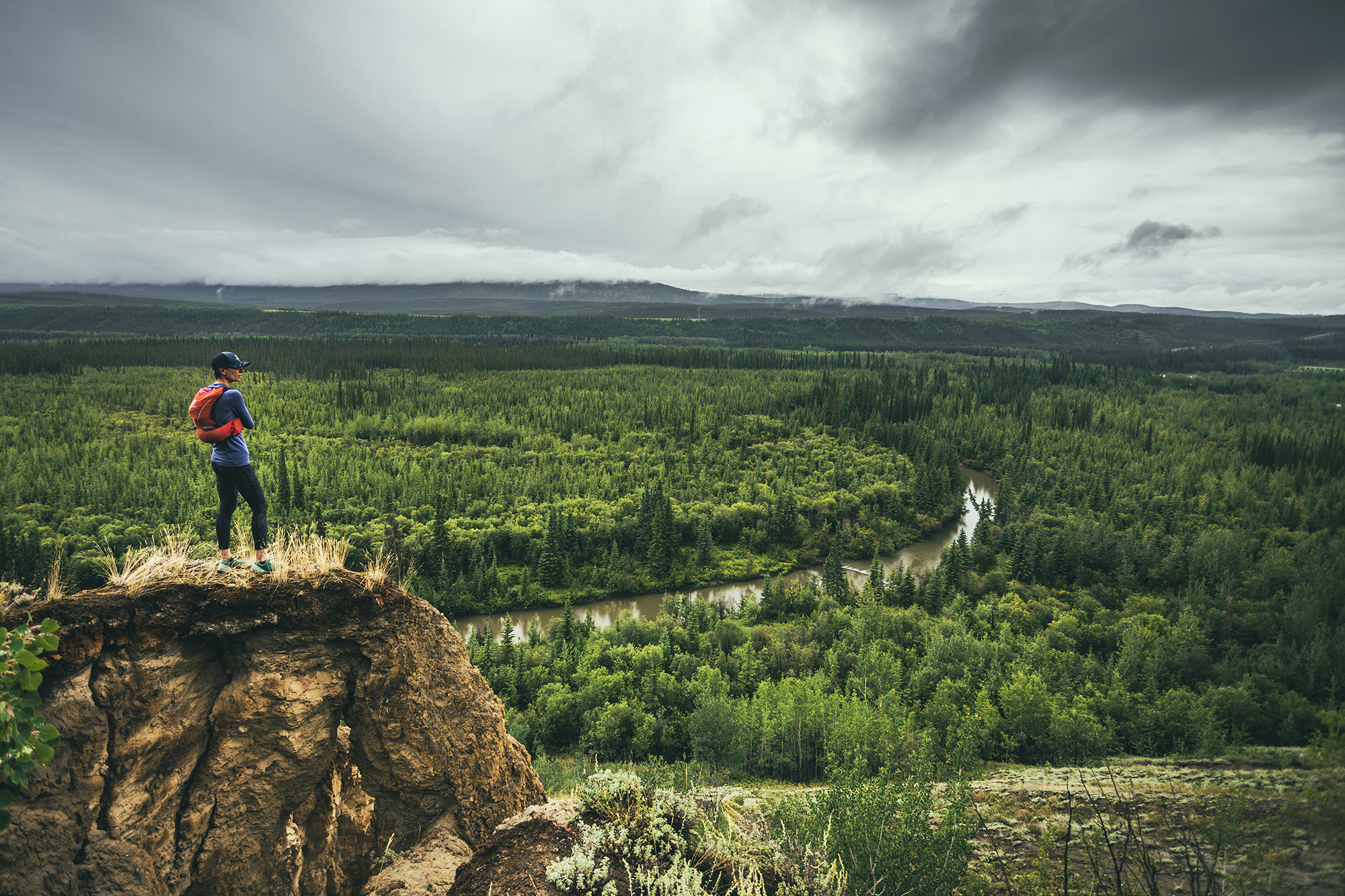
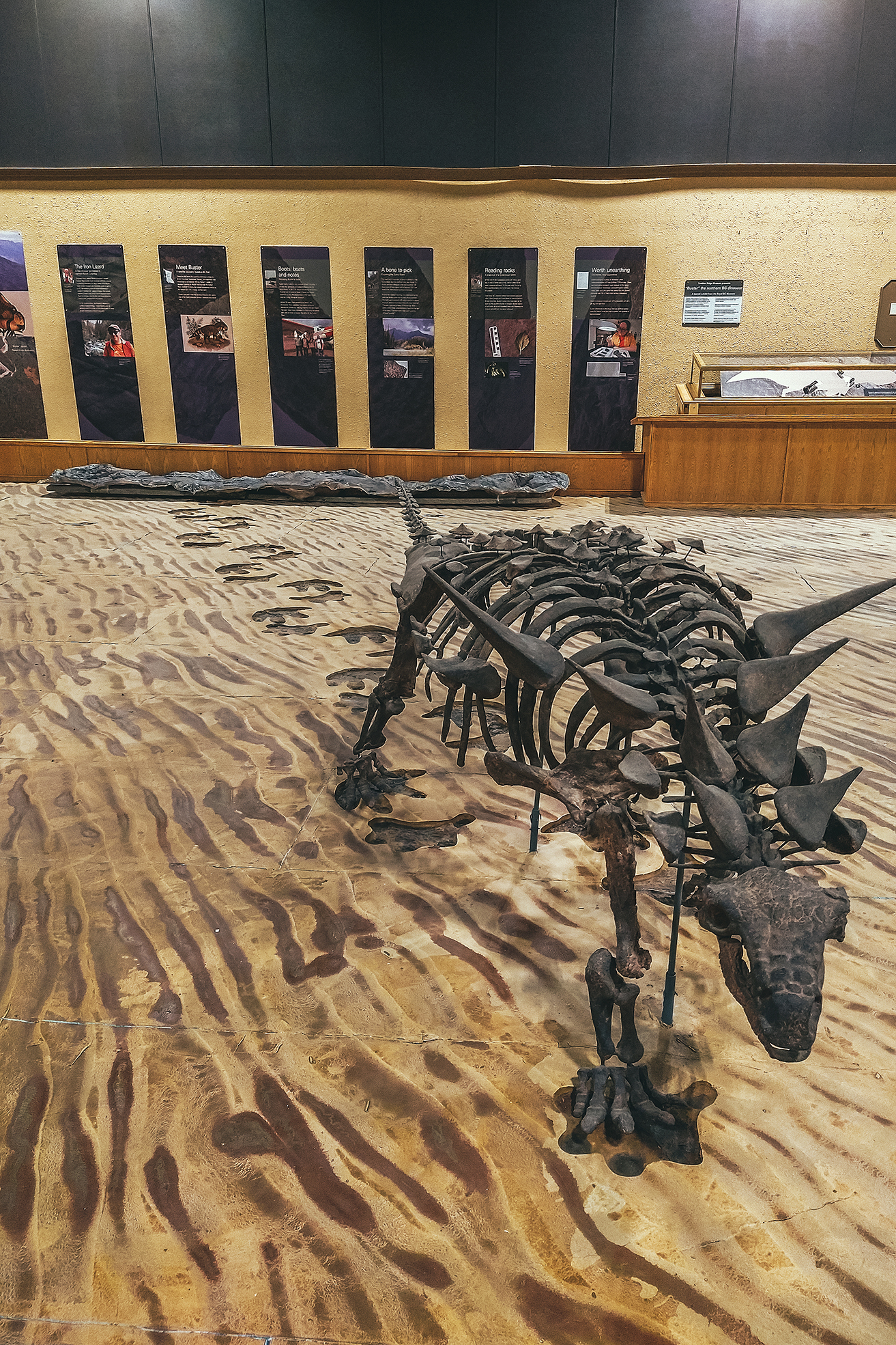
Tumbler Ridge Global Geopark – this one was an unexpected discovery. Not initially on our radar, we added it as a destination for one last day hike before heading home. Their visitor guide was super comprehensive and listed a good number of hikes – including multi day ones – that would be worth another visit.

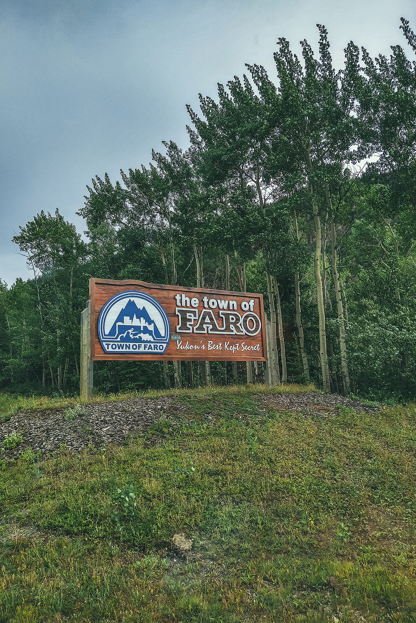
Faro – another last minute addition to the route, we only explored the local trails around the campground, but there seems to be some good alpine hiking around Faro that could be worth another side-trip for, if we found ourselves that way again. The trail network is also meant to be suited for witer activities like cross-country skiing.

Other stops along the way:

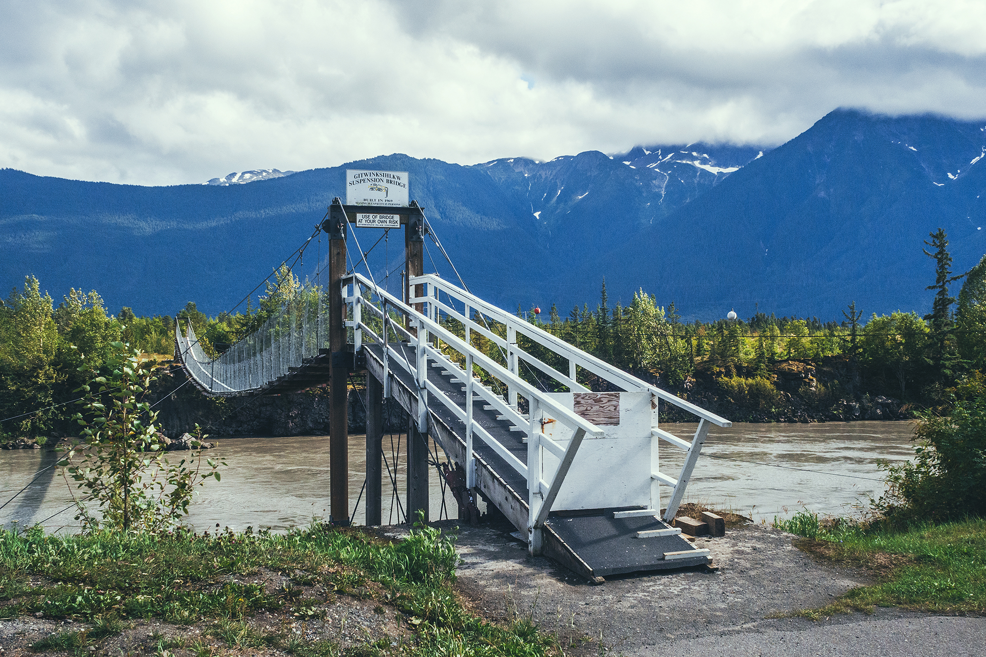
The Hazeltons – For its spectacular setting, and the rich history of the Gitksan and Wet’suwet’en people

Nass Valley – A beautiful drive along the Nass river, Volcanic landscape shaped by drowning forests and lava flow, and discovery of four communities of the Nisga’a Nation.

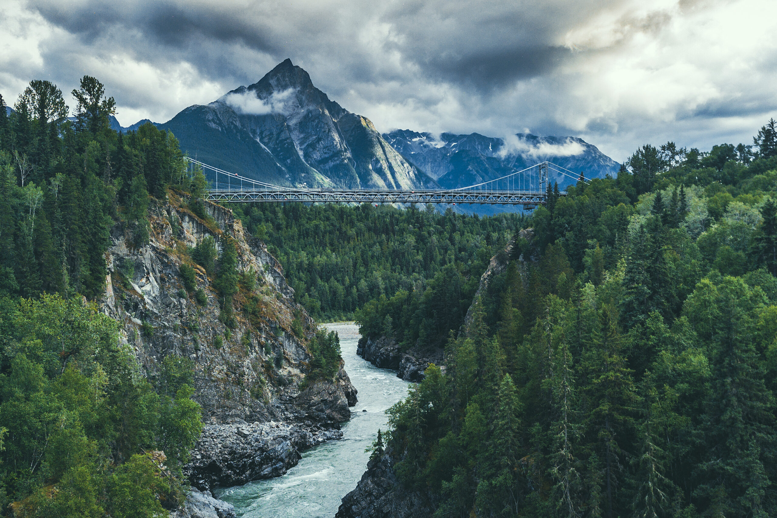
Stewart, BC – a quirky settlers town at the end of the road, located at the mouth of a fjord on the border with Alaska

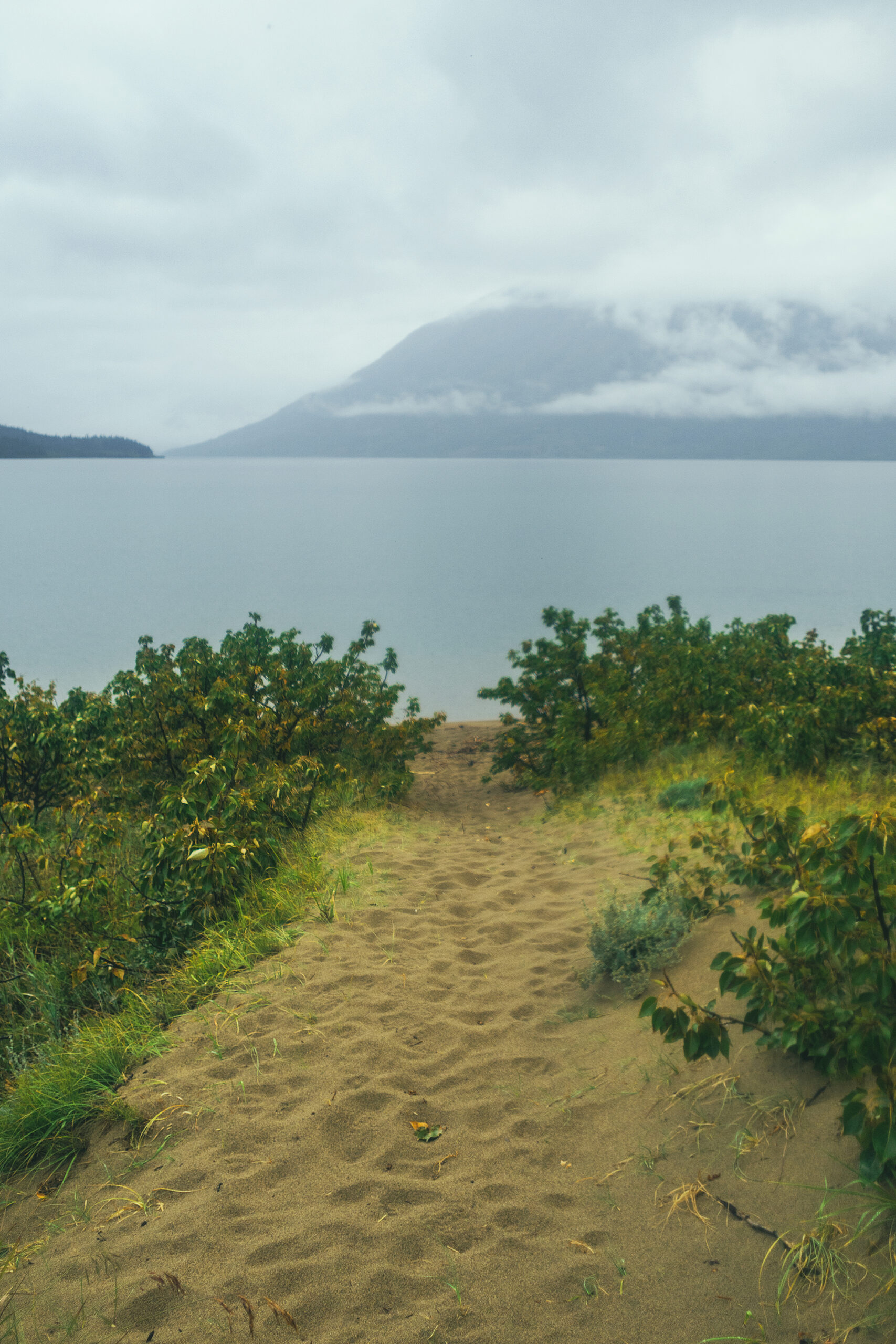
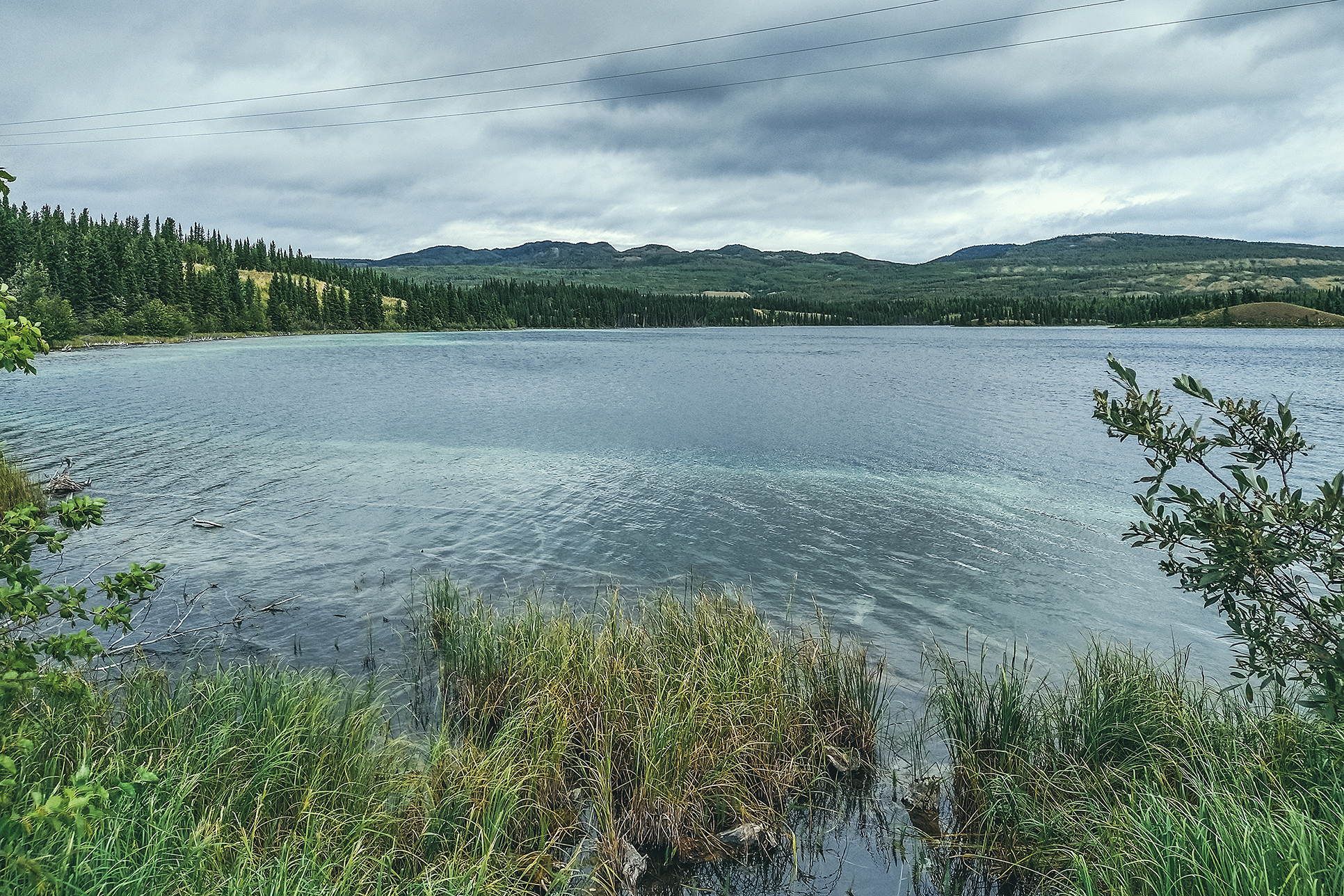
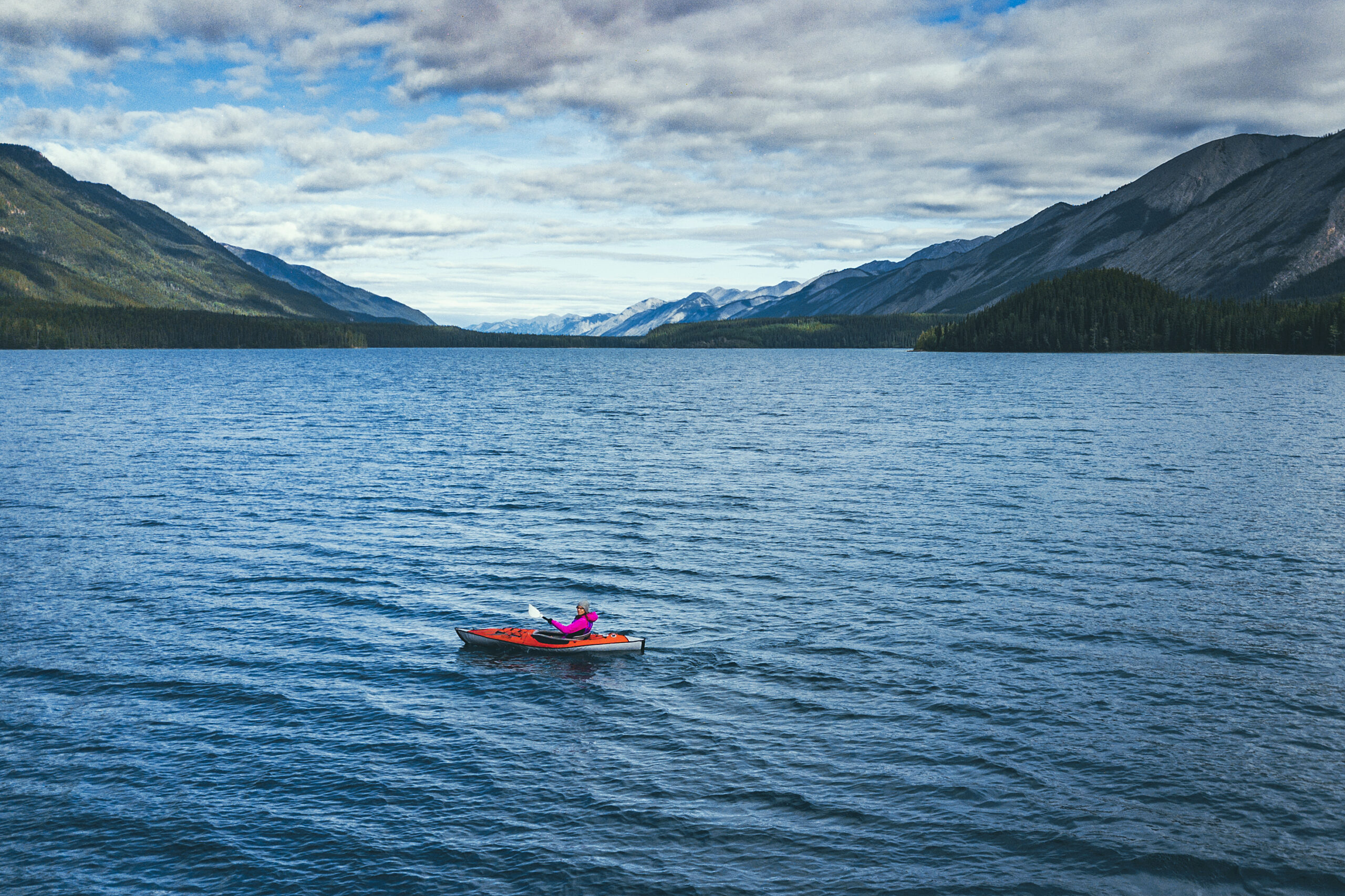
Boya Lake Provincial Park – turquoise blue water just begging to be paddled

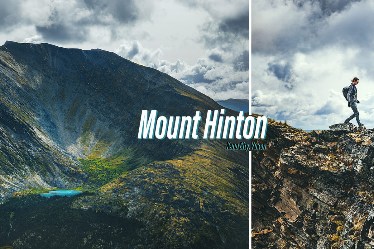
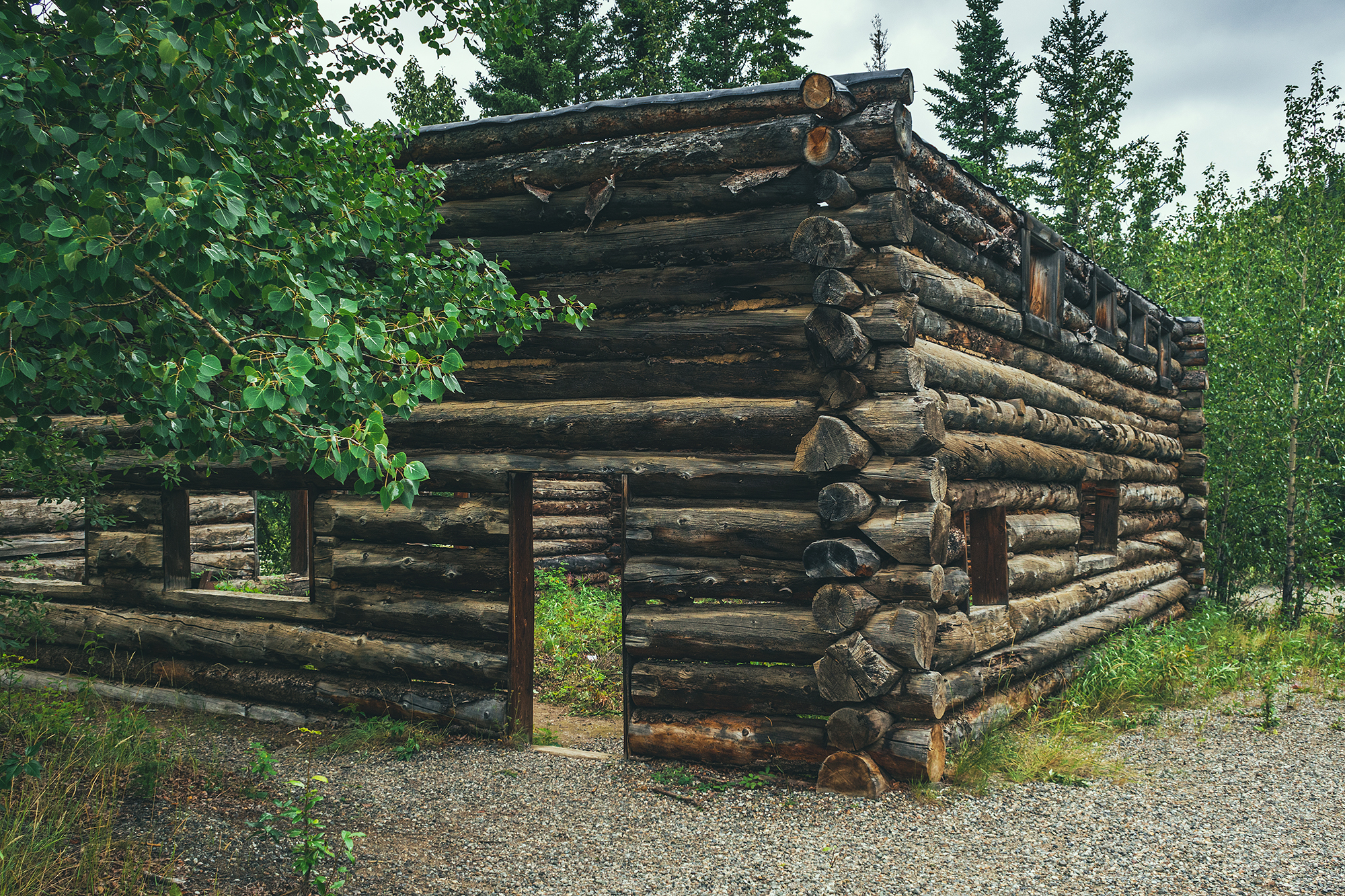
Keno City – A tiny hamlet at the heart of the silver trail, remnant of a booming mining era

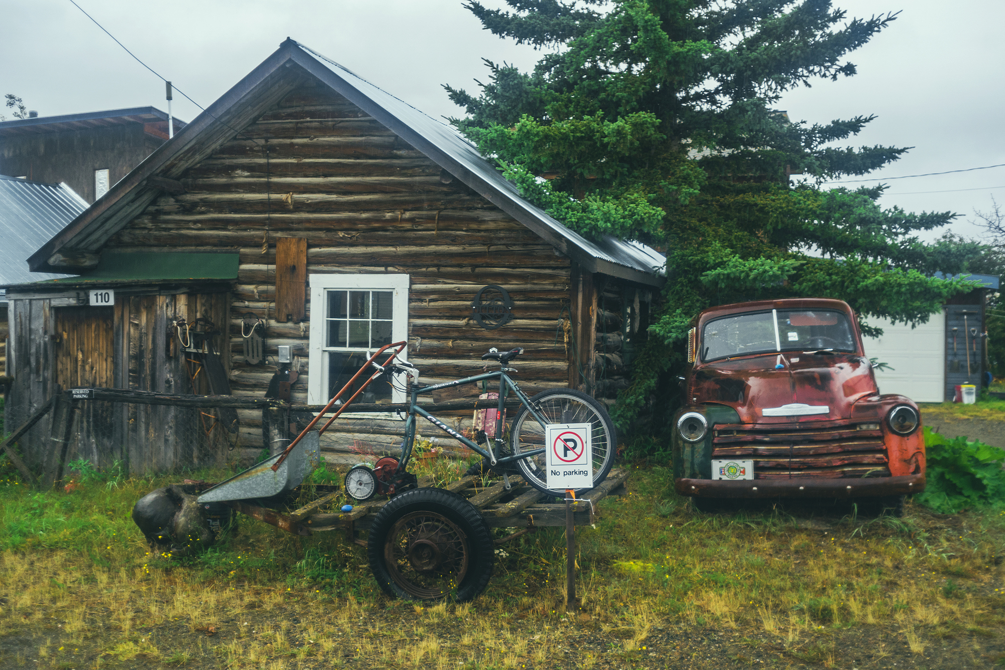
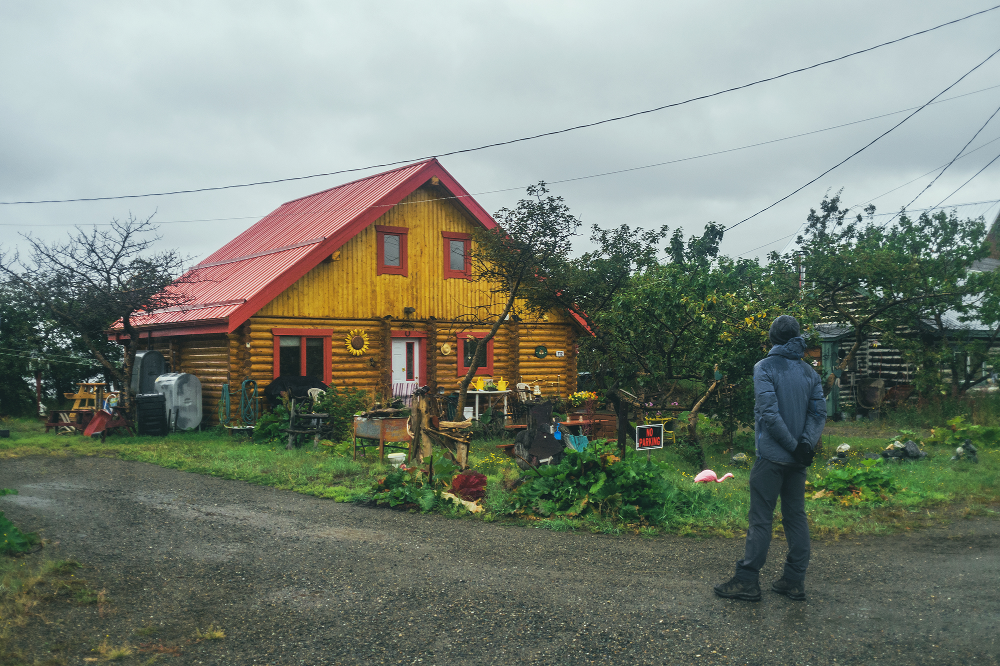
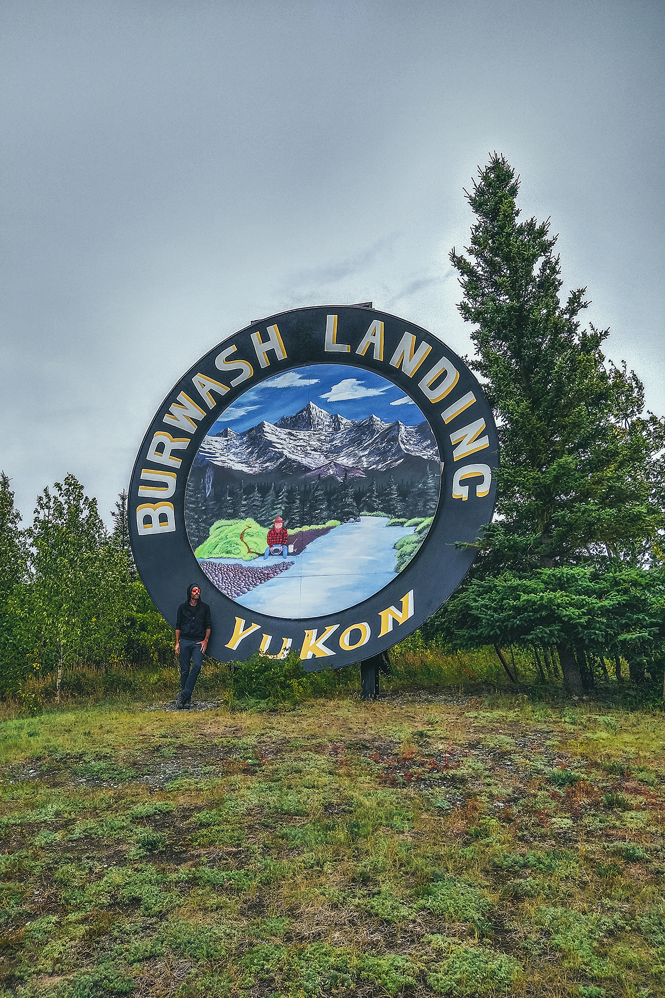
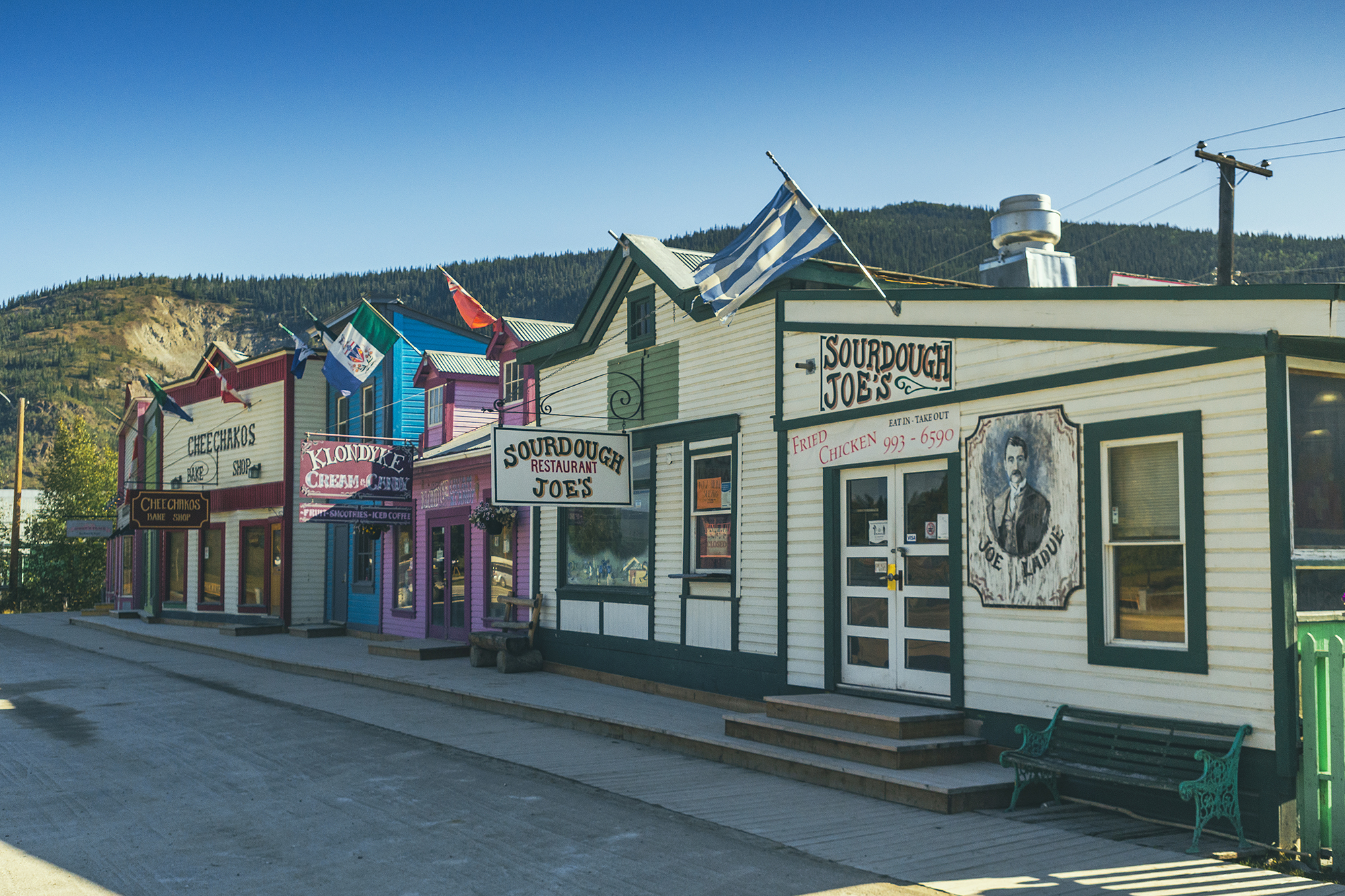
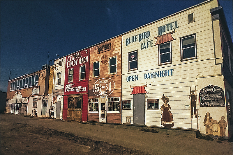
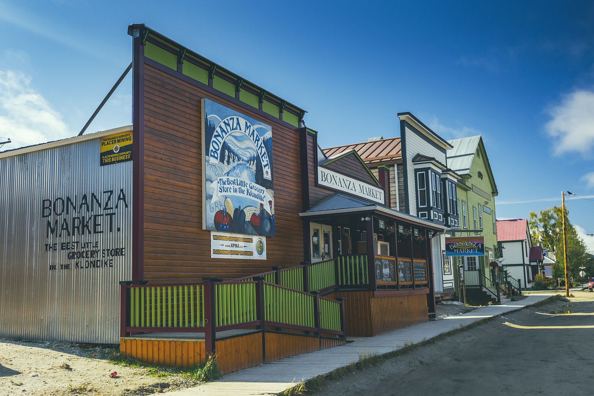
Dawson City – the quintessential Gold Rush town, and north-most town in the Yukon.

Haynes Junction – the getaway to Kluane National Park, and the western section of the Alaskan Highway

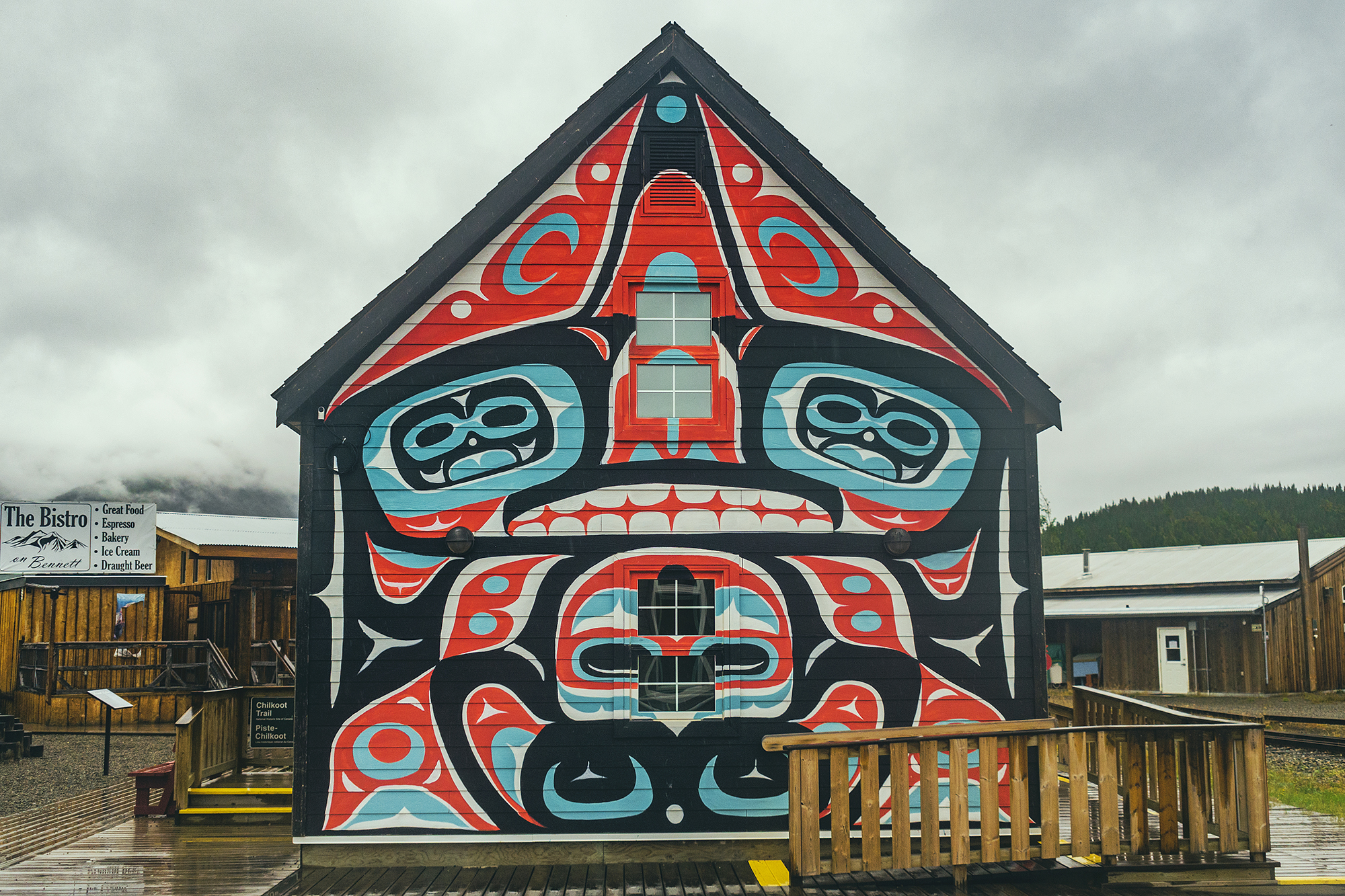
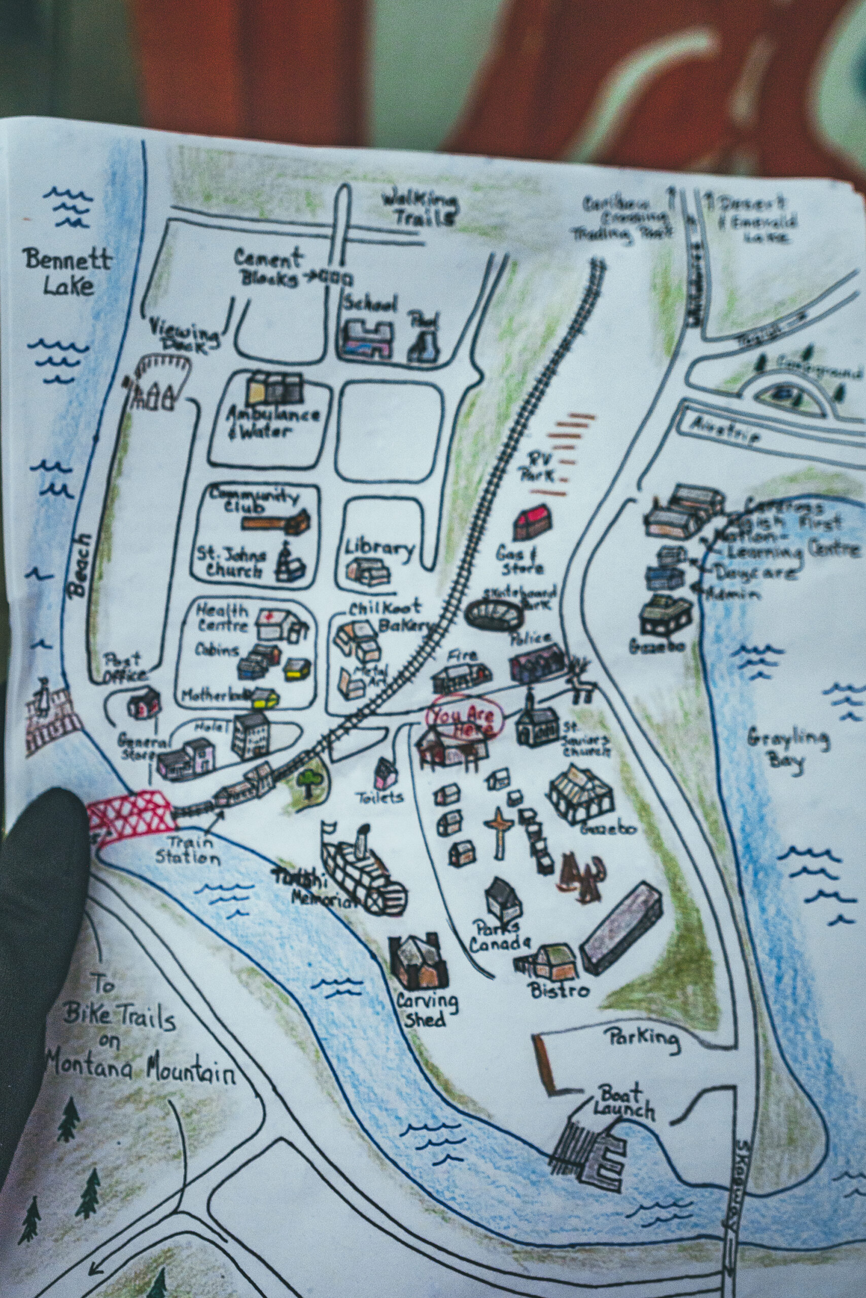
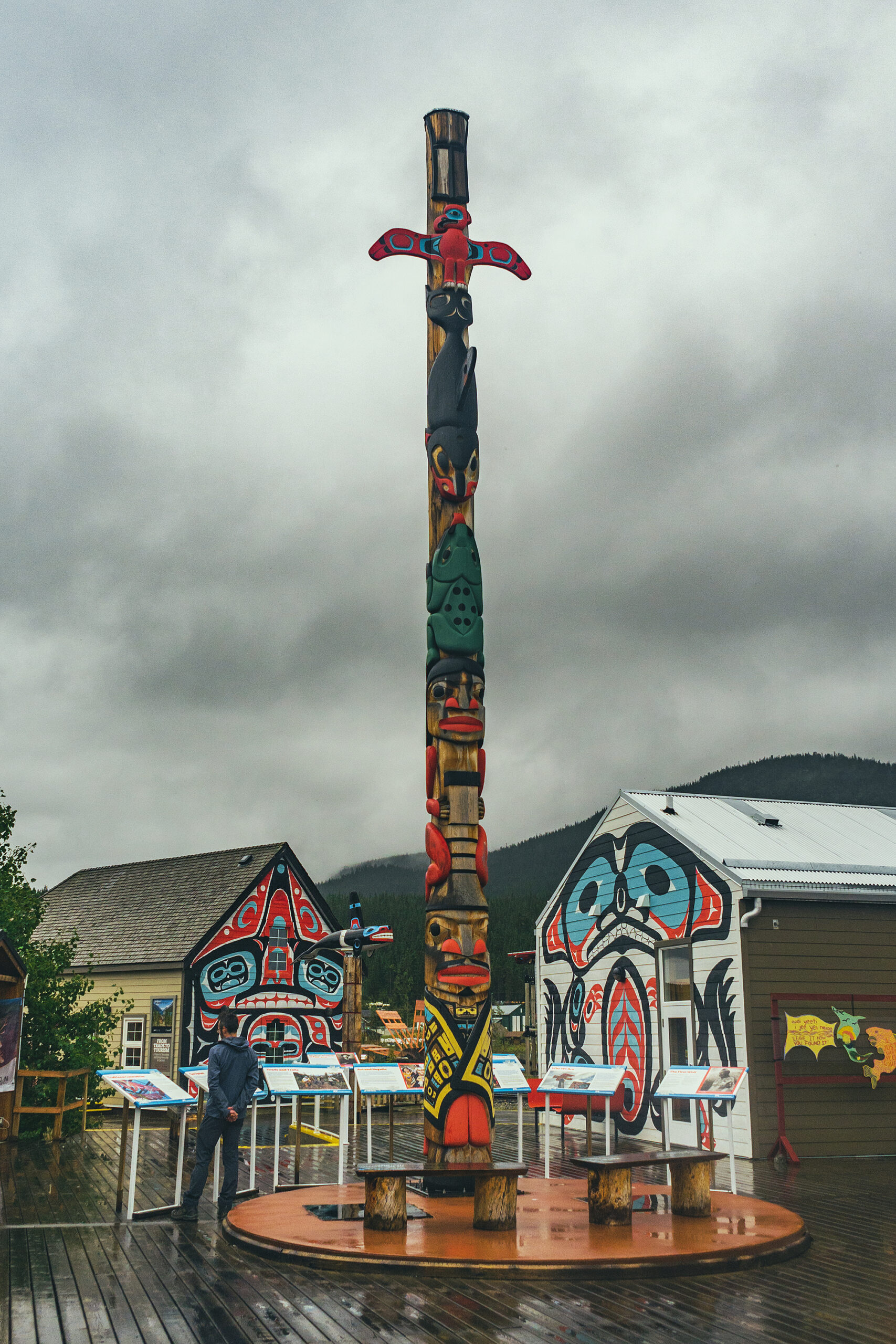
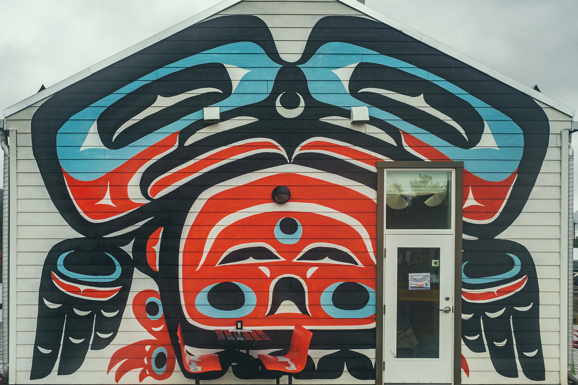
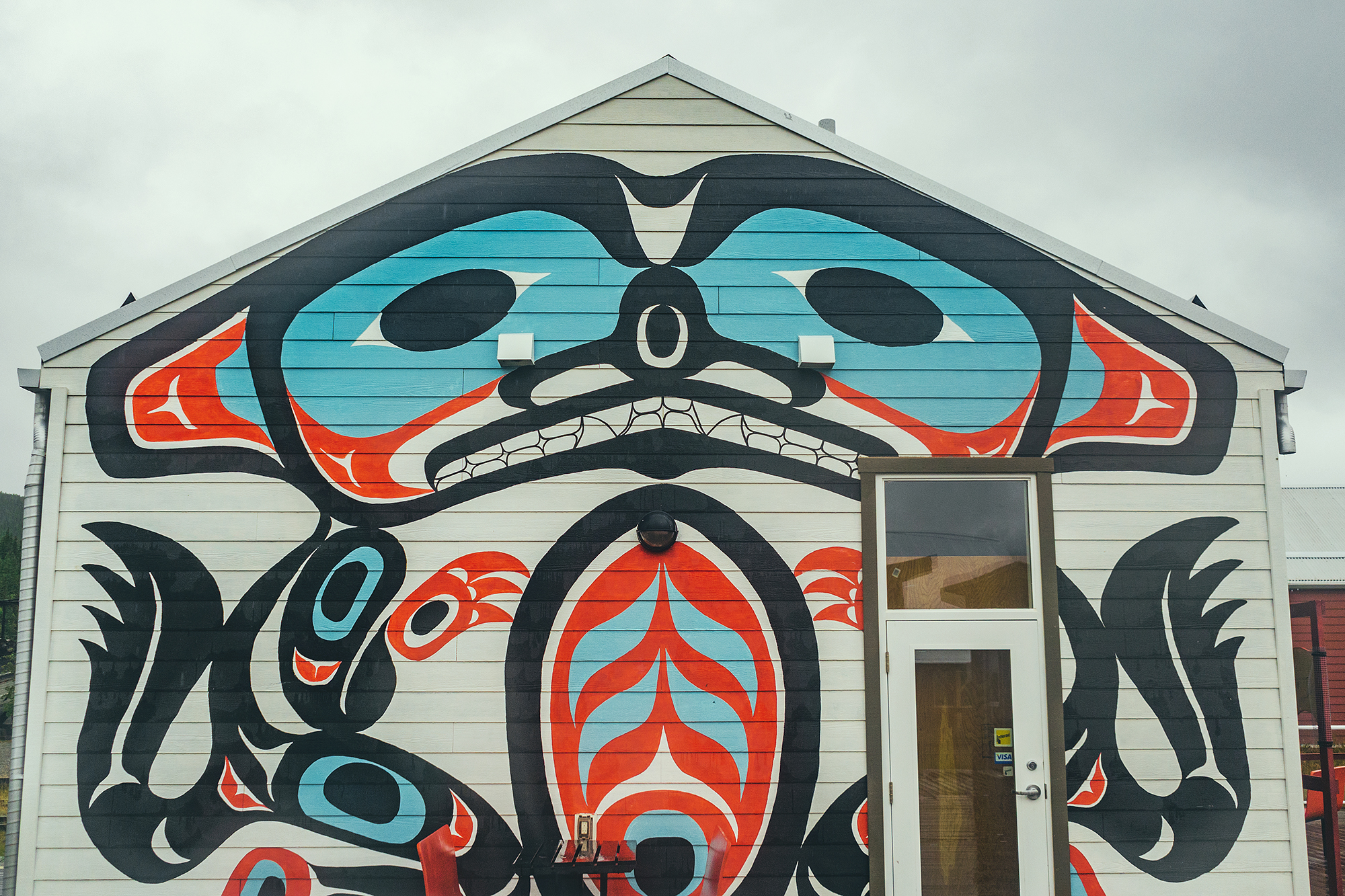
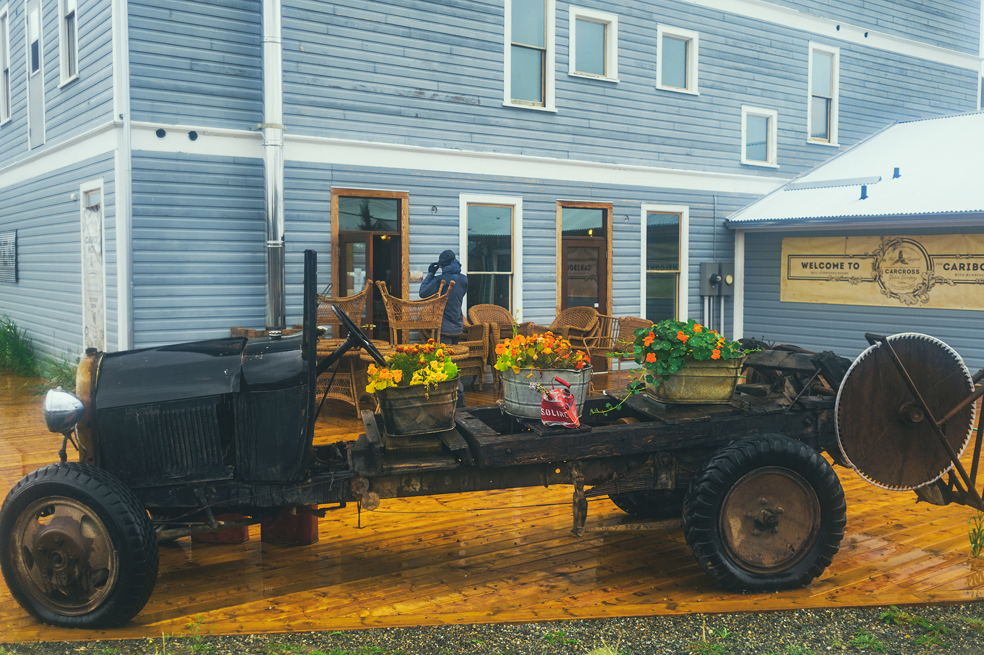
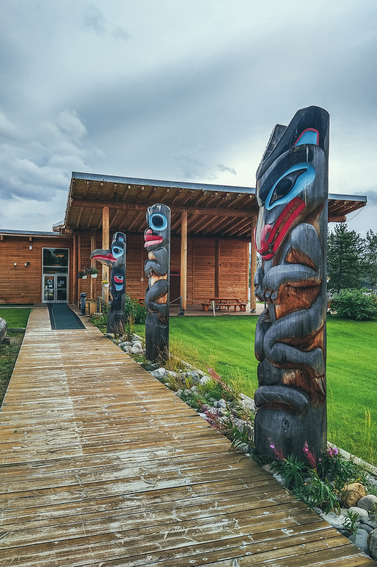
Carcross – Home of the Carcross/Tagish nation, the carcross Common showcases a great variety of indigenous arts and culture.

Liard Hotsprings – a tourist stop but well worth it, to enjoy the warm waters surrounded by lush vegetation, and potential moose sightings.


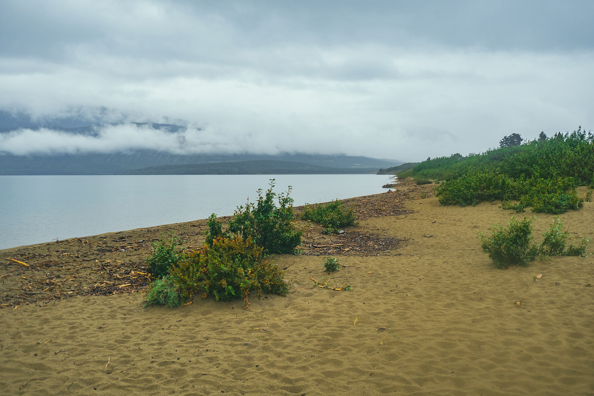
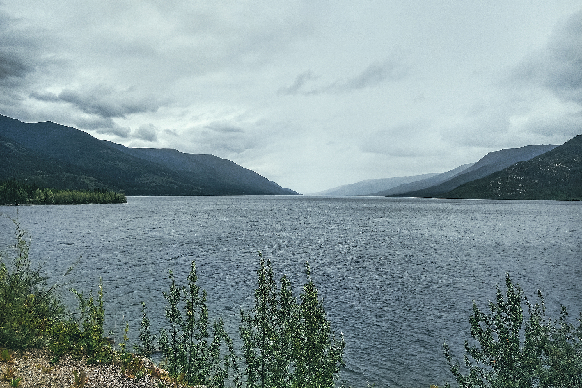
Muncho Lake – Incredibly scenic lake in the spectacular setting of the Northern Canadian Rockies

Dawson Creek – Mile 0 of the Alaska Highway

Tumbler Ridge – To find out about Dinosaur activity in BC

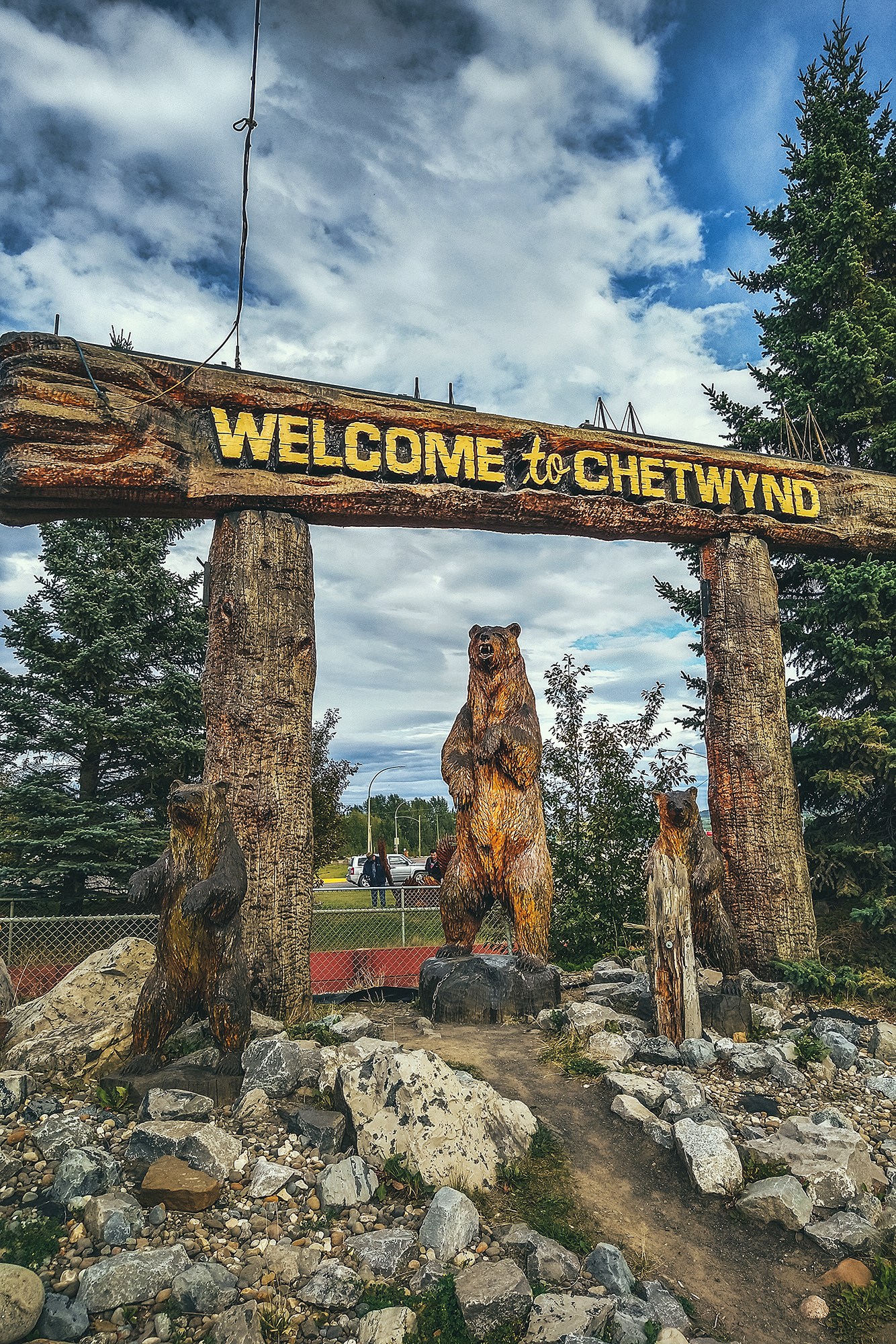
Chetwynd – Incredible display of chainsaw wood-carvings


Discovering the local History

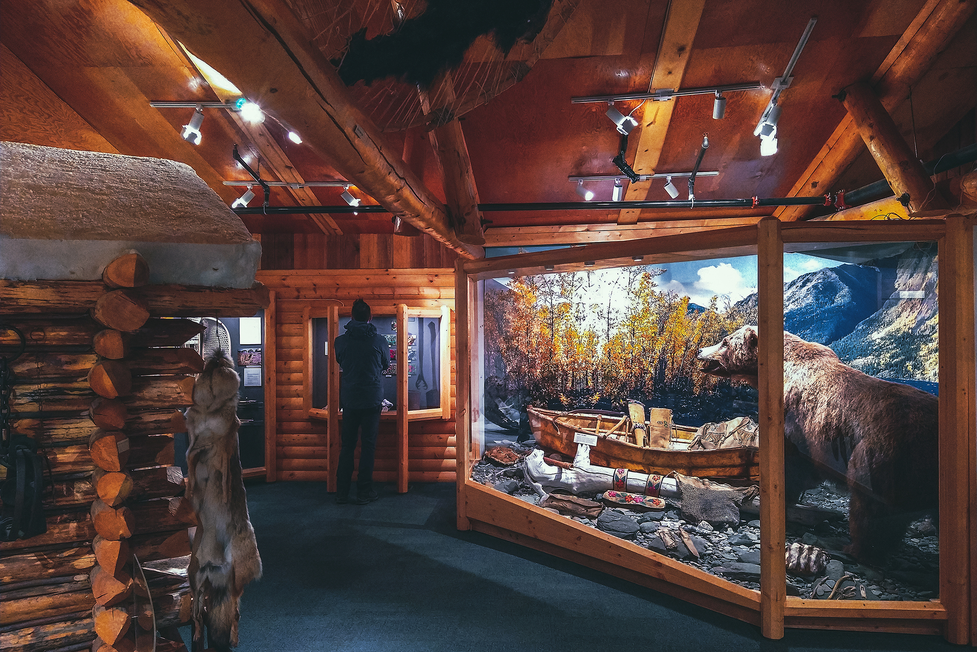
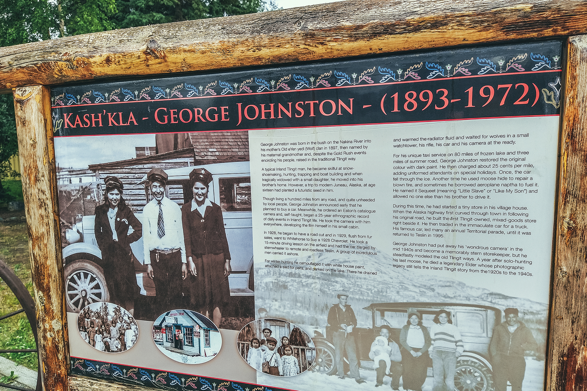
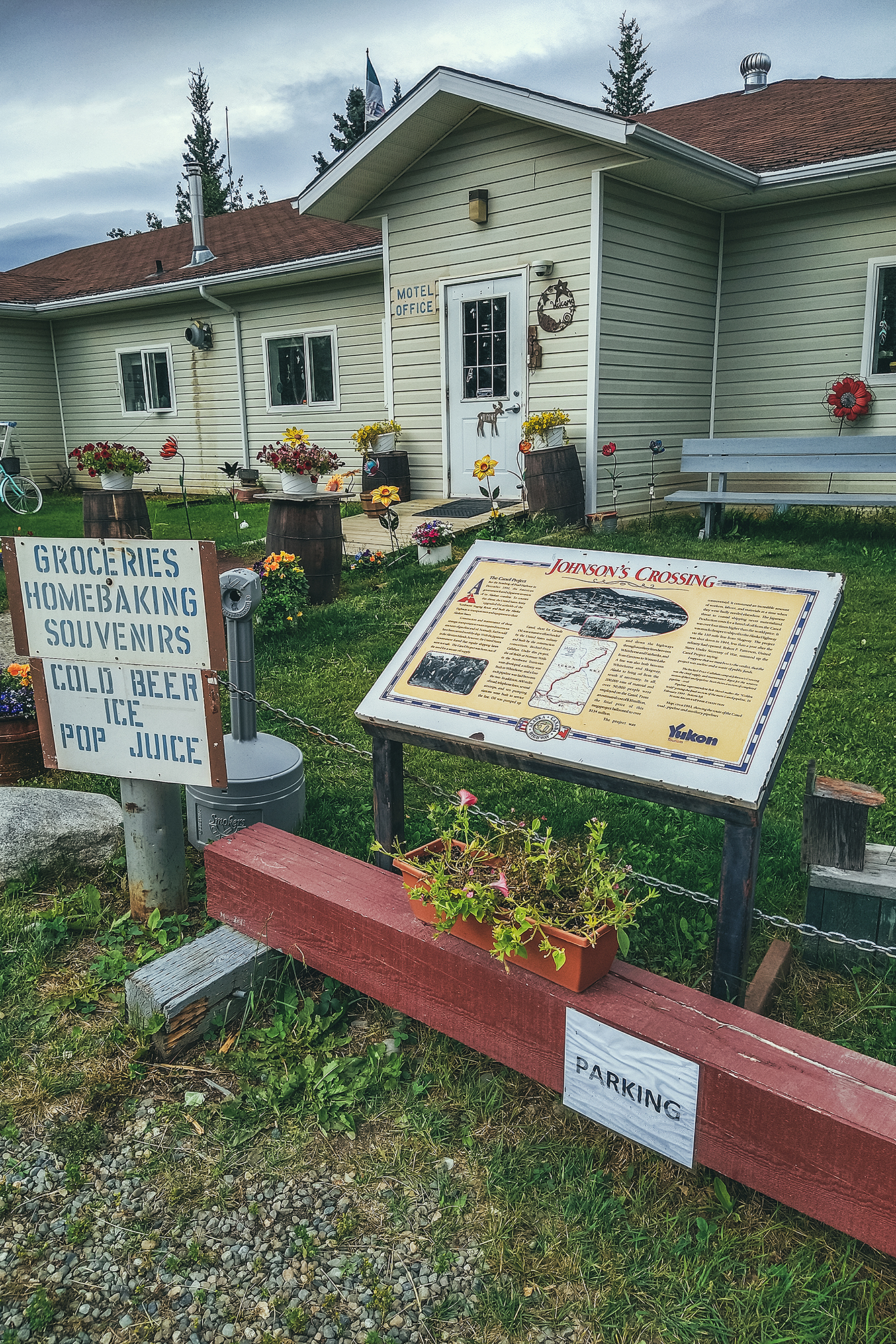
Both Northern BC and the Yukon have a remarkable history, born of the determination of its earlier visitors to fight against the harshest of conditions (terrain, weather conditions, wildlife) to – sadly – claim territory and land that wasn’t theirs to begin with. But traces are everywhere of the grit and persistence necessary to build the roads that tourists such as ourselves are now able to leisurely travel on. A trip through the Yukon cannot be completed without learning about the construction of the Alaska highway, or the Klondike Gold Rush.

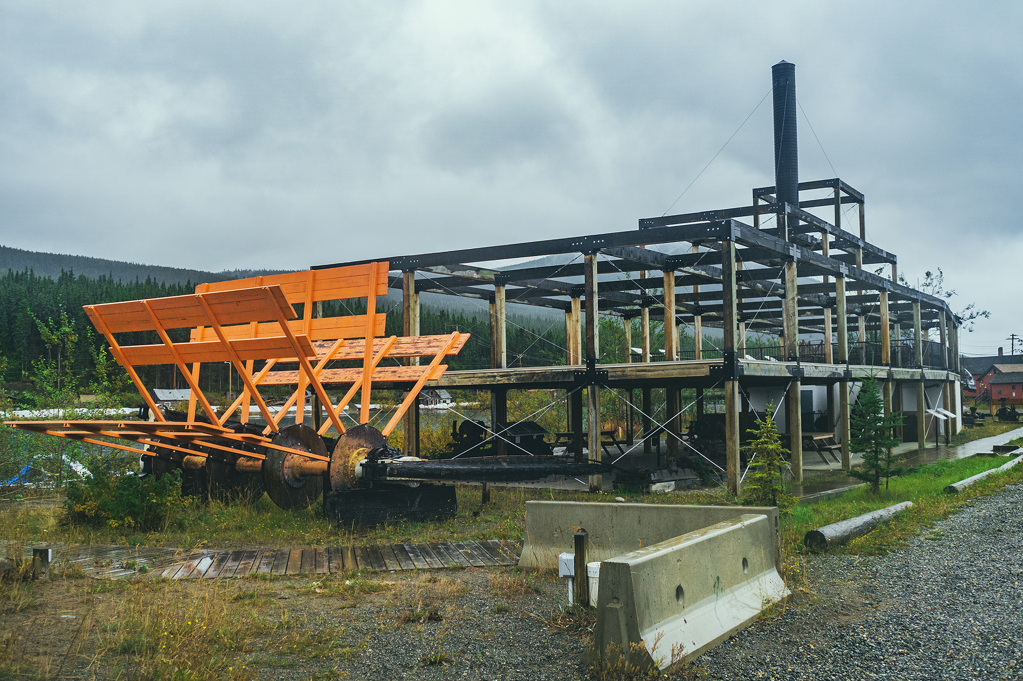
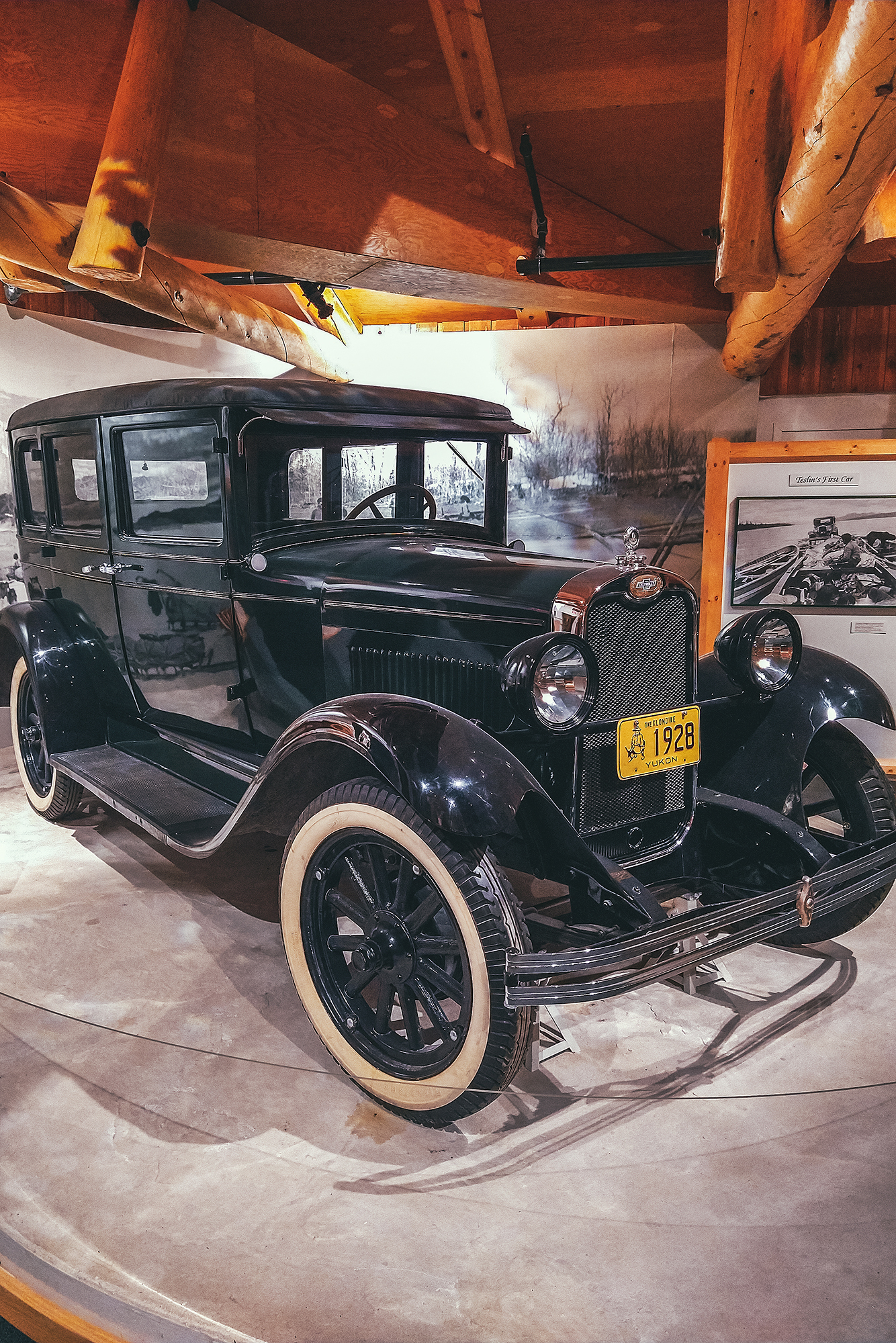
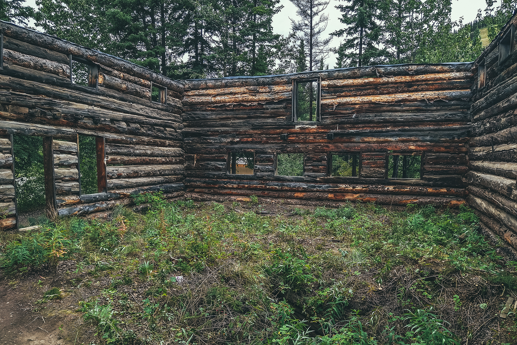
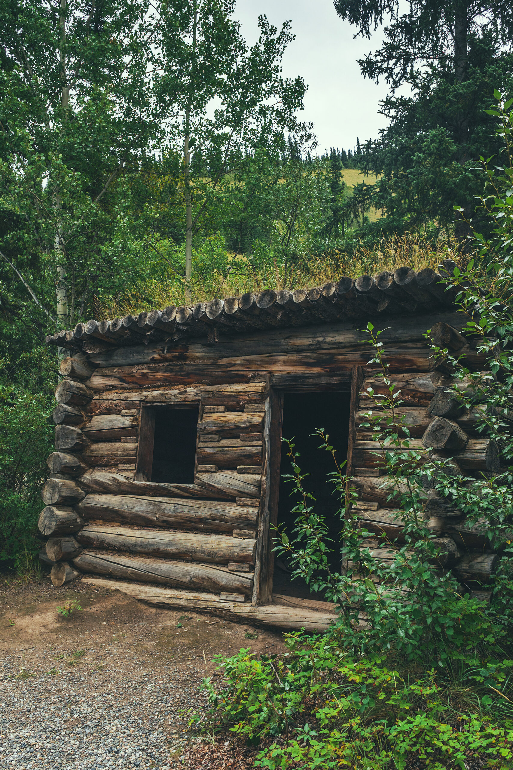
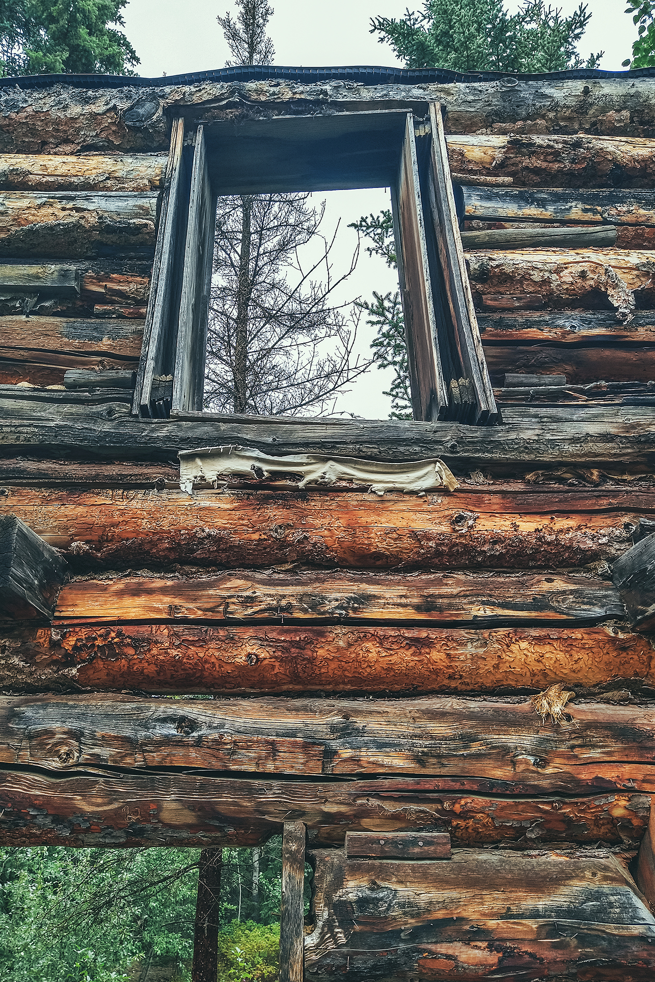
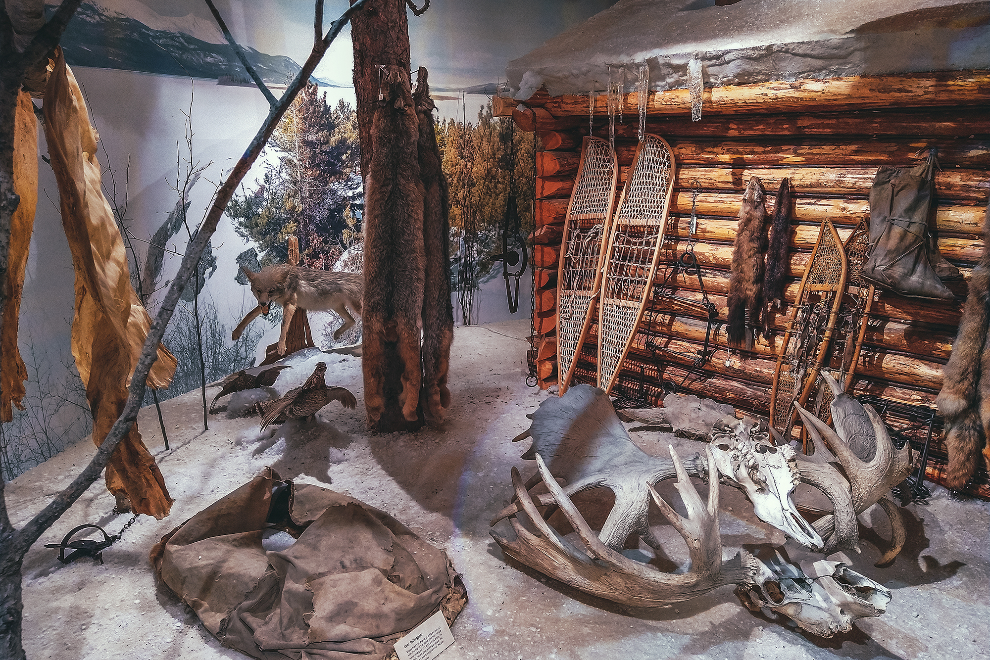
Along the road, we encountered remnants of the Gold Rush of the late 1800’s. As we traveled North, we were slowly piecing together the facts and history of that era, collecting fragments of how men and woman traveled to the North, settled and lived up there.

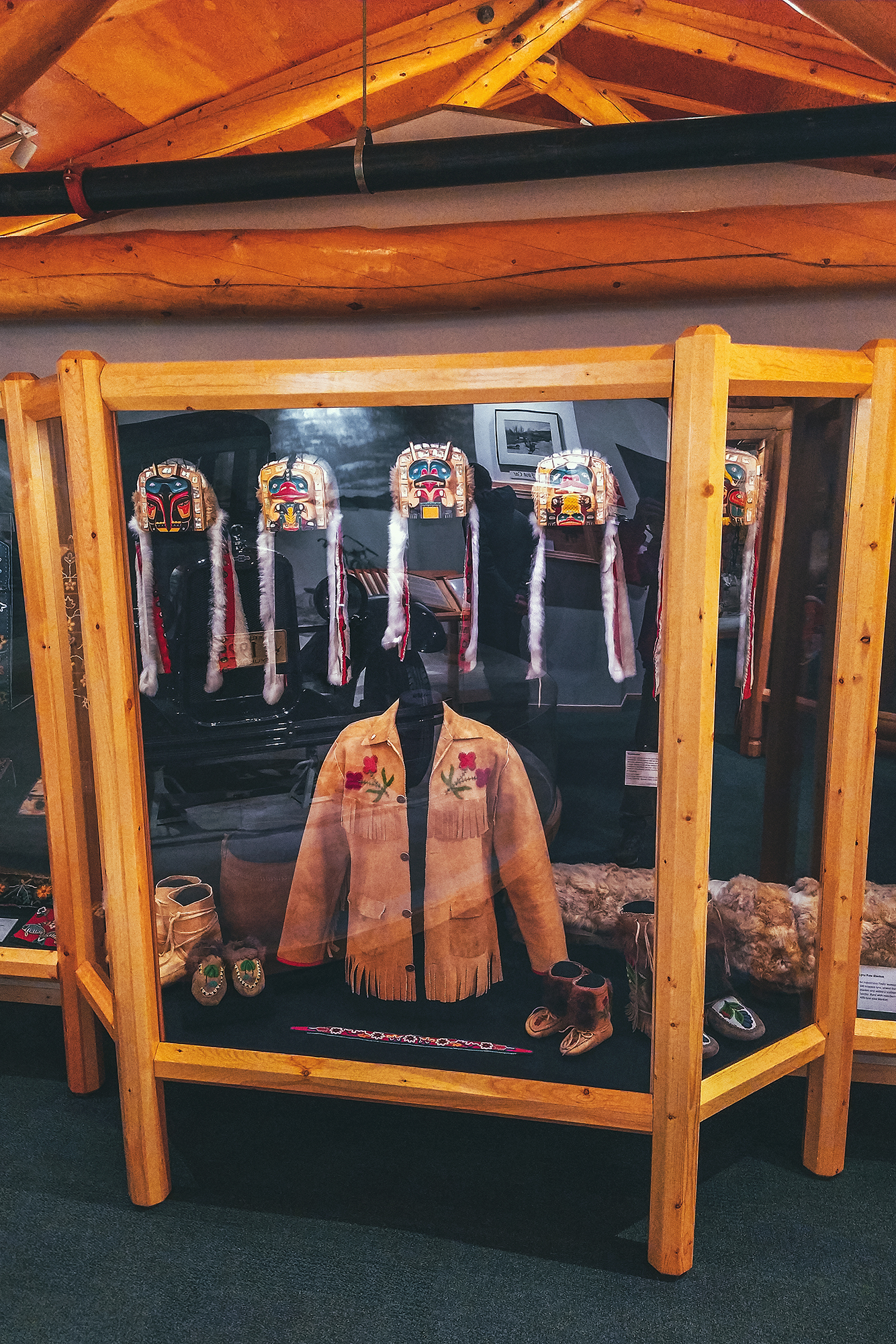
Eventually when got to the Silver trail and later to Dawson City, we could see the bigger picture. The steam wheelers, the claims, the machines engineered to replace human labor, the towns built to house all those populations, having migrated to these extremely harsh regions in search of different, better life. But also the Indigenous Peoples who helped settlers survive the conditions, who joined in the trades and the workforce on the road or the river, who ultimately were displaced, and their forever altered, nearly lost culture and way of life.

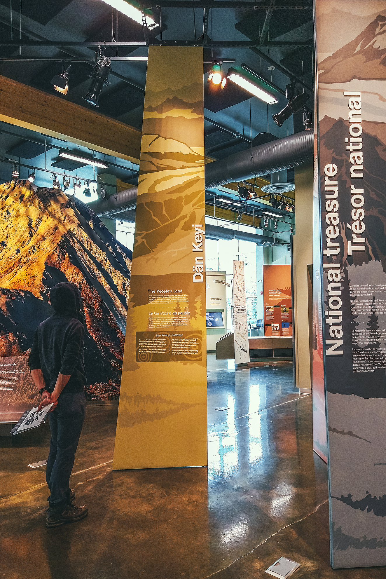
While the Gold Rush and the Alaska Highway are the main historical attractions highlighted for tourists to see, the history and culture of the 14 Yukon First Nations is very much present, with cultural centers in most every town, and opportunities to learn about the different communities’ origin and traditions, their ties and relationship to each other and some of the notable figures that have had an integral role in the history of the Territory. A trip to the Yukon would not be complete without learning about the Indigenous Peoples who have lived on this land since time immemorial.

Road Trip to to the Yukon – Part 9 – From Haines Junction to Watson Lake

August 27 – Drive to Conrad lake

It was pretty cloudy when we got up. We had entertained the idea of trying to paddle on Kathleen lake, but seeing how overcast and windy it was, we decided against it.

We drove back to Whitehorse and grabbed lunch at the Alpine Bakery – which we found out later claims to be German, despite all the French people working there and frequenting it?
We hadn’t really spent anytime in Whitehorse the previous couple of times we drove through, so we decided to give it a go. The downtown area wasn’t all that appealing – not a whole lot of stores, or maybe we didn’t spend enough time ?

There was one massive outdoor outfitter store, and then we found a block that had a gallery with a few things – “artisan” souvenirs, a bakery, a couple of home decoration shops, a yarn store.

We walked a few blocks along the small downtown strip, then North along the river. We visited the Cultural center for some insight on the local Kwanlin Dün First Nation.

We left Whitehorse mid-afternoon and drove south towards Carcross. Someone had recommended Tutchi Lake as a place to spend the night. We first drove into Conrad Lake Gvt Campground and seeing how busy it was (it was after 5pm on a friday night), I worried we would drive to Tutchi, 20 min away, to find no available spot (our campground apps indicated only 5 spots there) then drive back to Conrad and find a full campground.

So we set up camp in a spot that was actually quite nice, with view of the lake and a short trail leading to the shore. The light was really nice, hitting the mountains across the lake. It was quite windy when we first arrived but the wind died down in the evening so we had a rather pleasant camping experience that night.

August 28 – Visiting Carcross and Teslin

It rained pretty heavily at night and didn’t stop in the morning. I didn’t feel like rushing so I indulged in some morning reading before getting up. We kept breakfast simple (cereals) to avoid having to do dishes in the cold and rain, and packed everything all wet. Our first stop of the day was in Carcross – formerly named Caribou Crossing.

The town has developed as a popular tourist stop thanks to a mix of preserved old-timey cabins, the remnant of a sternwheeler boat, the SS Tutshi, and the fairly recent addition of the Carcross Commons, a space of 20 artisan shops, with interpretive signs of the different clans from the Carcross/Tagish First Nation, who have lived in the area since time immemorial.
Sadly because of Covid, all but one shop were closed, but the space was still neat to see, if only to learn about the history of the town and the structure and names of the clans that live there.

Daklaweidi (Killer Whale)
Kookhittaan clan (Crow)
The Deisheetaan clan (Beaver)

The Carcross/Tagish First Nation is comprised of six Clans, separated into the Crow and the Wolf Moiety, or social groups. The Crow Moiety includes Deisheetaan, Ganaxtedi, Kookhittaan, Ishkahittaan and the Wolf Moiety includes the Daklaweidi and the Yan Yedi. Each of these clans plays a vital role in the governance of the Carcross/Tagish First Nation.

The original inhabitants of this area are the Tagish people who belong to the Tagish linguistic grouping of the Athapaskan language family. The area also became the home of Tlingit traders from Southeast Alaska who were venturing into the interior of the Yukon for trade purposes, perhaps for 200 to 300 years prior to contact in the Yukon. Today many of the Carcross/Tagish First Nation people are descendants of both Tagish and Tlingit. As of January 2006, the Carcross/Tagish First Nation is a Self-Governing First Nation

(Taken from the Council of Yukon First Nation)

We took a rainy stroll around the historic cabins and to the boat remnants. The sternwheeler had been under renovation for close to 15 years, and nearly finished, when it tragically burnt down. Only the Stern wheel and the very charred bow remain, and in-between are just 2 open floors with no walls to indicate its former size.

The town is located on the shores of Nares Lake, and features a swing bridge built in 1990.

[gallery link="file" columns="2" size="large" ids="4424,4423"]

Ironically, Carcross has one of the lowest amounts of precipitation days in Canada, so i guess the fact we had a rainy day made it somewhat special?

The local coffee shop was open so we gladly grabbed a hot sandwich, coffee and pastries before heading back on the road.

Next we drove to Teslin to visit the George Johnston museum (we had tried to stop by on our way in a couple of weeks prior but it was closed that particular day).

The museum was very well done, with information on the Inland Tingit peoples of Teslin, as captured by George Johnston. He was a self-taught photographer, who also became famous for being the first person to bring a car to this area, at a time when there wasn’t even a road to drive on.
He used the car for hunting and as a taxi service, after he cleared out about 5 km of track to travel on. That track later became part of the Alaska Highway.

The museum offered screenings of the movie Picturing a People: George Johnston, Tlingit Photographer, which we started watching but had to leave unfinished as the museum was closing (the film is available to watch online on the NFB website). The museum also had an area about local wildlife and how it was traditionally perceived and used as resource by the Inland Tlingit community.

It was still raining when we left the museum. We debated checking into a motel, but the options were limited so we eventually decided against it and settled on the nearby campground. It pretty much rained all night, with temps around 5-6°C  (admittedly my mood wasn’t the greatest, especially after I’d seen that there was rain on the forecast for the following 3 days). We did book an Airbnb for 3 days later, splurging on a house near Fort St John (the closest available airbnb we could find along our itinerary). It was something to look forward to if the rain persisted. We also decided we would have dinner at a restaurant in Watson lake the next day, so we could have some dry time then and not have to worry about making dinner in the cold and wet.

Once we’re under the tent and into our sleeping bag, it’s always cosy even in the rain, but everything else becomes a bit of a process when dealing with wet gear and cold.

August 29 – Watson lake

We didn’t have much planned on that day, other than drive the 250 or so kilometers from Teslin to Watson lake. There isn’t much to stop and do on that stretch of road, which was fine because it was still raining heavily after we packed up. We did stop at the Yukon Motel & Restaurant to make use of their washrooms. Nothing like washing my face with hot water after a few nights of cold, wet weather!

We drove for a bit and had lunch at a side-of-the-road rest stop. I didn’t have the motivation to prepare much in that weather, but thankfully we had two cans of tuna + quinoa salads, which we ate in our seats, with a side of chips and m&ms. That’s also the reality of road trips, there’s not always a scenic, sunny spot to stop at and that’s fine. As long as we can fill our bellies with food, the mood usually stays high.

We arrived in Watson Lake mid-afternoon and went to the Visitor Center, for warmth, wifi, dinner recommendations, and somewhere dry to sit for a little bit.

They had a small exhibit on the construction of the Alaska Highway as well as a 20 min movie. The 1600-mile long Alaska highway was constructed by military effort in 1942, as a way to connect Alaska to the rest of the US. Prompted by the attack on Pearl Harbour, it was completed between March and October of that year, in roughly 8 months. About 11,000 soldiers worked on the project, in very harsh conditions and across incredibly challenging terrain. While putting this post together I came across two interesting articles on the construction of the road, so if you’re so inclined, below is a bit more information on the mammoth task that its construction was, and the men who made it happen.

Why Building of the Alaska Highway is Still an Epic Feat 75 Years Later

The Construction of the Alaska Highway, 1942: The Role of Race in the Far North

Next we got some food from the grocery store – it seems even when we don’t “need anything” we can’t seem to go into a grocery store without coming out with a handful of items. Then we drove back to the Watson Lake Campground, the same we had stayed at  2 weeks earlier, and after setting up camp, we chilled for a bit until dinner.

Somehow the rain stopped and we even got some shy rays of sun through the trees as we were setting up.
To escape the weather that night, we decided to go to a restaurant since there were a few options in Watson Lake. We chose the New Nugget, a very Westerner-tailored Chinese restaurant (they didn’t even bother offering chopsticks). Their wonton soup and vegetable fried rice were really tasty and we left with a full belly.

Although this stretch of road wasn’t the most scenic of the trip, we still learned a lot about the area, the people that live there, and how the road came to be. This trip overall definitely had a good mix of scenery, outdoor activities as well as history and culture to discover.

Road Trip to to the Yukon – Part 8 – Kluane National Park and Reserve

August 24 – Drive To Haines Junction

We got up and drove to Whitehorse, where we found a much-needed carwash and re-stocked our food supplies. On the way out, looking for a liquor store we stumbled upon the Yukon Beer store, so we bought a few to try out.
Then we headed towards Haines Junction, a couple of hours west on the Alaska Highway.

When we got there we stopped at the Visitor Center and went through the exhibit about the Kluane National Park and Reserve, which is a designated UNESCO World Heritage. The Park is home to 17 of the 20 highest mountains in Canada, including the tallest, Mount Logan, at 5959 meters. The park also features the largest non-polar icefield in the world.
We watched a short movie also covering the topic, the land diversity, fauna, and work being done in collaboration between the Kluane First Nation, Champagne and Aishihik First Nations and the Park Staff/Parks Canada administration.
Next to the visitor Center is the Da Kų Cultural center which showcases First Nation Art and Culture, but it was closed due to Covid.

Next we drove to Kathleen lake, where we’d planned on spending the next few nights, while we explored the Kluane Area.

August 25 – Drive Out and back to Burwash Landing

The forecast suggested rain that day, and nicer conditions the next, so we decided to take the drive to Burwash Landing and wait for the nice day to do a hike.

The drive along the Alaska Highway offers great view points on the Kluane mountains and Kluane lake. We stopped near the southern end of the lake, to take a stroll on a sandy area right off the road. The desert-like landscape is due to the retreat of the Kaskawulsh Glacier. As a result, its meltwater which previously fed two rivers, the Kaskawulsh River and ‘Ä’äy Chù’ (Slims River), now only flows into one. This phenomenon has apparently happened several times in the past, but current state of global warming suggest it is unlikely that the Glacier will re-advance, and that both rivers will run again. It was quite unexpected to see such a landscape surrounded by mountains. 

We then stopped at the Thachäl Dhäl Visitor Centre and had lunch. The park ranger there was very friendly and pointed out to us a couple of herds of Dall Sheep that could be seen (through binoculars) on the slopes of the nearby mountain. They were pretty far, so even through binoculars they looked like tiny little white specs. Would this qualify as wildlife sighting?

We continued on the drive to Destruction Bay and Burwash landing, where we once again, we found the museum closed due to Covid. The drive was still worth it though, for the scenery along Kluane Lake and the mountains around.

There are a number of hikes you can do into Kluane along that stretch of highway, some of them multi-day treks. I would definitely be interested in coming back for a multi-day adventure, as some of the trails reach the edge of the icefield, and promise a pretty spectacular sight.

There are also various guided adventures to be taken, from flying over the glaciers to white river rafting up close to them. Too much to do and see in just a couple of days! But it was great to get a glimpse at the area and know what to come back for.

On the way back we stopped at Village Bakery in Haines Junction for some pastries and free wifi, then headed back to camp.

That night we changed things up a bit by making tacos – zucchini, bell peppers, avocado & tuna, with a dash of green pepper hot sauce. That was a nice variation from our other camping meals so far, and one we might even repeat at home.

August 26 –  Hiking the King’s Throne trail

We set off for King’s Throne, a hike that was recommended to us by our friend Adele, as well as 2 or 3 other random people we saw on other hikes. The trailhead is actually at Kathleen Lake so it was conveniently near our campsite. Alltrails had it recorded at 12.7km, while I had seen it at 15km in some Yukon guide, with an estimated time of 8 hours.

We started relatively late at 10am. The trail is pretty wide and flat for the first 2 kms in the trees, then it starts climbing steeply up the mountain side. We got to the alpine within 3km from the start and had great views of Kathleen lake from there on. One option I’d found was to hike 5km to King’s “seat”, basically the bottom of the cirque at the base of the ridge. My watch only read about 3.6k though when we got to that point after only about 1 hour of climbing (maybe a bit more), so we continued straight on to climb the ridge.


That portion was probably the most challenging (both up and down) as you climb very steeply on loose gravel. It was slow going up and a bit slippery on the down.
Looking up we could see that the higher section of the ridge was completely covered in clouds but we figured we’d keep going until we felt like it didn’t make sense anymore.

There were some pretty windy spots on the way but alternating with some sheltered ones. We had a snack part-way up and we were debating whether to continue.

Another couple was following us from not far behind so we let them go by, to see if the next portion was strenuous or not, based on their progress. Turns out we were pretty much at the top of the steeper climb, and from there the trail followed the ridge relatively smoothly.

The trail split at each “bump” with option to go up or circumvent at the base. The ground was made up of larger rocks and traveling on that section was actually quick and easy. We went over 3 or 4 prominences, every time wondering if that was the summit, and every time it wasn’t, another bump showing up silhouetted further in the clouds.

The official summit is technically the far end of the ridge, opposite to where we climbed, and we debated how far to keep going as we were basically traveling in a cloud, with little to no view. We did get a peek at the far section of Kathleen lake, as clouds parted on the other side of the ridge. Eventually we made it to a section where someone had built a small shelter out of stacked rocks.


The wind was pretty brutal on the ridge but completely absent in the shelter. We decided this was a good point to turn around. Based on distance, we were at least 1km away from the official summit, maybe more. And at that point, the lack of views didn’t really make it seem worth continuing. A few people passed us, heads down, trudging to the summit, but we decided to turn around without any regrets.

Two hours later when we were back down, sitting by the lake for a snack, and it looked like the summit had cleared but there were still dark menacing clouds above the whole ridge. In any case, we were pretty happy with the hike and the views we got over Kathleen Lake.

It took us 3h20min to go up, with a couple of breaks, and about 2h 20 to come down. I would assume continuing to the summit would have added 1-2 more hours to this. The way down was actually more challenging I found, due to the slippery terrain – And I swear the last 2kmm on flat were way longer than when we started ! (Brice thought so too!). In the end we clocked 13km with 1324m of elevation gain, so a decent day out!

We had snacks at the day use area by the lake, then headed back to camp for the evening.
We had been pretty fortunate with showers so far, finding accessible ones in a lot of campsites or nearby, but nothing of the sort at Kathleen Lake, so sponge bath it was, to rinse off the hike (the lake itself was way too cold and windy for me to go in).

Road Trip to the Yukon – Part 5 – Watson Lake to Faro

August 11  – Watson Lake to White Horse

In Watson lake we had our first experience of the Government campgrounds, which are peppered all over the Yukon. They only cost $12 a night, for a site with picnic table and firepit, and wood is provided for free. No amenities, but as we found out through our various stays, the outhouses were always remarkably clean and well stocked up in TP. Overall we never had a bad experience at one of those campgrounds, and we always knew more or less what to expect, as the set up was pretty consistent.

Brice made pancakes for breakfast (or tried to, they didn’t quite turn out how he normally does them). Then we left our camp. We stopped at the Sign Post Forest, which displays signs (or license plates) made by people who visited.

It was started in the 1940’s by a GI who was feeling homesick and was trying to make something that reminded him of home. It evidently became a thing that people do when coming through the town. Apparently there are now over 80 000 signs! I guess it’s the local equivalent of the bridge of locks in Paris – except there’s no danger of the forest of posts collapsing under the weight of the signs…it seems it could still expend for a bit.

We then headed off and spent a few hours driving, making only one stop in Teslin (about halfway between Watson Lake and Whitehorse). We visited the Teslin Tlingit Heritage Center, which has a small display of Tlingit artefacts – small but impressive, with beautiful beaded garments and carved masks by local artists.

We watched a 15 min documentary about the celebrations the Tlingit people organize when their relatives from Juneau, AK come to visit. 
The Tlingit people originated from Coastal Southern Alaska, but some migrated inland for fur trading, and as craftsmanship evolved they were able to spend more time in the cold interior winter, eventually settling away from the coast. The descendant of the migrants refer to themselves as the Inland Tlingit, but still have a very strong bond to their coastal cousins, which they celebrate with regular potlatches.
For a period of time though, these gatherings were restricted by the ban on potlatches, which was in place between the mid 1880’s and the 1950’s both in Canada and the US.

The celebrations take place in and around the heritage Center, which also serves as a meeting place. Normally open to visitors, they haven’t been in the recent 1.5 years due to Covid.

We also stopped by the George Johnston museum, but it was closed that day so we made a note to try and stop again when we drive back a few weeks later.

Our next stop was in Johnson’s crossing, after Brice spotted a bakery sign on the side of the road, and  we had a couple of pastries for afternoon snack.

Eventually we arrived in Whitehorse and this will come as no surprise to anyone who knows Brice, our very first stop was at a Car-wash to rinse off all the dirt and mud collected along the way.

We had booked another Airbnb for that night. This time we had found a private Bed + Bath in a private house. The set-up was clean and comfortable, but the hosts were not super welcoming, barely saying hi when we got in. Mind you, the previous hosts in Old Hazelton hadn’t been super warm either, so it’s likely Covid had something to do with it. We hadn’t been in an Airbnb since before the pandemic, and our last experience before that was a 10-day stay in a private room in Austin, Tx, where we got to meet and interact with our hosts on a daily basis. But of course the pandemic would have had a huge impact on how much interaction hosts are trying to have (or not to have) with their guests.

We put our stuff down and headed out for dinner, taking advantage of being in a city to go to a proper restaurant. It was almost a bit strange to be sleeping inside a house, after all the camping, but still nice to be able to shower and sleep under a roof, and not have to set up and take down camp.

As we arrived in Whitehorse, I was checking the forecast, and it looked like a lot of rainy days ahead in the Kluane area, which is where we had planned on heading to next. I didn’t really feel like hiking in the rain and missing out on scenery covered in clouds, so we decided to head out to Dawson City early. But instead of driving there in one day, we would take the long way up and spend 3 days doing side trips to Faro & Keno, places that weren’t originally on the itinerary. In turn, we would go to Kluane after coming back from Dawson City, hoping that we would have better luck with the weather then. It also meant trading the Carcross Tagish/Aitlin loop we had also intended later on for this plan but so it goes. At least  we had enough buffer time on this trip to be able to make these adjustments, as we didn’t have a set return date in Vancouver. And as we’ve learned on other trips, it’s always good to have a set itinerary, but be prepared to adjust it on the fly.

August 12 – Driving to Faro

In the morning, we took advantage of the city to take care of a few errands, such as getting more cash for the campgrounds, and restocking on groceries. Then we stopped at Alpine Bakery on the way out, to enjoy a couple of sweet pastries in their cute garden patio, and grab some savory treats for lunch later. Then we got on the road, headed North on the Klondike Highway.

We made our first stop at the Fox lake Burn rest area, and walked down the short interpretive trail that leads to a ridge and provides information on forest fires. It described their impact on the ecosystem and how they can be beneficial in the natural cycle of things, allowing new plant and animal species to repopulate an area after a fire. A lot of the naturally caused fires (usually lightening) happen in more remote areas, and they are often monitored but not intervened on. Man-caused fires on the other hand tend to happen closer to populated area and of course cause bigger problems, as they impact human infrastructures and lives. And global warming is making it easier for fires to spread, with vegetation being a lot drier and the lack of rain to control them.

The ridge was incredibly windy! It reminded me of  Patagonia, and the types of wind we encountered there, sometimes able to knock you off your feet. I could see how fire would propagate at incredible speed with winds of the sort.

Our next stop was at the Braeburn Lodge. We came up to it just as I was reading in the Milepost that “their cinnamon rolls can feed 4 people”. Clearly we had to stop and check for ourselves.

Sure enough, the buns where the size of a small cake. It was lunch time though, so we decided against buying one (also, they were REALLY big and as much as I like pastry, that was a bit too much for me), and instead went for a grilled cheese sandwich – which by the way could also have fed 4 people. It was super simple but very tasty.

Our last stop on the Klondike that day was at the Montague Roadhouse Historic Site. Until the beginning of the 20th century, the Klondike river was the main way of transportation between Whitehorse and Dawson City. Then in the early 1900’s, the Overland Trail (now Klondike highway) was built to connect the two towns by horse and carriage. The Montague Roadhouse is the only remaining trace of the pioneer-era rest stop along the trail. Rest stops of the sort, with overnight accommodation, were found every 40 km or so along the trail. You can still see some of the main roadhouse building at the site, and read about the history of it.

Once we got to Carmacks, we left the Klondike Highway for our first side trip, heading East to Faro on the Campbell Highway.

We set up camp at the John Connolly municipal park, a nice campground with hot showers (always a plus). We were quite tired from the long drive but decided to take the short hike along the Van Gorder waterfall trail to stretch our legs.


Mosquitos were, once again, a bit aggressive (we wore our bug jackets to the waterfall!), and it rained for a good portion of the night, but we still had a cozy sleep in our little tent.

August 13 – Running on Faro trails and drive to Tatchun lake

The next morning we decided to go for a trail run before heading back out.
There’s a network of trails around Faro, which don’t actually seem to exist on google map, but I picked up a good old paper map from the visitor center across from the campground (they also have a pdf version here).  Aside from the overall scale reference, there’s no indication of length, elevation, etc. but it did look like we could do a roughly 10km loop around the town, starting right at the campsite so that’s what we set off for. The trails all have animal names and signs at some intersections but it did take a bit of navigating with the map to stay on our intended route. The trails were not very technical, albeit pretty muddy, but we encountered a few decent hills – and we did get couple of nice views from above the town. As suggested by the map, these trails are likely more used in the winter for cross-country skiing and snowmobiles.

Mosquitos weren’t as bad when we were running, and we managed to stay mostly dry aside from the 93% humidity in the air. After the run, we enjoyed the hot showers then had our savory pastries from the day before for lunch. We ate them on the patio of the information center, which was looked after by the most lovely lady, who offered us free coffee. We then headed back to Carmacks, to continue our journey up the Klondike highway.

The campground in Carmacks sounded good on paper – offering waterfront campsites and burger joint, but when we got there it didn’t turn out to be that exciting – a messy-looking stretch of ground near the river, only separated from the main road by the parking lot, and the pub didn’t look very inviting. It was also quite busy, which was a third reason for us to continue on, to try and find a quieter, more appealing campsite for the night.

We continued North and landed at the Tatchun lake Government Campground, located a few km down a dirt road – away from the highway traffic noise. Note that there is a Tatchun Creek campground up the road, but that one is also near the road, exposed to traffic noise.

For the first time in our trip it felt like the mosquitos were less intense, probably because temperatures were starting to lower. We set up camp a bit earlier than other days, so we had time to relax in the evening, work on photos, write our travel journal, and enjoy some time by the fire.

Trekking in Tombstone Territorial Park – Part 2

On our third day in Tombstone Territorial Park, we had planned return trip to Talus Lake, from Divide Lake.

As we had already experienced, the weather forecast had been pretty accurate so far, and it didn’t let us down on our third day, when the predicted clear and sunny day turned out to be true. The plan was to hike out to Talus lake and back, for a total of 12km with minimal elevation. There’s a campground at Talus Lake so people do camp there, oftentimes going straight from Grizzly without stopping at Divide for the night. But we liked the idea of having a backpack-free day, and not have to move camp. We chatted with Kendra and her mom again at breakfast. They were taking advantage of the sunny and dry weather to go over the pass and to Grizzly lake. After breakfast we headed out with our light day packs.

After circumventing the lake, the trail climbs very slightly onto a broader plateau, then meanders through the tundra all the way to Talus lake. We realized the range we were looking at from Divide was really the back side of the range overlooking Grizzly lake.

Tombstone Peak starting to show in the distance

Talus lake was once again very scenic, similar jagged peaks of Tombstone Mountain spreading as a backdrop to the arid, low growing tundra, possibly even more dramatic than the previous two lakes. We had lunch at the lake under the cooking tent. It was sunny but still pretty cold. We had brought a proper dehydrated meal as opposed to only energy bars, as well as coffee to warm up.

Overlooking Talus lake in the far distance

I was actually feeling pretty low energy that day, not sure if it was from insufficient caloric intake, or a result of the previous two hiking days. With the cold, and being quite sensitive to it myself, it did feel like I was burning a lot of calories just to keep warm.

Looking back at the range near Divide Lake

After lunch we explored around the lake a bit then headed back. It was a nice relaxing, easy hike and I was glad we did it pack-free for an easy but still scenic rest day.

That night at dinner we chatted with a couple who had arrived at Divide that day and was planning to do the same thing we did the next day. We also saw a ranger, who had hiked all the way from the start and was pushing to Talus that same day. I guess they’re pretty used to doing the 24km circuit in one go.

It probably wouldn’t be impossible for us either, if we carried a smaller pack and much lighter camping gear.
The ranger asked to check our reservation, which we were both surprised and ultimately glad about – wasn’t expecting a check that far into the route, but at the same time it reaffirmed that we were right to book ahead and properly register.

I’m sure some people might just wing it without a permit, but you then take the chance of not having a proper tent pad (resulting in camping on and damaging delicate ground), or taking one from someone who did pay, which would obviously be very uncool. Ultimately it seemed like Grizzly lake was the busier campground (when we were there anyways), as people may only come for 1 overnight, or decide to turn around and not continue on if the weather isn’t ideal.
The park doesn’t actually allow booking a site at Divide Lake as the first night – you have to book Grizzly Lake before you can book any other sites. This, I imagine is probably due to people in the past underestimating how challenging those 18km actually are to complete in 1 day, and ending up stopping at Grizzly Lake instead, overcrowding that campground as a result.

Making our way back to Divide Lake

Of course some people would be able to hike in further and bypass the registration system, but that’s at the risk of impacting other hikers and/or the fragile environment. In addition, if you have any problems out there, the park doesn’t take any responsibility to get you out, so it’s best to have your own rescue plan, i.e , leave your trip plan with a friend and ask them to alert the RCMP if you don’t come back when expected.

There is no signal in the park and Satellite is apparently unreliable (we didn’t have an in-reach so we couldn’t confirm).
So bottom line is, despite this being a popular route, there are challenging areas where you might find yourself on your own, so always go out prepared and make sure to communicate your plan in case anything goes wrong.