August 11 – Watson Lake to White Horse
In Watson lake we had our first experience of the Government campgrounds, which are peppered all over the Yukon. They only cost $12 a night, for a site with picnic table and firepit, and wood is provided for free. No amenities, but as we found out through our various stays, the outhouses were always remarkably clean and well stocked up in TP. Overall we never had a bad experience at one of those campgrounds, and we always knew more or less what to expect, as the set up was pretty consistent.
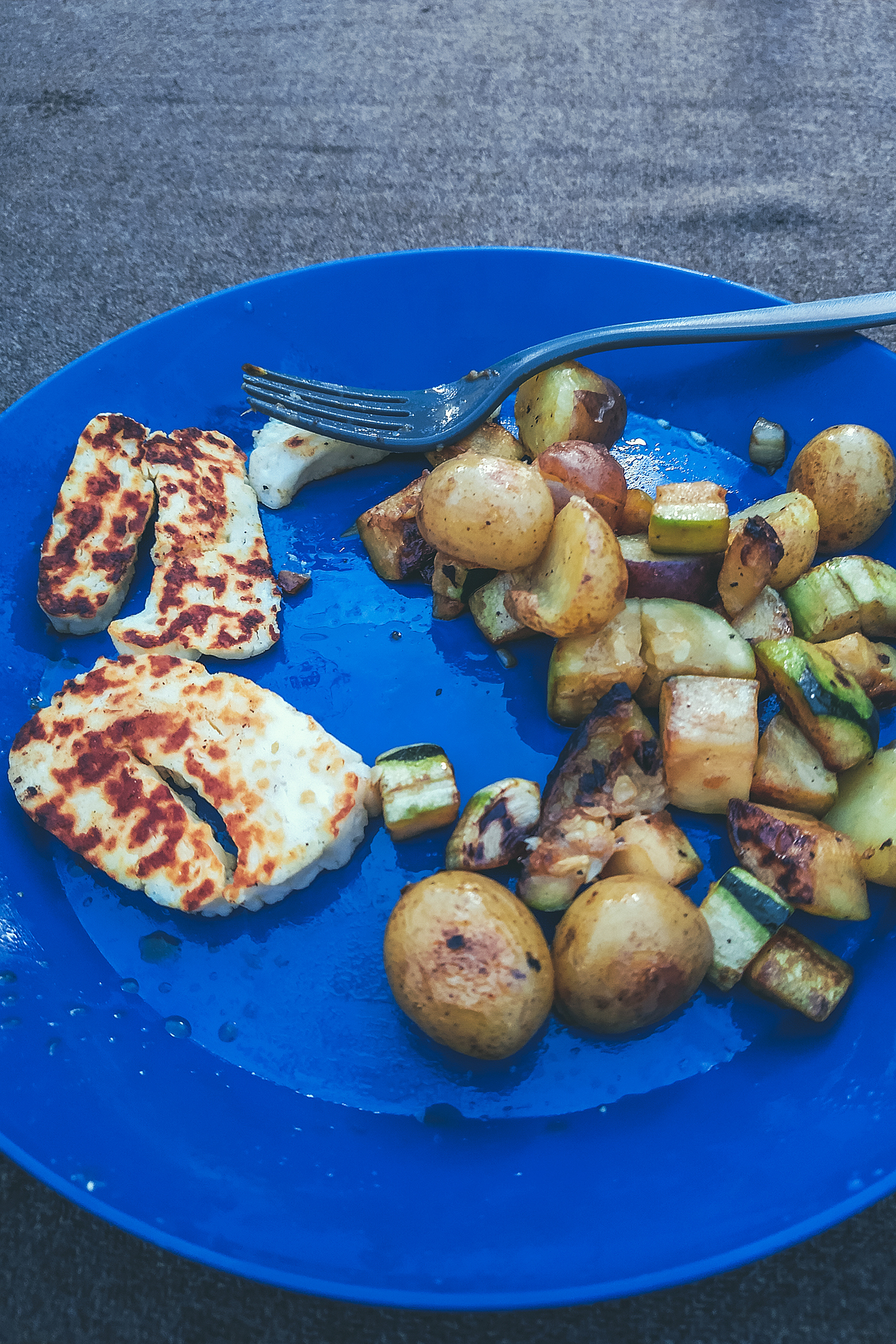
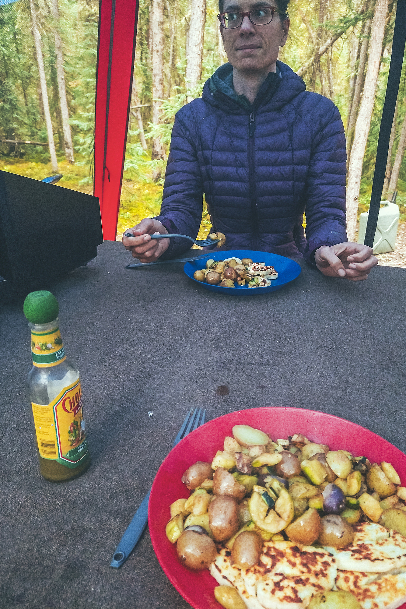
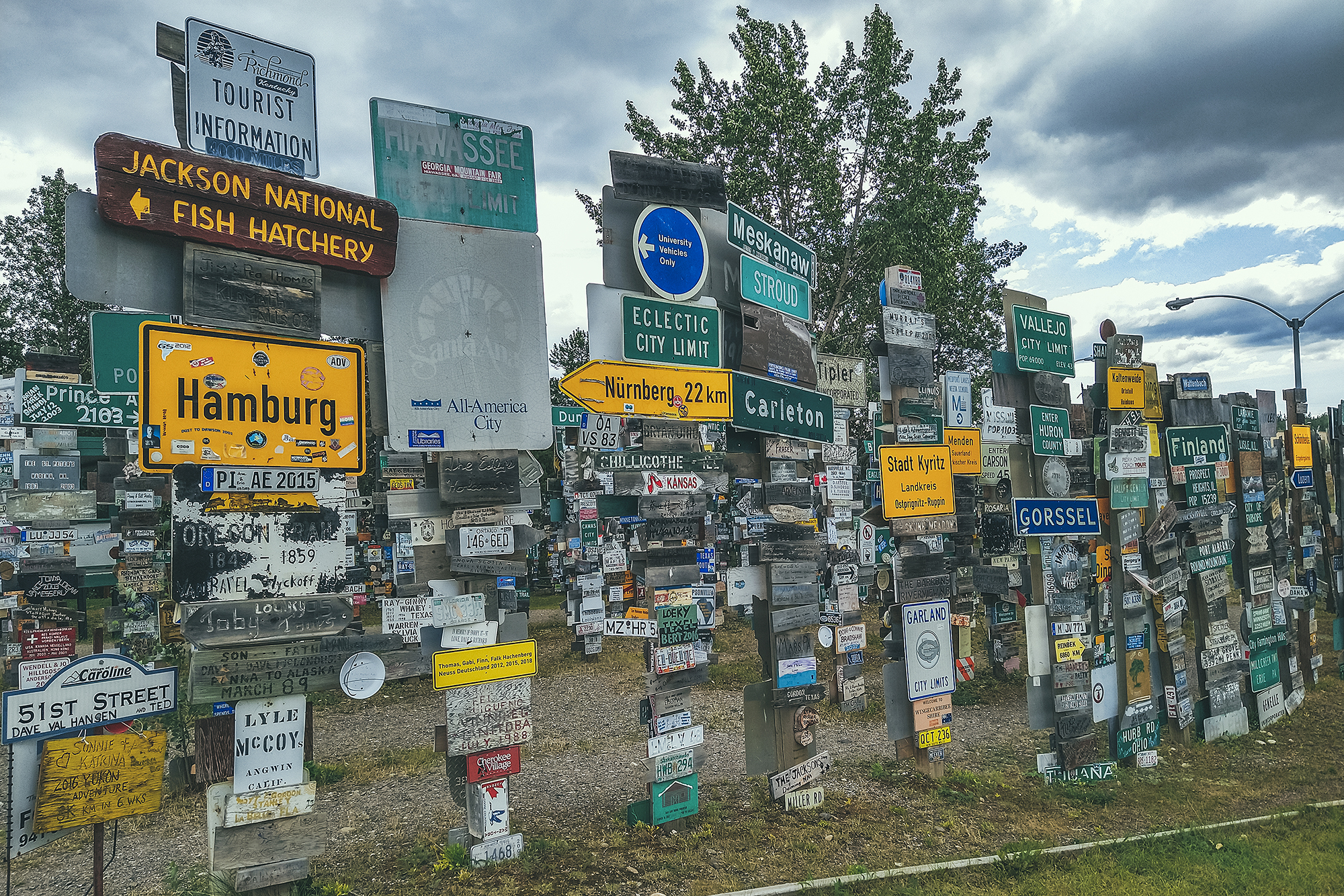
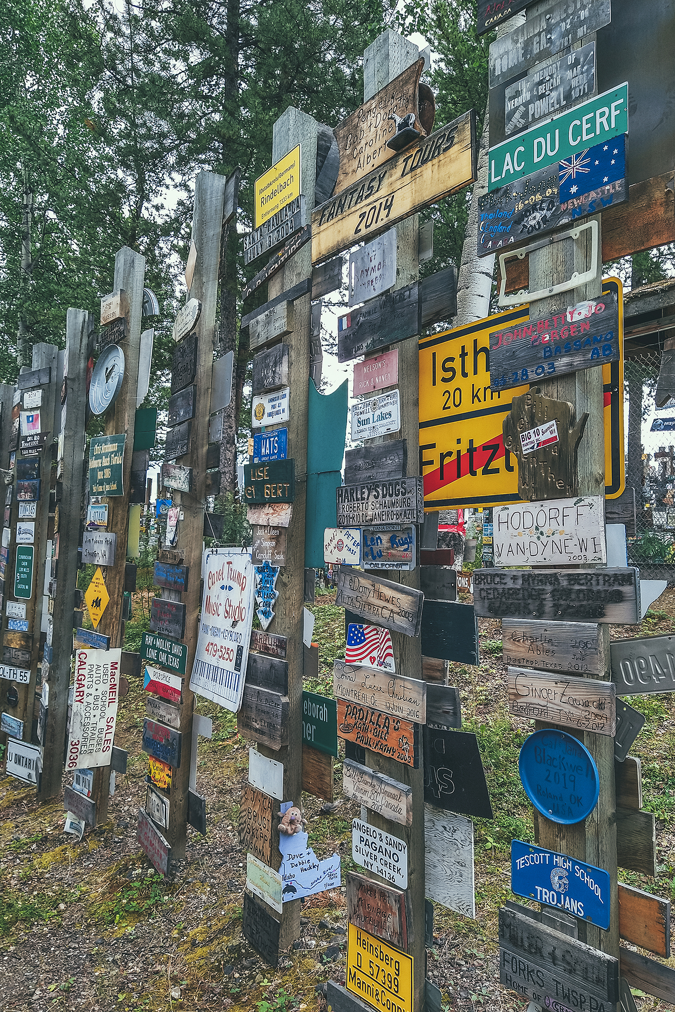
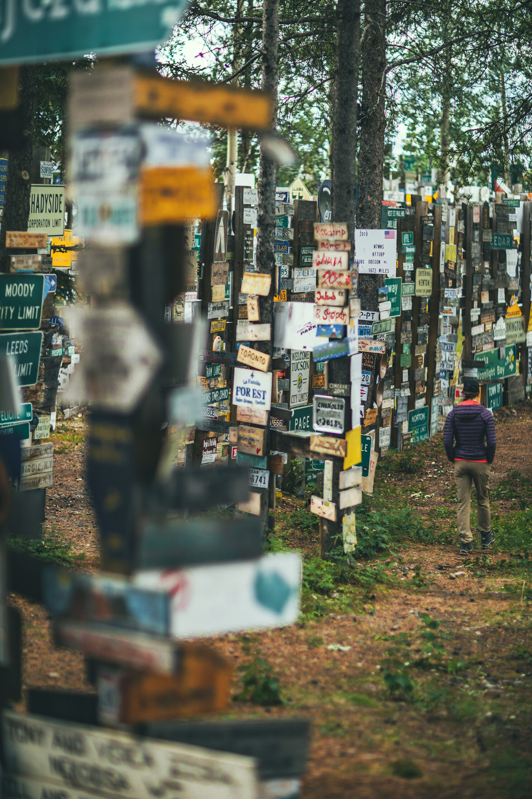
Brice made pancakes for breakfast (or tried to, they didn’t quite turn out how he normally does them). Then we left our camp. We stopped at the Sign Post Forest, which displays signs (or license plates) made by people who visited.
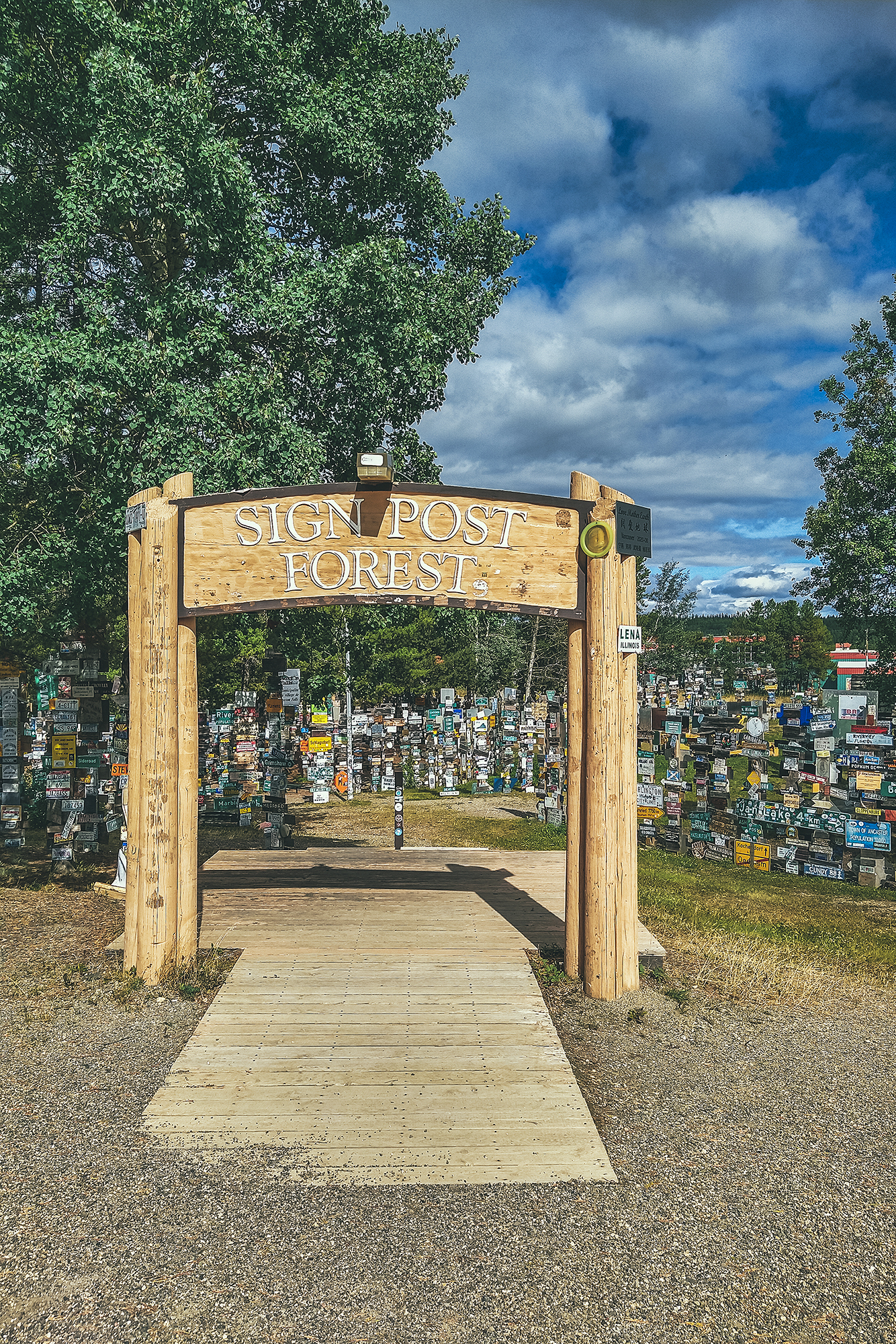
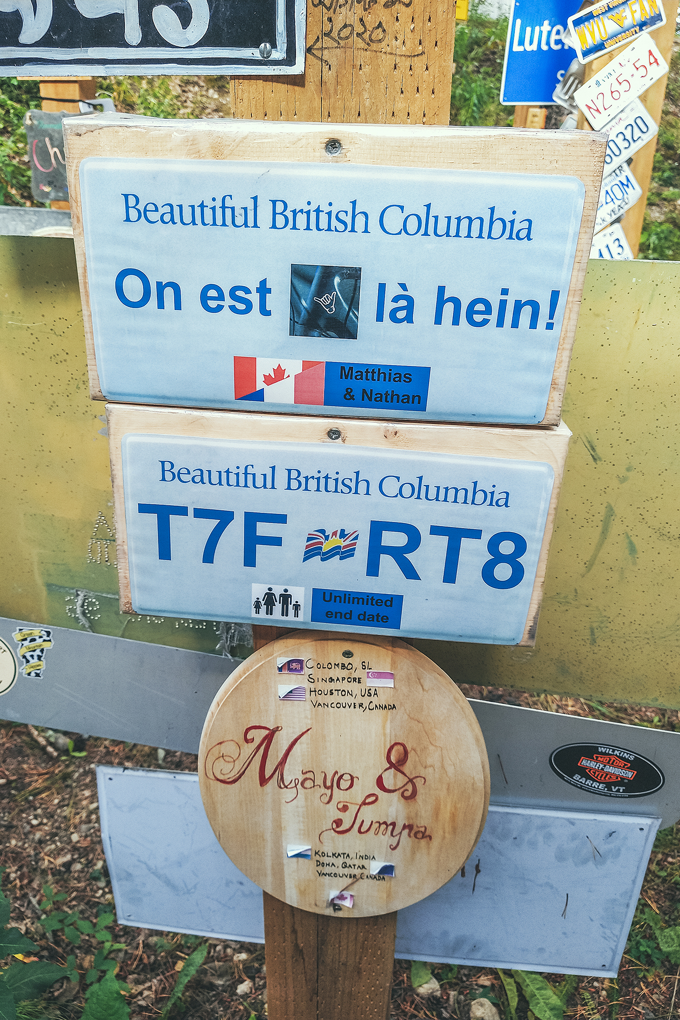
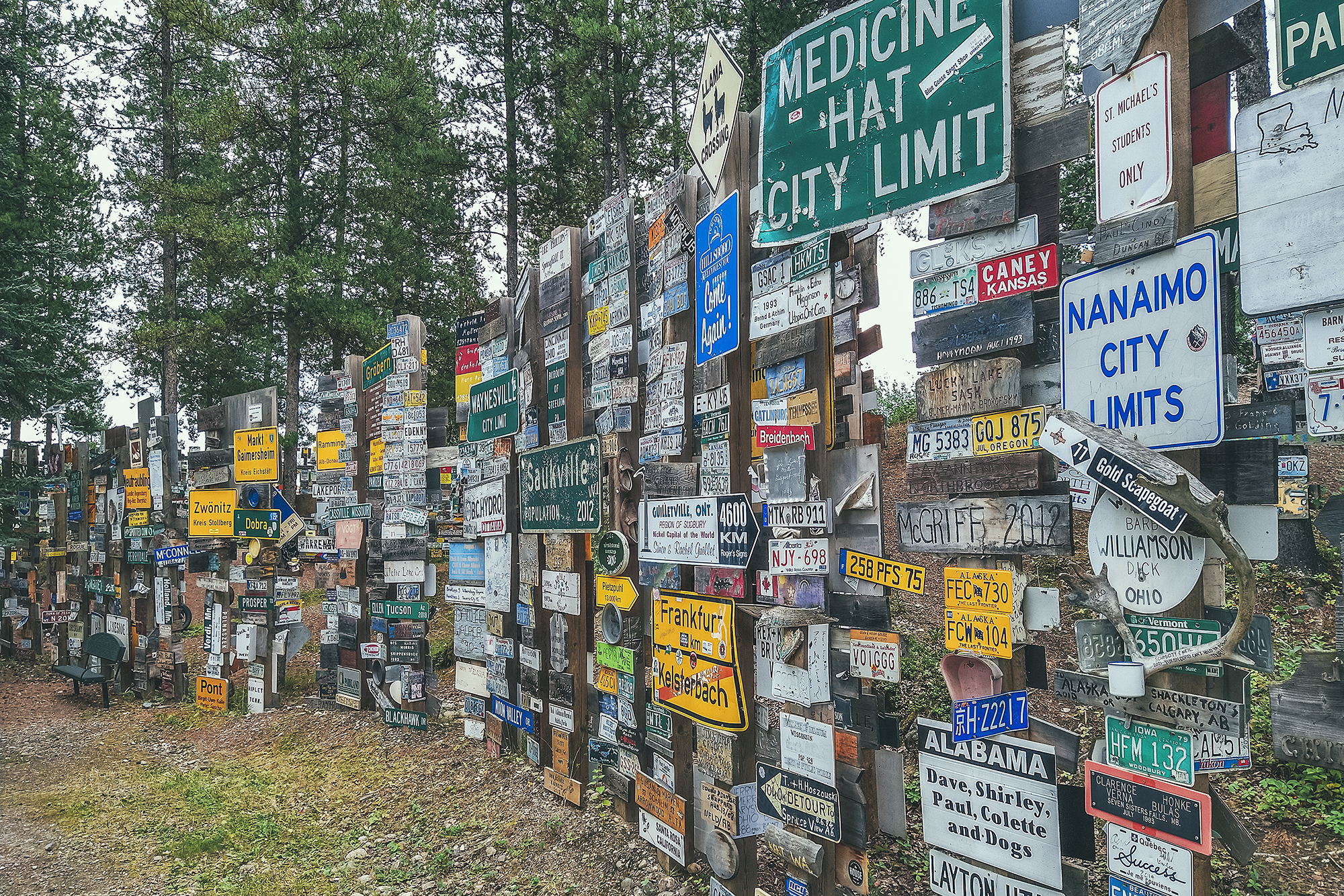
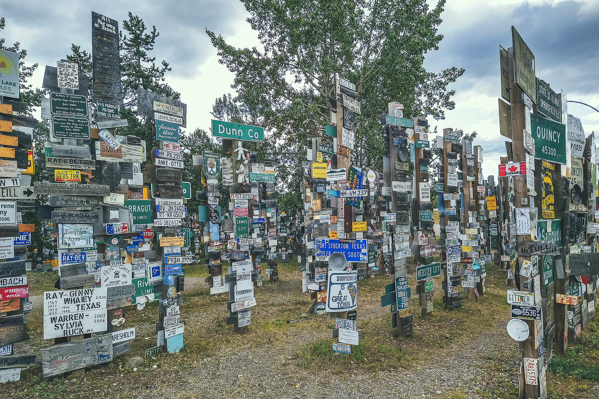
It was started in the 1940’s by a GI who was feeling homesick and was trying to make something that reminded him of home. It evidently became a thing that people do when coming through the town. Apparently there are now over 80 000 signs! I guess it’s the local equivalent of the bridge of locks in Paris – except there’s no danger of the forest of posts collapsing under the weight of the signs…it seems it could still expend for a bit.
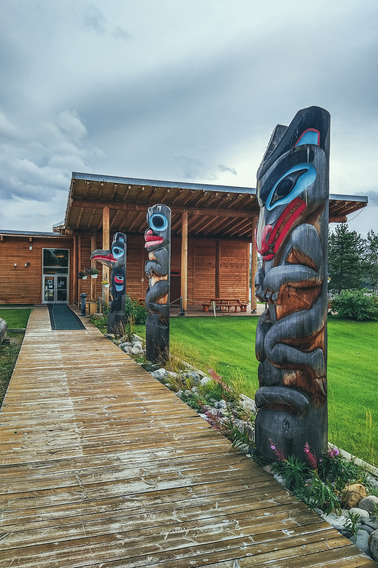
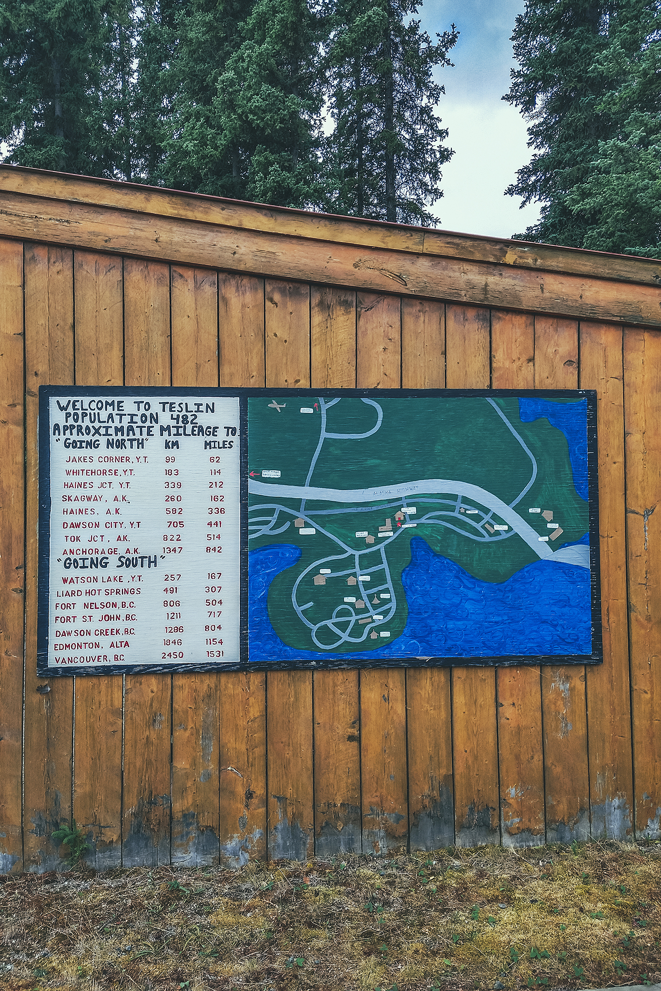
We then headed off and spent a few hours driving, making only one stop in Teslin (about halfway between Watson Lake and Whitehorse). We visited the Teslin Tlingit Heritage Center, which has a small display of Tlingit artefacts – small but impressive, with beautiful beaded garments and carved masks by local artists.
We watched a 15 min documentary about the celebrations the Tlingit people organize when their relatives from Juneau, AK come to visit.
The Tlingit people originated from Coastal Southern Alaska, but some migrated inland for fur trading, and as craftsmanship evolved they were able to spend more time in the cold interior winter, eventually settling away from the coast. The descendant of the migrants refer to themselves as the Inland Tlingit, but still have a very strong bond to their coastal cousins, which they celebrate with regular potlatches.
For a period of time though, these gatherings were restricted by the ban on potlatches, which was in place between the mid 1880’s and the 1950’s both in Canada and the US.
The celebrations take place in and around the heritage Center, which also serves as a meeting place. Normally open to visitors, they haven’t been in the recent 1.5 years due to Covid.
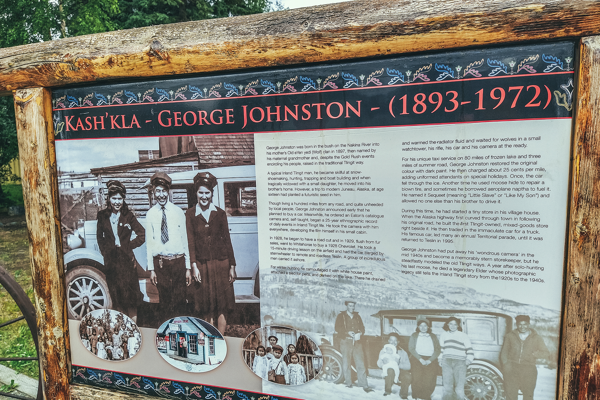
We also stopped by the George Johnston museum, but it was closed that day so we made a note to try and stop again when we drive back a few weeks later.
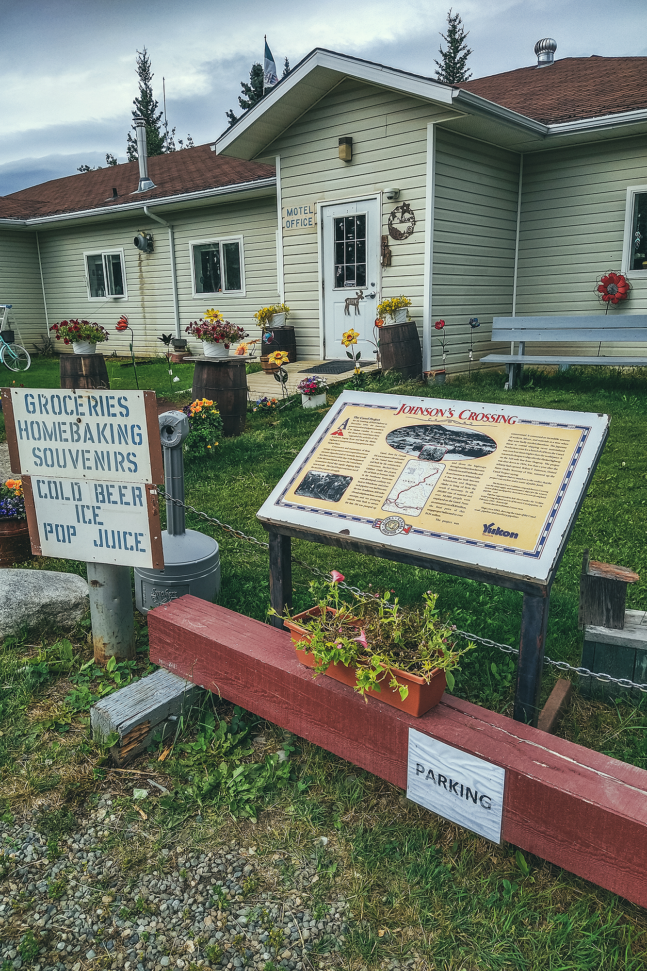
Our next stop was in Johnson’s crossing, after Brice spotted a bakery sign on the side of the road, and we had a couple of pastries for afternoon snack.

Eventually we arrived in Whitehorse and this will come as no surprise to anyone who knows Brice, our very first stop was at a Car-wash to rinse off all the dirt and mud collected along the way.
We had booked another Airbnb for that night. This time we had found a private Bed + Bath in a private house. The set-up was clean and comfortable, but the hosts were not super welcoming, barely saying hi when we got in. Mind you, the previous hosts in Old Hazelton hadn’t been super warm either, so it’s likely Covid had something to do with it. We hadn’t been in an Airbnb since before the pandemic, and our last experience before that was a 10-day stay in a private room in Austin, Tx, where we got to meet and interact with our hosts on a daily basis. But of course the pandemic would have had a huge impact on how much interaction hosts are trying to have (or not to have) with their guests.
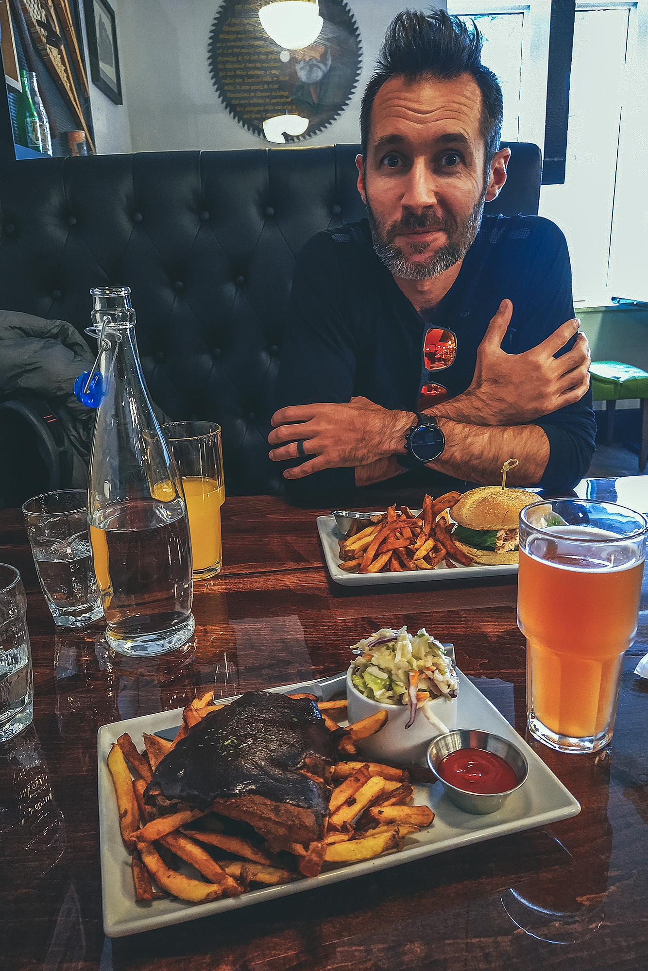
We put our stuff down and headed out for dinner, taking advantage of being in a city to go to a proper restaurant. It was almost a bit strange to be sleeping inside a house, after all the camping, but still nice to be able to shower and sleep under a roof, and not have to set up and take down camp.
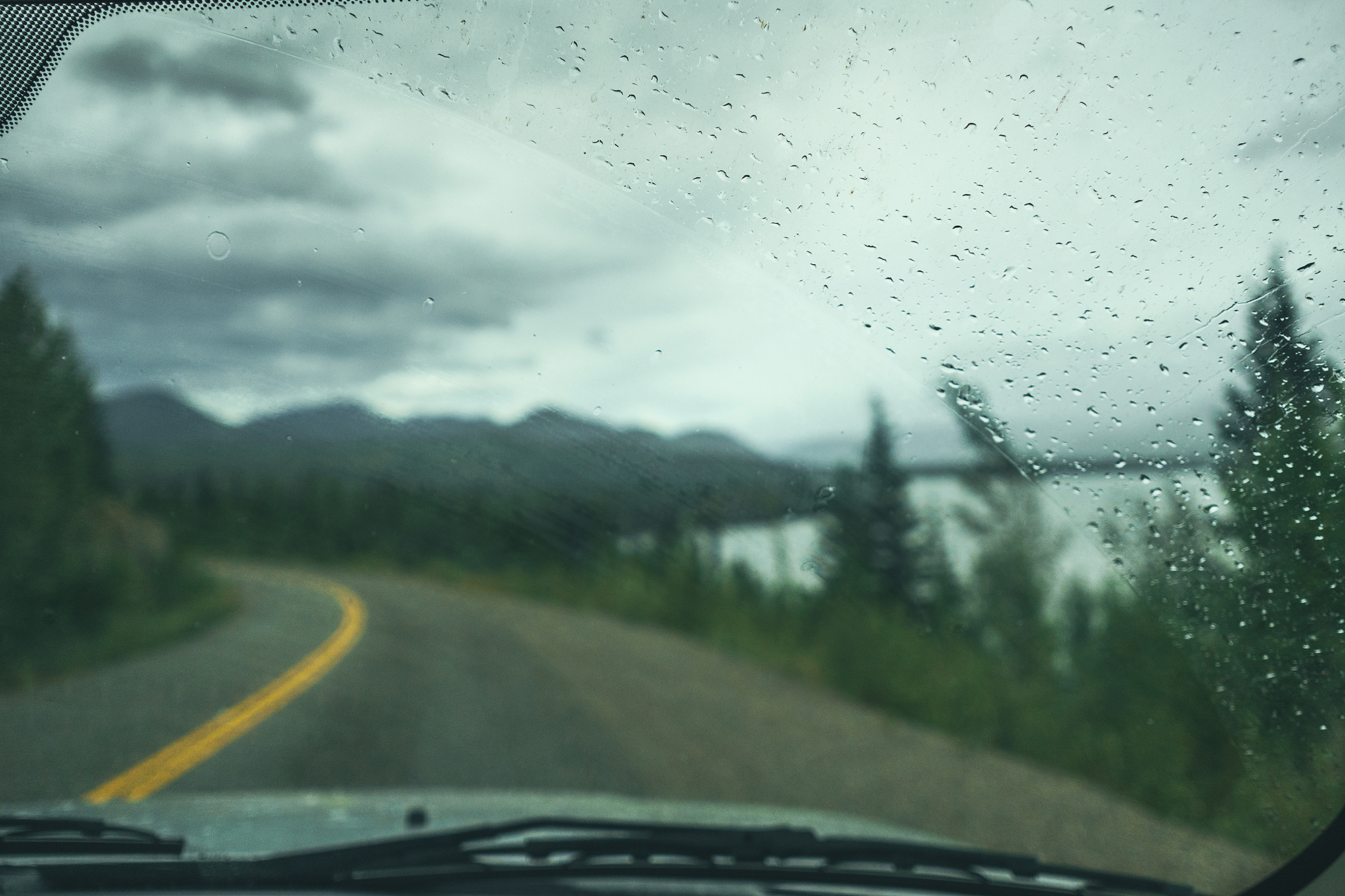
As we arrived in Whitehorse, I was checking the forecast, and it looked like a lot of rainy days ahead in the Kluane area, which is where we had planned on heading to next. I didn’t really feel like hiking in the rain and missing out on scenery covered in clouds, so we decided to head out to Dawson City early. But instead of driving there in one day, we would take the long way up and spend 3 days doing side trips to Faro & Keno, places that weren’t originally on the itinerary. In turn, we would go to Kluane after coming back from Dawson City, hoping that we would have better luck with the weather then. It also meant trading the Carcross Tagish/Aitlin loop we had also intended later on for this plan but so it goes. At least we had enough buffer time on this trip to be able to make these adjustments, as we didn’t have a set return date in Vancouver. And as we’ve learned on other trips, it’s always good to have a set itinerary, but be prepared to adjust it on the fly.
August 12 – Driving to Faro
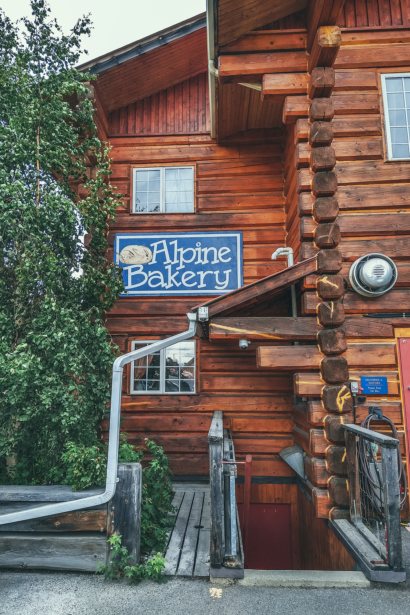
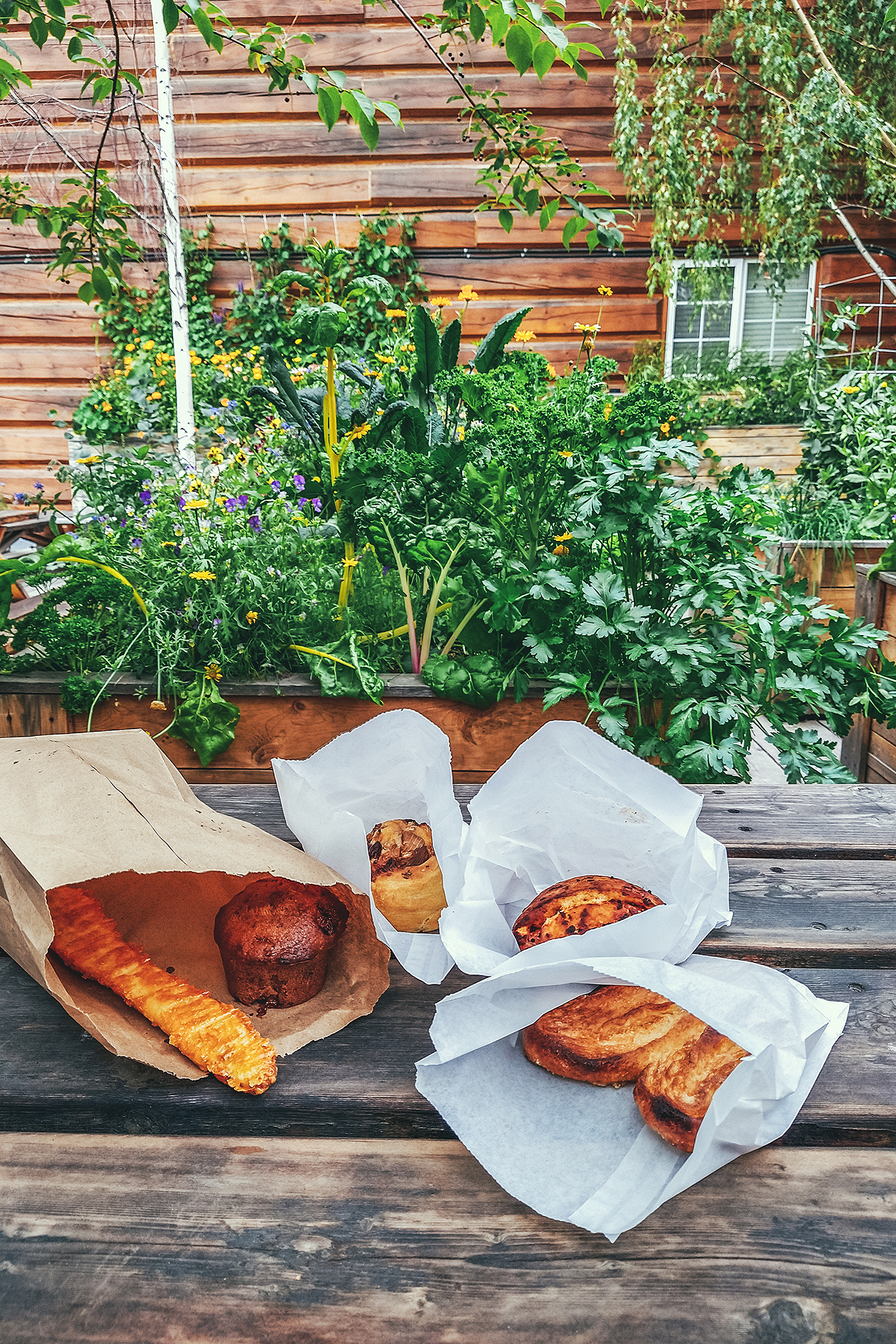
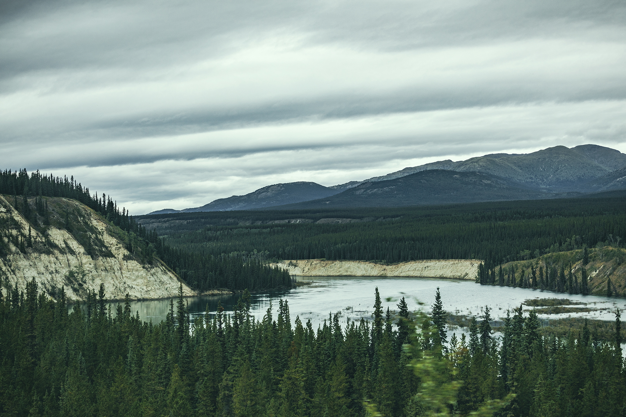
In the morning, we took advantage of the city to take care of a few errands, such as getting more cash for the campgrounds, and restocking on groceries. Then we stopped at Alpine Bakery on the way out, to enjoy a couple of sweet pastries in their cute garden patio, and grab some savory treats for lunch later. Then we got on the road, headed North on the Klondike Highway.
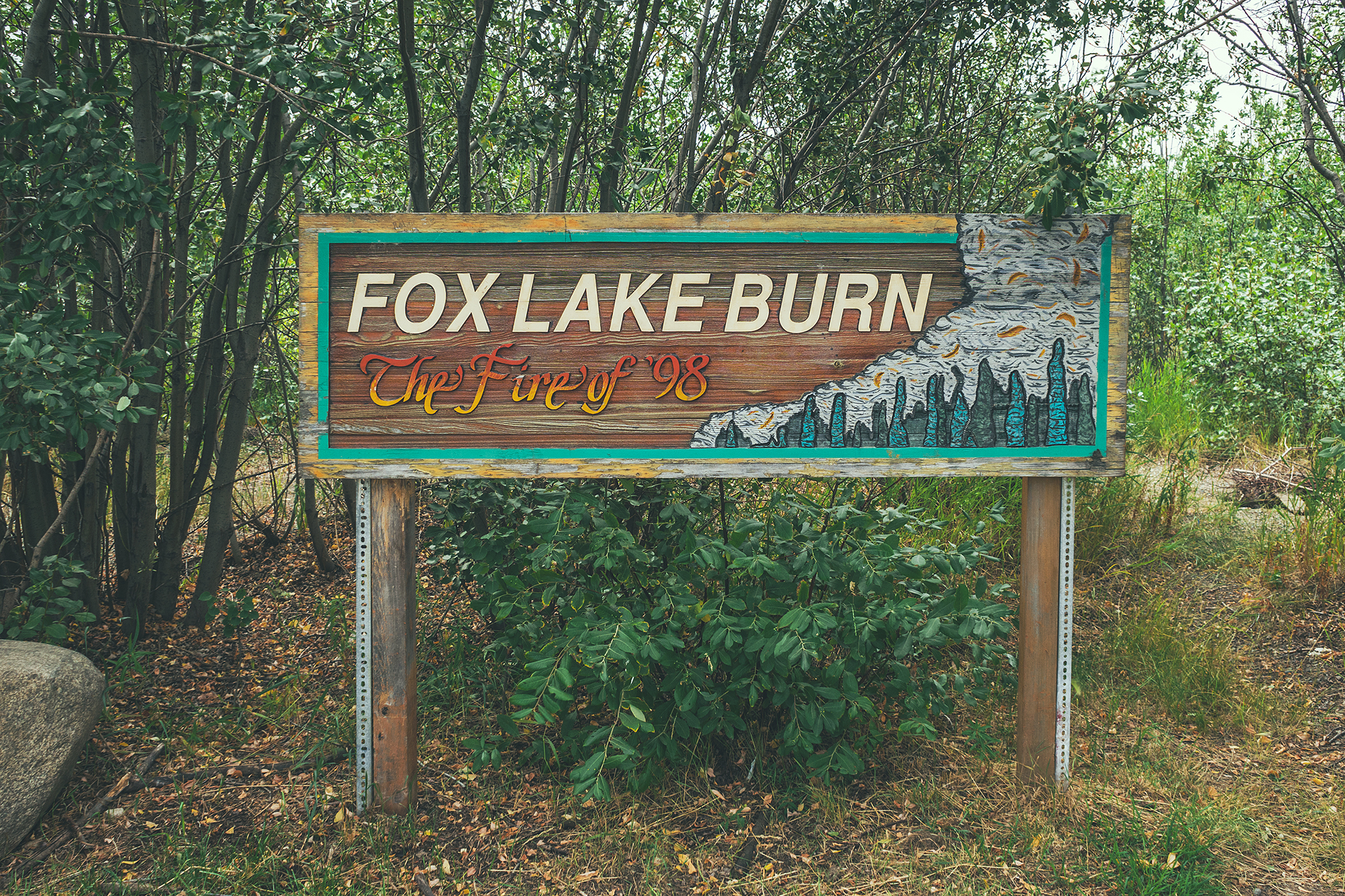
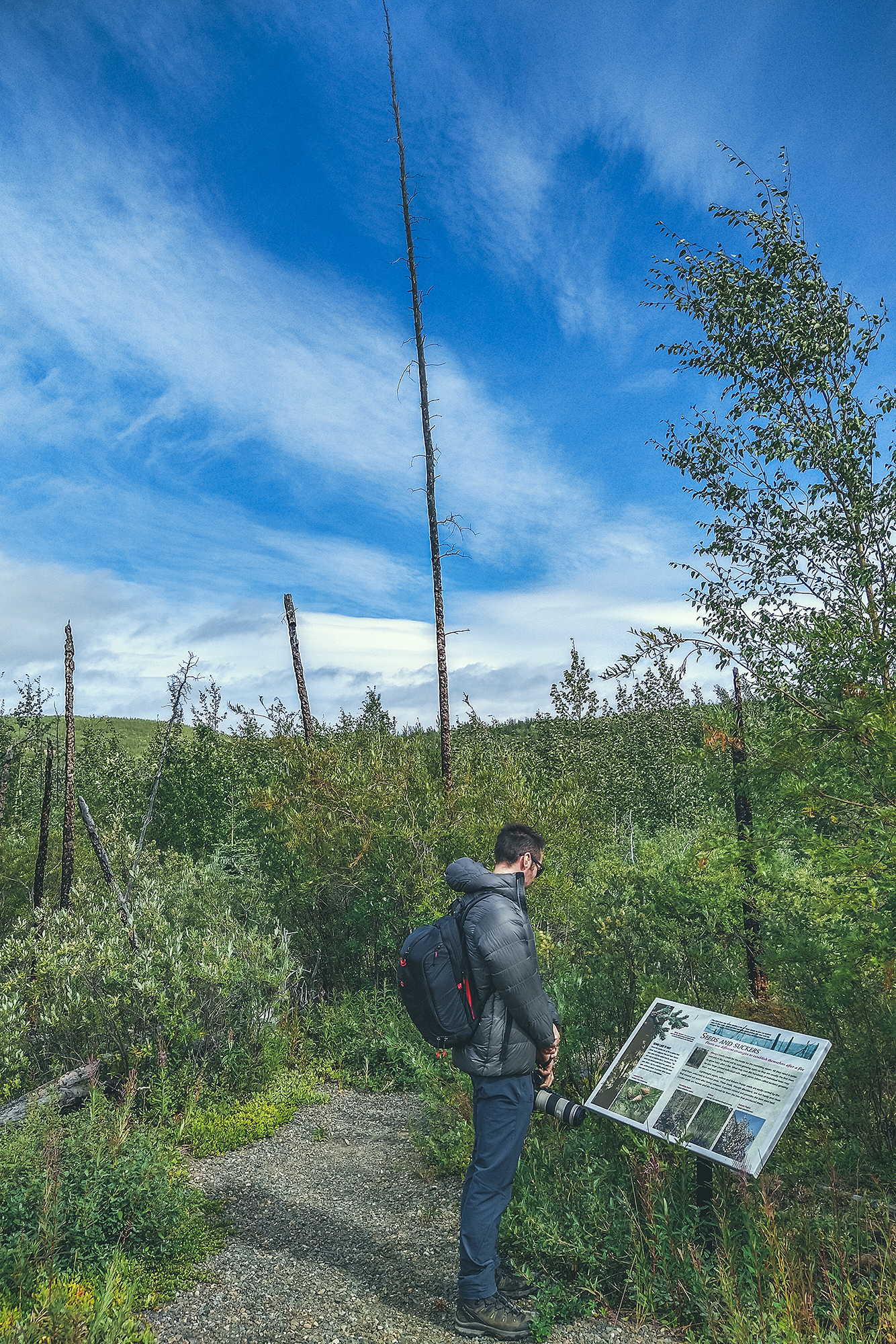
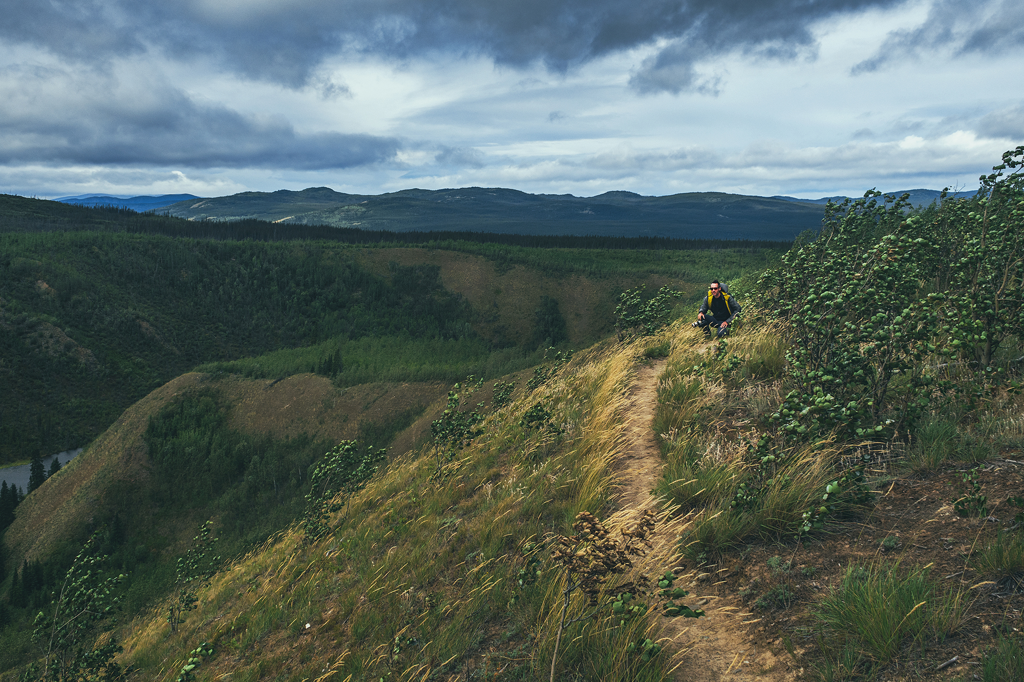
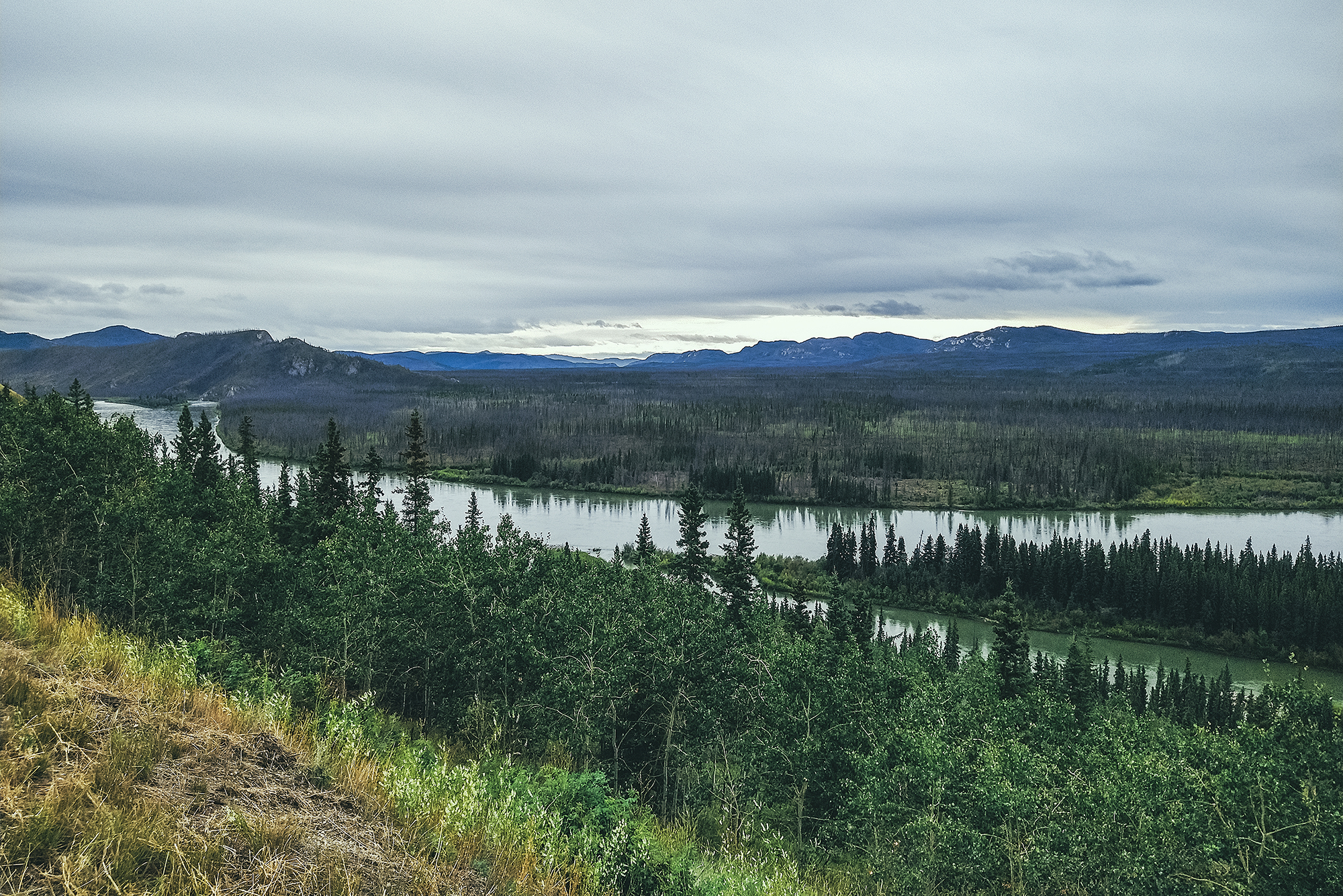
We made our first stop at the Fox lake Burn rest area, and walked down the short interpretive trail that leads to a ridge and provides information on forest fires. It described their impact on the ecosystem and how they can be beneficial in the natural cycle of things, allowing new plant and animal species to repopulate an area after a fire. A lot of the naturally caused fires (usually lightening) happen in more remote areas, and they are often monitored but not intervened on. Man-caused fires on the other hand tend to happen closer to populated area and of course cause bigger problems, as they impact human infrastructures and lives. And global warming is making it easier for fires to spread, with vegetation being a lot drier and the lack of rain to control them.
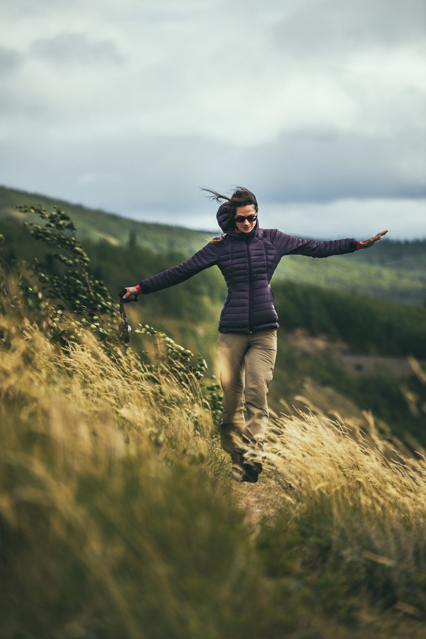
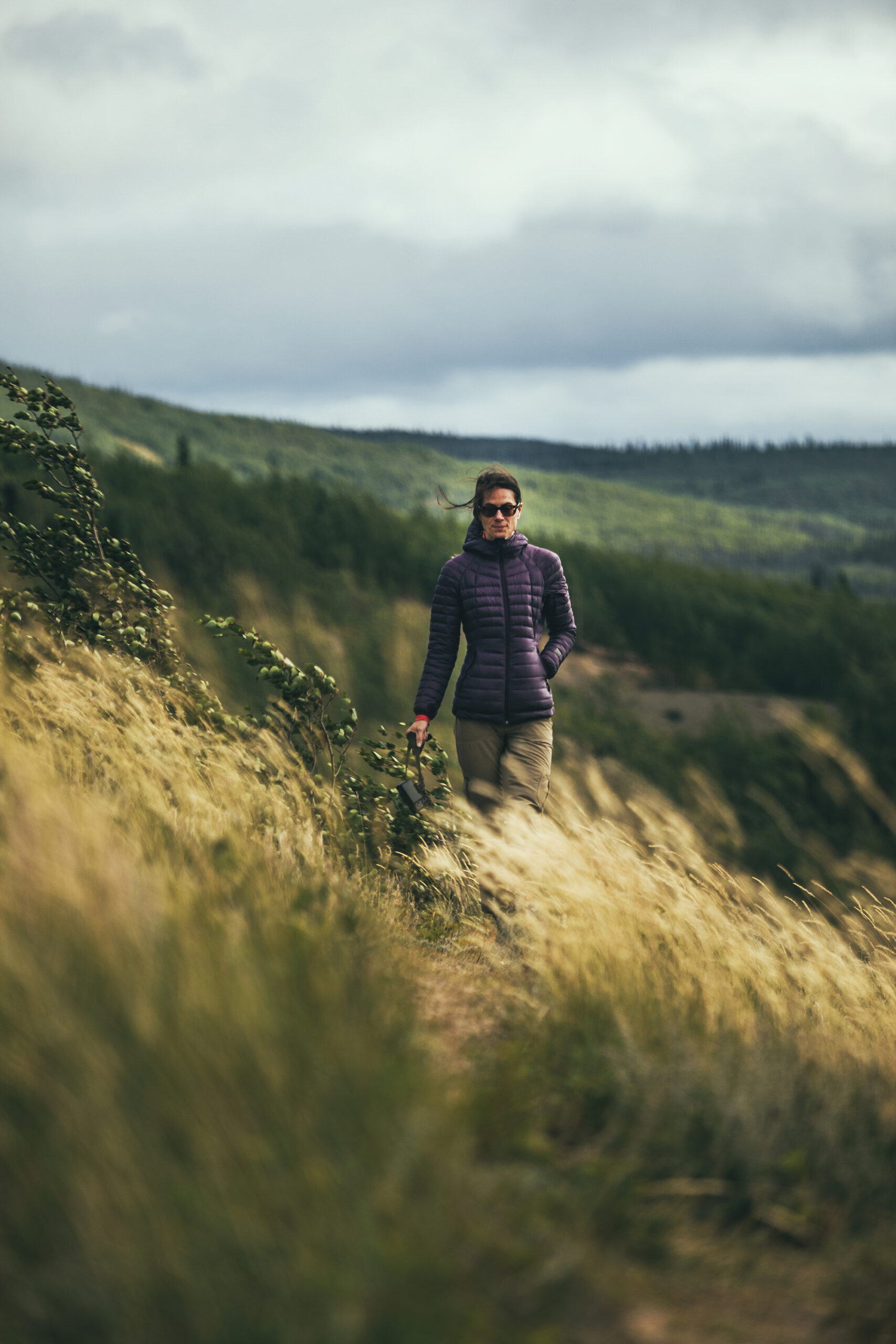
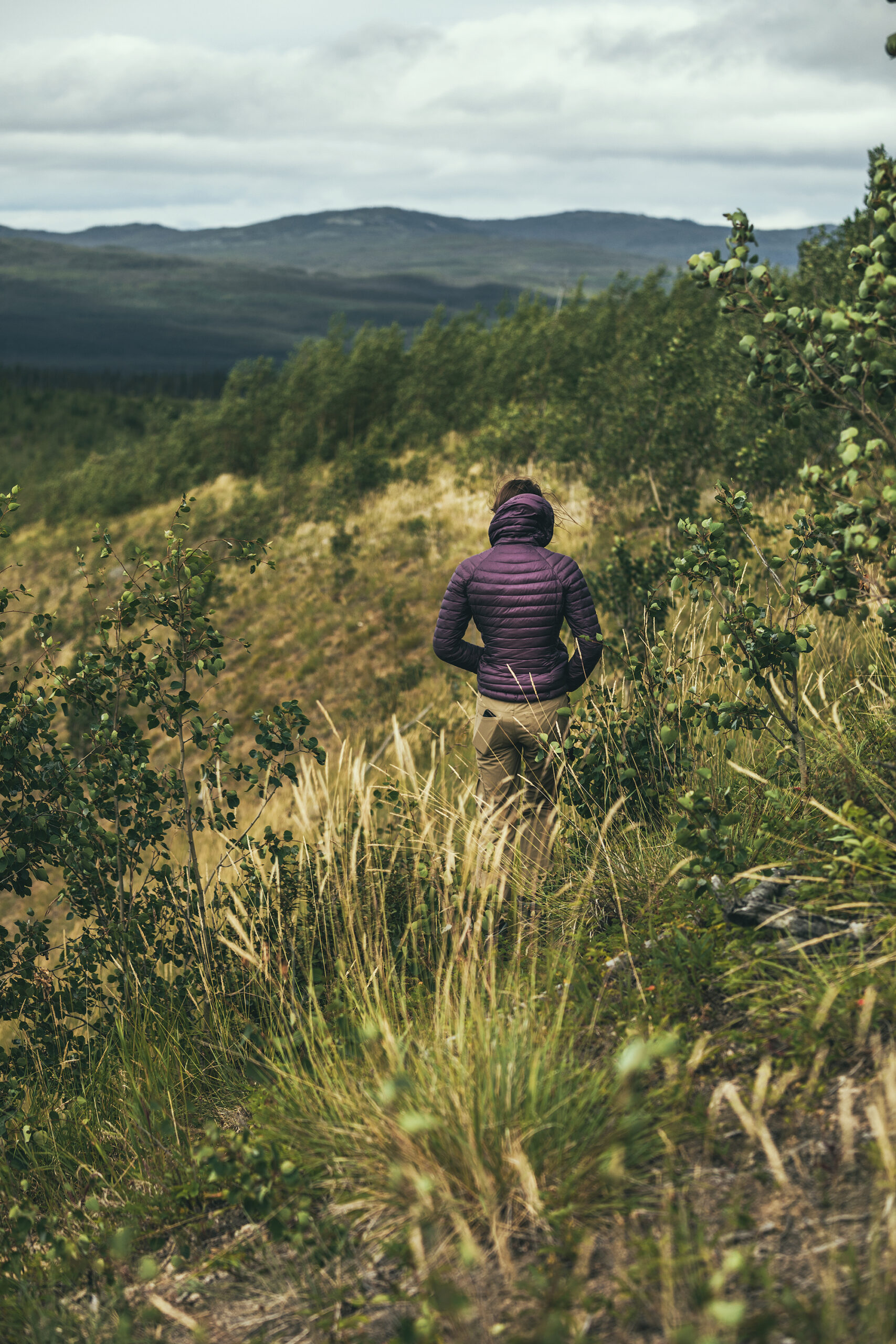
The ridge was incredibly windy! It reminded me of Patagonia, and the types of wind we encountered there, sometimes able to knock you off your feet. I could see how fire would propagate at incredible speed with winds of the sort.
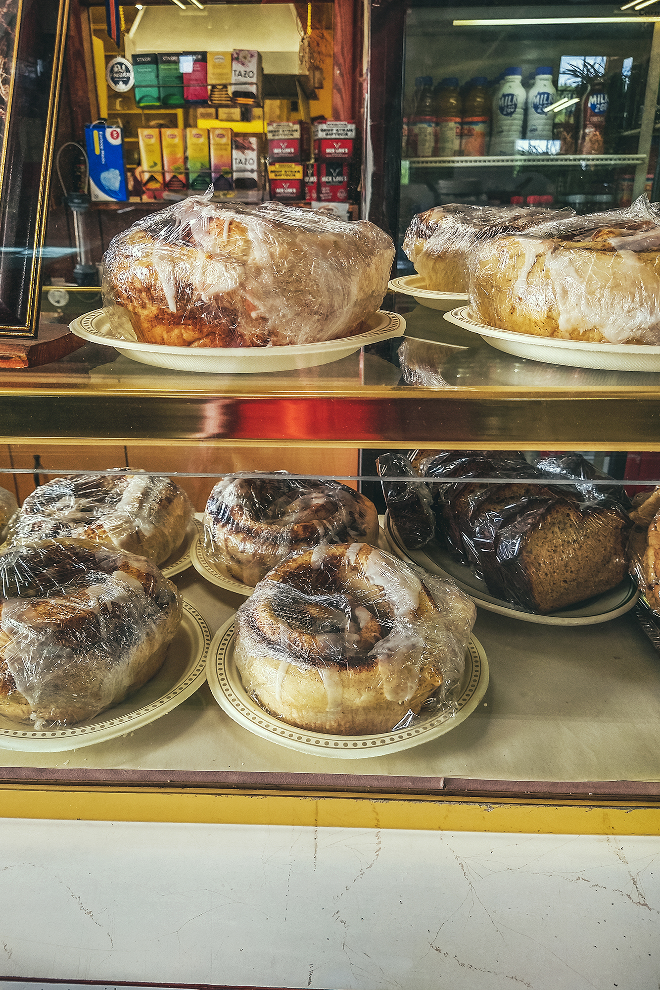
Our next stop was at the Braeburn Lodge. We came up to it just as I was reading in the Milepost that “their cinnamon rolls can feed 4 people”. Clearly we had to stop and check for ourselves.
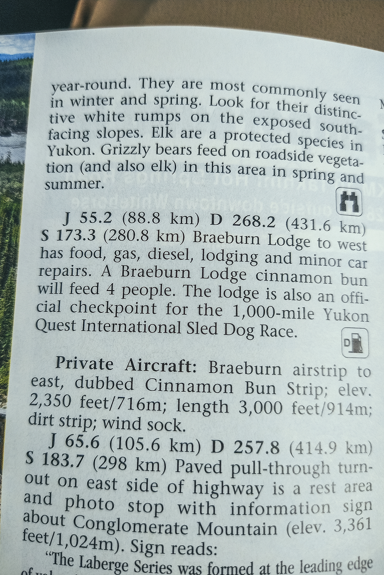
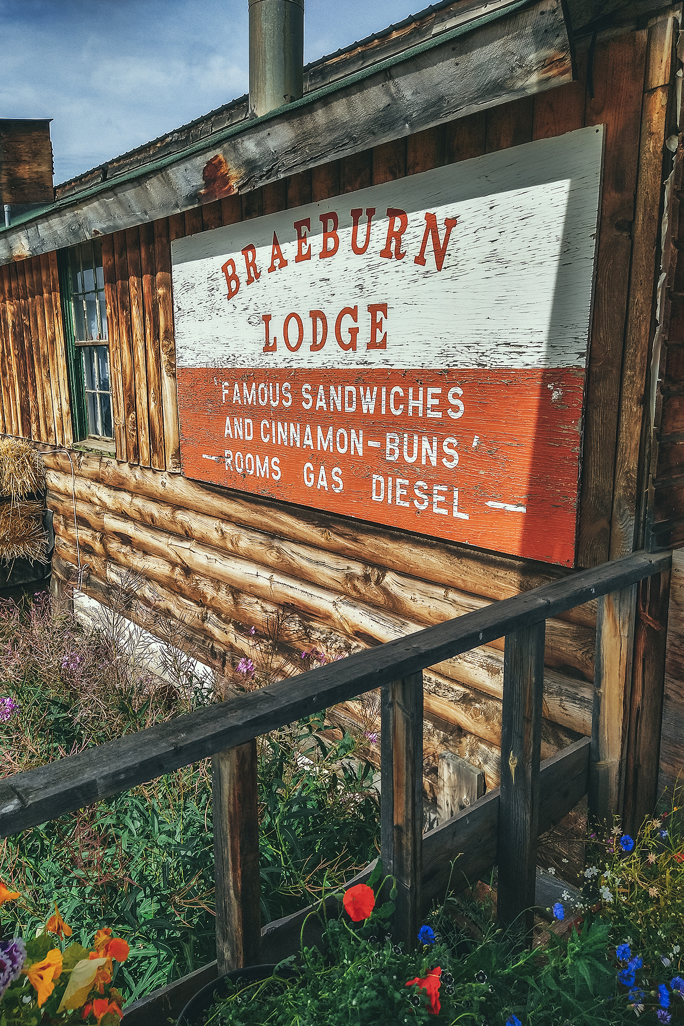
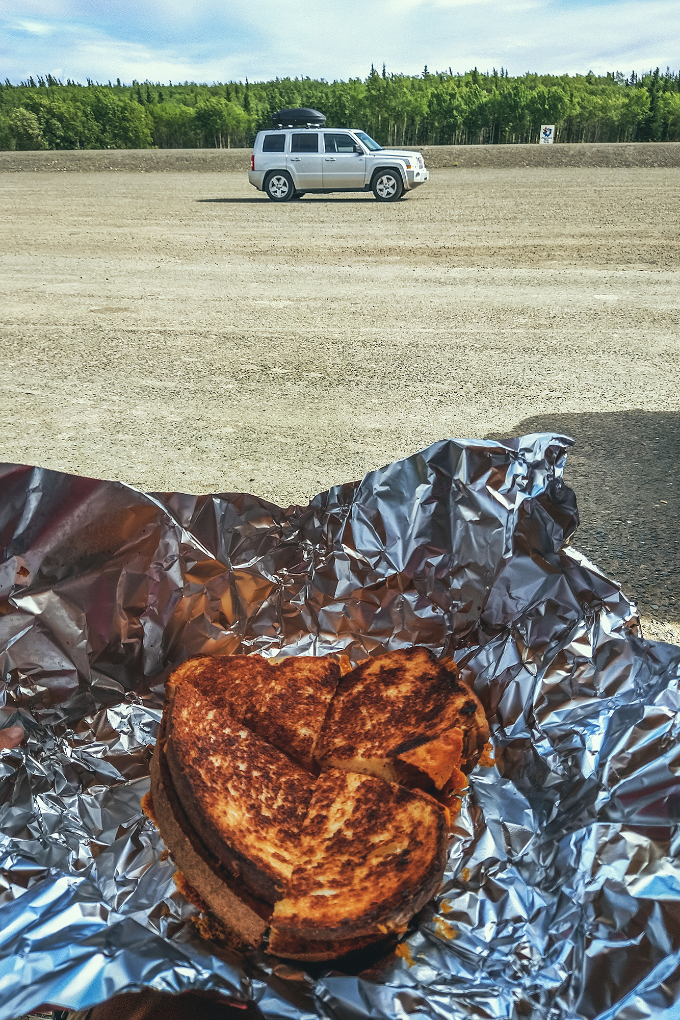
Sure enough, the buns where the size of a small cake. It was lunch time though, so we decided against buying one (also, they were REALLY big and as much as I like pastry, that was a bit too much for me), and instead went for a grilled cheese sandwich – which by the way could also have fed 4 people. It was super simple but very tasty.
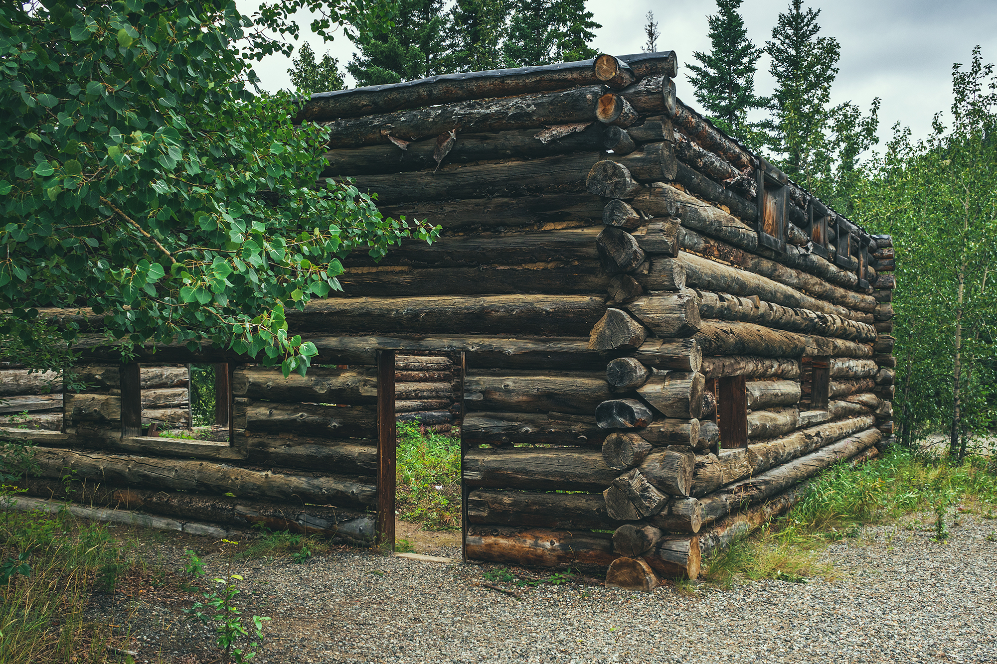
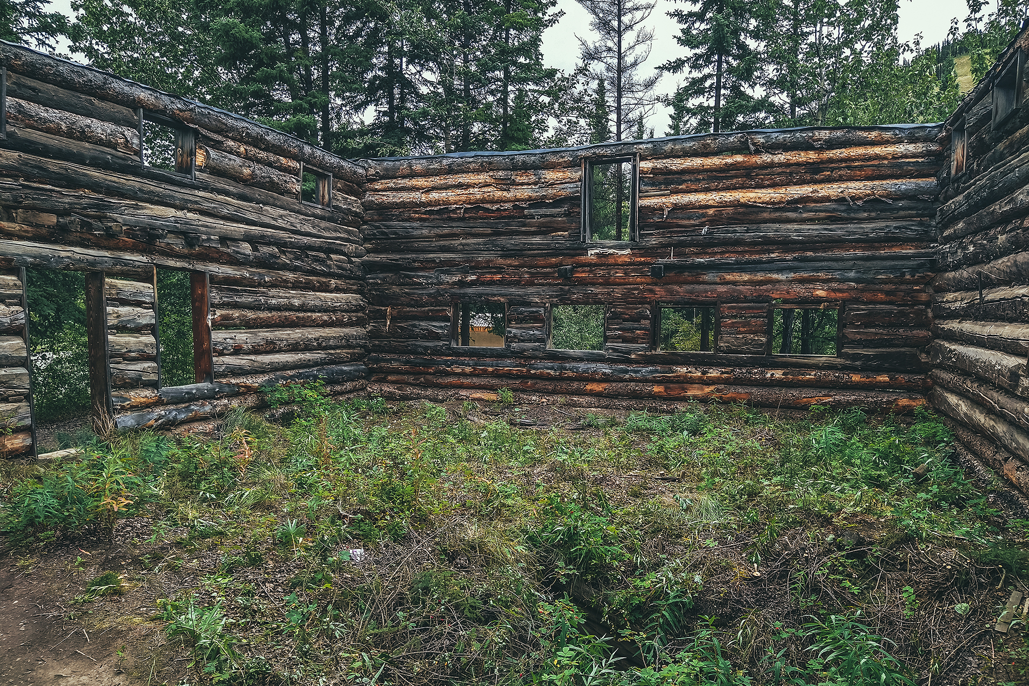
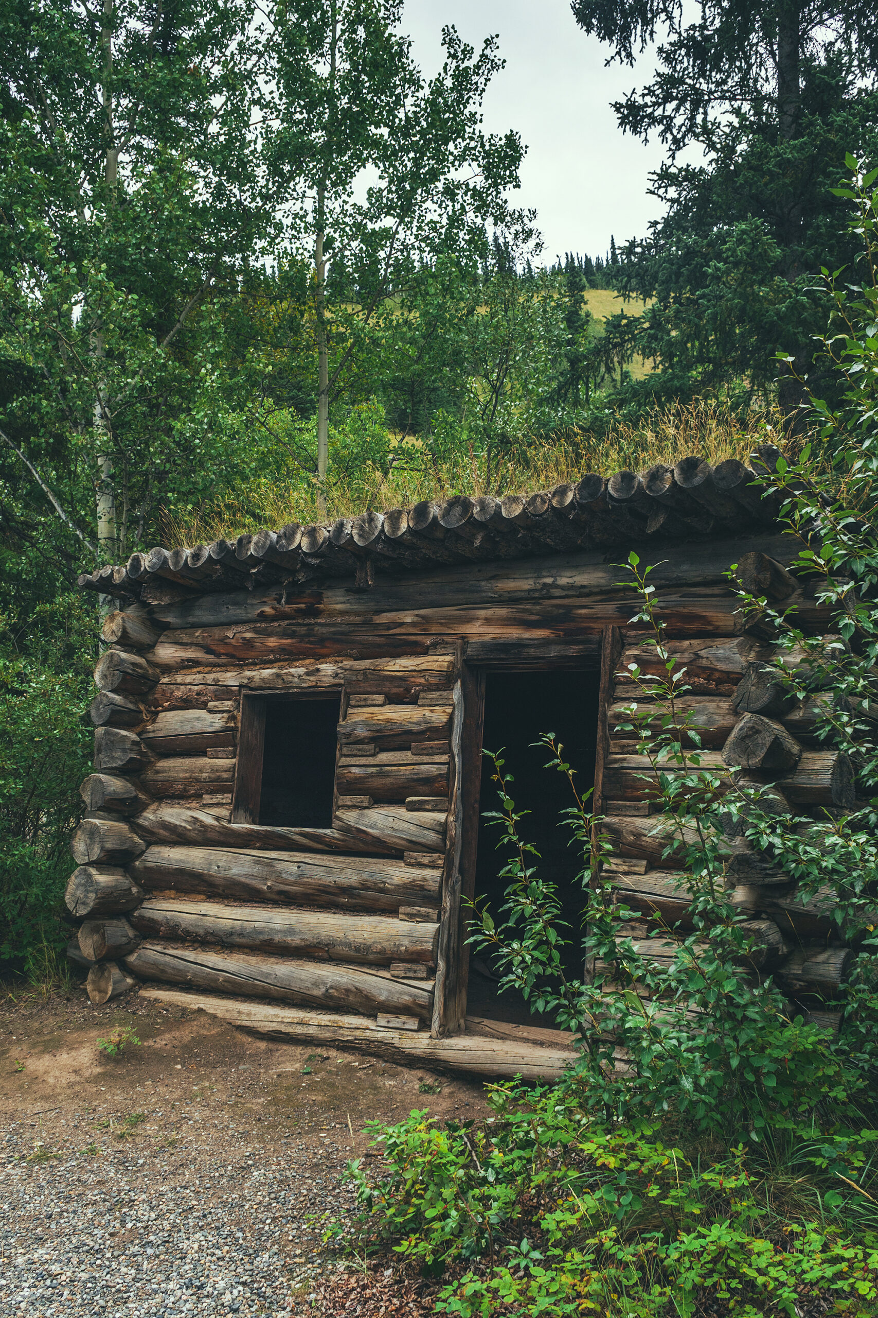
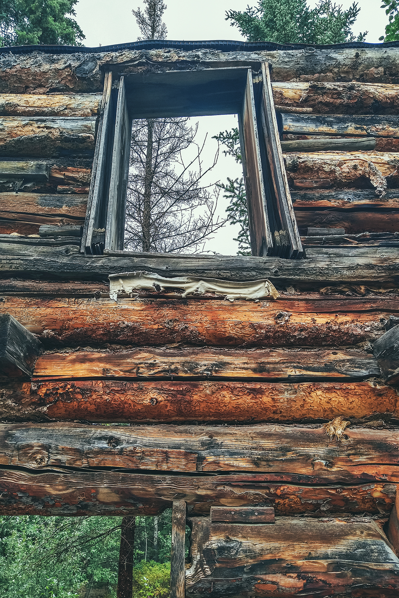
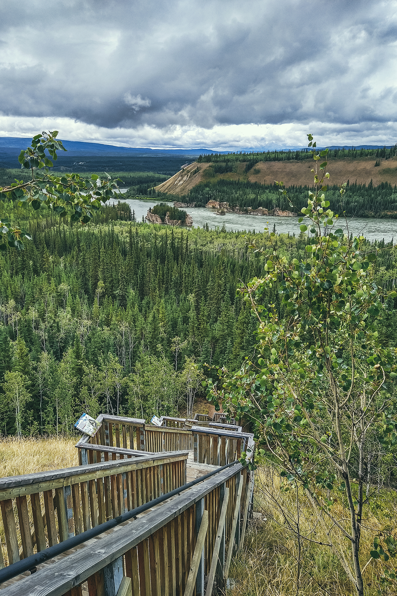
Our last stop on the Klondike that day was at the Montague Roadhouse Historic Site. Until the beginning of the 20th century, the Klondike river was the main way of transportation between Whitehorse and Dawson City. Then in the early 1900’s, the Overland Trail (now Klondike highway) was built to connect the two towns by horse and carriage. The Montague Roadhouse is the only remaining trace of the pioneer-era rest stop along the trail. Rest stops of the sort, with overnight accommodation, were found every 40 km or so along the trail. You can still see some of the main roadhouse building at the site, and read about the history of it.
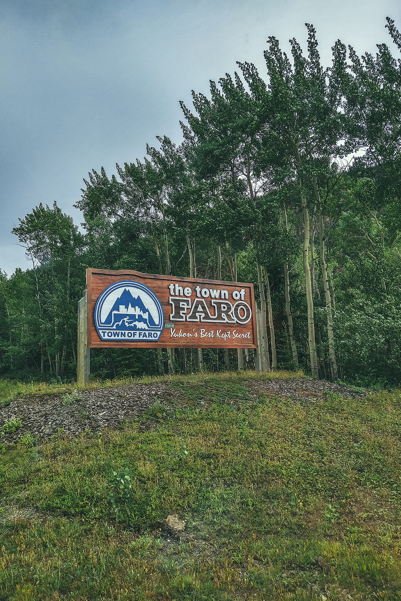
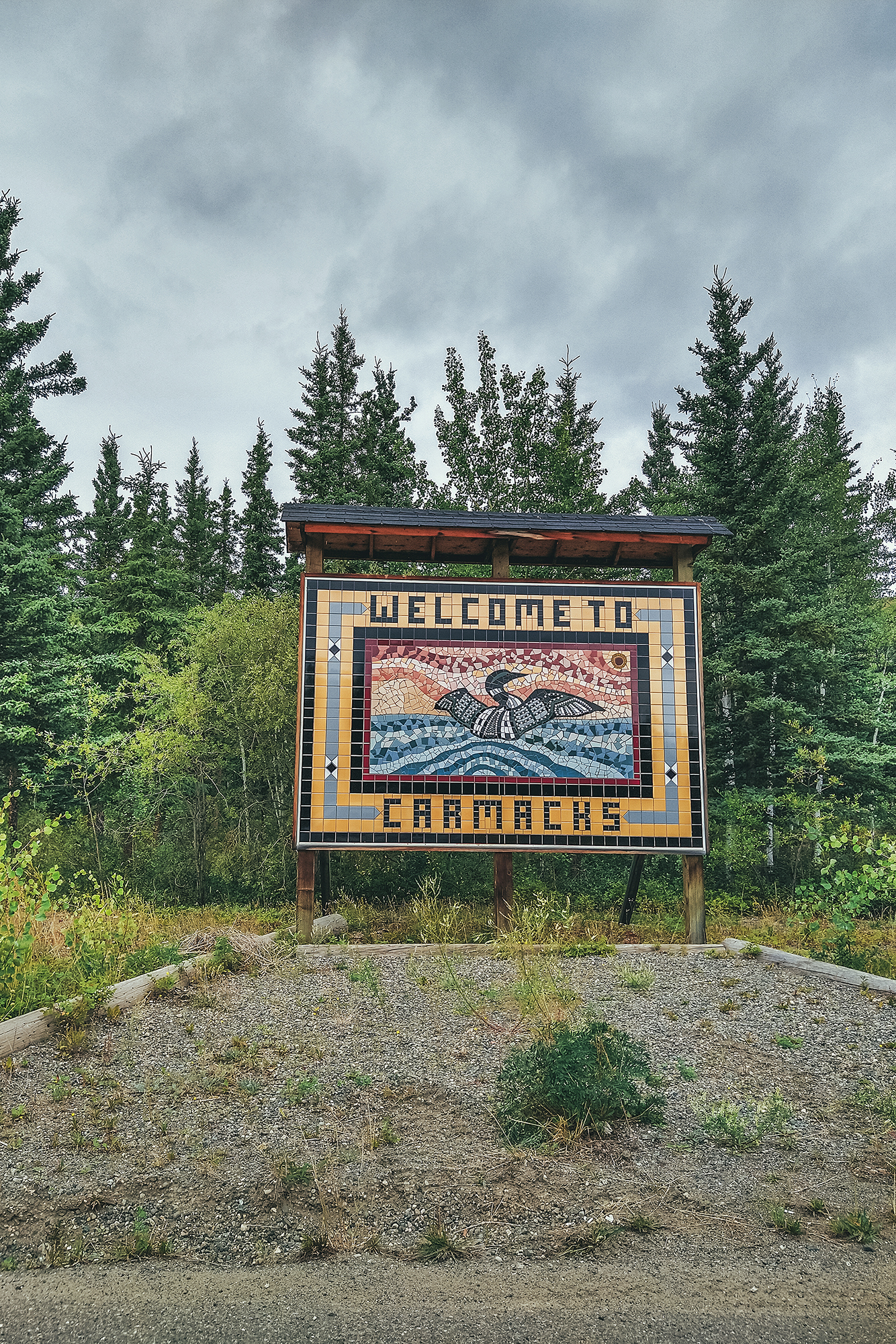
Once we got to Carmacks, we left the Klondike Highway for our first side trip, heading East to Faro on the Campbell Highway.
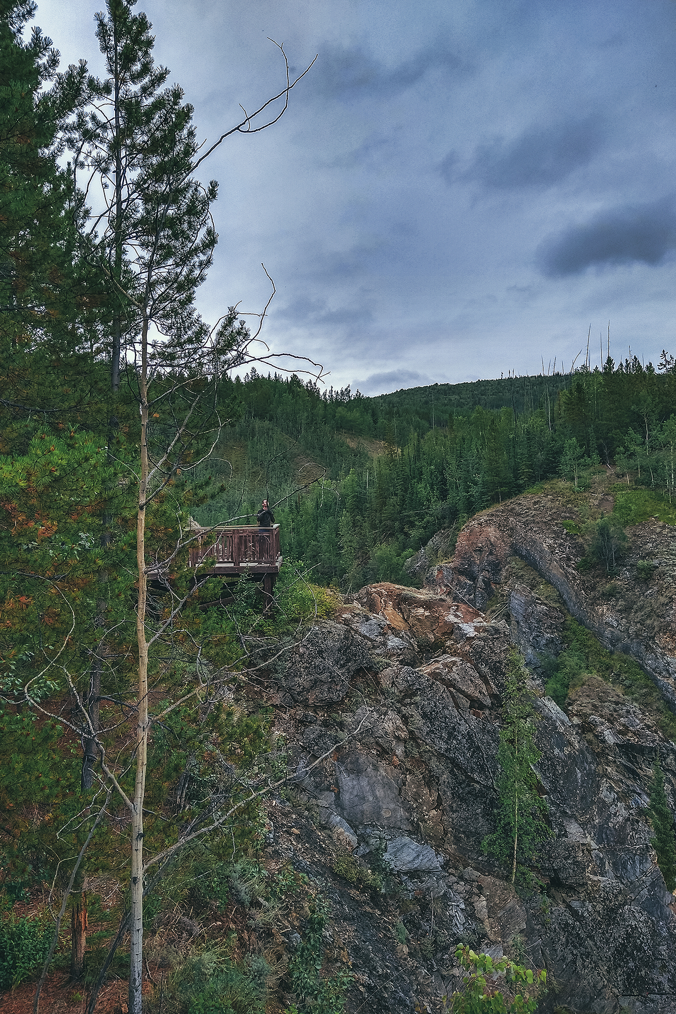
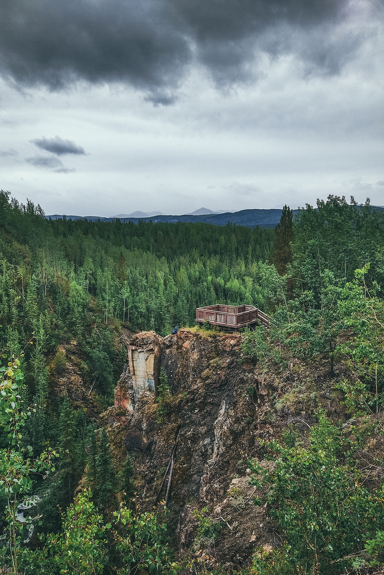
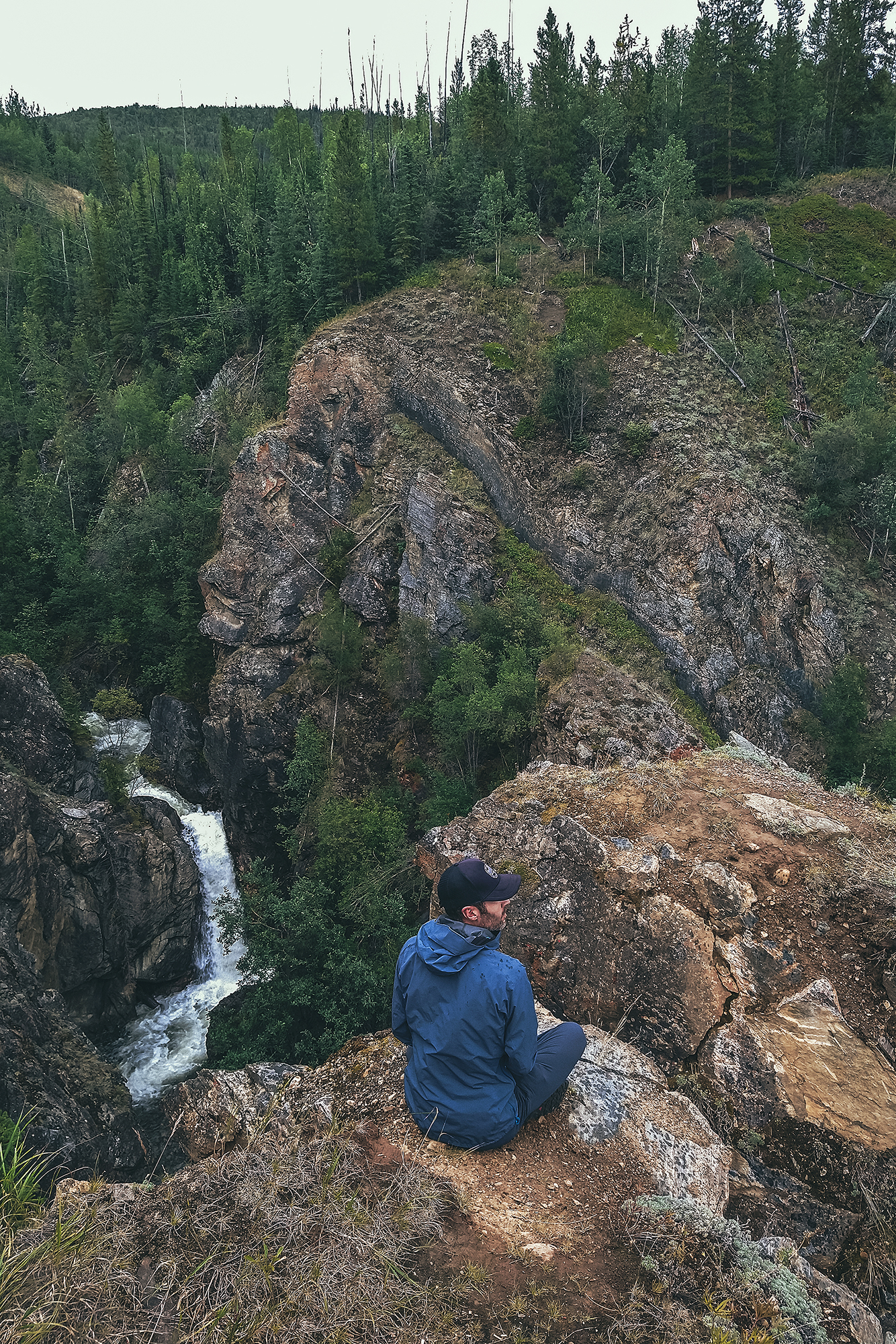
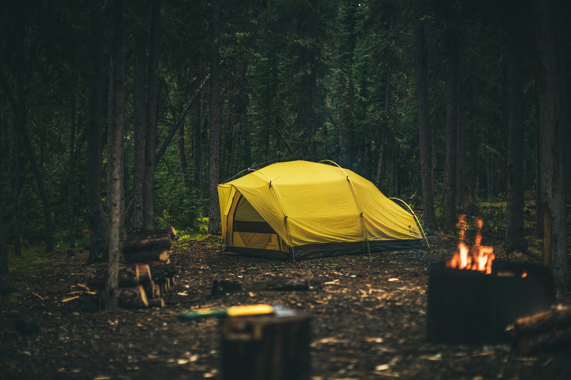
We set up camp at the John Connolly municipal park, a nice campground with hot showers (always a plus). We were quite tired from the long drive but decided to take the short hike along the Van Gorder waterfall trail to stretch our legs.

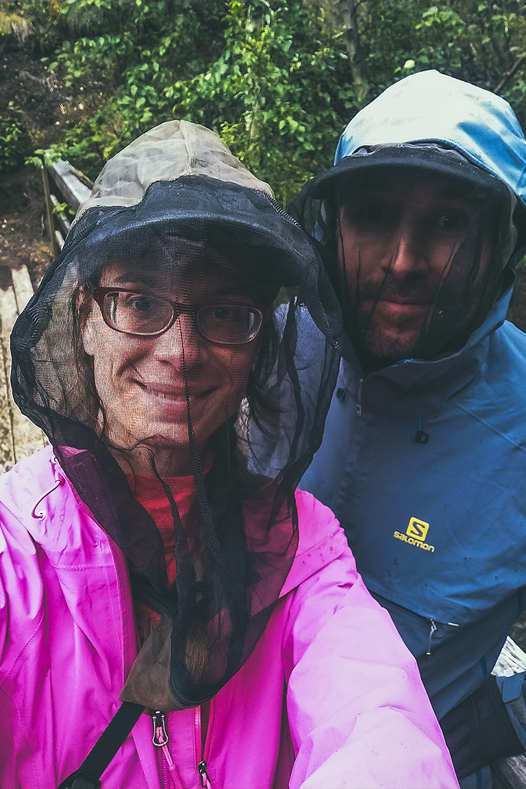
Mosquitos were, once again, a bit aggressive (we wore our bug jackets to the waterfall!), and it rained for a good portion of the night, but we still had a cozy sleep in our little tent.
August 13 – Running on Faro trails and drive to Tatchun lake
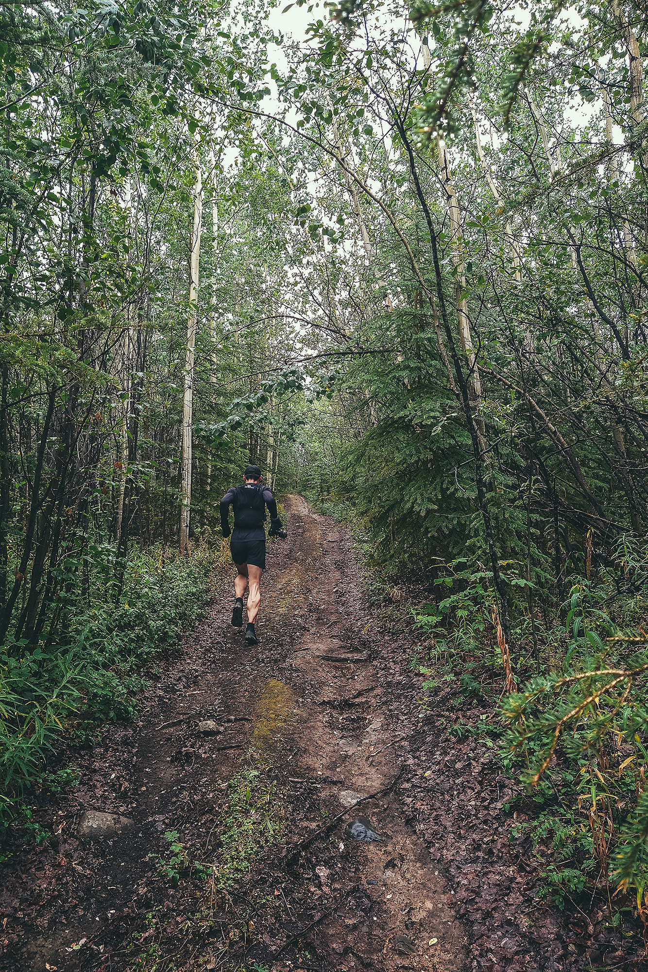
The next morning we decided to go for a trail run before heading back out.
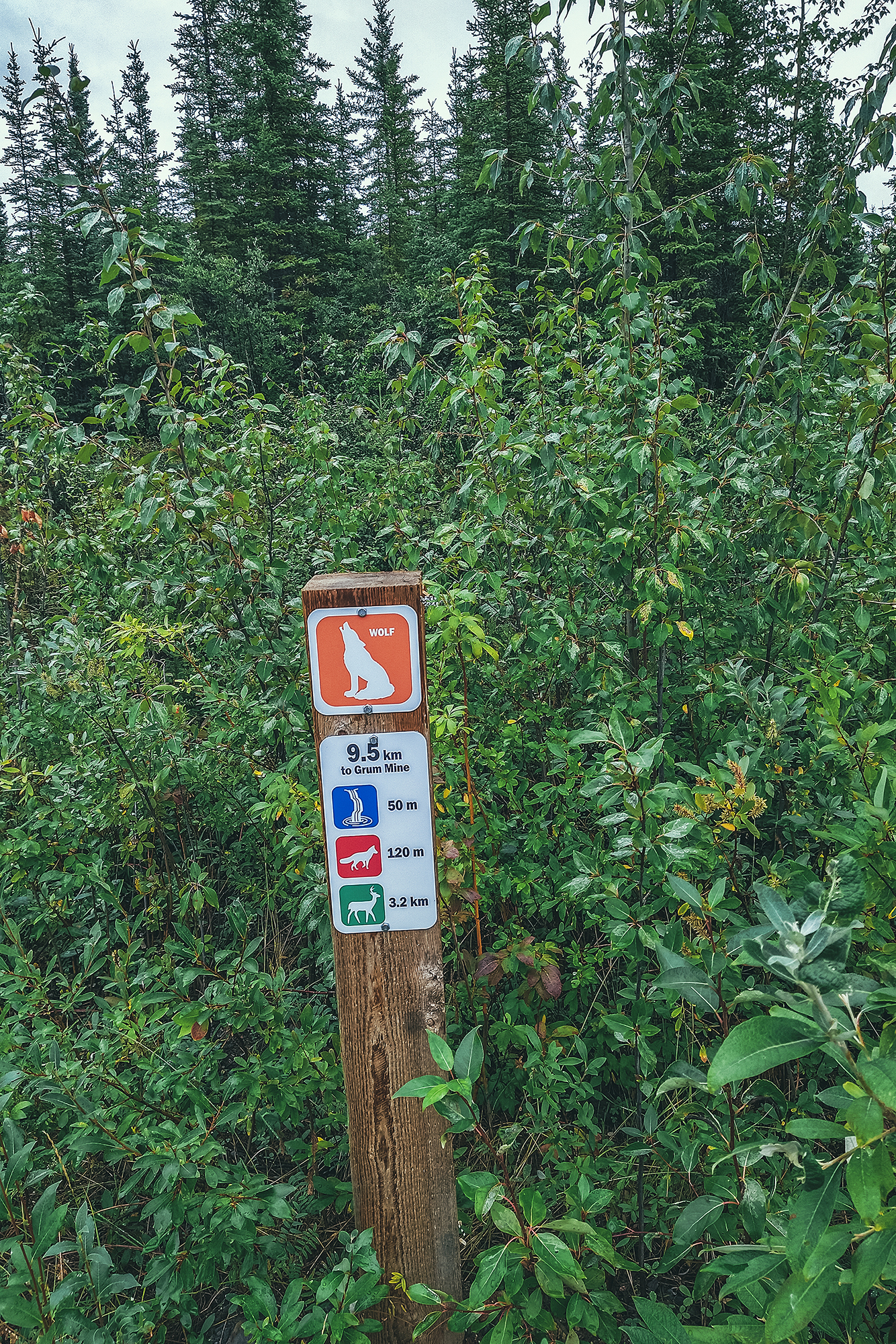
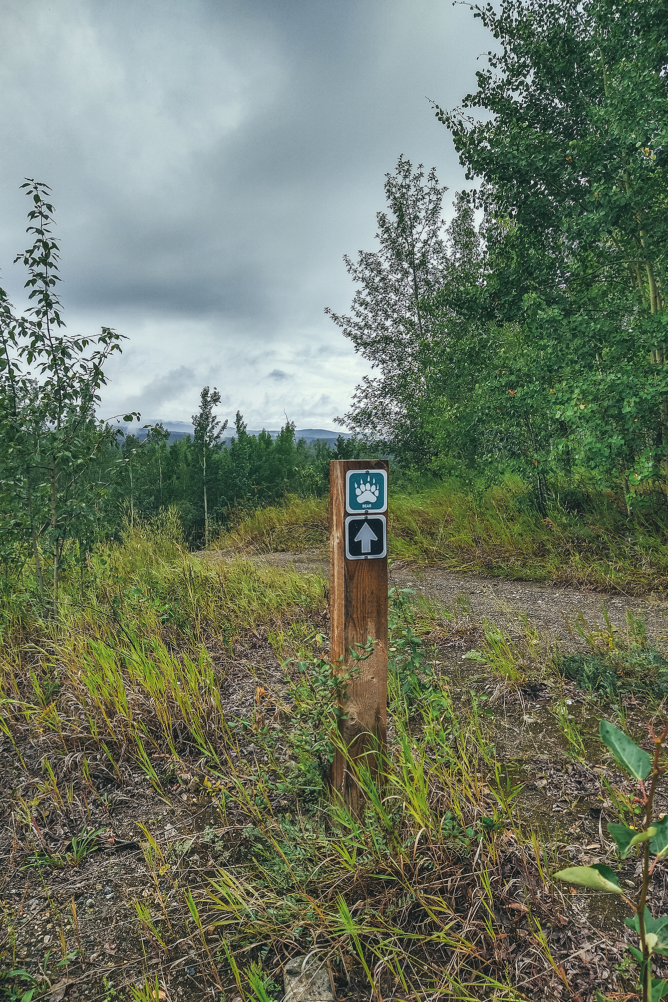
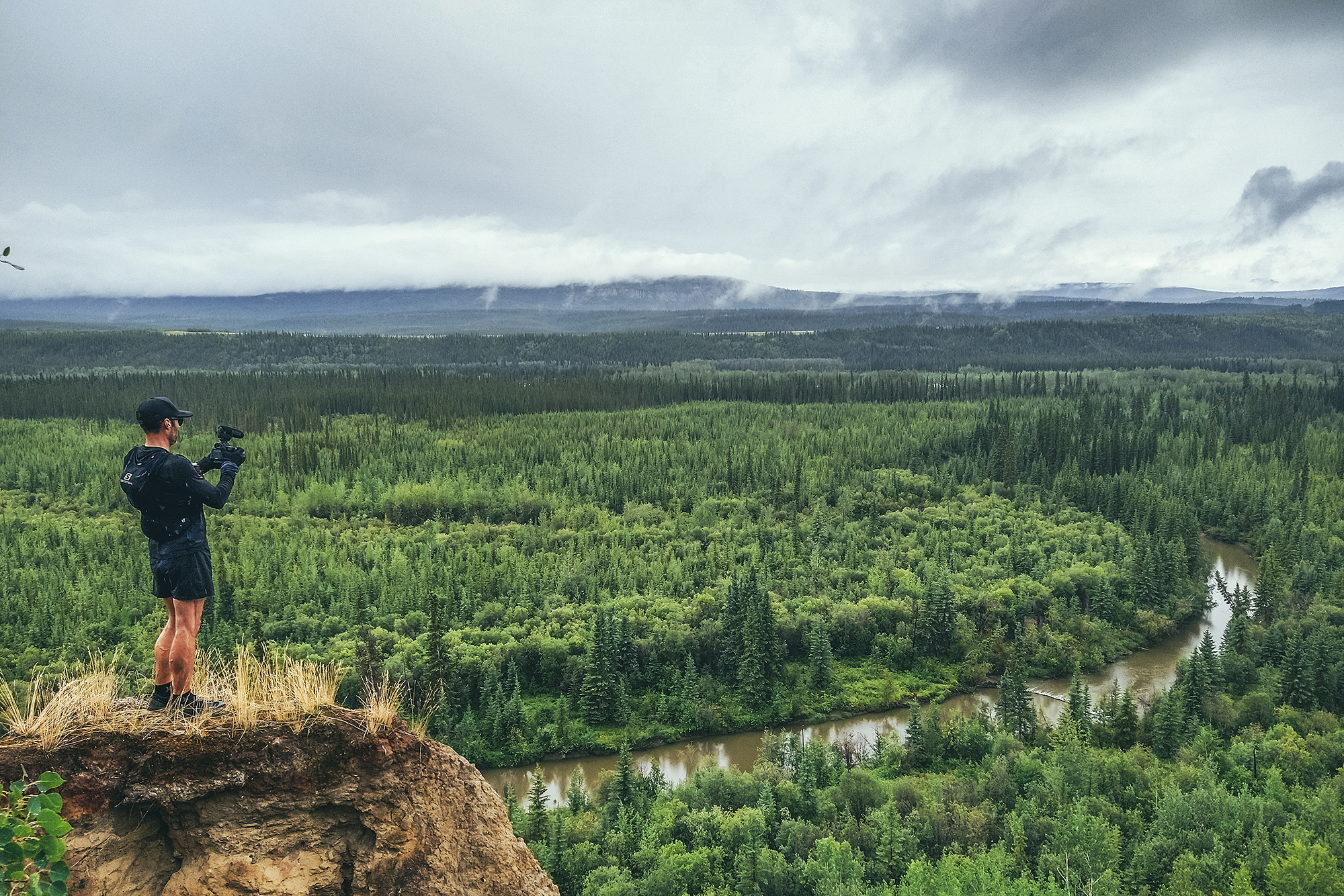
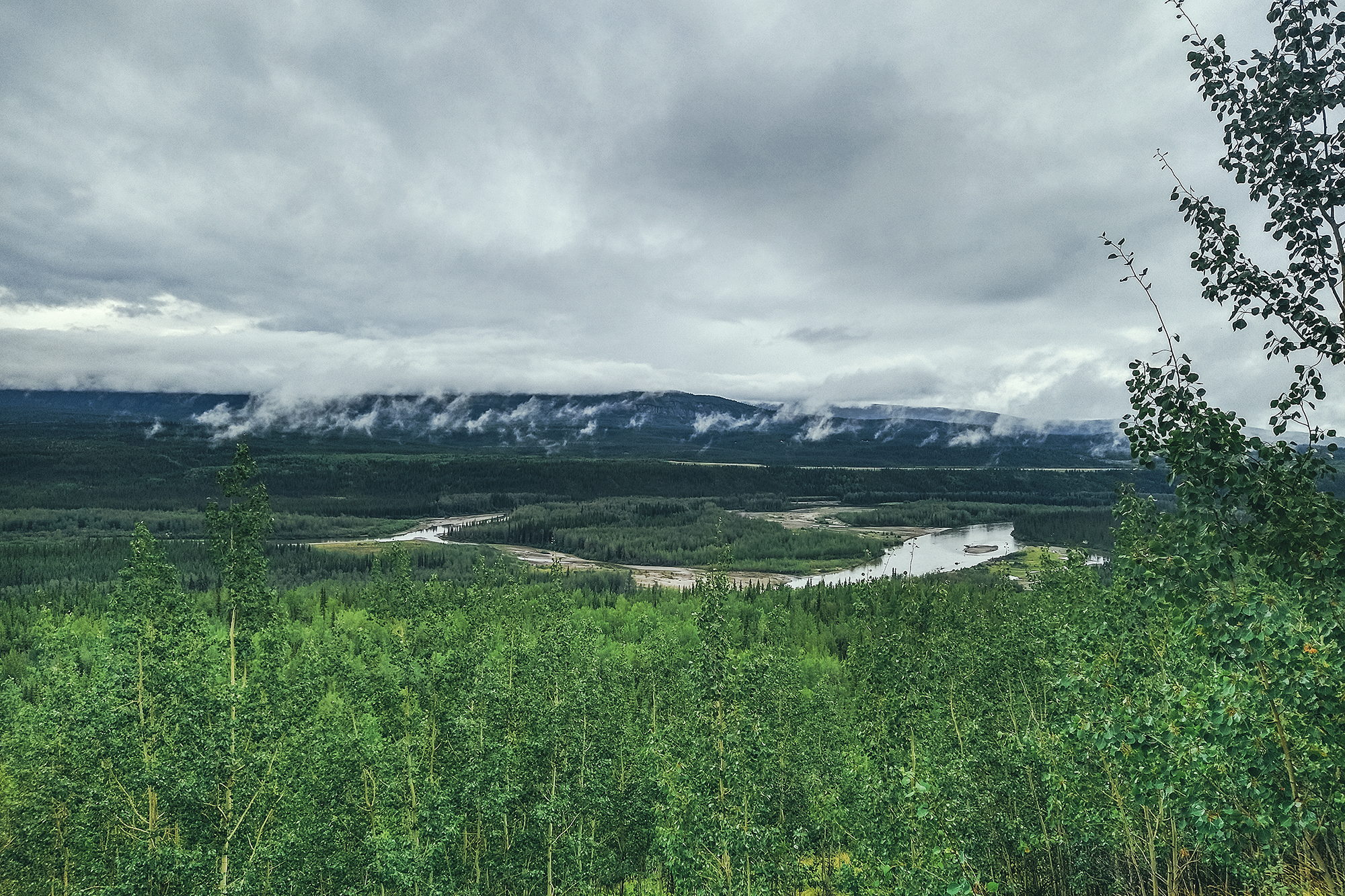
There’s a network of trails around Faro, which don’t actually seem to exist on google map, but I picked up a good old paper map from the visitor center across from the campground (they also have a pdf version here). Aside from the overall scale reference, there’s no indication of length, elevation, etc. but it did look like we could do a roughly 10km loop around the town, starting right at the campsite so that’s what we set off for. The trails all have animal names and signs at some intersections but it did take a bit of navigating with the map to stay on our intended route. The trails were not very technical, albeit pretty muddy, but we encountered a few decent hills – and we did get couple of nice views from above the town. As suggested by the map, these trails are likely more used in the winter for cross-country skiing and snowmobiles.
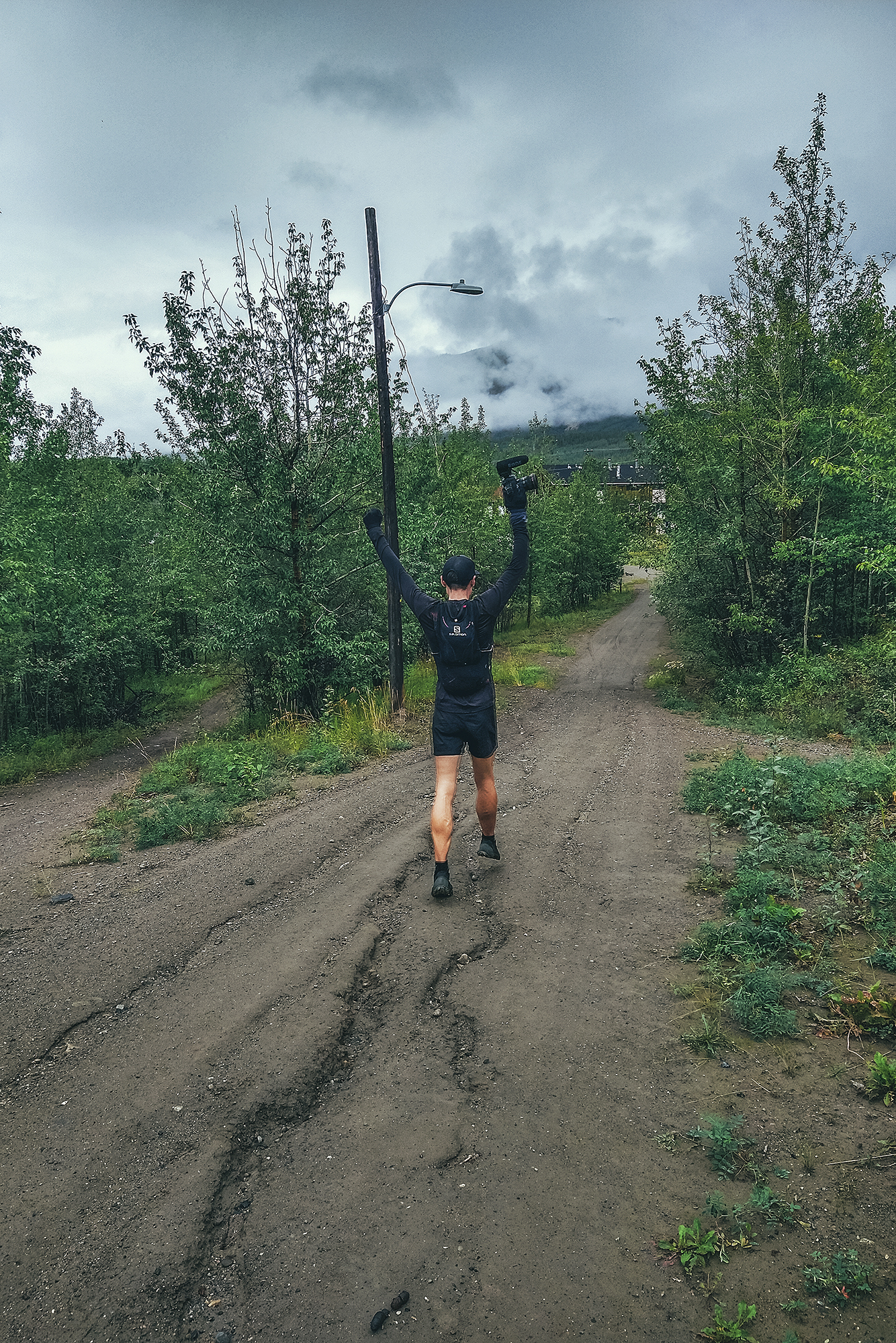
Mosquitos weren’t as bad when we were running, and we managed to stay mostly dry aside from the 93% humidity in the air. After the run, we enjoyed the hot showers then had our savory pastries from the day before for lunch. We ate them on the patio of the information center, which was looked after by the most lovely lady, who offered us free coffee. We then headed back to Carmacks, to continue our journey up the Klondike highway.
The campground in Carmacks sounded good on paper – offering waterfront campsites and burger joint, but when we got there it didn’t turn out to be that exciting – a messy-looking stretch of ground near the river, only separated from the main road by the parking lot, and the pub didn’t look very inviting. It was also quite busy, which was a third reason for us to continue on, to try and find a quieter, more appealing campsite for the night.
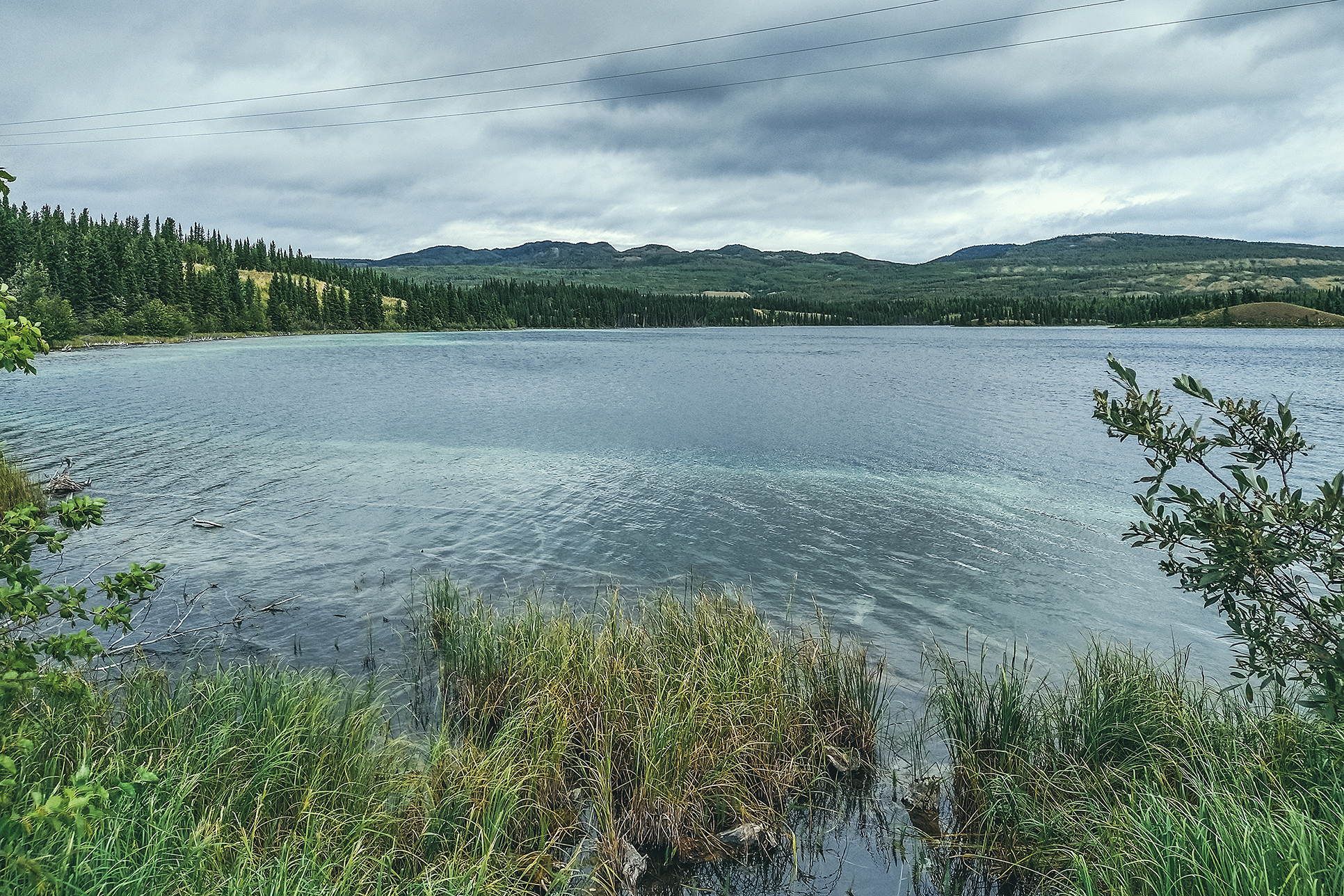
We continued North and landed at the Tatchun lake Government Campground, located a few km down a dirt road – away from the highway traffic noise. Note that there is a Tatchun Creek campground up the road, but that one is also near the road, exposed to traffic noise.
For the first time in our trip it felt like the mosquitos were less intense, probably because temperatures were starting to lower. We set up camp a bit earlier than other days, so we had time to relax in the evening, work on photos, write our travel journal, and enjoy some time by the fire.