I first established our itinerary based on researching areas of interest on the internet, and finding posts about specific road trip itinerary, or suggestions from friends.
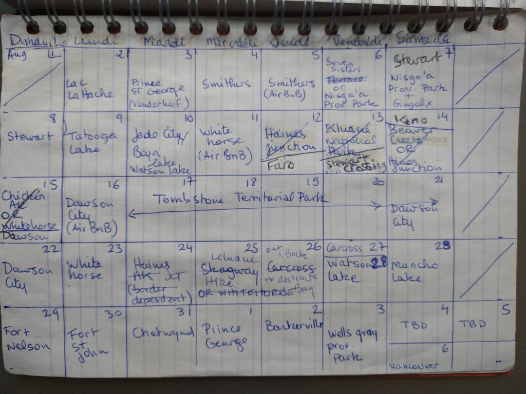
I always end up mapping out an itinerary on paper, in calendar-like view, indicating the place to visit/stay every day. I looked at distance/time to travel between places and where we may want to stay for more than one night. It’s easy to pack too much into a trip and I often have a bit more on paper than what I know we will realistically do.
As I mentioned in other trip journals, we’re not very good at getting up early (unless there’s a specific reason we need to) and cram a lot into one day. And especially when camping, getting ready in the morning tends to take a bit more time, just because things have to be set up or taken down. So any time we wanted to do a day hike, I knew to plan for 2 nights in that place, as it was unlikely we would travel far and do a hike on the same day.
The nice thing about this trip was that we had a bit of flexibility with our return date, and we ended up adding 2-3 more days to the trip than initially planned, just through shifting some things around or adding a side trip here and there.
I had planned some of the itinerary with the hope that we could cross the border into the US (a couple of scenic loops in the Yukon take you through Alaska). But as we quickly realized, even if we could cross, the whole ordeal of getting tested (if even possible, at the time antigen tests weren’t yet a thing!) before coming back just wasn’t practical. So I re-adjusted some of the route accordingly, and it didn’t feel like we missed out on anything. The only set item on the schedule was the trip through Tombstone, as we had booked the campsites in advance and it would have been tricky to move those dates around. But we were able to work other adjustments around these dates. For example, we re-evaluated our itinerary based on weather – moving the time we went to Kluane to later, after seeing the forecast for our initial-planned time.
In the end, having a planned but flexible itinerary worked out great, allowing us to have clear directions but still with room to adjust as needed.
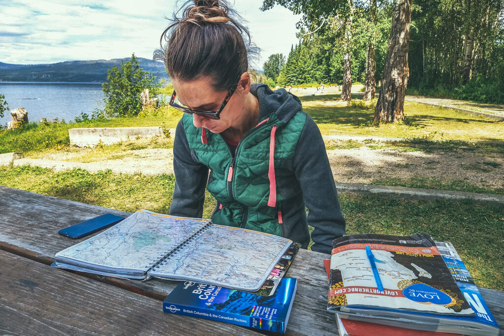
I used a bunch of different reading material on a daily basis to guide us.
The Milepost was my go-to for anything to see along the road, as it has a detailed log of everything and anything worth stopping for on the Alaska highway but also all the other circuits connected to it. I used the official visitor guides for Northern BC and Yukon for a bit more details on hikes, camping and local attractions. We’ve used for many years apps like Navmii to determine distances and locations to drive to, and Ultimate Campgrounds or IOverlander to find places to camp. That said there was no shortage of campgrounds both in BC and the Yukon, and you would rarely drive more than 100km without coming across a recreation site or a provincial park/Govt campground. Beyond that, visitor centres were a great place to pick up further info on local attractions. I relied heavily on paper guides as service was very spotty, if not non-existent, in a lot of areas along the way, and I maxed out of phone data a few days before we got back.
Outside of border crossing, Covid certainly had an impact on some of our itinerary, due to a number of places being closed – mainly cultural centres or any other places run by First Nation communities. As a result we spent a bit less time in some places that we otherwise might have.
Main Hiking areas
I always enjoy building an itinerary, and becoming familiar with the map of a place I’ve never been. I’m a visual person and I start getting a better understanding of where things are and visualize what our trip might look like. Taking on the journey always feels like uncovering the areas of a video game map (for those that might have played Zelda or any other game of this type). After the trip, we’ve now unveiled areas of the map and can go back to it later for any unfinished business.
Despite covering a lot of ground, I feel like we still have only skimmed the surface of some of the most notable areas we’ve visited. These are some of the places I could go back to and spend more time exploring:
Smithers – There are a few mountain ranges around Smithers that seem to offer a nice variety of hiking, between the Babine Mountains, the Seven Sisters Provincial Park, and the nearby Brian Boru Peak or Mount Thomlison. Plus Smithers is an appealing small town with a strong outdoorsy vibe, so it’d be easy to spend a week hiking by day and brewery-ing by night.
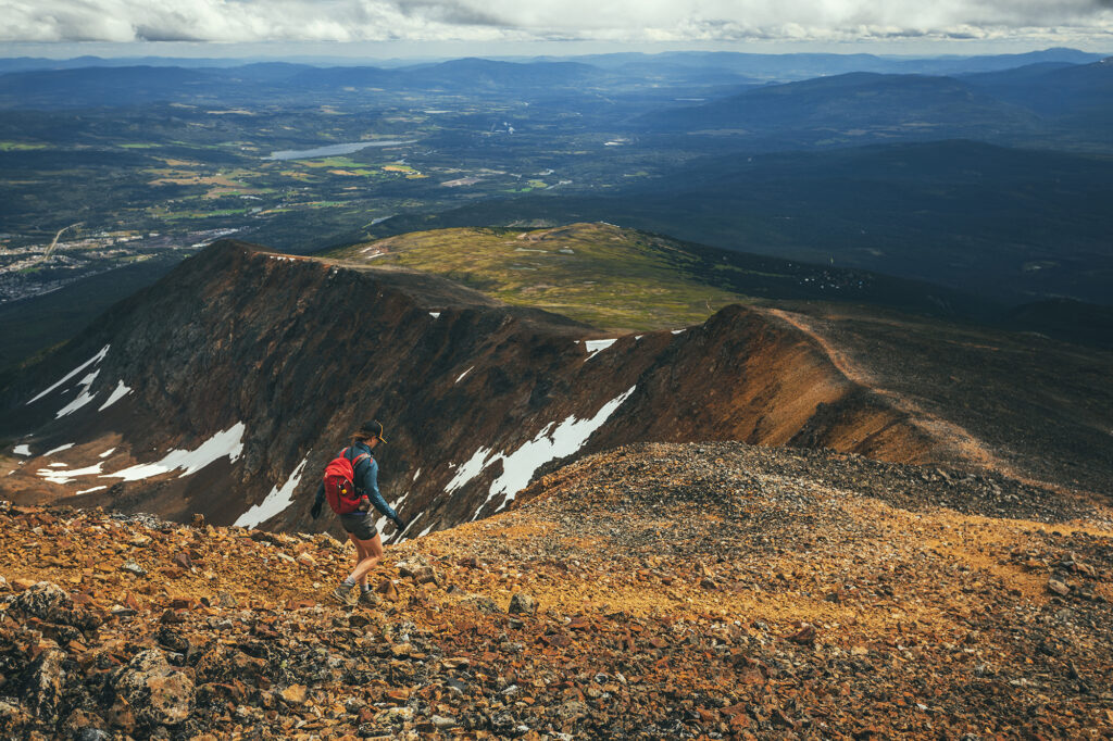
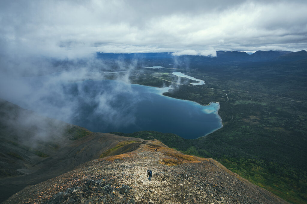
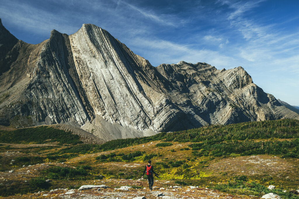
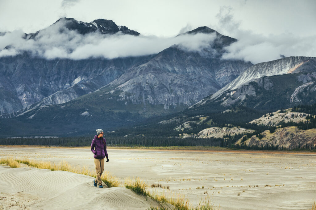
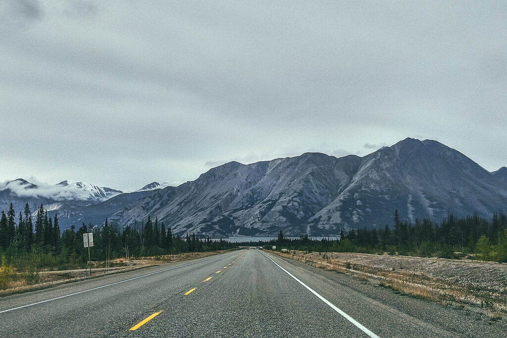
Kluane National Park– This is one of the largest wilderness areas in the country and we mostly saw it from the road! There are a number of multi-day hikes or guided adventures that could be done, and I would love to come back for an extended stay.
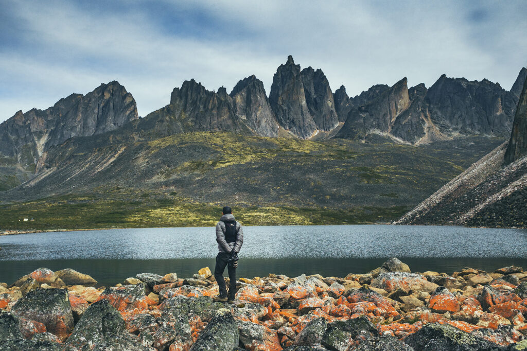
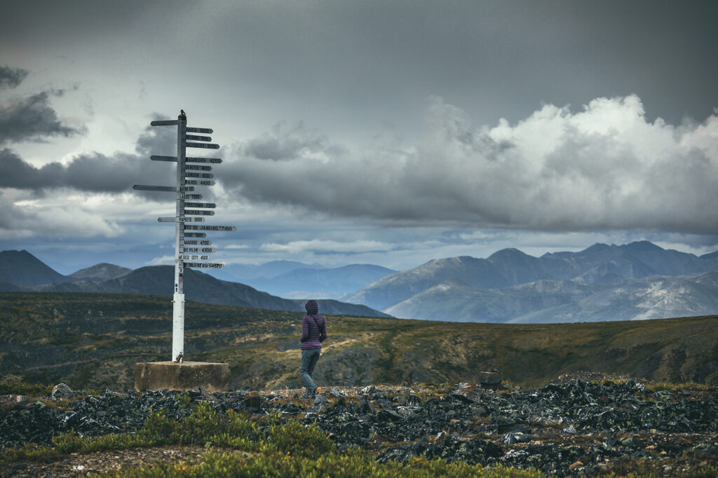
Tombstone Territorial Park – Although we covered the official backcountry circuit, there are a number of other day hikes that could be done, as well as more backcountry exploring. Definitely enough to spend another few days there.
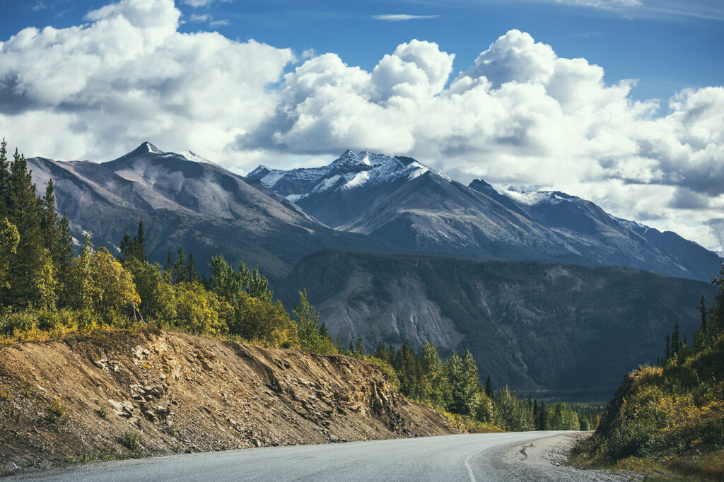
Northern Canadian Rockies – this area between Muncho Lake and Fort Nelson was spectacular to drive through. Looking at Alltrails and other hiking sites, there is no shortage of beautiful hikes in the area.
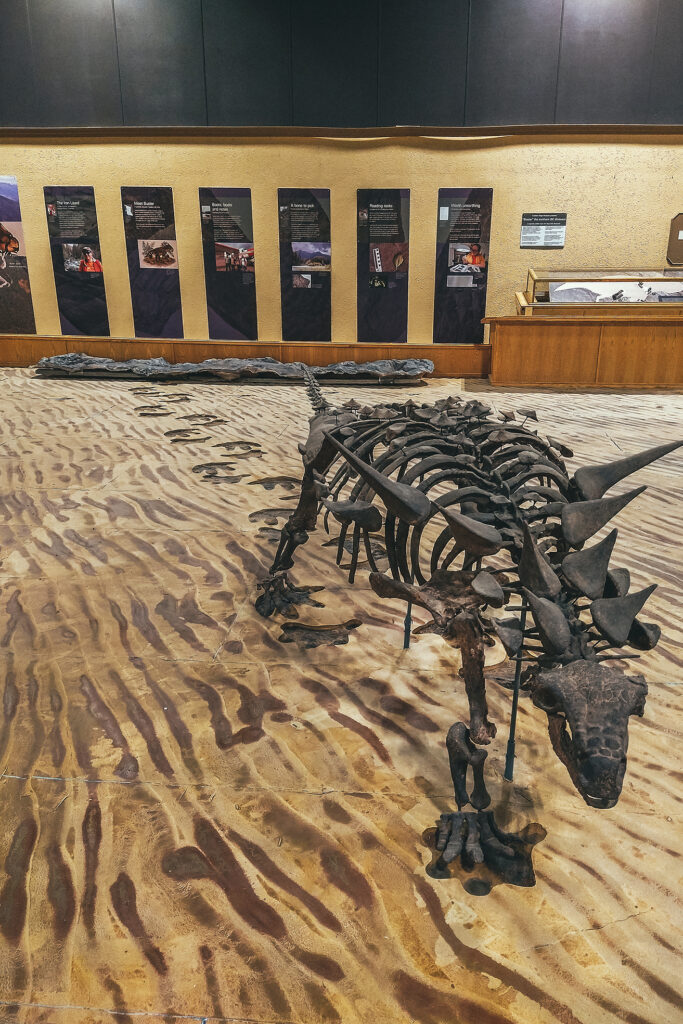
Tumbler Ridge Global Geopark – this one was an unexpected discovery. Not initially on our radar, we added it as a destination for one last day hike before heading home. Their visitor guide was super comprehensive and listed a good number of hikes – including multi day ones – that would be worth another visit.
Faro – another last minute addition to the route, we only explored the local trails around the campground, but there seems to be some good alpine hiking around Faro that could be worth another side-trip for, if we found ourselves that way again. The trail network is also meant to be suited for witer activities like cross-country skiing.
Other stops along the way:
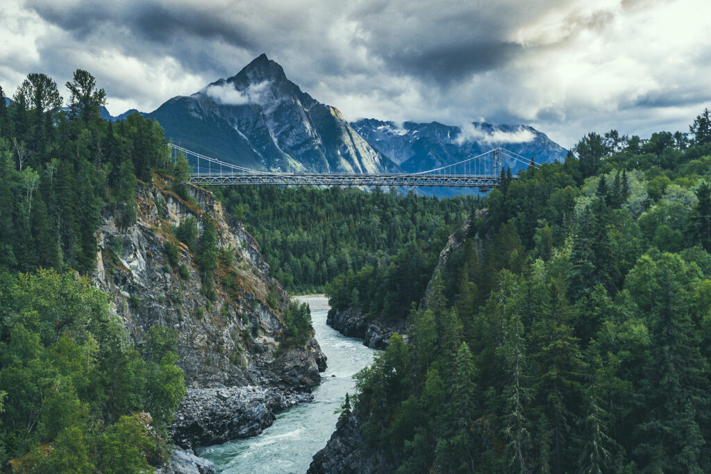
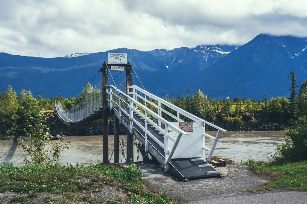
The Hazeltons – For its spectacular setting, and the rich history of the Gitksan and Wet’suwet’en people
Nass Valley – A beautiful drive along the Nass river, Volcanic landscape shaped by drowning forests and lava flow, and discovery of four communities of the Nisga’a Nation.
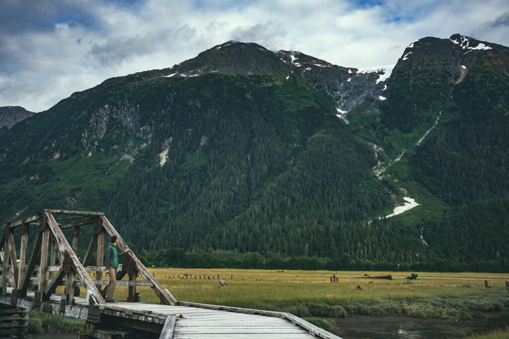
Stewart, BC – a quirky settlers town at the end of the road, located at the mouth of a fjord on the border with Alaska
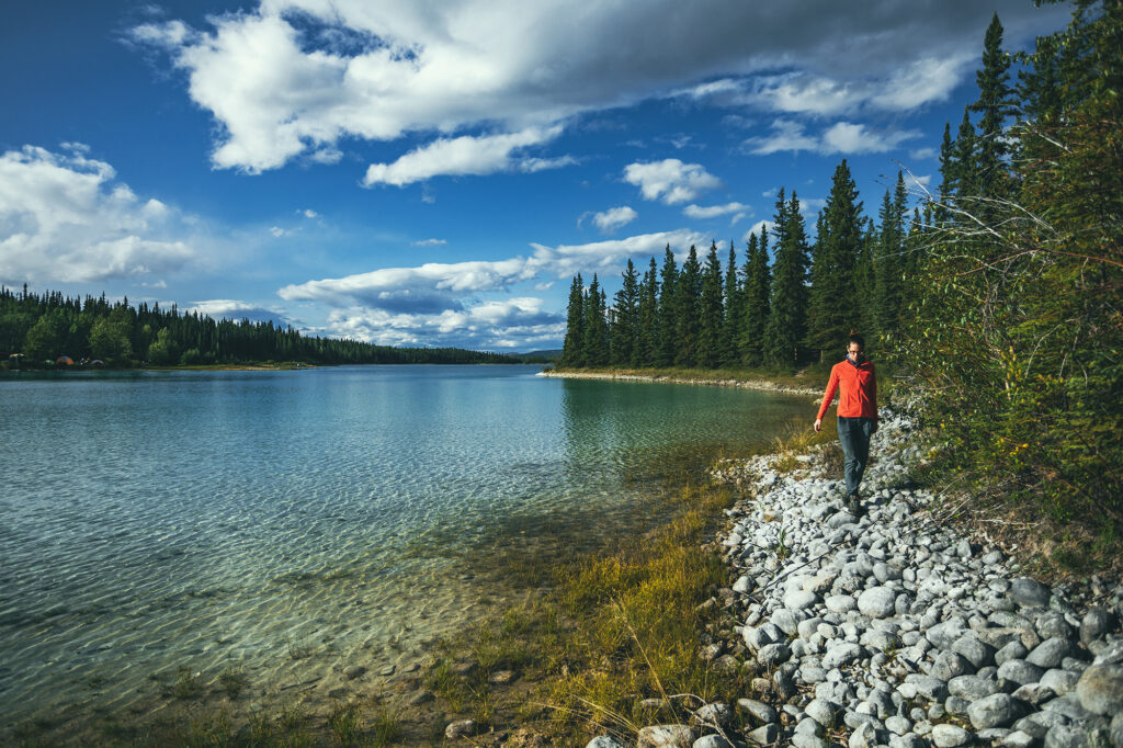
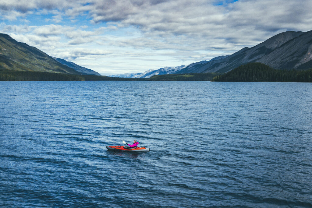
Boya Lake Provincial Park – turquoise blue water just begging to be paddled
Keno City – A tiny hamlet at the heart of the silver trail, remnant of a booming mining era
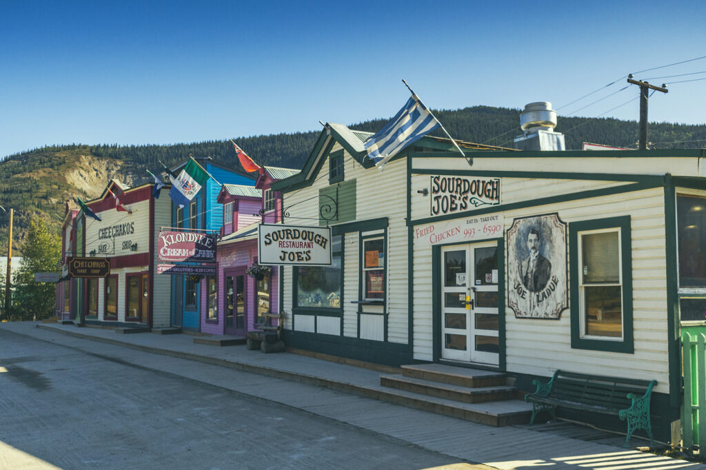
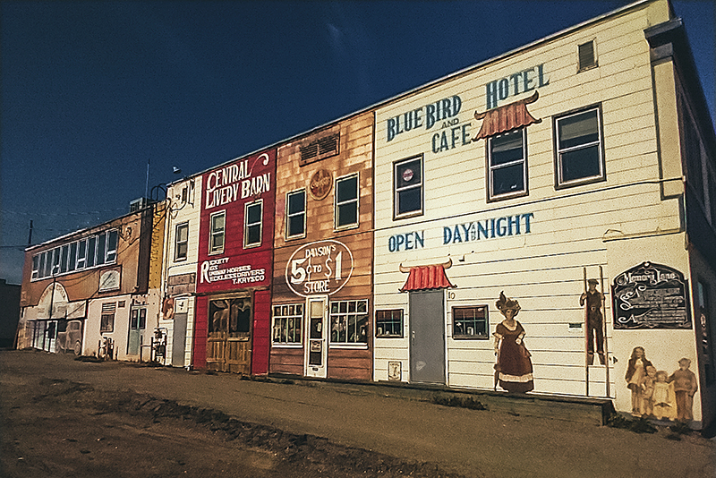
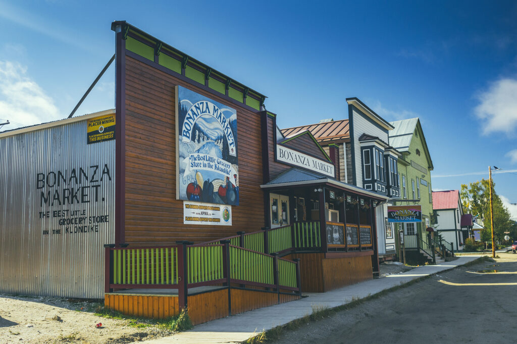
Dawson City – the quintessential Gold Rush town, and north-most town in the Yukon.
Haynes Junction – the getaway to Kluane National Park, and the western section of the Alaskan Highway
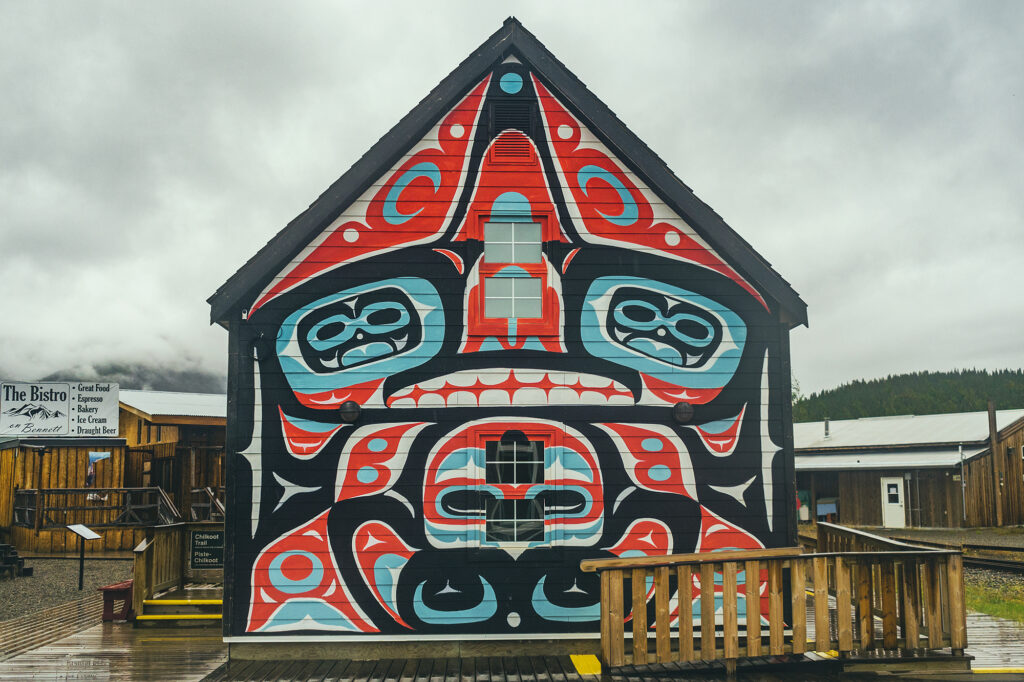
Carcross – Home of the Carcross/Tagish nation, the carcross Common showcases a great variety of indigenous arts and culture.
Liard Hotsprings – a tourist stop but well worth it, to enjoy the warm waters surrounded by lush vegetation, and potential moose sightings.
Muncho Lake – Incredibly scenic lake in the spectacular setting of the Northern Canadian Rockies
Dawson Creek – Mile 0 of the Alaska Highway
Tumbler Ridge – To find out about Dinosaur activity in BC
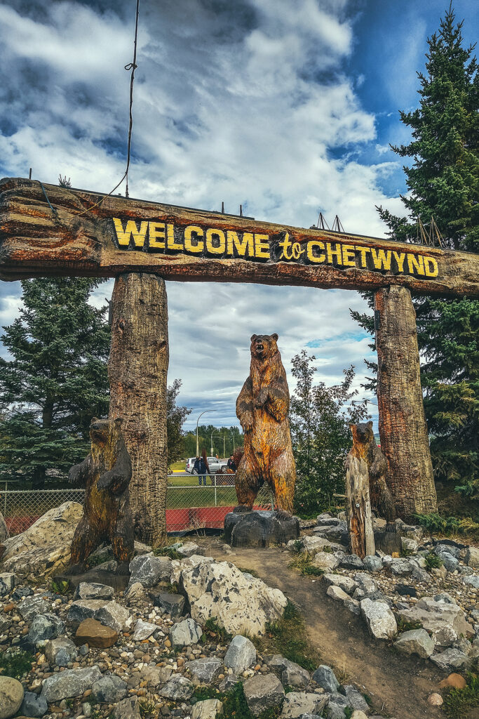
Chetwynd – Incredible display of chainsaw wood-carvings
Discovering the local History
Both Northern BC and the Yukon have a remarkable history, born of the determination of its earlier visitors to fight against the harshest of conditions (terrain, weather conditions, wildlife) to – sadly – claim territory and land that wasn’t theirs to begin with. But traces are everywhere of the grit and persistence necessary to build the roads that tourists such as ourselves are now able to leisurely travel on. A trip through the Yukon cannot be completed without learning about the construction of the Alaska highway, or the Klondike Gold Rush.
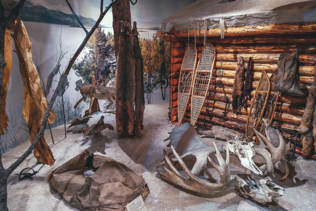
Along the road, we encountered remnants of the Gold Rush of the late 1800’s. As we traveled North, we were slowly piecing together the facts and history of that era, collecting fragments of how men and woman traveled to the North, settled and lived up there.
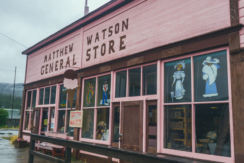
Eventually when got to the Silver trail and later to Dawson City, we could see the bigger picture. The steam wheelers, the claims, the machines engineered to replace human labor, the towns built to house all those populations, having migrated to these extremely harsh regions in search of different, better life. But also the Indigenous Peoples who helped settlers survive the conditions, who joined in the trades and the workforce on the road or the river, who ultimately were displaced, and their forever altered, nearly lost culture and way of life.
While the Gold Rush and the Alaska Highway are the main historical attractions highlighted for tourists to see, the history and culture of the 14 Yukon First Nations is very much present, with cultural centers in most every town, and opportunities to learn about the different communities’ origin and traditions, their ties and relationship to each other and some of the notable figures that have had an integral role in the history of the Territory. A trip to the Yukon would not be complete without learning about the Indigenous Peoples who have lived on this land since time immemorial.

