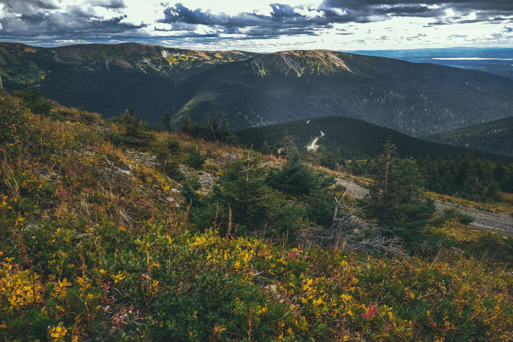
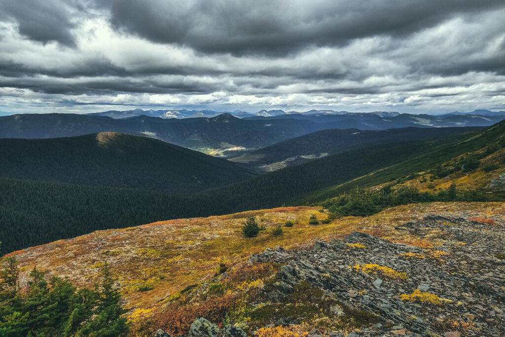
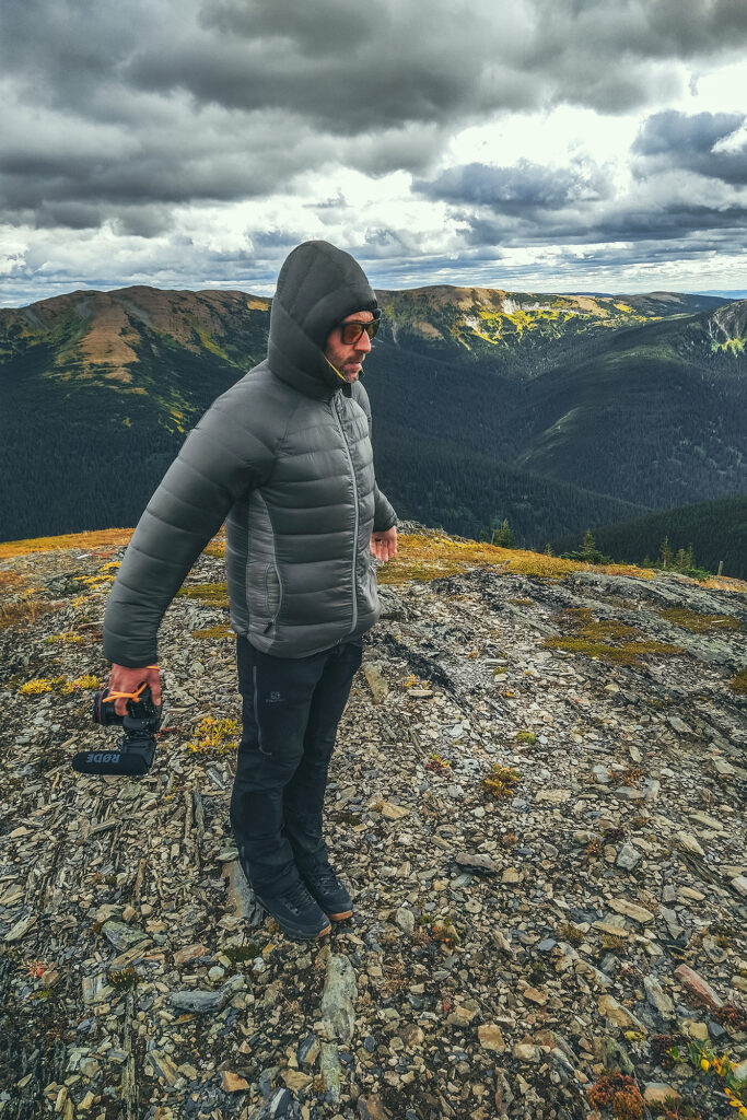
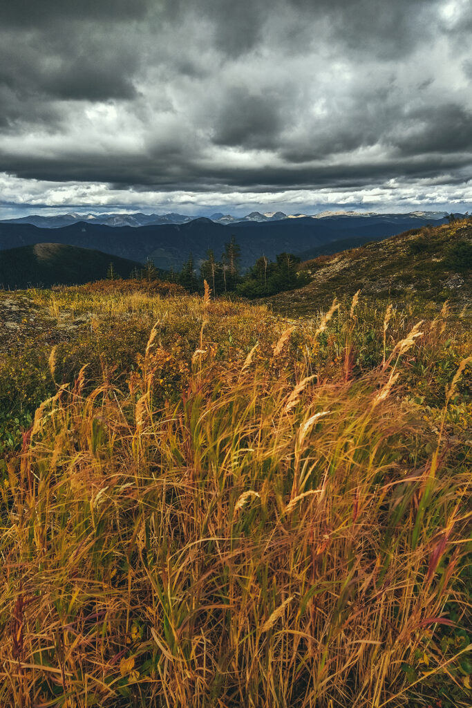
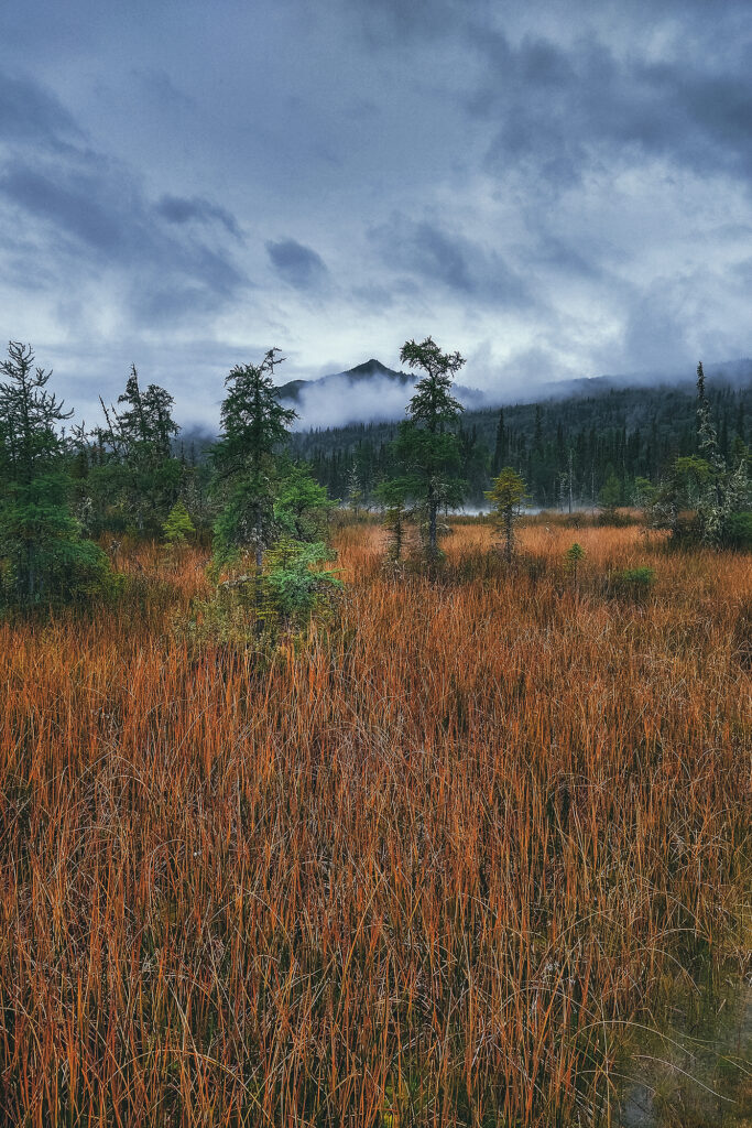
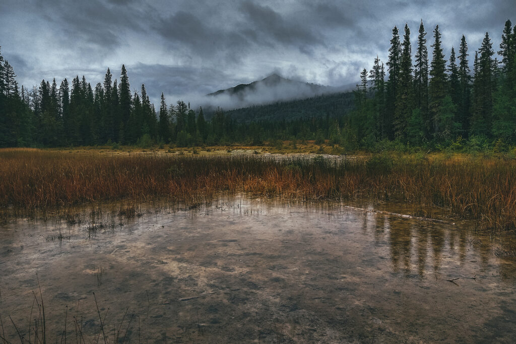
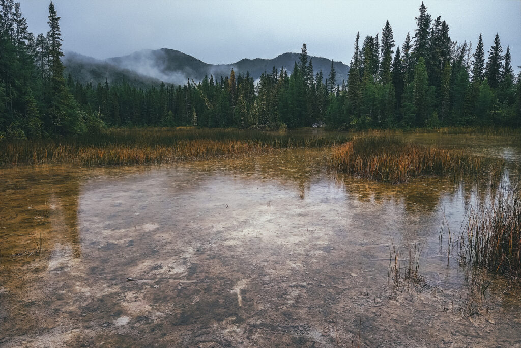
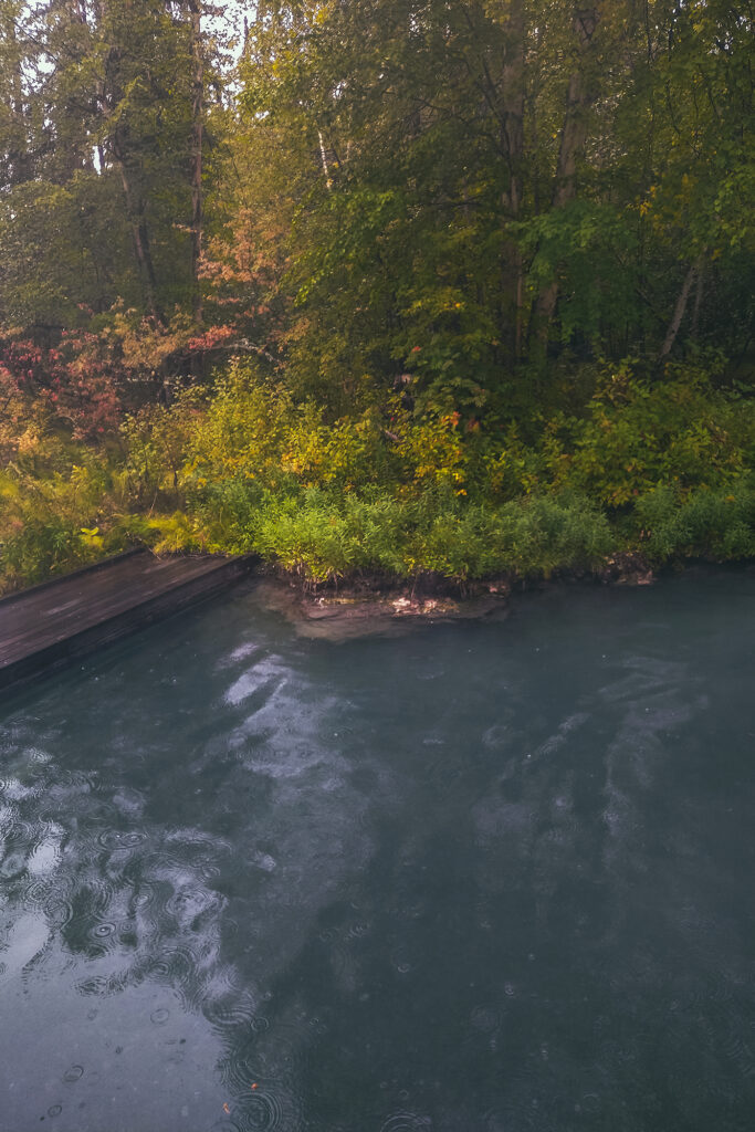
Road Trip to the Yukon – Gear, Life on the Road, and Some Stats

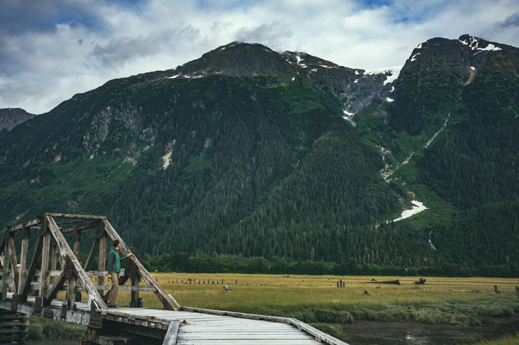
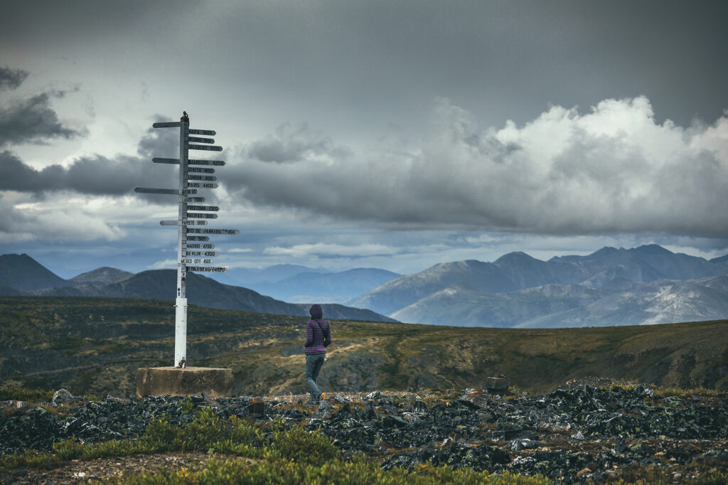
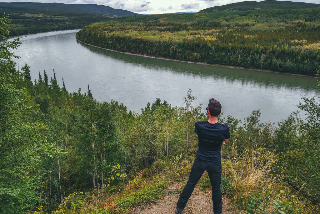
Yukon had been on our list of places to travel to for a bit, and after a year of pandemic, and continued international restrictions, it seemed like the obvious time to take this trip.

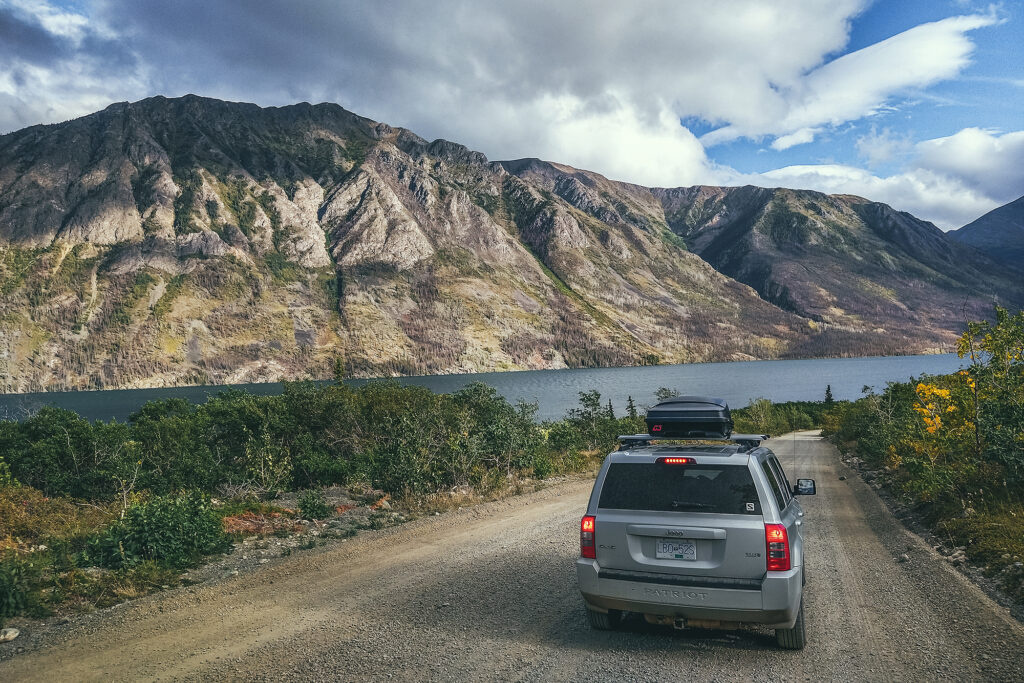
At first, we researched campervan rental options, but looking to rent for over a month, it ended up being quite expensive. Since we were already equipped with all the appropriate camping gear, and had a solid vehicle to undertake this trip, we figured we could just car-camp our way through it, with a few airbnb/hotels here and there to reset.

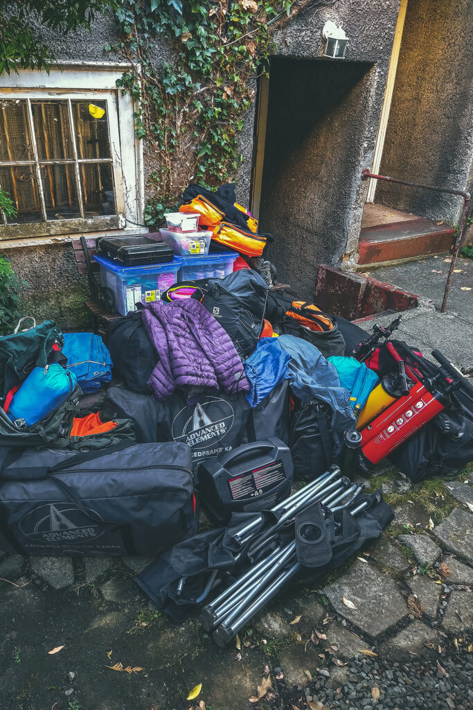
As we had never gone on a road trip that long, we did take a look at our gear and made a couple of key additions.

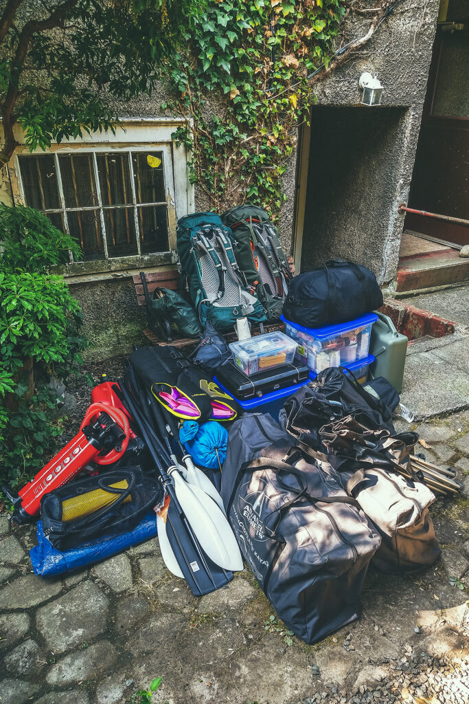
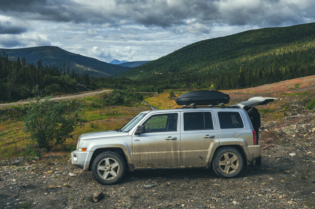
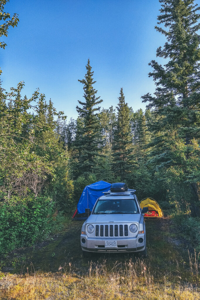
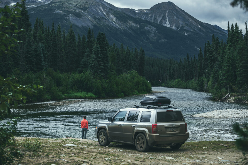
Rooftop box – seemed like an obvious one, so we could pack everything comfortably in the car, especially since we wanted to take our two inflatable kayaks along. They didn’t fit in the box, but we kept them both behind the passenger seat and almost forgot they were there the whole time.

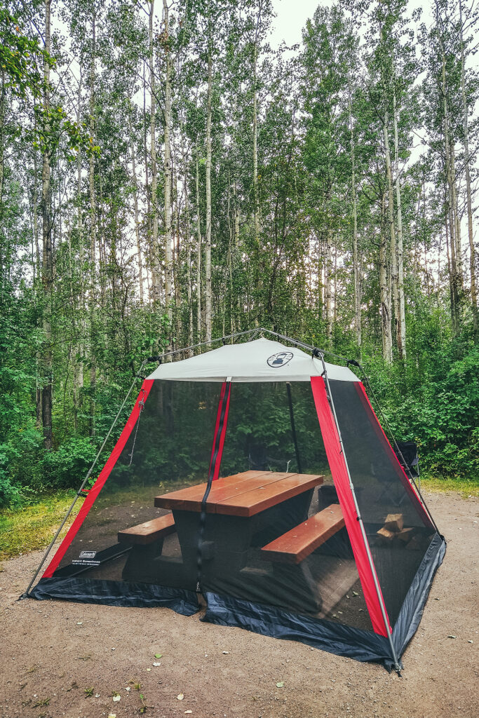
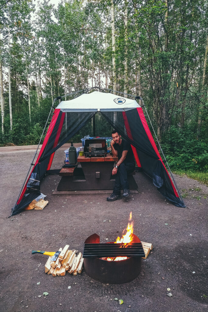
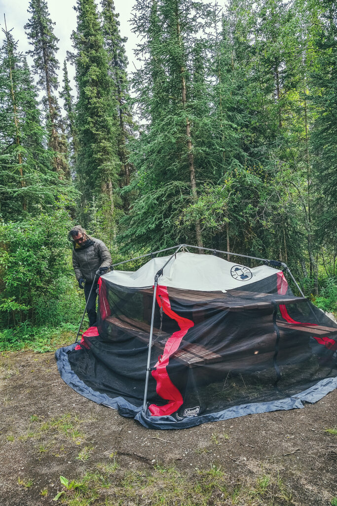
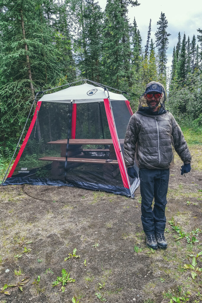
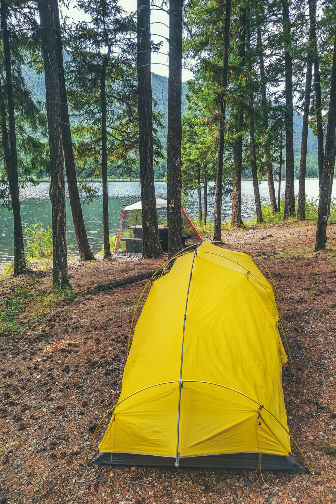
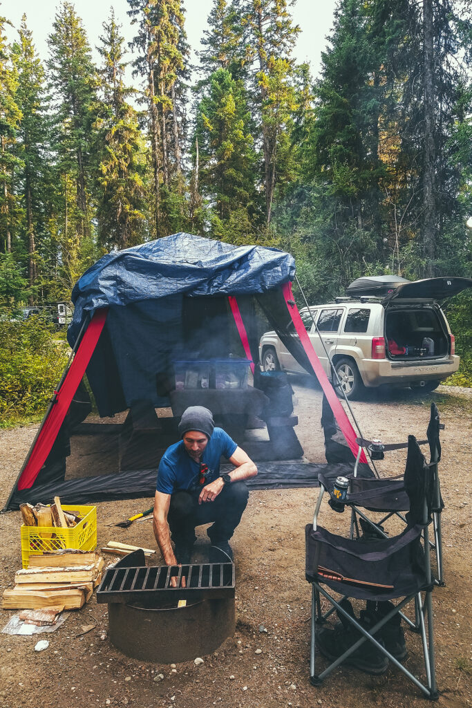
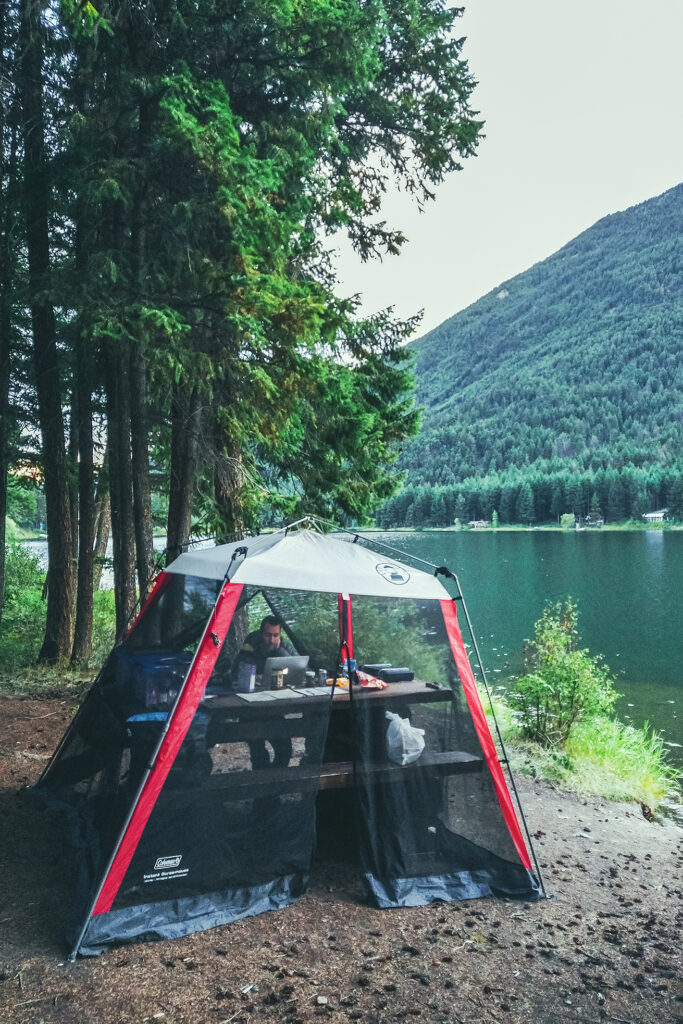
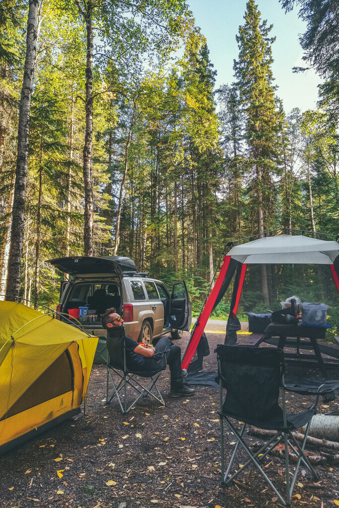
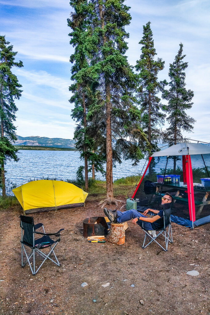
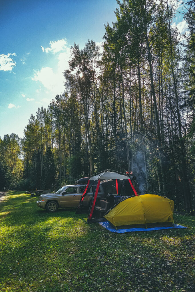
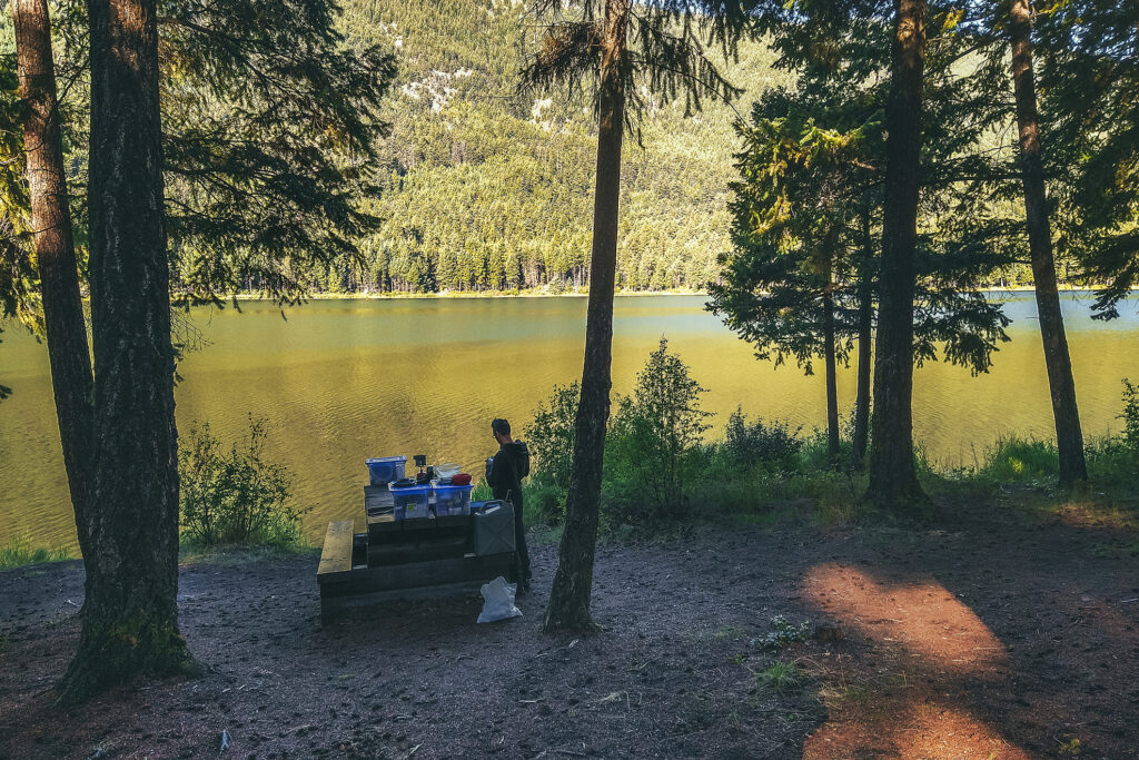
Screen House/Sun & Bug shelter – If we were going to be camping most nights, we figured we might still want to have some sort of roof over our heads as protection against the elements – namely bugs and rain. We found a Coleman Instant Screen house 10×10 on Facebook Marketplace for $100 and it turned out to be the best addition to our gear we could make. Very effective against bugs, a bit less so against rain due to its tapered shape, but we threw a tarp on top and we had a very decent (albeit not glamorous) rain shelter.


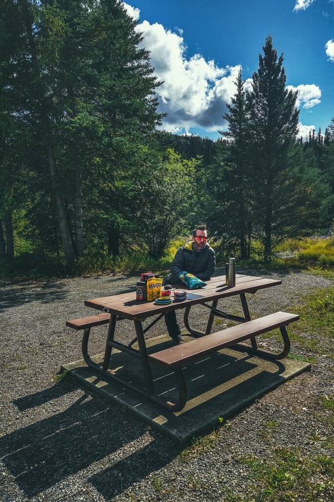
It was super quick to set up and take down, and fit over all the campground picnic tables. Once we got into our groove, it only took us a few minutes to take all the gear out and set things on and around the table, and regardless of where we were, we felt at home.
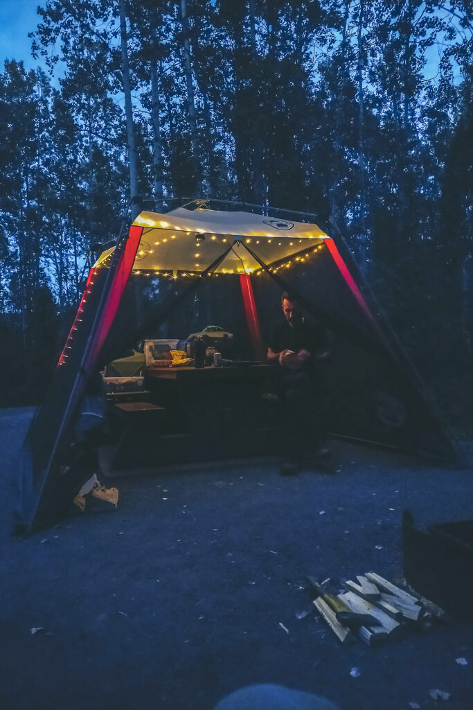
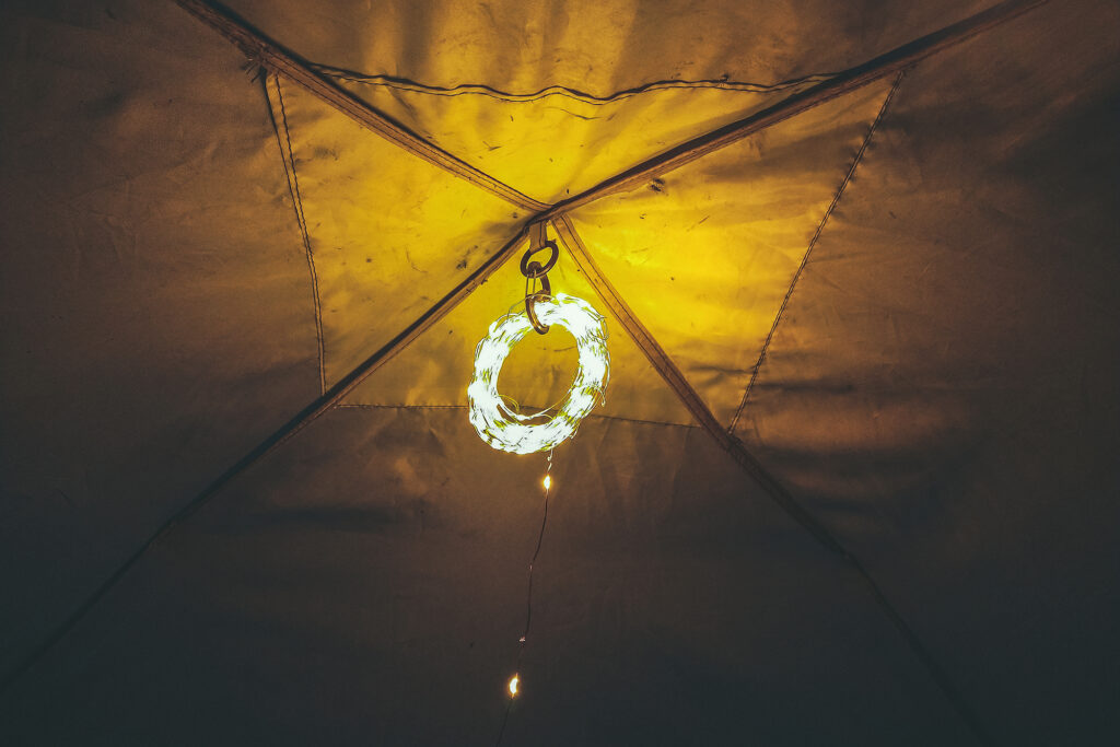
Brice had purchased a string of small usb-powered fairy lights (the kind you see in any “vanlife”/”camplife” popular IG account), which turned out to be very good for overhead lighting (we kept it rolled up and attached it to the roof of the tent, as stringing it around the sides just wasn’t something we cared to do every time we set up).

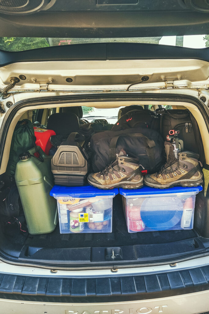
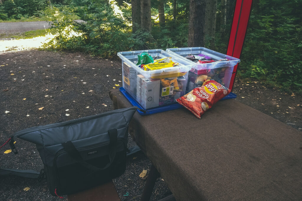
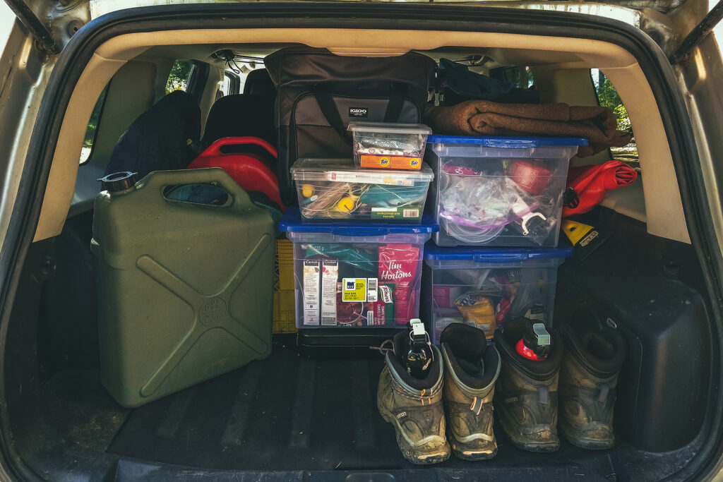
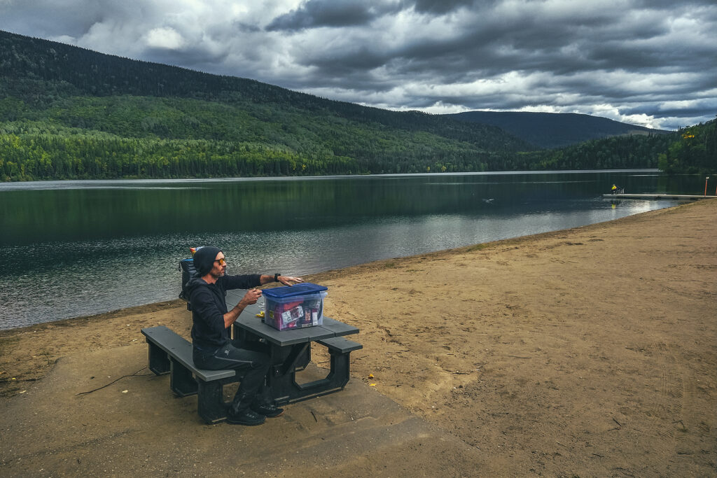
Food storing – we put all of our dry food in plastic filing boxes, easily stackable in the car. We had two boxes for food and one for cooking equipment. We also brought a cooler bag with us, but to be honest we didn’t need much cooling for most of the trip and ended up using it without any cooling packs or ice. It still kept things like milk and cheese a bit fresher if we consumed them quickly.

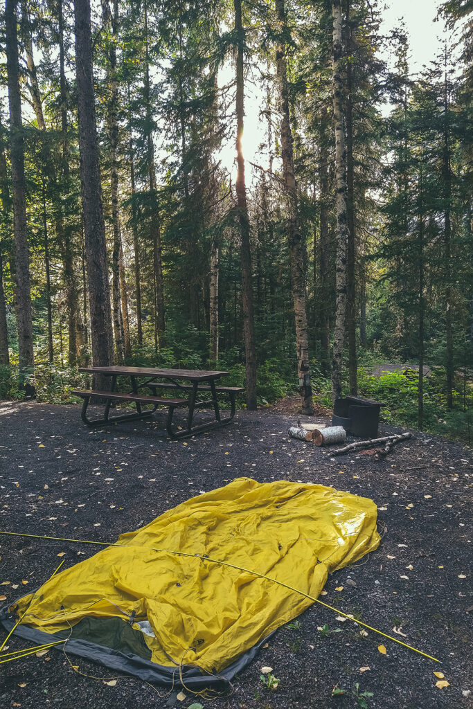
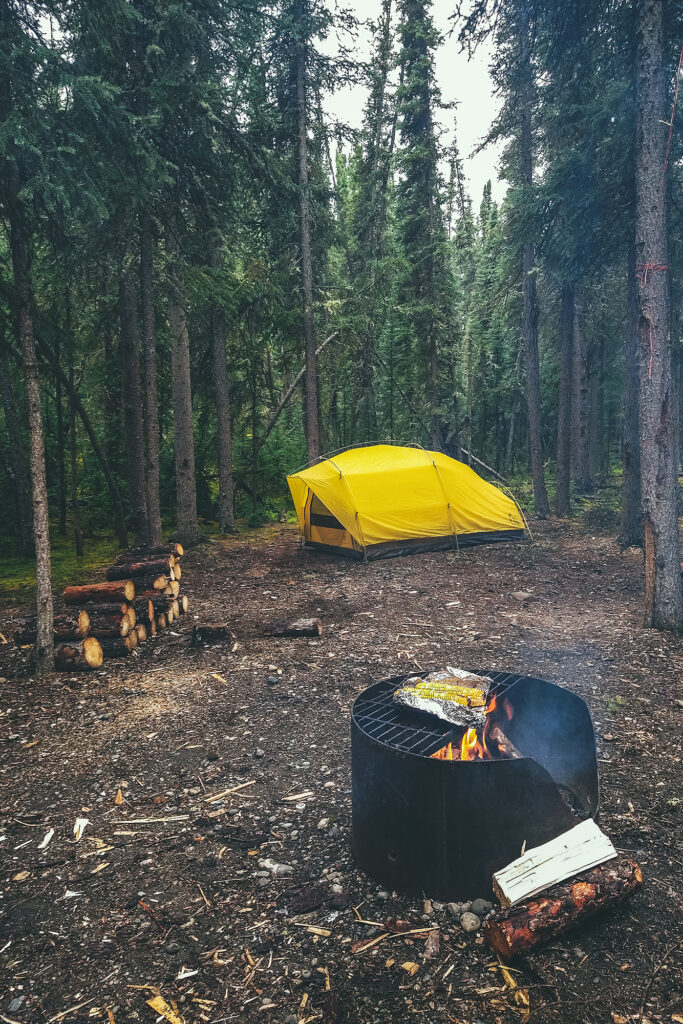
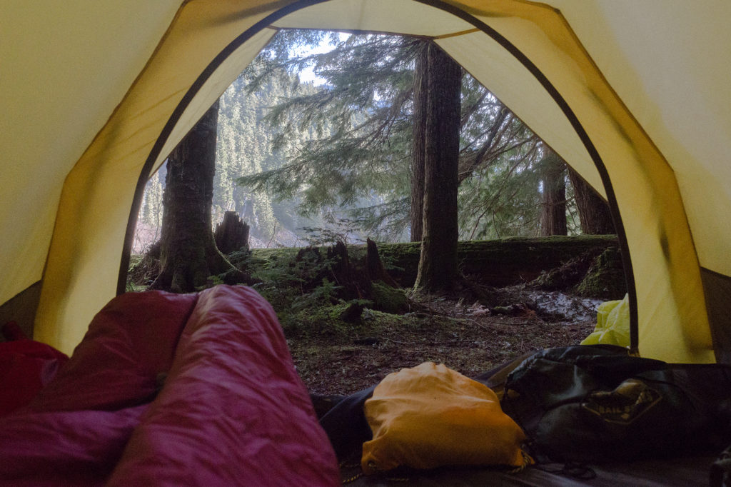
Sleeping Gear – we used more or less the same gear as when we took our trip through Patagonia. We’ve had our Sierra Designs tent for 5 years now and still love it. It’s easy to set up and a good size for two people without being too big. We had brought a second tent along which we ended up not using as it was a bit bigger and nights tended to be on the colder side. But since we had the room it was good to have a spare, in case anything happened to the first one. We were happy to see that our yellow tent was still very capable of handling rain and wind, although the elastic cordage that connects the poles together started to show sign of stretching. It didn’t prevent the use of the tent but made the setting up/take down a bit slower. (We’ve since sent the tent back to the company, and they replaced the cordage as well as the main zipper at no cost).


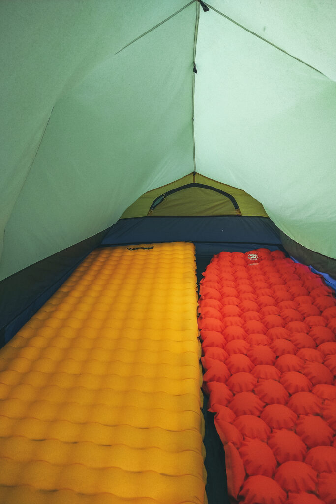
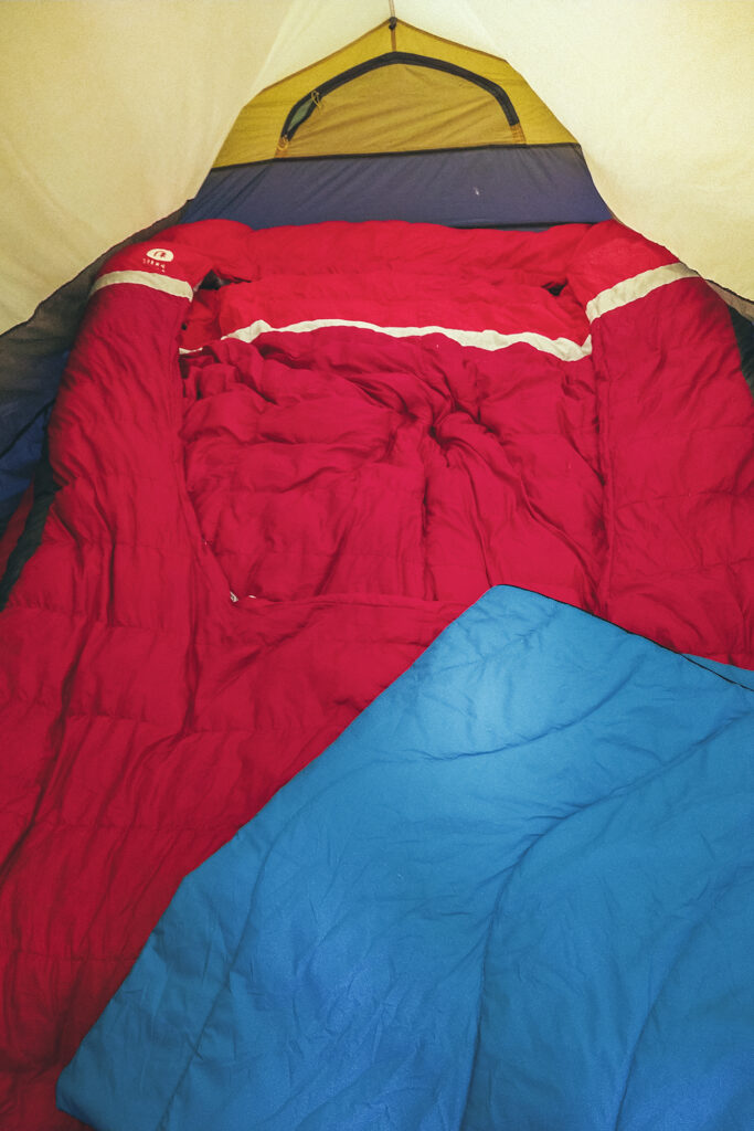
For mattresses, we initially had our two Tensor Insulated Nemo Pads – Brice has the wider/longer model. Mine unfortunately got a puncture along the way, but we had a spare mattress that I was able to use for the last 2 weeks of the trip. We also brought our Sierra Design Backcountry Bed 20 Duo, a double sleeping bag with pockets to fit both mattresses in, so you basically end up with a double bed while still using lightweight gear. I have to say I love this double sleeping bag, as it allows me to take advantage of all the body heat Brice generates (he’s like a human radiator), while I often have a hard time staying warm.

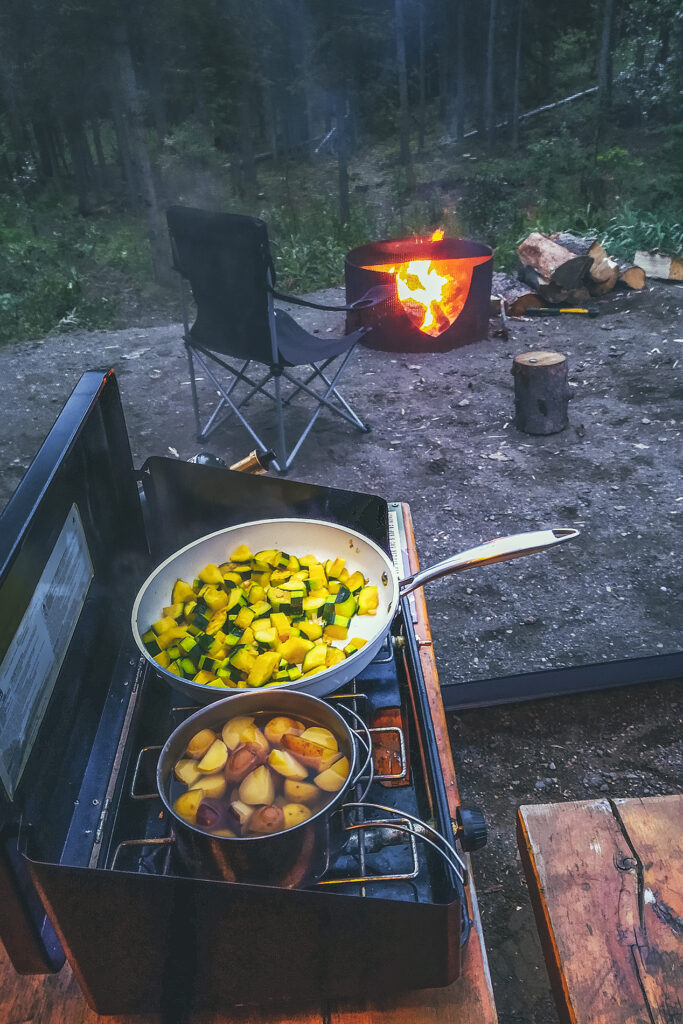
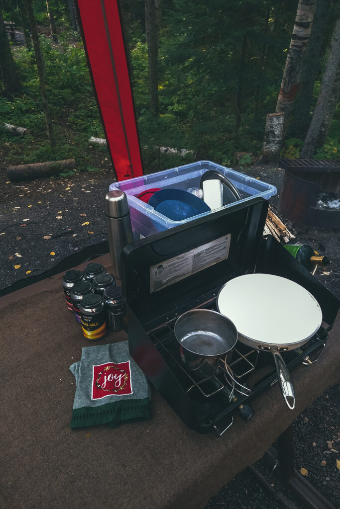
Cooking gear – Nothing fancy here, we used a basic two burner Coleman stove and our backcountry camping pots, but made the brilliant addition of a large non-stick ceramic pan, easy to cook with and clean. Keep in mind that doing dishes with cold water is kind of a nightmare, so an easy-to-wipe-down pan was the best thing we could bring along.
Speaking of doing dishes, we also had a collapsible bucket, something we’d gotten into a swag box a while back and hadn’t really used, but it proved to be very helpful for dishes or any sort of hand washing. For water we had a big 20-liter F-style jug, and drank all our water out of our Lifestraw Go water bottle, since those meant we could basically drink any water anywhere without boiling it first (many of the campsites advised to do so).

As much as we tried to keep our car tidy, and we did for the most part, there are always random bits and bobs that end up shoved in corners or in between boxes (like shoes especially, or bags of chips), but once we got the right set up for the boxes, we managed to keep things relatively in order.

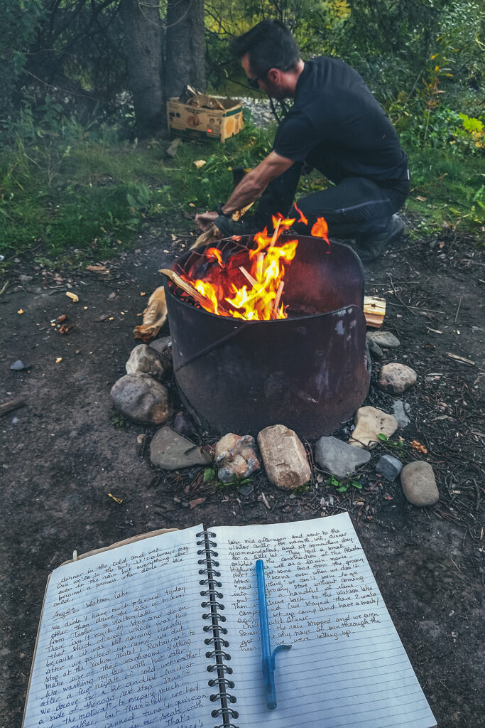
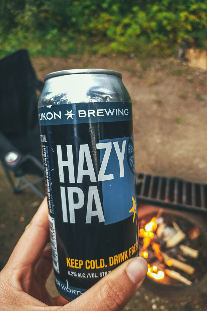
Tent-camping in a different place every night still required a bit of work, even though we got pretty quick at it. We had to set up both tents, blow up the mats and fit them into the sleeping bag. Boxes of food and cooking gear needed to be taken in and out of the car multiple times between snacks, diner and breakfast, since you shouldn’t leave any food outside for wildlife to find. Brice would get a fire going every night and that’s always a bit of work to start and maintain.

And then there was the travel recording aspect. We took a lot of photos every day, and Brice would spend some time in the evening backing-up SD cards and footage and sometimes working on a few photos. I would write in a travel journal what we had done and places we’d been (crazy how fast you forget where you were a couple of days earlier when you’re traveling everyday), and spend a bit of time organizing photos for IG Stories. Don’t get me wrong, it was a vacation, but we didn’t actually spend a huge amount of time just chilling, there was always something to do.


Campgrounds & accommodation

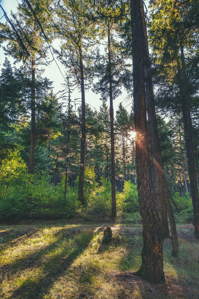
As I mentioned in our itinerary post, there were loads of campgrounds along the way, and we were able to just drive into one and find a spot pretty much every night. I think traveling into the end of August certainly helped, as some spots might have been busier if we’d been there in July for example.

We were generally very impressed with the campgrounds. We found showers at a good number of them (usually the private ones, with prices per night around $26). All had a table and fire pit and the out-houses were always spotless and stocked with toilet paper (even at the most rudimentary rec sites). In the Yukon, Government campgrounds, which are peppered throughout the Territory, were only $12 a night, including firewood!

Since we stayed almost exclusively in official campgrounds, we had other people around us most nights, but only on a couple of occasions did we have loud neighbors. A big majority of the people staying in campgrounds were travelers in big RVs, a lot of them retirees enjoying the life on the road.


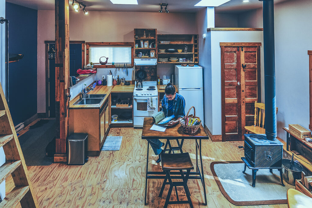
On the other hand, finding other types of accommodation proved to be a bit harder. We had booked three Airbnbs ahead of starting our trip, based on our initial itinerary – about 1 indoor stay per week, so we could take a break from the camping life and do things like laundry and sleep in a real bed.

When we tried to book a hotel room in Dawson City after our Tombstone trek, we found no availability anywhere (it was a Saturday night). And when I looked for a last minute Airbnb between Watson lake and Dawson Creek, the closest I only found were a couple of options in Fort St John – there were a couple of motel options but we ended up skipping those and splurging on a house stay instead. So the last-minute indoor options were a bit more limited and I was glad we booked the first three stays in advance, especially the night just before Tombstone.

Dressing for the Weather

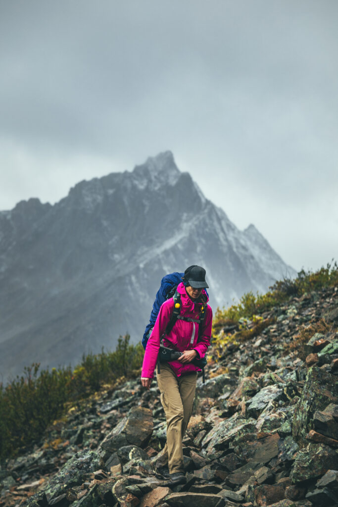
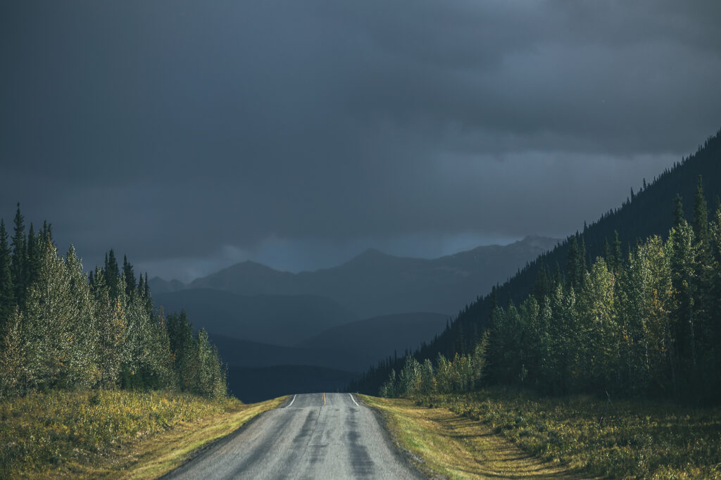
Our friends Adele & Thierry, who had taken a similar trip a few years back, had warned us that they had gotten a lot of rain during their trip. It was a good thing to know about. Traveling in August, I was still expecting to experience a bit of summer, and packed a bunch of shorts and t-shirts – which I ended up not wearing. We had nice weather the first couple of days, but after Smithers, we got some  pretty much 3 out of 4 days, and when it didn’t rain, it was often very overcast. Temperatures hovered around 14-16 degrees Celsius at the highest, and we had some drops into the single digits as we drove north into the Yukon. We even had light snow on our last day in Tombstone, on Aug 21st. The weather only got a bit better once we started driving back south, after Fort St John.

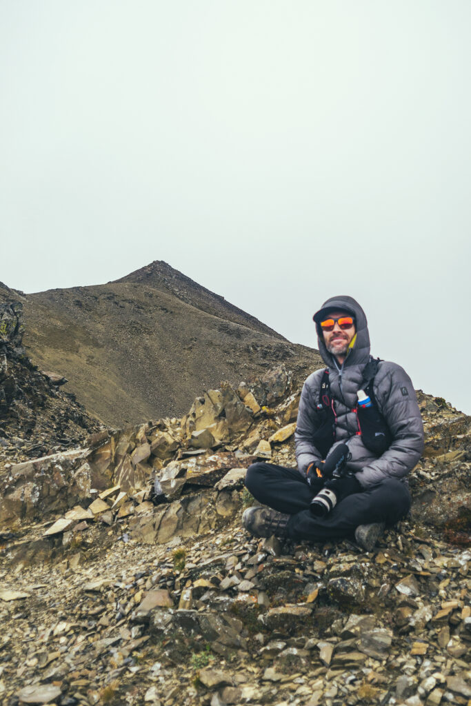
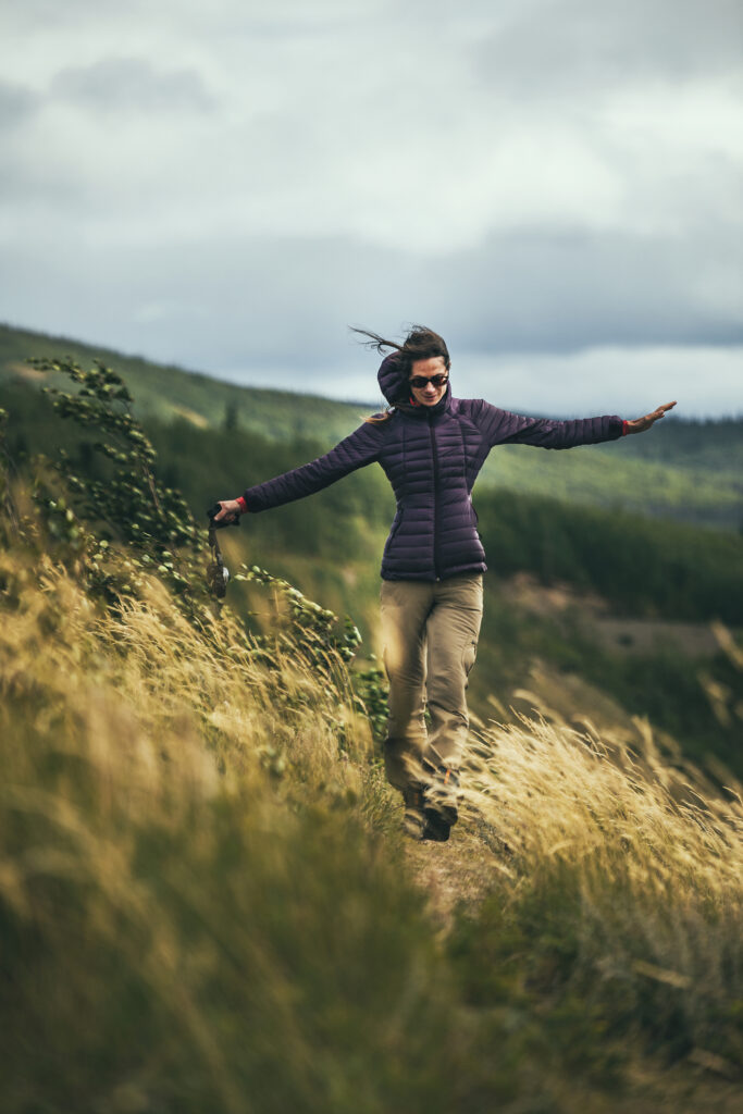
Needless to say, I was glad I brought all the layers along, puffy jacket and hat for warmth, goretex jacket and shoes for the rain, fleece layers, down to long johns for the night. And all the merino socks.

Some Trip Stats

37 days on the road

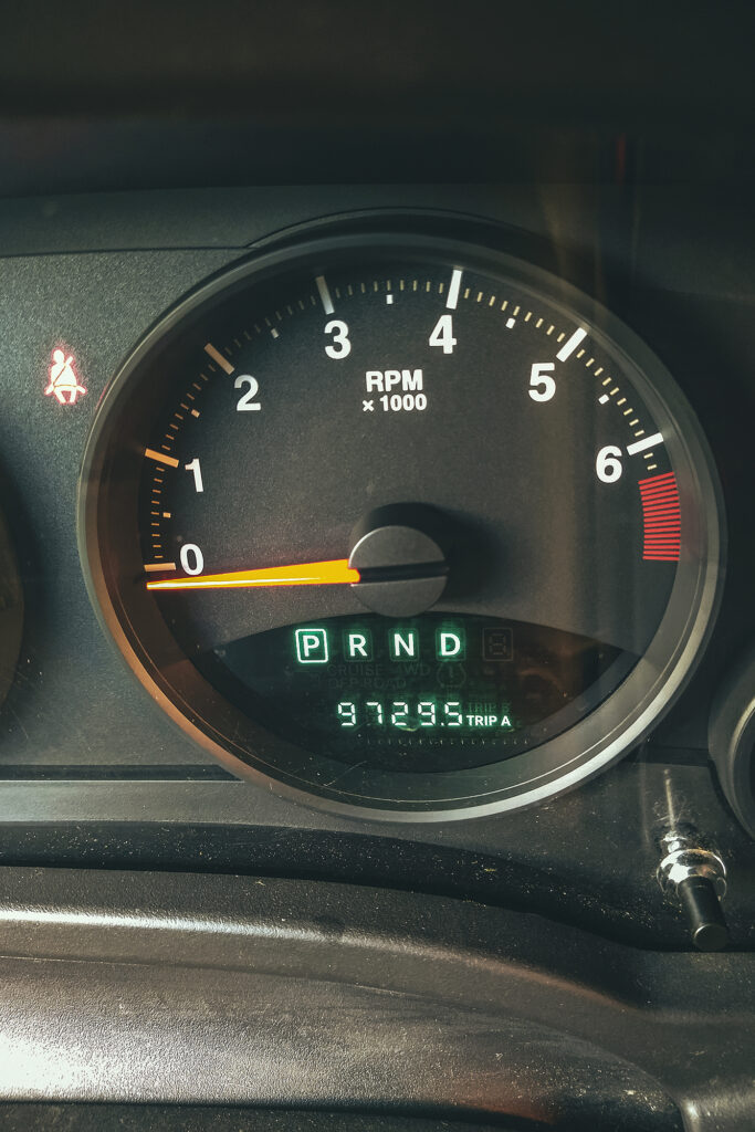
9,729km

1,082 liters of gas

31 nights under the stars ( 5 indoors)

24 campgrounds

9.5 propane/butane bottles

15 different animal sighting

1 cracked windshield

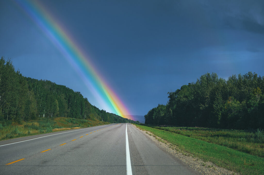
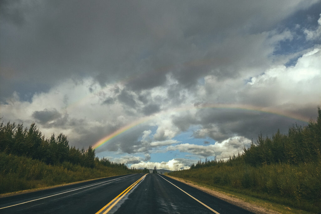
1 rainbow crossing

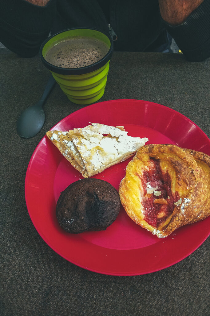
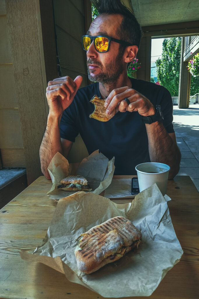
71 locally baked goods


Road Trip to the Yukon – Itinerary Recap

I first established our itinerary based on researching areas of interest on the internet, and finding posts about specific road trip itinerary, or suggestions from friends.
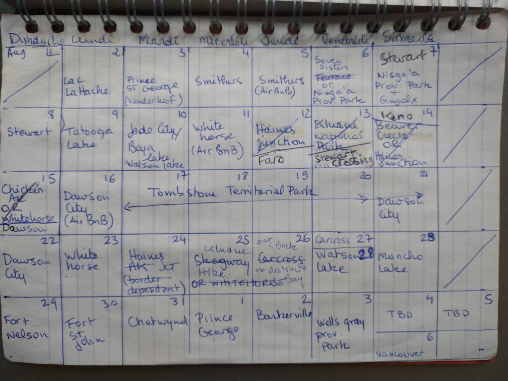
I always end up mapping out an itinerary on paper, in calendar-like view, indicating the place to visit/stay every day. I looked at distance/time to travel between places and where we may want to stay for more than one night. It’s easy to pack too much into a trip and I often have a bit more on paper than what I know we will realistically do.

As I mentioned in other trip journals, we’re not very good at getting up early (unless there’s a specific reason we need to) and cram a lot into one day. And especially when camping, getting ready in the morning tends to take a bit more time, just because things have to be set up or taken down. So any time we wanted to do a day hike, I knew to plan for 2 nights in that place, as it was unlikely we would travel far and do a hike on the same day.
The nice thing about this trip was that we had a bit of flexibility with our return date, and we ended up adding 2-3 more days to the trip than initially planned, just through shifting some things around or adding a side trip here and there.
I had planned some of the itinerary with the hope that we could cross the border into the US (a couple of scenic loops in the Yukon take you through Alaska). But as we quickly realized, even if we could cross, the whole ordeal of getting tested (if even possible, at the time antigen tests weren’t yet a thing!) before coming back just wasn’t practical. So I re-adjusted some of the route accordingly, and it didn’t feel like we missed out on anything. The only set item on the schedule was the trip through Tombstone, as we had booked the campsites in advance and it would have been tricky to move those dates around. But we were able to work other adjustments around these dates. For example, we re-evaluated our itinerary based on weather – moving the time we went to Kluane to later, after seeing the forecast for our initial-planned time.
In the end, having a planned but flexible itinerary worked out great, allowing us to have clear directions but still with room to adjust as needed.

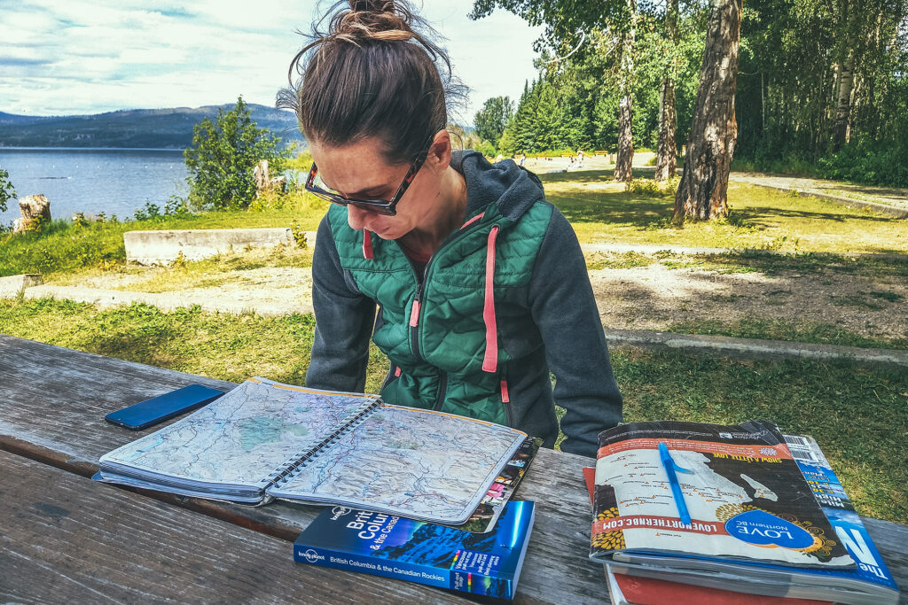
I used a bunch of different reading material on a daily basis to guide us.

The Milepost was my go-to for anything to see along the road, as it has a detailed log of everything and anything worth stopping for on the Alaska highway but also all the other circuits connected to it. I used the official visitor guides for Northern BC and Yukon for a bit more details on hikes, camping and local attractions. We’ve used for many years apps like Navmii to determine distances and locations to drive to, and Ultimate Campgrounds or IOverlander to find places to camp. That said there was no shortage of campgrounds both in BC and the Yukon, and you would rarely drive more than 100km without coming across a recreation site or a provincial park/Govt campground. Beyond that, visitor centres were a great place to pick up further info on local attractions. I relied heavily on paper guides as service was very spotty, if not non-existent, in a lot of areas along the way, and I maxed out of phone data a few days before we got back.
Outside of border crossing, Covid certainly had an impact on some of our itinerary, due to a number of places being closed – mainly cultural centres or any other places run by First Nation communities. As a result we spent a bit less time in some places that we otherwise might have.

Main Hiking areas

I always enjoy building an itinerary, and becoming familiar with the map of a place I’ve never been. I’m a visual person and I start getting a better understanding of where things are and visualize what our trip might look like. Taking on the journey always feels like uncovering the areas of a video game map (for those that might have played Zelda or any other game of this type). After the trip, we’ve now unveiled areas of the map and can go back to it later for any unfinished business.
Despite covering a lot of ground, I feel like we still have only skimmed the surface of some of the most notable areas we’ve visited. These are some of the places I could go back to and spend more time exploring:

Smithers – There are a few mountain ranges around Smithers that seem to offer a nice variety of hiking, between the Babine Mountains, the Seven Sisters Provincial Park, and the nearby Brian Boru Peak or Mount Thomlison. Plus Smithers is an appealing small town with a strong outdoorsy vibe, so it’d be easy to spend a week hiking by day and brewery-ing by night.

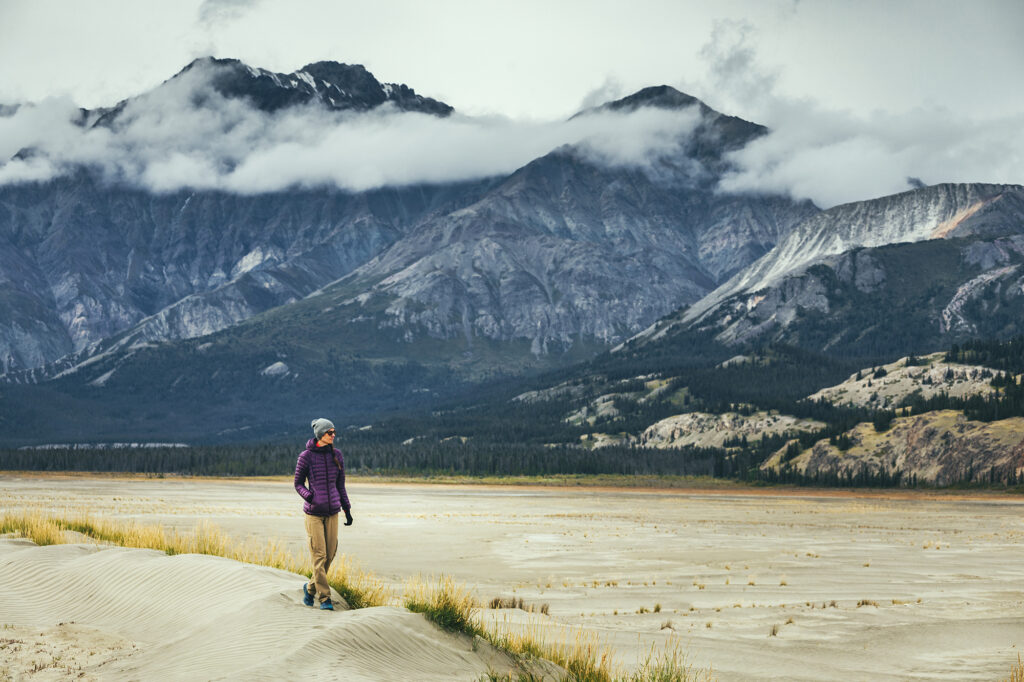
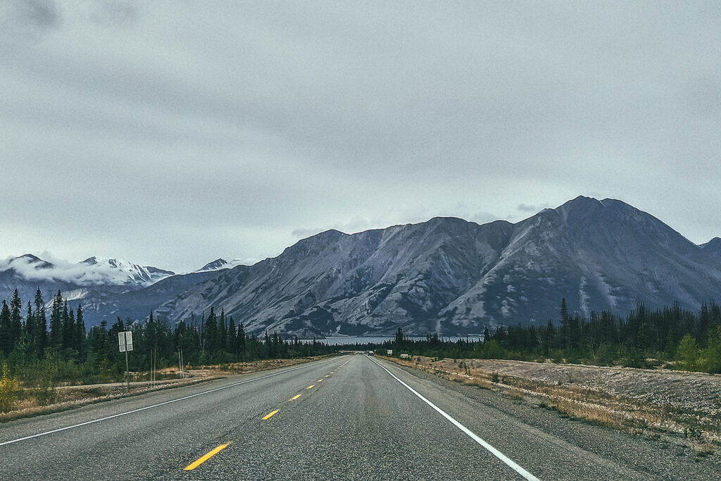
Kluane National Park– This is one of the largest wilderness areas in the country and we mostly saw it from the road! There are a number of multi-day hikes or guided adventures that could be done, and I would love to come back for an extended stay.

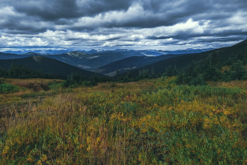
Tombstone Territorial Park – Although we covered the official backcountry circuit, there are a number of other day hikes that could be done, as well as more backcountry exploring. Definitely enough to spend another few days there.

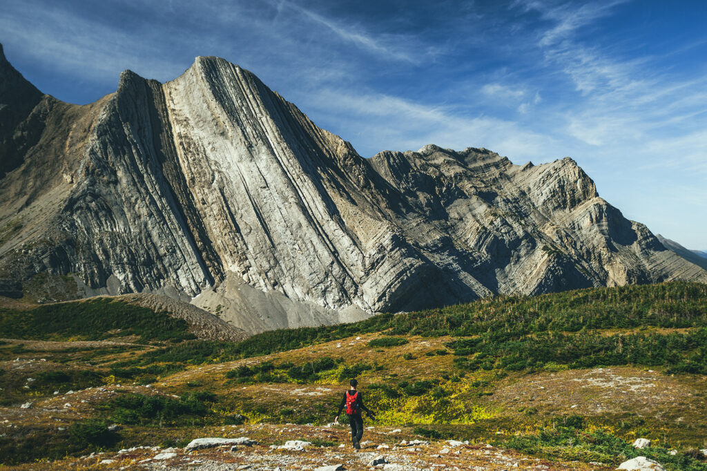
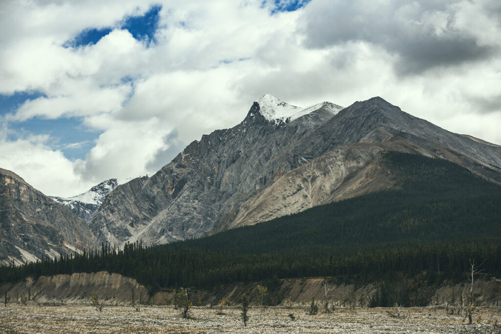
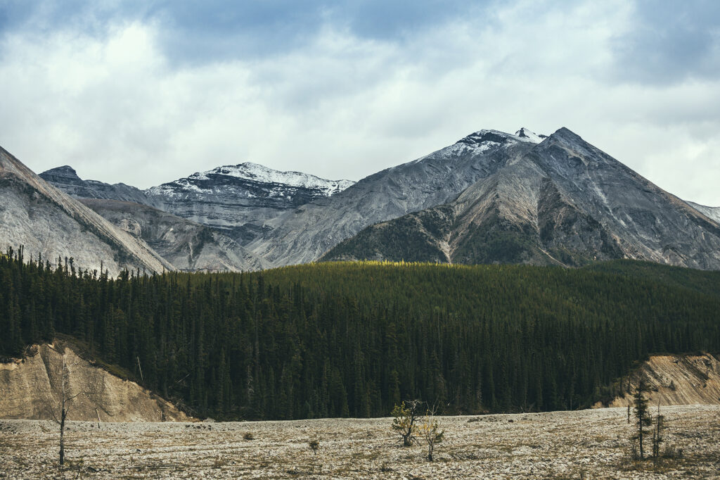
Northern Canadian Rockies – this area between Muncho Lake and Fort Nelson was spectacular to drive through. Looking at Alltrails and other hiking sites, there is no shortage of beautiful hikes in the area.

Tumbler Ridge Global Geopark – this one was an unexpected discovery. Not initially on our radar, we added it as a destination for one last day hike before heading home. Their visitor guide was super comprehensive and listed a good number of hikes – including multi day ones – that would be worth another visit.

Faro – another last minute addition to the route, we only explored the local trails around the campground, but there seems to be some good alpine hiking around Faro that could be worth another side-trip for, if we found ourselves that way again. The trail network is also meant to be suited for witer activities like cross-country skiing.

Other stops along the way:

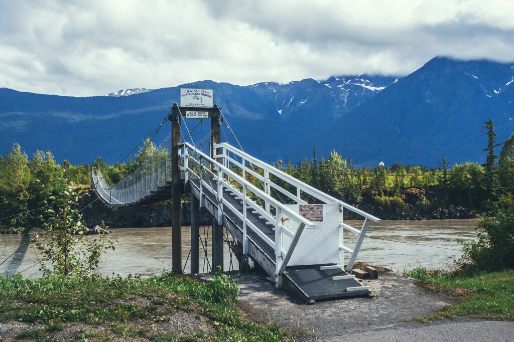
The Hazeltons – For its spectacular setting, and the rich history of the Gitksan and Wet’suwet’en people

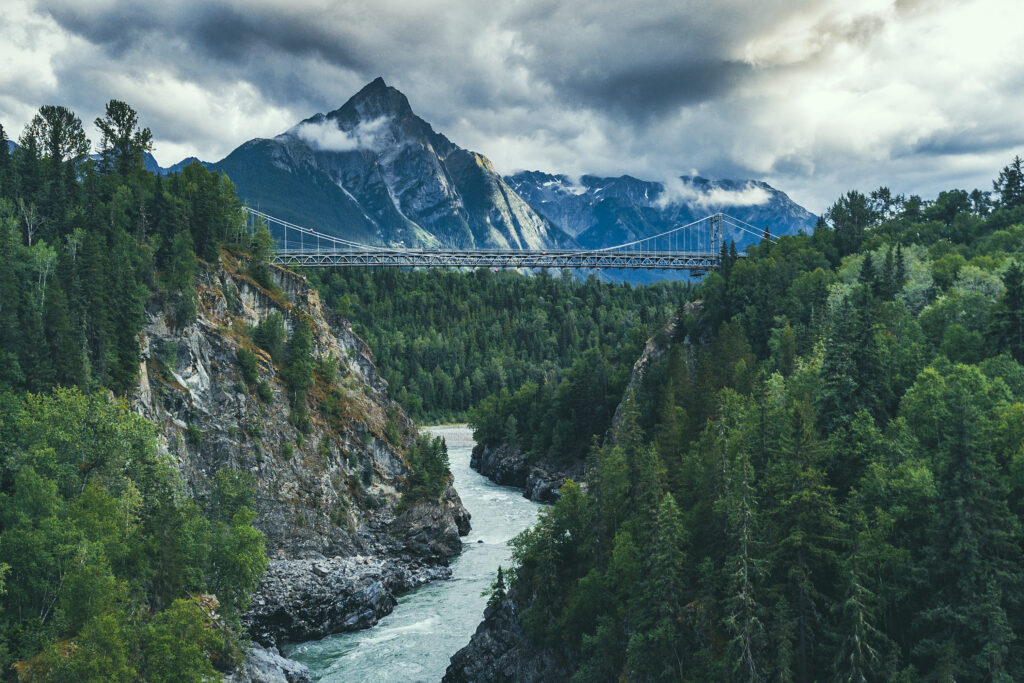
Nass Valley – A beautiful drive along the Nass river, Volcanic landscape shaped by drowning forests and lava flow, and discovery of four communities of the Nisga’a Nation.

Stewart, BC – a quirky settlers town at the end of the road, located at the mouth of a fjord on the border with Alaska

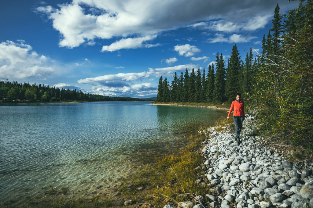
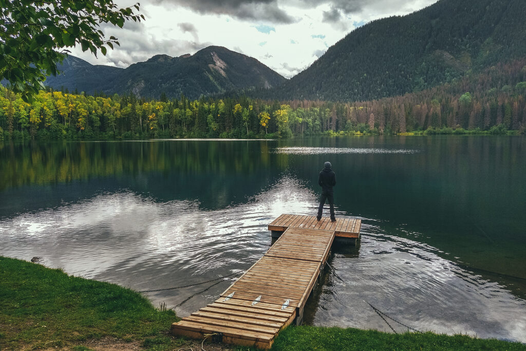
Boya Lake Provincial Park – turquoise blue water just begging to be paddled

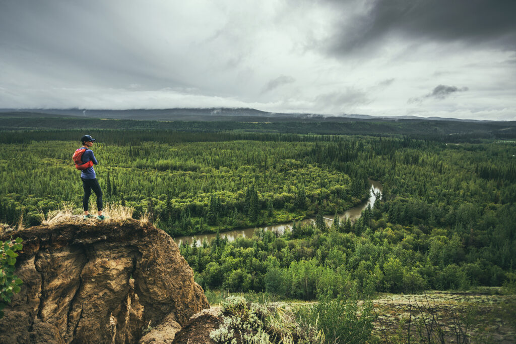
Keno City – A tiny hamlet at the heart of the silver trail, remnant of a booming mining era

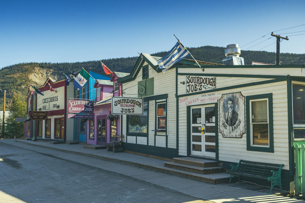
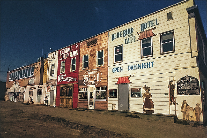
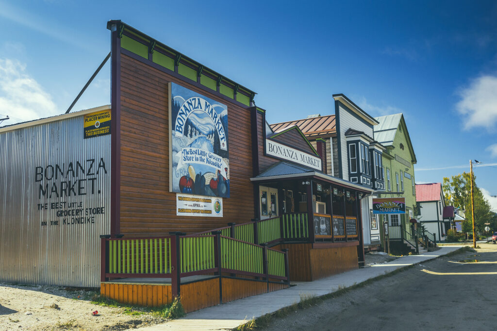
Dawson City – the quintessential Gold Rush town, and north-most town in the Yukon.

Haynes Junction – the getaway to Kluane National Park, and the western section of the Alaskan Highway

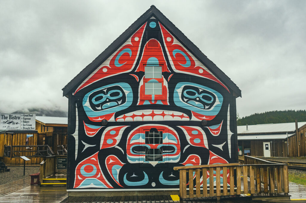
Carcross – Home of the Carcross/Tagish nation, the carcross Common showcases a great variety of indigenous arts and culture.

Liard Hotsprings – a tourist stop but well worth it, to enjoy the warm waters surrounded by lush vegetation, and potential moose sightings.


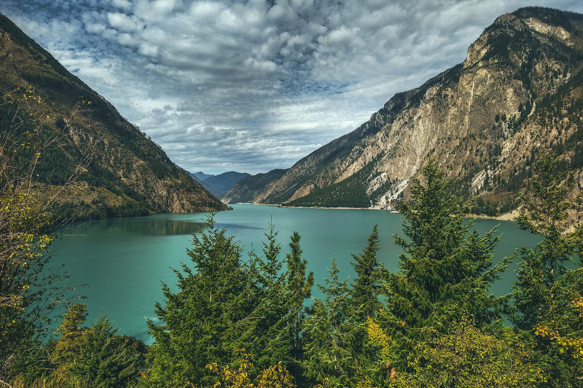
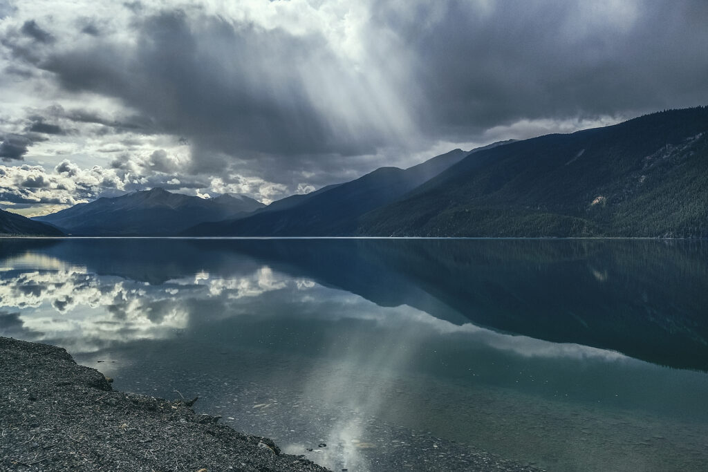
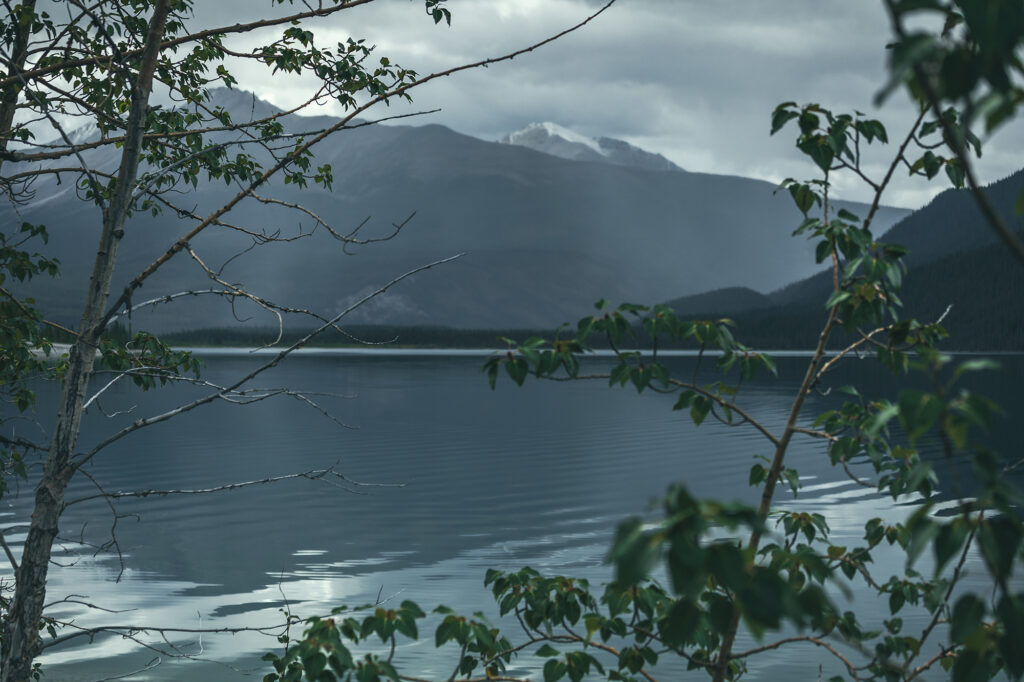
Muncho Lake – Incredibly scenic lake in the spectacular setting of the Northern Canadian Rockies

Dawson Creek – Mile 0 of the Alaska Highway

Tumbler Ridge – To find out about Dinosaur activity in BC

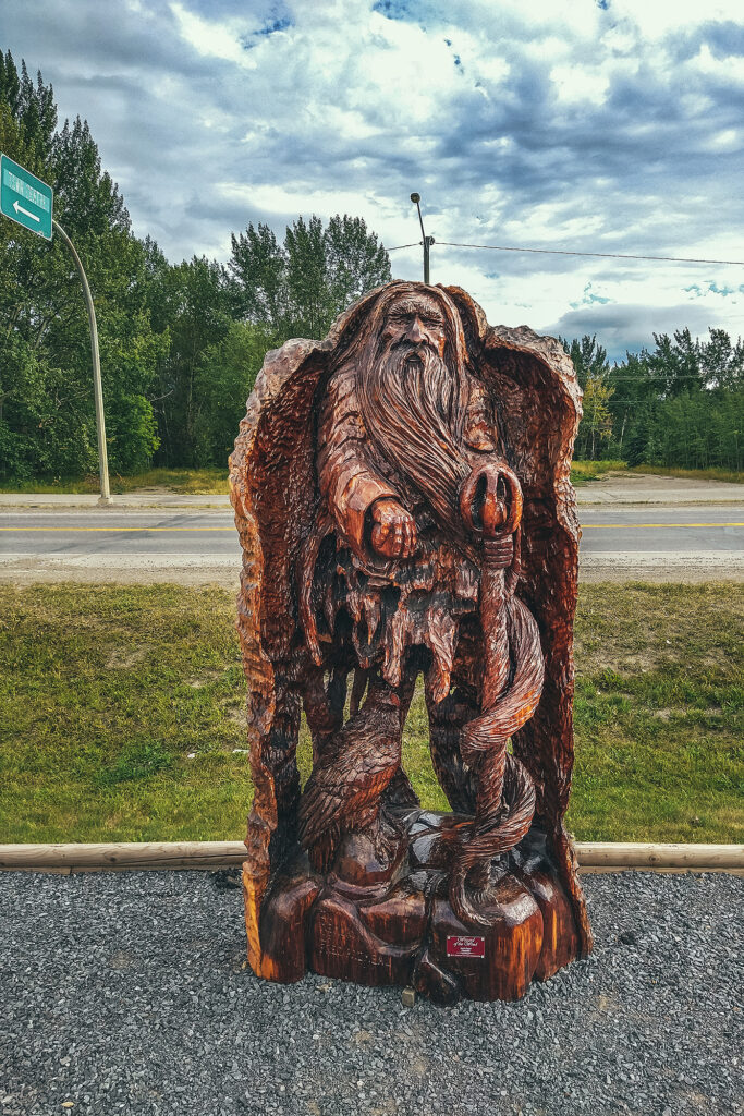
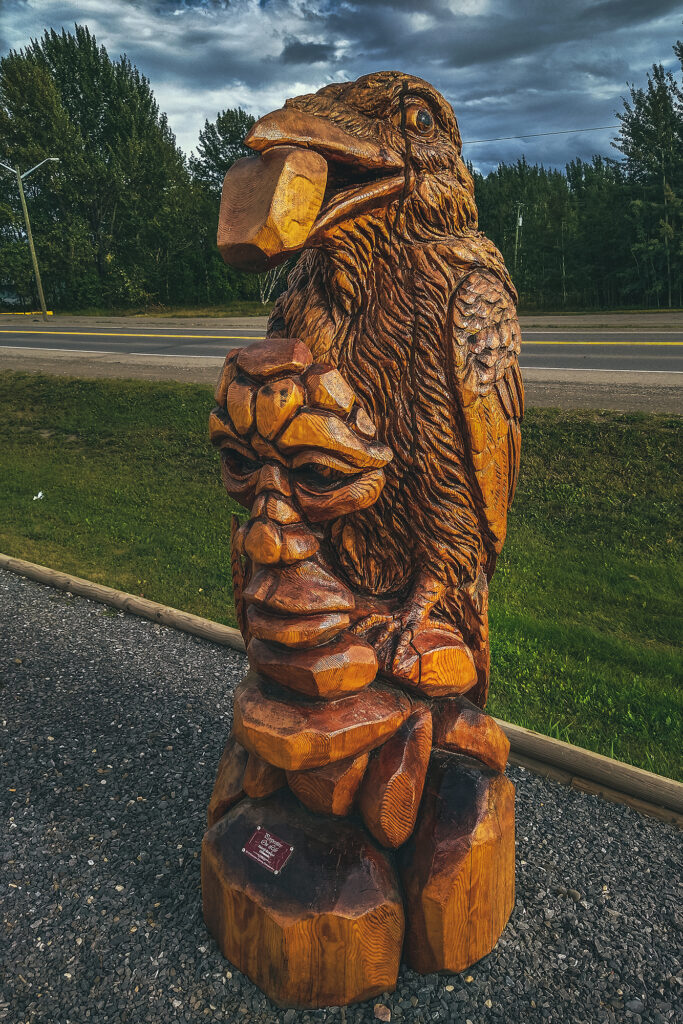
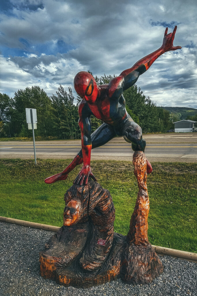
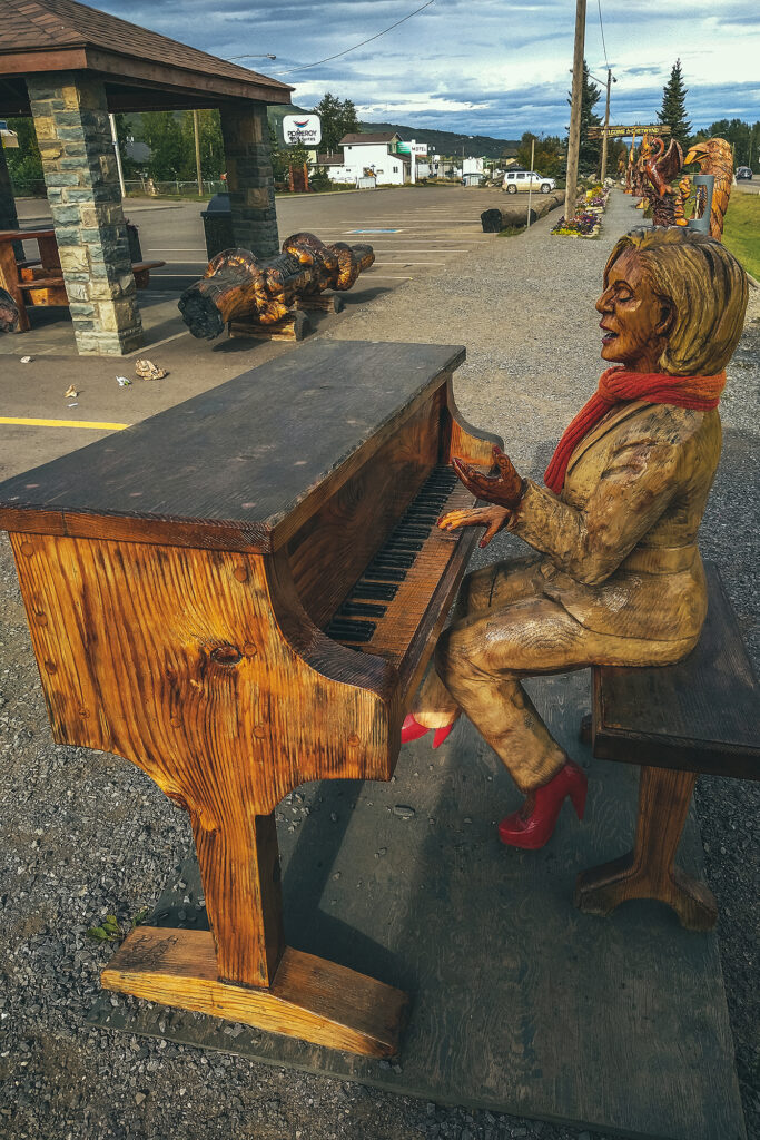
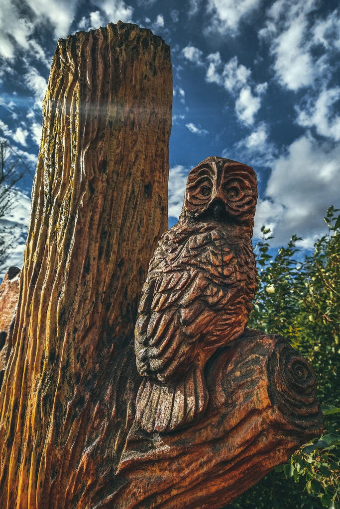
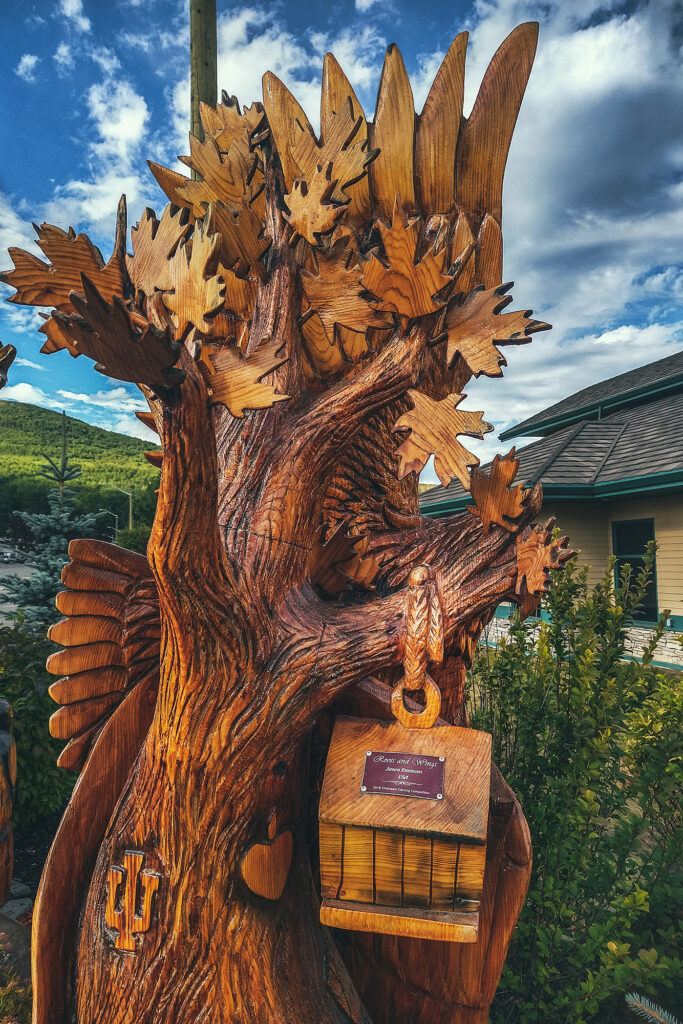
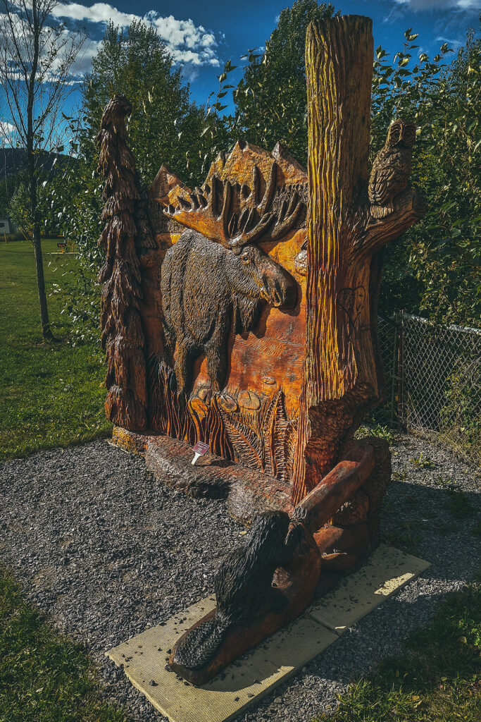
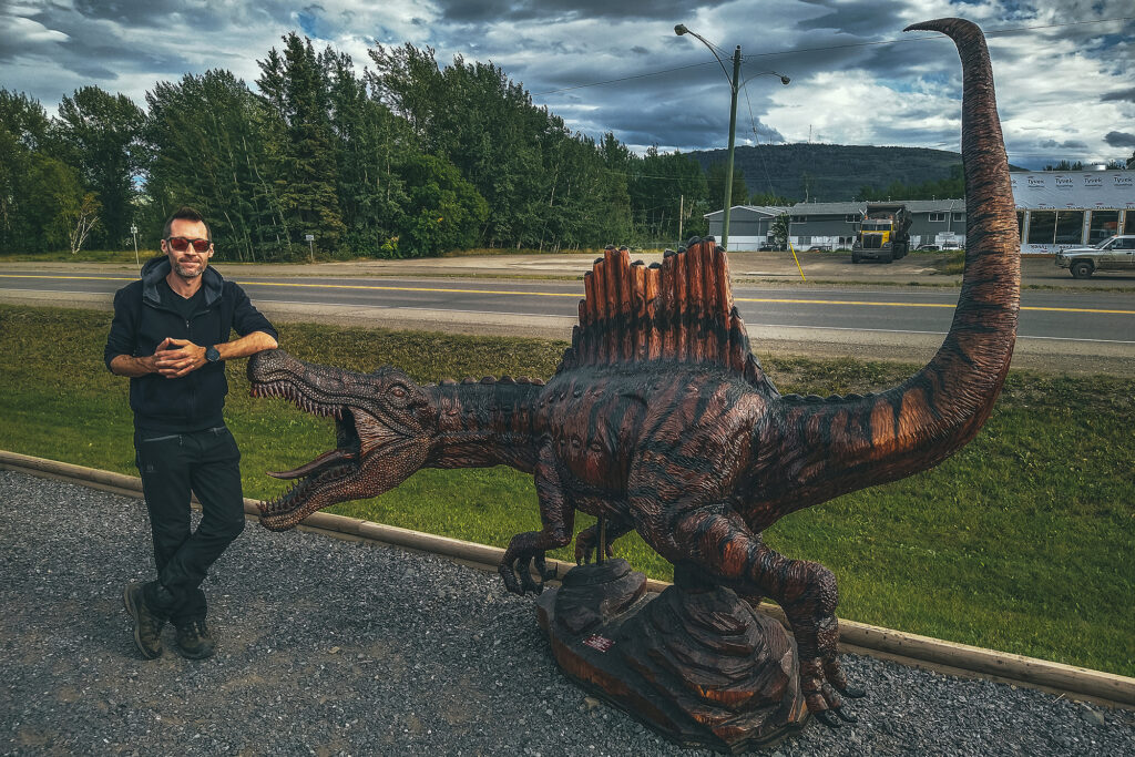
Chetwynd – Incredible display of chainsaw wood-carvings


Discovering the local History

Both Northern BC and the Yukon have a remarkable history, born of the determination of its earlier visitors to fight against the harshest of conditions (terrain, weather conditions, wildlife) to – sadly – claim territory and land that wasn’t theirs to begin with. But traces are everywhere of the grit and persistence necessary to build the roads that tourists such as ourselves are now able to leisurely travel on. A trip through the Yukon cannot be completed without learning about the construction of the Alaska highway, or the Klondike Gold Rush.

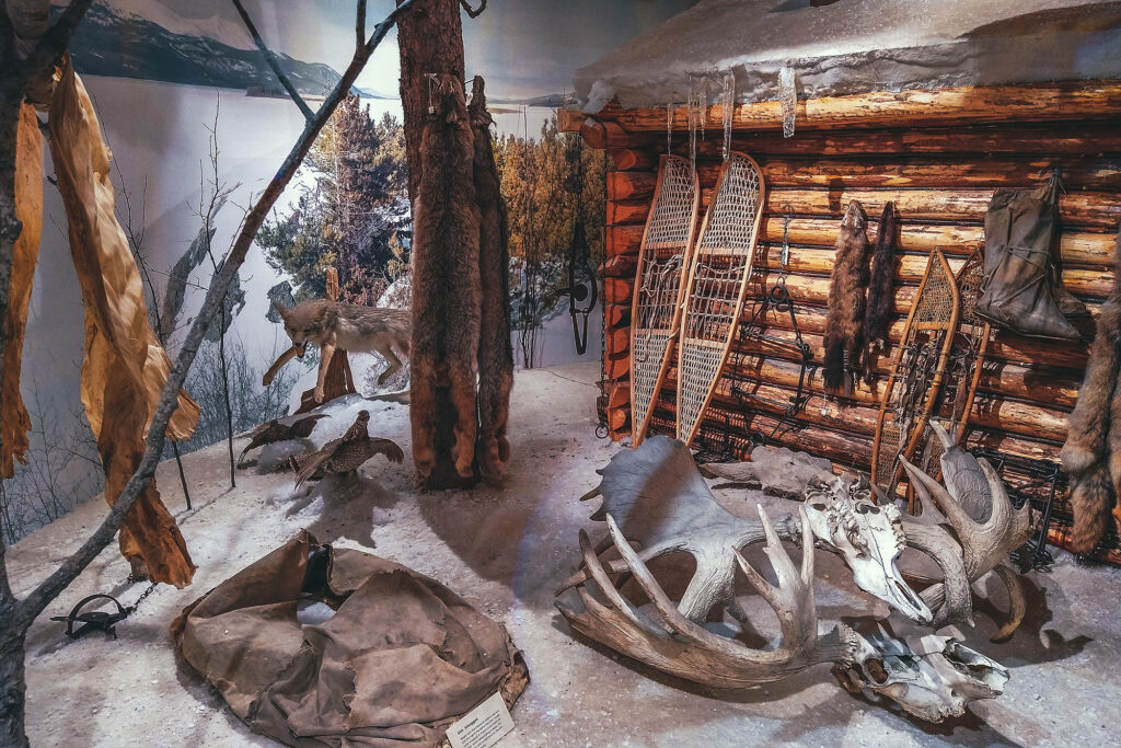
Along the road, we encountered remnants of the Gold Rush of the late 1800’s. As we traveled North, we were slowly piecing together the facts and history of that era, collecting fragments of how men and woman traveled to the North, settled and lived up there.

Eventually when got to the Silver trail and later to Dawson City, we could see the bigger picture. The steam wheelers, the claims, the machines engineered to replace human labor, the towns built to house all those populations, having migrated to these extremely harsh regions in search of different, better life. But also the Indigenous Peoples who helped settlers survive the conditions, who joined in the trades and the workforce on the road or the river, who ultimately were displaced, and their forever altered, nearly lost culture and way of life.

While the Gold Rush and the Alaska Highway are the main historical attractions highlighted for tourists to see, the history and culture of the 14 Yukon First Nations is very much present, with cultural centers in most every town, and opportunities to learn about the different communities’ origin and traditions, their ties and relationship to each other and some of the notable figures that have had an integral role in the history of the Territory. A trip to the Yukon would not be complete without learning about the Indigenous Peoples who have lived on this land since time immemorial.

Road Trip to to the Yukon – Part 12 – Tumbler Ridge, Chetwyn and driving home

September 4 – Dinosaurs and Carvings

After a restful night, we packed up camp and went for a quick exploration of what initially put Tumbler Ridge on the tourist map: Dinosaurs.

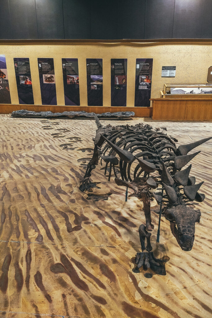
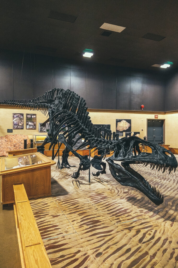
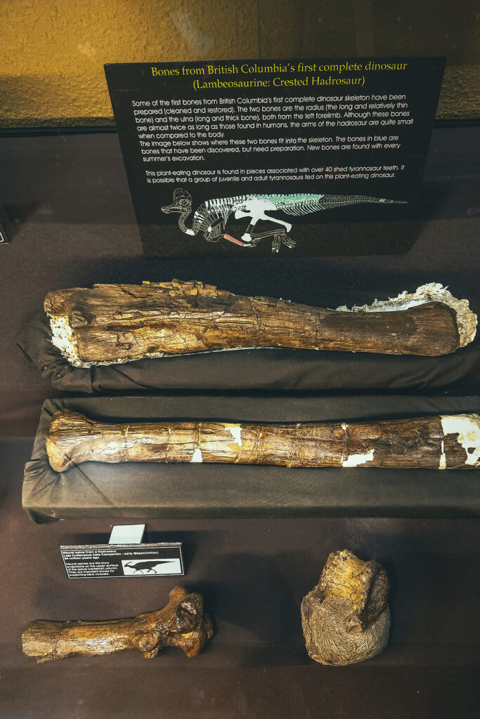
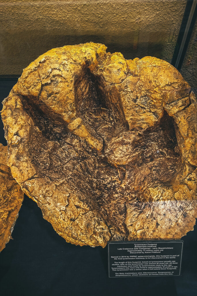
The town is fairly young, as it was built in the early 1980s as part of a huge coal mining project in the area. The mining went on for a little less than 20 years, and with the activity reducing and people moving away, Tumbler Ridge was at risk of becoming a ghost town. If it weren’t for two kids going tubing down the river one day. After falling off their tubes, they climbed on the shore and found what they thought looked like dinosaur footprints. After some nagging, they convinced their dad to send photos to a paleontologist, who indeed confirmed they were right. Turns out there were multiple tracks on the river shore, and in other areas nearby. Scientists came to explore further, ultimately discovering actual bones and other fossils. Thanks to those discoveries, and the natural wealth of the area, Tumbler Ridge is now a recognized UNESCO Geopark. We visited the Dinosaur gallery, which features replicas of the species that would have left the tracks, as well as molds of the actual footprints, and the (partial) skeleton of the first dinosaur found in BC.

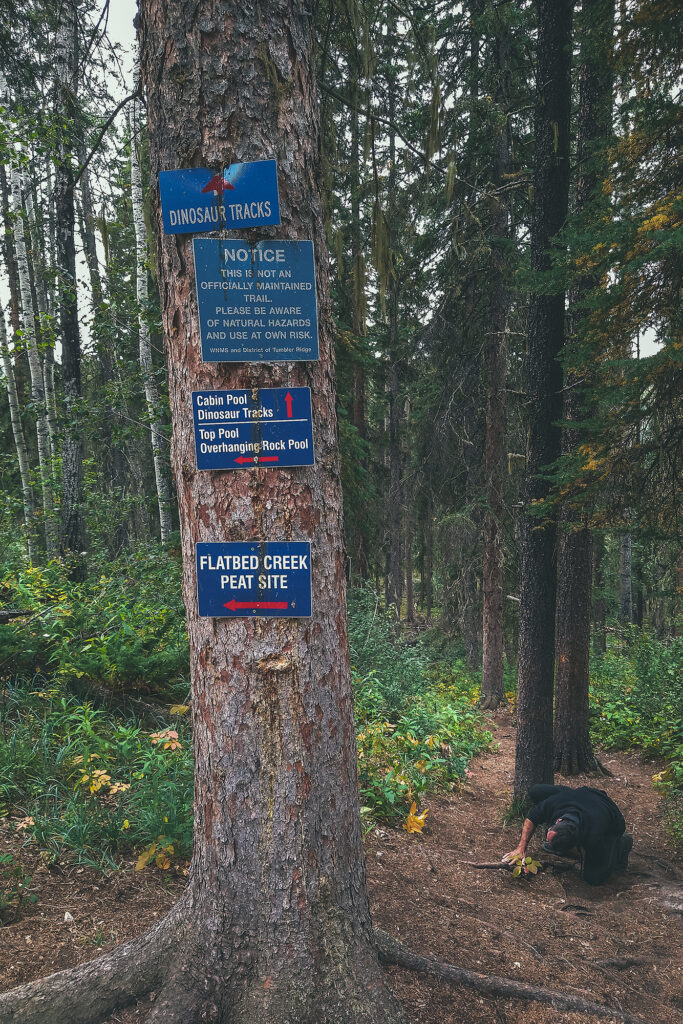
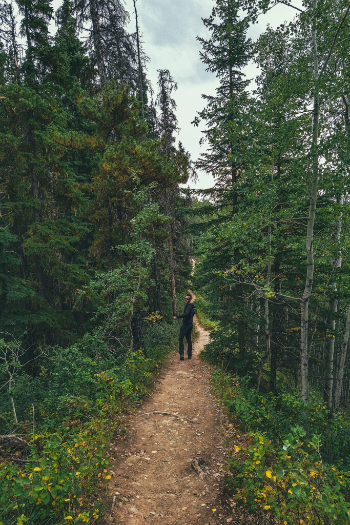
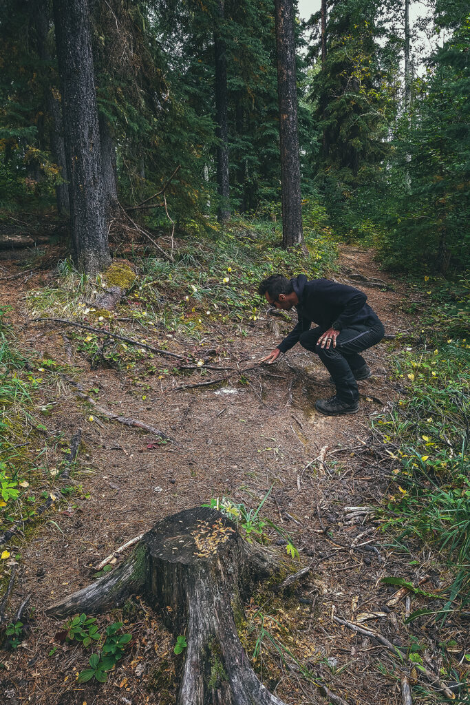
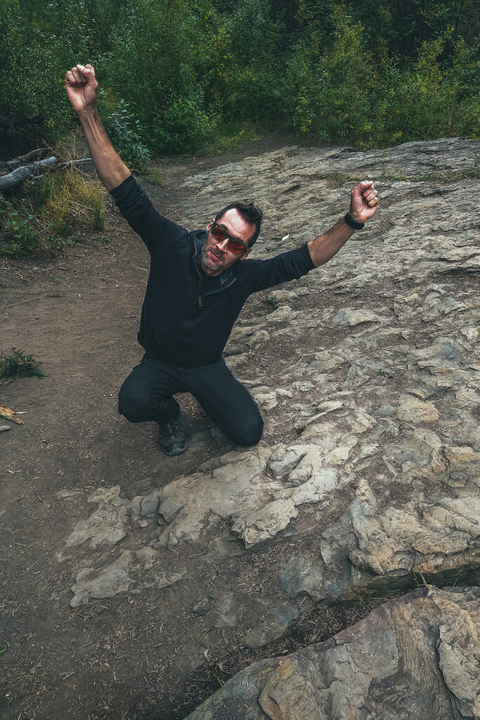
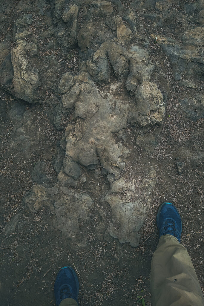
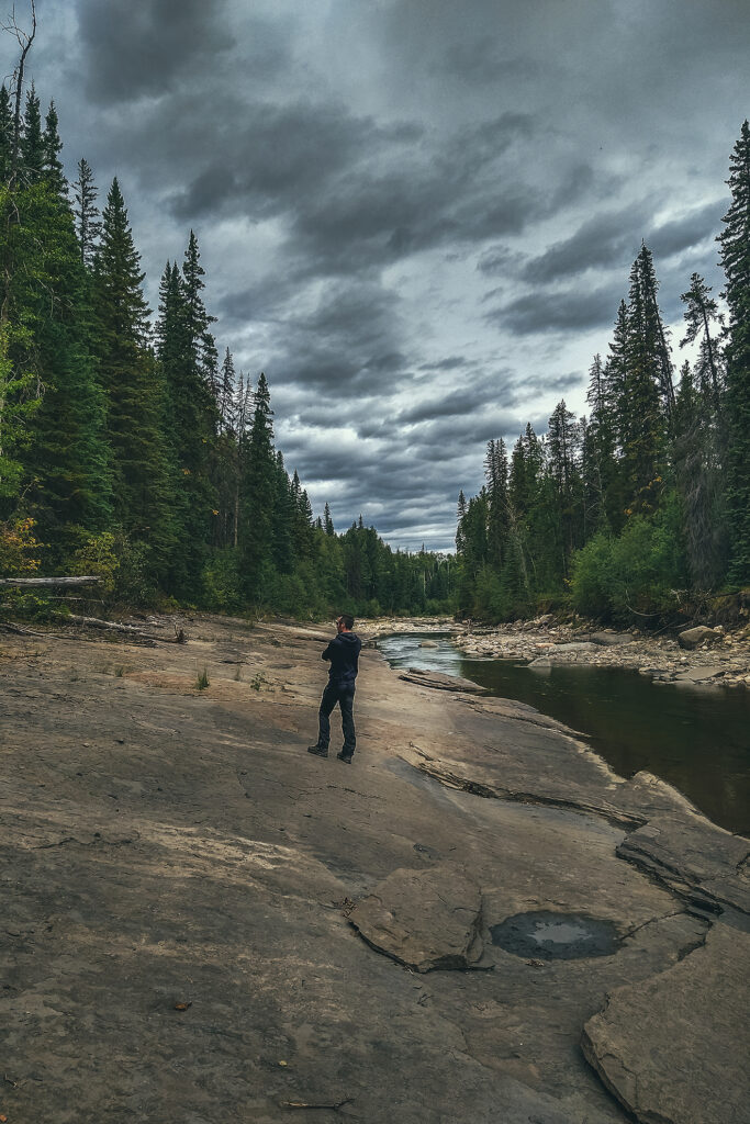
After that we decided to go see the tracks on-site. We walked the 3km (round trip) trail to Flatbed creek, where the tracks were found. There are two very distinct foot prints just as the trail meets the creek, which were easy to spot.

We crossed the creek to see the tracks on the other side (those that were first spotted by the kids), but those are quite faint and hard to see in daylight. In the summer, the visitor center offers guided tours in the evening hours, to see them under electric light (easier to see them with cast shadow). However,  tours were finished for the season, plus we were leaving that day, so we didn’t get to experience that.

Even then, it was pretty incredible to see these two foot steps, neither of us had seen real life dinosaur traces on-site before, kind of blows your mind to think they stood there 100 million years ago, and their mark is still imprinted in the rock, even after the position of tectonic plates have changed, entire mountain ranges have formed around them, and they’re not even at the same longitude they were back then!

It was 2 o’clock once we were done with all the dinosaur attractions, so we got some lunch at the grocery store and headed out. We stopped at Gwilliam lake to eat, a lovely little picnic spot, then drove to Chetwynd.

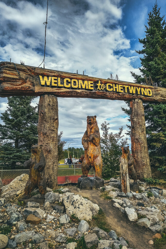
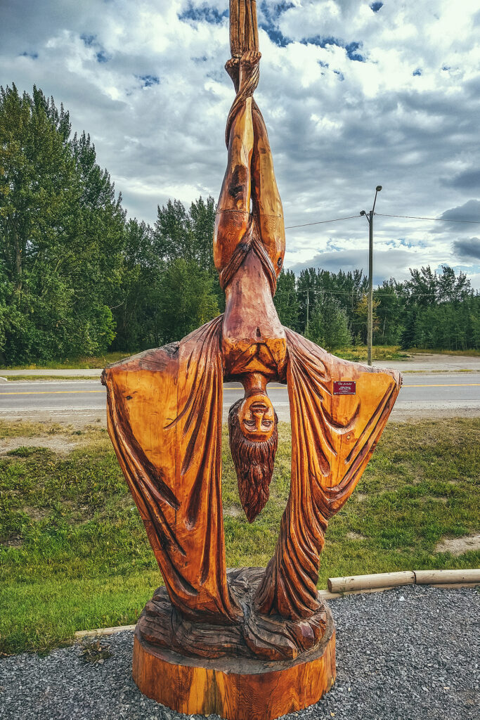
Chetwynd would likely be another small town on the highway if it weren’t for the very impressive display of chainsaw wood carvings visible along the road. Started in 2005, there is a carving competition every year in June and the result has become the town’s main reason for tourists to stop.

The sculptures were all really remarkable, especially knowing they were all done want by chainsaw – makes me want to look up videos on youtube to find out how they get that much detail with such a big tool.

After Chetwynd, we set off to find a campsite for the night, and had no trouble finding a spot at the first provincial park we came across, Heart Lake, in Pine Le Morray provincial park.
We were back to the more standard camping experience that we’d been having along the way – relatively private site in the trees with a lake nearby, and friendly but distant neighbors (and remarkably clean and toilet-paper-stocked out houses).

That night though I had a mild panic attack upon waking up in the dark to the sounds of storm, wind, rain, cracking trees, and some loud metallic ruckus that my brain couldn’t quite make sense of, while trying to determine which of these noises might be caused by wildlife (spoiler alert: none of them were). But in my half-asleep state I experienced some kind of sensory overload, until Brice pointed out that the metallic sounds were construction machinery (“you can tell by the bip-bip sound of a truck backing up”), and not by a bear aggressively knocking over garbage cans, which my groggy-self was convinced of. In fact, there was excavation work being done across the road, along with a 1:30am train coming by. Thankfully it seemed to quiet down (and so did my brain) after the train passed and we could sleep the rest of the night undisturbed.

September 5  – Prince George to Lillooet.

In the morning, we both felt a bit of camping fatigue, and wondered if we could make it home in one day. But with at least 12 hours to drive, and add 2-3 hours between lunch and other stops, that seemed like a rather brutal travel day.


We could also try to drive as far as possible passed Prince George, and try to get home the next day, but then we might hit the end of long week-end traffic congestion, and no one wants to get stuck in Lions Gate Bridge traffic after driving over 9000km up and down the country – that’s no way to end an epic road trip. So we agreed that spending a couple more nights camping would be fine, and decided to even take another short side-trip, might a well since we were only a couple hundred kilometers from Prince George, and didn’t particularly need or want to spend time in the town itself.

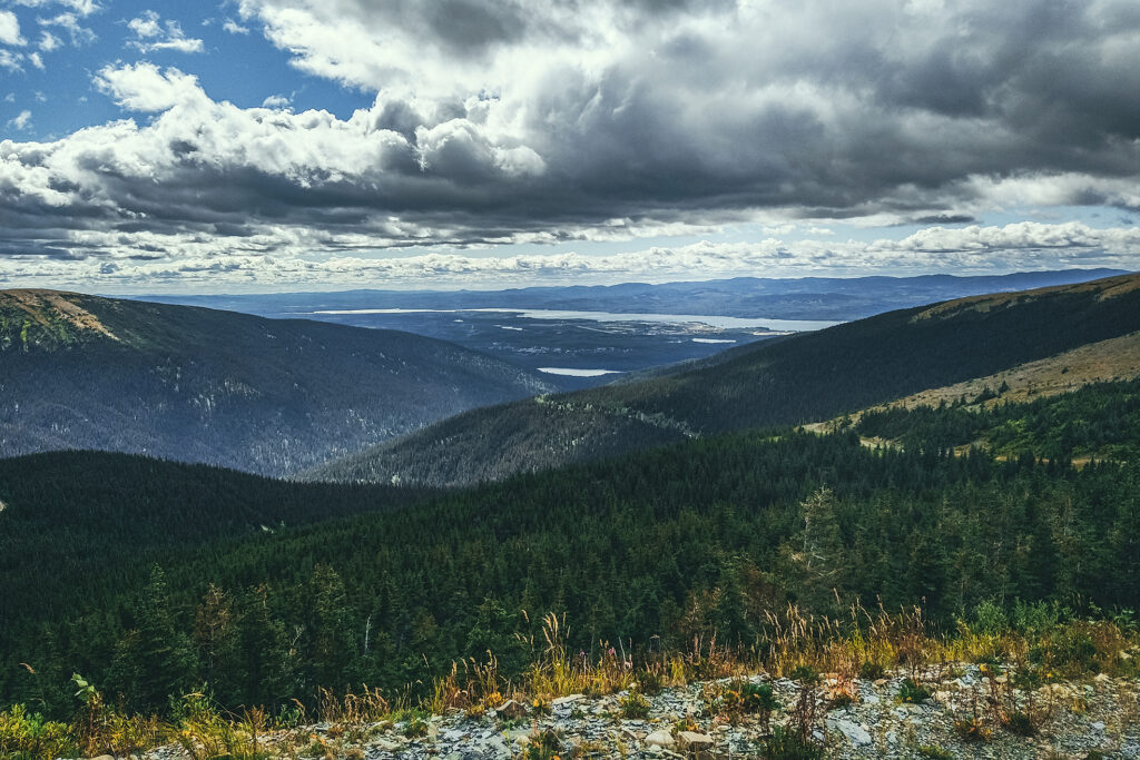
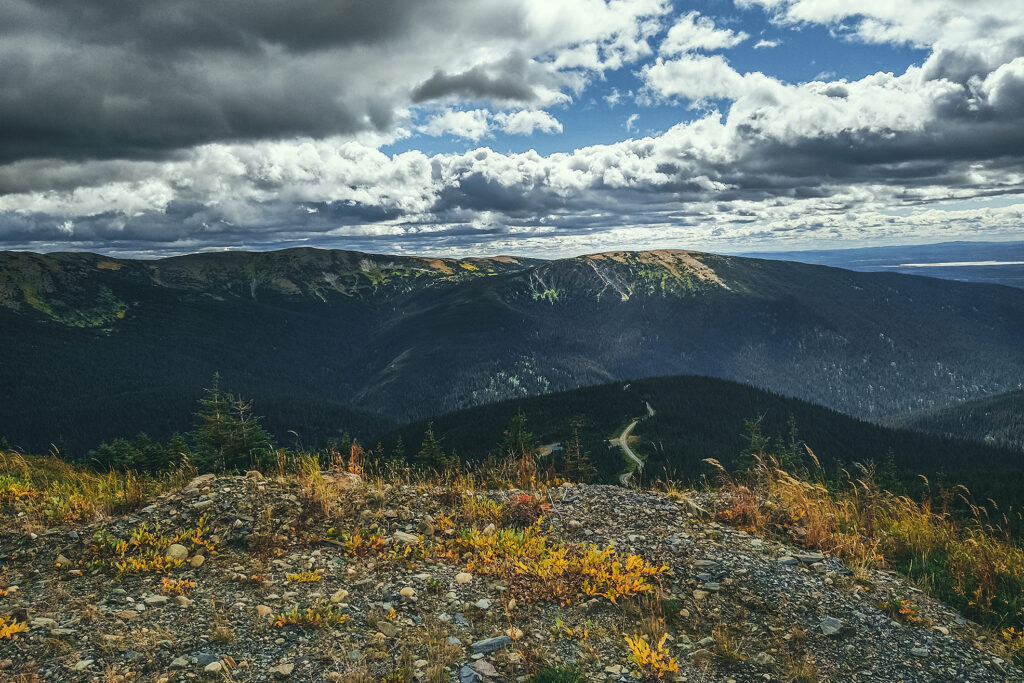
So we drove to Mackenzie, BC,  after I had read that you could pretty much drive most of the way up Morfee Mountain, for easy views. And so we did. The dirt road took us almost to the summit and we then hiked 5min up the hill to get a slightly higher vantage point on a scenic view of the valley around, the town and lake in the distance.

Then we drove down to Morfee Lake to have a pleasant lunch by the water. The rest of the day was spent driving. The only stop I wanted to make in Prince George was at Terry’s Fresh Hot Bannock, a place that made donut-like bannock. But like many places along the that way we reached on a weekend, it was closed on Sundays. With that, we picked the first provincial park within the next 150 km and landed at Ten-Mile Lake, near Quesnel, to spend the second to last night on the road.

September 6 – Lillooet to Vancouver

We left the campsite around 11 am, after taking our time for breakfast. We decided to go home through Lillooet and the Sea to sky Higway, rather than Merritt / Hope like we did a month prior.  Some of it was to avoid the fire areas, especially since there was now a large fire zone on the Coquihalla highway, and also it was good way to have one last night near home but still in a remote area.

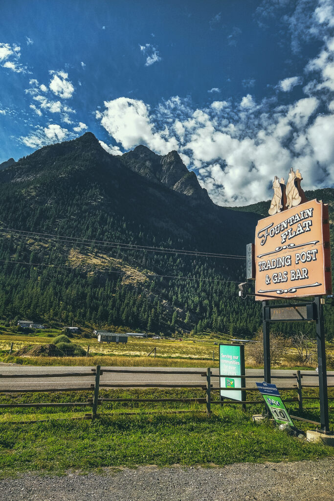
We pretty much drove from 11am to 5pm, with a quick stop in Williams Lake pick up some lunch, which we then ate at Lac La Hache . We made a quick stop at Marble Canyon Rec Site, to stretch our legs, then drove to Kwotlenemo (Fountain) lake, a familiar campsite where we had stayed twice before. We were easing back into everyday life by camping into a familiar spot.


The next day we drove through Lillooet and Pemberton aka the scenic route home. We stopped quickly in Squamish to say hi to our friends Adele and Thierry, and drop off copies of the provincial/territorial tourism guides we’d picked up along the way.

Adele and Thierry had done a similar trip a few years back and lent us their guides, and now Adele was very motivated to go back the next summer, so it only made sense to pass the documentation back to them, and continue the cycle. Finally we made it back to Vancouver after 37 days and 9729 km on the road.

Road Trip to to the Yukon – Part 10 – Liard Hot Springs and Muncho Lake

August 30 – Liard Hotsprings and Muncho lake

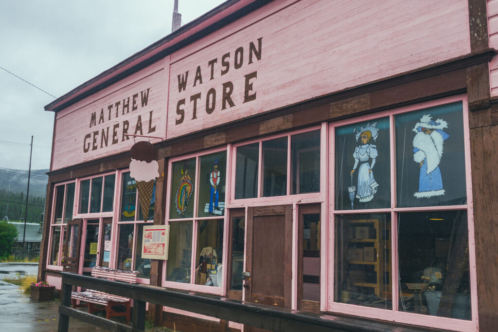
That morning we headed to the Watson Lake rec center to use the showers, for about $6 each. What a treat to have a hot shower after a week of sponge bath/wipes! Then we got on the road and left Watson Lake, and shortly after, the Yukon, as we started the last leg of our trip driving back down into East Northern BC.

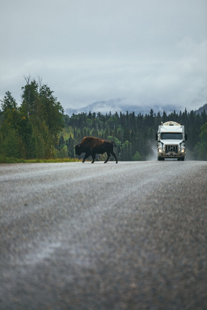
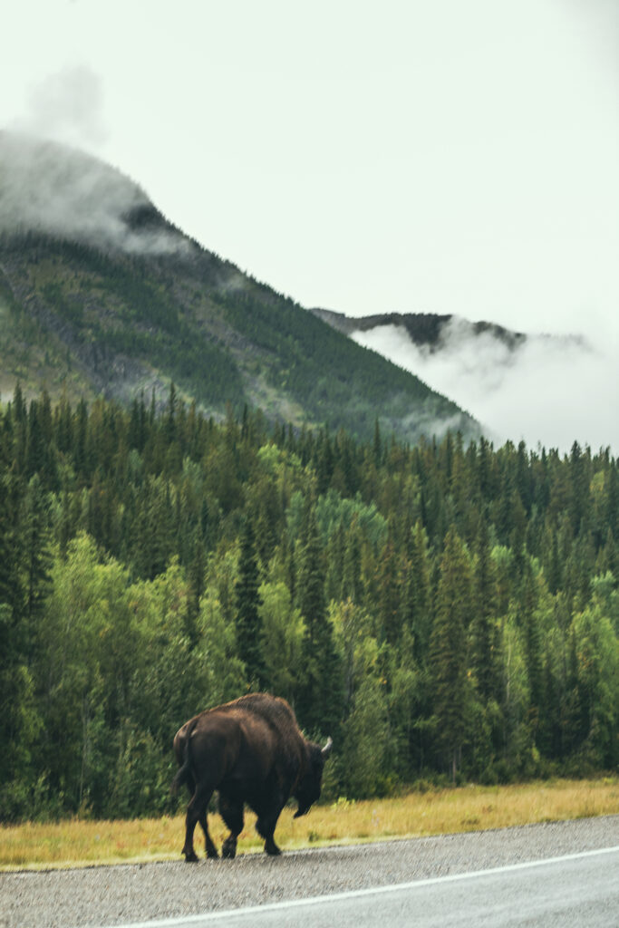
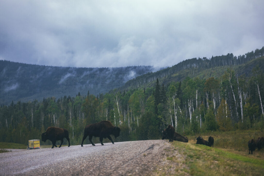
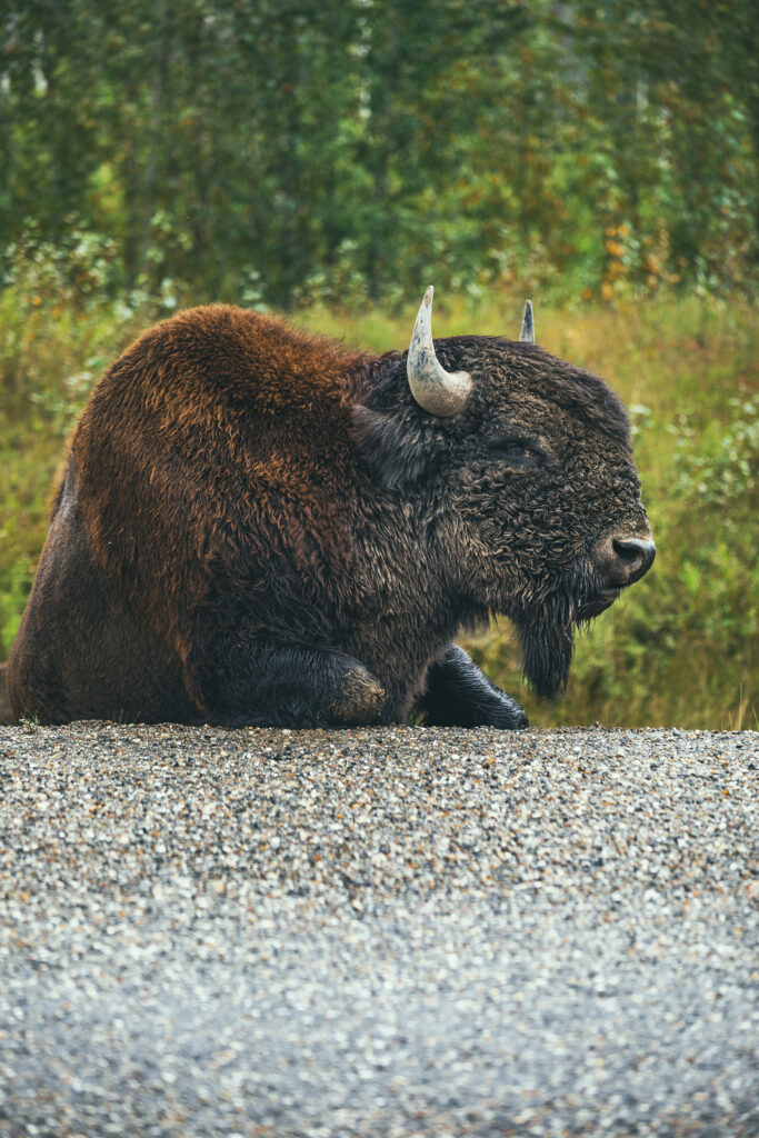
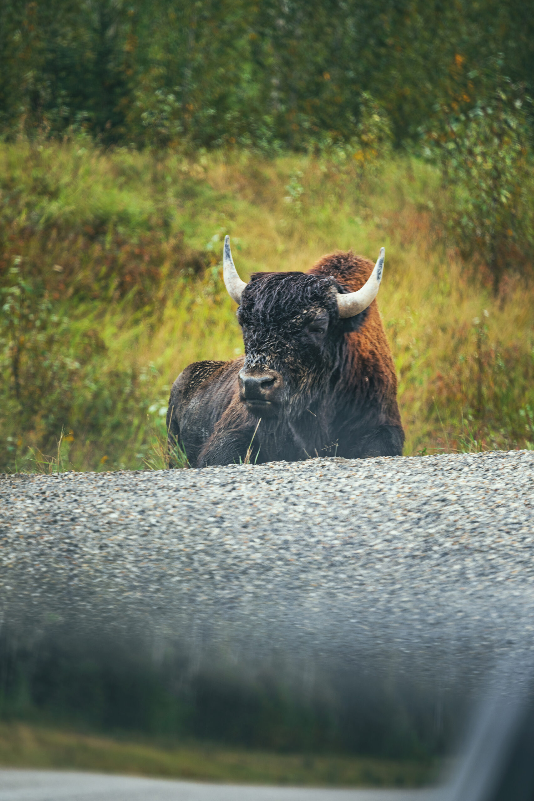
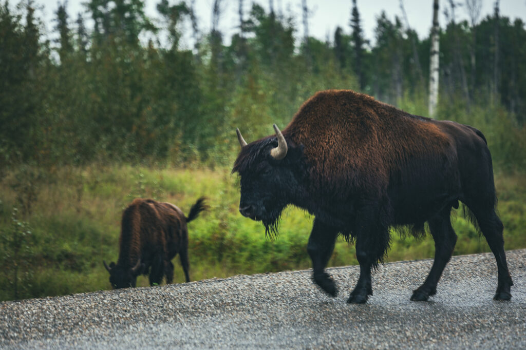
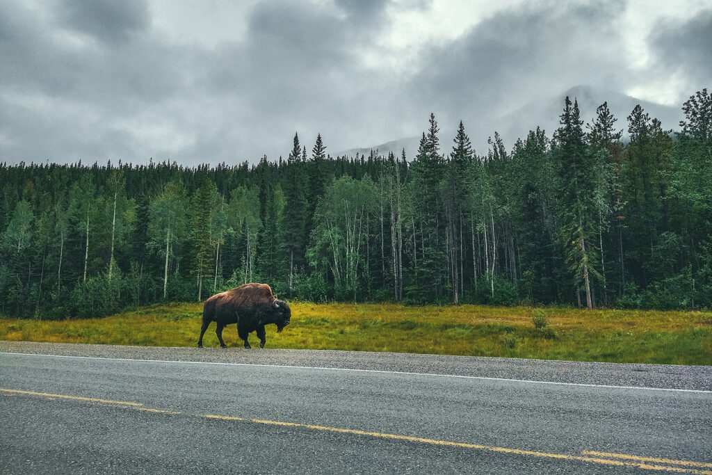
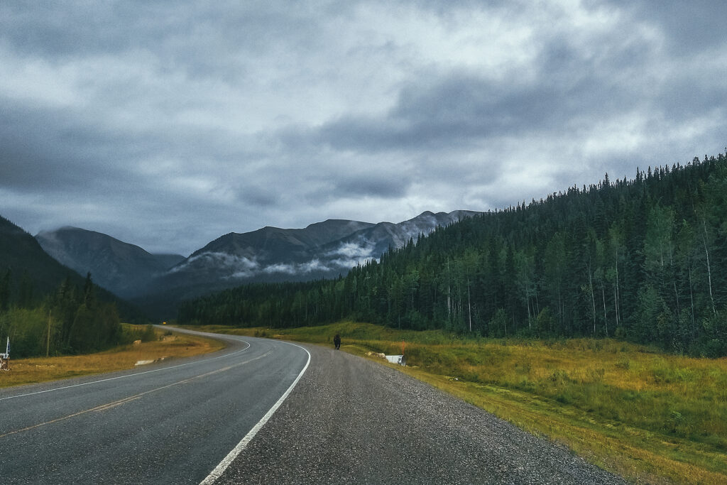
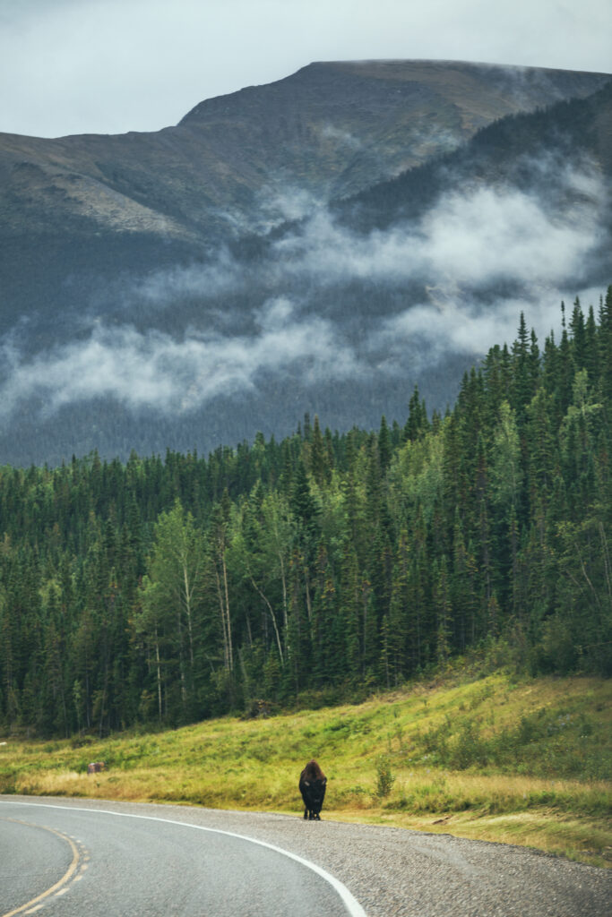
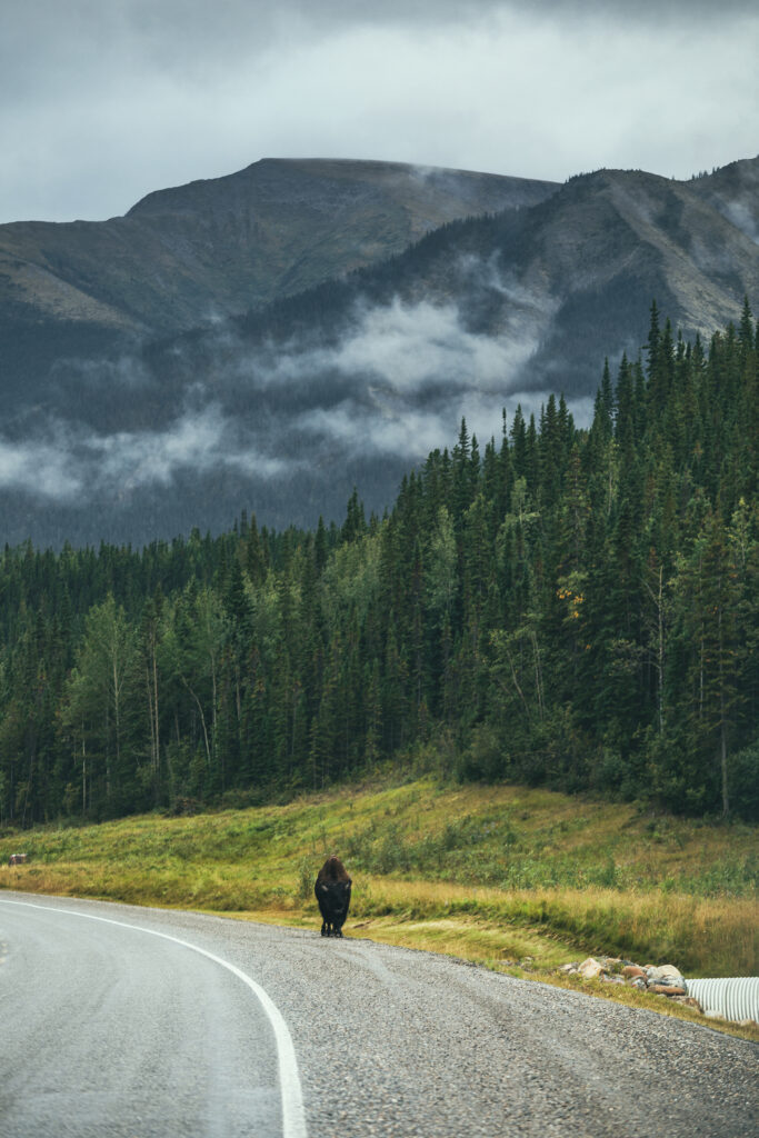
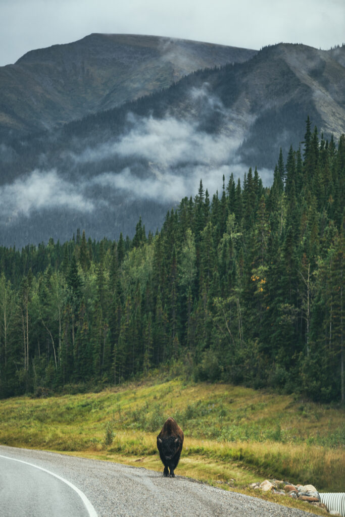
While we hadn’t seen a huge amount of wildlife so far, we got to make up for it with quite a few bison sightings along the way. We first saw an isolated male, and later a couple of herds, just grazing on the side of the road.

One of the stops I was most excited about was the Liard Hot springs.

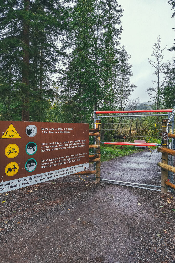
The hot springs are the second largest in Canada, and as of a couple of years ago, it was the first provincial park with a completely fenced out campground, in order to prevent human/wildlife interaction. That said the fence only protects the campgrounds, and you have to leave the enclosed area to go to the springs.

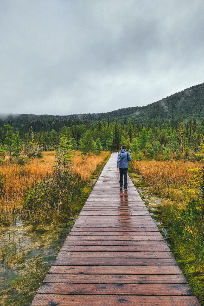
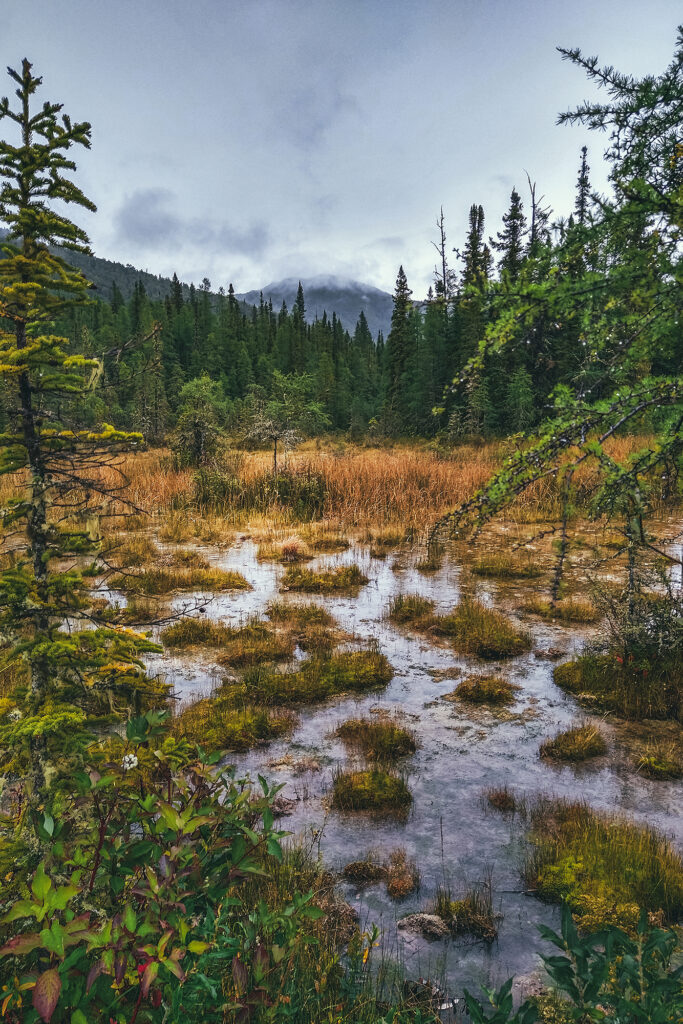
The main pool is accessible via a short boardwalk across warm swamps, where Moose sighting are apparently frequent (we didn’t see any ourselves). The warmth of the springs has allowed a lush and diverse vegetation around them.


The hot springs admission is $5 per person, or included in the $26 if you register for a campsite for one night.
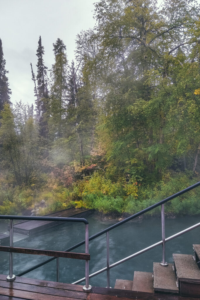
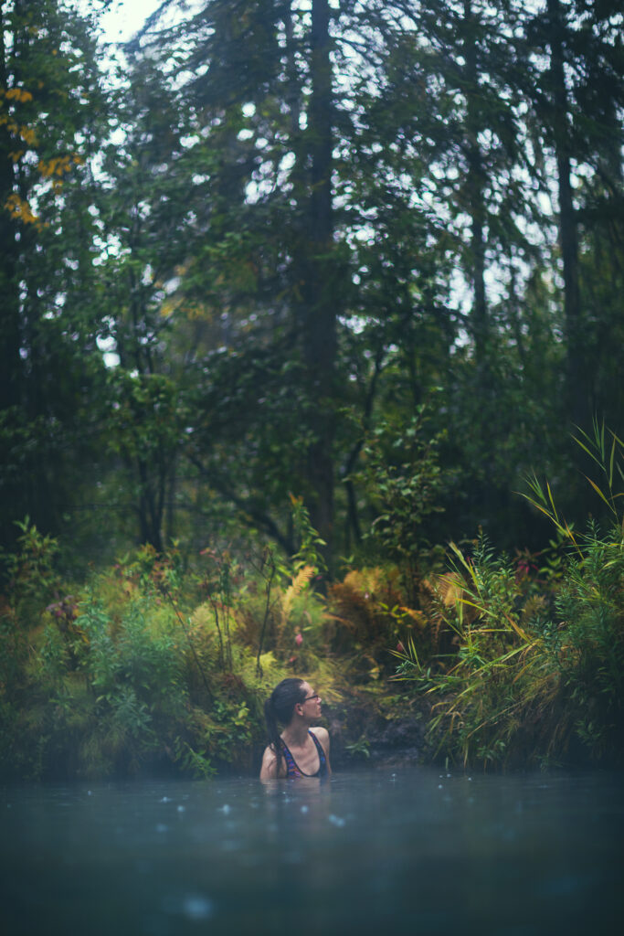
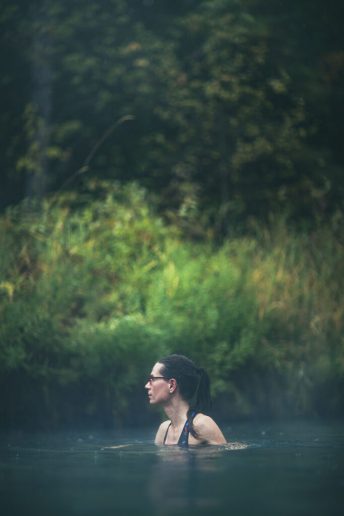
The setting is quite nice, there’s a boardwalk with changing rooms on the side of the pool, which is otherwise surrounded by boreal forest and lush greenery. Although man-made, the infrastructure is well integrated in the natural setting and it does feel like you’re in the middle of tropical forest.

The hot water source is on the right when looking at the pool from the main deck, and water in that area gets quite hot, but is cooled down by multiple streams of cold water trickling from the mossy edges of the pool on the forested side.

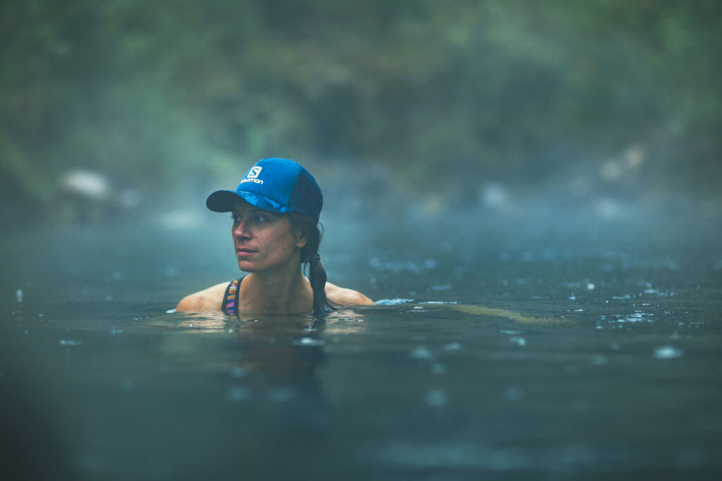
It was a rainy day and the pool wasn’t too busy, 20- ish people maybe, but it didn’t feel crowded. I can only imagine how busy it might get in the height of summer. We stayed in for a bit, enjoying a dip in hot water for a change. Then it was time to head out.

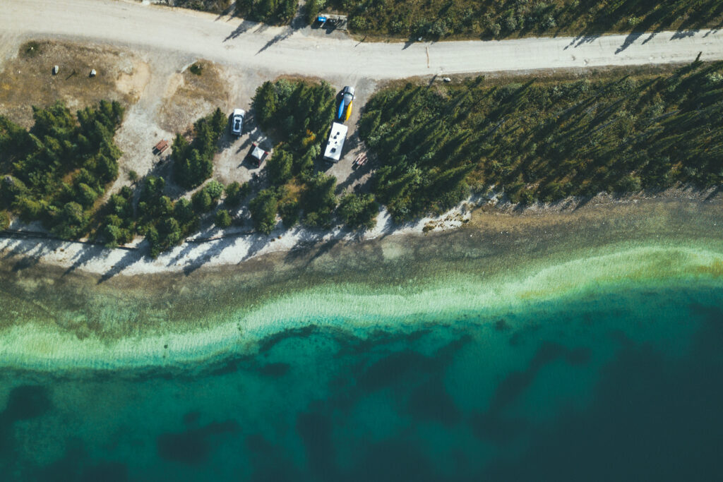
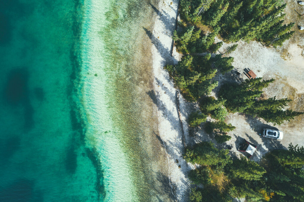
We contemplated staying at the campground, but it only had 1 spot left and it felt a bit too crowded for us. So instead we drove to the first campground on Muncho Lake. I had read that it was very popular and you had to be there early in the summer to get a spot but on the last Monday of August, and a rather rainy one at that, our odds were pretty good! And in fact it wasn’t very busy at all.

There are 3 sections of 5 campsites pretty much on the water and a few of the spots in the second and third sections were taken, but there was no one in the first section, nearest the entrance, so we set up at one of those spots. When looking at the forecast, I had seen that rain would continue for the next couple of days. But that night the sky cleared out and we didn’t have any rain- although it got a bit cold at night. Driving out to Muncho Lake rather than staying at Liard hot springs was definitely the right decision.

August 31 – Muncho Lake to Fort Nelson

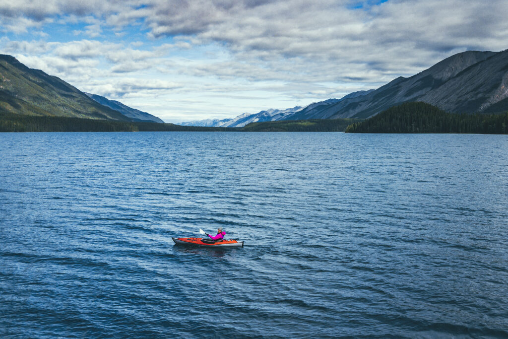
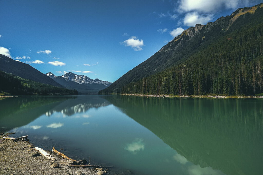
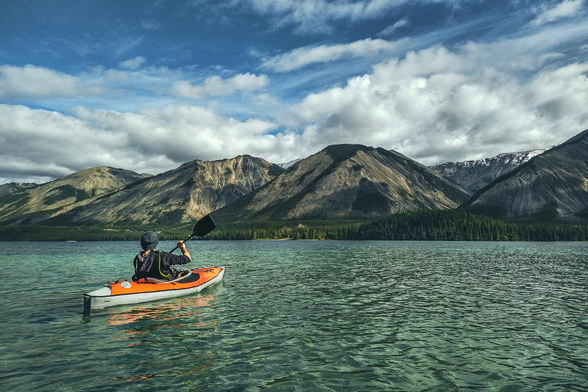
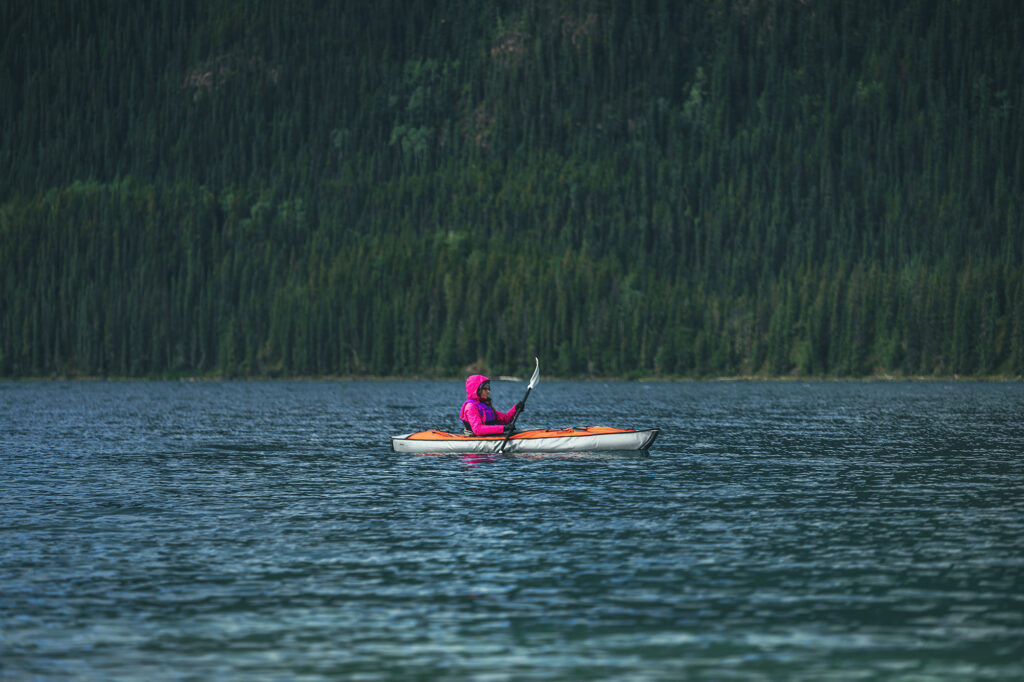
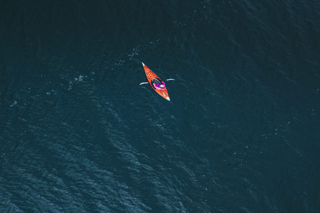
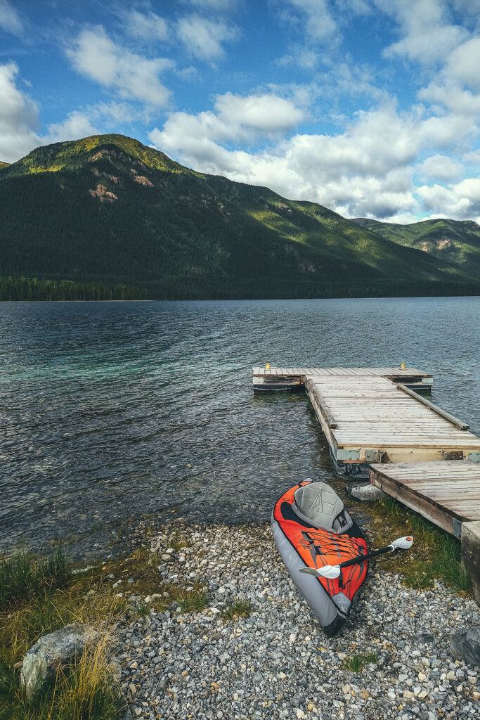
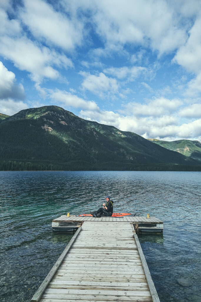
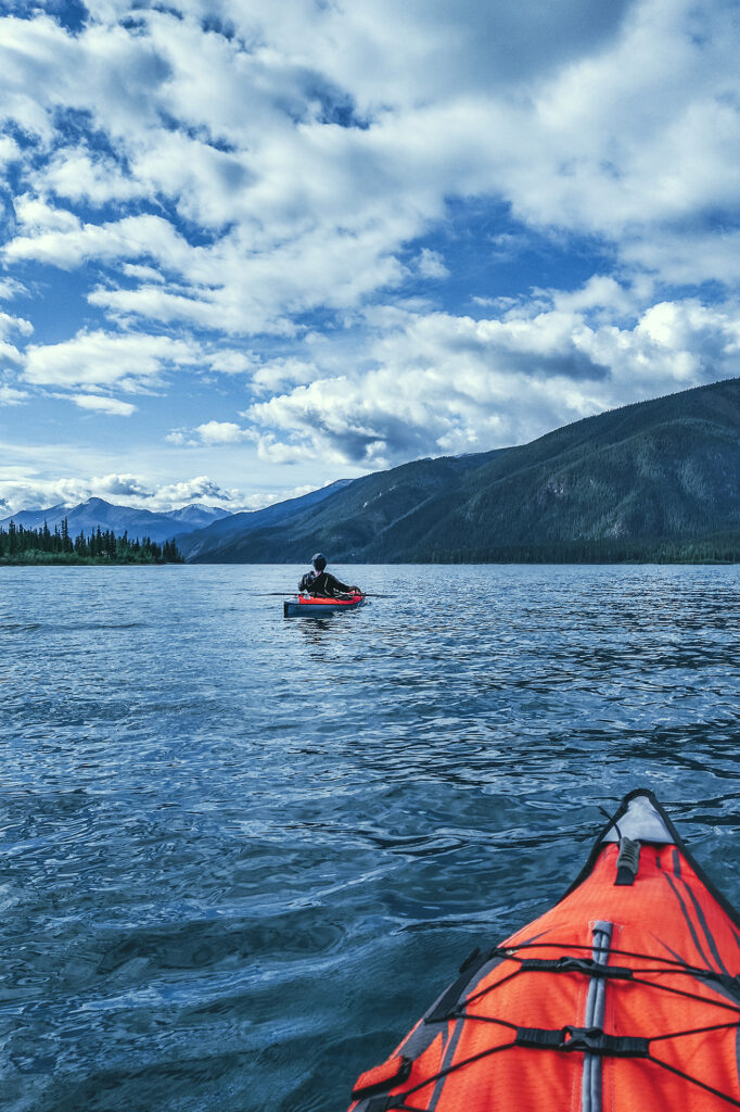
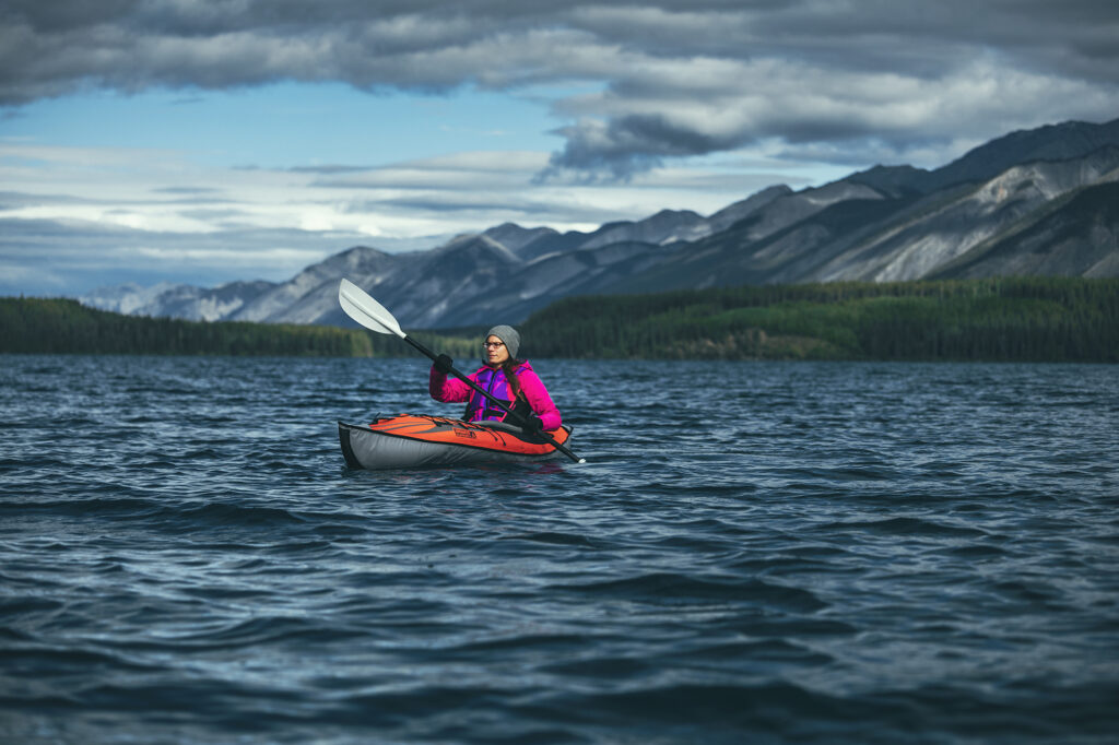
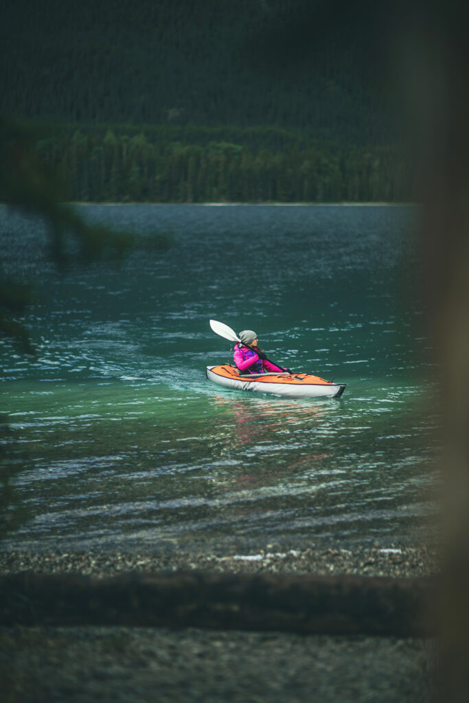
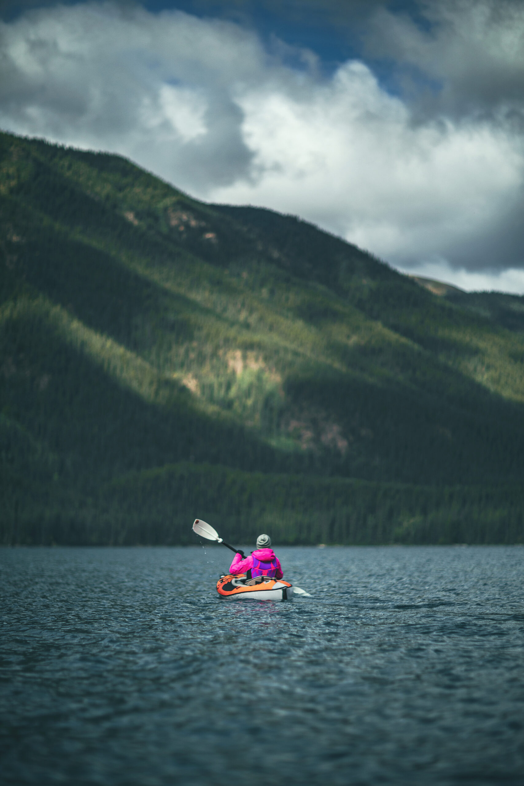
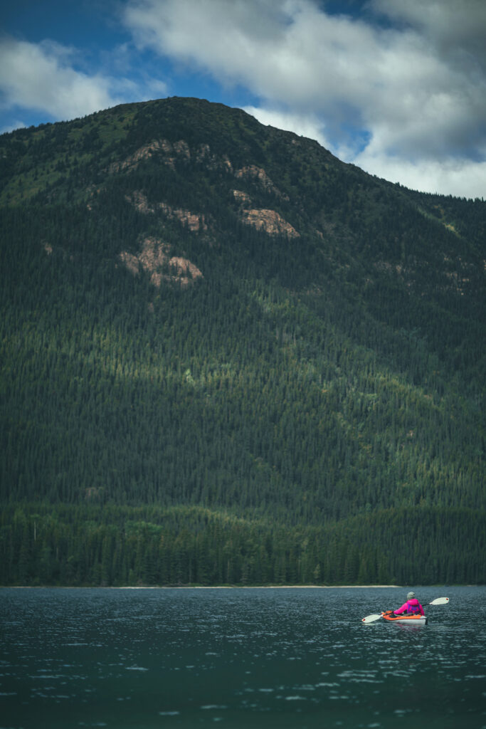
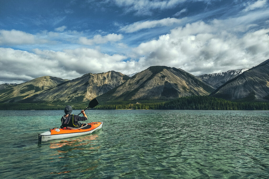
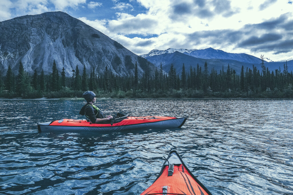
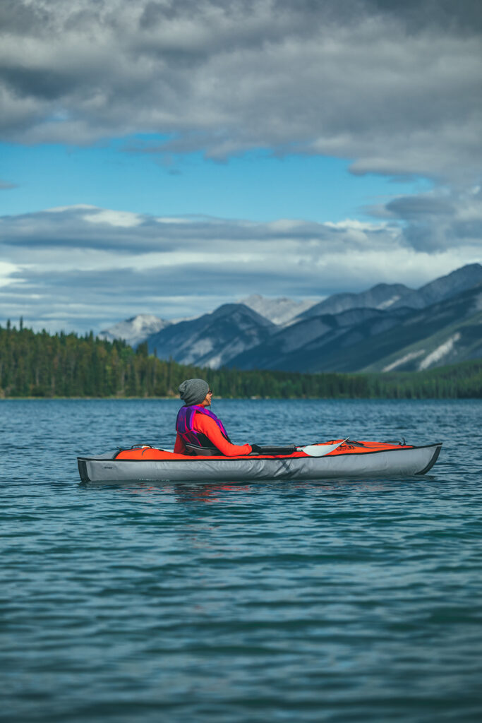
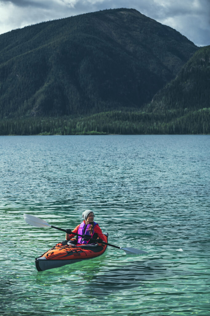
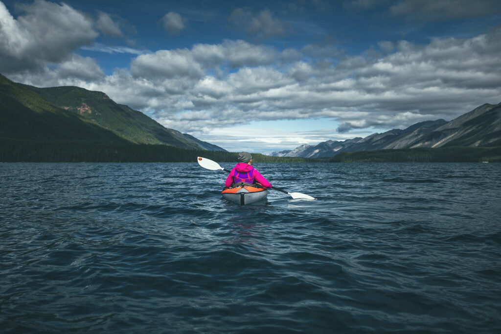
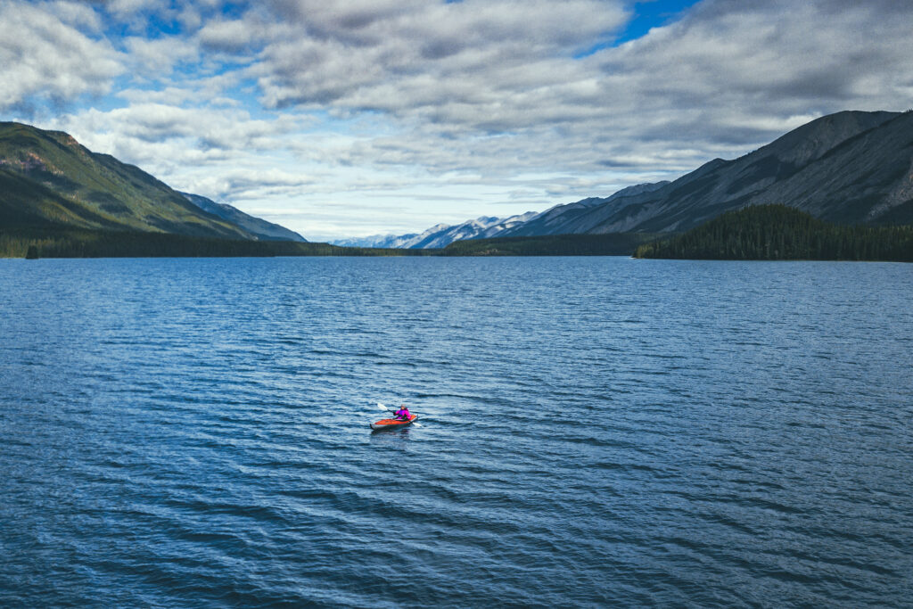
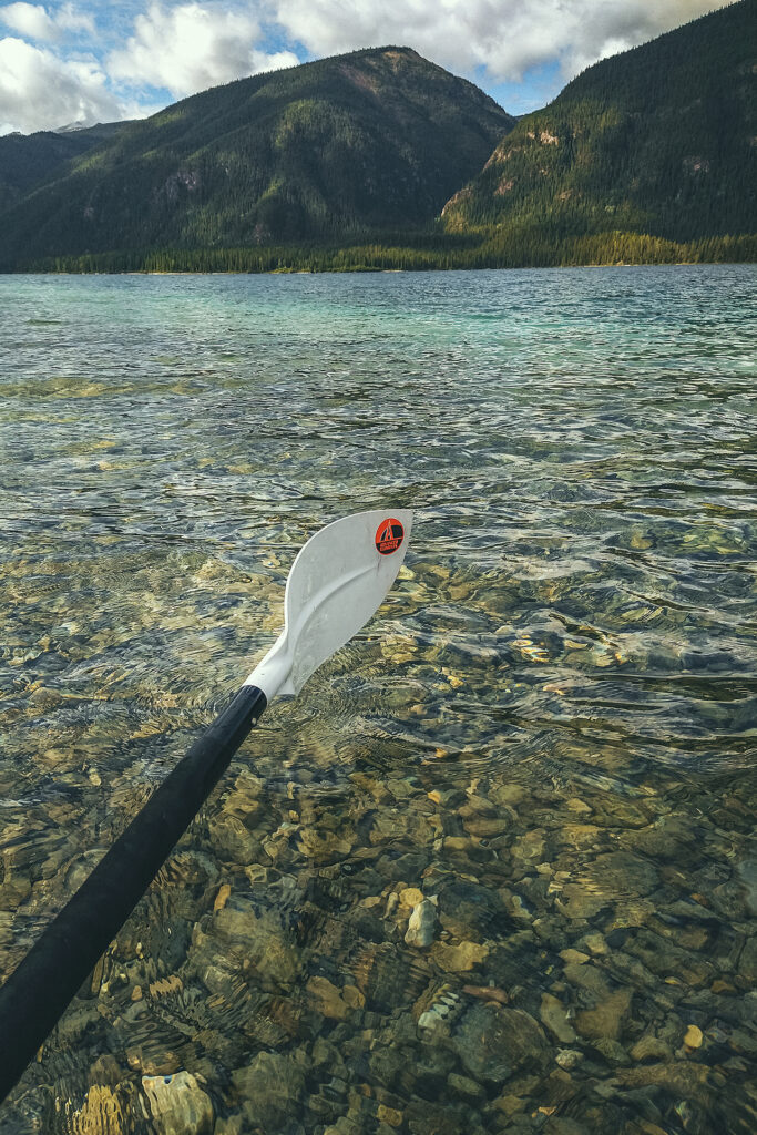
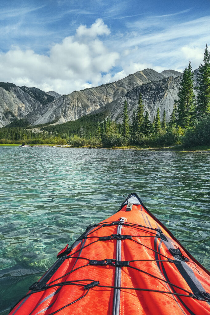
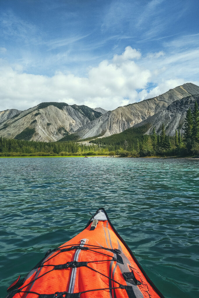
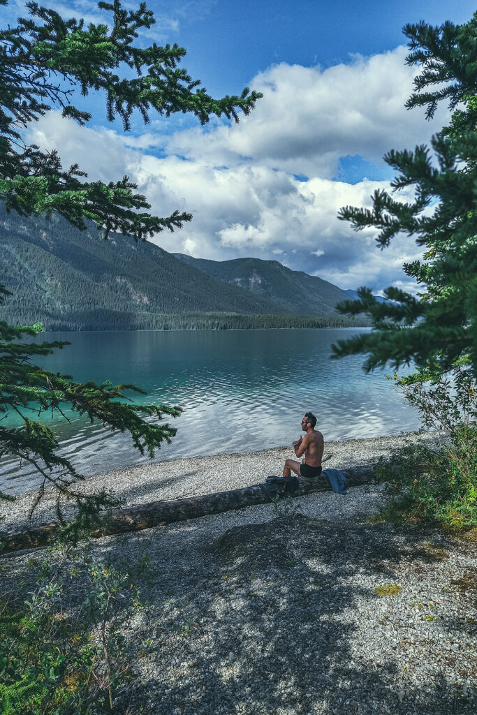
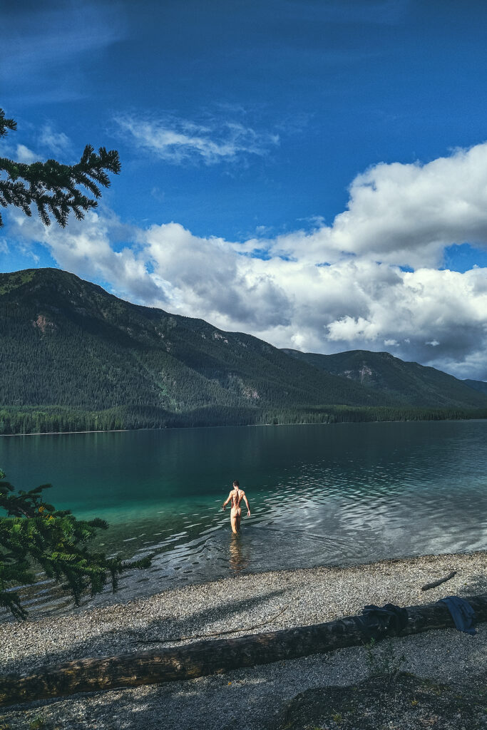
The next morning we woke up to sun and pretty clear sky. Despite visiting at least two dozen lakes along the way, we hadn’t yet used the kayaks. But today was the day, especially looking at the turquoise colour of the water.


We paddled around for a couple of hours, enjoying the calm water and crossing to the other side to admire the emerald green patches of water above sandy ground. With the mountains in the background it couldn’t have been a more perfect place to take the kayaks out, even if it was the only time.

We continued to enjoy the waterfront while having lunch and then it was time to head out.

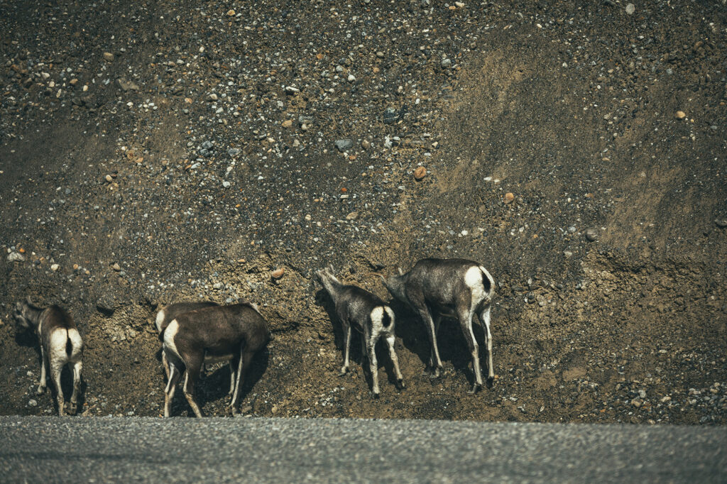
Leaving Muncho Lake we came across another wildlife family we hadn’t encountered before: Stone sheep

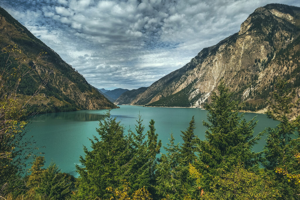
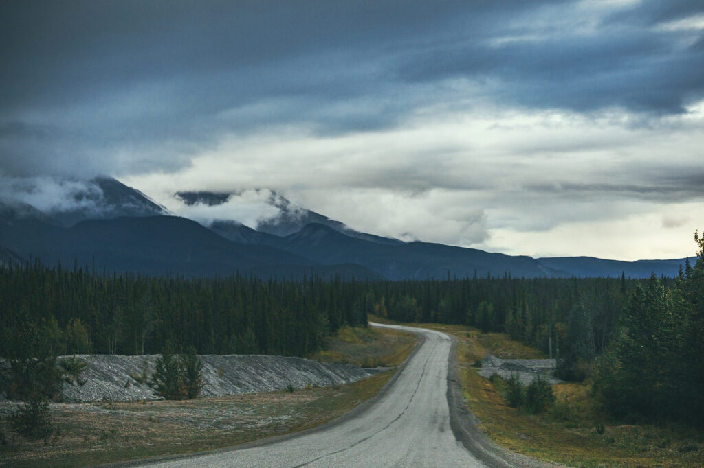
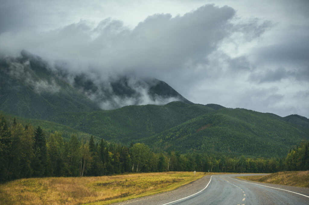
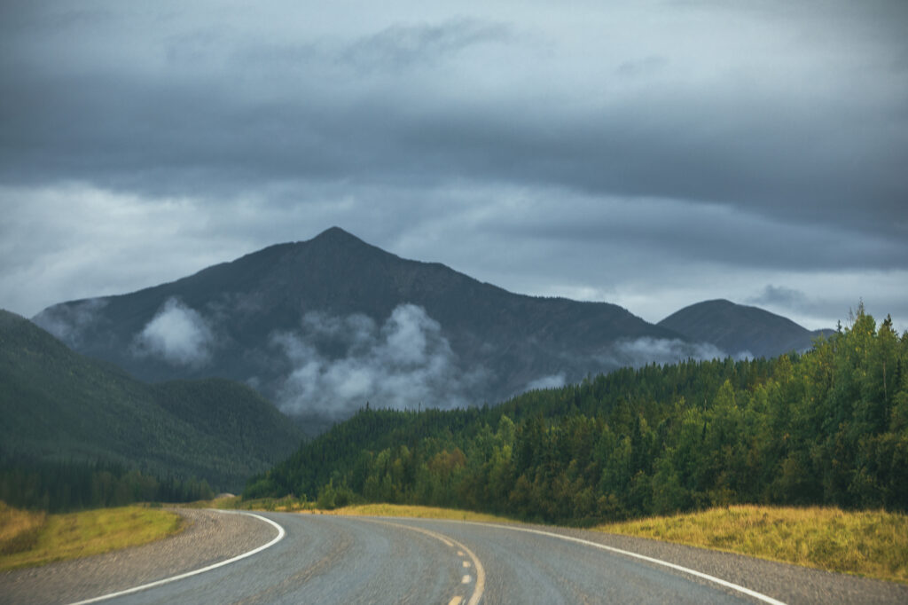
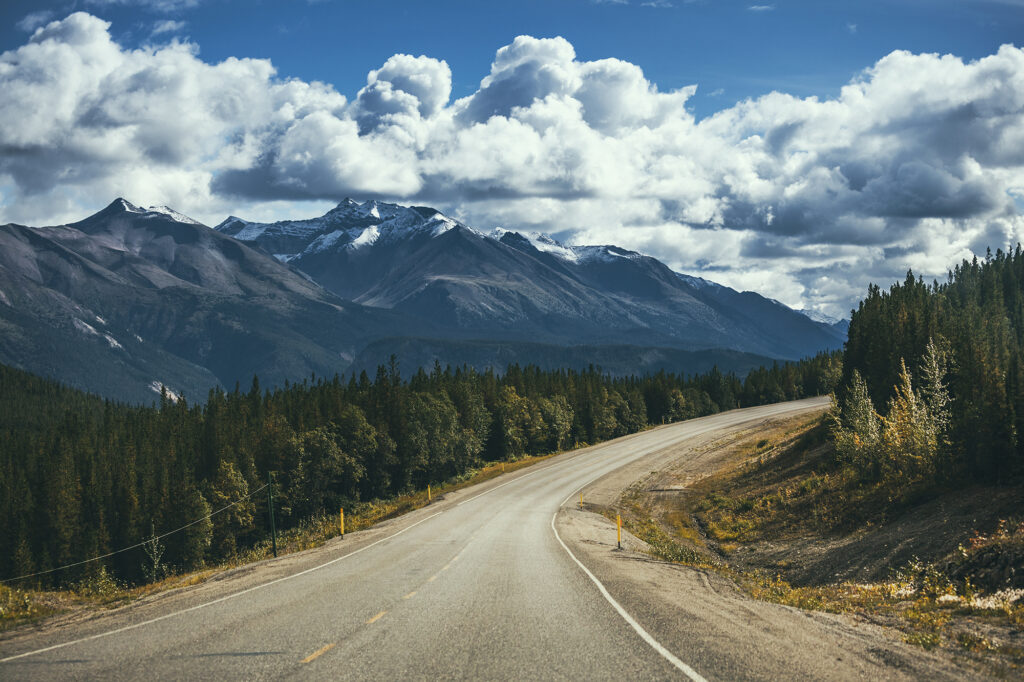
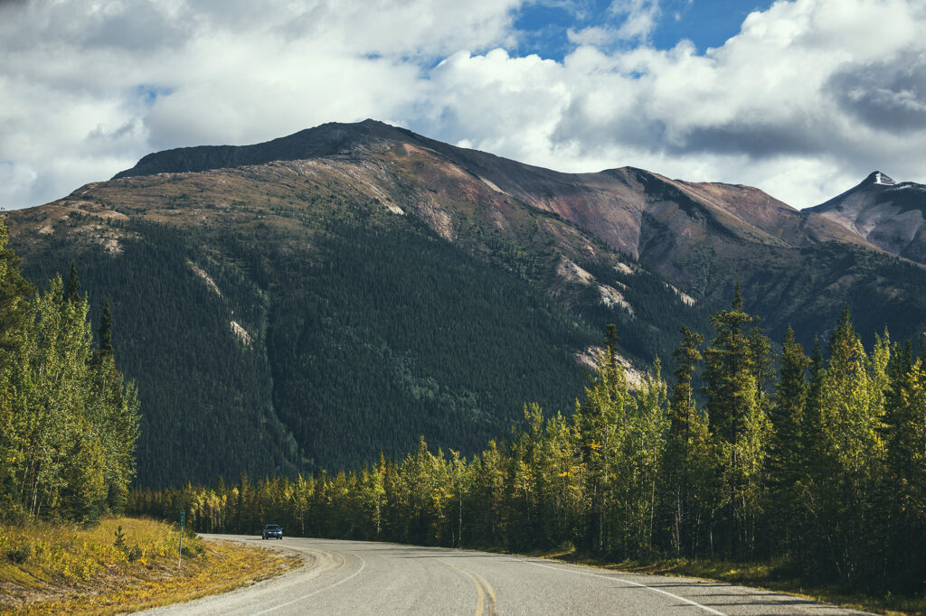
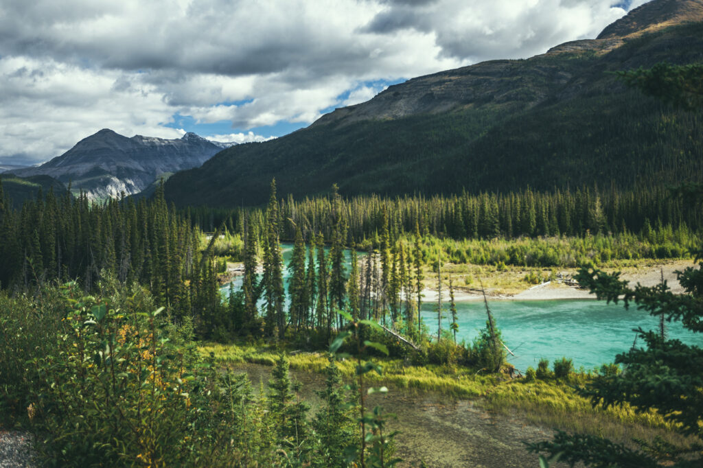
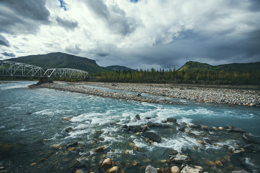
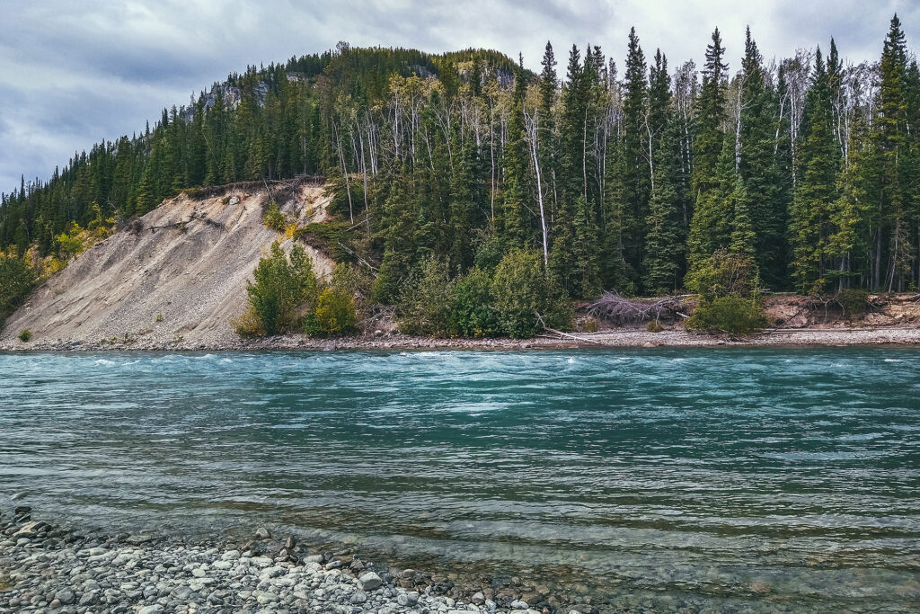
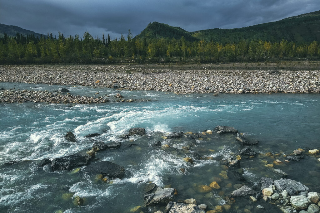
The drive to Fort Nelson, which cuts through the Northern Canadian Rockies, was quite spectacular. We went through several narrow valleys, where the road winds between turquoise-coloured streams or rivers and mountains slopes on one side, and on the other, low peaks that seem to rise from the very edge of the road, snow-capped mountains dramatically layered in the distance.

With a lot of my travel planning focused on the Yukon, I hadn’t really done much research into this part of the trip, and I realized as we got there that all the good hiking near Fort Nelson was behind us, on that stretch of road we had just past. The next day we had a 4 hour drive to Fort St John, on a much less remarkable stretch of the Alaska Highway, with an AirBnB booked for the night. We didn’t really have the option to go back for a day hike – so instead I looked at hikes options passed Fort St John, and added a side trip through Tumbler Ridge a few days later.

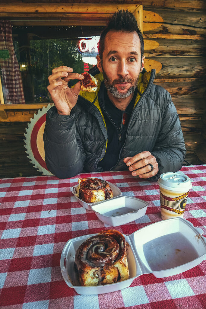
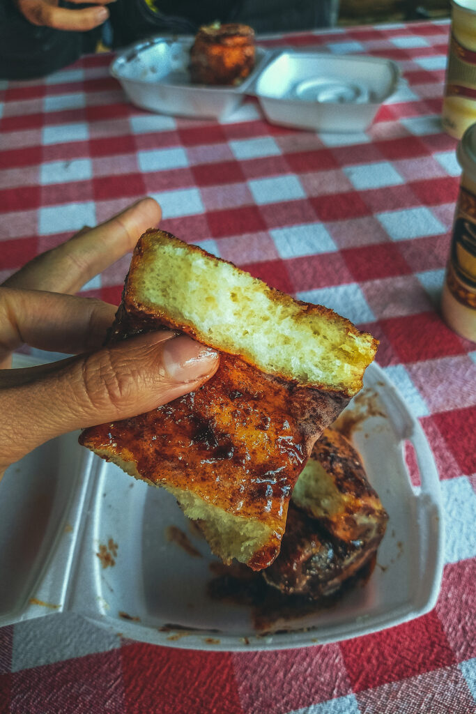
Along the way, we relied once again on our trusty Milepost to find us a local spot to have a snack. That day we stopped at Tetsa River Lodge, to enjoy some delicious cinnamon buns on their quaint porch.

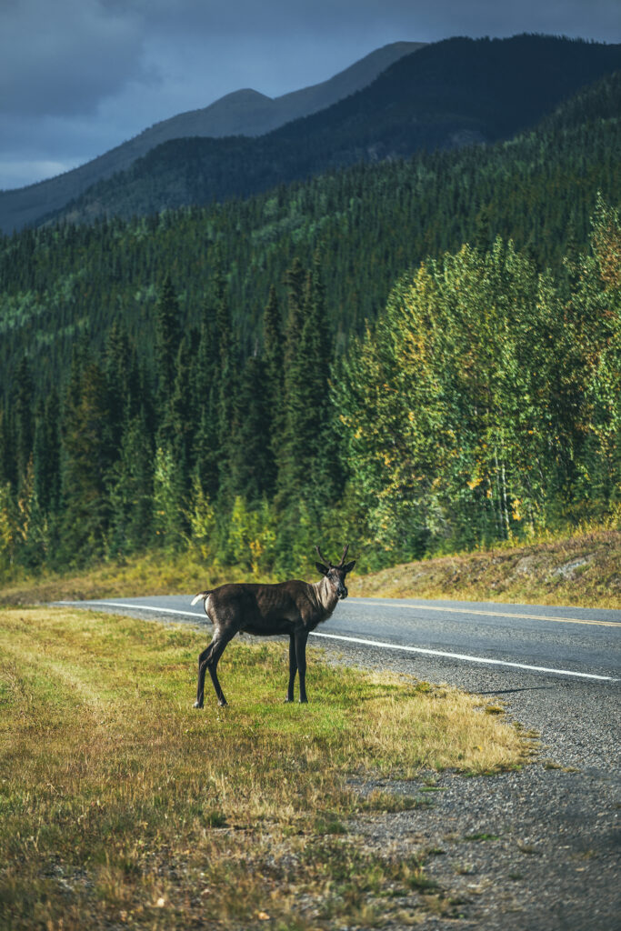
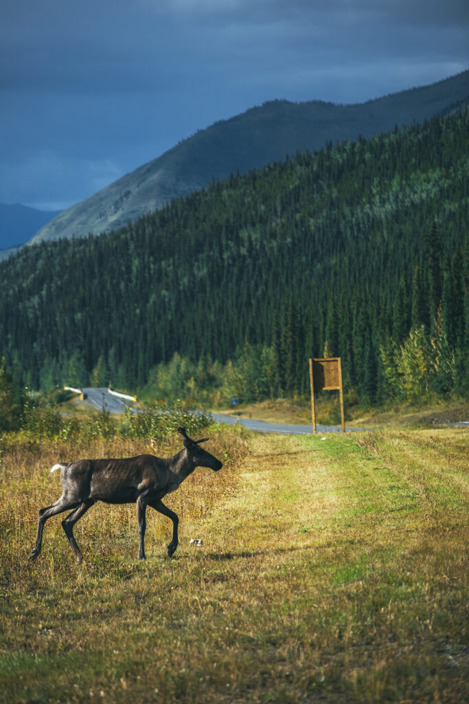
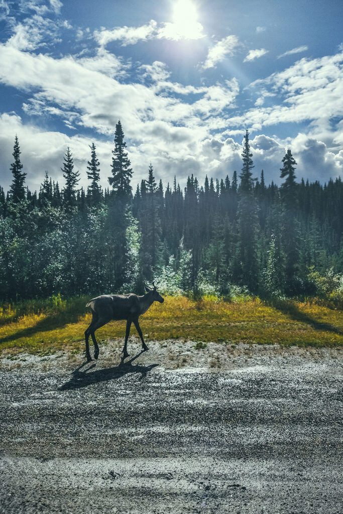
We also saw our first caribou on the road, young ones without fully formed antlers yet, as well as stone sheep right as we left Muncho Lake. No moose sighting though, it might be the only wild life that we won’t be checking off the list.

We drove through Fort Nelson and decided to continue on to a campground 30 km further to spend the night. We pitched our tent at the Andy Baily Regional Park, where we were seemingly the only ones that night.

September 1st – Driving to Fort St John

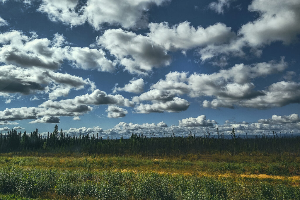
We drove the 4-ish hours between Fort Nelson and Fort St John. The road was quite different from the previous days section through the Northern Canadian Rockies. All around was now flat land, with maybe some rolling hills from time to time, and not really anything stop-worthy along the way.

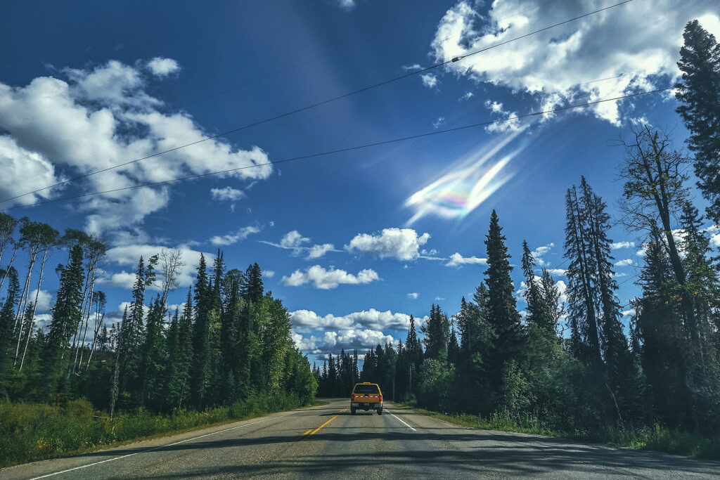
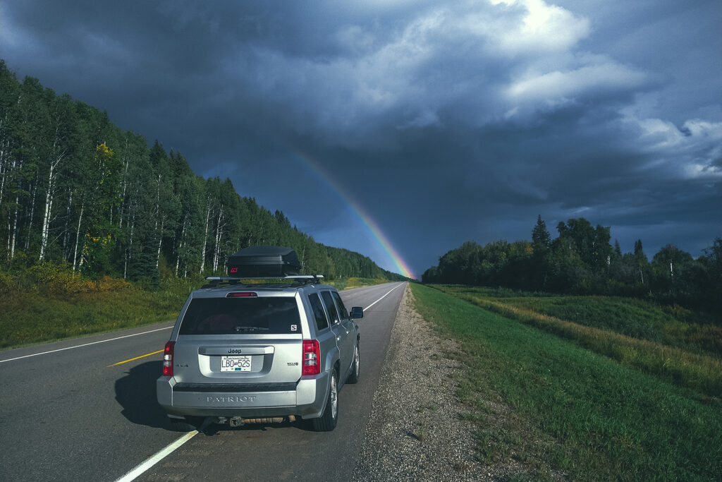
We did get to witness one of the most spectacular rainbows we’d seen on the road, and we even drove through one of its legs (spoiler alert: there was no pot of gold).

We had rented an airbnb for the night, and it was a nice break from having to set up camp and trying to stay warm outside (as it turned out, the weather had started improving though, but we still enjoyed a night in). The place was quite large and equipped with washer/dryer, which we made use of as soon as we arrived. We reset and reorganized the car and I did a good clean-up of our cooking gear. Then we headed out to the store, for some dinner ingredients, as well as to pick up some beer from a local brewery.

It was quite nice to have a night in and cook dinner in a real kitchen – it’s funny how the most mundane things become exciting when you’ve been living without them even for a very short period of time. Not to mention the nice hot shower of course, and putting on some clean clothes!

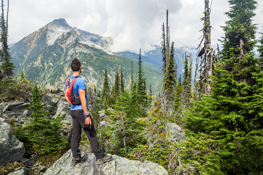
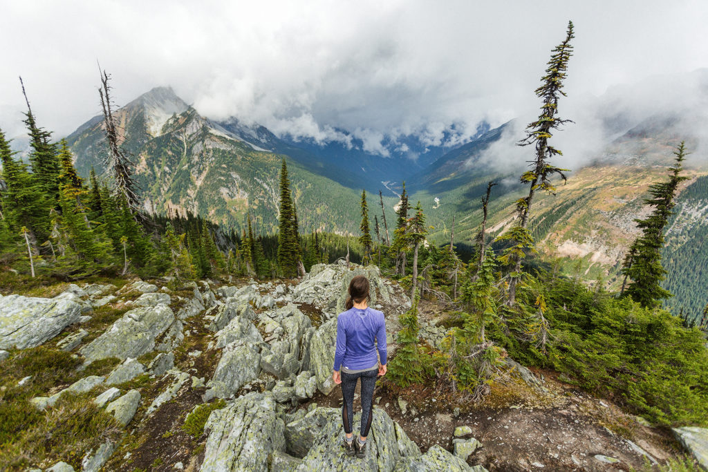
Hiking to Abbott Ridge in Glacier National Park (Canada)


On day 2 of our Canadian Rockies road trip, we headed to the Illecillewaet parking lot, the start of most trailheads in Glacier National Park. The Park is home to black bears and Grizzly, and parties smaller than 4 people are advised not to go on some of the trails that cross the most bear-populated areas.

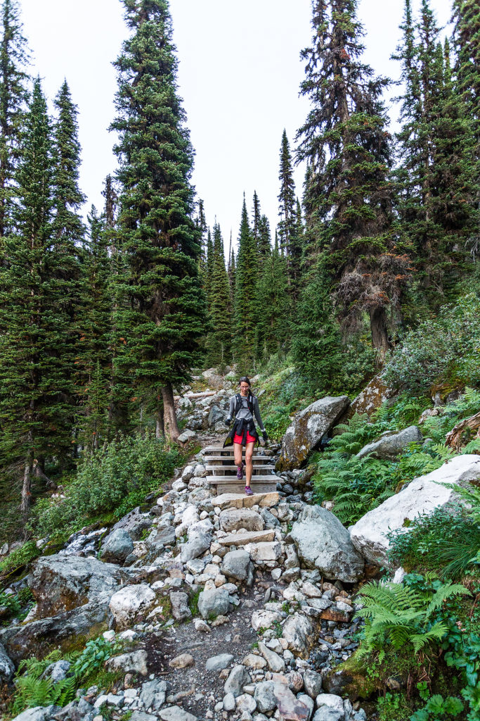
We decided to hike the Abbott Ridge trail, a short but steep, intermediate-level hike . The first part is mainly single-track switch backs in the forest. 2,6km from the start, we passed Marion Lake, surrounded by dense forest and not very remarkable.

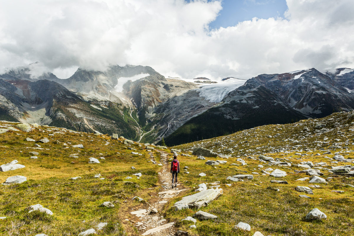
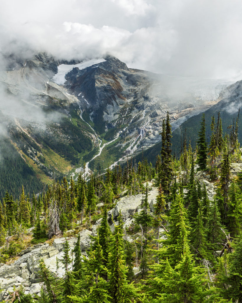
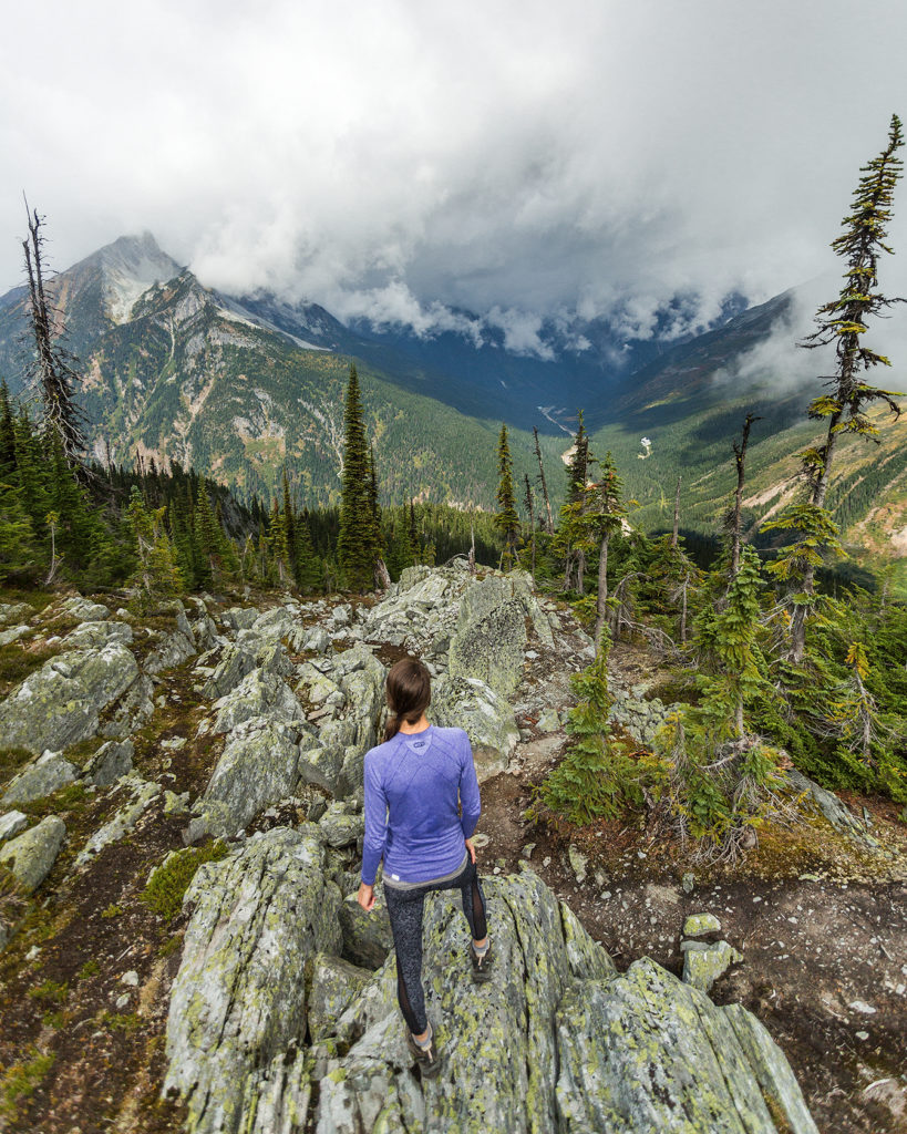
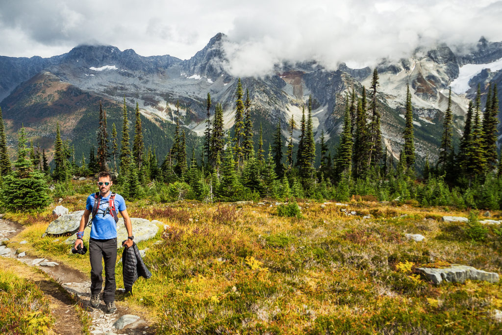
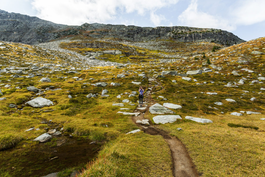
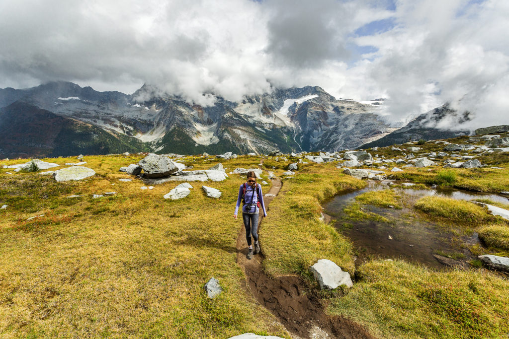
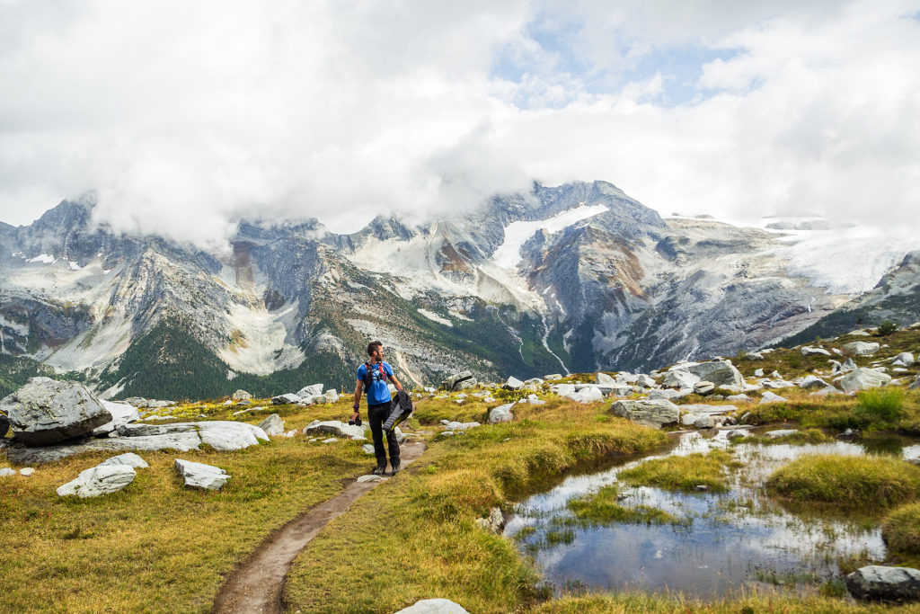
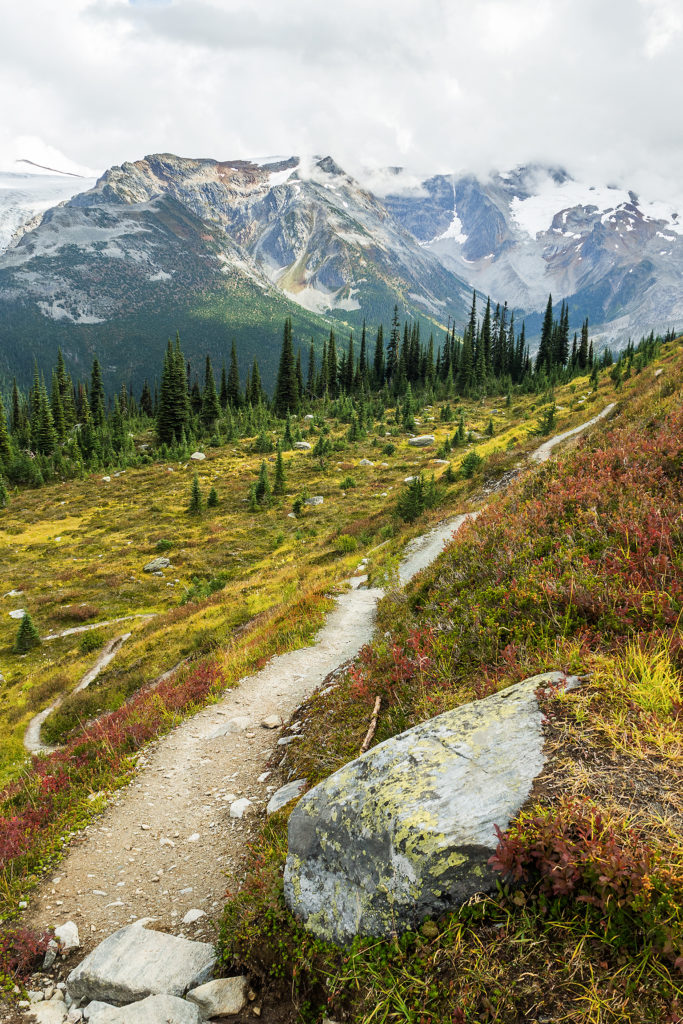
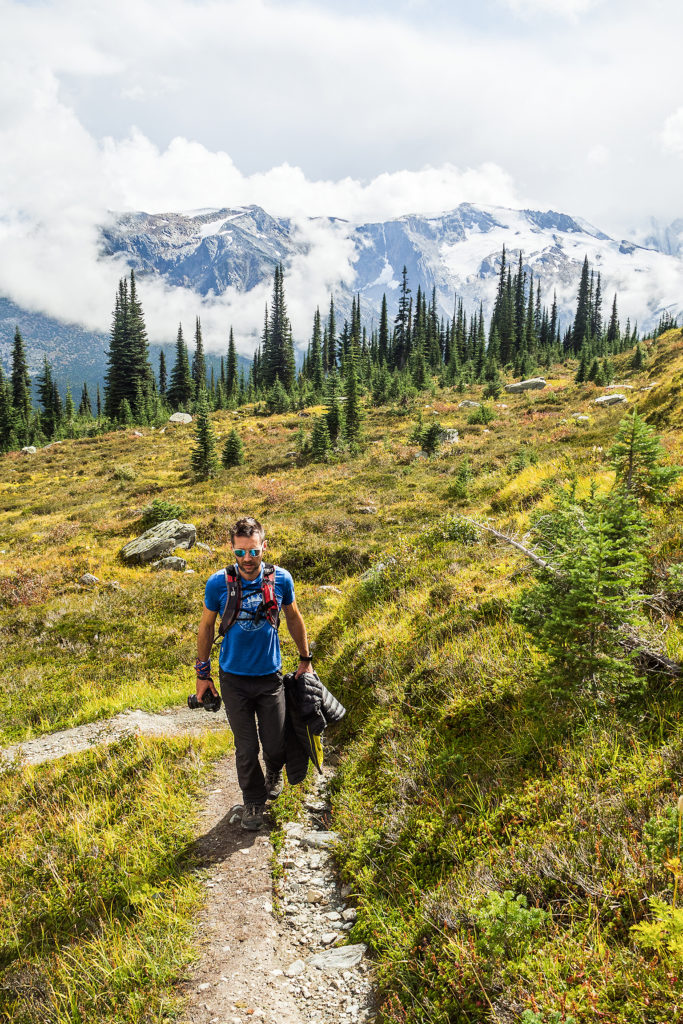
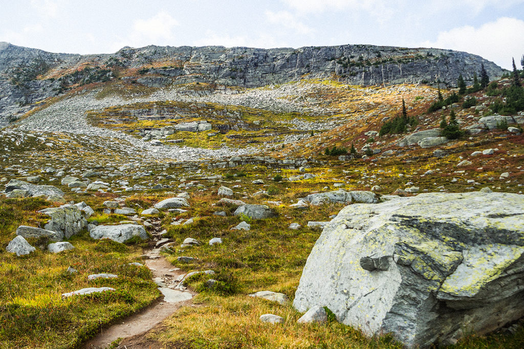
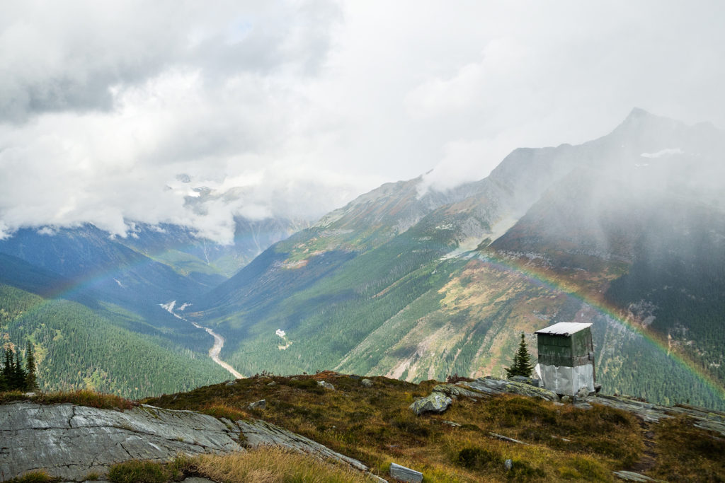
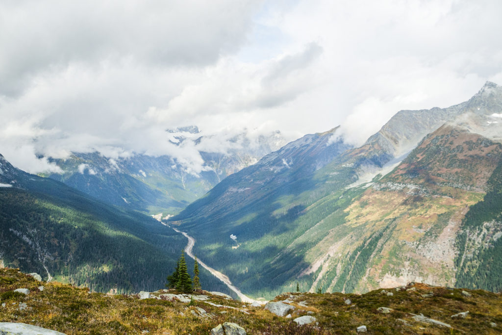
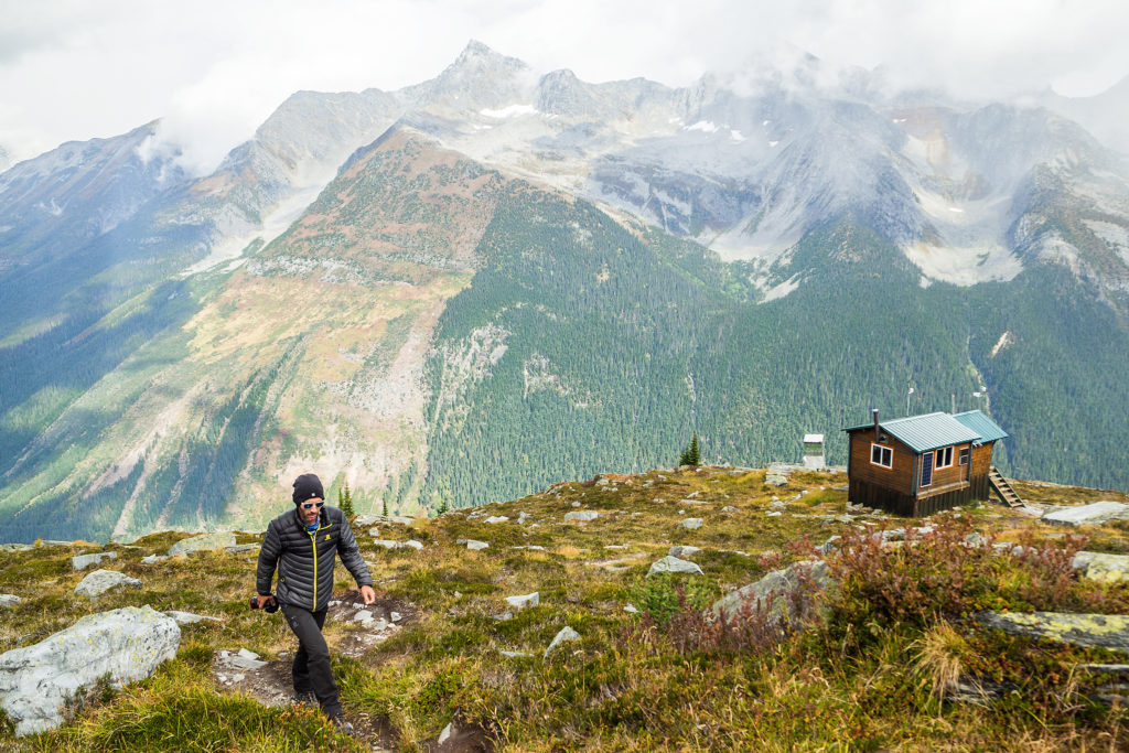
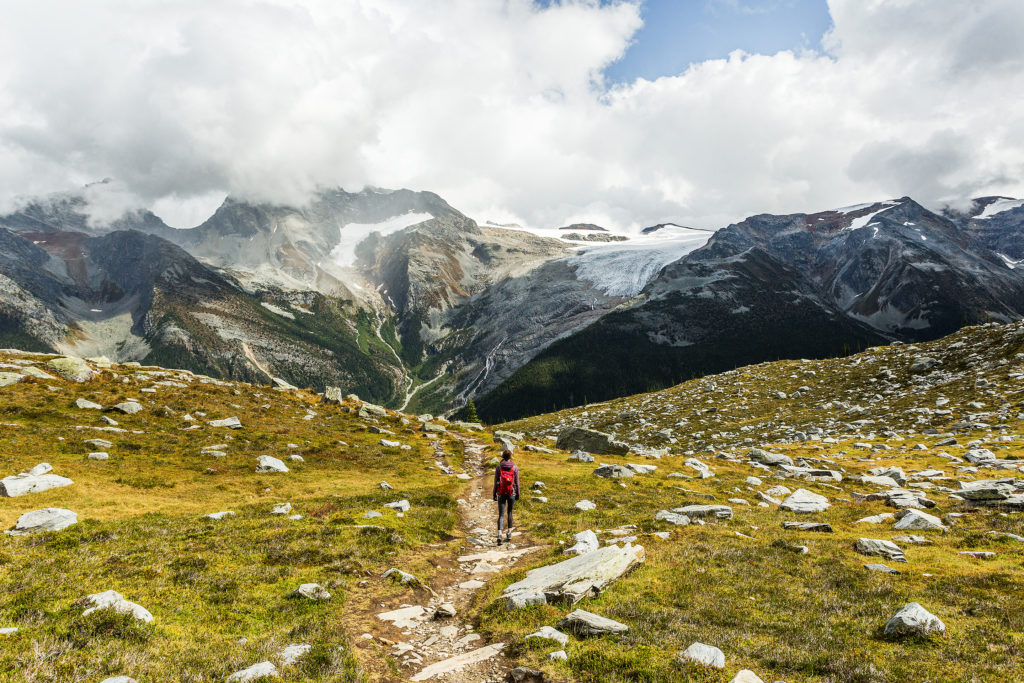
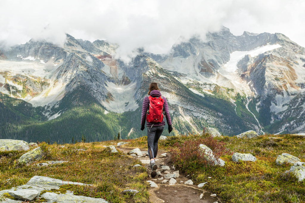
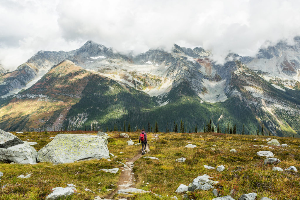
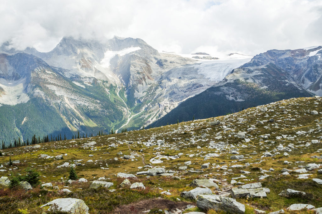
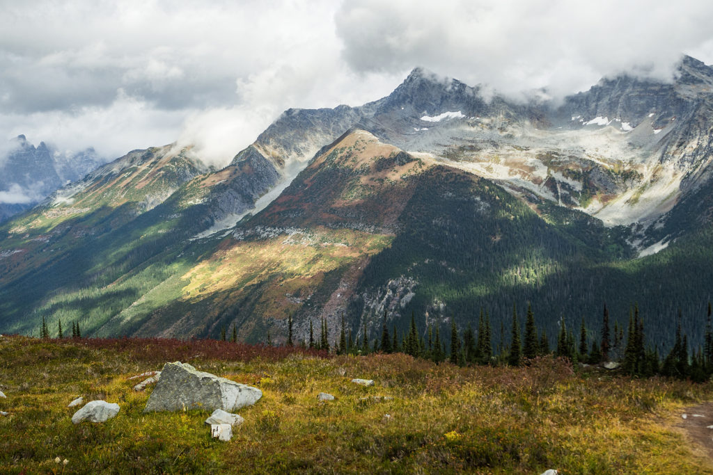
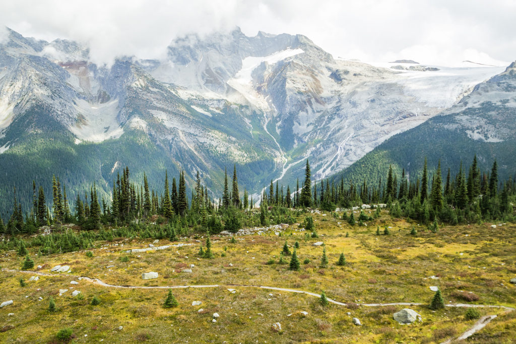
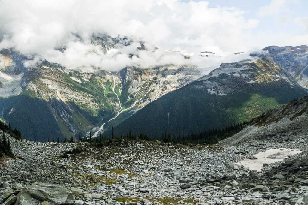
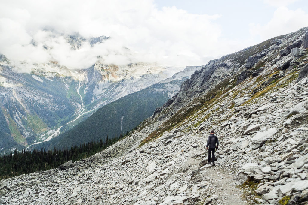
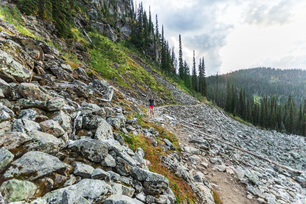
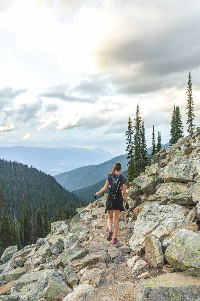
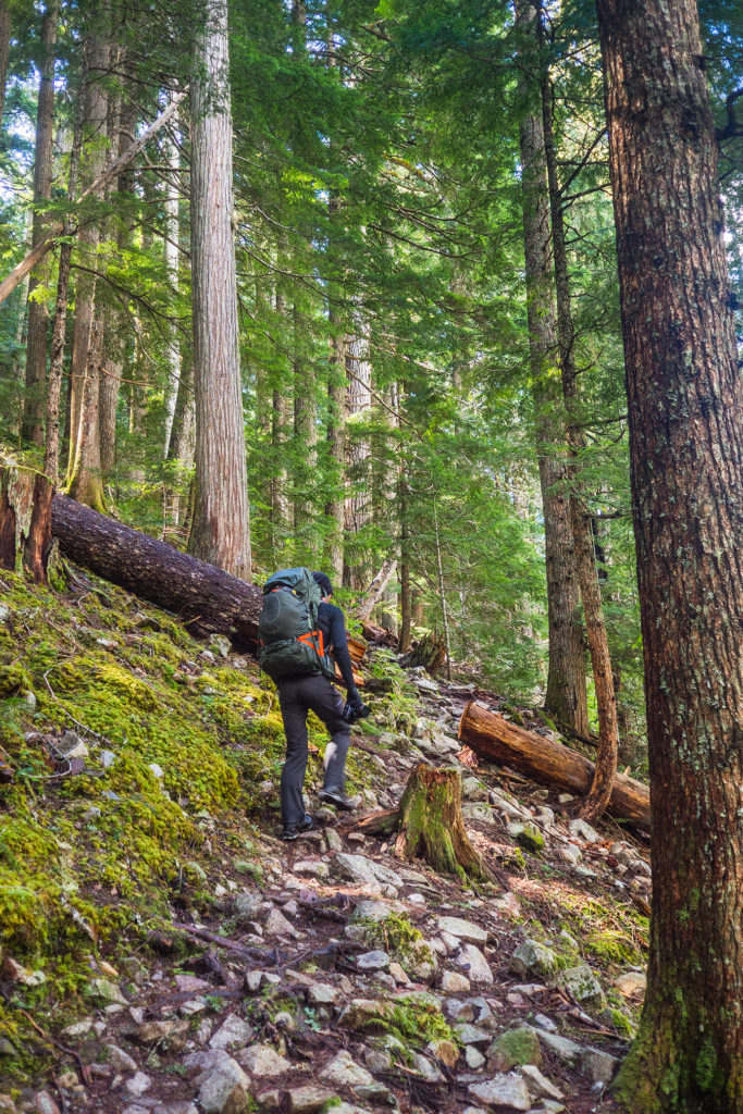
Soon after the lake, at the trail split, we took the shorter but steeper way. The switchbacks continued for a while, but trees slowly gave way to rocky formations, and eventually the trail opened up to a vast alpine meadow with quasi all-around views of the valley and surrounding glaciers. Looking up to the end of the trail, stood the straight rock face of the ridge.

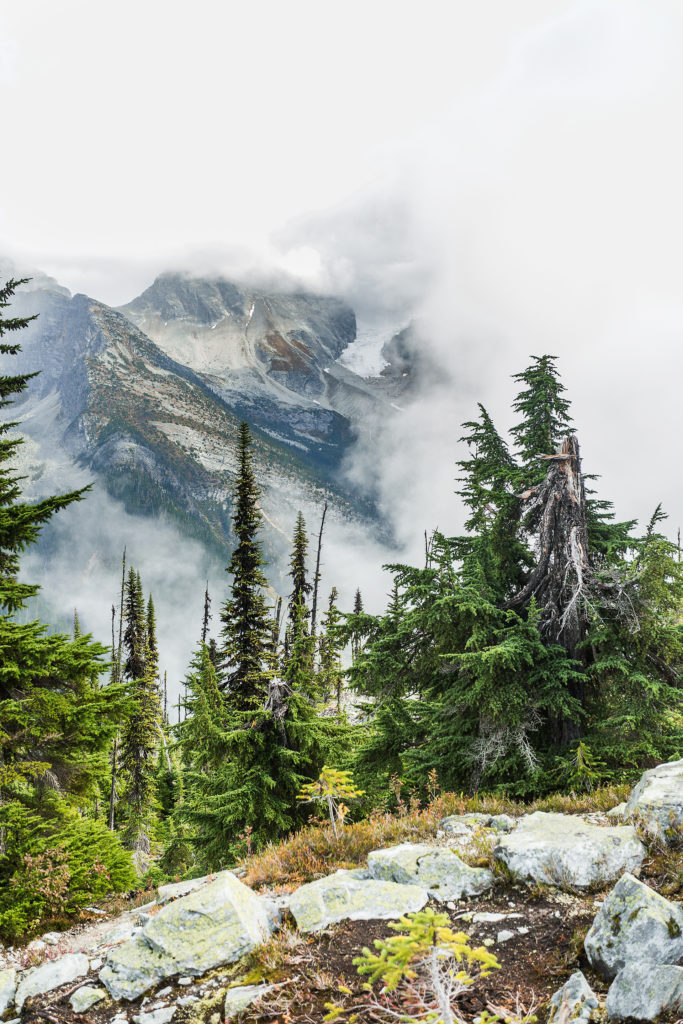
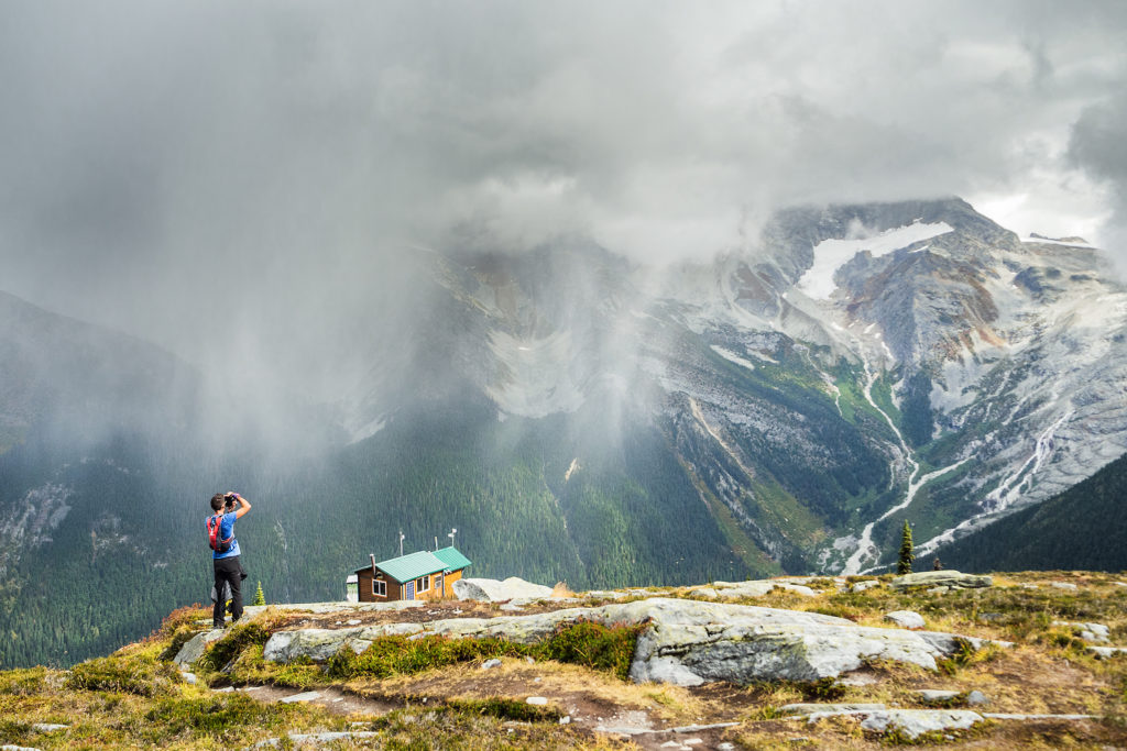
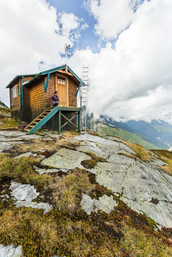
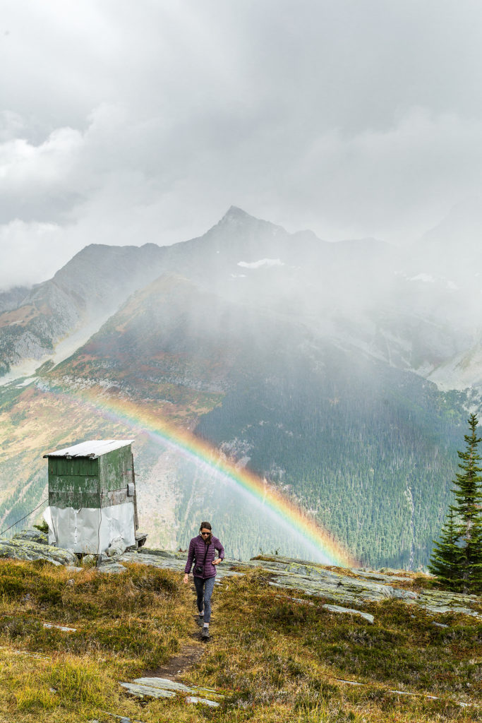
The weather was pretty stable on the way up but we could see black clouds slowly making their way through the valley, and eventually aiming towards where we were. We had lunch at the weather hut then headed back down. It looked like the trail might continue further up, but we weren’t sure how much more, given the straight up wall that stood a few hundred meters from us (after checking online later on, I found out there was indeed a trail that climbed to the top of the ridge).

Still, the view from the meadown was not disappointing, and for a while we watched the clouds dramatically travel through the valley, from Bonner Glacier on the western side, towards the Illecillewaet Neve to the East. 

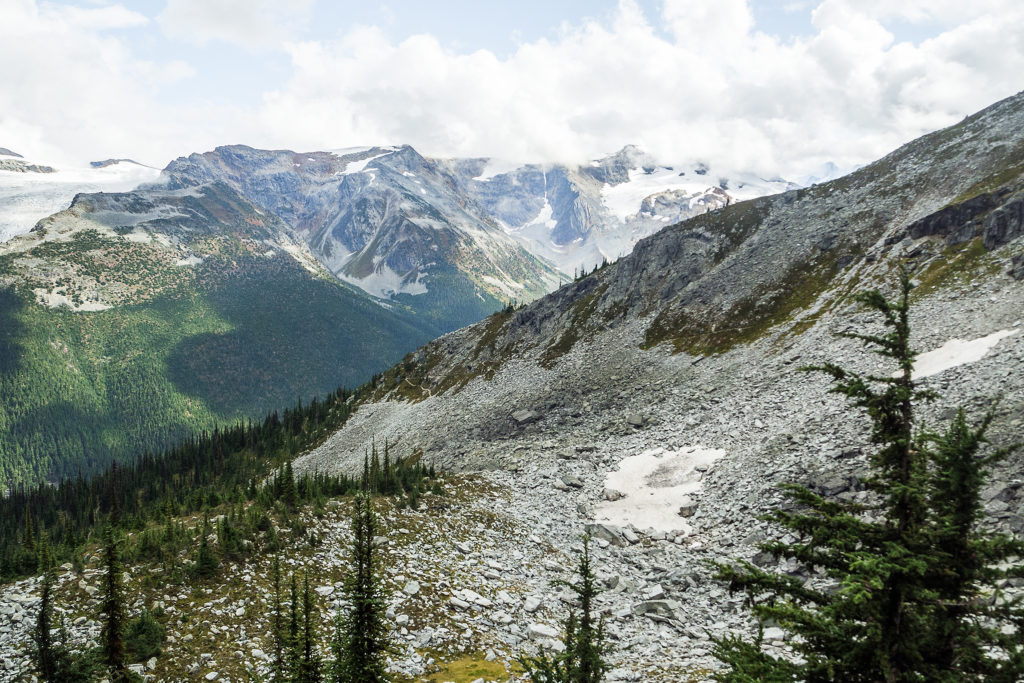
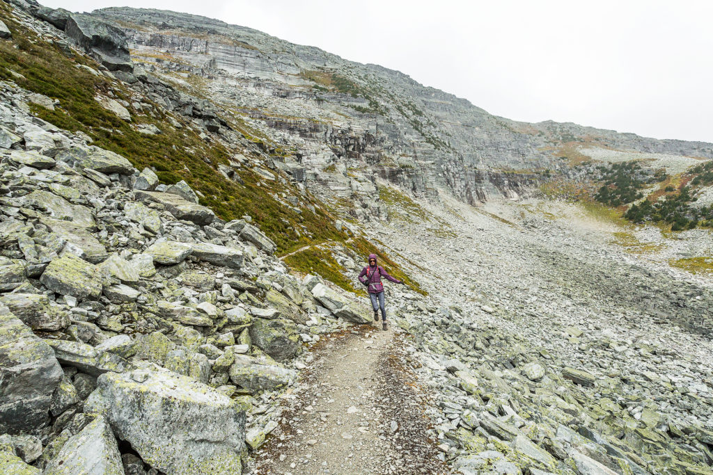
On the way back, we took the longer way down alongside a rocky slope. The two trails reunite about 500 meters before reaching Marion Lake again.

We made it back to the car just as the rain started to pour. 

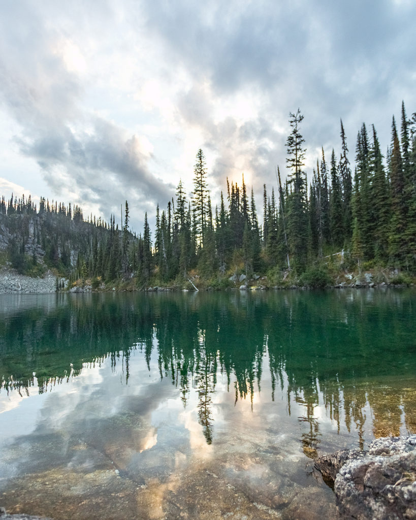
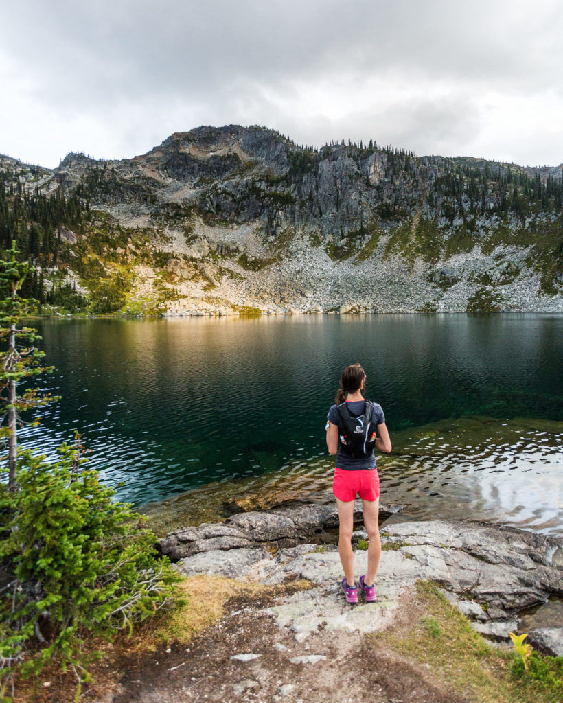
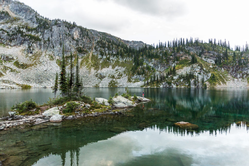
Hiking to Miller Lake in Mount Revelstoke National Park

Last September, Brice and I took a short road trip to the Canadian Rockies. Brice had driven through on a couple of occasions, but I had never been East of the Okanagan (on the road anyways). A week break between two jobs turned out to be the perfect occasion to load the car with our camping gear and head to the Rocky Mountains.

Despite our best efforts, we rarely manage to get up and going early – except if we’ve made a commitment to meet with other people. On the first day of our trip, we hit the road around 9am, a pretty late start by adventurer’s standards, but we’ve long ago decided that rather than worry about getting an early start and rushing through the door, we would take the time we needed – the road and everything on it would still be there.

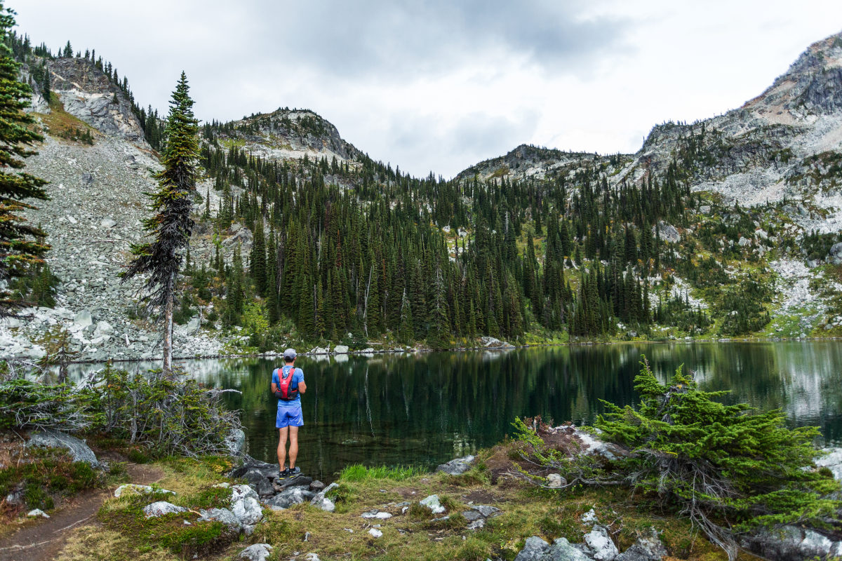
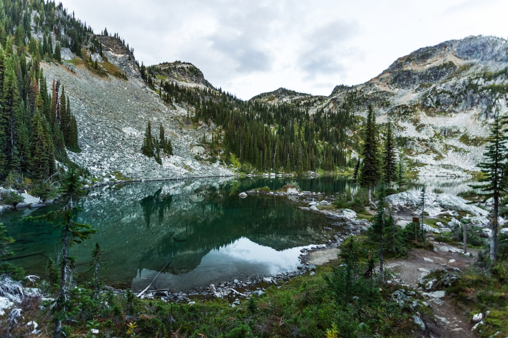
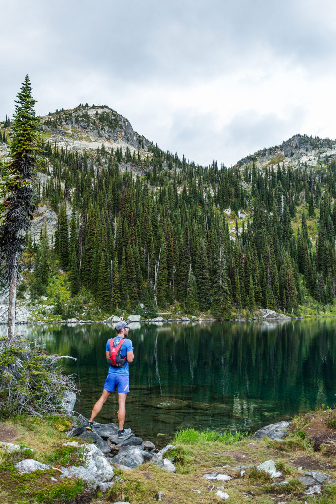
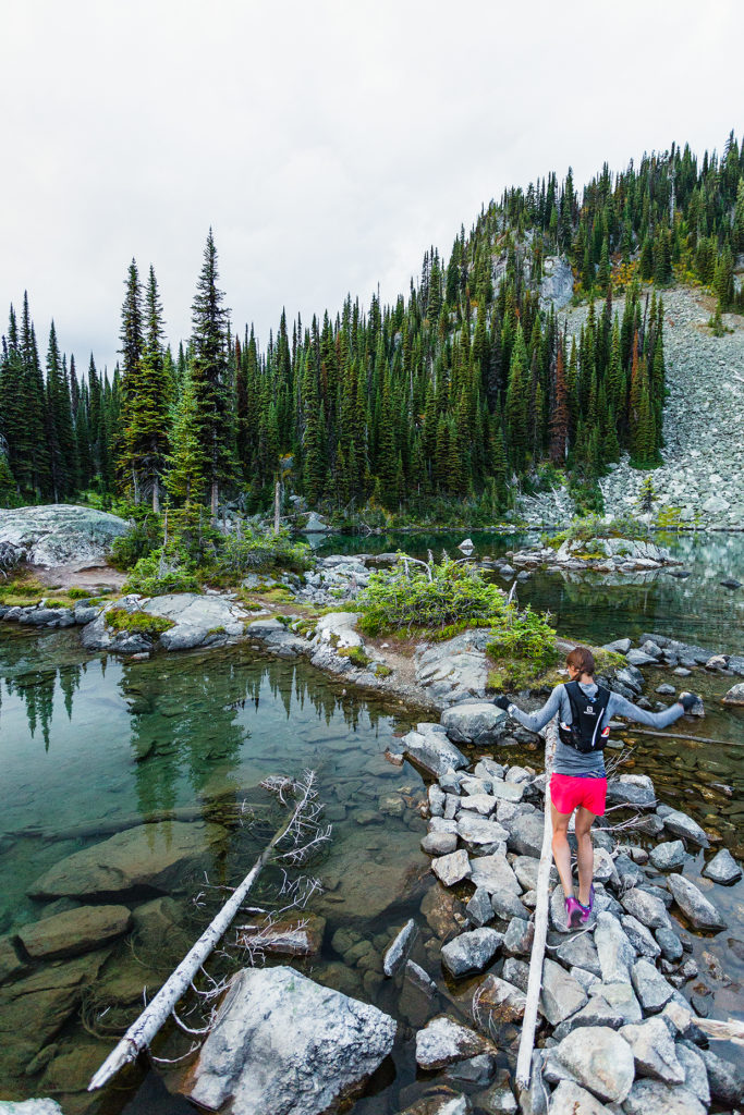
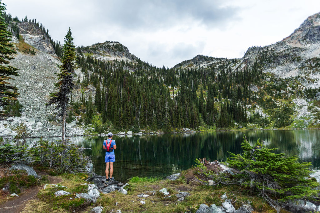
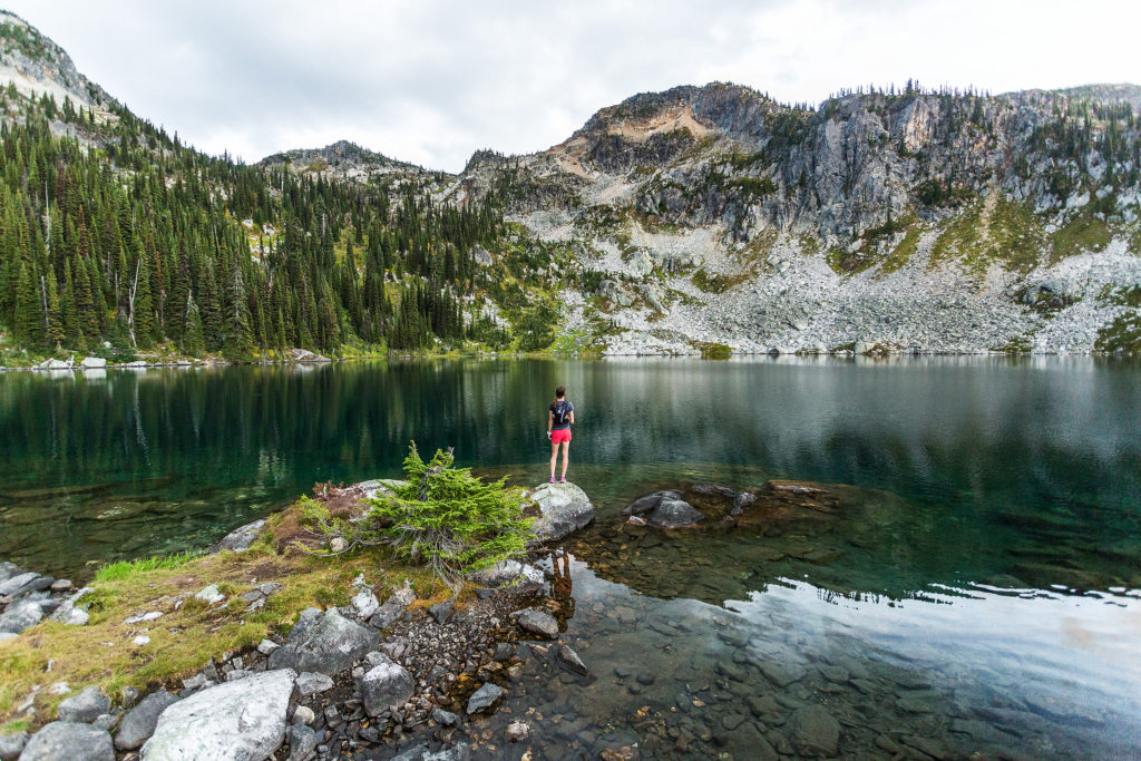
We drove for almost 8 hours on that first day and reached Mount Revelstoke National Park in the late afternoon. We still had a few hours of daylight, enough to go for a 14k return run up to Miller lake.

It was September 13, and already the air was pretty crisp at sunset, but still comfortable enough to run in shorts and t-shirt.

We got to the lake just in time to see the last rays of sunshine hit the base of the mountains around it, and ran back down as dusk settled.

It was dark when we got back to the car, but we were pretty happy to have been able to fit a good shake out run after spending 8 hours in the car. 

We had diner in Revelstoke then decided to drive and extra hour east, to camp in Glacier National Park.


Exploring BC – Camping at Greendrop Lake

A few week-ends ago, Brice and I went camping at Greendrop lake, near Chiliwack.
Originally, I had my eyes set on Elk Mountain. I had hiked to the top of Elk mountains last summer with my friend Kaitie, and since then had wanted to come back with Brice. A few weeks ago, a photo popped in my instagram feed, of a camping scene located on Elk mountain. I thought this would indeed be a great camping spot. The hike up is only 3,5k and the next day we could hike the additional 7km return to Thurston Mountain before coming back down.

We didn’t leave the city until 3:30pm on Saturday – first we had to go stand in line for two and half hours to go vote for the french elections. It took us a couple of hours to drive to the Elk Mountain trail head, and when we got there, we were welcomed by a nice big sign indicating (amongst other rules) “No Camping”. I was so excited about the idea of camping up there, with the potential of catching a pretty epic sunset and/or sunrise over the valley, I hadn’t thought to check whether it was actually ok or not.

Now, following the rules might make us look a bit square, but if our trip to Patagonia has taught us anything, it is the importance of such rules in the preservation and conservation of the land. And in this case, the sign clearly indicated that the mountain was home to sensitive and fragile eco-systems, which camping (and building fire, etc) would contribute to damaging. Not to mention that leaving our car un-attended over night could potentially create concerns of lost or injured hikers if a forest ranger happened to be driving by…(We’ve hiked up to the mountain since, just for the day, and it seems to be a pretty popular camping spot despite it all, so that second concern might not be a huge deal, but still…)

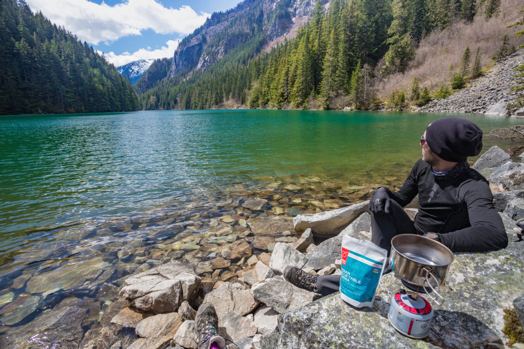
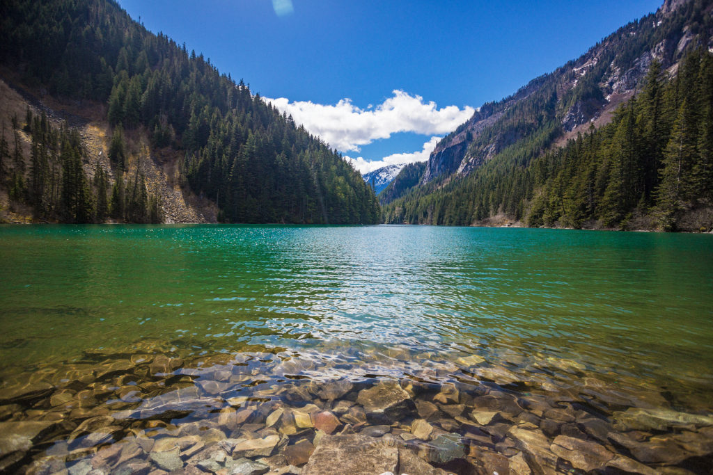
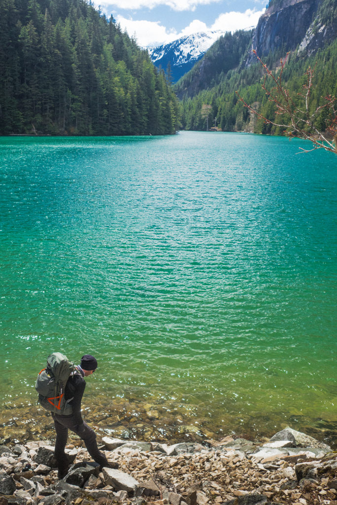
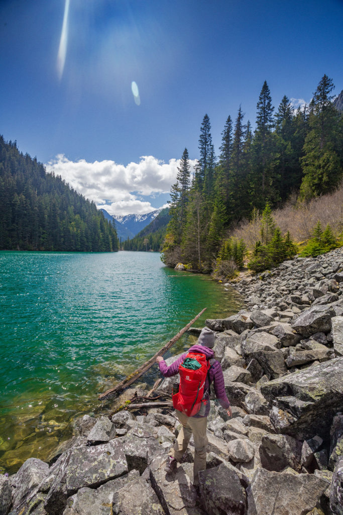
So with that we improvised a plan B. Reaching for our Backroad mapbook, we decided to head further east to the Lindeman Lake trail head. We had gone to Lindeman last summer, just for an afternoon, but continuing along the same trail past the lake would take us to Greendrop Lake, another more remote camping option.

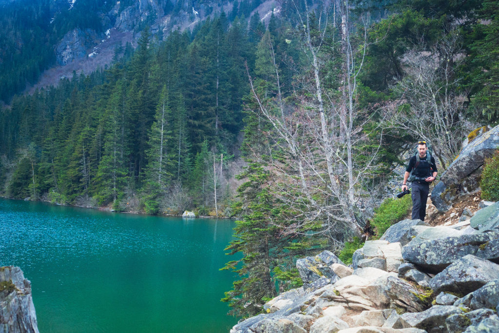
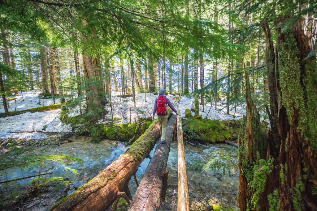
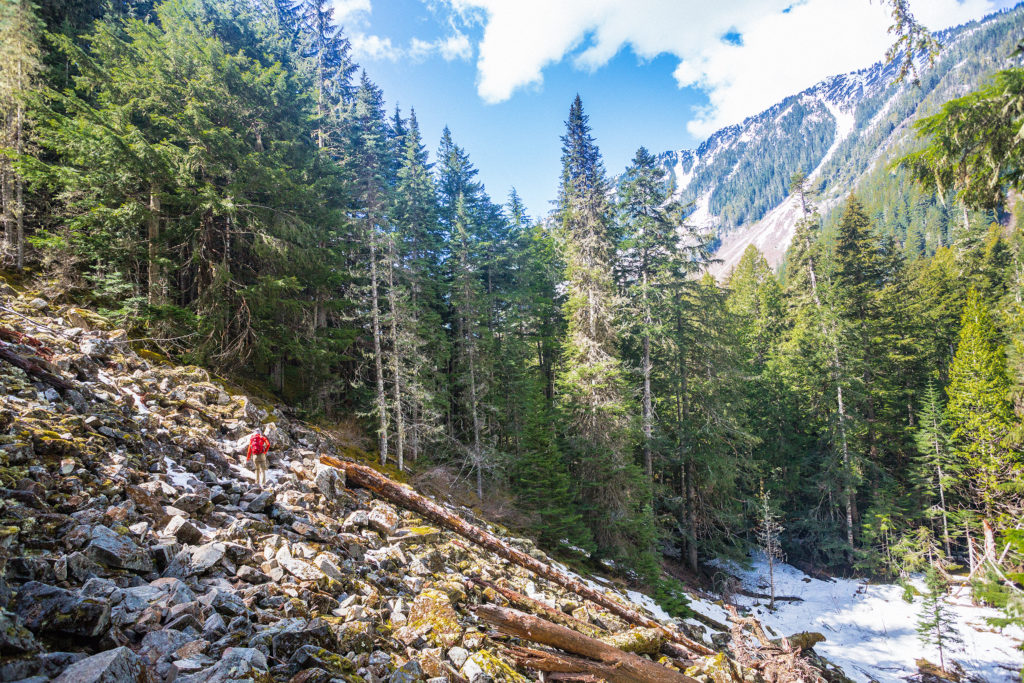
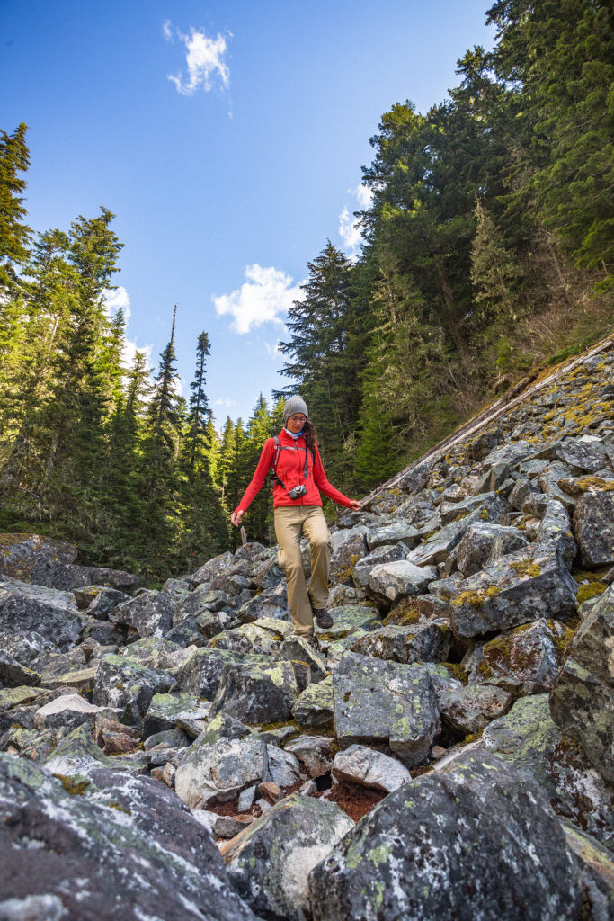
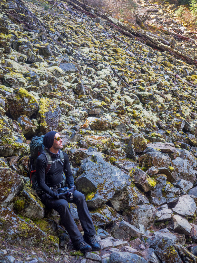
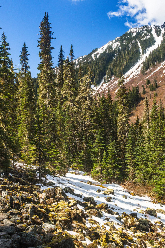
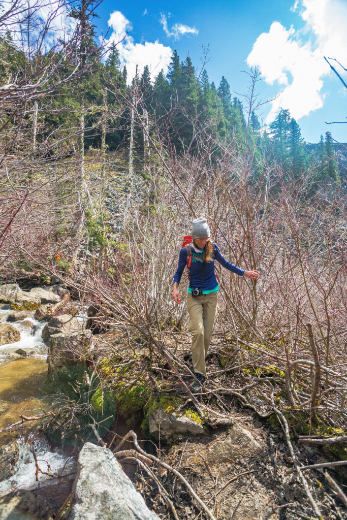
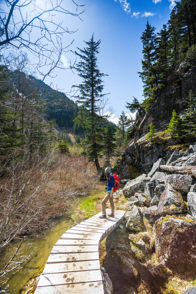
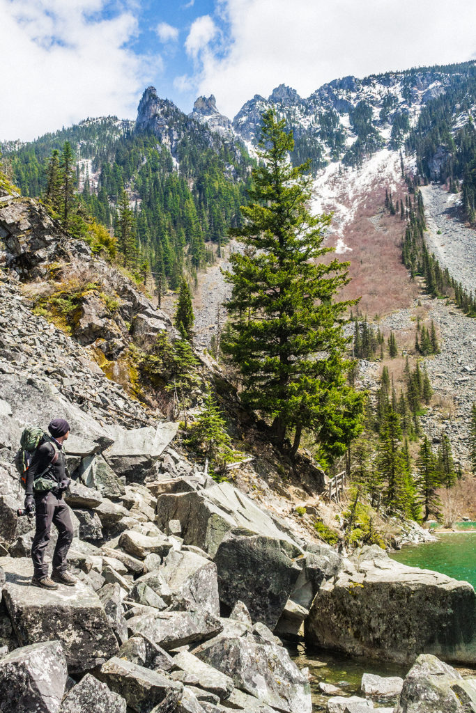
It was already 6:30pm when we arrived at the trail head, but we figured we had a good two hours of daylight still, so we got going. The hike to Lindeman is only 1,7km, with some steep and technical sections, but overall fairly easy. Once we arrived at Lindeman, we walked along the lake through the camping area. Being the first sunny week-end in quite a while, the grounds were pretty busy with campers. The trail took us along the shore, and through a boulder field at the northern end of the lake, then we left Linderman behind and continued hiking deeper into the back country. We had another 4,2km to cover to get to Greendrop, which ended up taking about 2 hours. The trail was pretty technical, alternating between densely forested area, and rock-covered single track along boulder slopes, with the addition of a few stream crossings, made likely bigger at this time of year by the snow melting.

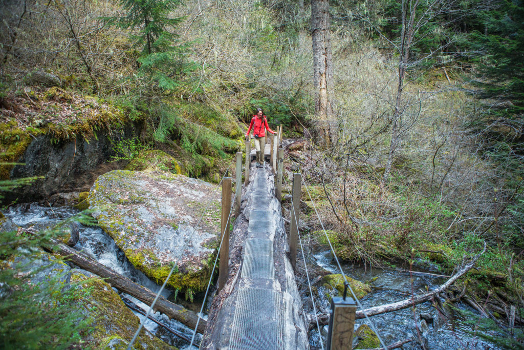
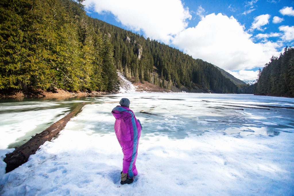
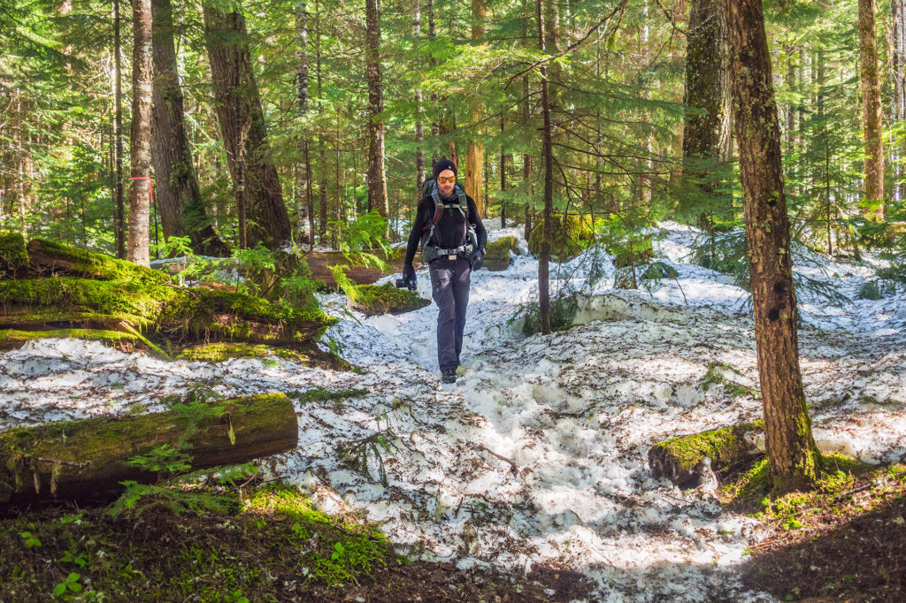
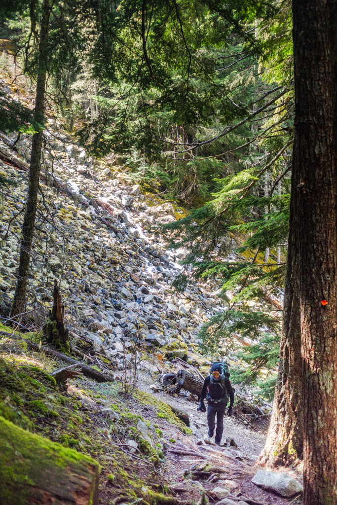
The last 1.4 km were all in trees, but there was a good foot of snow left still in that portion, which slowed us down a bit. About 700 meters from the campground, we had to take the head lamps out to finish. Thankfully the trail was very well marked with bright orange markers and ribbons every 25 meters.

We made it to the campground around 9:30pm. It was completely dark by then. There were two groups of campers already set up, with nice fires going (they had likely logged their own firewood all the way up, as everything around was way too wet to burn). We hadn’t planned on making any fire, but even with the slightly  below zero temperature of the night, we managed to stay cozy in our puffies and sleeping bags.

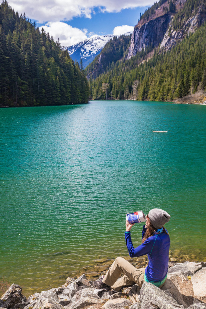
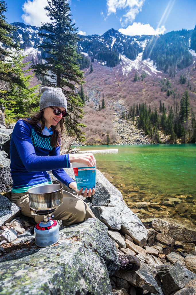
Dinner was quick to make – the folks at Good to Go  had sent us a selection of their dehydrated meals to try, and it turned out to be quite tasty (we had the thai curry that night, and their granola and oatmeal for breakfast the next day).

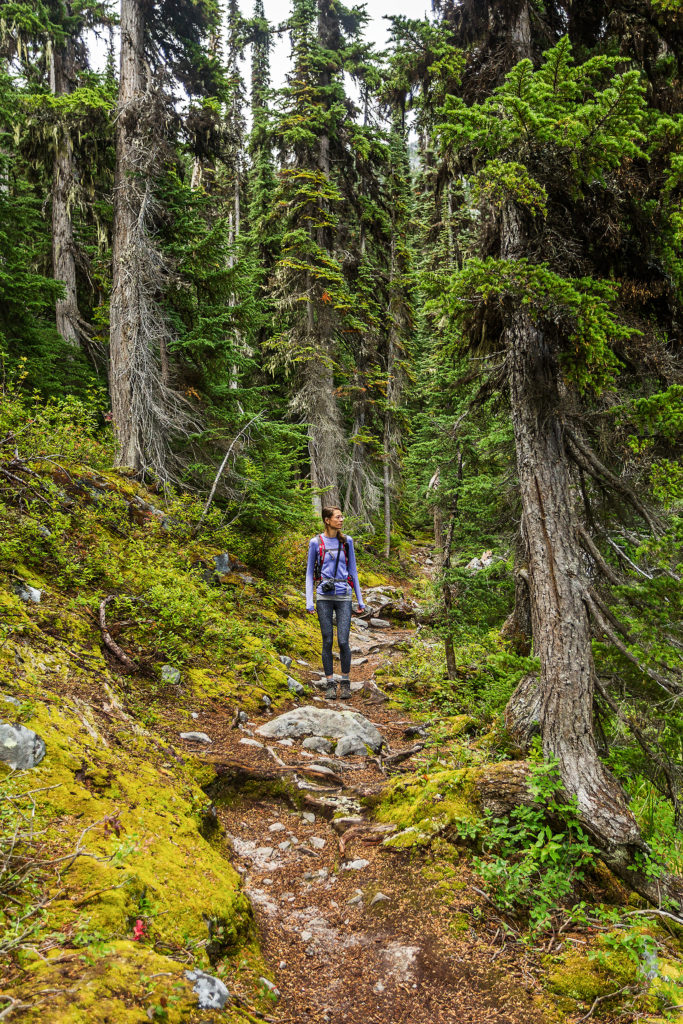
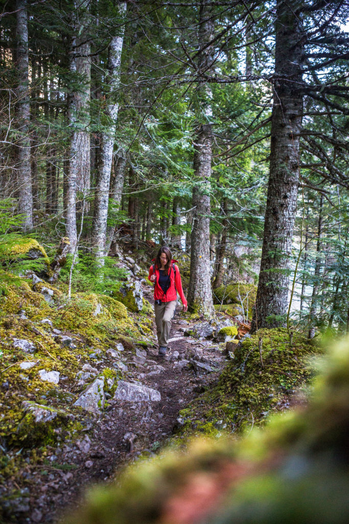
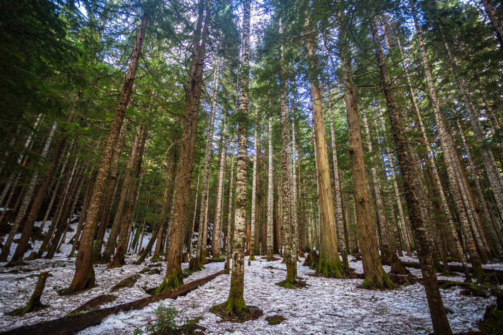
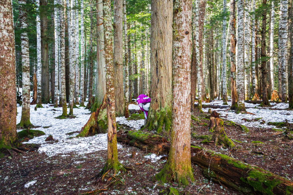
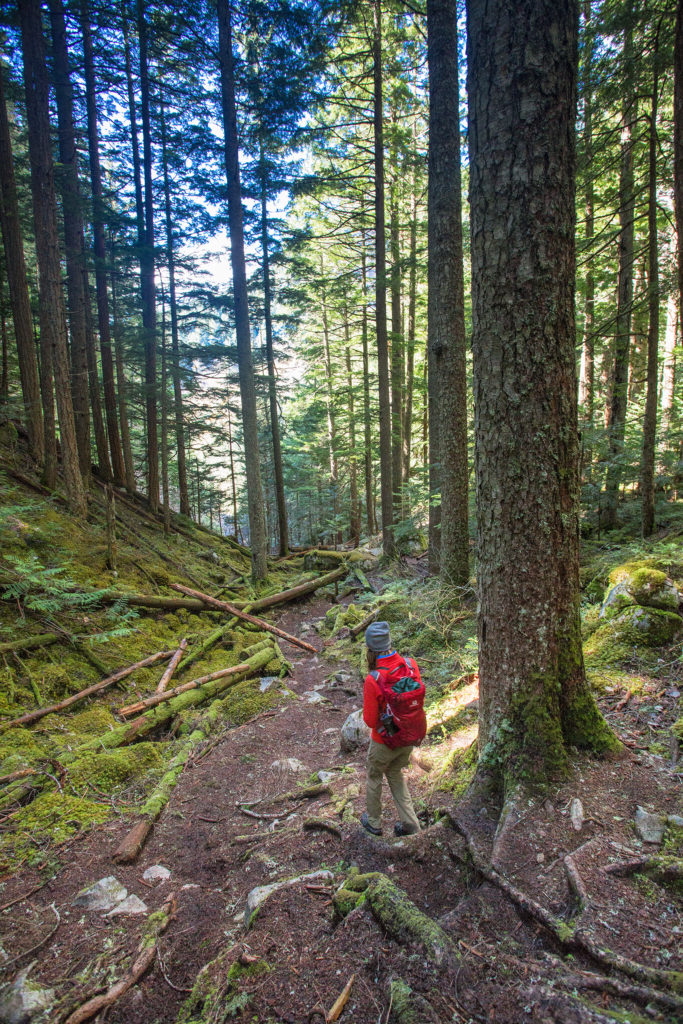
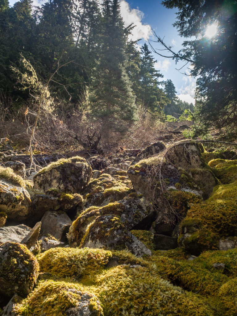
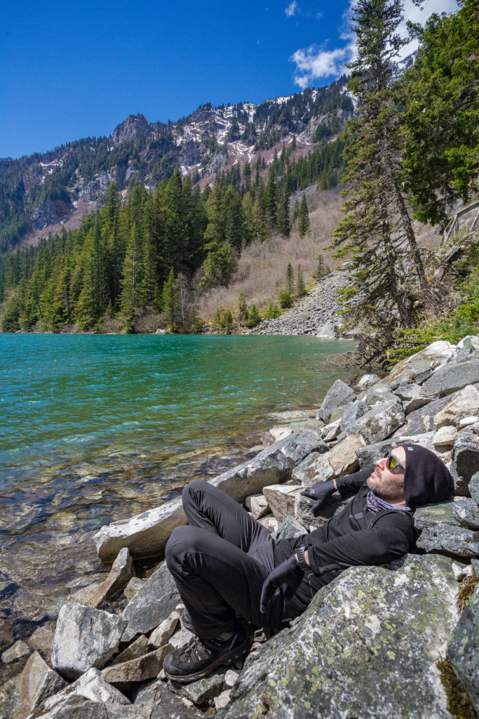
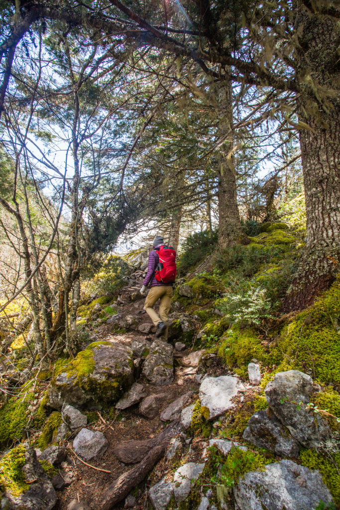
The next morning we took our time having breakfast and checking out the lake in daylight – it was still mainly covered in snow and ice. Then we headed back down to Lindeman. With the sun out, the trail was really beautiful, shafts of light coming through the trees and creating bright rims around the moss-covered boulders – all in classic PNW fashion.

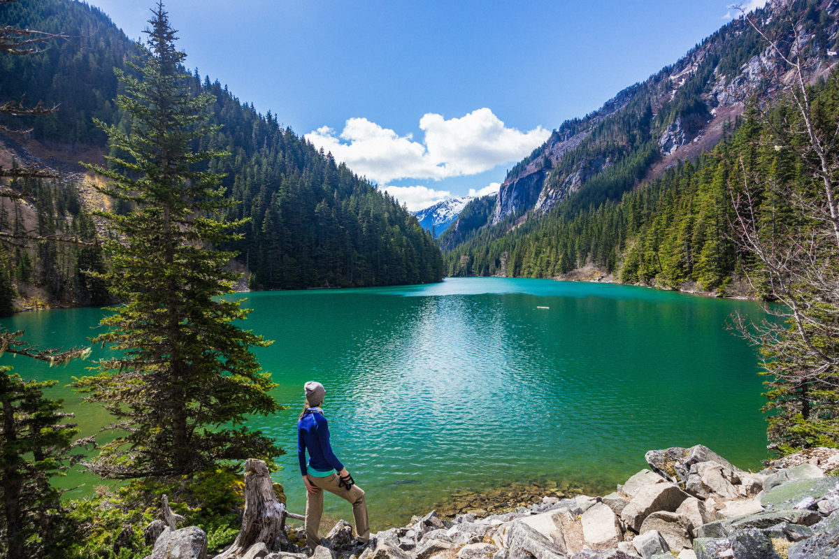
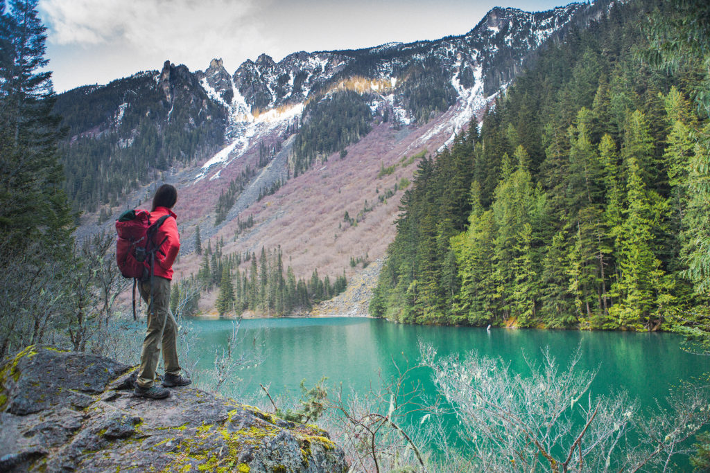
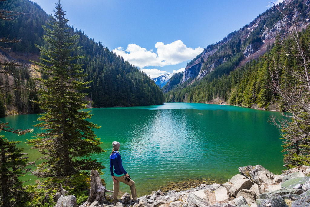
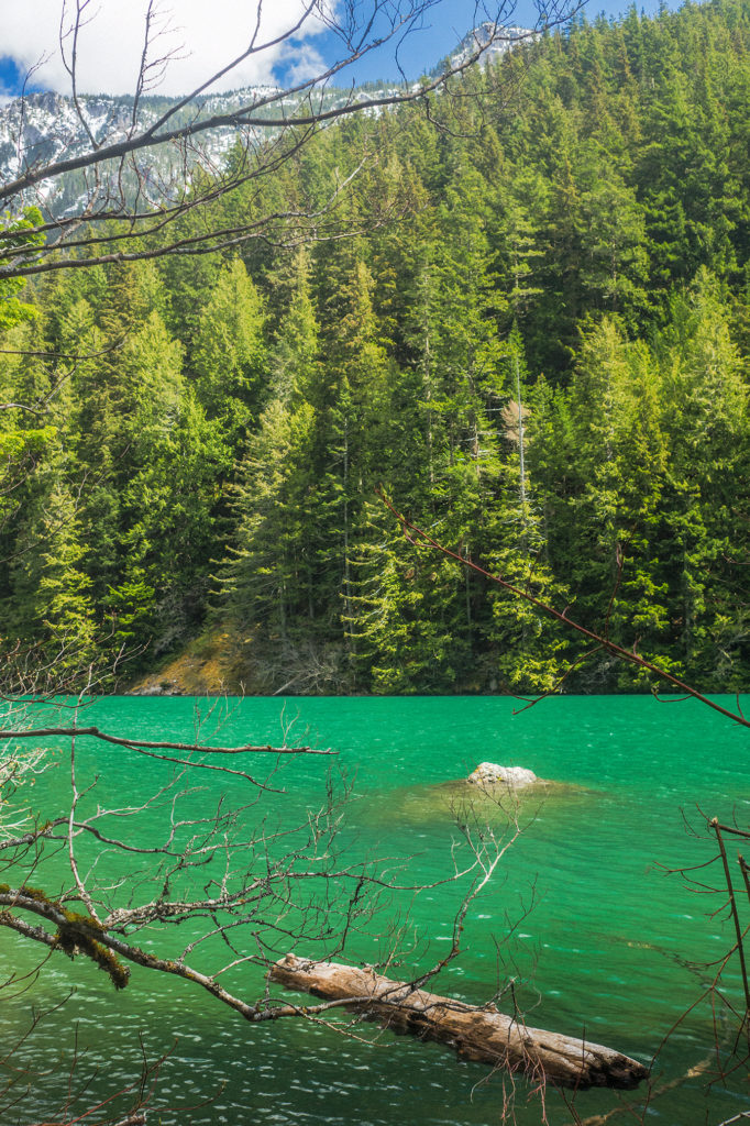
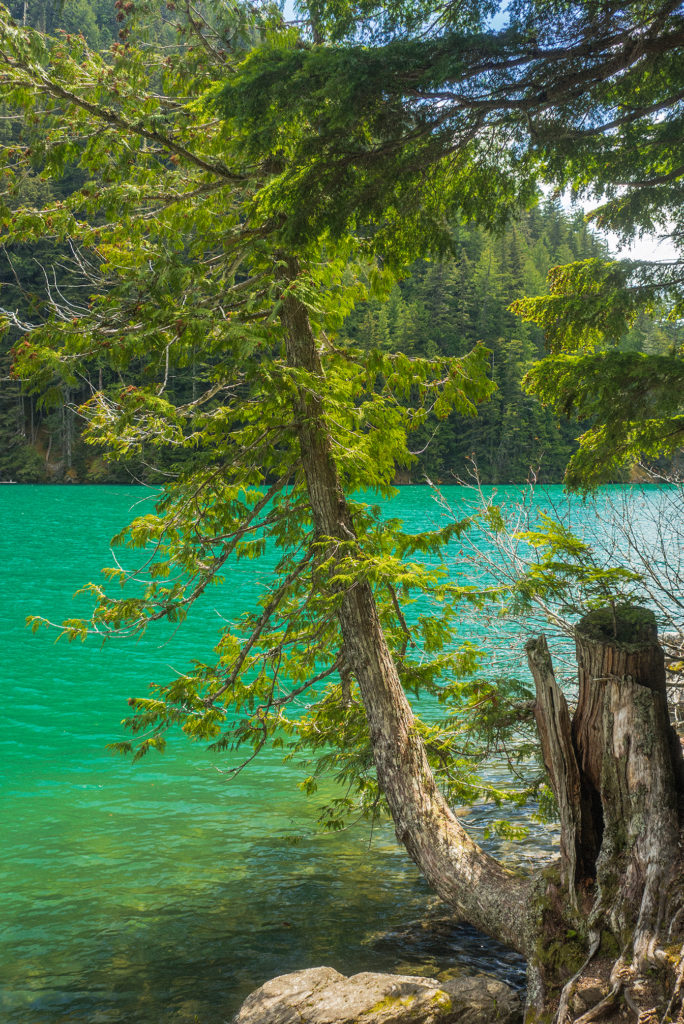
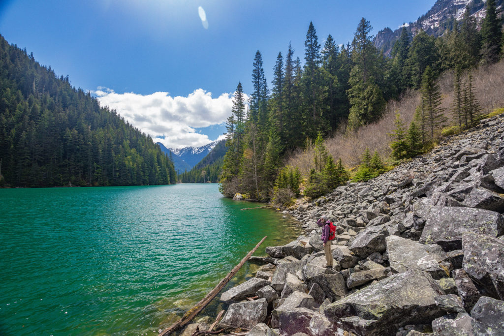
While we had seen no one on the way up, we passed quite a few people taking the day hike to Greendrop. It took us much less time to arrive back to Lindeman, and we decided to take a break on the northern end of the lake, rather than join the crowds along the western shore. After a quick bite, we walked the remaining few kilometres back along the lake and down to the parking lot. Lindeman is a very popular destination – as we had found out last summer, and no wonder. The turquoise colour of its water, surrounded by snow-capped mountains make it probably one of the most accessible, scenic places in the area. 

We reached the parking lot at 2pm, perfect timing to dodge the growing crowds of afternoon hikers. Before heading back to Vancouver, we couldn’t leave Chilliwack without stopping by I Fly for Pie, the diner-style restaurant located at the Chilliwack airport, famous for its decadent pies…