Road Trip to to the Yukon – Part 12 – Tumbler Ridge, Chetwyn and driving home

September 4 – Dinosaurs and Carvings

After a restful night, we packed up camp and went for a quick exploration of what initially put Tumbler Ridge on the tourist map: Dinosaurs.

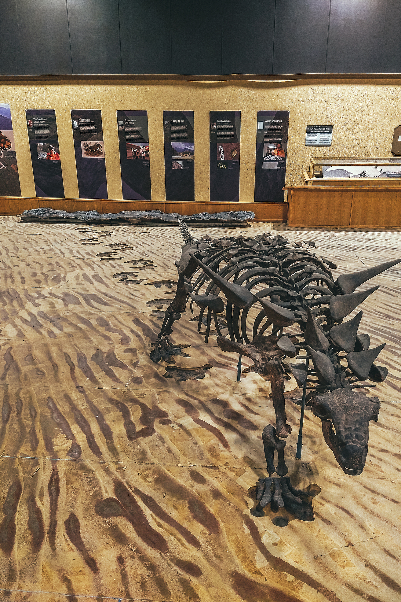
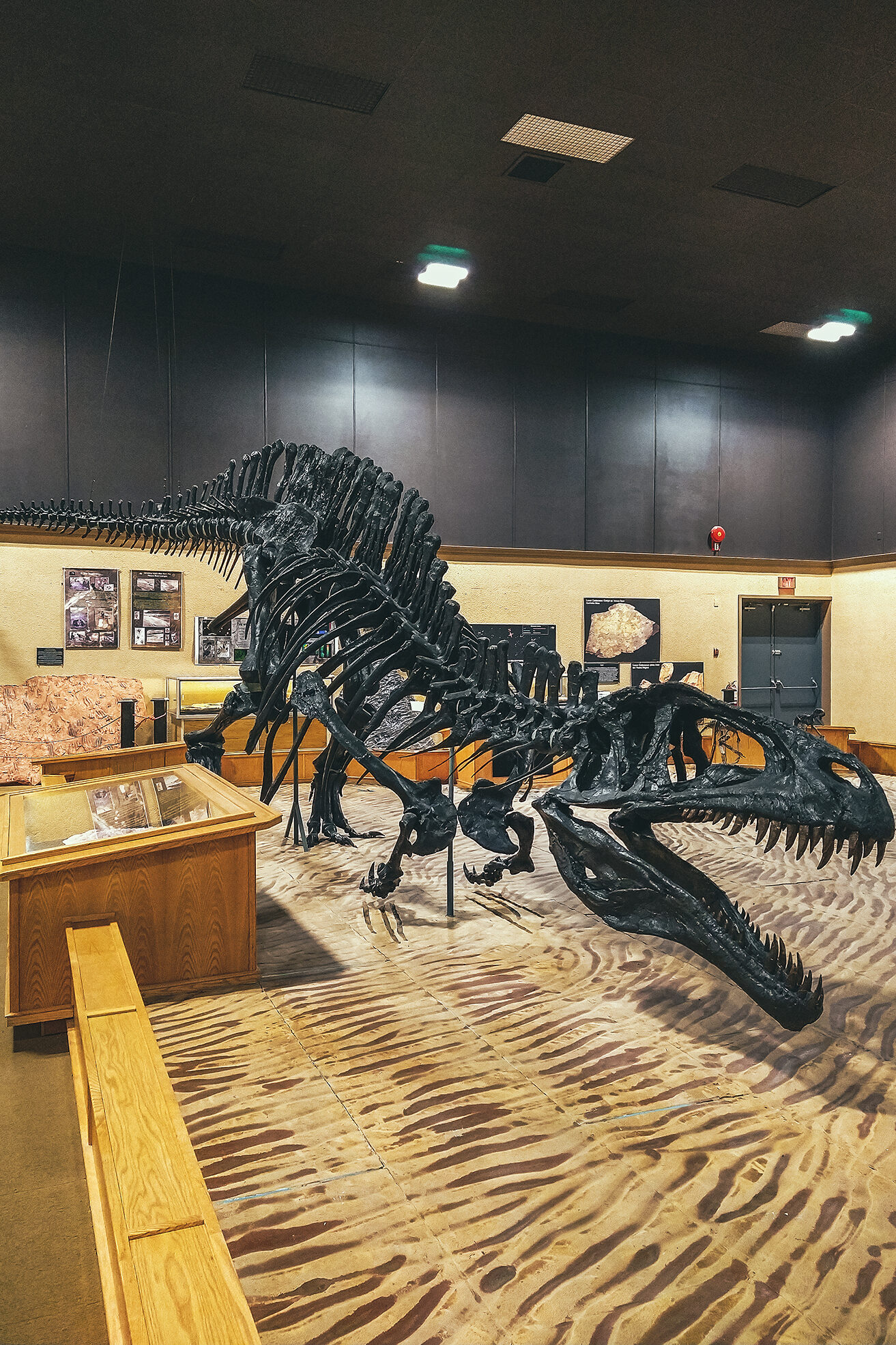
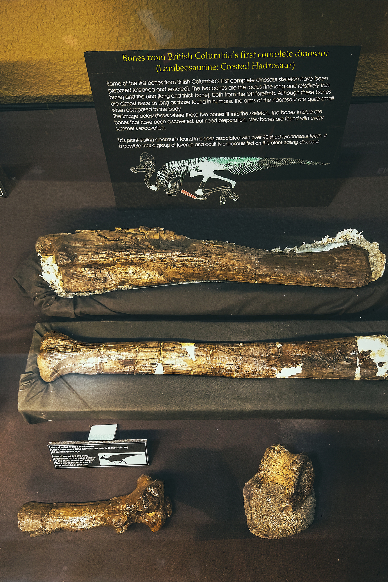
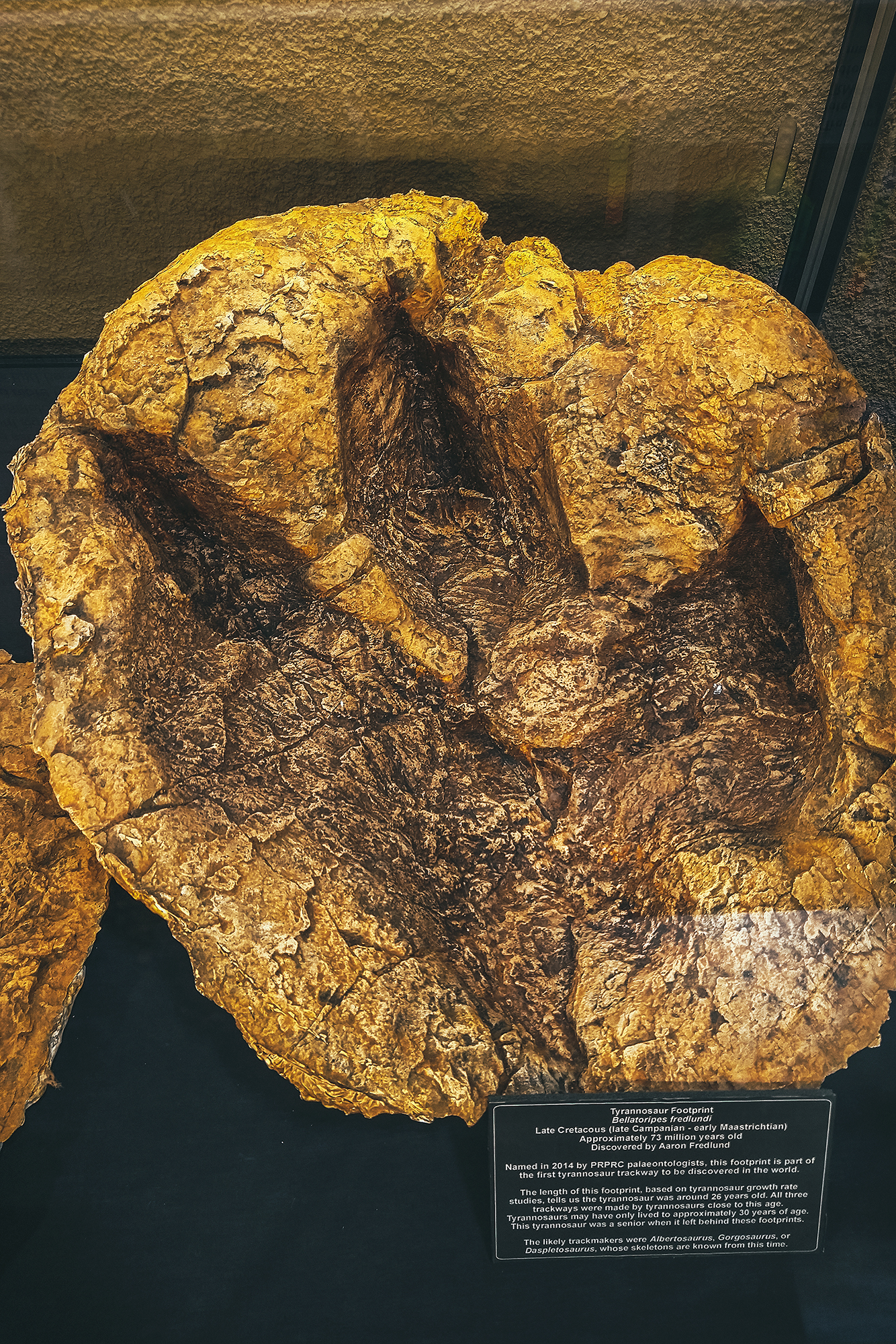
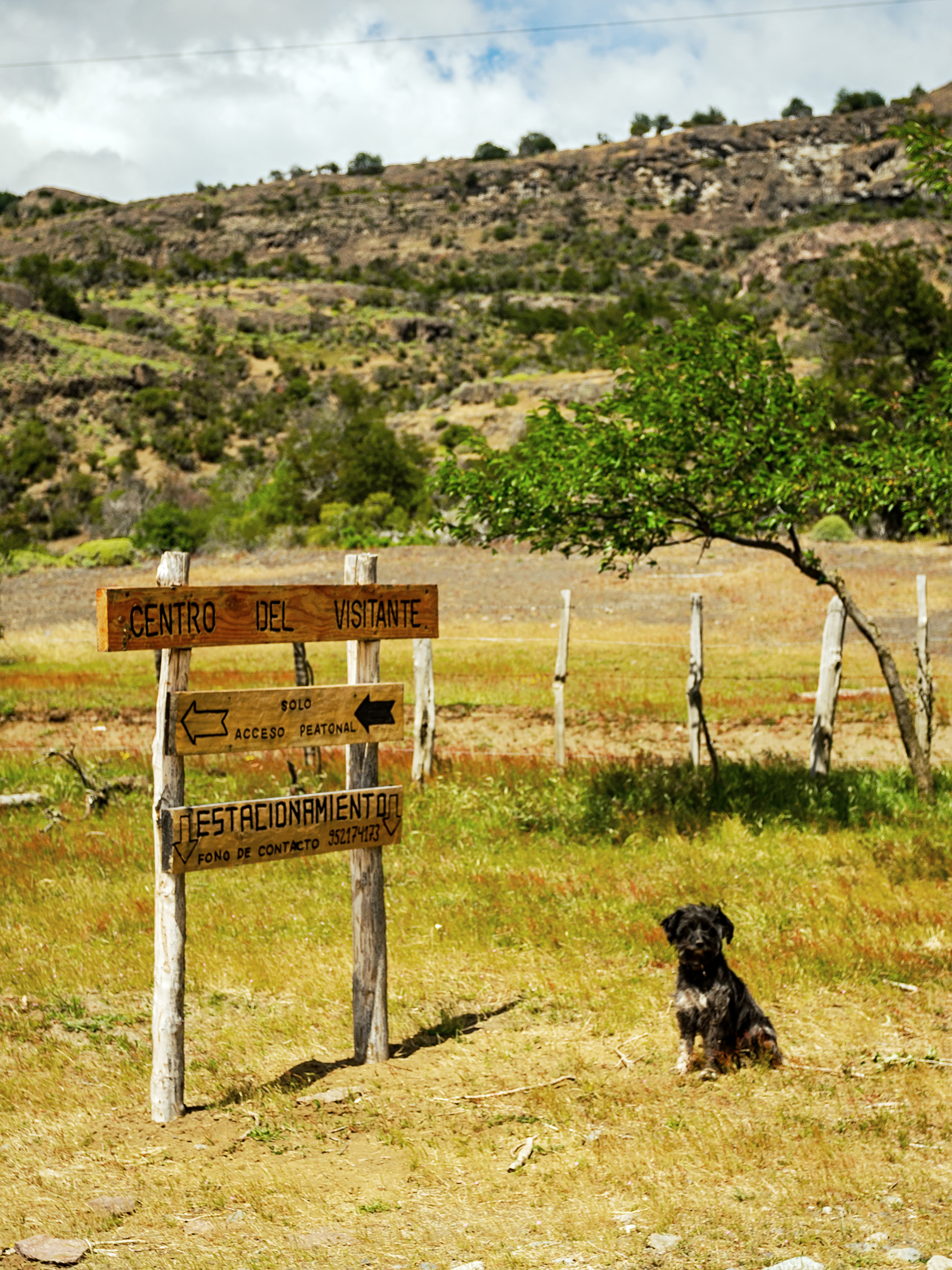
The town is fairly young, as it was built in the early 1980s as part of a huge coal mining project in the area. The mining went on for a little less than 20 years, and with the activity reducing and people moving away, Tumbler Ridge was at risk of becoming a ghost town. If it weren’t for two kids going tubing down the river one day. After falling off their tubes, they climbed on the shore and found what they thought looked like dinosaur footprints. After some nagging, they convinced their dad to send photos to a paleontologist, who indeed confirmed they were right. Turns out there were multiple tracks on the river shore, and in other areas nearby. Scientists came to explore further, ultimately discovering actual bones and other fossils. Thanks to those discoveries, and the natural wealth of the area, Tumbler Ridge is now a recognized UNESCO Geopark. We visited the Dinosaur gallery, which features replicas of the species that would have left the tracks, as well as molds of the actual footprints, and the (partial) skeleton of the first dinosaur found in BC.

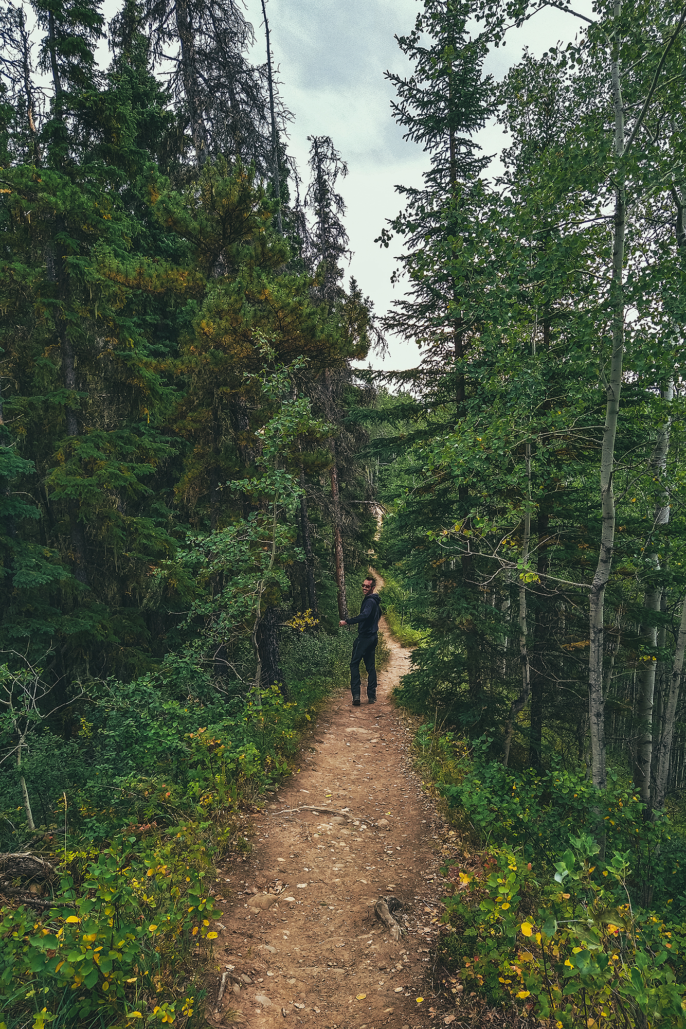
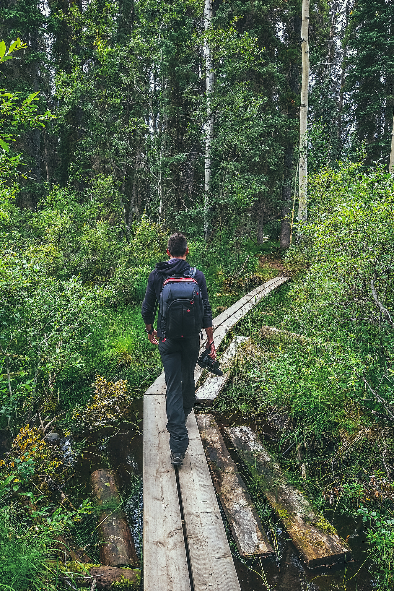
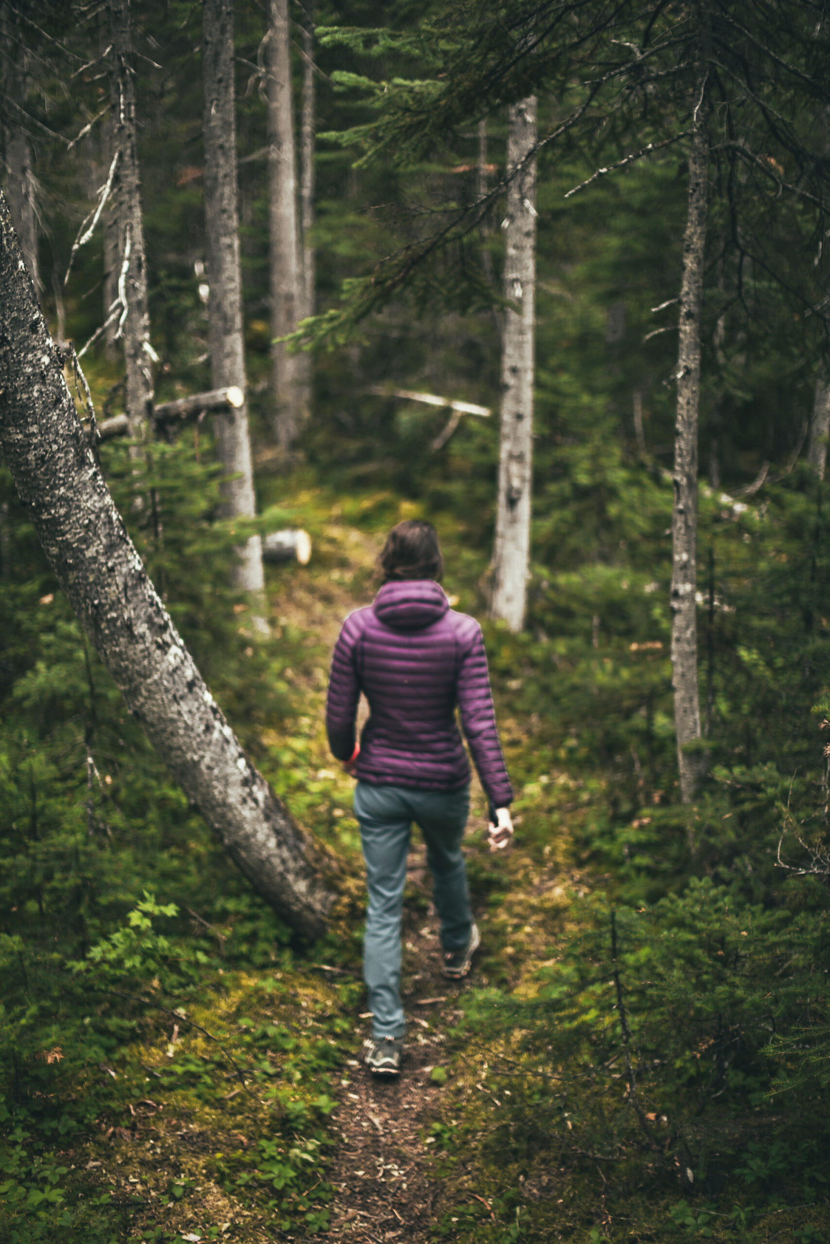
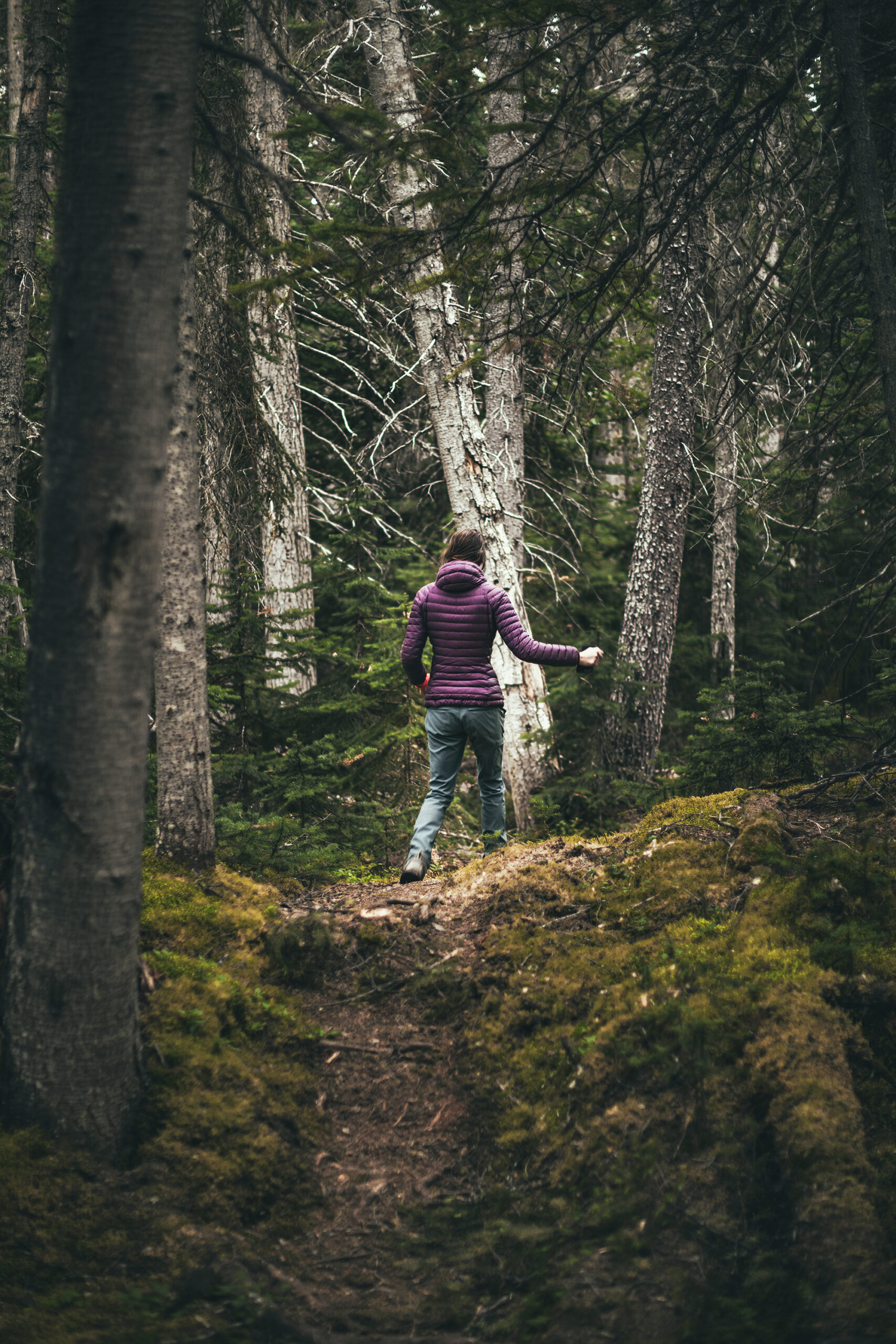
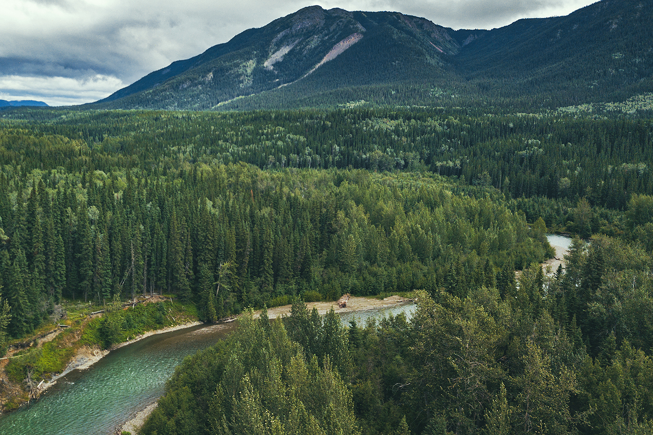
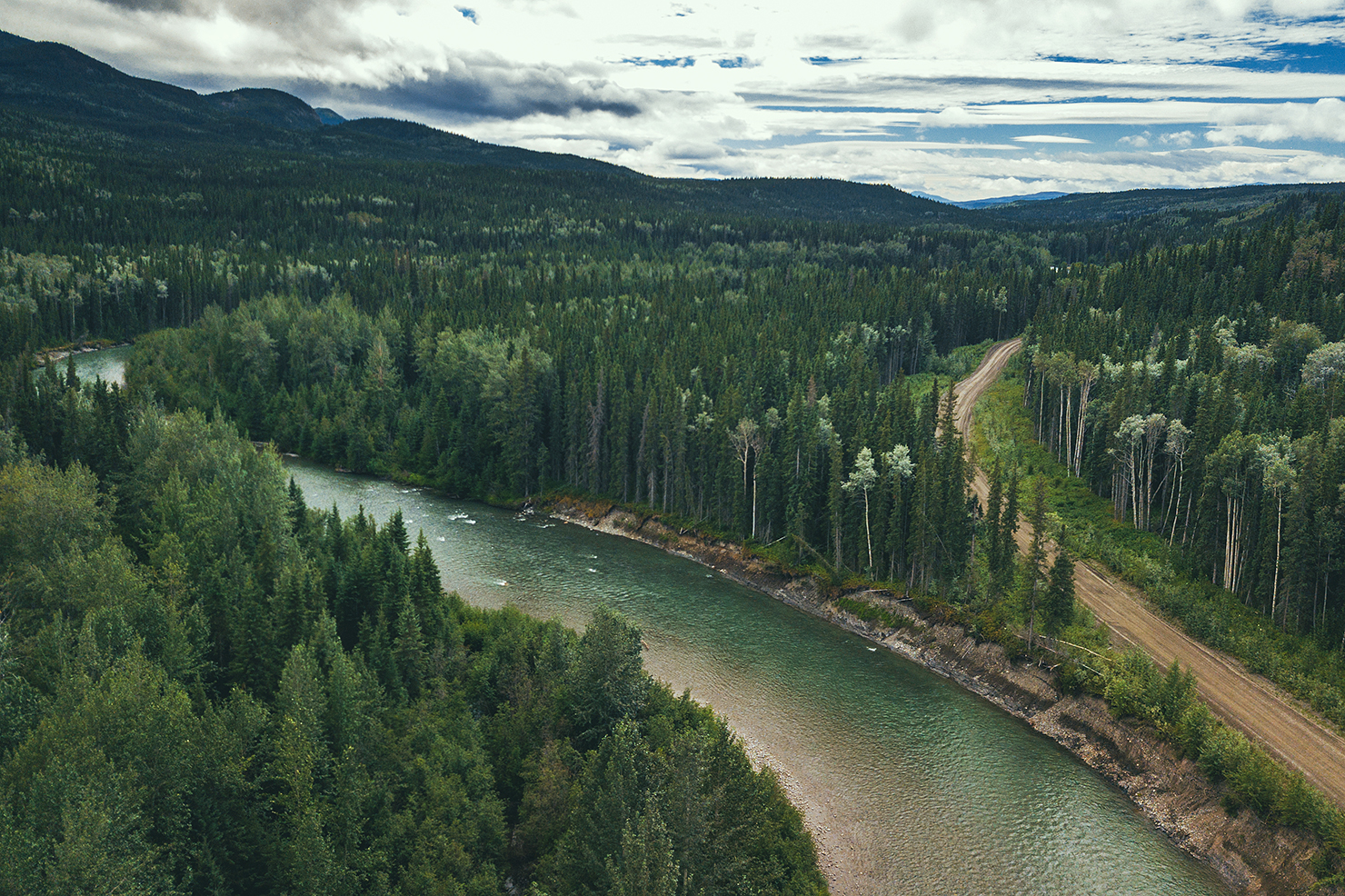
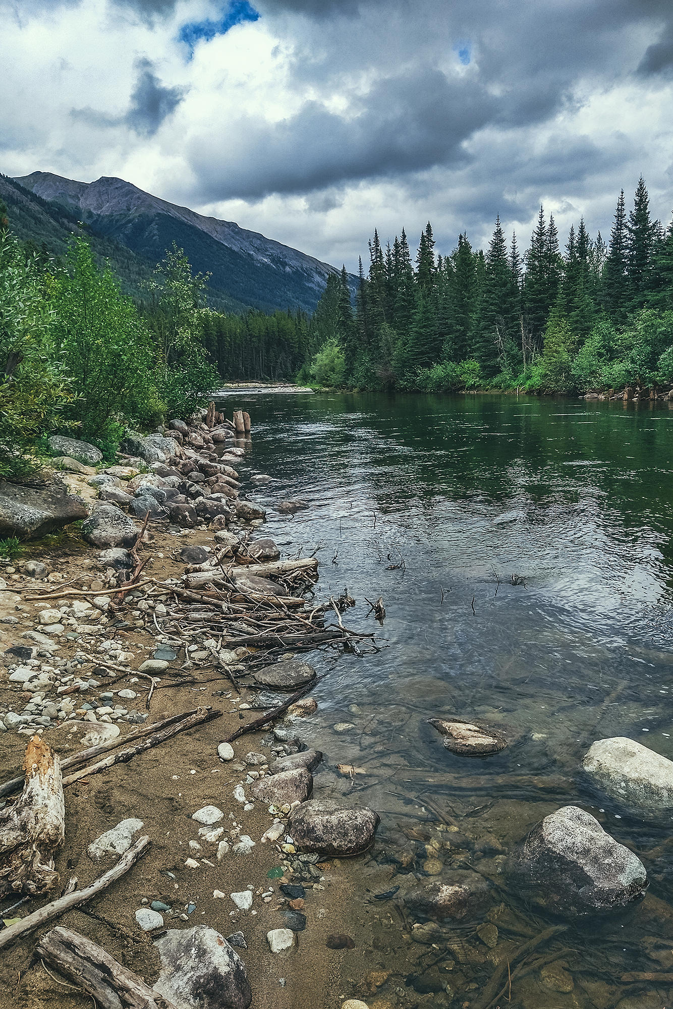
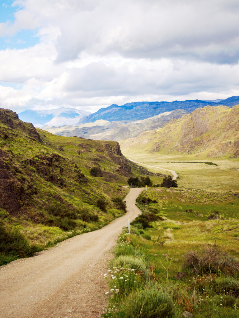
After that we decided to go see the tracks on-site. We walked the 3km (round trip) trail to Flatbed creek, where the tracks were found. There are two very distinct foot prints just as the trail meets the creek, which were easy to spot.

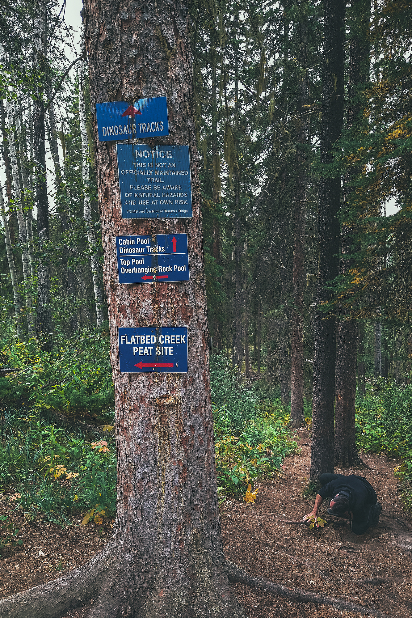
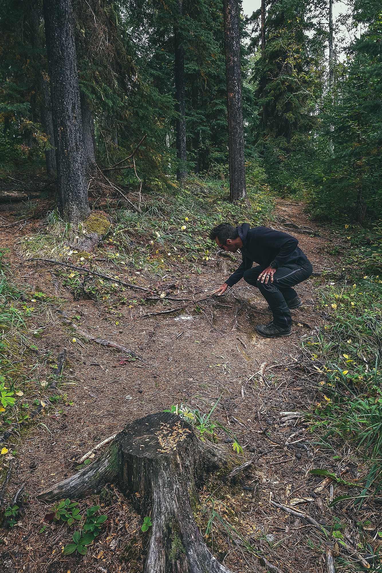
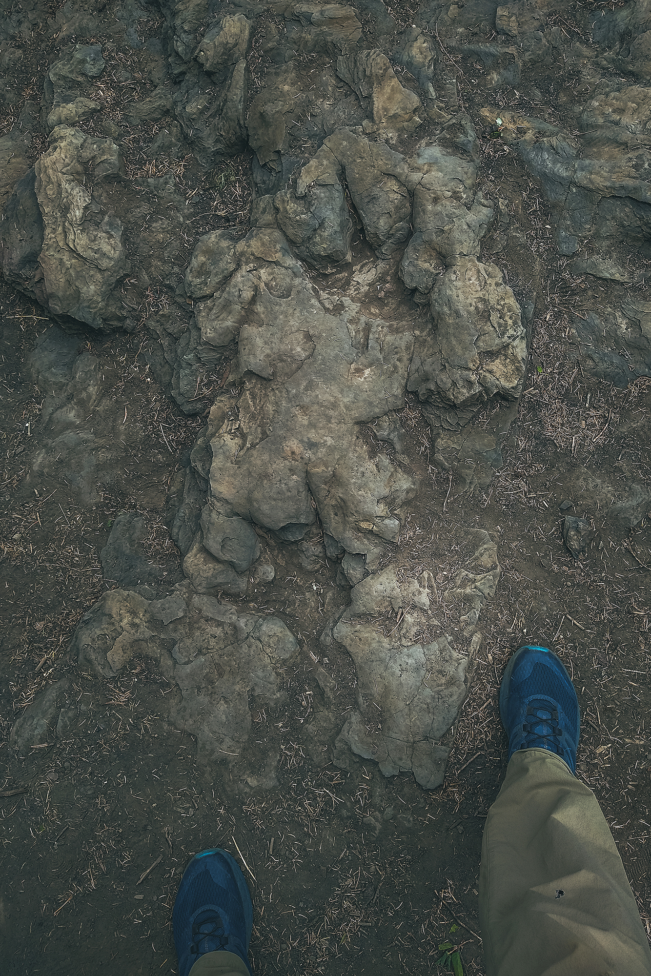
We crossed the creek to see the tracks on the other side (those that were first spotted by the kids), but those are quite faint and hard to see in daylight. In the summer, the visitor center offers guided tours in the evening hours, to see them under electric light (easier to see them with cast shadow). However,  tours were finished for the season, plus we were leaving that day, so we didn’t get to experience that.

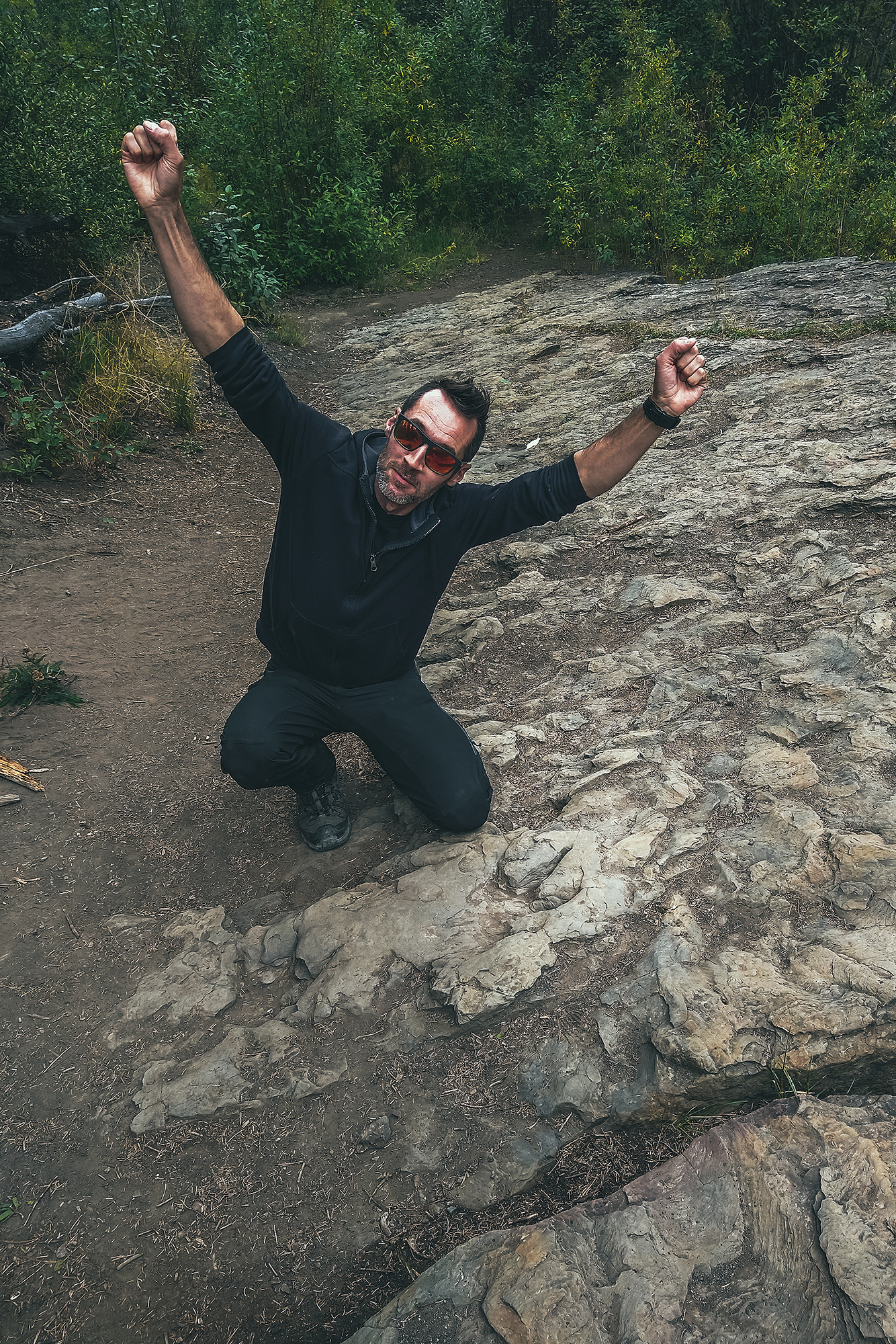
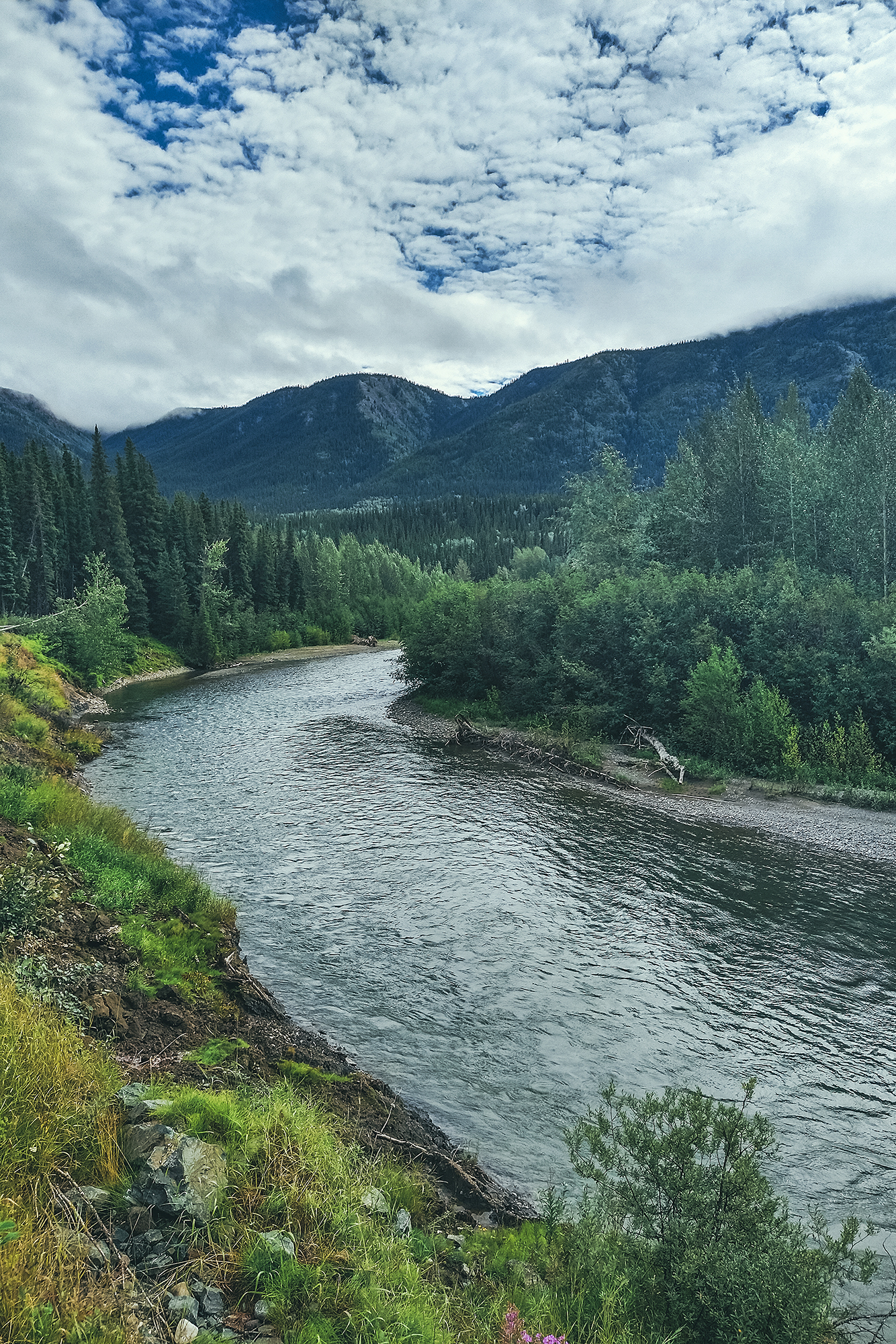
Even then, it was pretty incredible to see these two foot steps, neither of us had seen real life dinosaur traces on-site before, kind of blows your mind to think they stood there 100 million years ago, and their mark is still imprinted in the rock, even after the position of tectonic plates have changed, entire mountain ranges have formed around them, and they’re not even at the same longitude they were back then!

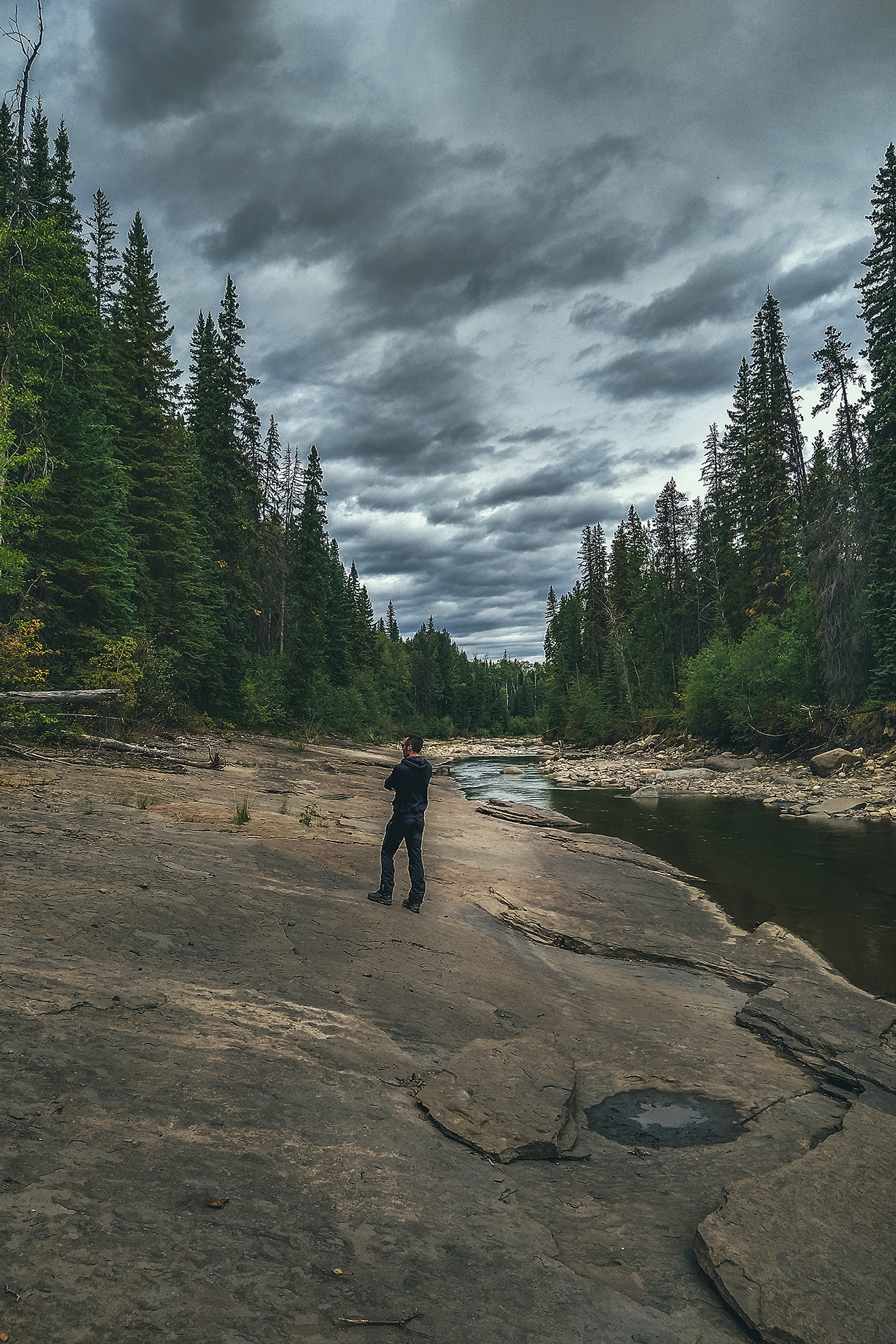
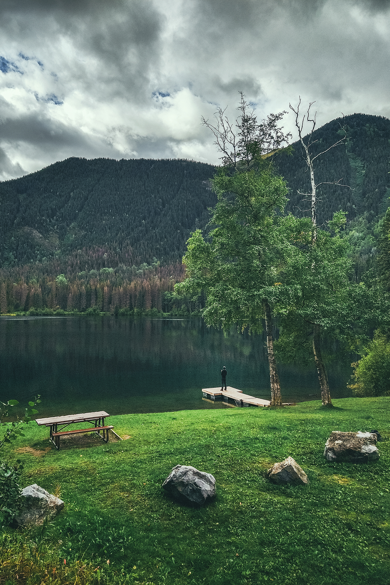
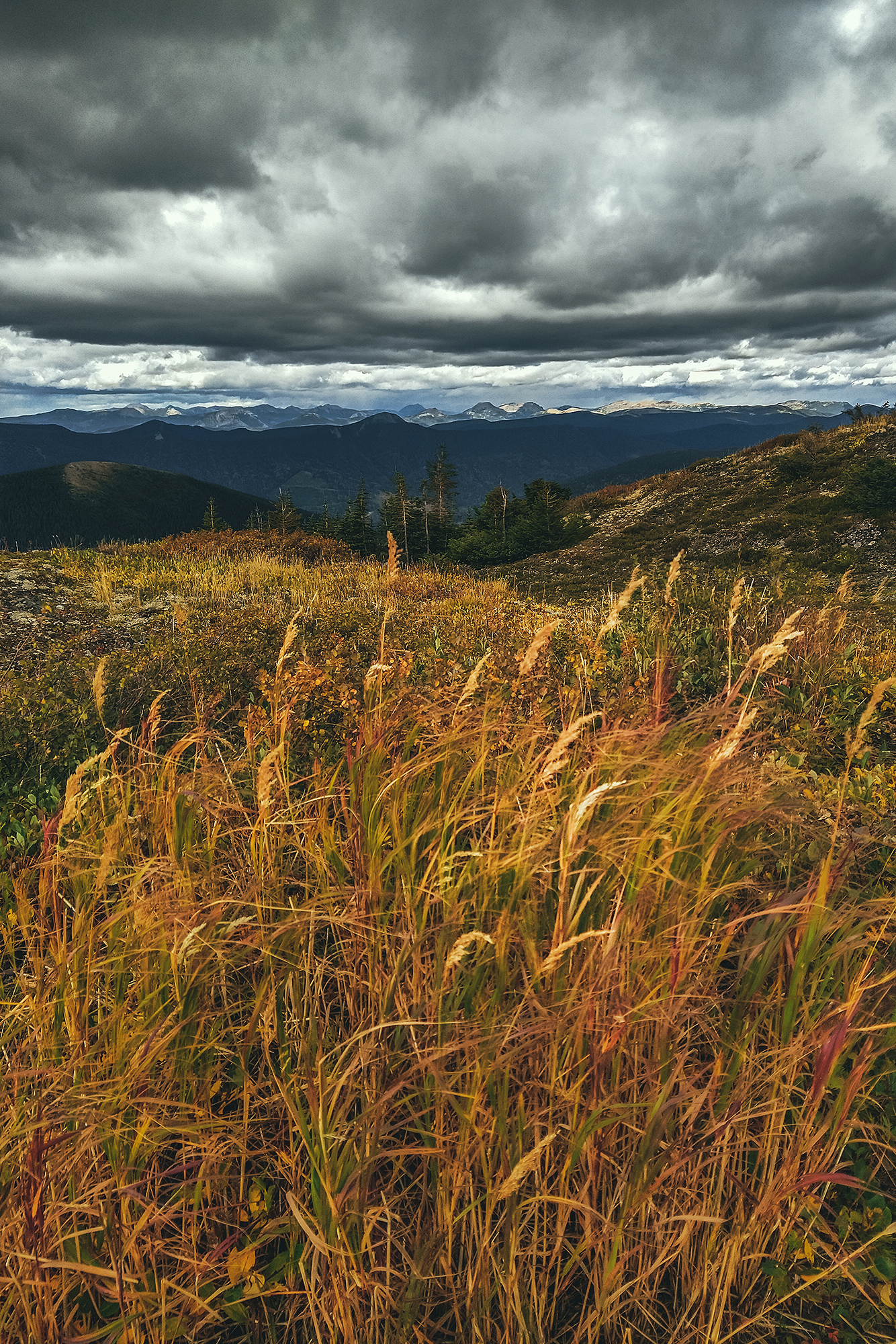
It was 2 o’clock once we were done with all the dinosaur attractions, so we got some lunch at the grocery store and headed out. We stopped at Gwilliam lake to eat, a lovely little picnic spot, then drove to Chetwynd.

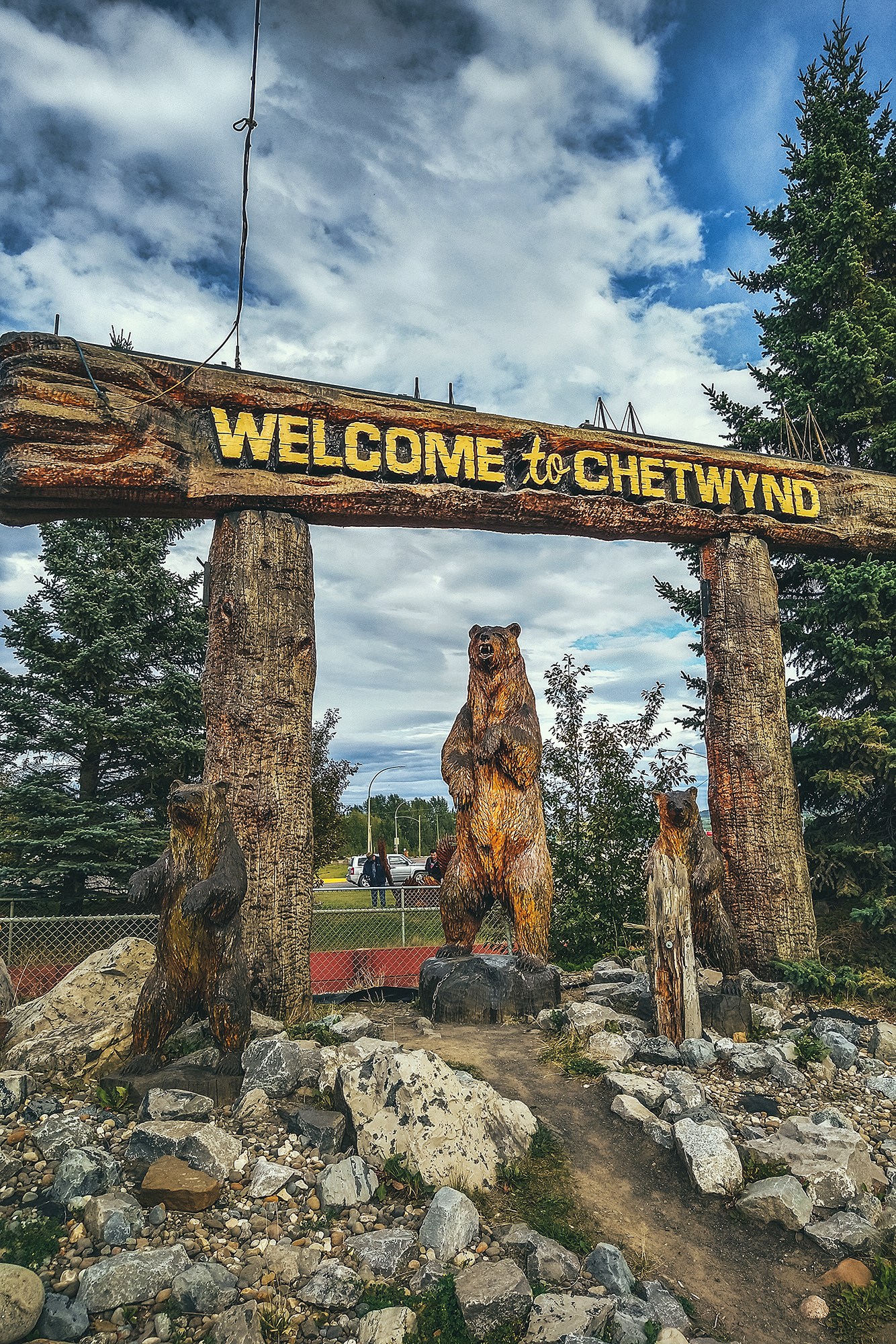
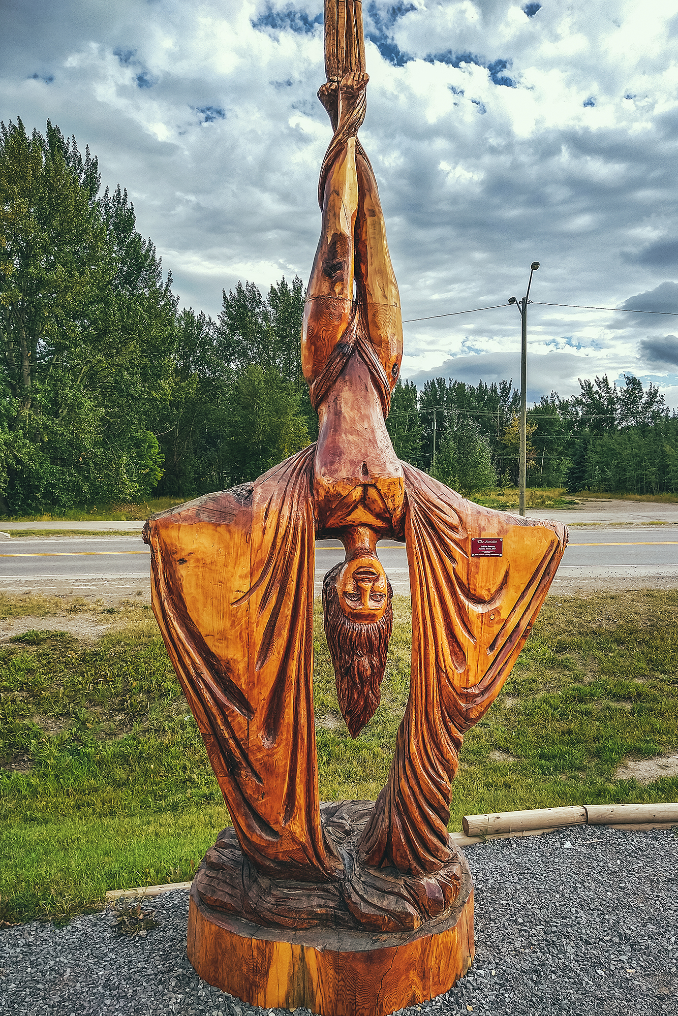
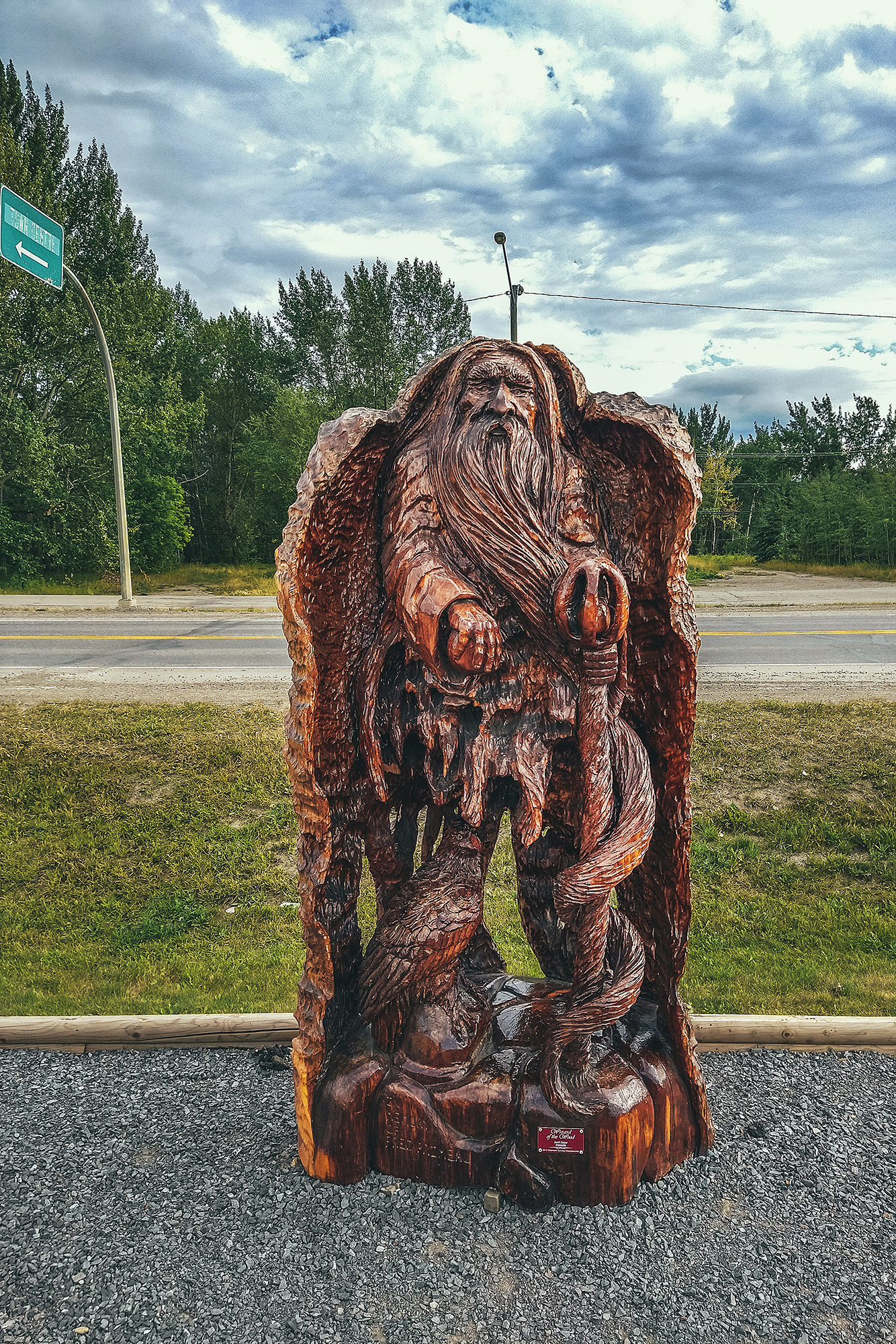
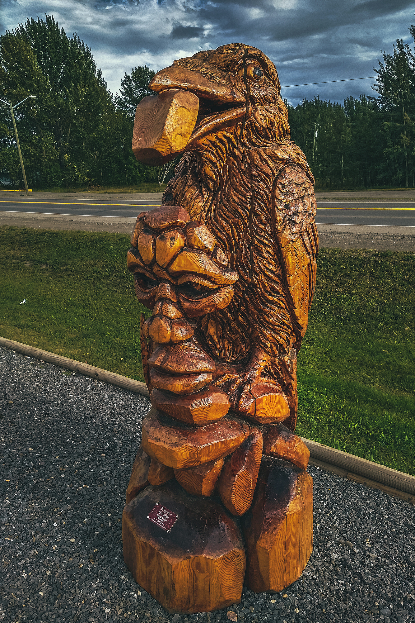
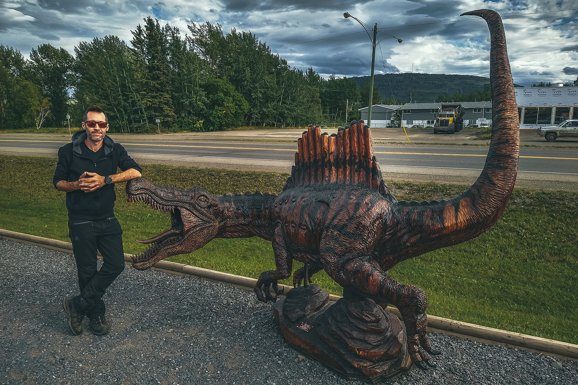
Chetwynd would likely be another small town on the highway if it weren’t for the very impressive display of chainsaw wood carvings visible along the road. Started in 2005, there is a carving competition every year in June and the result has become the town’s main reason for tourists to stop.

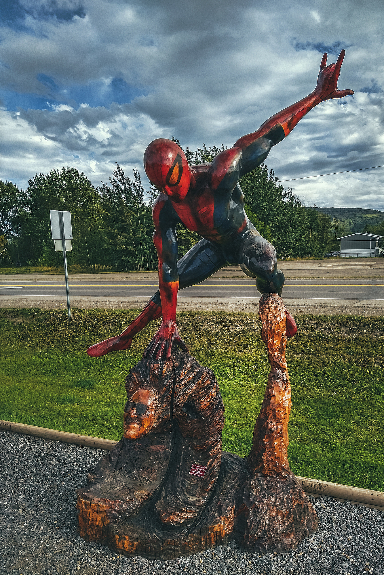
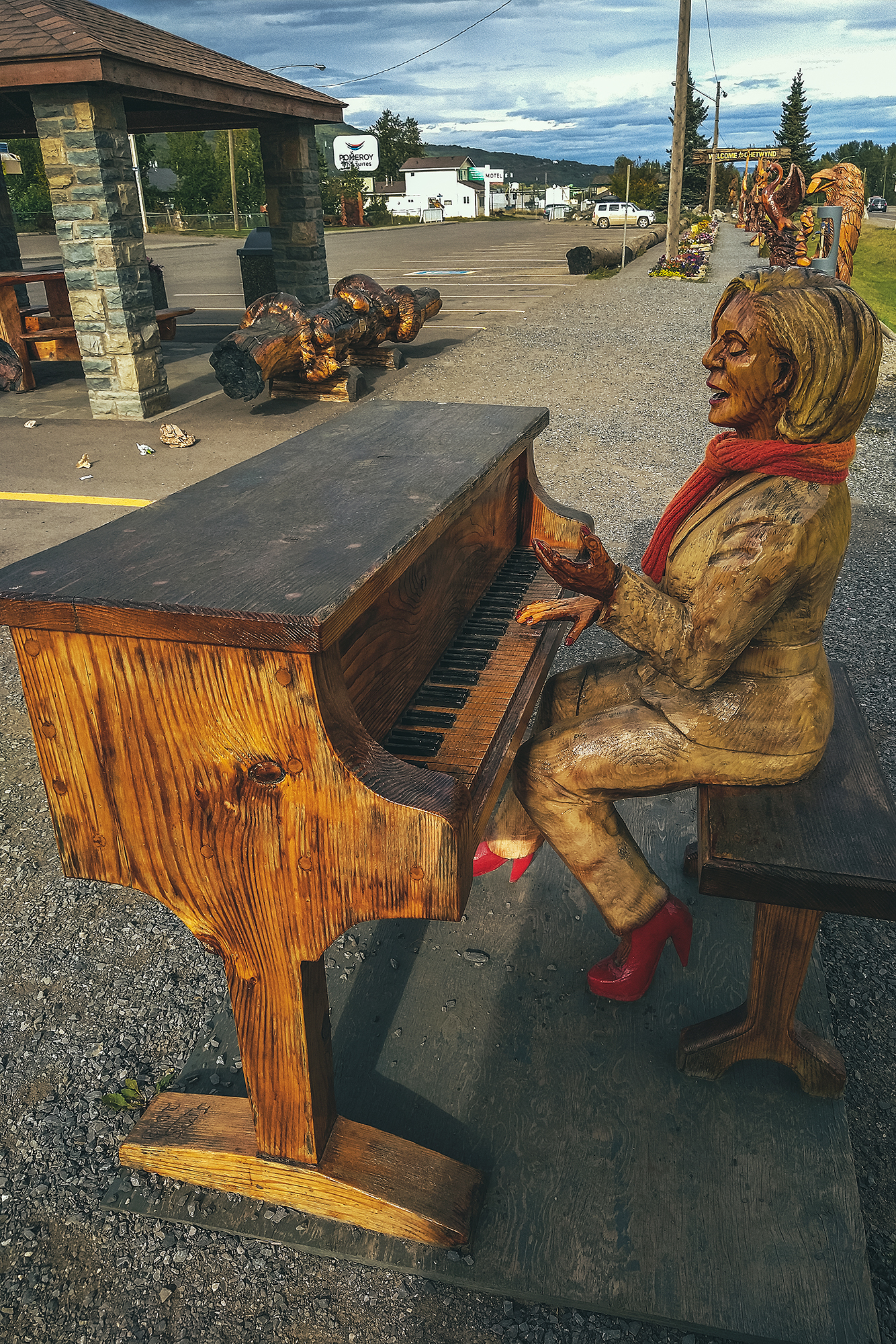
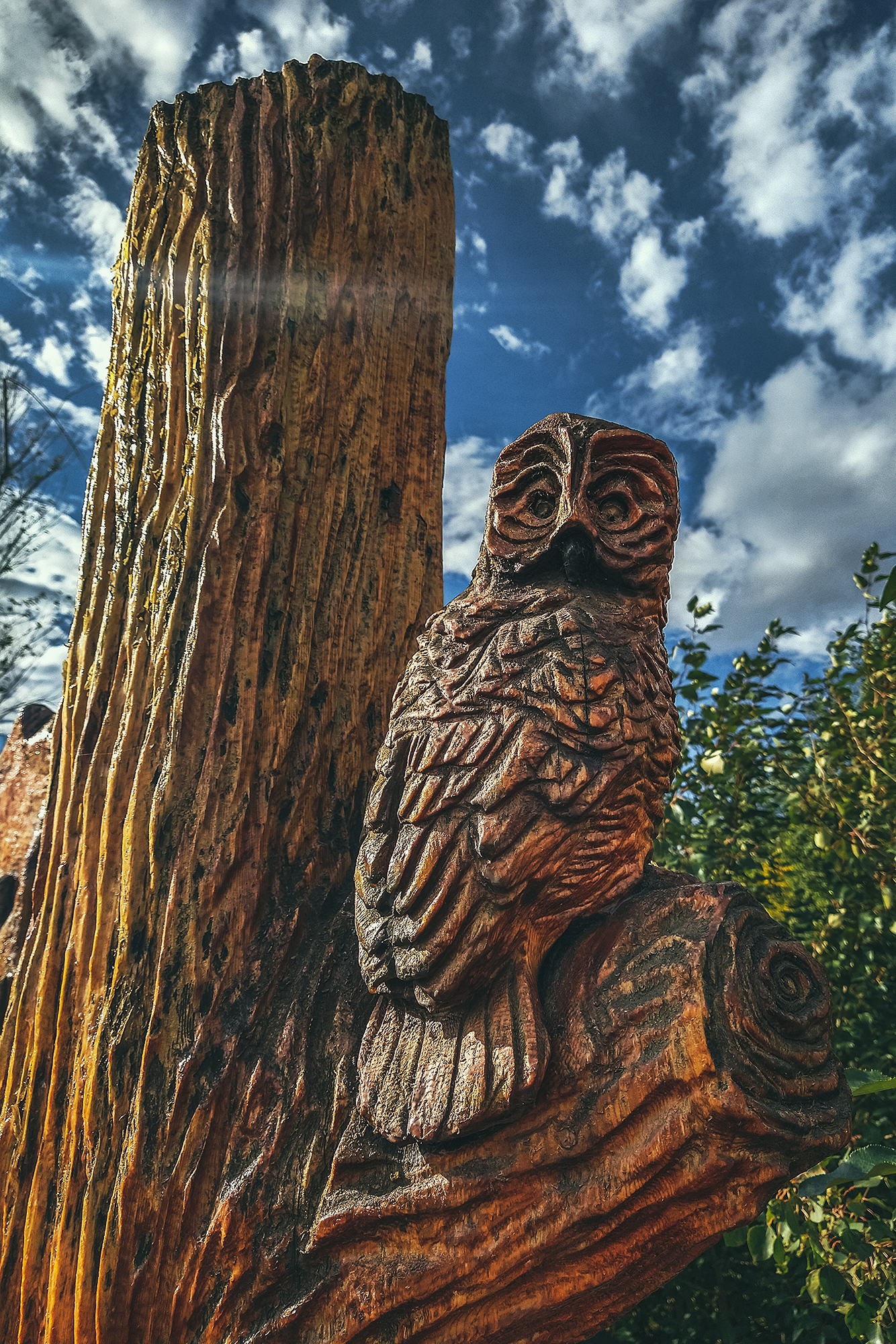
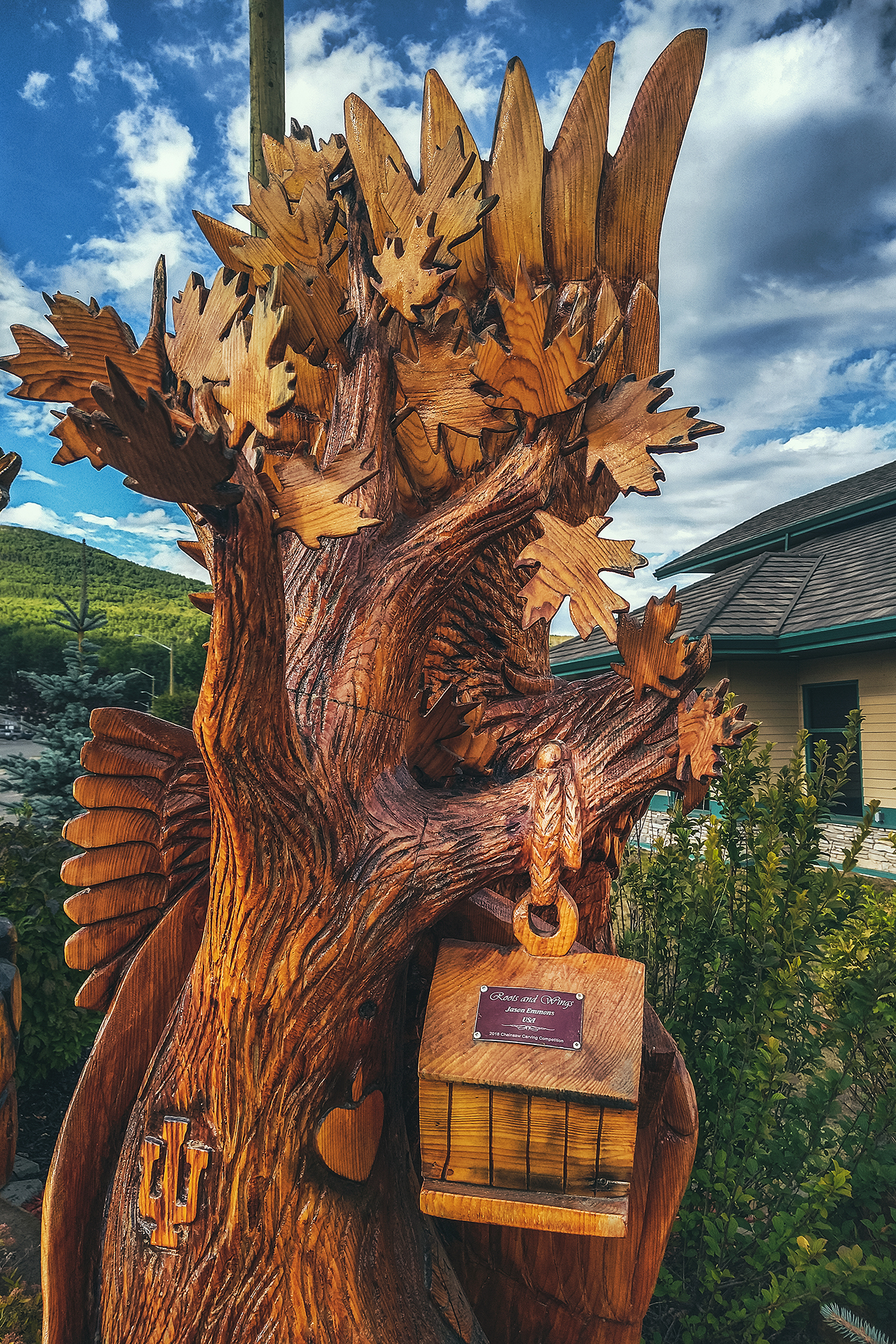
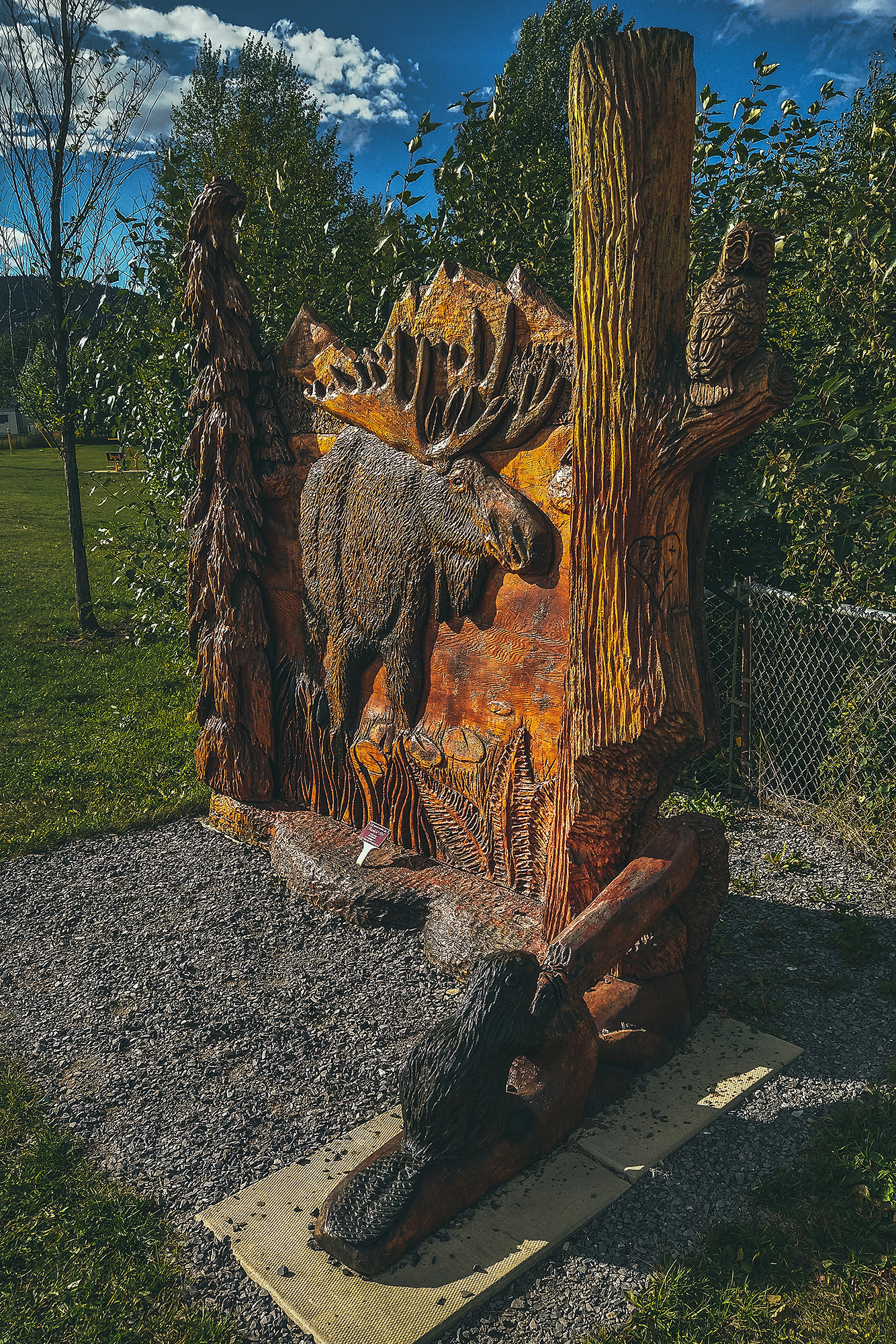
The sculptures were all really remarkable, especially knowing they were all done want by chainsaw – makes me want to look up videos on youtube to find out how they get that much detail with such a big tool.

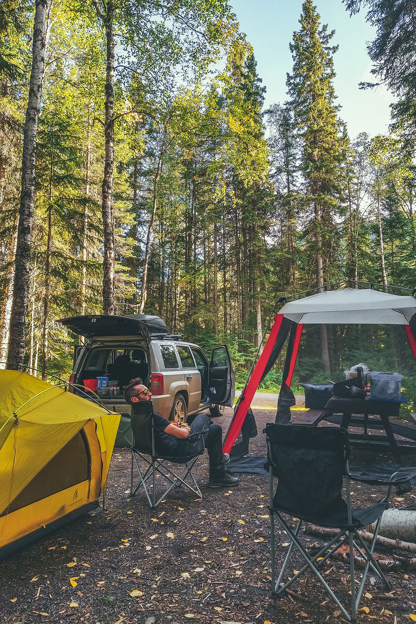
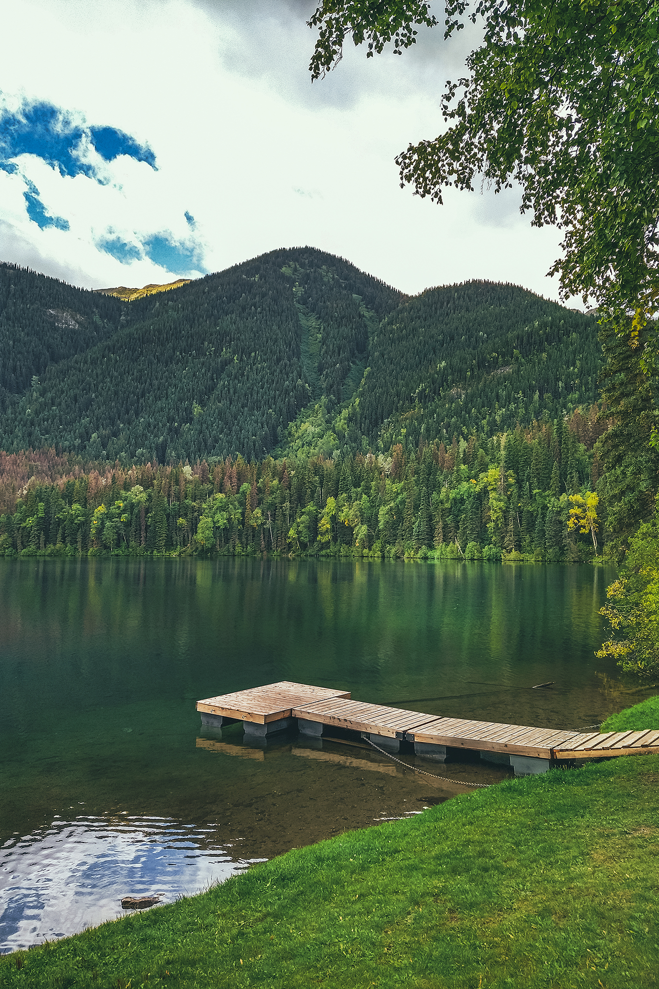
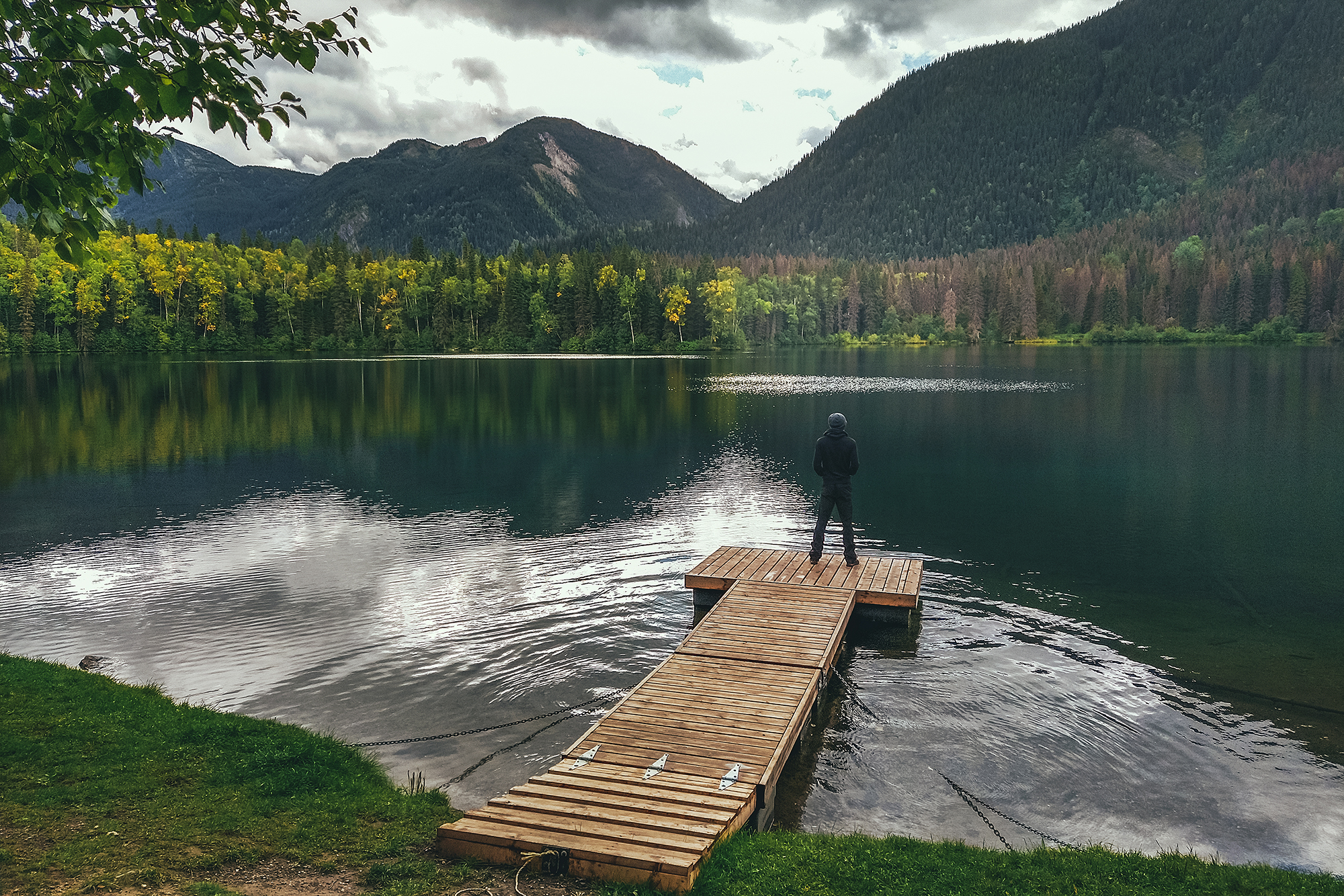
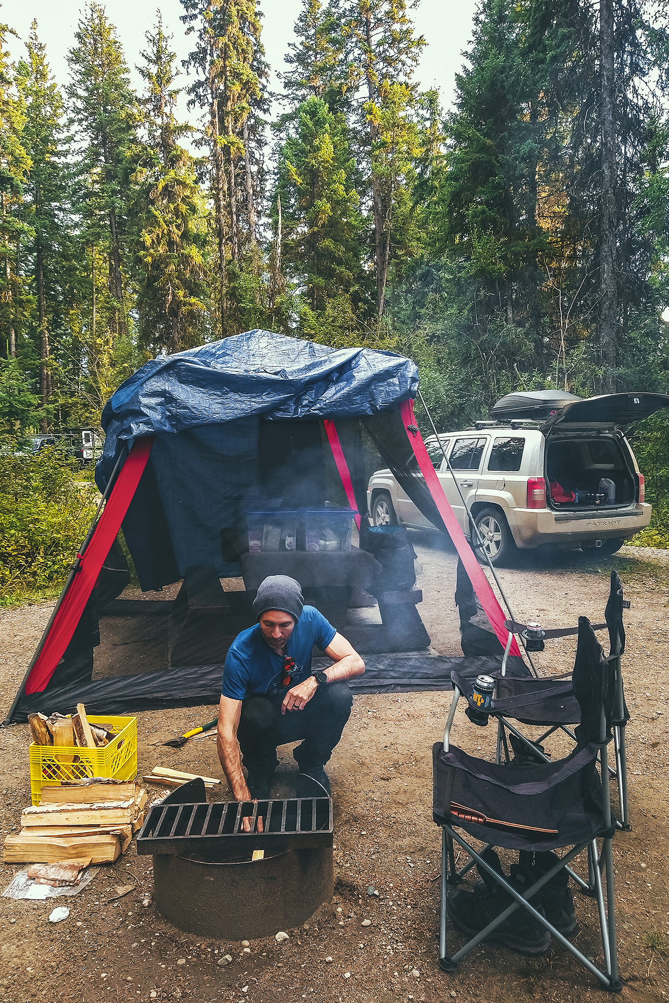
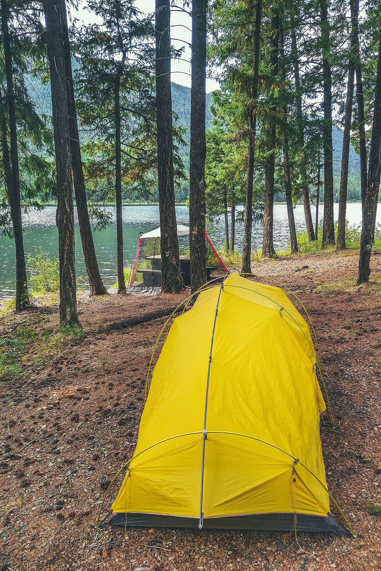
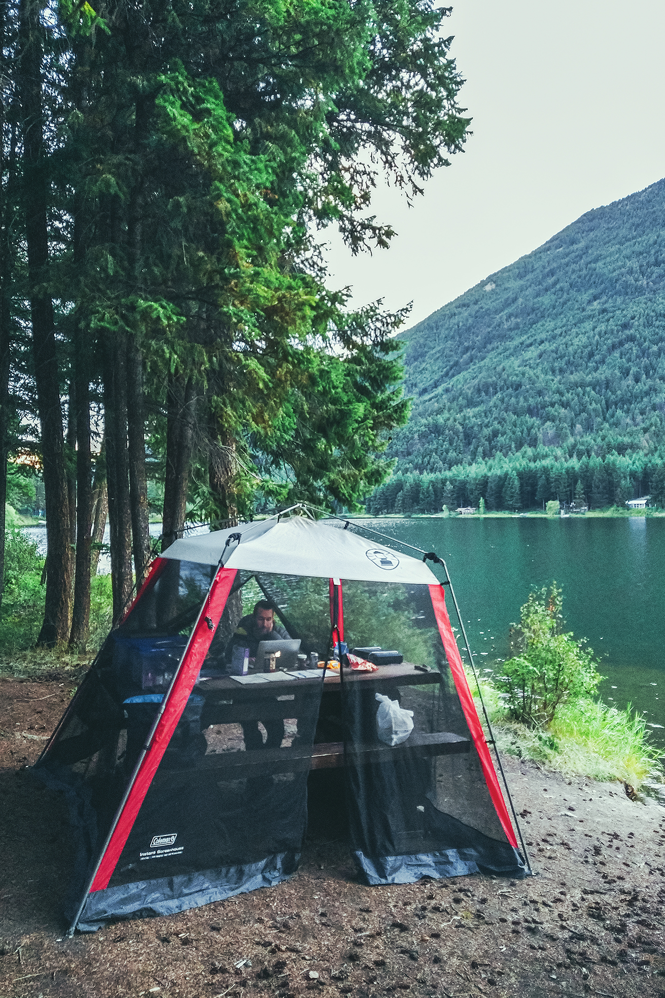
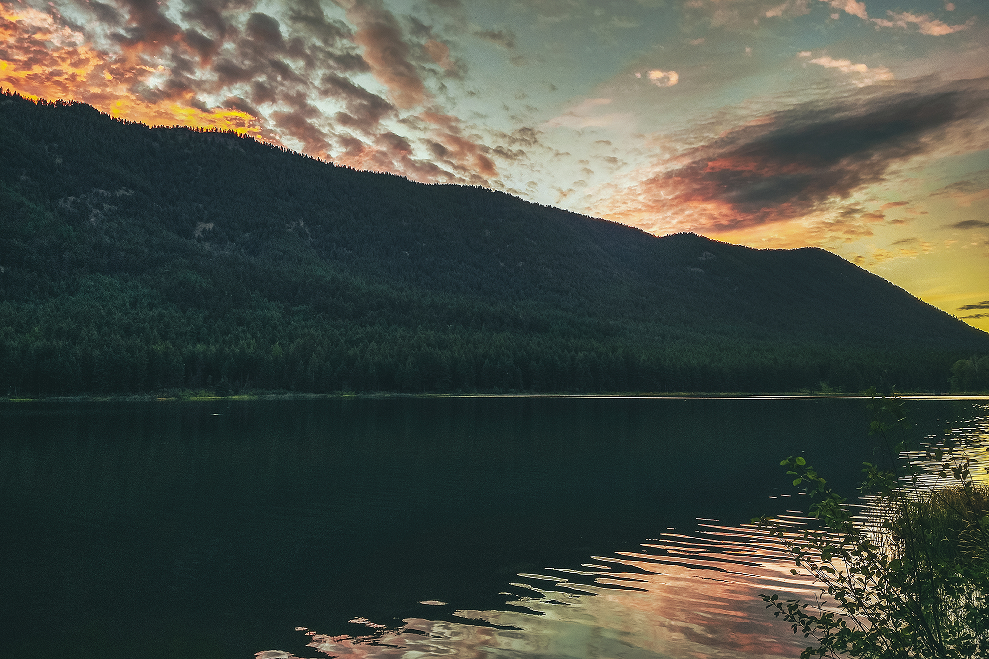
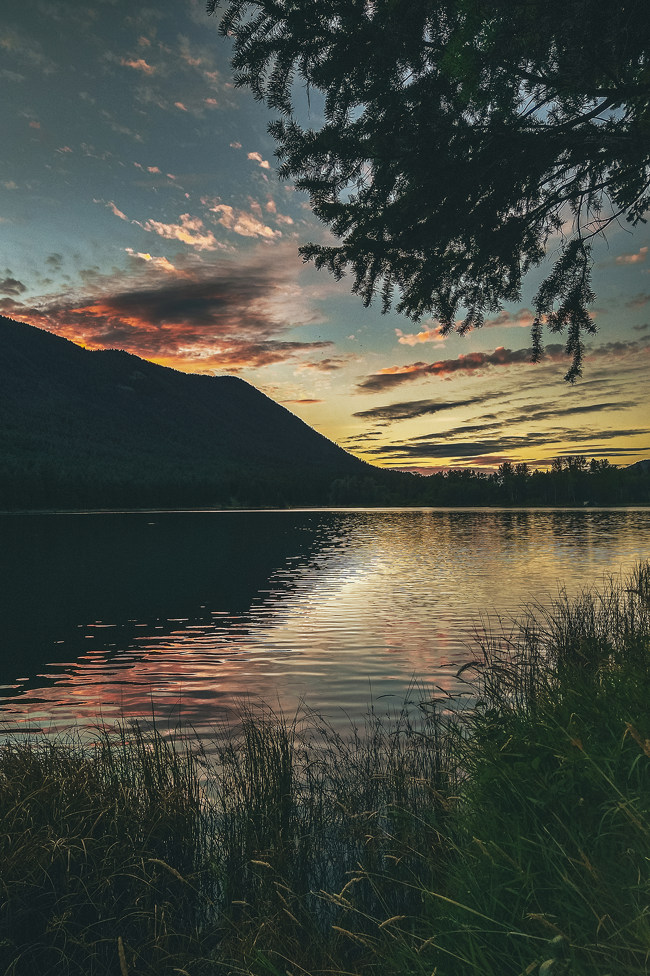
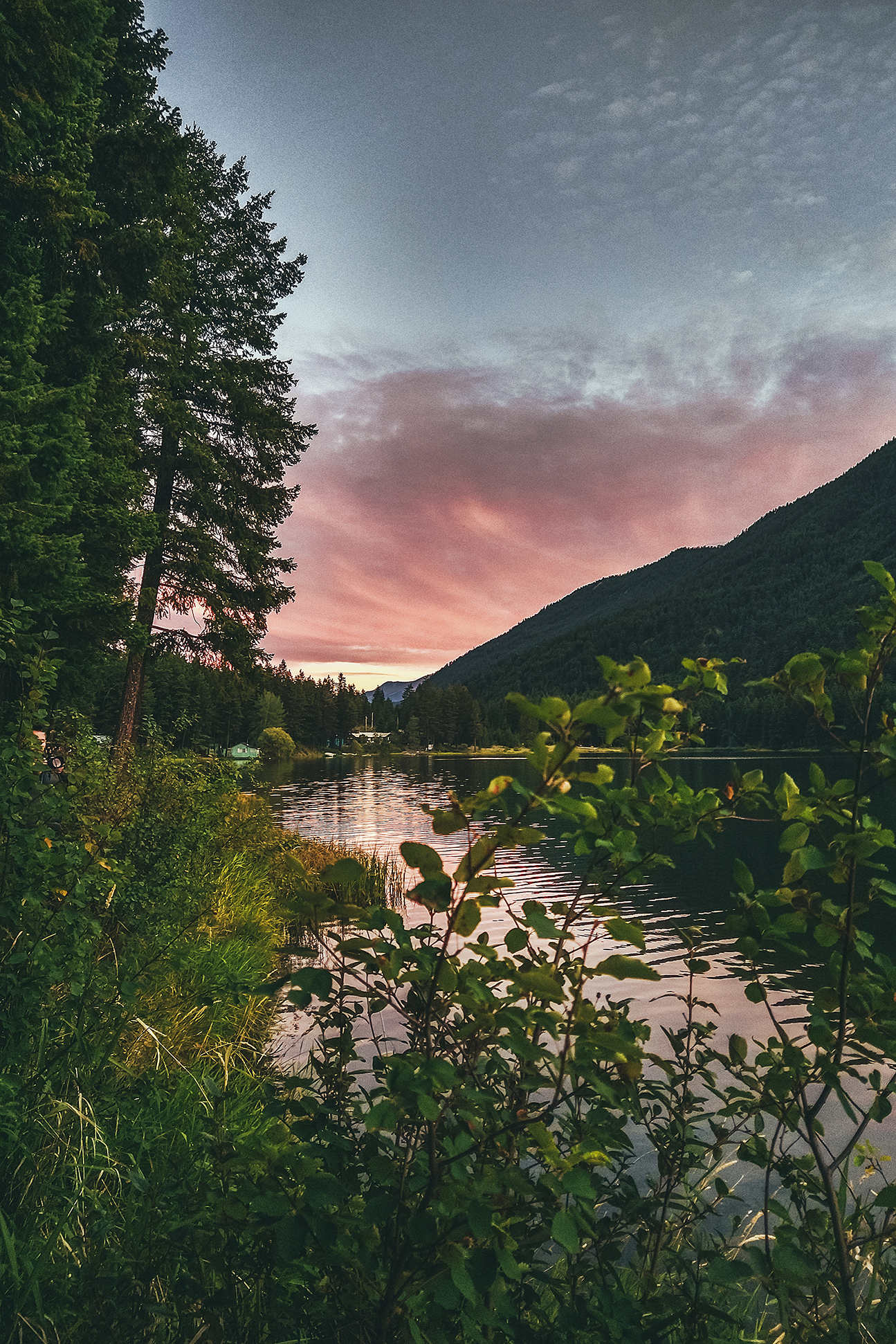
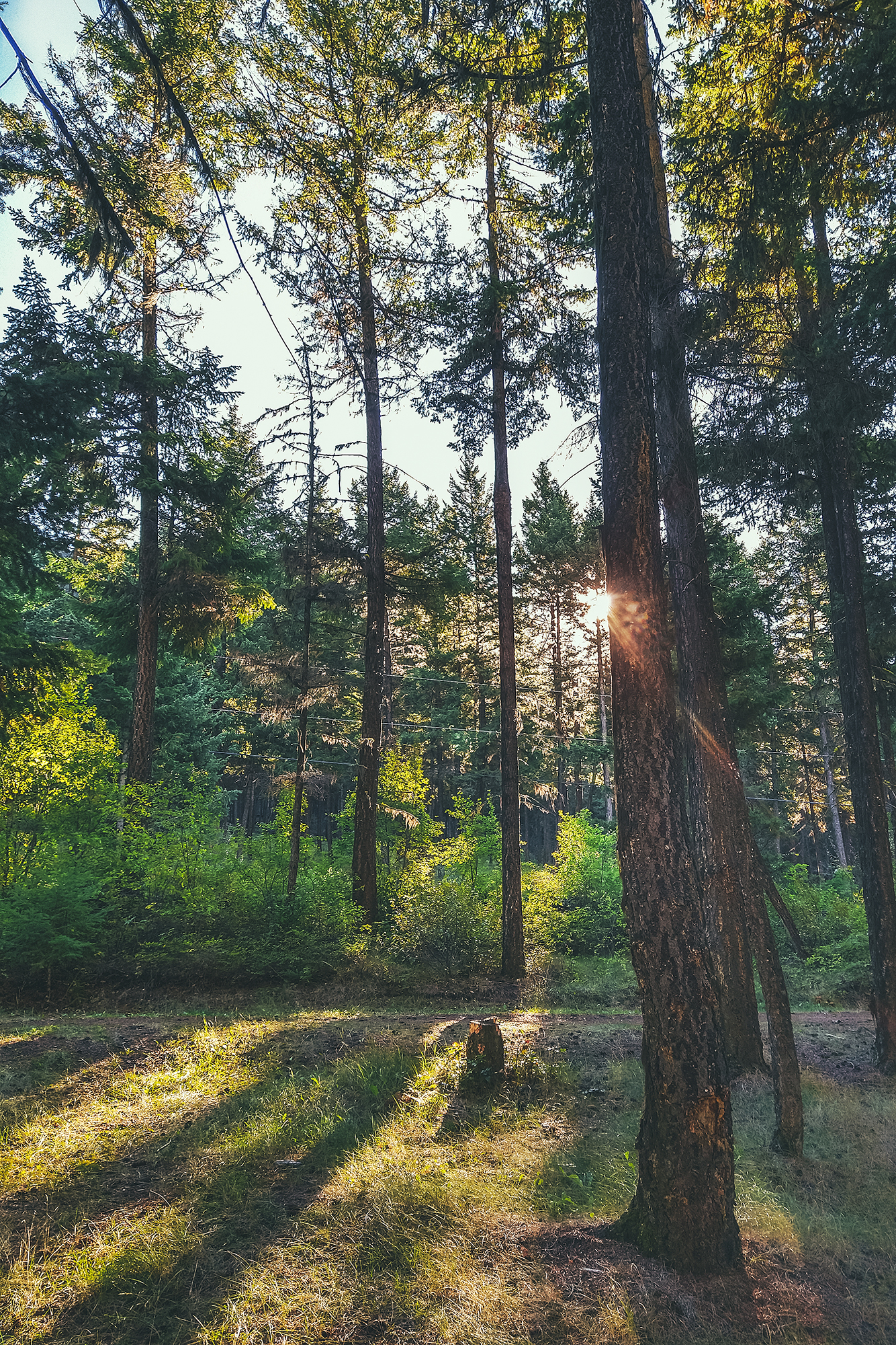
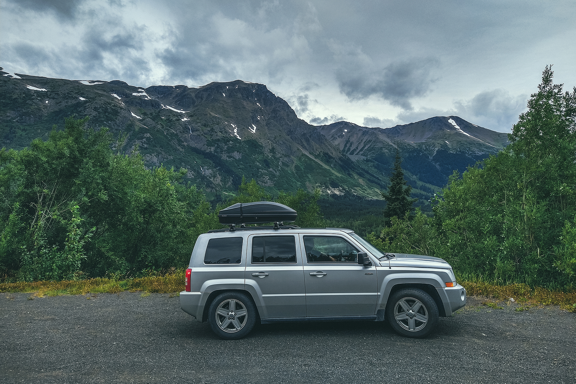
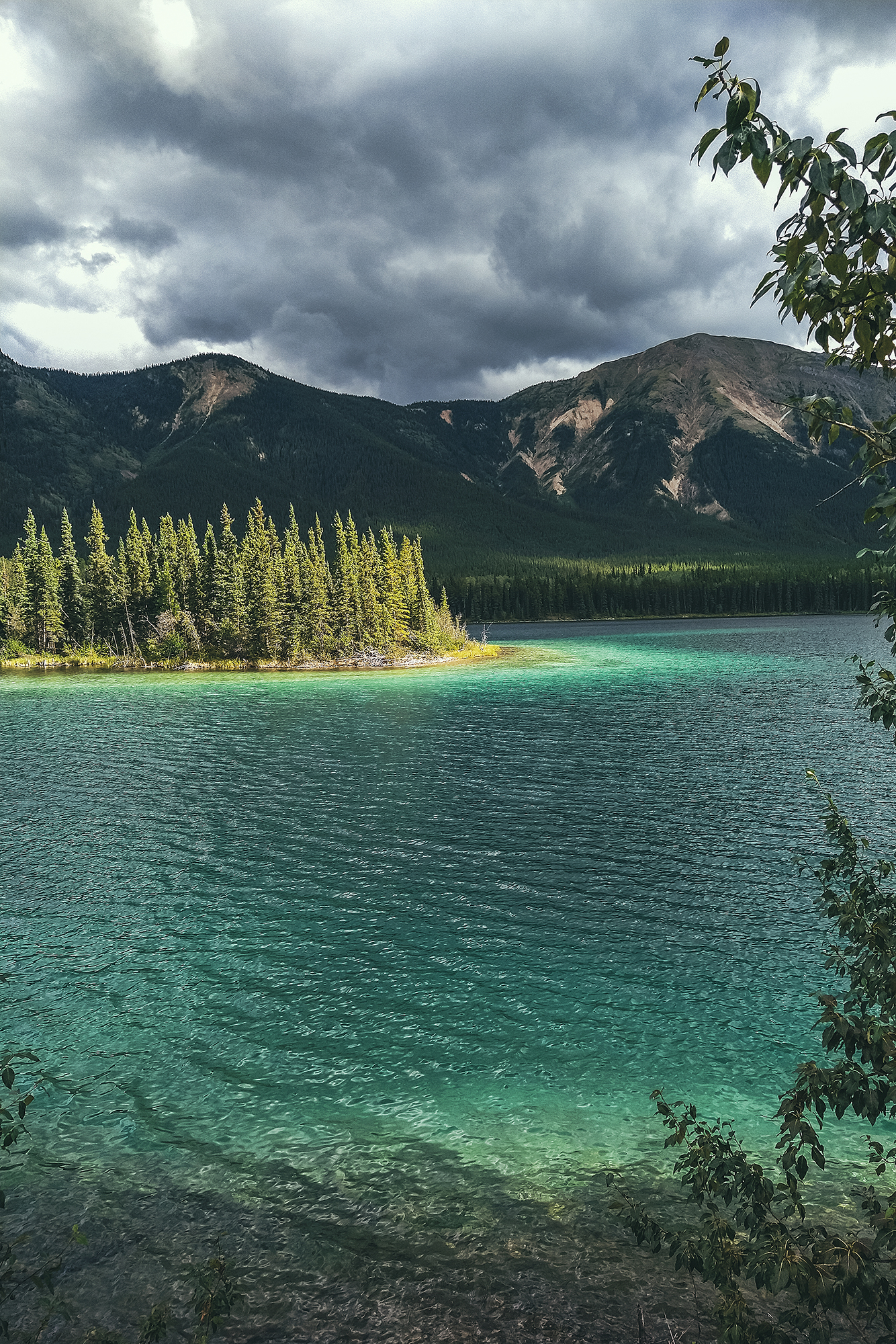
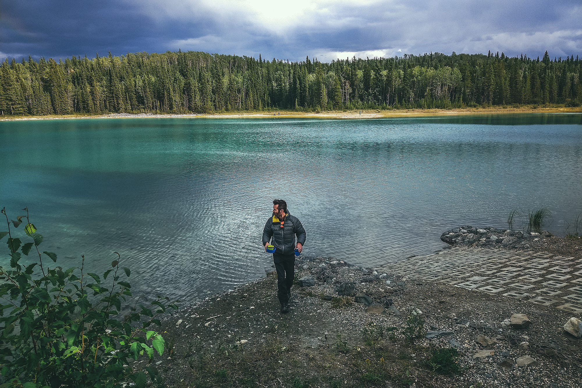
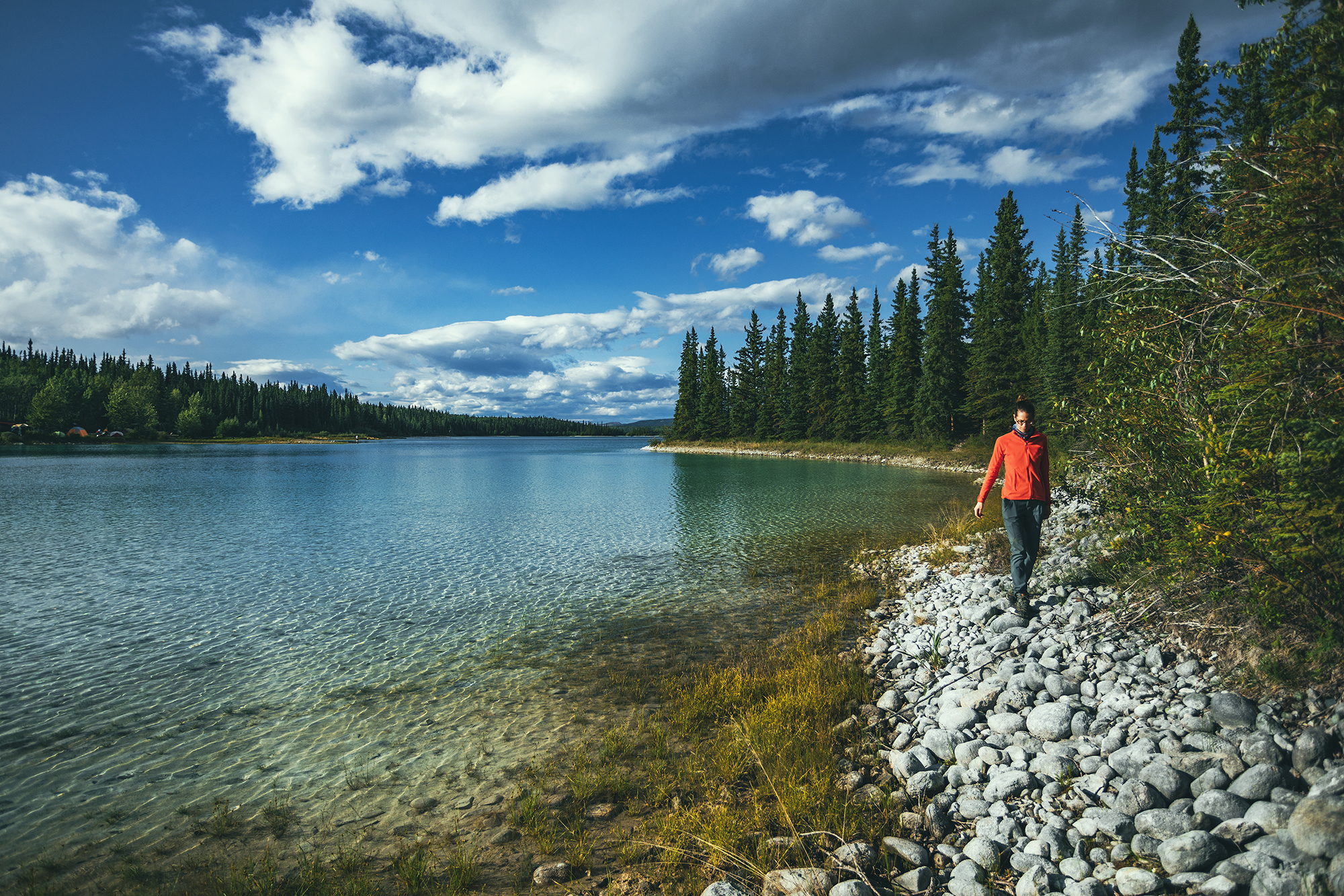
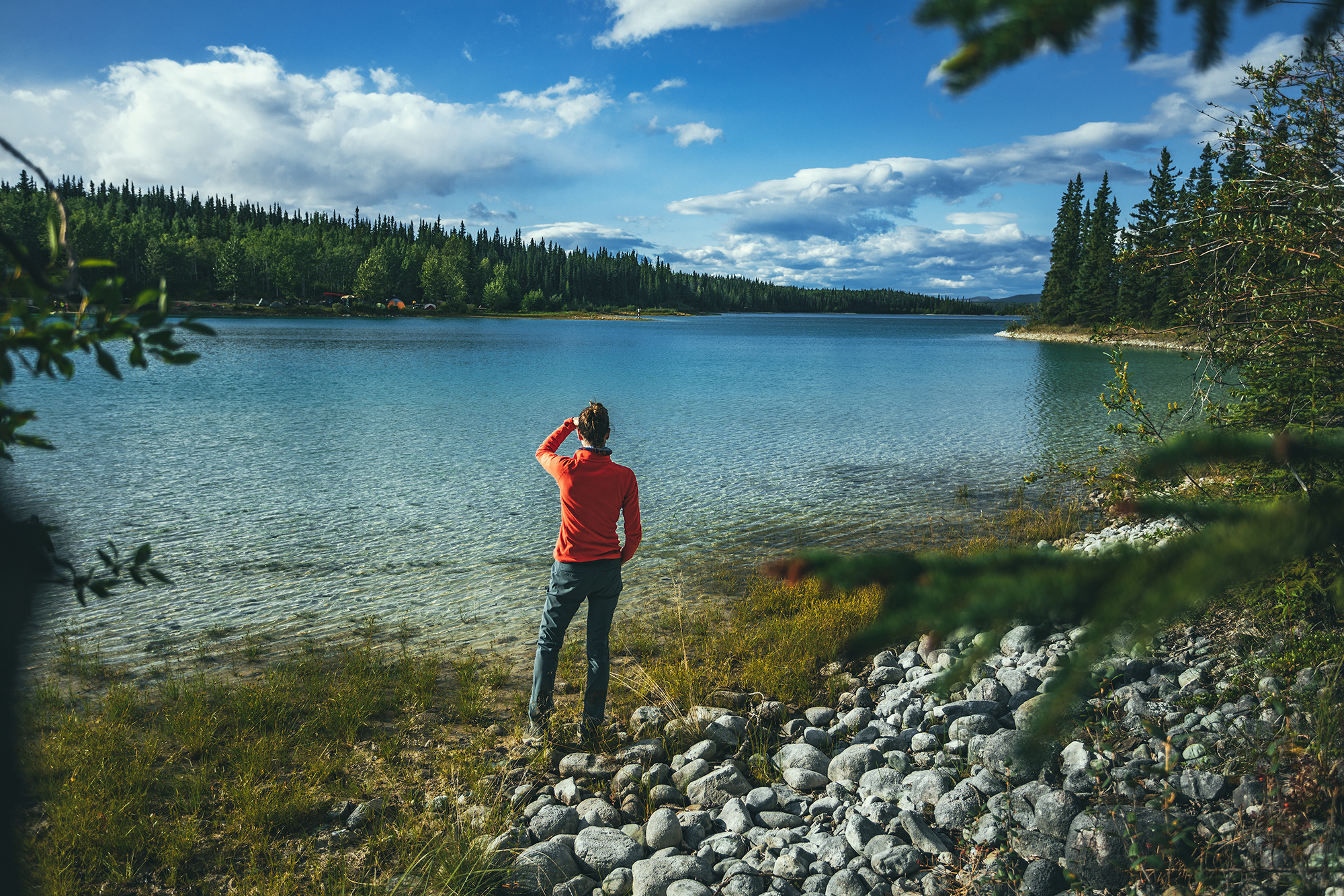
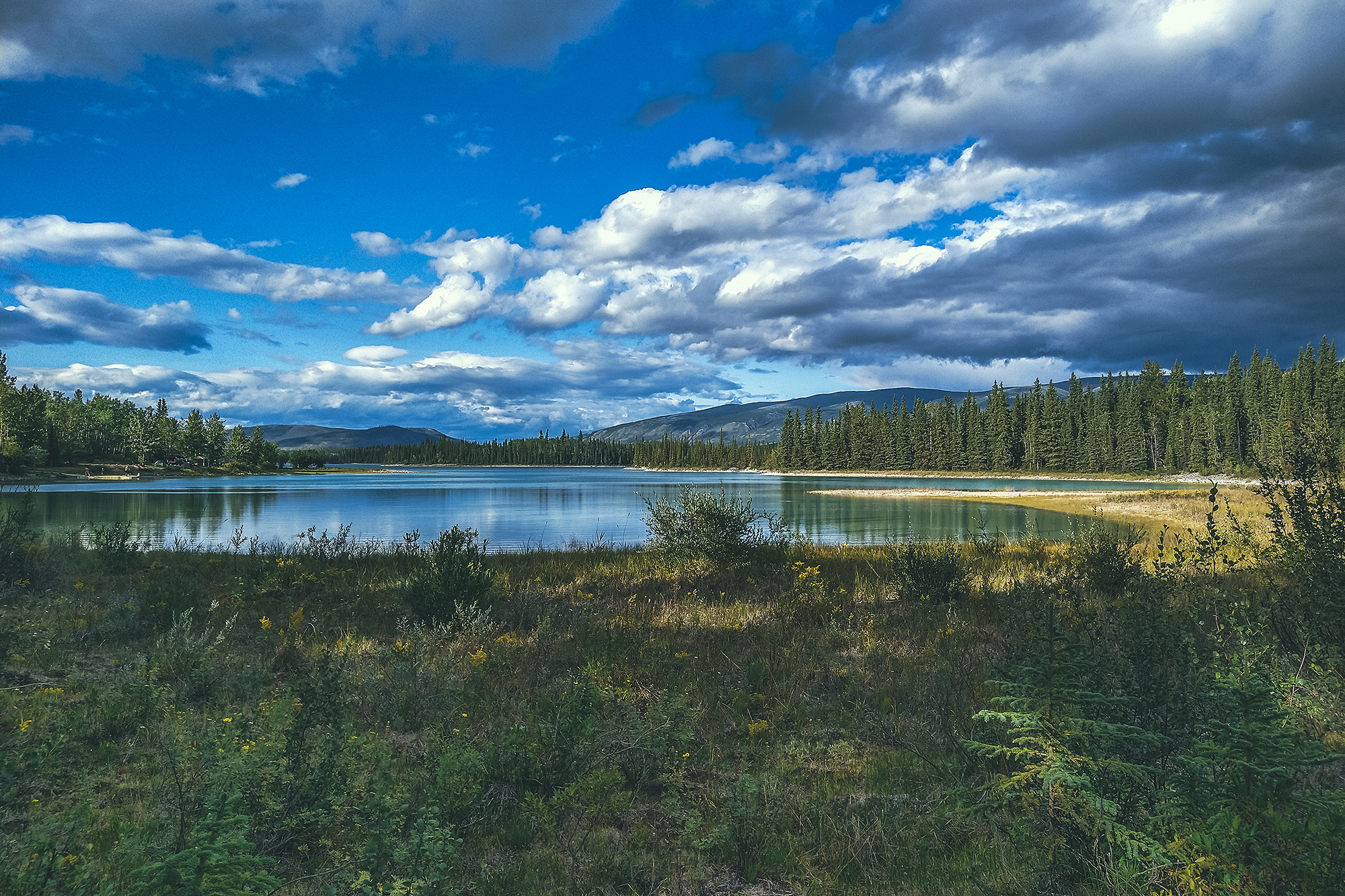
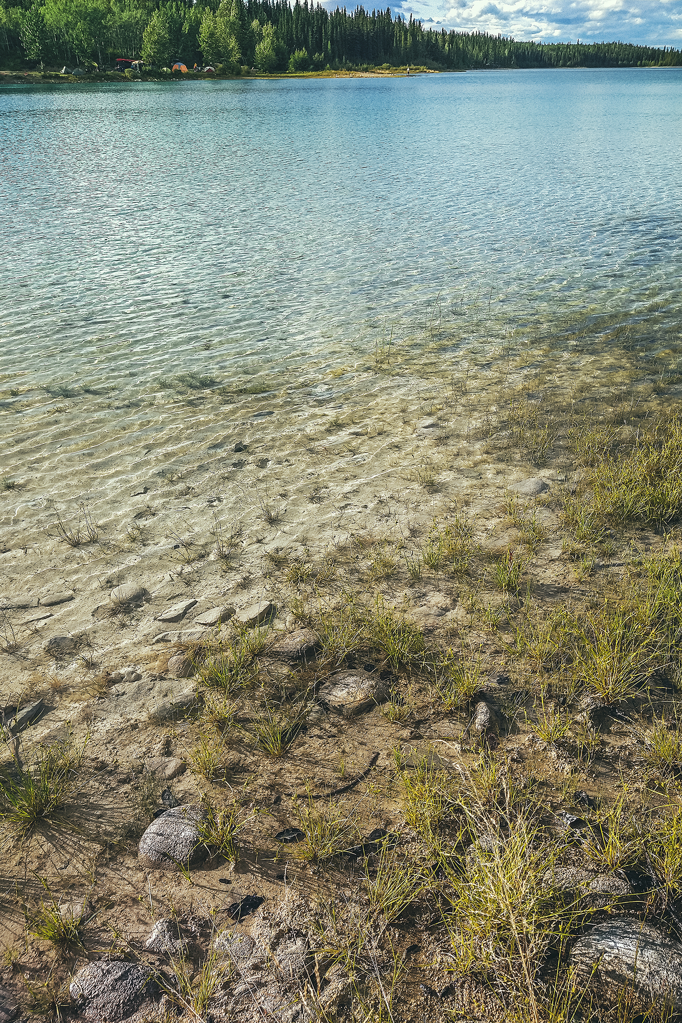
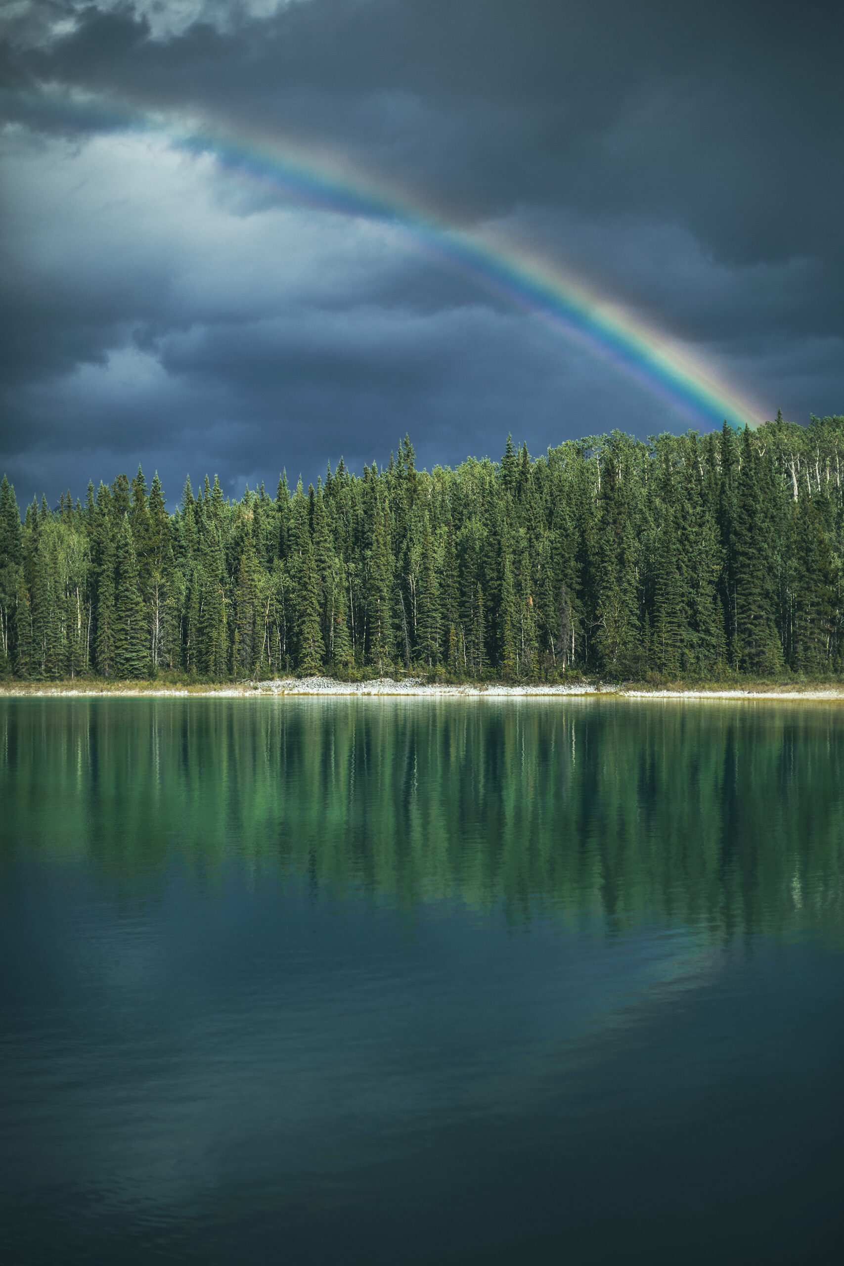
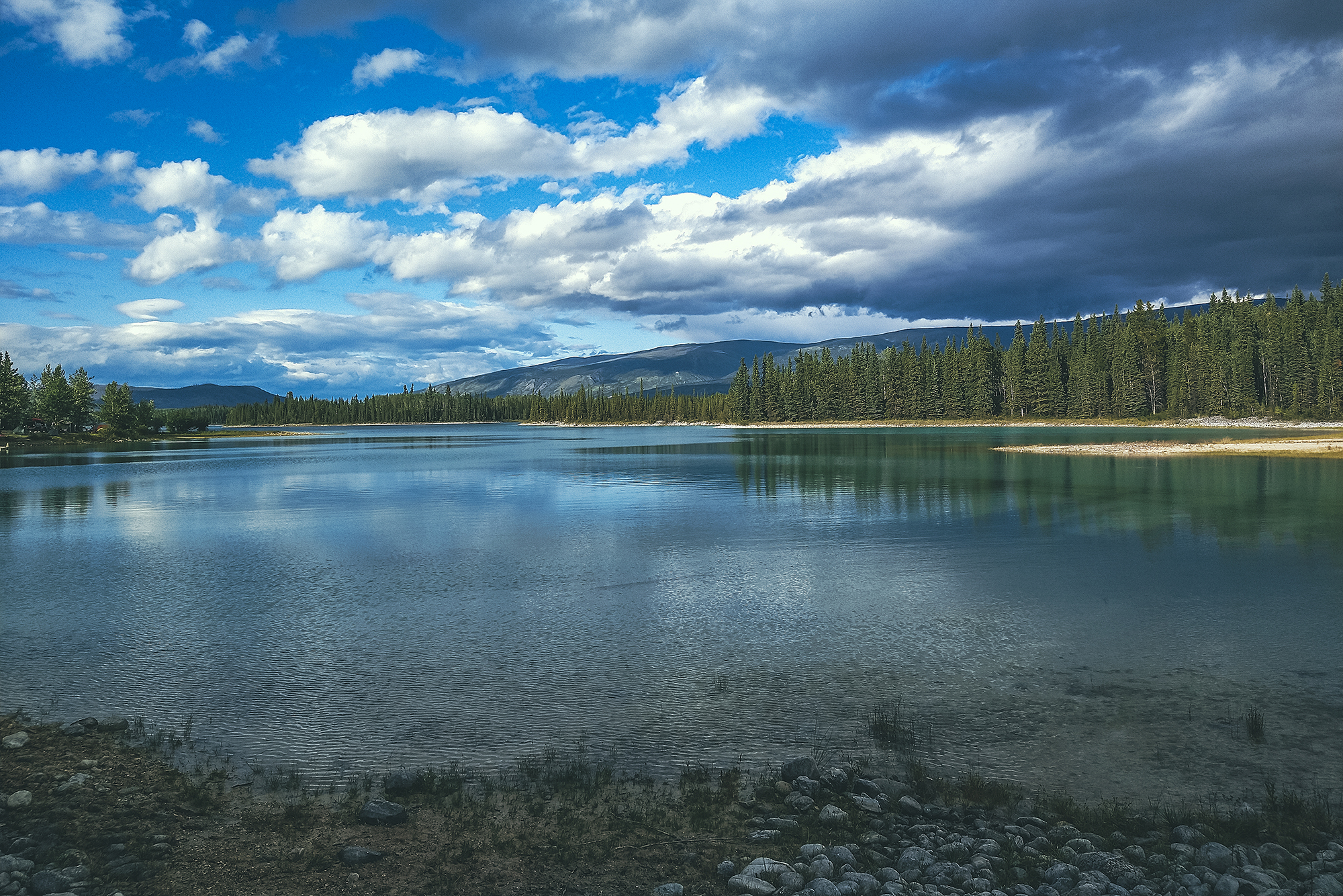
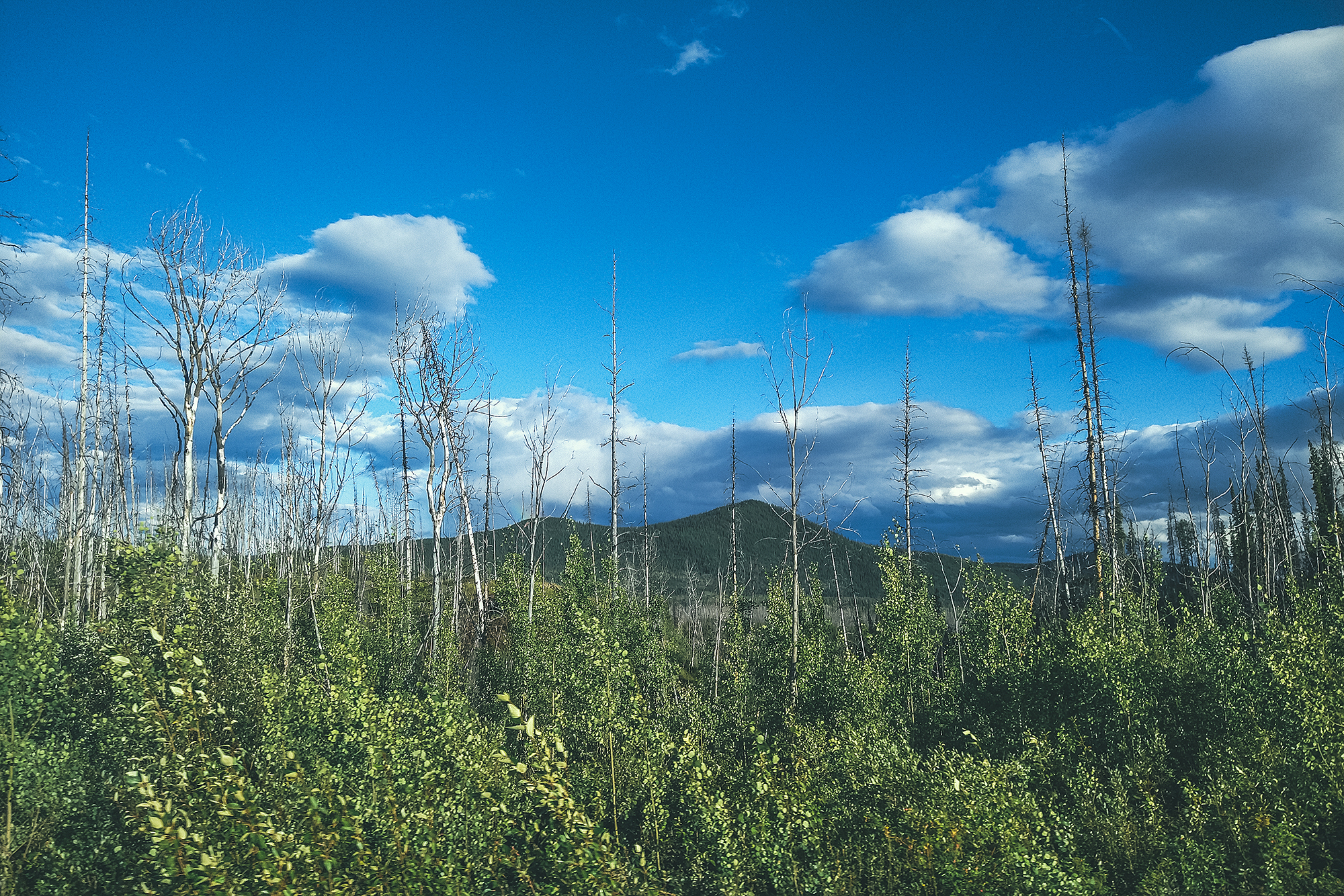
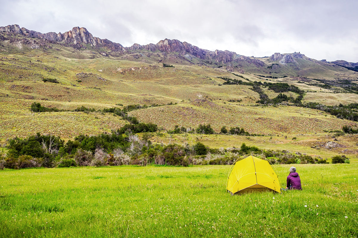
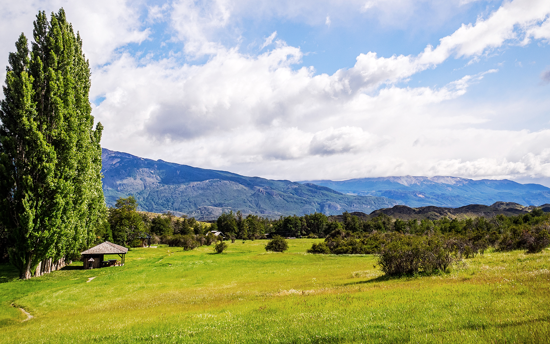
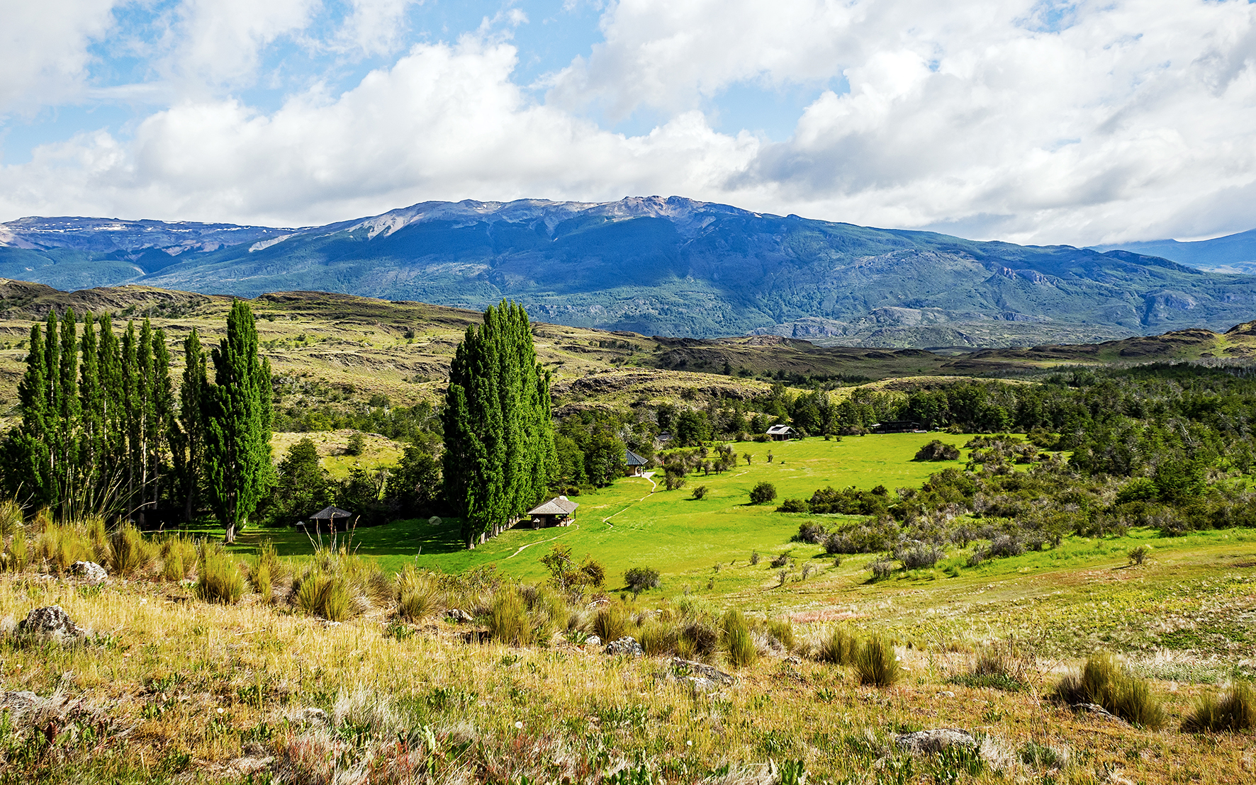
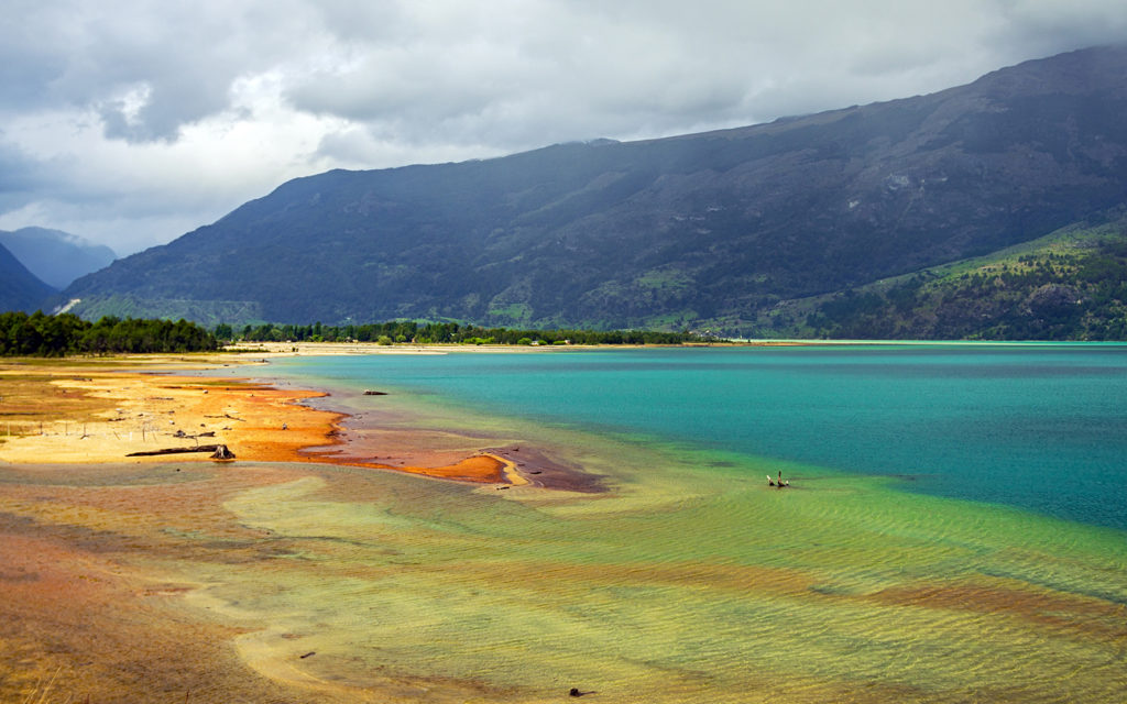
After Chetwynd, we set off to find a campsite for the night, and had no trouble finding a spot at the first provincial park we came across, Heart Lake, in Pine Le Morray provincial park.
We were back to the more standard camping experience that we’d been having along the way – relatively private site in the trees with a lake nearby, and friendly but distant neighbors (and remarkably clean and toilet-paper-stocked out houses).

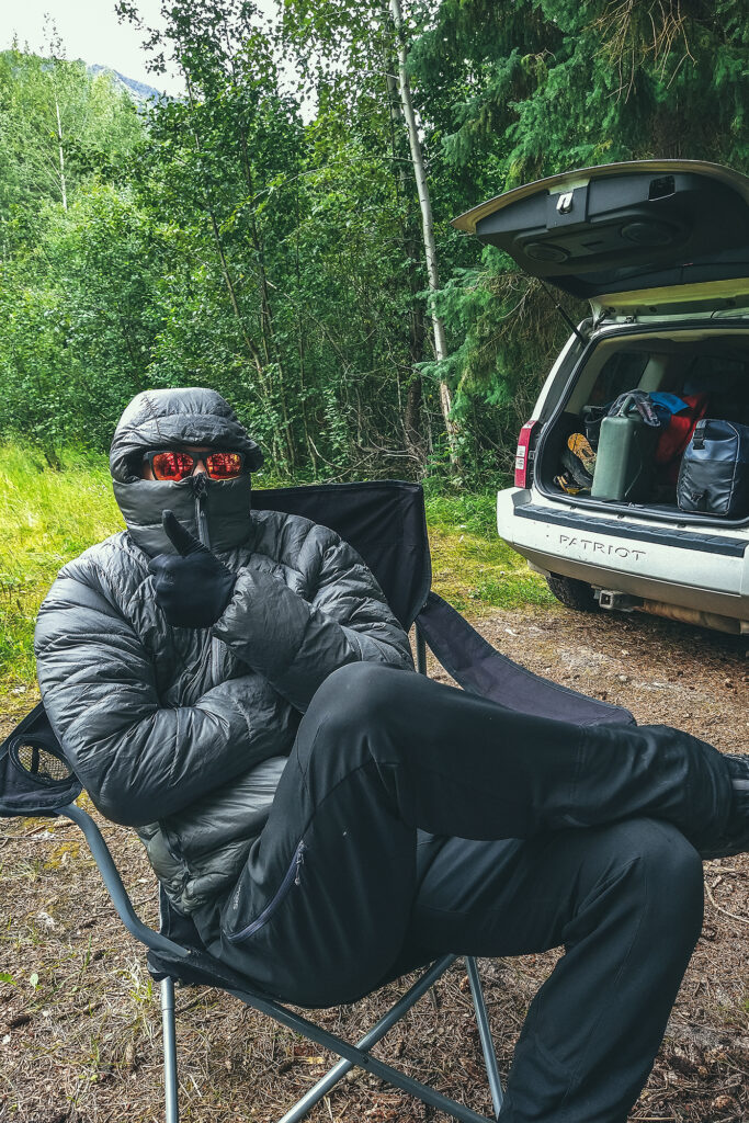
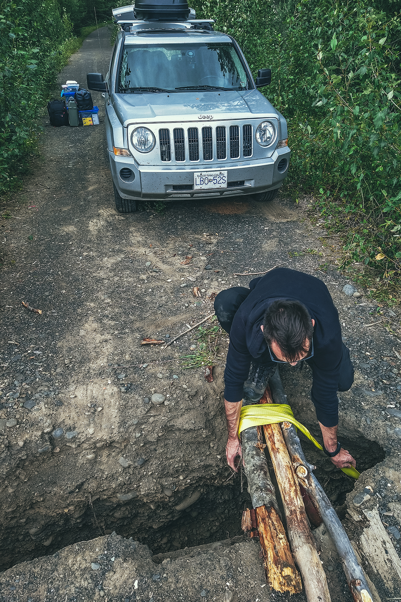
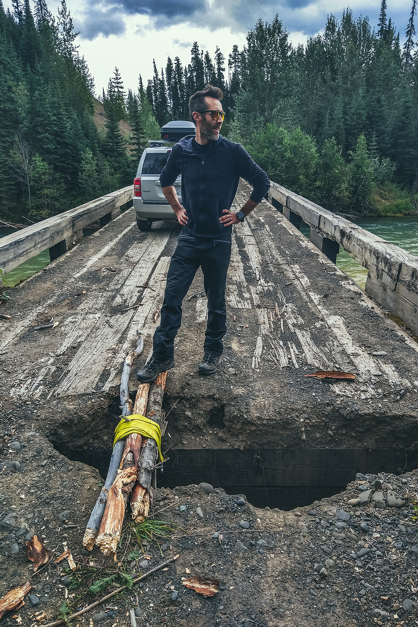
That night though I had a mild panic attack upon waking up in the dark to the sounds of storm, wind, rain, cracking trees, and some loud metallic ruckus that my brain couldn’t quite make sense of, while trying to determine which of these noises might be caused by wildlife (spoiler alert: none of them were). But in my half-asleep state I experienced some kind of sensory overload, until Brice pointed out that the metallic sounds were construction machinery (“you can tell by the bip-bip sound of a truck backing up”), and not by a bear aggressively knocking over garbage cans, which my groggy-self was convinced of. In fact, there was excavation work being done across the road, along with a 1:30am train coming by. Thankfully it seemed to quiet down (and so did my brain) after the train passed and we could sleep the rest of the night undisturbed.

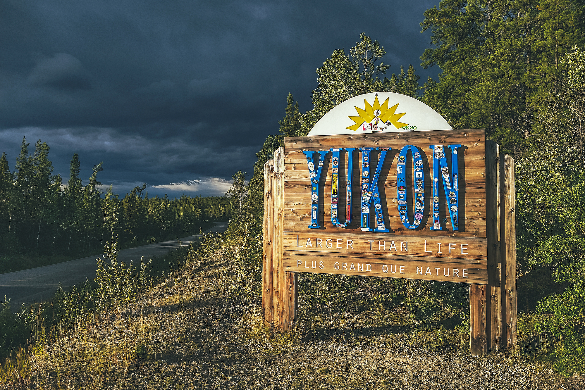
September 5  – Prince George to Lillooet.

In the morning, we both felt a bit of camping fatigue, and wondered if we could make it home in one day. But with at least 12 hours to drive, and add 2-3 hours between lunch and other stops, that seemed like a rather brutal travel day.


We could also try to drive as far as possible passed Prince George, and try to get home the next day, but then we might hit the end of long week-end traffic congestion, and no one wants to get stuck in Lions Gate Bridge traffic after driving over 9000km up and down the country – that’s no way to end an epic road trip. So we agreed that spending a couple more nights camping would be fine, and decided to even take another short side-trip, might a well since we were only a couple hundred kilometers from Prince George, and didn’t particularly need or want to spend time in the town itself.

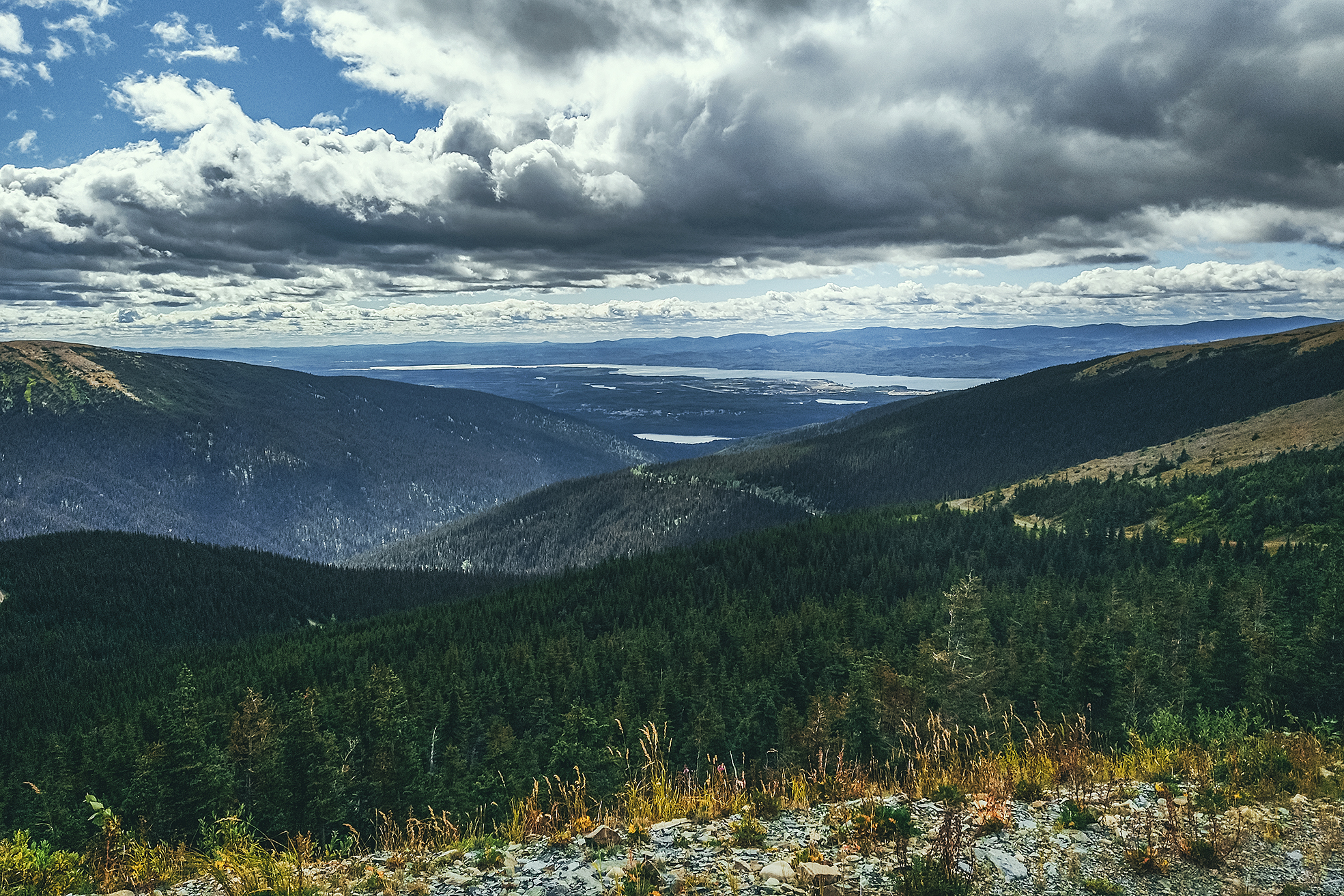
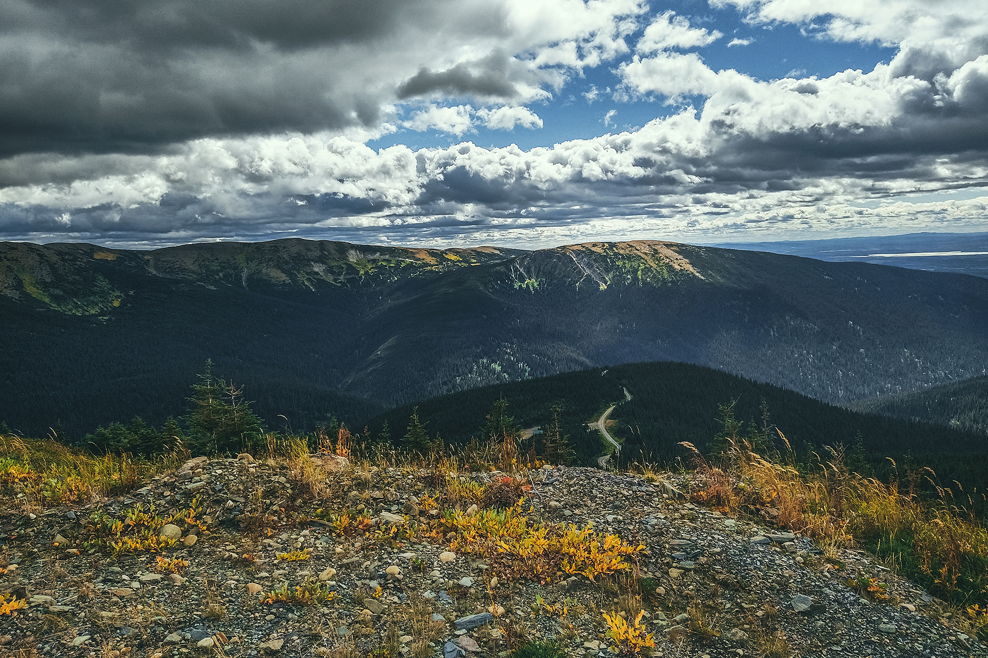
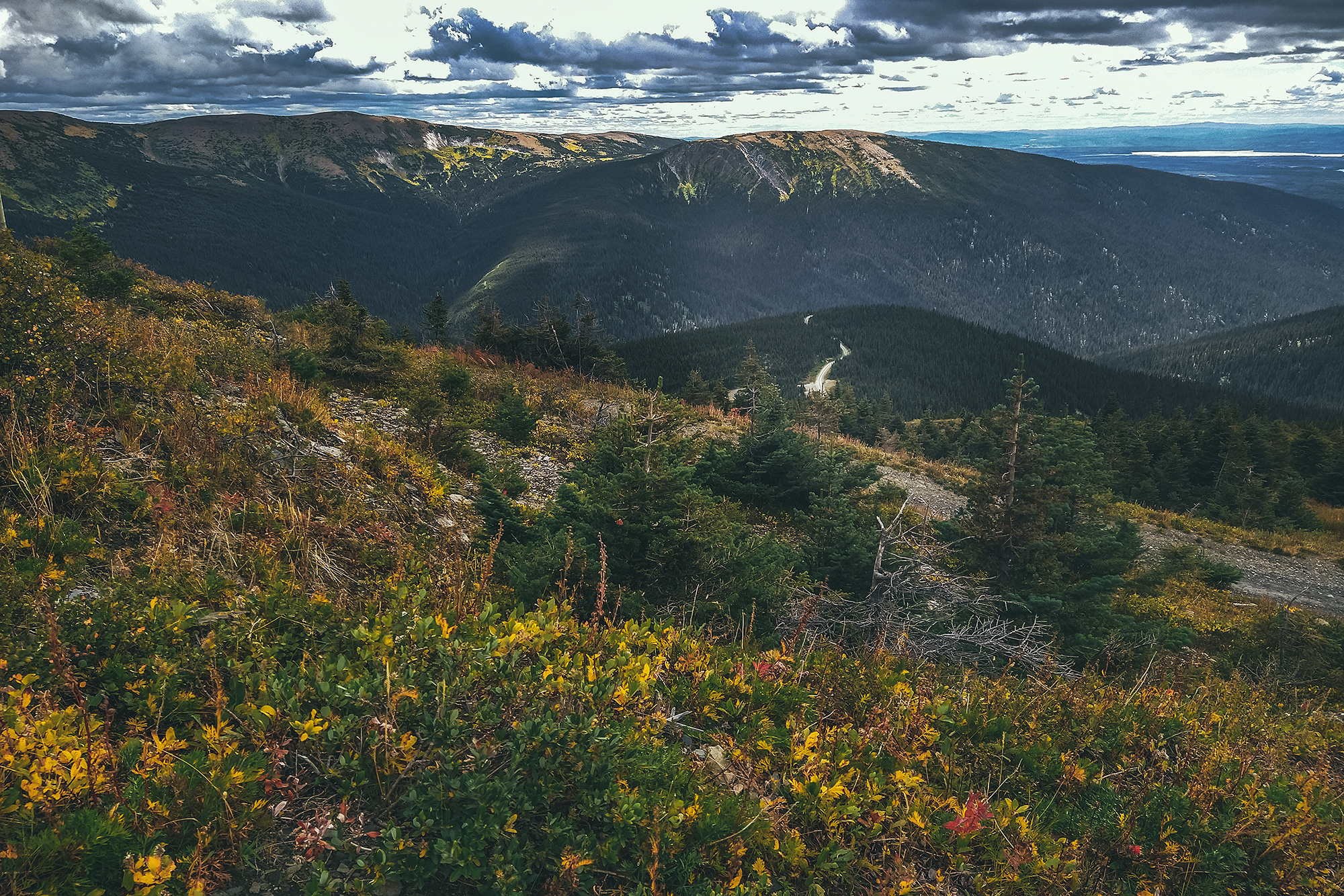
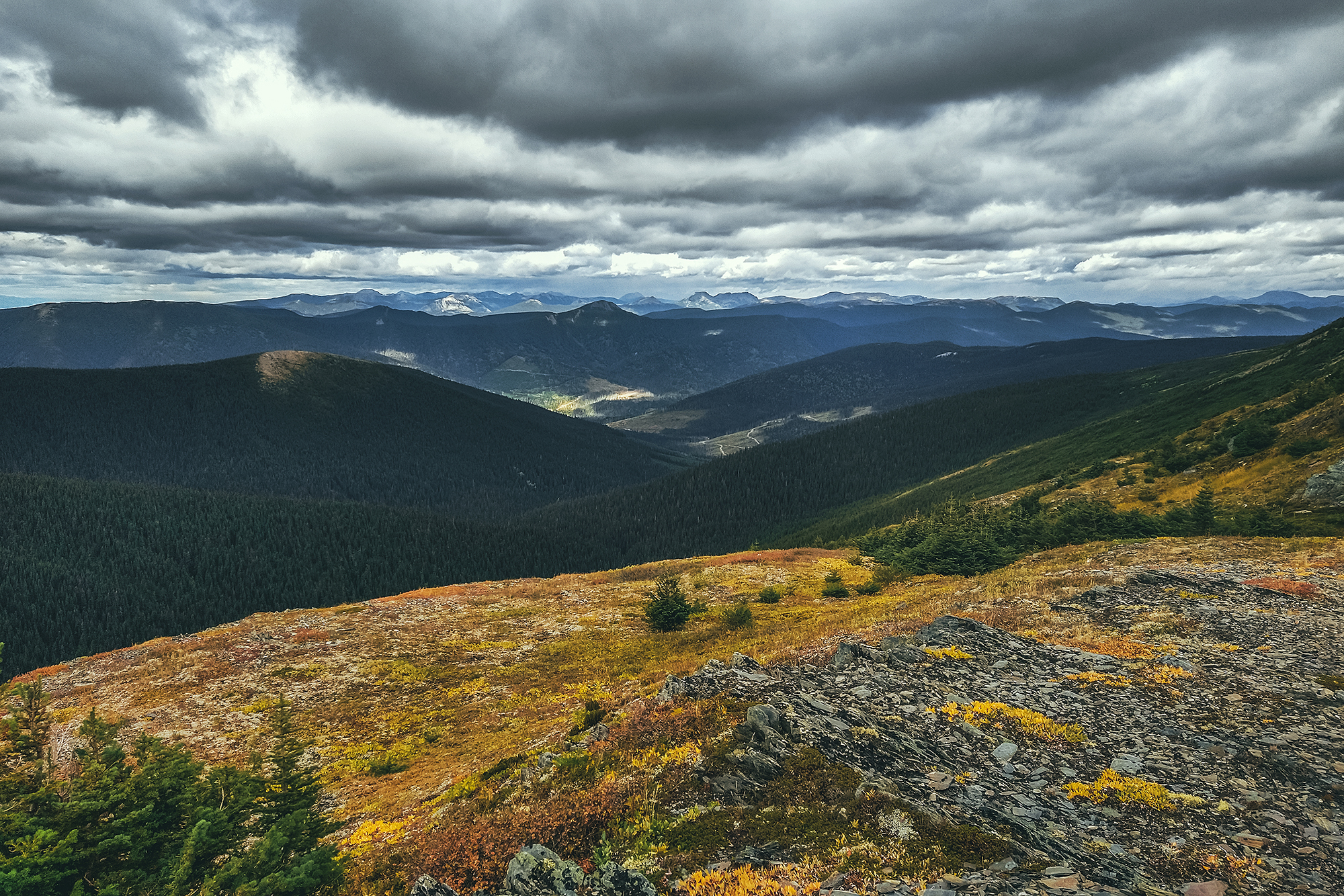
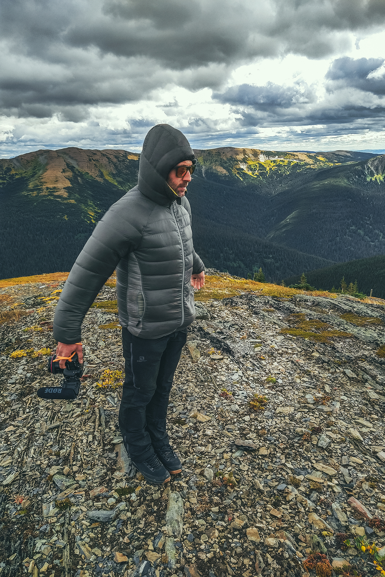
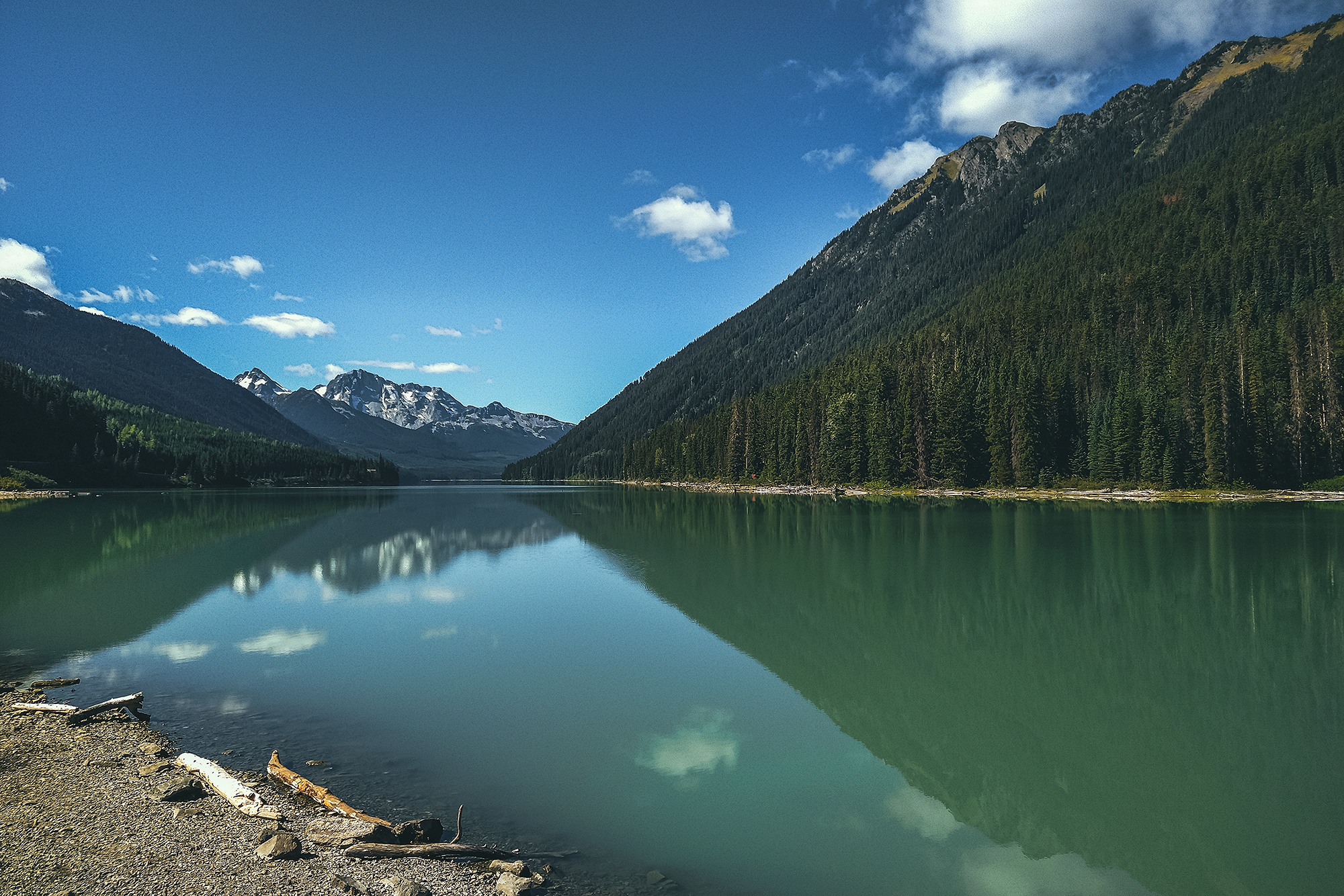
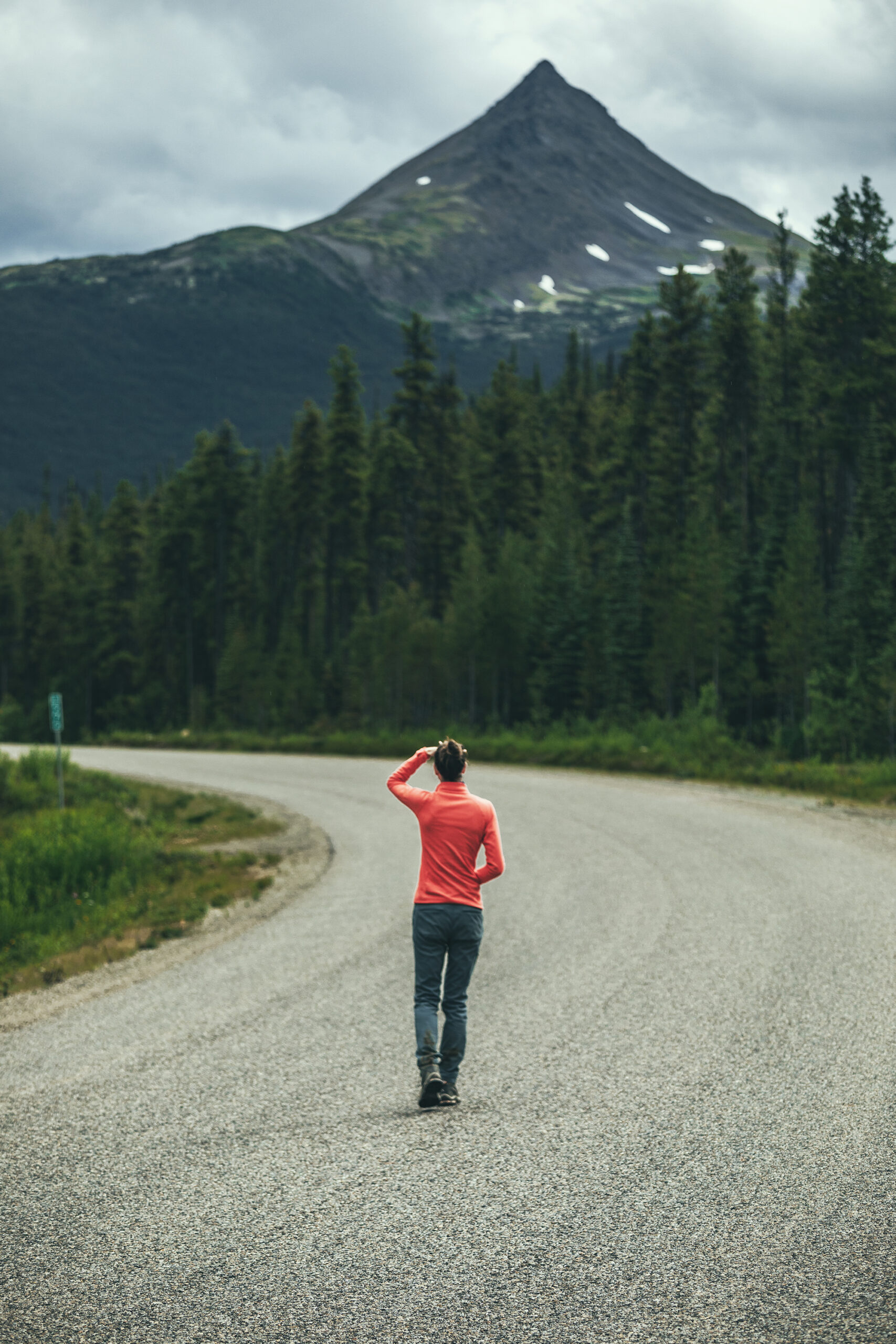
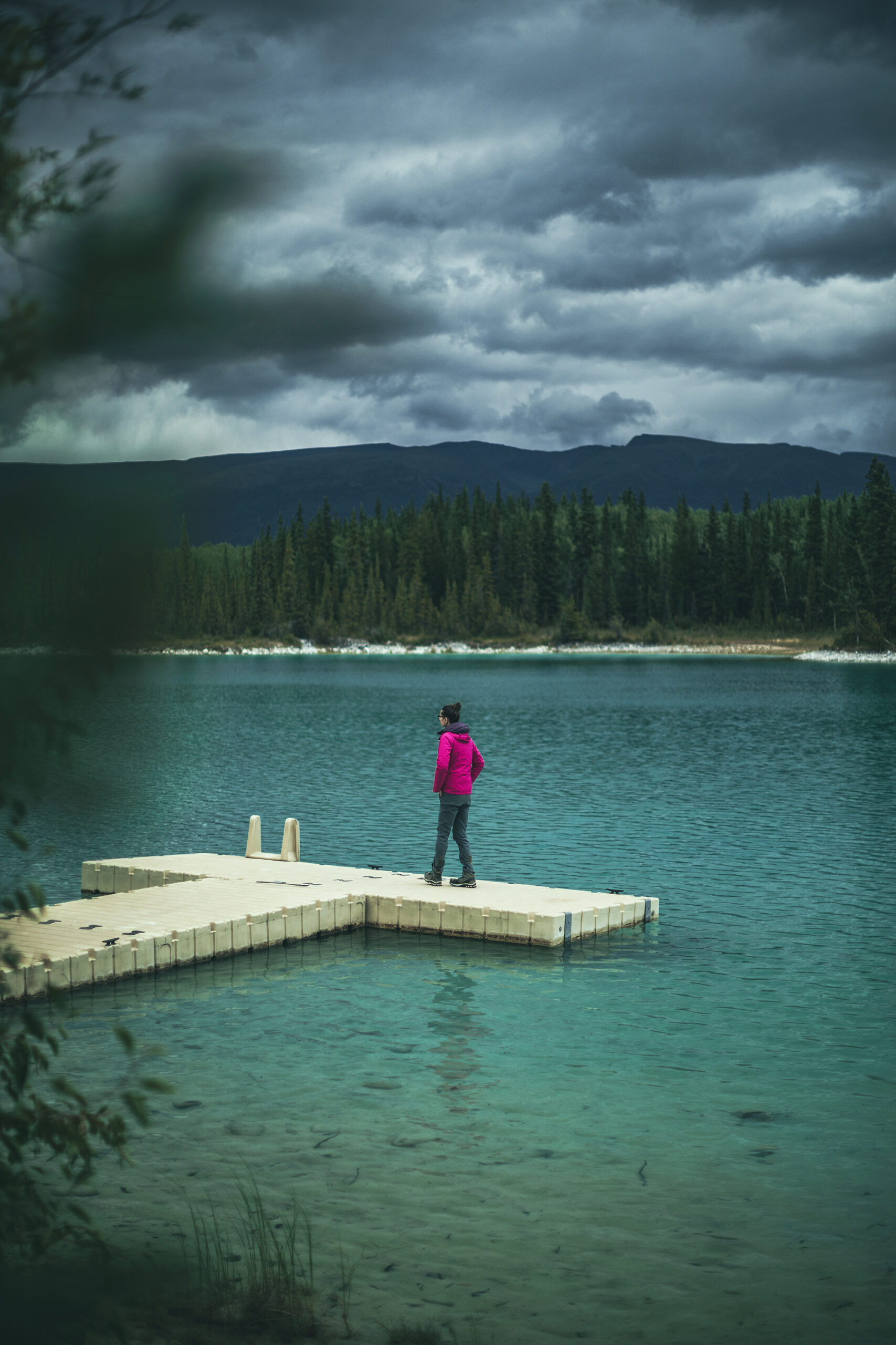
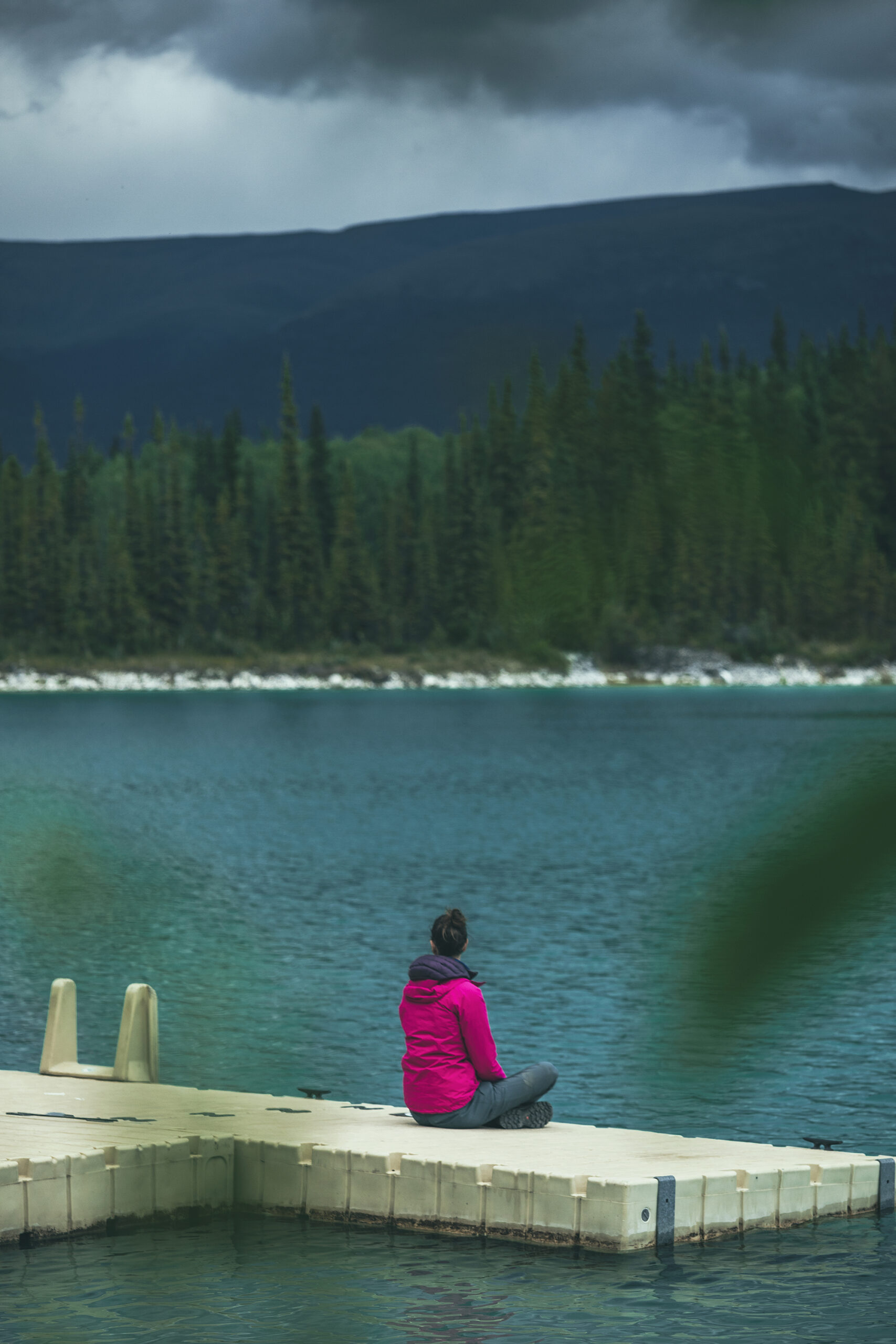
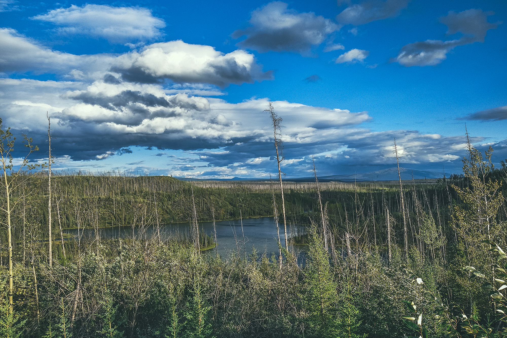
So we drove to Mackenzie, BC,  after I had read that you could pretty much drive most of the way up Morfee Mountain, for easy views. And so we did. The dirt road took us almost to the summit and we then hiked 5min up the hill to get a slightly higher vantage point on a scenic view of the valley around, the town and lake in the distance.

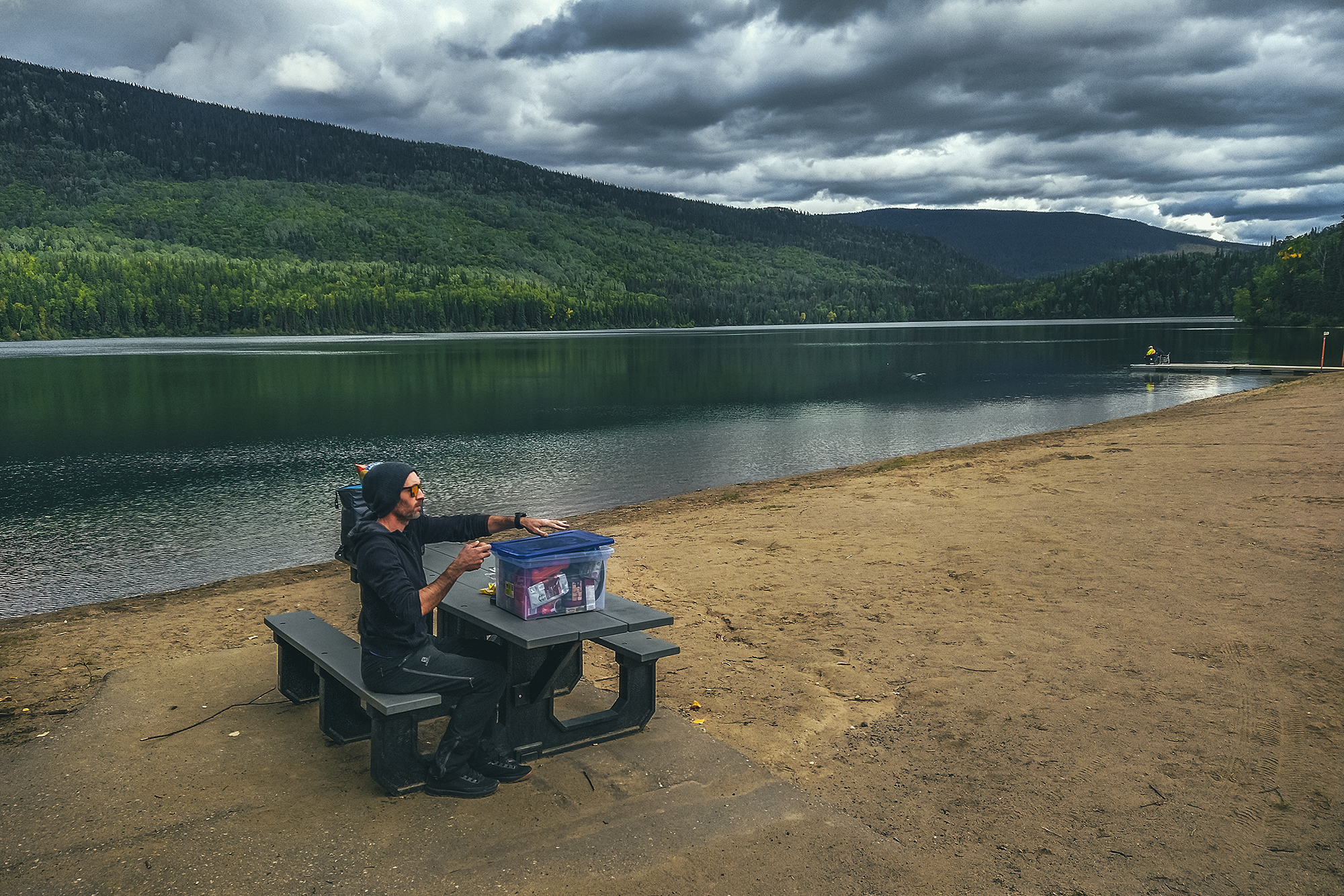
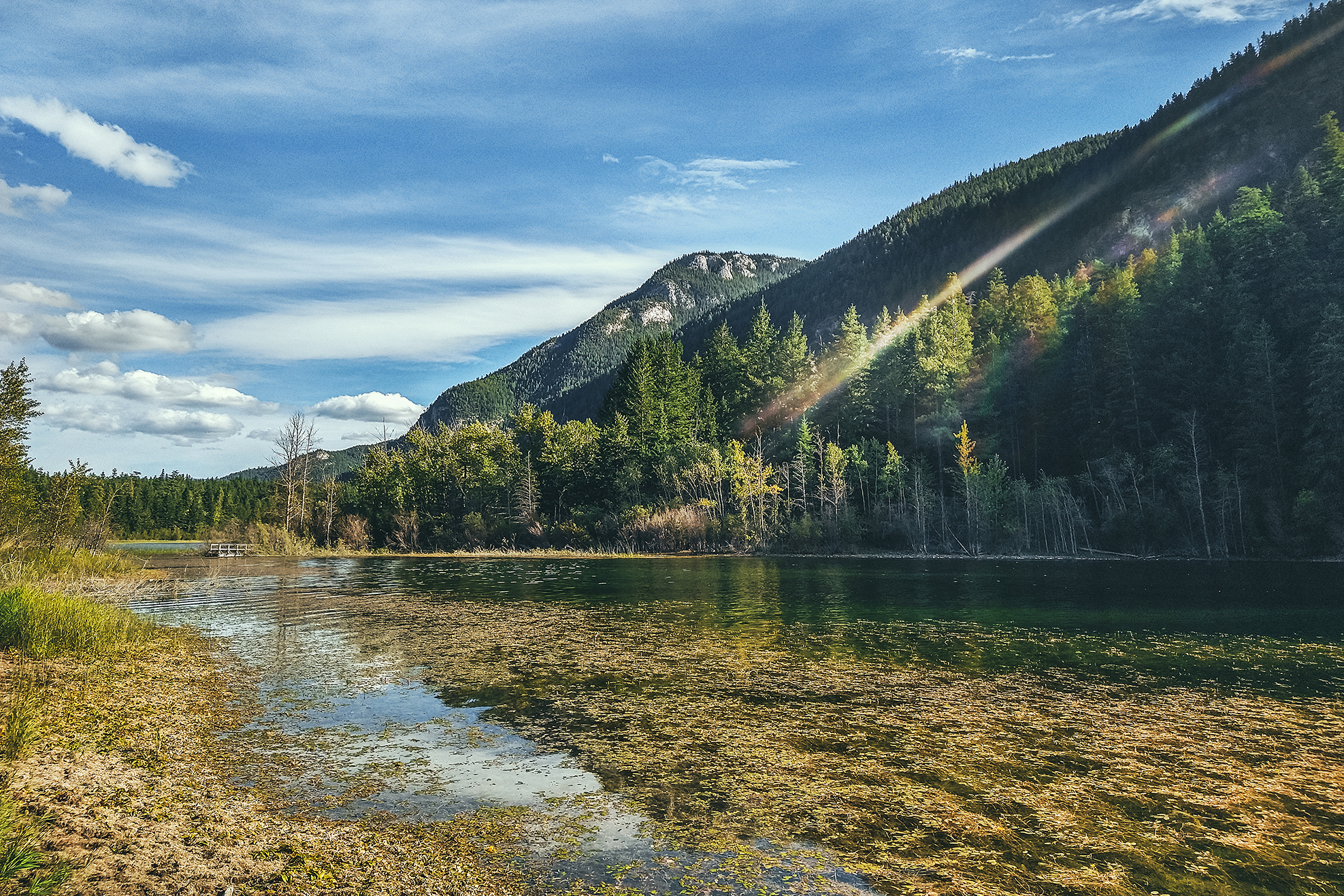
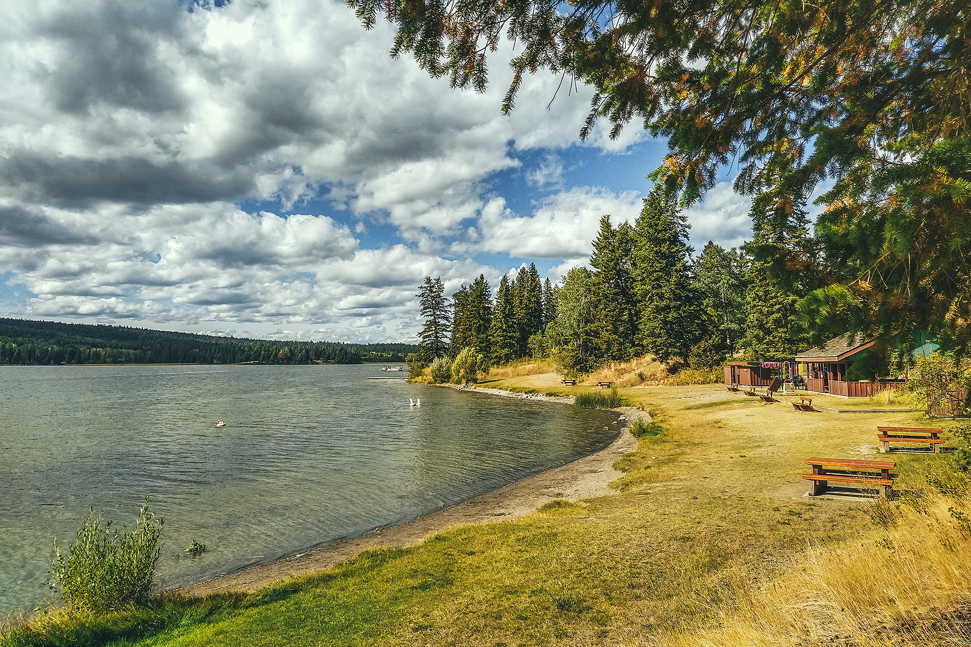
Then we drove down to Morfee Lake to have a pleasant lunch by the water. The rest of the day was spent driving. The only stop I wanted to make in Prince George was at Terry’s Fresh Hot Bannock, a place that made donut-like bannock. But like many places along the that way we reached on a weekend, it was closed on Sundays. With that, we picked the first provincial park within the next 150 km and landed at Ten-Mile Lake, near Quesnel, to spend the second to last night on the road.

September 6 – Lillooet to Vancouver

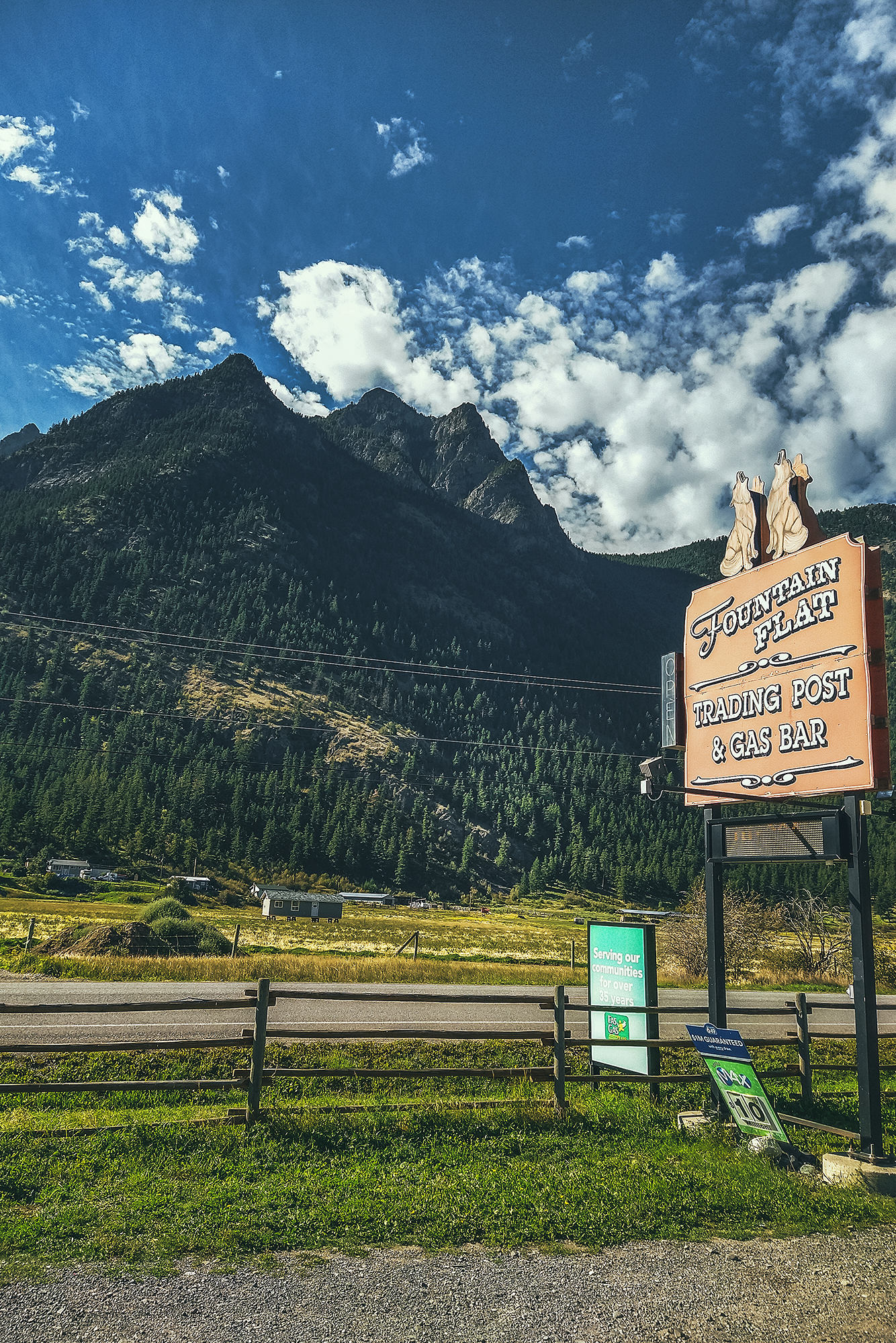
We left the campsite around 11 am, after taking our time for breakfast. We decided to go home through Lillooet and the Sea to sky Higway, rather than Merritt / Hope like we did a month prior.  Some of it was to avoid the fire areas, especially since there was now a large fire zone on the Coquihalla highway, and also it was good way to have one last night near home but still in a remote area.

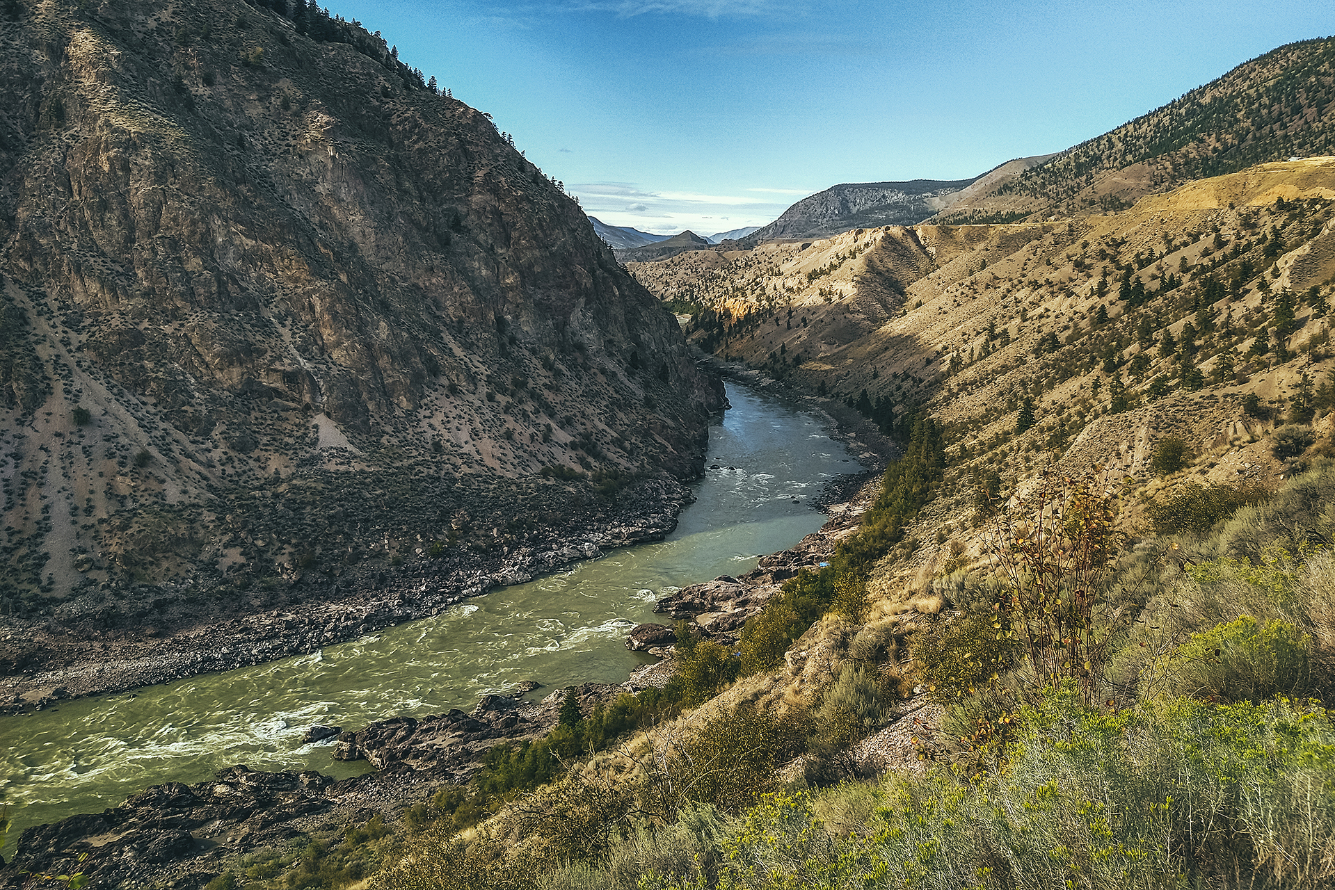
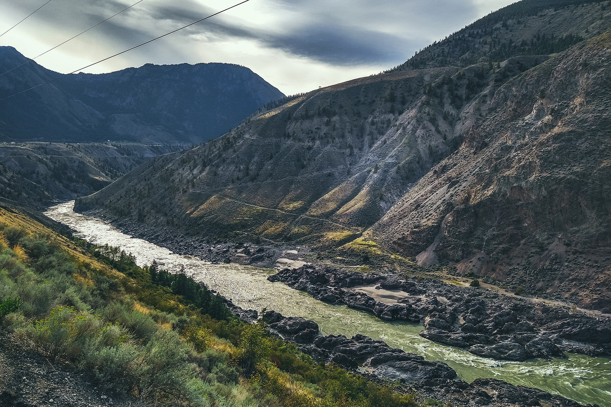
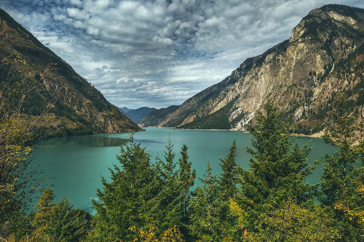
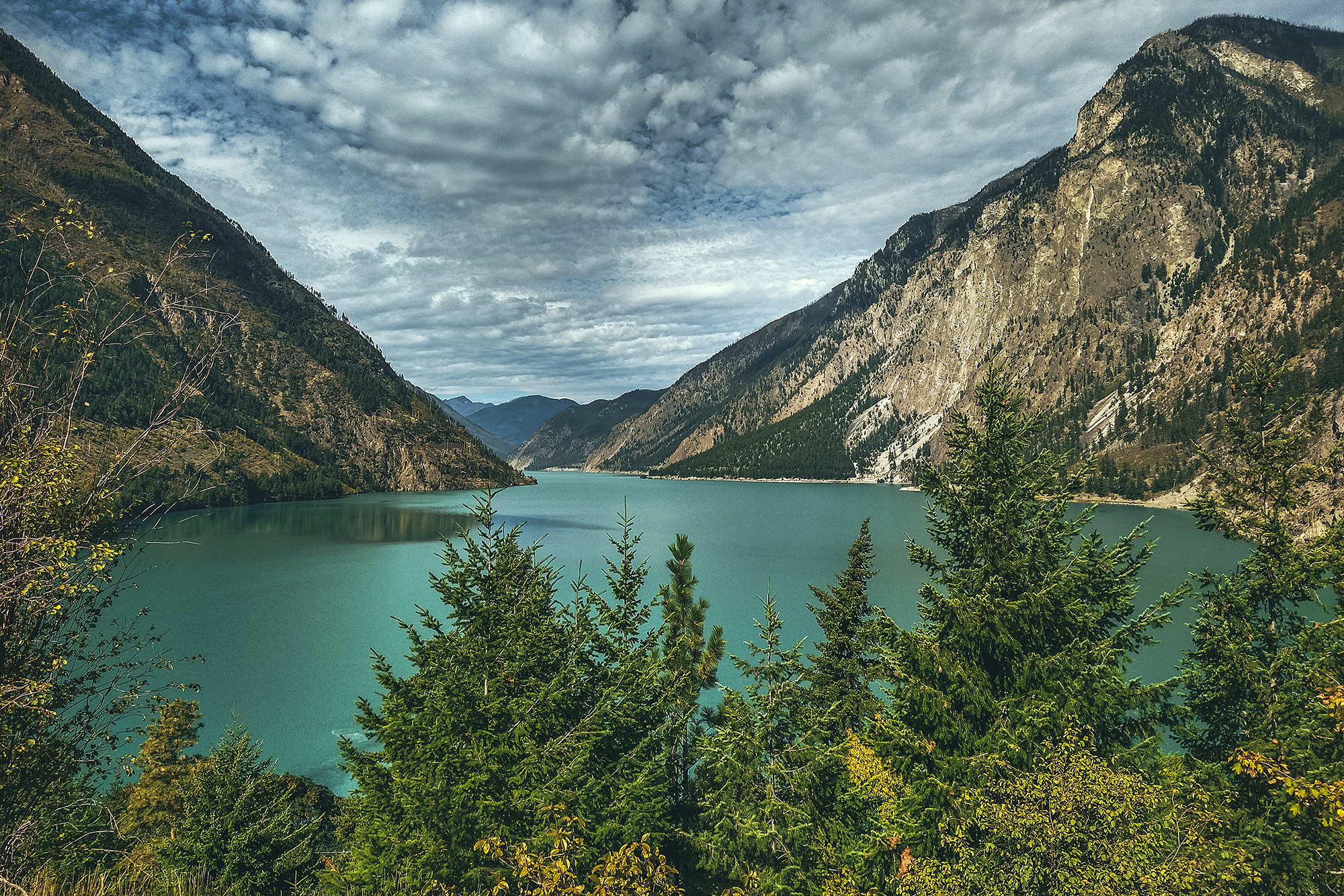
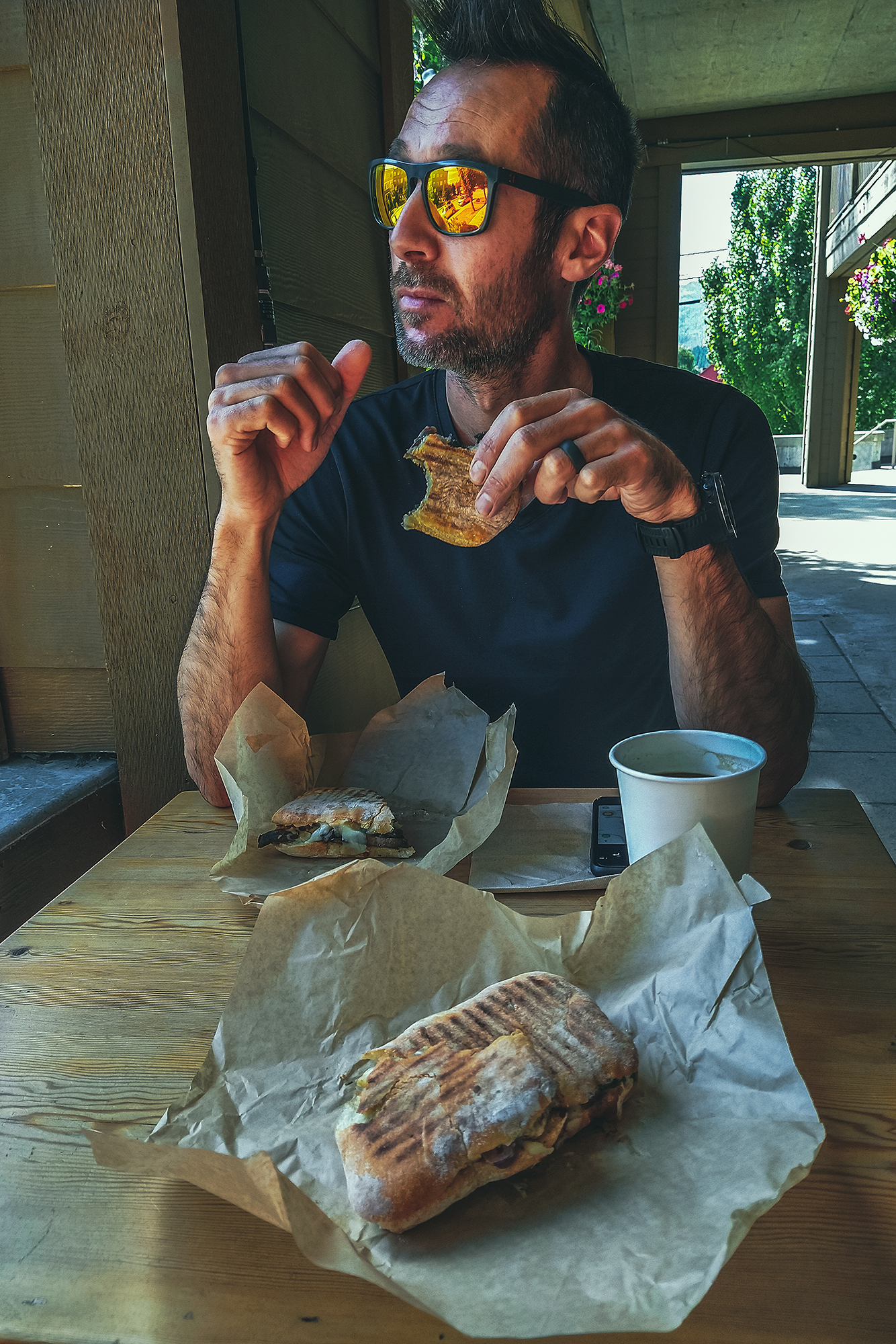
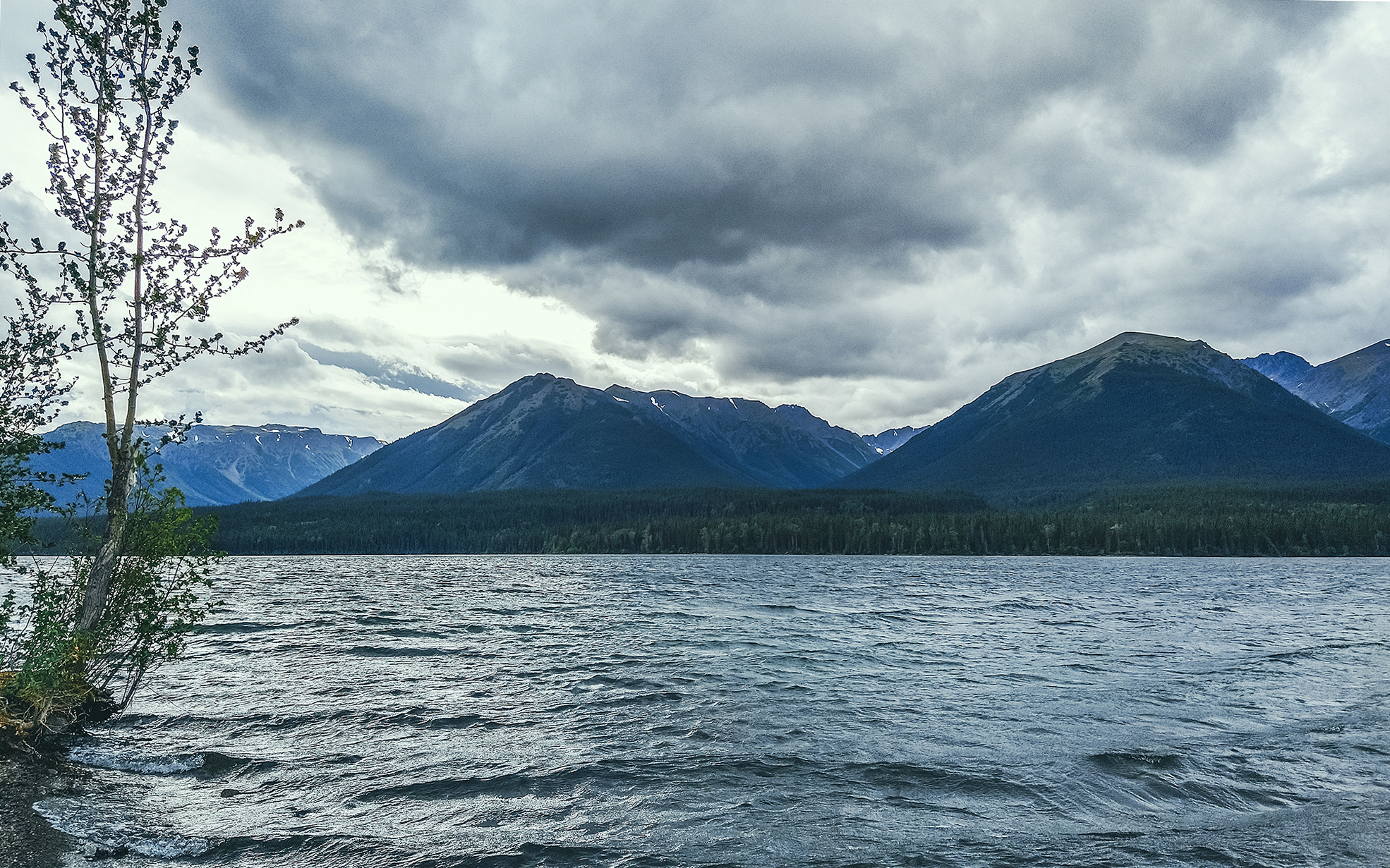
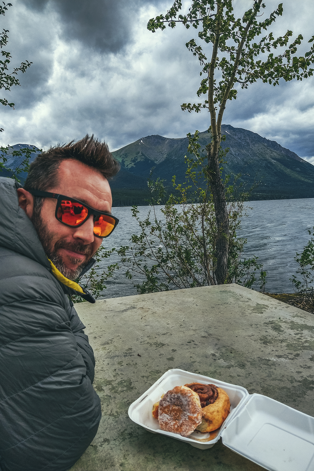
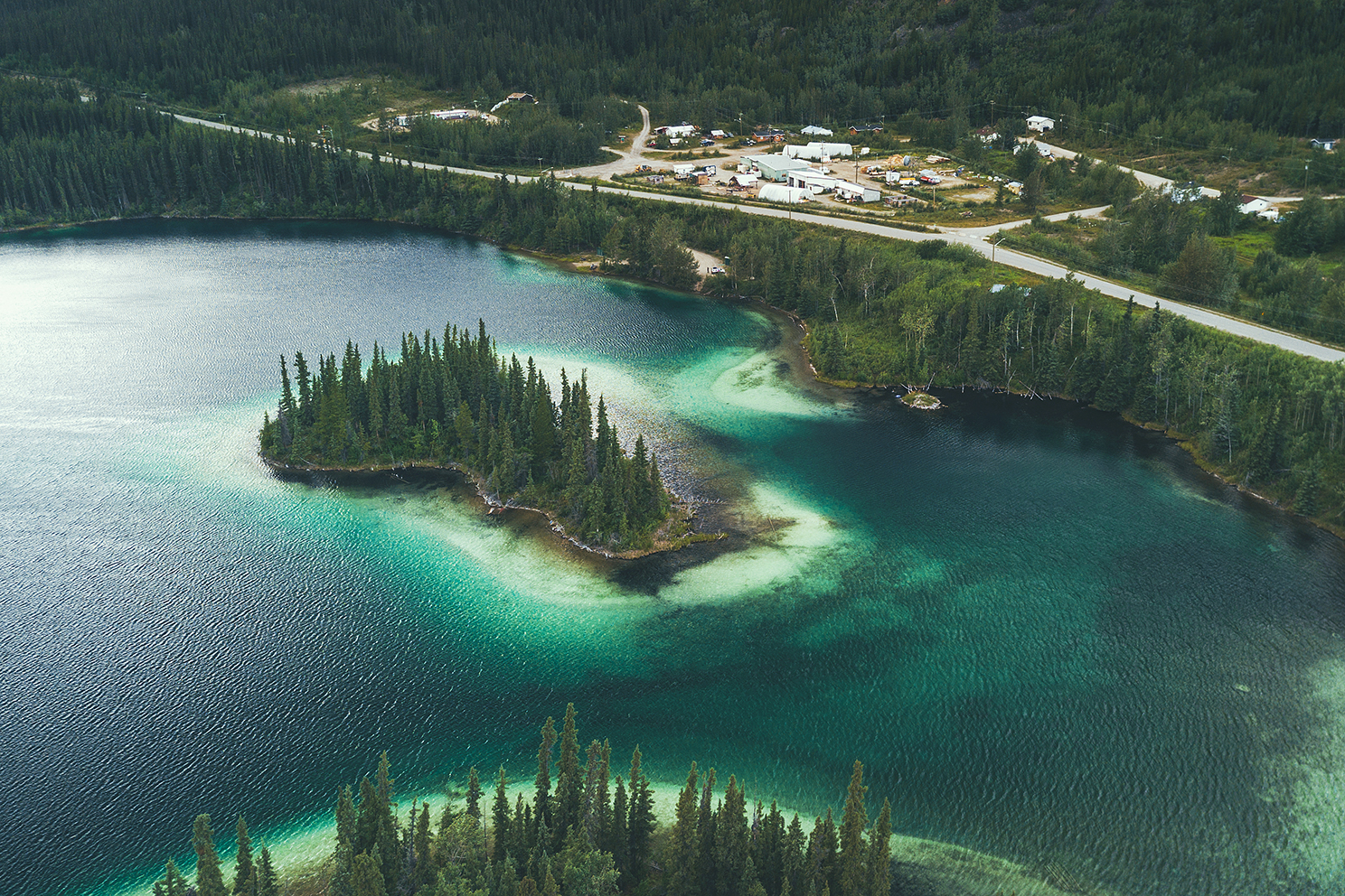
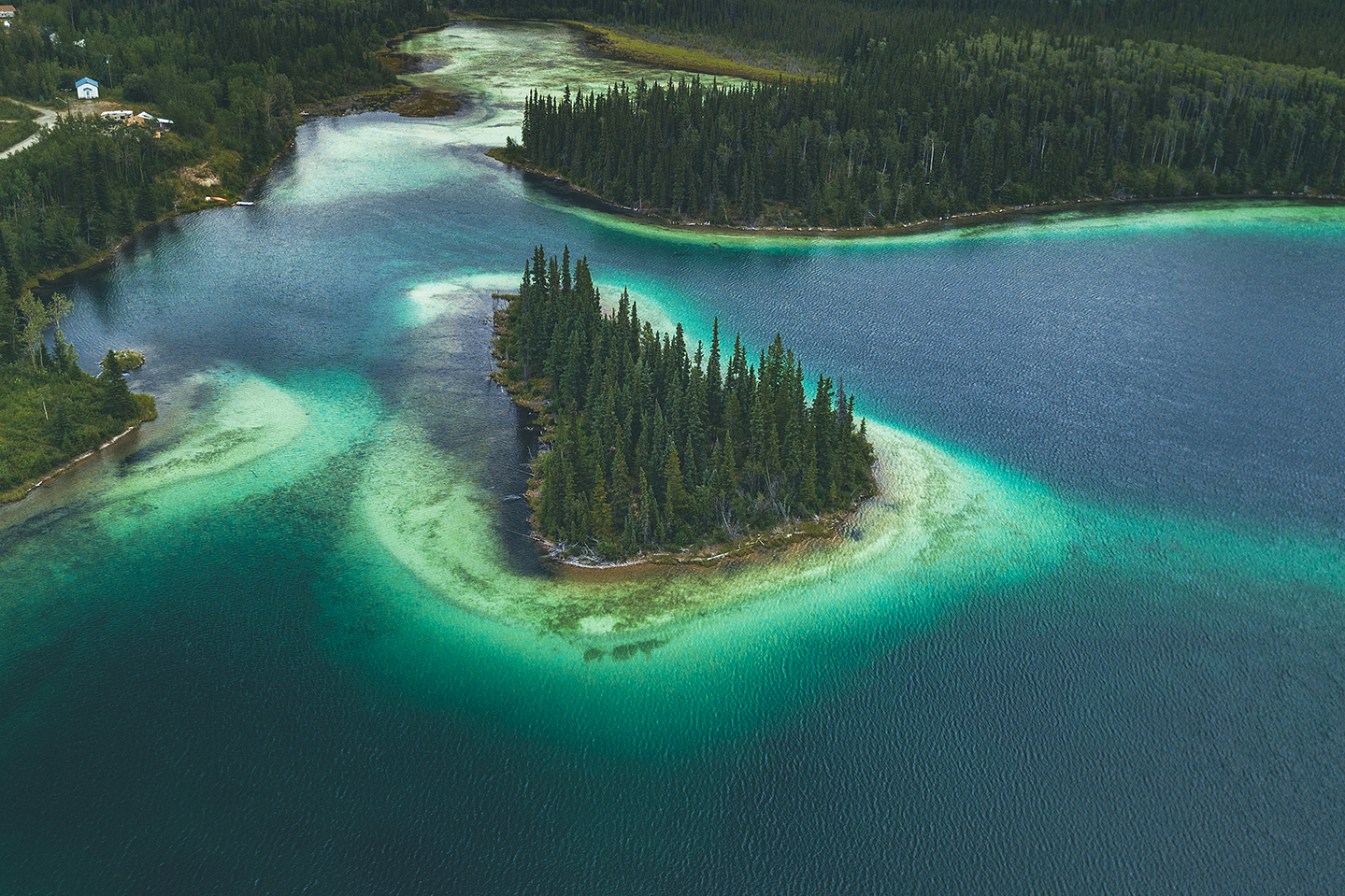
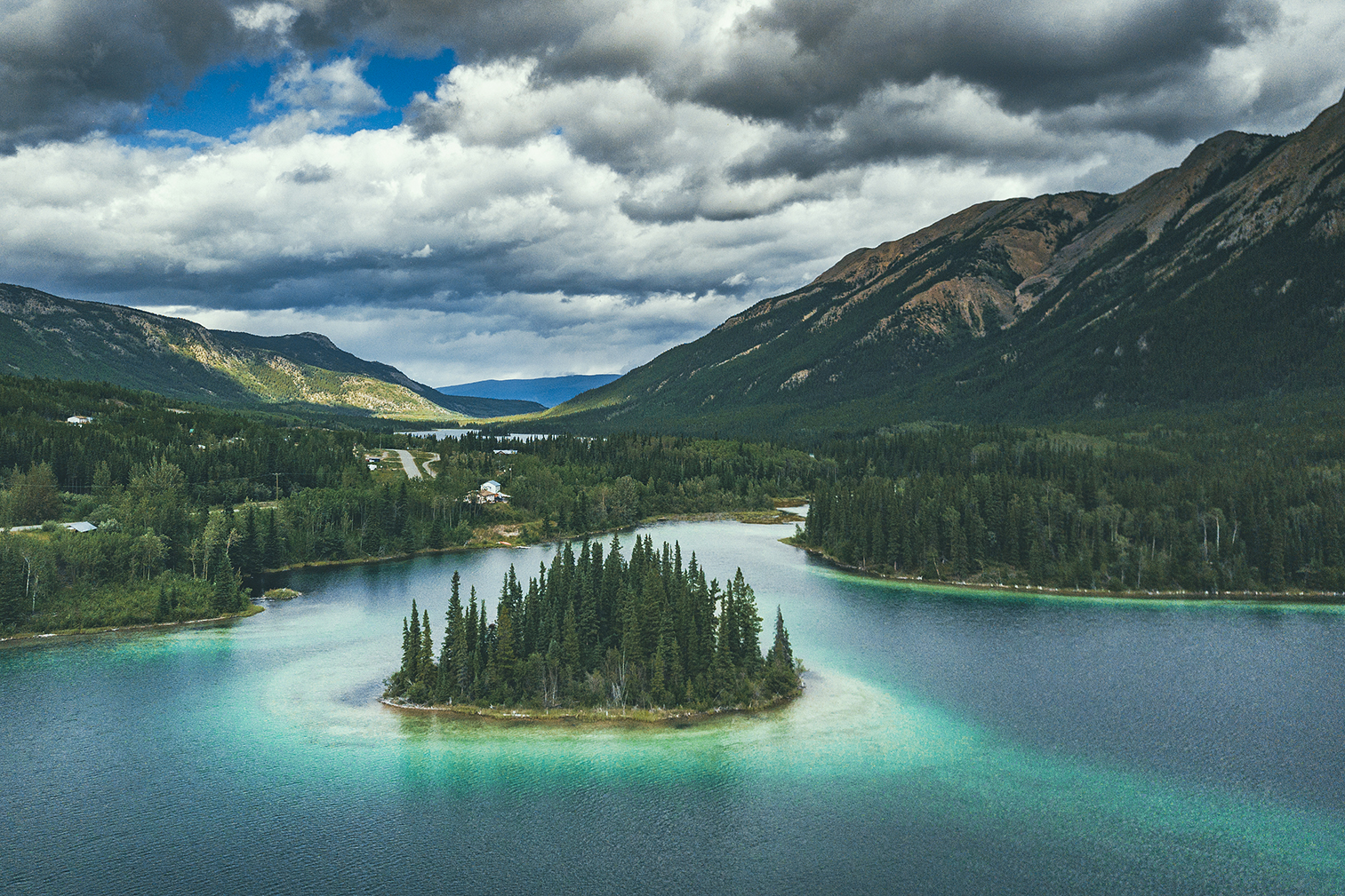
We pretty much drove from 11am to 5pm, with a quick stop in Williams Lake pick up some lunch, which we then ate at Lac La Hache . We made a quick stop at Marble Canyon Rec Site, to stretch our legs, then drove to Kwotlenemo (Fountain) lake, a familiar campsite where we had stayed twice before. We were easing back into everyday life by camping into a familiar spot.


The next day we drove through Lillooet and Pemberton aka the scenic route home. We stopped quickly in Squamish to say hi to our friends Adele and Thierry, and drop off copies of the provincial/territorial tourism guides we’d picked up along the way.

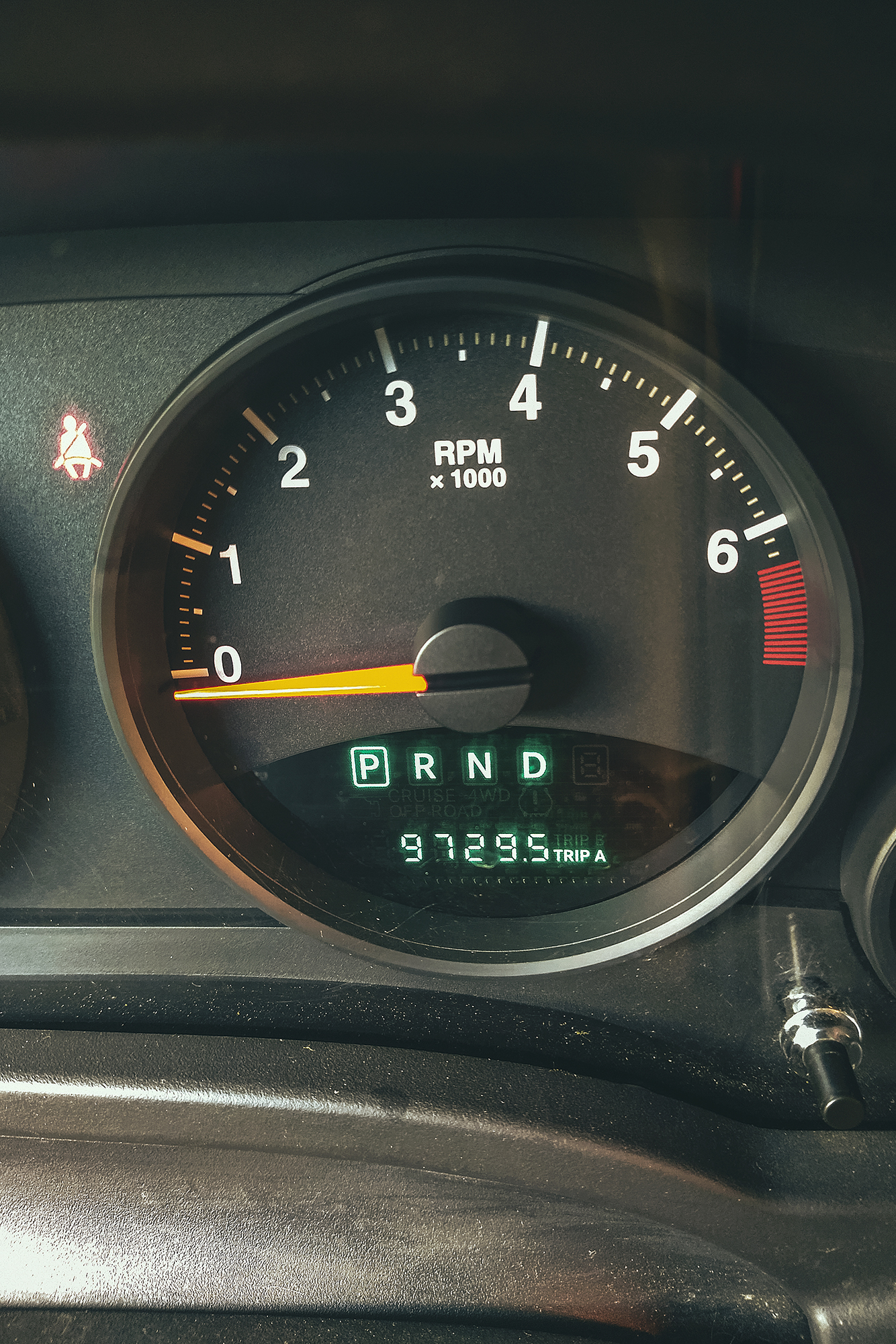
Adele and Thierry had done a similar trip a few years back and lent us their guides, and now Adele was very motivated to go back the next summer, so it only made sense to pass the documentation back to them, and continue the cycle. Finally we made it back to Vancouver after 37 days and 9729 km on the road.

Road Trip to the Yukon – Part 4 – From Stewart, BC to Watson Lake, YT

August  9 – Driving on the Stewart-Cassiar Highway

On our last morning in Stewart, we grabbed pastries at Temptations bakery (raided it, really more like) and had a couple for breakfast in the park area off Main st. Then we got back on the road, driving back East to Meziadin junction, before heading north again on highway 37, also known as the Stewart-Cassiar Highway.

The road was pretty unremarkable at first, except for 1 grizzly bear we saw right off the side of the road.

After the Ningunsaw pass, we stopped at Bob Quinn Lake for lunch.

We started seeing bigger mountains on either side of the road, although a lot were covered in clouds. I was actually a bit bummed out by the weather, as I had hoped we could take the kayaks out for a nice paddle at one of the many lakes we passed, but the cloudy, windy and low temp weather didn’t feel very conducive to a water adventure.

I had also looked at the forecast for Whitehorse and Dawson city and it looked like a whole lot of rain coming up, which I wasn’t so thrilled about. But I guess it’s better to go expecting poor weather and be glad if/when the sun comes out, than the other way around? We had been warned by our friend Adele, who had done a similar trip a few years back, that they had gotten a lot of rain, so I was somewhat prepared for it, but still a bit annoyed when it turned out to be a daily occurrence.

I should note  that this whole section of road is quite isolated, with little to no cell service and very few places to stop for gas (but not far enough apart that you would need to carry an extra container of fuel).

The one bit of excitement that day came when we decided to drive down a dirt road to see where it would lead (we didn’t have any indication that it would lead to anywhere particular, but sometimes you end up in a cool scenery by taking a random side road).

After driving 10 or 15 minutes down the path, we got to a bridge over a river and Brice asked me to drive over it while he was getting some drone footage. He got in the car with me and we crossed, but hit a fairly big drop upon touching the other side, car bumper hitting the ground heavily.

I turned the car around and we went to look at the drop. It was actually a pretty significant hole, at least 2 feet wide and 5 feet deep, across 3/4 of the width of the bridge, leaving only about 2 feet of connection between the bridge and the ground. No idea how I even managed to drive through it in the first place. It’s possible the hole was a bit smaller and a bunch of dirt fell off under the weight of the car. We tried driving back through, as close to the connected side as possible, but the right front wheel would dip into the hole and spin, unable to find traction, with the bumper resting on the edge of the bridge. For a moment I was slightly concerned that we found ourselves stranded down this random road with no cell reception, but we quickly started looking around and figured we could build a makeshift platform to connect the gap.

Thankfully we had all the equipment needed in the car, and lots of fallen branches around to chop up and strap into a small bridge, which the car was able to drive over. While I was pretty relieved to see the car back on the other side, Brice says he was never worried as we had everything with us to figure out a solution. Takeaway from this: always check the full condition of the bridge, before driving across it.

After the bridge mishap and getting back on the main road, we made another bit of rookie mistake a bit later on (seems like it was the day for it).
On the map I had seen a short trail leading to a lake. We got to a spot in the road near where the trailhead should be, and actually saw people returning from the trail, so we started walking down it without even checking for a sign or anything (which is VERY unlike me).


As we walked down, the trail kept going and we realized:

  1. We didn’t know how long it was (on the BRMP it seemed to be only a couple of kms, but it was a bit hard to tell)
  2. We had headed out without bringing any bear protection (bear spray, air horn) while heading out into bear country.


After that realization, and walking down another 15min without seeing the end of the trail, we just turned around and walked back with lots of loud singing and noise making. Turns out it wasn’t even the right trailhead to access that lake, the correct one was a bit further, and a few kilometers out and back, so we decided to skip it and go to a lake we could drive to instead.

We also had had our quota of lake for the day, having stopped at Bob Quinn lake for lunch, a rec site with dispersed camping, and at the Eldontenajon lake rest area (the lower area right by the lake) for a snack later. There was definitely no shortage of lakes off the side of the road.

I had pinpointed Tatogga as our place to stop for the night but we ended up driving just a bit further. We set up camp at Morchuea lake Rec Site, a pretty scenic lake with views of Mount Edziza, but probably the highest concentration of mosquitoes we’d seen so far. For the first time on the trip we made use of  our bug jackets, pretty invaluable to keep calm when trying to set up camp in a swarm of hungry mosquitoes. And thankfully the net shelter did a good job at keeping them out as well, and ensuring a relaxing evening.

As a side note, Mount Edziza wasn’t on the list for this trip as there is no road access, and it would be a whole other trip to plan on its own. But our friends Adele and Thierry’s trip from a couple of years ago certainly made us want to put it on the list for the future.

August 10 – From Telegraph Creek to Watson lake.

Given the poor conditions at the Morchuea lake Rec Site (mainly the fierce mosquitos), we had packed most things into the car the night before, as we knew we wouldn’t stick around for breakfast.

It rained quite a bit that night but it stopped by the time we got up. We had put the tarp over the tent for the rain but also to create a vestibule preventing mosquitos to come in, which prove pretty effective (our tent does come with an extra vestibule that you can zip on, but we’d only ever used it once, found it a bit cumbersome, and didn’t think to bring it on this trip).

We left camp and drove to the closest gas station for a refuel and coffee..
Then we drove to Dease Lake. BRMP indicated a hot spring nearby but at that scale, the map was a bit vague and didn’t describe a clear access point. We looked for it in the forest along the stream but couldn’t find it. If it existed, it definitely wasn’t one that was advertised by the locals.

We picked groceries up and some lunch, then decided to drive down Telegraph Creek Road, to get a peek at the Stikine River Canyon, described as the “Grand Canyon” of Canada. While the road goes for over 100km to Telegraph Creek, the Milepost indicated a good viewpoint at around 60 km, which is what we were aiming for. Unfortunately, we somehow missed the big sign at the beginning, saying that the road was closed for work at around km 40, and only found out when we got to a road block and a construction worker told us we couldn’t go through. So we turned around, but still found a spot with view of the river for lunch. 

It wasn’t all wasted as we got to see a lynx off the side of the road, as well as a porcupine, neither of which we’ve ever seen in the wild!


The road wasn’t paved but was very smooth and easy to drive, so we traveled relatively quickly. But didn’t realize until we stopped for lunch how dirty the car had gotten, with layers of mud accumulated into the wheel wells.


We then drove back to Dease lake, to continue our way up the Stewart-Cassiar highway into the Yukon, and we made a couple more stops on the way to Watson Lake.


First we stopped at Jade City – which is really more of a trading post, featuring a store off the side of the road that sells all things stones & crystals and specializes in jade, as there is a large resource of it in the area.

We made a quick stop at Good Hope Lake to admire the colour of the water, changing with the movement of the clouds.

Finally we arrived at one of the places I had read about and was on the list of “must see” stops: Boya Lake

Boya lake Provincial Park is evidently a very popular camping destination and that is not surprising. The lake has shades of blue waters that make it look like the tropics. Islands are peppered all around and campsites line the shore, right on the water. The campground was pretty much full, but we weren’t planning on staying there for the night anyways, only spend a few hours and maybe get on the water.

I regretted a bit getting there late – it was already 6pm and we had another 1.5 hour drive to Watson lake. With more time, I would have loved to take the kayaks out on the lake. It was one of the potential paddle stops I had originally planned, but with the weather that morning I didn’t think it would be nice enough to do so, hence the Telegraph Creek detour. But oh well, that’s how it goes, plans don’t always work out and that’s ok. We still got to enjoy the sight of the lake in the sun and really got a sense of how beautiful the water was. Mosquitoes however were still pretty relentless. We had a snack in the day use area then took a quick walk on the trail along the lake before heading out. 

We got back on the road and drove to Watson lake to spend the night, stopping only to snap a shot of the Yukon sign as we crossed the provincial/territorial border.

The clouds were a constant source of marvel all through the trip

Video Recap: Hiking to Crater Lake and Hudson Mountain, near Smithers, BC

Patagonia Road Trip Day 6: Leaving the Carretera and entering Valle Chacabuco

The wind blew really strong that night, and then from steady light rain, it started to pour buckets. It was still pouring when we got up the next morning, which meant that most likely no boats were going out to the marble caves today, which Ricardo confirmed at breakfast. So we decided to forgo the caves. Instead we stayed at the campsite a bit longer in the morning, chilling by the fireplace and enjoying the company of the other travelers. It was nice to take a moment to just pause and hang out, after being on a constant move for the last 5 days. We drove down the road a bit further past Nutria, taking in the wet and foggy nature, then headed back towards Puerto Rio Tranquilo. After getting some more food, we hit the road to continue our journey.

The plan was to drive to Parque Patagonia to camp, then do a hike in the morning before crossing the border to Argentina. The road to Parque Patagonia was every bit as scenic as the previous days. We made many stops on the way to admire the stunning views of Lago Bertrand and its teal blue water, and the confluence of Rio Baker, and took a small detour to check out the cool pasarela crossing over Rio Cochrane at the bottom of La Peninsula.

The car we rented (a Nissan Tilda), was the most affordable option available but definitely not the most ideal choice for the type of road we were on, and it took quite a beating on the dusty, pot-holed, corrugated Patagonia road. But in the end it took us from point A to point B without failing and we came to really like our slightly awkward and inadequate little ride….

The landscape started to change as we left the Carretera to turn off onto X-83 road, taking us into Valle Chacabuco. Changes in the vegetation became more apparent as well, lush greens and colorful flowers disappeared off the hillsides, now instead speckled by tall wild grass and short round bushes in shades of yellows and browns. In this incredibly vast, more arid landscape, we no longer had to stop for cows on the road, but instead we made the acquaintance of guanacos. With herds grazing all around. they seemed rather indifferent to cars driving up to them.


There was only one campsite in Valle Chacabuco, on the road before the Paso Roballos border crossing (supposedly there is another one that was built more recently, but we didn’t know where it was located). We reached it at around 7pm. The price for the night (10,000 CLP per person) almost had us turn around and look for another option, but there was nothing within less than an hour of driving, and wild camping in the park is strictly forbidden, so we decided to stay. The campground came with bathrooms and showers, which were advertised as hot but were most definitely not. Still, the setting was pretty scenic, and the campsites once again very well laid out. We found a spot furthest to the entrance with a large 3-wall hut sheltering a large table and shelves. We had no wind or rain that night and woke up the next day to guanacos grazing around in the field.

Our food spread for the night…

Patagonia Road Trip Day 5: Through the Cerro Castillo Range to Puerto Rio Tranquilo

The road from Camp Laguna Chinguay to Villa Cerro Castillo was incredibly scenic. We had left the cow pastures behind and were now crossing the much more mountainous terrain of the Cerro Castillo National Reserve. The town of Villa Cerro Castillo was on the other side of the park, at lower elevation, so coming down we got to fill our eyes with the view of the mountain range. 

As we were driving down the hairpin bent road, I got to see, to the west in the distance, the spires of the “Castillo” summit  which gives its name to the park (Castillo means Castle as the spires are somewhat reminiscent of a medieval castle).

The reserve offers spectacular hiking, especially if you are able to do the full trek, which is about 43km long. I was hoping to just do the day-hike to the Laguna (about 8 hours return), for a closer look at the spires. When we arrived at the visitor’s office in the small town however, they informed us that the weather was pretty bad up there, with snow and strong winds, and they advised against going up that day. As a side note, the guide book did not mention the day hike, I had only read about it on Rich and Ash’s blog. Everything else I read only mentioned the 4-day trek, but there is in fact a day hike. 

Given the weather conditions and the prospect of climbing for 4 hours in the rain and snow, with likely no reward at the end, we decided to pass, and explore the area around instead. We didn’t have to go very far to find some really awesome viewpoints of the mountain range, which made up for not being able to go see it up-close.

After Cerro Castillo, the road was no longer paved. We hit some really rough sections along the way but eventually, the views of Lago Carrera distracted us from all the shaking – and the many stops we took to admire its stunning blue color gave us some breaks from the rough driving.

We arrived in Puerto Rio Tranquilo around 6pm. This little town definitely had a tourist hub feel to it. The main attraction there are the Marble Caves. Accessible only by boat (or kayak), these limestone caves display surreal shapes and colors, due to thousands of years of erosion from the lake’s glacier water. When the sun hits just right, the walls of the cave reflect a hundred different hues of blue from the lake water.

Booking a boat trip to see the caves isn’t very difficult. A dozens companies on the main street offer to take you. There’s actually no need to book ahead of time, they just try to get 6-8 people to fill the boat and then head out. It’s usually best to go in the early morning, before the wind starts to pick up and the waters become too rough.
We inquired about doing the tour in the morning from one of the tour operators, and they said to just come back at 8am, and pending good enough weather they would take us out.

So we went on to look for a camping spot. We checked out the in-town places, but found that they were already crowded with other travelers and didn’t have much charm to them. So once again we turned to iOverlander to tell us where to go. About 15 km to the east was Nutria, a campground with really good reviews, so we decided to head out there.

The place was indeed perfect. Lost in the middle of nowhere, the campground was built around a little restaurant that offered warm beverages as well as sandwiches and breakfast.
On the left of the land were 4 or 5 sites, lined up side by side, each protected from the wind by a wooden wall and small overhang – it didn’t seem like much after the comfortable 4-wall shelters we had enjoyed the last few days but it still turned out to be remarkably effective against the strong wind and rain that hit us during the night. There were 4 or 5 individual bathrooms with toilet and hot shower (each campsite was assigned its own bathroom), and on the other side was the traditional quincho, with a big fireplace to warm it up.

We first had coffee in the small restaurant, and got to meet Ricardo, the son of the couple who ran the campground. Ricardo had lived in Patagonia his whole life and had traveled through it extensively. He was a tour guide, taking people for glacier hikes and had also been to Torres del Paine a number of times. He gave us some really good advice for trekking in Torres, and also a little bit of a local’s perspective on how the Carretera had helped develop the area and create a connection between all the rural communities that otherwise lived secluded from the rest of the world.

We also met a couple from Belgium, with two kids (a 5 and a 3 year old). The man, who was in his early fifties, seemed to be a bit overwhelmed with his children, still it was inspiring to know they had been on the road with them for two months already. There was also another couple who was just coming back from trekking Torres del Paine, a Chilean man and a Swiss woman. After a few days of being mostly just the two of us, it was nice to spend the evening talking to other travellers and sharing their experience of the road.