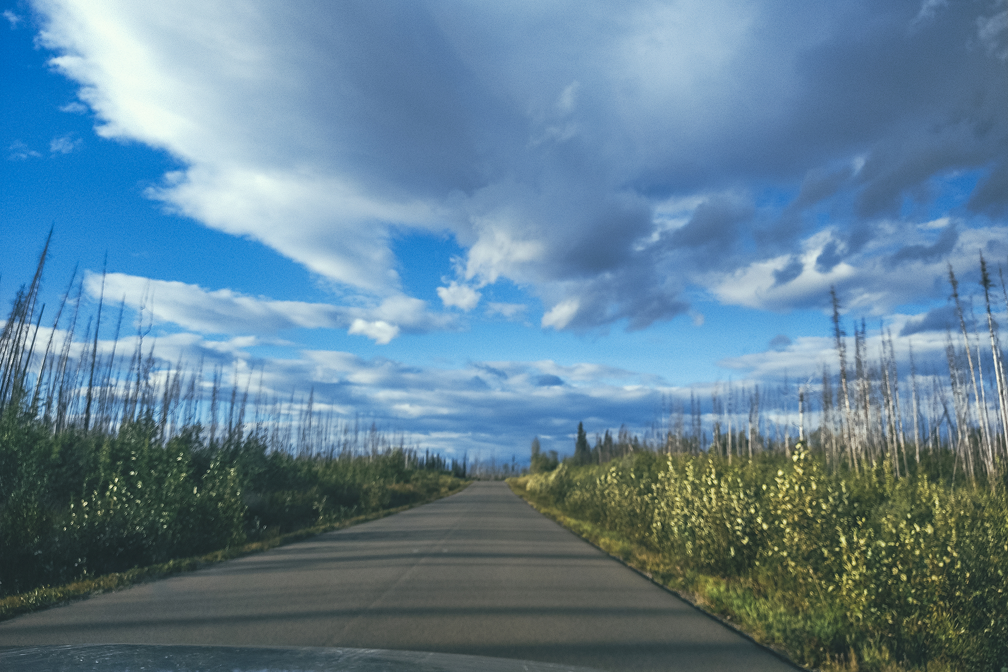
August 9 – Driving on the Stewart-Cassiar Highway
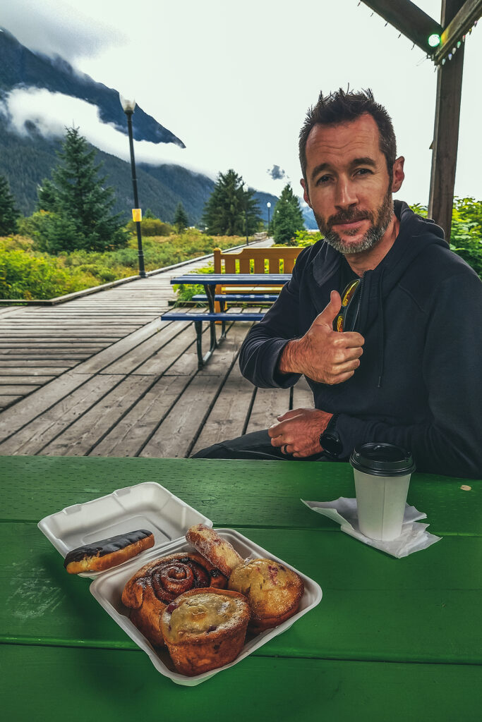
On our last morning in Stewart, we grabbed pastries at Temptations bakery (raided it, really more like) and had a couple for breakfast in the park area off Main st. Then we got back on the road, driving back East to Meziadin junction, before heading north again on highway 37, also known as the Stewart-Cassiar Highway.
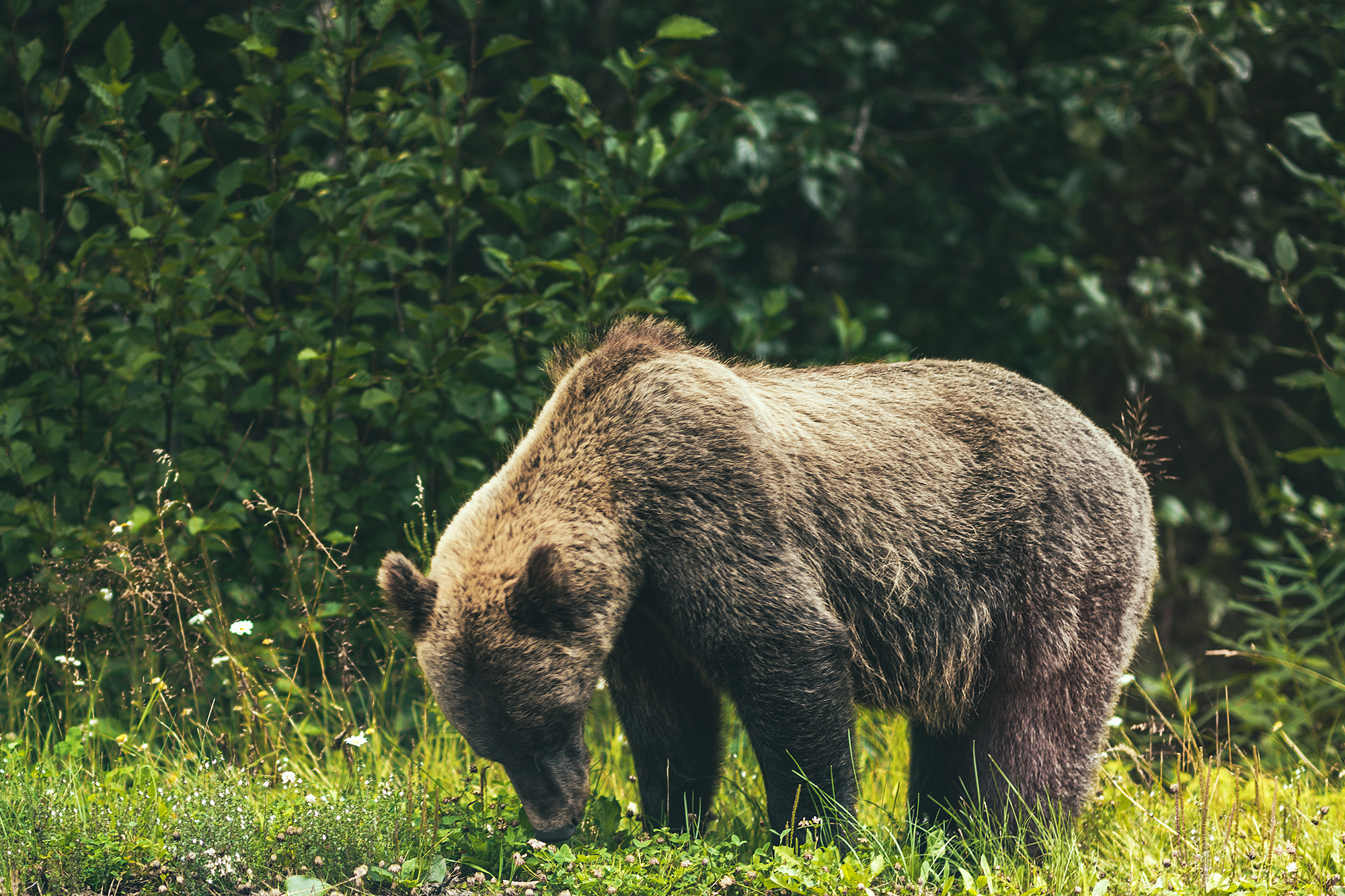
The road was pretty unremarkable at first, except for 1 grizzly bear we saw right off the side of the road.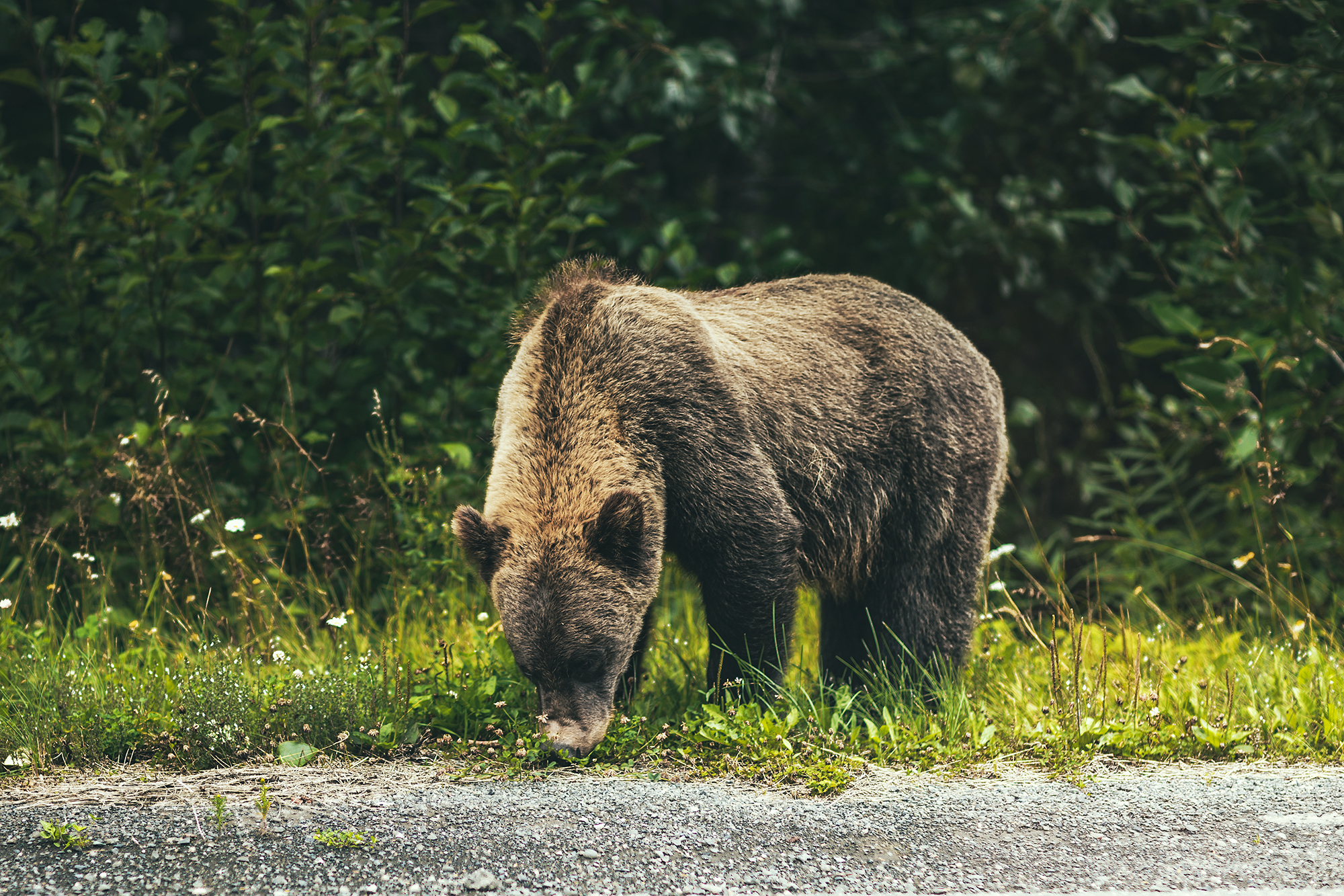
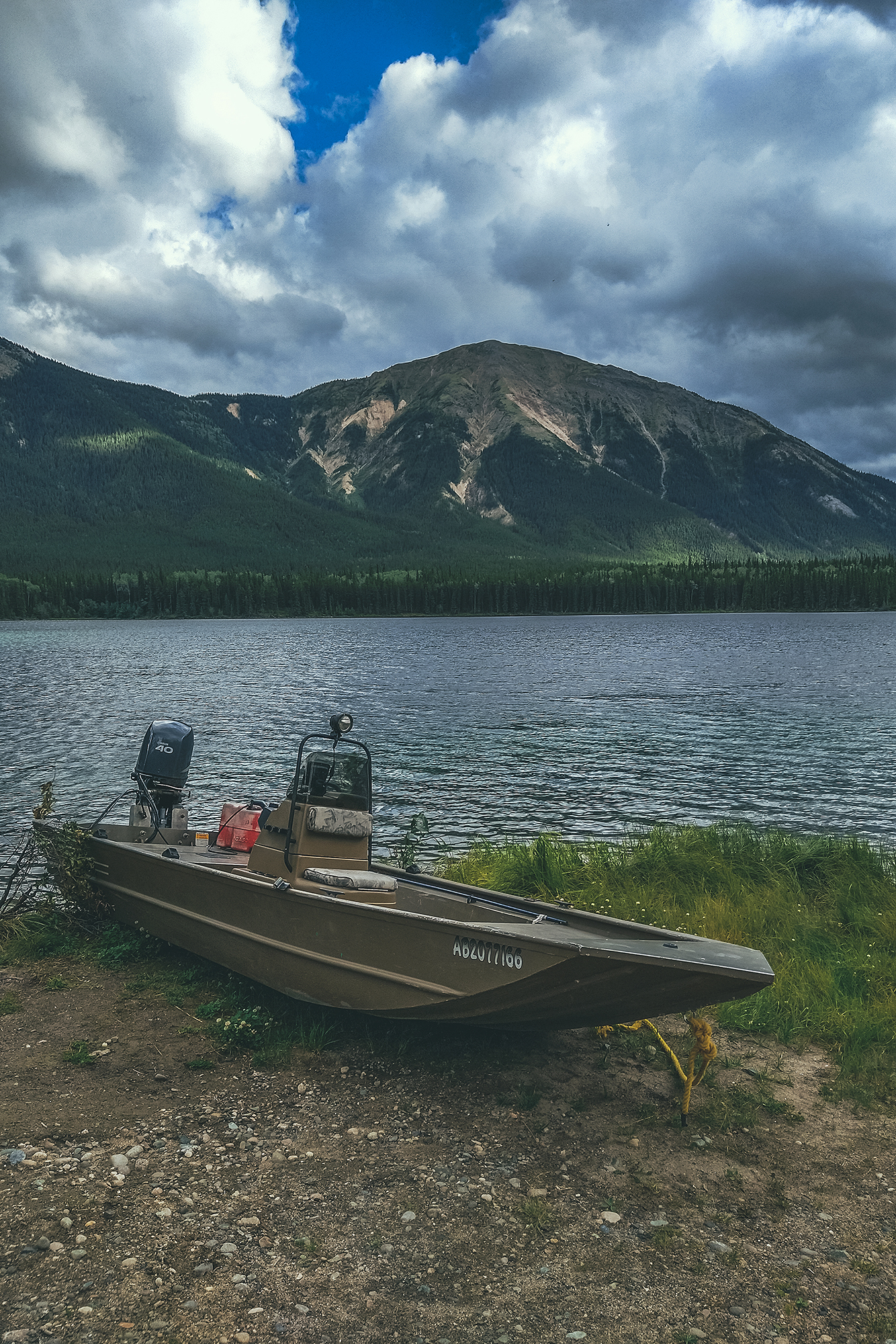
After the Ningunsaw pass, we stopped at Bob Quinn Lake for lunch.
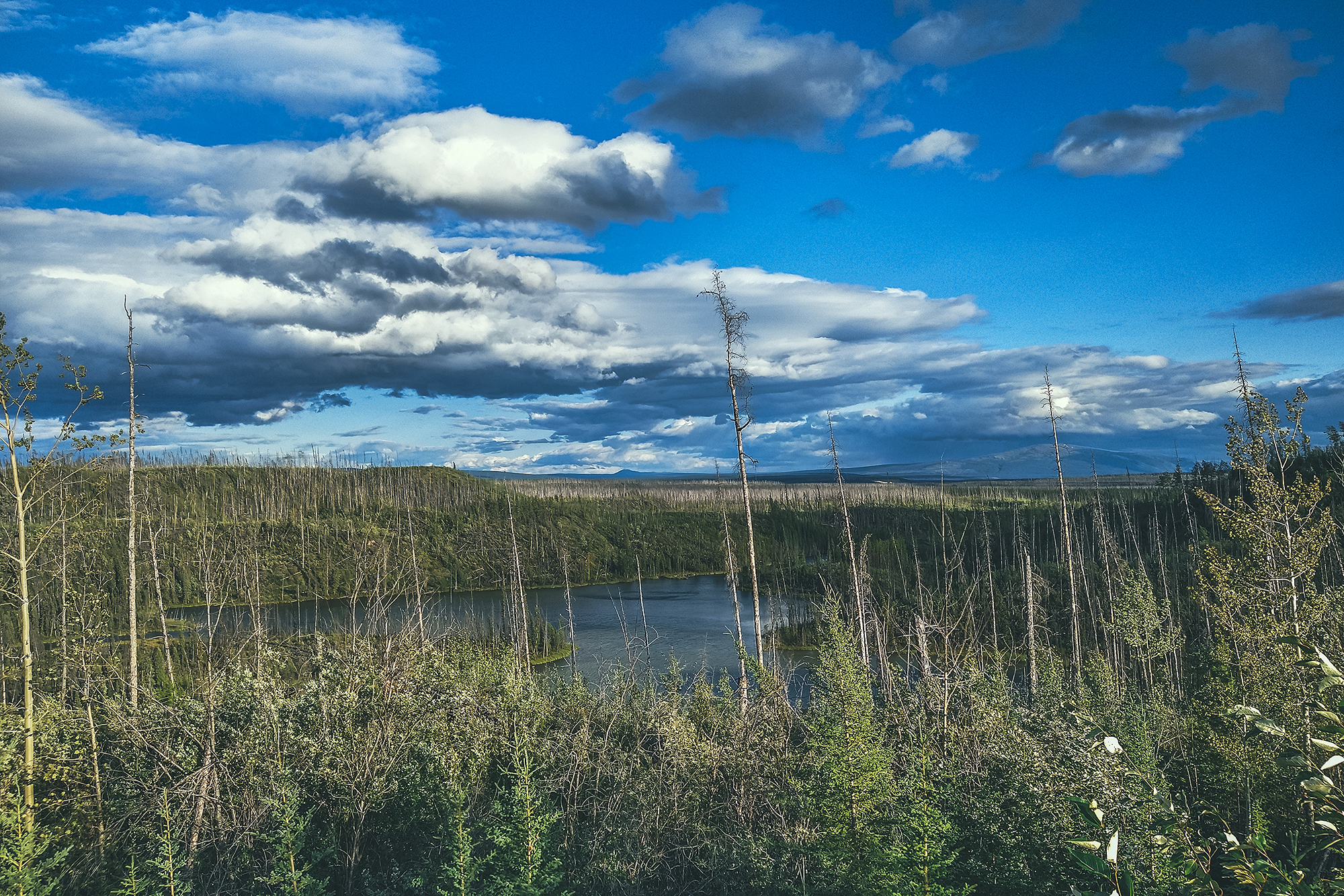
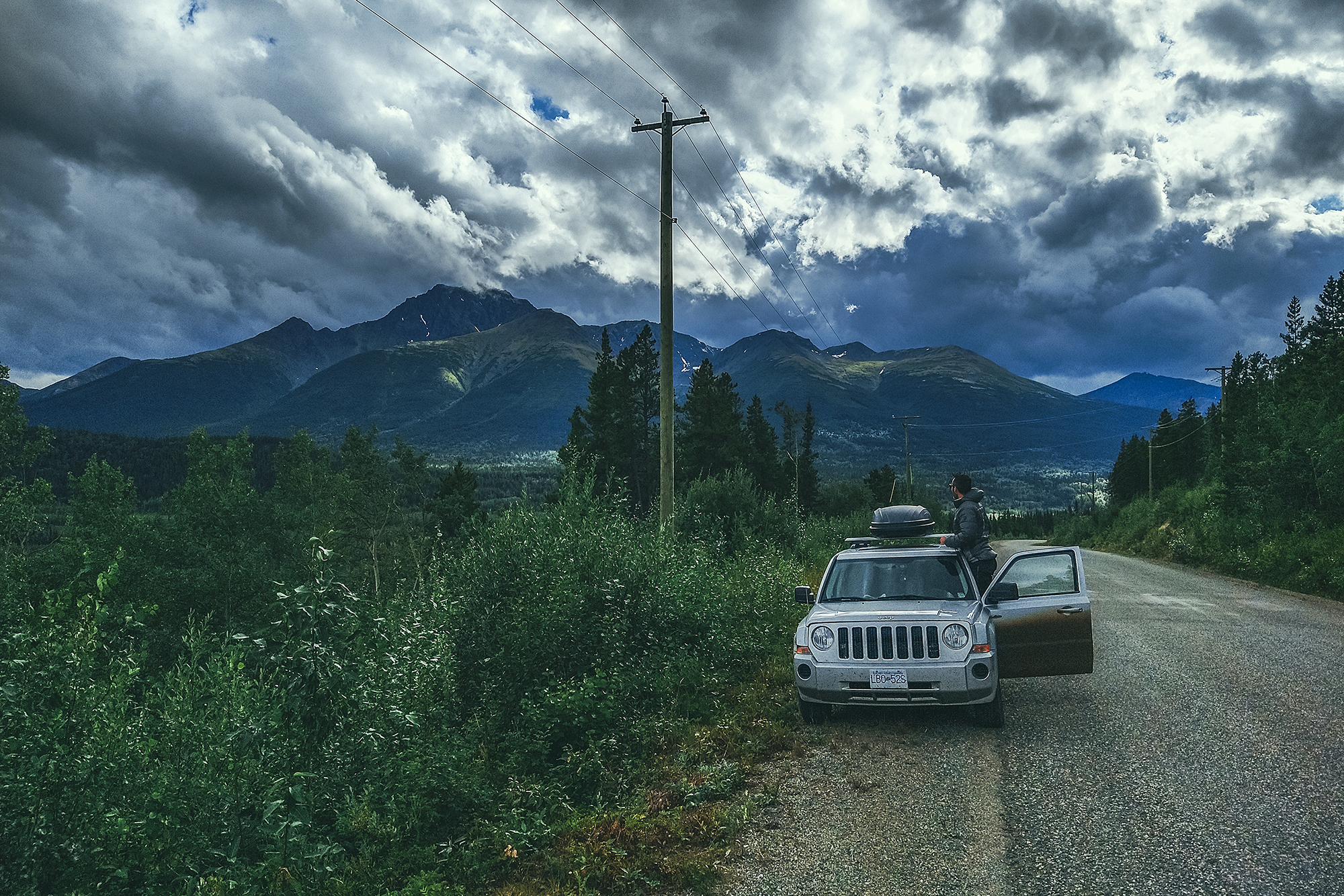
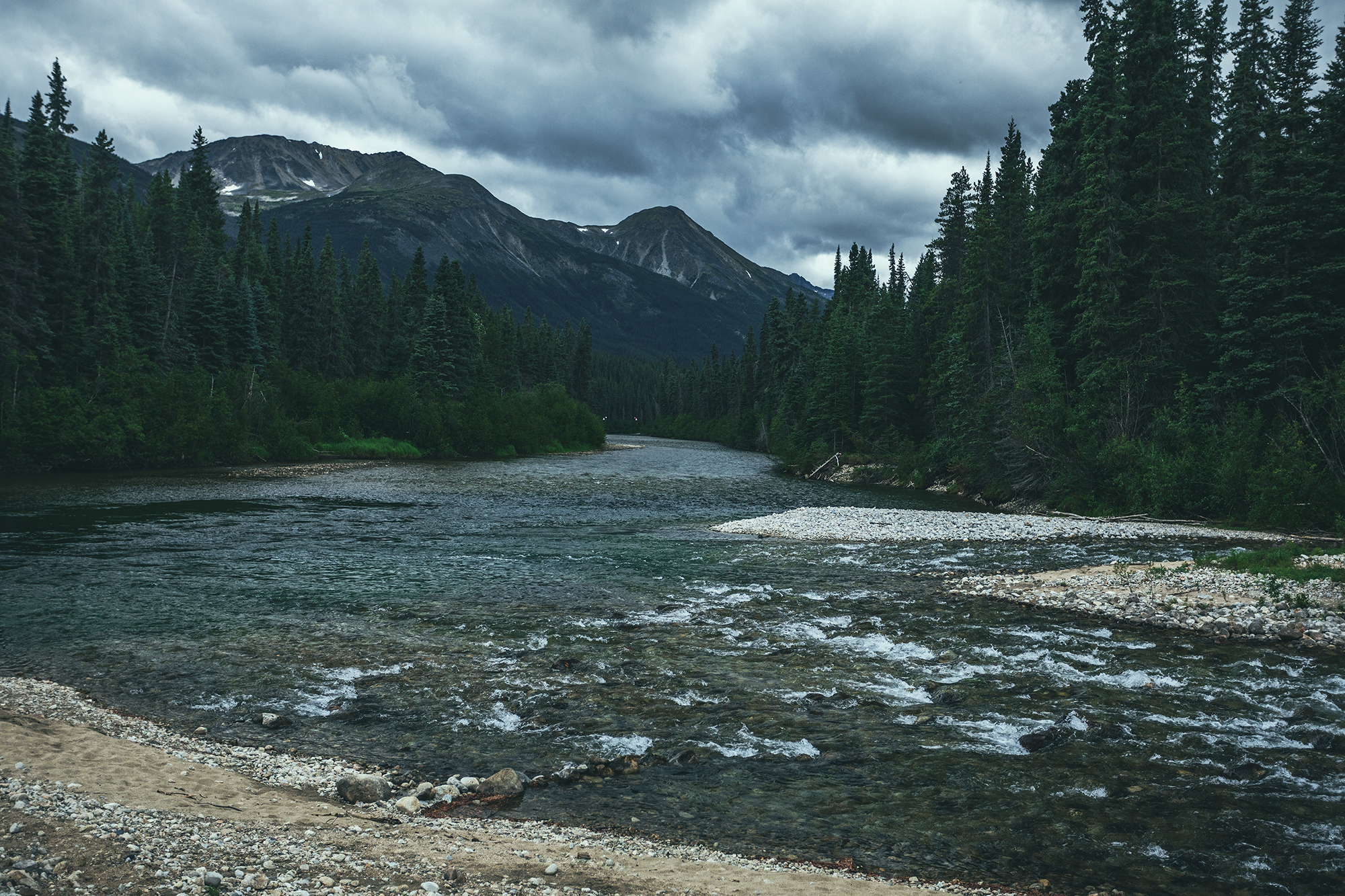
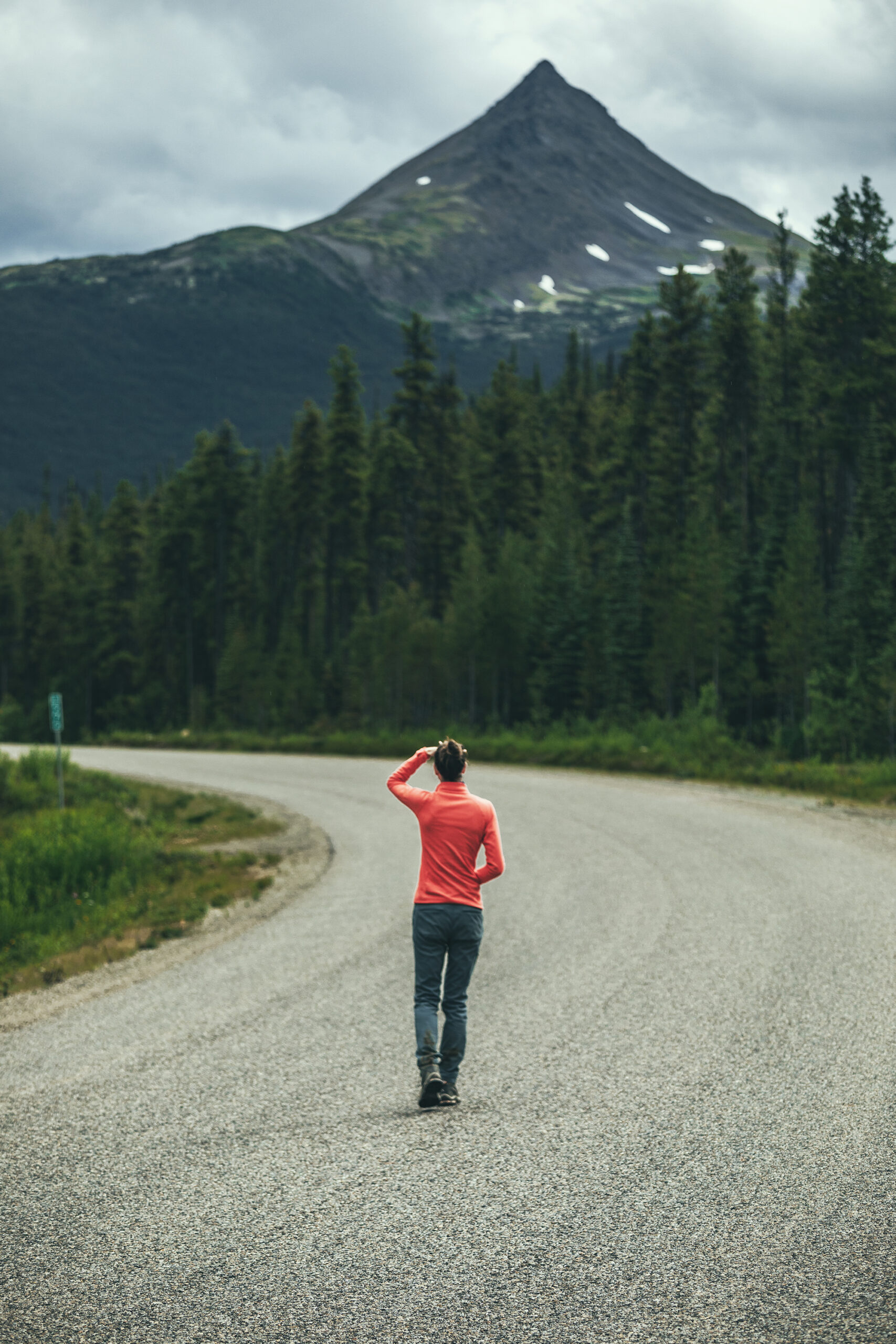
We started seeing bigger mountains on either side of the road, although a lot were covered in clouds. I was actually a bit bummed out by the weather, as I had hoped we could take the kayaks out for a nice paddle at one of the many lakes we passed, but the cloudy, windy and low temp weather didn’t feel very conducive to a water adventure.
I had also looked at the forecast for Whitehorse and Dawson city and it looked like a whole lot of rain coming up, which I wasn’t so thrilled about. But I guess it’s better to go expecting poor weather and be glad if/when the sun comes out, than the other way around? We had been warned by our friend Adele, who had done a similar trip a few years back, that they had gotten a lot of rain, so I was somewhat prepared for it, but still a bit annoyed when it turned out to be a daily occurrence.
I should note that this whole section of road is quite isolated, with little to no cell service and very few places to stop for gas (but not far enough apart that you would need to carry an extra container of fuel).
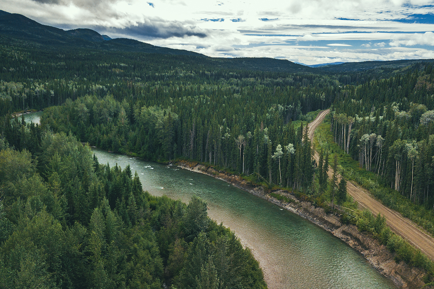
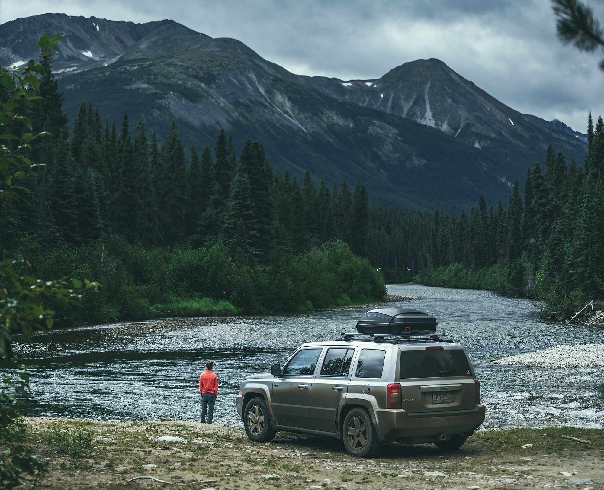
The one bit of excitement that day came when we decided to drive down a dirt road to see where it would lead (we didn’t have any indication that it would lead to anywhere particular, but sometimes you end up in a cool scenery by taking a random side road).
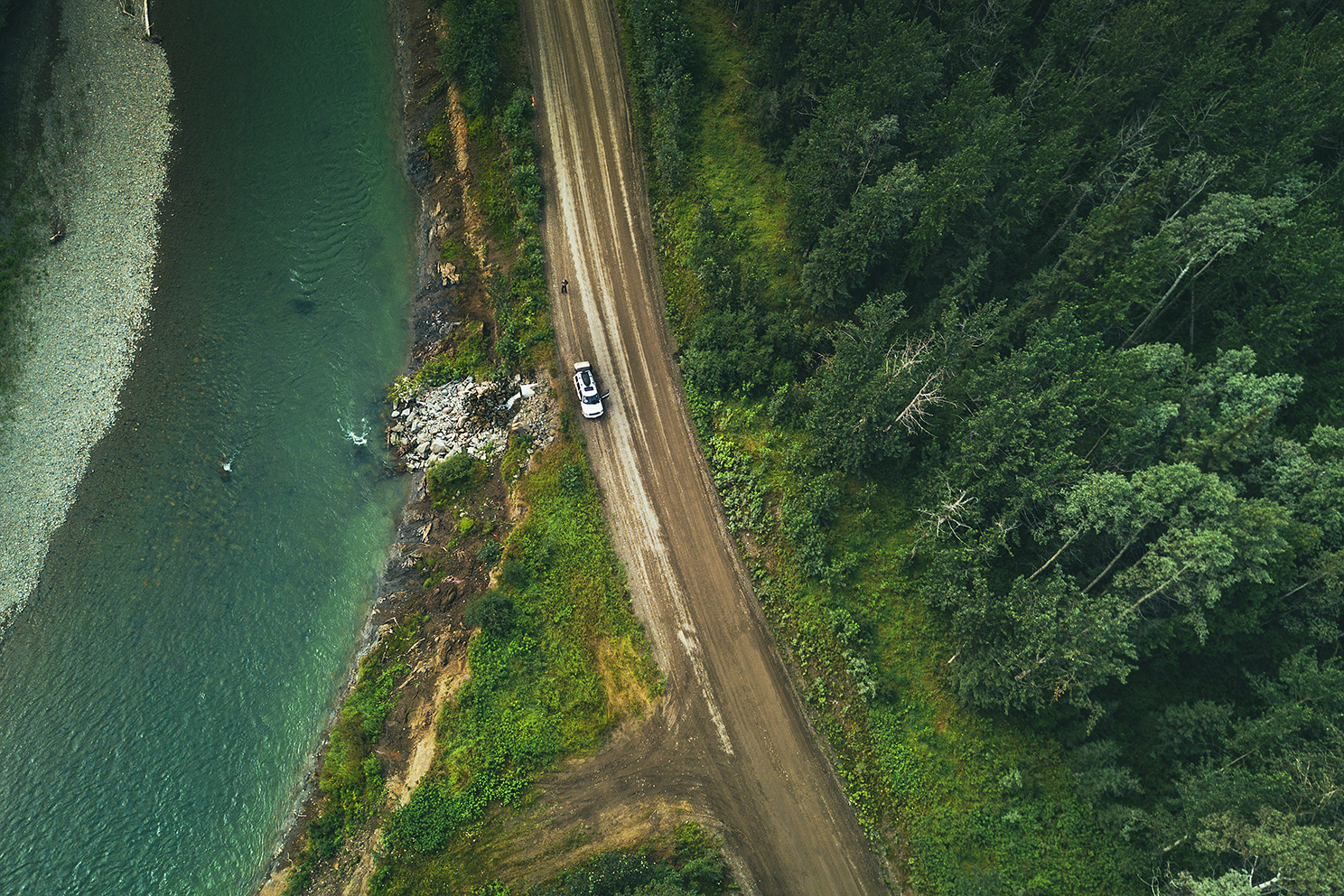
After driving 10 or 15 minutes down the path, we got to a bridge over a river and Brice asked me to drive over it while he was getting some drone footage. He got in the car with me and we crossed, but hit a fairly big drop upon touching the other side, car bumper hitting the ground heavily.
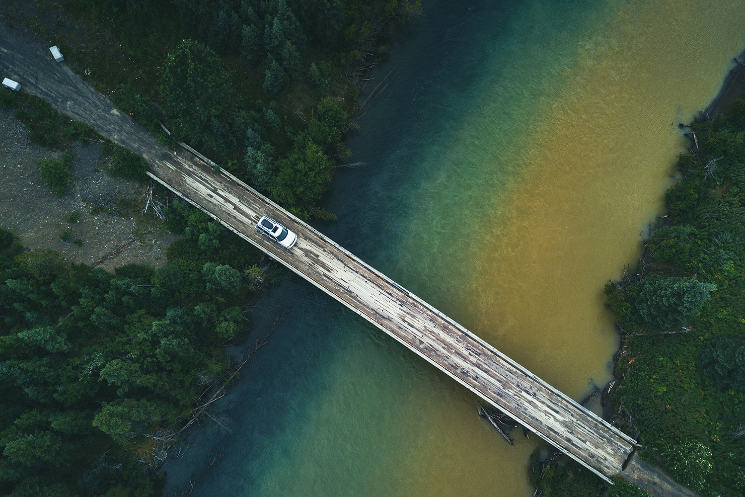
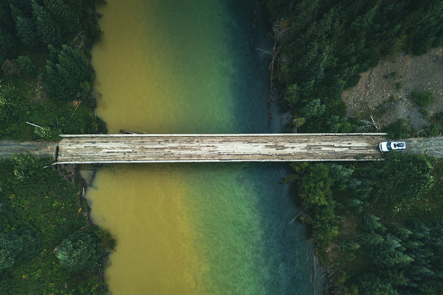
I turned the car around and we went to look at the drop. It was actually a pretty significant hole, at least 2 feet wide and 5 feet deep, across 3/4 of the width of the bridge, leaving only about 2 feet of connection between the bridge and the ground. No idea how I even managed to drive through it in the first place. It’s possible the hole was a bit smaller and a bunch of dirt fell off under the weight of the car. We tried driving back through, as close to the connected side as possible, but the right front wheel would dip into the hole and spin, unable to find traction, with the bumper resting on the edge of the bridge. For a moment I was slightly concerned that we found ourselves stranded down this random road with no cell reception, but we quickly started looking around and figured we could build a makeshift platform to connect the gap.
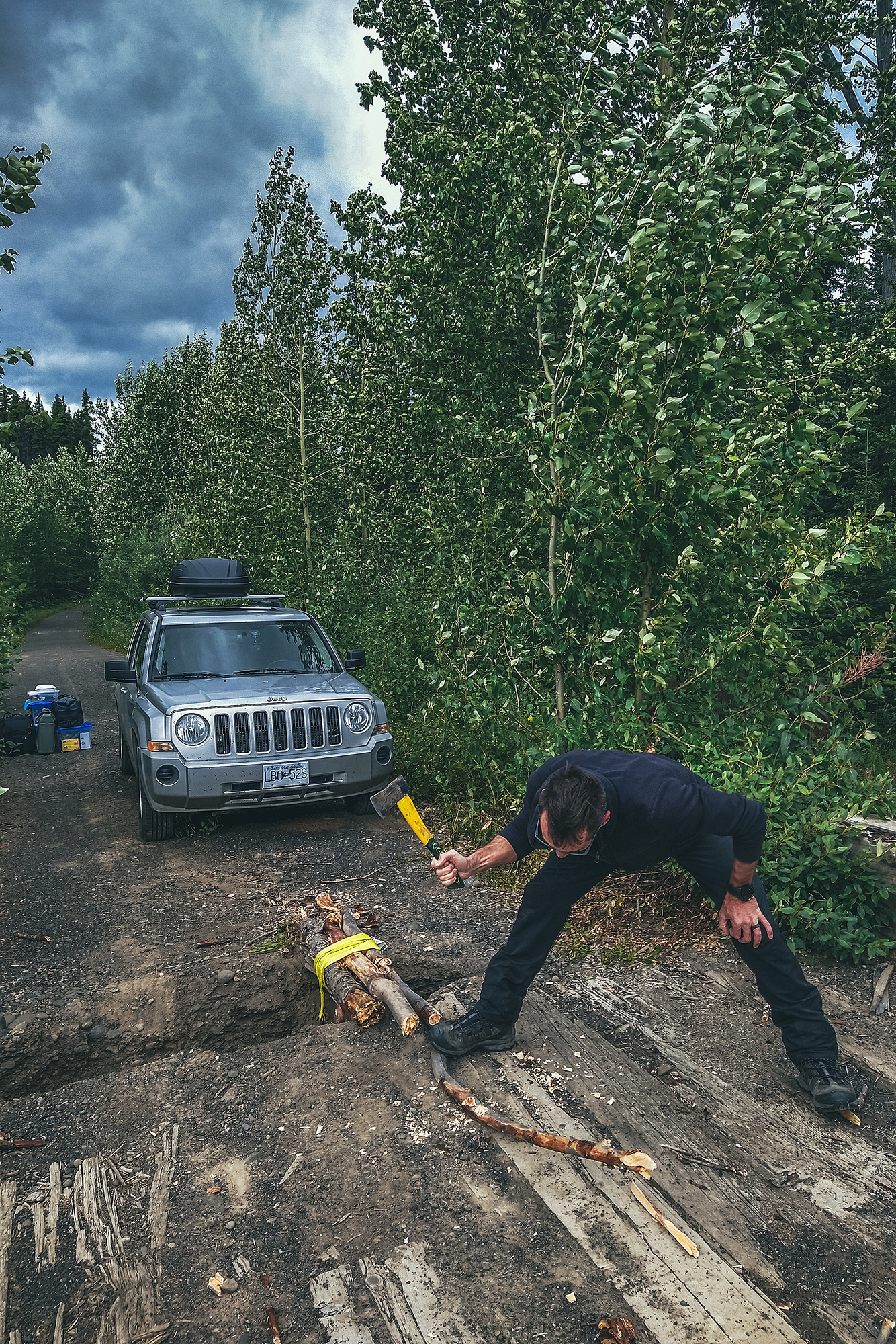
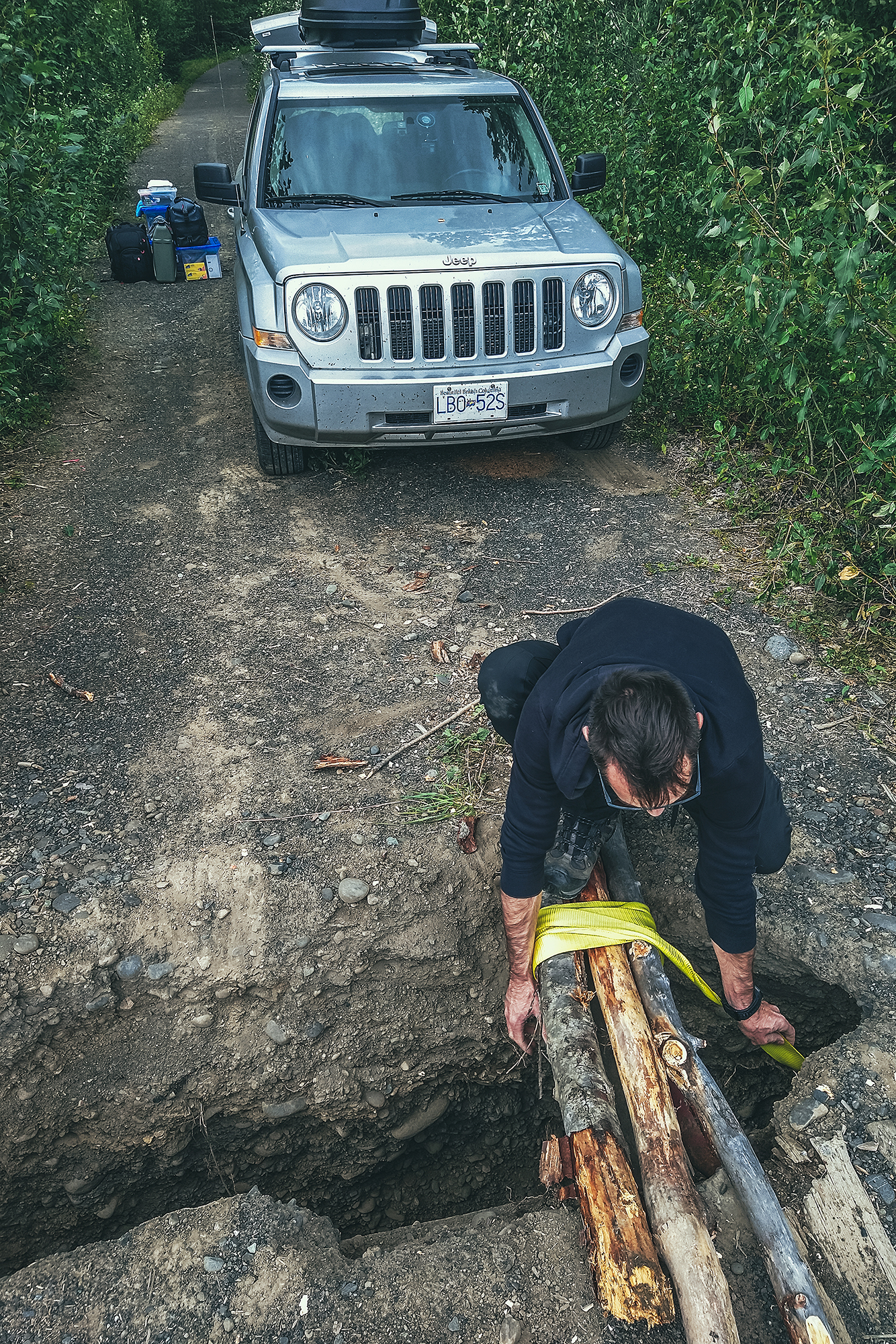
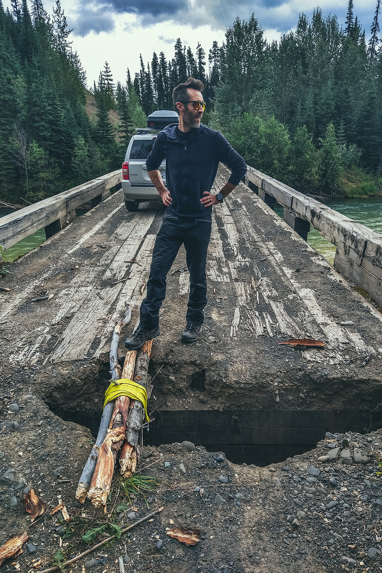
Thankfully we had all the equipment needed in the car, and lots of fallen branches around to chop up and strap into a small bridge, which the car was able to drive over. While I was pretty relieved to see the car back on the other side, Brice says he was never worried as we had everything with us to figure out a solution. Takeaway from this: always check the full condition of the bridge, before driving across it.
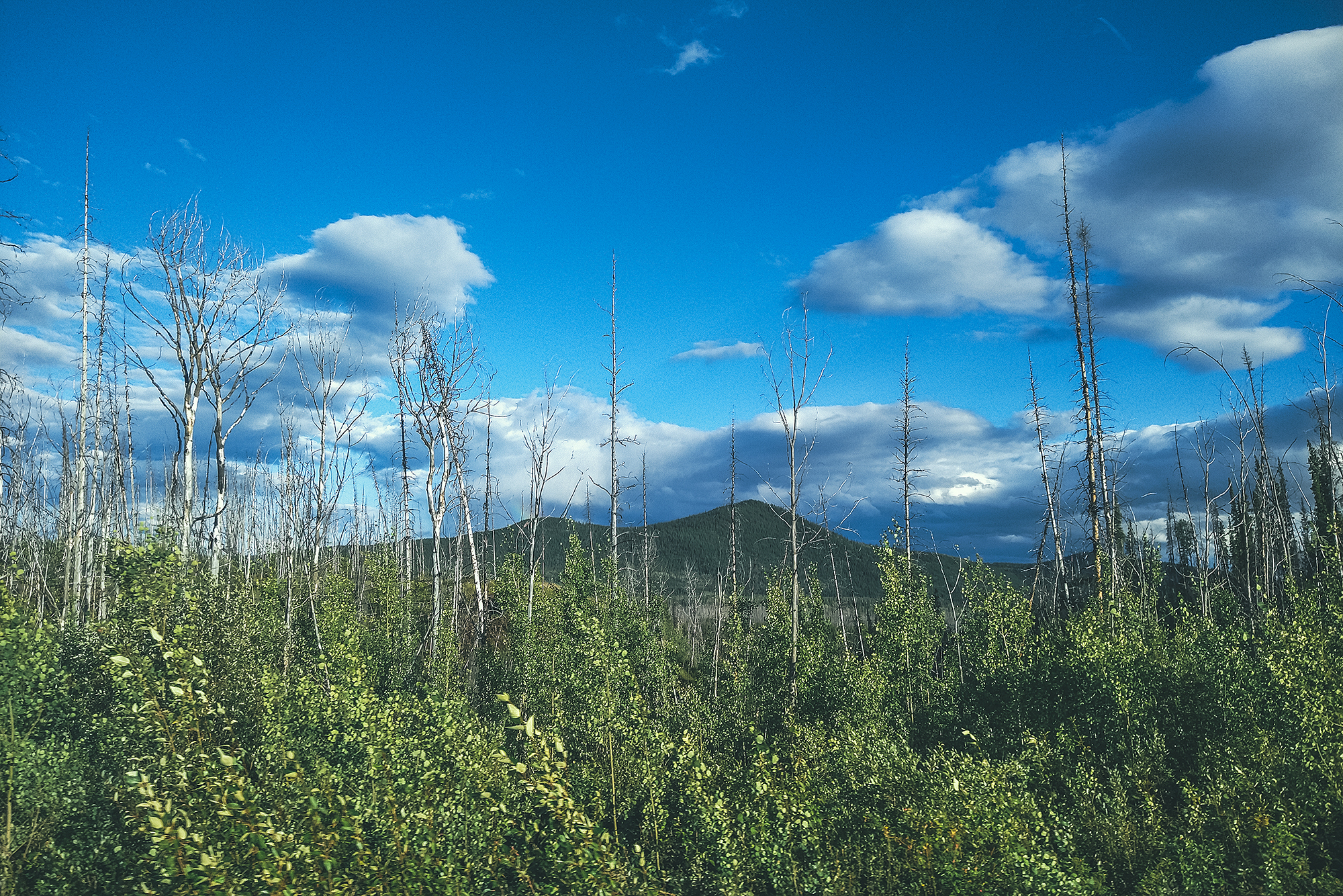
After the bridge mishap and getting back on the main road, we made another bit of rookie mistake a bit later on (seems like it was the day for it).
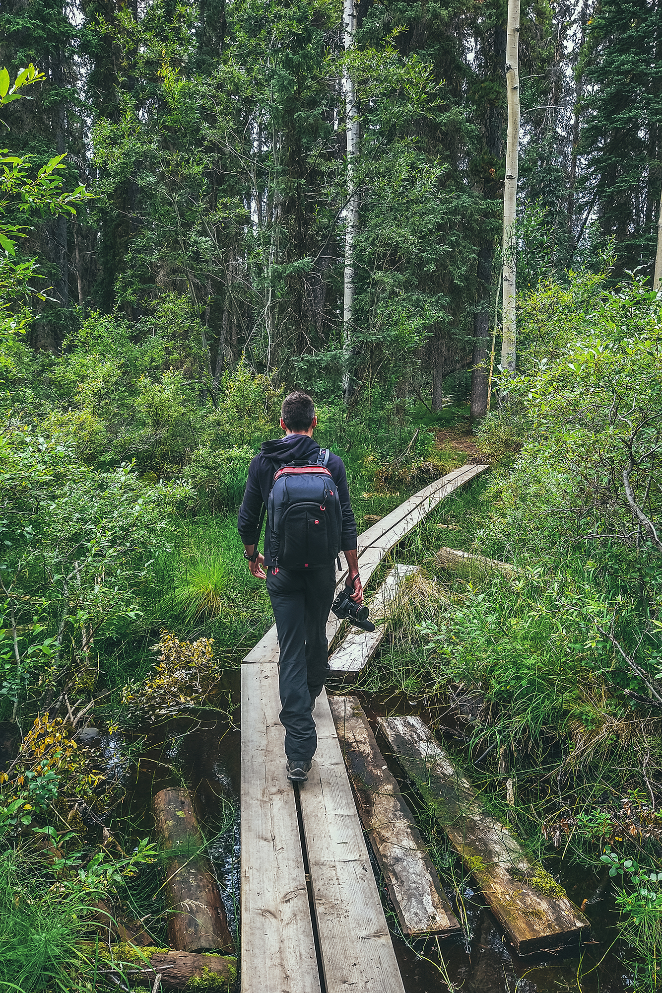
On the map I had seen a short trail leading to a lake. We got to a spot in the road near where the trailhead should be, and actually saw people returning from the trail, so we started walking down it without even checking for a sign or anything (which is VERY unlike me).
As we walked down, the trail kept going and we realized:
- We didn’t know how long it was (on the BRMP it seemed to be only a couple of kms, but it was a bit hard to tell)
- We had headed out without bringing any bear protection (bear spray, air horn) while heading out into bear country.
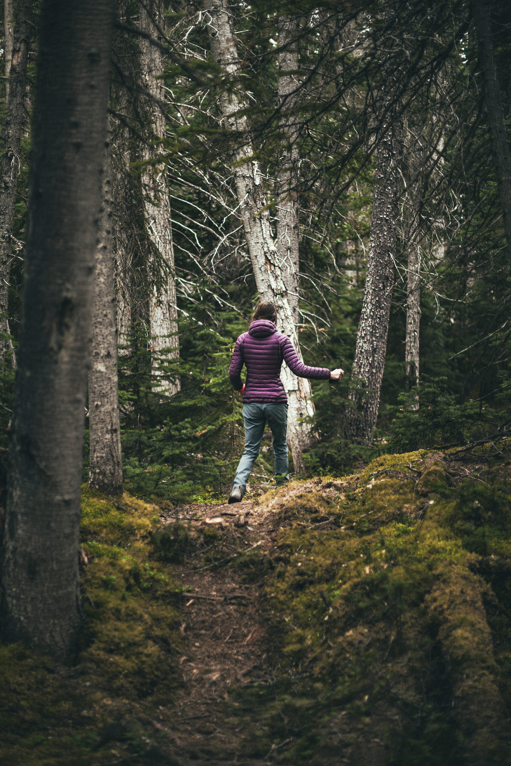
After that realization, and walking down another 15min without seeing the end of the trail, we just turned around and walked back with lots of loud singing and noise making. Turns out it wasn’t even the right trailhead to access that lake, the correct one was a bit further, and a few kilometers out and back, so we decided to skip it and go to a lake we could drive to instead.
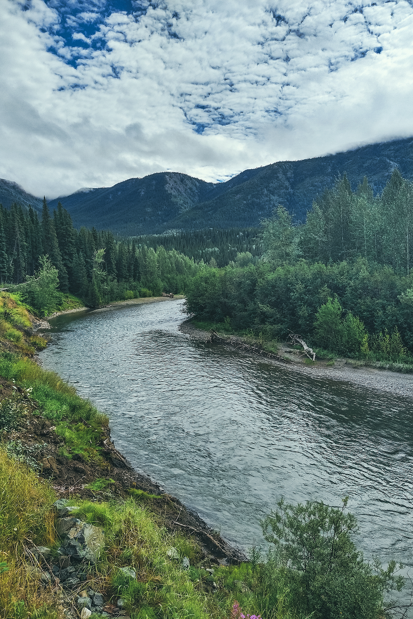
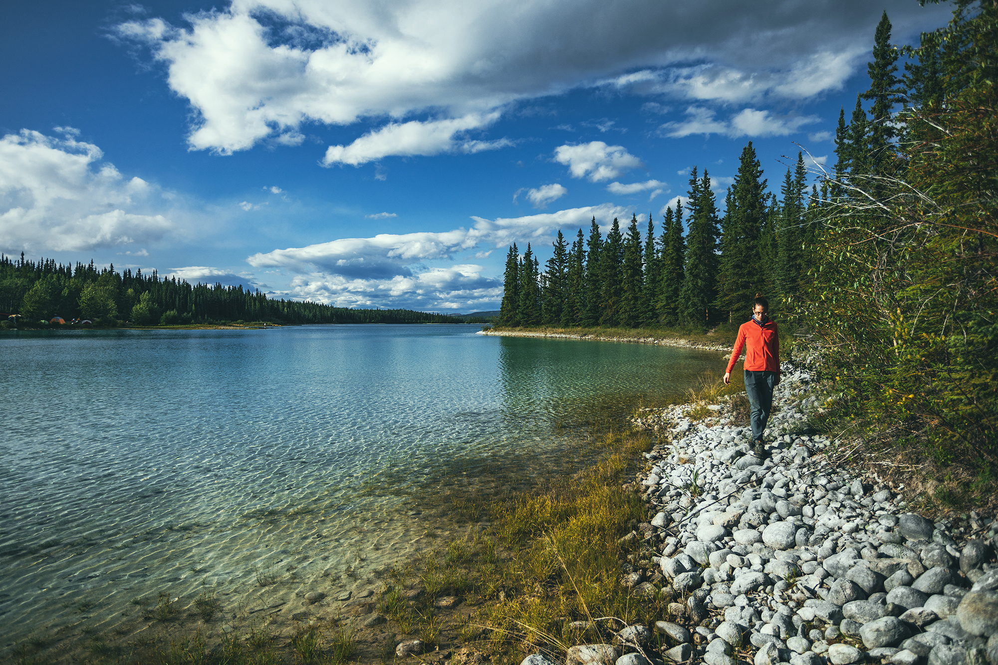
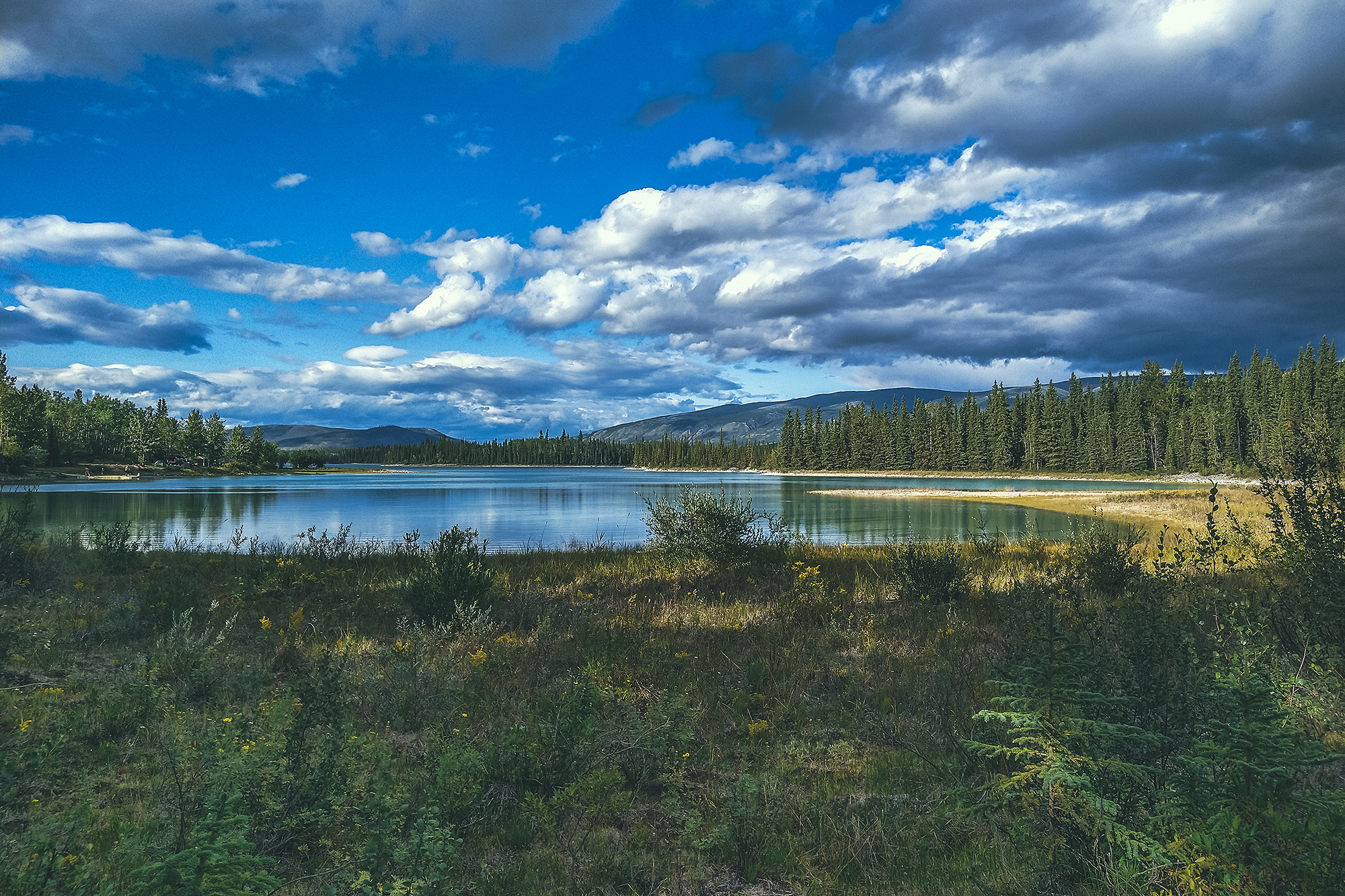
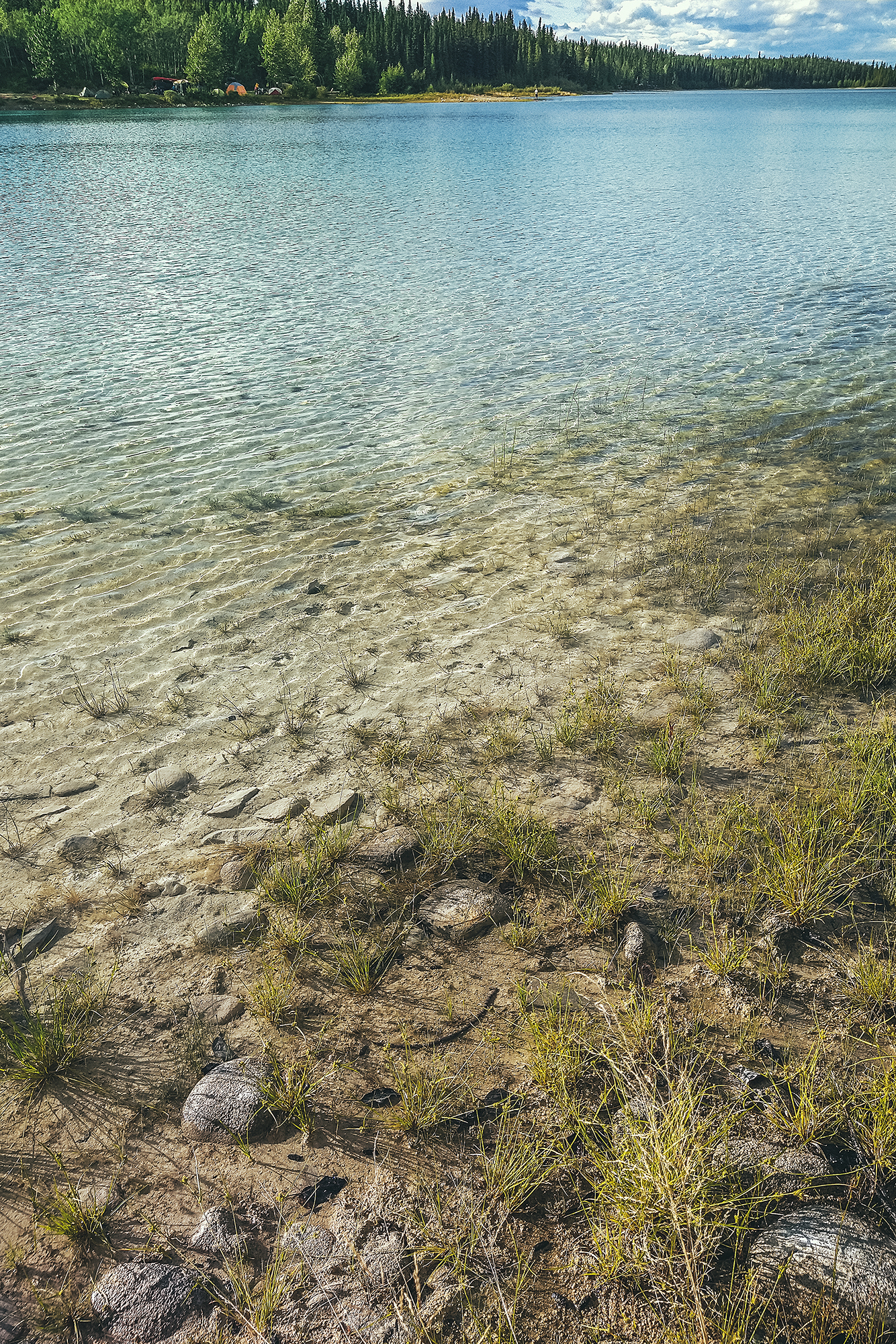
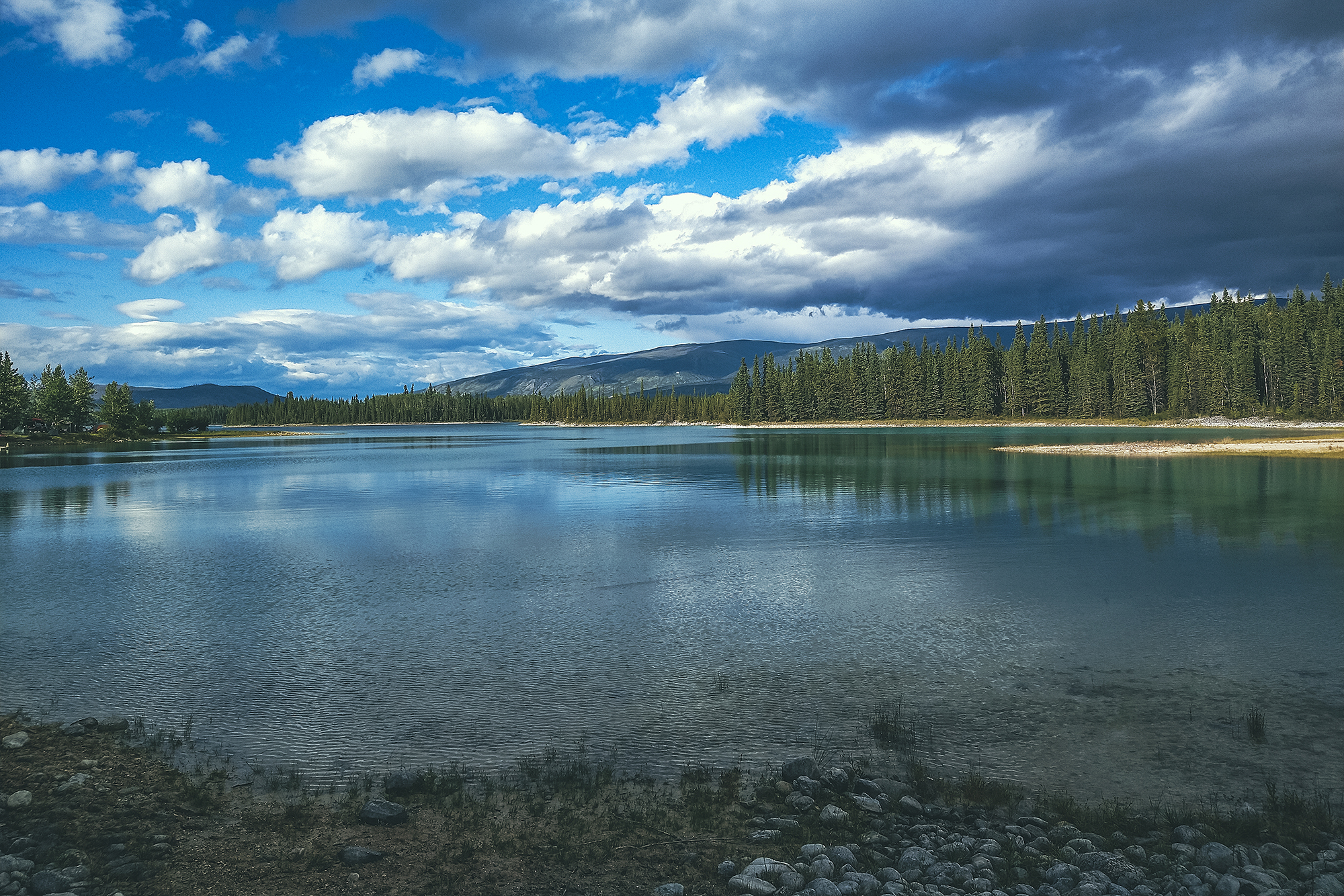
We also had had our quota of lake for the day, having stopped at Bob Quinn lake for lunch, a rec site with dispersed camping, and at the Eldontenajon lake rest area (the lower area right by the lake) for a snack later. There was definitely no shortage of lakes off the side of the road.
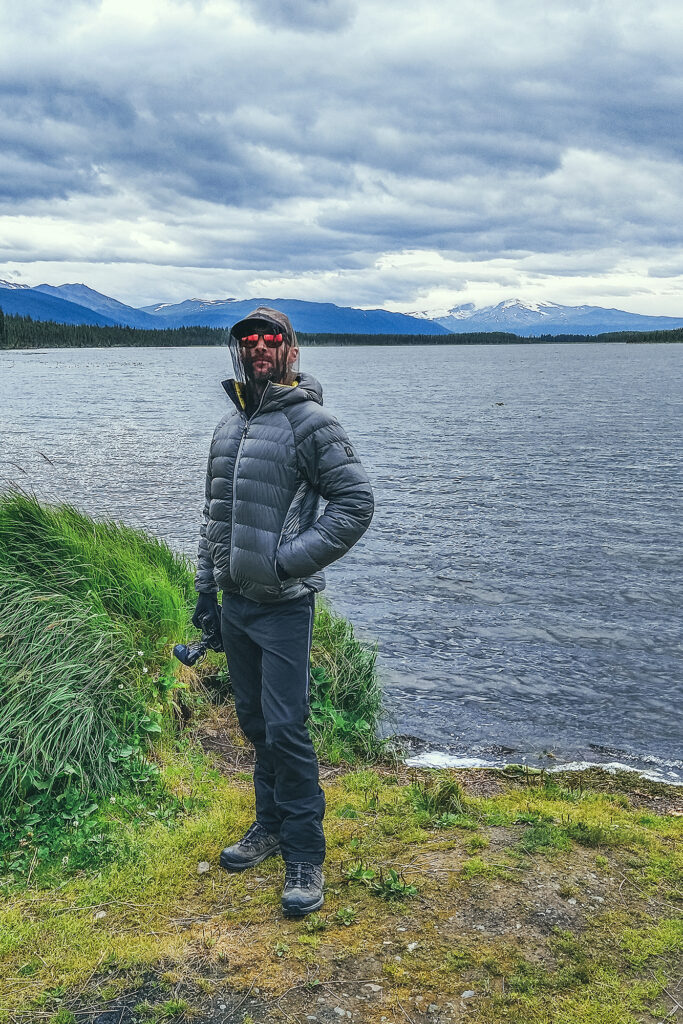
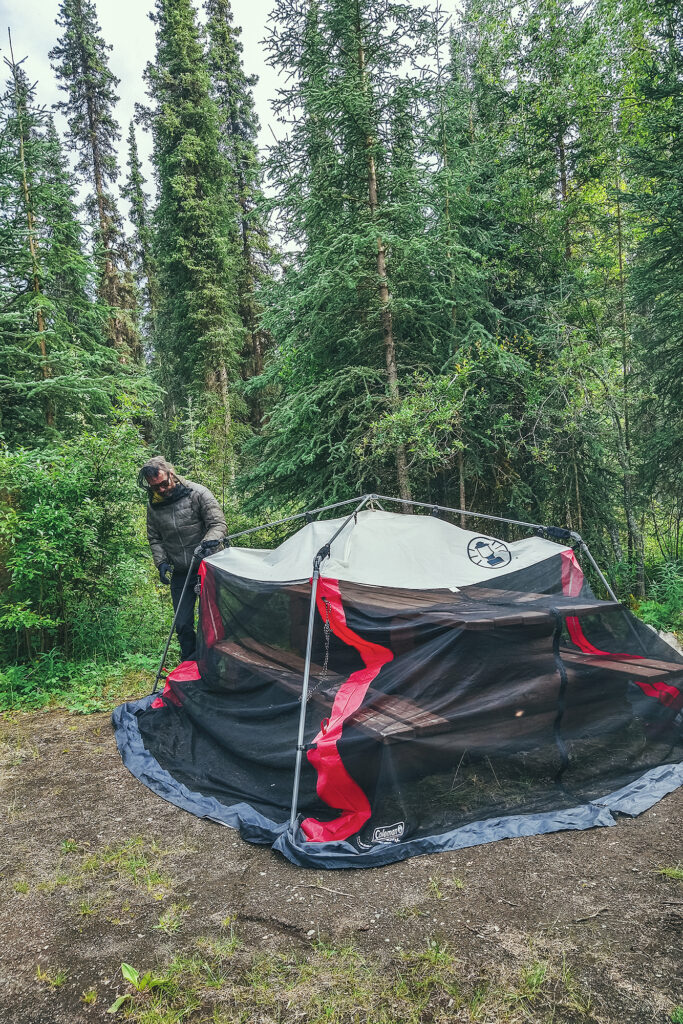
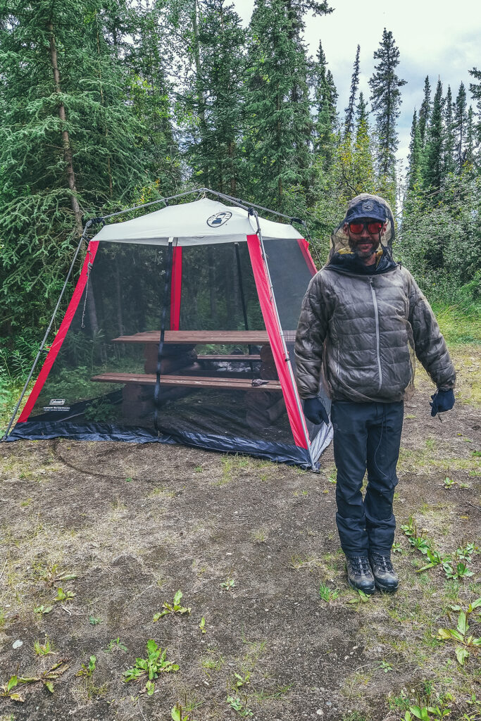
I had pinpointed Tatogga as our place to stop for the night but we ended up driving just a bit further. We set up camp at Morchuea lake Rec Site, a pretty scenic lake with views of Mount Edziza, but probably the highest concentration of mosquitoes we’d seen so far. For the first time on the trip we made use of our bug jackets, pretty invaluable to keep calm when trying to set up camp in a swarm of hungry mosquitoes. And thankfully the net shelter did a good job at keeping them out as well, and ensuring a relaxing evening.
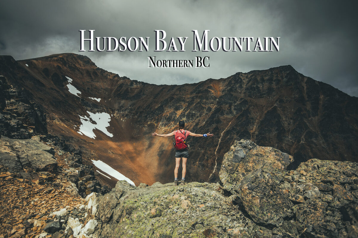
As a side note, Mount Edziza wasn’t on the list for this trip as there is no road access, and it would be a whole other trip to plan on its own. But our friends Adele and Thierry’s trip from a couple of years ago certainly made us want to put it on the list for the future.
August 10 – From Telegraph Creek to Watson lake.
Given the poor conditions at the Morchuea lake Rec Site (mainly the fierce mosquitos), we had packed most things into the car the night before, as we knew we wouldn’t stick around for breakfast.
It rained quite a bit that night but it stopped by the time we got up. We had put the tarp over the tent for the rain but also to create a vestibule preventing mosquitos to come in, which prove pretty effective (our tent does come with an extra vestibule that you can zip on, but we’d only ever used it once, found it a bit cumbersome, and didn’t think to bring it on this trip).
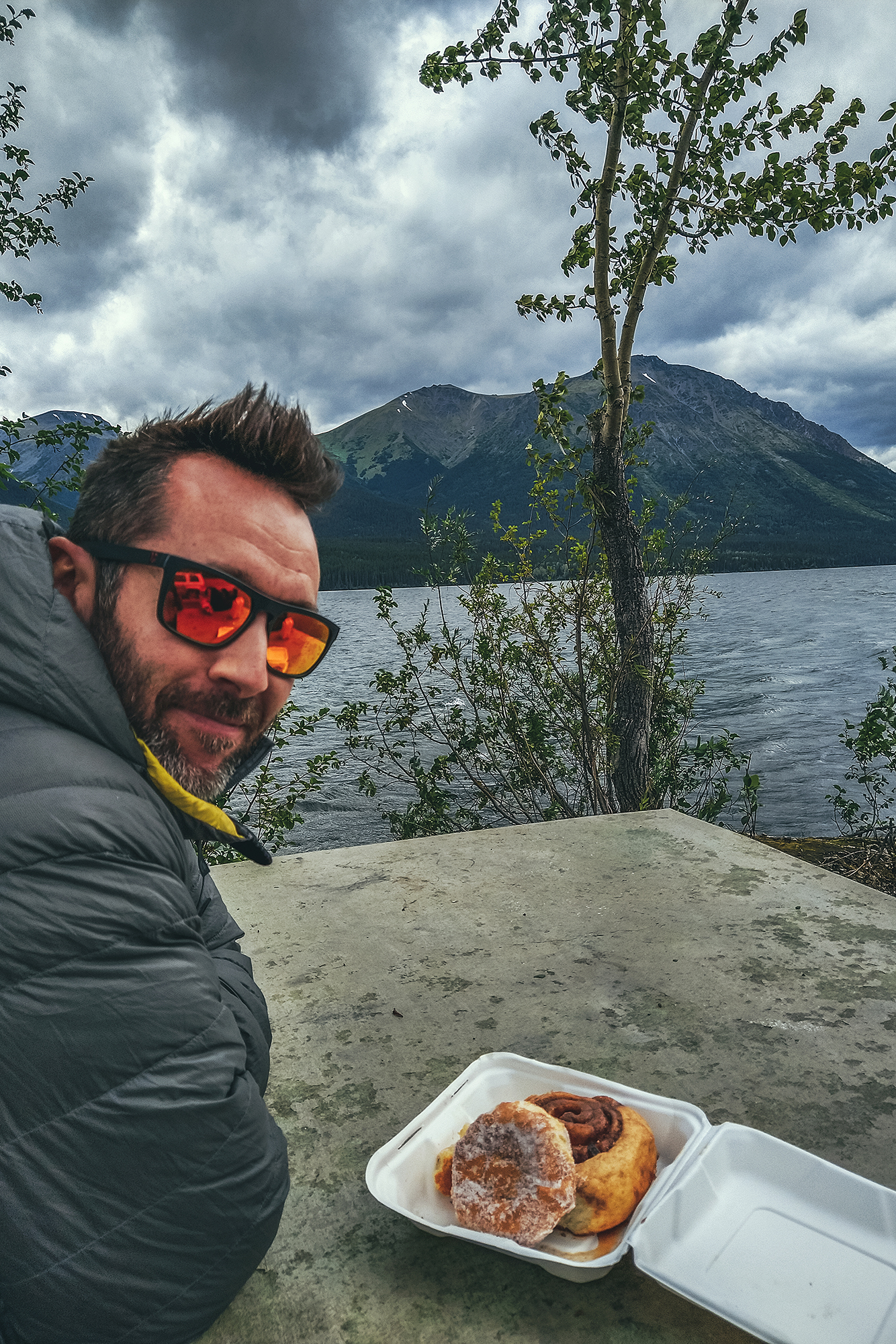
We left camp and drove to the closest gas station for a refuel and coffee..
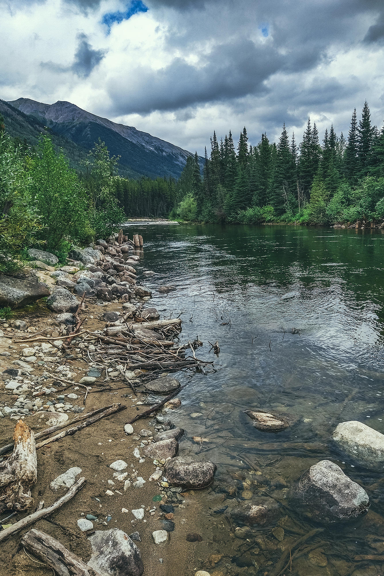
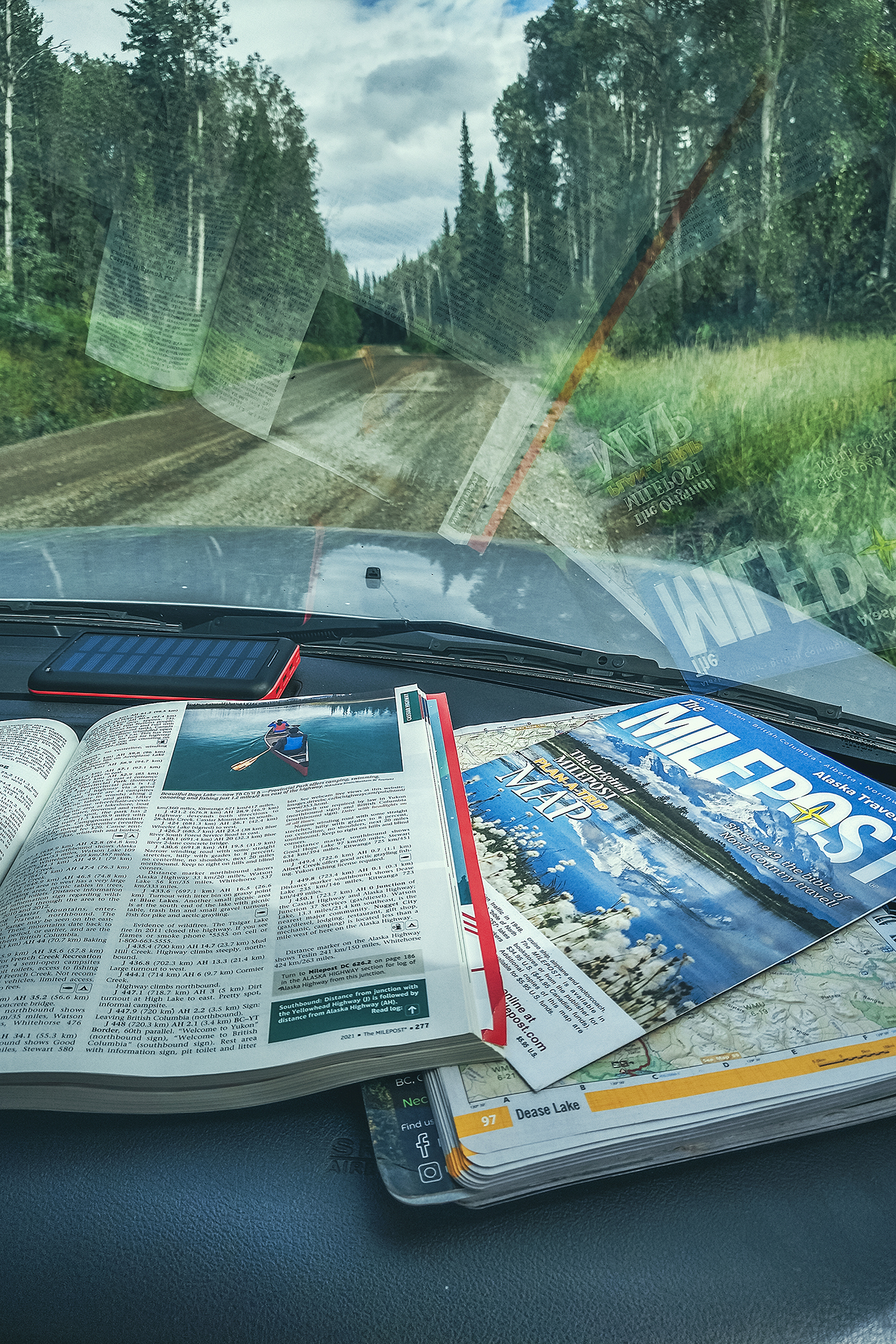
Then we drove to Dease Lake. BRMP indicated a hot spring nearby but at that scale, the map was a bit vague and didn’t describe a clear access point. We looked for it in the forest along the stream but couldn’t find it. If it existed, it definitely wasn’t one that was advertised by the locals.
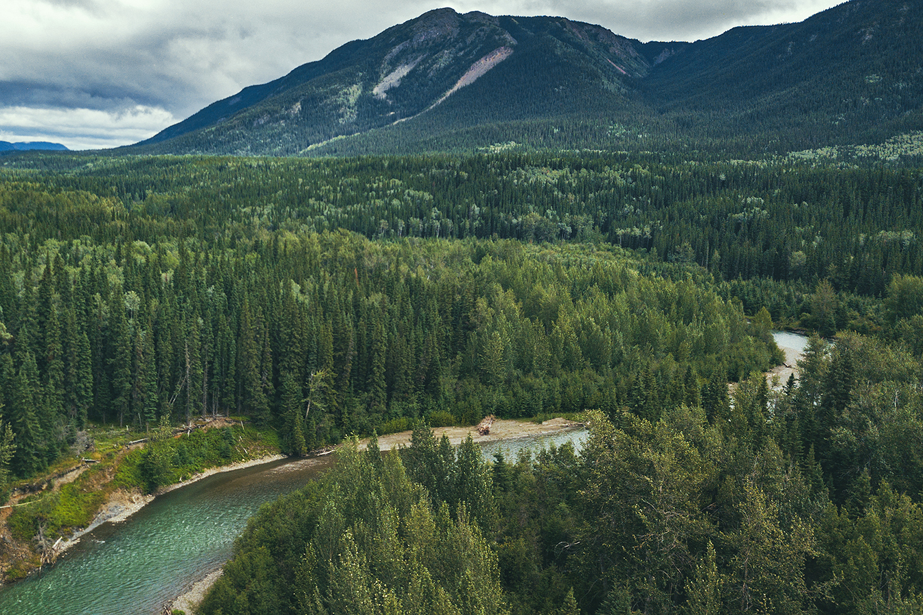
We picked groceries up and some lunch, then decided to drive down Telegraph Creek Road, to get a peek at the Stikine River Canyon, described as the “Grand Canyon” of Canada. While the road goes for over 100km to Telegraph Creek, the Milepost indicated a good viewpoint at around 60 km, which is what we were aiming for. Unfortunately, we somehow missed the big sign at the beginning, saying that the road was closed for work at around km 40, and only found out when we got to a road block and a construction worker told us we couldn’t go through. So we turned around, but still found a spot with view of the river for lunch.
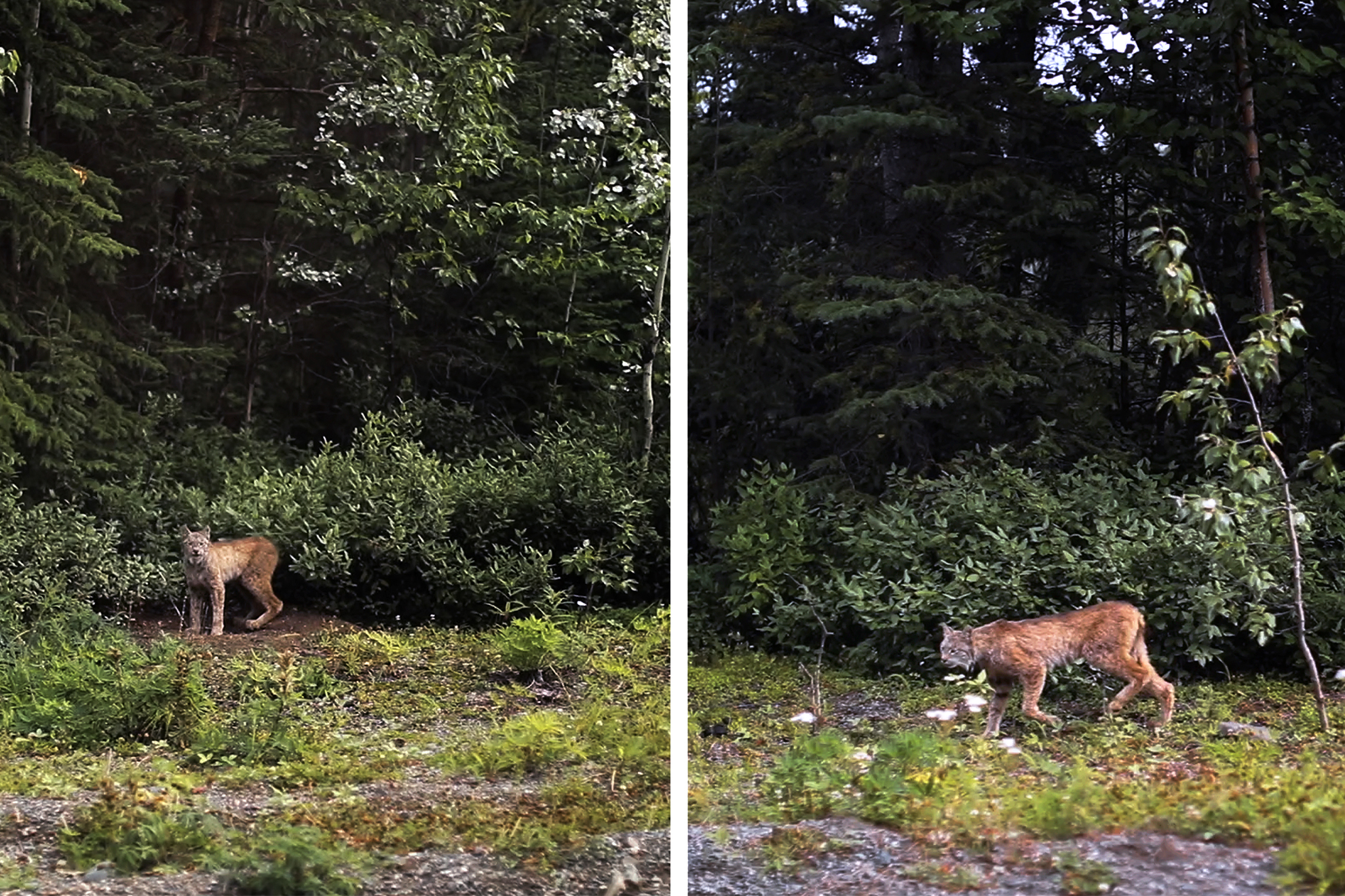
It wasn’t all wasted as we got to see a lynx off the side of the road, as well as a porcupine, neither of which we’ve ever seen in the wild!
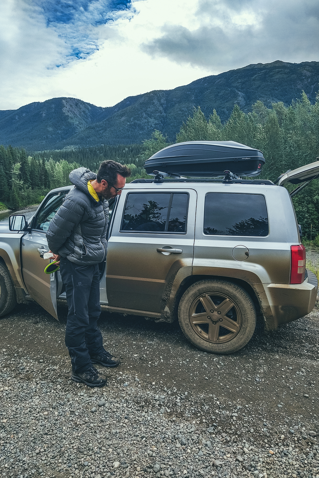
The road wasn’t paved but was very smooth and easy to drive, so we traveled relatively quickly. But didn’t realize until we stopped for lunch how dirty the car had gotten, with layers of mud accumulated into the wheel wells.
We then drove back to Dease lake, to continue our way up the Stewart-Cassiar highway into the Yukon, and we made a couple more stops on the way to Watson Lake.
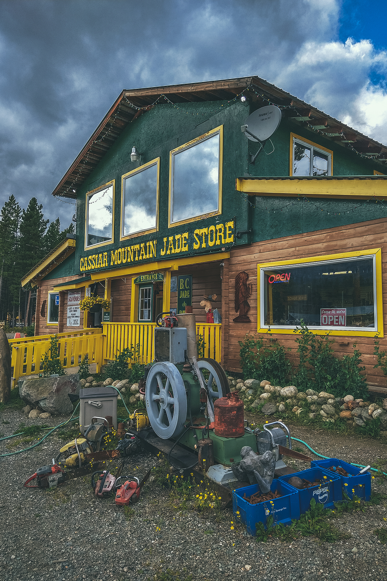
First we stopped at Jade City – which is really more of a trading post, featuring a store off the side of the road that sells all things stones & crystals and specializes in jade, as there is a large resource of it in the area.
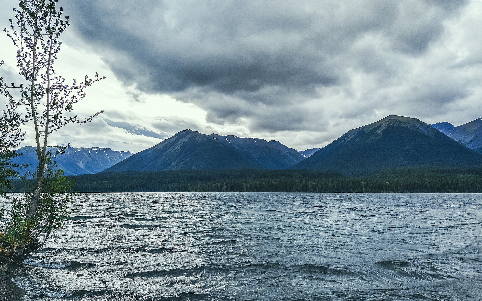
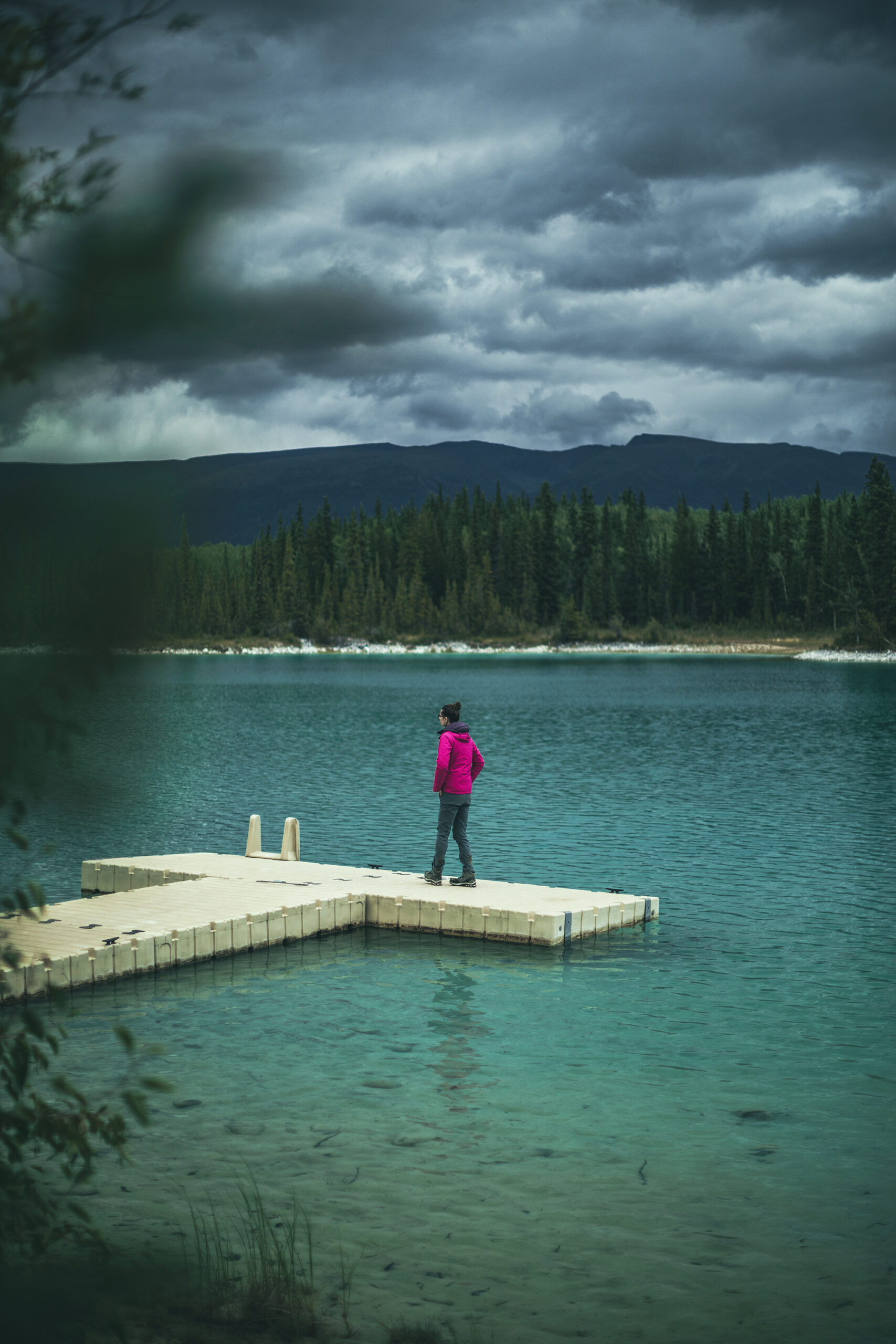
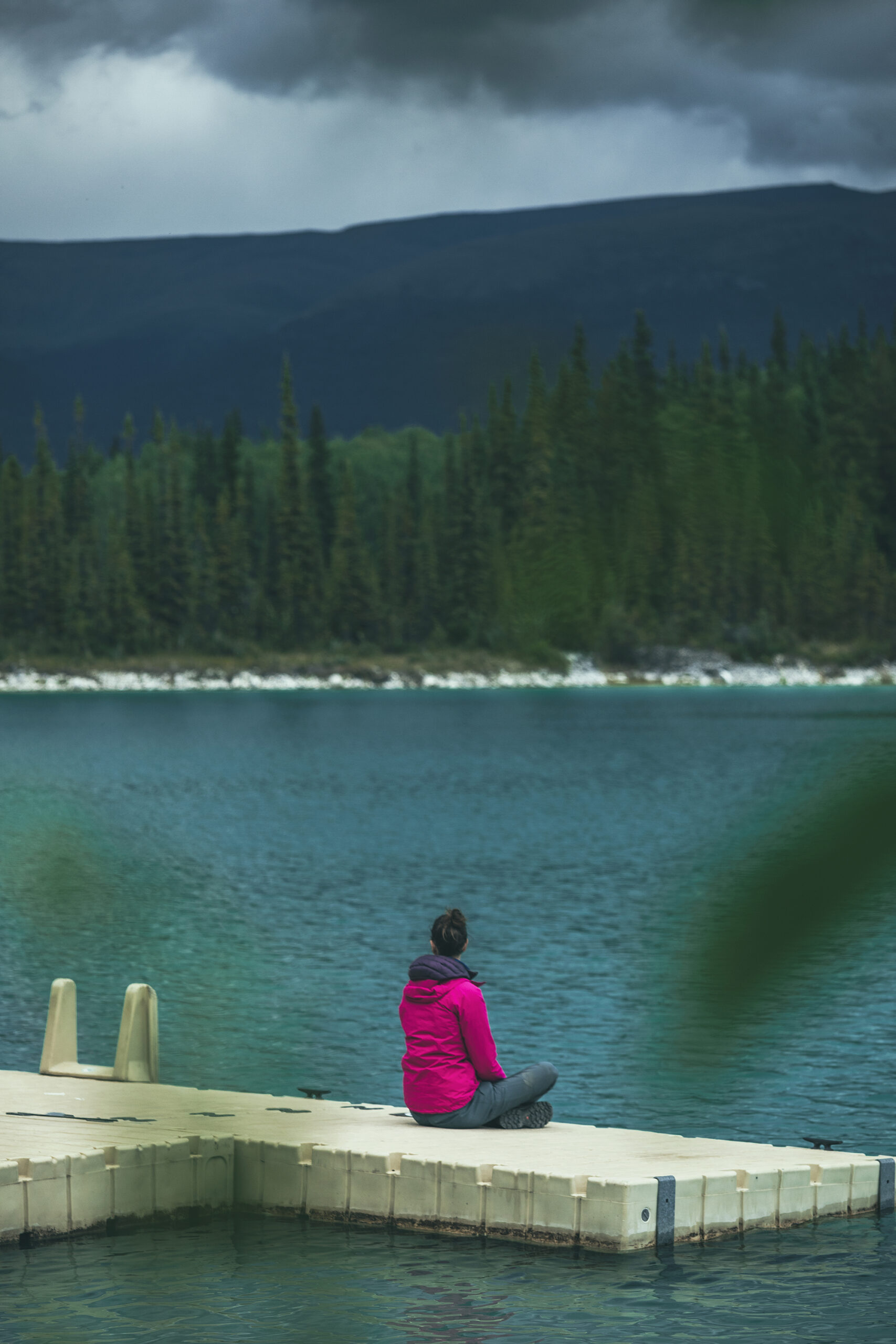
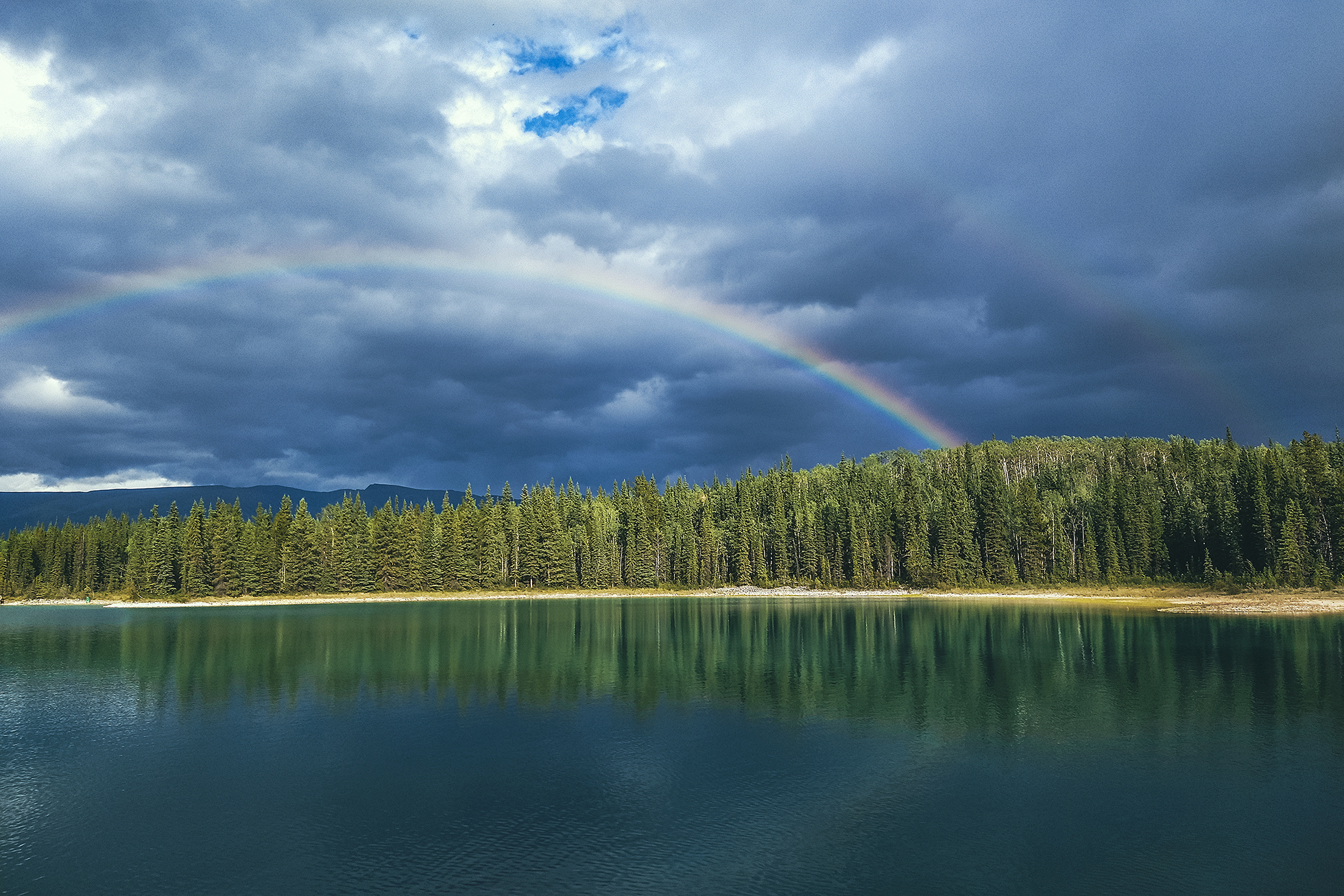
We made a quick stop at Good Hope Lake to admire the colour of the water, changing with the movement of the clouds.
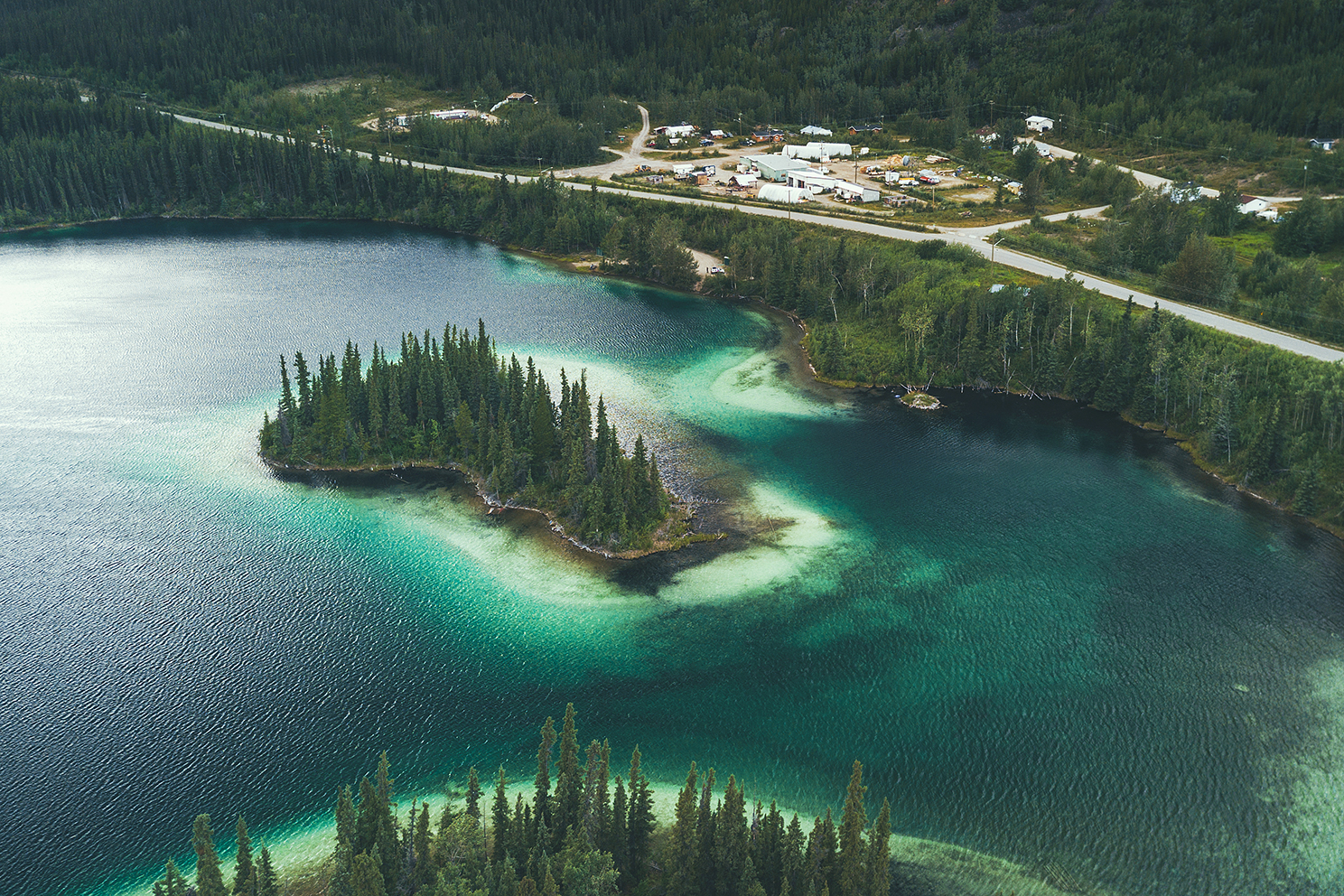
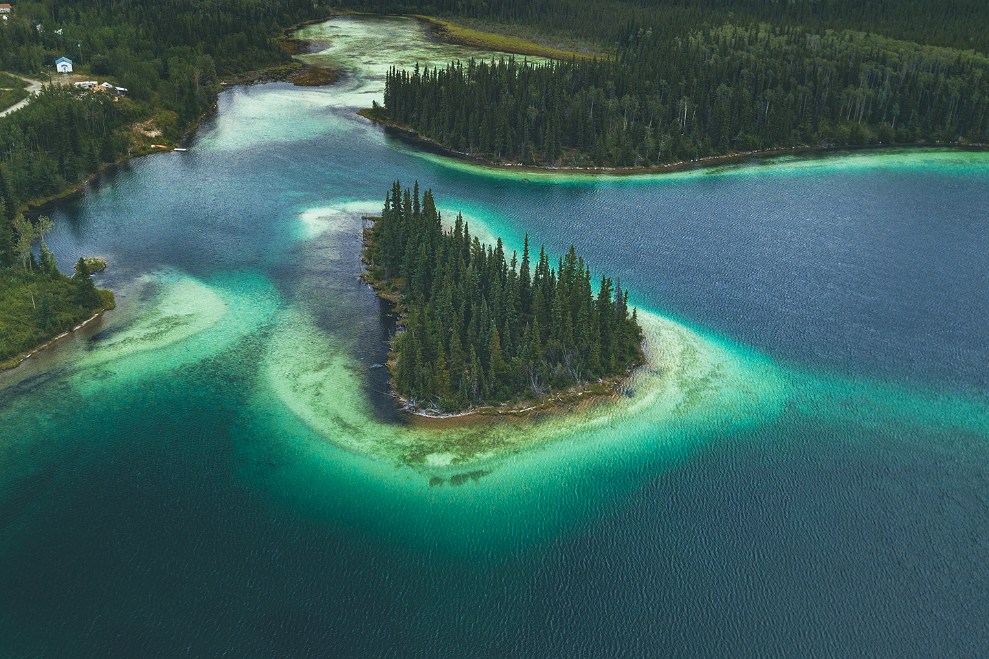
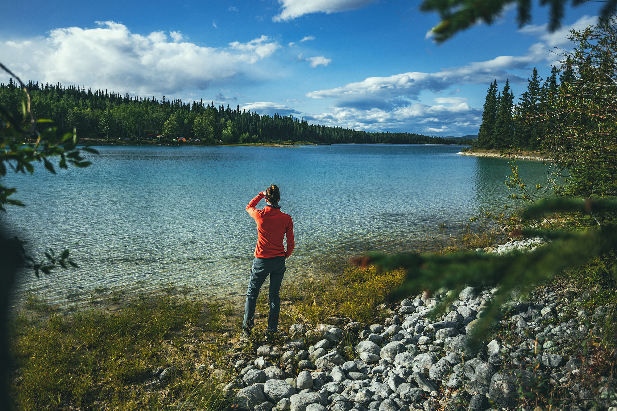
Finally we arrived at one of the places I had read about and was on the list of “must see” stops: Boya Lake
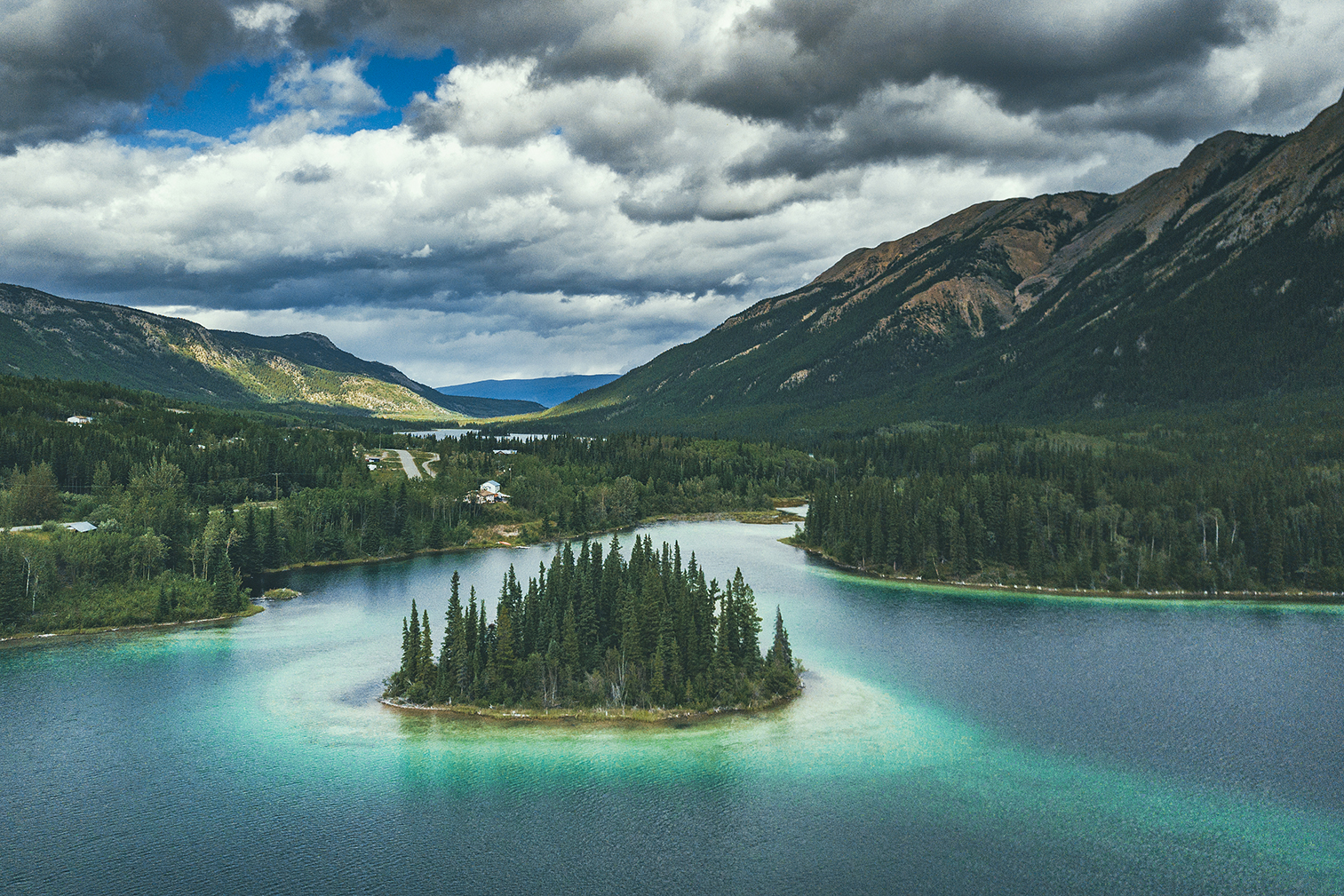
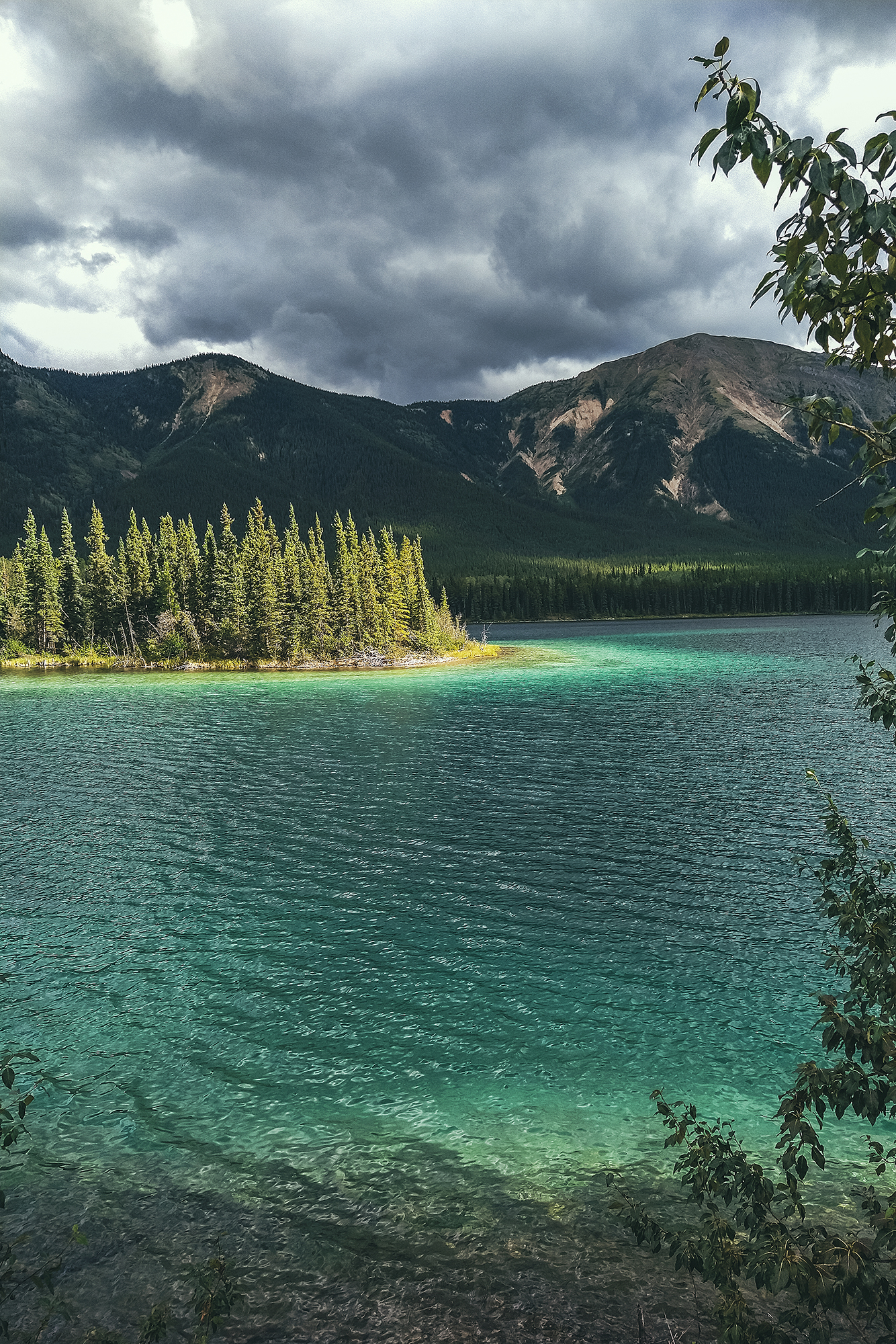
Boya lake Provincial Park is evidently a very popular camping destination and that is not surprising. The lake has shades of blue waters that make it look like the tropics. Islands are peppered all around and campsites line the shore, right on the water. The campground was pretty much full, but we weren’t planning on staying there for the night anyways, only spend a few hours and maybe get on the water.
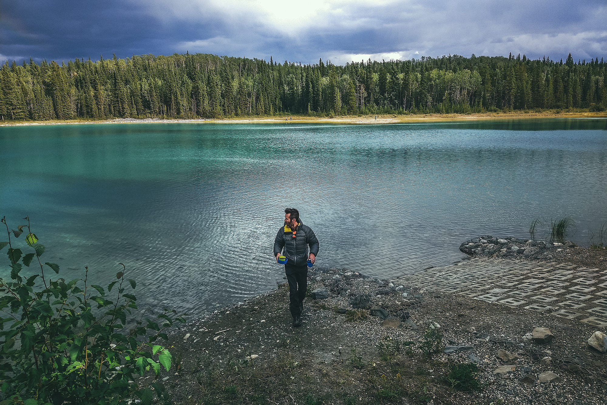
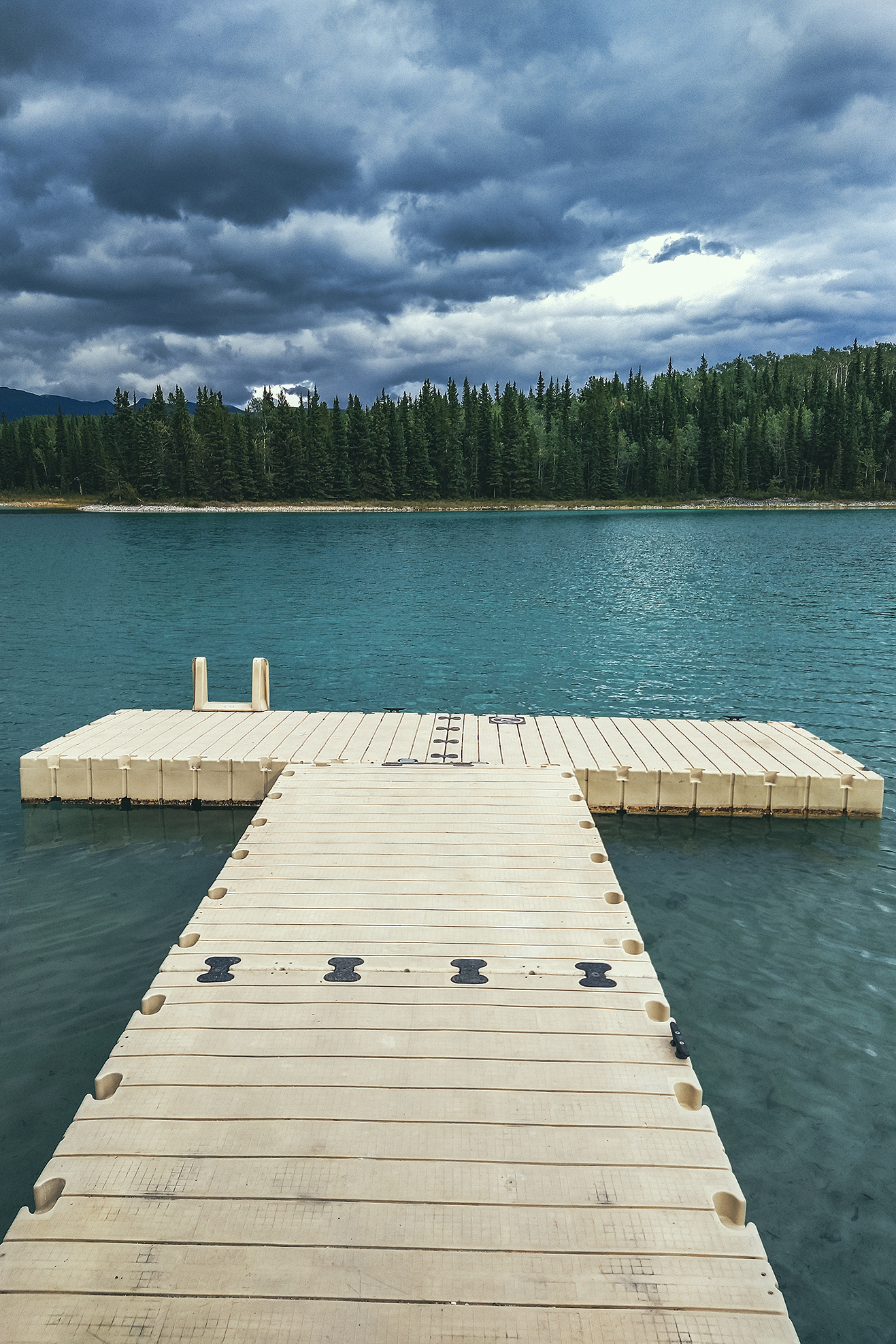
I regretted a bit getting there late – it was already 6pm and we had another 1.5 hour drive to Watson lake. With more time, I would have loved to take the kayaks out on the lake. It was one of the potential paddle stops I had originally planned, but with the weather that morning I didn’t think it would be nice enough to do so, hence the Telegraph Creek detour. But oh well, that’s how it goes, plans don’t always work out and that’s ok. We still got to enjoy the sight of the lake in the sun and really got a sense of how beautiful the water was. Mosquitoes however were still pretty relentless. We had a snack in the day use area then took a quick walk on the trail along the lake before heading out.
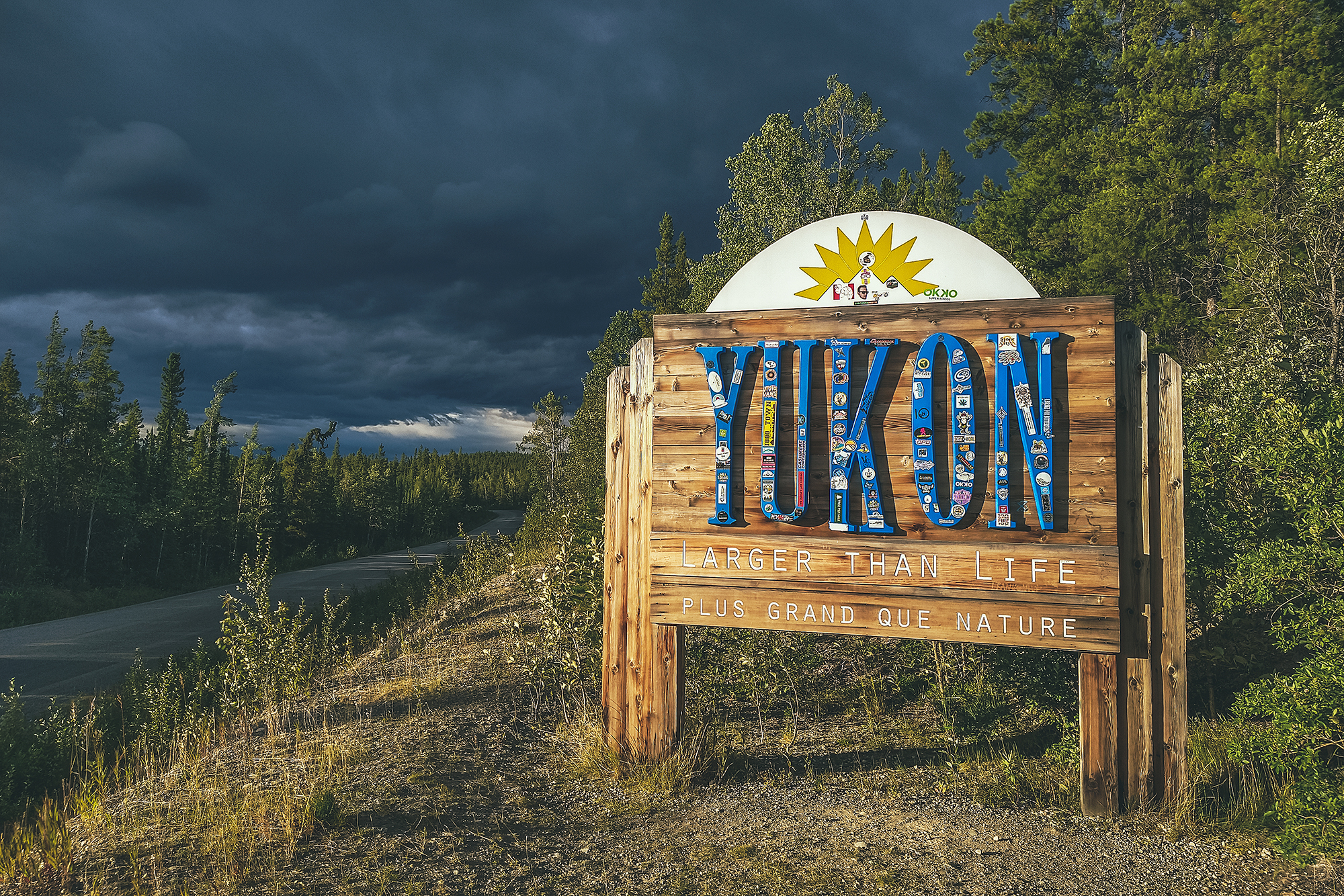
We got back on the road and drove to Watson lake to spend the night, stopping only to snap a shot of the Yukon sign as we crossed the provincial/territorial border.