Patagonia Road Trip Day 11 & 12: Perito Moreno Glacier and Re-Setting in Puerto Natales

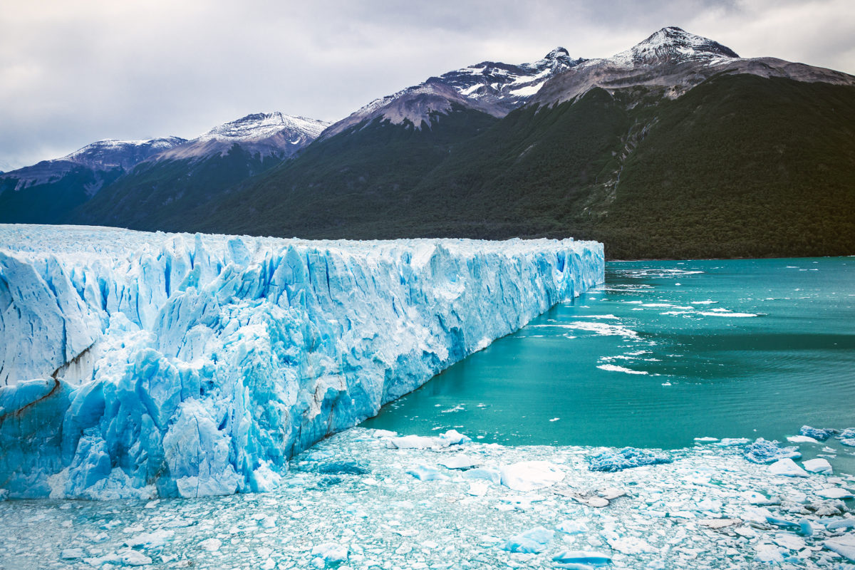
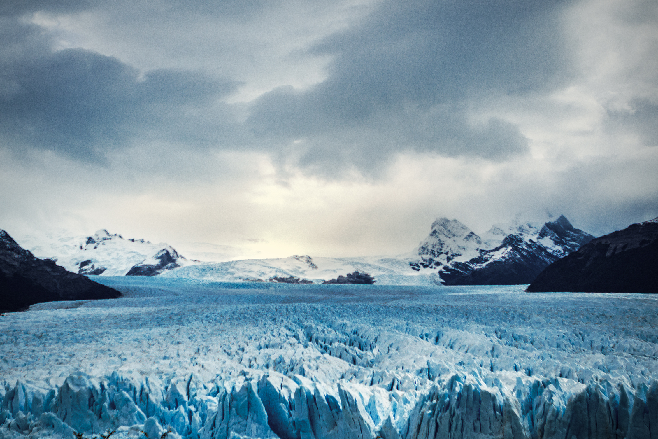
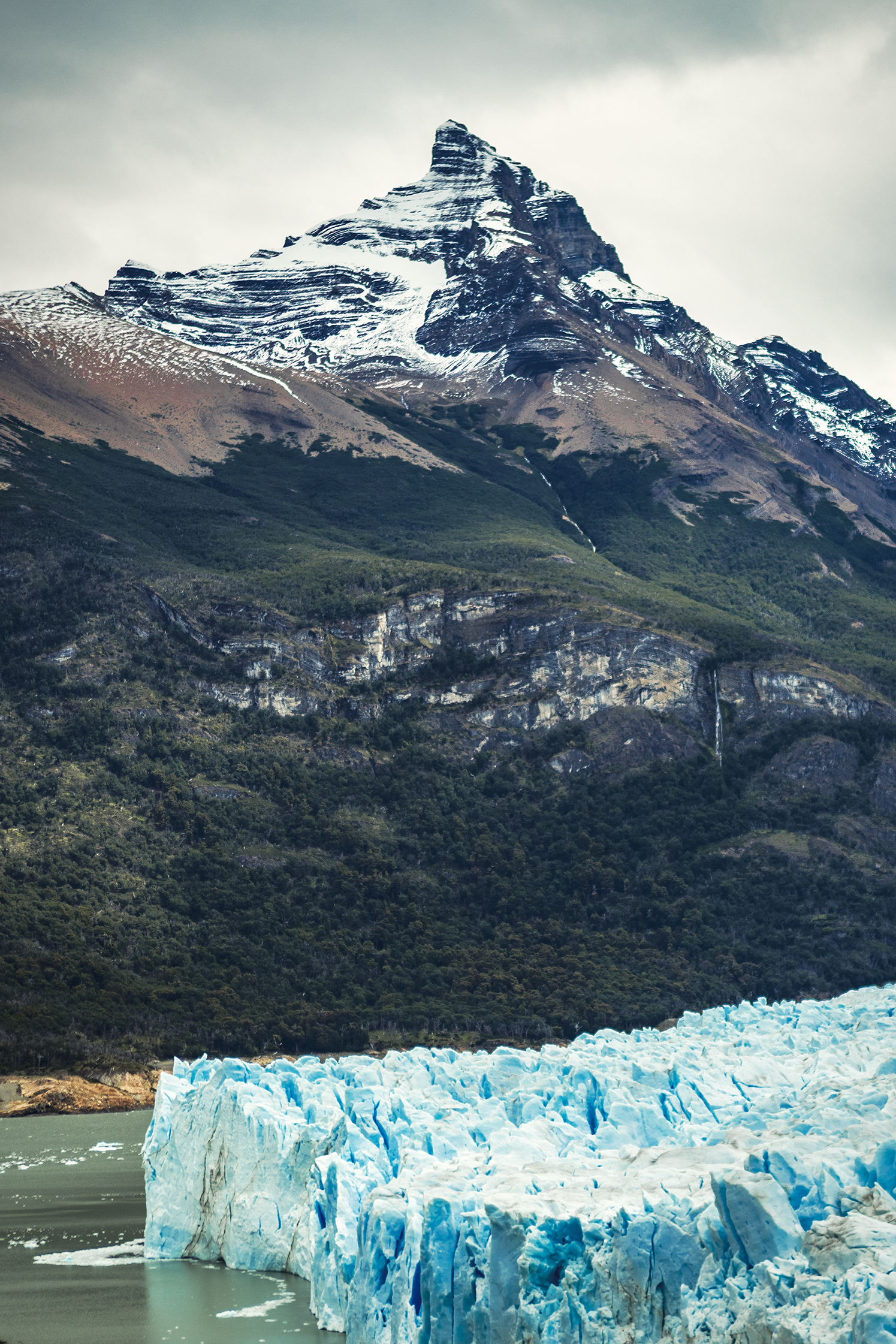
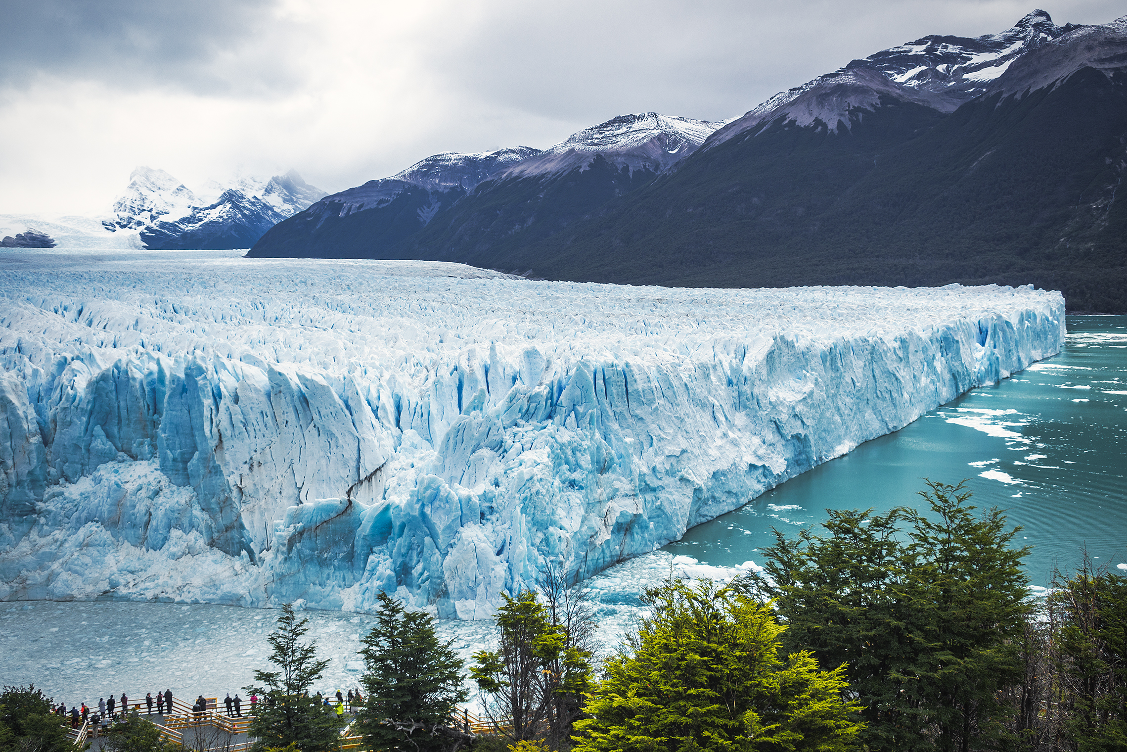
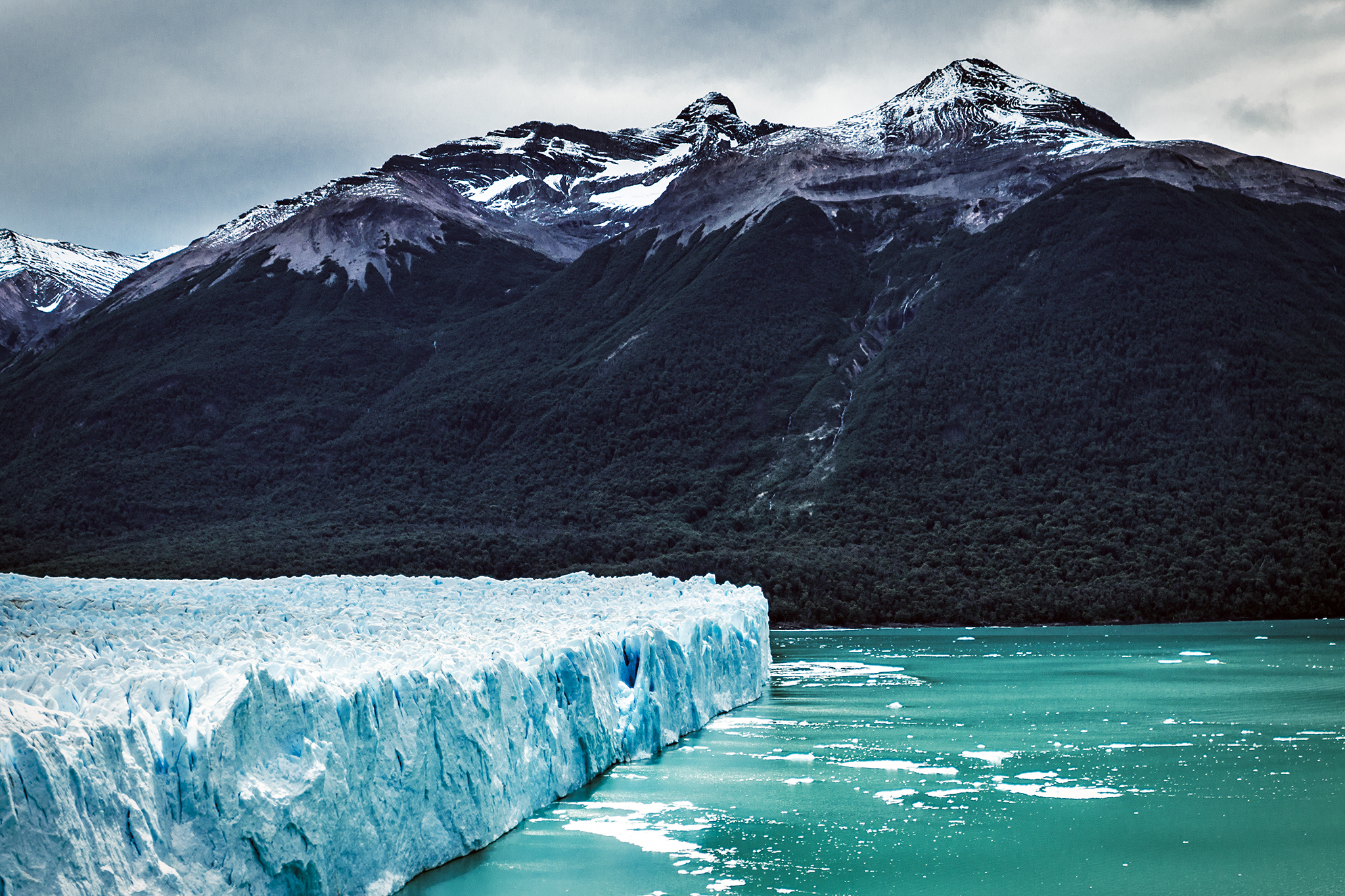
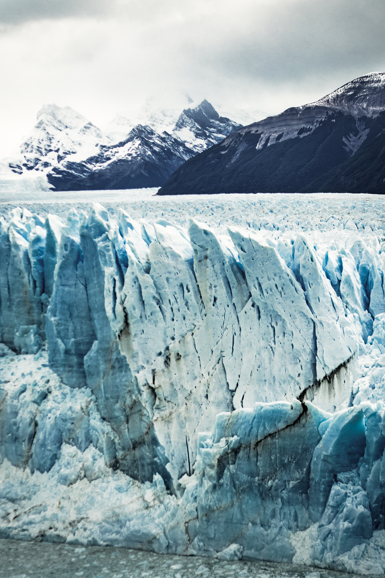
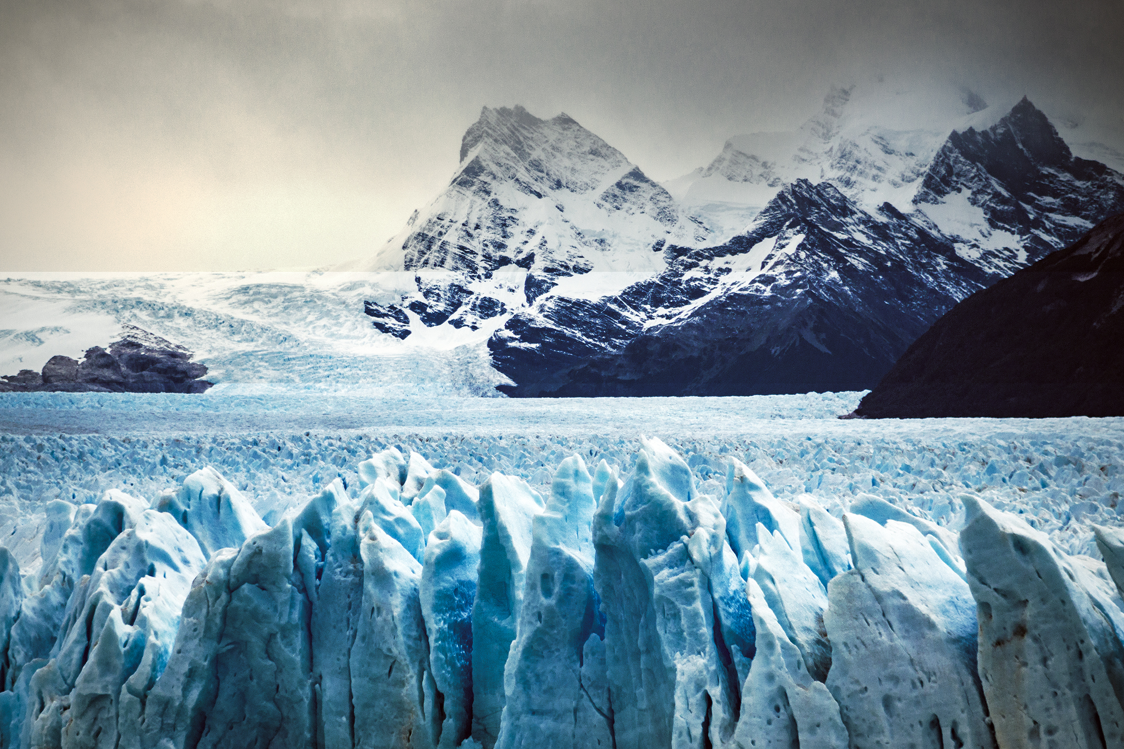
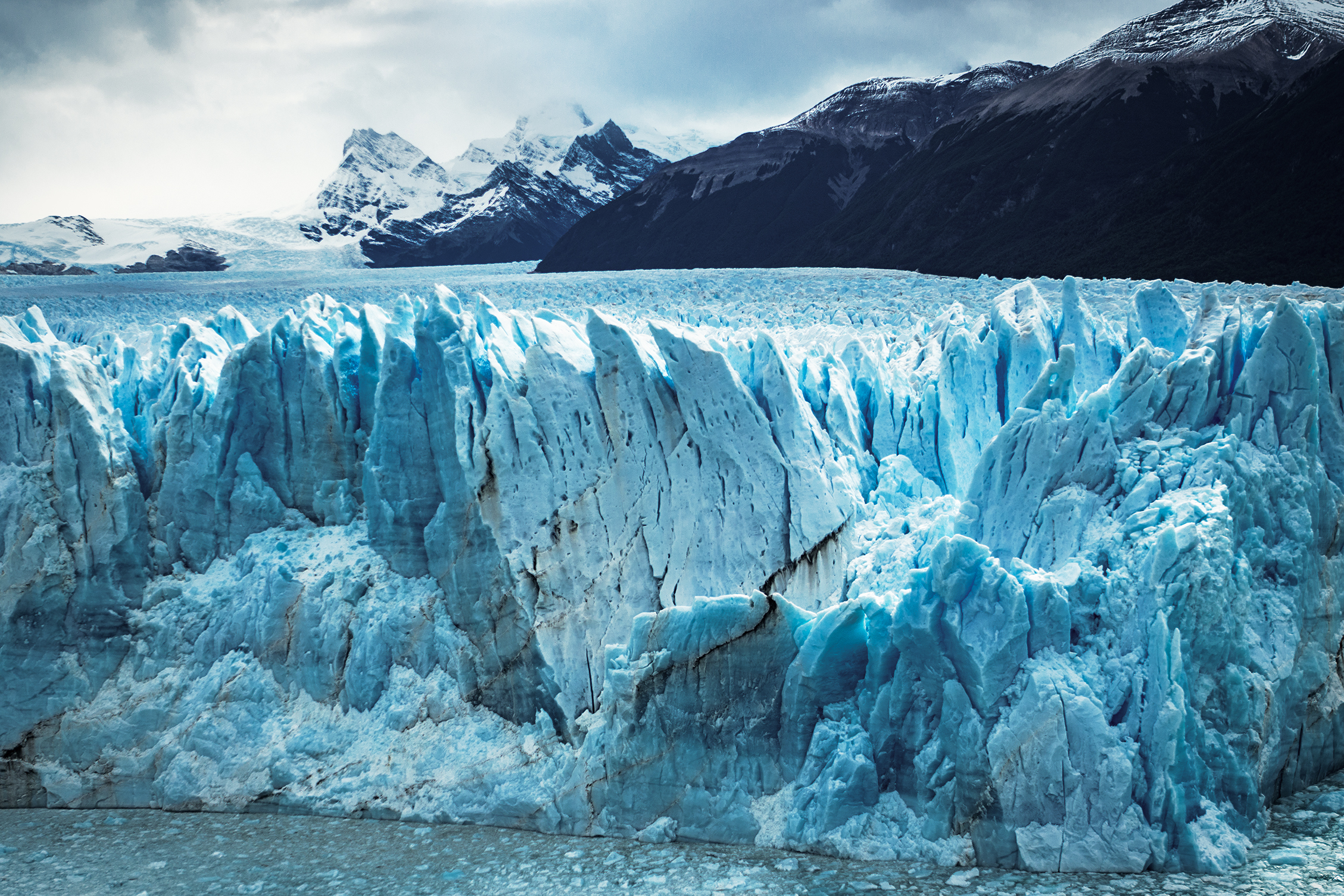
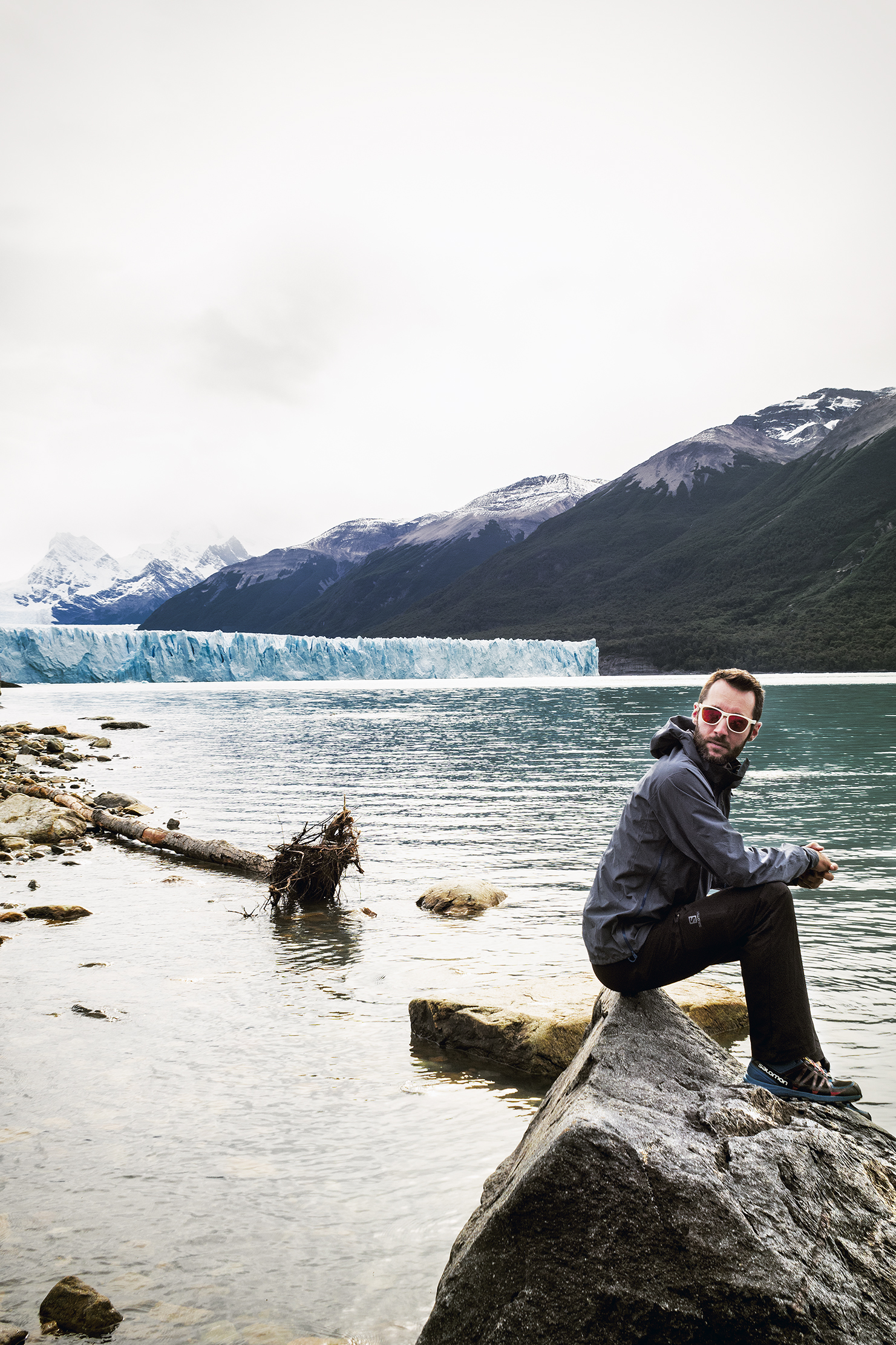
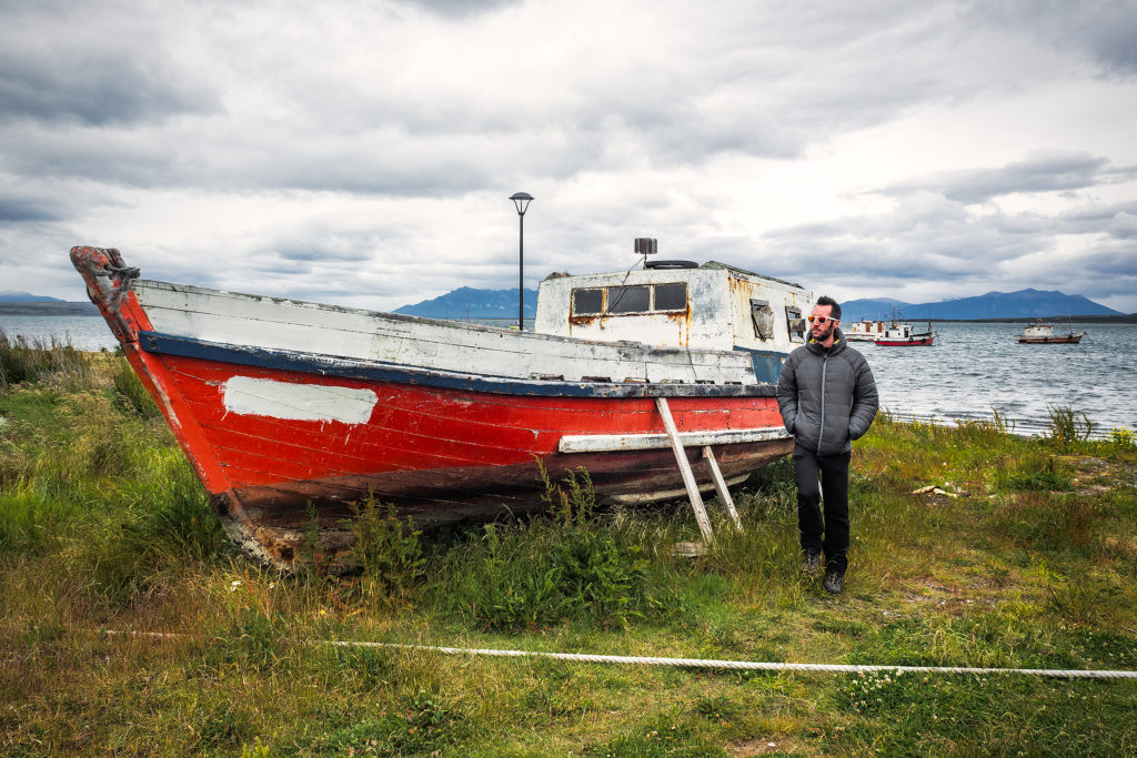
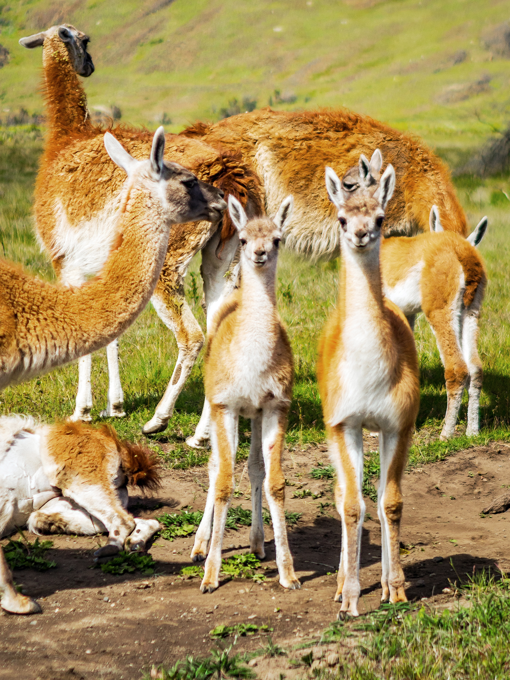
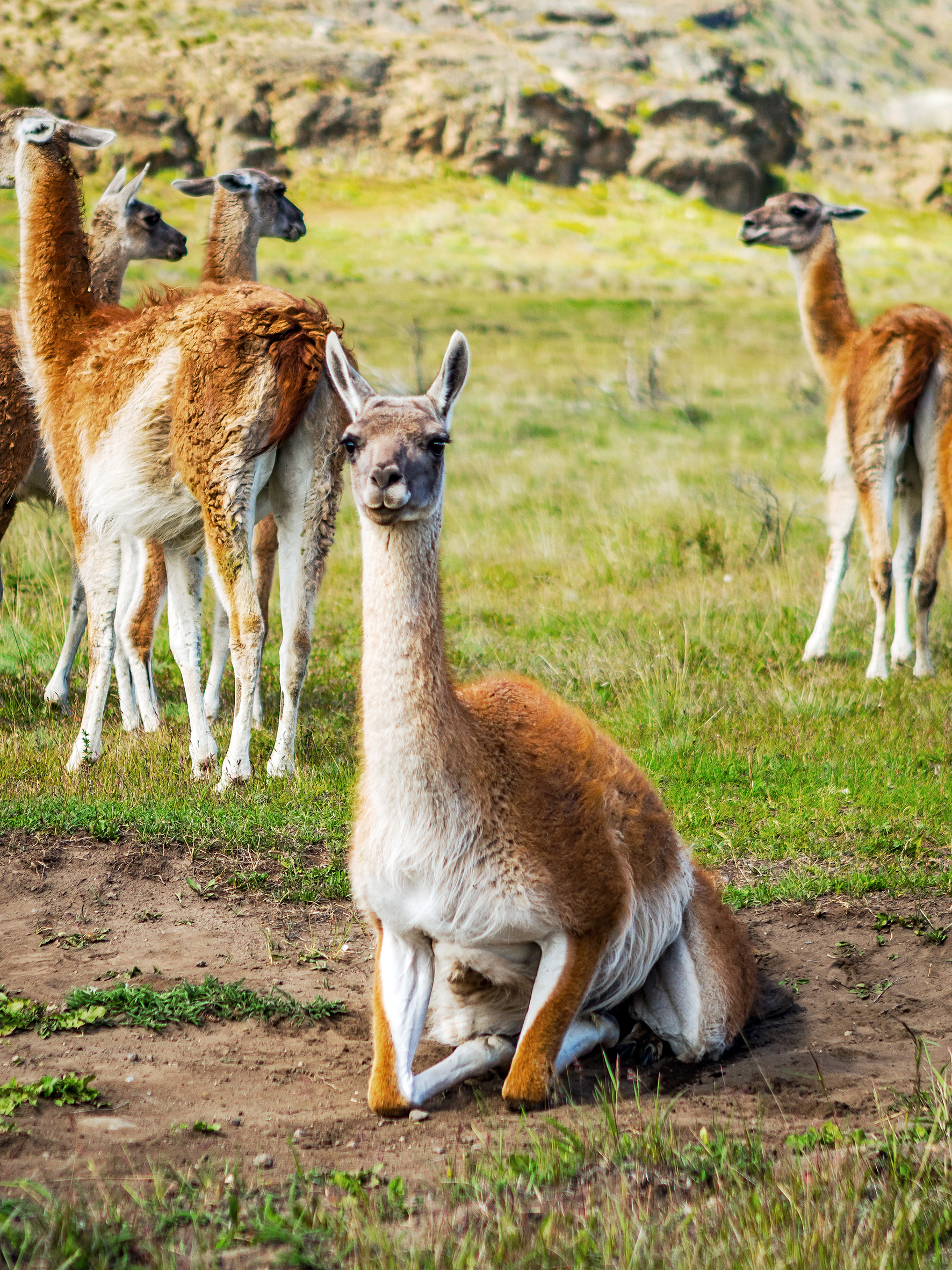
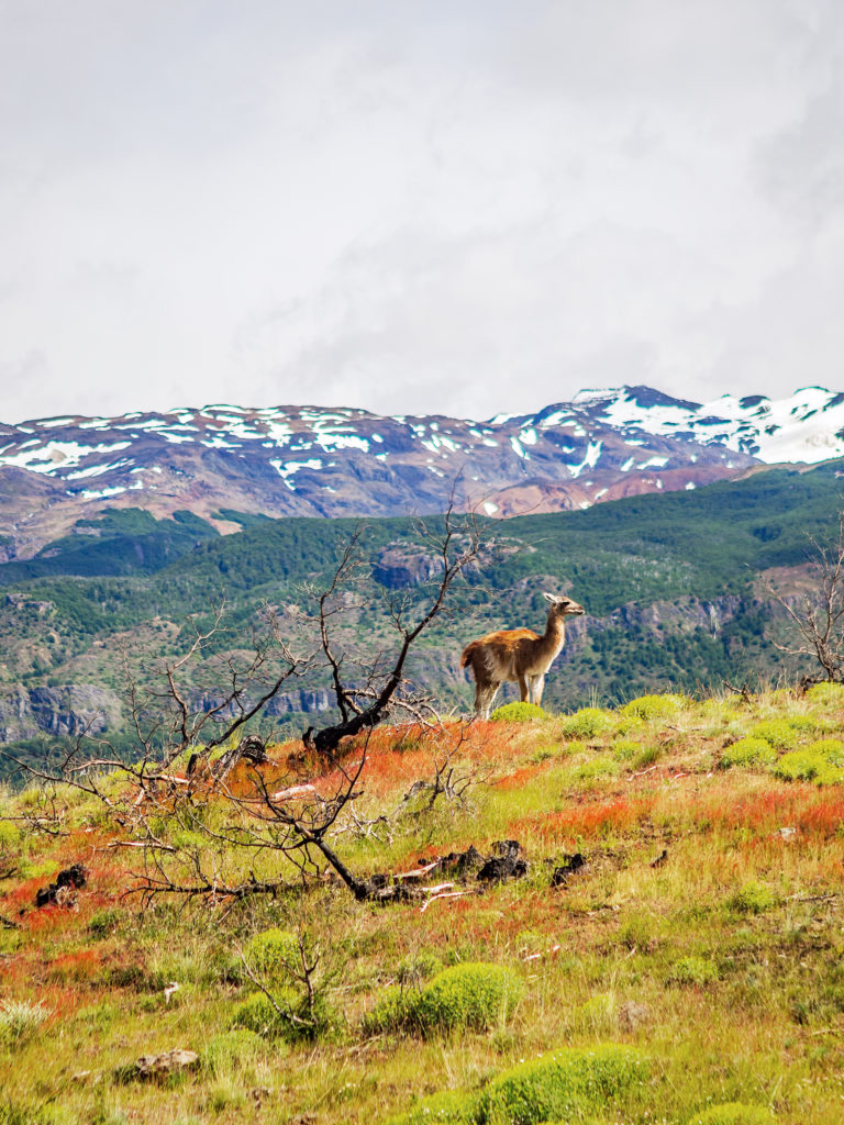
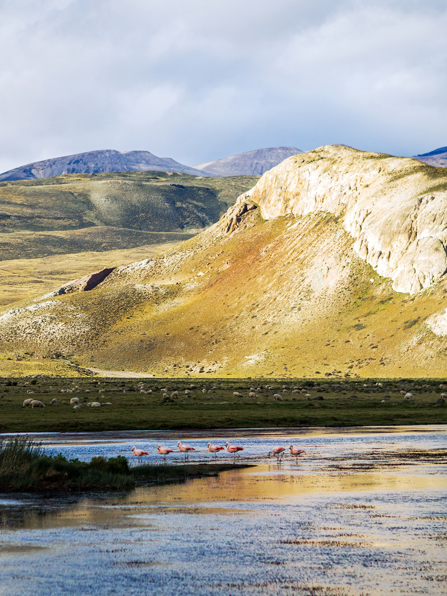
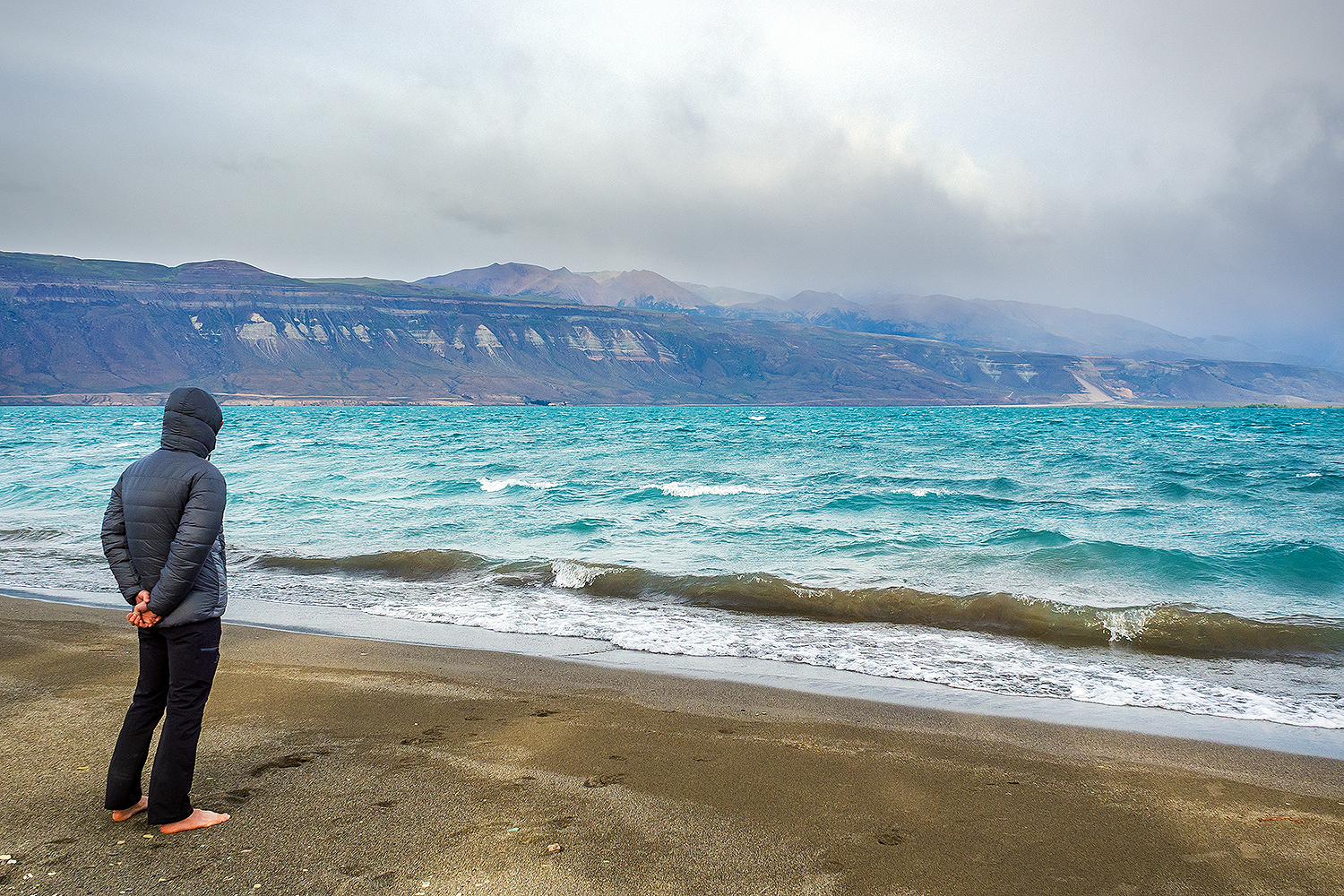
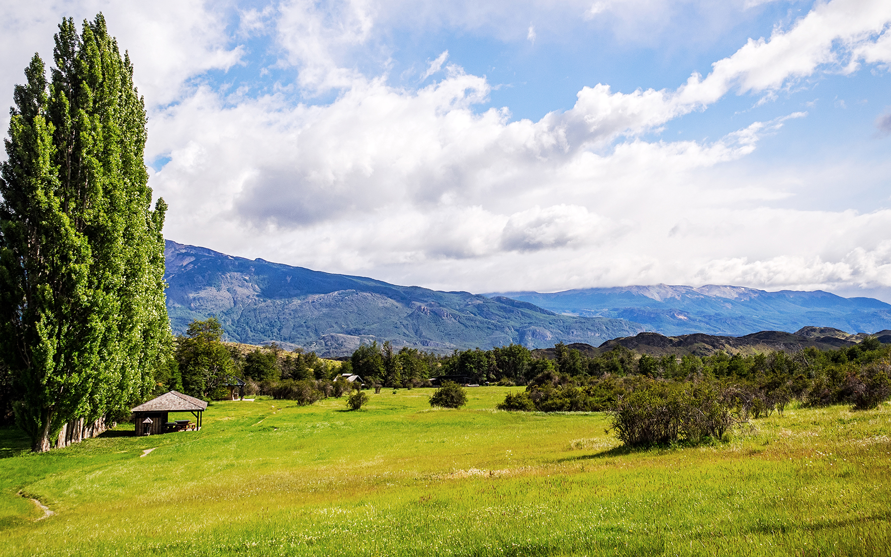
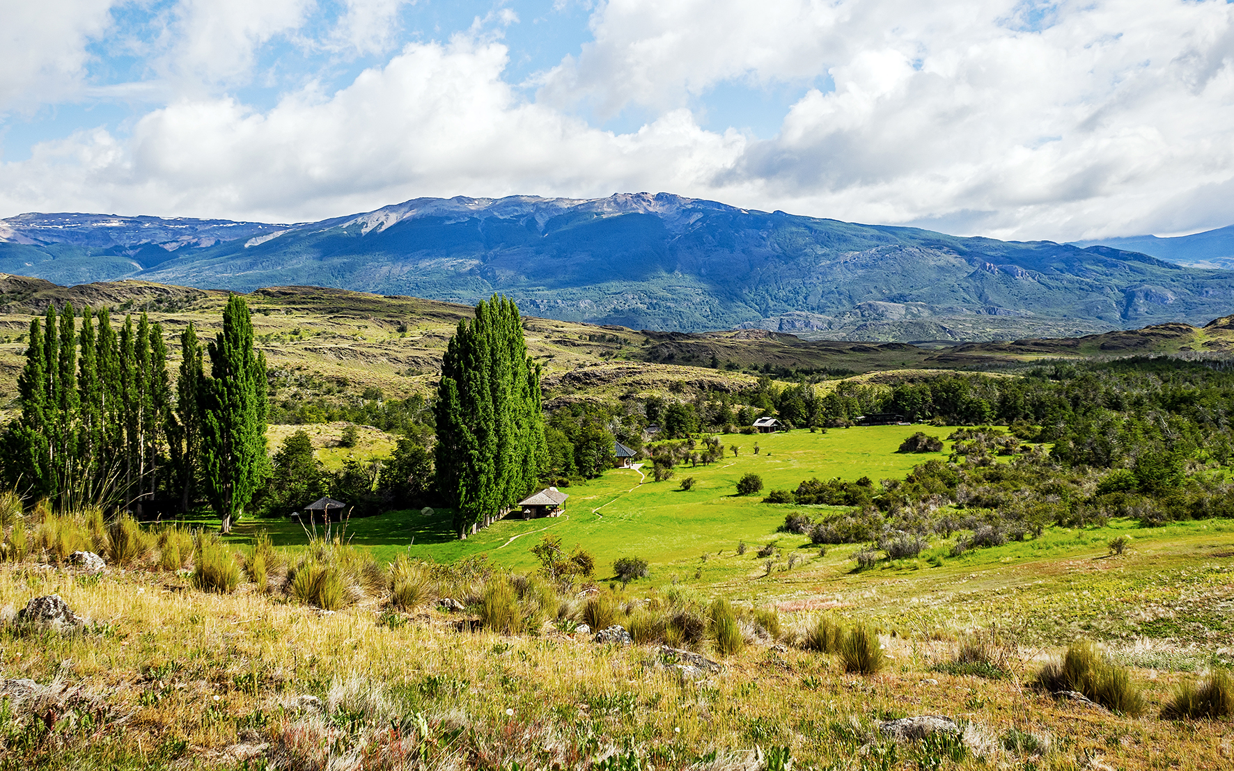
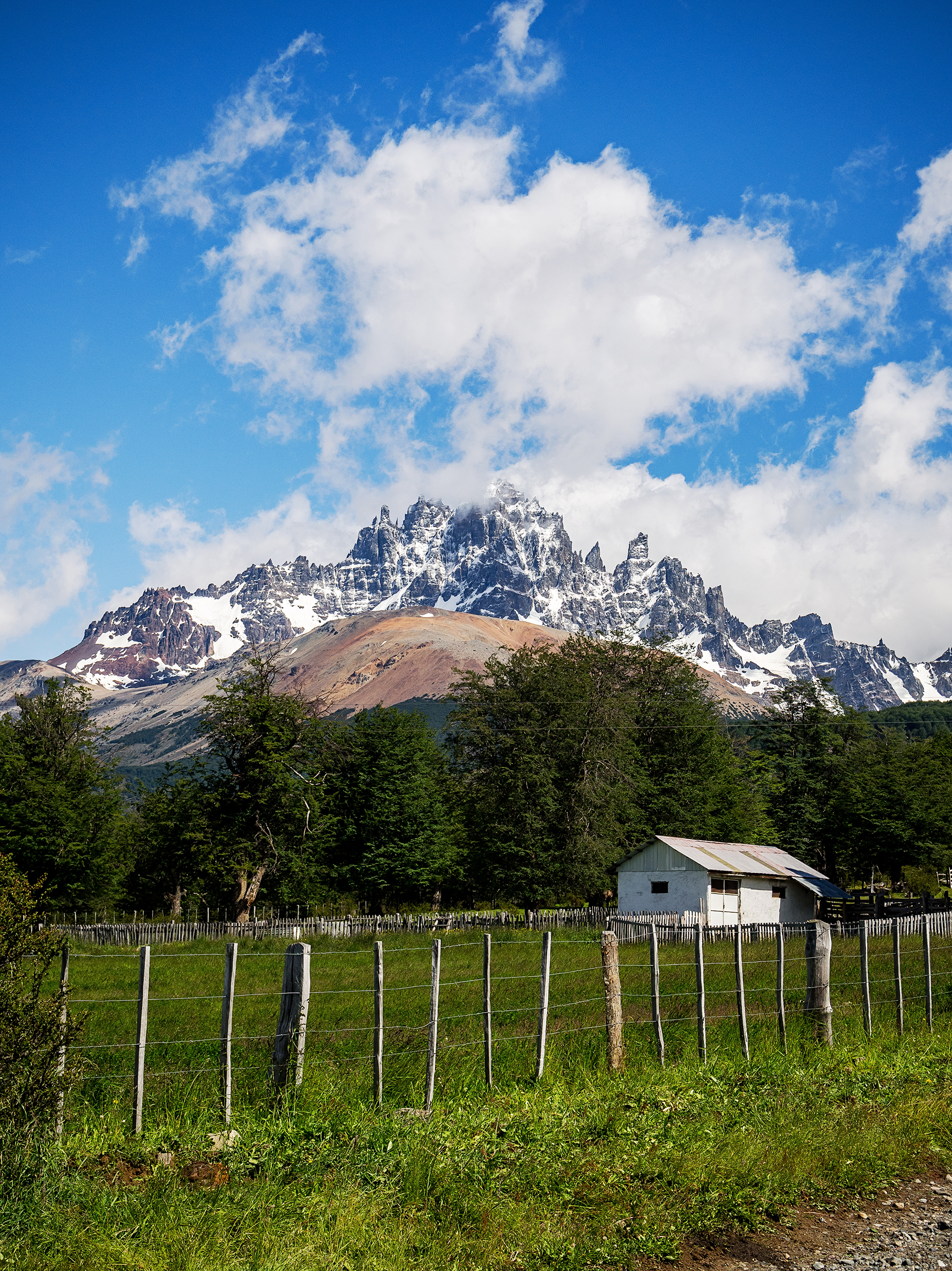
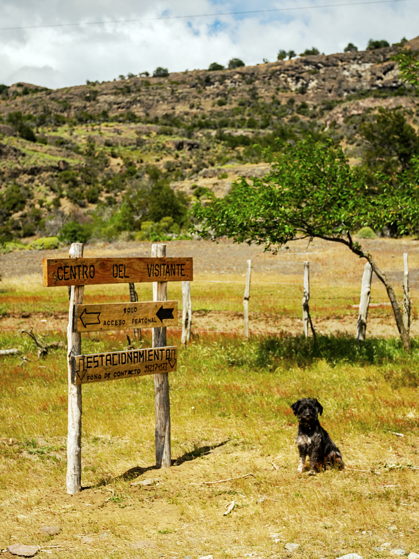
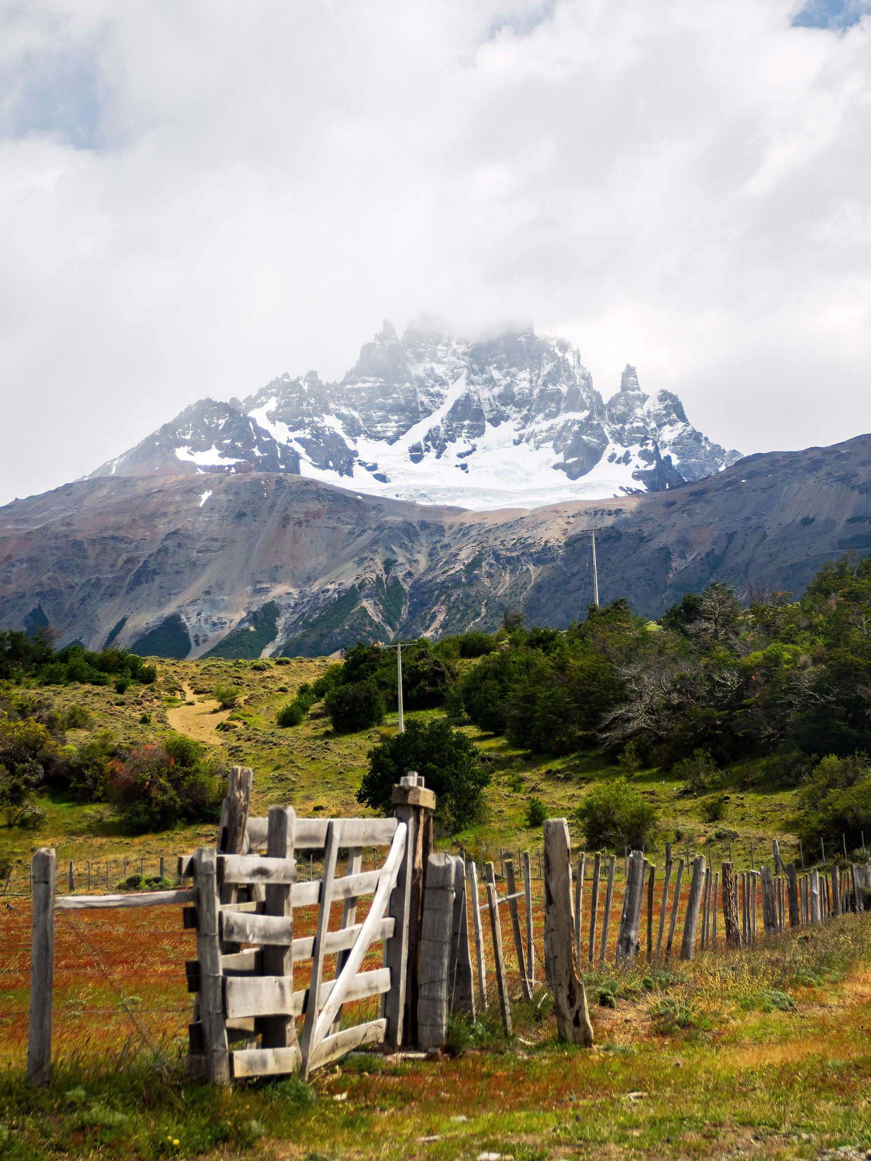
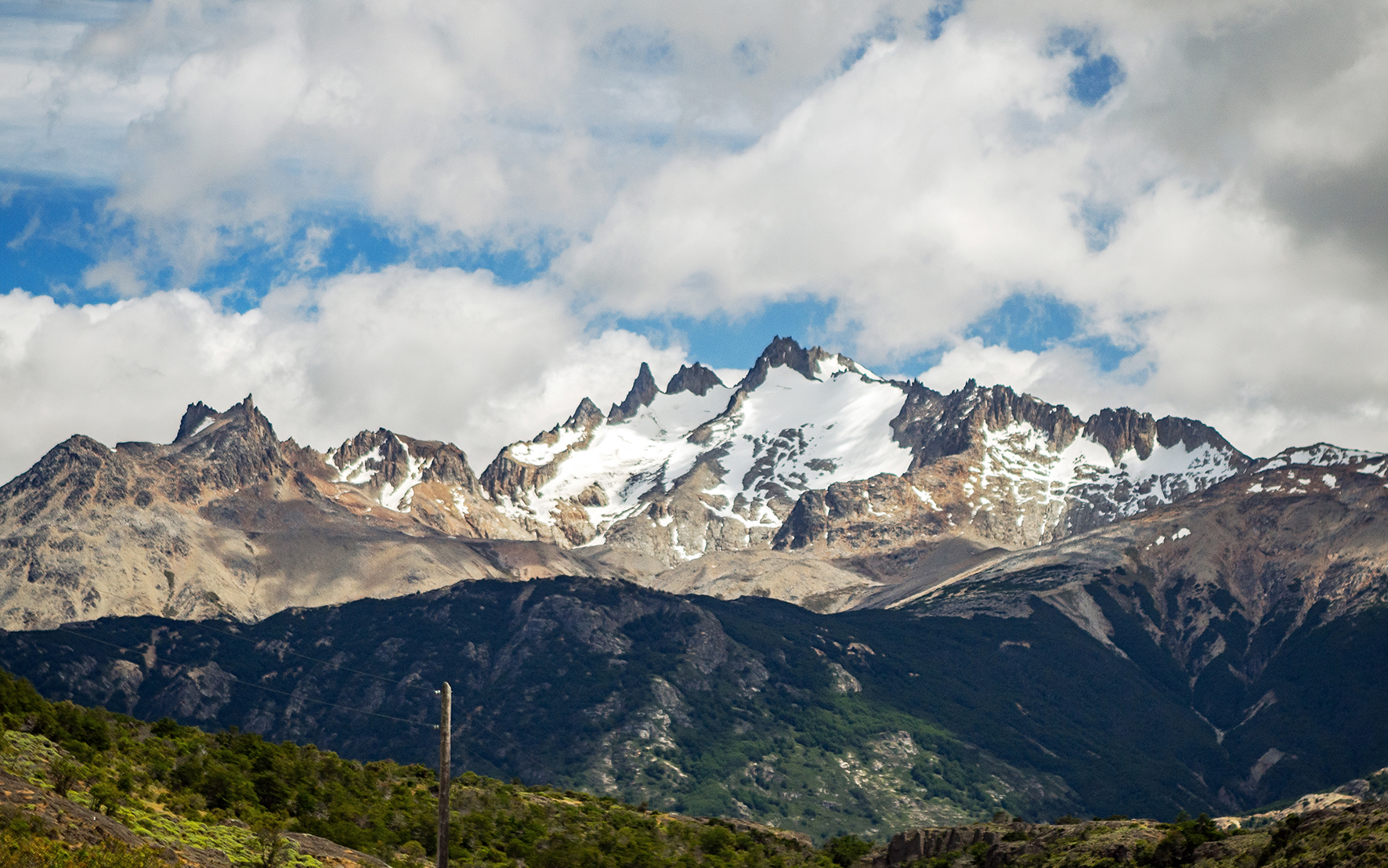
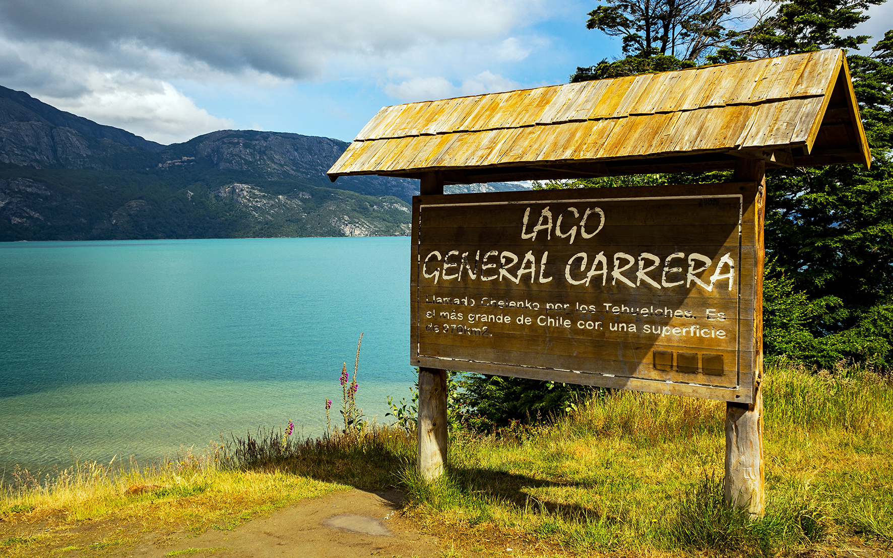
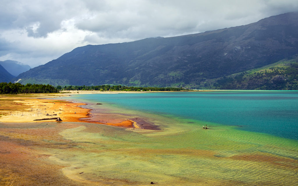
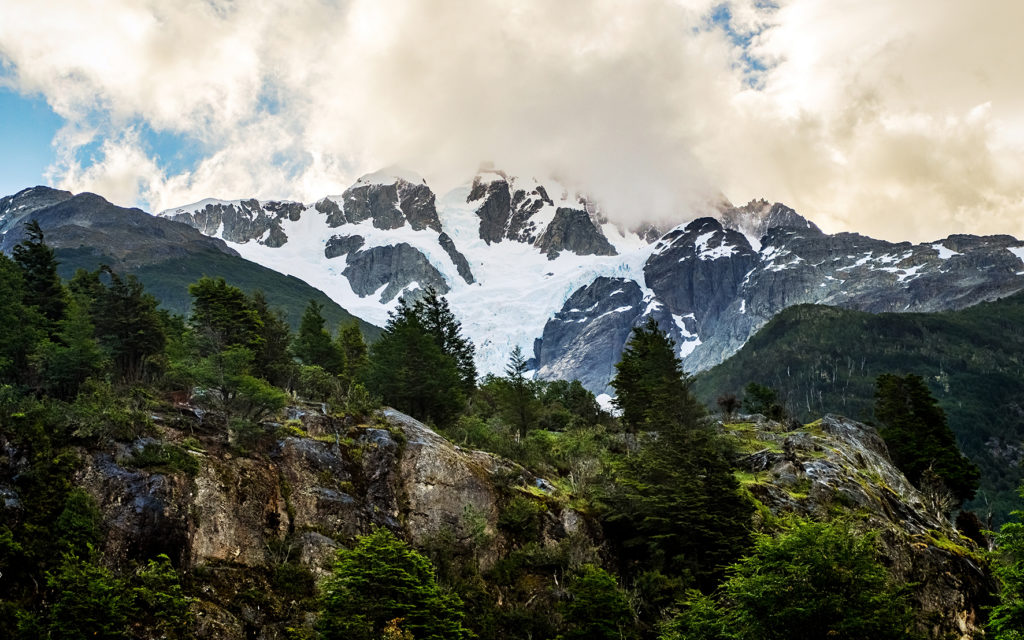
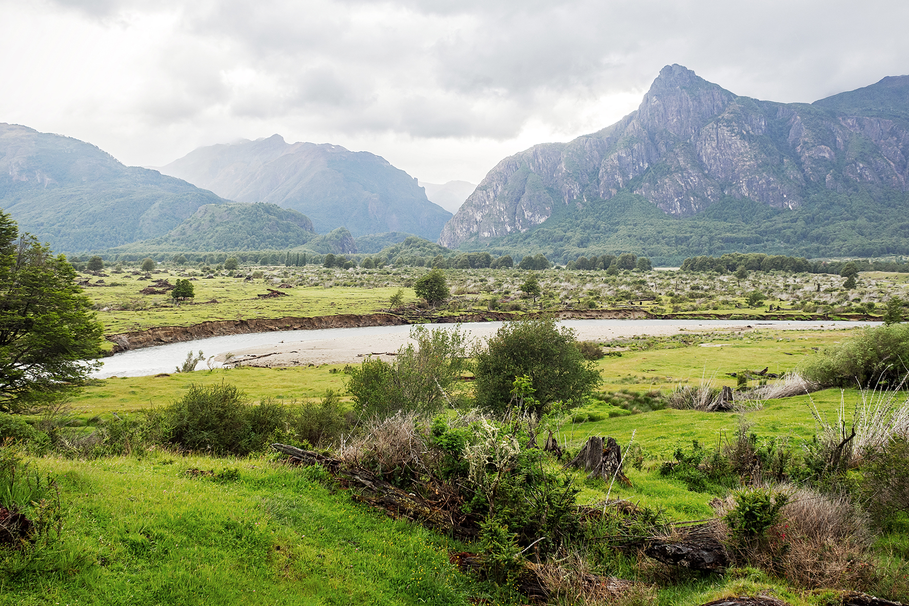
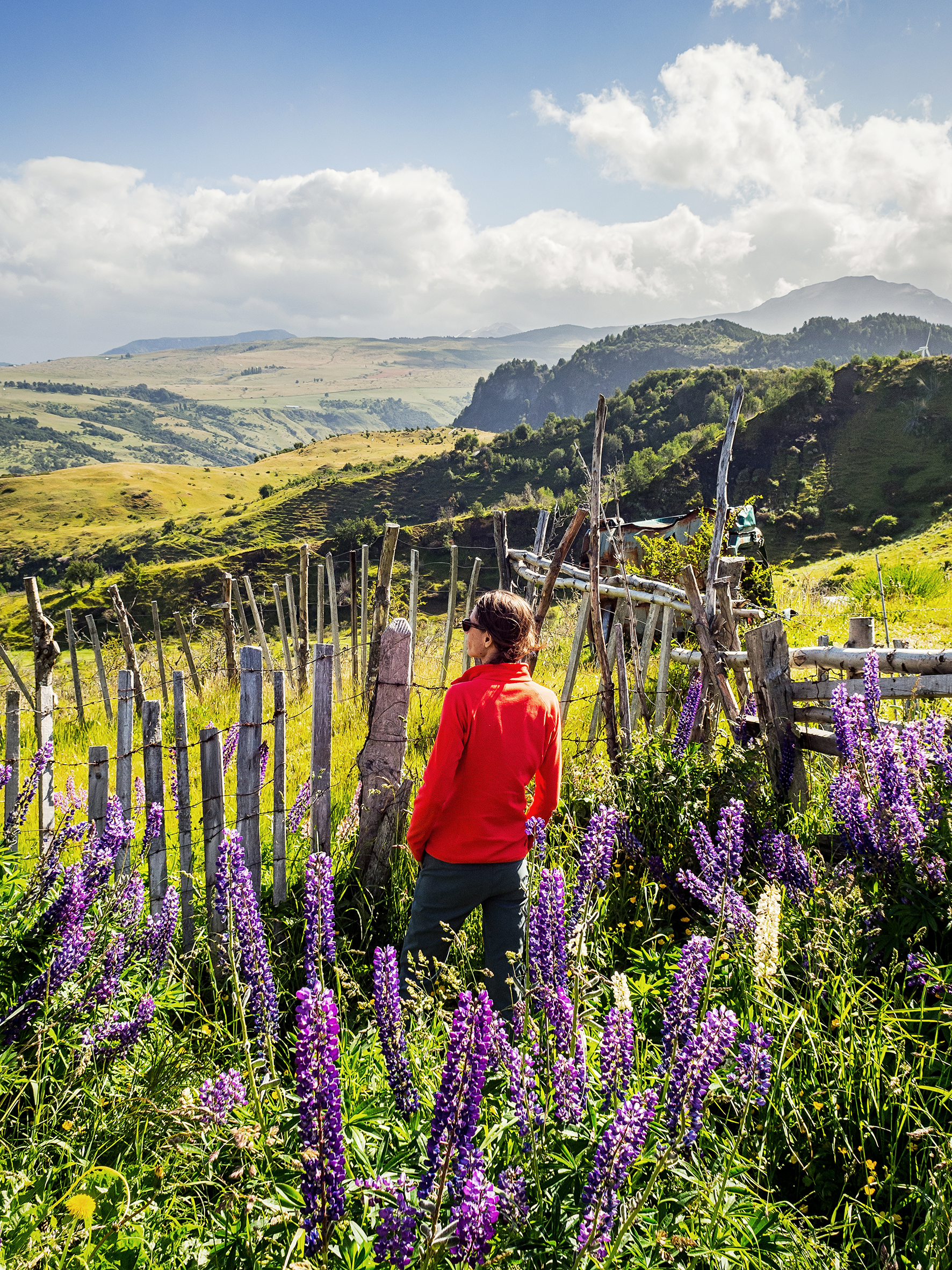
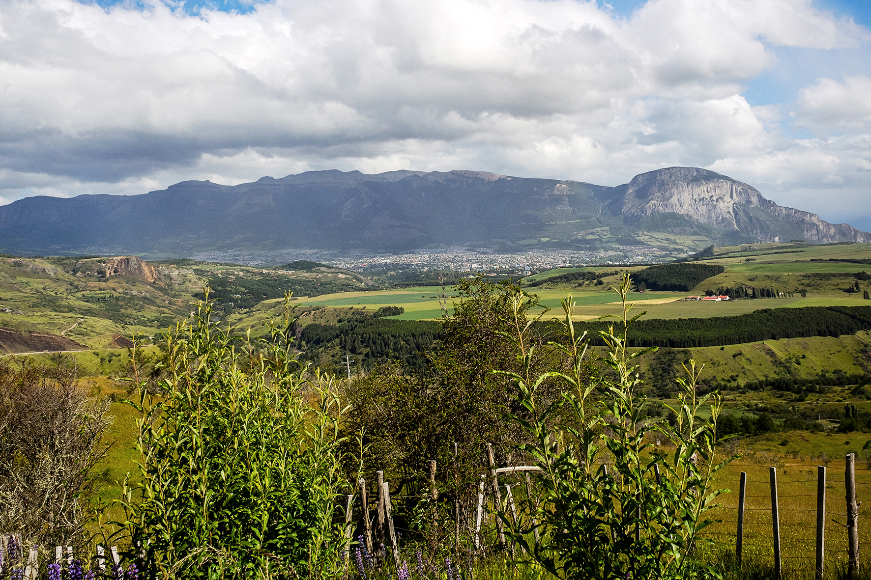
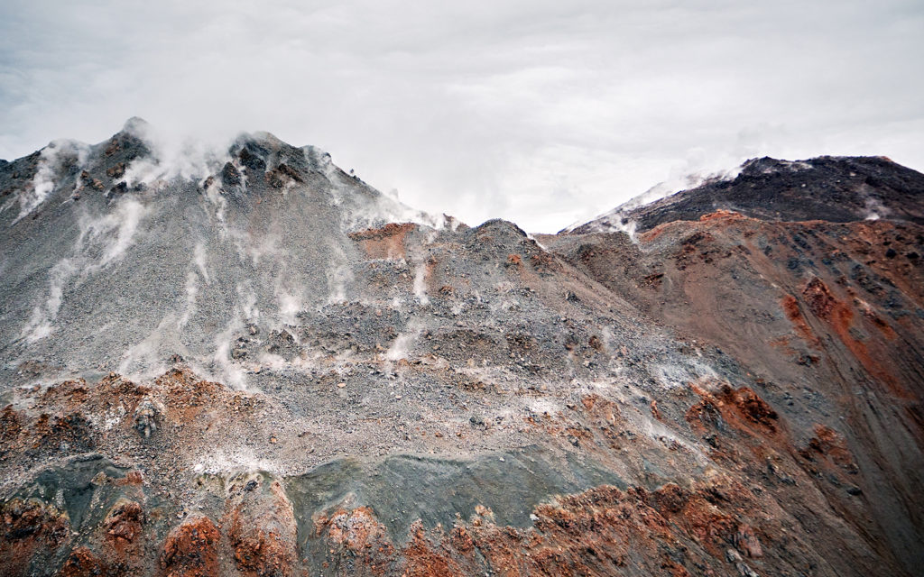
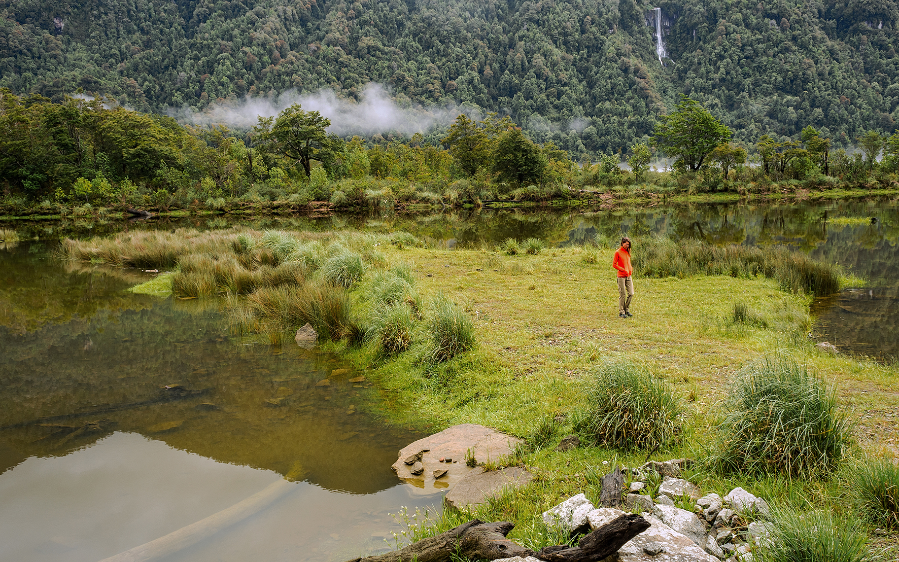
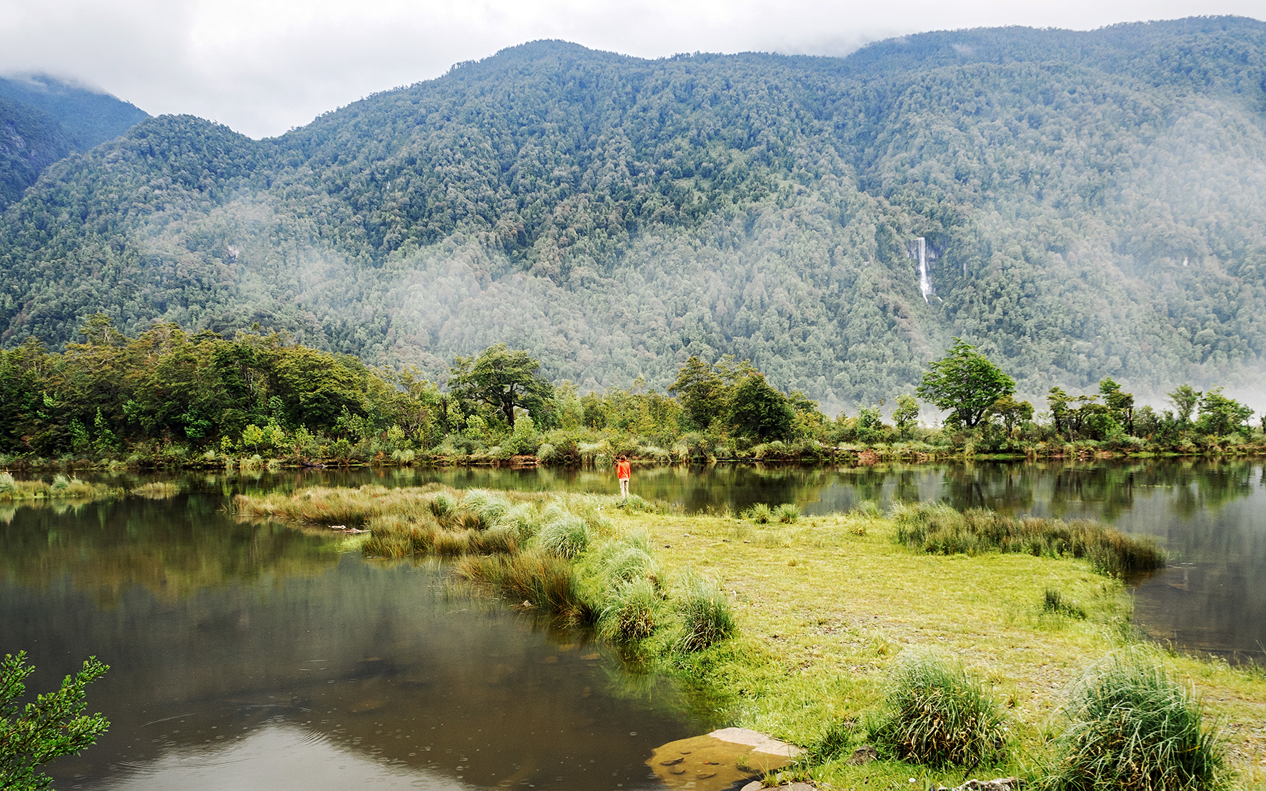
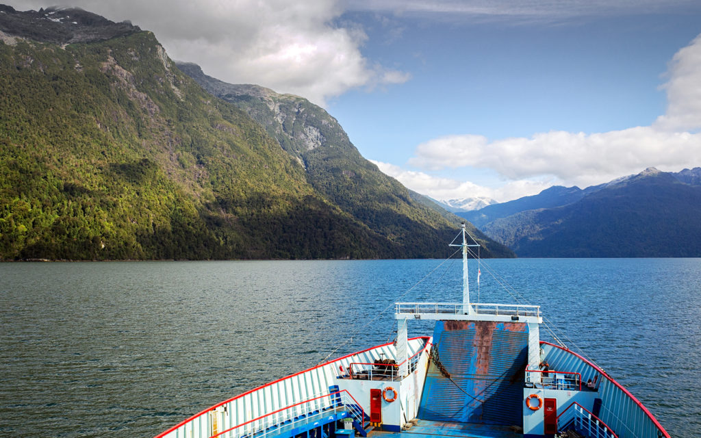
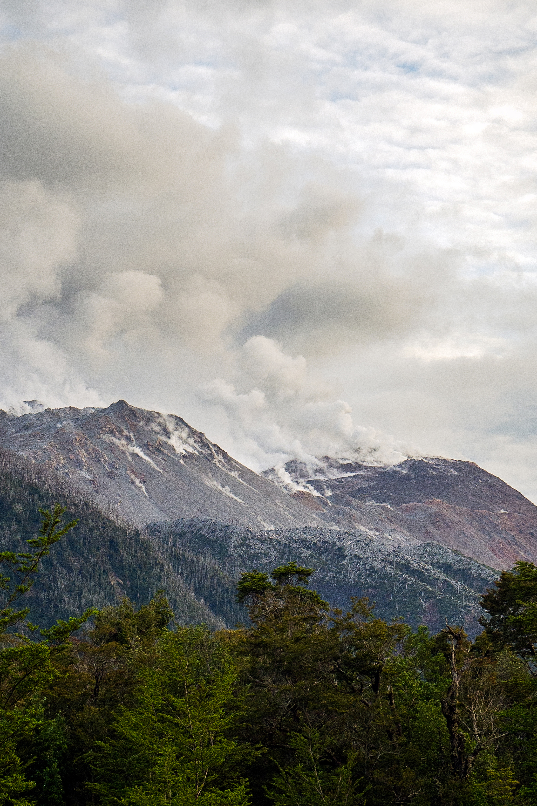
On December 23rd, we headed for El Calafate, and the Perito Moreno glacier. El Calafate was a much bigger town on the shore of Lago Argentino. After the 3-hour drive from El Chaltén, we stopped in town to have sandwiches by the lake, then continued on to the southern portion of Los Glacieres National Park. It was 660 pesos (55 CAD) to enter the park, which seemed a bit much at first but in the end totally worth it to admire the impressive glacier. With a surface of 250 square km and 30km of length, it is the third largest reserve of fresh water in the world.

 
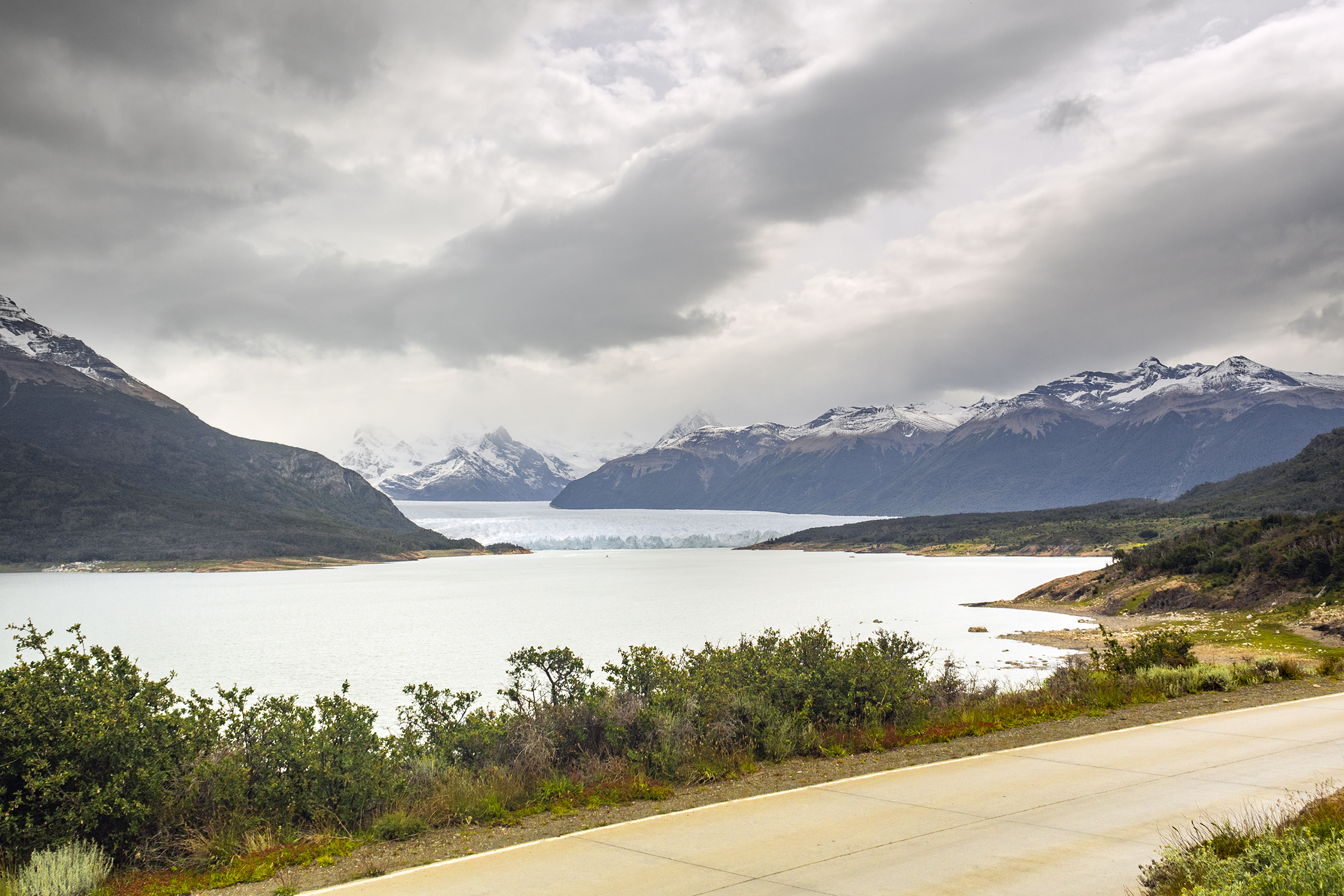
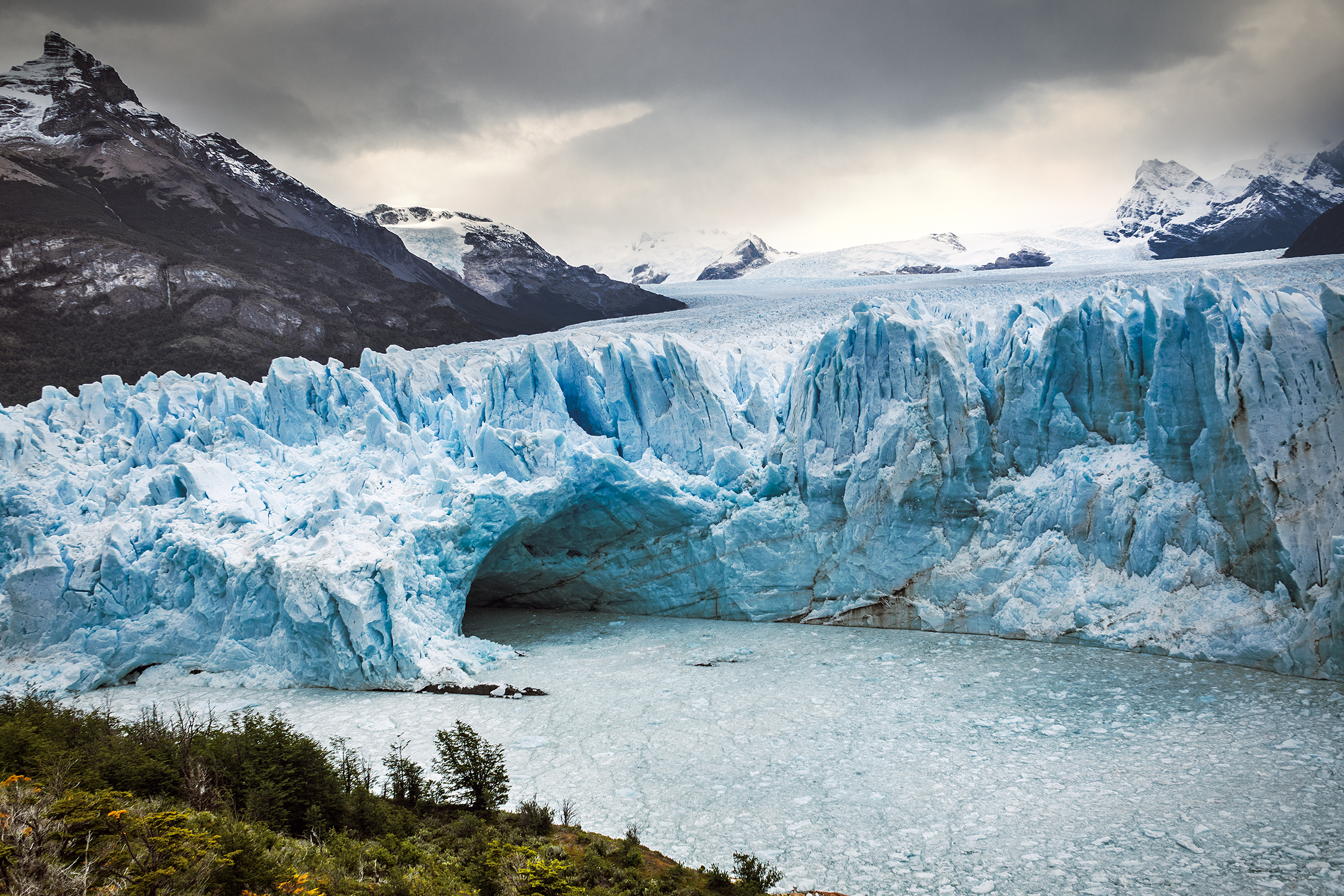
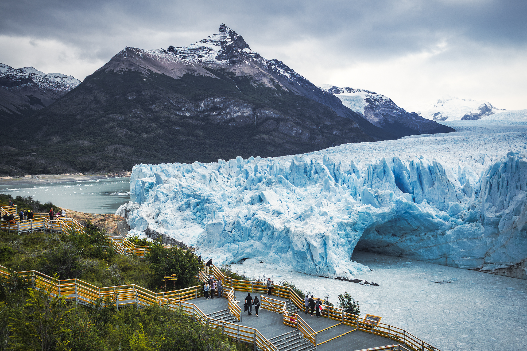
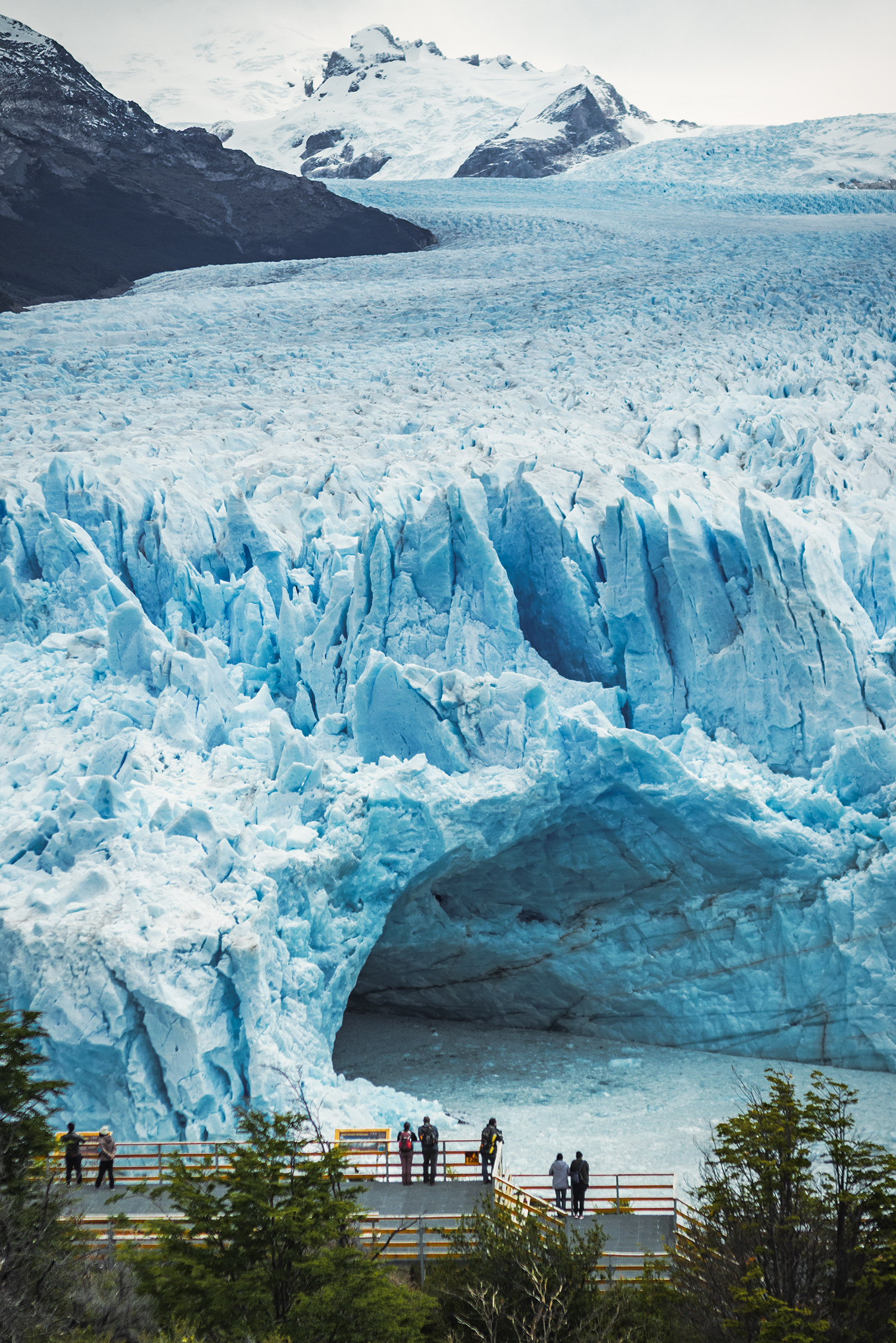
A network of stairs and platforms were built in front of the lake, providing multiple vantage points of the glacier. As it is often the case when staring at an immensely large landscape, it was hard for our brains to grasp the scale of this giant, and realize how far we actually were even though the lowest platform made us feel like we could almost touch it. We were there later in the afternoon, which apparently was good timing as it was the best time of day to witness large shards of ice breaking off the vertical walls and falling into the lake.


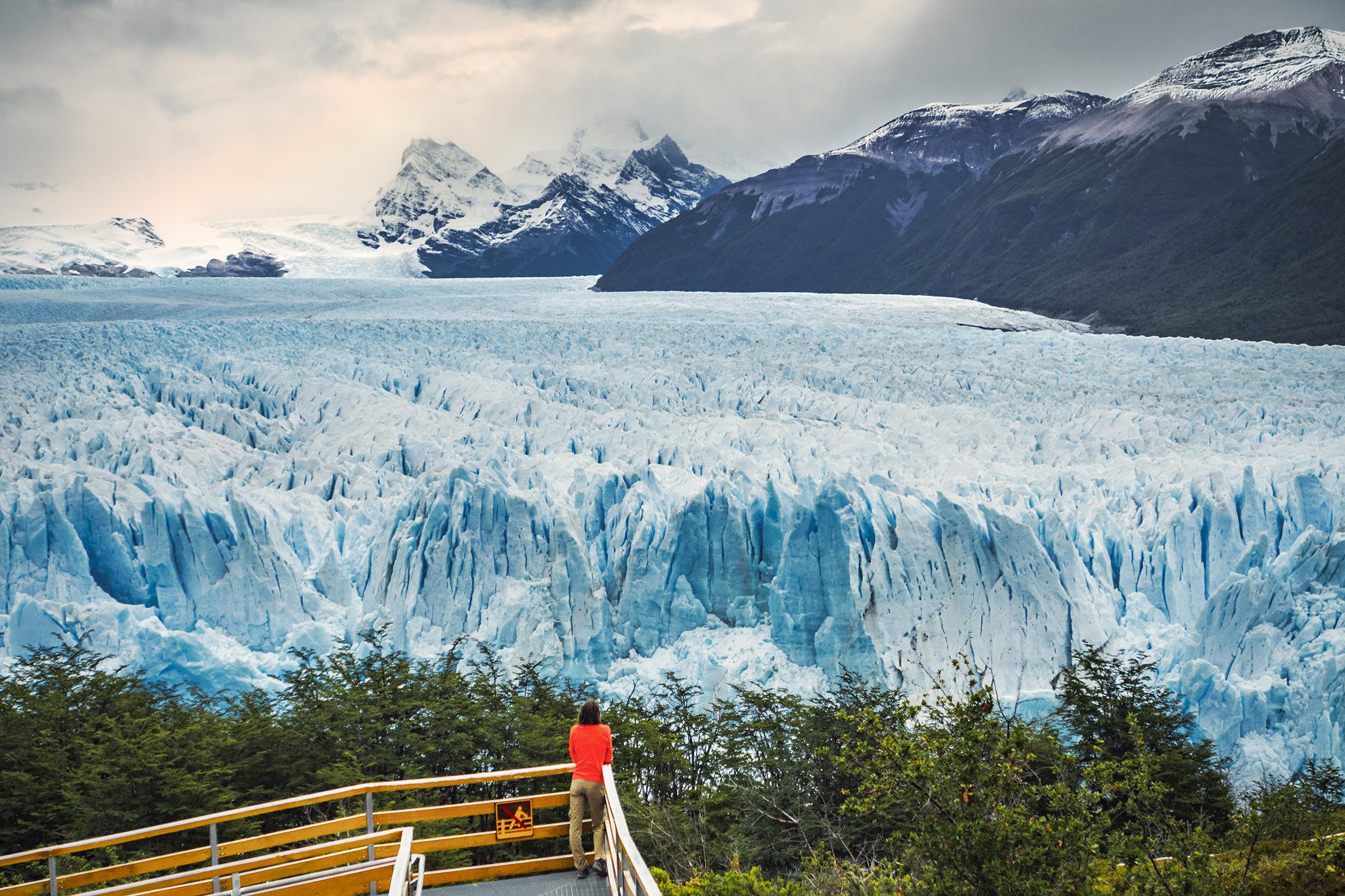
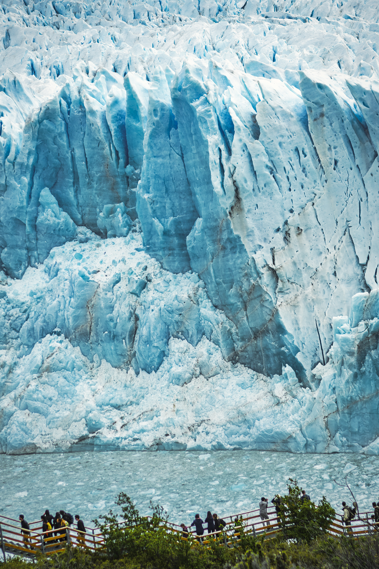
The sound it made was incredibly loud, probably amplified by all the crevasses and cavities in the ice and reminding us of the real size of the beast. It’s pretty funny to think that with growing popularity, tourists flood the park every year to take a look at – ultimately – a huge chunk of cracking ice. But what a mesmerizing chunk it was.

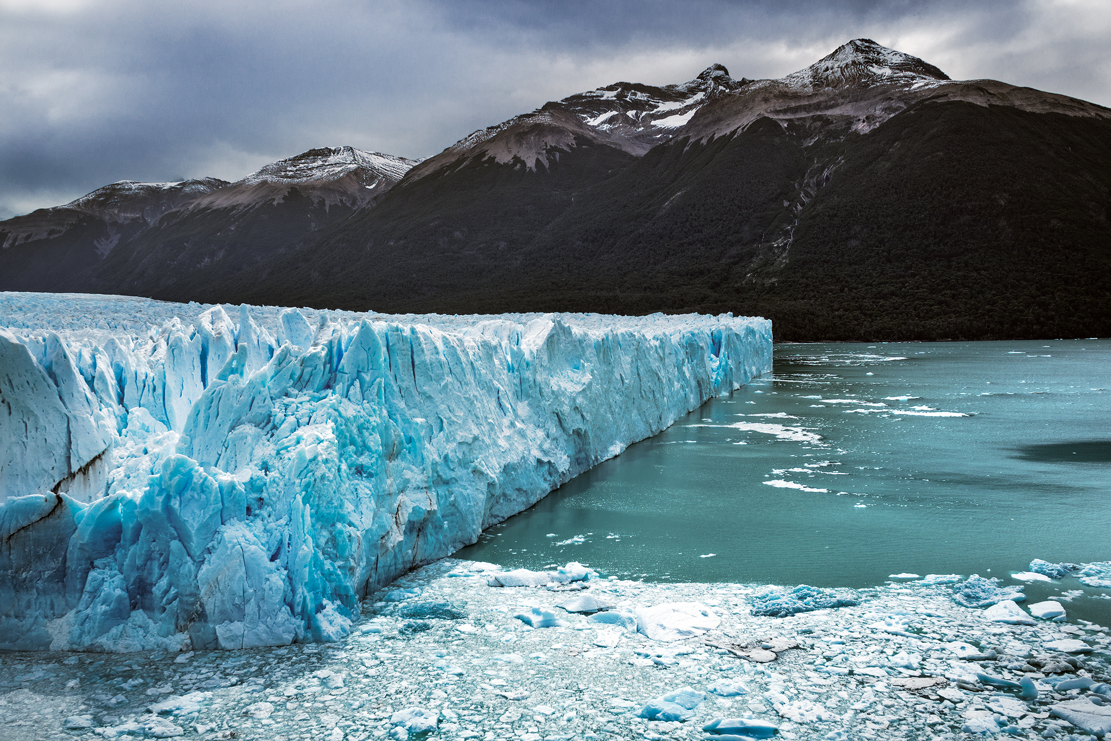
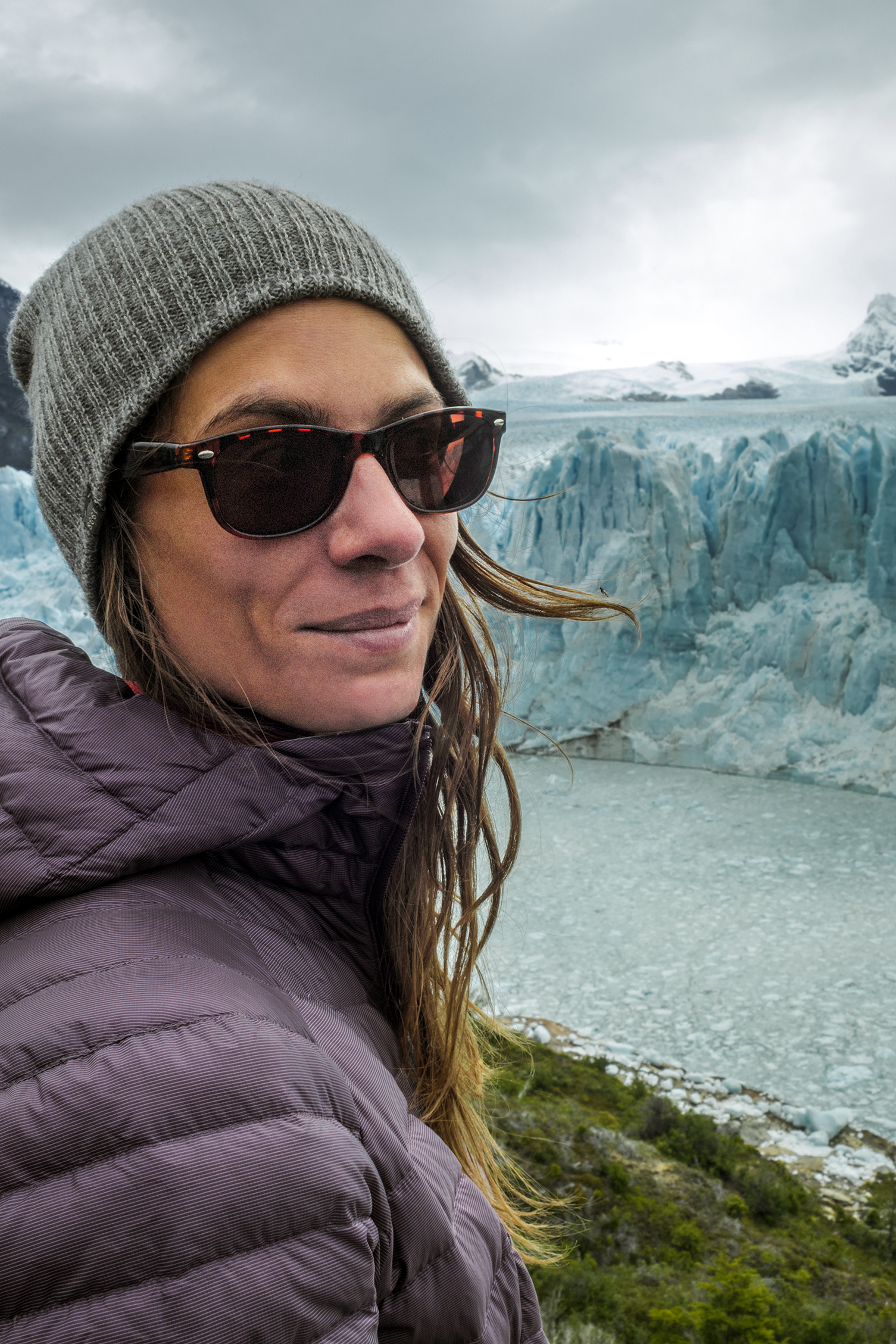
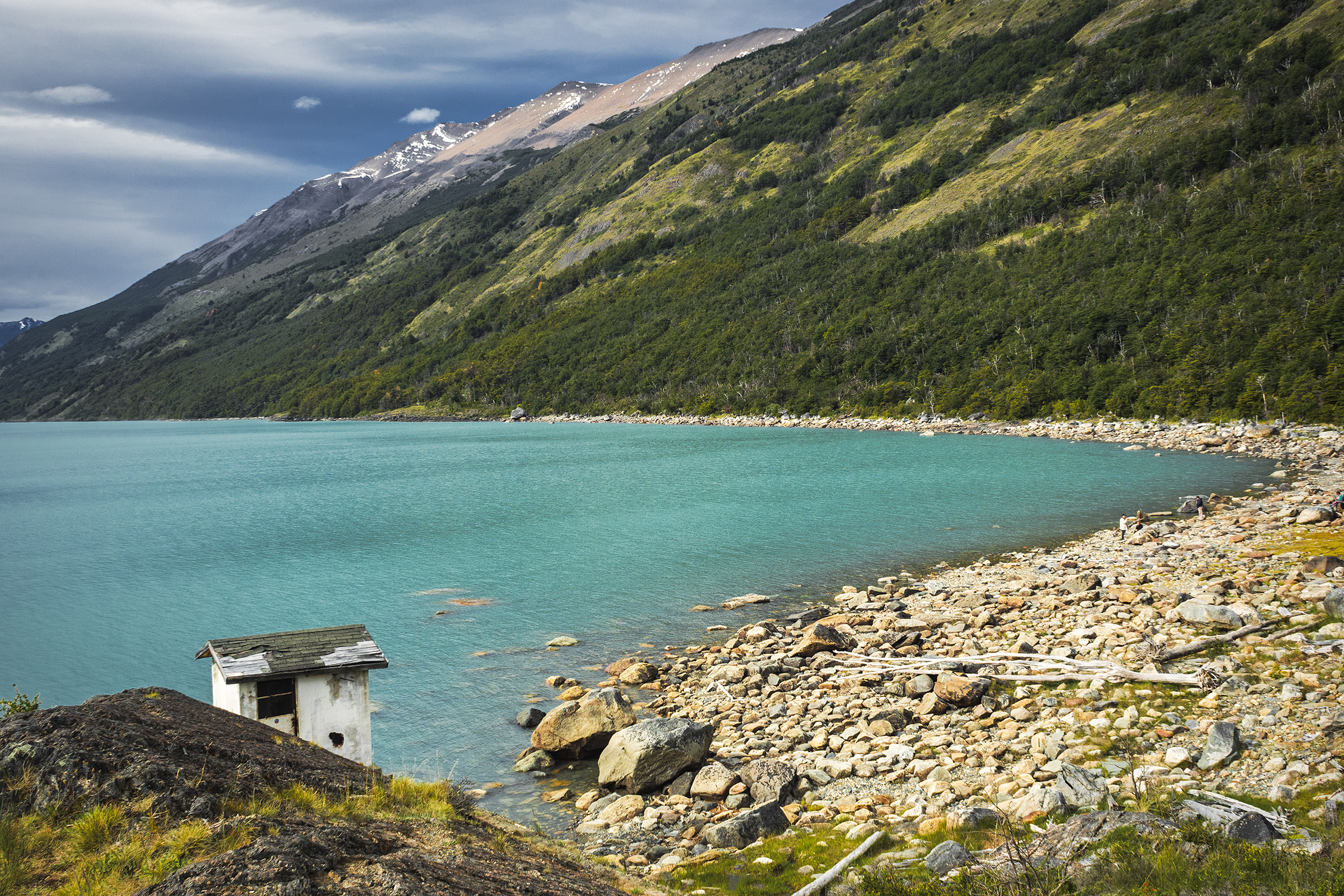
We spent a couple of hours marveling at the natural phenomenon. Then we took a quick walk on the shore of the lake further away before leaving the glacier behind us, probably one of the most memorable sight of this trip.

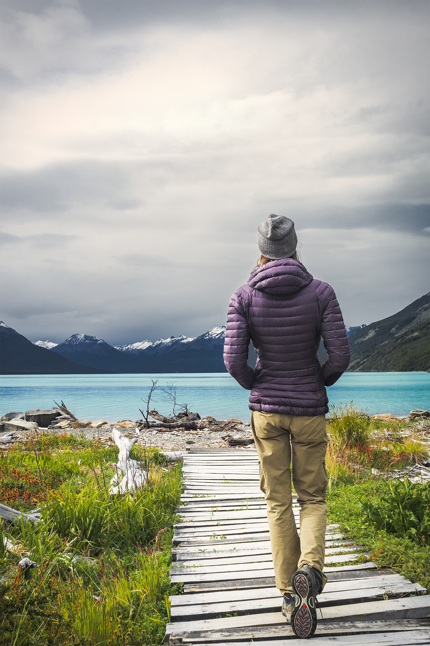
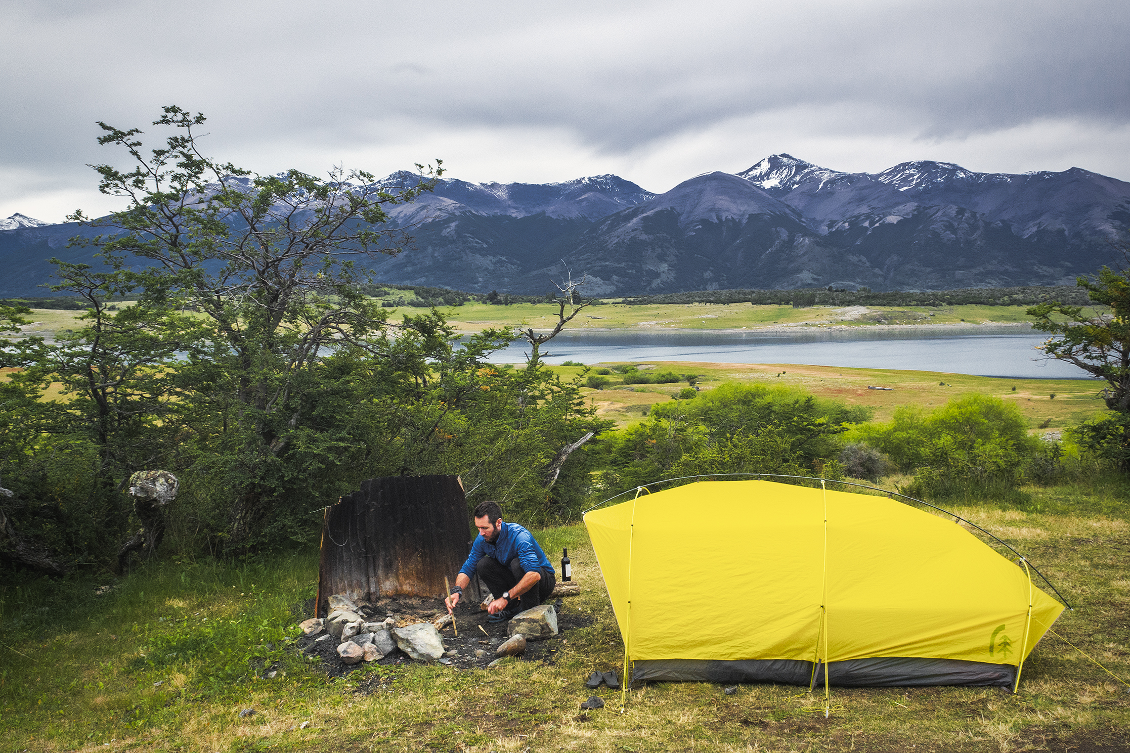
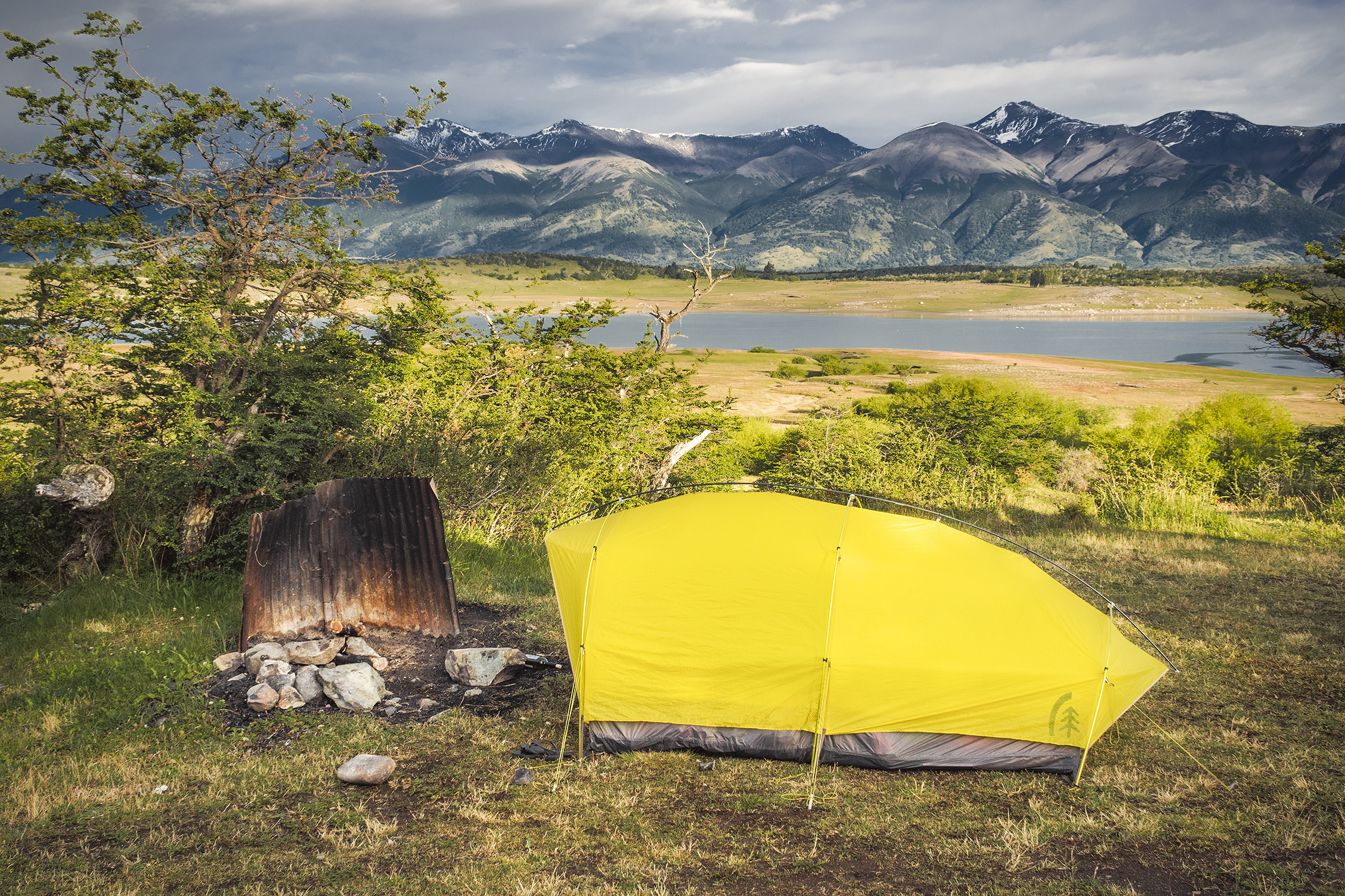
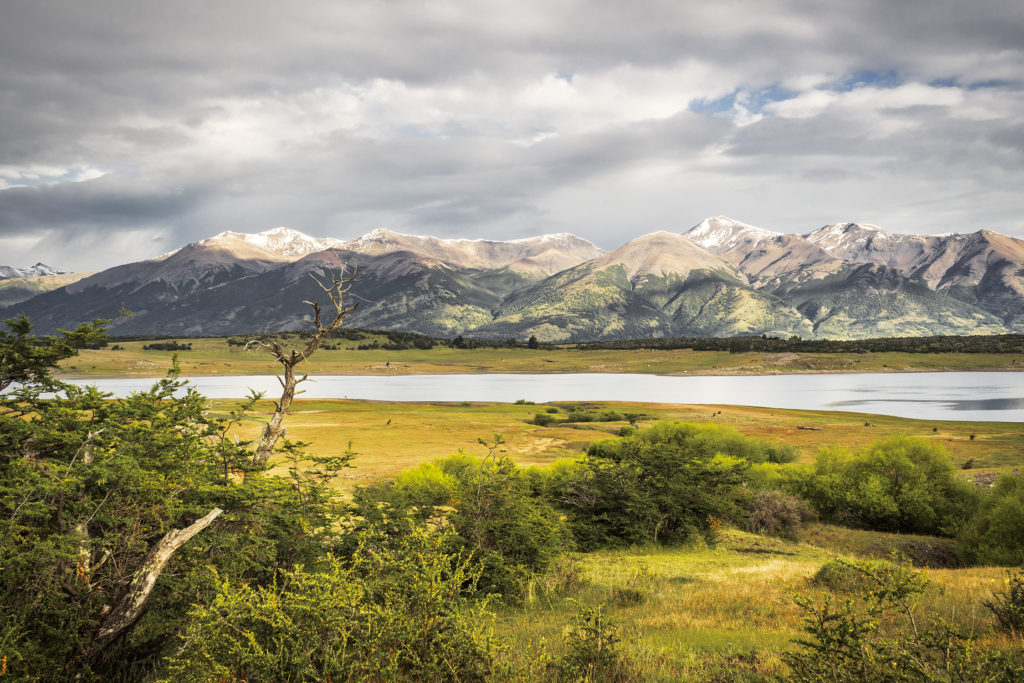
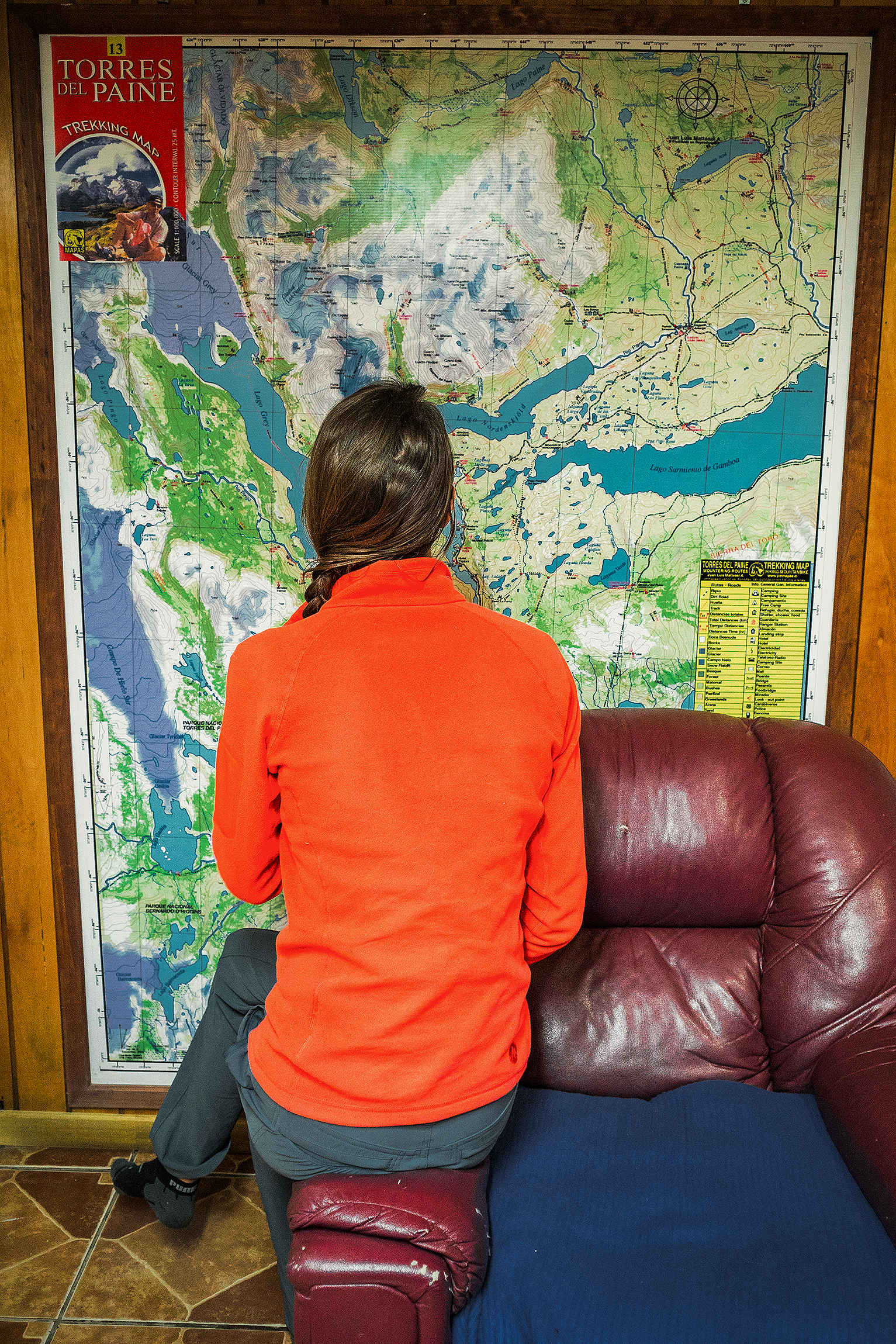
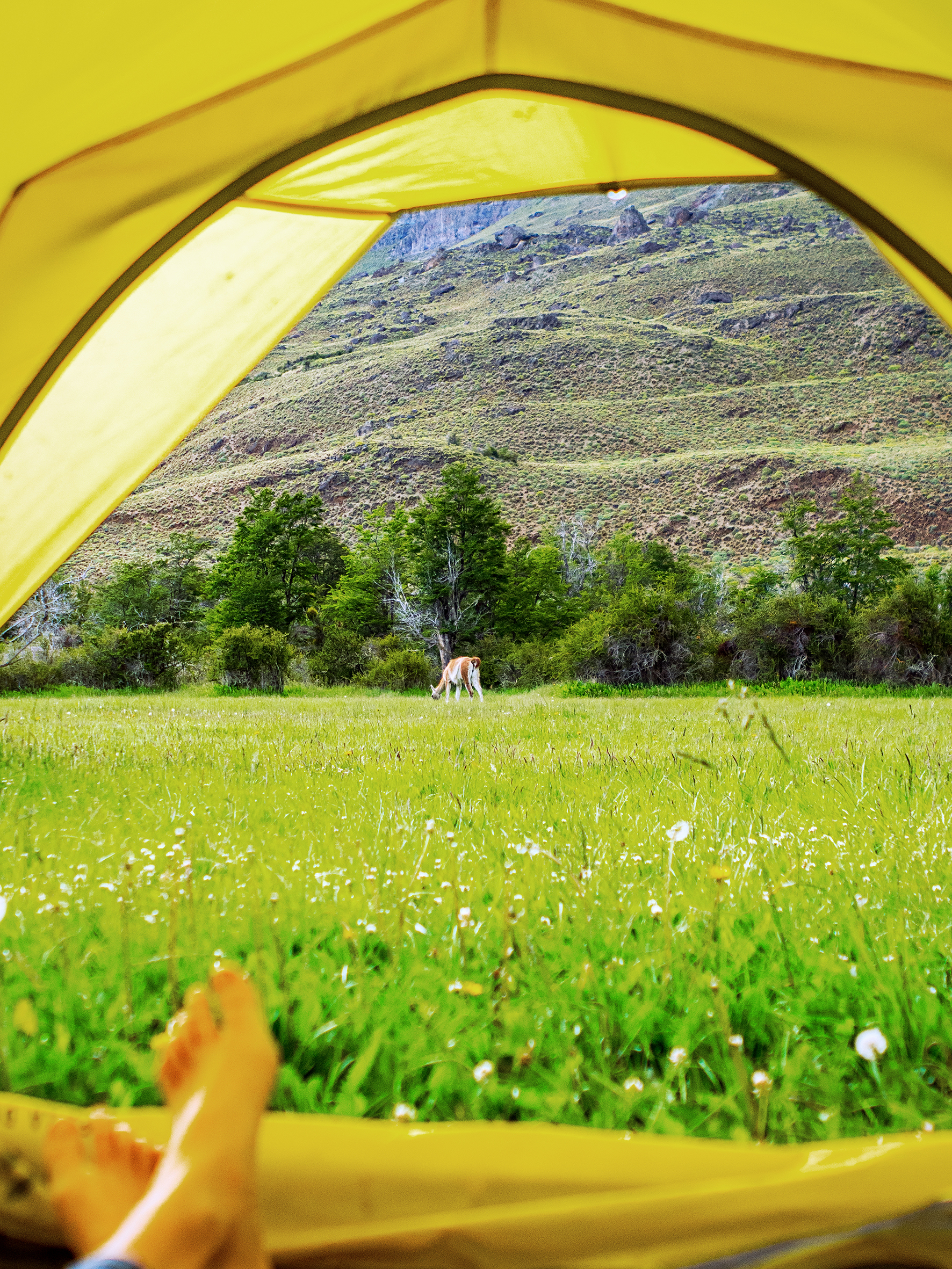
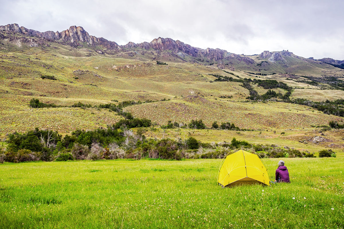
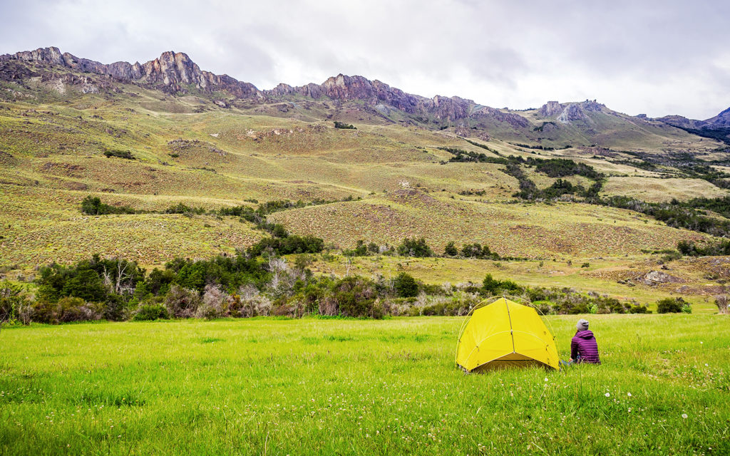
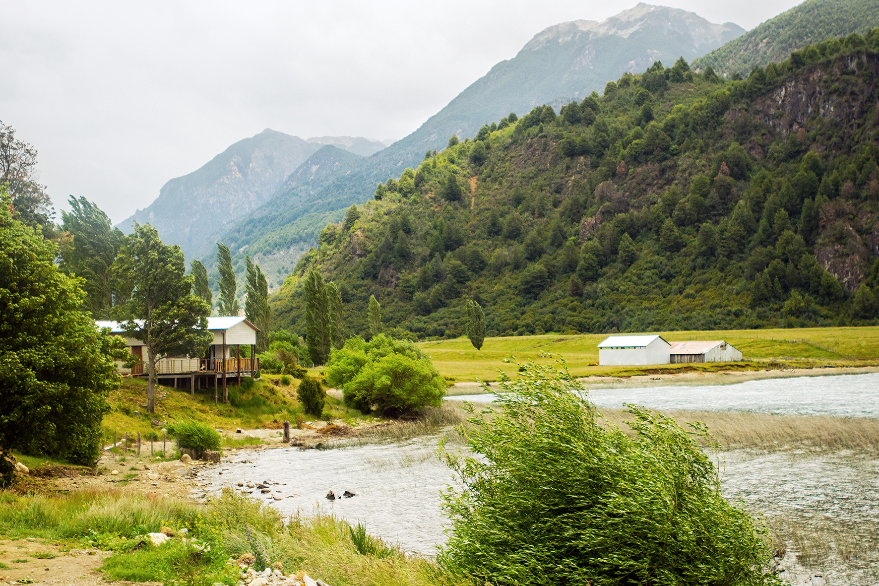
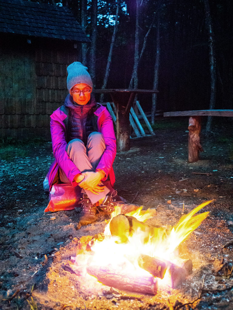
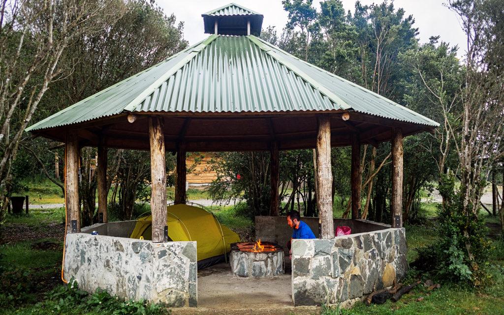
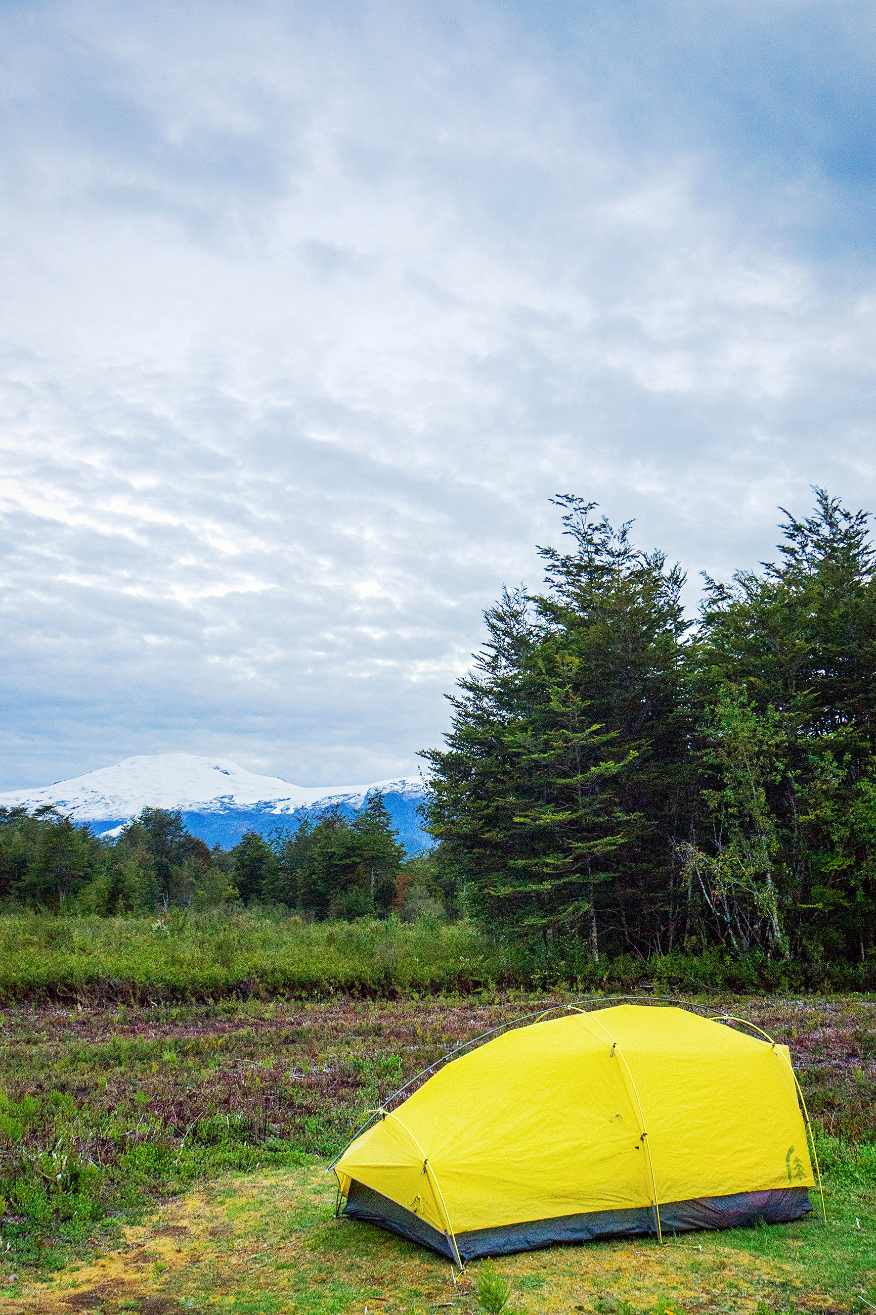
Our favorite app led us to a free campsite on the southern side of the lake with firepit and mountain view. The perfect spot for our last night on the road before we reached Puerto Natales, our base camp before embarking on a 6-day trek around Torres del Paine.

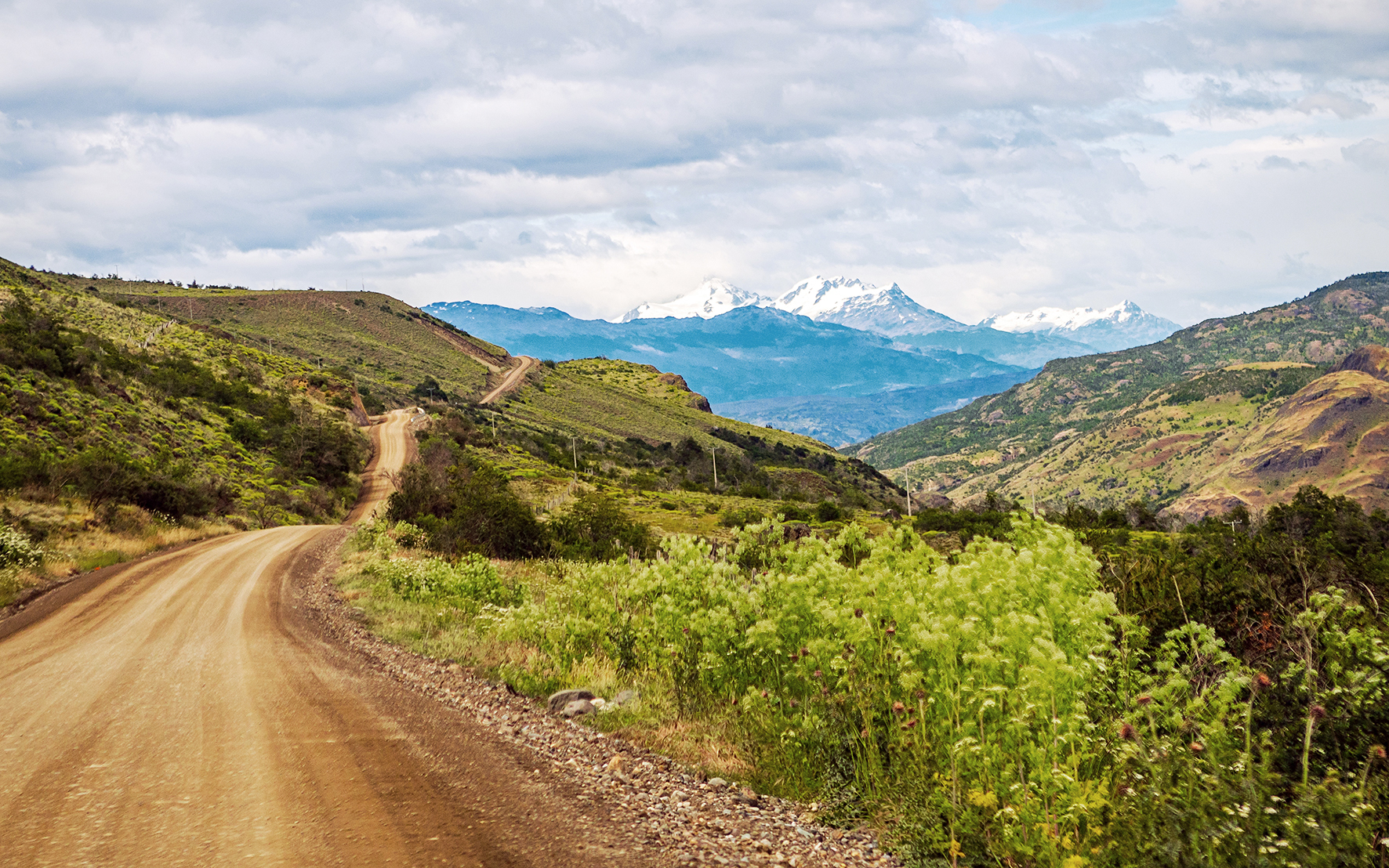
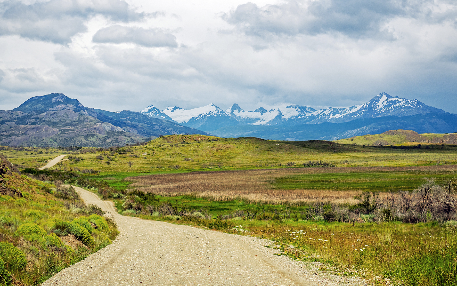
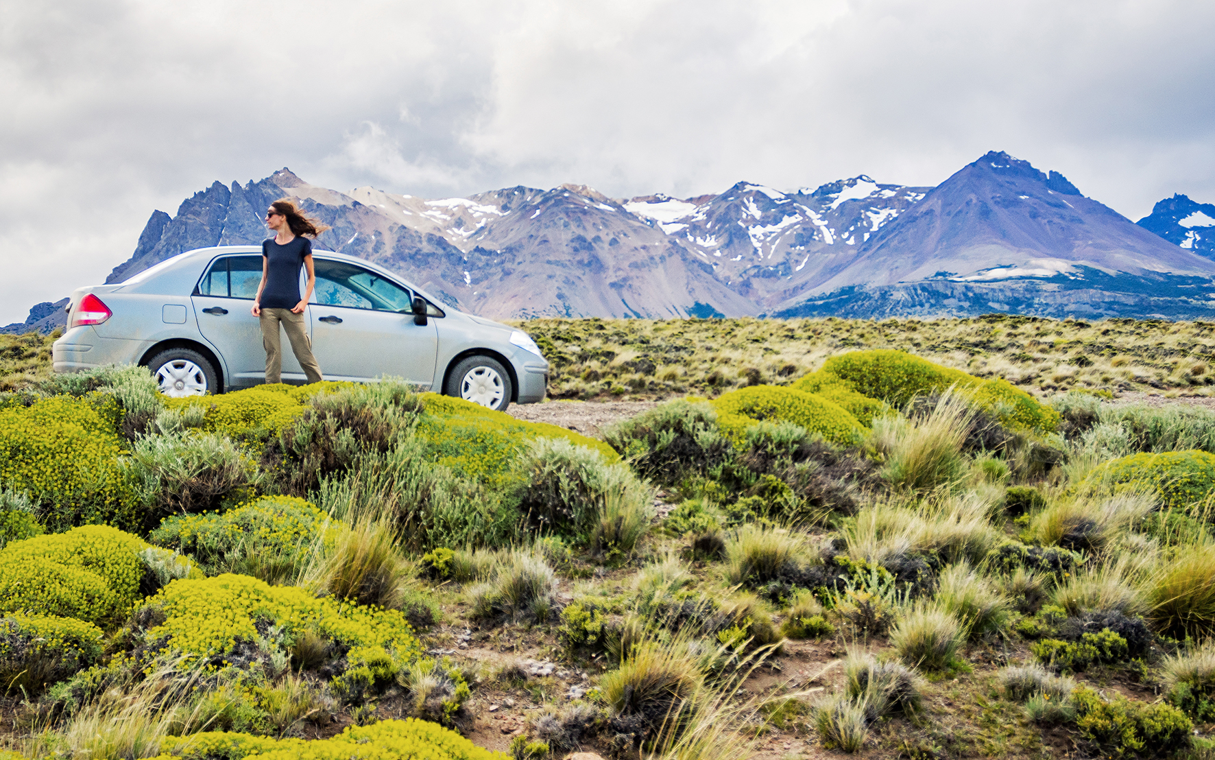
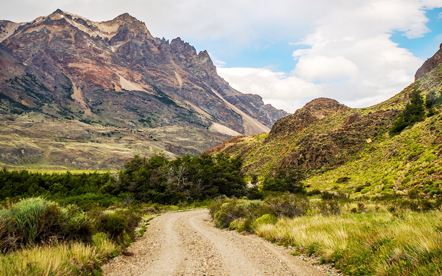
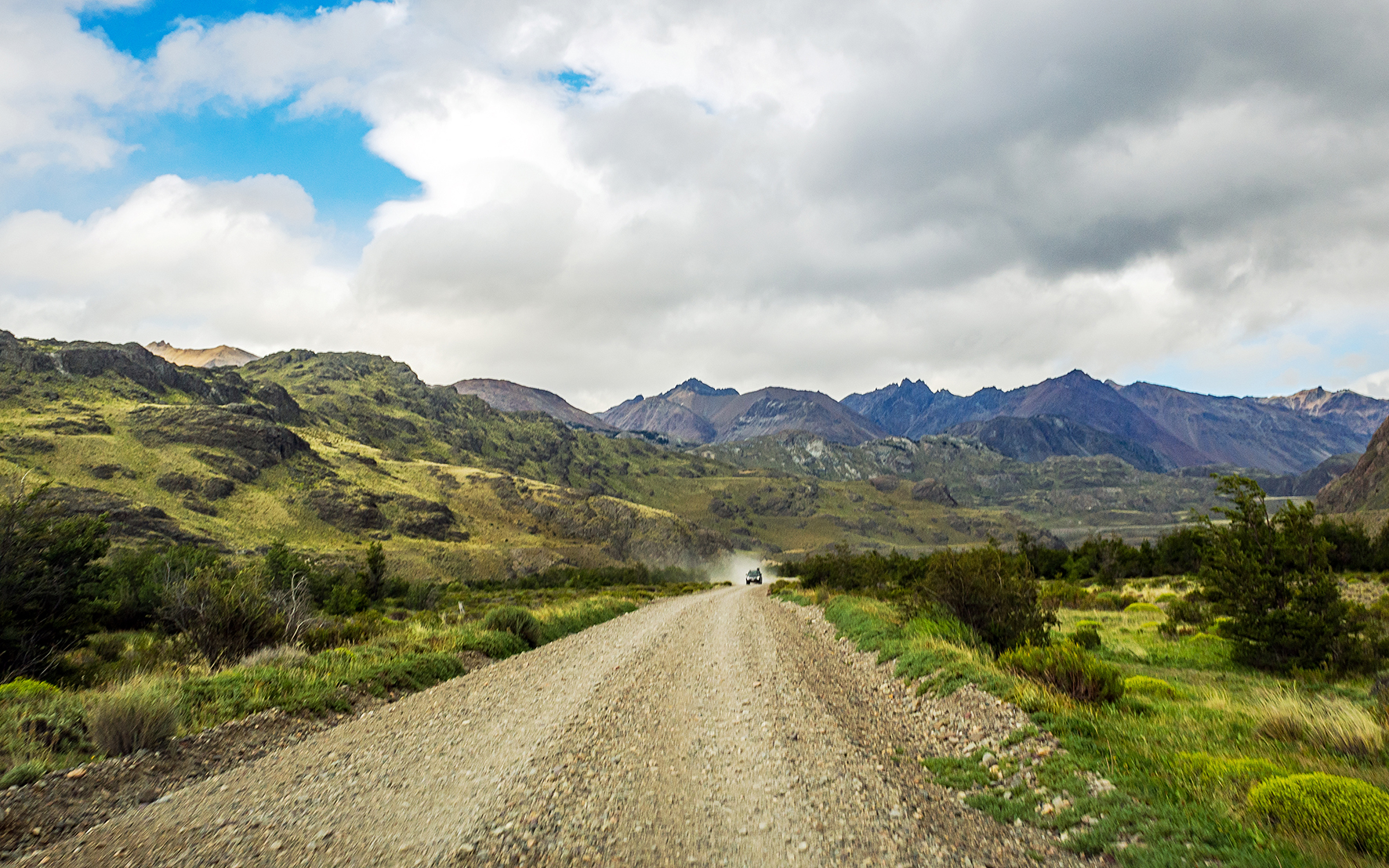
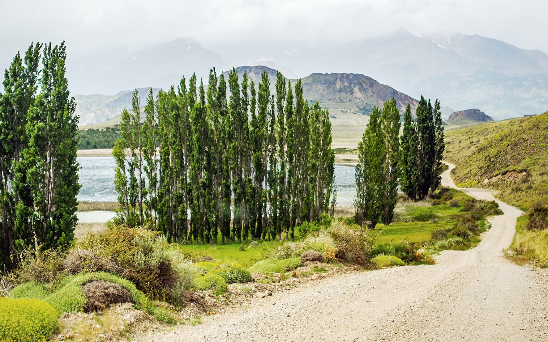
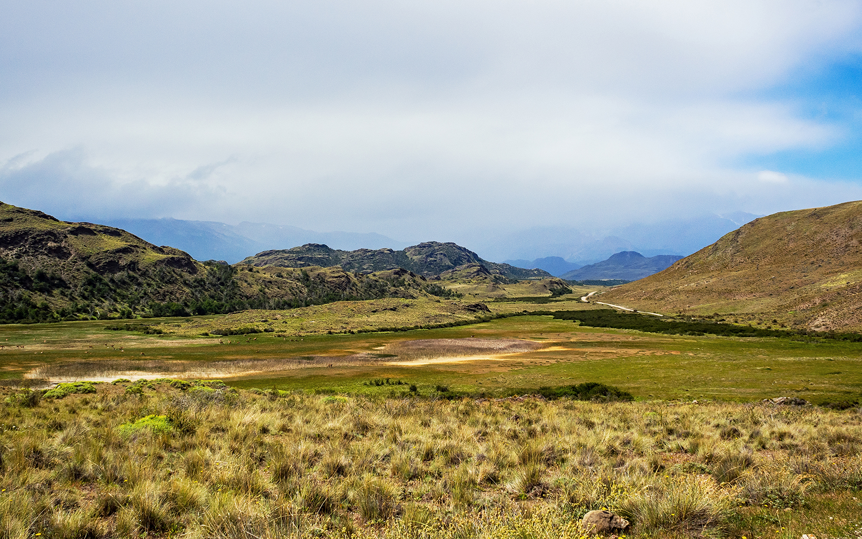
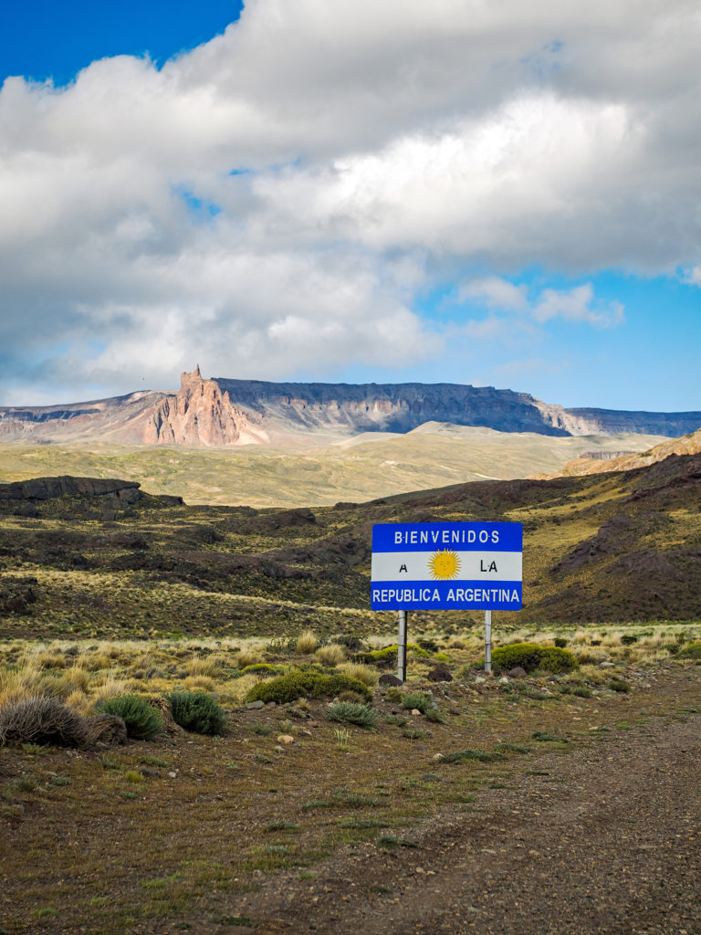
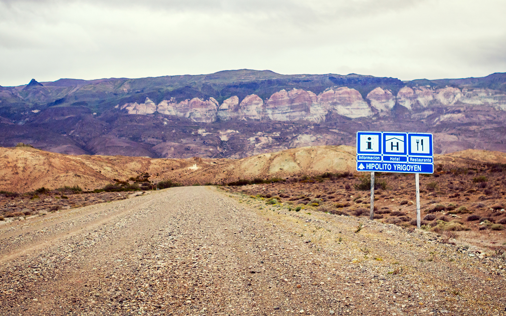
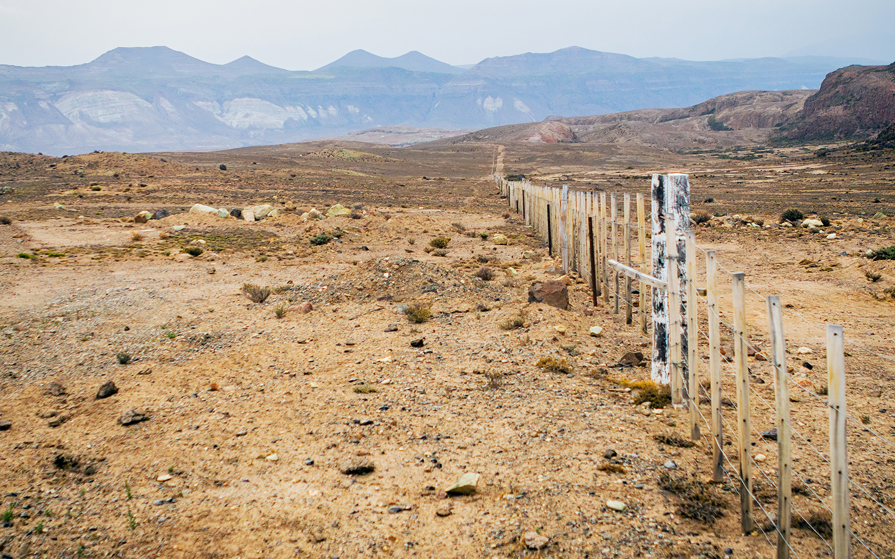
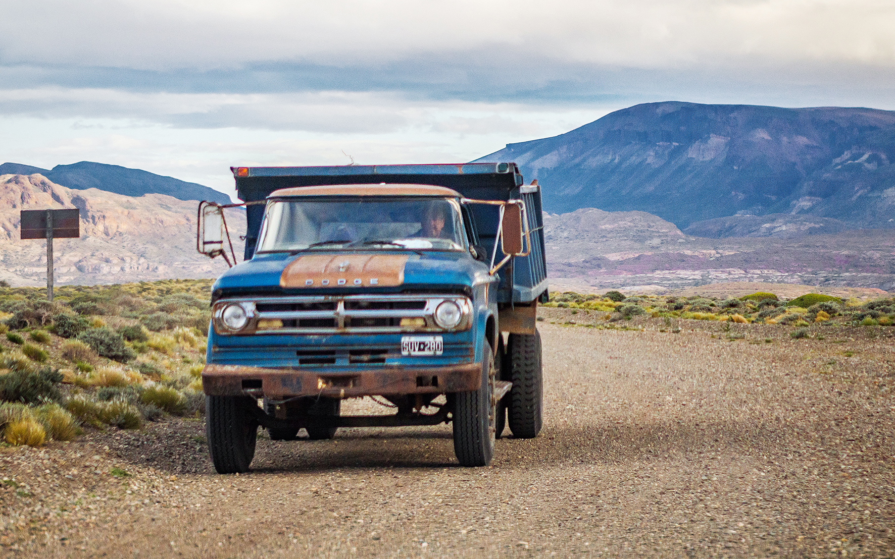
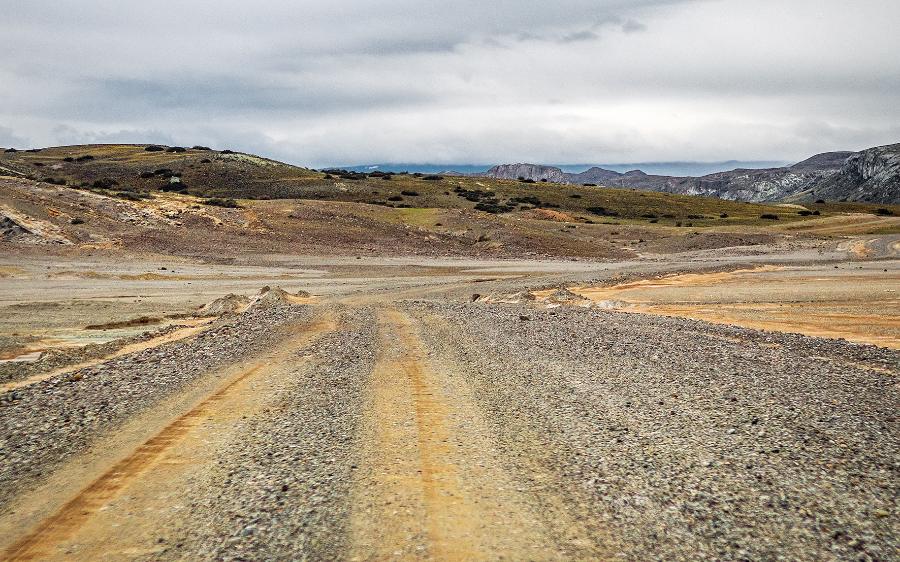
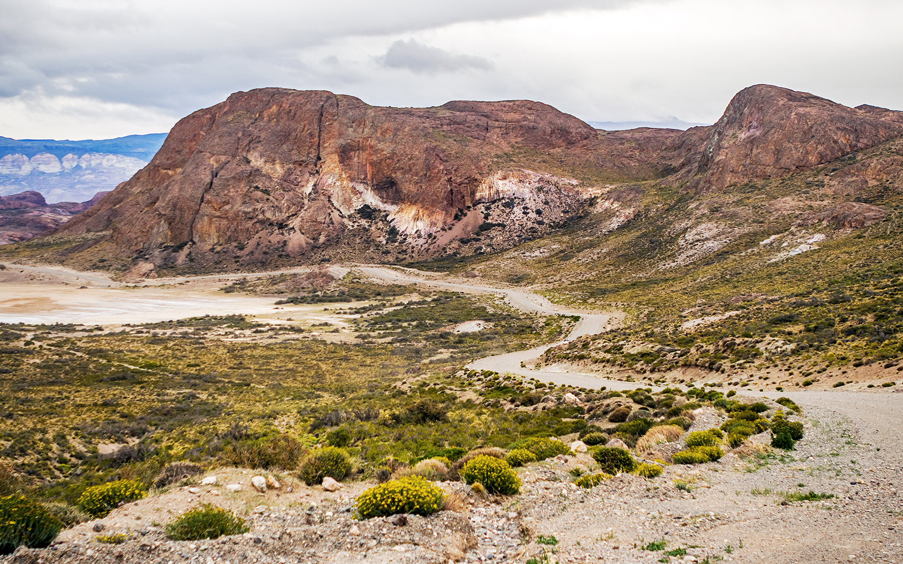
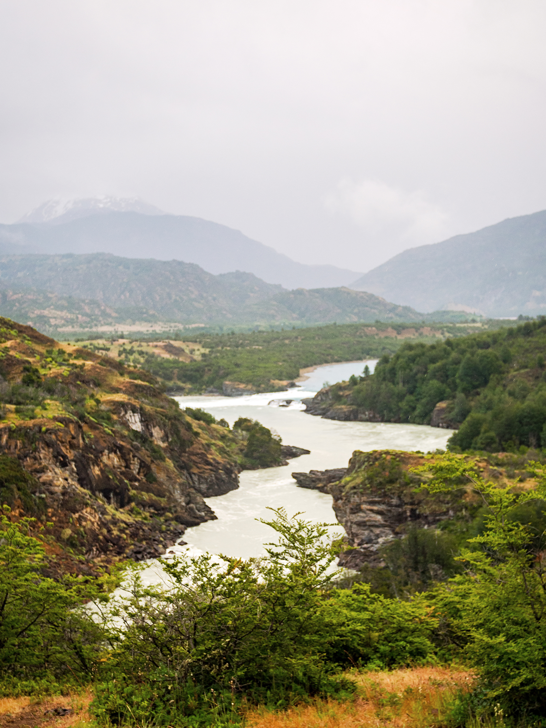
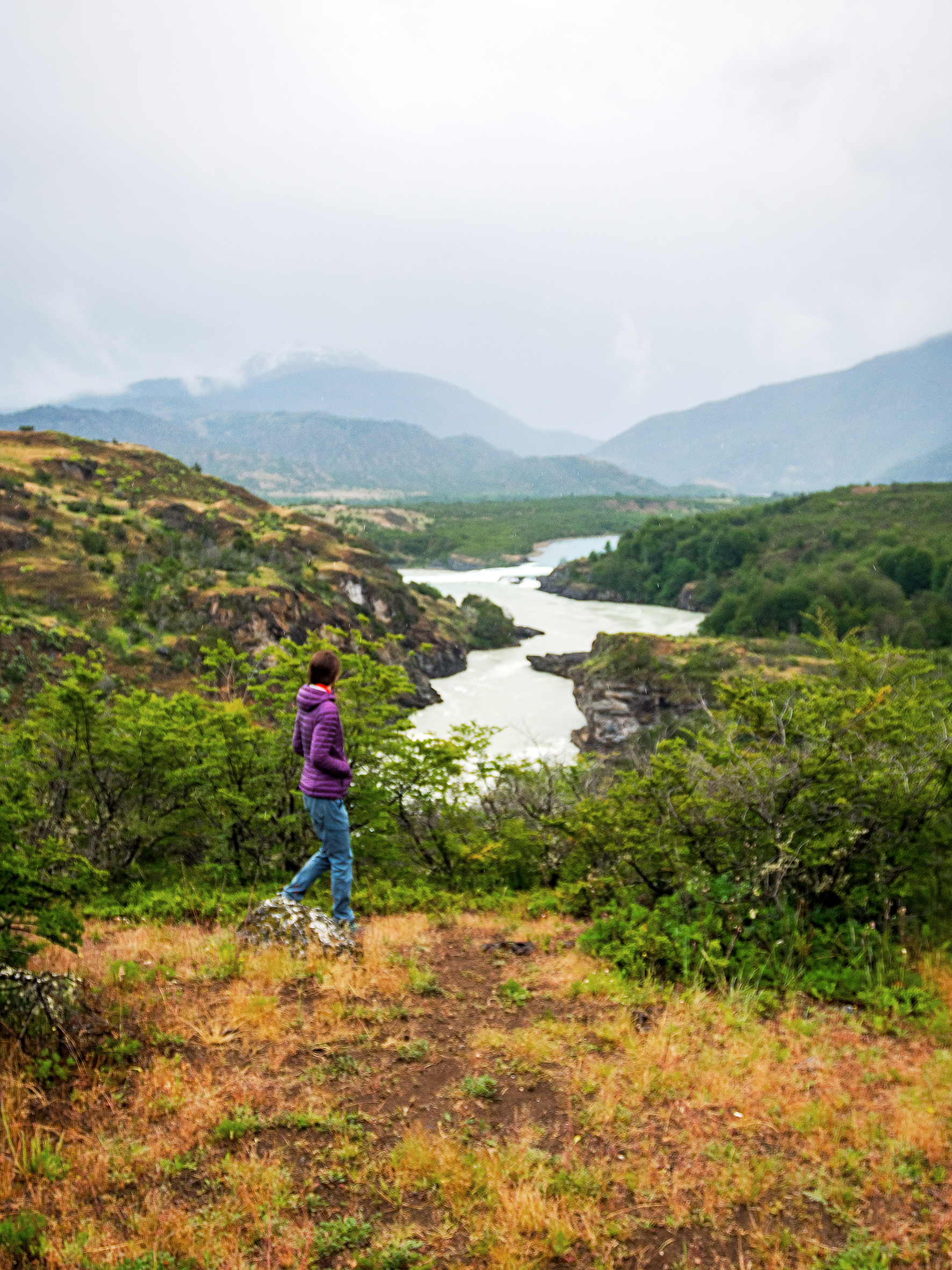
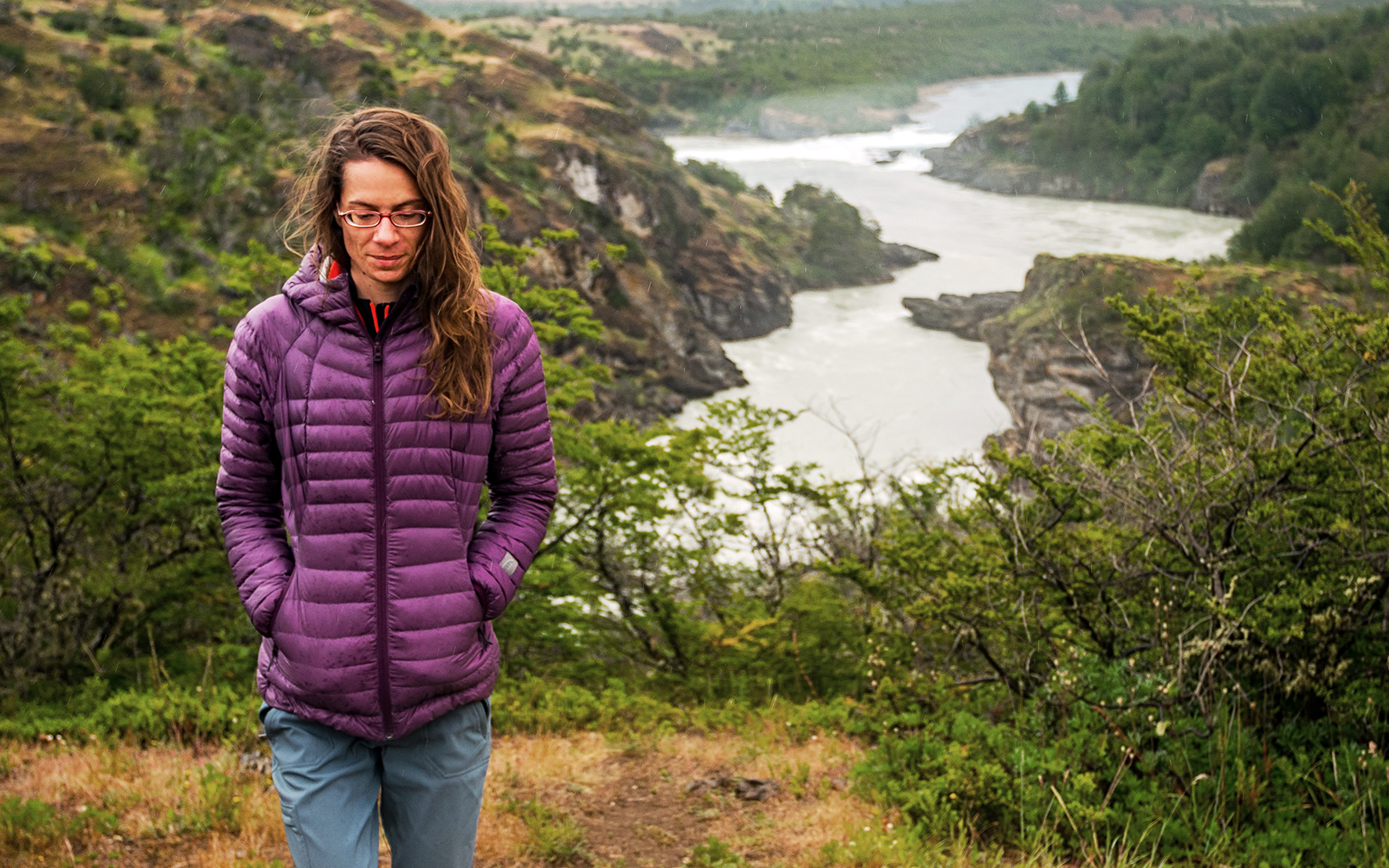
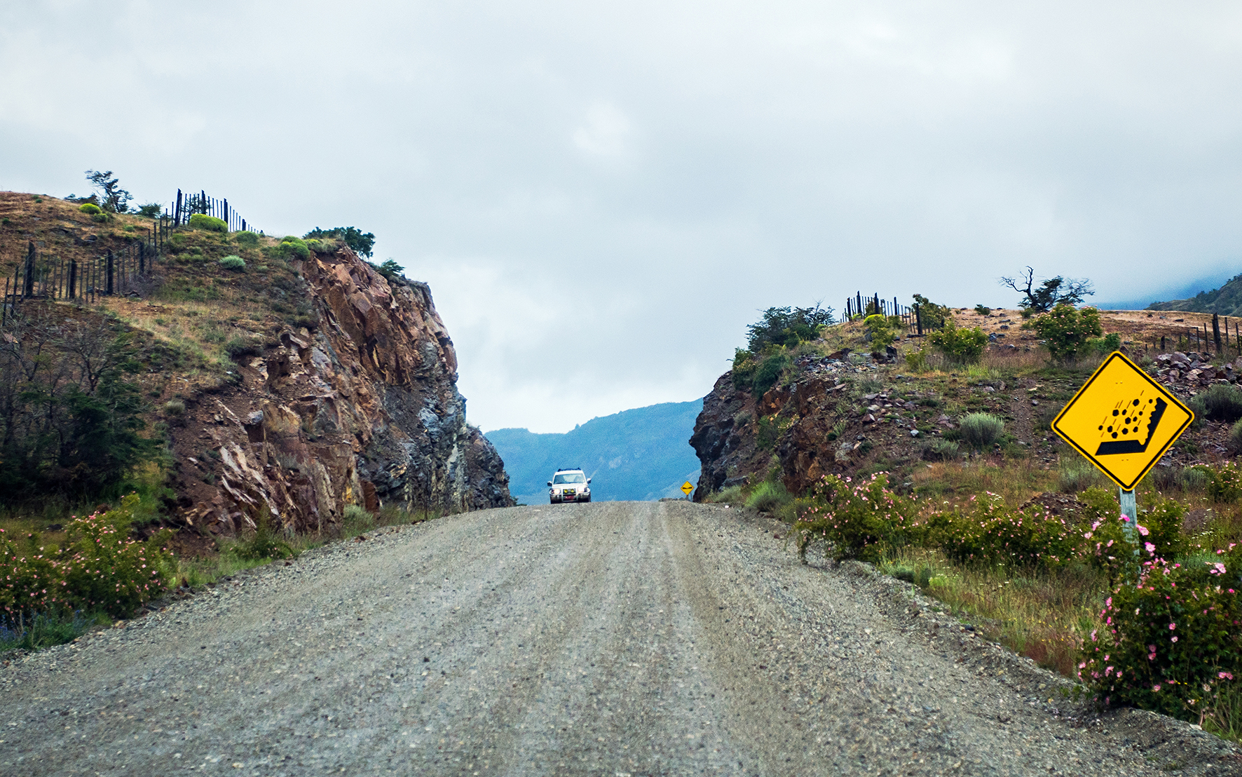
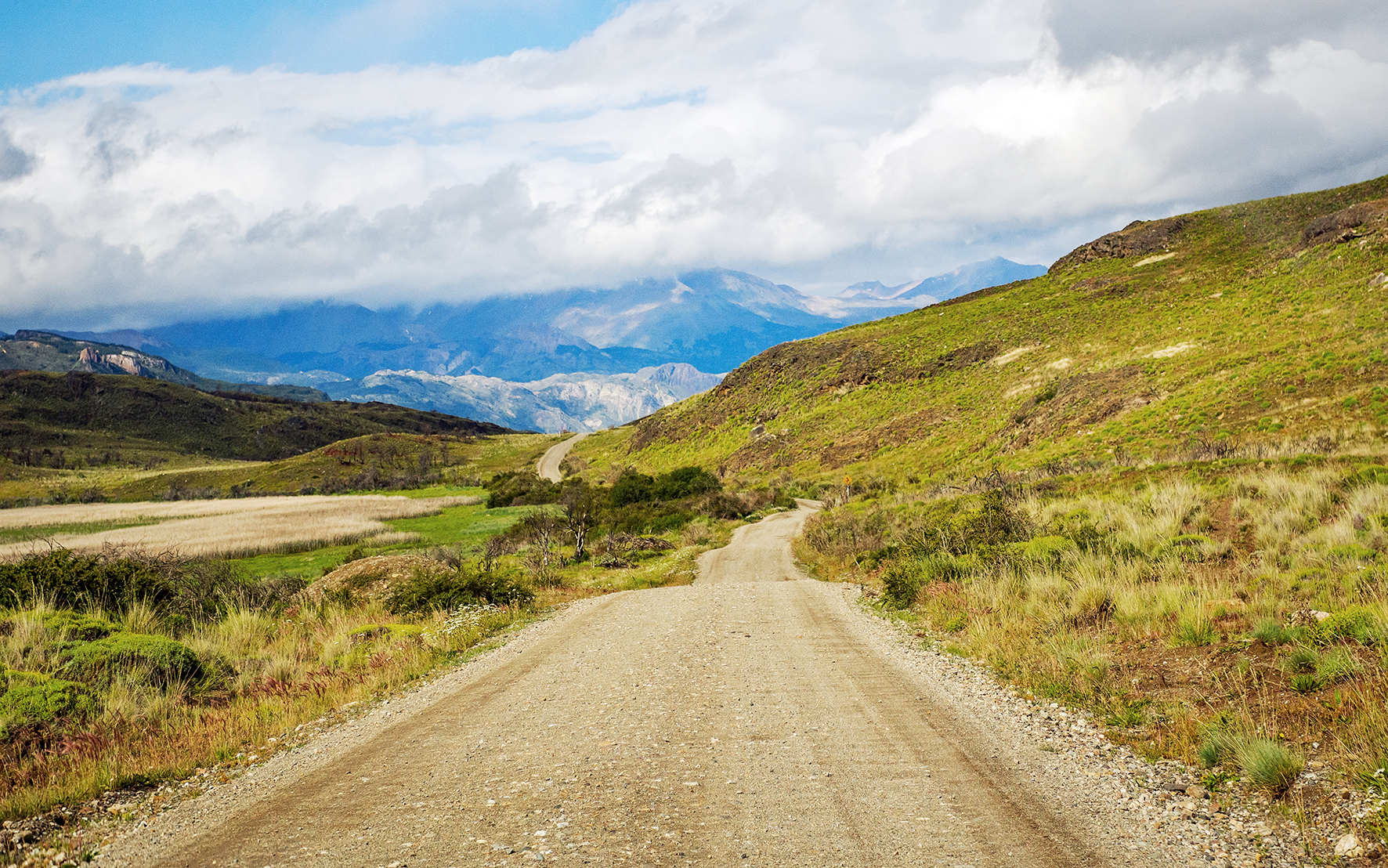
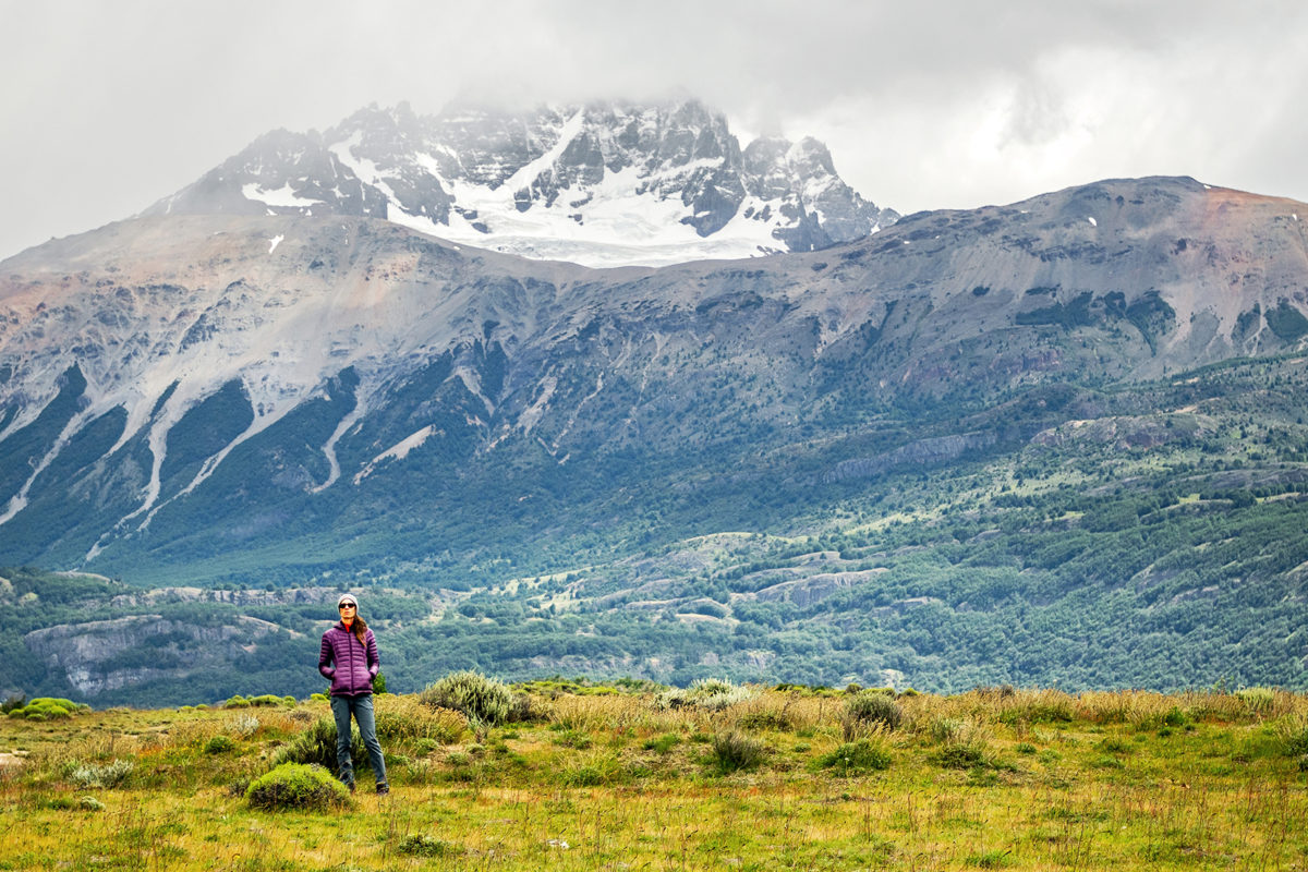
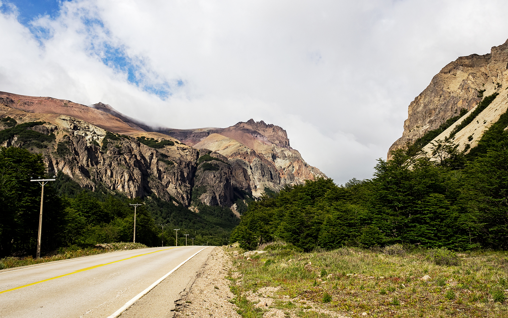
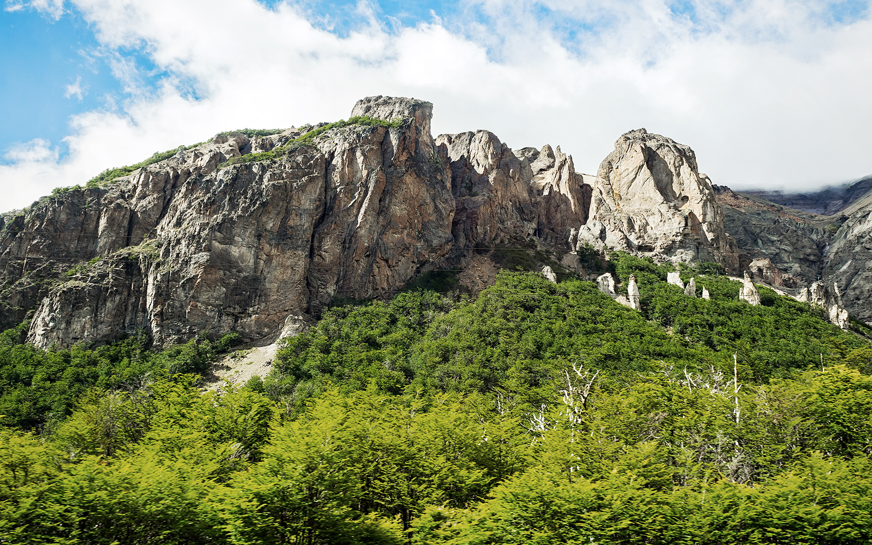
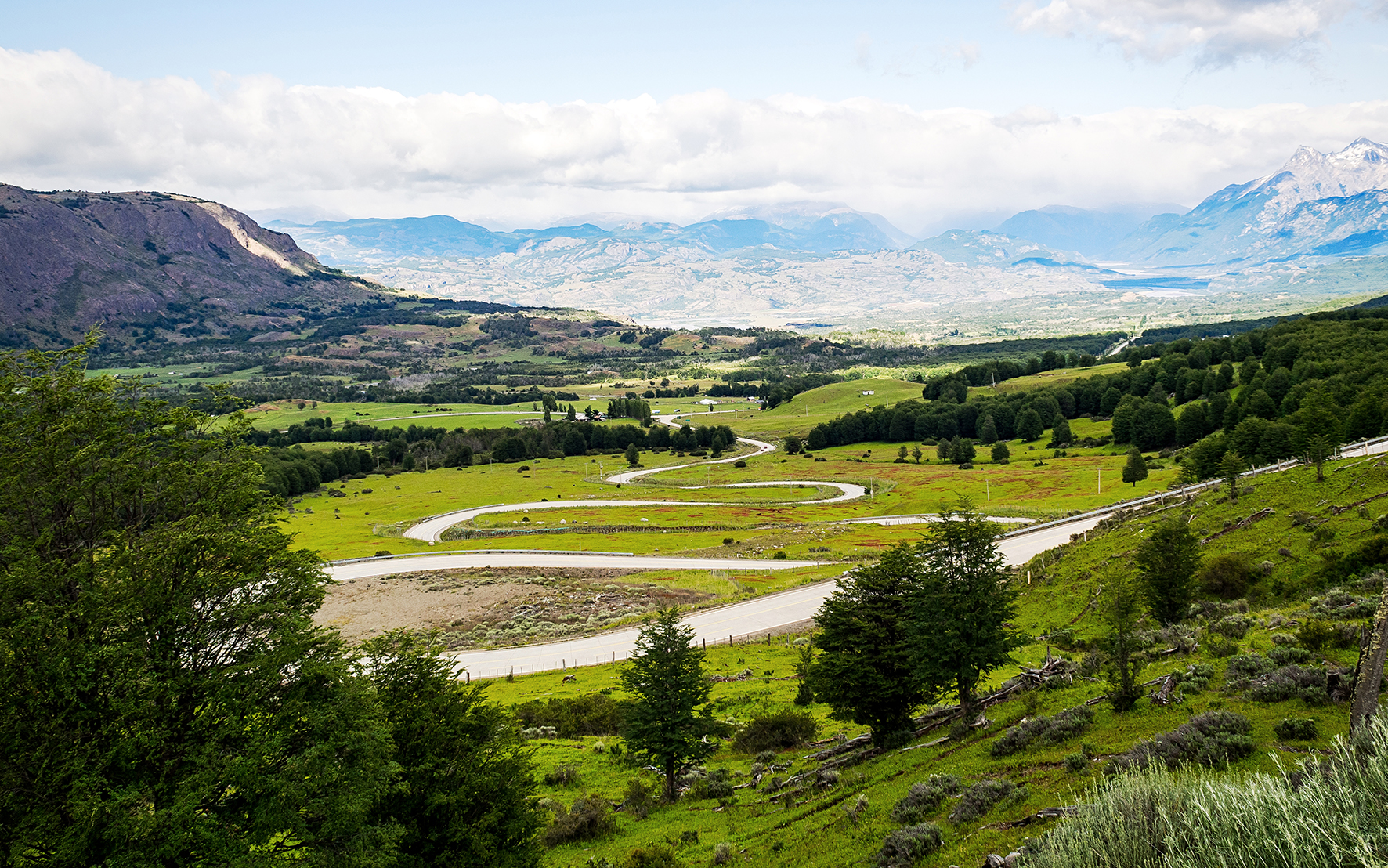
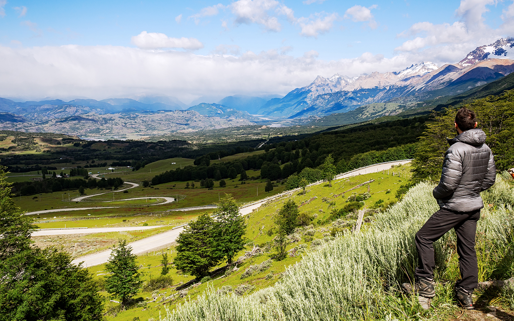
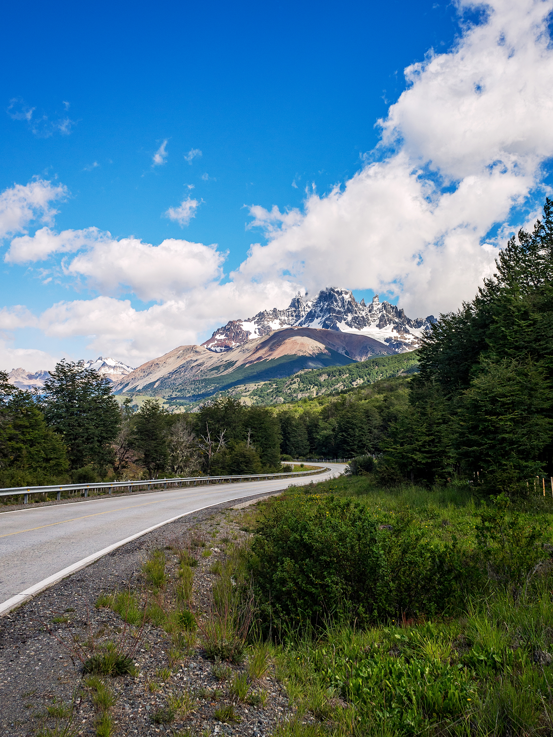
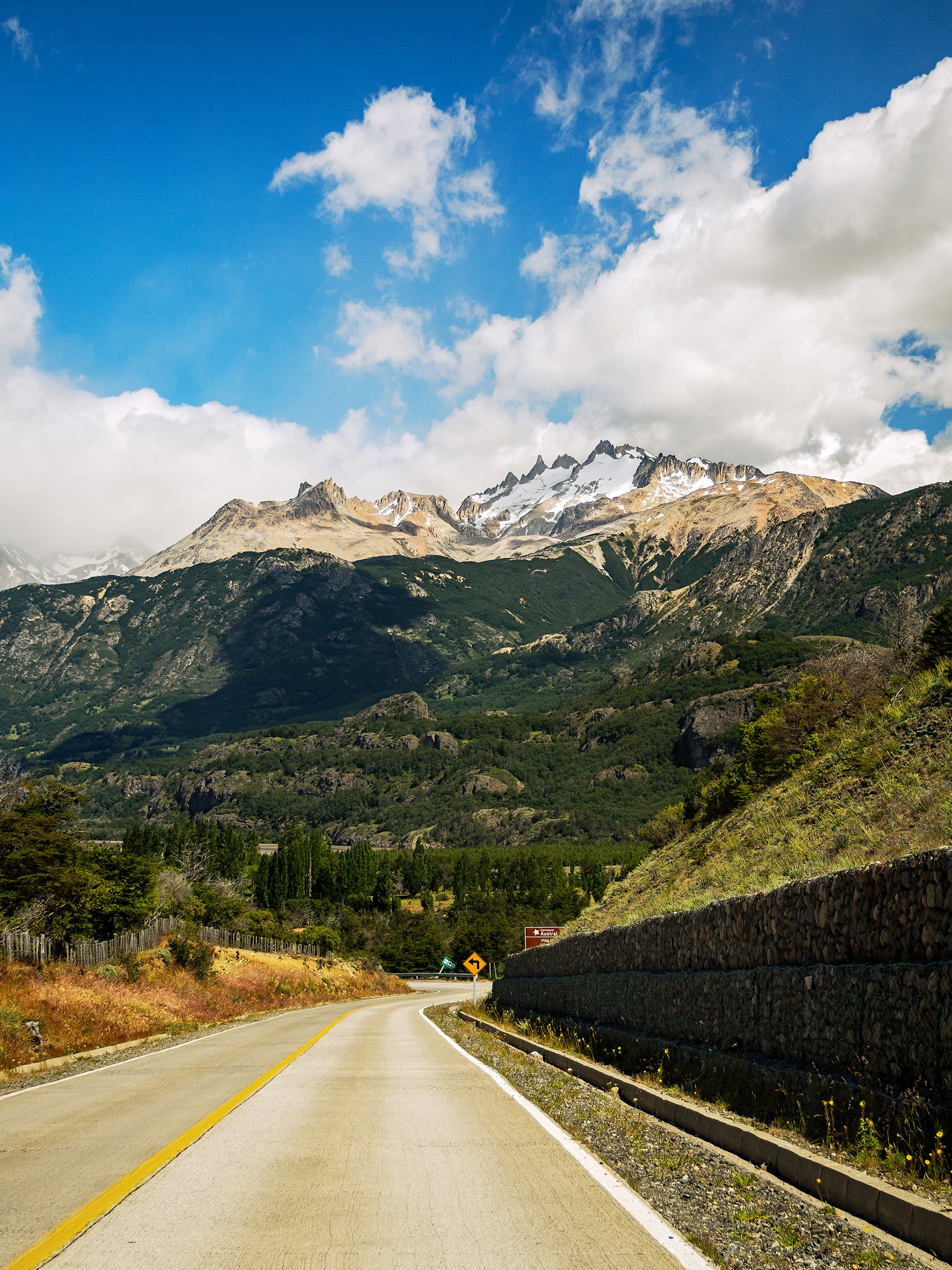
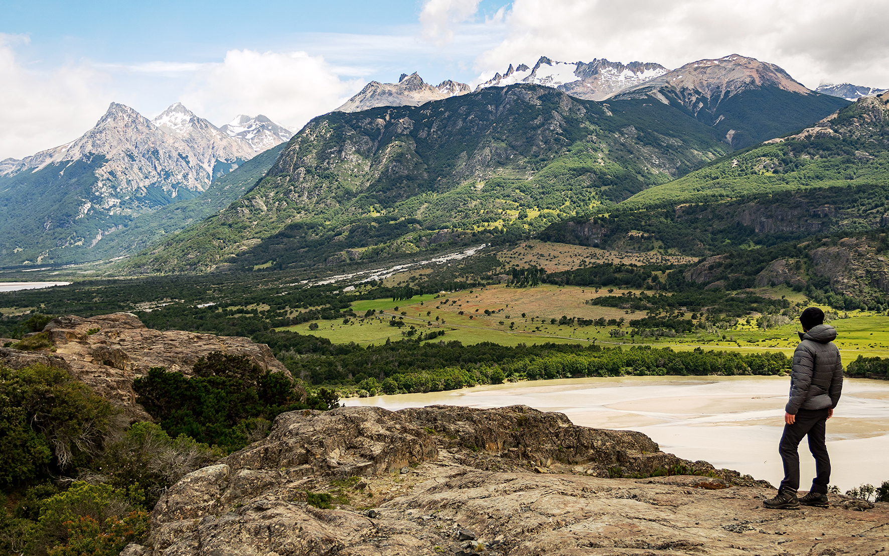
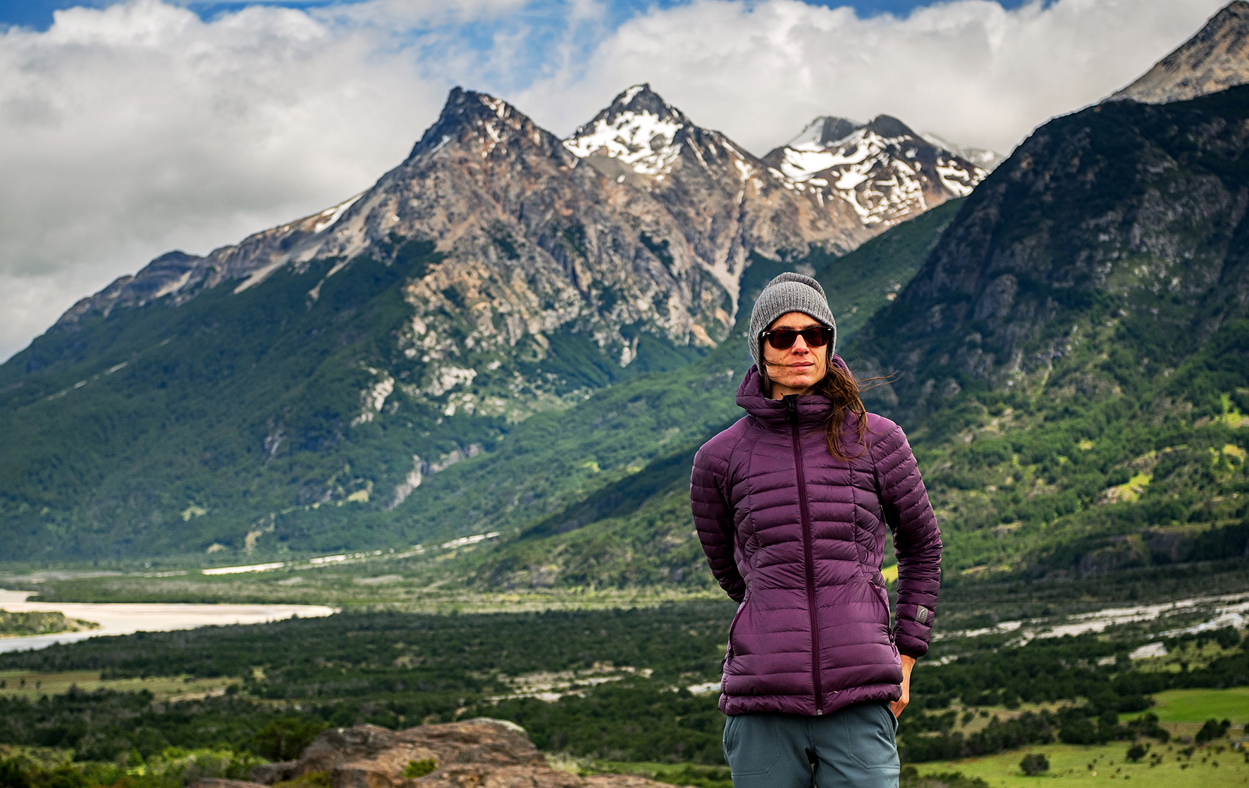
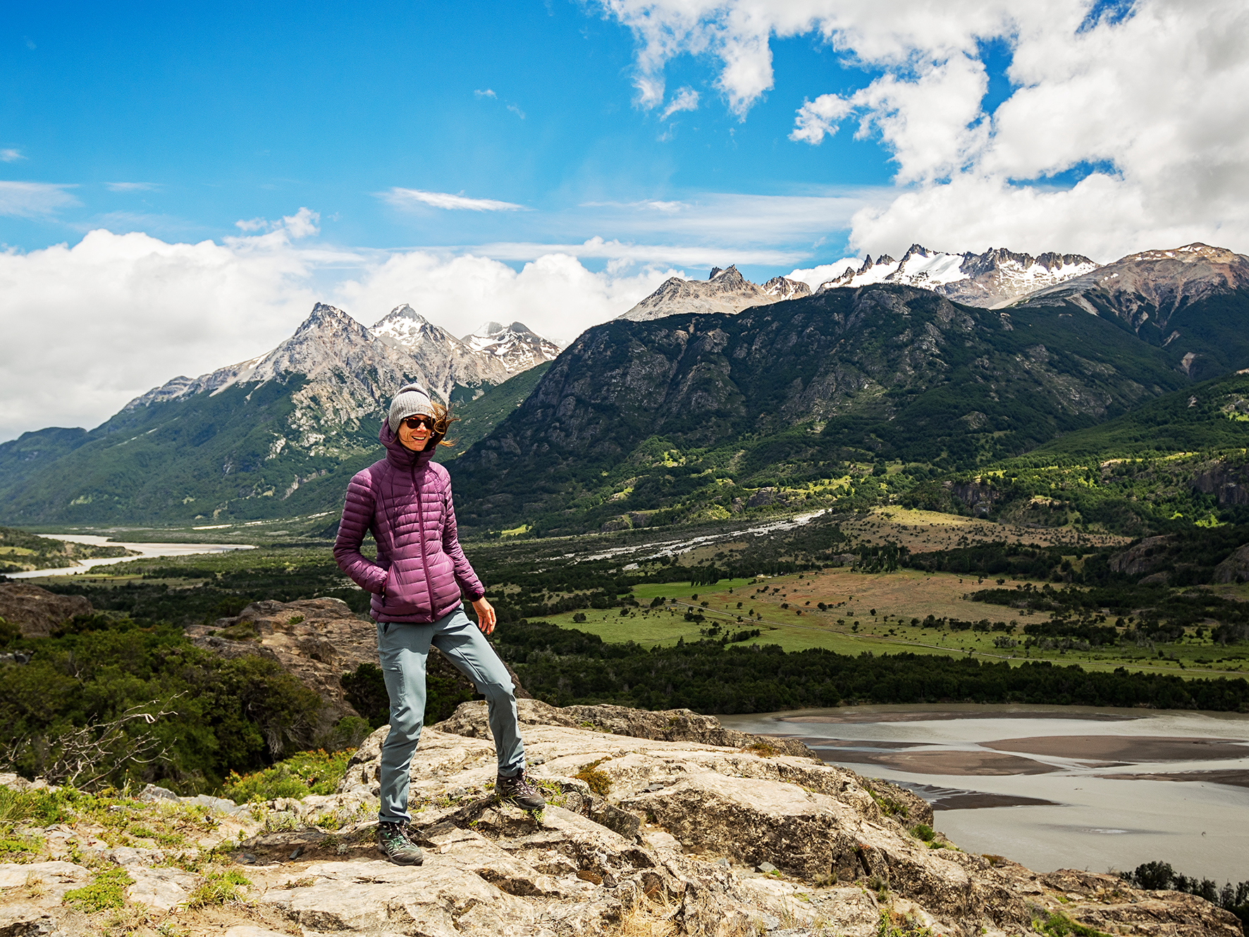
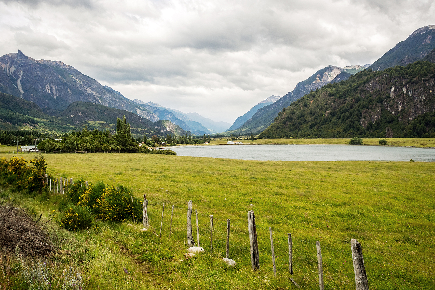
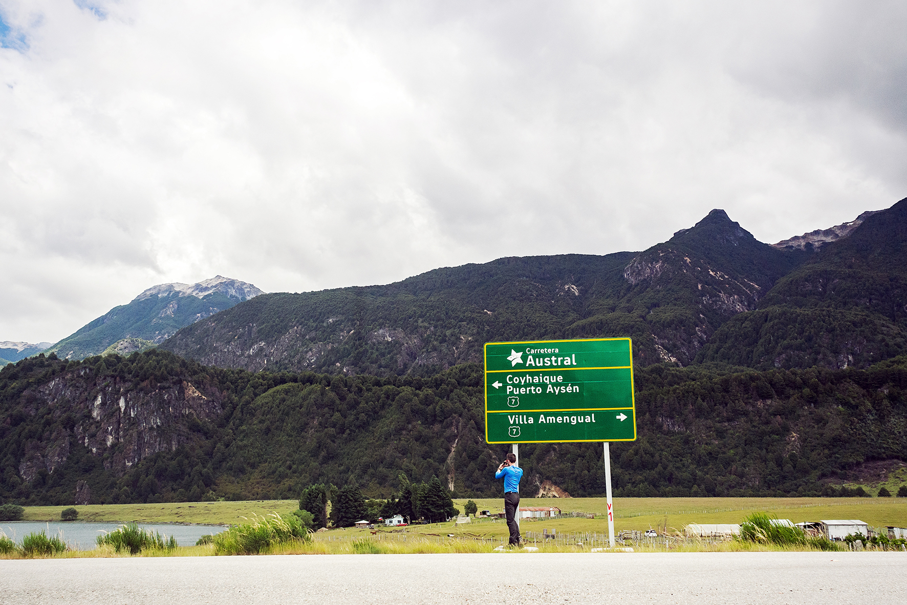
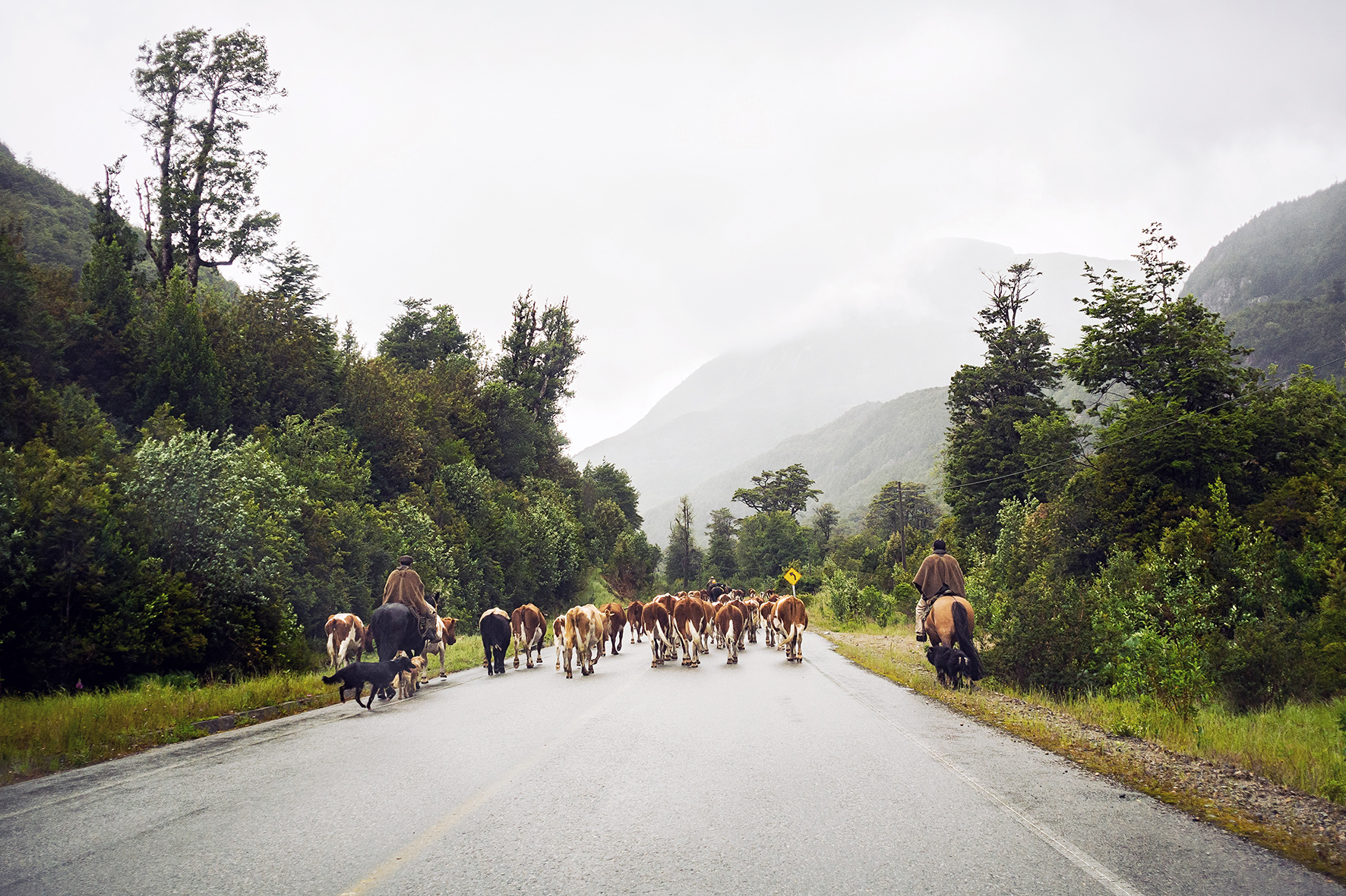
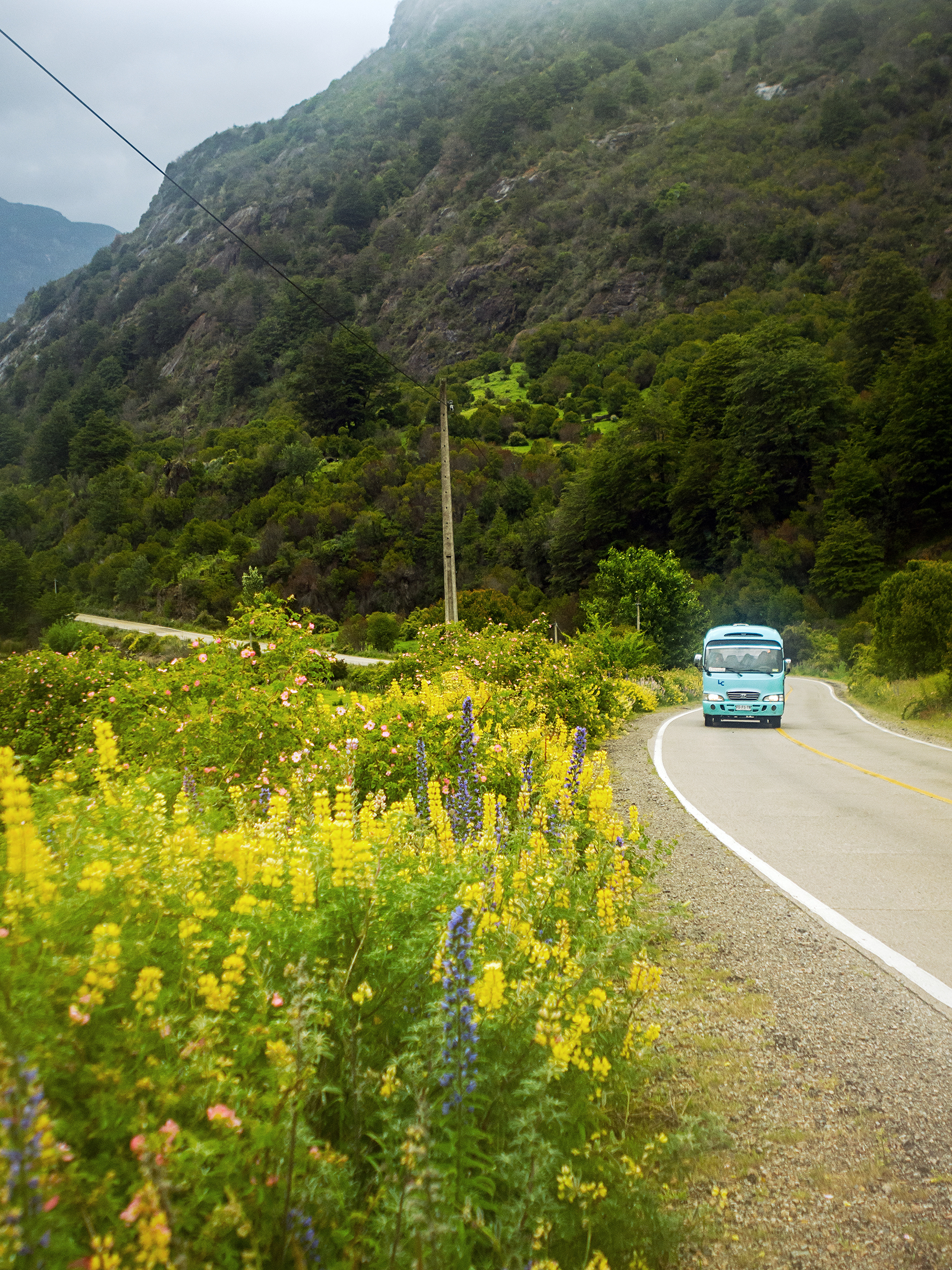
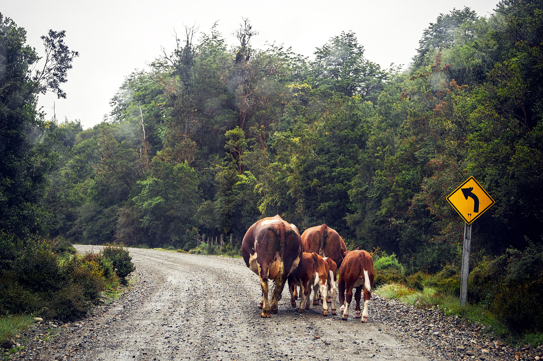
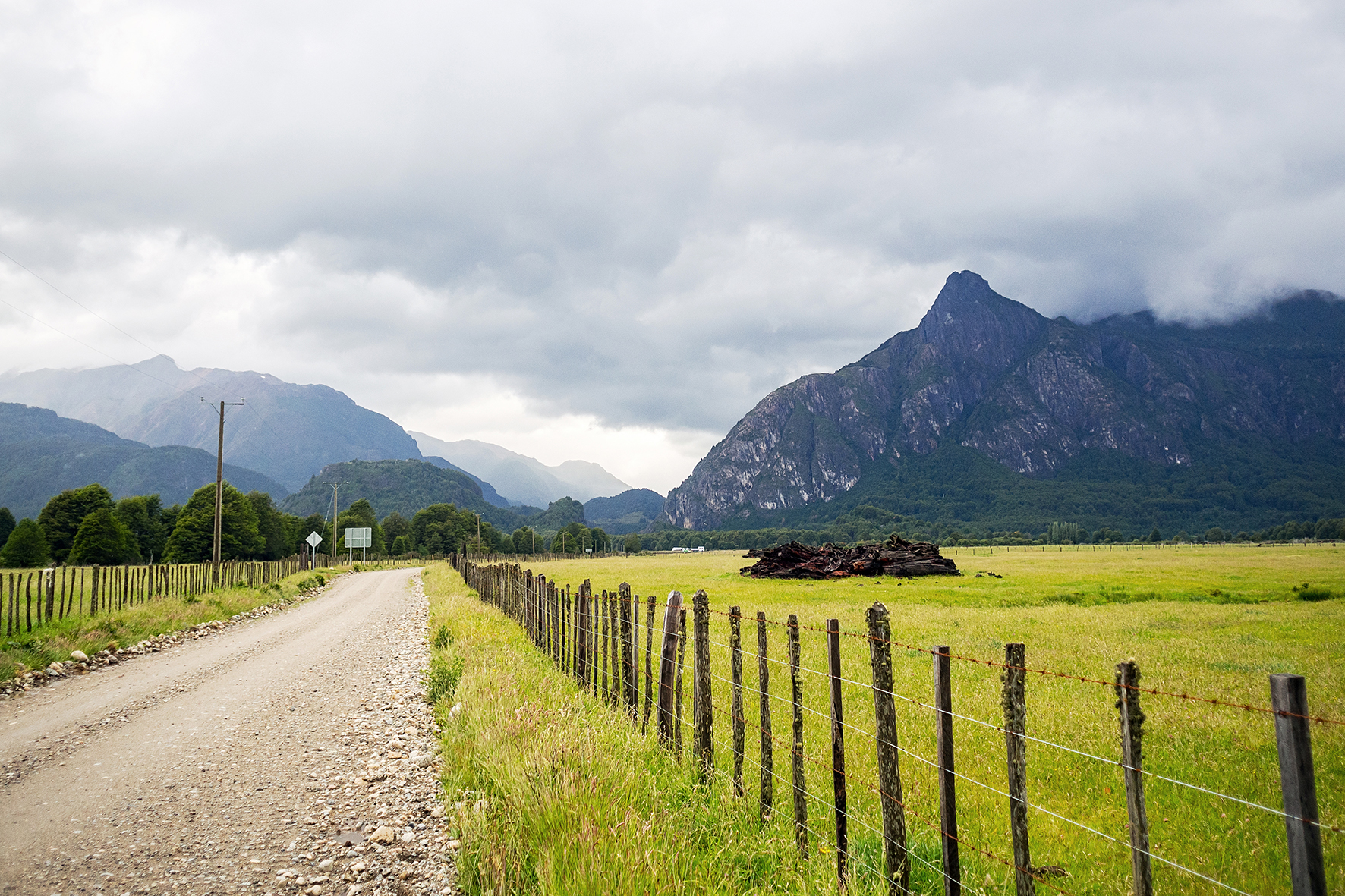
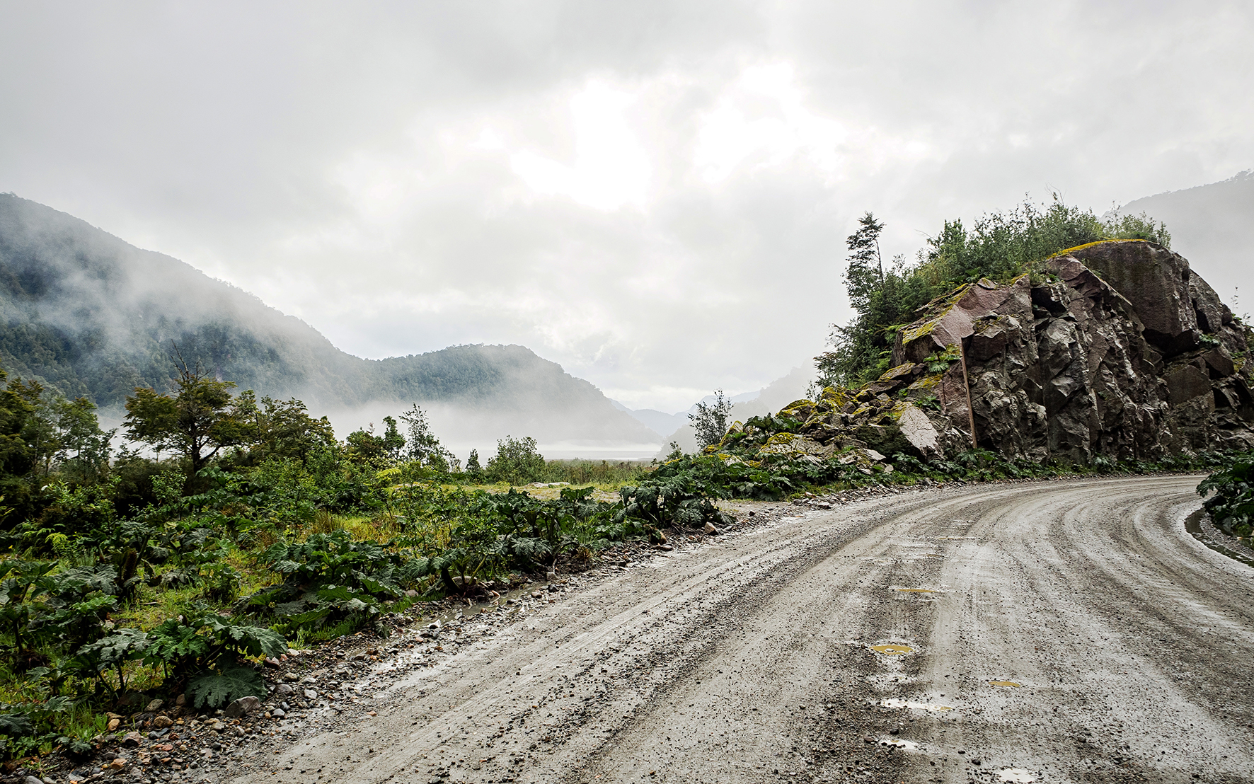
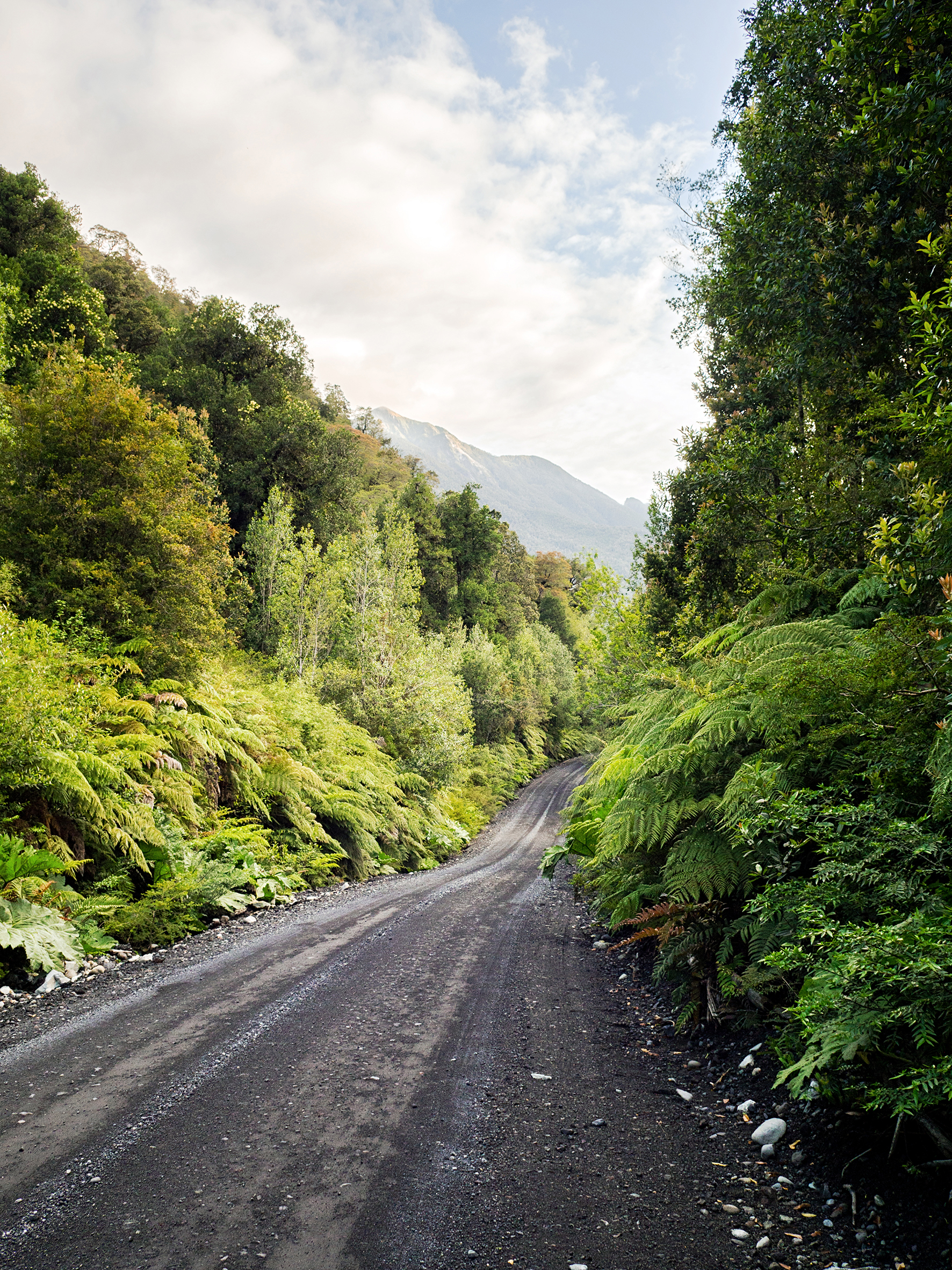
The next morning we had to cross the border again to go back to Chile. The 60km of road prior to the border were some of the roughest we’d driven on, with once again not much to look at. Thankfully we had loaded up the ipod with podcasts, so that kept our minds entertained while driving on these long stretches of road for hours.


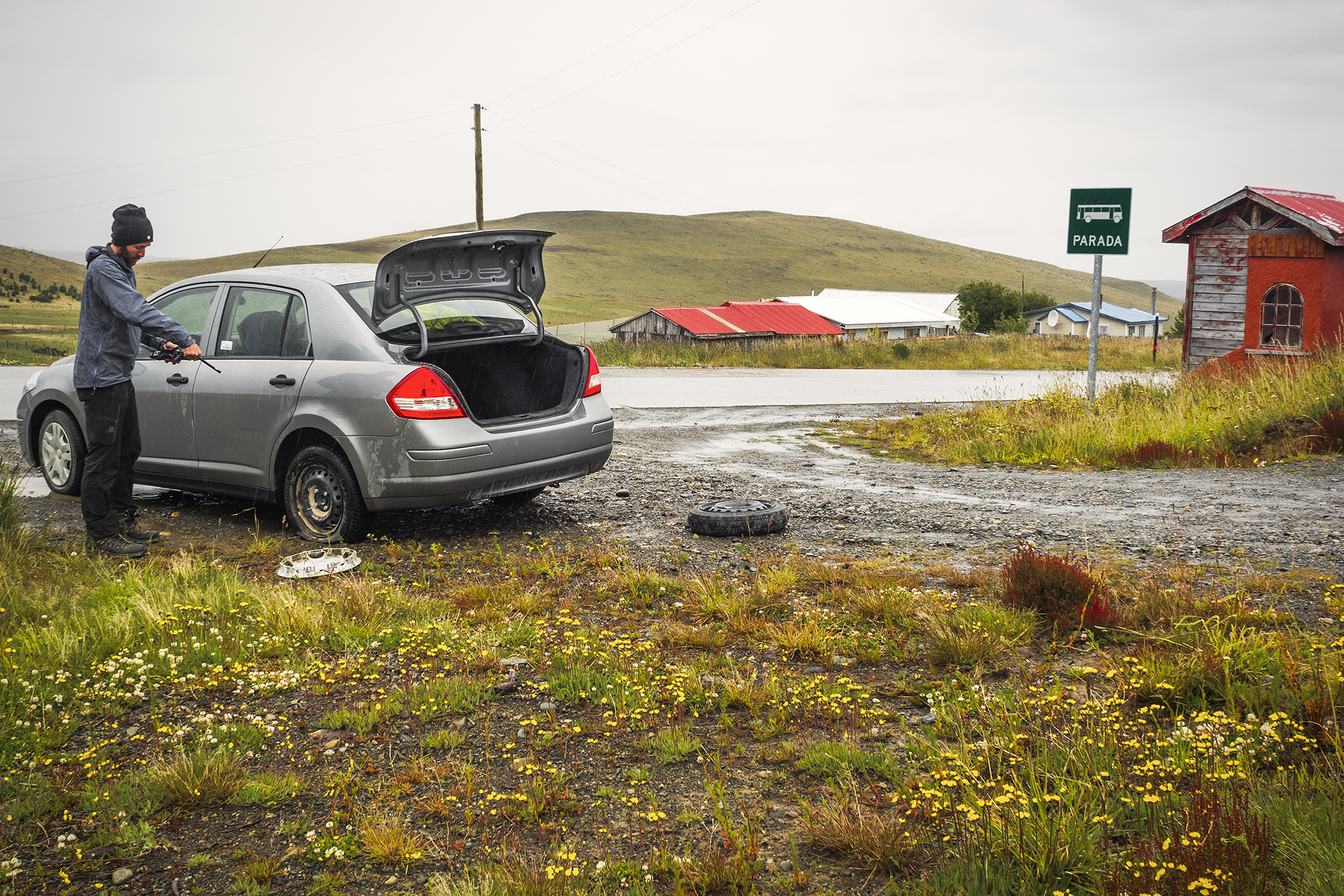
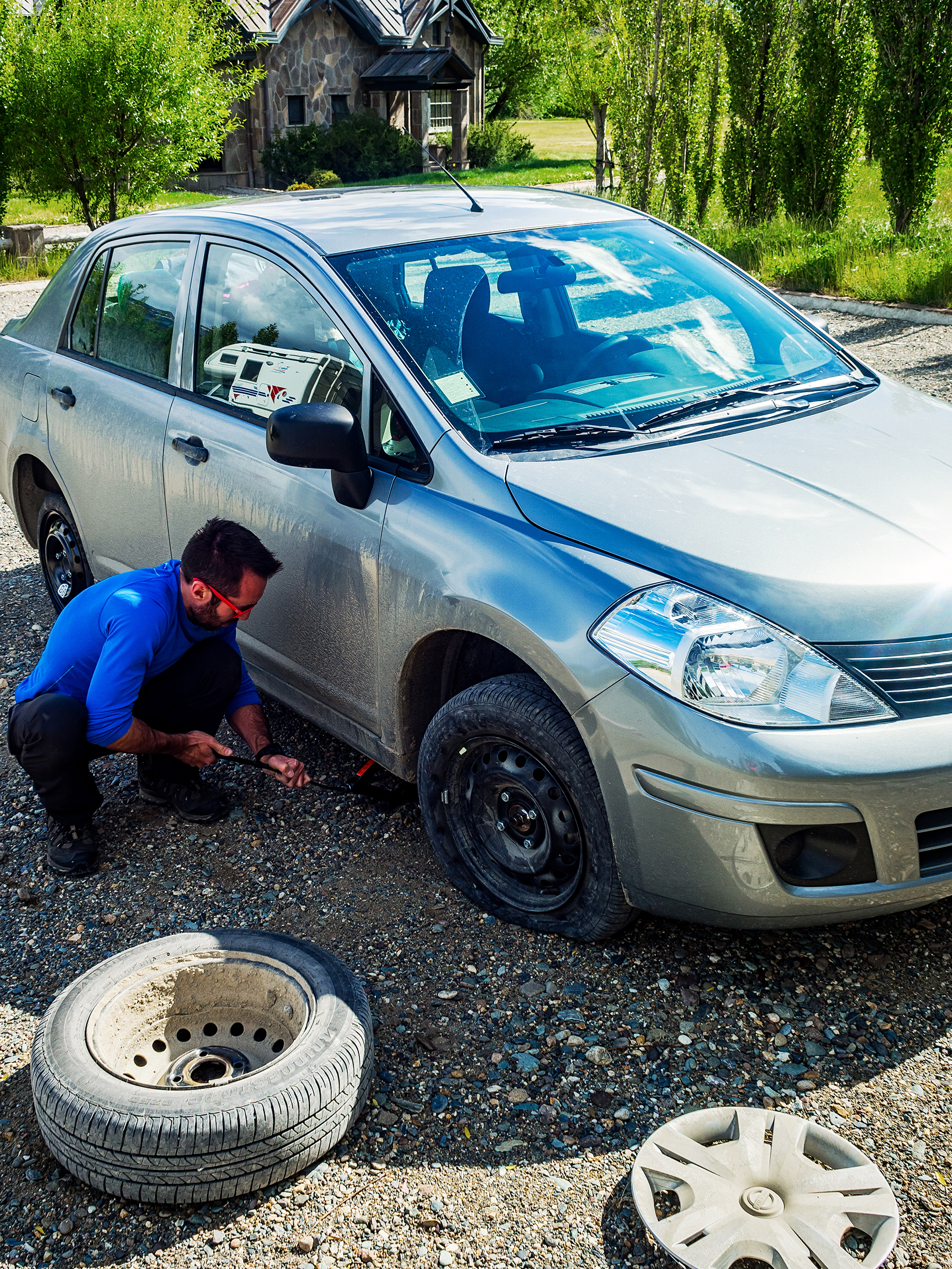
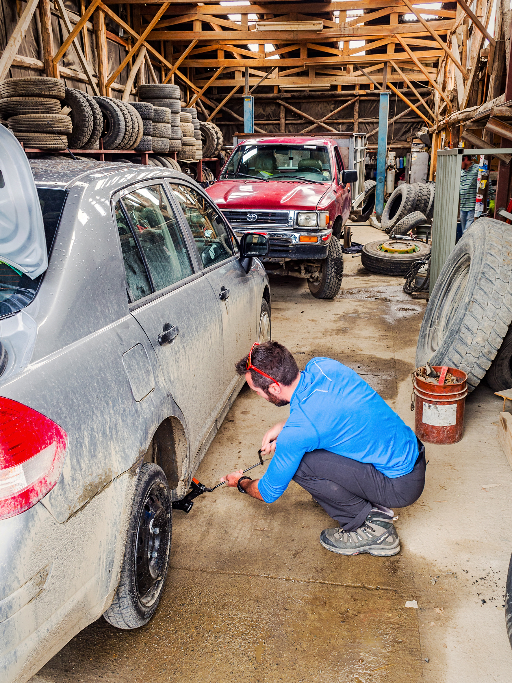
The border crossing near Rio Turbio was quite a lot bigger this time, with a good number of people going through. We went through the Argentinian side first, to exit, then drove 3km to the Chilean entry point. We had been warned that you couldn’t bring any food in Chile, but they let us go with what we had left – again it was mainly canned and dry food, no fresh produce, so it looked like it was fine. As we were crossing the border, we noticed we had another flat tire. So we had to pull over a bit further and replace it with the spare once again. We were only 25 km from Puerto Natales so we just kept going on the spare.


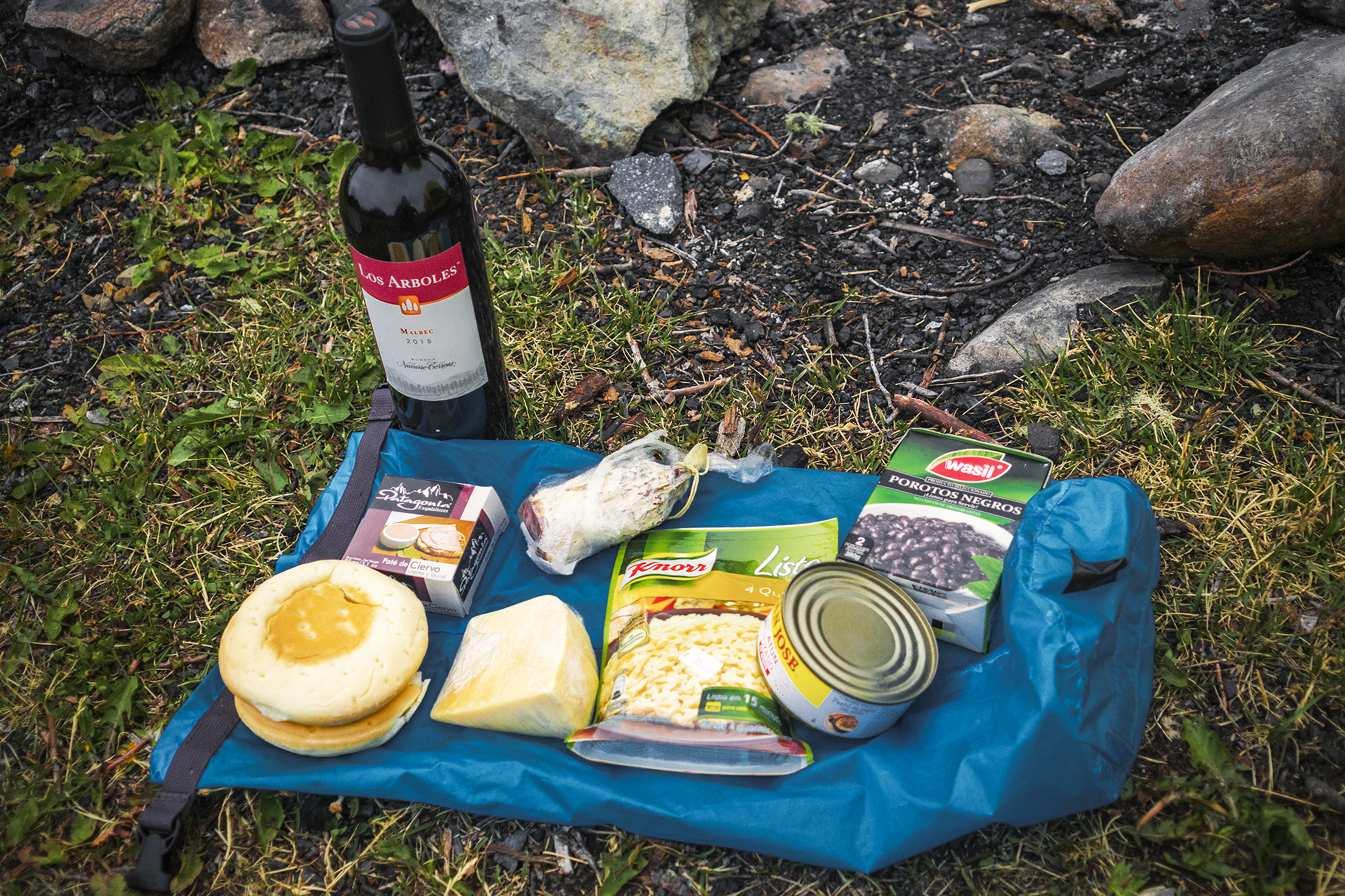
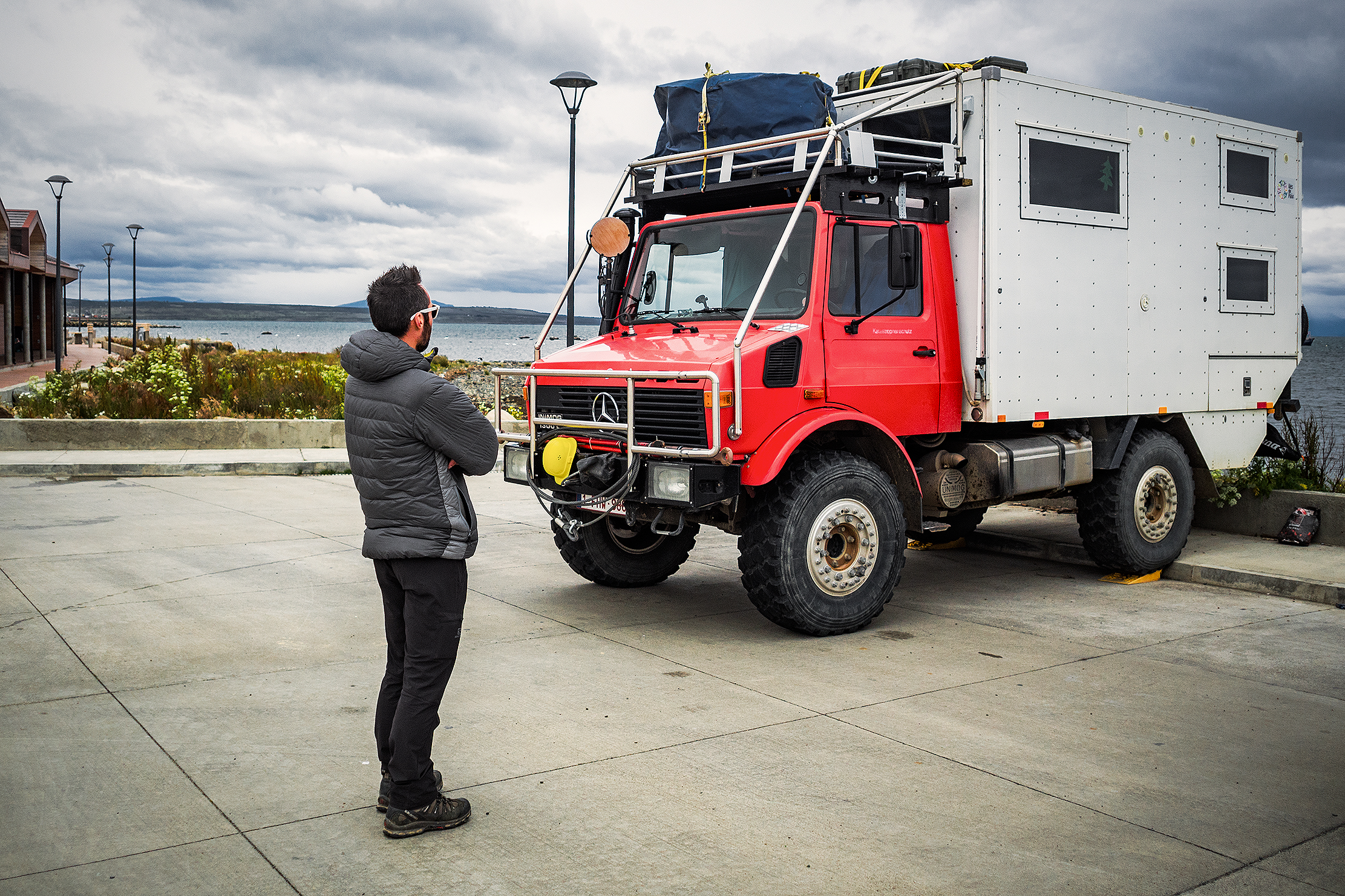
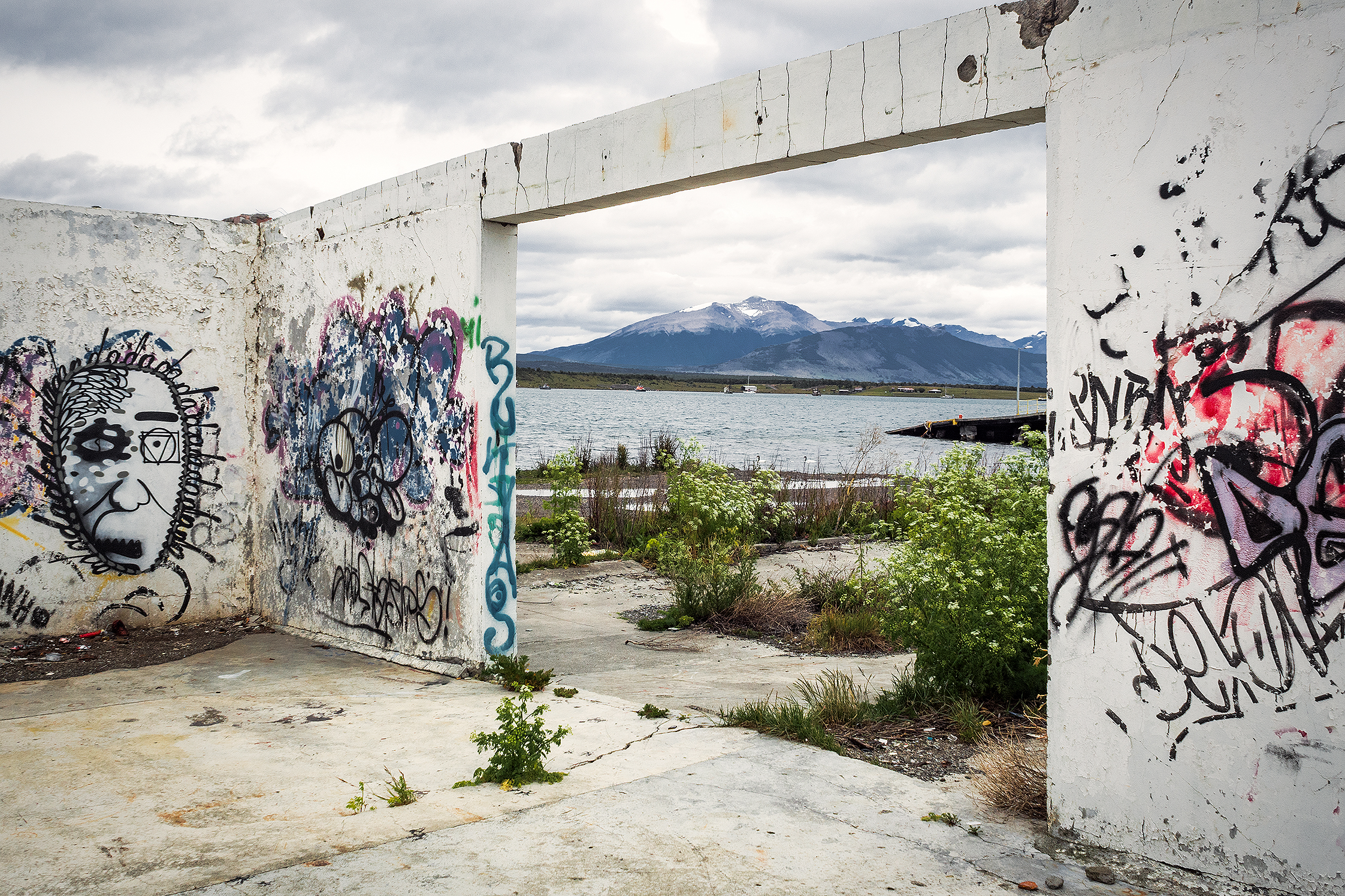
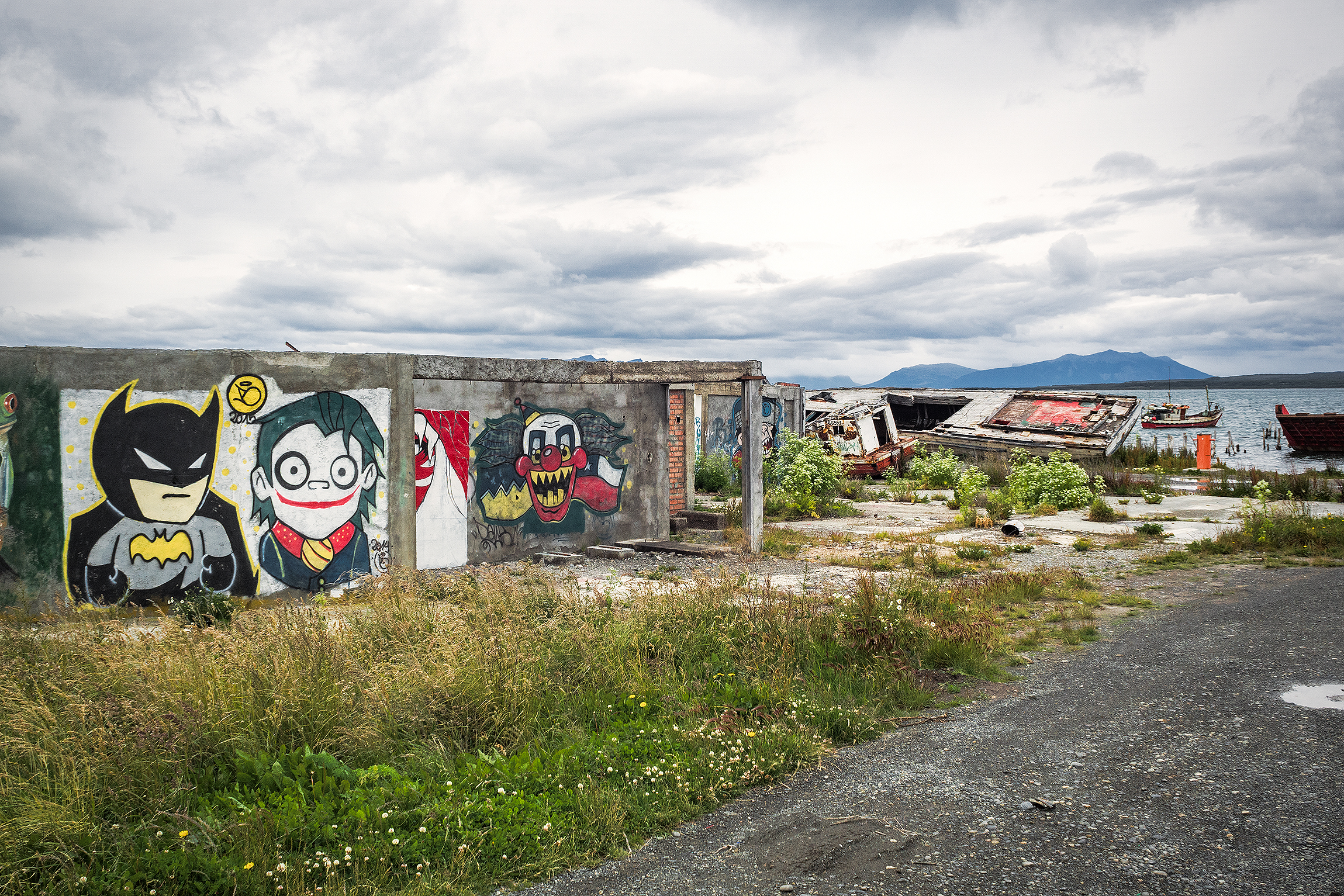
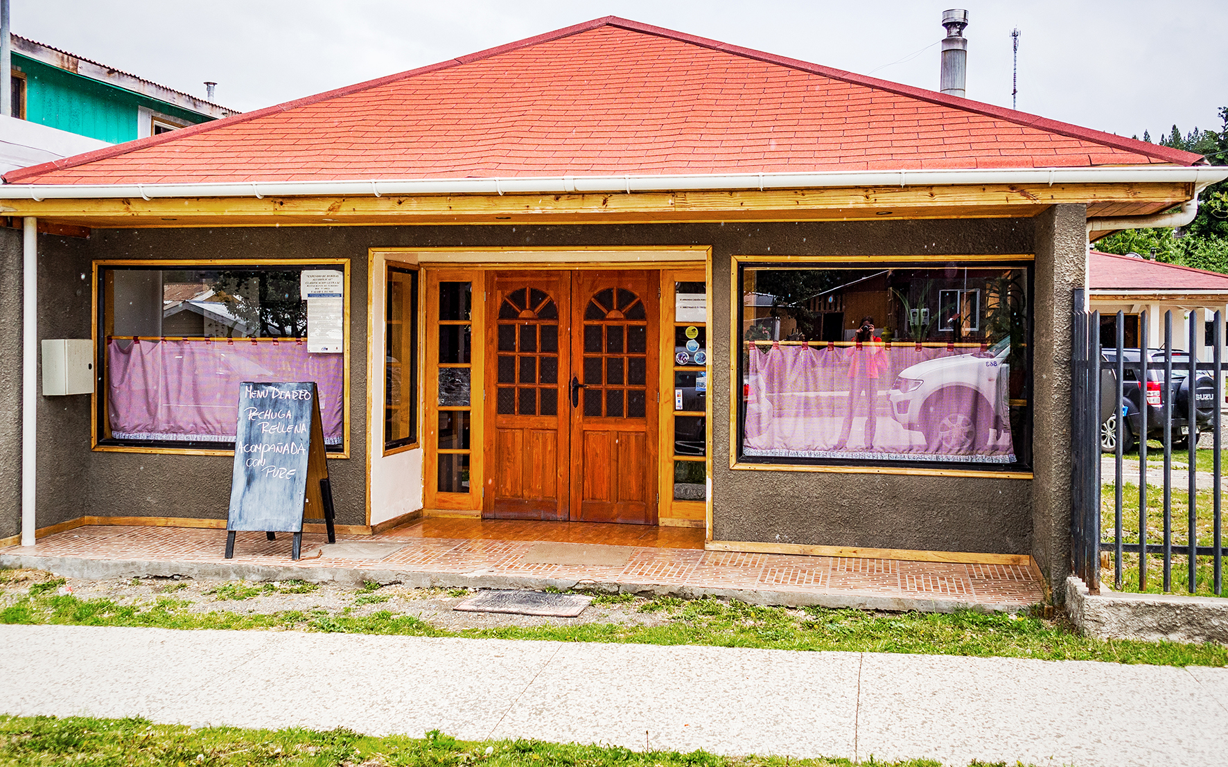
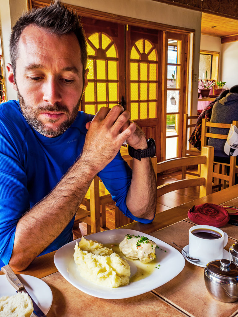
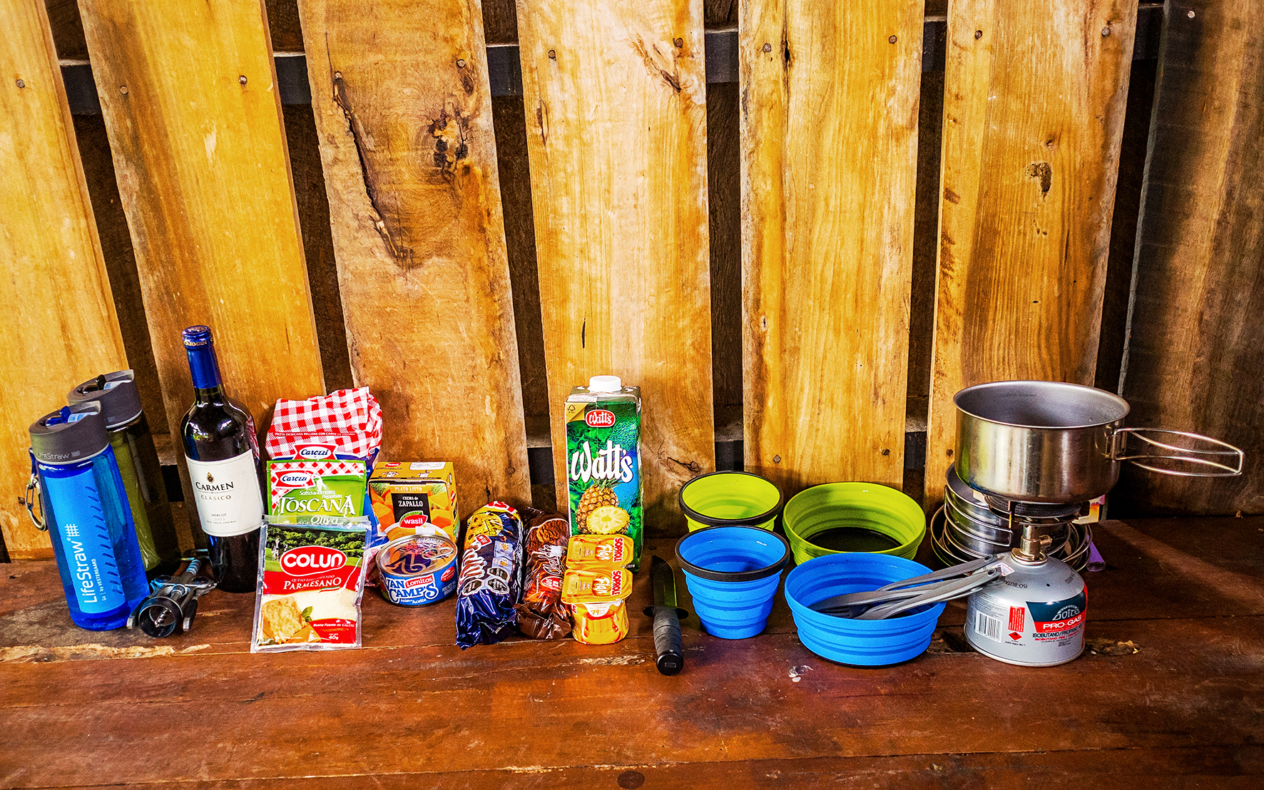
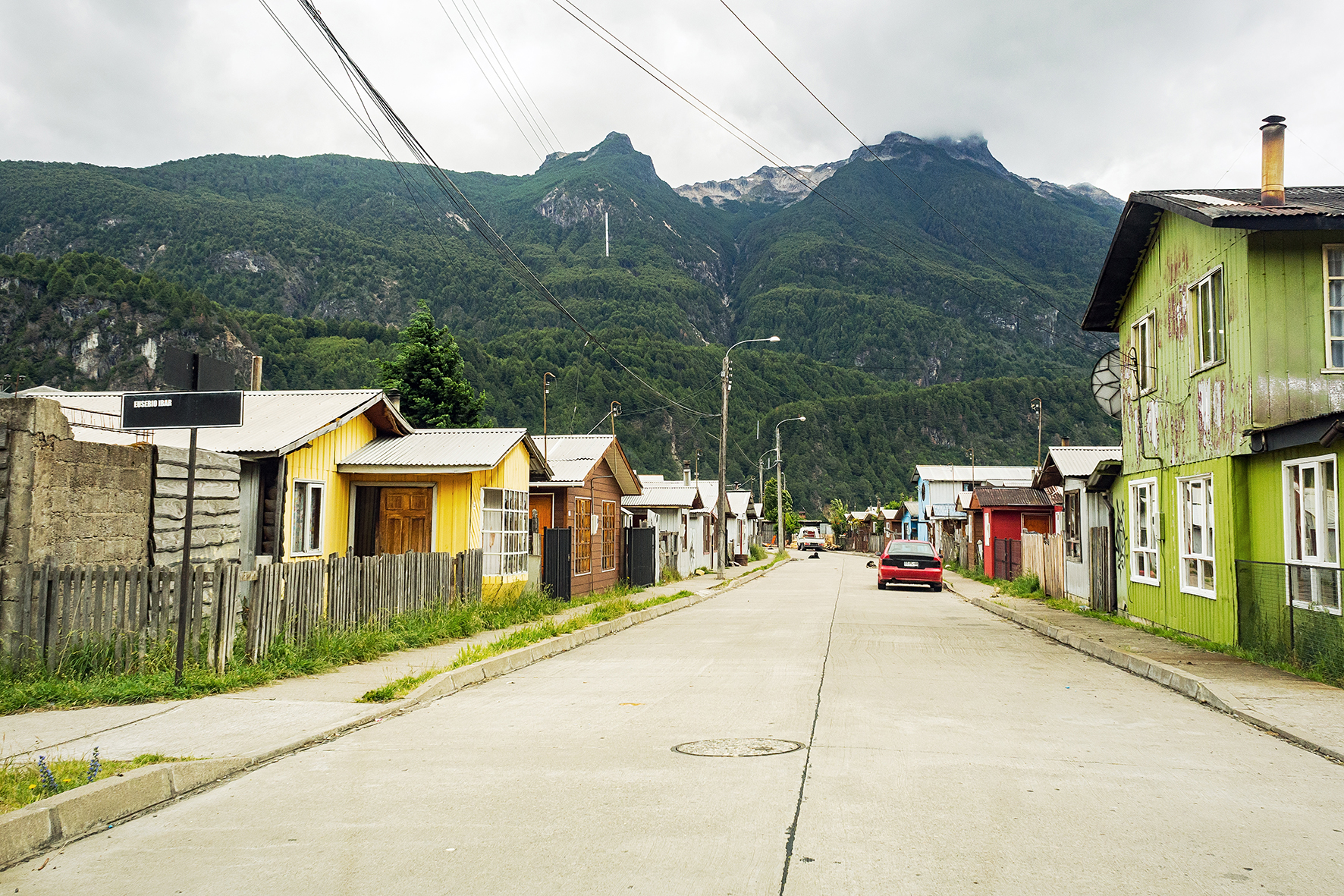
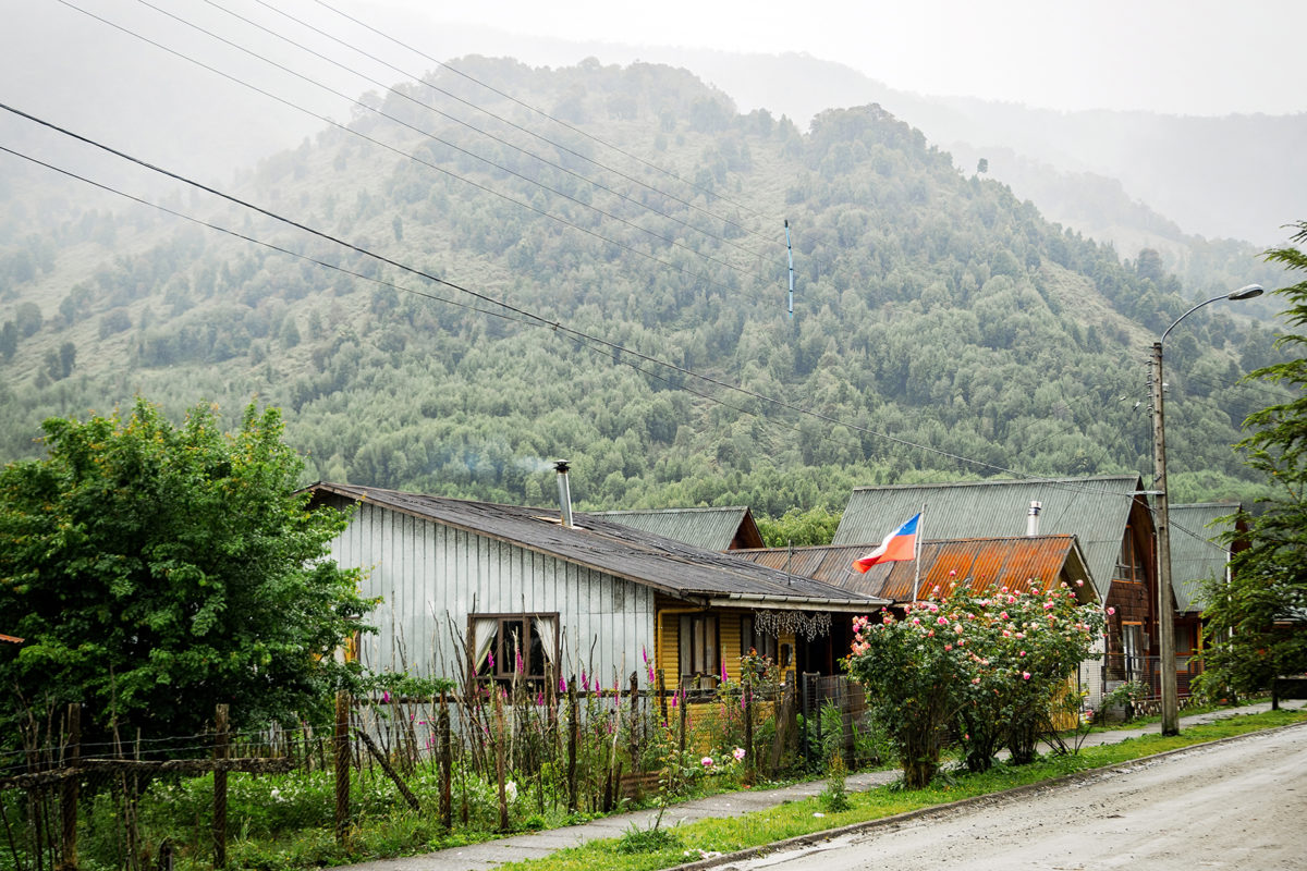
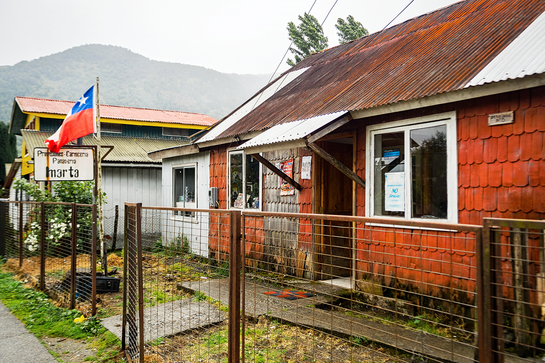
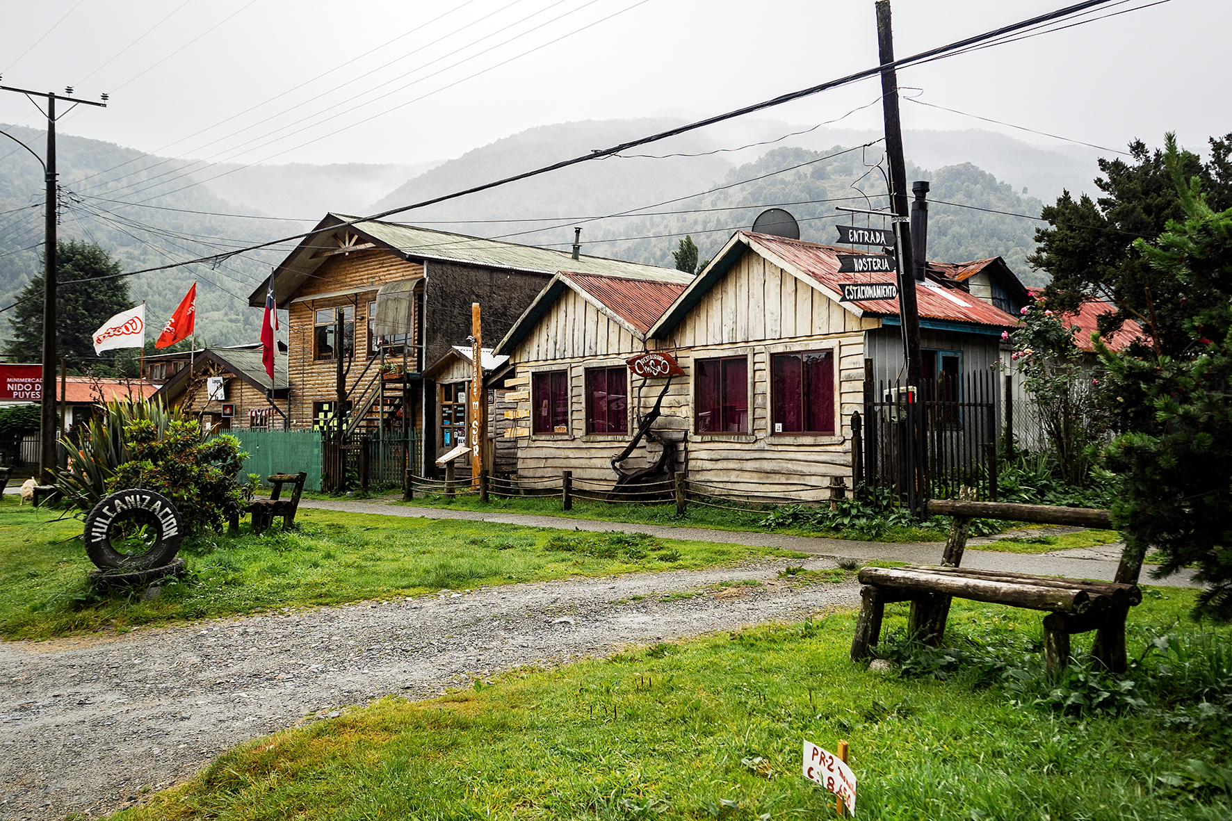
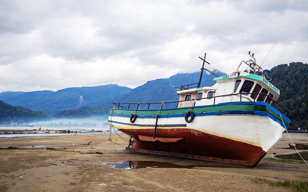
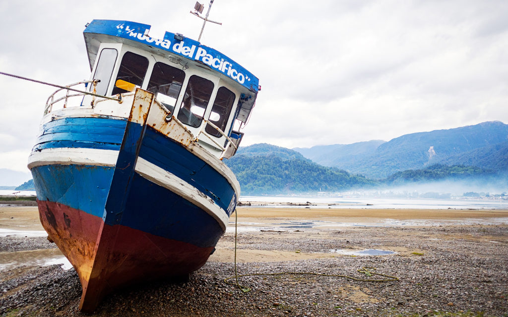
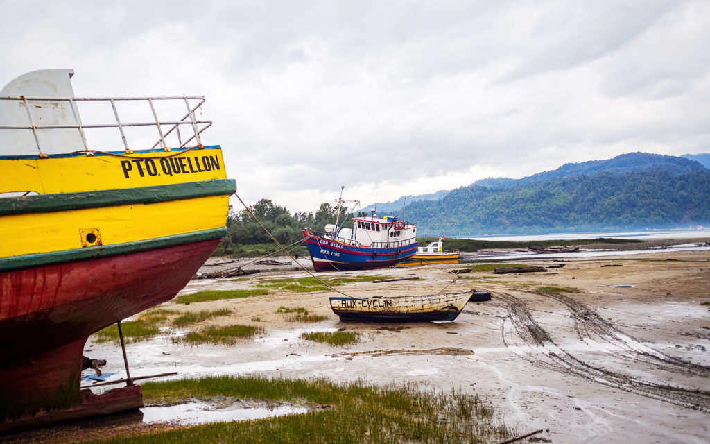
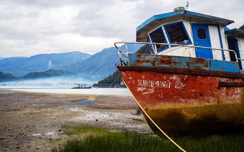
We arrived in Puerto Natales around 3pm. The first thing I wanted to do was buy food for the first few days of the trek (we had read that there were small shops in every campground so there was no need to buy for the whole week). Since it was Christmas eve, I thought stores might close earlier than usual, and they would most definitely be closed the next day. So as soon as we arrived we looked for a grocery store. We found one on the main street (Manuel Baquedano) in the center of town. The store was of decent size but not huge and we were able to get everything we needed, including a couple of nice freshly made empanadas for lunch. Turns out there was also a big Unimarc a couple of blocks away, but it’s a good thing we avoided it as apparently, the lines to the cash registers where insane that day. Once we had all our supplies, we started looking for accommodation.
Puerto Natales is the starting point for anyone going to Torres del Paine. As such, it is a pretty big tourist hub, and accommodation is everywhere. We walked around the center of town to check out hostels in the area, but then decided to drive just a few blocks away from the center, where it would be quieter.
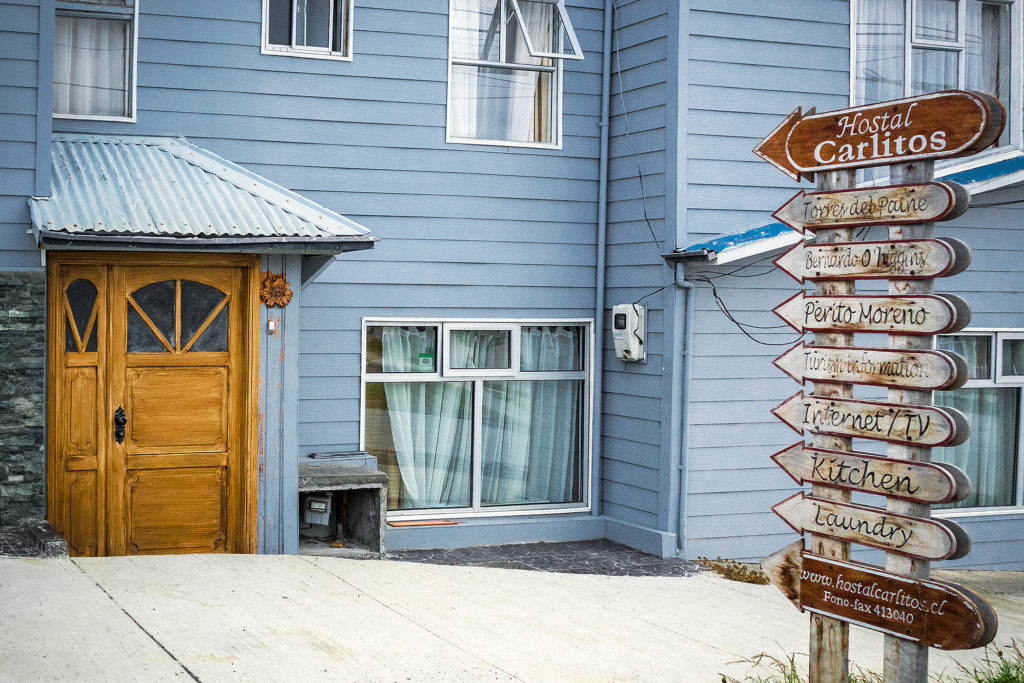
There were “Hostal” signs pretty much every block, so we went into a few of them to check them out. Eventually we settled on Hostal Carlitos – the selling point was the big wood burning stove in the main room that gave the place just the amount of cozy we were looking for.
Hostal Carlitos was a family run business. There was a big Christmas tree in the main room, with presents underneath. The girl at front desk told us that the whole family was getting together that night and was having a traditional Christmas eve dinner, and that we were welcome to join. Dinner would be at 12am. Although we were honored that they invited us, the chances of us still being awake at midnight were pretty slim – and sure enough, we were out by 9:30pm.

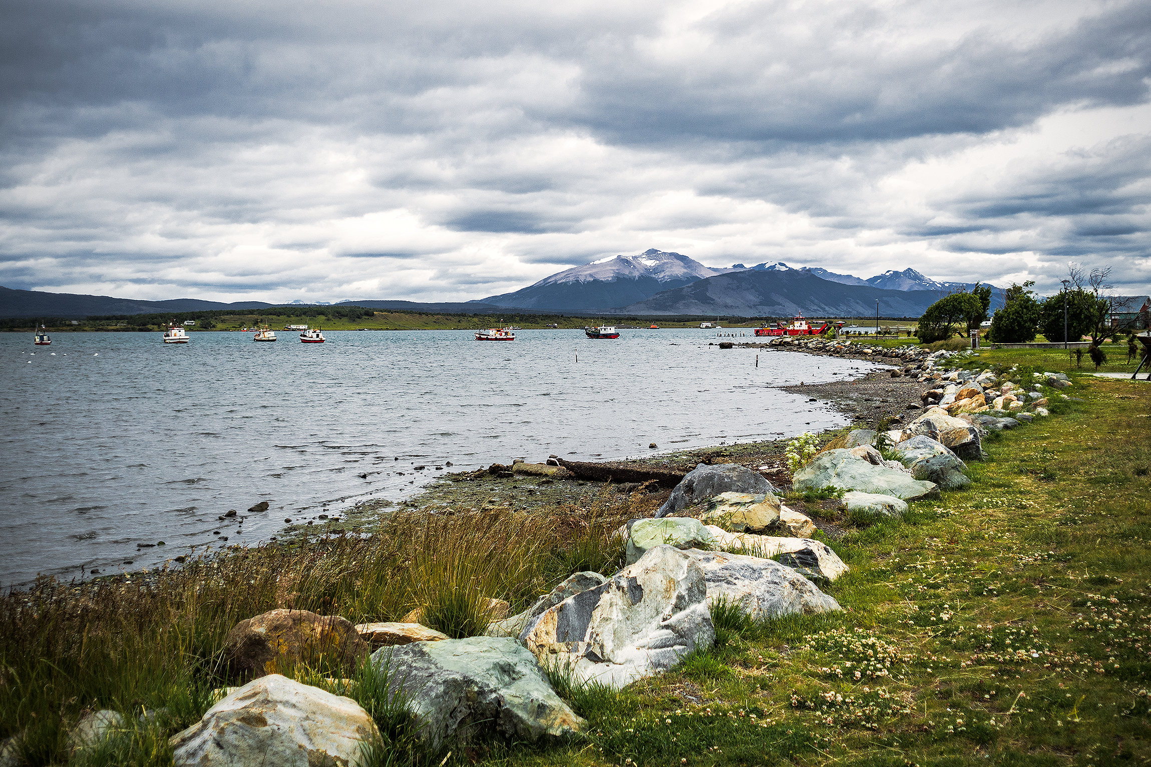
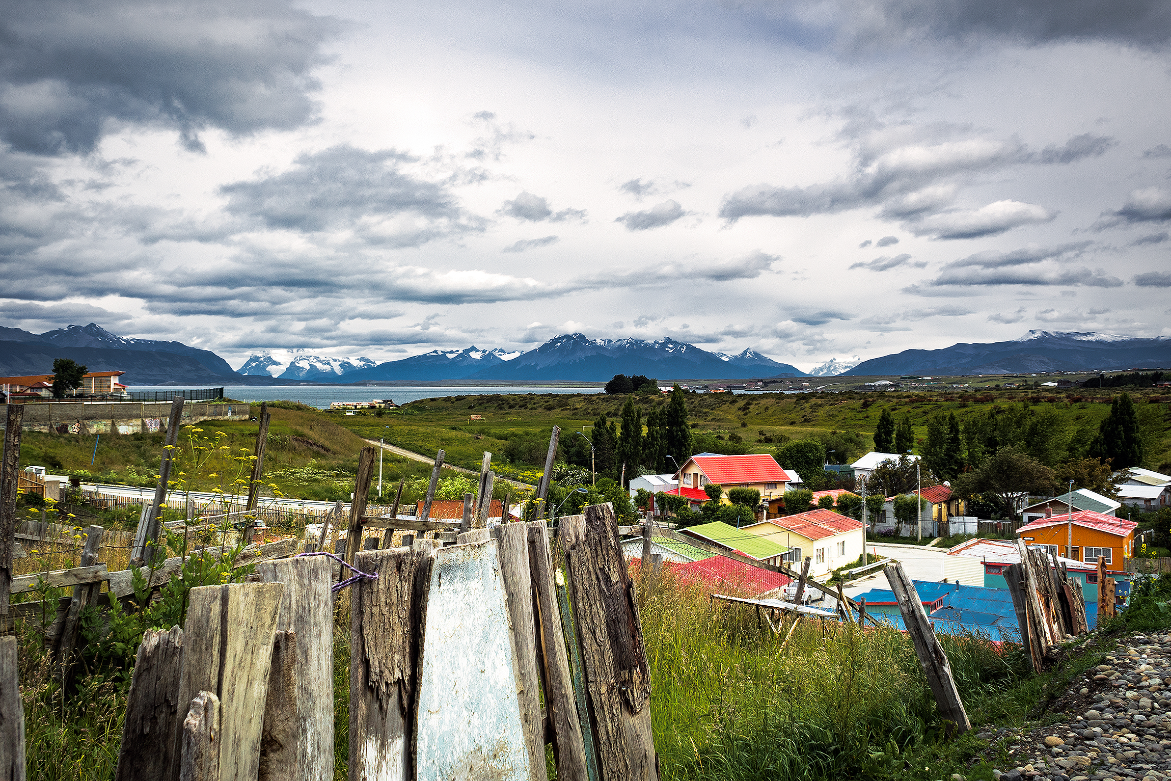
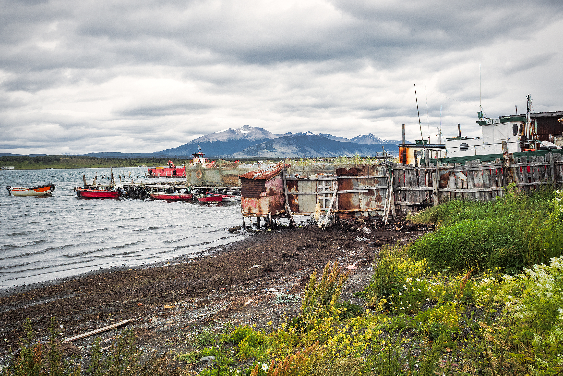
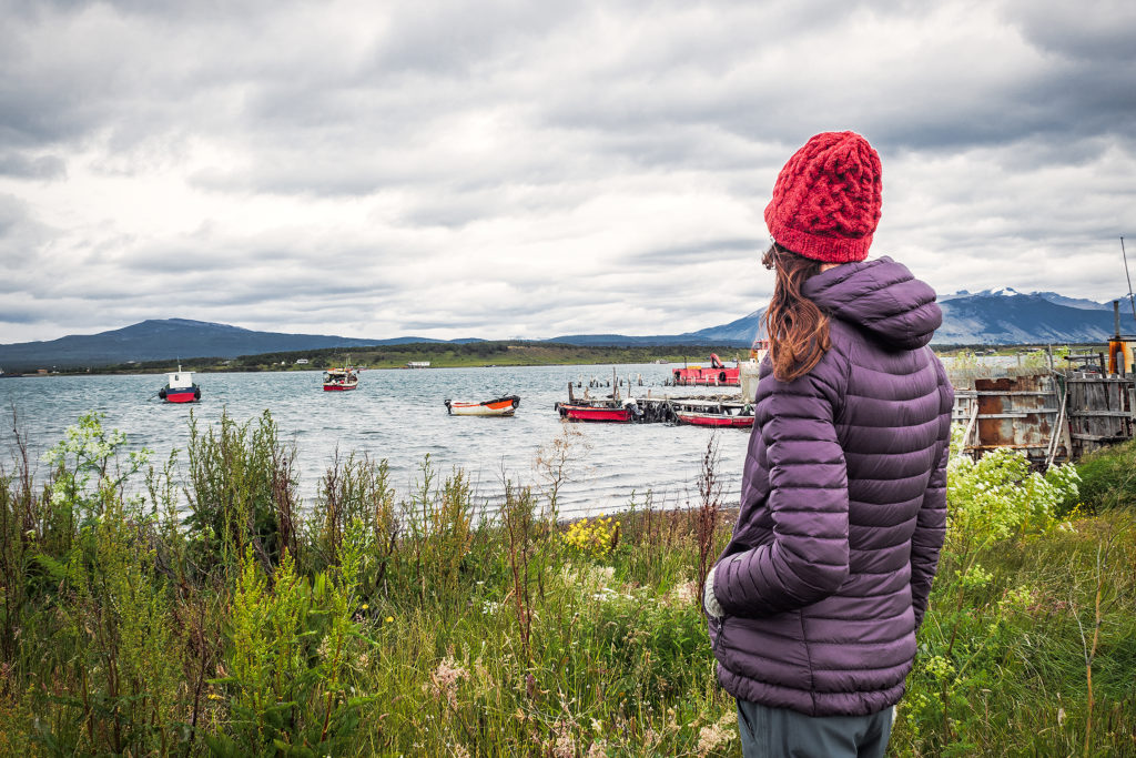
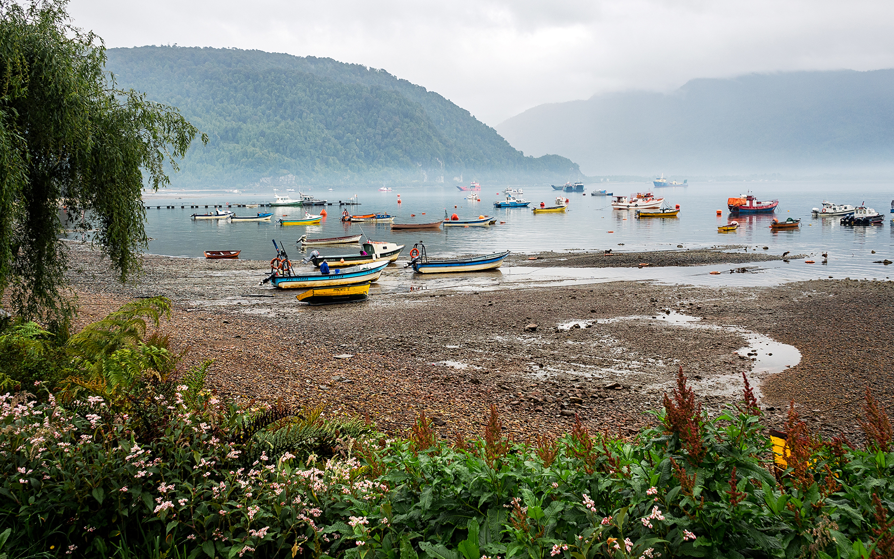
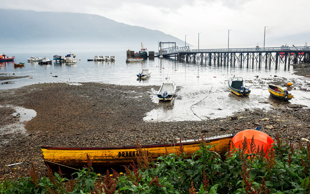
The next day was December 25th, and everything in town was closed. We took this opportunity to take a “day off” from traveling, and reset. In the morning we took a walk around the town and along the water. We also found out that the bus station was only a few blocks away, so we first headed there to see if we could book our tickets to go to Torres del Paine the next day. At first it looked like everything was closed, but a couple of companies counters were open. We bought our tickets from Buses Fernandez, but there were about 8-10 different companies there offering trips to multiple places, including Ushuaia and Punta Arenas, the city we would be flying out from to return home.


Once we had our tickets, we took a walk around then headed back to the hostal. We were due to return the car that afternoon. Enrique (our car rental guy) had told us to just email him with our location and he would send his friend Raul to get the car. Sure enough, around 4pm Raul showed up and after handing him all the paperwork, we said goodbye to our ride.

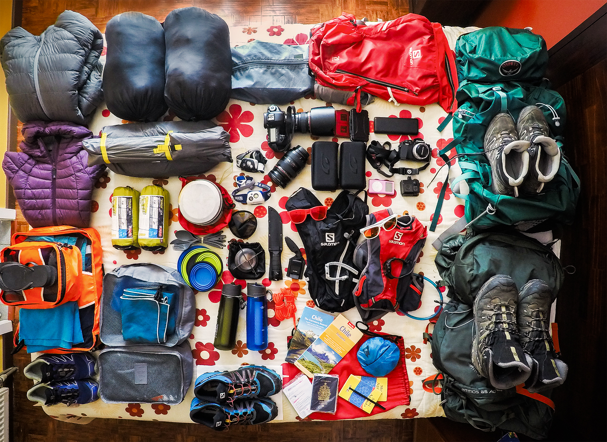
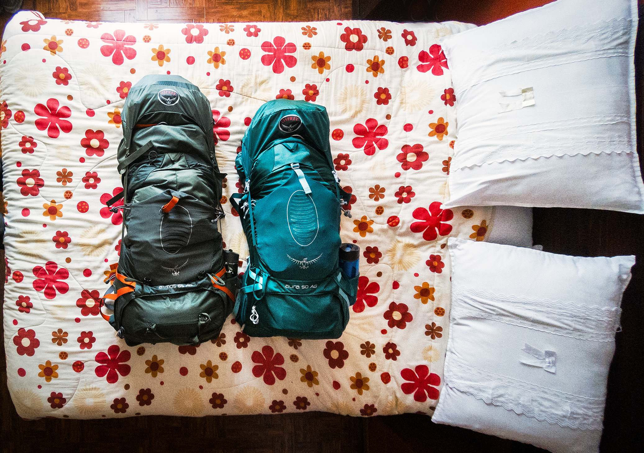
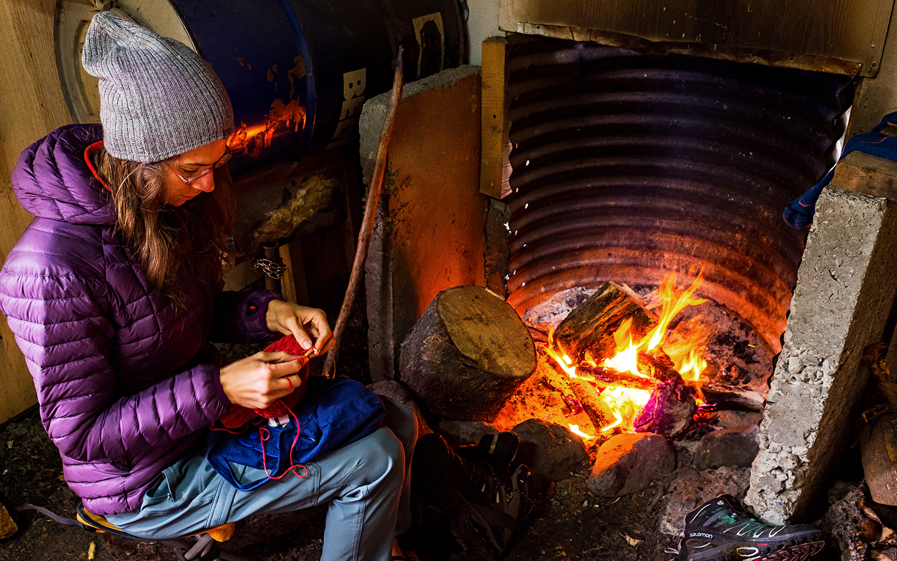
Then we just hung out for the rest of the day. With no more car to throw our stuff in, we now had to make sure everything still fit into our backpacks, including food. It was impressive to see the amount of stuff we had, when all laid out on the bed, and that somehow everything fit into those two backpacks. Even though we had done our best to pack light originally, we admittedly had a bit too much for the treck, especially the summer clothes we wore in Costa Rica. We could have maybe looked for a place to store some of it, or even mailed some stuff to Canada, but at that point we figured it would be fine. My pack was about 12kg and Brice’s 18kg – before food. So yes, heavier than it could have been, but in the end we managed.
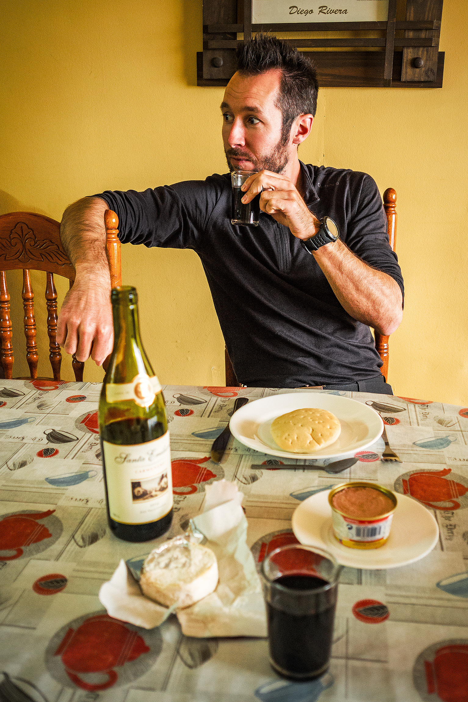
The hostal had a little kitchen that we could use and a couple of long dining tables, so we had breakfast lunch and dinner there and took the day to rest.

Patagonia Road Trip Day 7: Crossing over to Argentina and Ruta 40

On the morning of day 6, we woke up in Valle Chacabuco, to the sight of Guanacos grazing in the field.

When we got back to the car, we realized one of our tires was flat. Ironically, we found out after taking it off that it was caused by a screw, that we probably picked-up in the campground, as we drove on a path that was still under construction. So much for all that rough pot-holed and corrugated Carretera, it was a screw that gave us our first flat tire. In any case, we had to make use of the spare tire, and we also realized we were going to have to drive back about an hour to the town of Cochrane in order to get our tire changed, as it was the closest town to our current location (anything on the Argentinian side was more than 2 hours away).

So we drove back through the park and to the junction of X-83 and the Carretera, and from there headed south to reach Cochrane. Between iOverlander and the guide book, we were able to easily find a place that sold tires. Turns out the place didn’t actually install them, but they gave us direction to another shop that would change the tire for us.

Once that got taken care of, I suggested we found a place to have a proper meal rather than sandwiches. We decided to try the Centro de Comida Lago Brown. Aside from a regular restaurant menu, they offered a lunchtime “Plat du Jour” for 4000 CLP (about 6USD). That’s what we ordered and it turned out to be one of the best meals we’ve had during our trip (aside from all the amazing food prepared for us at Chakra Lodge in Costa Rica). The dish was really simple, mashed potatoes with chicken breast in a buttery herb sauce. But it tasted like our grandmas had made it. The potatoes were super flavorful and the chicken incredibly tender, as it would be after, we assumed, roaming around in one of the local backyards. Somehow the dish had, there again, a taste of childhood…

Since we were in a somewhat bigger town, with potential access to internet, there was one thing I wanted to check before crossing the border. I had read that Canadian residents had to pay a reciprocity fee upon entering Argentina. The fee had to be paid online and the receipt printed to be presented at the border. We hadn’t really worried about it until now, but since we already had to take a detour because of the flat tire, I didn’t want to drive all the way to the border, only to be turned away because of paperwork, and having to drive all the way back to Cochrane again.

So first we walked into a small hotel to see if they would let us use their internet. They say they didn’t have any, but there was an internet café just a couple of blocks away. There were two or three computers available, but the woman at the desk asked if she could be of any help, so we showed her all the paperwork we had for the car, and asked if she knew if we needed anything else. Aside from the reciprocity fee, she said we were missing an international insurance for the vehicle – the one we had was for Chile only. It was actually really easy to purchase, and she was able to get one online for us for about 15,000 CLP – the printing of the paper actually took forever as her computer was old and she wasn’t able to open the pdf file. There was a very frustrating period of about 20 minutes where I watched her try to repeatedly open the file and fail, download the latest version of Adobe Reader and try to install it and fail, then try to open the file again, then try to install reader again…that took place about 4 times until eventually she got on the phone with the insurance company and they emailed her the insurance certificate in some other format that she was able to print for us. Then we paid online for the reciprocity fee (78 USD), printed the receipts and finally were on our way.

We headed back to Chacabuco park and after driving through the reserve on some of the roughest stretch of road we had seen so far, we eventually made it to the Paso Roballos border crossing. We first had to go through the Chilean Exit office. Pretty much in the middle of nowhere, the border office was small, and the border officer welcomed us in by shaking both our hands – quite a different experience from our usual US/Canada crossing. We gave him all our paperwork, including the car’s. After taking a look at it, he pulled out a form, and placed it on top of a piece of carbon paper, with another copy of the form below it (did I mention that this whole country felt like the 80’s?) Then he handed us the stack and asked us to fill out the information. The documents that we had been provided with by our car rental guy worked perfectly, especially the notarized authorization to take the car outside of the country.

After taking care of all the paperwork, we drove about 13km in dry and windy no-man’s land.


Then we arrived at the Argentinian border. We thought the office on the Chilean side was small, but that was before we saw this one.
We entered a small wooden building and then it wasn’t even the 80’s anymore, it was the 50’s. The friendly border officer was wearing a military green uniform made of thick canvas fabric. A wooden chest of drawers in the back corner was bursting with notebooks and forms. He sat behind a small wooden desk right in the middle of the room, pulled out a pen from a pencil case and a large notebook with lined pages from a drawer, and then proceeded to write down our name and passport numbers into his register. There were more carbon-papered forms to sign but the whole process took less than 5 minutes.
The officer asked if we were carrying any food and when we showed him the content of our food bag, he didn’t ask us to remove anything (we had a bit of cheese left, but no fruit or vegetable, mainly canned food). Seeing that we had some firewood in the trunk, he did give us a warning about making camp fires, and being very careful about preventing wild fires. In this dry and windy area of Patagonia, human-caused wild fires were one of the highest threats to the bio-diversity. With that he wished us a good trip and sent us on our way.

And then we were in Argentina.

From the border, the nearest towns were Lago Posadas, about 70km south or Bajo Caracoles, 100km East. Lago Posadas was a detour as we had to drive through Bajo Caracoles anyway to get to Ruta 40, the main North/South road in this part of Argentina (the Argentinian equivalent of the Carretera Austral). But it was getting a bit late so we decided to go to the closest one, even if it meant adding more distance to our trip the next day.

When planning for this trip, I had done some pretty extensive research about the Carretera Austral. I knew to expect the rough roads and the remoteness. Once we got there, we quickly realized that even if the towns were small, and nature was everywhere, there was always some trace of human presence, familiar and inviting…On the other hand, I had paid little to no attention to the Argentinian portion of our trip, other than noticing on the map that Ruta 40 was a long stretch of road that seemed to spread in the middle of nothing.


The first 20 km after the border felt like we were driving on Mars. After the greens and blues of Chile’s vegetation and lakes, we found ourselves in a dry and dusty canyon, landscapes in shades of red and brown as far as the eye could see. And isolation here was of a whole different scale. Along the 70km of road to Lago Posadas, we saw a total of three vehicles (2 cars and one guy on a motorbike). All of them actually stopped to ask where we were headed, making sure we knew where we were going and that we weren’t just lost in the desert. Although that environment felt all of a sudden much harsher and a lot less inviting, it was also a nice surprise to be experiencing remoteness at a whole new level…

30 min after the border we came to the first intersection in the road, facing an imposing mountain range in front of us. We turned right on route 39, heading to our destination for the night.

Planted in the middle of the windy desert and surrounded by low, brown mountains, the town of Lago Posadas felt like a little oasis. The road leading up to the arched entrance was lined with tall poplar-like trees, providing both a nice pop of green along with some wind protection. Once again, following the directions from iOverlander, we drove through the town and all the way to the lake, and found a spot to set up camp for the night.

Battered by the wind, the lake felt almost out of place, with its incredible shades of blue popping out amongst sand dunes and grey mountains. We set our tent behind the cover of the sand dune. No fire for us tonight in those conditions, which we were fine with. At this point, it was 10pm before the sun showed any intention of hiding below the horizon. This was probably the most remote camping we had ever done – in Patagonia or anywhere else.

Patagonia Road Trip Day 6: Leaving the Carretera and entering Valle Chacabuco

The wind blew really strong that night, and then from steady light rain, it started to pour buckets. It was still pouring when we got up the next morning, which meant that most likely no boats were going out to the marble caves today, which Ricardo confirmed at breakfast. So we decided to forgo the caves. Instead we stayed at the campsite a bit longer in the morning, chilling by the fireplace and enjoying the company of the other travelers. It was nice to take a moment to just pause and hang out, after being on a constant move for the last 5 days. We drove down the road a bit further past Nutria, taking in the wet and foggy nature, then headed back towards Puerto Rio Tranquilo. After getting some more food, we hit the road to continue our journey.

The plan was to drive to Parque Patagonia to camp, then do a hike in the morning before crossing the border to Argentina. The road to Parque Patagonia was every bit as scenic as the previous days. We made many stops on the way to admire the stunning views of Lago Bertrand and its teal blue water, and the confluence of Rio Baker, and took a small detour to check out the cool pasarela crossing over Rio Cochrane at the bottom of La Peninsula.

The car we rented (a Nissan Tilda), was the most affordable option available but definitely not the most ideal choice for the type of road we were on, and it took quite a beating on the dusty, pot-holed, corrugated Patagonia road. But in the end it took us from point A to point B without failing and we came to really like our slightly awkward and inadequate little ride….

The landscape started to change as we left the Carretera to turn off onto X-83 road, taking us into Valle Chacabuco. Changes in the vegetation became more apparent as well, lush greens and colorful flowers disappeared off the hillsides, now instead speckled by tall wild grass and short round bushes in shades of yellows and browns. In this incredibly vast, more arid landscape, we no longer had to stop for cows on the road, but instead we made the acquaintance of guanacos. With herds grazing all around. they seemed rather indifferent to cars driving up to them.


There was only one campsite in Valle Chacabuco, on the road before the Paso Roballos border crossing (supposedly there is another one that was built more recently, but we didn’t know where it was located). We reached it at around 7pm. The price for the night (10,000 CLP per person) almost had us turn around and look for another option, but there was nothing within less than an hour of driving, and wild camping in the park is strictly forbidden, so we decided to stay. The campground came with bathrooms and showers, which were advertised as hot but were most definitely not. Still, the setting was pretty scenic, and the campsites once again very well laid out. We found a spot furthest to the entrance with a large 3-wall hut sheltering a large table and shelves. We had no wind or rain that night and woke up the next day to guanacos grazing around in the field.

Our food spread for the night…

Patagonia Road Trip Day 5: Through the Cerro Castillo Range to Puerto Rio Tranquilo

The road from Camp Laguna Chinguay to Villa Cerro Castillo was incredibly scenic. We had left the cow pastures behind and were now crossing the much more mountainous terrain of the Cerro Castillo National Reserve. The town of Villa Cerro Castillo was on the other side of the park, at lower elevation, so coming down we got to fill our eyes with the view of the mountain range. 

As we were driving down the hairpin bent road, I got to see, to the west in the distance, the spires of the “Castillo” summit  which gives its name to the park (Castillo means Castle as the spires are somewhat reminiscent of a medieval castle).

The reserve offers spectacular hiking, especially if you are able to do the full trek, which is about 43km long. I was hoping to just do the day-hike to the Laguna (about 8 hours return), for a closer look at the spires. When we arrived at the visitor’s office in the small town however, they informed us that the weather was pretty bad up there, with snow and strong winds, and they advised against going up that day. As a side note, the guide book did not mention the day hike, I had only read about it on Rich and Ash’s blog. Everything else I read only mentioned the 4-day trek, but there is in fact a day hike. 

Given the weather conditions and the prospect of climbing for 4 hours in the rain and snow, with likely no reward at the end, we decided to pass, and explore the area around instead. We didn’t have to go very far to find some really awesome viewpoints of the mountain range, which made up for not being able to go see it up-close.

After Cerro Castillo, the road was no longer paved. We hit some really rough sections along the way but eventually, the views of Lago Carrera distracted us from all the shaking – and the many stops we took to admire its stunning blue color gave us some breaks from the rough driving.

We arrived in Puerto Rio Tranquilo around 6pm. This little town definitely had a tourist hub feel to it. The main attraction there are the Marble Caves. Accessible only by boat (or kayak), these limestone caves display surreal shapes and colors, due to thousands of years of erosion from the lake’s glacier water. When the sun hits just right, the walls of the cave reflect a hundred different hues of blue from the lake water.

Booking a boat trip to see the caves isn’t very difficult. A dozens companies on the main street offer to take you. There’s actually no need to book ahead of time, they just try to get 6-8 people to fill the boat and then head out. It’s usually best to go in the early morning, before the wind starts to pick up and the waters become too rough.
We inquired about doing the tour in the morning from one of the tour operators, and they said to just come back at 8am, and pending good enough weather they would take us out.

So we went on to look for a camping spot. We checked out the in-town places, but found that they were already crowded with other travelers and didn’t have much charm to them. So once again we turned to iOverlander to tell us where to go. About 15 km to the east was Nutria, a campground with really good reviews, so we decided to head out there.

The place was indeed perfect. Lost in the middle of nowhere, the campground was built around a little restaurant that offered warm beverages as well as sandwiches and breakfast.
On the left of the land were 4 or 5 sites, lined up side by side, each protected from the wind by a wooden wall and small overhang – it didn’t seem like much after the comfortable 4-wall shelters we had enjoyed the last few days but it still turned out to be remarkably effective against the strong wind and rain that hit us during the night. There were 4 or 5 individual bathrooms with toilet and hot shower (each campsite was assigned its own bathroom), and on the other side was the traditional quincho, with a big fireplace to warm it up.

We first had coffee in the small restaurant, and got to meet Ricardo, the son of the couple who ran the campground. Ricardo had lived in Patagonia his whole life and had traveled through it extensively. He was a tour guide, taking people for glacier hikes and had also been to Torres del Paine a number of times. He gave us some really good advice for trekking in Torres, and also a little bit of a local’s perspective on how the Carretera had helped develop the area and create a connection between all the rural communities that otherwise lived secluded from the rest of the world.

We also met a couple from Belgium, with two kids (a 5 and a 3 year old). The man, who was in his early fifties, seemed to be a bit overwhelmed with his children, still it was inspiring to know they had been on the road with them for two months already. There was also another couple who was just coming back from trekking Torres del Paine, a Chilean man and a Swiss woman. After a few days of being mostly just the two of us, it was nice to spend the evening talking to other travellers and sharing their experience of the road.

Patagonia Road Trip Day 4: Puerto Cisnes to Cerro Castillo

On day 4 we had planned on doing a bit more driving than the previous days. Luckily, the road was in much better condition than the last two days, pretty much paved all the way.

We drove through Villa Amengual, then had lunch by the river at Manihuales. With its precarious-looking one-story houses made of wood and metal sheets, the town was charming in the same rugged and “stuck-in-time” way than all the other ones we had driven through.

Since we had time, we decided to make a detour through Puerto Aysen, rather than drive straight to Coyhaique. Located on the Rio Aysen near the estuary, Puerto Aysen is a port town of much bigger scale than the towns we had driven through so far. We took a stroll down its shops and restaurants-lined main street (there were even a couple of traffic lights!) and walked over to the Ibanez Bridge, famous for being the longest suspended bridge in Chile.

It seems that Chilean like to color their bridges orange, in cities as well as in the middle of the countryside, making them stand out where everything else otherwise man-made tends to nicely fit it with the surrounding nature – it was later pointed out to me that the orange paint could have something to do with rust-prevention?

We weren’t that impressed with Ibanez – it probably felt too modern and character-less to us, as we were getting used the charm of the more rustic small towns we had driven through. We enjoyed much more the sight of this smaller bridge, encountered on the side of the road after leaving Puerto Aysen.

We kept on driving for most of the day, which we didn’t mind as the green and lush pastoral landscape around us, even seen from the car, was just incredibly beautiful.

We got stuck behind a herd of cows, wrangled by three gauchos on horses and their dogs. Once again it felt like we were transported back into a different era, where time didn’t pass at the same speed. And it was incredibly refreshing to be in a place where still, in this world overwhelmed with technology, the most important way of communication was the one we were on: the road. If it wasn’t for this rough stretch of gravel, connecting towns together, most people who live in the area would be more or less completely detached from the rest of the country. Regardless of the political and military motivations behind it, the construction of the road made it possible for these communities to be connected to each other – and easier for outsiders to come visit. Whether it is ultimately a good thing or a bad thing is probably a matter of perspective, but in the meantime it was an incredible place to just be.


We arrived in Coyhaique later in the afternoon and after spending the last few days pretty much on our own on the road, it took us a moment to adjust to our surroundings in this city of 60,000 people.

We proceeded to replenish our food supply at the Unimart, the local supermarket chain. What we failed to realize until we hit the lines at the cashier, was that it was 5:30pm on a Friday. I guess no matter where you go, it seems to be the universal grocery-shopping rush hour. It was a bit of a “reverse culture-shock”, but we made it out in one piece, thanks to Brice having recently brushed up on his crowds-avoiding skills in France. After this short encounter with civilization, we couldn’t wait to get out and find ourselves isolated again in the middle of nowhere.

We stopped at the first campsite just before the entrance of the Cerro Castillo National Park. Camp Laguna Chinguay was completely empty, which delighted us. Once again, being somewhat shoulder season, there were no rangers at the park, so we camped for free (which is allowed as long as you clean up after yourselves). There was a small hut for each camp, so to continue our “indoor” streak, and also because the wind was picking up, we pitched the tent inside the hut. There was no fire pit this time, but signs indicated that fires could be built in appropriate areas. There was a large patch of dry dirt in front of the hut, where people had clearly made fire before, so we built ours in the same spot.

Another appeal of this campground was the possibility of a hot shower…which you had to heat yourself though, using a wood-burning stove. There was a stack of wood next to it so while I was setting up camp, Brice started up the fire in the stove. We took a walk on the shore of the Laguna before the sun went down, then retreated to the camp as the night was starting to fall.

As we were a bit higher up in elevation, temperature went down noticeably in the night, so we sat close to the fire and made noodle soup. The hot shower was pretty awesome and as we went to sleep I tried to focus my mind on how we had found the perfectly isolated spot for the night – and not so much about how we were alone in the woods, with strong wind blowing outside and the high potential for creepy scary dreams…I was pretty glad I never watched the Blair Witch project 😛

Patagonia Road Trip Day 3: From la Junta to Puerto Cisnes

Our next planned stop on day 3 was a hike in the Queulat National Park, to go check out the Ventisquero Colgante, the “hanging glacier”.
But first we had to drive from La Junta to Puyuhuapi. That portion of road was pretty rough, and there was quite a bit of construction in progress especially on both sides of the town. We took a stroll through Puyuhuapi, to take in the atmosphere of this small port town.


Even on a gray rainy day, this little town felt warm and colorful, and an enjoyable break from driving. On the way out we picked up a couple of hitch-hikers who were also heading to the park, then carried on along the coastal road.


It was already 1:30pm when we arrived in Queulat National Park. We had a quick sandwich then headed up the look-out trail, a 3-hour return hike up to a high view point of the famous Hanging Glacier. The way up was not very steep, but it was raining quite a bit and we had to navigate mud and small streams. It felt very much like a rainy day on Vancouver’s North Shore – but with completely different vistas. We didn’t waste much time and got to the top in about an hour (turns out, we hike much faster when we are well fed).

Unfortunately, the clouds were low and the glacier was completely engulfed in them, so we couldn’t see much of anything. We made our way back down and 45 minutes later, we were back at the trail head.

There was another much shorter trail that lead to the shore of the lake which laid below the Glacier, so we walked there and arrived just as the clouds parted. The glacier was visible just long enough to snap a few photos, before the fog and clouds rolled in and it was gone again.

The park also featured a pretty cool suspension bridge, which we crossed to get to and from the trail head.

From the Queulat National Park, we drove to Puerto Cisnes, to spend the night. We looked up camping options in or around the town, and iOverlander pointed us to a beach area near the southern exit of the town.

Along the beach where several open quinchos, each with a large fire pit in the center, and enough room on either side to pitch our tent. A couple were already occupied by other campers, but a few remained free still. We didn’t have fire wood, so we drove back into town to find some. I walked into the first “mercado” we saw and asked if they knew where I could find wood (I didn’t know the correct word but later learned it was “leña”). Somehow they understood what I was looking for, and told me to go a couple of blocks away, to a house where a woman would sell us some. So we followed their directions and sure enough, ended up in front of a house that had bags and bags of firewood stacked up under a carport. We bought a bag for 5000CLP (about 7.5 USD) and drove back to the beach.

The tide was low and boats where washed up on the beach. I took a walk around for a cool view of the town in the fog across the bay.


Once we had the fire going and the tent set up out of the rain, it was pretty perfect. Later a group of locals came and set up in the next shelter over. They started blasting music and before I could even say anything, Brice was over there asking them to turn it down, which they did (no idea how he asked in Spanish, but whatever he said or gestured worked). Later a policeman came around and asked if we could write our passport numbers in his records. He also opened the building behind the beach so we could make use of the restrooms.
Later in the night, the wind started blowing really strongly, so we were glad our tent was under a shelter. It gave us a first glimpse at that infamous Patagonia wind I had read a lot about, the kind that will stop you in your tracks and sometimes even knock you over. For now, we had the comfort of the quincho, but who knows what the wind would be like later, once we were standing, shelter-less in Torres del Paine…

Patagonia Road Trip Day 2: Hiking Volcán Chaitén

It was pretty chilly still on day 2 of our Patagonia trip, and not being able to make coffee was a bit of a bummer. But we were hopeful we could buy propane once we reached Chaiten, so for the time being we forgot about coffee and headed out for a hike up the Volcano. The short 4,4km (round trip) hike lead us about 700m up to the crater of the volcano in about 1,5 hours. The trail was pretty steep, with a fair amount of stairs carved into the ground.

I won’t lie, it kicked our butt. Mainly because when thinking back to when we had our last full substantial meal, we came up with “3 days ago, on our last day in Dominical. Costa Rica!!!”. Since then we had mostly had snacks on the road and sandwiches, and had skipped a couple of dinners due to arriving late in places. So, even though we’re generally in pretty fit conditions, this one felt like we were trying to run up the Grouse Grind on an empty stomach.

The hike was beautiful. The view was mainly open all the way through, providing really nice vistas of the valley bellow and surrounding mountains. Eventually, we reached an even steeper ridge, and although the trail started to fade, the direction remained pretty clear: straight up. At that point it became more or less a scramble up to the crater. 

At the very top, we were able to walk alongside the ridge of the crater, with plunging views into the crater on the one side, and out into the valley on the other. The perfect reward after our (embarrassingly) difficult ascent – we still made is up before the three 20-something kids who started a bit before us, so not all pride was lost.

The other side of the crater continued to rise higher up and we could see skinny plumes of steam escaping from the surface of the cone.

Down below, the once molten lava had now solidified in an earthy, wavy surface.

The last time the volcano erupted was in 2008, after a dormant phase of about 9500 years. It was completely unexpected and although no life was lost, a thick layer of ashes spread for hundreds of kilometers around, and created significant damage especially in the nearby town of Chaiten. The results of the eruptions remain visible today, in the bare tree trunks and stumps covering the slope of the Volcano. I loved looking at all the different shapes those tree took along the trail, and entertained myself by giving them names.

The “Rino”: 

the “Gate”, marking the end of the climb:

and the “Three Sisters”, perched at the very top and overlooking the area.

 This one tree below was a pretty good testament to strength and determination, still stubbornly rooted at the base of the last uphill ridge despite the damages caused by the eruption, as if saying “I’m here, I’m still standing”.

We had snacks and took some photos then headed back down. It took us about 1h20min to climb, and roughly 45 minutes to come down.

Then we headed south to the town of Chaiten, about 35km away. The road was pretty good, mainly gravel while we were still in the park, but it turned into a newly paved section in the last 10km or so. In Chaiten, we walked into the first grocery store we could find, to buy more food as well as propane. Eager to break our streak of light-weight meals, and replenish our hiking fuel, we then looked for a place to eat, and settled on Flamengo, which served huge steak sandwiches.

The plan was to spend the night near La Junta, about 2 hours away. The road was really scenic, with constant rivers and streams flowing by the side of the road, and low mountains all around. We stopped here and there for photos but mainly drove through, taking in the scenery and scenes that felt of a different era. Cows on the road especially reminded me of my childhood, and the winding country roads we drove on to go to school, every so often getting stuck behind a herd of cows. This place felt like we were back in the 80’s, before the rise of technology and when things seemed just a bit simpler. 

We arrived in La Junta and drove around the town a bit, and again it add the feel of our grandparents hometowns some 30 years ago, although harsher, more rugged than our European country towns – less stone houses, and more wood and metal.


The guide book mentioned a campground about 17km west of town, which was built around a hot spring. It was overcast and the rain had been chasing us all afternoon, so the idea of a hot soak sounded pretty perfect. We drove down a gravel road for a bit, then turned onto another even rougher dirt road. Eventually we came across a pick-up truck going the opposite way. Turns out it was the owner of the campground who was leaving for the day as he had, until then, seen no costumers. He backed up a couple hundred meters to the campground gate and let us in.

The site was built around a large open grassy area. To the right was a fairly large hut (described as a “Quincho” in spanish), with a few tables, and more importantly, a wood-burning stove. Since we were the only ones there, Claudio said that instead of pitching our tent outside in the rain, we could sleep inside. He even suggested we set up the tent by the stove, in order to trap the heat.

On the other side of the grassy field were a couple of buildings with toilets and cold showers, an a few more meters past them, an opening in the bushes led to the hot spring. The pool on the left was filled with really hot steamy water coming from the ground and naturally heated to about 80 degrees. The one on the right was cold stream water. A hose between the two brought cold water into the hot pool to cool it down to a more comfortable temperature of about 45 degrees. Lush trees and bushes all around made for a nice private setting. It was pretty perfect. It cost us 10,000 pesos per person (about 20CAD each), so a bit of a splurge compared to other campgrounds, but ultimately for a private hot spring with a private fireplace and hut, it was totally worth it. We set up our tent inside, got the fire going and then enjoyed a nice hot soak.

Later, Claudio’s dad arrived with a friend. We shared the hut for dinner and then they went back to his truck to spend the night. They were pretty amused when they saw our tent in the middle of the quincho. It poured all night so we were pretty happy with our setup.

The next morning after breakfast, we took another dip in the hot springs before heading out.

Click through the gallery below for more photos of the road

Patagonia Road Trip Day 1: Santiago to Parque Pumalin

Every few years, Brice and I take a big trip to a place we’ve never been. The latest dated back to 2014, when we had gone to New Zealand and Australia for 5 weeks.
So in 2016, we decided it was time for another epic trip. The project I was working on was finishing in November, so we figured December would be the perfect month to go away. When thinking about destinations, Brice suggested Patagonia almost right away, and I thought it was a great idea.
Our month away actually started with a week in Costa Rica, for a Run Like a Girl retreat – but more on that later.

Arriving in a foreign country, where you barely speak the language, the first challenge is always to figure out how to get from the airport to our accommodation. We would normally look for bus or shuttle options, but when we landed in Santiago, Chile at midnight on December 12th, we decided to go for a taxi instead.
The “official” airport taxis where asking USD30 to take us to our AirBnB downtown address. Brice decided to try negociating with some of the “less official” cabbies that were hanging around the airport, offering their services. One guy agreed to take us to our destination for $20 so we followed him up the stairs to another floor of the airport, and outside – apparently the reason they agree to cheaper rates is that they are not paying the parking fee for the main exit of the airport, where the official cabs are…hence why he took us to a different floor. Anyways, nowadays with smart phones and navigation apps, it’s pretty easy to follow your route and make sure the driver isn’t taking you some weird roundabout way to charge you more. And 15 minutes later we were standing outside a 30-story building in a little side street of Santiago.

Our host Claudio had graciously waited for us to arrive, even though it was close to 1am. After showing us our room in his small but comfortable 2-bedroom apartment, he offered us a cup of tea before wishing us good night.

Santiago was only a short stop in our Chilean trip. The next day we had booked a bus ticket at 7pm, to travel overnight some 1000km south to Puerto Montt, where we would begin our Patagonia road trip. Claudio was very accommodating and we were able to leave our bags in the apartment until we had to leave for the bus station, which meant we didn’t have to lug our packs around all day in Santiago.

With a population of 5.1 million people, Santiago was the biggest city we had been in in quite a while. Indeed, it definitely felt like a “big city”, without feeling crowded as we were there on a Monday, during most people’s working hours. We had breakfast in a very “Parisian” feeling café on a busy pedestrian street, then wandered around the city for a while. The city had a very European feel, with buildings much older than what we’ve now gotten used to in Vancouver.

Before we got on the bus that day, we had to buy groceries as well as get some Chilean currencies. I wanted to make sure we would have food for the bus trip and the next few couple of days. We had booked a ferry crossing just south of Puerto Montt and based on traveling times, we didn’t have a huge amount of time between getting the rental car and arriving at the ferry terminal. So I didn’t want to have to worry about food at that point. Plus, we figured being the capital, Santiago would be the best place to get a variety of ingredients for camping meals. Same with Chilean currency, as I’d read that not a lot of places along the Carretera Austral had credit card machines. In both cases it just made sense to get those things sorted while we had the time for it in Santiago.

After accomplishing these two tasks, we headed back to the apartment for a late lunch and to chill a bit before our bus trip. This time, rather than get a taxi, I looked up transportation options and saw that we were only a few subway stops away from the bus station, so we took a subway ride.

We had booked our bus trip with TurBus (other companies offer the same trip, but they had the most convenient starting time option for us). With buses being the main mean of long distance transportation in Chile, they’ve really developed a convenient network and comfortable fleet. The buses offer three options (although not all available on the same vehicle). Salon, Semi Cama or Cama. The first one being a regular bus seat, and the last one a complete reclining bed option. We went for the middle one, Semi Cama, which was a seat reclining to about 150 degrees, so fairly comfortable to sleep in. Blankets and pillows were provided and there was an on-board bathroom as well.

The journey lasted about 14 hours, and with the aid of earplugs and a night mask, we slept relatively comfortably through most of it. The next morning, we arrived in Puerto Montt at 9am, ready to start the road trip portion of our Patagonia adventure.

We had arranged to rent a car from Puerto Montt to Puerto Natales, where we would drop it off before starting our 6-day hiking track through Torres del Paine. Finding a car to rent one way for a 2500 km road trip turned out be a bit tricky, but we eventually managed to find one at a somewhat reasonable price. I’m planning on writing a post describing a bit more of the logistics behind planning this trip, and I’ll be sure to include details about the car rental aspect. But for now, to make a long story short(er), I’ll skip the episode about how a brand new Nissan Tilda came to be ours for 12 days. 

The only way to drive south on the Carreterra Austral from Puerto Montt is to cross a succession of fjords. It involves 3 consecutive ferry rides, but only the longest one in Hornopriren (3.5 hours) can be booked online. During my pretty extensive research for this trip, I had read about those ferry crossing on the northern part of the Carretera, and how busy they can get, creating a bottle-neck even for locals needing to go back and forth. I had even read about people having to wait a day or two because of the number of vehicles trying to cross. So to cover our back, I had actually booked 2 crossings. Since we would be arriving in Puerto Montt on the morning on December 13th, I had booked the 3pm crossing that day, as well as the 10:30am on the following day. We were arriving all the way from Santiago after all, and the the ferry was about 2,5 hour drive from Puerto Montt.  That way, if for whatever reason we didn’t make it on time on the 13th, we had a guaranteed spot (as much as things can be guaranteed in Chile) for the following day. It might seem a bit over-kill, but the short-ish time we had for this road trip meant I really didn’t want to waste time stuck between two ferries, and having to make up that time by driving longer days later.

We got the car a couple hours later than planned, so it was getting close to 12pm by the time we left Puerto Montt. The ferry reservation mentioned you had to be at the loading area 2 hours prior, which seemed a bit strange if you have a reservation. We definitely weren’t going to make it by 1pm, but we could still try to be there before 3pm so on we went. I should also mention that there was another short ferry crossing between this one on the one we’d booked. That one didn’t require reservation and was running every 45 minutes.

 The road between Puerto Montt and Hornopiren was really scenic, most of it right on the ocean, with lots colorful fishing boats punctuating the beaches.


The first, very short, ferry crossing was between La Arena and Puelche. We arrived just after 12:30 and got on the 1pm ferry. After the 1/2 hour crossing, we continued driving towards Hornopiren. Somehow – thanks to Brice’s swift driving – we made it to the loading dock at 2:40pm, with 20 minutes to spare… There were 3 other cars waiting to get on… so not quite the line-up I was worried about. As we realized later, December is still somewhat shoulder season,  which played in our favor in a lot of occasions throughout the trip, including this one.

I walked into the small office and handed them the reservation confirmation paper, in exchange for our boarding tickets. And a couple of minutes later, we were on board, ready for a 3.5 hour traverse of the fjord.

We were pretty pleased with ourselves, having made it there on time. And if this first half-day in southern Chile had taught us anything, it was to not approach things here with our very Western-country habits of what services are usually like in North America. Down there, things went at a different pace, and within a much looser structure…

The ferry wasn’t very big, but the inside was pretty cozy: a large room filled with booths to relax in, and a small bar offering coffees and snacks. The landscapes we enjoyed while sailing across the fjord reminded us very much of ferry crossing in British Columbia, calm waters surrounded by blue hills, faded in the atmosphere.

Before leaving Vancouver, I had really only planned the road trip as far as this particular ferry ride, but now that we were on it, I couldn’t help but take a closer look at the map. I had made a short list of places that were on the way, based on different blogs I’d read. We weren’t necessarily married to any of these suggestions, but they were a good place to start.

So, looking at both my list of “points of interest”, along with the very handy guidebook “Carreterra Austral, A Guide to one of the World’s most Scenic Road Trip”, I put some rough pins on the map of where we should try to be every night, in order to keep the driving to a manageable amount every day while still having some time to do some exploring. 

After this long crossing, we had to drive about 15 minutes on a single track dirt road, lined by tall trees, to the third and final ferry. That one didn’t require booking either as it was technically considered part of the Hornopiren crossing. We had met a few hitch-hikers from Israel on the first boat and since they didn’t have any other way to get to the second part of the crossing, they hopped in the car with us. The final crossing was only about 45 minutes.

On the other side, we landed at the entrance of the Pumalín National Park. There were 6 campgrounds dispersed in the park, within the next 25 km (between the ferry terminal and the nearest town of Chaiten). We drove to the very last one, El Volcano, and that’s where we spent our first night on the Carretera.

Two kilometers down a narrow gravel road in the middle of the dense forest, a vast clearing offered a good amount of camping spots, nicely spread out from each other. From the main ranger building, there was a one-way road with a little driveway branching out to each campsite.

Each camping spot came with a small open hut sheltering a picnic table, a (cold) water tap as well as a patch of cushy grass to set up the tent. And thus we got our first experience of how well thought out campsites are in Chile.

The whole area was on pretty flat grounds with tree patches, which meant a pretty spectacular 360 view of mountains on one side, glaciers on the other, and of course, the volcano, with its steaming cone clearly visible in the distance. Pretty cool!

As we walked around we also noticed a long patch of really nicely maintained grass. Turns out it was a landing runway for small planes.


The campground office was actually closed (the official tourist season didn’t start until January), which meant that there were no rangers on site and we couldn’t buy anything from the small store, but we were still allowed to camp for free. (as an off duty ranger confirmed the next day)
We were pretty glad we’d had the foresight to buy a bit of food in Santiago, as we had no time to stop between Puerto Montt and the ferries, and there was no place to buy any food in the park, with all the stores being closed. The only thing we didn’t have was a bottle of propane for our  tiny camping stove, but we managed to make a meal out of left over lunch ham, avocado and bread.

We slept under a clear sky and bright full moon, which made me think for a moment that the sun hadn’t set at all (it of course did, shortly after 10pm, a nice change from the 4:30pm sunsets we had experienced at Chakra Lodge in Costa Rica.)
The night was pretty cold, a good chance to put our home-made sleeping quilt to the test – and a successful one it was.