Patagonia Travel: Trekking in Torres del Paine – Crossing the John Gardner Pass and Making our Way Home

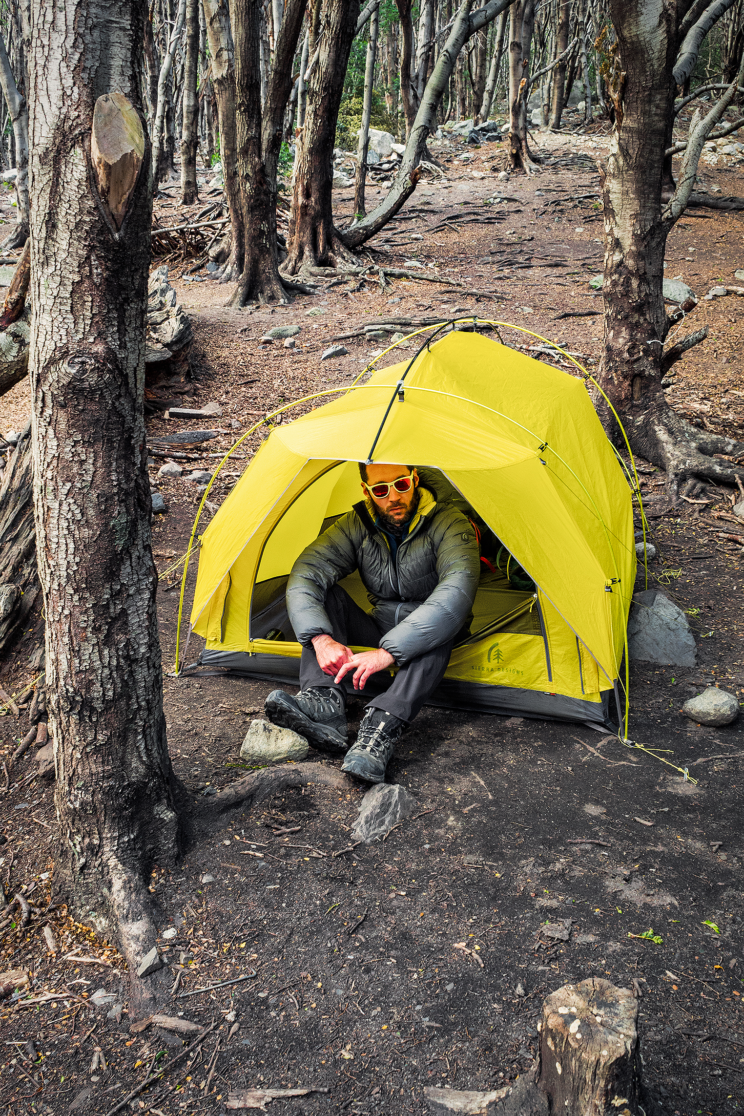
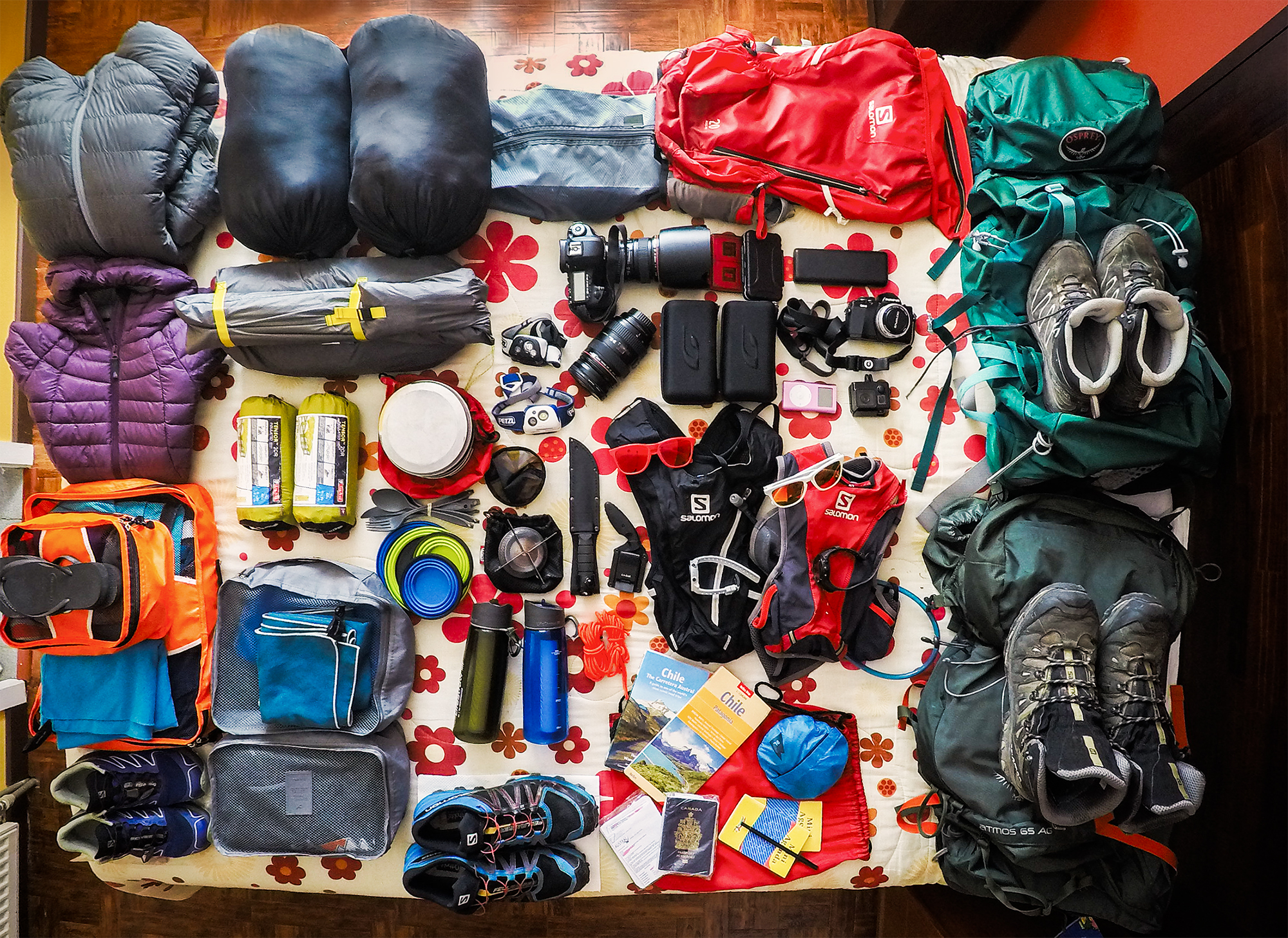
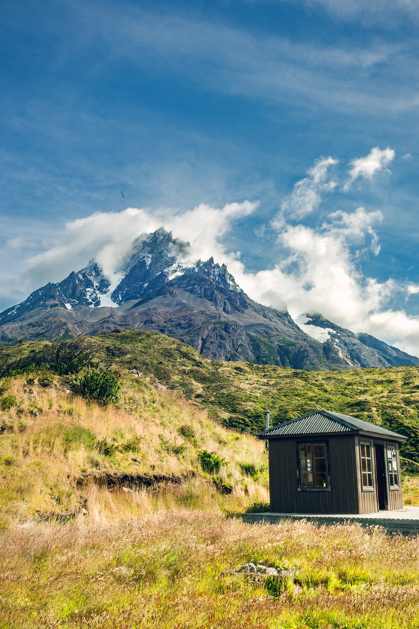
On the 5th day of our trek, our we woke-up to rain – we had been pretty lucky so far with the weather, so it wasn’t surprising that it eventually caught up with us. There was quite a bit of activity in the communal hut, with groups trying to pack their gear away from the rain and preparing themselves for a wet hike. We took our time having breakfast and let the majority of hikers leave ahead of us. There were only 2 more people left in the hut when we finally headed out.


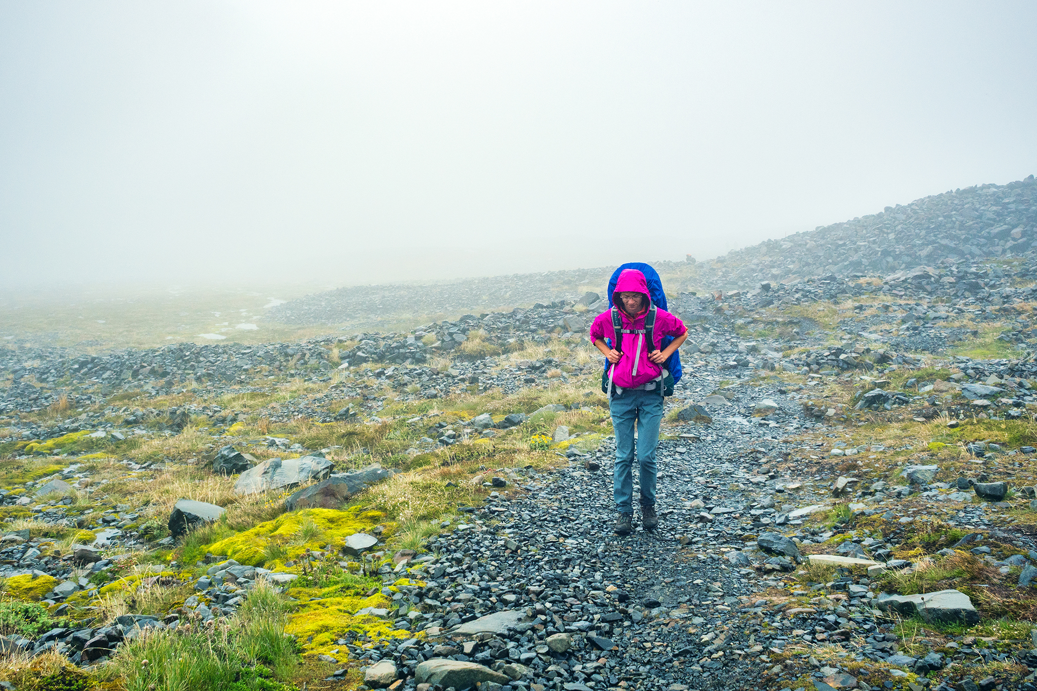
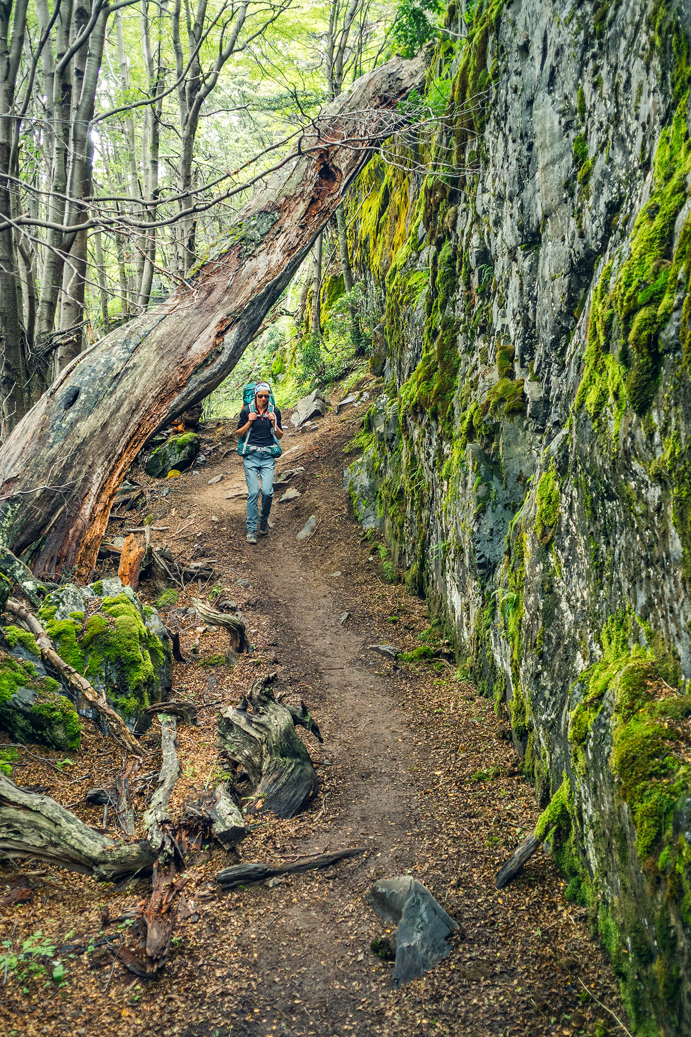
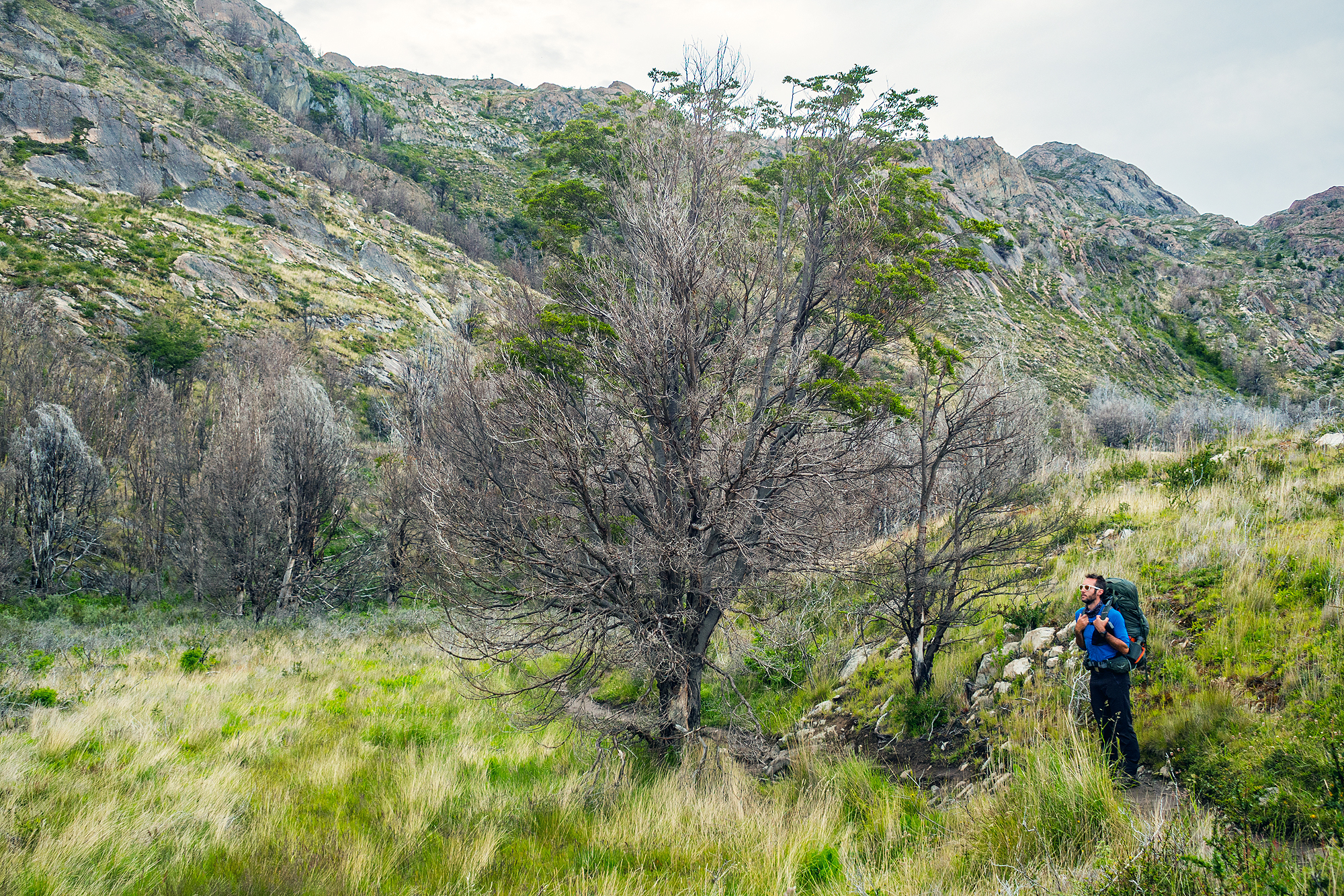
The beginning of the trail what somewhat reminiscent of climbing the Grouse Grind or BCMC in North Vancouver, single track forest trail with roots and rocks and complete with copious amount of mud. The rain had actually almost stopped as soon as we left the camp, so at least we stayed dry.
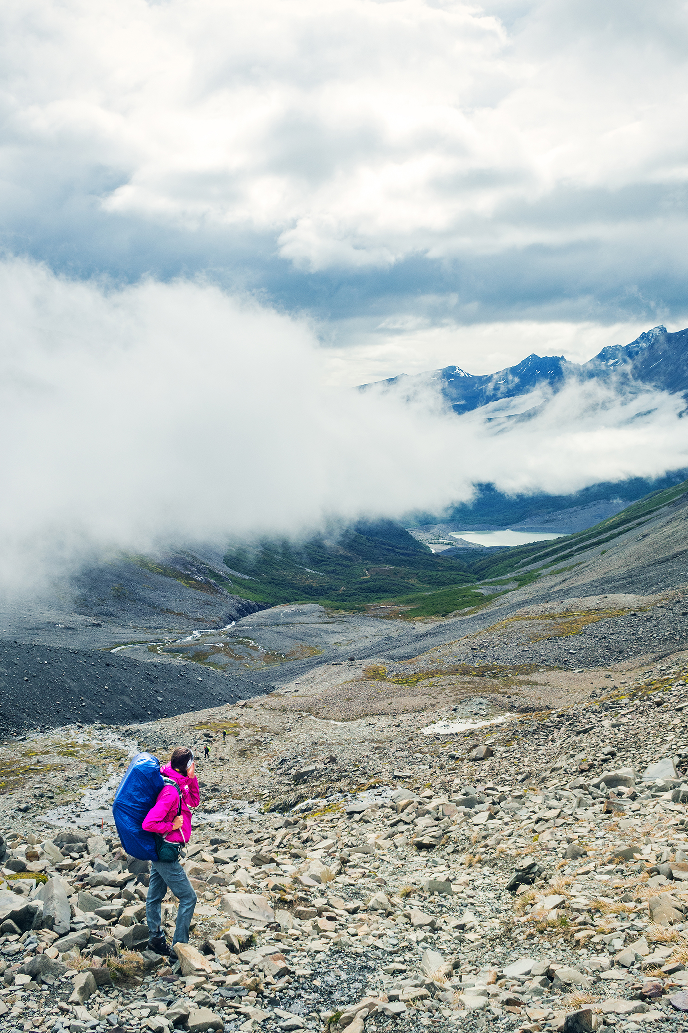
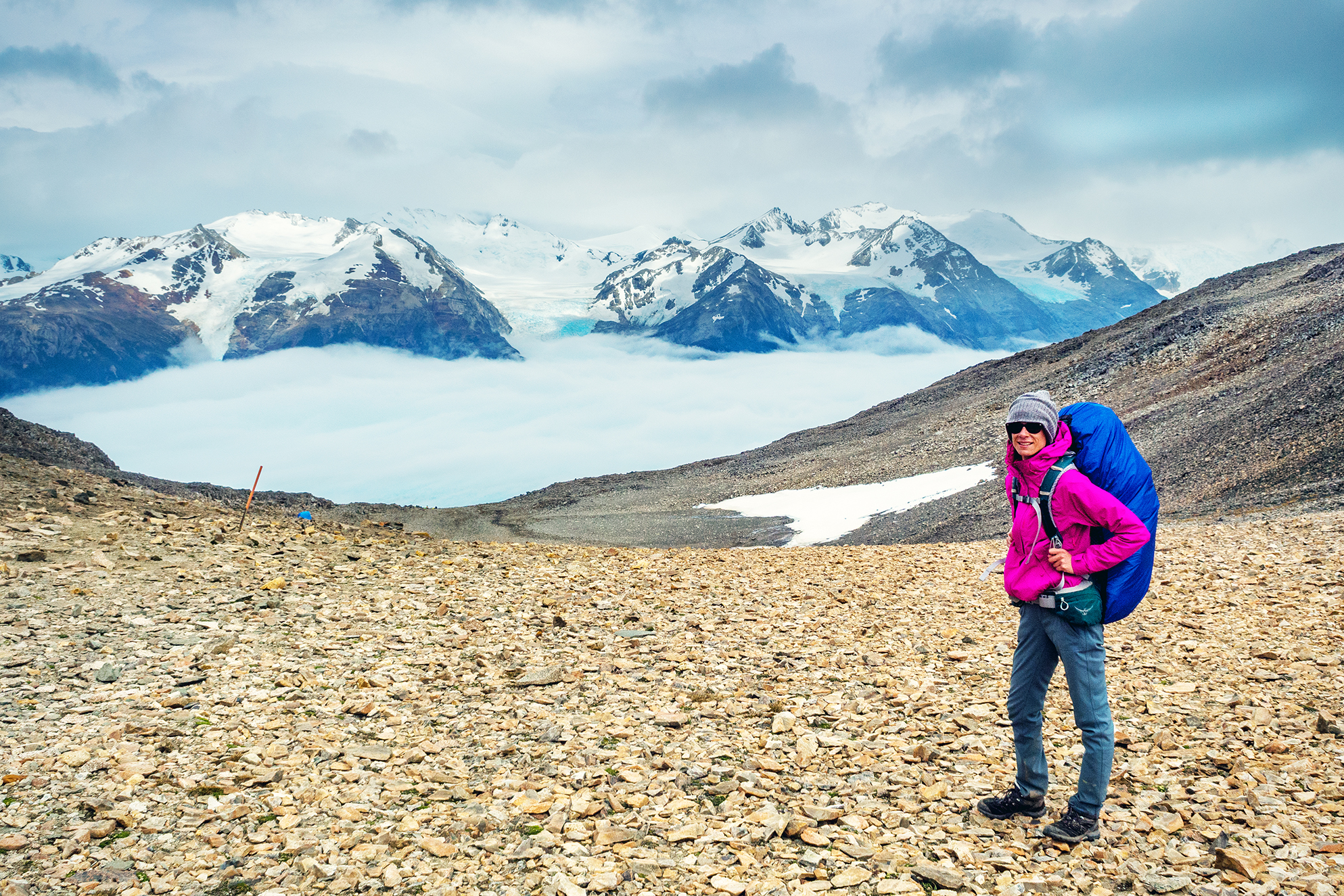
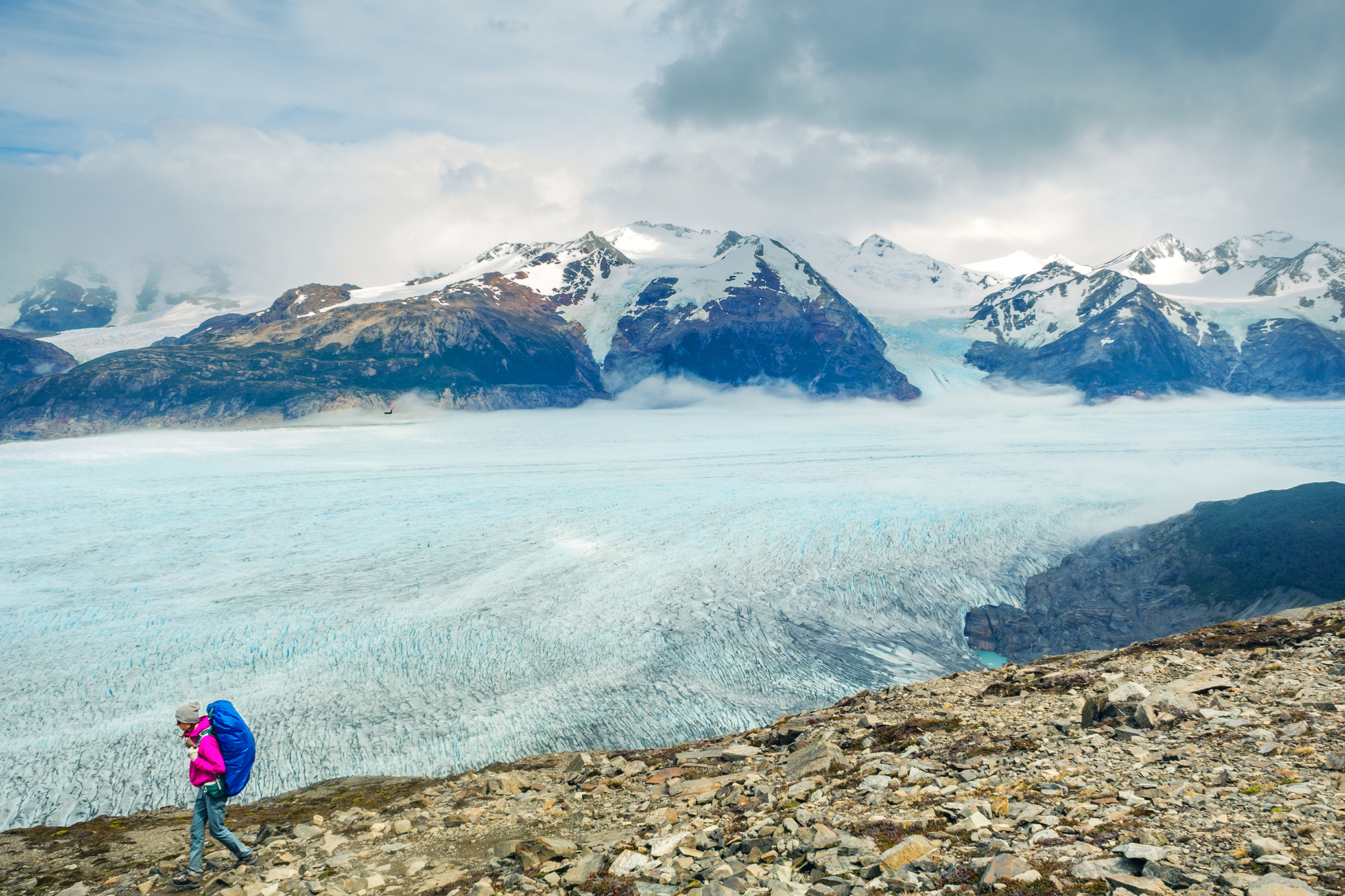
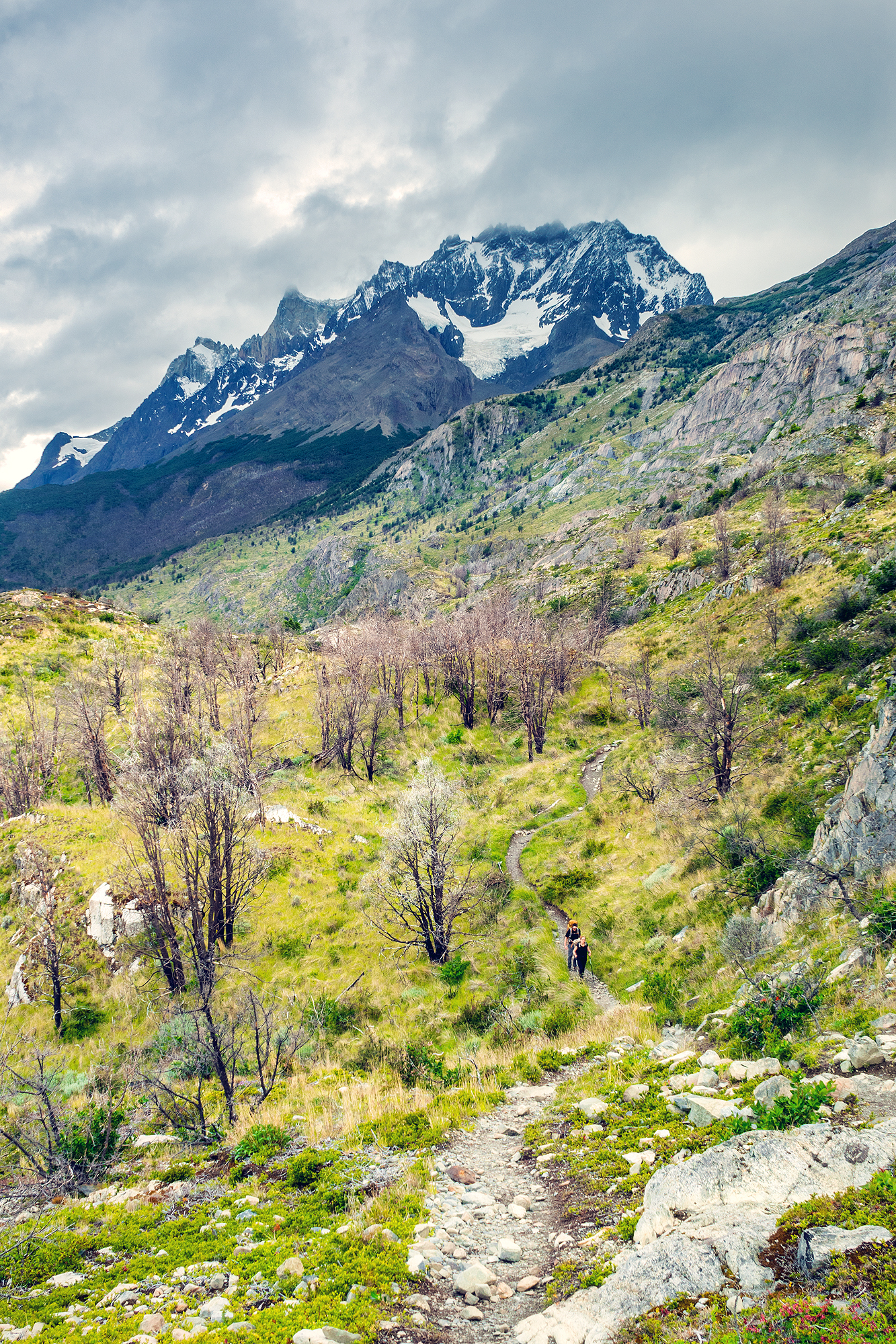
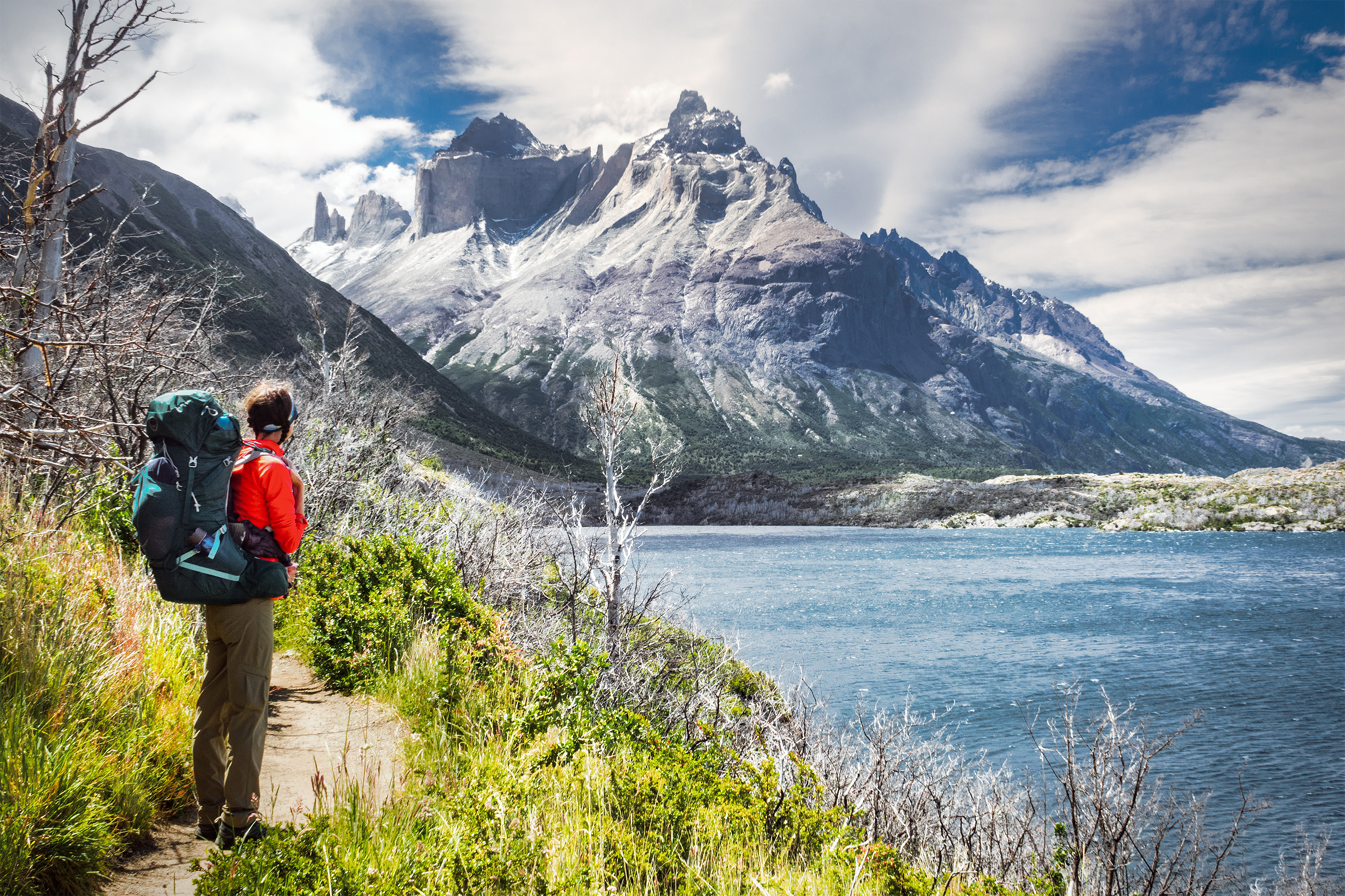
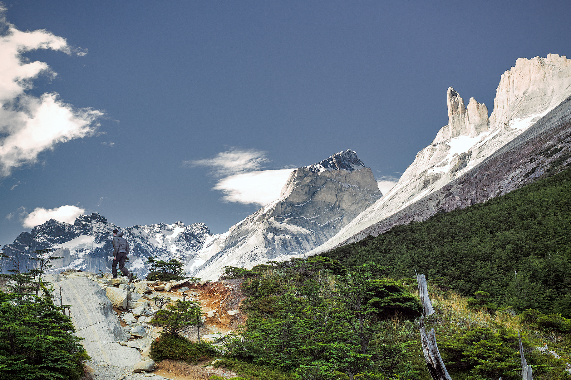
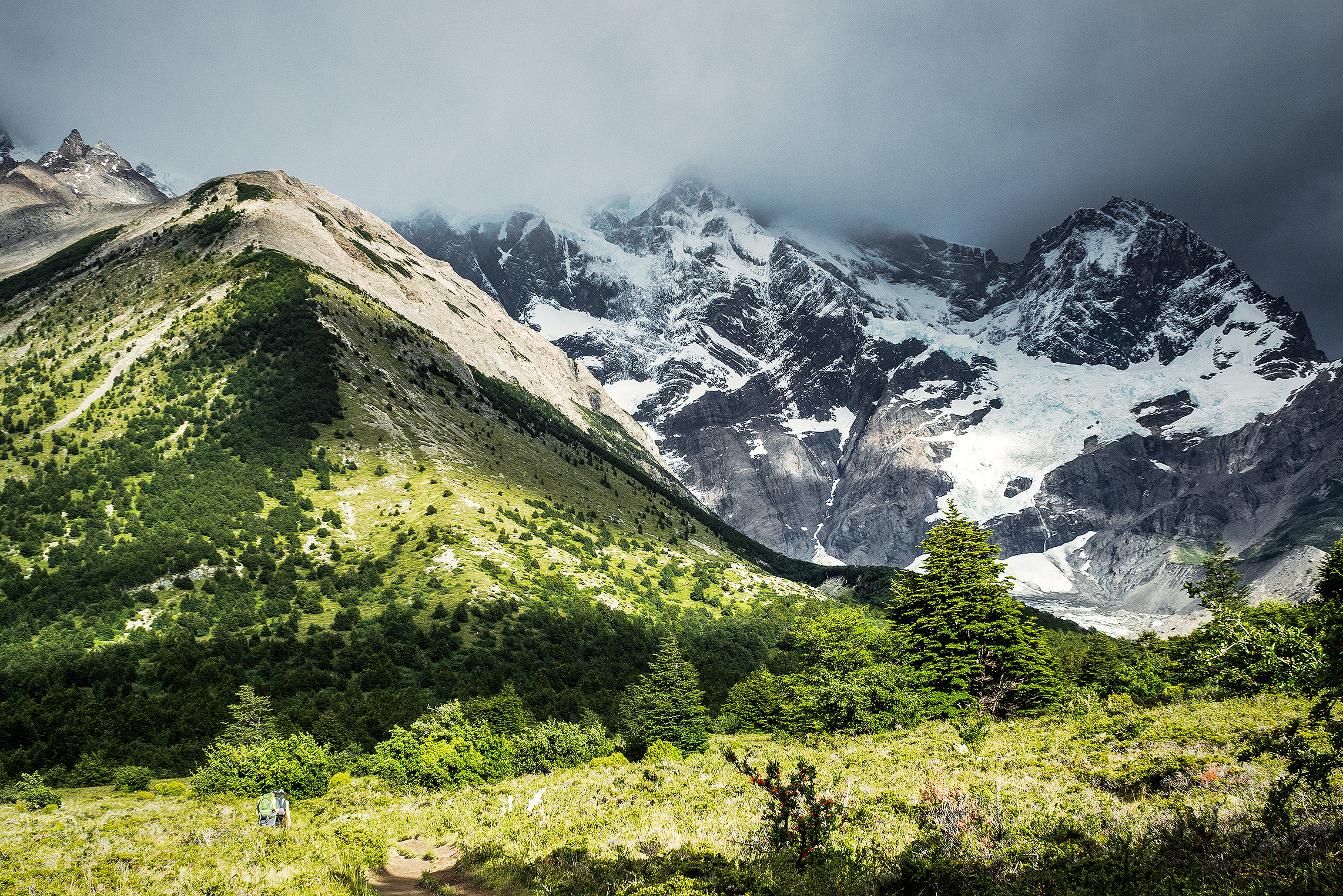
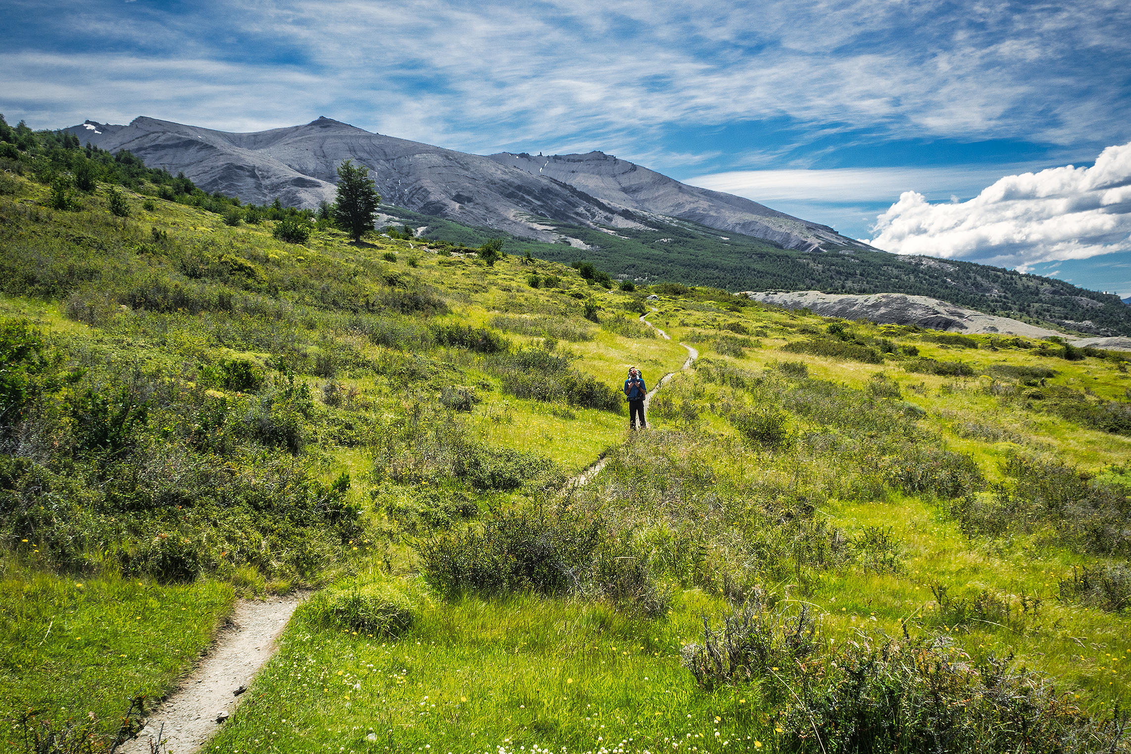
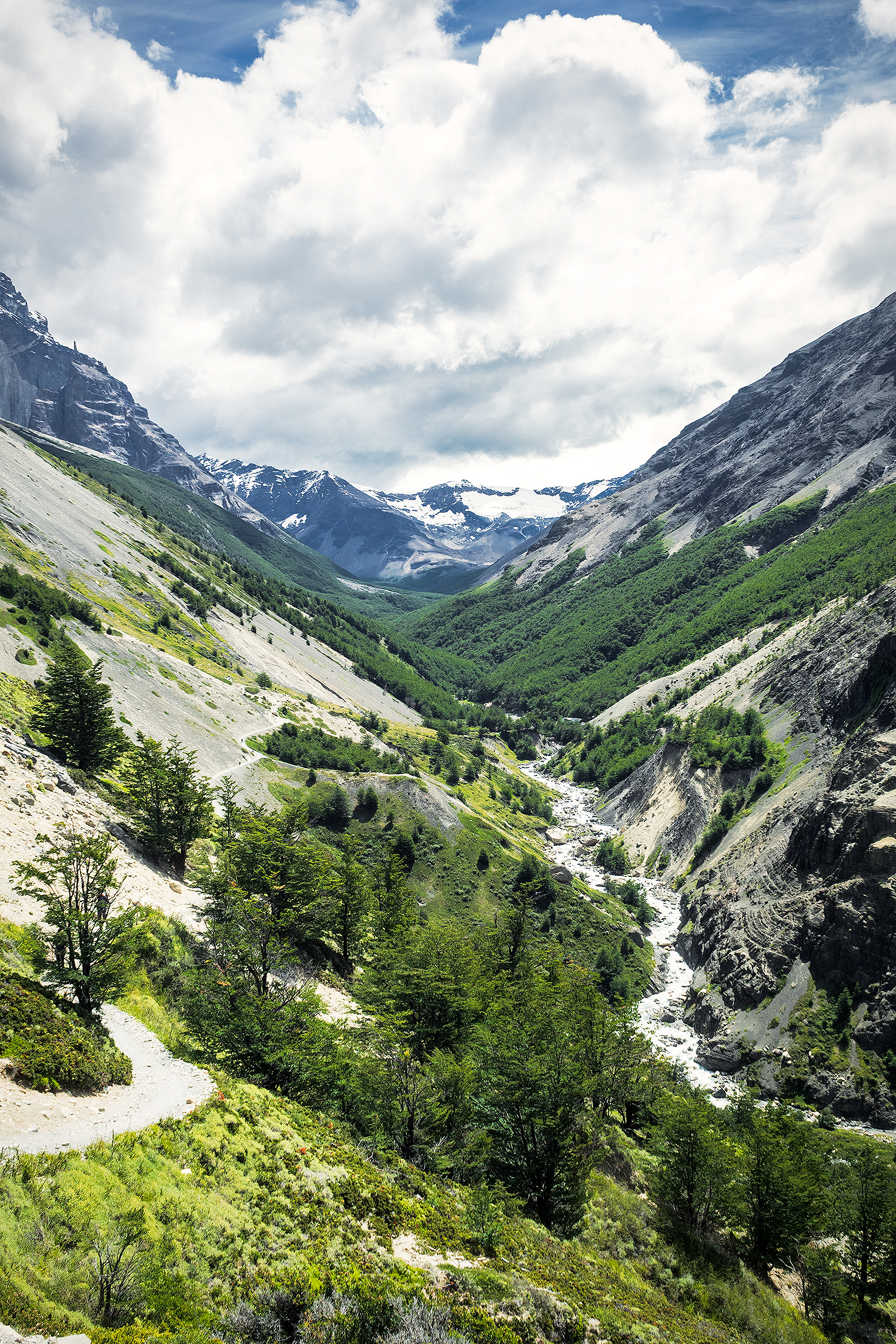
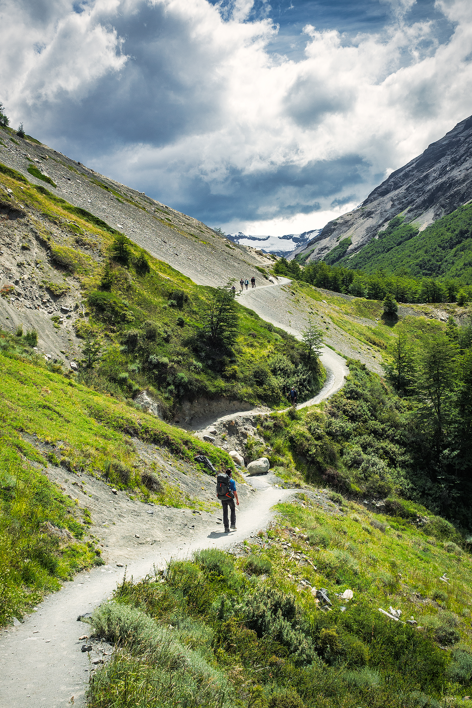
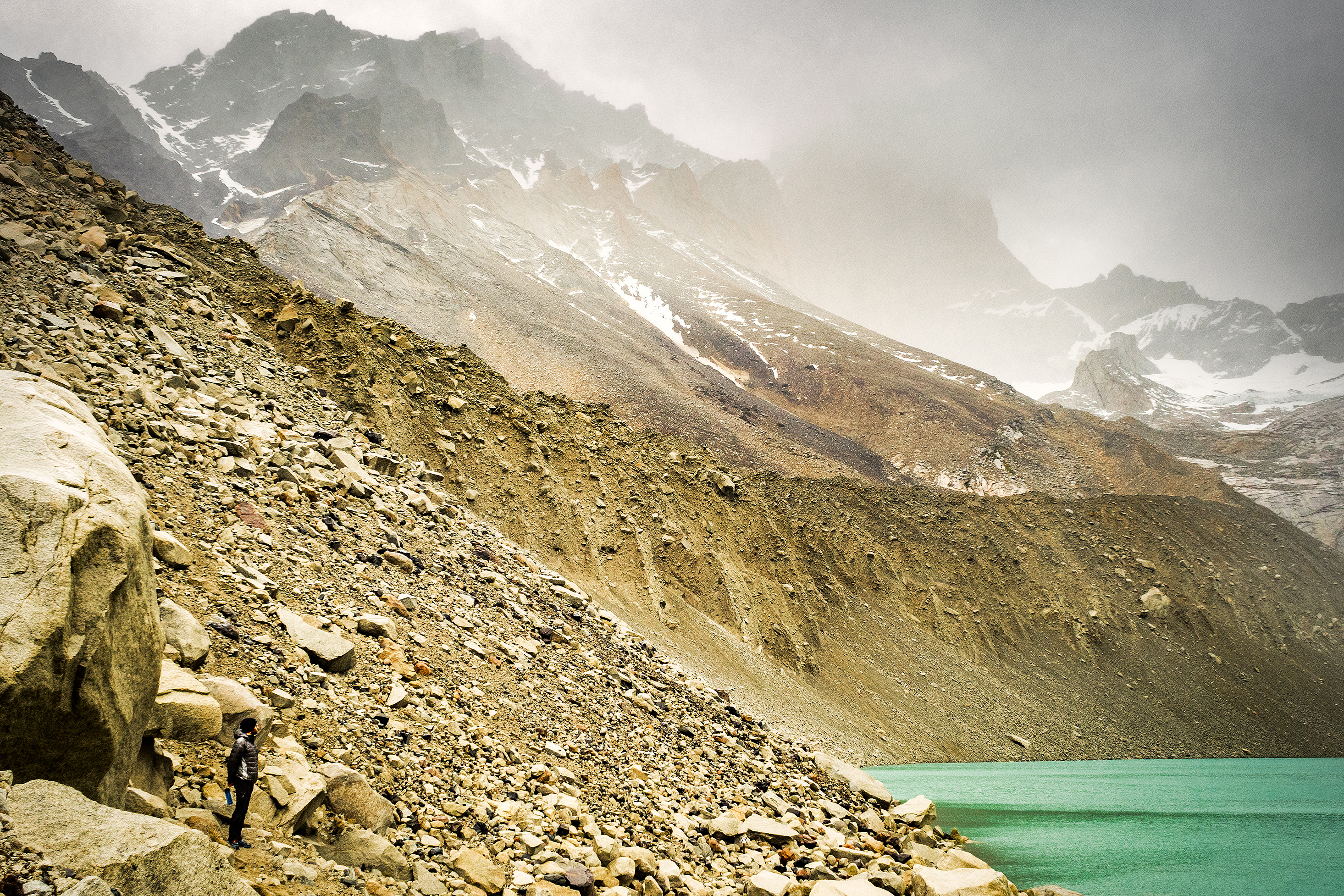
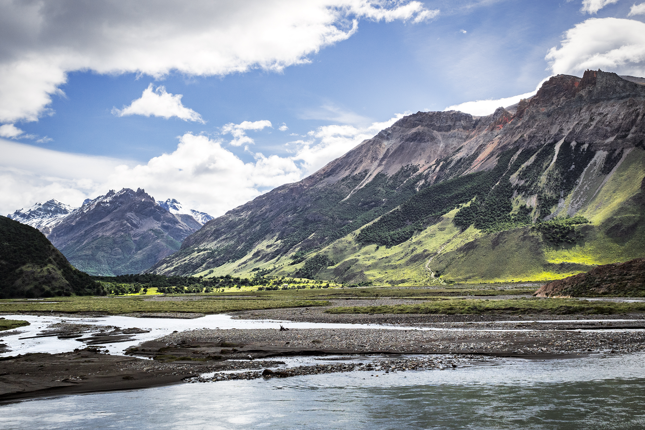
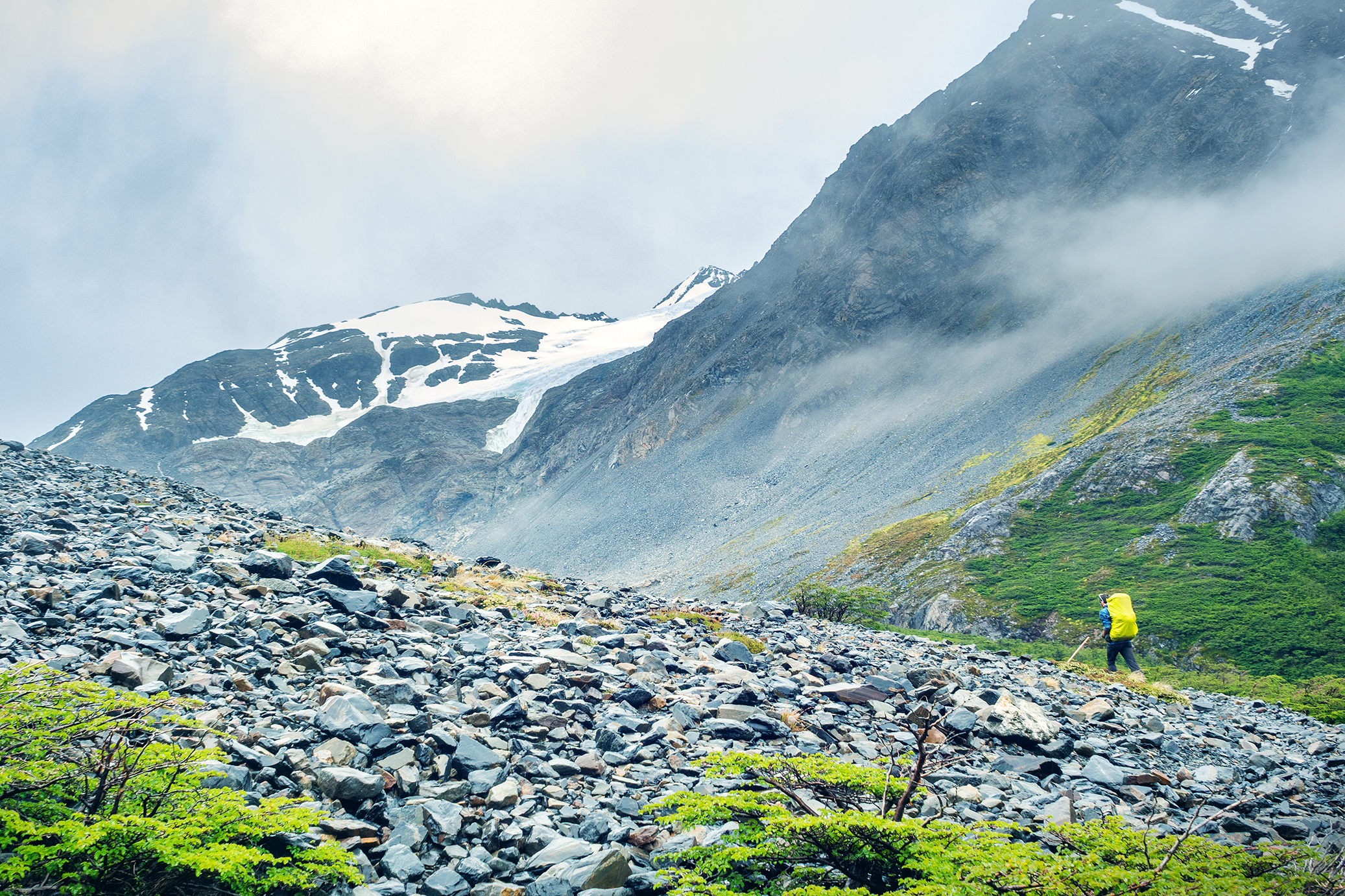
Eventually we left the tree line and started going up a steep scree. Looking up we could see pretty far to the top of the hill, and I was so glad that we were climbing this on fresh legs and not after 10km, like we would have had to if we had stayed at the Dickson campground.

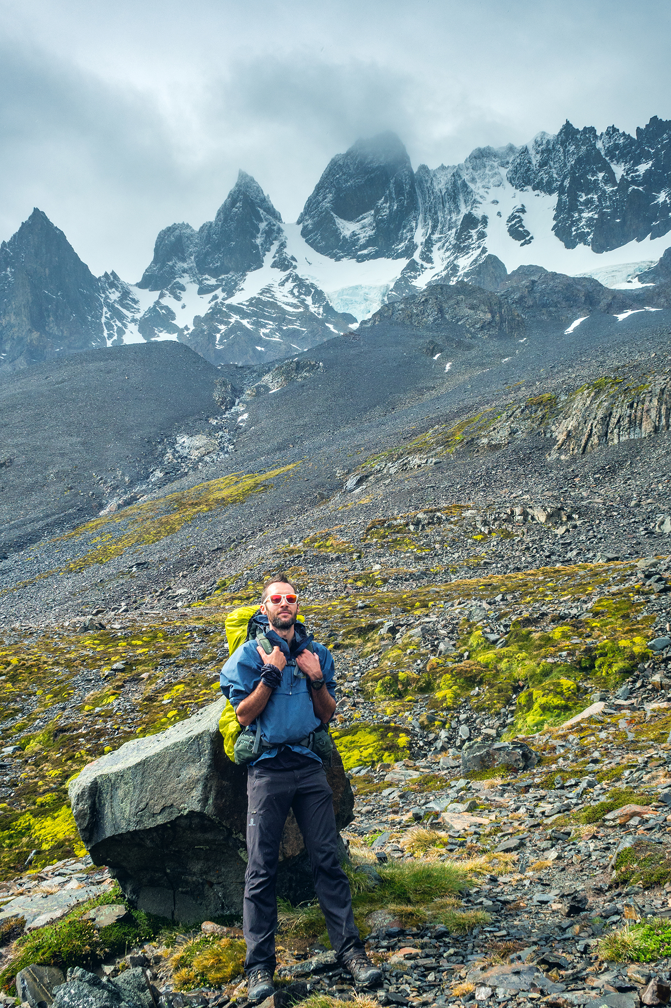
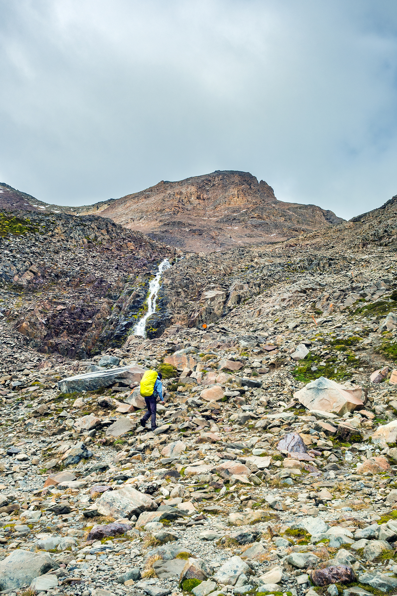
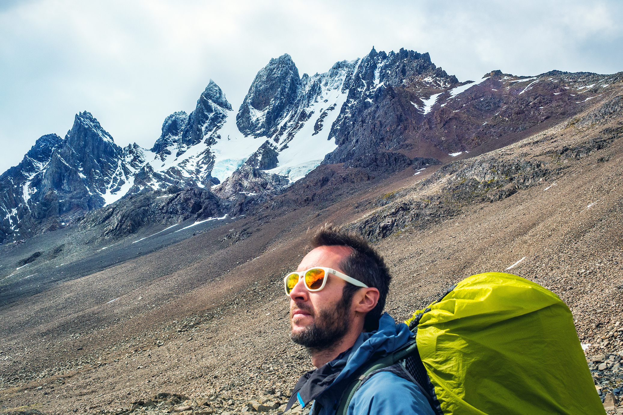
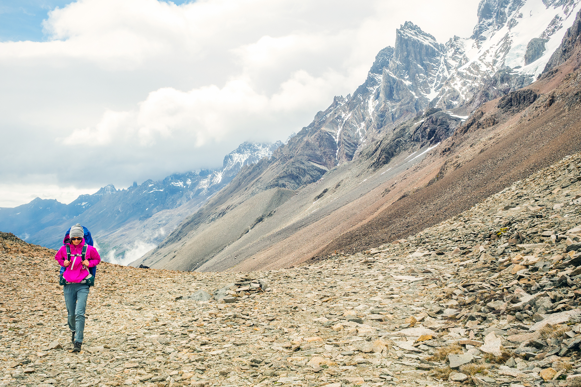
I actually very much enjoyed the climb. Although we started in the clouds, the sky was slowly clearing up and we could see pretty clearly the mountain range around us as well as below, the valley we had just come from.
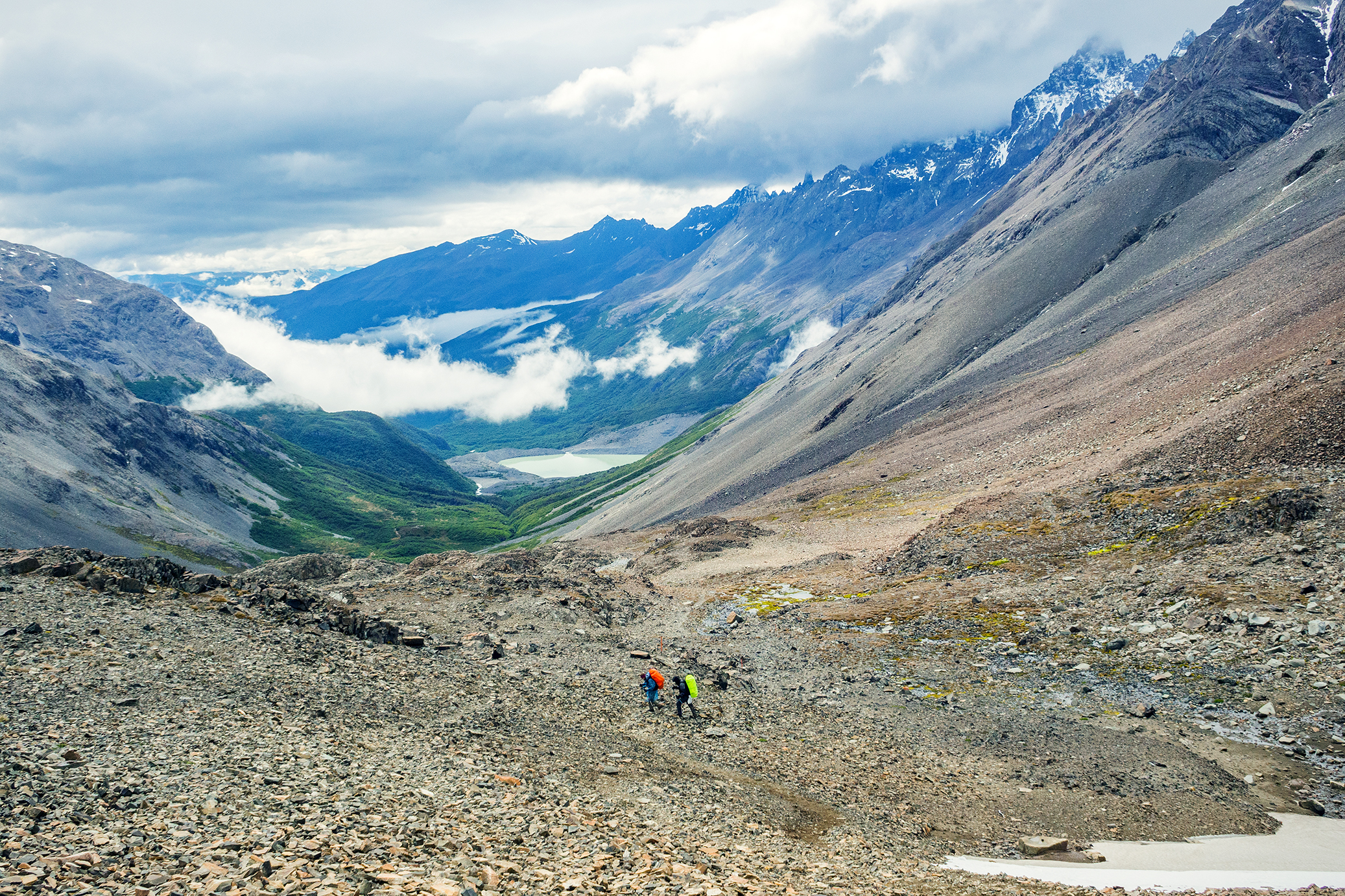
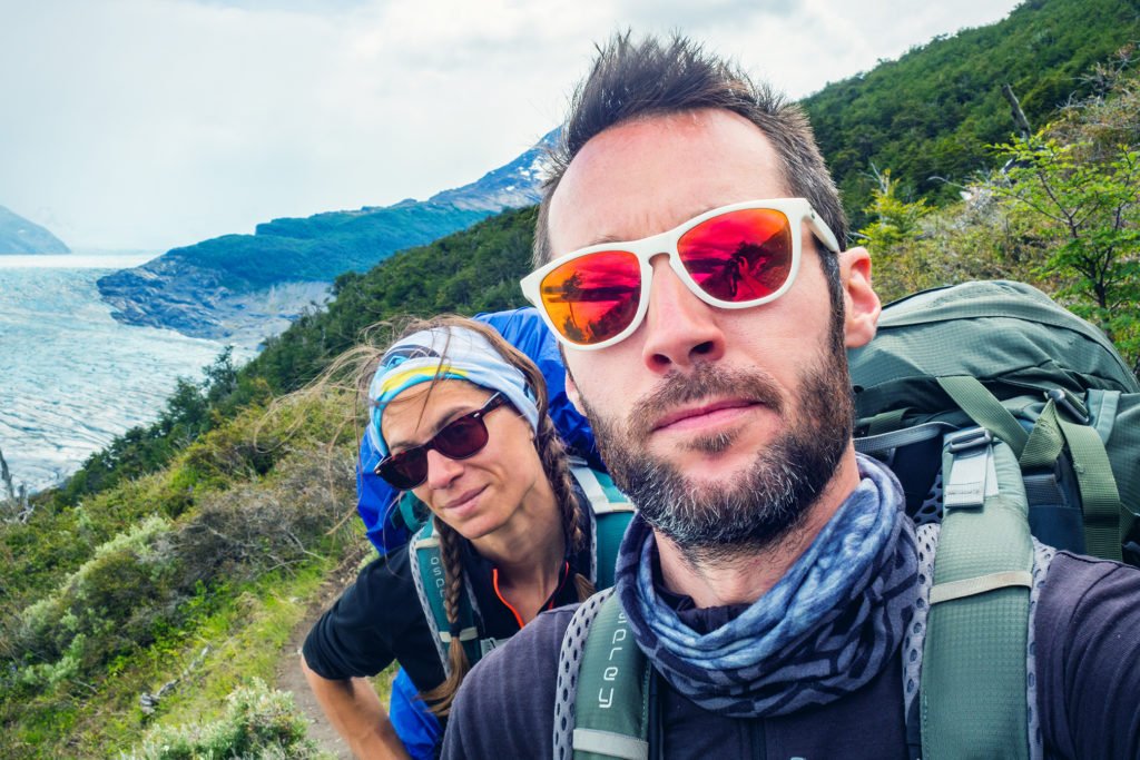
We thought that Jen had gotten an early start from Los Perros but turns out she had left after us, and caught up with us on the way to the top, so we finished the climb more or less together.


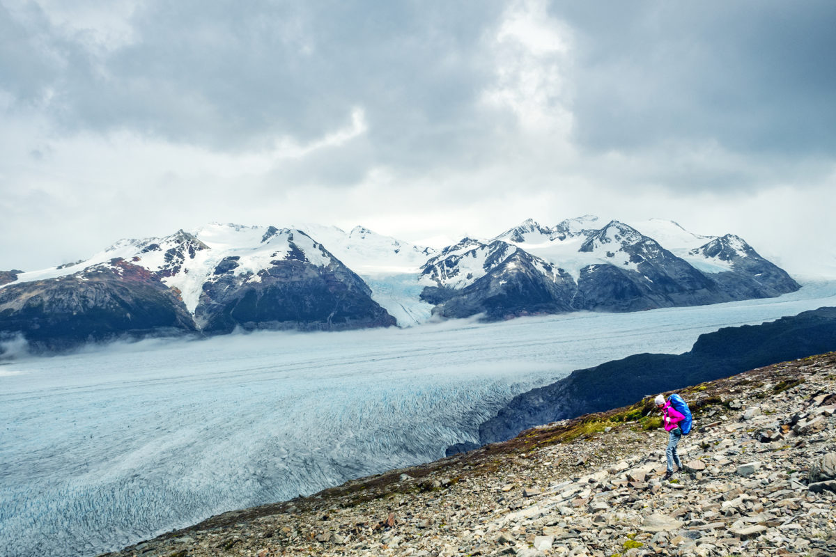
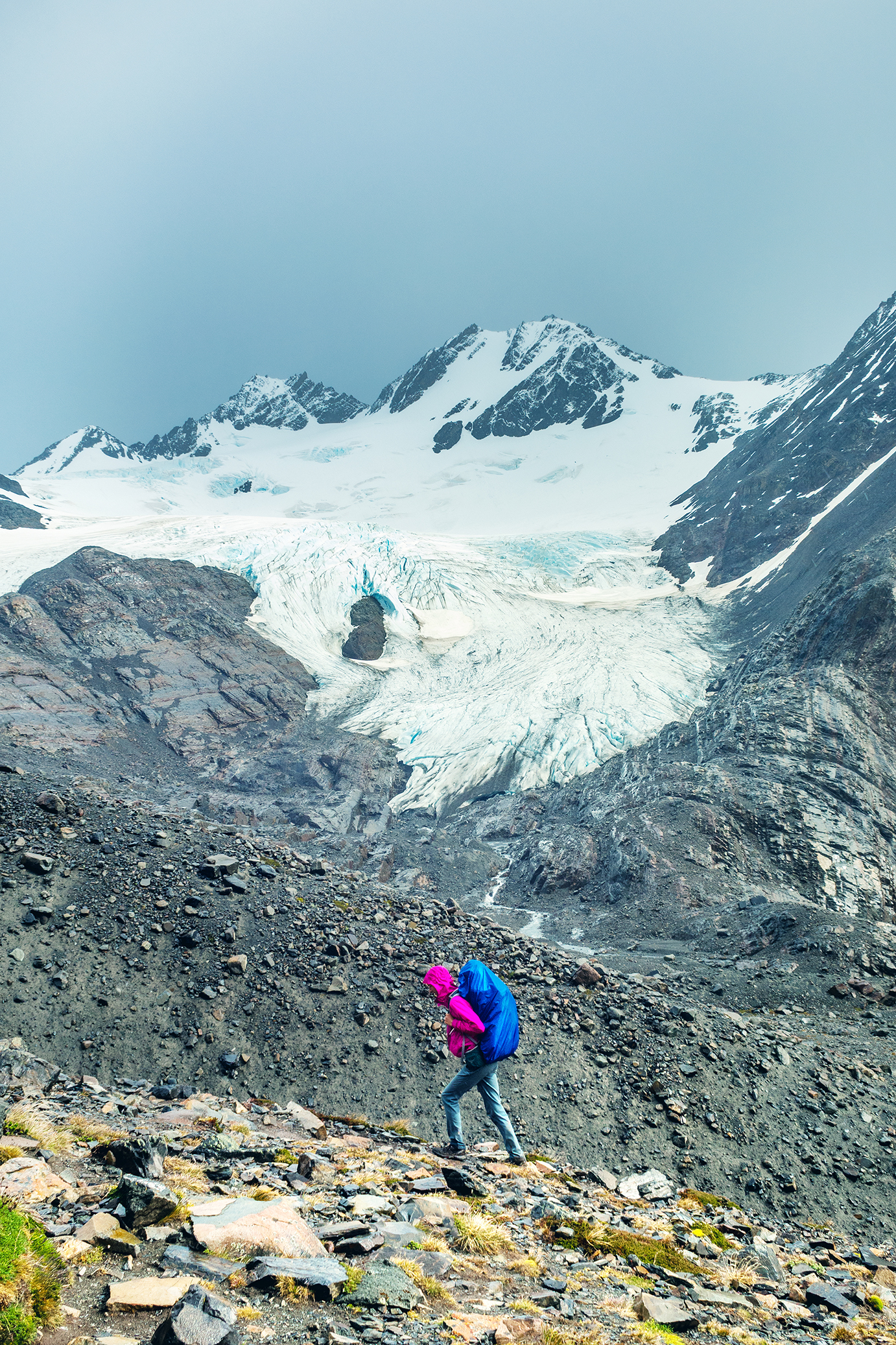
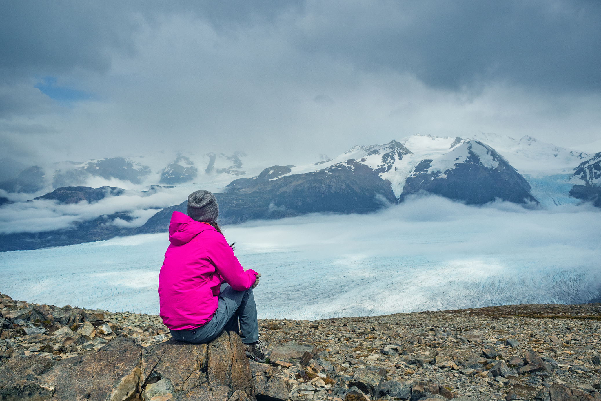
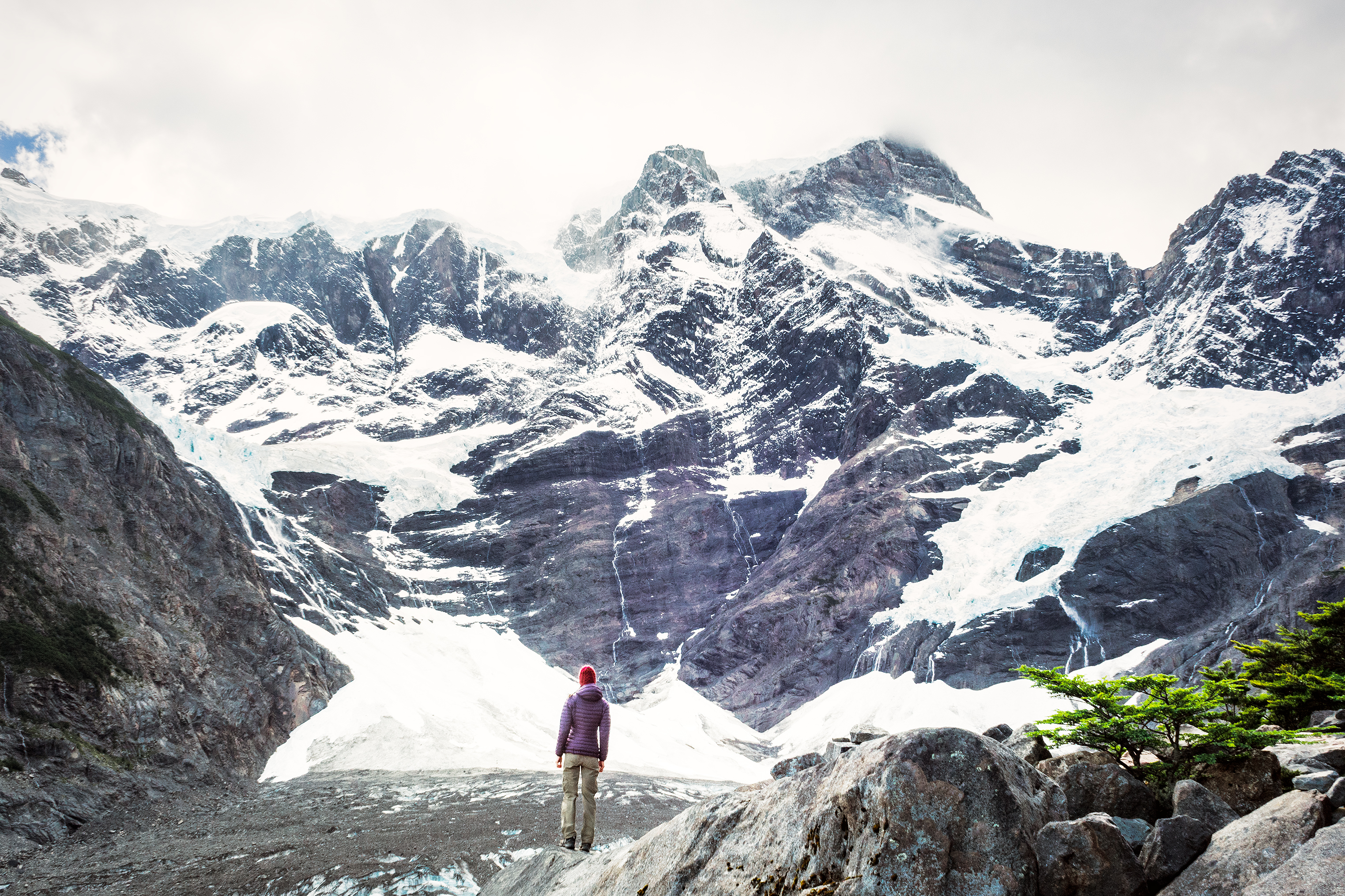
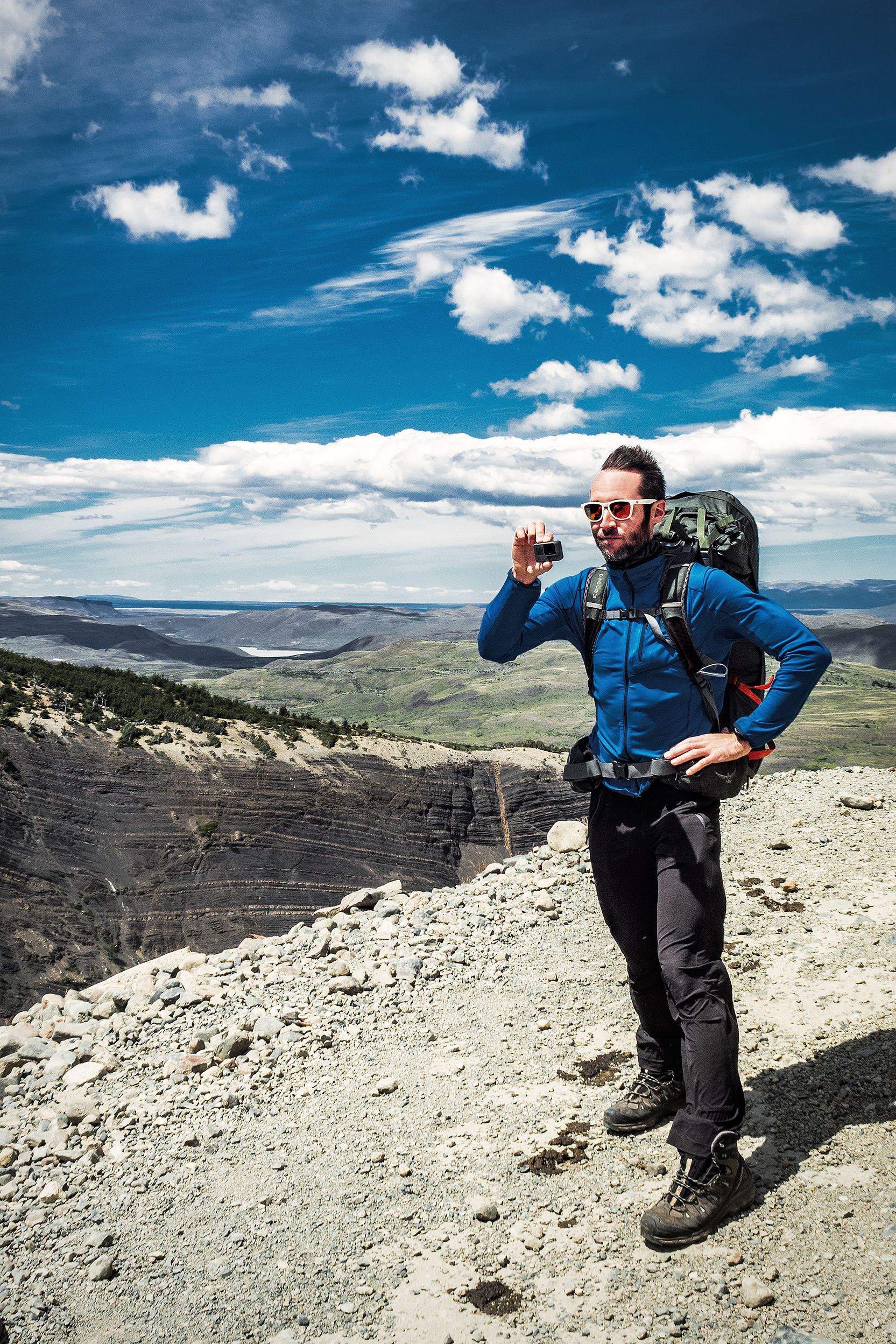
We had been warned against bad weather and really strong winds when going through the John Gardner pass. If the weather is too bad, rangers will actually close the pass and you’ll have to wait until the next day to cross – there was indeed a ranger stationed on the way to the top who I guess would be there the whole day making sure crossing conditions were good and enforcing a cut off after a certain time of the day. But once again, we lucked-out. As we stepped through the pass, the view on the other side was pretty incredible.

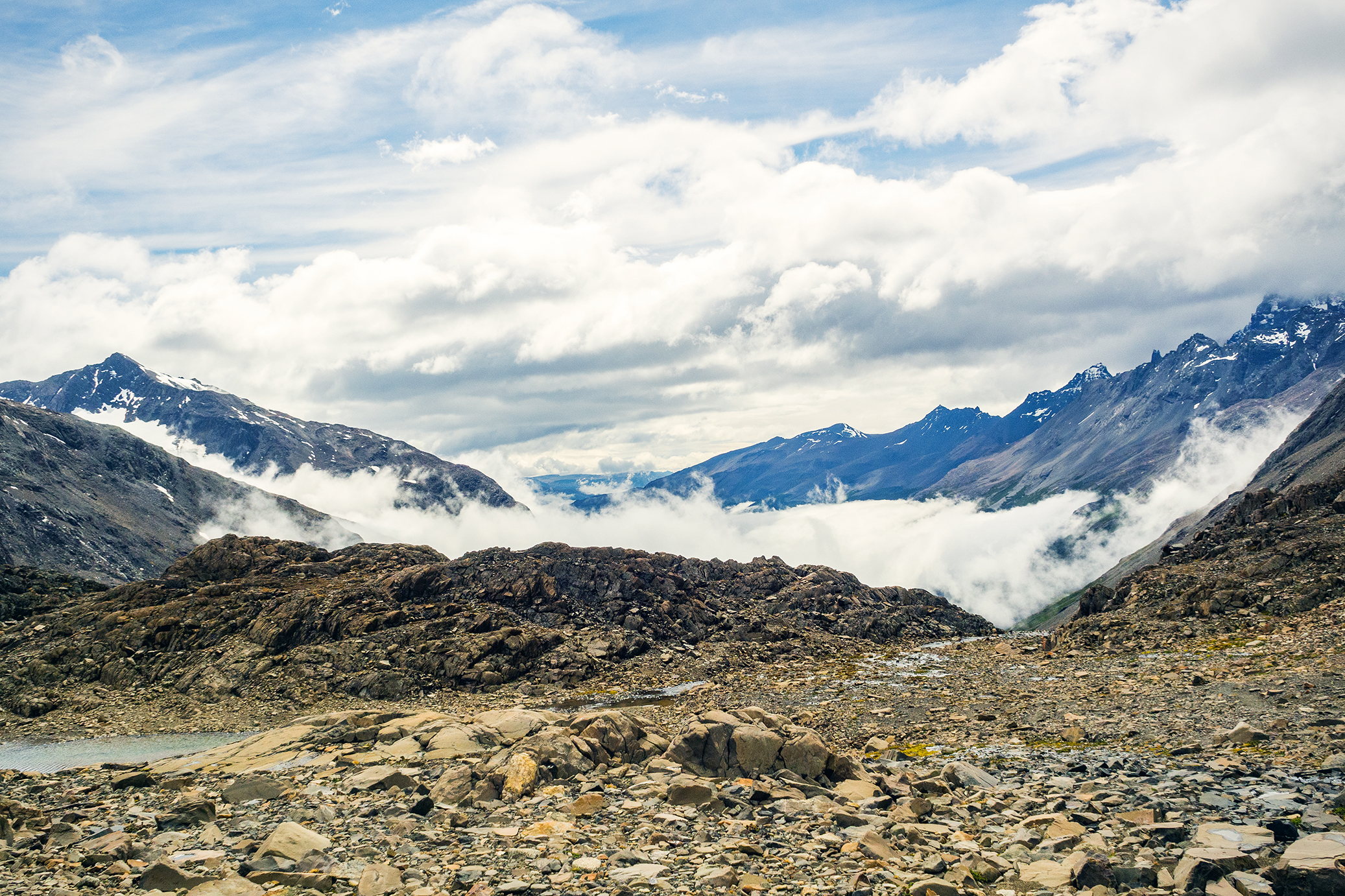
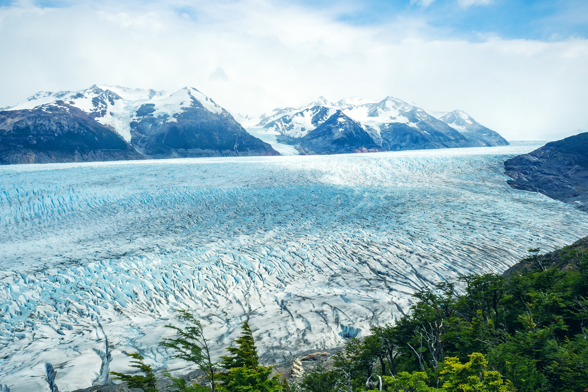
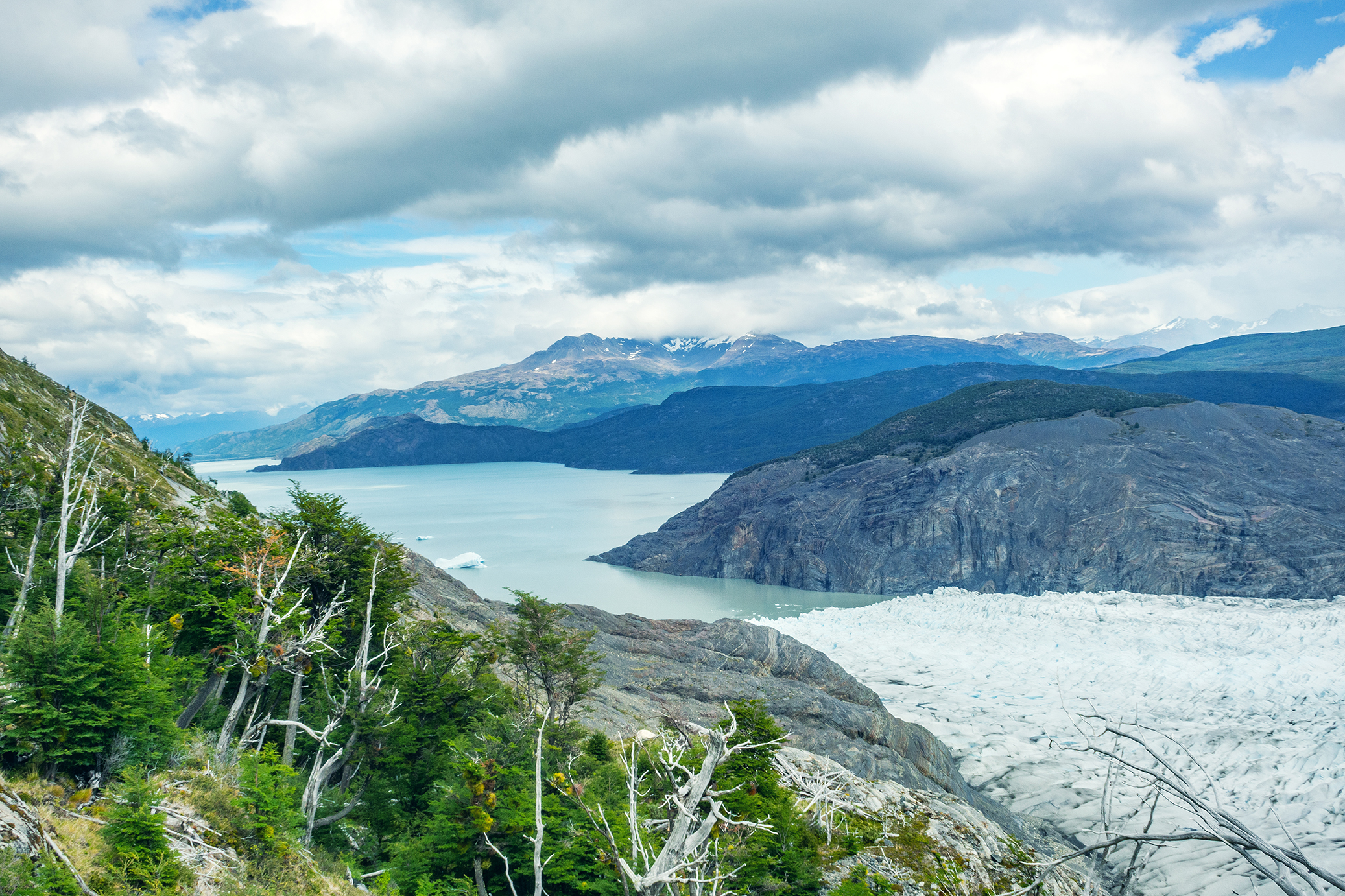
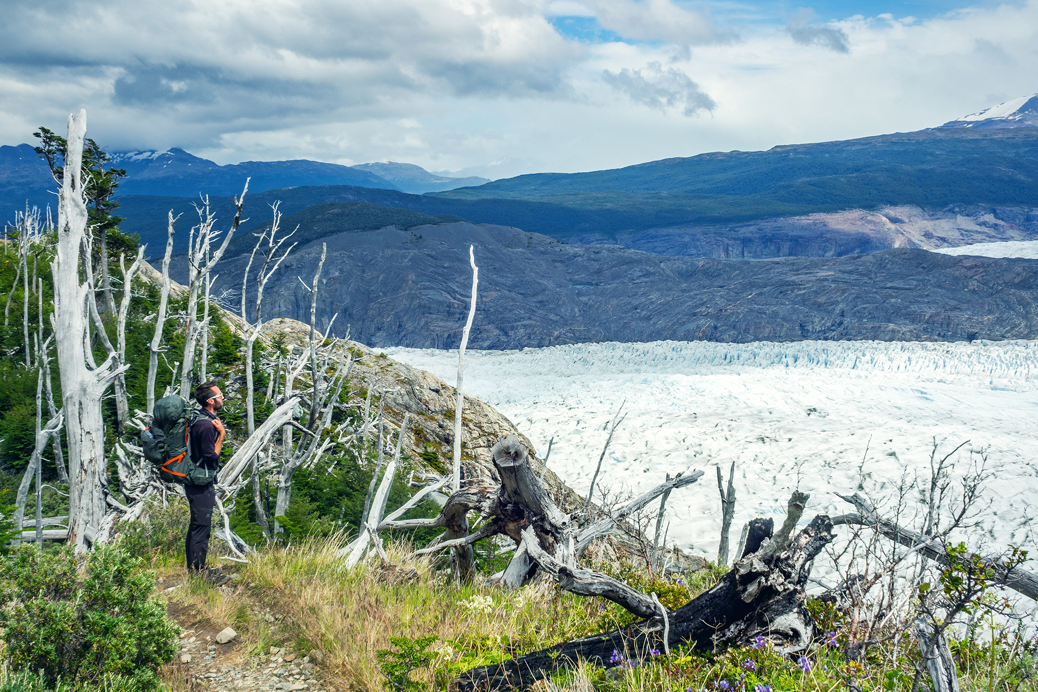
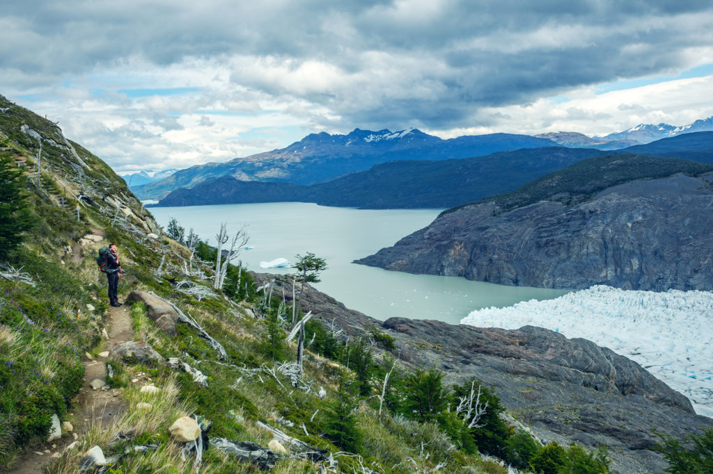
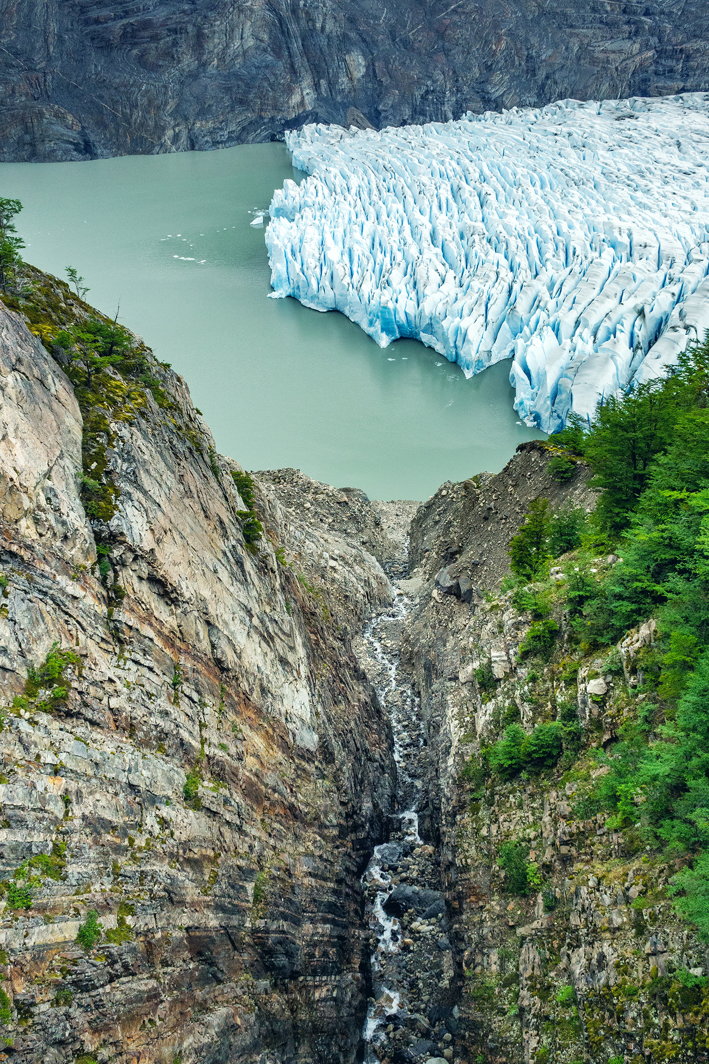
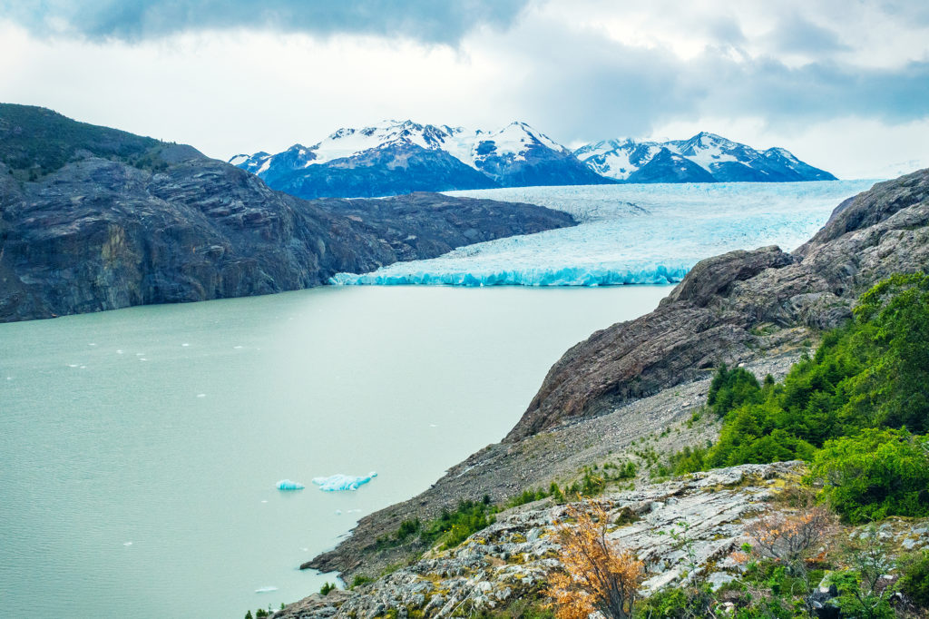
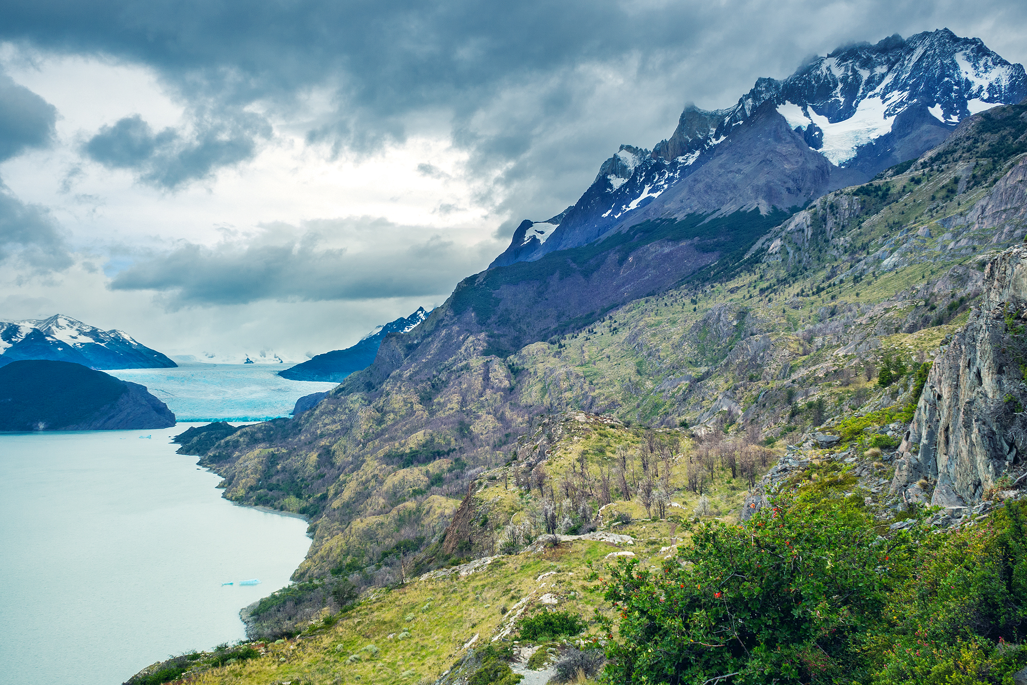
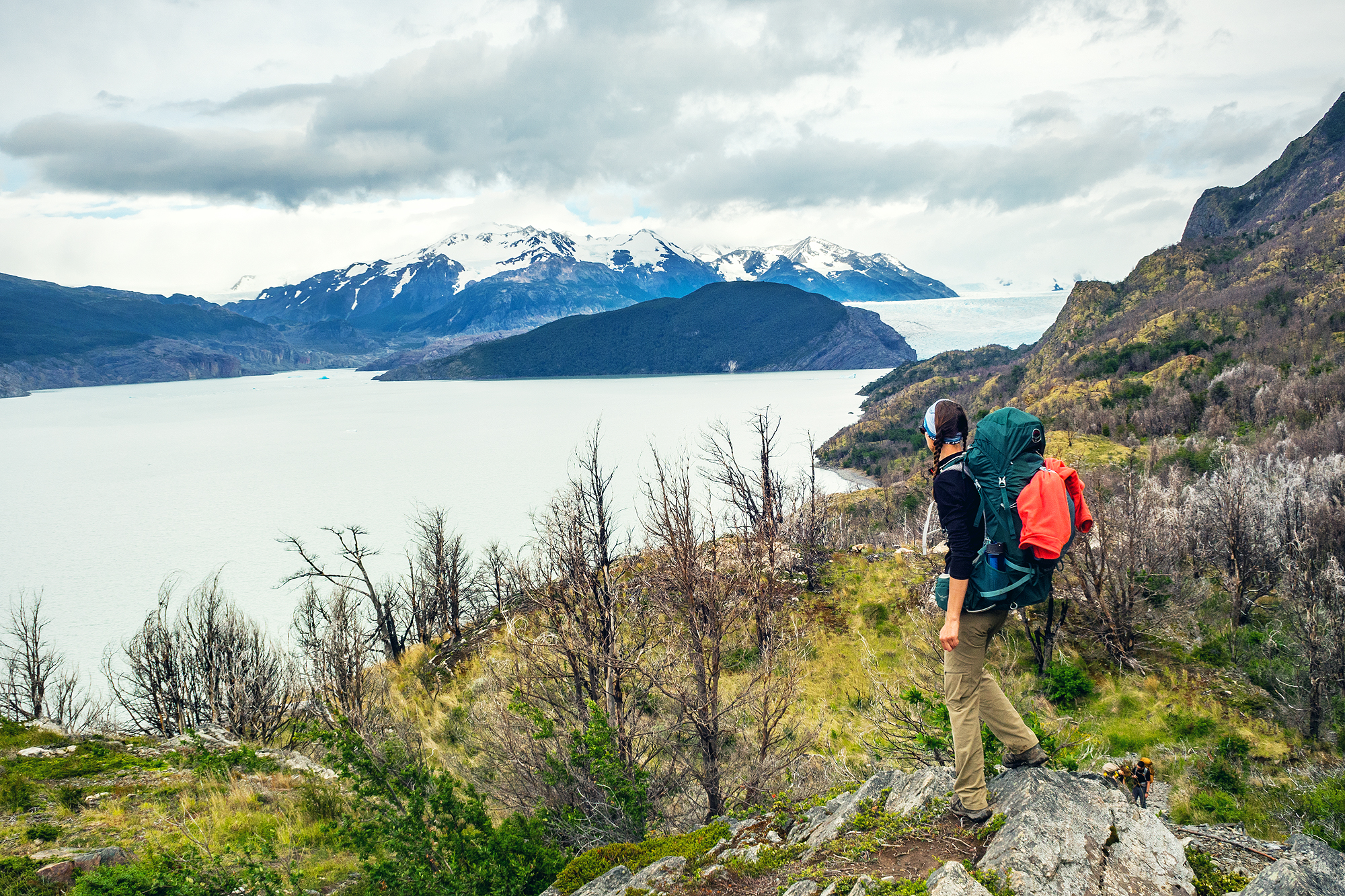
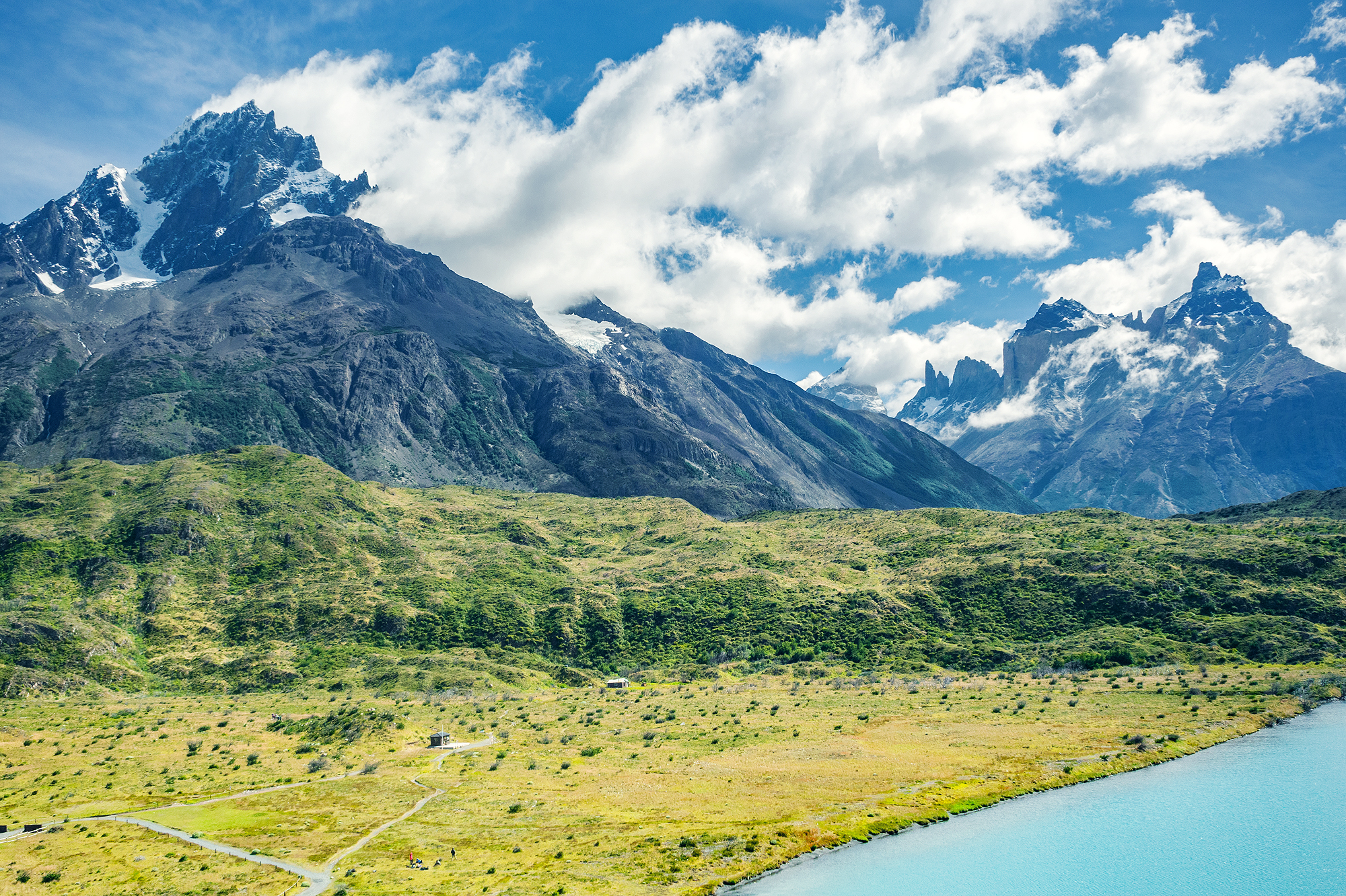
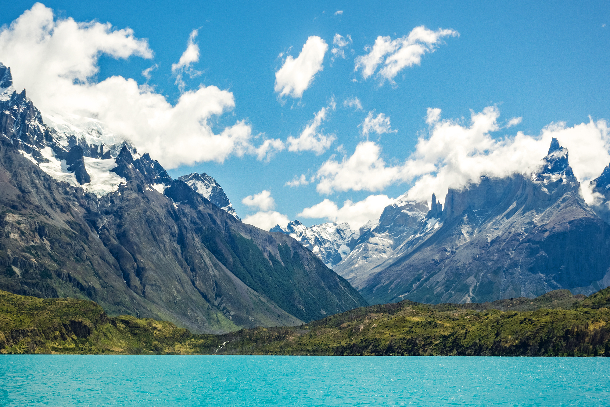
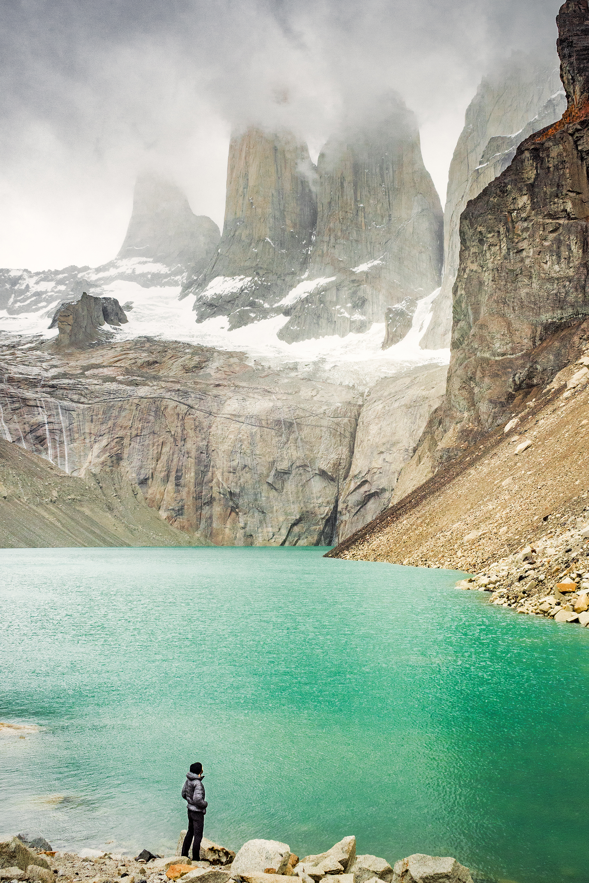
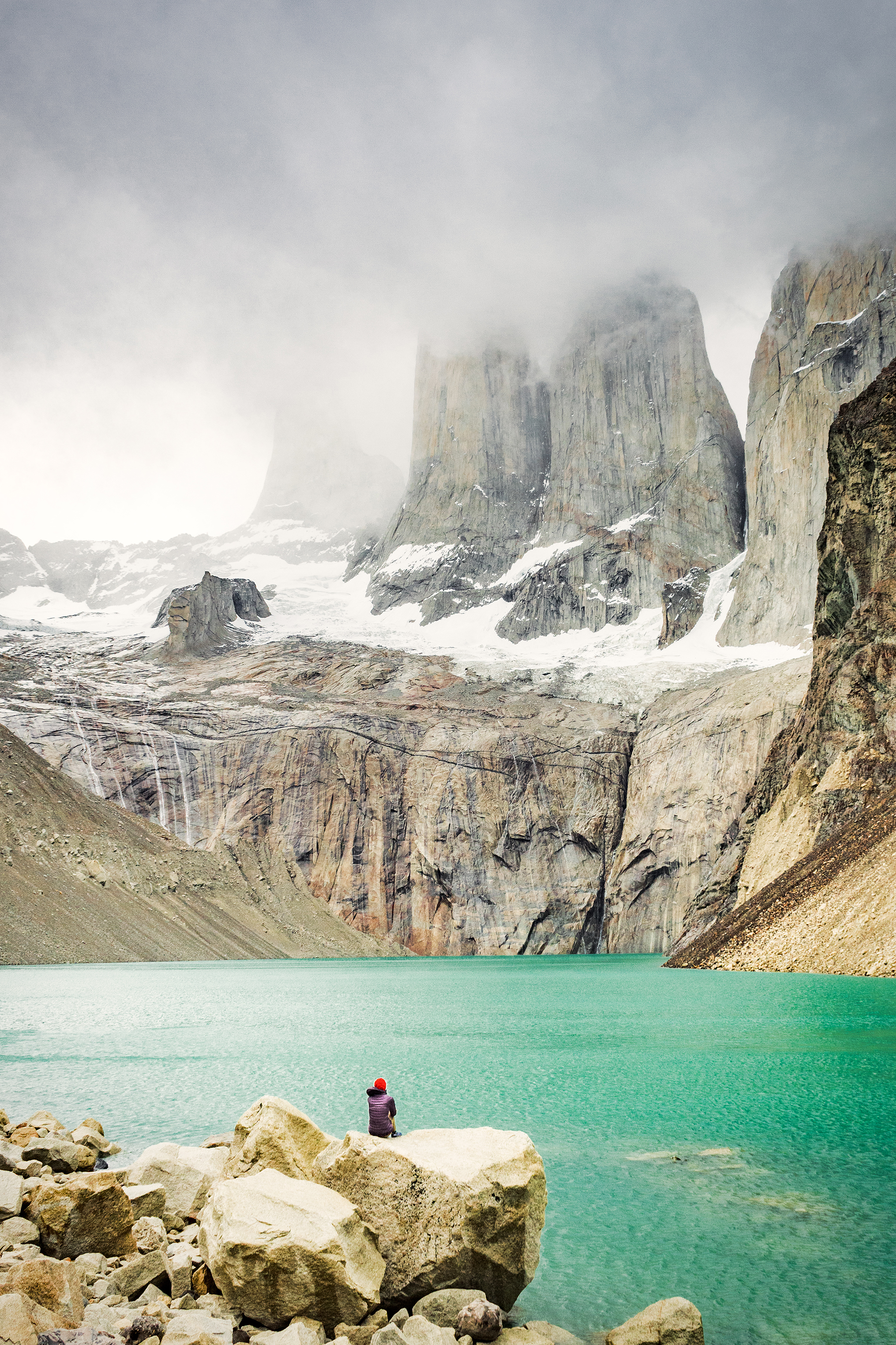
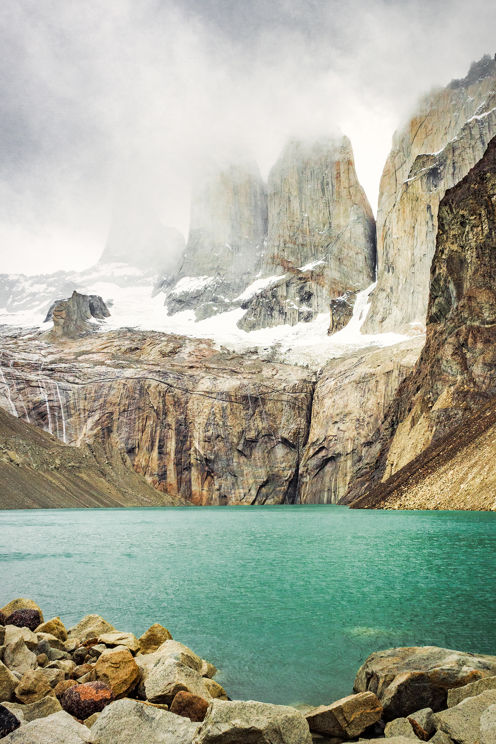
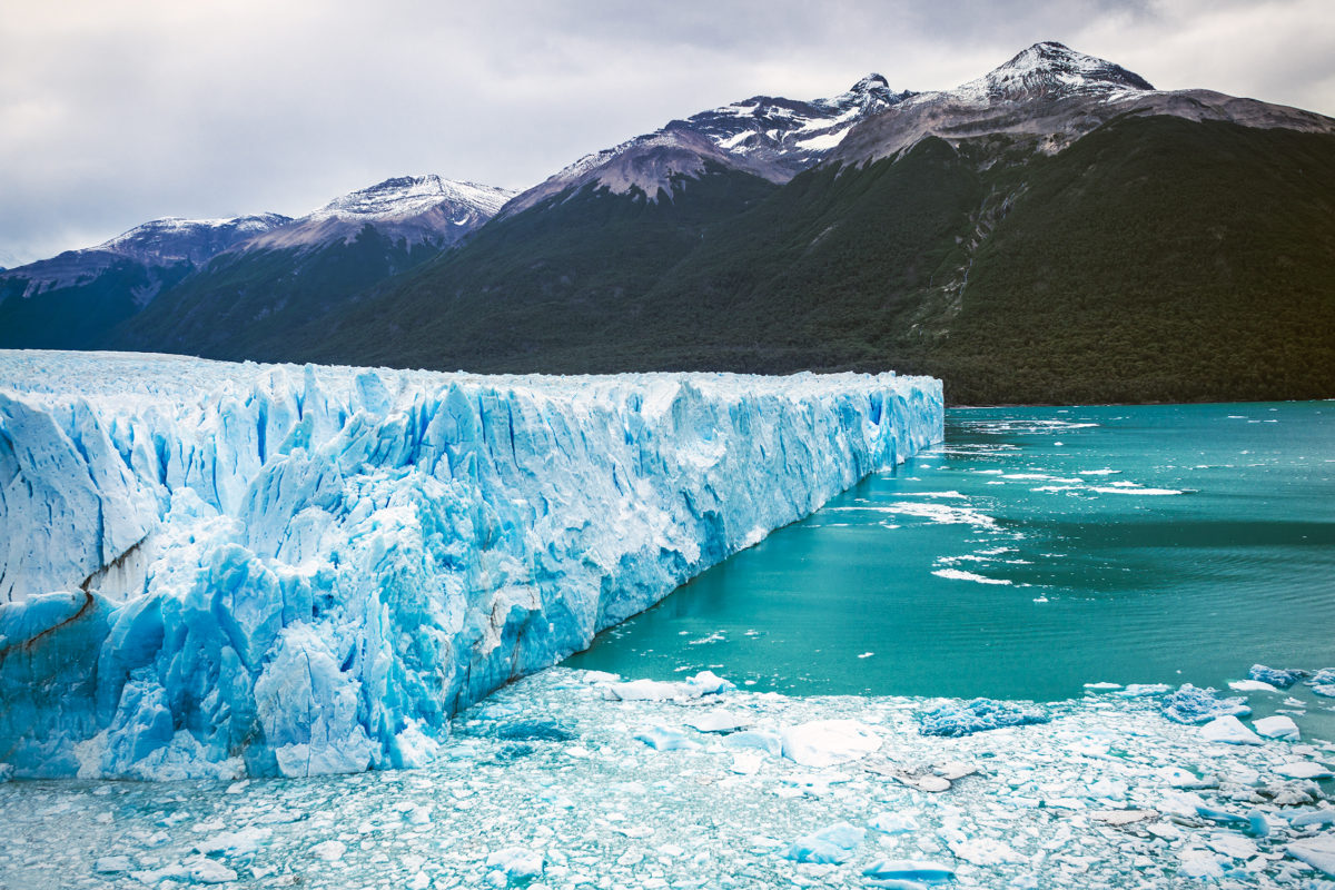
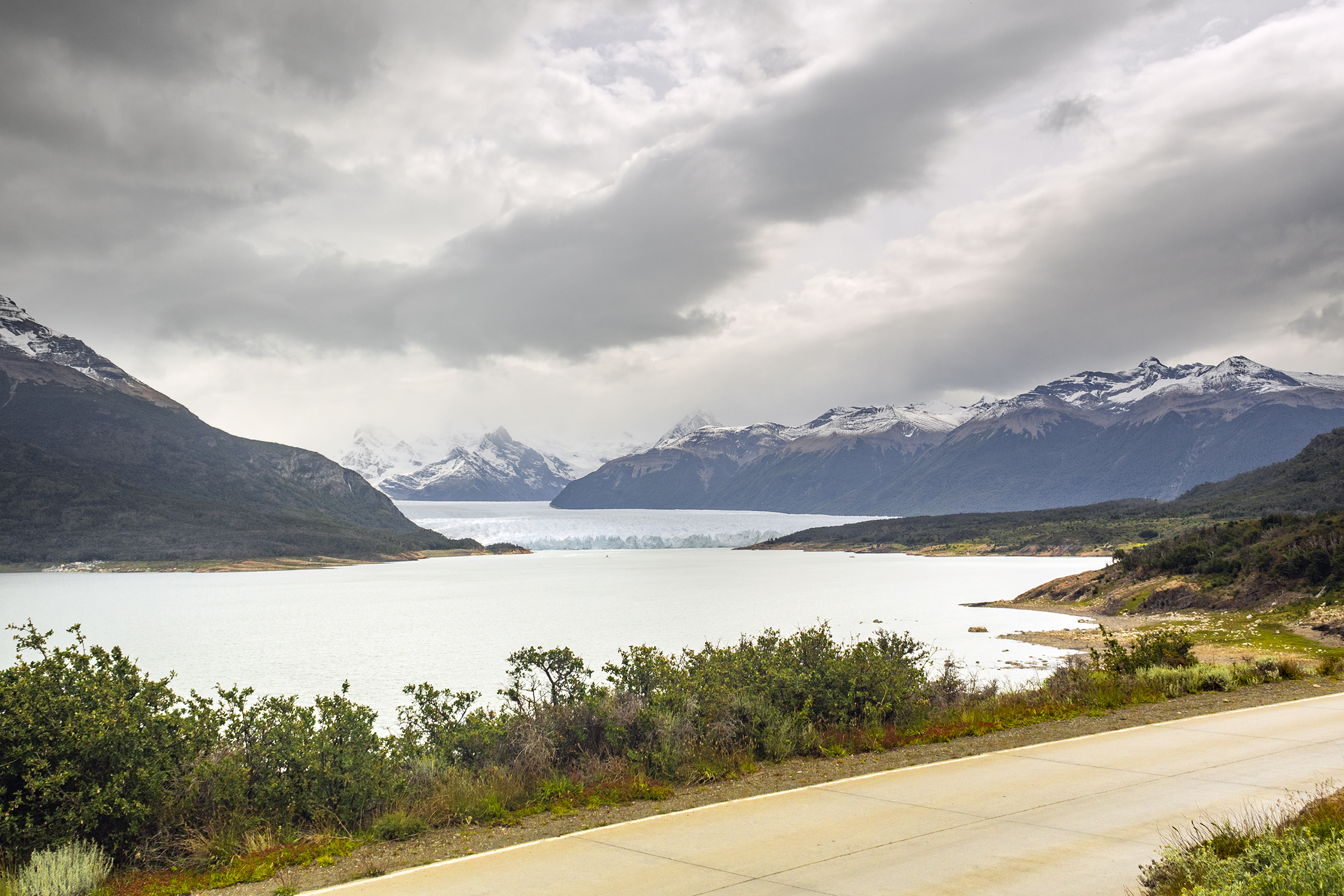
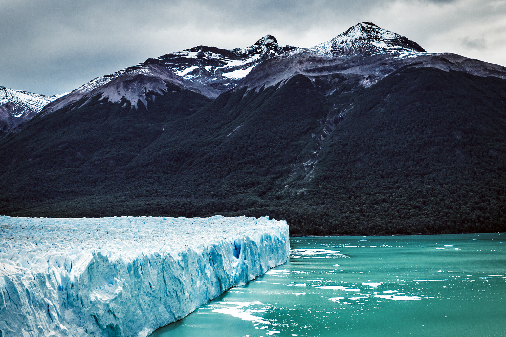
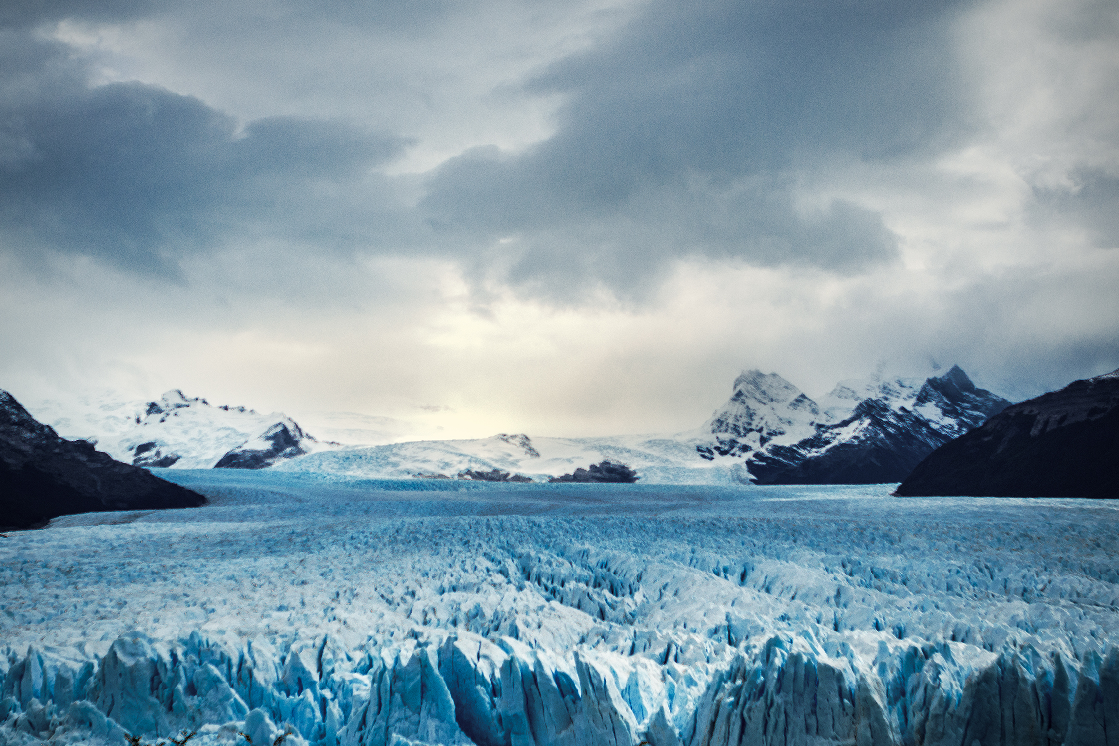
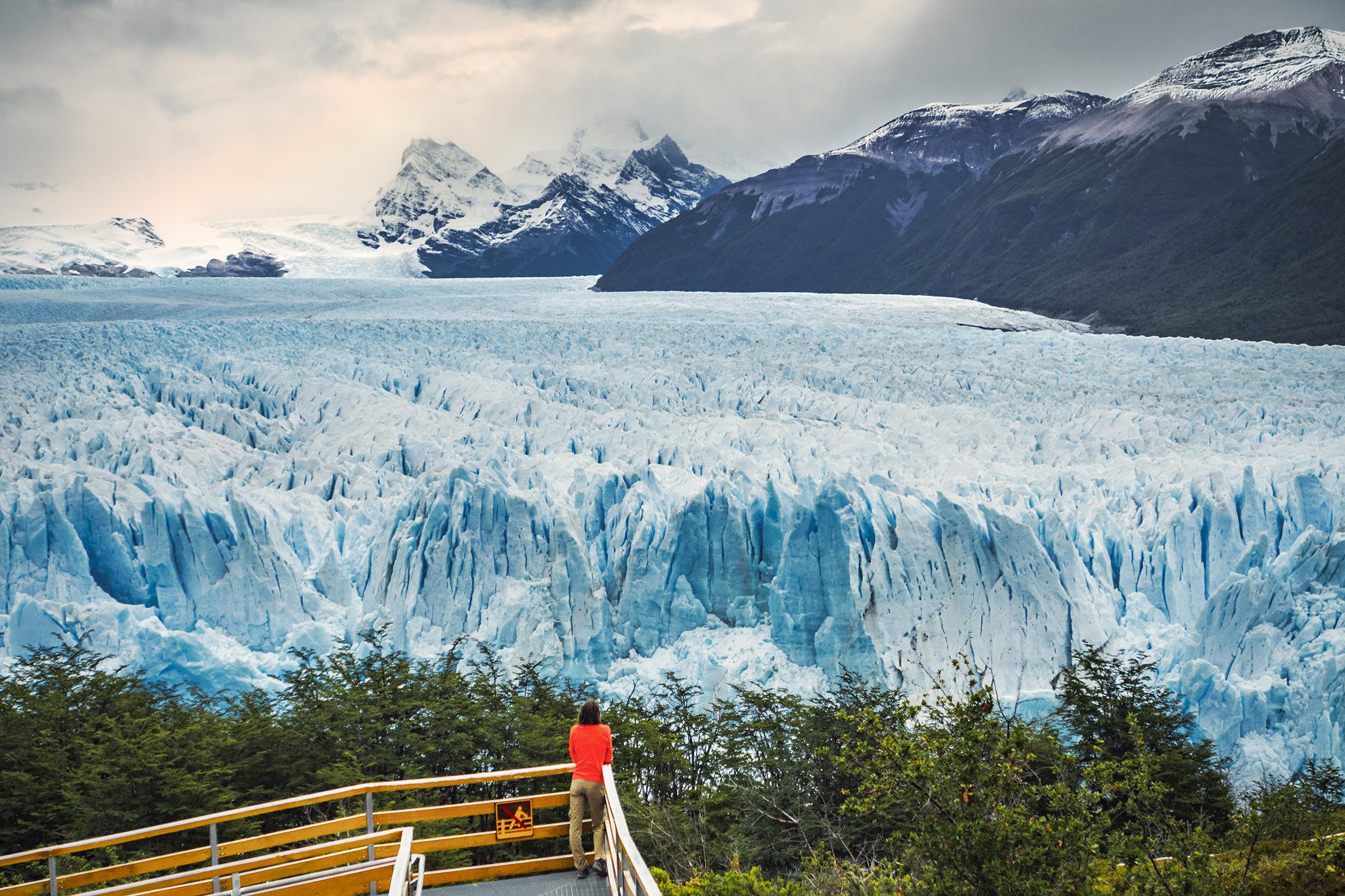
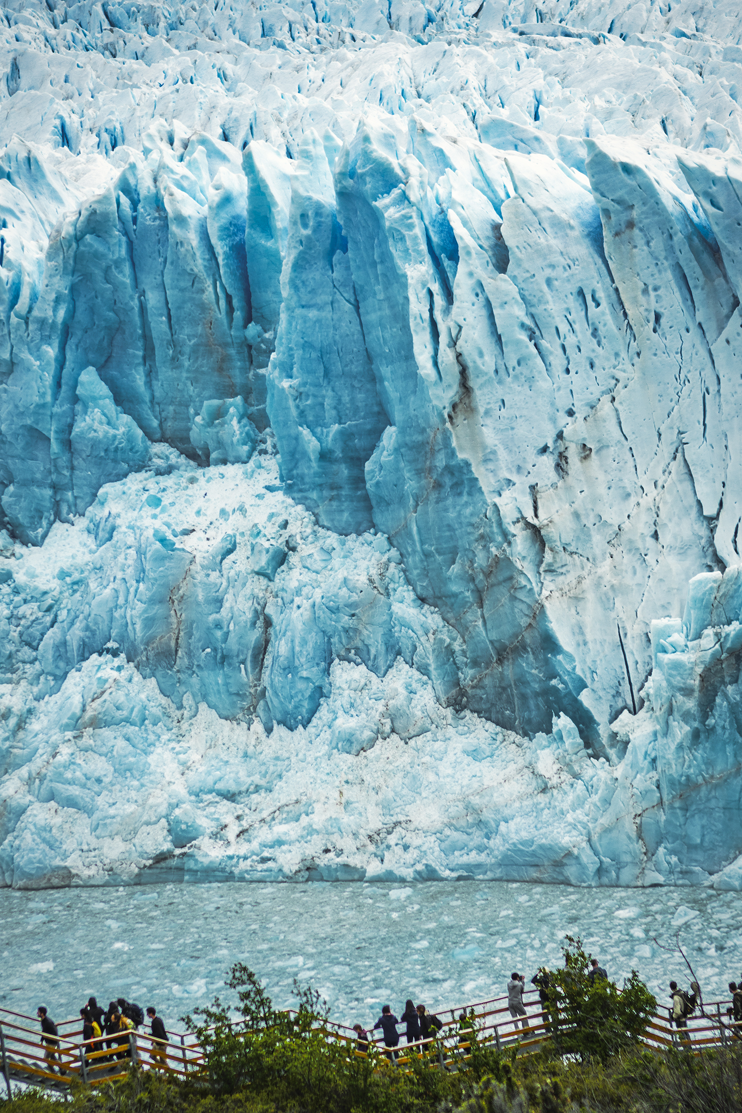
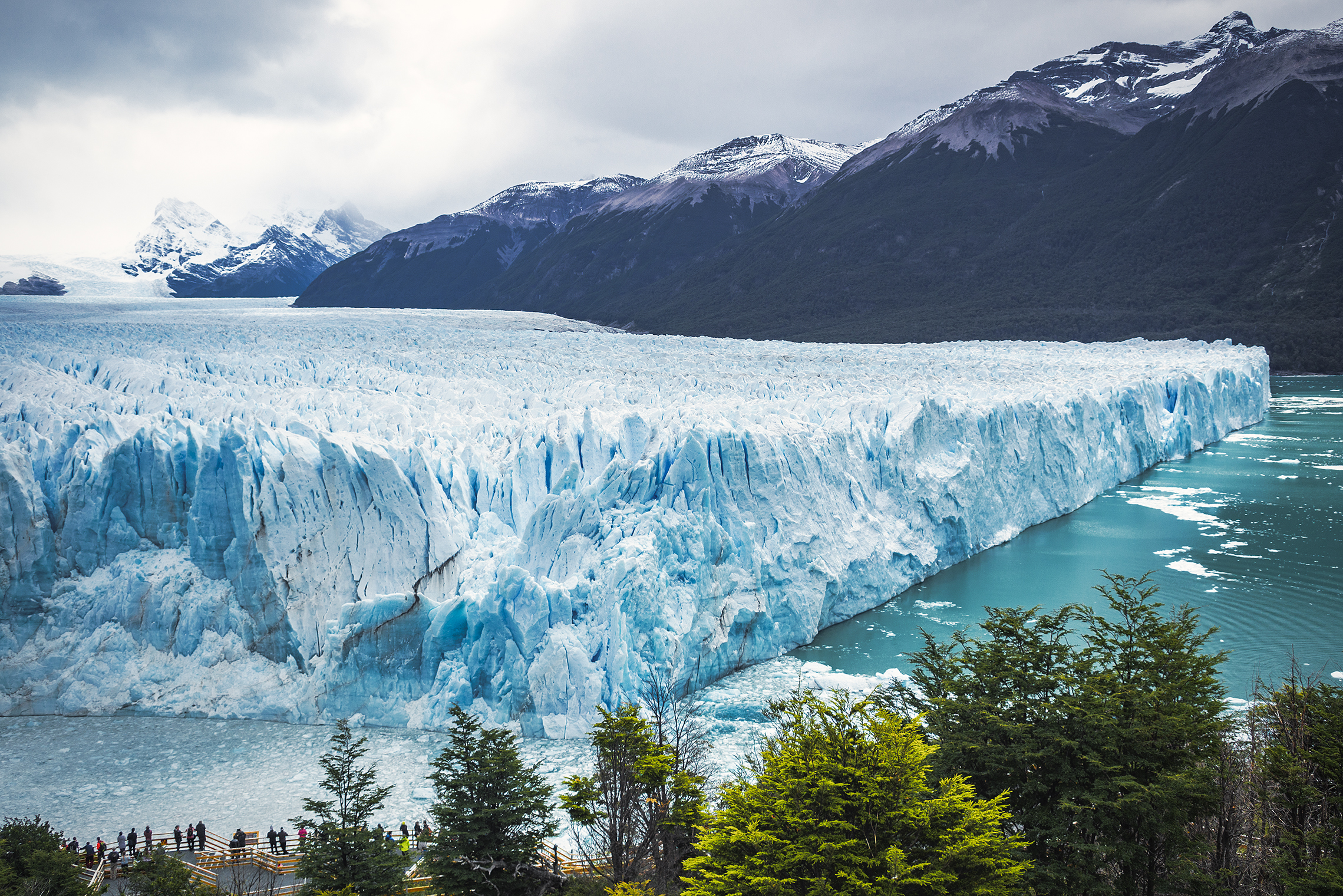
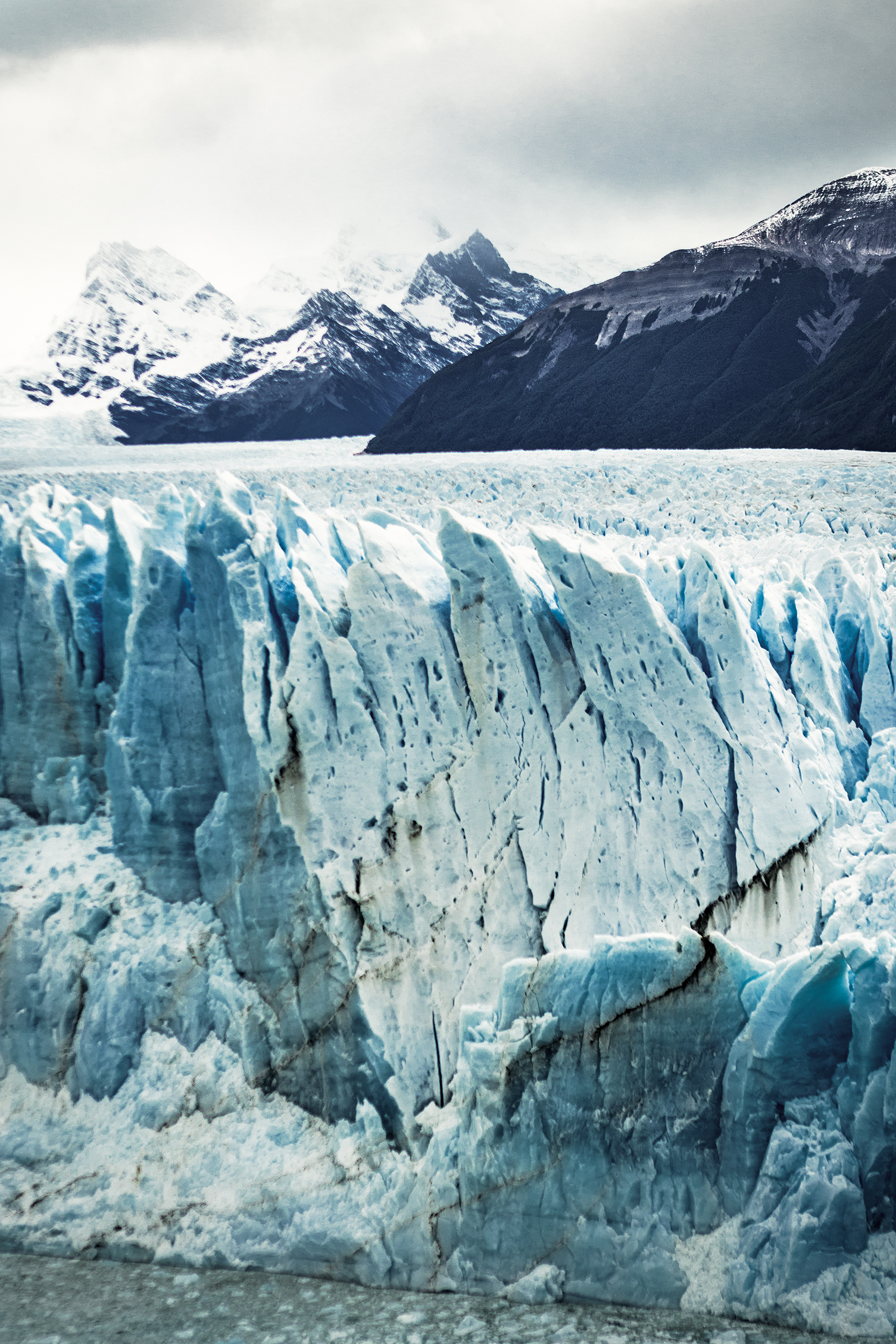
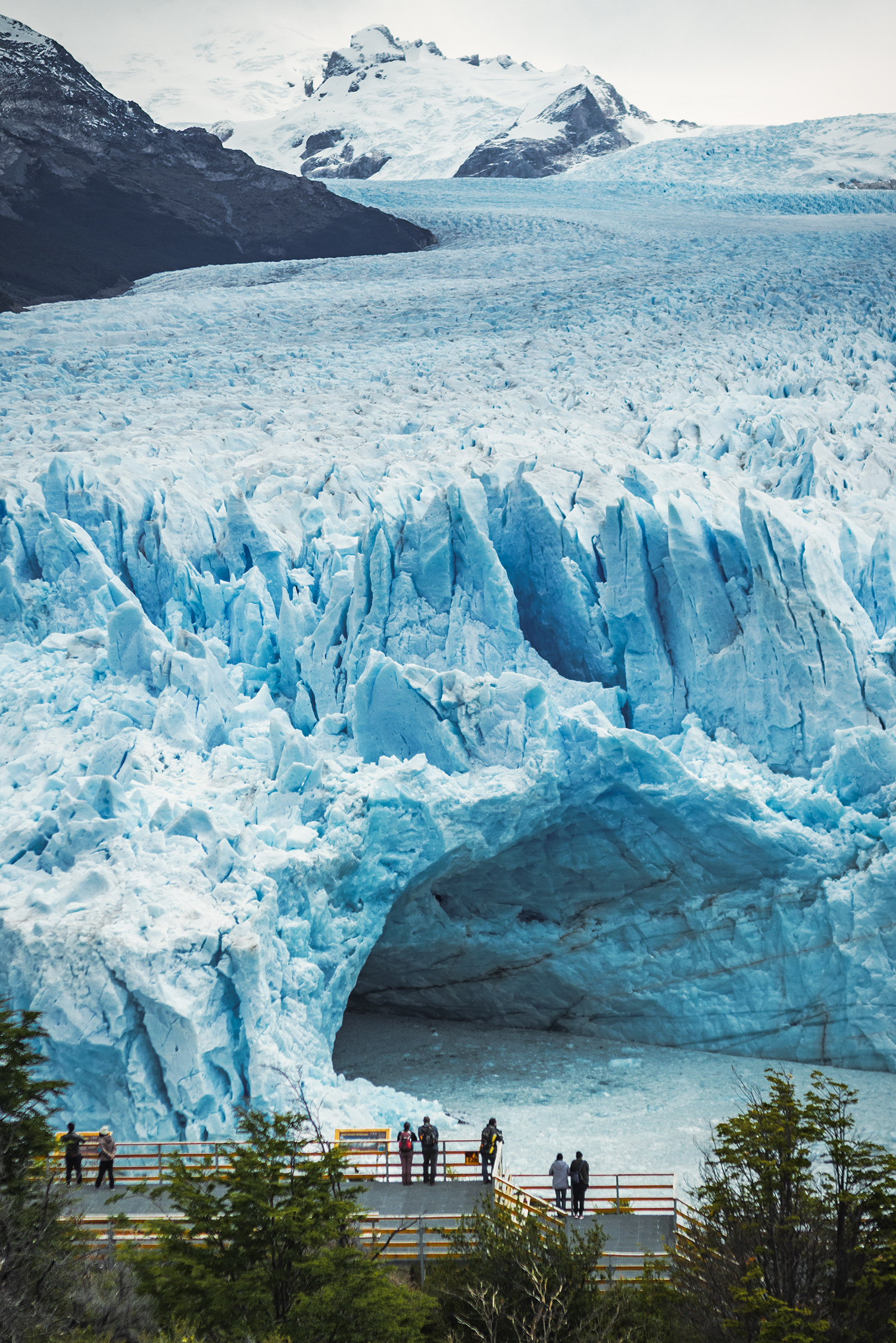
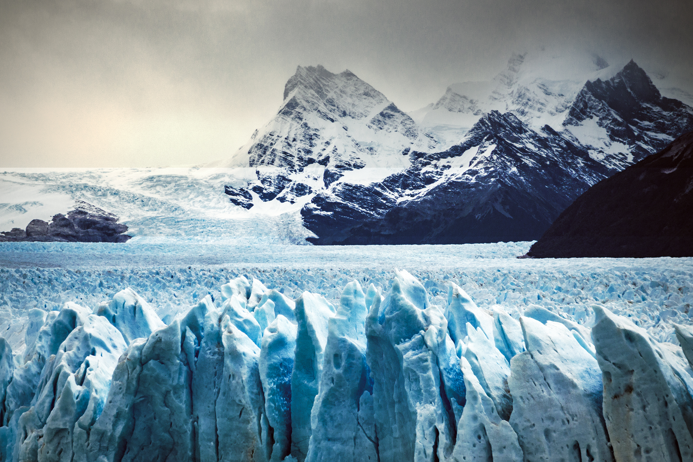
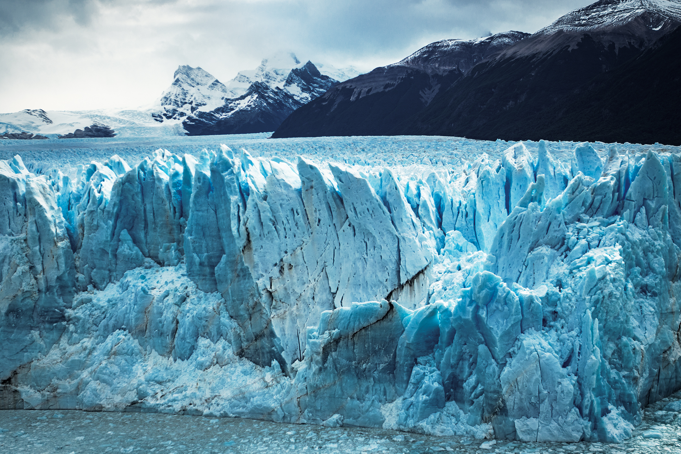
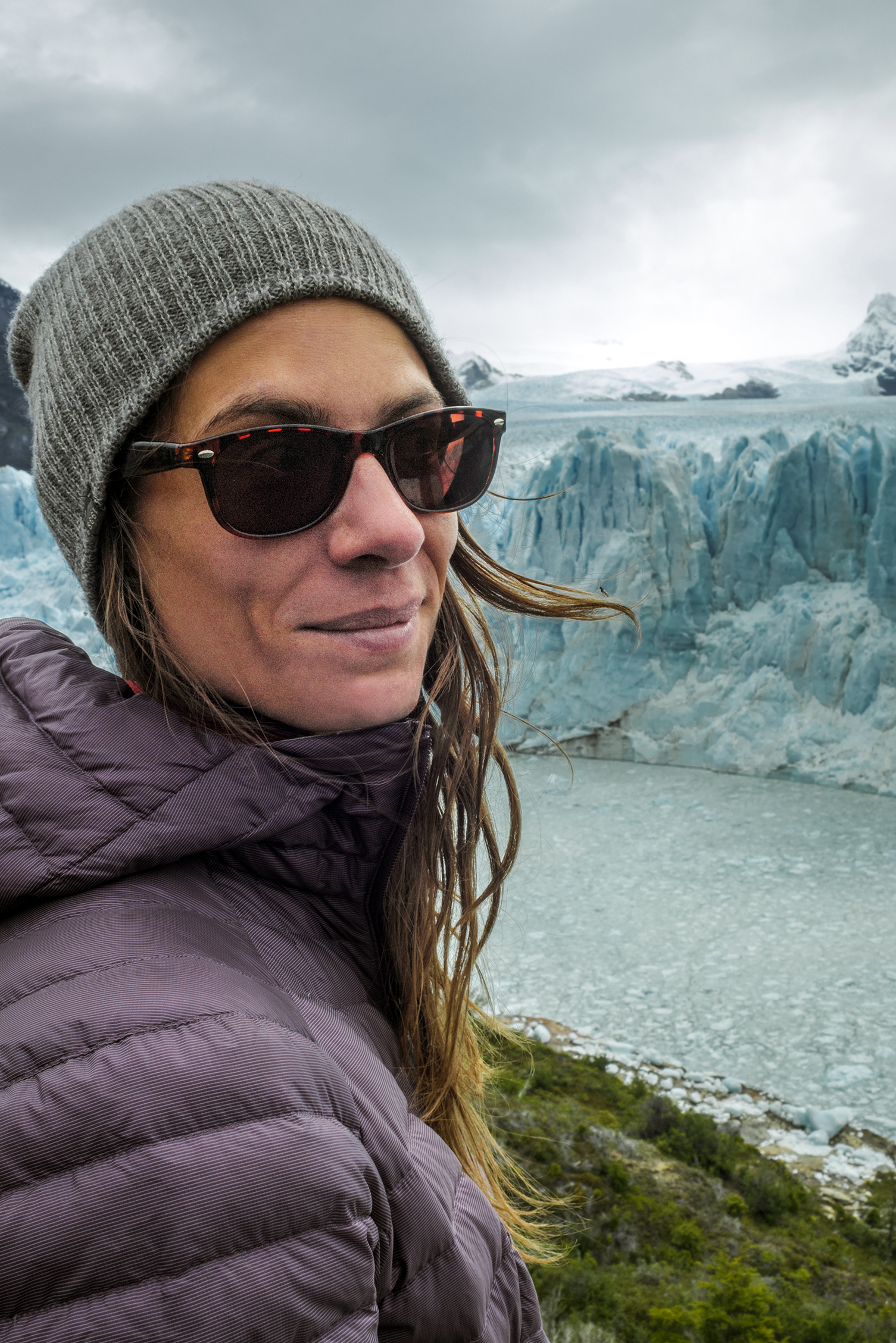
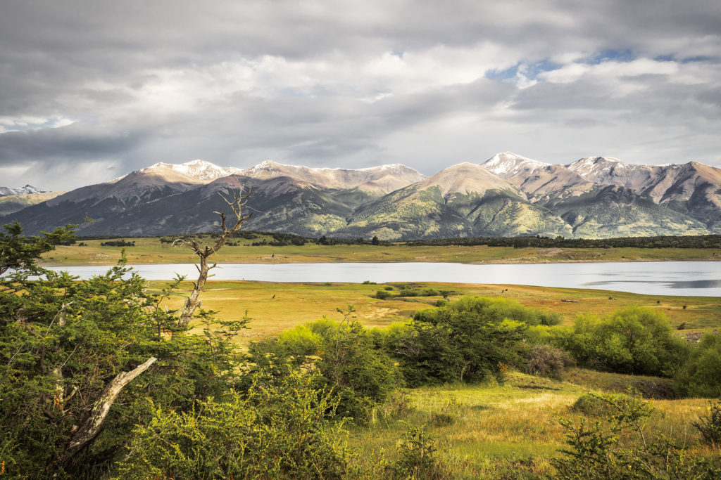
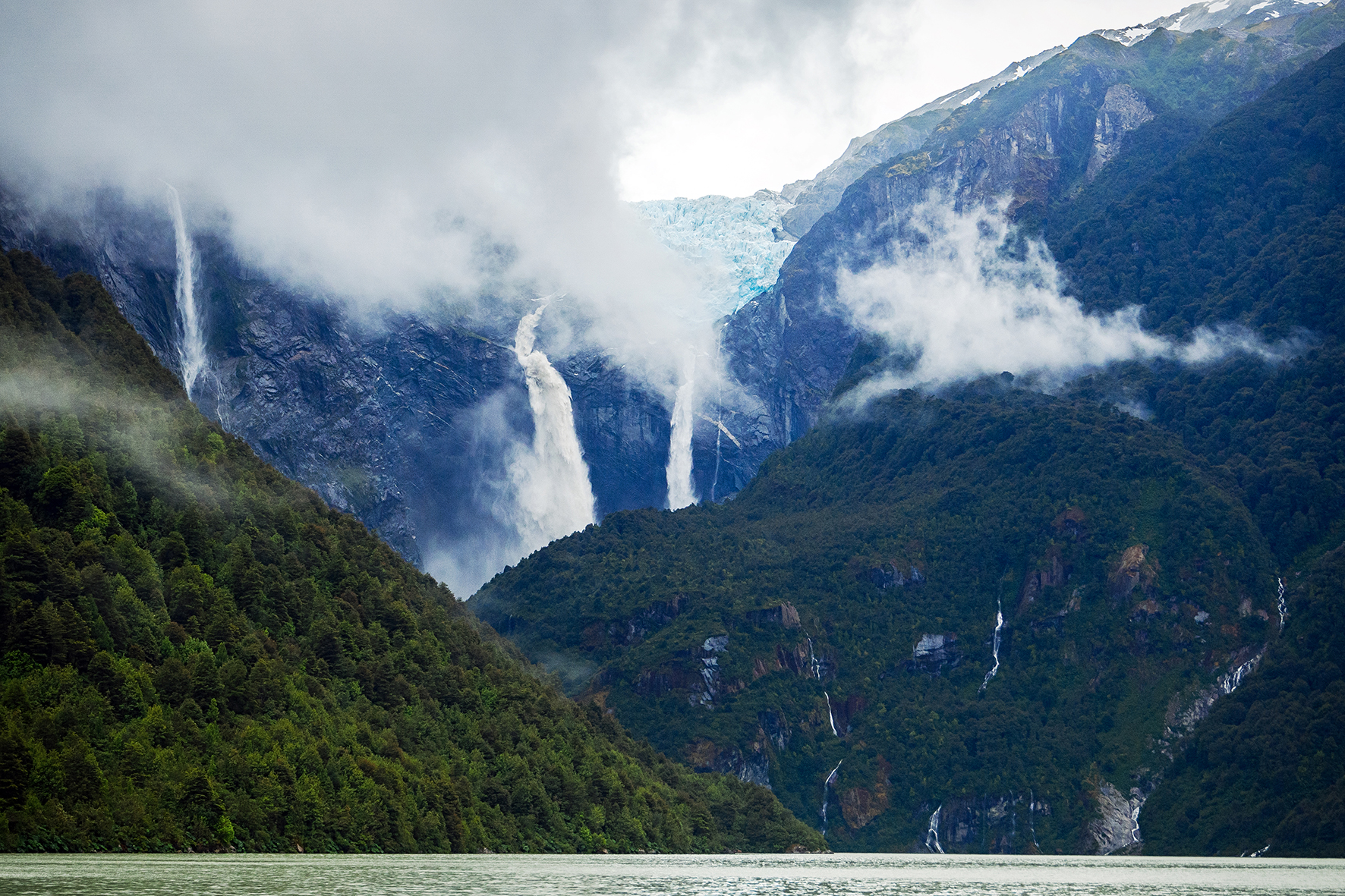
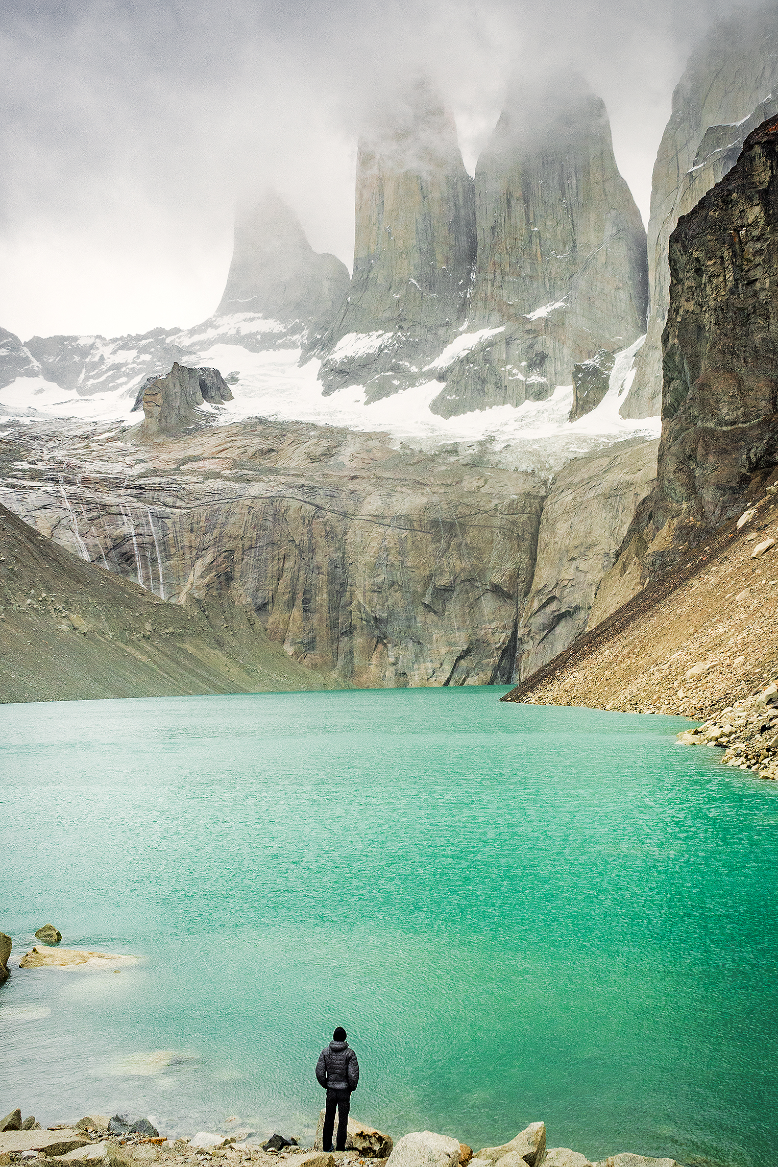
We found ourselves looking down at a sea of clouds, with sun hitting the summits of the mountains marking the edge of the Hielo Sur (the great Southern Ice Shelf), from which Glacier Grey flows down. It was a breath-taking view, of a whole different scale than the iconic “Torres”. And to make it even more exceptional, there wasn’t any wind, not even a breeze. We stayed at the top for a bit, taking in the view and as we did, the clouds below were starting the dissipate, revealing the subtle shades and relief of the glacier.

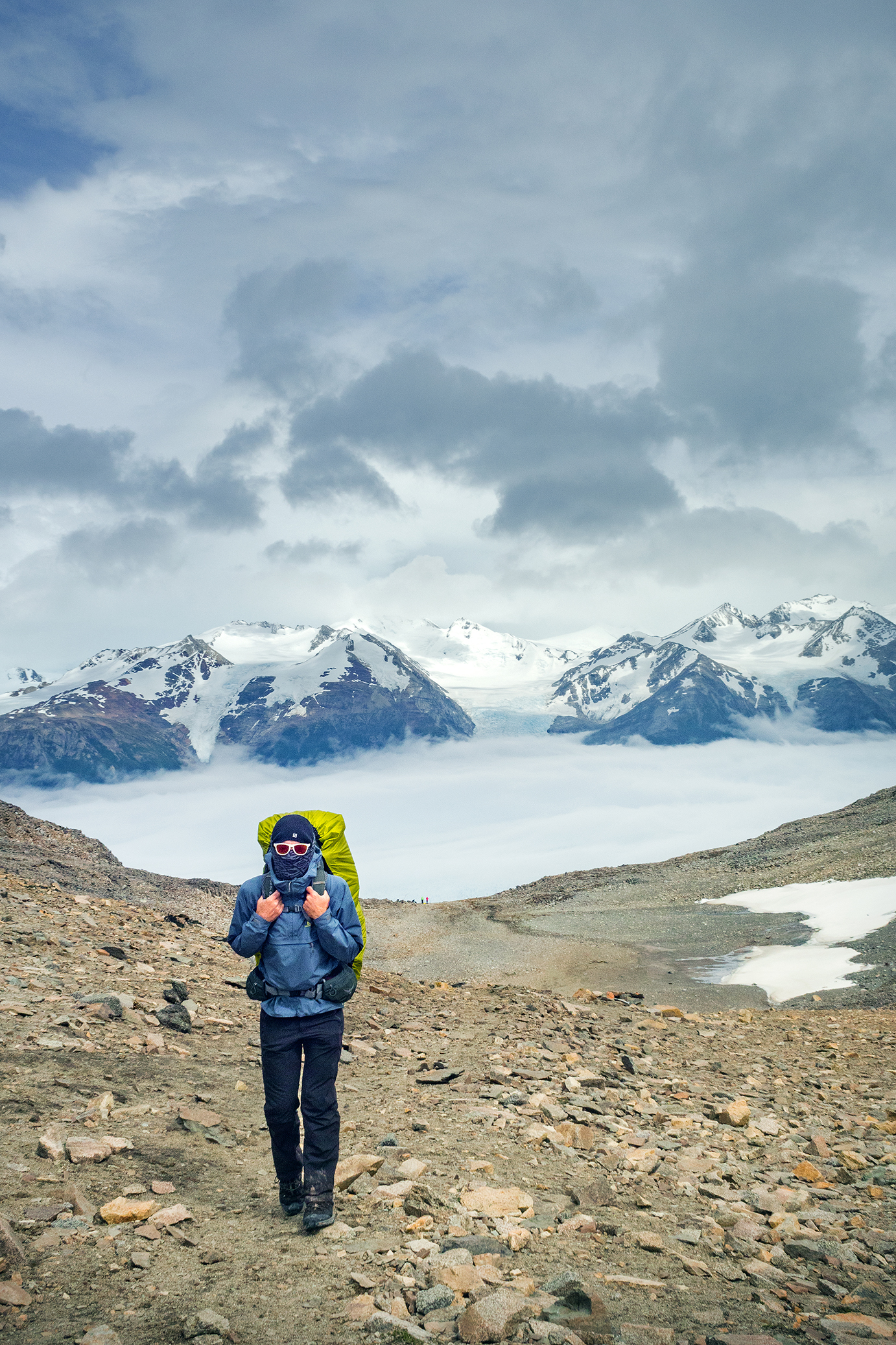
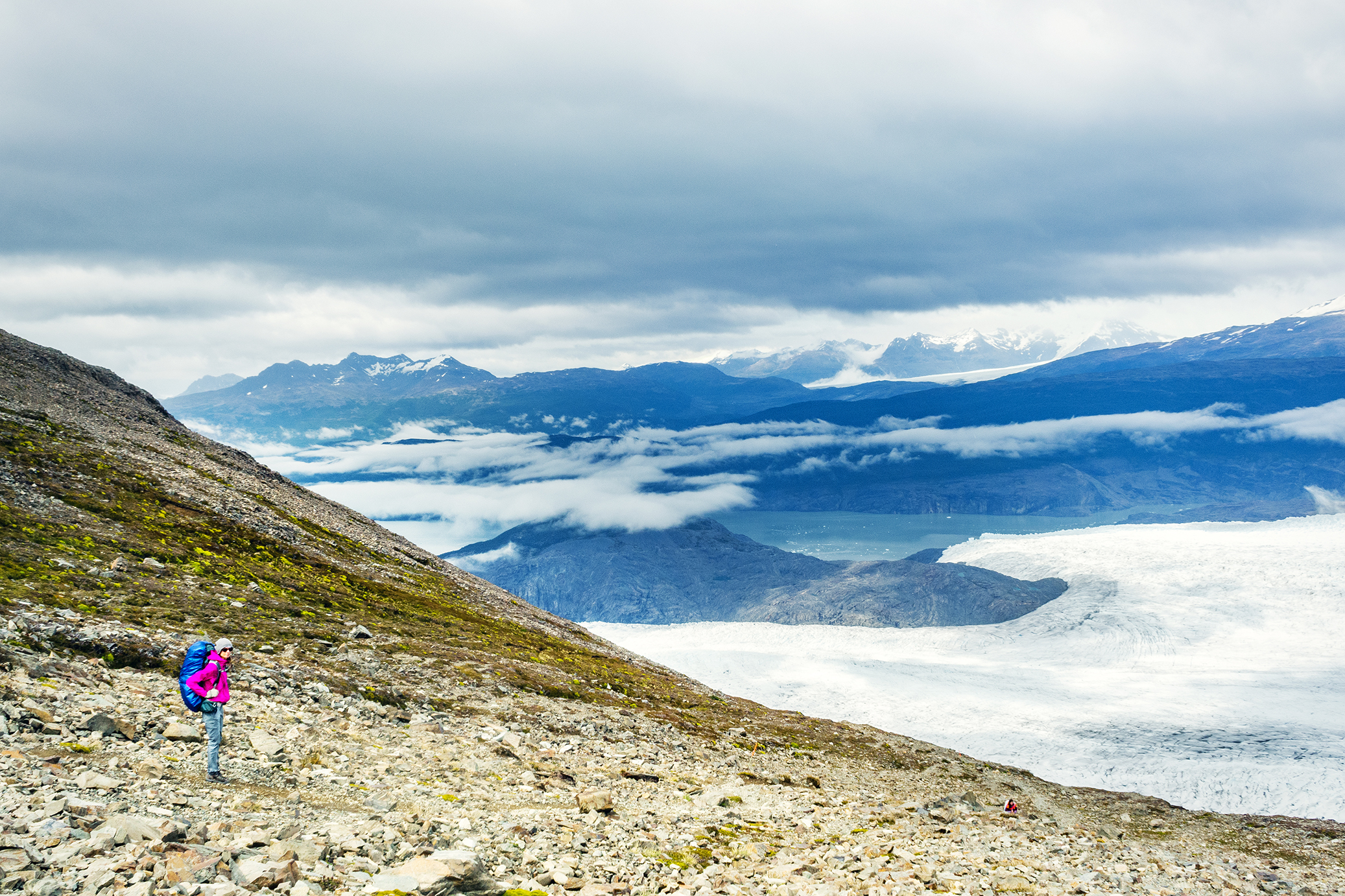
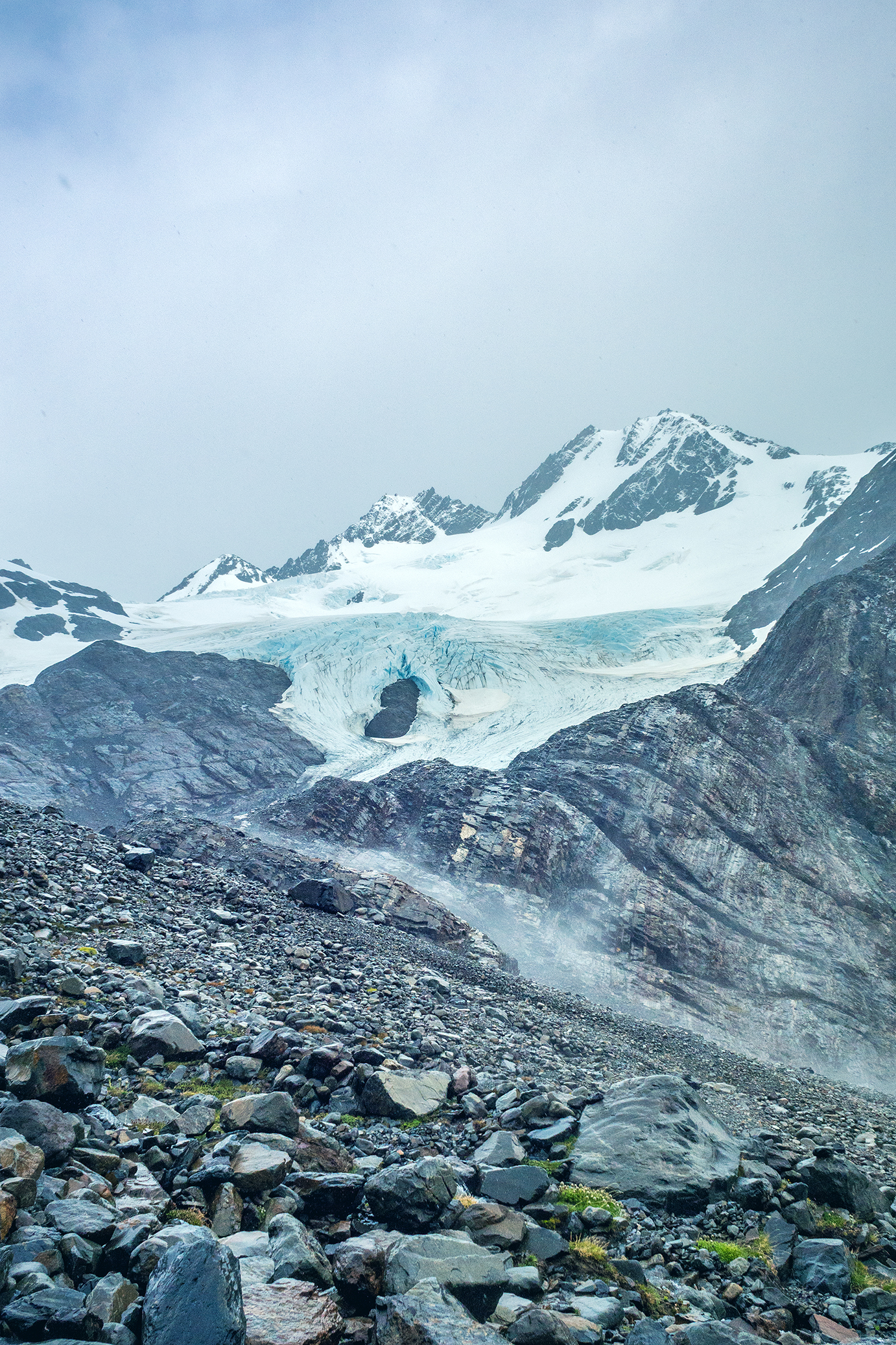
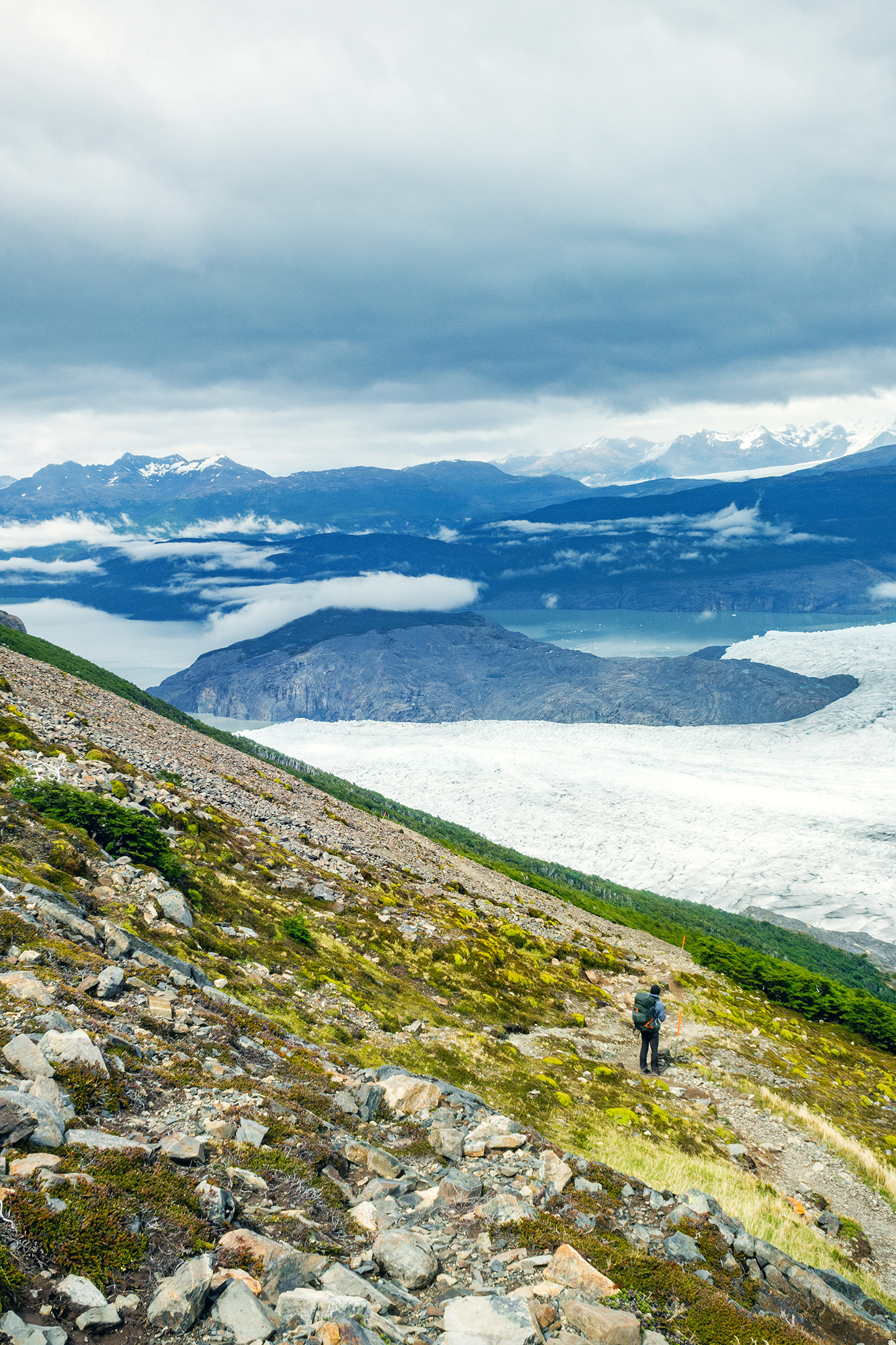
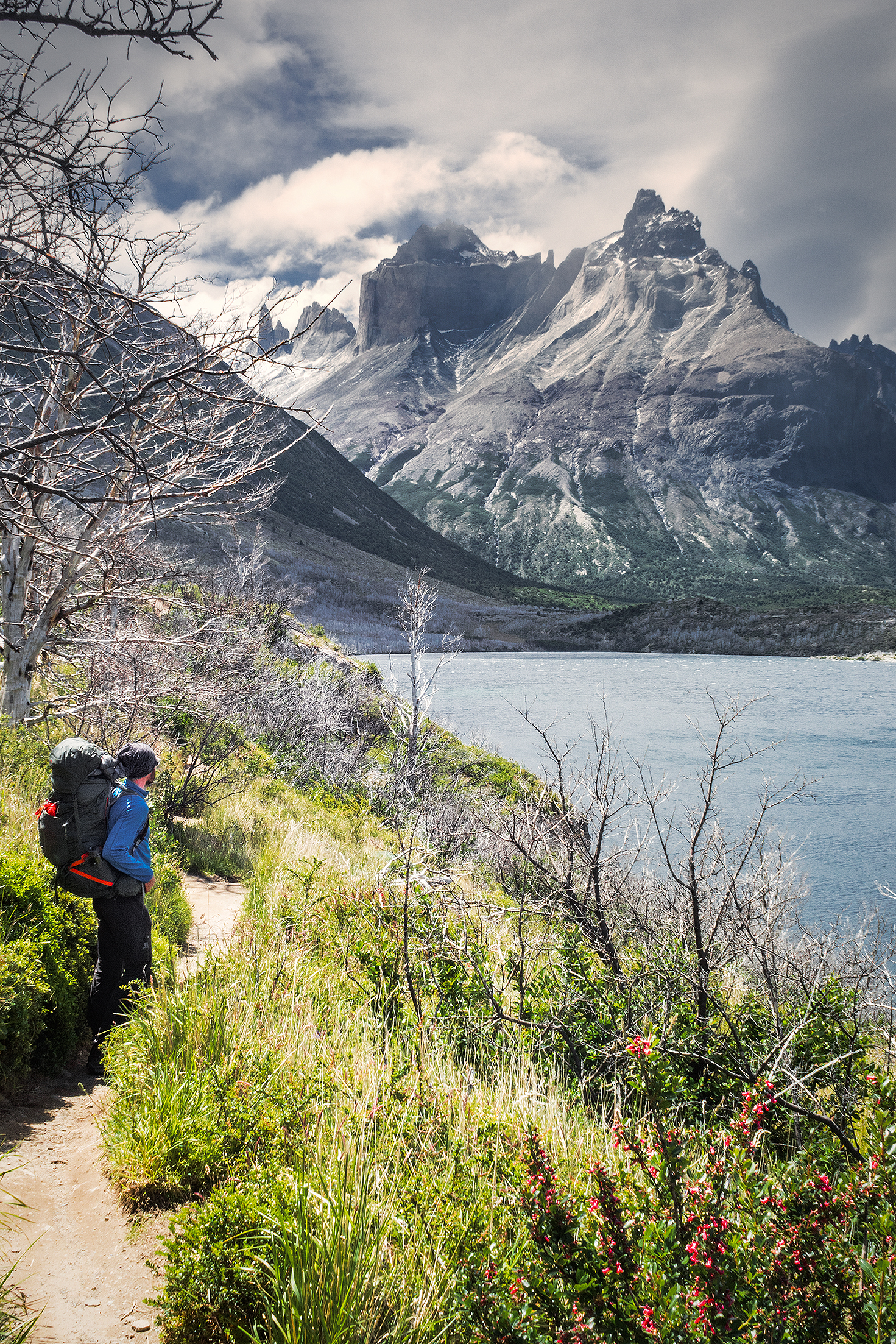
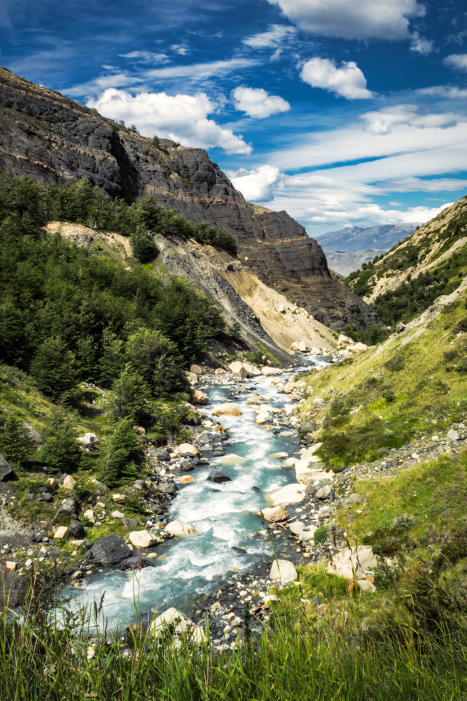
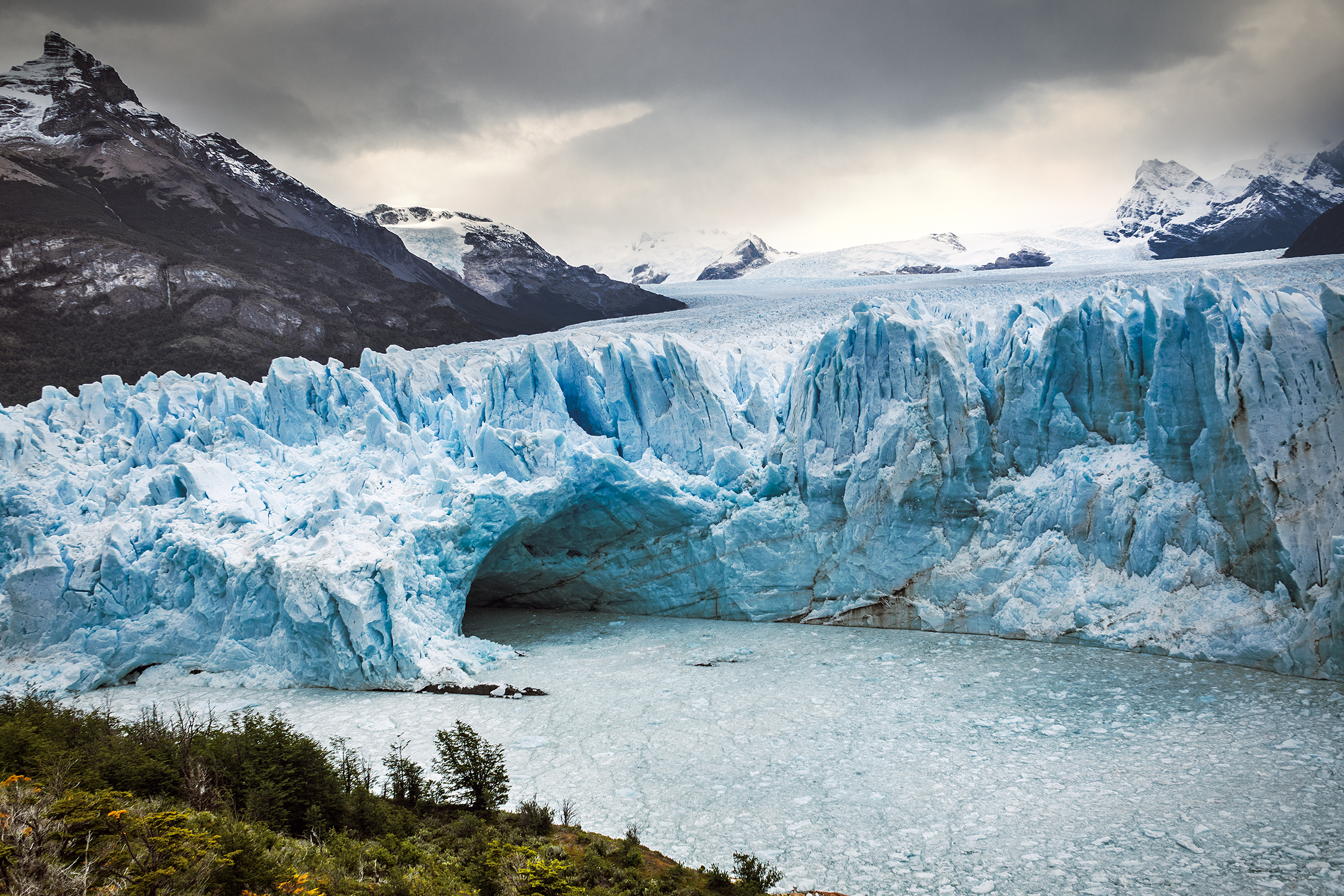
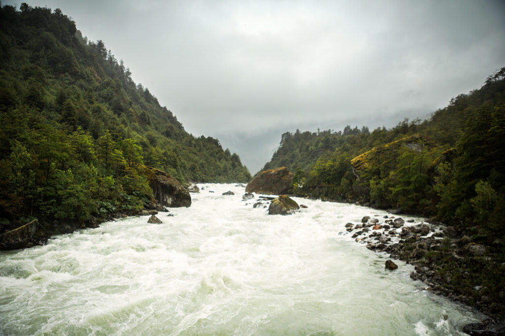
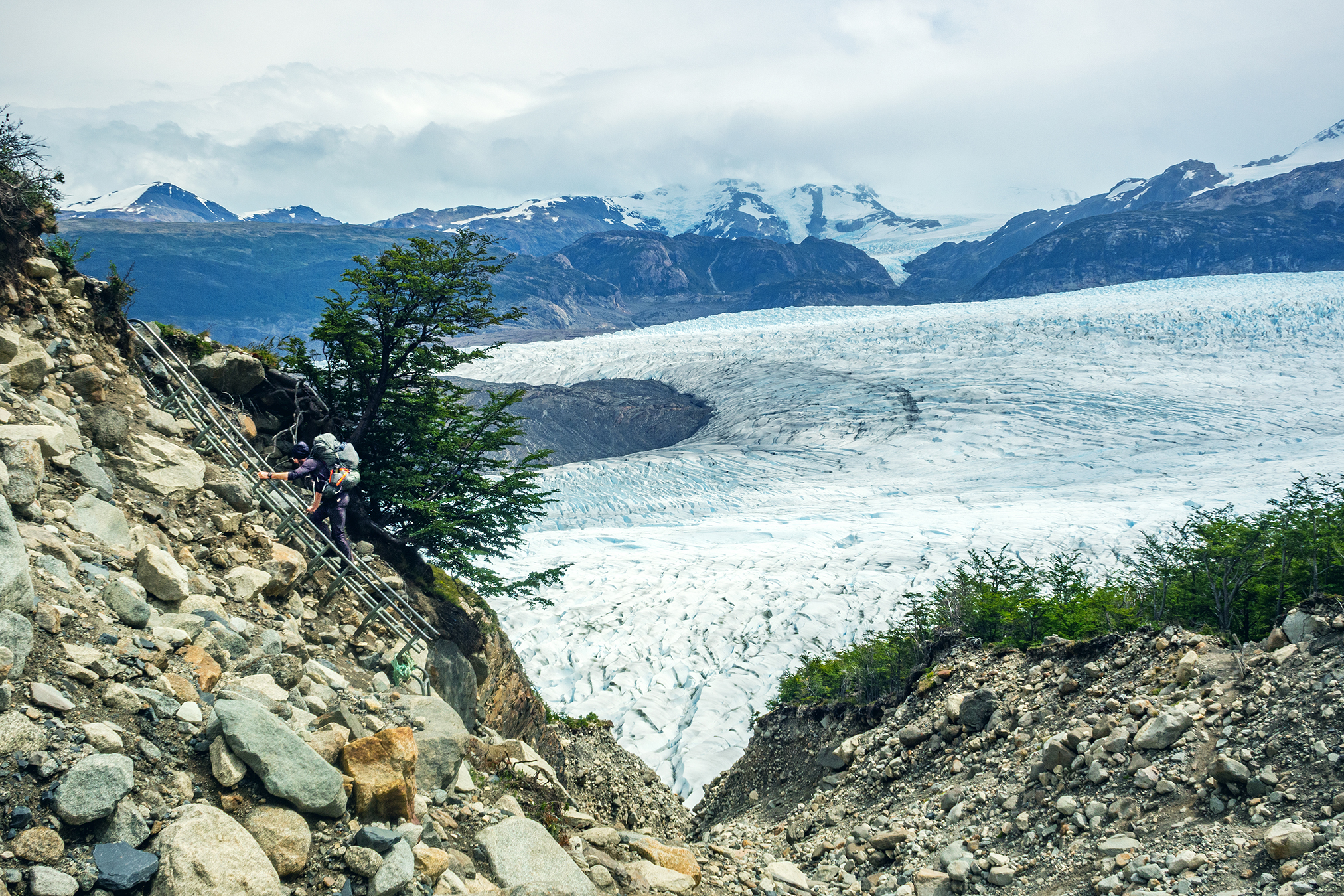
We then started to descend on the other side. We still had a bit of a ways to go to the Grey campsite, where we were going to spend our last night in the park. After climbing down the scree and moraine, with incredible views of the Glacier all along, we were back in the forest for what turned out to be one of the most challenging sections of the trek, due to the very slippery and muddy trail, and the weight of our bags on a steep downhill. Once again we had planned lunch ahead and cooked noodles at camp that morning to take with us. So when we started to feel low on energy we were able to just stop on the side of the trail and eat.

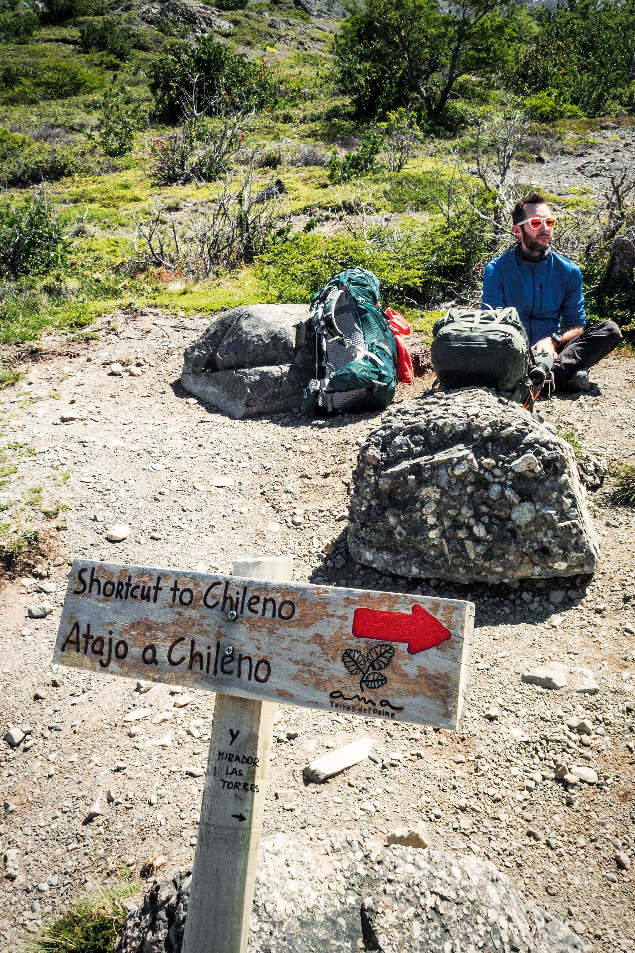
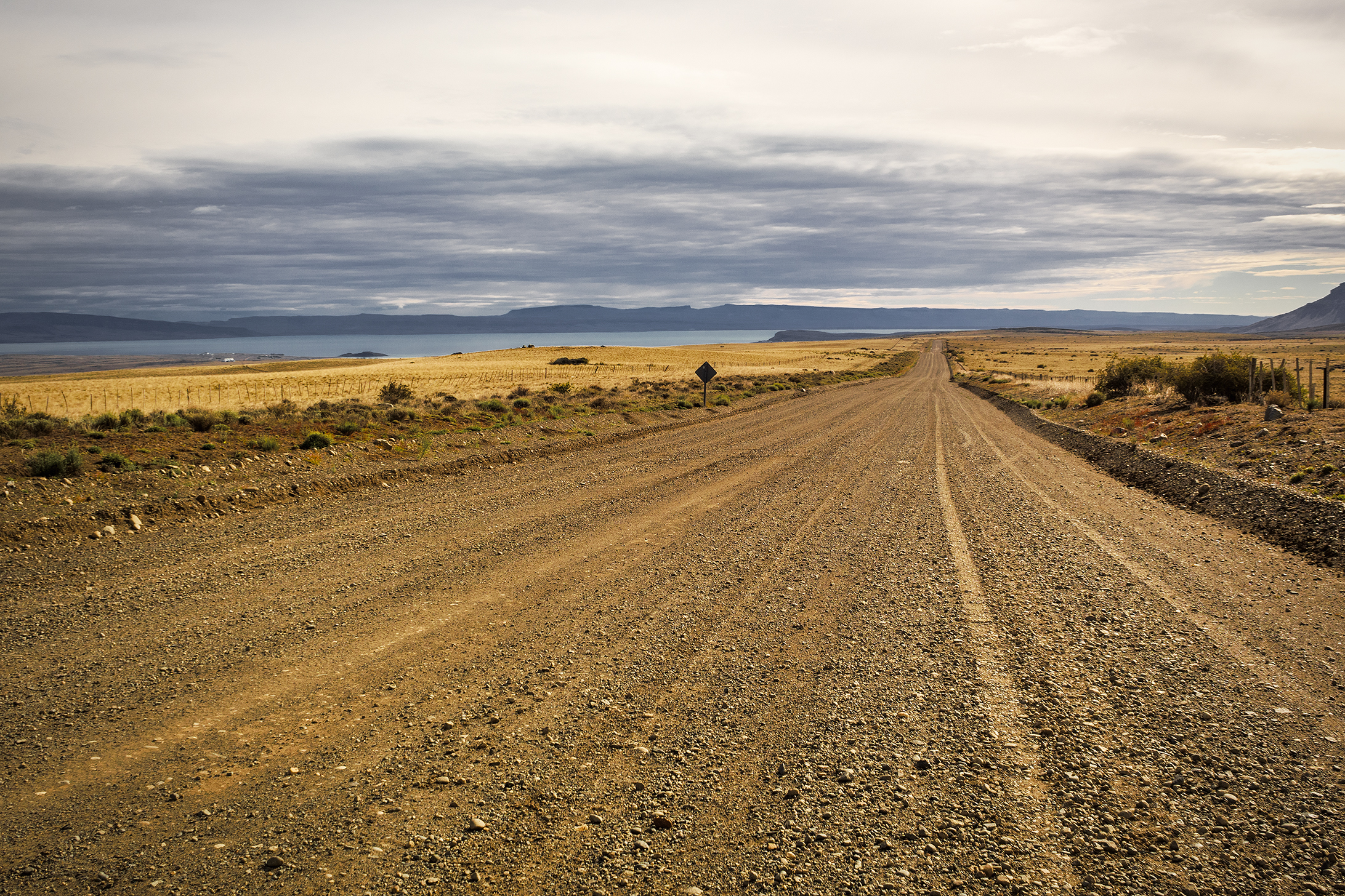
There was one more campground after the pass and before Gray, Campamento Paso. We didn’t stop there long, as it was already a bit crowded with the hikers from Los Perros who had left before us, and instead just kept moving.  The sign at Paso indicated we had 10km to go to Grey campground, which the map said would take about 5 hours (it seemed a bit much on paper, but it did take us close to 4 hours).


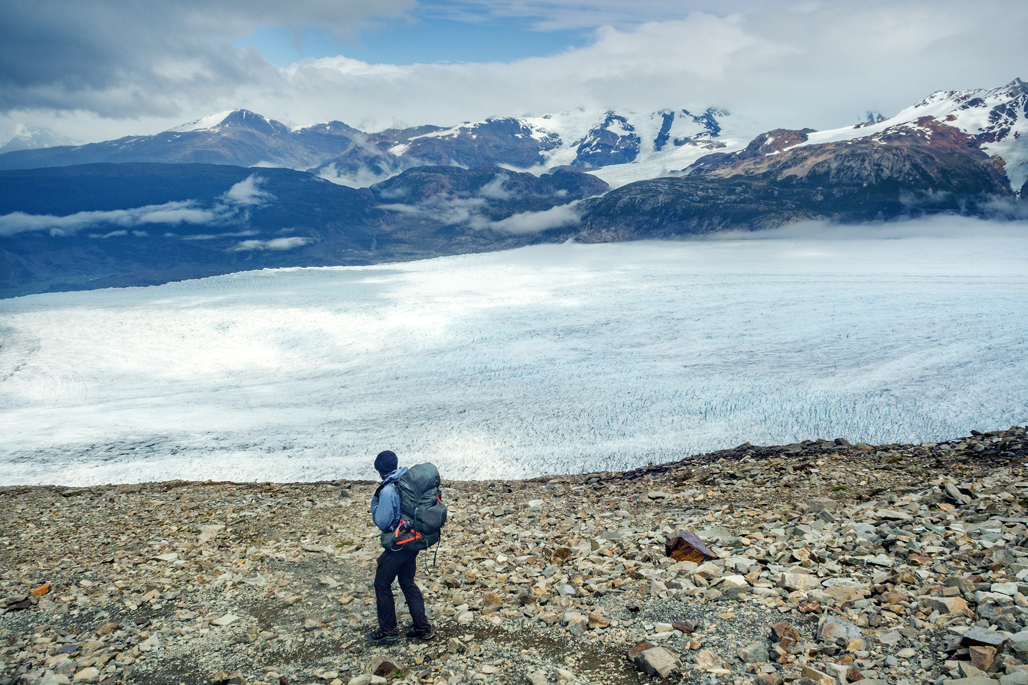
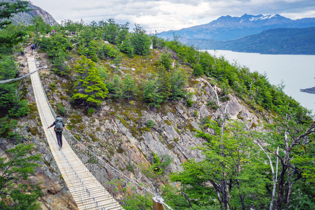
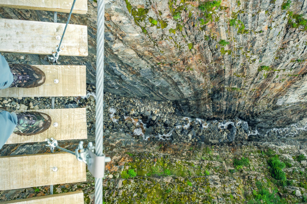
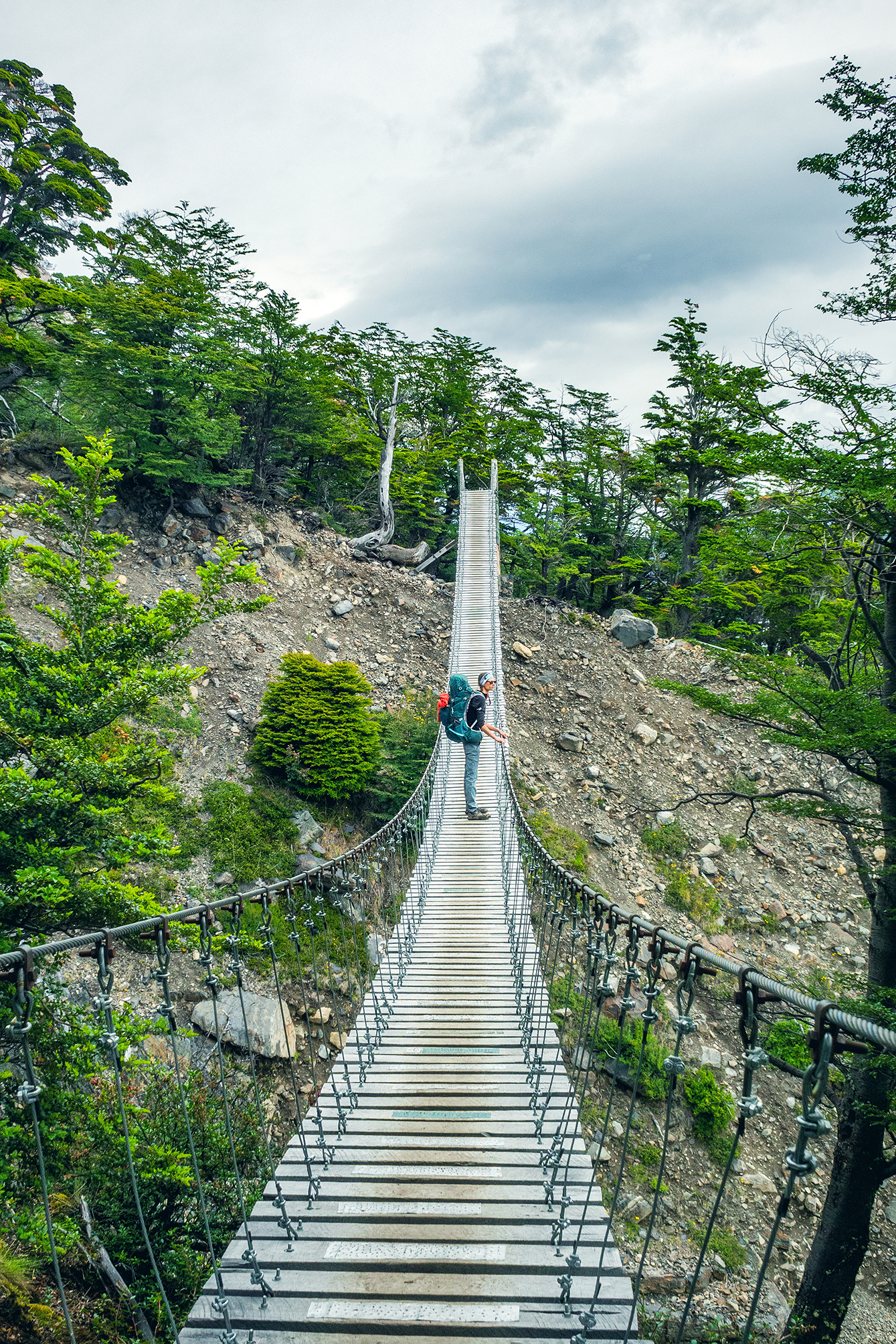
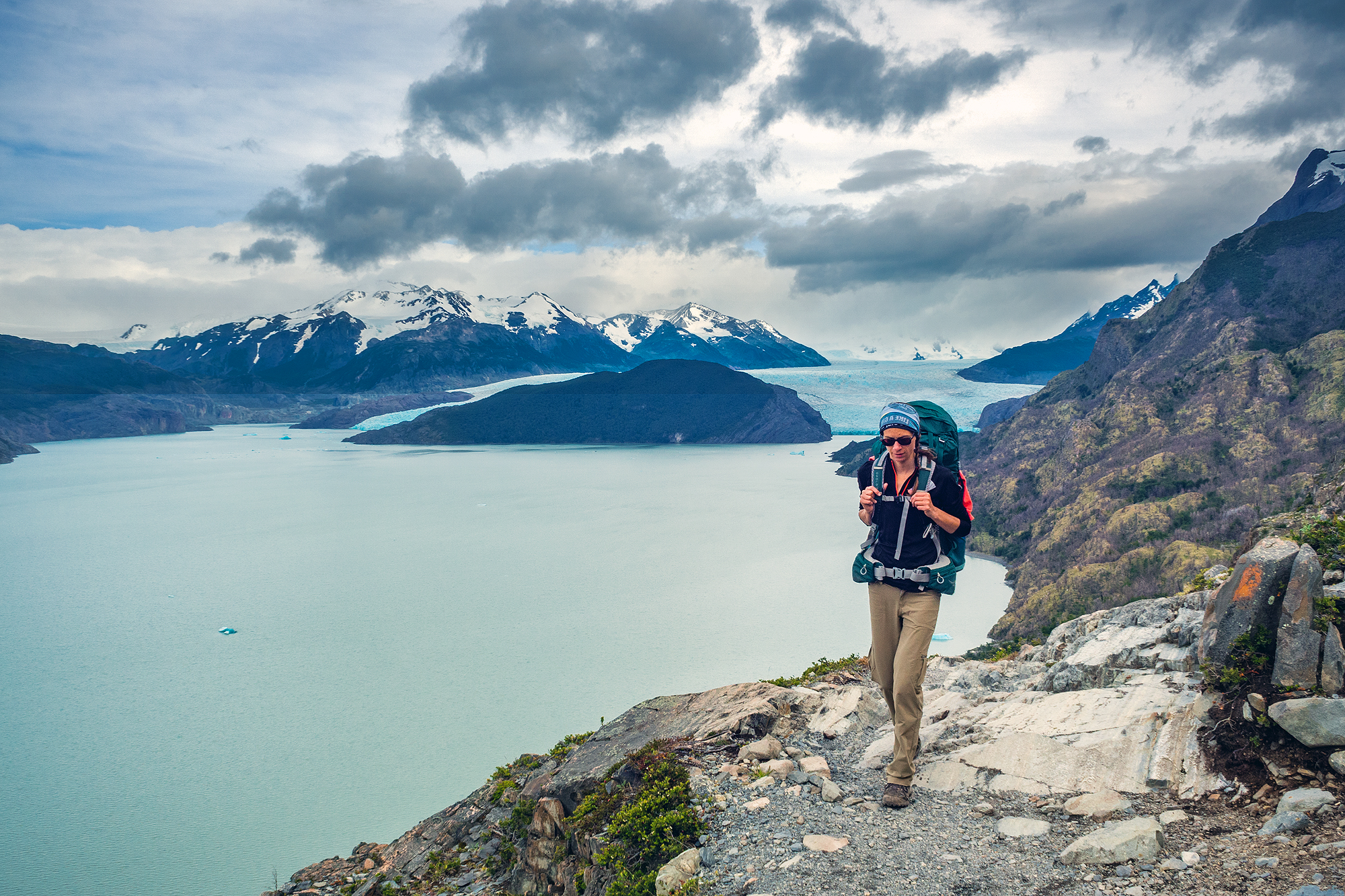
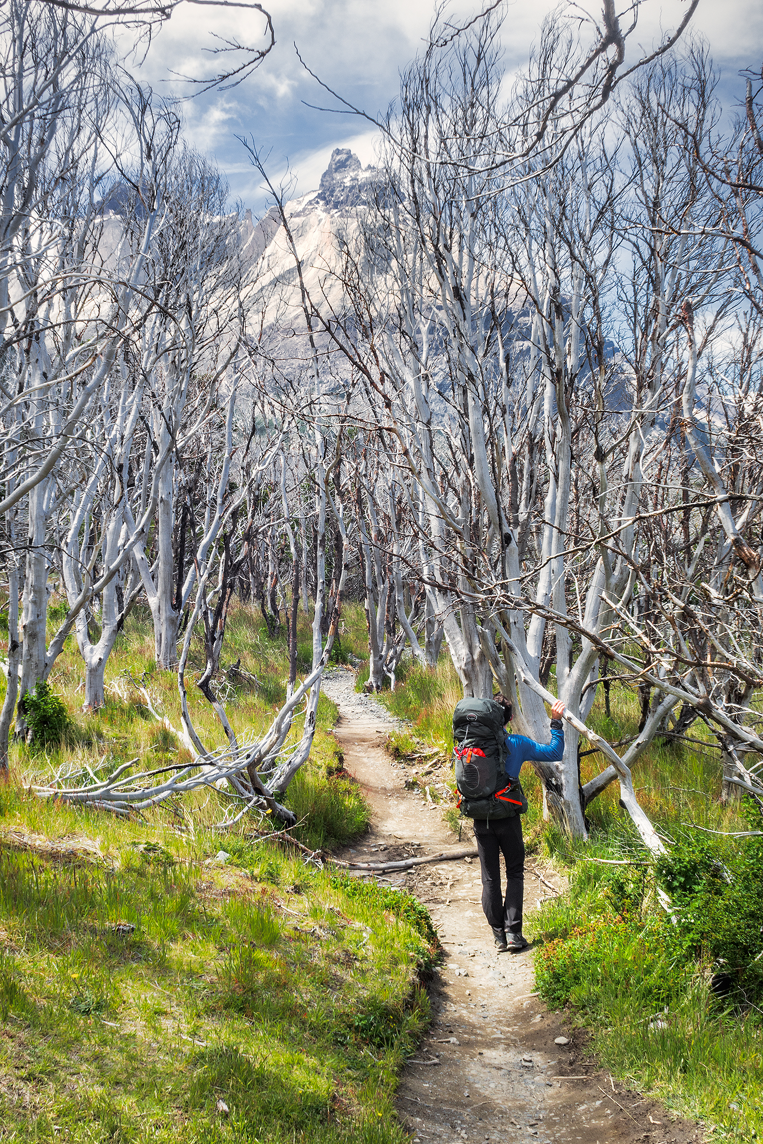
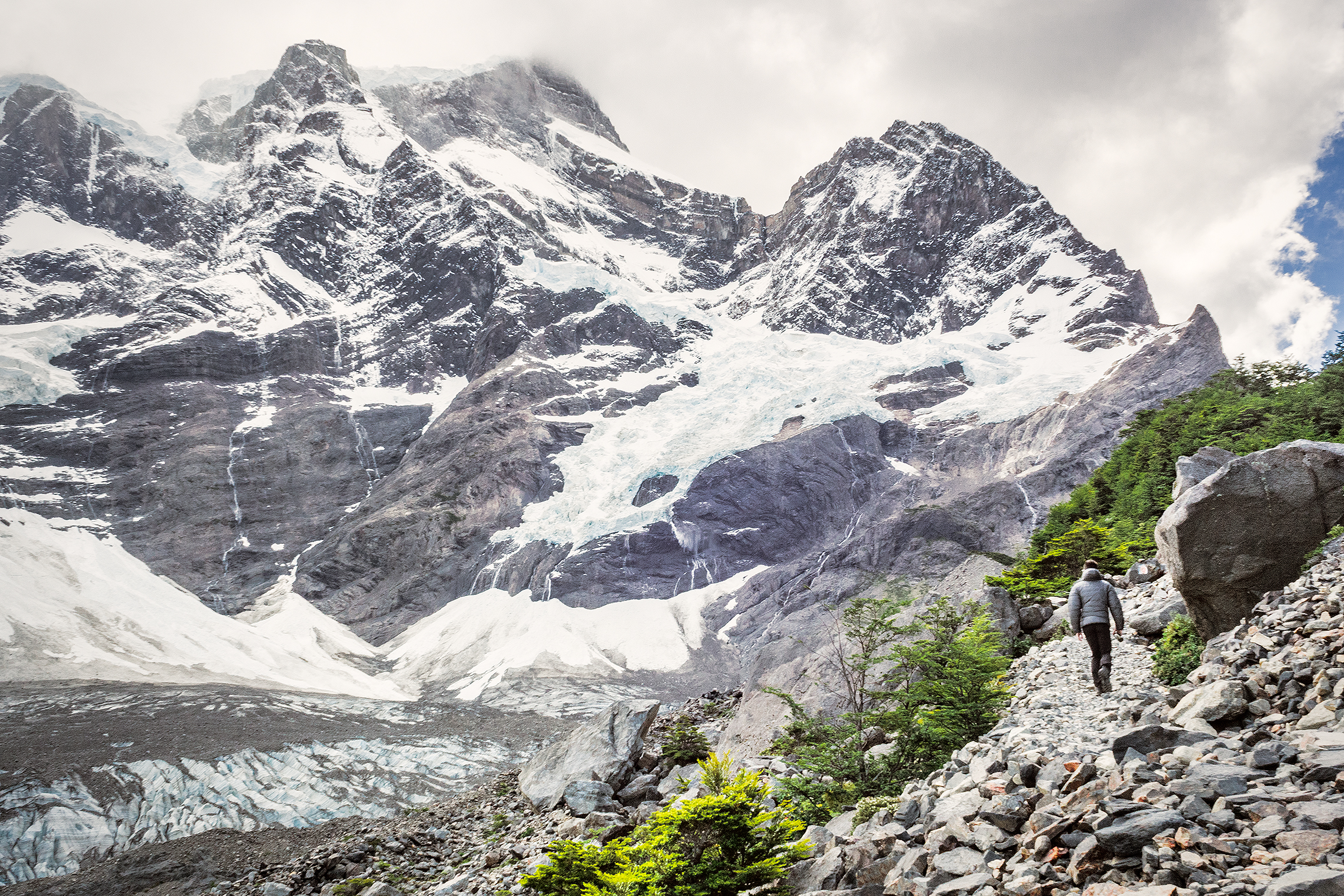
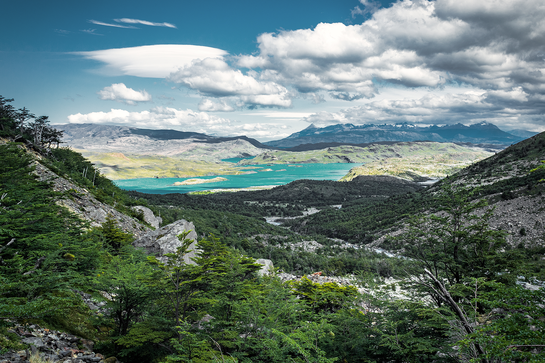
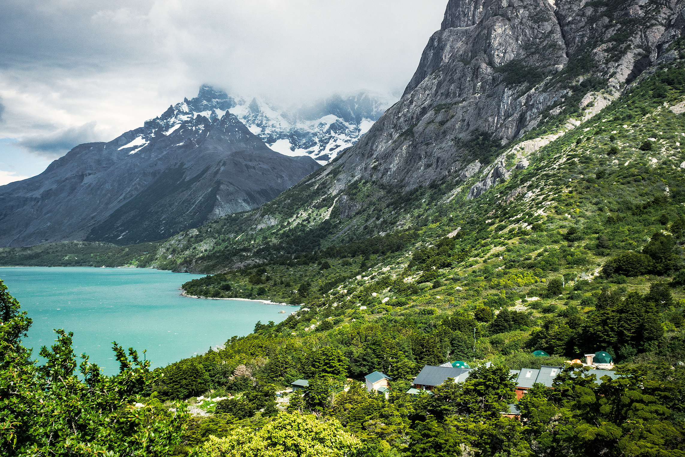
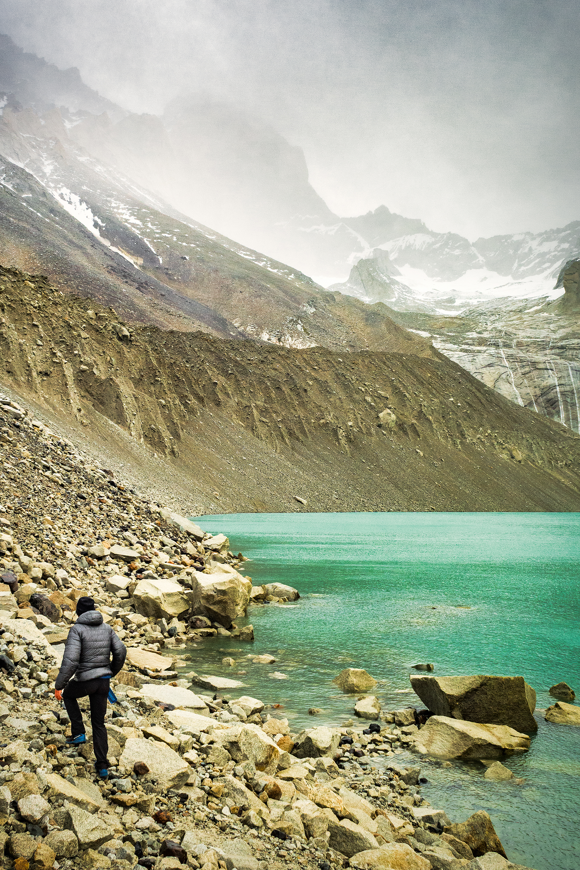
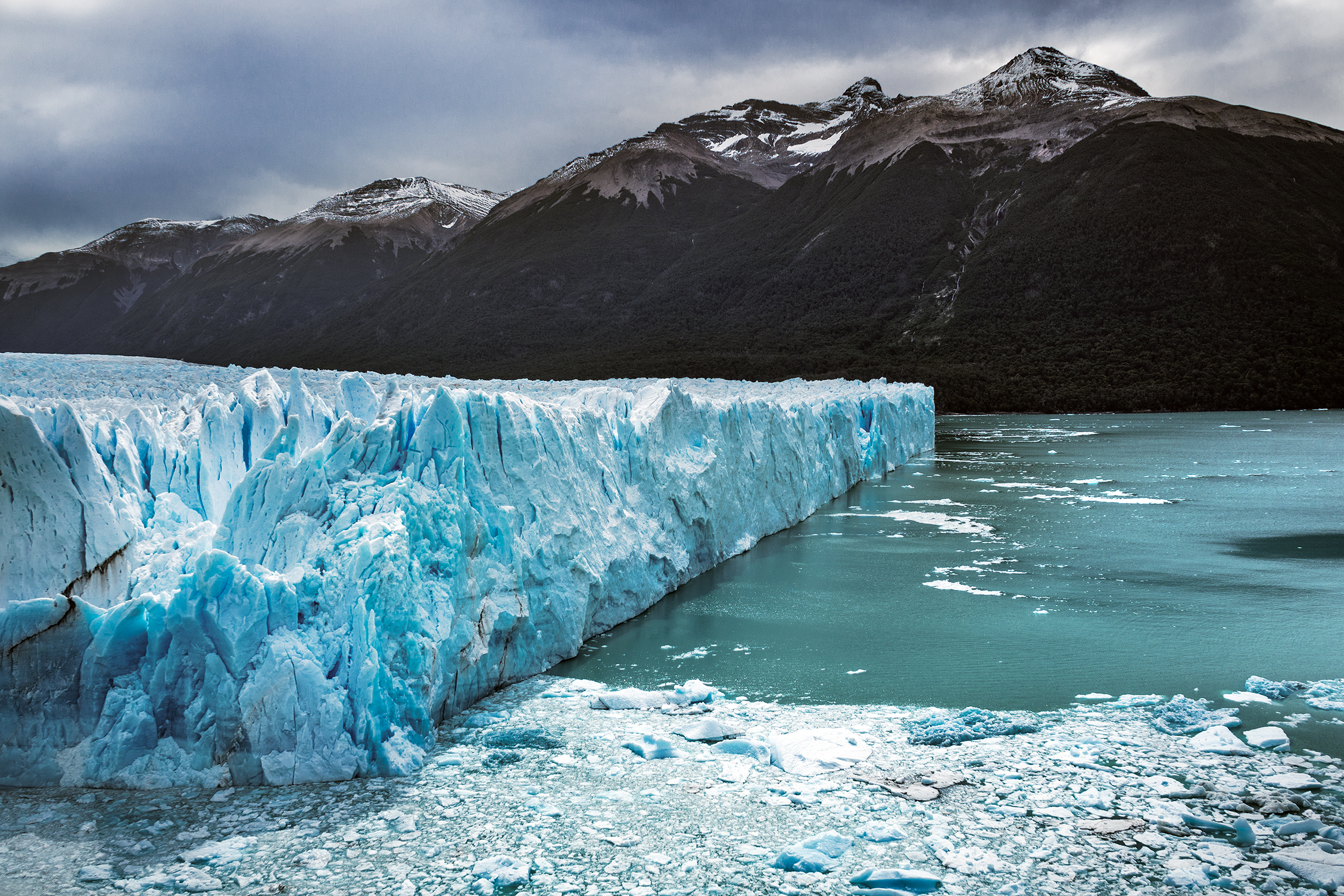
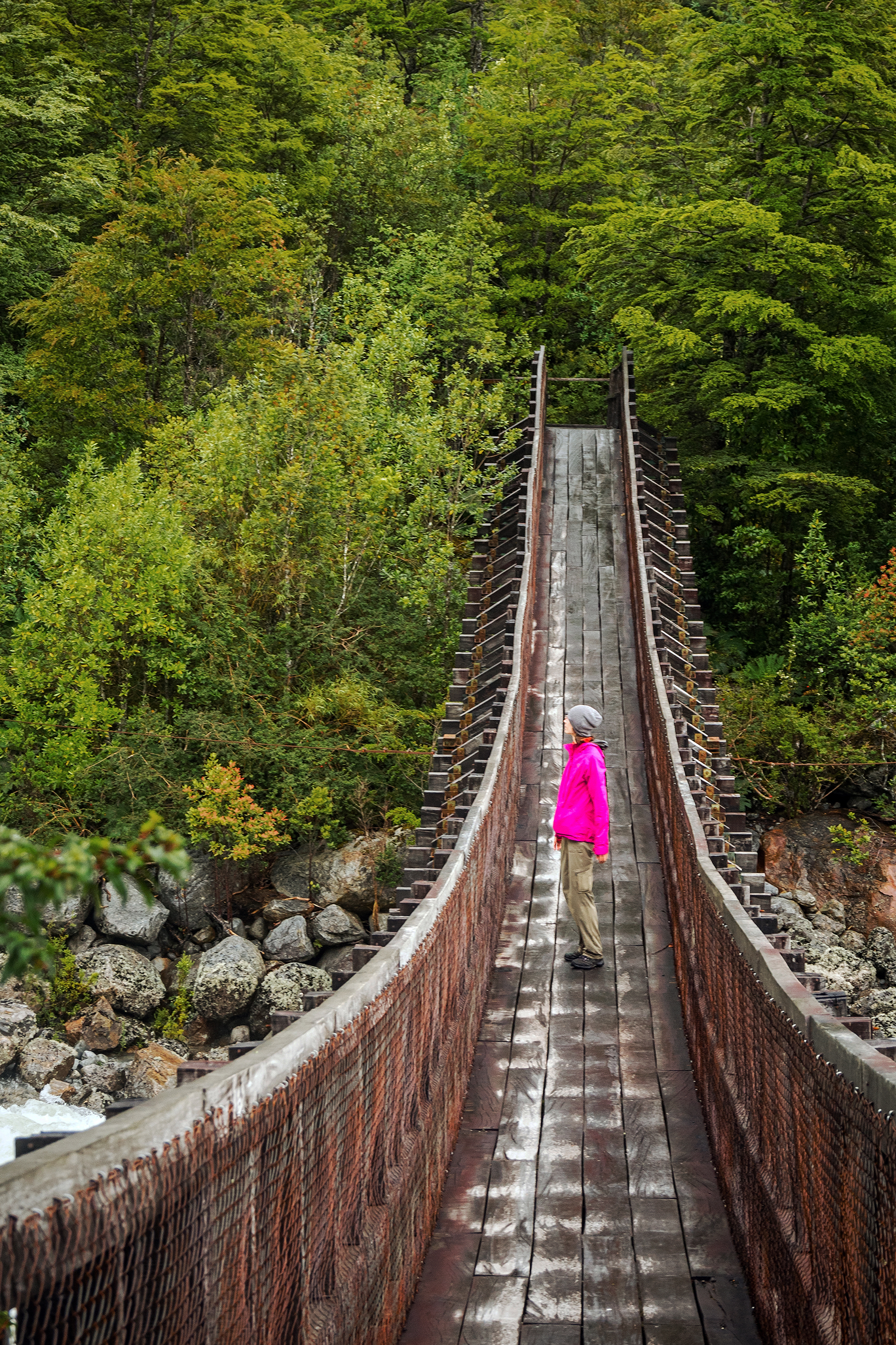
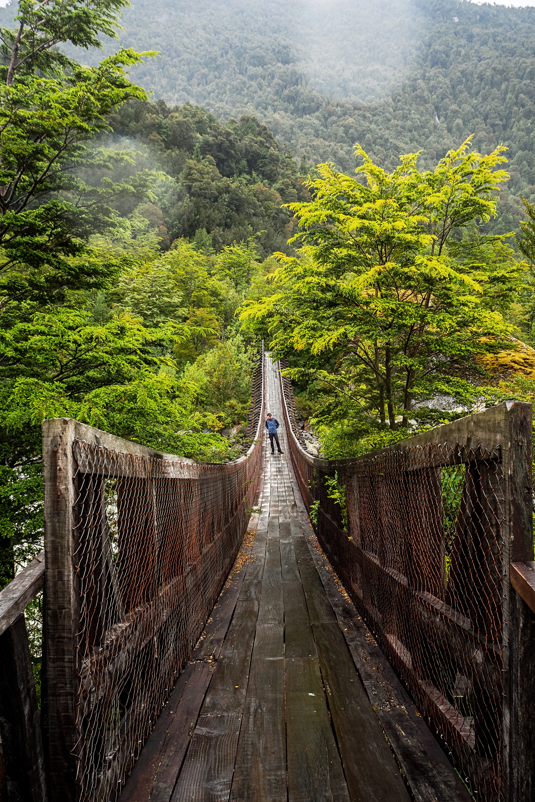
The trail continued to be pretty steep all the way down to Refugio Grey (we were going from 1200 meters to more or less sea level). There were a few cool suspension bridges along the way, and a stream crossing that involved a somewhat sketchy steel ladder anchored to the side of the small canyon. 

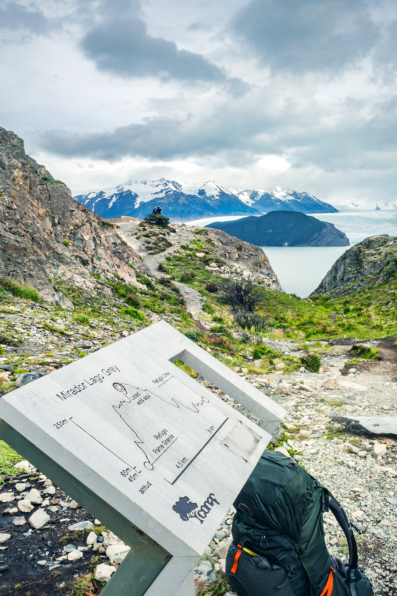
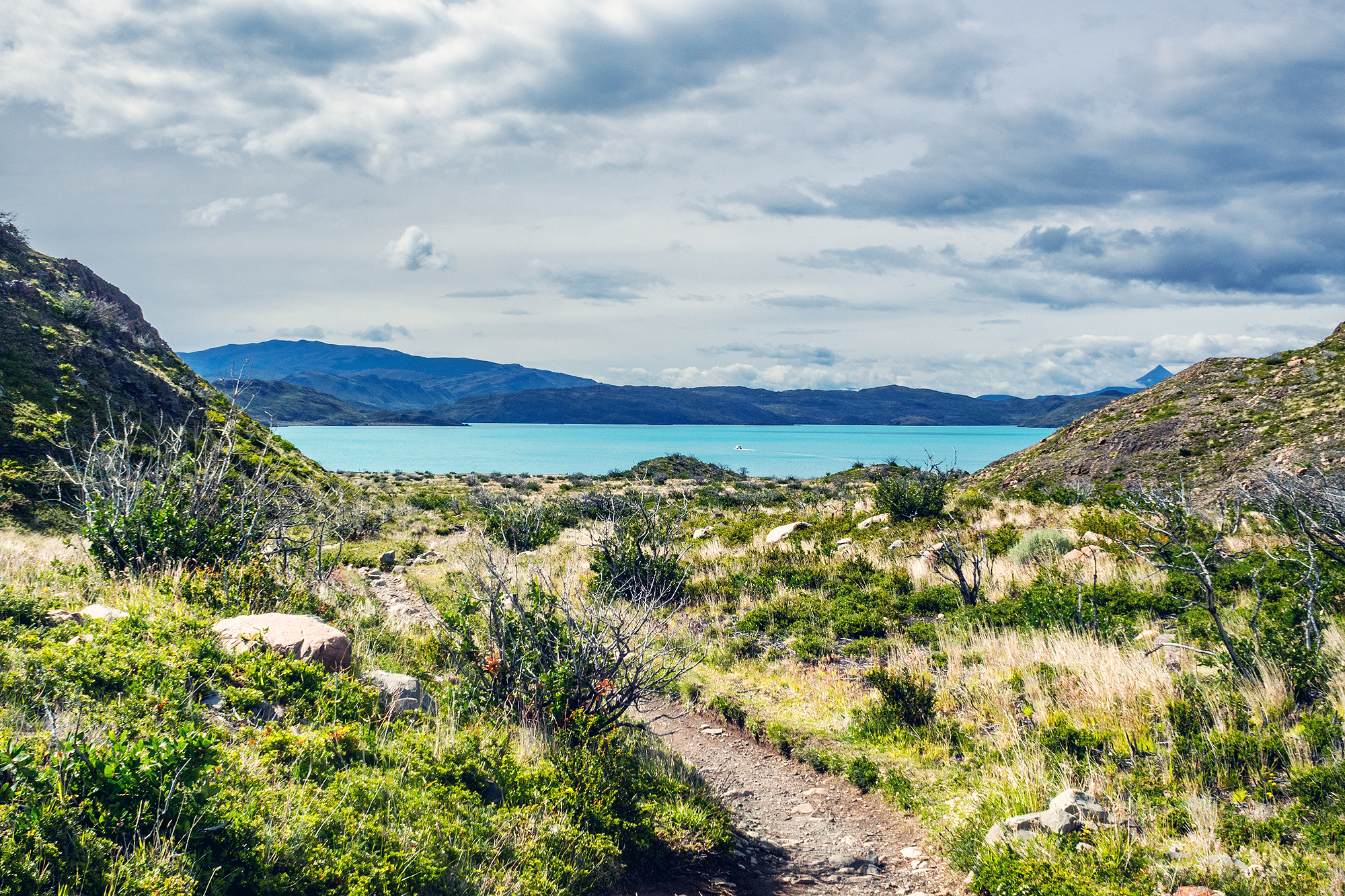
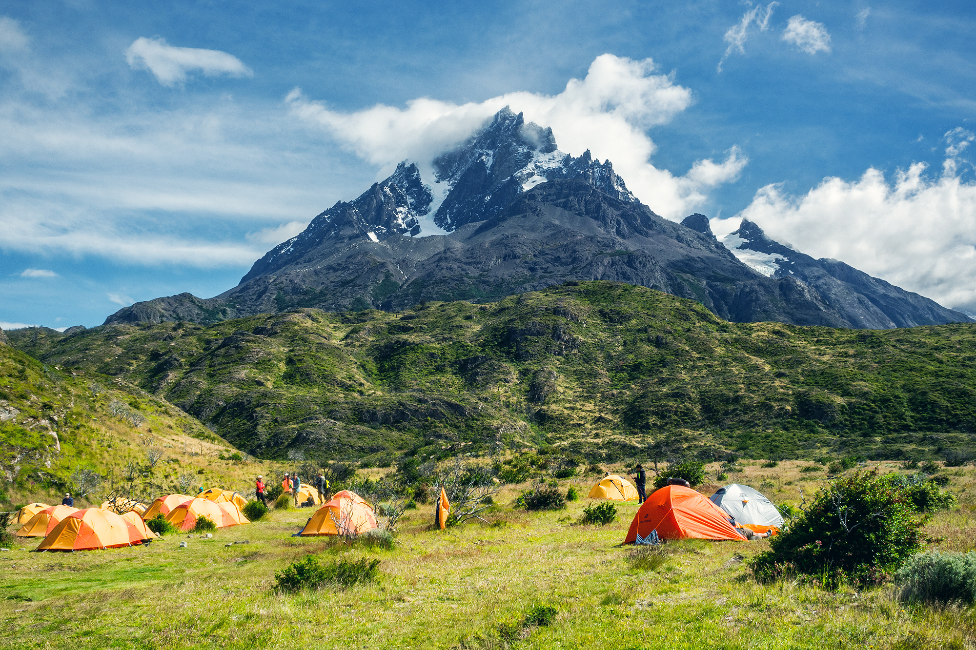
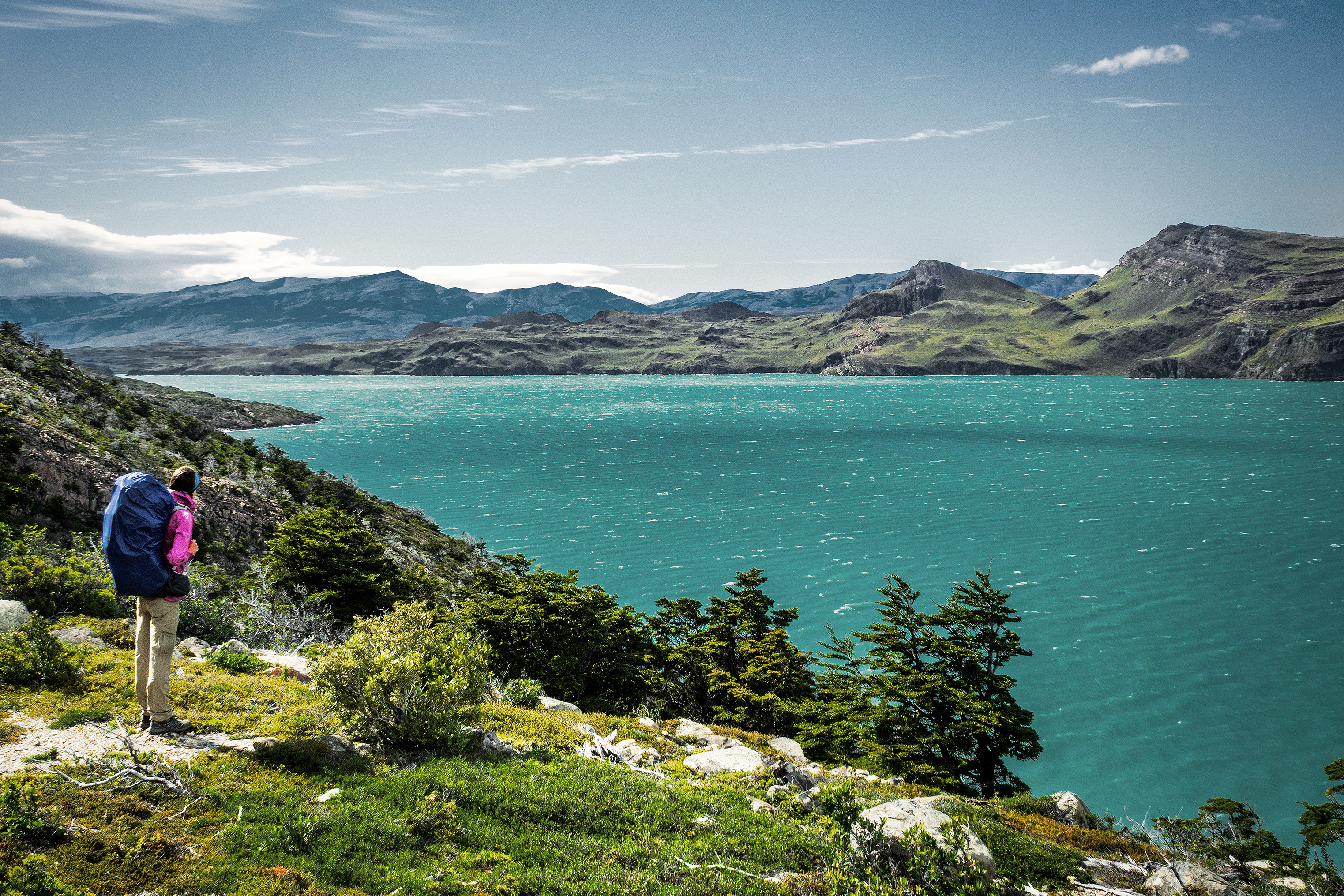
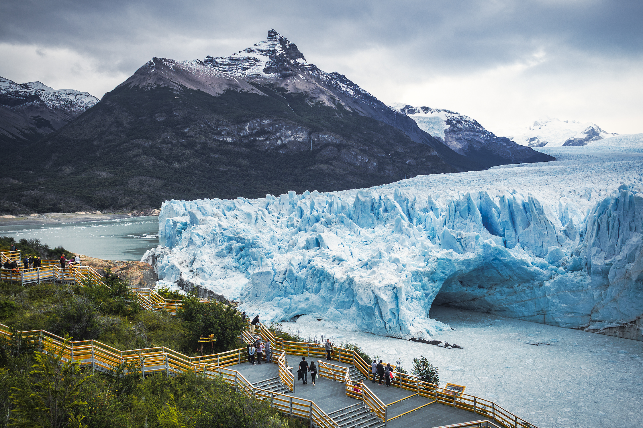
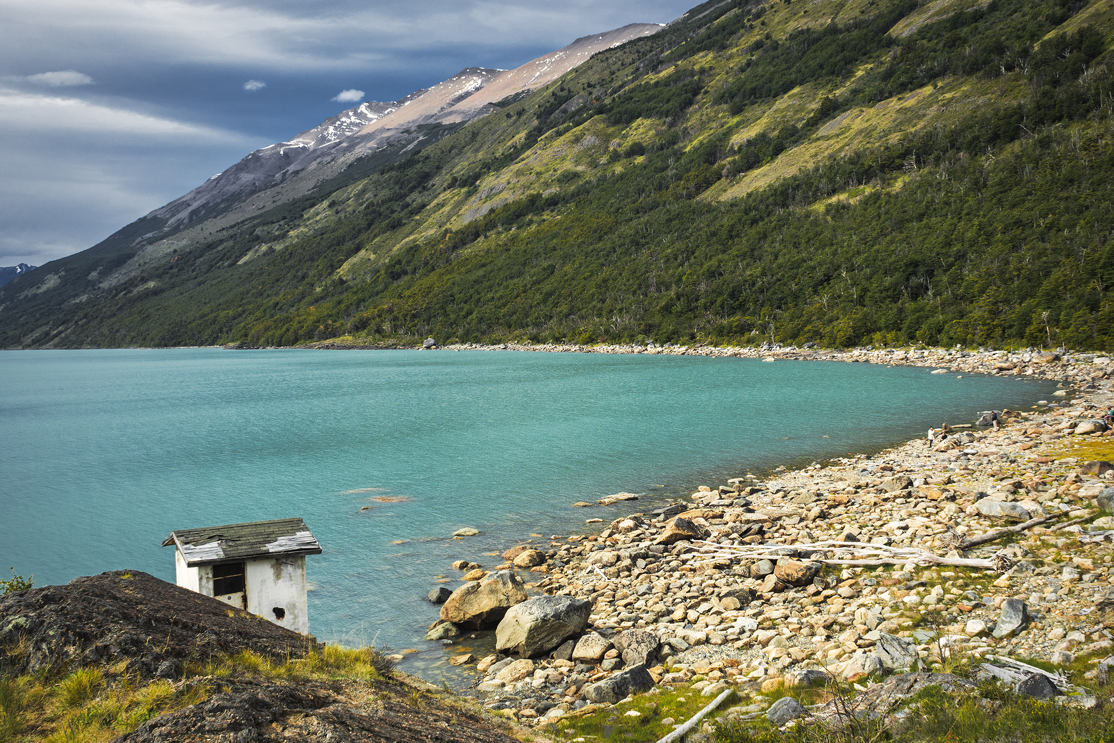
Eventually, the ridge trail took us past the edge of the glacier and along the lake. We had left Los Perros around 8:50am and after 17km we reached Grey campsite just before 5pm. Grey is a pretty big campground, as it hosts hikers finishing the full circuit, as well as “W” hikers coming counter-clockwise from Refugio Paine Grande (where we had gotten off the ferry a few days earlier).

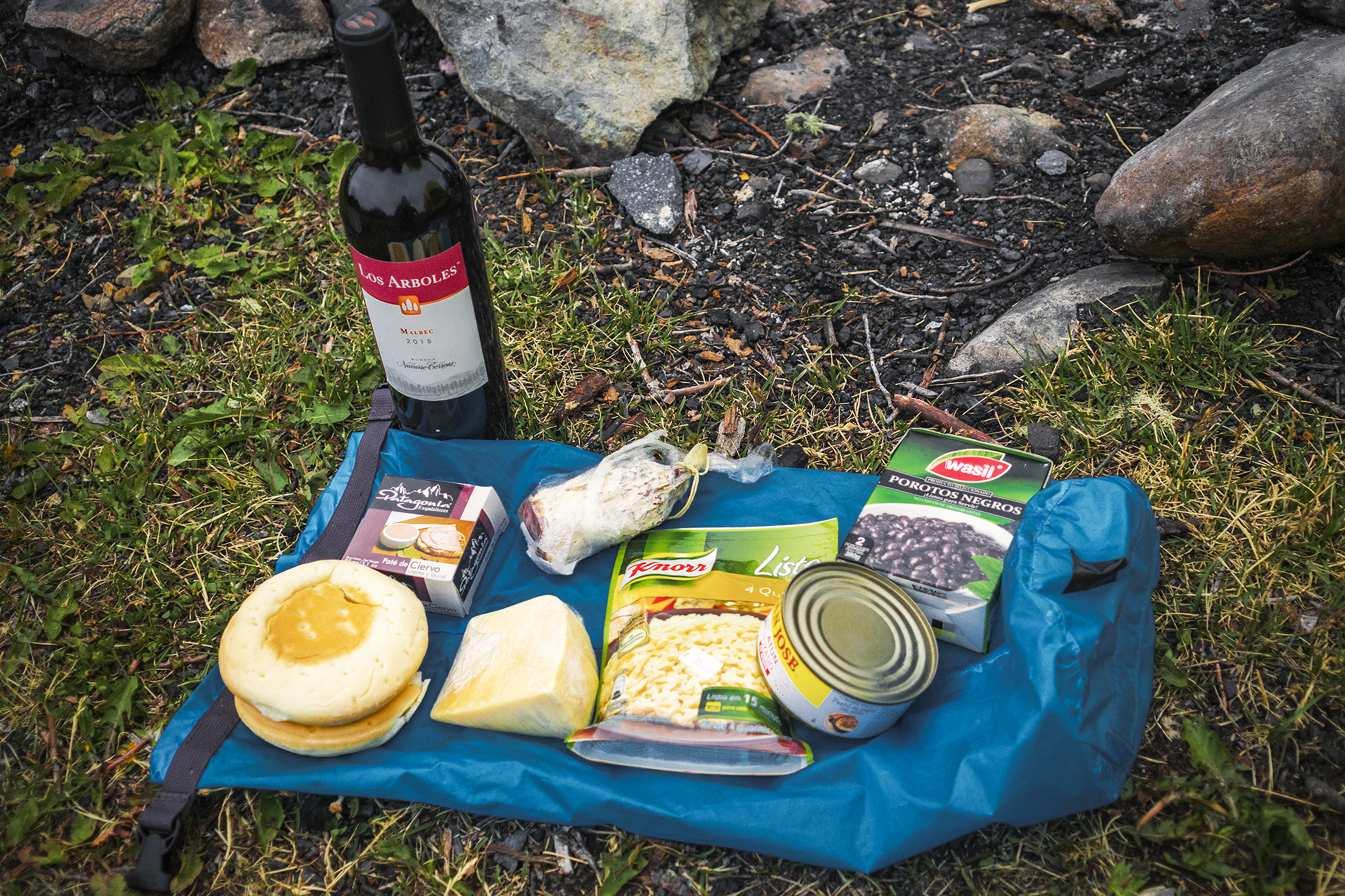
After checking in, we waited for the camp store to open and grabbed pretty much every flavor of our now favorite pound cake, as well as additional snacks to replenish our calories.

The campground advertised that showers would be heated between 7pm and 10pm. I was within the first ones in line at 7pm – which might have been a mistake, because the water was not heated yet when my turn came – unless, and I have a feeling that’s the real reason, “heated” meant warmed up from glacier temperature to room temperature…

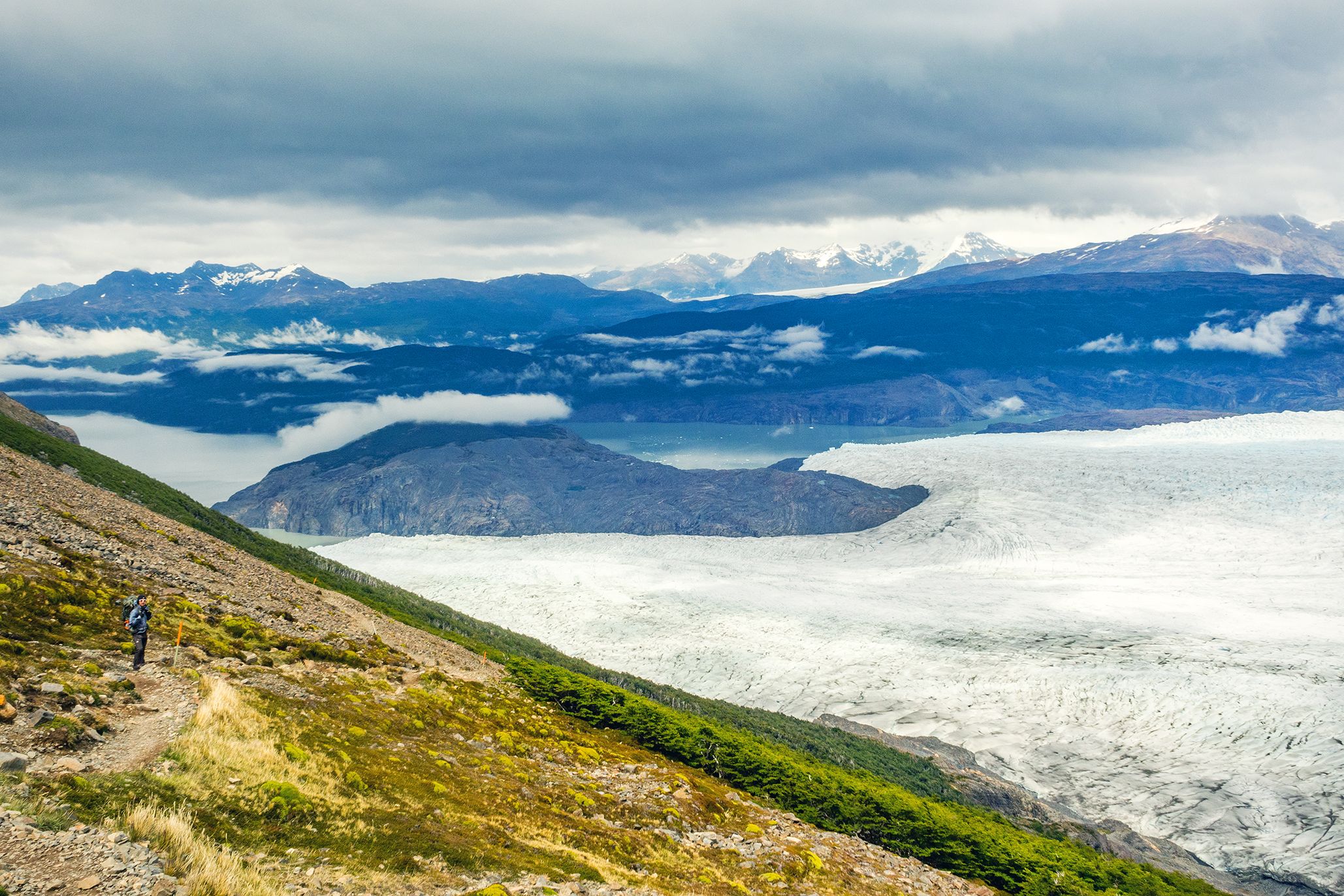
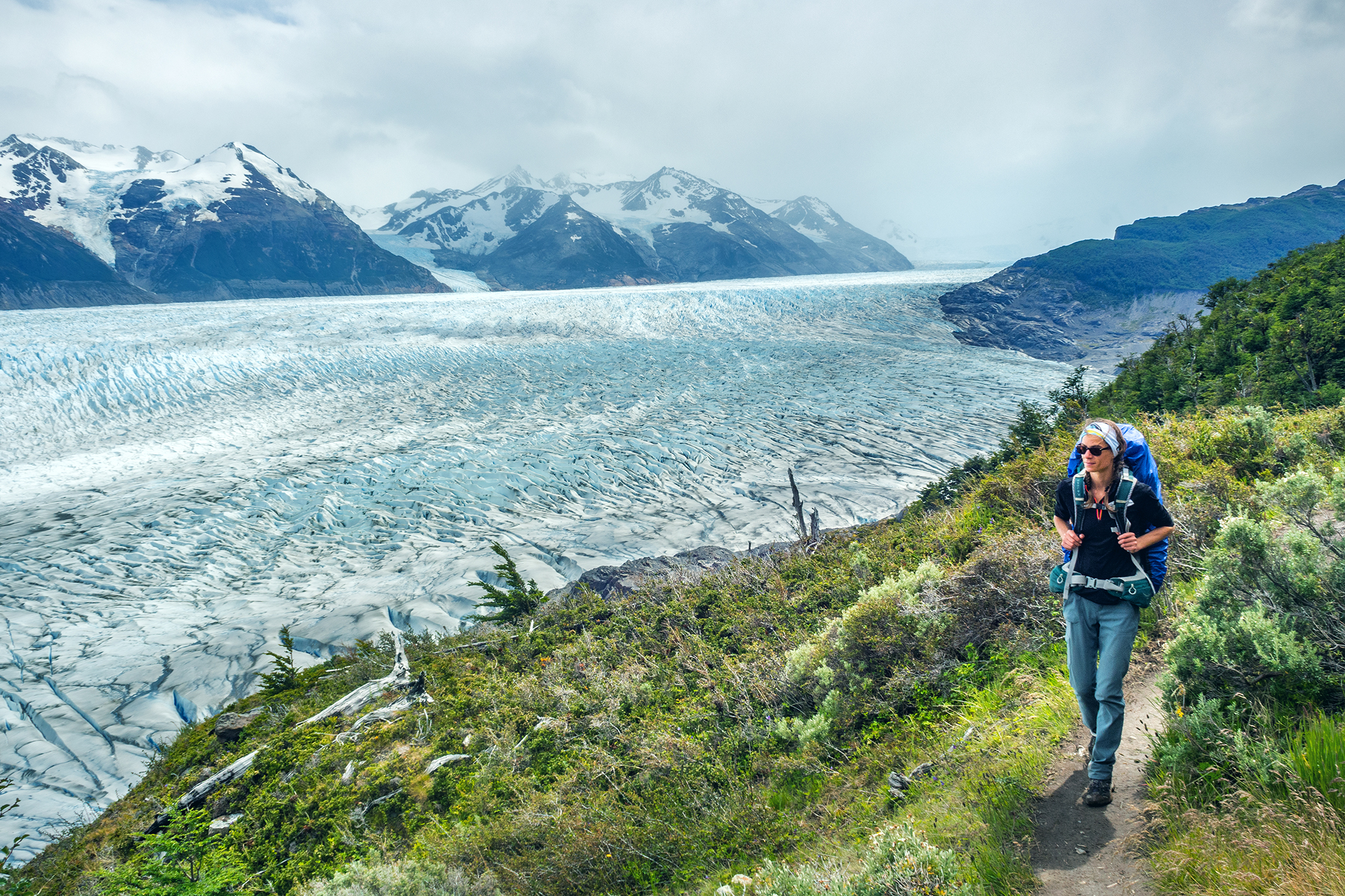
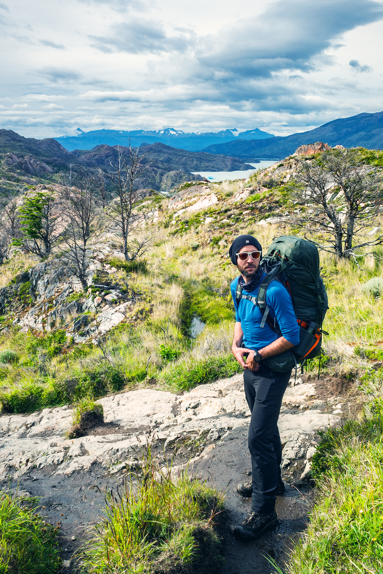
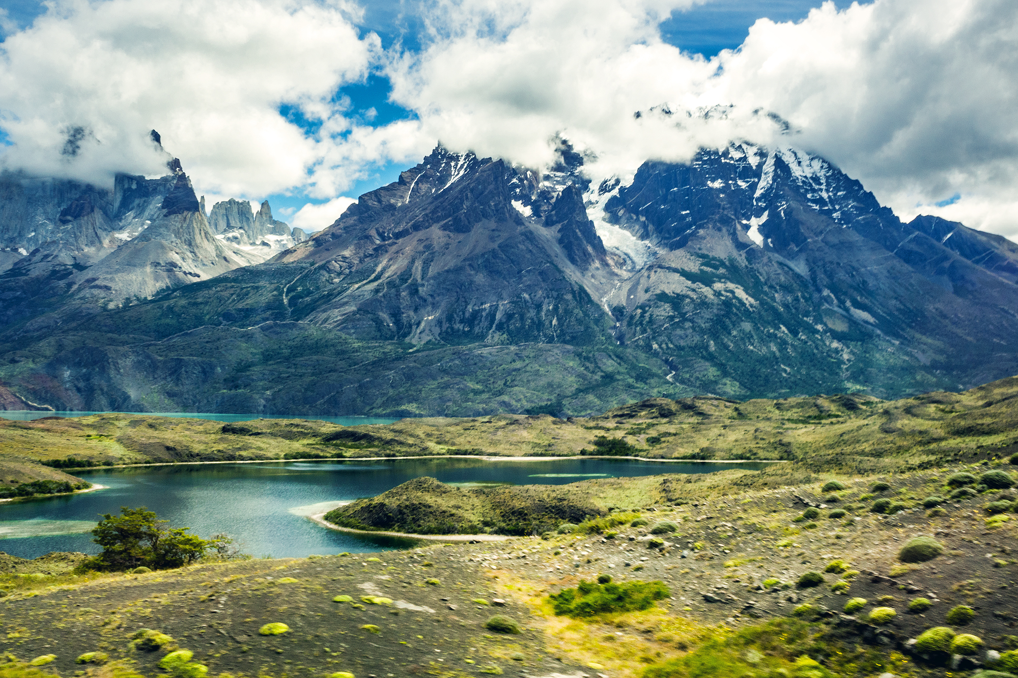
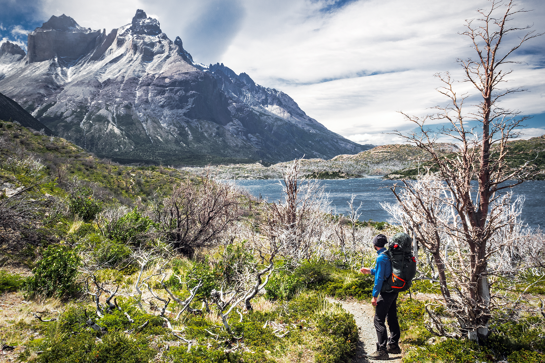
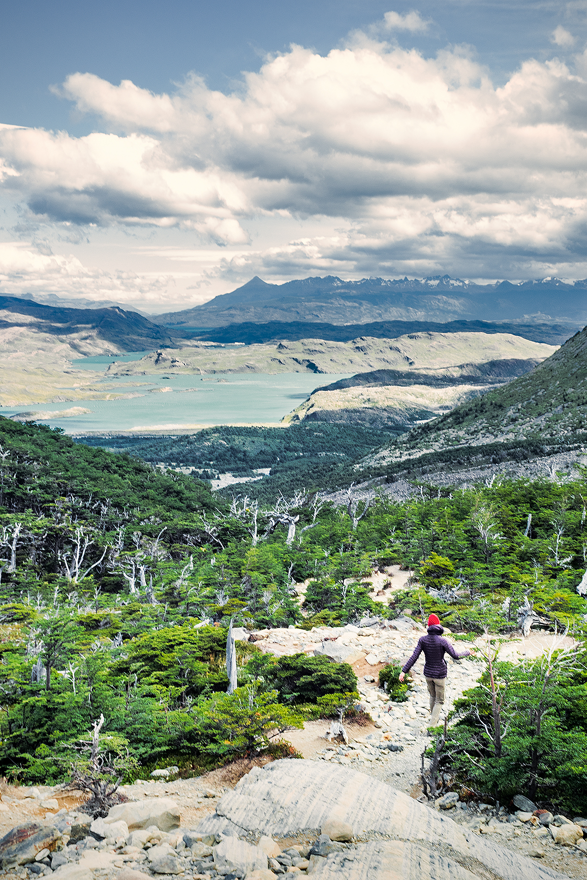
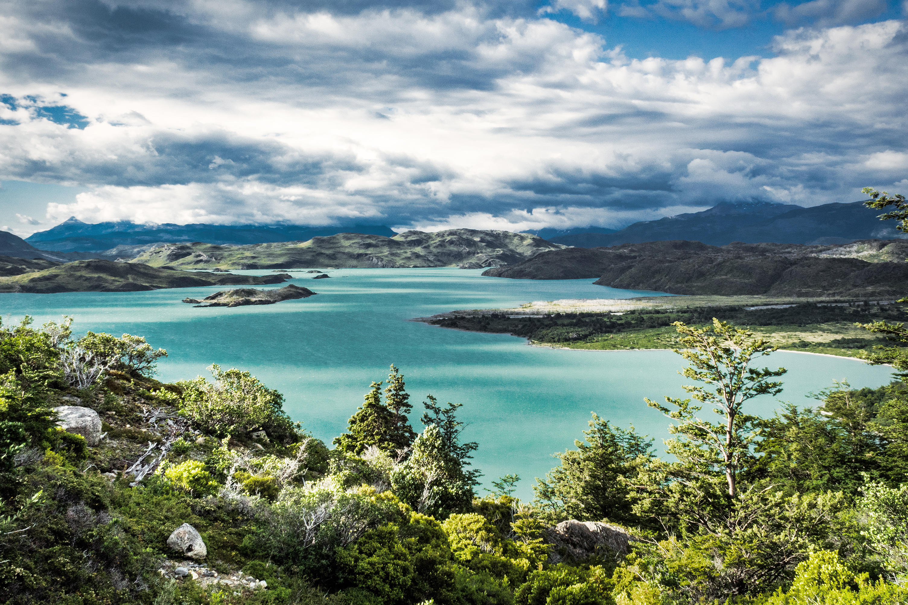
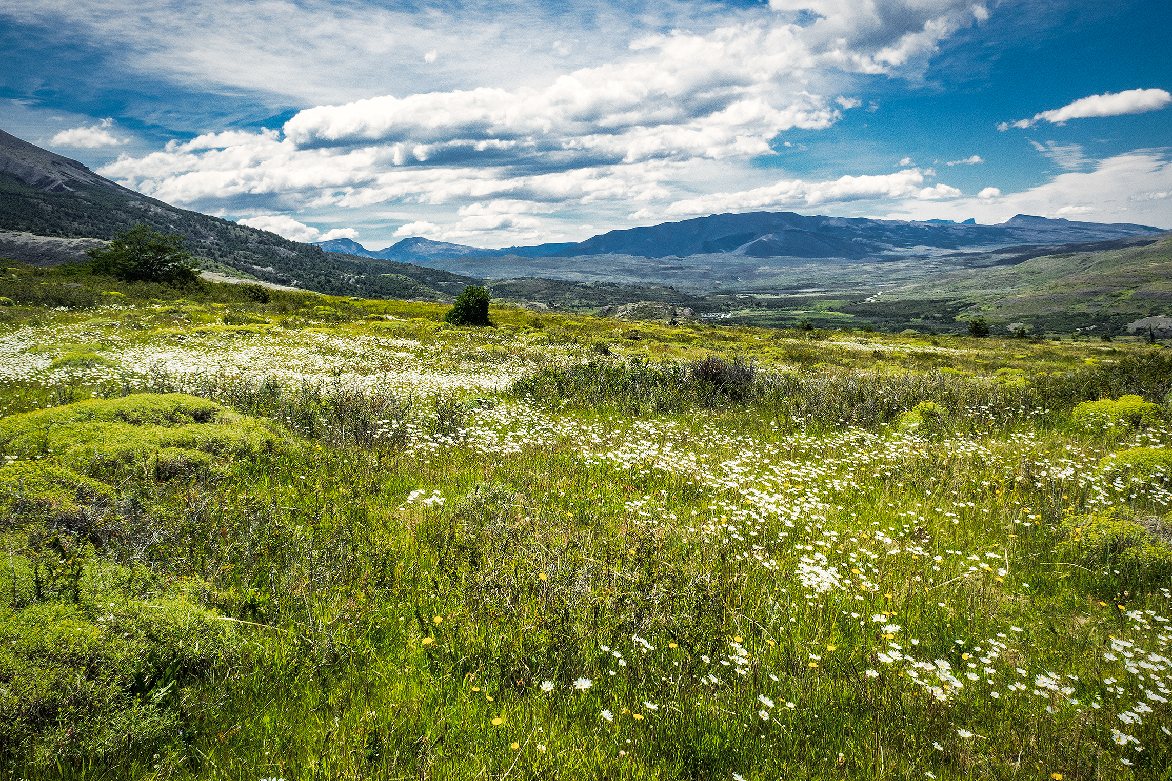
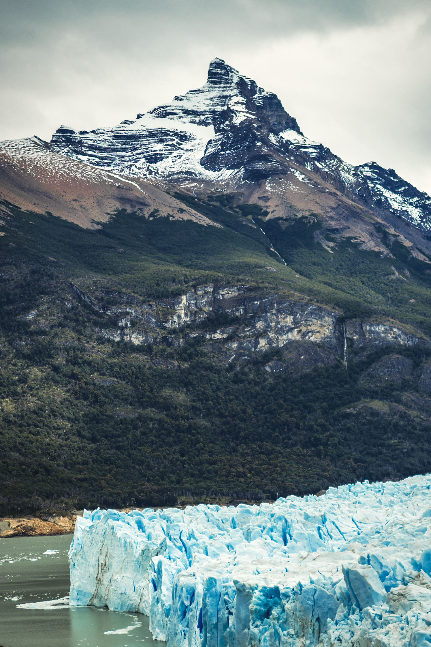
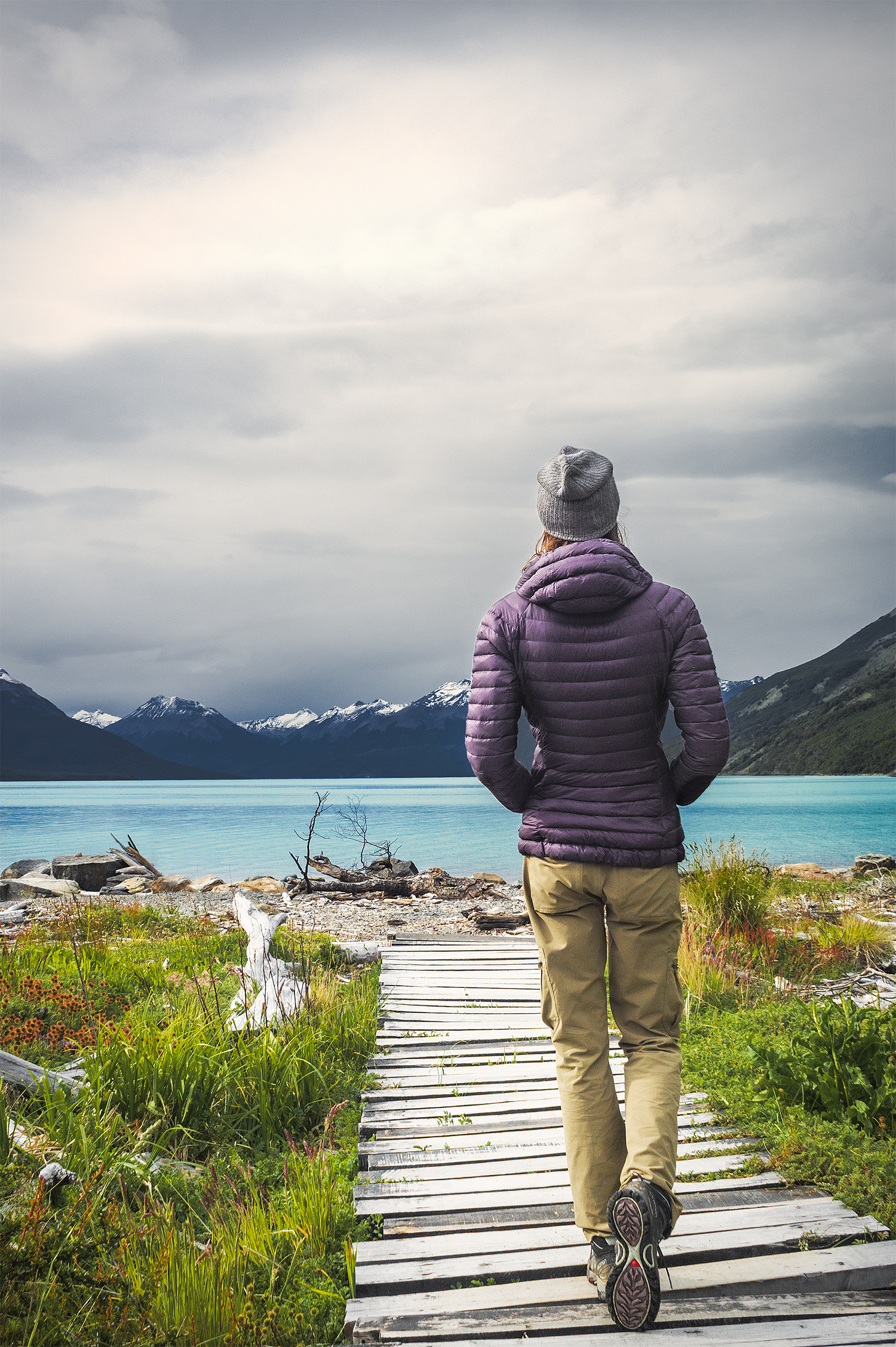
The next day was our final day in the park. We had 11km to hike to Paine Grande to catch the ferry around 11:30am, and then the bus back to Puerto Natales. This final stretch offered more views of the lake, with the glacier becoming smaller and smaller behind us. 

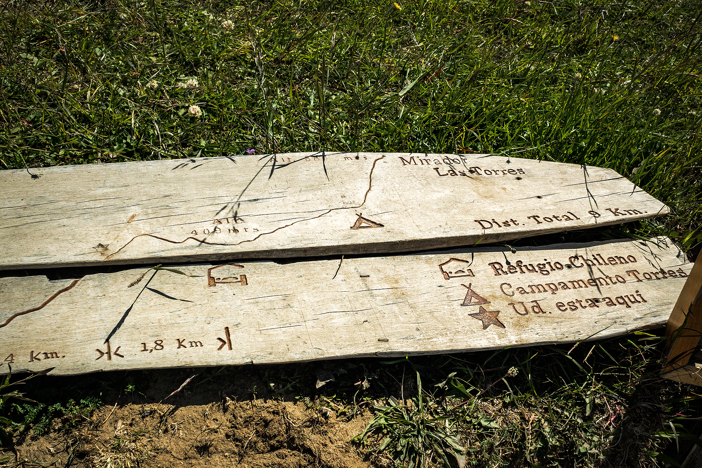
We had already noticed that signs along the trail were approximate at best when it came to distances, but on that day we came across the most striking example of it. The first sign we reached that morning indicated that we had hiked 6km since Refugio Grey, and had 4 more kilometers to go until Paine Grande. At that point, Brice’s watch actually read 4.8km. 4km later, we reached another sign, which now indicated we had hiked 7.5 km since Grey, and had 3.5 more to go to Paine Grande. Yup, that first sign was pretty much off by about 7km, which is a bit much on a total distance of 11. So bottom line is, signs in Torres are not to be trusted.


We reached Paine Grande, on the shore of Lago Pehoe, at 10:45, with ample time to spare before the ferry arrived.

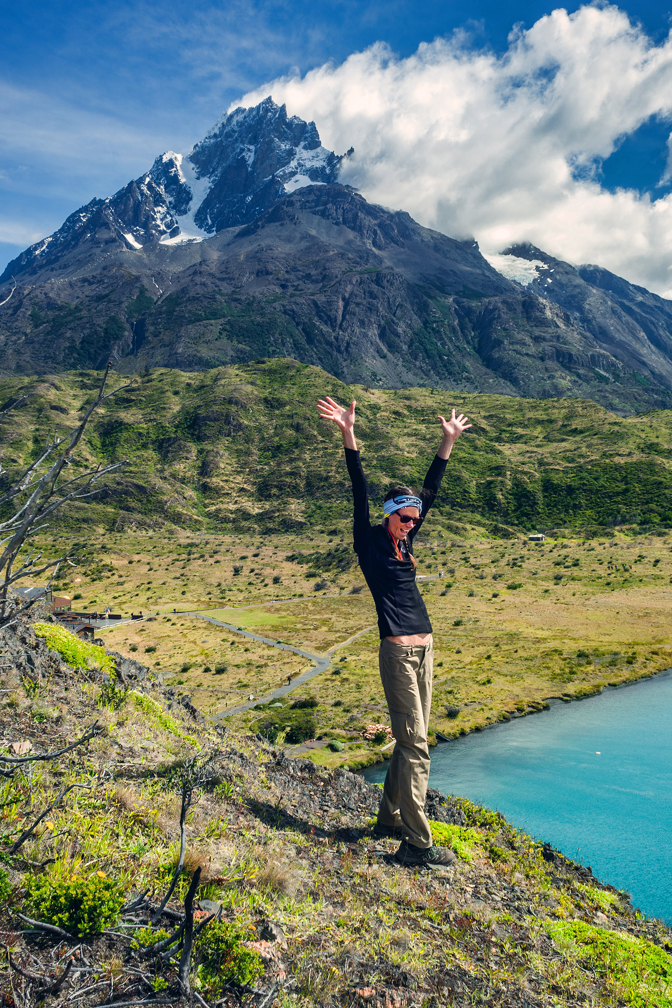
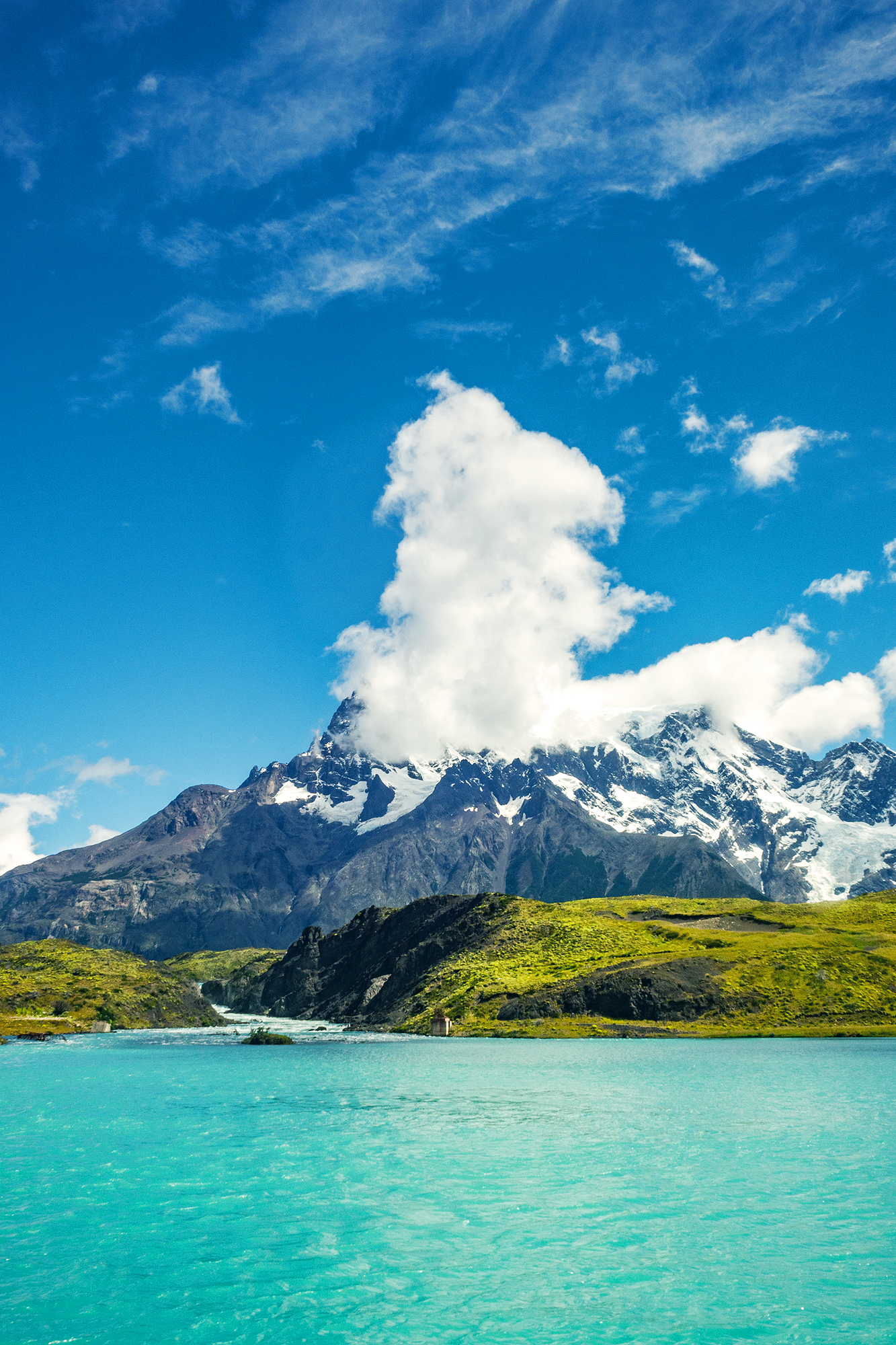
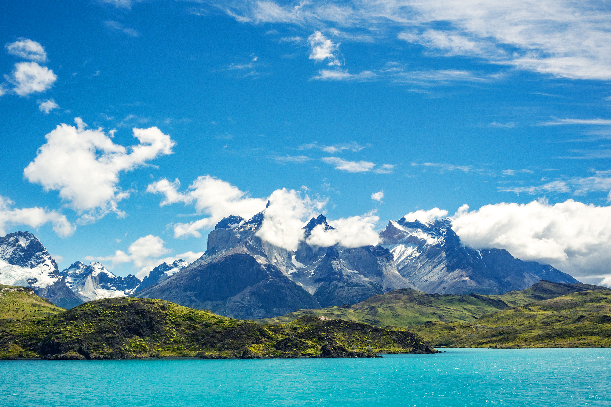
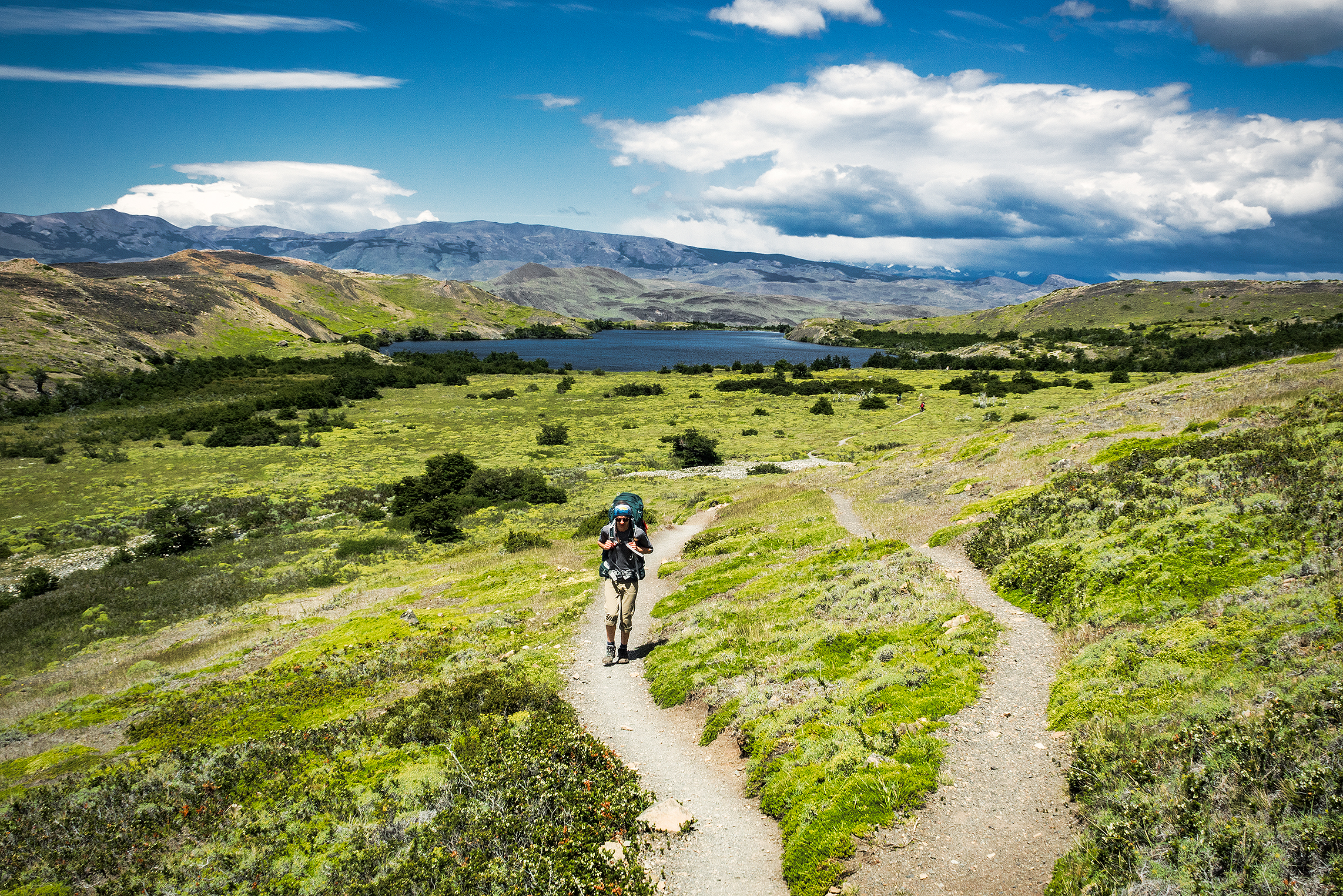
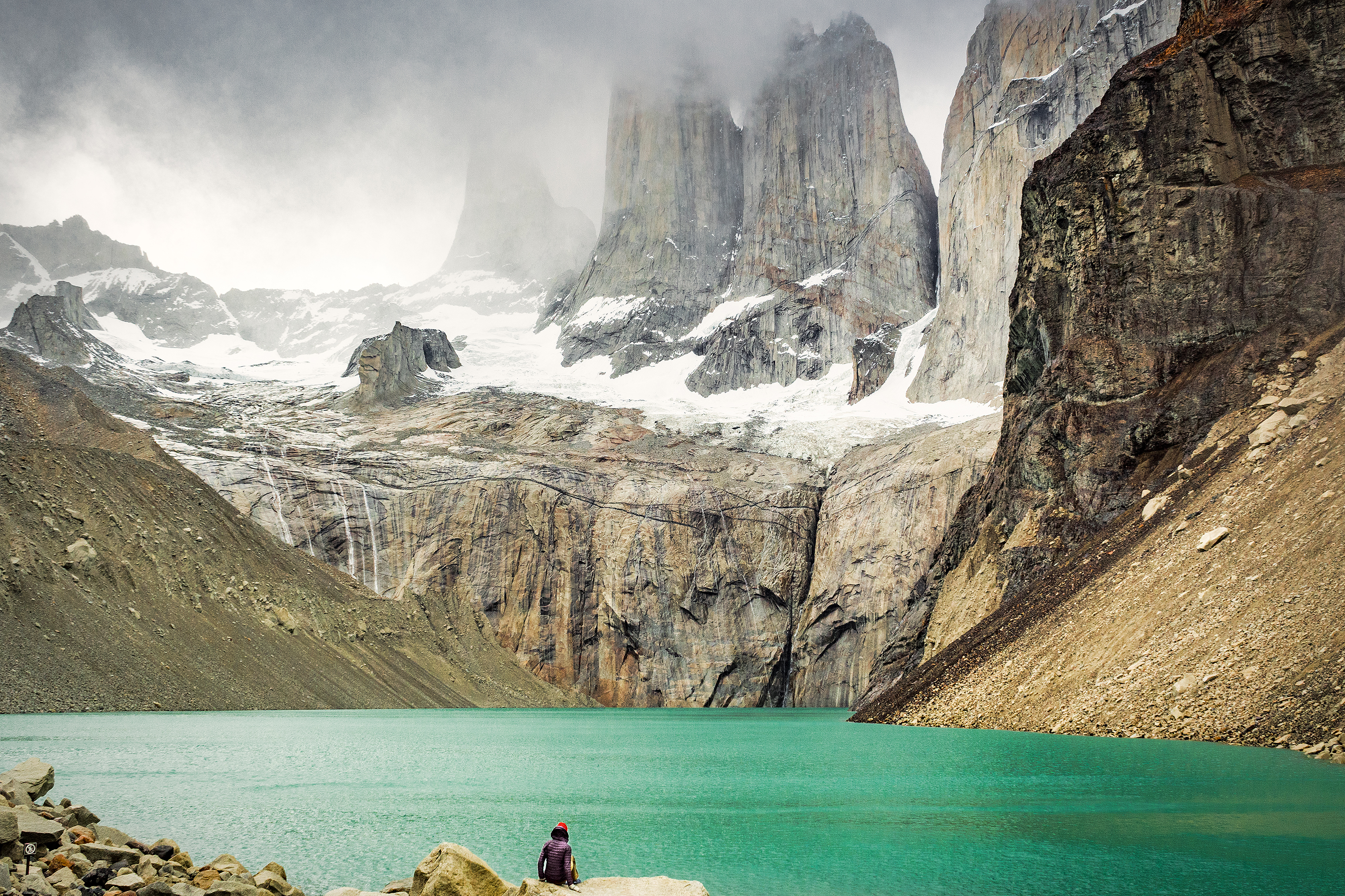
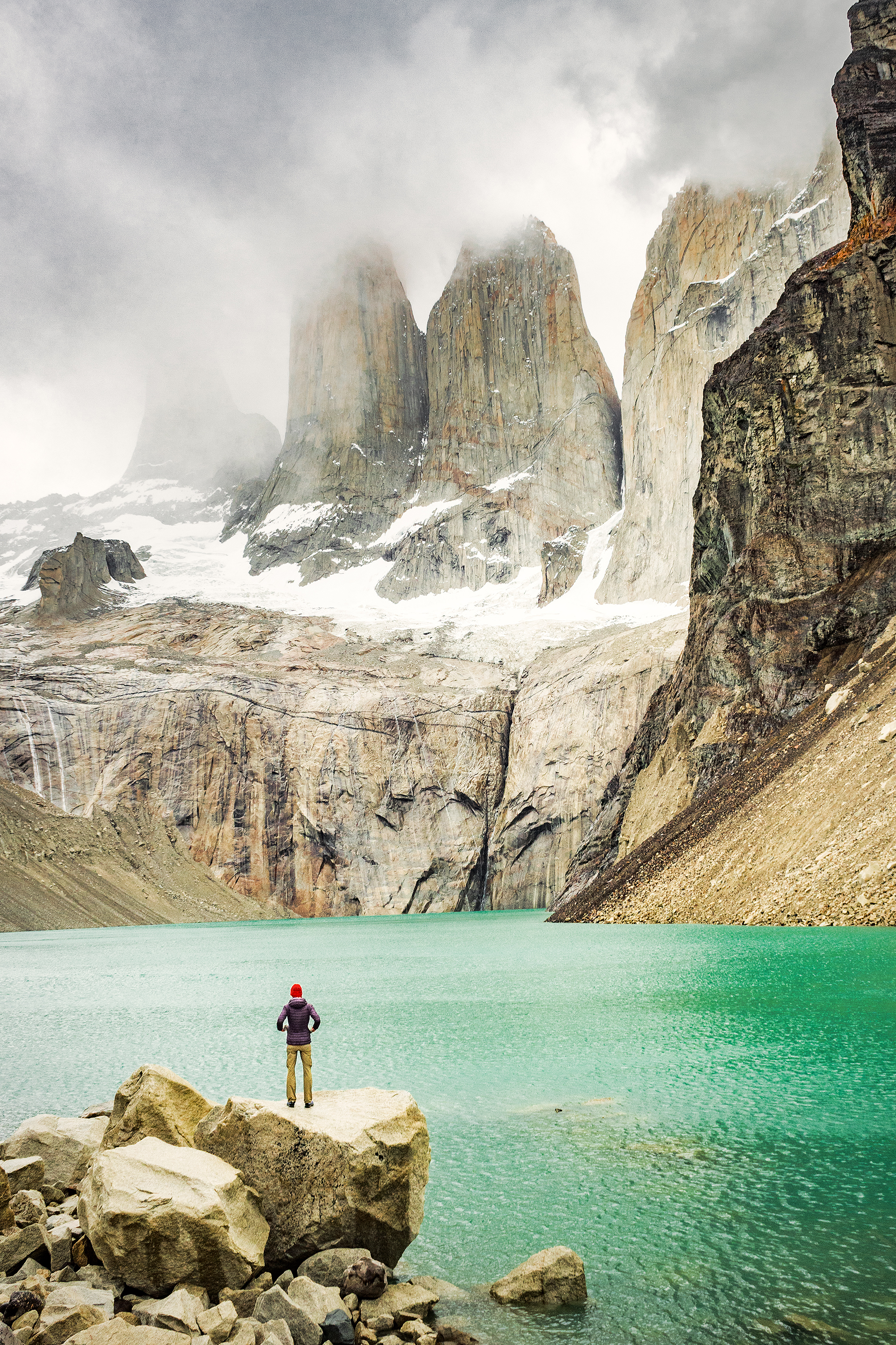
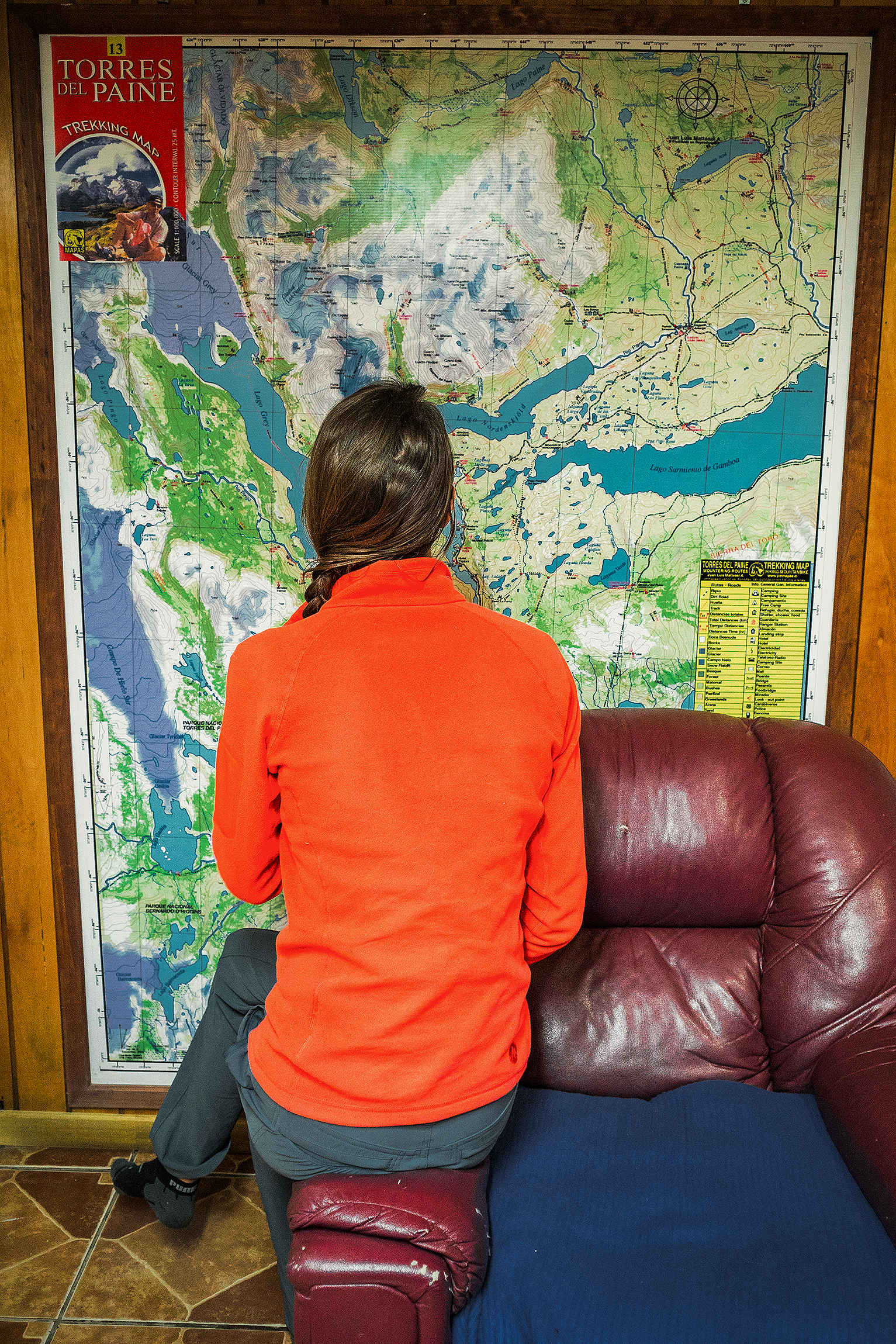
There is (or there was) an additional section of trail that you can tag onto the the rest of the circuit (which turns it into the “Q” circuit) and continues from Paine Grande to the Administration office. From there you can get on a bus back to Puerto Natales, without having to take the ferry. It seemed like in the past there might have been a campsite halfway along that section, but apparently it was closed between November and March. I had contemplated at some point staying an additional night in the park, and doing the full Q, but since the option of camping on the way to Administration wasn’t available at the time, we decided to stick to our initial plan and return to Puerto Natales that afternoon via the ferry. We did however put our bags down by the ferry dock and with that weight off, literally flew up the hill along that trail to get a higher vantage point on Lago Pehoe and all the Torres behind. The perfect vista to end our 6-day trek.

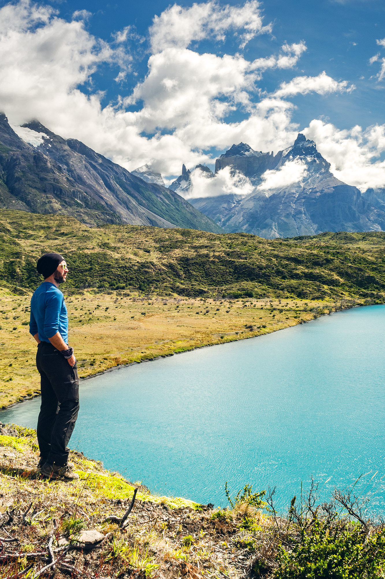
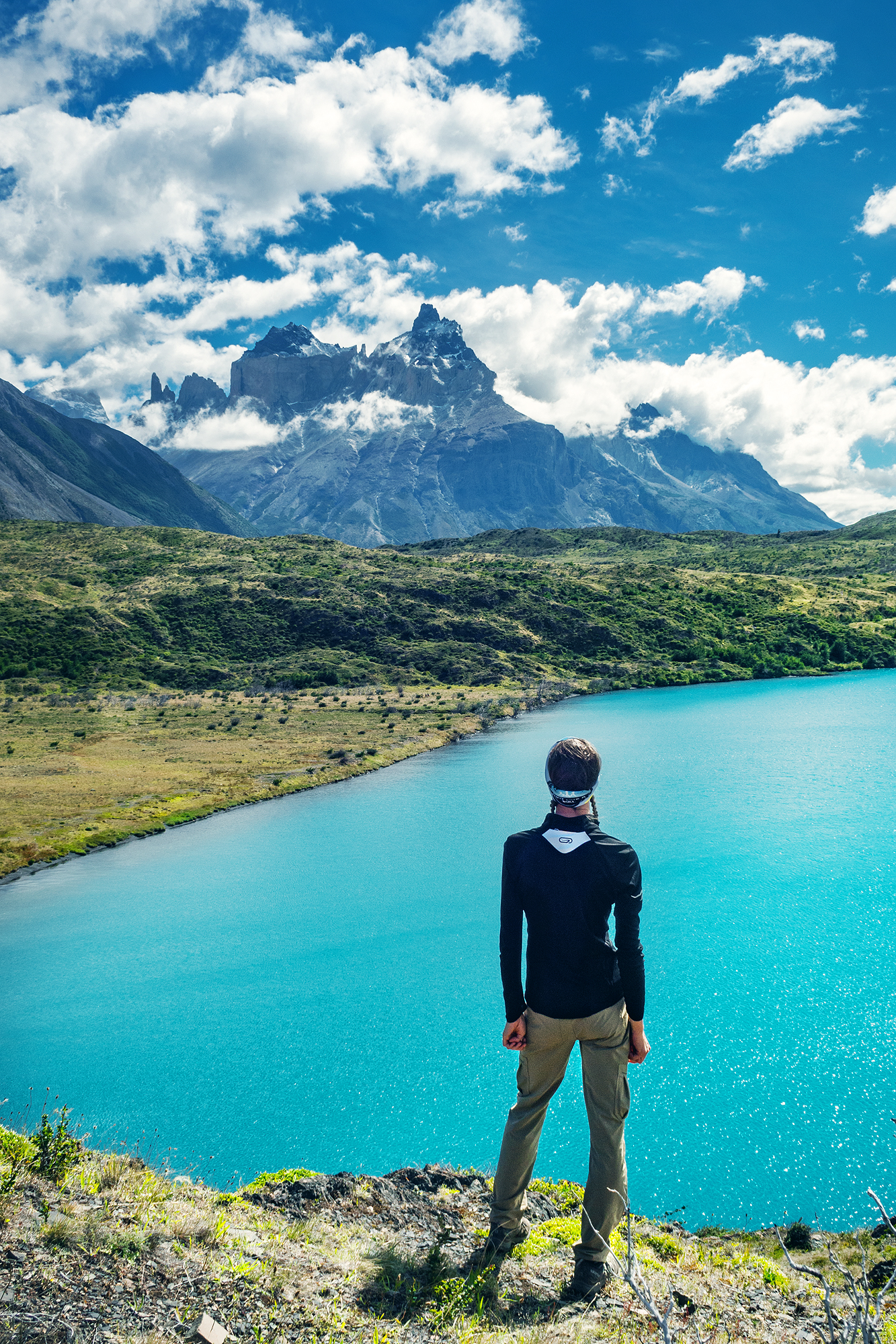
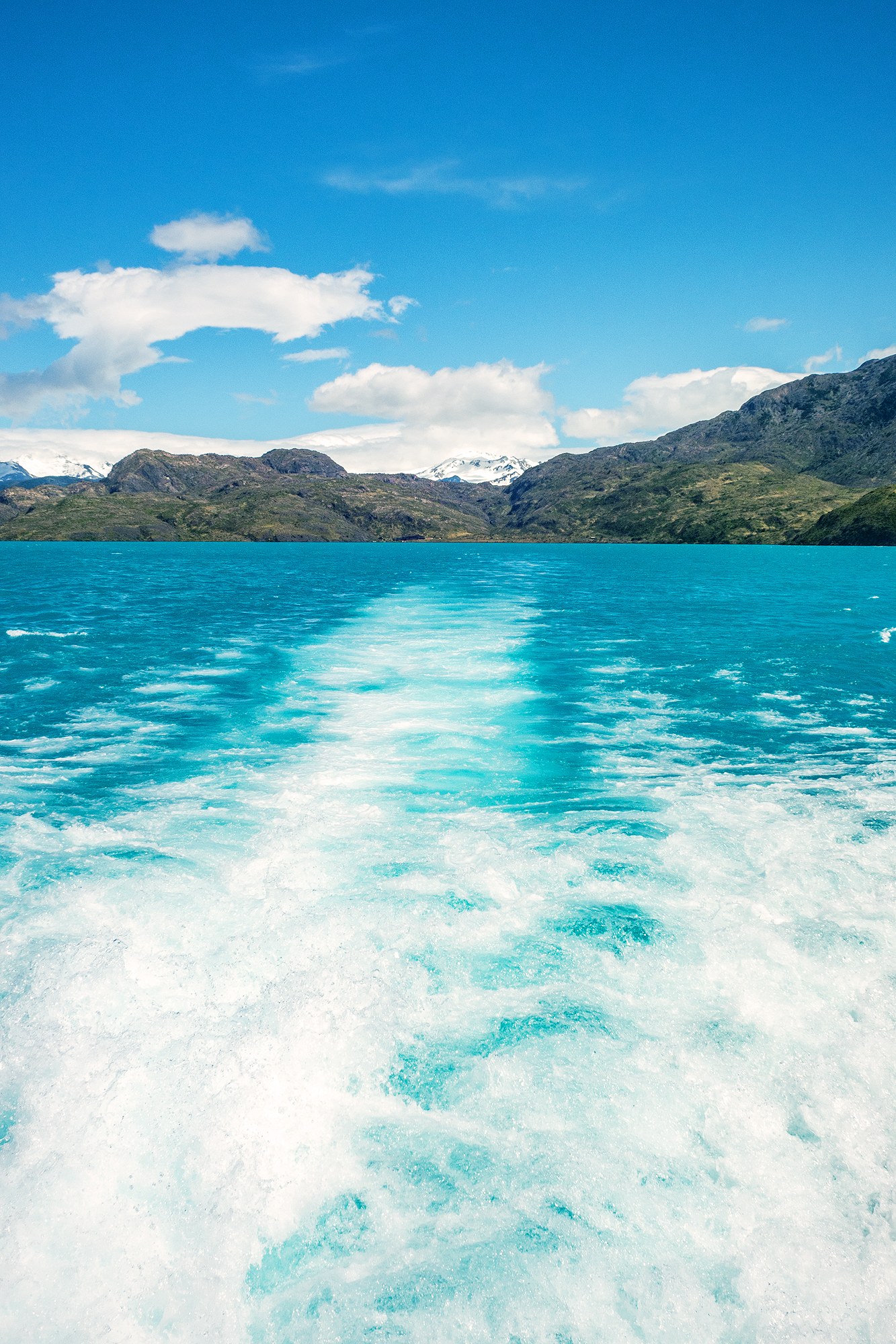
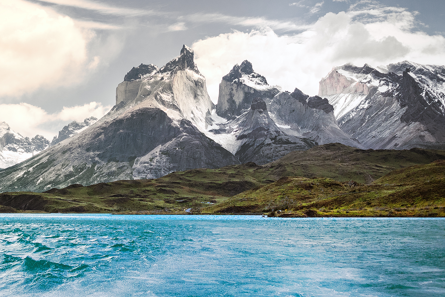
On the boat ride back, we were able to take in one last time the view of the iconic mountain range, highlighted by the turquoise water of the lake.

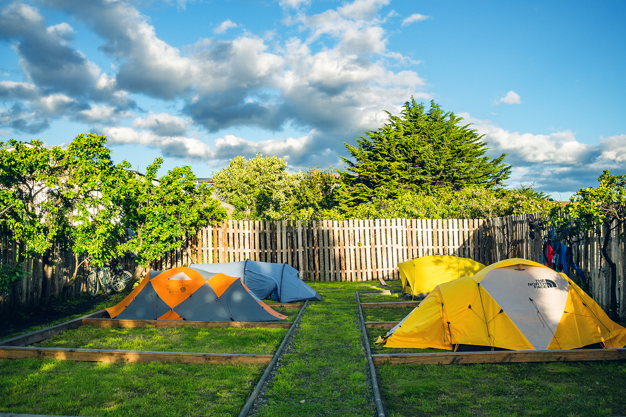
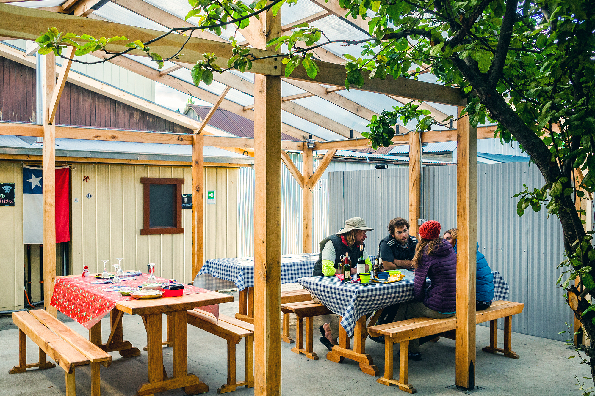
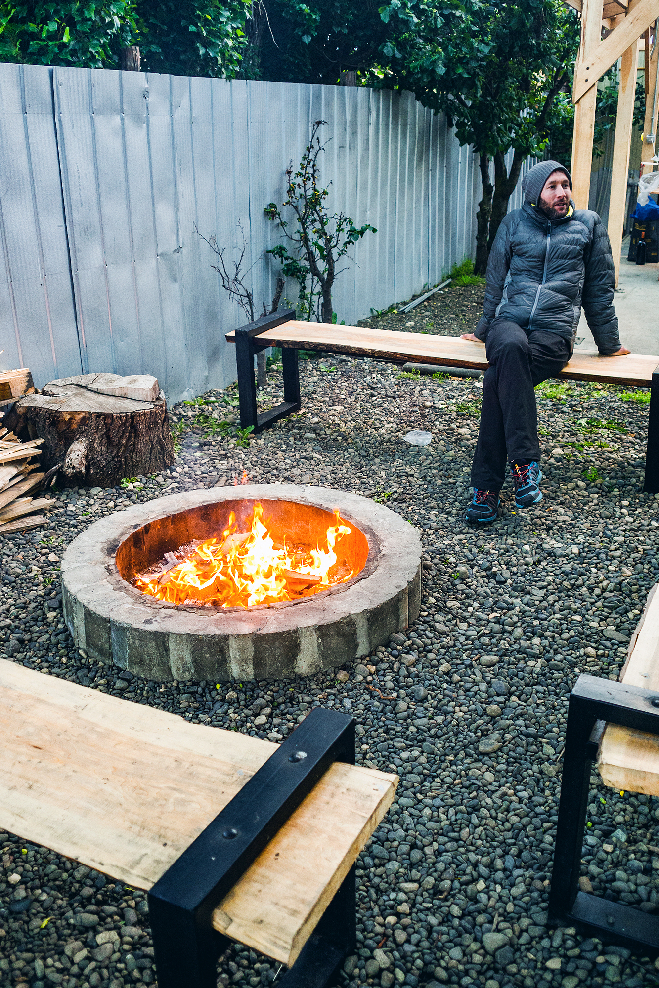
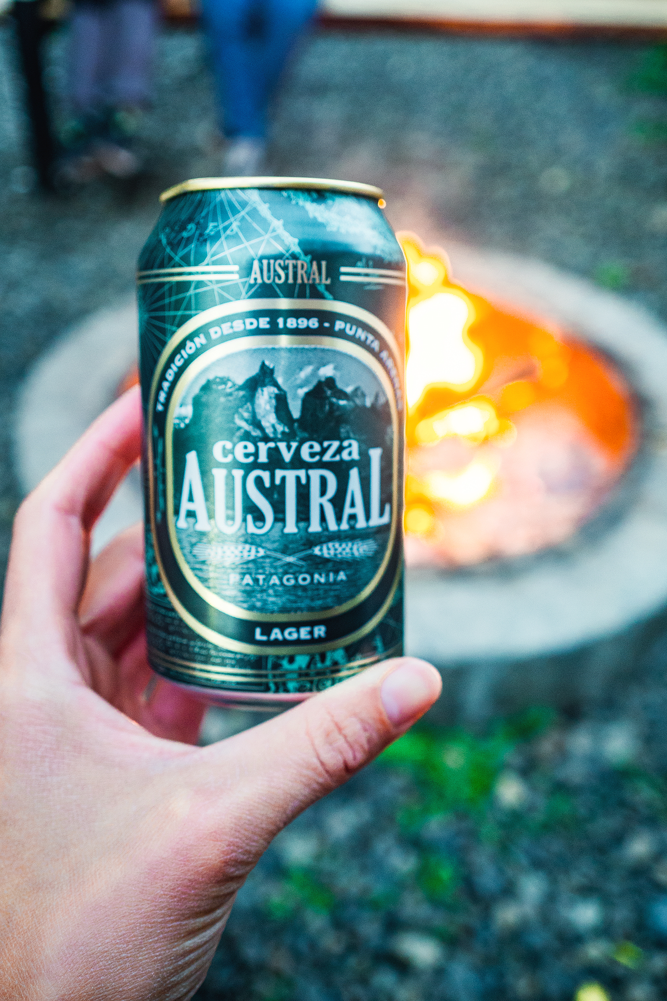
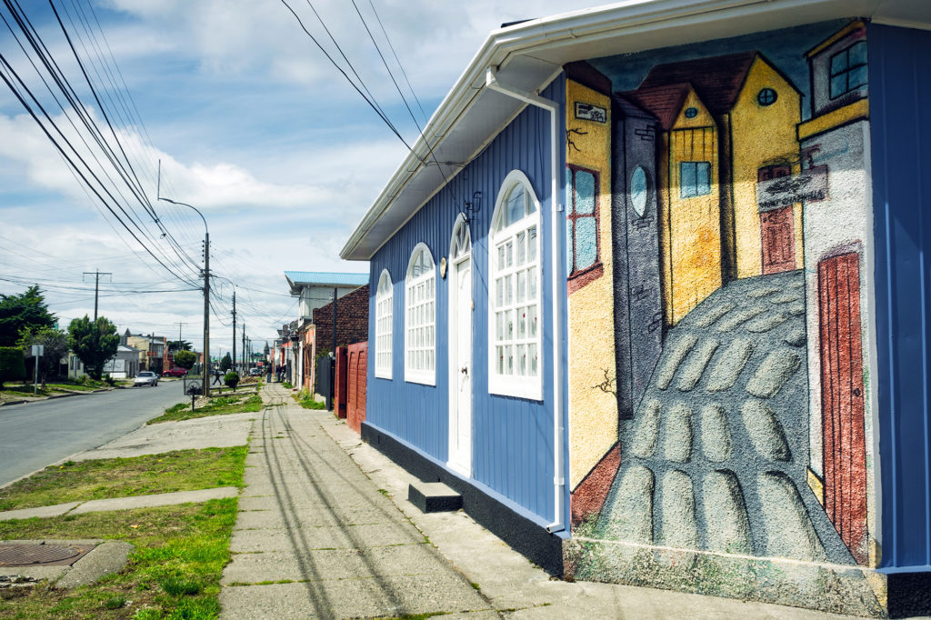
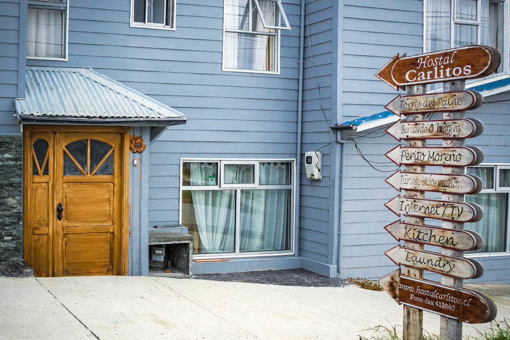
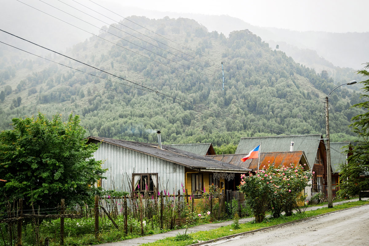
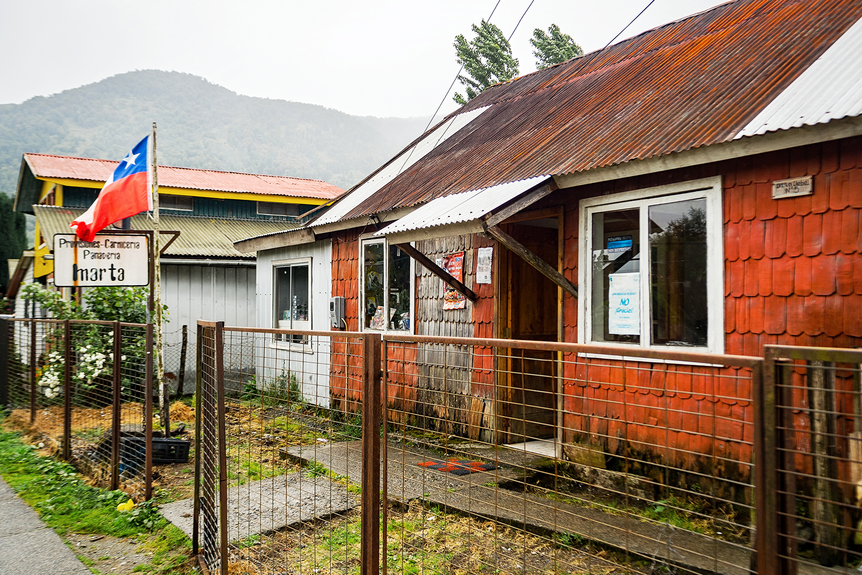
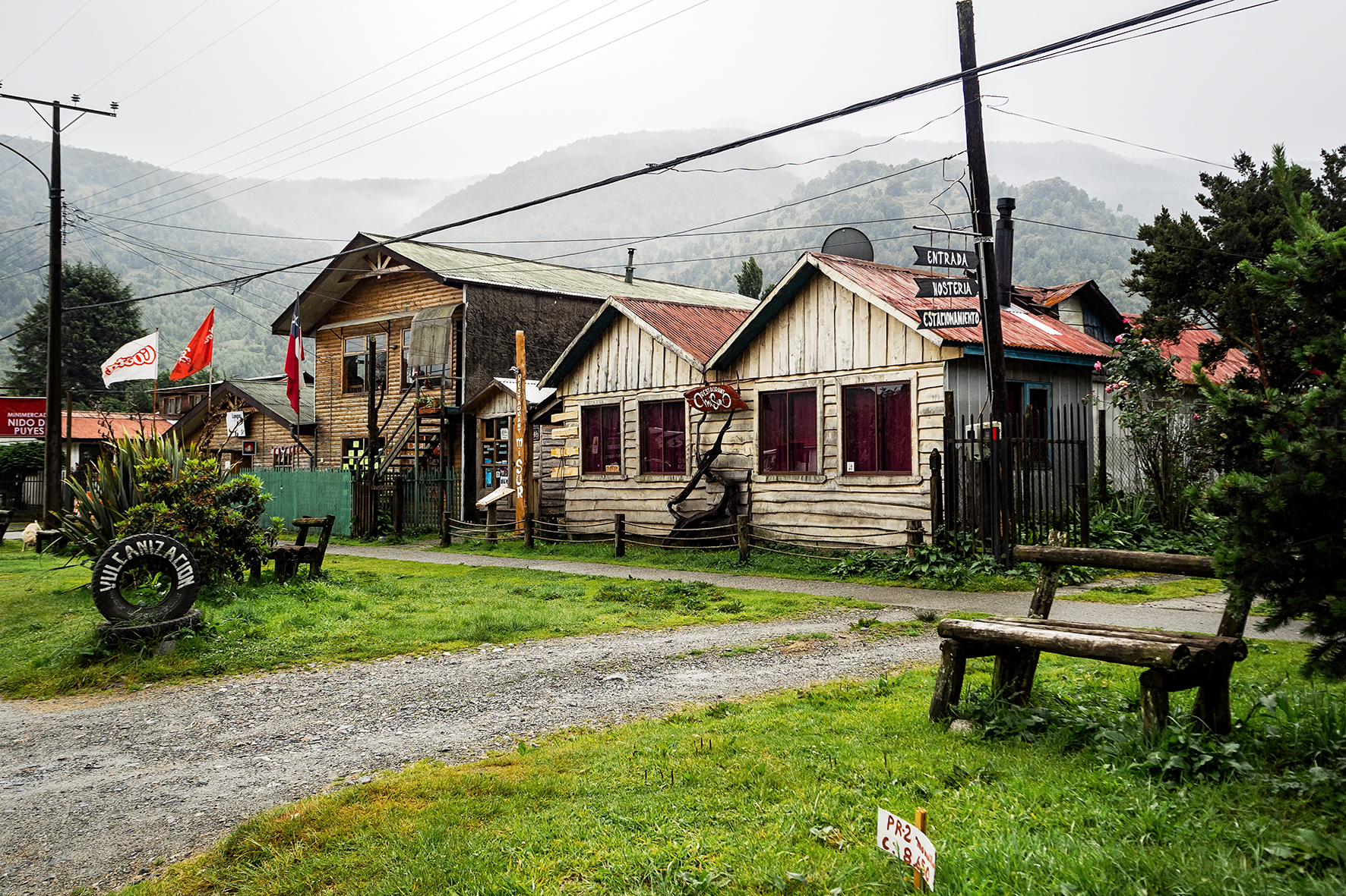
Back in Puerto Natales, we headed straight to Yellow Plum, a small campground near the center of town that we had noticed when we came through the first time around. We had been pretty impressed by the smart layout of the place and had decided to try and spend the night there rather than in a hostel, on our way back from Torres. There were 3 other tents in the small camping area. They belonged to an Italian couple, who was biking through Patagonia and had started in Ushuaia, an American who lived and taught English in Brazil and was traveling during the summer school break, and a Chilean family of four. We made each other’s acquaintance around the fire pit and later over diner, that we were able to prepare in the outdoor kitchen. The owner’s family also came for diner and to ring in the new year and at 12am, every one was outside celebrating and hugging each other. I asked Carlos (the owner) what were some of the Chilean traditions on New Year’s eve and he told me that one of them was to take a suitcase or a bag and go around the block, to bring more travel in the new year. That was easy enough for us to do and shortly after 12am, we took a stroll around the block with our (empty) backpacks on.

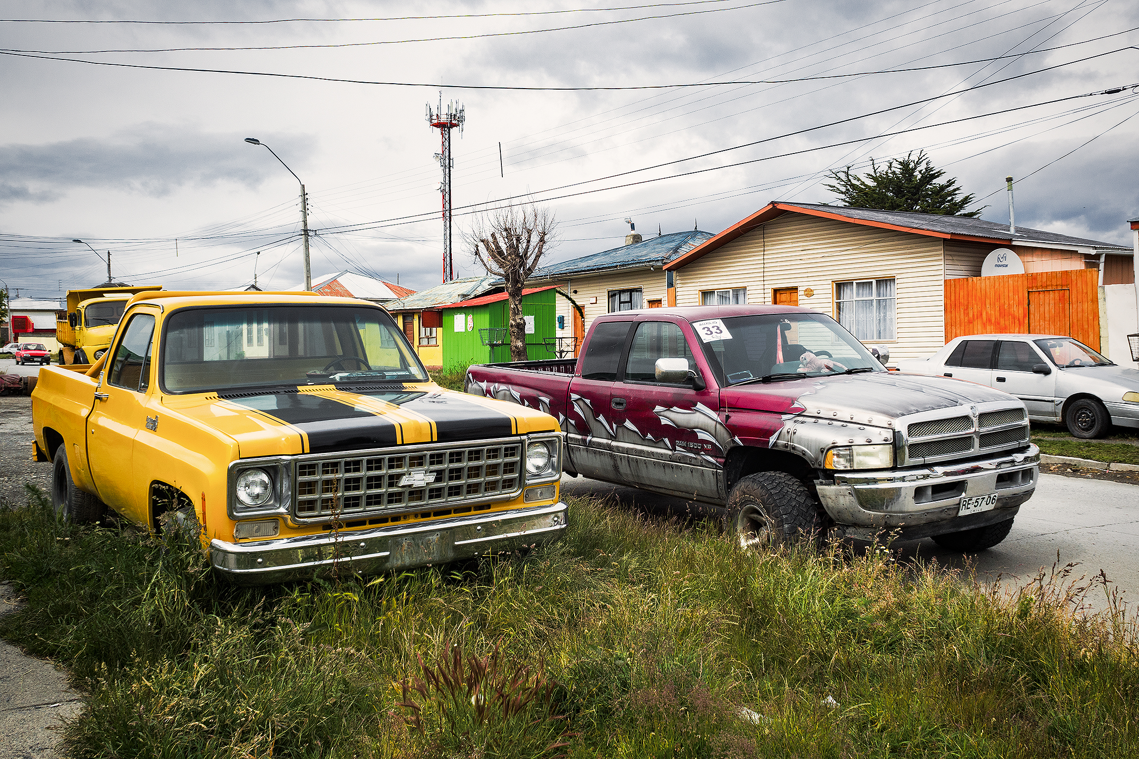
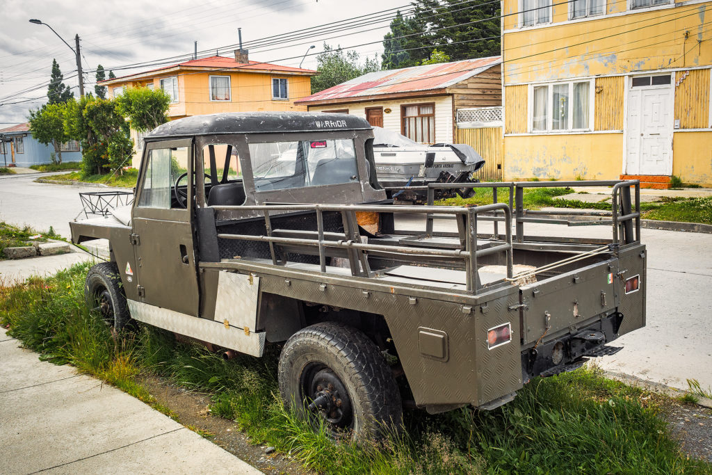
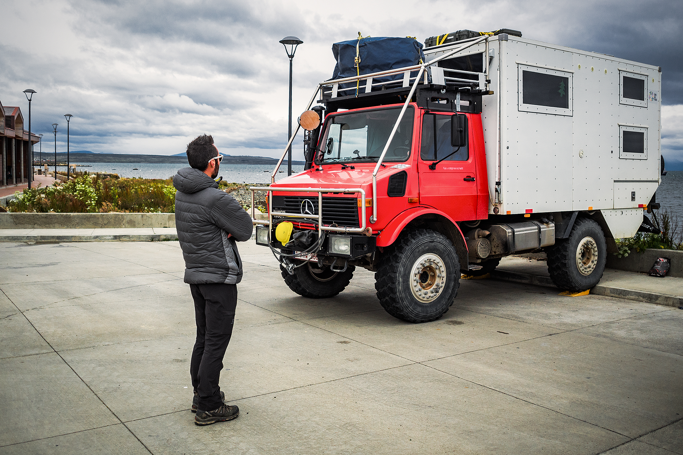
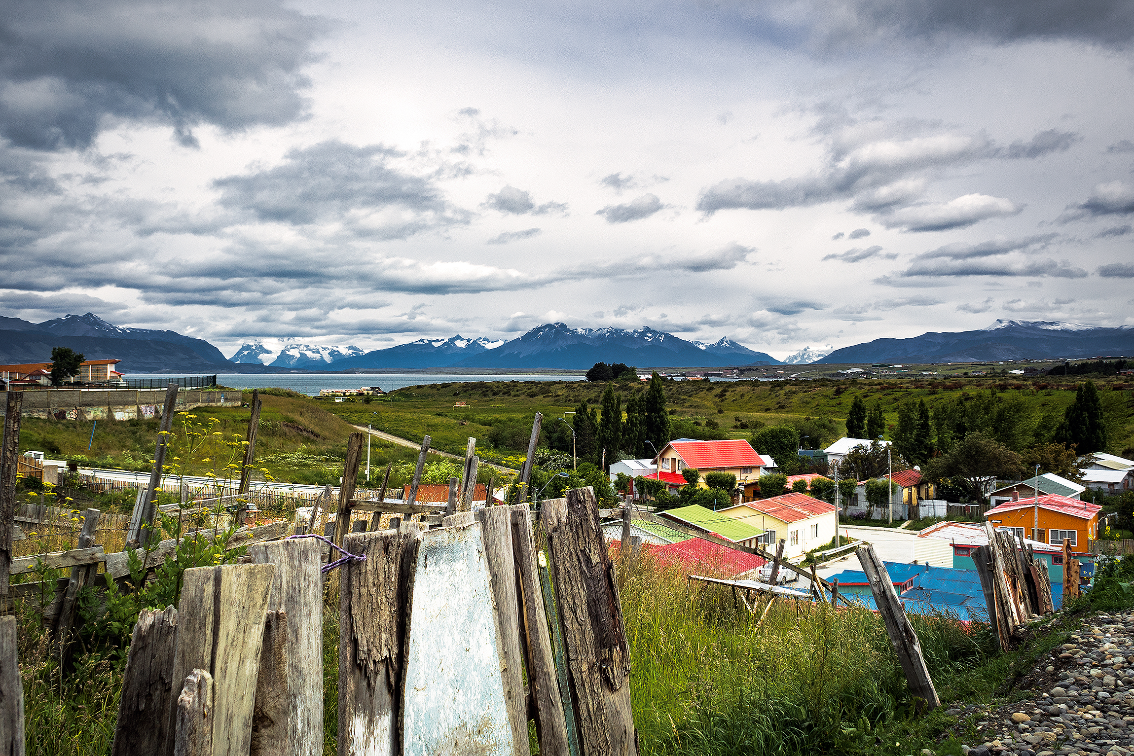
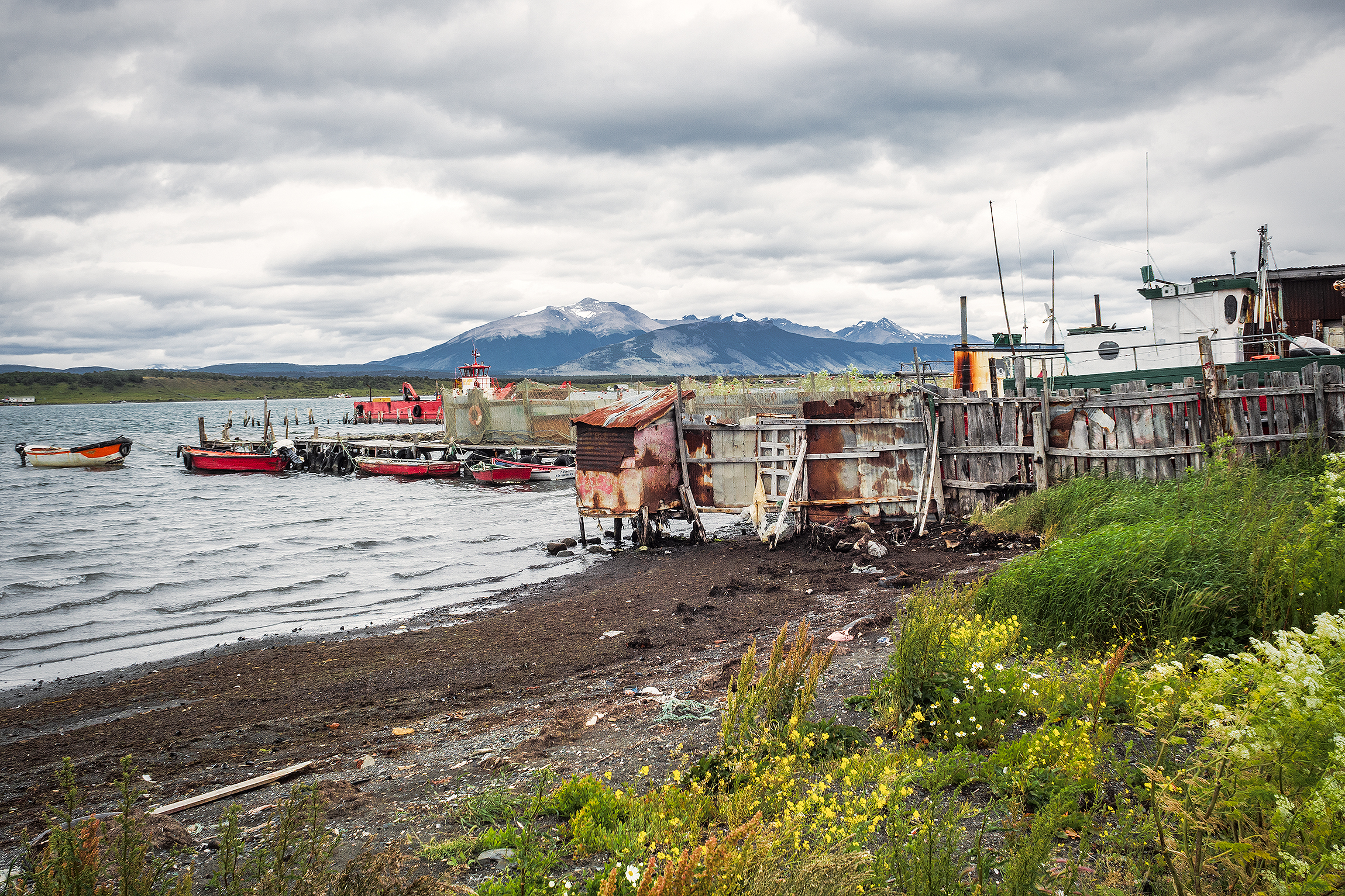
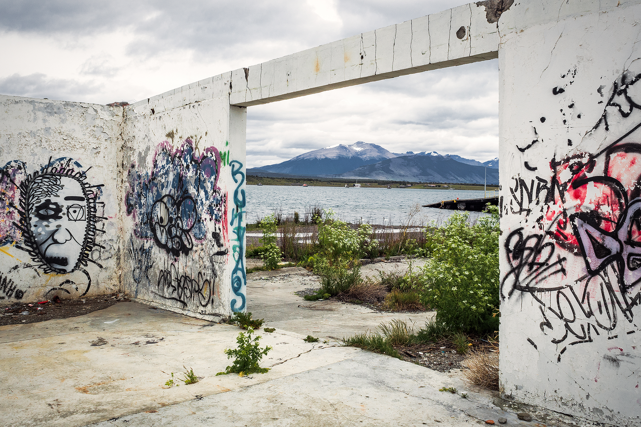
The next day we left Puerto Natales in the afternoon, and took a bus to Punta Arenas. When we originally booked our flights, Punta Arenas seemed to be the best option near Torres to fly back to Santiago (although it might be possible to fly out of Puerto Natales). When planning the trek in Torres, I had factored in an extra day so that we had a buffer in case we were forced to stay in the park longer, and to avoid the risk of missing our flight back to Santiago (and as a result, Vancouver). Since we didn’t need that extra day in the park, we spent it in Punta Arenas instead. We arrived in the evening on Jan 1st. Our Airbnb host, Miguel, came to pick us up at the airport, and took us on a quick drive around the center of the city. 


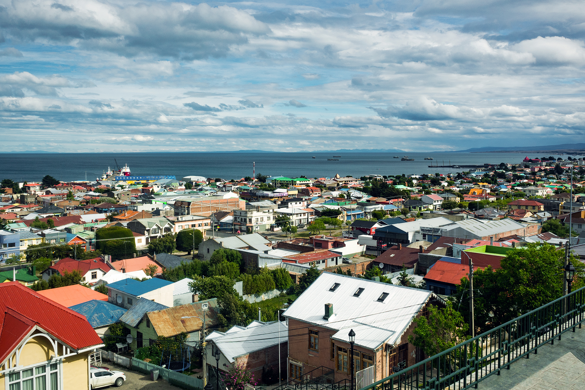
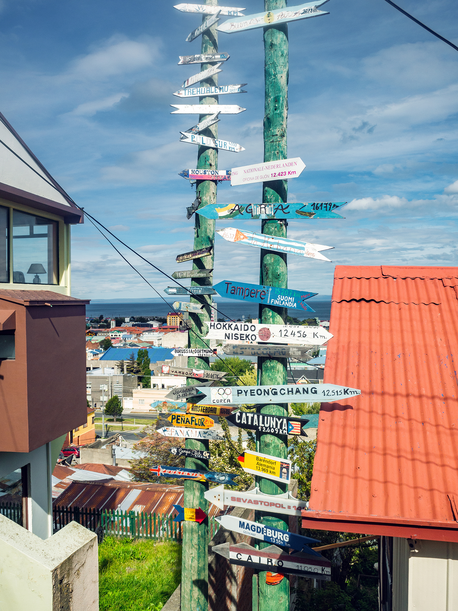
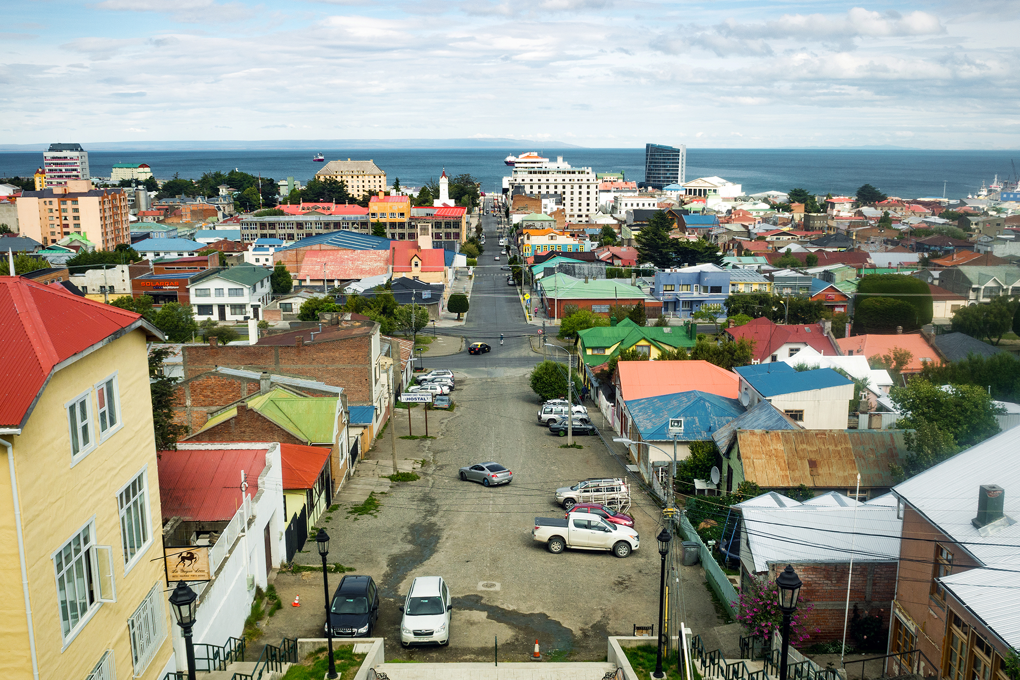
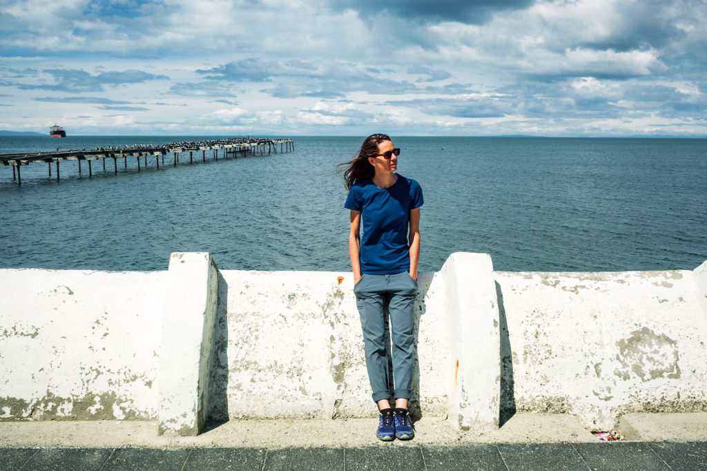
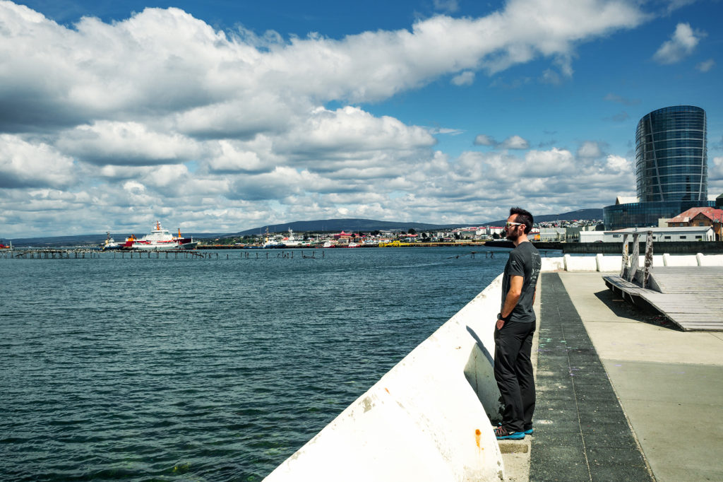
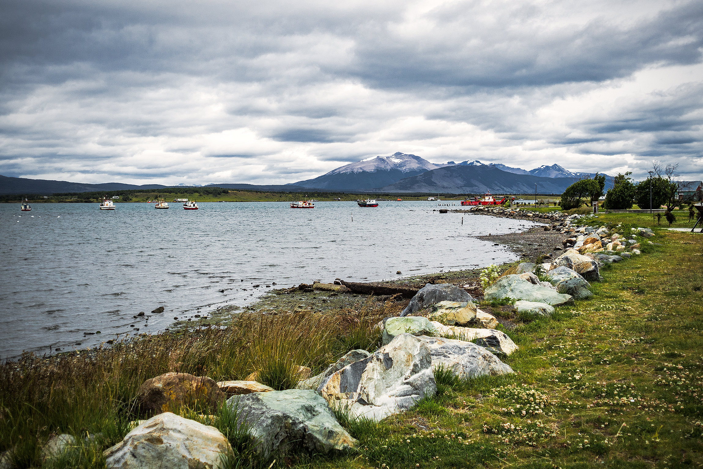
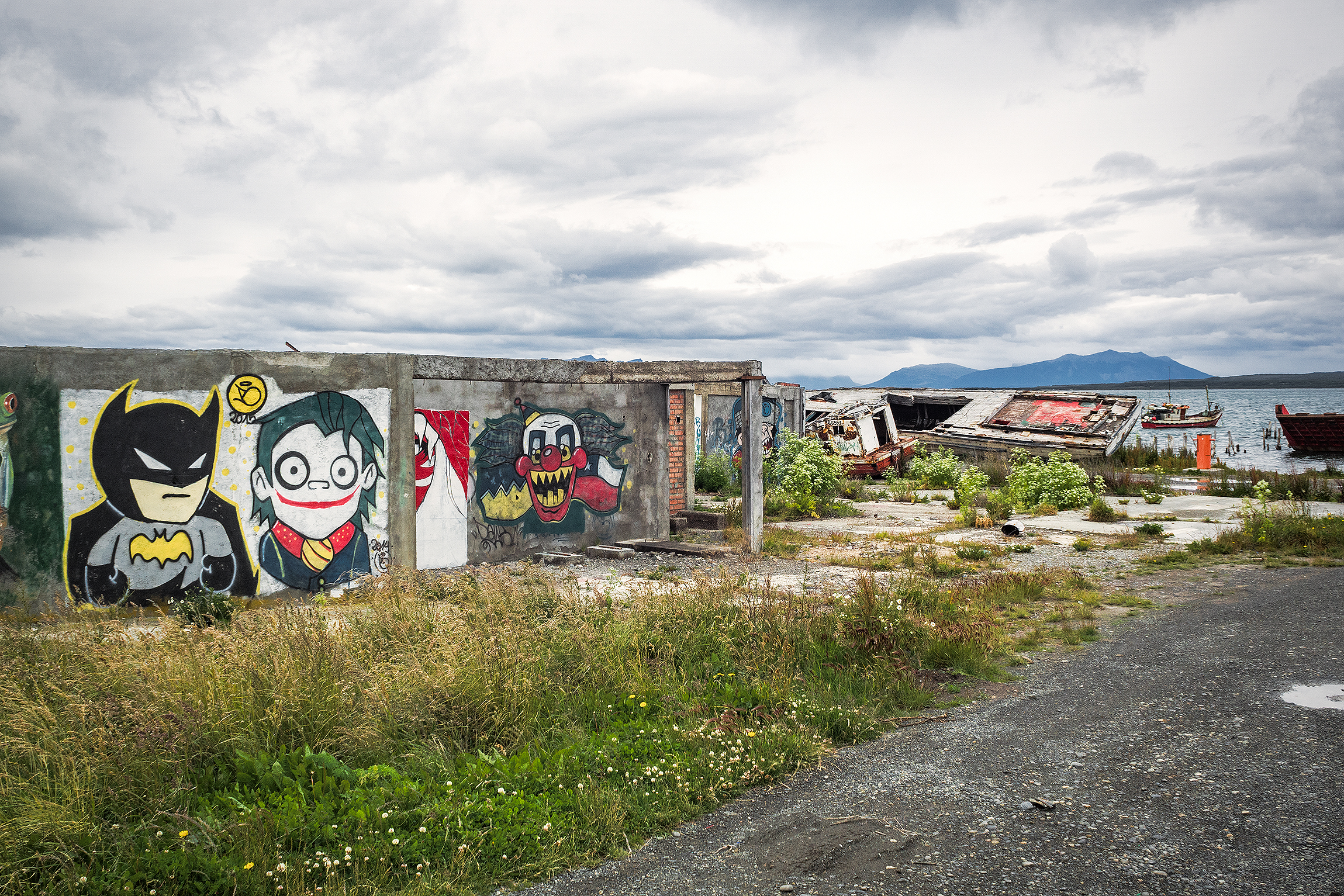
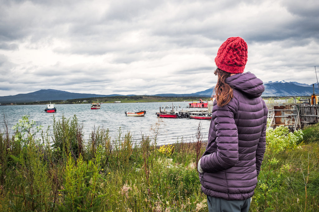
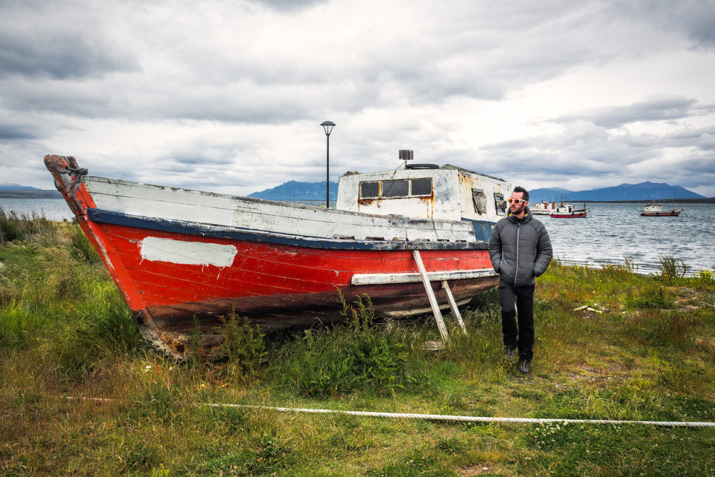
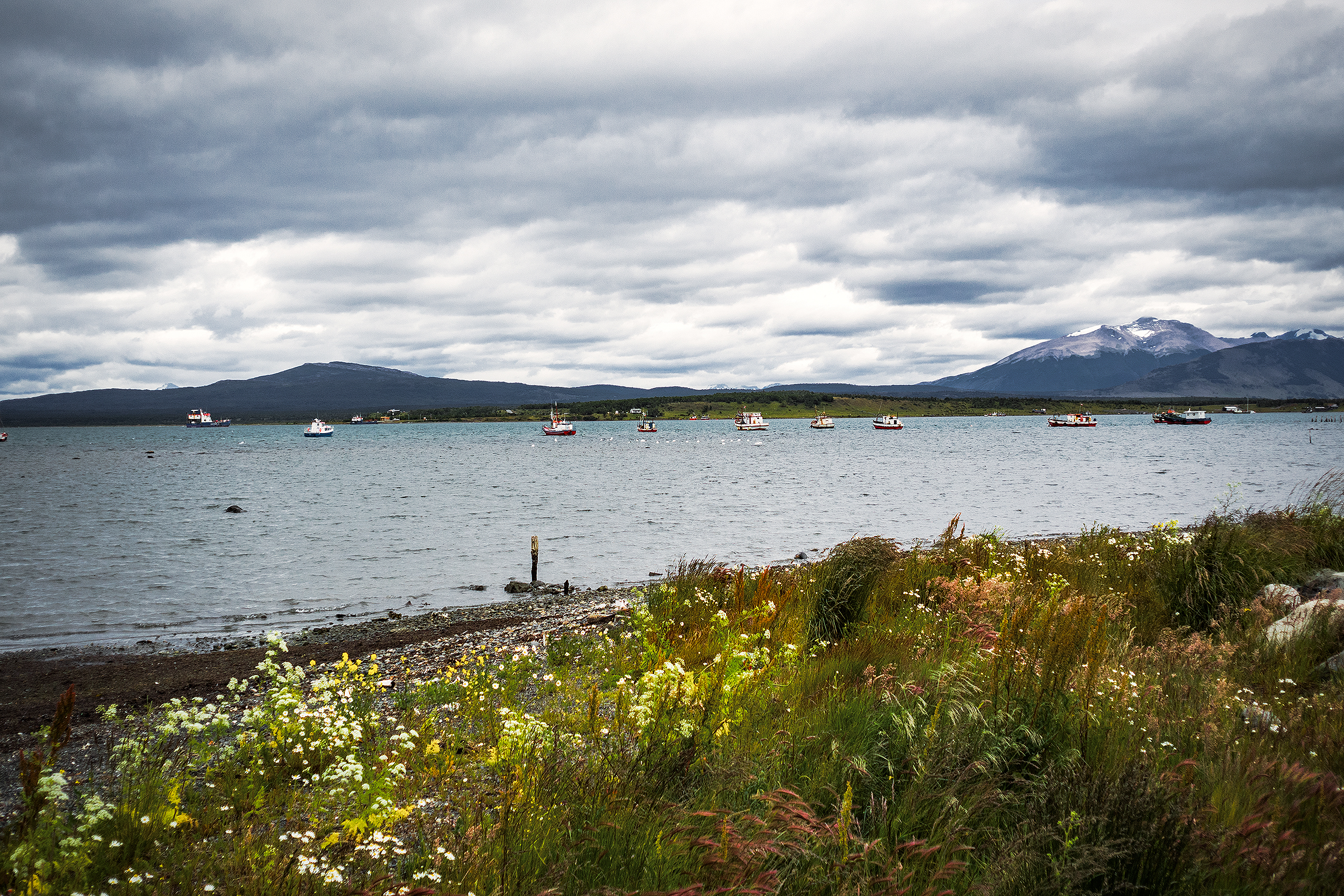
The next day our flight wasn’t until 5pm, so we spend part of the day walking around town and along the seaside, before heading to the airport. Punta Arenas is located on the straight of Magellan, which connects the Pacific and Atlantic ocean. It was the southern most place we had ever been. 

The flight from Punta Arenas to Santiago was about 4 hours. Between Santiago and Vancouver, we had a 12hour lay-over in Mexico city – but at that point we didn’t really feel like immersing ourselves in a city of 20 million people. So instead we headed to the Aero Mexico executive lounge, and for about $25 per person, we were able to spend the day enjoying comfortable couches and unlimited food and beverages, until it was time to board our flight…

And then just like that, it was time to go home…

Patagonia Travel: Trekking in Torres del Paine – the W circuit

On the morning of Dec 26, we got on the bus at 7am. From Puerto Natales, it took about 2 hours to get to the park entrance at Laguna Amalga. Everybody had to get out of the bus to go into the ticket office. We filled out a form with our info, and how many days we were going to spend in the park, then paid the entrance fee, and finally we had to watch a short video detailing all the rules and guidelines. Due to the growing popularity of the park, they had to enforce some pretty strict rules about where people can eat and sleep, in order to preserve the land and avoid major damages caused by human impact.

From the entrance, shuttles took people to the hotel on the eastern side of the park, the one closest to the iconic Torres. The rest of us got back on the bus and drove to the second stop, were we would board a ferry to cross Lago Pehoé and reach the western side of the “W” portion of the trek.
The ferry crossing was a pretty interesting experience. The boat was fairly small, and, as people in front of us boarded, we could tell that not everyone that was waiting on the dock would fit. In fact, we had to let the first boat go and wait for it to come back to get the rest of the hikers (which delayed us by over an hour). That’s right, there is only one boat that crosses back and forth. This was pretty telling of the incredibly growing popularity that the park has experienced in the last few years, and how the infrastructure hasn’t quite been upgraded to accommodate it – and nor do they necessarily want to. Once on the boat, all the backpacks were piled up near the front of the cabin. Then one of the crew stood behind a little counter in the back, and people lined up to pay for the crossing – in cash only of course. They only checked if you had paid for your ticket as you exited the ferry. Not the most efficient process, but probably one that worked fine back when boats weren’t filled up to capacity on every crossing. A few people who were going on day trips in the park got quite annoyed by the time they wasted having to wait for the boat to come back, but Brice and I were pretty unfazed by it, having now experienced a number of ways that, from our North American perspective, optimal efficiency was not a major concern in Chile – and it was totally ok.

After driving for days on isolated roads and barely seeing anyone, it was a bit jarring to find ourselves on a boat full of tourists. As soon as we got off the boat, we headed towards the start of the trail and got to walking. It was almost 2pm by then, and we only had about 8 km to cover until our first campground – so a pretty chill day to begin with.

The wind on the shores of the lake was pretty strong though, and together with getting used to hiking with a heavy pack, it made the first few kilometers a bit more challenging that I would have thought. The weather was otherwise on our side, with sunshine for most of the way.

The map we were given upon purchasing our ticket had loads of useful information, including elevation profile (I love looking at that stuff!) and estimated travel times. Hiking without a pack, we probably would have been a bit faster than the times on the map, but with extra weight, those ended up being pretty spot on – and a whole lot more reliable than all the signs put up in the park – but more on that later.

Once we arrived at the campsite, Campo Italiano, we first had to check in with the rangers. They checked that we indeed had a reservation for the campground, then we were able to chose a spot to set up our tent. After that, we left all our gear in the tent, changed from hiking to running shoes and hiked up the Frances Valley trail for a bit. We only went as far as the Frances Look-out (about 2 hours return) but the trail went on much longer for a possible 5 hour return trip from the campground. We had a whole lot more hiking ahead of us in the next few day, and we were in bed by 8pm.

The next day we hiked from Campo Italiano to Campo Torre, about ¾ up Valle Ascencio. The trail offered some beautiful views of the Nordenskjold Lake, then after the short cut to Chileno junction, we started going up the valley, along the ridge of a canyon. We again experienced some pretty insane wind. At the highest point of the ridge, just as it curved around the side of the mountain, the wind was so strong you had to really push through to move forward. Brice got blown 180 degrees on his feet while filming, and I’m pretty sure I swallowed some gravel that was being blown in my face.

We stopped every couple of hours for a quick snack, making sure to consume the proper amount of calories to keep us going. Around 3pm we reached the Chileno lodge and stopped for a longer coffee and cookie break. We also started chatting with Jen, a solo hiker who was doing the full circuit like us, and had arrived on the same day – although we didn’t hike at the same pace, we ended up seeing her quite a bit along the way, as she too was following Adventure Alan’s recommendation. It was nice actually to see a familiar face on a daily basis and be able to share our impressions of the journey with her.

After Chileno, we had another 1.5 hour of climbing before reaching Campo Torre – the sign outside of the lodge said we were 1,2km to the campground, but it ended up being much closer to 3km (that was our first hint that signage in the park was NOT to be trusted).

Once we arrived in Campo Torre, we repeated the previous night’s cycle of putting our tent up, then leaving our gear behind to hike higher up. This time we were hiking to the iconic Torres, the ones that you see in every photo of the park ever posted on social media. The weather had become overcast at that point, so we weren’t sure we were going to see much, but we decided to give it a go anyways. The hike up was pretty steep and we were glad we were able to leave our packs behind. After a section in the trees, the last few hundred meters were up and along a rocky scramble. And finally there we were, inside the postcard. The iconic towers themselves were somewhat obstructed by fog, but the view wasn’t any less impressive, especially with the turquoise blue water underneath. And best of all, we were the only ones there.

Where crowds of hundreds had likely been standing earlier in the day, taking turn to get their Instagram pic on a rock by the water, now there were only us. It was really special, and I’m so glad we went up that evening rather than the next morning, as we would have had a much different experience for sure. It was sprinkling a bit so we found cover against a large rock with a bit of overhang, and just hung out there for a bit, taking in the serenity and quiet of the place.

That view was in a sense – as probably for most of the people who now come this far to see it – the starting point of this whole trip. Images of Torres had started to pop up on my Instagram feed in the last few months and when Brice suggested Patagonia as the destination for our trip, I thought about these images right away. There’s no denying that in that sense, our trip was very much the product of the influence of social media, amongst many other things of course. But I would be lying if I didn’t admit that seeing all these beautiful images of incredible landscapes on Instagram is making me more and more want to go out there and see those landscapes in real life.

And I’m of course not the only one. There have been debates lately about the impact such images have on these places, bringing more and more attention to otherwise hidden gems that were in the past enjoyed by only a few in–the-know. What used to be desolated, wild places up until 5 or 10 years ago are now becoming tourist-central, of similar category as the Louvres or Disneyworld. We’ve experienced this even at home in BC, where crowds are now rushing to places like Joffre Lakes, and in turn posting about it online, perpetuating the cycle. To say that people only go there to get that “I was there” instashot may be a bit of an exaggeration or generalization (or at least I want to believe that it is). But the fact is, putting those places on the map, especially through beautiful photos, might be having an impact, and potentially not a good one on the environment.

But who’s to say that these natural wonders should remain a secret, that the majority of people should not be allowed to know about them or to see them with their own eyes if they want to and have the means? Then again, this is probably a very selfish way to look at it, and a “bigger picture” perspective might be to say that we should be here to serve the Earth and not the other way around, and that leaving those places untouched and their beauty un-tempered with – by not actually visiting them – should maybe be more important than our individual need to have seen and experienced them.
I won’t pretend to know the answer especially since I am no different than the rest of the crowds. The one thing I will say is that thankfully, it seemed that visitors diligently abided by the rules of the park and we never saw one piece of trash on the trail, which was a nice thing to notice.

Rain was picking up so eventually we made our way back to camp. I was glad that we saw this iconic view early on in the trek, as it meant there was more to our trip than just getting that one photo and it wasn’t going to be the grand finale (far from it actually). This way it was merely another perfect moment suspended in time, another gem among the rest of the ones we’d already collected along the way.


Patagonia Road Trip Day 11 & 12: Perito Moreno Glacier and Re-Setting in Puerto Natales

On December 23rd, we headed for El Calafate, and the Perito Moreno glacier. El Calafate was a much bigger town on the shore of Lago Argentino. After the 3-hour drive from El Chaltén, we stopped in town to have sandwiches by the lake, then continued on to the southern portion of Los Glacieres National Park. It was 660 pesos (55 CAD) to enter the park, which seemed a bit much at first but in the end totally worth it to admire the impressive glacier. With a surface of 250 square km and 30km of length, it is the third largest reserve of fresh water in the world.

 
A network of stairs and platforms were built in front of the lake, providing multiple vantage points of the glacier. As it is often the case when staring at an immensely large landscape, it was hard for our brains to grasp the scale of this giant, and realize how far we actually were even though the lowest platform made us feel like we could almost touch it. We were there later in the afternoon, which apparently was good timing as it was the best time of day to witness large shards of ice breaking off the vertical walls and falling into the lake.


The sound it made was incredibly loud, probably amplified by all the crevasses and cavities in the ice and reminding us of the real size of the beast. It’s pretty funny to think that with growing popularity, tourists flood the park every year to take a look at – ultimately – a huge chunk of cracking ice. But what a mesmerizing chunk it was.

We spent a couple of hours marveling at the natural phenomenon. Then we took a quick walk on the shore of the lake further away before leaving the glacier behind us, probably one of the most memorable sight of this trip.

Our favorite app led us to a free campsite on the southern side of the lake with firepit and mountain view. The perfect spot for our last night on the road before we reached Puerto Natales, our base camp before embarking on a 6-day trek around Torres del Paine.

The next morning we had to cross the border again to go back to Chile. The 60km of road prior to the border were some of the roughest we’d driven on, with once again not much to look at. Thankfully we had loaded up the ipod with podcasts, so that kept our minds entertained while driving on these long stretches of road for hours.


The border crossing near Rio Turbio was quite a lot bigger this time, with a good number of people going through. We went through the Argentinian side first, to exit, then drove 3km to the Chilean entry point. We had been warned that you couldn’t bring any food in Chile, but they let us go with what we had left – again it was mainly canned and dry food, no fresh produce, so it looked like it was fine. As we were crossing the border, we noticed we had another flat tire. So we had to pull over a bit further and replace it with the spare once again. We were only 25 km from Puerto Natales so we just kept going on the spare.


We arrived in Puerto Natales around 3pm. The first thing I wanted to do was buy food for the first few days of the trek (we had read that there were small shops in every campground so there was no need to buy for the whole week). Since it was Christmas eve, I thought stores might close earlier than usual, and they would most definitely be closed the next day. So as soon as we arrived we looked for a grocery store. We found one on the main street (Manuel Baquedano) in the center of town. The store was of decent size but not huge and we were able to get everything we needed, including a couple of nice freshly made empanadas for lunch. Turns out there was also a big Unimarc a couple of blocks away, but it’s a good thing we avoided it as apparently, the lines to the cash registers where insane that day. Once we had all our supplies, we started looking for accommodation.
Puerto Natales is the starting point for anyone going to Torres del Paine. As such, it is a pretty big tourist hub, and accommodation is everywhere. We walked around the center of town to check out hostels in the area, but then decided to drive just a few blocks away from the center, where it would be quieter.
There were “Hostal” signs pretty much every block, so we went into a few of them to check them out. Eventually we settled on Hostal Carlitos – the selling point was the big wood burning stove in the main room that gave the place just the amount of cozy we were looking for.
Hostal Carlitos was a family run business. There was a big Christmas tree in the main room, with presents underneath. The girl at front desk told us that the whole family was getting together that night and was having a traditional Christmas eve dinner, and that we were welcome to join. Dinner would be at 12am. Although we were honored that they invited us, the chances of us still being awake at midnight were pretty slim – and sure enough, we were out by 9:30pm.

The next day was December 25th, and everything in town was closed. We took this opportunity to take a “day off” from traveling, and reset. In the morning we took a walk around the town and along the water. We also found out that the bus station was only a few blocks away, so we first headed there to see if we could book our tickets to go to Torres del Paine the next day. At first it looked like everything was closed, but a couple of companies counters were open. We bought our tickets from Buses Fernandez, but there were about 8-10 different companies there offering trips to multiple places, including Ushuaia and Punta Arenas, the city we would be flying out from to return home.


Once we had our tickets, we took a walk around then headed back to the hostal. We were due to return the car that afternoon. Enrique (our car rental guy) had told us to just email him with our location and he would send his friend Raul to get the car. Sure enough, around 4pm Raul showed up and after handing him all the paperwork, we said goodbye to our ride.

Then we just hung out for the rest of the day. With no more car to throw our stuff in, we now had to make sure everything still fit into our backpacks, including food. It was impressive to see the amount of stuff we had, when all laid out on the bed, and that somehow everything fit into those two backpacks. Even though we had done our best to pack light originally, we admittedly had a bit too much for the treck, especially the summer clothes we wore in Costa Rica. We could have maybe looked for a place to store some of it, or even mailed some stuff to Canada, but at that point we figured it would be fine. My pack was about 12kg and Brice’s 18kg – before food. So yes, heavier than it could have been, but in the end we managed.
The hostal had a little kitchen that we could use and a couple of long dining tables, so we had breakfast lunch and dinner there and took the day to rest.

Patagonia Road Trip Day 3: From la Junta to Puerto Cisnes

Our next planned stop on day 3 was a hike in the Queulat National Park, to go check out the Ventisquero Colgante, the “hanging glacier”.
But first we had to drive from La Junta to Puyuhuapi. That portion of road was pretty rough, and there was quite a bit of construction in progress especially on both sides of the town. We took a stroll through Puyuhuapi, to take in the atmosphere of this small port town.


Even on a gray rainy day, this little town felt warm and colorful, and an enjoyable break from driving. On the way out we picked up a couple of hitch-hikers who were also heading to the park, then carried on along the coastal road.


It was already 1:30pm when we arrived in Queulat National Park. We had a quick sandwich then headed up the look-out trail, a 3-hour return hike up to a high view point of the famous Hanging Glacier. The way up was not very steep, but it was raining quite a bit and we had to navigate mud and small streams. It felt very much like a rainy day on Vancouver’s North Shore – but with completely different vistas. We didn’t waste much time and got to the top in about an hour (turns out, we hike much faster when we are well fed).

Unfortunately, the clouds were low and the glacier was completely engulfed in them, so we couldn’t see much of anything. We made our way back down and 45 minutes later, we were back at the trail head.

There was another much shorter trail that lead to the shore of the lake which laid below the Glacier, so we walked there and arrived just as the clouds parted. The glacier was visible just long enough to snap a few photos, before the fog and clouds rolled in and it was gone again.

The park also featured a pretty cool suspension bridge, which we crossed to get to and from the trail head.

From the Queulat National Park, we drove to Puerto Cisnes, to spend the night. We looked up camping options in or around the town, and iOverlander pointed us to a beach area near the southern exit of the town.

Along the beach where several open quinchos, each with a large fire pit in the center, and enough room on either side to pitch our tent. A couple were already occupied by other campers, but a few remained free still. We didn’t have fire wood, so we drove back into town to find some. I walked into the first “mercado” we saw and asked if they knew where I could find wood (I didn’t know the correct word but later learned it was “leña”). Somehow they understood what I was looking for, and told me to go a couple of blocks away, to a house where a woman would sell us some. So we followed their directions and sure enough, ended up in front of a house that had bags and bags of firewood stacked up under a carport. We bought a bag for 5000CLP (about 7.5 USD) and drove back to the beach.

The tide was low and boats where washed up on the beach. I took a walk around for a cool view of the town in the fog across the bay.


Once we had the fire going and the tent set up out of the rain, it was pretty perfect. Later a group of locals came and set up in the next shelter over. They started blasting music and before I could even say anything, Brice was over there asking them to turn it down, which they did (no idea how he asked in Spanish, but whatever he said or gestured worked). Later a policeman came around and asked if we could write our passport numbers in his records. He also opened the building behind the beach so we could make use of the restrooms.
Later in the night, the wind started blowing really strongly, so we were glad our tent was under a shelter. It gave us a first glimpse at that infamous Patagonia wind I had read a lot about, the kind that will stop you in your tracks and sometimes even knock you over. For now, we had the comfort of the quincho, but who knows what the wind would be like later, once we were standing, shelter-less in Torres del Paine…