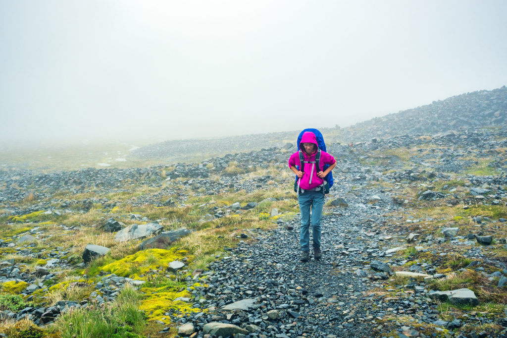
On the 5th day of our trek, our we woke-up to rain – we had been pretty lucky so far with the weather, so it wasn’t surprising that it eventually caught up with us. There was quite a bit of activity in the communal hut, with groups trying to pack their gear away from the rain and preparing themselves for a wet hike. We took our time having breakfast and let the majority of hikers leave ahead of us. There were only 2 more people left in the hut when we finally headed out.
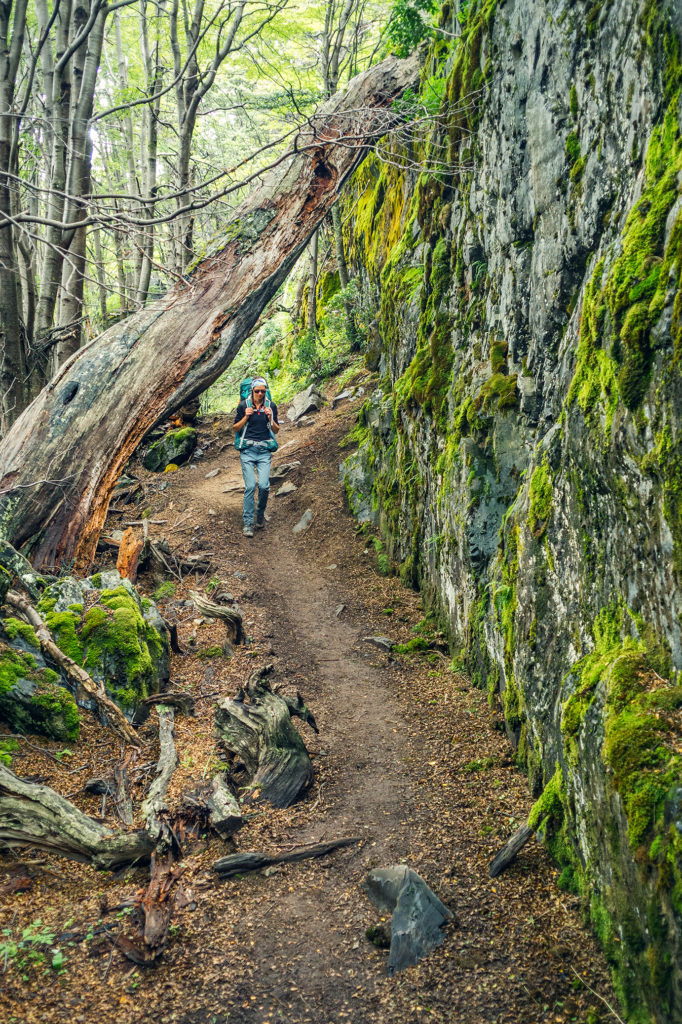
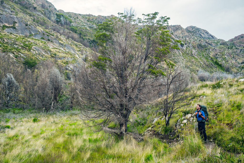
The beginning of the trail what somewhat reminiscent of climbing the Grouse Grind or BCMC in North Vancouver, single track forest trail with roots and rocks and complete with copious amount of mud. The rain had actually almost stopped as soon as we left the camp, so at least we stayed dry.
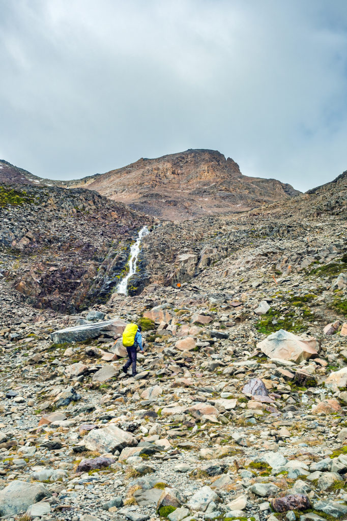
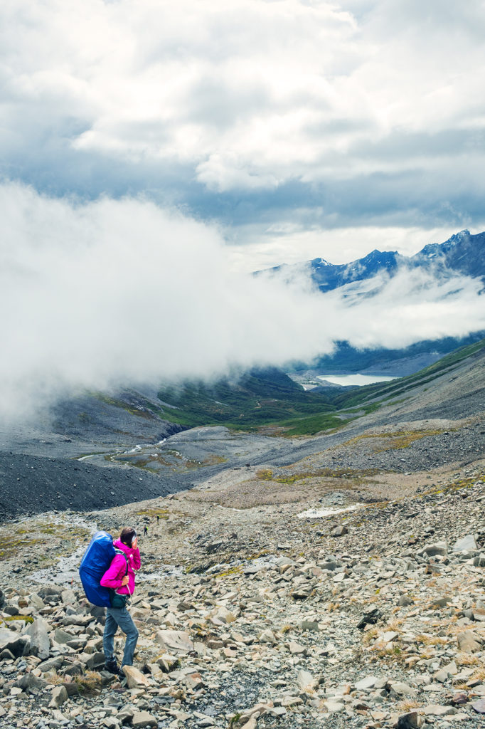
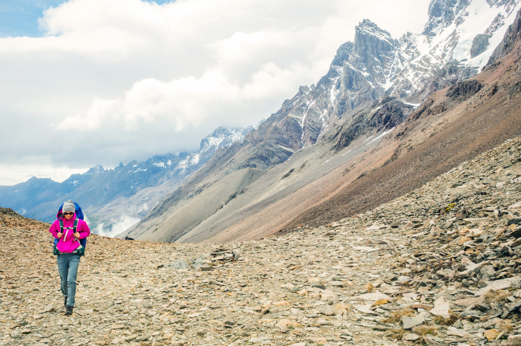
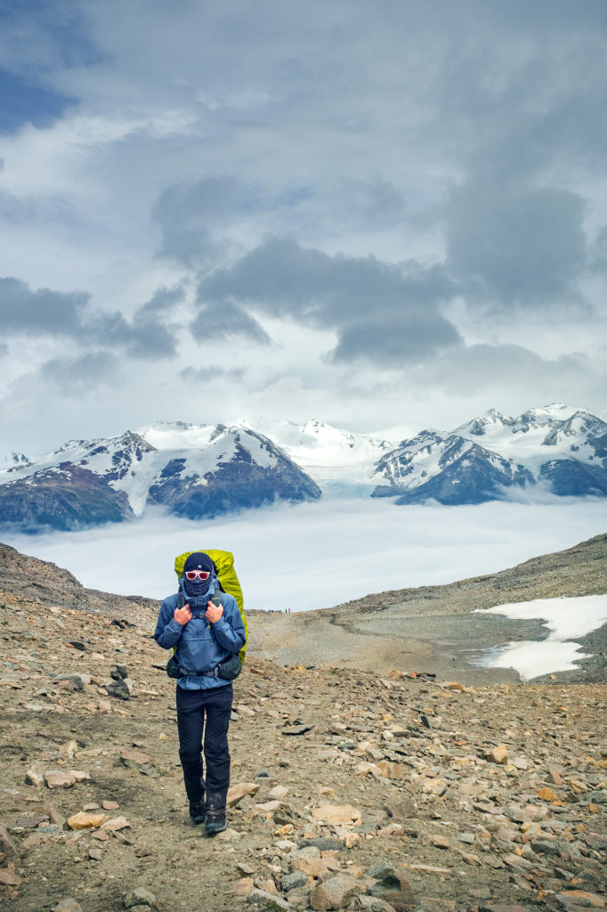
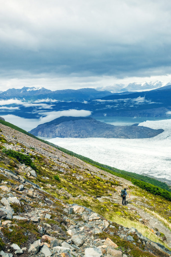
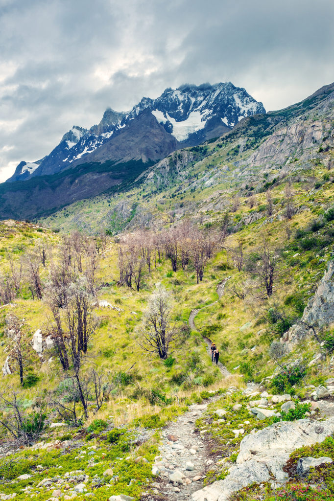
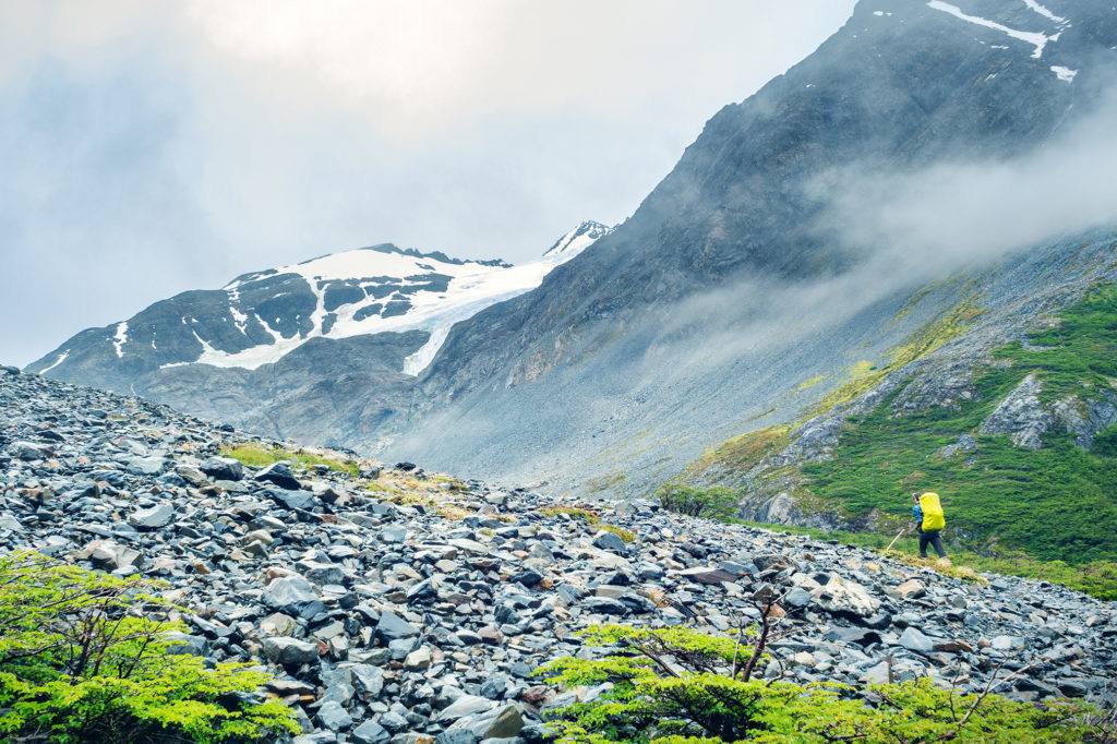
Eventually we left the tree line and started going up a steep scree. Looking up we could see pretty far to the top of the hill, and I was so glad that we were climbing this on fresh legs and not after 10km, like we would have had to if we had stayed at the Dickson campground.
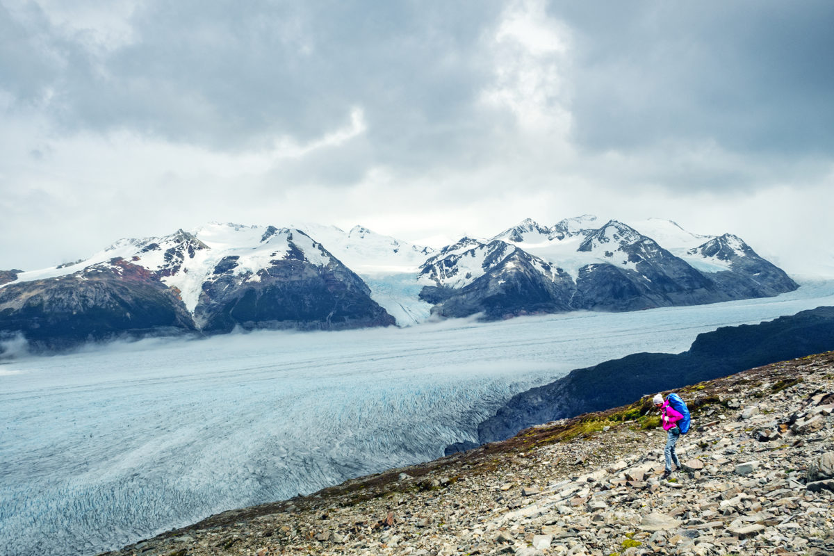
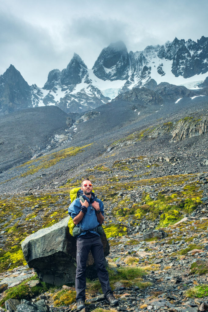
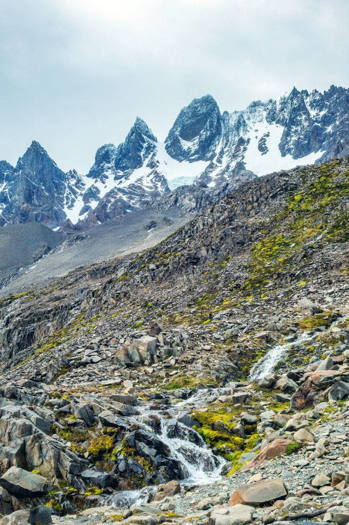
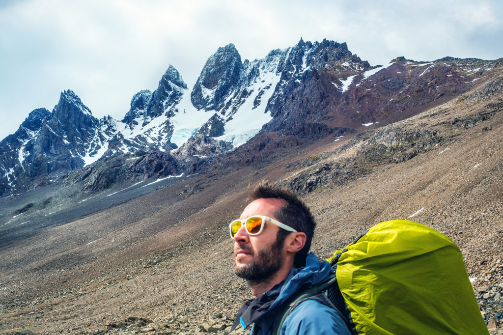
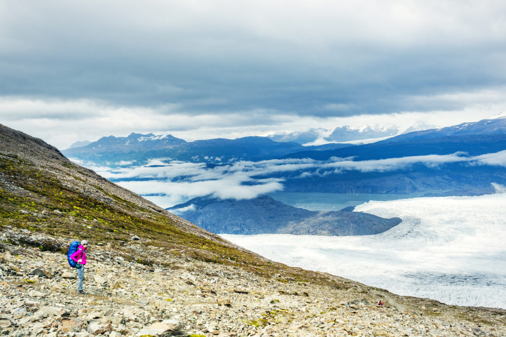
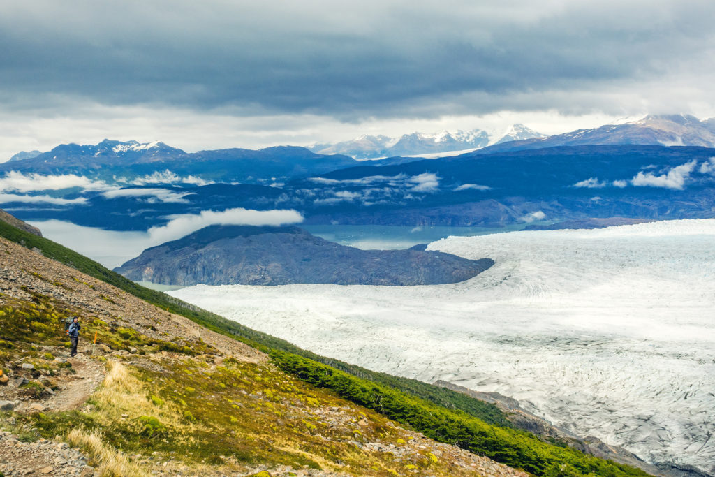
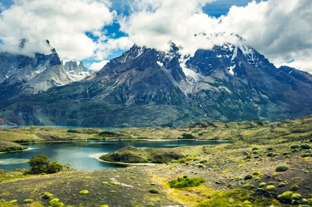
I actually very much enjoyed the climb. Although we started in the clouds, the sky was slowly clearing up and we could see pretty clearly the mountain range around us as well as below, the valley we had just come from.
We thought that Jen had gotten an early start from Los Perros but turns out she had left after us, and caught up with us on the way to the top, so we finished the climb more or less together.
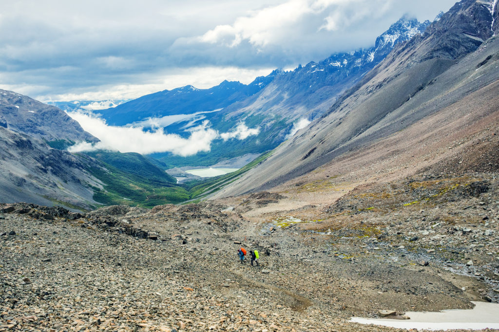
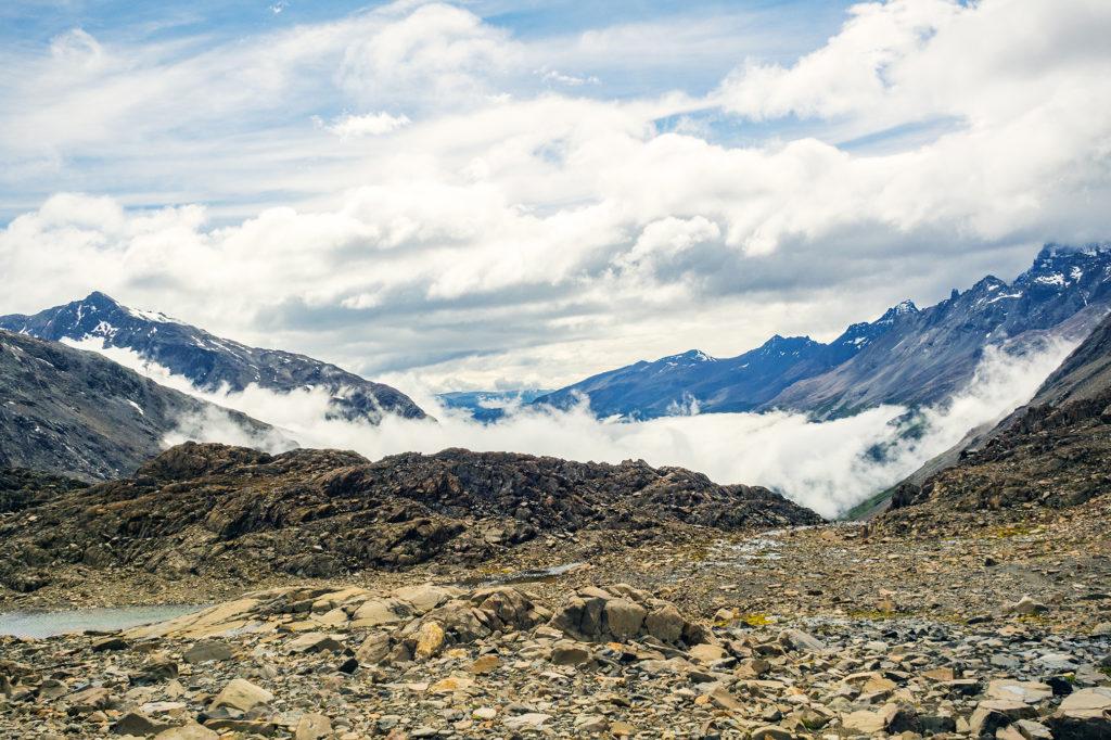
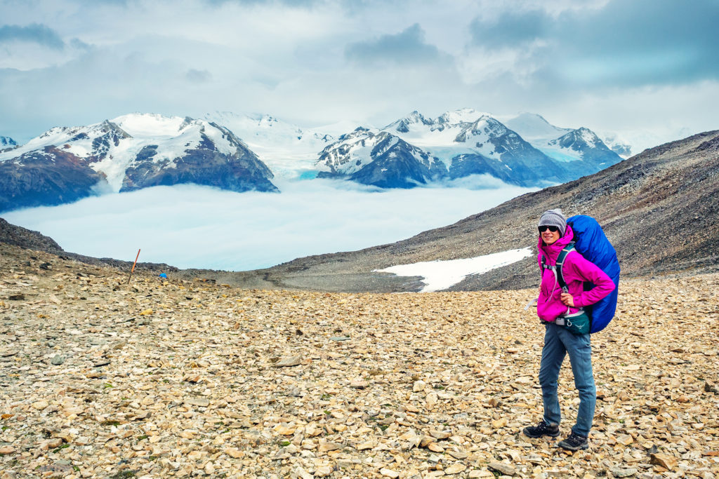
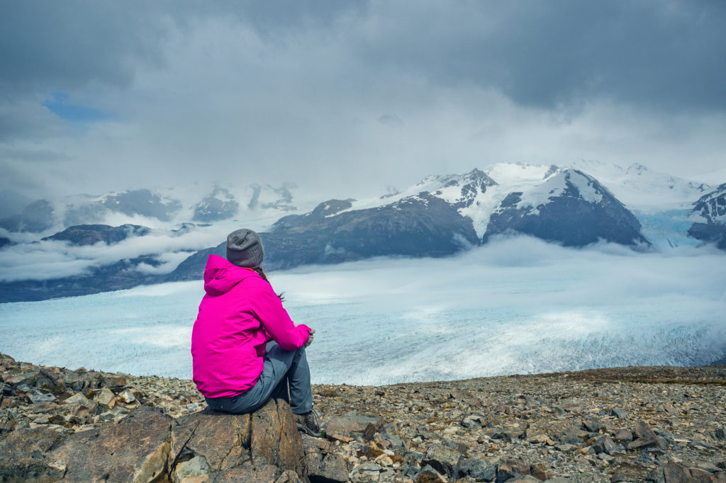
We had been warned against bad weather and really strong winds when going through the John Gardner pass. If the weather is too bad, rangers will actually close the pass and you’ll have to wait until the next day to cross – there was indeed a ranger stationed on the way to the top who I guess would be there the whole day making sure crossing conditions were good and enforcing a cut off after a certain time of the day. But once again, we lucked-out. As we stepped through the pass, the view on the other side was pretty incredible.
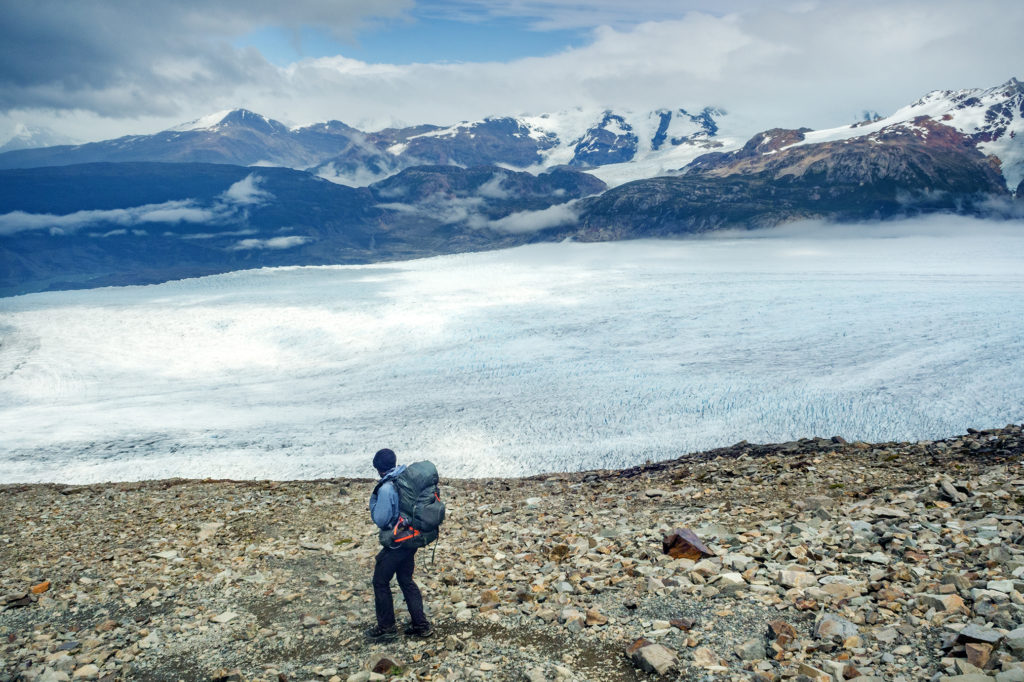
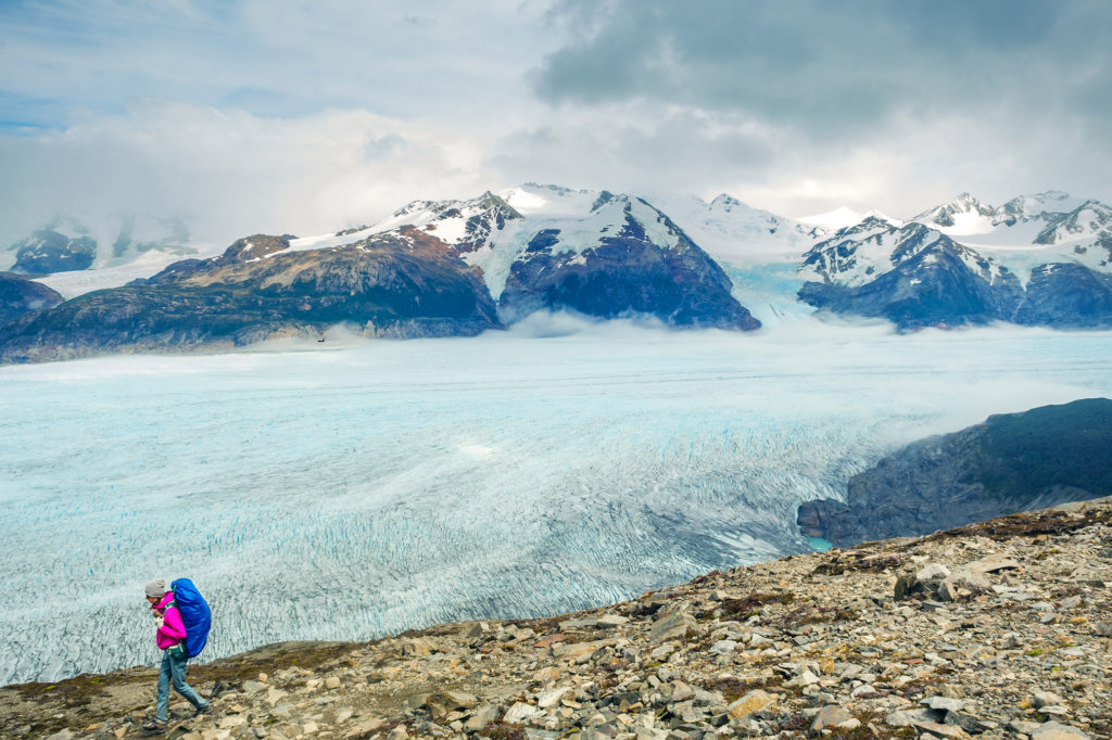
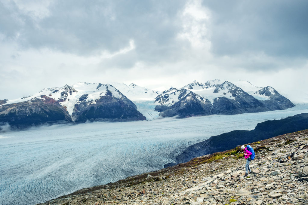
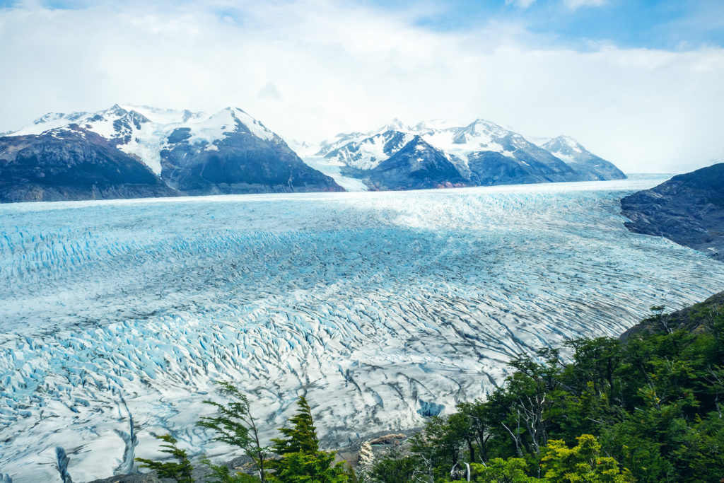
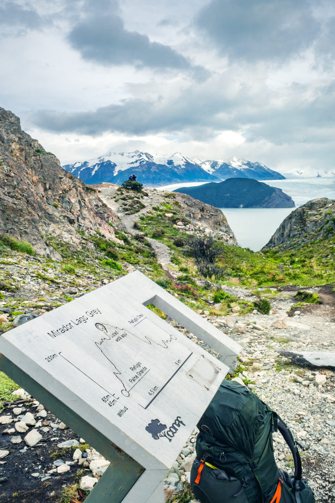
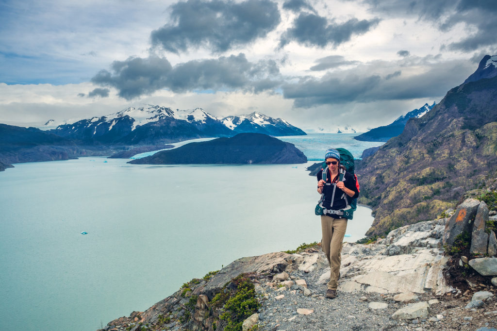
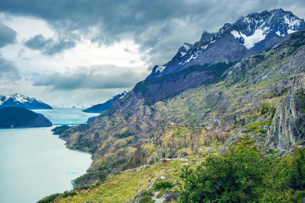
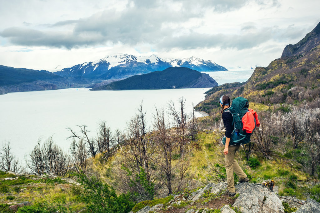
We found ourselves looking down at a sea of clouds, with sun hitting the summits of the mountains marking the edge of the Hielo Sur (the great Southern Ice Shelf), from which Glacier Grey flows down. It was a breath-taking view, of a whole different scale than the iconic “Torres”. And to make it even more exceptional, there wasn’t any wind, not even a breeze. We stayed at the top for a bit, taking in the view and as we did, the clouds below were starting the dissipate, revealing the subtle shades and relief of the glacier.
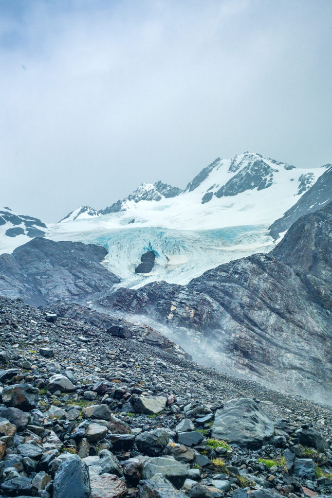
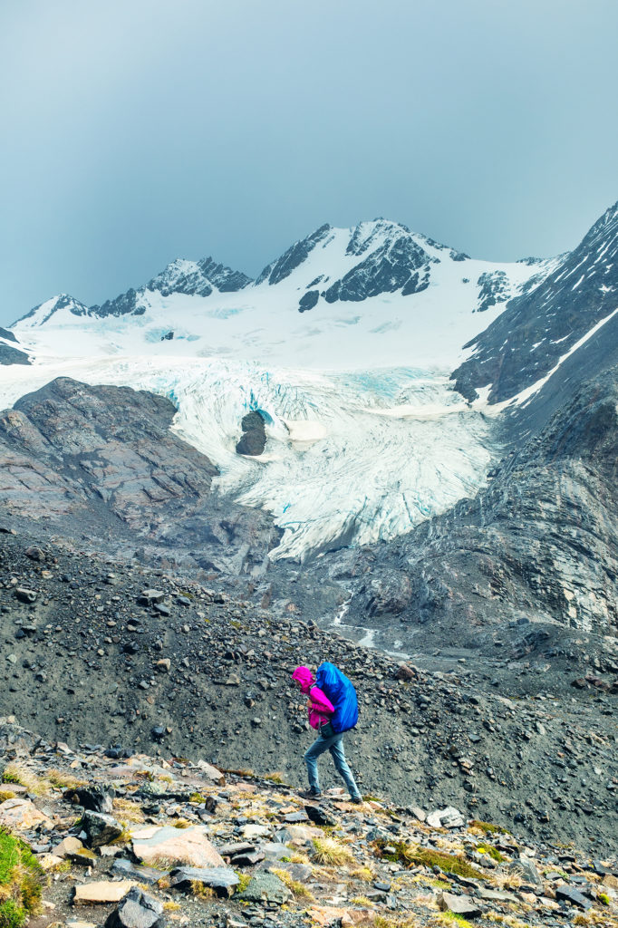
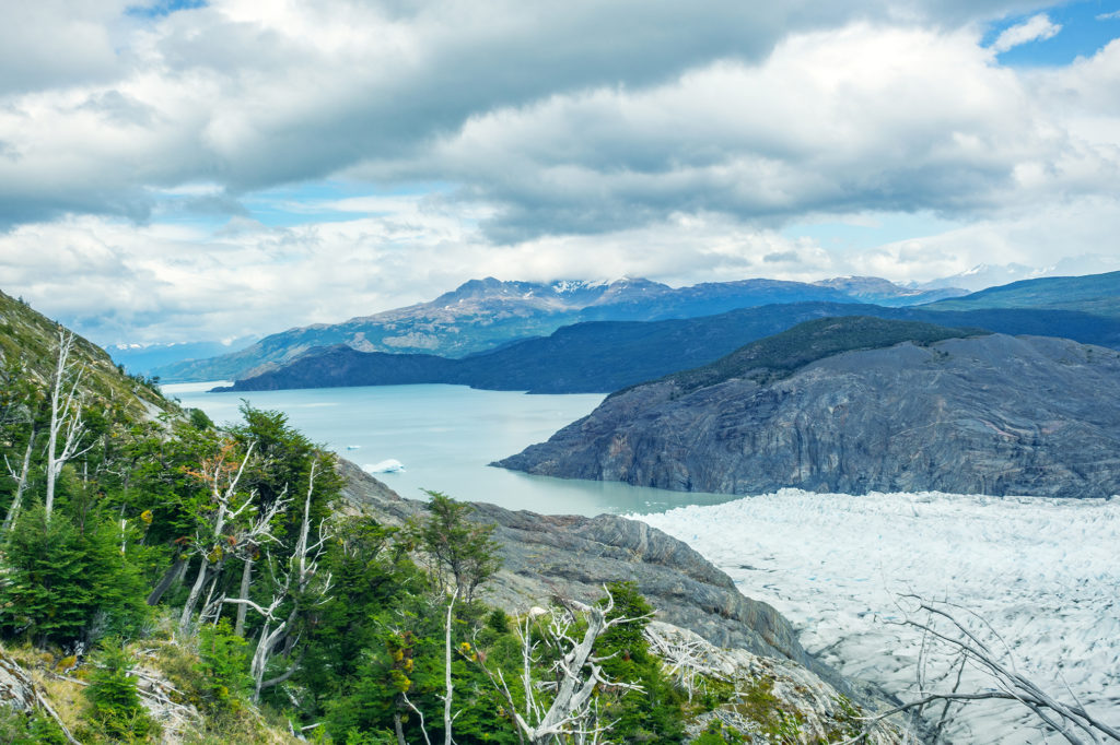
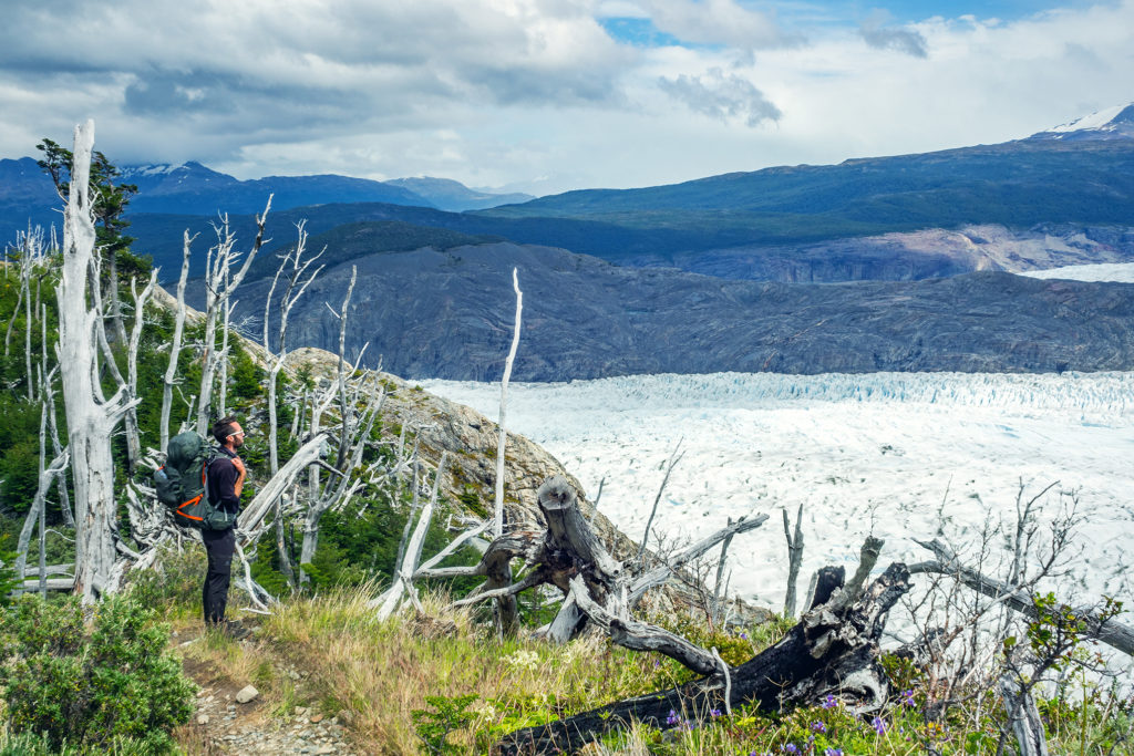
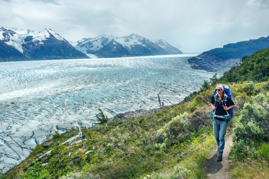
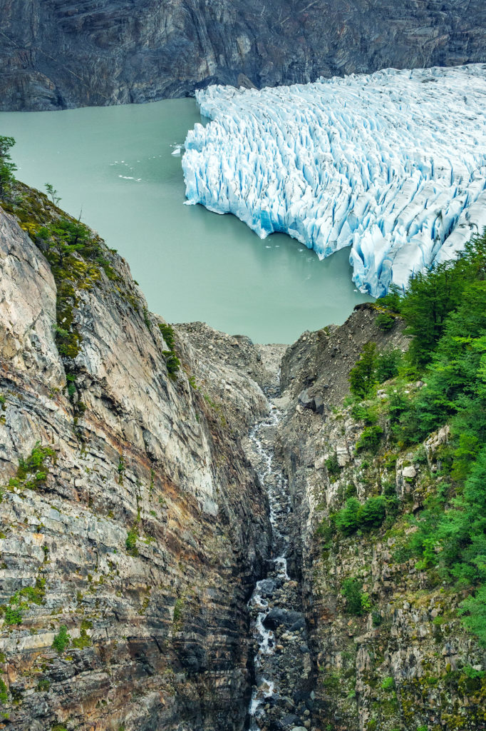
We then started to descend on the other side. We still had a bit of a ways to go to the Grey campsite, where we were going to spend our last night in the park. After climbing down the scree and moraine, with incredible views of the Glacier all along, we were back in the forest for what turned out to be one of the most challenging sections of the trek, due to the very slippery and muddy trail, and the weight of our bags on a steep downhill. Once again we had planned lunch ahead and cooked noodles at camp that morning to take with us. So when we started to feel low on energy we were able to just stop on the side of the trail and eat.
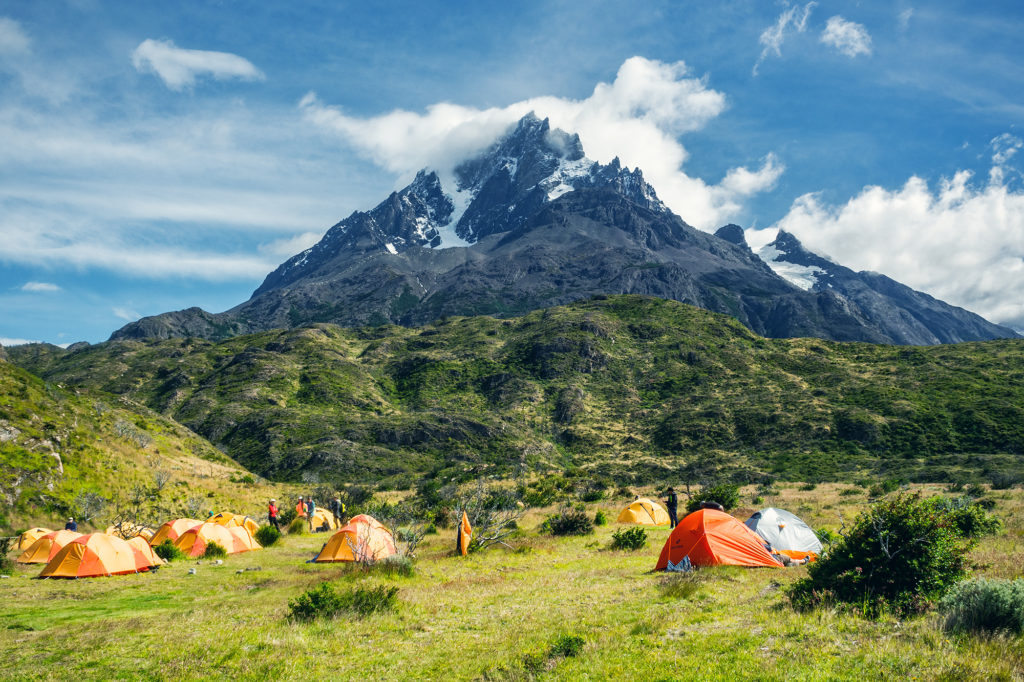
There was one more campground after the pass and before Gray, Campamento Paso. We didn’t stop there long, as it was already a bit crowded with the hikers from Los Perros who had left before us, and instead just kept moving. The sign at Paso indicated we had 10km to go to Grey campground, which the map said would take about 5 hours (it seemed a bit much on paper, but it did take us close to 4 hours).
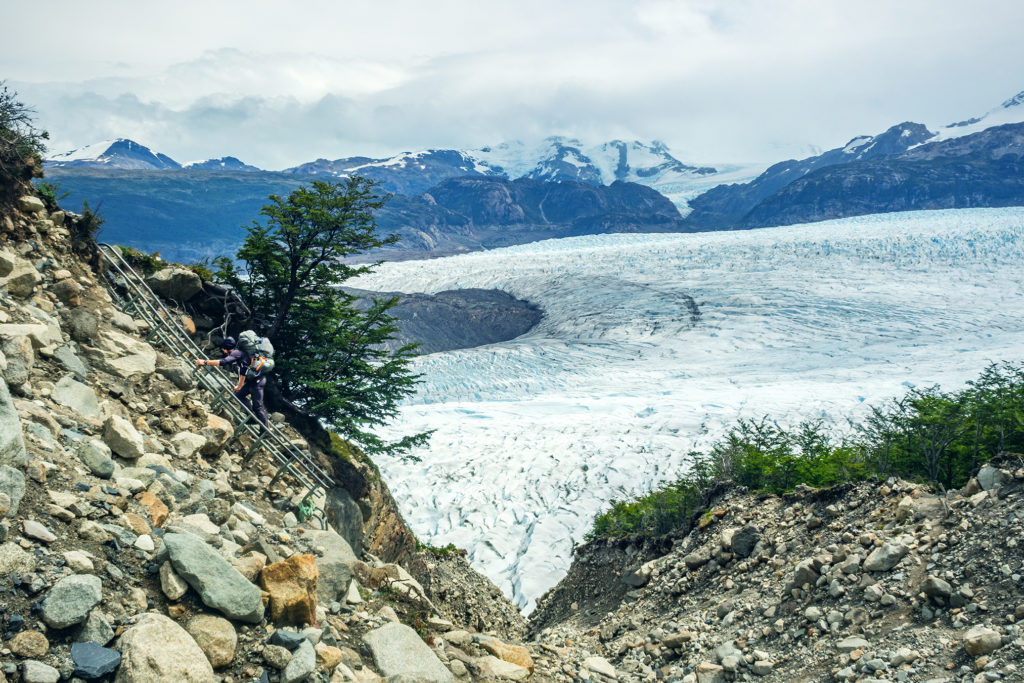
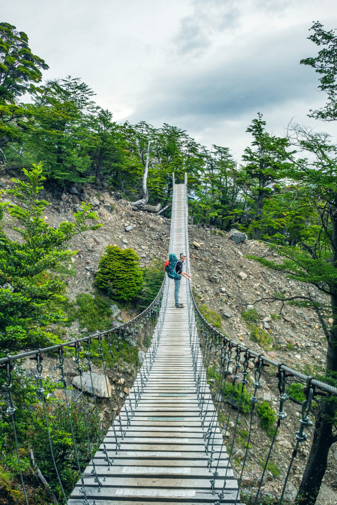
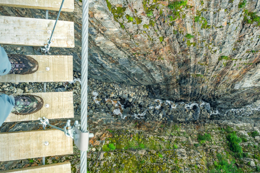
The trail continued to be pretty steep all the way down to Refugio Grey (we were going from 1200 meters to more or less sea level). There were a few cool suspension bridges along the way, and a stream crossing that involved a somewhat sketchy steel ladder anchored to the side of the small canyon.
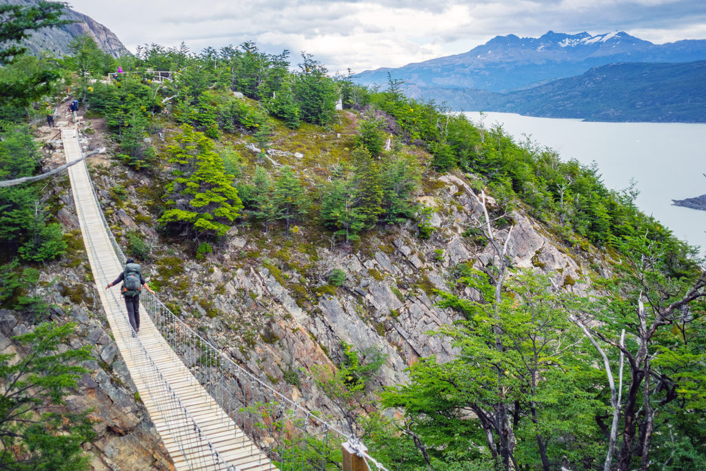
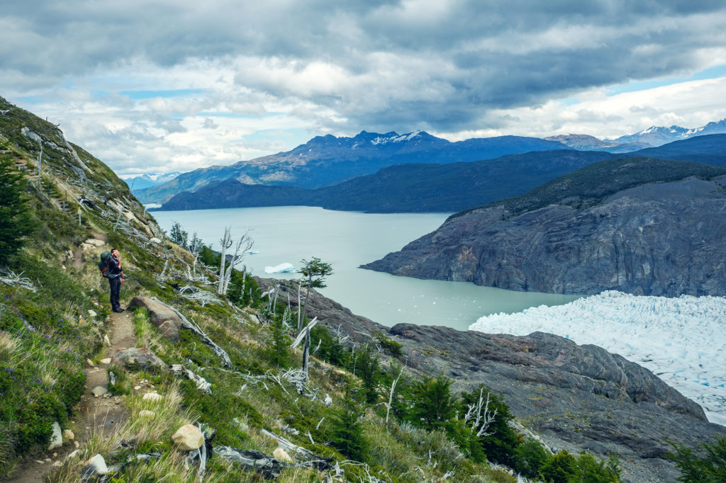
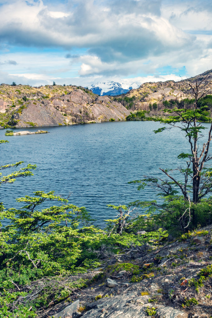
Eventually, the ridge trail took us past the edge of the glacier and along the lake. We had left Los Perros around 8:50am and after 17km we reached Grey campsite just before 5pm. Grey is a pretty big campground, as it hosts hikers finishing the full circuit, as well as “W” hikers coming counter-clockwise from Refugio Paine Grande (where we had gotten off the ferry a few days earlier).
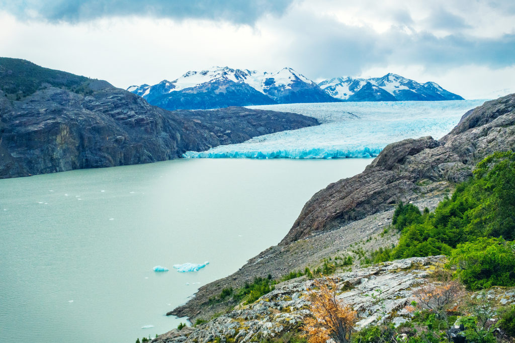
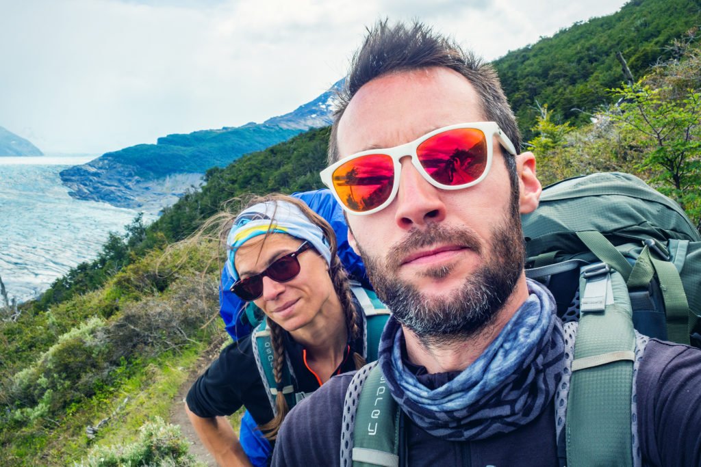
After checking in, we waited for the camp store to open and grabbed pretty much every flavor of our now favorite pound cake, as well as additional snacks to replenish our calories.
The campground advertised that showers would be heated between 7pm and 10pm. I was within the first ones in line at 7pm – which might have been a mistake, because the water was not heated yet when my turn came – unless, and I have a feeling that’s the real reason, “heated” meant warmed up from glacier temperature to room temperature…
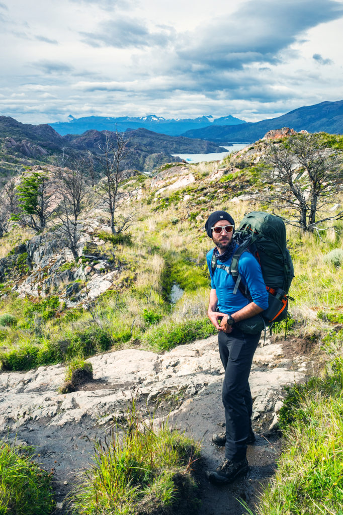
The next day was our final day in the park. We had 11km to hike to Paine Grande to catch the ferry around 11:30am, and then the bus back to Puerto Natales. This final stretch offered more views of the lake, with the glacier becoming smaller and smaller behind us.
We had already noticed that signs along the trail were approximate at best when it came to distances, but on that day we came across the most striking example of it. The first sign we reached that morning indicated that we had hiked 6km since Refugio Grey, and had 4 more kilometers to go until Paine Grande. At that point, Brice’s watch actually read 4.8km. 4km later, we reached another sign, which now indicated we had hiked 7.5 km since Grey, and had 3.5 more to go to Paine Grande. Yup, that first sign was pretty much off by about 7km, which is a bit much on a total distance of 11. So bottom line is, signs in Torres are not to be trusted.
We reached Paine Grande, on the shore of Lago Pehoe, at 10:45, with ample time to spare before the ferry arrived.
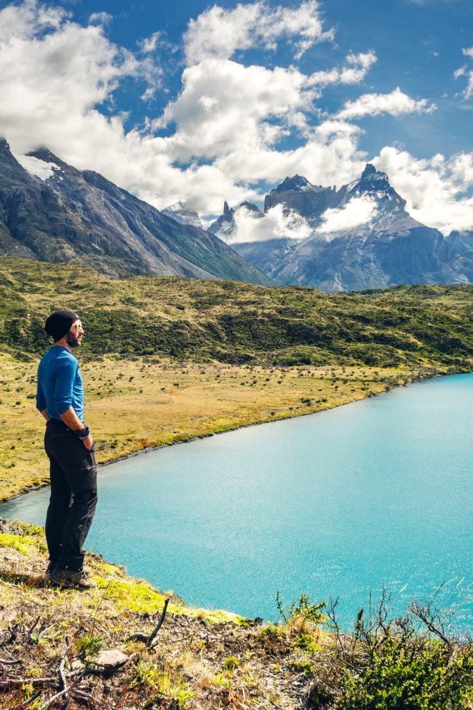
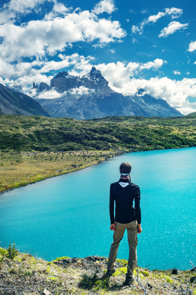
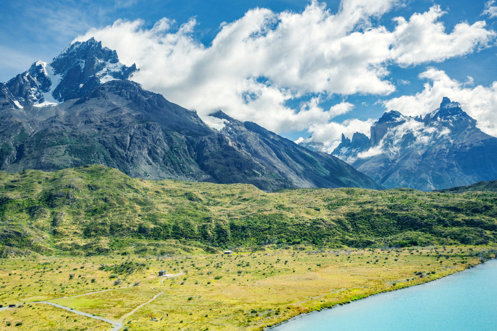
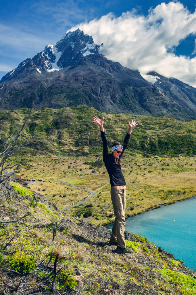
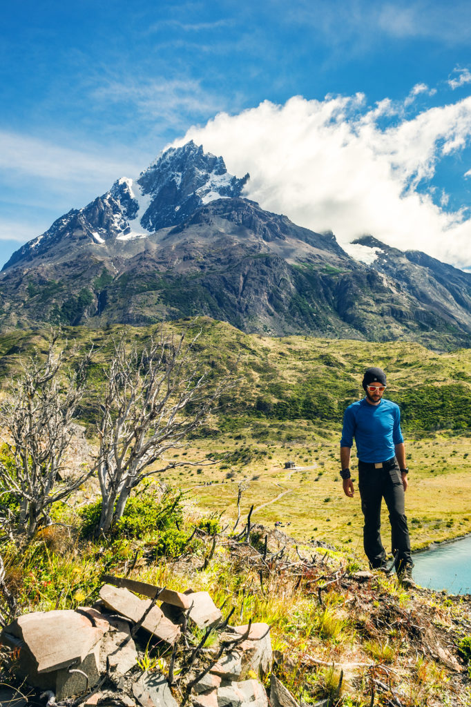
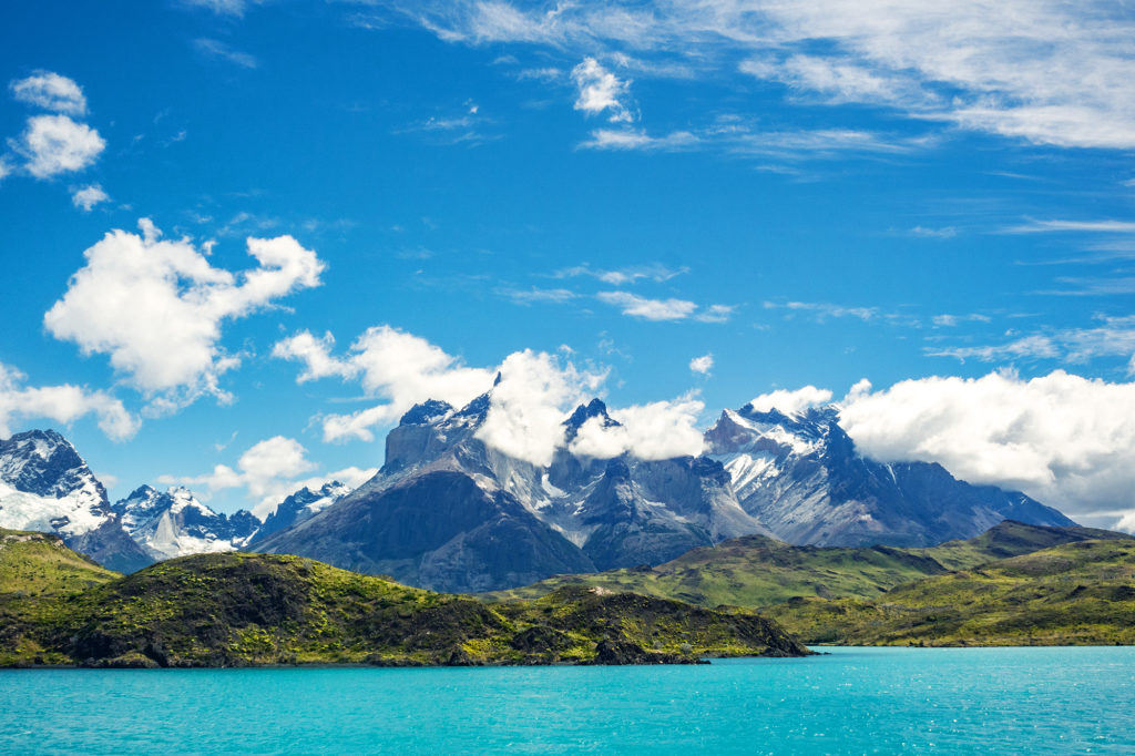
There is (or there was) an additional section of trail that you can tag onto the the rest of the circuit (which turns it into the “Q” circuit) and continues from Paine Grande to the Administration office. From there you can get on a bus back to Puerto Natales, without having to take the ferry. It seemed like in the past there might have been a campsite halfway along that section, but apparently it was closed between November and March. I had contemplated at some point staying an additional night in the park, and doing the full Q, but since the option of camping on the way to Administration wasn’t available at the time, we decided to stick to our initial plan and return to Puerto Natales that afternoon via the ferry. We did however put our bags down by the ferry dock and with that weight off, literally flew up the hill along that trail to get a higher vantage point on Lago Pehoe and all the Torres behind. The perfect vista to end our 6-day trek.
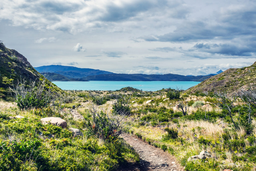
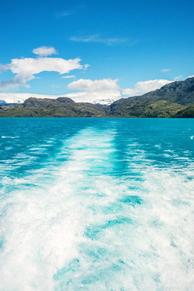
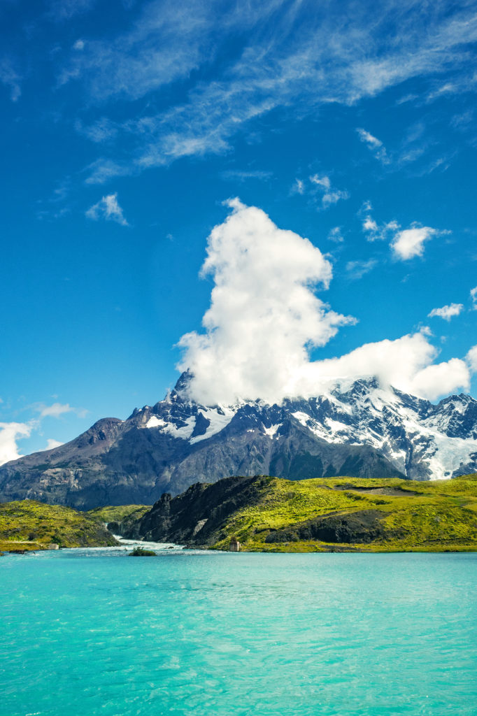
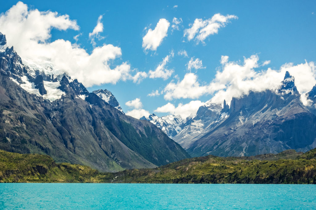
On the boat ride back, we were able to take in one last time the view of the iconic mountain range, highlighted by the turquoise water of the lake.
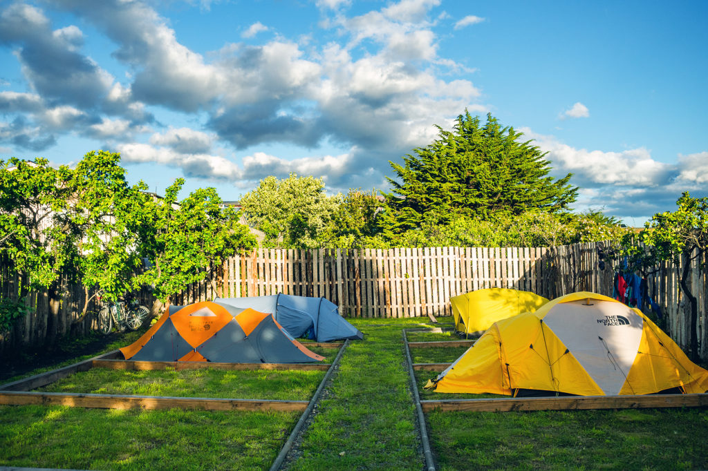
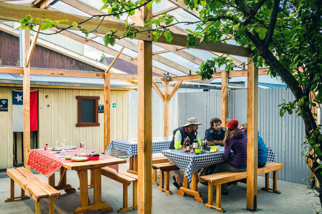
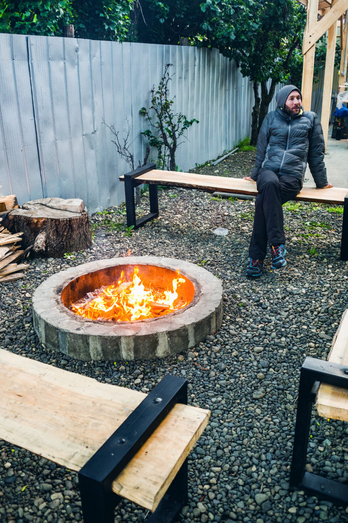
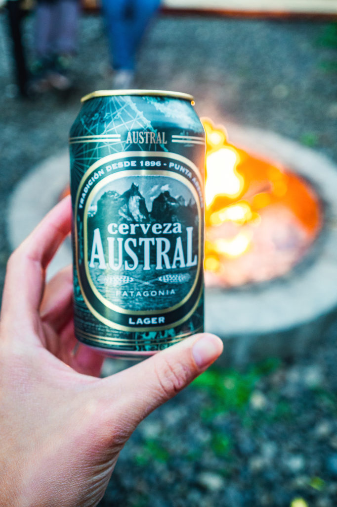
Back in Puerto Natales, we headed straight to Yellow Plum, a small campground near the center of town that we had noticed when we came through the first time around. We had been pretty impressed by the smart layout of the place and had decided to try and spend the night there rather than in a hostel, on our way back from Torres. There were 3 other tents in the small camping area. They belonged to an Italian couple, who was biking through Patagonia and had started in Ushuaia, an American who lived and taught English in Brazil and was traveling during the summer school break, and a Chilean family of four. We made each other’s acquaintance around the fire pit and later over diner, that we were able to prepare in the outdoor kitchen. The owner’s family also came for diner and to ring in the new year and at 12am, every one was outside celebrating and hugging each other. I asked Carlos (the owner) what were some of the Chilean traditions on New Year’s eve and he told me that one of them was to take a suitcase or a bag and go around the block, to bring more travel in the new year. That was easy enough for us to do and shortly after 12am, we took a stroll around the block with our (empty) backpacks on.
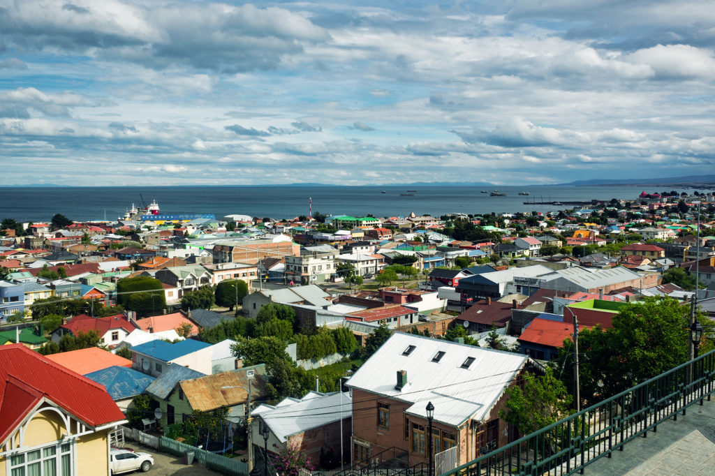
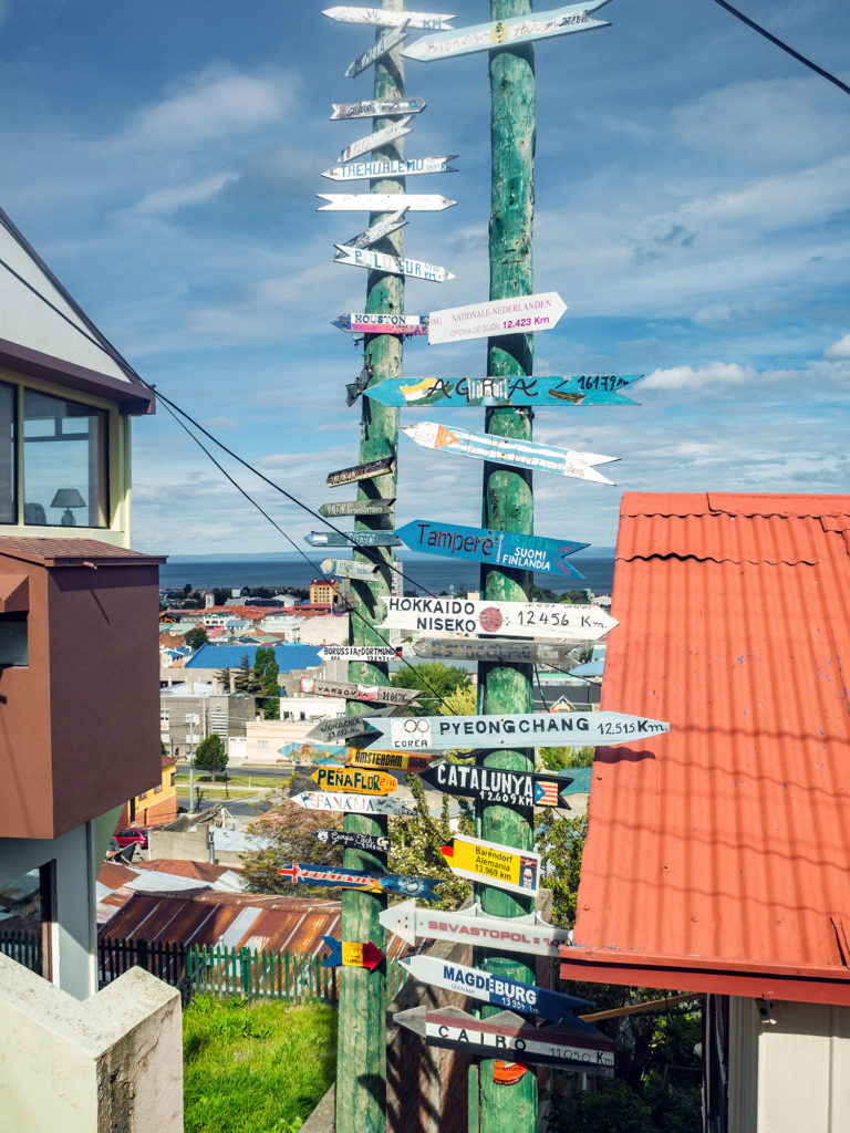
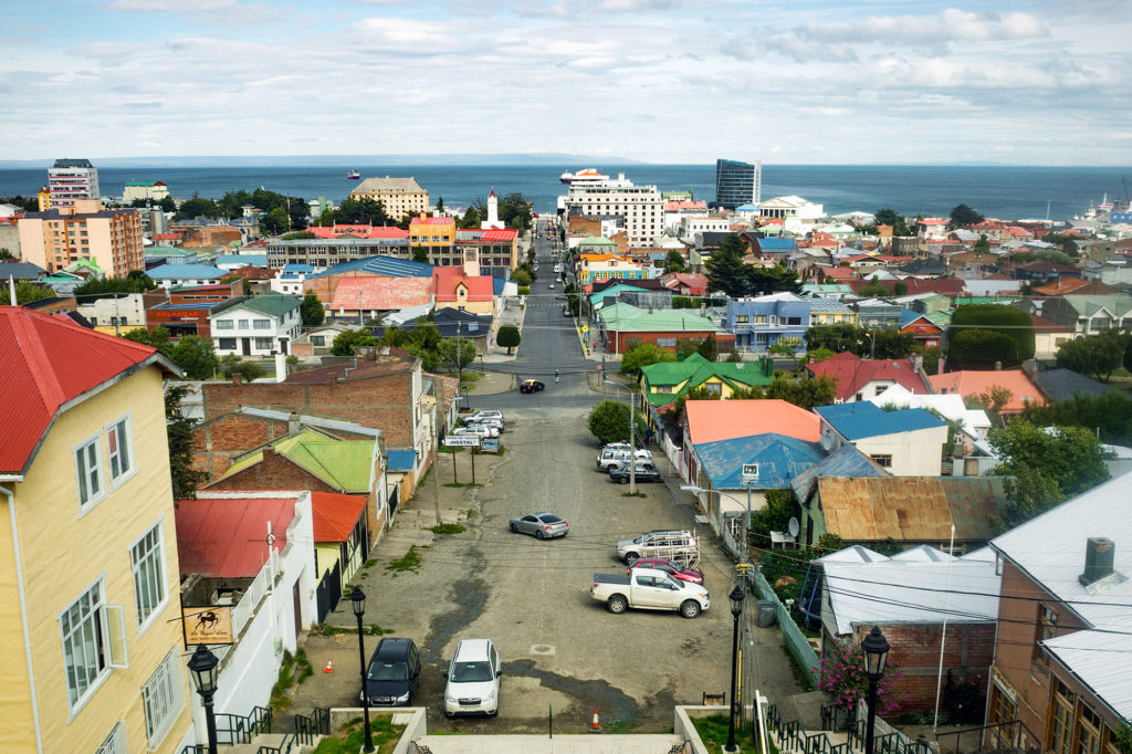
The next day we left Puerto Natales in the afternoon, and took a bus to Punta Arenas. When we originally booked our flights, Punta Arenas seemed to be the best option near Torres to fly back to Santiago (although it might be possible to fly out of Puerto Natales). When planning the trek in Torres, I had factored in an extra day so that we had a buffer in case we were forced to stay in the park longer, and to avoid the risk of missing our flight back to Santiago (and as a result, Vancouver). Since we didn’t need that extra day in the park, we spent it in Punta Arenas instead. We arrived in the evening on Jan 1st. Our Airbnb host, Miguel, came to pick us up at the airport, and took us on a quick drive around the center of the city.
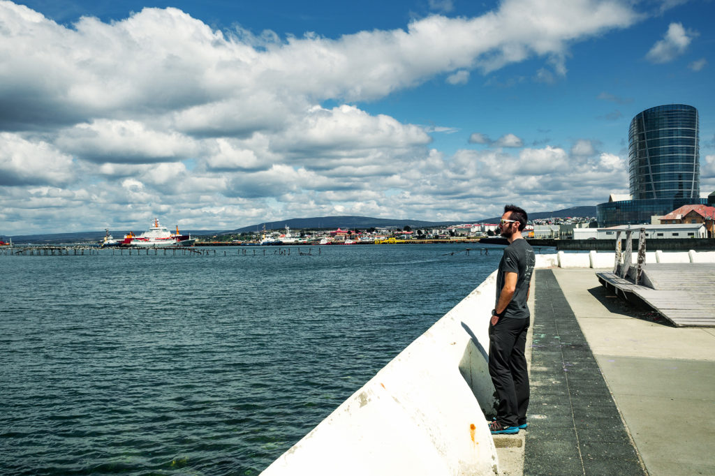
The next day our flight wasn’t until 5pm, so we spend part of the day walking around town and along the seaside, before heading to the airport. Punta Arenas is located on the straight of Magellan, which connects the Pacific and Atlantic ocean. It was the southern most place we had ever been.
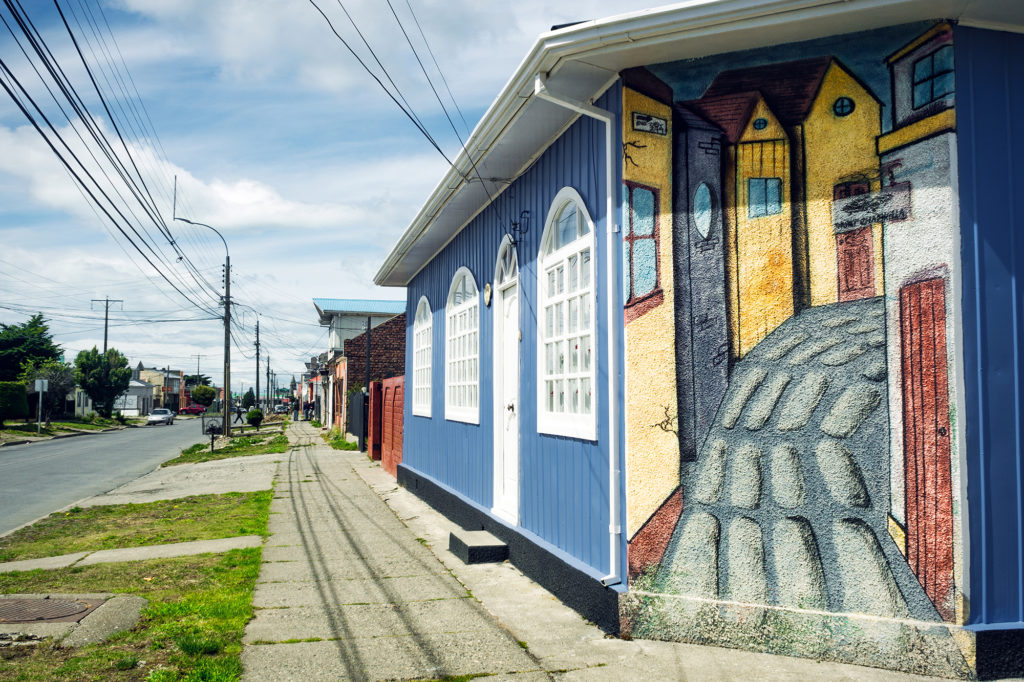
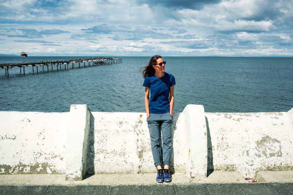
The flight from Punta Arenas to Santiago was about 4 hours. Between Santiago and Vancouver, we had a 12hour lay-over in Mexico city – but at that point we didn’t really feel like immersing ourselves in a city of 20 million people. So instead we headed to the Aero Mexico executive lounge, and for about $25 per person, we were able to spend the day enjoying comfortable couches and unlimited food and beverages, until it was time to board our flight…
And then just like that, it was time to go home…
