September 4 – Dinosaurs and Carvings
After a restful night, we packed up camp and went for a quick exploration of what initially put Tumbler Ridge on the tourist map: Dinosaurs.
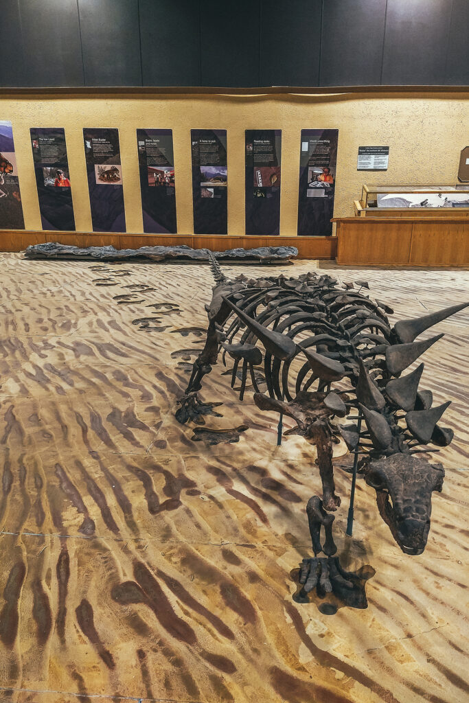
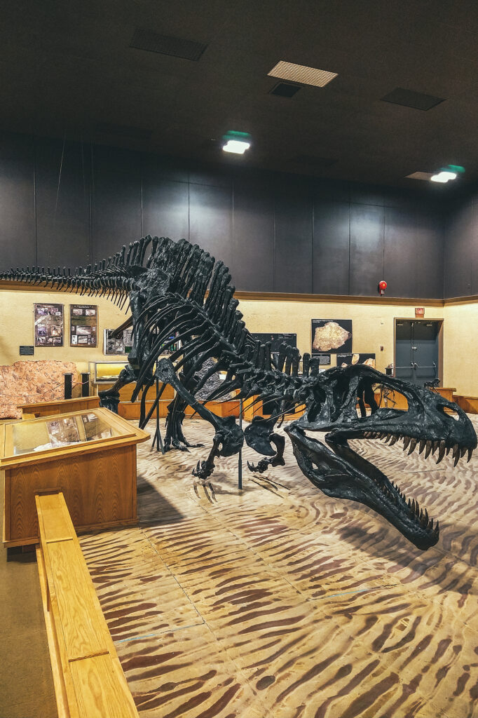
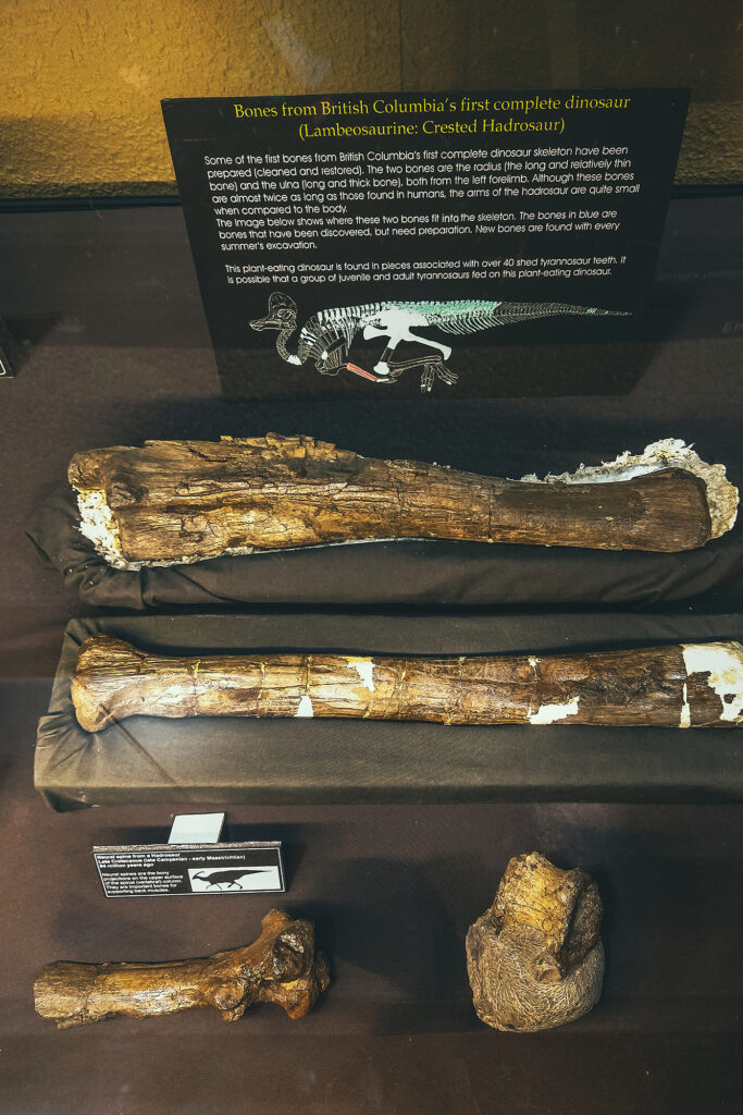
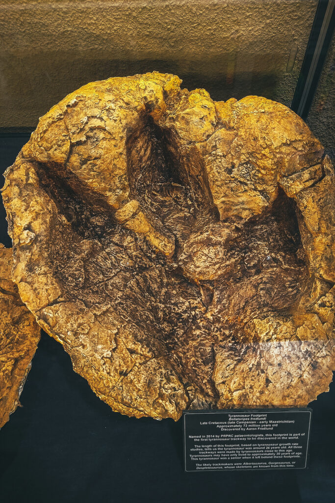
The town is fairly young, as it was built in the early 1980s as part of a huge coal mining project in the area. The mining went on for a little less than 20 years, and with the activity reducing and people moving away, Tumbler Ridge was at risk of becoming a ghost town. If it weren’t for two kids going tubing down the river one day. After falling off their tubes, they climbed on the shore and found what they thought looked like dinosaur footprints. After some nagging, they convinced their dad to send photos to a paleontologist, who indeed confirmed they were right. Turns out there were multiple tracks on the river shore, and in other areas nearby. Scientists came to explore further, ultimately discovering actual bones and other fossils. Thanks to those discoveries, and the natural wealth of the area, Tumbler Ridge is now a recognized UNESCO Geopark. We visited the Dinosaur gallery, which features replicas of the species that would have left the tracks, as well as molds of the actual footprints, and the (partial) skeleton of the first dinosaur found in BC.
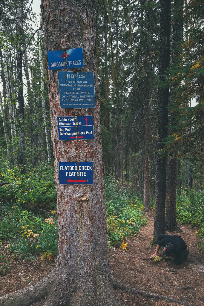
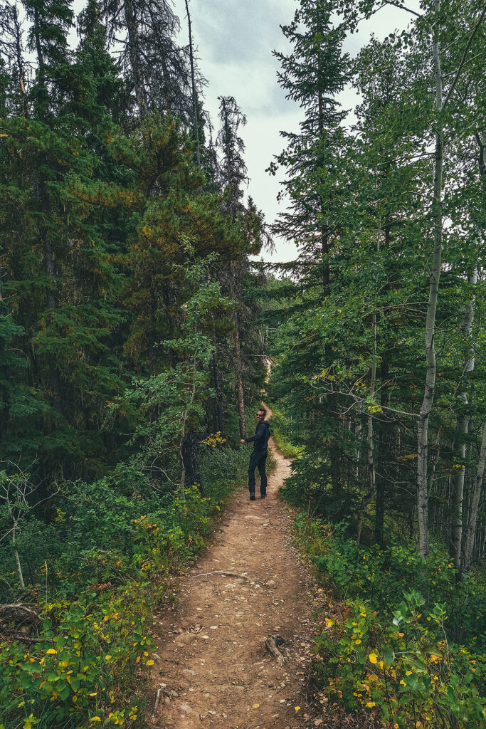
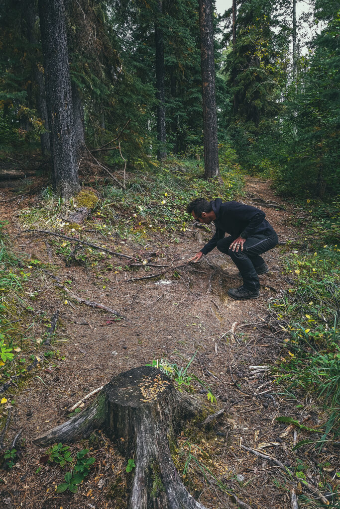
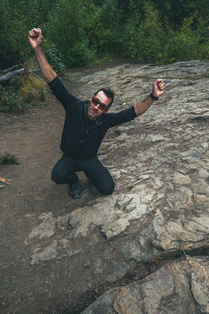
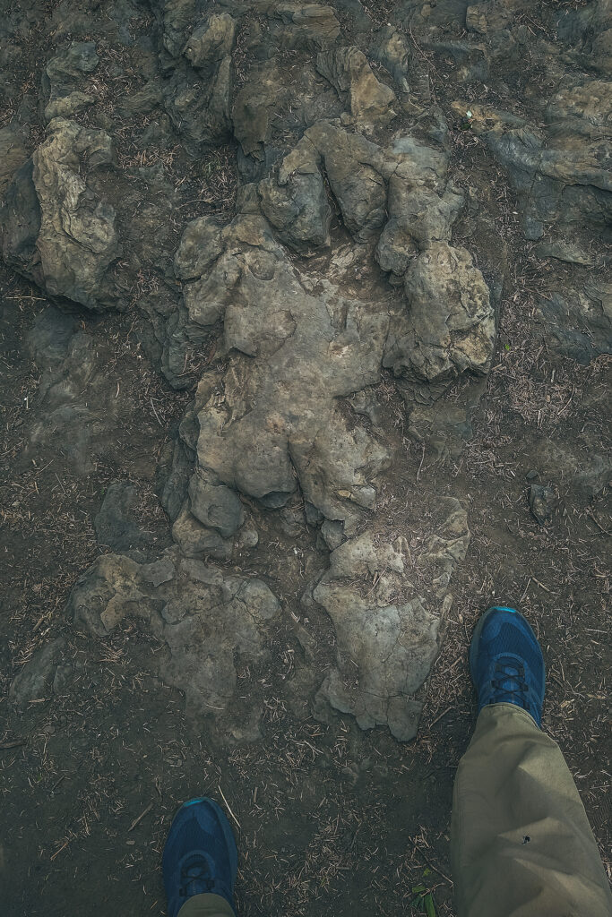
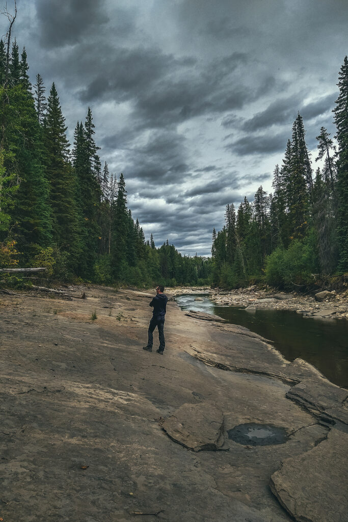
After that we decided to go see the tracks on-site. We walked the 3km (round trip) trail to Flatbed creek, where the tracks were found. There are two very distinct foot prints just as the trail meets the creek, which were easy to spot.
We crossed the creek to see the tracks on the other side (those that were first spotted by the kids), but those are quite faint and hard to see in daylight. In the summer, the visitor center offers guided tours in the evening hours, to see them under electric light (easier to see them with cast shadow). However, tours were finished for the season, plus we were leaving that day, so we didn’t get to experience that.
Even then, it was pretty incredible to see these two foot steps, neither of us had seen real life dinosaur traces on-site before, kind of blows your mind to think they stood there 100 million years ago, and their mark is still imprinted in the rock, even after the position of tectonic plates have changed, entire mountain ranges have formed around them, and they’re not even at the same longitude they were back then!
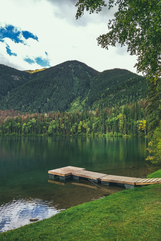
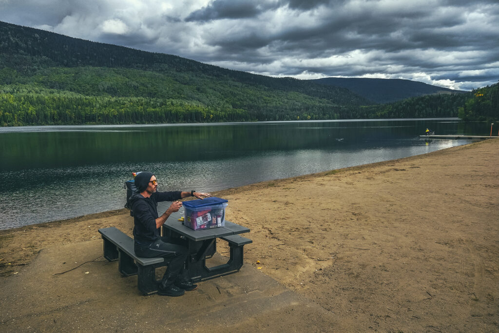
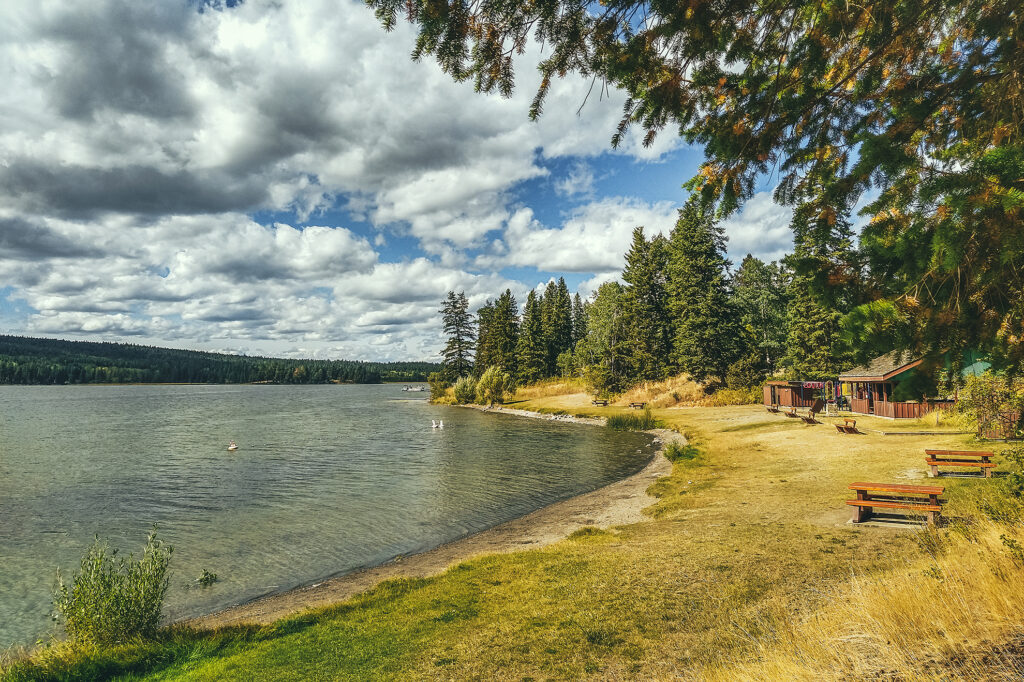
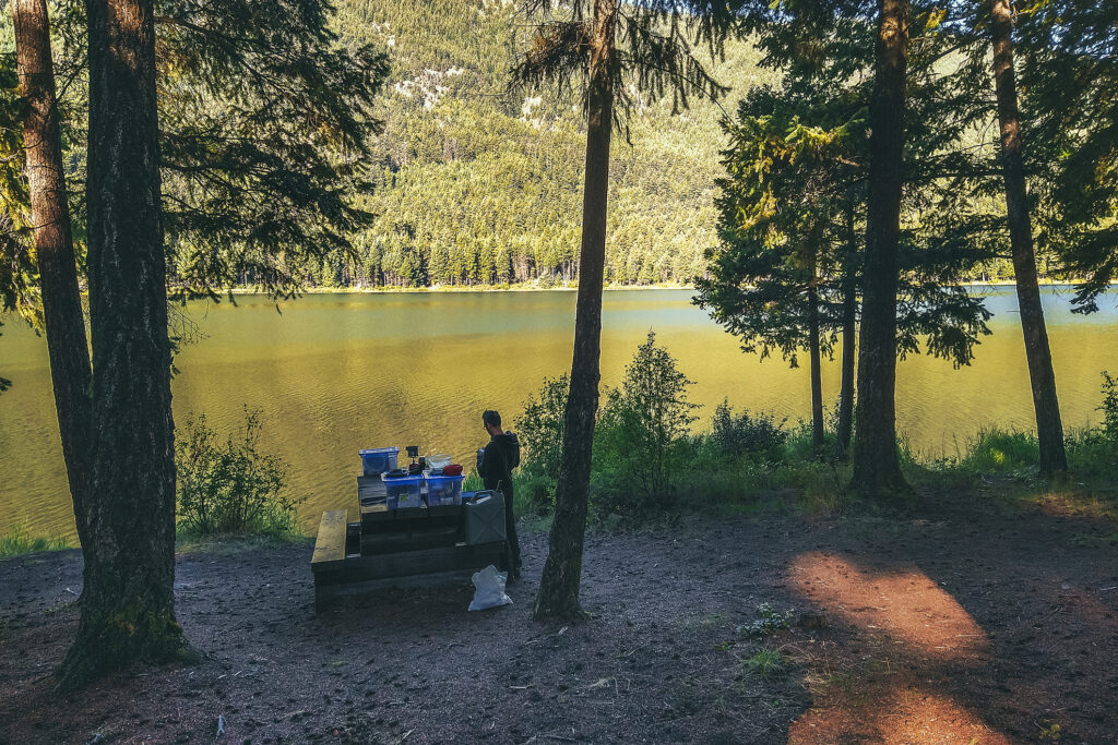
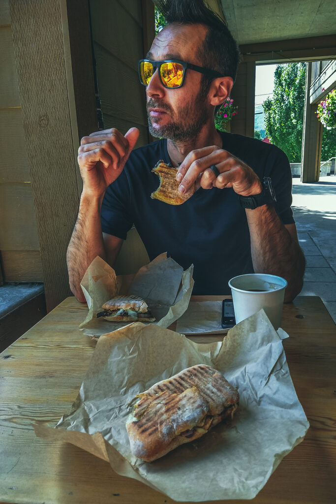
It was 2 o’clock once we were done with all the dinosaur attractions, so we got some lunch at the grocery store and headed out. We stopped at Gwilliam lake to eat, a lovely little picnic spot, then drove to Chetwynd.
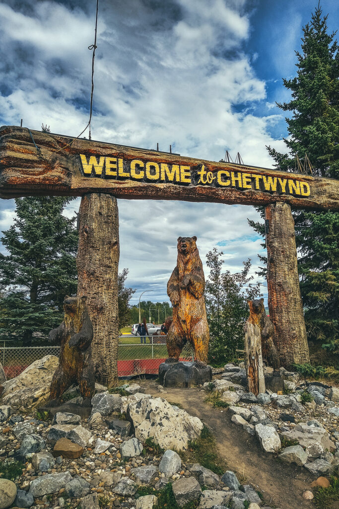
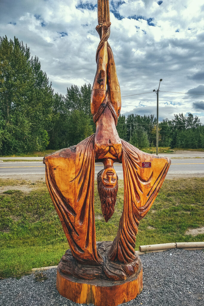
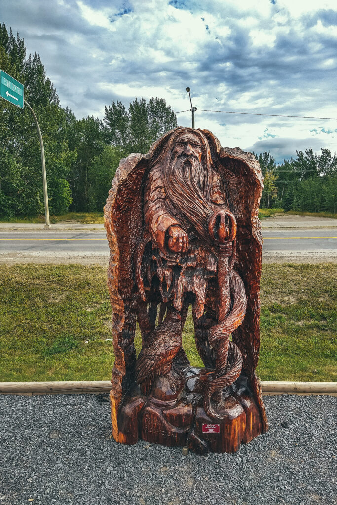
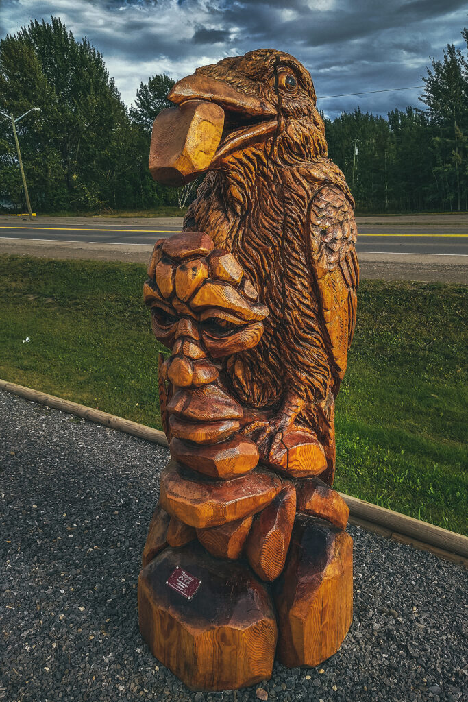
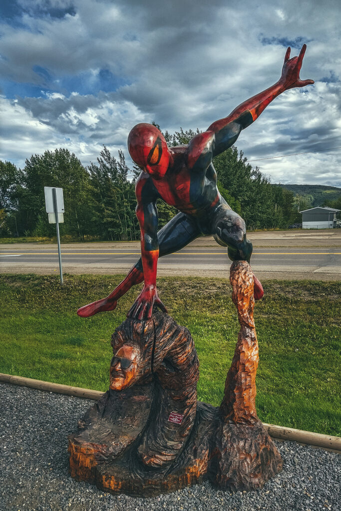
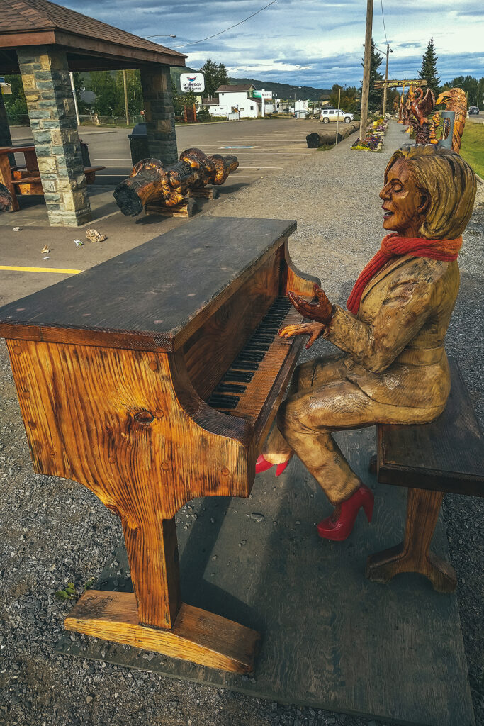
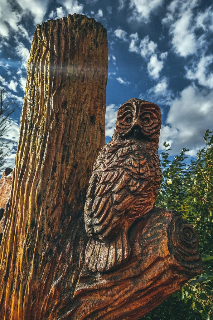
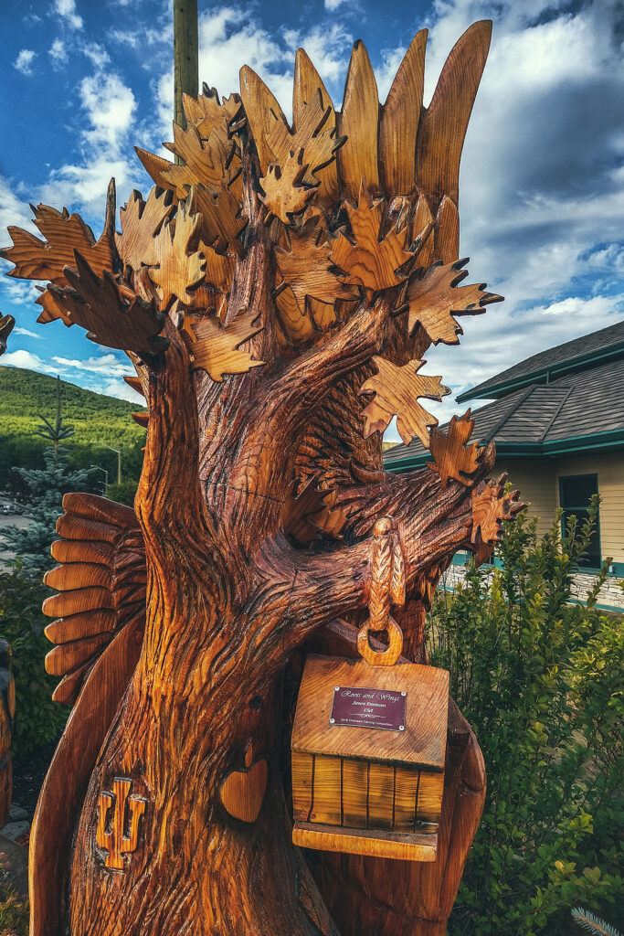
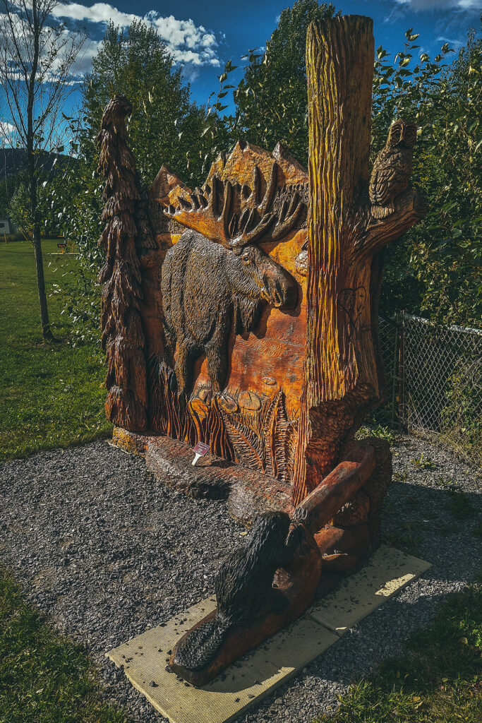
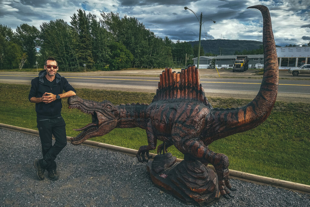
Chetwynd would likely be another small town on the highway if it weren’t for the very impressive display of chainsaw wood carvings visible along the road. Started in 2005, there is a carving competition every year in June and the result has become the town’s main reason for tourists to stop.
The sculptures were all really remarkable, especially knowing they were all done want by chainsaw – makes me want to look up videos on youtube to find out how they get that much detail with such a big tool.
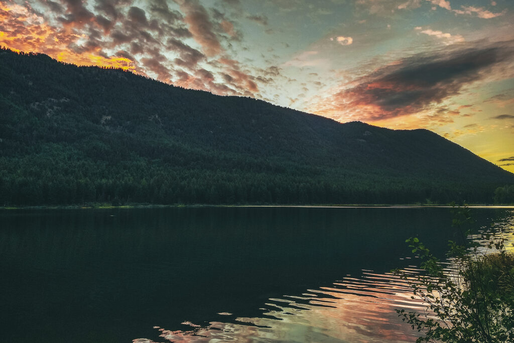
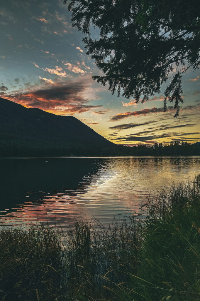
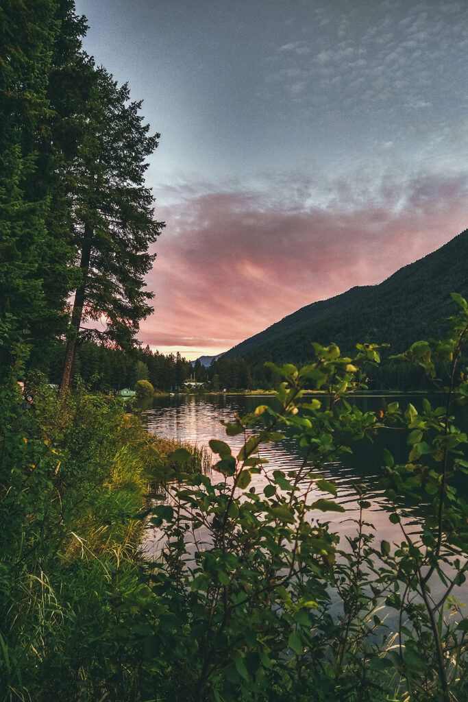
After Chetwynd, we set off to find a campsite for the night, and had no trouble finding a spot at the first provincial park we came across, Heart Lake, in Pine Le Morray provincial park.
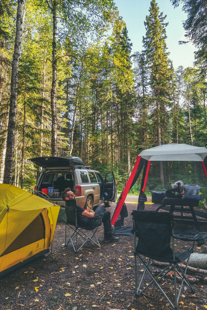
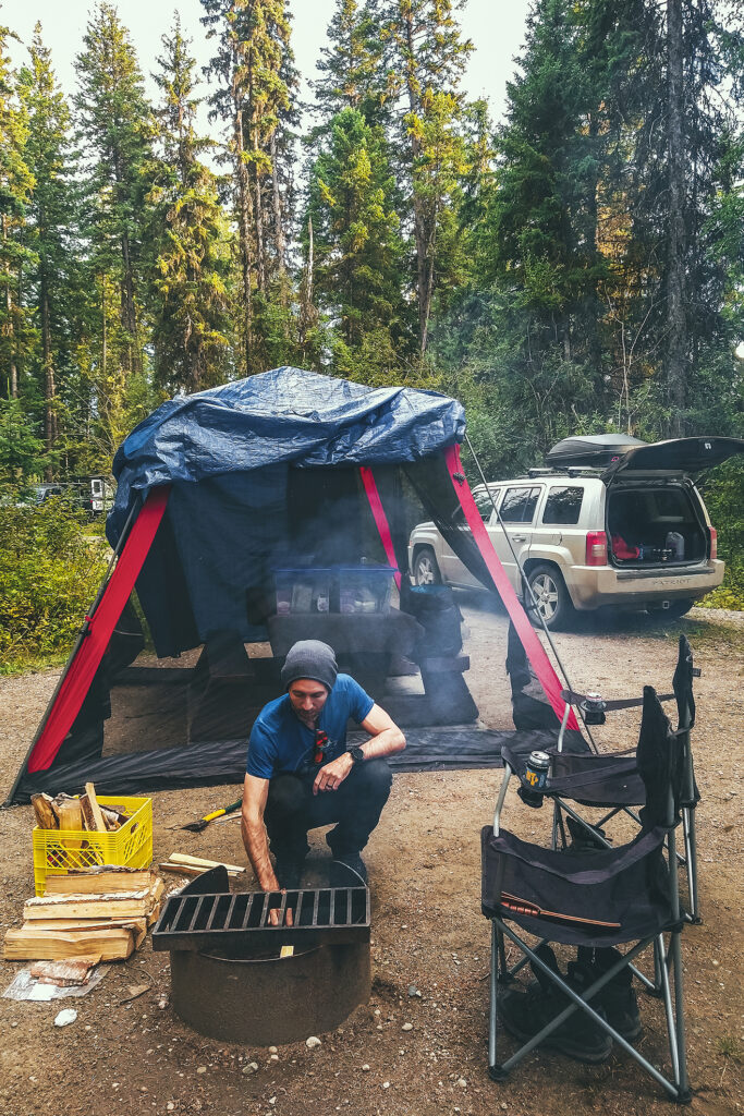
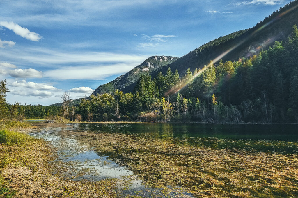
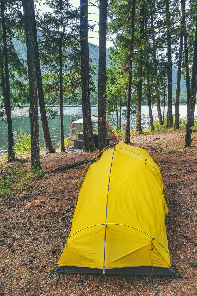
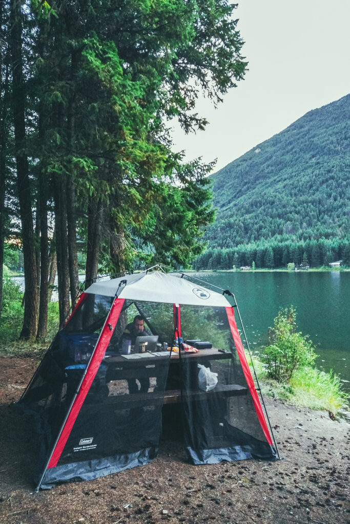
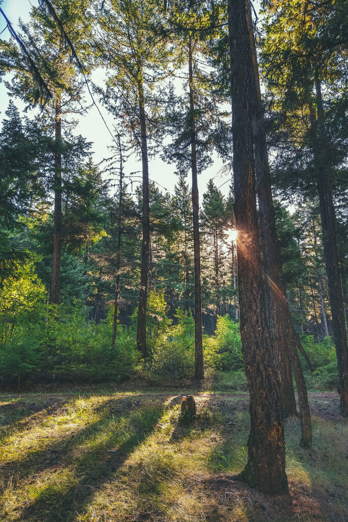
We were back to the more standard camping experience that we’d been having along the way – relatively private site in the trees with a lake nearby, and friendly but distant neighbors (and remarkably clean and toilet-paper-stocked out houses).
That night though I had a mild panic attack upon waking up in the dark to the sounds of storm, wind, rain, cracking trees, and some loud metallic ruckus that my brain couldn’t quite make sense of, while trying to determine which of these noises might be caused by wildlife (spoiler alert: none of them were). But in my half-asleep state I experienced some kind of sensory overload, until Brice pointed out that the metallic sounds were construction machinery (“you can tell by the bip-bip sound of a truck backing up”), and not by a bear aggressively knocking over garbage cans, which my groggy-self was convinced of. In fact, there was excavation work being done across the road, along with a 1:30am train coming by. Thankfully it seemed to quiet down (and so did my brain) after the train passed and we could sleep the rest of the night undisturbed.
September 5 – Prince George to Lillooet.
In the morning, we both felt a bit of camping fatigue, and wondered if we could make it home in one day. But with at least 12 hours to drive, and add 2-3 hours between lunch and other stops, that seemed like a rather brutal travel day.
We could also try to drive as far as possible passed Prince George, and try to get home the next day, but then we might hit the end of long week-end traffic congestion, and no one wants to get stuck in Lions Gate Bridge traffic after driving over 9000km up and down the country – that’s no way to end an epic road trip. So we agreed that spending a couple more nights camping would be fine, and decided to even take another short side-trip, might a well since we were only a couple hundred kilometers from Prince George, and didn’t particularly need or want to spend time in the town itself.
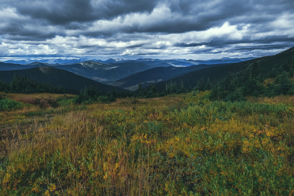
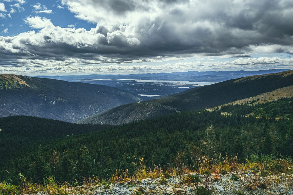
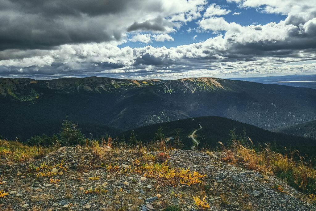
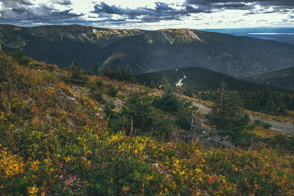
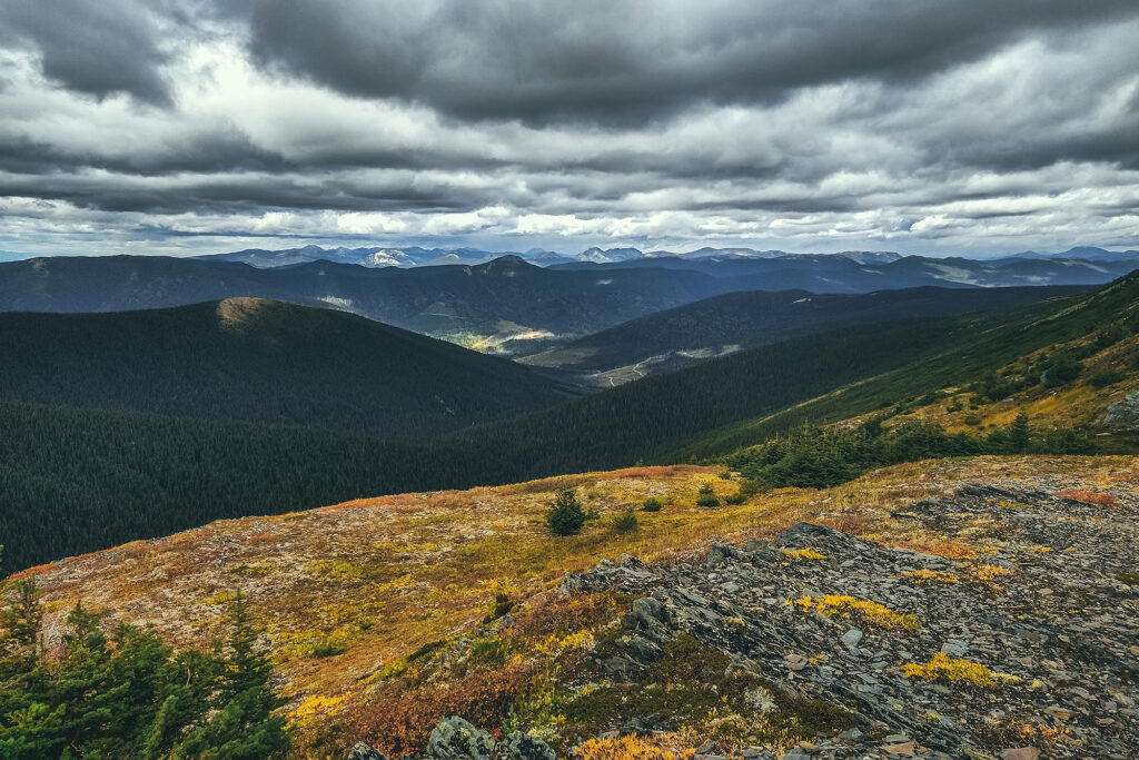
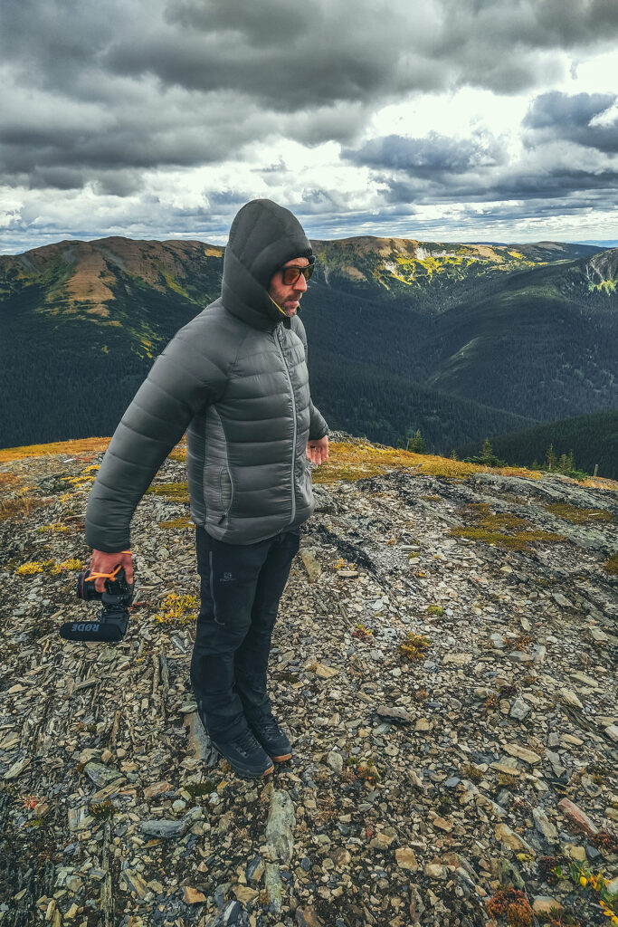
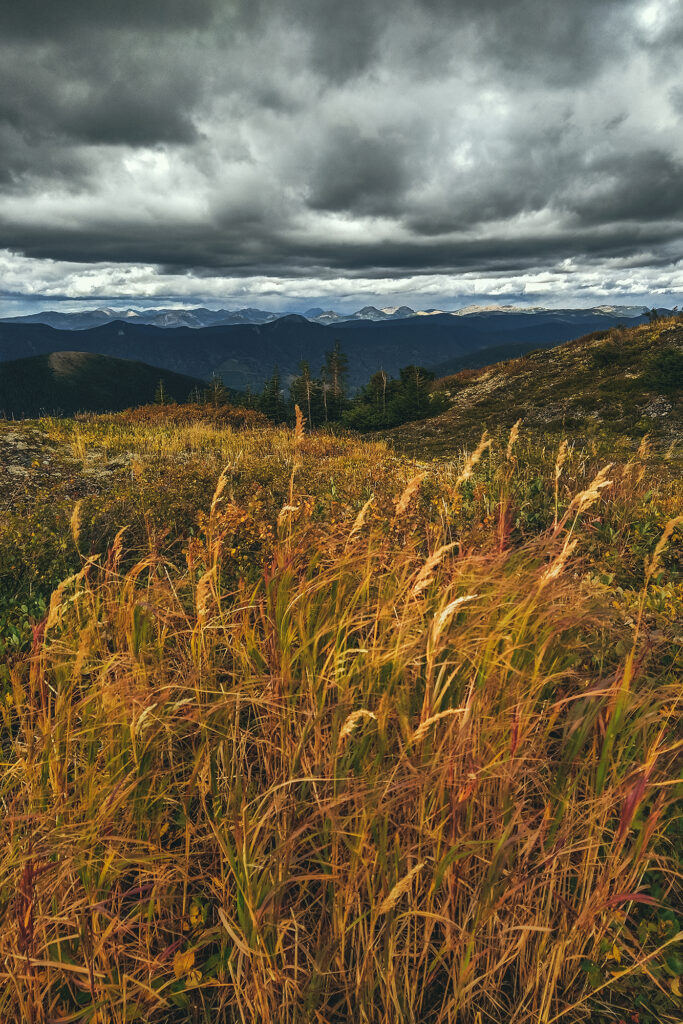
So we drove to Mackenzie, BC, after I had read that you could pretty much drive most of the way up Morfee Mountain, for easy views. And so we did. The dirt road took us almost to the summit and we then hiked 5min up the hill to get a slightly higher vantage point on a scenic view of the valley around, the town and lake in the distance.
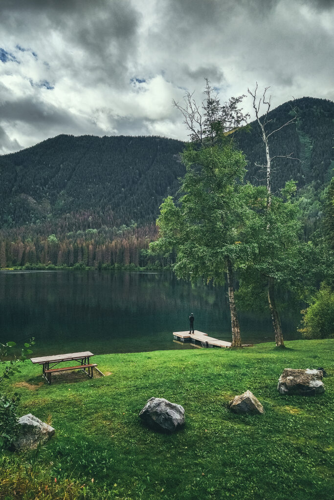
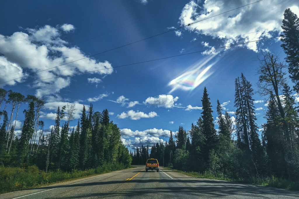
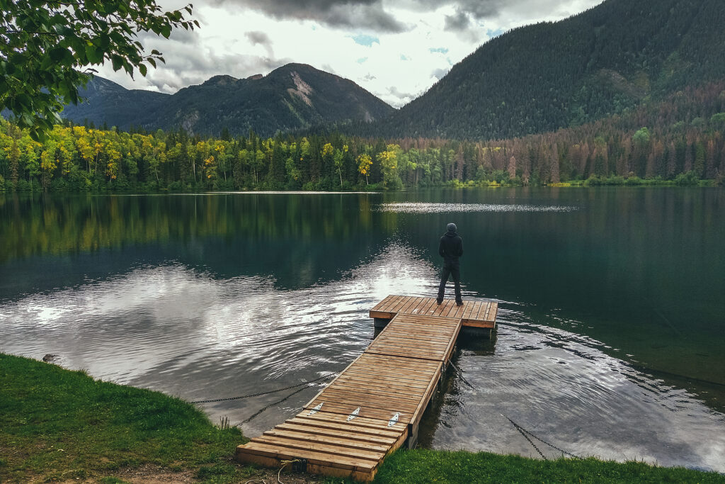
Then we drove down to Morfee Lake to have a pleasant lunch by the water. The rest of the day was spent driving. The only stop I wanted to make in Prince George was at Terry’s Fresh Hot Bannock, a place that made donut-like bannock. But like many places along the that way we reached on a weekend, it was closed on Sundays. With that, we picked the first provincial park within the next 150 km and landed at Ten-Mile Lake, near Quesnel, to spend the second to last night on the road.
September 6 – Lillooet to Vancouver
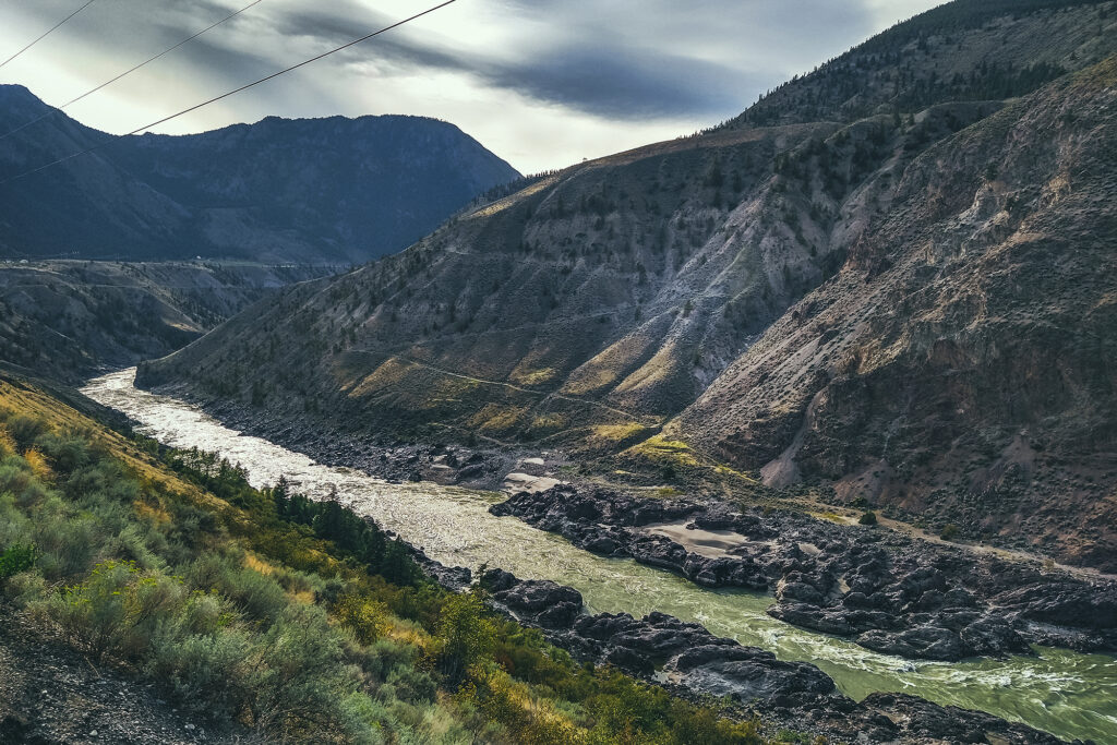
We left the campsite around 11 am, after taking our time for breakfast. We decided to go home through Lillooet and the Sea to sky Higway, rather than Merritt / Hope like we did a month prior. Some of it was to avoid the fire areas, especially since there was now a large fire zone on the Coquihalla highway, and also it was good way to have one last night near home but still in a remote area.
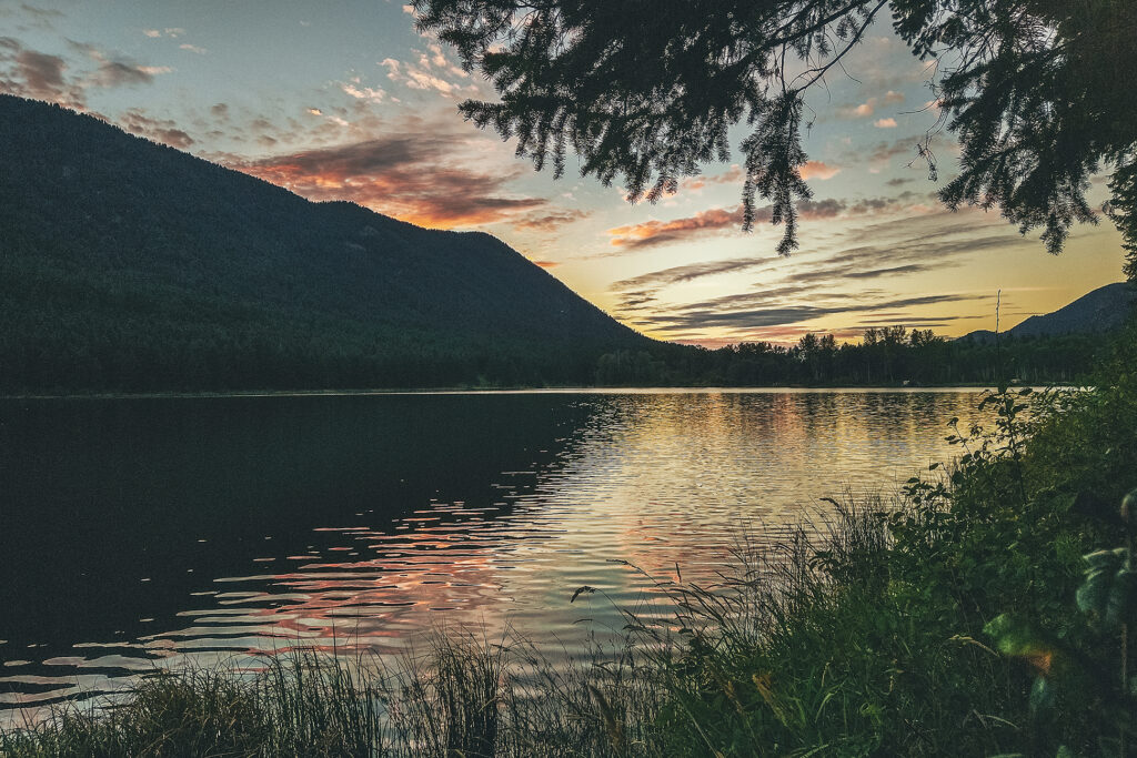
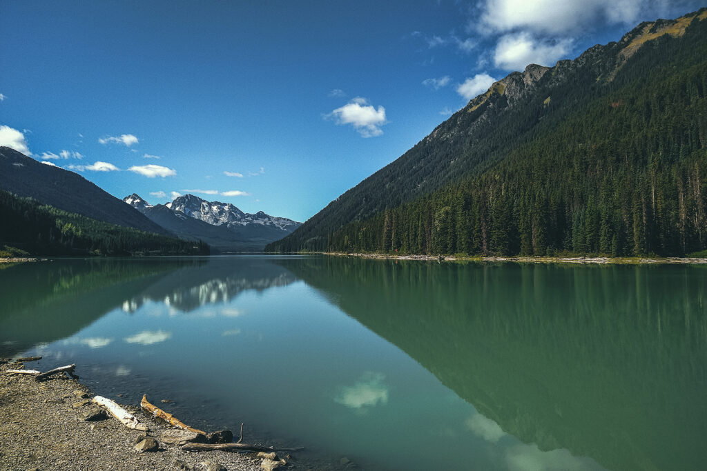
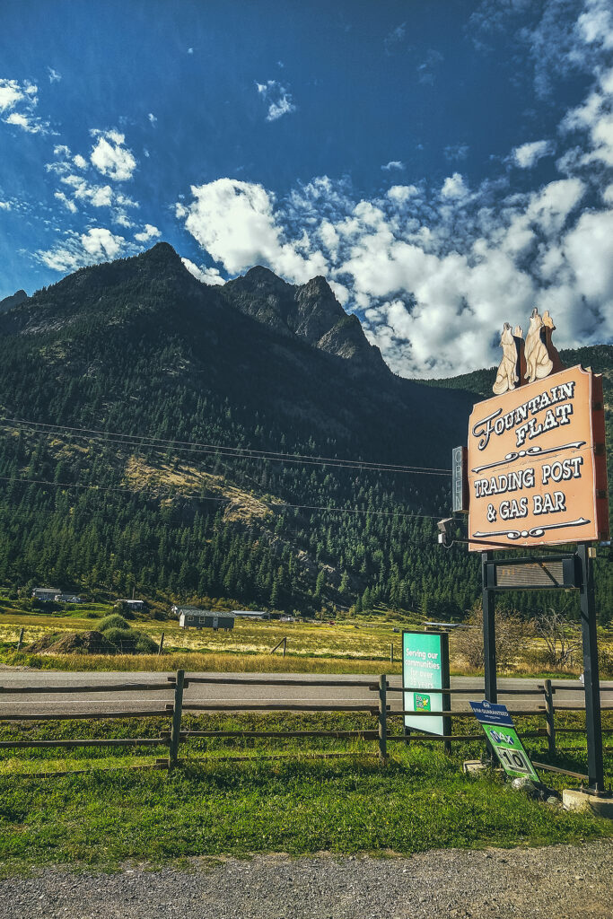
We pretty much drove from 11am to 5pm, with a quick stop in Williams Lake pick up some lunch, which we then ate at Lac La Hache . We made a quick stop at Marble Canyon Rec Site, to stretch our legs, then drove to Kwotlenemo (Fountain) lake, a familiar campsite where we had stayed twice before. We were easing back into everyday life by camping into a familiar spot.
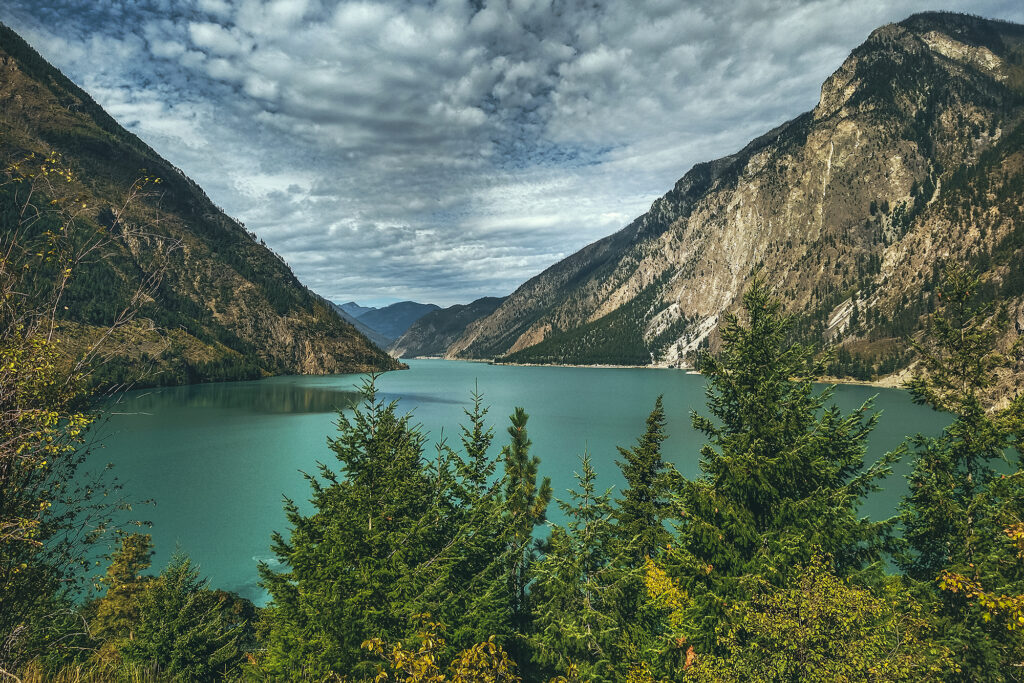
The next day we drove through Lillooet and Pemberton aka the scenic route home. We stopped quickly in Squamish to say hi to our friends Adele and Thierry, and drop off copies of the provincial/territorial tourism guides we’d picked up along the way.
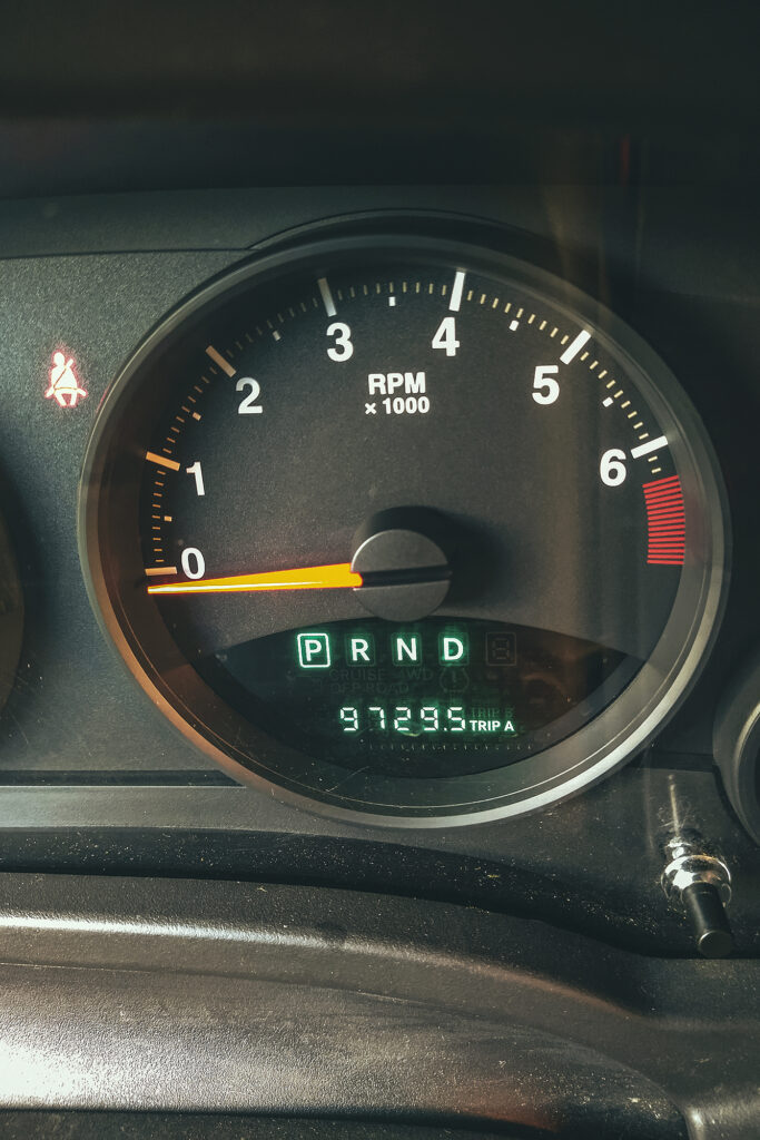
Adele and Thierry had done a similar trip a few years back and lent us their guides, and now Adele was very motivated to go back the next summer, so it only made sense to pass the documentation back to them, and continue the cycle. Finally we made it back to Vancouver after 37 days and 9729 km on the road.
