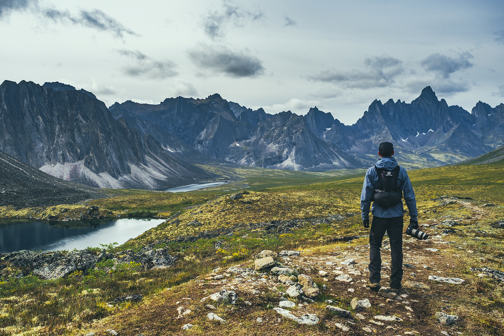
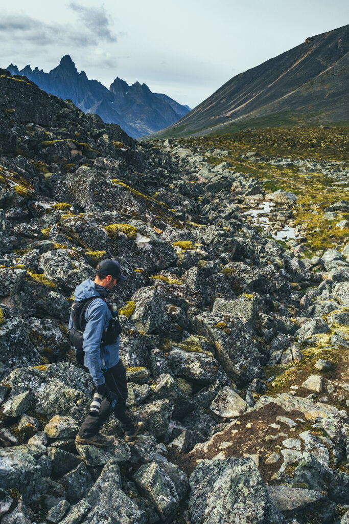
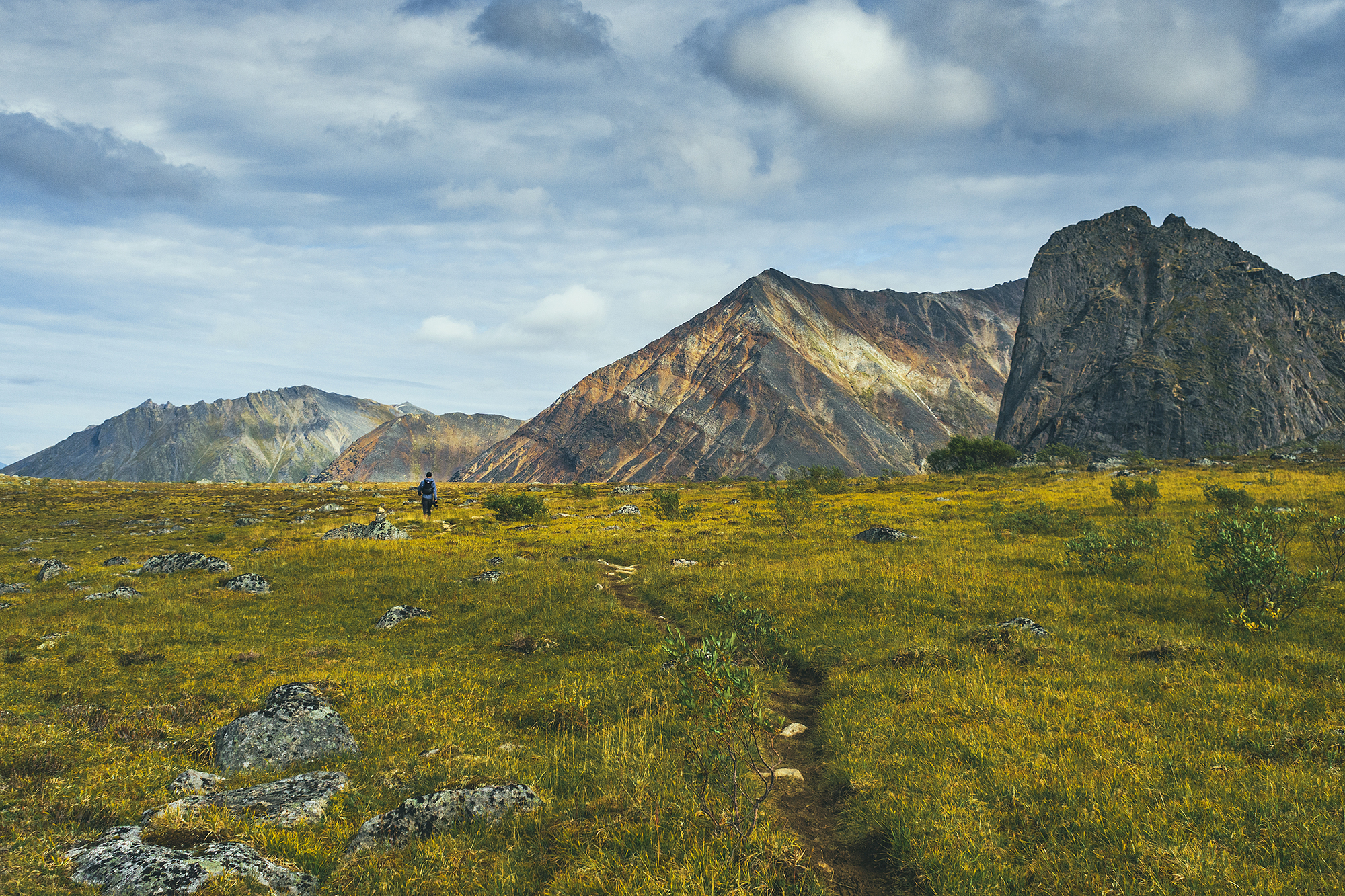
On our third day in Tombstone Territorial Park, we had planned return trip to Talus Lake, from Divide Lake.
As we had already experienced, the weather forecast had been pretty accurate so far, and it didn’t let us down on our third day, when the predicted clear and sunny day turned out to be true. The plan was to hike out to Talus lake and back, for a total of 12km with minimal elevation. There’s a campground at Talus Lake so people do camp there, oftentimes going straight from Grizzly without stopping at Divide for the night. But we liked the idea of having a backpack-free day, and not have to move camp. We chatted with Kendra and her mom again at breakfast. They were taking advantage of the sunny and dry weather to go over the pass and to Grizzly lake. After breakfast we headed out with our light day packs.
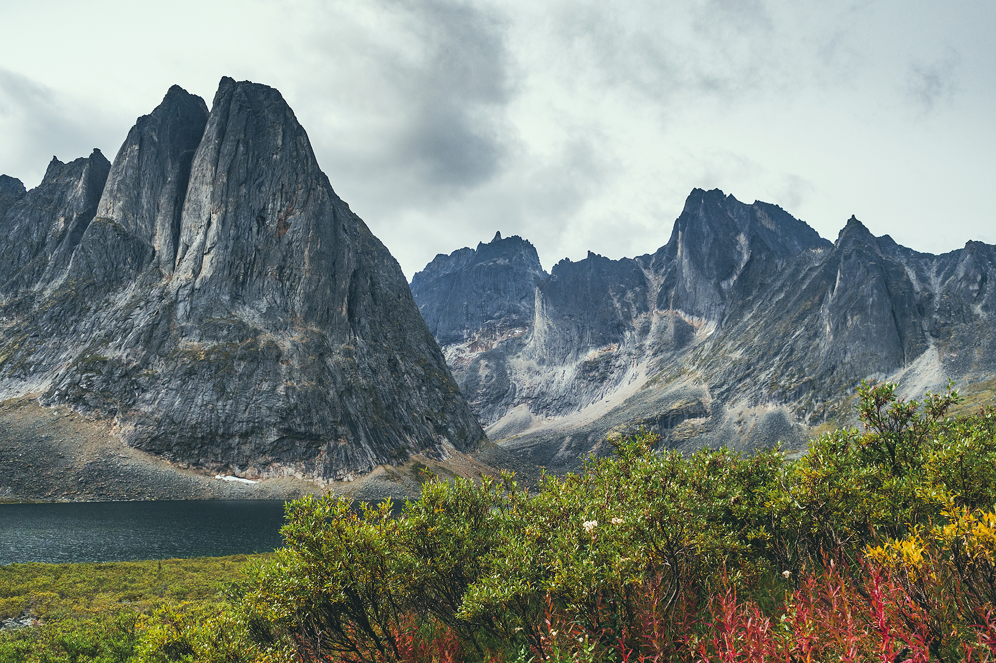
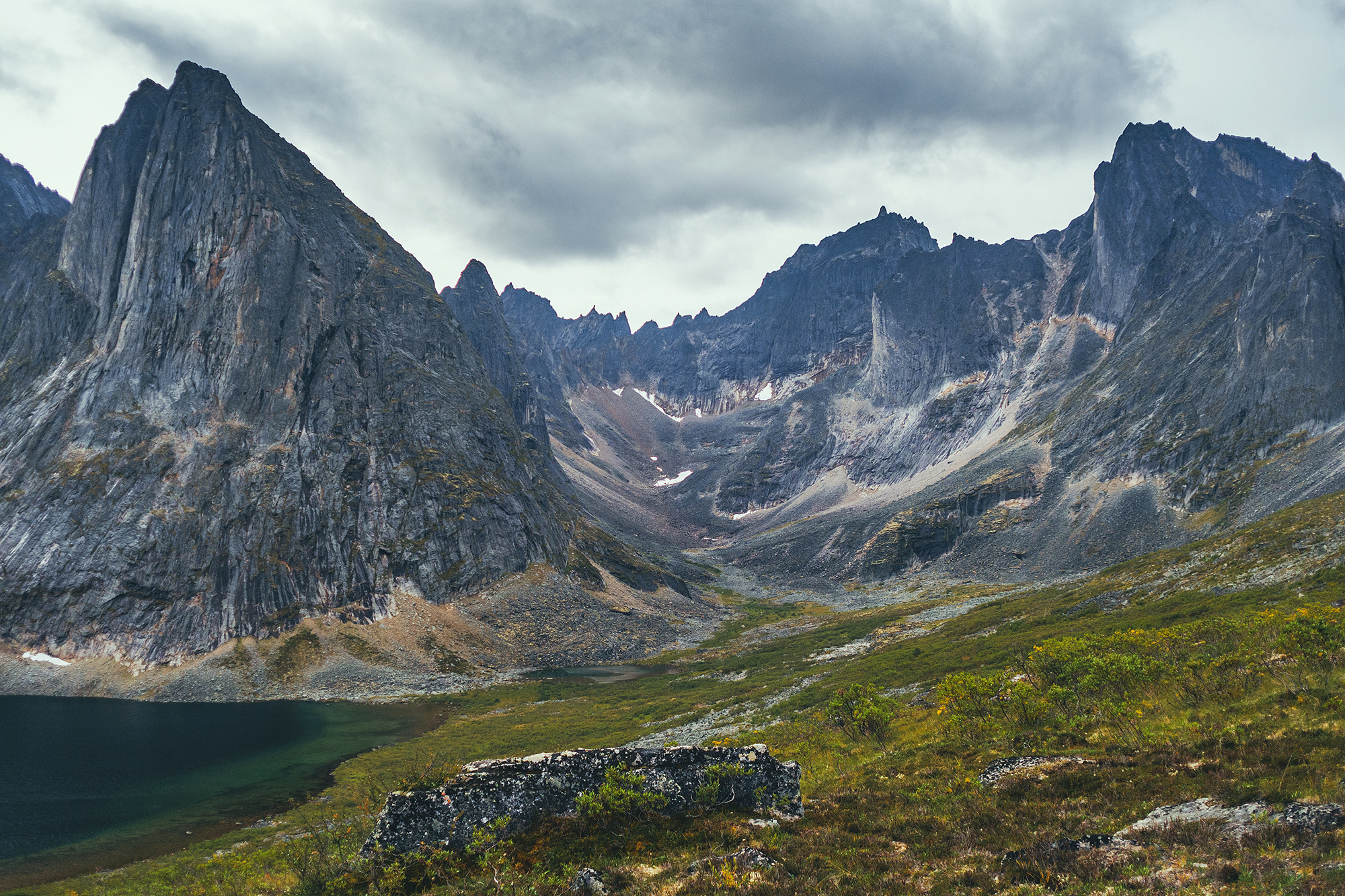
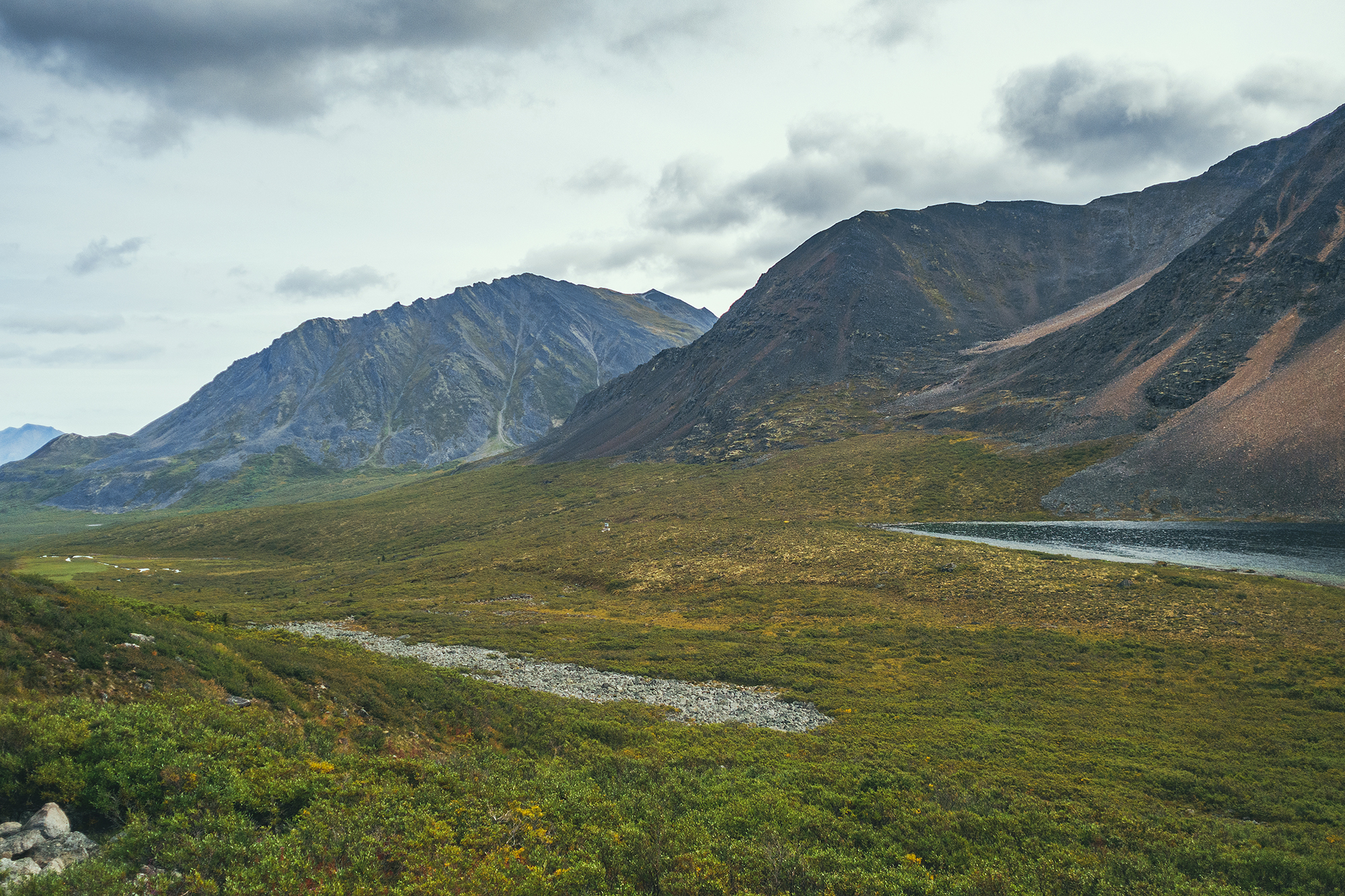
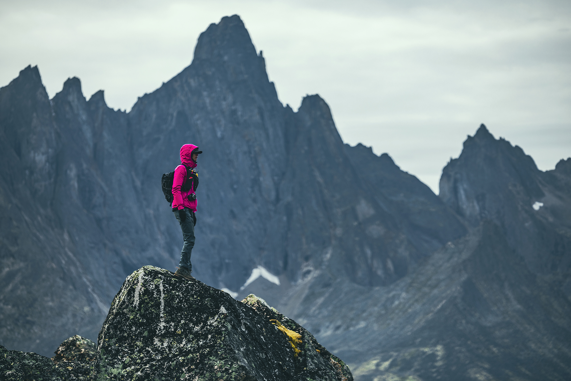
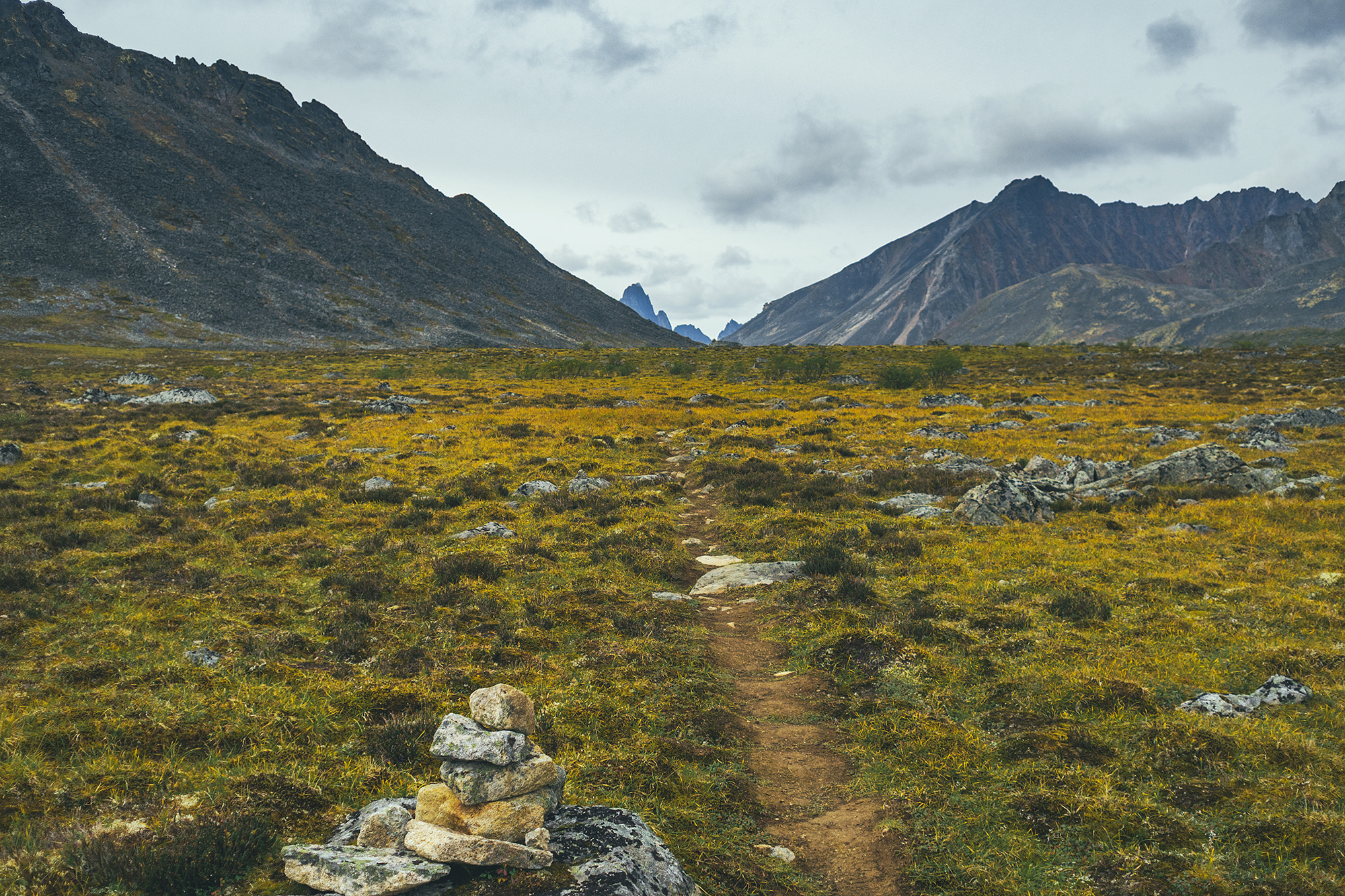
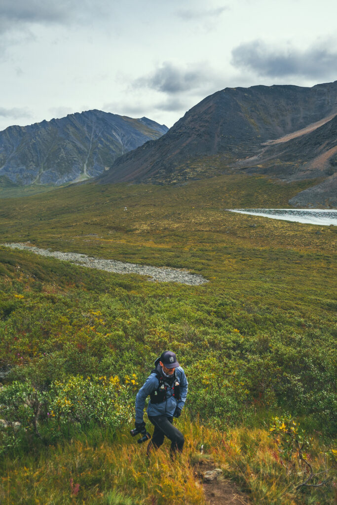
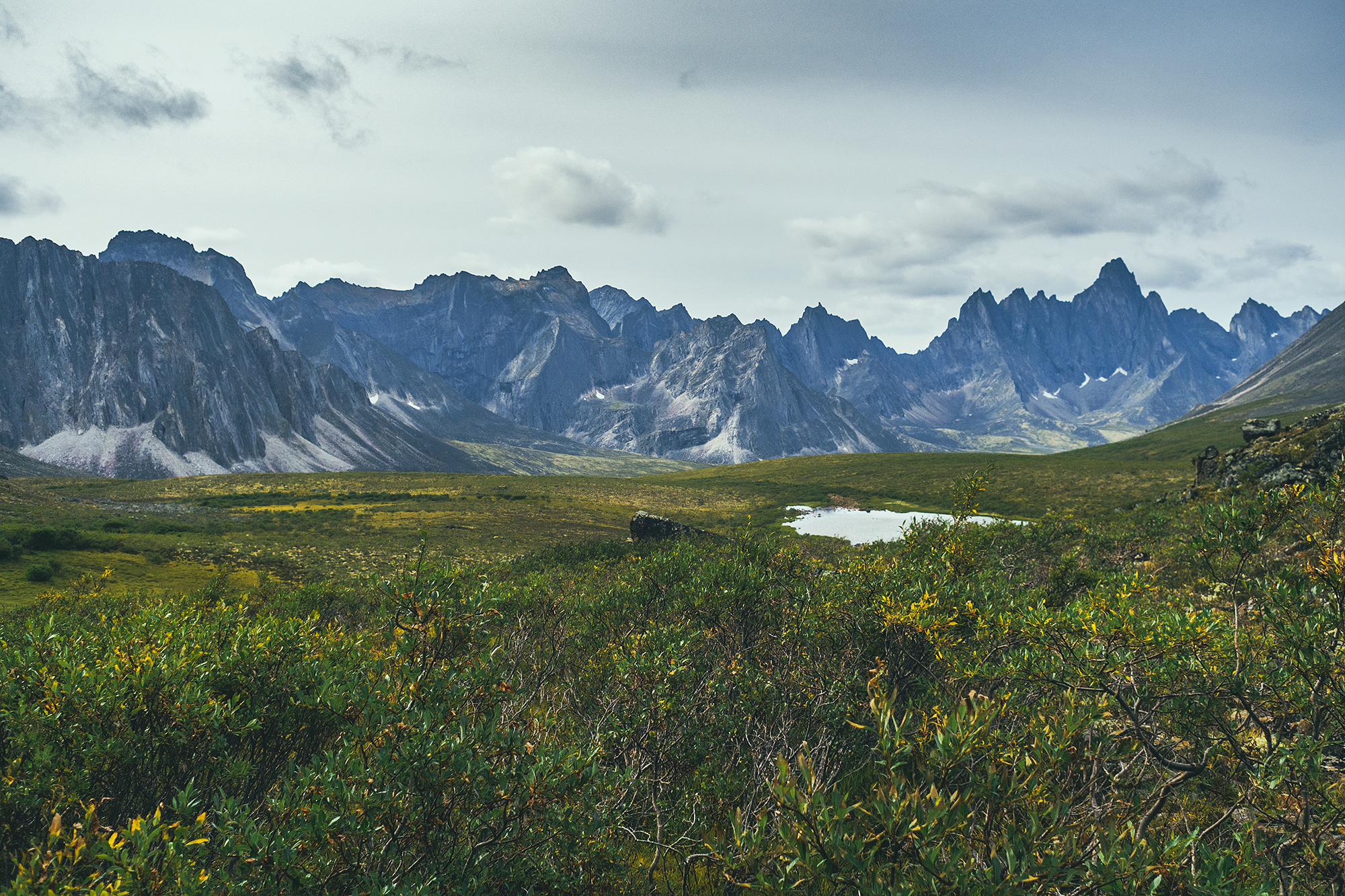
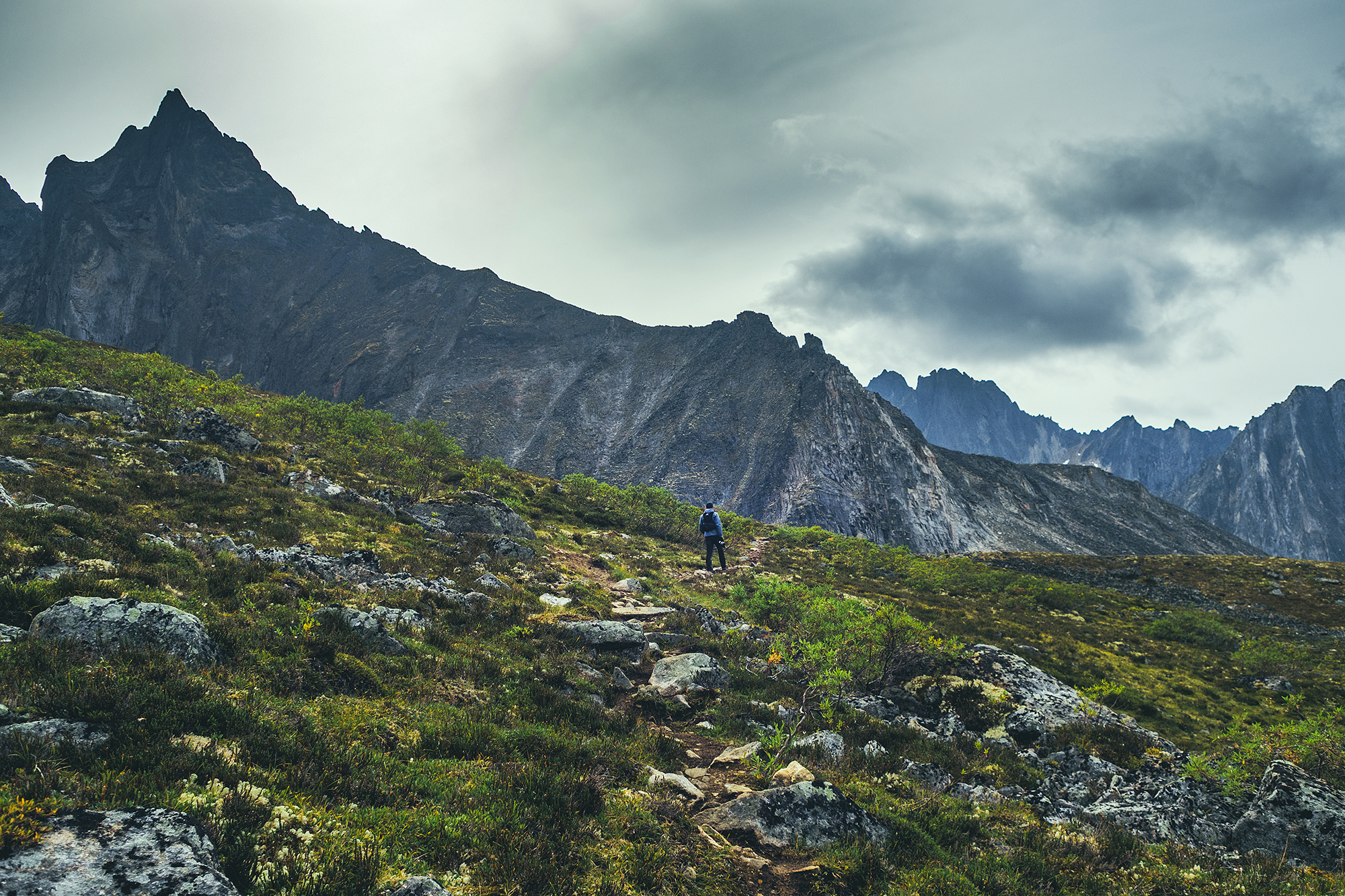
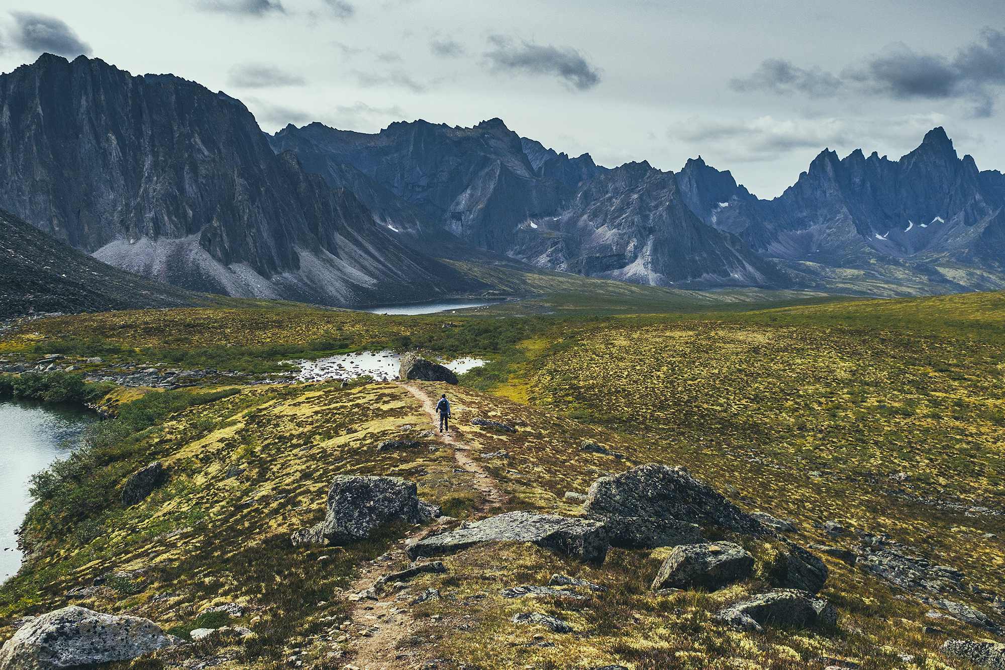
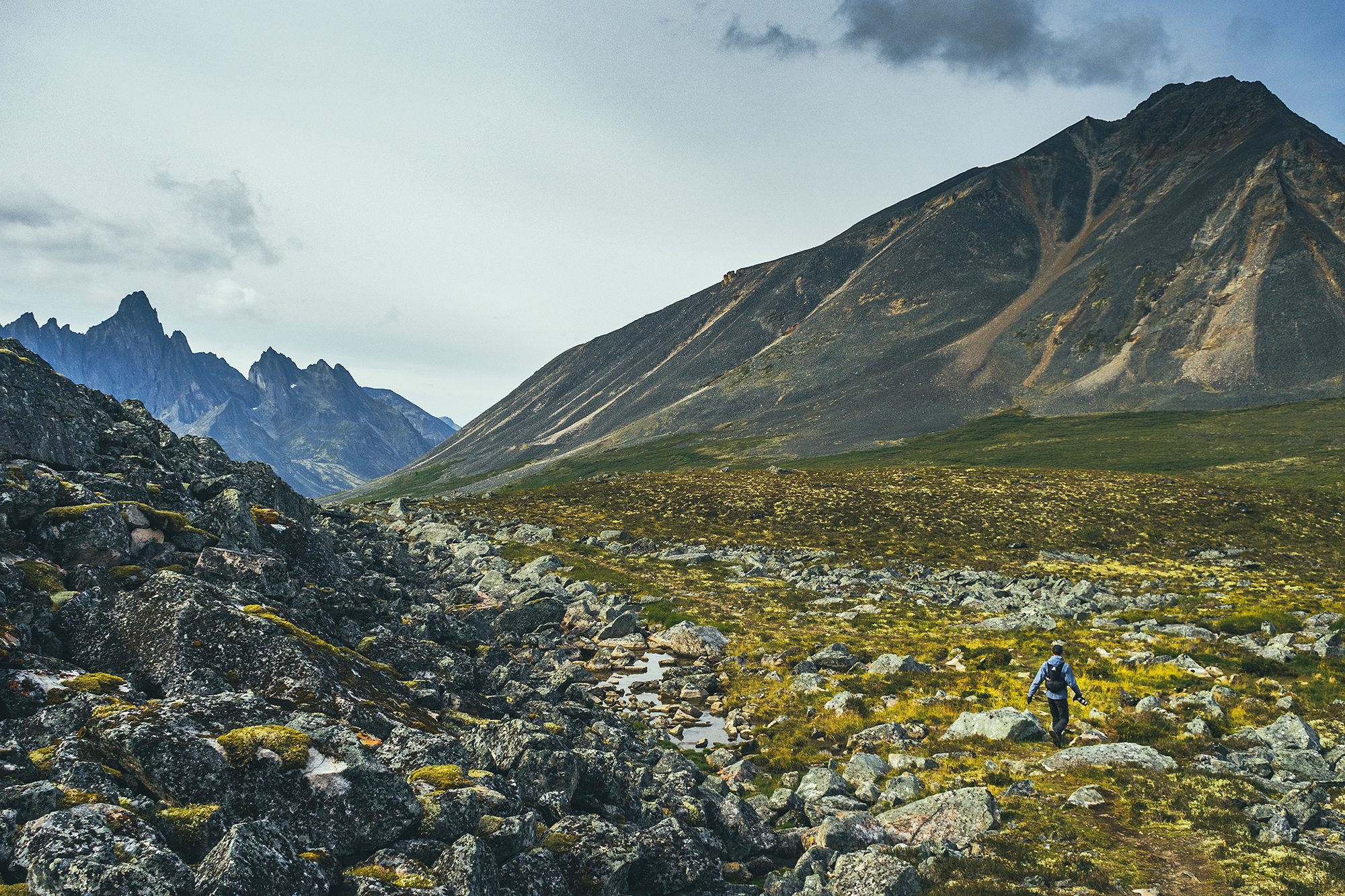
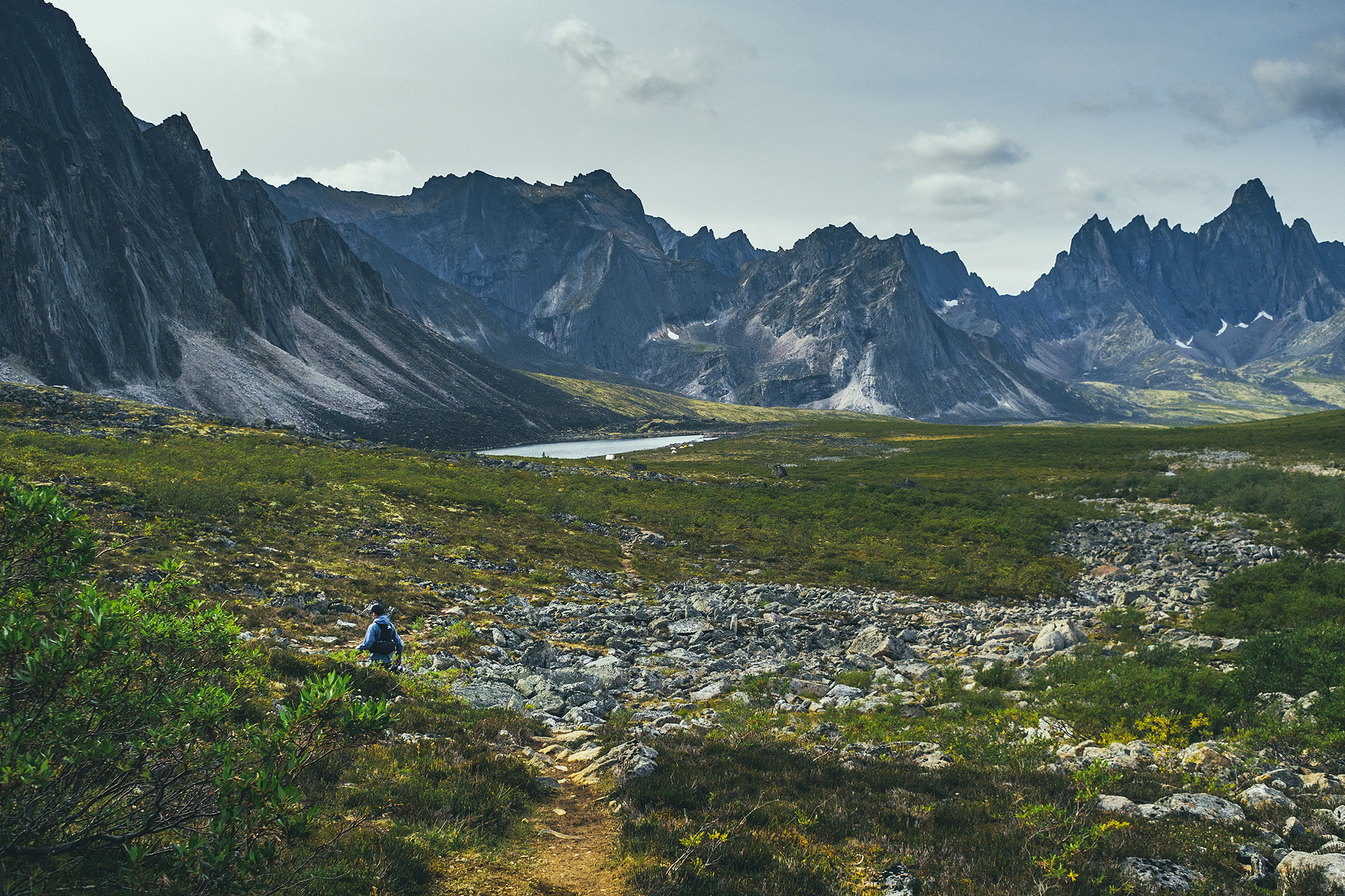
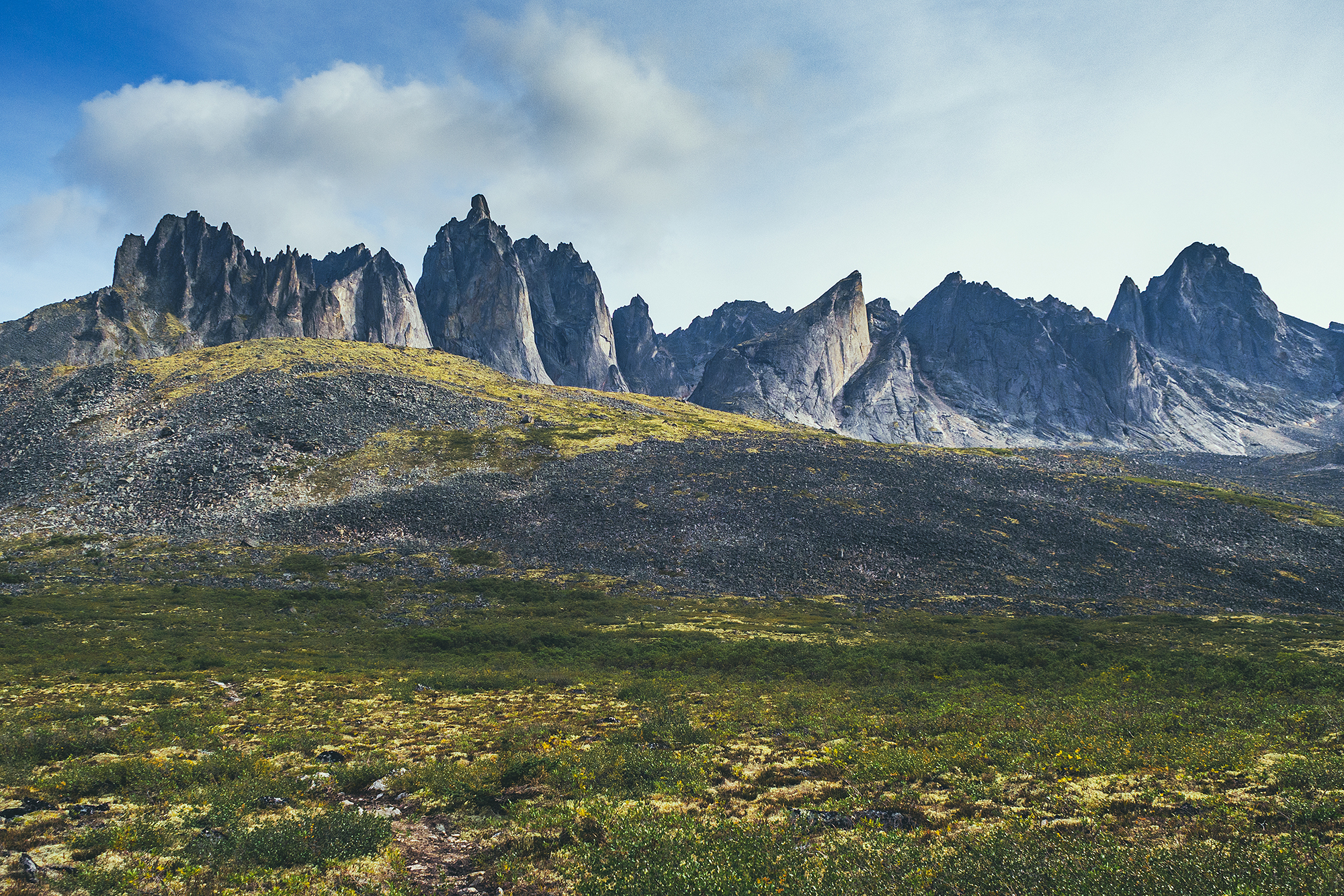
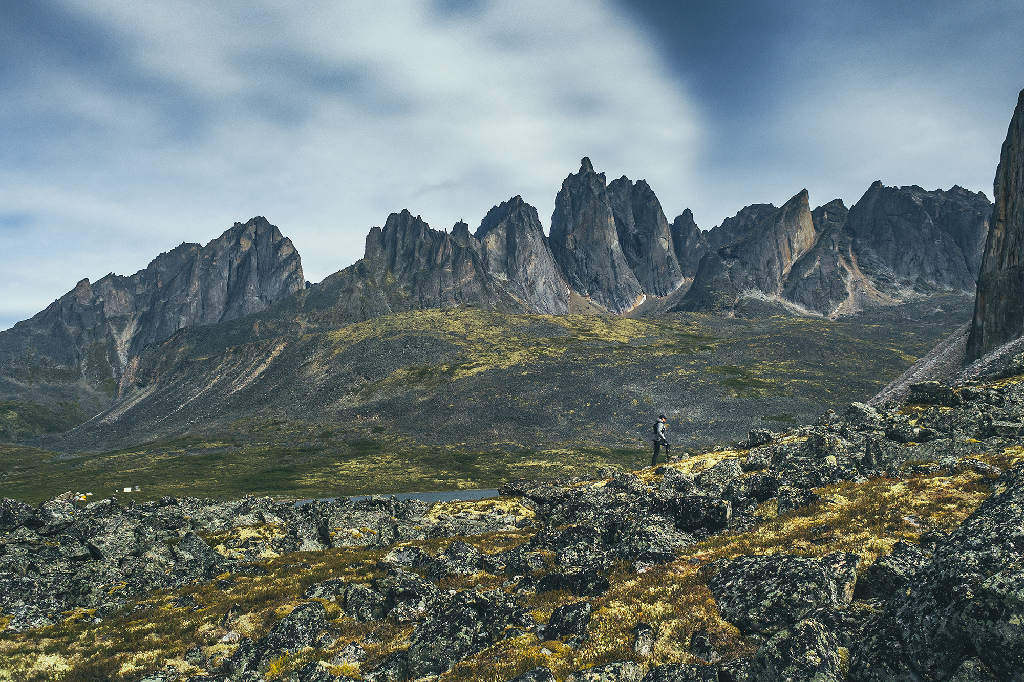
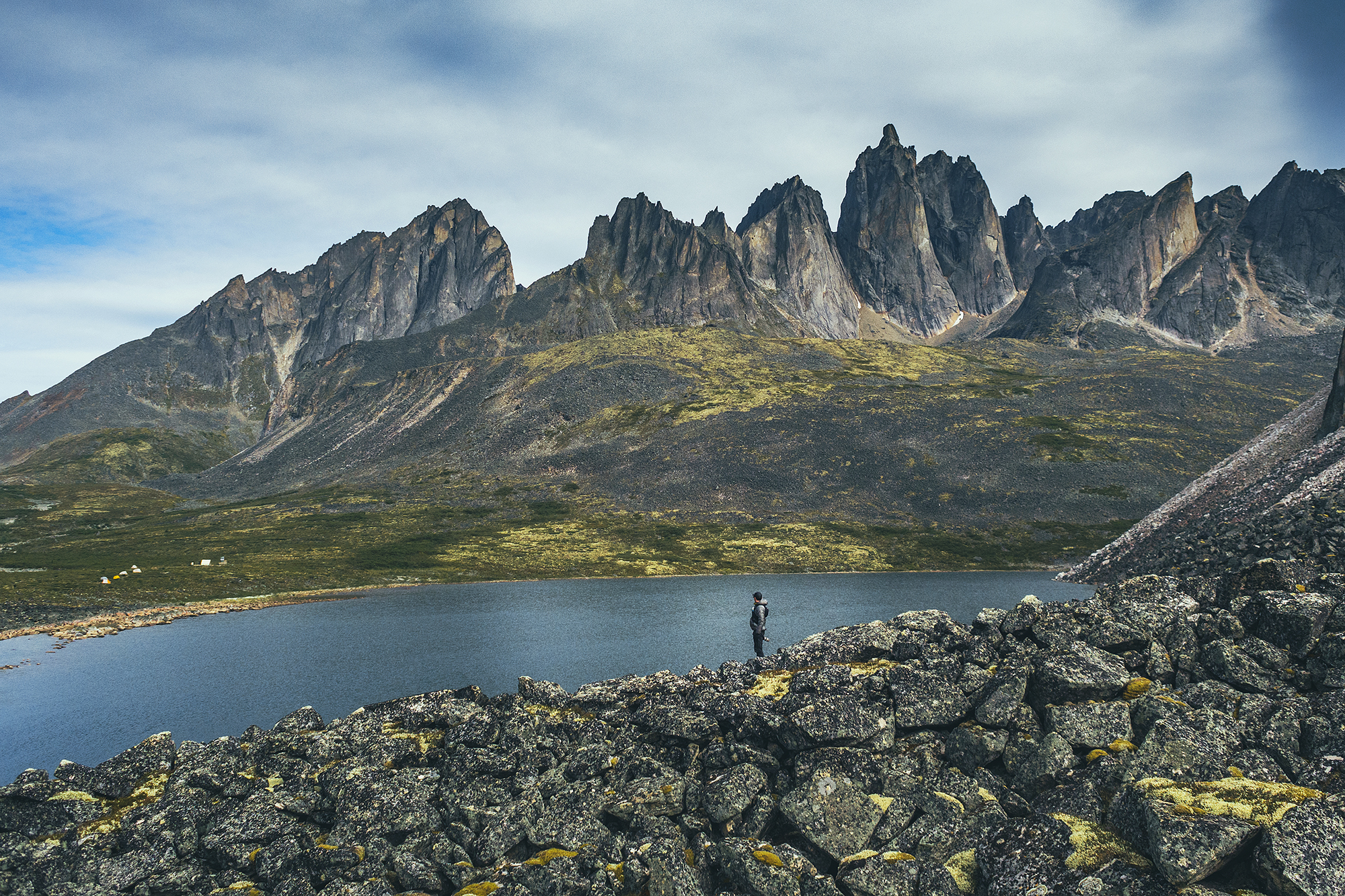
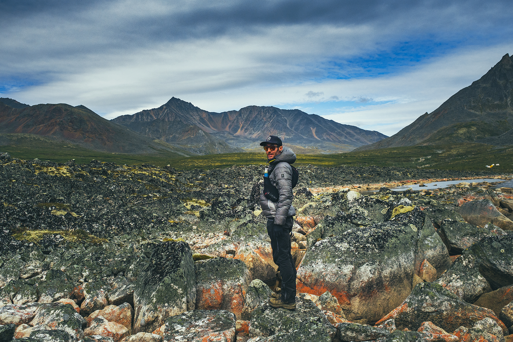
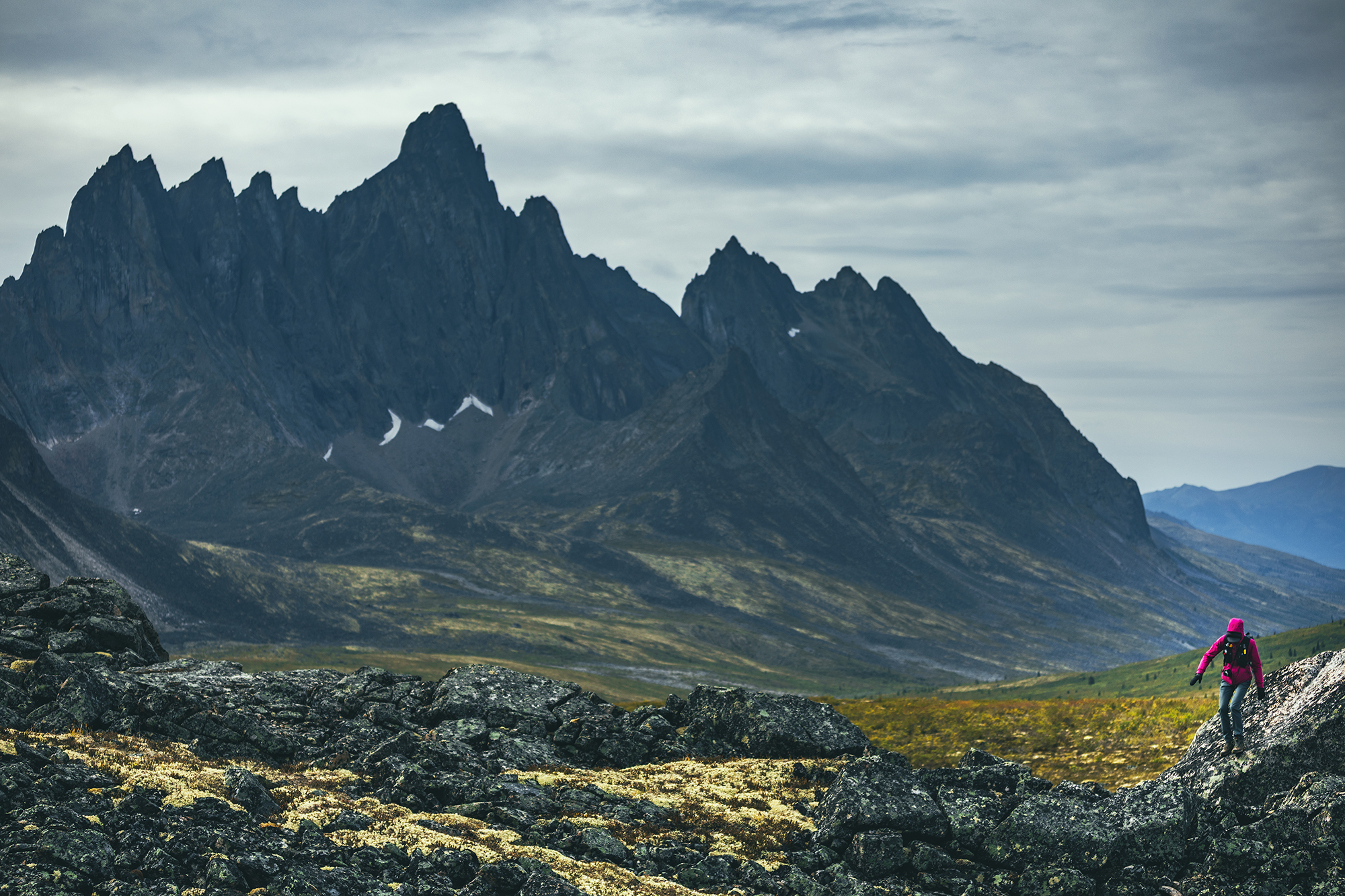
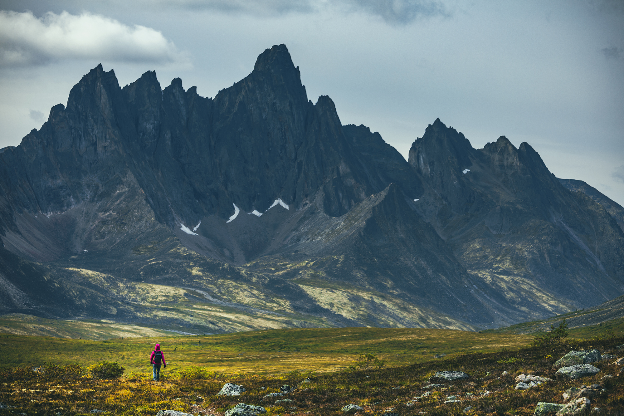
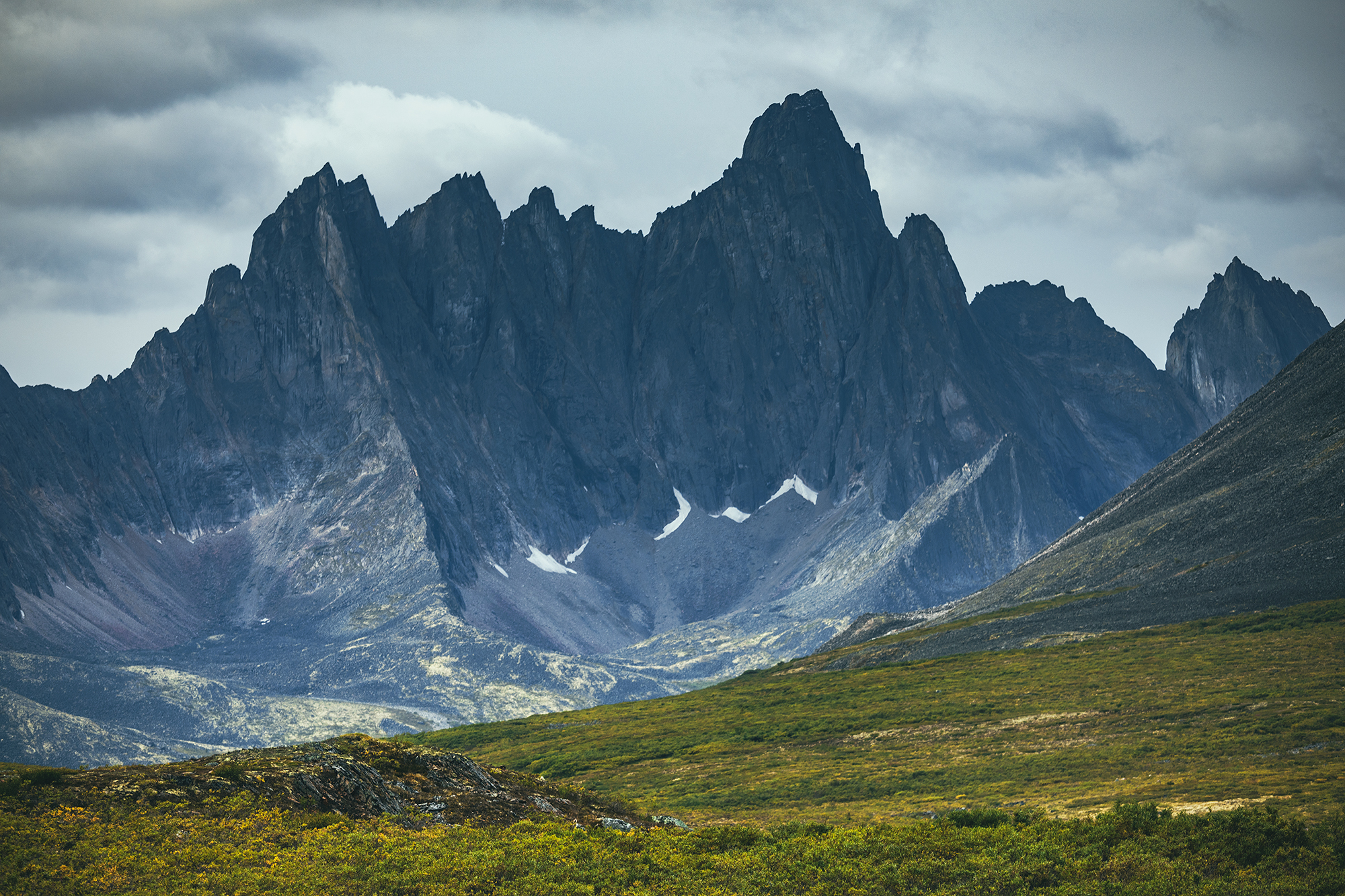
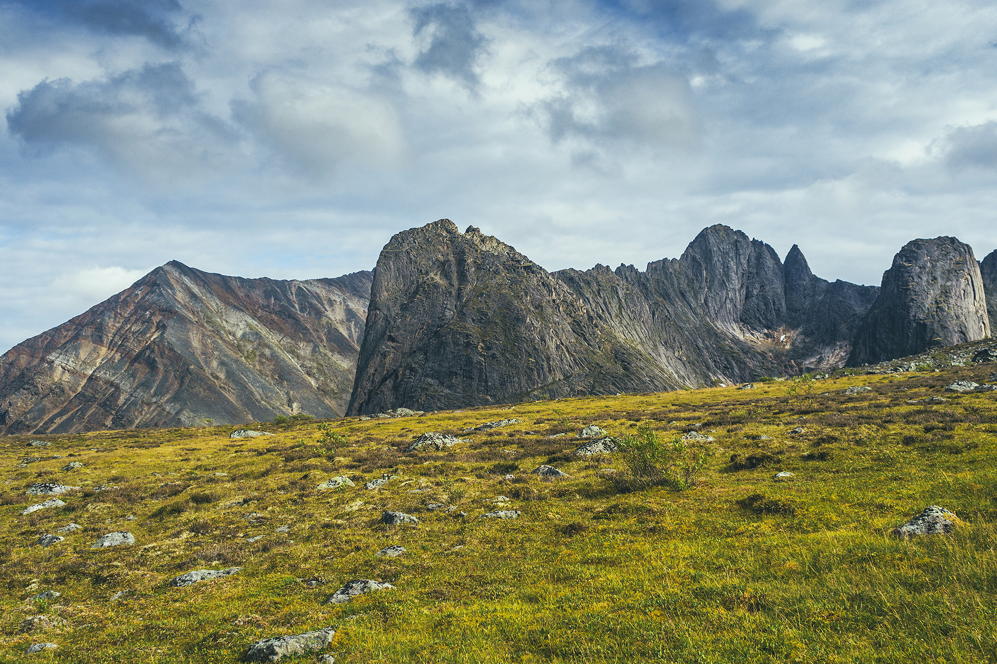
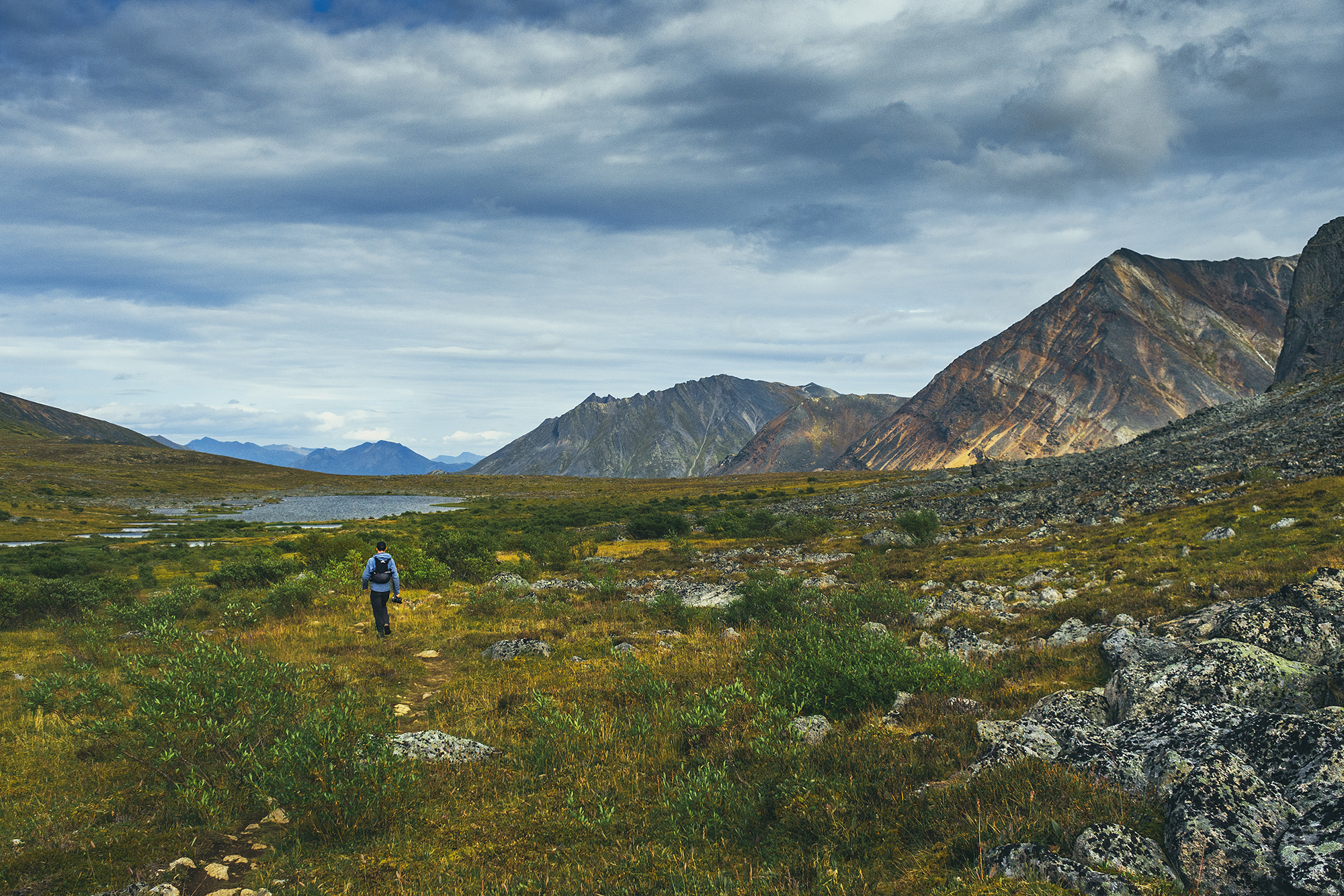
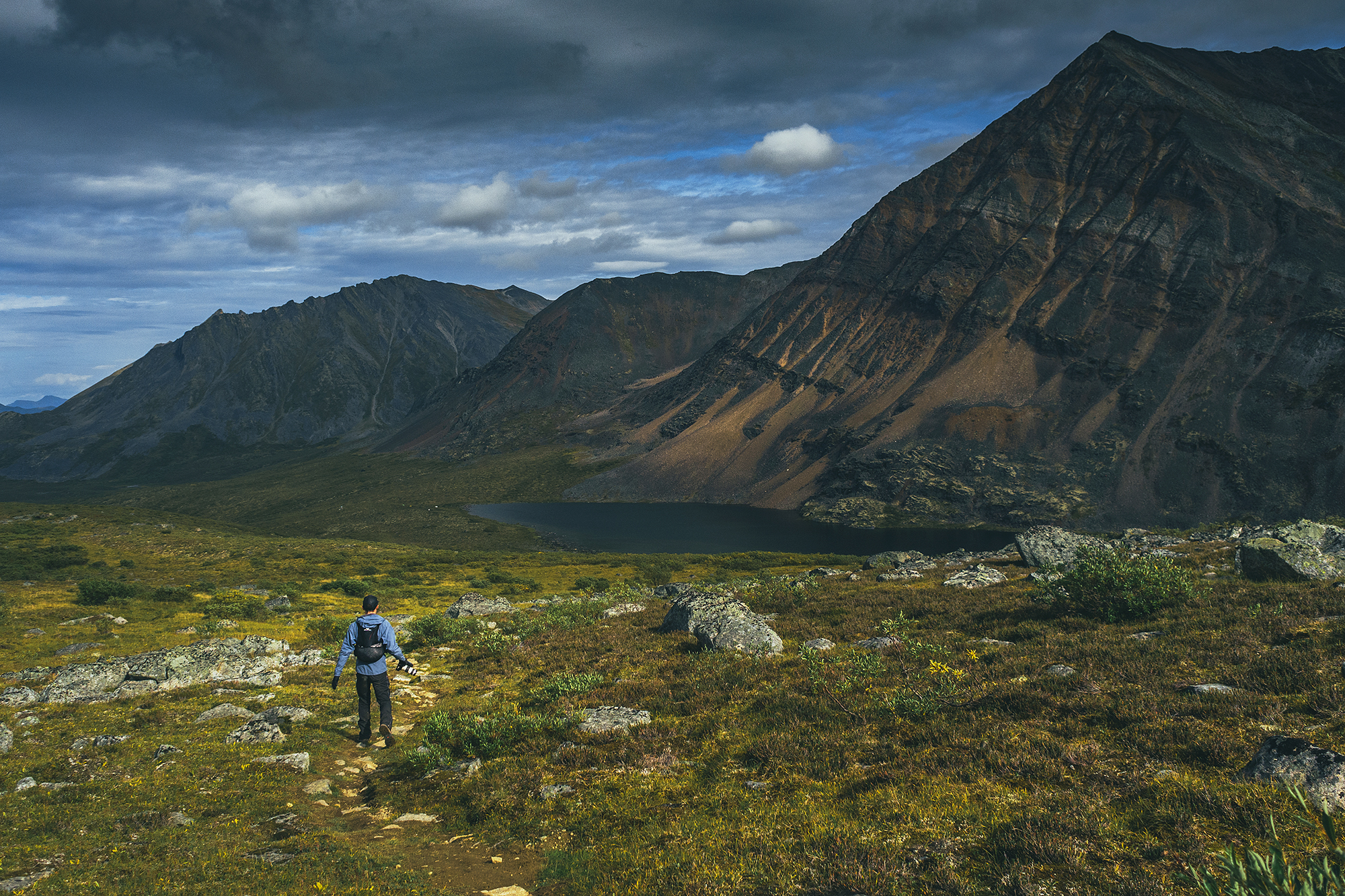
After circumventing the lake, the trail climbs very slightly onto a broader plateau, then meanders through the tundra all the way to Talus lake. We realized the range we were looking at from Divide was really the back side of the range overlooking Grizzly lake.
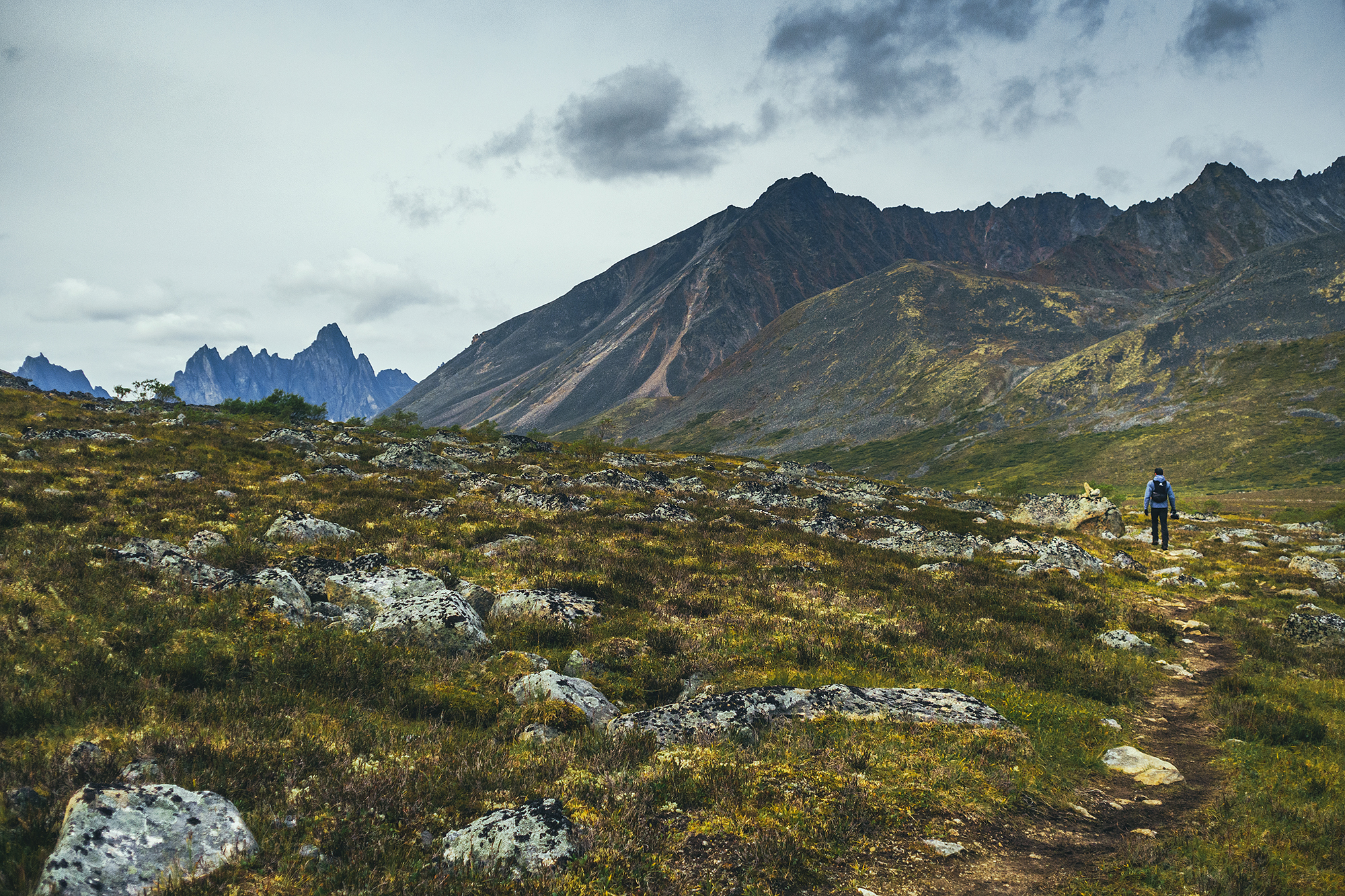
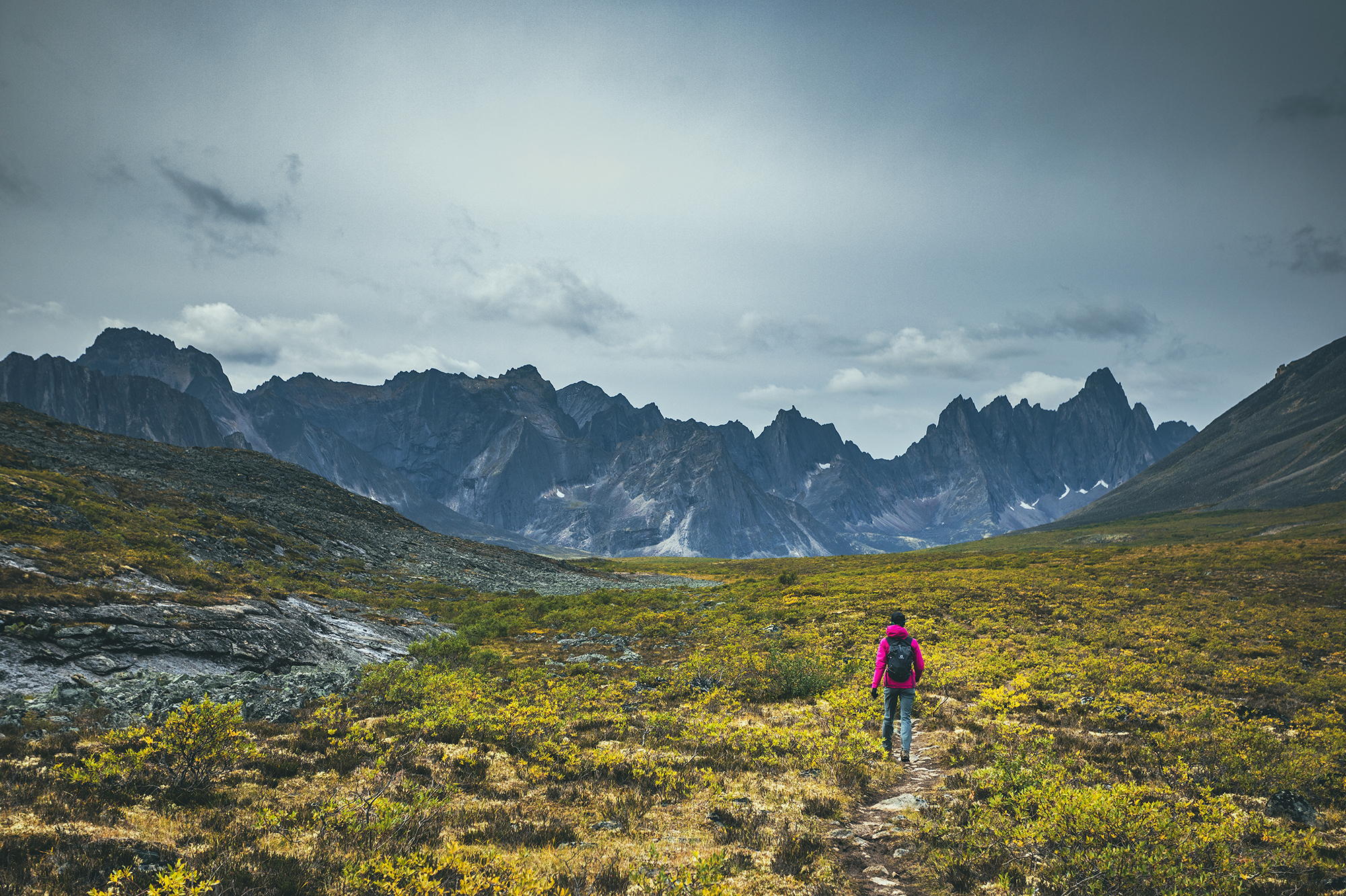
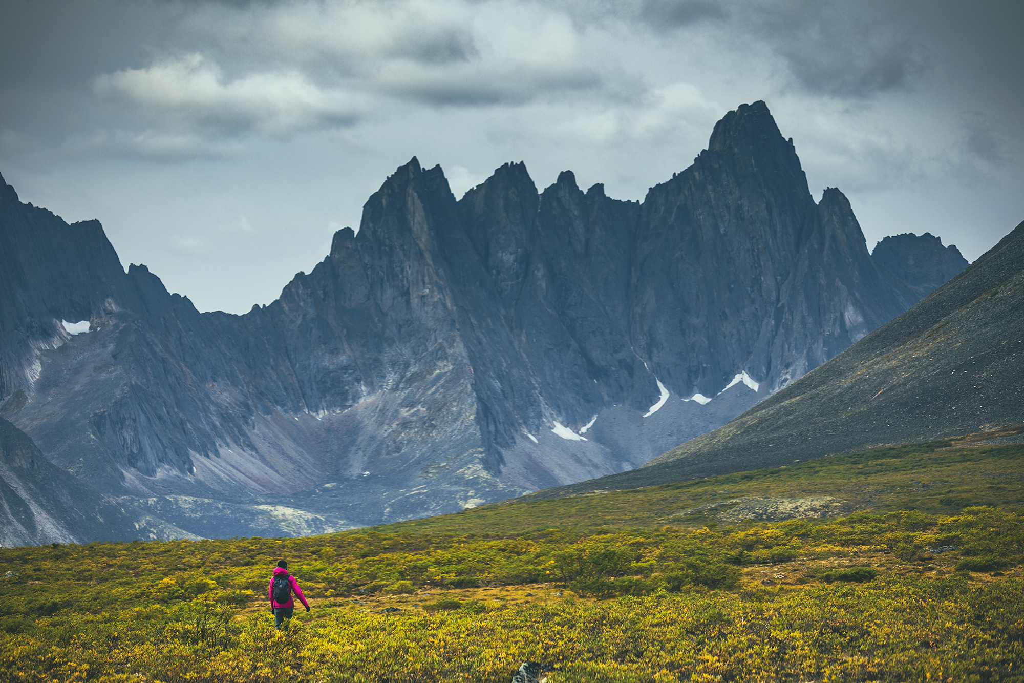
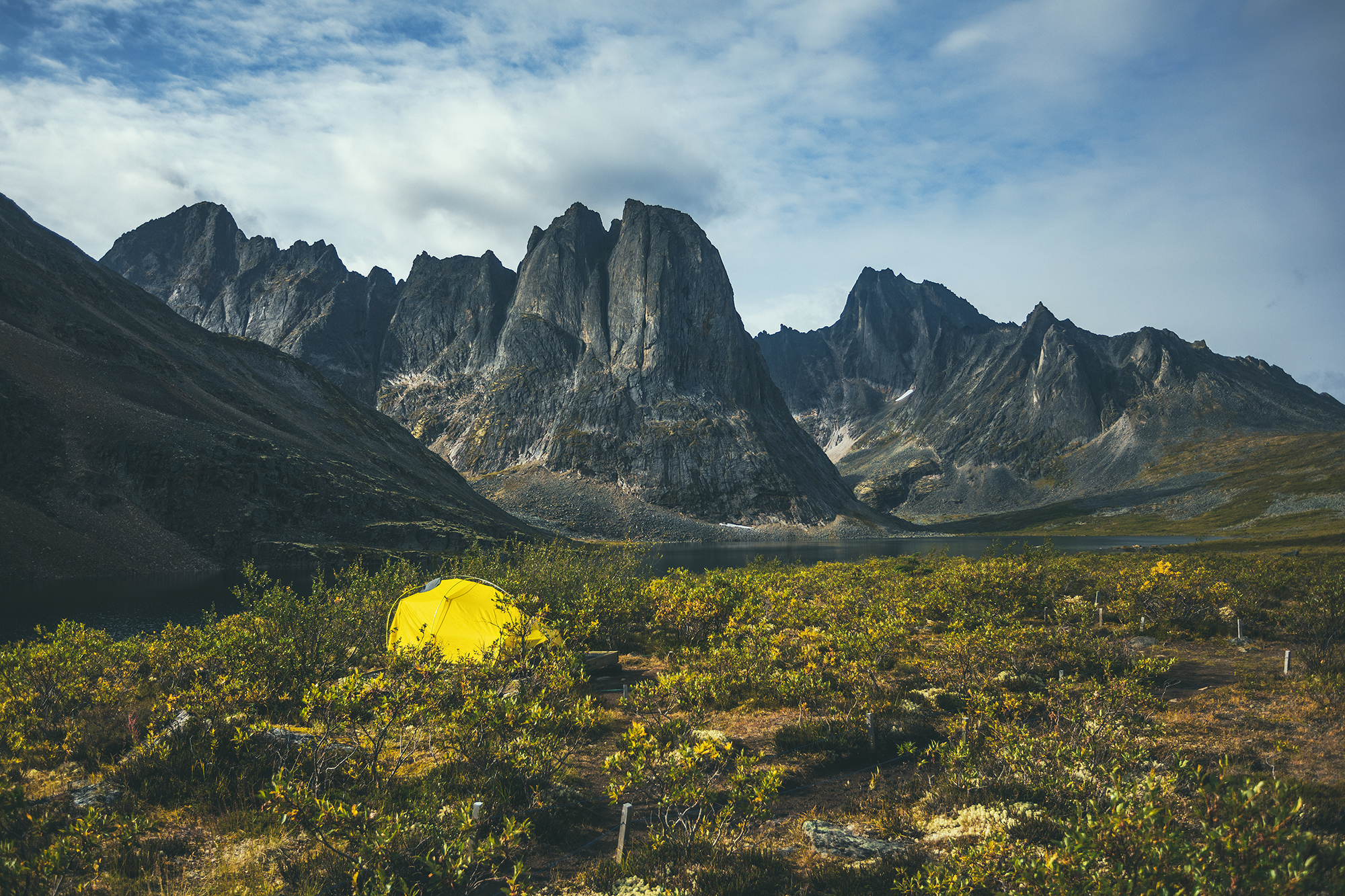
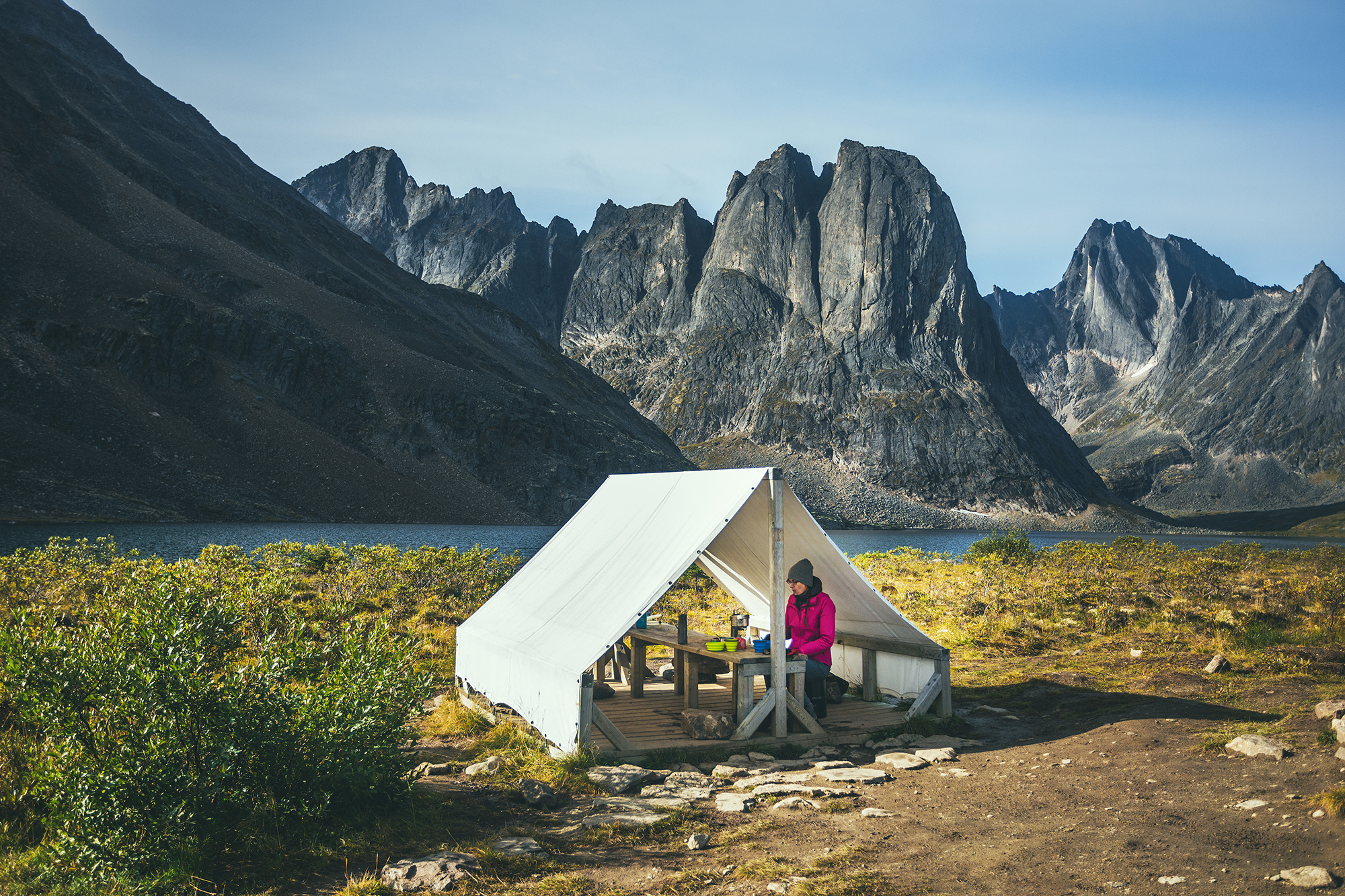
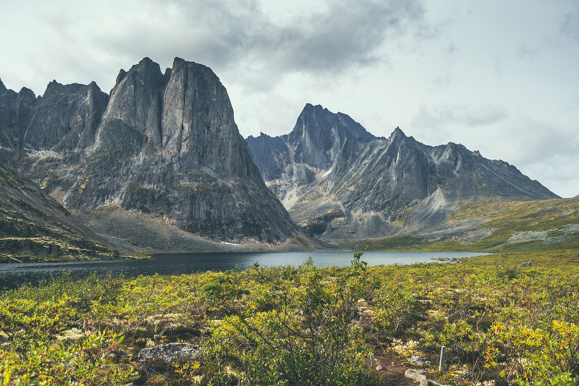
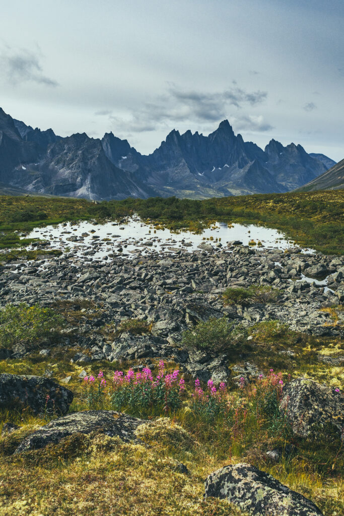
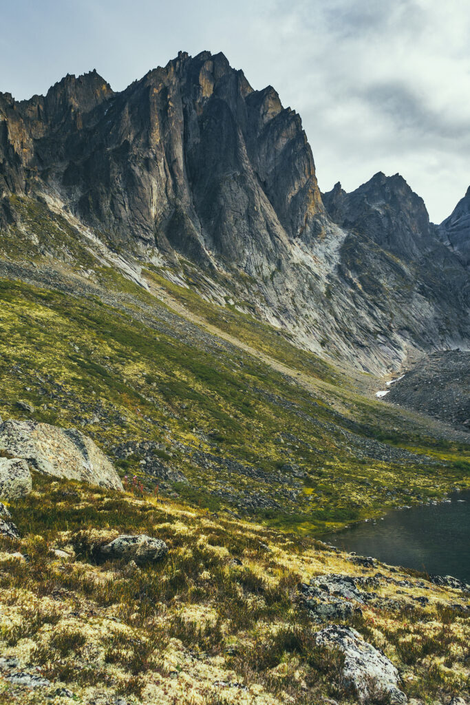
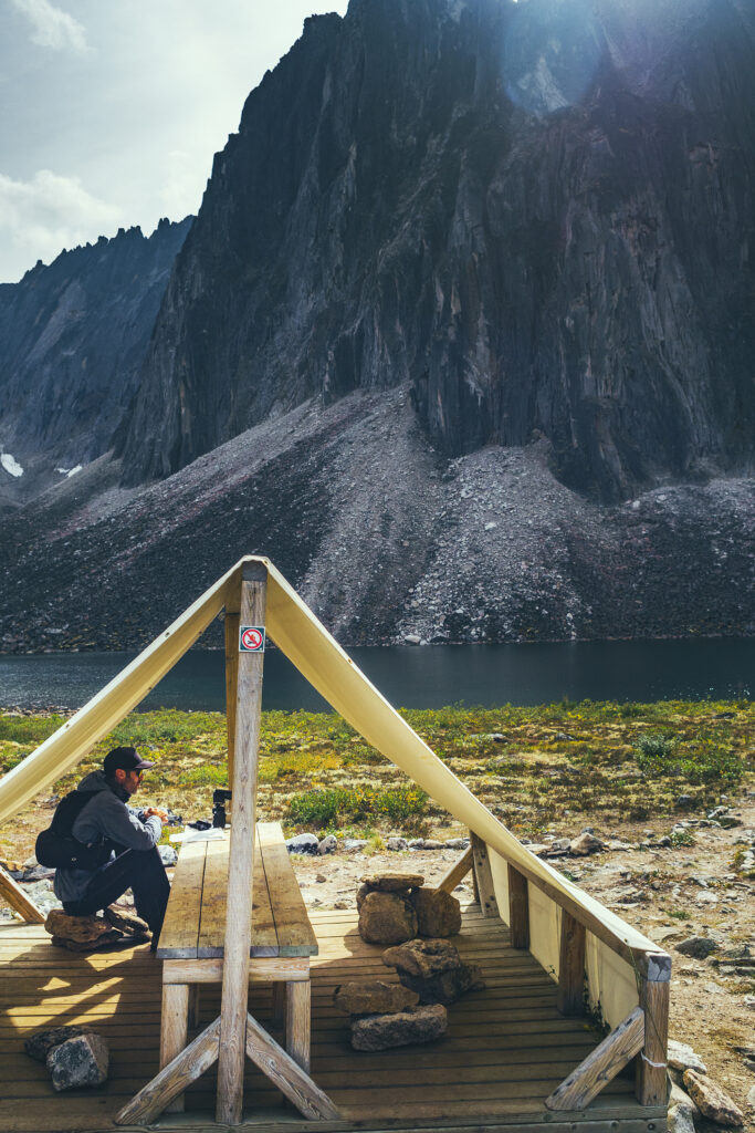
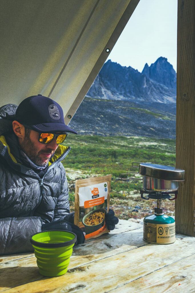
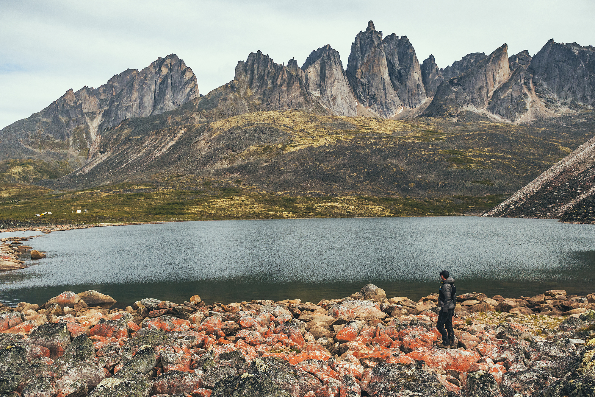
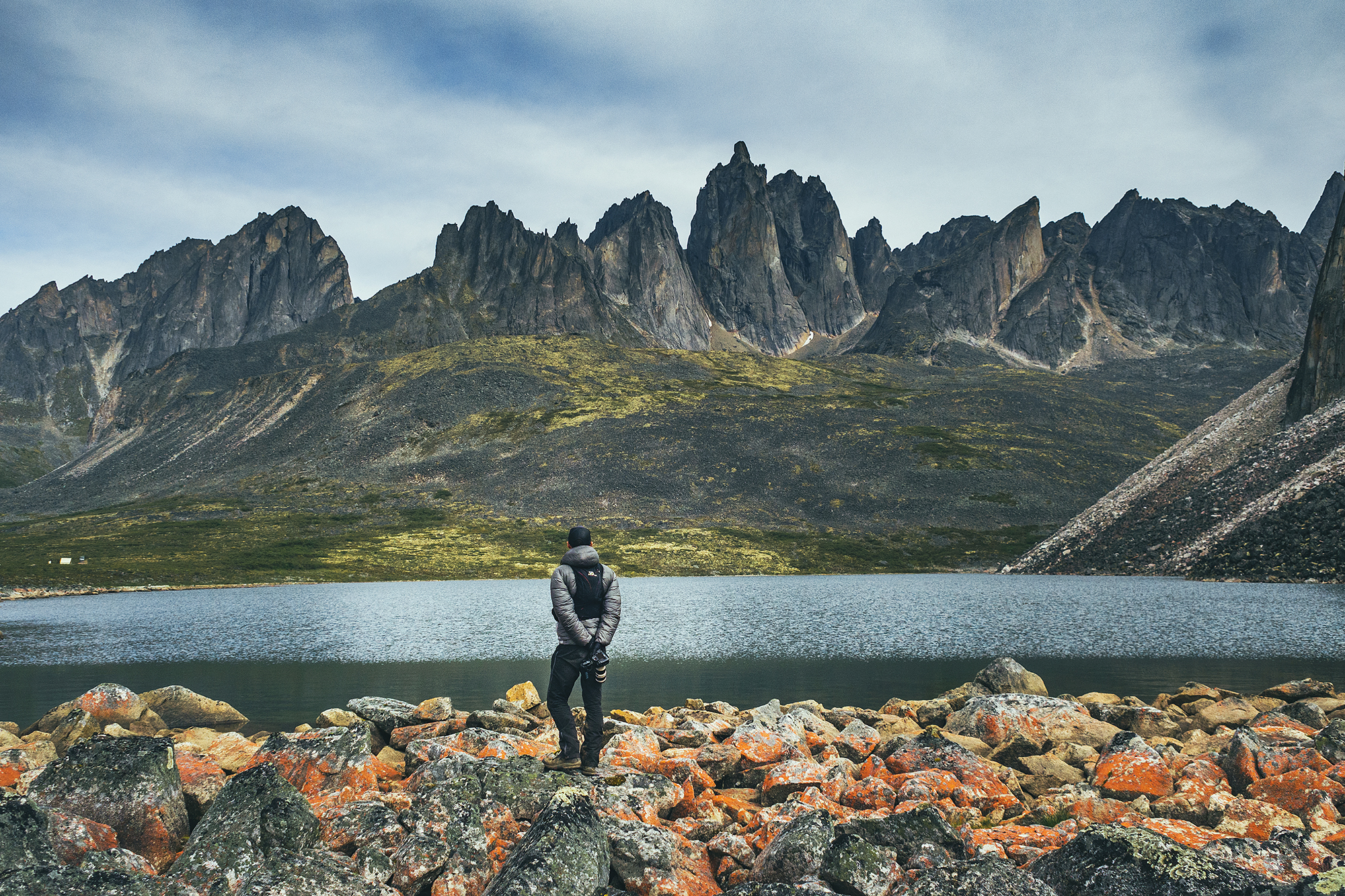
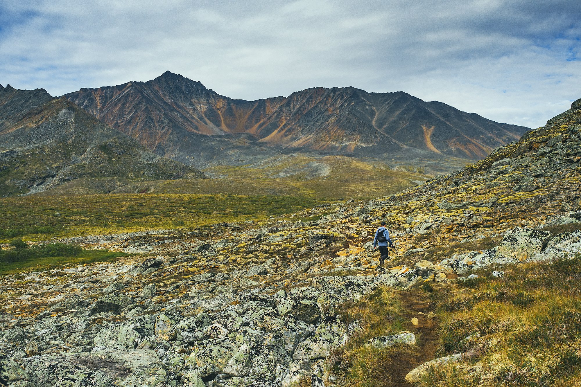
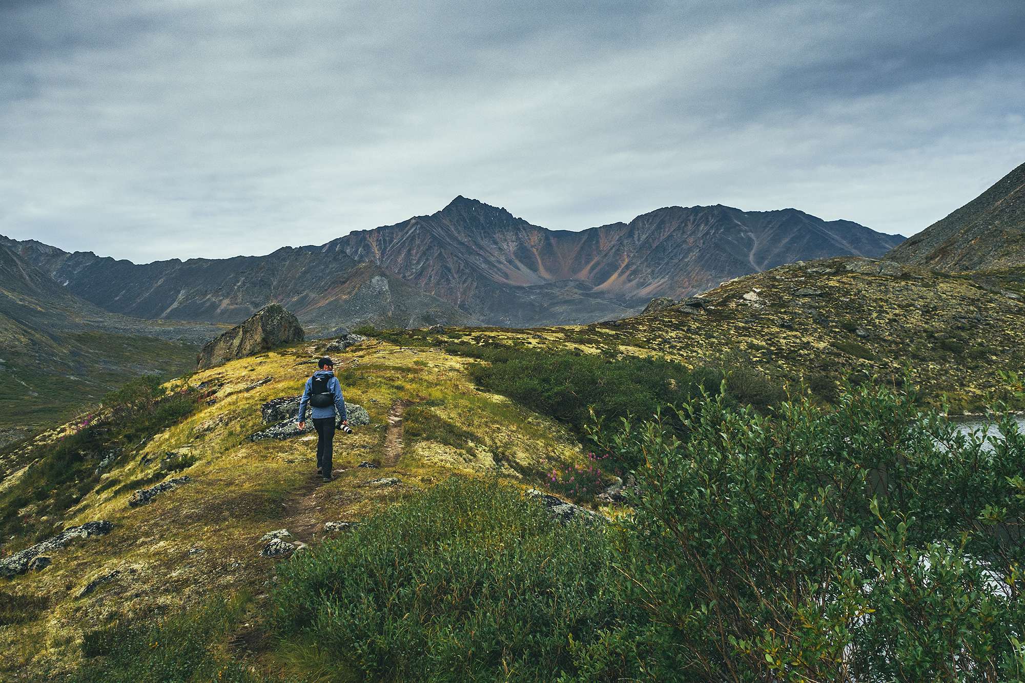
Talus lake was once again very scenic, similar jagged peaks of Tombstone Mountain spreading as a backdrop to the arid, low growing tundra, possibly even more dramatic than the previous two lakes. We had lunch at the lake under the cooking tent. It was sunny but still pretty cold. We had brought a proper dehydrated meal as opposed to only energy bars, as well as coffee to warm up.
I was actually feeling pretty low energy that day, not sure if it was from insufficient caloric intake, or a result of the previous two hiking days. With the cold, and being quite sensitive to it myself, it did feel like I was burning a lot of calories just to keep warm.
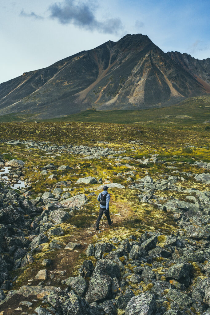
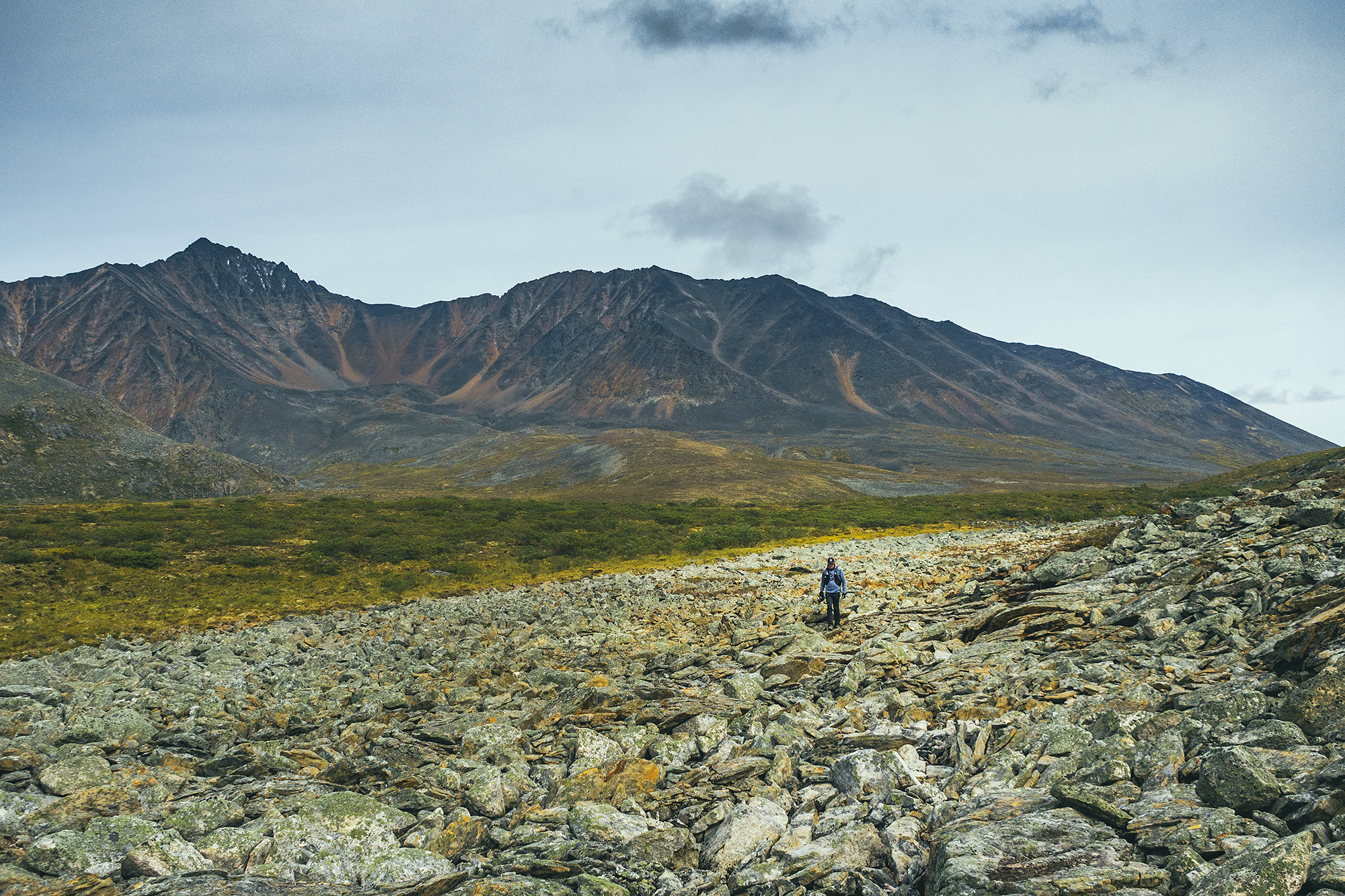
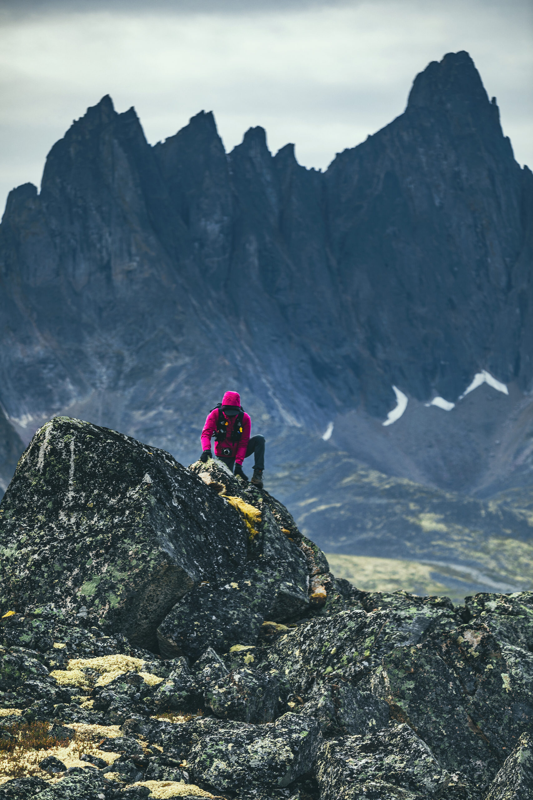
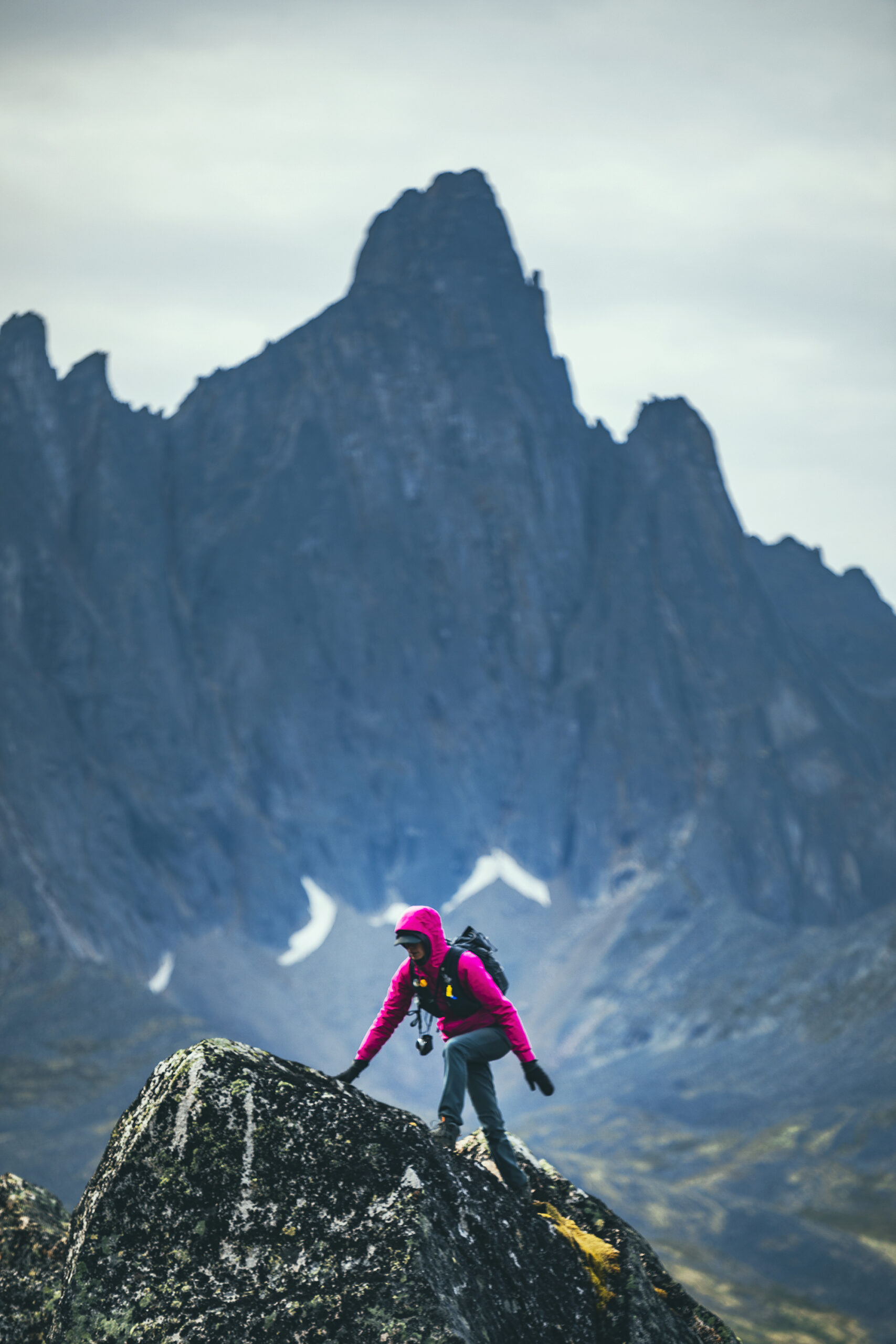
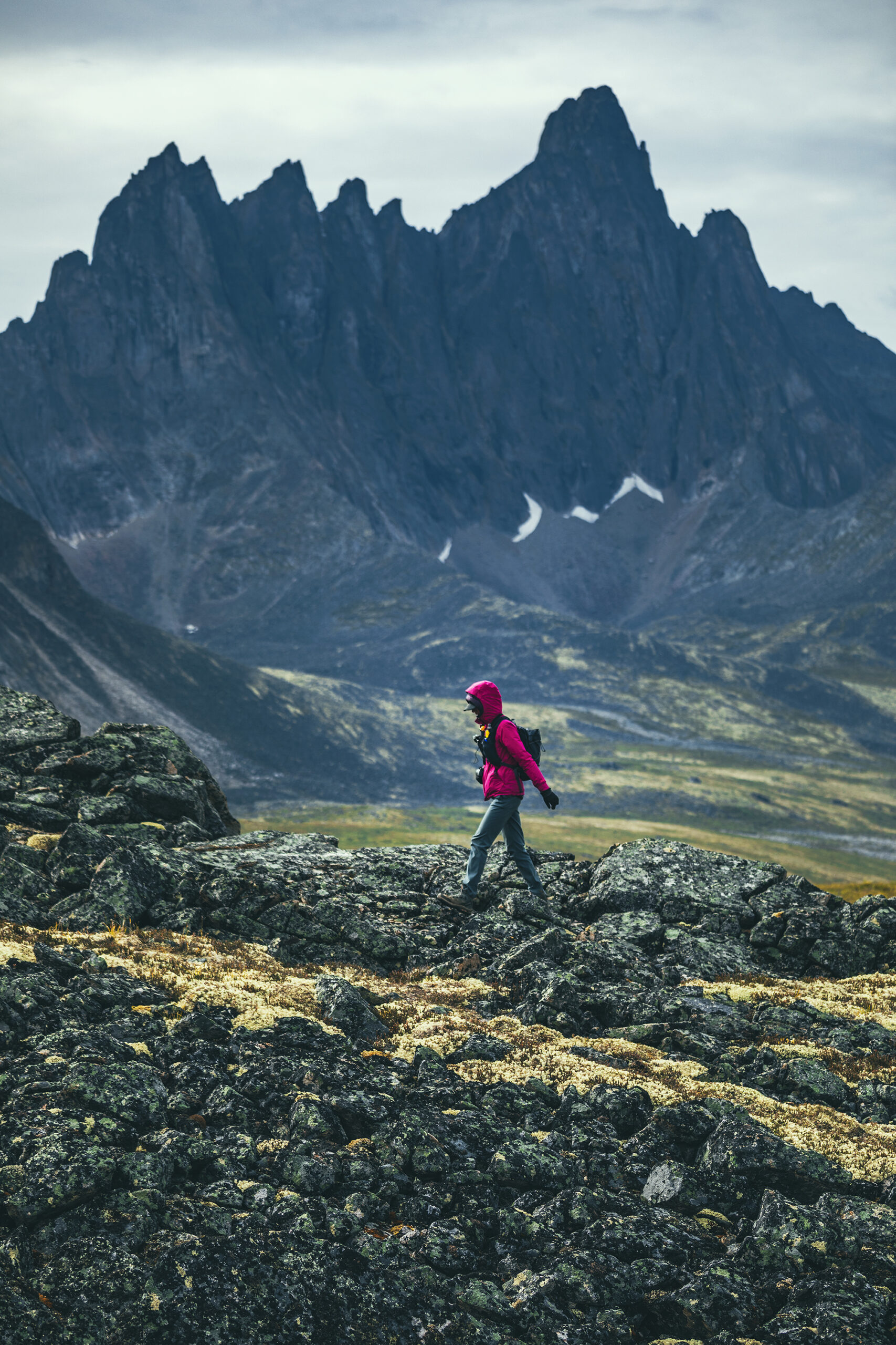
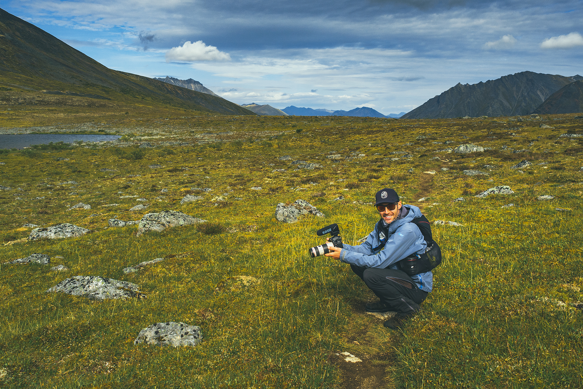
After lunch we explored around the lake a bit then headed back. It was a nice relaxing, easy hike and I was glad we did it pack-free for an easy but still scenic rest day.
That night at dinner we chatted with a couple who had arrived at Divide that day and was planning to do the same thing we did the next day. We also saw a ranger, who had hiked all the way from the start and was pushing to Talus that same day. I guess they’re pretty used to doing the 24km circuit in one go.
It probably wouldn’t be impossible for us either, if we carried a smaller pack and much lighter camping gear.
The ranger asked to check our reservation, which we were both surprised and ultimately glad about – wasn’t expecting a check that far into the route, but at the same time it reaffirmed that we were right to book ahead and properly register.
I’m sure some people might just wing it without a permit, but you then take the chance of not having a proper tent pad (resulting in camping on and damaging delicate ground), or taking one from someone who did pay, which would obviously be very uncool. Ultimately it seemed like Grizzly lake was the busier campground (when we were there anyways), as people may only come for 1 overnight, or decide to turn around and not continue on if the weather isn’t ideal.
The park doesn’t actually allow booking a site at Divide Lake as the first night – you have to book Grizzly Lake before you can book any other sites. This, I imagine is probably due to people in the past underestimating how challenging those 18km actually are to complete in 1 day, and ending up stopping at Grizzly Lake instead, overcrowding that campground as a result.
Of course some people would be able to hike in further and bypass the registration system, but that’s at the risk of impacting other hikers and/or the fragile environment. In addition, if you have any problems out there, the park doesn’t take any responsibility to get you out, so it’s best to have your own rescue plan, i.e , leave your trip plan with a friend and ask them to alert the RCMP if you don’t come back when expected.
There is no signal in the park and Satellite is apparently unreliable (we didn’t have an in-reach so we couldn’t confirm).
So bottom line is, despite this being a popular route, there are challenging areas where you might find yourself on your own, so always go out prepared and make sure to communicate your plan in case anything goes wrong.