Road Trip to the Yukon – Part 7 – Dawson City

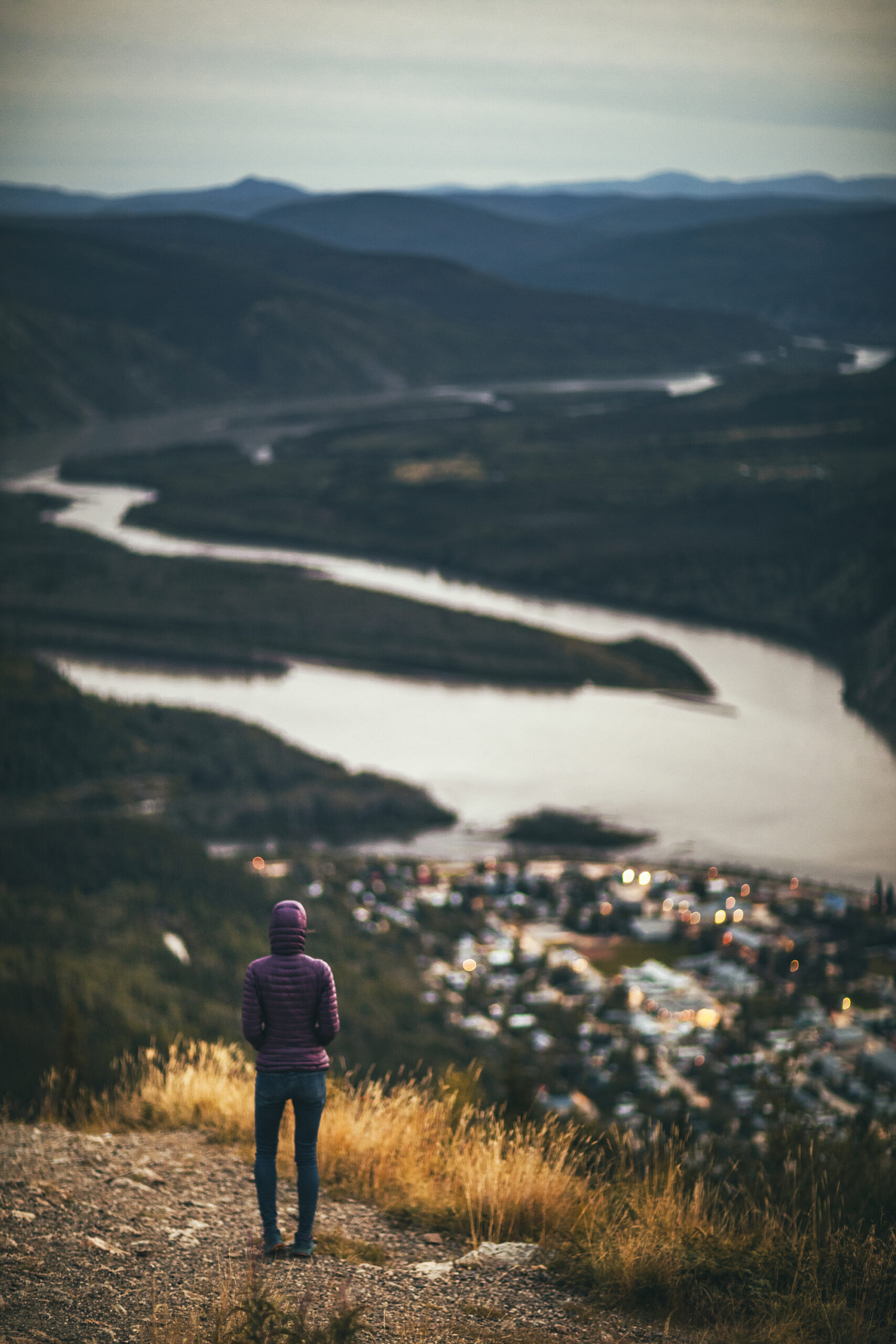
August 22 – In and Around Dawson City

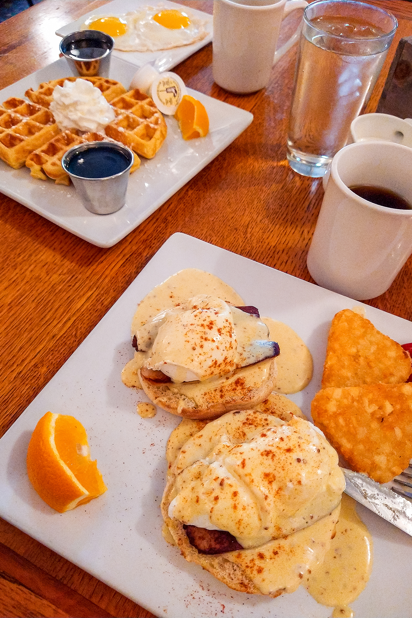
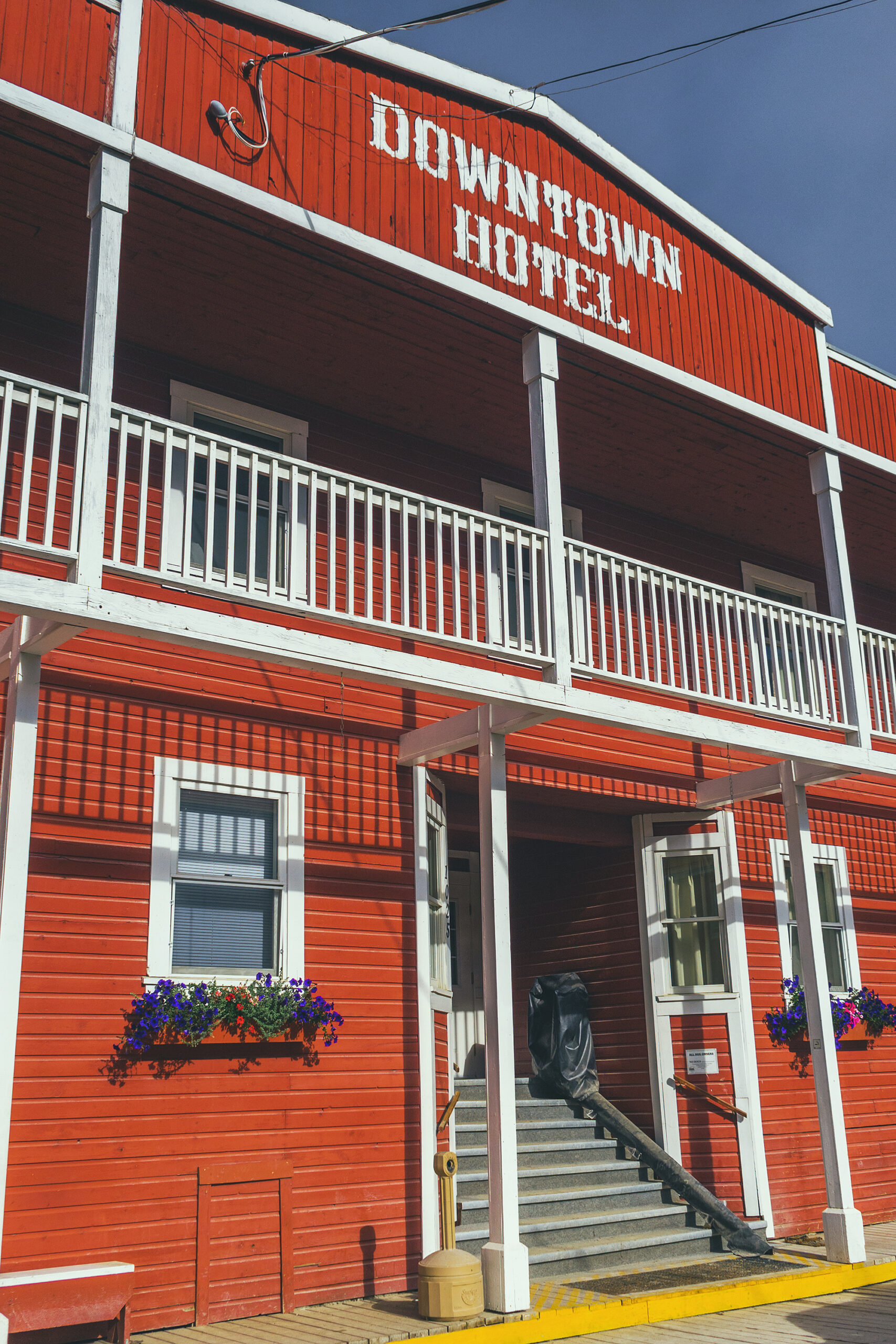
We packed up the tent and went for breakfast in town. We first tried the Riverwest Bistro, but it had more of a coffee shop vibe and was a bit crowded so instead we sat at the Jack London Grill, inside the Downtown hotel, for a proper eggs benny and waffles type of deal.


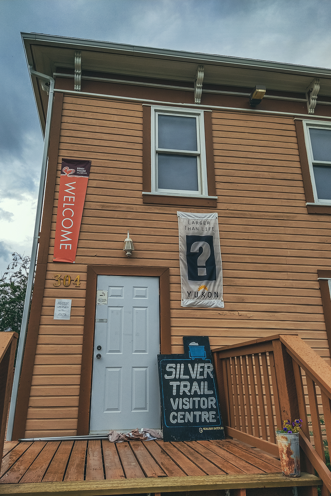
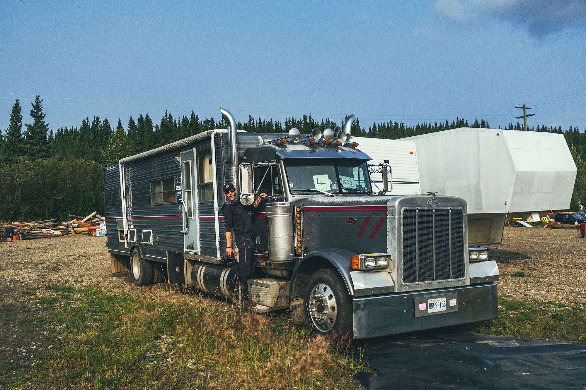
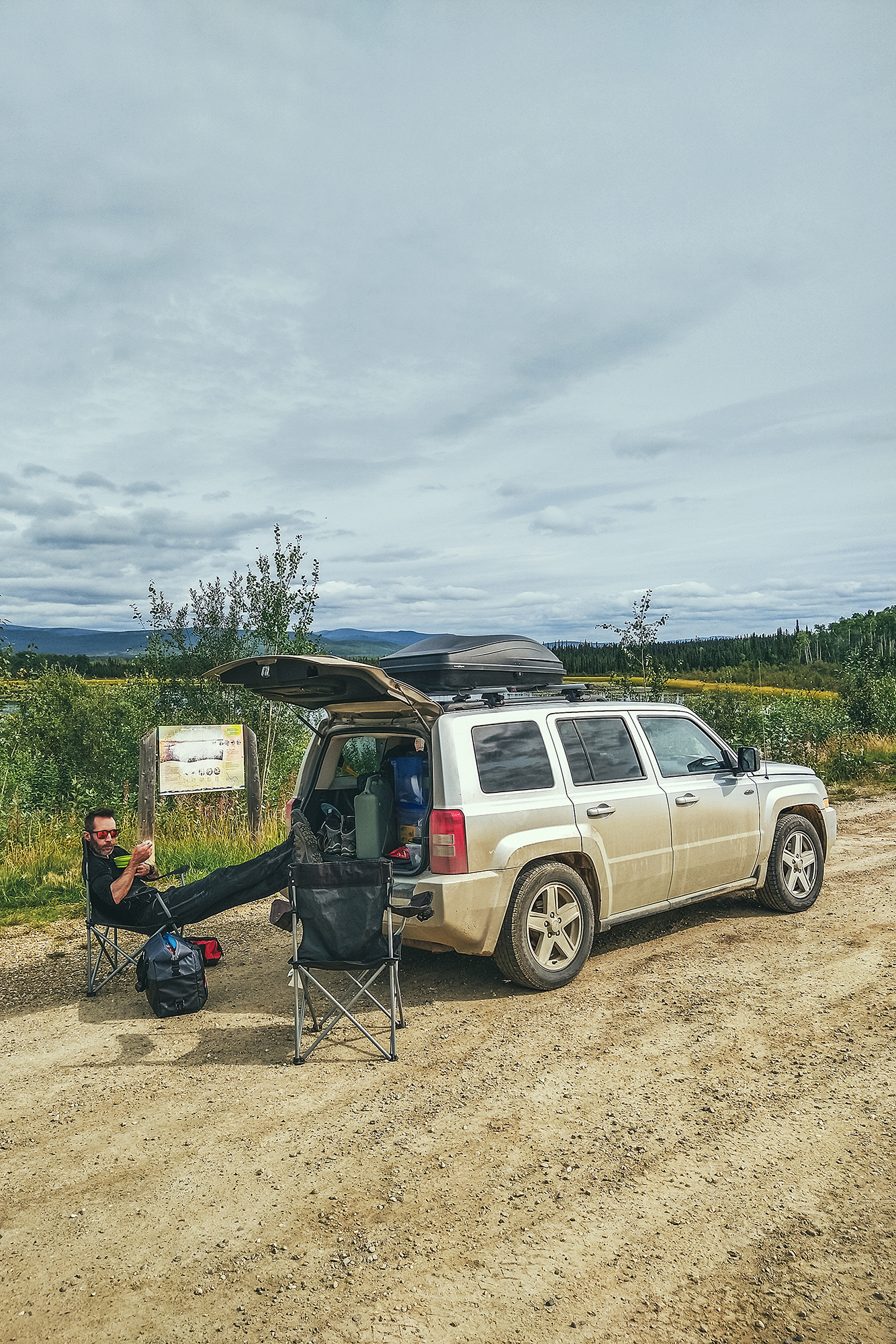
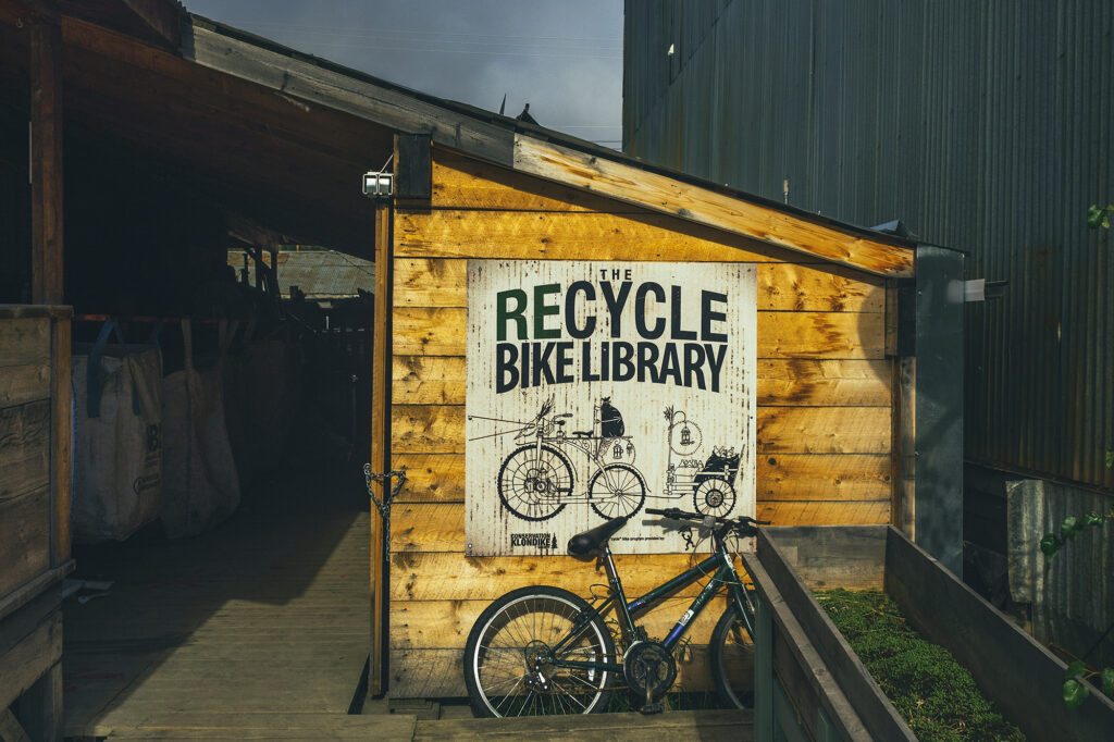
The plan for the morning was strolling through Dawson City, and go to the Dänojà Zho Cultural Centre – but it ended up being closed on Sunday unfortunately. We went back to the Trading Post, now our favorite store, with its mix of outdoor supplies and miscellaneous antique items. It’s one of those stores that makes you want to buy all the things for your outdoor needs, but we only got propane bottles and an extra tarp, so we could keep both out bug shelter and sleeping tents dry from the rain.

Dawson City is located on the land  of the Tr’ondëk Hwëch’in first nation, descendant of the of the Hän-speaking people who lived along the Yukon River for millenia. The Tr’ondëk Hwëch’in people traveled extensively over roughly 10,000 square kilometers of land, therefore designated as their traditional territory. Salmon, Caribou and Moose were some of their main source of food and the the land procured a wealth of other supplies, used in trades with neighboring nations. Contact with European settlers presented opportunities for trading of new goods, but also challenges due to the impact and influence on the Han culture, and of course the loss of land.

The discovery of gold and stampede resulted in the displacement of the Han people, and significant impact on their food sources by driving away the game. A highly regarded and respected member of the clan during the Gold Rush, Chief Isaac witnessed the impact of the European culture on his people and entrusted their traditional songs and dances with a neighboring nation in Alaska, to keep them alive until a time the Han could receive them back.

In the 1970’s, Yukon First Nations started the process of reclaiming their lands through negotiations with the Canadian government. Trʼondëk Hwëchʼin’s individual Land Claim and Self Government Agreement was first negotiated in 1991 but the Final Agreement wasn’t signed and put into effect until 1998. Today the Trʼondëk Hwëchʼin are actively working towards restoring their cultural heritage and traditions, while being active participants in the preservation and protection of the land we had the privilege to explore during our time there.

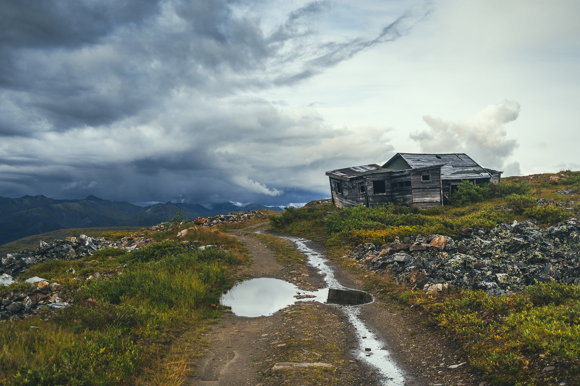
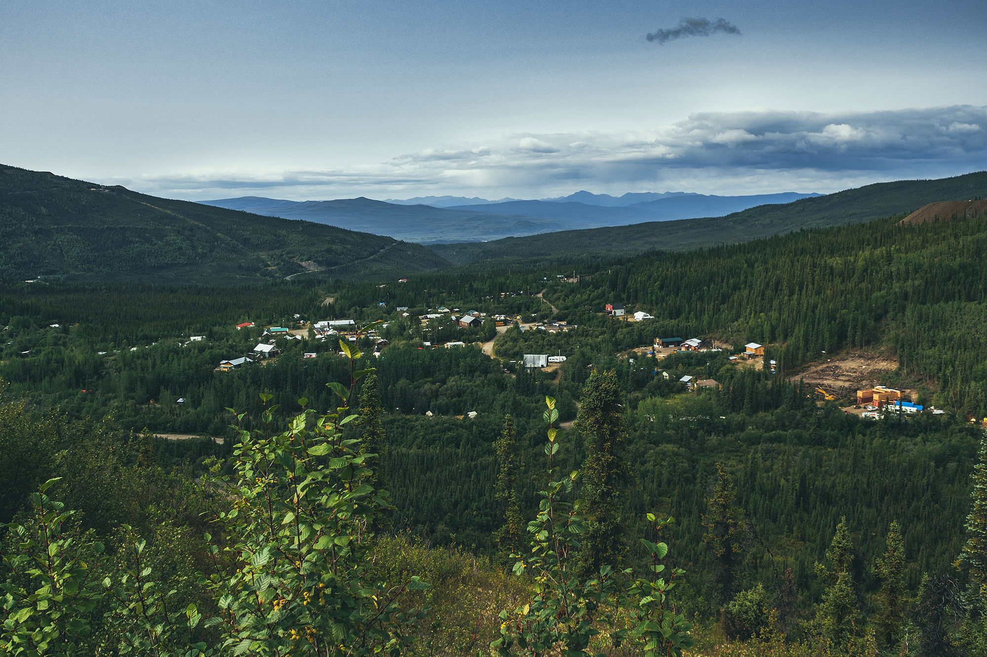
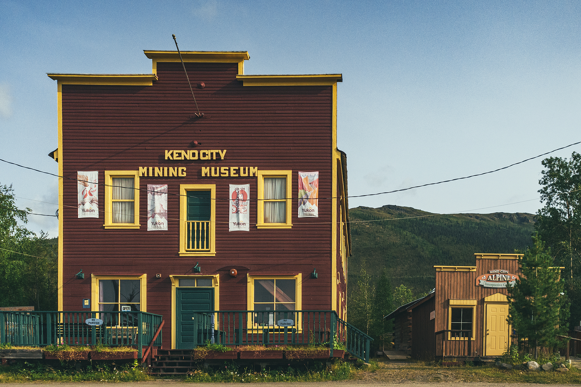
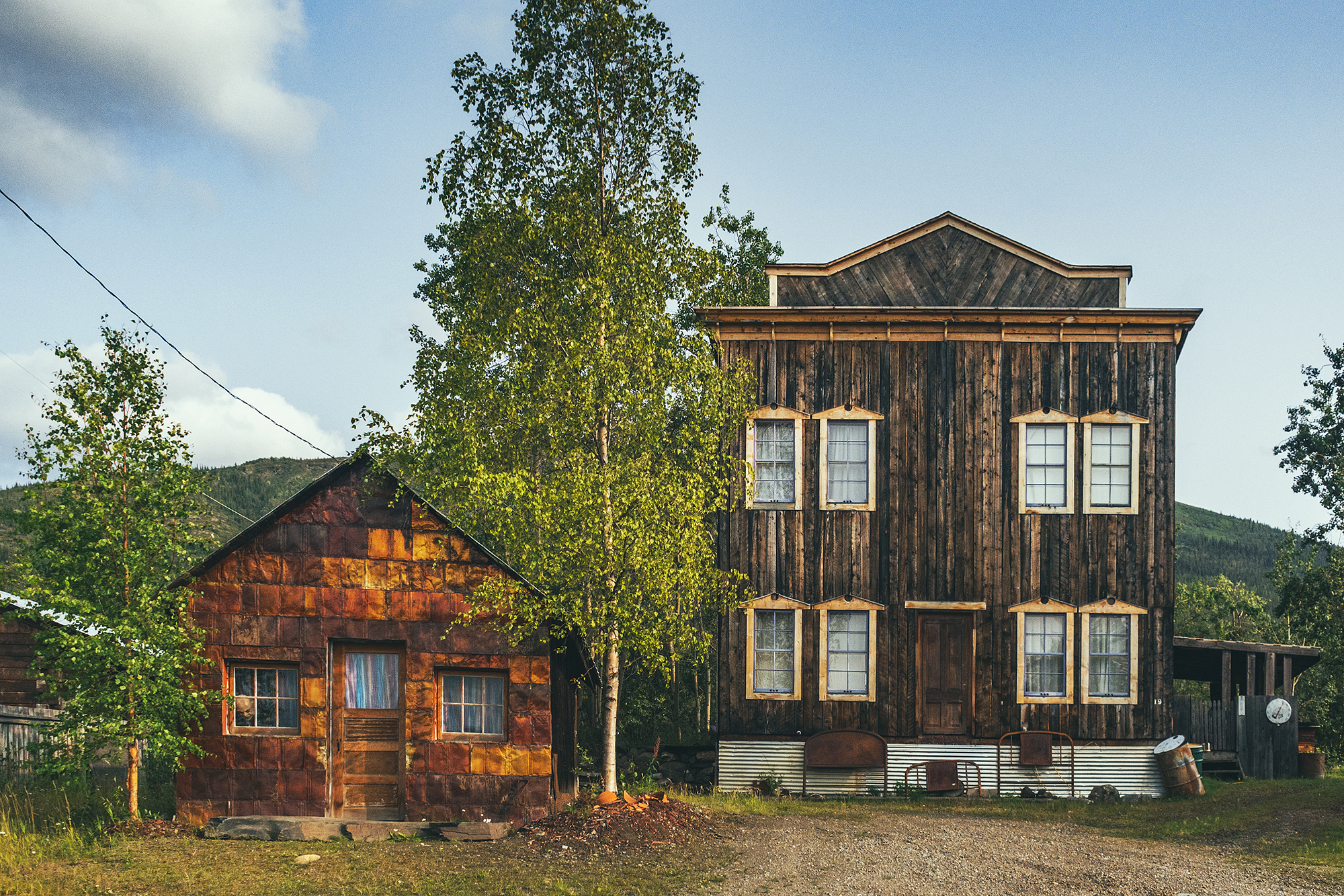
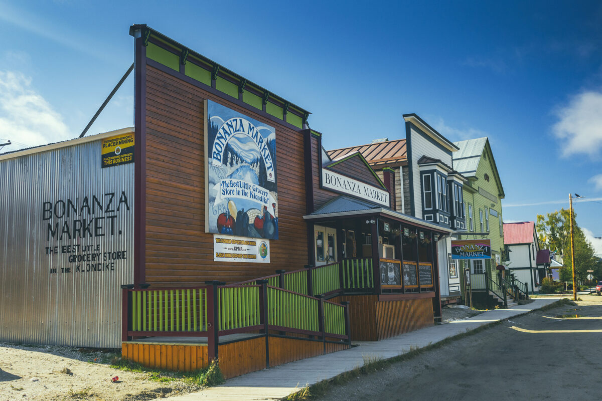
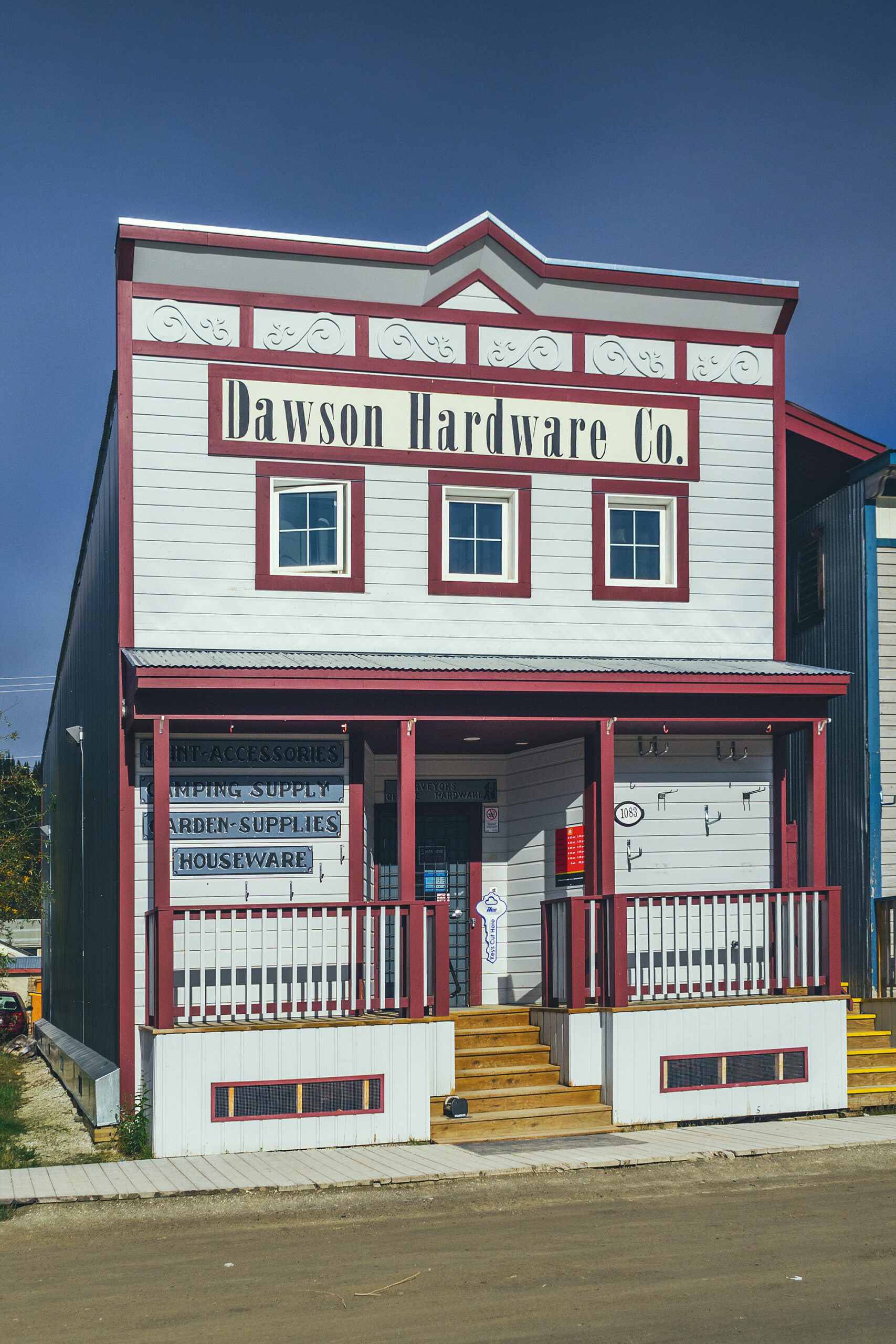
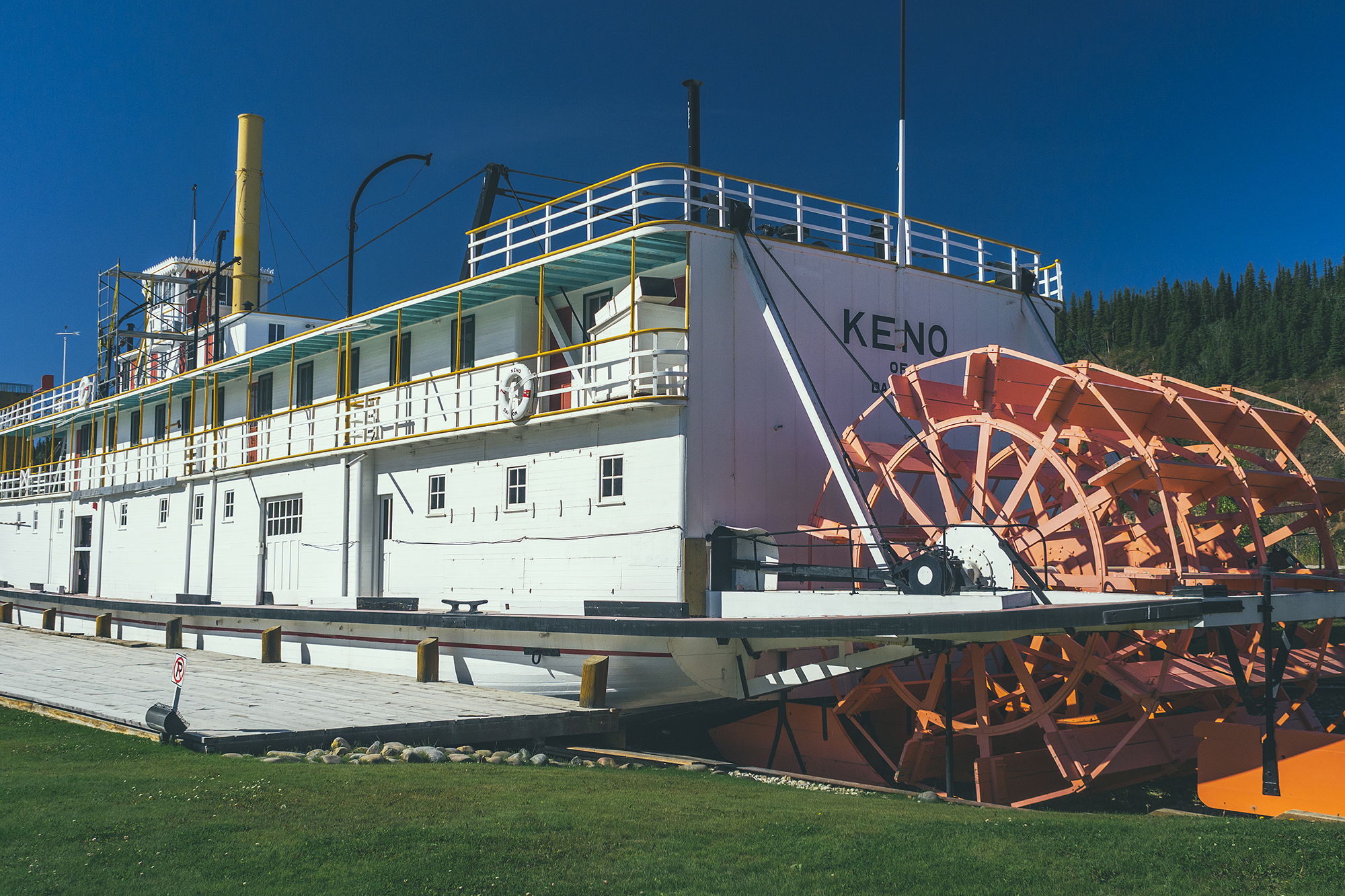
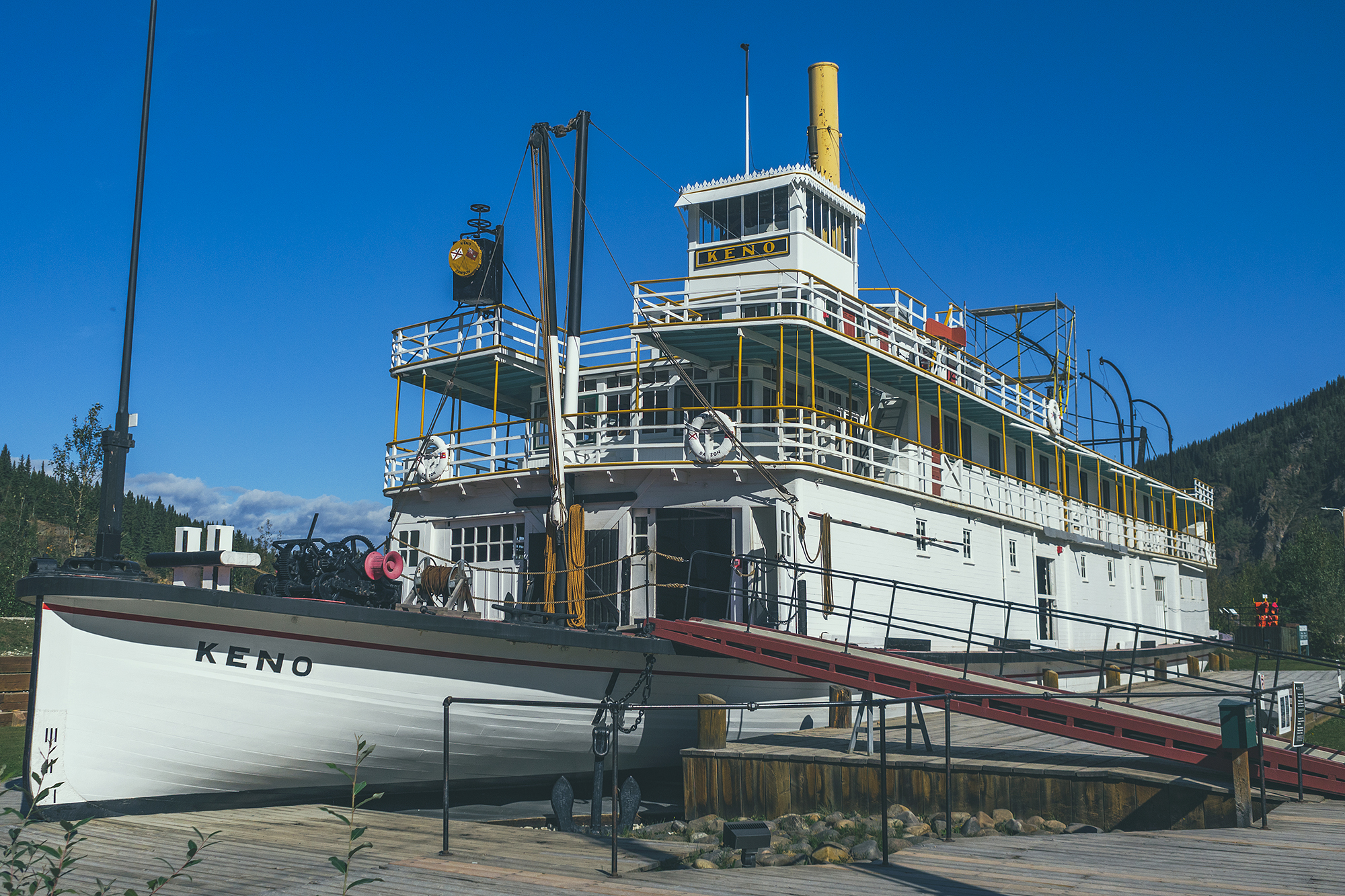
As for the founding of Dawson City and what remains today, its history is tightly woven with that of the Klondike Gold Rush. While settlers were stampeding up the Yukon river to stake claims on land that would hopefully yield them wealth, one business-savvy man, Joseph Ladue, decided to claim an area of boggy marsh land, at the mouth of the river. He figured all these people would need a place to live and expand as a community and sure enough, the town grew to roughly 5000 people within 6 months of Ladue first naming Dawson City. Today the town population is roughly 1600 people, the 2nd most populated town in the Yukon, after Whitehorse, and subsists mainly thanks to tourism.

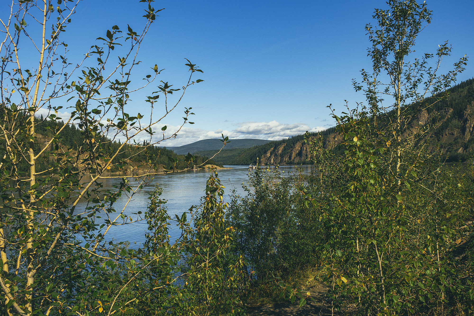
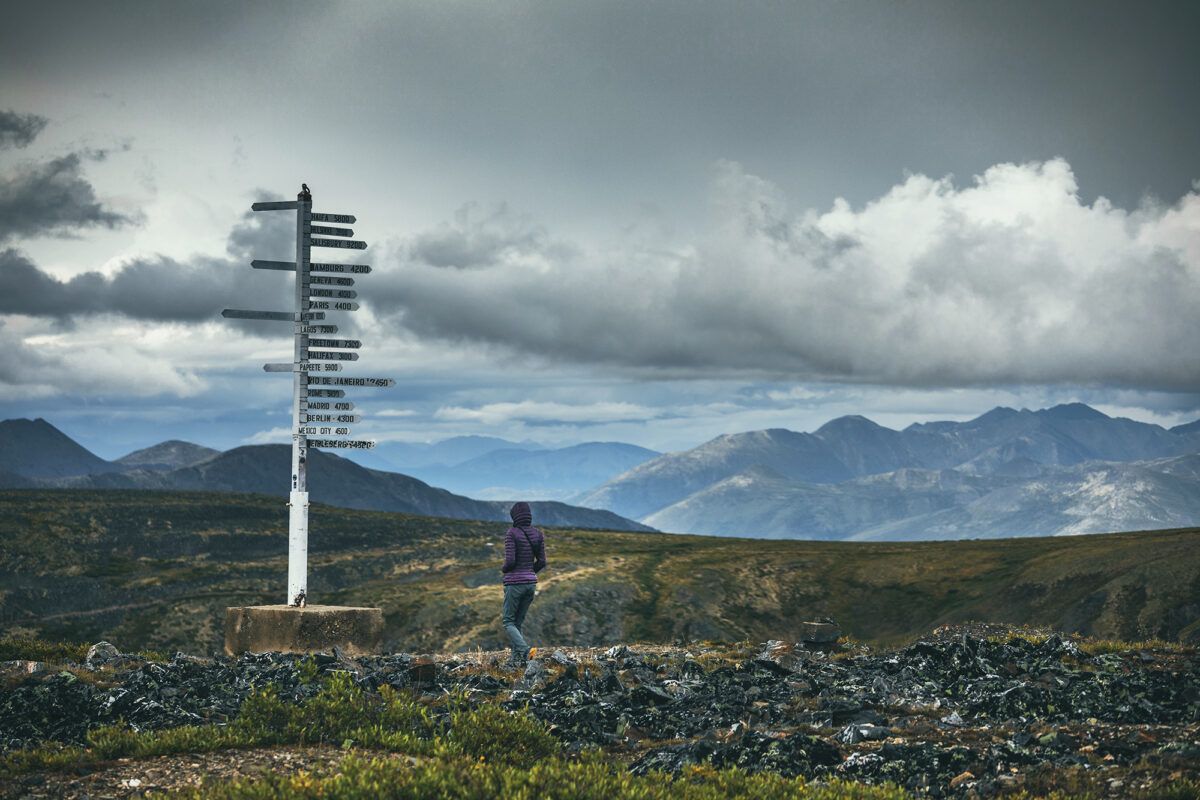
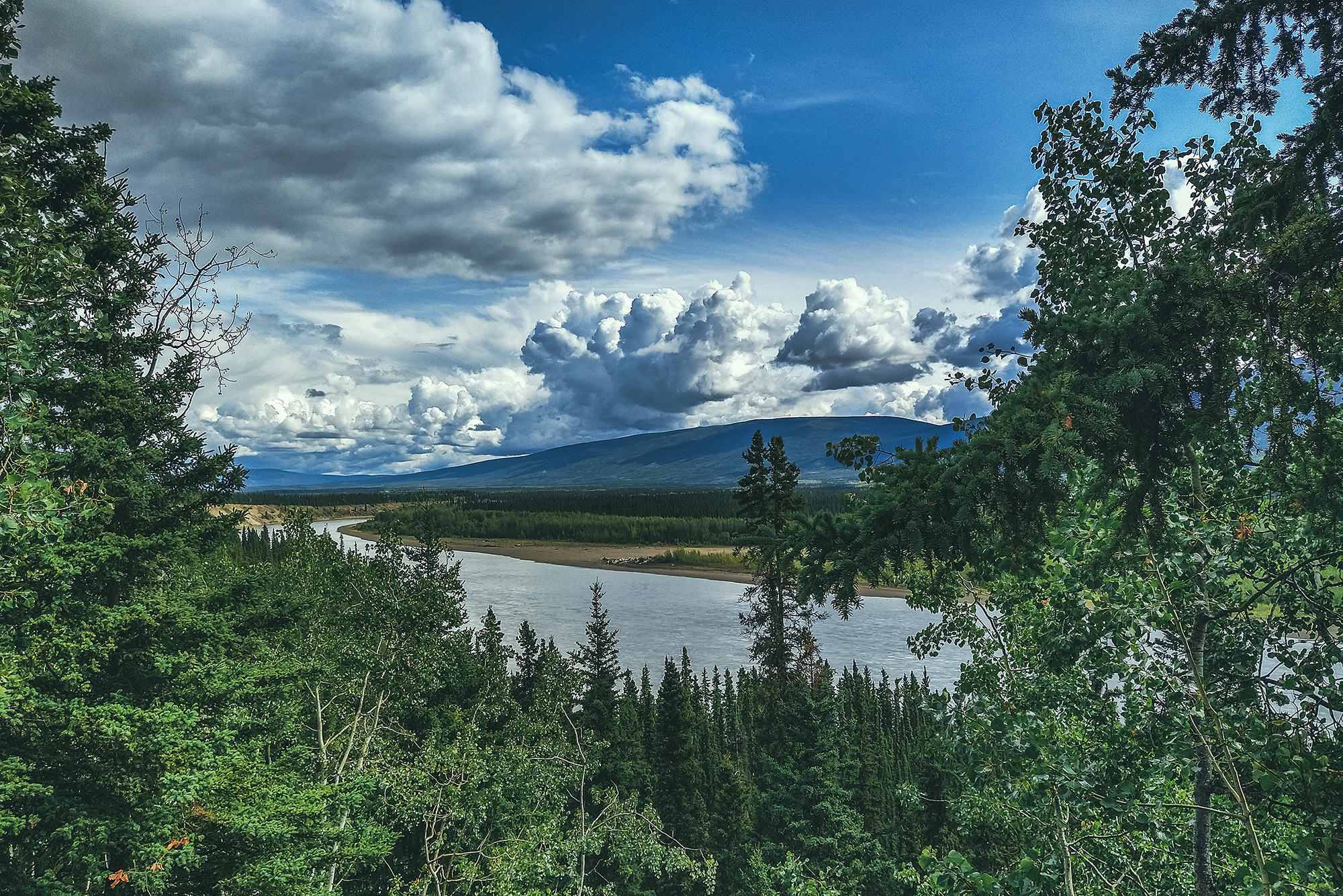
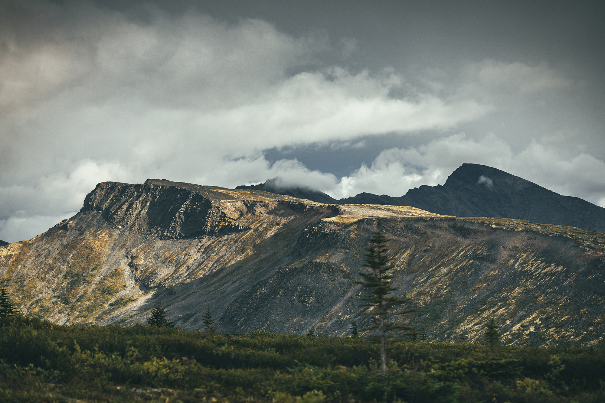
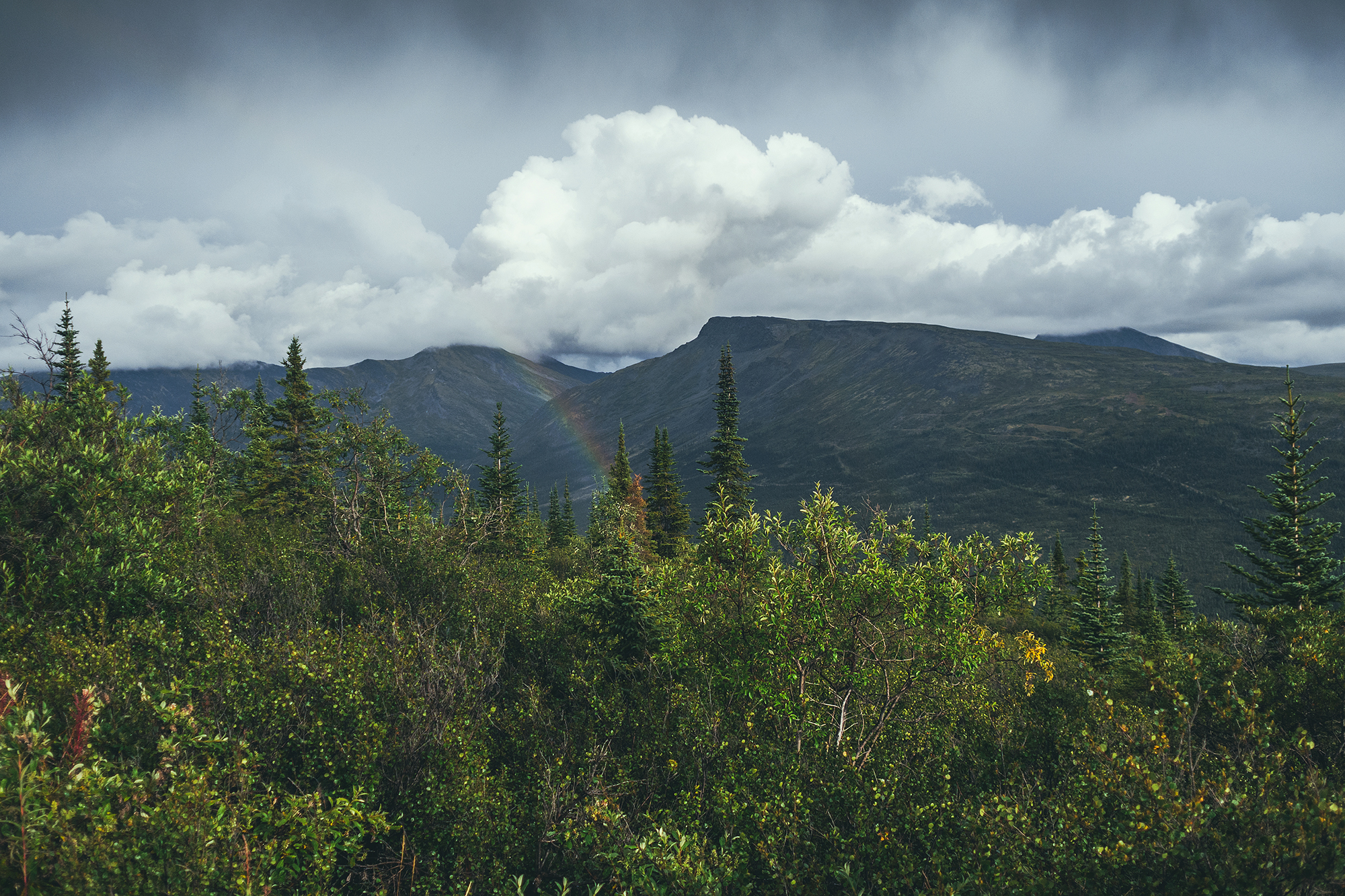
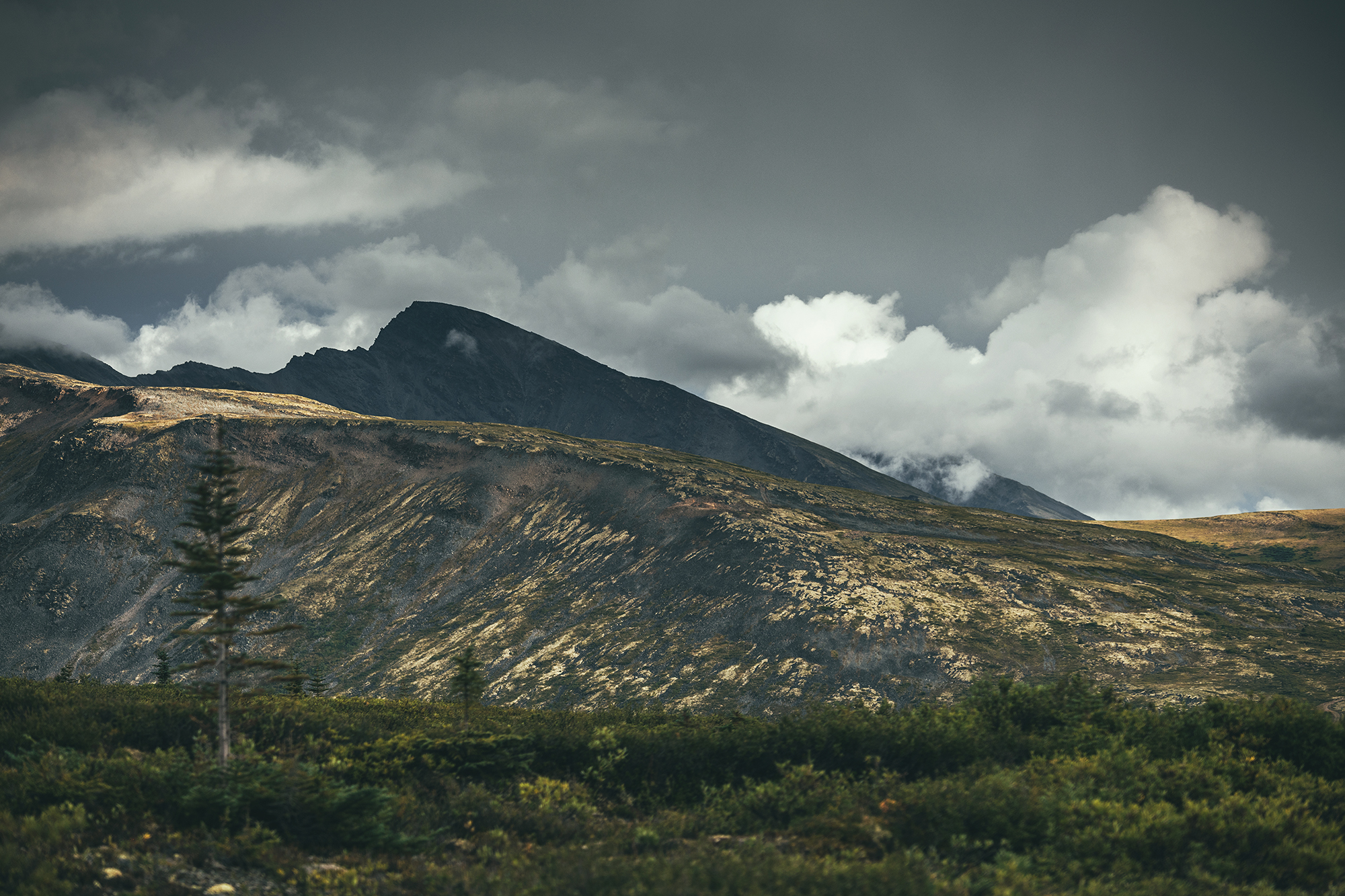
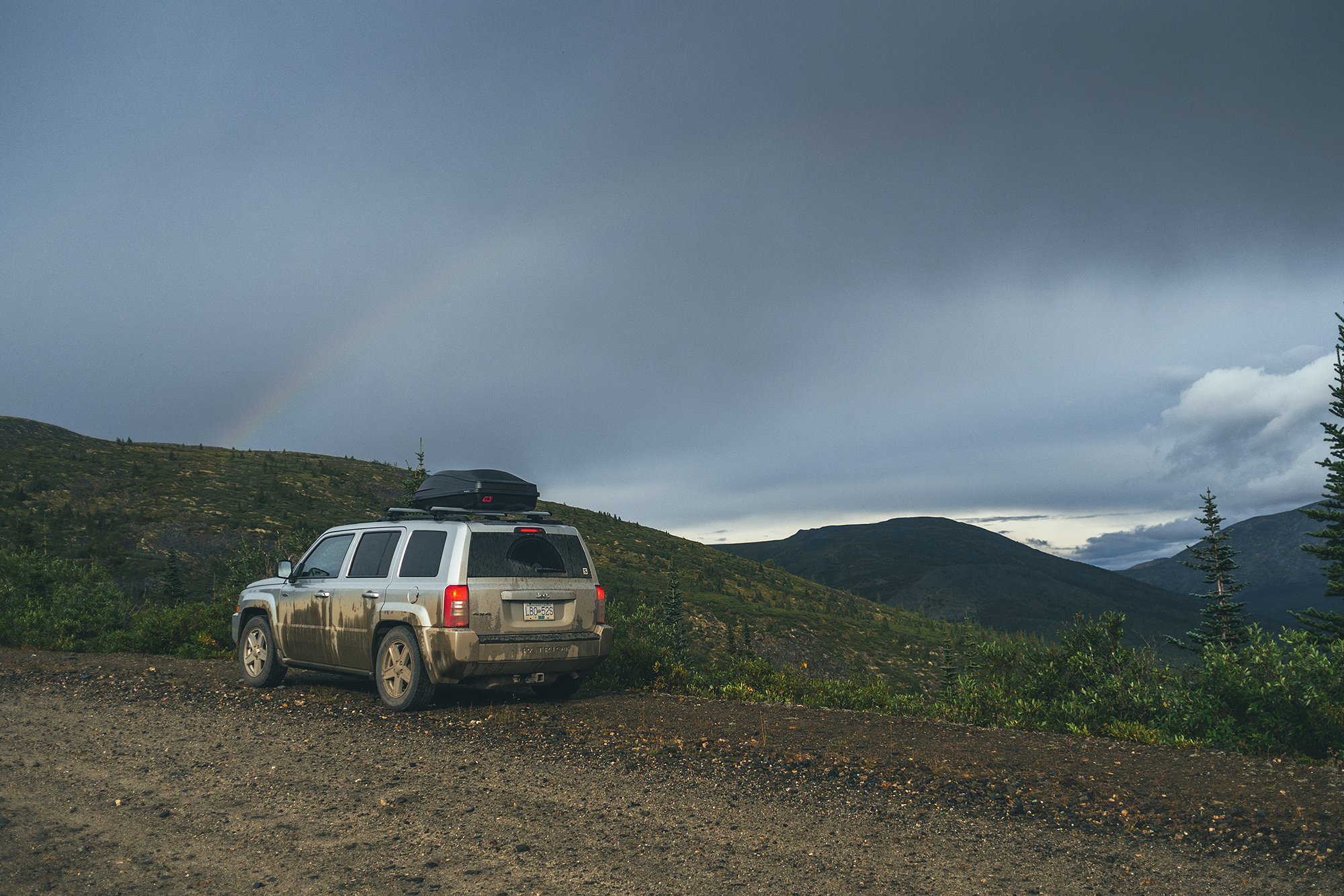
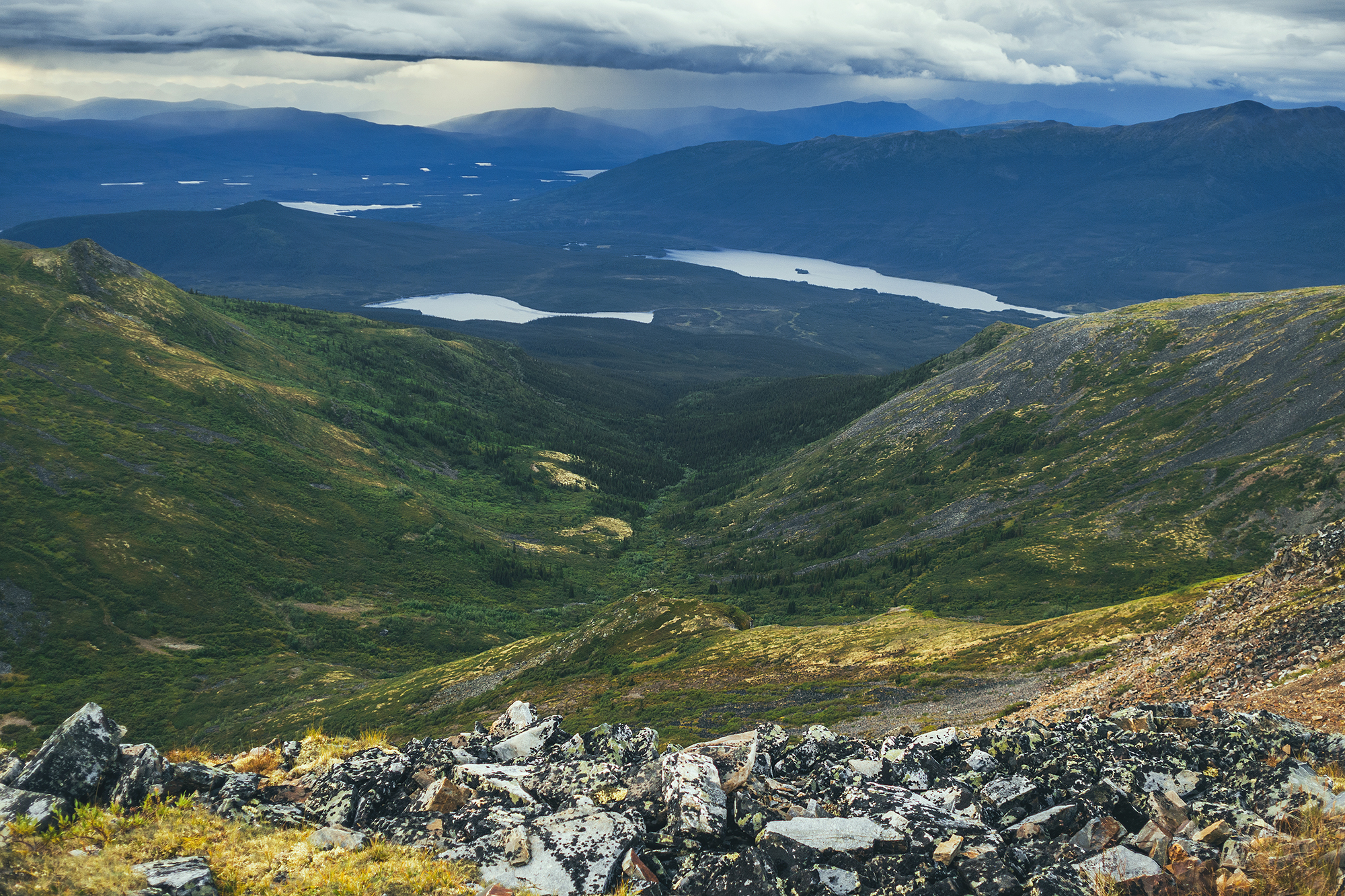
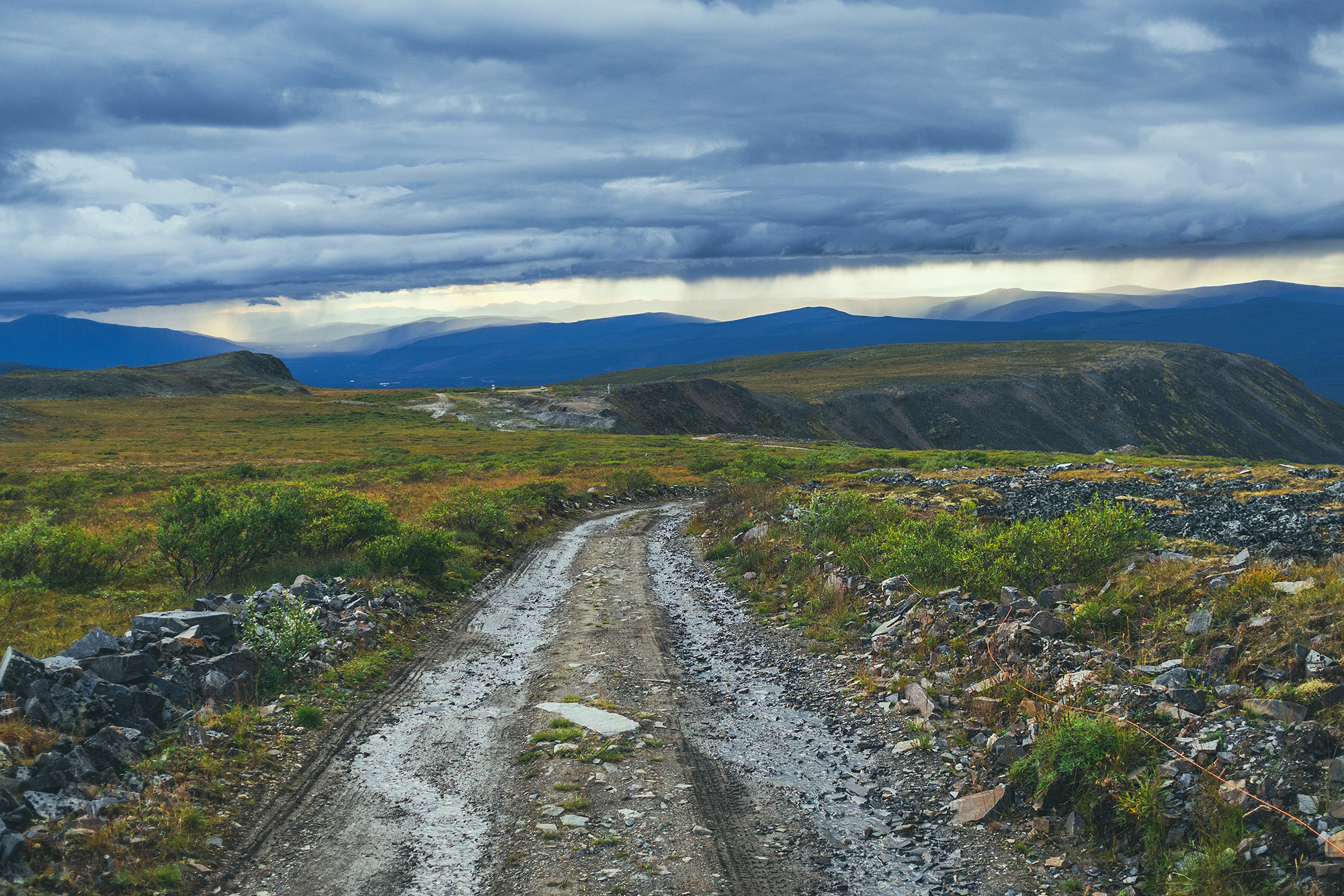
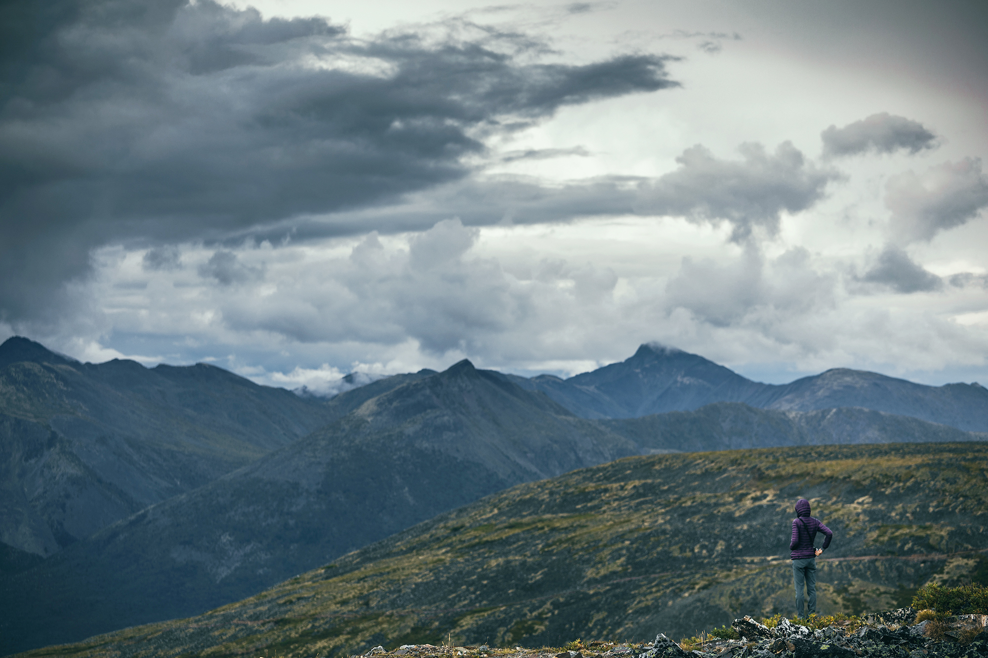
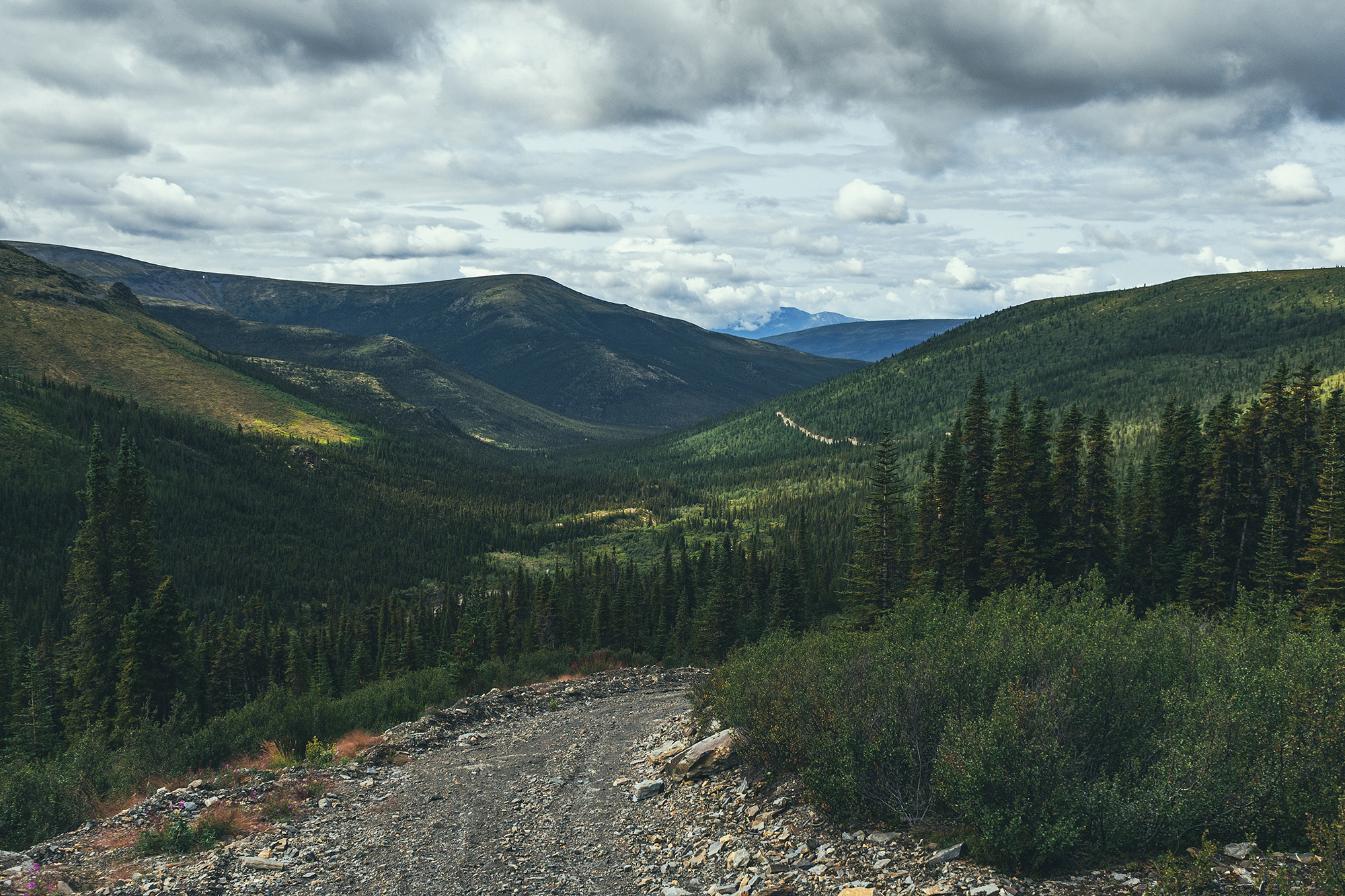
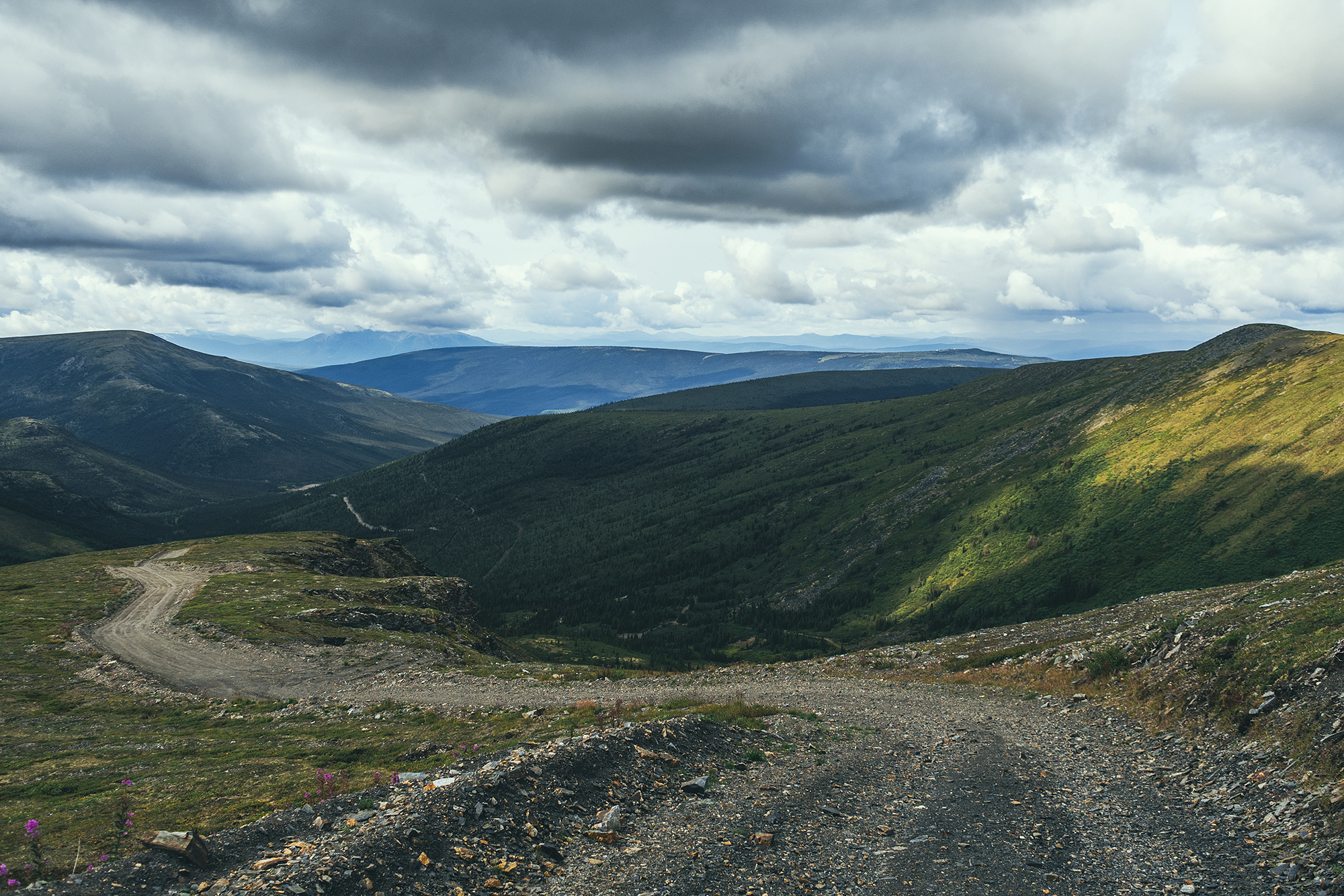
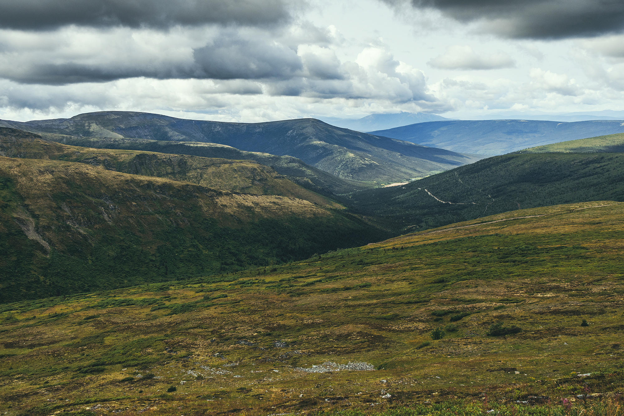
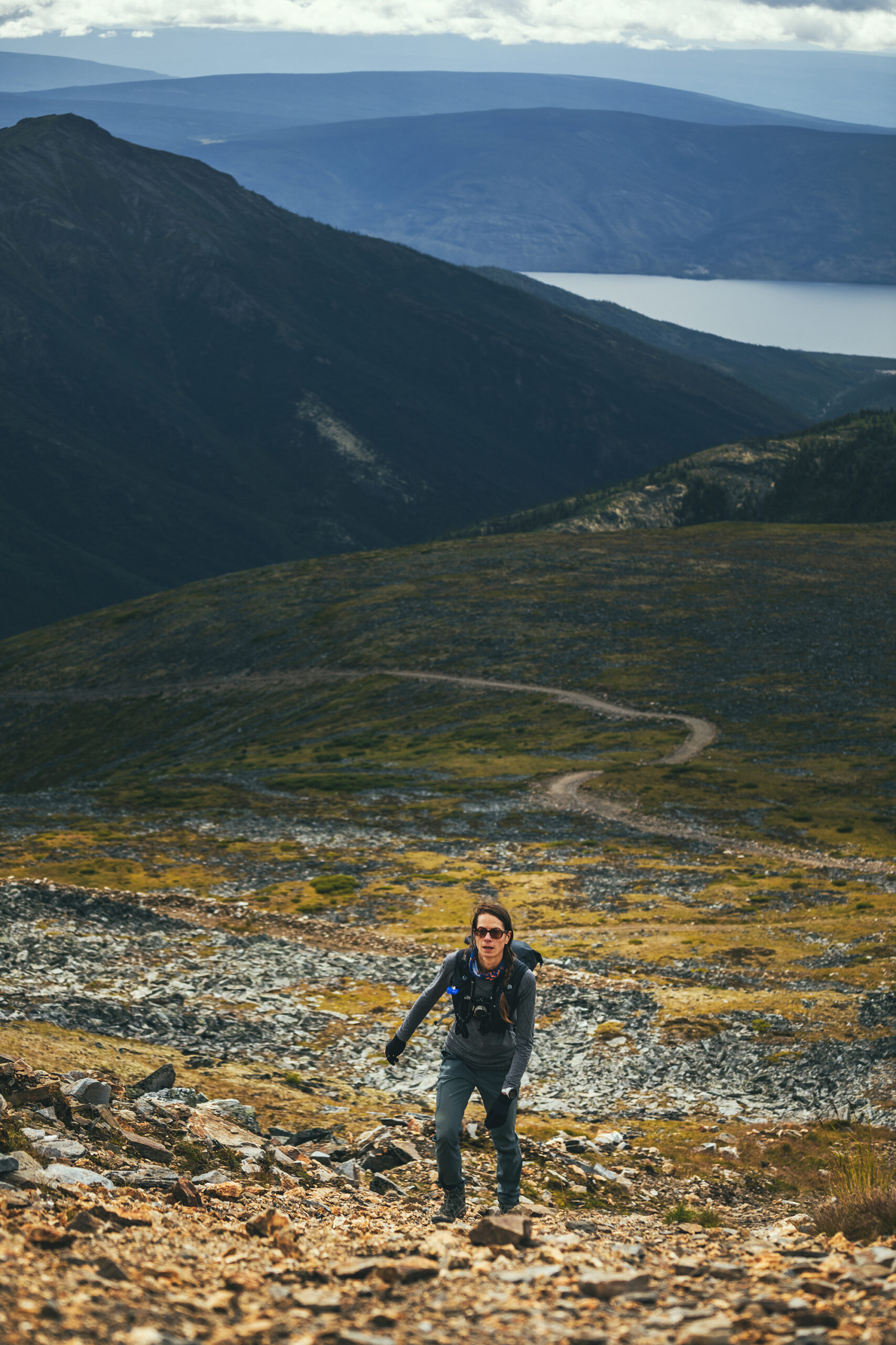
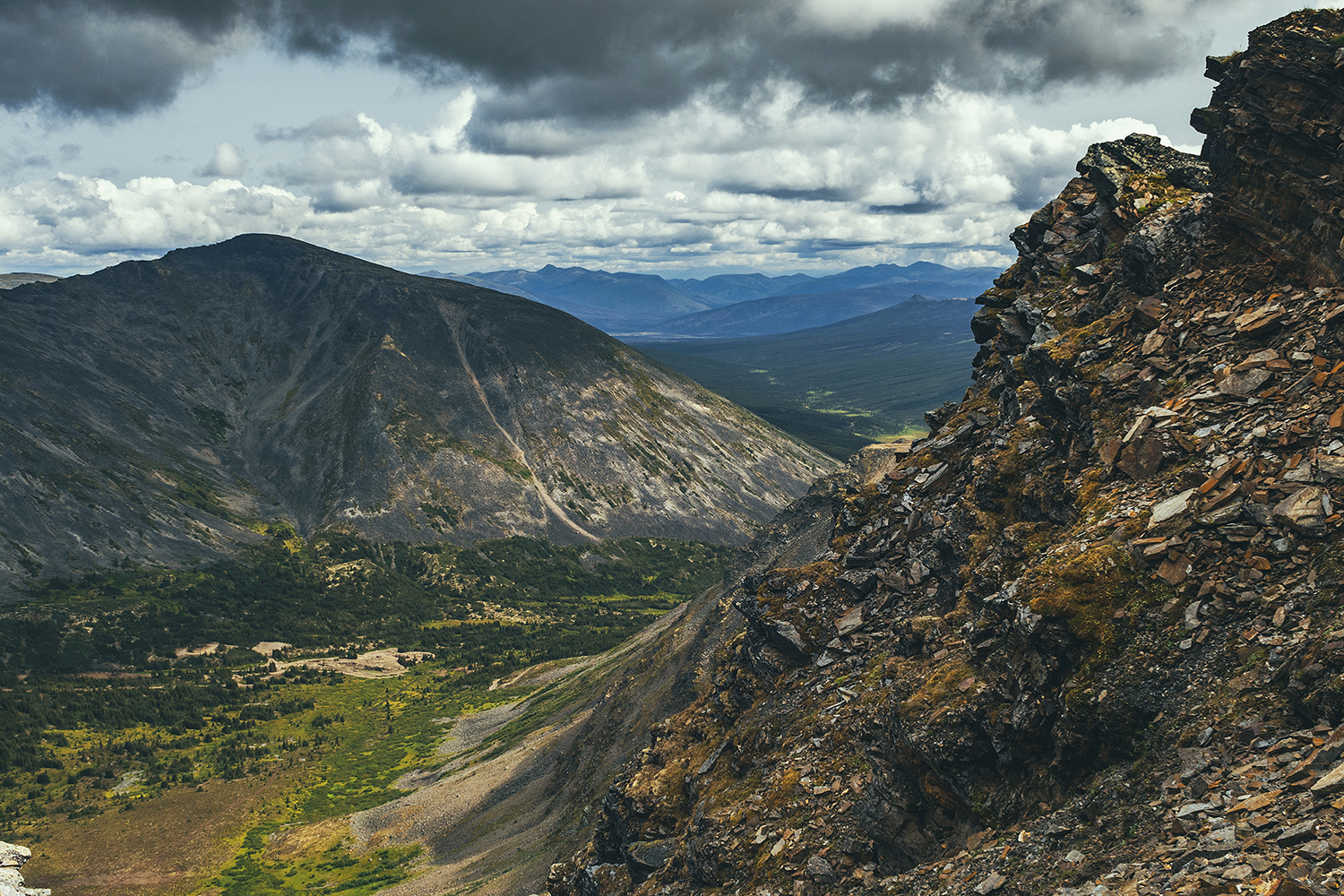
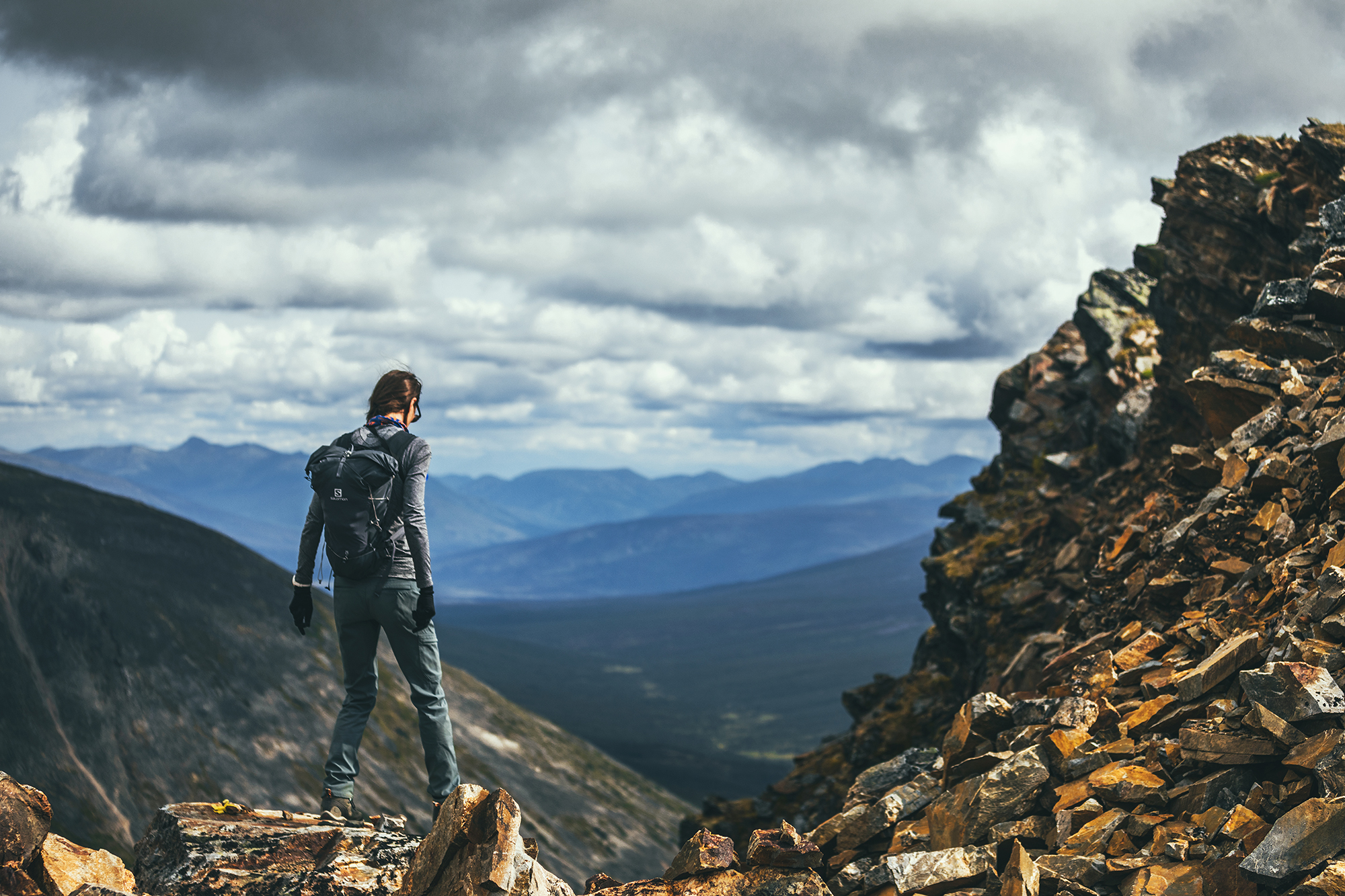
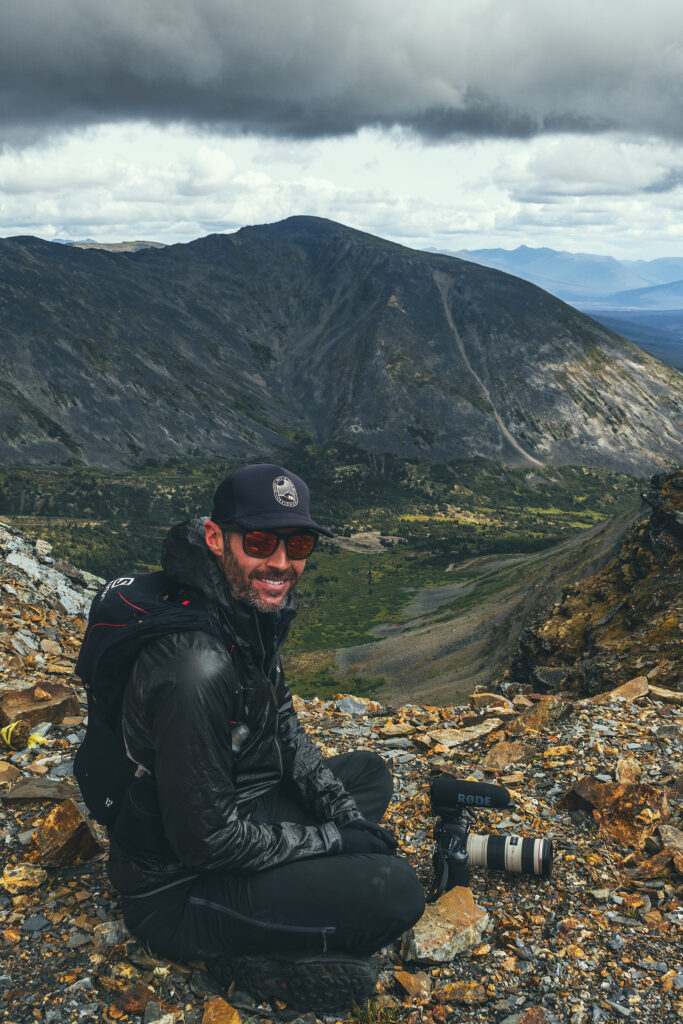
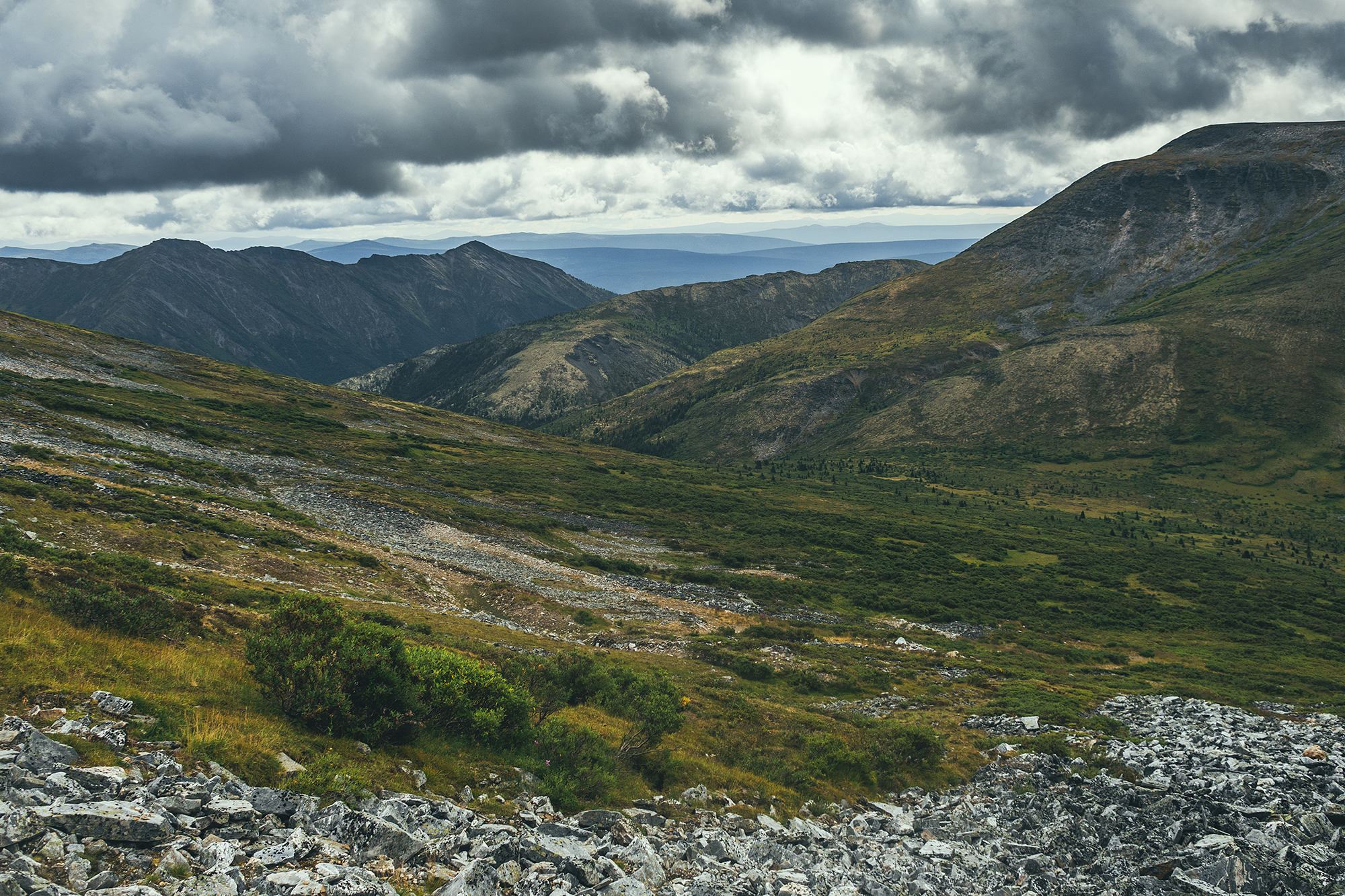
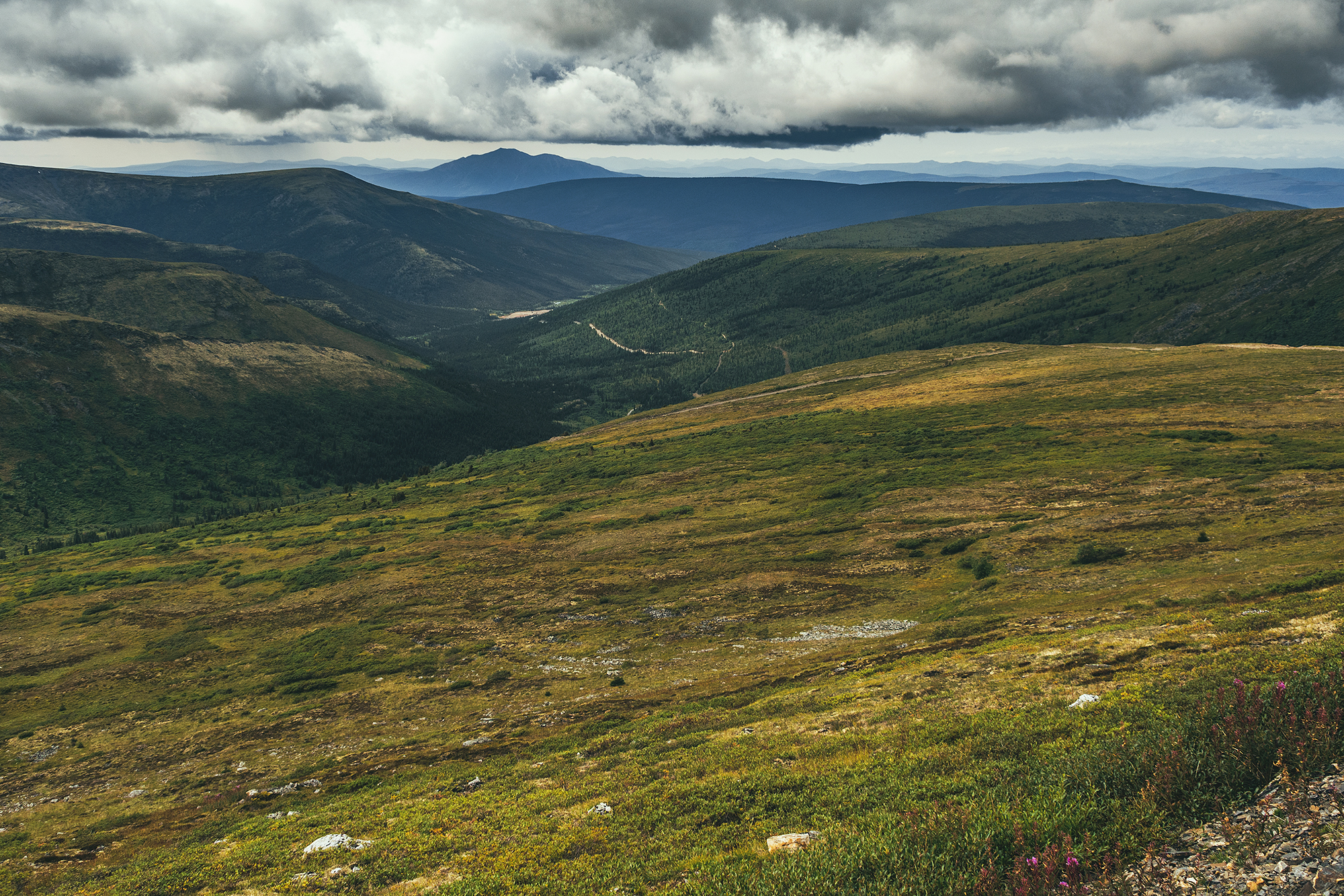
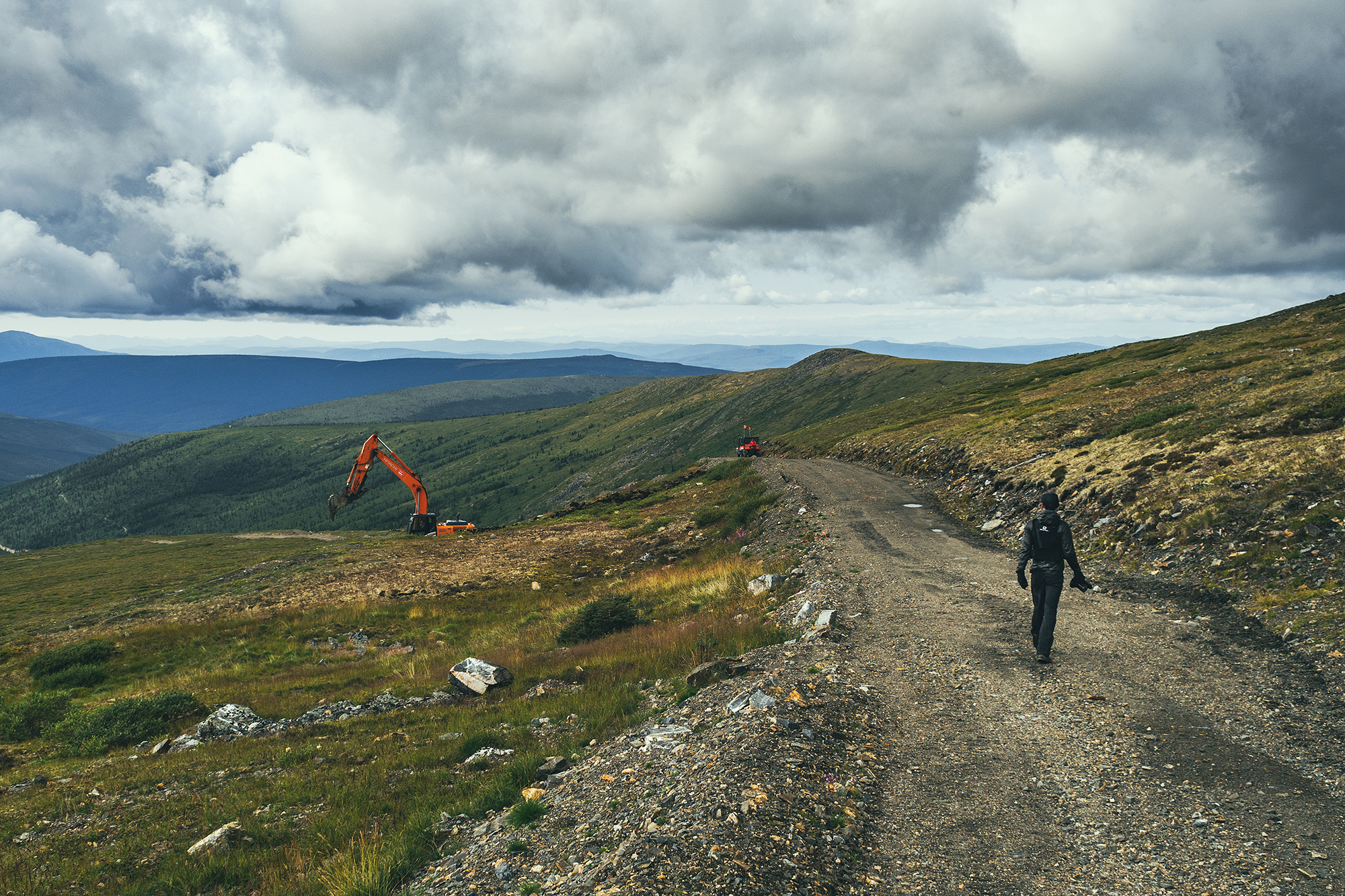
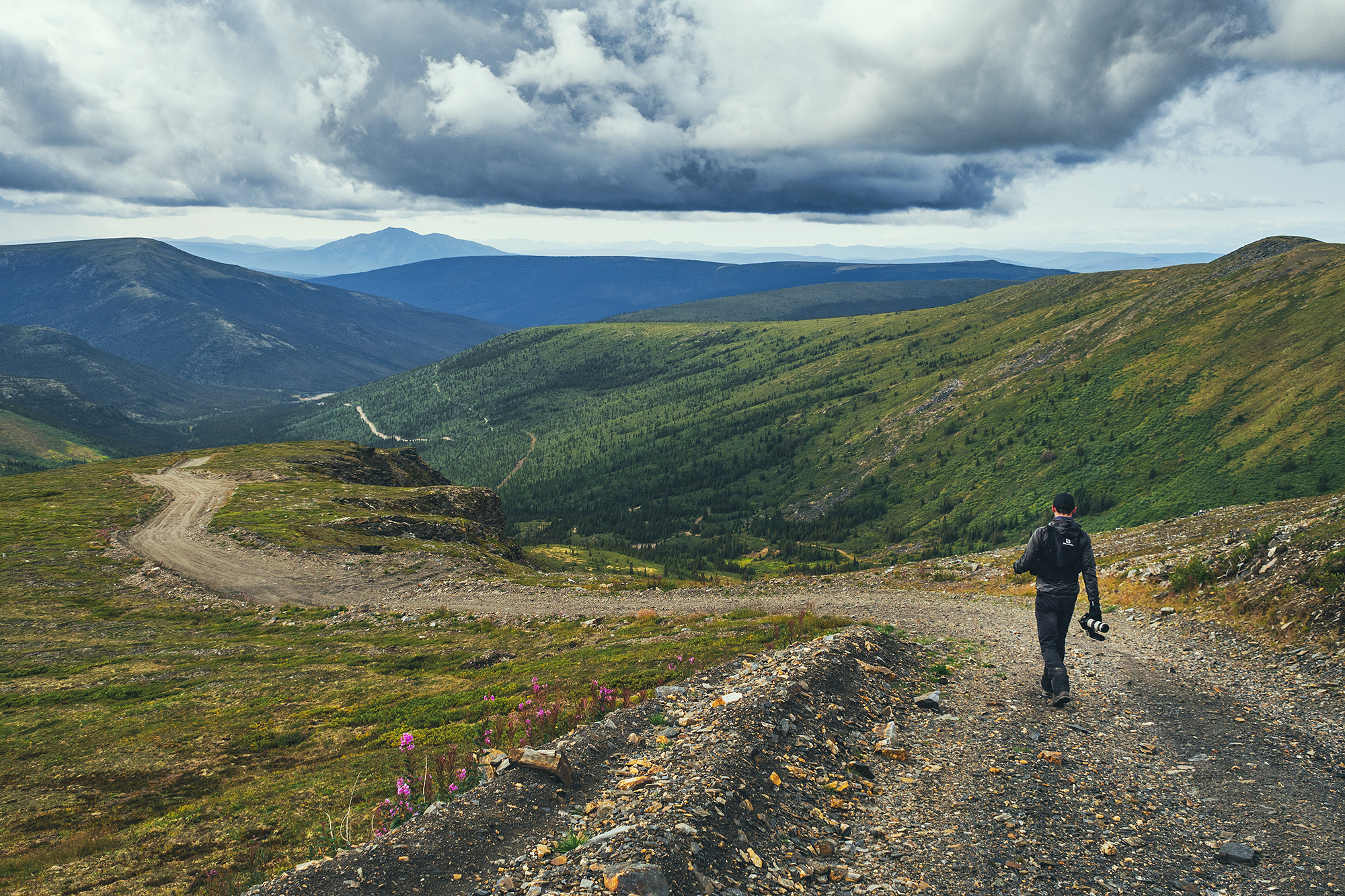
The day turned out to be quite sunny, which was a nice change, and we had lunch on one of the wooden platforms near the river. In the afternoon we headed down Bonanza Creek road, to visit a few different sites related to the Gold rush.

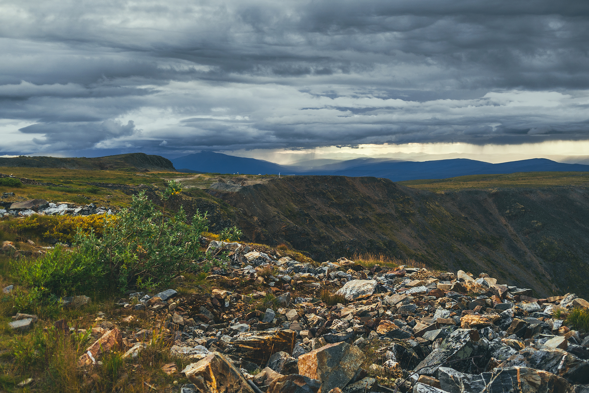
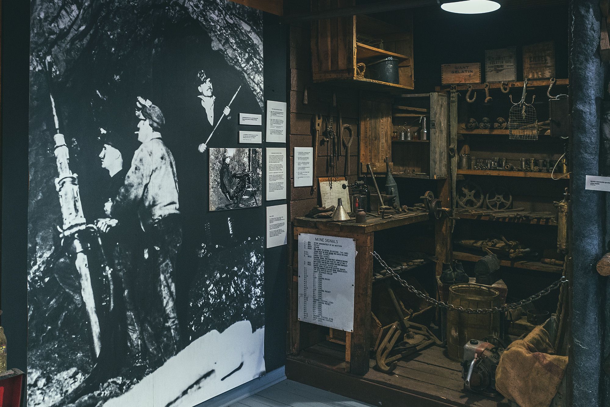
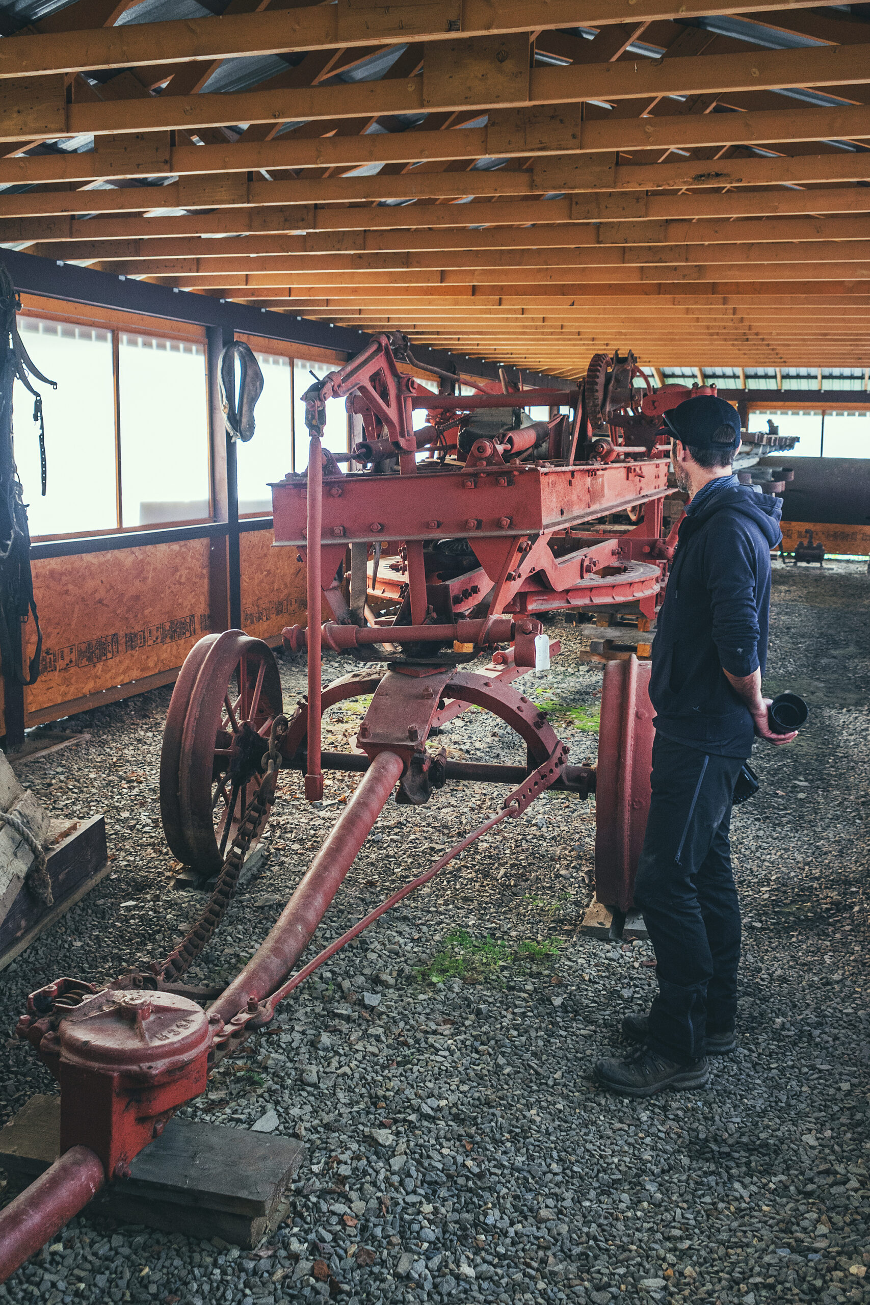
Dredge n°4 is a huge piece of machinery (the biggest of its kind) which was used to basically turn the river bed upside down to extract gold from it. At the time it was used (from the early 1910’s to the late 1950’s), it was the epitome of placer gold extraction engineering, and the most advanced it got from the original human labor of swishing dirt in a pan, at the start of the gold rush in the late 1890’s.

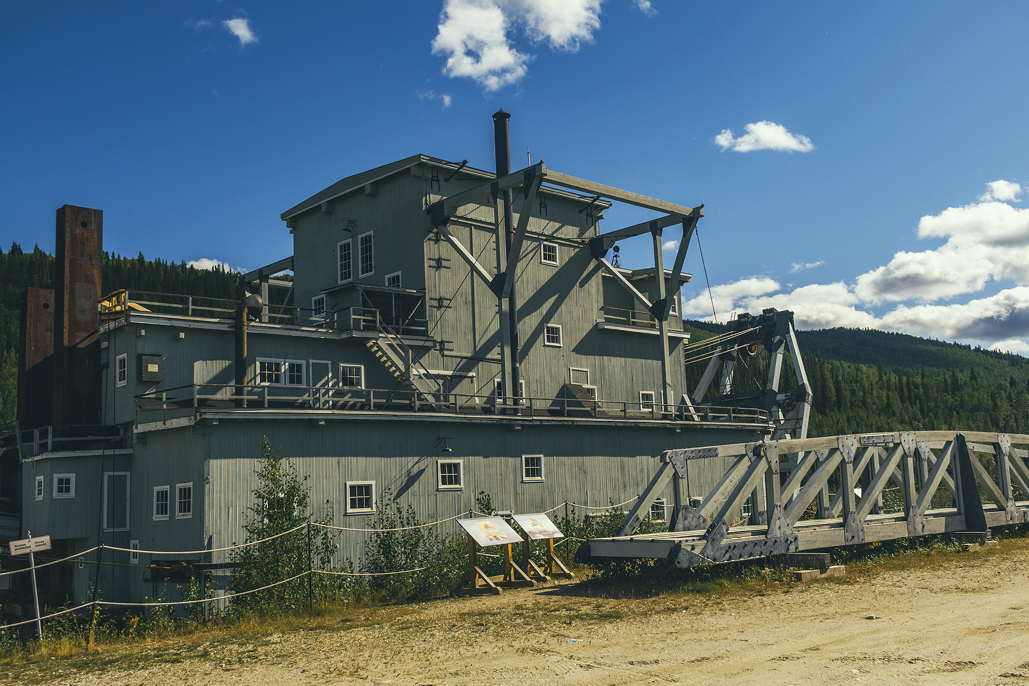
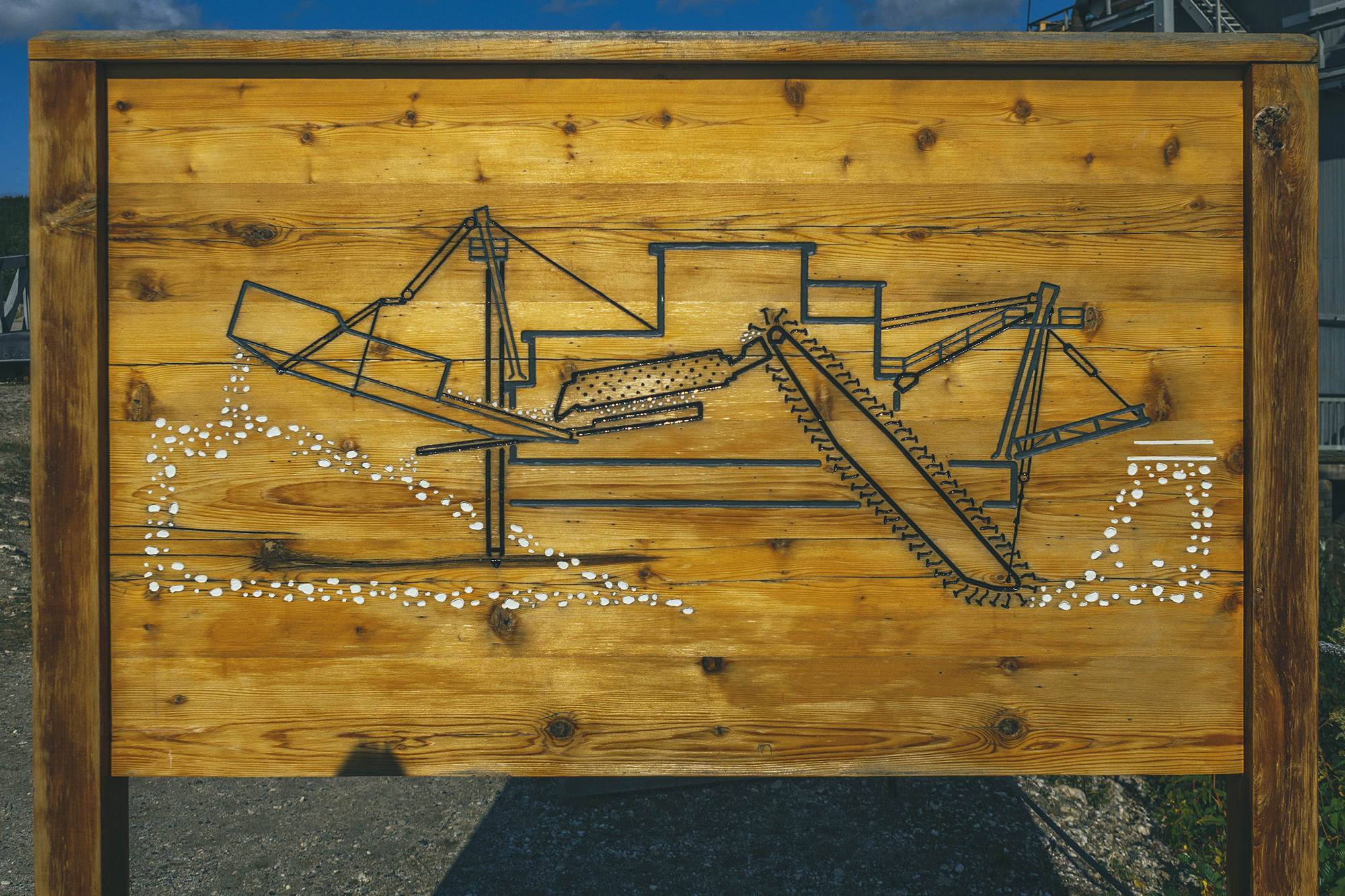
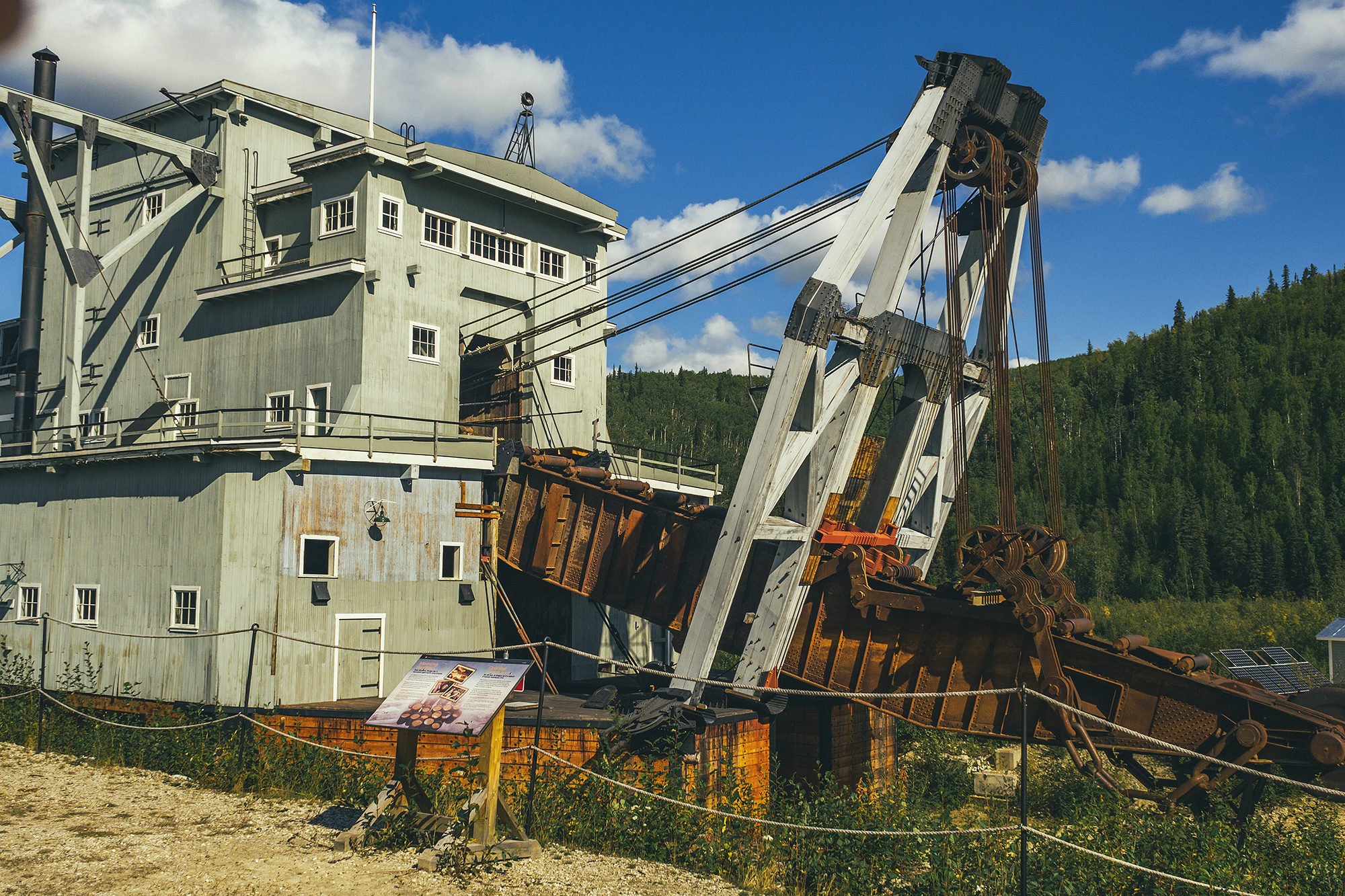
The design was, in itself, pretty straight forward: a series of huge cast-iron buckets on a chain, similar to a treadmill, would dig through the creek bed and pull the dirt out. As it traveled through the machine and a trommel screen mechanism, the heavier gold would fall down into a container while the rest of the rocks and dirt would get spit out the other end, creating a new mound of dirt where the creek used to be. This method was definitely more aggressive on the environment than manual gold panning, but certainly more efficient as Dredge 4 collected approximately nine tons of gold during its time of operation.

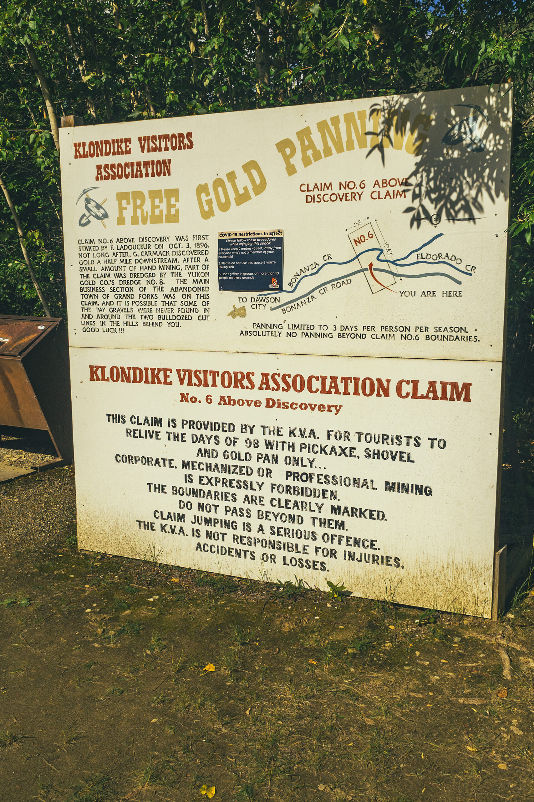
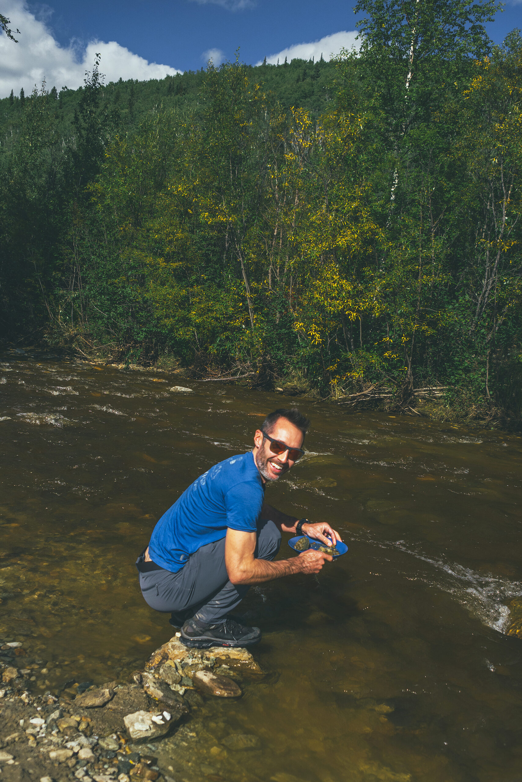
Our next stop was at Claim #6, a section of the Bonanza Creek owned by the Klondike Visitors Association and inviting visitors to do their own gold panning. It felt like a bit of a gimmicky tourist attraction, but since it was free we went along. Turns out there were a couple of groups there already, that seemed to take the task quite seriously, sitting in chairs with rubber-booted feet in the river and pans a-swishing.
If I’m being honest, it kind of reminded me of people walking on beaches with metal detectors, but gratuitous judgement aside, it definitely helped put into perspective the grit and determination of the people who originally came to the area, working for hours in harsh conditions, hoping to luck out on some flakes of gold

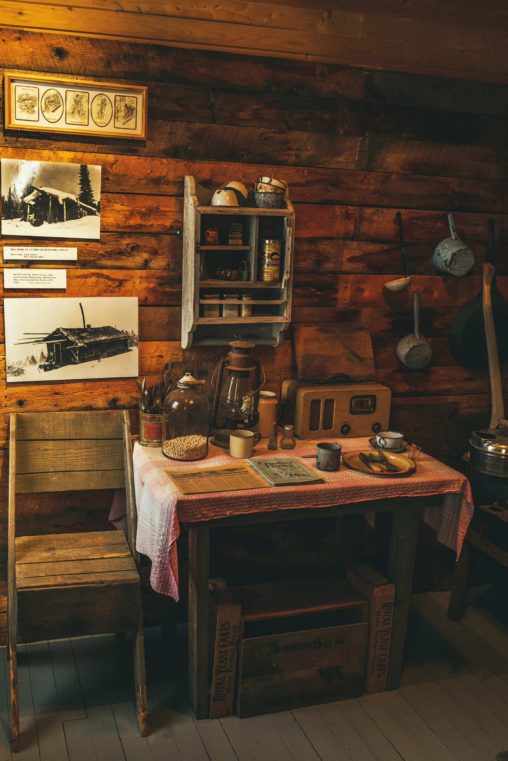
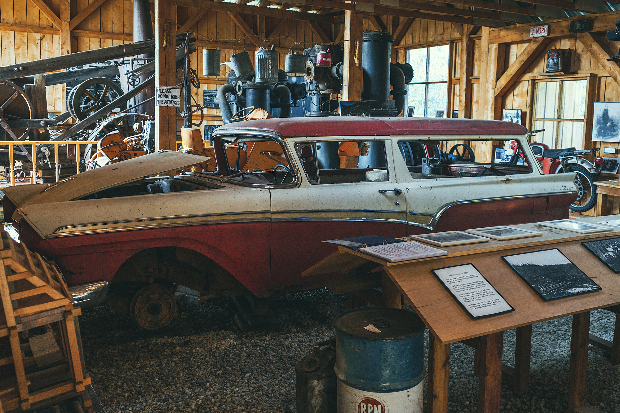
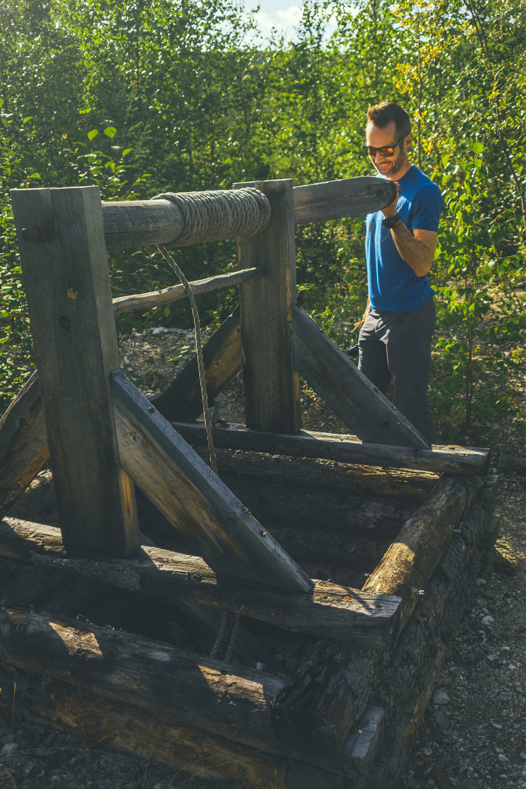
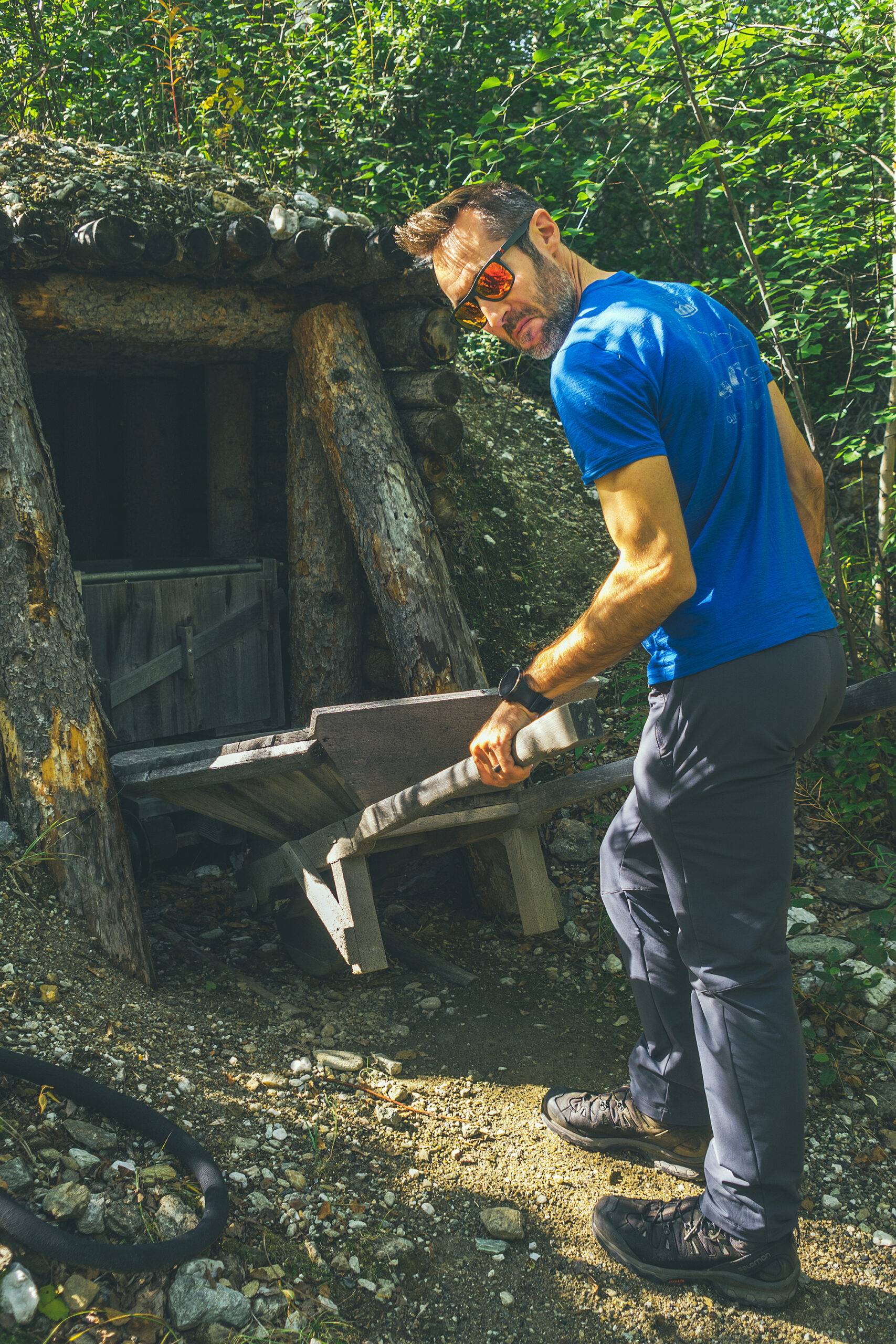
Lastly we went to the Discovery claim, a short interpretive trail along the creek in the location where gold was first found, which resulted in the Dawson City stampede and gold rush. The trail provided detailed information about the men who first claimed the area (George Carmack, Dawson Charlie, and Skookum Jim), as well as various tools that were used for mining.

After this deep-dive into the Gold Rush era, we headed back to the motel to check into our room for the night, then had snacks from the coffee shop, and finally went back to the room to rest for a bit and do a load of laundry.

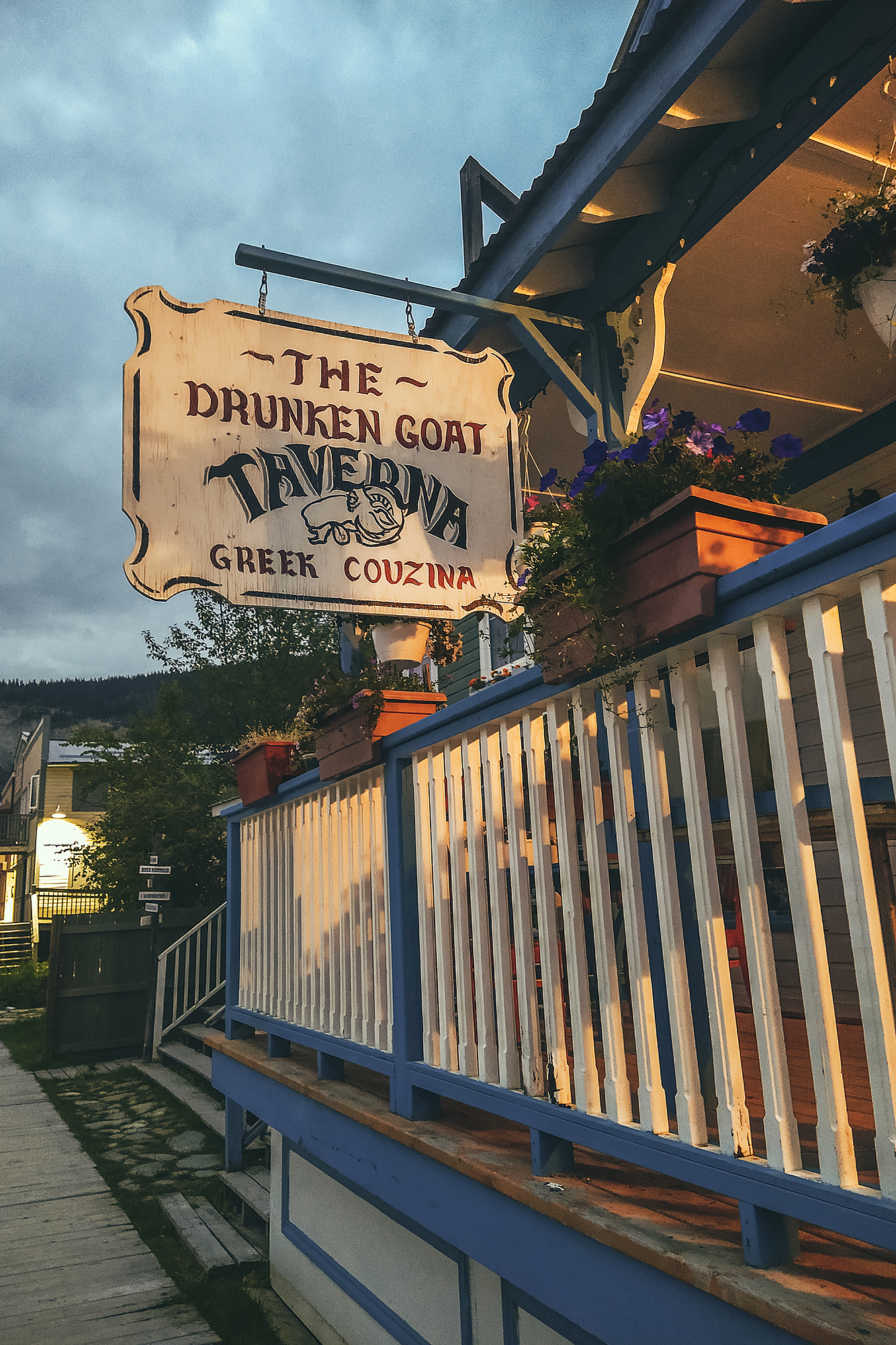
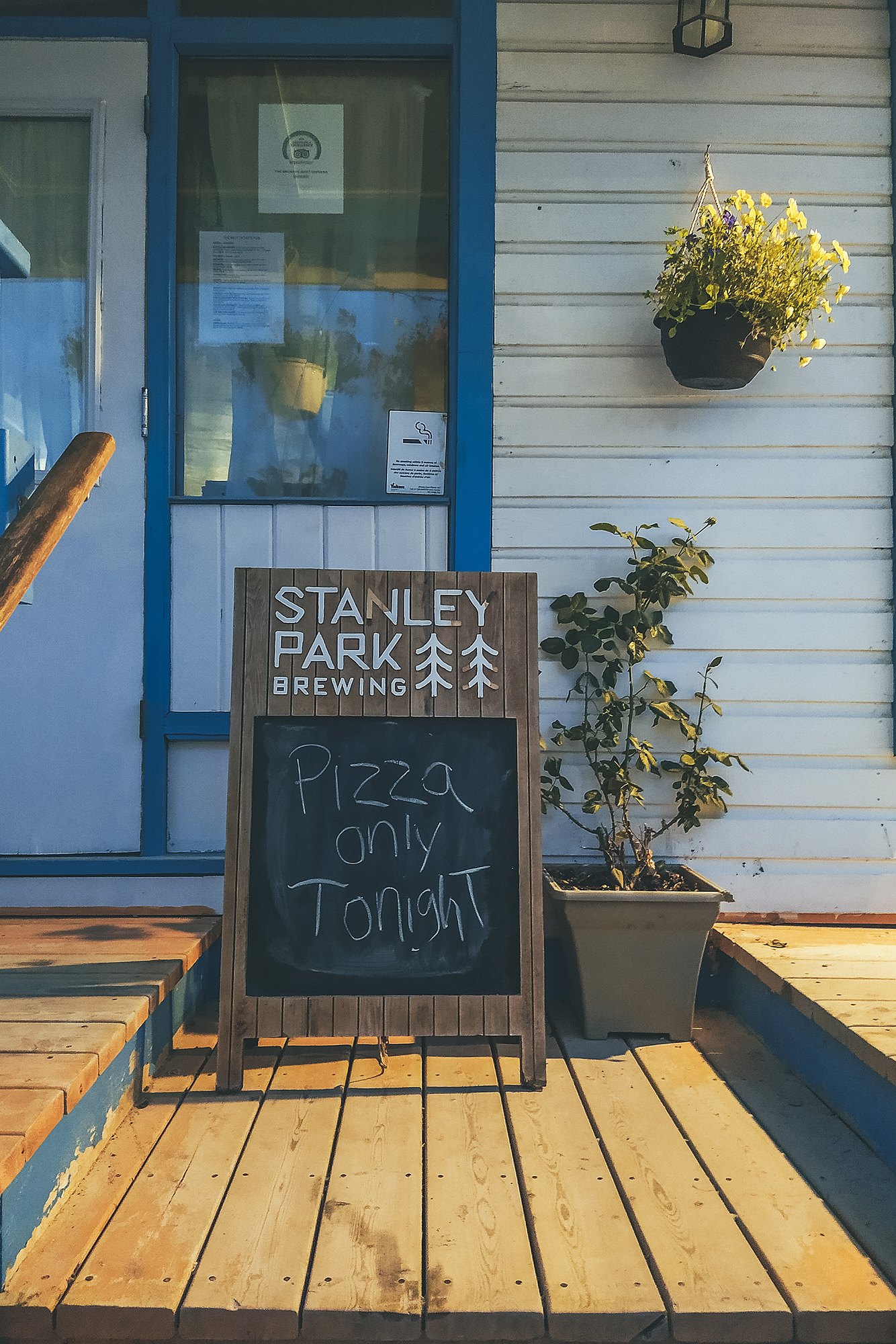
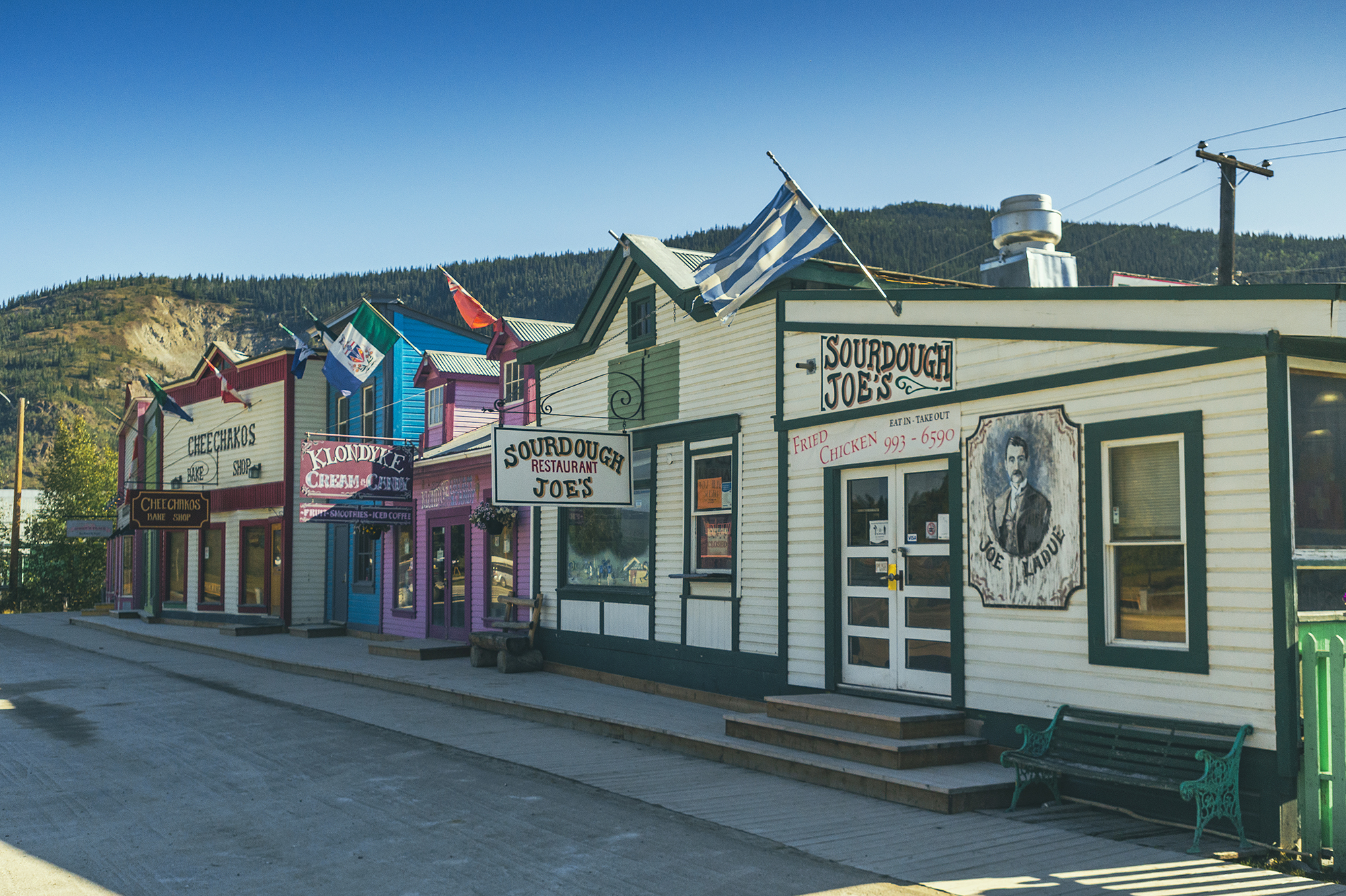
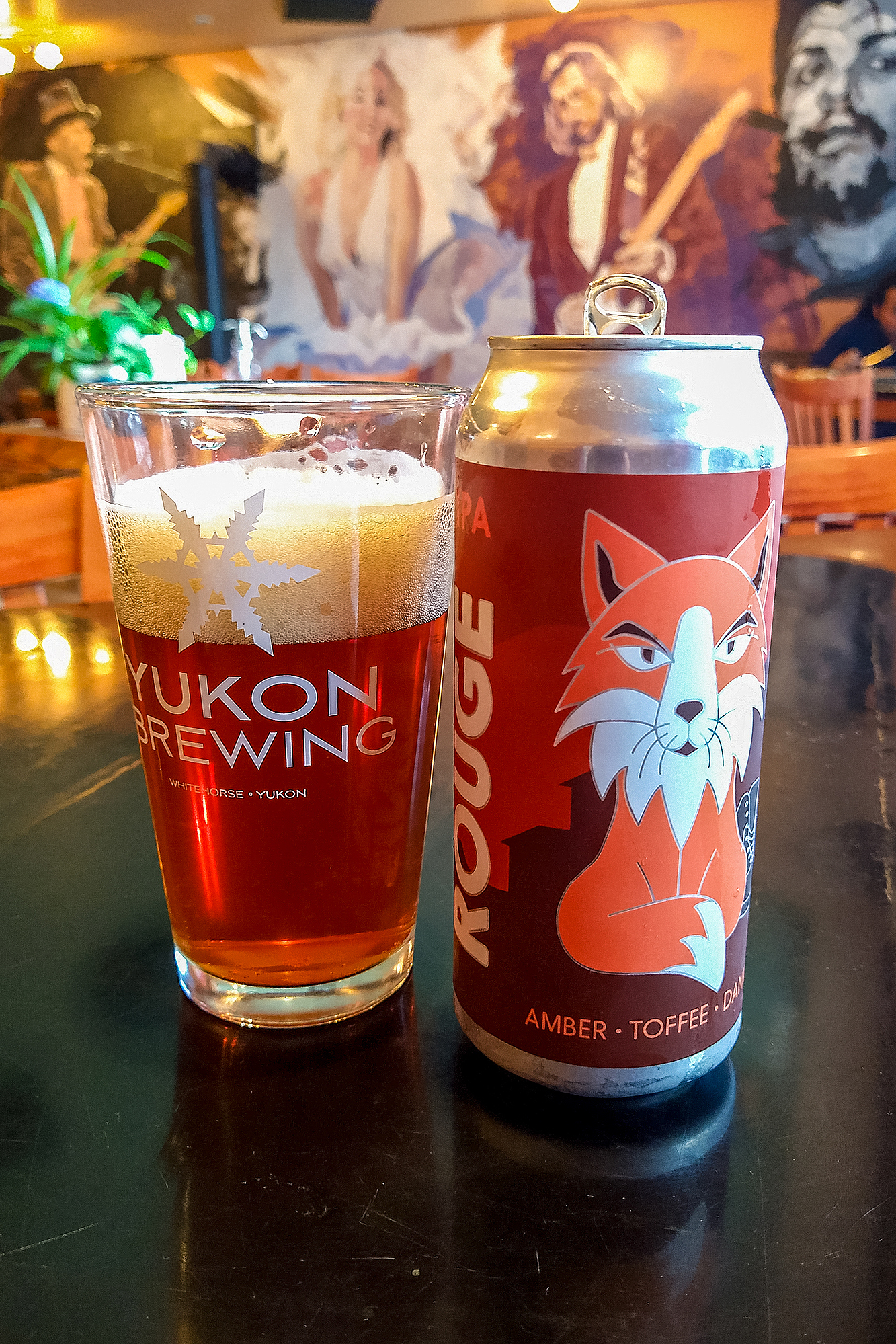
For dinner we first tried Sourdough Joe, whose menu offered more fish and chowder options but when we got there at 8:30pm, it was completely empty. Looking for something a bit more alive, we tried going back to the Sourdough Saloon, where we had dinner the night before, but that was closed. So as last result we went back to the Greek place, the Drunken Goat, which, just like the night before Tombstone, was making “Pizza Only” (which makes me wonder if they actually ever do any actual Greek food?). At least the place was busier, including with the one guy who seemed to show up everywhere we had been each night – confirming I guess that there weren’t many other options for nightlife. The patron in question was actually a very jovial- albeit loud, regular local, acquainted with the staff and ultimately very friendly.

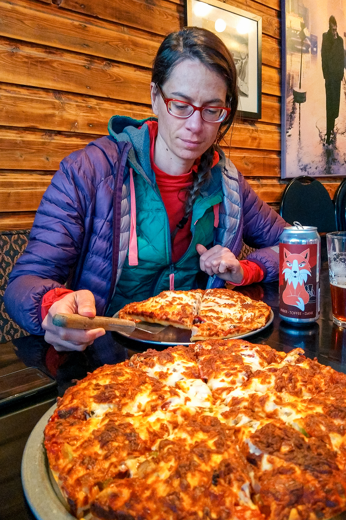
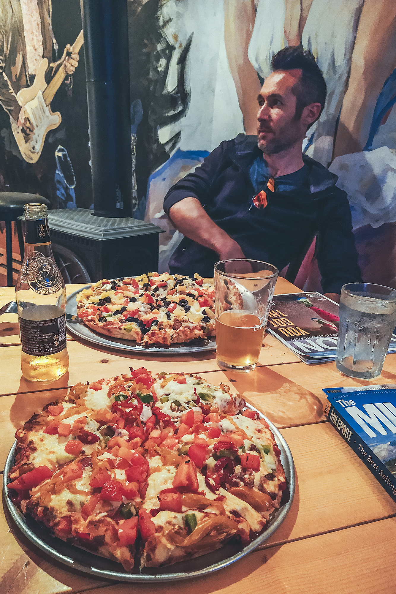
We ordered 2 pizzas and they came much quicker than the first time, except they got Brice’s order wrong and added Pepperoni to his vegetarian pizza. He’s not usually one to send food back, but he’s been voluntarily off meat since the start of the year and that wasn’t something he was willing to let slide, so they made a new pizza.
Finally we went and enjoyed a nice indoor sleep. After the disappointment of not finding a room for the night after we came back from our hiking trek, I had found one for the following night. It was a nice reset to be in a real bed with a real bathroom for a night.

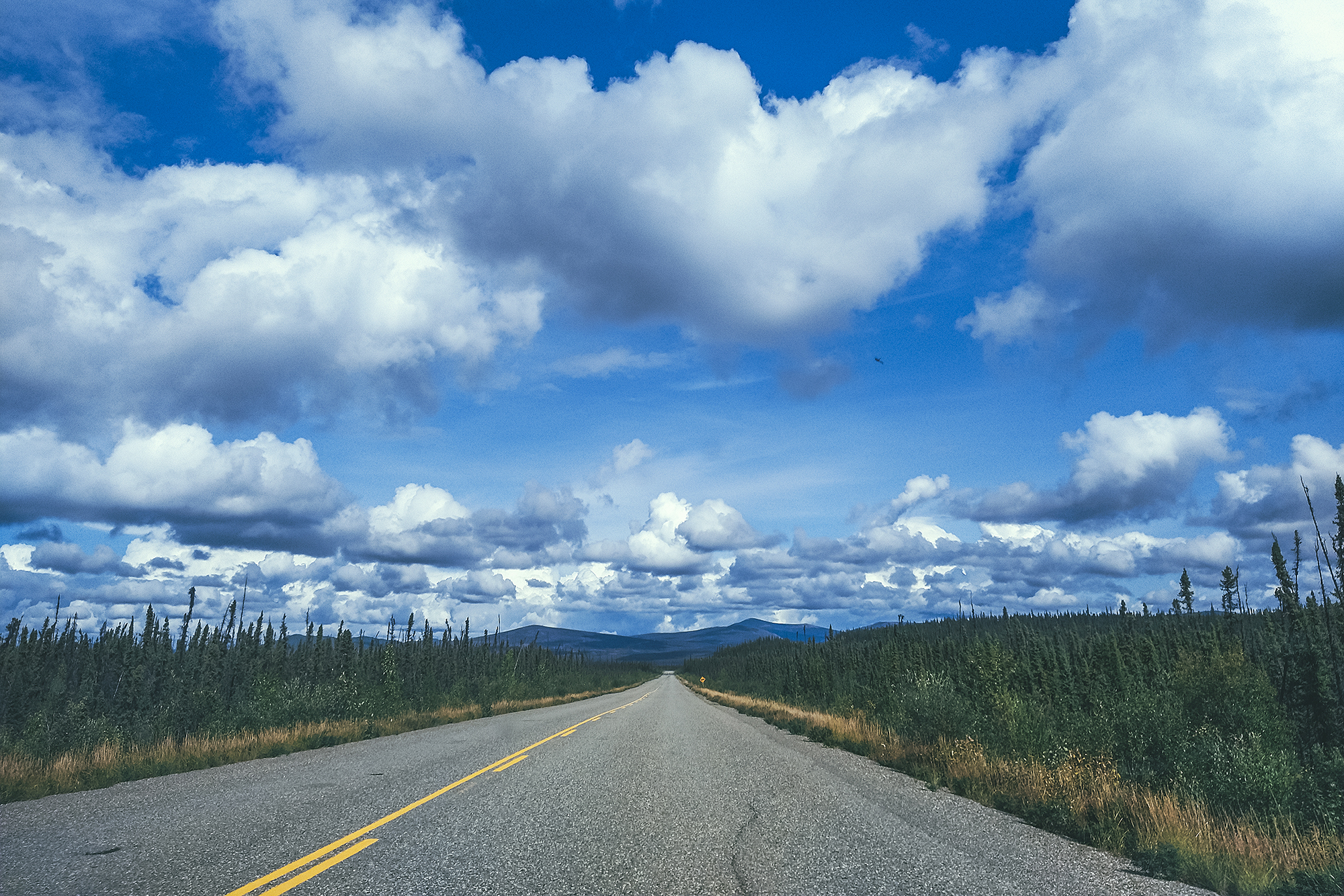
August 23  – Drive back to Whitehorse

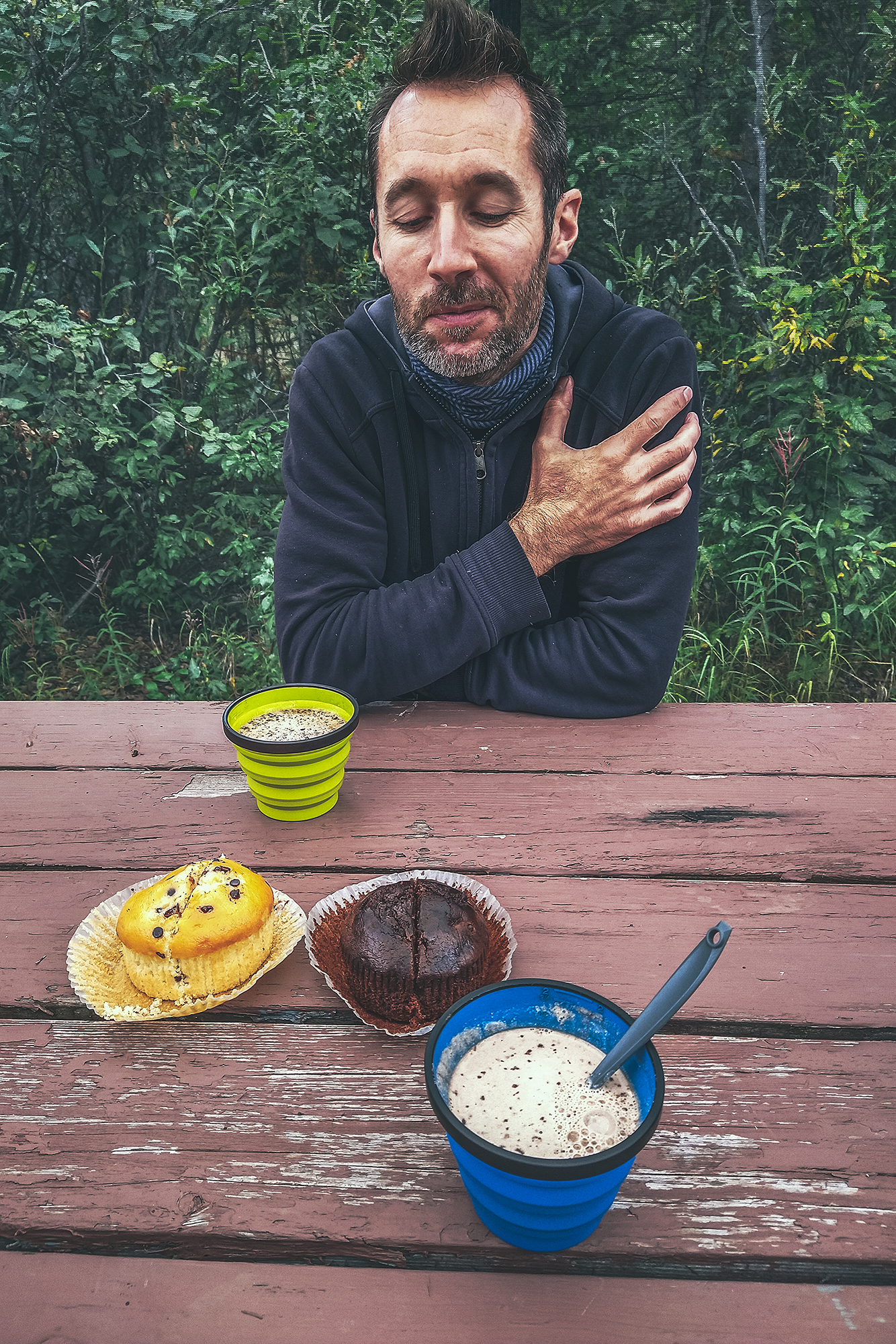
We picked up some breakfast pastries from the General Store, then we were on our way.
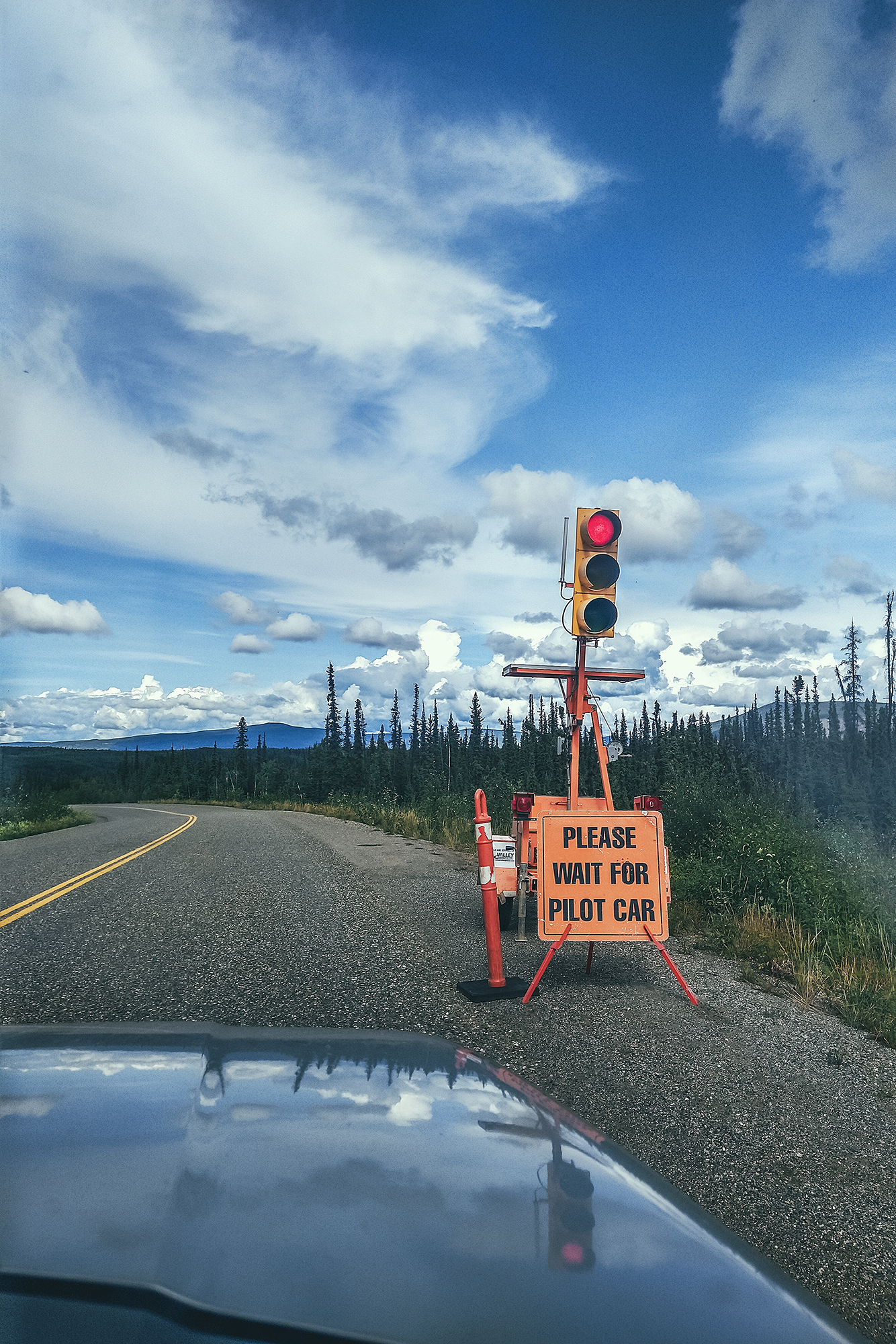
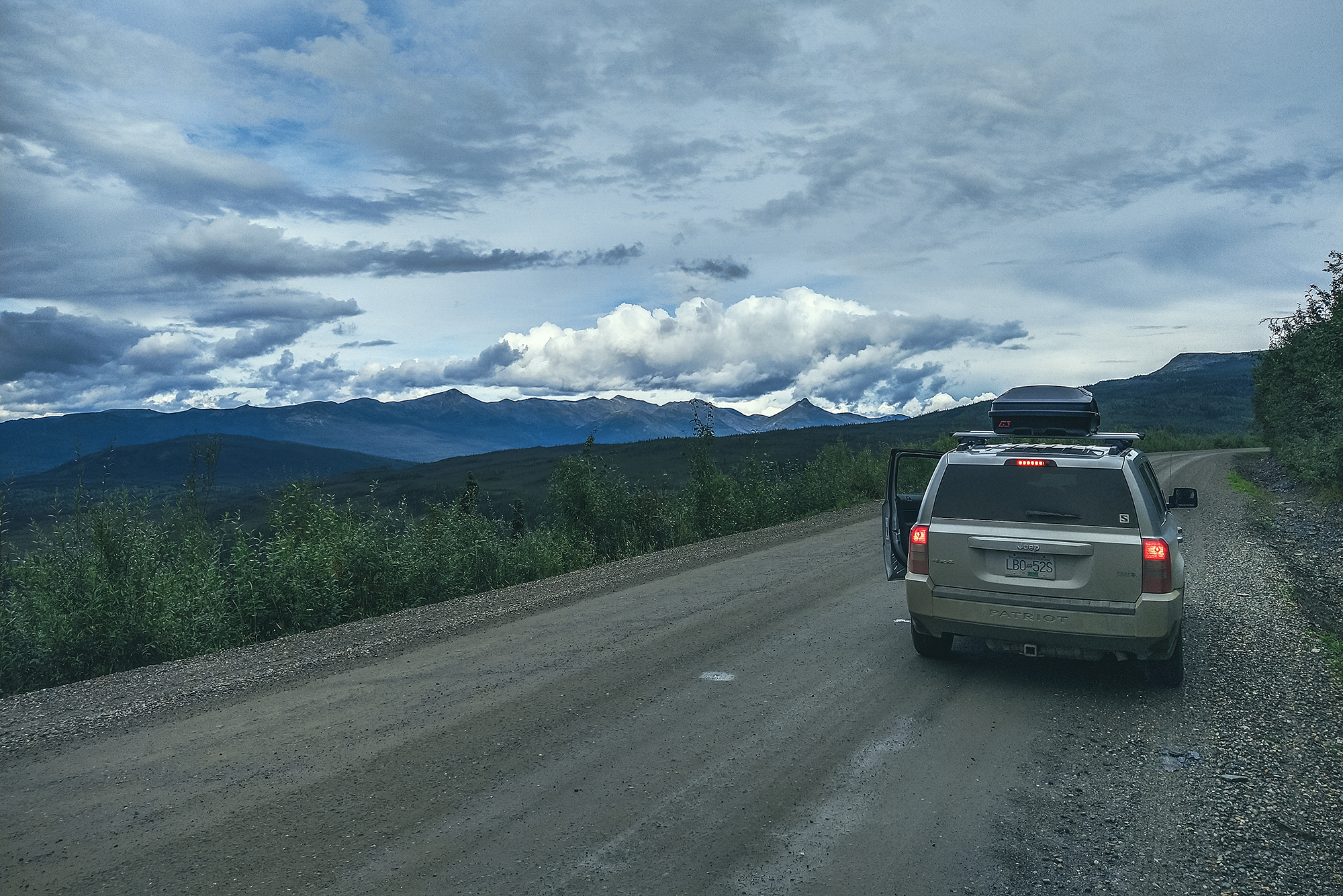
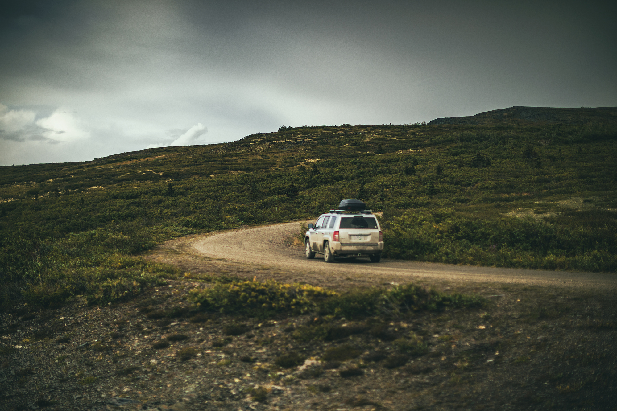
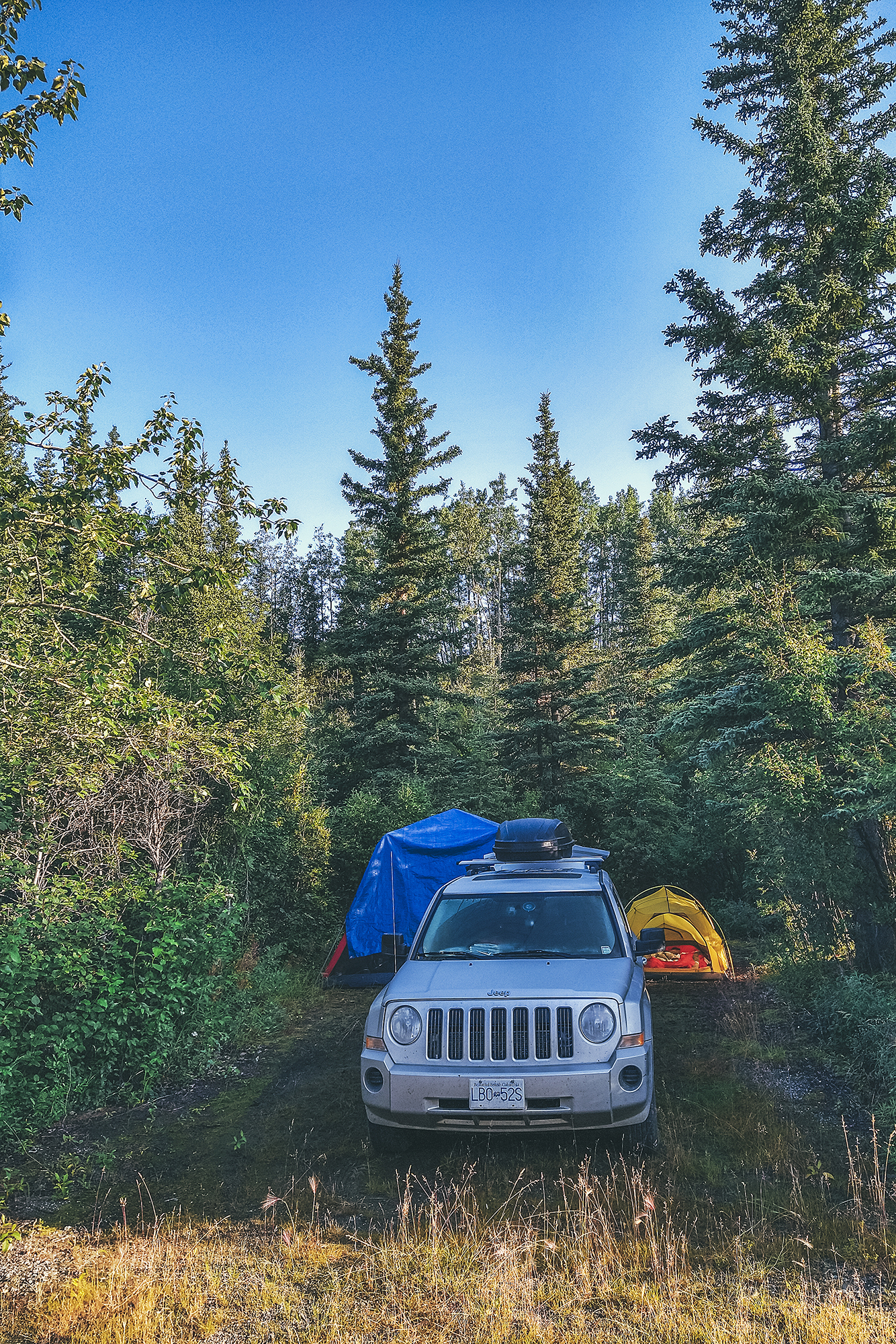
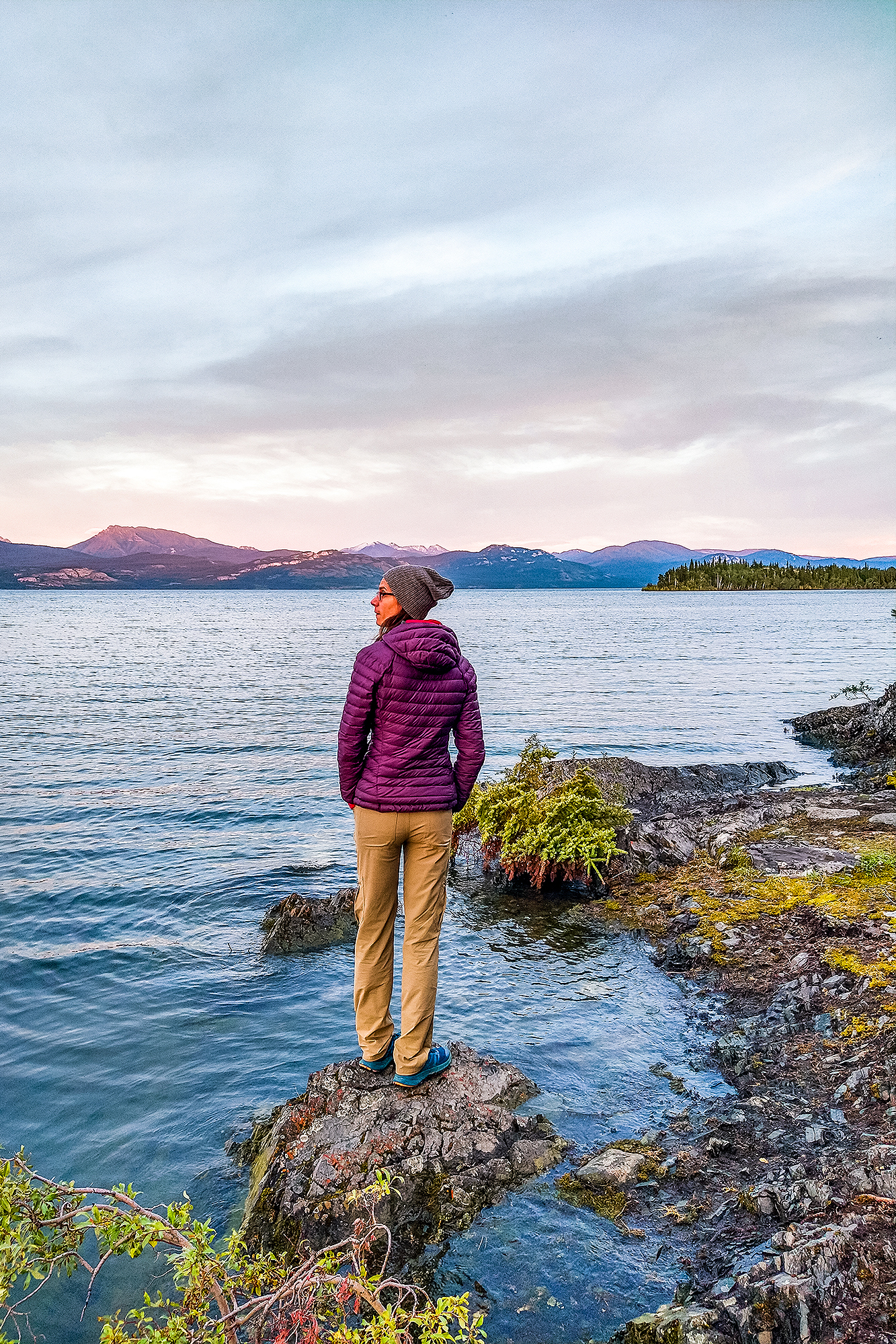
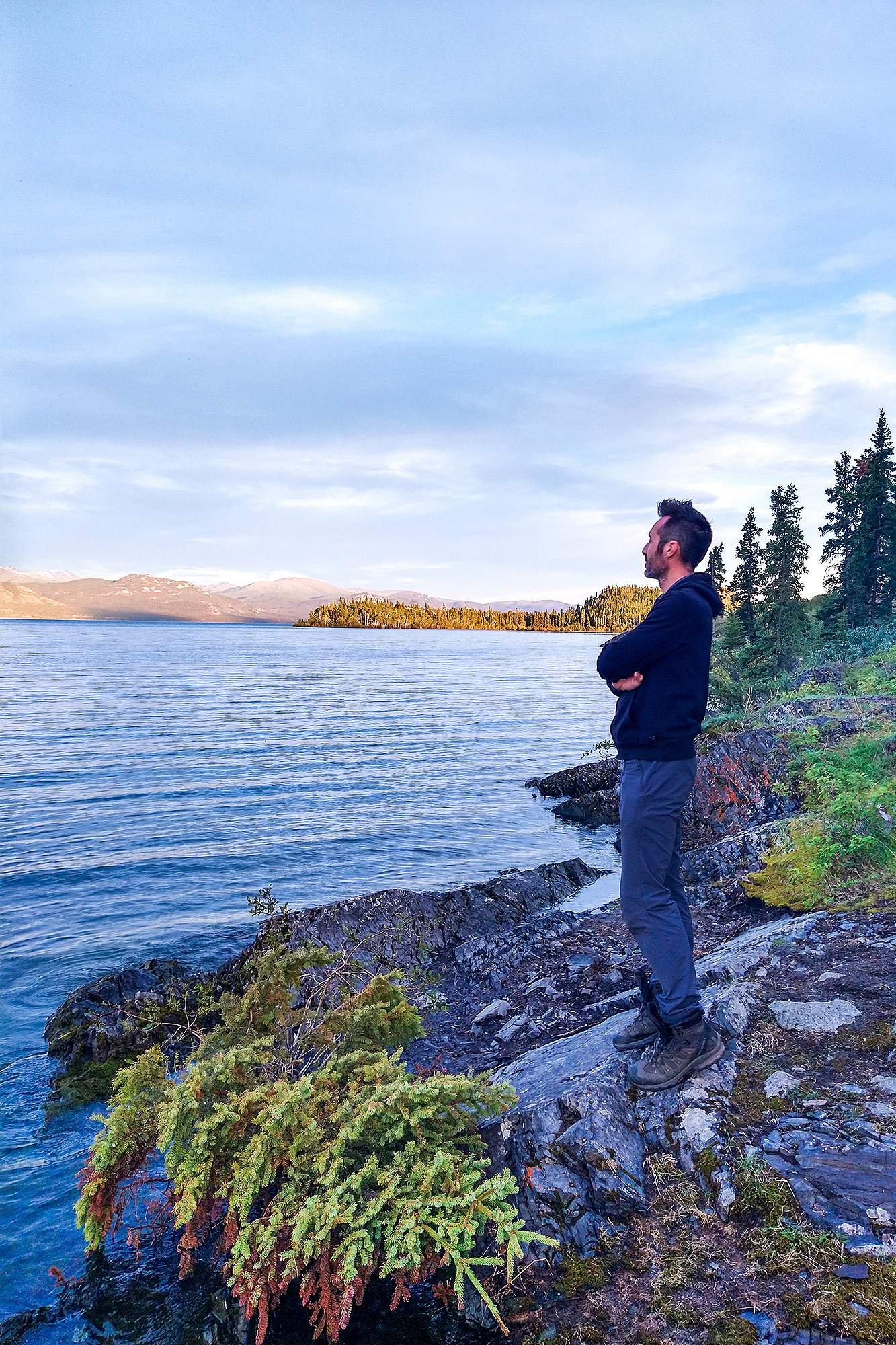
We pretty much just drove for about 6 hours. The nearest campsite to Whitehorse, without going into town, was Lake Laberge, so that’s where we stopped for the night. It turned out to be one of the best camping night we’d had on the trip.

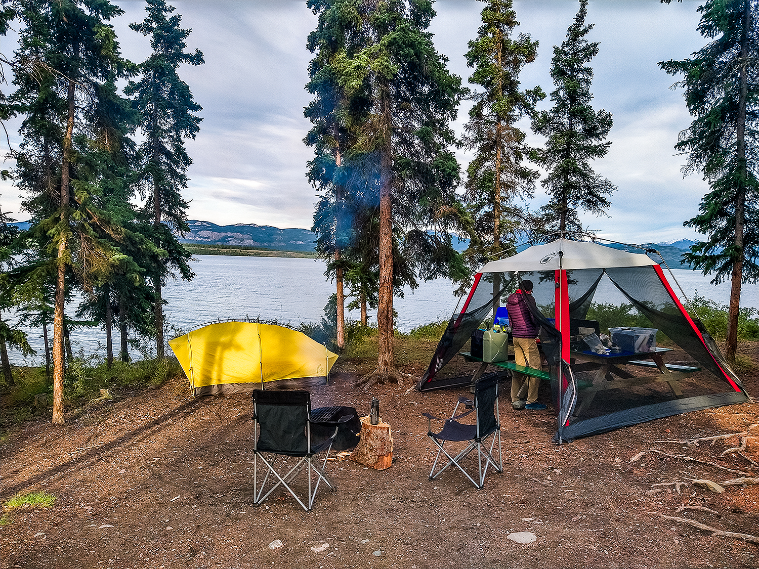
We found a spot right on the water. The weather was quite nice, not cold, and we didn’t have any bugs. This one gets 5 stars on all criteria. We watched the sunset on the lake, and even though the sun actually set behind the trees, out of sight, we could see the light on the mountains across the lake changing colour as the sun went down, from gold to purple and pink. It was pretty special.
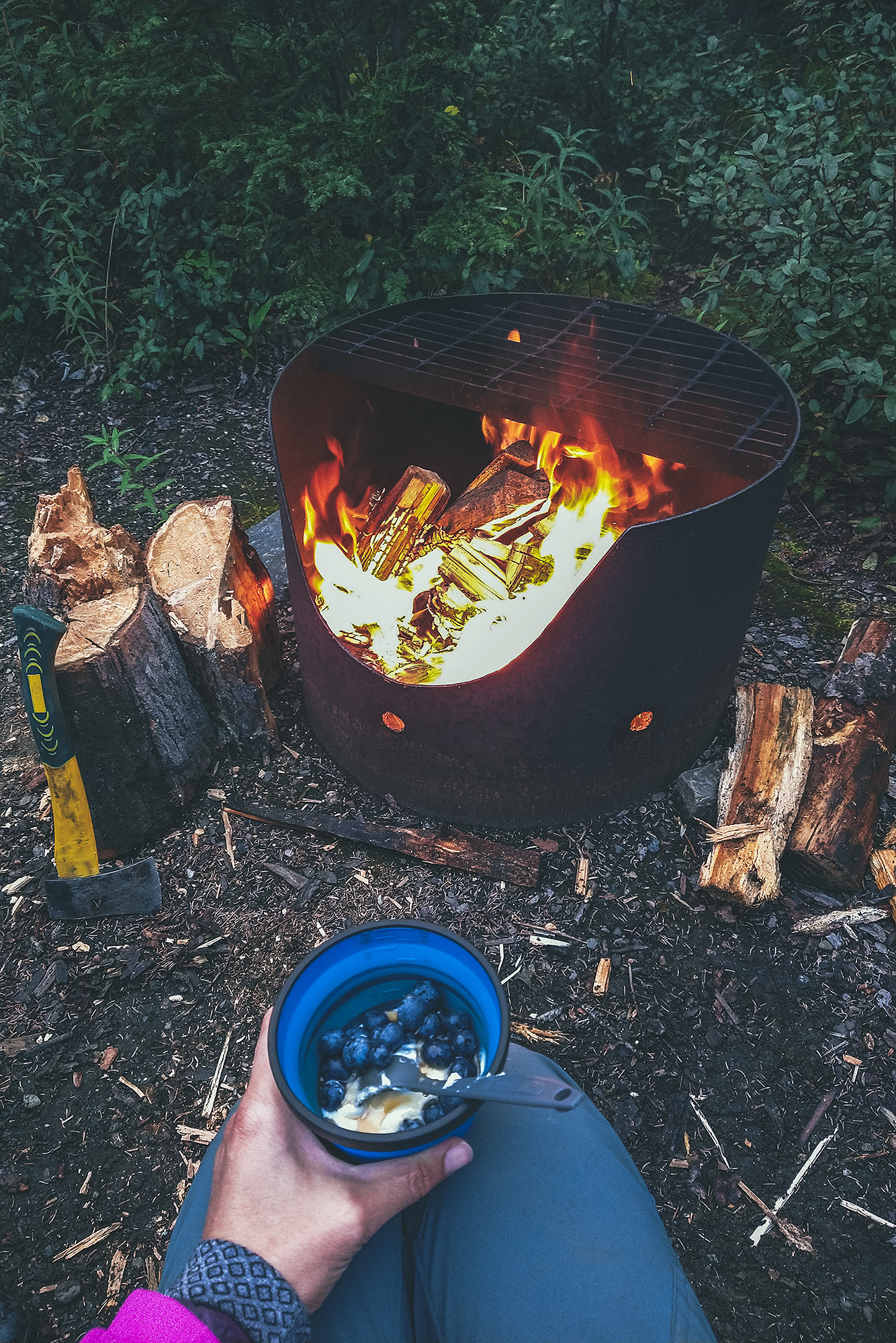
We had our how customary car-camping dinner of Couscous, beans, sardines. and enjoyed a lovely night with the sound of waves in the background.


The only thing that spoiled the night a bit was that my air mattress appeared to have a leak and kept deflating overtime. I had to blow it back up it at least 4 or 5 times throughout the night. Thankfully we’d brought a spare mattress for this very reason, so the following night I switched to the spare. It was lucky that it didn’t happen while we were hiking in Tombstone.

Road Trip to the Yukon – Part 6 – Exploring Mayo and Keno, in the Yukon Silver Trail Region

August 14 – Driving down the Silver Trail to Mayo & Keno City

It rained pretty heavily in the early morning so we took some time getting up.
Brice made pancakes – more successfully than the last time. We had put the tarp on the bug shelter this time, instead of the sleeping tent, so the table was nice and dry for breakfast. Then we started packing things up, which was a bit of a process with everything being wet and untie-ing all the ropes we set up for the tarp. Eventually we took off and drove to Pelly Crossing, where we stopped for a bit to do some internet-ing (emails, instagram…) as there was phone service there.

Then we were on our way. In Stewart crossing further down the road, we turned right to head East on the Silver trail, (Highway 11) for our second side trip – to Mayo then Keno City.
We stopped at a rest area for a quick lunch, and managed to get the tents and tarp 90% dry in the time we ate, thanks to a bit of sun and wind (with all the rain, we frequently took advantage on any dry spell during a stop to hang the tents out to dry).

The stop had a nice view of the Stewart River, which was heavily mined for gold during the Klondike gold rush era, but it also turned out to be extremely rich in Silver (hence the name Silver trail), making it one of the top silver mining areas in North America until it closed in the late 80’s.

We followed the river all the way to Mayo, which is located on the traditional territory of the Na-Cho Nyak Dun First Nation, who have lived there for thousands of years.

Once there, we went for a visit of the Binet House, a restored heritage building with a display of photos and artifacts, showing daily life in the small mining community that occupied the town in the late 19th and early 20th century. There was also as a small section about the geological characteristics of the area. All and all a pretty in-depth view of the mining era, and our first dive into that history, after following the roads that were built to make the mining possible.

Both towns of Mayo & Keno were bustling with community life through the 20th century. Nowadays there are less than 500 souls in Mayo, most of which are First Nation born in the area. Keno, further down the road, has a population of 20!

After the visit, it was still early in the day, so we decided to drive to Keno for the night. The way there was quite scenic, as we climbed the unpaved road surrounded by mountain ranges. The scenery up until that point had been mostly rolling hills with trees, ponds and lakes as far as the eye could see.

We arrived in the tiny town and drove to the small campground located down a short dirt road. We were the only ones there at that point. We set up camp and had a snack, and as it was starting to rain, we decided to drive up to Keno Hill, a viewpoint at 1800 meters accessible by car (4WD  recommended).

That was the best decision! The road there was incredibly scenic, revealing a different mountain range at every turn, and the sky was unreal. Blue with fluffy clouds on one side, dark and hazy, with rain curtains on the other. All the conditions were right to get a rainbow, which we did.

so much for washing the car in White horse 😛

We reached the signpost at the end of the road, a couple of km from the summit, and the views were remarkable. The valley laid below under the dark stormy clouds, a sliver of golden light filtering through along the peaks in the distance – and still some blue sky over peaks in the opposite direction.

The sign post itself was erected for a geological convention of sort some years ago, and the various signs point to the cities around the world where the scientists attending the event came from.

Past the sign post, the trail keeps going to a higher hill, easy to see as the alpine vegetation is all low shrubs. I decided to venture up there on foot while Brice flew the drone up. The summit seen from below was actually a false summit, as I found out when I reached it. The second (presumably true) summit was still some ways away still so I decided to turn around. I still got some really great views from the false summit and I enjoyed running down the wide, rocky track on the way back down.

Once I got back to the car we drove back down to the campground for dinner. It was the first time in a few days that bugs weren’t all over us, and it didn’t rain, so we were able to sit by the fire and enjoy the evening outside the bug shelter.

As a side note, there was a group at the top of Keno Hill when we got there, and sure enough, it was a bunch of French people (Some from France, some from Canada, based on accents). Of course we found them back at the Campground (there is only one) – As we’ve often found in our various travels, no matter where we go in the world, how remote we get, we always seem to run into the French.
I wonder if other nationalities experience that as well and maybe we only notice French people because of the language…In any case it’s become a bit of a joke, and we can sometimes even identify French people just by looking at them…

August 15 – Hiking up Mount Hinton near Keno

We decided to stay one more night in Keno, so we could take time to do a local hike.
After breakfast we drove to the Mount Hinton trailhead. The directions from Alltrails were actually incorrect and took us down some random mining roads. We eventually found the correct directions, which basically consist of driving up the Sourdough trail, to the top of Sourdough hill, and then continue down into the next valley to a creek crossing. At that point, the road gets quite steep and rocky that’s where we started the hike.

The hike follows a wide dirt path along the side of the mountain for a bit, with open views all around since the vegetation is quite low.
On route we passed two RTVs and for once I thought this could have been a better way to get up the trail.

The trail is really the equivalent of a forest logging road, except in the area it would have been carved out for mining. After a few km of circumventing, we reached a split with one trail to the left going straight up to the ridge, while the other to the right seemed to go down.

So we climbed to the left and reached the ridge for a pretty stunning view. Looking back at the Alltrails GPS later, I think we might have gone a bit further on the road and missed an earlier fork to climb to the summit, but we still got really great views.

When we made our way down, we noticed an excavator next to the two RTVs seen on the way up. It was digging a trench into the side of the mountain. We stopped to ask one of the workers who was standing by the vehicles and he explained they were testing the ground for potential gold mining. The excavator was going to dig out a 100-meter trench followed by a 3m hole and they would assess the ground, to potentially come back next year to start mining.

For some reason, I naively thought gold mining was a thing of the past and didn’t expect to see active digging. But it’s very much still alive, and there are apparently reality TV shows about it shot in the area. I wonder what it means for this hike and the surrounding landscape if the area becomes a mining site next year…

Back in town, we took a tour of the a local museum, which gives a very good overview of the beginning of mining, tools used, a bit about geology, the living conditions in the small mining community in the first half of the 20th Century.

Outside of the main building, two other large buildings housed old machines and vehicles used back in the day – examples of intricate engineering that go right over my head but still very interesting to learn about – and marvel at the technology that was developed progressively to facilitate the work.

We were able to have a shower at the community facilities, for a small fee paid at the Museum front desk. We went back to camp for dinner then decided to go grab a beer at the local bar – the only commercial building still active it seems. Other services previously included The Snack bar, famous for its pizza, but it was presumably only open for take-out, and the former hotel across the street from the bar, which had burned down in Dec 2020 (and one would almost say a bit suspiciously, based on chatting with a couple of locals).

Our next travel rig?

We hung out on the bar porch while listening to local patrons chat (that’s how we learned about Gold Rush and other reality TV shows going on at active mining camps nearby). Eventually we came back to the tent for a good night sleep.

August 16 – Drive to Dawson City

We drove a good portion of the day from Keno to Dawson city. There wasn’t too much to see on the way, and the drive was made a bit longer by all the construction zones and having to wait for pilot cars to go through them (we had at least 3). The road near Dawson changes from paved to gravel which slowed us down as well.

We arrived around 3pm and after doing some small gear purchases and doing a reset for our upcoming trek in Tombstone Territorial Park, we headed out for a dinner.

We had a very comfortable night in a cushy bed before our 6 am wake up the next day to drive to Tombstone.