August 14 – Driving down the Silver Trail to Mayo & Keno City
It rained pretty heavily in the early morning so we took some time getting up.
Brice made pancakes – more successfully than the last time. We had put the tarp on the bug shelter this time, instead of the sleeping tent, so the table was nice and dry for breakfast. Then we started packing things up, which was a bit of a process with everything being wet and untie-ing all the ropes we set up for the tarp. Eventually we took off and drove to Pelly Crossing, where we stopped for a bit to do some internet-ing (emails, instagram…) as there was phone service there.
Then we were on our way. In Stewart crossing further down the road, we turned right to head East on the Silver trail, (Highway 11) for our second side trip – to Mayo then Keno City.
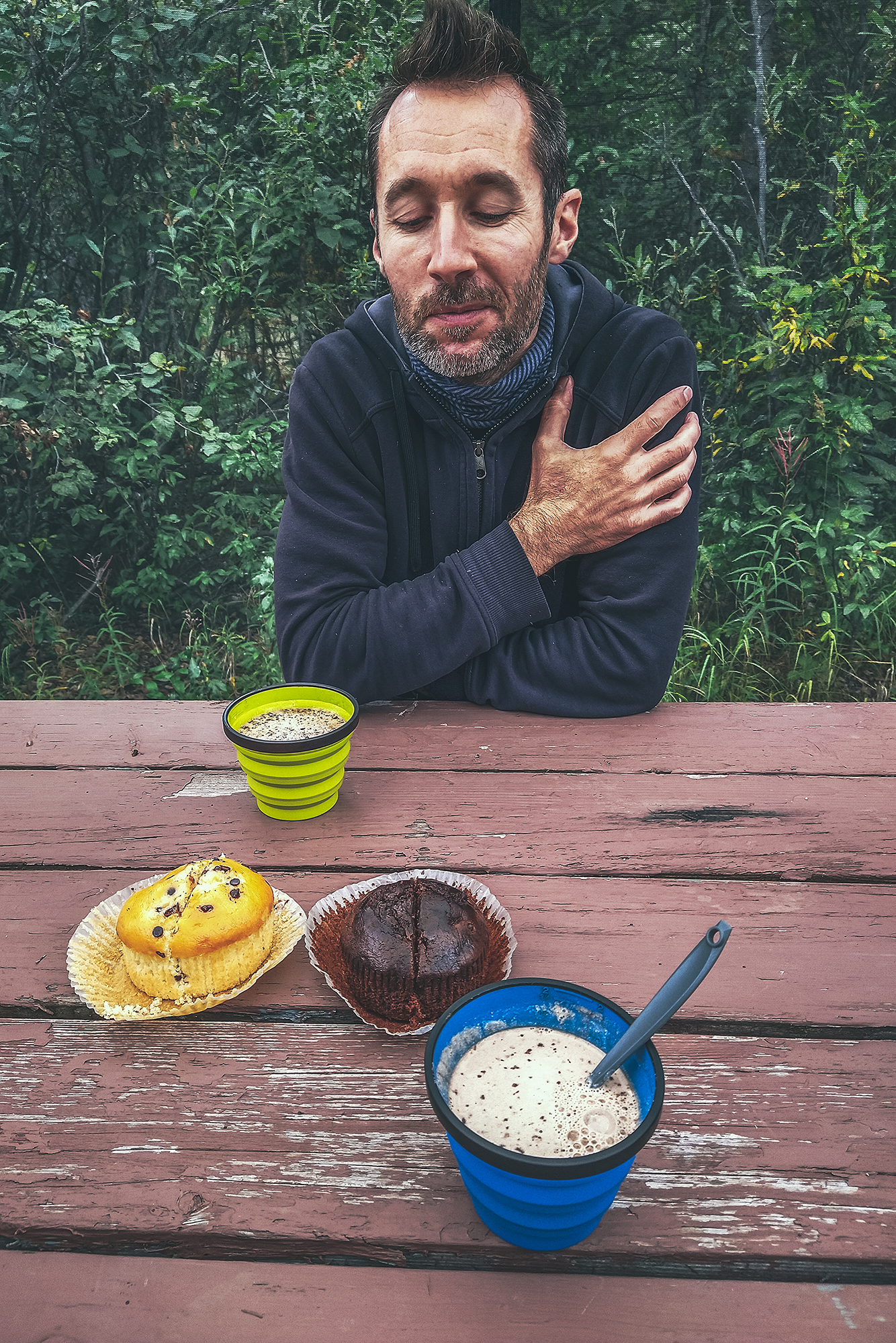
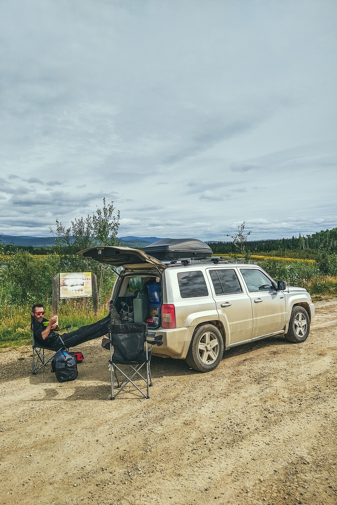
We stopped at a rest area for a quick lunch, and managed to get the tents and tarp 90% dry in the time we ate, thanks to a bit of sun and wind (with all the rain, we frequently took advantage on any dry spell during a stop to hang the tents out to dry).
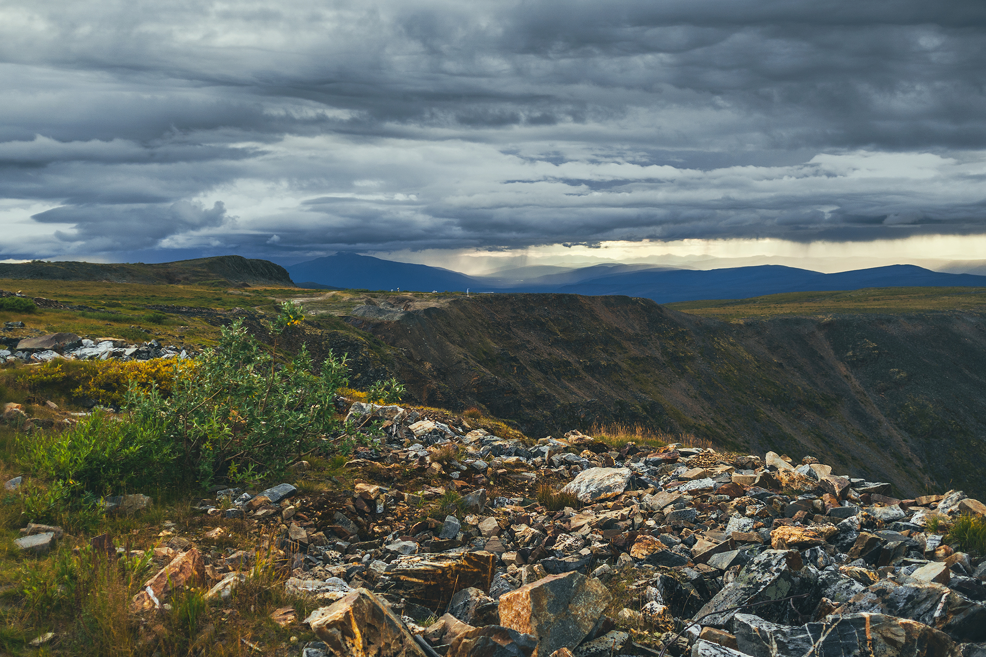
The stop had a nice view of the Stewart River, which was heavily mined for gold during the Klondike gold rush era, but it also turned out to be extremely rich in Silver (hence the name Silver trail), making it one of the top silver mining areas in North America until it closed in the late 80’s.
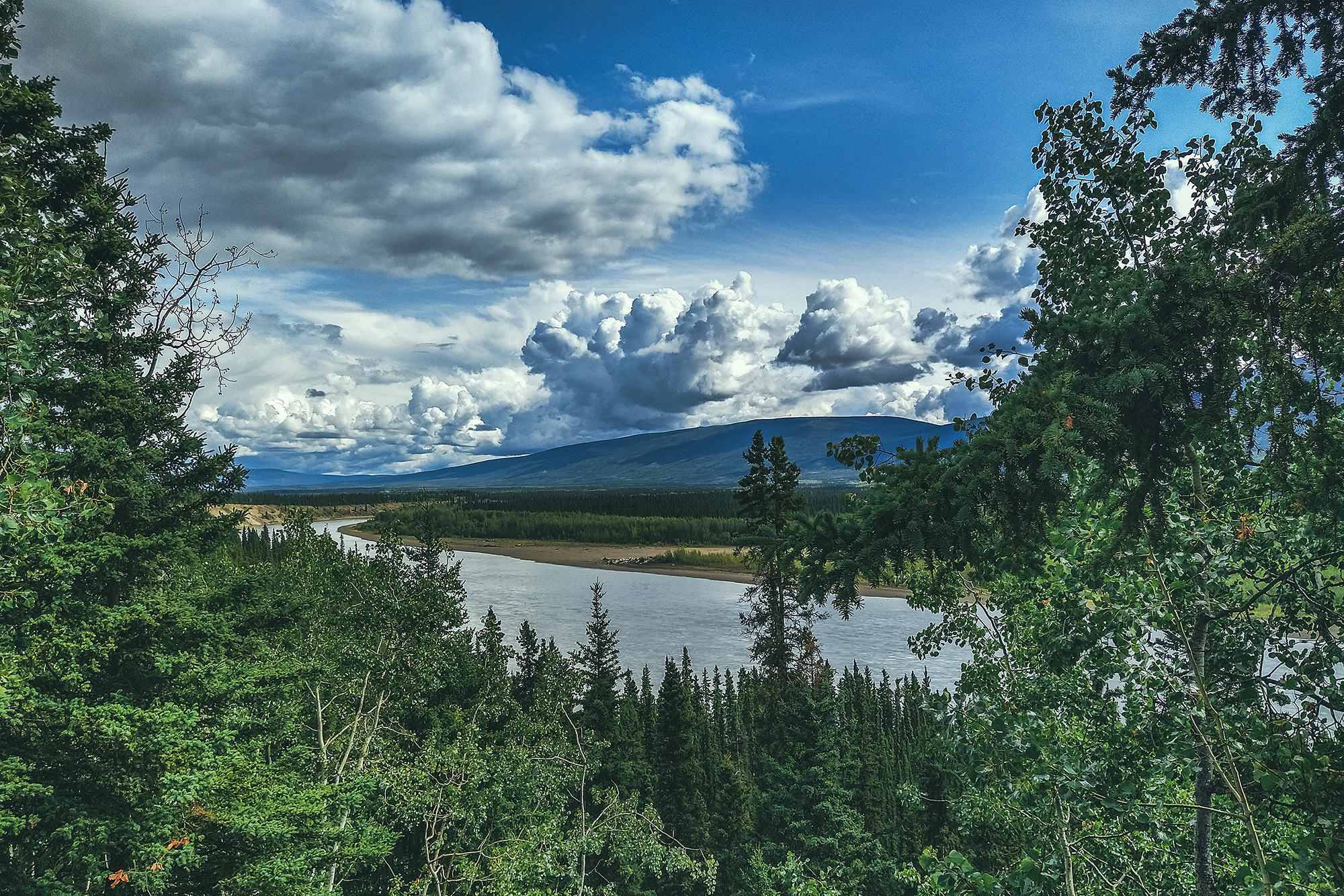
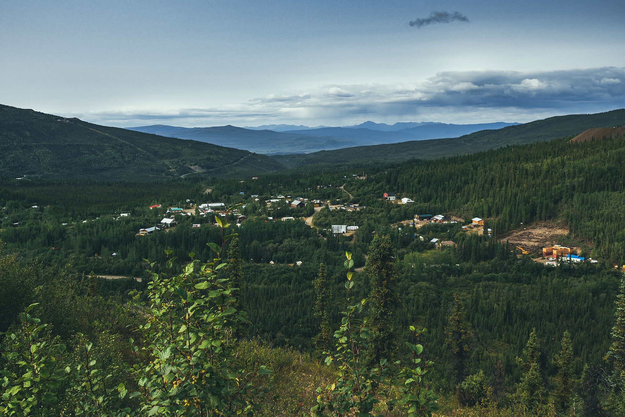
We followed the river all the way to Mayo, which is located on the traditional territory of the Na-Cho Nyak Dun First Nation, who have lived there for thousands of years.
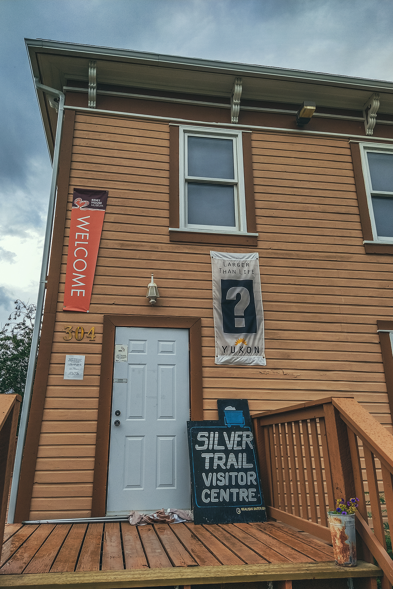
Once there, we went for a visit of the Binet House, a restored heritage building with a display of photos and artifacts, showing daily life in the small mining community that occupied the town in the late 19th and early 20th century. There was also as a small section about the geological characteristics of the area. All and all a pretty in-depth view of the mining era, and our first dive into that history, after following the roads that were built to make the mining possible.
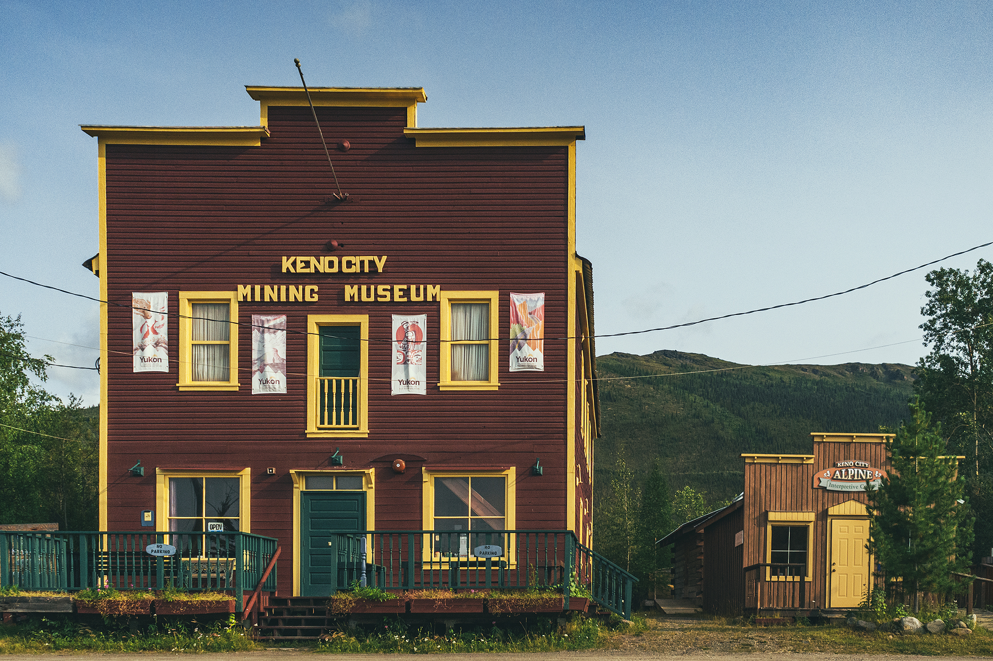
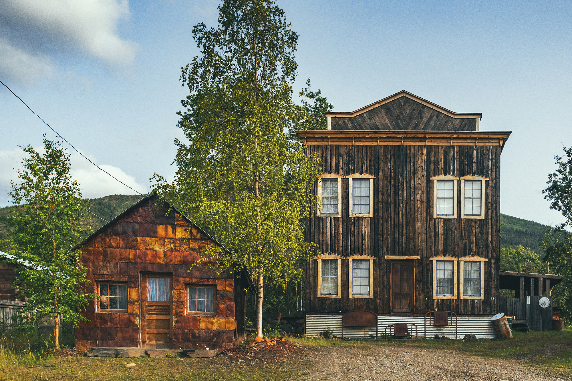
Both towns of Mayo & Keno were bustling with community life through the 20th century. Nowadays there are less than 500 souls in Mayo, most of which are First Nation born in the area. Keno, further down the road, has a population of 20!
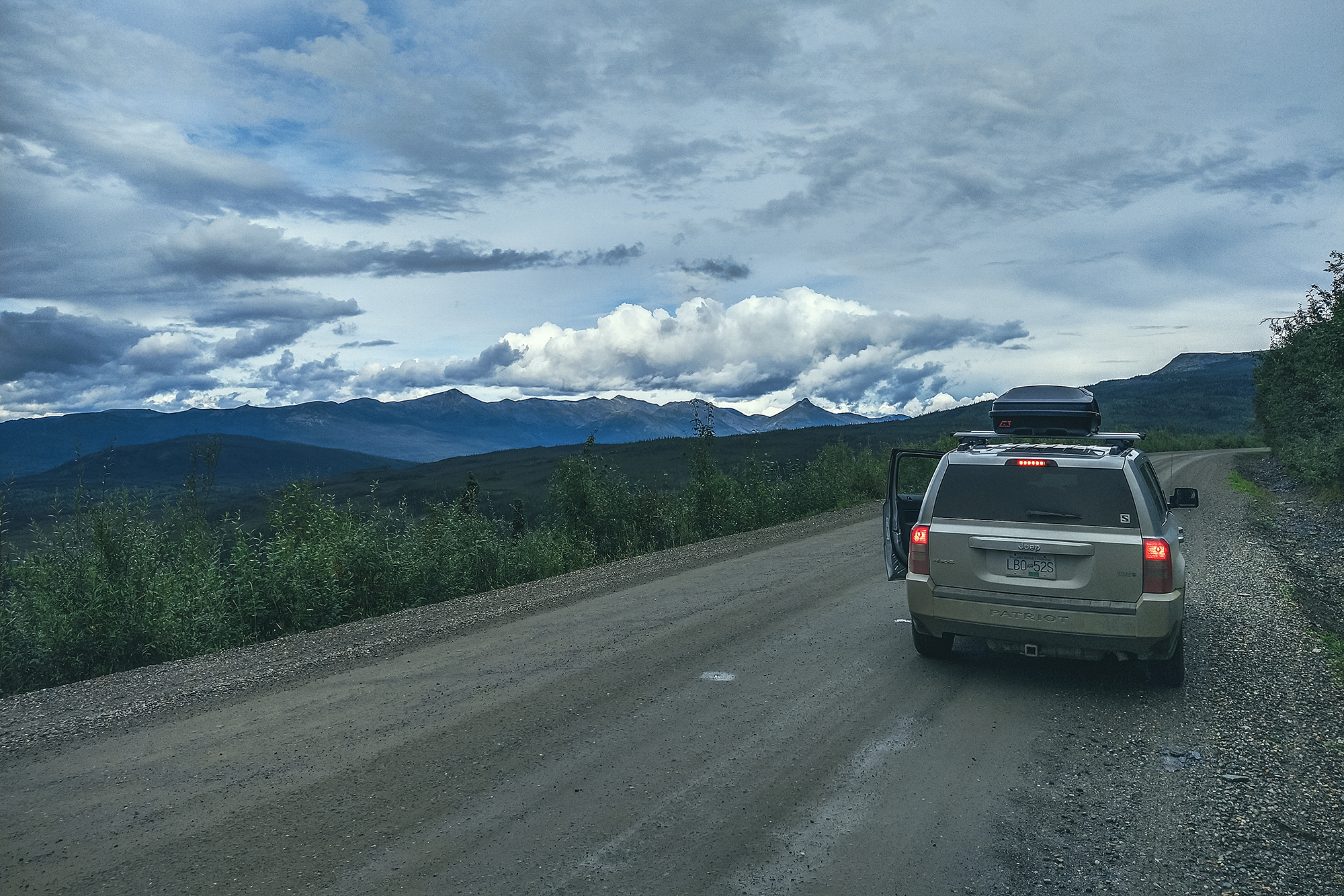
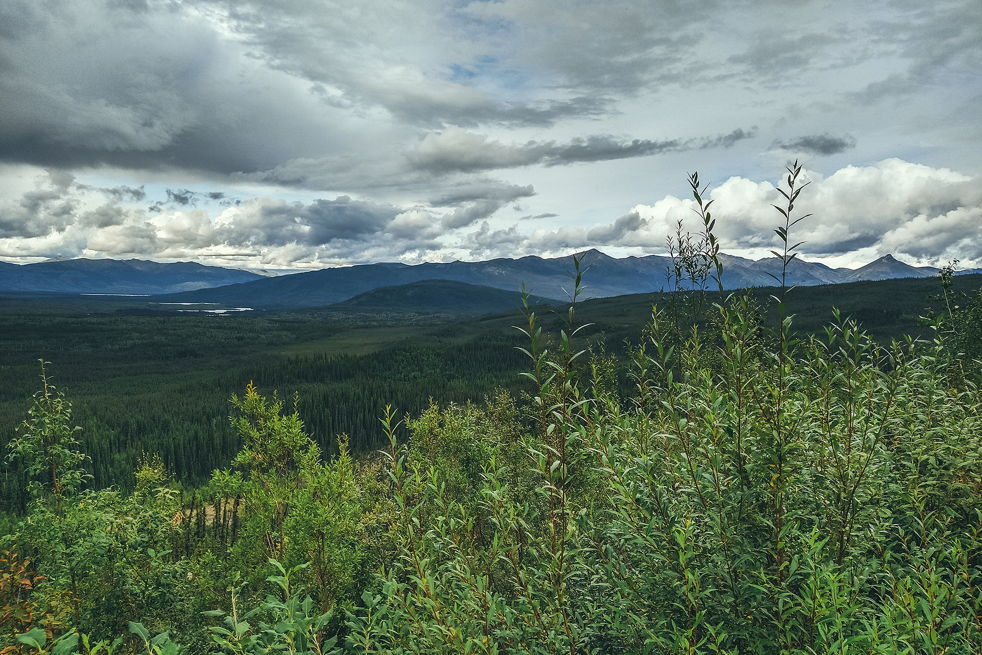
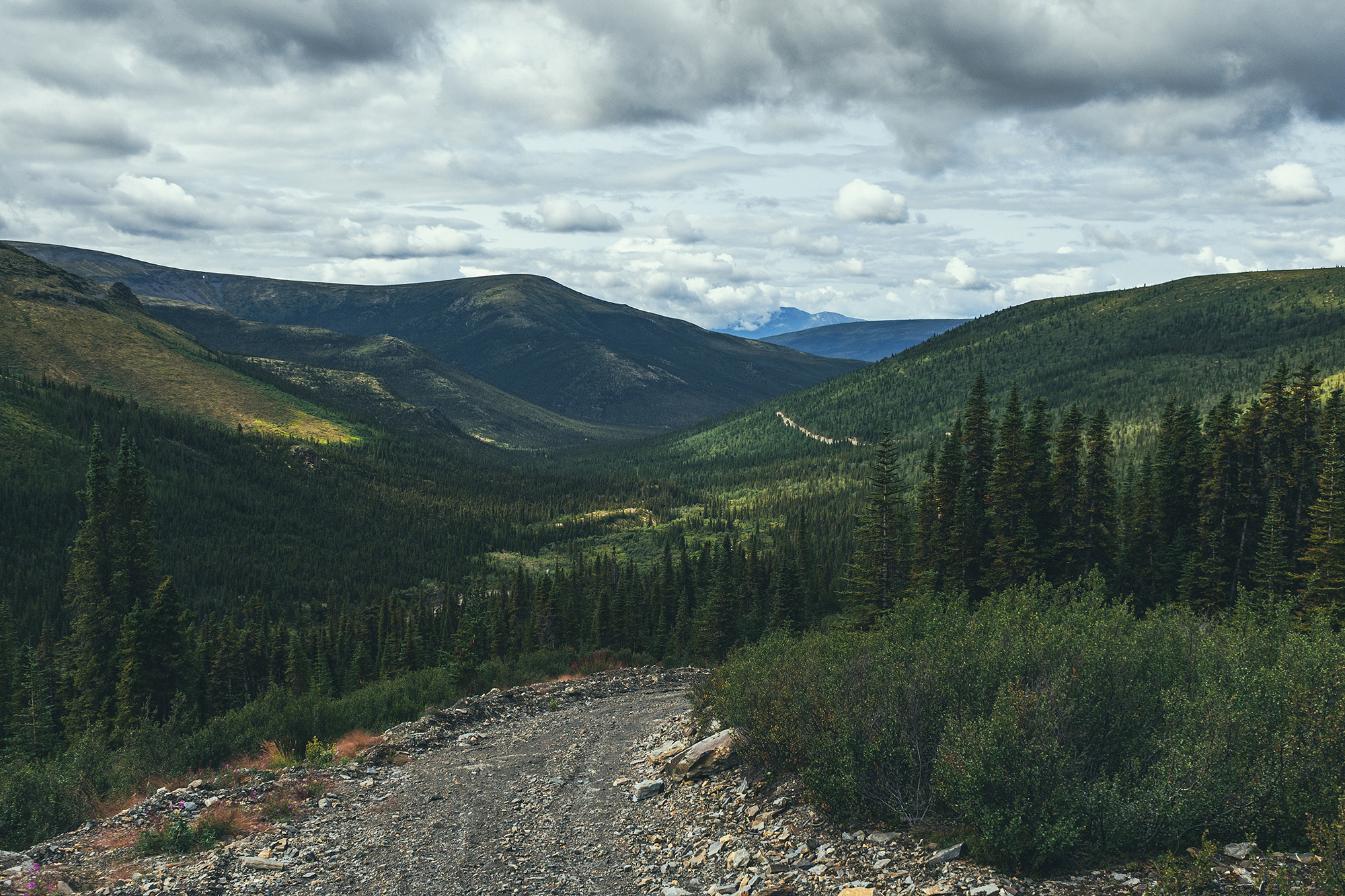
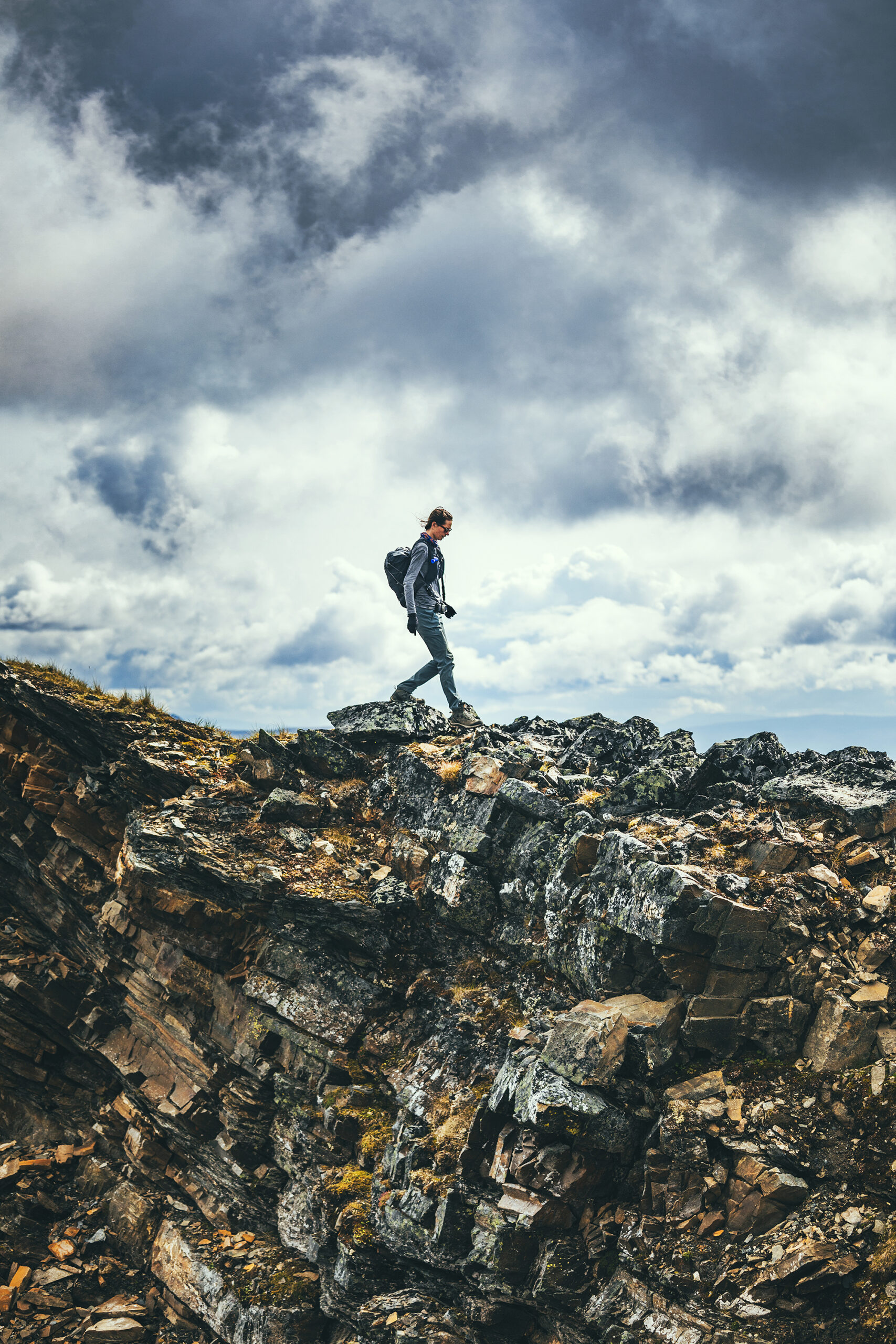
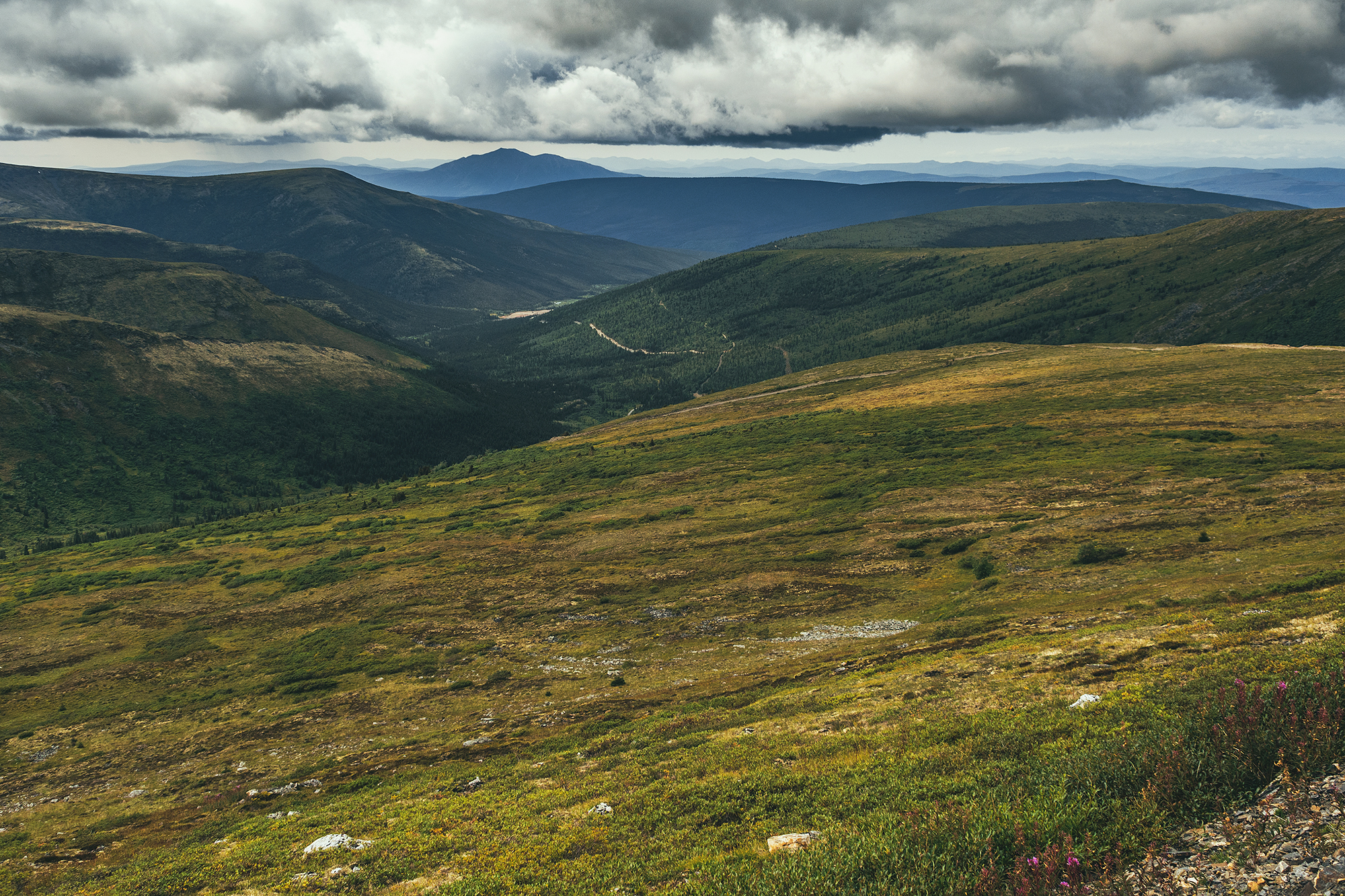
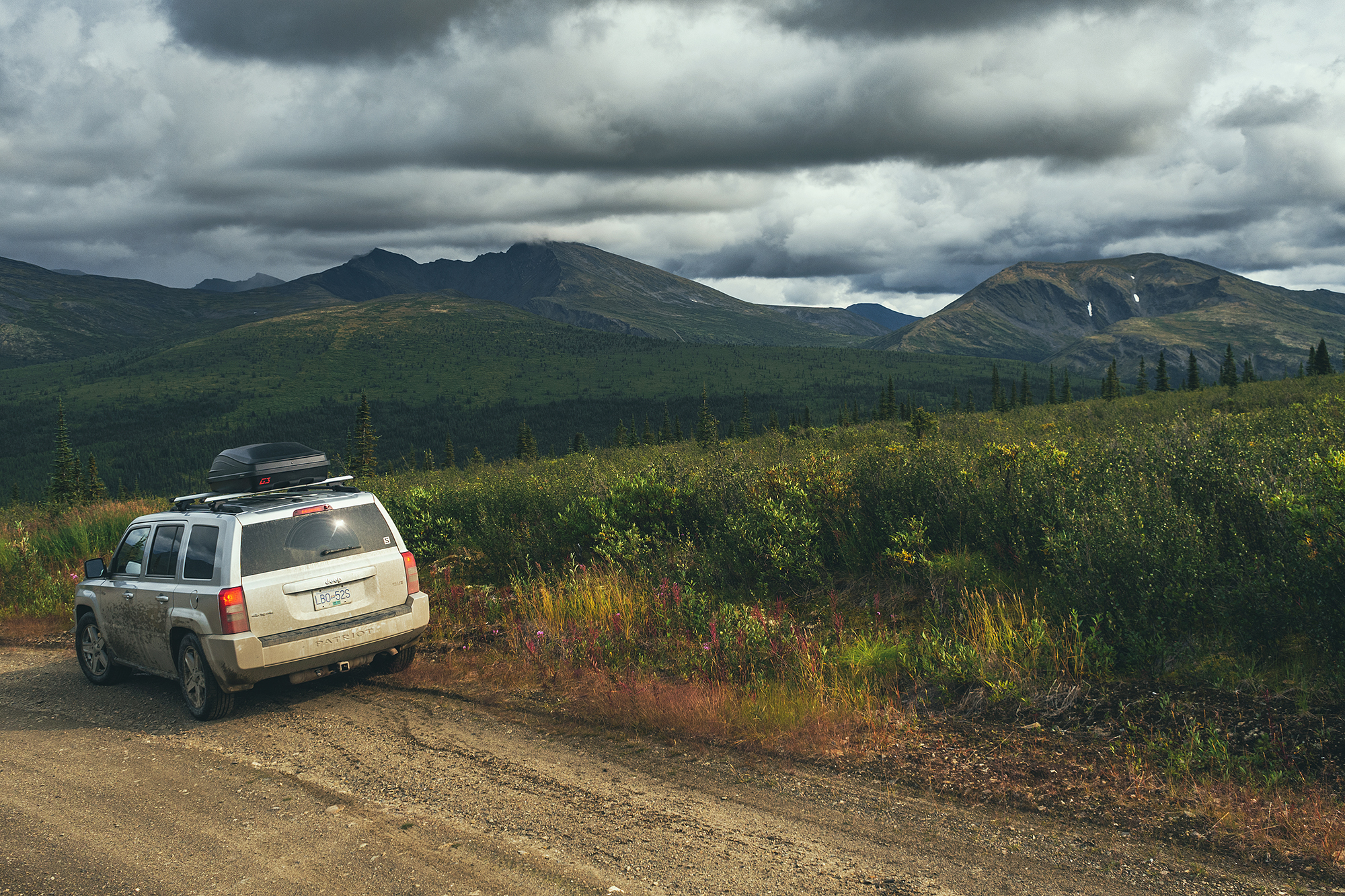
After the visit, it was still early in the day, so we decided to drive to Keno for the night. The way there was quite scenic, as we climbed the unpaved road surrounded by mountain ranges. The scenery up until that point had been mostly rolling hills with trees, ponds and lakes as far as the eye could see.
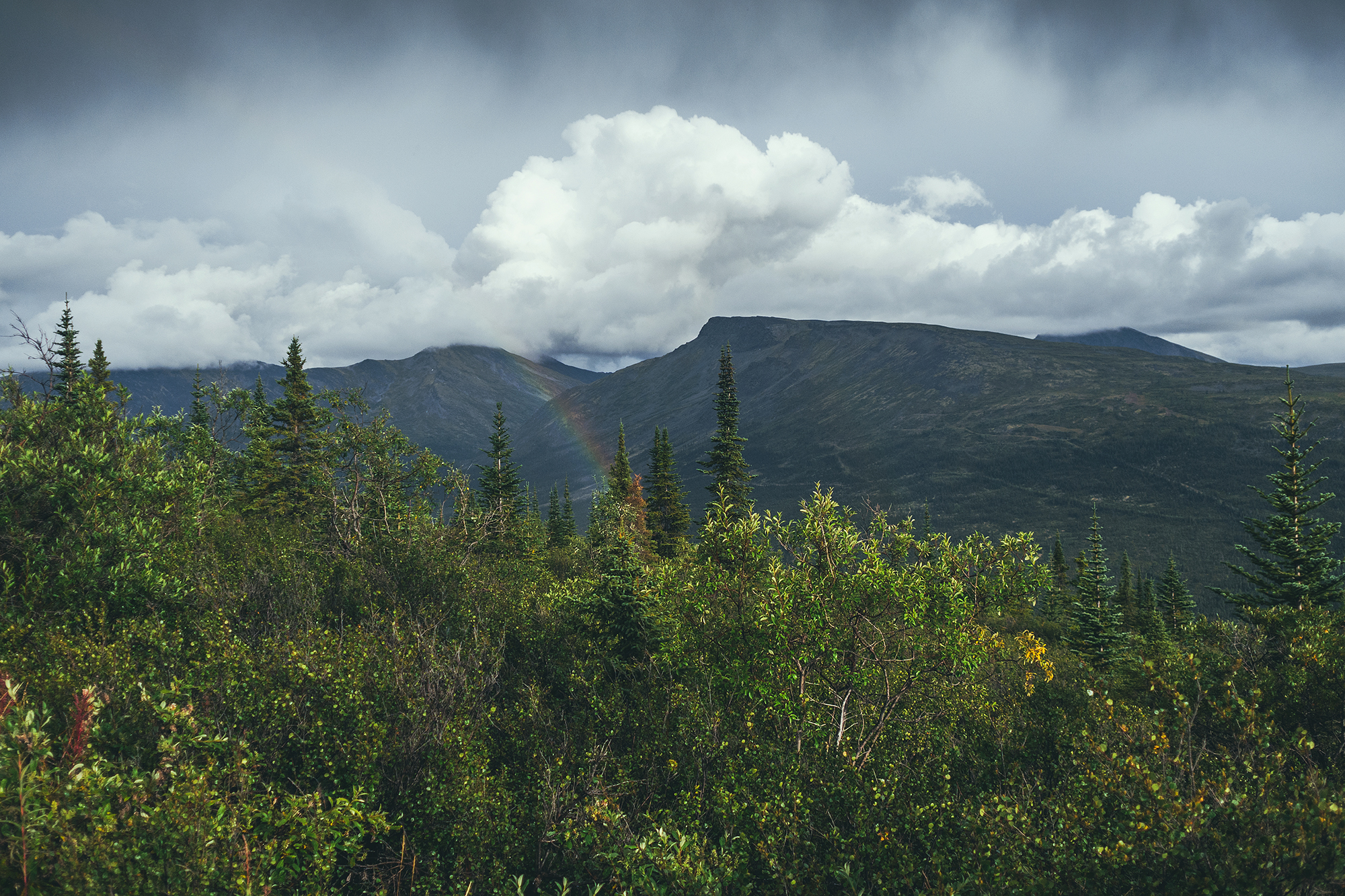
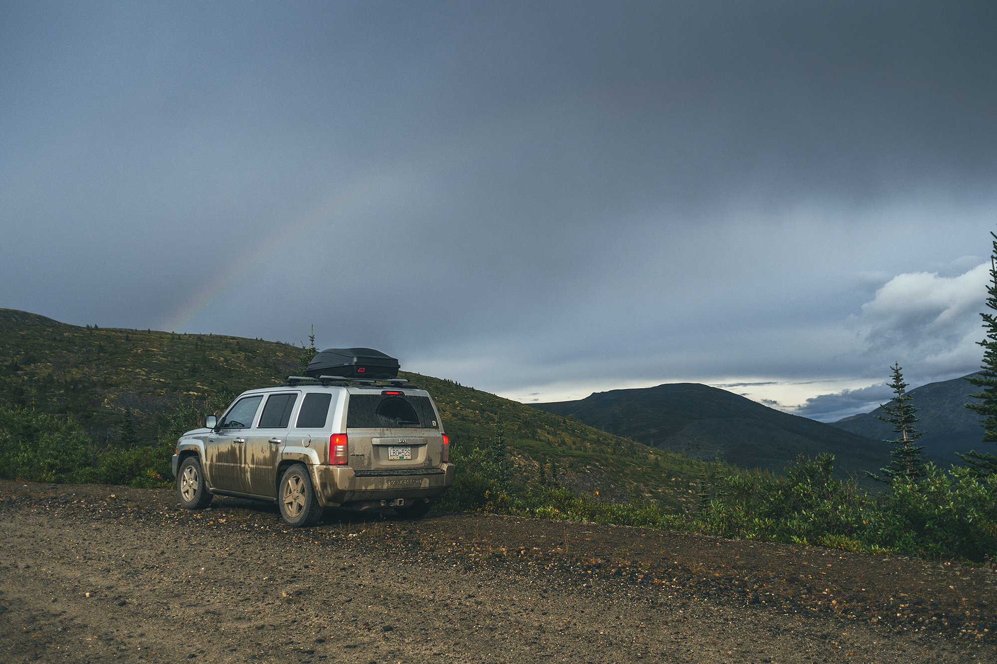
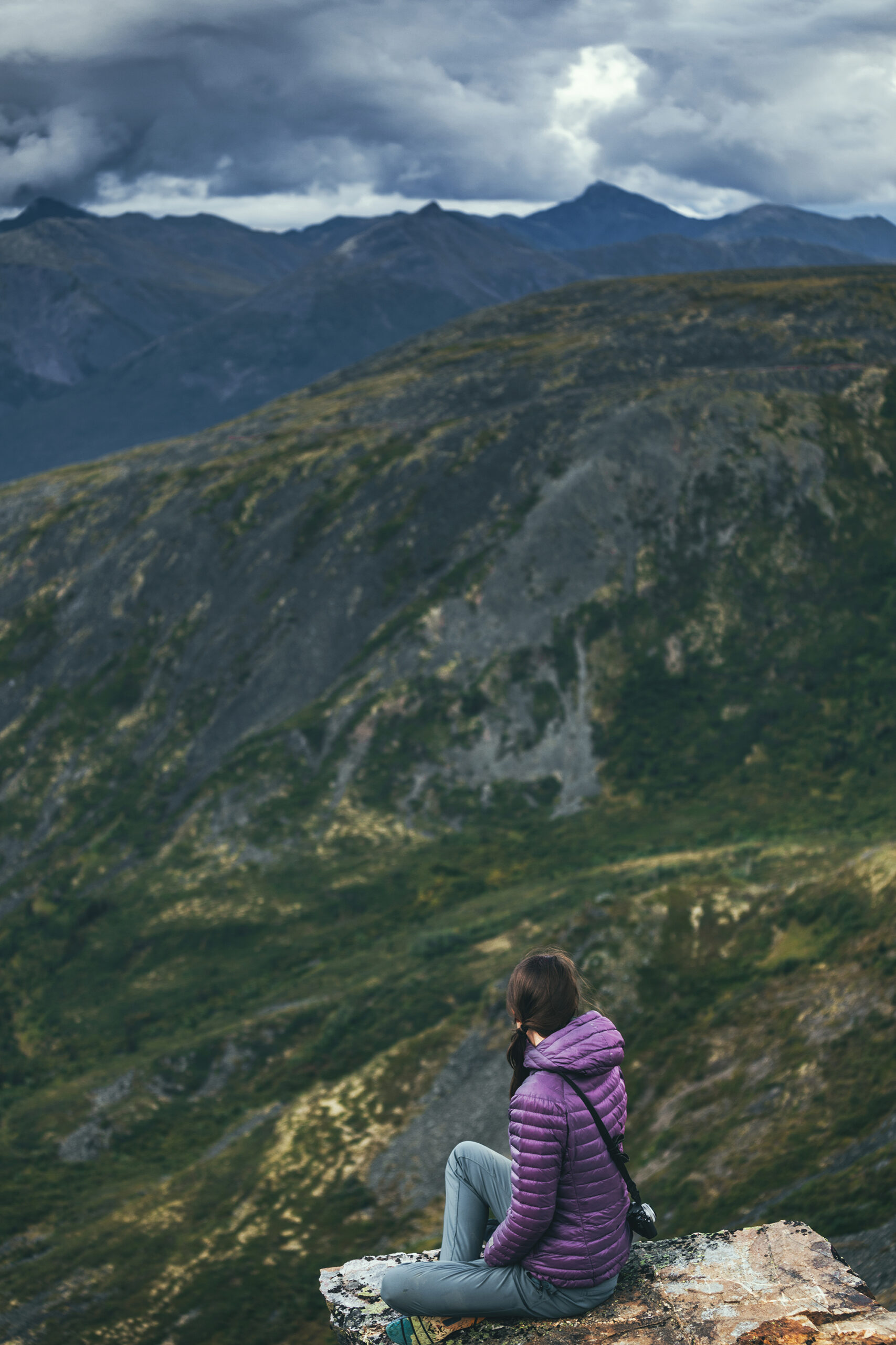
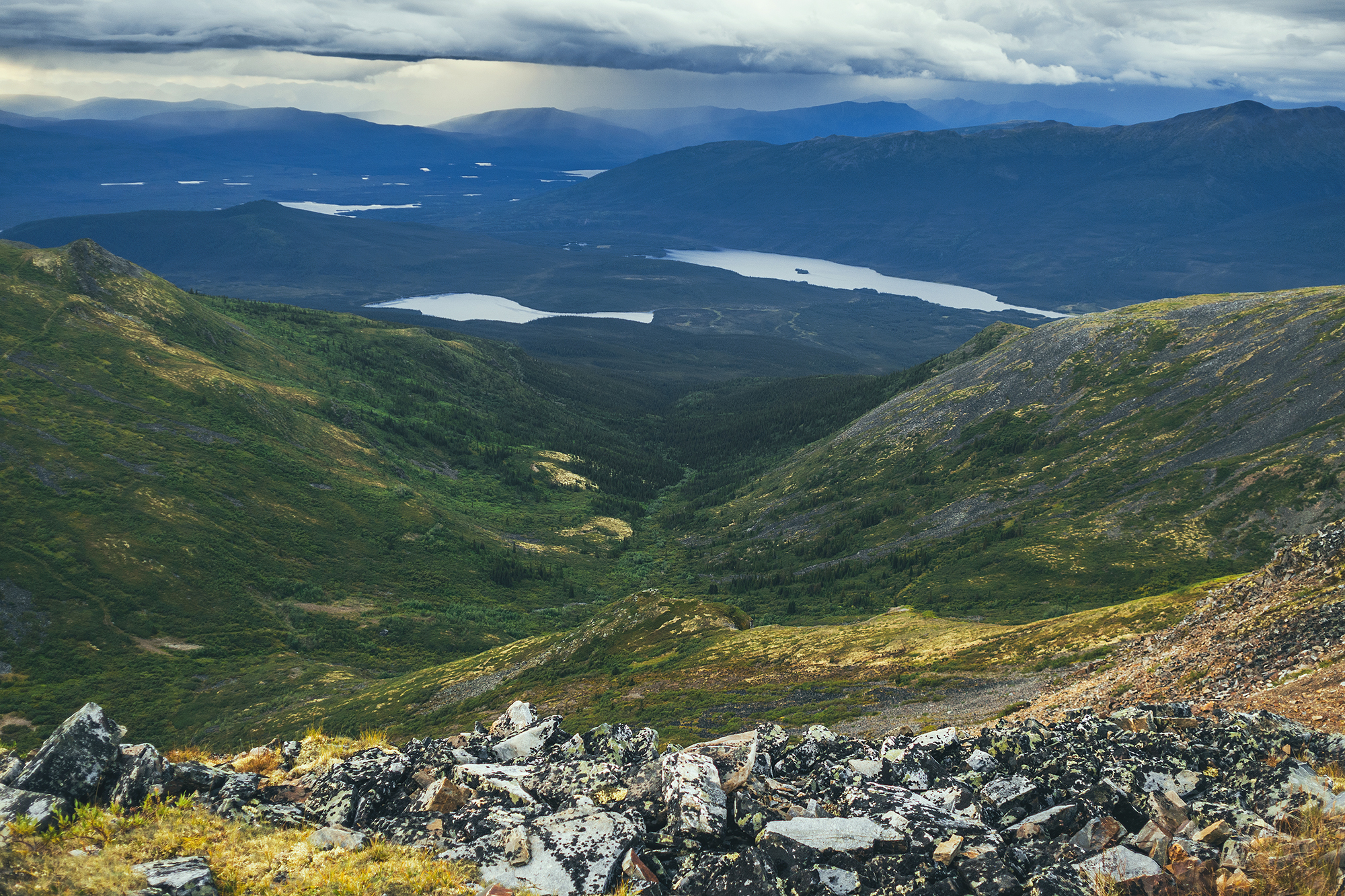
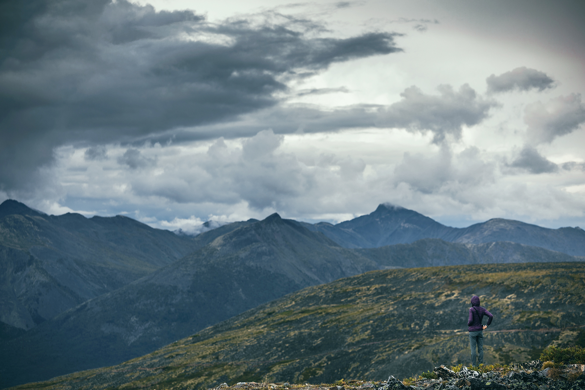
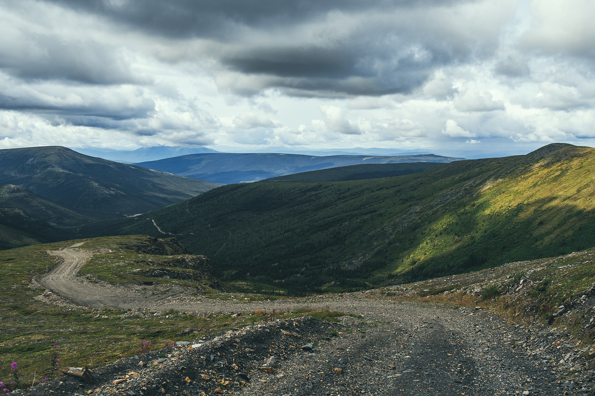
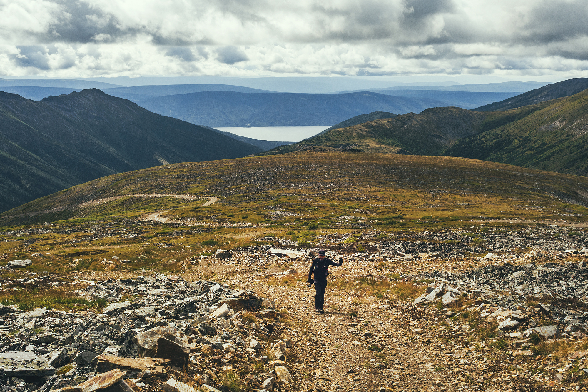
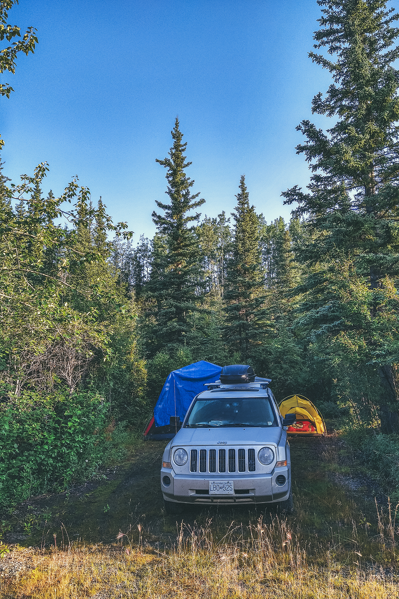
We arrived in the tiny town and drove to the small campground located down a short dirt road. We were the only ones there at that point. We set up camp and had a snack, and as it was starting to rain, we decided to drive up to Keno Hill, a viewpoint at 1800 meters accessible by car (4WD recommended).

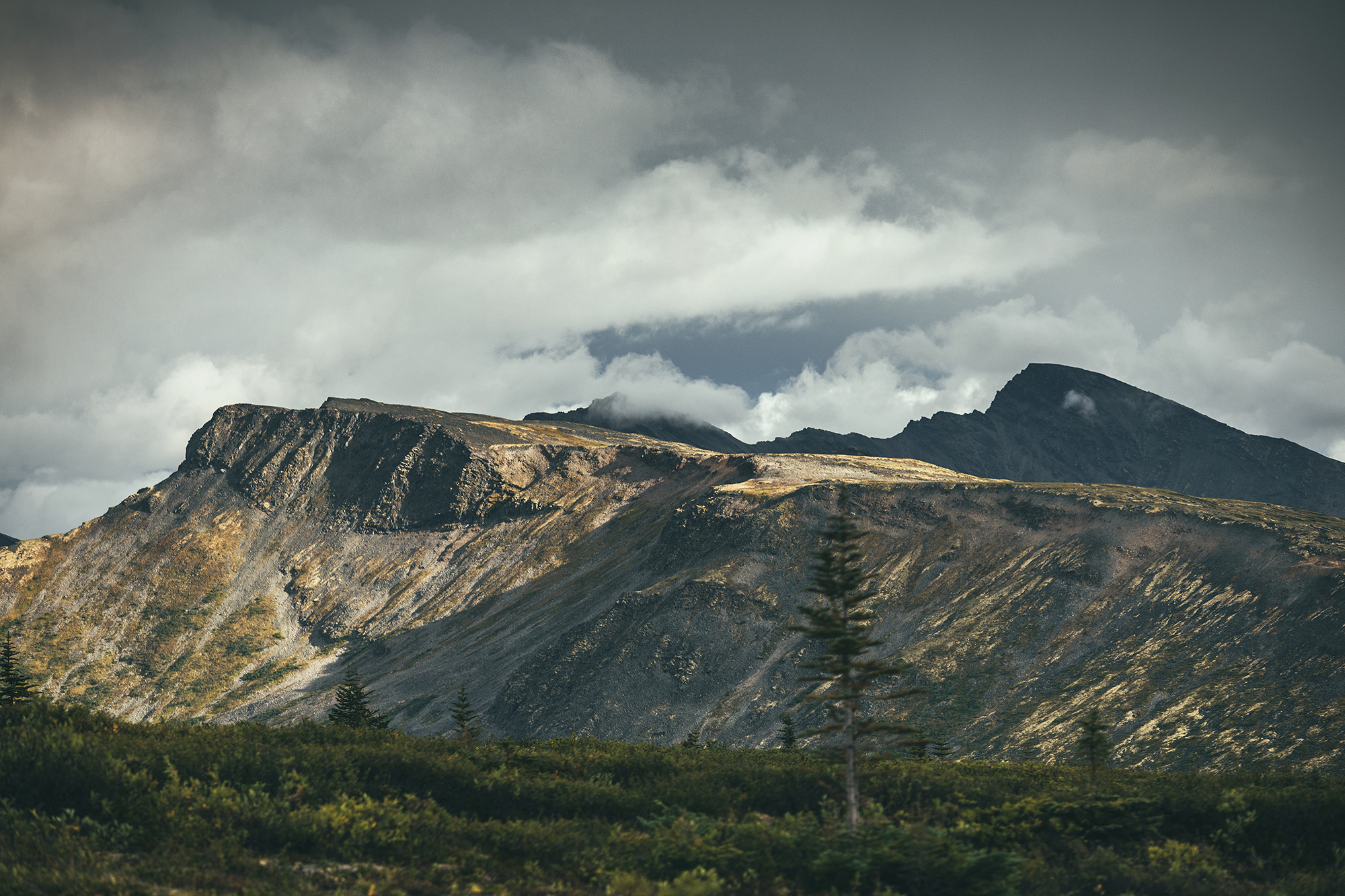
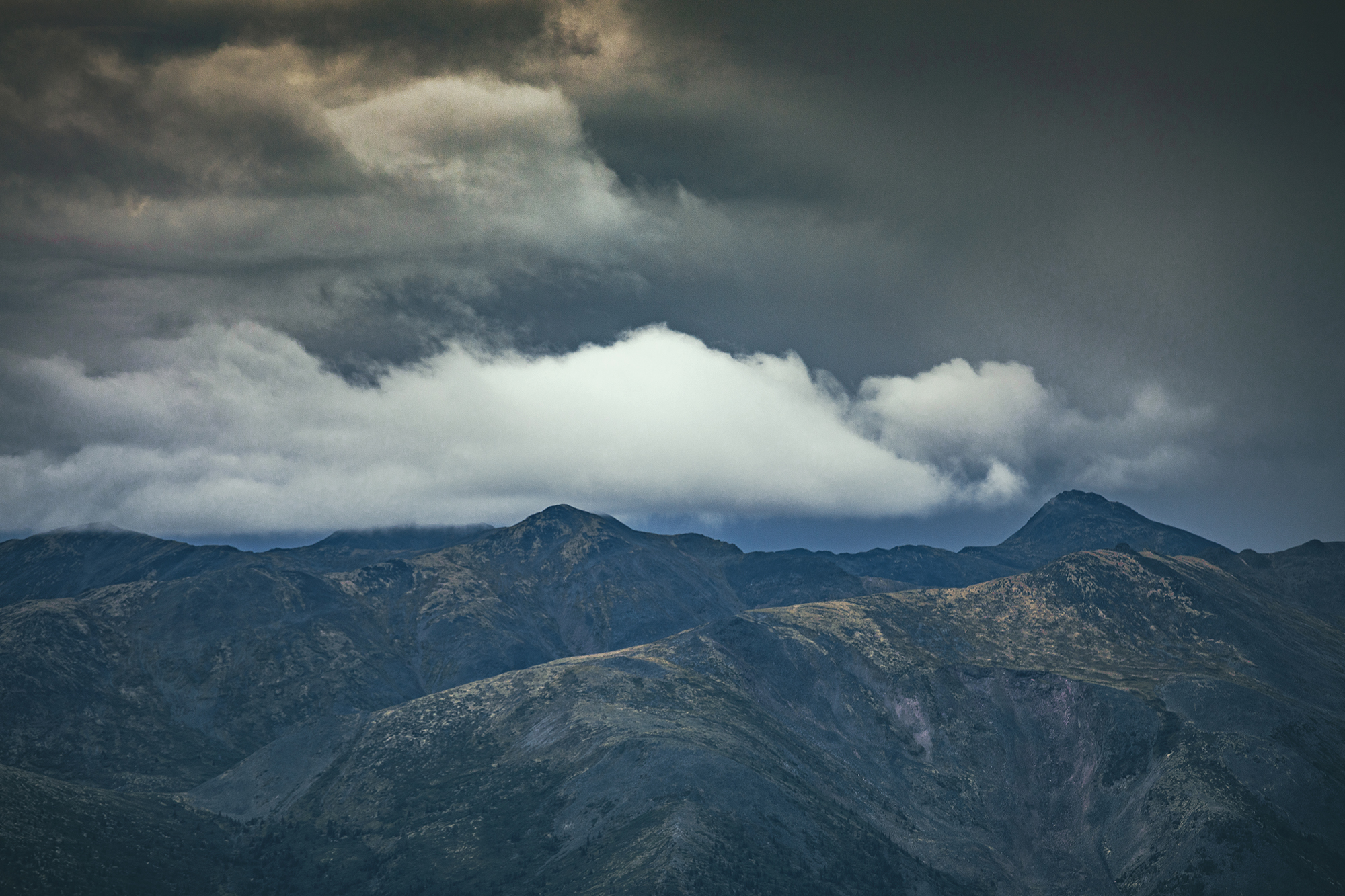
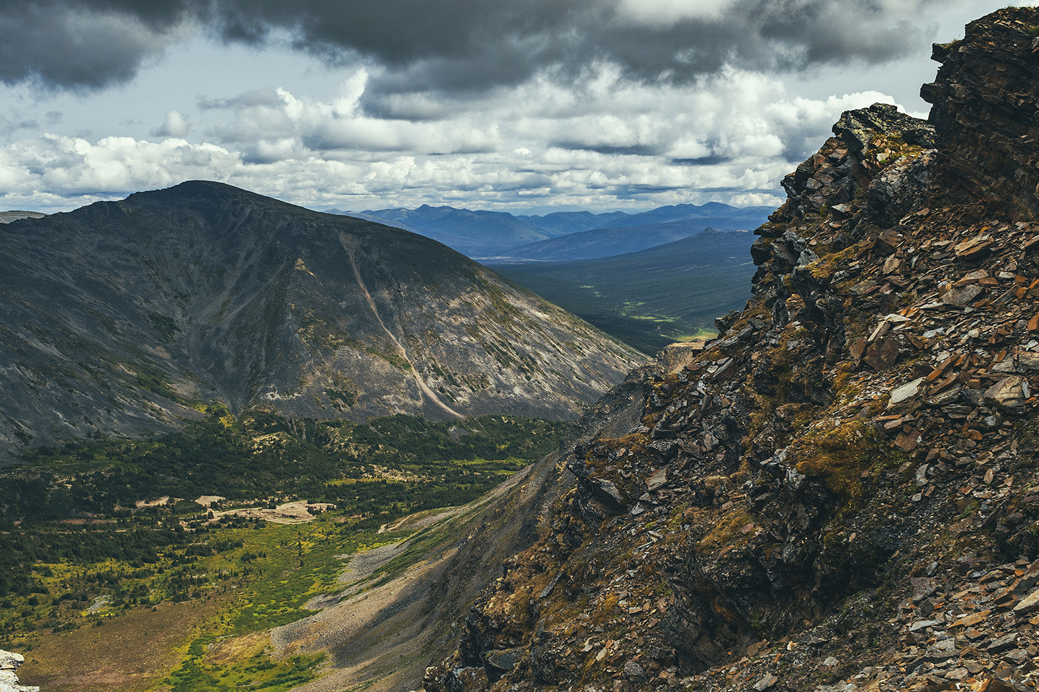
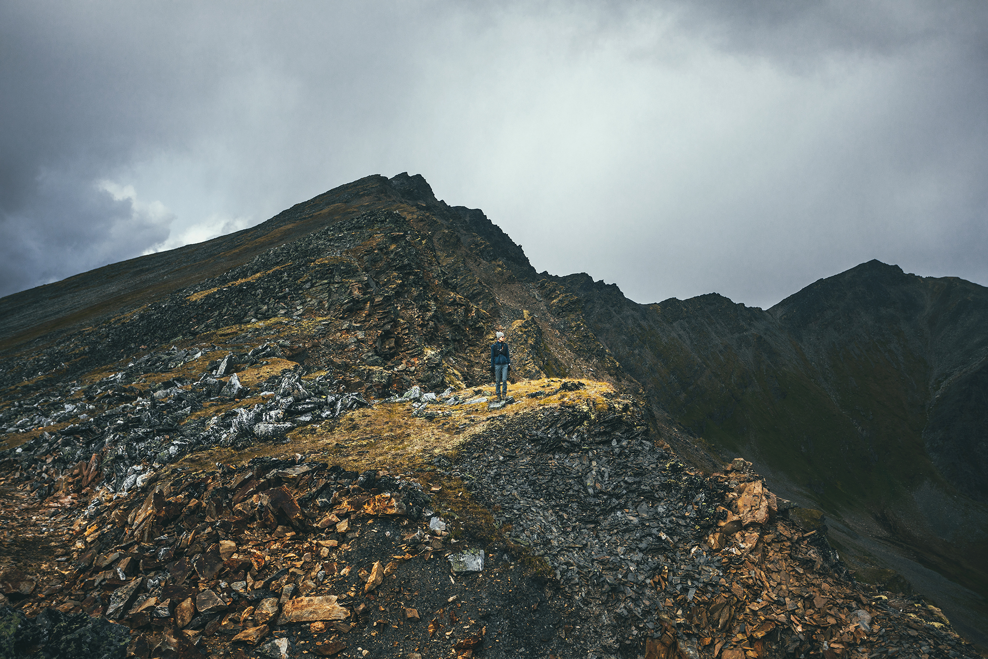
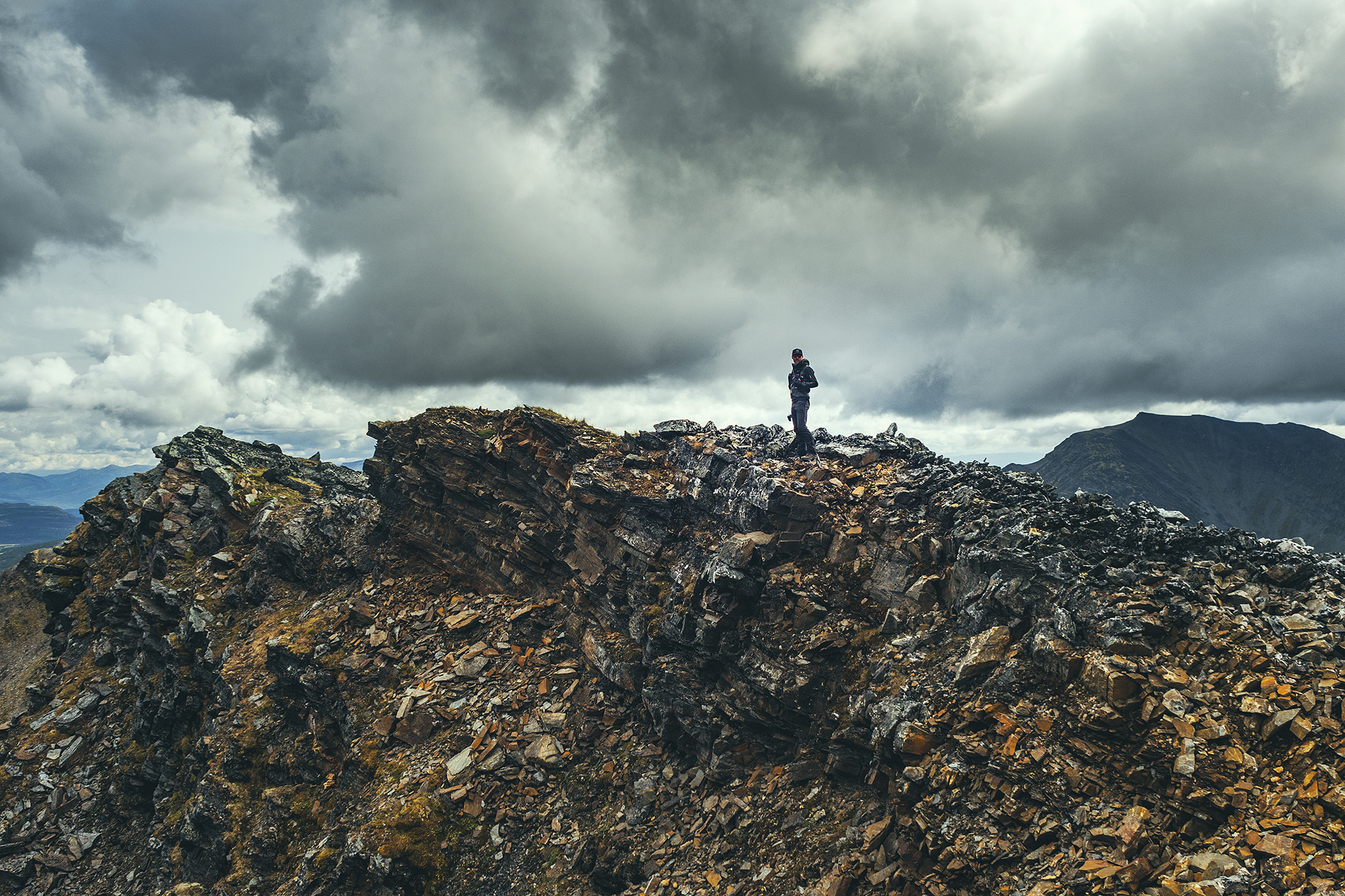
That was the best decision! The road there was incredibly scenic, revealing a different mountain range at every turn, and the sky was unreal. Blue with fluffy clouds on one side, dark and hazy, with rain curtains on the other. All the conditions were right to get a rainbow, which we did.
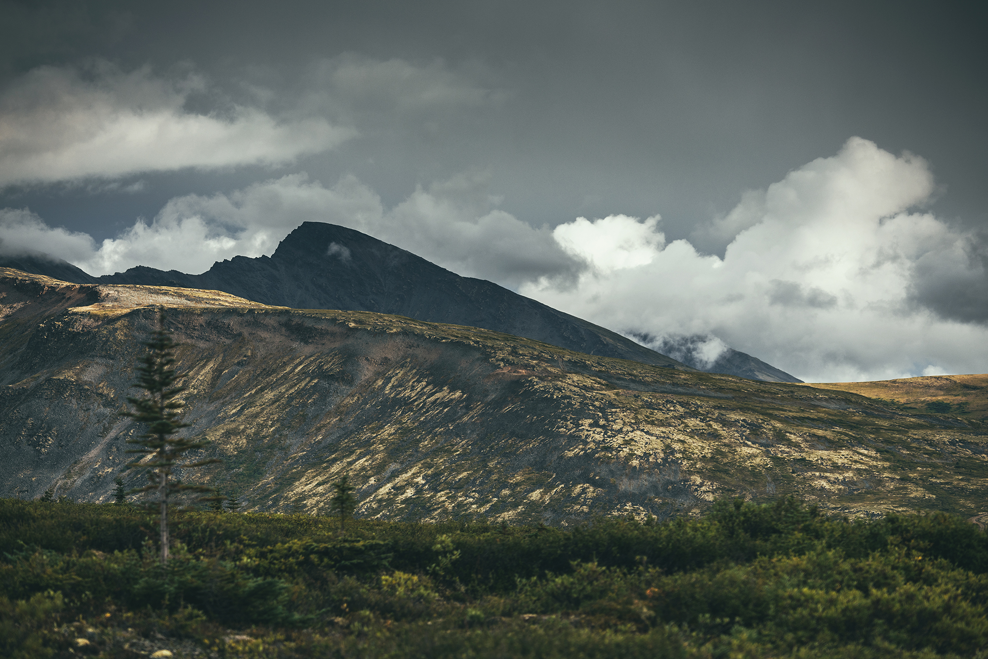
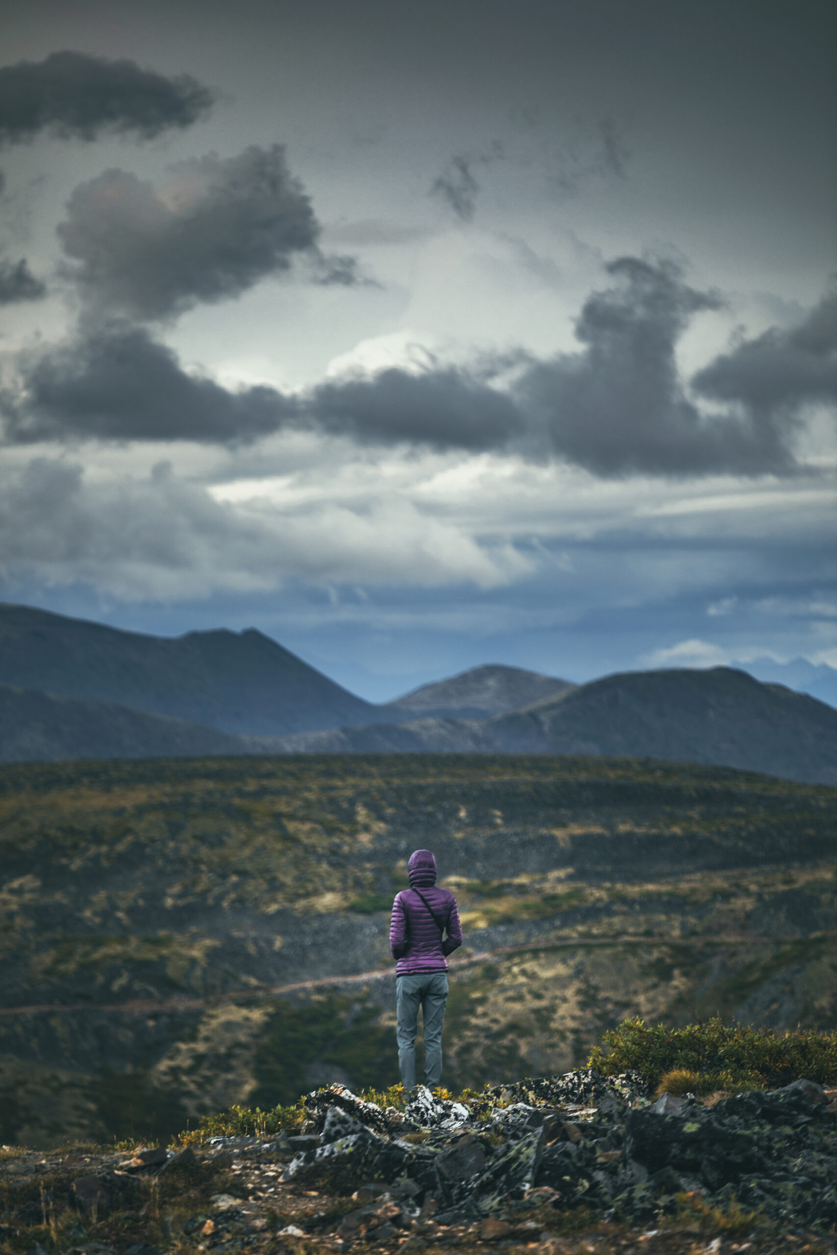
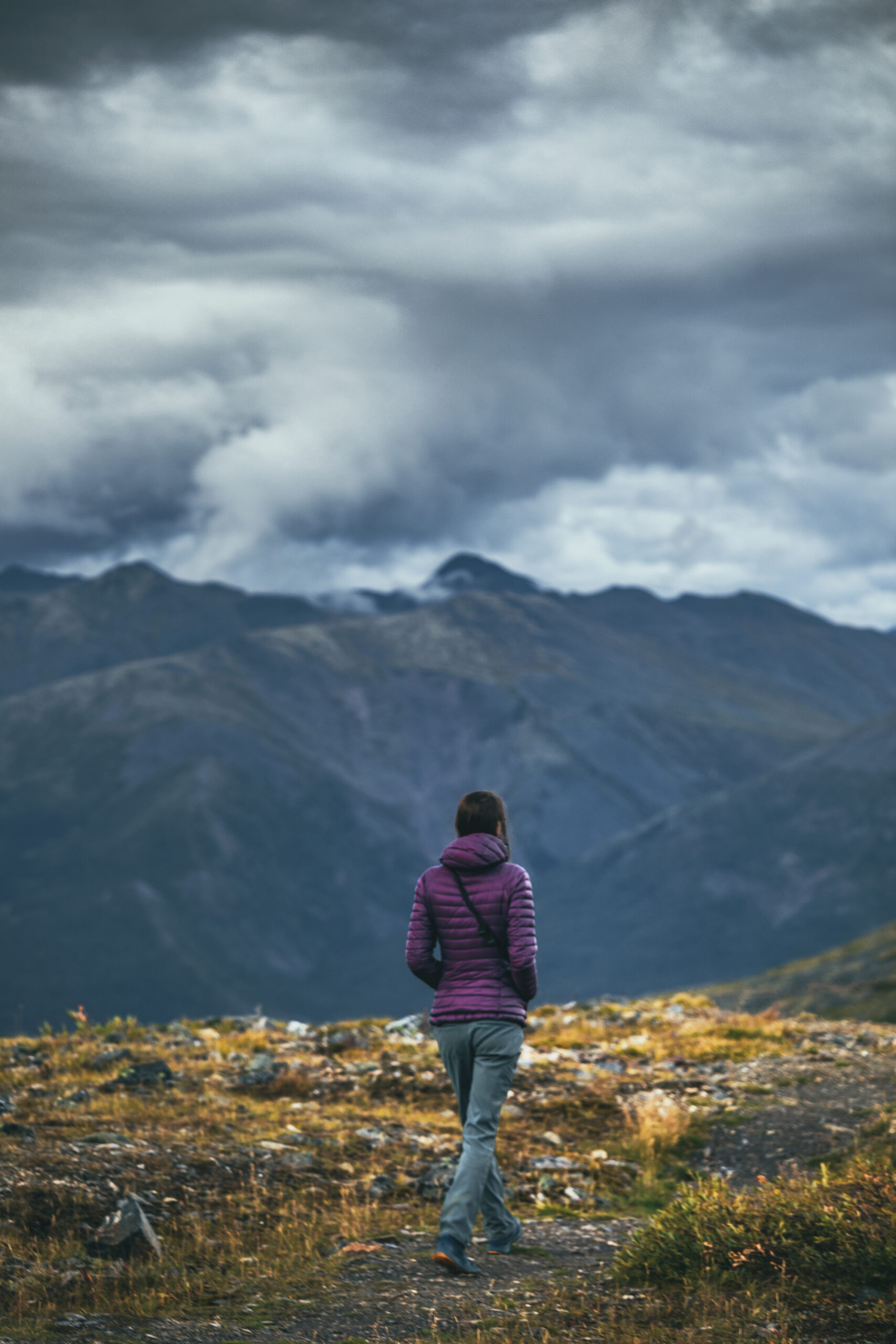
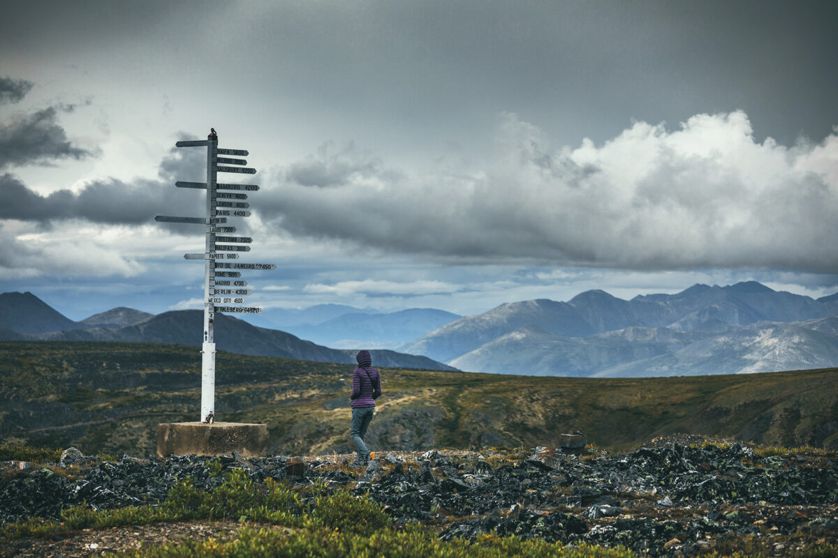
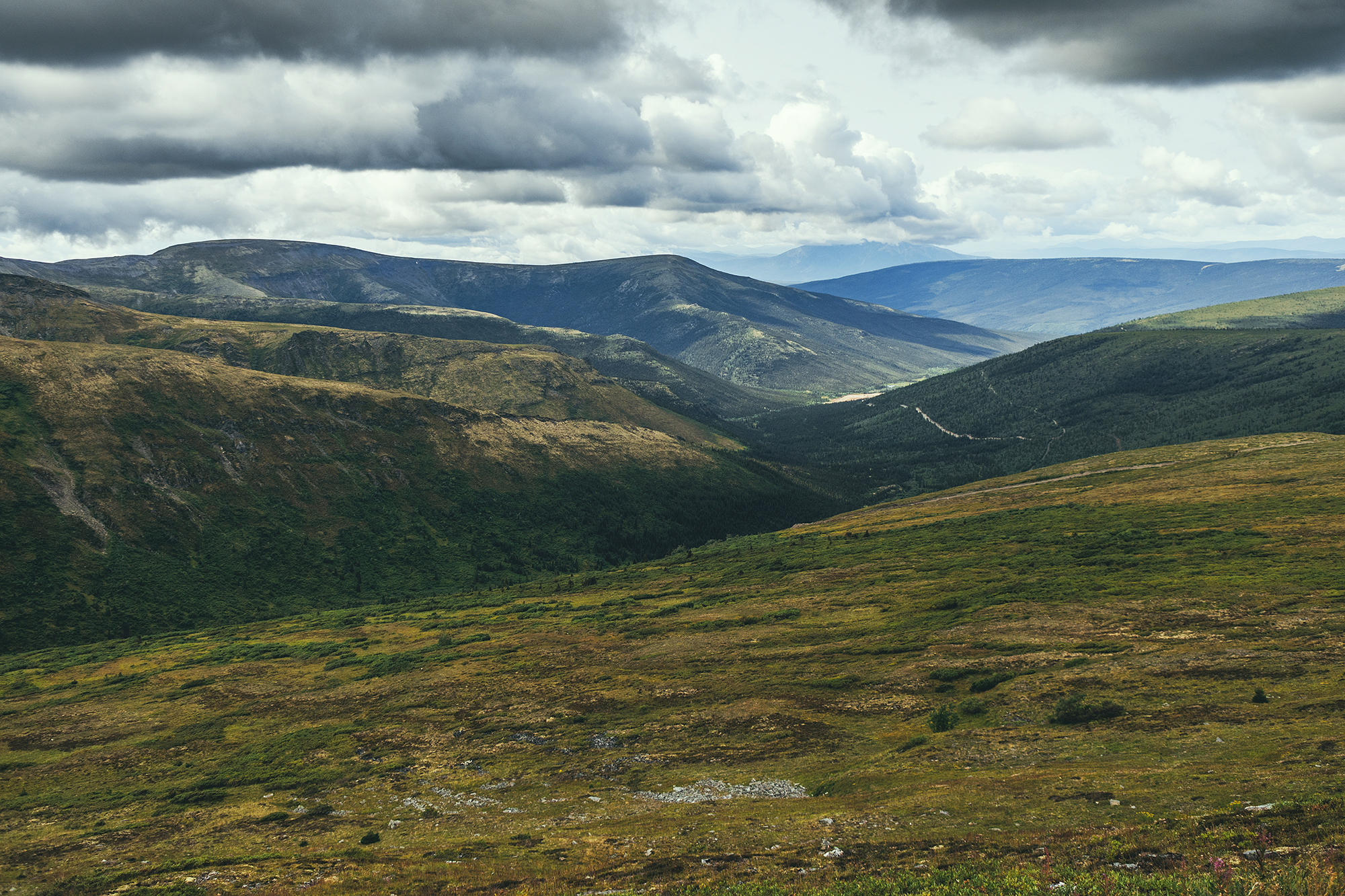
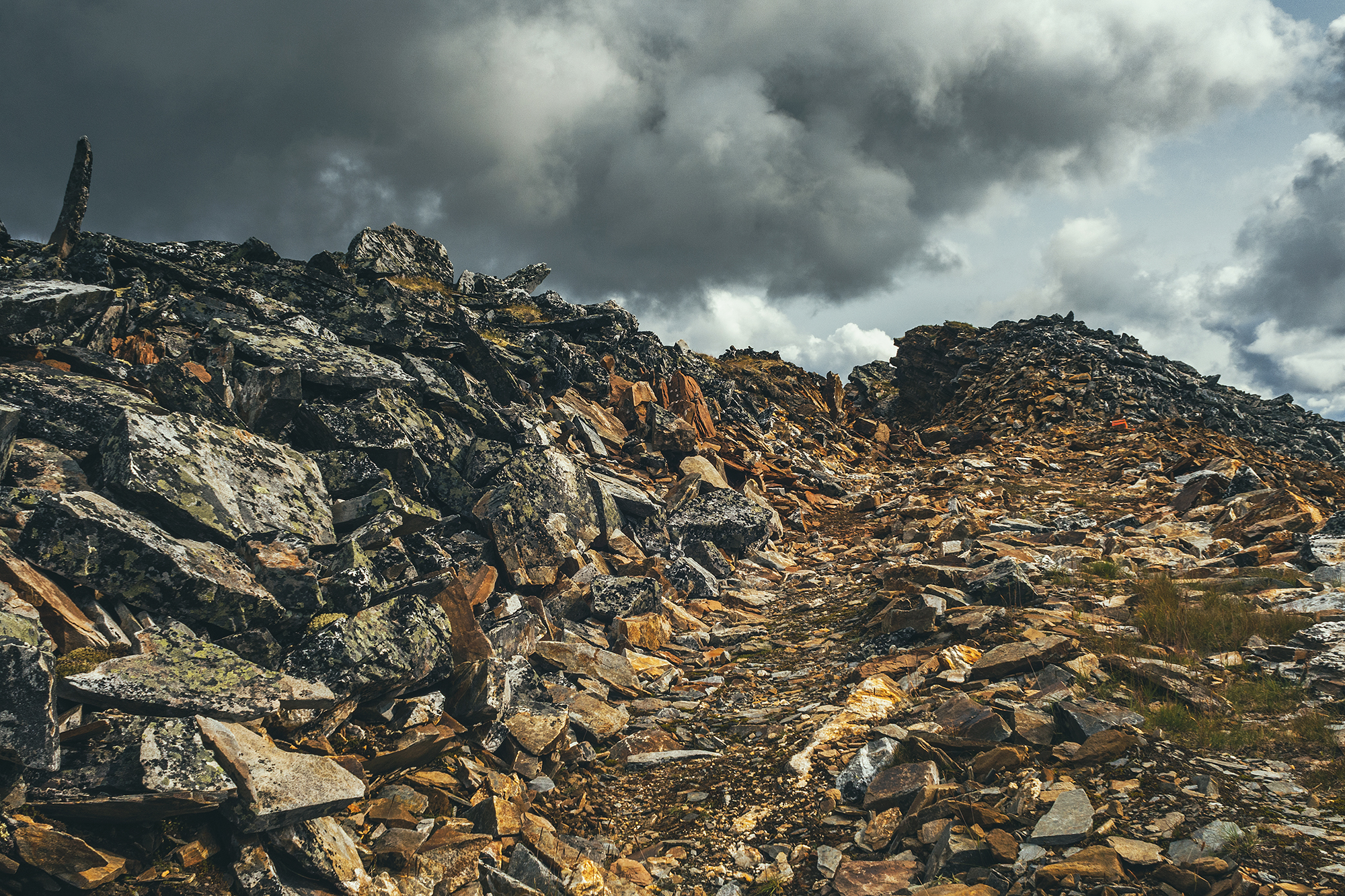
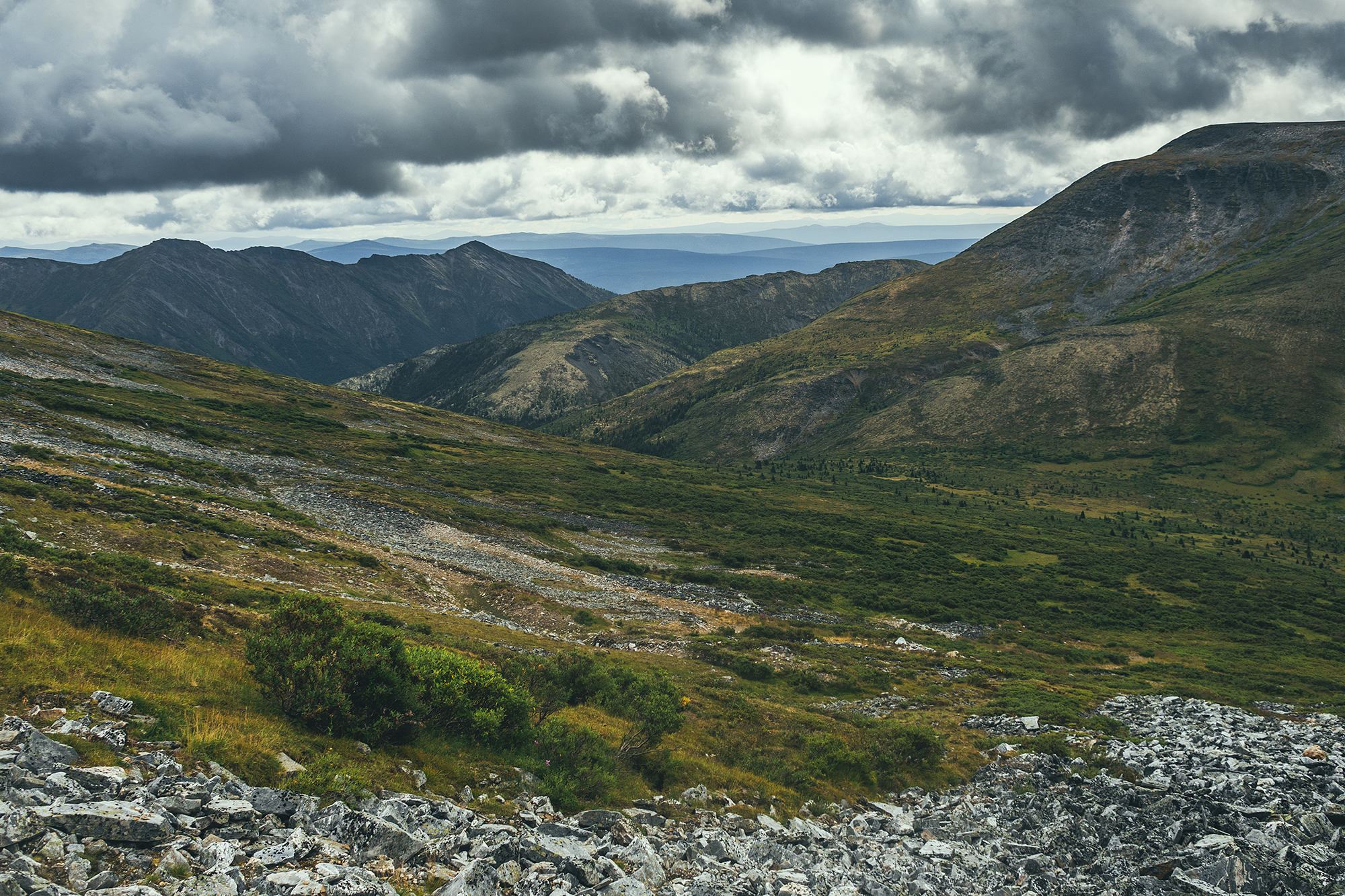
We reached the signpost at the end of the road, a couple of km from the summit, and the views were remarkable. The valley laid below under the dark stormy clouds, a sliver of golden light filtering through along the peaks in the distance – and still some blue sky over peaks in the opposite direction.

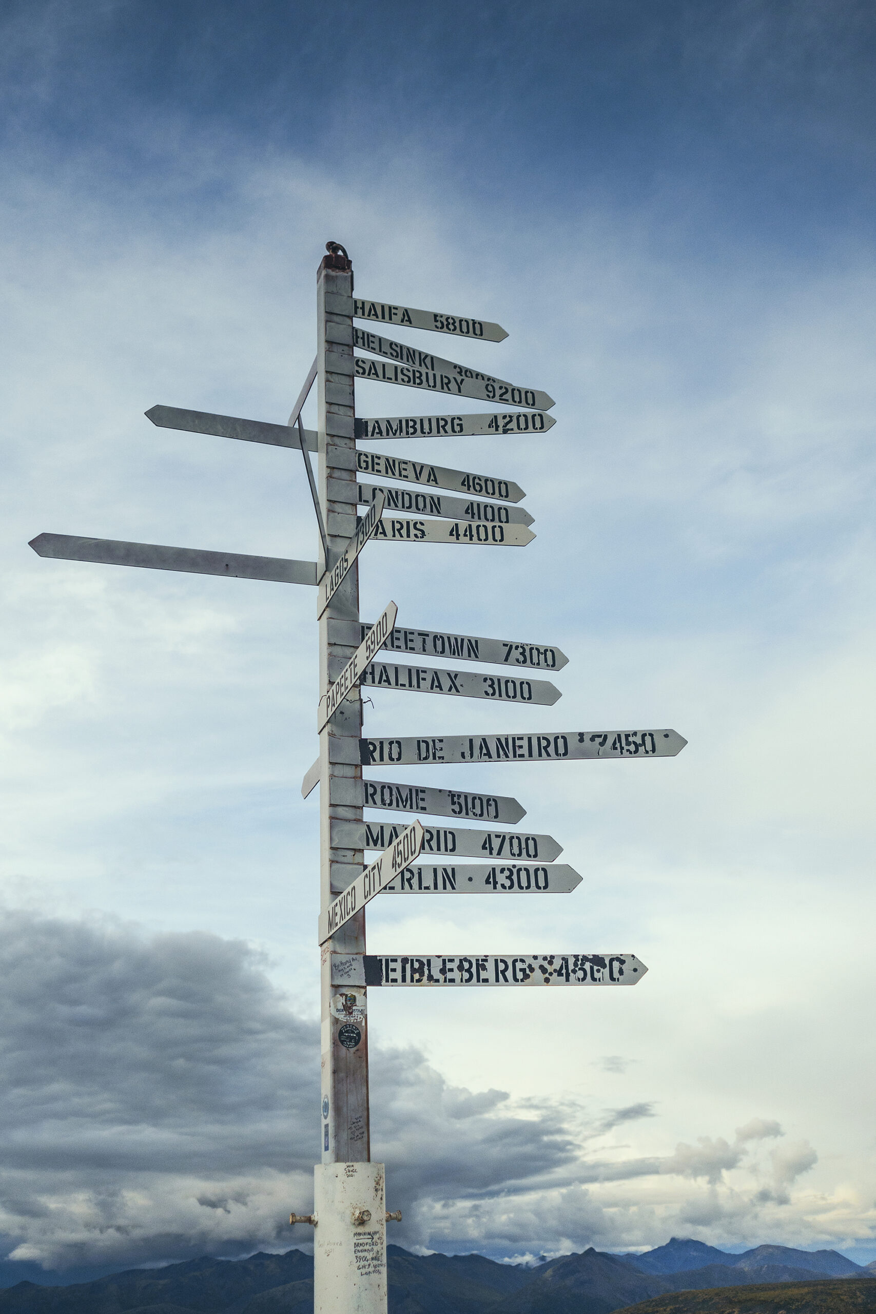
The sign post itself was erected for a geological convention of sort some years ago, and the various signs point to the cities around the world where the scientists attending the event came from.
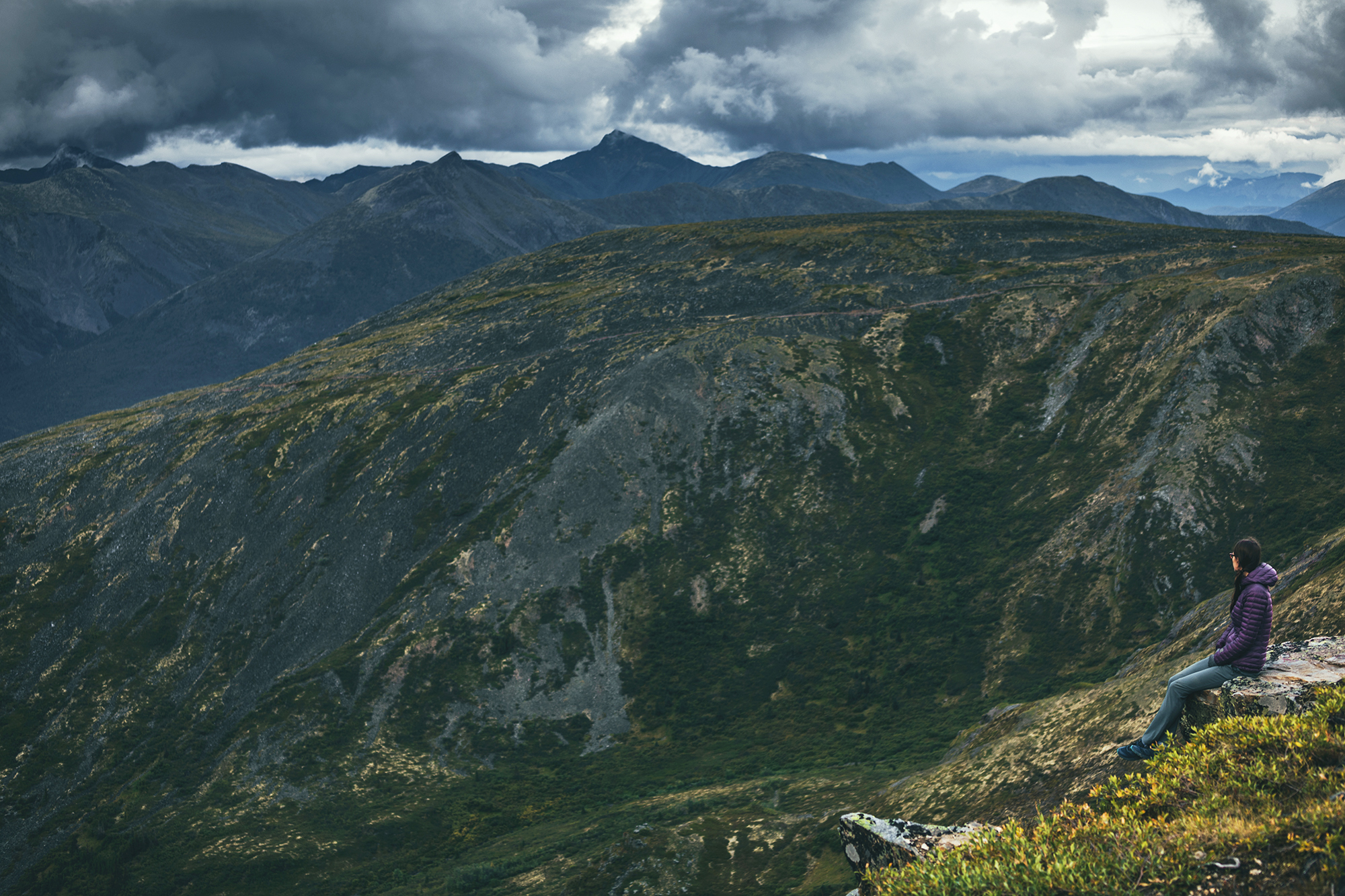
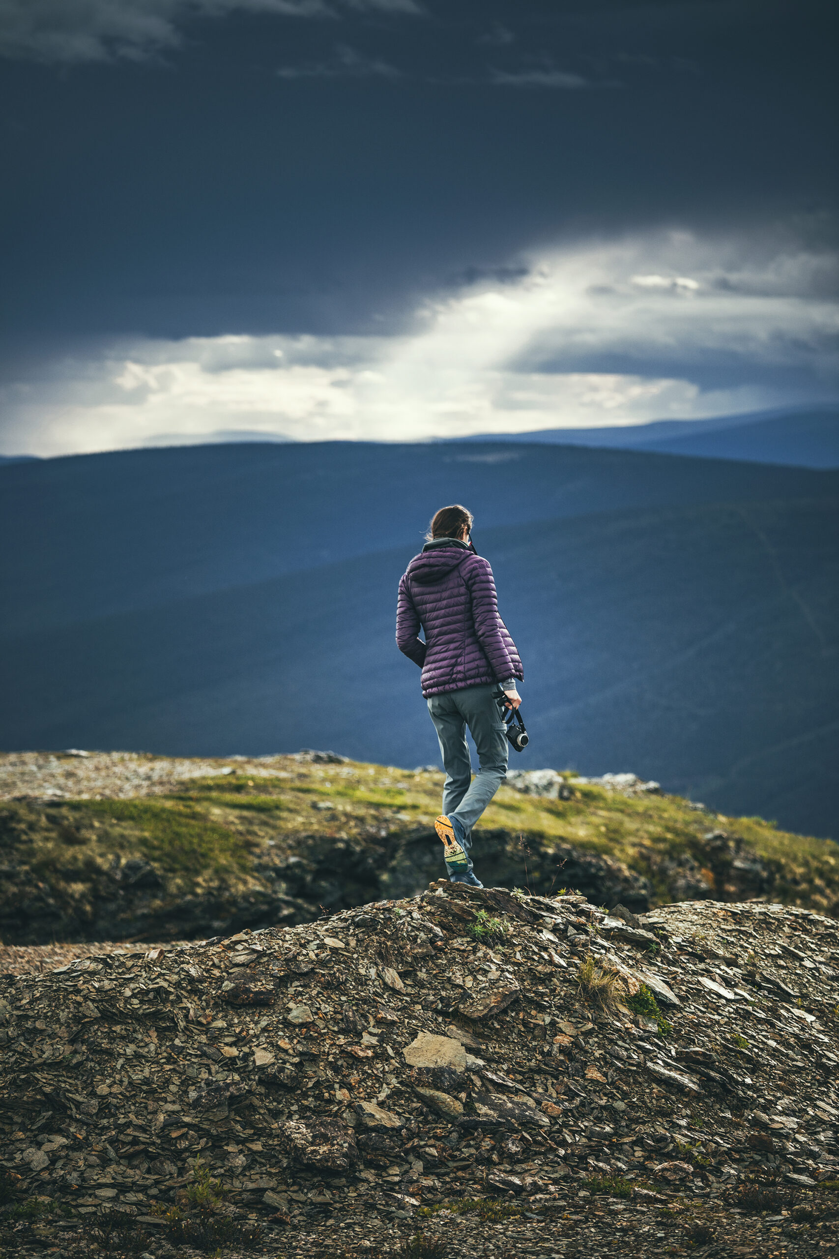
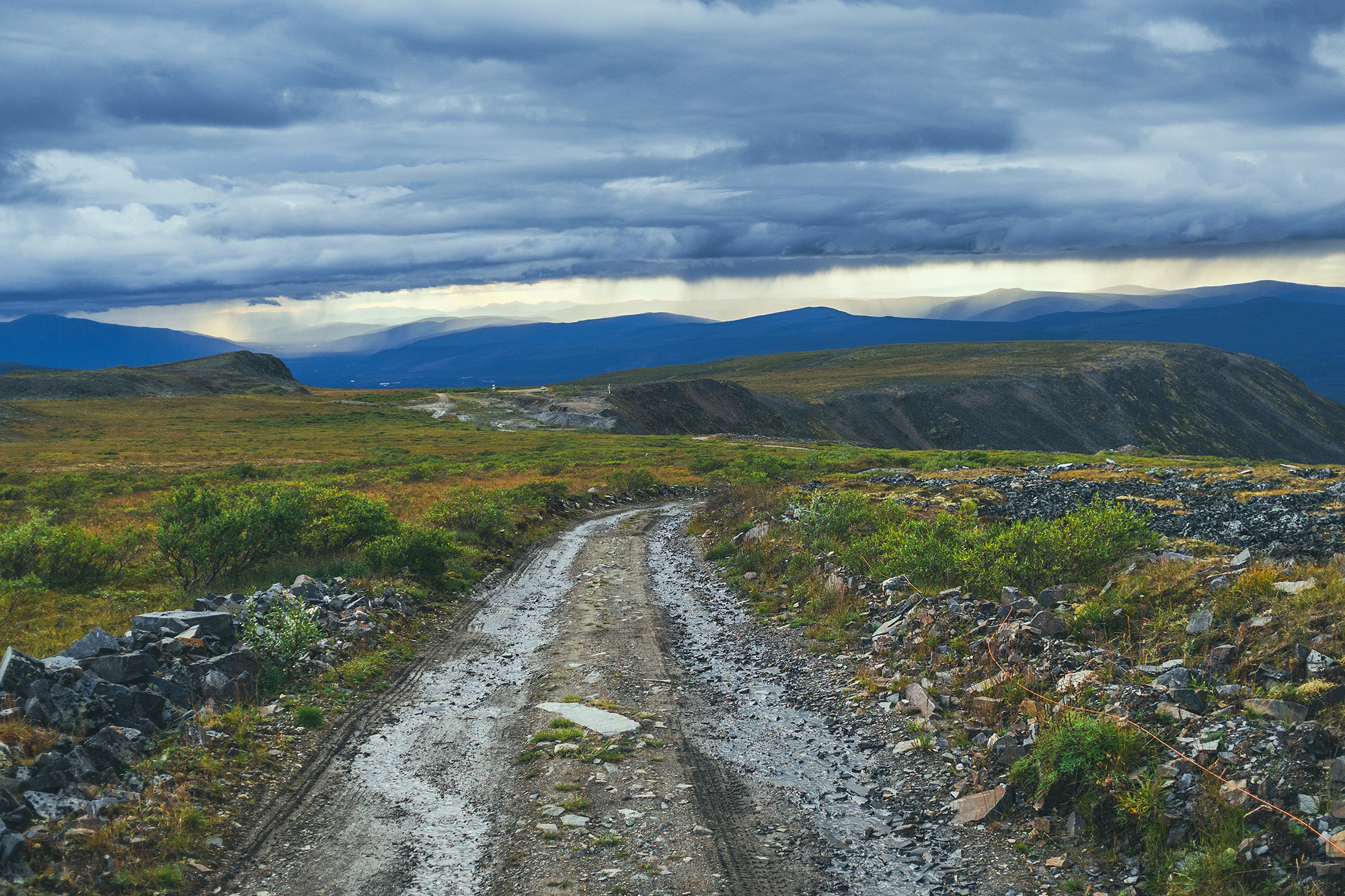
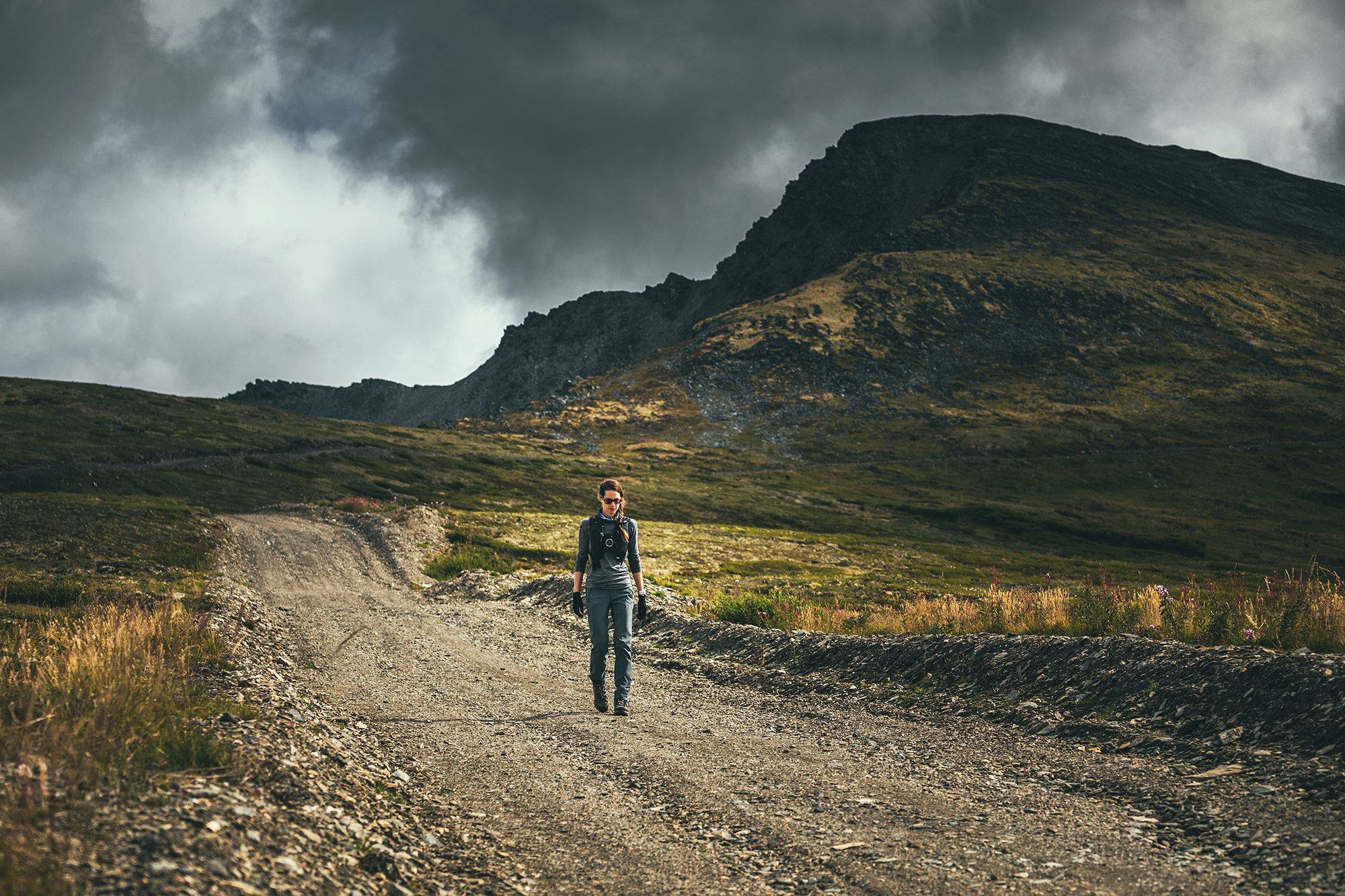
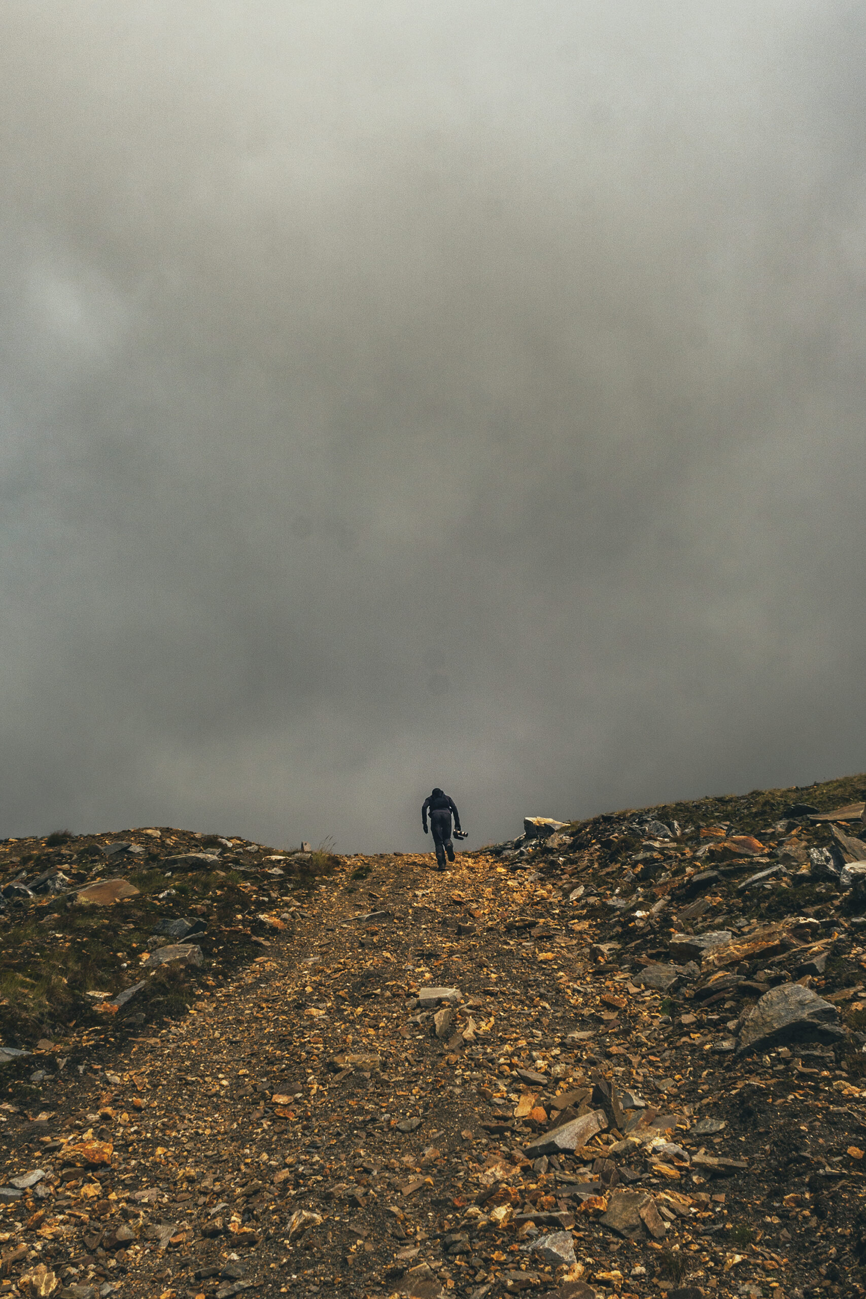
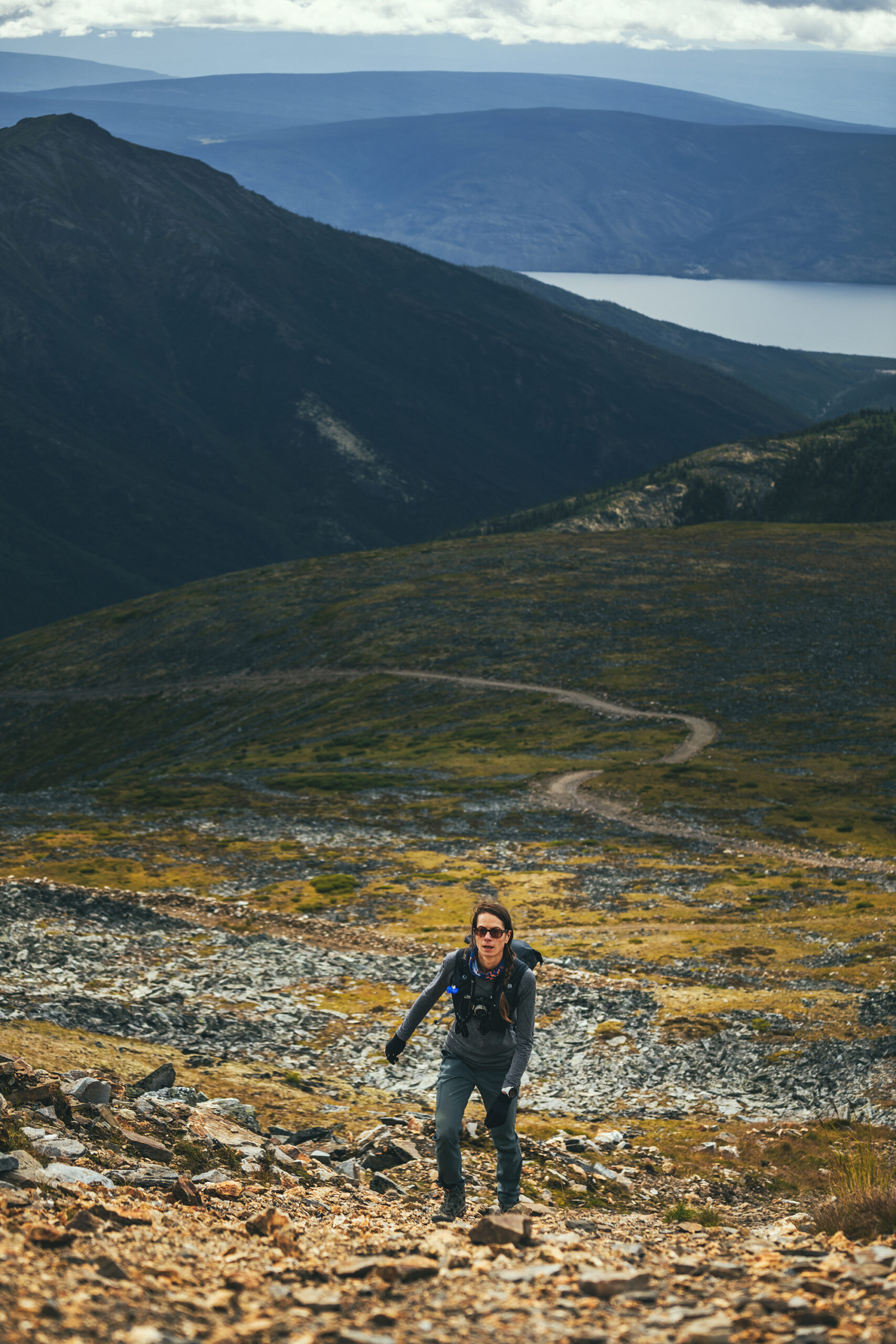
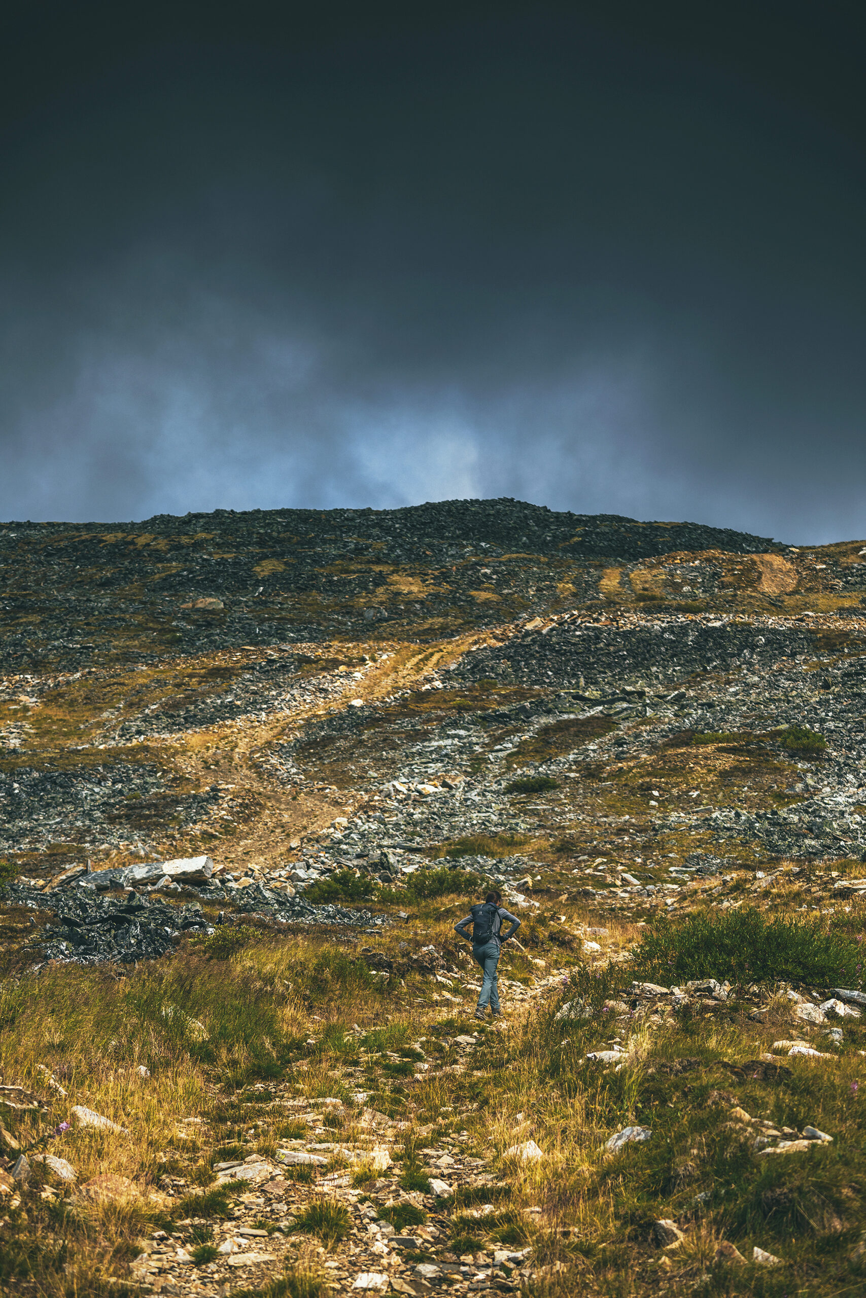
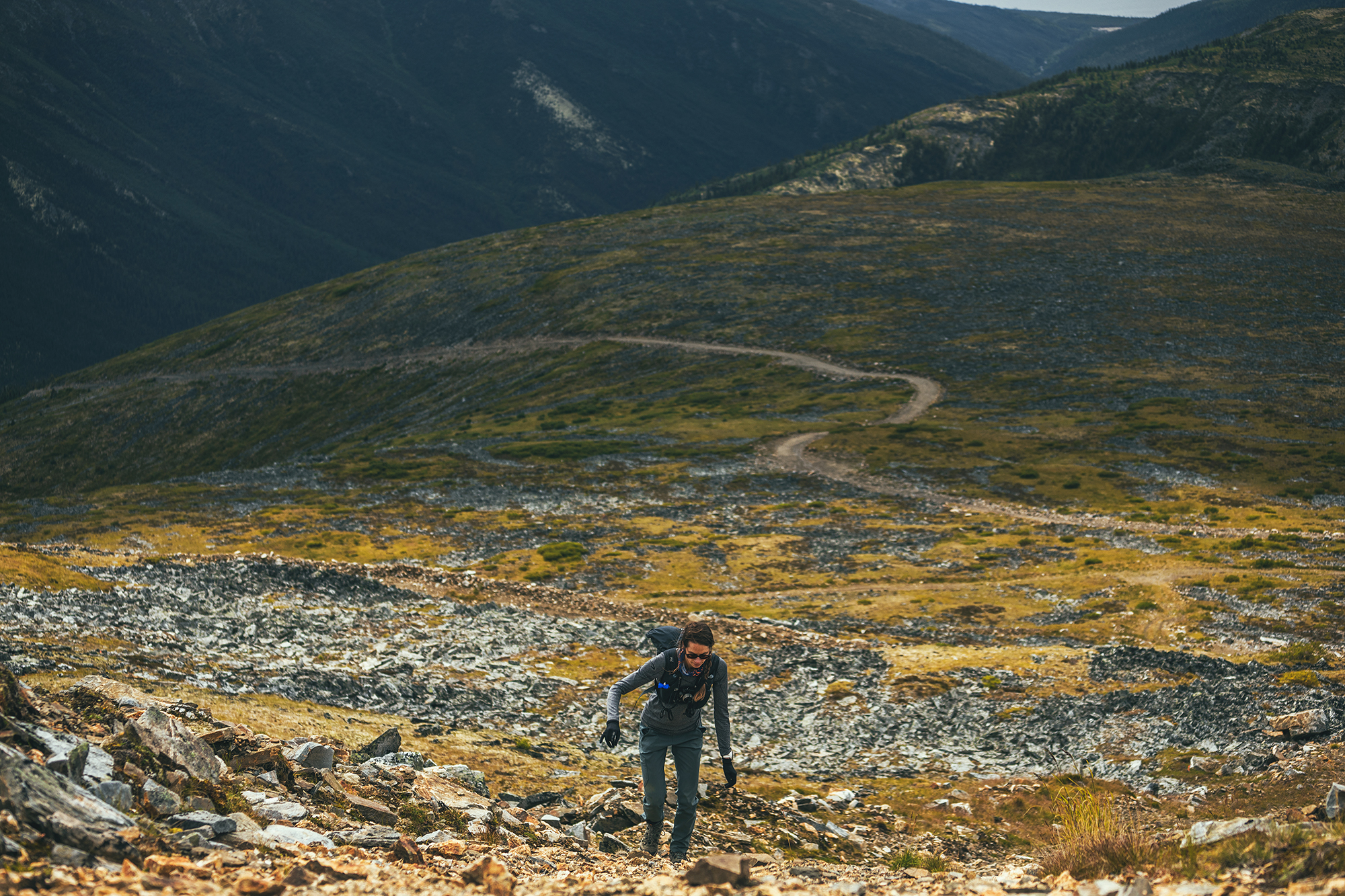
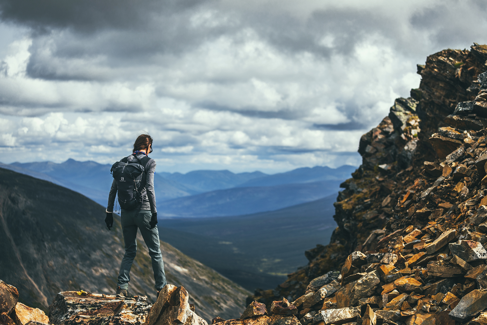
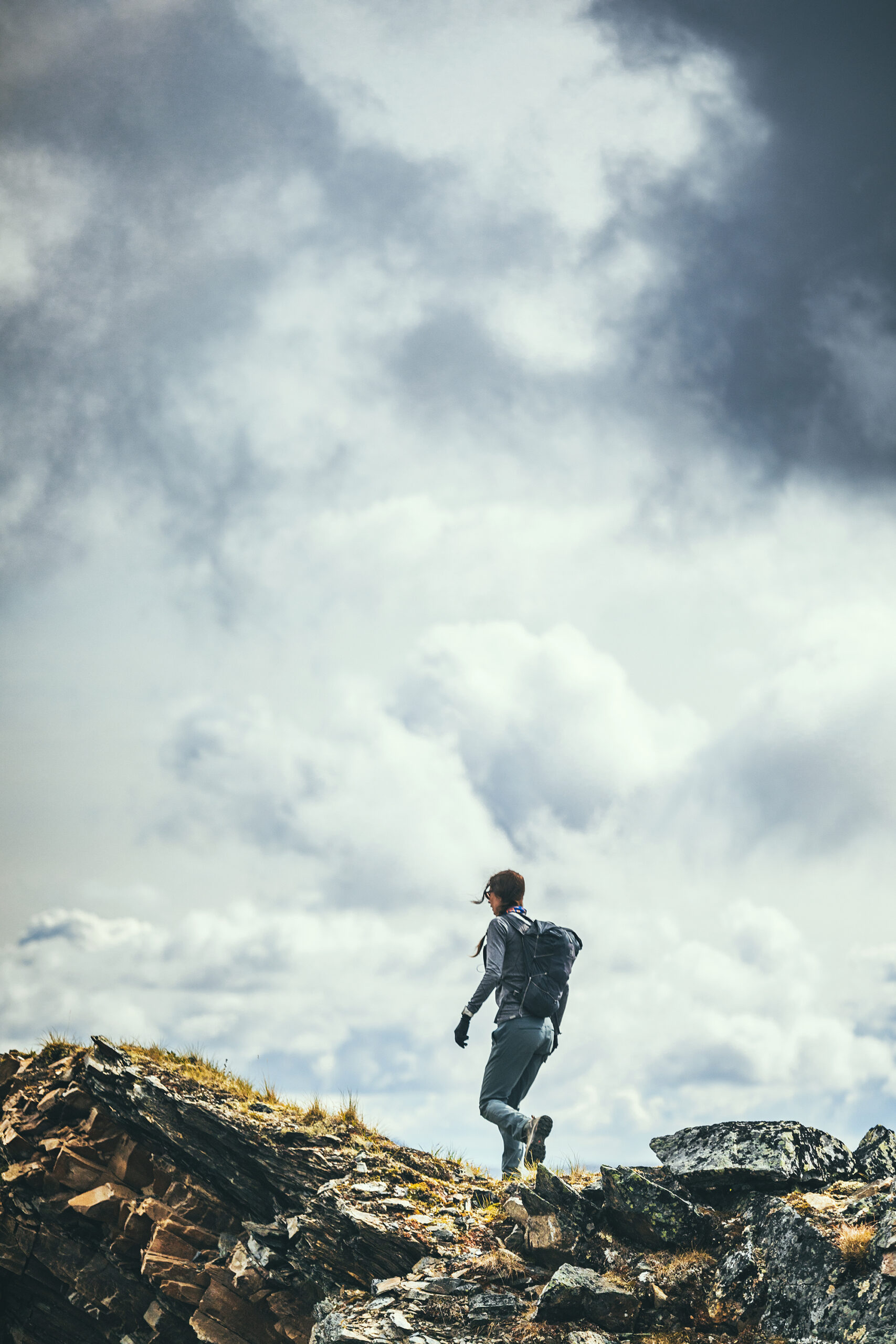
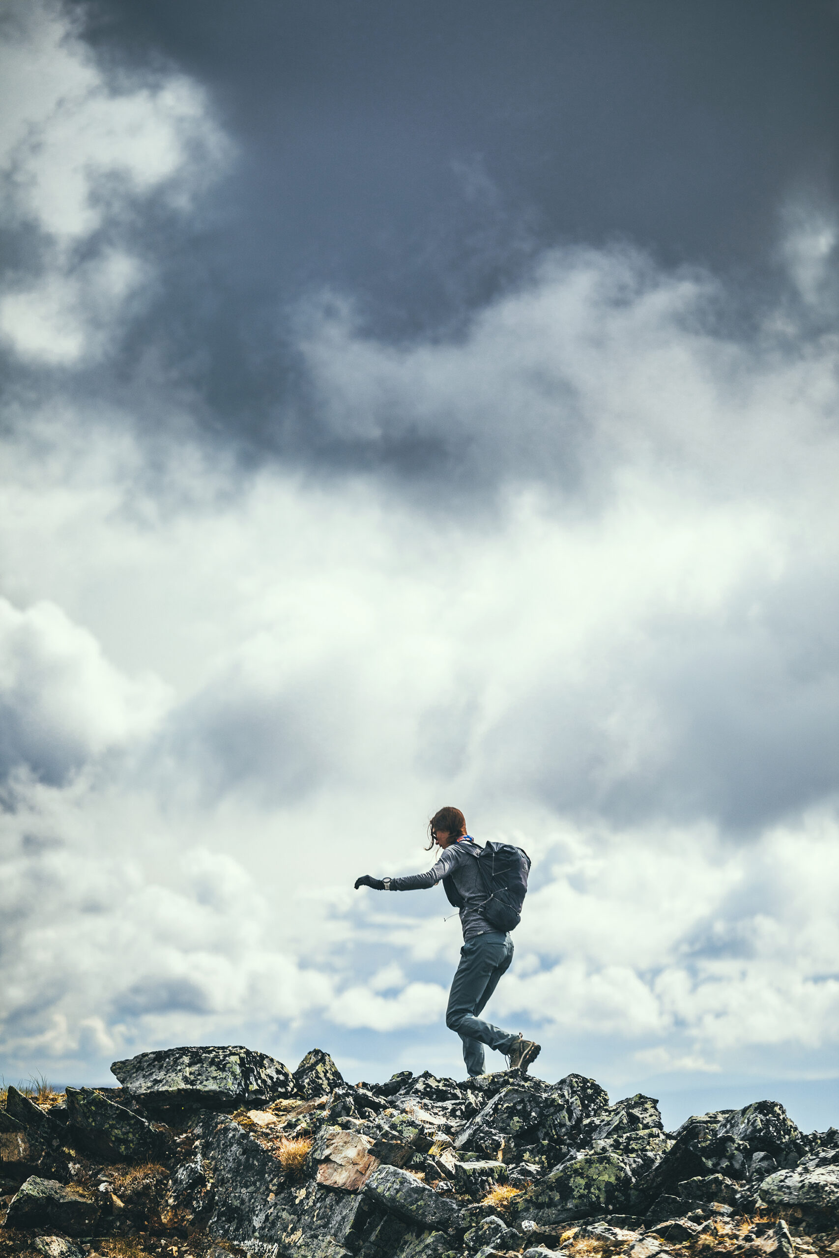
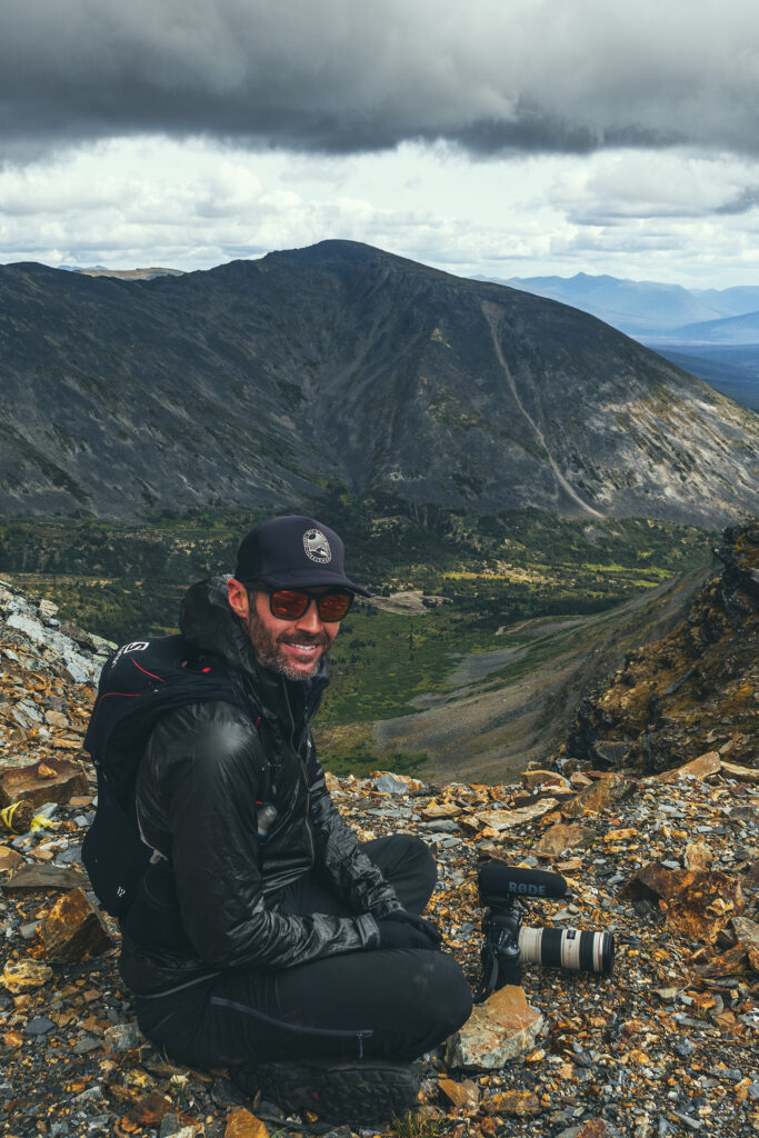
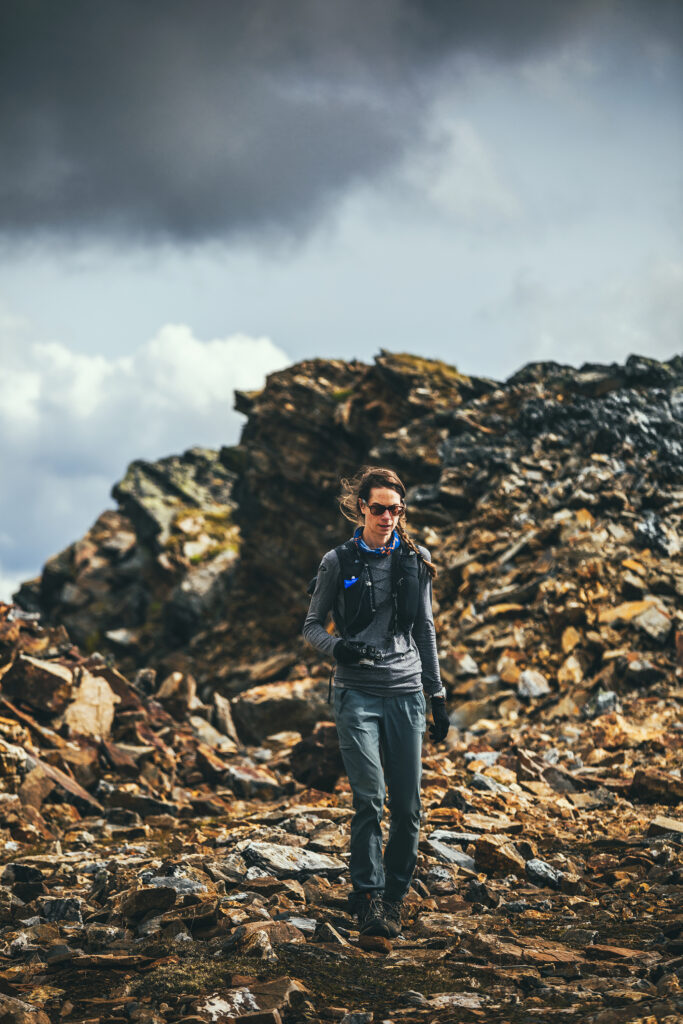
Past the sign post, the trail keeps going to a higher hill, easy to see as the alpine vegetation is all low shrubs. I decided to venture up there on foot while Brice flew the drone up. The summit seen from below was actually a false summit, as I found out when I reached it. The second (presumably true) summit was still some ways away still so I decided to turn around. I still got some really great views from the false summit and I enjoyed running down the wide, rocky track on the way back down.
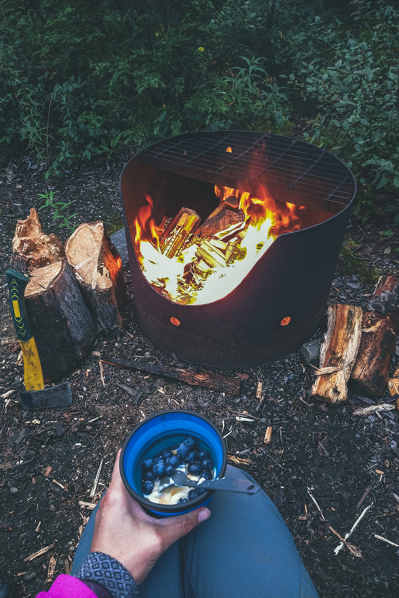
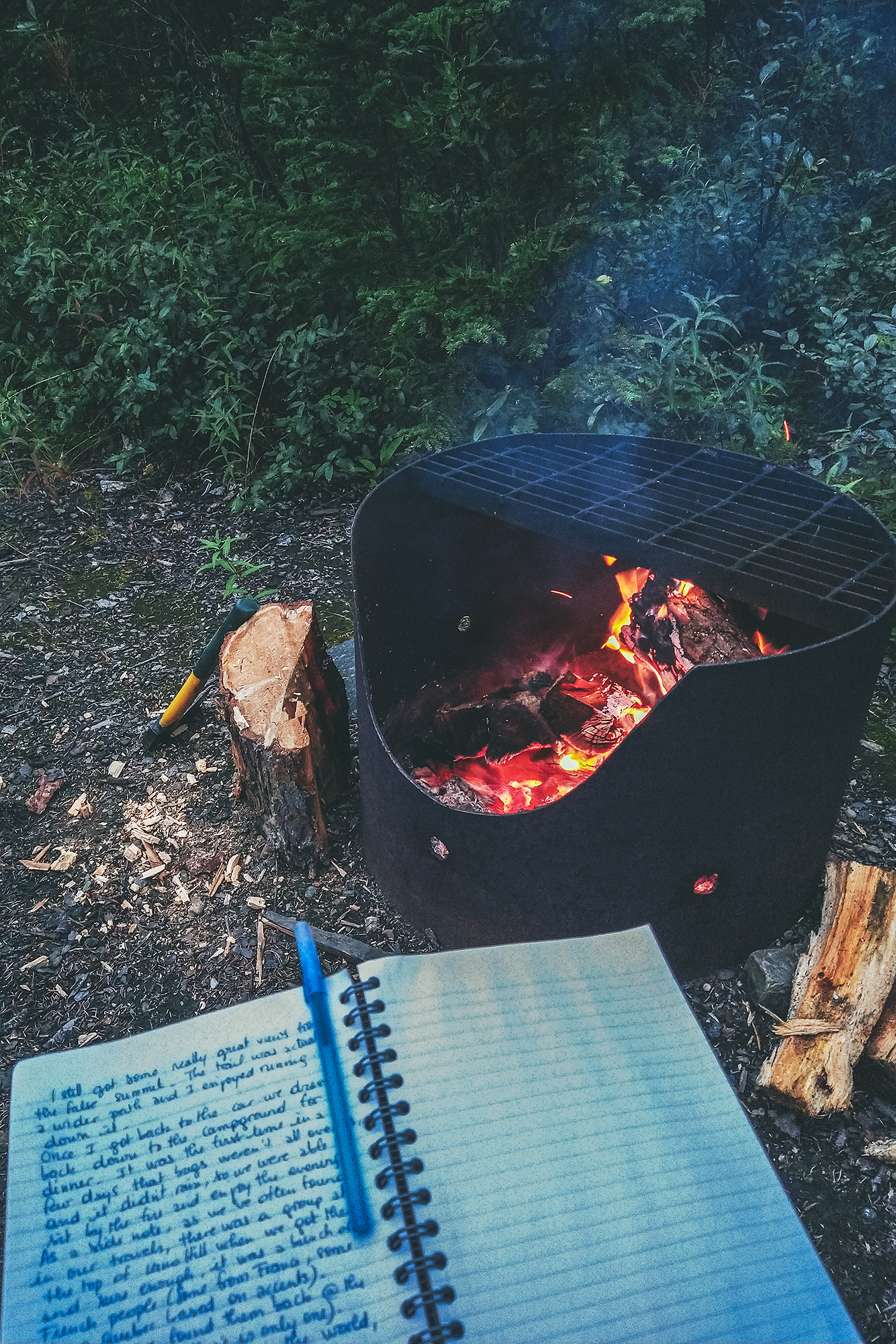
Once I got back to the car we drove back down to the campground for dinner. It was the first time in a few days that bugs weren’t all over us, and it didn’t rain, so we were able to sit by the fire and enjoy the evening outside the bug shelter.
As a side note, there was a group at the top of Keno Hill when we got there, and sure enough, it was a bunch of French people (Some from France, some from Canada, based on accents). Of course we found them back at the Campground (there is only one) – As we’ve often found in our various travels, no matter where we go in the world, how remote we get, we always seem to run into the French.
I wonder if other nationalities experience that as well and maybe we only notice French people because of the language…In any case it’s become a bit of a joke, and we can sometimes even identify French people just by looking at them…
August 15 – Hiking up Mount Hinton near Keno
We decided to stay one more night in Keno, so we could take time to do a local hike.
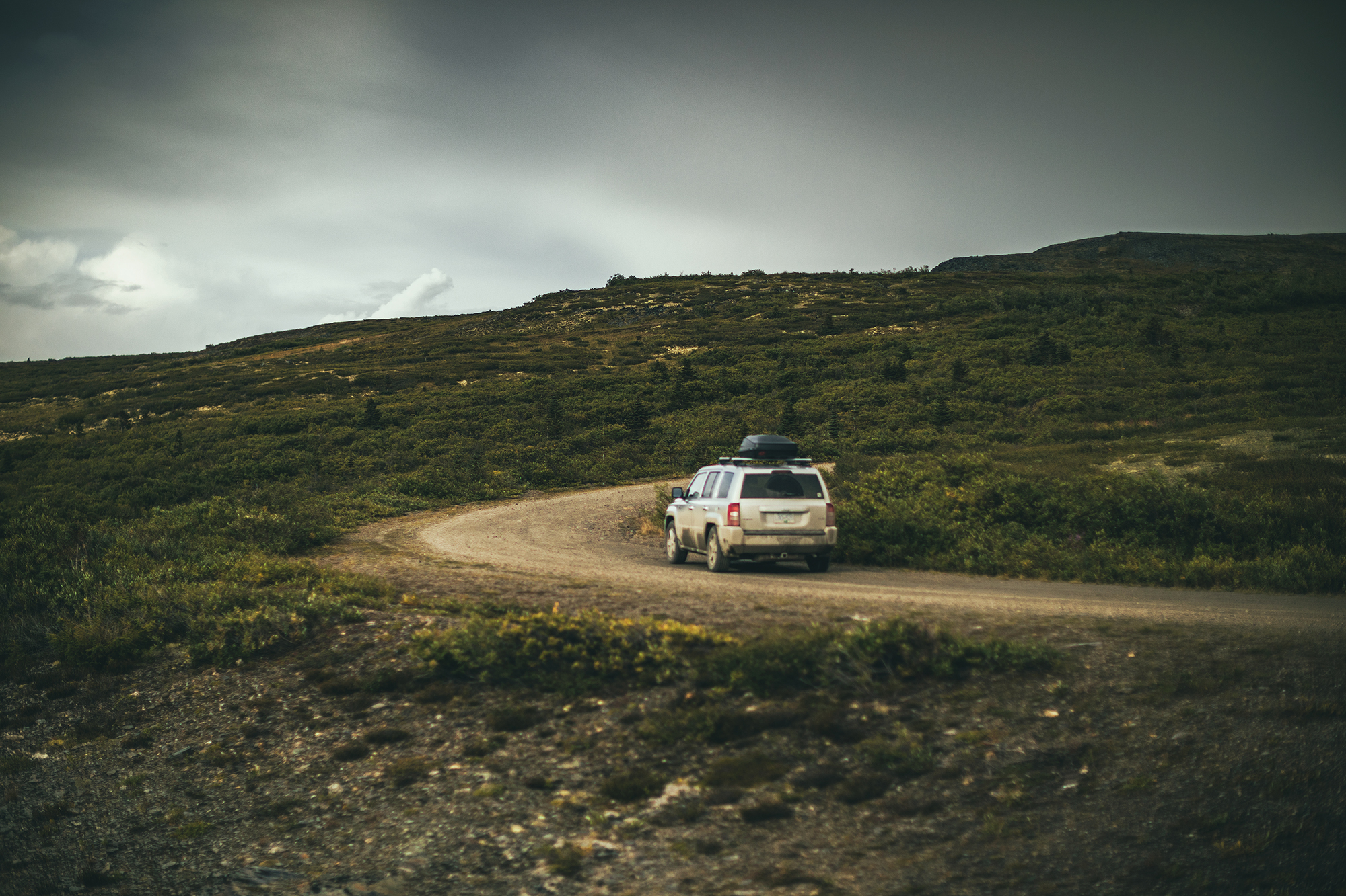
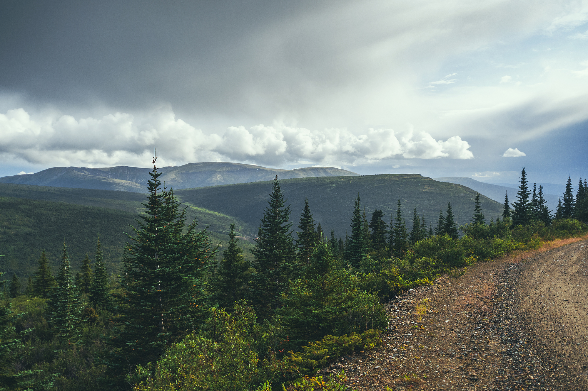
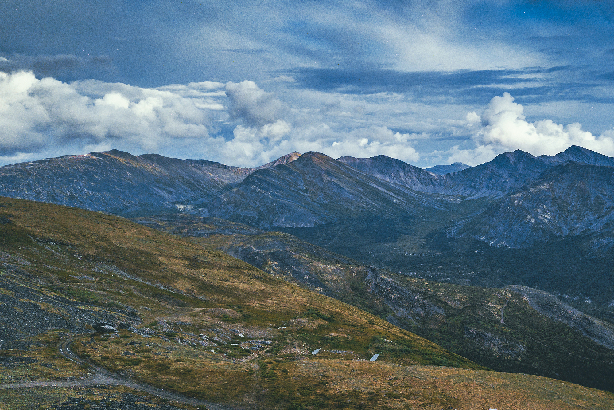
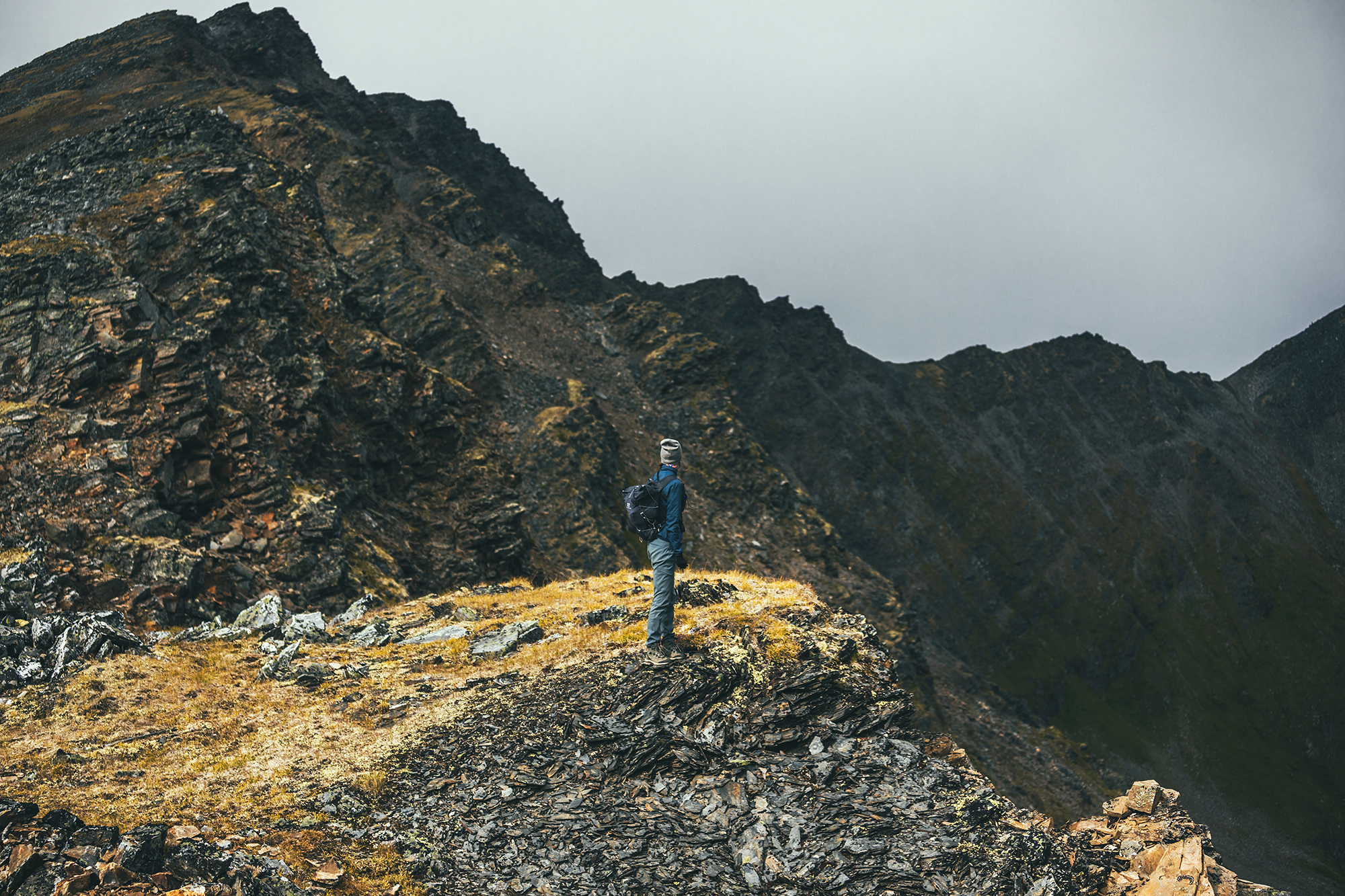
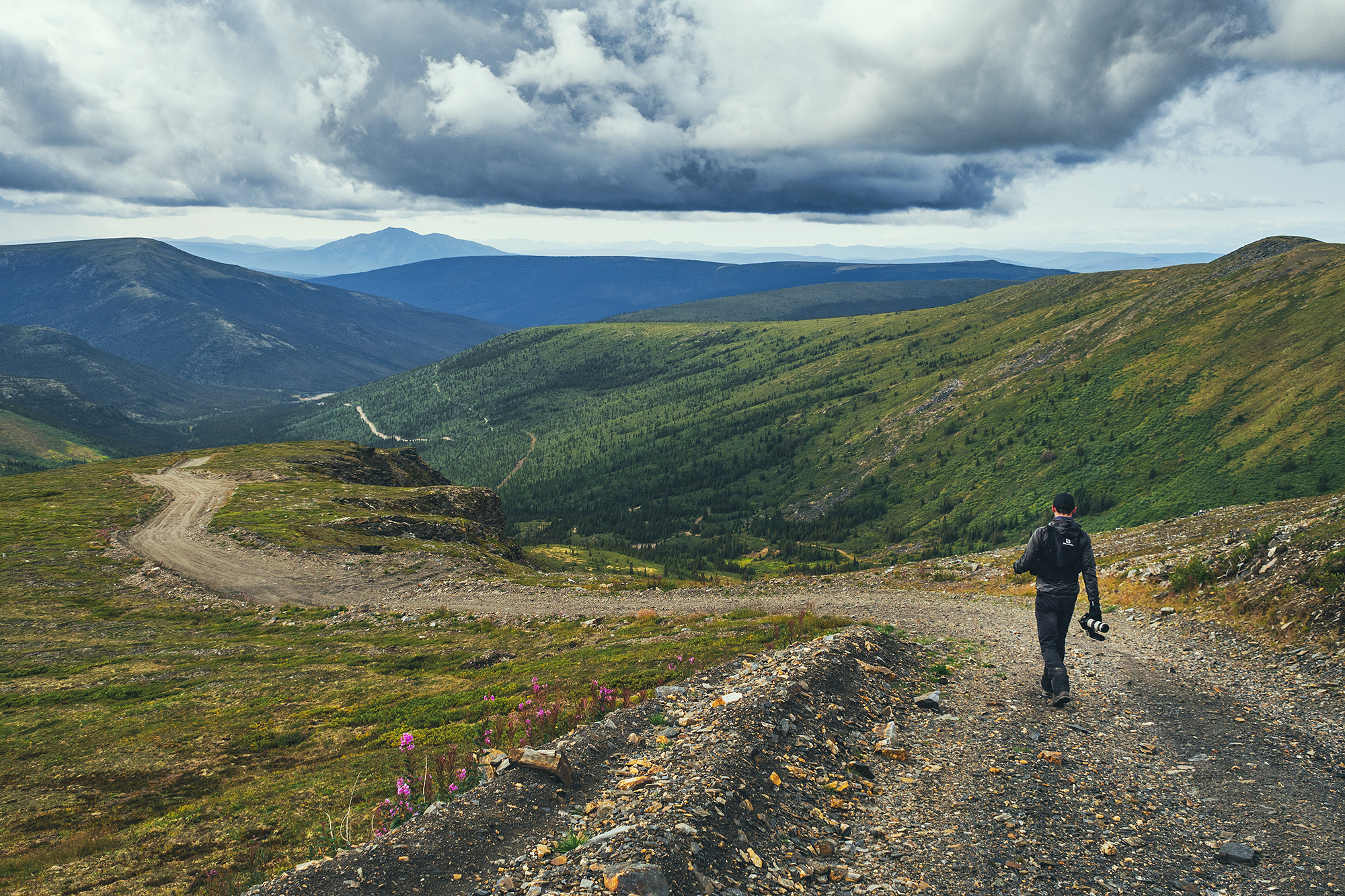
After breakfast we drove to the Mount Hinton trailhead. The directions from Alltrails were actually incorrect and took us down some random mining roads. We eventually found the correct directions, which basically consist of driving up the Sourdough trail, to the top of Sourdough hill, and then continue down into the next valley to a creek crossing. At that point, the road gets quite steep and rocky that’s where we started the hike.

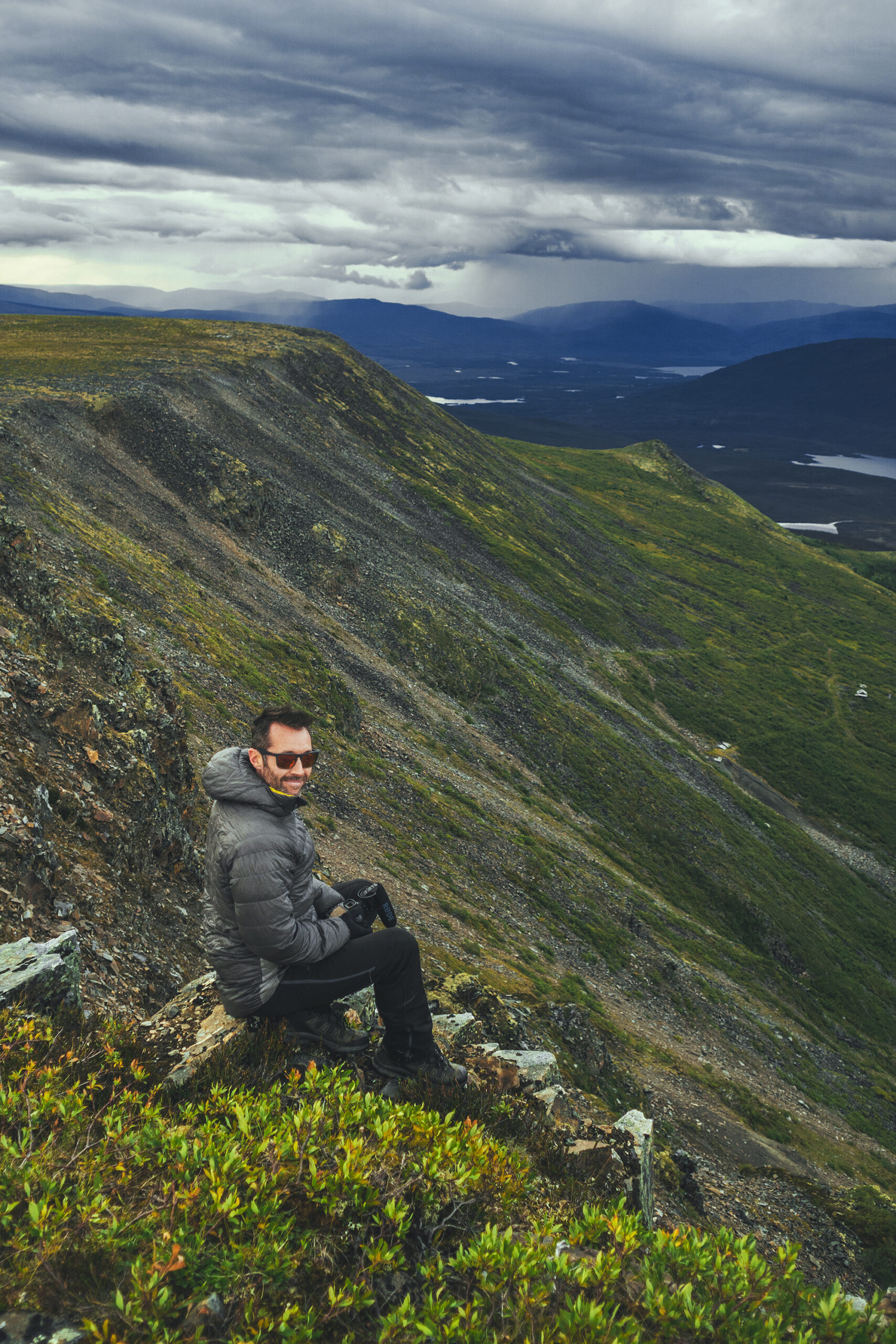
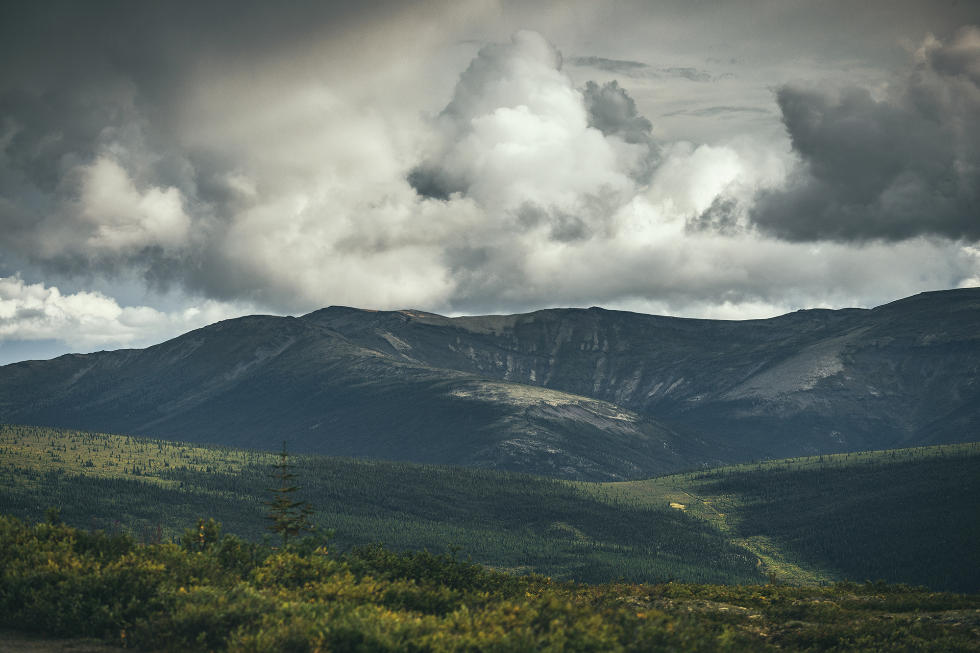
The hike follows a wide dirt path along the side of the mountain for a bit, with open views all around since the vegetation is quite low.
On route we passed two RTVs and for once I thought this could have been a better way to get up the trail.

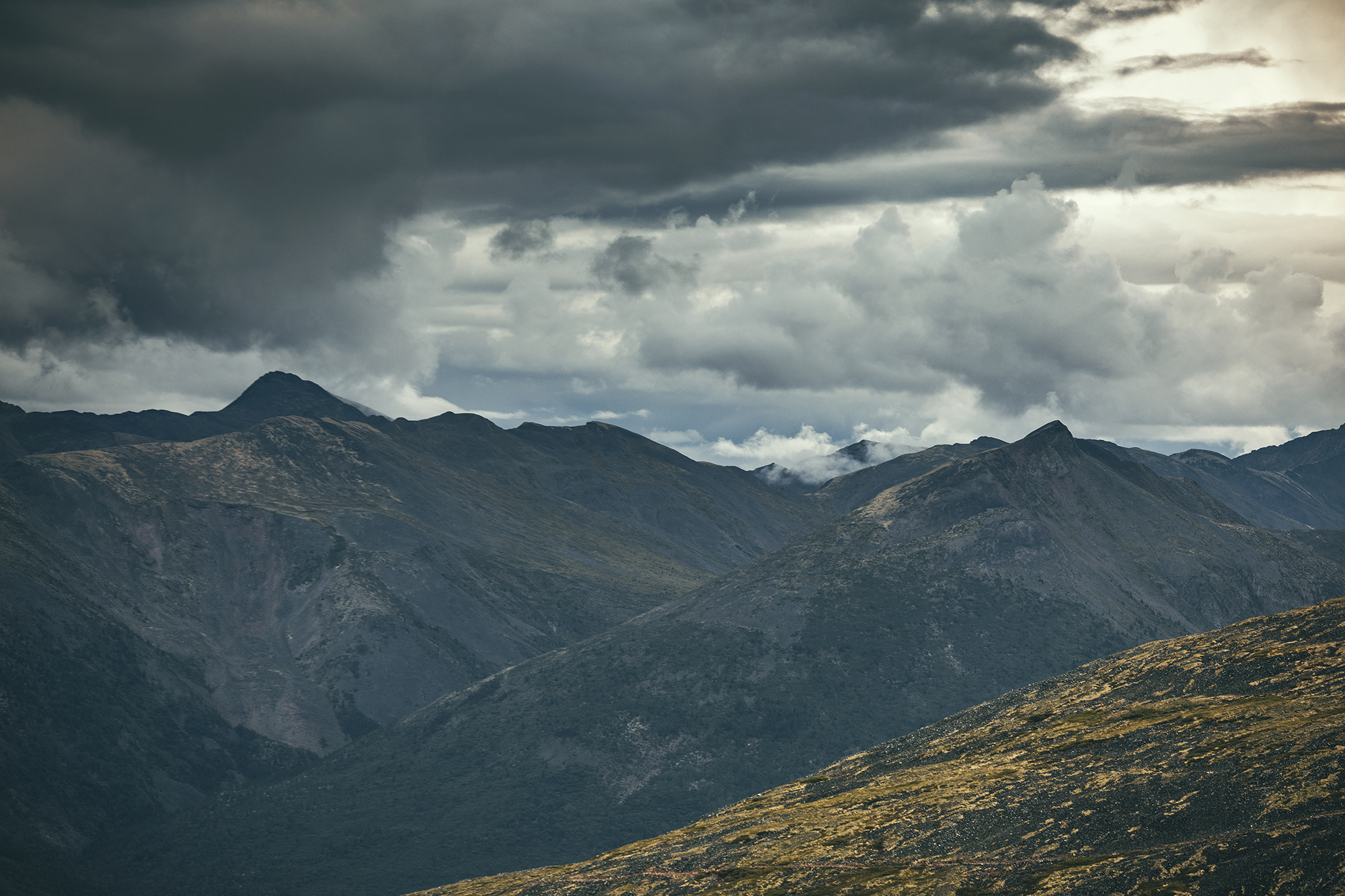
The trail is really the equivalent of a forest logging road, except in the area it would have been carved out for mining. After a few km of circumventing, we reached a split with one trail to the left going straight up to the ridge, while the other to the right seemed to go down.
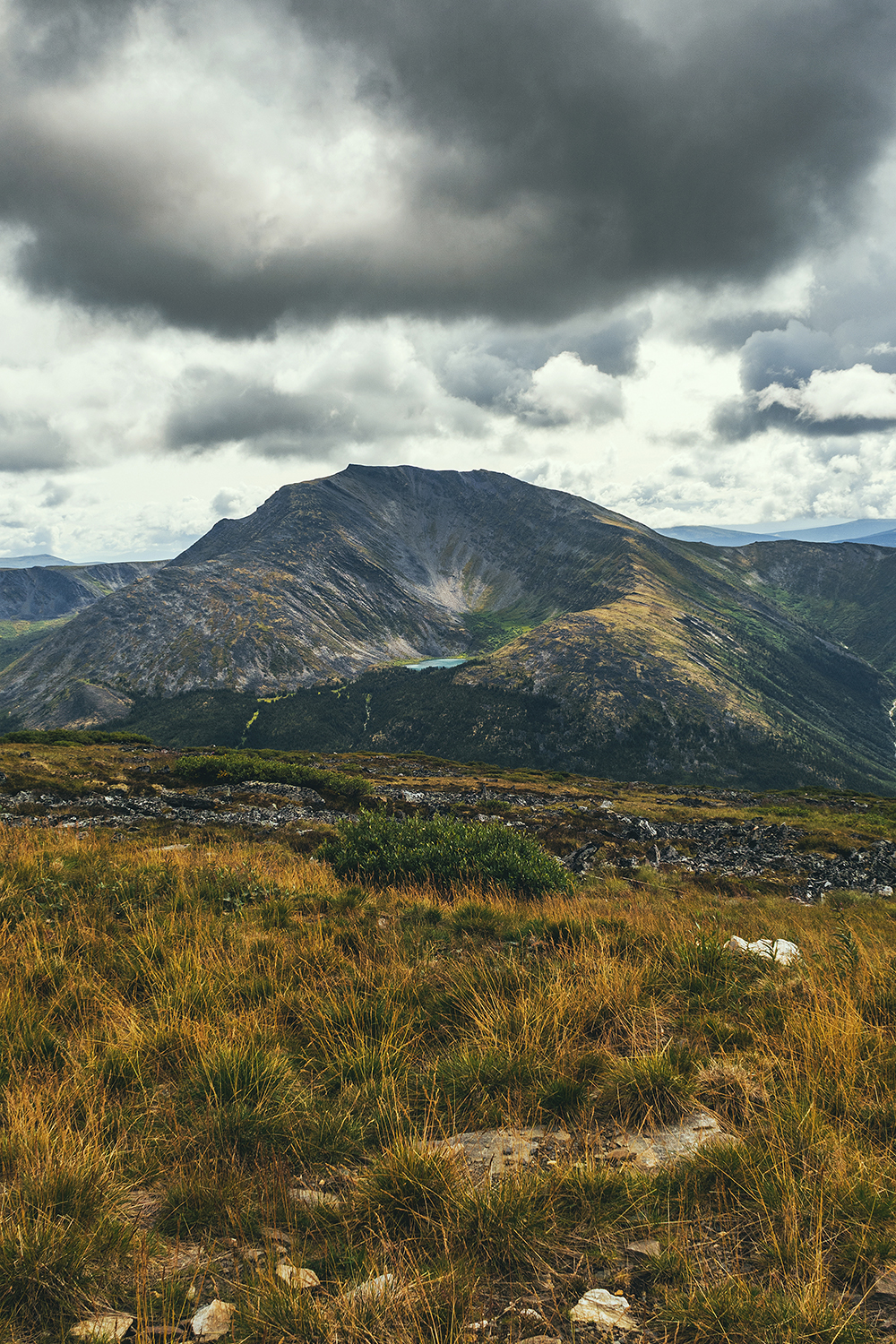
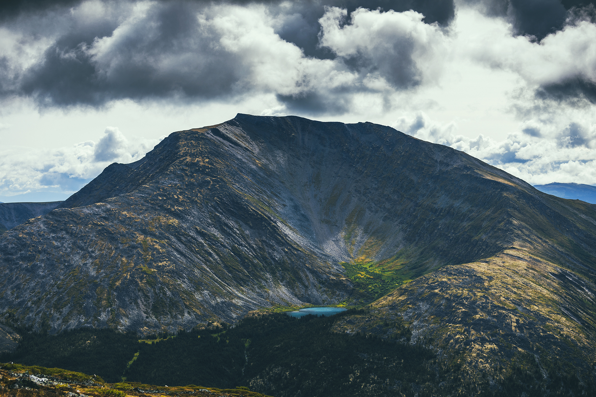
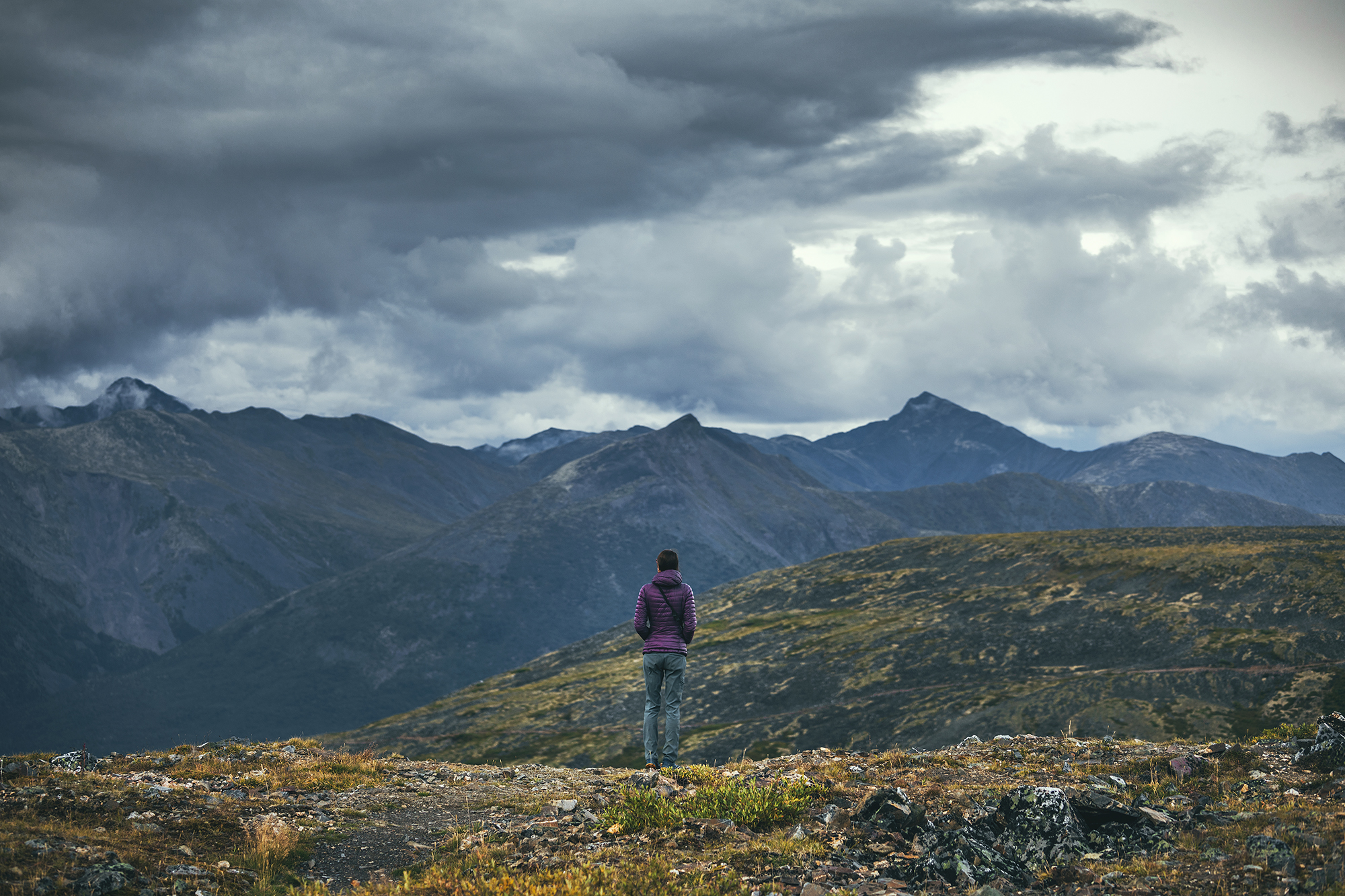
So we climbed to the left and reached the ridge for a pretty stunning view. Looking back at the Alltrails GPS later, I think we might have gone a bit further on the road and missed an earlier fork to climb to the summit, but we still got really great views.
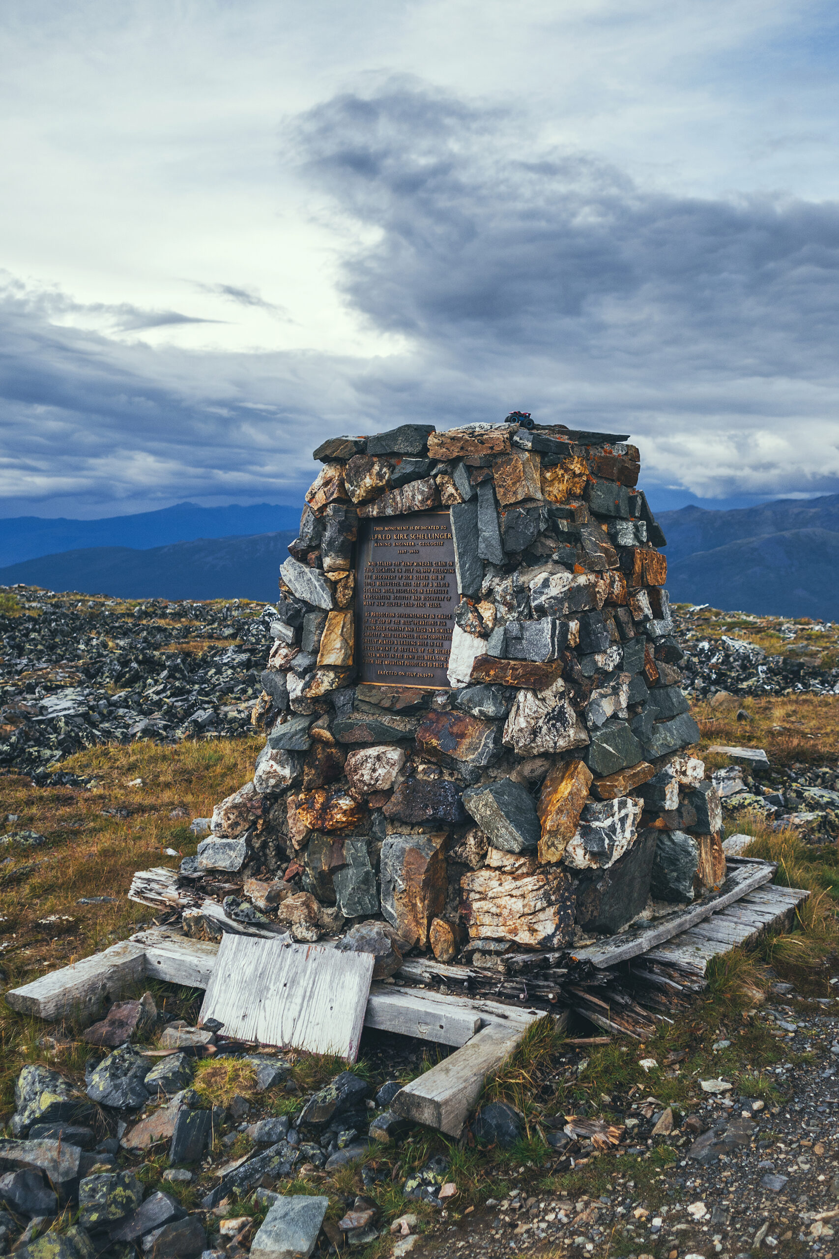
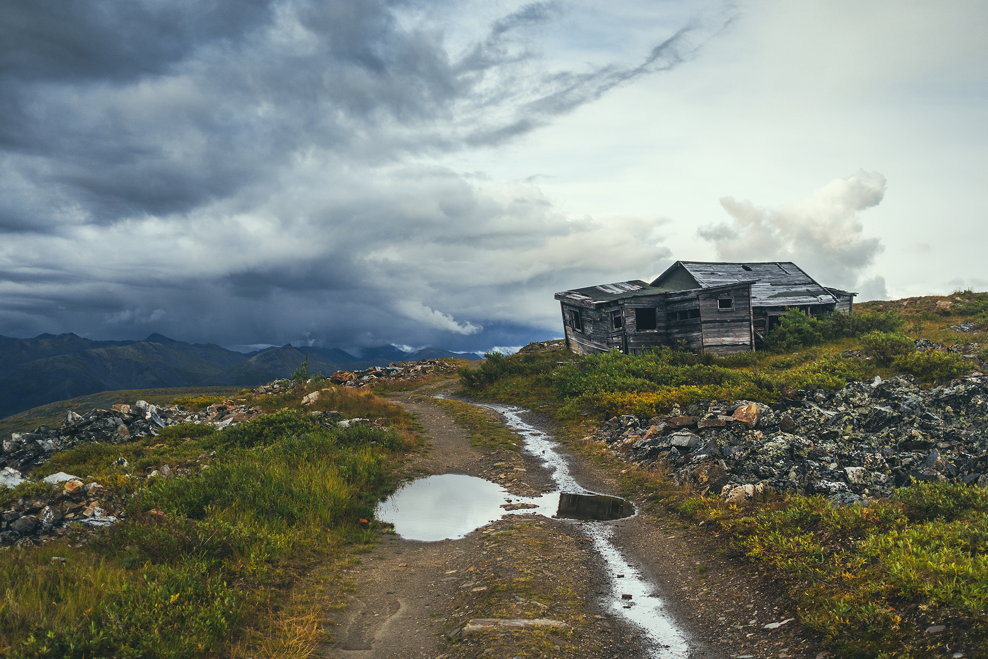
When we made our way down, we noticed an excavator next to the two RTVs seen on the way up. It was digging a trench into the side of the mountain. We stopped to ask one of the workers who was standing by the vehicles and he explained they were testing the ground for potential gold mining. The excavator was going to dig out a 100-meter trench followed by a 3m hole and they would assess the ground, to potentially come back next year to start mining.
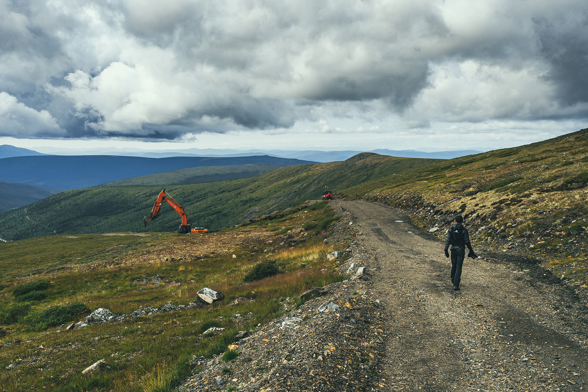
For some reason, I naively thought gold mining was a thing of the past and didn’t expect to see active digging. But it’s very much still alive, and there are apparently reality TV shows about it shot in the area. I wonder what it means for this hike and the surrounding landscape if the area becomes a mining site next year…
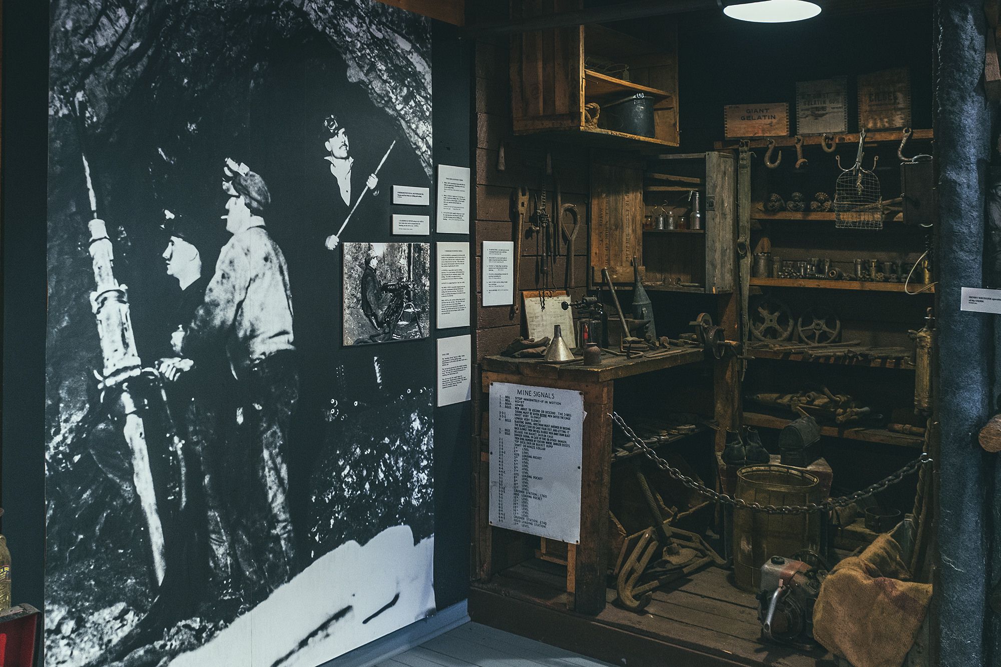
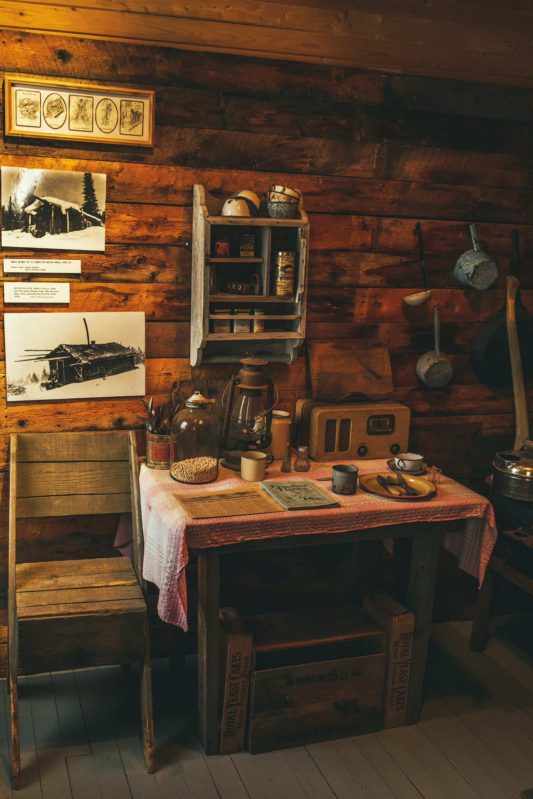
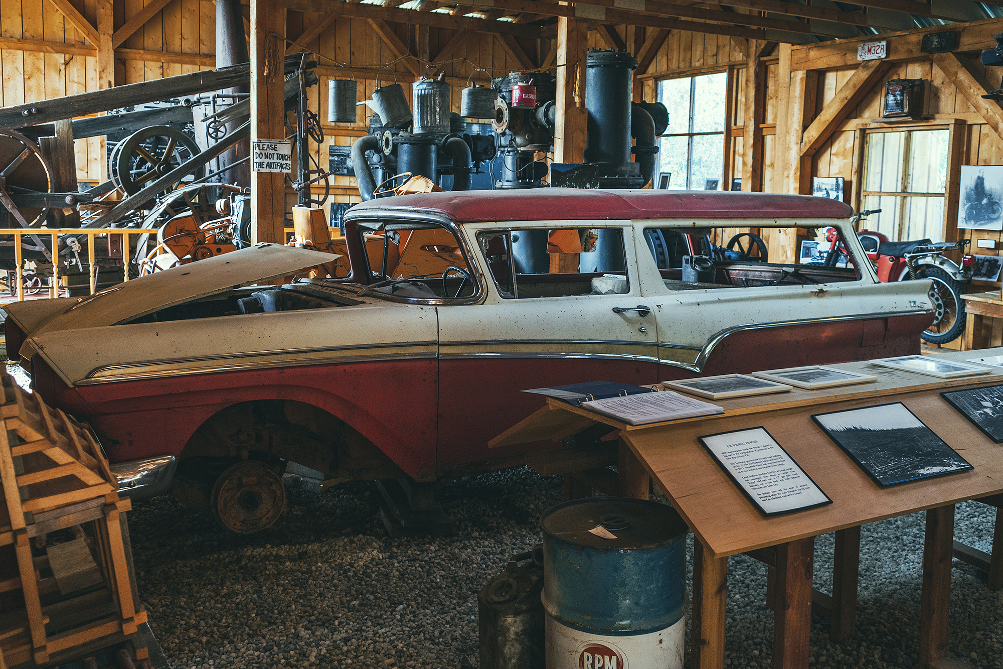
Back in town, we took a tour of the a local museum, which gives a very good overview of the beginning of mining, tools used, a bit about geology, the living conditions in the small mining community in the first half of the 20th Century.
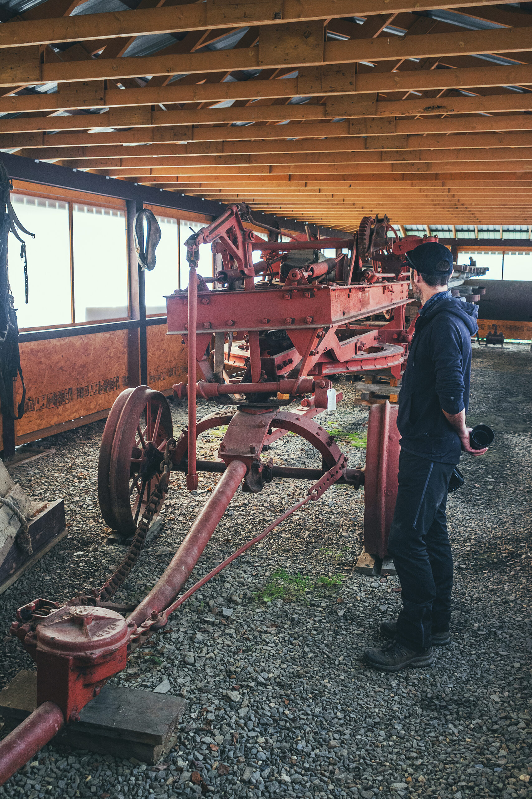
Outside of the main building, two other large buildings housed old machines and vehicles used back in the day – examples of intricate engineering that go right over my head but still very interesting to learn about – and marvel at the technology that was developed progressively to facilitate the work.
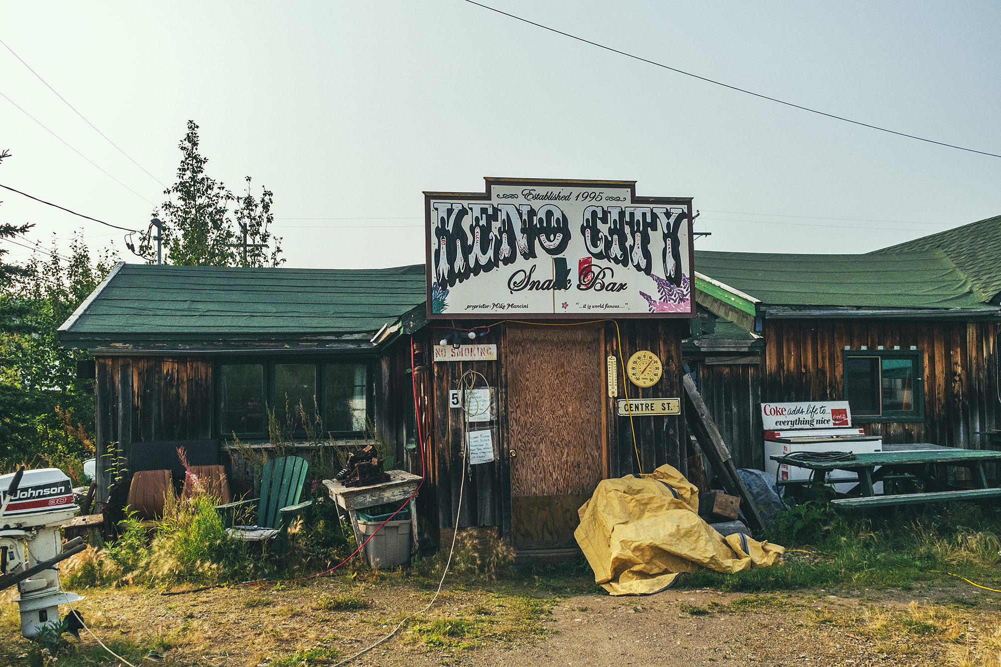
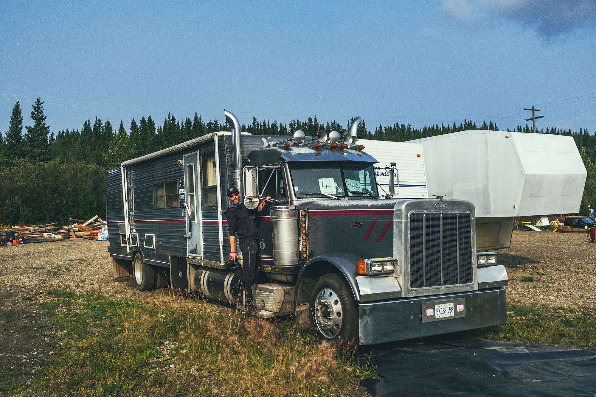
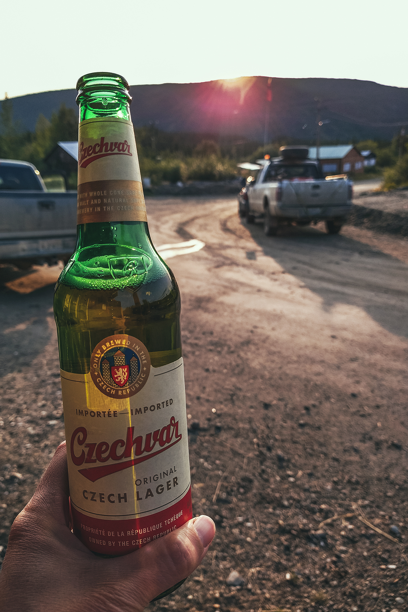
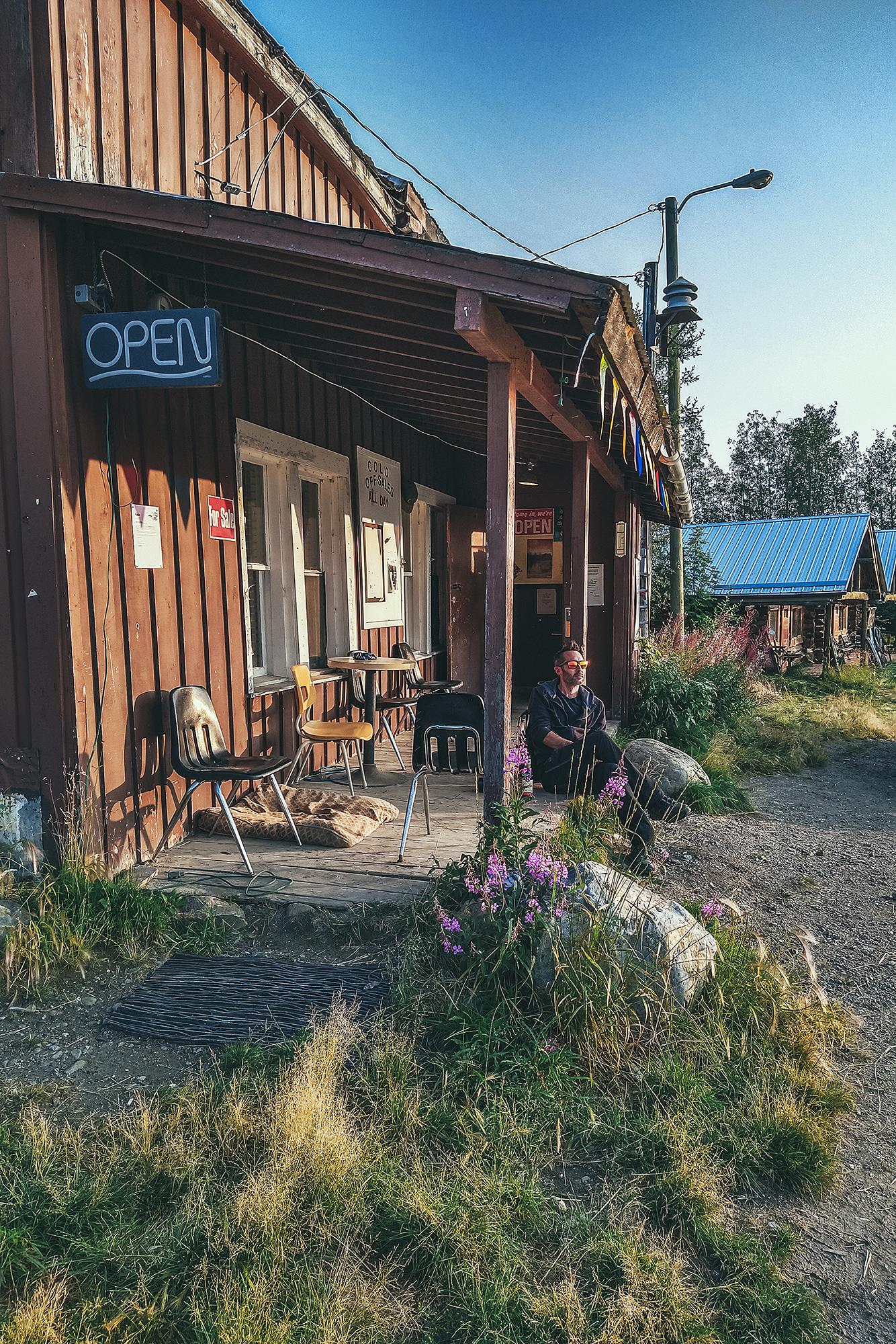
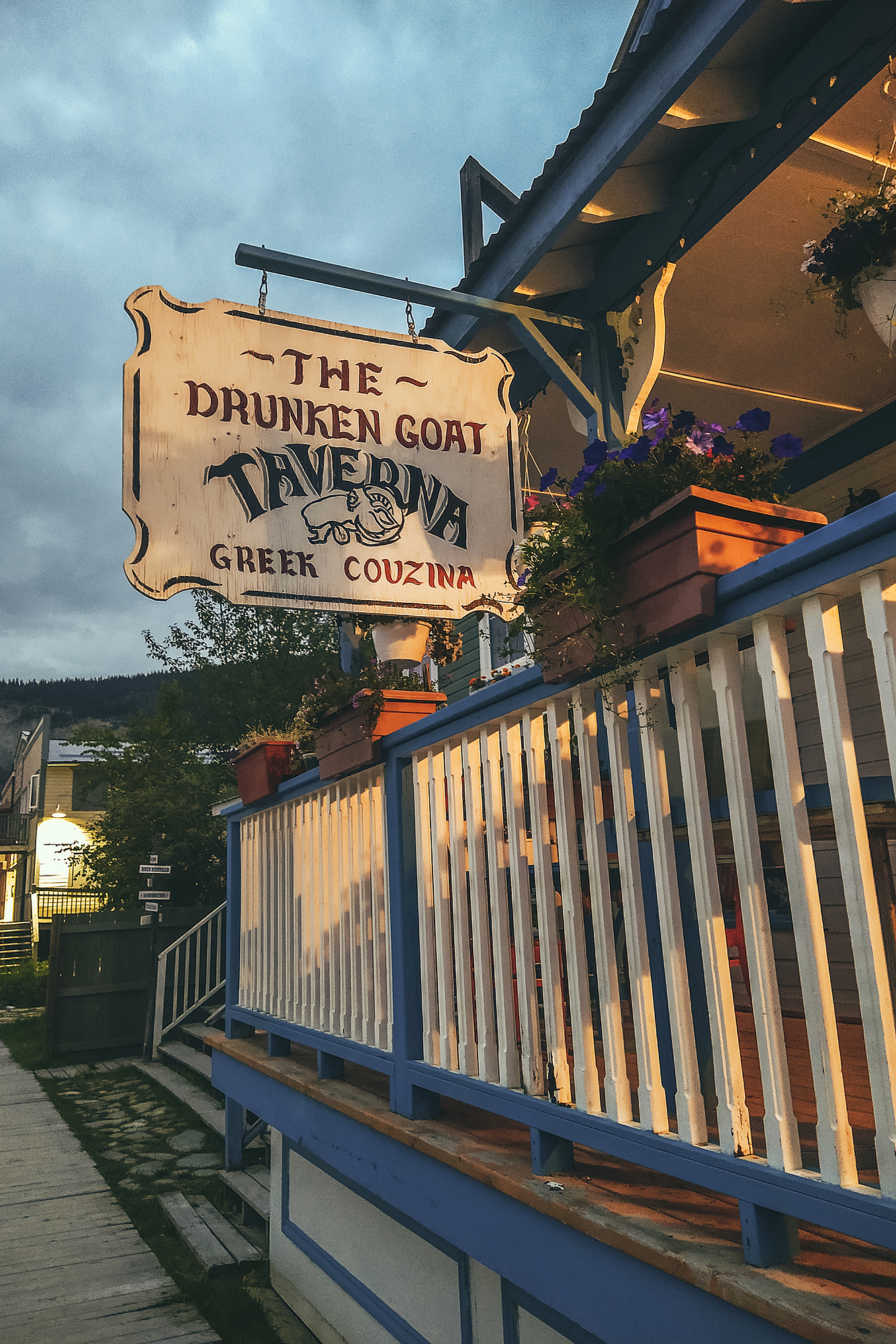
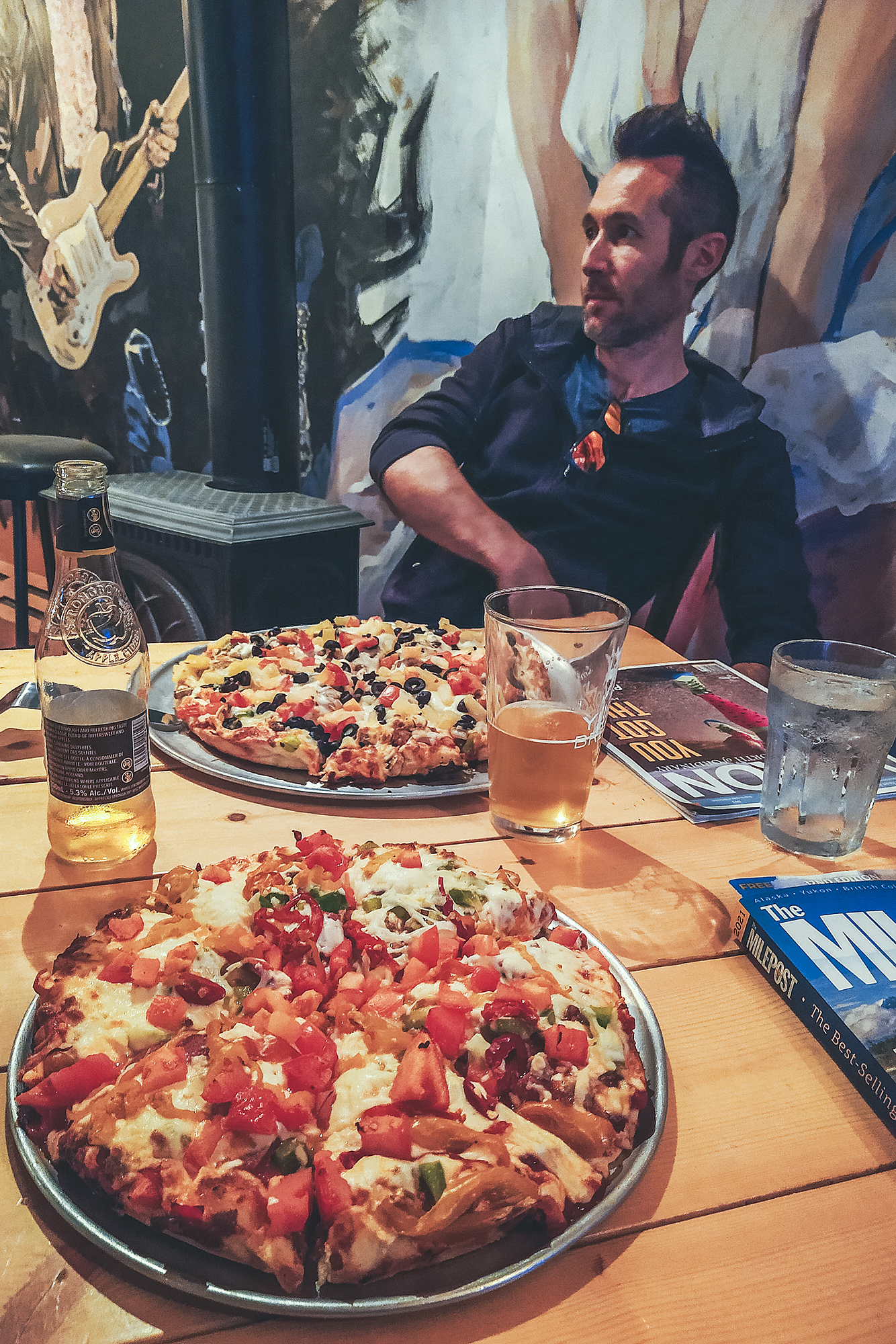
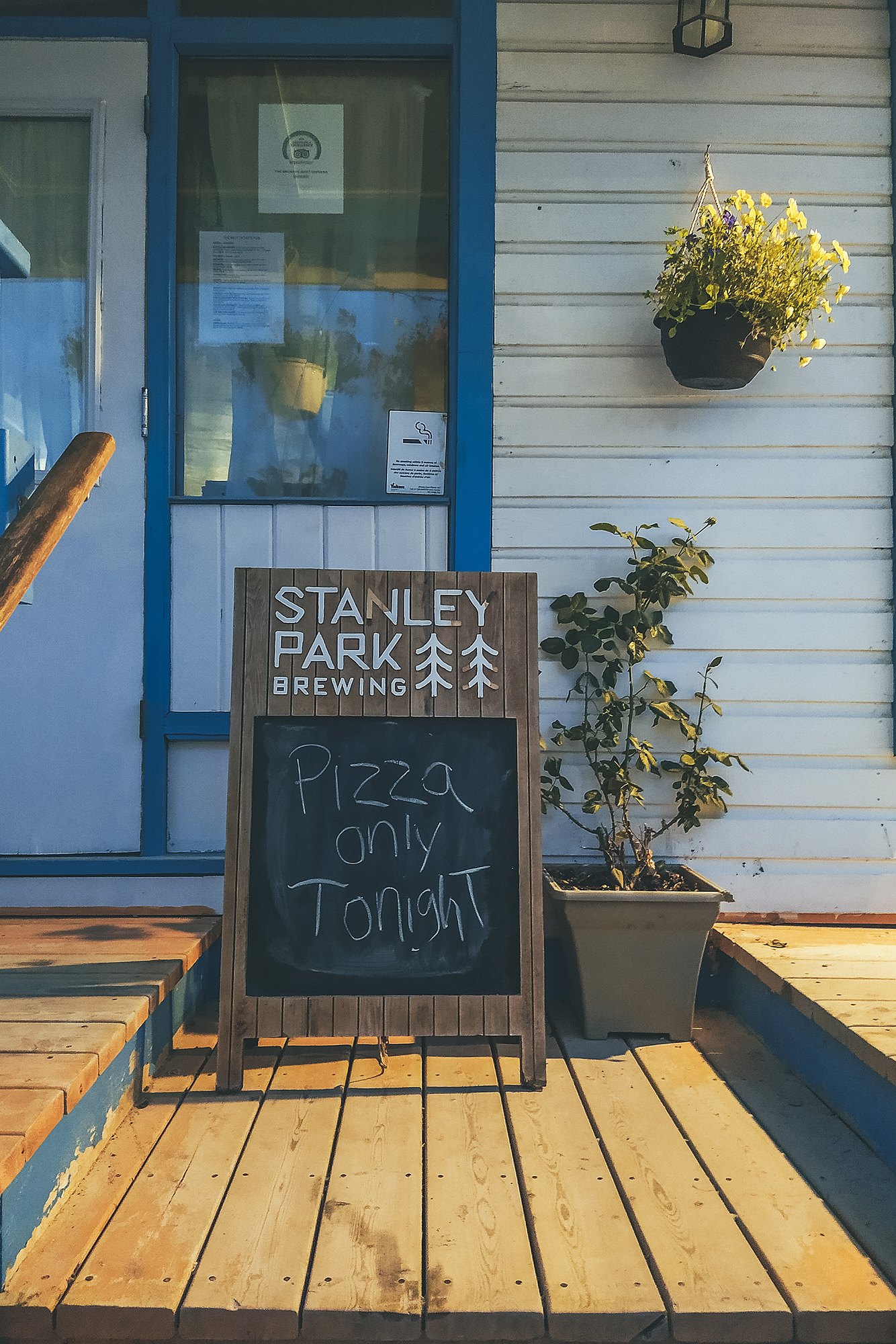
We were able to have a shower at the community facilities, for a small fee paid at the Museum front desk. We went back to camp for dinner then decided to go grab a beer at the local bar – the only commercial building still active it seems. Other services previously included The Snack bar, famous for its pizza, but it was presumably only open for take-out, and the former hotel across the street from the bar, which had burned down in Dec 2020 (and one would almost say a bit suspiciously, based on chatting with a couple of locals).
We hung out on the bar porch while listening to local patrons chat (that’s how we learned about Gold Rush and other reality TV shows going on at active mining camps nearby). Eventually we came back to the tent for a good night sleep.
August 16 – Drive to Dawson City
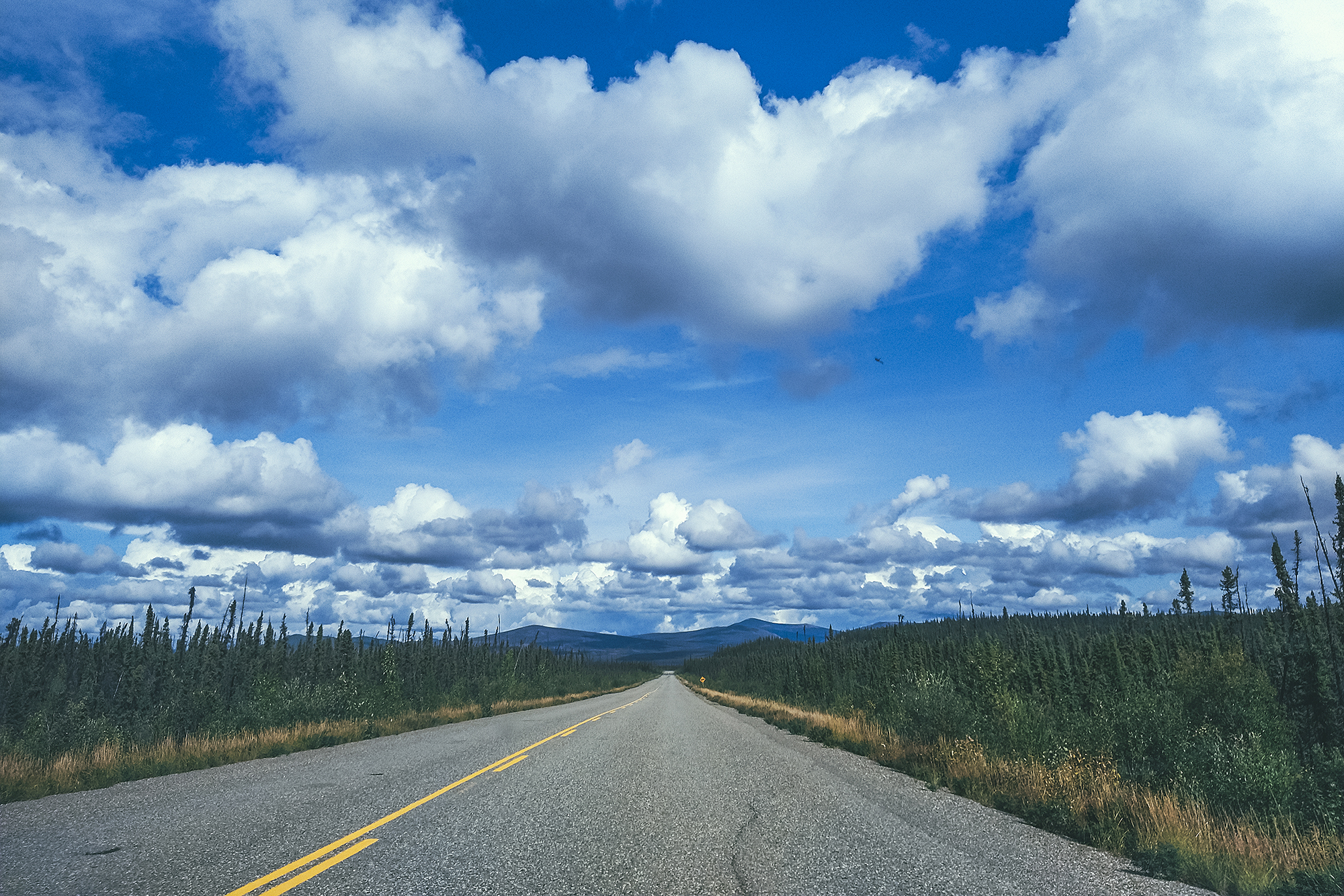
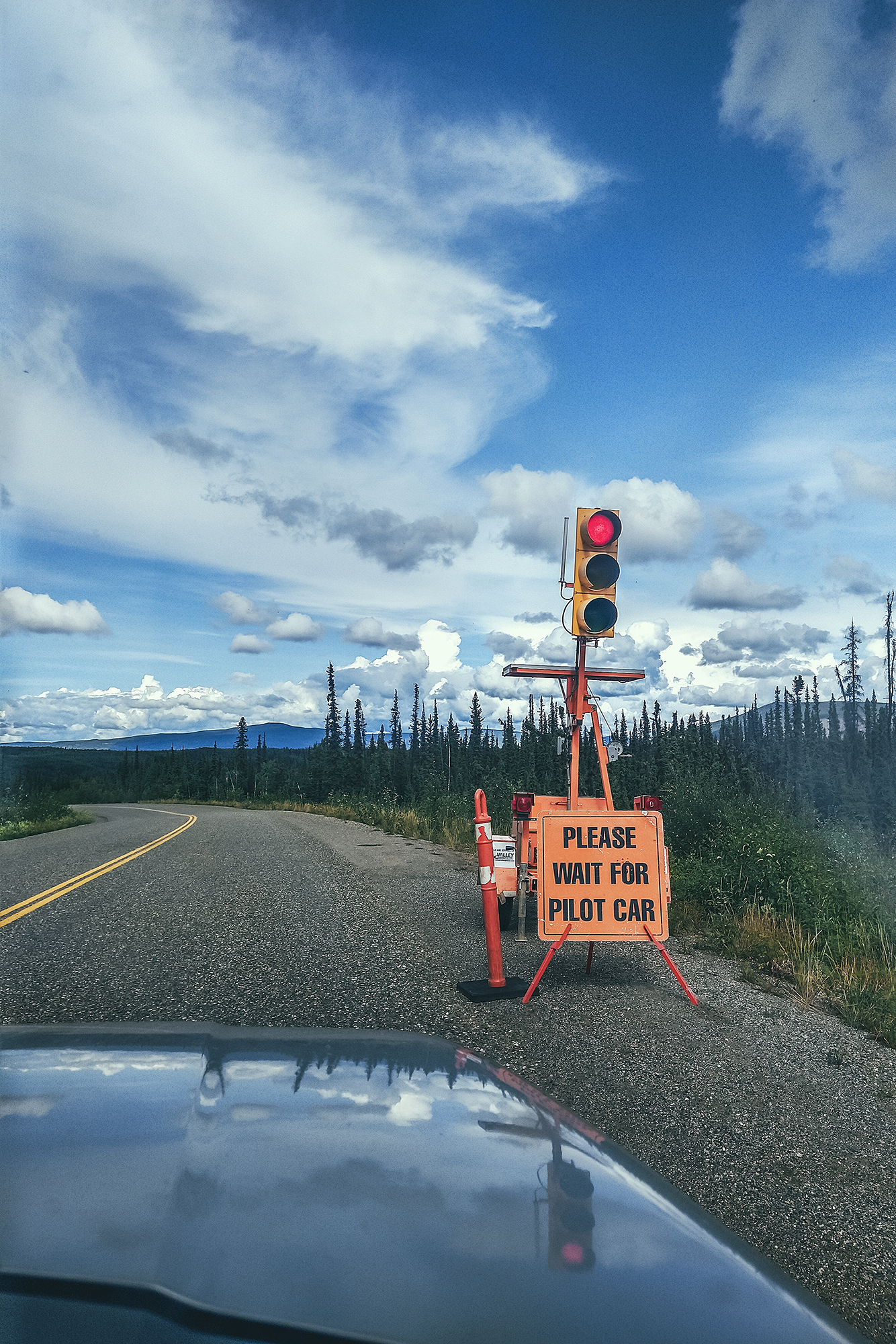
We drove a good portion of the day from Keno to Dawson city. There wasn’t too much to see on the way, and the drive was made a bit longer by all the construction zones and having to wait for pilot cars to go through them (we had at least 3). The road near Dawson changes from paved to gravel which slowed us down as well.
We arrived around 3pm and after doing some small gear purchases and doing a reset for our upcoming trek in Tombstone Territorial Park, we headed out for a dinner.
We had a very comfortable night in a cushy bed before our 6 am wake up the next day to drive to Tombstone.