Video Recap: Hiking to Crater Lake and Hudson Mountain, near Smithers, BC
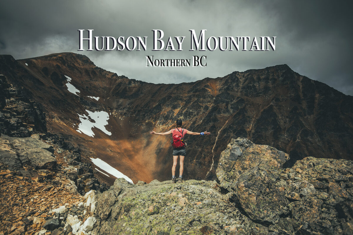
Our adventures around the world…

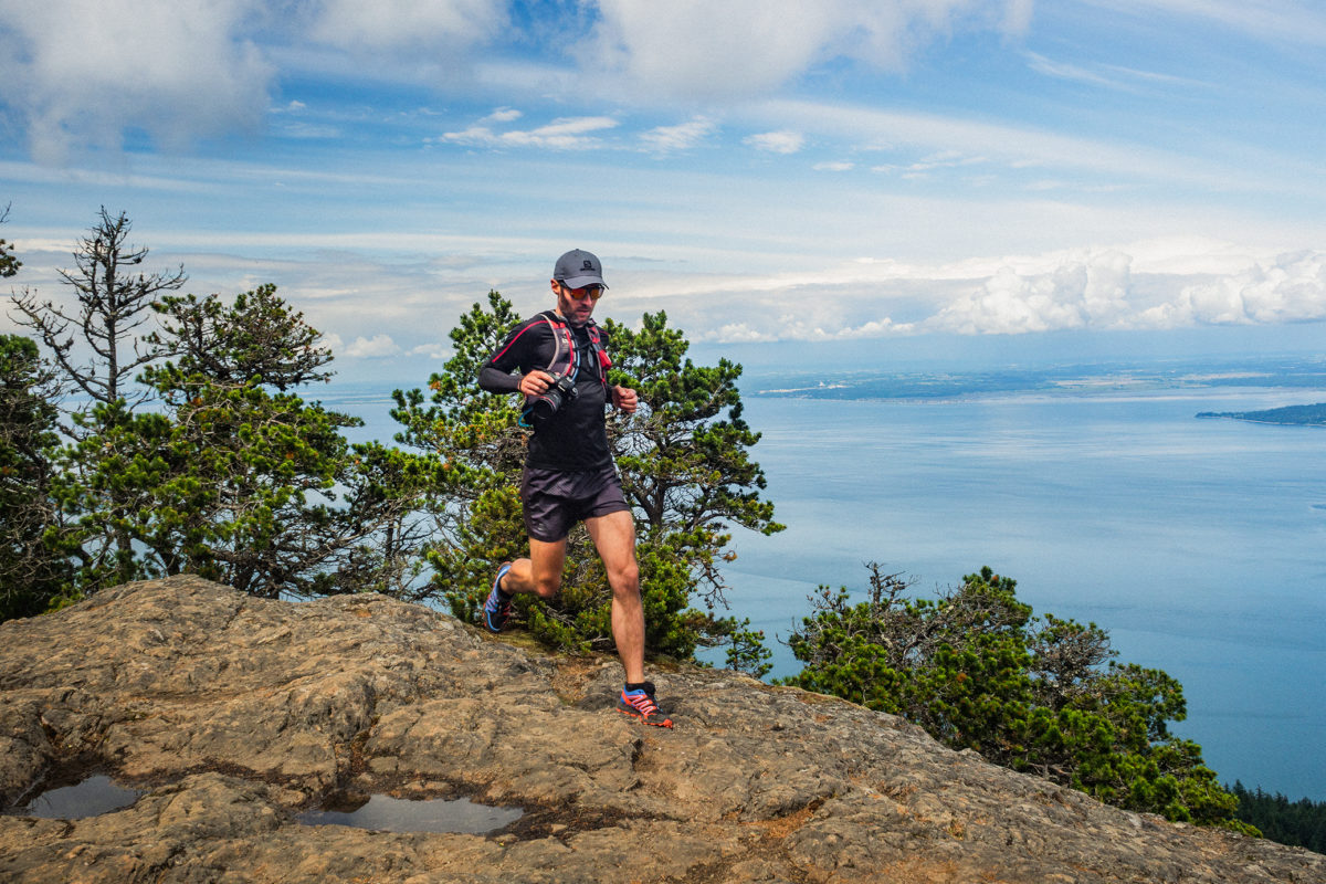
One cool aspect of trail running/trail racing, is that it helps put new places on our radar. It was the case for Orcas Island. We first heard the name in the context of a Rainshadow trail race (the same peeps that put on The Gorge 100/50k). Knowing the type of races they put on, we made a pretty fair assumption that Orcas would be a very scenic place to run.
We kind of decided on a whim to go for a week-end. On the Tuesday of that week, I checked online for available campsites. There was only 1 spot left in Moran Park, out of the 150 sites, so after looking at the forecast to make sure we would get good weather, I snatched it. Then I secured our return spot on the ferry, and texted Brice ” We’re going to Orcas Island this week-end!”
This trip was also an excuse to make use of our brand new Nexus Cards. The lines at the border where not bad when we arrived on Friday night (around 5:45ish), but with Nexus, we didn’t have to wait at all. Border was crossed in less than 2 minutes.
The drive to Anacortes is about 2 hours from Vancouver, but we made a few stops along the way, including one to REI, to pick up a couple of supplies.
The ferry crossing at sunset was really beautiful, with similar scenery than when going to Vancouver Island (which is really only about 25-30km west of Orcas).
We landed in Orcas village at around 10:15pm, then drove the 14 miles (20k) across the island to the eastern side and the entrance of Moran State Park. Our campsite was located in the Midway campground. Halfway along Cascade lake. As soon as we got there, we figured out why this campsite was left un-booked (spot 54B). Where most other sites where nestled in the trees, this one was basically an open area right next to the bathrooms and showers. It wasn’t a huge deal, the most annoying part being mainly the bright obnoxious light shining from the bathroom windows throughout the night. No need for headlamps while setting up the tent!
Although there was a specific spot to park the car, we decided to park it between the building and our tent. It worked great to cut out most of the light and vent noise from the bathroom building vents. I was slightly disappointed that the spot wasn’t as private as we could have hoped, but we weren’t planning on spending our days there anyways, so in the end we didn’t care that much. All considered, it turned out to be a surprisingly enjoyable spot. Because it was open and not in the cover of trees like most other spots, it got a bit more sunshine than the other sites. Other spots were smaller, and generally very close together, which made them feel more crowded. Ours was in comparison relatively large and roomy.
Given the amount of people there, it was surprisingly quiet at night (in our area of the campgrounds anyways), and everyone was very respectful of each other’s privacy. Turns out there wasn’t a huge amount of foot traffic to use that particular bathroom and everyone walking by was super respectful of our space.
There are other campsites on the island, but from what I understand one is only accessible by water, and the other, in Obstruction Pass State Park, is a hike-in, first-come first-serve type of deal. With our ferry schedule, we weren’t going to arrive until 10:30pm on Friday, so I didn’t want to risk not having a spot at all. The hike-in site actually had a few spots available, as we found out on Sunday morning, so if we were to come back, it might be a good, more private option.
On our first day, we had planned on going for a run around Moran State Park. The park offers about 38 miles of trail, with the highest summit at 2400 feet (800 m), so all very run-able. I had looked at the course map for the Orcas Island 50 and 25k races, and highlighted a loop that would take us to various points of interest throughout the park. I hadn’t calculated the route exactly but I figured it would be somewhere between 20k-25k.
We left our campsite around 11am and headed east along Cascade Lake. after about 0.5 mile we reached the South End Campground and the start of the Cascade Falls trail.
After the waterfall, we continued East then North towards Mount Pickett. I (of course) had found a couple of maps online for Moran Park, with detail of trails, distances (in miles) and elevation. The area was pretty easy to navigate, as there was a limited number of trail intersections and lots of signage at each of them, but it was still helpful to have the maps, and not have to rely on electronic devices to find out way around.
We took our time going up, taking lots of breaks for photos. Mount Pickett didn’t have a view, but we continued on to Twin Lakes, then hiked up the steep switchbacks to Mount Constitution, the highest point in the island (2400 feet / about 800m).
The vista from Mt Constitution was pretty sweet, looking out onto the bay in the east, with views of Bellingham and Vancouver Island in the distance.
After the summit we continued on a really scenic ridge trail bordered by Pacific Madrone trees, with views of the water. We stopped on a couple of rocky areas just off the trail to take in the view.
Then it was all downhill from there, and some really fun one too! The trail was really smooth, soft, packed dirt covered with dried pine needles, super easy to run on. We stopped briefly at Cold Springs, to admire the old-fashion stone well and oven, then continued down the trail, which had lots of fun switch-backs (the trail is used in the winter for mountain biking, but is reserved to hikers in the summer, likely to avoid dangerous collisions).
With the campsites being full, I was expecting to see at least a few people on the lower portions of the trail, but we saw no one all day, except for the parking lot at the top of Mount Constitution, and a few people coming down the trail to Twin Lakes, and basically turning back when realizing how steep of a climb back up to their car it would be…
We eventually came out of the forest onto Olga road (the main road that crosses the park) at the parking lot of the Day-use area. Brice’s watch read 15 miles at that point, 22.7km, so a pretty bang on estimation. After a quick look at the beach there, we jogged the last half a mile back to our campsite. It took us about 4 hours to do the loop, with running at a pretty casual pace, power-hiking (for me) most of the up-hill and taking a bunch of breaks for photos and lunch.
Back at camp, we grabbed a snack and since Cascade lake was right on the other side of the road, we took the paddle board out for a relaxing float on the water. We had dinner by the fire and were in bed by 10pm,
The next day, we had booked the 7:55pm ferry back to Anacortes, which left us with ample time to do some more exploring. We decided to keep things at a nice island pace, by driving around to explore other areas. We got up and packed up camp, then headed south to Obstruction Pass State Park. The much smaller park offers free hike-in campsites and a 400′ beach. We hiked the .6 miles to the beach, had breakfast by the ocean and hung out for a while.
Then we headed to the main town of the island, Eastsound. The town is small, shops and restaurant spreading over just a couple of blocks, but really pretty, with trellis of roses in full bloom lining the sidewalks, and views of the ocean just off the main street.
After grabbing a sandwich at the local bakery, we left Eastsound and drove west on Crow Valley road, first towards West Beach (a resort on the west coast of the island, with beach access reserved to guests), then to Deer Harbour, a charming marina and a good place to come for kayaking, fishing, whale watching…
Next we drove trough Orcas Village (where the ferry terminal is located) to try and go explore the area just east of it. The map indicated places like Diamond Lake and White Beach, which sounded like good spots to hang out for the rest of the afternoon. Unfortunately, we quickly realized that this whole portion of the island was mainly comprised of private roads and lands, with no public access to the beach (or the lake). The one lake that was accessible, Killebrew Lake, was right off the side of the road and didn’t seem to have a beach-y shore that we could enjoy.
So we drove back to Eastsound, which is really only about 15 min drive from Orcas village, to go spend the last couple of hours before we had to be at the ferry. Once again we took out the paddle board and enjoyed some water-roaming, especially around the little island (Indian Island) just a couple hundred meters off the beach (accessible by foot at low tide). The island is actually labeled as a Marine Health Observatory as it hosts a large variety of birds and small marine species. Circling around it on the board, I was able to spot a grey heron taking flight, and some big starfish, hanging out in the sun on shallow rocks, just below the surface.
Eventually we drove back to Orcas village and waited for the ferry. We had noticed on the way there that jigsaw puzzles were left on tables, to entertain passengers while traveling. So on the way back we sat at a table with a puzzle, and before we knew it we were back in Anacortes.
We got to the border at around 11:00pm, and were surprised to see an impressive line-up of cars.The sign read 85 min wait to cross (turns out there was a Major League baseball game between Seattle and Toronto that week-end). Brice, who hates waiting in line, was pretty ecstatic when we flew down the nexus lane and through the border, passing a few hundred cars in just a few seconds…
Our little week-end in Orcas was a great way to get out of town and explore a nearby (ish) place we didn’t know, and live at a super easy pace for a couple of days…
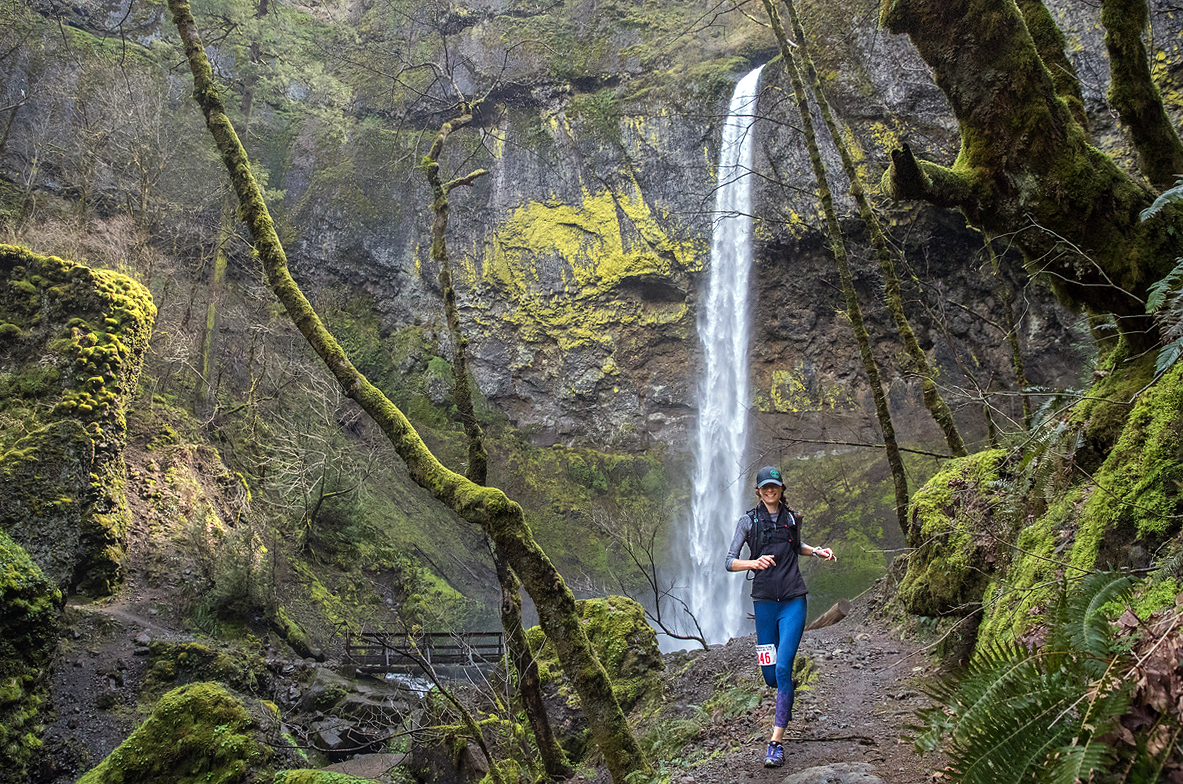
On April 9, I ran my first 50k trail race. That’s right, little old me, who a couple of years ago still swore that she had no interest in running, and especially not long distance, somehow found herself signing up for an ultra marathon. So, never say never I guess 😛
After changing my mind about this whole running thing, I didn’t waste my time and just about a year after running my first 10k trail race, I signed up for the Gorge Waterfalls 50km 2017, organized by Rainshadow Running. I picked that race for several reasons. I had been told it was a really gorgeous course, passing a number of waterfalls. I figured if I’m going to be running for that long, it better be scenic. I also heard that it was somewhat less technical than some of our local Vancouver races, which sounded less daunting. The Knee Knacker or Squamish 50 are notoriously gnarly races, and I wasn’t sure I wanted to kick-off my ultra-running days with such a challenge. I also liked the idea of an out of town race, which brought the opportunity for a trip, a week-end away in a place I’d never been.
Entry to both the 50 and 100k races is actually granted through a lottery. I was talking to a couple of friends about it and they mentioned that the option was available to register as a group. This way, either the whole group was selected, or no one of us would be at all. So I put my name in with the rest of them, thinking it might also increase our odds, as that way we weren’t technically competing against each other for an entry.
Sure enough, just as Brice and I were about to set off for the Run Like Girl Costa Rica retreat in December, the lottery was drawn and our group was selected.
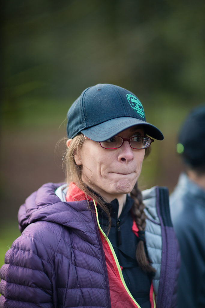
Fast forward to a month later. After a 6-day trek over 130km in one of Chile’s most famous national park, I was feeling pretty confident about my overall endurance fitness, and ready to start tackling 12 weeks of ultra-training…Unfortunately, on week 1, some bad move during a gym session resulted in weird pain in my left foot. I could barely put any weight on it for a week, and spent the following couple of weeks tip-toeing my way around, and basically unable to run. The chiro I first went to suggested I tried water-running to keep up my cardio and resistance training while my foot recovered. So I went to the pool about 3 times a week for 4 weeks, trying to make running with a belt in the slow lane as entertaining as possible (hint: it’s pretty hard, and I may or may not have resulted to pretend acceptance speeches in my head for receiving an Academy Award, or maybe even a Nobel prize…:P).
6 weeks to race day, the foot was finally feeling better and I was antsy to give it a go, so Brice took me out for a run around the sea-wall, which confirmed I was good to run again. I’m still unclear as to what exactly was wrong with my foot, my new favorite RMT (thanks for the tip Pargol!) suggested it might have had to do with some calf tightness and trigger points… Sneaky referred pain. It’s not the first time you play tricks on me and probably not the last!
After a particularly cold Vancouver winter, which brought record snowfall, training on the mountain trails proved to be a bit of a challenge, so we stuck to the Lower Lynn Valley area for a few of our long runs. My longest distance had been the Squamish 23k in August, so I graduated to 26 then 31km in the last two long runs of my training. On that last one (organized by the Salomon West Van Trail Lab), we did a loop on Baden Powell/Mountain Highway from the Grouse Mountain parking lot, followed by an “out and back” to Park Royal, with the last stretch a nice steady uphill on Nancy Green Way. I didn’t quite run all the way up, but not far off, and felt like I definitely had another 10k in my legs by the end of that run, so all good signs to make me feel pretty confident about attempting that and 20 more a couple of weeks later.
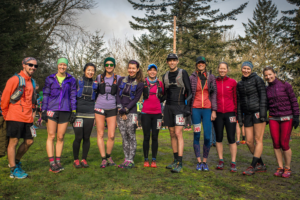
One of my favourite things about this race was being able to share the experience with friends. Pargol is a long-time runner and a pretty seasoned long-distance trail runner, having already completed a number of road marathons, 50k, 50milers, 100k and 100mile races. She had signed up for the Gorge as a “training run”, her goal race of the year being the Fat Dog 120 miler in August. Nadine and Marc were, like me, first timers when it comes to ultra-marathons, but had ran their longest distance at the Chicago road marathon a few months before. And Andrea, a former Vancouver FSRC member who flew in from her new home in Boston, also had some solid experience with road and trail races. Needless to say, I felt pretty well surrounded, not to mention of course Brice, who gave me all the right pointers without overwhelming me with advice or suggestions.
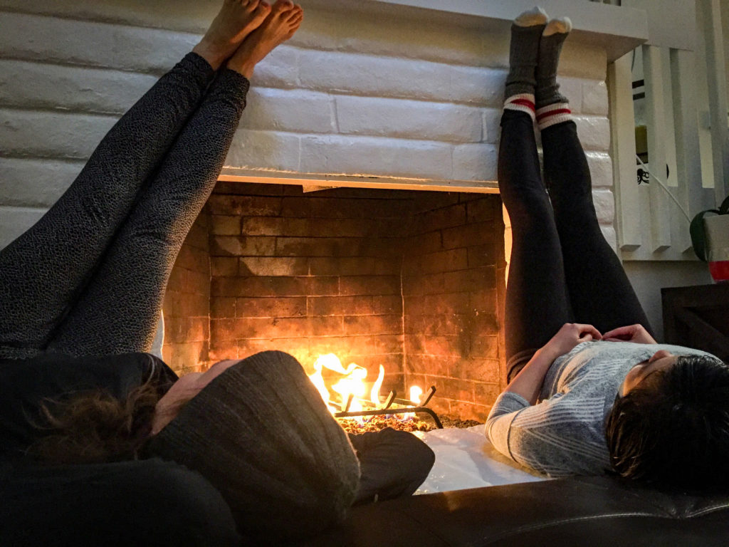
We arrived in Portland early in the afternoon on April 8th. Our group of 6 had found an AirBnB rental to share for the week-end, a comfortable house with a fireplace, about 30min East of downtown Portland, and 20 min from the finish line in Benson State Park. Brice and I headed there on Saturday afternoon, to check out the 100 km finishers. The day was grey and rainy and I was already preparing myself mentally for a cold and wet race.
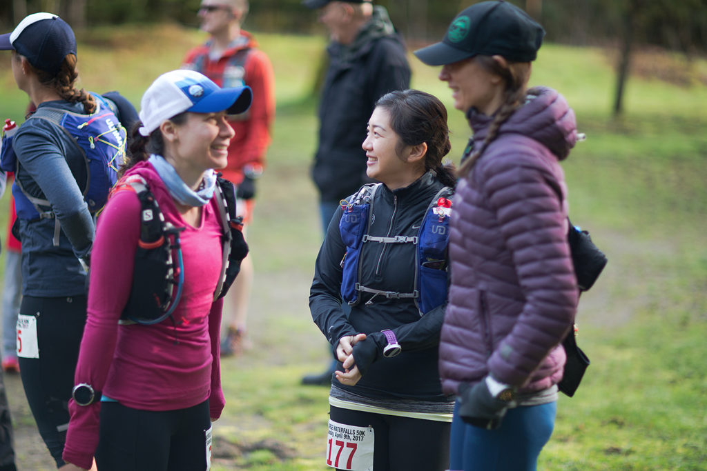
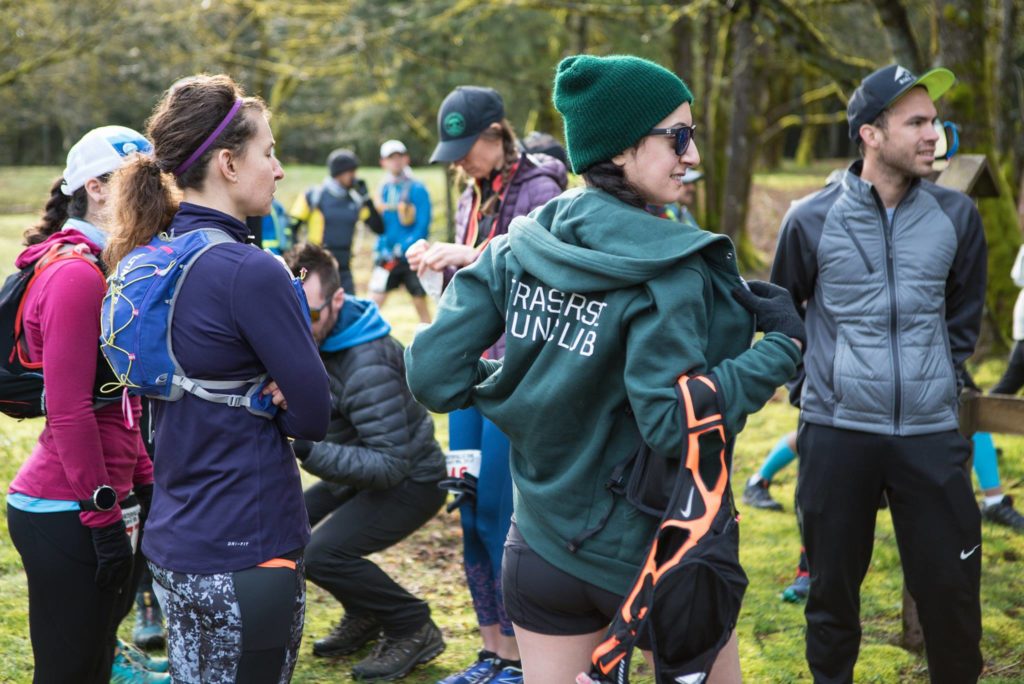
On a training run a few weeks back, Nadine had come up with this mantra for the race “Fun, Focus, Finish!” to which I had immediately added ”Food, food, food!”. Indeed, we shared a pretty epic pre-race dinner, combining all things healthy and energetic in the form of quinoa, pasta, beets, pickles, avocado, yams, roasted chicken, greens, in other words a feast.
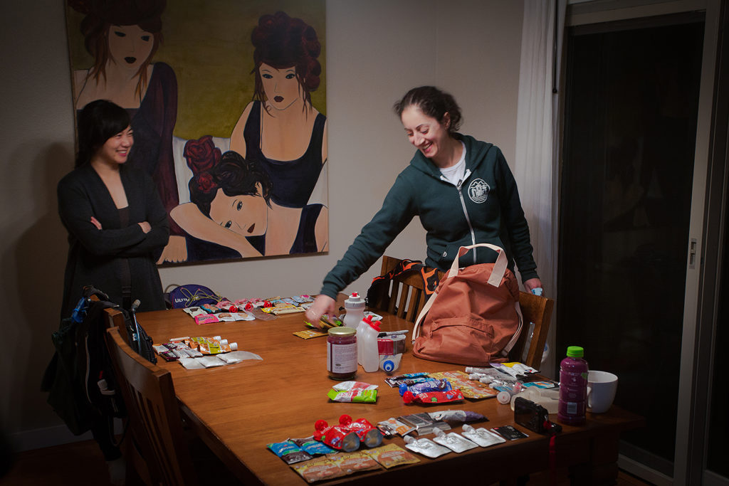
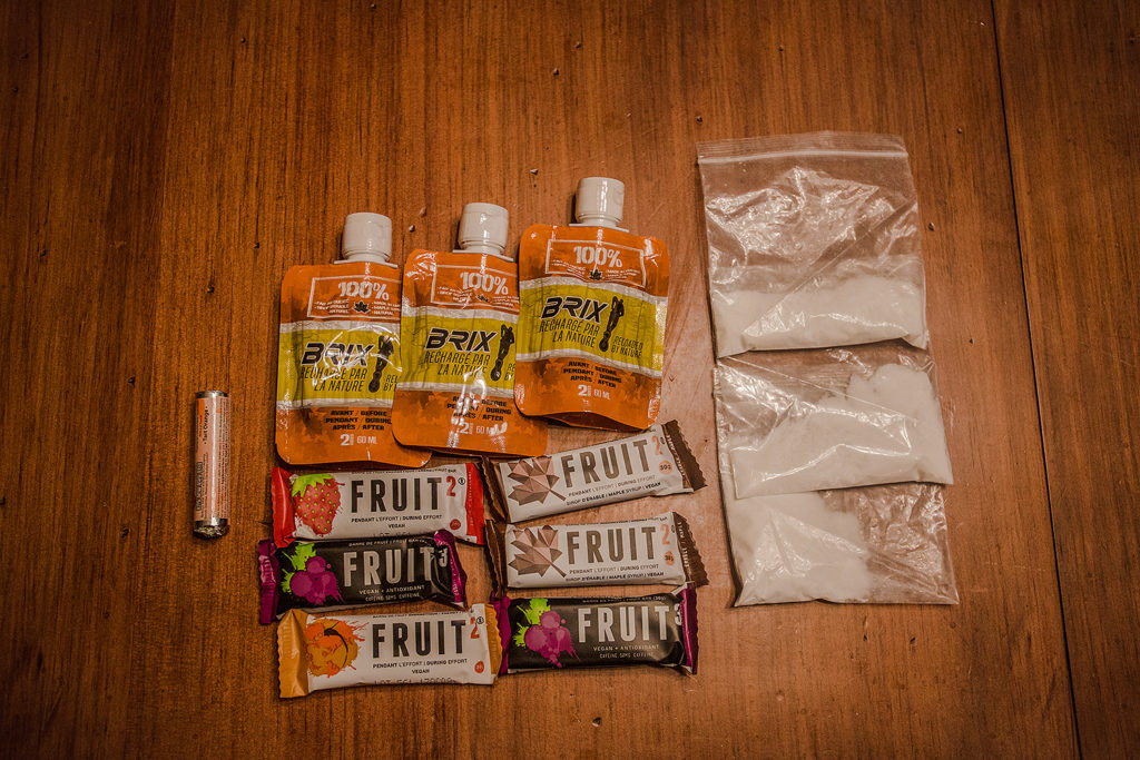
Then came the ritual preparing of the packs and drop bags, and the comparing and sharing of fueling options. I hadn’t had a lot of chances to experiment during my training, so I stuck to what I knew: Fruit 2 & 3 bars and maple syrup packets, both from Xact Nutrition. I also put Tailwind in my water, and packed a roll of chewable orange-flavored salt tabs (the only thing I hadn’t tried before). I decided to forgo any drop bag since Brice would be crewing me at the first two aid stations, and the last one (No Name, which didn’t have crew access) was only about 10k from the finish. Just before going to bed, Brice and I also drank a cup of warm water with Apple Cider Vinegar and honey, a concoction we had started to add to our nightly routine a few weeks back. Brice had read that it promoted better sleep and increased energy levels the next day, and it seemed to have positive results on him (I’m a pretty sound sleeper as it is, so I don’t know about the sleeping part, but i did feel pretty energized on mornings after drinking it).
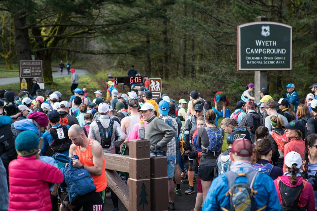
Finally, it was race day, and somehow I wasn’t feeling nervous anymore, I was just ready to go! We drove east on Highway 84, and I couldn’t have been more excited when the rising sun started to shine right in our eyes. Against all meteorological odds, it looked like it was going to be a sunny day.
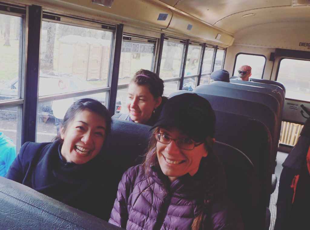
We picked up our bibs at Benson State Park, then hopped on buses to take us to the start line, at the Wyeth trail head.
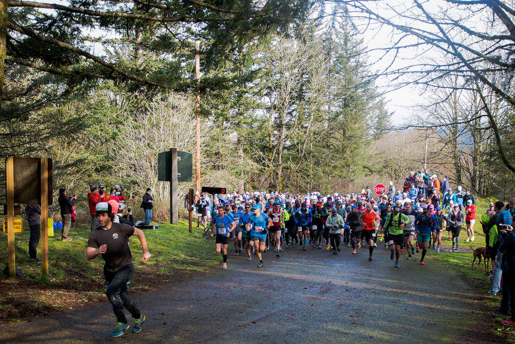
The five of us started the race in the middle of the pack. The trail ascends almost immediately in a narrow single track, so for the first couple of kilometers, we all followed each other and every runner in front of us in a somewhat tight a conga line. Right away the course started to deliver on its promise of scenery, the trail taking us along a ridge with wide open views of the Columbia River.
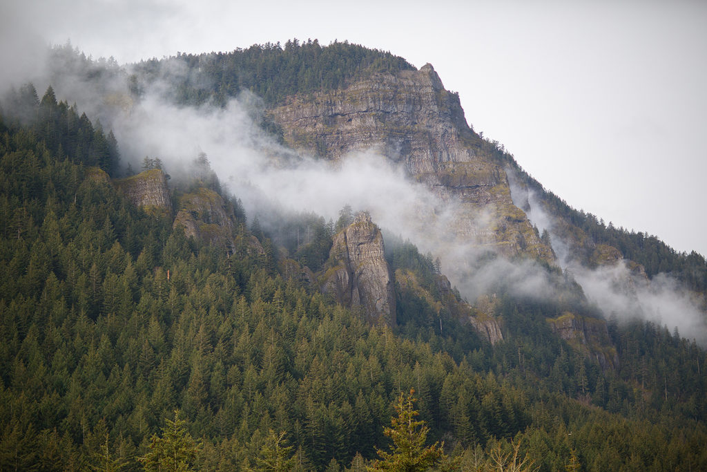
After a couple of km, Pargol decided that we’d had enough of a warm up, and prompted us to start passing people. I led the charge and the five of us carefully snuck our way passed a couple dozen runners (the trail was still pretty narrow so we were careful to let everyone know we were coming up to their left and making sure to pass where there was enough room). Eventually the trail veered off from the ridge and into the forest, widening slightly and we were able to kick it up one more notch. On the first big down hill, I forgot all about my plan to take it easy in the first 30k, and just went for it. I might as well have had my arms up in the air while screaming “weeeee!”. I knew I was probably going too fast, but, in echo to Nadine’s mantra, I was having too much fun, and figured I’d slow down when I’m tired…
When racing I don’t look at my watch very often, but I like to hear it bip for each km that passes. Without keeping track of the actual number, every time it buzzes it’s a little boost that tells me “one more down!”. I wasn’t paying too much attention at first, but when I looked at my watch for the first time, it read 12km…I thought it was a bit odd, as I didn’t think I had ran that much, but I felt pretty strong, so maybe it was true…The first aid station was at mile 9, aka km15. By the time my watch displayed 18km, and no station was in sight, I figured something was definitely wrong with it. It’s common to have a bit of a discrepancy, even between people running the same course, but that was a bit much.
Marc and I had distanced ourselves a bit from the other three when we made it to Cascade Locks, the first aid station (we didn’t know it then, by Pargol had taken a pretty gnarly fall on rocks and ended up with a couple-inches wide gash in her knee, and multiple bruises… which of course, being the machine that she is, did not stop her from running the rest of the race and finishing strong). I think Brice was pretty surprised to see me at Cascade already, and I said to him “yeah I probably started way too strong”, but at that point I still felt great. I downed a maple syrup packet, half a fruit bar and a cup of water, and I was on my way. At that point my watch showed 20km, which was 5k more that it should have.
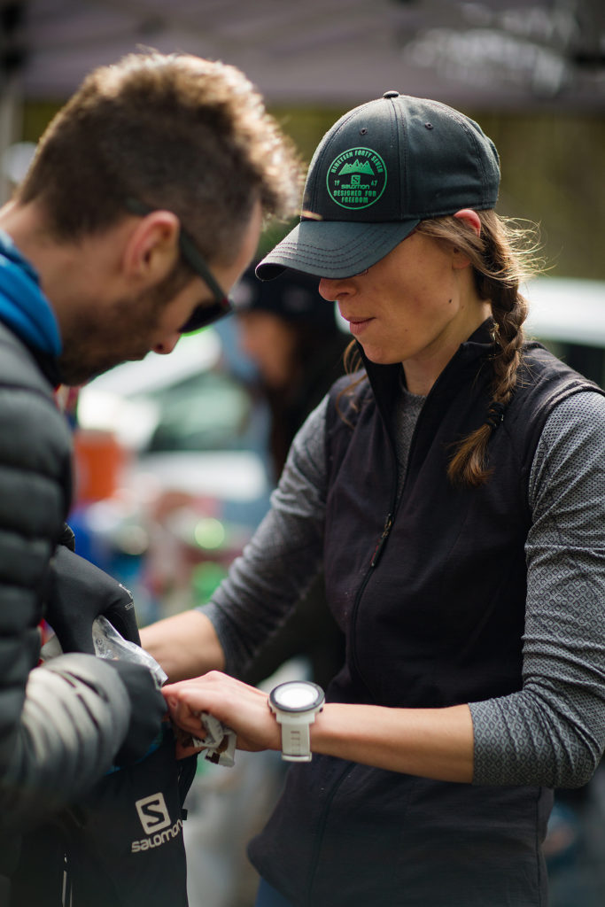
The next 15km went by pretty fast. Marc and I stayed relatively close together I think, and I also ran for a bit alongside Shamai and her trail pup Rosie, an impressive little dog who was racing her second ultra!
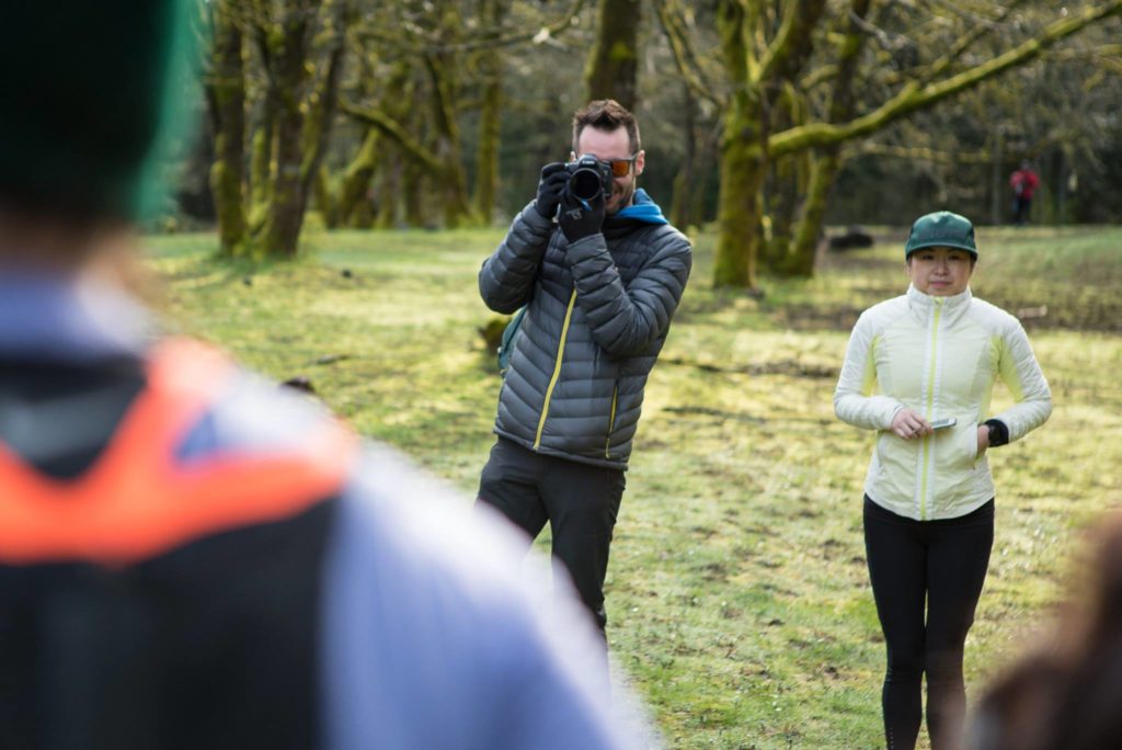
Brice caught me on camera at the bottom of another downhill, halfway to the Yeon Aid station (I think near the Eagle Creek Trail Head).
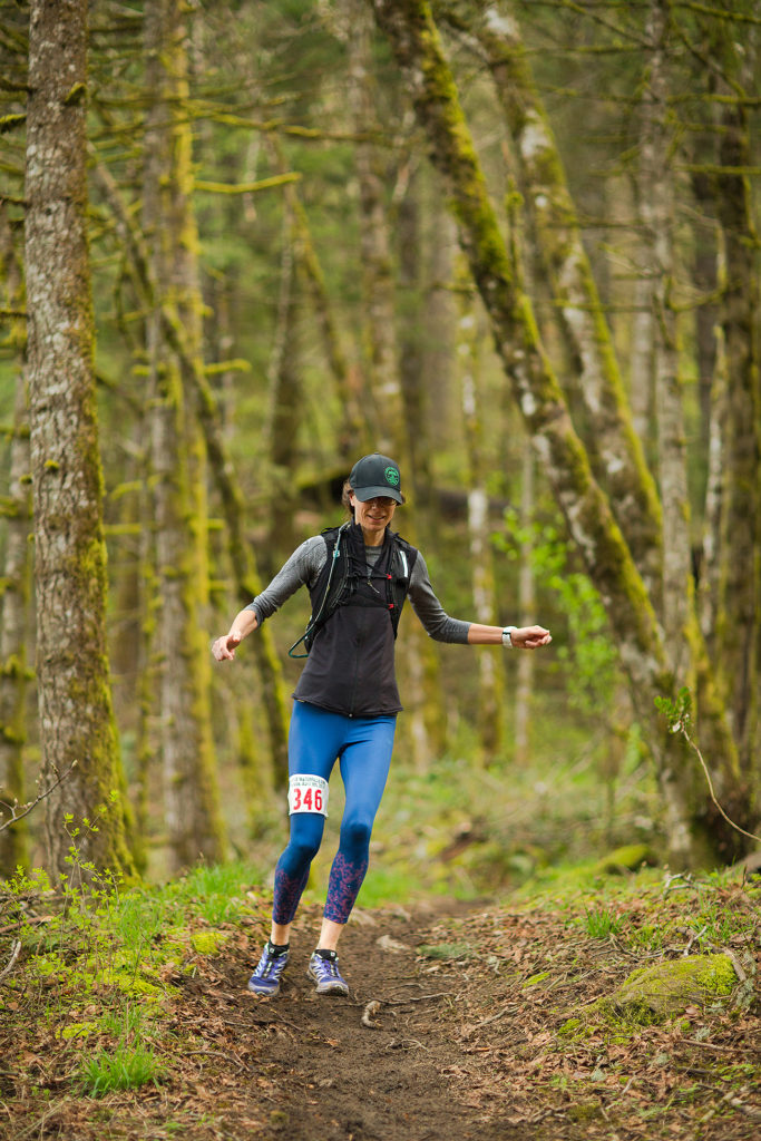
After that there were a couple of sections that I ran by myself. My watch was still acting up and I tried to entertain myself by trying to extrapolate some sort of pattern for the kms it was displaying (if it showed 20km at the 15 mark, and 42 km at the 30 mark, what km will it show when I reach the 40 mark?) …But I’m pretty bad at math and after hearing it buzz two kilometers in a span of 2 minutes, it was pretty clear my watch had completely lost it. So I just gave up on it (it read 63km by the time it died, just before the last big hill, so around km 42ish).
On that section, we passed the first waterfall, an impressive sight when it appeared around the bend, rushing down and swollen from all the melted snow and rain from the last few weeks. Pretty awesome!
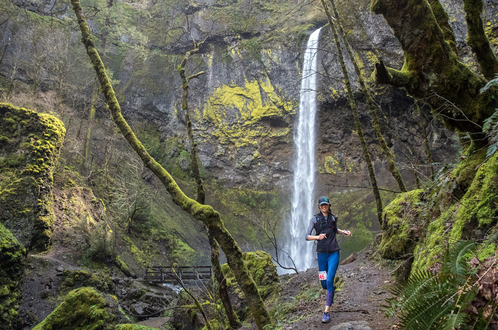
Having kept a close eye on my nutrition and hydration, I was feeling in really good shape by the time I reached the Yeon aid station at km30. But in the last downhill, my right knee started to act up, sending a couple of sharp stabbing pain to the outside of my knee cap. It felt very similar to knee pain I had experienced a few years ago, coming down on some long steep hikes, which I believe had been related to tight hips and IT band.
Going into the race, I had my main “on-the-run” fuel pretty figured out but I knew I was going to need something slightly more substantial than syrup and fruit bar, if only to avoid my stomach from growling for the second half of the way. Avocado has never failed me, so I had prepared a container of cubed avocado, along with some sweet potato, which I dug into at that point (I would have loved to add some cubed mango to the mix, which combines surprisingly well with avocado, but couldn’t find ripe enough ones on time). I ate probably about half an avocado and a third of the potato. I could have eaten more but didn’t want to weight myself down and be slowed down by digestion. It worked like charm and I think was great to compensate for all the sugar I was otherwise ingesting.
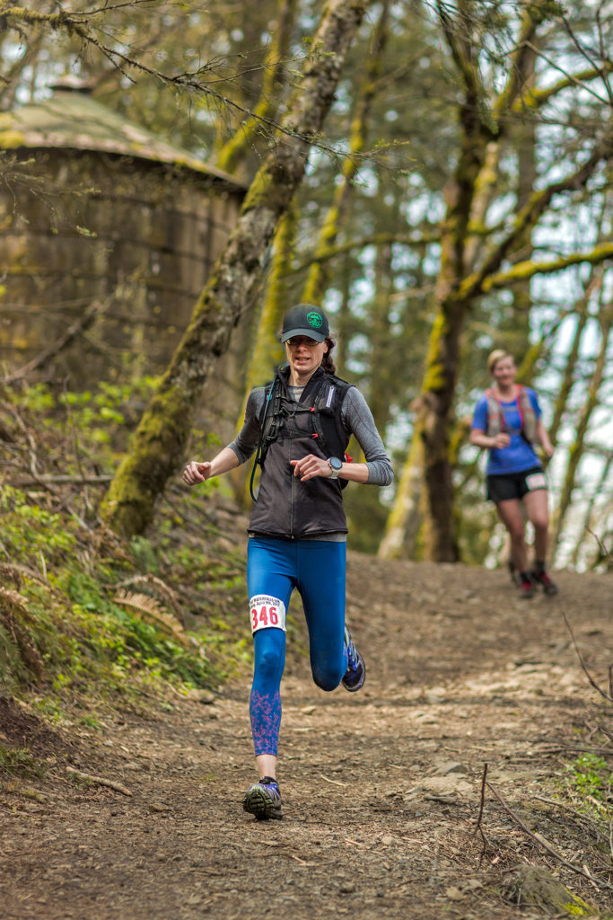
While I was doing some quick hip and hamstring stretches before heading back out (hoping it would make the insidious knee pain go away), Brice let me know that there was a 2 km stretch of paved road before going back onto the trail. That section was probably the toughest one of the race (for me anyways). I ran out of the aid station at a good pace, but the pain in my knee was slowly increasing and I felt heavier and stiffer. The sun was pretty high at that point, and I started to feel hot but couldn’t be bothered taking my merino vest off, knowing that I’d probably want to put it back on once I was back in the shade.
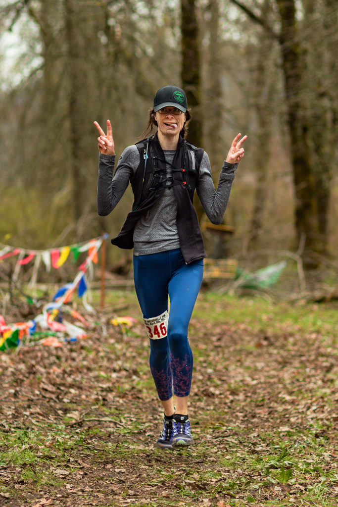
This is when the second part of Nadine’s mantra kicked in: Focus. I stared at the white line on the road for a few hundred meters, then I started looking up at the other runners in the distance, trying to make out how far I still had to go before entering the trail again. At that point I couldn’t wait for a nice uphill in the shade. That’s when Brice, who had driven up the road passed me, appeared with his camera. He later said that he was going to honk at me but refrained from doing so when he saw the look on my face. Still, I think I managed to muster a smile (always smile at the camera!). That’s the last time he saw me on course before the finish line.
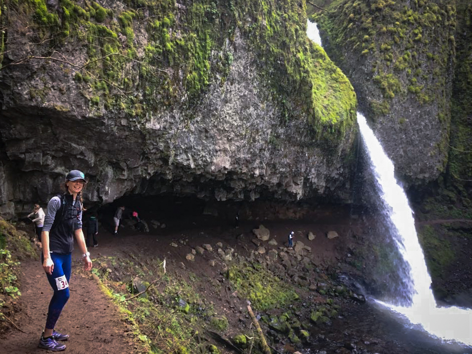
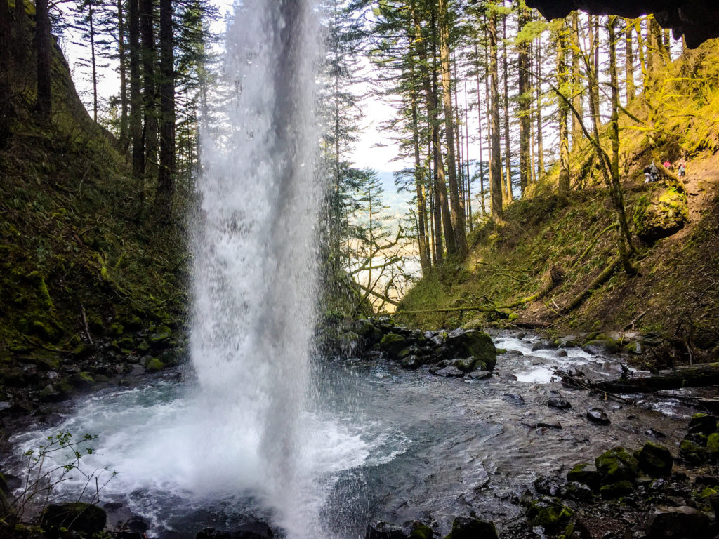
I eventually made it to the trail head and left the asphalt behind, thank God! Pretty sure I have no interest on ever running a road marathon (never say what?). My knee didn’t hurt as much on the uphill and I ran the following portion fairly painless-ly I think, albeit slower than in the beginning. Eventually Marc (who I thought was in front of me) and Lisa, another Vancouver runner friend, caught up with me and we ran the next portion together, from km 35ish to 40 I think. We passed a number of waterfalls, and even ran below one, all of them a welcome scenic break from the task otherwise at hand. I was slowly fading, mainly due to knee pain rather than energy drop, and was grateful for Lisa being right on my heel, and encouraging me to keep going. She and Marc eventually passed me and I managed to keep up with them for a bit, until we reached the short downhill leading to No Name aid station. The pain came back strong and it became pretty clear to me at that point that I would no longer be running any downhill. After a quick 2 minute refuel at No Name, we headed back out again for the last 10-ish kilometers, which basically consisted of a 5k/1500 feet ascent, followed by the descent of the same.
I kept going relatively steady in the uphill, but both knees were hurting now and slowing me down. Due to a washout near the last waterfall, the course had been re-routed to use the main paved path up the hill, rather than the usual trail. I didn’t mind it too much, it was probably easier to power hike on that surface than on a rocky and muddy trail. The gap between me and Marc and Lisa in front was growing, and eventually I heard my name called out behind me. Pargol and Nadine, who had ran smart and paced themselves in the beginning, were now catching up to me. As they passed me I hoped I could maybe keep up with them and stay in their wind. But Pargol had shifted to finishing gear, and was powering up the hill faster than I could. My heart sank for a second as I saw them get further away, but that’s when my watch buzzed and biped one last time, signaling me that it had now hit low battery and would no longer be tracking my progress. Instead of pace, it now displayed the time, which made me I realize that I was still one hour away from my target finish – my secret “If I feel great and somehow nothing bad happens” goal was to come in just under 7 hours, but that goal was long gone. With only 7ish km to go though, I felt like I could definitely make it to the finish in one hour, and hit my official target time, so that made me feel better about where I was at. And thus began the final part of Nadine’s Mantra: Finish.
Eventually I reached the top and the final descent started. I attempted briefly to resume running, but my knees would have none of it. I might have even tried side-skipping (that worked for about 50 meters until the sharp pain came back again), and even walking backwards on steeper sections, which turned out to be both useless and potentially dangerous. So with that I figured “I’ll get there when I get there” and kept steadily hobbling down the hill, taking in the sun and the scenery. I had been pretty good at keeping up with nutrition, and I actually didn’t feel any fatigue or drop in energy. My spirit was in fact remarkably high, considering. A number of runners passed me on the way down, all asking if I was ok, and always I would reply “I’m fine, thank you for asking! Just taking my time!”. After a few more muddy and rocky sections, the trail, which was now going down in switchbacks, started to overlook a parking lot below. As runners were passing by, they were commenting on how much of a tease it was, seeing from above what seemed to be the finish while having quite a bit of ways to go still to reach the bottom. But Brice had warned me about the finish: coming off the trail, I would still have to run about 1.5 km between a lake and the highway, before entering Benson State park and crossing the finish. This was a pretty crucial piece of information for me, Mrs I-like-to-know-what’s–coming. So while I was eager to get to that parking lot, I knew it wouldn’t be quite the end yet.
Finally, I reached the bottom. The volunteer at the end of the trail welcomed me with a loud “this is your last downhill of the day, soon you’ll be downing pizza!”, and I replied with equal enthusiasm “Thank you, I couldn’t be happier to hear that!”. He directed me to go across the parking lot and through the underpass, and then there it was, that last flat stretch of gravel. Flat being the key word, my knee pain suddenly vanished and I proceeded to run at a good pace along the lake. Nadine and Marc both commented later on how long that last mile had felt, but to me it actually seemed incredibly short (After all, I was traveling twice as fast as I had in the last hour), and most of all I was feeling great. The trail curved to the left and into the picnic area and there was the finish line, which I crossed with the biggest grin on my face, partly because I knew Brice would be waiting for me camera in hand, but mostly because I was pretty fucking happy. I had just finished my first 50k trail race.
The good thing when all your friends finish before you, is that they’re all there to welcome you at the finish line (that was my plan all along, mwouaahaha!). After high-fiving everybody and taking a moment to settle, I realized I hadn’t taken a look at the clock. Brice told me I had finished in 7 hours and 27 minutes. So 3 minutes short of my official target. Yeah! was my first reaction. Immediately followed by “Now where’s the food?!”
I honestly couldn’t have dreamed better conditions for my first 50k. Surrounded by friends, on a beautiful course, and blessed by sunshine all the way through.
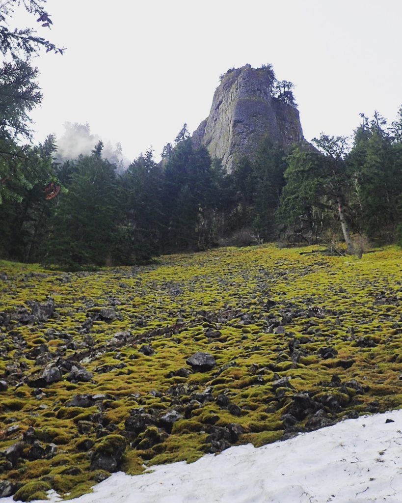
The course was everything it promised to be scenery-wise (I thought). Ridge-running in the beginning offered really great vistas of the Columbia river, moss-covered, sunshine-drenched rocky slopes to run alongside, and of course, impressive waterfalls in the second half of the run.
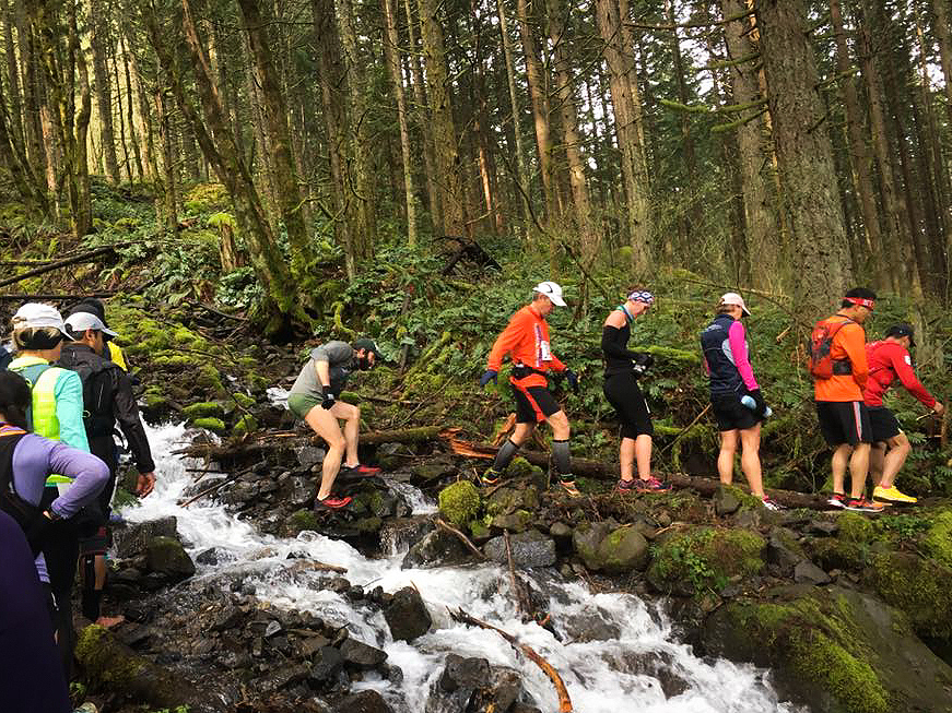
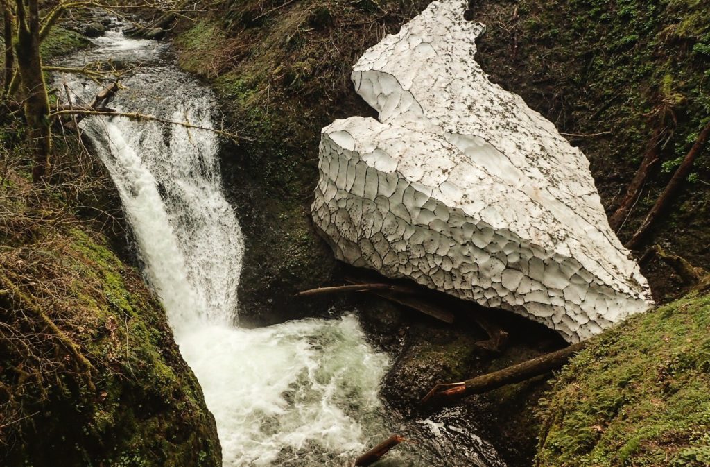
It was a bit more technical than I expected. There were quite a few sections, mainly along the ridges, where the trail was pretty rocky and demanded quite a bit of attention to prevent any miss-step or ankle-rolling. The bad weather of the last few weeks had also resulted in a number of fallen trees across the trail, and some really muddy sections. There was even one portion where we had to climb up a rope to bypass some obstacle on the regular trail (I can’t quite remember why that detour was there, but Marc and I agreed that climbing that rope was one of the most fun part of the race :P). The race organizers had done a really good job at letting us know ahead of time, via email, what the trail conditions were, including photos, so there weren’t any surprises. They had also warned us about snow patches and higher water-levels in some of the creeks, but these last two were really not as bad as what we thought. Although all of this made the course slower for runners who might have hoped for a course PB or even just a faster run, I actually found all these obstacles a good way to keep focused, and not get bored.
Overall, I’m genuinely stocked about this first experience. And dare I say, pretty proud of myself for how I handled the unexpected. Pre-runner Melanie would probably have cursed at the course and hated the entire world when the knees started to give out, but I managed to chase away any negative thoughts about not being good enough and whatever else I would have come up with back then, and just kept trucking along with a smile. And for this, thank you doesn’t begin to express how inspired and motivated I am by Brice. Watching him begin his ultra-running journey 4 years ago and power through some pretty challenging and painful races, and always come out smiling and happy has really inspired me to push myself more, not be so afraid, and most of all, just quit whining 😛
Now what to sign up for next???
Thank you to Marc, Andrea, Lisa and Jeff for letting me use some of their photos, and of course to Brice, for not only being the best crew I could wish for, but also doubling as my unofficial race photographer and providing me with all the cool “action shots” :P.