Patagonia Travel: Trekking in Torres del Paine – the backside of the O circuit.

The Torre campsite is only about an hour away from Laguna Torres, so in his itinerary, Adventure Alan suggested to take a second trip up at dawn, in order to get that stunning sunrise view of the peaks. Well, that time of year, dawn was just before 4am. We did set up the alarm, but as it went off in the morning, we also heard the rain pounding on our tent, and decided it was a no-go. We could also hear quite a few campers around us getting up and walking around with their headlamps, ready to head up there. Factoring all of this, it was unlikely we would get a similar experience than the one we had the night before, so we went back to sleep for a couple of hours.

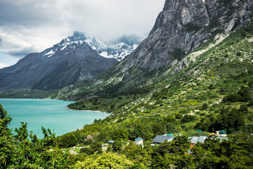
We first had to hike down along the eastern side of the “W” back through Chileno Lodge and down to Las Torres Hotel. At the Lodge, we actually made a quick stop to take advantage of the hot showers – most hikers who had stayed there overnight had already left, so we didn’t have to wait in line.

Then we hiked all the way down to the hotel, and had lunch outside of the eastern most refuge, which was near the trail head for the second half of the trip, the backside of the O circuit.

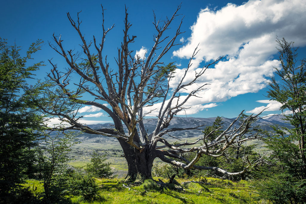
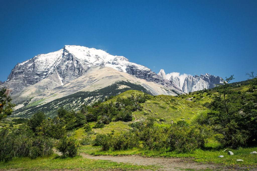
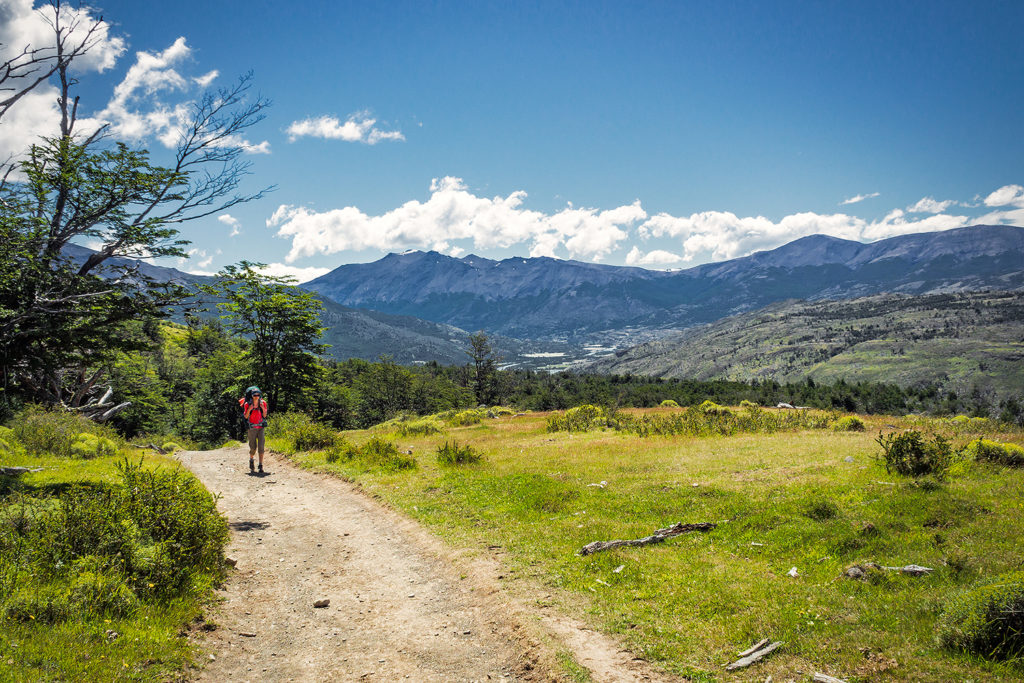
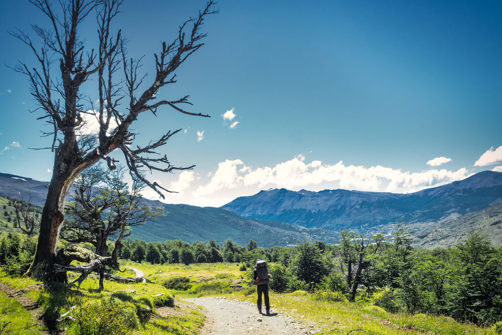
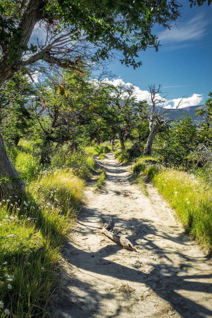
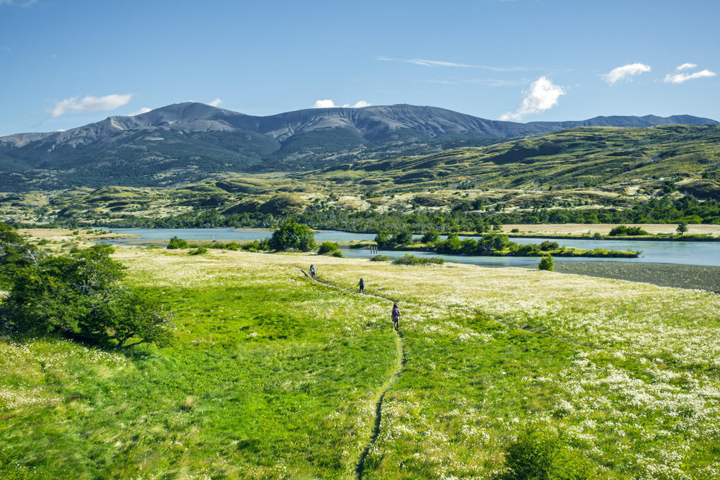
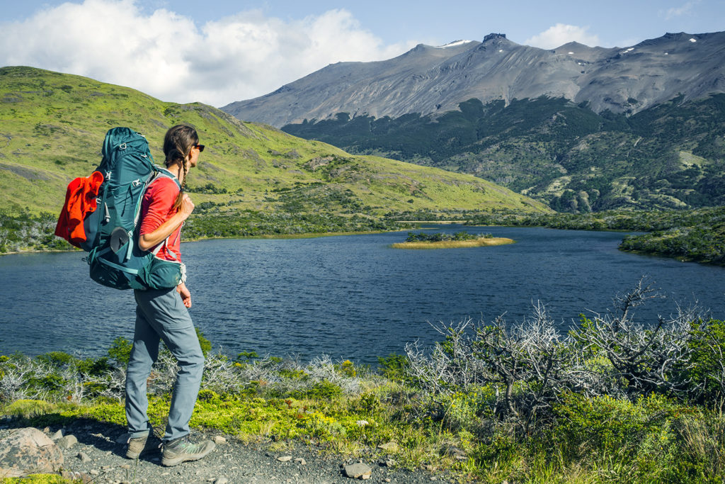
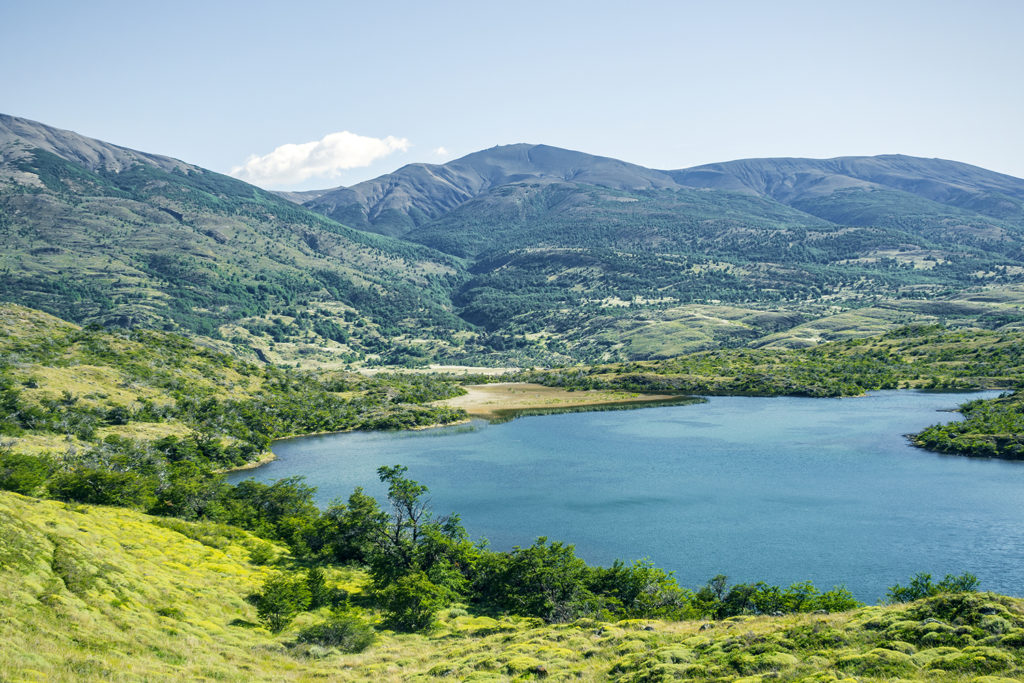
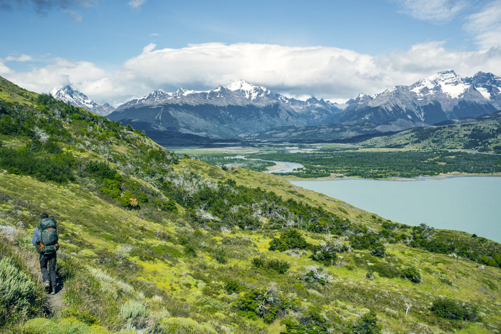
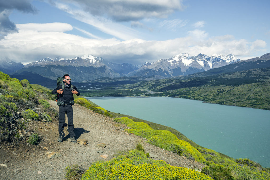
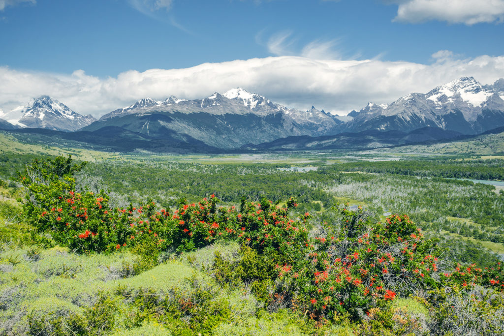
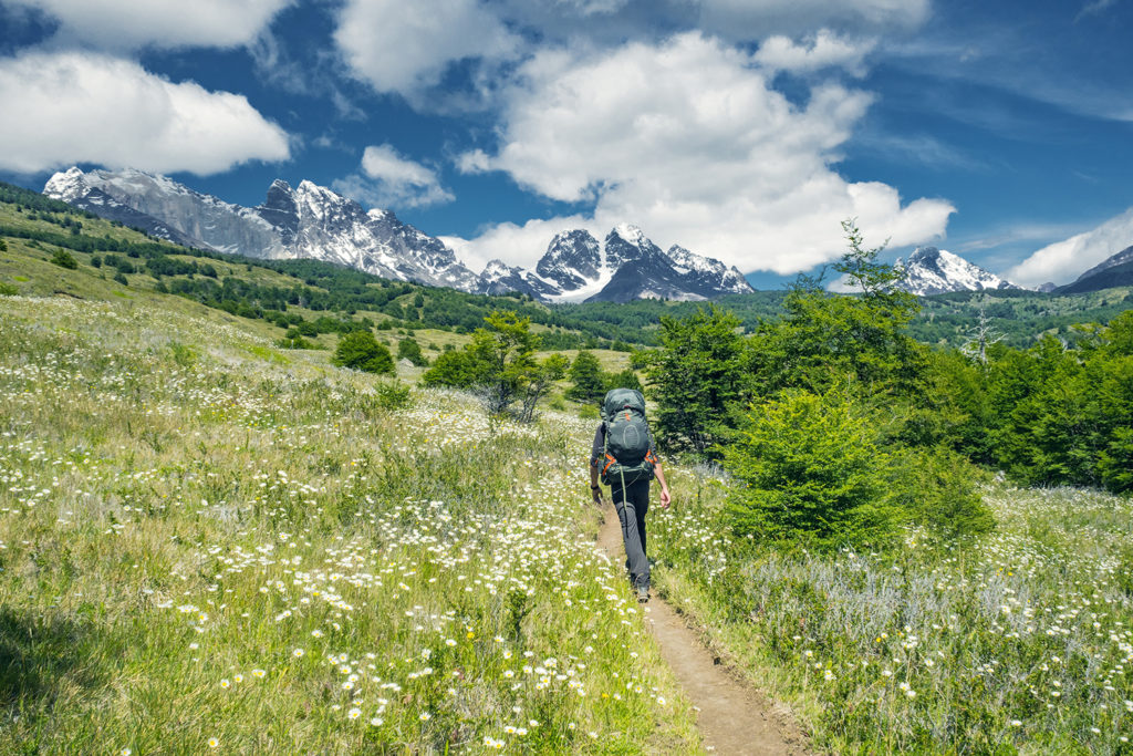
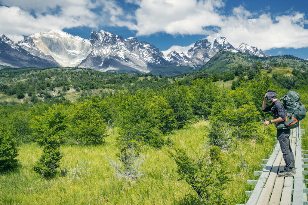
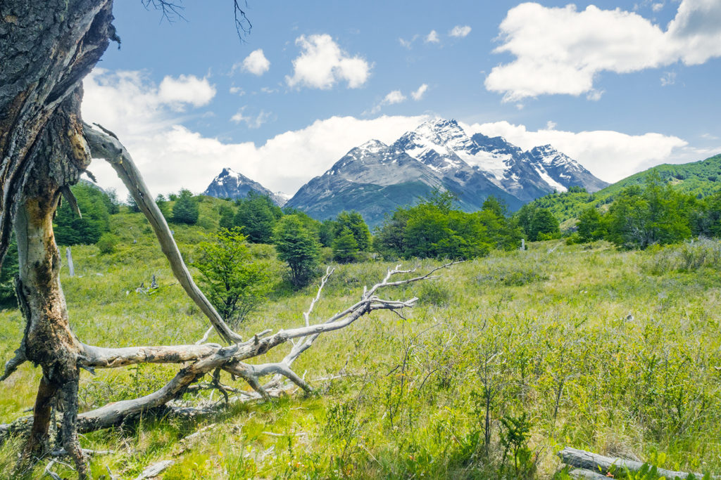
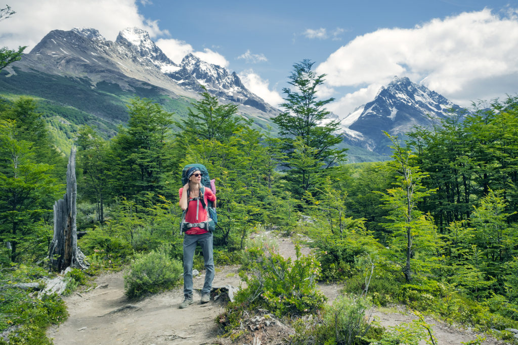
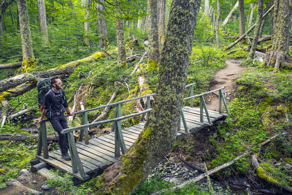
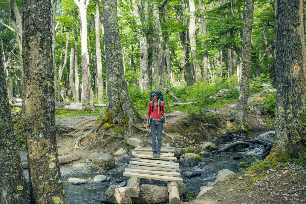
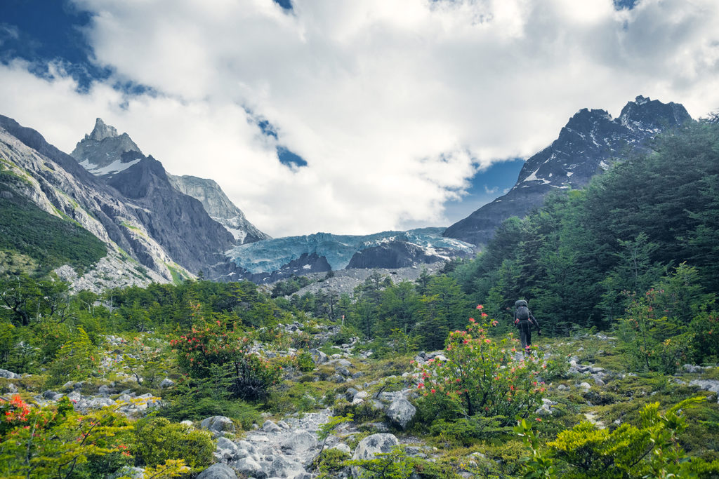
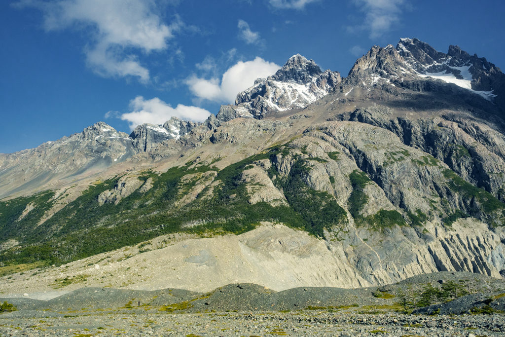
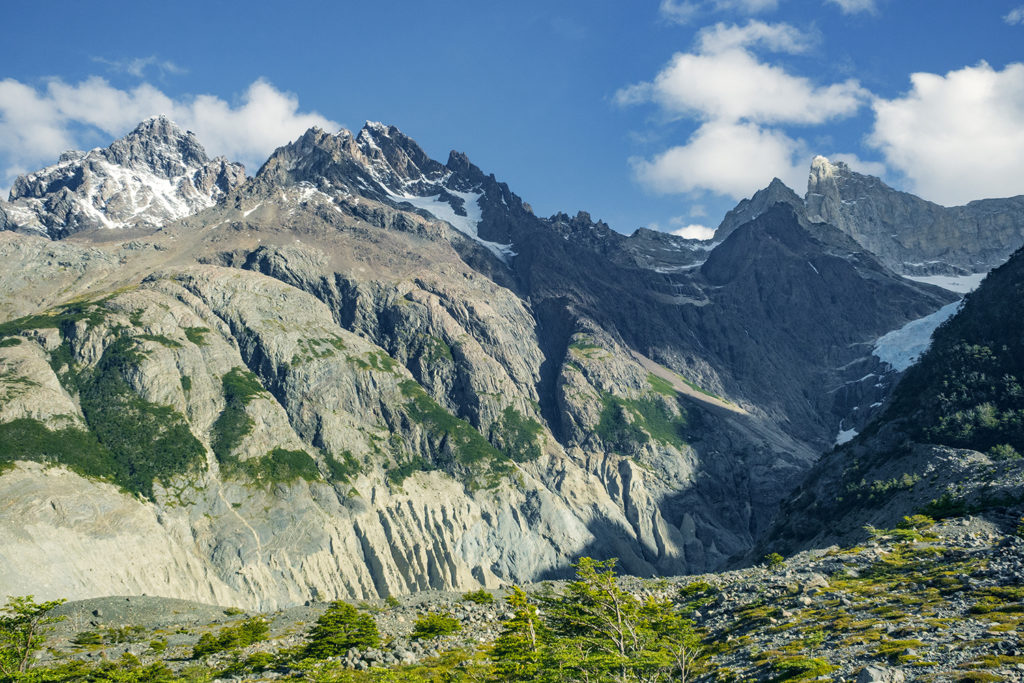
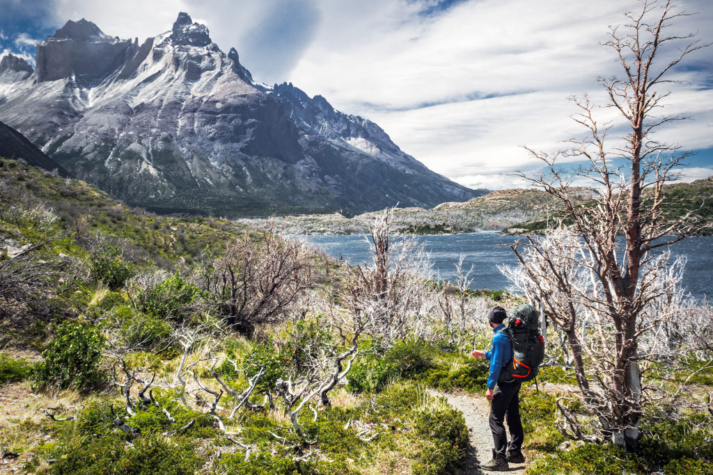
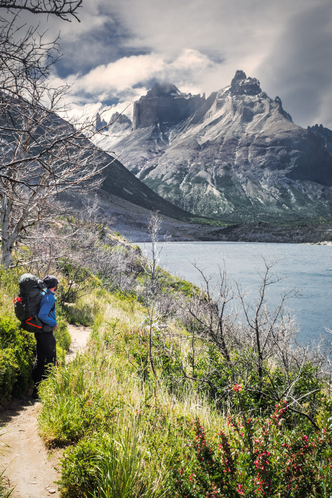
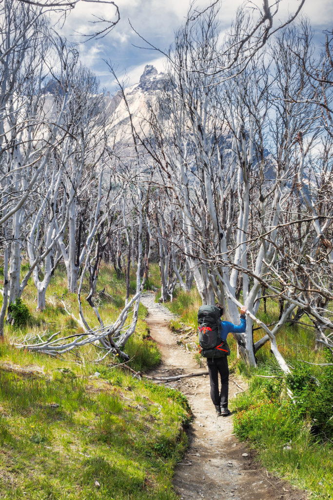
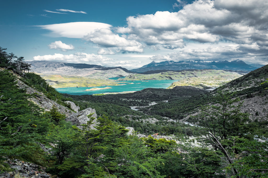
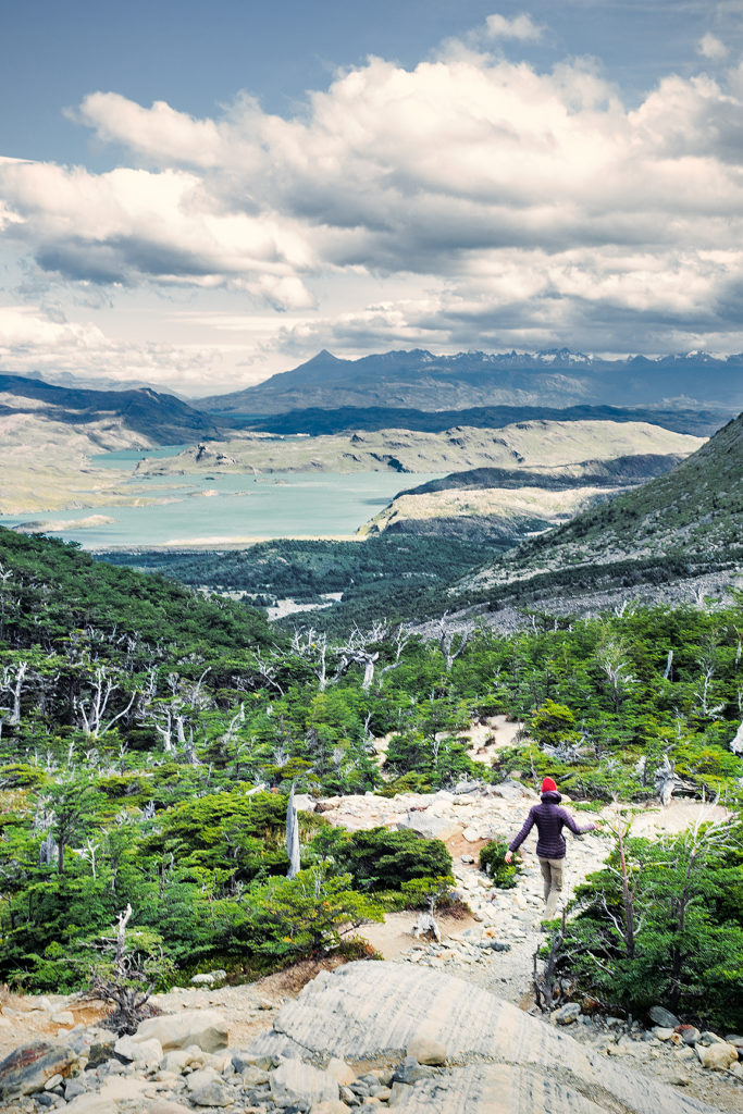
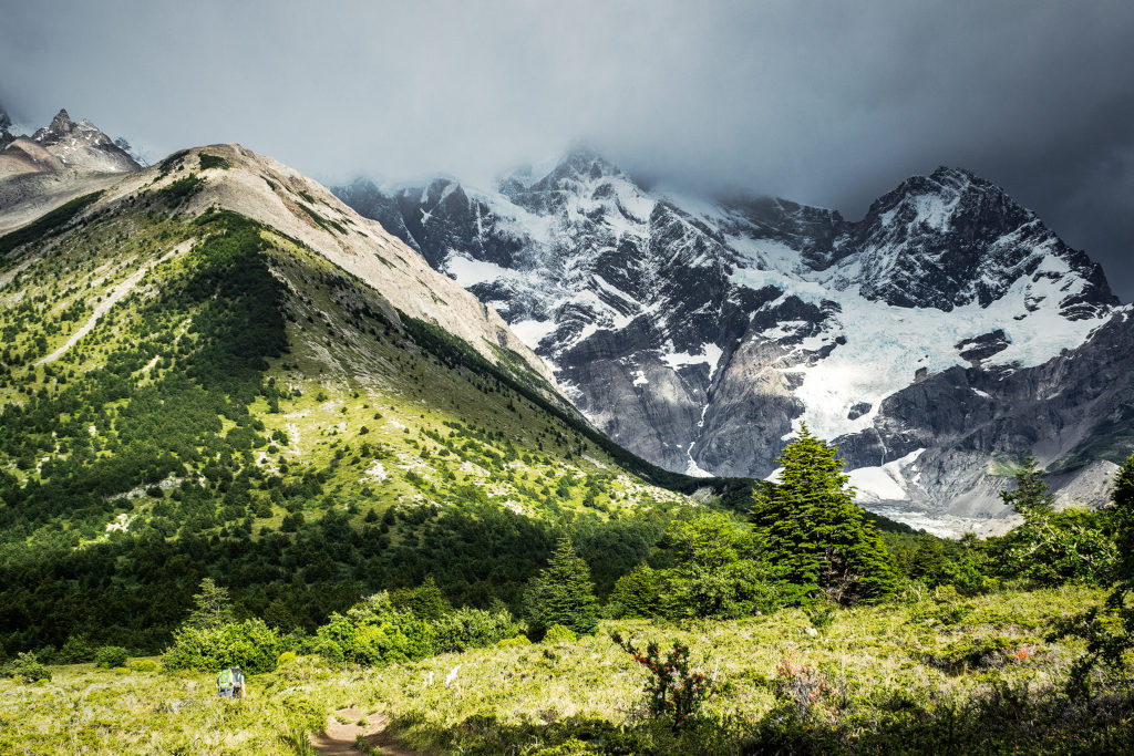
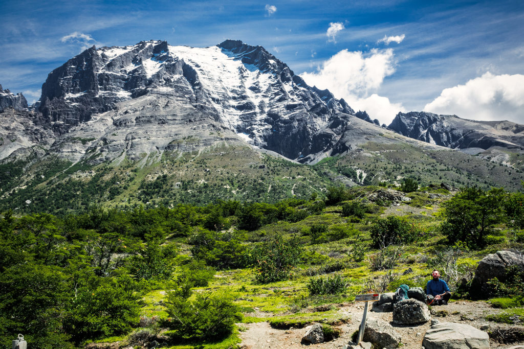
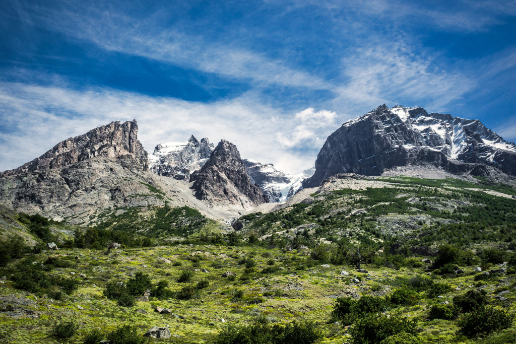
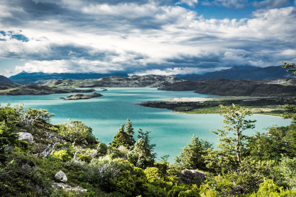
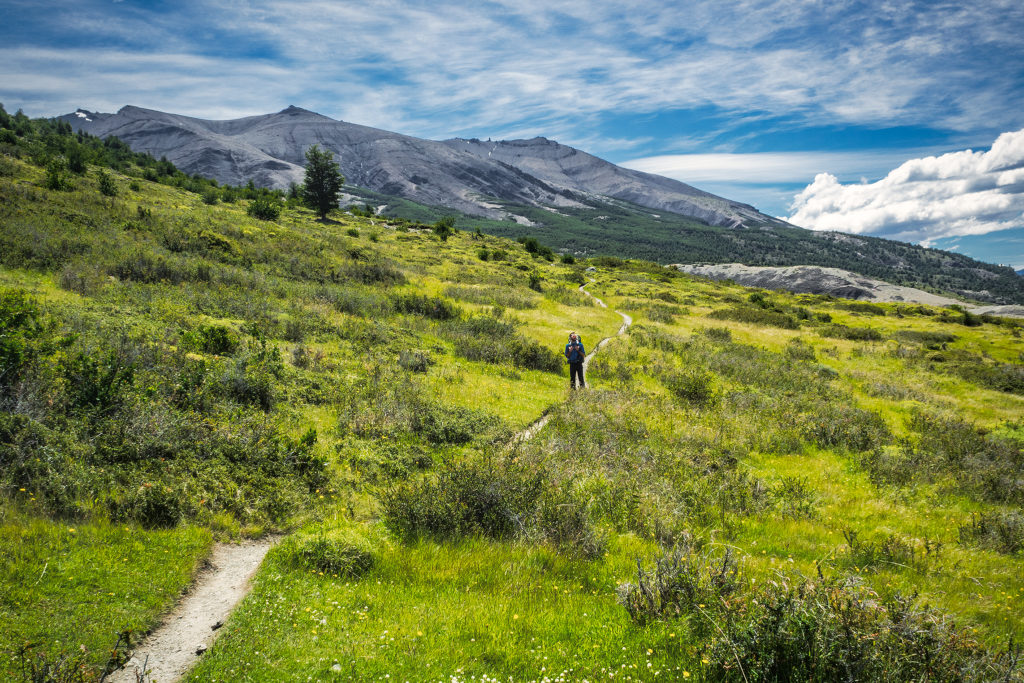
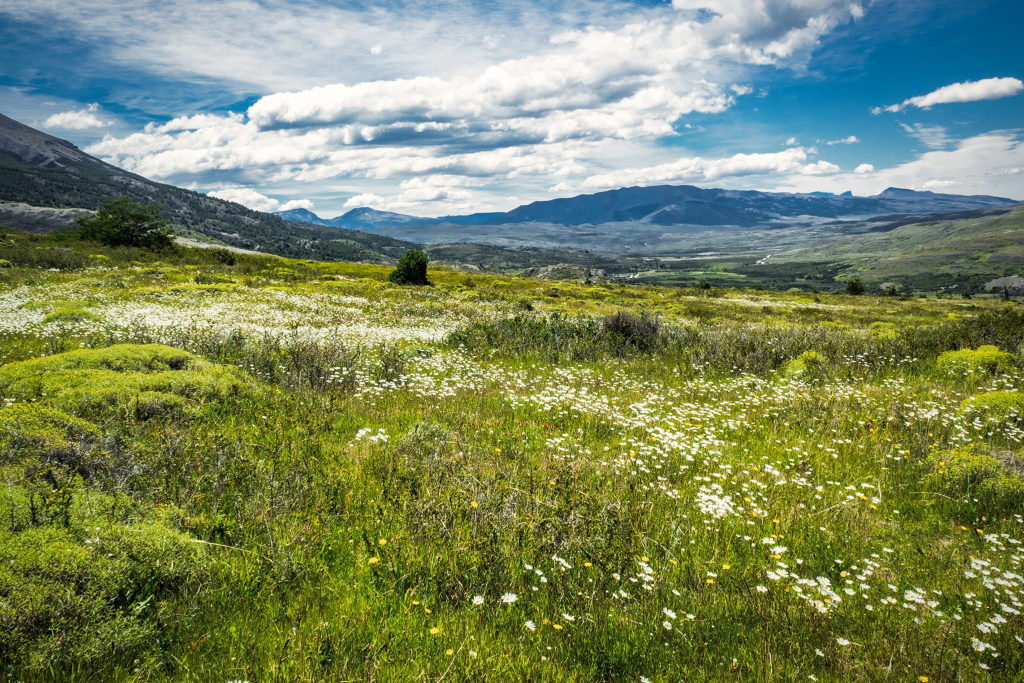
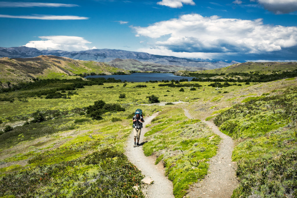
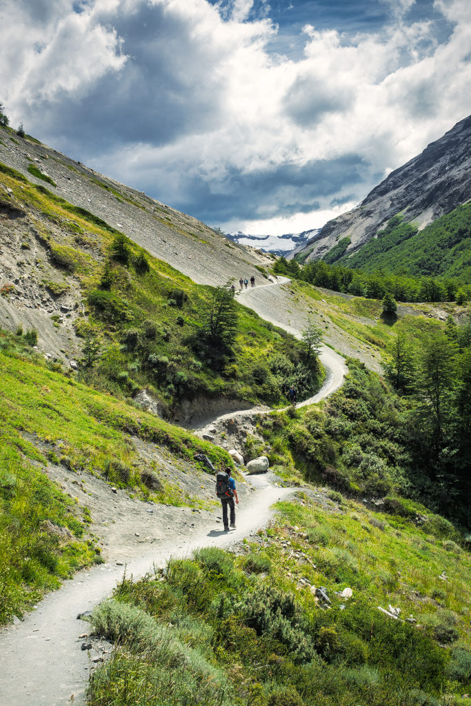
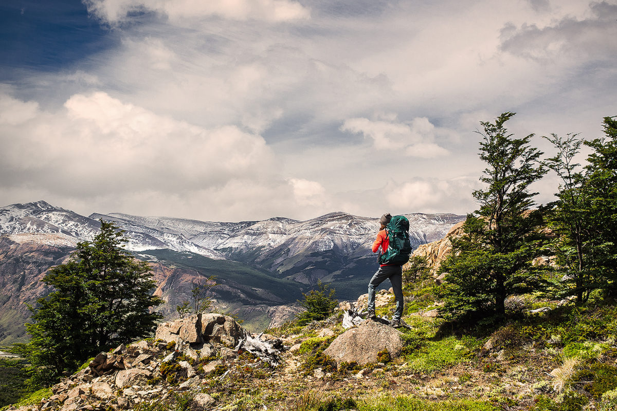
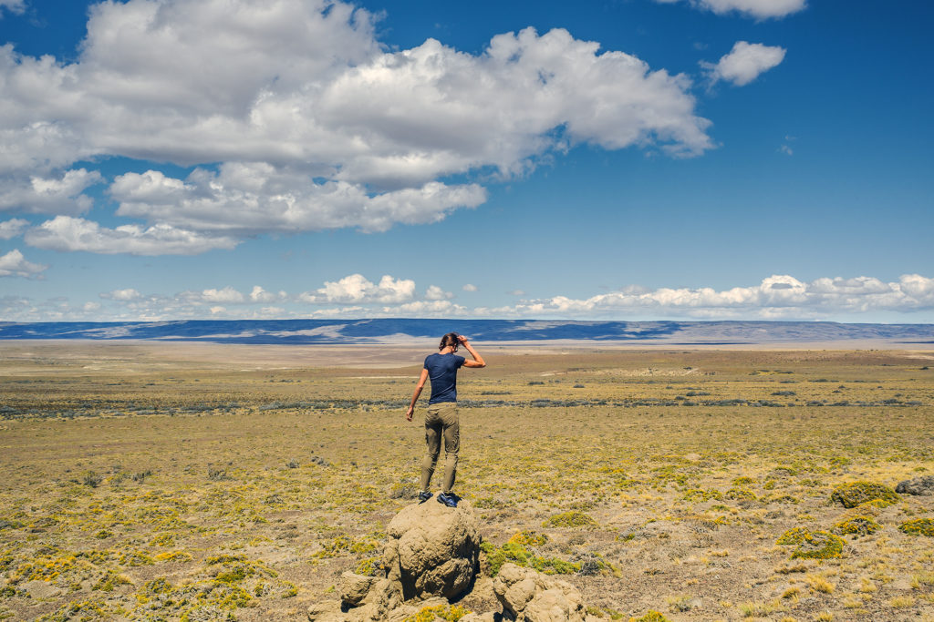
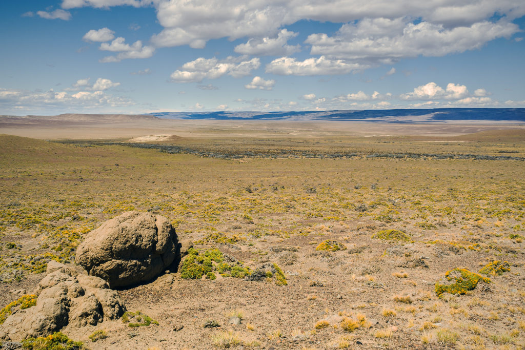
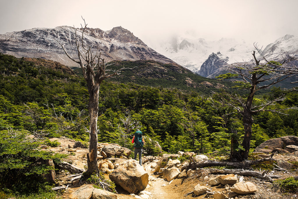
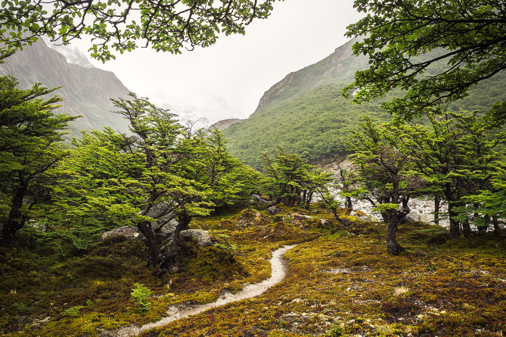
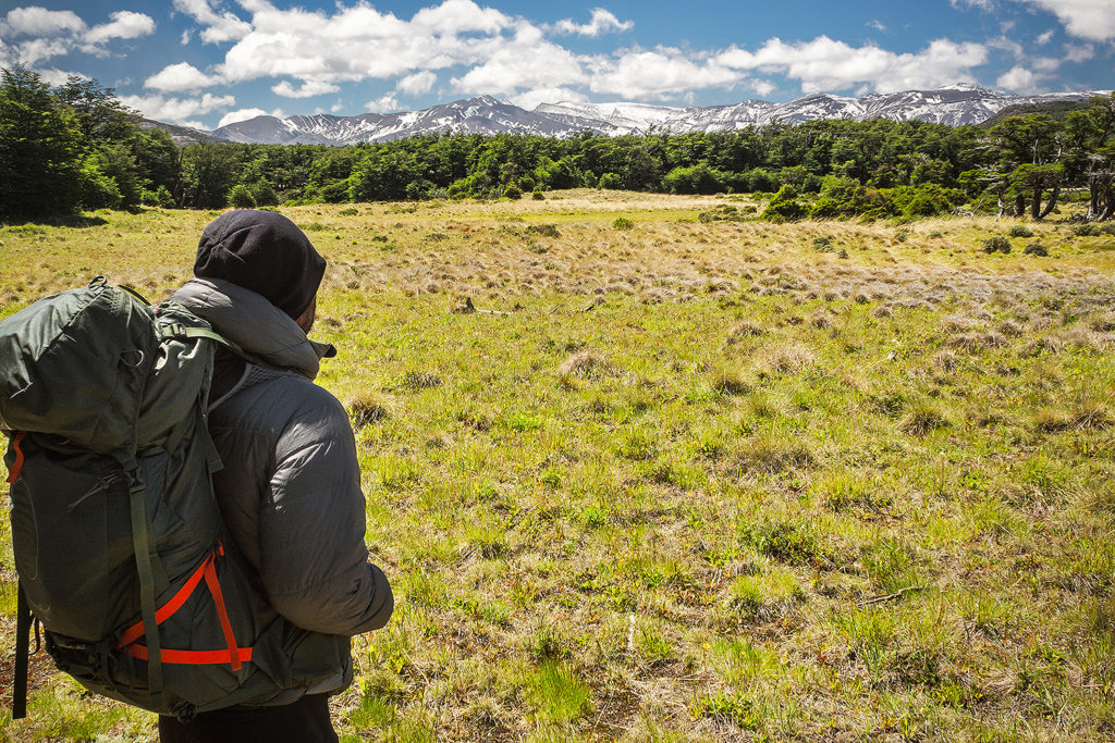
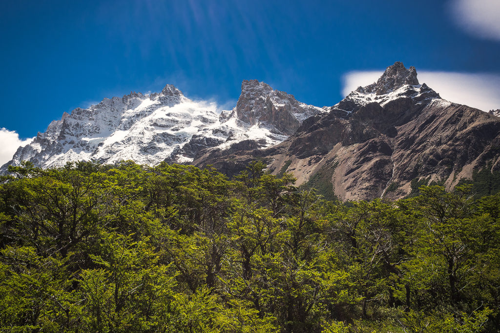
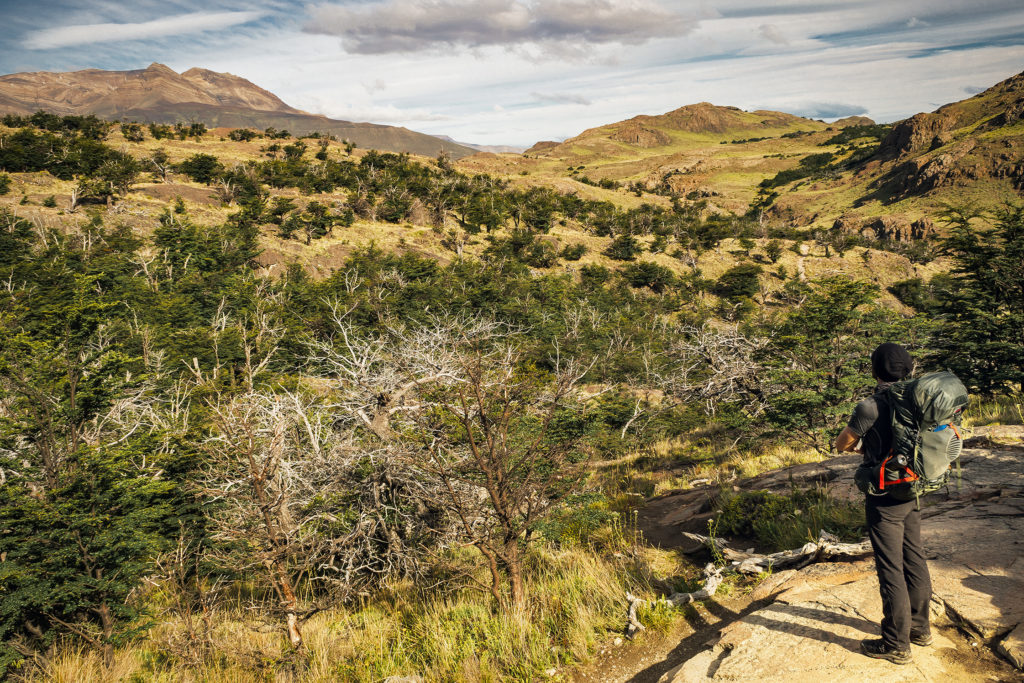
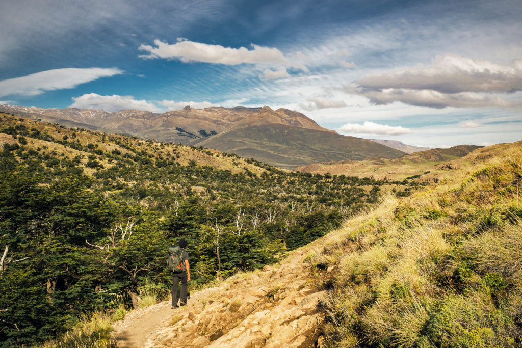
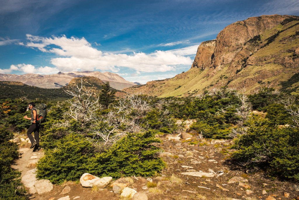
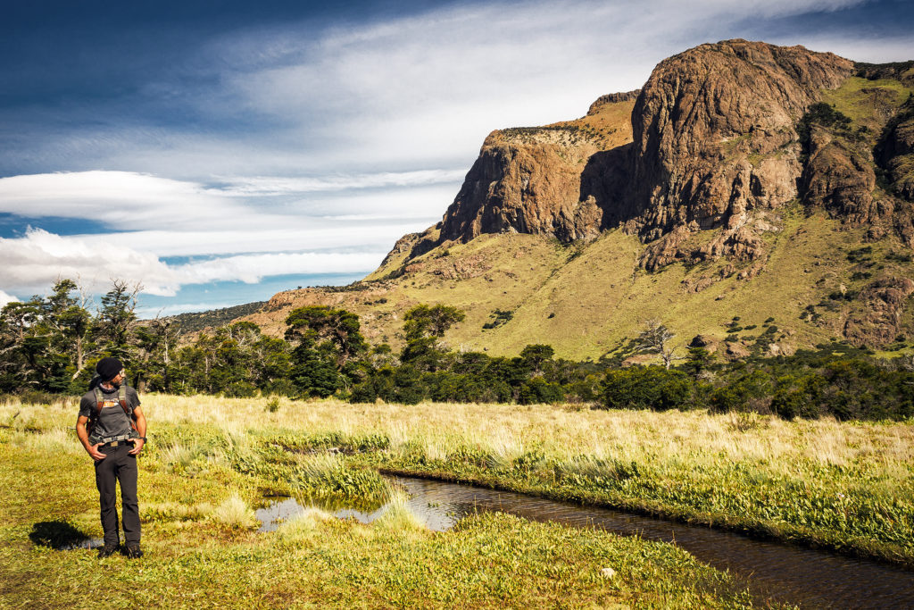
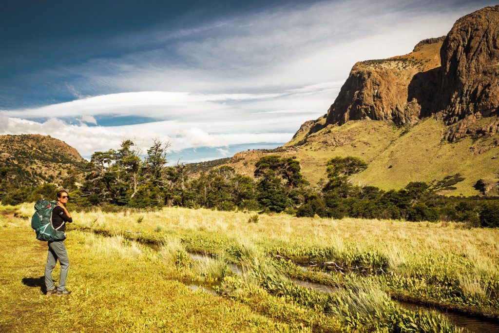
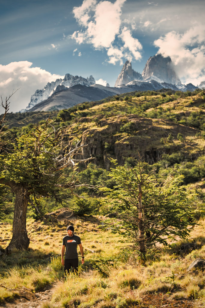
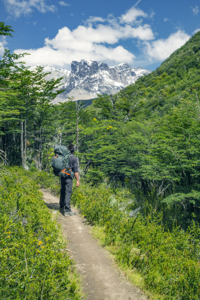
There were no other check points between the Hotel and the Serón campsite. The trail was different from the previous day, since we were now down closer to sea level. Leaving the mountains behind for a bit, we went through very pastur-esque sceneries, with open fields and flatter, wooded area, some of them still showing the signs of wild fires.
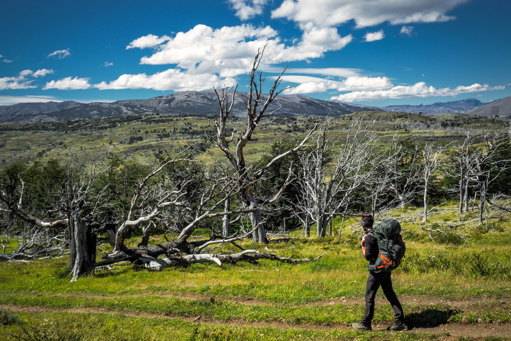
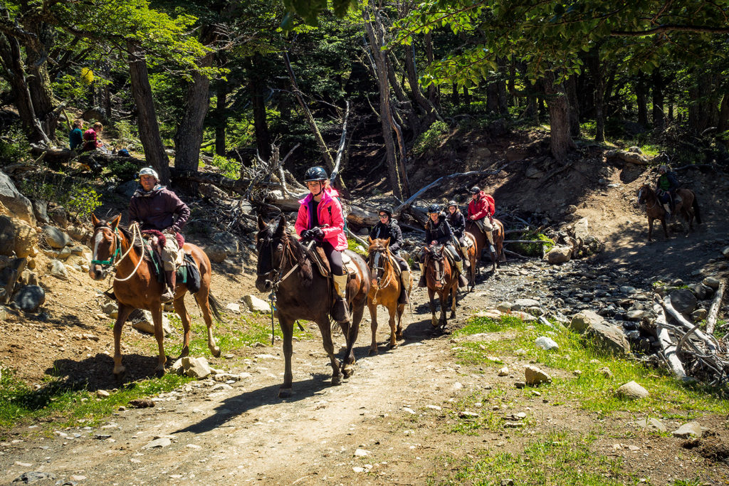
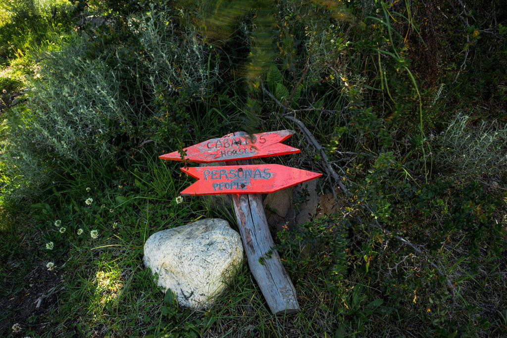
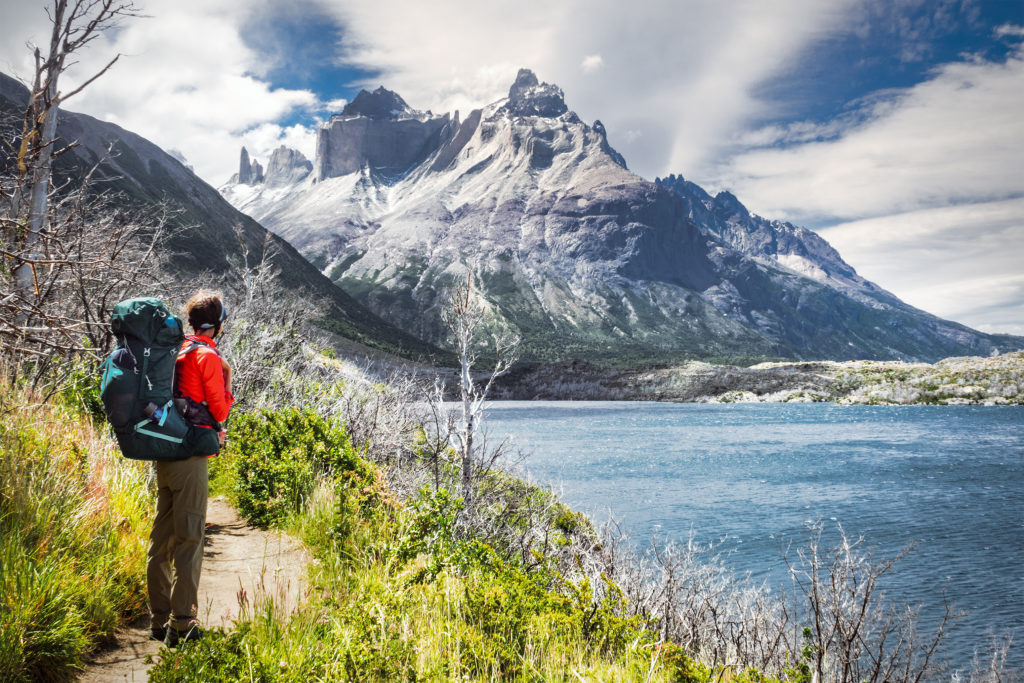
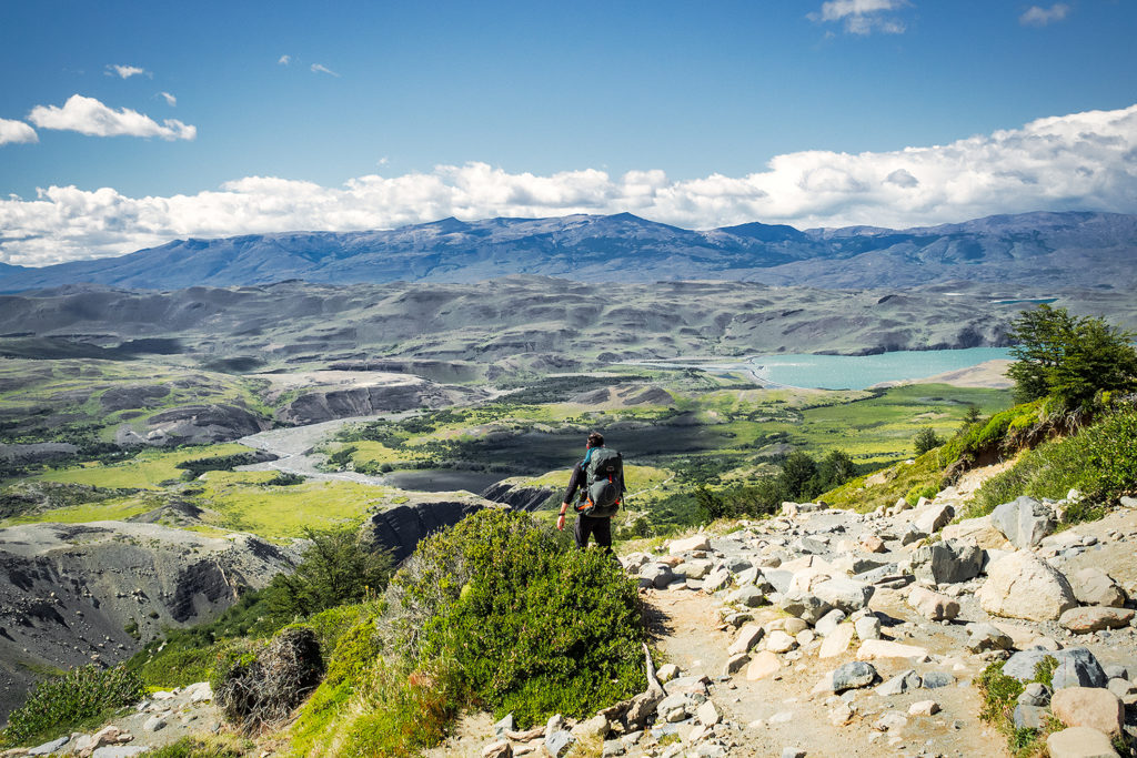
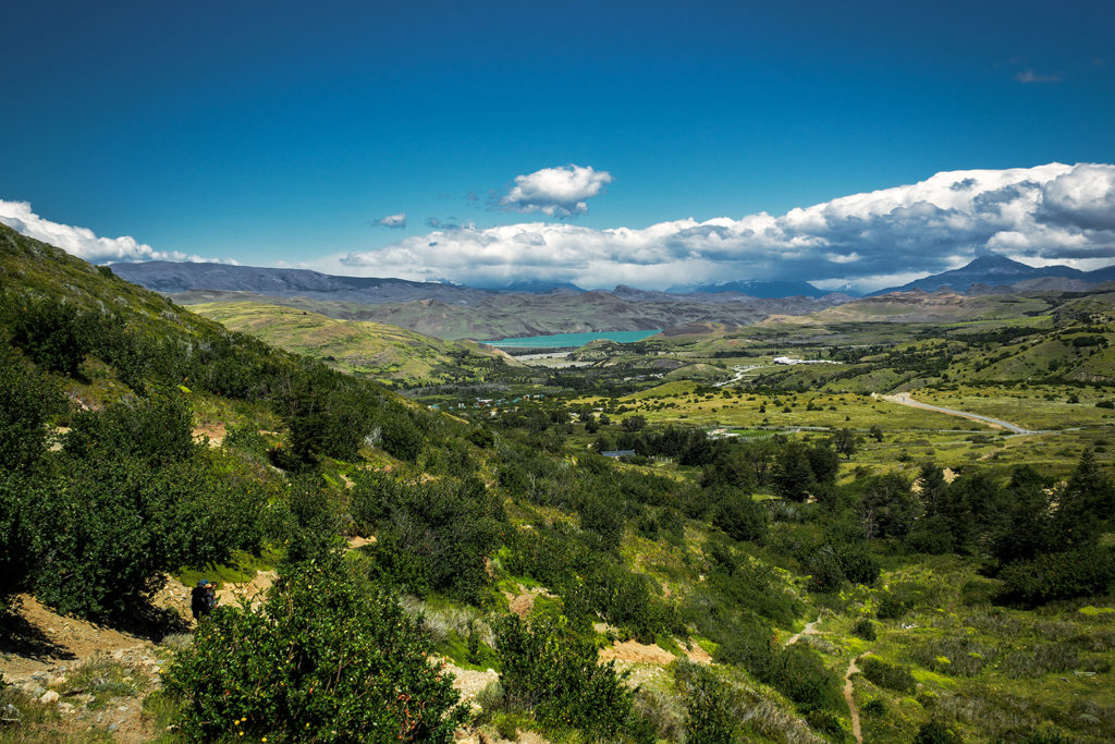
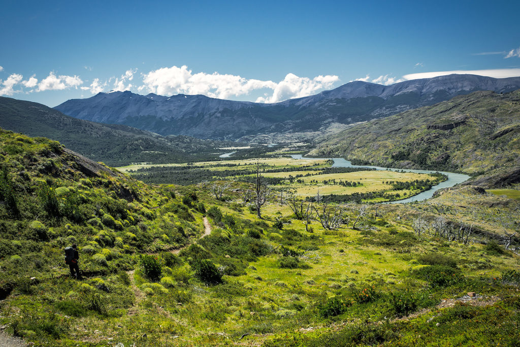
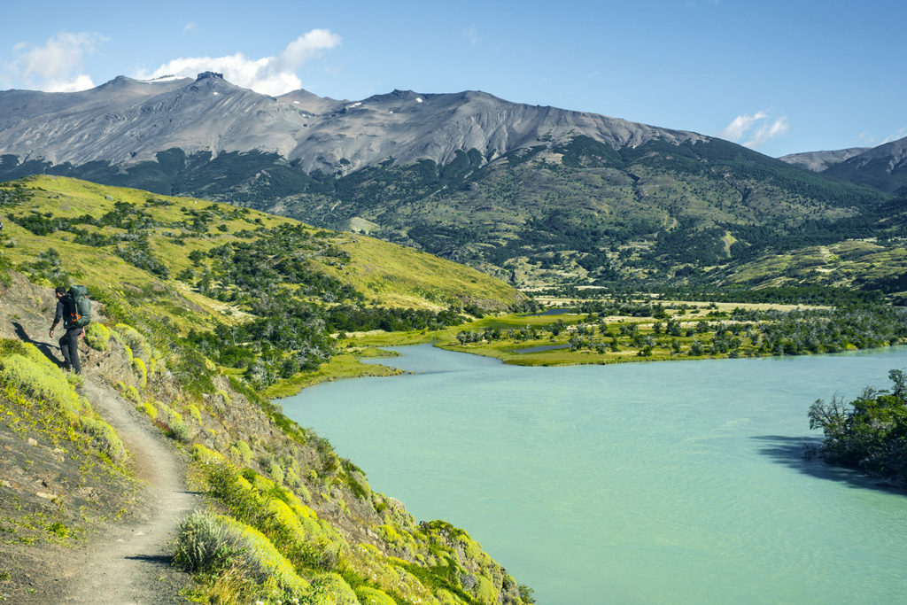
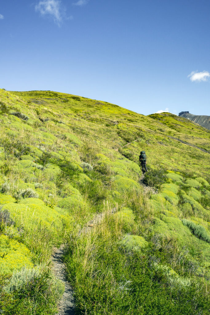
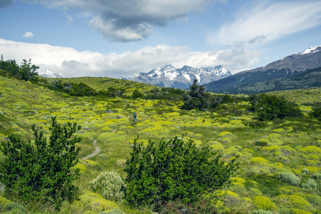
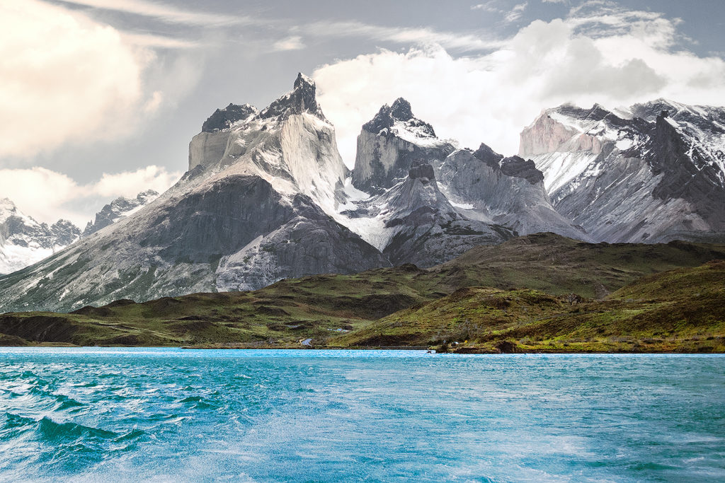
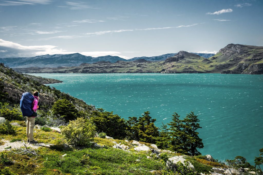
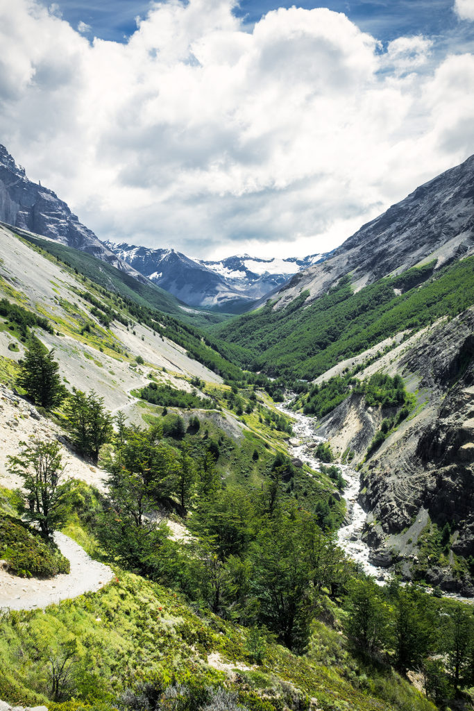
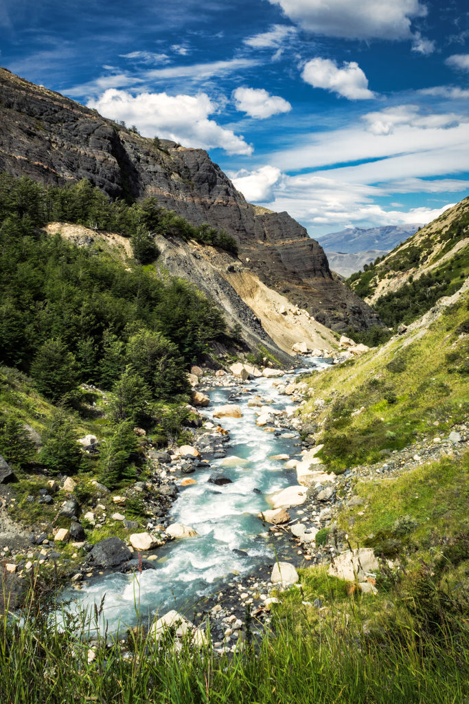
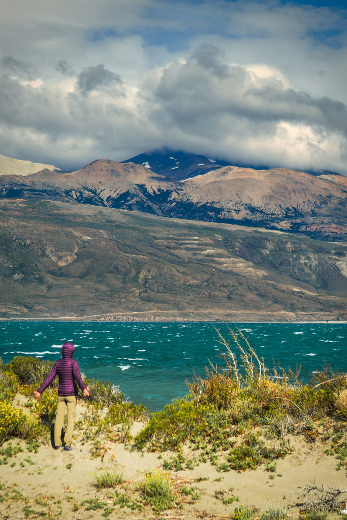
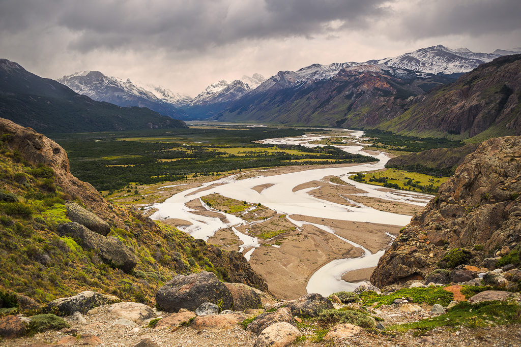
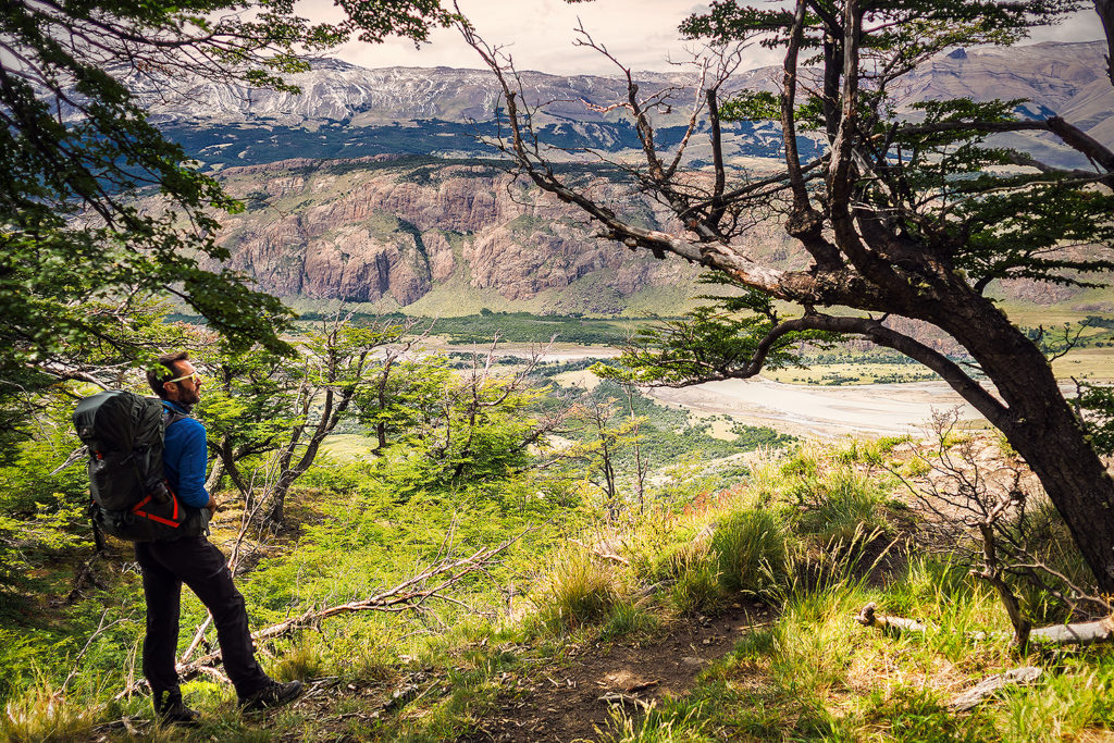
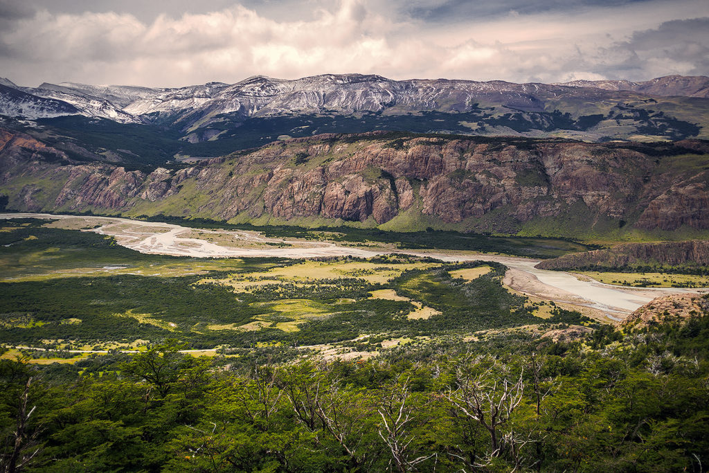
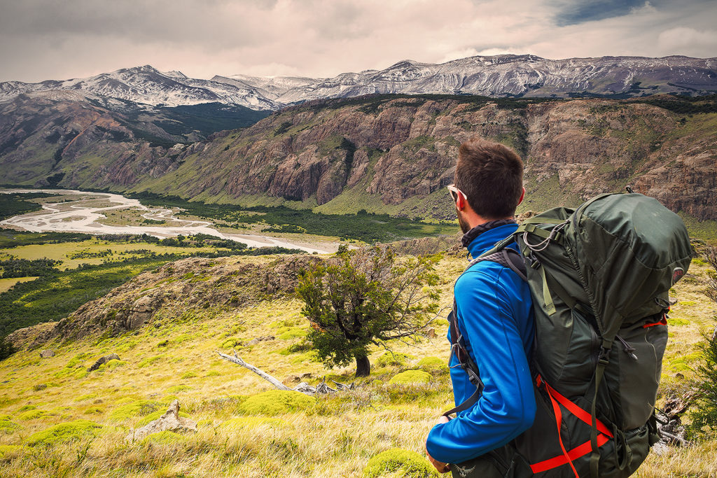
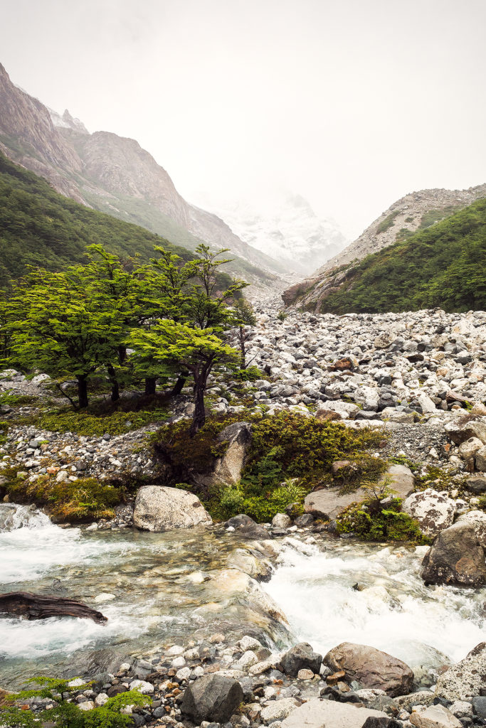
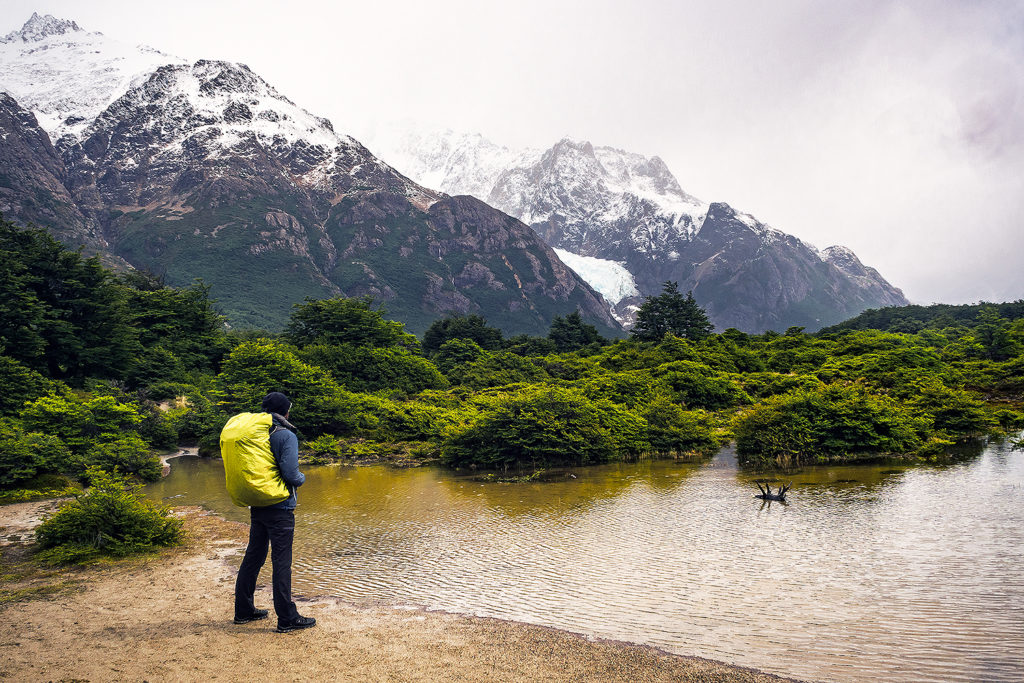
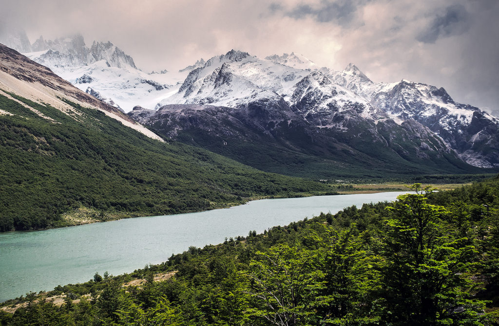
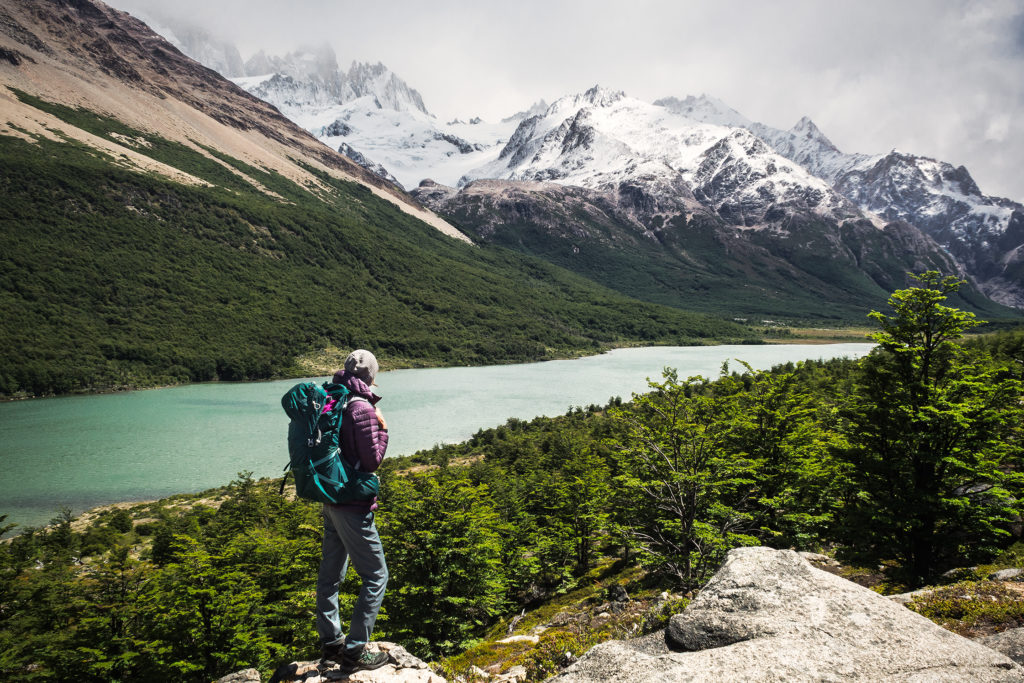
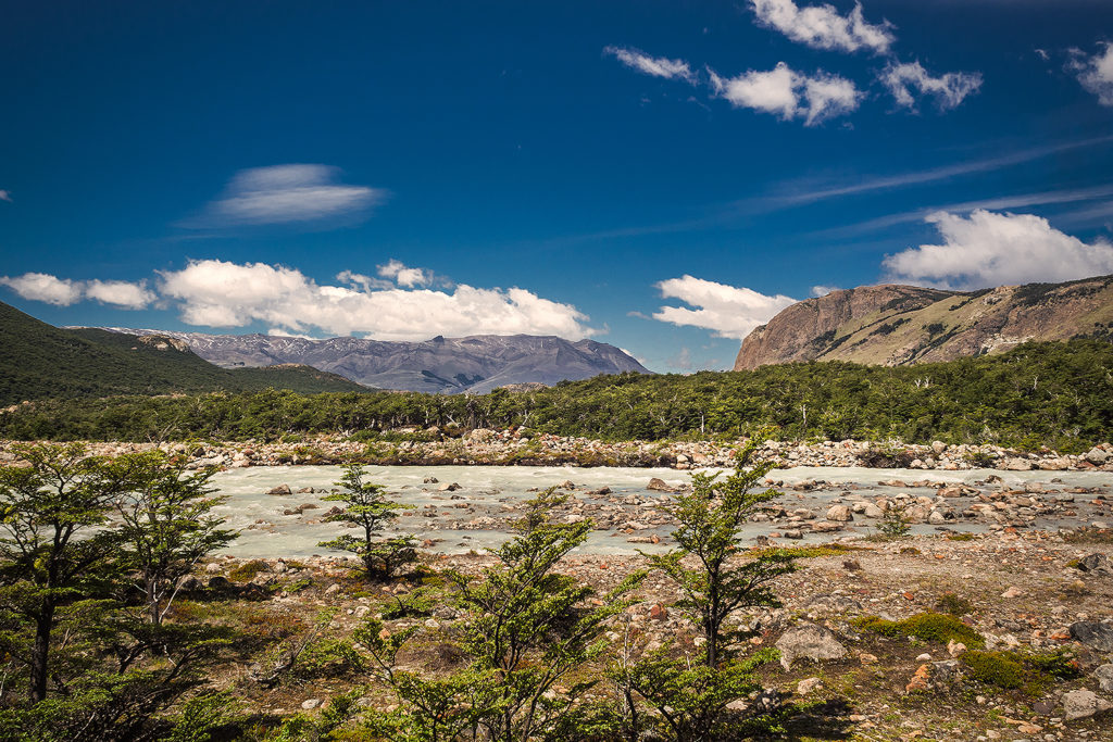
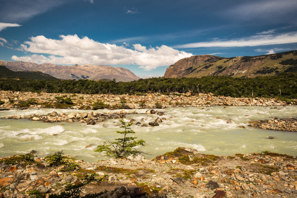
We also got some really stunning views of the valley along Rio Paine. There was a good amount of horses on the trail, which was wider and offered the ability to take horse-back riding tours. The wind hit us pretty hard in some of the more open areas while descending into the valley, and slowed us down a bit. Eventually though it calmed down as we got to fields after fields of wild flowers.

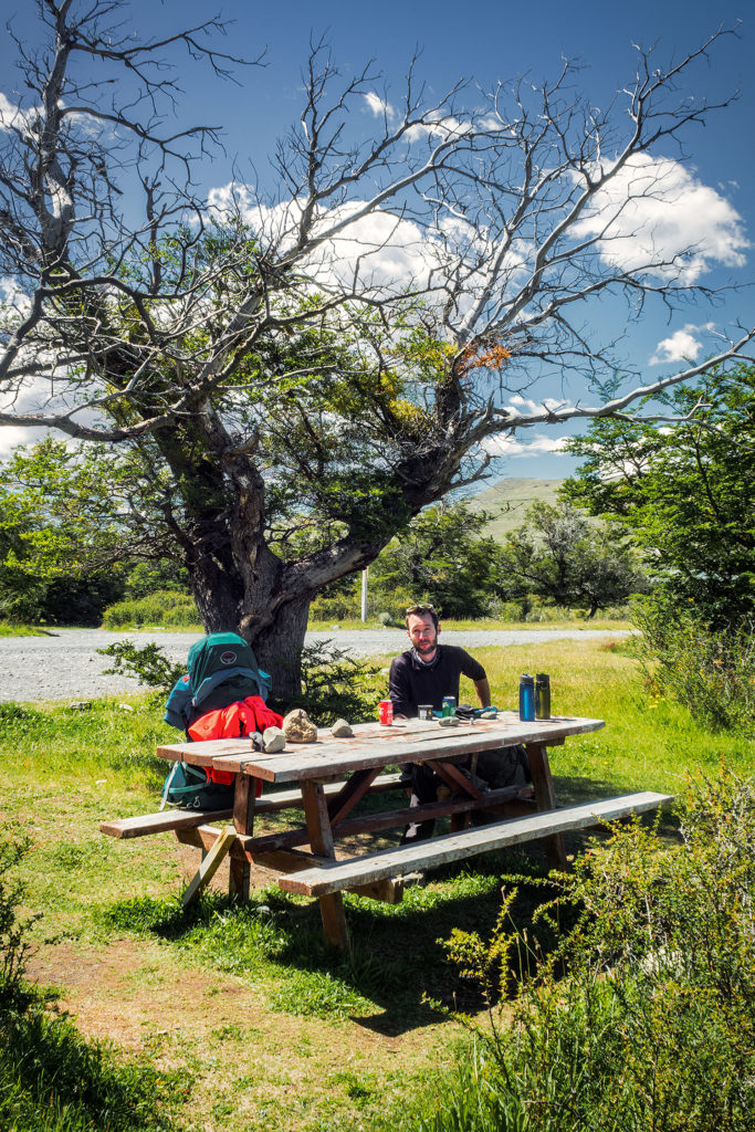
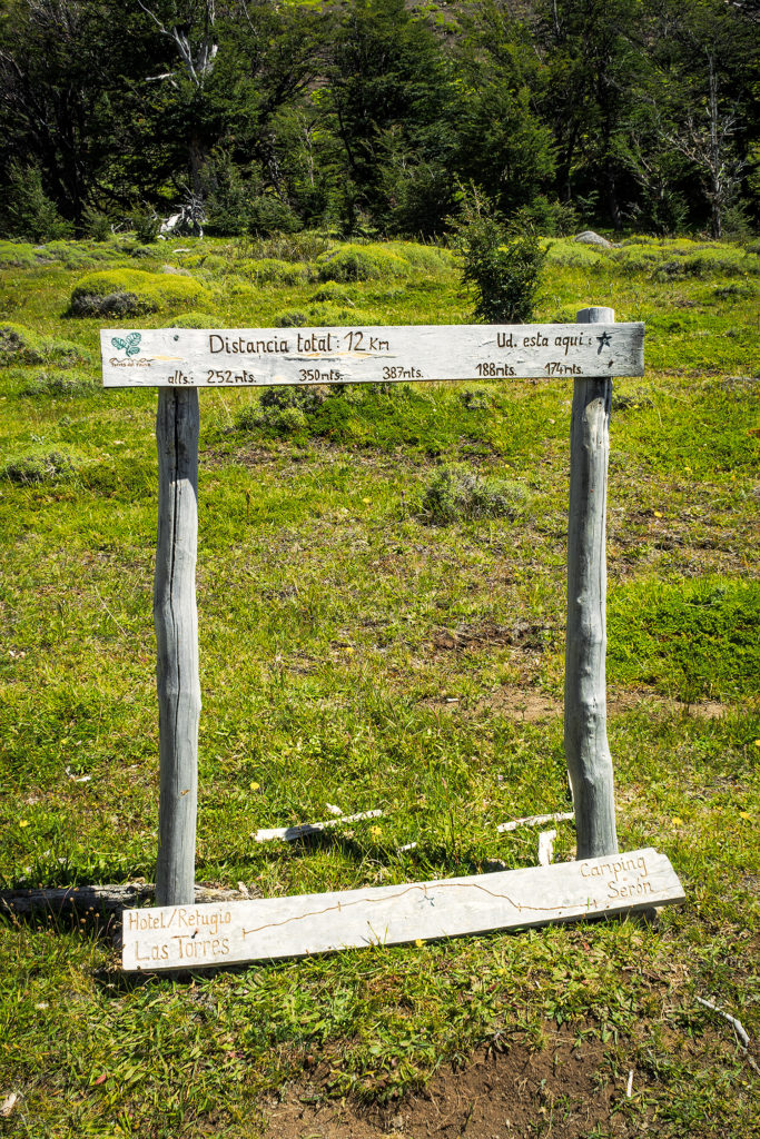
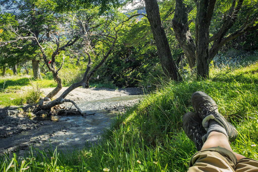
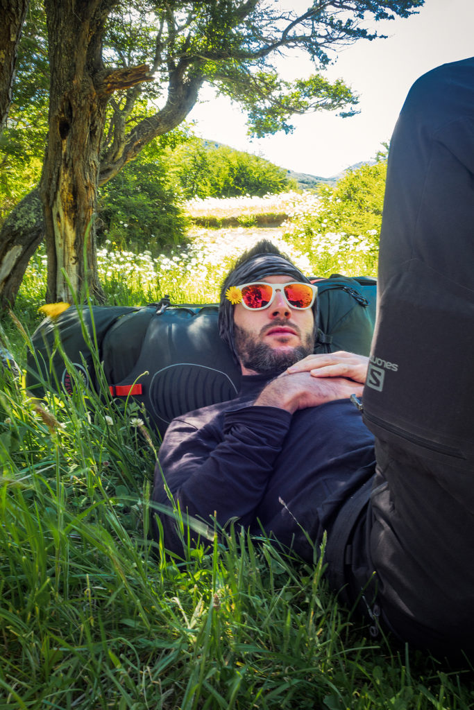
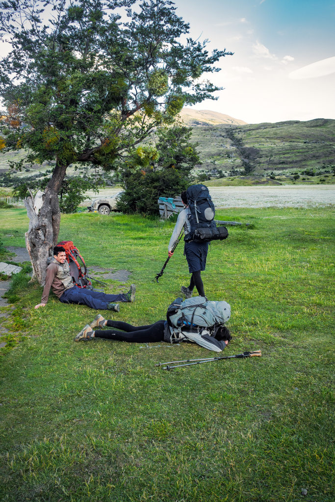
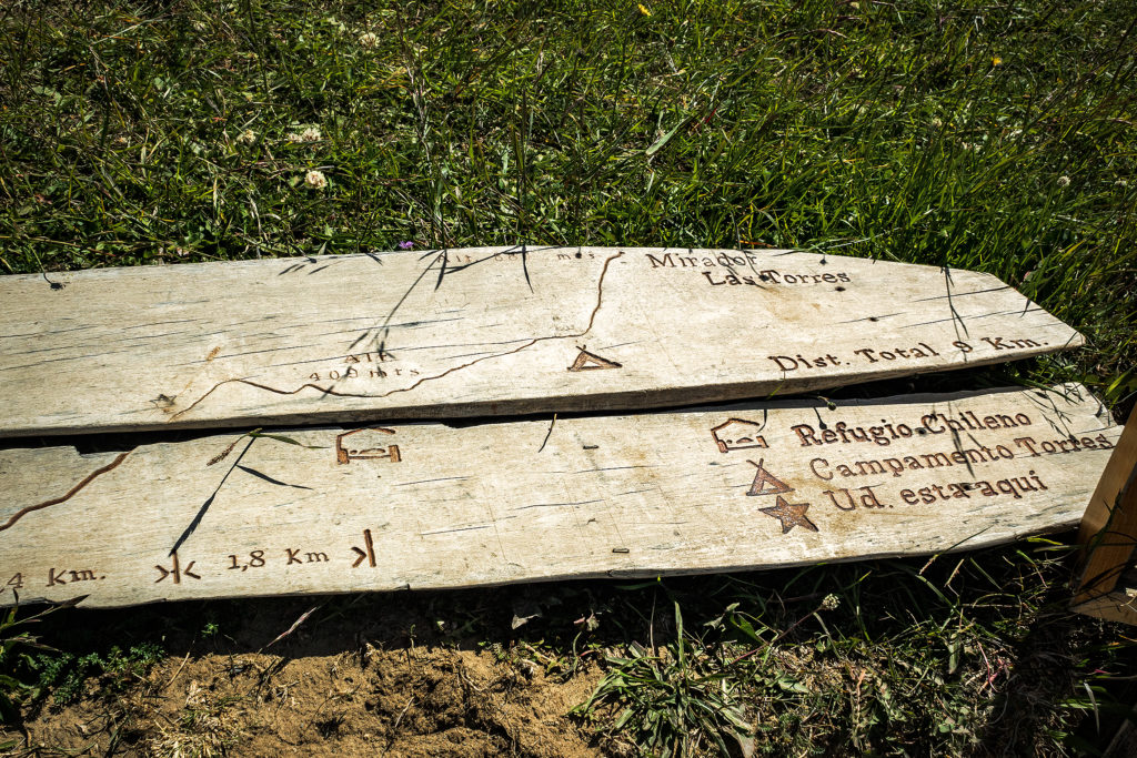
Once we got to the bottom of the valley and under the cover of the trees, we took a break for a snack. We knew we were getting pretty close to the campground at that point, but as I mentioned before, signs in the park were approximate at best, and distances indicated on them rarely accurate for some reason. I thought we only had another kilometer to go but as we kept moving along in those wide open fields, I still couldn’t see a campsite in the distance. We past a row of tree and at that point I was reaching the mental state of “ok we should have arrived by now”. When you get to that point in your mind, it doesn’t matter how much energy you still have in store, you’re just about done. So I was hoping the campsite was just behind the tree line, but then we were on the other side and it was another huge open field with no sight of man-made structures. We kept on walking for another 20 minutes and eventually, after a few more fields and tree lines, we arrived at the camp. I knew part of my feeling tired had a lot to do with having mentally decided a couple of km back that I had enough of walking for the day. I knew that I could have walked a lot longer if needed, but I had hit that mental block. It’s probably one of my biggest barriers when trying to challenge myself, to not go to that mental place of “this is too hard, I can’t”, and even though I did go there briefly that day, I was still mindful of not vocalizing it (meaning, not complaining out-loud like a 5 year old), as that really  would not have been conducive to any sort of positive atmosphere. 😛
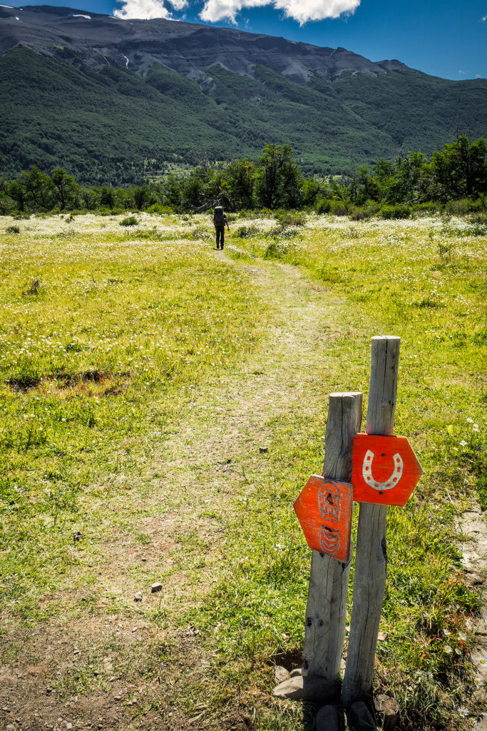

So I just let Brice get ahead of me a bit and kept on walking, all the while cursing in my head about stupid walking with stupid heavy backpack and stupid signs that gave the stupid wrong distance and stupid wind…I know, it’s ugly… But I’ve set out to give a pretty accurate account of our trip, the good and the bad, and frankly, it was pretty much good all the time except for that day when I thought I would never stop walking and it was just the worse…
I have to give props to Brice, who on the other hand, is probably one of the strongest person I know when it comes to getting past (and even ignoring) that mental block – not that this was that challenging to him anyways, but having had the opportunity to watch him challenge himself on ultra races in the past year, and always keeping a smile on his face and never complaining, even when it hurt, that was definitely an inspiration I took with me on this trek and tried to channel that positive attitude throughout the journey…Hopefully I did ok – but that’s more for him to say.

So we got to camp and I put my bag down and decided I just needed a minute, so Brice went to check us in and came back carrying a bottle of wine he’d gotten from the small refugio store, which right there made everything better.
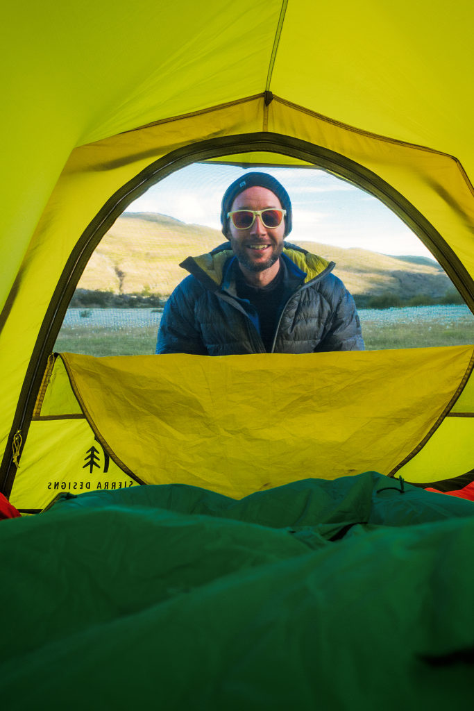
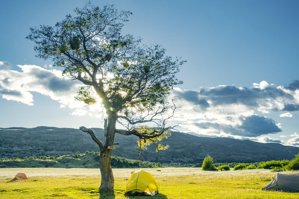
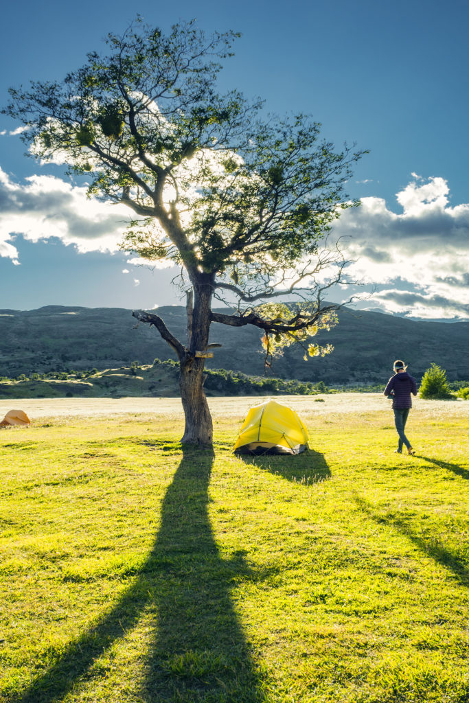
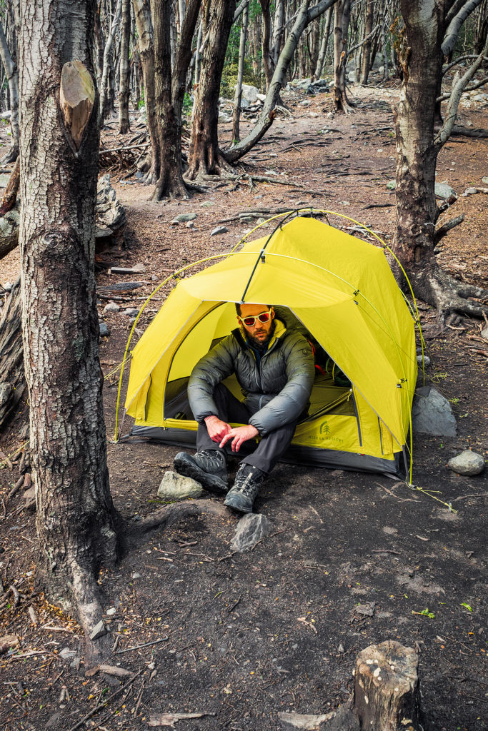
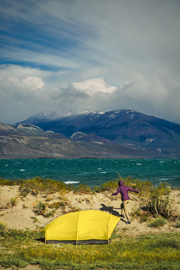
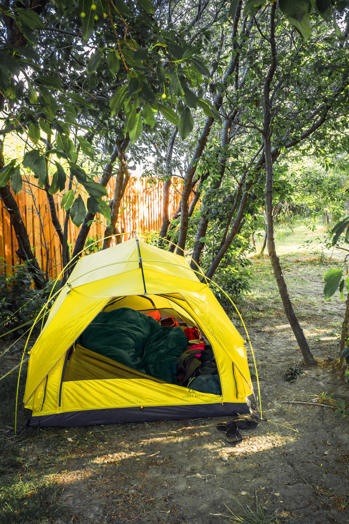
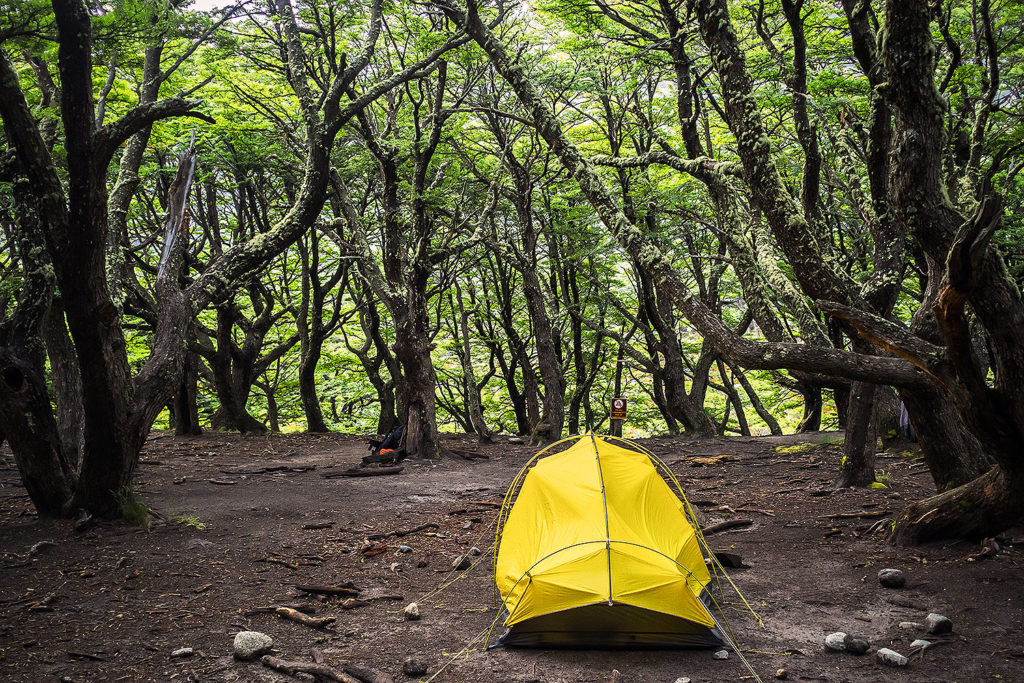
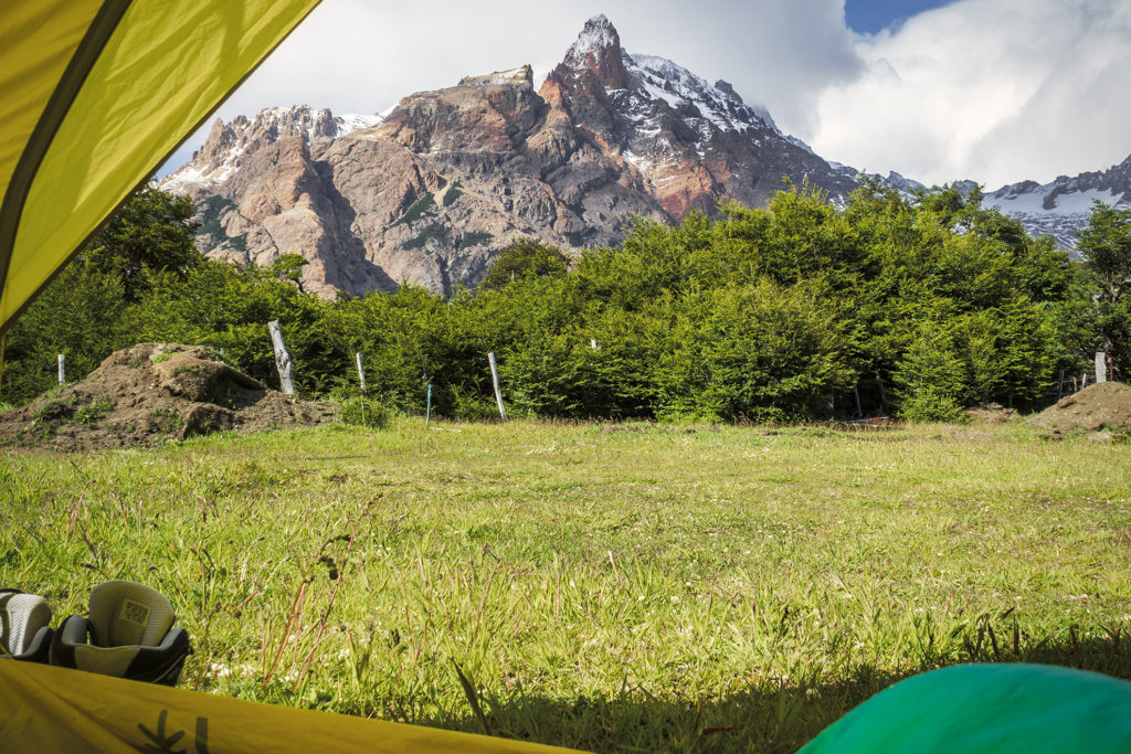
The campsite was an open field, much more exposed to the wind than the previous ones we had seen so far, but our tent stood up to the task once again and we slept really well – it was even a bit warmer since we were lower in elevation.

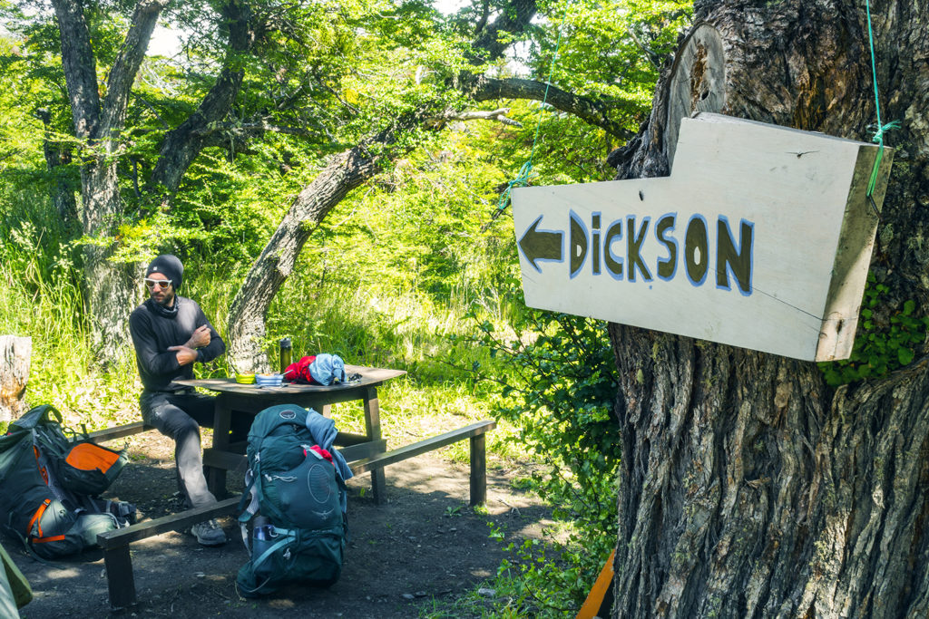
The following day was going to be our longest day in terms of distance, as we had to cover about 30 km from Serón to Los Perros (and I was mentally prepared for it :P). There was another campground on the way, Dickson, that we could have stayed at, but then it would have meant adding 10 more km and an extra 600m of gain on the day we were going over the John Gardner pass, which was the highest point in the whole trek (1200m). So instead we followed Alan’s suggestion and went all the way to Los Perros, the last campground before the pass.

At breakfast, we talked to two hikers who happened to be porters, hired by tourists to carry their backpacks for them. For some reason we hadn’t even imagined that it could be a thing,  not here anyway. But I guess it was, and it left us a bit perplexed about the sort of people who would set out to do a trip like this, but only embrace the enjoyable part and none of the challenges. When you know that you can buy every meal at the campsites, and you can rent all your camping equipment as well, to the point where your tent would be already set up  and waiting for you when you arrive, what is there still left to carry really, other than a few pieces of clothing and a camera….But maybe I’m passing a negative judgment here and there could be very good reasons for this service to exist…

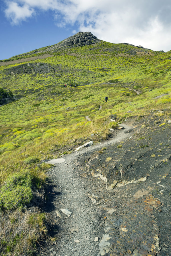
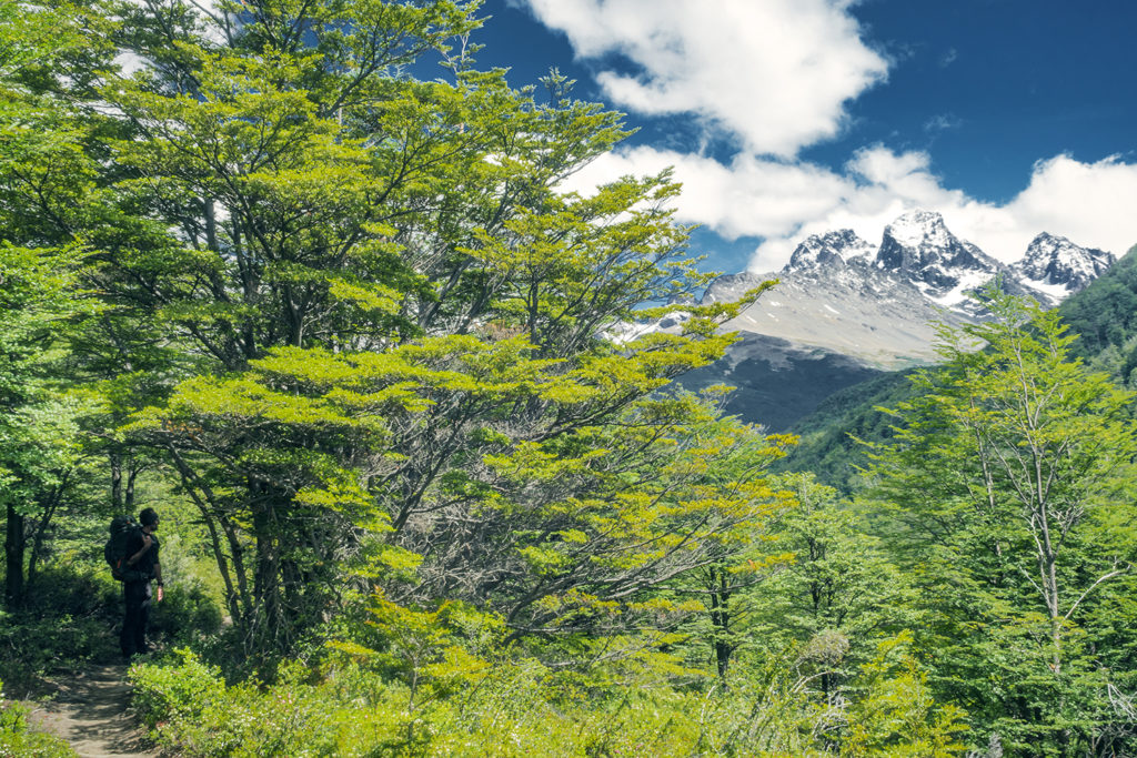
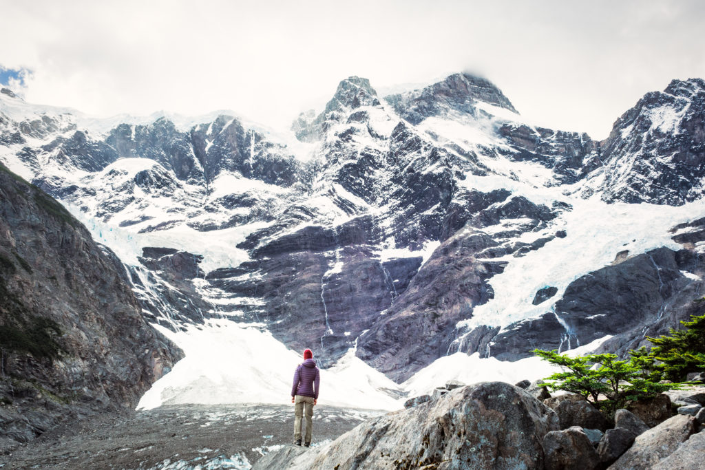
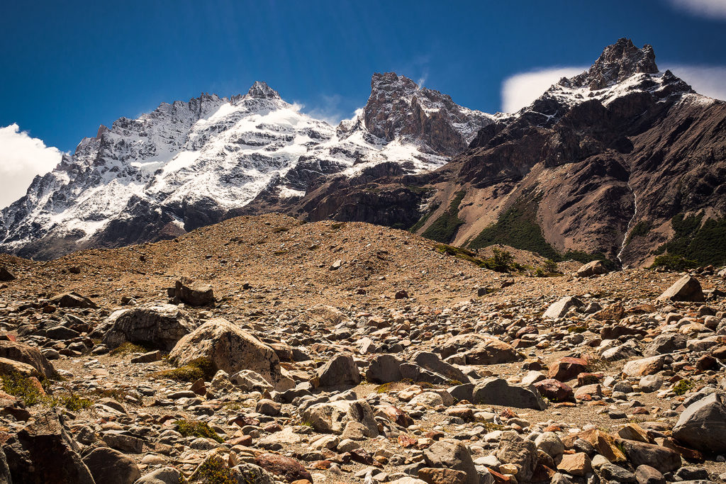
The beginning of the trail took us through more fields of wild flowers, then we hit a pretty steep hill (that the porters at breakfast had warned us about ;P), which took us a good hour to climb, until we started walking along a ridge just above the river.

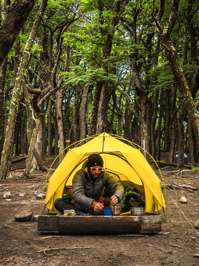
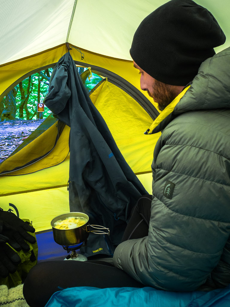
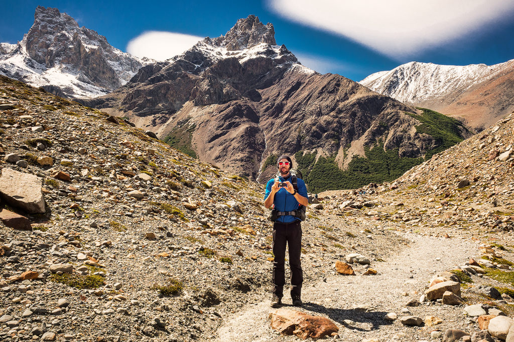
It was once again beautiful, and another, different view we hadn’t seen yet. After about 9km we arrived at the Coirón Rangers station and stopped for lunch. Since we weren’t allowed to cook in the park (other than in designated area), but most of our food involved some sort of heating, I had thought of pre-cooking some instant noodles in the morning. We drank the broth at breakfast to avoid any leaking in the bag, but then packed our noodles up so we can have them later. Add a can of tuna to this and it was a pretty delicious lunch, which required no additional cooking, therefore good time saving. This proved to be a good method to guarantee a sustainable lunch if we had to stop somewhere along the trail where we couldn’t use our stove.

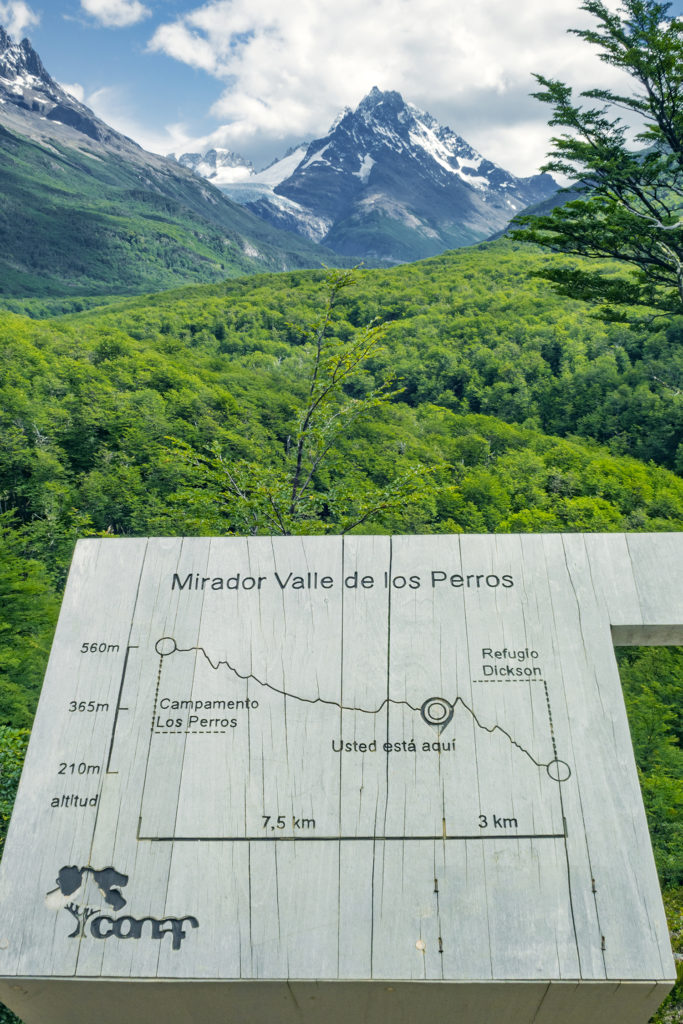
When we arrived at the check point, the ranger asked us how far we were going that day. We said all the way to Los Perros. He looked at his watch and said “don’t take too much time, you need to get to Dickson by 3pm otherwise they won’t let you continue on”.
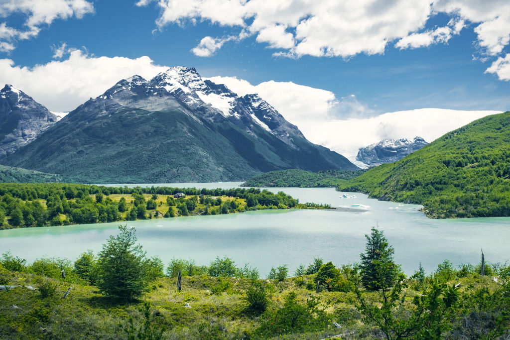
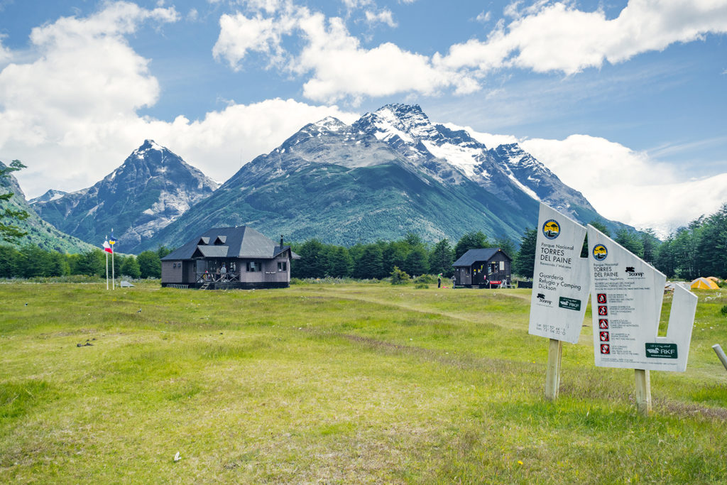
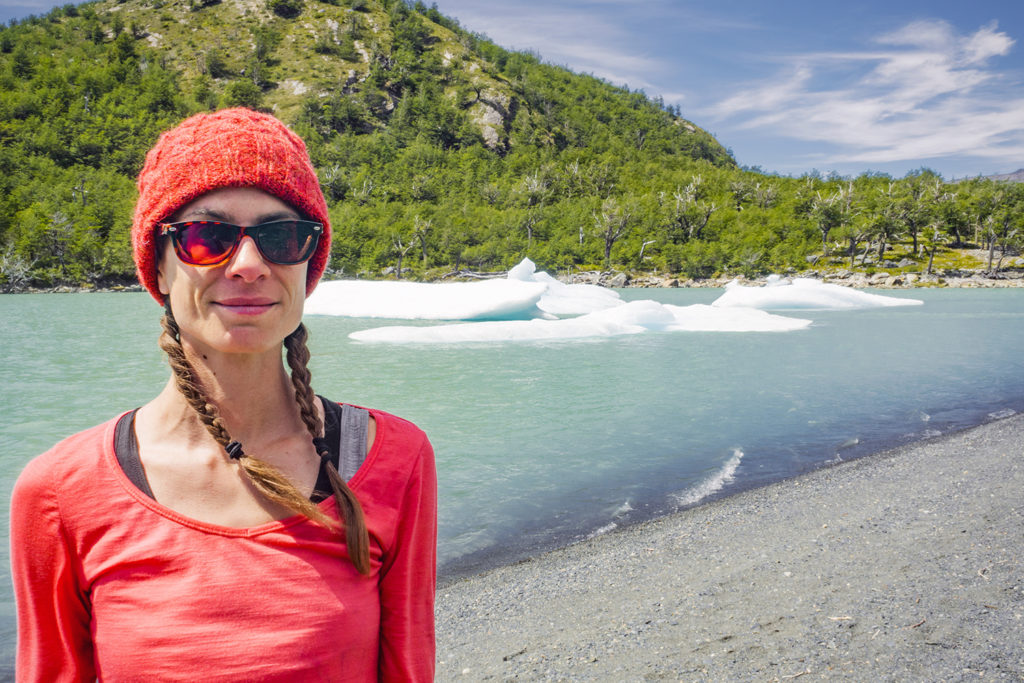
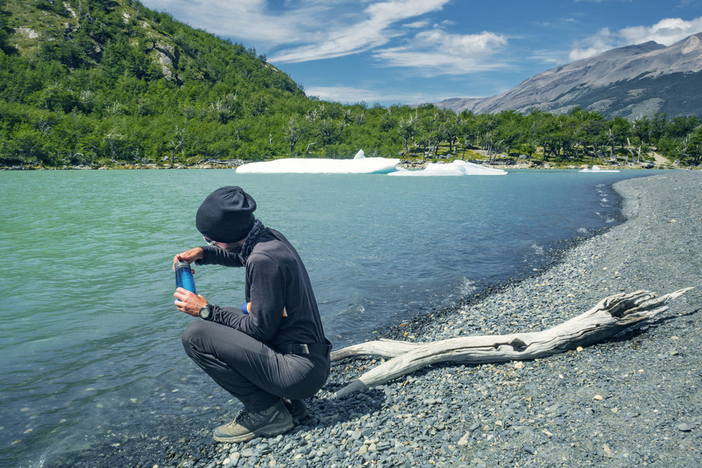
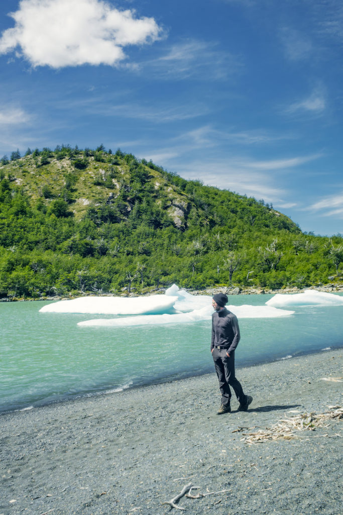
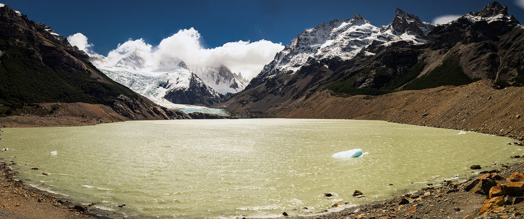
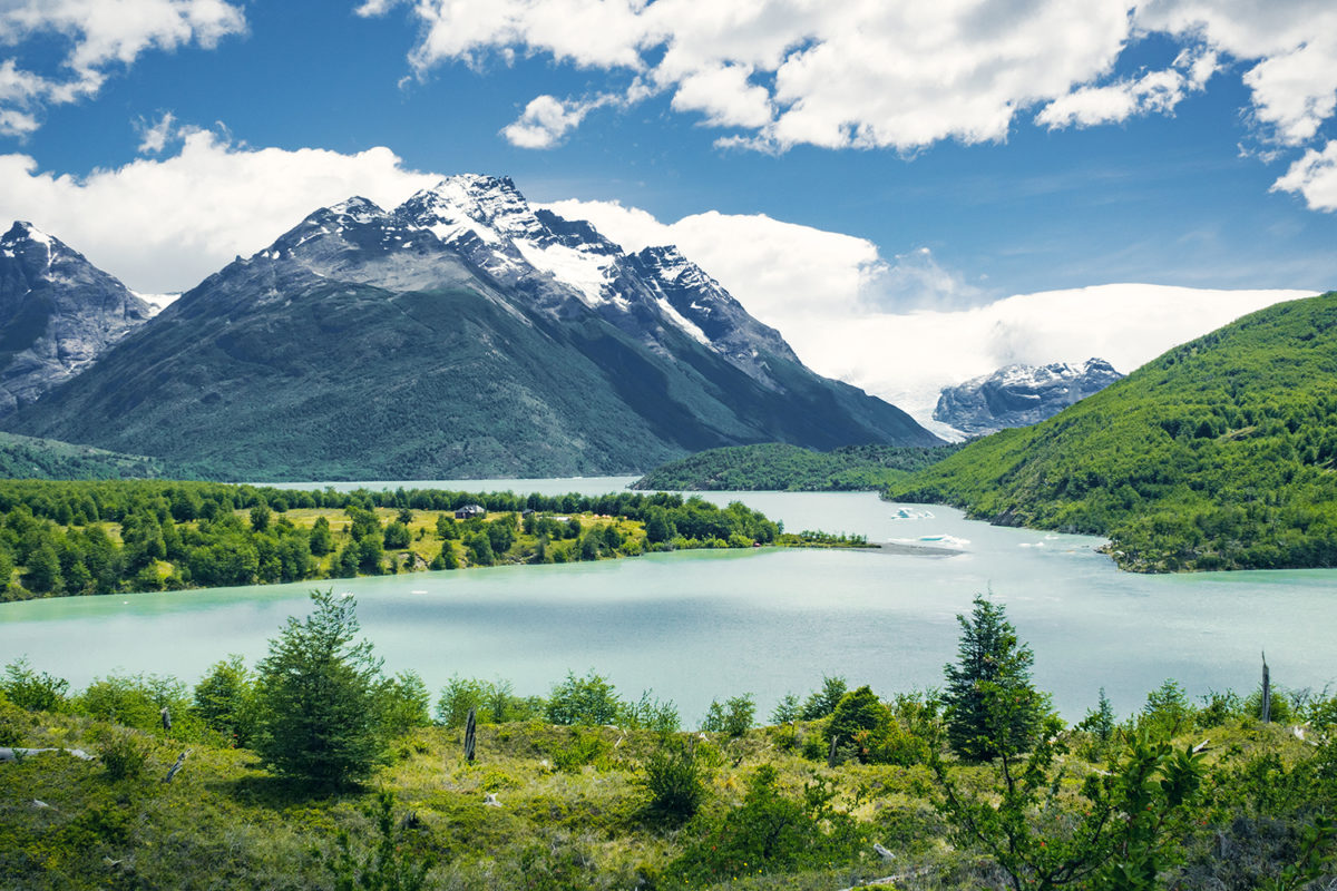
Dickson was another 10-11 km away, and it was almost 12:30pm. The map said that it would take about 3hours to get there, and although it had been pretty accurate in the last couple of days, we thought we could probably get there faster. That section of the trek was also the flattest of the whole circuit, which definitely played in hour favor. So at 1:00pm, with our belly full of noodles and our energy restored, we headed out at a pretty steady pace (while still taking a moment to snap a picture here and there). The approach of Dickson was quite stunning, as we walked along a ridge overlooking Dickson lake and the campground, and we could see little pieces of detached ice floating around in it.
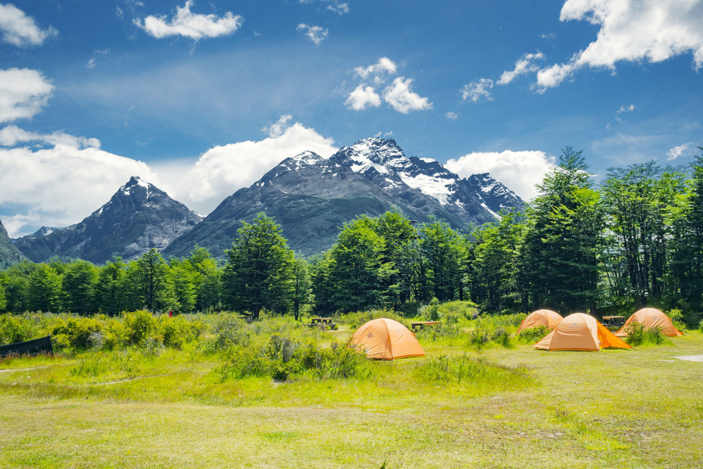

We arrived at Dickson at 2:30, only 1h30 after leaving Coirón, on a section that was estimated to be about 3hours. Pretty good!
The rangers there told us that the cut off for leaving from Dickson was 4pm (and not 3pm), so we had plenty of time and decided to take a break and enjoy our surroundings a bit. But first we hit the little shop for additional food, as the stock we had purchased in Puerto Natales were pretty much gone. The shop was small but had quite a bit to chose from, including different kinds of soups and instant noodles. We grabbed a couple packs of cookies and as we were about to pay I also pointed to a “Buddin” (that’s the brand name) pound cake that seemed to be calling out to me. We made a “gouter” of pound cake and coffee and it became our new favorite snack for the rest of the trip (especially after we found out it actually came in different flavors such as chocolate or orange).

We hung out in Dickson a little bit, taking a walk on the lake shore and just enjoying not having a backpack on. But then we still had another 10ish km to go, with 400m of elevation, and our legs weren’t so fresh anymore, so just before 4pm we put the packs back on and continued on.

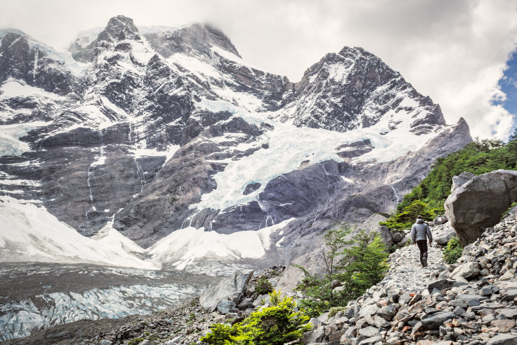
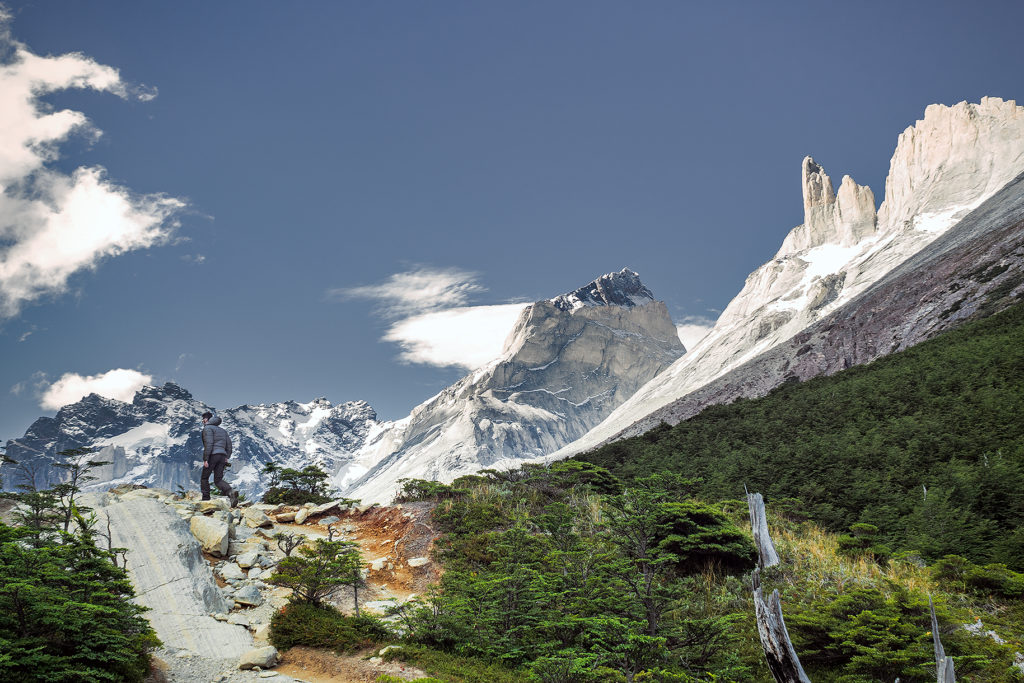
The next stretch took us into the forest for a fair bit, and eventually up to the base of the Los Perros Glacier. Once again we got a bit confused by the signs indication of kms and what our GPS watches where showing, and after looking around for a campground at the base of the glacier, we found it another 1km further, in the forest.
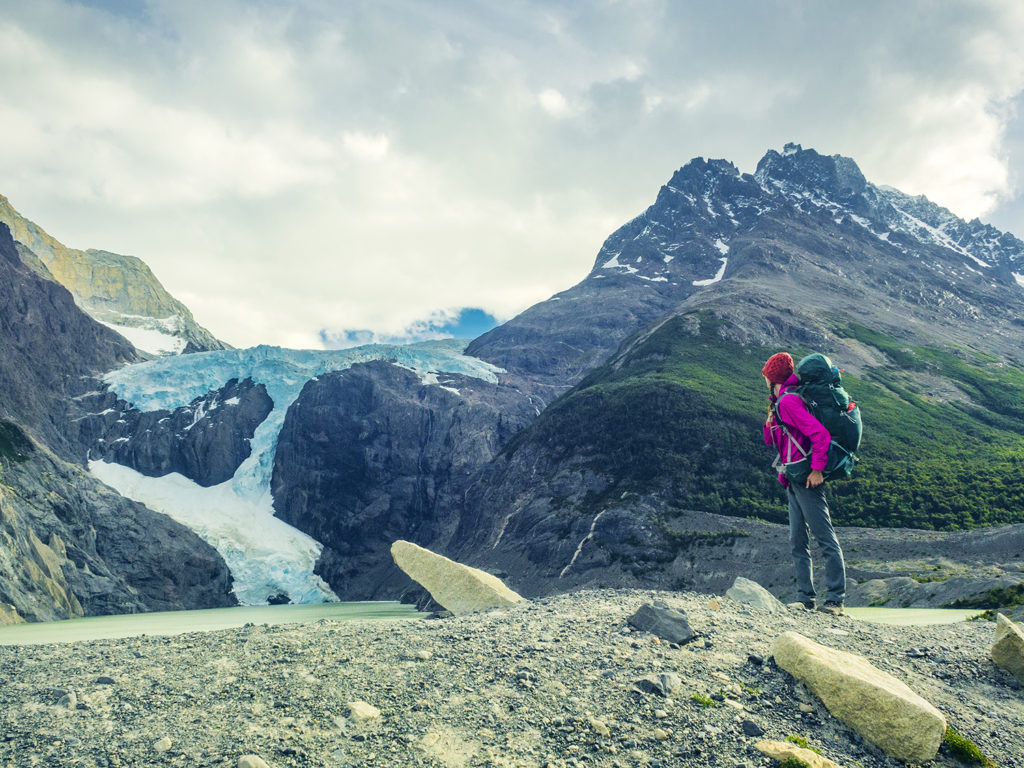
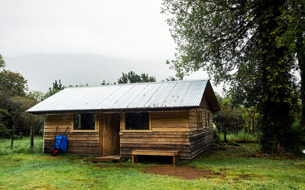
Los Perros was a bit more crowded than the previous campgrounds, but we did appreciate having a full hut (with four walls and a door) to have diner and breakfast in, rather than a small 3-wall shelter like in previous campgrounds.
At night, we chatted some more with Jen, who had made it to the campground just before us. We were all pretty beat after a long day and went to bed early. The next day would be another exciting one, with the crossing of the infamous John Gardner Pass.
Patagonia Travel: Trekking in Torres del Paine – the W circuit

On the morning of Dec 26, we got on the bus at 7am. From Puerto Natales, it took about 2 hours to get to the park entrance at Laguna Amalga. Everybody had to get out of the bus to go into the ticket office. We filled out a form with our info, and how many days we were going to spend in the park, then paid the entrance fee, and finally we had to watch a short video detailing all the rules and guidelines. Due to the growing popularity of the park, they had to enforce some pretty strict rules about where people can eat and sleep, in order to preserve the land and avoid major damages caused by human impact.
From the entrance, shuttles took people to the hotel on the eastern side of the park, the one closest to the iconic Torres. The rest of us got back on the bus and drove to the second stop, were we would board a ferry to cross Lago Pehoé and reach the western side of the “W” portion of the trek.
The ferry crossing was a pretty interesting experience. The boat was fairly small, and, as people in front of us boarded, we could tell that not everyone that was waiting on the dock would fit. In fact, we had to let the first boat go and wait for it to come back to get the rest of the hikers (which delayed us by over an hour). That’s right, there is only one boat that crosses back and forth. This was pretty telling of the incredibly growing popularity that the park has experienced in the last few years, and how the infrastructure hasn’t quite been upgraded to accommodate it – and nor do they necessarily want to. Once on the boat, all the backpacks were piled up near the front of the cabin. Then one of the crew stood behind a little counter in the back, and people lined up to pay for the crossing – in cash only of course. They only checked if you had paid for your ticket as you exited the ferry. Not the most efficient process, but probably one that worked fine back when boats weren’t filled up to capacity on every crossing. A few people who were going on day trips in the park got quite annoyed by the time they wasted having to wait for the boat to come back, but Brice and I were pretty unfazed by it, having now experienced a number of ways that, from our North American perspective, optimal efficiency was not a major concern in Chile – and it was totally ok.

After driving for days on isolated roads and barely seeing anyone, it was a bit jarring to find ourselves on a boat full of tourists. As soon as we got off the boat, we headed towards the start of the trail and got to walking. It was almost 2pm by then, and we only had about 8 km to cover until our first campground – so a pretty chill day to begin with.

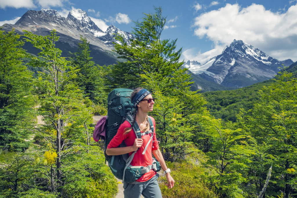
The wind on the shores of the lake was pretty strong though, and together with getting used to hiking with a heavy pack, it made the first few kilometers a bit more challenging that I would have thought. The weather was otherwise on our side, with sunshine for most of the way.

The map we were given upon purchasing our ticket had loads of useful information, including elevation profile (I love looking at that stuff!) and estimated travel times. Hiking without a pack, we probably would have been a bit faster than the times on the map, but with extra weight, those ended up being pretty spot on – and a whole lot more reliable than all the signs put up in the park – but more on that later.

Once we arrived at the campsite, Campo Italiano, we first had to check in with the rangers. They checked that we indeed had a reservation for the campground, then we were able to chose a spot to set up our tent. After that, we left all our gear in the tent, changed from hiking to running shoes and hiked up the Frances Valley trail for a bit. We only went as far as the Frances Look-out (about 2 hours return) but the trail went on much longer for a possible 5 hour return trip from the campground. We had a whole lot more hiking ahead of us in the next few day, and we were in bed by 8pm.

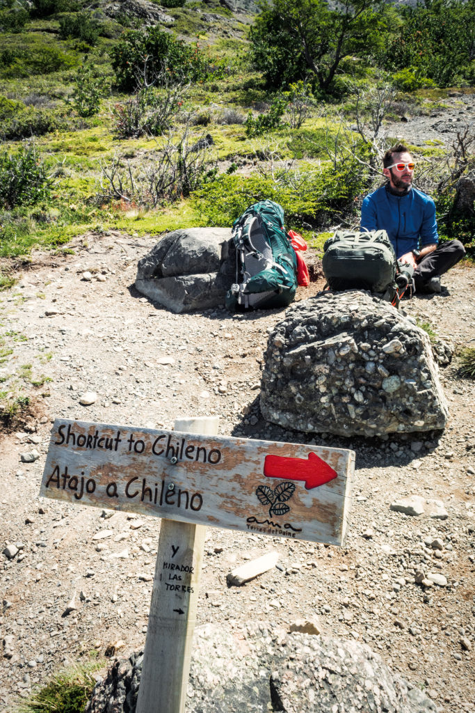
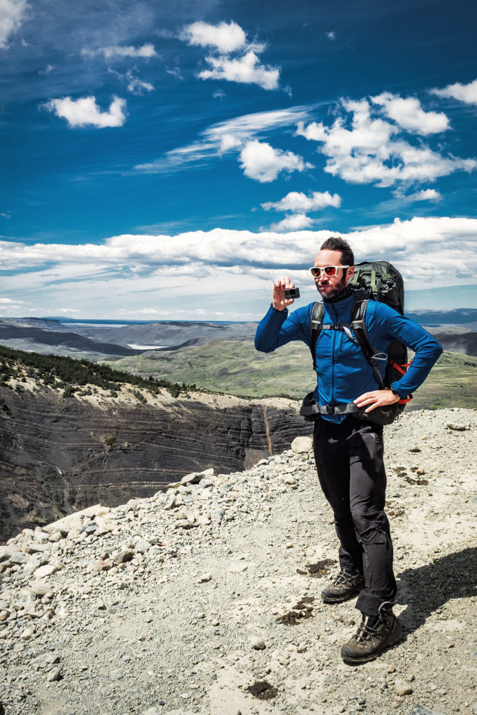
The next day we hiked from Campo Italiano to Campo Torre, about ¾ up Valle Ascencio. The trail offered some beautiful views of the Nordenskjold Lake, then after the short cut to Chileno junction, we started going up the valley, along the ridge of a canyon. We again experienced some pretty insane wind. At the highest point of the ridge, just as it curved around the side of the mountain, the wind was so strong you had to really push through to move forward. Brice got blown 180 degrees on his feet while filming, and I’m pretty sure I swallowed some gravel that was being blown in my face.

We stopped every couple of hours for a quick snack, making sure to consume the proper amount of calories to keep us going. Around 3pm we reached the Chileno lodge and stopped for a longer coffee and cookie break. We also started chatting with Jen, a solo hiker who was doing the full circuit like us, and had arrived on the same day – although we didn’t hike at the same pace, we ended up seeing her quite a bit along the way, as she too was following Adventure Alan’s recommendation. It was nice actually to see a familiar face on a daily basis and be able to share our impressions of the journey with her.

After Chileno, we had another 1.5 hour of climbing before reaching Campo Torre – the sign outside of the lodge said we were 1,2km to the campground, but it ended up being much closer to 3km (that was our first hint that signage in the park was NOT to be trusted).

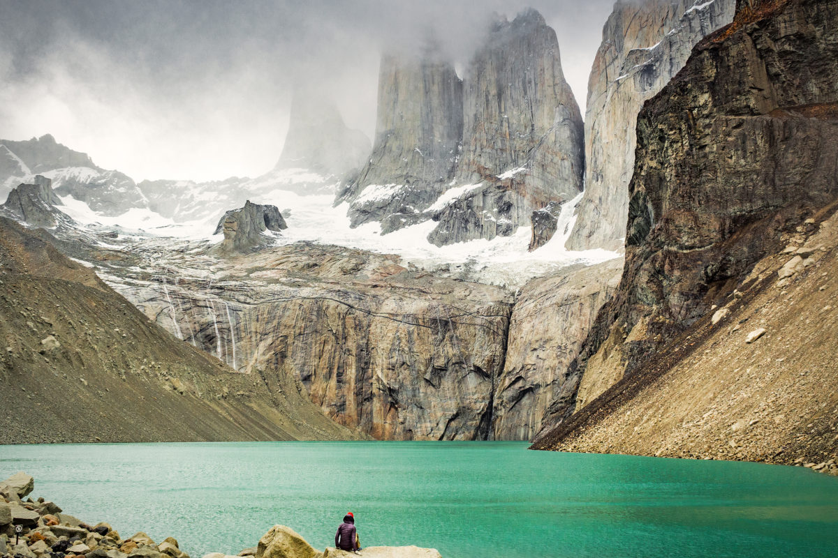
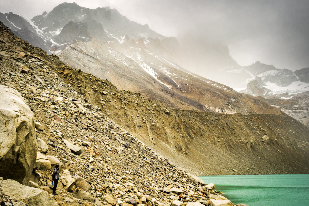
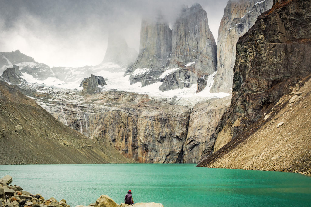
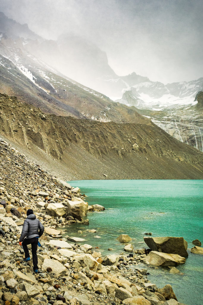
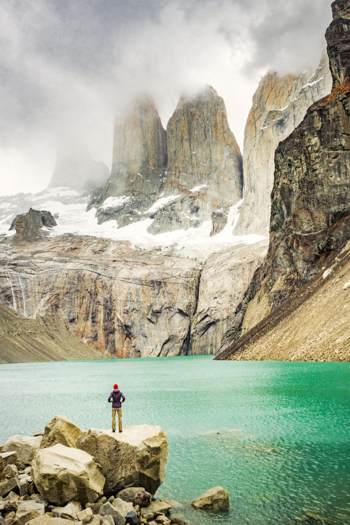
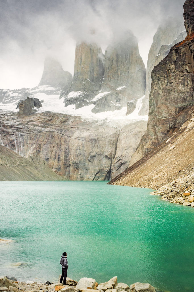
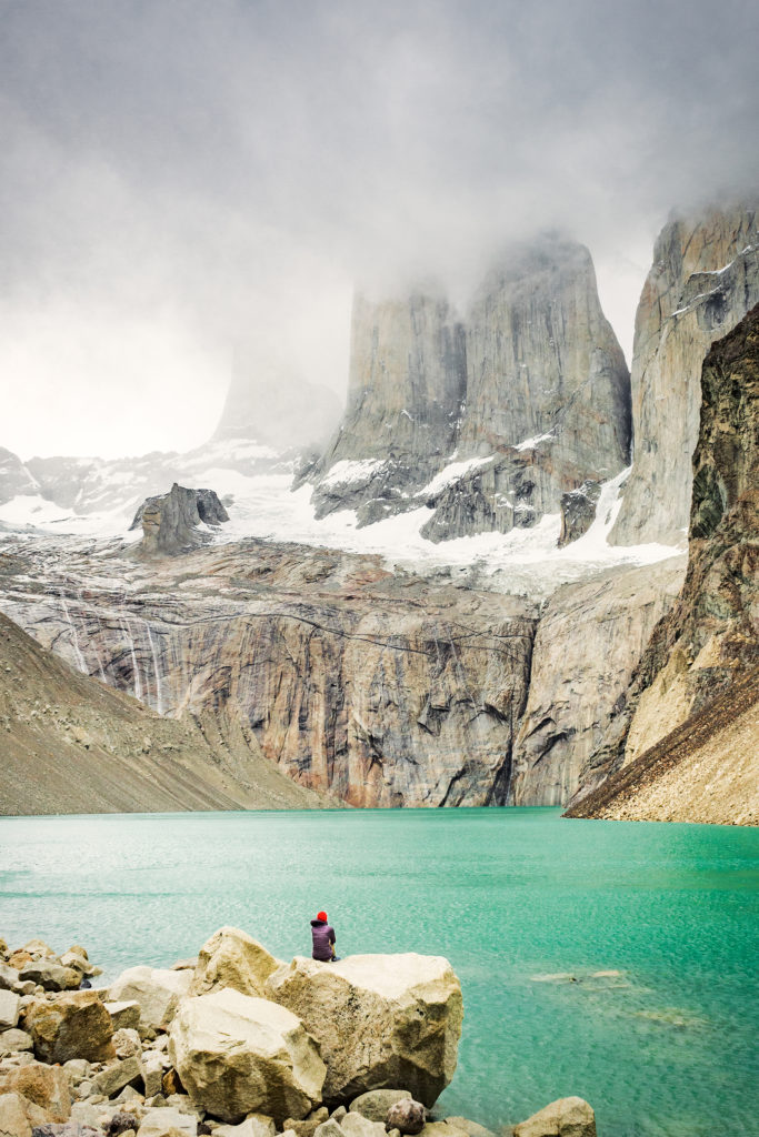
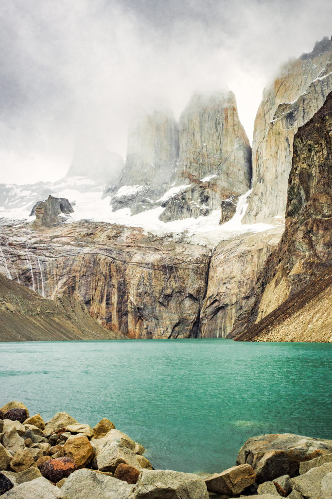
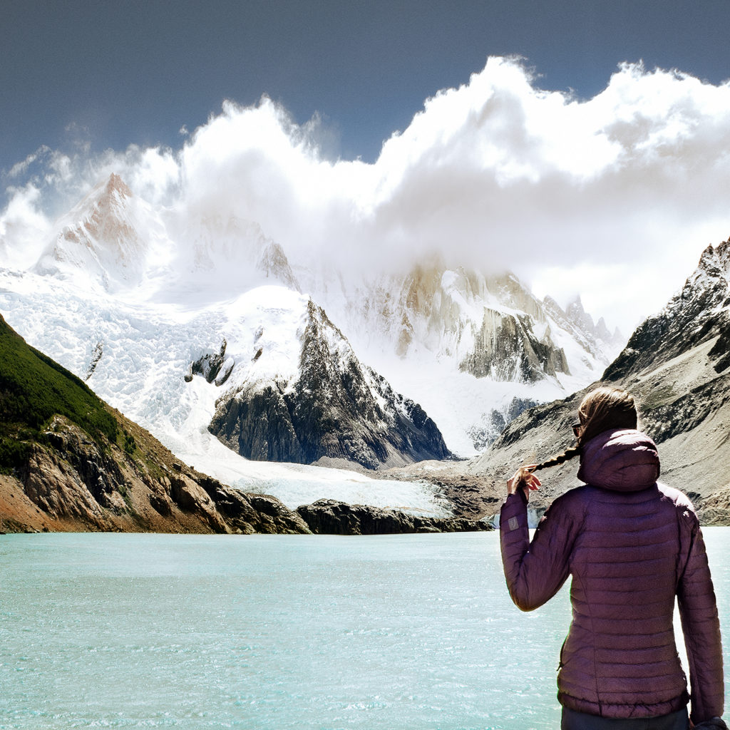
Once we arrived in Campo Torre, we repeated the previous night’s cycle of putting our tent up, then leaving our gear behind to hike higher up. This time we were hiking to the iconic Torres, the ones that you see in every photo of the park ever posted on social media. The weather had become overcast at that point, so we weren’t sure we were going to see much, but we decided to give it a go anyways. The hike up was pretty steep and we were glad we were able to leave our packs behind. After a section in the trees, the last few hundred meters were up and along a rocky scramble. And finally there we were, inside the postcard. The iconic towers themselves were somewhat obstructed by fog, but the view wasn’t any less impressive, especially with the turquoise blue water underneath. And best of all, we were the only ones there.

Where crowds of hundreds had likely been standing earlier in the day, taking turn to get their Instagram pic on a rock by the water, now there were only us. It was really special, and I’m so glad we went up that evening rather than the next morning, as we would have had a much different experience for sure. It was sprinkling a bit so we found cover against a large rock with a bit of overhang, and just hung out there for a bit, taking in the serenity and quiet of the place.

That view was in a sense – as probably for most of the people who now come this far to see it – the starting point of this whole trip. Images of Torres had started to pop up on my Instagram feed in the last few months and when Brice suggested Patagonia as the destination for our trip, I thought about these images right away. There’s no denying that in that sense, our trip was very much the product of the influence of social media, amongst many other things of course. But I would be lying if I didn’t admit that seeing all these beautiful images of incredible landscapes on Instagram is making me more and more want to go out there and see those landscapes in real life.

And I’m of course not the only one. There have been debates lately about the impact such images have on these places, bringing more and more attention to otherwise hidden gems that were in the past enjoyed by only a few in–the-know. What used to be desolated, wild places up until 5 or 10 years ago are now becoming tourist-central, of similar category as the Louvres or Disneyworld. We’ve experienced this even at home in BC, where crowds are now rushing to places like Joffre Lakes, and in turn posting about it online, perpetuating the cycle. To say that people only go there to get that “I was there” instashot may be a bit of an exaggeration or generalization (or at least I want to believe that it is). But the fact is, putting those places on the map, especially through beautiful photos, might be having an impact, and potentially not a good one on the environment.

But who’s to say that these natural wonders should remain a secret, that the majority of people should not be allowed to know about them or to see them with their own eyes if they want to and have the means? Then again, this is probably a very selfish way to look at it, and a “bigger picture” perspective might be to say that we should be here to serve the Earth and not the other way around, and that leaving those places untouched and their beauty un-tempered with – by not actually visiting them – should maybe be more important than our individual need to have seen and experienced them.
I won’t pretend to know the answer especially since I am no different than the rest of the crowds. The one thing I will say is that thankfully, it seemed that visitors diligently abided by the rules of the park and we never saw one piece of trash on the trail, which was a nice thing to notice.

Rain was picking up so eventually we made our way back to camp. I was glad that we saw this iconic view early on in the trek, as it meant there was more to our trip than just getting that one photo and it wasn’t going to be the grand finale (far from it actually). This way it was merely another perfect moment suspended in time, another gem among the rest of the ones we’d already collected along the way.


Patagonia Road Trip Day 8 to 10: Trekking in El Chalten

On our first morning waking up in Argentina, our fist goal was to put some gas in the tank. The only issue was that we didn’t have any Argentinian currency with us, so with most gas stations and shops accepting cash only, we had to figure out where to get some. On iOverlander someone had mentioned being able to exchange currency at a hotel. There was a small hotel in Lago Posadas, so I went in and indeed the lady behind the desk traded me USD60 worth of Argentinian pesos, without even any sort of exchange fee – I was pretty glad about it because Brice had already asked the guy at the gas station to start filling up the tank, and he was about to tell him we didn’t have any Argentinian money to pay… (ask for forgiveness, not permission, right?)

We had some pretty big distance to cover that day so we hit the road and didn’t stop very much throughout the day.
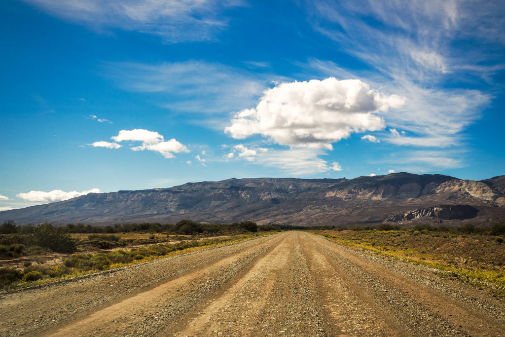
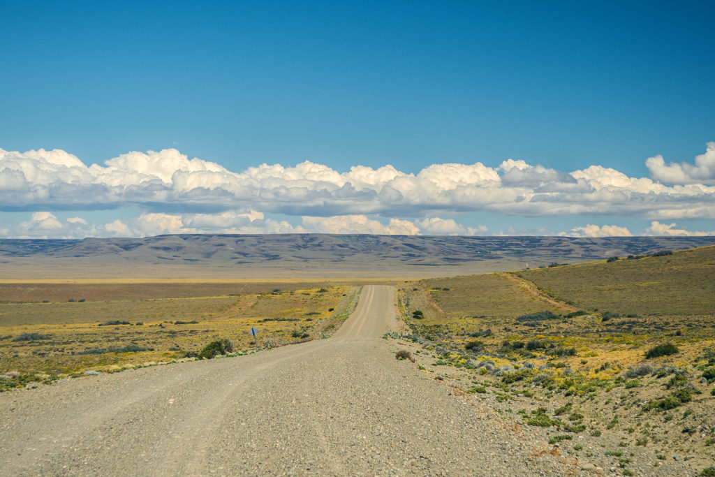
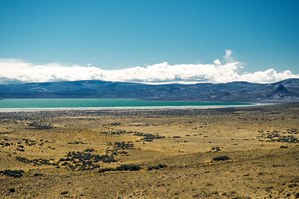
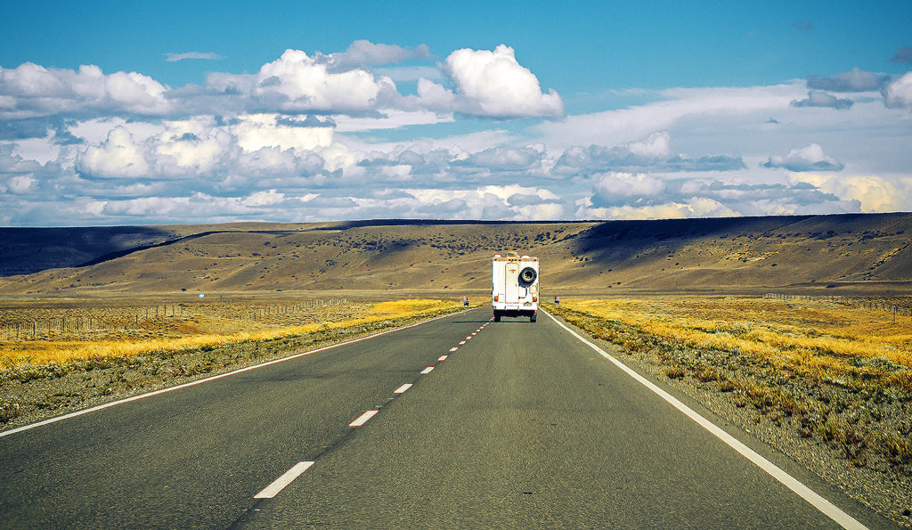
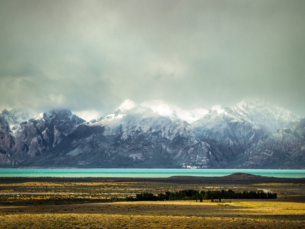
We did make one stop stop in Bajo Caracoles and found ourselves glad that we had detoured through Lago Posadas the night before. Bajo was no more than a re-fuelling stop, with one gas station, shop and small restaurant all in one place, and nothing else around it. Starting from there though, we were now on Ruta 40, and a nicely paved portion of it too. Which was a good thing because there really wasn’t much to look at on the way other than the flat endless road.

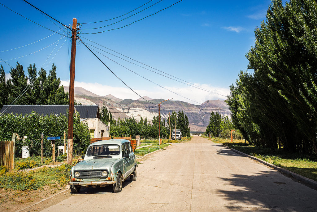
We drove about 440km that day until we reached Tres Lagos, another oasis in the desert. There was a nice campsite at the edge of town, a large fenced off yard with several “fogón” (fire pits) and enough trees to offer wind protection. Also, hot showers! And all for about 100 pesos (about 9 USD). After getting gas in the morning, and lunch, we were running low on pesos again. We tried to exchange more at the gas station this time but their rate was ridiculous. We went to the one small store in town but they didn’t have much in the way of food we needed, so instead we just got a cheap bottle of wine (which ended up being really cheap and really not good).

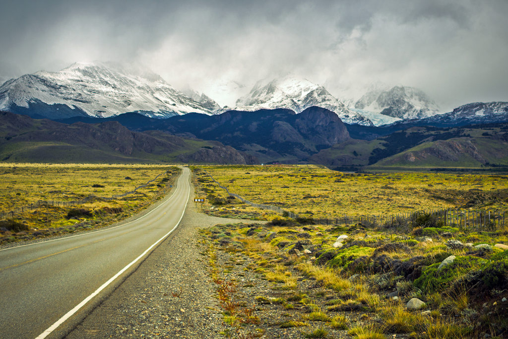
The next morning, we packed up camp and since we couldn’t find anything open for breakfast, we decided to drive directly to El Chaltén, the starting point for hikes in the Fitz Roy range.

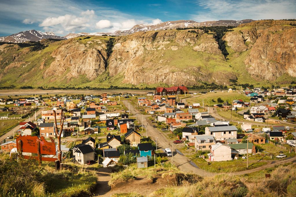
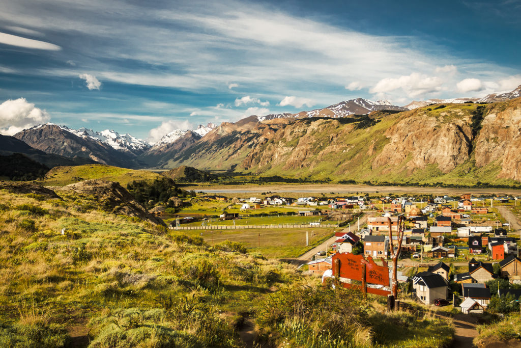
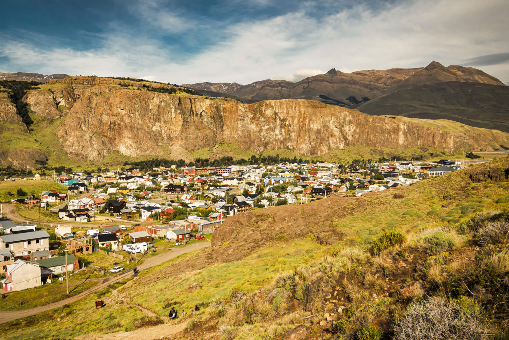
El Chaltén was a bit bigger than the other towns we had driven through. It was clearly a tourist hub, but thanks to it being shoulder season, it didn’t feel that crowded to us. It felt very much like a ski resort, but people were walking around with hiking boots and big backpacks instead of skis and snowboards.
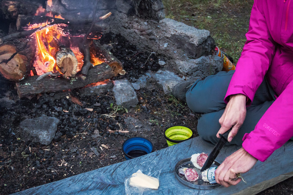
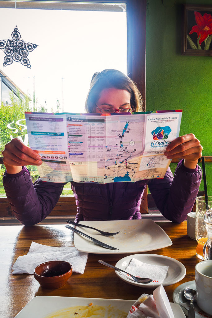
After stopping at the visitor center to get a map of the surrounding trails, we had lunch at the Waffleria. We then drove around town and must have hit all the grocery stores indicated on the map, in the search for food to take with us on our overnight trek. Eventually, we landed in THE store in town. Now, they understood what doing business in a hiking town was all about. They had a huge selection of snacks and dry goods, as well as everything “travel-sized”. From tooth paste to nuts to those little butter rectangles you get in restaurants, they had it all, in easy and light-to-carry format. They also had…cheese and saucisson (!) and at pretty decent price too, so that definitely needed to come up the mountain with us. We also found some really good bread at a panaderia just down the main street.

There were quite a few gear shops in town as well, so we also bought propane for our stove and a good pair of hiking socks for Brice, who until then had slowly but steadily been making holes in his running socks, one pair at a time since the beginning of the trip.


With our supplies in hand, we drove the car to the Laguna de los Tres trail head, on the northern part of town. The idea was to go up to the Laguna de los Tres sendero, then camp at Campo Poinceneau nearby. The next day we would head over to the other side of the valley and up to Laguna Torre, before heading back to town along the Laguna Torre Sendero, for a total of about 35km.

This was the perfect opportunity to do a test run with our packs and see how we would handle hiking with weight on for a day and a half. Since we still had the car, we were able to leave a lot of stuff in the trunk and only packed what we needed for the night.


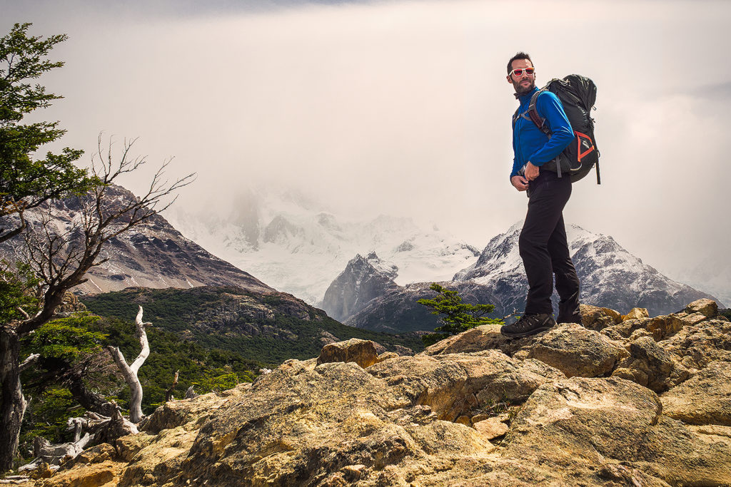
The trail to Campo Poinceneau was really nice. It was sunny at first and the beginning of the trail, mainly on a ridge, offered really stunning views as we went up. On the other hand, we could see from the village that clouds were pretty thick higher up, covering up the view of Fitz Roy, and unfortunately it didn’t clear while we were going up. We arrived at Campo Poinceneau in about 2  hours, and after setting up the tent, we thought we might go take a look at the Rio Bianco Glacier, about 4km round trip from camp. But clouds were thicker still and rain started to pour so after 500 meters we retreated to our tent and decided to just hang out for the rest of the evening. The weather didn’t improve and we ended up cooking dinner inside. We had a bit of a break from pouring rain after dinner and got to see a very foggy glimpse of the “Tres” from the banks of the river just outside of the campground tree line.


The tent was definitely put to the test that night as the down-pour continued, accompanied by strong gusts of wind. This time there was no shelter to protect us but we were delighted to see that the tent held up incredibly well, with no moisture sneaking in and firmly held down by all the extra cords that we hadn’t bothered using in previous nights when wind wasn’t an issue.

The next morning it seemed the rain had slowed down so we decided to try and hike the 2km up to Laguna de los Tres. After about 1km we had to cross a river. The river was pretty swollen from the previous night’s rain, and it took us a while to figure out a crossing point. We finally noticed an area were rocks had been placed to help in crossing, but the river was quite big and it didn’t seem possible to cross without getting our feet wet – which in this climate, is usually a bad idea.

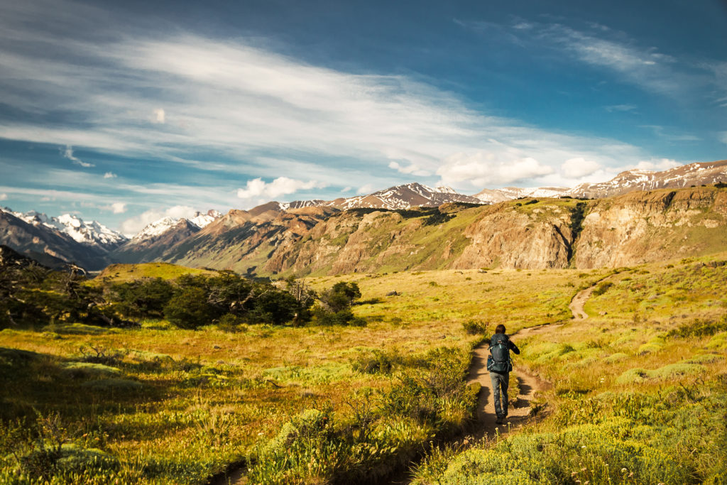
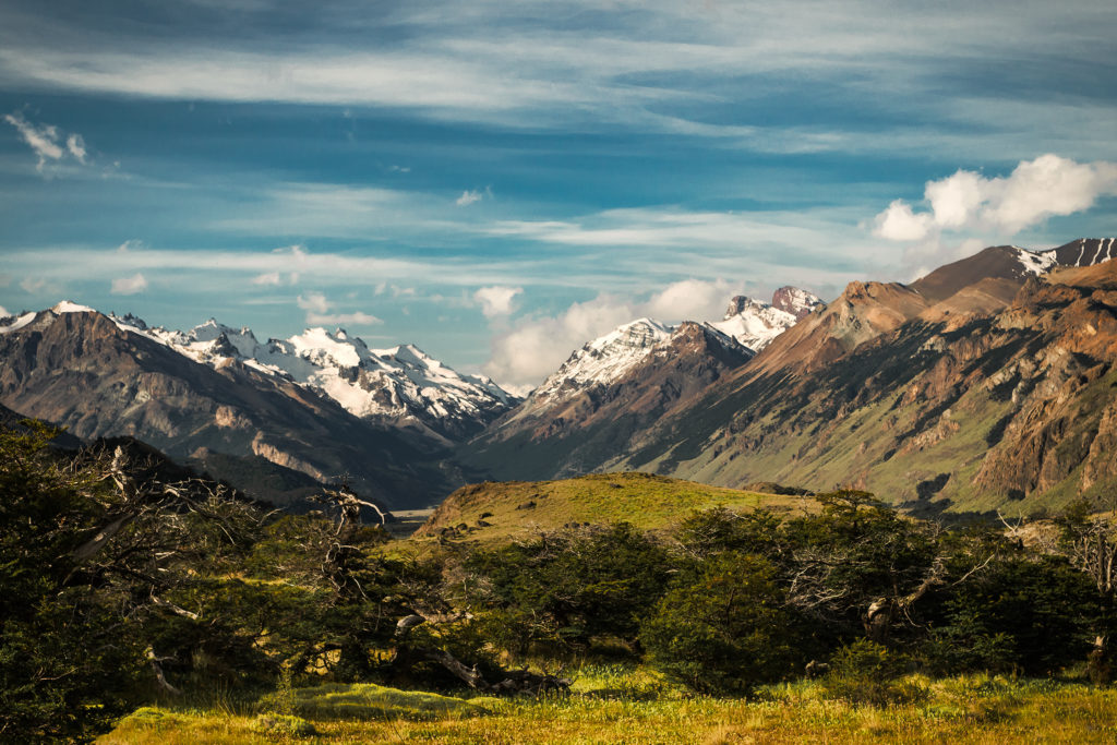
We could also see that the peaks were completely engulfed in clouds so instead of wasting time and energy getting wet for a very unlikely chance of getting the iconic view, we decided to pack up camp and head out to the other side of the valley, were sky appeared to be clear and blue. The trail connecting the Sendero de los Tres and the Sendero Cerro Torre was a nice 8km hike going from densely forested to some open areas near a couple of lakes. It didn’t actually take long for us to leave the clouds behind and be in the sun. We barely saw anyone on that trail, except for maybe 3 or 4 people going the opposite way.

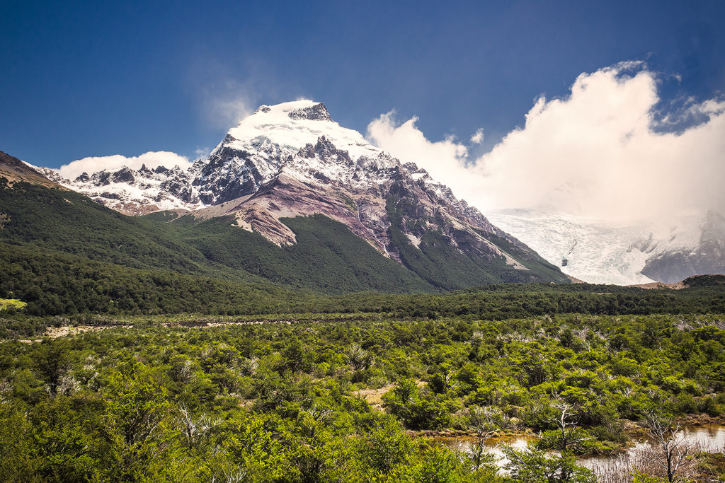
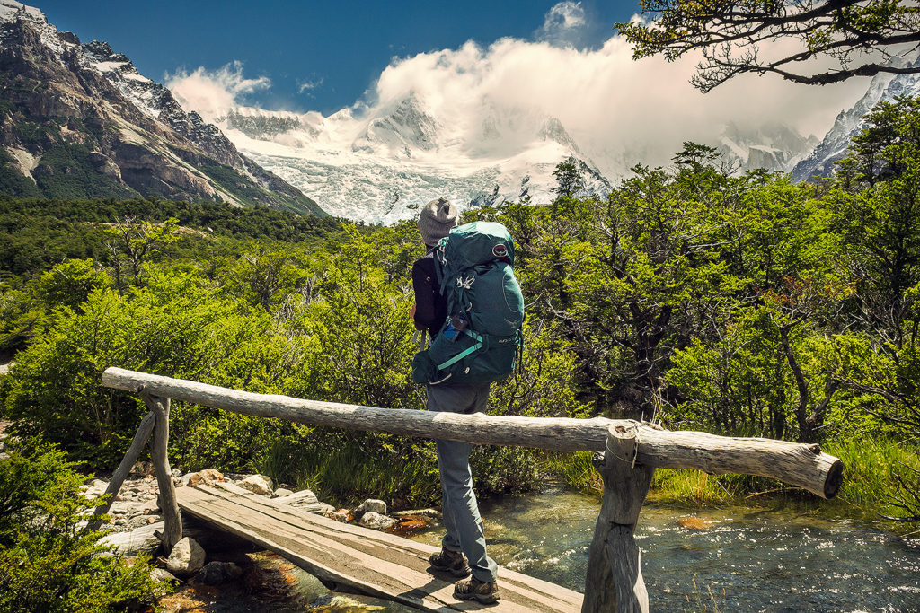
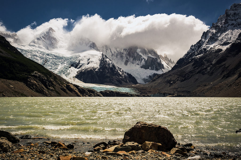
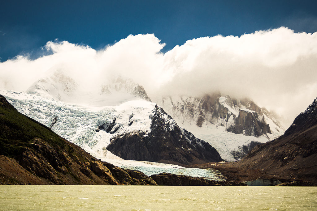
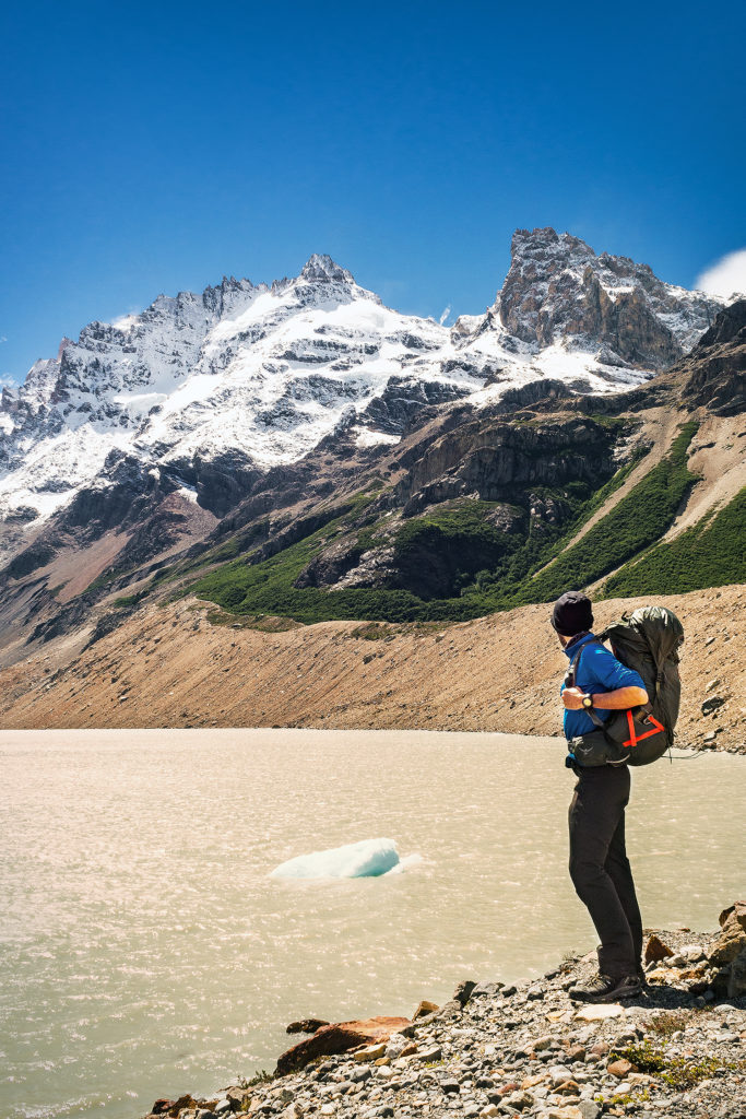
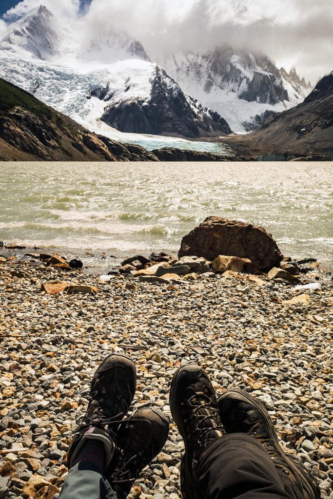
Eventually we reached the intersection with the Sendero Cerro Torre, at which point we still had 3,5km to hike up to the Laguna. We were rewarded at the top by bright blue sky and a pretty clear view of the peaks behind the lake, with just the right amount of clouds hanging on to the summits to give them a dramatic effect. We hung out there for a little while, then it was time to hike the 9km back down to town.

All together, this was a 24km day, nothing we hadn’t done before, but this was our first time hiking that distance with packs on our back. It was a good test before our 6-day trek in Torres del Payne, and a great opportunity to identify one of the major keys to a successful day of hiking: nutrition. Taking a page from the long-distance trail running book, we realized pretty quick that having enough snacks and being able to refuel calories on a regular basis would be crucial in maintaining energy (and spirit) throughout long days of backpacking. It seemed pretty obvious of course, since in general, we always do take some food with us, no matter where or how long we go hiking for. But just realizing how much more calories we were using by carrying our packs, and how much food we really needed to avoid energy crashes, was a pretty big part of this overnight trek. We got back to town and I was indeed famished. Having gone through our reserve of nuts and bars, Brice saved the day when he found in one of his pockets a pack of Hammer chocolate and hazelnut energy gel. I’m not a huge fan of gels but I have to say this one was pretty tasty (almost like Nutella), and gave me a boost when I started dragging my feet, about 4k from the end.


Since we had gone down a different trail, we ended up on the other side of town, but got to enjoy some really nice panoramas of El Chaltén. We made our way back to the car then drove to our favorite store to stock up on more goodies for the night, including of course, cheese and saucisson and wine.

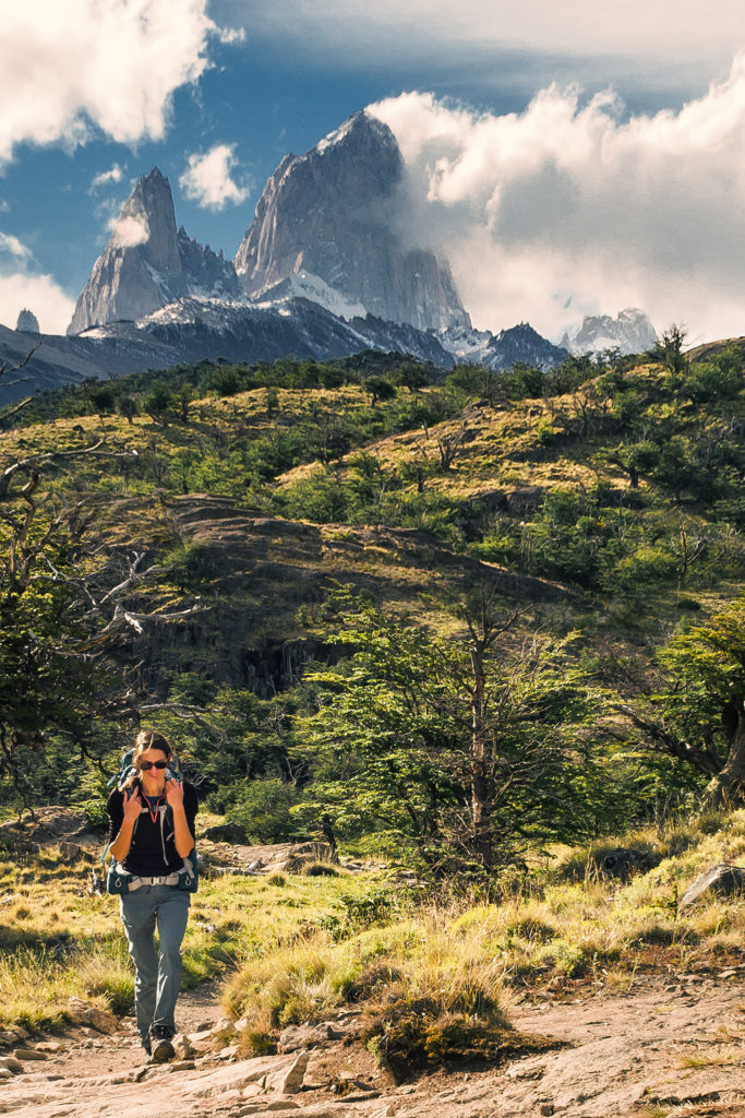
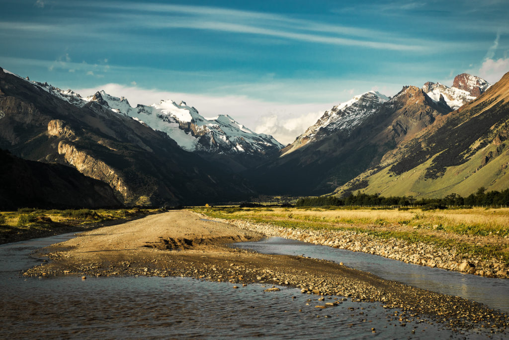
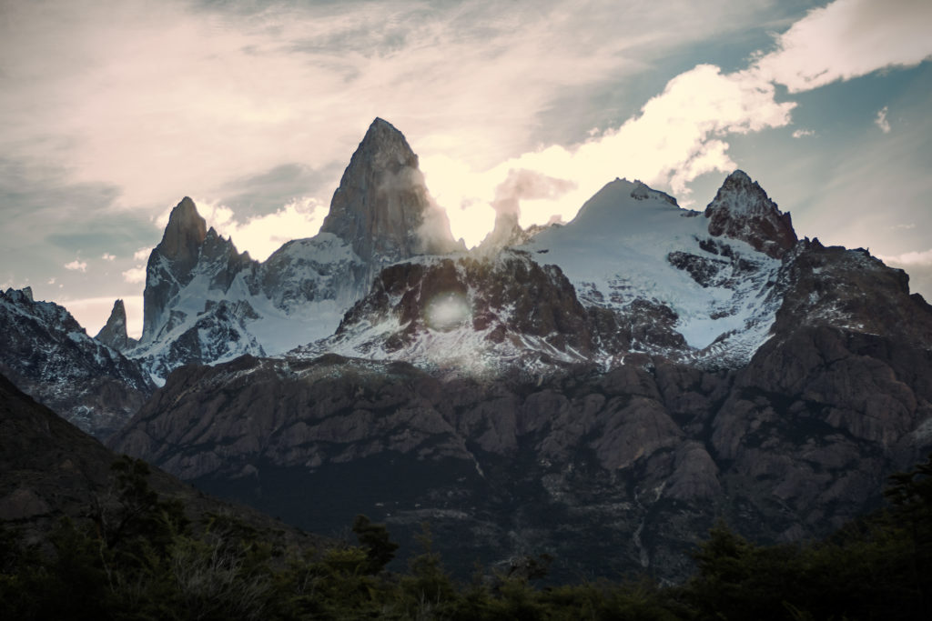
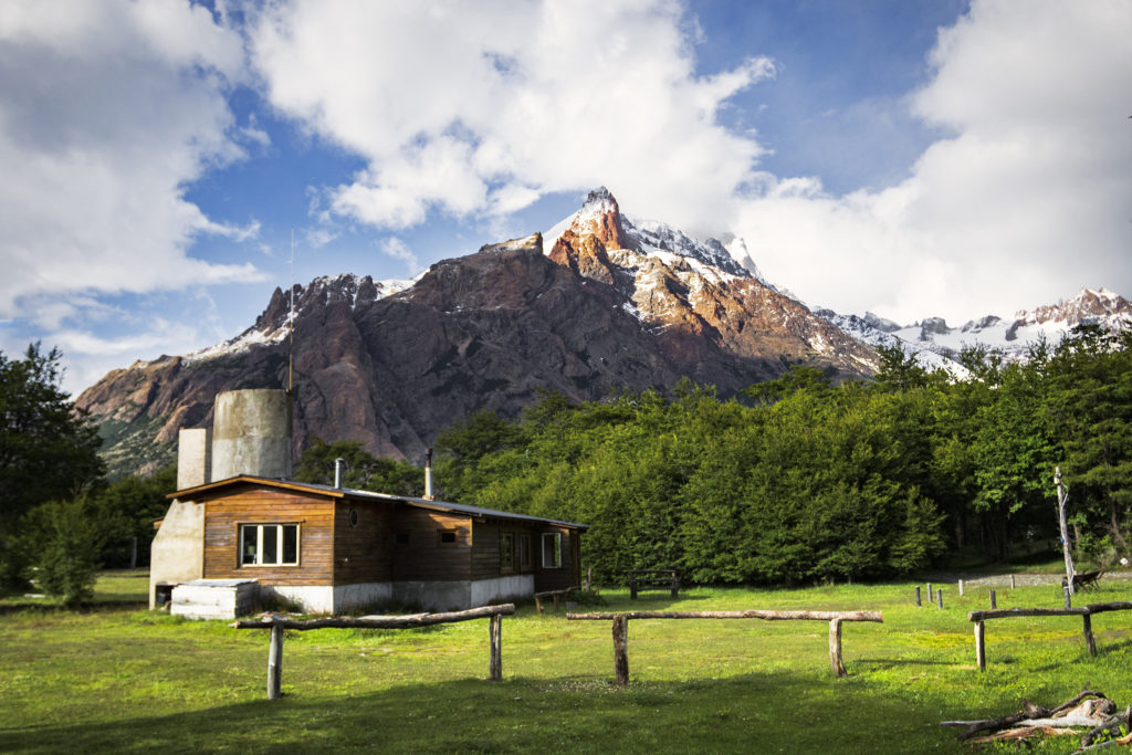
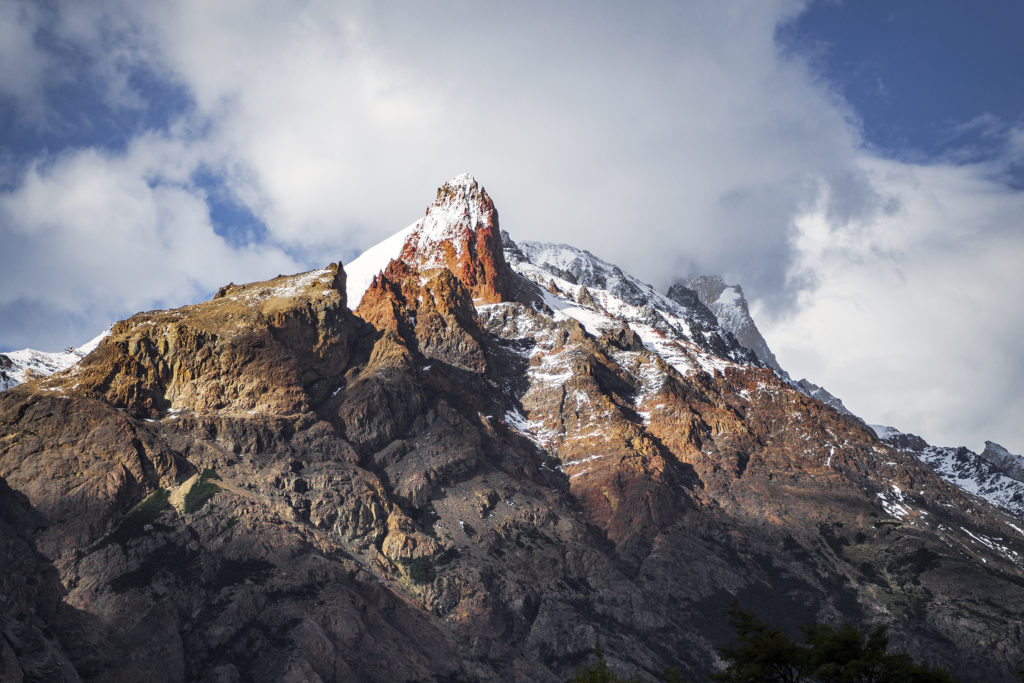
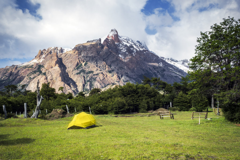
We then went on the search for a campground. Once again, we avoided any options directly in town, all of them packed and lacking the privacy we wanted. Instead we turned as always to iOverlander and headed about 15km outside of town to a more isolated and quiet campground, with views of the mountains. The road there turned out to be quite scenic as well, with finally some clearer, albeit backlit views of the elusive Fitz Roy peak…

See more photos of our camping spot by click on the gallery below

Patagonia Road Trip Day 2: Hiking Volcán Chaitén

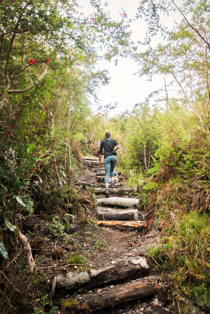
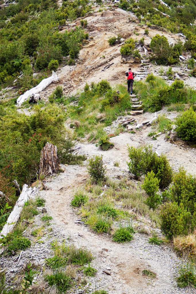
It was pretty chilly still on day 2 of our Patagonia trip, and not being able to make coffee was a bit of a bummer. But we were hopeful we could buy propane once we reached Chaiten, so for the time being we forgot about coffee and headed out for a hike up the Volcano. The short 4,4km (round trip) hike lead us about 700m up to the crater of the volcano in about 1,5 hours. The trail was pretty steep, with a fair amount of stairs carved into the ground.

I won’t lie, it kicked our butt. Mainly because when thinking back to when we had our last full substantial meal, we came up with “3 days ago, on our last day in Dominical. Costa Rica!!!”. Since then we had mostly had snacks on the road and sandwiches, and had skipped a couple of dinners due to arriving late in places. So, even though we’re generally in pretty fit conditions, this one felt like we were trying to run up the Grouse Grind on an empty stomach.

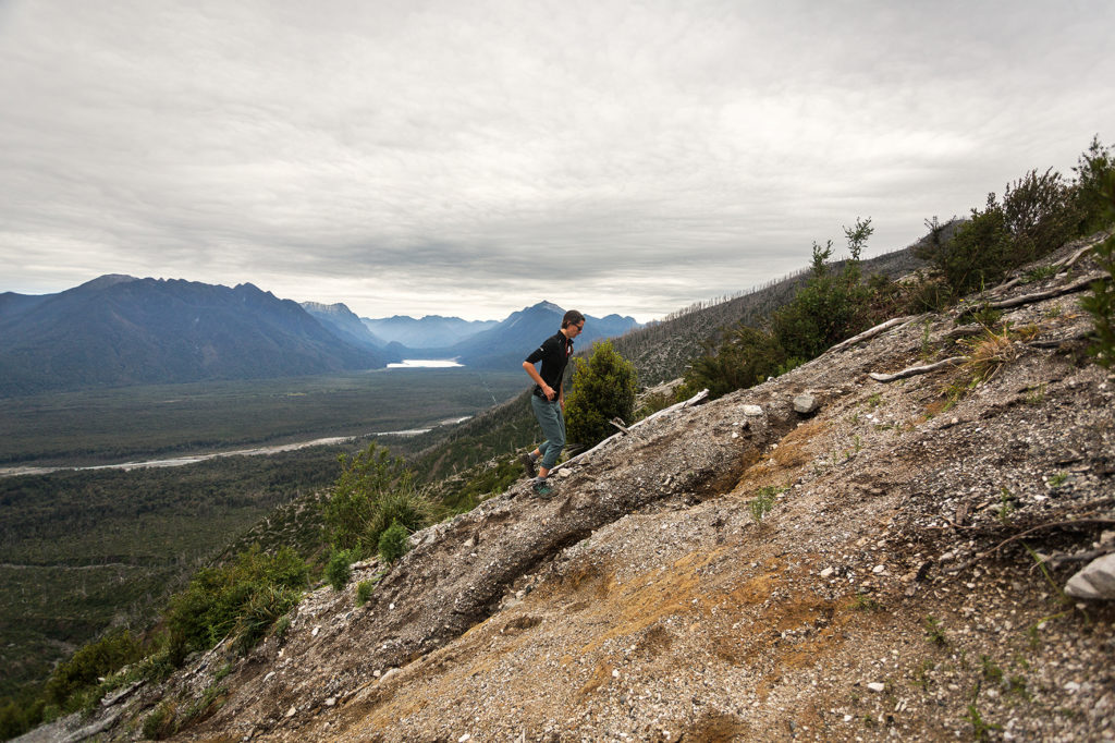
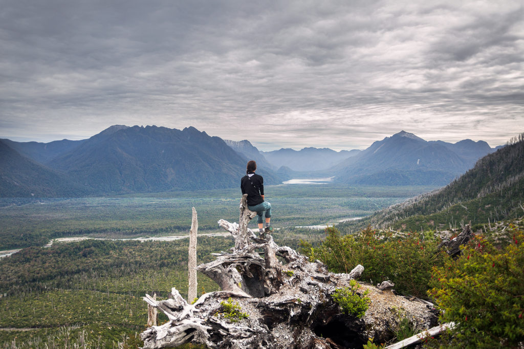
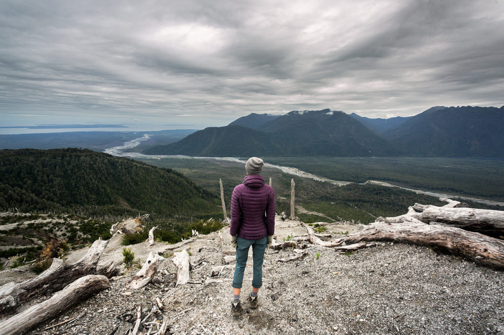
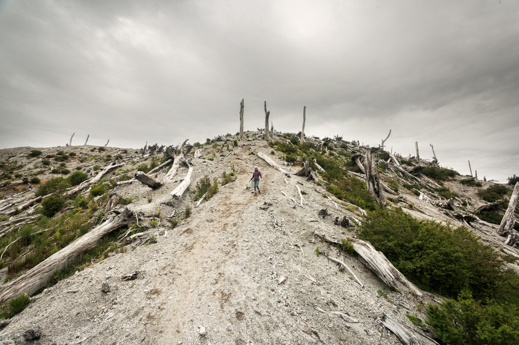
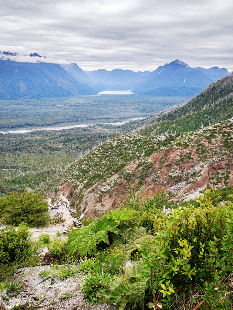
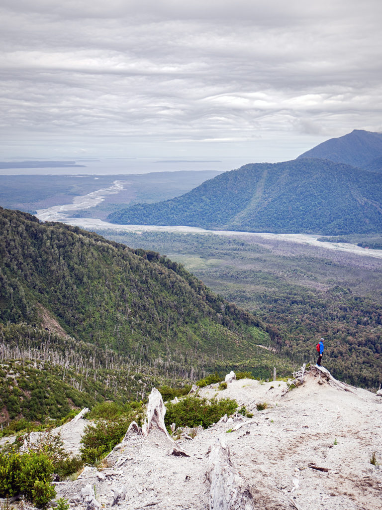
The hike was beautiful. The view was mainly open all the way through, providing really nice vistas of the valley bellow and surrounding mountains. Eventually, we reached an even steeper ridge, and although the trail started to fade, the direction remained pretty clear: straight up. At that point it became more or less a scramble up to the crater. 

At the very top, we were able to walk alongside the ridge of the crater, with plunging views into the crater on the one side, and out into the valley on the other. The perfect reward after our (embarrassingly) difficult ascent – we still made is up before the three 20-something kids who started a bit before us, so not all pride was lost.

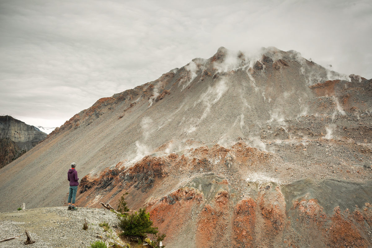
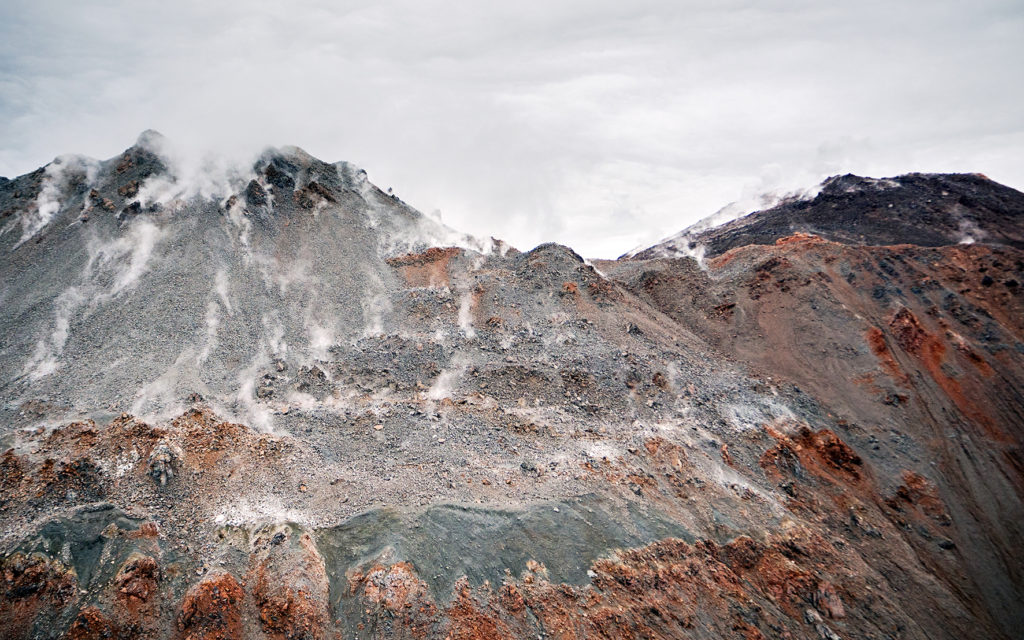
The other side of the crater continued to rise higher up and we could see skinny plumes of steam escaping from the surface of the cone.

Down below, the once molten lava had now solidified in an earthy, wavy surface.

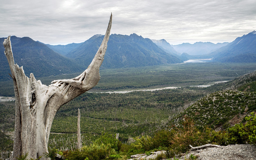
The last time the volcano erupted was in 2008, after a dormant phase of about 9500 years. It was completely unexpected and although no life was lost, a thick layer of ashes spread for hundreds of kilometers around, and created significant damage especially in the nearby town of Chaiten. The results of the eruptions remain visible today, in the bare tree trunks and stumps covering the slope of the Volcano. I loved looking at all the different shapes those tree took along the trail, and entertained myself by giving them names.

The “Rino”: 

the “Gate”, marking the end of the climb:

and the “Three Sisters”, perched at the very top and overlooking the area.

 This one tree below was a pretty good testament to strength and determination, still stubbornly rooted at the base of the last uphill ridge despite the damages caused by the eruption, as if saying “I’m here, I’m still standing”.

We had snacks and took some photos then headed back down. It took us about 1h20min to climb, and roughly 45 minutes to come down.

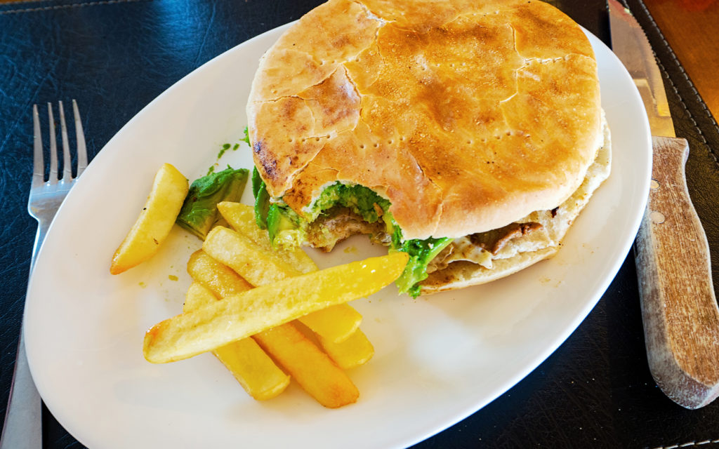
Then we headed south to the town of Chaiten, about 35km away. The road was pretty good, mainly gravel while we were still in the park, but it turned into a newly paved section in the last 10km or so. In Chaiten, we walked into the first grocery store we could find, to buy more food as well as propane. Eager to break our streak of light-weight meals, and replenish our hiking fuel, we then looked for a place to eat, and settled on Flamengo, which served huge steak sandwiches.

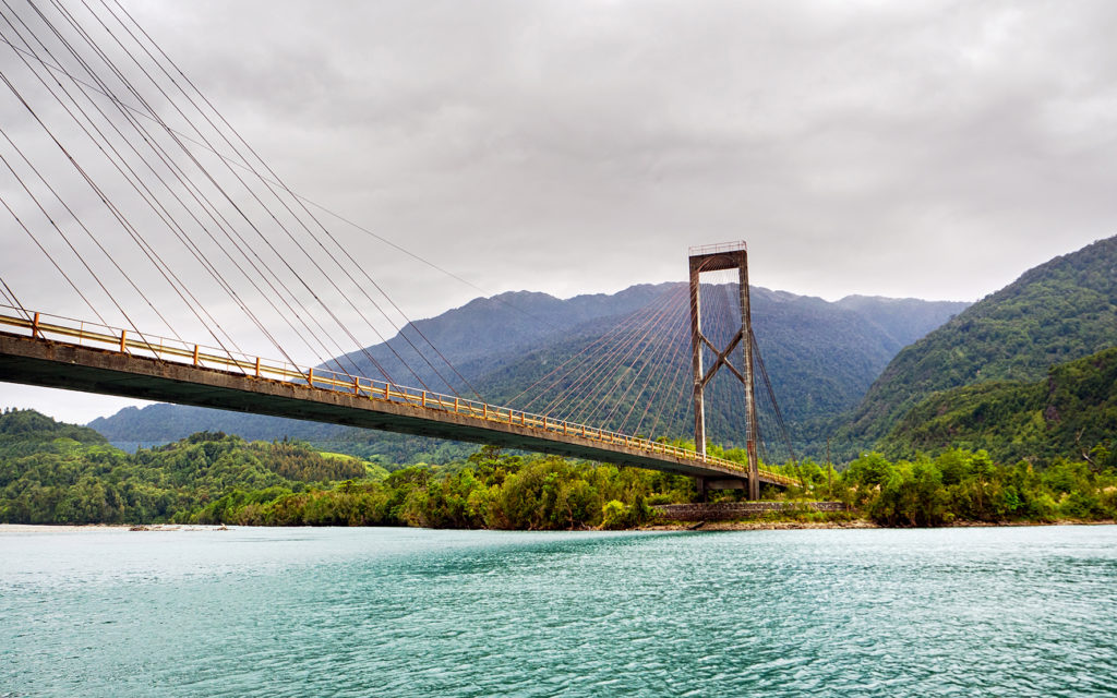
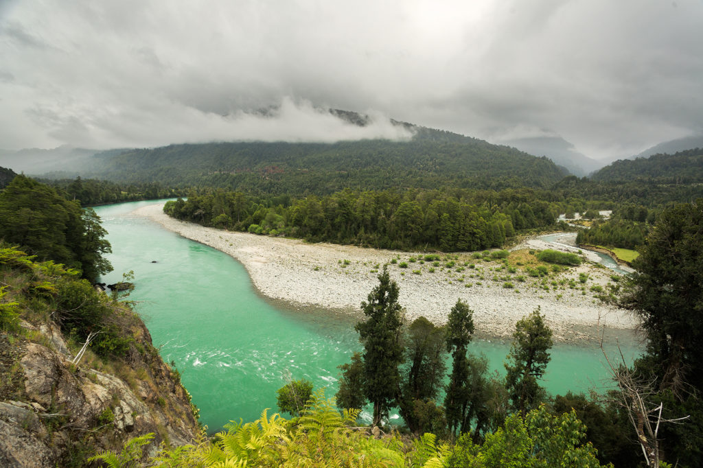
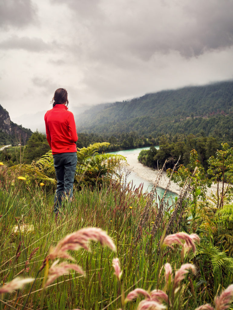
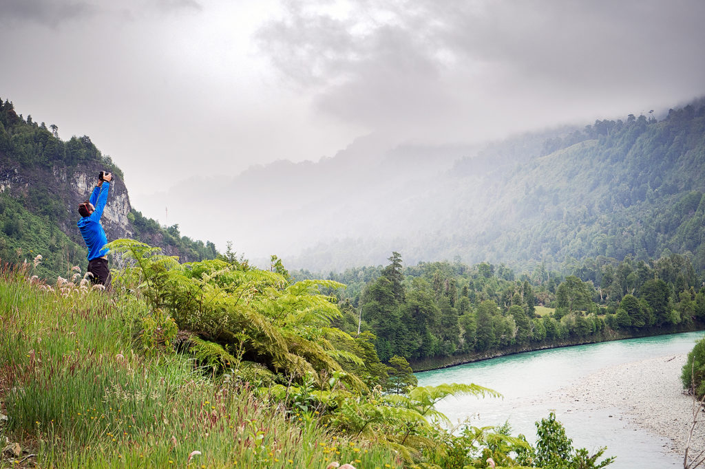
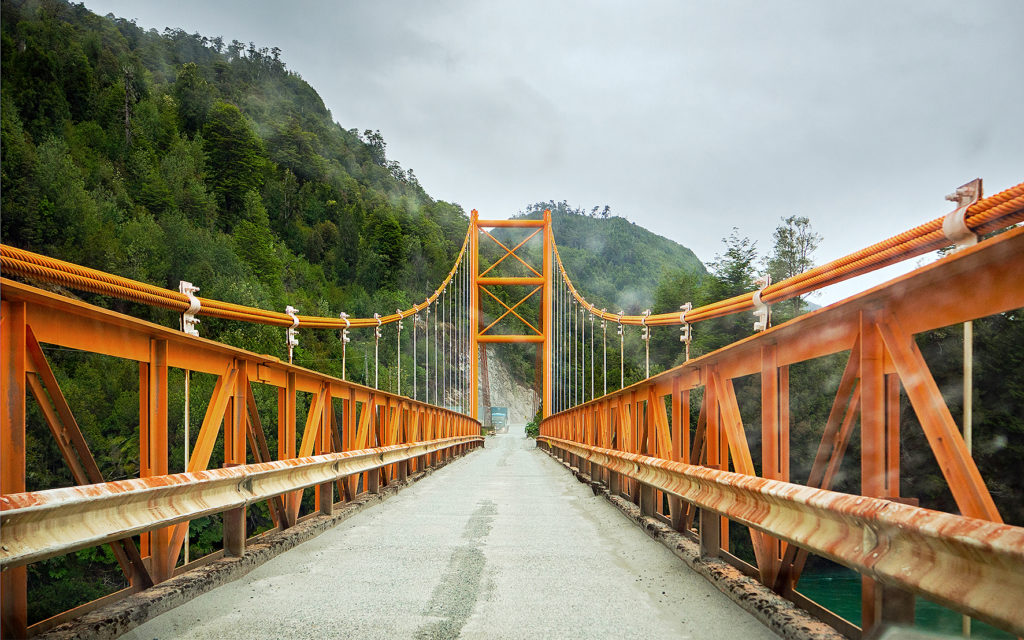
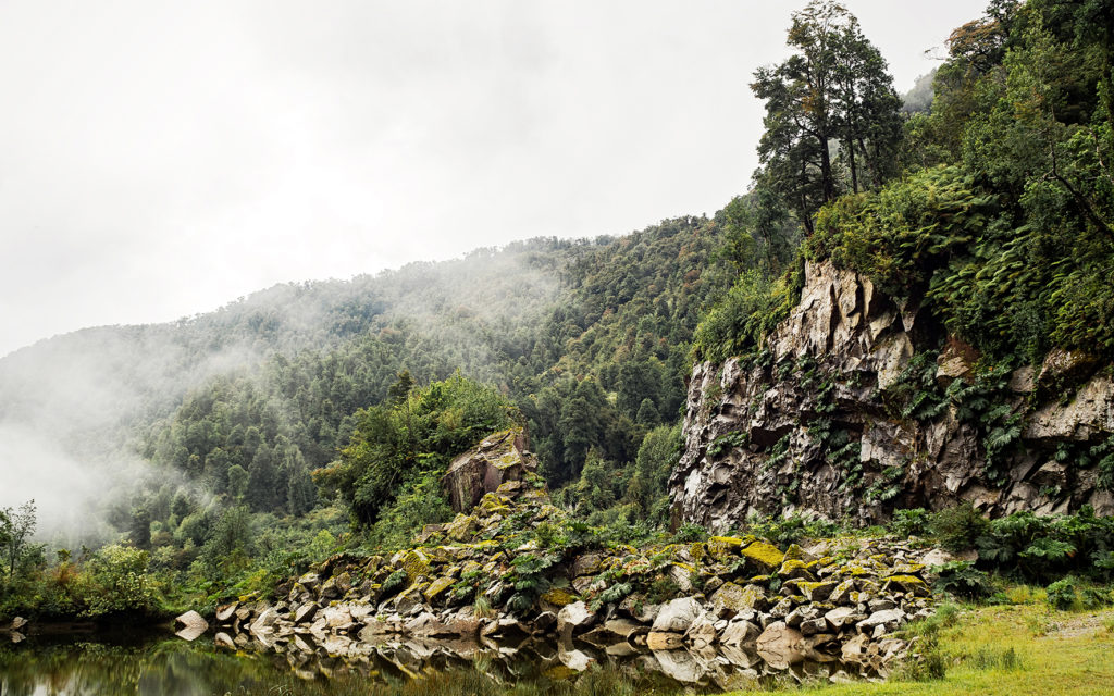
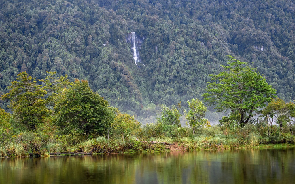
The plan was to spend the night near La Junta, about 2 hours away. The road was really scenic, with constant rivers and streams flowing by the side of the road, and low mountains all around. We stopped here and there for photos but mainly drove through, taking in the scenery and scenes that felt of a different era. Cows on the road especially reminded me of my childhood, and the winding country roads we drove on to go to school, every so often getting stuck behind a herd of cows. This place felt like we were back in the 80’s, before the rise of technology and when things seemed just a bit simpler. 

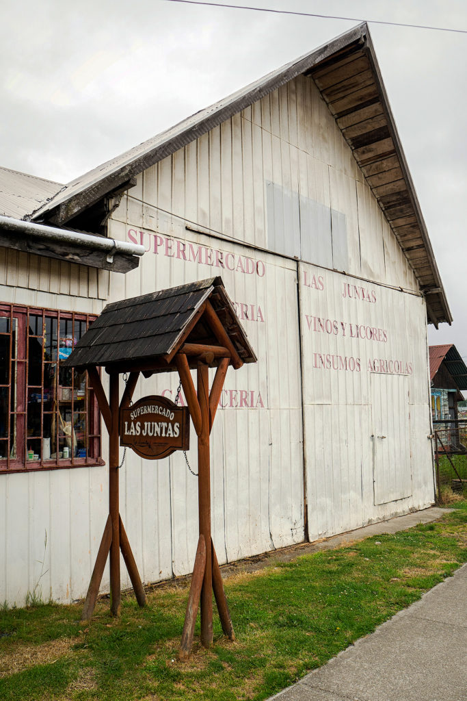
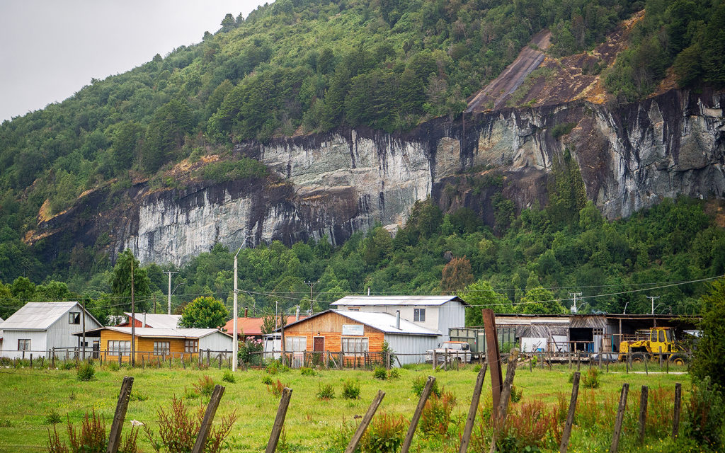
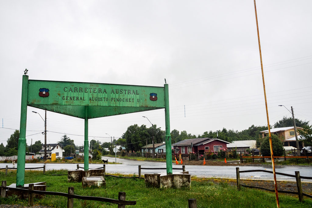
We arrived in La Junta and drove around the town a bit, and again it add the feel of our grandparents hometowns some 30 years ago, although harsher, more rugged than our European country towns – less stone houses, and more wood and metal.


The guide book mentioned a campground about 17km west of town, which was built around a hot spring. It was overcast and the rain had been chasing us all afternoon, so the idea of a hot soak sounded pretty perfect. We drove down a gravel road for a bit, then turned onto another even rougher dirt road. Eventually we came across a pick-up truck going the opposite way. Turns out it was the owner of the campground who was leaving for the day as he had, until then, seen no costumers. He backed up a couple hundred meters to the campground gate and let us in.

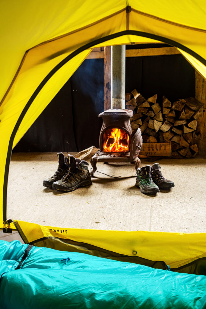
The site was built around a large open grassy area. To the right was a fairly large hut (described as a “Quincho” in spanish), with a few tables, and more importantly, a wood-burning stove. Since we were the only ones there, Claudio said that instead of pitching our tent outside in the rain, we could sleep inside. He even suggested we set up the tent by the stove, in order to trap the heat.

On the other side of the grassy field were a couple of buildings with toilets and cold showers, an a few more meters past them, an opening in the bushes led to the hot spring. The pool on the left was filled with really hot steamy water coming from the ground and naturally heated to about 80 degrees. The one on the right was cold stream water. A hose between the two brought cold water into the hot pool to cool it down to a more comfortable temperature of about 45 degrees. Lush trees and bushes all around made for a nice private setting. It was pretty perfect. It cost us 10,000 pesos per person (about 20CAD each), so a bit of a splurge compared to other campgrounds, but ultimately for a private hot spring with a private fireplace and hut, it was totally worth it. We set up our tent inside, got the fire going and then enjoyed a nice hot soak.

Later, Claudio’s dad arrived with a friend. We shared the hut for dinner and then they went back to his truck to spend the night. They were pretty amused when they saw our tent in the middle of the quincho. It poured all night so we were pretty happy with our setup.

The next morning after breakfast, we took another dip in the hot springs before heading out.

Click through the gallery below for more photos of the road

A Weekend Gateway: The Olympic National Park

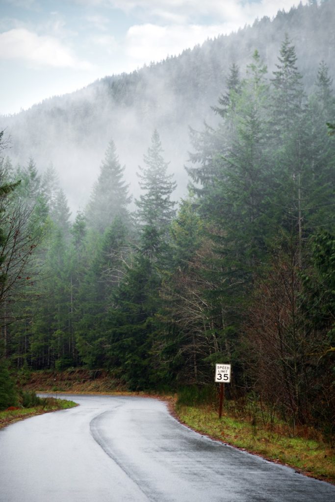
Last year around Christmas, we decided to go explore the Olympic Peninsula, which is the North West portion of Washington State, surrounded by water on three sides, between the pacific Ocean, the Juan de Fuca Straight and the Puget Sound.

The previous year we had done a road trip from Vancouver to Olympia through Seattle, then had driven North then West on the 101, to catch the ferry from Post Angeles to Victoria. On our way, we had stopped for a couple of days in Shelton (about 1h20m drive North of Olympia on the 101) and had stayed at Rob and Andrea’s Airbnb house.

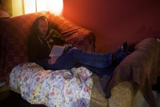
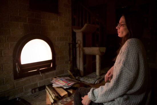
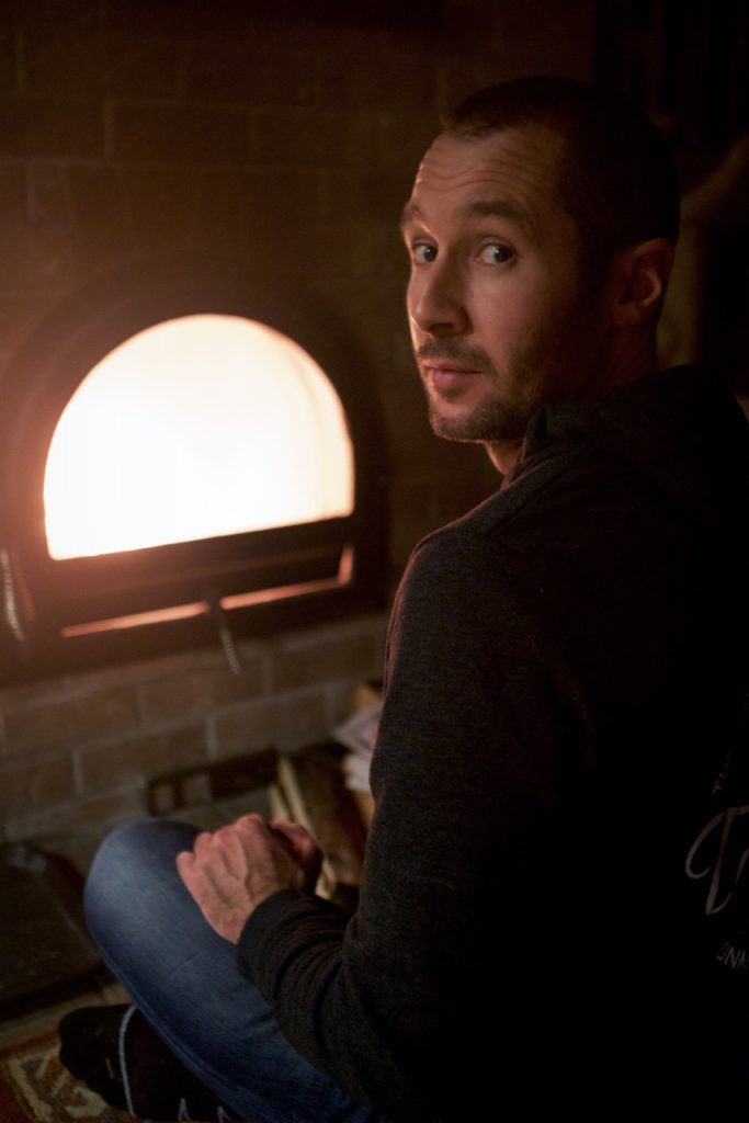
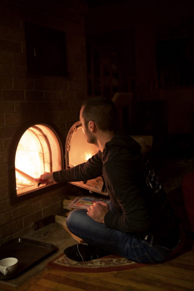
Located in the middle of the countryside, their large log house is incredibly cosy and warm. The main living area includes an open concept kitchen, a large living room with several comfortable couches, a wood burning stove and large bay windows opening up into the countryside, and a view of Lake Isabella in the distance. In other words, the perfect place to spend a few winter evenings drinking wine and reading by the fireplace, after a days spent hiking in the snowy forest. 

The place had made quite an impression on us (in case it wasn’t clear) so early in December, in an attempt to fight off the winter blues, we decided to head back to Shelton for a week-end gateway.

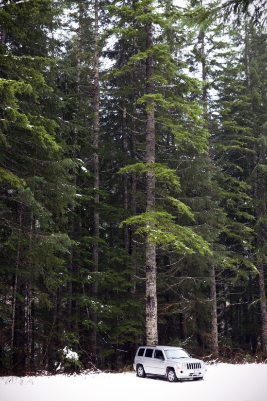
 We drove out of Vancouver on Friday night – our first official “road trip” since we acquired our little jeep in the spring! With American Thanksgiving just behind us, I figured traffic at the border would be pretty decent, and I wasn’t wrong. We only waited about 10mins on the way down (not bad for a 5pm crossing on a Friday night!), and possibly even less time on the way back (around the same time on the Monday night)


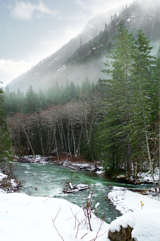
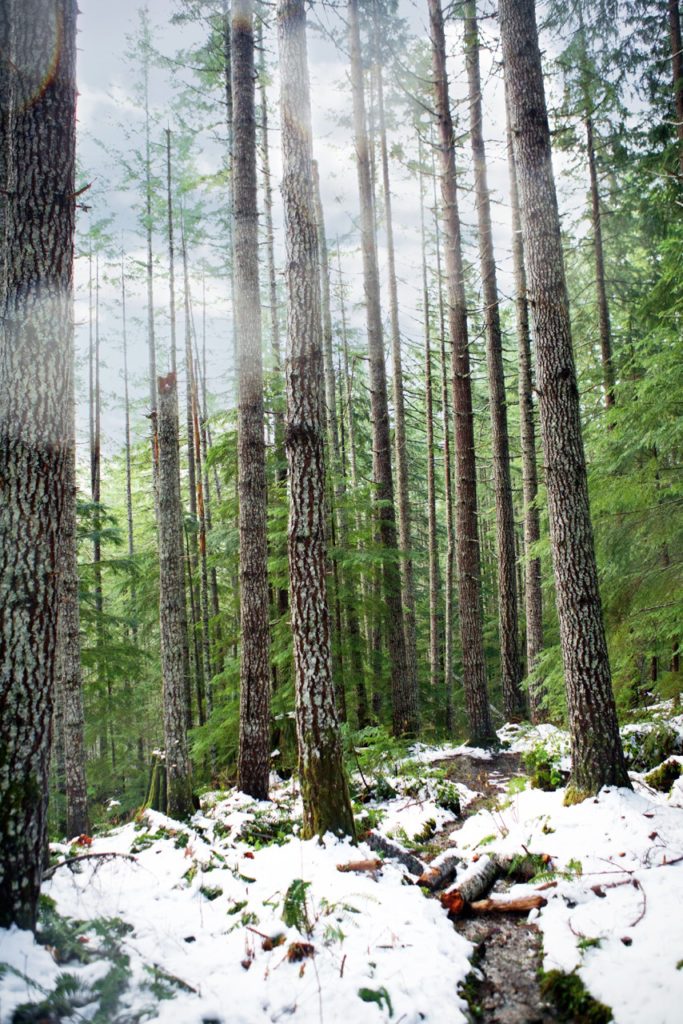
The Olympic National Park & Forest extends over more than 2500 km², and its highest peak (Mount Olympus) reaches 2428 meters, surrounded by glaciers. It’s a pretty incredible place to explore, from rain forest to sub-alpine.

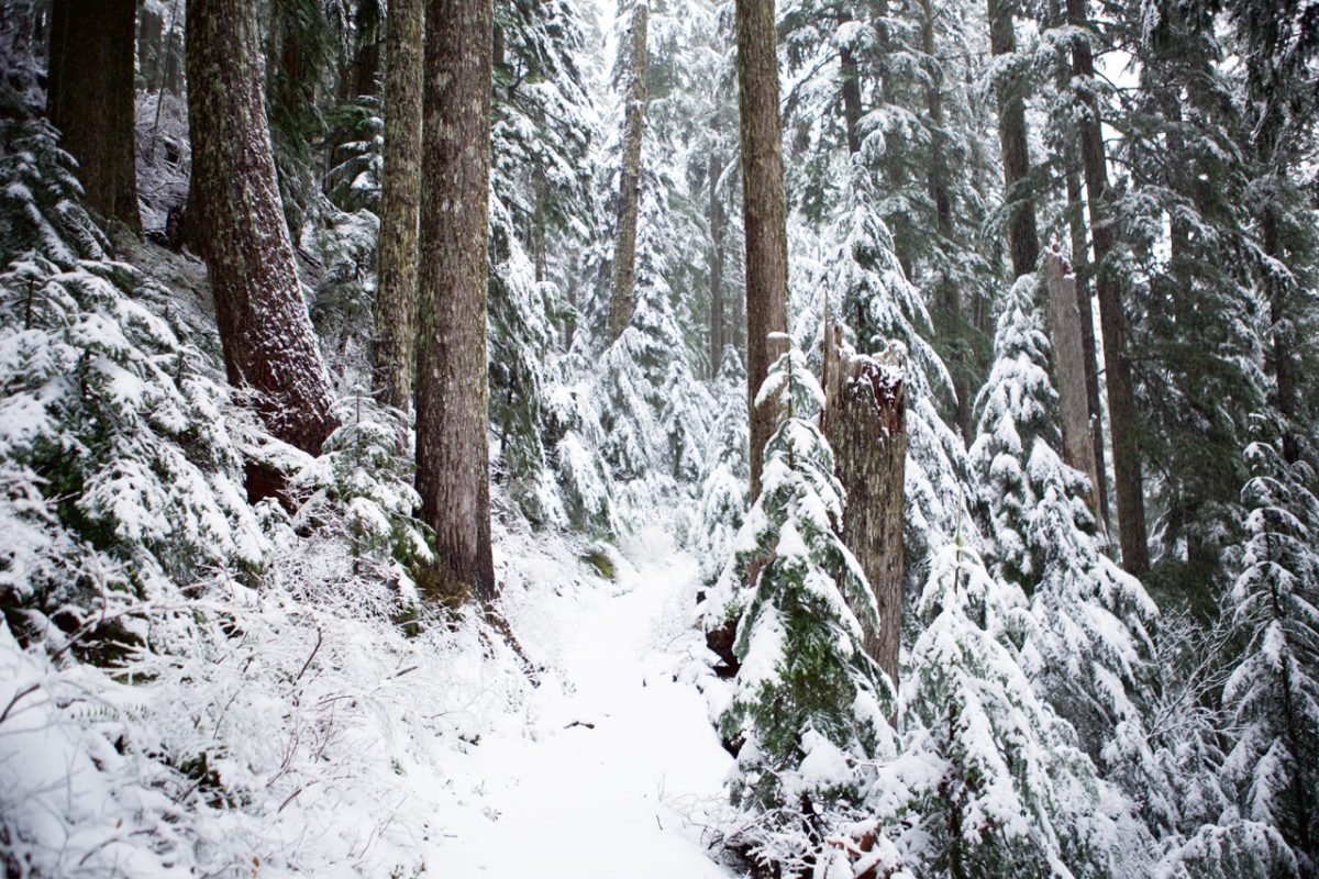
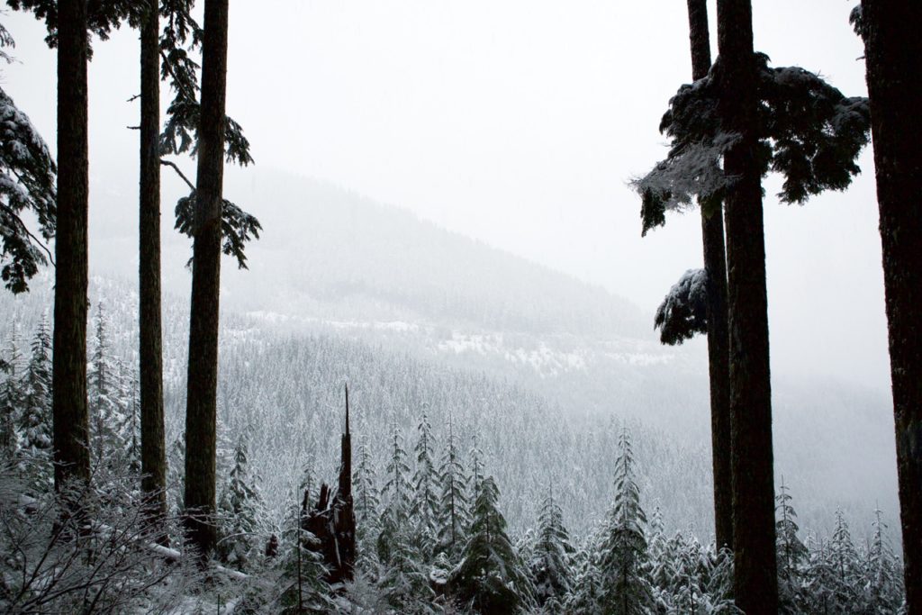
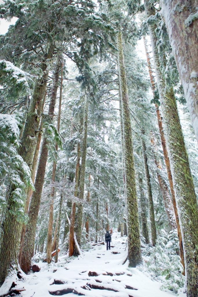
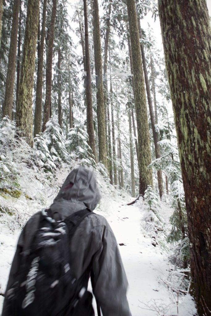
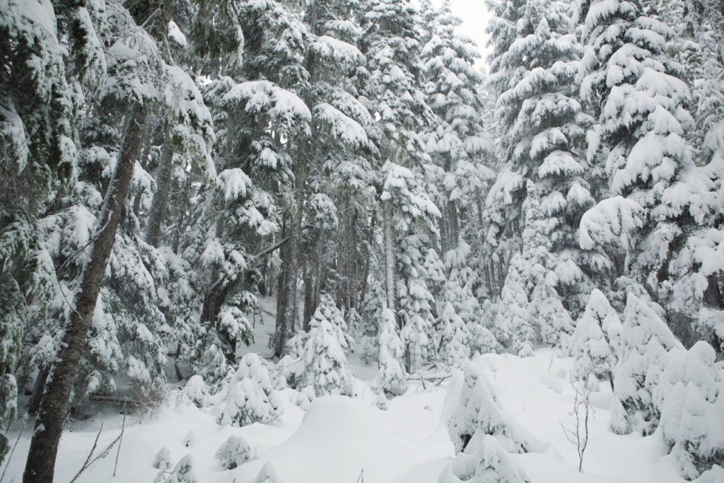
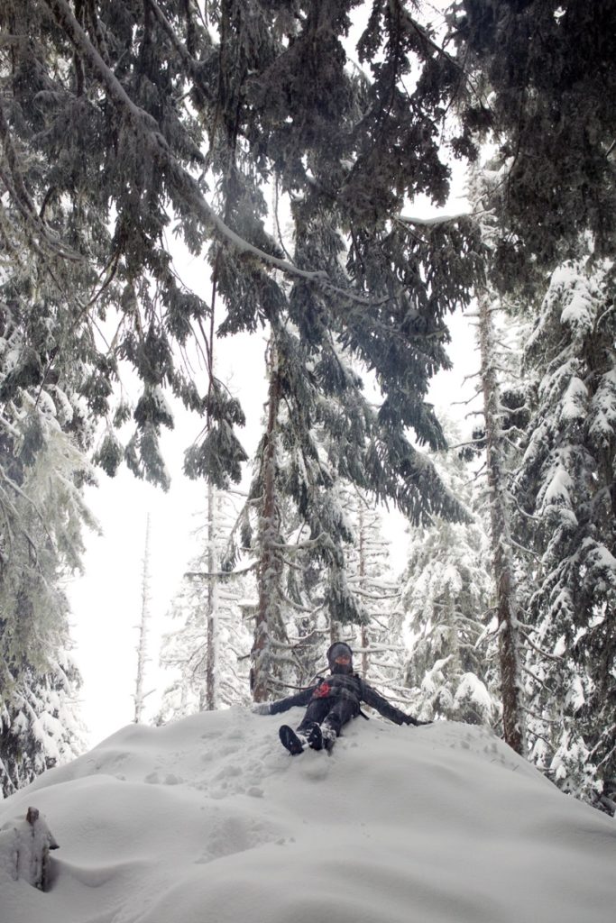
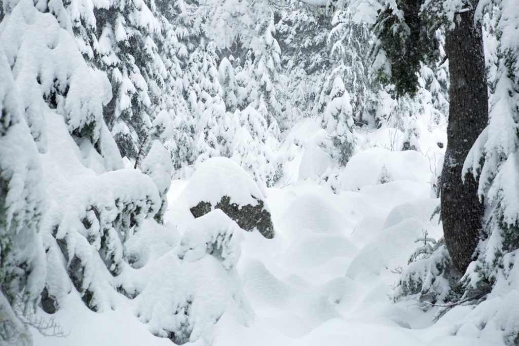
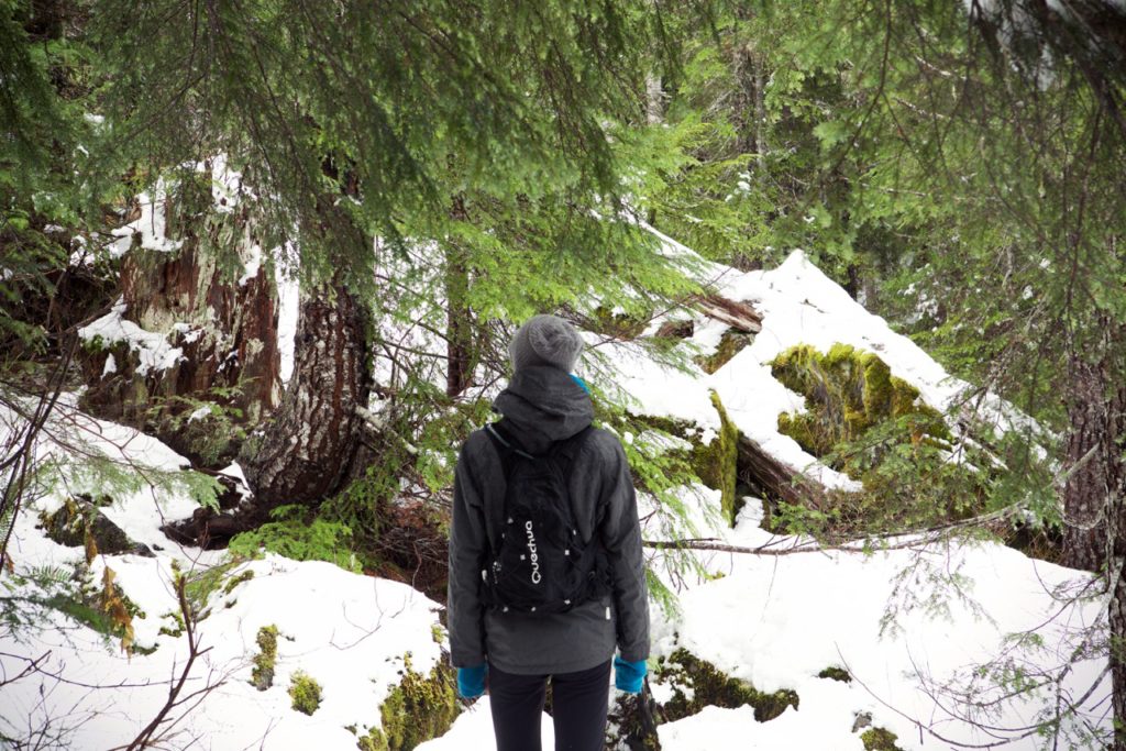
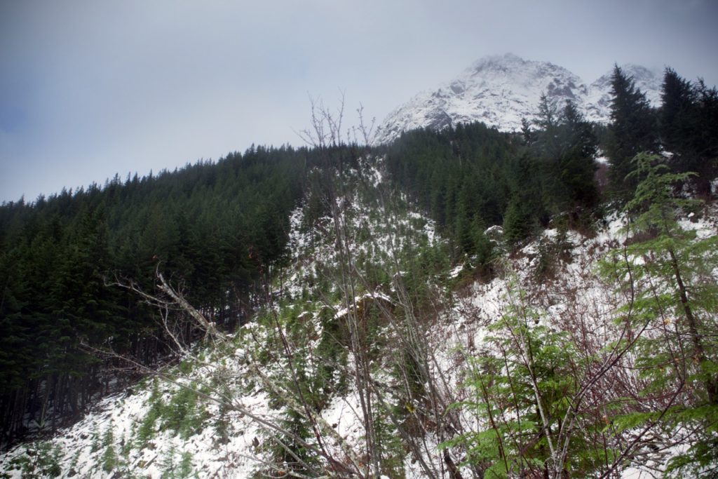
Last year we had hiked along the Upper Lena Lake trail, but were forced to head back before reaching the end, due to the amount of snow on trails This year we explored the Mount Ellinor trail on the first day, then the  Mildred Lakes trail on the second day. Once again the trails were covered in snow, to the point here they eventually disappeared before we reached the ends, but we still enjoyed the hikes tremendously.


There are plenty of trails, but the marking is pretty rudimentary. In Vancouver we found that trails were often very well marked, every 100meters or so. In Olympia, we were lucky if we could spot a tiny piece of pink tape on a branch every half an hour. On well groomed trails, we didn’t have any problems, but in some areas we were unable to make out the trail – especially covered in snow, from the rest of the forest.


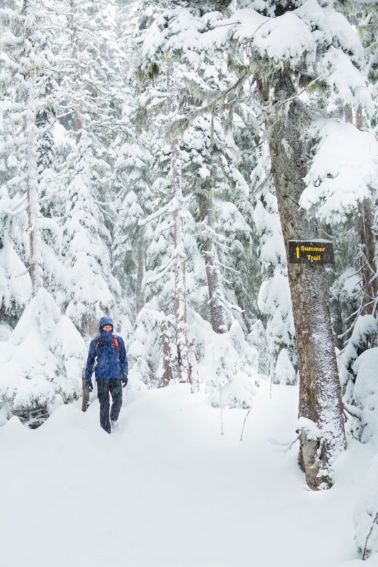
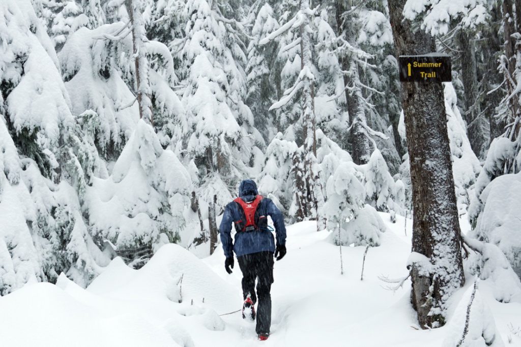
On the Mont Ellinor trail, the path was clearly visible, but shortly after passing the “summer trail”, sign, it became impossible to follow. We did try the other direction (presumably the winter trail), but it was equally impossible to make out any sort of pathway to follow.

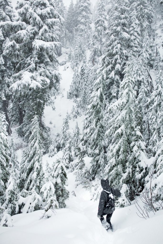
On the Mildred Lakes trail, we pretty much guessed the direction the whole way through, based on where the ground seemed most clear and following the rare markers.

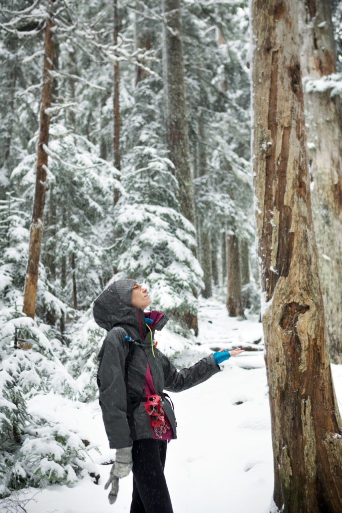
Again, with a thick layer of snow covering the ground and most of everything else, our only somewhat reliable way to find our way back to the car was to follow our own foot steps back to the trail head.

Regardless of navigation uncertainties, we really enjoyed the hikes on both days.


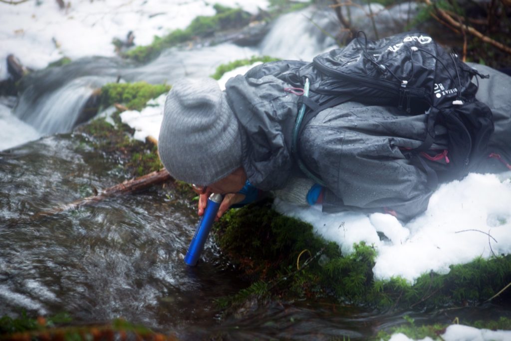
 As a side note, somehow our car’s radiator ended up empty, which we found out about upon returning from our hike the first day. Initially we noticed something was wrong when the heater would not turn on and we couldn’t get the fog off the windshield. After wiping the windows off, we started making our way down the mountain, until the warning light for engine overheat turned on. Brice popped the hood open and inspected the radiator, revealing it was completely empty. Fortunately we still had some water in our hiking packs, so down the radiator it went and fixed the problem. Success! It really would have been a shame, after hiking in below 30F weather for several hours without being cold, to start freezing our butts off in a car with an overheating engine. We weren’t sure how the radiator could be empty, since Brice had brought the car in for a check up just a few days prior. But it’s possible they might not have put the radiator cap back on properly, causing the coolant to evaporate as we drove.


After experiencing the Olympic national Park in the snow two years in a row, we really want to come back in the summer, to take advantage of more daylight to do some longer hikes and camp.

 
PS: another reason we love driving down to the States is to stop at Trader Joe’s and load up on goodies such as affordable cheese & wine and chocolate covered potato chips…because obviously!