In the summer of 2021, after 2 years of working through a very challenging project, not to mention a world-wide pandemic, I was able to take 2 months off work. Yukon had been on our list of places to travel to for a bit, and with flying and travel restrictions still in place, it seemed like the right opportunity to take this trip.
I kept a journal as we drove through Western Northern BC, into the Yukon, up to Tombstone Territorial Park, back down to Kluane National Park, then down through Eastern Northern BC before returning to Vancouver. The next few posts are a transcript of that journal, complemented by the 1000s pictures we took along the way…
August 2 – Leaving Vancouver
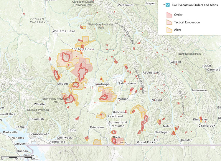
That summer, BC experienced a gnarly heatwave (due to a meteorological “heat dome”), followed by dramatic wildfires spreading in all areas around the lower mainland. When we left Vancouver around 10am on Aug 2nd, I was a bit worried about the wildfires in the Okanagan, and what that would look like for our itinerary. Looking at the Emergency BC App and the BC Wildfire Map, I could see that the shortest route, through the Fraser Canyon, would take us right through the main evacuation alert/order zones. Not Ideal.
So instead we took a slight detour, following highway 5 through Merritt, Kamloops, and then rejoining Highway 97 via route 24. We also decided to drive further on that first day than originally planned, as the air quality at Lac La Hache, where we initially planned to stop, was not the greatest.
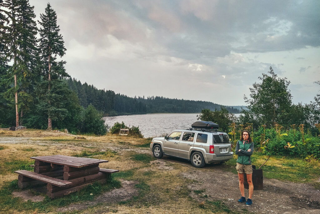
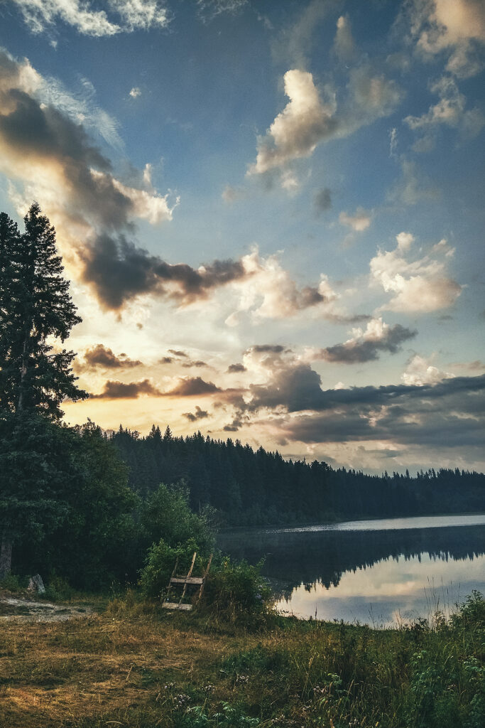
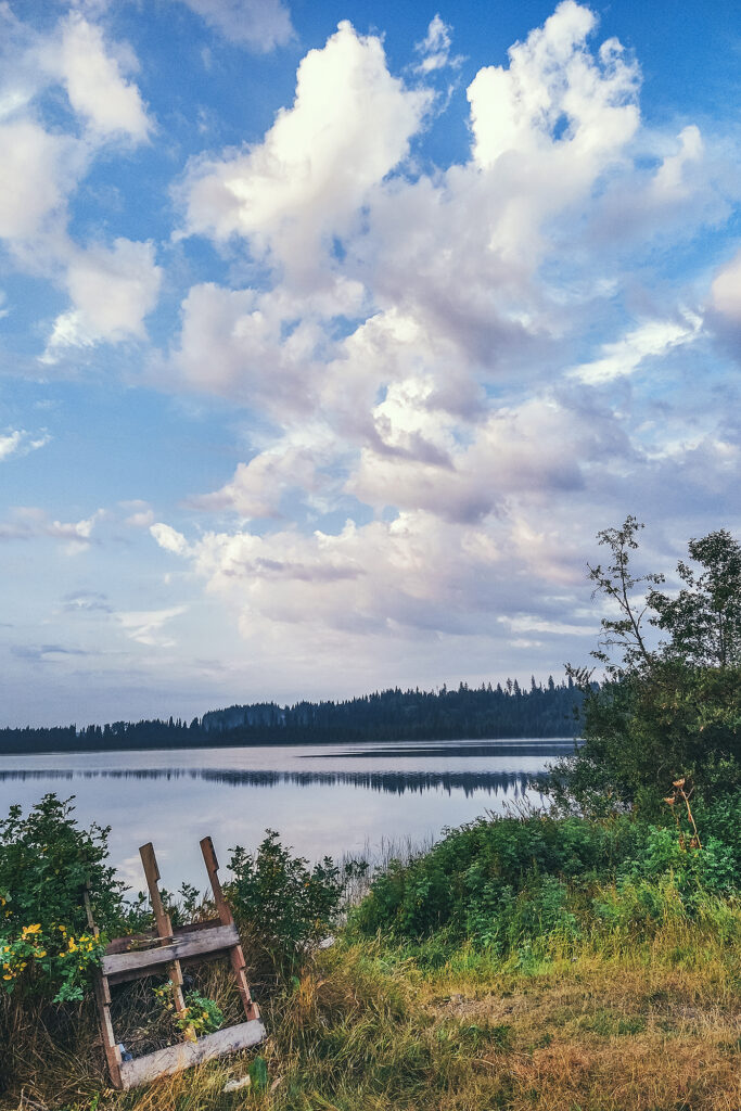
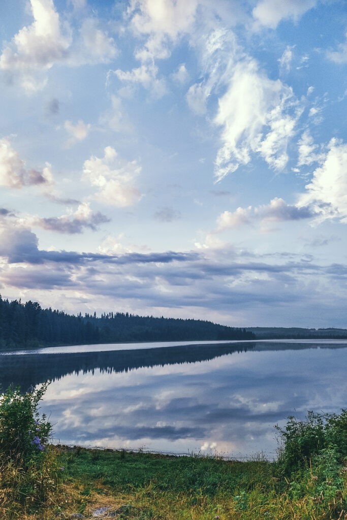
We drove an extra 2,5 hours past Lac La hache and landed at Chubb Lake, a small Recreation Site off the highway past Quesnel, with campsites on the water. It was a perfect spot for our first night on the road!
Although it hadn’t rained in Vancouver for weeks, the weather forecast was calling for a thunderstorm. We did get some brief, heavy rain falls on the road between Williams lake and Quernel, but no rain at the lake, only a bit of distant lightning & thunder.
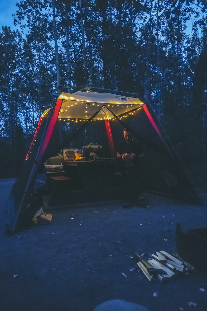
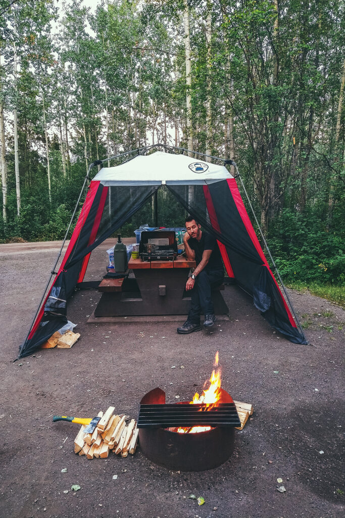
That first night gave us a taste of the bug situation for a good portion of the trip. Mosquitos at the lake where quite intense, especially with being right on the water. Thankfully, one of the main pieces of gear that we purchased for this trip was a net shelter, big enough to fit over most of the picnic tables at campgrounds and keep the mosquitoes away. It turned out to be a game changer for our camping experience, acting as both a bug shield and rain cover (with the added help of a big tarp), and ultimately creating that homey feeling every night, after we’d set up everything on the picnic table.
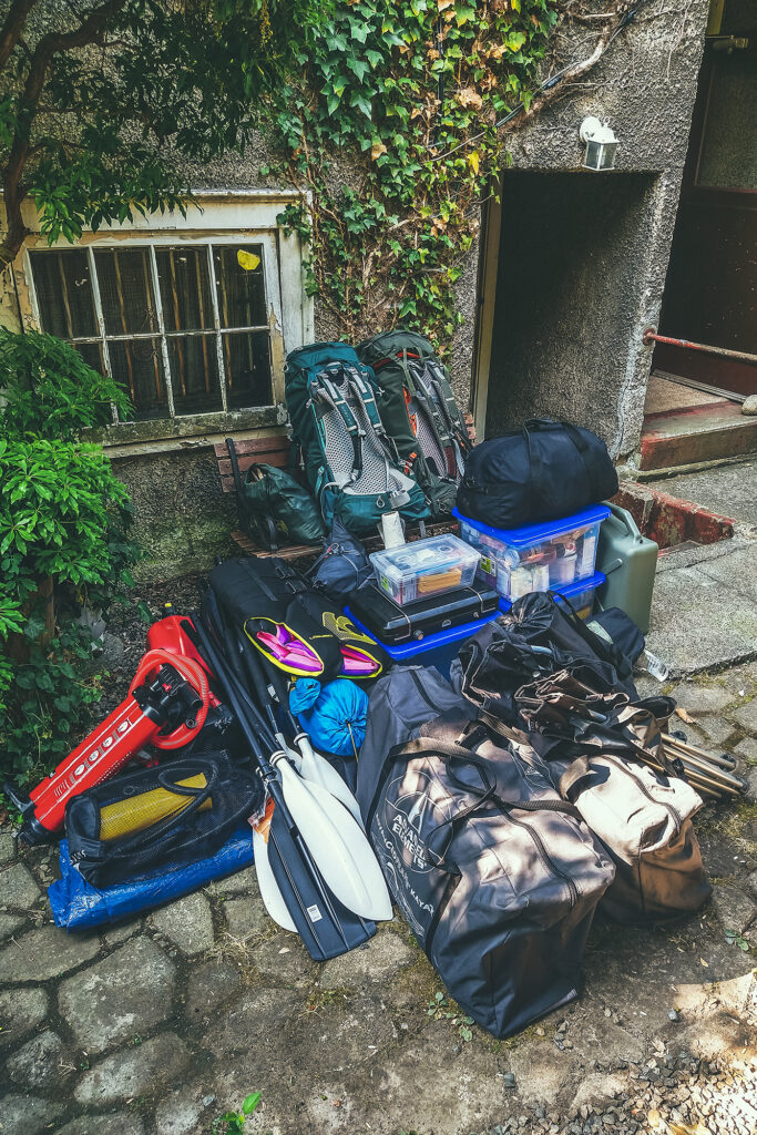
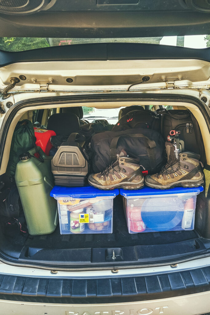
We’re not used to packing this much for a trip, generally limited in weight when flying somewhere, or if we’re going backcountry camping. But since we were driving, we were able to bring a lot more along, including the extra comfort items such as a table (we ended up not using it since all campgrounds had a picnic table) chairs, shelter and extra tarps, boxes of food, two-burner cooking stove, etc…. We even brought an extra tent (didn’t end up using it) as well as a back up sleeping mat (which we did use when my mat got punctured).
August 3 – Prince George to Smithers
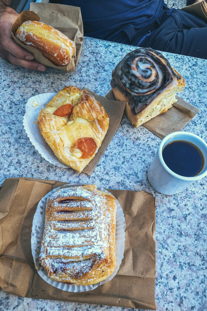
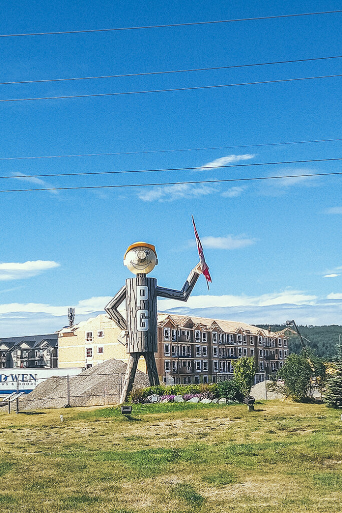
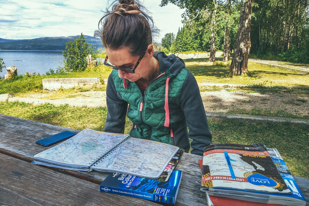
After packing up camp, we drove to Prince George and stopped at our first (of many) local bakery for pastries, at a place called Pastry Chef Bakery. Then we got back on the road for another day of driving. We stopped at Beaumont Provincial Park for lunch, and enjoyed a picnic in the shade with view of Fraser Lake.
After a few more hours of driving, we arrived near Smithers, and set up camp at the Tyhee lake Campground 10 min south of town. Since we were one day ahead of schedule, we decided to stay two nights.
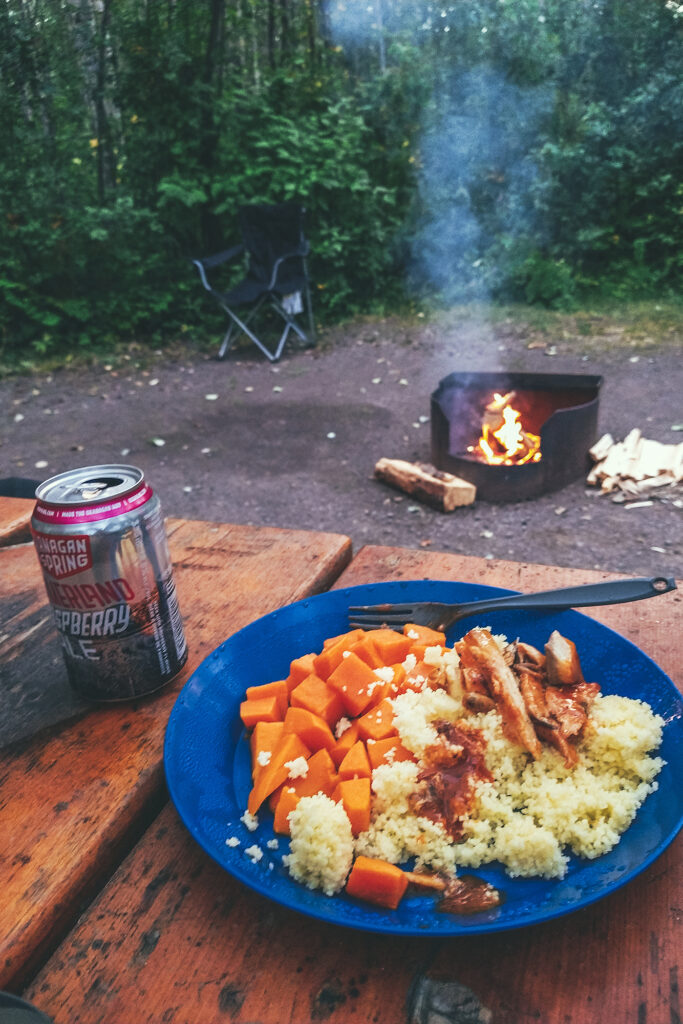
Thanks to recent rain, the fire ban had been lifted for the area, so we were able to enjoy a nice campfire that night, always a big part of the camping ambiance.
August 4 – Crater lake / Hudson Bay Mountain
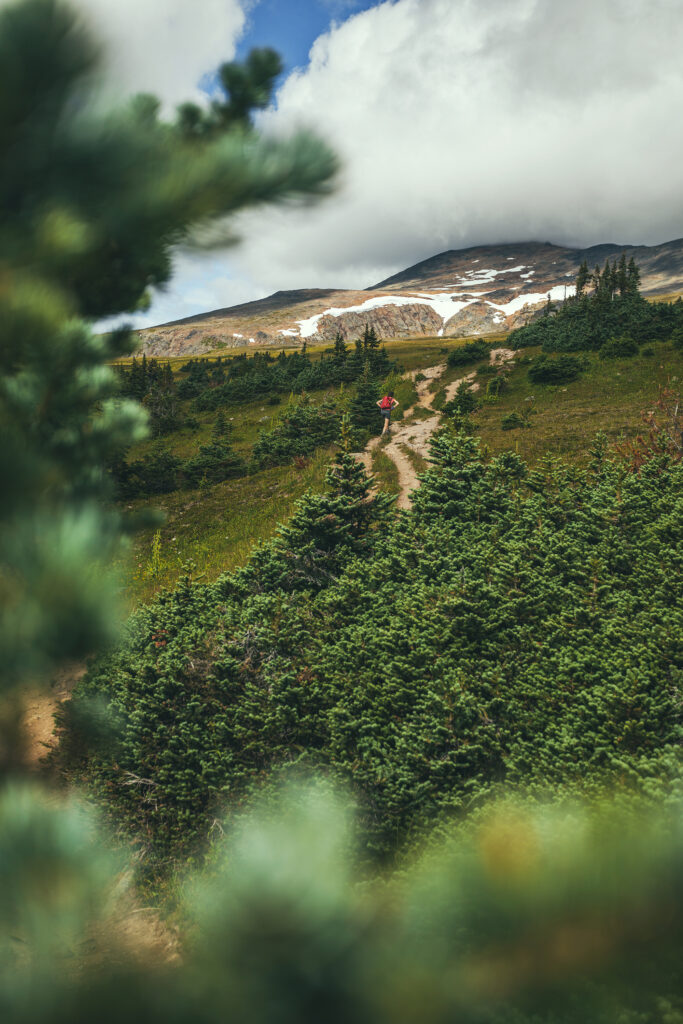
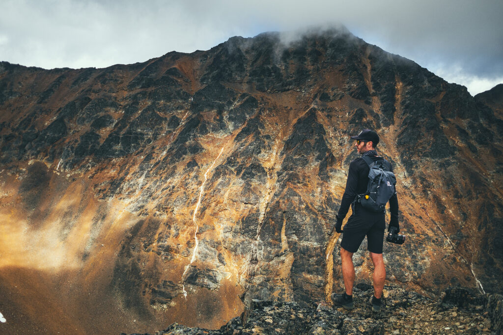
Since we set up camp for 2 nights at Tyhee Lake, we were able to take a day off driving and go out for a hike. Our friend Adele had mentioned Crater lake as a good hike, so we decided to go for it.
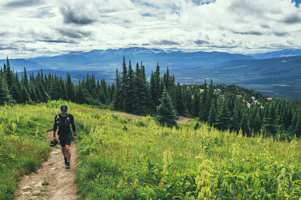
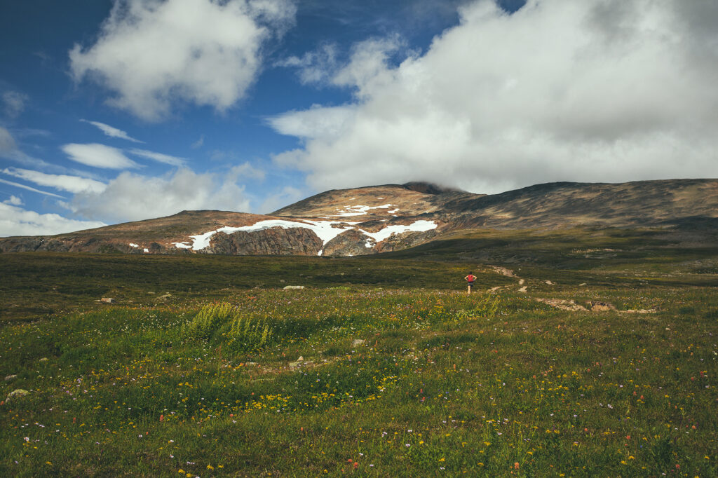
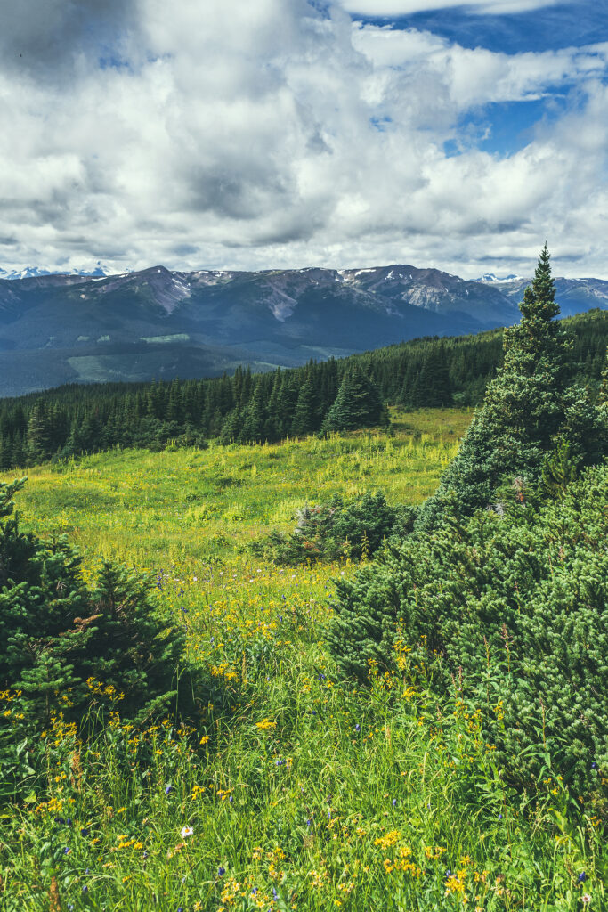
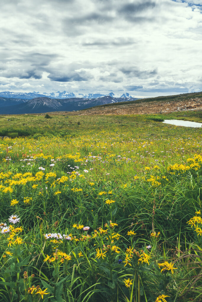
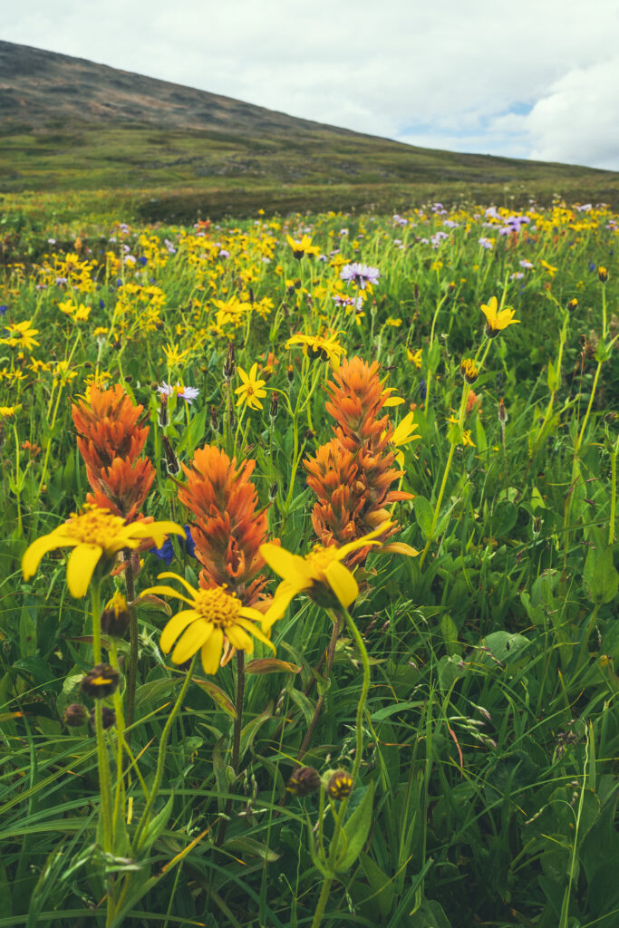
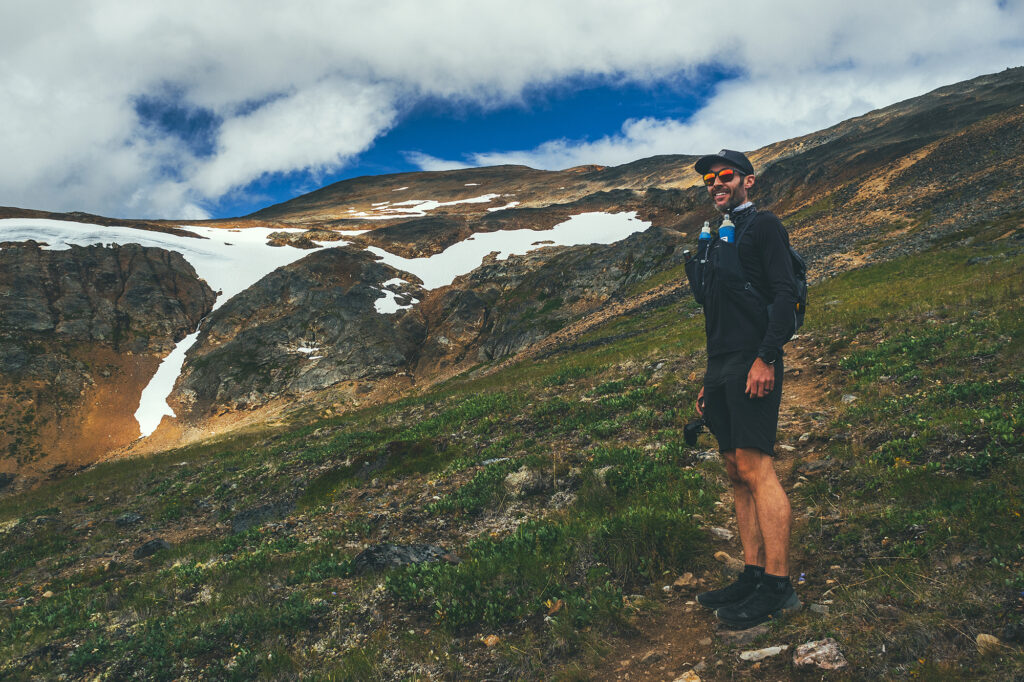
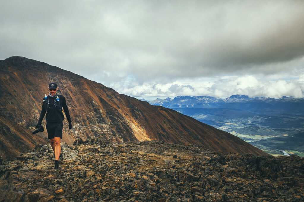
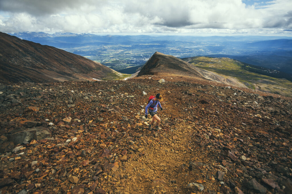
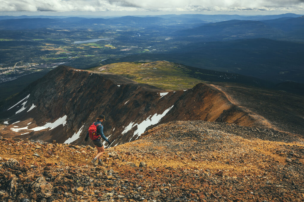
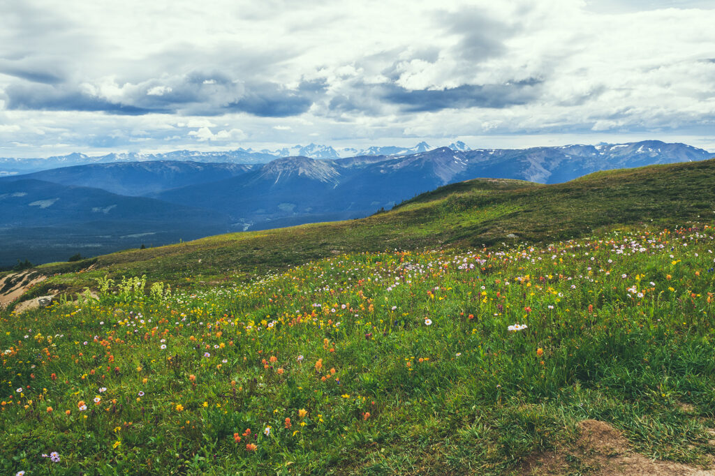
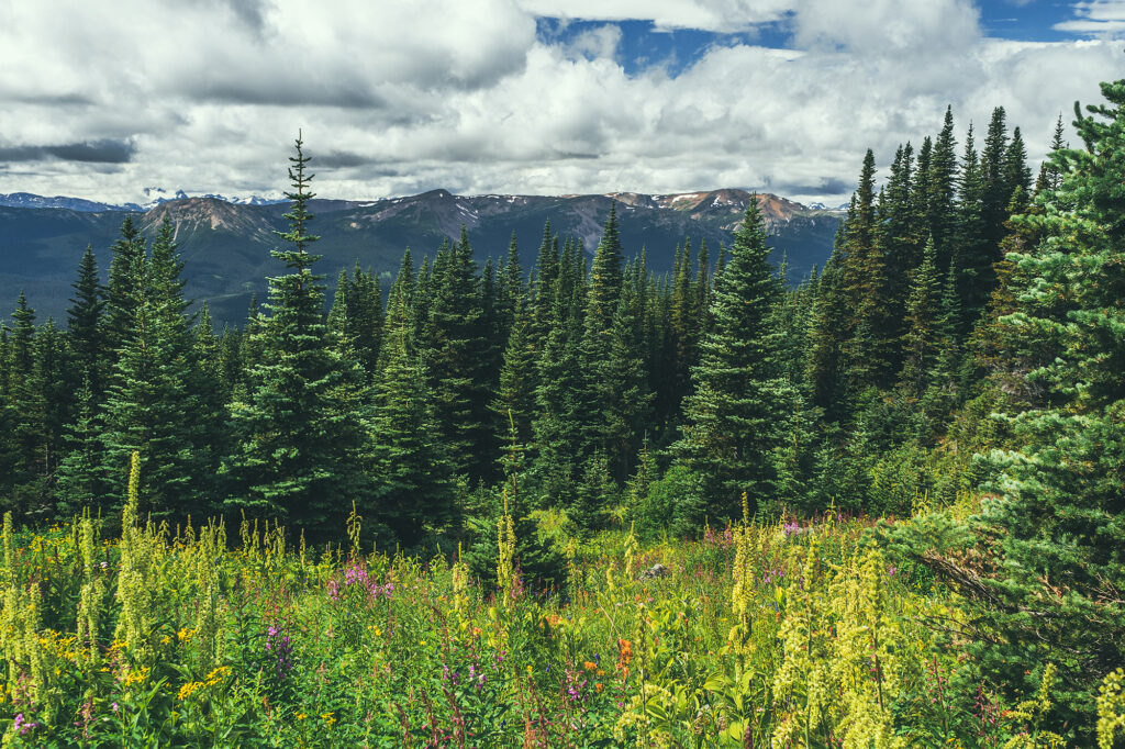
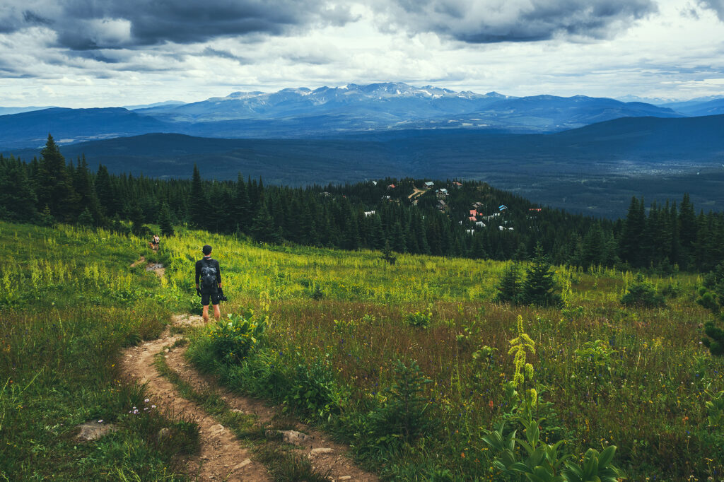
The trail starts from the Hudson Bay Mountain resort, and thanks to the road taking us a good way up in elevation, we reached alpine meadows within just a few minutes of starting the hike.
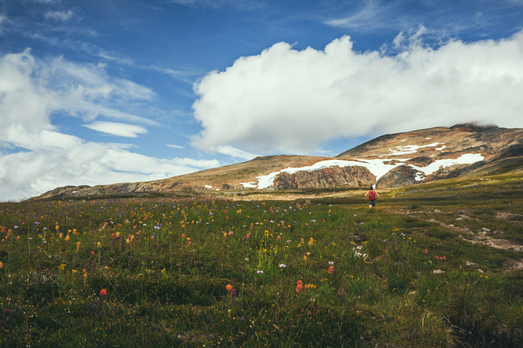
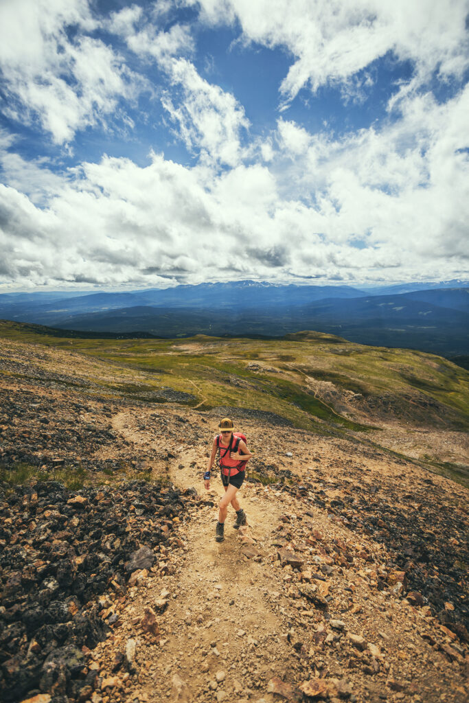
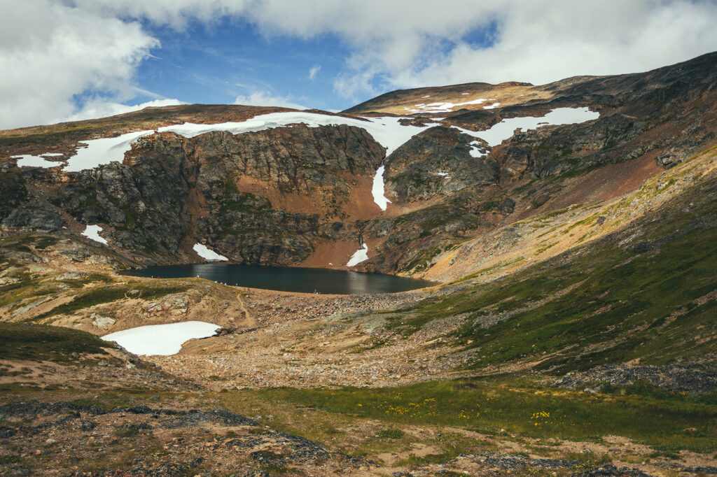
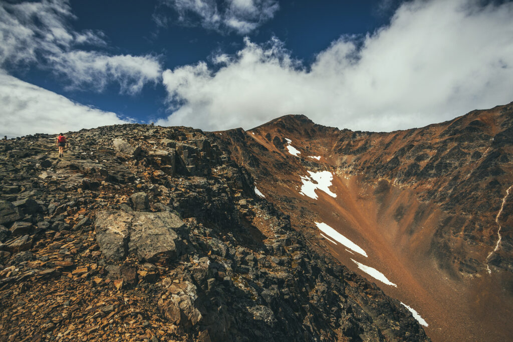
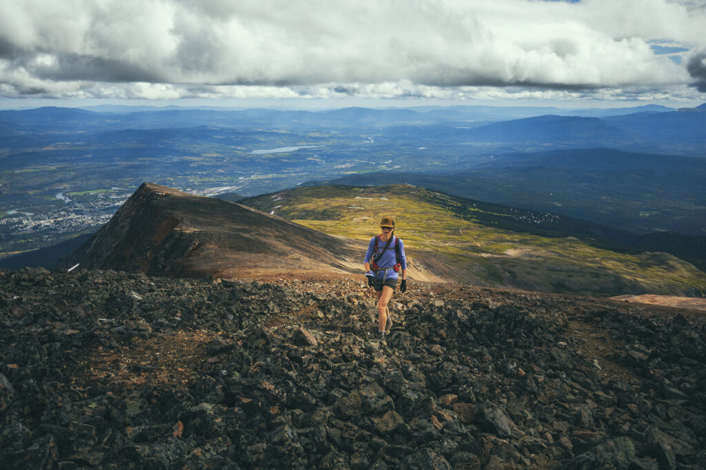
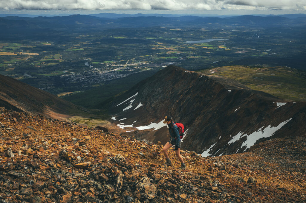
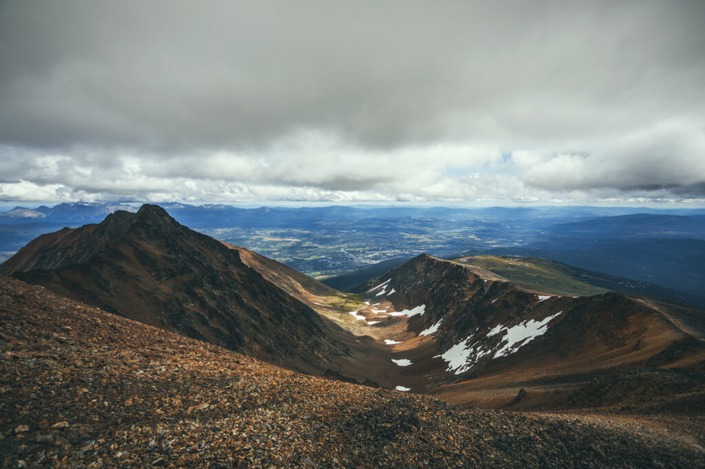
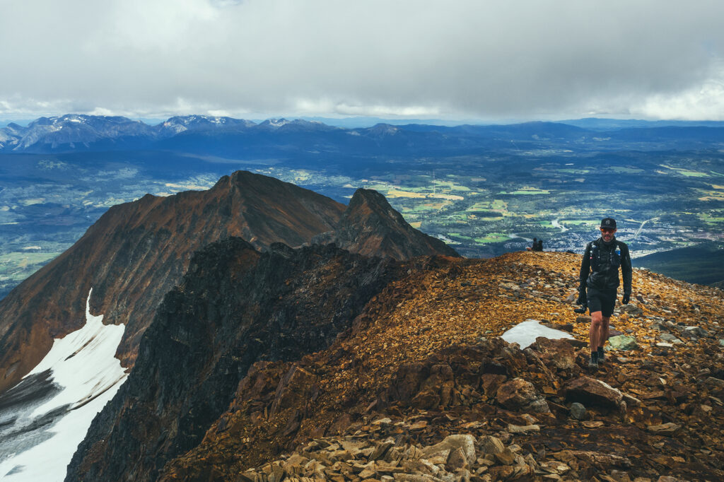
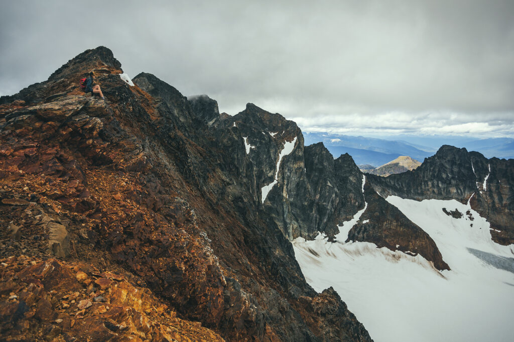
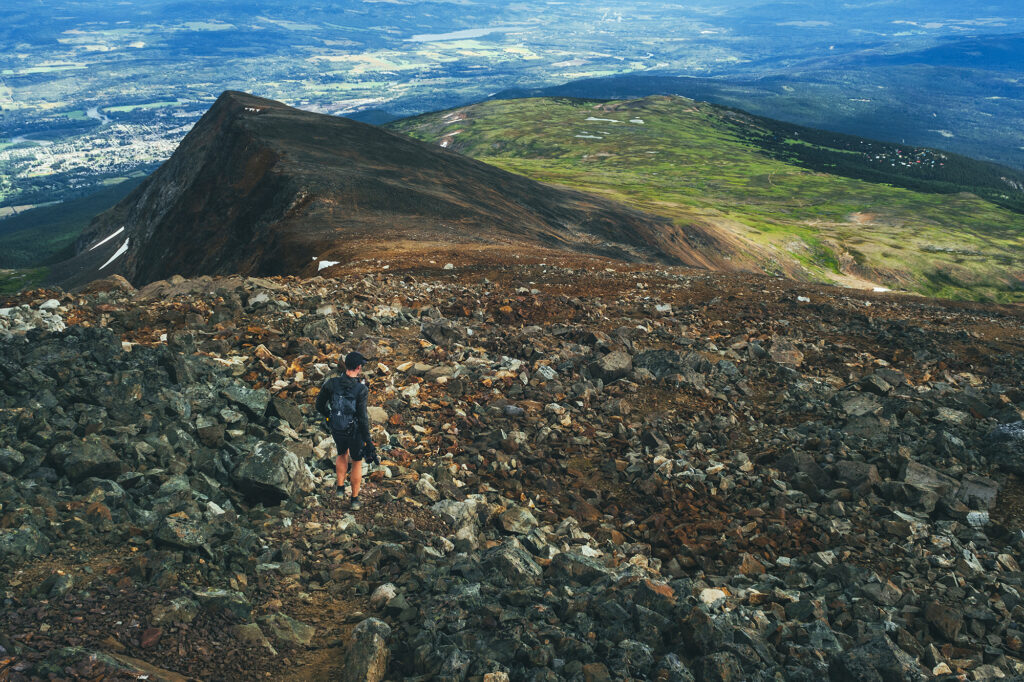
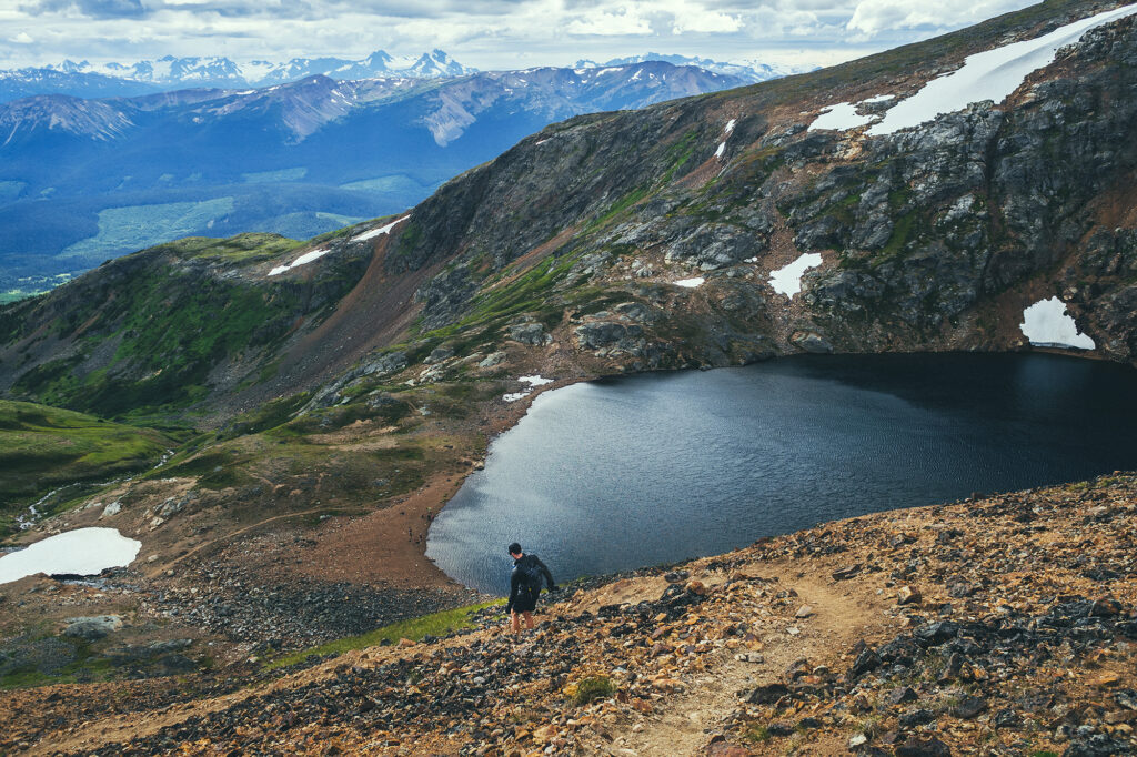
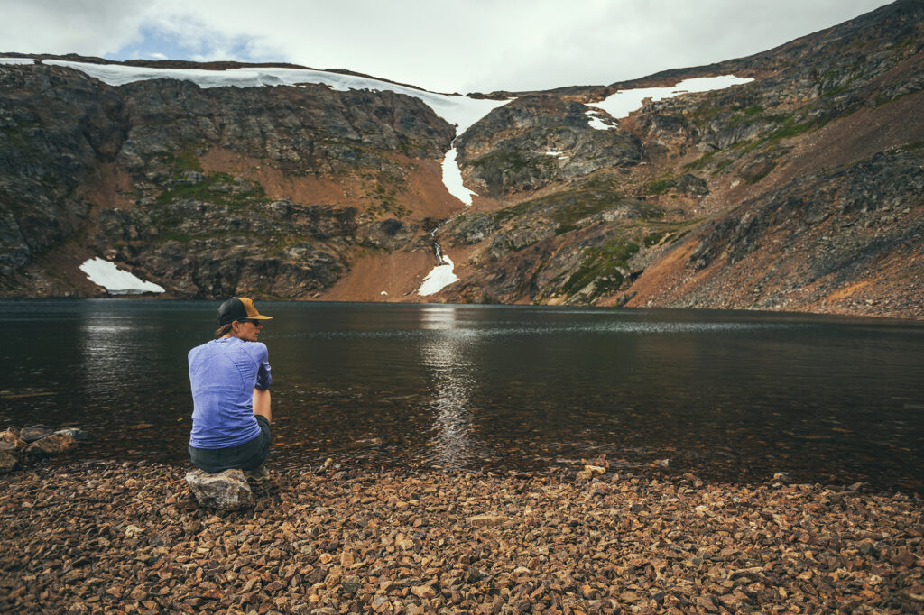
From there, we had views all the way to the top. In only took us about 40 min to reach the lake, so we kept going right away, along the ridge.
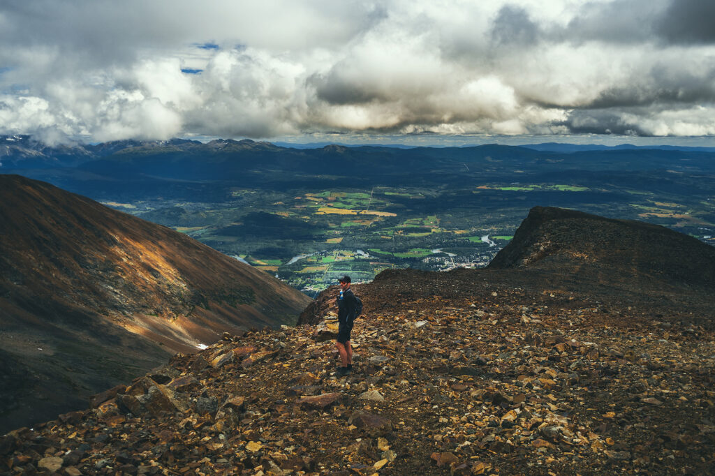
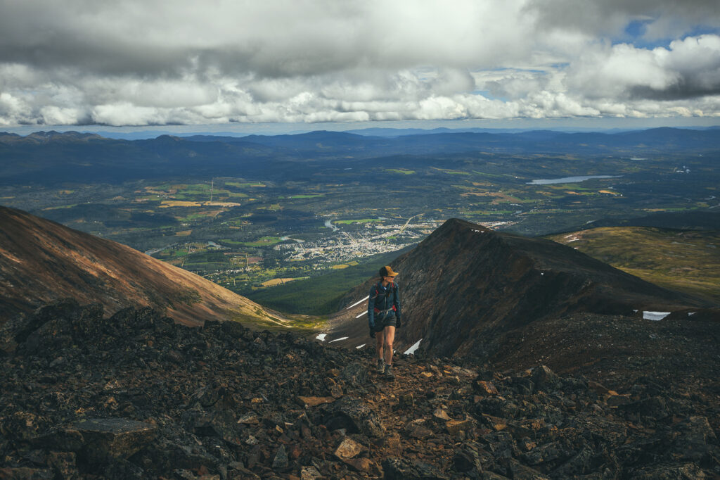
From the top of that first section, we found ourselves overlooking a steep chute and couloir – probably be a great ski objective for more adventurous backcountry skiers.
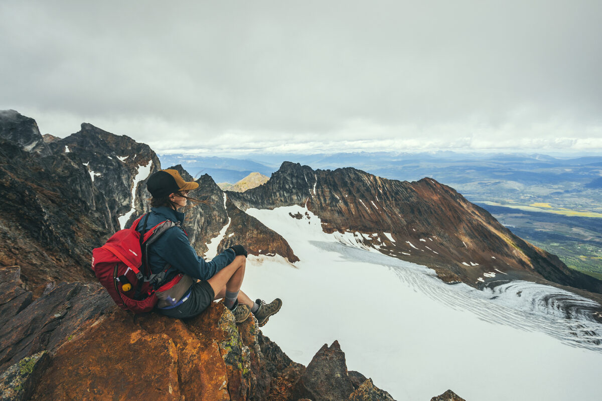
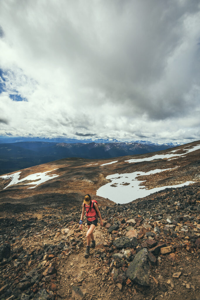
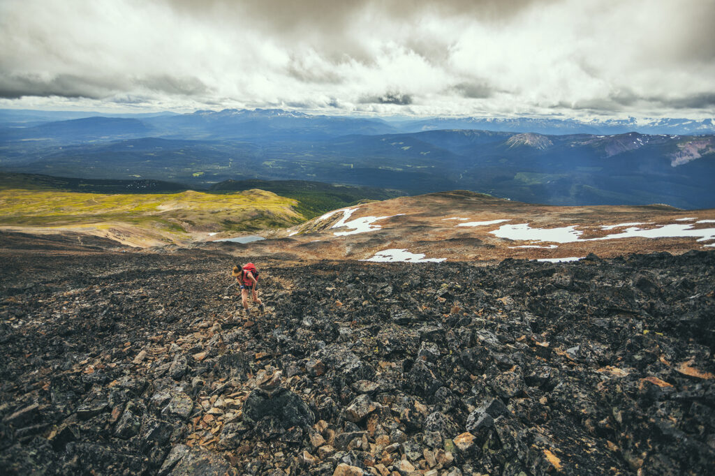
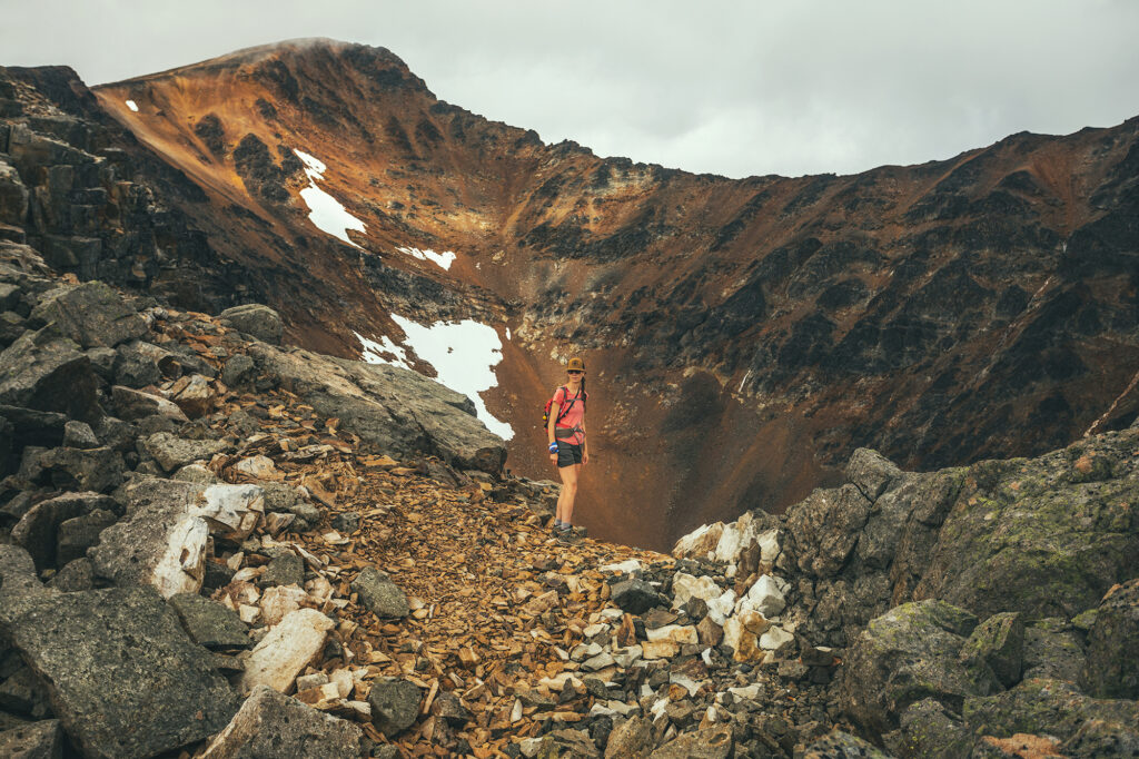
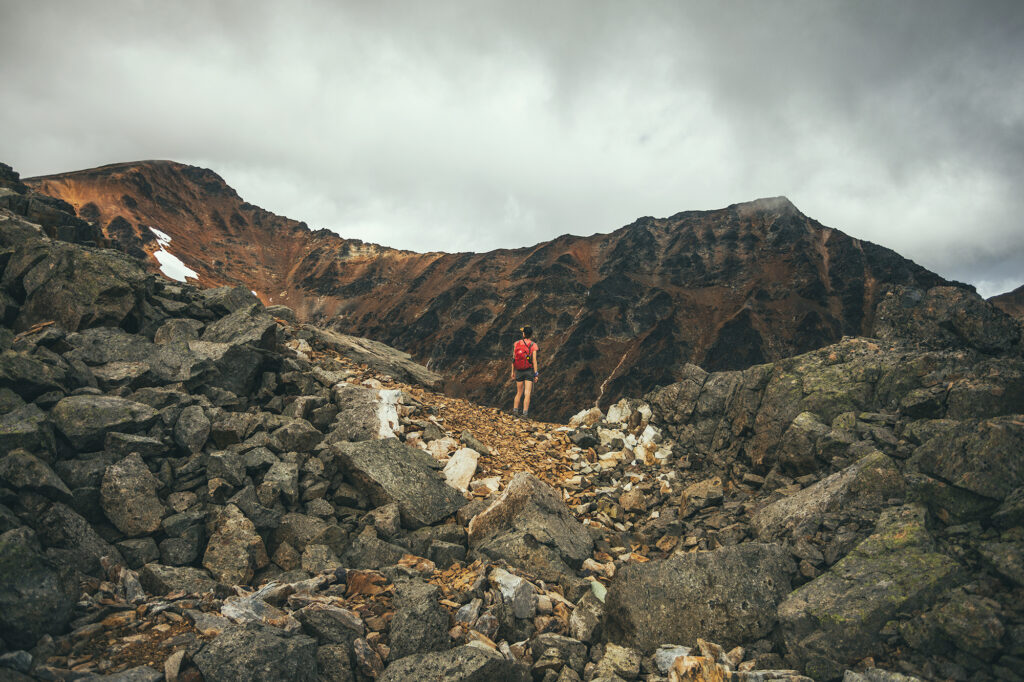
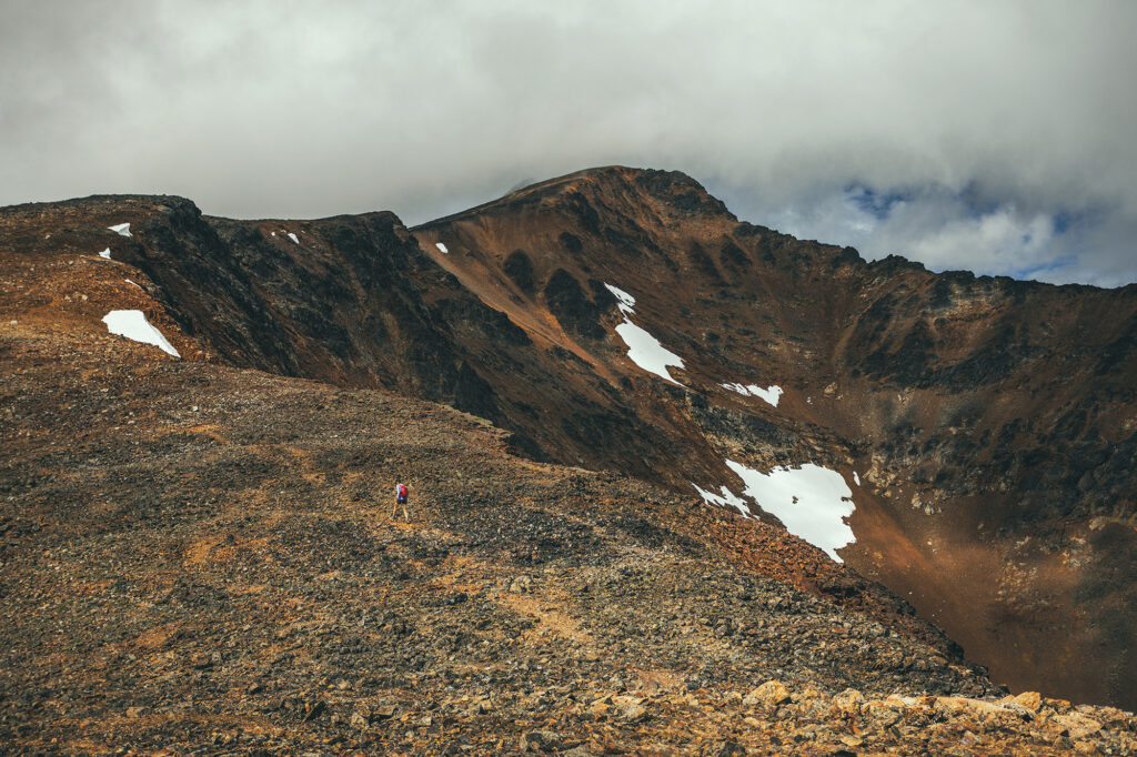
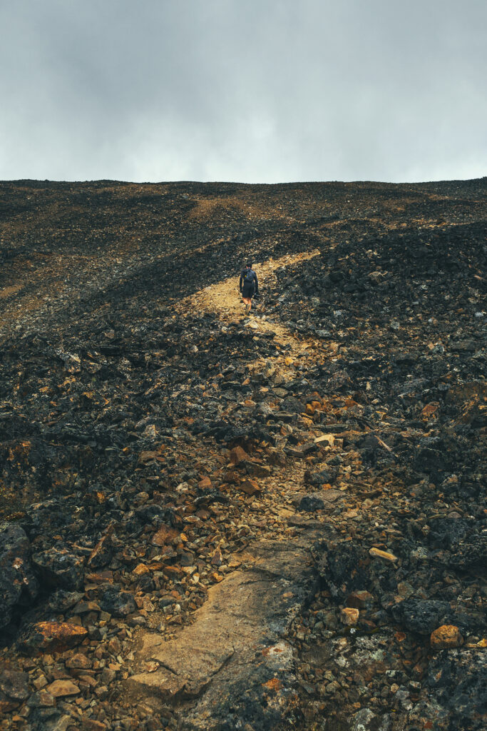
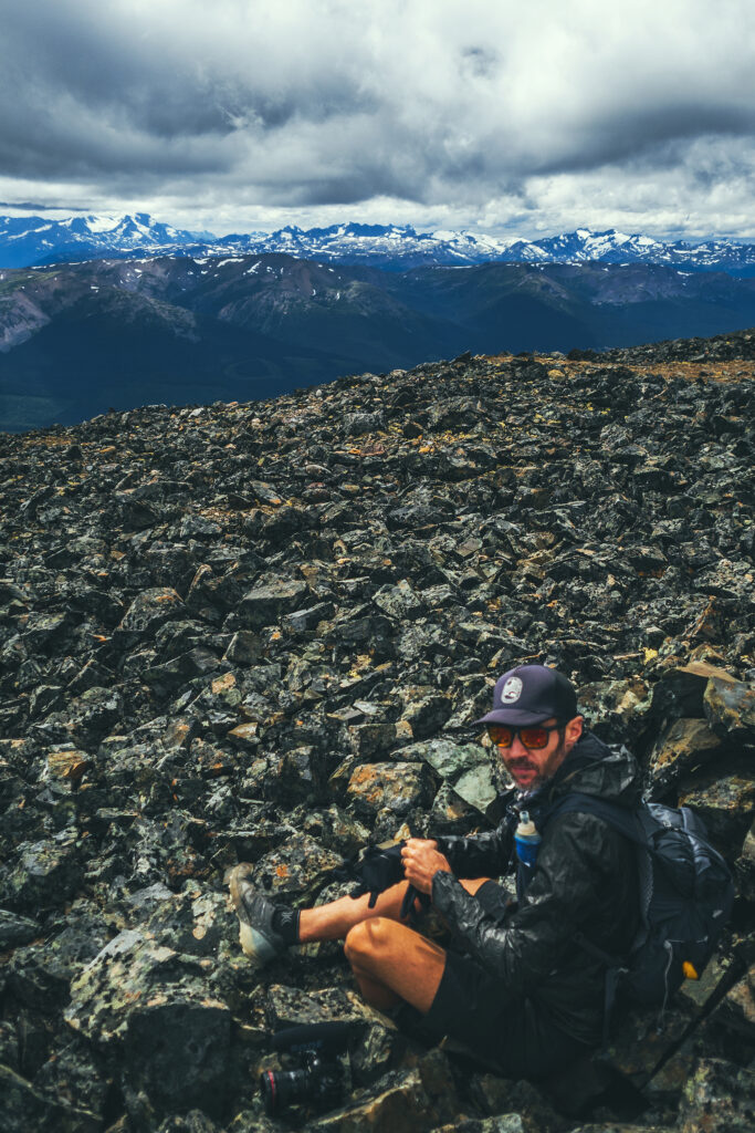
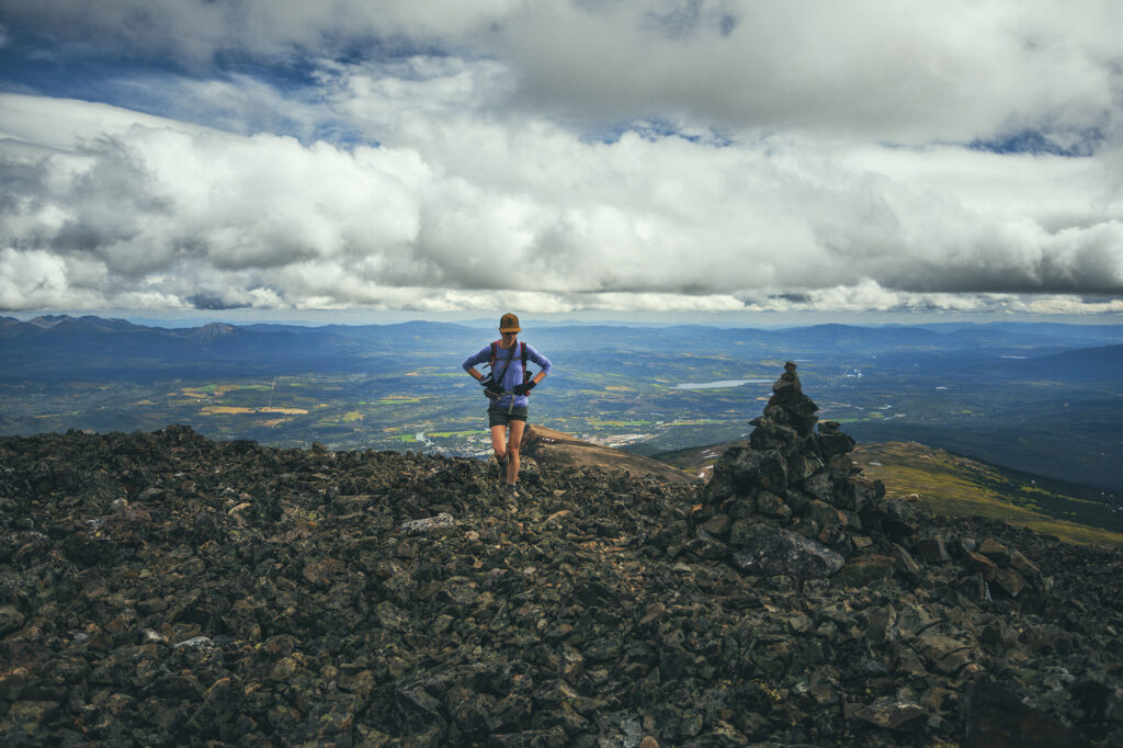
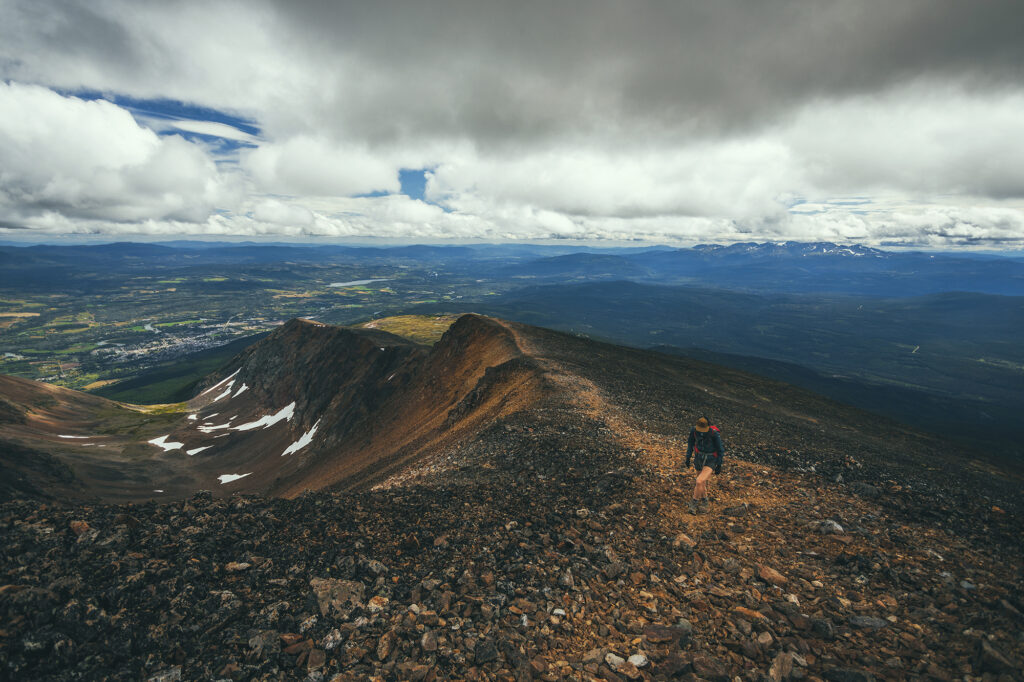
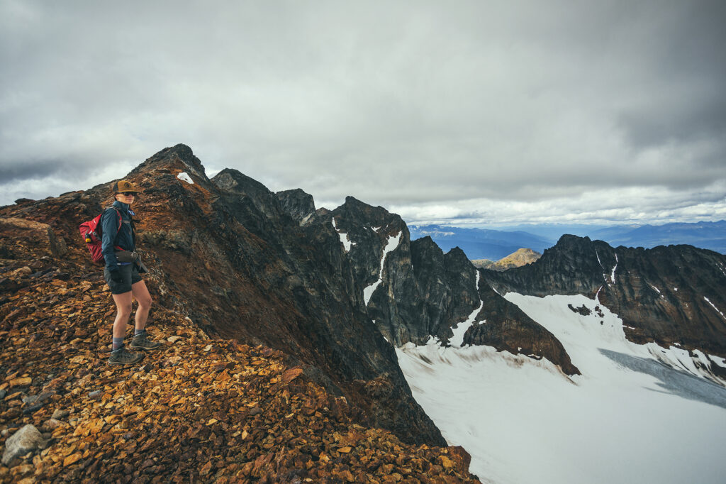
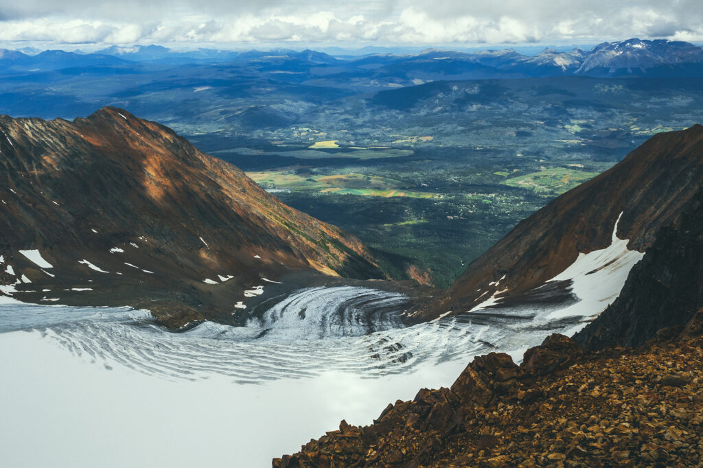
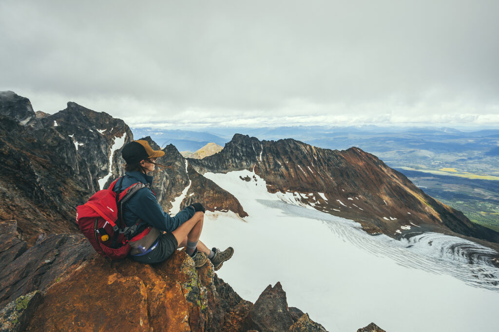
After that, the trail was a bit more faint, traveling over rocks and scree, but it was easy to aim for the next summit. This time we looked over the edge to an impressive glacier.
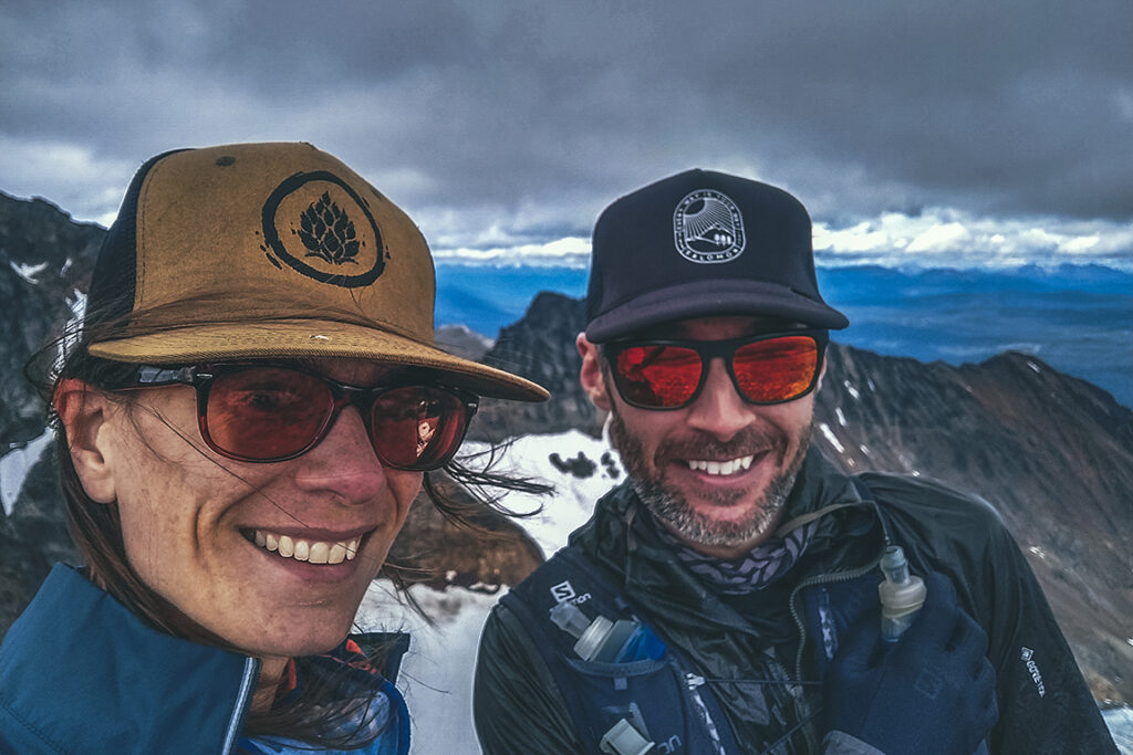
We saw that there was one more climb possible to the top of a prominence that from afar, looked like a dorsal fin, but clouds were coming in and the wind was strong so we decided to head back down. We stopped at the lake for a quick break before heading down through the meadow, back to the car.
On the way back to camp we stopped in Smithers to grab some beers at the local brewery and give the small “downtown” strip a first look.
There were hot showers at the campground, which we much appreciated after after having a good day out. It rained pretty strong that night but it had stopped by morning so it wasn’t too much of a pain to pack everything up, even with both tents being wet.
