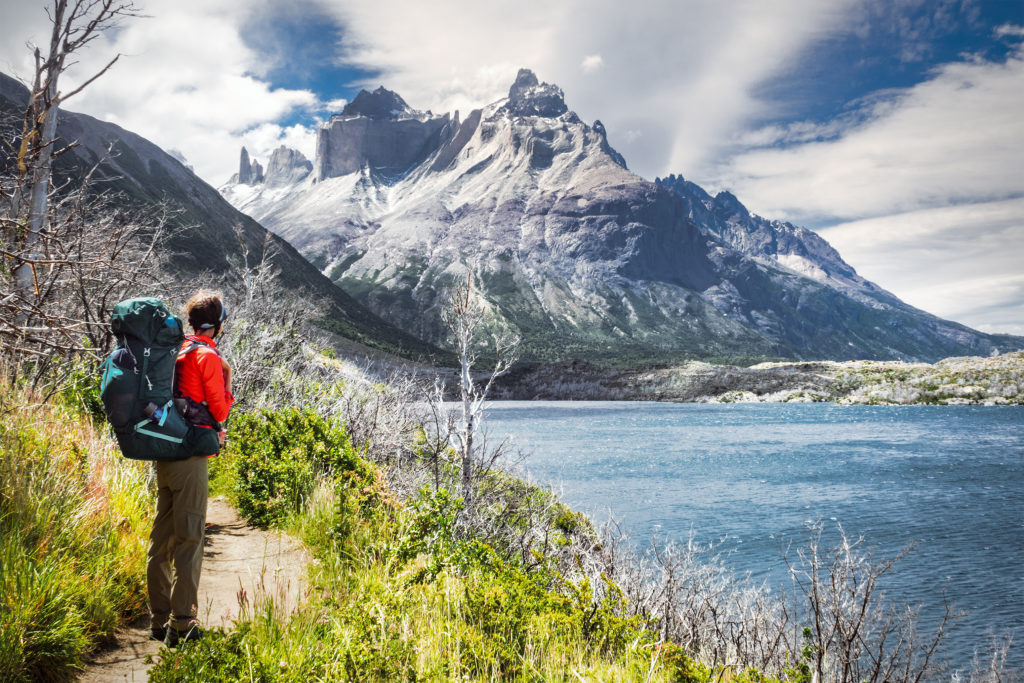
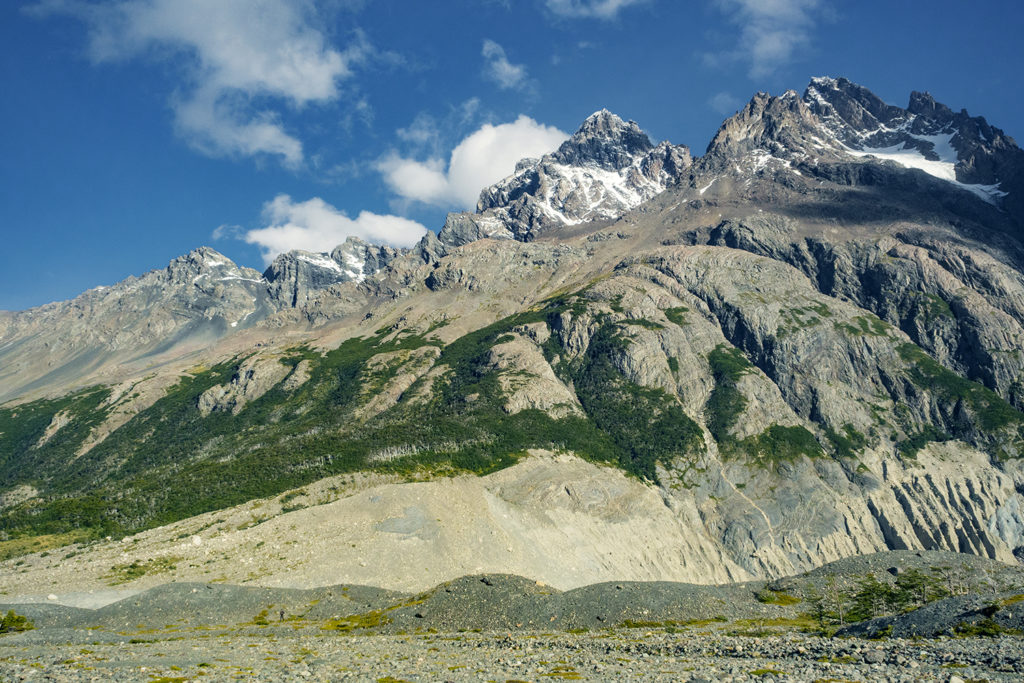
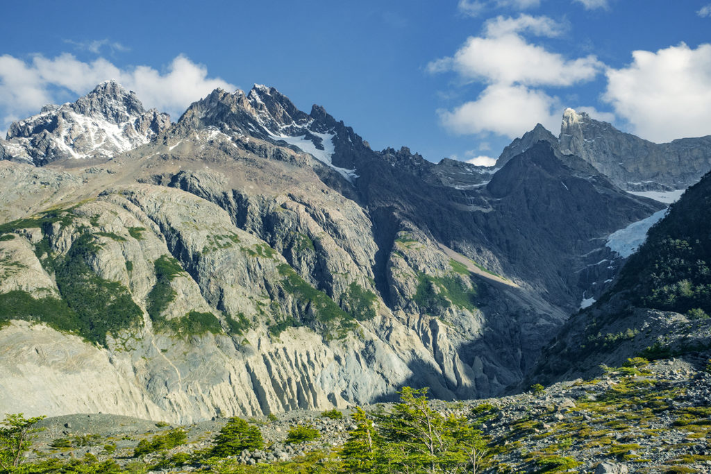
The Torre campsite is only about an hour away from Laguna Torres, so in his itinerary, Adventure Alan suggested to take a second trip up at dawn, in order to get that stunning sunrise view of the peaks. Well, that time of year, dawn was just before 4am. We did set up the alarm, but as it went off in the morning, we also heard the rain pounding on our tent, and decided it was a no-go. We could also hear quite a few campers around us getting up and walking around with their headlamps, ready to head up there. Factoring all of this, it was unlikely we would get a similar experience than the one we had the night before, so we went back to sleep for a couple of hours.
We first had to hike down along the eastern side of the “W” back through Chileno Lodge and down to Las Torres Hotel. At the Lodge, we actually made a quick stop to take advantage of the hot showers – most hikers who had stayed there overnight had already left, so we didn’t have to wait in line.
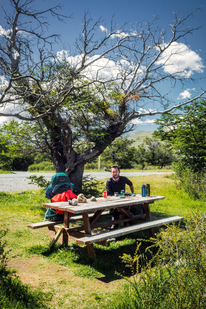
Then we hiked all the way down to the hotel, and had lunch outside of the eastern most refuge, which was near the trail head for the second half of the trip, the backside of the O circuit.
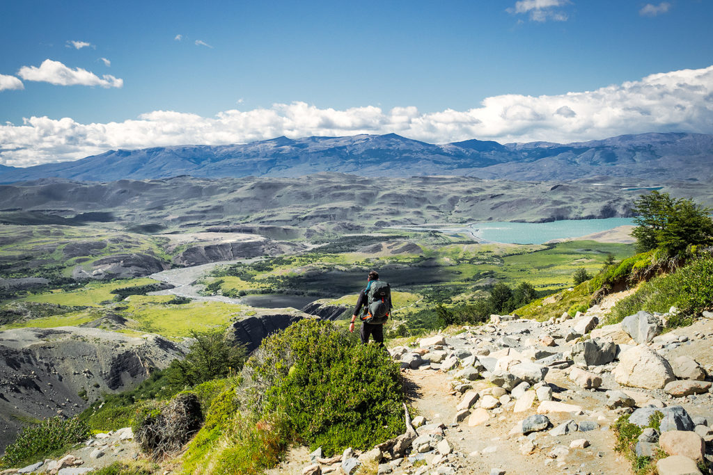
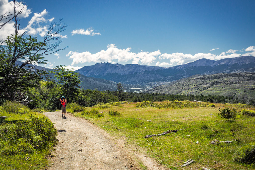
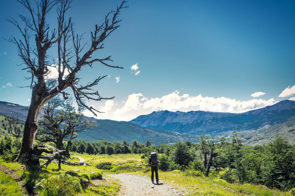
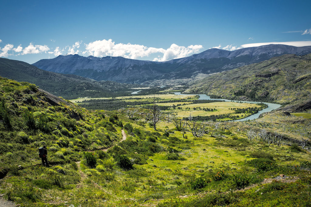
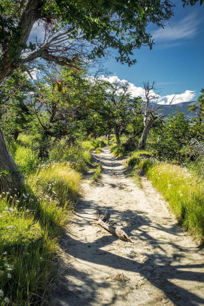
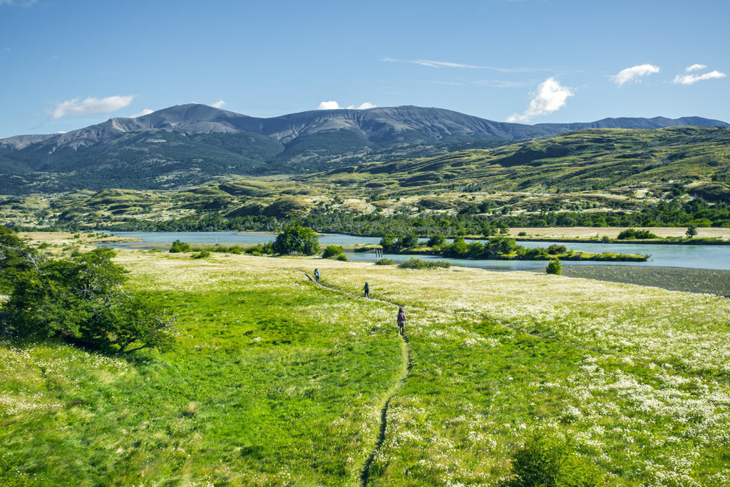
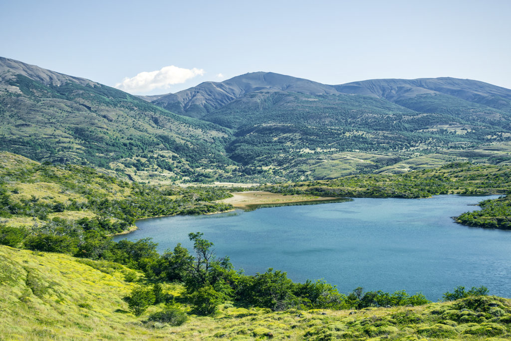
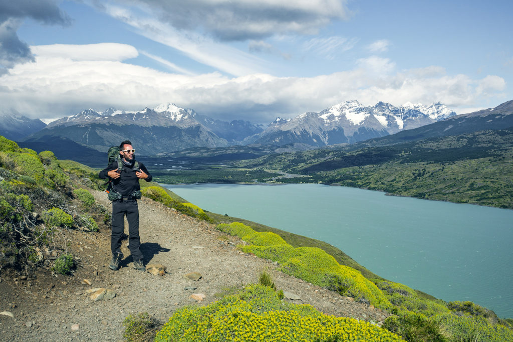
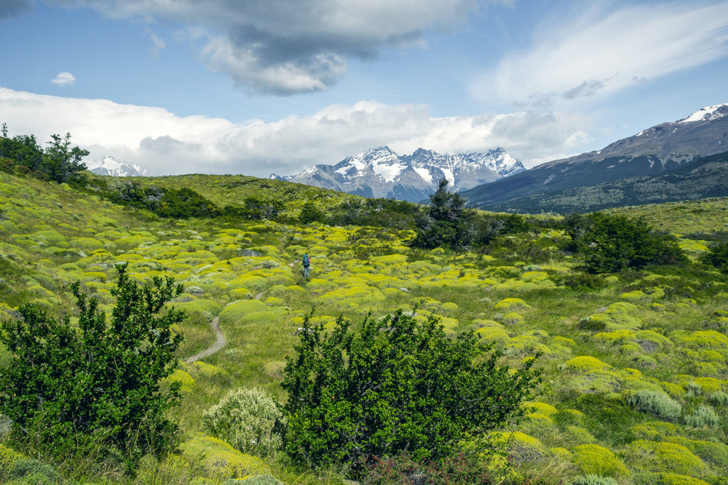
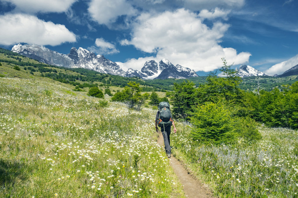
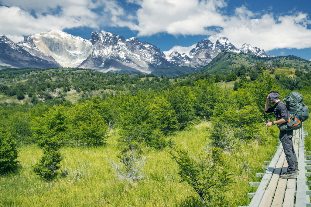
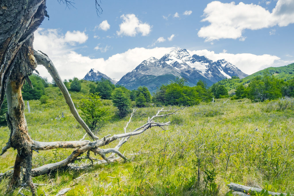
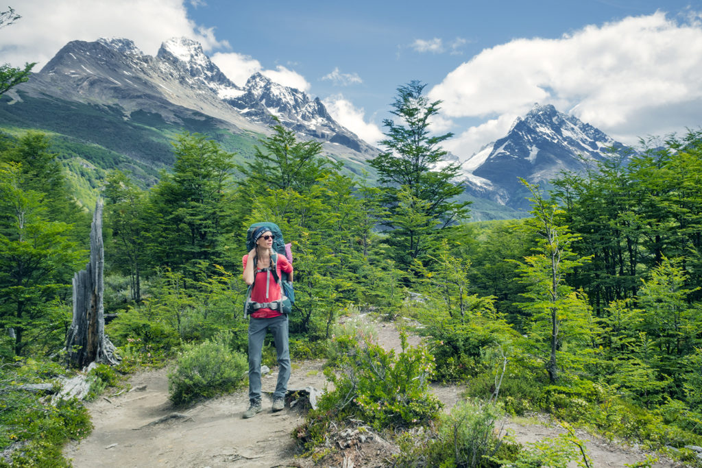
There were no other check points between the Hotel and the Serón campsite. The trail was different from the previous day, since we were now down closer to sea level. Leaving the mountains behind for a bit, we went through very pastur-esque sceneries, with open fields and flatter, wooded area, some of them still showing the signs of wild fires.
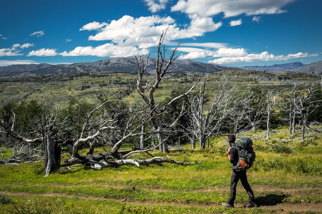
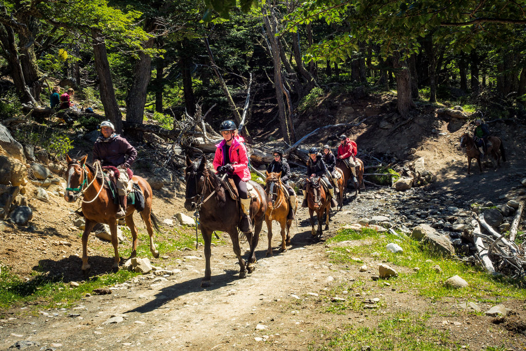
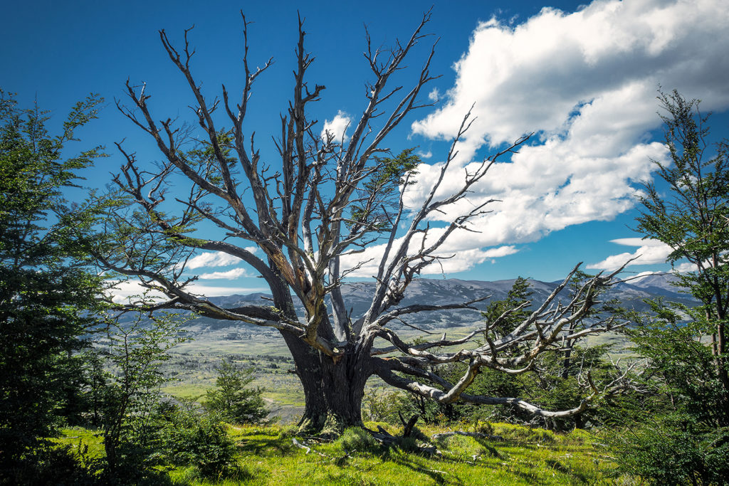
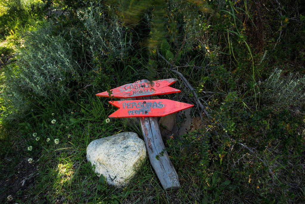
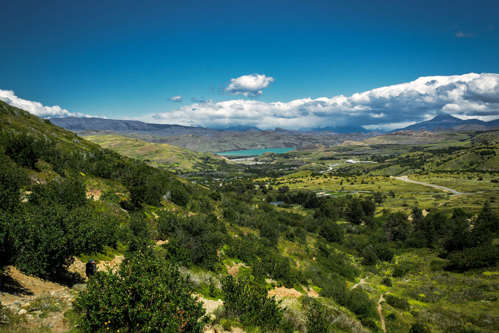
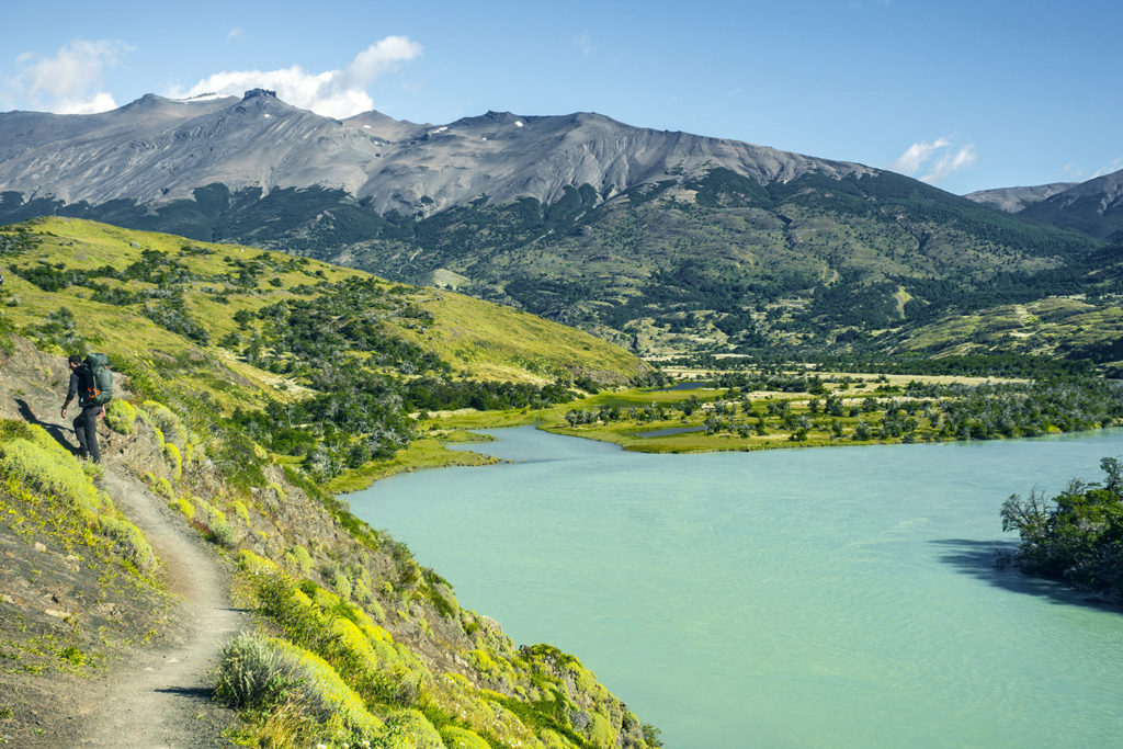
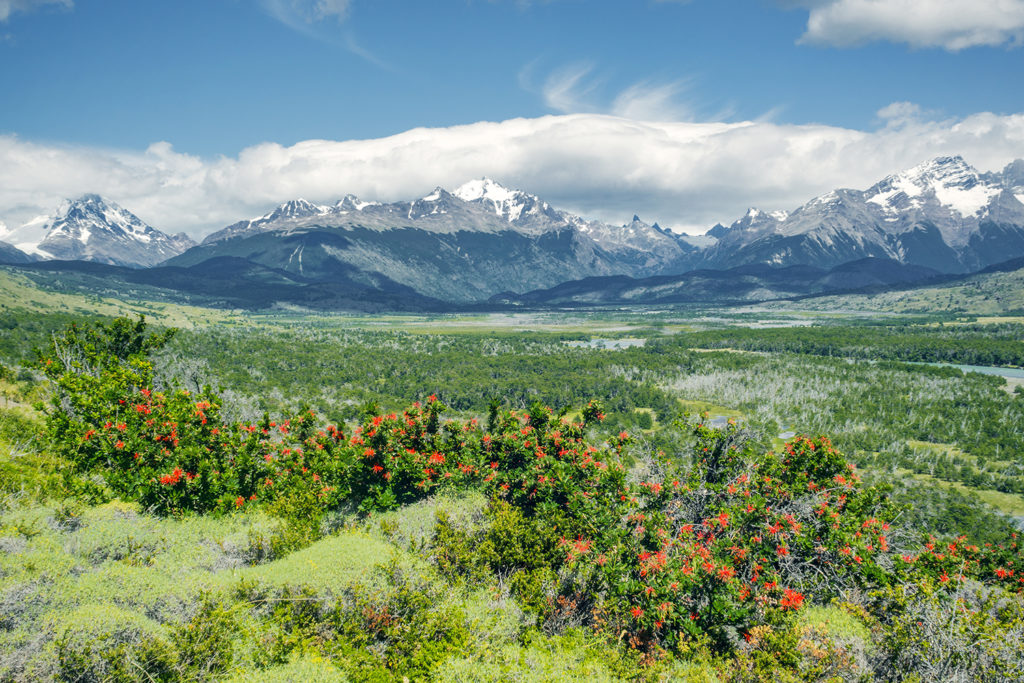
We also got some really stunning views of the valley along Rio Paine. There was a good amount of horses on the trail, which was wider and offered the ability to take horse-back riding tours. The wind hit us pretty hard in some of the more open areas while descending into the valley, and slowed us down a bit. Eventually though it calmed down as we got to fields after fields of wild flowers.
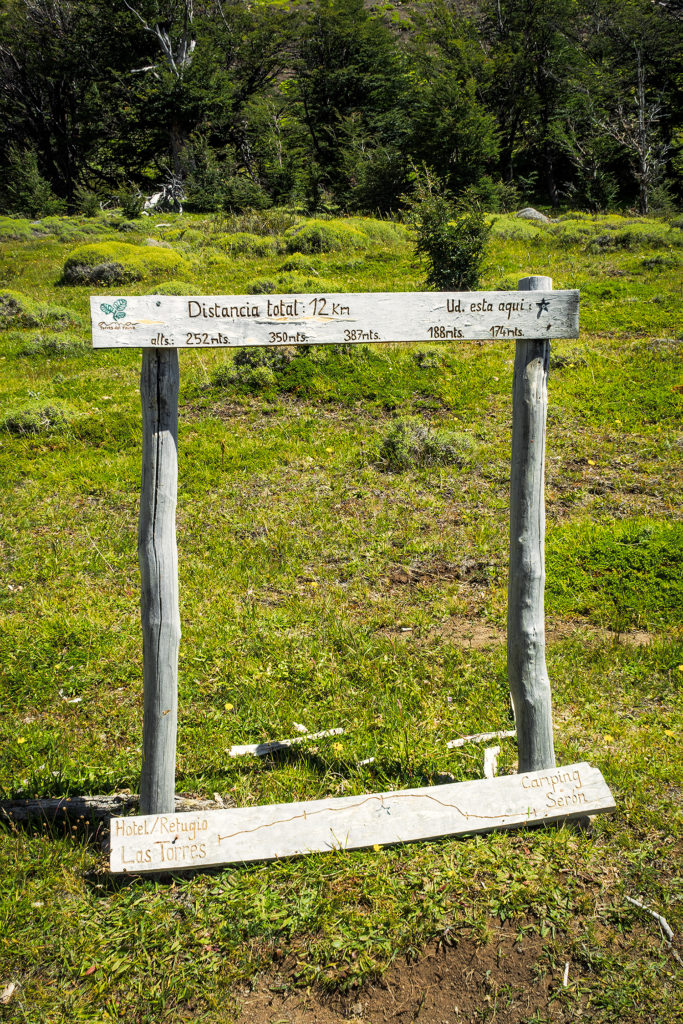
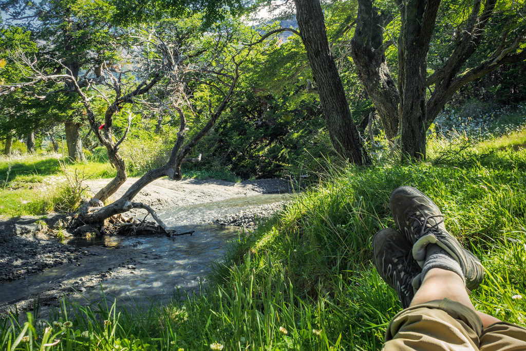
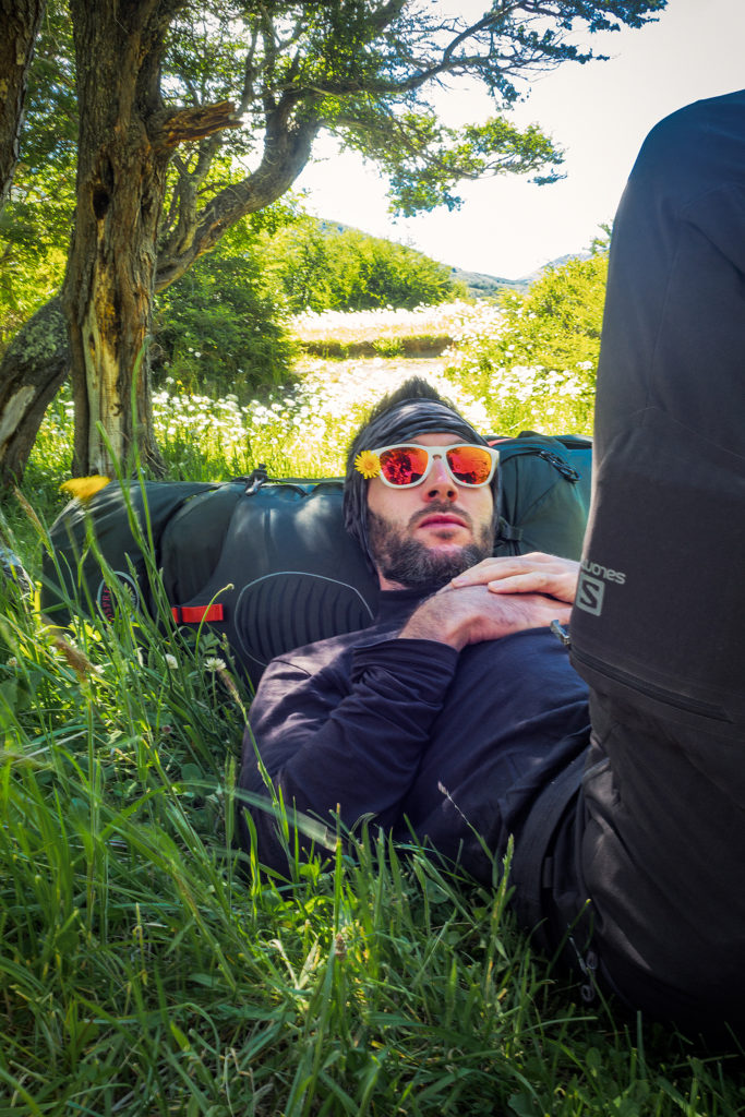
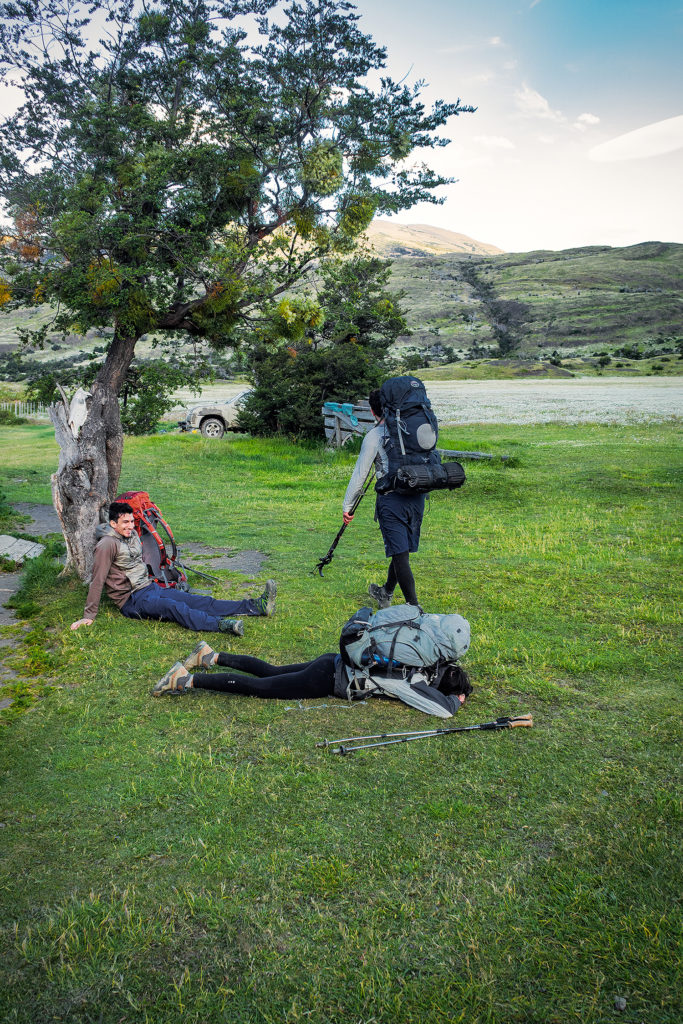
Once we got to the bottom of the valley and under the cover of the trees, we took a break for a snack. We knew we were getting pretty close to the campground at that point, but as I mentioned before, signs in the park were approximate at best, and distances indicated on them rarely accurate for some reason. I thought we only had another kilometer to go but as we kept moving along in those wide open fields, I still couldn’t see a campsite in the distance. We past a row of tree and at that point I was reaching the mental state of “ok we should have arrived by now”. When you get to that point in your mind, it doesn’t matter how much energy you still have in store, you’re just about done. So I was hoping the campsite was just behind the tree line, but then we were on the other side and it was another huge open field with no sight of man-made structures. We kept on walking for another 20 minutes and eventually, after a few more fields and tree lines, we arrived at the camp. I knew part of my feeling tired had a lot to do with having mentally decided a couple of km back that I had enough of walking for the day. I knew that I could have walked a lot longer if needed, but I had hit that mental block. It’s probably one of my biggest barriers when trying to challenge myself, to not go to that mental place of “this is too hard, I can’t”, and even though I did go there briefly that day, I was still mindful of not vocalizing it (meaning, not complaining out-loud like a 5 year old), as that really would not have been conducive to any sort of positive atmosphere. 😛
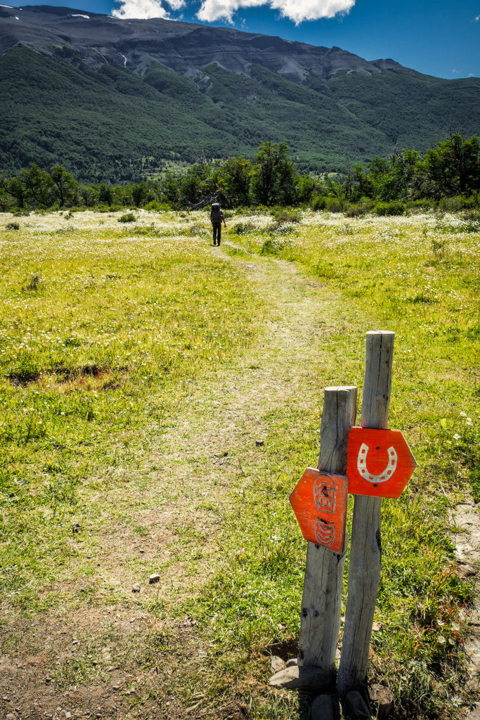
So I just let Brice get ahead of me a bit and kept on walking, all the while cursing in my head about stupid walking with stupid heavy backpack and stupid signs that gave the stupid wrong distance and stupid wind…I know, it’s ugly… But I’ve set out to give a pretty accurate account of our trip, the good and the bad, and frankly, it was pretty much good all the time except for that day when I thought I would never stop walking and it was just the worse…
I have to give props to Brice, who on the other hand, is probably one of the strongest person I know when it comes to getting past (and even ignoring) that mental block – not that this was that challenging to him anyways, but having had the opportunity to watch him challenge himself on ultra races in the past year, and always keeping a smile on his face and never complaining, even when it hurt, that was definitely an inspiration I took with me on this trek and tried to channel that positive attitude throughout the journey…Hopefully I did ok – but that’s more for him to say.
So we got to camp and I put my bag down and decided I just needed a minute, so Brice went to check us in and came back carrying a bottle of wine he’d gotten from the small refugio store, which right there made everything better.
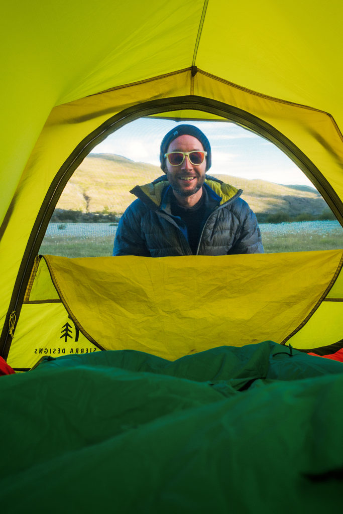
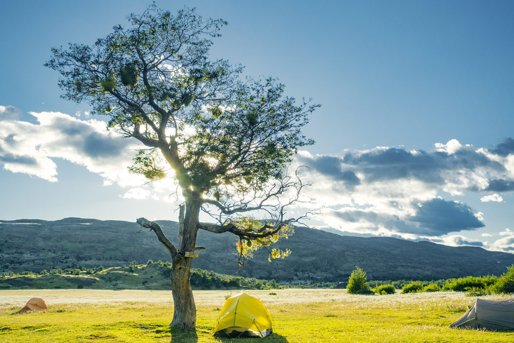
The campsite was an open field, much more exposed to the wind than the previous ones we had seen so far, but our tent stood up to the task once again and we slept really well – it was even a bit warmer since we were lower in elevation.
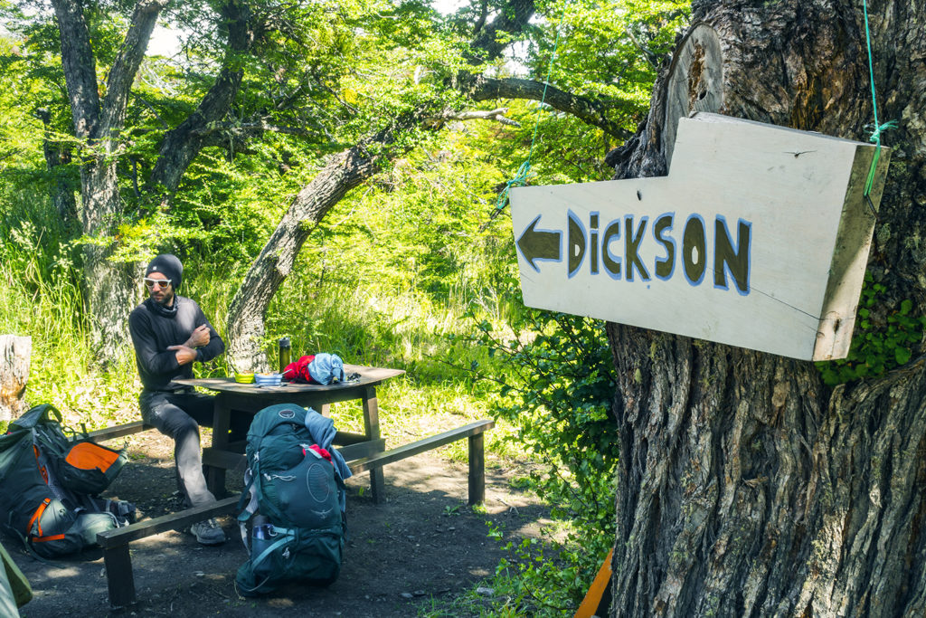
The following day was going to be our longest day in terms of distance, as we had to cover about 30 km from Serón to Los Perros (and I was mentally prepared for it :P). There was another campground on the way, Dickson, that we could have stayed at, but then it would have meant adding 10 more km and an extra 600m of gain on the day we were going over the John Gardner pass, which was the highest point in the whole trek (1200m). So instead we followed Alan’s suggestion and went all the way to Los Perros, the last campground before the pass.
At breakfast, we talked to two hikers who happened to be porters, hired by tourists to carry their backpacks for them. For some reason we hadn’t even imagined that it could be a thing, not here anyway. But I guess it was, and it left us a bit perplexed about the sort of people who would set out to do a trip like this, but only embrace the enjoyable part and none of the challenges. When you know that you can buy every meal at the campsites, and you can rent all your camping equipment as well, to the point where your tent would be already set up and waiting for you when you arrive, what is there still left to carry really, other than a few pieces of clothing and a camera….But maybe I’m passing a negative judgment here and there could be very good reasons for this service to exist…
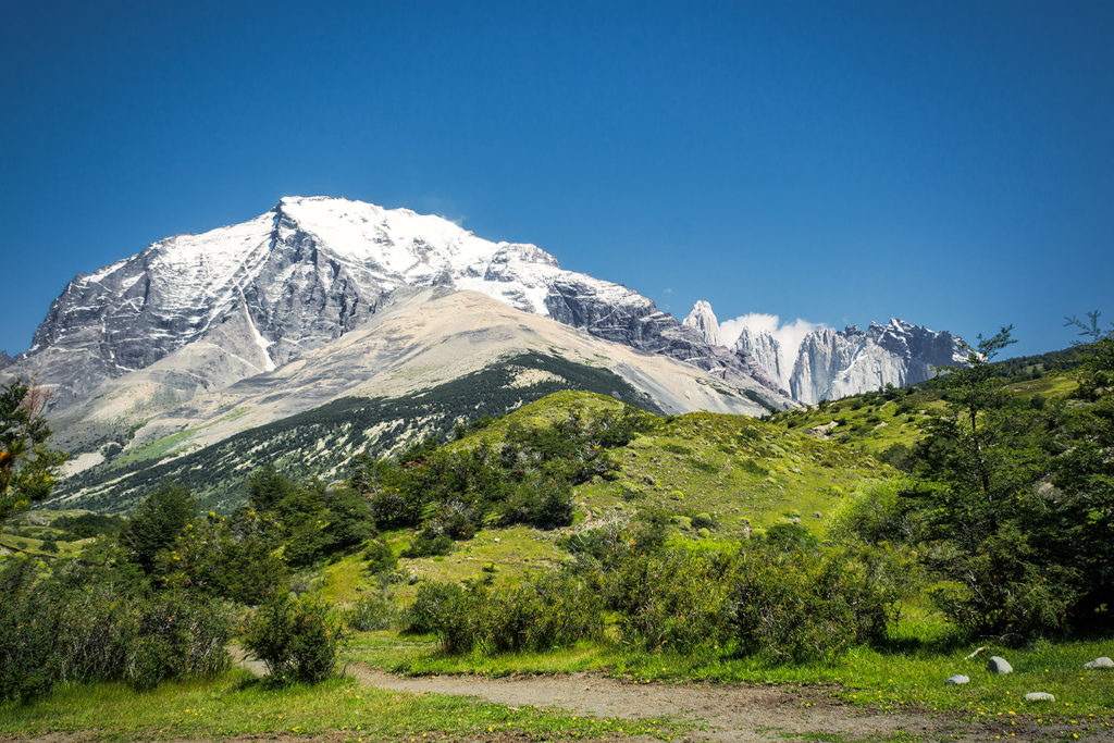
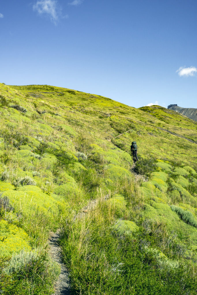
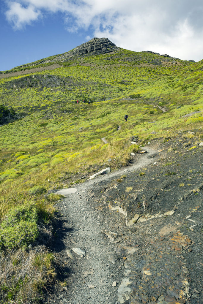
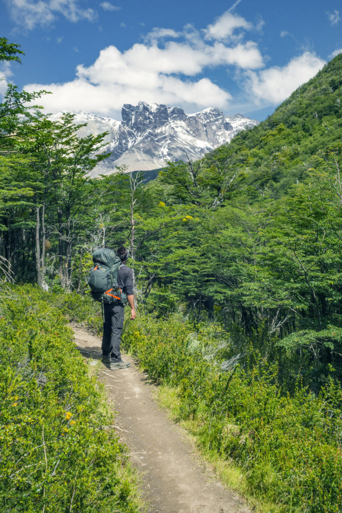
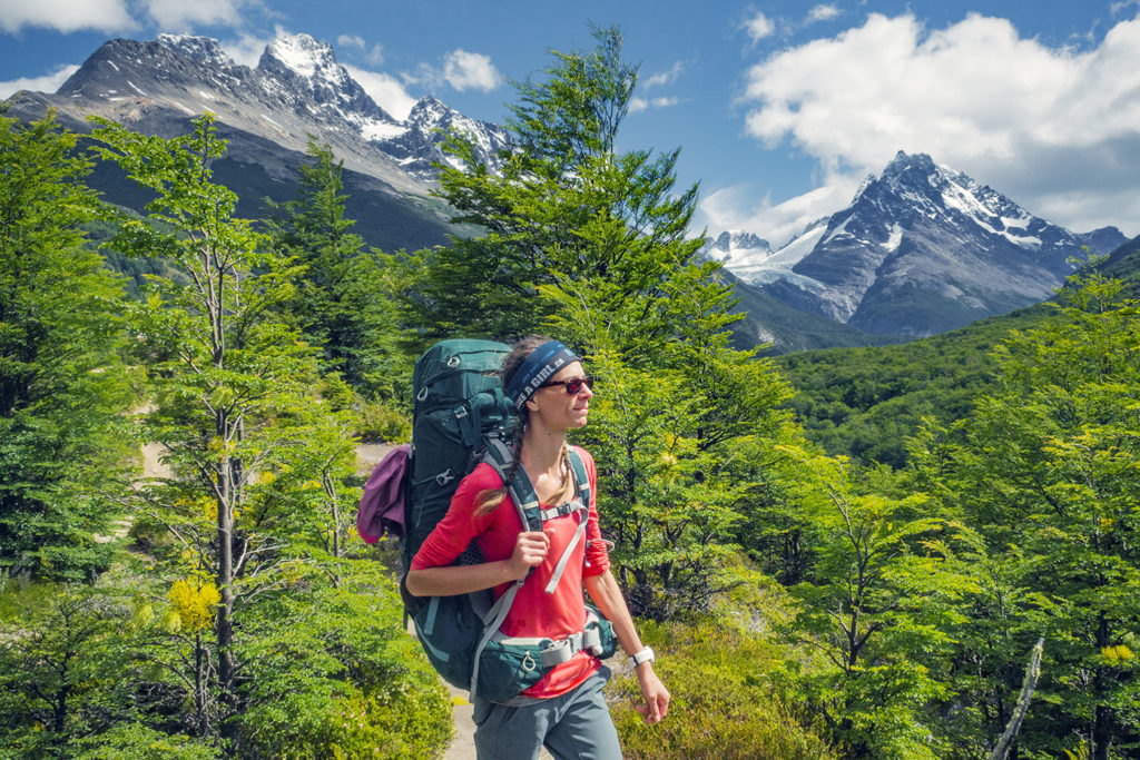
The beginning of the trail took us through more fields of wild flowers, then we hit a pretty steep hill (that the porters at breakfast had warned us about ;P), which took us a good hour to climb, until we started walking along a ridge just above the river.
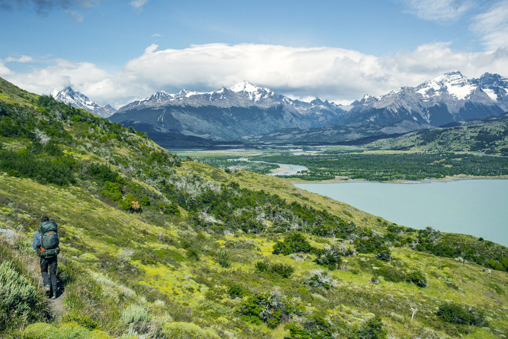
It was once again beautiful, and another, different view we hadn’t seen yet. After about 9km we arrived at the Coirón Rangers station and stopped for lunch. Since we weren’t allowed to cook in the park (other than in designated area), but most of our food involved some sort of heating, I had thought of pre-cooking some instant noodles in the morning. We drank the broth at breakfast to avoid any leaking in the bag, but then packed our noodles up so we can have them later. Add a can of tuna to this and it was a pretty delicious lunch, which required no additional cooking, therefore good time saving. This proved to be a good method to guarantee a sustainable lunch if we had to stop somewhere along the trail where we couldn’t use our stove.
When we arrived at the check point, the ranger asked us how far we were going that day. We said all the way to Los Perros. He looked at his watch and said “don’t take too much time, you need to get to Dickson by 3pm otherwise they won’t let you continue on”.
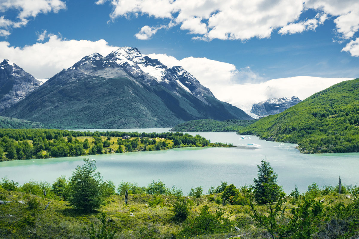
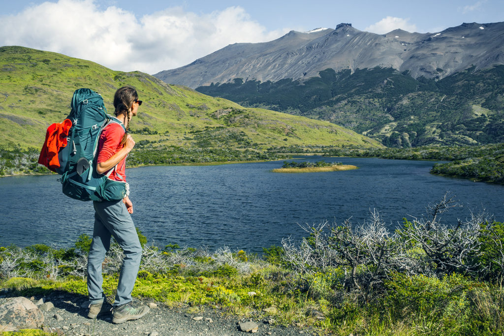
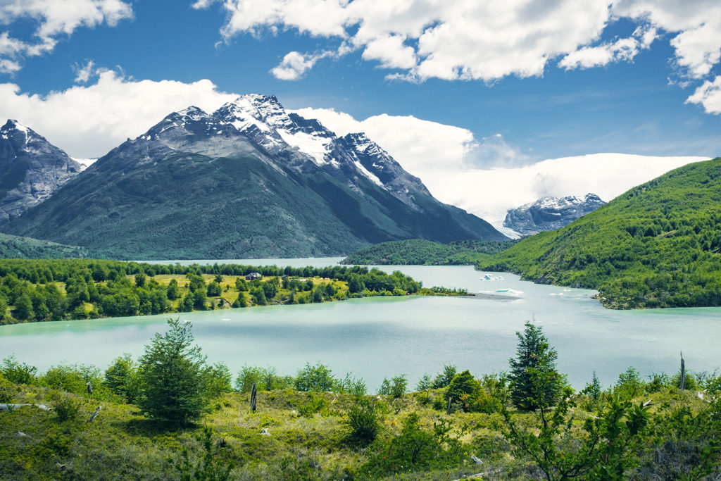
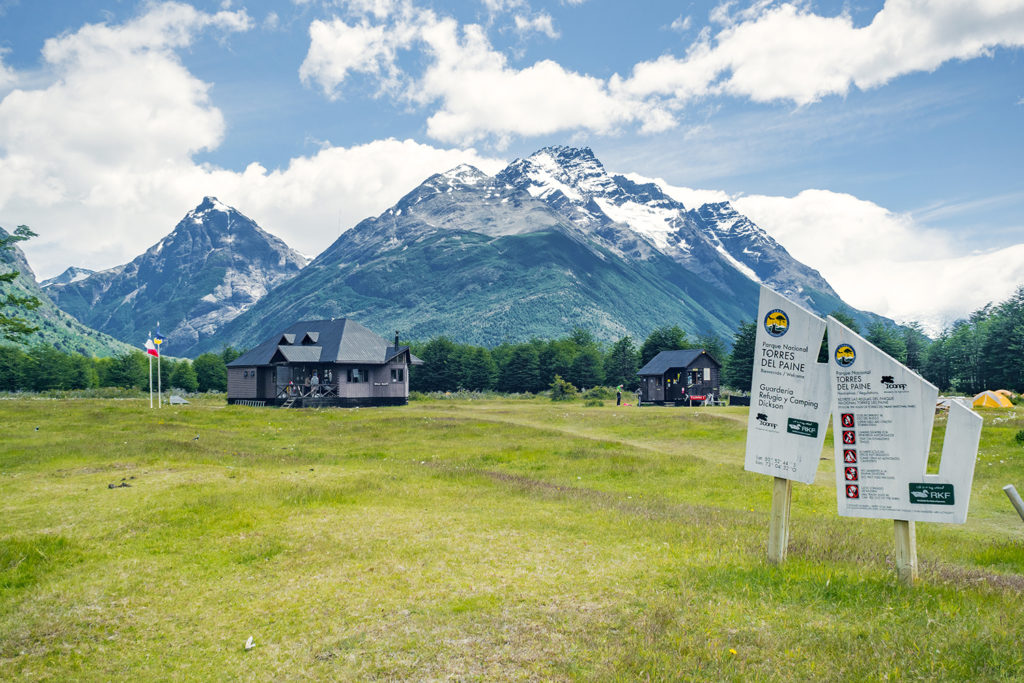
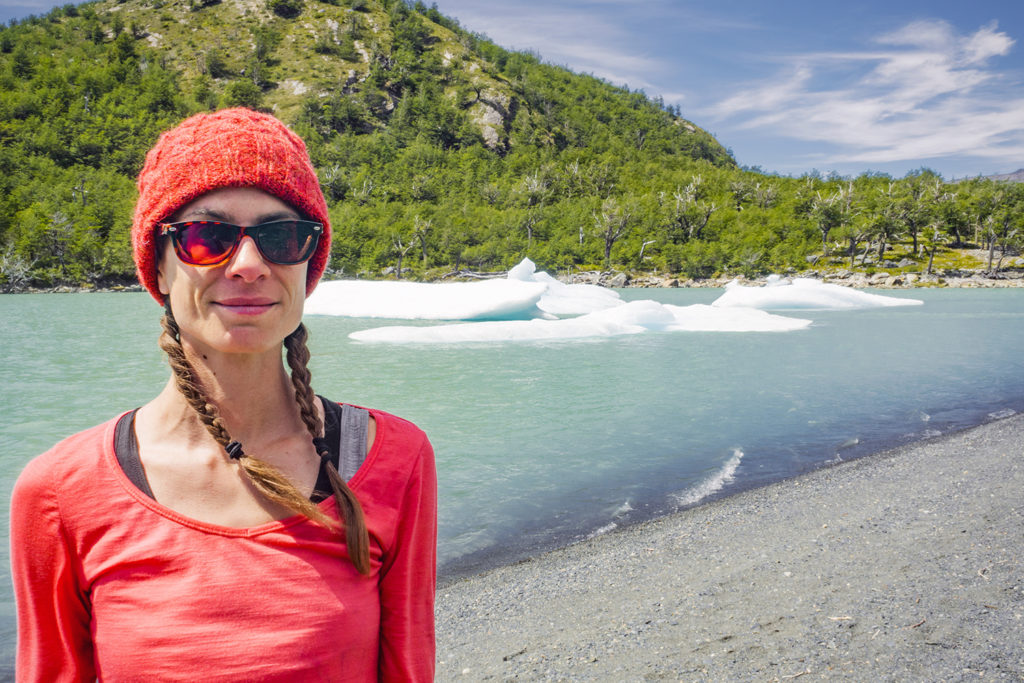
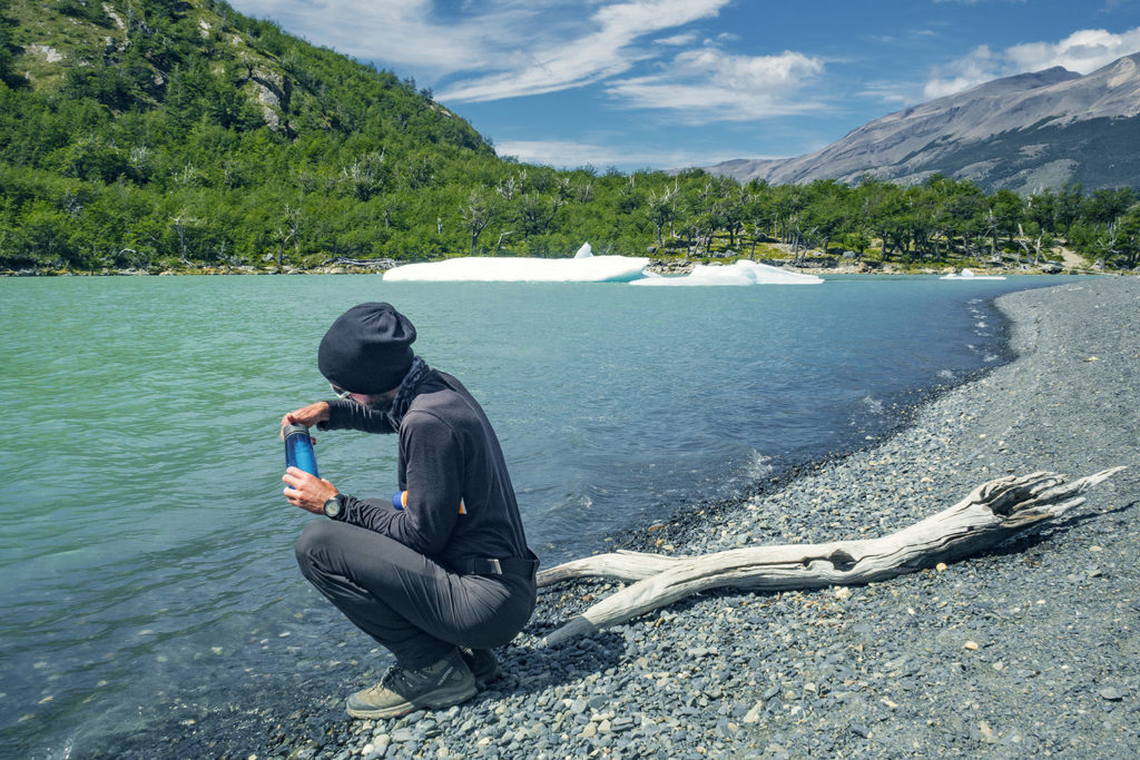
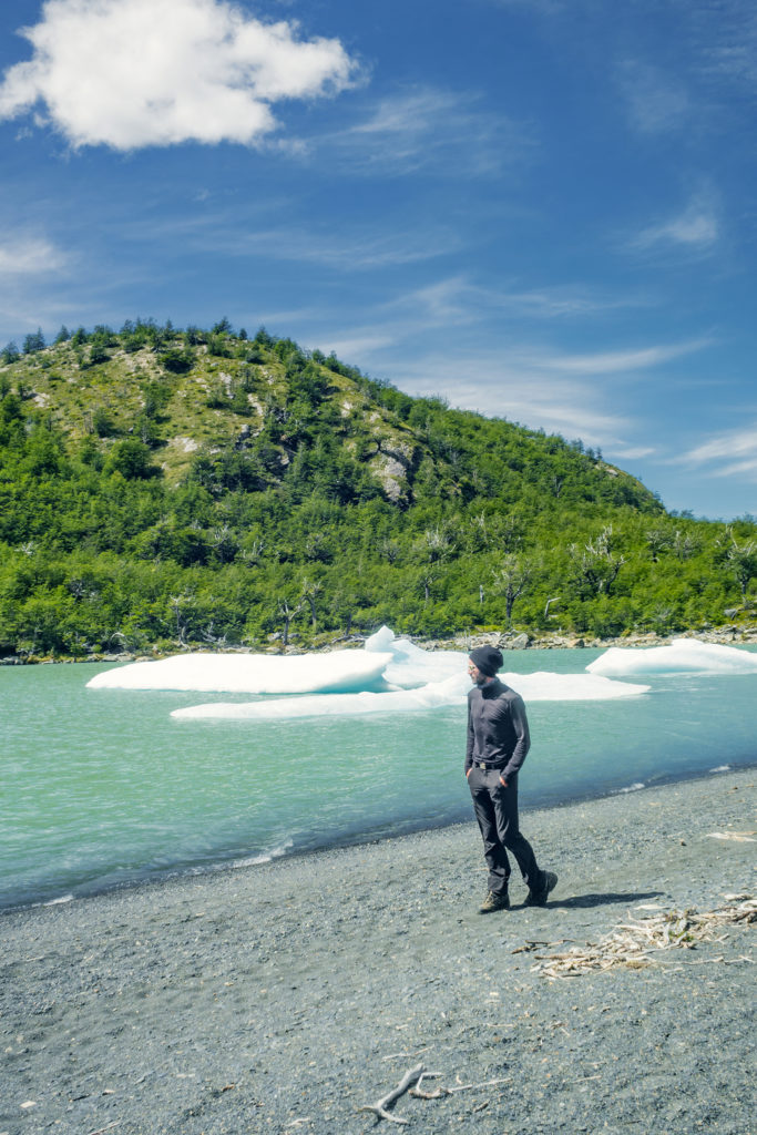
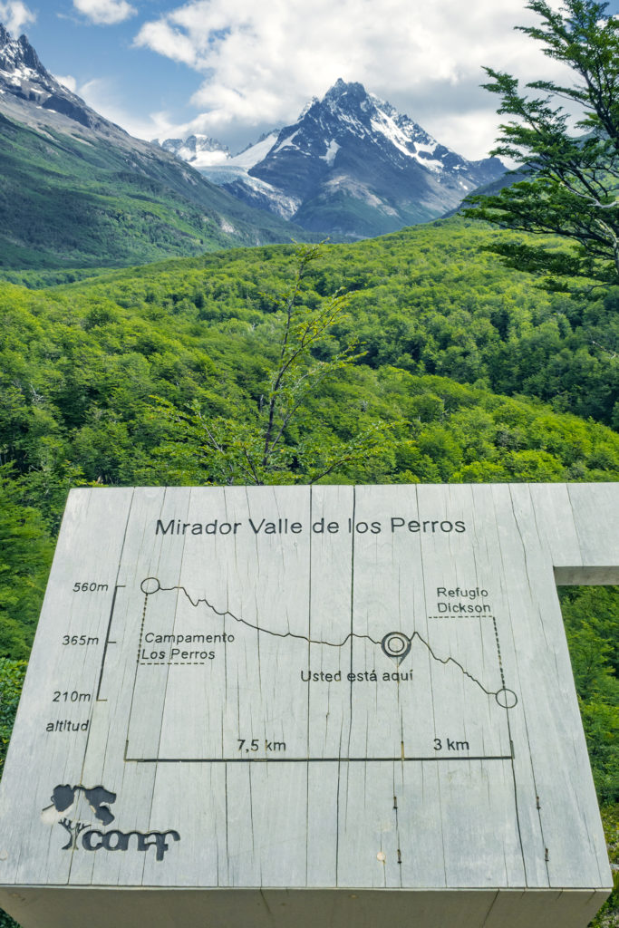
Dickson was another 10-11 km away, and it was almost 12:30pm. The map said that it would take about 3hours to get there, and although it had been pretty accurate in the last couple of days, we thought we could probably get there faster. That section of the trek was also the flattest of the whole circuit, which definitely played in hour favor. So at 1:00pm, with our belly full of noodles and our energy restored, we headed out at a pretty steady pace (while still taking a moment to snap a picture here and there). The approach of Dickson was quite stunning, as we walked along a ridge overlooking Dickson lake and the campground, and we could see little pieces of detached ice floating around in it.
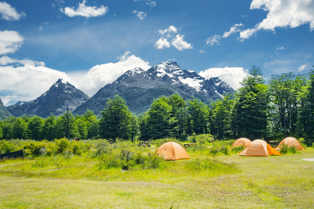
We arrived at Dickson at 2:30, only 1h30 after leaving Coirón, on a section that was estimated to be about 3hours. Pretty good!
The rangers there told us that the cut off for leaving from Dickson was 4pm (and not 3pm), so we had plenty of time and decided to take a break and enjoy our surroundings a bit. But first we hit the little shop for additional food, as the stock we had purchased in Puerto Natales were pretty much gone. The shop was small but had quite a bit to chose from, including different kinds of soups and instant noodles. We grabbed a couple packs of cookies and as we were about to pay I also pointed to a “Buddin” (that’s the brand name) pound cake that seemed to be calling out to me. We made a “gouter” of pound cake and coffee and it became our new favorite snack for the rest of the trip (especially after we found out it actually came in different flavors such as chocolate or orange).
We hung out in Dickson a little bit, taking a walk on the lake shore and just enjoying not having a backpack on. But then we still had another 10ish km to go, with 400m of elevation, and our legs weren’t so fresh anymore, so just before 4pm we put the packs back on and continued on.
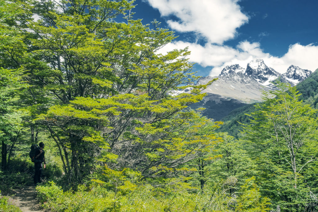
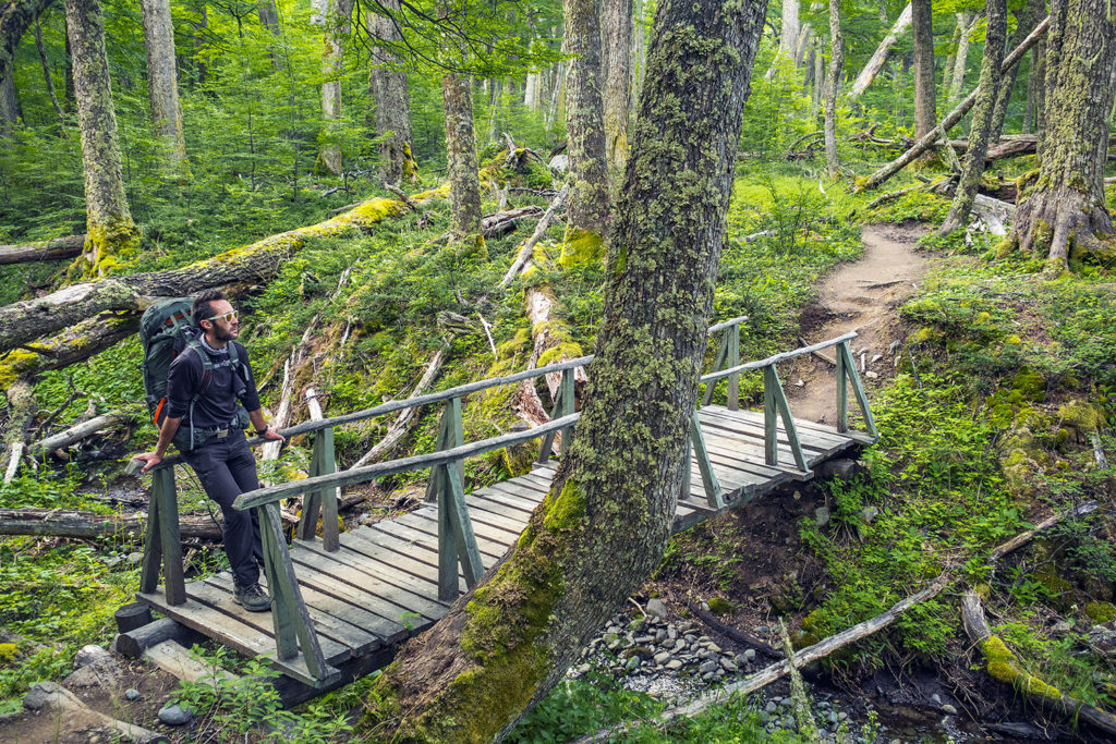
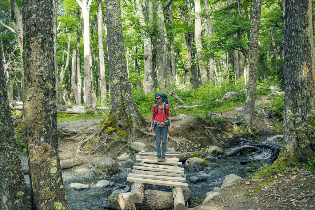
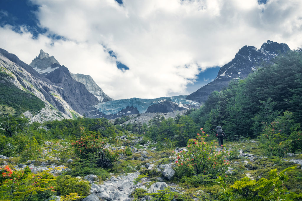
The next stretch took us into the forest for a fair bit, and eventually up to the base of the Los Perros Glacier. Once again we got a bit confused by the signs indication of kms and what our GPS watches where showing, and after looking around for a campground at the base of the glacier, we found it another 1km further, in the forest.
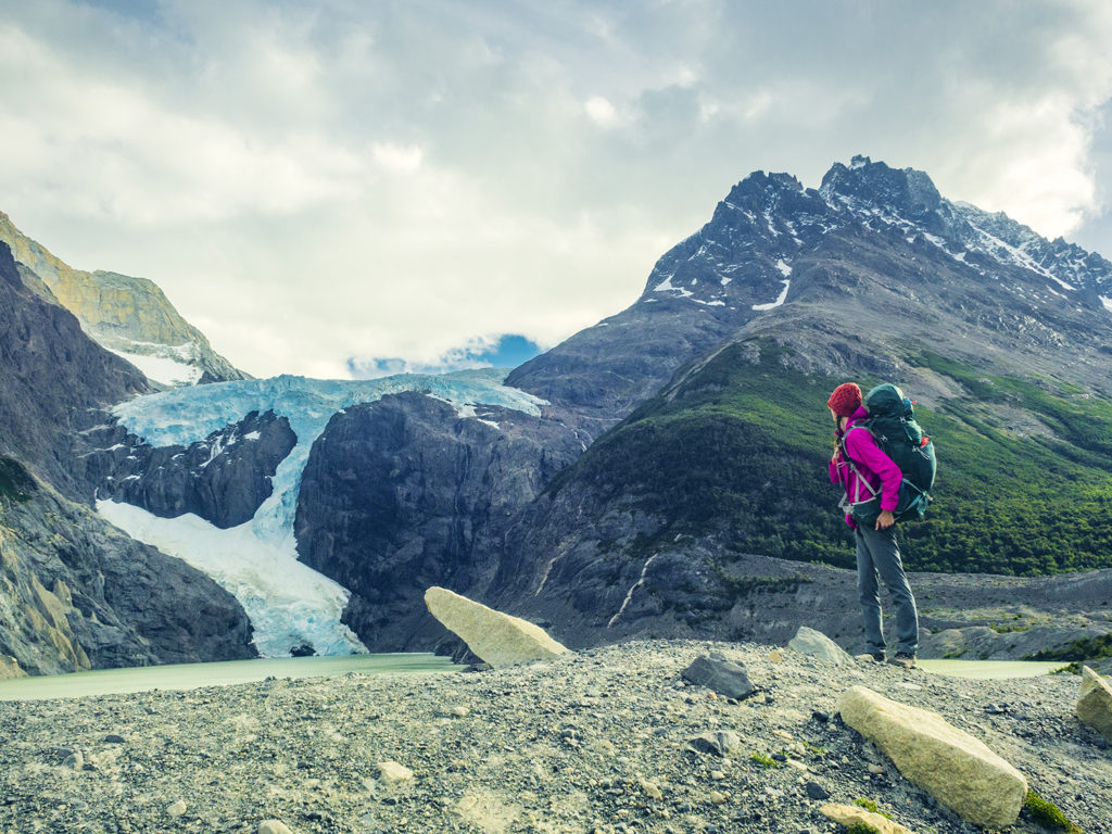
Los Perros was a bit more crowded than the previous campgrounds, but we did appreciate having a full hut (with four walls and a door) to have diner and breakfast in, rather than a small 3-wall shelter like in previous campgrounds.
At night, we chatted some more with Jen, who had made it to the campground just before us. We were all pretty beat after a long day and went to bed early. The next day would be another exciting one, with the crossing of the infamous John Gardner Pass.
