On day 2 of our Canadian Rockies road trip, we headed to the Illecillewaet parking lot, the start of most trailheads in Glacier National Park. The Park is home to black bears and Grizzly, and parties smaller than 4 people are advised not to go on some of the trails that cross the most bear-populated areas.
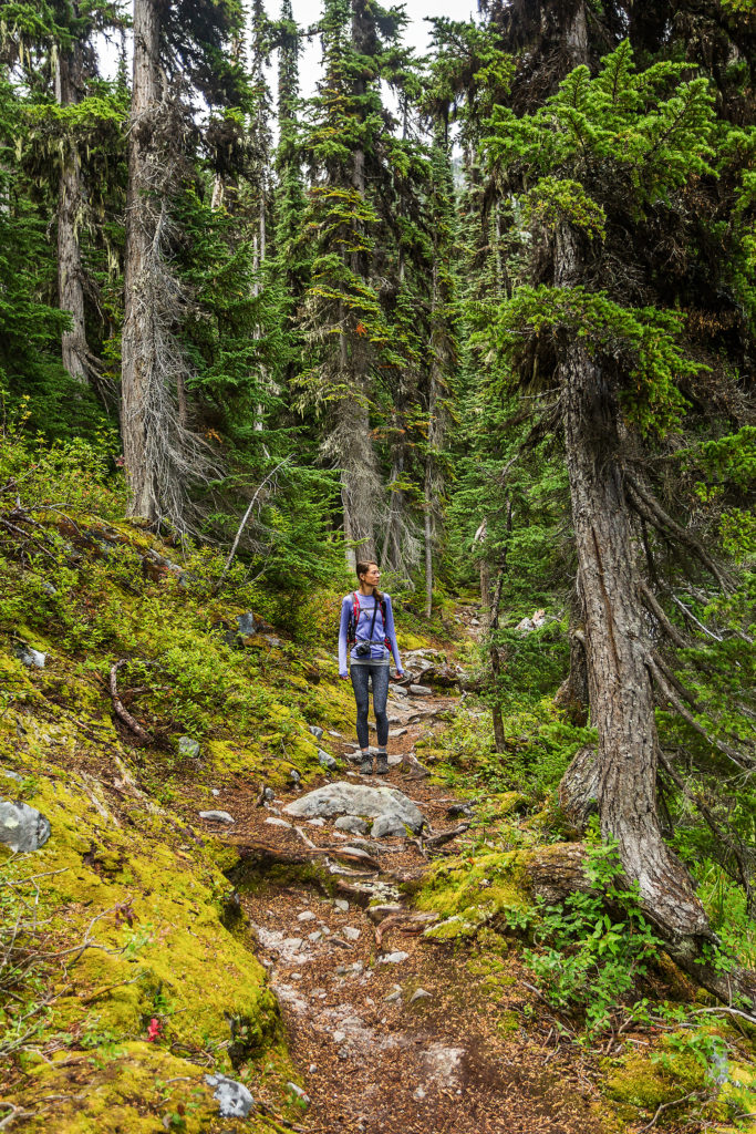
We decided to hike the Abbott Ridge trail, a short but steep, intermediate-level hike . The first part is mainly single-track switch backs in the forest. 2,6km from the start, we passed Marion Lake, surrounded by dense forest and not very remarkable.
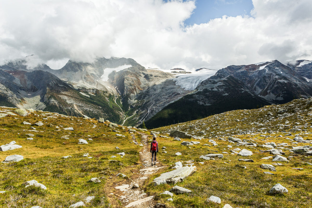
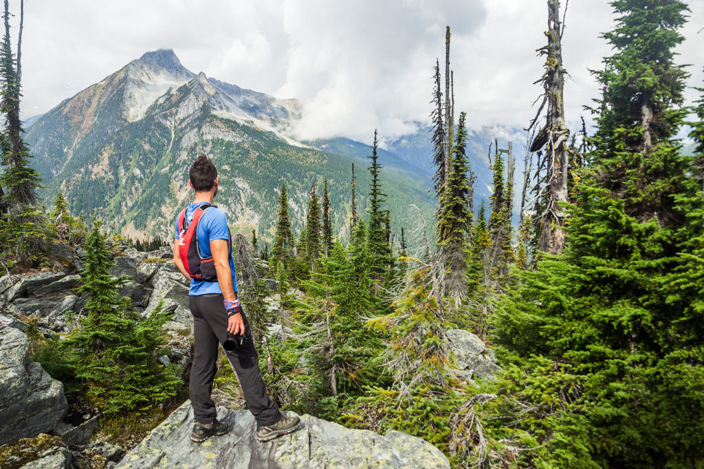
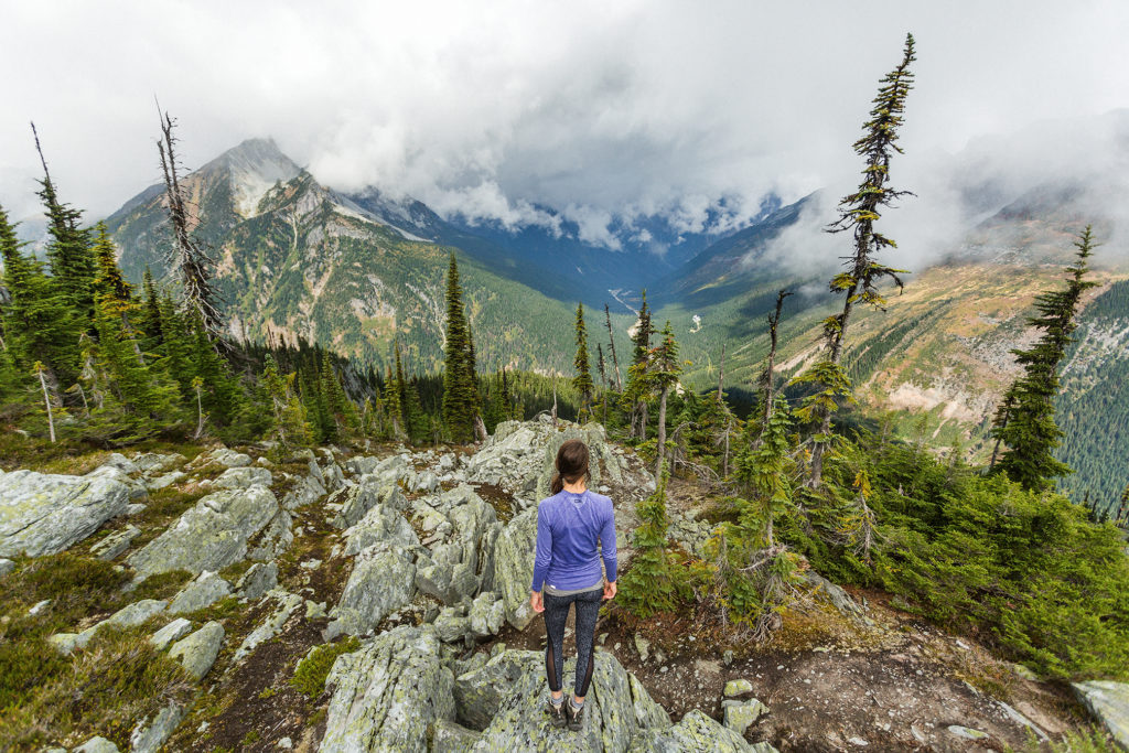
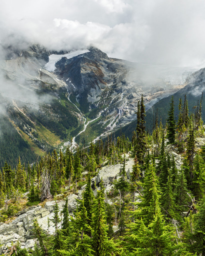
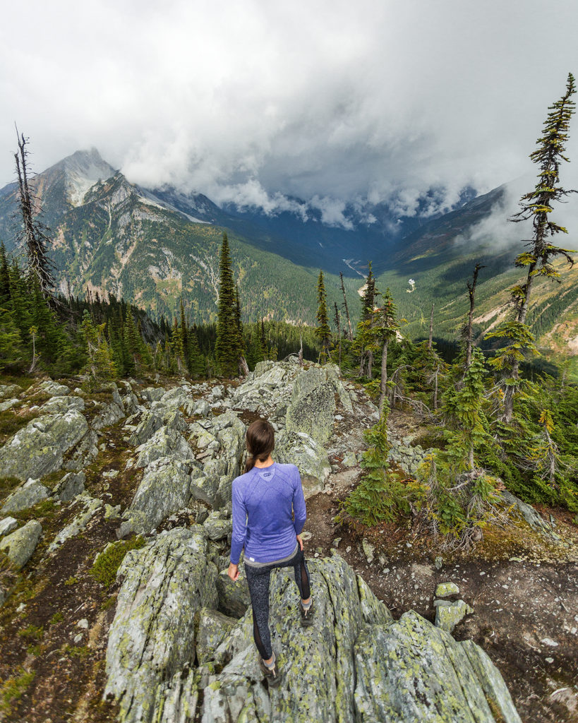
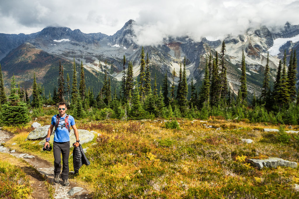
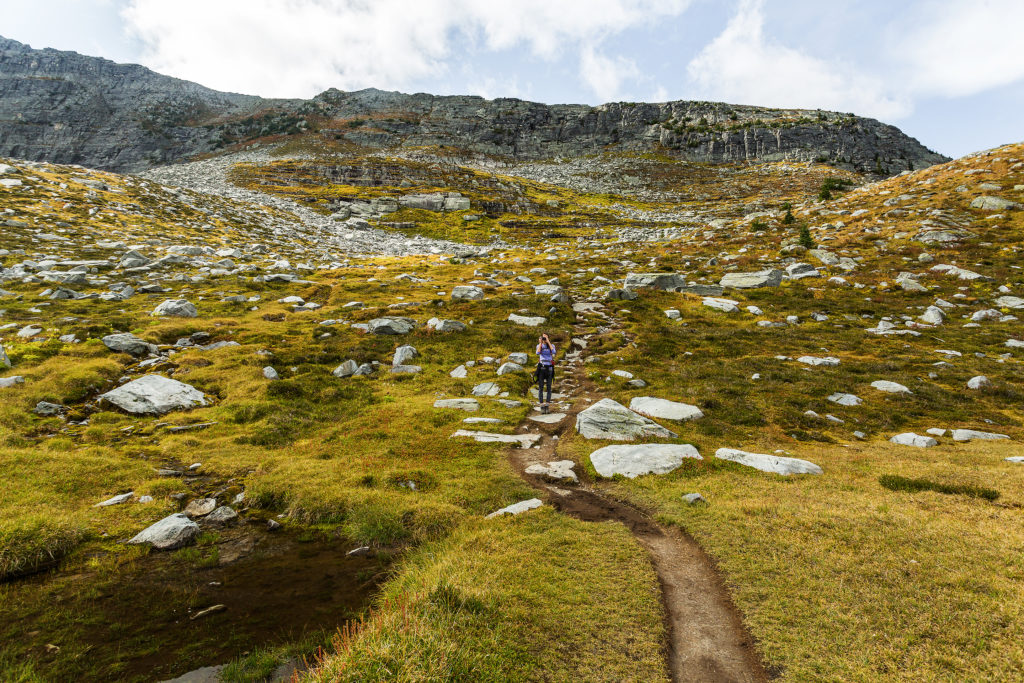
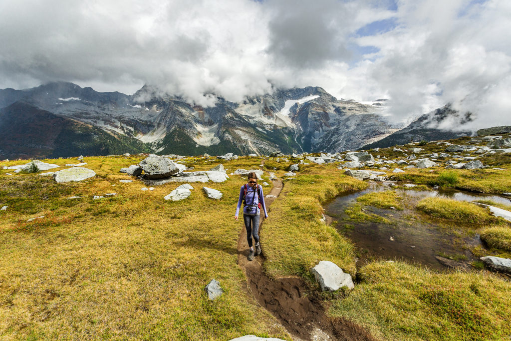
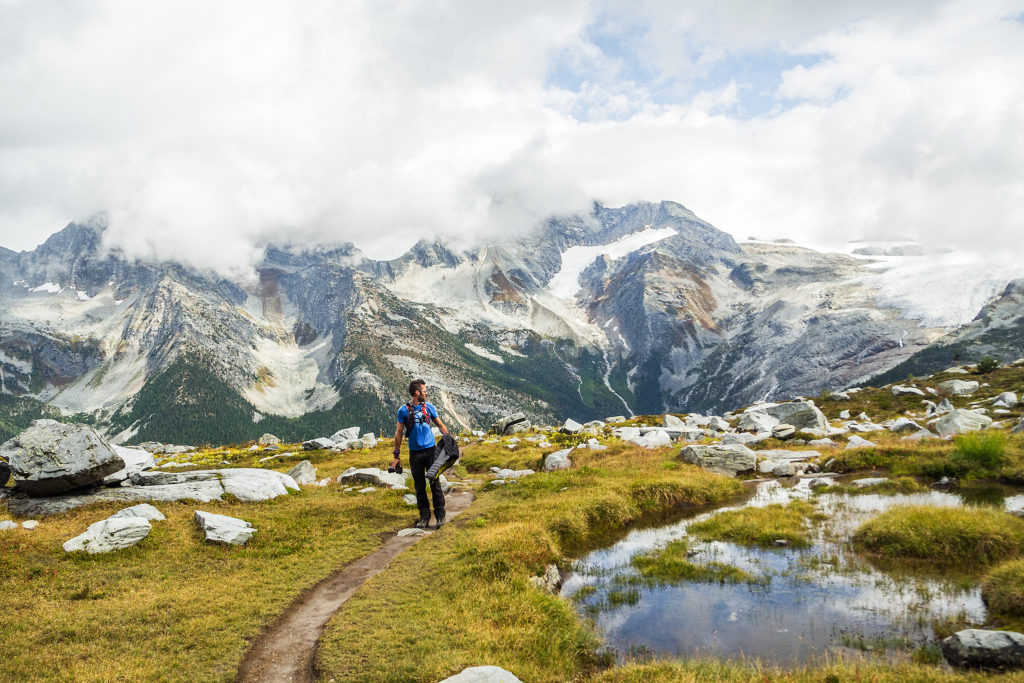
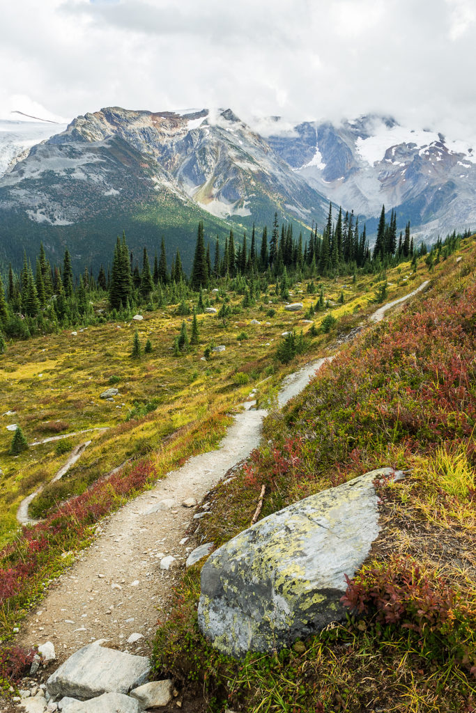
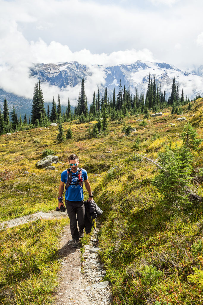
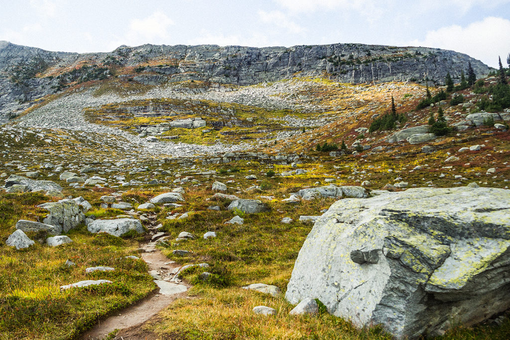
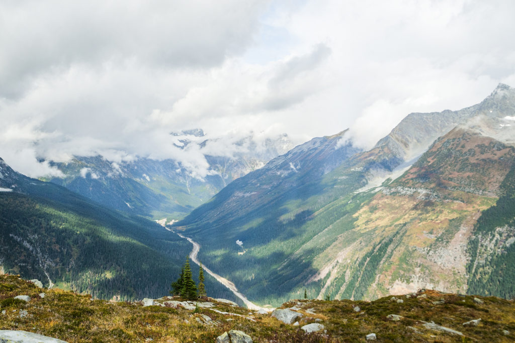
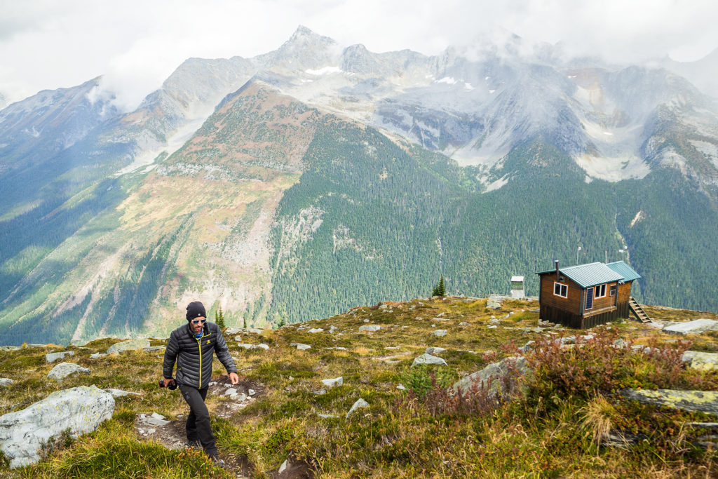
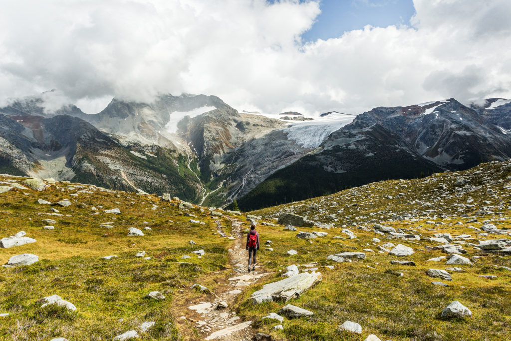
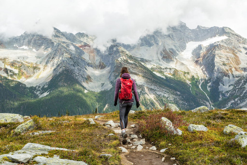
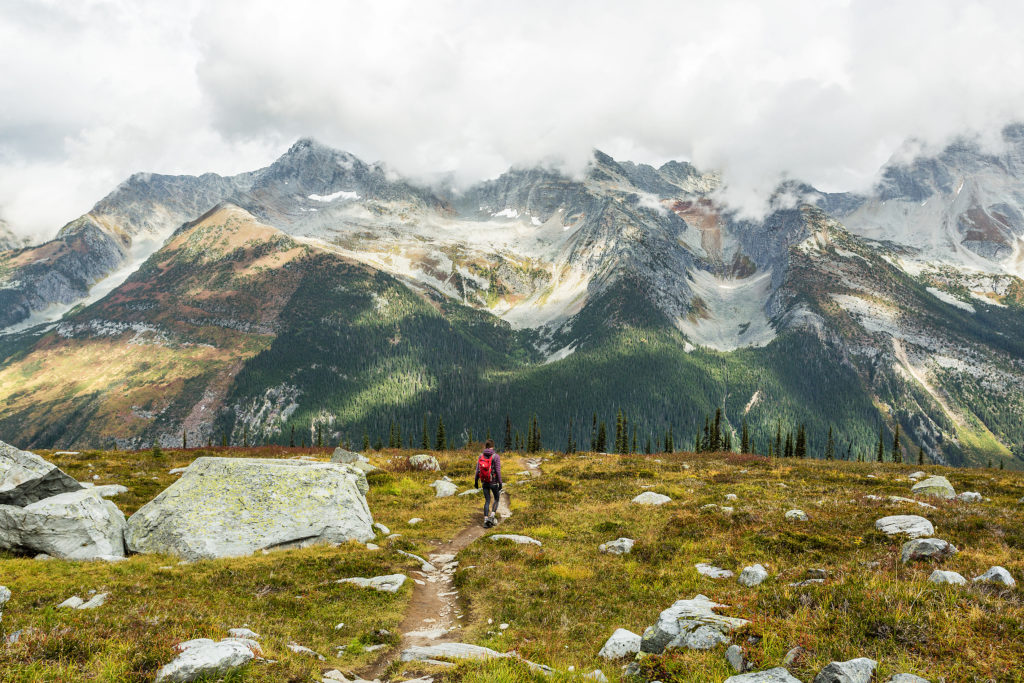
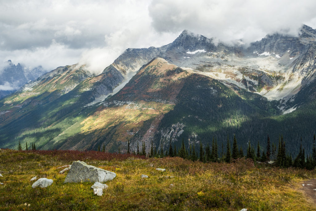
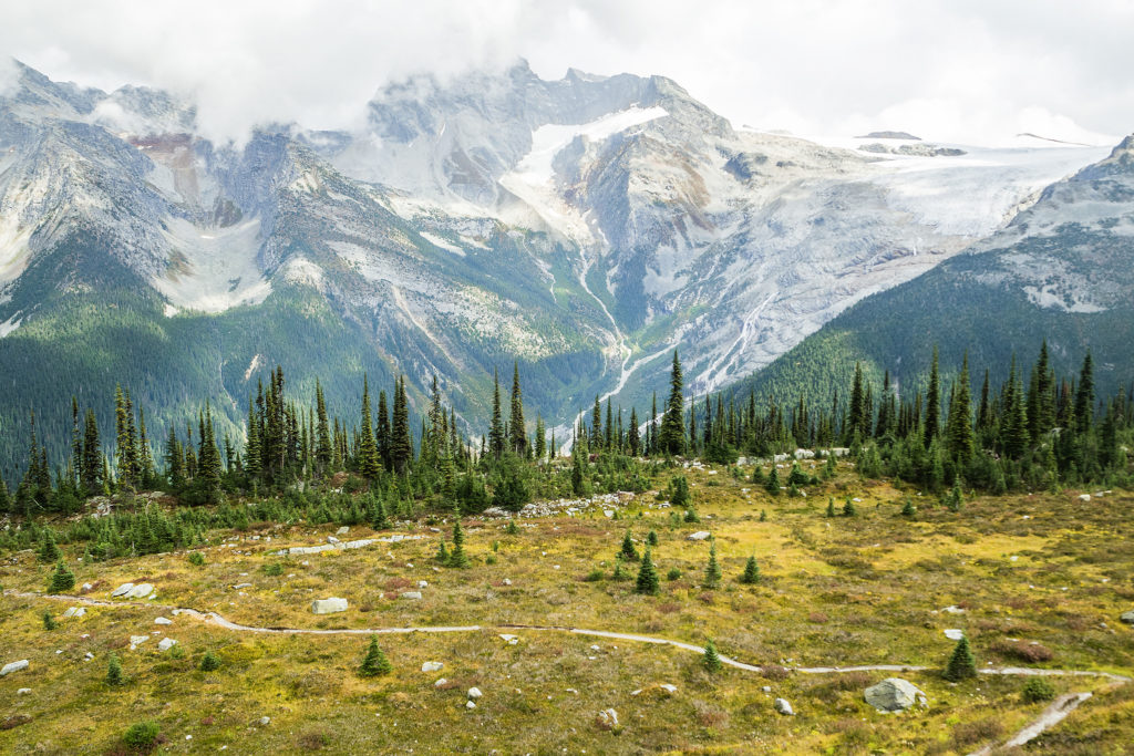
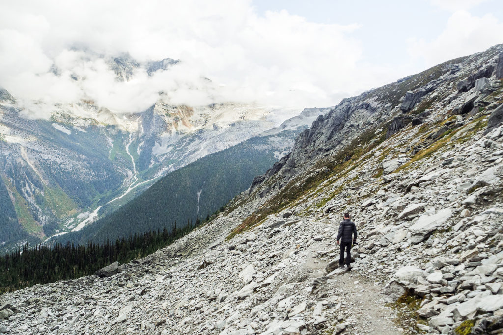
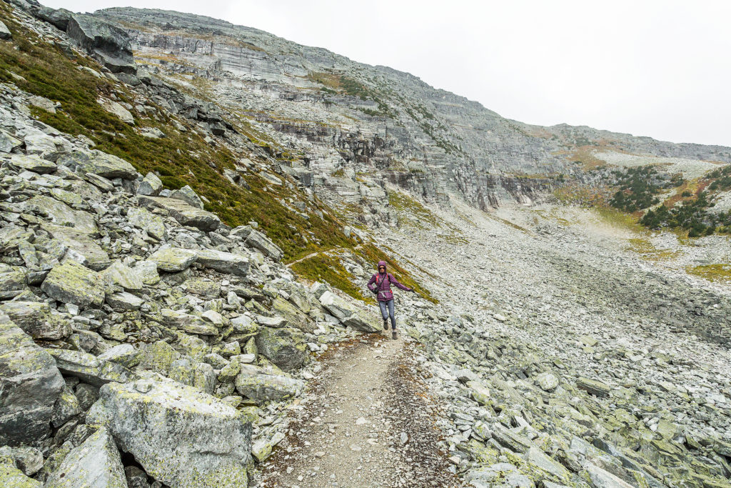
Soon after the lake, at the trail split, we took the shorter but steeper way. The switchbacks continued for a while, but trees slowly gave way to rocky formations, and eventually the trail opened up to a vast alpine meadow with quasi all-around views of the valley and surrounding glaciers. Looking up to the end of the trail, stood the straight rock face of the ridge.
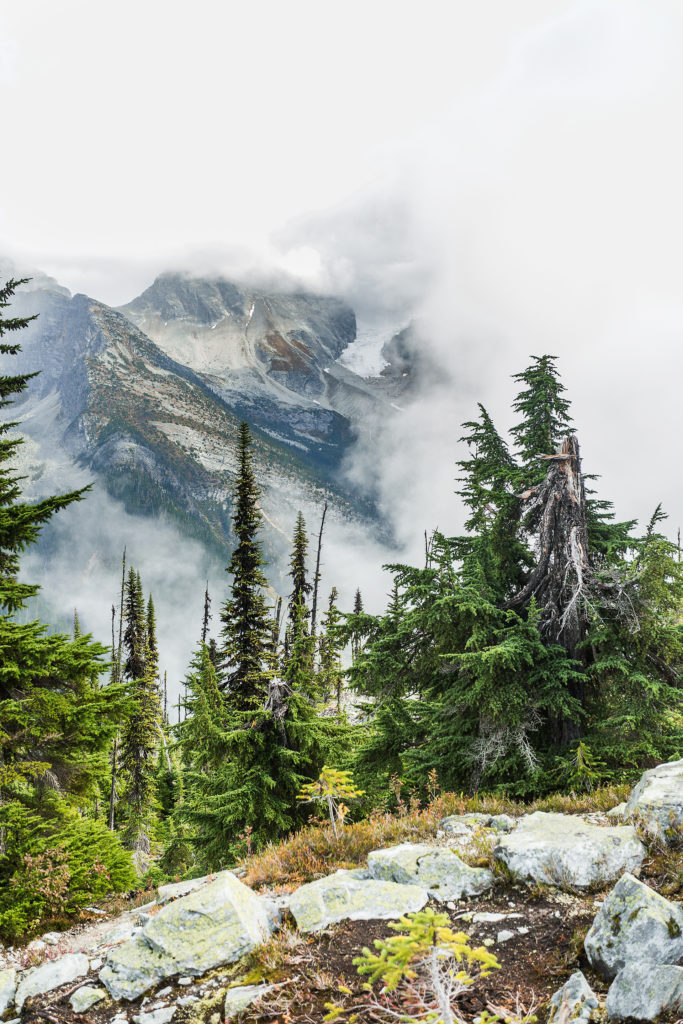
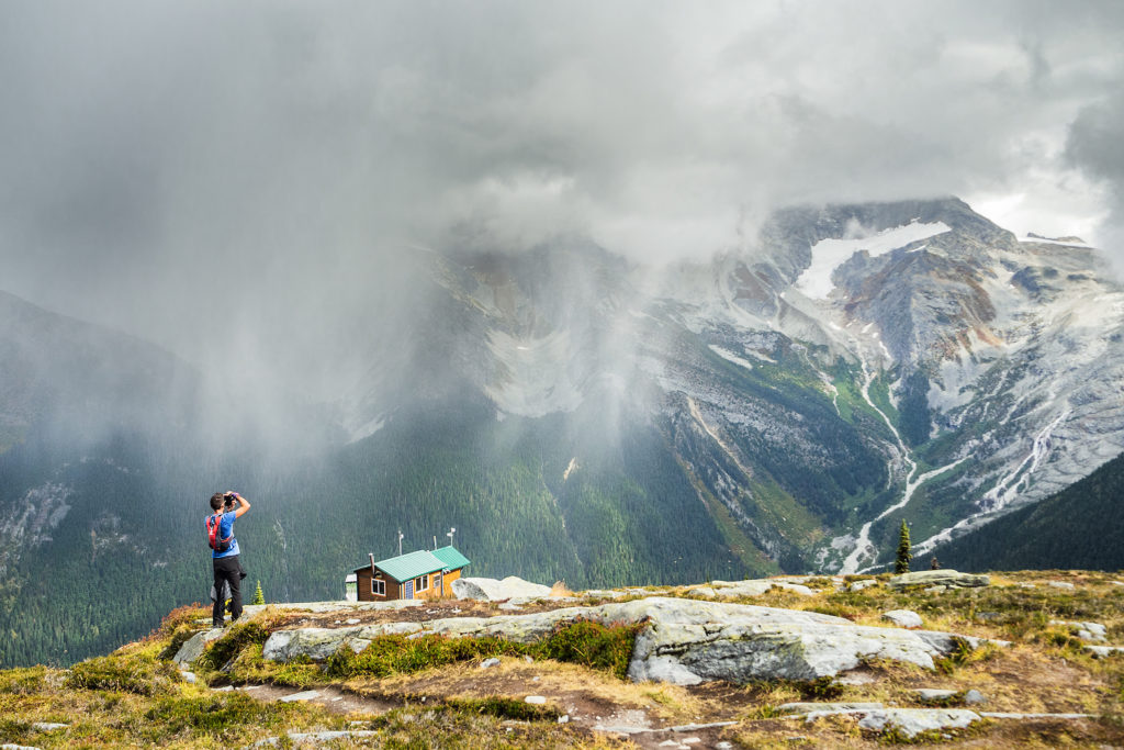
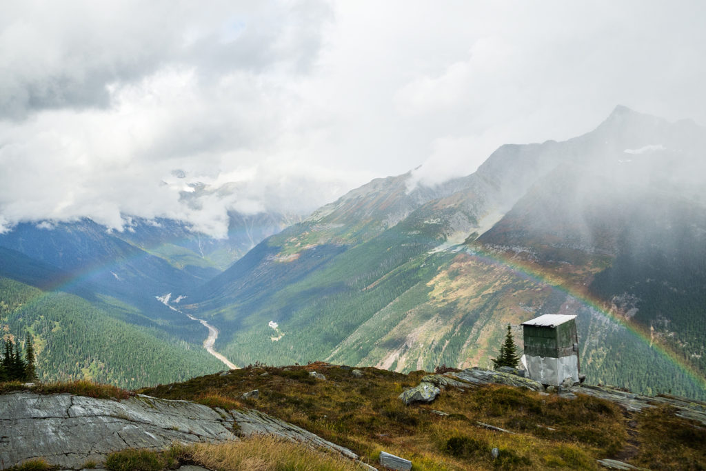
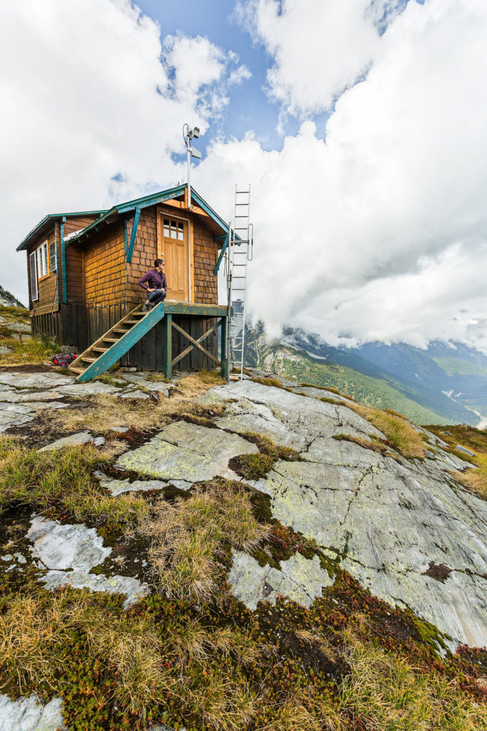
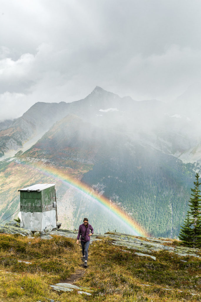
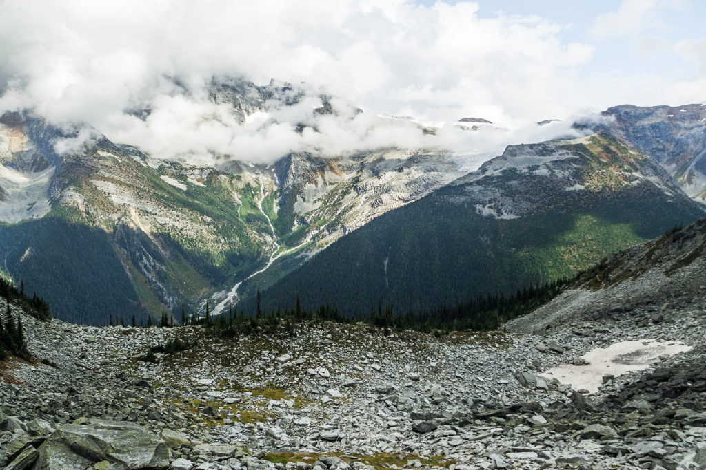
The weather was pretty stable on the way up but we could see black clouds slowly making their way through the valley, and eventually aiming towards where we were. We had lunch at the weather hut then headed back down. It looked like the trail might continue further up, but we weren’t sure how much more, given the straight up wall that stood a few hundred meters from us (after checking online later on, I found out there was indeed a trail that climbed to the top of the ridge).
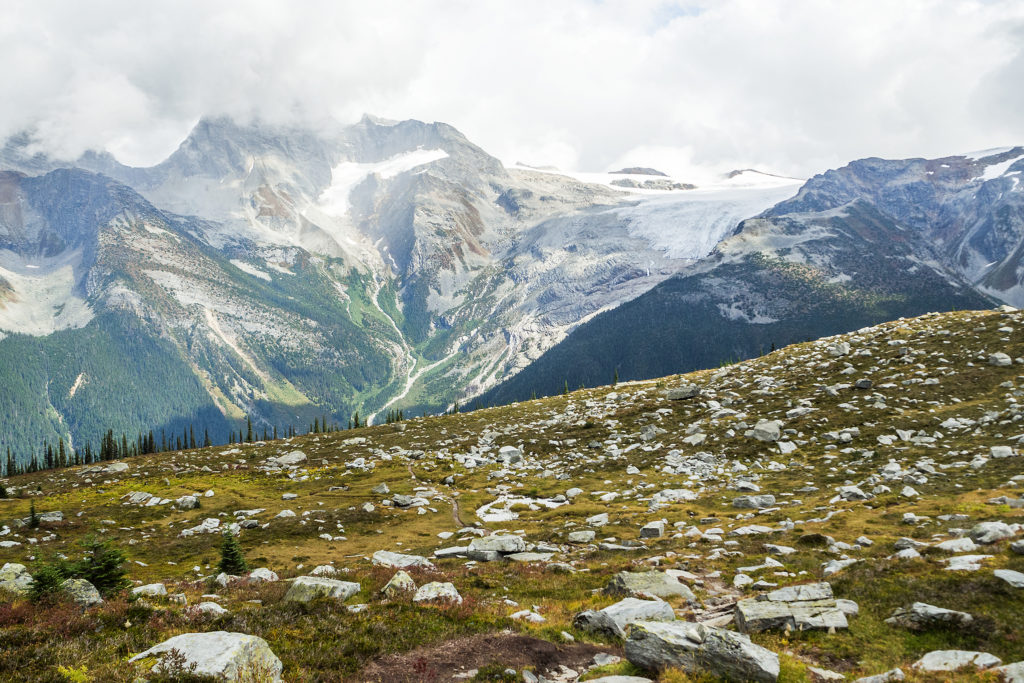
Still, the view from the meadown was not disappointing, and for a while we watched the clouds dramatically travel through the valley, from Bonner Glacier on the western side, towards the Illecillewaet Neve to the East.
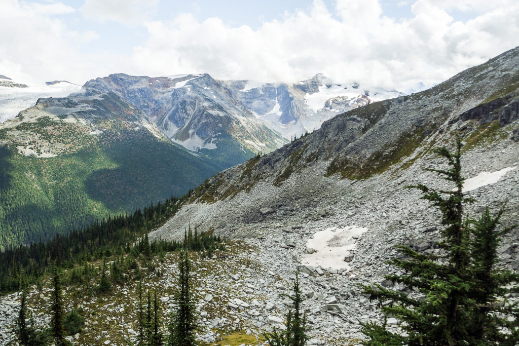
On the way back, we took the longer way down alongside a rocky slope. The two trails reunite about 500 meters before reaching Marion Lake again.
We made it back to the car just as the rain started to pour.
