Day 3
Sunrise: Cathedral Rock
Hike: Munds Wagon Cow Pies and Hangover Loop trail
Sunset: n/a
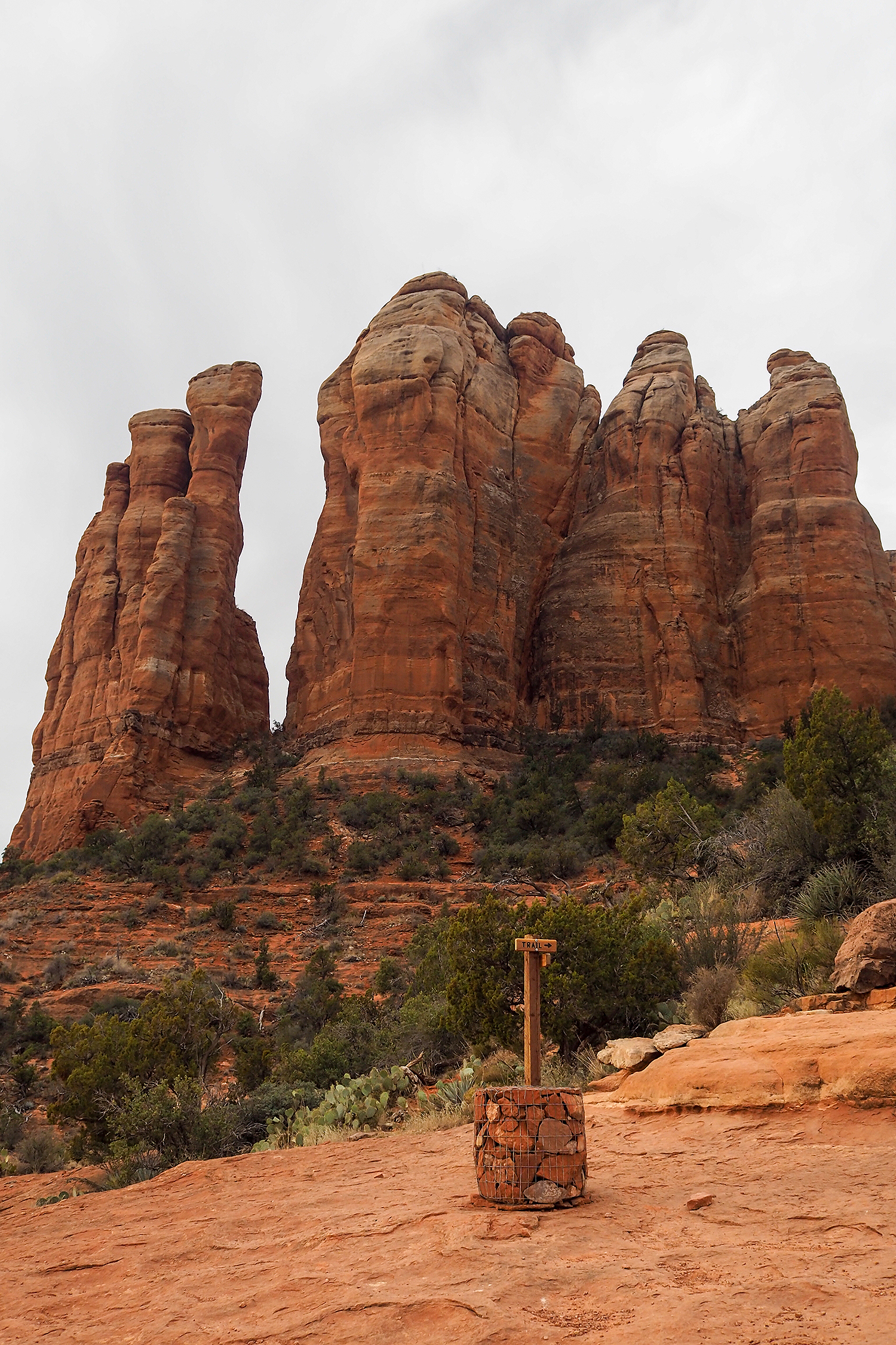
The sunrise hike we had planned for today was another Sedona must-do : Cathedral Rock.
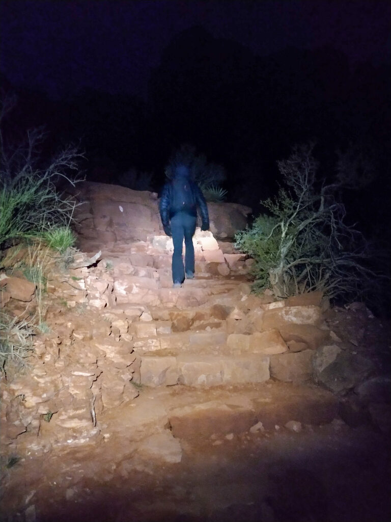
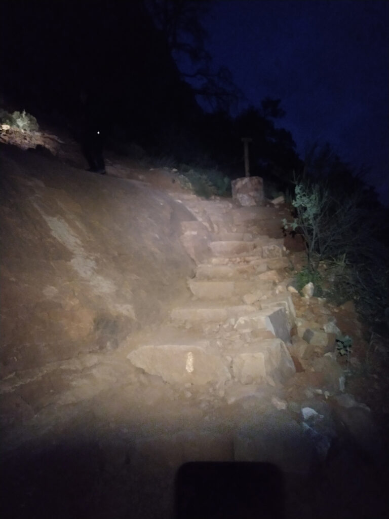
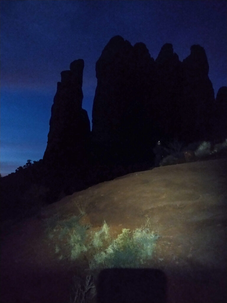
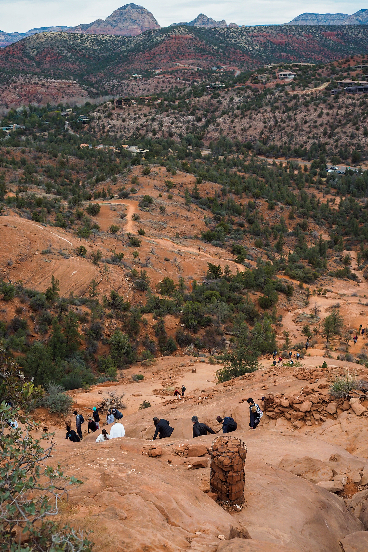
Its one of the most notable, stand-alone formation in the Sedona landscape, and a fairly accessible hike – albeit pretty steep, which makes it the #1 hike in the whole area. To the point where driving to the trail head is nearly impossible after 8am, and there are shuttle services that take people from the town center to the trailhead during the day.
At 5am though, we found a parking spot without much problem – but even at this early hour, we were definitely not the only ones there.
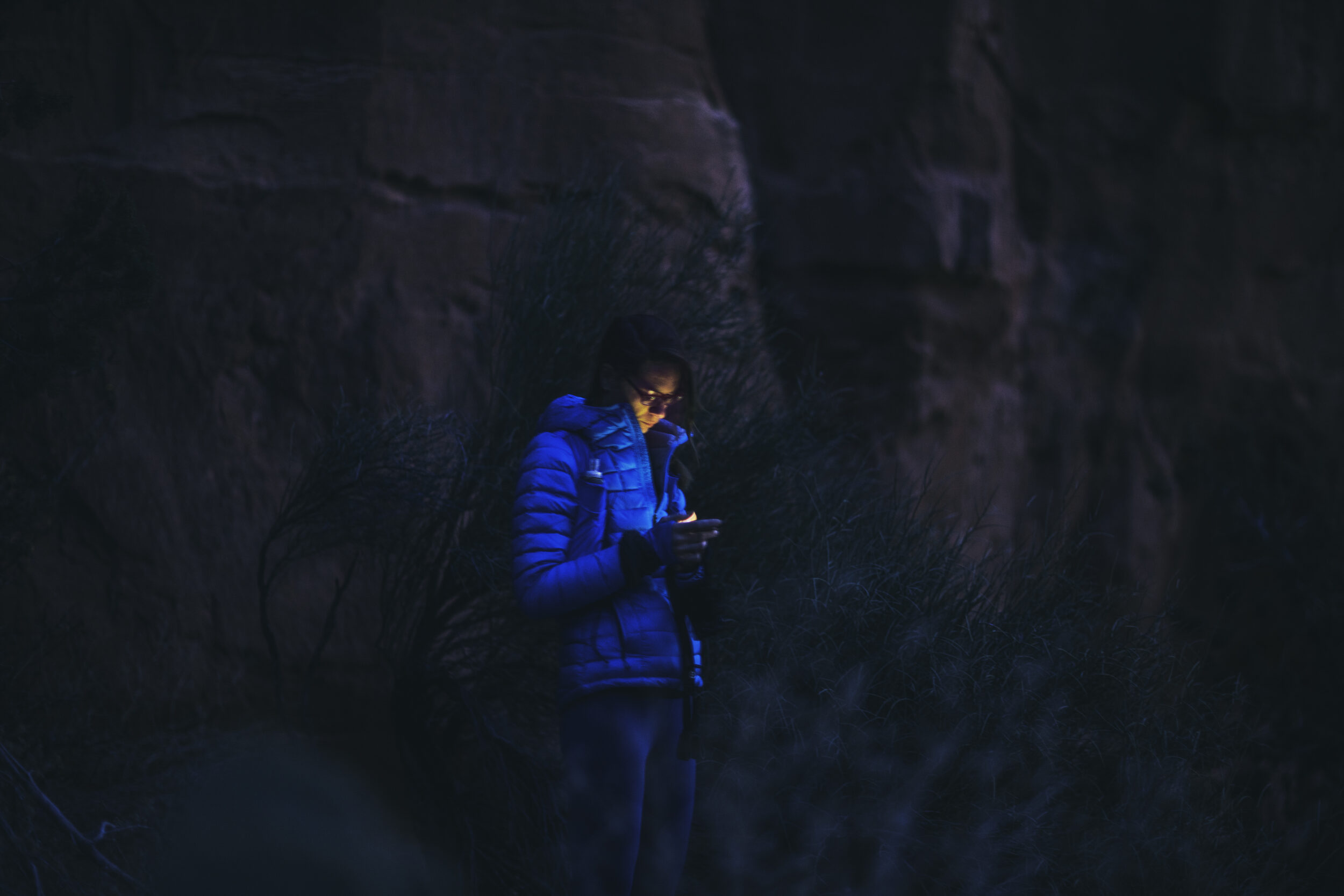
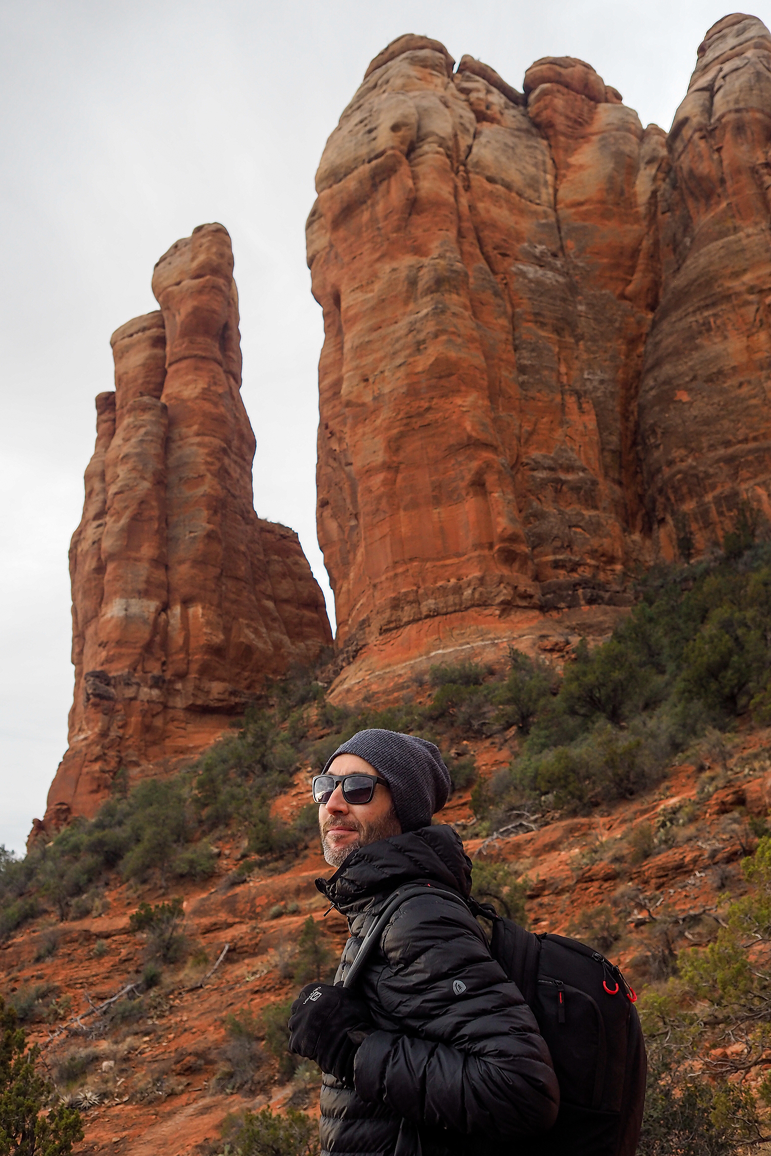
The hike is less than 2k, with 220m of elevation, so it’s on the steep side but it’s short. The trail climbs up to the base of the big rocky spires that give it its name of Cathedral Rock.
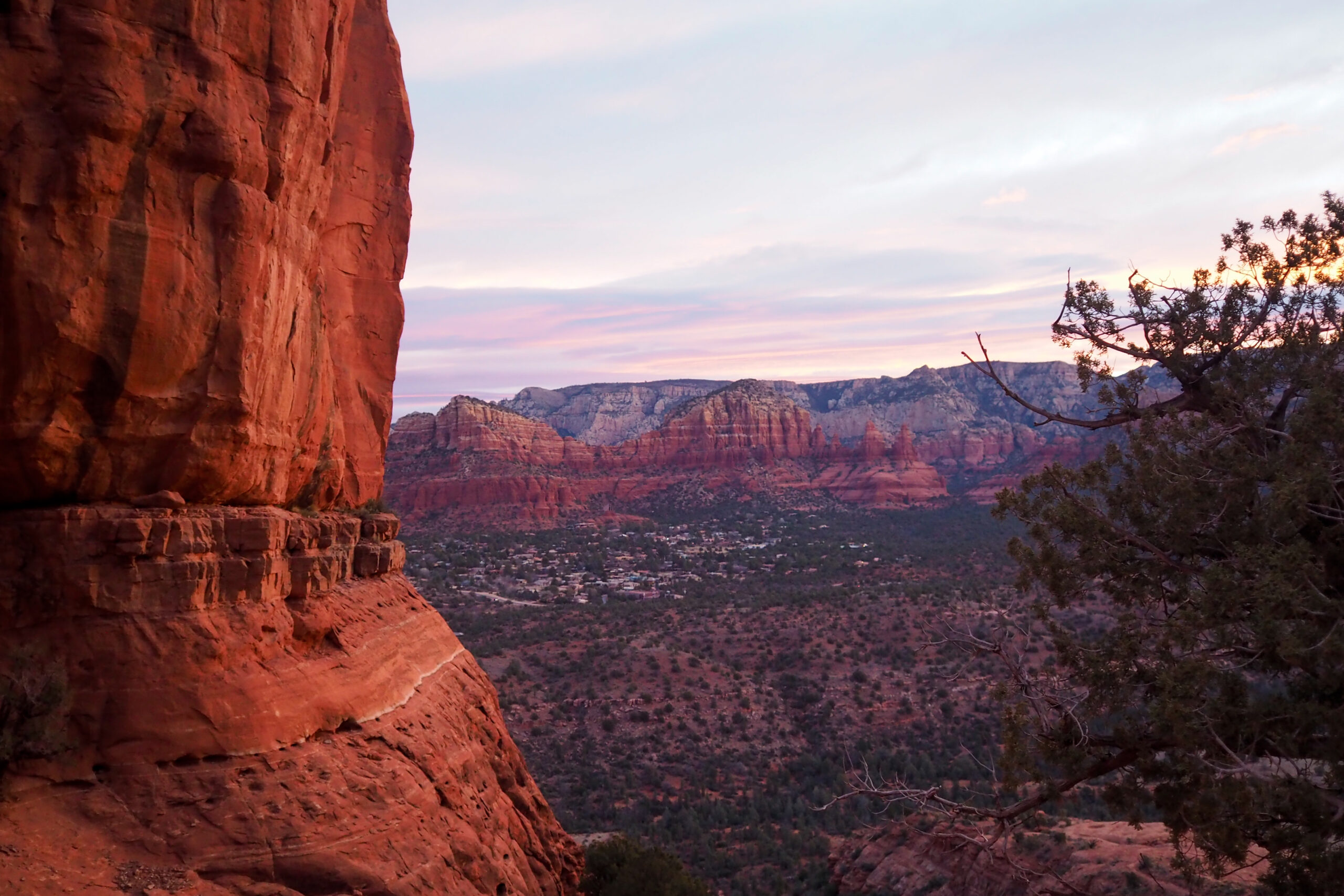
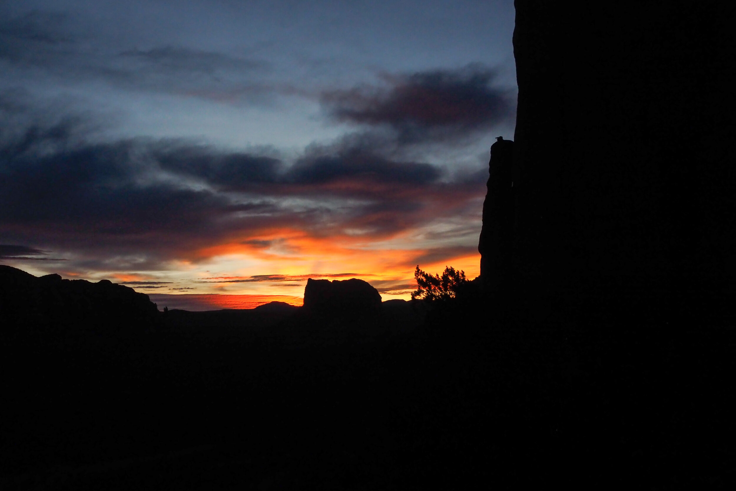
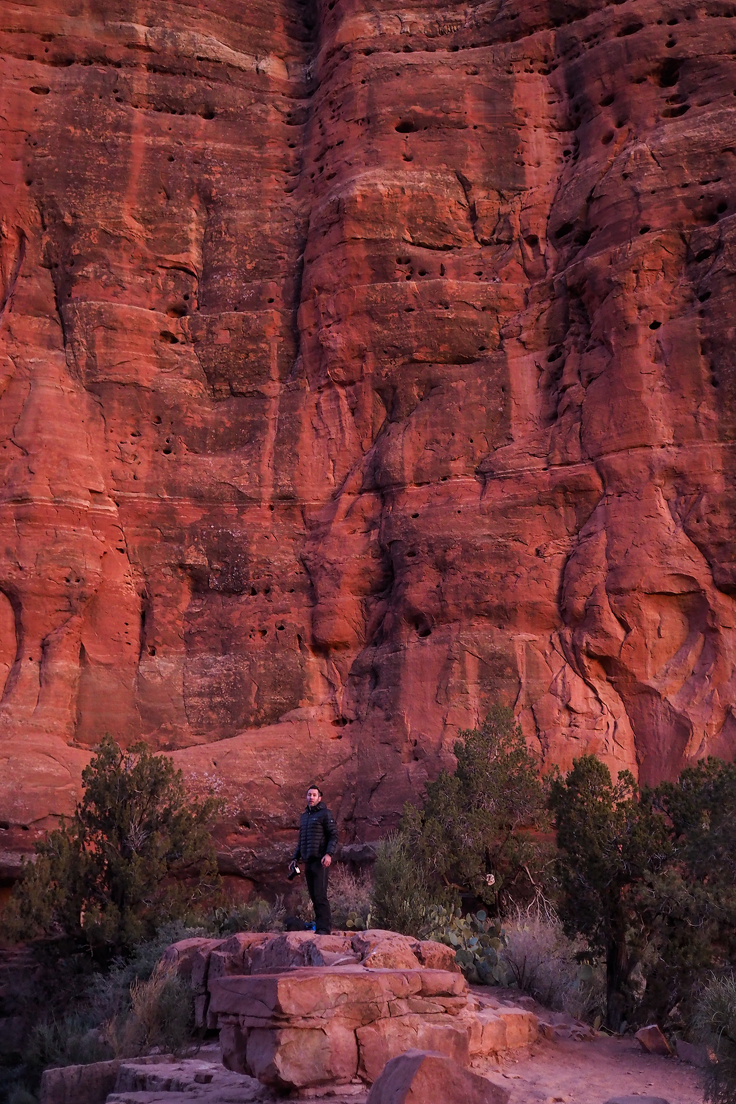
The sunrise was indeed quite spectacular. Sun rising from between the spires on one side, and colours on all the surrounding landscape changing from blue to pink to orange.
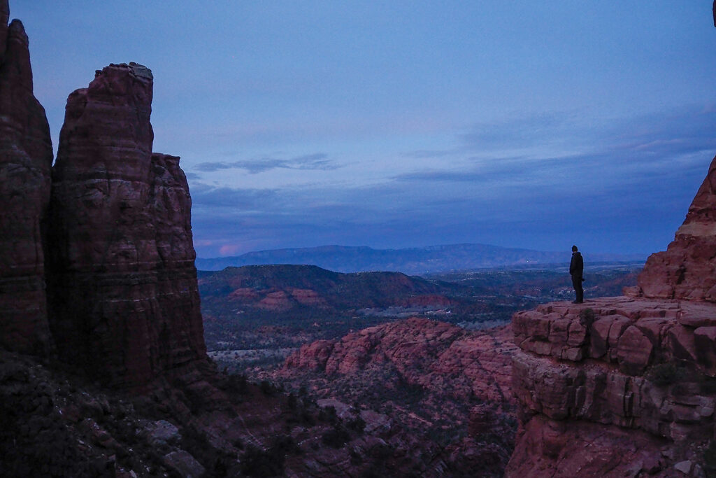
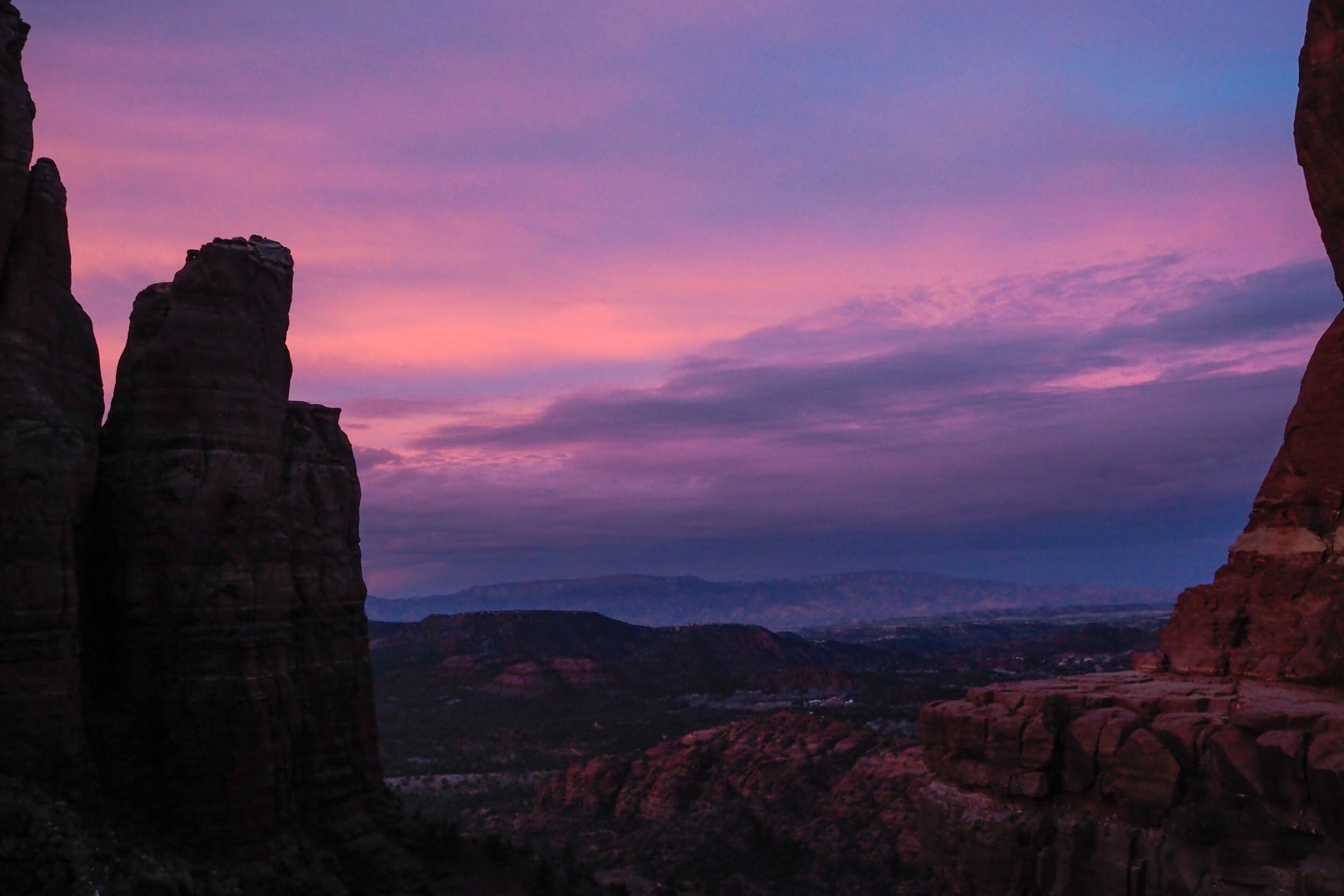
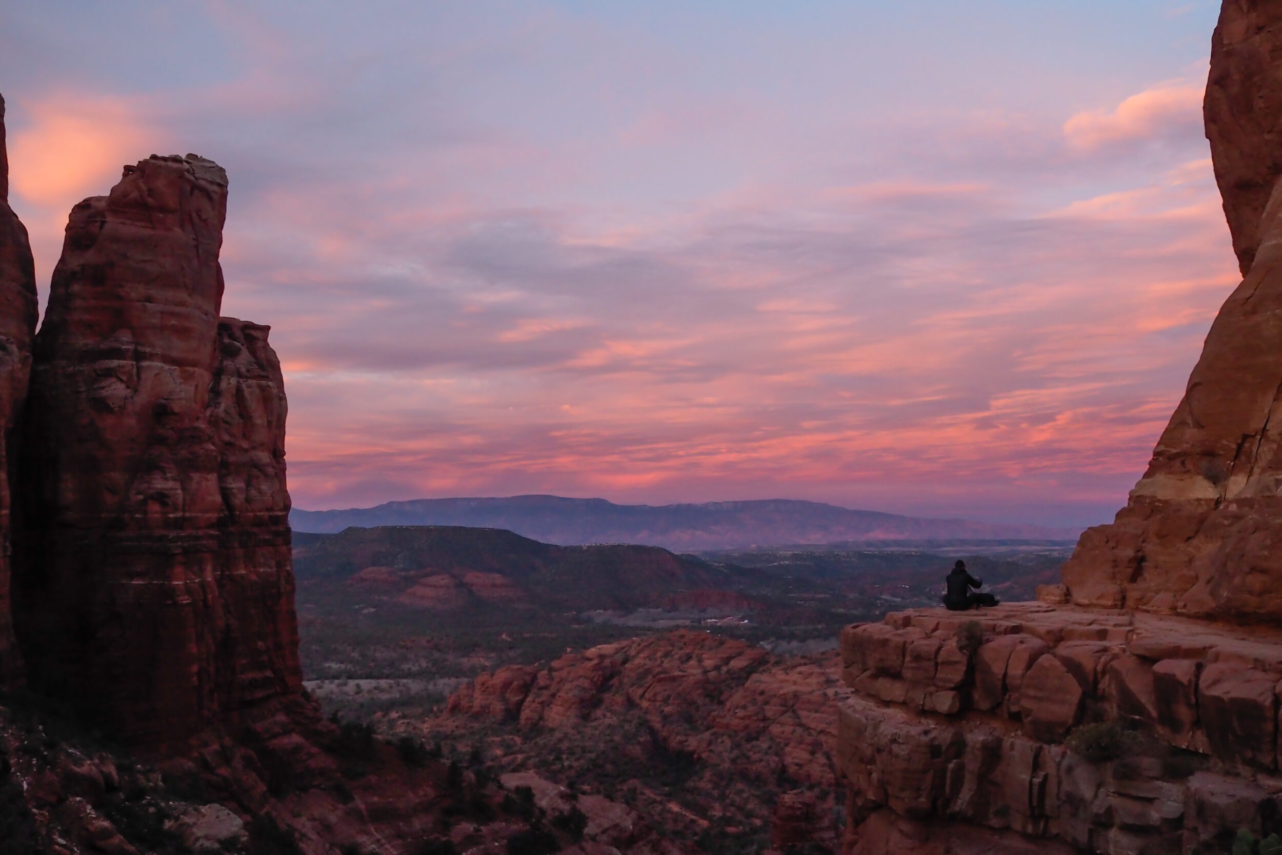
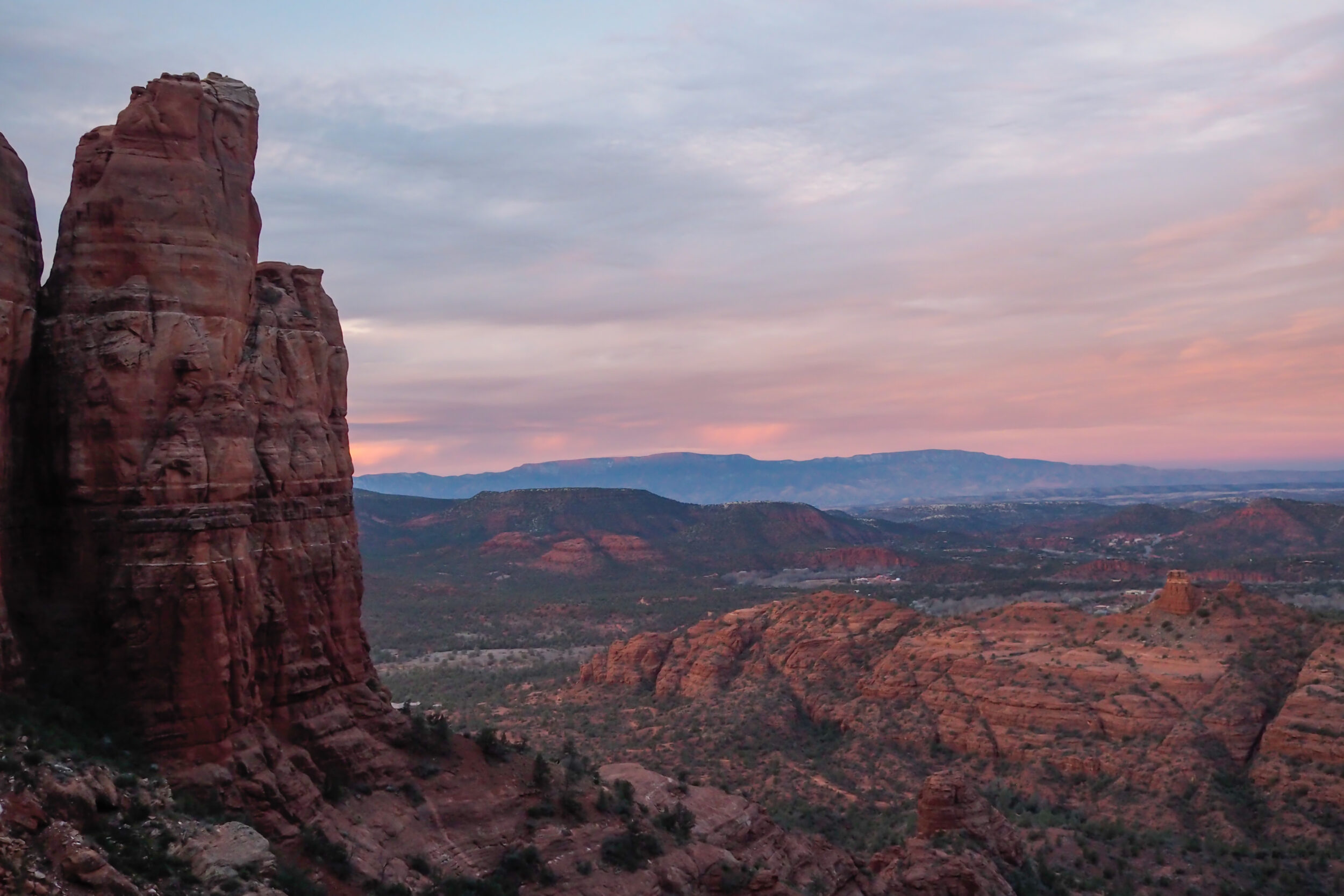
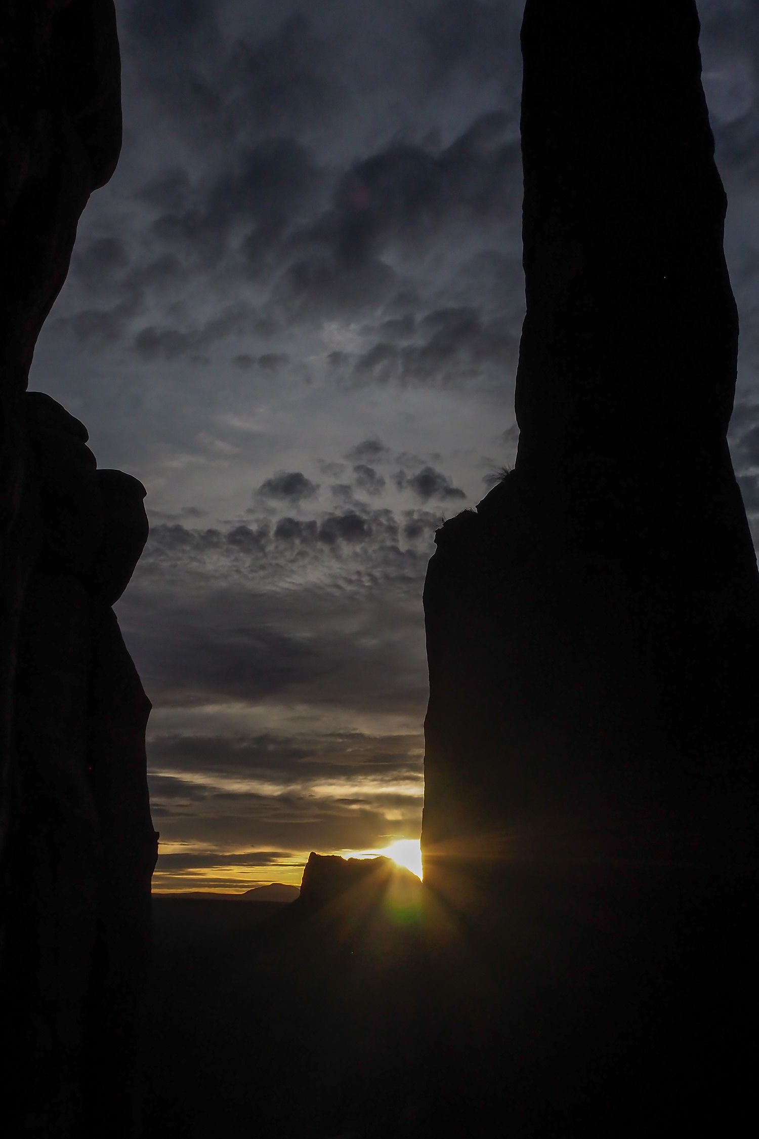
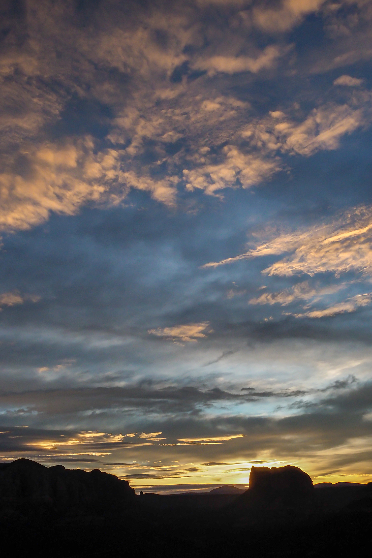
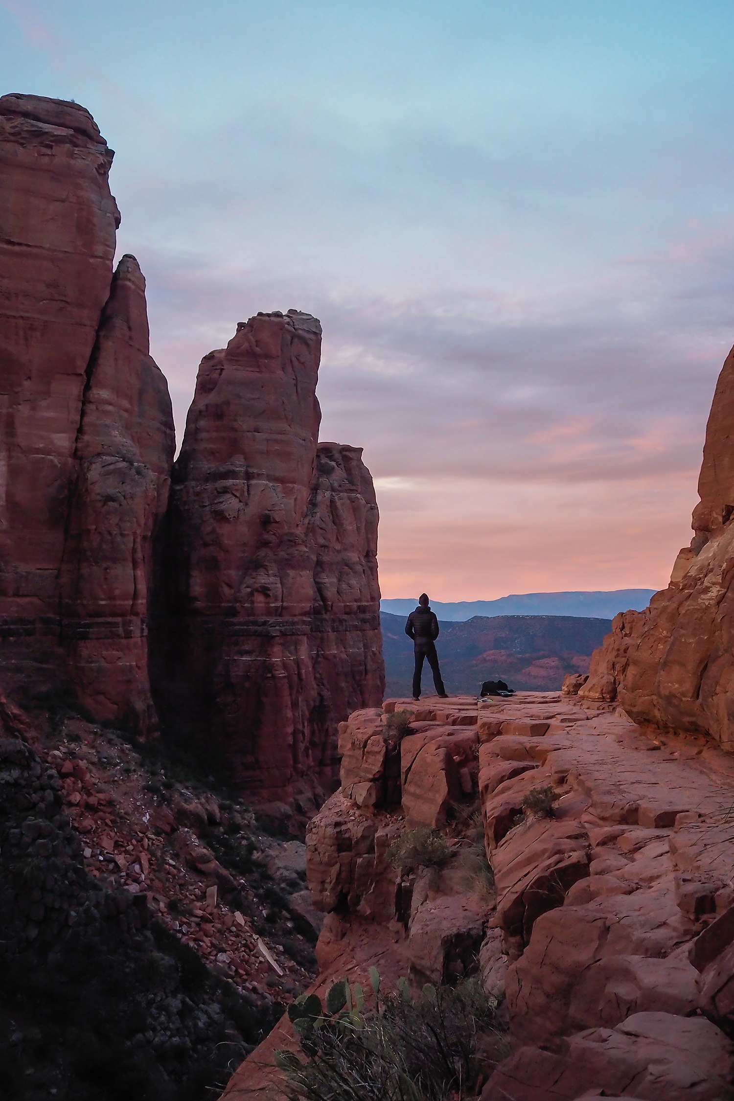
We took a good amount of photos and enjoyed the views.
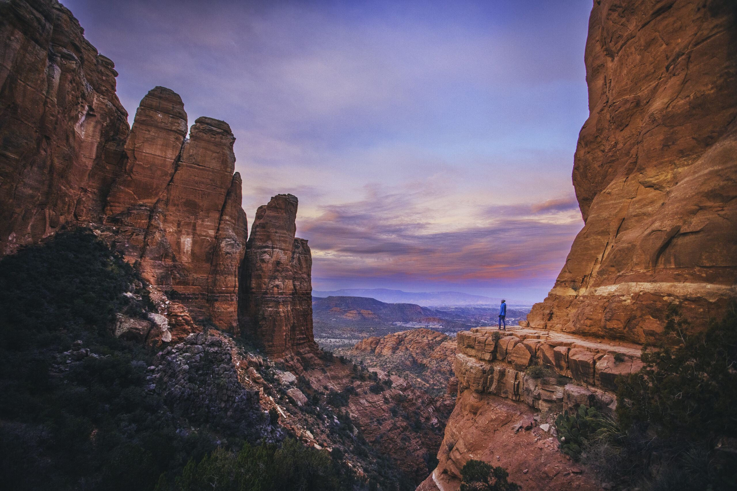
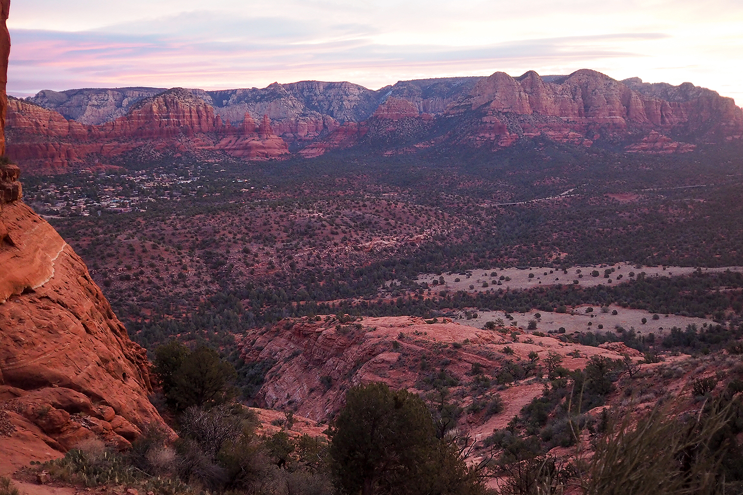
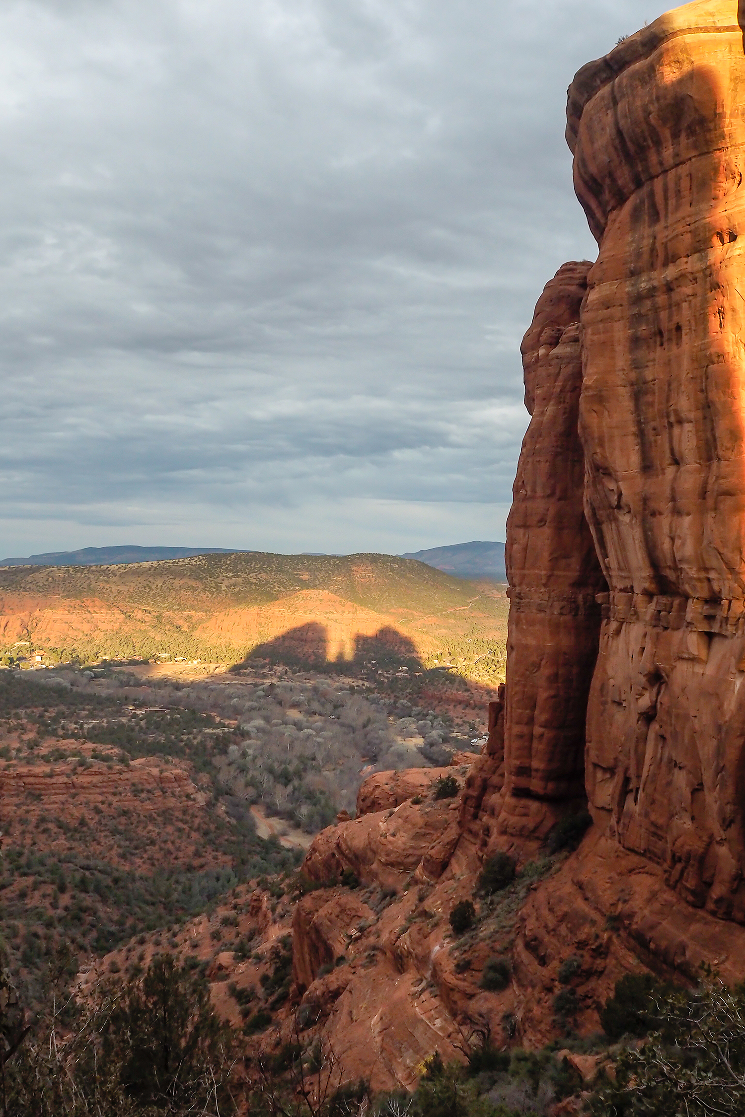
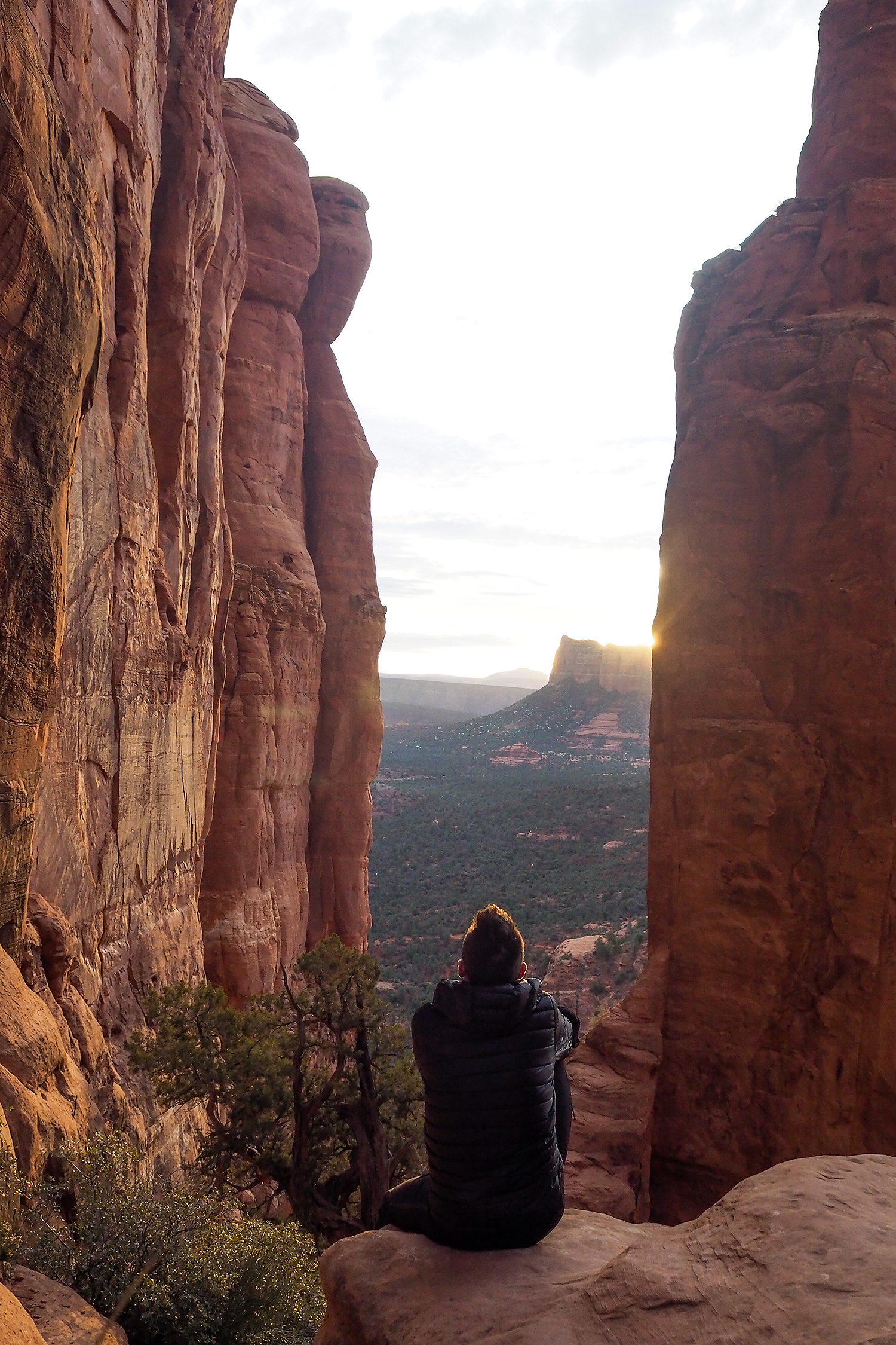
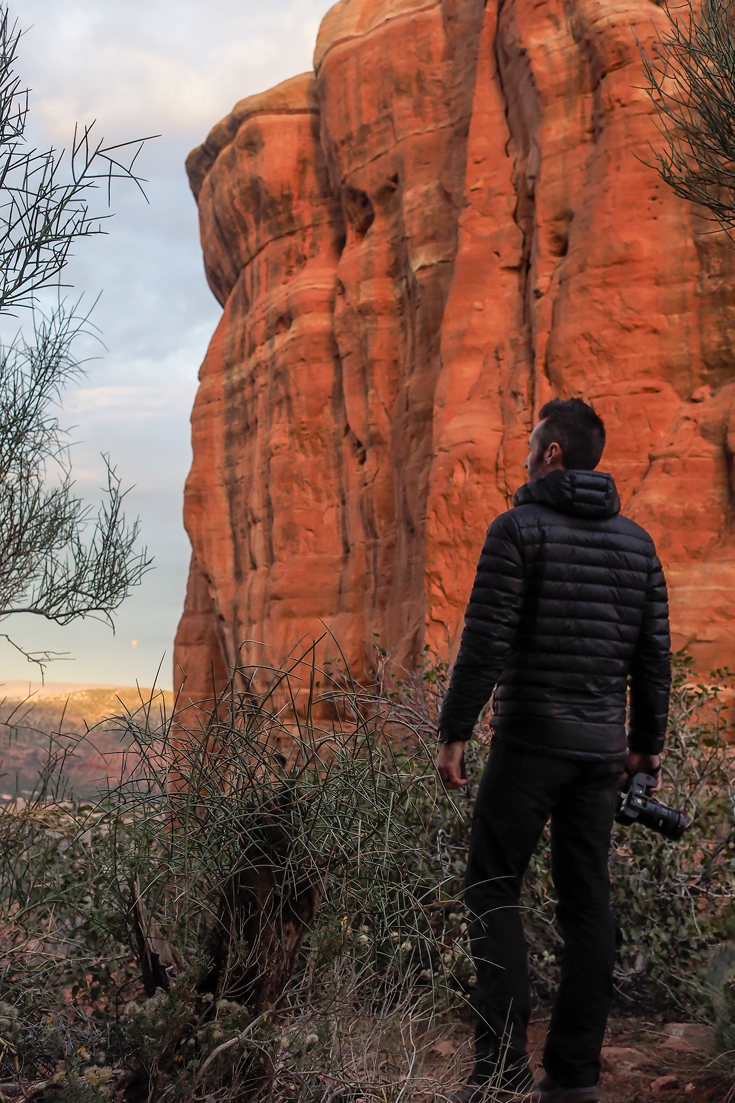
As we made our way down around 8:30, there was already a line of people hiking up.
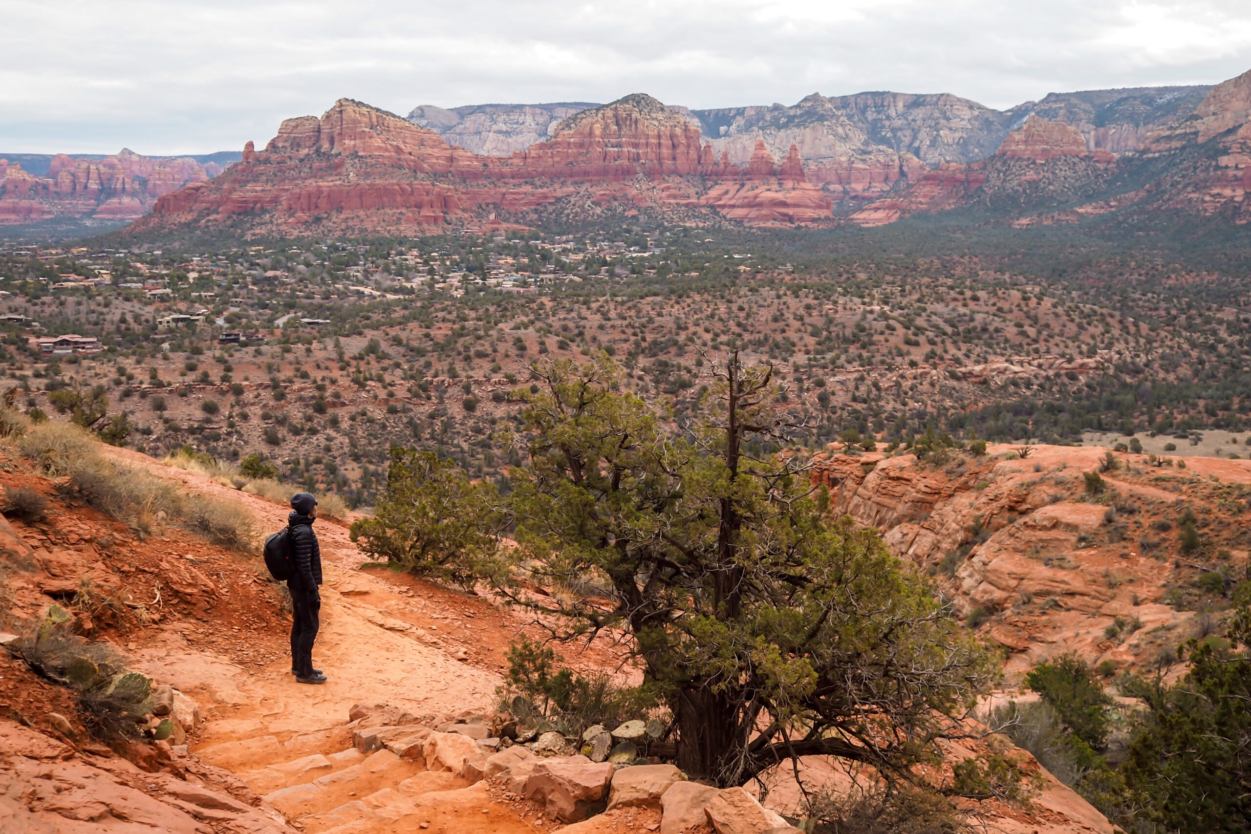
It was still fairly early so we went for a sit down breakfast before starting our next trail adventure.

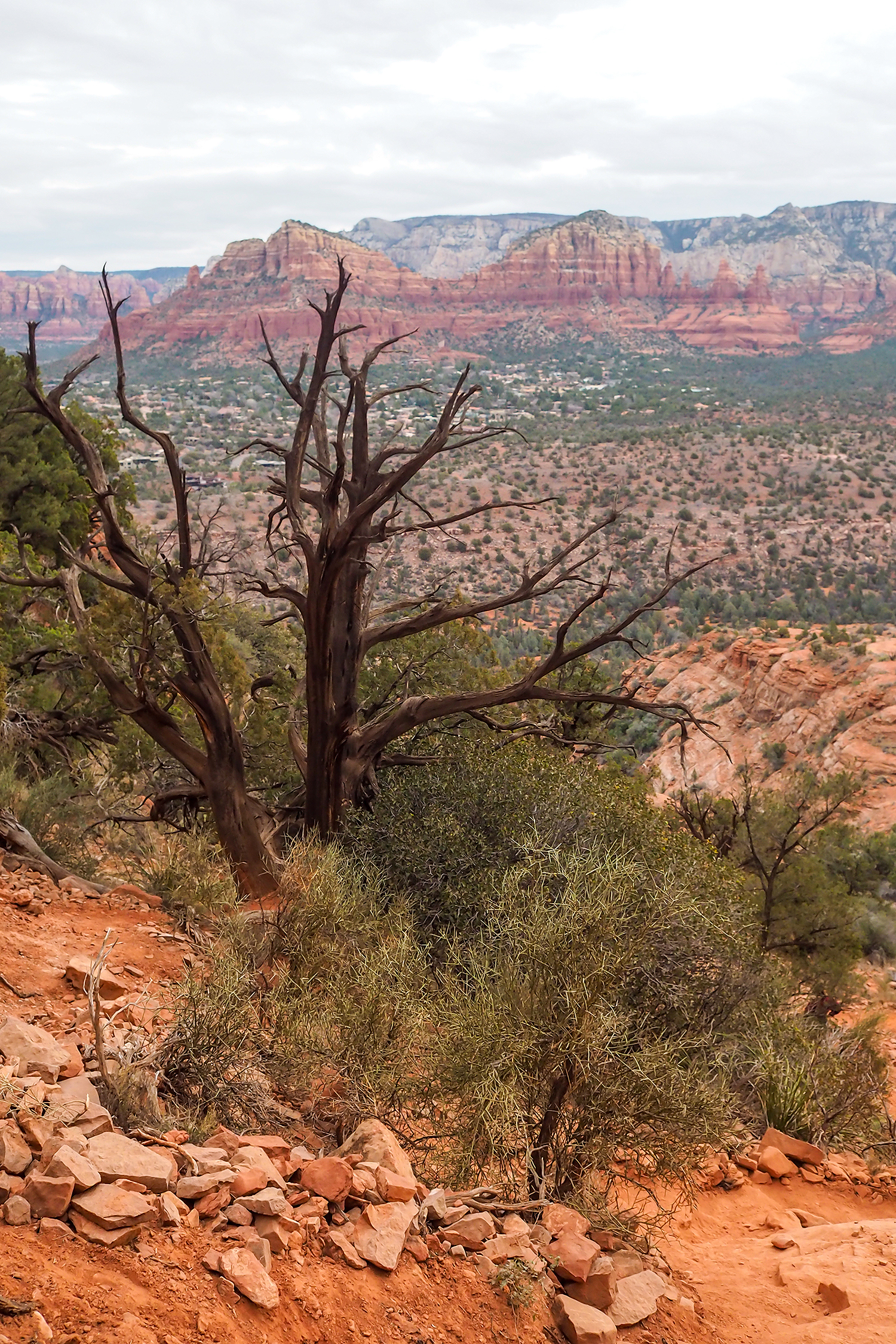
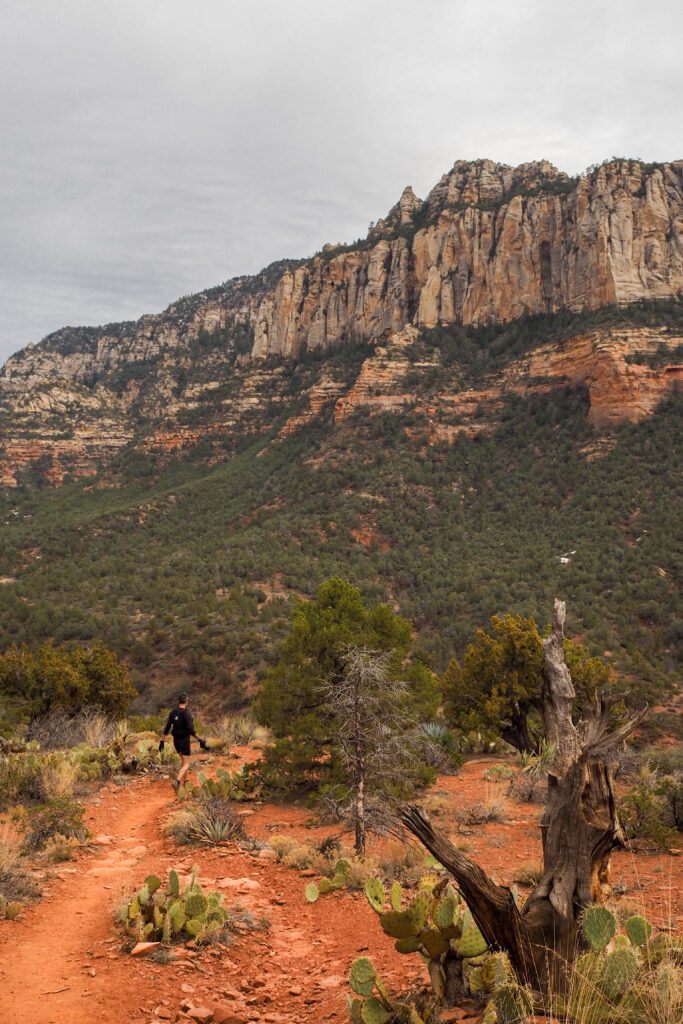
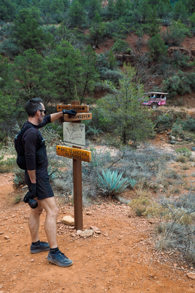
This time we decided to venture away from the beaten path, and do a loop following three trails: Munds Wagon, Cow Pies and Hangover Loop trail.
This wasn’t on the original list that I had compiled, but after re-considering it, a lot of what I had were shorter, busier hikes, so I went onto Alltrails to find something a bit longer and less busy. This hike checked all the boxes, including some really cool views.
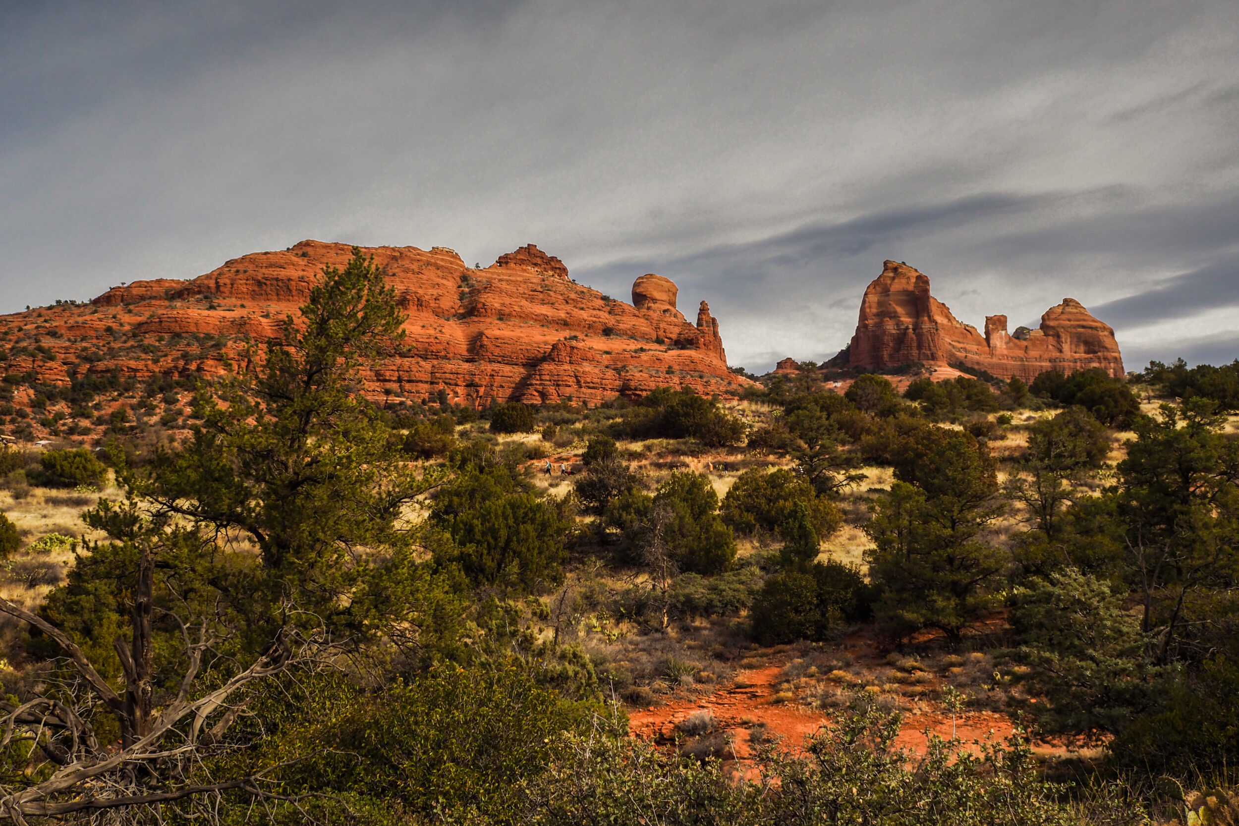
We started at the Huckaby parking lot, on the Munds Wagon trail. After running along the trail for a bit, we came to a junction marking the start of the loop.
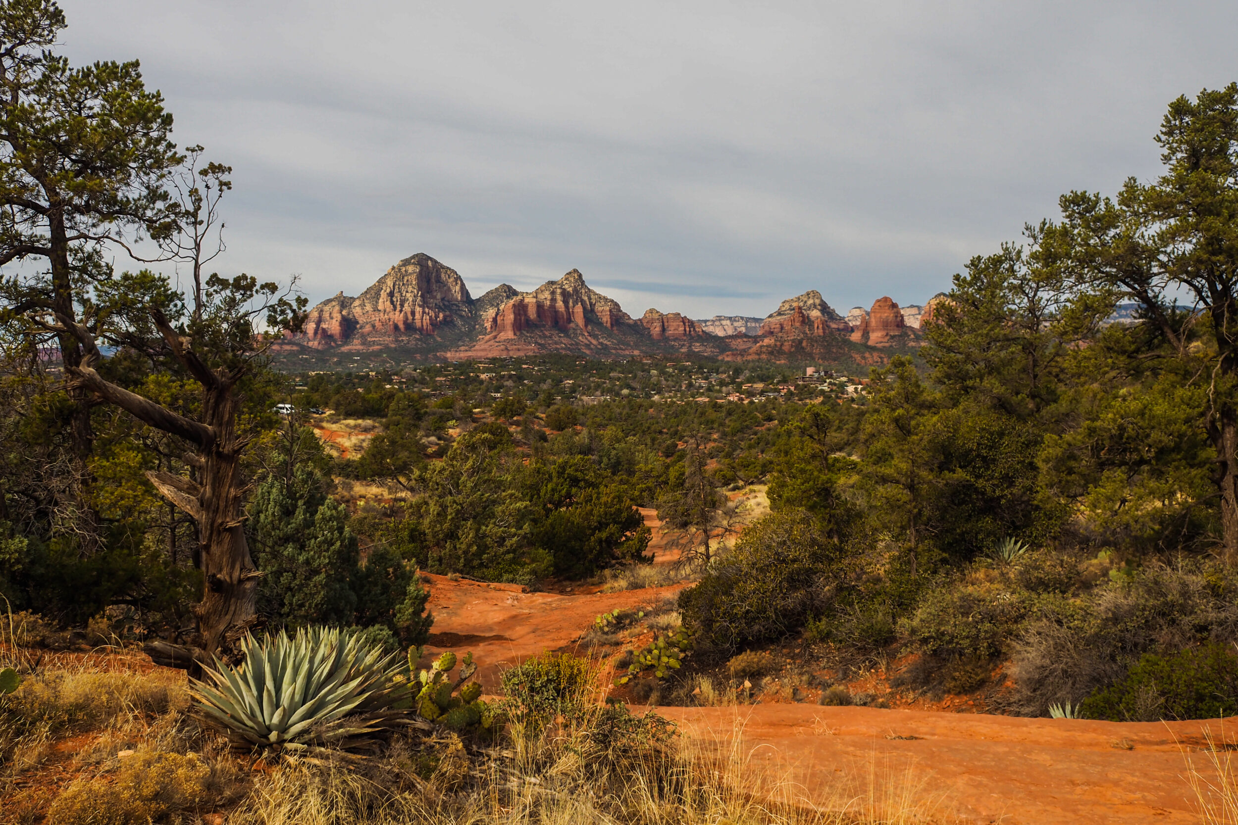
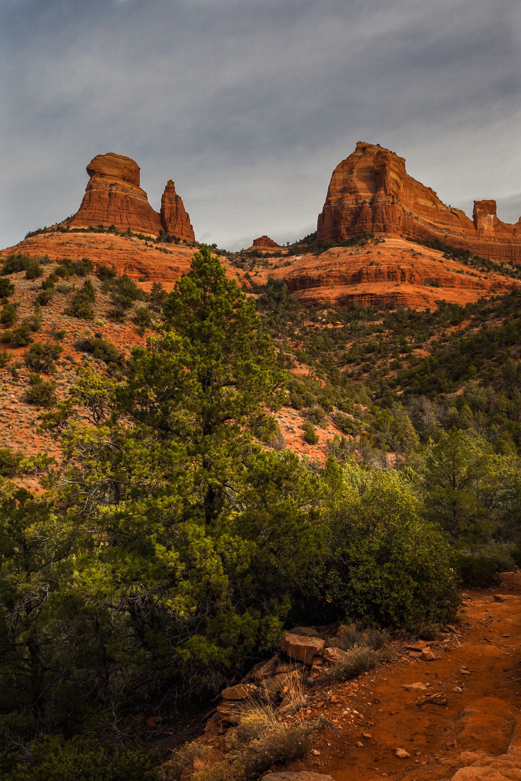
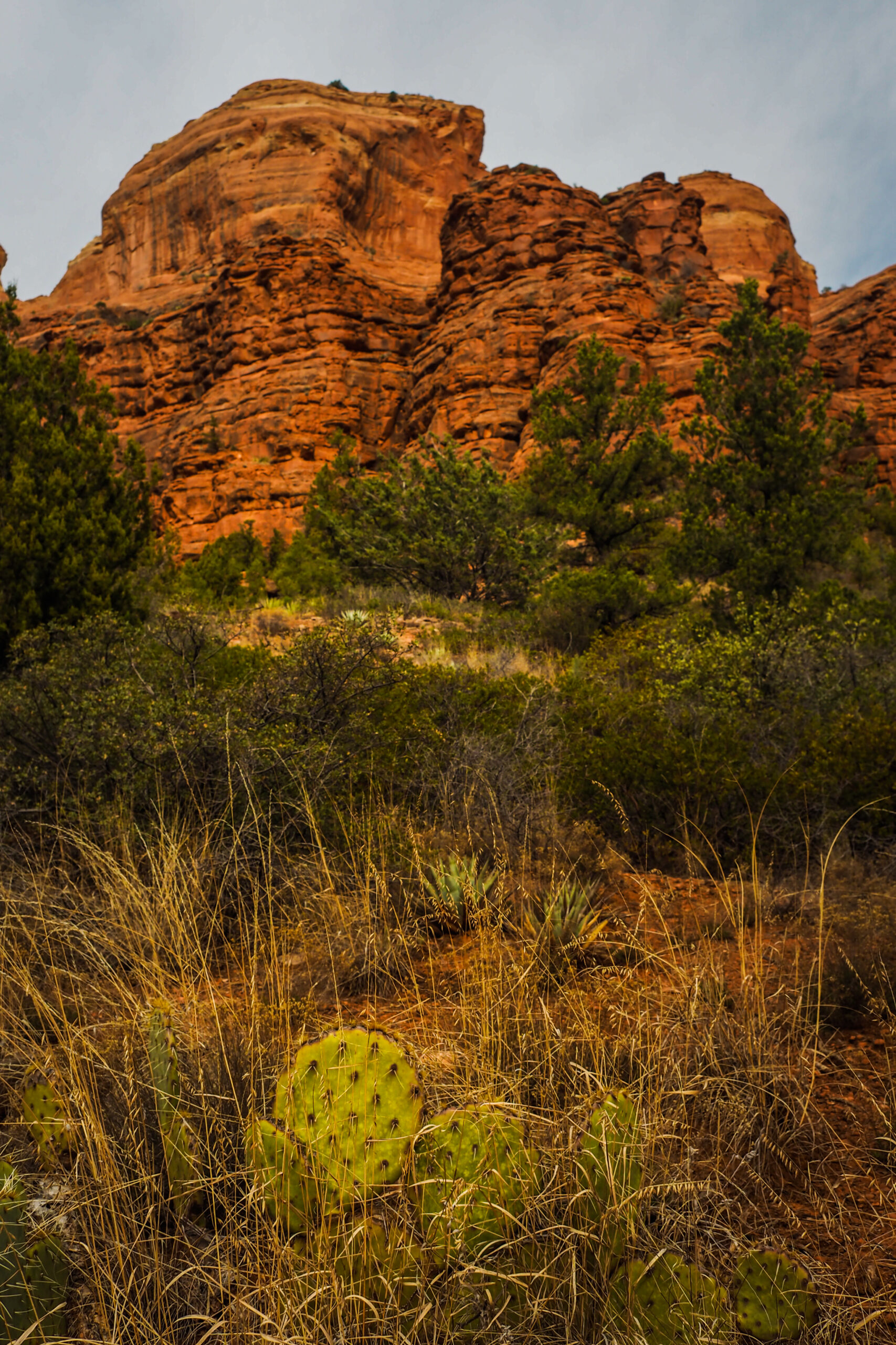
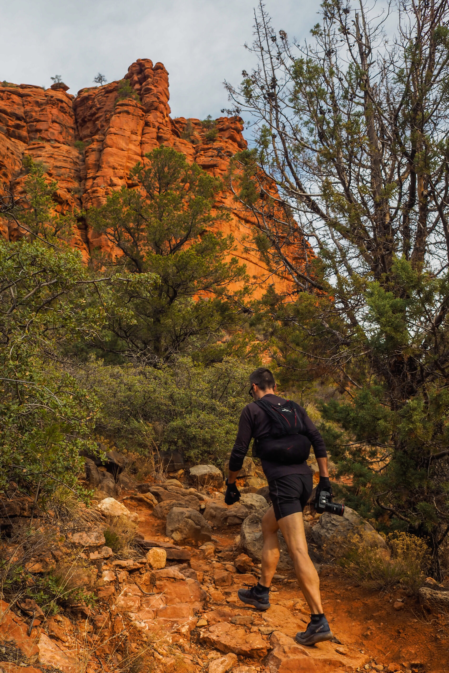
We did the loop CCW, which is the opposite from what people recommended – but I didn’t actually realize it until later. That said, I think the way we did it gave us a bigger pay off.
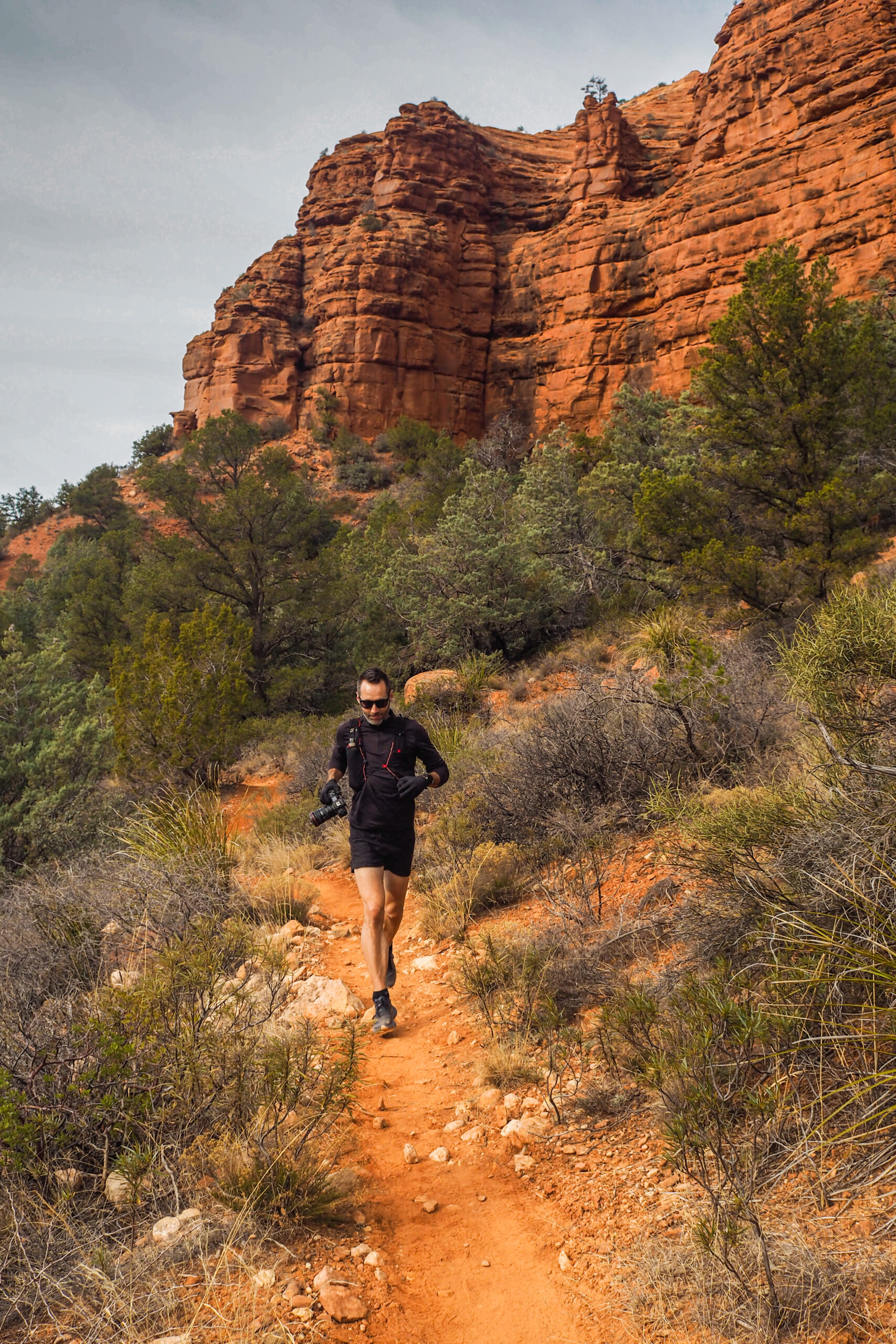
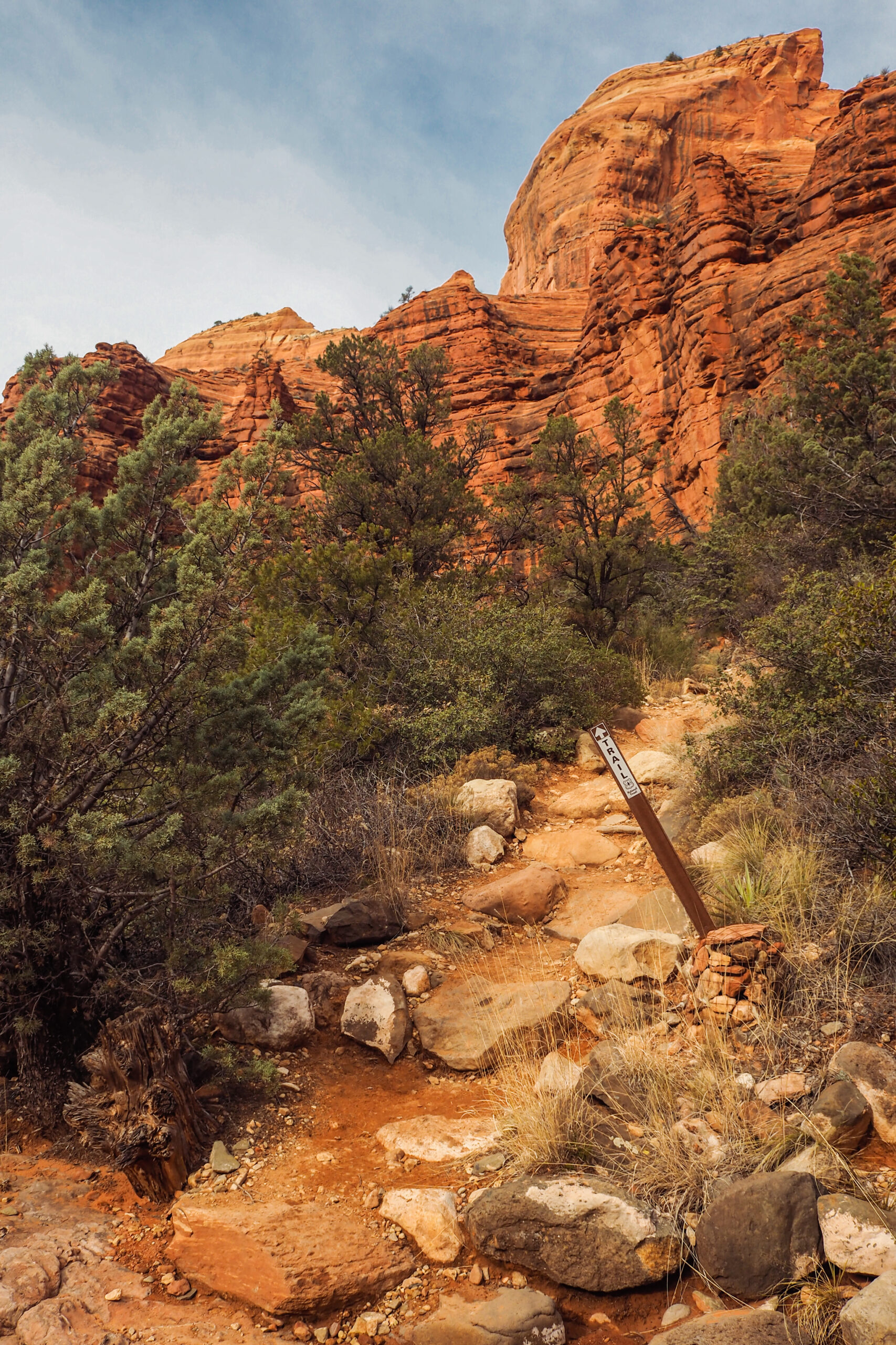
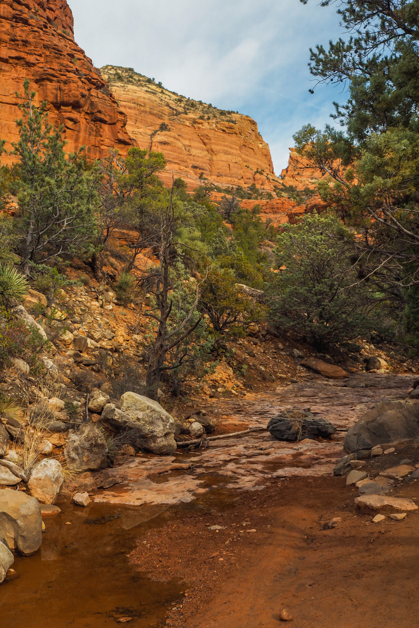
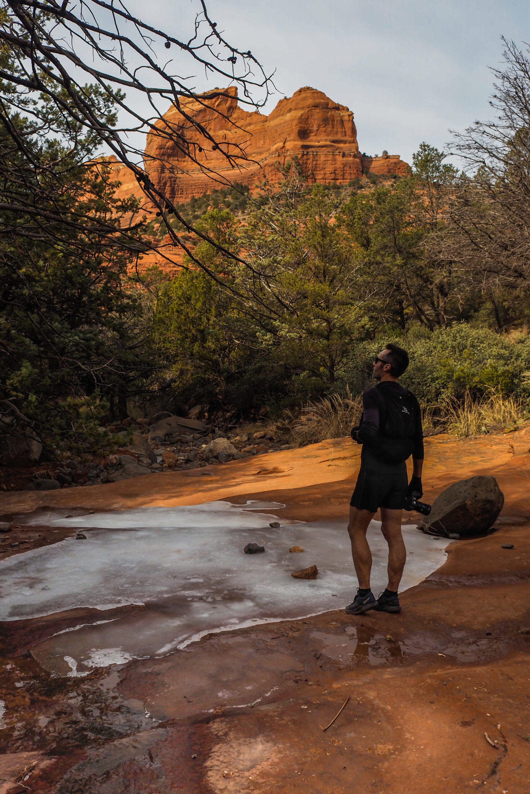
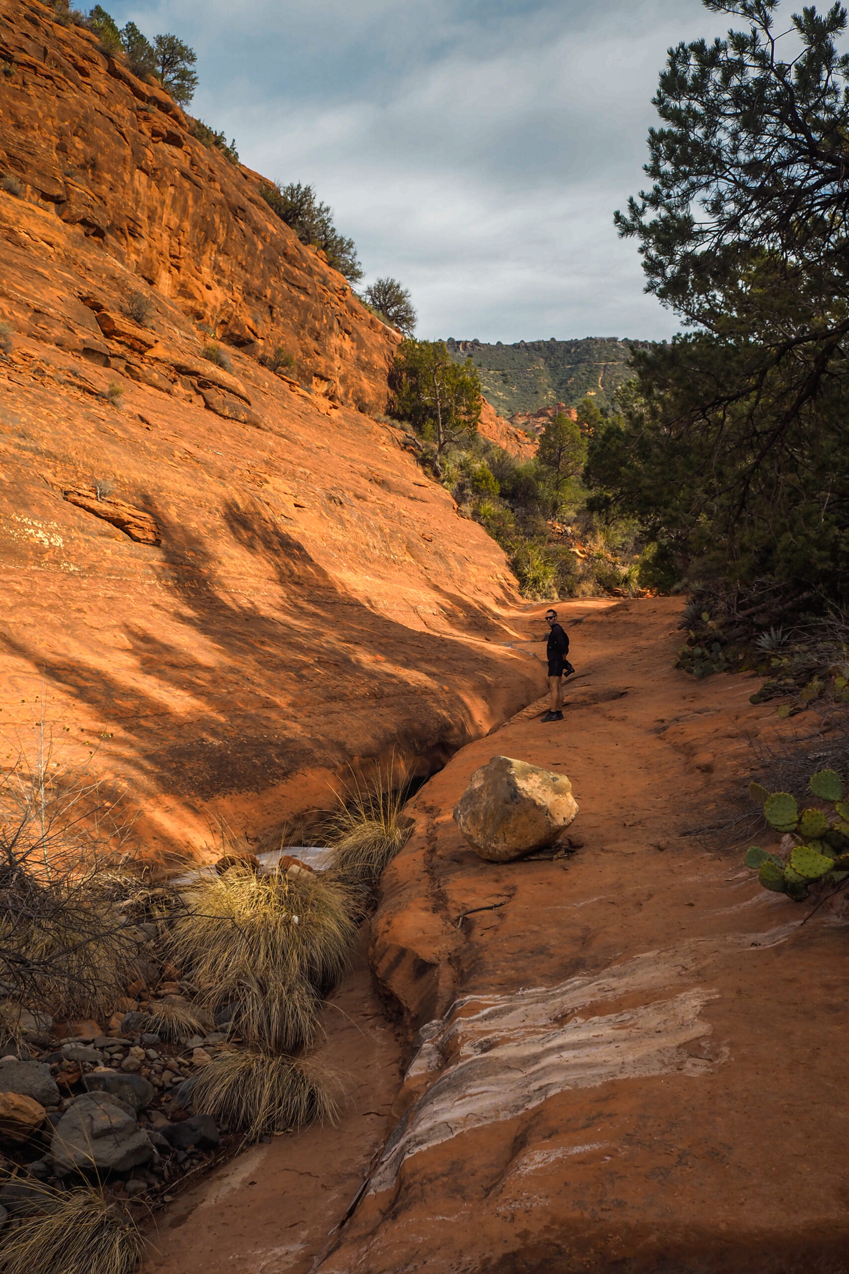
The trail starts fairly flat, and follows a dry creek bed for a while, at the base of the main rock formations. Once it connects with Cow Pies trail, you start going up onto a higher promontory, which you then follow for a while on Hangover trail, with a gradual uphill.
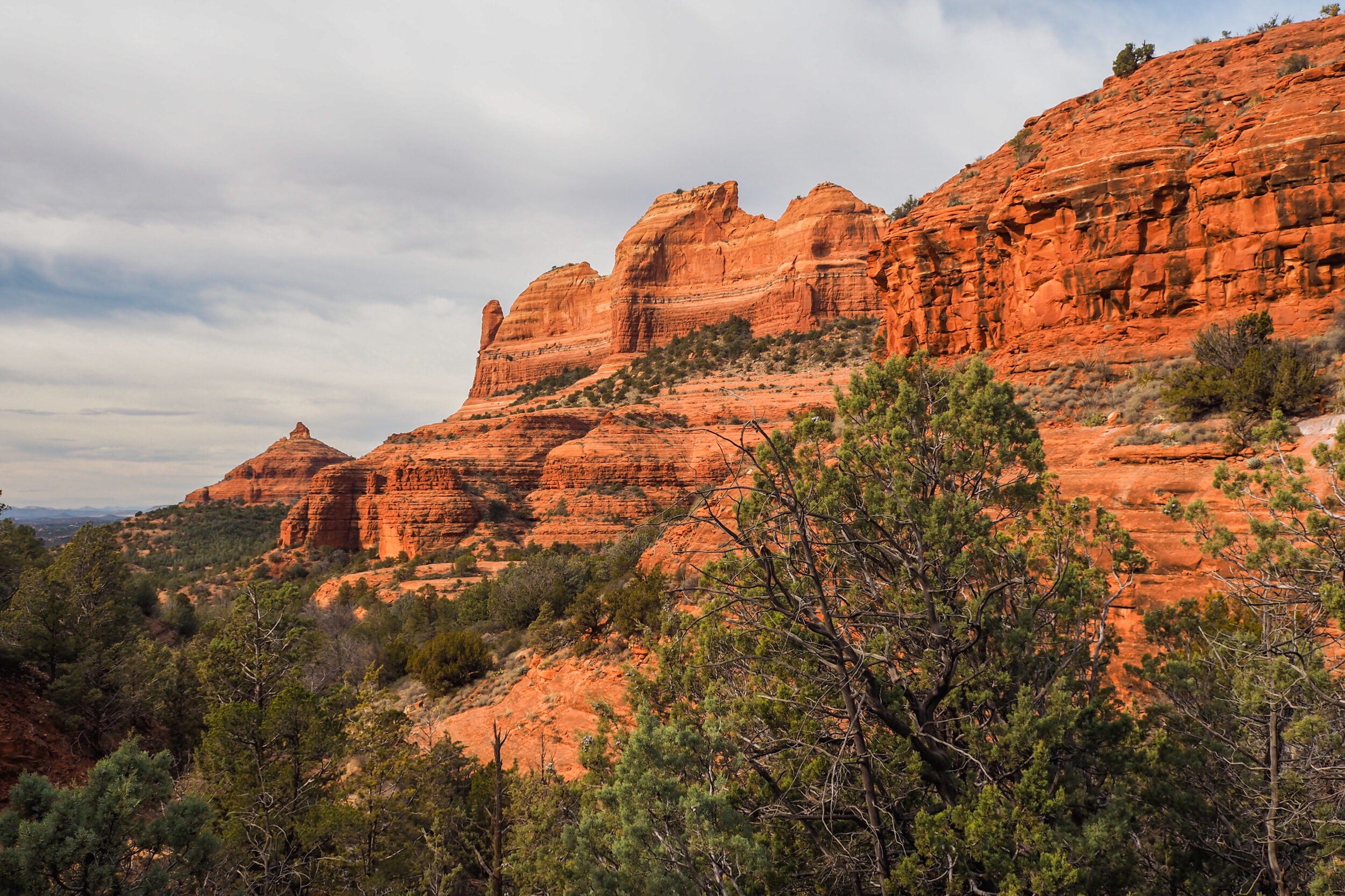
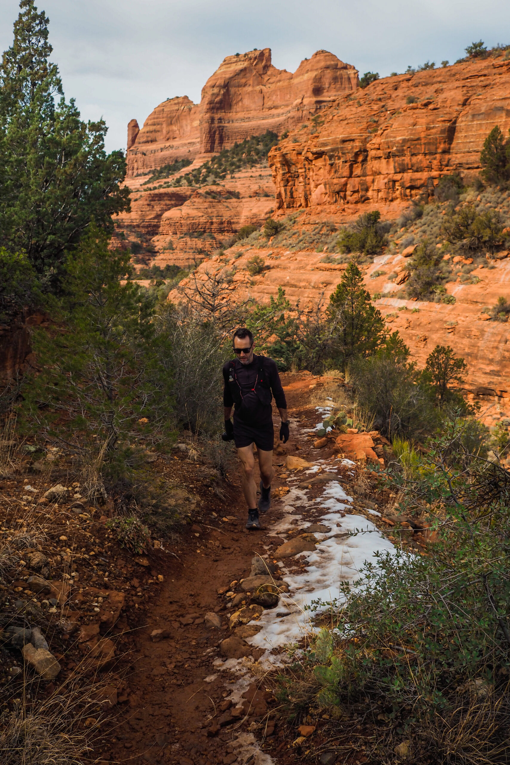
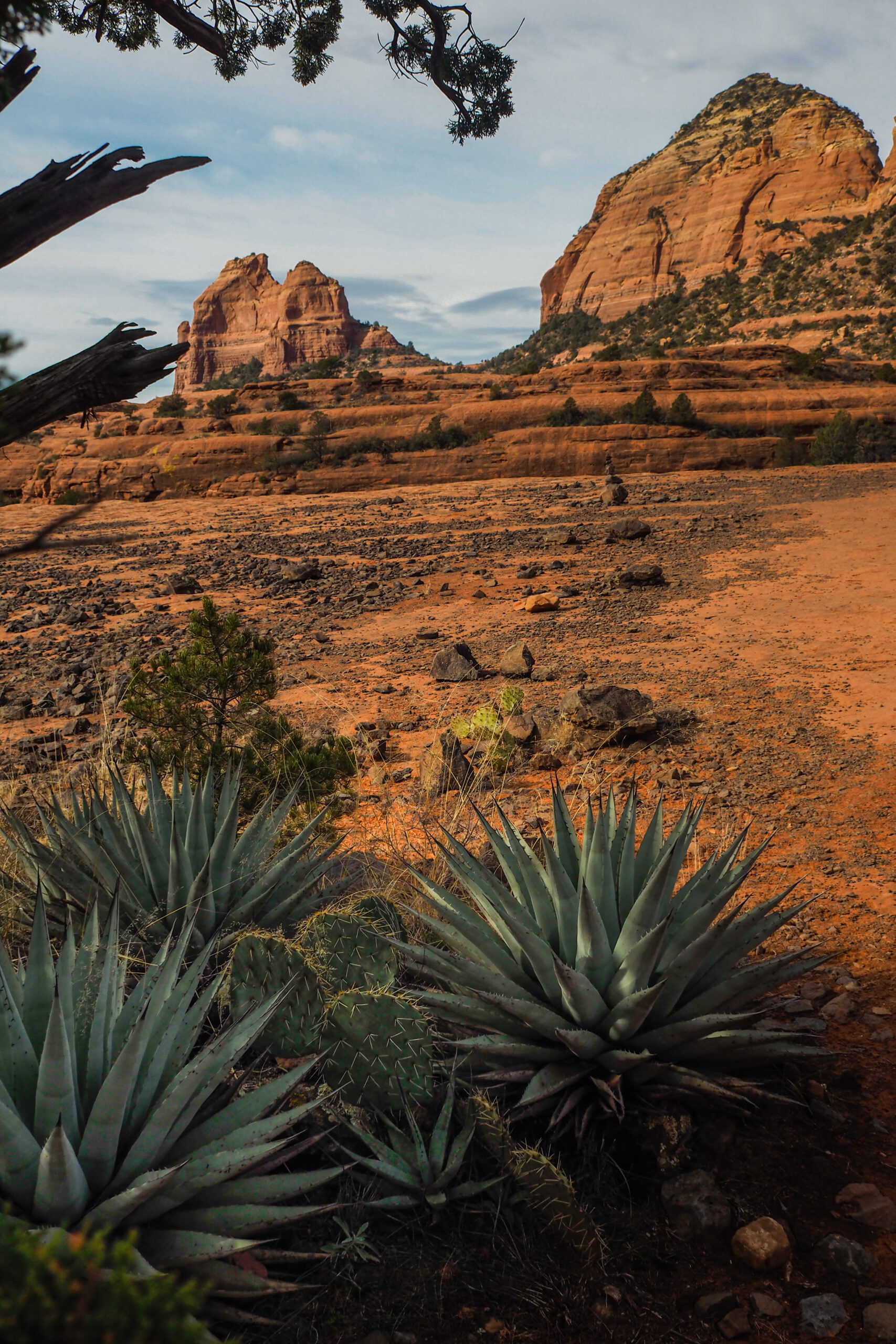
From there you get really cool views on a multitude of other, lower rock features to the South.
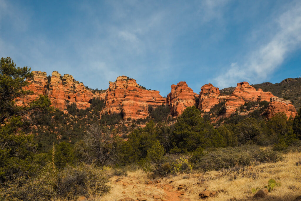
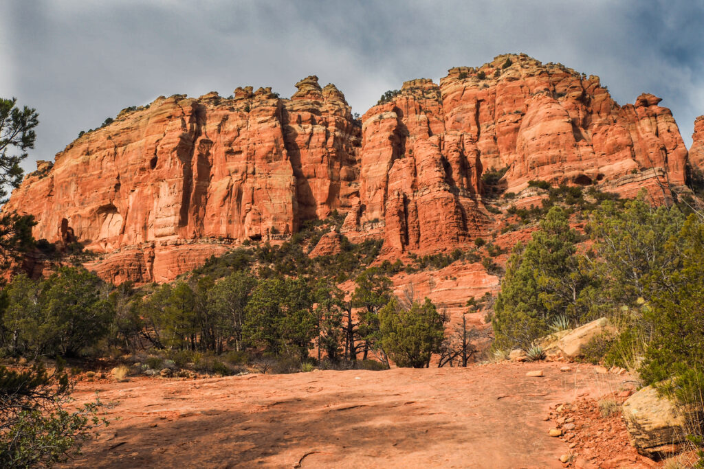
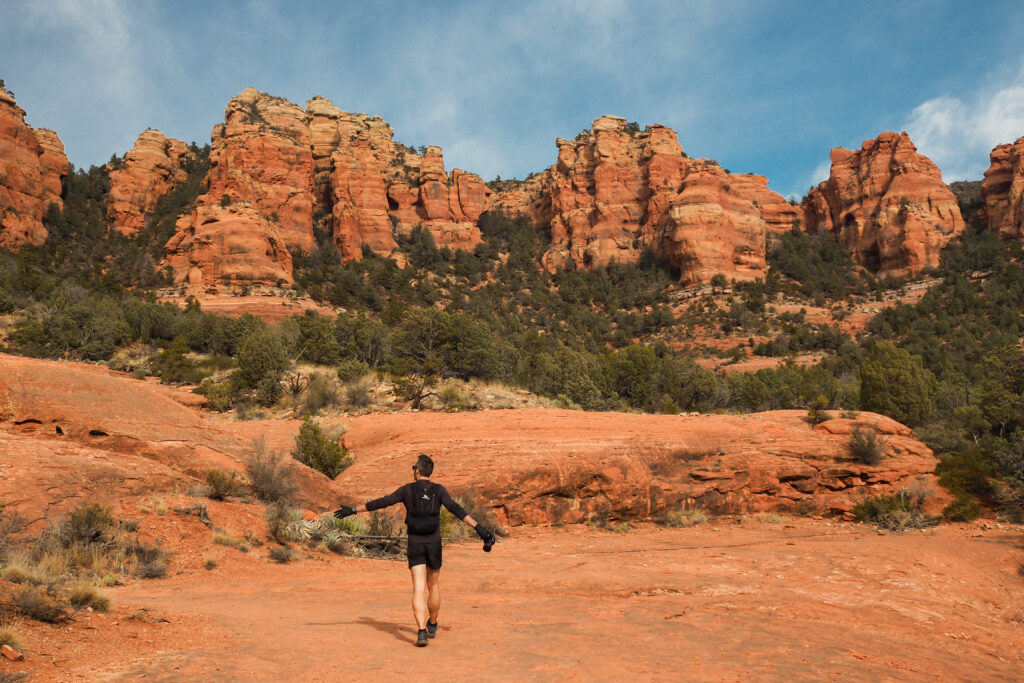

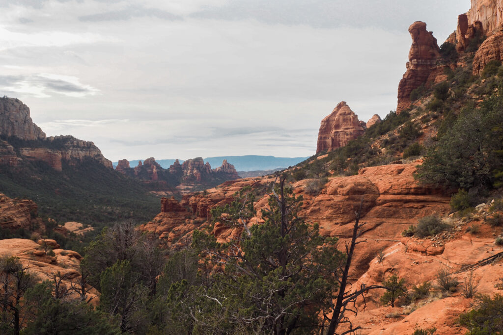
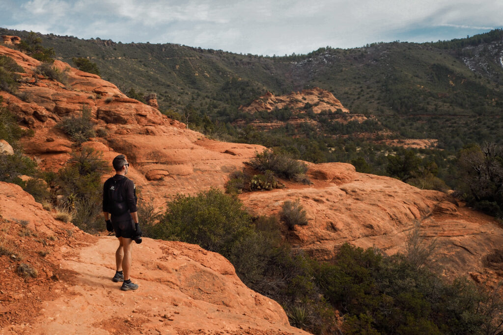
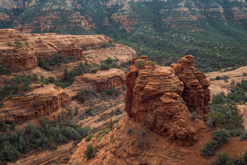
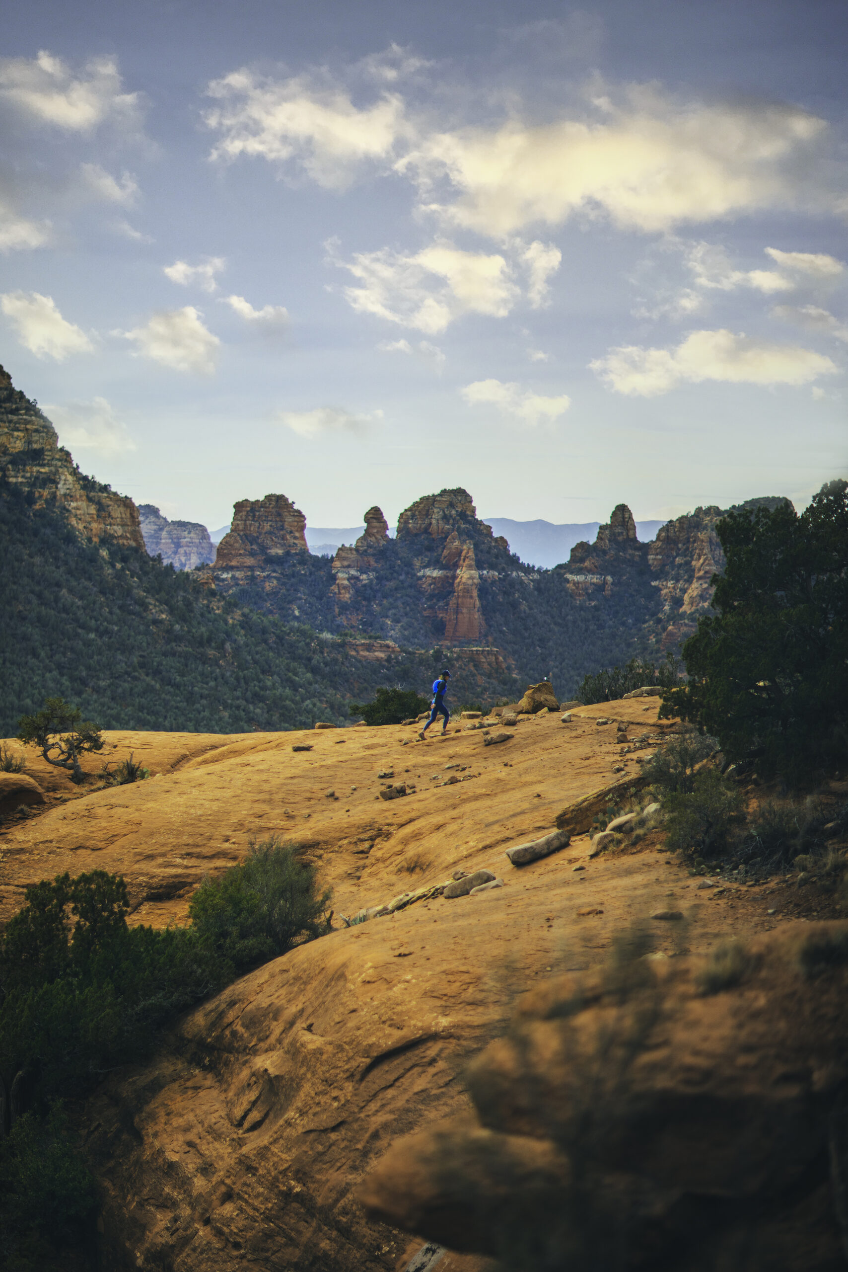
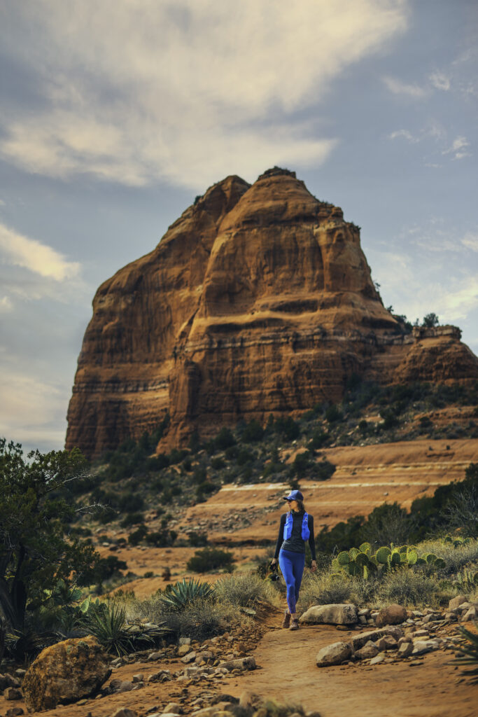
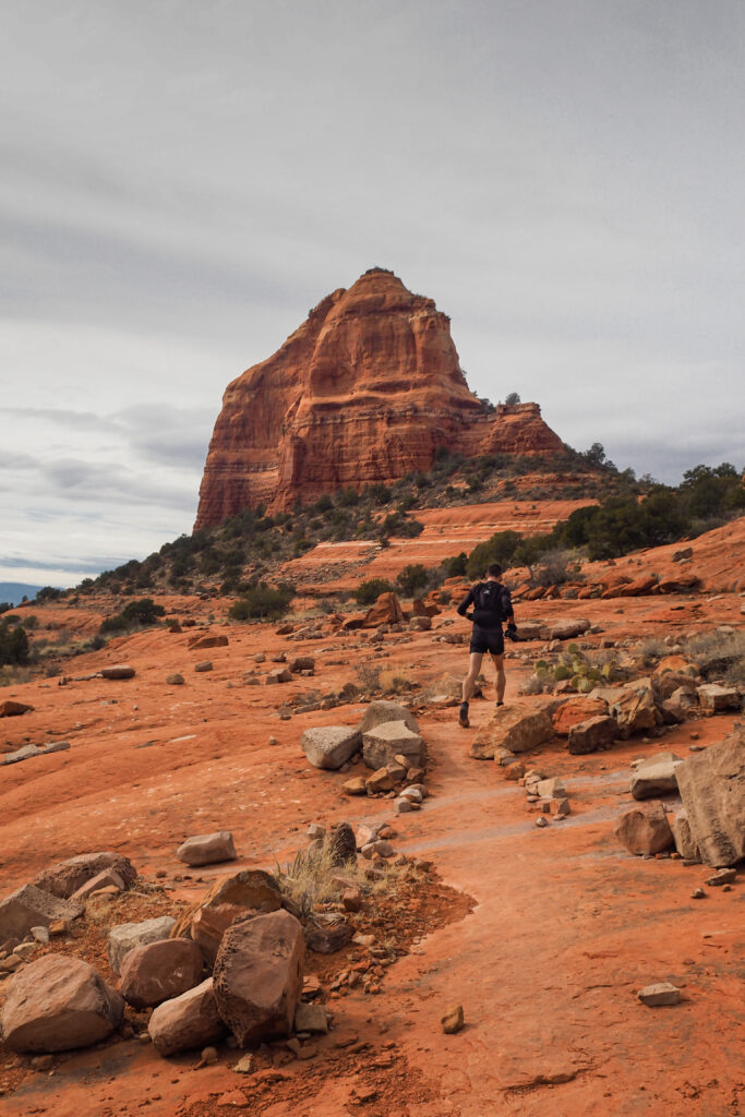
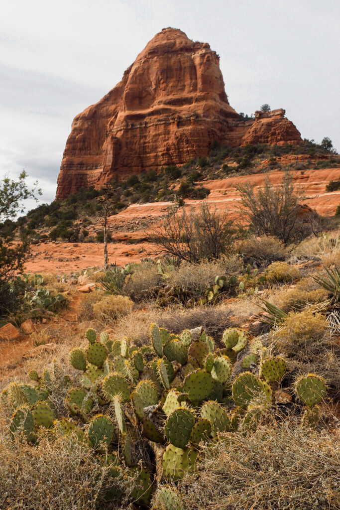
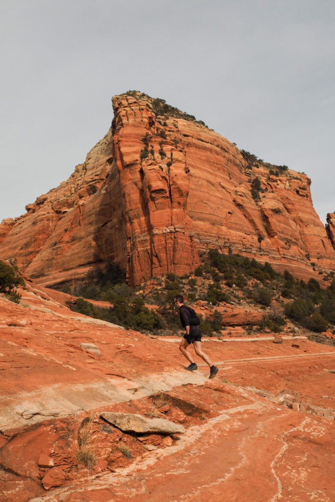
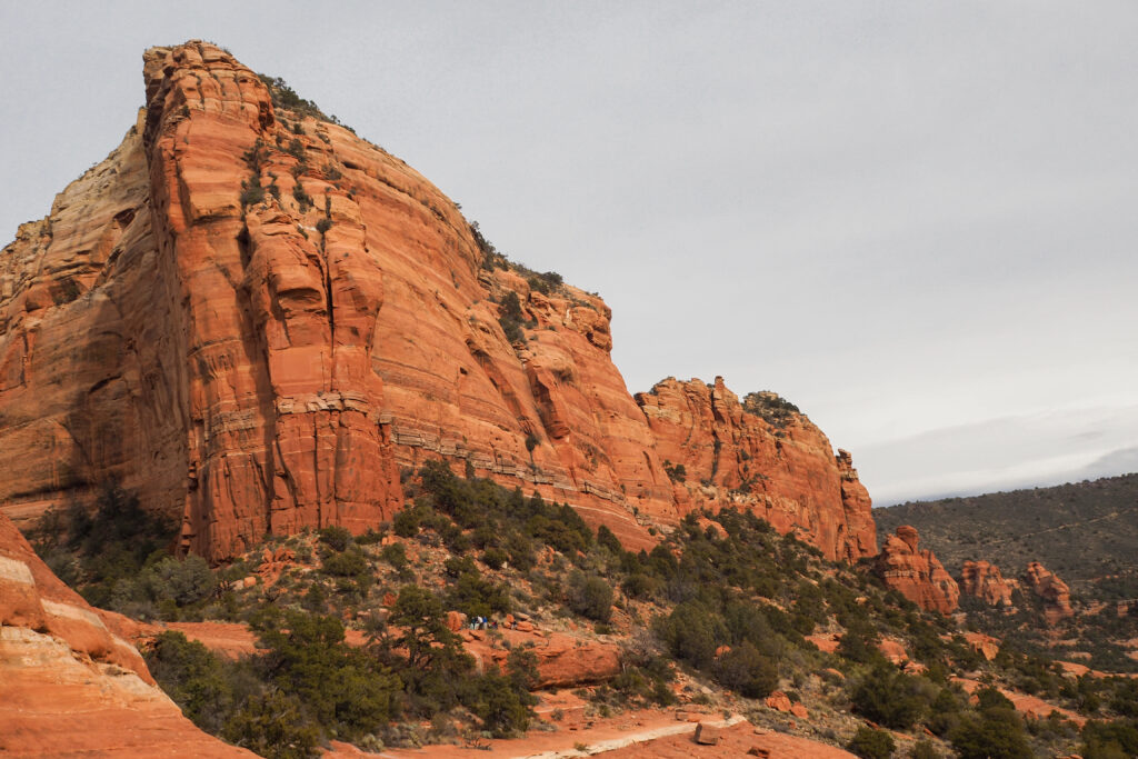
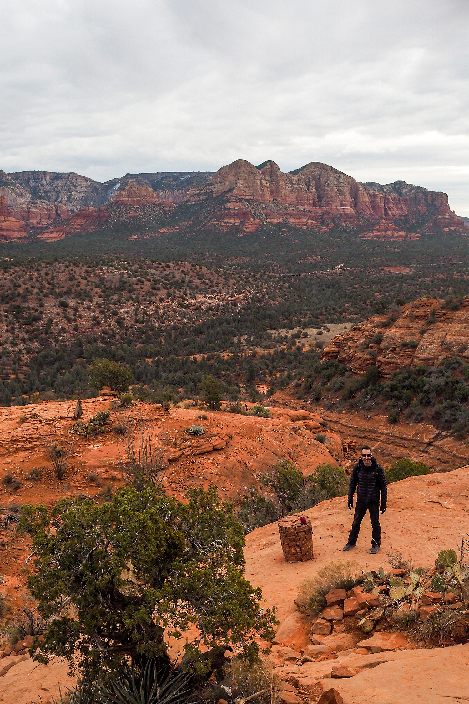
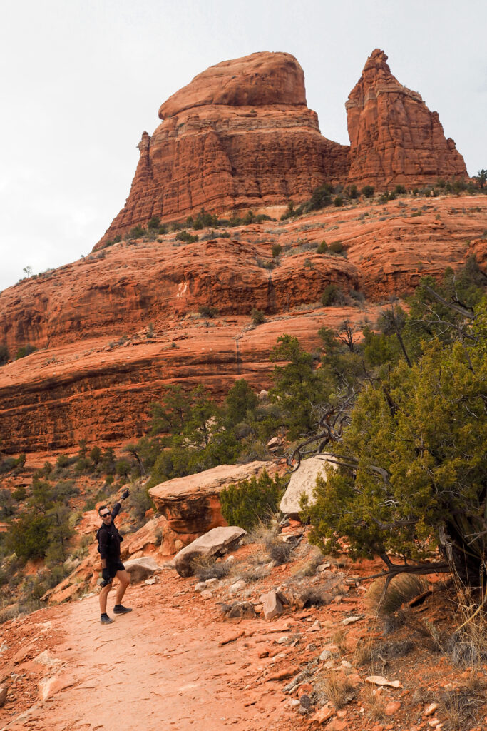
Eventually the trail climbs to a small pass, and this is where our CCW direction feels like it gave us the best reward. As you get into the pass between two rock features, you discover an expansive mountainous view to the North, and Sedona to the west.
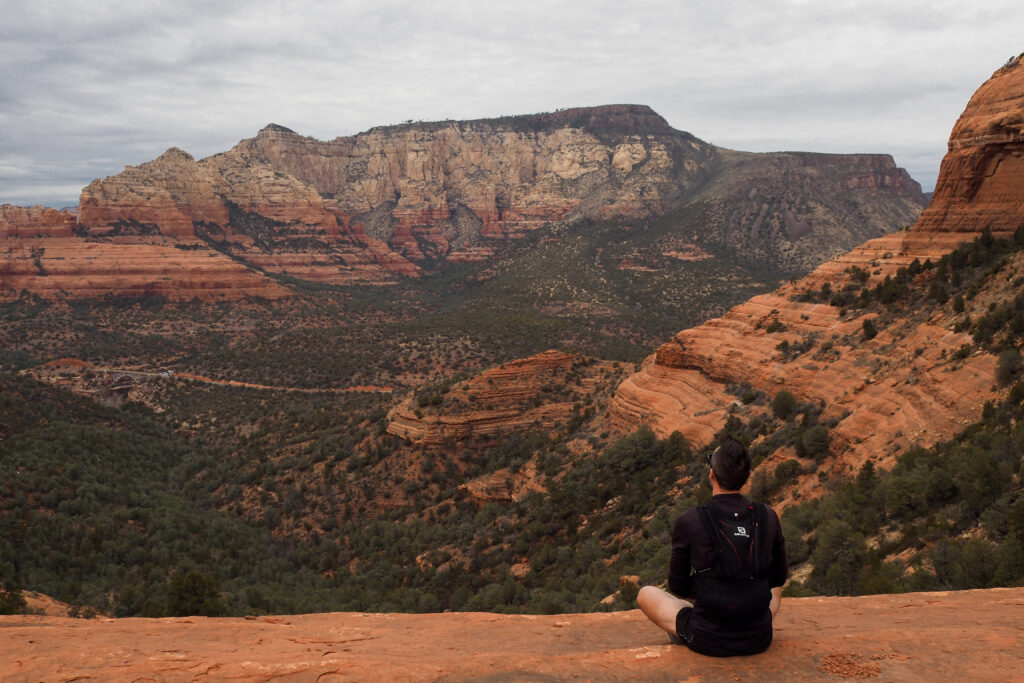
The trail then goes down beyond the pass and it’s a relatively steep and narrow downhill from there, circumventing “Tea Pot” and “Queen Victoria”, the nearest summits.
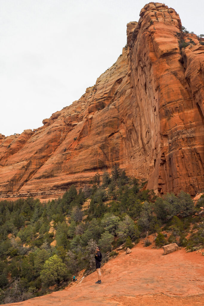
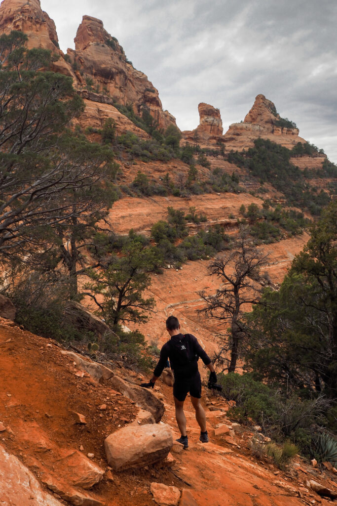
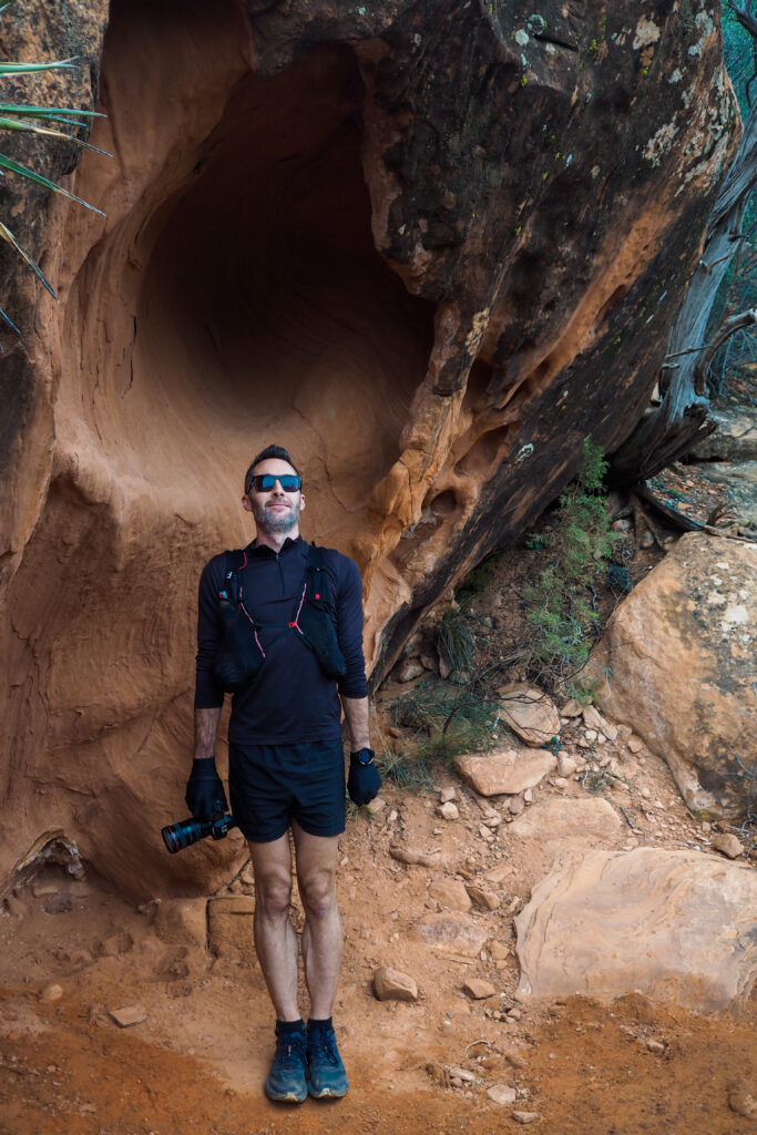
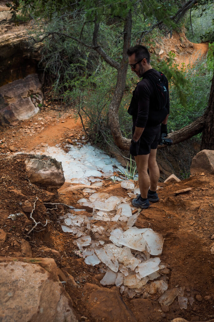
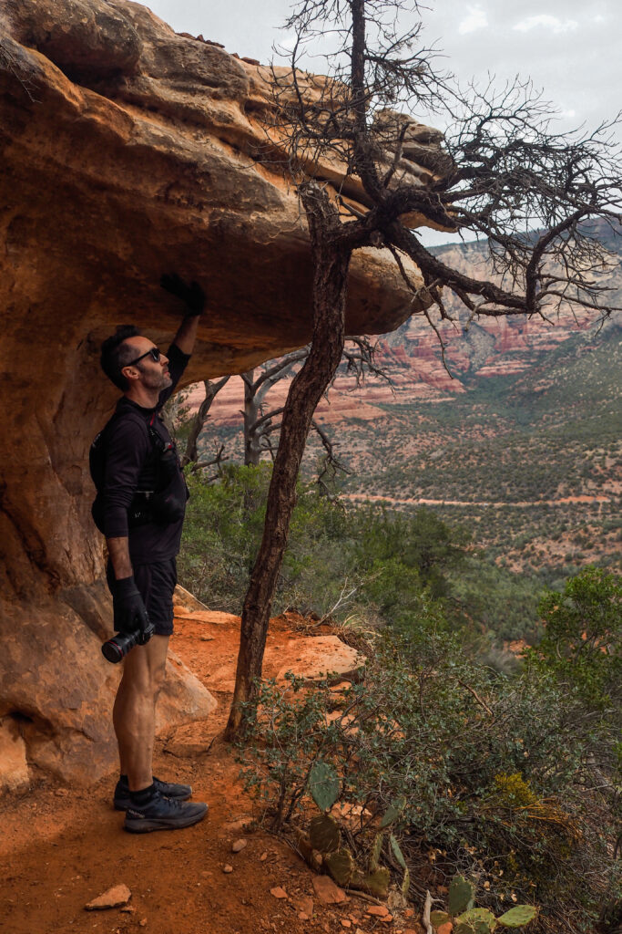
There are views all along the trail until you get back to the junction, which made me even more glad we did the loop in this way, as we got to enjoy the views going down at a leisurely pace, which I feel might have been more enjoyable than seeing these same views while hiking up.
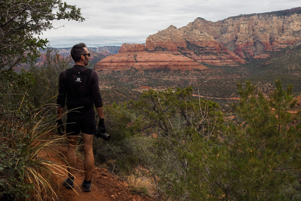
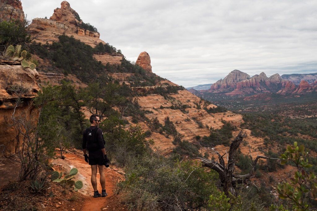
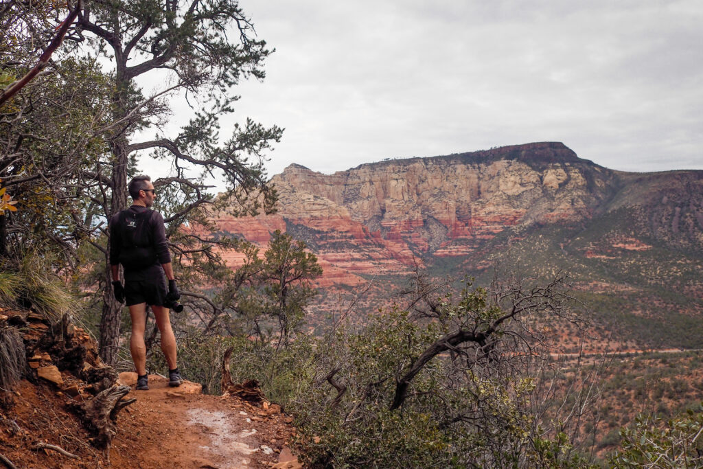
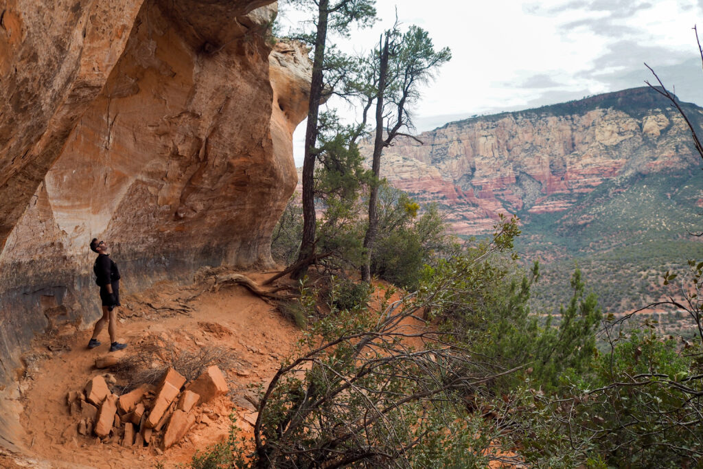
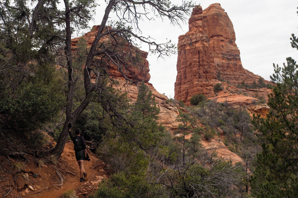
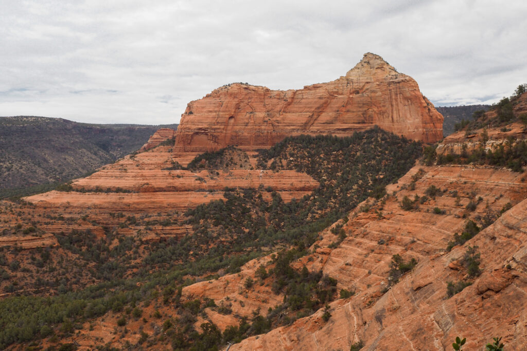
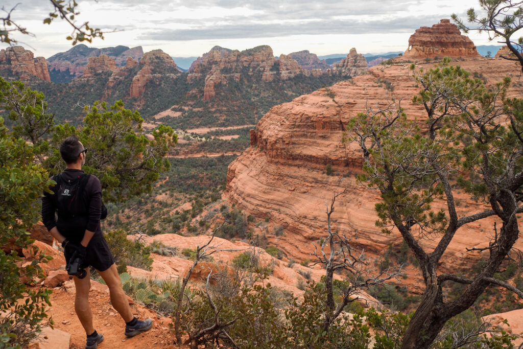
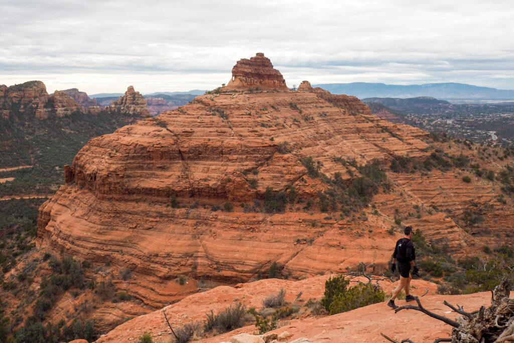
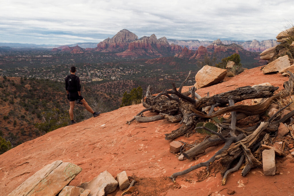
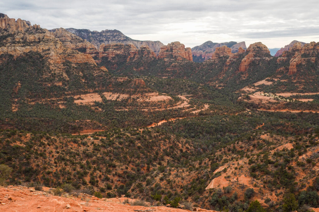
It was a really nice hike, not very trafficked, especially on the earlier section. We only saw a few people and some mountain bikers in the upper section near the pass.
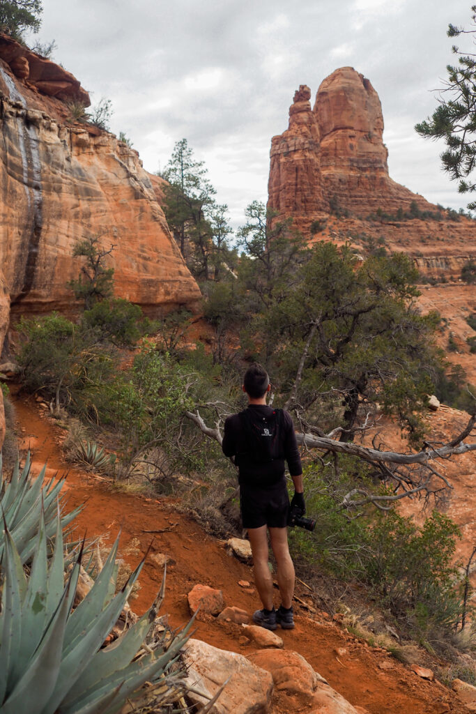
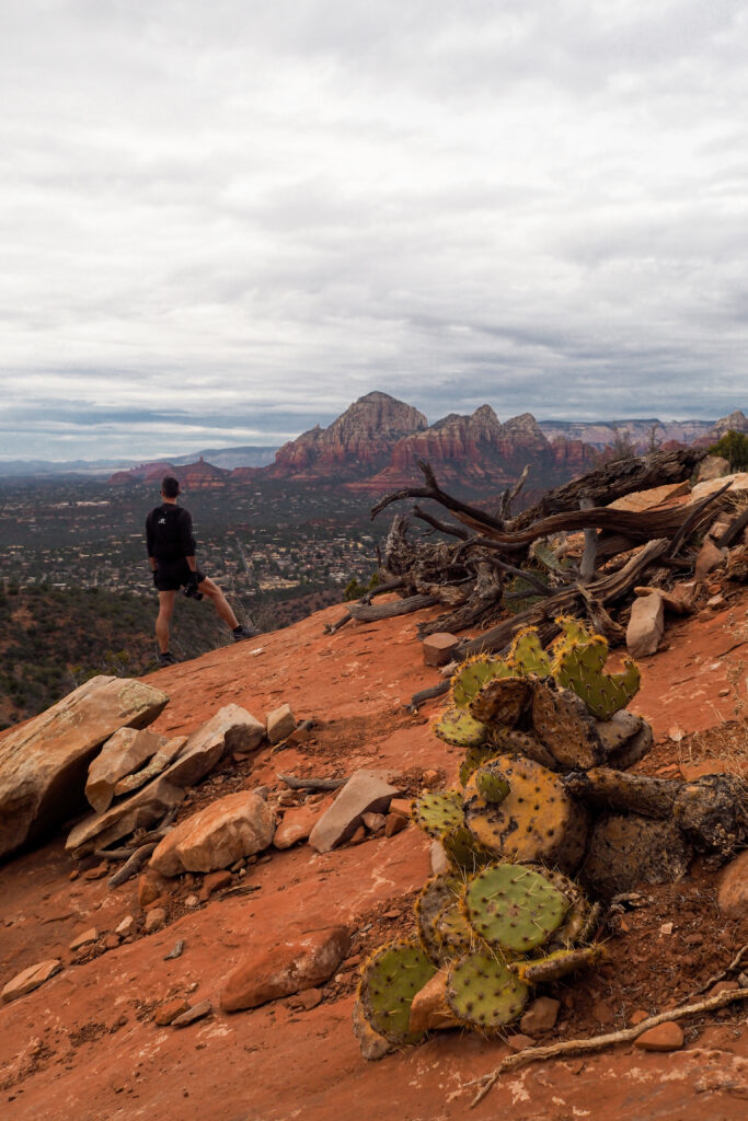
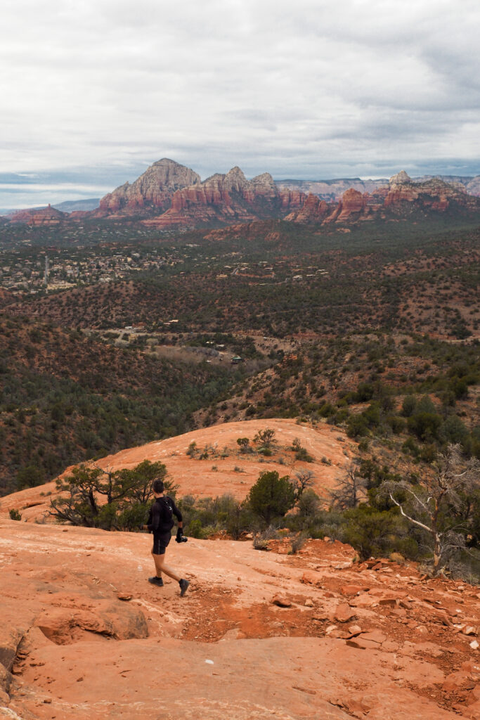
It was pretty overcast so we decided to skip the sunset and head home from there.
Day 4
We woke up to rainy skies and decided to skip the sunrise this time, as we would likely not get much of the beautiful light. Since the forecast didn’t show signs of much improvement, we decided to stay in the Cottonwood area for the day.
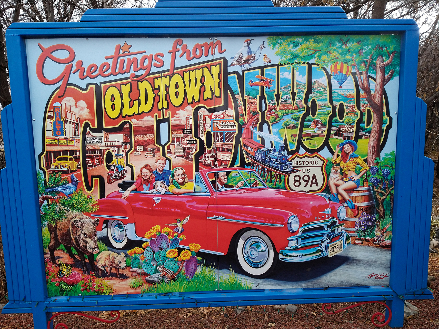
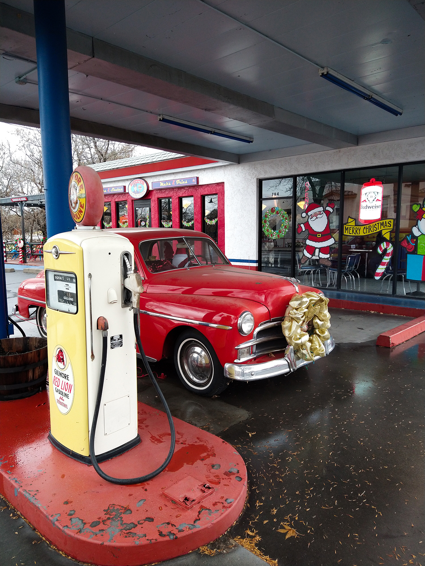
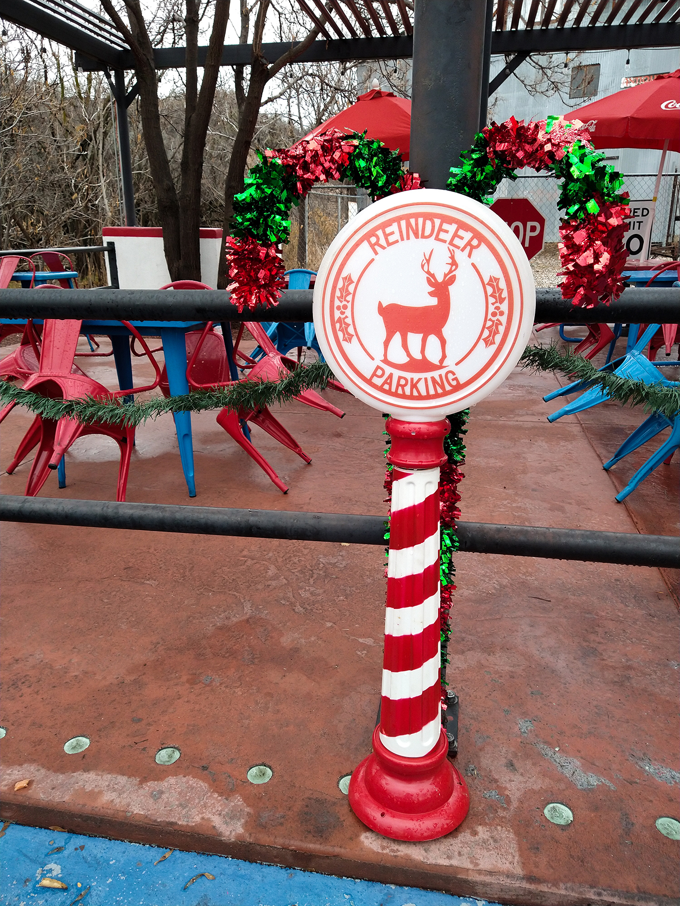
Cottonwood actually has a charming old town center – one stretch of street lined with old buildings housing restaurants and shops.
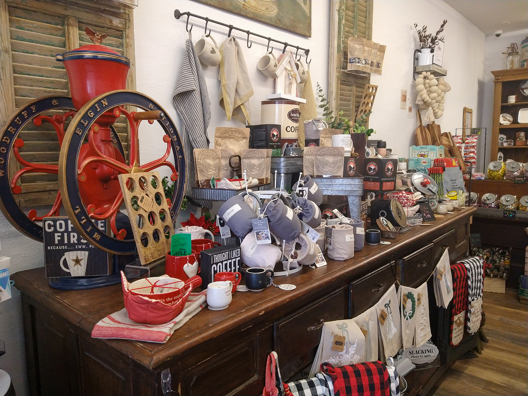


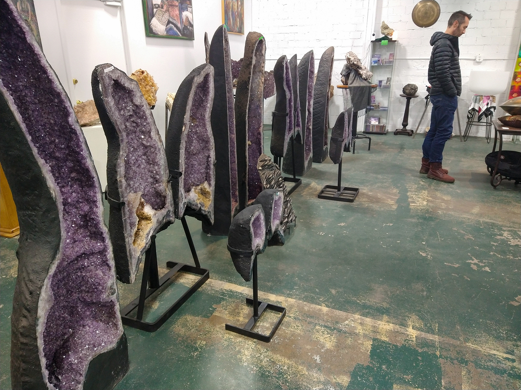
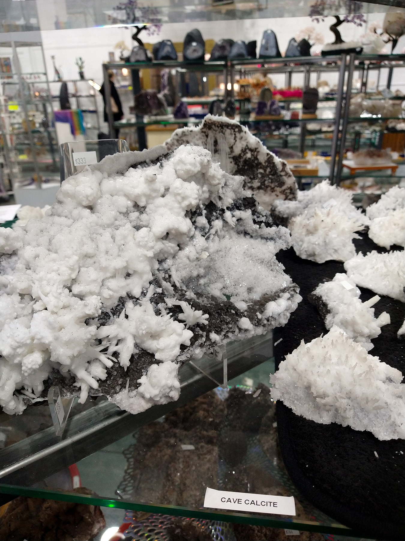
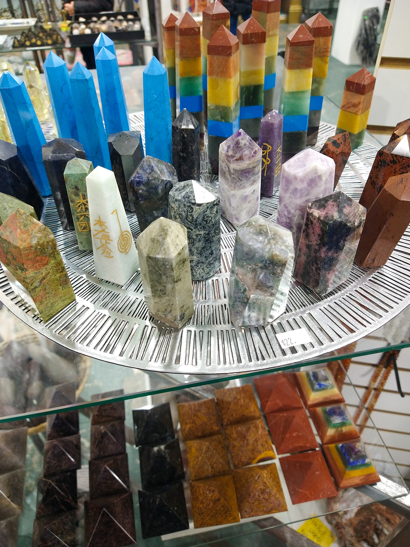
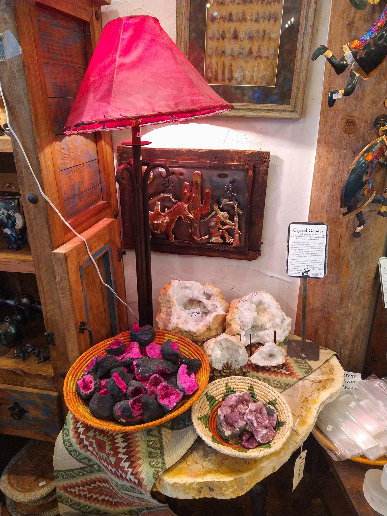
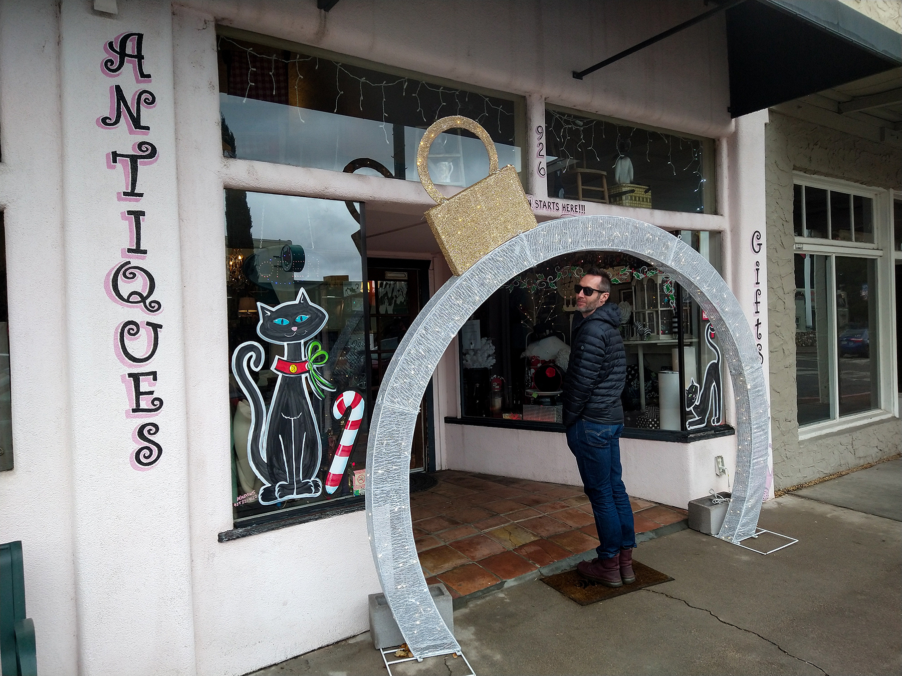
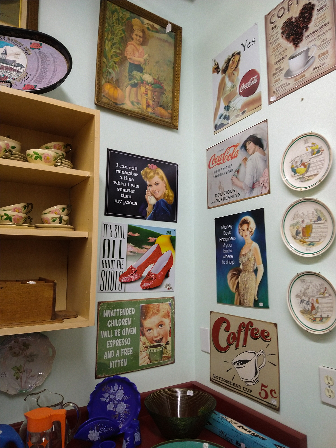
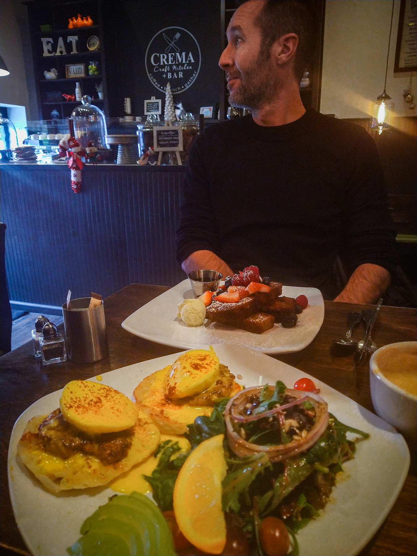
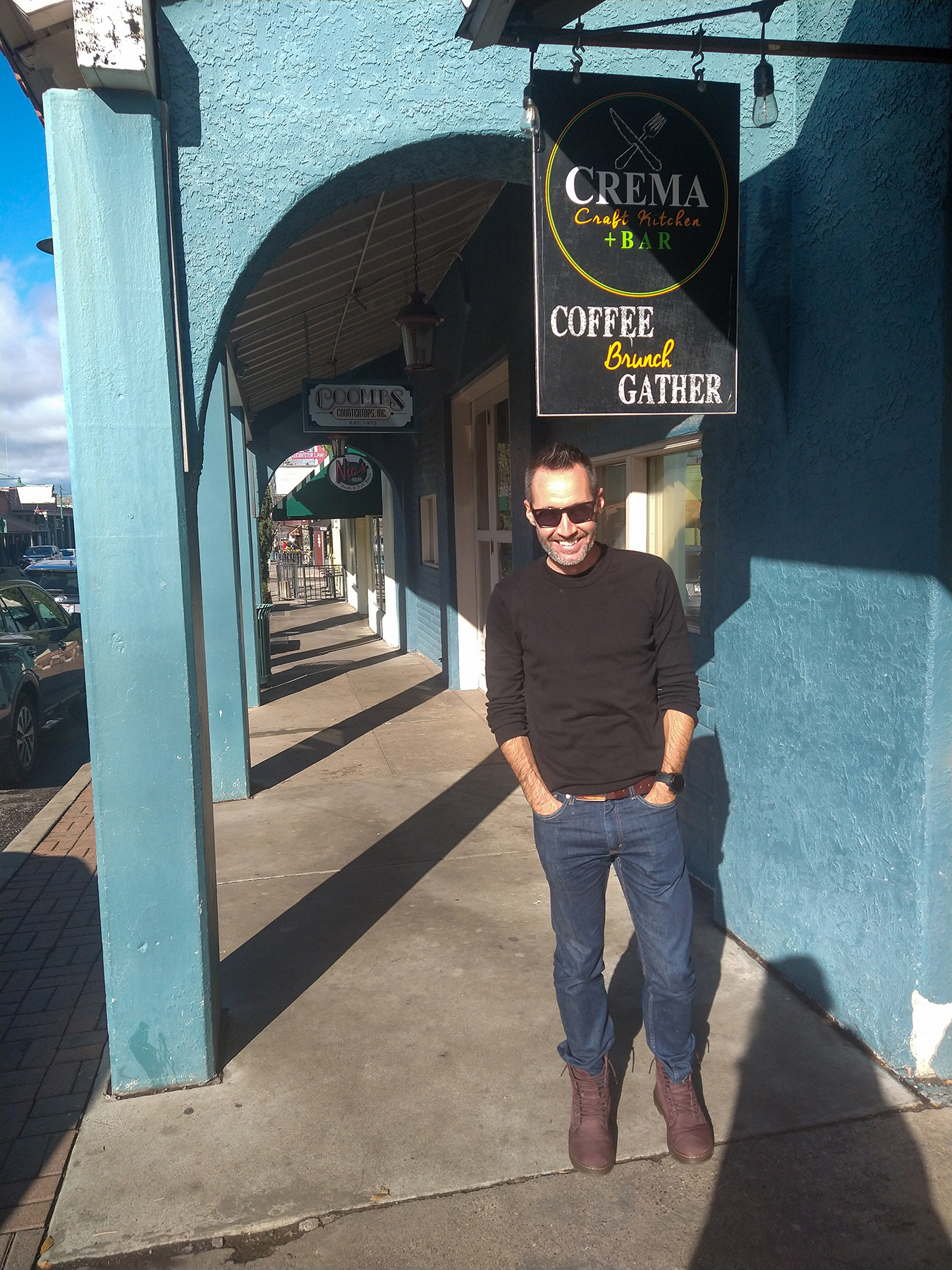
We walked along the few blocks for a bit, checking out the crystal and art shops and various thrift stores, and eventually sat down for brunch at Crema Kraft Kitchen.




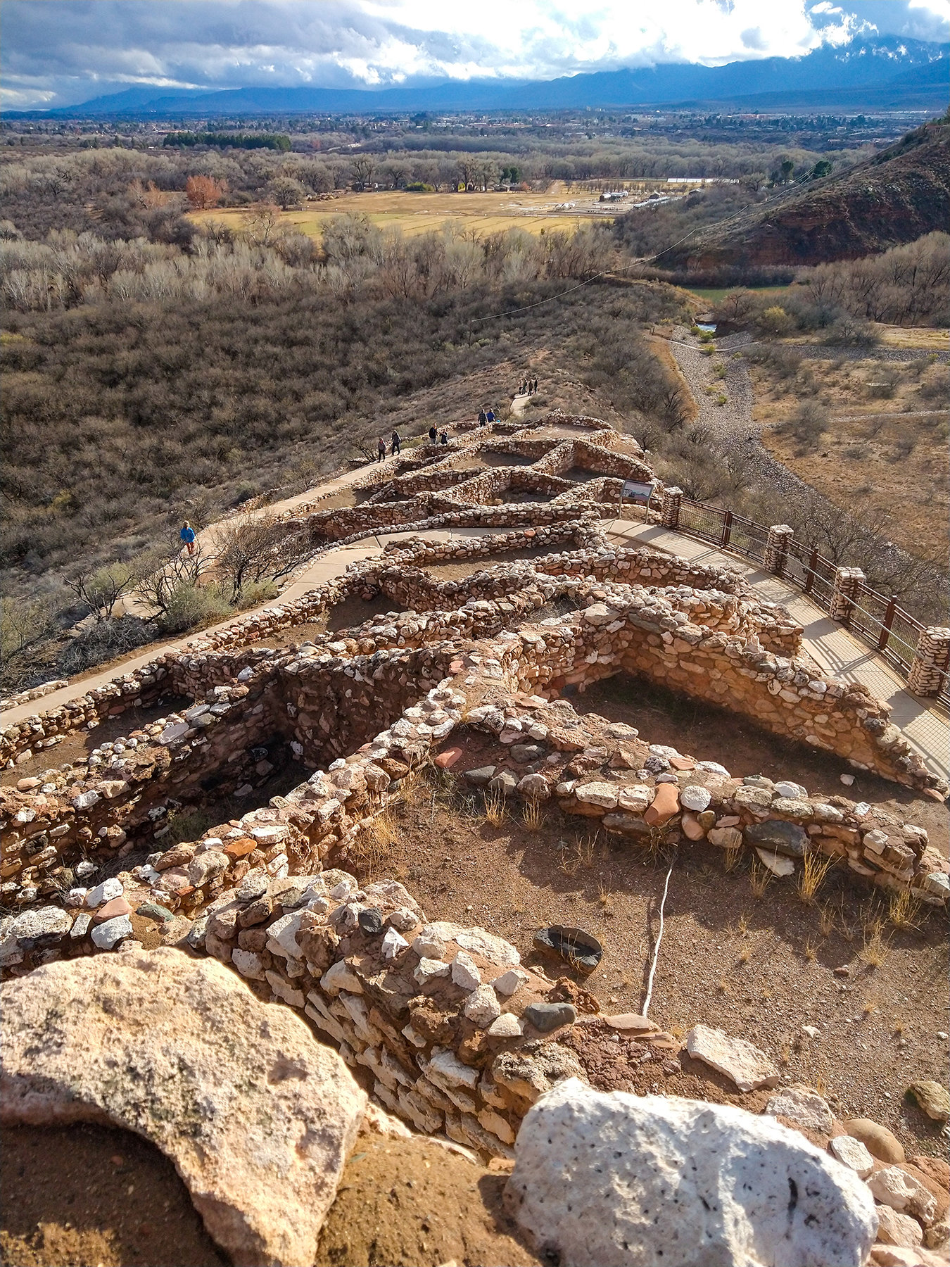
After our meal we drove out to the Tuzigoot National Monument, just a few km outside of town. The monument was established to preserve the ruins of a hilltop pueblo, built by the Sinagua people between 1125 and 1400 CE. The pueblo was composed of over 100 stone rooms, accessed most likely from the rooftops (there are no opening for doors).
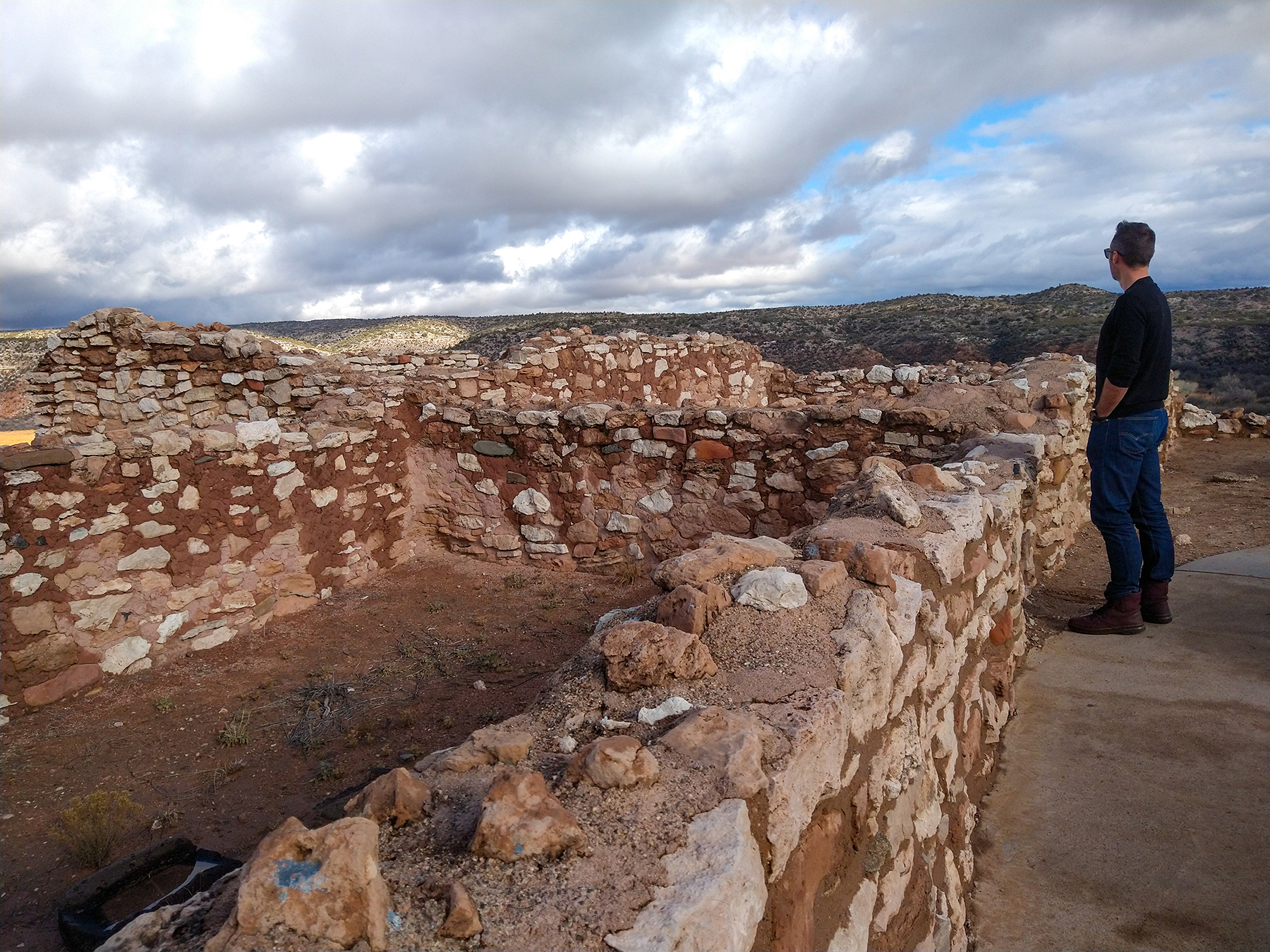
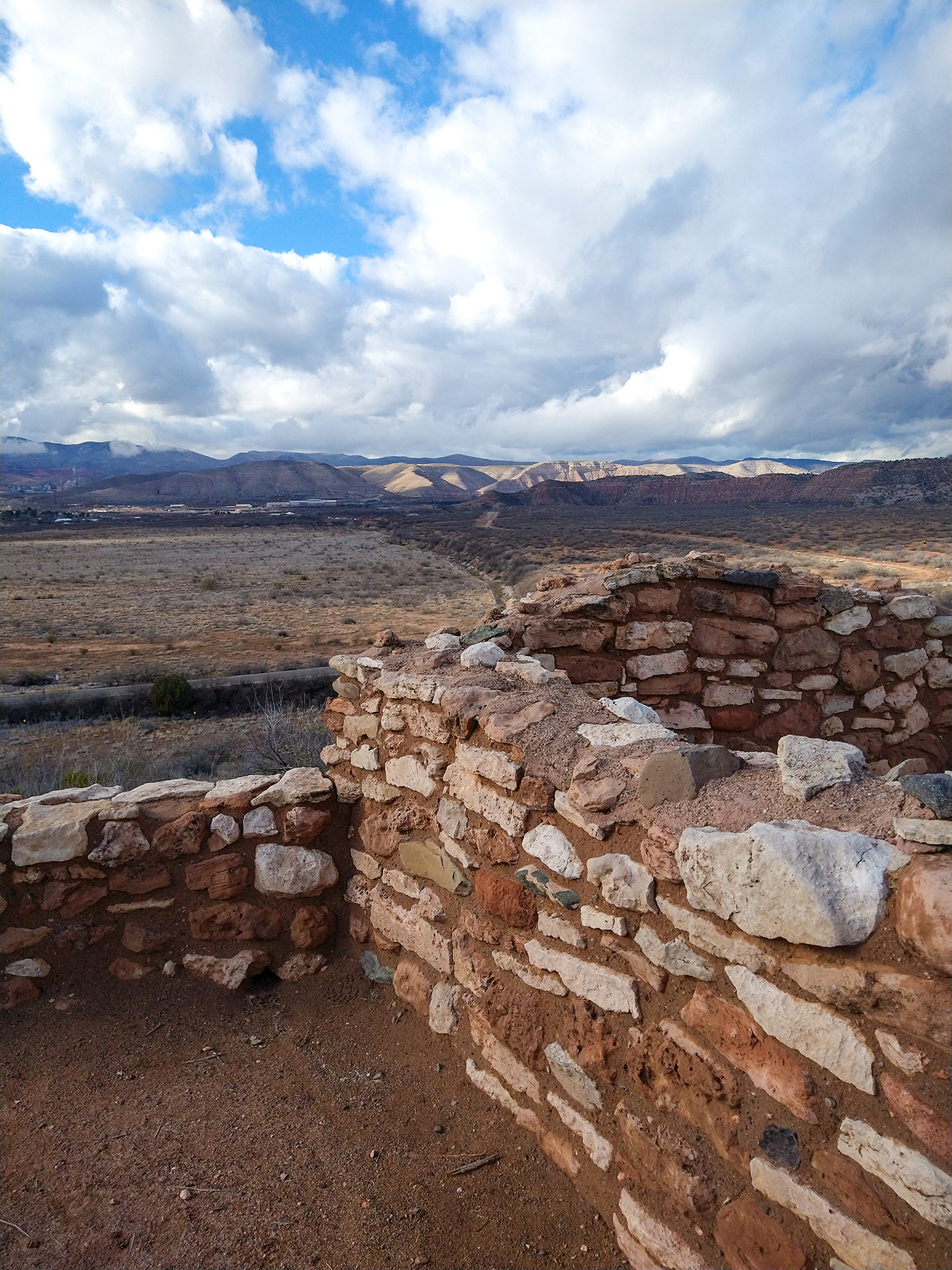
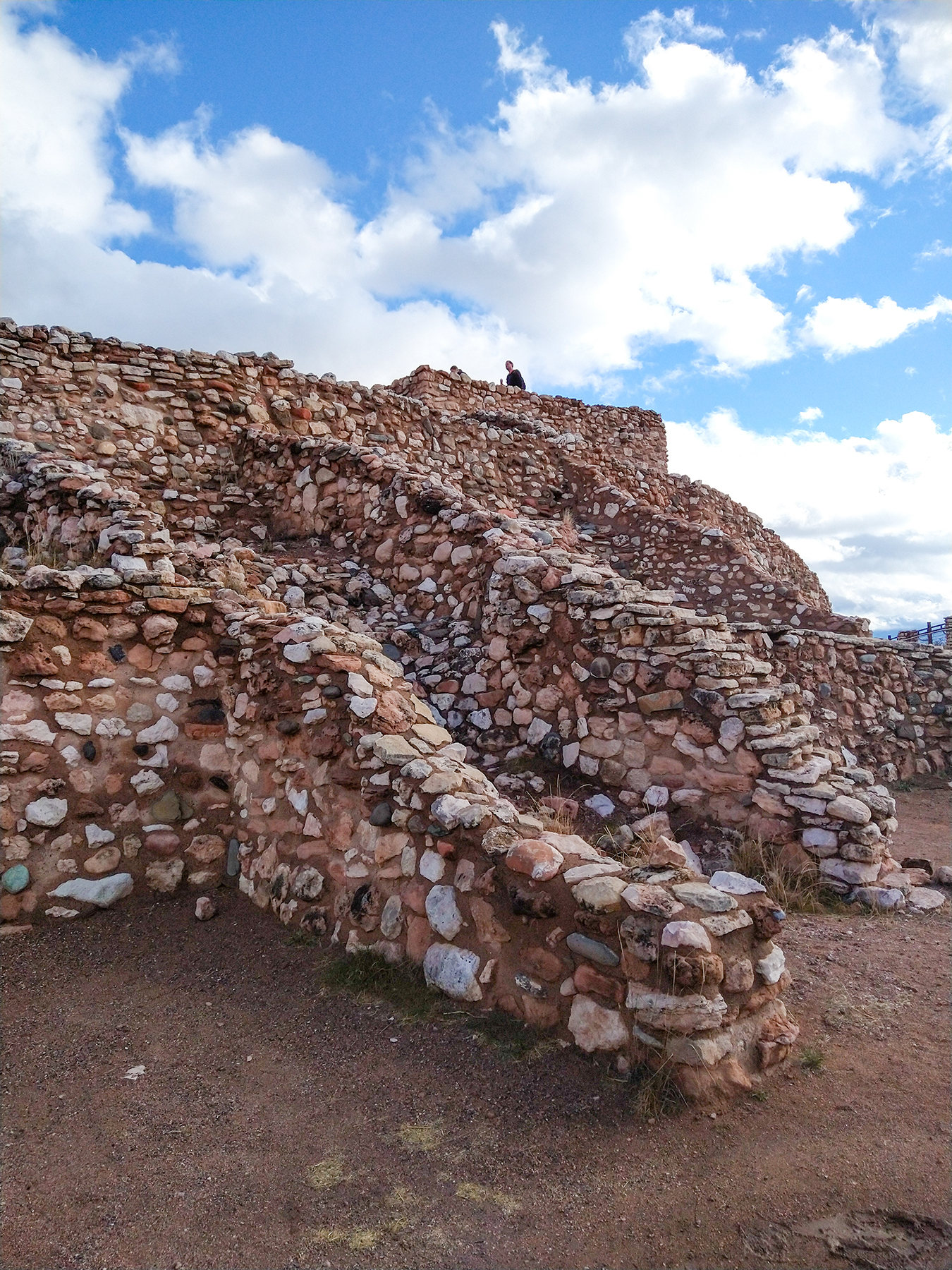
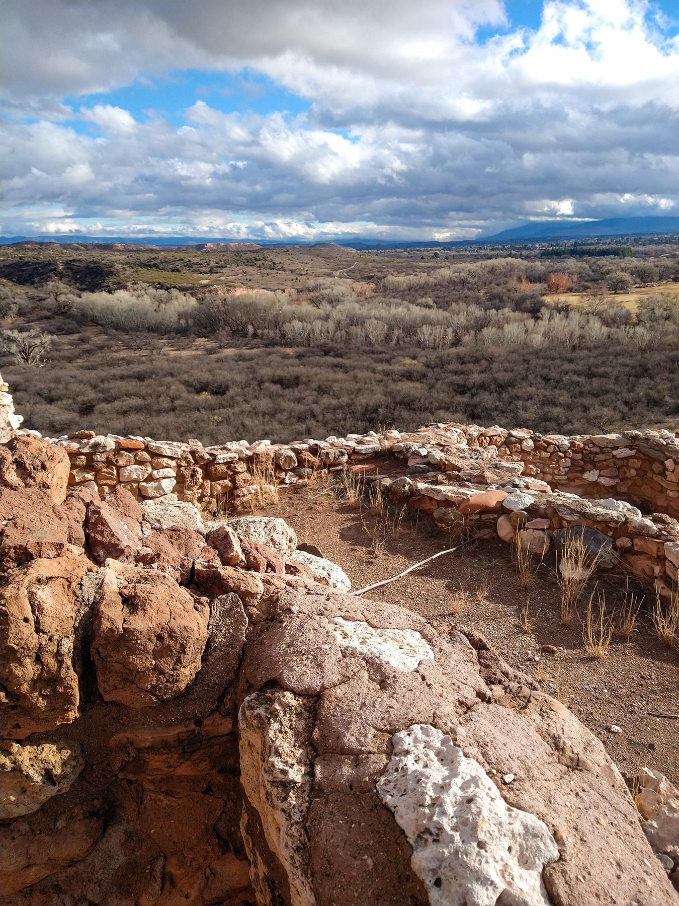
The site was likely a busy hub back when it was inhabited, located near an offshoot of the Verde River, and surrounded by agricultural land.
There is also a small museum displaying objects from the pubelo, found during the 1930’s excavation of the site.
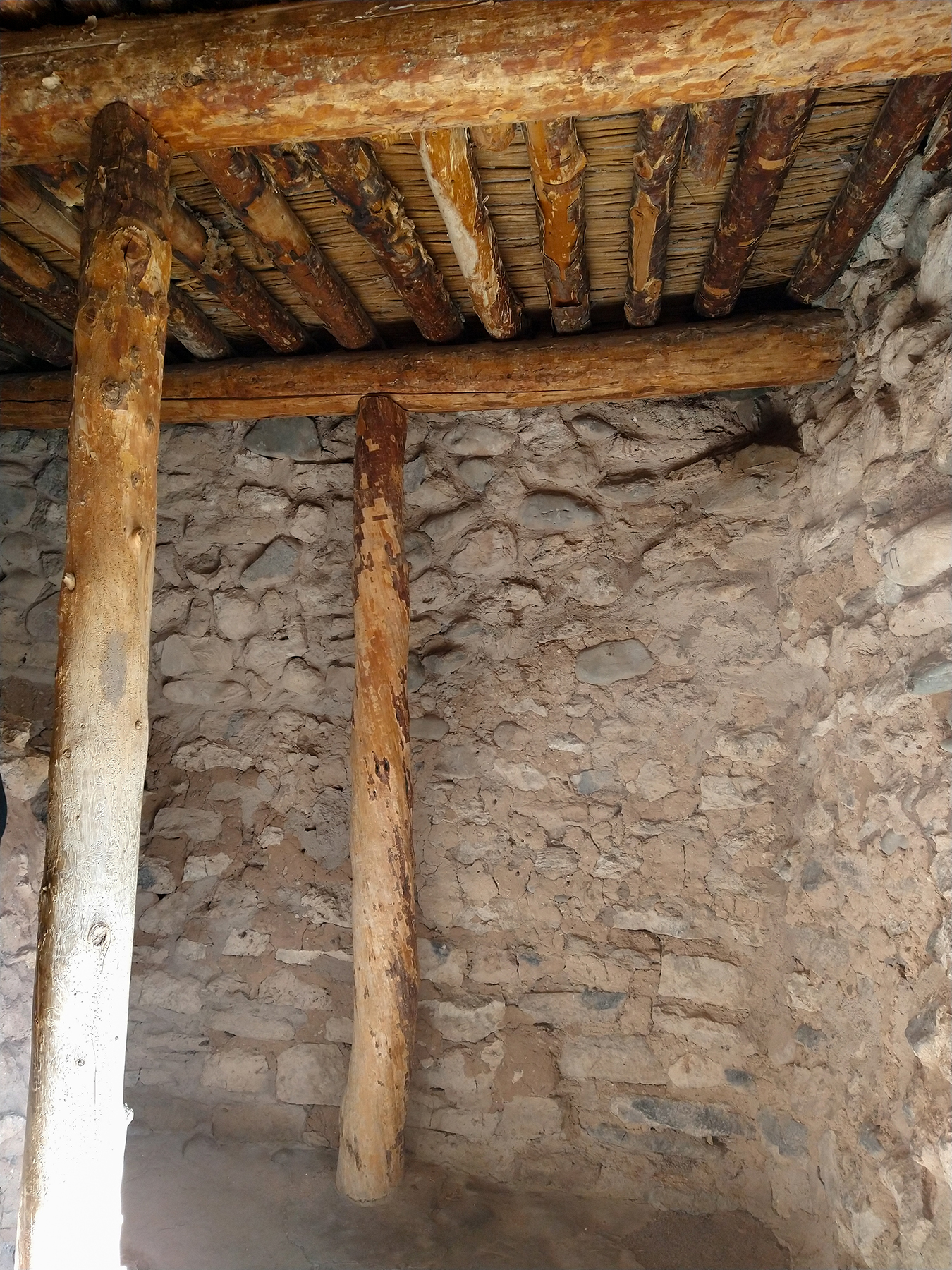
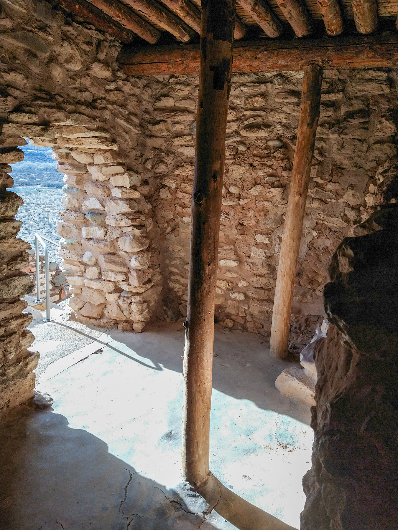
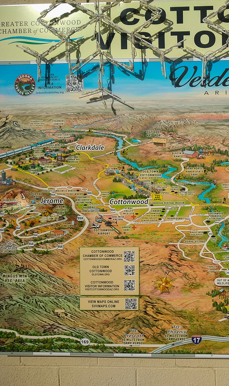
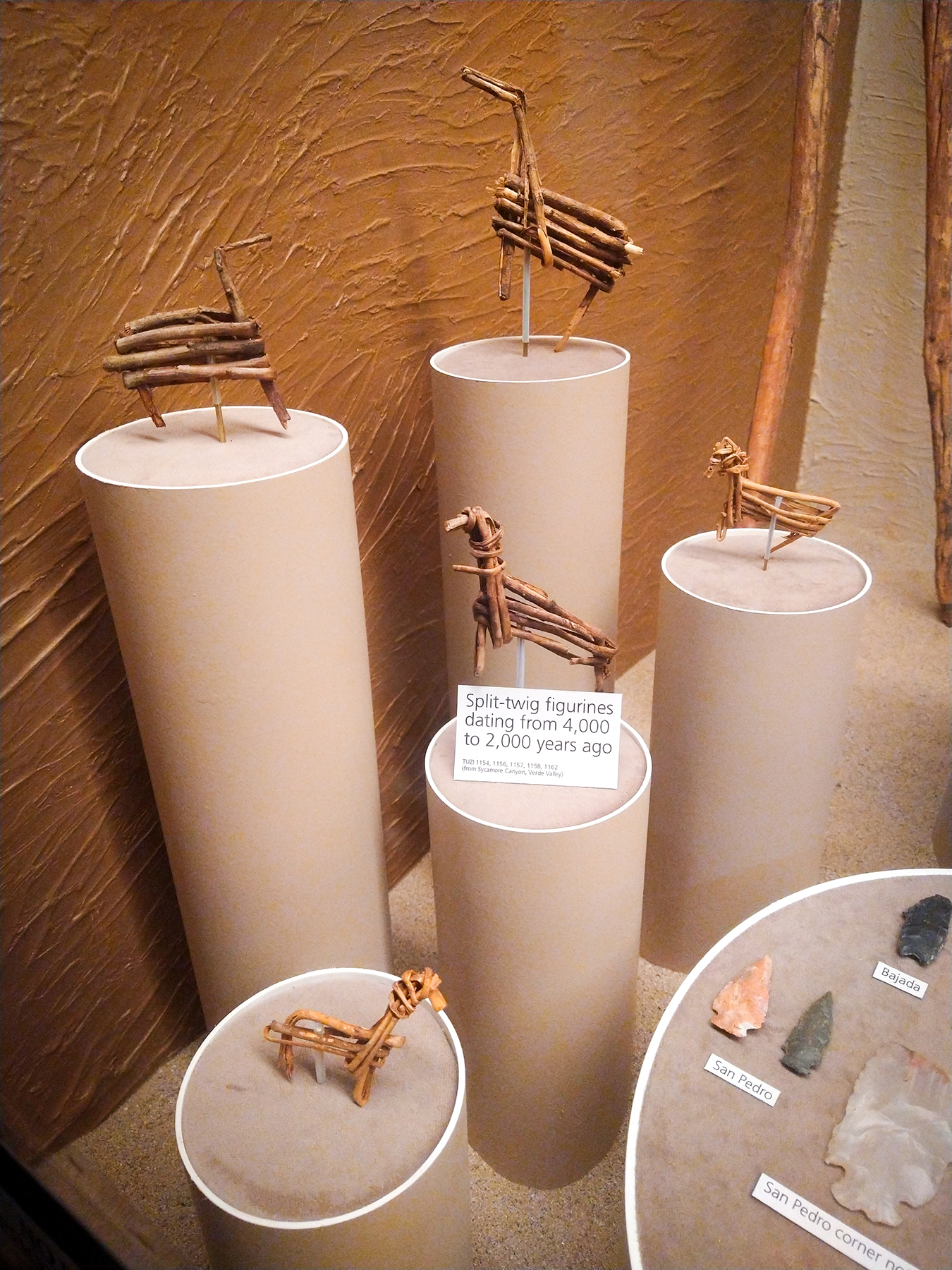
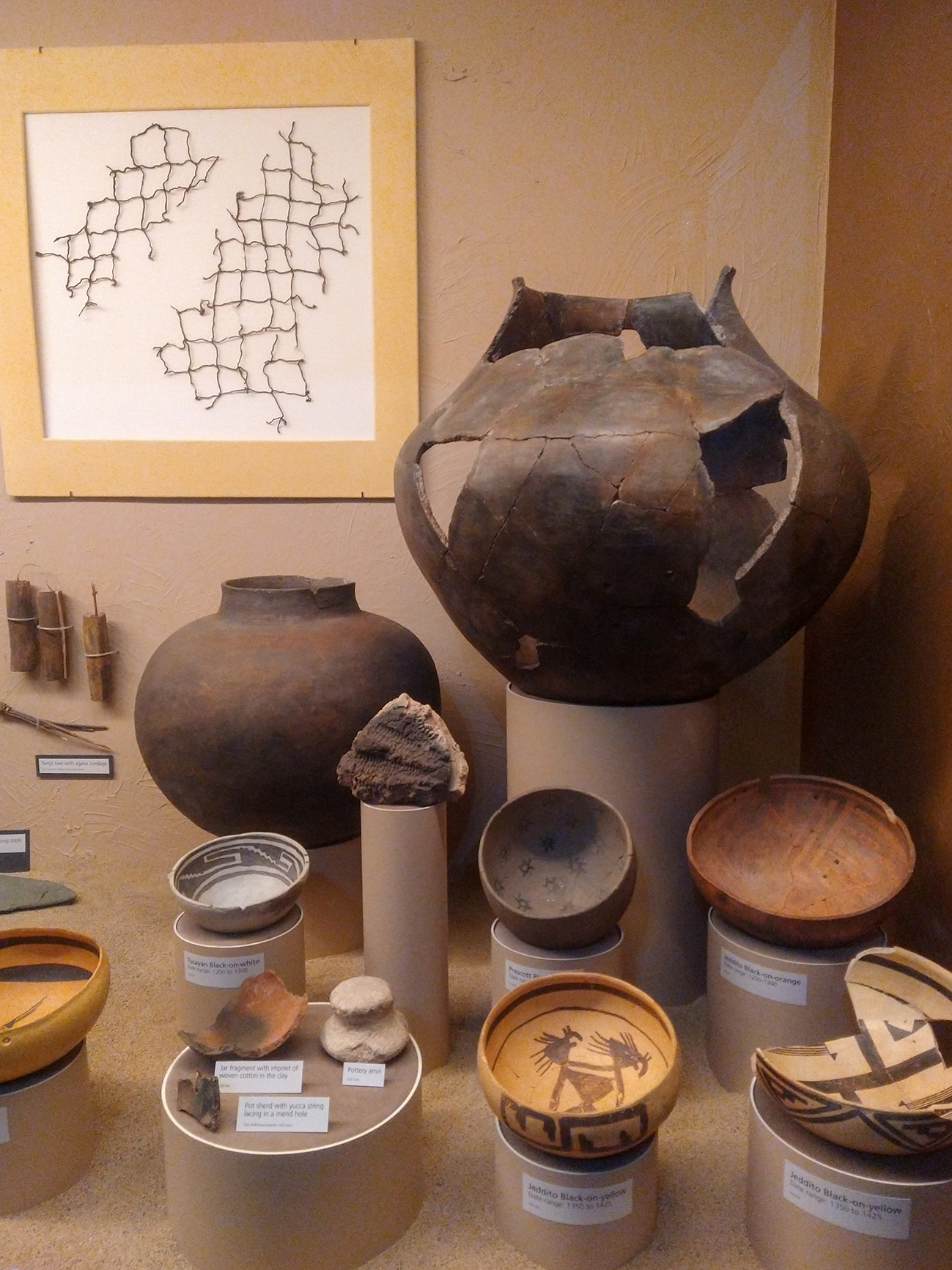
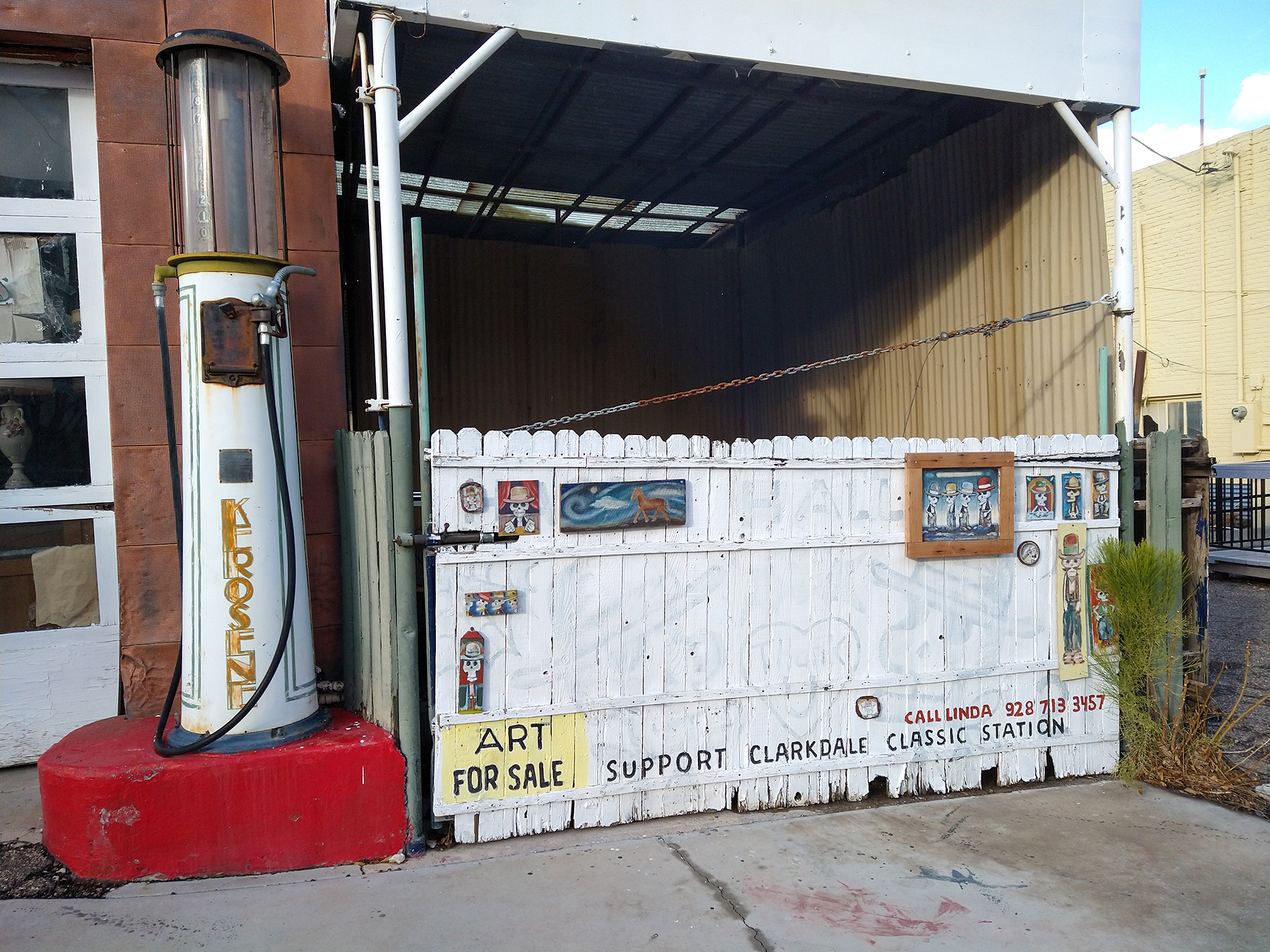
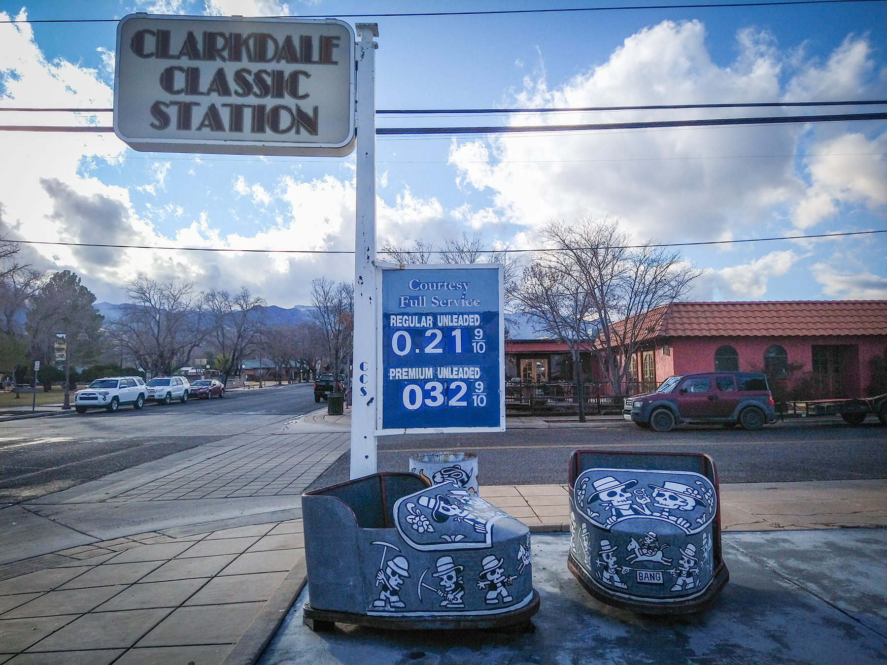
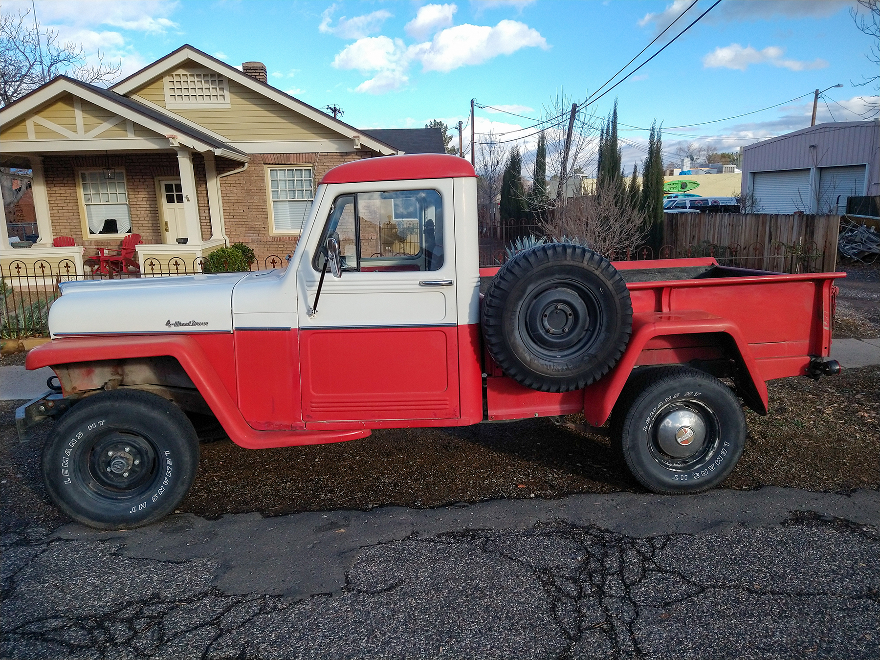
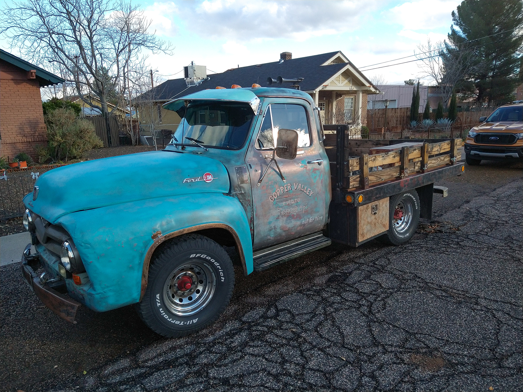
After this we continued driving west and made a quick stop on Clarkdale, a former mining town that is now mainly home to retirees and artists.
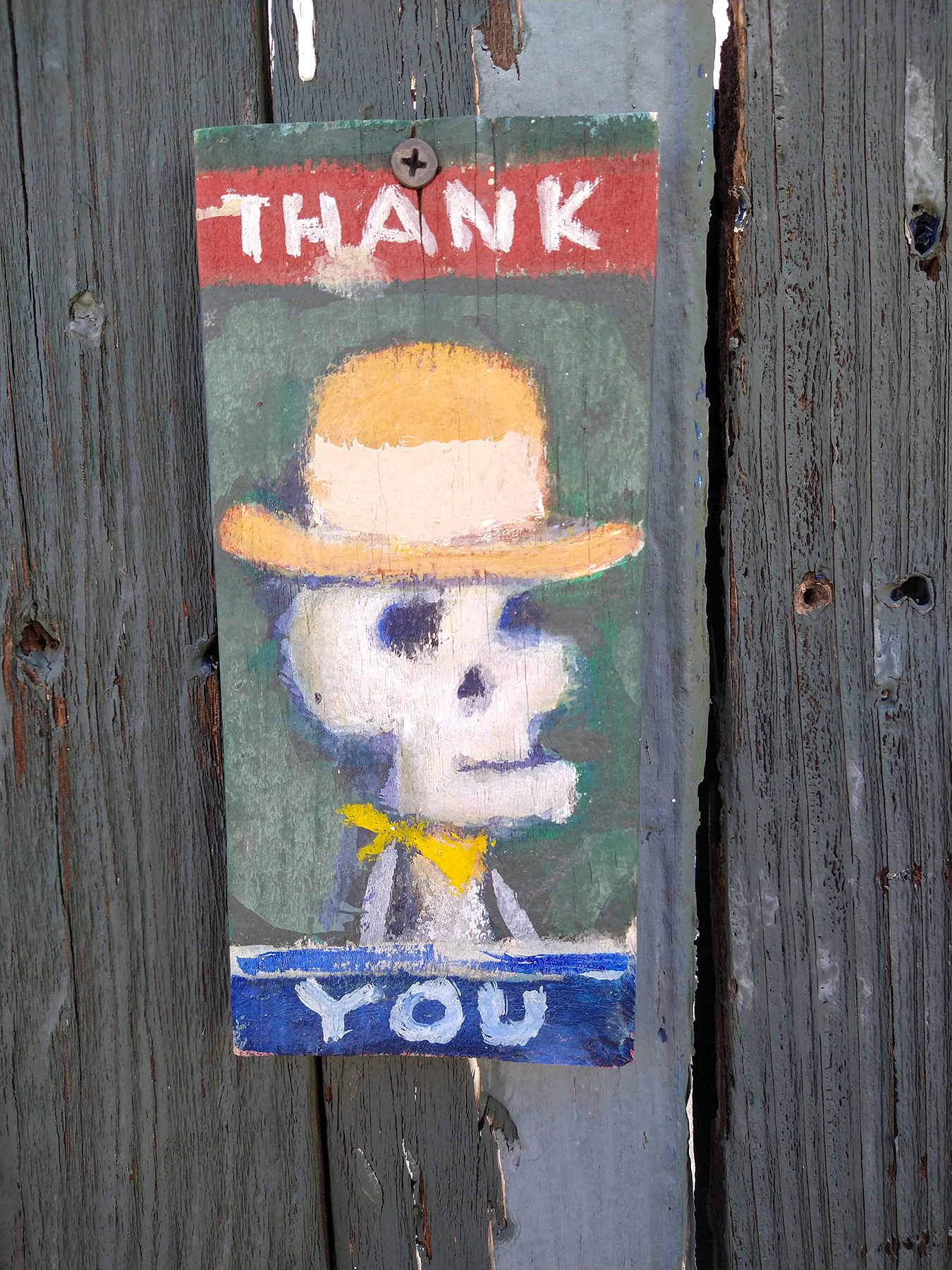
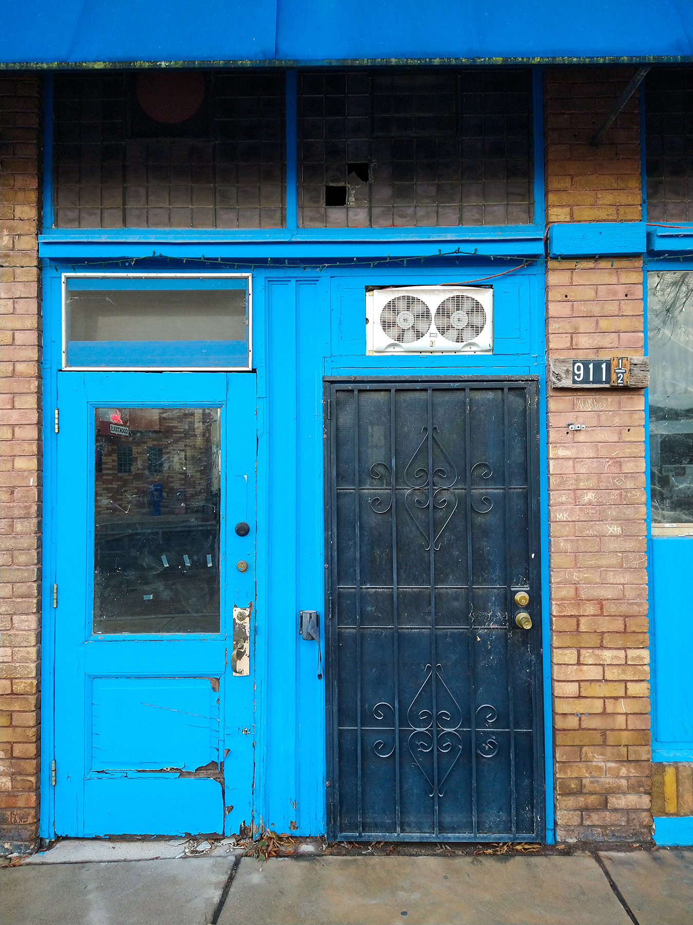
According to Wikipedia, Clarkdale was once one of the most modern mining town in the world, equipped with telegraphs, running water. and sewer. But as for many of those towns built around single-industry, when said industry slowed down, so did the town.
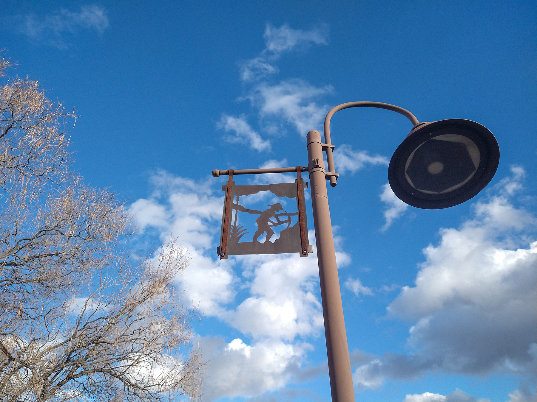
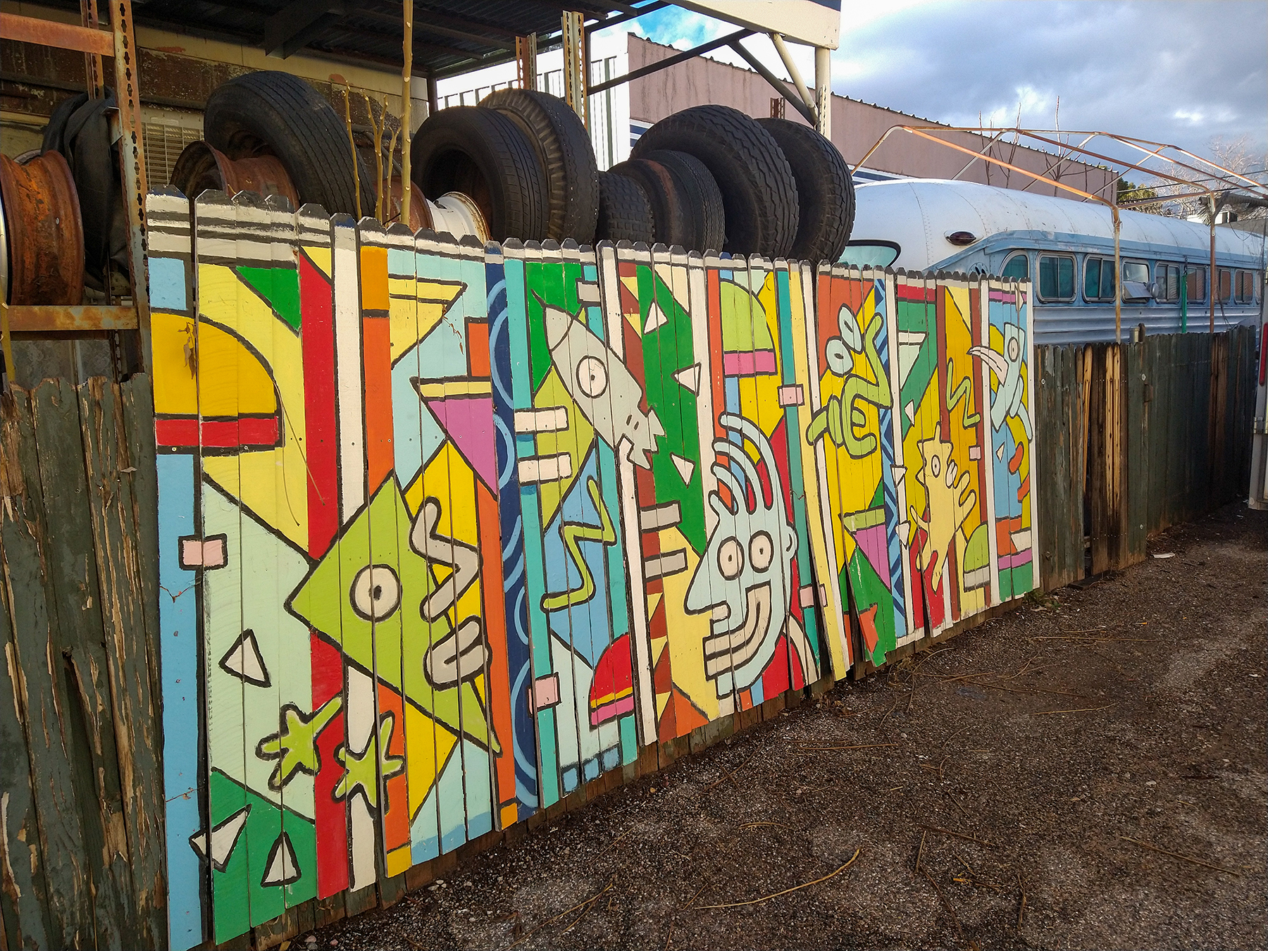
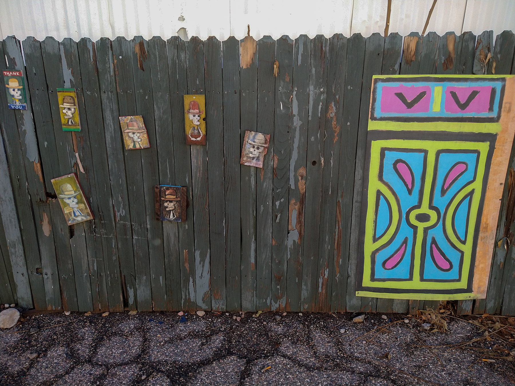

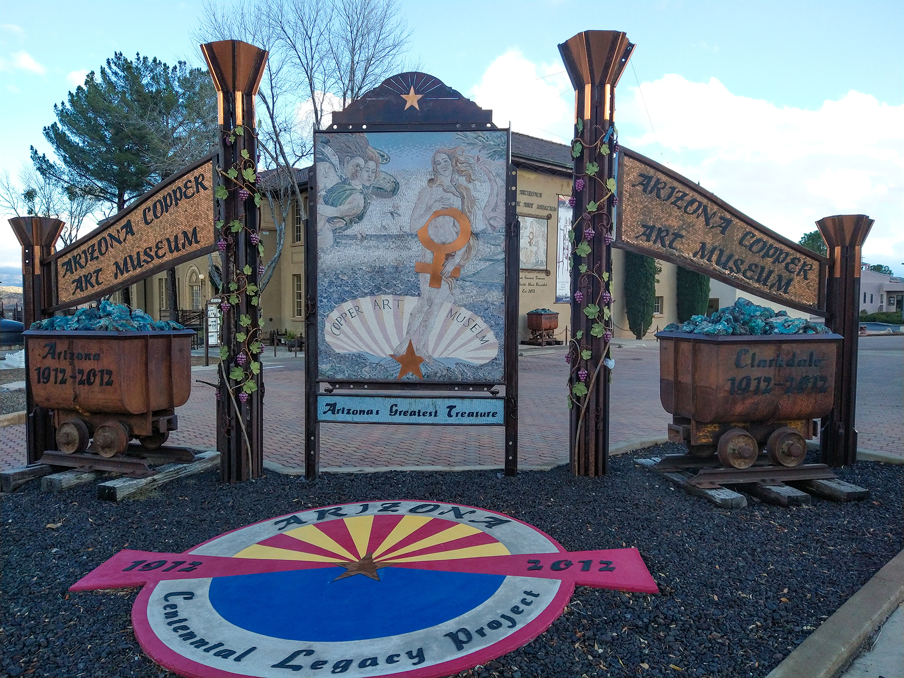
The mine itself was located near another town called Jerome, higher up on Cleopatra Hill.
That’s where we headed to next. Before reaching the town center, we stopped at the old mine museum.
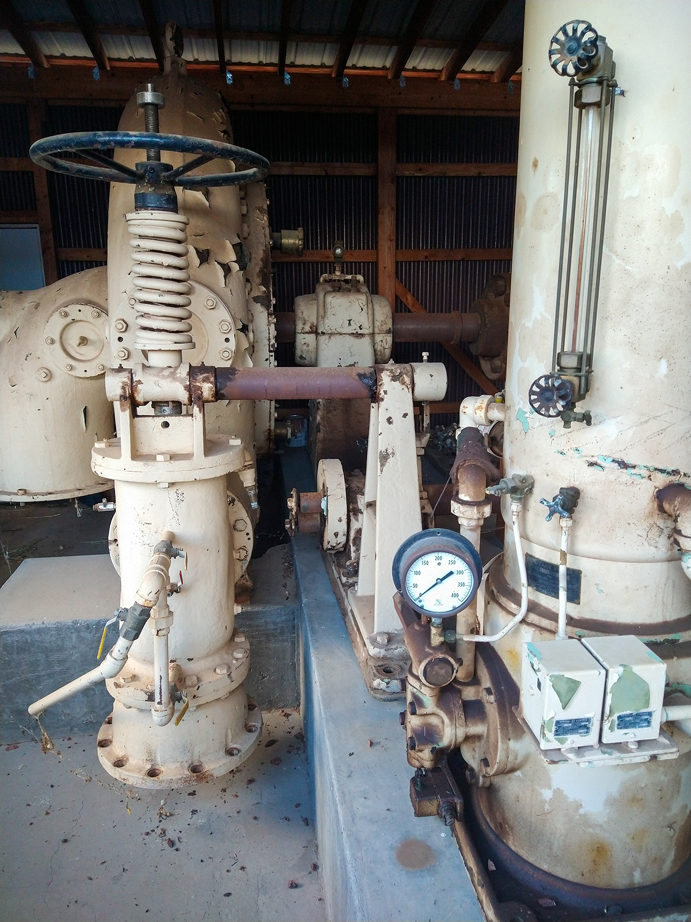
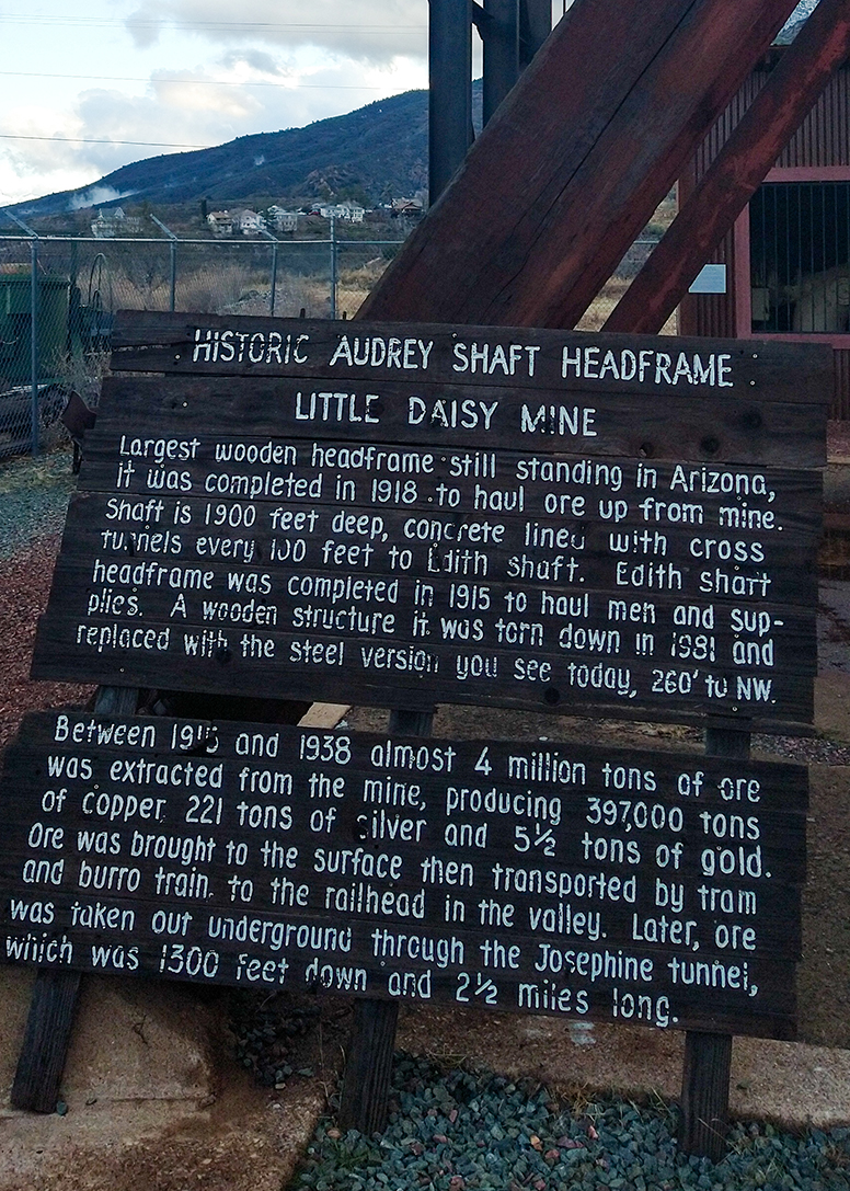
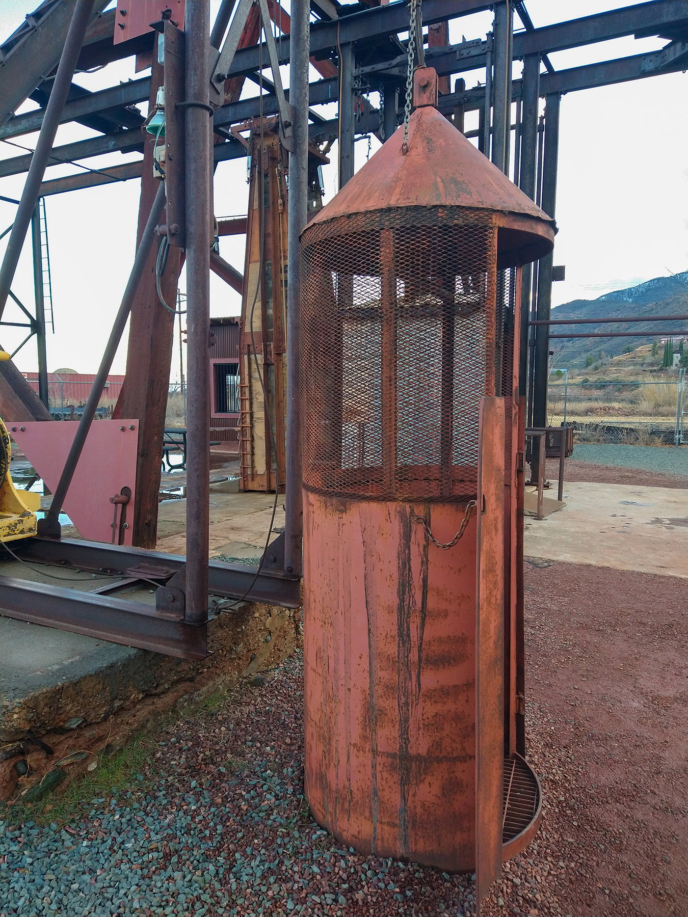
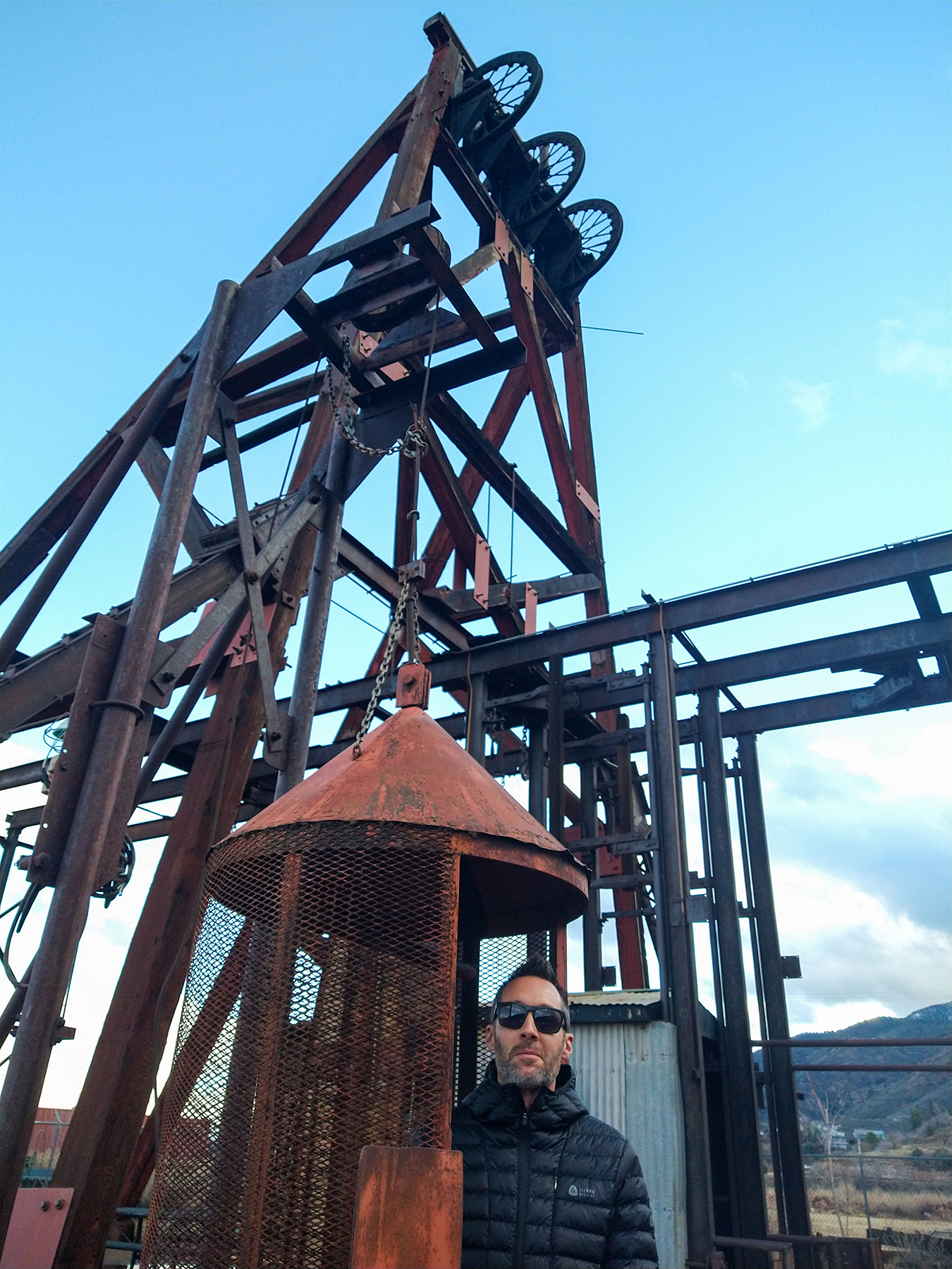
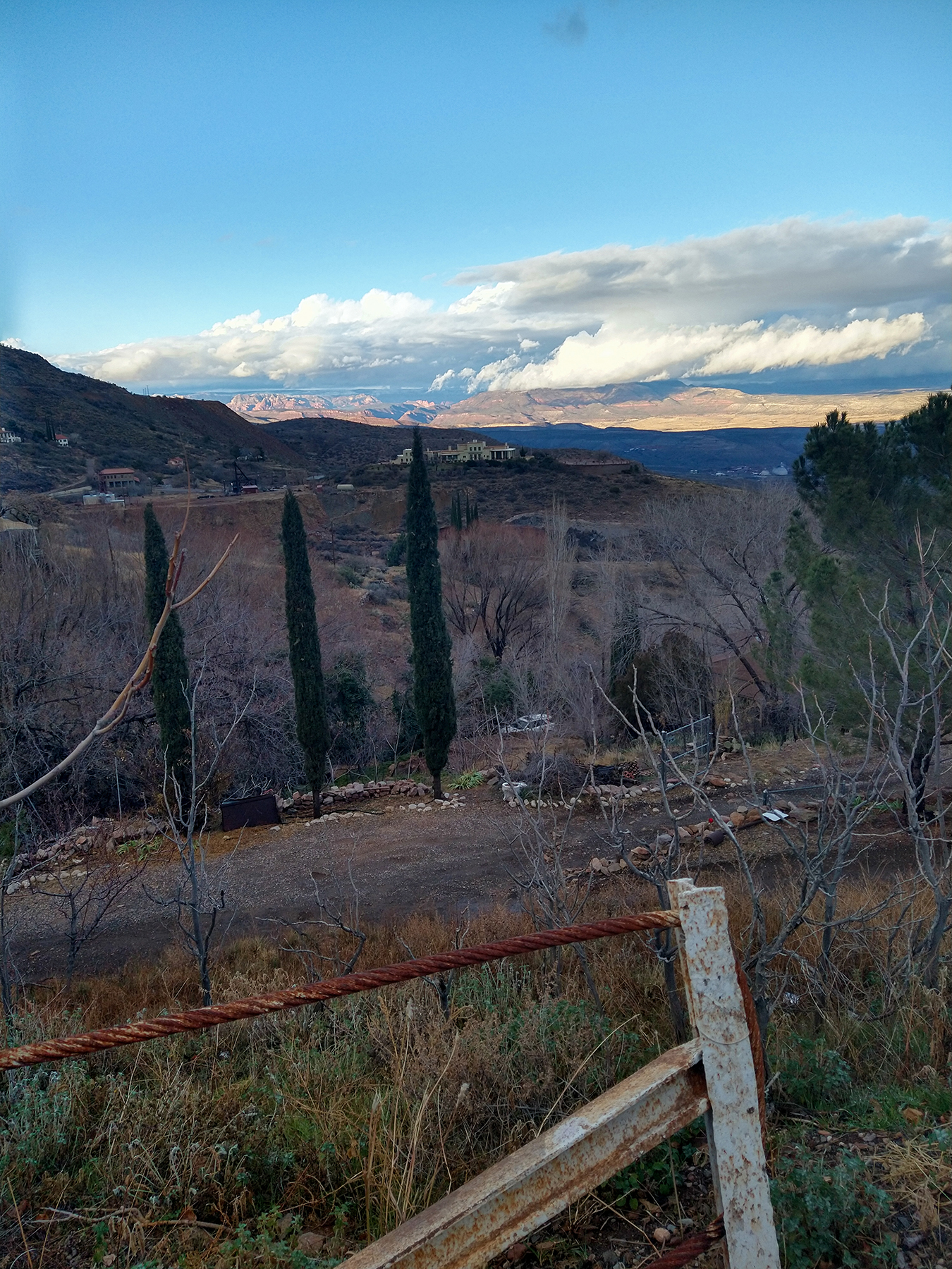
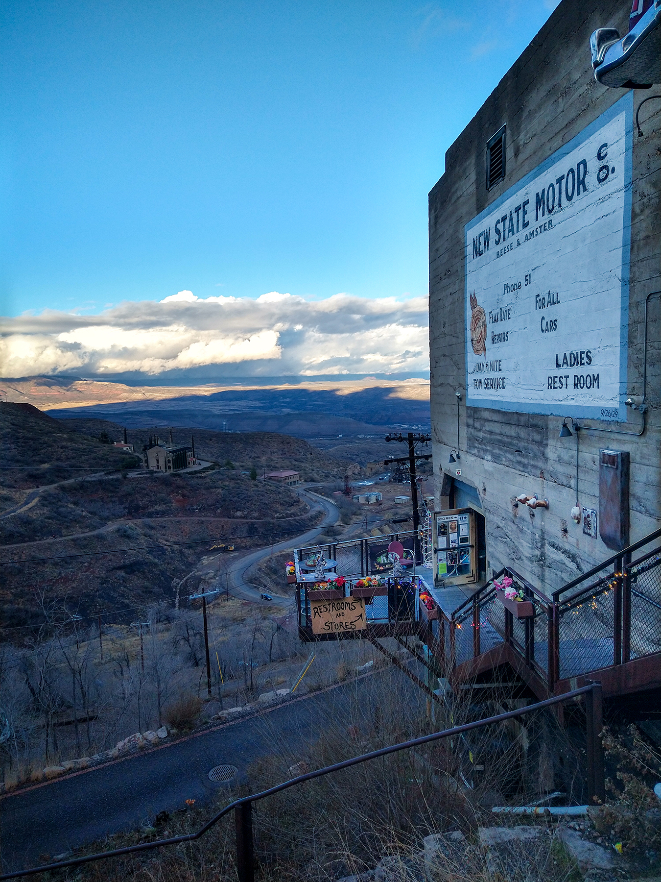
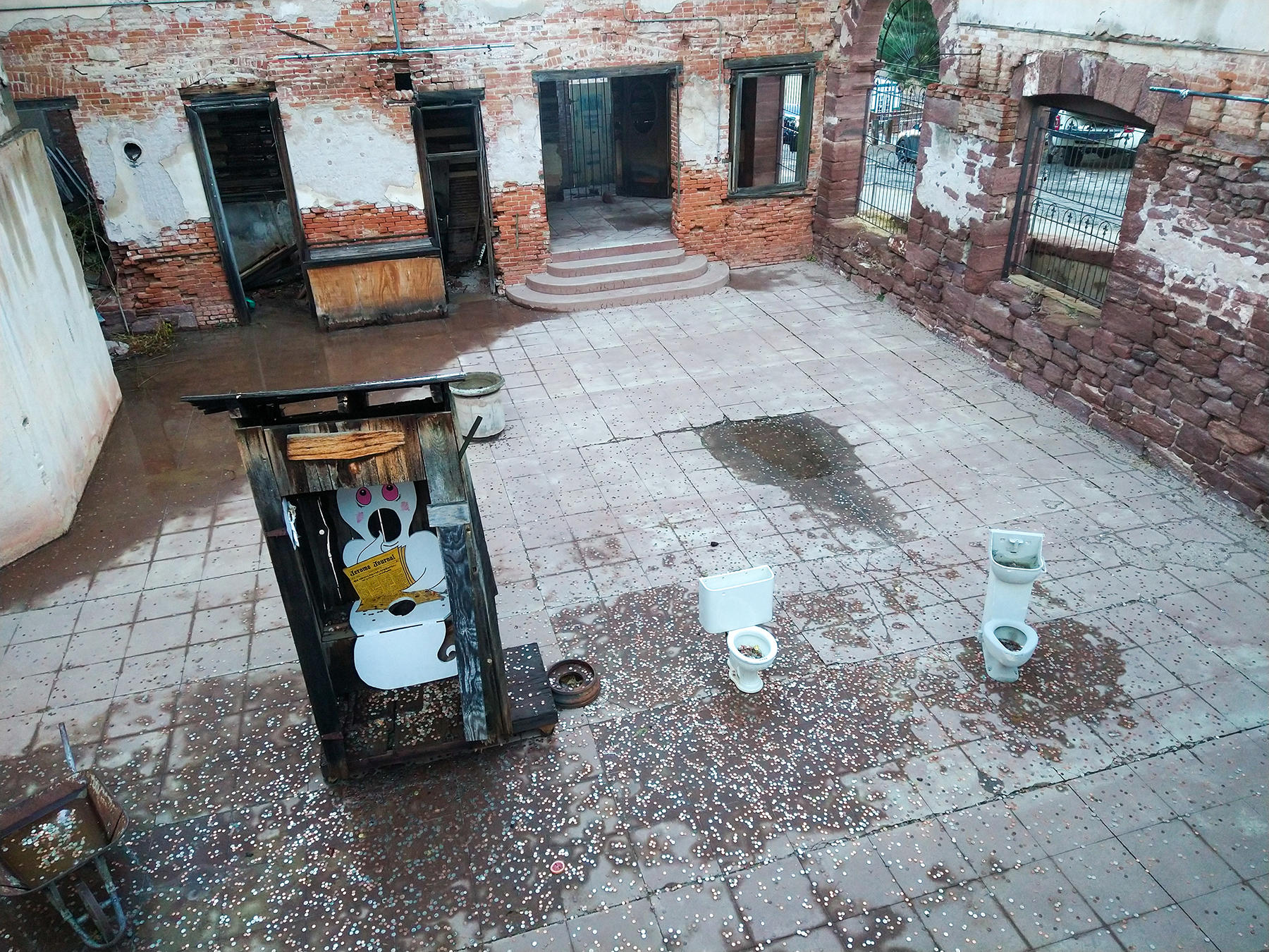
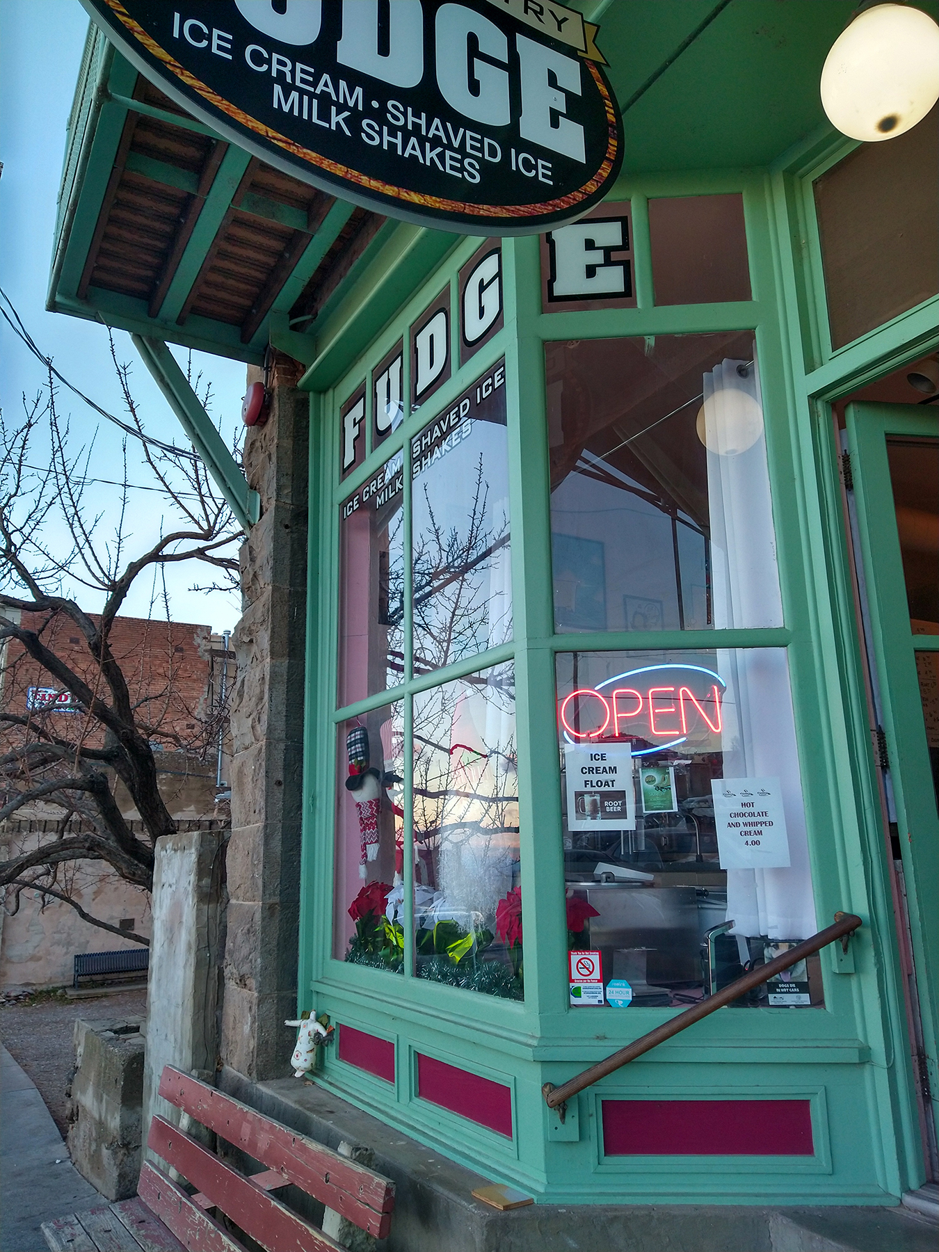
Jerome is bulit of the side of the hill, with views towards the red rocks of Sedona. It has fully embraced the “ghost town” vibe and shops are mainly artsy or touristy.
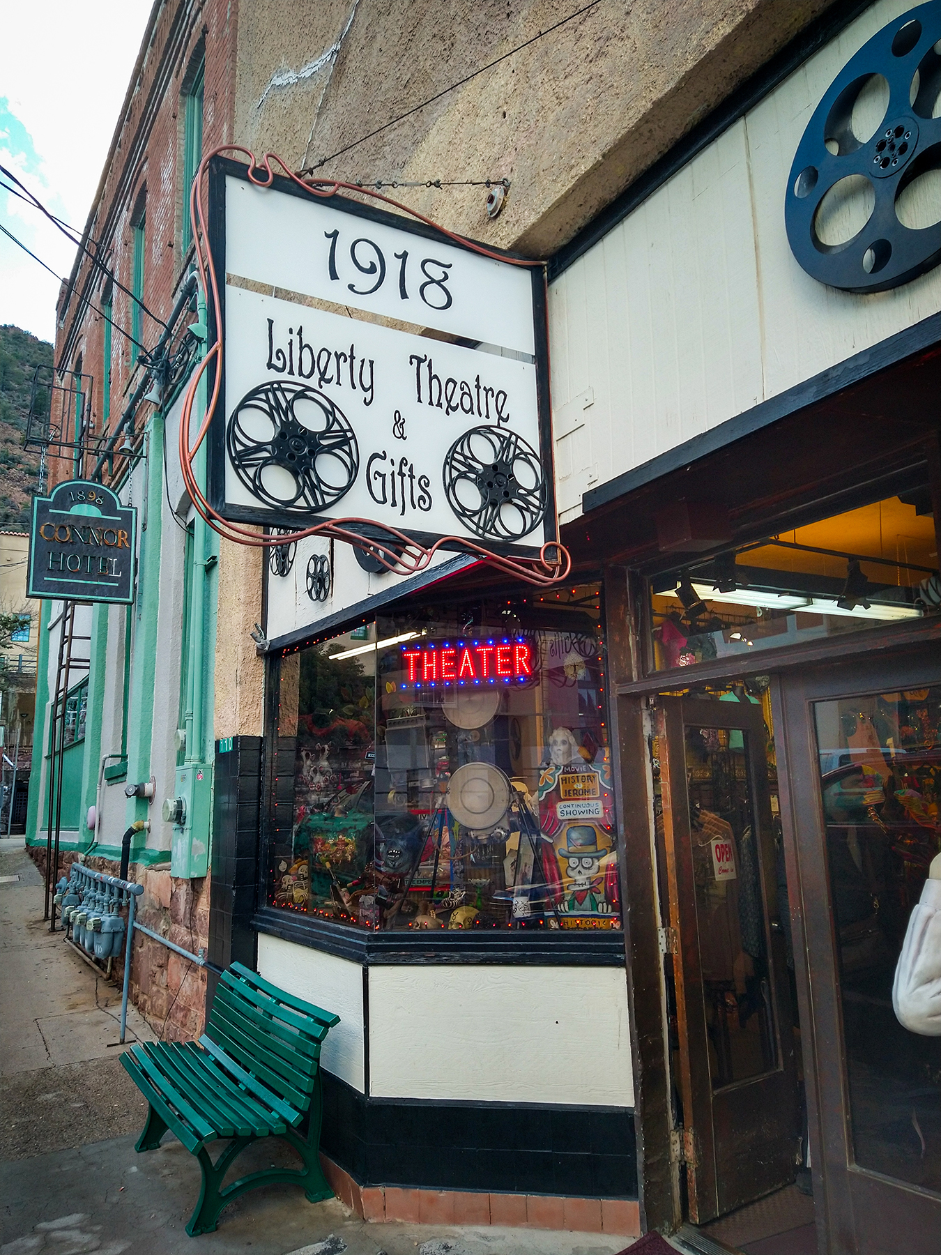

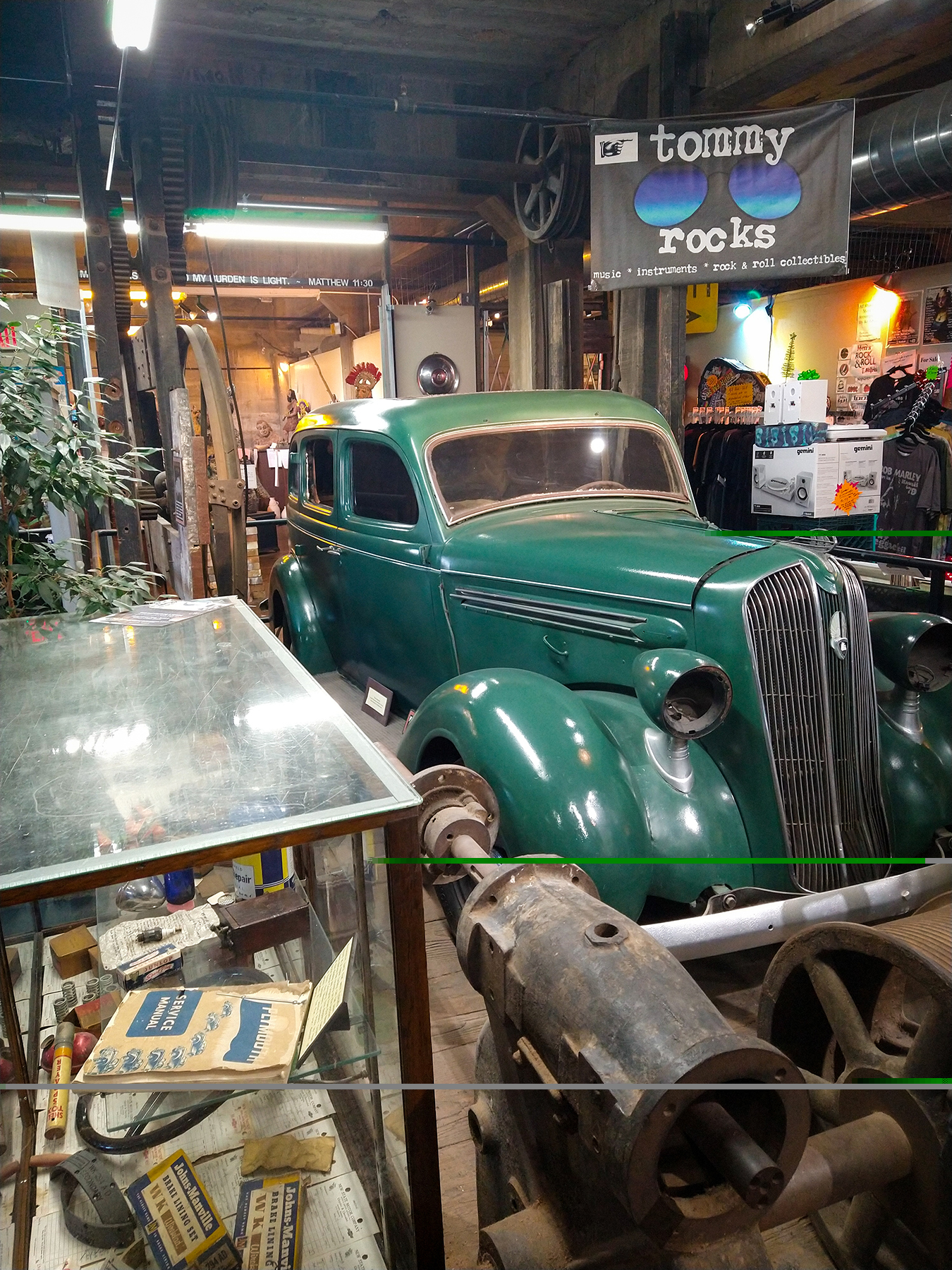
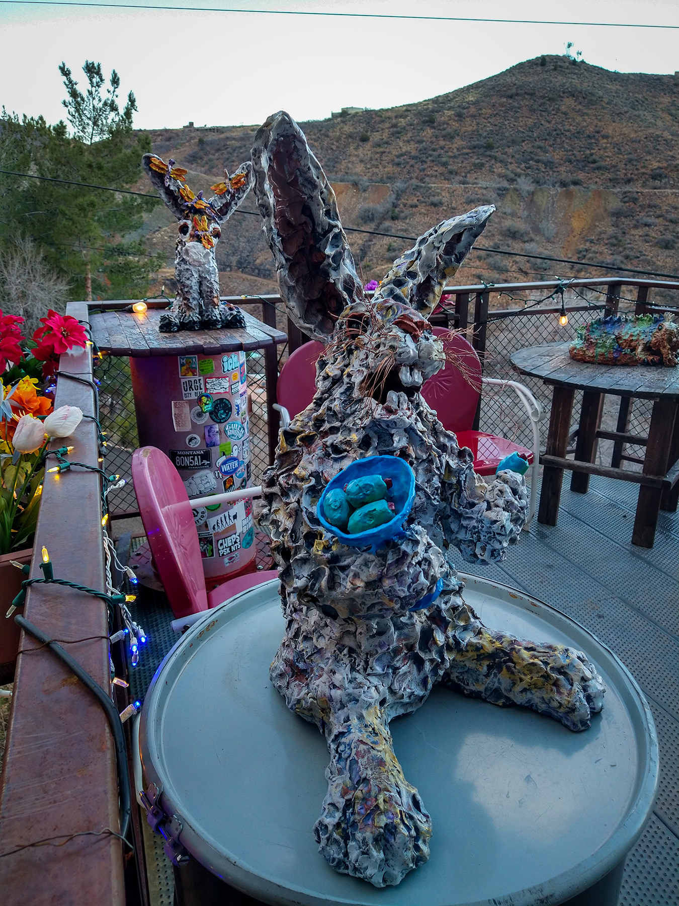

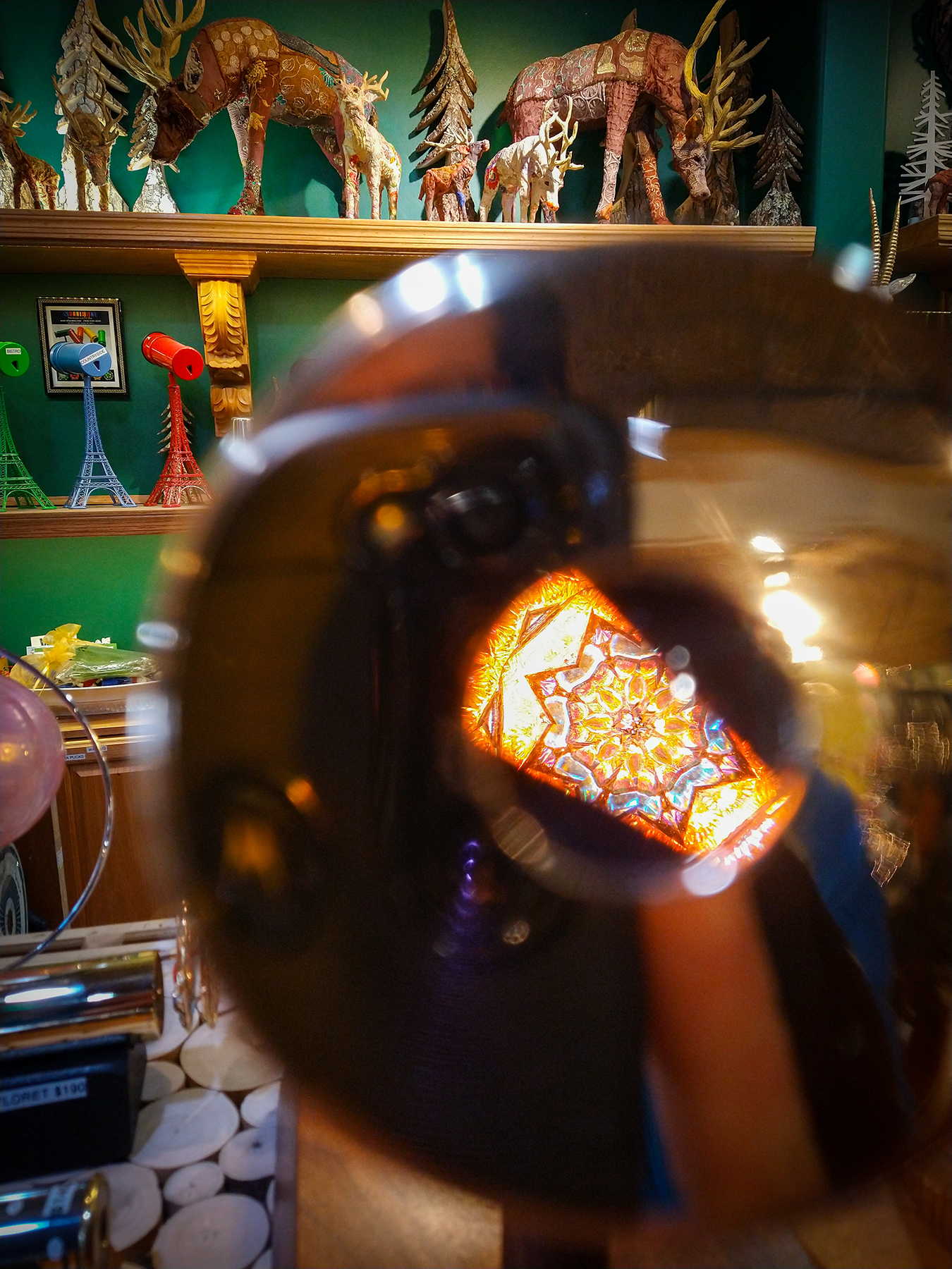
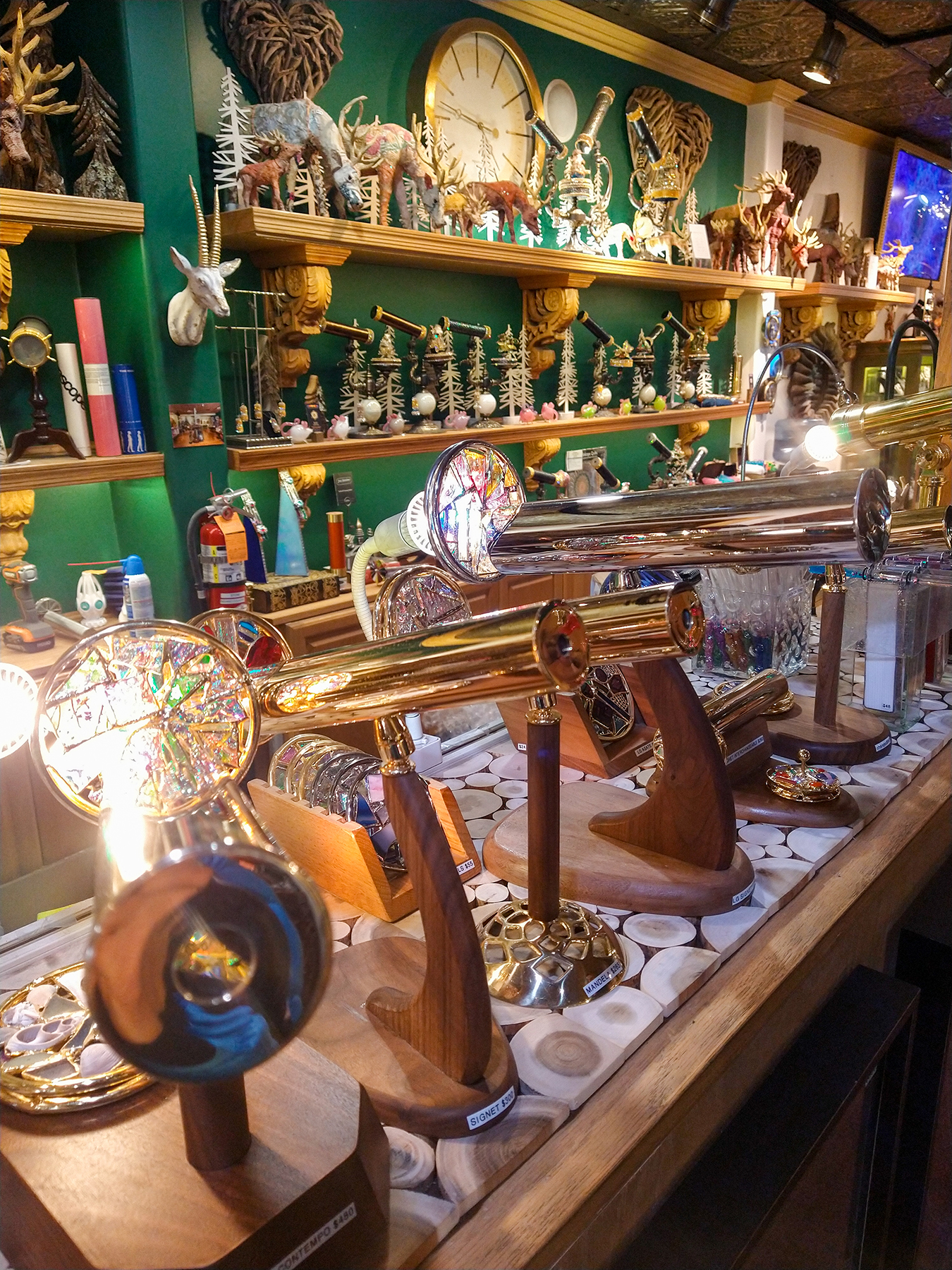
One store is completely dedicated to kaleidoscopes – it actually takes us a minute to figure out what all these wooden glasses and telescope-looking objects are…until we look into them.

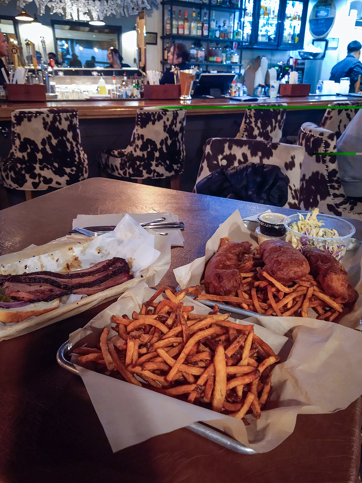
After strolling around the couple of streets, he headed back to cottonwood. For dinner, we went to Colt Grill for some BBQ.
